Quick filters:
Map of plainville kansas Stock Photos and Images
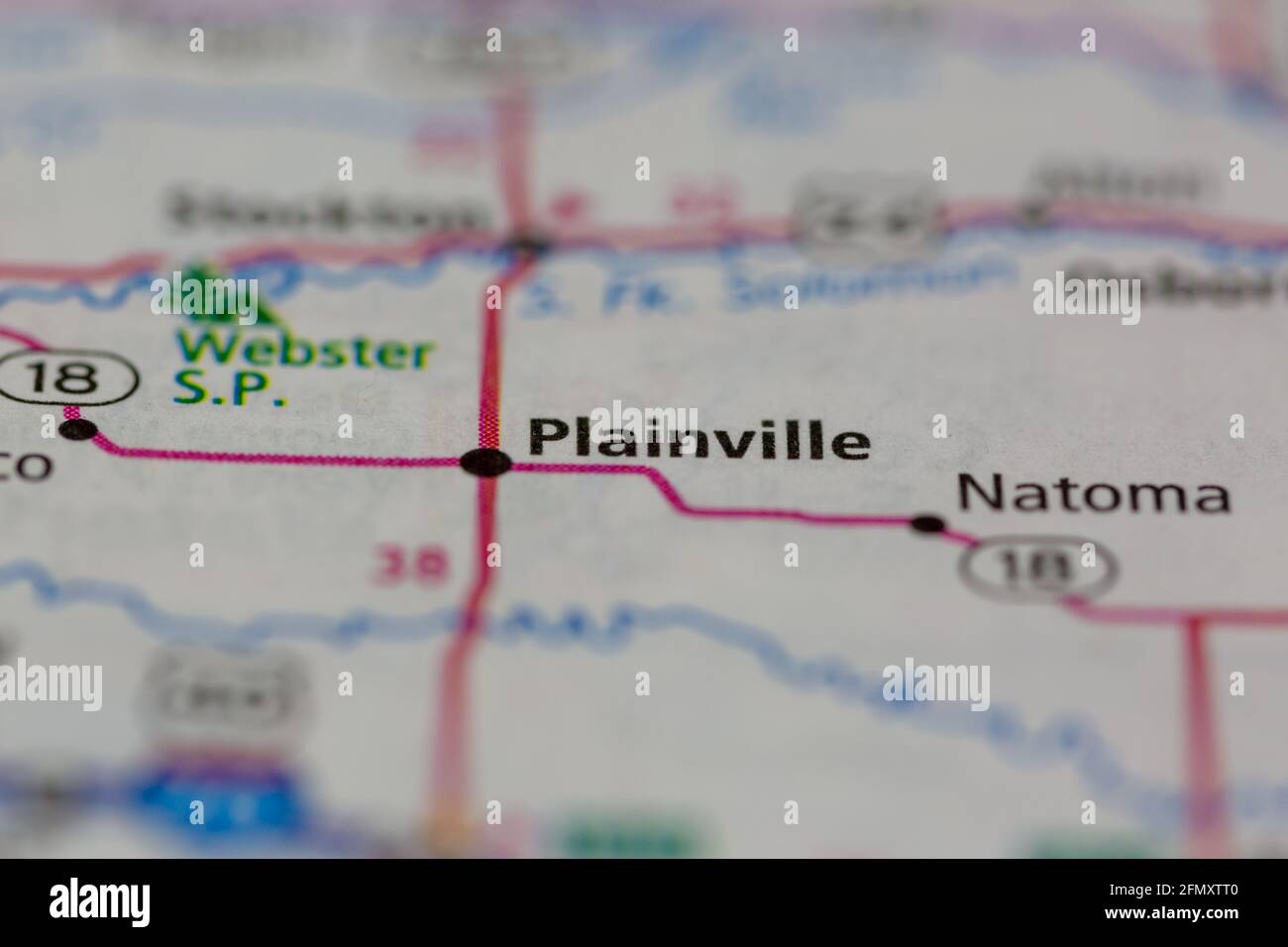 Plainville Kansas USA shown on a Geography map or Road Map Stock Photohttps://www.alamy.com/image-license-details/?v=1https://www.alamy.com/plainville-kansas-usa-shown-on-a-geography-map-or-road-map-image425932192.html
RM2FMXTT0–Plainville Kansas USA shown on a Geography map or Road Map
 Plainville, Rooks County, US, United States, Kansas, N 39 14' 5'', S 99 17' 53'', map, Cartascapes Map published in 2024. Explore Cartascapes, a map revealing Earth's diverse landscapes, cultures, and ecosystems. Journey through time and space, discovering the interconnectedness of our planet's past, present, and future. Stock Photohttps://www.alamy.com/image-license-details/?v=1https://www.alamy.com/plainville-rooks-county-us-united-states-kansas-n-39-14-5-s-99-17-53-map-cartascapes-map-published-in-2024-explore-cartascapes-a-map-revealing-earths-diverse-landscapes-cultures-and-ecosystems-journey-through-time-and-space-discovering-the-interconnectedness-of-our-planets-past-present-and-future-image620701079.html
RM2Y1RAFK–Plainville, Rooks County, US, United States, Kansas, N 39 14' 5'', S 99 17' 53'', map, Cartascapes Map published in 2024. Explore Cartascapes, a map revealing Earth's diverse landscapes, cultures, and ecosystems. Journey through time and space, discovering the interconnectedness of our planet's past, present, and future.
 USGS TOPO Map Kansas KS Plainville 20120907 TM Restoration Stock Photohttps://www.alamy.com/image-license-details/?v=1https://www.alamy.com/usgs-topo-map-kansas-ks-plainville-20120907-tm-restoration-image260292960.html
RMW3DA94–USGS TOPO Map Kansas KS Plainville 20120907 TM Restoration
 Plainville, Rooks County, US, United States, Kansas, N 39 14' 5'', S 99 17' 53'', map, Cartascapes Map published in 2024. Explore Cartascapes, a map revealing Earth's diverse landscapes, cultures, and ecosystems. Journey through time and space, discovering the interconnectedness of our planet's past, present, and future. Stock Photohttps://www.alamy.com/image-license-details/?v=1https://www.alamy.com/plainville-rooks-county-us-united-states-kansas-n-39-14-5-s-99-17-53-map-cartascapes-map-published-in-2024-explore-cartascapes-a-map-revealing-earths-diverse-landscapes-cultures-and-ecosystems-journey-through-time-and-space-discovering-the-interconnectedness-of-our-planets-past-present-and-future-image620811952.html
RM2Y20BYC–Plainville, Rooks County, US, United States, Kansas, N 39 14' 5'', S 99 17' 53'', map, Cartascapes Map published in 2024. Explore Cartascapes, a map revealing Earth's diverse landscapes, cultures, and ecosystems. Journey through time and space, discovering the interconnectedness of our planet's past, present, and future.
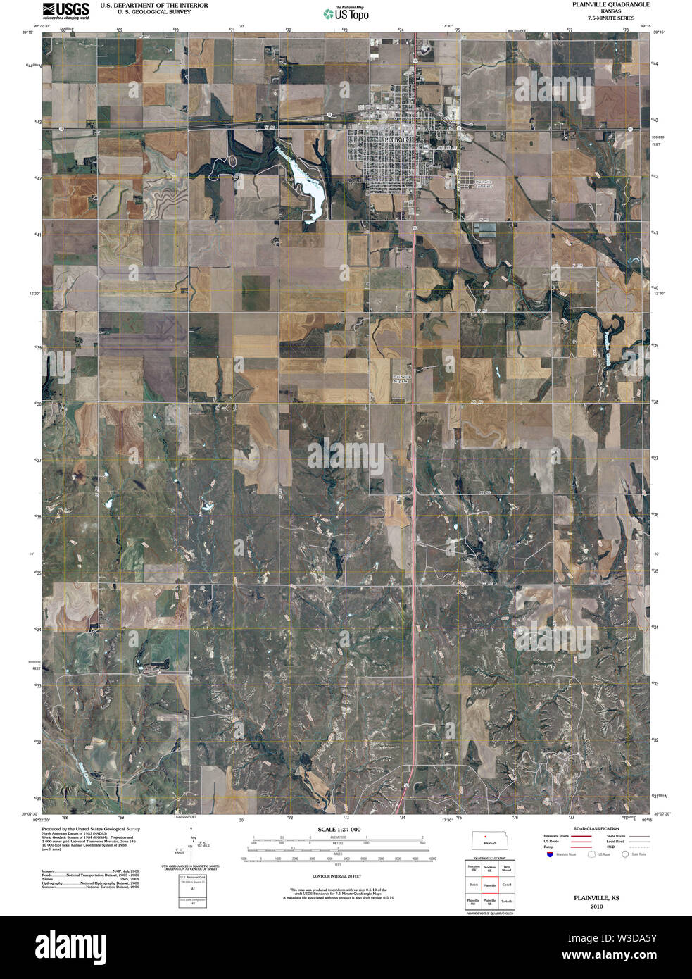 USGS TOPO Map Kansas KS Plainville 20100104 TM Restoration Stock Photohttps://www.alamy.com/image-license-details/?v=1https://www.alamy.com/usgs-topo-map-kansas-ks-plainville-20100104-tm-restoration-image260292871.html
RMW3DA5Y–USGS TOPO Map Kansas KS Plainville 20100104 TM Restoration
 City of Plainville, Rooks County, US, United States, Kansas, N 39 13' 52'', S 99 18' 4'', map, Cartascapes Map published in 2024. Explore Cartascapes, a map revealing Earth's diverse landscapes, cultures, and ecosystems. Journey through time and space, discovering the interconnectedness of our planet's past, present, and future. Stock Photohttps://www.alamy.com/image-license-details/?v=1https://www.alamy.com/city-of-plainville-rooks-county-us-united-states-kansas-n-39-13-52-s-99-18-4-map-cartascapes-map-published-in-2024-explore-cartascapes-a-map-revealing-earths-diverse-landscapes-cultures-and-ecosystems-journey-through-time-and-space-discovering-the-interconnectedness-of-our-planets-past-present-and-future-image633841818.html
RM2YR5YKP–City of Plainville, Rooks County, US, United States, Kansas, N 39 13' 52'', S 99 18' 4'', map, Cartascapes Map published in 2024. Explore Cartascapes, a map revealing Earth's diverse landscapes, cultures, and ecosystems. Journey through time and space, discovering the interconnectedness of our planet's past, present, and future.
 USGS TOPO Map Kansas KS Plainville 122662 1896 125000 Restoration Stock Photohttps://www.alamy.com/image-license-details/?v=1https://www.alamy.com/usgs-topo-map-kansas-ks-plainville-122662-1896-125000-restoration-image260292741.html
RMW3DA19–USGS TOPO Map Kansas KS Plainville 122662 1896 125000 Restoration
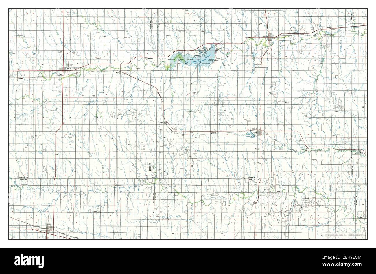 Plainville, Kansas, map 1985, 1:100000, United States of America by Timeless Maps, data U.S. Geological Survey Stock Photohttps://www.alamy.com/image-license-details/?v=1https://www.alamy.com/plainville-kansas-map-1985-1100000-united-states-of-america-by-timeless-maps-data-us-geological-survey-image406496628.html
RM2EH9EGM–Plainville, Kansas, map 1985, 1:100000, United States of America by Timeless Maps, data U.S. Geological Survey
 USGS TOPO Map Kansas KS Plainville 20100104 TM Inverted Restoration Stock Photohttps://www.alamy.com/image-license-details/?v=1https://www.alamy.com/usgs-topo-map-kansas-ks-plainville-20100104-tm-inverted-restoration-image260292876.html
RMW3DA64–USGS TOPO Map Kansas KS Plainville 20100104 TM Inverted Restoration
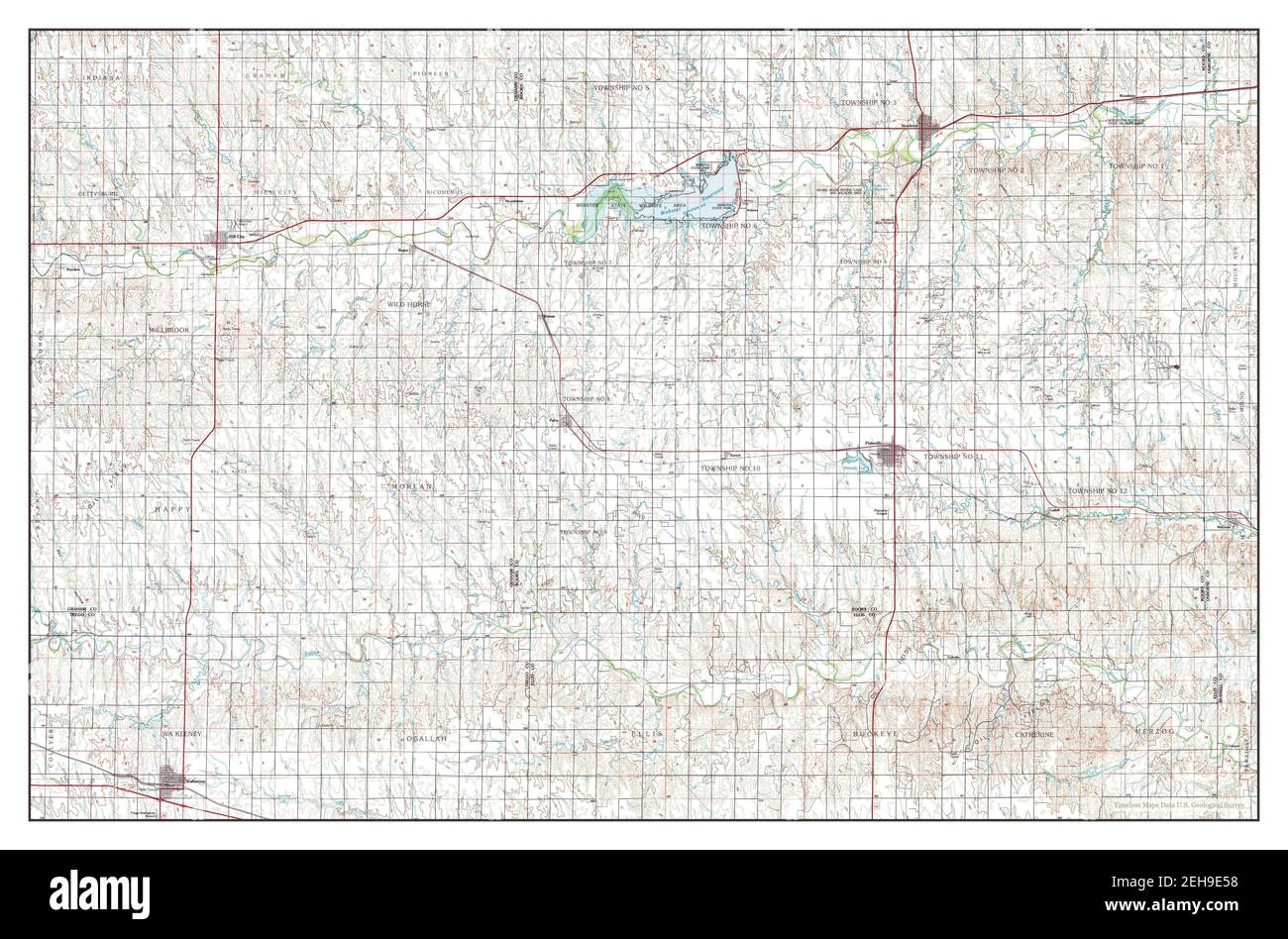 Plainville, Kansas, map 1985, 1:100000, United States of America by Timeless Maps, data U.S. Geological Survey Stock Photohttps://www.alamy.com/image-license-details/?v=1https://www.alamy.com/plainville-kansas-map-1985-1100000-united-states-of-america-by-timeless-maps-data-us-geological-survey-image406496308.html
RM2EH9E58–Plainville, Kansas, map 1985, 1:100000, United States of America by Timeless Maps, data U.S. Geological Survey
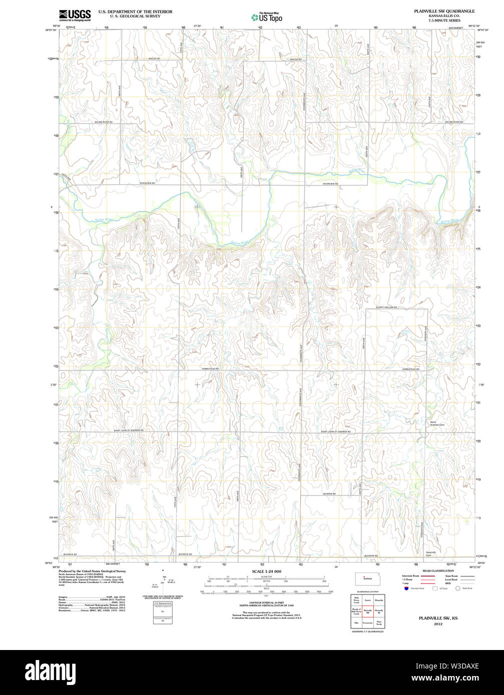 USGS TOPO Map Kansas KS Plainville SW 20120905 TM Restoration Stock Photohttps://www.alamy.com/image-license-details/?v=1https://www.alamy.com/usgs-topo-map-kansas-ks-plainville-sw-20120905-tm-restoration-image260293446.html
RMW3DAXE–USGS TOPO Map Kansas KS Plainville SW 20120905 TM Restoration
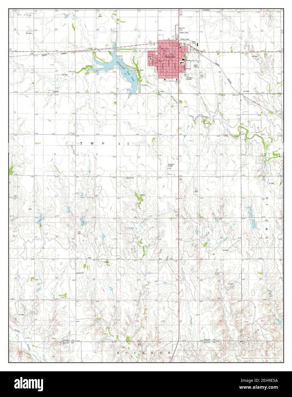 Plainville, Kansas, map 1978, 1:24000, United States of America by Timeless Maps, data U.S. Geological Survey Stock Photohttps://www.alamy.com/image-license-details/?v=1https://www.alamy.com/plainville-kansas-map-1978-124000-united-states-of-america-by-timeless-maps-data-us-geological-survey-image406496310.html
RM2EH9E5A–Plainville, Kansas, map 1978, 1:24000, United States of America by Timeless Maps, data U.S. Geological Survey
 USGS TOPO Map Kansas KS Plainville 122664 1896 125000 Restoration Stock Photohttps://www.alamy.com/image-license-details/?v=1https://www.alamy.com/usgs-topo-map-kansas-ks-plainville-122664-1896-125000-restoration-image260292796.html
RMW3DA38–USGS TOPO Map Kansas KS Plainville 122664 1896 125000 Restoration
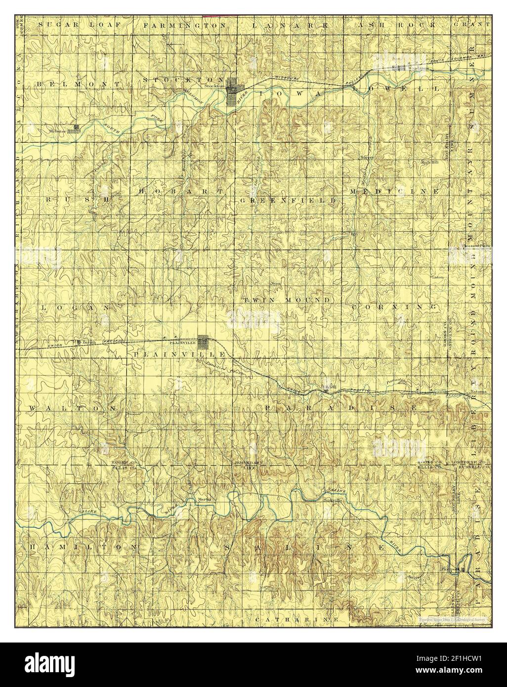 Plainville, Kansas, map 1896, 1:125000, United States of America by Timeless Maps, data U.S. Geological Survey Stock Photohttps://www.alamy.com/image-license-details/?v=1https://www.alamy.com/plainville-kansas-map-1896-1125000-united-states-of-america-by-timeless-maps-data-us-geological-survey-image414046781.html
RM2F1HCW1–Plainville, Kansas, map 1896, 1:125000, United States of America by Timeless Maps, data U.S. Geological Survey
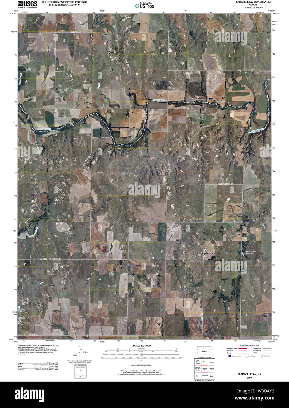 USGS TOPO Map Kansas KS Plainville SW 20091113 TM Restoration Stock Photohttps://www.alamy.com/image-license-details/?v=1https://www.alamy.com/usgs-topo-map-kansas-ks-plainville-sw-20091113-tm-restoration-image260293462.html
RMW3DAY2–USGS TOPO Map Kansas KS Plainville SW 20091113 TM Restoration
 Plainville, Kansas, map 1896, 1:125000, United States of America by Timeless Maps, data U.S. Geological Survey Stock Photohttps://www.alamy.com/image-license-details/?v=1https://www.alamy.com/plainville-kansas-map-1896-1125000-united-states-of-america-by-timeless-maps-data-us-geological-survey-image414046856.html
RM2F1HCYM–Plainville, Kansas, map 1896, 1:125000, United States of America by Timeless Maps, data U.S. Geological Survey
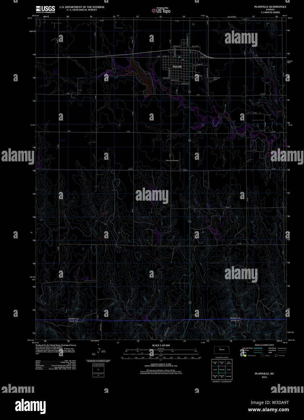 USGS TOPO Map Kansas KS Plainville 20120907 TM Inverted Restoration Stock Photohttps://www.alamy.com/image-license-details/?v=1https://www.alamy.com/usgs-topo-map-kansas-ks-plainville-20120907-tm-inverted-restoration-image260292980.html
RMW3DA9T–USGS TOPO Map Kansas KS Plainville 20120907 TM Inverted Restoration
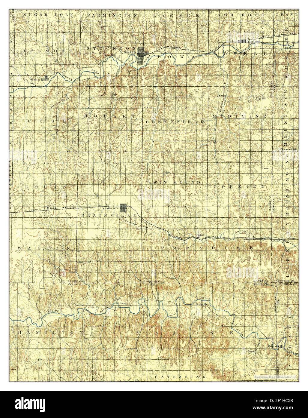 Plainville, Kansas, map 1896, 1:125000, United States of America by Timeless Maps, data U.S. Geological Survey Stock Photohttps://www.alamy.com/image-license-details/?v=1https://www.alamy.com/plainville-kansas-map-1896-1125000-united-states-of-america-by-timeless-maps-data-us-geological-survey-image414046819.html
RM2F1HCXB–Plainville, Kansas, map 1896, 1:125000, United States of America by Timeless Maps, data U.S. Geological Survey
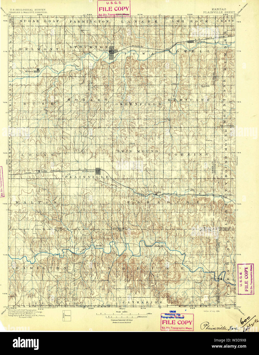 USGS TOPO Map Kansas KS Plainville 122661 1896 125000 Restoration Stock Photohttps://www.alamy.com/image-license-details/?v=1https://www.alamy.com/usgs-topo-map-kansas-ks-plainville-122661-1896-125000-restoration-image260292656.html
RMW3D9X8–USGS TOPO Map Kansas KS Plainville 122661 1896 125000 Restoration
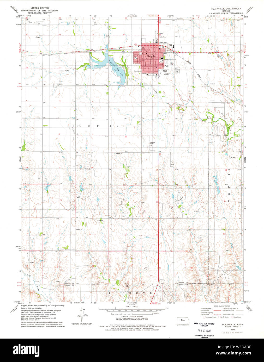 USGS TOPO Map Kansas KS Plainville 512280 1978 24000 Restoration Stock Photohttps://www.alamy.com/image-license-details/?v=1https://www.alamy.com/usgs-topo-map-kansas-ks-plainville-512280-1978-24000-restoration-image260293026.html
RMW3DABE–USGS TOPO Map Kansas KS Plainville 512280 1978 24000 Restoration
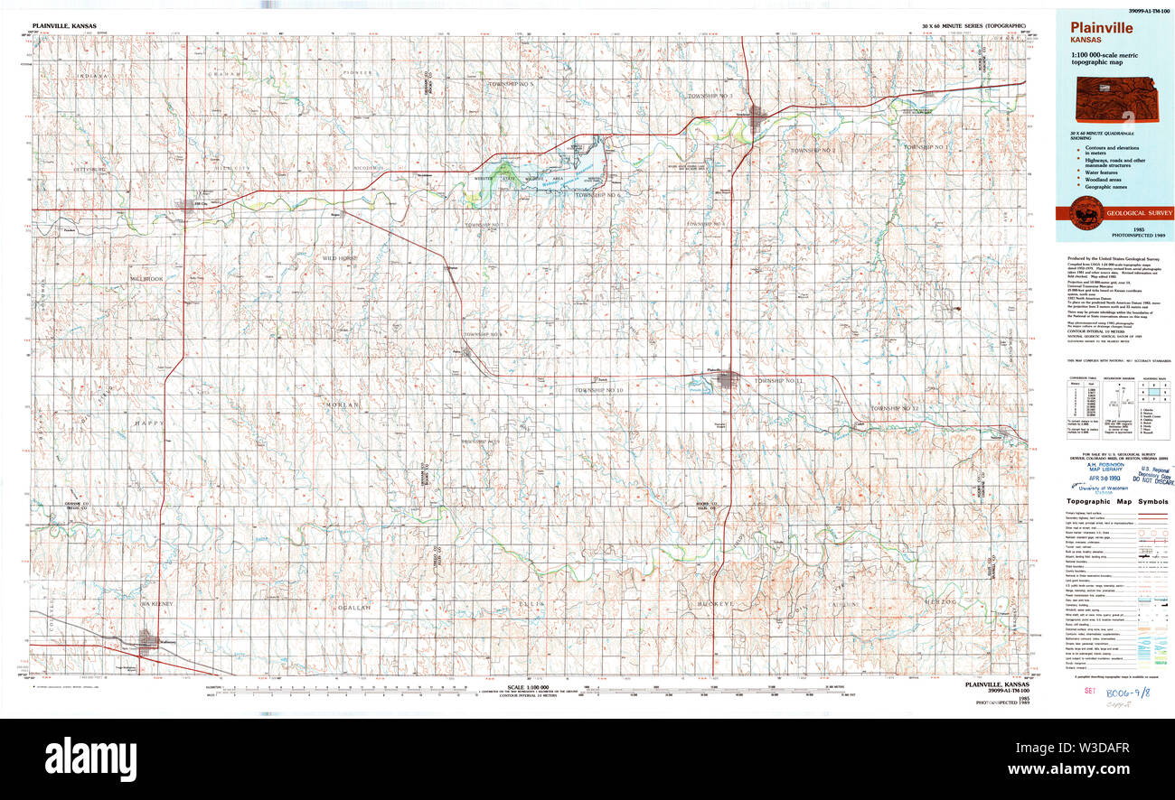 USGS TOPO Map Kansas KS Plainville 512921 1985 100000 Restoration Stock Photohttps://www.alamy.com/image-license-details/?v=1https://www.alamy.com/usgs-topo-map-kansas-ks-plainville-512921-1985-100000-restoration-image260293147.html
RMW3DAFR–USGS TOPO Map Kansas KS Plainville 512921 1985 100000 Restoration
 USGS TOPO Map Kansas KS Plainville SE 20091113 TM Restoration Stock Photohttps://www.alamy.com/image-license-details/?v=1https://www.alamy.com/usgs-topo-map-kansas-ks-plainville-se-20091113-tm-restoration-image260293258.html
RMW3DAKP–USGS TOPO Map Kansas KS Plainville SE 20091113 TM Restoration
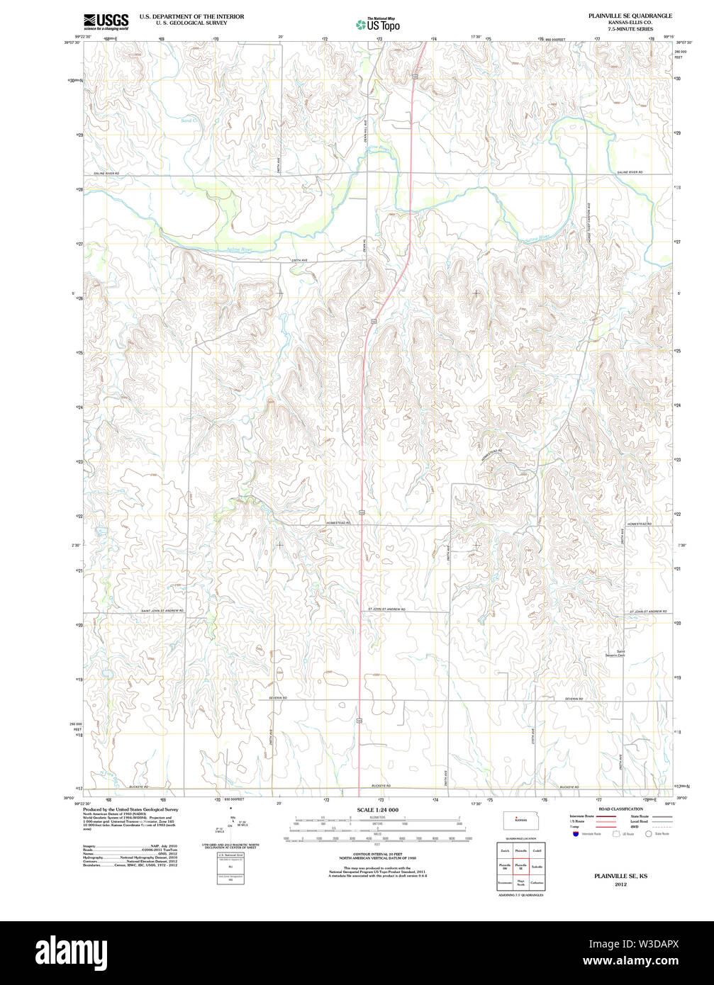 USGS TOPO Map Kansas KS Plainville SE 20120905 TM Restoration Stock Photohttps://www.alamy.com/image-license-details/?v=1https://www.alamy.com/usgs-topo-map-kansas-ks-plainville-se-20120905-tm-restoration-image260293346.html
RMW3DAPX–USGS TOPO Map Kansas KS Plainville SE 20120905 TM Restoration
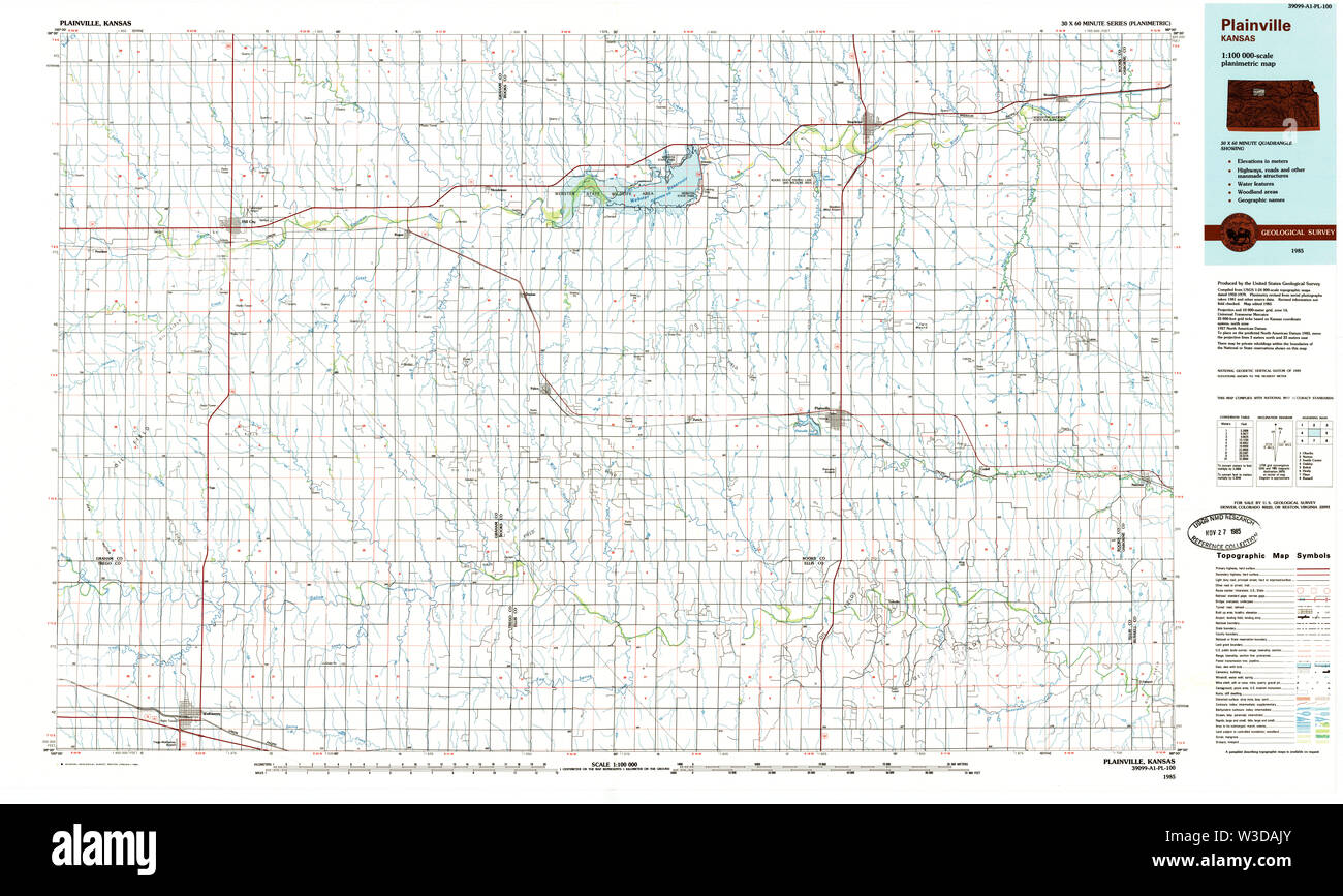 USGS TOPO Map Kansas KS Plainville 801628 1985 100000 Restoration Stock Photohttps://www.alamy.com/image-license-details/?v=1https://www.alamy.com/usgs-topo-map-kansas-ks-plainville-801628-1985-100000-restoration-image260293235.html
RMW3DAJY–USGS TOPO Map Kansas KS Plainville 801628 1985 100000 Restoration
 USGS TOPO Map Kansas KS Plainville 512280 1978 24000 Inverted Restoration Stock Photohttps://www.alamy.com/image-license-details/?v=1https://www.alamy.com/usgs-topo-map-kansas-ks-plainville-512280-1978-24000-inverted-restoration-image260292981.html
RMW3DA9W–USGS TOPO Map Kansas KS Plainville 512280 1978 24000 Inverted Restoration
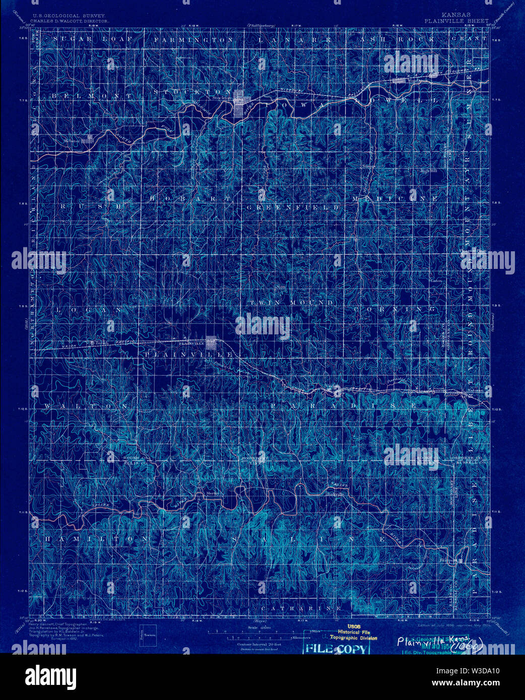 USGS TOPO Map Kansas KS Plainville 122662 1896 125000 Inverted Restoration Stock Photohttps://www.alamy.com/image-license-details/?v=1https://www.alamy.com/usgs-topo-map-kansas-ks-plainville-122662-1896-125000-inverted-restoration-image260292732.html
RMW3DA10–USGS TOPO Map Kansas KS Plainville 122662 1896 125000 Inverted Restoration
 USGS TOPO Map Kansas KS Plainville 512921 1985 100000 Inverted Restoration Stock Photohttps://www.alamy.com/image-license-details/?v=1https://www.alamy.com/usgs-topo-map-kansas-ks-plainville-512921-1985-100000-inverted-restoration-image260293076.html
RMW3DAD8–USGS TOPO Map Kansas KS Plainville 512921 1985 100000 Inverted Restoration
 USGS TOPO Map Kansas KS Plainville 801628 1985 100000 Inverted Restoration Stock Photohttps://www.alamy.com/image-license-details/?v=1https://www.alamy.com/usgs-topo-map-kansas-ks-plainville-801628-1985-100000-inverted-restoration-image260293156.html
RMW3DAG4–USGS TOPO Map Kansas KS Plainville 801628 1985 100000 Inverted Restoration
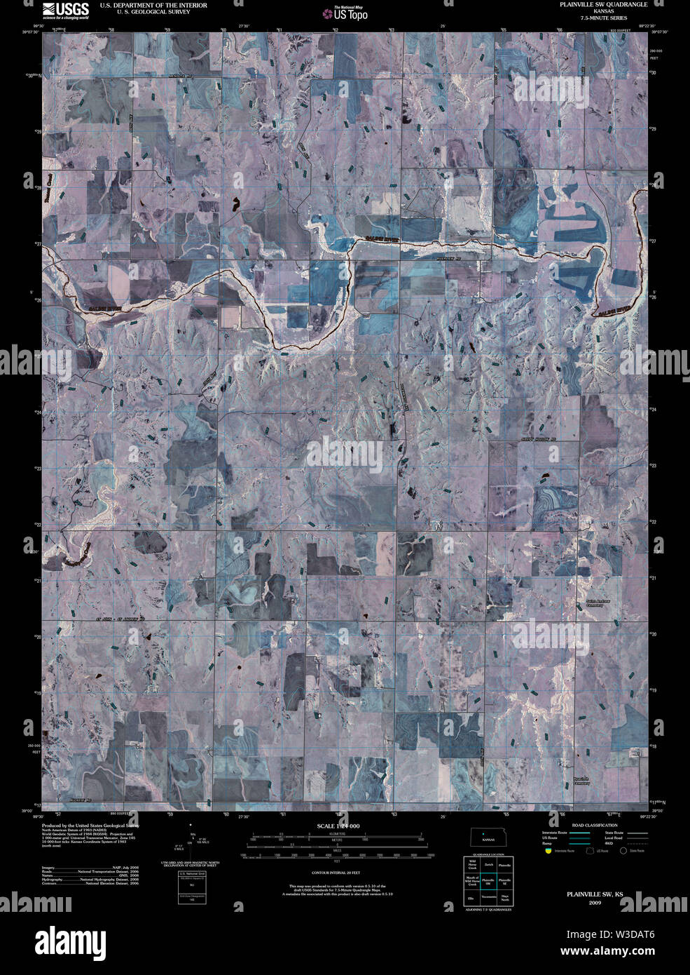 USGS TOPO Map Kansas KS Plainville SW 20091113 TM Inverted Restoration Stock Photohttps://www.alamy.com/image-license-details/?v=1https://www.alamy.com/usgs-topo-map-kansas-ks-plainville-sw-20091113-tm-inverted-restoration-image260293382.html
RMW3DAT6–USGS TOPO Map Kansas KS Plainville SW 20091113 TM Inverted Restoration
 USGS TOPO Map Kansas KS Plainville 122661 1896 125000 Inverted Restoration Stock Photohttps://www.alamy.com/image-license-details/?v=1https://www.alamy.com/usgs-topo-map-kansas-ks-plainville-122661-1896-125000-inverted-restoration-image260292644.html
RMW3D9WT–USGS TOPO Map Kansas KS Plainville 122661 1896 125000 Inverted Restoration
 USGS TOPO Map Kansas KS Plainville 122664 1896 125000 Inverted Restoration Stock Photohttps://www.alamy.com/image-license-details/?v=1https://www.alamy.com/usgs-topo-map-kansas-ks-plainville-122664-1896-125000-inverted-restoration-image260292807.html
RMW3DA3K–USGS TOPO Map Kansas KS Plainville 122664 1896 125000 Inverted Restoration
 USGS TOPO Map Kansas KS Plainville SE 20120905 TM Inverted Restoration Stock Photohttps://www.alamy.com/image-license-details/?v=1https://www.alamy.com/usgs-topo-map-kansas-ks-plainville-se-20120905-tm-inverted-restoration-image260293257.html
RMW3DAKN–USGS TOPO Map Kansas KS Plainville SE 20120905 TM Inverted Restoration
 USGS TOPO Map Kansas KS Plainville SE 20091113 TM Inverted Restoration Stock Photohttps://www.alamy.com/image-license-details/?v=1https://www.alamy.com/usgs-topo-map-kansas-ks-plainville-se-20091113-tm-inverted-restoration-image260293199.html
RMW3DAHK–USGS TOPO Map Kansas KS Plainville SE 20091113 TM Inverted Restoration
 USGS TOPO Map Kansas KS Plainville SW 20120905 TM Inverted Restoration Stock Photohttps://www.alamy.com/image-license-details/?v=1https://www.alamy.com/usgs-topo-map-kansas-ks-plainville-sw-20120905-tm-inverted-restoration-image260293439.html
RMW3DAX7–USGS TOPO Map Kansas KS Plainville SW 20120905 TM Inverted Restoration
 USGS TOPO Map Kansas KS Plainville SW 512283 1978 24000 Restoration Stock Photohttps://www.alamy.com/image-license-details/?v=1https://www.alamy.com/usgs-topo-map-kansas-ks-plainville-sw-512283-1978-24000-restoration-image260293478.html
RMW3DAYJ–USGS TOPO Map Kansas KS Plainville SW 512283 1978 24000 Restoration
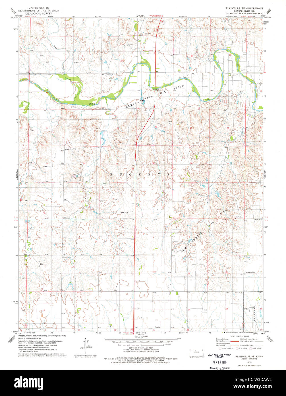 USGS TOPO Map Kansas KS Plainville SE 512282 1978 24000 Restoration Stock Photohttps://www.alamy.com/image-license-details/?v=1https://www.alamy.com/usgs-topo-map-kansas-ks-plainville-se-512282-1978-24000-restoration-image260293406.html
RMW3DAW2–USGS TOPO Map Kansas KS Plainville SE 512282 1978 24000 Restoration
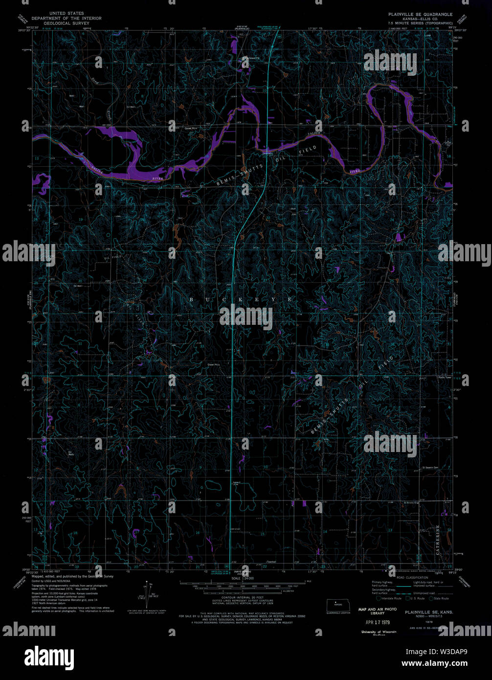 USGS TOPO Map Kansas KS Plainville SE 512282 1978 24000 Inverted Restoration Stock Photohttps://www.alamy.com/image-license-details/?v=1https://www.alamy.com/usgs-topo-map-kansas-ks-plainville-se-512282-1978-24000-inverted-restoration-image260293329.html
RMW3DAP9–USGS TOPO Map Kansas KS Plainville SE 512282 1978 24000 Inverted Restoration
 USGS TOPO Map Kansas KS Plainville SW 512283 1978 24000 Inverted Restoration Stock Photohttps://www.alamy.com/image-license-details/?v=1https://www.alamy.com/usgs-topo-map-kansas-ks-plainville-sw-512283-1978-24000-inverted-restoration-image260293492.html
RMW3DB04–USGS TOPO Map Kansas KS Plainville SW 512283 1978 24000 Inverted Restoration