Quick filters:
Map of podolia Stock Photos and Images
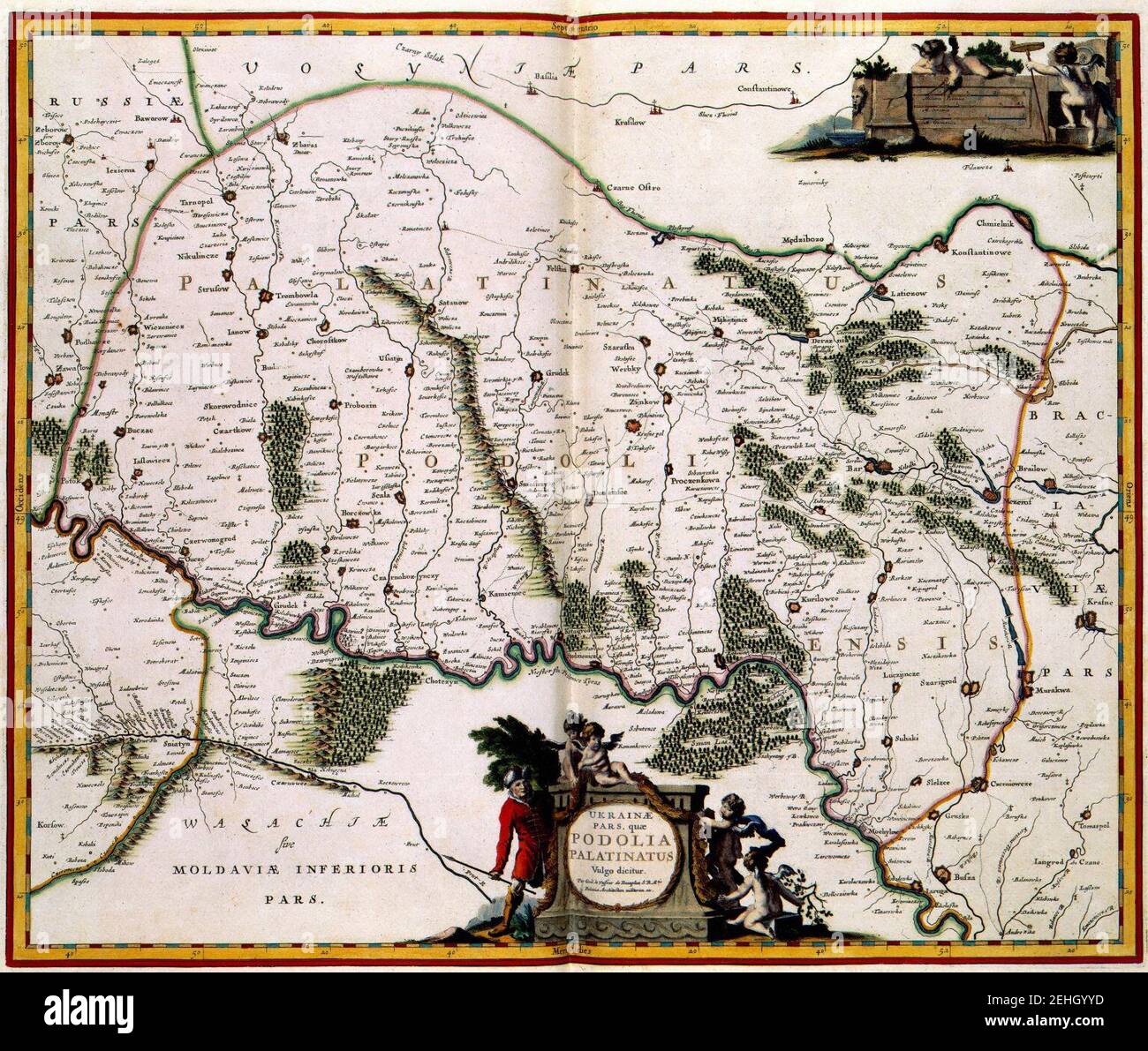 Palatinatus-Podolia map. Stock Photohttps://www.alamy.com/image-license-details/?v=1https://www.alamy.com/palatinatus-podolia-map-image406660785.html
RM2EHGYYD–Palatinatus-Podolia map.
![English: An 1691 French map of the city of Kamianets-Podilskyi, located in western Ukraine. Left-side translation: Kamieniec Podolski [Kamianets-Podilskyi], the fortified city of the Polish state, and of the high Podolia [Podillia] land, with the title of Bishop and Palatinate, is situated on the top of a mountain surrounded by the Smotrycz River [Smotrych] and high rocks located on 48 degrees 45 minutes Latitude and 50 deg. 10 min. Longitude. This palace was taken by the Turks of Poland on the 29th of August, 1672. Right-side translation: In Paris, on the l'Isle du Palais [Island of the Palac Stock Photo English: An 1691 French map of the city of Kamianets-Podilskyi, located in western Ukraine. Left-side translation: Kamieniec Podolski [Kamianets-Podilskyi], the fortified city of the Polish state, and of the high Podolia [Podillia] land, with the title of Bishop and Palatinate, is situated on the top of a mountain surrounded by the Smotrycz River [Smotrych] and high rocks located on 48 degrees 45 minutes Latitude and 50 deg. 10 min. Longitude. This palace was taken by the Turks of Poland on the 29th of August, 1672. Right-side translation: In Paris, on the l'Isle du Palais [Island of the Palac Stock Photo](https://c8.alamy.com/comp/2K22PWG/english-an-1691-french-map-of-the-city-of-kamianets-podilskyi-located-in-western-ukraine-left-side-translation-kamieniec-podolski-kamianets-podilskyi-the-fortified-city-of-the-polish-state-and-of-the-high-podolia-podillia-land-with-the-title-of-bishop-and-palatinate-is-situated-on-the-top-of-a-mountain-surrounded-by-the-smotrycz-river-smotrych-and-high-rocks-located-on-48-degrees-45-minutes-latitude-and-50-deg-10-min-longitude-this-palace-was-taken-by-the-turks-of-poland-on-the-29th-of-august-1672-right-side-translation-in-paris-on-the-lisle-du-palais-island-of-the-palac-2K22PWG.jpg) English: An 1691 French map of the city of Kamianets-Podilskyi, located in western Ukraine. Left-side translation: Kamieniec Podolski [Kamianets-Podilskyi], the fortified city of the Polish state, and of the high Podolia [Podillia] land, with the title of Bishop and Palatinate, is situated on the top of a mountain surrounded by the Smotrycz River [Smotrych] and high rocks located on 48 degrees 45 minutes Latitude and 50 deg. 10 min. Longitude. This palace was taken by the Turks of Poland on the 29th of August, 1672. Right-side translation: In Paris, on the l'Isle du Palais [Island of the Palac Stock Photohttps://www.alamy.com/image-license-details/?v=1https://www.alamy.com/english-an-1691-french-map-of-the-city-of-kamianets-podilskyi-located-in-western-ukraine-left-side-translation-kamieniec-podolski-kamianets-podilskyi-the-fortified-city-of-the-polish-state-and-of-the-high-podolia-podillia-land-with-the-title-of-bishop-and-palatinate-is-situated-on-the-top-of-a-mountain-surrounded-by-the-smotrycz-river-smotrych-and-high-rocks-located-on-48-degrees-45-minutes-latitude-and-50-deg-10-min-longitude-this-palace-was-taken-by-the-turks-of-poland-on-the-29th-of-august-1672-right-side-translation-in-paris-on-the-lisle-du-palais-island-of-the-palac-image483181484.html
English: An 1691 French map of the city of Kamianets-Podilskyi, located in western Ukraine. Left-side translation: Kamieniec Podolski [Kamianets-Podilskyi], the fortified city of the Polish state, and of the high Podolia [Podillia] land, with the title of Bishop and Palatinate, is situated on the top of a mountain surrounded by the Smotrycz River [Smotrych] and high rocks located on 48 degrees 45 minutes Latitude and 50 deg. 10 min. Longitude. This palace was taken by the Turks of Poland on the 29th of August, 1672. Right-side translation: In Paris, on the l'Isle du Palais [Island of the Palac Stock Photohttps://www.alamy.com/image-license-details/?v=1https://www.alamy.com/english-an-1691-french-map-of-the-city-of-kamianets-podilskyi-located-in-western-ukraine-left-side-translation-kamieniec-podolski-kamianets-podilskyi-the-fortified-city-of-the-polish-state-and-of-the-high-podolia-podillia-land-with-the-title-of-bishop-and-palatinate-is-situated-on-the-top-of-a-mountain-surrounded-by-the-smotrycz-river-smotrych-and-high-rocks-located-on-48-degrees-45-minutes-latitude-and-50-deg-10-min-longitude-this-palace-was-taken-by-the-turks-of-poland-on-the-29th-of-august-1672-right-side-translation-in-paris-on-the-lisle-du-palais-island-of-the-palac-image483181484.htmlRM2K22PWG–English: An 1691 French map of the city of Kamianets-Podilskyi, located in western Ukraine. Left-side translation: Kamieniec Podolski [Kamianets-Podilskyi], the fortified city of the Polish state, and of the high Podolia [Podillia] land, with the title of Bishop and Palatinate, is situated on the top of a mountain surrounded by the Smotrycz River [Smotrych] and high rocks located on 48 degrees 45 minutes Latitude and 50 deg. 10 min. Longitude. This palace was taken by the Turks of Poland on the 29th of August, 1672. Right-side translation: In Paris, on the l'Isle du Palais [Island of the Palac
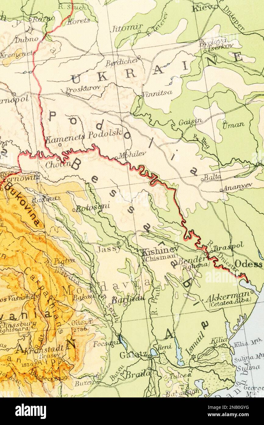 1930 atlas map of Bessarabia (Moldavia), Podolia, and Kishinev (current Chișinău, Moldova capital). Post-revolution Soviet Russia era. Stock Photohttps://www.alamy.com/image-license-details/?v=1https://www.alamy.com/1930-atlas-map-of-bessarabia-moldavia-podolia-and-kishinev-current-chiinu-moldova-capital-post-revolution-soviet-russia-era-image523085572.html
RM2NB0GYG–1930 atlas map of Bessarabia (Moldavia), Podolia, and Kishinev (current Chișinău, Moldova capital). Post-revolution Soviet Russia era.
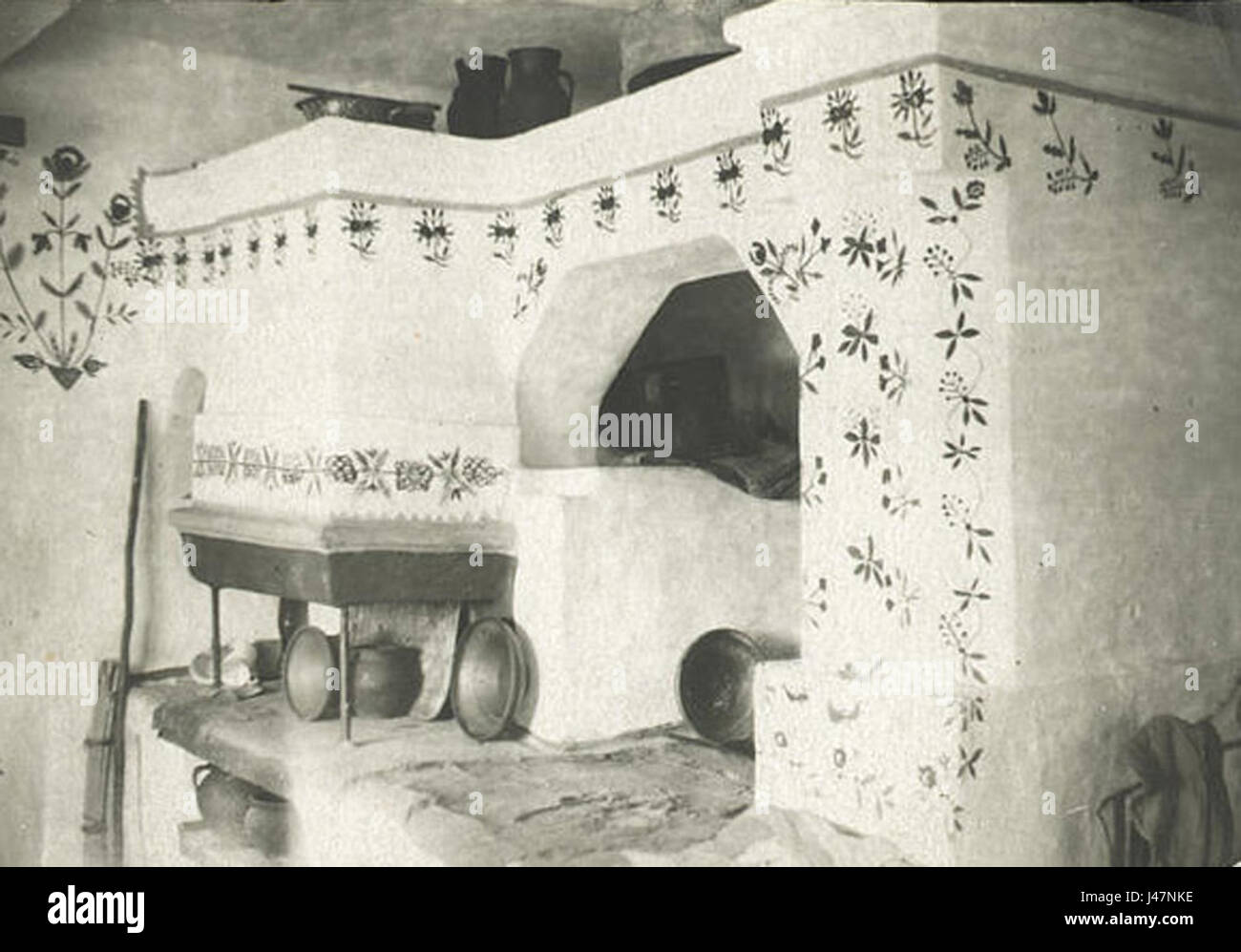 Oven in Podolia region, Ukraine Stock Photohttps://www.alamy.com/image-license-details/?v=1https://www.alamy.com/stock-photo-oven-in-podolia-region-ukraine-140312242.html
RMJ47NKE–Oven in Podolia region, Ukraine
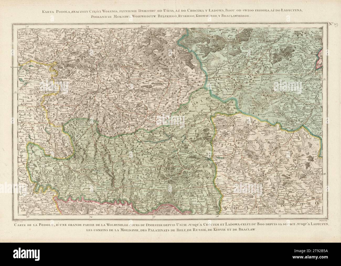 Zanonni's Map of Poland’s Podolia and Volhynia, Poland map, Podolia region map, Volhynia region map, 18th-century maps, Old Polish maps Stock Photohttps://www.alamy.com/image-license-details/?v=1https://www.alamy.com/zanonnis-map-of-polands-podolia-and-volhynia-poland-map-podolia-region-map-volhynia-region-map-18th-century-maps-old-polish-maps-image573526726.html
RF2T92B5A–Zanonni's Map of Poland’s Podolia and Volhynia, Poland map, Podolia region map, Volhynia region map, 18th-century maps, Old Polish maps
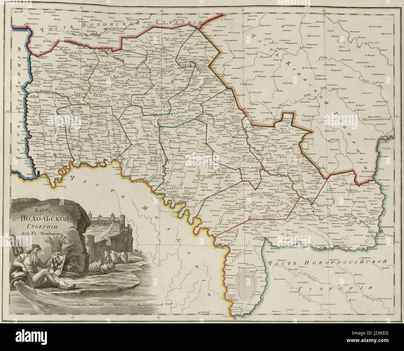 Atlas of Russian Empire (1800). Podolia governorate Stock Photohttps://www.alamy.com/image-license-details/?v=1https://www.alamy.com/stock-photo-atlas-of-russian-empire-1800-podolia-governorate-139498312.html
RMJ2XKEG–Atlas of Russian Empire (1800). Podolia governorate
 A MAPP of the ESTATES of the CROWNE of POLAND, where are the KINGDOM of POLAND withits Palatinates the DUTCHES of RUSSIA NOIRE CUJAVIA MAZOVIA PRUSSIA LITHUANIA VOLHYNIA PODOLIA. &c. Author Blome, Richard 110.34. Place of publication: London Publisher: Printed for Ric: Blome, Date of publication: 1669. Item type: 1 map Medium: hand coloured Dimensions: 26 x 39 cm Former owner: George III, King of Great Britain, 1738-1820 Stock Photohttps://www.alamy.com/image-license-details/?v=1https://www.alamy.com/a-mapp-of-the-estates-of-the-crowne-of-poland-where-are-the-kingdom-of-poland-withits-palatinates-the-dutches-of-russia-noire-cujavia-mazovia-prussia-lithuania-volhynia-podolia-c-author-blome-richard-11034-place-of-publication-london-publisher-printed-for-ric-blome-date-of-publication-1669-item-type-1-map-medium-hand-coloured-dimensions-26-x-39-cm-former-owner-george-iii-king-of-great-britain-1738-1820-image401723465.html
RM2E9G2AH–A MAPP of the ESTATES of the CROWNE of POLAND, where are the KINGDOM of POLAND withits Palatinates the DUTCHES of RUSSIA NOIRE CUJAVIA MAZOVIA PRUSSIA LITHUANIA VOLHYNIA PODOLIA. &c. Author Blome, Richard 110.34. Place of publication: London Publisher: Printed for Ric: Blome, Date of publication: 1669. Item type: 1 map Medium: hand coloured Dimensions: 26 x 39 cm Former owner: George III, King of Great Britain, 1738-1820
 Black or Polish Russia: includes the provinces of Black Russia of Volhynia and Podolia divided into their palatinates: commonly known as Ukraine. 1674 Stock Photohttps://www.alamy.com/image-license-details/?v=1https://www.alamy.com/black-or-polish-russia-includes-the-provinces-of-black-russia-of-volhynia-and-podolia-divided-into-their-palatinates-commonly-known-as-ukraine-1674-image463611657.html
RM2HX79B5–Black or Polish Russia: includes the provinces of Black Russia of Volhynia and Podolia divided into their palatinates: commonly known as Ukraine. 1674
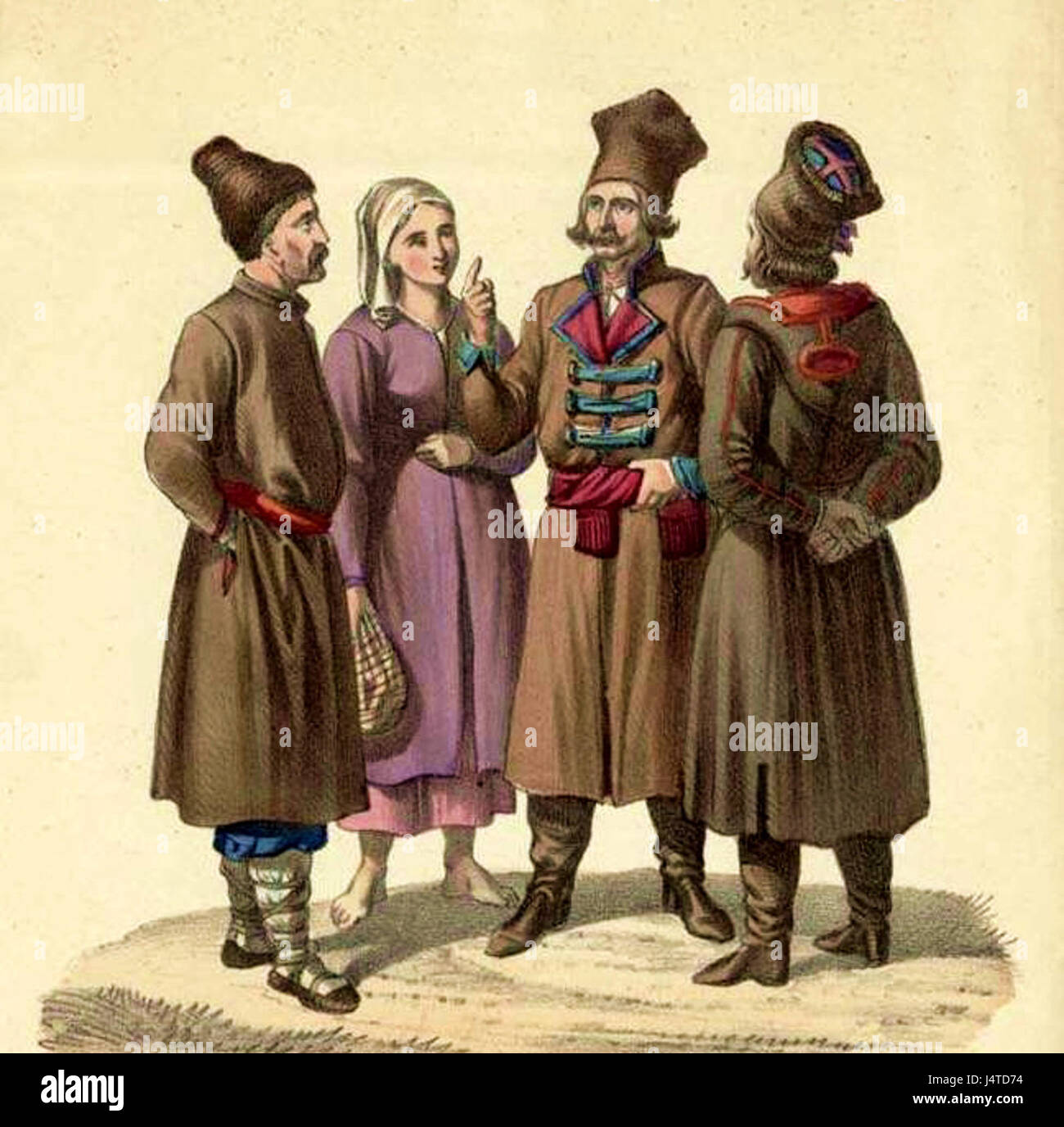 Ukrainians of Podolia Stock Photohttps://www.alamy.com/image-license-details/?v=1https://www.alamy.com/stock-photo-ukrainians-of-podolia-140678808.html
RMJ4TD74–Ukrainians of Podolia
![Physical and political map of Ukraine. [Adobe Illustrator (.ai); 3507x2480]. Stock Photo Physical and political map of Ukraine. [Adobe Illustrator (.ai); 3507x2480]. Stock Photo](https://c8.alamy.com/comp/2NEBGC0/physical-and-political-map-of-ukraine-adobe-illustrator-ai-3507x2480-2NEBGC0.jpg) Physical and political map of Ukraine. [Adobe Illustrator (.ai); 3507x2480]. Stock Photohttps://www.alamy.com/image-license-details/?v=1https://www.alamy.com/physical-and-political-map-of-ukraine-adobe-illustrator-ai-3507x2480-image525170576.html
Physical and political map of Ukraine. [Adobe Illustrator (.ai); 3507x2480]. Stock Photohttps://www.alamy.com/image-license-details/?v=1https://www.alamy.com/physical-and-political-map-of-ukraine-adobe-illustrator-ai-3507x2480-image525170576.htmlRM2NEBGC0–Physical and political map of Ukraine. [Adobe Illustrator (.ai); 3507x2480].
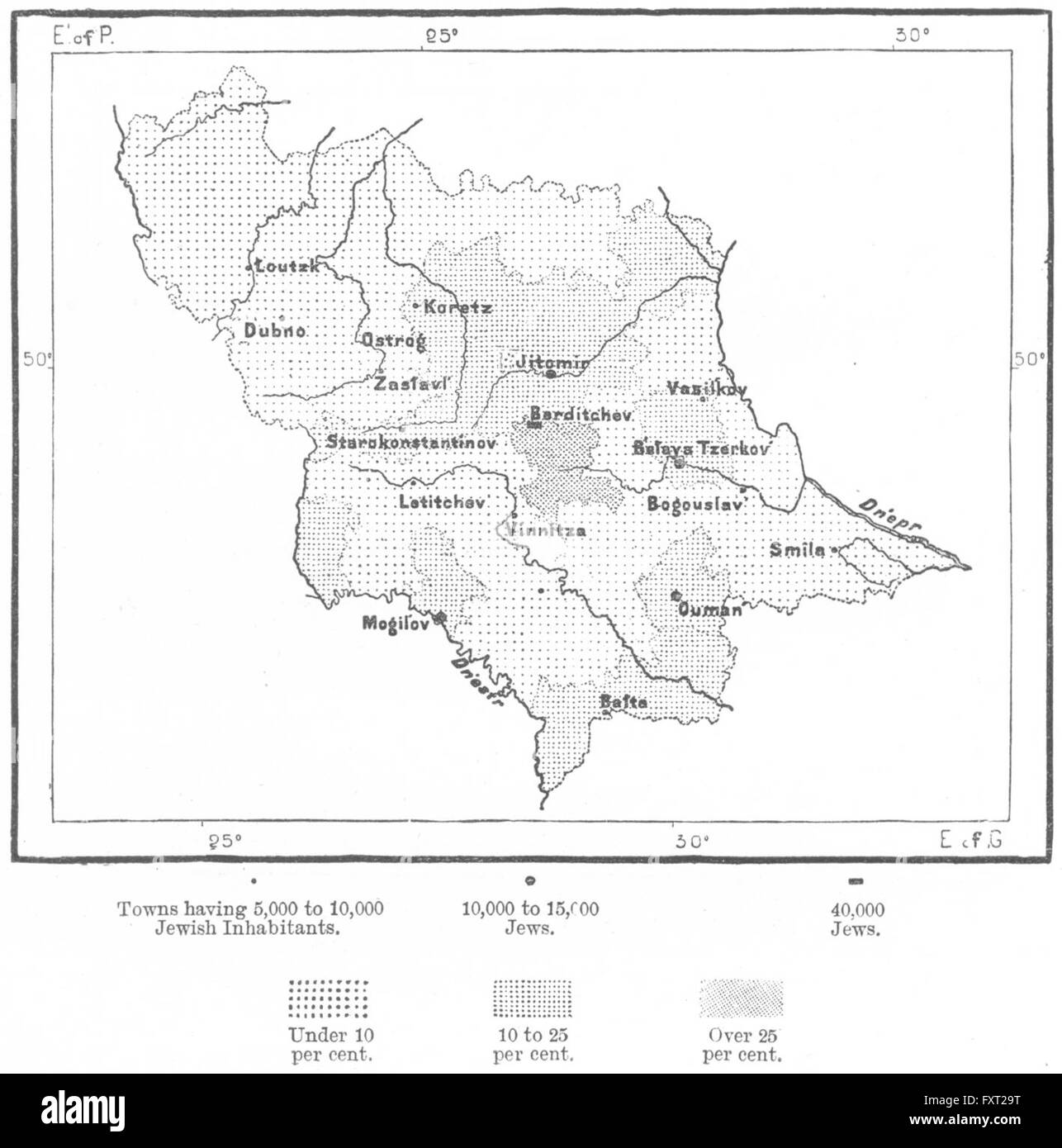 VOLHYNIA: Jews, Podolia Kiev Tchubinskiy, sketch map, c1885 Stock Photohttps://www.alamy.com/image-license-details/?v=1https://www.alamy.com/stock-photo-volhynia-jews-podolia-kiev-tchubinskiy-sketch-map-c1885-102561588.html
RFFXT29T–VOLHYNIA: Jews, Podolia Kiev Tchubinskiy, sketch map, c1885
 Map of Russia Stock Photohttps://www.alamy.com/image-license-details/?v=1https://www.alamy.com/stock-photo-map-of-russia-35955939.html
RMC2DX4K–Map of Russia
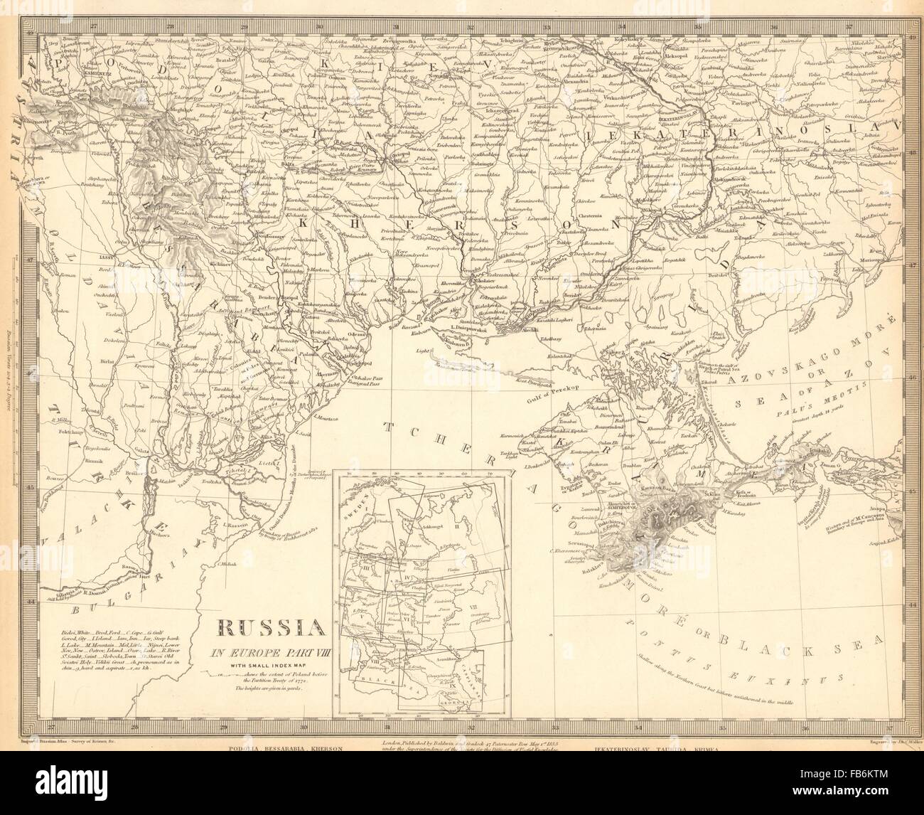 UKRAINE MOLDOVA: Podolia Bessarabia Kherson Taurida Crimea Kiev. SDUK, 1848 map Stock Photohttps://www.alamy.com/image-license-details/?v=1https://www.alamy.com/stock-photo-ukraine-moldova-podolia-bessarabia-kherson-taurida-crimea-kiev-sduk-92960356.html
RFFB6KTM–UKRAINE MOLDOVA: Podolia Bessarabia Kherson Taurida Crimea Kiev. SDUK, 1848 map
 . Bulletin of the Buffalo Society of Natural Sciences. Natural history; Science. BUFFALO SOCIETY OF NATURAL SCIENCES 149 alone are present besides the rare Pterygotus" (245, 9). (See sketch map, fig. 14.) While Alth's paper is undoubtedly excellent for the general strati- graphy and palaeontology of Galicia and Podolia, involving as it does not only the results of his own studies but also those of the earlier investigators, it yet fails to give just the details which are essential for the problem in hand. It helps us very little to know that the eurypterids and a large number of the fossi Stock Photohttps://www.alamy.com/image-license-details/?v=1https://www.alamy.com/bulletin-of-the-buffalo-society-of-natural-sciences-natural-history-science-buffalo-society-of-natural-sciences-149-alone-are-present-besides-the-rare-pterygotusquot-245-9-see-sketch-map-fig-14-while-alths-paper-is-undoubtedly-excellent-for-the-general-strati-graphy-and-palaeontology-of-galicia-and-podolia-involving-as-it-does-not-only-the-results-of-his-own-studies-but-also-those-of-the-earlier-investigators-it-yet-fails-to-give-just-the-details-which-are-essential-for-the-problem-in-hand-it-helps-us-very-little-to-know-that-the-eurypterids-and-a-large-number-of-the-fossi-image233946549.html
RMRGH55W–. Bulletin of the Buffalo Society of Natural Sciences. Natural history; Science. BUFFALO SOCIETY OF NATURAL SCIENCES 149 alone are present besides the rare Pterygotus" (245, 9). (See sketch map, fig. 14.) While Alth's paper is undoubtedly excellent for the general strati- graphy and palaeontology of Galicia and Podolia, involving as it does not only the results of his own studies but also those of the earlier investigators, it yet fails to give just the details which are essential for the problem in hand. It helps us very little to know that the eurypterids and a large number of the fossi
 UKRAINE MOLDOVA. Podolia Bessarabia Kherson Taurida Crimea Kiev. SDUK, 1844 map Stock Photohttps://www.alamy.com/image-license-details/?v=1https://www.alamy.com/stock-photo-ukraine-moldova-podolia-bessarabia-kherson-taurida-crimea-kiev-sduk-93032757.html
RFFBA06D–UKRAINE MOLDOVA. Podolia Bessarabia Kherson Taurida Crimea Kiev. SDUK, 1844 map
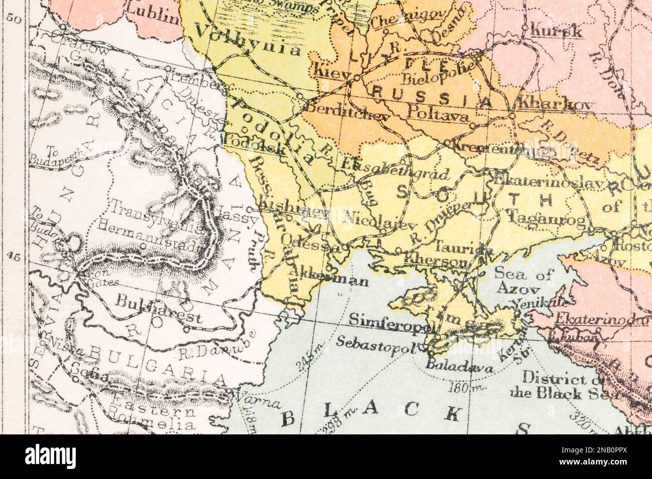 c.1890s Romania, Podolia, Kishinev (current Chișinău, Moldova capital), and Bulgaria borders. Stock Photohttps://www.alamy.com/image-license-details/?v=1https://www.alamy.com/c1890s-romania-podolia-kishinev-current-chiinu-moldova-capital-and-bulgaria-borders-image523090146.html
RM2NB0PPX–c.1890s Romania, Podolia, Kishinev (current Chișinău, Moldova capital), and Bulgaria borders.
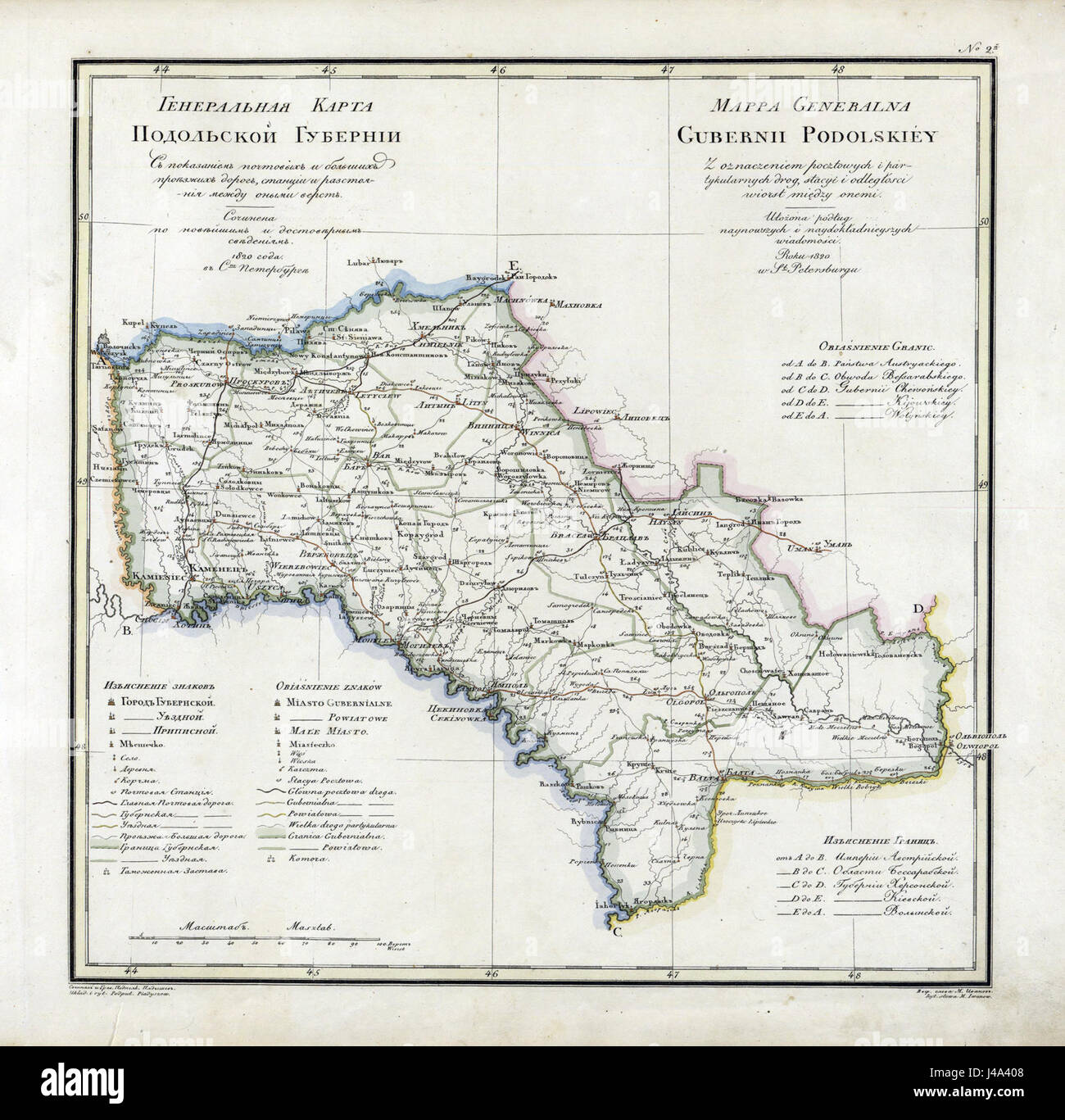 Podolia governorate 1820 Stock Photohttps://www.alamy.com/image-license-details/?v=1https://www.alamy.com/stock-photo-podolia-governorate-1820-140364232.html
RMJ4A408–Podolia governorate 1820
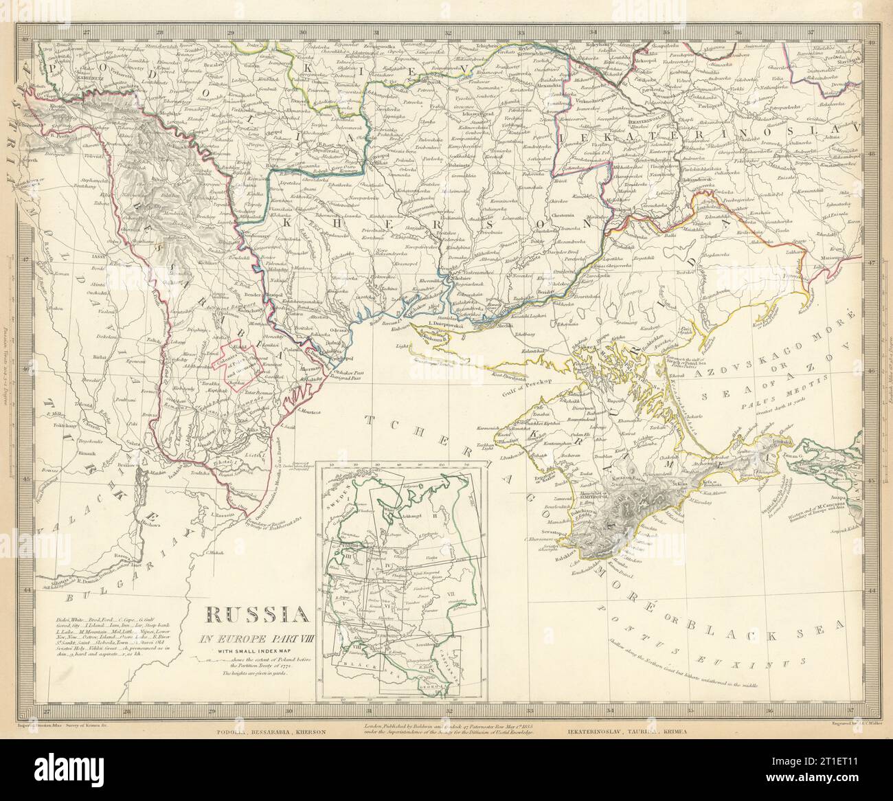 UKRAINE MOLDOVA. Podolia Bessarabia Kherson Taurida Crimea Kiev. SDUK 1844 map Stock Photohttps://www.alamy.com/image-license-details/?v=1https://www.alamy.com/ukraine-moldova-podolia-bessarabia-kherson-taurida-crimea-kiev-sduk-1844-map-image568882973.html
RF2T1ET11–UKRAINE MOLDOVA. Podolia Bessarabia Kherson Taurida Crimea Kiev. SDUK 1844 map
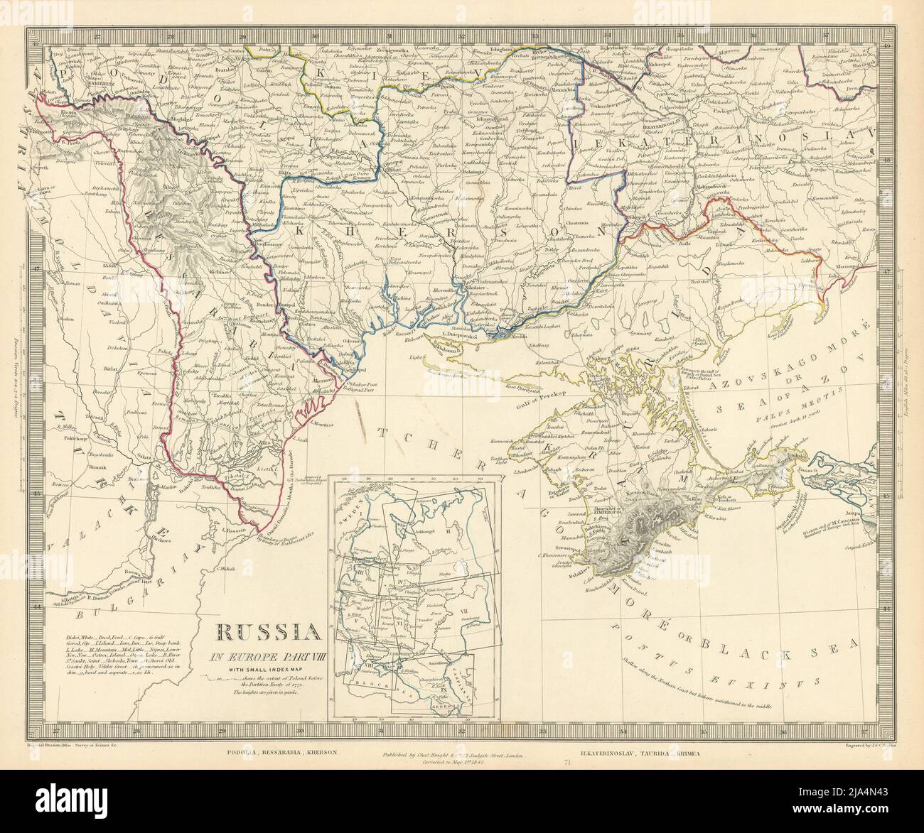 UKRAINE MOLDOVA Podolia Bessarabia Kherson Taurida Crimea Odessa. SDUK 1845 map Stock Photohttps://www.alamy.com/image-license-details/?v=1https://www.alamy.com/ukraine-moldova-podolia-bessarabia-kherson-taurida-crimea-odessa-sduk-1845-map-image470930883.html
RF2JA4N43–UKRAINE MOLDOVA Podolia Bessarabia Kherson Taurida Crimea Odessa. SDUK 1845 map
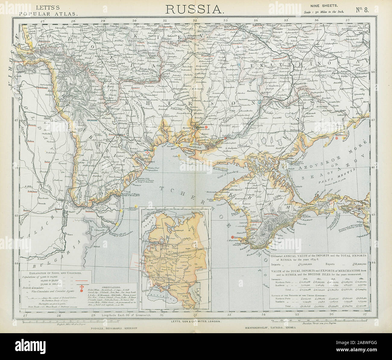 UKRAINE MOLDOVA. Podolia Bessarabia Kherson Taurida Crimea Kiev. LETTS 1883 map Stock Photohttps://www.alamy.com/image-license-details/?v=1https://www.alamy.com/ukraine-moldova-podolia-bessarabia-kherson-taurida-crimea-kiev-letts-1883-map-image332475264.html
RF2A8WFGG–UKRAINE MOLDOVA. Podolia Bessarabia Kherson Taurida Crimea Kiev. LETTS 1883 map
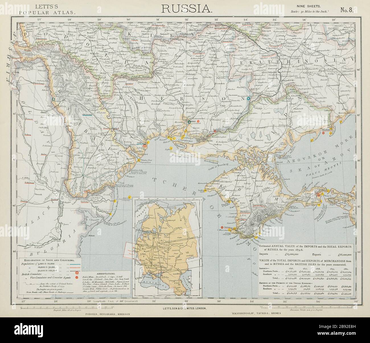 UKRAINE MOLDOVA. Podolia Bessarabia Kherson Taurida Crimea Kiev. LETTS 1884 map Stock Photohttps://www.alamy.com/image-license-details/?v=1https://www.alamy.com/ukraine-moldova-podolia-bessarabia-kherson-taurida-crimea-kiev-letts-1884-map-image349794385.html
RF2B92E8H–UKRAINE MOLDOVA. Podolia Bessarabia Kherson Taurida Crimea Kiev. LETTS 1884 map
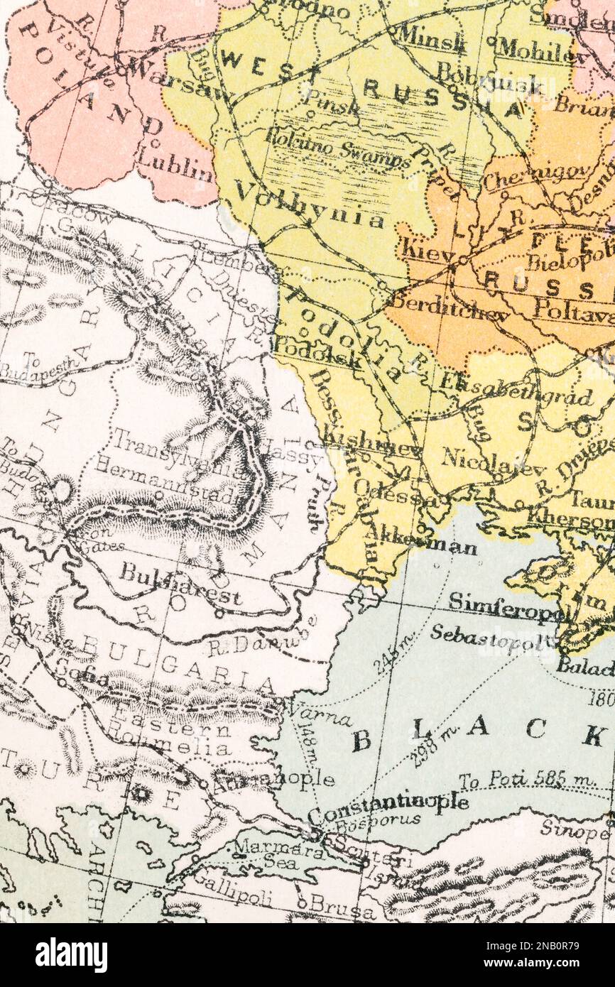 c.1890s Romania, Bessarabia (later Moldova), Podolia, Kishinev (current Chișinău, Moldova capital), and Bulgaria borders. Stock Photohttps://www.alamy.com/image-license-details/?v=1https://www.alamy.com/c1890s-romania-bessarabia-later-moldova-podolia-kishinev-current-chiinu-moldova-capital-and-bulgaria-borders-image523090493.html
RM2NB0R79–c.1890s Romania, Bessarabia (later Moldova), Podolia, Kishinev (current Chișinău, Moldova capital), and Bulgaria borders.
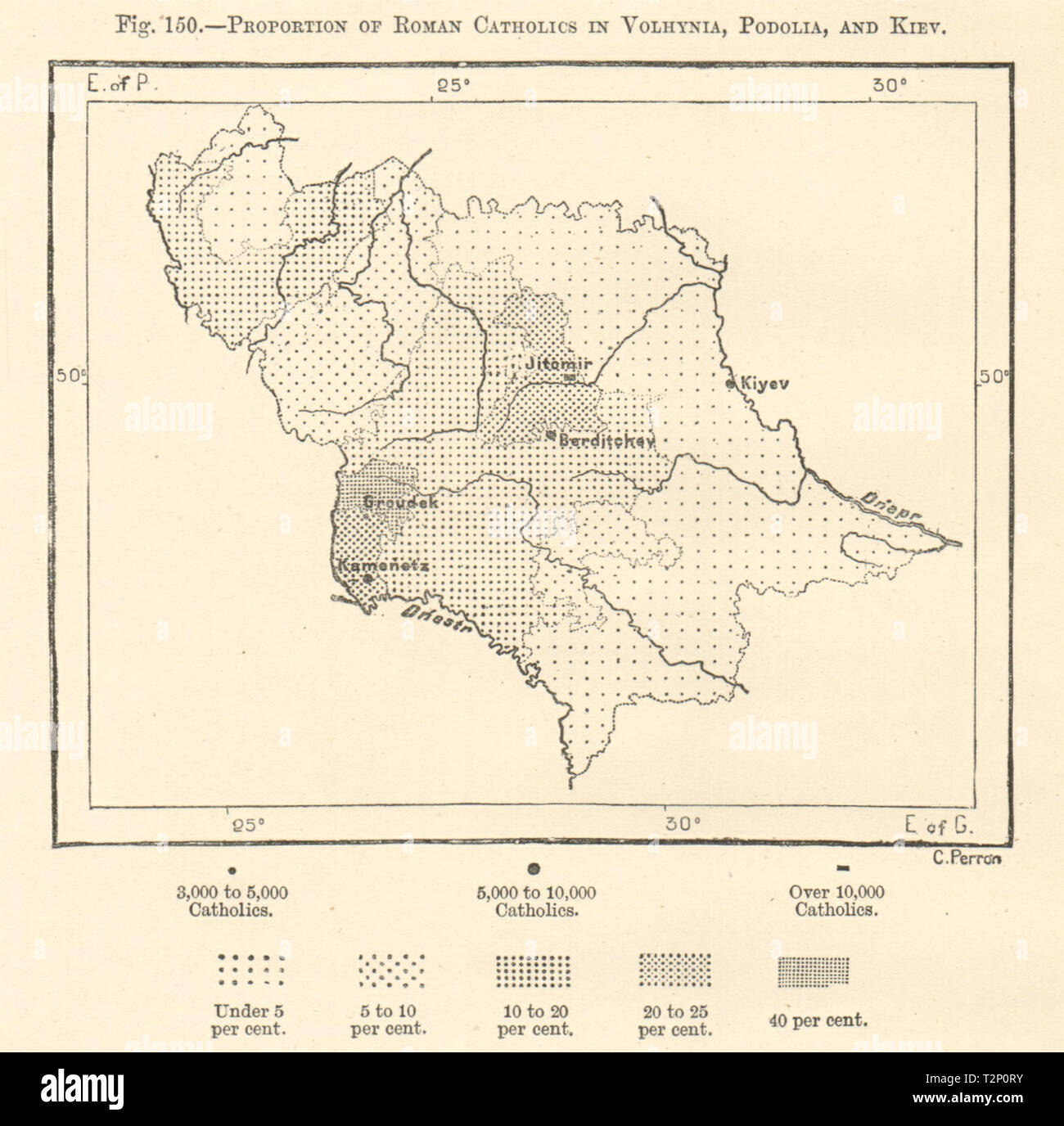 Roman Catholics proportion in Volhynia, Podolia & Kiev. Ukraine. Sketch map 1885 Stock Photohttps://www.alamy.com/image-license-details/?v=1https://www.alamy.com/roman-catholics-proportion-in-volhynia-podolia-kiev-ukraine-sketch-map-1885-image242658079.html
RFT2P0RY–Roman Catholics proportion in Volhynia, Podolia & Kiev. Ukraine. Sketch map 1885
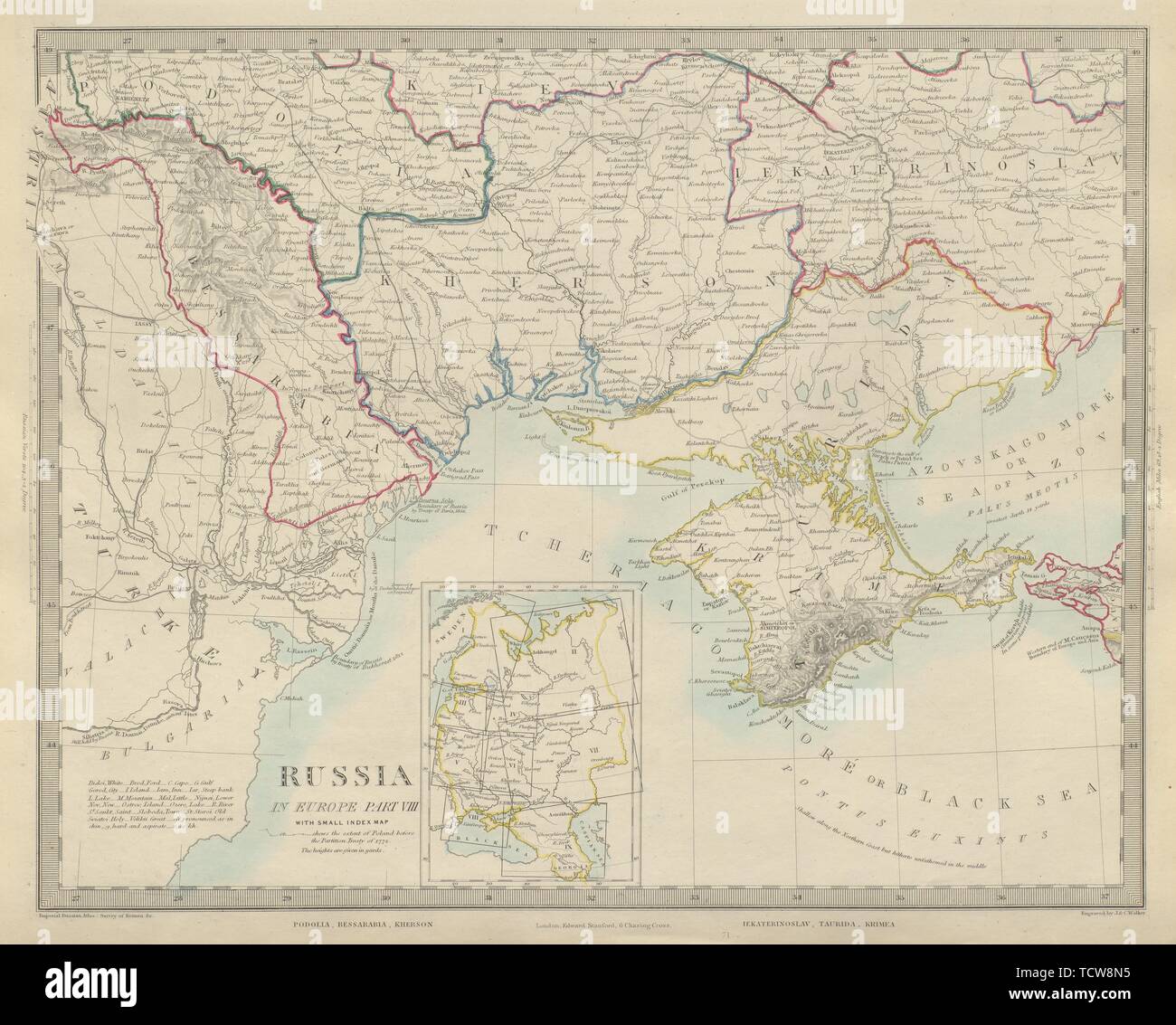 UKRAINE MOLDOVA. Podolia Bessarabia Kherson Taurida Crimea Kiev. SDUK 1874 map Stock Photohttps://www.alamy.com/image-license-details/?v=1https://www.alamy.com/ukraine-moldova-podolia-bessarabia-kherson-taurida-crimea-kiev-sduk-1874-map-image248876689.html
RFTCW8N5–UKRAINE MOLDOVA. Podolia Bessarabia Kherson Taurida Crimea Kiev. SDUK 1874 map
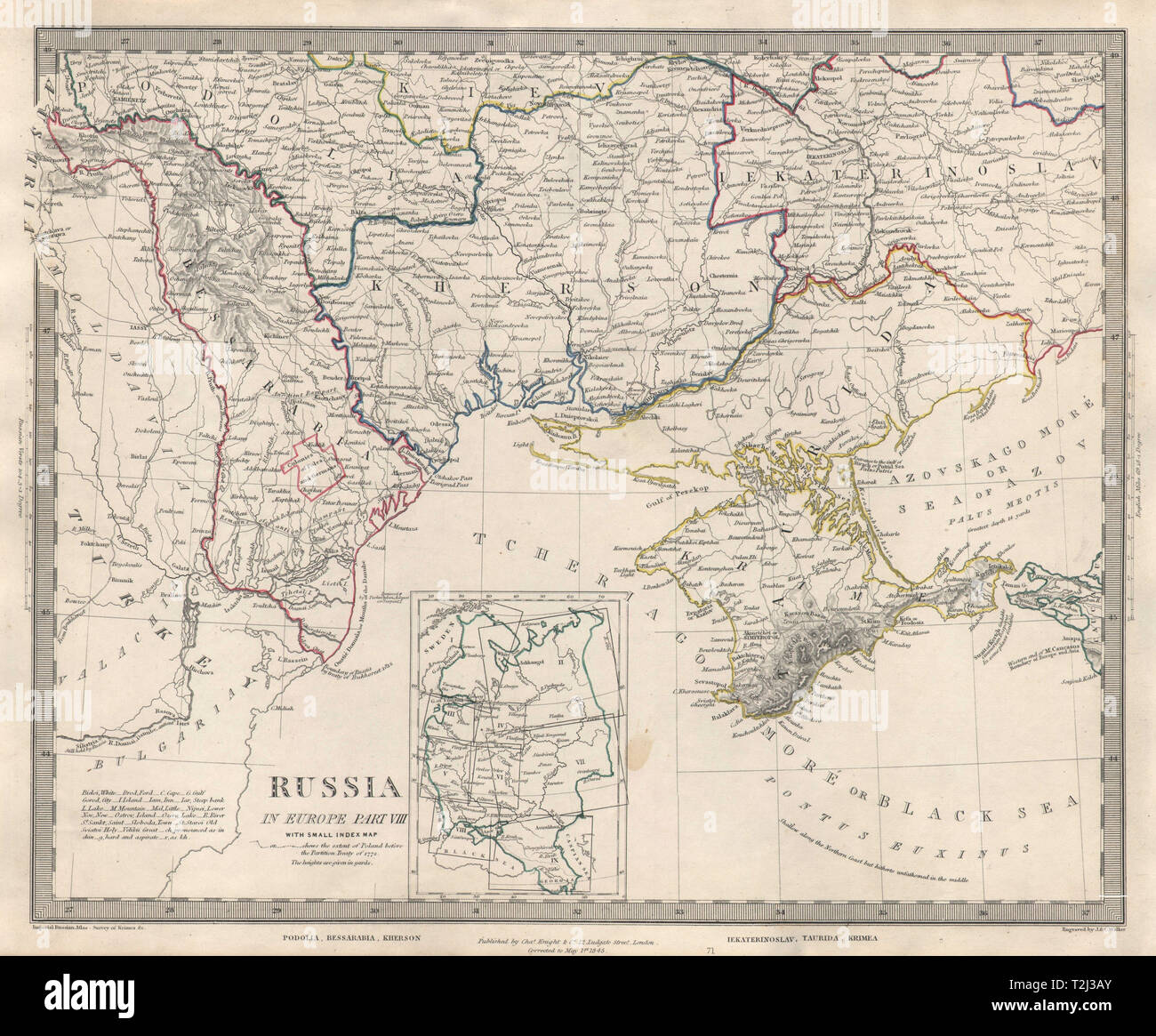 UKRAINE MOLDOVA Podolia Bessarabia Kherson Taurida Odessa Crimea. SDUK 1846 map Stock Photohttps://www.alamy.com/image-license-details/?v=1https://www.alamy.com/ukraine-moldova-podolia-bessarabia-kherson-taurida-odessa-crimea-sduk-1846-map-image242572259.html
RFT2J3AY–UKRAINE MOLDOVA Podolia Bessarabia Kherson Taurida Odessa Crimea. SDUK 1846 map
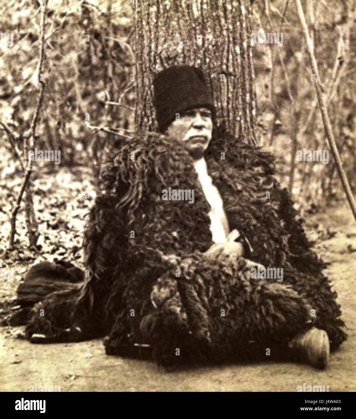 Ukrainian man from Podolia Stock Photohttps://www.alamy.com/image-license-details/?v=1https://www.alamy.com/stock-photo-ukrainian-man-from-podolia-140698211.html
RMJ4WA03–Ukrainian man from Podolia
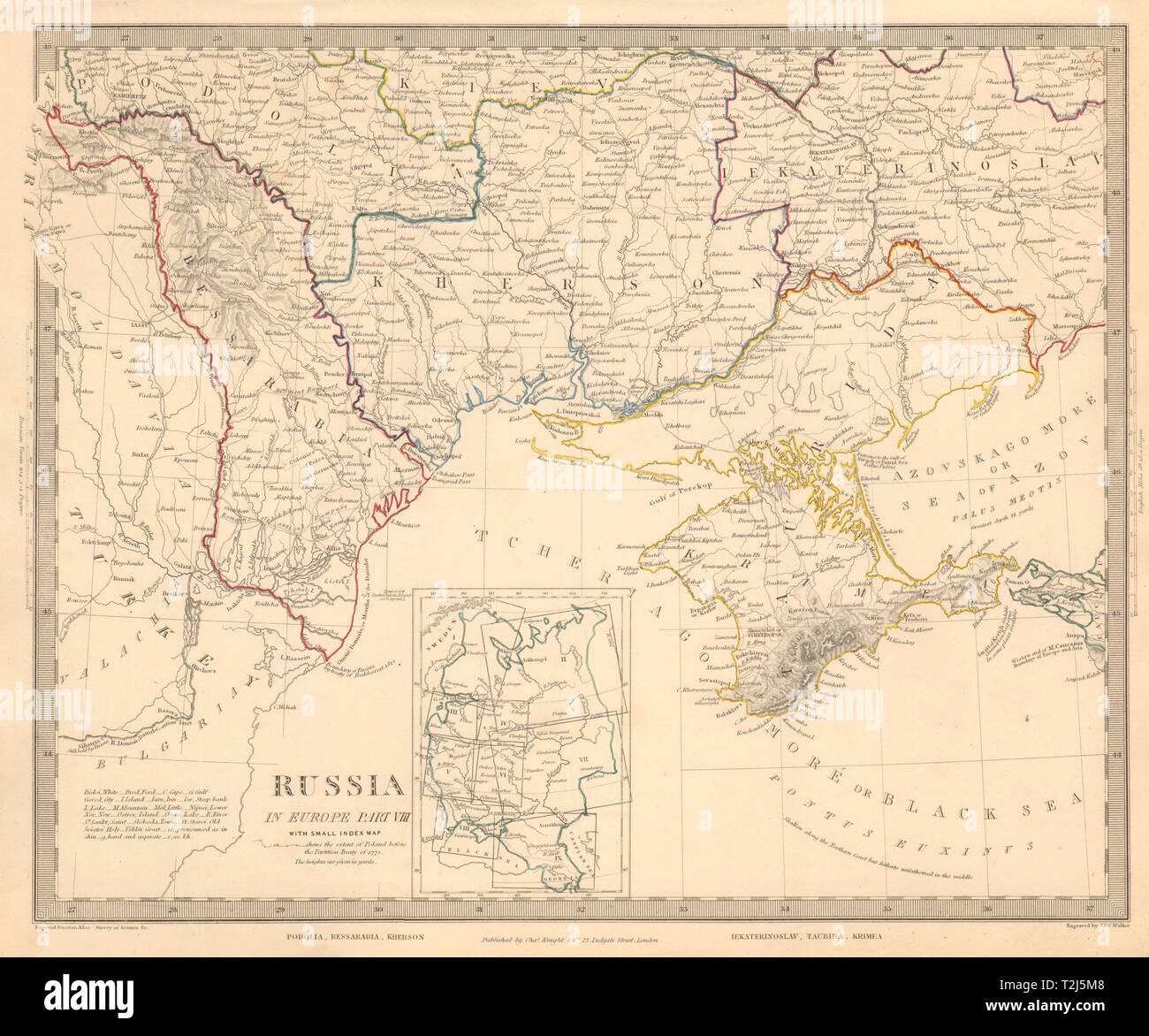 UKRAINE MOLDOVA Podolia Bessarabia Kherson Taurida Crimea Odessa. SDUK 1845 map Stock Photohttps://www.alamy.com/image-license-details/?v=1https://www.alamy.com/ukraine-moldova-podolia-bessarabia-kherson-taurida-crimea-odessa-sduk-1845-map-image242574088.html
RFT2J5M8–UKRAINE MOLDOVA Podolia Bessarabia Kherson Taurida Crimea Odessa. SDUK 1845 map
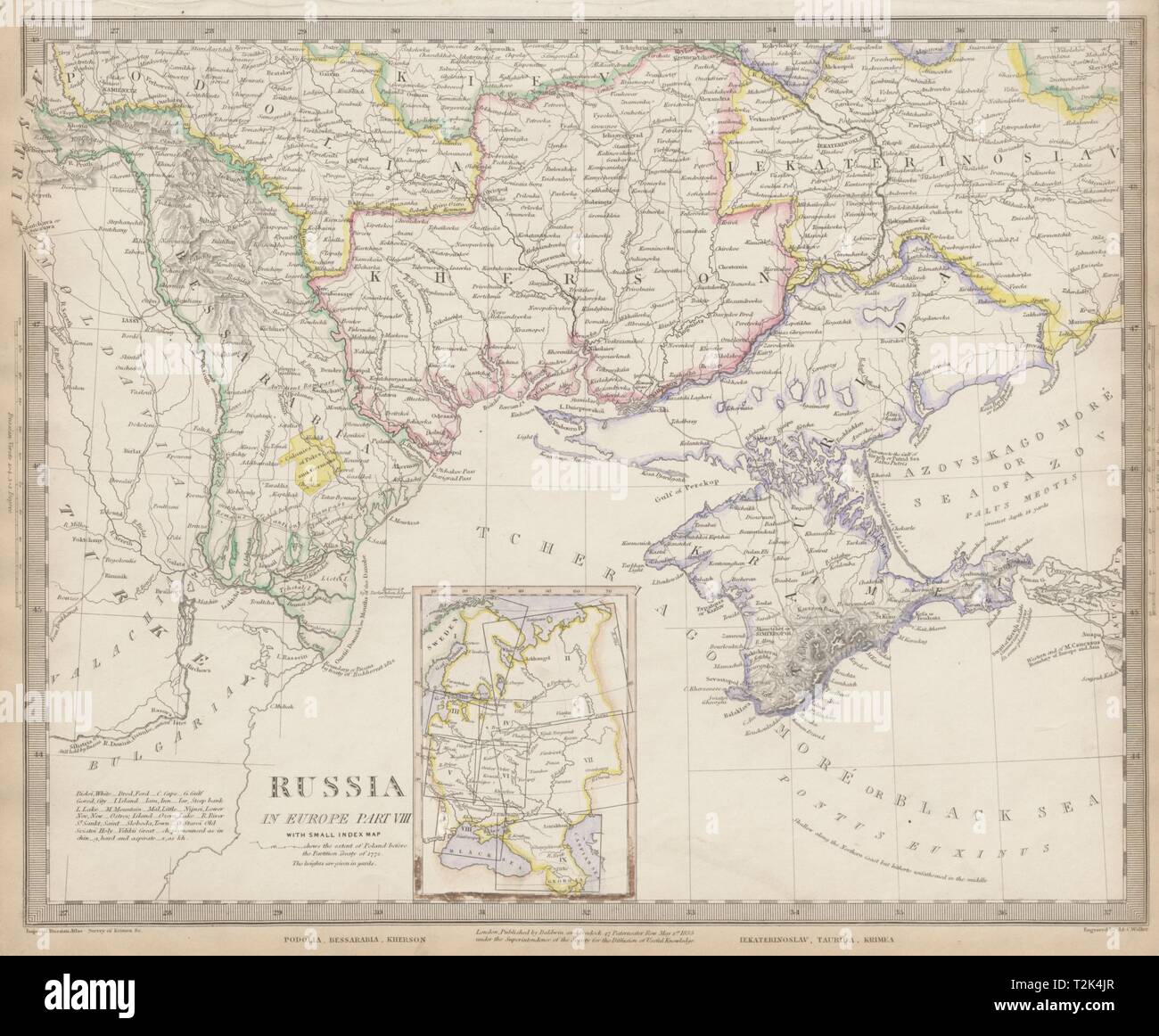 UKRAINE MOLDOVA Podolia Bessarabia Kherson Taurida Crimea Kiev. SDUK 1844 map Stock Photohttps://www.alamy.com/image-license-details/?v=1https://www.alamy.com/ukraine-moldova-podolia-bessarabia-kherson-taurida-crimea-kiev-sduk-1844-map-image242595215.html
RFT2K4JR–UKRAINE MOLDOVA Podolia Bessarabia Kherson Taurida Crimea Kiev. SDUK 1844 map
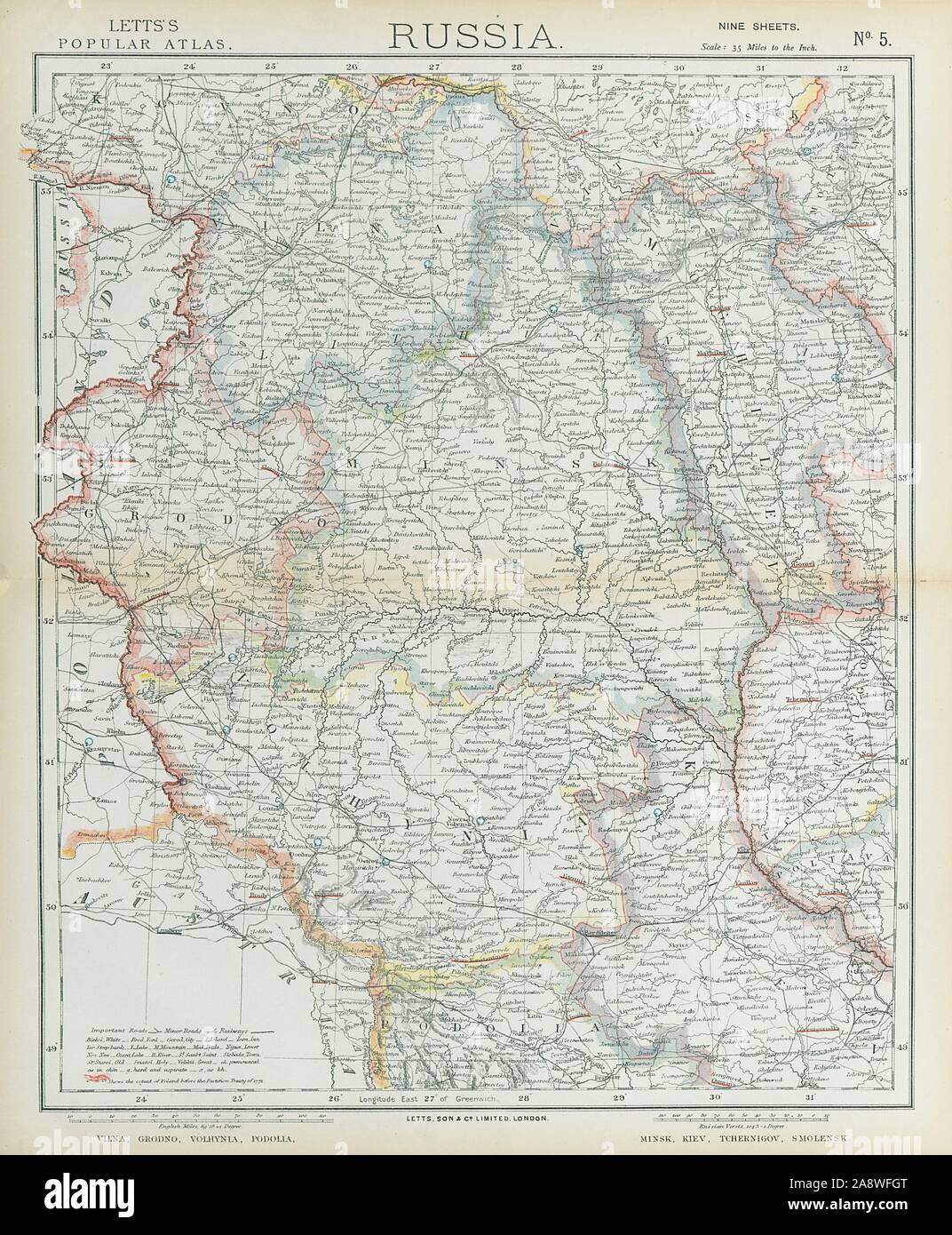 EAST EUROPE Vilnius Belarus Lithuania Grodno Podolia Minsk Kiev LETTS 1883 map Stock Photohttps://www.alamy.com/image-license-details/?v=1https://www.alamy.com/east-europe-vilnius-belarus-lithuania-grodno-podolia-minsk-kiev-letts-1883-map-image332475272.html
RF2A8WFGT–EAST EUROPE Vilnius Belarus Lithuania Grodno Podolia Minsk Kiev LETTS 1883 map
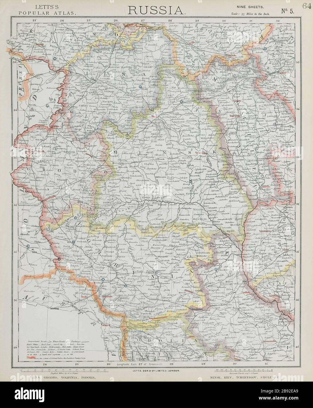 EAST EUROPE Vilnius Belarus Lithuania Grodno Podolia Minsk Kiev LETTS 1884 map Stock Photohttps://www.alamy.com/image-license-details/?v=1https://www.alamy.com/east-europe-vilnius-belarus-lithuania-grodno-podolia-minsk-kiev-letts-1884-map-image349794433.html
RF2B92EA9–EAST EUROPE Vilnius Belarus Lithuania Grodno Podolia Minsk Kiev LETTS 1884 map
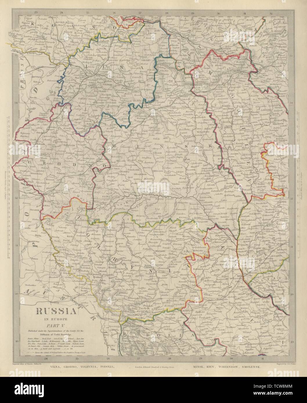 EASTERN EUROPE Vilnius Belarus Lithuania Grodno Podolia Minsk Kiev SDUK 1874 map Stock Photohttps://www.alamy.com/image-license-details/?v=1https://www.alamy.com/eastern-europe-vilnius-belarus-lithuania-grodno-podolia-minsk-kiev-sduk-1874-map-image248876676.html
RFTCW8MM–EASTERN EUROPE Vilnius Belarus Lithuania Grodno Podolia Minsk Kiev SDUK 1874 map
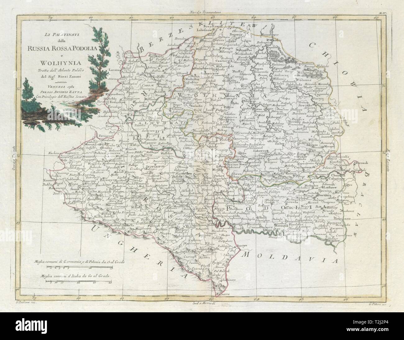 'Li Palatinati della Russia Rossa, Podolia…' SE Poland W Ukraine. ZATTA 1783 map Stock Photohttps://www.alamy.com/image-license-details/?v=1https://www.alamy.com/li-palatinati-della-russia-rossa-podolia-se-poland-w-ukraine-zatta-1783-map-image242571788.html
RFT2J2P4–'Li Palatinati della Russia Rossa, Podolia…' SE Poland W Ukraine. ZATTA 1783 map
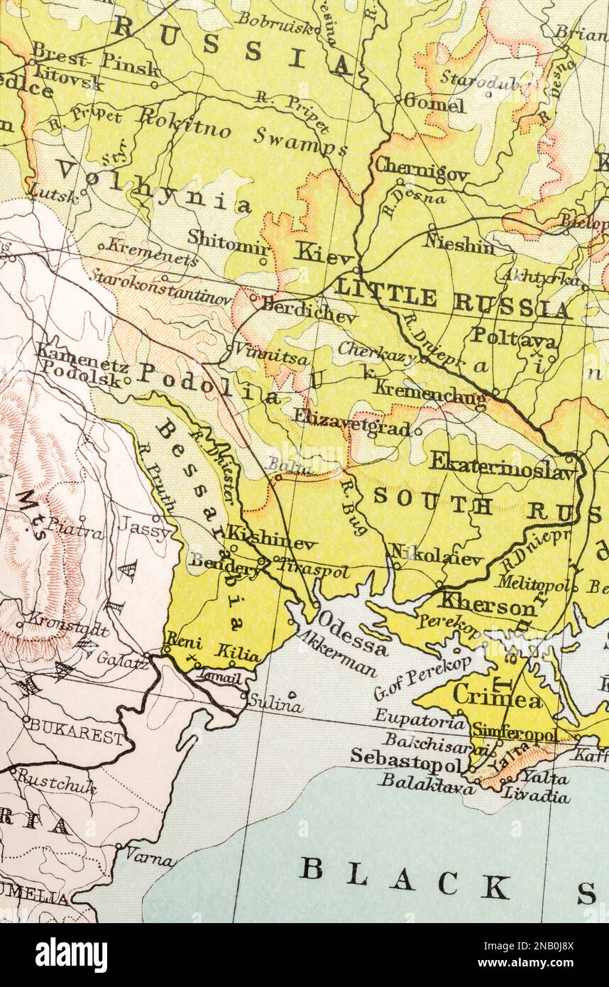 c.1909 Bessarabia (later Moldova), Kishinev (current Chișinău, Moldova capital), Podolia, Ukraine, Kiev. Stock Photohttps://www.alamy.com/image-license-details/?v=1https://www.alamy.com/c1909-bessarabia-later-moldova-kishinev-current-chiinu-moldova-capital-podolia-ukraine-kiev-image523086618.html
RM2NB0J8X–c.1909 Bessarabia (later Moldova), Kishinev (current Chișinău, Moldova capital), Podolia, Ukraine, Kiev.
 J.H. 1 Podolia Stock Photohttps://www.alamy.com/image-license-details/?v=1https://www.alamy.com/jh-1-podolia-image159784179.html
RMK7XP9R–J.H. 1 Podolia
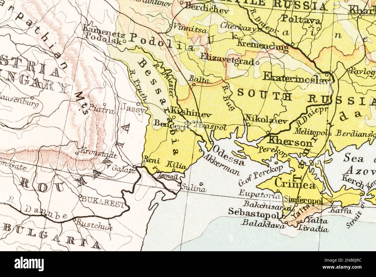 c.1909 Bessarabia (later Moldova), Kishinev (current Chișinău, Moldova capital), Odessa in Ukraine, and Romania. Stock Photohttps://www.alamy.com/image-license-details/?v=1https://www.alamy.com/c1909-bessarabia-later-moldova-kishinev-current-chiinu-moldova-capital-odessa-in-ukraine-and-romania-image523087024.html
RM2NB0JRC–c.1909 Bessarabia (later Moldova), Kishinev (current Chișinău, Moldova capital), Odessa in Ukraine, and Romania.
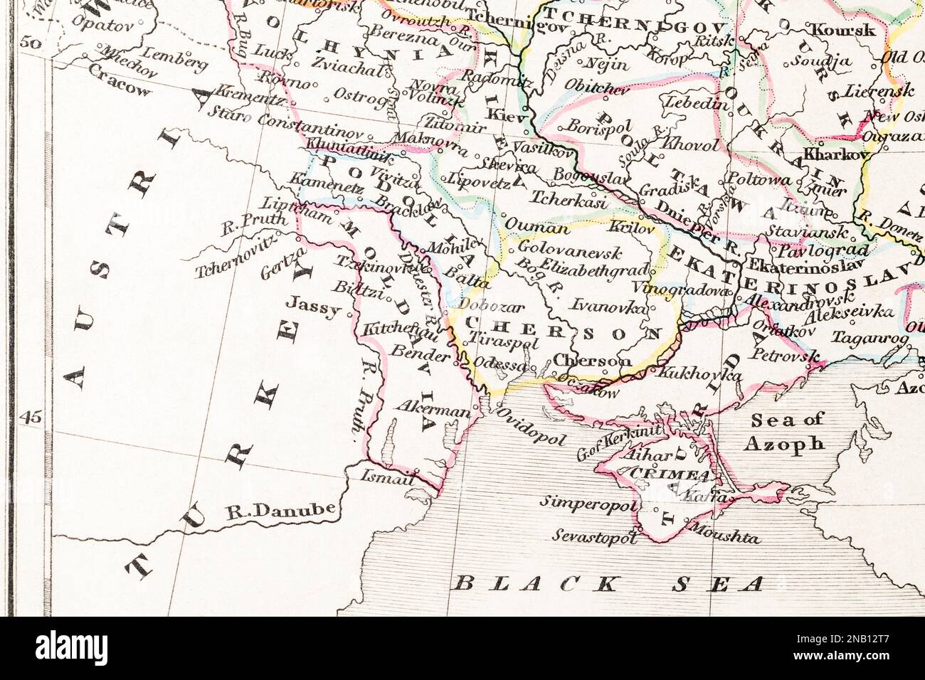 1830s historic atlas map of Moldova / Moldavia, Chișinău, Kishinau, Podolia, Kherson, Kiev, Odessa, Crimea and Black Sea (wide view) Stock Photohttps://www.alamy.com/image-license-details/?v=1https://www.alamy.com/1830s-historic-atlas-map-of-moldova-moldavia-chiinu-kishinau-podolia-kherson-kiev-odessa-crimea-and-black-sea-wide-view-image523096455.html
RM2NB12T7–1830s historic atlas map of Moldova / Moldavia, Chișinău, Kishinau, Podolia, Kherson, Kiev, Odessa, Crimea and Black Sea (wide view)
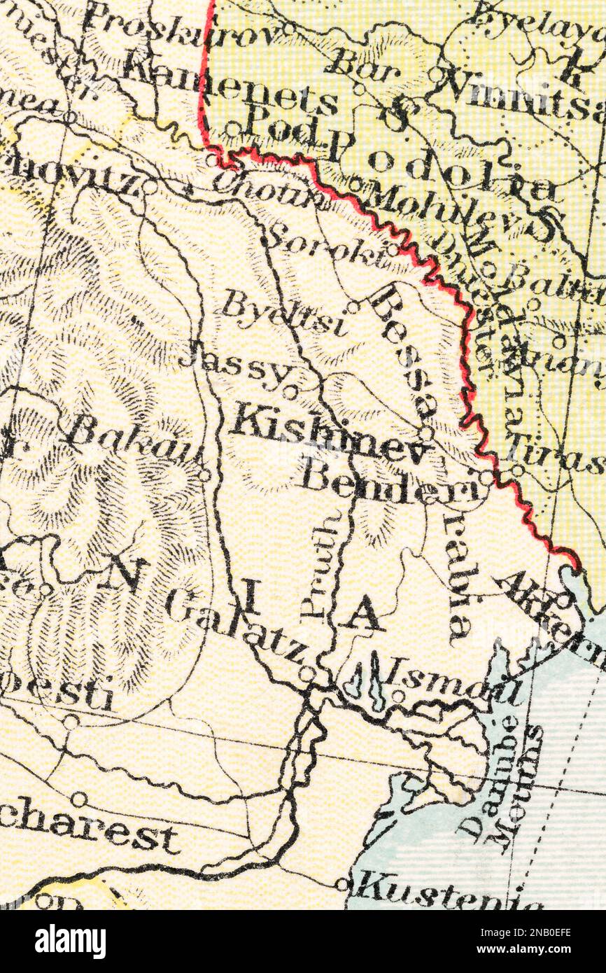 c.1935 atlas map of Bessarabia, Moldavia / Moldova, and Kishinev (current Chișinău, Moldova capital). Stock Photohttps://www.alamy.com/image-license-details/?v=1https://www.alamy.com/c1935-atlas-map-of-bessarabia-moldavia-moldova-and-kishinev-current-chiinu-moldova-capital-image523083666.html
RM2NB0EFE–c.1935 atlas map of Bessarabia, Moldavia / Moldova, and Kishinev (current Chișinău, Moldova capital).
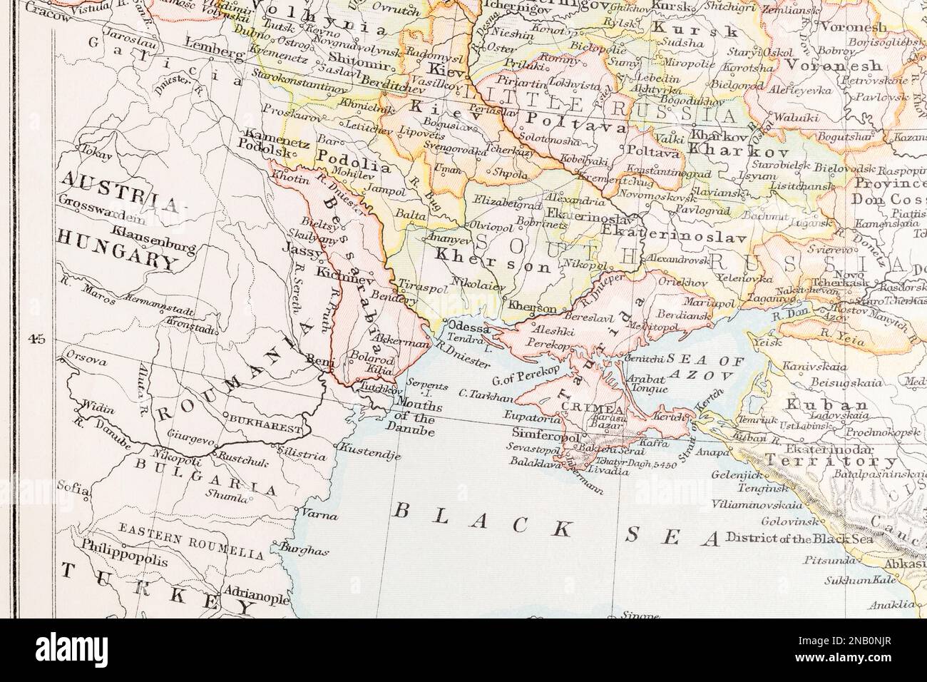 1890s atlas map of Bessarabia (Moldova), Kishinev (Chișinău), Ukraine, Odessa & Black Sea. Stock Photohttps://www.alamy.com/image-license-details/?v=1https://www.alamy.com/1890s-atlas-map-of-bessarabia-moldova-kishinev-chiinu-ukraine-odessa-black-sea-image523089247.html
RM2NB0NJR–1890s atlas map of Bessarabia (Moldova), Kishinev (Chișinău), Ukraine, Odessa & Black Sea.
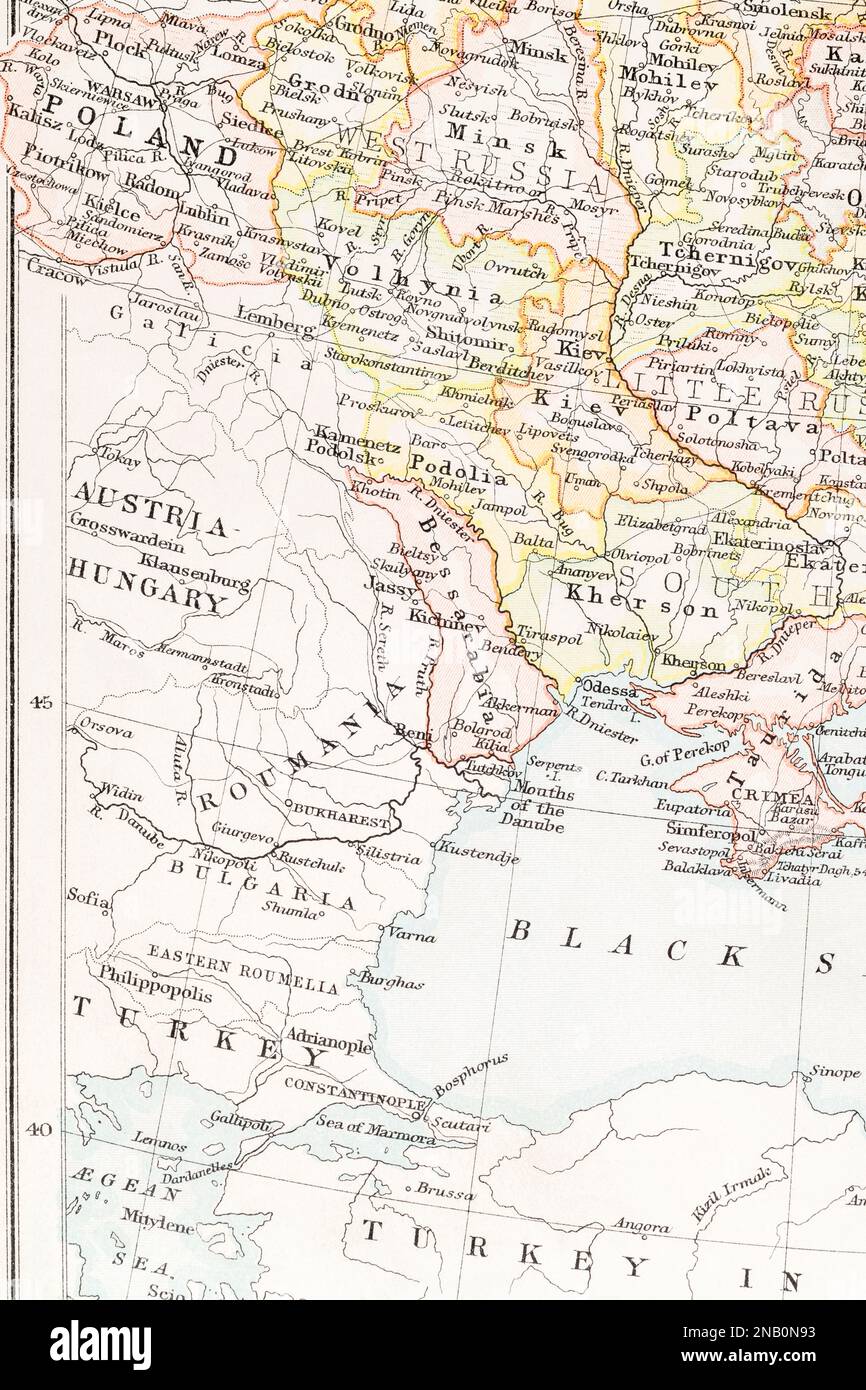 1890s atlas map of Bessarabia (Moldova) centre, Kishinev (Chișinău), Bulgaria + Kherson and Kiev further away in Ukraine. Stock Photohttps://www.alamy.com/image-license-details/?v=1https://www.alamy.com/1890s-atlas-map-of-bessarabia-moldova-centre-kishinev-chiinu-bulgaria-kherson-and-kiev-further-away-in-ukraine-image523088975.html
RM2NB0N93–1890s atlas map of Bessarabia (Moldova) centre, Kishinev (Chișinău), Bulgaria + Kherson and Kiev further away in Ukraine.
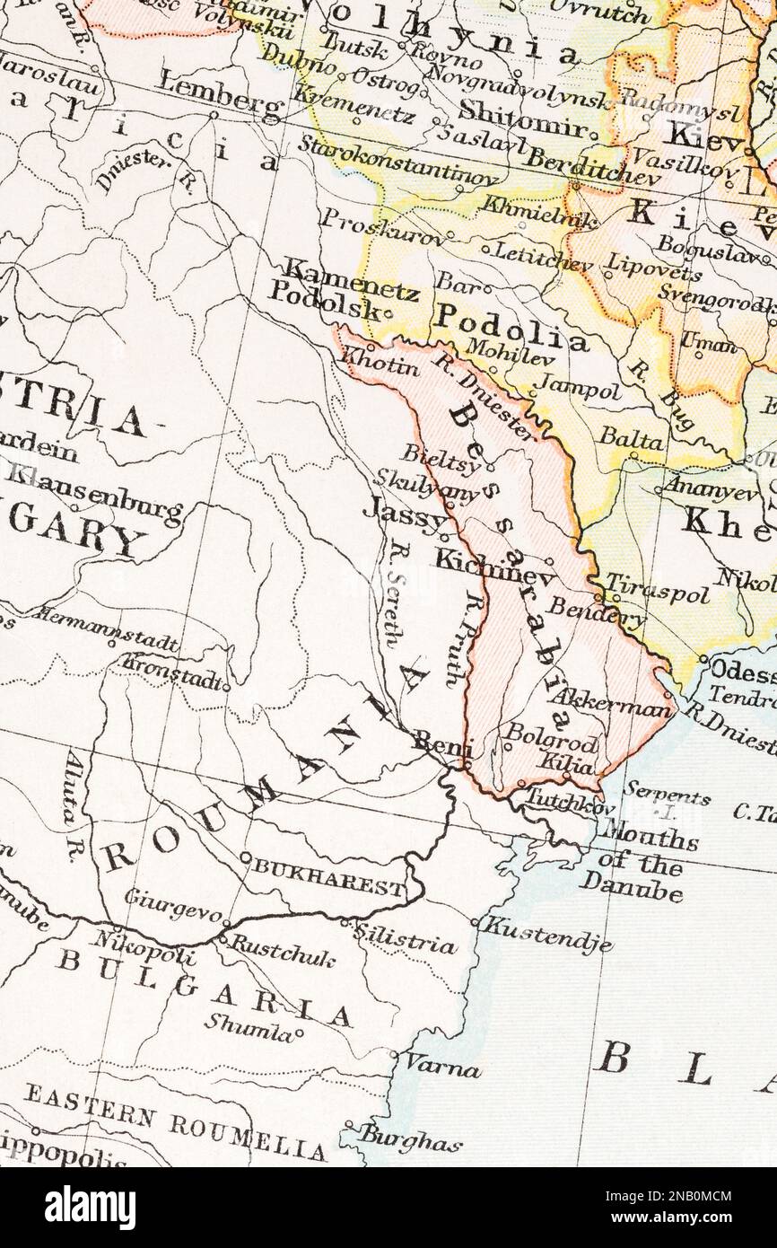 1890s atlas map of Romania, Bessarabia (Moldavia / Moldova), Kishinev / Chișinău, & Tiraspol (now in Russian Transnistra) Stock Photohttps://www.alamy.com/image-license-details/?v=1https://www.alamy.com/1890s-atlas-map-of-romania-bessarabia-moldavia-moldova-kishinev-chiinu-tiraspol-now-in-russian-transnistra-image523088292.html
RM2NB0MCM–1890s atlas map of Romania, Bessarabia (Moldavia / Moldova), Kishinev / Chișinău, & Tiraspol (now in Russian Transnistra)
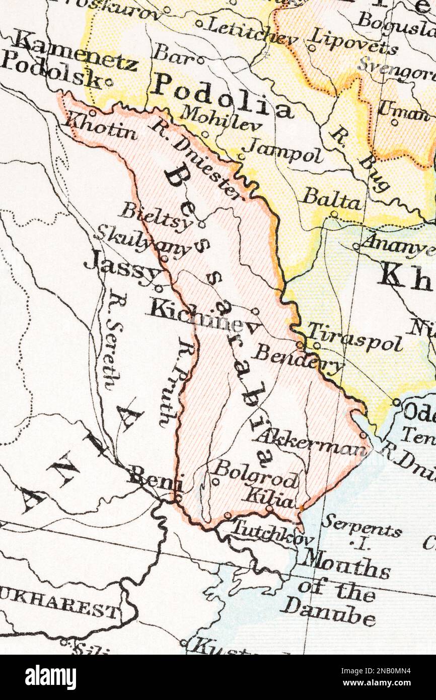 1890s atlas map of Romania, Bessarabia (Moldavia / Moldova), Kishinev / Chișinău, & Tiraspol (now in Russian Transnistra) Stock Photohttps://www.alamy.com/image-license-details/?v=1https://www.alamy.com/1890s-atlas-map-of-romania-bessarabia-moldavia-moldova-kishinev-chiinu-tiraspol-now-in-russian-transnistra-image523088528.html
RM2NB0MN4–1890s atlas map of Romania, Bessarabia (Moldavia / Moldova), Kishinev / Chișinău, & Tiraspol (now in Russian Transnistra)
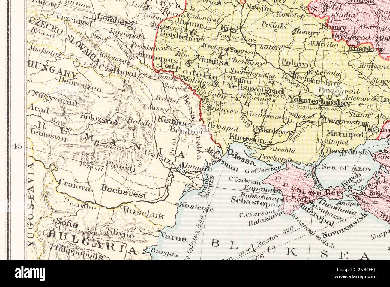 c.1935 atlas map Romania, Kishinev (current Chișinău, Moldova capital), Bessarabia, also Crimea, Odessa and Kherson in Ukraine. Stock Photohttps://www.alamy.com/image-license-details/?v=1https://www.alamy.com/c1935-atlas-map-romania-kishinev-current-chiinu-moldova-capital-bessarabia-also-crimea-odessa-and-kherson-in-ukraine-image523084510.html
RM2NB0FHJ–c.1935 atlas map Romania, Kishinev (current Chișinău, Moldova capital), Bessarabia, also Crimea, Odessa and Kherson in Ukraine.
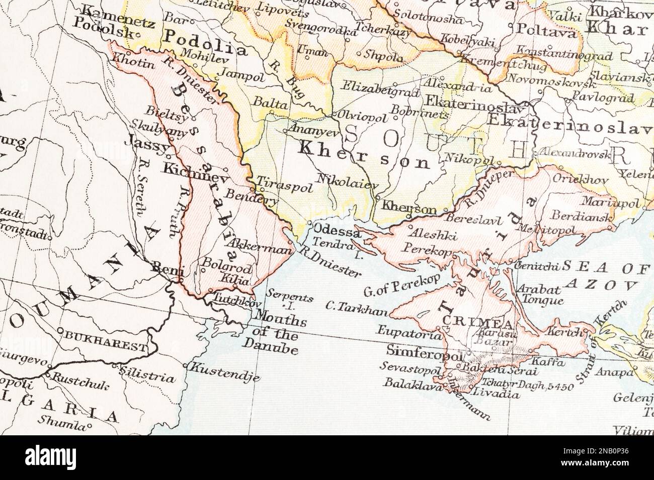 1890s atlas map of Bessarabia (Moldavia / Moldova), Kishinev / Chișinău, & Tiraspol (now in Russian Transnistra), Odessa & Crimea Stock Photohttps://www.alamy.com/image-license-details/?v=1https://www.alamy.com/1890s-atlas-map-of-bessarabia-moldavia-moldova-kishinev-chiinu-tiraspol-now-in-russian-transnistra-odessa-crimea-image523089594.html
RM2NB0P36–1890s atlas map of Bessarabia (Moldavia / Moldova), Kishinev / Chișinău, & Tiraspol (now in Russian Transnistra), Odessa & Crimea
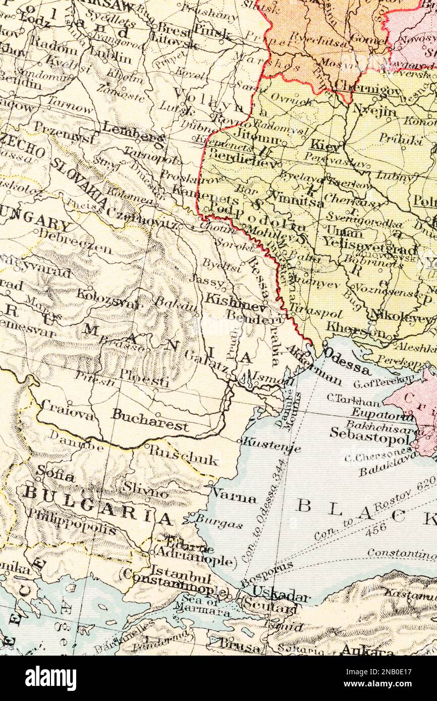 c.1935 historical atlas map of Romania, Bulgaria, Moldova capital Chișinău / Kishinev, and distant Odessa and Kiev in Ukraine. Stock Photohttps://www.alamy.com/image-license-details/?v=1https://www.alamy.com/c1935-historical-atlas-map-of-romania-bulgaria-moldova-capital-chiinu-kishinev-and-distant-odessa-and-kiev-in-ukraine-image523083267.html
RM2NB0E17–c.1935 historical atlas map of Romania, Bulgaria, Moldova capital Chișinău / Kishinev, and distant Odessa and Kiev in Ukraine.