Quick filters:
Map of prato Stock Photos and Images
 Prato pinned on a map of Italy Stock Photohttps://www.alamy.com/image-license-details/?v=1https://www.alamy.com/stock-photo-prato-pinned-on-a-map-of-italy-125192197.html
RFH7JYWW–Prato pinned on a map of Italy
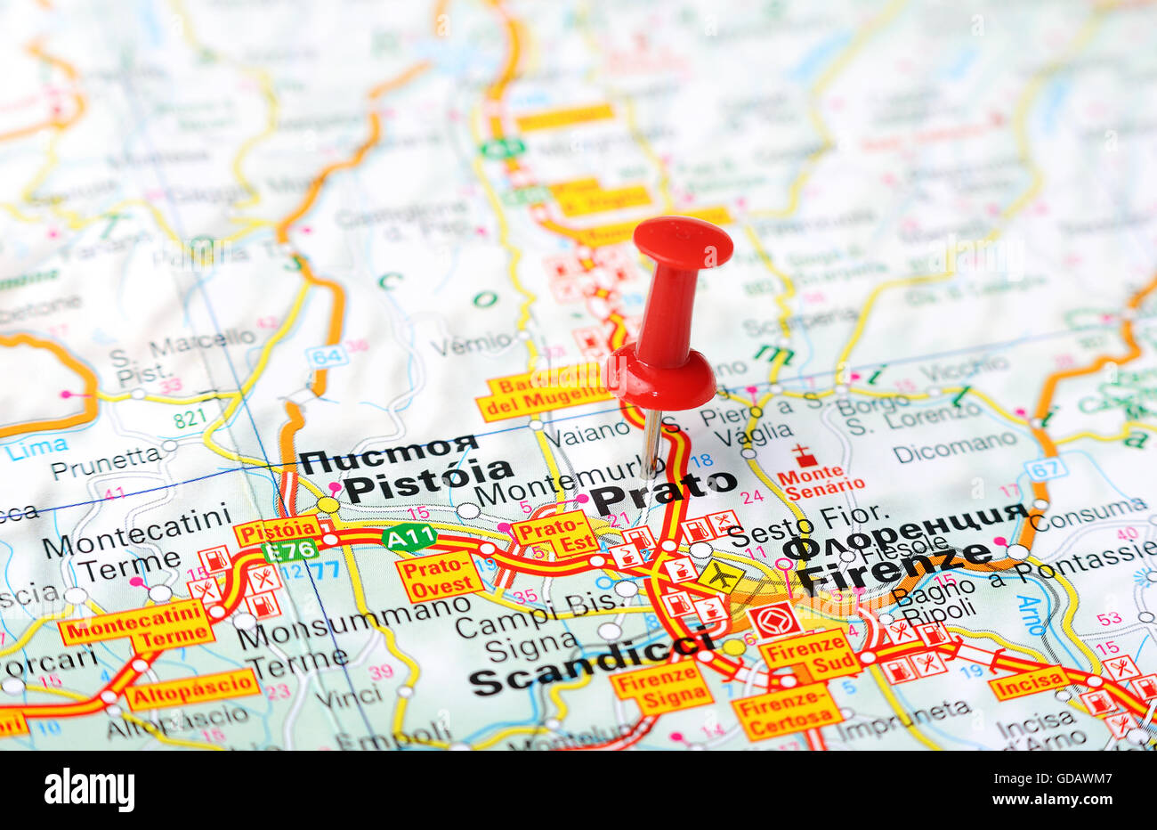 Close up of Prato , Italy map with red pin - Travel concept Stock Photohttps://www.alamy.com/image-license-details/?v=1https://www.alamy.com/stock-photo-close-up-of-prato-italy-map-with-red-pin-travel-concept-111492423.html
RFGDAWM7–Close up of Prato , Italy map with red pin - Travel concept
 Tranvia prato Stock Photohttps://www.alamy.com/image-license-details/?v=1https://www.alamy.com/stock-photo-tranvia-prato-140725333.html
RMJ4XGGN–Tranvia prato
 Prato city travel and tourism destination concept. Italy flag and Prato city on map. Italy travel concept map background. Tickets Planes and flights t Stock Photohttps://www.alamy.com/image-license-details/?v=1https://www.alamy.com/prato-city-travel-and-tourism-destination-concept-italy-flag-and-prato-city-on-map-italy-travel-concept-map-background-tickets-planes-and-flights-t-image226462640.html
RFR4C7BC–Prato city travel and tourism destination concept. Italy flag and Prato city on map. Italy travel concept map background. Tickets Planes and flights t
 Prato blank detailed outline map set Stock Vectorhttps://www.alamy.com/image-license-details/?v=1https://www.alamy.com/prato-blank-detailed-outline-map-set-image177775557.html
RFM96AF1–Prato blank detailed outline map set
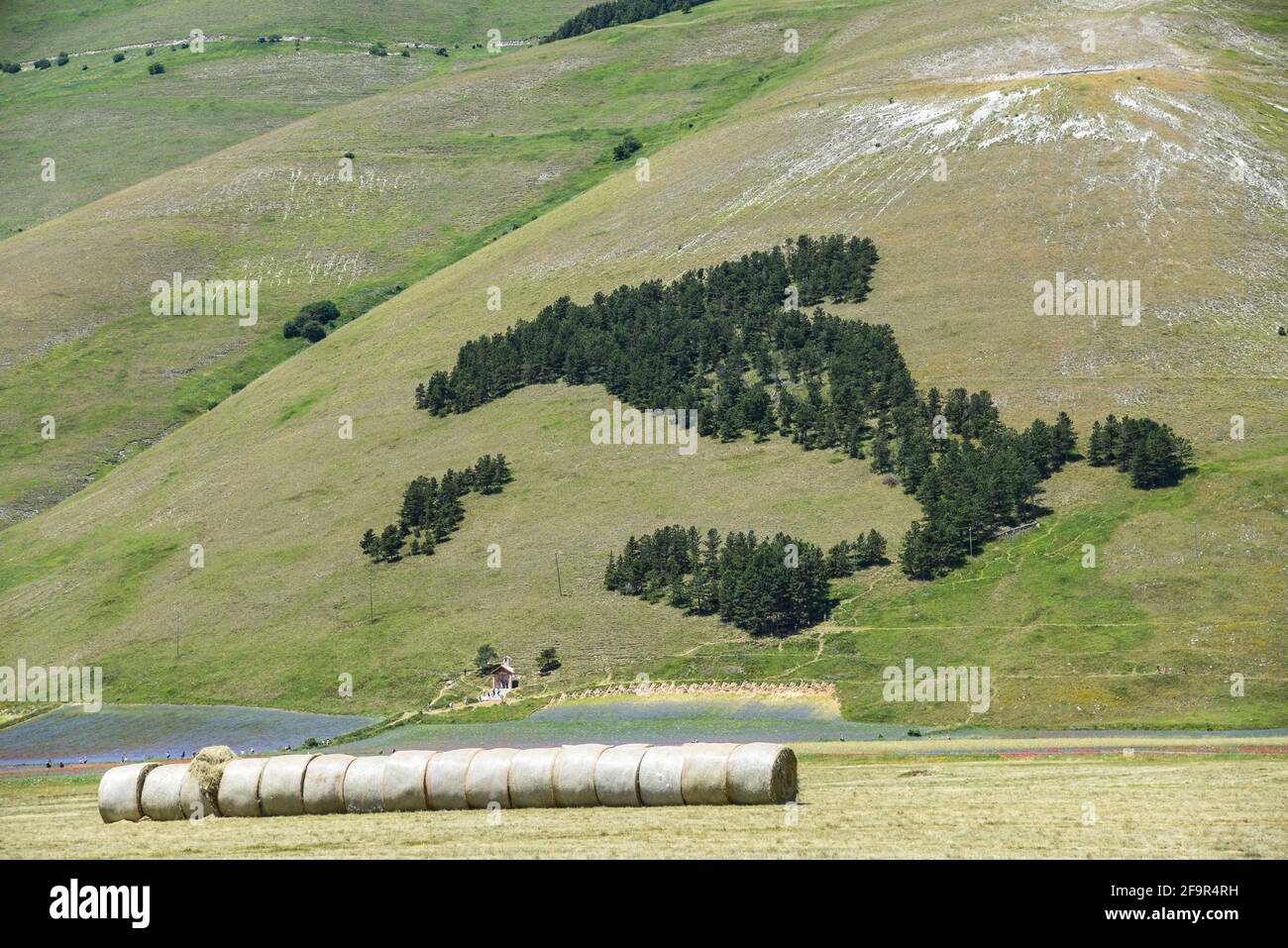 Map of Italy drawn with trees Stock Photohttps://www.alamy.com/image-license-details/?v=1https://www.alamy.com/map-of-italy-drawn-with-trees-image419089429.html
RF2F9R4RH–Map of Italy drawn with trees
 Prato Italy City Map in Retro Style. Outline Map. Vector Illustration. Stock Vectorhttps://www.alamy.com/image-license-details/?v=1https://www.alamy.com/prato-italy-city-map-in-retro-style-outline-map-vector-illustration-image207050405.html
RFP0RXW9–Prato Italy City Map in Retro Style. Outline Map. Vector Illustration.
 Prato, Bologna, IT, Italy, Emilia-Romagna, N 44 39' 21'', N 11 30' 56'', map, Cartascapes Map published in 2024. Explore Cartascapes, a map revealing Earth's diverse landscapes, cultures, and ecosystems. Journey through time and space, discovering the interconnectedness of our planet's past, present, and future. Stock Photohttps://www.alamy.com/image-license-details/?v=1https://www.alamy.com/prato-bologna-it-italy-emilia-romagna-n-44-39-21-n-11-30-56-map-cartascapes-map-published-in-2024-explore-cartascapes-a-map-revealing-earths-diverse-landscapes-cultures-and-ecosystems-journey-through-time-and-space-discovering-the-interconnectedness-of-our-planets-past-present-and-future-image614454951.html
RM2XKJRFK–Prato, Bologna, IT, Italy, Emilia-Romagna, N 44 39' 21'', N 11 30' 56'', map, Cartascapes Map published in 2024. Explore Cartascapes, a map revealing Earth's diverse landscapes, cultures, and ecosystems. Journey through time and space, discovering the interconnectedness of our planet's past, present, and future.
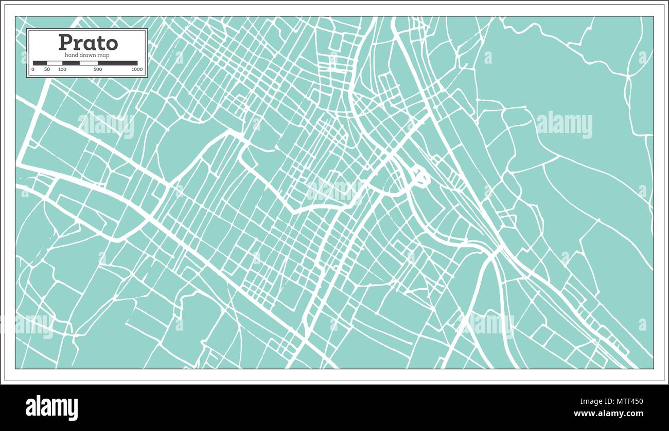 Prato Italy City Map in Retro Style. Outline Map. Vector Illustration. Stock Vectorhttps://www.alamy.com/image-license-details/?v=1https://www.alamy.com/prato-italy-city-map-in-retro-style-outline-map-vector-illustration-image187187980.html
RFMTF450–Prato Italy City Map in Retro Style. Outline Map. Vector Illustration.
 Symbol Map of the Province Prato (Italy) showing the state with black, crossing lines like Mikado Sticks or a spider web Stock Vectorhttps://www.alamy.com/image-license-details/?v=1https://www.alamy.com/symbol-map-of-the-province-prato-italy-showing-the-state-with-black-crossing-lines-like-mikado-sticks-or-a-spider-web-image616045341.html
RF2XP7839–Symbol Map of the Province Prato (Italy) showing the state with black, crossing lines like Mikado Sticks or a spider web
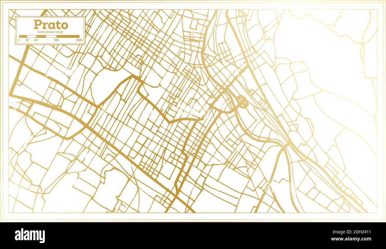 Prato Italy City Map in Retro Style in Golden Color. Outline Map. Vector Illustration. Stock Vectorhttps://www.alamy.com/image-license-details/?v=1https://www.alamy.com/prato-italy-city-map-in-retro-style-in-golden-color-outline-map-vector-illustration-image389124317.html
RF2DH2411–Prato Italy City Map in Retro Style in Golden Color. Outline Map. Vector Illustration.
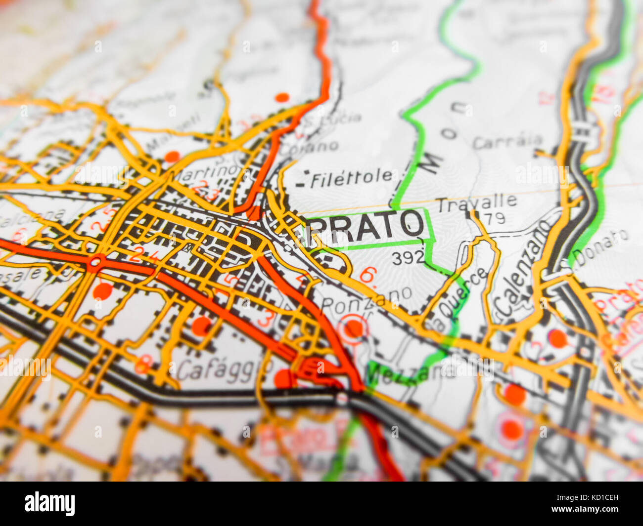 Prato city over a road map (ITALY) Stock Photohttps://www.alamy.com/image-license-details/?v=1https://www.alamy.com/stock-image-prato-city-over-a-road-map-italy-162915609.html
RFKD1CEH–Prato city over a road map (ITALY)
 Prato Italy City Map in Black and White Color in Retro Style. Outline Map. Vector Illustration. Stock Vectorhttps://www.alamy.com/image-license-details/?v=1https://www.alamy.com/prato-italy-city-map-in-black-and-white-color-in-retro-style-outline-map-vector-illustration-image386192945.html
RF2DC8H15–Prato Italy City Map in Black and White Color in Retro Style. Outline Map. Vector Illustration.
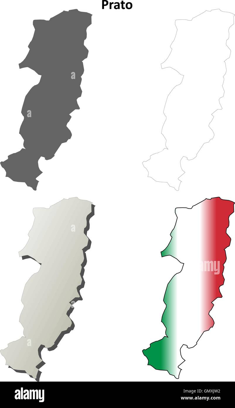 Prato blank detailed outline map set Stock Vectorhttps://www.alamy.com/image-license-details/?v=1https://www.alamy.com/stock-photo-prato-blank-detailed-outline-map-set-116140894.html
RFGMXJW2–Prato blank detailed outline map set
 Prato Italy City Map in Black and White Color in Retro Style. Outline Map. Vector Illustration. Stock Vectorhttps://www.alamy.com/image-license-details/?v=1https://www.alamy.com/prato-italy-city-map-in-black-and-white-color-in-retro-style-outline-map-vector-illustration-image366269230.html
RF2C7W03X–Prato Italy City Map in Black and White Color in Retro Style. Outline Map. Vector Illustration.
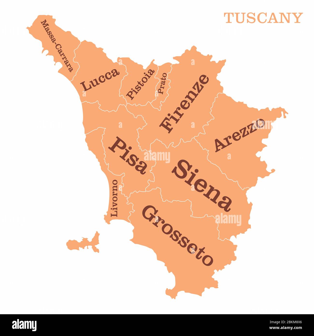 Tuscany regions map Stock Vectorhttps://www.alamy.com/image-license-details/?v=1https://www.alamy.com/tuscany-regions-map-image356331870.html
RF2BKM8X6–Tuscany regions map
 Italy map and words cloud with larger cities Stock Photohttps://www.alamy.com/image-license-details/?v=1https://www.alamy.com/stock-photo-italy-map-and-words-cloud-with-larger-cities-96054042.html
RFFG7HWE–Italy map and words cloud with larger cities
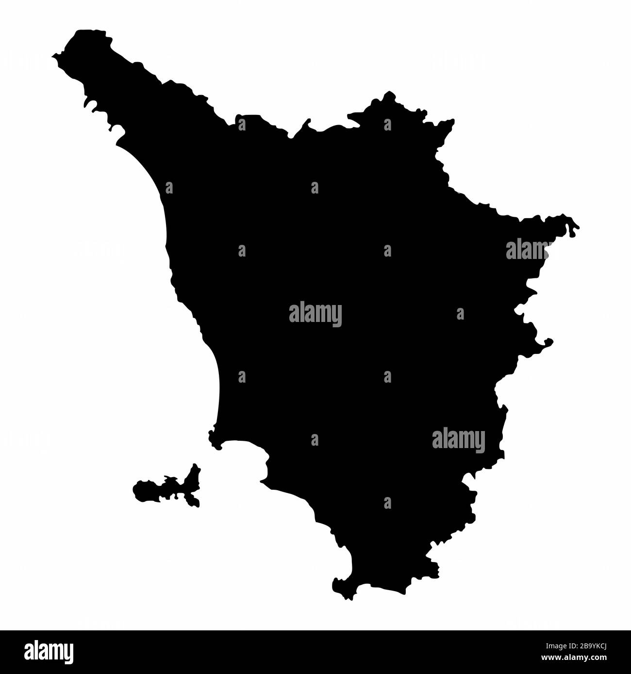 Tuscany dark silhouette map Stock Vectorhttps://www.alamy.com/image-license-details/?v=1https://www.alamy.com/tuscany-dark-silhouette-map-image350347218.html
RF2B9YKCJ–Tuscany dark silhouette map
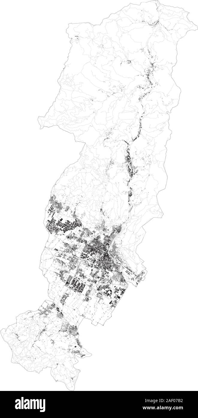 Satellite map of province of Prato, towns and roads, buildings and connecting roads of surrounding areas. Tuscany, Italy. Map roads, ring roads Stock Vectorhttps://www.alamy.com/image-license-details/?v=1https://www.alamy.com/satellite-map-of-province-of-prato-towns-and-roads-buildings-and-connecting-roads-of-surrounding-areas-tuscany-italy-map-roads-ring-roads-image336222630.html
RF2AF07B2–Satellite map of province of Prato, towns and roads, buildings and connecting roads of surrounding areas. Tuscany, Italy. Map roads, ring roads
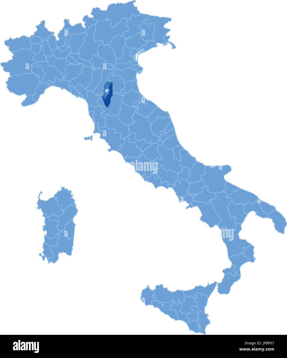 Map of Italy, Prato Stock Vectorhttps://www.alamy.com/image-license-details/?v=1https://www.alamy.com/stock-photo-map-of-italy-prato-147162239.html
RFJFBPX7–Map of Italy, Prato
 'Il Fiorentino'. NE Tuscany. Arezzo Florence Prato Pistoia Siena. ZATTA 1784 map Stock Photohttps://www.alamy.com/image-license-details/?v=1https://www.alamy.com/il-fiorentino-ne-tuscany-arezzo-florence-prato-pistoia-siena-zatta-1784-map-image242572042.html
RFT2J336–'Il Fiorentino'. NE Tuscany. Arezzo Florence Prato Pistoia Siena. ZATTA 1784 map
 Stazione tranvia prato Stock Photohttps://www.alamy.com/image-license-details/?v=1https://www.alamy.com/stock-photo-stazione-tranvia-prato-140523654.html
RMJ4HB9X–Stazione tranvia prato
 Prato city travel and tourism destination concept. Italy flag and Prato city on map. Italy travel concept map background. Tickets Planes and flights t Stock Photohttps://www.alamy.com/image-license-details/?v=1https://www.alamy.com/prato-city-travel-and-tourism-destination-concept-italy-flag-and-prato-city-on-map-italy-travel-concept-map-background-tickets-planes-and-flights-t-image226462635.html
RFR4C7B7–Prato city travel and tourism destination concept. Italy flag and Prato city on map. Italy travel concept map background. Tickets Planes and flights t
 Staz Prato fine 800 Stock Photohttps://www.alamy.com/image-license-details/?v=1https://www.alamy.com/stock-photo-staz-prato-fine-800-140524569.html
RMJ4HCEH–Staz Prato fine 800
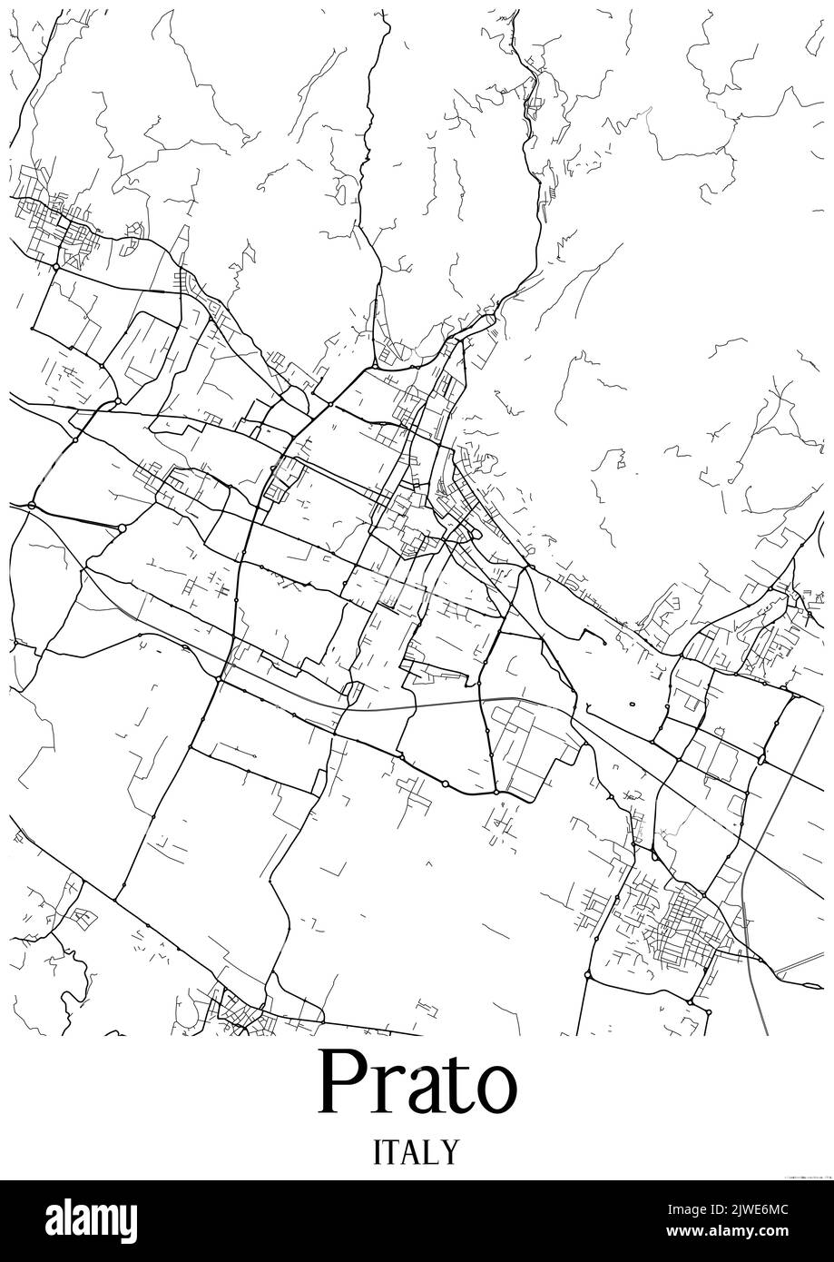 Black and white urban map of prato Stock Photohttps://www.alamy.com/image-license-details/?v=1https://www.alamy.com/black-and-white-urban-map-of-prato-image480358940.html
RF2JWE6MC–Black and white urban map of prato
 Apollonio di Giovanni. Trinita, ca. 1440, Prato, Museo dell'Opera del Duomo Stock Photohttps://www.alamy.com/image-license-details/?v=1https://www.alamy.com/stock-photo-apollonio-di-giovanni-trinita-ca-1440-prato-museo-dellopera-del-duomo-139498523.html
RMJ2XKP3–Apollonio di Giovanni. Trinita, ca. 1440, Prato, Museo dell'Opera del Duomo
 Prato della Cipolla, IT, Italy, Liguria, N 44 33' 30'', N 9 29' 7'', map, Cartascapes Map published in 2024. Explore Cartascapes, a map revealing Earth's diverse landscapes, cultures, and ecosystems. Journey through time and space, discovering the interconnectedness of our planet's past, present, and future. Stock Photohttps://www.alamy.com/image-license-details/?v=1https://www.alamy.com/prato-della-cipolla-it-italy-liguria-n-44-33-30-n-9-29-7-map-cartascapes-map-published-in-2024-explore-cartascapes-a-map-revealing-earths-diverse-landscapes-cultures-and-ecosystems-journey-through-time-and-space-discovering-the-interconnectedness-of-our-planets-past-present-and-future-image614476164.html
RM2XKKPH8–Prato della Cipolla, IT, Italy, Liguria, N 44 33' 30'', N 9 29' 7'', map, Cartascapes Map published in 2024. Explore Cartascapes, a map revealing Earth's diverse landscapes, cultures, and ecosystems. Journey through time and space, discovering the interconnectedness of our planet's past, present, and future.
 Prato palazzo del Pretorio Stock Photohttps://www.alamy.com/image-license-details/?v=1https://www.alamy.com/stock-image-prato-palazzo-del-pretorio-160917698.html
RMK9PC4J–Prato palazzo del Pretorio
 Switzerland ; and the adjacent portions of Italy, Savoy and Tyrol ; handbook for travellers . ee p. 546);thence to Fusio over the Campolungo Pass, see p. 546. — Carriage-road(diligence to Dalpe twice daily in H/4 hr.) via, Prato and (2*/4 M.) Cornone(3740; Hot.-Pens. des Alpes, 35 beds at 2-3, P. 7-8 fr.), a prettily situatedvillage with view of the Pizzo Forno and Campo Tencia, to (3Va M.) Dalpe 532 VII. R.110. — Map, p.480. FAIDO. From Goschenen (3943; two modest inns); footpath thence to the (3/4 hr.) Hot. Pens.Piumogna (3976; R. 2, P. 6 fr., very fair), a health-resort, picturesquelysituat Stock Photohttps://www.alamy.com/image-license-details/?v=1https://www.alamy.com/switzerland-and-the-adjacent-portions-of-italy-savoy-and-tyrol-handbook-for-travellers-ee-p-546thence-to-fusio-over-the-campolungo-pass-see-p-546-carriage-roaddiligence-to-dalpe-twice-daily-in-h4-hr-via-prato-and-24-m-cornone3740-hot-pens-des-alpes-35-beds-at-2-3-p-7-8-fr-a-prettily-situatedvillage-with-view-of-the-pizzo-forno-and-campo-tencia-to-3va-m-dalpe-532-vii-r110-map-p480-faido-from-goschenen-3943-two-modest-inns-footpath-thence-to-the-34-hr-hot-penspiumogna-3976-r-2-p-6-fr-very-fair-a-health-resort-picturesquelysituat-image338119997.html
RM2AJ2KE5–Switzerland ; and the adjacent portions of Italy, Savoy and Tyrol ; handbook for travellers . ee p. 546);thence to Fusio over the Campolungo Pass, see p. 546. — Carriage-road(diligence to Dalpe twice daily in H/4 hr.) via, Prato and (2*/4 M.) Cornone(3740; Hot.-Pens. des Alpes, 35 beds at 2-3, P. 7-8 fr.), a prettily situatedvillage with view of the Pizzo Forno and Campo Tencia, to (3Va M.) Dalpe 532 VII. R.110. — Map, p.480. FAIDO. From Goschenen (3943; two modest inns); footpath thence to the (3/4 hr.) Hot. Pens.Piumogna (3976; R. 2, P. 6 fr., very fair), a health-resort, picturesquelysituat
 ST GOTTHARD RAILWAY SPIRAL/LOOP TUNNELS Wassen Freggio Prato Biaschina, 1911 map Stock Photohttps://www.alamy.com/image-license-details/?v=1https://www.alamy.com/stock-photo-st-gotthard-railway-spiralloop-tunnels-wassen-freggio-prato-biaschina-114481322.html
RFGJ722J–ST GOTTHARD RAILWAY SPIRAL/LOOP TUNNELS Wassen Freggio Prato Biaschina, 1911 map
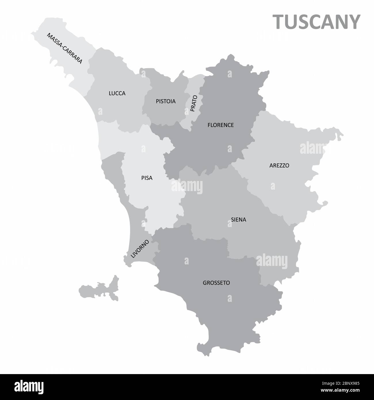 Tuscany region map Stock Vectorhttps://www.alamy.com/image-license-details/?v=1https://www.alamy.com/tuscany-region-map-image357693173.html
RF2BNX985–Tuscany region map
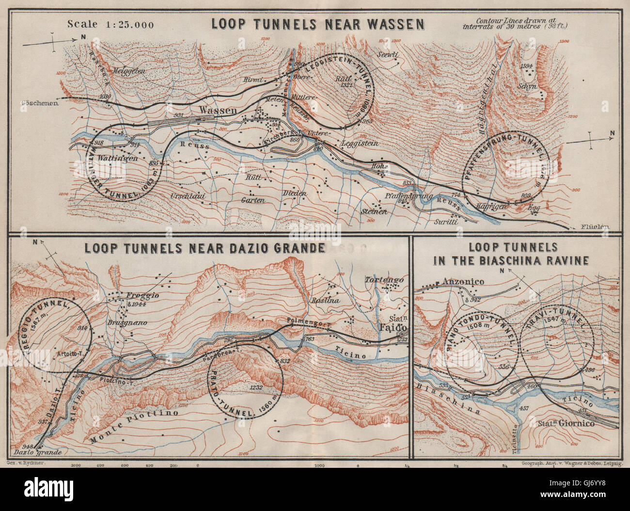 ST GOTTHARD RAILWAY SPIRAL/LOOP TUNNELS Wassen Freggio Prato Biaschina, 1909 map Stock Photohttps://www.alamy.com/image-license-details/?v=1https://www.alamy.com/stock-photo-st-gotthard-railway-spiralloop-tunnels-wassen-freggio-prato-biaschina-114479660.html
RFGJ6YY8–ST GOTTHARD RAILWAY SPIRAL/LOOP TUNNELS Wassen Freggio Prato Biaschina, 1909 map
 Map of Italy where Prato province is pulled out, isolated on white background Stock Vectorhttps://www.alamy.com/image-license-details/?v=1https://www.alamy.com/stock-photo-map-of-italy-where-prato-province-is-pulled-out-isolated-on-white-104367409.html
RFG1P9KD–Map of Italy where Prato province is pulled out, isolated on white background
 ST GOTTHARD RAILWAY SPIRAL/LOOP TUNNELS Wassen Freggio Prato Biaschina, 1907 map Stock Photohttps://www.alamy.com/image-license-details/?v=1https://www.alamy.com/stock-photo-st-gotthard-railway-spiralloop-tunnels-wassen-freggio-prato-biaschina-114478249.html
RFGJ6X4W–ST GOTTHARD RAILWAY SPIRAL/LOOP TUNNELS Wassen Freggio Prato Biaschina, 1907 map
 Catalogue of A. Da Prato and Co. - importers and manufacturers of plaster cast reproductions from antique, medieval, and modern sculpture - subjects of every description for art schools - edition of Stock Photohttps://www.alamy.com/image-license-details/?v=1https://www.alamy.com/stock-photo-catalogue-of-a-da-prato-and-co-importers-and-manufacturers-of-plaster-96483528.html
RMFGY5M8–Catalogue of A. Da Prato and Co. - importers and manufacturers of plaster cast reproductions from antique, medieval, and modern sculpture - subjects of every description for art schools - edition of
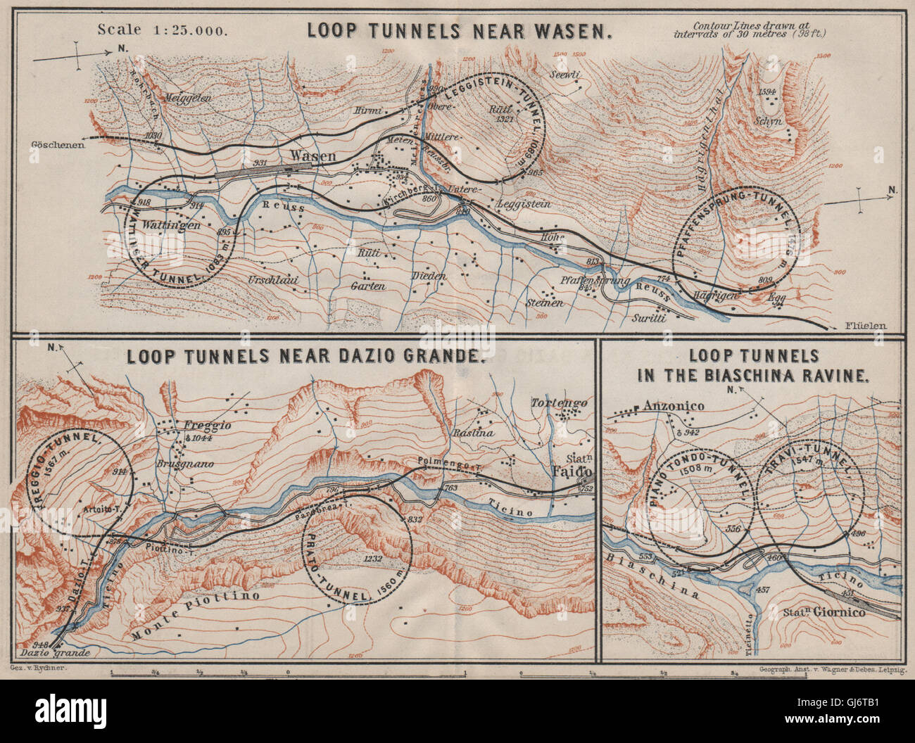 ST GOTTHARD RAILWAY SPIRAL/LOOP TUNNELS Wassen Freggio Prato Biaschina, 1905 map Stock Photohttps://www.alamy.com/image-license-details/?v=1https://www.alamy.com/stock-photo-st-gotthard-railway-spiralloop-tunnels-wassen-freggio-prato-biaschina-114476853.html
RFGJ6TB1–ST GOTTHARD RAILWAY SPIRAL/LOOP TUNNELS Wassen Freggio Prato Biaschina, 1905 map
 Prato City (Italian Republic, Italy, Tuscany) map vector illustration, scribble sketch City of Prato map Stock Vectorhttps://www.alamy.com/image-license-details/?v=1https://www.alamy.com/prato-city-italian-republic-italy-tuscany-map-vector-illustration-scribble-sketch-city-of-prato-map-image355329112.html
RF2BJ2HWC–Prato City (Italian Republic, Italy, Tuscany) map vector illustration, scribble sketch City of Prato map
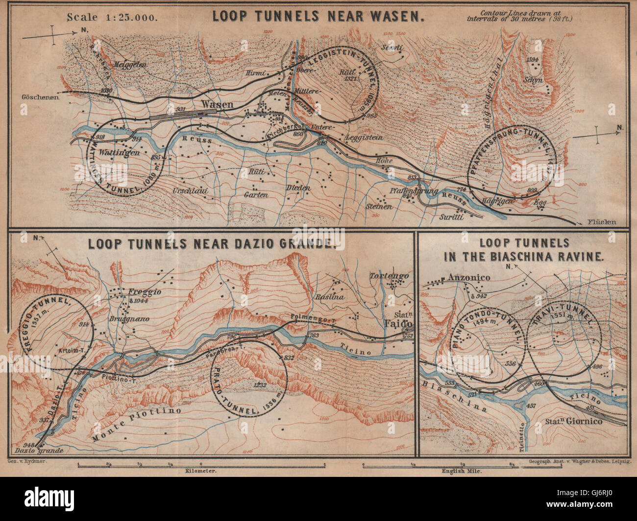 ST GOTTHARD RAILWAY SPIRAL/LOOP TUNNELS Wassen Freggio Prato Biaschina, 1901 map Stock Photohttps://www.alamy.com/image-license-details/?v=1https://www.alamy.com/stock-photo-st-gotthard-railway-spiralloop-tunnels-wassen-freggio-prato-biaschina-114476264.html
RFGJ6RJ0–ST GOTTHARD RAILWAY SPIRAL/LOOP TUNNELS Wassen Freggio Prato Biaschina, 1901 map
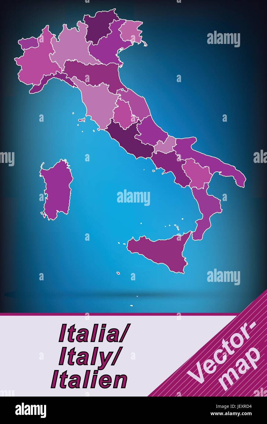 border map of italy with borders in violet Stock Vectorhttps://www.alamy.com/image-license-details/?v=1https://www.alamy.com/stock-photo-border-map-of-italy-with-borders-in-violet-146877280.html
RFJEXRD4–border map of italy with borders in violet
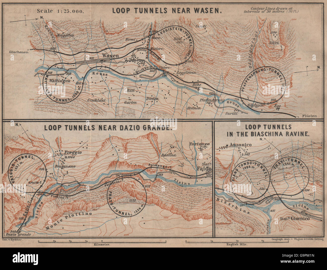 ST GOTTHARD RAILWAY SPIRAL/LOOP TUNNELS Wassen Freggio Prato Biaschina, 1899 map Stock Photohttps://www.alamy.com/image-license-details/?v=1https://www.alamy.com/stock-photo-st-gotthard-railway-spiralloop-tunnels-wassen-freggio-prato-biaschina-109292785.html
RFG9PM1N–ST GOTTHARD RAILWAY SPIRAL/LOOP TUNNELS Wassen Freggio Prato Biaschina, 1899 map
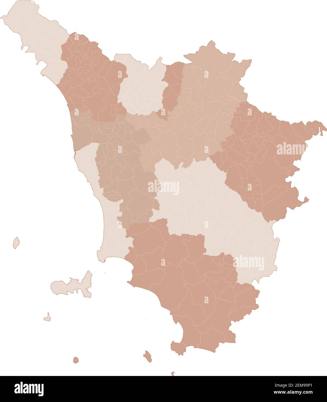 Tuscany map, division by provinces and municipalities. Closed and perfectly editable polygons, polygon fill and color paths editable at will. Levels. Stock Vectorhttps://www.alamy.com/image-license-details/?v=1https://www.alamy.com/tuscany-map-division-by-provinces-and-municipalities-closed-and-perfectly-editable-polygons-polygon-fill-and-color-paths-editable-at-will-levels-image408336825.html
RF2EM99P1–Tuscany map, division by provinces and municipalities. Closed and perfectly editable polygons, polygon fill and color paths editable at will. Levels.
 Prato city travel and tourism destination concept. Italy flag and Prato city on map. Italy travel concept map background. Tickets Planes and flights t Stock Photohttps://www.alamy.com/image-license-details/?v=1https://www.alamy.com/prato-city-travel-and-tourism-destination-concept-italy-flag-and-prato-city-on-map-italy-travel-concept-map-background-tickets-planes-and-flights-t-image226462639.html
RFR4C7BB–Prato city travel and tourism destination concept. Italy flag and Prato city on map. Italy travel concept map background. Tickets Planes and flights t
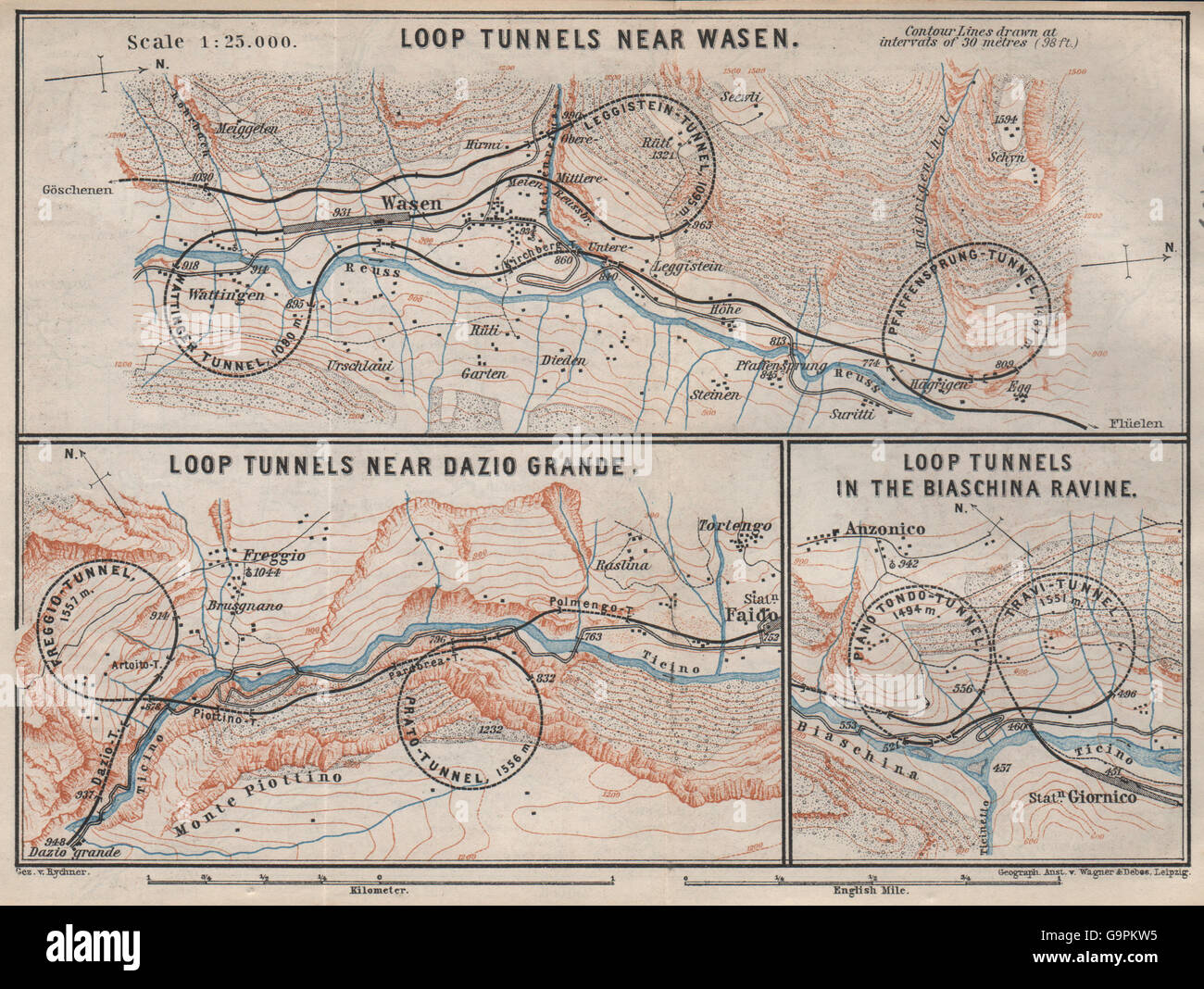 ST GOTTHARD RAILWAY SPIRAL/LOOP TUNNELS Wassen Freggio Prato Biaschina, 1897 map Stock Photohttps://www.alamy.com/image-license-details/?v=1https://www.alamy.com/stock-photo-st-gotthard-railway-spiralloop-tunnels-wassen-freggio-prato-biaschina-109292657.html
RFG9PKW5–ST GOTTHARD RAILWAY SPIRAL/LOOP TUNNELS Wassen Freggio Prato Biaschina, 1897 map
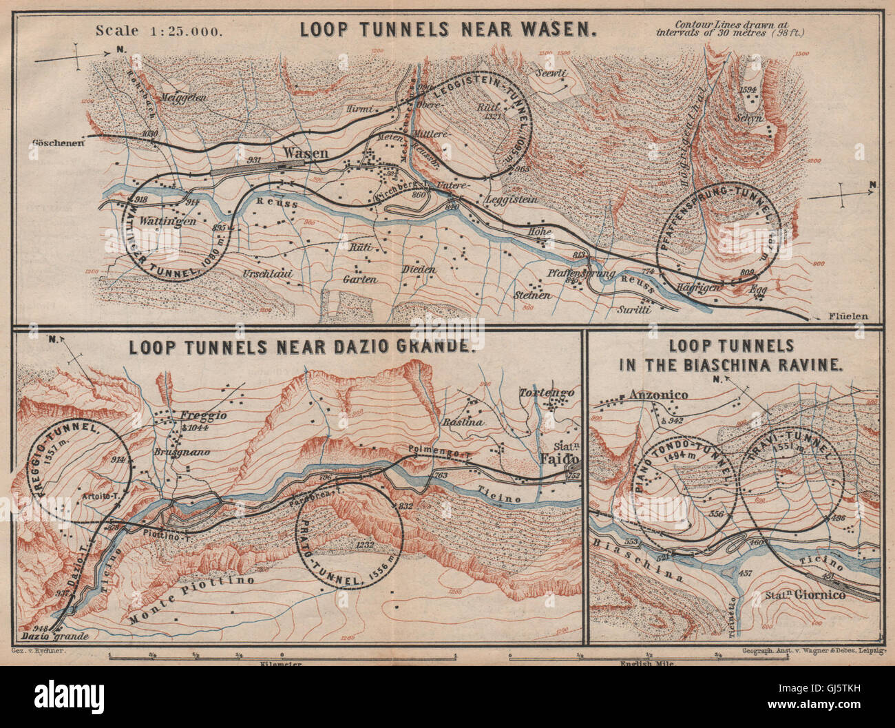 ST GOTTHARD RAILWAY SPIRAL/LOOP TUNNELS Wassen Freggio Prato Biaschina, 1893 map Stock Photohttps://www.alamy.com/image-license-details/?v=1https://www.alamy.com/stock-photo-st-gotthard-railway-spiralloop-tunnels-wassen-freggio-prato-biaschina-114455141.html
RFGJ5TKH–ST GOTTHARD RAILWAY SPIRAL/LOOP TUNNELS Wassen Freggio Prato Biaschina, 1893 map
 Prato Fiorito, Catania, IT, Italy, Sicily, N 37 41' 30'', N 14 51' 39'', map, Cartascapes Map published in 2024. Explore Cartascapes, a map revealing Earth's diverse landscapes, cultures, and ecosystems. Journey through time and space, discovering the interconnectedness of our planet's past, present, and future. Stock Photohttps://www.alamy.com/image-license-details/?v=1https://www.alamy.com/prato-fiorito-catania-it-italy-sicily-n-37-41-30-n-14-51-39-map-cartascapes-map-published-in-2024-explore-cartascapes-a-map-revealing-earths-diverse-landscapes-cultures-and-ecosystems-journey-through-time-and-space-discovering-the-interconnectedness-of-our-planets-past-present-and-future-image614472222.html
RM2XKKHGE–Prato Fiorito, Catania, IT, Italy, Sicily, N 37 41' 30'', N 14 51' 39'', map, Cartascapes Map published in 2024. Explore Cartascapes, a map revealing Earth's diverse landscapes, cultures, and ecosystems. Journey through time and space, discovering the interconnectedness of our planet's past, present, and future.
 Prato fianco della Cattedrale Stock Photohttps://www.alamy.com/image-license-details/?v=1https://www.alamy.com/stock-image-prato-fianco-della-cattedrale-160917696.html
RMK9PC4G–Prato fianco della Cattedrale
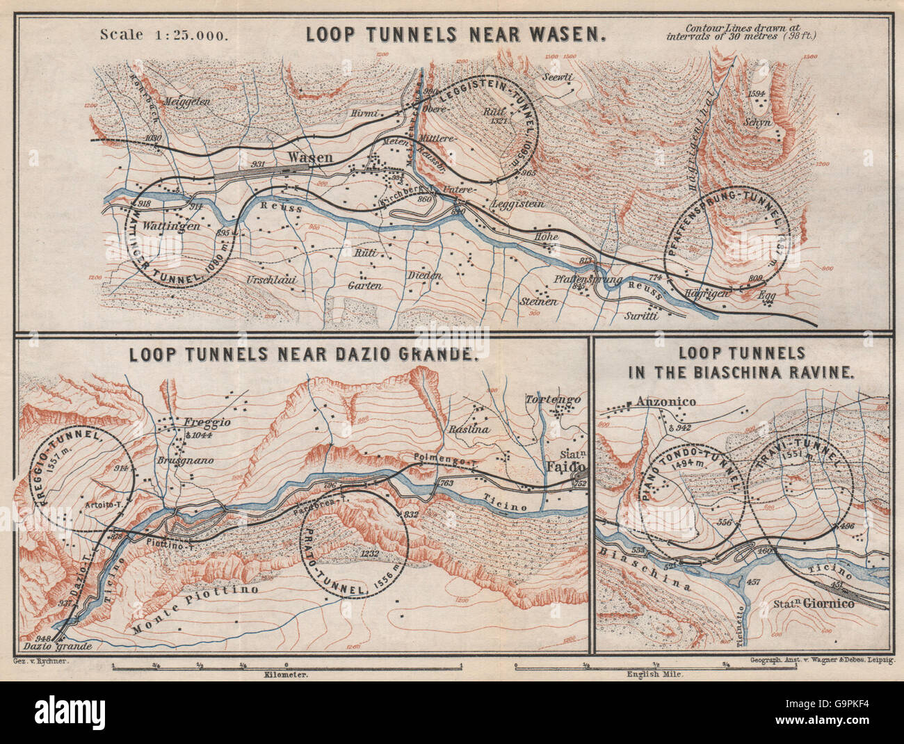 ST GOTTHARD RAILWAY SPIRAL/LOOP TUNNELS Wassen Freggio Prato Biaschina, 1889 map Stock Photohttps://www.alamy.com/image-license-details/?v=1https://www.alamy.com/stock-photo-st-gotthard-railway-spiralloop-tunnels-wassen-freggio-prato-biaschina-109292376.html
RFG9PKF4–ST GOTTHARD RAILWAY SPIRAL/LOOP TUNNELS Wassen Freggio Prato Biaschina, 1889 map
 Tuscany region map Stock Vectorhttps://www.alamy.com/image-license-details/?v=1https://www.alamy.com/tuscany-region-map-image376345686.html
RF2CT80NA–Tuscany region map
 Prato City (Italian Republic, Italy, Tuscany) map vector illustration, scribble sketch City of Prato map Stock Vectorhttps://www.alamy.com/image-license-details/?v=1https://www.alamy.com/prato-city-italian-republic-italy-tuscany-map-vector-illustration-scribble-sketch-city-of-prato-map-image348979898.html
RF2B7NBBP–Prato City (Italian Republic, Italy, Tuscany) map vector illustration, scribble sketch City of Prato map
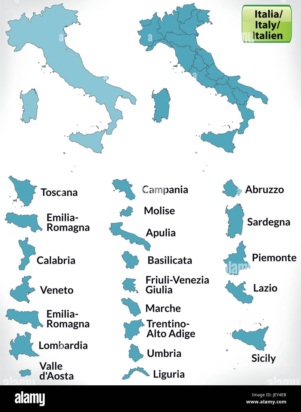 border map of italy with borders in blue Stock Vectorhttps://www.alamy.com/image-license-details/?v=1https://www.alamy.com/stock-photo-border-map-of-italy-with-borders-in-blue-146884371.html
RFJEY4EB–border map of italy with borders in blue
 Prato della Basciota, IT, Italy, Lombardy, N 46 6' 34'', N 9 4' 40'', map, Cartascapes Map published in 2024. Explore Cartascapes, a map revealing Earth's diverse landscapes, cultures, and ecosystems. Journey through time and space, discovering the interconnectedness of our planet's past, present, and future. Stock Photohttps://www.alamy.com/image-license-details/?v=1https://www.alamy.com/prato-della-basciota-it-italy-lombardy-n-46-6-34-n-9-4-40-map-cartascapes-map-published-in-2024-explore-cartascapes-a-map-revealing-earths-diverse-landscapes-cultures-and-ecosystems-journey-through-time-and-space-discovering-the-interconnectedness-of-our-planets-past-present-and-future-image614504729.html
RM2XKN31D–Prato della Basciota, IT, Italy, Lombardy, N 46 6' 34'', N 9 4' 40'', map, Cartascapes Map published in 2024. Explore Cartascapes, a map revealing Earth's diverse landscapes, cultures, and ecosystems. Journey through time and space, discovering the interconnectedness of our planet's past, present, and future.
 Prato porta laterale della Cattedrale Stock Photohttps://www.alamy.com/image-license-details/?v=1https://www.alamy.com/stock-image-prato-porta-laterale-della-cattedrale-160917699.html
RMK9PC4K–Prato porta laterale della Cattedrale
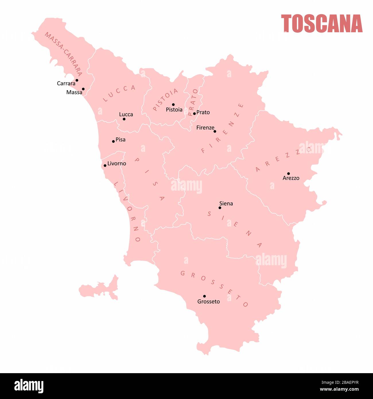 Tuscany administrative map Stock Vectorhttps://www.alamy.com/image-license-details/?v=1https://www.alamy.com/tuscany-administrative-map-image350679275.html
RF2BAEPYR–Tuscany administrative map
 Prato City (Italian Republic, Italy, Tuscany) map vector illustration, scribble sketch City of Prato map Stock Vectorhttps://www.alamy.com/image-license-details/?v=1https://www.alamy.com/prato-city-italian-republic-italy-tuscany-map-vector-illustration-scribble-sketch-city-of-prato-map-image360577782.html
RF2BXHMHX–Prato City (Italian Republic, Italy, Tuscany) map vector illustration, scribble sketch City of Prato map
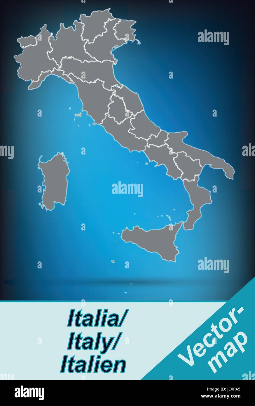 card, atlas, map of the world, map, model, design, project, concept, plan, Stock Vectorhttps://www.alamy.com/image-license-details/?v=1https://www.alamy.com/stock-photo-card-atlas-map-of-the-world-map-model-design-project-concept-plan-146876413.html
RFJEXPA5–card, atlas, map of the world, map, model, design, project, concept, plan,
 Prato, Udine, IT, Italy, Friuli Venezia Giulia, N 46 22' 25'', N 13 18' 23'', map, Cartascapes Map published in 2024. Explore Cartascapes, a map revealing Earth's diverse landscapes, cultures, and ecosystems. Journey through time and space, discovering the interconnectedness of our planet's past, present, and future. Stock Photohttps://www.alamy.com/image-license-details/?v=1https://www.alamy.com/prato-udine-it-italy-friuli-venezia-giulia-n-46-22-25-n-13-18-23-map-cartascapes-map-published-in-2024-explore-cartascapes-a-map-revealing-earths-diverse-landscapes-cultures-and-ecosystems-journey-through-time-and-space-discovering-the-interconnectedness-of-our-planets-past-present-and-future-image614489313.html
RM2XKMBAW–Prato, Udine, IT, Italy, Friuli Venezia Giulia, N 46 22' 25'', N 13 18' 23'', map, Cartascapes Map published in 2024. Explore Cartascapes, a map revealing Earth's diverse landscapes, cultures, and ecosystems. Journey through time and space, discovering the interconnectedness of our planet's past, present, and future.
 Prato Chiesa di San Francesco Stock Photohttps://www.alamy.com/image-license-details/?v=1https://www.alamy.com/stock-image-prato-chiesa-di-san-francesco-160917695.html
RMK9PC4F–Prato Chiesa di San Francesco
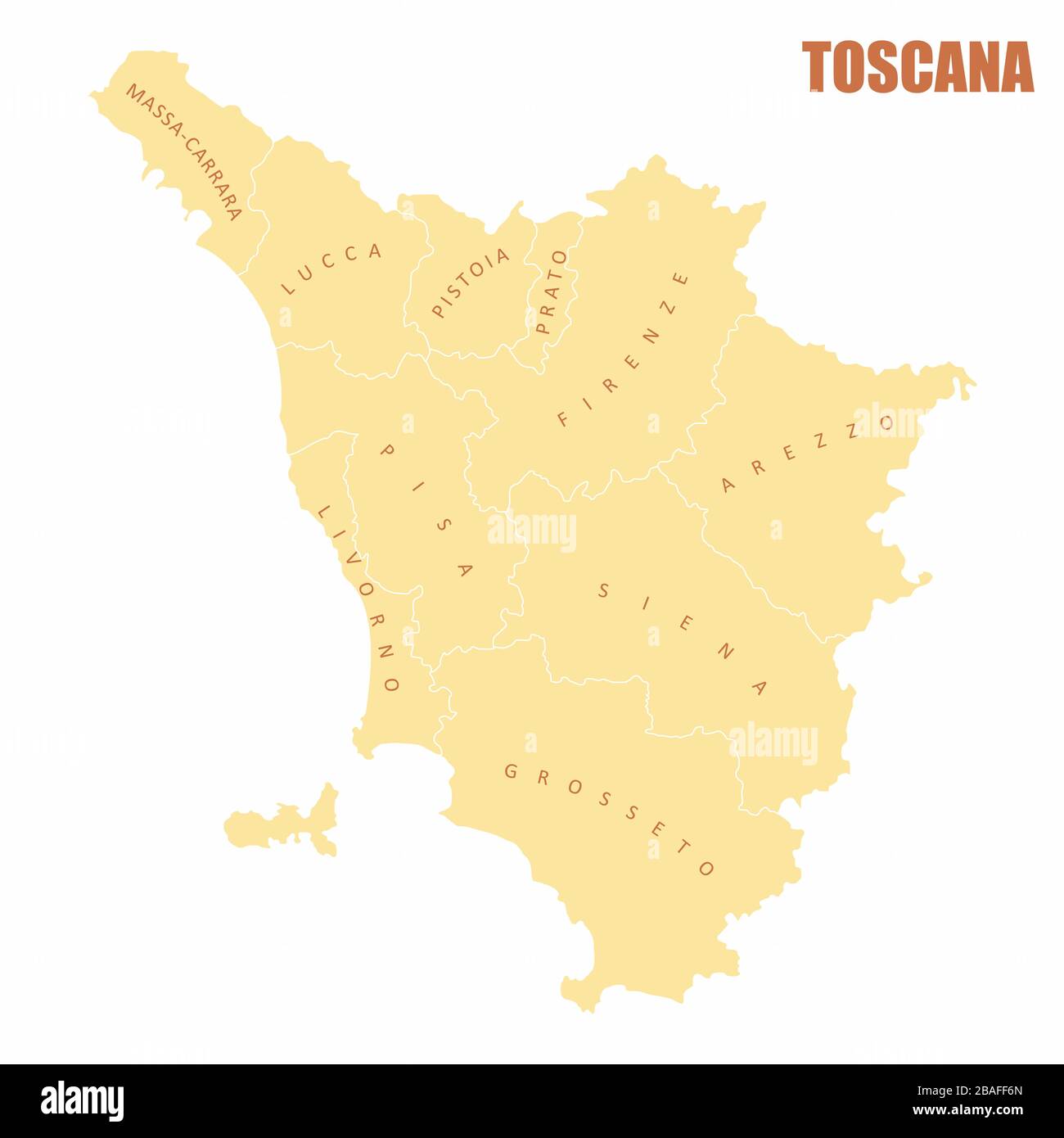 Tuscany administrative map Stock Vectorhttps://www.alamy.com/image-license-details/?v=1https://www.alamy.com/tuscany-administrative-map-image350695149.html
RF2BAFF6N–Tuscany administrative map
 Prato province (Italy, Italian Republic, Tuscany or Toscana region) map vector illustration, scribble sketch Province of Prato map Stock Vectorhttps://www.alamy.com/image-license-details/?v=1https://www.alamy.com/prato-province-italy-italian-republic-tuscany-or-toscana-region-map-vector-illustration-scribble-sketch-province-of-prato-map-image437692497.html
RF2GC2H6W–Prato province (Italy, Italian Republic, Tuscany or Toscana region) map vector illustration, scribble sketch Province of Prato map
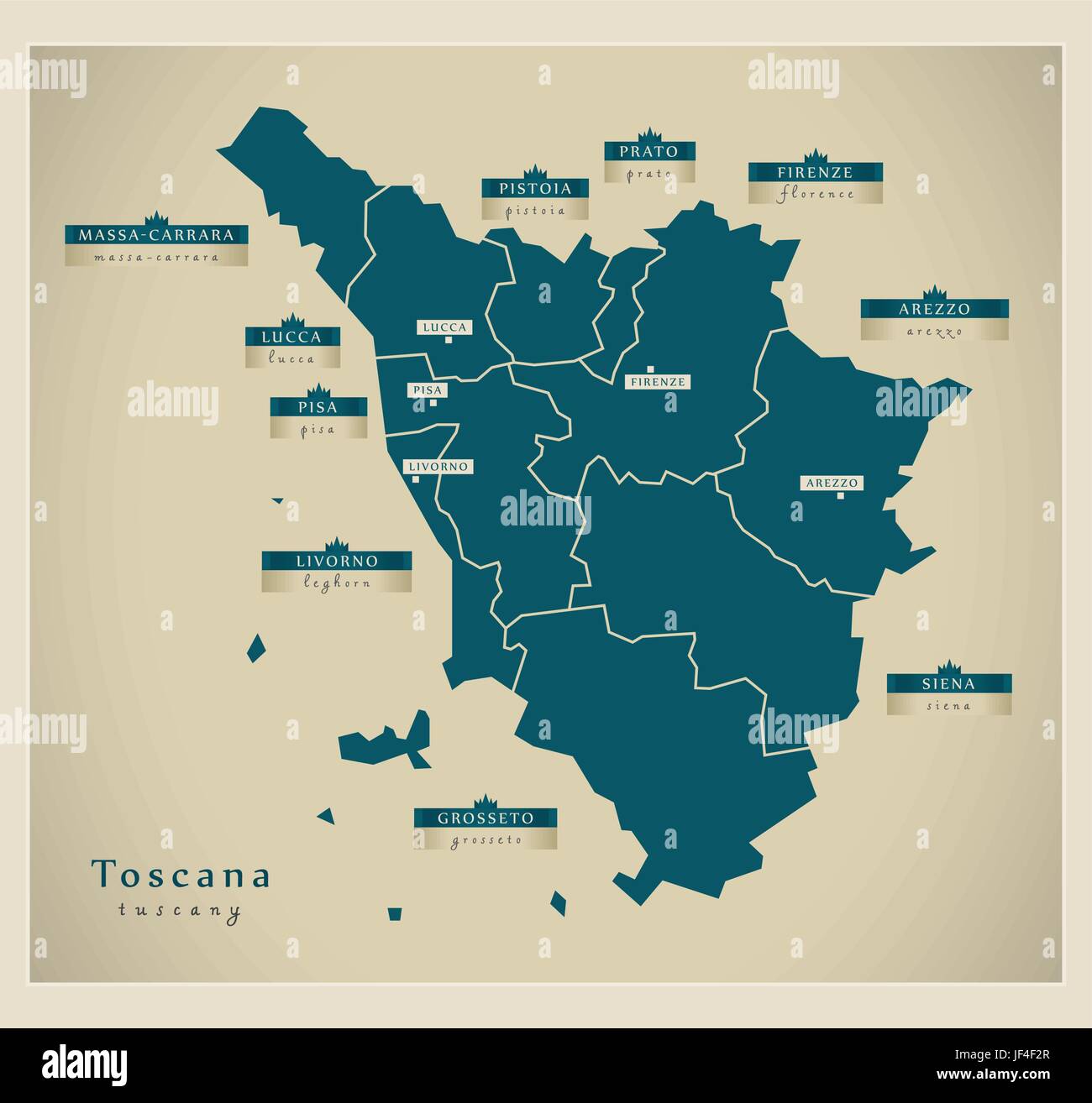 graphic, modern, modernity, europe, card, region, vector, atlas, map of the Stock Vectorhttps://www.alamy.com/image-license-details/?v=1https://www.alamy.com/stock-photo-graphic-modern-modernity-europe-card-region-vector-atlas-map-of-the-147002431.html
RFJF4F2R–graphic, modern, modernity, europe, card, region, vector, atlas, map of the
 Prato del Rio, Torino, IT, Italy, Piedmont, N 45 9' 10'', N 7 16' 12'', map, Cartascapes Map published in 2024. Explore Cartascapes, a map revealing Earth's diverse landscapes, cultures, and ecosystems. Journey through time and space, discovering the interconnectedness of our planet's past, present, and future. Stock Photohttps://www.alamy.com/image-license-details/?v=1https://www.alamy.com/prato-del-rio-torino-it-italy-piedmont-n-45-9-10-n-7-16-12-map-cartascapes-map-published-in-2024-explore-cartascapes-a-map-revealing-earths-diverse-landscapes-cultures-and-ecosystems-journey-through-time-and-space-discovering-the-interconnectedness-of-our-planets-past-present-and-future-image614504737.html
RM2XKN31N–Prato del Rio, Torino, IT, Italy, Piedmont, N 45 9' 10'', N 7 16' 12'', map, Cartascapes Map published in 2024. Explore Cartascapes, a map revealing Earth's diverse landscapes, cultures, and ecosystems. Journey through time and space, discovering the interconnectedness of our planet's past, present, and future.
 Prato Tribuna esterna della Cattedrale Stock Photohttps://www.alamy.com/image-license-details/?v=1https://www.alamy.com/stock-image-prato-tribuna-esterna-della-cattedrale-160917701.html
RMK9PC4N–Prato Tribuna esterna della Cattedrale
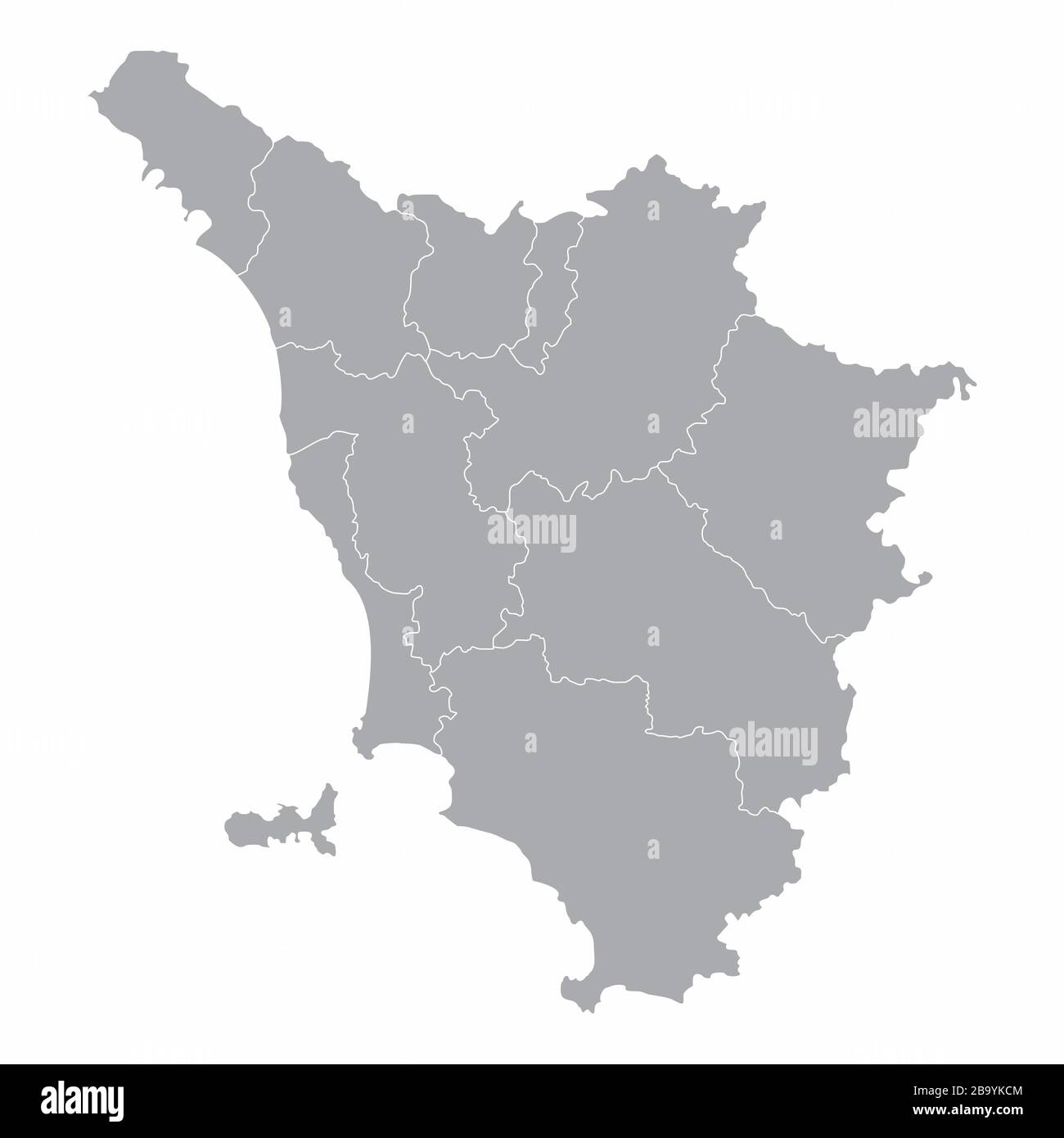 Tuscany administrative map Stock Vectorhttps://www.alamy.com/image-license-details/?v=1https://www.alamy.com/tuscany-administrative-map-image350347220.html
RF2B9YKCM–Tuscany administrative map
 Prato province (Italy, Italian Republic, Tuscany or Toscana region) map vector illustration, scribble sketch Province of Prato map Stock Vectorhttps://www.alamy.com/image-license-details/?v=1https://www.alamy.com/prato-province-italy-italian-republic-tuscany-or-toscana-region-map-vector-illustration-scribble-sketch-province-of-prato-map-image414153531.html
RF2F1P91F–Prato province (Italy, Italian Republic, Tuscany or Toscana region) map vector illustration, scribble sketch Province of Prato map
 inselkarte von italy abstrakter hintergrund in grn Stock Vectorhttps://www.alamy.com/image-license-details/?v=1https://www.alamy.com/stock-photo-inselkarte-von-italy-abstrakter-hintergrund-in-grn-146877946.html
RFJEXT8X–inselkarte von italy abstrakter hintergrund in grn
 Schignano, Provincia di Prato, IT, Italy, Tuscany, N 43 57' 53'', N 11 6' 21'', map, Cartascapes Map published in 2024. Explore Cartascapes, a map revealing Earth's diverse landscapes, cultures, and ecosystems. Journey through time and space, discovering the interconnectedness of our planet's past, present, and future. Stock Photohttps://www.alamy.com/image-license-details/?v=1https://www.alamy.com/schignano-provincia-di-prato-it-italy-tuscany-n-43-57-53-n-11-6-21-map-cartascapes-map-published-in-2024-explore-cartascapes-a-map-revealing-earths-diverse-landscapes-cultures-and-ecosystems-journey-through-time-and-space-discovering-the-interconnectedness-of-our-planets-past-present-and-future-image614475618.html
RM2XKKNWP–Schignano, Provincia di Prato, IT, Italy, Tuscany, N 43 57' 53'', N 11 6' 21'', map, Cartascapes Map published in 2024. Explore Cartascapes, a map revealing Earth's diverse landscapes, cultures, and ecosystems. Journey through time and space, discovering the interconnectedness of our planet's past, present, and future.
 Prato Cattedrale dei Ss Stefano e Lorenzo Stock Photohttps://www.alamy.com/image-license-details/?v=1https://www.alamy.com/stock-image-prato-cattedrale-dei-ss-stefano-e-lorenzo-160917694.html
RMK9PC4E–Prato Cattedrale dei Ss Stefano e Lorenzo
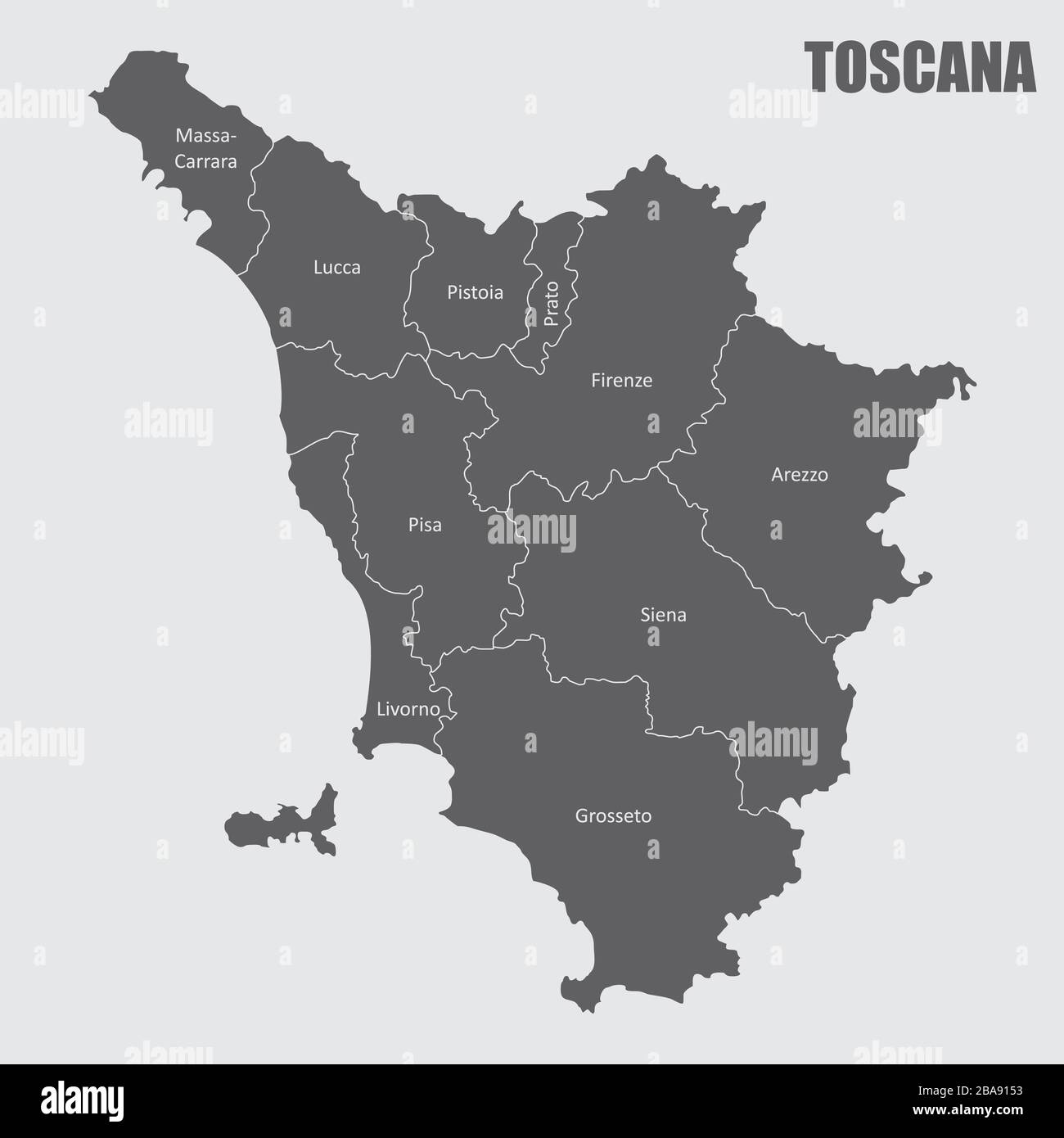 Tuscany administrative map Stock Vectorhttps://www.alamy.com/image-license-details/?v=1https://www.alamy.com/tuscany-administrative-map-image350552415.html
RF2BA9153–Tuscany administrative map
 Prato province (Italy, Italian Republic, Tuscany or Toscana region) map vector illustration, scribble sketch Province of Prato map Stock Vectorhttps://www.alamy.com/image-license-details/?v=1https://www.alamy.com/prato-province-italy-italian-republic-tuscany-or-toscana-region-map-vector-illustration-scribble-sketch-province-of-prato-map-image434141574.html
RF2G68T06–Prato province (Italy, Italian Republic, Tuscany or Toscana region) map vector illustration, scribble sketch Province of Prato map
 teasel, model, design, project, concept, plan, draft, europe, teasel, data, Stock Vectorhttps://www.alamy.com/image-license-details/?v=1https://www.alamy.com/stock-photo-teasel-model-design-project-concept-plan-draft-europe-teasel-data-146900688.html
RFJEYW94–teasel, model, design, project, concept, plan, draft, europe, teasel, data,
 Castelnuovo, Provincia di Prato, IT, Italy, Tuscany, N 43 49' 38'', N 11 4' 5'', map, Cartascapes Map published in 2024. Explore Cartascapes, a map revealing Earth's diverse landscapes, cultures, and ecosystems. Journey through time and space, discovering the interconnectedness of our planet's past, present, and future. Stock Photohttps://www.alamy.com/image-license-details/?v=1https://www.alamy.com/castelnuovo-provincia-di-prato-it-italy-tuscany-n-43-49-38-n-11-4-5-map-cartascapes-map-published-in-2024-explore-cartascapes-a-map-revealing-earths-diverse-landscapes-cultures-and-ecosystems-journey-through-time-and-space-discovering-the-interconnectedness-of-our-planets-past-present-and-future-image614438874.html
RM2XKJ31E–Castelnuovo, Provincia di Prato, IT, Italy, Tuscany, N 43 49' 38'', N 11 4' 5'', map, Cartascapes Map published in 2024. Explore Cartascapes, a map revealing Earth's diverse landscapes, cultures, and ecosystems. Journey through time and space, discovering the interconnectedness of our planet's past, present, and future.
 Prato fonte con putto in bronzo detto Bacchino Stock Photohttps://www.alamy.com/image-license-details/?v=1https://www.alamy.com/stock-image-prato-fonte-con-putto-in-bronzo-detto-bacchino-160917697.html
RMK9PC4H–Prato fonte con putto in bronzo detto Bacchino
 Prato Polyptych, Capture of Jesus Stock Photohttps://www.alamy.com/image-license-details/?v=1https://www.alamy.com/prato-polyptych-capture-of-jesus-image152823898.html
RMJTHMCA–Prato Polyptych, Capture of Jesus
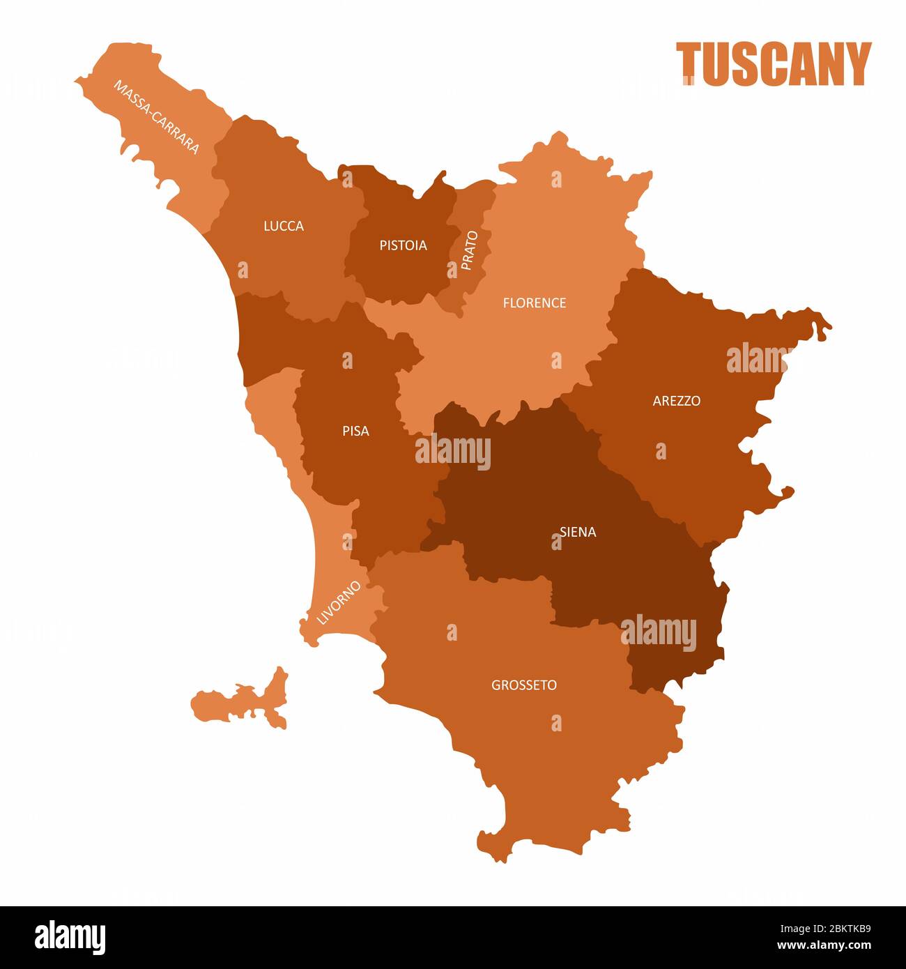 Tuscany regions map Stock Vectorhttps://www.alamy.com/image-license-details/?v=1https://www.alamy.com/tuscany-regions-map-image356427885.html
RF2BKTKB9–Tuscany regions map
 Milano interno della chiesa di San Vincenzo in Prato Stock Photohttps://www.alamy.com/image-license-details/?v=1https://www.alamy.com/stock-image-milano-interno-della-chiesa-di-san-vincenzo-in-prato-160736582.html
RMK9E546–Milano interno della chiesa di San Vincenzo in Prato
 Fig 18, torre di prato sesia, p138, foto nigra, nigra il novarese Stock Photohttps://www.alamy.com/image-license-details/?v=1https://www.alamy.com/fig-18-torre-di-prato-sesia-p138-foto-nigra-nigra-il-novarese-image153773566.html
RMJX4YN2–Fig 18, torre di prato sesia, p138, foto nigra, nigra il novarese
 inselkarte von italy abstrakter hintergrund in blau Stock Vectorhttps://www.alamy.com/image-license-details/?v=1https://www.alamy.com/stock-photo-inselkarte-von-italy-abstrakter-hintergrund-in-blau-146877590.html
RFJEXRT6–inselkarte von italy abstrakter hintergrund in blau
 Mazzone, Provincia di Prato, IT, Italy, Tuscany, N 43 53' 58'', N 11 2' 2'', map, Cartascapes Map published in 2024. Explore Cartascapes, a map revealing Earth's diverse landscapes, cultures, and ecosystems. Journey through time and space, discovering the interconnectedness of our planet's past, present, and future. Stock Photohttps://www.alamy.com/image-license-details/?v=1https://www.alamy.com/mazzone-provincia-di-prato-it-italy-tuscany-n-43-53-58-n-11-2-2-map-cartascapes-map-published-in-2024-explore-cartascapes-a-map-revealing-earths-diverse-landscapes-cultures-and-ecosystems-journey-through-time-and-space-discovering-the-interconnectedness-of-our-planets-past-present-and-future-image614459295.html
RM2XKK12R–Mazzone, Provincia di Prato, IT, Italy, Tuscany, N 43 53' 58'', N 11 2' 2'', map, Cartascapes Map published in 2024. Explore Cartascapes, a map revealing Earth's diverse landscapes, cultures, and ecosystems. Journey through time and space, discovering the interconnectedness of our planet's past, present, and future.
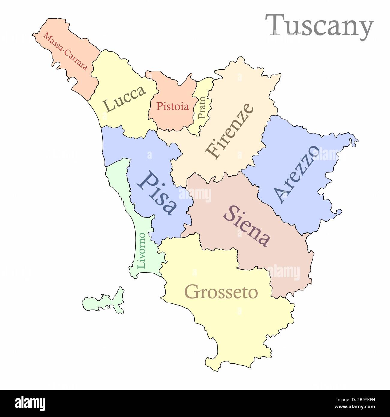 Tuscany administrative map Stock Vectorhttps://www.alamy.com/image-license-details/?v=1https://www.alamy.com/tuscany-administrative-map-image350347301.html
RF2B9YKFH–Tuscany administrative map
 Fig 18, torre di prato sesia, p138, foto nigra, nigra il novarese Stock Photohttps://www.alamy.com/image-license-details/?v=1https://www.alamy.com/fig-18-torre-di-prato-sesia-p138-foto-nigra-nigra-il-novarese-image153160212.html
RMJW51BG–Fig 18, torre di prato sesia, p138, foto nigra, nigra il novarese
 model, design, project, concept, plan, draft, europe, Rome, roma, border, data, Stock Vectorhttps://www.alamy.com/image-license-details/?v=1https://www.alamy.com/stock-photo-model-design-project-concept-plan-draft-europe-rome-roma-border-data-146876842.html
RFJEXPWE–model, design, project, concept, plan, draft, europe, Rome, roma, border, data,
 Galceti, Provincia di Prato, IT, Italy, Tuscany, N 43 54' 35'', N 11 5' 10'', map, Cartascapes Map published in 2024. Explore Cartascapes, a map revealing Earth's diverse landscapes, cultures, and ecosystems. Journey through time and space, discovering the interconnectedness of our planet's past, present, and future. Stock Photohttps://www.alamy.com/image-license-details/?v=1https://www.alamy.com/galceti-provincia-di-prato-it-italy-tuscany-n-43-54-35-n-11-5-10-map-cartascapes-map-published-in-2024-explore-cartascapes-a-map-revealing-earths-diverse-landscapes-cultures-and-ecosystems-journey-through-time-and-space-discovering-the-interconnectedness-of-our-planets-past-present-and-future-image614458893.html
RM2XKK0GD–Galceti, Provincia di Prato, IT, Italy, Tuscany, N 43 54' 35'', N 11 5' 10'', map, Cartascapes Map published in 2024. Explore Cartascapes, a map revealing Earth's diverse landscapes, cultures, and ecosystems. Journey through time and space, discovering the interconnectedness of our planet's past, present, and future.
 Fig 50, castello di prato sesia, cinta, p160, foto nigra, nigra il novarese Stock Photohttps://www.alamy.com/image-license-details/?v=1https://www.alamy.com/fig-50-castello-di-prato-sesia-cinta-p160-foto-nigra-nigra-il-novarese-image153160160.html
RMJW519M–Fig 50, castello di prato sesia, cinta, p160, foto nigra, nigra il novarese
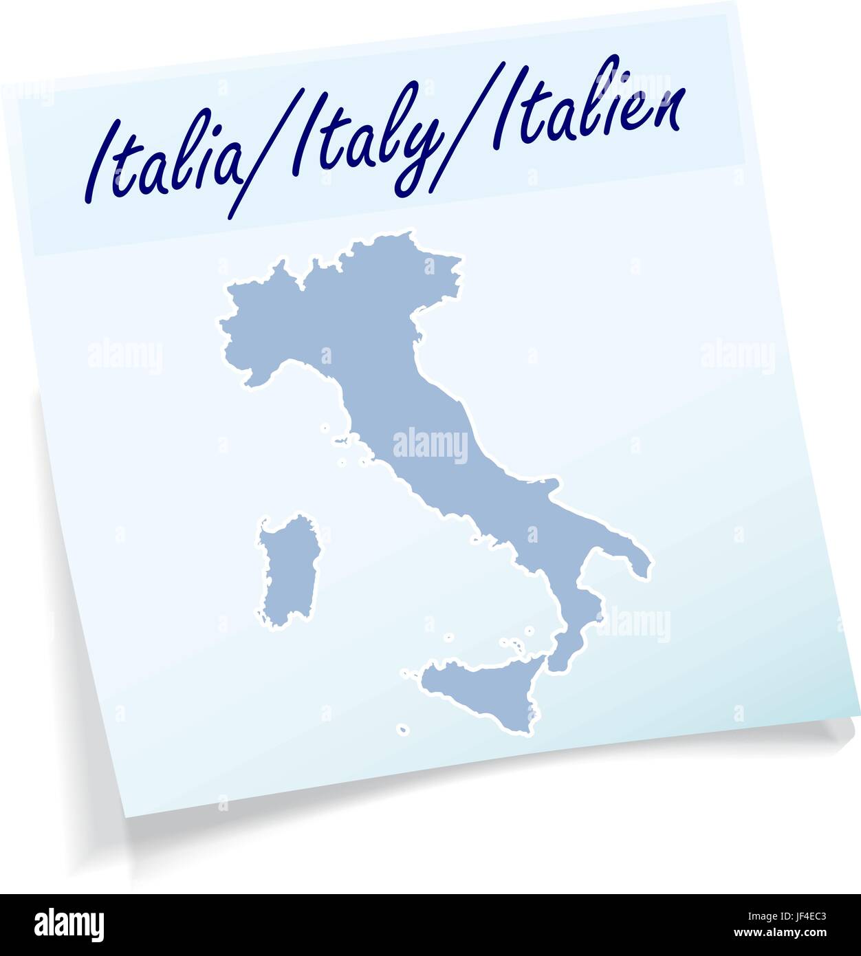 blue, note, memo, slip, europe, Rome, roma, illustration, card, pisa, message, Stock Vectorhttps://www.alamy.com/image-license-details/?v=1https://www.alamy.com/stock-photo-blue-note-memo-slip-europe-rome-roma-illustration-card-pisa-message-147001907.html
RFJF4EC3–blue, note, memo, slip, europe, Rome, roma, illustration, card, pisa, message,
 Montecuccoli, Provincia di Prato, IT, Italy, Tuscany, N 44 0' 31'', N 11 10' 37'', map, Cartascapes Map published in 2024. Explore Cartascapes, a map revealing Earth's diverse landscapes, cultures, and ecosystems. Journey through time and space, discovering the interconnectedness of our planet's past, present, and future. Stock Photohttps://www.alamy.com/image-license-details/?v=1https://www.alamy.com/montecuccoli-provincia-di-prato-it-italy-tuscany-n-44-0-31-n-11-10-37-map-cartascapes-map-published-in-2024-explore-cartascapes-a-map-revealing-earths-diverse-landscapes-cultures-and-ecosystems-journey-through-time-and-space-discovering-the-interconnectedness-of-our-planets-past-present-and-future-image614505494.html
RM2XKN40P–Montecuccoli, Provincia di Prato, IT, Italy, Tuscany, N 44 0' 31'', N 11 10' 37'', map, Cartascapes Map published in 2024. Explore Cartascapes, a map revealing Earth's diverse landscapes, cultures, and ecosystems. Journey through time and space, discovering the interconnectedness of our planet's past, present, and future.
 Fig 50, castello di prato sesia, cinta, p160, foto nigra, nigra il novarese Stock Photohttps://www.alamy.com/image-license-details/?v=1https://www.alamy.com/fig-50-castello-di-prato-sesia-cinta-p160-foto-nigra-nigra-il-novarese-image153773473.html
RMJX4YHN–Fig 50, castello di prato sesia, cinta, p160, foto nigra, nigra il novarese
 model, design, project, concept, plan, draft, europe, Rome, roma, border, data, Stock Vectorhttps://www.alamy.com/image-license-details/?v=1https://www.alamy.com/stock-photo-model-design-project-concept-plan-draft-europe-rome-roma-border-data-146875988.html
RFJEXNR0–model, design, project, concept, plan, draft, europe, Rome, roma, border, data,
 Sasseta, Provincia di Prato, IT, Italy, Tuscany, N 44 3' 48'', N 11 9' 6'', map, Cartascapes Map published in 2024. Explore Cartascapes, a map revealing Earth's diverse landscapes, cultures, and ecosystems. Journey through time and space, discovering the interconnectedness of our planet's past, present, and future. Stock Photohttps://www.alamy.com/image-license-details/?v=1https://www.alamy.com/sasseta-provincia-di-prato-it-italy-tuscany-n-44-3-48-n-11-9-6-map-cartascapes-map-published-in-2024-explore-cartascapes-a-map-revealing-earths-diverse-landscapes-cultures-and-ecosystems-journey-through-time-and-space-discovering-the-interconnectedness-of-our-planets-past-present-and-future-image614470442.html
RM2XKKF8X–Sasseta, Provincia di Prato, IT, Italy, Tuscany, N 44 3' 48'', N 11 9' 6'', map, Cartascapes Map published in 2024. Explore Cartascapes, a map revealing Earth's diverse landscapes, cultures, and ecosystems. Journey through time and space, discovering the interconnectedness of our planet's past, present, and future.
 Fig 51, castello di prato sesia, porta, p160, foto nigra, nigra il novarese Stock Photohttps://www.alamy.com/image-license-details/?v=1https://www.alamy.com/fig-51-castello-di-prato-sesia-porta-p160-foto-nigra-nigra-il-novarese-image153773481.html
RMJX4YJ1–Fig 51, castello di prato sesia, porta, p160, foto nigra, nigra il novarese
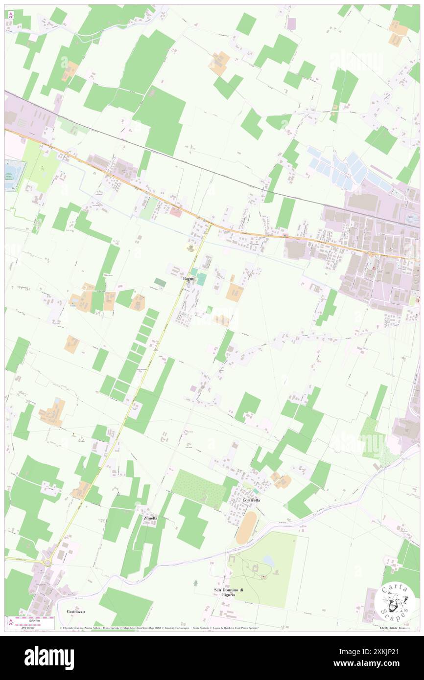 Bagno, Provincia di Prato, IT, Italy, Tuscany, N 43 48' 37'', N 11 1' 17'', map, Cartascapes Map published in 2024. Explore Cartascapes, a map revealing Earth's diverse landscapes, cultures, and ecosystems. Journey through time and space, discovering the interconnectedness of our planet's past, present, and future. Stock Photohttps://www.alamy.com/image-license-details/?v=1https://www.alamy.com/bagno-provincia-di-prato-it-italy-tuscany-n-43-48-37-n-11-1-17-map-cartascapes-map-published-in-2024-explore-cartascapes-a-map-revealing-earths-diverse-landscapes-cultures-and-ecosystems-journey-through-time-and-space-discovering-the-interconnectedness-of-our-planets-past-present-and-future-image614453785.html
RM2XKJP21–Bagno, Provincia di Prato, IT, Italy, Tuscany, N 43 48' 37'', N 11 1' 17'', map, Cartascapes Map published in 2024. Explore Cartascapes, a map revealing Earth's diverse landscapes, cultures, and ecosystems. Journey through time and space, discovering the interconnectedness of our planet's past, present, and future.
 Fig 51, castello di prato sesia, porta, p160, foto nigra, nigra il novarese Stock Photohttps://www.alamy.com/image-license-details/?v=1https://www.alamy.com/fig-51-castello-di-prato-sesia-porta-p160-foto-nigra-nigra-il-novarese-image153160162.html
RMJW519P–Fig 51, castello di prato sesia, porta, p160, foto nigra, nigra il novarese
 Festivals for the Marriage of Grand Duke Ferdinand I of Tuscany and Christina of Lorraine 1st Entry, Porta del Prato, by Orazio Scarabelli, 1589, etching National Museum of Western Art, Tokyo DSC08281 Stock Photohttps://www.alamy.com/image-license-details/?v=1https://www.alamy.com/festivals-for-the-marriage-of-grand-duke-ferdinand-i-of-tuscany-and-image153209956.html
RMJW78T4–Festivals for the Marriage of Grand Duke Ferdinand I of Tuscany and Christina of Lorraine 1st Entry, Porta del Prato, by Orazio Scarabelli, 1589, etching National Museum of Western Art, Tokyo DSC08281
 Carigiola, Provincia di Prato, IT, Italy, Tuscany, N 44 2' 35'', N 11 7' 35'', map, Cartascapes Map published in 2024. Explore Cartascapes, a map revealing Earth's diverse landscapes, cultures, and ecosystems. Journey through time and space, discovering the interconnectedness of our planet's past, present, and future. Stock Photohttps://www.alamy.com/image-license-details/?v=1https://www.alamy.com/carigiola-provincia-di-prato-it-italy-tuscany-n-44-2-35-n-11-7-35-map-cartascapes-map-published-in-2024-explore-cartascapes-a-map-revealing-earths-diverse-landscapes-cultures-and-ecosystems-journey-through-time-and-space-discovering-the-interconnectedness-of-our-planets-past-present-and-future-image614447536.html
RM2XKJE2T–Carigiola, Provincia di Prato, IT, Italy, Tuscany, N 44 2' 35'', N 11 7' 35'', map, Cartascapes Map published in 2024. Explore Cartascapes, a map revealing Earth's diverse landscapes, cultures, and ecosystems. Journey through time and space, discovering the interconnectedness of our planet's past, present, and future.
 Festivals for the Marriage of Grand Duke Ferdinand I of Tuscany and Christina of Lorraine 1st Entry, Porta del Prato, by Orazio Scarabelli, 1589, etching National Museum of Western Art, Tokyo DSC08281 Stock Photohttps://www.alamy.com/image-license-details/?v=1https://www.alamy.com/festivals-for-the-marriage-of-grand-duke-ferdinand-i-of-tuscany-and-image153829543.html
RMJX7F47–Festivals for the Marriage of Grand Duke Ferdinand I of Tuscany and Christina of Lorraine 1st Entry, Porta del Prato, by Orazio Scarabelli, 1589, etching National Museum of Western Art, Tokyo DSC08281
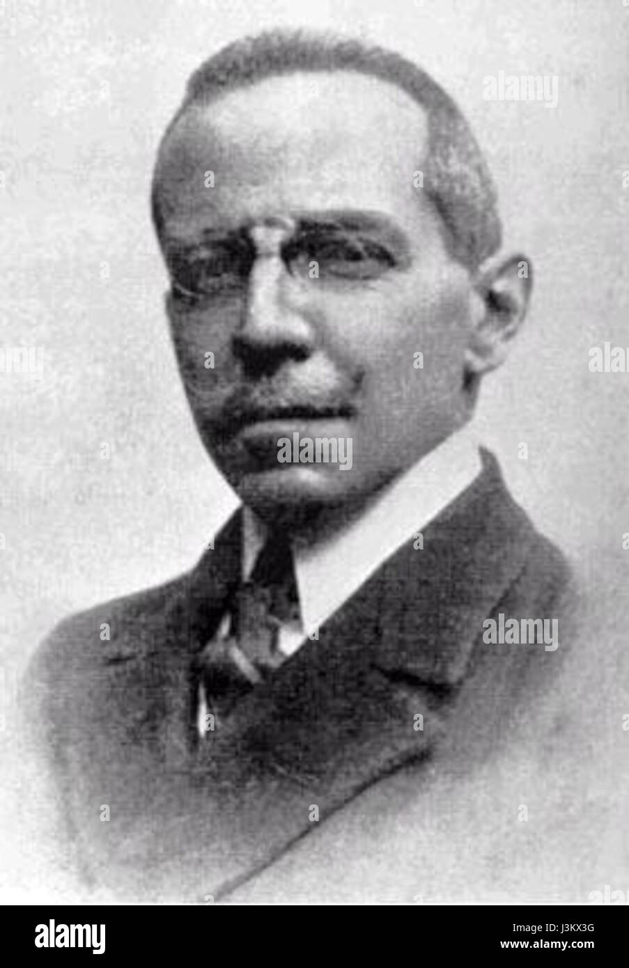 Giuseppe Prato Stock Photohttps://www.alamy.com/image-license-details/?v=1https://www.alamy.com/stock-photo-giuseppe-prato-139964484.html
RMJ3KX3G–Giuseppe Prato
 Prato d'Era, Province of Pisa, IT, Italy, Tuscany, N 43 25' 32'', N 10 52' 34'', map, Cartascapes Map published in 2024. Explore Cartascapes, a map revealing Earth's diverse landscapes, cultures, and ecosystems. Journey through time and space, discovering the interconnectedness of our planet's past, present, and future. Stock Photohttps://www.alamy.com/image-license-details/?v=1https://www.alamy.com/prato-dera-province-of-pisa-it-italy-tuscany-n-43-25-32-n-10-52-34-map-cartascapes-map-published-in-2024-explore-cartascapes-a-map-revealing-earths-diverse-landscapes-cultures-and-ecosystems-journey-through-time-and-space-discovering-the-interconnectedness-of-our-planets-past-present-and-future-image614469436.html
RM2XKKE10–Prato d'Era, Province of Pisa, IT, Italy, Tuscany, N 43 25' 32'', N 10 52' 34'', map, Cartascapes Map published in 2024. Explore Cartascapes, a map revealing Earth's diverse landscapes, cultures, and ecosystems. Journey through time and space, discovering the interconnectedness of our planet's past, present, and future.
 Katharina Prato Stock Photohttps://www.alamy.com/image-license-details/?v=1https://www.alamy.com/stock-photo-katharina-prato-140033766.html
RMJ3R2DX–Katharina Prato
 Prato, Provincia di Chieti, IT, Italy, Abruzzo, N 42 23' 20'', N 14 17' 44'', map, Cartascapes Map published in 2024. Explore Cartascapes, a map revealing Earth's diverse landscapes, cultures, and ecosystems. Journey through time and space, discovering the interconnectedness of our planet's past, present, and future. Stock Photohttps://www.alamy.com/image-license-details/?v=1https://www.alamy.com/prato-provincia-di-chieti-it-italy-abruzzo-n-42-23-20-n-14-17-44-map-cartascapes-map-published-in-2024-explore-cartascapes-a-map-revealing-earths-diverse-landscapes-cultures-and-ecosystems-journey-through-time-and-space-discovering-the-interconnectedness-of-our-planets-past-present-and-future-image614453847.html
RM2XKJP47–Prato, Provincia di Chieti, IT, Italy, Abruzzo, N 42 23' 20'', N 14 17' 44'', map, Cartascapes Map published in 2024. Explore Cartascapes, a map revealing Earth's diverse landscapes, cultures, and ecosystems. Journey through time and space, discovering the interconnectedness of our planet's past, present, and future.
 Castello dell'Imperatore - Prato - 1856 Stock Photohttps://www.alamy.com/image-license-details/?v=1https://www.alamy.com/stock-photo-castello-dellimperatore-prato-1856-139550819.html
RMJ312DR–Castello dell'Imperatore - Prato - 1856
 Castello, Provincia di Prato, IT, Italy, Tuscany, N 44 1' 51'', N 11 5' 18'', map, Cartascapes Map published in 2024. Explore Cartascapes, a map revealing Earth's diverse landscapes, cultures, and ecosystems. Journey through time and space, discovering the interconnectedness of our planet's past, present, and future. Stock Photohttps://www.alamy.com/image-license-details/?v=1https://www.alamy.com/castello-provincia-di-prato-it-italy-tuscany-n-44-1-51-n-11-5-18-map-cartascapes-map-published-in-2024-explore-cartascapes-a-map-revealing-earths-diverse-landscapes-cultures-and-ecosystems-journey-through-time-and-space-discovering-the-interconnectedness-of-our-planets-past-present-and-future-image614455071.html
RM2XKJRKY–Castello, Provincia di Prato, IT, Italy, Tuscany, N 44 1' 51'', N 11 5' 18'', map, Cartascapes Map published in 2024. Explore Cartascapes, a map revealing Earth's diverse landscapes, cultures, and ecosystems. Journey through time and space, discovering the interconnectedness of our planet's past, present, and future.