Quick filters:
Map of quincy washington Stock Photos and Images
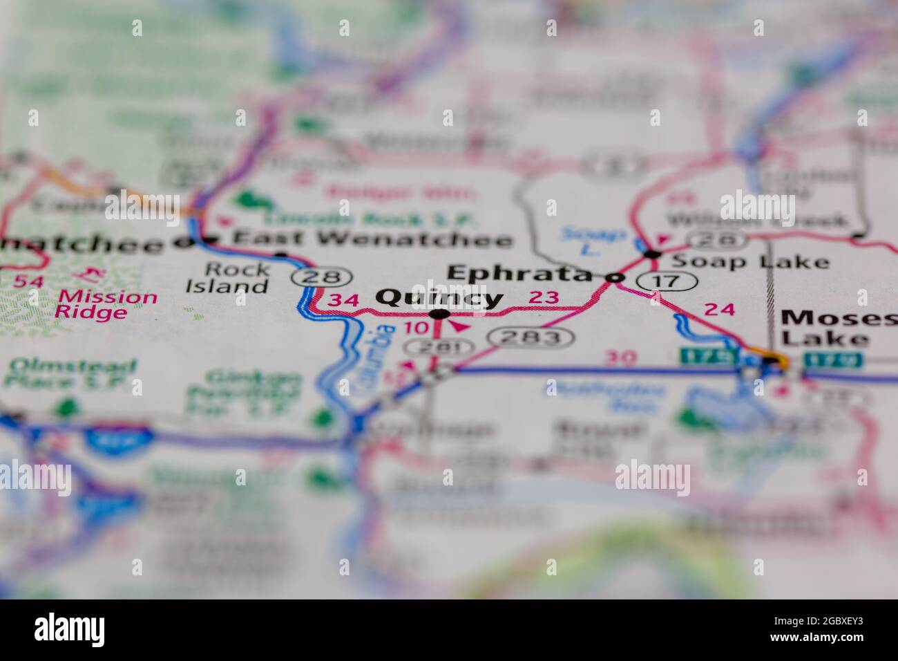 Quincy Washington State USA shown on a road map or Geography map Stock Photohttps://www.alamy.com/image-license-details/?v=1https://www.alamy.com/quincy-washington-state-usa-shown-on-a-road-map-or-geography-map-image437602903.html
RM2GBXEY3–Quincy Washington State USA shown on a road map or Geography map
 Quincy, Grant County, US, United States, Washington, N 47 14' 3'', S 119 51' 9'', map, Cartascapes Map published in 2024. Explore Cartascapes, a map revealing Earth's diverse landscapes, cultures, and ecosystems. Journey through time and space, discovering the interconnectedness of our planet's past, present, and future. Stock Photohttps://www.alamy.com/image-license-details/?v=1https://www.alamy.com/quincy-grant-county-us-united-states-washington-n-47-14-3-s-119-51-9-map-cartascapes-map-published-in-2024-explore-cartascapes-a-map-revealing-earths-diverse-landscapes-cultures-and-ecosystems-journey-through-time-and-space-discovering-the-interconnectedness-of-our-planets-past-present-and-future-image621261417.html
RM2Y2MW7N–Quincy, Grant County, US, United States, Washington, N 47 14' 3'', S 119 51' 9'', map, Cartascapes Map published in 2024. Explore Cartascapes, a map revealing Earth's diverse landscapes, cultures, and ecosystems. Journey through time and space, discovering the interconnectedness of our planet's past, present, and future.
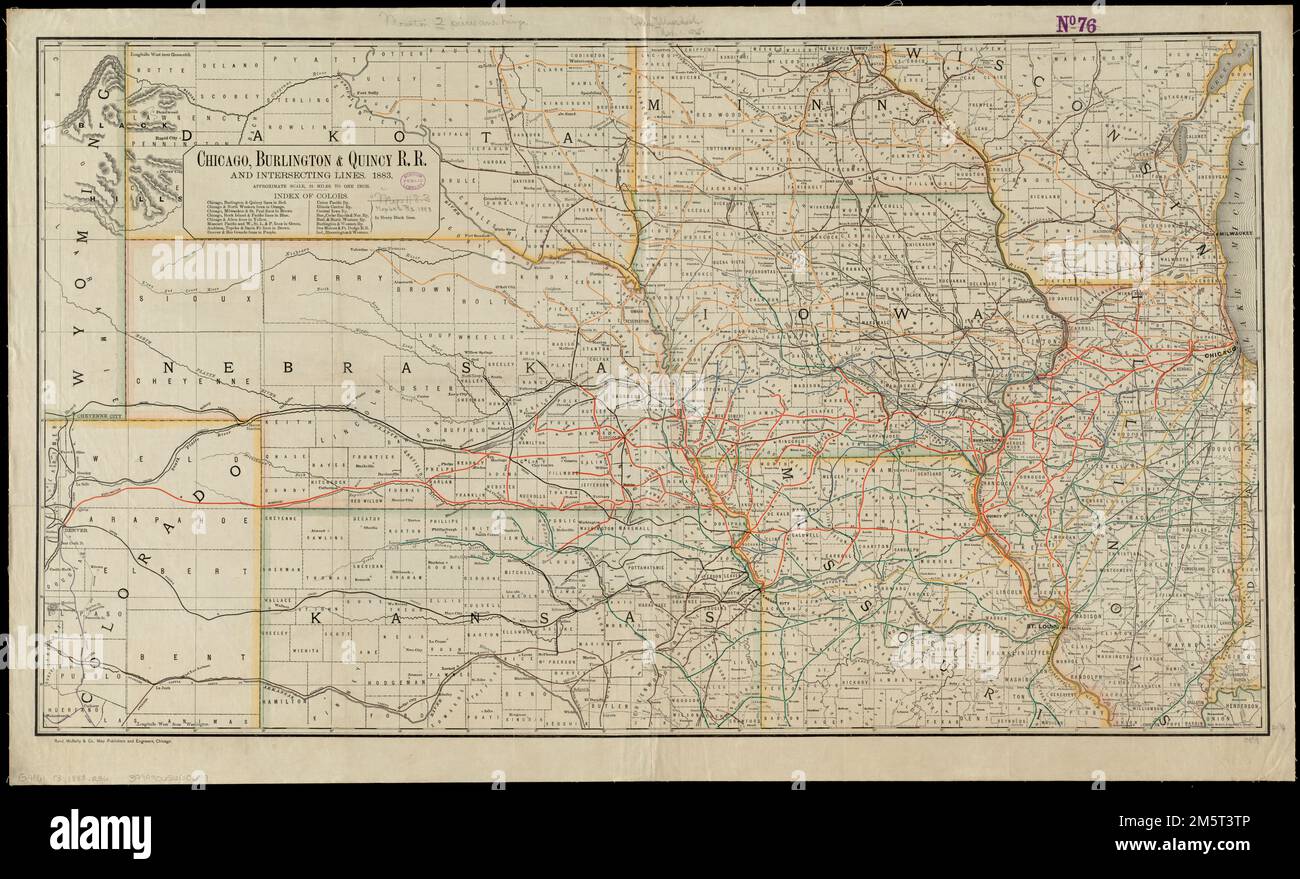 Chicago, Burlington & Quincy R.R. and intersecting lines. Description derived from published bibliography. Prime meridians: Greenwich and Washington. Relief shown by hachures.. Map of the midwestern states showing relief by hachures, drainage, cities and towns, and the railroad network coded in color with the main line emphasized... , Midwest ,area Stock Photohttps://www.alamy.com/image-license-details/?v=1https://www.alamy.com/chicago-burlington-quincy-rr-and-intersecting-lines-description-derived-from-published-bibliography-prime-meridians-greenwich-and-washington-relief-shown-by-hachures-map-of-the-midwestern-states-showing-relief-by-hachures-drainage-cities-and-towns-and-the-railroad-network-coded-in-color-with-the-main-line-emphasized-midwest-area-image502703846.html
RM2M5T3TP–Chicago, Burlington & Quincy R.R. and intersecting lines. Description derived from published bibliography. Prime meridians: Greenwich and Washington. Relief shown by hachures.. Map of the midwestern states showing relief by hachures, drainage, cities and towns, and the railroad network coded in color with the main line emphasized... , Midwest ,area
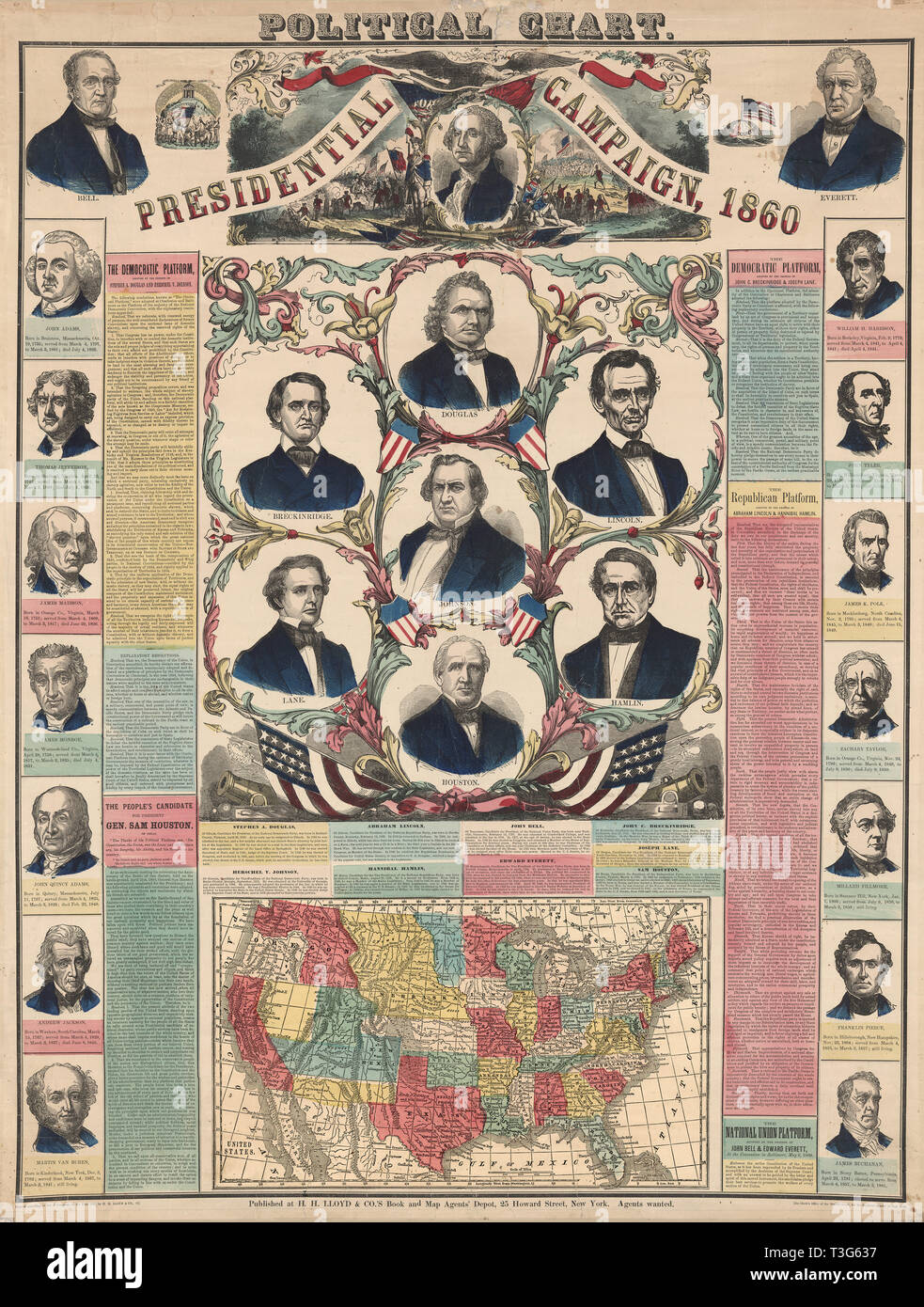 Political Chart, Presidential Campaign, 1860 Stock Photohttps://www.alamy.com/image-license-details/?v=1https://www.alamy.com/political-chart-presidential-campaign-1860-image243145147.html
RMT3G637–Political Chart, Presidential Campaign, 1860
 Massachusetts, state of United States of America. Open Street Map Stock Photohttps://www.alamy.com/image-license-details/?v=1https://www.alamy.com/massachusetts-state-of-united-states-of-america-open-street-map-image546014795.html
RF2PM93CB–Massachusetts, state of United States of America. Open Street Map
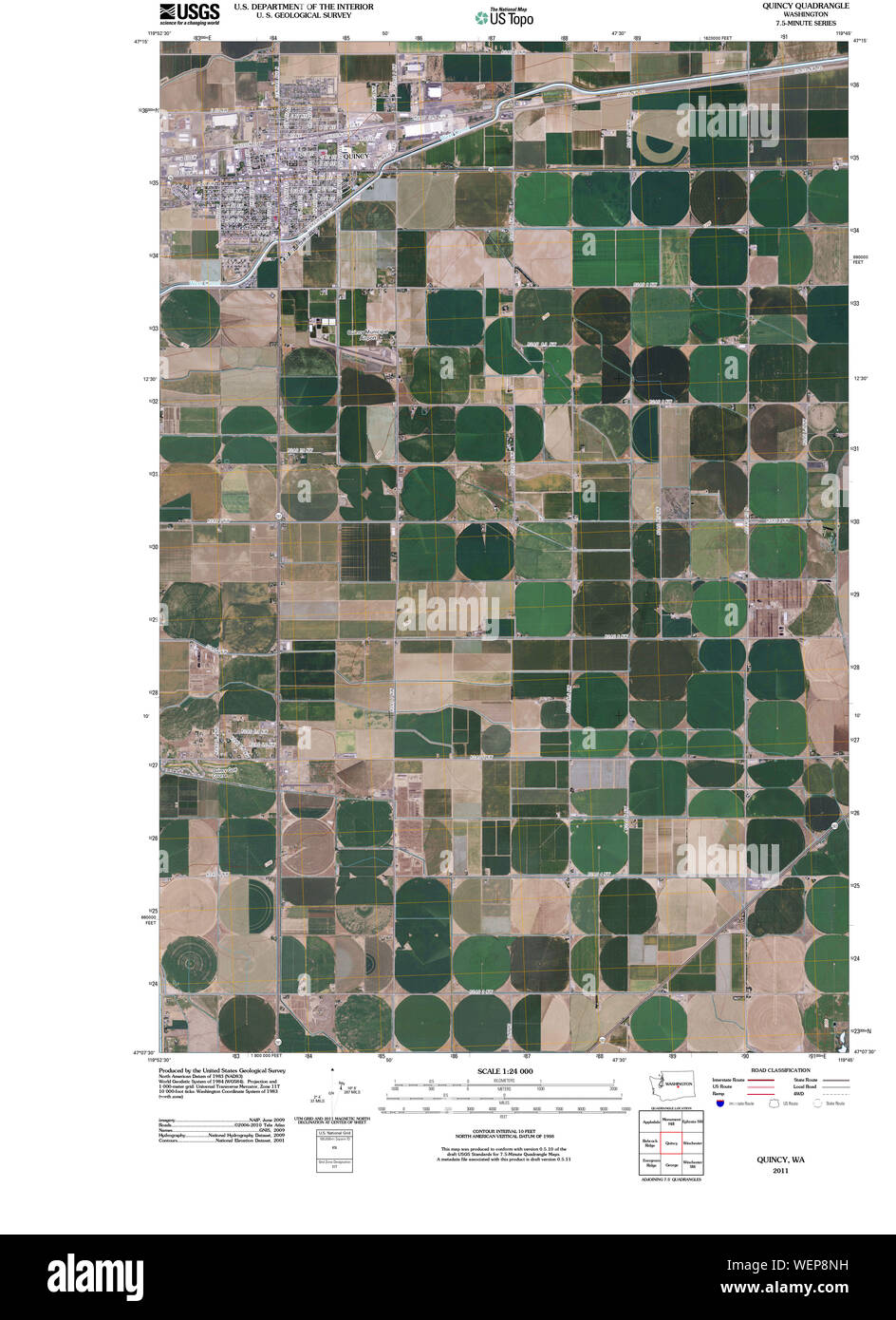 USGS Topo Map Washington State WA Quincy 20110429 TM Restoration Stock Photohttps://www.alamy.com/image-license-details/?v=1https://www.alamy.com/usgs-topo-map-washington-state-wa-quincy-20110429-tm-restoration-image267250525.html
RMWEP8NH–USGS Topo Map Washington State WA Quincy 20110429 TM Restoration
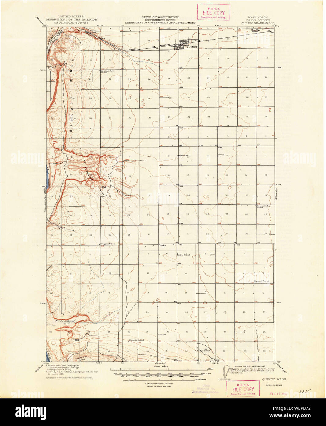 USGS Topo Map Washington State WA Quincy 243364 1910 62500 Restoration Stock Photohttps://www.alamy.com/image-license-details/?v=1https://www.alamy.com/usgs-topo-map-washington-state-wa-quincy-243364-1910-62500-restoration-image267252470.html
RMWEPB72–USGS Topo Map Washington State WA Quincy 243364 1910 62500 Restoration
 Quincy, Grant County, US, United States, Washington, N 47 14' 3'', S 119 51' 9'', map, Cartascapes Map published in 2024. Explore Cartascapes, a map revealing Earth's diverse landscapes, cultures, and ecosystems. Journey through time and space, discovering the interconnectedness of our planet's past, present, and future. Stock Photohttps://www.alamy.com/image-license-details/?v=1https://www.alamy.com/quincy-grant-county-us-united-states-washington-n-47-14-3-s-119-51-9-map-cartascapes-map-published-in-2024-explore-cartascapes-a-map-revealing-earths-diverse-landscapes-cultures-and-ecosystems-journey-through-time-and-space-discovering-the-interconnectedness-of-our-planets-past-present-and-future-image620682678.html
RM2Y1PF2E–Quincy, Grant County, US, United States, Washington, N 47 14' 3'', S 119 51' 9'', map, Cartascapes Map published in 2024. Explore Cartascapes, a map revealing Earth's diverse landscapes, cultures, and ecosystems. Journey through time and space, discovering the interconnectedness of our planet's past, present, and future.
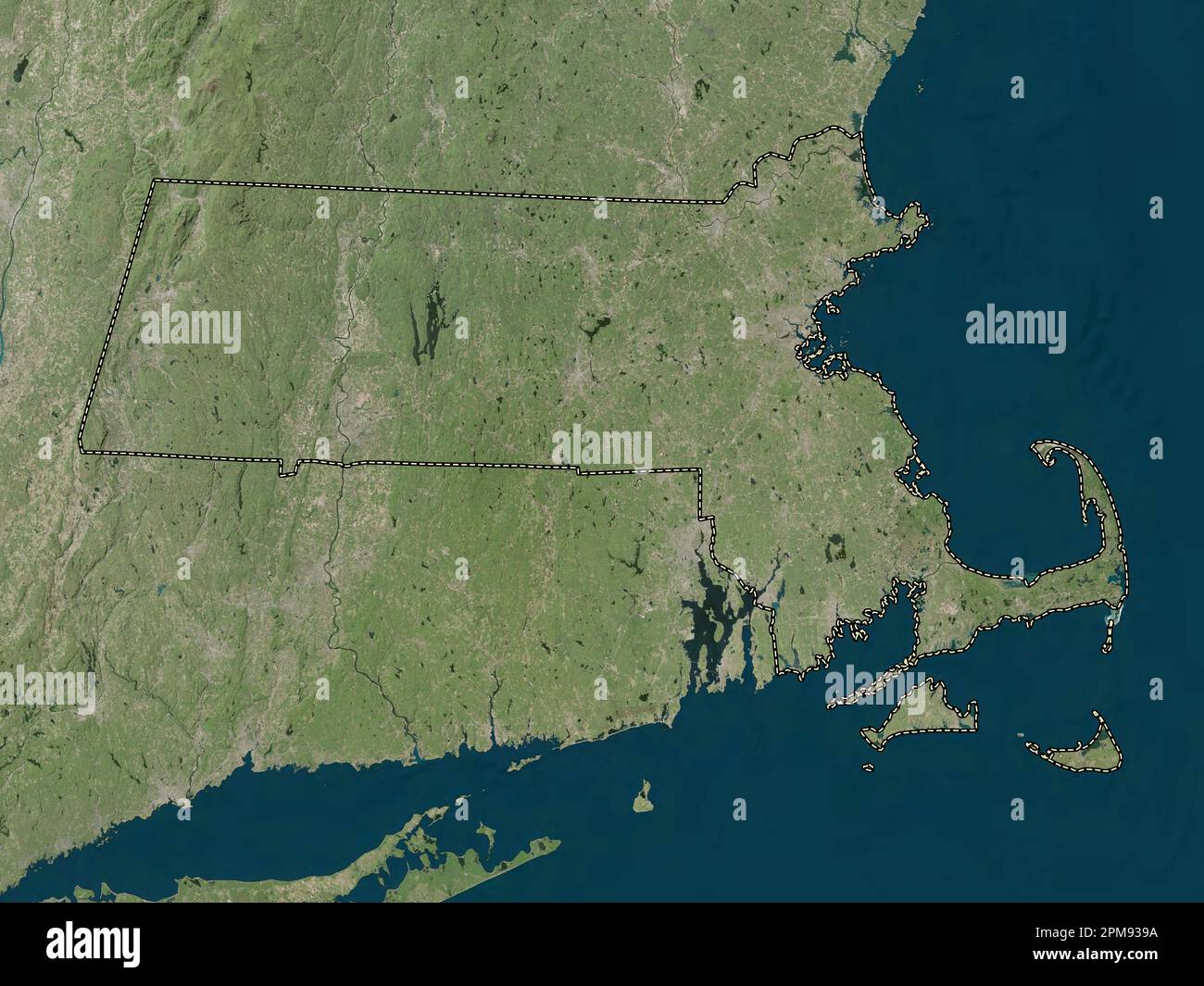 Massachusetts, state of United States of America. High resolution satellite map Stock Photohttps://www.alamy.com/image-license-details/?v=1https://www.alamy.com/massachusetts-state-of-united-states-of-america-high-resolution-satellite-map-image546014710.html
RF2PM939A–Massachusetts, state of United States of America. High resolution satellite map
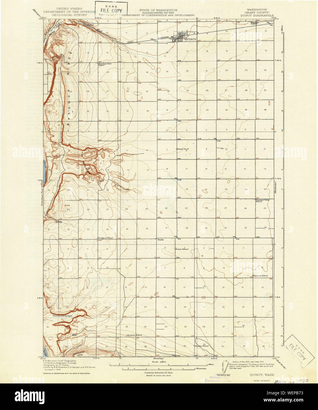 USGS Topo Map Washington State WA Quincy 243363 1910 62500 Restoration Stock Photohttps://www.alamy.com/image-license-details/?v=1https://www.alamy.com/usgs-topo-map-washington-state-wa-quincy-243363-1910-62500-restoration-image267252471.html
RMWEPB73–USGS Topo Map Washington State WA Quincy 243363 1910 62500 Restoration
 City of Quincy, Grant County, US, United States, Washington, N 47 14' 2'', S 119 51' 4'', map, Cartascapes Map published in 2024. Explore Cartascapes, a map revealing Earth's diverse landscapes, cultures, and ecosystems. Journey through time and space, discovering the interconnectedness of our planet's past, present, and future. Stock Photohttps://www.alamy.com/image-license-details/?v=1https://www.alamy.com/city-of-quincy-grant-county-us-united-states-washington-n-47-14-2-s-119-51-4-map-cartascapes-map-published-in-2024-explore-cartascapes-a-map-revealing-earths-diverse-landscapes-cultures-and-ecosystems-journey-through-time-and-space-discovering-the-interconnectedness-of-our-planets-past-present-and-future-image633873052.html
RM2YR7BF8–City of Quincy, Grant County, US, United States, Washington, N 47 14' 2'', S 119 51' 4'', map, Cartascapes Map published in 2024. Explore Cartascapes, a map revealing Earth's diverse landscapes, cultures, and ecosystems. Journey through time and space, discovering the interconnectedness of our planet's past, present, and future.
 Massachusetts, state of United States of America. Low resolution satellite map Stock Photohttps://www.alamy.com/image-license-details/?v=1https://www.alamy.com/massachusetts-state-of-united-states-of-america-low-resolution-satellite-map-image546014697.html
RF2PM938W–Massachusetts, state of United States of America. Low resolution satellite map
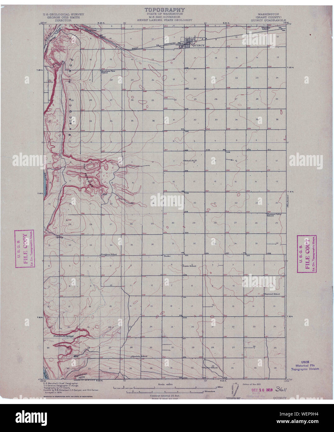 USGS Topo Map Washington State WA Quincy 243361 1910 62500 Restoration Stock Photohttps://www.alamy.com/image-license-details/?v=1https://www.alamy.com/usgs-topo-map-washington-state-wa-quincy-243361-1910-62500-restoration-image267251184.html
RMWEP9H4–USGS Topo Map Washington State WA Quincy 243361 1910 62500 Restoration
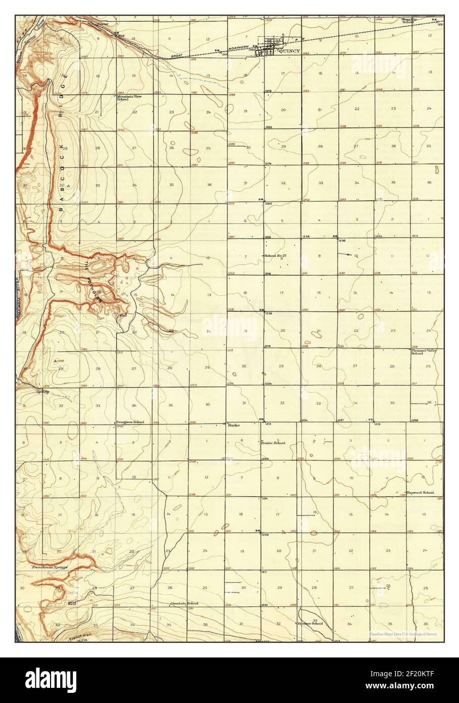 Quincy, Washington, map 1910, 1:62500, United States of America by Timeless Maps, data U.S. Geological Survey Stock Photohttps://www.alamy.com/image-license-details/?v=1https://www.alamy.com/quincy-washington-map-1910-162500-united-states-of-america-by-timeless-maps-data-us-geological-survey-image414293727.html
RM2F20KTF–Quincy, Washington, map 1910, 1:62500, United States of America by Timeless Maps, data U.S. Geological Survey
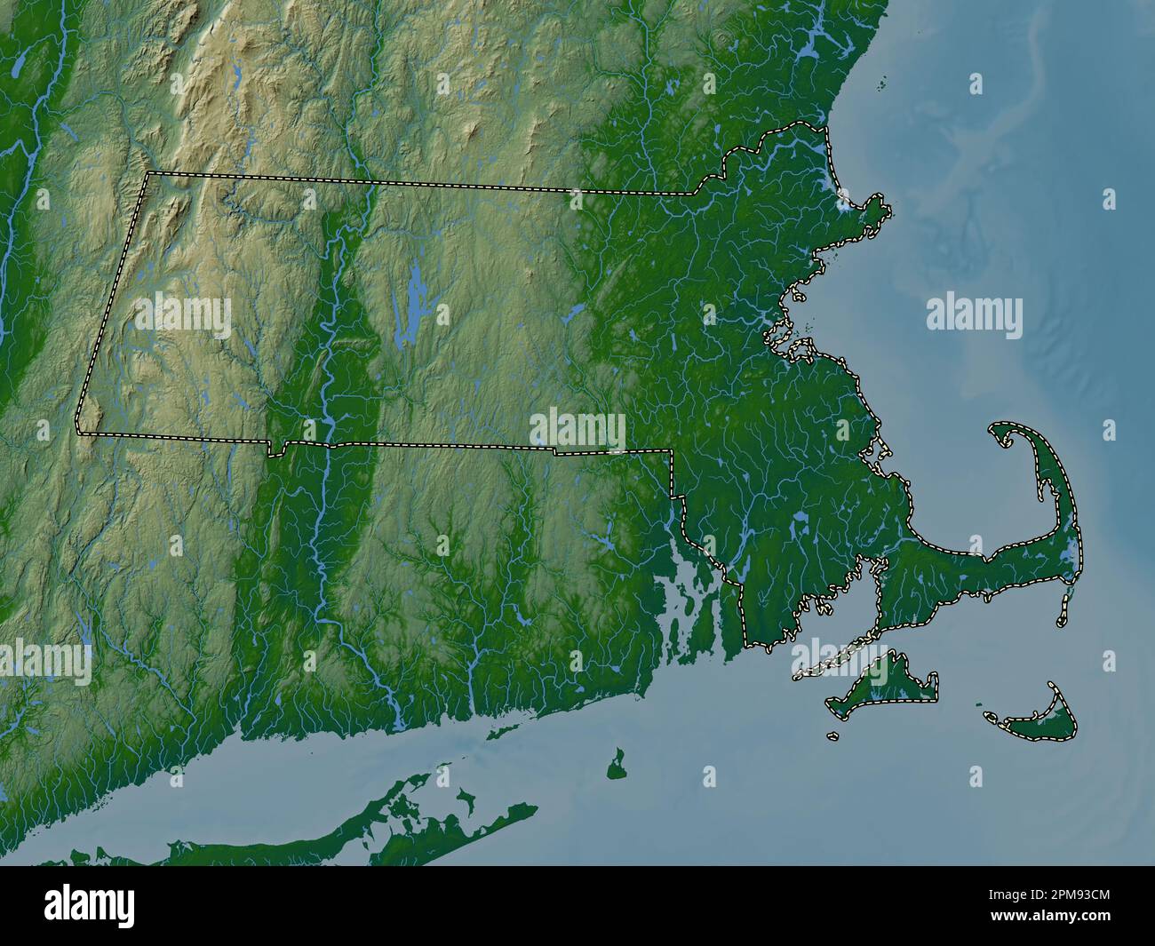 Massachusetts, state of United States of America. Colored elevation map with lakes and rivers Stock Photohttps://www.alamy.com/image-license-details/?v=1https://www.alamy.com/massachusetts-state-of-united-states-of-america-colored-elevation-map-with-lakes-and-rivers-image546014804.html
RF2PM93CM–Massachusetts, state of United States of America. Colored elevation map with lakes and rivers
 USGS Topo Map Washington State WA Quincy 243362 1910 62500 Restoration Stock Photohttps://www.alamy.com/image-license-details/?v=1https://www.alamy.com/usgs-topo-map-washington-state-wa-quincy-243362-1910-62500-restoration-image267251829.html
RMWEPAC5–USGS Topo Map Washington State WA Quincy 243362 1910 62500 Restoration
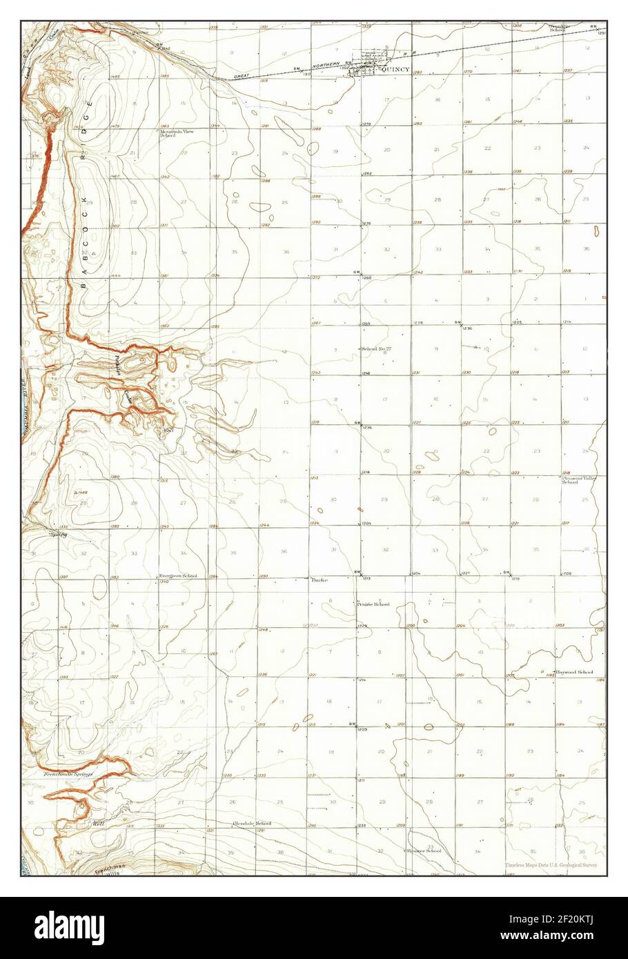 Quincy, Washington, map 1909, 1:62500, United States of America by Timeless Maps, data U.S. Geological Survey Stock Photohttps://www.alamy.com/image-license-details/?v=1https://www.alamy.com/quincy-washington-map-1909-162500-united-states-of-america-by-timeless-maps-data-us-geological-survey-image414293730.html
RM2F20KTJ–Quincy, Washington, map 1909, 1:62500, United States of America by Timeless Maps, data U.S. Geological Survey
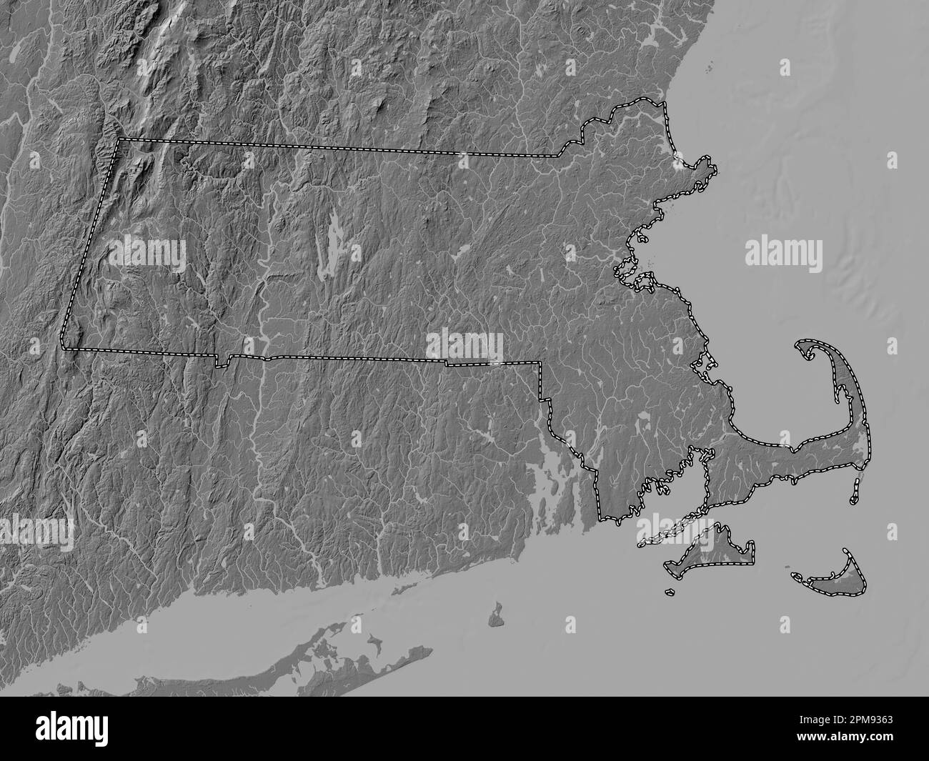 Massachusetts, state of United States of America. Bilevel elevation map with lakes and rivers Stock Photohttps://www.alamy.com/image-license-details/?v=1https://www.alamy.com/massachusetts-state-of-united-states-of-america-bilevel-elevation-map-with-lakes-and-rivers-image546014619.html
RF2PM9363–Massachusetts, state of United States of America. Bilevel elevation map with lakes and rivers
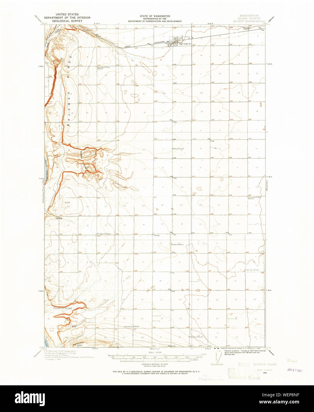 USGS Topo Map Washington State WA Quincy 243360 1909 62500 Restoration Stock Photohttps://www.alamy.com/image-license-details/?v=1https://www.alamy.com/usgs-topo-map-washington-state-wa-quincy-243360-1909-62500-restoration-image267250523.html
RMWEP8NF–USGS Topo Map Washington State WA Quincy 243360 1909 62500 Restoration
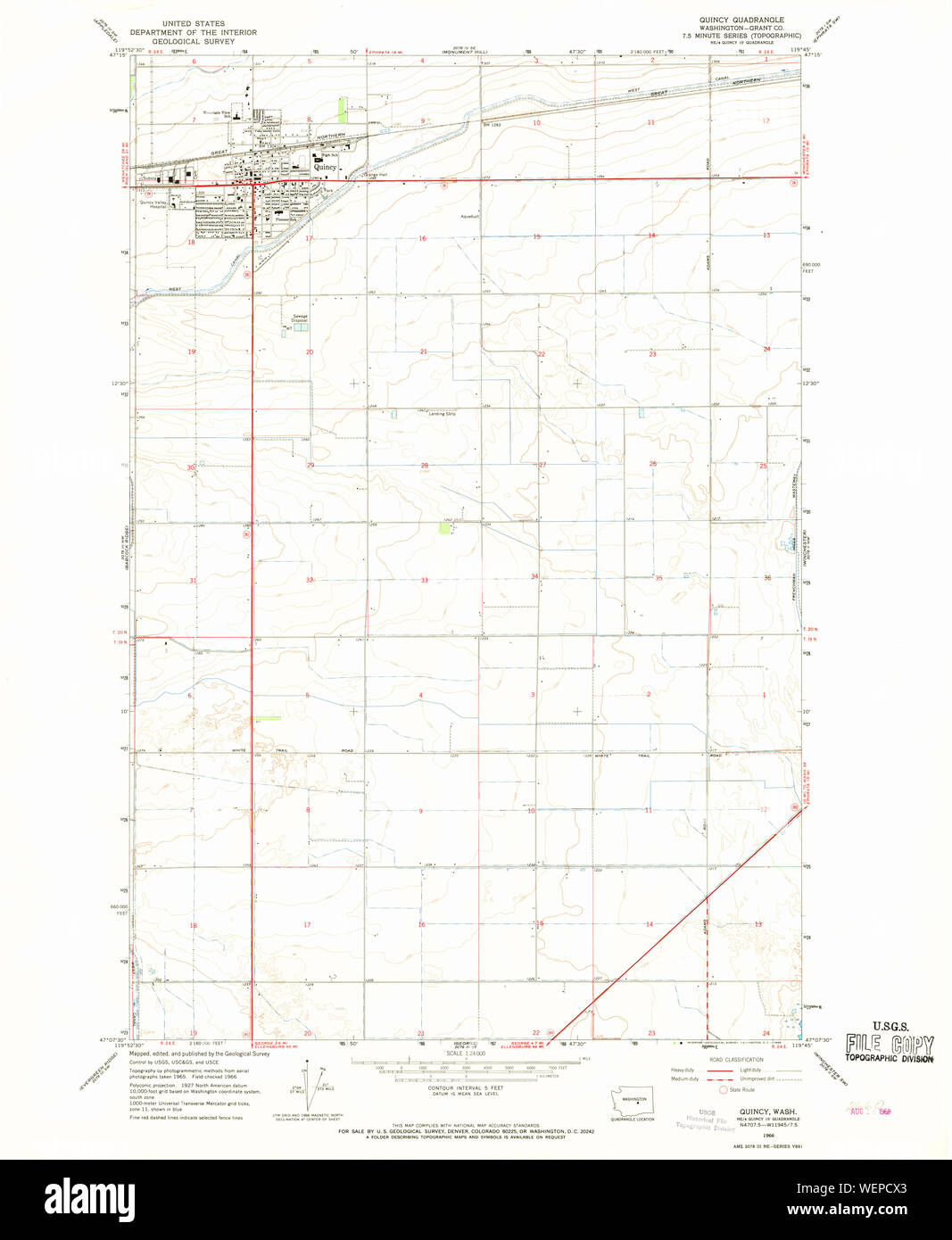 USGS Topo Map Washington State WA Quincy 243365 1966 24000 Restoration Stock Photohttps://www.alamy.com/image-license-details/?v=1https://www.alamy.com/usgs-topo-map-washington-state-wa-quincy-243365-1966-24000-restoration-image267253787.html
RMWEPCX3–USGS Topo Map Washington State WA Quincy 243365 1966 24000 Restoration
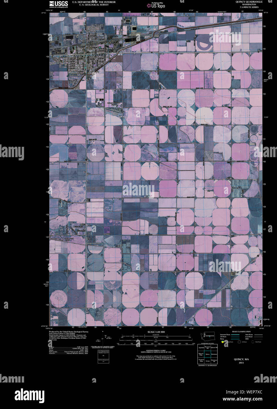 USGS Topo Map Washington State WA Quincy 20110429 TM Inverted Restoration Stock Photohttps://www.alamy.com/image-license-details/?v=1https://www.alamy.com/usgs-topo-map-washington-state-wa-quincy-20110429-tm-inverted-restoration-image267249876.html
RMWEP7XC–USGS Topo Map Washington State WA Quincy 20110429 TM Inverted Restoration
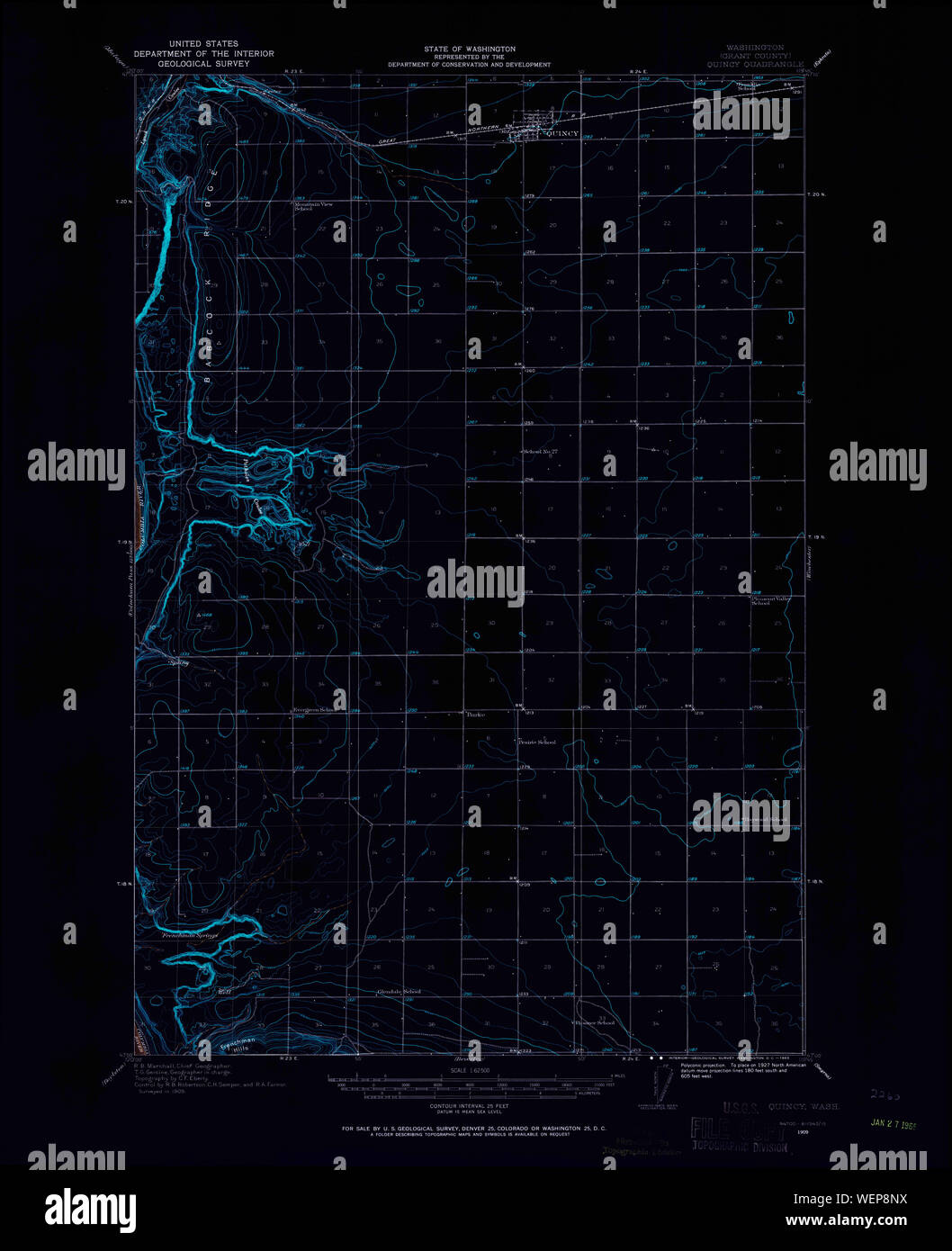 USGS Topo Map Washington State WA Quincy 243360 1909 62500 Inverted Restoration Stock Photohttps://www.alamy.com/image-license-details/?v=1https://www.alamy.com/usgs-topo-map-washington-state-wa-quincy-243360-1909-62500-inverted-restoration-image267250534.html
RMWEP8NX–USGS Topo Map Washington State WA Quincy 243360 1909 62500 Inverted Restoration
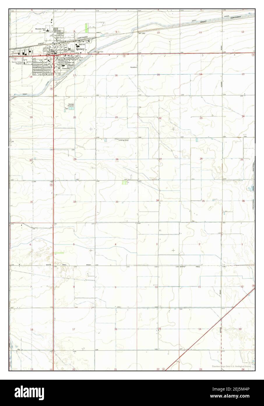 Quincy, Washington, map 1966, 1:24000, United States of America by Timeless Maps, data U.S. Geological Survey Stock Photohttps://www.alamy.com/image-license-details/?v=1https://www.alamy.com/quincy-washington-map-1966-124000-united-states-of-america-by-timeless-maps-data-us-geological-survey-image407027846.html
RM2EJ5M4P–Quincy, Washington, map 1966, 1:24000, United States of America by Timeless Maps, data U.S. Geological Survey
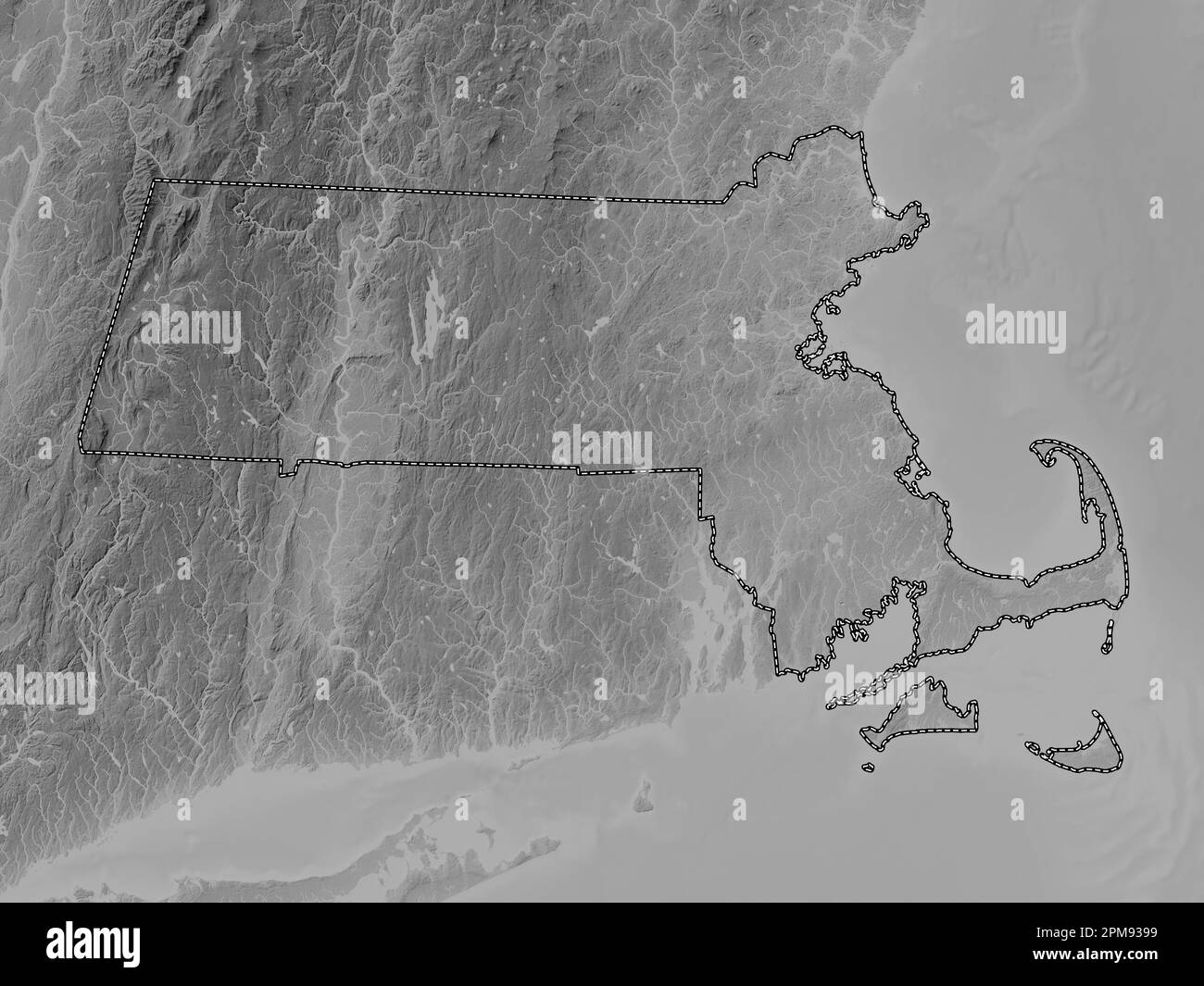 Massachusetts, state of United States of America. Grayscale elevation map with lakes and rivers Stock Photohttps://www.alamy.com/image-license-details/?v=1https://www.alamy.com/massachusetts-state-of-united-states-of-america-grayscale-elevation-map-with-lakes-and-rivers-image546014709.html
RF2PM9399–Massachusetts, state of United States of America. Grayscale elevation map with lakes and rivers
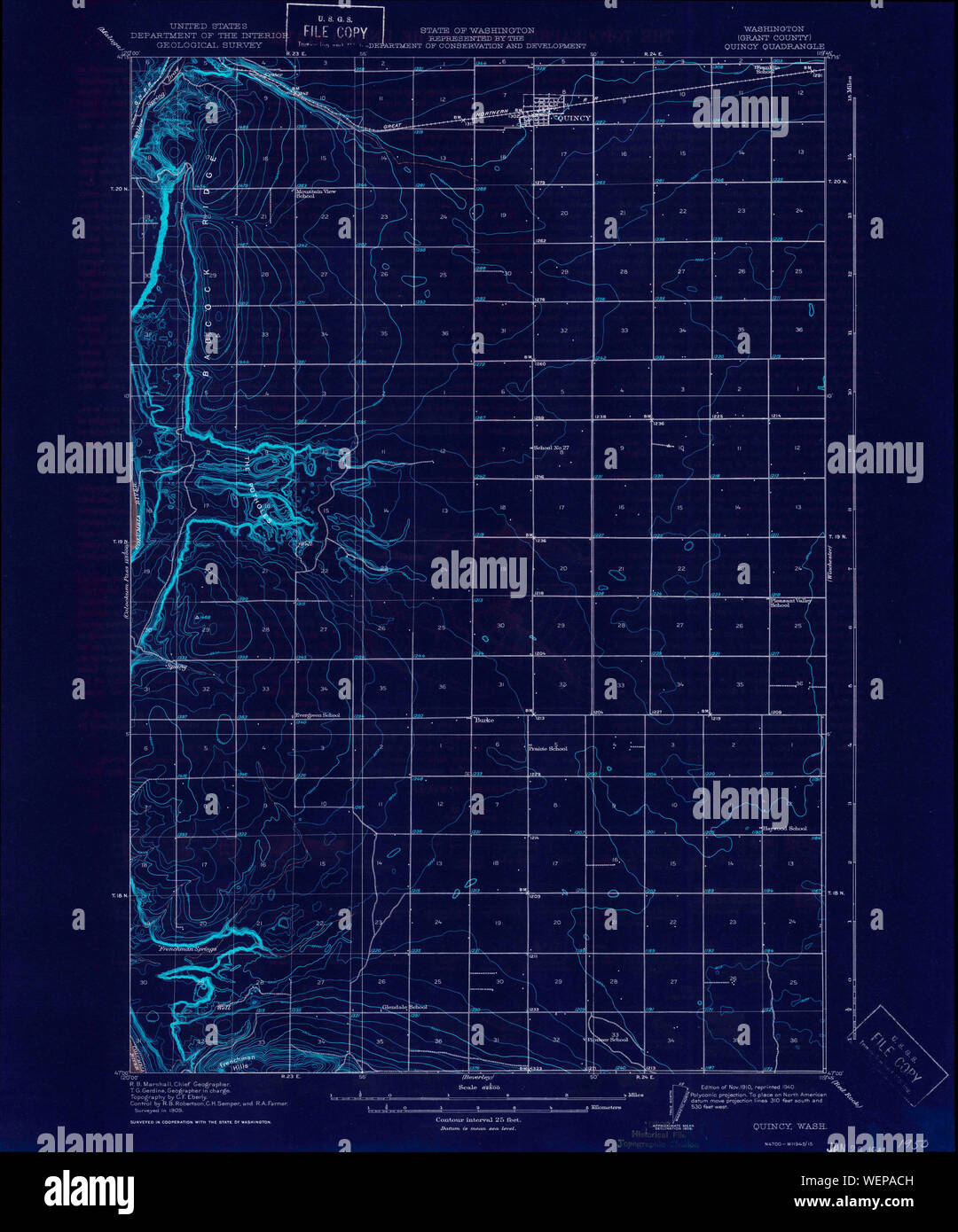 USGS Topo Map Washington State WA Quincy 243363 1910 62500 Inverted Restoration Stock Photohttps://www.alamy.com/image-license-details/?v=1https://www.alamy.com/usgs-topo-map-washington-state-wa-quincy-243363-1910-62500-inverted-restoration-image267251841.html
RMWEPACH–USGS Topo Map Washington State WA Quincy 243363 1910 62500 Inverted Restoration
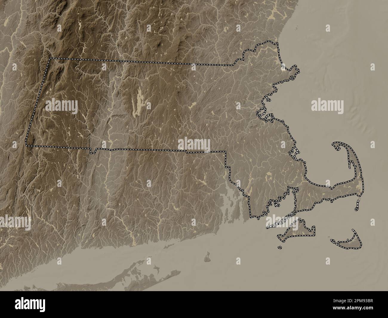 Massachusetts, state of United States of America. Elevation map colored in sepia tones with lakes and rivers Stock Photohttps://www.alamy.com/image-license-details/?v=1https://www.alamy.com/massachusetts-state-of-united-states-of-america-elevation-map-colored-in-sepia-tones-with-lakes-and-rivers-image546014779.html
RF2PM93BR–Massachusetts, state of United States of America. Elevation map colored in sepia tones with lakes and rivers
 USGS Topo Map Washington State WA Quincy 243364 1910 62500 Inverted Restoration Stock Photohttps://www.alamy.com/image-license-details/?v=1https://www.alamy.com/usgs-topo-map-washington-state-wa-quincy-243364-1910-62500-inverted-restoration-image267252485.html
RMWEPB7H–USGS Topo Map Washington State WA Quincy 243364 1910 62500 Inverted Restoration
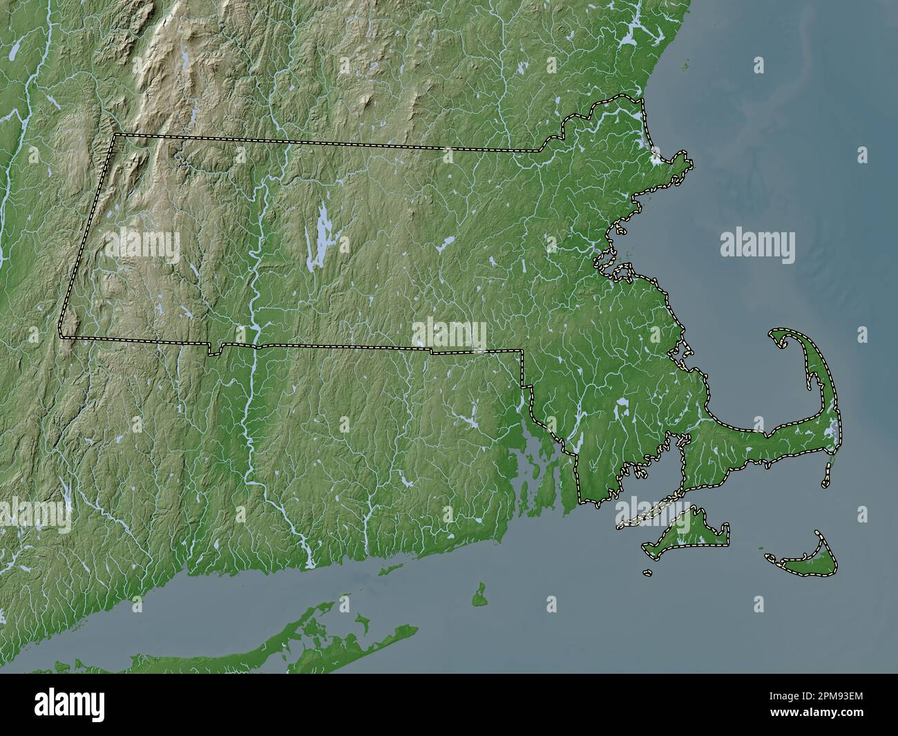 Massachusetts, state of United States of America. Elevation map colored in wiki style with lakes and rivers Stock Photohttps://www.alamy.com/image-license-details/?v=1https://www.alamy.com/massachusetts-state-of-united-states-of-america-elevation-map-colored-in-wiki-style-with-lakes-and-rivers-image546014860.html
RF2PM93EM–Massachusetts, state of United States of America. Elevation map colored in wiki style with lakes and rivers
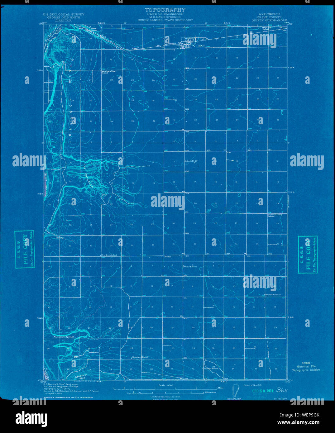 USGS Topo Map Washington State WA Quincy 243361 1910 62500 Inverted Restoration Stock Photohttps://www.alamy.com/image-license-details/?v=1https://www.alamy.com/usgs-topo-map-washington-state-wa-quincy-243361-1910-62500-inverted-restoration-image267251171.html
RMWEP9GK–USGS Topo Map Washington State WA Quincy 243361 1910 62500 Inverted Restoration
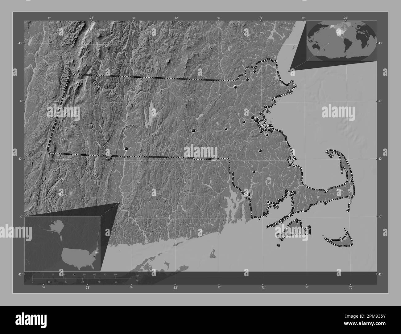 Massachusetts, state of United States of America. Bilevel elevation map with lakes and rivers. Locations of major cities of the region. Corner auxilia Stock Photohttps://www.alamy.com/image-license-details/?v=1https://www.alamy.com/massachusetts-state-of-united-states-of-america-bilevel-elevation-map-with-lakes-and-rivers-locations-of-major-cities-of-the-region-corner-auxilia-image546014615.html
RF2PM935Y–Massachusetts, state of United States of America. Bilevel elevation map with lakes and rivers. Locations of major cities of the region. Corner auxilia
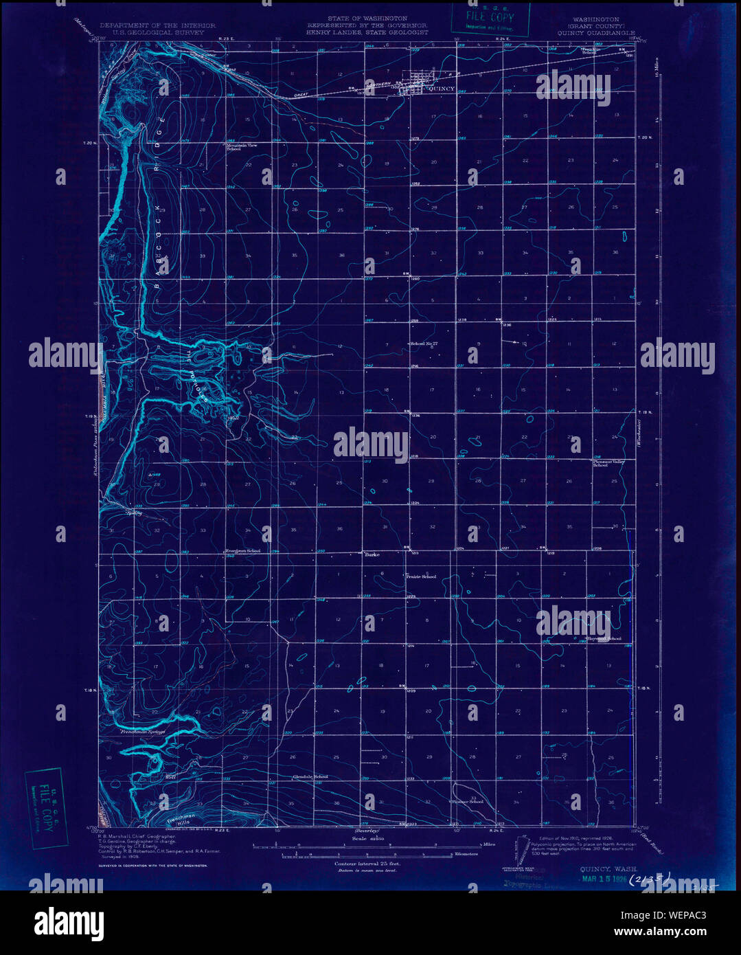 USGS Topo Map Washington State WA Quincy 243362 1910 62500 Inverted Restoration Stock Photohttps://www.alamy.com/image-license-details/?v=1https://www.alamy.com/usgs-topo-map-washington-state-wa-quincy-243362-1910-62500-inverted-restoration-image267251827.html
RMWEPAC3–USGS Topo Map Washington State WA Quincy 243362 1910 62500 Inverted Restoration
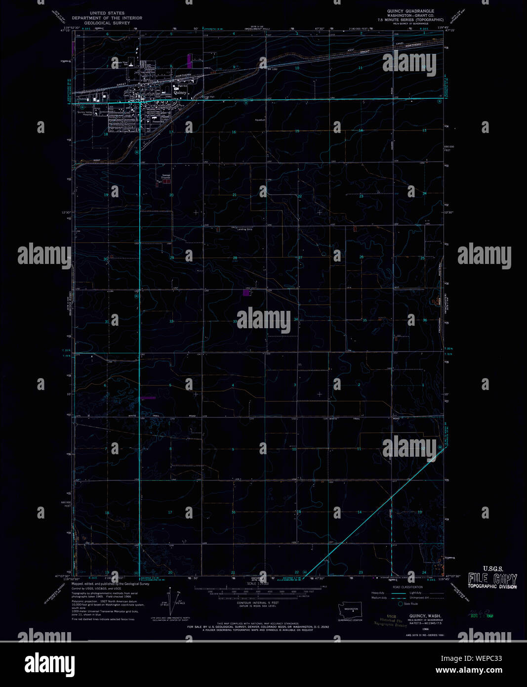 USGS Topo Map Washington State WA Quincy 243365 1966 24000 Inverted Restoration Stock Photohttps://www.alamy.com/image-license-details/?v=1https://www.alamy.com/usgs-topo-map-washington-state-wa-quincy-243365-1966-24000-inverted-restoration-image267253143.html
RMWEPC33–USGS Topo Map Washington State WA Quincy 243365 1966 24000 Inverted Restoration
 Massachusetts, state of United States of America. Bilevel elevation map with lakes and rivers. Locations and names of major cities of the region. Corn Stock Photohttps://www.alamy.com/image-license-details/?v=1https://www.alamy.com/massachusetts-state-of-united-states-of-america-bilevel-elevation-map-with-lakes-and-rivers-locations-and-names-of-major-cities-of-the-region-corn-image546014618.html
RF2PM9362–Massachusetts, state of United States of America. Bilevel elevation map with lakes and rivers. Locations and names of major cities of the region. Corn
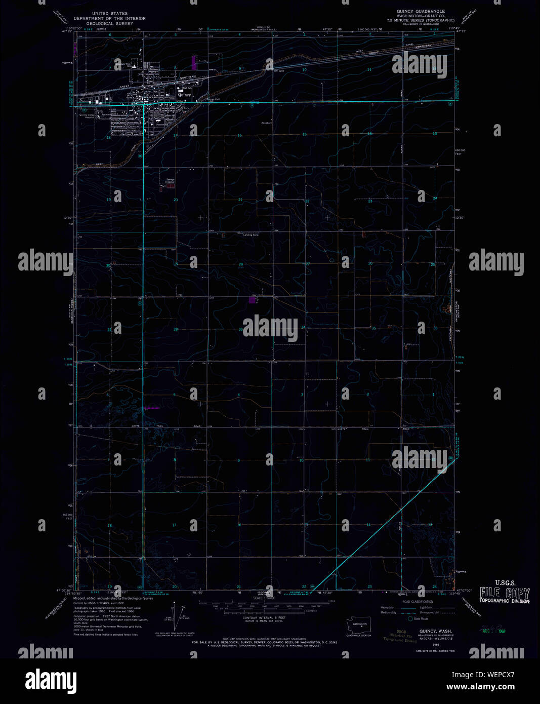 USGS Topo Map Washington State WA Quincy 243365 1966 24000 Inverted Restoration Stock Photohttps://www.alamy.com/image-license-details/?v=1https://www.alamy.com/usgs-topo-map-washington-state-wa-quincy-243365-1966-24000-inverted-restoration-image267253791.html
RMWEPCX7–USGS Topo Map Washington State WA Quincy 243365 1966 24000 Inverted Restoration
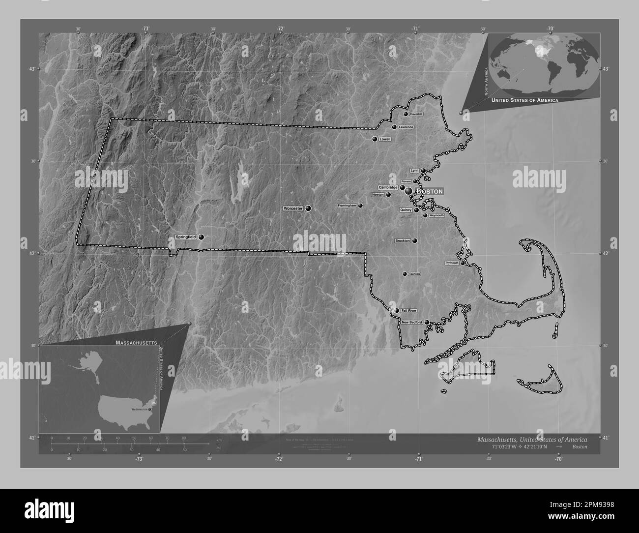 Massachusetts, state of United States of America. Grayscale elevation map with lakes and rivers. Locations and names of major cities of the region. Co Stock Photohttps://www.alamy.com/image-license-details/?v=1https://www.alamy.com/massachusetts-state-of-united-states-of-america-grayscale-elevation-map-with-lakes-and-rivers-locations-and-names-of-major-cities-of-the-region-co-image546014708.html
RF2PM9398–Massachusetts, state of United States of America. Grayscale elevation map with lakes and rivers. Locations and names of major cities of the region. Co
 Massachusetts, state of United States of America. Colored elevation map with lakes and rivers. Locations and names of major cities of the region. Corn Stock Photohttps://www.alamy.com/image-license-details/?v=1https://www.alamy.com/massachusetts-state-of-united-states-of-america-colored-elevation-map-with-lakes-and-rivers-locations-and-names-of-major-cities-of-the-region-corn-image546014773.html
RF2PM93BH–Massachusetts, state of United States of America. Colored elevation map with lakes and rivers. Locations and names of major cities of the region. Corn
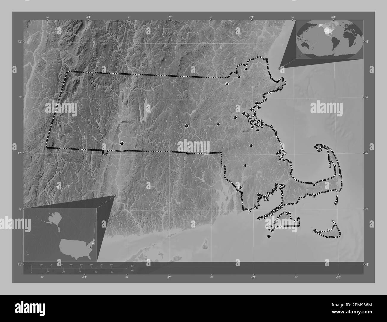 Massachusetts, state of United States of America. Grayscale elevation map with lakes and rivers. Locations of major cities of the region. Corner auxil Stock Photohttps://www.alamy.com/image-license-details/?v=1https://www.alamy.com/massachusetts-state-of-united-states-of-america-grayscale-elevation-map-with-lakes-and-rivers-locations-of-major-cities-of-the-region-corner-auxil-image546014636.html
RF2PM936M–Massachusetts, state of United States of America. Grayscale elevation map with lakes and rivers. Locations of major cities of the region. Corner auxil
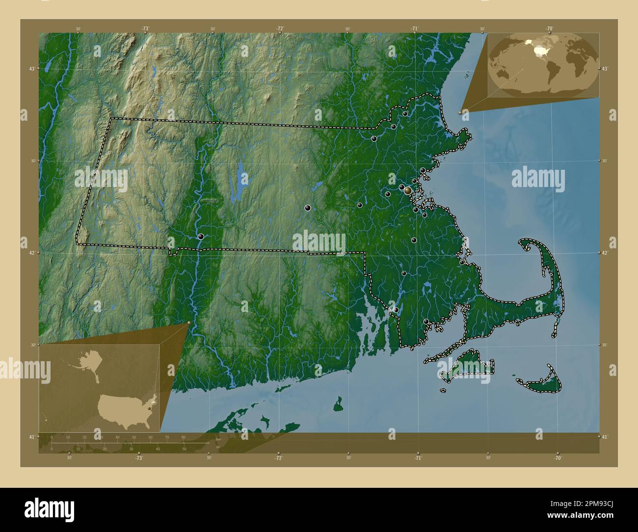 Massachusetts, state of United States of America. Colored elevation map with lakes and rivers. Locations of major cities of the region. Corner auxilia Stock Photohttps://www.alamy.com/image-license-details/?v=1https://www.alamy.com/massachusetts-state-of-united-states-of-america-colored-elevation-map-with-lakes-and-rivers-locations-of-major-cities-of-the-region-corner-auxilia-image546014802.html
RF2PM93CJ–Massachusetts, state of United States of America. Colored elevation map with lakes and rivers. Locations of major cities of the region. Corner auxilia
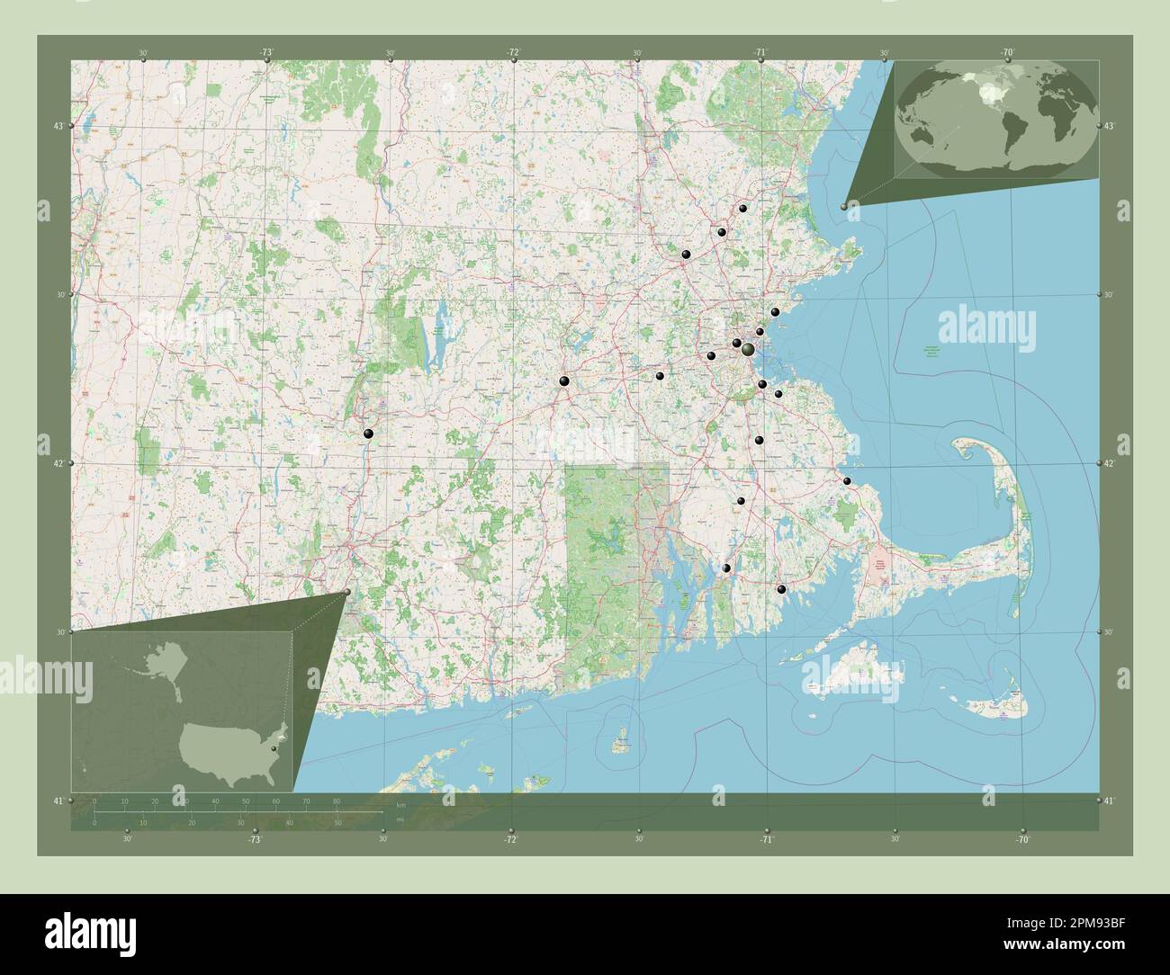 Massachusetts, state of United States of America. Open Street Map. Locations of major cities of the region. Corner auxiliary location maps Stock Photohttps://www.alamy.com/image-license-details/?v=1https://www.alamy.com/massachusetts-state-of-united-states-of-america-open-street-map-locations-of-major-cities-of-the-region-corner-auxiliary-location-maps-image546014771.html
RF2PM93BF–Massachusetts, state of United States of America. Open Street Map. Locations of major cities of the region. Corner auxiliary location maps
 Massachusetts, state of United States of America. Low resolution satellite map. Locations of major cities of the region. Corner auxiliary location map Stock Photohttps://www.alamy.com/image-license-details/?v=1https://www.alamy.com/massachusetts-state-of-united-states-of-america-low-resolution-satellite-map-locations-of-major-cities-of-the-region-corner-auxiliary-location-map-image546014714.html
RF2PM939E–Massachusetts, state of United States of America. Low resolution satellite map. Locations of major cities of the region. Corner auxiliary location map
 Massachusetts, state of United States of America. Elevation map colored in sepia tones with lakes and rivers. Locations of major cities of the region. Stock Photohttps://www.alamy.com/image-license-details/?v=1https://www.alamy.com/massachusetts-state-of-united-states-of-america-elevation-map-colored-in-sepia-tones-with-lakes-and-rivers-locations-of-major-cities-of-the-region-image546014793.html
RF2PM93C9–Massachusetts, state of United States of America. Elevation map colored in sepia tones with lakes and rivers. Locations of major cities of the region.
 Massachusetts, state of United States of America. High resolution satellite map. Locations and names of major cities of the region. Corner auxiliary l Stock Photohttps://www.alamy.com/image-license-details/?v=1https://www.alamy.com/massachusetts-state-of-united-states-of-america-high-resolution-satellite-map-locations-and-names-of-major-cities-of-the-region-corner-auxiliary-l-image546014641.html
RF2PM936W–Massachusetts, state of United States of America. High resolution satellite map. Locations and names of major cities of the region. Corner auxiliary l
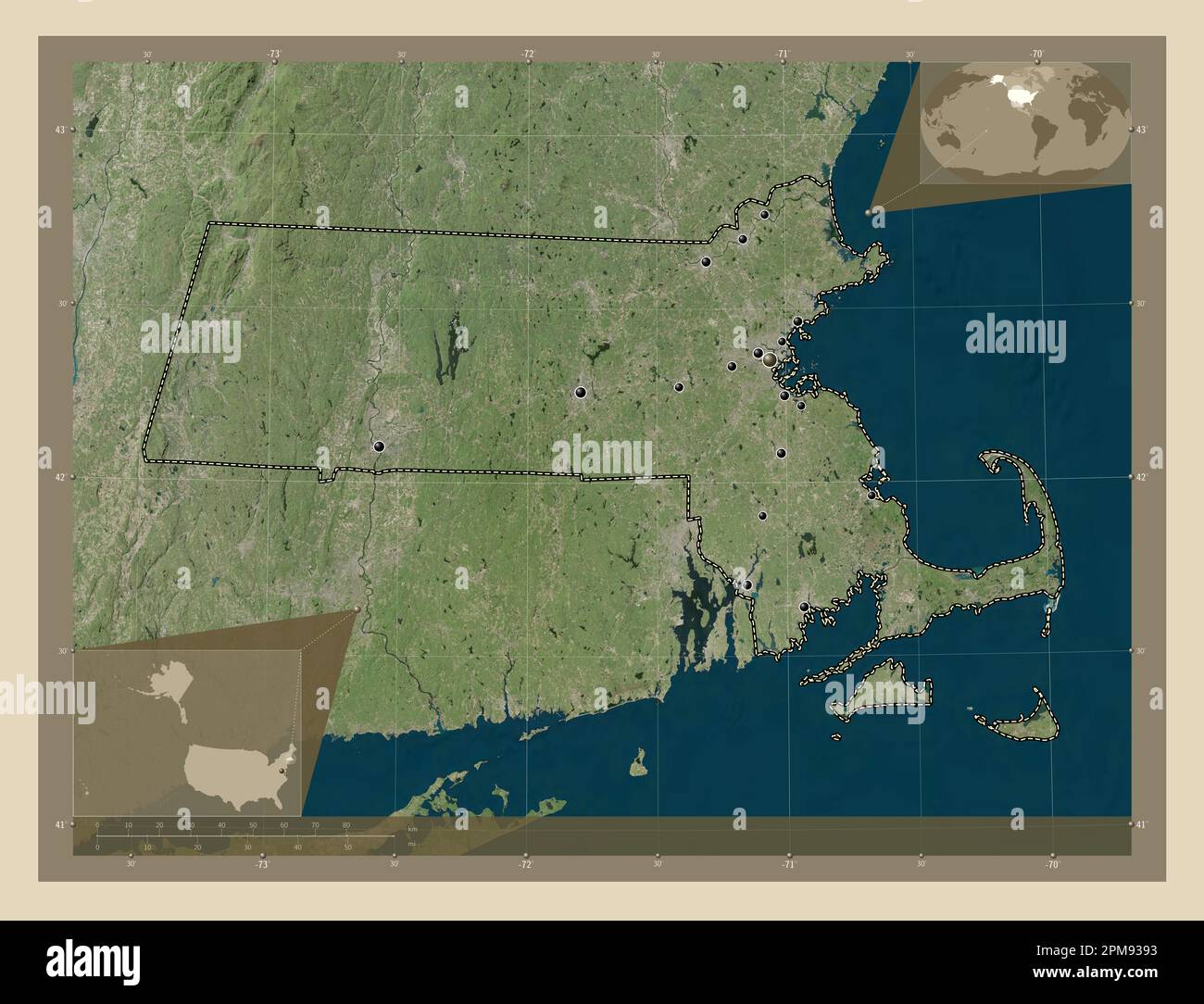 Massachusetts, state of United States of America. High resolution satellite map. Locations of major cities of the region. Corner auxiliary location ma Stock Photohttps://www.alamy.com/image-license-details/?v=1https://www.alamy.com/massachusetts-state-of-united-states-of-america-high-resolution-satellite-map-locations-of-major-cities-of-the-region-corner-auxiliary-location-ma-image546014703.html
RF2PM9393–Massachusetts, state of United States of America. High resolution satellite map. Locations of major cities of the region. Corner auxiliary location ma
 Massachusetts, state of United States of America. Elevation map colored in wiki style with lakes and rivers. Locations of major cities of the region. Stock Photohttps://www.alamy.com/image-license-details/?v=1https://www.alamy.com/massachusetts-state-of-united-states-of-america-elevation-map-colored-in-wiki-style-with-lakes-and-rivers-locations-of-major-cities-of-the-region-image546014854.html
RF2PM93EE–Massachusetts, state of United States of America. Elevation map colored in wiki style with lakes and rivers. Locations of major cities of the region.
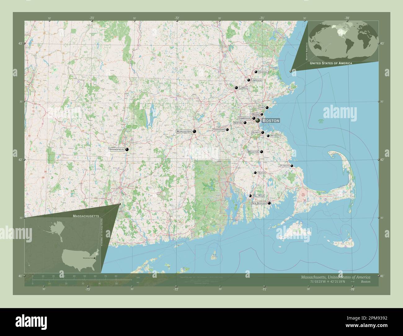 Massachusetts, state of United States of America. Open Street Map. Locations and names of major cities of the region. Corner auxiliary location maps Stock Photohttps://www.alamy.com/image-license-details/?v=1https://www.alamy.com/massachusetts-state-of-united-states-of-america-open-street-map-locations-and-names-of-major-cities-of-the-region-corner-auxiliary-location-maps-image546014702.html
RF2PM9392–Massachusetts, state of United States of America. Open Street Map. Locations and names of major cities of the region. Corner auxiliary location maps
 Massachusetts, state of United States of America. Low resolution satellite map. Locations and names of major cities of the region. Corner auxiliary lo Stock Photohttps://www.alamy.com/image-license-details/?v=1https://www.alamy.com/massachusetts-state-of-united-states-of-america-low-resolution-satellite-map-locations-and-names-of-major-cities-of-the-region-corner-auxiliary-lo-image546014772.html
RF2PM93BG–Massachusetts, state of United States of America. Low resolution satellite map. Locations and names of major cities of the region. Corner auxiliary lo
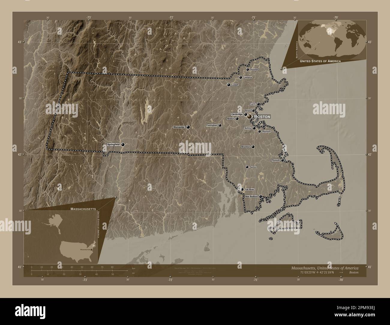 Massachusetts, state of United States of America. Elevation map colored in sepia tones with lakes and rivers. Locations and names of major cities of t Stock Photohttps://www.alamy.com/image-license-details/?v=1https://www.alamy.com/massachusetts-state-of-united-states-of-america-elevation-map-colored-in-sepia-tones-with-lakes-and-rivers-locations-and-names-of-major-cities-of-t-image546014858.html
RF2PM93EJ–Massachusetts, state of United States of America. Elevation map colored in sepia tones with lakes and rivers. Locations and names of major cities of t
 Massachusetts, state of United States of America. Elevation map colored in wiki style with lakes and rivers. Locations and names of major cities of th Stock Photohttps://www.alamy.com/image-license-details/?v=1https://www.alamy.com/massachusetts-state-of-united-states-of-america-elevation-map-colored-in-wiki-style-with-lakes-and-rivers-locations-and-names-of-major-cities-of-th-image546014868.html
RF2PM93F0–Massachusetts, state of United States of America. Elevation map colored in wiki style with lakes and rivers. Locations and names of major cities of th
 Massachusetts, state of United States of America. Solid color shape. Locations of major cities of the region. Corner auxiliary location maps Stock Photohttps://www.alamy.com/image-license-details/?v=1https://www.alamy.com/massachusetts-state-of-united-states-of-america-solid-color-shape-locations-of-major-cities-of-the-region-corner-auxiliary-location-maps-image546014791.html
RF2PM93C7–Massachusetts, state of United States of America. Solid color shape. Locations of major cities of the region. Corner auxiliary location maps
 Massachusetts, state of United States of America. Solid color shape. Locations and names of major cities of the region. Corner auxiliary location maps Stock Photohttps://www.alamy.com/image-license-details/?v=1https://www.alamy.com/massachusetts-state-of-united-states-of-america-solid-color-shape-locations-and-names-of-major-cities-of-the-region-corner-auxiliary-location-maps-image546014783.html
RF2PM93BY–Massachusetts, state of United States of America. Solid color shape. Locations and names of major cities of the region. Corner auxiliary location maps
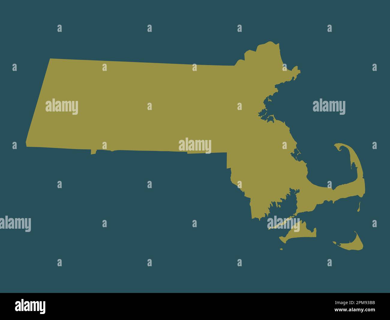 Massachusetts, state of United States of America. Solid color shape Stock Photohttps://www.alamy.com/image-license-details/?v=1https://www.alamy.com/massachusetts-state-of-united-states-of-america-solid-color-shape-image546014767.html
RF2PM93BB–Massachusetts, state of United States of America. Solid color shape