Quick filters:
Map of rainier Stock Photos and Images
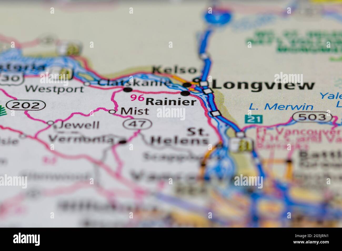 Rainier Oregon USA shown on a Geography map or road map Stock Photohttps://www.alamy.com/image-license-details/?v=1https://www.alamy.com/rainier-oregon-usa-shown-on-a-geography-map-or-road-map-image433746237.html
RM2G5JRN1–Rainier Oregon USA shown on a Geography map or road map
 WA14842-00...WASHINGTON - Vicky Spring working with a map at Gobblers Knob Lookout in Mount Rainier National Park. Stock Photohttps://www.alamy.com/image-license-details/?v=1https://www.alamy.com/wa14842-00washington-vicky-spring-working-with-a-map-at-gobblers-knob-lookout-in-mount-rainier-national-park-image222640082.html
RMPX63KE–WA14842-00...WASHINGTON - Vicky Spring working with a map at Gobblers Knob Lookout in Mount Rainier National Park.
 Rainier Beach, King County, US, United States, Washington, N 47 31' 0'', S 122 15' 29'', map, Cartascapes Map published in 2024. Explore Cartascapes, a map revealing Earth's diverse landscapes, cultures, and ecosystems. Journey through time and space, discovering the interconnectedness of our planet's past, present, and future. Stock Photohttps://www.alamy.com/image-license-details/?v=1https://www.alamy.com/rainier-beach-king-county-us-united-states-washington-n-47-31-0-s-122-15-29-map-cartascapes-map-published-in-2024-explore-cartascapes-a-map-revealing-earths-diverse-landscapes-cultures-and-ecosystems-journey-through-time-and-space-discovering-the-interconnectedness-of-our-planets-past-present-and-future-image621273318.html
RM2Y2NCCP–Rainier Beach, King County, US, United States, Washington, N 47 31' 0'', S 122 15' 29'', map, Cartascapes Map published in 2024. Explore Cartascapes, a map revealing Earth's diverse landscapes, cultures, and ecosystems. Journey through time and space, discovering the interconnectedness of our planet's past, present, and future.
 MAP View of new Tacoma and Mount Rainier, Puget Sound, Washington Territory, circa 1878 Stock Photohttps://www.alamy.com/image-license-details/?v=1https://www.alamy.com/stock-photo-map-view-of-new-tacoma-and-mount-rainier-puget-sound-washington-territory-54357331.html
RMD4C597–MAP View of new Tacoma and Mount Rainier, Puget Sound, Washington Territory, circa 1878
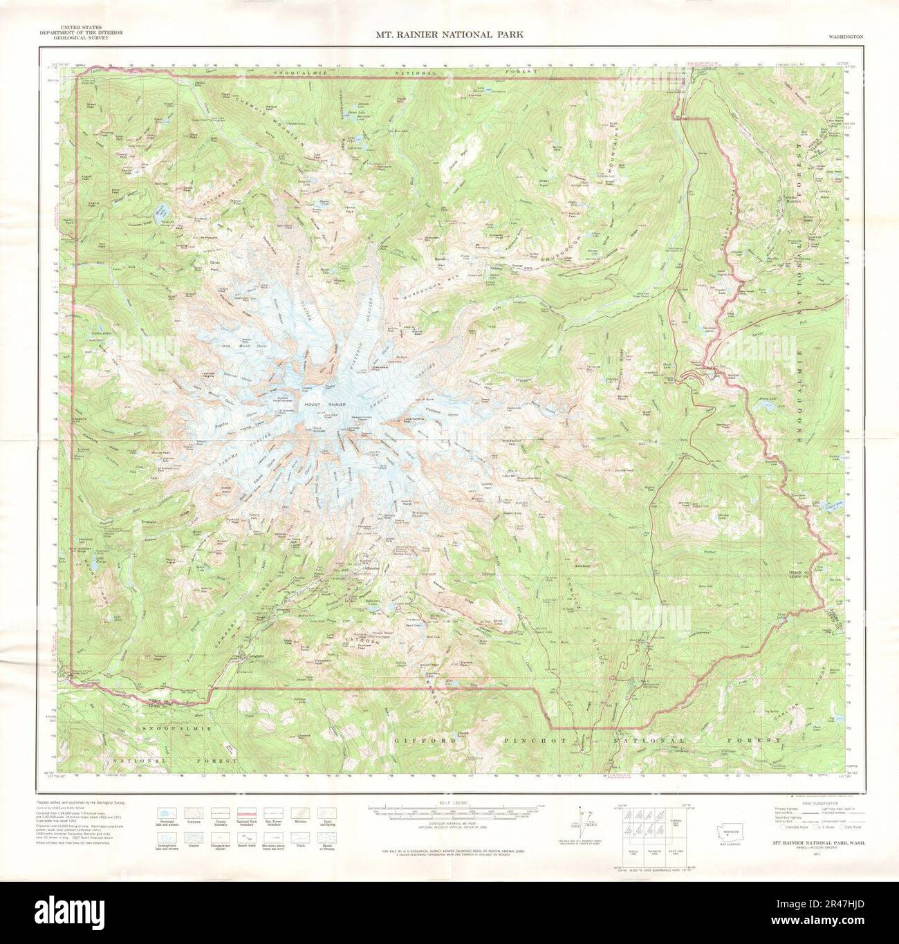 United States Geological Survey Map Mount Rainier, Published 1971 Stock Photohttps://www.alamy.com/image-license-details/?v=1https://www.alamy.com/united-states-geological-survey-map-mount-rainier-published-1971-image553357909.html
RM2R47HJD–United States Geological Survey Map Mount Rainier, Published 1971
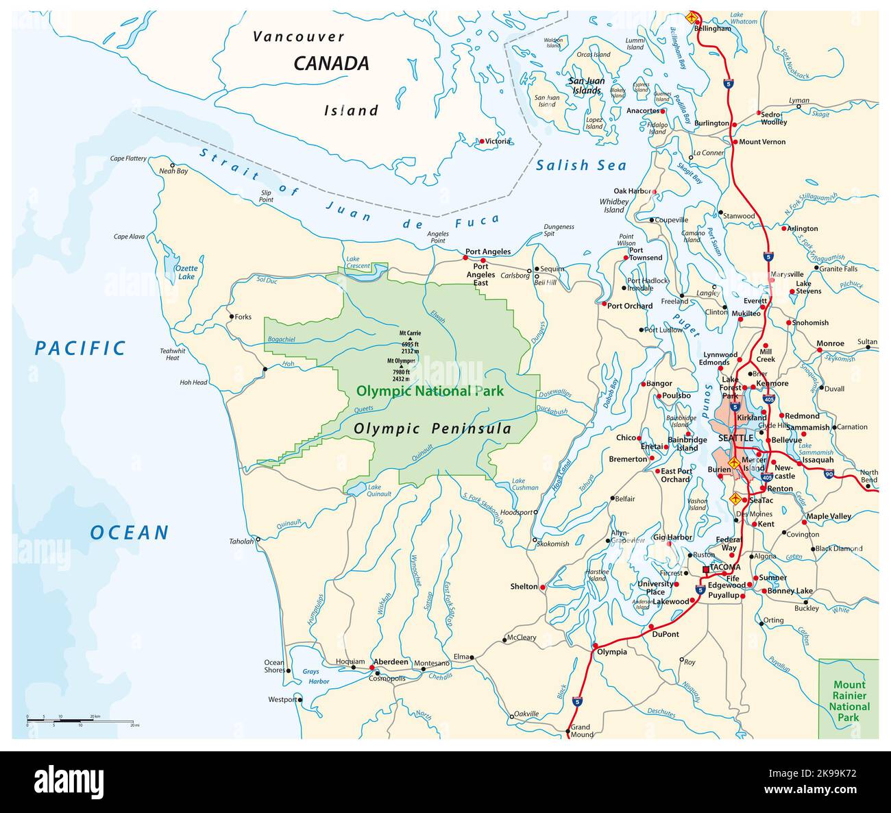 Map surrounding Olympic Peninsula and Greater Seattle, Washington, United States Stock Photohttps://www.alamy.com/image-license-details/?v=1https://www.alamy.com/map-surrounding-olympic-peninsula-and-greater-seattle-washington-united-states-image487634870.html
RF2K99K72–Map surrounding Olympic Peninsula and Greater Seattle, Washington, United States
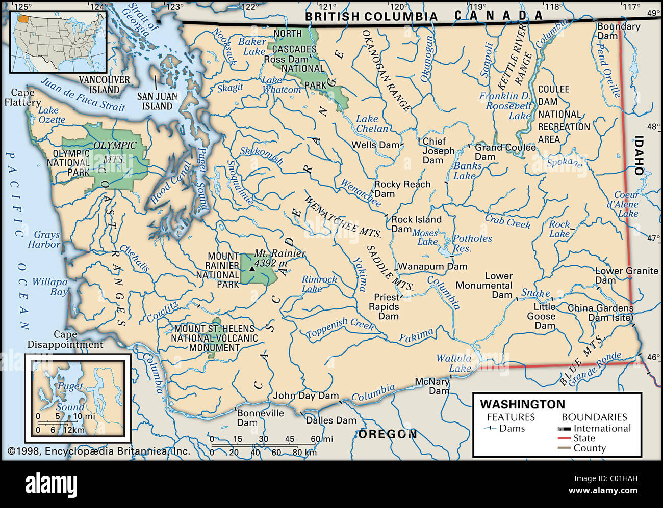 Map of Washington State Stock Photohttps://www.alamy.com/image-license-details/?v=1https://www.alamy.com/stock-photo-map-of-washington-state-34456313.html
RMC01HAH–Map of Washington State
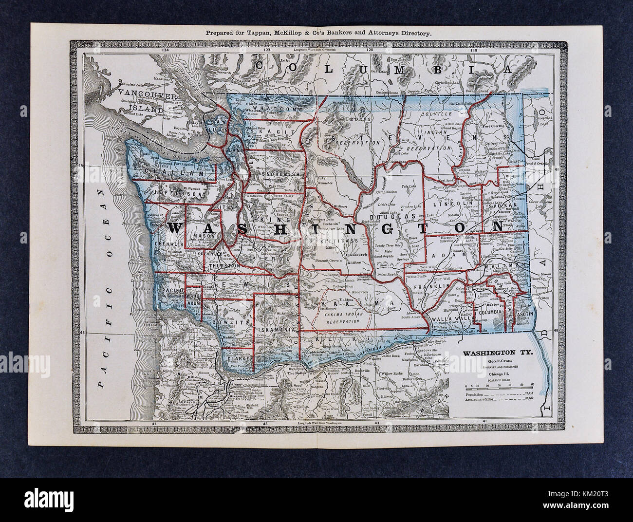 George Cram Antique Map from 1866 Atlas for Attorneys and Bankers: United States - Washington - Seattle Spokane Olympia Stock Photohttps://www.alamy.com/image-license-details/?v=1https://www.alamy.com/stock-image-george-cram-antique-map-from-1866-atlas-for-attorneys-and-bankers-167231011.html
RFKM20T3–George Cram Antique Map from 1866 Atlas for Attorneys and Bankers: United States - Washington - Seattle Spokane Olympia
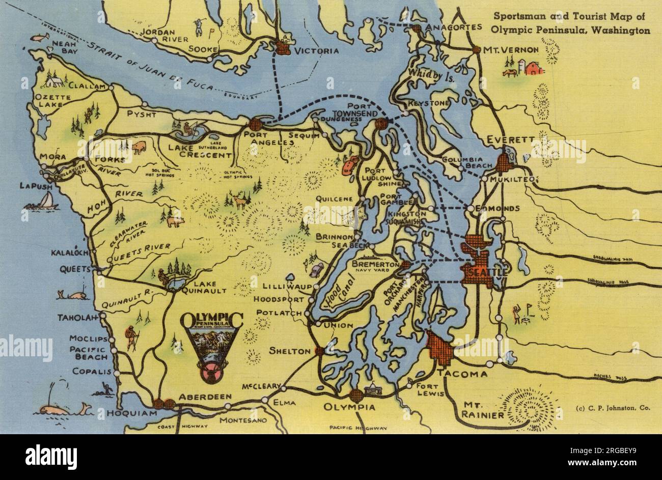 Map of Olympic Peninsula, Washington State, USA - for sports and tourism Stock Photohttps://www.alamy.com/image-license-details/?v=1https://www.alamy.com/map-of-olympic-peninsula-washington-state-usa-for-sports-and-tourism-image560819485.html
RM2RGBEY9–Map of Olympic Peninsula, Washington State, USA - for sports and tourism
 Mount Rainier model in the lobby of the Henry M Jackson memorial visitor Center, Paradise, Mt. Rainier National Park, Washington state, USA. Stock Photohttps://www.alamy.com/image-license-details/?v=1https://www.alamy.com/mount-rainier-model-in-the-lobby-of-the-henry-m-jackson-memorial-visitor-center-paradise-mt-rainier-national-park-washington-state-usa-image214328358.html
RFPCKE06–Mount Rainier model in the lobby of the Henry M Jackson memorial visitor Center, Paradise, Mt. Rainier National Park, Washington state, USA.
 Tipso Lake, Mount Rainier National Park, Washington State, USA; Hiker reading a map Stock Photohttps://www.alamy.com/image-license-details/?v=1https://www.alamy.com/stock-photo-tipso-lake-mount-rainier-national-park-washington-state-usa-hiker-23541024.html
RFBA8APT–Tipso Lake, Mount Rainier National Park, Washington State, USA; Hiker reading a map
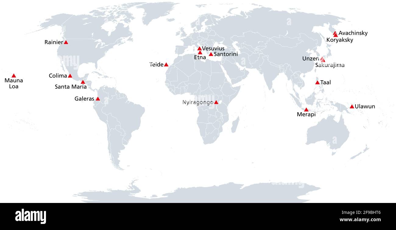 Map of the Decade Volcanoes. Volcanoes worthy of particular study of their history of large, destructive eruptions and proximity to populated areas. Stock Photohttps://www.alamy.com/image-license-details/?v=1https://www.alamy.com/map-of-the-decade-volcanoes-volcanoes-worthy-of-particular-study-of-their-history-of-large-destructive-eruptions-and-proximity-to-populated-areas-image418836214.html
RF2F9BHT6–Map of the Decade Volcanoes. Volcanoes worthy of particular study of their history of large, destructive eruptions and proximity to populated areas.
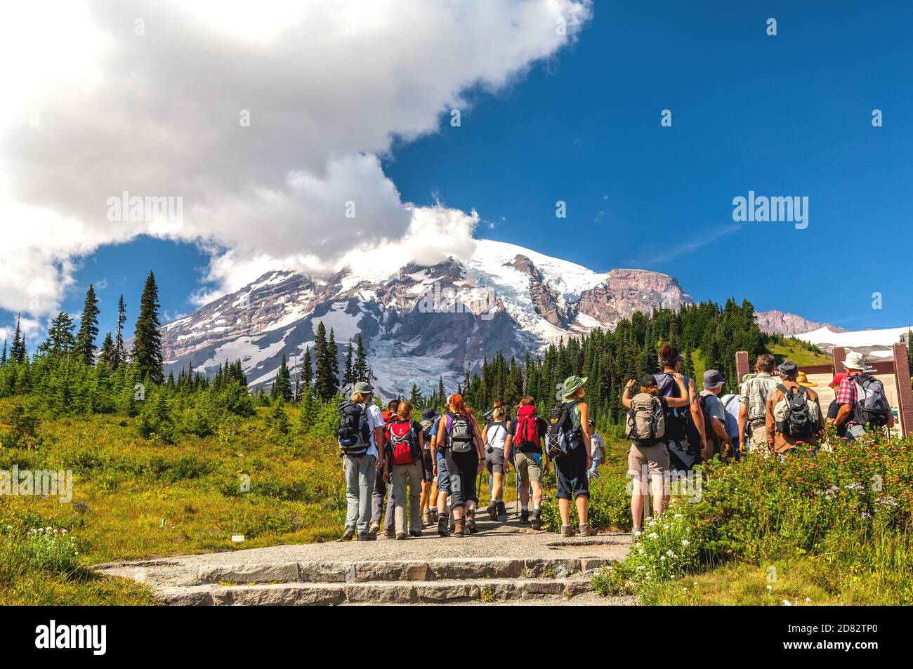 A group of hikers are checking the trail map before starting their hike in Mount Rainier National Park, Washington-USA. Stock Photohttps://www.alamy.com/image-license-details/?v=1https://www.alamy.com/a-group-of-hikers-are-checking-the-trail-map-before-starting-their-hike-in-mount-rainier-national-park-washington-usa-image383608680.html
RF2D82TP0–A group of hikers are checking the trail map before starting their hike in Mount Rainier National Park, Washington-USA.
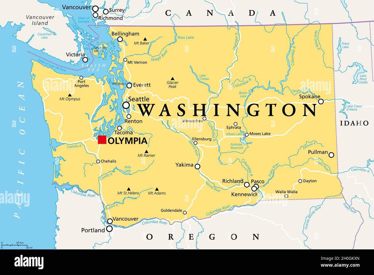 Washington, WA, political map with the capital Olympia. State in the Pacific Northwest region of the Western United States of America. Stock Photohttps://www.alamy.com/image-license-details/?v=1https://www.alamy.com/washington-wa-political-map-with-the-capital-olympia-state-in-the-pacific-northwest-region-of-the-western-united-states-of-america-image447836445.html
RF2H0GKXN–Washington, WA, political map with the capital Olympia. State in the Pacific Northwest region of the Western United States of America.
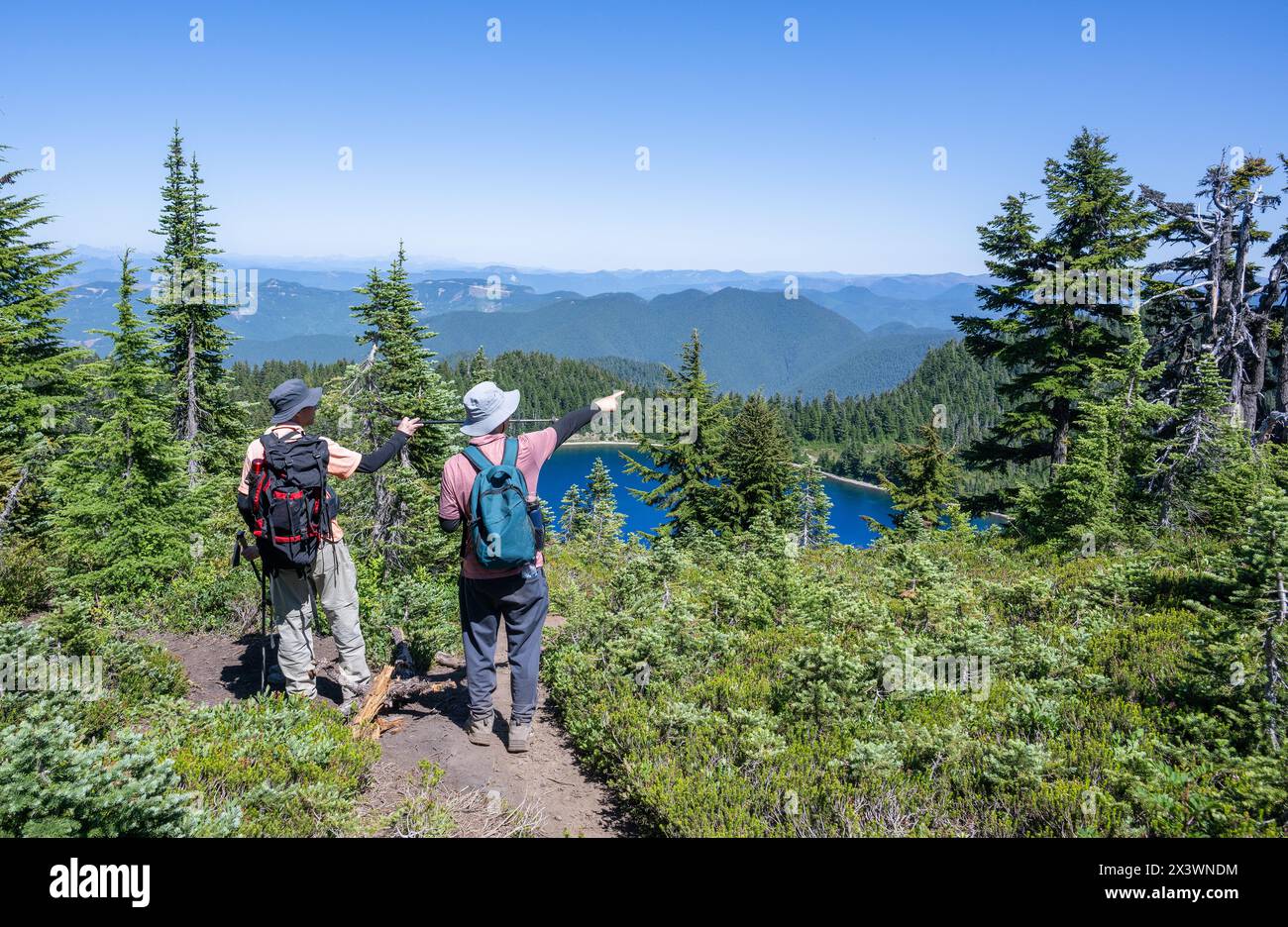 Two people pointing the direction of the Summit Lake trail. Mt Rainier National Park. Washington State. USA. Stock Photohttps://www.alamy.com/image-license-details/?v=1https://www.alamy.com/two-people-pointing-the-direction-of-the-summit-lake-trail-mt-rainier-national-park-washington-state-usa-image604772496.html
RF2X3WNDM–Two people pointing the direction of the Summit Lake trail. Mt Rainier National Park. Washington State. USA.
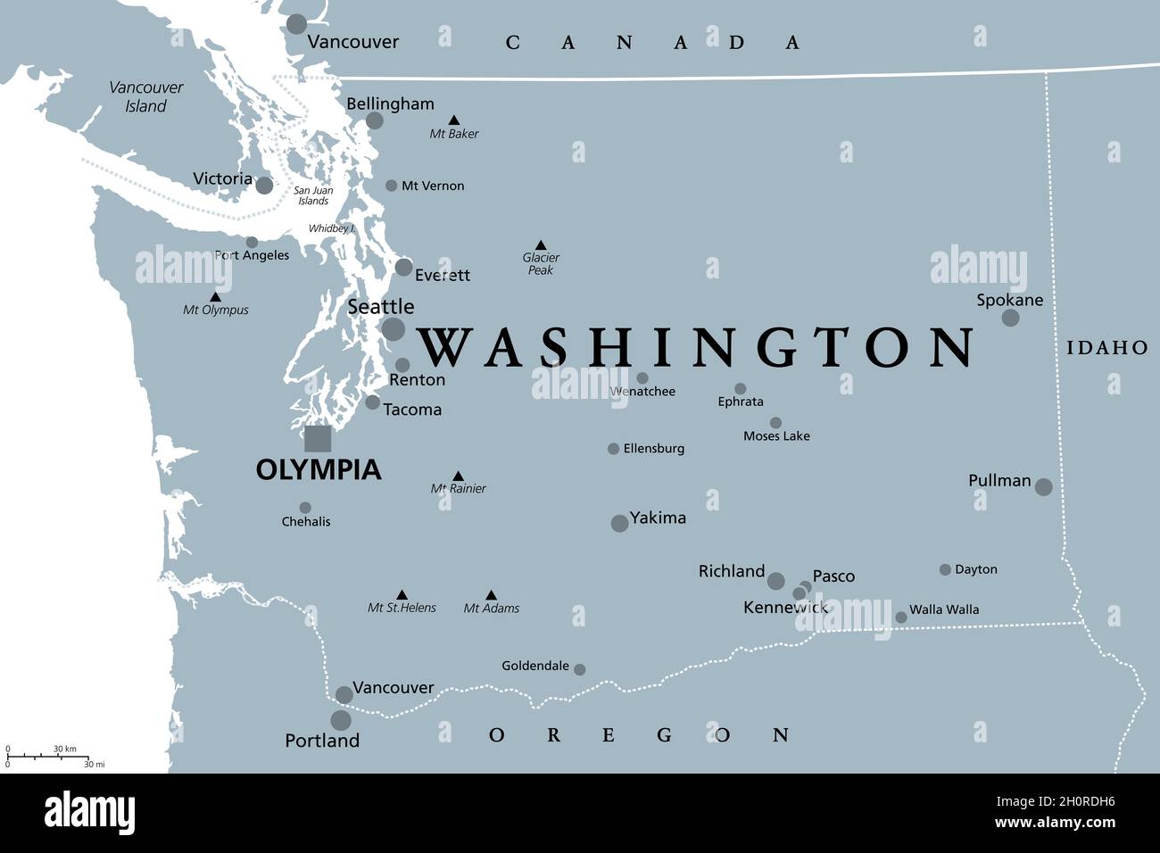 Washington, WA, gray political map, with capital Olympia. State in the Pacific Northwest region of the Western United States of America. Stock Photohttps://www.alamy.com/image-license-details/?v=1https://www.alamy.com/washington-wa-gray-political-map-with-capital-olympia-state-in-the-pacific-northwest-region-of-the-western-united-states-of-america-image447985138.html
RF2H0RDH6–Washington, WA, gray political map, with capital Olympia. State in the Pacific Northwest region of the Western United States of America.
 Man standing on rocks with arms raised. Paradise at sunset. Mount Rainier National Park. Washington State. USA. Stock Photohttps://www.alamy.com/image-license-details/?v=1https://www.alamy.com/man-standing-on-rocks-with-arms-raised-paradise-at-sunset-mount-rainier-national-park-washington-state-usa-image604771692.html
RF2X3WMD0–Man standing on rocks with arms raised. Paradise at sunset. Mount Rainier National Park. Washington State. USA.
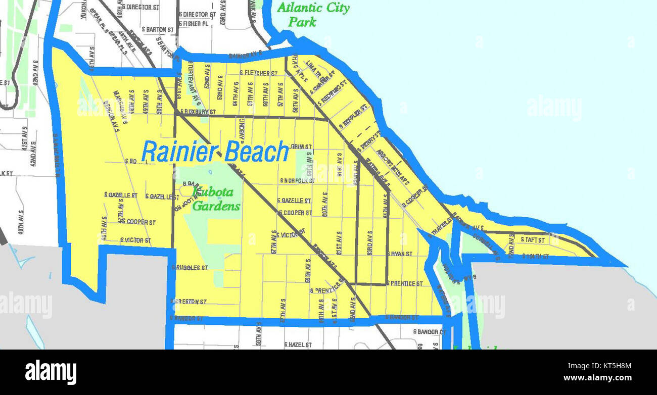 Seattle - Rainier Beach map Stock Photohttps://www.alamy.com/image-license-details/?v=1https://www.alamy.com/stock-image-seattle-rainier-beach-map-169768388.html
RMKT5H8M–Seattle - Rainier Beach map
 Hiker smiling and looking at the camera with Mount Rainier in the background. Summit Lake trail. Mt Rainier National Park. Washington State. Stock Photohttps://www.alamy.com/image-license-details/?v=1https://www.alamy.com/hiker-smiling-and-looking-at-the-camera-with-mount-rainier-in-the-background-summit-lake-trail-mt-rainier-national-park-washington-state-image604772265.html
RF2X3WN5D–Hiker smiling and looking at the camera with Mount Rainier in the background. Summit Lake trail. Mt Rainier National Park. Washington State.
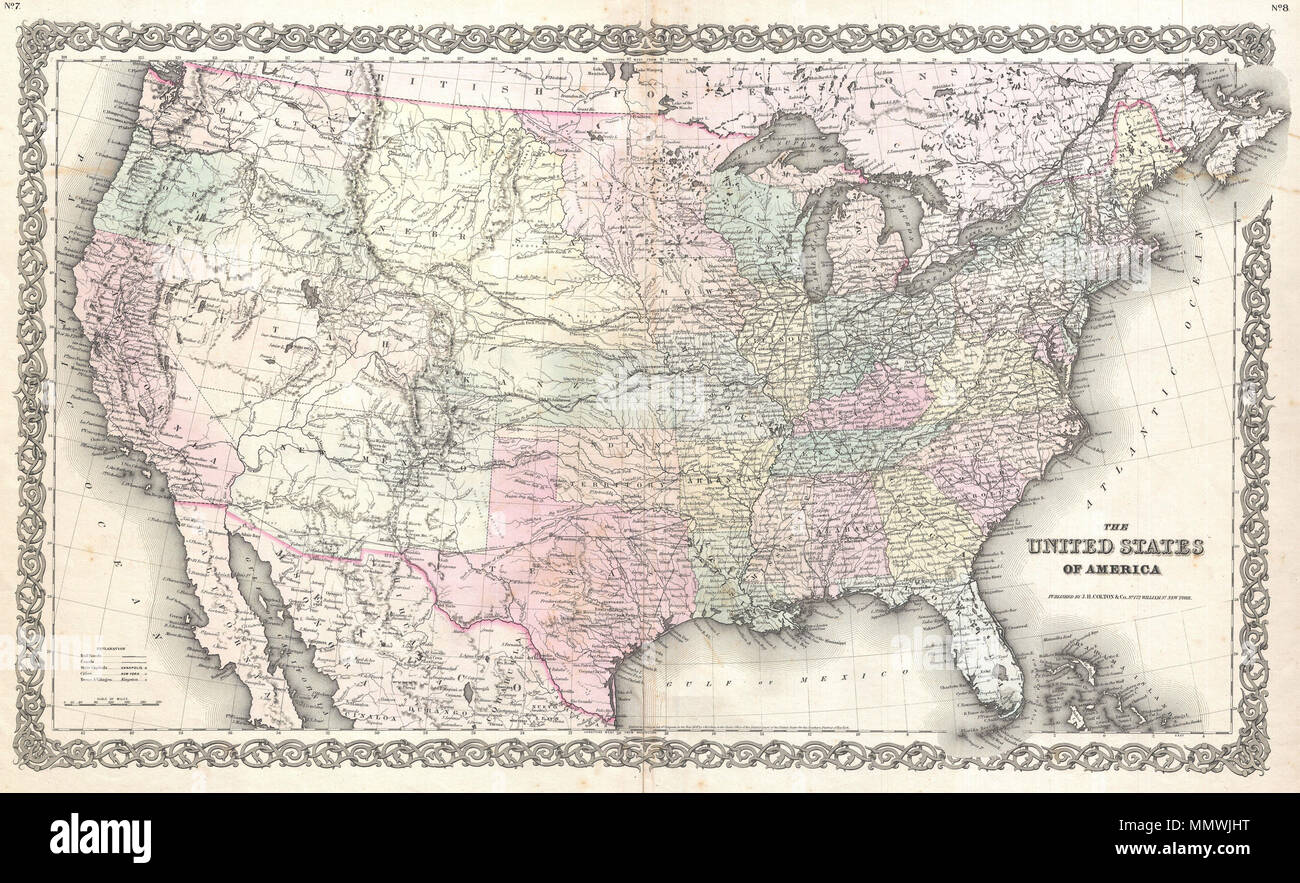 . English: An excellent first edition example of Colton's rare map of the United States. Covers the United States from Coast to coast and shows a very early configuration of the Transmississippi. Nebraska is shown at its fullest, extending from Kansas to the Canadian border. Montana, Wyoming, Idaho, Arizona, Colorado, West Virginia, and Nevada do not yet appear on the map. Identifies Pikes Peak, Fremont's Peak, Mt. Rainier, Mt. St. Helens, and the Three Tetons. Also identifies the paths taken by various important explores including Fremont and Humboldt. Indicates the three major proposed rout Stock Photohttps://www.alamy.com/image-license-details/?v=1https://www.alamy.com/english-an-excellent-first-edition-example-of-coltons-rare-map-of-the-united-states-covers-the-united-states-from-coast-to-coast-and-shows-a-very-early-configuration-of-the-transmississippi-nebraska-is-shown-at-its-fullest-extending-from-kansas-to-the-canadian-border-montana-wyoming-idaho-arizona-colorado-west-virginia-and-nevada-do-not-yet-appear-on-the-map-identifies-pikes-peak-fremonts-peak-mt-rainier-mt-st-helens-and-the-three-tetons-also-identifies-the-paths-taken-by-various-important-explores-including-fremont-and-humboldt-indicates-the-three-major-proposed-rout-image184960212.html
RMMMWJHT–. English: An excellent first edition example of Colton's rare map of the United States. Covers the United States from Coast to coast and shows a very early configuration of the Transmississippi. Nebraska is shown at its fullest, extending from Kansas to the Canadian border. Montana, Wyoming, Idaho, Arizona, Colorado, West Virginia, and Nevada do not yet appear on the map. Identifies Pikes Peak, Fremont's Peak, Mt. Rainier, Mt. St. Helens, and the Three Tetons. Also identifies the paths taken by various important explores including Fremont and Humboldt. Indicates the three major proposed rout
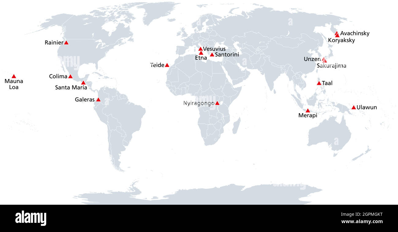 Map of the Decade Volcanoes Stock Vectorhttps://www.alamy.com/image-license-details/?v=1https://www.alamy.com/map-of-the-decade-volcanoes-image444233772.html
RF2GPMGKT–Map of the Decade Volcanoes
 Rainier View, King County, US, United States, Washington, N 47 30' 7'', S 122 15' 29'', map, Cartascapes Map published in 2024. Explore Cartascapes, a map revealing Earth's diverse landscapes, cultures, and ecosystems. Journey through time and space, discovering the interconnectedness of our planet's past, present, and future. Stock Photohttps://www.alamy.com/image-license-details/?v=1https://www.alamy.com/rainier-view-king-county-us-united-states-washington-n-47-30-7-s-122-15-29-map-cartascapes-map-published-in-2024-explore-cartascapes-a-map-revealing-earths-diverse-landscapes-cultures-and-ecosystems-journey-through-time-and-space-discovering-the-interconnectedness-of-our-planets-past-present-and-future-image621296772.html
RM2Y2PEAC–Rainier View, King County, US, United States, Washington, N 47 30' 7'', S 122 15' 29'', map, Cartascapes Map published in 2024. Explore Cartascapes, a map revealing Earth's diverse landscapes, cultures, and ecosystems. Journey through time and space, discovering the interconnectedness of our planet's past, present, and future.
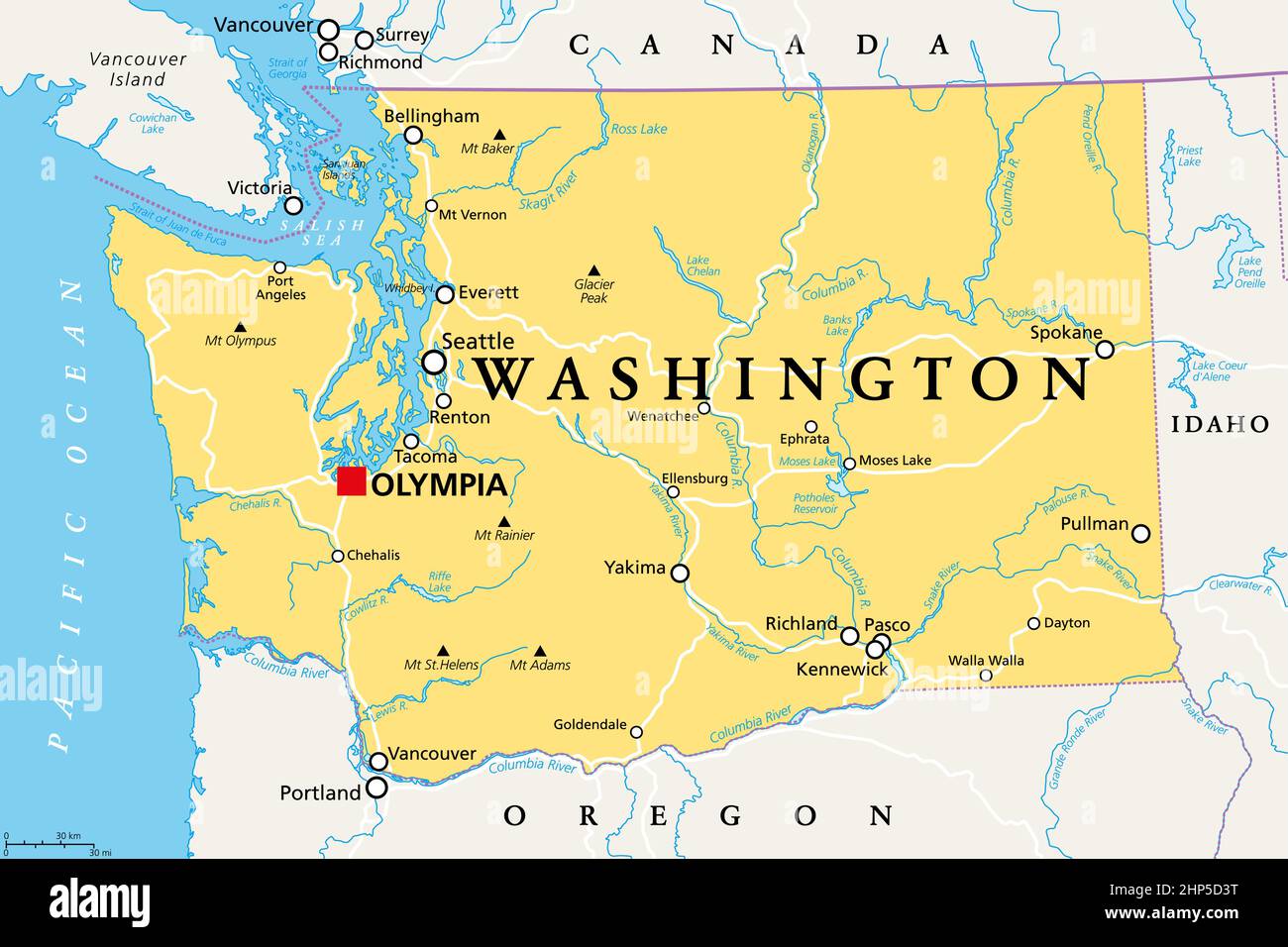 Washington, WA, political map, US state, The Evergreen State Stock Vectorhttps://www.alamy.com/image-license-details/?v=1https://www.alamy.com/washington-wa-political-map-us-state-the-evergreen-state-image461112060.html
RF2HP5D3T–Washington, WA, political map, US state, The Evergreen State
 Hikers look at map of trails around Mount Rainier in Mount Rainier National Park Washington State Stock Photohttps://www.alamy.com/image-license-details/?v=1https://www.alamy.com/hikers-look-at-map-of-trails-around-mount-rainier-in-mount-rainier-image5121894.html
RMAP5Y67–Hikers look at map of trails around Mount Rainier in Mount Rainier National Park Washington State
 Washington, WA, gray political map, US state, The Evergreen State Stock Vectorhttps://www.alamy.com/image-license-details/?v=1https://www.alamy.com/washington-wa-gray-political-map-us-state-the-evergreen-state-image461114491.html
RF2HP5G6K–Washington, WA, gray political map, US state, The Evergreen State
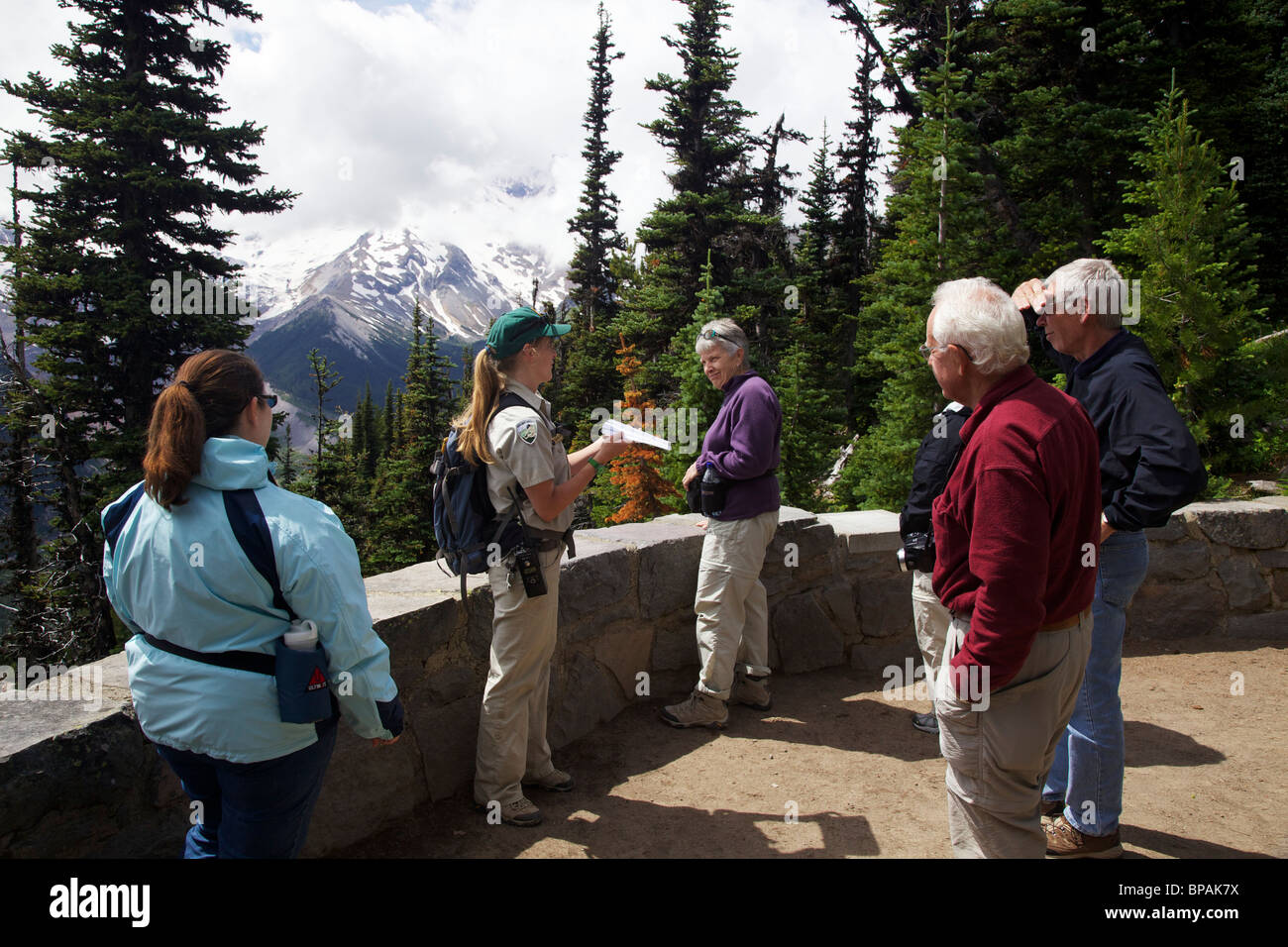 A young ranger naturalist describes the geology of Mount Rainier. Sunrise area Stock Photohttps://www.alamy.com/image-license-details/?v=1https://www.alamy.com/stock-photo-a-young-ranger-naturalist-describes-the-geology-of-mount-rainier-sunrise-30967438.html
RFBPAK7X–A young ranger naturalist describes the geology of Mount Rainier. Sunrise area
 The peak of Mount Rainier in the Mount Rainier National Park, Washington Stock Photohttps://www.alamy.com/image-license-details/?v=1https://www.alamy.com/the-peak-of-mount-rainier-in-the-mount-rainier-national-park-washington-image454840268.html
RF2HBYNB8–The peak of Mount Rainier in the Mount Rainier National Park, Washington
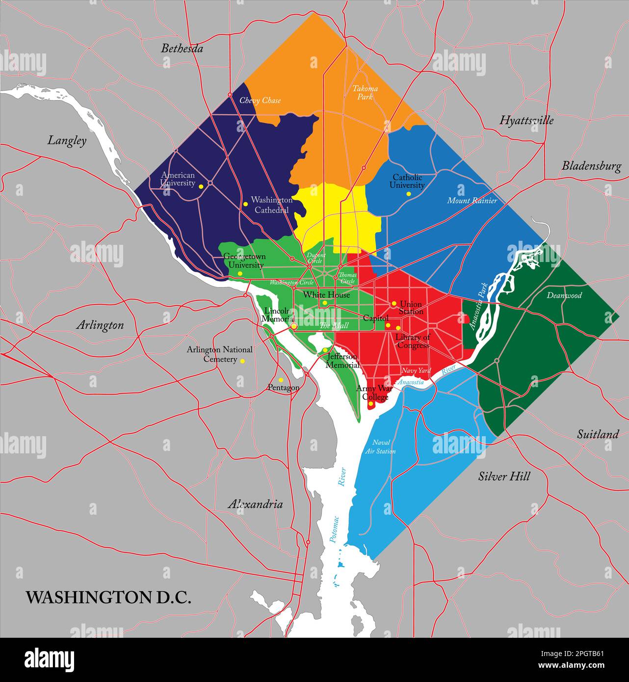 Highly detailed vector map of Washington D.C. with the eight wards,metropolitan area and main roads. Stock Vectorhttps://www.alamy.com/image-license-details/?v=1https://www.alamy.com/highly-detailed-vector-map-of-washington-dc-with-the-eight-wardsmetropolitan-area-and-main-roads-image543891545.html
RF2PGTB61–Highly detailed vector map of Washington D.C. with the eight wards,metropolitan area and main roads.
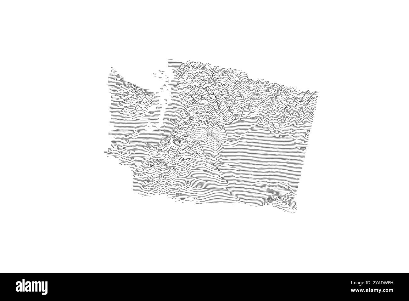 Washington ridgeline map showcasing diverse topography from Pacific Coast to Cascade Range and Columbia Plateau Stock Vectorhttps://www.alamy.com/image-license-details/?v=1https://www.alamy.com/washington-ridgeline-map-showcasing-diverse-topography-from-pacific-coast-to-cascade-range-and-columbia-plateau-image626025221.html
RF2YADWFH–Washington ridgeline map showcasing diverse topography from Pacific Coast to Cascade Range and Columbia Plateau
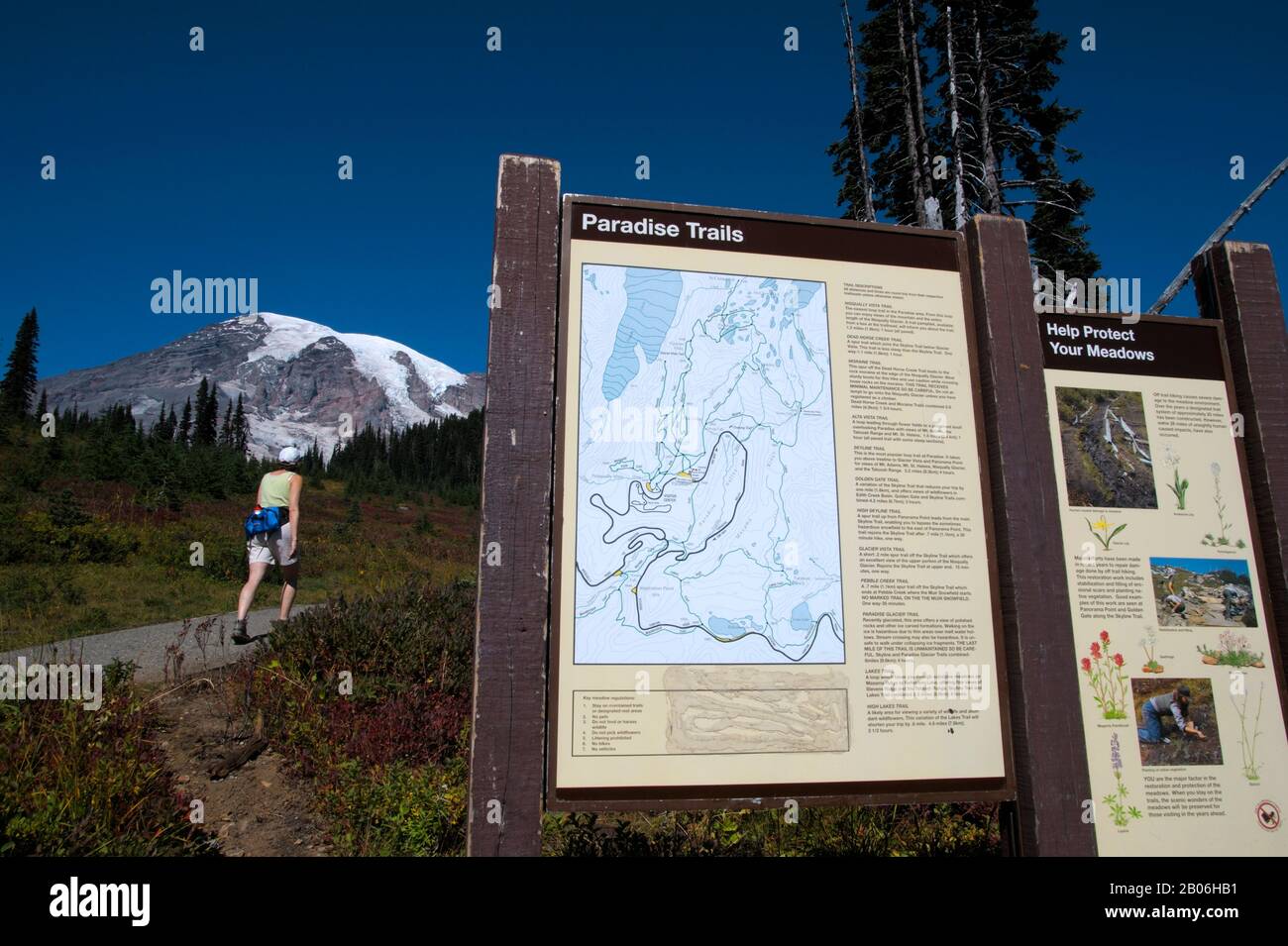 USA, WASHINGTON STATE, MOUNT RAINIER NATIONAL PARK, PARADISE, TRAIL MAP Stock Photohttps://www.alamy.com/image-license-details/?v=1https://www.alamy.com/usa-washington-state-mount-rainier-national-park-paradise-trail-map-image344352709.html
RM2B06HB1–USA, WASHINGTON STATE, MOUNT RAINIER NATIONAL PARK, PARADISE, TRAIL MAP
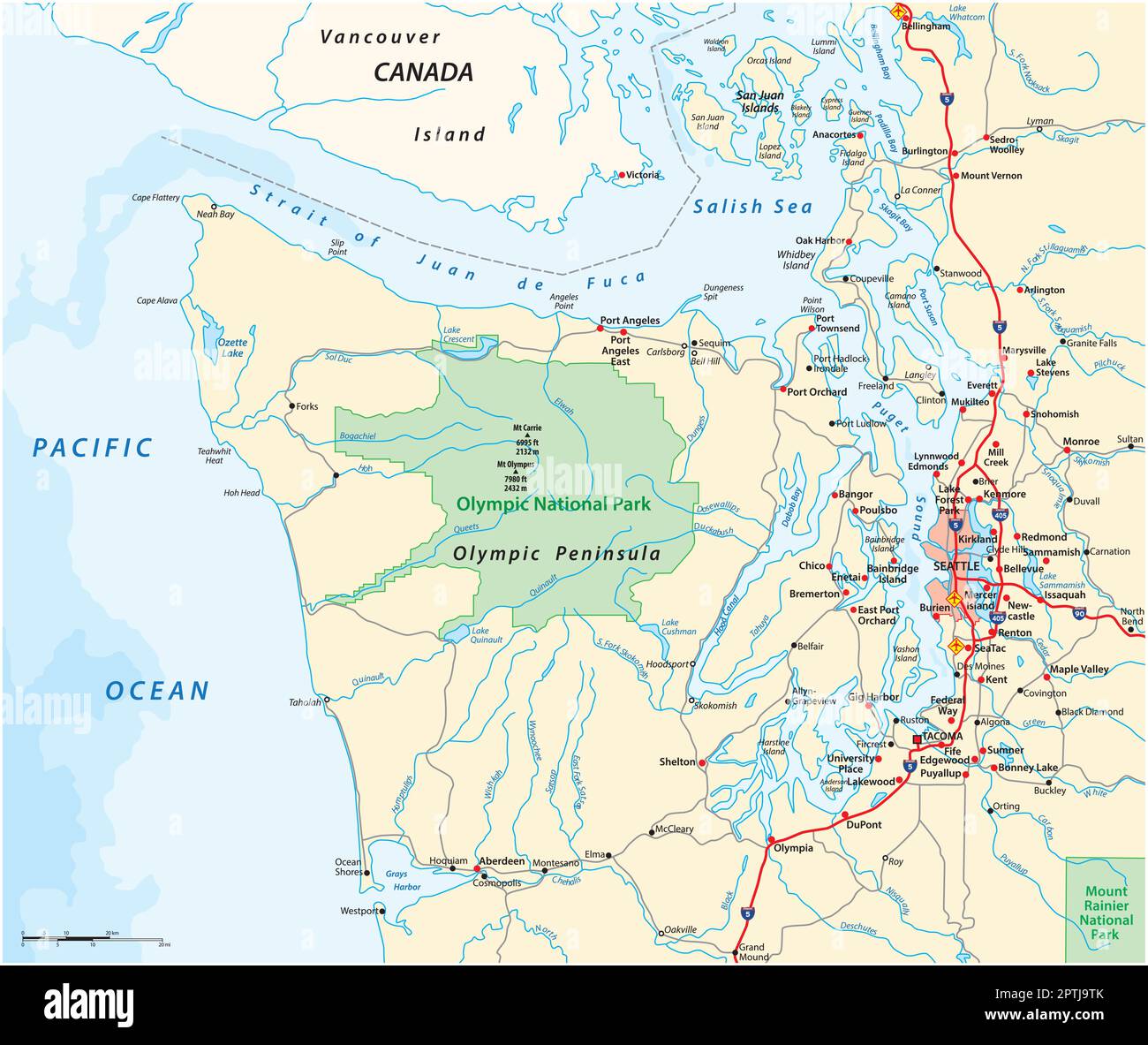 Map surrounding Olympic Peninsula and Greater Seattle, Washington, United States Stock Vectorhttps://www.alamy.com/image-license-details/?v=1https://www.alamy.com/map-surrounding-olympic-peninsula-and-greater-seattle-washington-united-states-image548676035.html
RF2PTJ9TK–Map surrounding Olympic Peninsula and Greater Seattle, Washington, United States
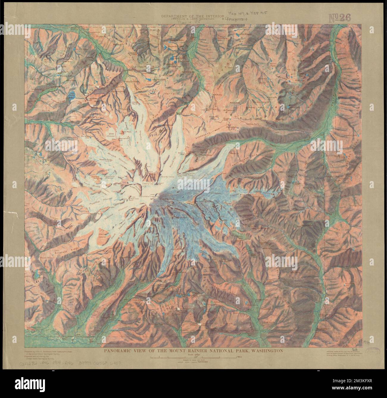 Panoramic view of the Mount Rainier National Park, Washington , Mount Rainier National Park Wash., Maps, 1914 Norman B. Leventhal Map Center Collection Stock Photohttps://www.alamy.com/image-license-details/?v=1https://www.alamy.com/panoramic-view-of-the-mount-rainier-national-park-washington-mount-rainier-national-park-wash-maps-1914-norman-b-leventhal-map-center-collection-image501374239.html
RM2M3KFXR–Panoramic view of the Mount Rainier National Park, Washington , Mount Rainier National Park Wash., Maps, 1914 Norman B. Leventhal Map Center Collection
 Architectural site plan of the 1962 Seattle World's Fair in a tourist brochure Stock Photohttps://www.alamy.com/image-license-details/?v=1https://www.alamy.com/stock-photo-architectural-site-plan-of-the-1962-seattle-worlds-fair-in-a-tourist-104023137.html
RMG16JG1–Architectural site plan of the 1962 Seattle World's Fair in a tourist brochure
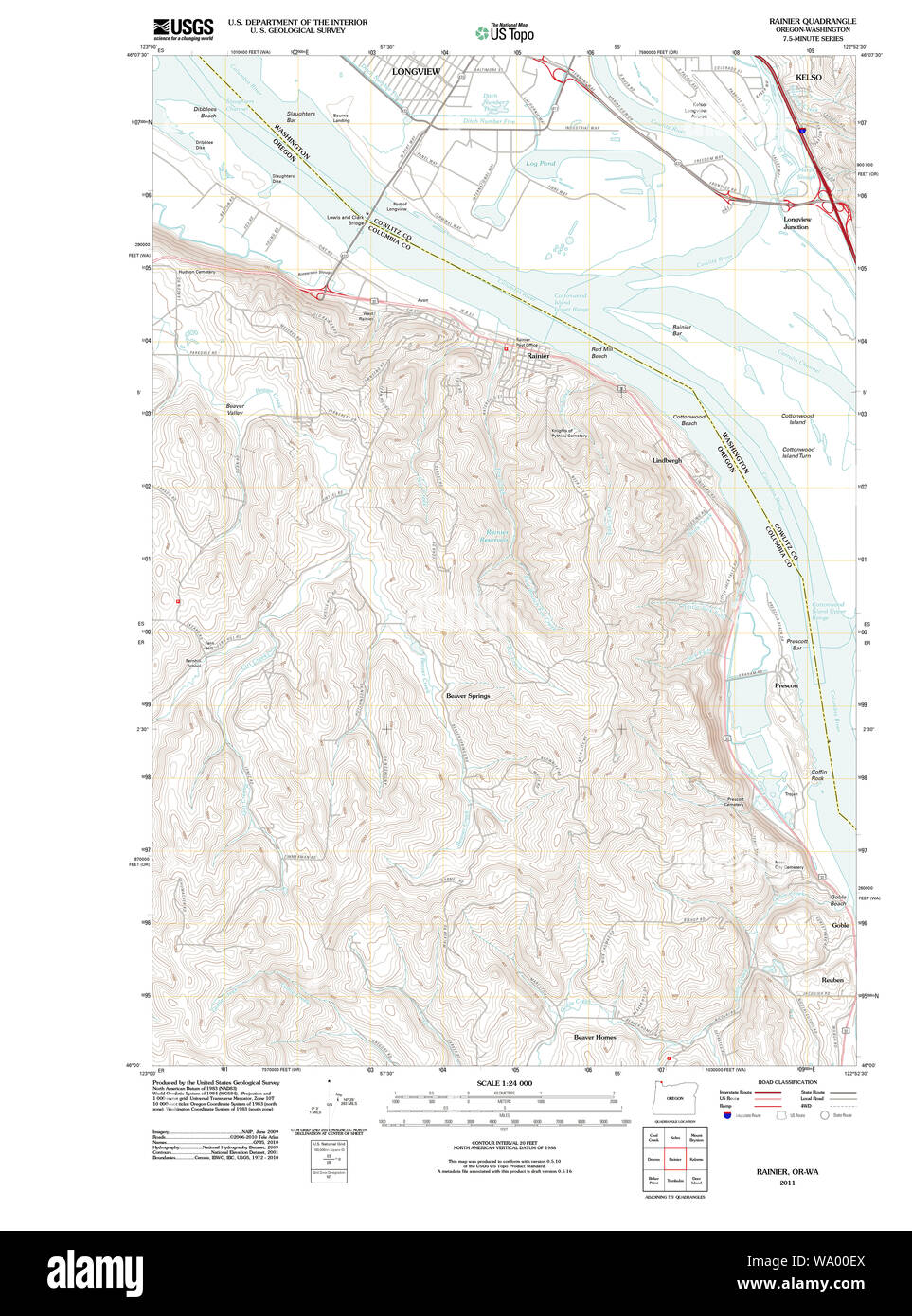 USGS Topo Map Oregon Rainier 20110914 TM Restoration Stock Photohttps://www.alamy.com/image-license-details/?v=1https://www.alamy.com/usgs-topo-map-oregon-rainier-20110914-tm-restoration-image264302498.html
RMWA00EX–USGS Topo Map Oregon Rainier 20110914 TM Restoration
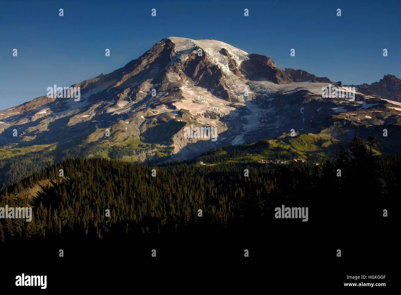 Mount Rainier, Washington Stock Photohttps://www.alamy.com/image-license-details/?v=1https://www.alamy.com/stock-photo-mount-rainier-washington-130737167.html
RFHGKGGF–Mount Rainier, Washington
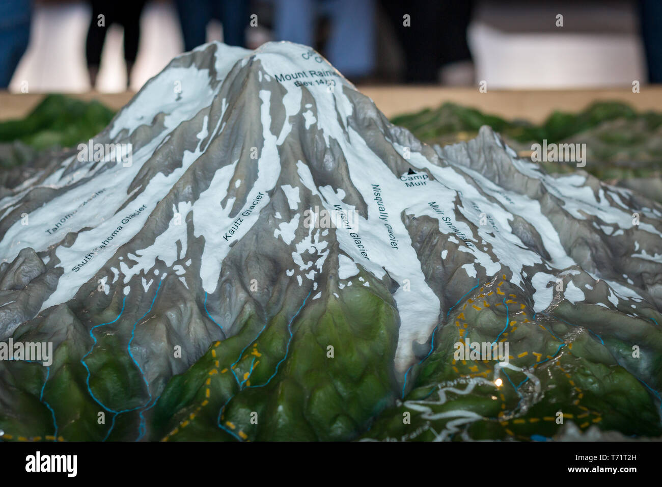 A model of Mt Rainier at the welcome center is labeled with the various glacier names. Stock Photohttps://www.alamy.com/image-license-details/?v=1https://www.alamy.com/a-model-of-mt-rainier-at-the-welcome-center-is-labeled-with-the-various-glacier-names-image245288585.html
RMT71T2H–A model of Mt Rainier at the welcome center is labeled with the various glacier names.
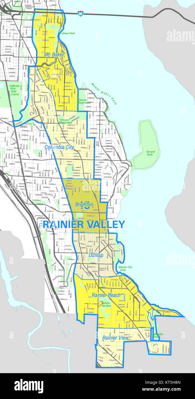 Seattle - Rainier Valley map Stock Photohttps://www.alamy.com/image-license-details/?v=1https://www.alamy.com/stock-image-seattle-rainier-valley-map-169768389.html
RMKT5H8N–Seattle - Rainier Valley map
 Couple driving on the gravel road to the trailhead of Summit Lake Trail. Mt Rainier National Park. Washington State. USA. Stock Photohttps://www.alamy.com/image-license-details/?v=1https://www.alamy.com/couple-driving-on-the-gravel-road-to-the-trailhead-of-summit-lake-trail-mt-rainier-national-park-washington-state-usa-image604771994.html
RF2X3WMRP–Couple driving on the gravel road to the trailhead of Summit Lake Trail. Mt Rainier National Park. Washington State. USA.
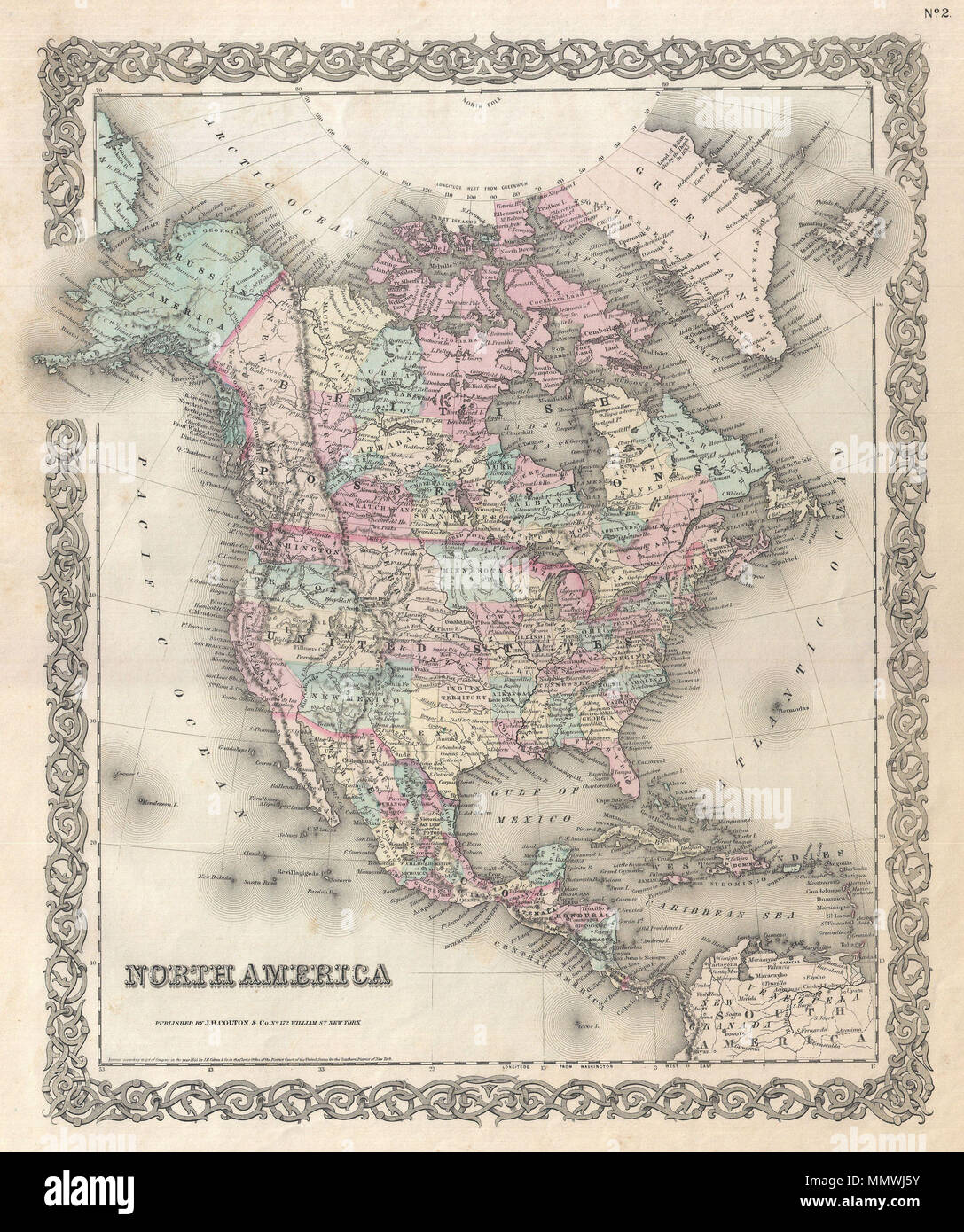 . English: An excellent first edition example of Colton's rare map of North America. Covers the continent from South America to the Arctic, inclusive of the United States, Canada, Mexico, Central America and the West Indies. The United States portion of this map contains a early territorial configuration of the Transmississippi. Nebraska is shown at its fullest, extending from Kansas to the Canadian border. Montana, Wyoming, Idaho, Arizona, Colorado, West Virginia, and Nevada do not yet appear on the map. Notes Russian claims to Alaska. Identifies Pikes Peak, Fremont's Peak, Mt. Rainier, Mt. Stock Photohttps://www.alamy.com/image-license-details/?v=1https://www.alamy.com/english-an-excellent-first-edition-example-of-coltons-rare-map-of-north-america-covers-the-continent-from-south-america-to-the-arctic-inclusive-of-the-united-states-canada-mexico-central-america-and-the-west-indies-the-united-states-portion-of-this-map-contains-a-early-territorial-configuration-of-the-transmississippi-nebraska-is-shown-at-its-fullest-extending-from-kansas-to-the-canadian-border-montana-wyoming-idaho-arizona-colorado-west-virginia-and-nevada-do-not-yet-appear-on-the-map-notes-russian-claims-to-alaska-identifies-pikes-peak-fremonts-peak-mt-rainier-mt-image184959879.html
RMMMWJ5Y–. English: An excellent first edition example of Colton's rare map of North America. Covers the continent from South America to the Arctic, inclusive of the United States, Canada, Mexico, Central America and the West Indies. The United States portion of this map contains a early territorial configuration of the Transmississippi. Nebraska is shown at its fullest, extending from Kansas to the Canadian border. Montana, Wyoming, Idaho, Arizona, Colorado, West Virginia, and Nevada do not yet appear on the map. Notes Russian claims to Alaska. Identifies Pikes Peak, Fremont's Peak, Mt. Rainier, Mt.
 Couple driving towards the trailhead of Skyline loop trail. Mt Rainier National Park. Washington State. USA. Stock Photohttps://www.alamy.com/image-license-details/?v=1https://www.alamy.com/couple-driving-towards-the-trailhead-of-skyline-loop-trail-mt-rainier-national-park-washington-state-usa-image594622301.html
RF2WFBAPN–Couple driving towards the trailhead of Skyline loop trail. Mt Rainier National Park. Washington State. USA.
 Mount Rainier, Prince George's County, US, United States, Maryland, N 38 56' 29'', S 76 57' 53'', map, Cartascapes Map published in 2024. Explore Cartascapes, a map revealing Earth's diverse landscapes, cultures, and ecosystems. Journey through time and space, discovering the interconnectedness of our planet's past, present, and future. Stock Photohttps://www.alamy.com/image-license-details/?v=1https://www.alamy.com/mount-rainier-prince-georges-county-us-united-states-maryland-n-38-56-29-s-76-57-53-map-cartascapes-map-published-in-2024-explore-cartascapes-a-map-revealing-earths-diverse-landscapes-cultures-and-ecosystems-journey-through-time-and-space-discovering-the-interconnectedness-of-our-planets-past-present-and-future-image621427899.html
RM2Y30DHF–Mount Rainier, Prince George's County, US, United States, Maryland, N 38 56' 29'', S 76 57' 53'', map, Cartascapes Map published in 2024. Explore Cartascapes, a map revealing Earth's diverse landscapes, cultures, and ecosystems. Journey through time and space, discovering the interconnectedness of our planet's past, present, and future.
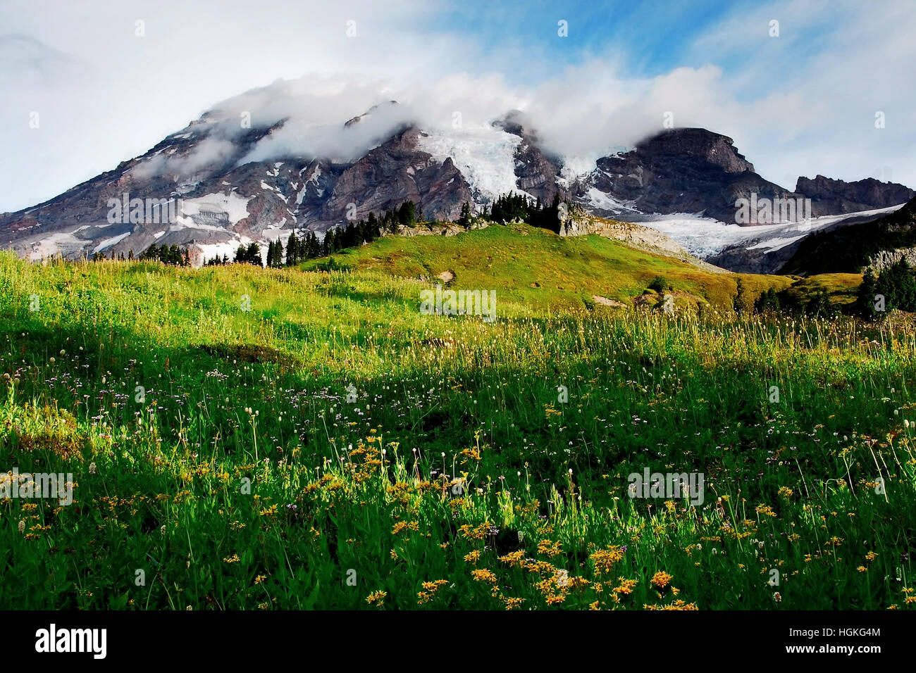 Mount Rainier, Washington Stock Photohttps://www.alamy.com/image-license-details/?v=1https://www.alamy.com/stock-photo-mount-rainier-washington-130736836.html
RFHGKG4M–Mount Rainier, Washington
 Father and son hikers look at map of trails around Mount Rainier in Mount Rainier National Park Washington State Stock Photohttps://www.alamy.com/image-license-details/?v=1https://www.alamy.com/father-and-son-hikers-look-at-map-of-trails-around-mount-rainier-in-image5121893.html
RMAP5Y66–Father and son hikers look at map of trails around Mount Rainier in Mount Rainier National Park Washington State
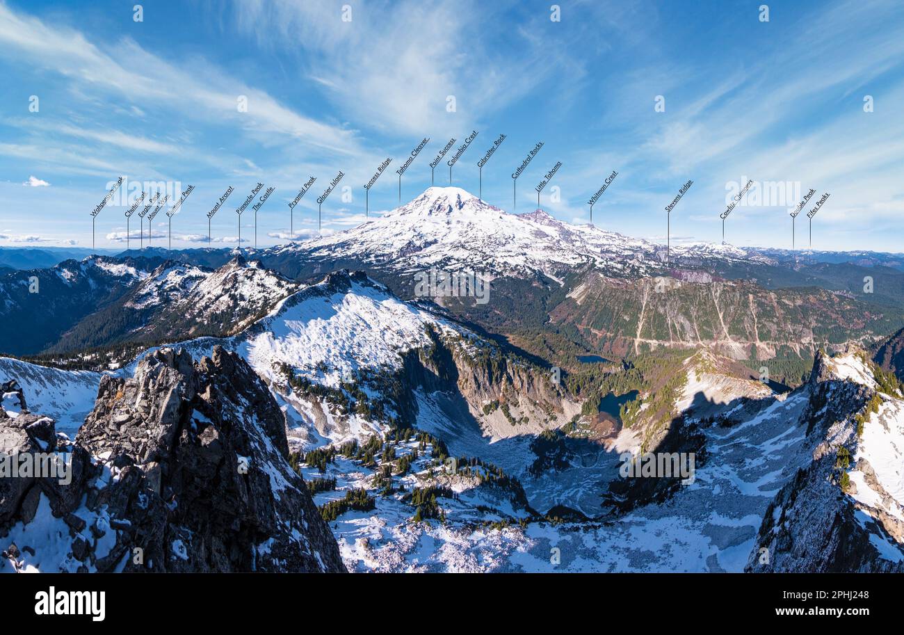 A Labeled Panorama of Mr Rainier and the Surrounding Peaks. Mt Rainier National Park, Washington Stock Photohttps://www.alamy.com/image-license-details/?v=1https://www.alamy.com/a-labeled-panorama-of-mr-rainier-and-the-surrounding-peaks-mt-rainier-national-park-washington-image544367384.html
RF2PHJ248–A Labeled Panorama of Mr Rainier and the Surrounding Peaks. Mt Rainier National Park, Washington
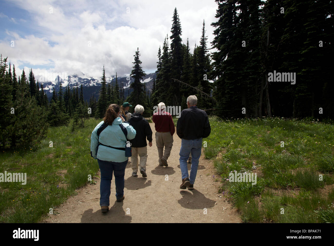 Park visitors on guided nature hike. Sunrise area. Mount Rainier National Park, Washington. Stock Photohttps://www.alamy.com/image-license-details/?v=1https://www.alamy.com/stock-photo-park-visitors-on-guided-nature-hike-sunrise-area-mount-rainier-national-30967413.html
RFBPAK71–Park visitors on guided nature hike. Sunrise area. Mount Rainier National Park, Washington.
 The peak of Mount Rainier in the Mount Rainier National Park, Washington Stock Photohttps://www.alamy.com/image-license-details/?v=1https://www.alamy.com/the-peak-of-mount-rainier-in-the-mount-rainier-national-park-washington-image454840282.html
RF2HBYNBP–The peak of Mount Rainier in the Mount Rainier National Park, Washington
 Mount Rainier National Park, USA outdoor adventure rustet mtal sign illustration Stock Vectorhttps://www.alamy.com/image-license-details/?v=1https://www.alamy.com/mount-rainier-national-park-usa-outdoor-adventure-rustet-mtal-sign-illustration-image339711062.html
RF2AMK4WX–Mount Rainier National Park, USA outdoor adventure rustet mtal sign illustration
 Man driving on the windy road in Mt Rainier National Park. Washington. USA. Stock Photohttps://www.alamy.com/image-license-details/?v=1https://www.alamy.com/man-driving-on-the-windy-road-in-mt-rainier-national-park-washington-usa-image605633293.html
RF2X58YCD–Man driving on the windy road in Mt Rainier National Park. Washington. USA.
 NOAA Ship Rainier Stock Photohttps://www.alamy.com/image-license-details/?v=1https://www.alamy.com/stock-photo-noaa-ship-rainier-53891472.html
RMD3JY3C–NOAA Ship Rainier
 Shallow depth of field focus on geographical map location of Mount Rainier in United States North America continent on atlas Stock Photohttps://www.alamy.com/image-license-details/?v=1https://www.alamy.com/shallow-depth-of-field-focus-on-geographical-map-location-of-mount-rainier-in-united-states-north-america-continent-on-atlas-image384590079.html
RF2D9KGFY–Shallow depth of field focus on geographical map location of Mount Rainier in United States North America continent on atlas
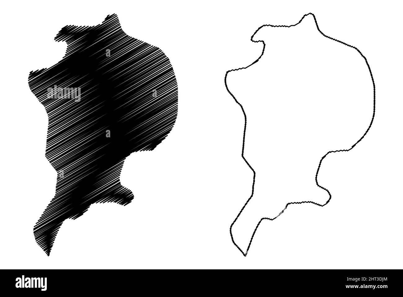 Arthur island (Russia, Russian Federation, Franz Josef Land archipelago) map vector illustration, scribble sketch Rainier or Ostrov Artura map Stock Vectorhttps://www.alamy.com/image-license-details/?v=1https://www.alamy.com/arthur-island-russia-russian-federation-franz-josef-land-archipelago-map-vector-illustration-scribble-sketch-rainier-or-ostrov-artura-map-image462297884.html
RF2HT3DJM–Arthur island (Russia, Russian Federation, Franz Josef Land archipelago) map vector illustration, scribble sketch Rainier or Ostrov Artura map
 Review of reviews and world's work . MAP SHOWIXG LOCATIOX OF THE XATIOXAL PARKSOF THE NORTHWEST. GIBRALTAR. (. Striking landmark on tlie route of ascent of Mt.Rainier.) The Grand Canyon and the Petrified Forestin Arizona, and the Natural Bridges inUtah are the most notable of the nationalmonuments; of the national parks the Yel-lowstone, the Yosemite, and the MountRainier are the best known. The Secretaryof the Interior is the federal officer chargedwith the administration of these nationalreservations, and Congress makes annual ap-propriations for their maintenance, those forthe current year Stock Photohttps://www.alamy.com/image-license-details/?v=1https://www.alamy.com/review-of-reviews-and-worlds-work-map-showixg-locatiox-of-the-xatioxal-parksof-the-northwest-gibraltar-striking-landmark-on-tlie-route-of-ascent-of-mtrainier-the-grand-canyon-and-the-petrified-forestin-arizona-and-the-natural-bridges-inutah-are-the-most-notable-of-the-nationalmonuments-of-the-national-parks-the-yel-lowstone-the-yosemite-and-the-mountrainier-are-the-best-known-the-secretaryof-the-interior-is-the-federal-officer-chargedwith-the-administration-of-these-nationalreservations-and-congress-makes-annual-ap-propriations-for-their-maintenance-those-forthe-current-year-image338368941.html
RM2AJE111–Review of reviews and world's work . MAP SHOWIXG LOCATIOX OF THE XATIOXAL PARKSOF THE NORTHWEST. GIBRALTAR. (. Striking landmark on tlie route of ascent of Mt.Rainier.) The Grand Canyon and the Petrified Forestin Arizona, and the Natural Bridges inUtah are the most notable of the nationalmonuments; of the national parks the Yel-lowstone, the Yosemite, and the MountRainier are the best known. The Secretaryof the Interior is the federal officer chargedwith the administration of these nationalreservations, and Congress makes annual ap-propriations for their maintenance, those forthe current year
 USGS Topo Map Oregon Rainier 20110914 TM Inverted Restoration Stock Photohttps://www.alamy.com/image-license-details/?v=1https://www.alamy.com/usgs-topo-map-oregon-rainier-20110914-tm-inverted-restoration-image264302430.html
RMWA00CE–USGS Topo Map Oregon Rainier 20110914 TM Inverted Restoration
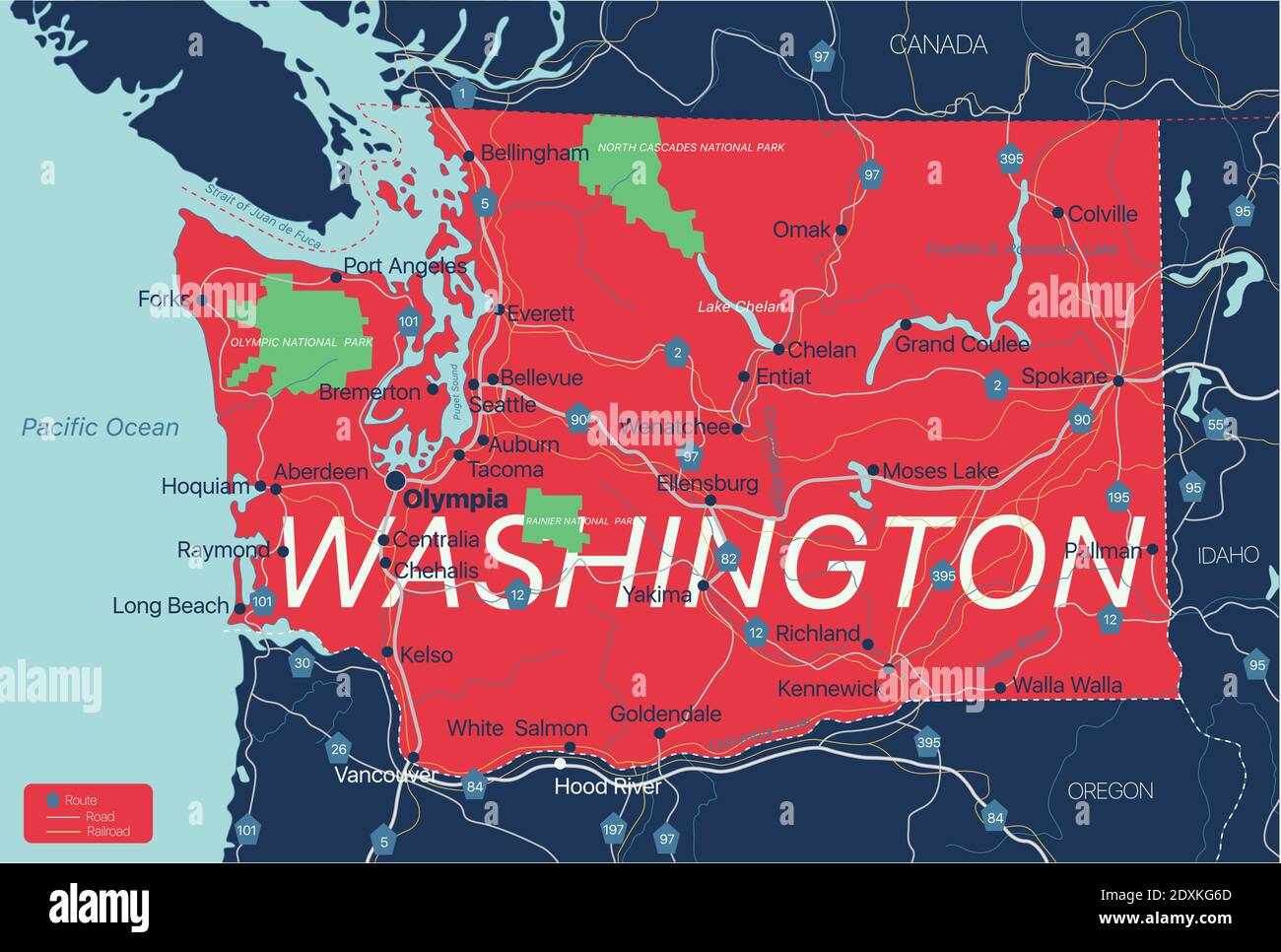 Washington state detailed editable map with cities and towns, geographic sites, roads, railways, interstates and U.S. highways. Vector EPS-10 file, tr Stock Vectorhttps://www.alamy.com/image-license-details/?v=1https://www.alamy.com/washington-state-detailed-editable-map-with-cities-and-towns-geographic-sites-roads-railways-interstates-and-us-highways-vector-eps-10-file-tr-image395038965.html
RF2DXKG6D–Washington state detailed editable map with cities and towns, geographic sites, roads, railways, interstates and U.S. highways. Vector EPS-10 file, tr
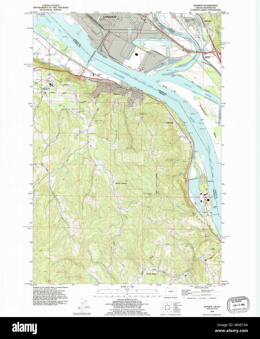 USGS Topo Map Oregon Rainier 281224 1990 24000 Restoration Stock Photohttps://www.alamy.com/image-license-details/?v=1https://www.alamy.com/usgs-topo-map-oregon-rainier-281224-1990-24000-restoration-image264302986.html
RMWA014A–USGS Topo Map Oregon Rainier 281224 1990 24000 Restoration
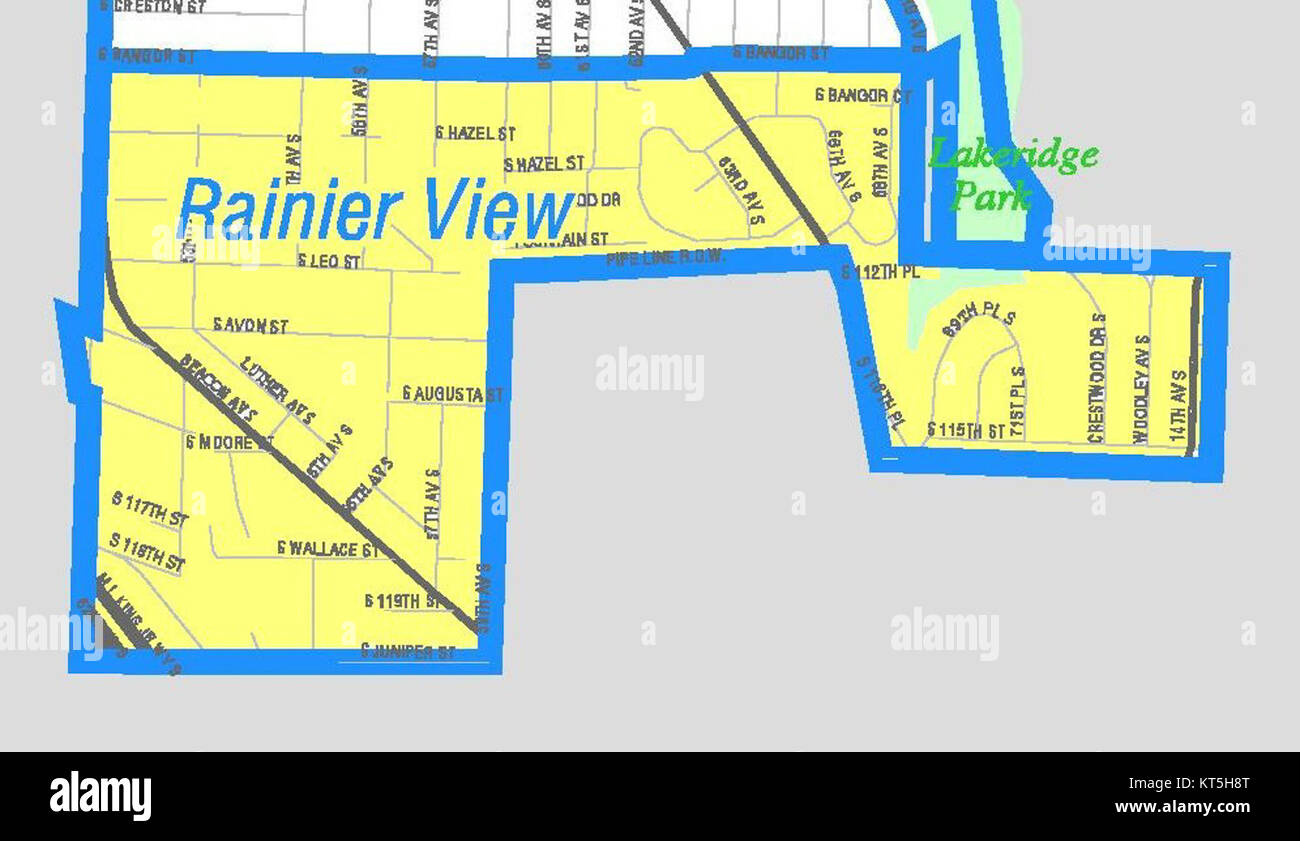 Seattle - Rainier View map Stock Photohttps://www.alamy.com/image-license-details/?v=1https://www.alamy.com/stock-image-seattle-rainier-view-map-169768392.html
RMKT5H8T–Seattle - Rainier View map
 A model of Mt Rainier at the welcome center is labeled with the various glacier names. Stock Photohttps://www.alamy.com/image-license-details/?v=1https://www.alamy.com/a-model-of-mt-rainier-at-the-welcome-center-is-labeled-with-the-various-glacier-names-image245288590.html
RMT71T2P–A model of Mt Rainier at the welcome center is labeled with the various glacier names.
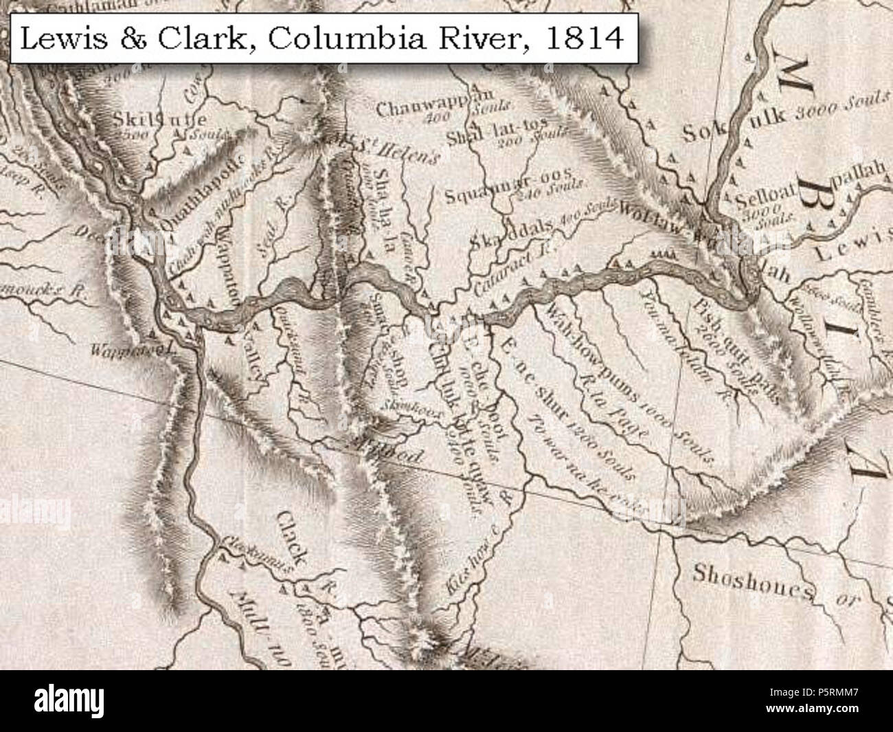 N/A. 1814 Map, Lewis and Clark's map of the Columbia River (section of original). (Click to enlarge.) Shows the Deschutes River ('To-war-na-he-ooks R.'). Map also includes three of the five volcanoes Lewis and Clark saw and commented on. While the journals mention the expedition seeing Mount Adams, it does not appear on their map. Mount Jefferson is just visible to the south (bottom) and Mount Rainier is to the north but off the map. From the 'Nicholas Biddle/Paul Allen' 1814 publication. Original Map: 'A Map of Lewis and Clark's Track, Across the Western Portion of North America, From the Mis Stock Photohttps://www.alamy.com/image-license-details/?v=1https://www.alamy.com/na-1814-map-lewis-and-clarks-map-of-the-columbia-river-section-of-original-click-to-enlarge-shows-the-deschutes-river-to-war-na-he-ooks-r-map-also-includes-three-of-the-five-volcanoes-lewis-and-clark-saw-and-commented-on-while-the-journals-mention-the-expedition-seeing-mount-adams-it-does-not-appear-on-their-map-mount-jefferson-is-just-visible-to-the-south-bottom-and-mount-rainier-is-to-the-north-but-off-the-map-from-the-nicholas-biddlepaul-allen-1814-publication-original-map-a-map-of-lewis-and-clarks-track-across-the-western-portion-of-north-america-from-the-mis-image210118839.html
RMP5RMM7–N/A. 1814 Map, Lewis and Clark's map of the Columbia River (section of original). (Click to enlarge.) Shows the Deschutes River ('To-war-na-he-ooks R.'). Map also includes three of the five volcanoes Lewis and Clark saw and commented on. While the journals mention the expedition seeing Mount Adams, it does not appear on their map. Mount Jefferson is just visible to the south (bottom) and Mount Rainier is to the north but off the map. From the 'Nicholas Biddle/Paul Allen' 1814 publication. Original Map: 'A Map of Lewis and Clark's Track, Across the Western Portion of North America, From the Mis
 Couple driving on the gravel road full of potholes. Dust stirred up by the car in front caused poor visibility. Washington State. USA. Stock Photohttps://www.alamy.com/image-license-details/?v=1https://www.alamy.com/couple-driving-on-the-gravel-road-full-of-potholes-dust-stirred-up-by-the-car-in-front-caused-poor-visibility-washington-state-usa-image609615782.html
RF2XBPB46–Couple driving on the gravel road full of potholes. Dust stirred up by the car in front caused poor visibility. Washington State. USA.
 Mount Rainier, Prince George's County, US, United States, Maryland, N 38 56' 29'', S 76 57' 53'', map, Cartascapes Map published in 2024. Explore Cartascapes, a map revealing Earth's diverse landscapes, cultures, and ecosystems. Journey through time and space, discovering the interconnectedness of our planet's past, present, and future. Stock Photohttps://www.alamy.com/image-license-details/?v=1https://www.alamy.com/mount-rainier-prince-georges-county-us-united-states-maryland-n-38-56-29-s-76-57-53-map-cartascapes-map-published-in-2024-explore-cartascapes-a-map-revealing-earths-diverse-landscapes-cultures-and-ecosystems-journey-through-time-and-space-discovering-the-interconnectedness-of-our-planets-past-present-and-future-image621176521.html
RM2Y2H0YN–Mount Rainier, Prince George's County, US, United States, Maryland, N 38 56' 29'', S 76 57' 53'', map, Cartascapes Map published in 2024. Explore Cartascapes, a map revealing Earth's diverse landscapes, cultures, and ecosystems. Journey through time and space, discovering the interconnectedness of our planet's past, present, and future.
 A young ranger naturalist describes the geology of Mount Rainier to a group of park visitors. Sunrise area. Stock Photohttps://www.alamy.com/image-license-details/?v=1https://www.alamy.com/stock-photo-a-young-ranger-naturalist-describes-the-geology-of-mount-rainier-to-30967455.html
RFBPAK8F–A young ranger naturalist describes the geology of Mount Rainier to a group of park visitors. Sunrise area.
 The peak of Mount Rainier in the Mount Rainier National Park, Washington Stock Photohttps://www.alamy.com/image-license-details/?v=1https://www.alamy.com/the-peak-of-mount-rainier-in-the-mount-rainier-national-park-washington-image454828562.html
RF2HBY6D6–The peak of Mount Rainier in the Mount Rainier National Park, Washington
 Olympic National Park, USA outdoor adventure illustration Stock Vectorhttps://www.alamy.com/image-license-details/?v=1https://www.alamy.com/olympic-national-park-usa-outdoor-adventure-illustration-image338790239.html
RF2AK56BB–Olympic National Park, USA outdoor adventure illustration
 Albert Bierstadt - Sunrise on Mount Tacoma Stock Photohttps://www.alamy.com/image-license-details/?v=1https://www.alamy.com/stock-photo-albert-bierstadt-sunrise-on-mount-tacoma-146451731.html
RMJE7CJY–Albert Bierstadt - Sunrise on Mount Tacoma
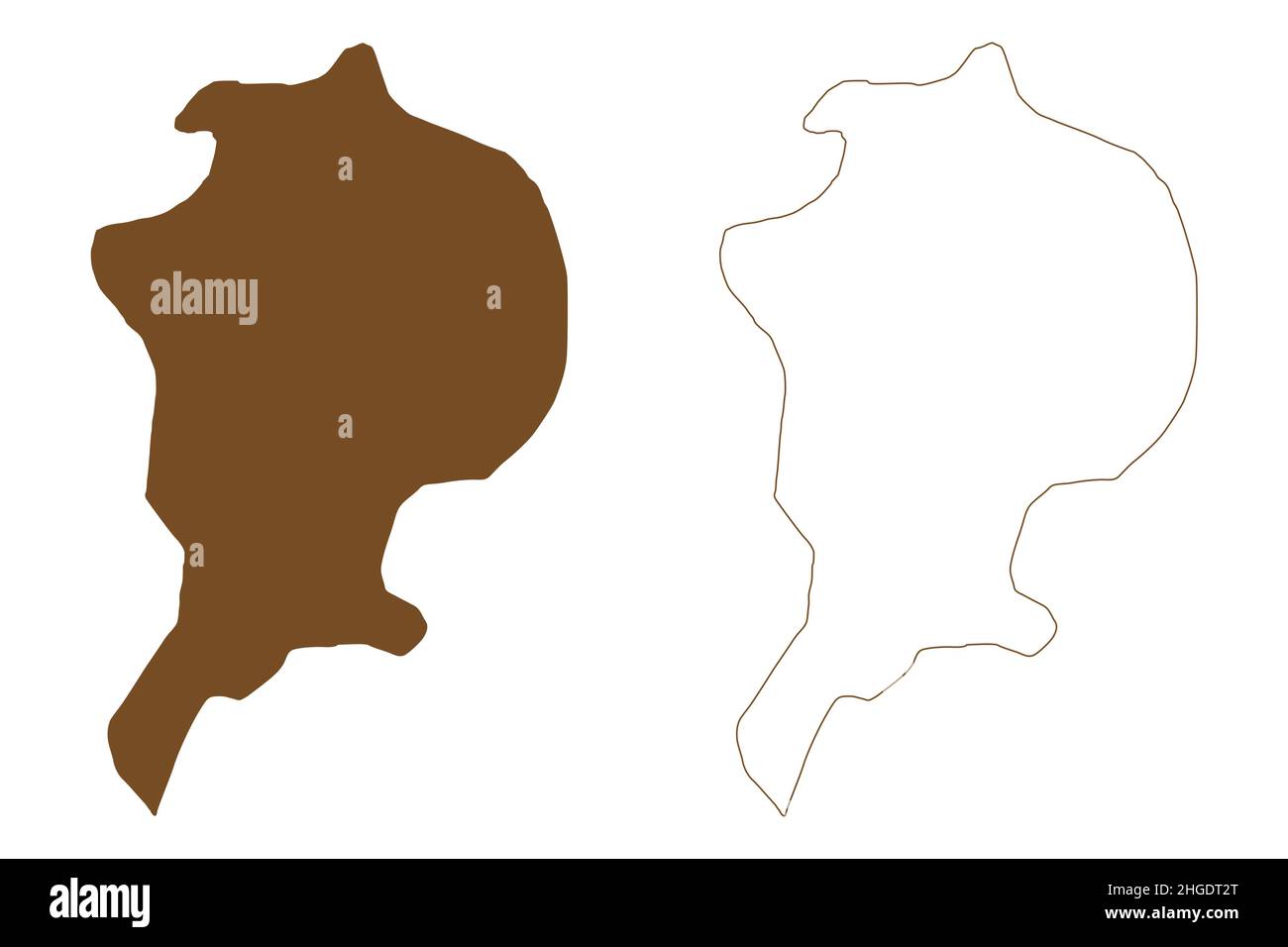 Arthur island (Russia, Russian Federation, Franz Josef Land archipelago) map vector illustration, scribble sketch Rainier or Ostrov Artura map Stock Vectorhttps://www.alamy.com/image-license-details/?v=1https://www.alamy.com/arthur-island-russia-russian-federation-franz-josef-land-archipelago-map-vector-illustration-scribble-sketch-rainier-or-ostrov-artura-map-image457608336.html
RF2HGDT2T–Arthur island (Russia, Russian Federation, Franz Josef Land archipelago) map vector illustration, scribble sketch Rainier or Ostrov Artura map
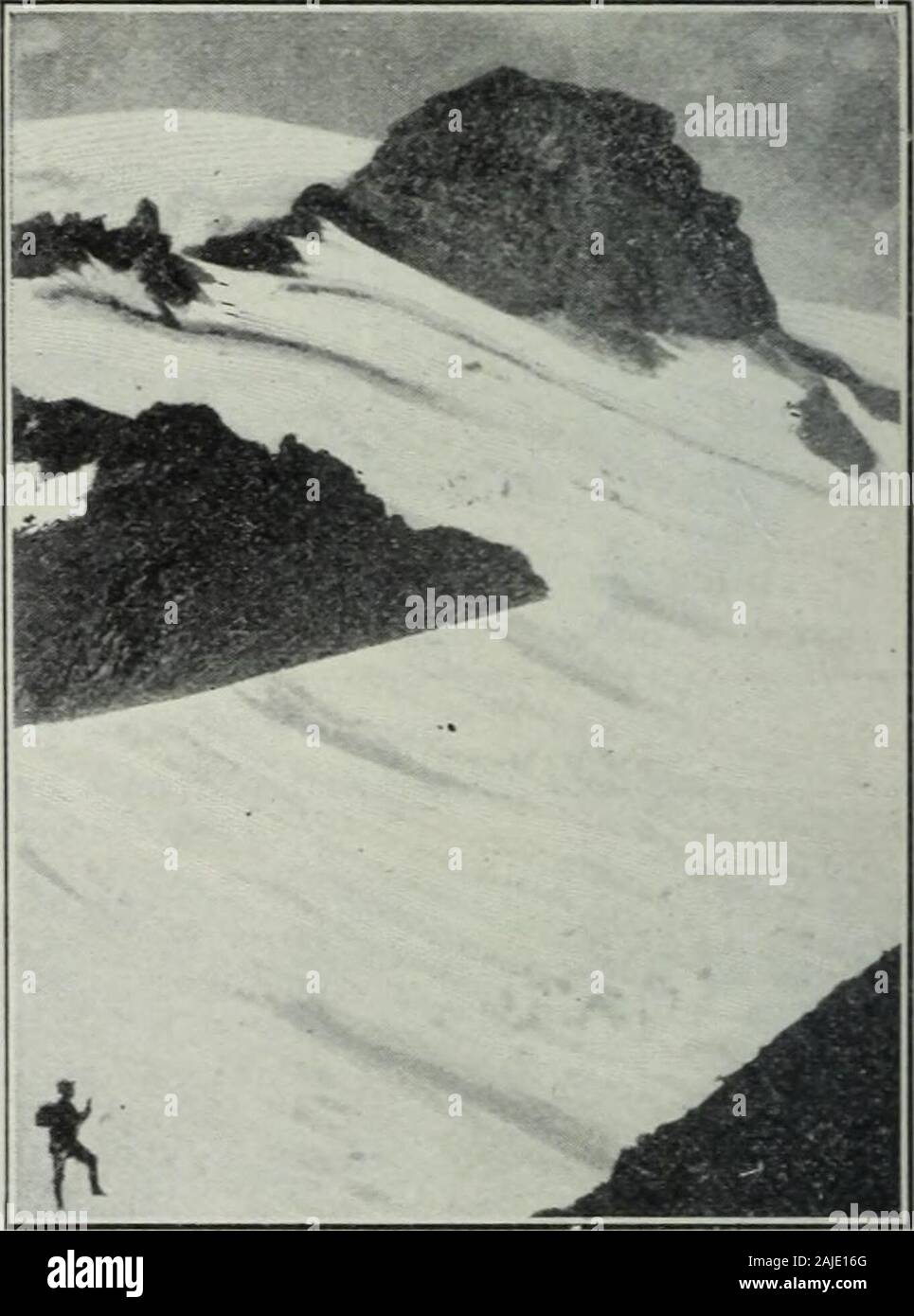 Review of reviews and world's work . public domain within as many differentStates, with an aggregate area of 3,500,000acres. In addition to these reservationsthere have been created since June, iQOb,eighteen national monuments ia nine States,with a total area of over 1,500,000 acres.. MAP SHOWIXG LOCATIOX OF THE XATIOXAL PARKSOF THE NORTHWEST. GIBRALTAR. (. Striking landmark on tlie route of ascent of Mt.Rainier.) The Grand Canyon and the Petrified Forestin Arizona, and the Natural Bridges inUtah are the most notable of the nationalmonuments; of the national parks the Yel-lowstone, the Yosemi Stock Photohttps://www.alamy.com/image-license-details/?v=1https://www.alamy.com/review-of-reviews-and-worlds-work-public-domain-within-as-many-differentstates-with-an-aggregate-area-of-3500000acres-in-addition-to-these-reservationsthere-have-been-created-since-june-iqobeighteen-national-monuments-ia-nine-stateswith-a-total-area-of-over-1500000-acres-map-showixg-locatiox-of-the-xatioxal-parksof-the-northwest-gibraltar-striking-landmark-on-tlie-route-of-ascent-of-mtrainier-the-grand-canyon-and-the-petrified-forestin-arizona-and-the-natural-bridges-inutah-are-the-most-notable-of-the-nationalmonuments-of-the-national-parks-the-yel-lowstone-the-yosemi-image338369096.html
RM2AJE16G–Review of reviews and world's work . public domain within as many differentStates, with an aggregate area of 3,500,000acres. In addition to these reservationsthere have been created since June, iQOb,eighteen national monuments ia nine States,with a total area of over 1,500,000 acres.. MAP SHOWIXG LOCATIOX OF THE XATIOXAL PARKSOF THE NORTHWEST. GIBRALTAR. (. Striking landmark on tlie route of ascent of Mt.Rainier.) The Grand Canyon and the Petrified Forestin Arizona, and the Natural Bridges inUtah are the most notable of the nationalmonuments; of the national parks the Yel-lowstone, the Yosemi
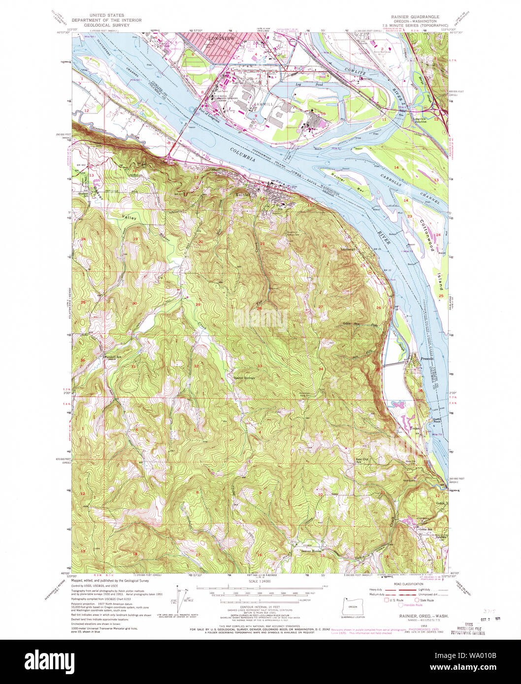 USGS Topo Map Oregon Rainier 281223 1953 24000 Restoration Stock Photohttps://www.alamy.com/image-license-details/?v=1https://www.alamy.com/usgs-topo-map-oregon-rainier-281223-1953-24000-restoration-image264302875.html
RMWA010B–USGS Topo Map Oregon Rainier 281223 1953 24000 Restoration
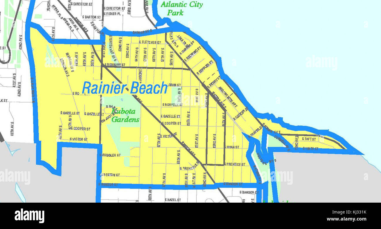 Seattle - Rainier Beach map Stock Photohttps://www.alamy.com/image-license-details/?v=1https://www.alamy.com/stock-image-seattle-rainier-beach-map-166025375.html
RMKJ331K–Seattle - Rainier Beach map
 Rainier West Mobile Home Park, Pierce County, US, United States, Washington, N 47 2' 13'', S 122 22' 2'', map, Cartascapes Map published in 2024. Explore Cartascapes, a map revealing Earth's diverse landscapes, cultures, and ecosystems. Journey through time and space, discovering the interconnectedness of our planet's past, present, and future. Stock Photohttps://www.alamy.com/image-license-details/?v=1https://www.alamy.com/rainier-west-mobile-home-park-pierce-county-us-united-states-washington-n-47-2-13-s-122-22-2-map-cartascapes-map-published-in-2024-explore-cartascapes-a-map-revealing-earths-diverse-landscapes-cultures-and-ecosystems-journey-through-time-and-space-discovering-the-interconnectedness-of-our-planets-past-present-and-future-image621416664.html
RM2Y2YY88–Rainier West Mobile Home Park, Pierce County, US, United States, Washington, N 47 2' 13'', S 122 22' 2'', map, Cartascapes Map published in 2024. Explore Cartascapes, a map revealing Earth's diverse landscapes, cultures, and ecosystems. Journey through time and space, discovering the interconnectedness of our planet's past, present, and future.
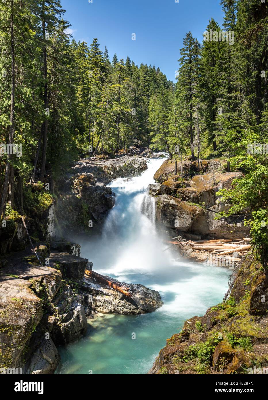 The Silver Falls Waterfall in the Mount Rainier National Park, Wahsington USA Stock Photohttps://www.alamy.com/image-license-details/?v=1https://www.alamy.com/the-silver-falls-waterfall-in-the-mount-rainier-national-park-wahsington-usa-image456125145.html
RF2HE287N–The Silver Falls Waterfall in the Mount Rainier National Park, Wahsington USA
 Olympic National Park, USA outdoor adventure logo illustration Stock Vectorhttps://www.alamy.com/image-license-details/?v=1https://www.alamy.com/olympic-national-park-usa-outdoor-adventure-logo-illustration-image371696257.html
RF2CGM6A9–Olympic National Park, USA outdoor adventure logo illustration
 42884 Leucichthys tullibee (Richardson) Tullibee (Drawn from specimen 125 inches long, collected in Rainy Lake, Rainier, Minn) Stock Photohttps://www.alamy.com/image-license-details/?v=1https://www.alamy.com/stock-photo-42884-leucichthys-tullibee-richardson-tullibee-drawn-from-specimen-115143051.html
RMGK963R–42884 Leucichthys tullibee (Richardson) Tullibee (Drawn from specimen 125 inches long, collected in Rainy Lake, Rainier, Minn)
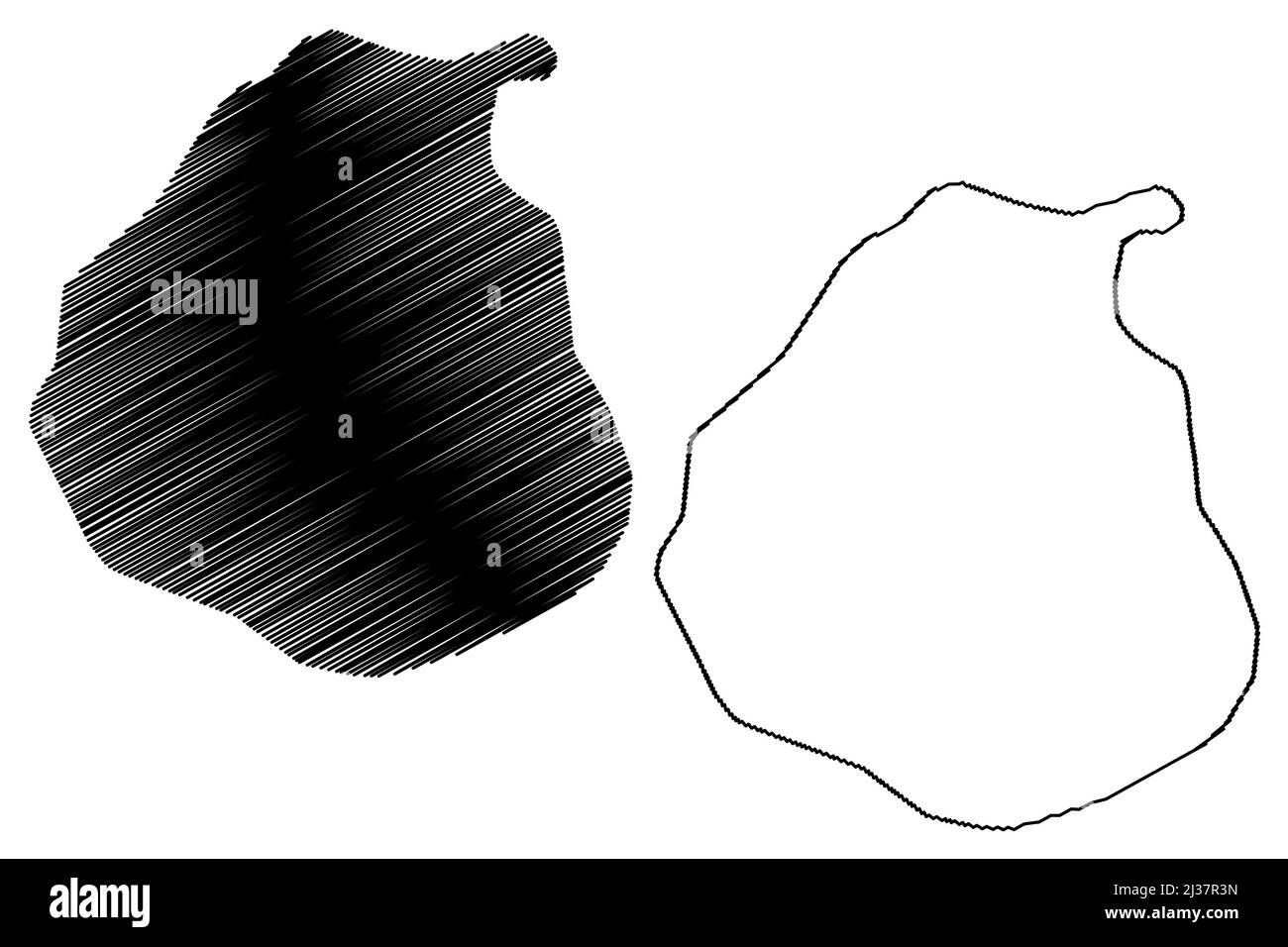 Rainer island (Russia, Russian Federation, Franz Josef Land archipelago) map vector illustration, scribble sketch Rainier or Ostrov Raynyera map Stock Vectorhttps://www.alamy.com/image-license-details/?v=1https://www.alamy.com/rainer-island-russia-russian-federation-franz-josef-land-archipelago-map-vector-illustration-scribble-sketch-rainier-or-ostrov-raynyera-map-image466695705.html
RF2J37R3N–Rainer island (Russia, Russian Federation, Franz Josef Land archipelago) map vector illustration, scribble sketch Rainier or Ostrov Raynyera map
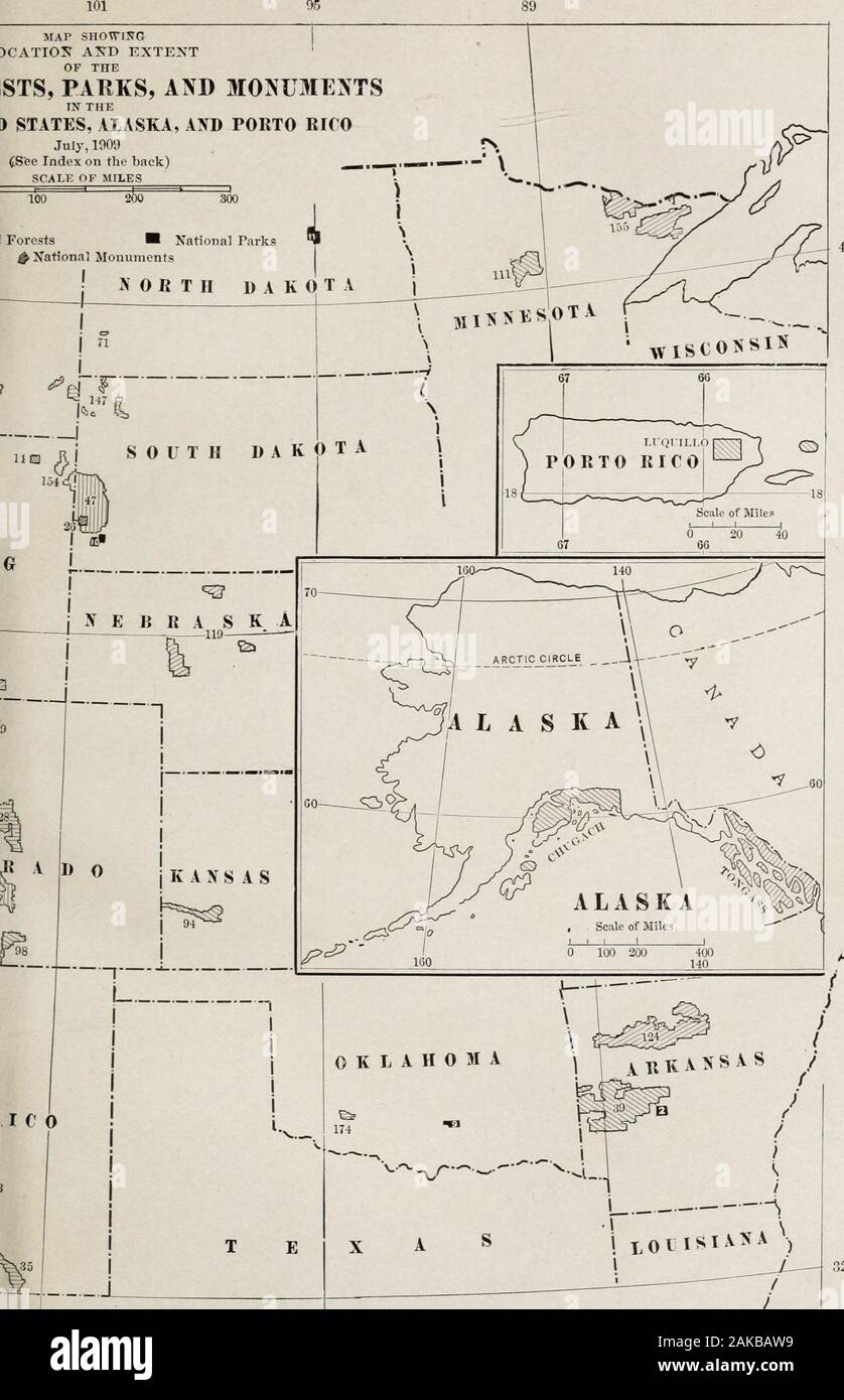 Our national parks . Longitiule MAP SHO^l!JG )CATIOK AKD KXTENT OF THE STS, PARKS, AND MONUMENTS IN THE J STATES, ALASKA, AND PORTO RICO July, 1009 r (See Index on the back) ^—.— ^. 32 I from Oreeni(;h 95 INDEX TO THE MAP (There are two National Forests in Florida and two in Michigan which are included in the table on page 373 butare not shown on the map.) National Parks (In black on map) 1. Yellowstone, Wyo., Mont., and Ida. 2. Hot Springs, Ark. 3. Sequoia, Cal. 4. Yosemite, Cal. 5. General Grant, Cal.G. Casa Grande, Ariz. 7. Mt. Rainier, Wash. 8. Crater Lake, Ore.0. Piatt, Okla. 10. Wind Stock Photohttps://www.alamy.com/image-license-details/?v=1https://www.alamy.com/our-national-parks-longitiule-map-shol!jg-catiok-akd-kxtent-of-the-sts-parks-and-monuments-in-the-j-states-alaska-and-porto-rico-july-1009-r-see-index-on-the-back-32-i-from-oreenih-95-index-to-the-map-there-are-two-national-forests-in-florida-and-two-in-michigan-which-are-included-in-the-table-on-page-373-butare-not-shown-on-the-map-national-parks-in-black-on-map-1-yellowstone-wyo-mont-and-ida-2-hot-springs-ark-3-sequoia-cal-4-yosemite-cal-5-general-grant-calg-casa-grande-ariz-7-mt-rainier-wash-8-crater-lake-ore0-piatt-okla-10-wind-image338925477.html
RM2AKBAW9–Our national parks . Longitiule MAP SHO^l!JG )CATIOK AKD KXTENT OF THE STS, PARKS, AND MONUMENTS IN THE J STATES, ALASKA, AND PORTO RICO July, 1009 r (See Index on the back) ^—.— ^. 32 I from Oreeni(;h 95 INDEX TO THE MAP (There are two National Forests in Florida and two in Michigan which are included in the table on page 373 butare not shown on the map.) National Parks (In black on map) 1. Yellowstone, Wyo., Mont., and Ida. 2. Hot Springs, Ark. 3. Sequoia, Cal. 4. Yosemite, Cal. 5. General Grant, Cal.G. Casa Grande, Ariz. 7. Mt. Rainier, Wash. 8. Crater Lake, Ore.0. Piatt, Okla. 10. Wind
 USGS Topo Map Oregon Rainier 281220 1953 24000 Restoration Stock Photohttps://www.alamy.com/image-license-details/?v=1https://www.alamy.com/usgs-topo-map-oregon-rainier-281220-1953-24000-restoration-image264302579.html
RMWA00HR–USGS Topo Map Oregon Rainier 281220 1953 24000 Restoration
 Seattle - Rainier Valley map Stock Photohttps://www.alamy.com/image-license-details/?v=1https://www.alamy.com/stock-image-seattle-rainier-valley-map-166025192.html
RMKJ32R4–Seattle - Rainier Valley map
 Rainier, Canada, Alberta, N 50 22' 0'', W 112 5' 6'', map, Timeless Map published in 2021. Travelers, explorers and adventurers like Florence Nightingale, David Livingstone, Ernest Shackleton, Lewis and Clark and Sherlock Holmes relied on maps to plan travels to the world's most remote corners, Timeless Maps is mapping most locations on the globe, showing the achievement of great dreams Stock Photohttps://www.alamy.com/image-license-details/?v=1https://www.alamy.com/rainier-canada-alberta-n-50-22-0-w-112-5-6-map-timeless-map-published-in-2021-travelers-explorers-and-adventurers-like-florence-nightingale-david-livingstone-ernest-shackleton-lewis-and-clark-and-sherlock-holmes-relied-on-maps-to-plan-travels-to-the-worlds-most-remote-corners-timeless-maps-is-mapping-most-locations-on-the-globe-showing-the-achievement-of-great-dreams-image457880039.html
RM2HGX6JF–Rainier, Canada, Alberta, N 50 22' 0'', W 112 5' 6'', map, Timeless Map published in 2021. Travelers, explorers and adventurers like Florence Nightingale, David Livingstone, Ernest Shackleton, Lewis and Clark and Sherlock Holmes relied on maps to plan travels to the world's most remote corners, Timeless Maps is mapping most locations on the globe, showing the achievement of great dreams
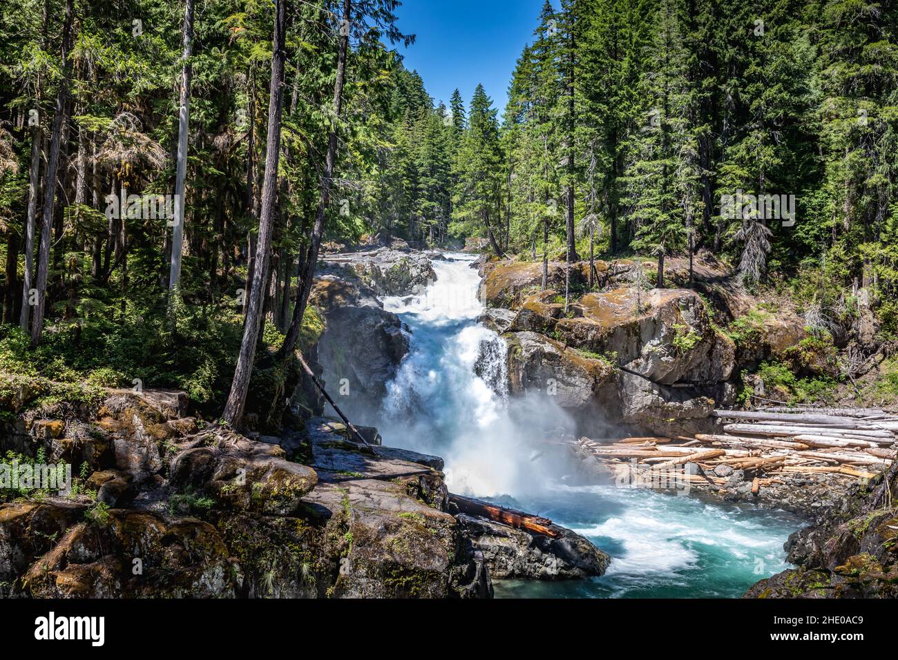 The Silver Falls Waterfall in the Mount Rainier National Park, Wahsington USA Stock Photohttps://www.alamy.com/image-license-details/?v=1https://www.alamy.com/the-silver-falls-waterfall-in-the-mount-rainier-national-park-wahsington-usa-image456082937.html
RF2HE0AC9–The Silver Falls Waterfall in the Mount Rainier National Park, Wahsington USA
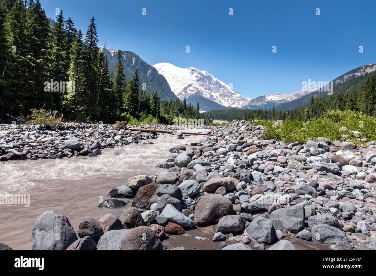 The peak of Mount Rainier in the Mount Rainier National Park behind the Ohanapecosh River, Washington Stock Photohttps://www.alamy.com/image-license-details/?v=1https://www.alamy.com/the-peak-of-mount-rainier-in-the-mount-rainier-national-park-behind-the-ohanapecosh-river-washington-image456201976.html
RF2HE5P7M–The peak of Mount Rainier in the Mount Rainier National Park behind the Ohanapecosh River, Washington
 42886 Coregonus clupeaformis (Mitchill) Labrador whitefish (Drawn from a specimen 21 inches long, collected at Rainy Lake, Rainier Stock Photohttps://www.alamy.com/image-license-details/?v=1https://www.alamy.com/stock-photo-42886-coregonus-clupeaformis-mitchill-labrador-whitefish-drawn-from-115143053.html
RMGK963W–42886 Coregonus clupeaformis (Mitchill) Labrador whitefish (Drawn from a specimen 21 inches long, collected at Rainy Lake, Rainier
 The peak of Mount Rainier in the Mount Rainier National Park behind a blooming summer meadow, Washington Stock Photohttps://www.alamy.com/image-license-details/?v=1https://www.alamy.com/the-peak-of-mount-rainier-in-the-mount-rainier-national-park-behind-a-blooming-summer-meadow-washington-image456133027.html
RF2HE2J97–The peak of Mount Rainier in the Mount Rainier National Park behind a blooming summer meadow, Washington
 Rainer island (Russia, Russian Federation, Franz Josef Land archipelago) map vector illustration, scribble sketch Rainier or Ostrov Raynyera map Stock Vectorhttps://www.alamy.com/image-license-details/?v=1https://www.alamy.com/rainer-island-russia-russian-federation-franz-josef-land-archipelago-map-vector-illustration-scribble-sketch-rainier-or-ostrov-raynyera-map-image457523779.html
RF2HGA06Y–Rainer island (Russia, Russian Federation, Franz Josef Land archipelago) map vector illustration, scribble sketch Rainier or Ostrov Raynyera map
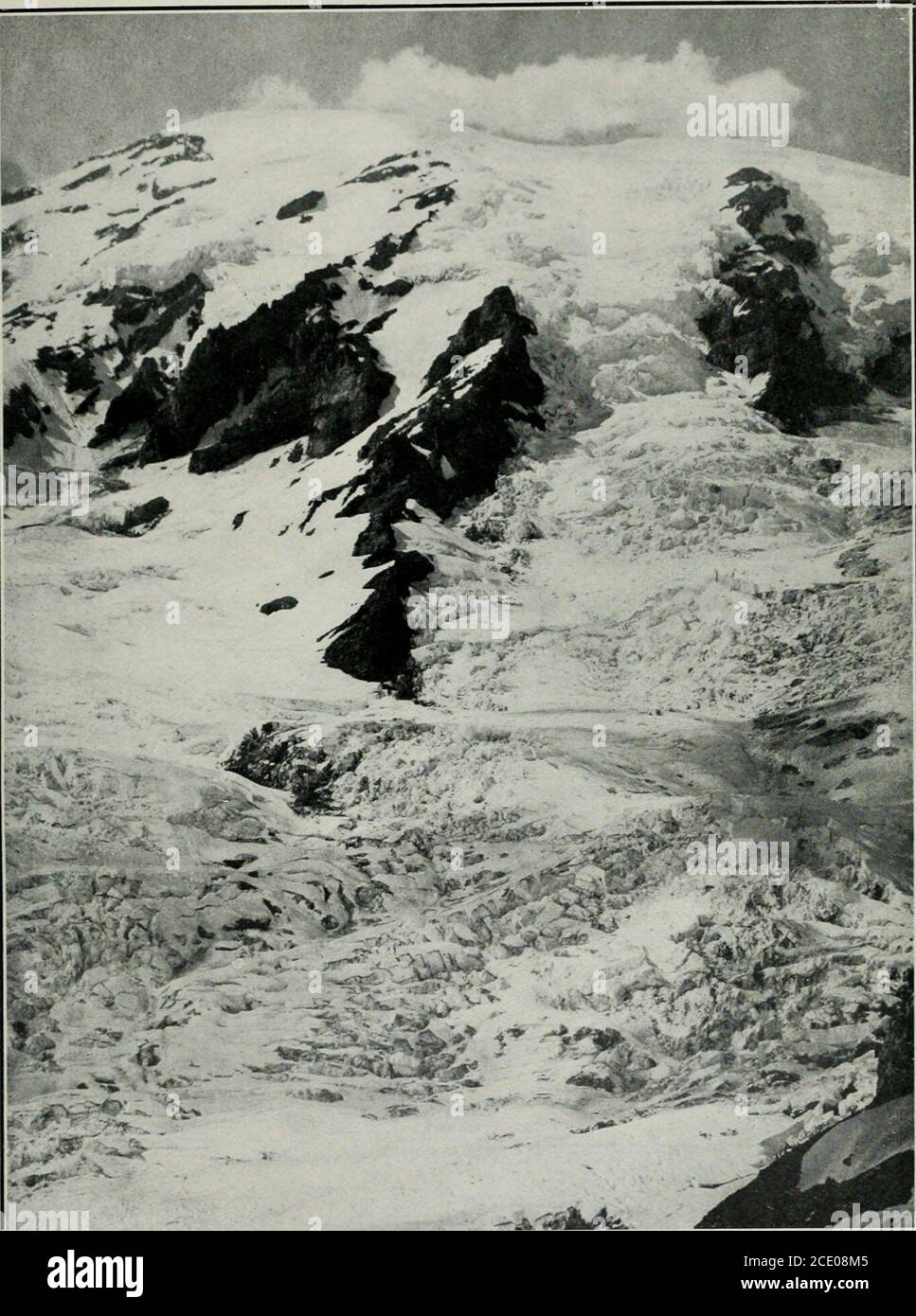 . Sierra Club bulletin . level of 6,000 feet, almost the whole of this is in theform of snow. A system of glaciers is thus formed onMt. Rainier, which has a common and continuous nevemass around the crater extending down the slopes for adistance of about a mile. Below this the neve massesbecome separated by thin rocky spurs, and finally con-solidate into a very perfect series of eleven radiatingice-streams, having a striking resemblance on a map tothe rays of a starfish. The circle which includes the endsof these glaciers at the present time is about ten milesin diameter. During the summer of Stock Photohttps://www.alamy.com/image-license-details/?v=1https://www.alamy.com/sierra-club-bulletin-level-of-6000-feet-almost-the-whole-of-this-is-in-theform-of-snow-a-system-of-glaciers-is-thus-formed-onmt-rainier-which-has-a-common-and-continuous-nevemass-around-the-crater-extending-down-the-slopes-for-adistance-of-about-a-mile-below-this-the-neve-massesbecome-separated-by-thin-rocky-spurs-and-finally-con-solidate-into-a-very-perfect-series-of-eleven-radiatingice-streams-having-a-striking-resemblance-on-a-map-tothe-rays-of-a-starfish-the-circle-which-includes-the-endsof-these-glaciers-at-the-present-time-is-about-ten-milesin-diameter-during-the-summer-of-image370029749.html
RM2CE08M5–. Sierra Club bulletin . level of 6,000 feet, almost the whole of this is in theform of snow. A system of glaciers is thus formed onMt. Rainier, which has a common and continuous nevemass around the crater extending down the slopes for adistance of about a mile. Below this the neve massesbecome separated by thin rocky spurs, and finally con-solidate into a very perfect series of eleven radiatingice-streams, having a striking resemblance on a map tothe rays of a starfish. The circle which includes the endsof these glaciers at the present time is about ten milesin diameter. During the summer of
 USGS Topo Map Oregon Rainier 281221 1953 24000 Restoration Stock Photohttps://www.alamy.com/image-license-details/?v=1https://www.alamy.com/usgs-topo-map-oregon-rainier-281221-1953-24000-restoration-image264302675.html
RMWA00N7–USGS Topo Map Oregon Rainier 281221 1953 24000 Restoration
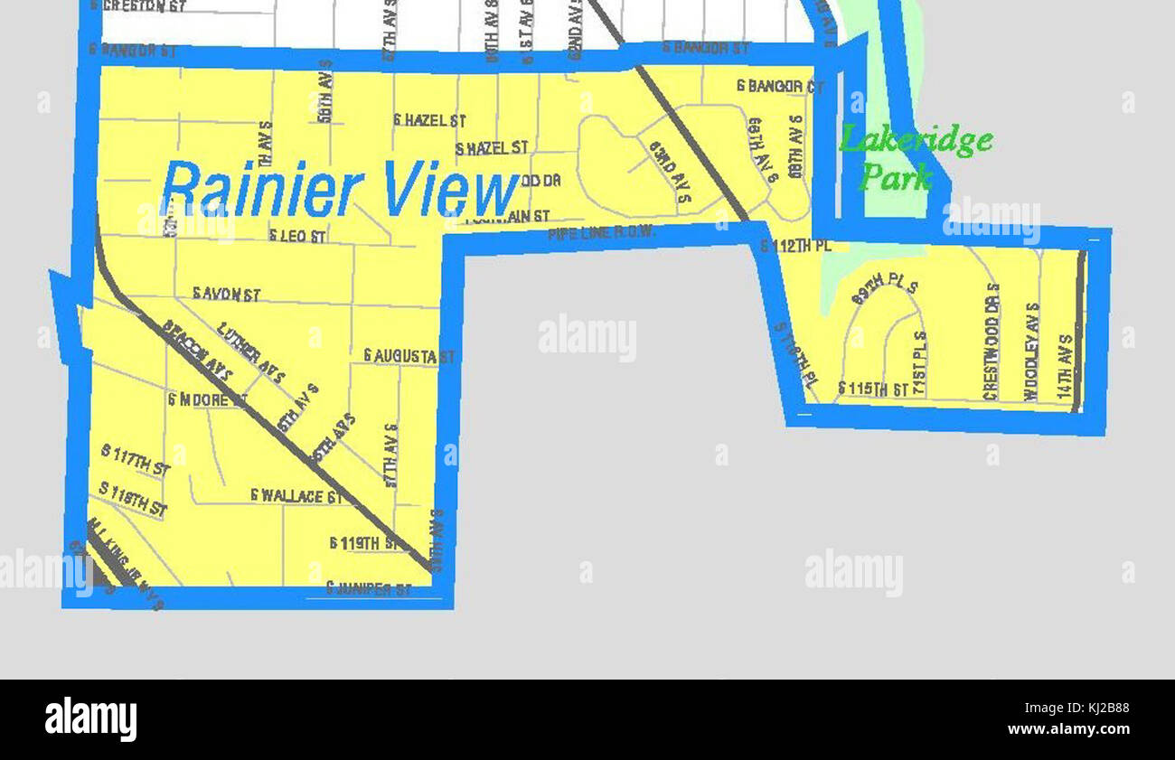 Seattle - Rainier View map Stock Photohttps://www.alamy.com/image-license-details/?v=1https://www.alamy.com/stock-image-seattle-rainier-view-map-166009880.html
RMKJ2B88–Seattle - Rainier View map
 Rainier II Stock Photohttps://www.alamy.com/image-license-details/?v=1https://www.alamy.com/stock-photo-rainier-ii-140403876.html
RMJ4BXG4–Rainier II
 Rainier, Thurston County, US, United States, Washington, N 46 53' 17'', S 122 41' 18'', map, Cartascapes Map published in 2024. Explore Cartascapes, a map revealing Earth's diverse landscapes, cultures, and ecosystems. Journey through time and space, discovering the interconnectedness of our planet's past, present, and future. Stock Photohttps://www.alamy.com/image-license-details/?v=1https://www.alamy.com/rainier-thurston-county-us-united-states-washington-n-46-53-17-s-122-41-18-map-cartascapes-map-published-in-2024-explore-cartascapes-a-map-revealing-earths-diverse-landscapes-cultures-and-ecosystems-journey-through-time-and-space-discovering-the-interconnectedness-of-our-planets-past-present-and-future-image620846551.html
RM2Y22033–Rainier, Thurston County, US, United States, Washington, N 46 53' 17'', S 122 41' 18'', map, Cartascapes Map published in 2024. Explore Cartascapes, a map revealing Earth's diverse landscapes, cultures, and ecosystems. Journey through time and space, discovering the interconnectedness of our planet's past, present, and future.
 Rainier I Stock Photohttps://www.alamy.com/image-license-details/?v=1https://www.alamy.com/stock-photo-rainier-i-140397242.html
RMJ4BJ36–Rainier I
 Vancouver Rainier Stock Photohttps://www.alamy.com/image-license-details/?v=1https://www.alamy.com/stock-photo-vancouver-rainier-140672357.html
RMJ4T50N–Vancouver Rainier
 Arthur island (Russia, Russian Federation, Franz Josef Land archipelago) map vector illustration, scribble sketch Rainier or Ostrov Artura map Stock Vectorhttps://www.alamy.com/image-license-details/?v=1https://www.alamy.com/arthur-island-russia-russian-federation-franz-josef-land-archipelago-map-vector-illustration-scribble-sketch-rainier-or-ostrov-artura-map-image471585942.html
RF2JB6GK2–Arthur island (Russia, Russian Federation, Franz Josef Land archipelago) map vector illustration, scribble sketch Rainier or Ostrov Artura map
 . A guide to the national parks of America. i6i;red on irst to i, iteatin-l-inersthein. ns:f-toidr->nie. TRAVEL GUIDE MAP OF MT. RAINIER PARK, WASH. ROCKY MOUNTAIN NATIONAL PARK 161 from which sometimes they emerge coveredwith snow. Often one can see a thunderstorm born onthe square granite head of Longs Peak. Firstout of the blue sky a slight mist seems togather. In a few moments, while you watch, itbecomes a tiny cloud. This grows with greatrapidity. In five minutes, perhaps, the moun-tain top is hidden. Then, out of nothing, ap-parently, the cloud swells and sweeps over thesky. Sometimes Stock Photohttps://www.alamy.com/image-license-details/?v=1https://www.alamy.com/a-guide-to-the-national-parks-of-america-i6ired-on-irst-to-i-iteatin-l-inersthein-nsf-toidr-gtnie-travel-guide-map-of-mt-rainier-park-wash-rocky-mountain-national-park-161-from-which-sometimes-they-emerge-coveredwith-snow-often-one-can-see-a-thunderstorm-born-onthe-square-granite-head-of-longs-peak-firstout-of-the-blue-sky-a-slight-mist-seems-togather-in-a-few-moments-while-you-watch-itbecomes-a-tiny-cloud-this-grows-with-greatrapidity-in-five-minutes-perhaps-the-moun-tain-top-is-hidden-then-out-of-nothing-ap-parently-the-cloud-swells-and-sweeps-over-thesky-sometimes-image370342771.html
RM2CEEFYF–. A guide to the national parks of America. i6i;red on irst to i, iteatin-l-inersthein. ns:f-toidr->nie. TRAVEL GUIDE MAP OF MT. RAINIER PARK, WASH. ROCKY MOUNTAIN NATIONAL PARK 161 from which sometimes they emerge coveredwith snow. Often one can see a thunderstorm born onthe square granite head of Longs Peak. Firstout of the blue sky a slight mist seems togather. In a few moments, while you watch, itbecomes a tiny cloud. This grows with greatrapidity. In five minutes, perhaps, the moun-tain top is hidden. Then, out of nothing, ap-parently, the cloud swells and sweeps over thesky. Sometimes
 USGS Topo Map Oregon Rainier 281222 1953 24000 Restoration Stock Photohttps://www.alamy.com/image-license-details/?v=1https://www.alamy.com/usgs-topo-map-oregon-rainier-281222-1953-24000-restoration-image264302721.html
RMWA00PW–USGS Topo Map Oregon Rainier 281222 1953 24000 Restoration
 Rainier, Columbia County, US, United States, Oregon, N 46 5' 20'', S 122 56' 9'', map, Cartascapes Map published in 2024. Explore Cartascapes, a map revealing Earth's diverse landscapes, cultures, and ecosystems. Journey through time and space, discovering the interconnectedness of our planet's past, present, and future. Stock Photohttps://www.alamy.com/image-license-details/?v=1https://www.alamy.com/rainier-columbia-county-us-united-states-oregon-n-46-5-20-s-122-56-9-map-cartascapes-map-published-in-2024-explore-cartascapes-a-map-revealing-earths-diverse-landscapes-cultures-and-ecosystems-journey-through-time-and-space-discovering-the-interconnectedness-of-our-planets-past-present-and-future-image620814078.html
RM2Y20EKA–Rainier, Columbia County, US, United States, Oregon, N 46 5' 20'', S 122 56' 9'', map, Cartascapes Map published in 2024. Explore Cartascapes, a map revealing Earth's diverse landscapes, cultures, and ecosystems. Journey through time and space, discovering the interconnectedness of our planet's past, present, and future.
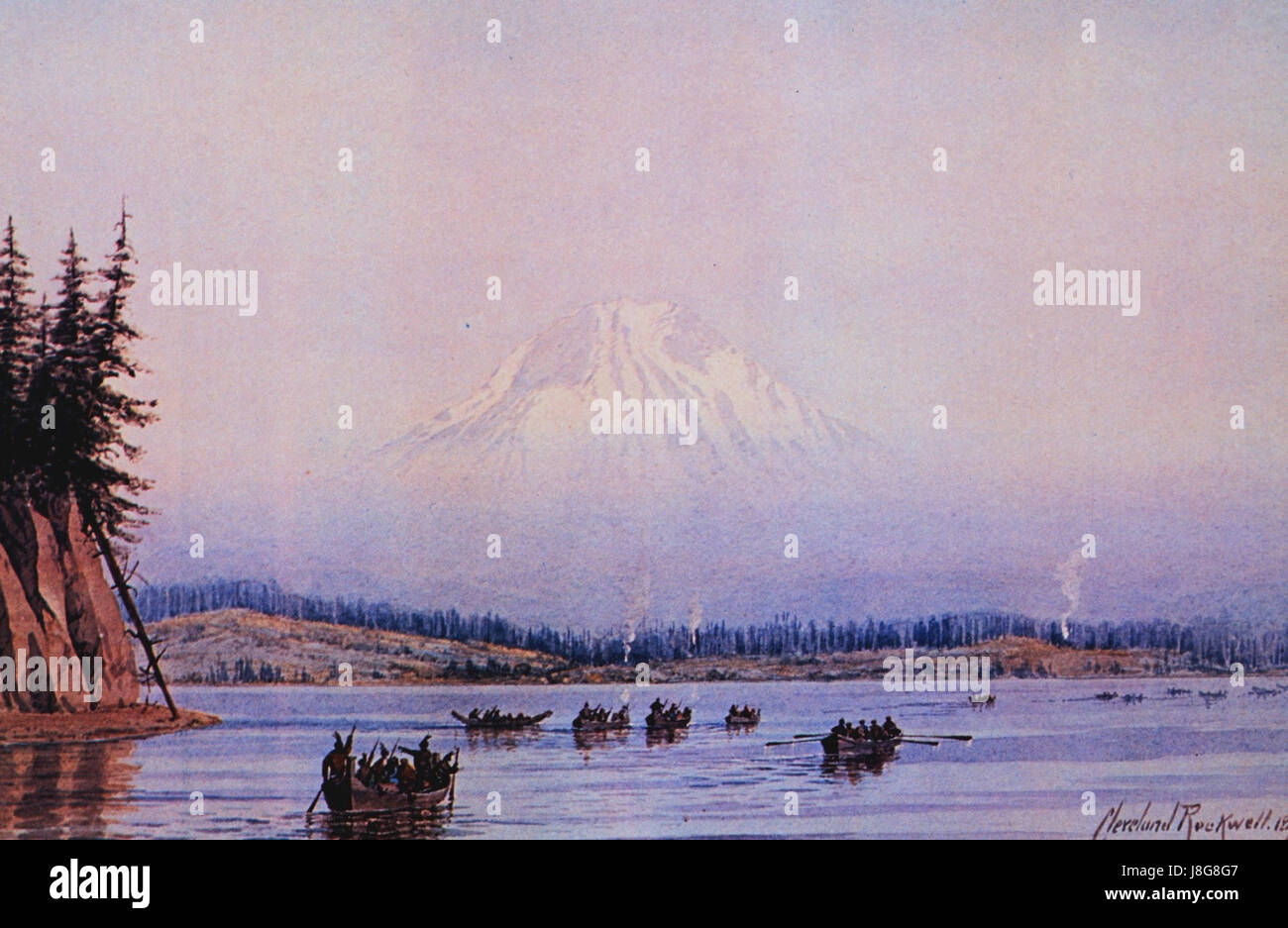 Mount Rainier by Cleveland S. Rockwell, 1891 Stock Photohttps://www.alamy.com/image-license-details/?v=1https://www.alamy.com/stock-photo-mount-rainier-by-cleveland-s-rockwell-1891-142958151.html
RMJ8G8G7–Mount Rainier by Cleveland S. Rockwell, 1891
 Rainer island (Russia, Russian Federation, Franz Josef Land archipelago) map vector illustration, scribble sketch Rainier or Ostrov Raynyera map Stock Vectorhttps://www.alamy.com/image-license-details/?v=1https://www.alamy.com/rainer-island-russia-russian-federation-franz-josef-land-archipelago-map-vector-illustration-scribble-sketch-rainier-or-ostrov-raynyera-map-image476869611.html
RF2JKR81F–Rainer island (Russia, Russian Federation, Franz Josef Land archipelago) map vector illustration, scribble sketch Rainier or Ostrov Raynyera map
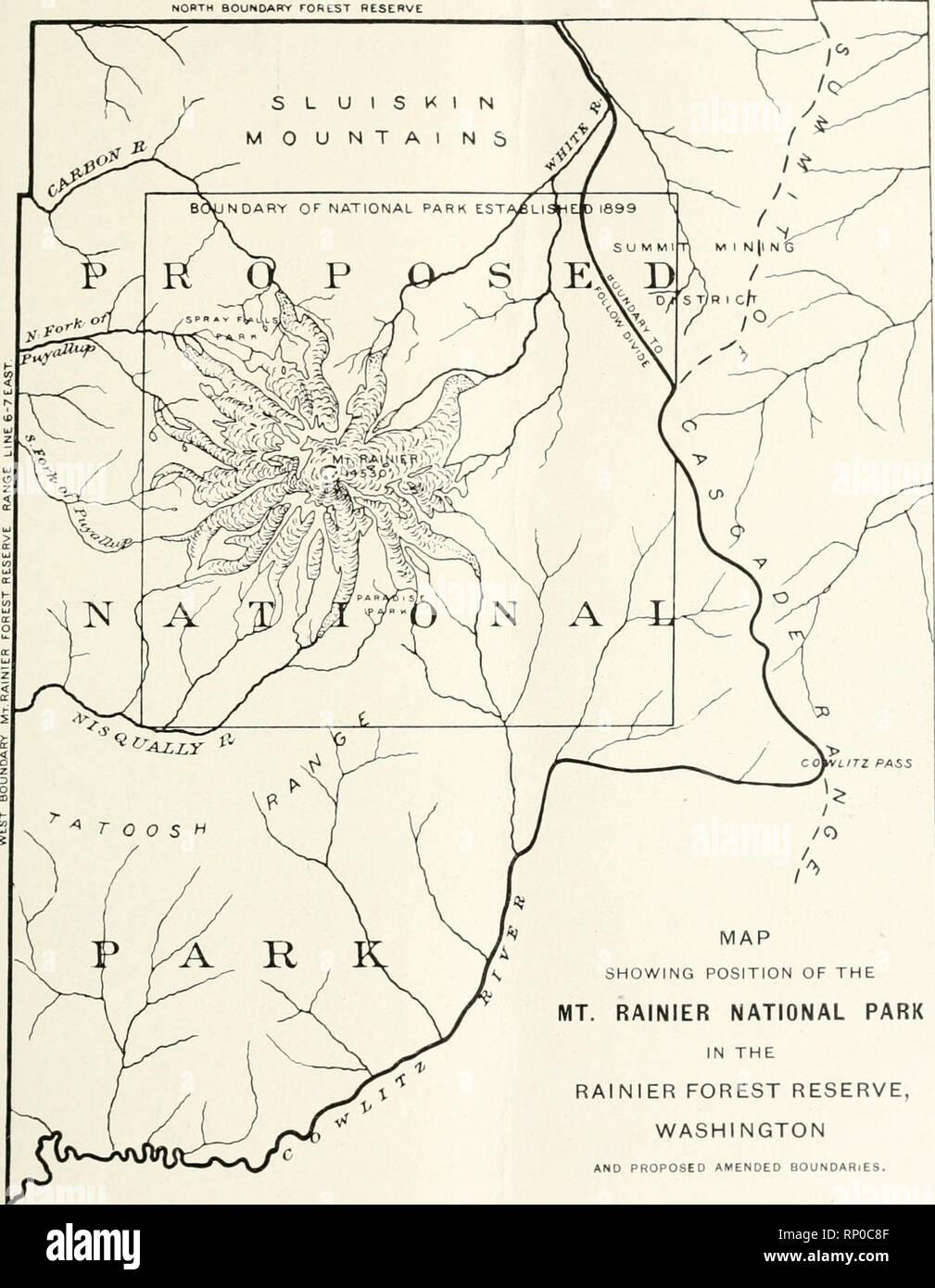 . American forests. Forests and forestry -- Periodicals. tSgg. AMERICAN FORESTRY ASSOCIATION. 99 NOBTM BOUNDARY rOREST RESERVE. MAP SHOWING POSITION OF THE MT. RAINIER NATIONAL PARK IN THE RAINIER FOREST RESERVE, WASHINGTON AND PROPOSED AMENDED BOUNDARIES. ^ Z^^" of the railroad north of Mount Rainier, Park. The distance is about 30 miles southward across Carbon River to the over a well built bridle path, which is northwestern spur of the mountain, and now, however, in poor repair. It was at reaches a district known as Spray Falls one time easily possible to leave Wilke-. Please note that Stock Photohttps://www.alamy.com/image-license-details/?v=1https://www.alamy.com/american-forests-forests-and-forestry-periodicals-tsgg-american-forestry-association-99-nobtm-boundary-rorest-reserve-map-showing-position-of-the-mt-rainier-national-park-in-the-rainier-forest-reserve-washington-and-proposed-amended-boundaries-zquot-of-the-railroad-north-of-mount-rainier-park-the-distance-is-about-30-miles-southward-across-carbon-river-to-the-over-a-well-built-bridle-path-which-is-northwestern-spur-of-the-mountain-and-now-however-in-poor-repair-it-was-at-reaches-a-district-known-as-spray-falls-one-time-easily-possible-to-leave-wilke-please-note-that-image237266863.html
RMRP0C8F–. American forests. Forests and forestry -- Periodicals. tSgg. AMERICAN FORESTRY ASSOCIATION. 99 NOBTM BOUNDARY rOREST RESERVE. MAP SHOWING POSITION OF THE MT. RAINIER NATIONAL PARK IN THE RAINIER FOREST RESERVE, WASHINGTON AND PROPOSED AMENDED BOUNDARIES. ^ Z^^" of the railroad north of Mount Rainier, Park. The distance is about 30 miles southward across Carbon River to the over a well built bridle path, which is northwestern spur of the mountain, and now, however, in poor repair. It was at reaches a district known as Spray Falls one time easily possible to leave Wilke-. Please note that
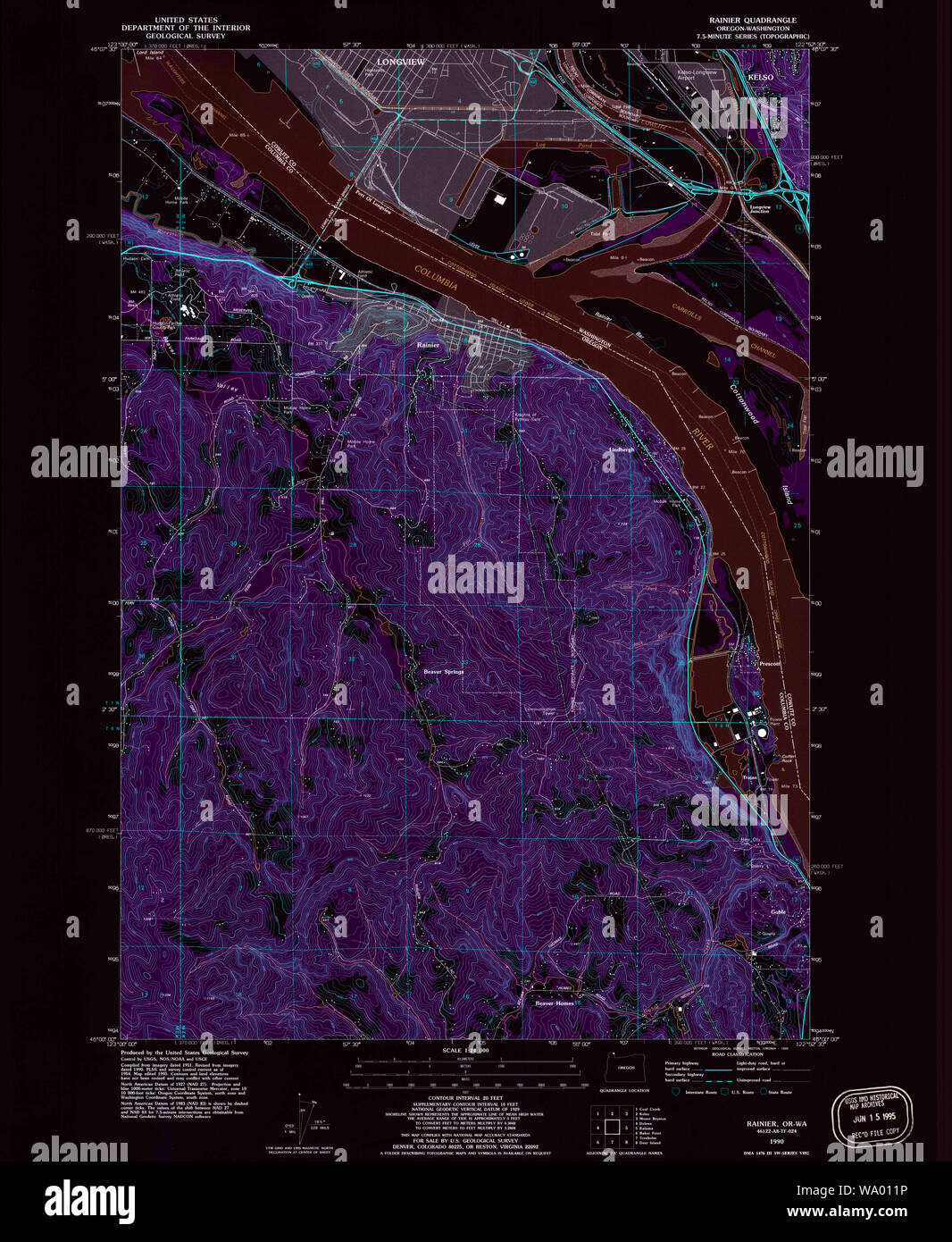 USGS Topo Map Oregon Rainier 281224 1990 24000 Inverted Restoration Stock Photohttps://www.alamy.com/image-license-details/?v=1https://www.alamy.com/usgs-topo-map-oregon-rainier-281224-1990-24000-inverted-restoration-image264302914.html
RMWA011P–USGS Topo Map Oregon Rainier 281224 1990 24000 Inverted Restoration
 Rainier, Columbia County, US, United States, Oregon, N 46 5' 20'', S 122 56' 9'', map, Cartascapes Map published in 2024. Explore Cartascapes, a map revealing Earth's diverse landscapes, cultures, and ecosystems. Journey through time and space, discovering the interconnectedness of our planet's past, present, and future. Stock Photohttps://www.alamy.com/image-license-details/?v=1https://www.alamy.com/rainier-columbia-county-us-united-states-oregon-n-46-5-20-s-122-56-9-map-cartascapes-map-published-in-2024-explore-cartascapes-a-map-revealing-earths-diverse-landscapes-cultures-and-ecosystems-journey-through-time-and-space-discovering-the-interconnectedness-of-our-planets-past-present-and-future-image620814082.html
RM2Y20EKE–Rainier, Columbia County, US, United States, Oregon, N 46 5' 20'', S 122 56' 9'', map, Cartascapes Map published in 2024. Explore Cartascapes, a map revealing Earth's diverse landscapes, cultures, and ecosystems. Journey through time and space, discovering the interconnectedness of our planet's past, present, and future.
 Rainier Power and Railway Co. letterhead 1891 Stock Photohttps://www.alamy.com/image-license-details/?v=1https://www.alamy.com/stock-photo-rainier-power-and-railway-co-letterhead-1891-140399474.html
RMJ4BMXX–Rainier Power and Railway Co. letterhead 1891
 . Commercial fisheries review. Fisheries; Fish trade. 13 Two C&GS Survey Ships Commissioned Hydrographic survey sister ships of the Coast and Geodetic Survey, "Fairweather" and "Rainier," were commissioned October 2 in Seattle, Wash. The 1,627-ton, 231-ft. vessels, equipped with the latest electronic, depth recording, and positioning equipment, will chart U. S. coastal waters to help provide safe naviga- tion for commercial shipping and recrea- tional boating. They will operate in Alaskan and West Coast waters. Vast Undersea Valley Shown Off Oregon A new map of the ocea Stock Photohttps://www.alamy.com/image-license-details/?v=1https://www.alamy.com/commercial-fisheries-review-fisheries-fish-trade-13-two-campgs-survey-ships-commissioned-hydrographic-survey-sister-ships-of-the-coast-and-geodetic-survey-quotfairweatherquot-and-quotrainierquot-were-commissioned-october-2-in-seattle-wash-the-1627-ton-231-ft-vessels-equipped-with-the-latest-electronic-depth-recording-and-positioning-equipment-will-chart-u-s-coastal-waters-to-help-provide-safe-naviga-tion-for-commercial-shipping-and-recrea-tional-boating-they-will-operate-in-alaskan-and-west-coast-waters-vast-undersea-valley-shown-off-oregon-a-new-map-of-the-ocea-image232687809.html
RMREFRJW–. Commercial fisheries review. Fisheries; Fish trade. 13 Two C&GS Survey Ships Commissioned Hydrographic survey sister ships of the Coast and Geodetic Survey, "Fairweather" and "Rainier," were commissioned October 2 in Seattle, Wash. The 1,627-ton, 231-ft. vessels, equipped with the latest electronic, depth recording, and positioning equipment, will chart U. S. coastal waters to help provide safe naviga- tion for commercial shipping and recrea- tional boating. They will operate in Alaskan and West Coast waters. Vast Undersea Valley Shown Off Oregon A new map of the ocea