Quick filters:
Map of rainsville Stock Photos and Images
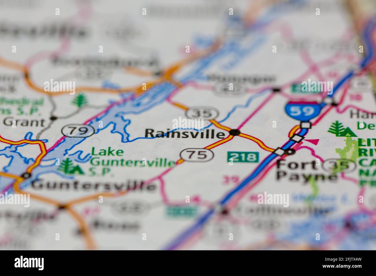 Rainsville Alabama USA shown on a road map or geography map Stock Photohttps://www.alamy.com/image-license-details/?v=1https://www.alamy.com/rainsville-alabama-usa-shown-on-a-road-map-or-geography-map-image424660009.html
RM2FJTX4W–Rainsville Alabama USA shown on a road map or geography map
 Rainsville, Warren County, US, United States, Indiana, N 40 24' 57'', S 87 18' 56'', map, Cartascapes Map published in 2024. Explore Cartascapes, a map revealing Earth's diverse landscapes, cultures, and ecosystems. Journey through time and space, discovering the interconnectedness of our planet's past, present, and future. Stock Photohttps://www.alamy.com/image-license-details/?v=1https://www.alamy.com/rainsville-warren-county-us-united-states-indiana-n-40-24-57-s-87-18-56-map-cartascapes-map-published-in-2024-explore-cartascapes-a-map-revealing-earths-diverse-landscapes-cultures-and-ecosystems-journey-through-time-and-space-discovering-the-interconnectedness-of-our-planets-past-present-and-future-image621316100.html
RM2Y2RB0M–Rainsville, Warren County, US, United States, Indiana, N 40 24' 57'', S 87 18' 56'', map, Cartascapes Map published in 2024. Explore Cartascapes, a map revealing Earth's diverse landscapes, cultures, and ecosystems. Journey through time and space, discovering the interconnectedness of our planet's past, present, and future.
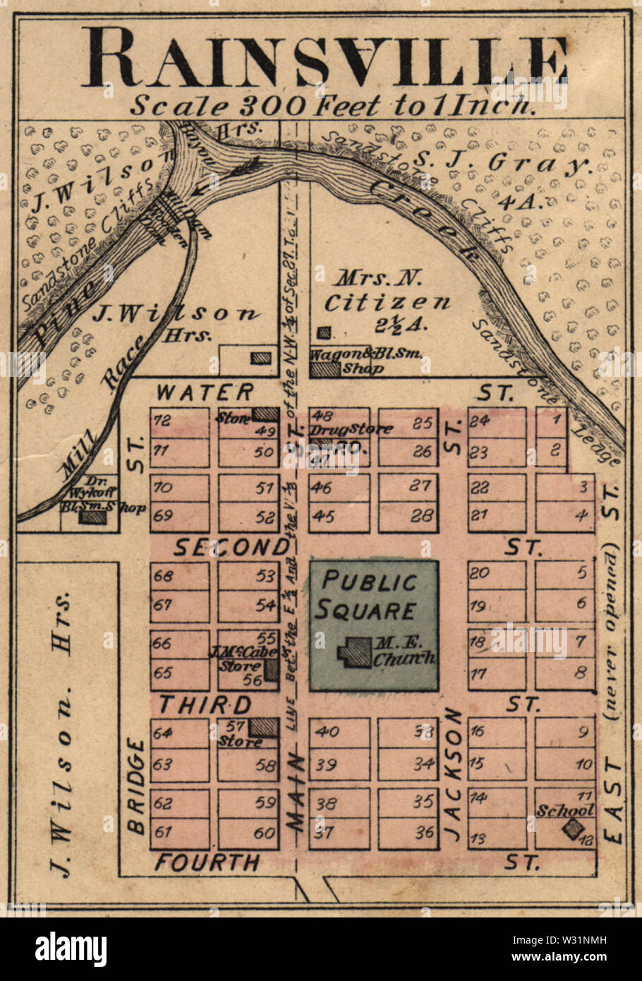 Rainsville Indiana map from 1877 atlas Stock Photohttps://www.alamy.com/image-license-details/?v=1https://www.alamy.com/rainsville-indiana-map-from-1877-atlas-image260038481.html
RMW31NMH–Rainsville Indiana map from 1877 atlas
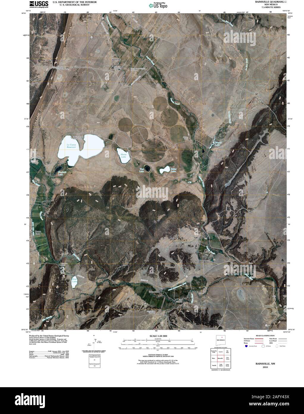 USGS TOPO Map New Mexico NM Rainsville 20100923 TM Restoration Stock Photohttps://www.alamy.com/image-license-details/?v=1https://www.alamy.com/usgs-topo-map-new-mexico-nm-rainsville-20100923-tm-restoration-image336812782.html
RM2AFY43X–USGS TOPO Map New Mexico NM Rainsville 20100923 TM Restoration
 Rainsville, DeKalb County, US, United States, Alabama, N 34 29' 39'', S 85 50' 51'', map, Cartascapes Map published in 2024. Explore Cartascapes, a map revealing Earth's diverse landscapes, cultures, and ecosystems. Journey through time and space, discovering the interconnectedness of our planet's past, present, and future. Stock Photohttps://www.alamy.com/image-license-details/?v=1https://www.alamy.com/rainsville-dekalb-county-us-united-states-alabama-n-34-29-39-s-85-50-51-map-cartascapes-map-published-in-2024-explore-cartascapes-a-map-revealing-earths-diverse-landscapes-cultures-and-ecosystems-journey-through-time-and-space-discovering-the-interconnectedness-of-our-planets-past-present-and-future-image621185474.html
RM2Y2HCBE–Rainsville, DeKalb County, US, United States, Alabama, N 34 29' 39'', S 85 50' 51'', map, Cartascapes Map published in 2024. Explore Cartascapes, a map revealing Earth's diverse landscapes, cultures, and ecosystems. Journey through time and space, discovering the interconnectedness of our planet's past, present, and future.
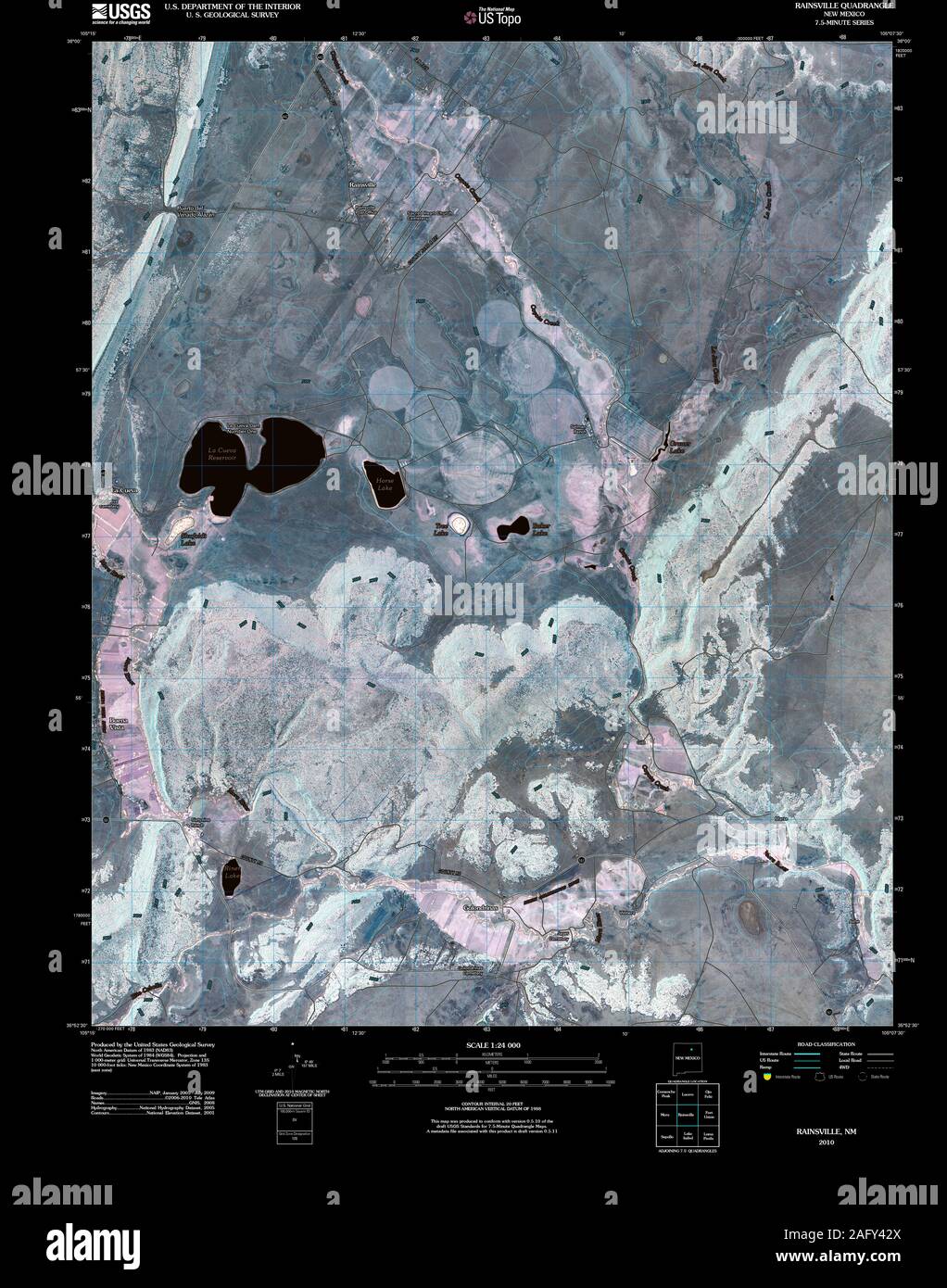 USGS TOPO Map New Mexico NM Rainsville 20100923 TM Inverted Restoration Stock Photohttps://www.alamy.com/image-license-details/?v=1https://www.alamy.com/usgs-topo-map-new-mexico-nm-rainsville-20100923-tm-inverted-restoration-image336812754.html
RM2AFY42X–USGS TOPO Map New Mexico NM Rainsville 20100923 TM Inverted Restoration
 Rainsville, DeKalb County, US, United States, Alabama, N 34 29' 39'', S 85 50' 51'', map, Cartascapes Map published in 2024. Explore Cartascapes, a map revealing Earth's diverse landscapes, cultures, and ecosystems. Journey through time and space, discovering the interconnectedness of our planet's past, present, and future. Stock Photohttps://www.alamy.com/image-license-details/?v=1https://www.alamy.com/rainsville-dekalb-county-us-united-states-alabama-n-34-29-39-s-85-50-51-map-cartascapes-map-published-in-2024-explore-cartascapes-a-map-revealing-earths-diverse-landscapes-cultures-and-ecosystems-journey-through-time-and-space-discovering-the-interconnectedness-of-our-planets-past-present-and-future-image620818991.html
RM2Y20MXR–Rainsville, DeKalb County, US, United States, Alabama, N 34 29' 39'', S 85 50' 51'', map, Cartascapes Map published in 2024. Explore Cartascapes, a map revealing Earth's diverse landscapes, cultures, and ecosystems. Journey through time and space, discovering the interconnectedness of our planet's past, present, and future.
 USGS TOPO Map New Mexico NM Rainsville 192006 1963 24000 Restoration Stock Photohttps://www.alamy.com/image-license-details/?v=1https://www.alamy.com/usgs-topo-map-new-mexico-nm-rainsville-192006-1963-24000-restoration-image336812648.html
RM2AFY3Y4–USGS TOPO Map New Mexico NM Rainsville 192006 1963 24000 Restoration
 City of Rainsville, DeKalb County, US, United States, Alabama, N 34 29' 37'', S 85 50' 36'', map, Cartascapes Map published in 2024. Explore Cartascapes, a map revealing Earth's diverse landscapes, cultures, and ecosystems. Journey through time and space, discovering the interconnectedness of our planet's past, present, and future. Stock Photohttps://www.alamy.com/image-license-details/?v=1https://www.alamy.com/city-of-rainsville-dekalb-county-us-united-states-alabama-n-34-29-37-s-85-50-36-map-cartascapes-map-published-in-2024-explore-cartascapes-a-map-revealing-earths-diverse-landscapes-cultures-and-ecosystems-journey-through-time-and-space-discovering-the-interconnectedness-of-our-planets-past-present-and-future-image633804058.html
RM2YR47F6–City of Rainsville, DeKalb County, US, United States, Alabama, N 34 29' 37'', S 85 50' 36'', map, Cartascapes Map published in 2024. Explore Cartascapes, a map revealing Earth's diverse landscapes, cultures, and ecosystems. Journey through time and space, discovering the interconnectedness of our planet's past, present, and future.
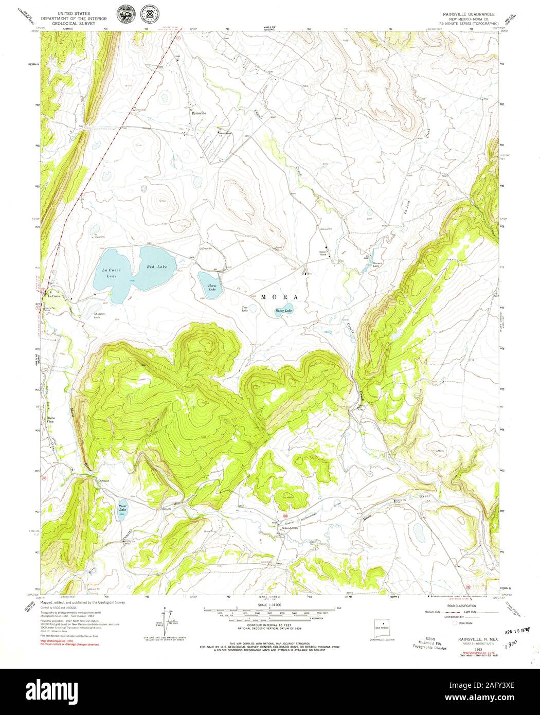 USGS TOPO Map New Mexico NM Rainsville 192007 1963 24000 Restoration Stock Photohttps://www.alamy.com/image-license-details/?v=1https://www.alamy.com/usgs-topo-map-new-mexico-nm-rainsville-192007-1963-24000-restoration-image336812630.html
RM2AFY3XE–USGS TOPO Map New Mexico NM Rainsville 192007 1963 24000 Restoration
 Rainsville, Mora County, US, United States, New Mexico, N 35 58' 43'', S 105 12' 33'', map, Cartascapes Map published in 2024. Explore Cartascapes, a map revealing Earth's diverse landscapes, cultures, and ecosystems. Journey through time and space, discovering the interconnectedness of our planet's past, present, and future. Stock Photohttps://www.alamy.com/image-license-details/?v=1https://www.alamy.com/rainsville-mora-county-us-united-states-new-mexico-n-35-58-43-s-105-12-33-map-cartascapes-map-published-in-2024-explore-cartascapes-a-map-revealing-earths-diverse-landscapes-cultures-and-ecosystems-journey-through-time-and-space-discovering-the-interconnectedness-of-our-planets-past-present-and-future-image620754569.html
RM2Y1WPP1–Rainsville, Mora County, US, United States, New Mexico, N 35 58' 43'', S 105 12' 33'', map, Cartascapes Map published in 2024. Explore Cartascapes, a map revealing Earth's diverse landscapes, cultures, and ecosystems. Journey through time and space, discovering the interconnectedness of our planet's past, present, and future.
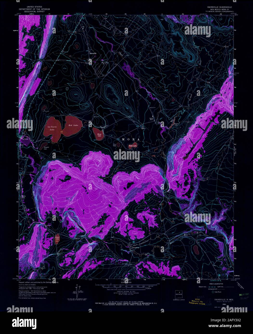 USGS TOPO Map New Mexico NM Rainsville 192006 1963 24000 Inverted Restoration Stock Photohttps://www.alamy.com/image-license-details/?v=1https://www.alamy.com/usgs-topo-map-new-mexico-nm-rainsville-192006-1963-24000-inverted-restoration-image336812618.html
RM2AFY3X2–USGS TOPO Map New Mexico NM Rainsville 192006 1963 24000 Inverted Restoration
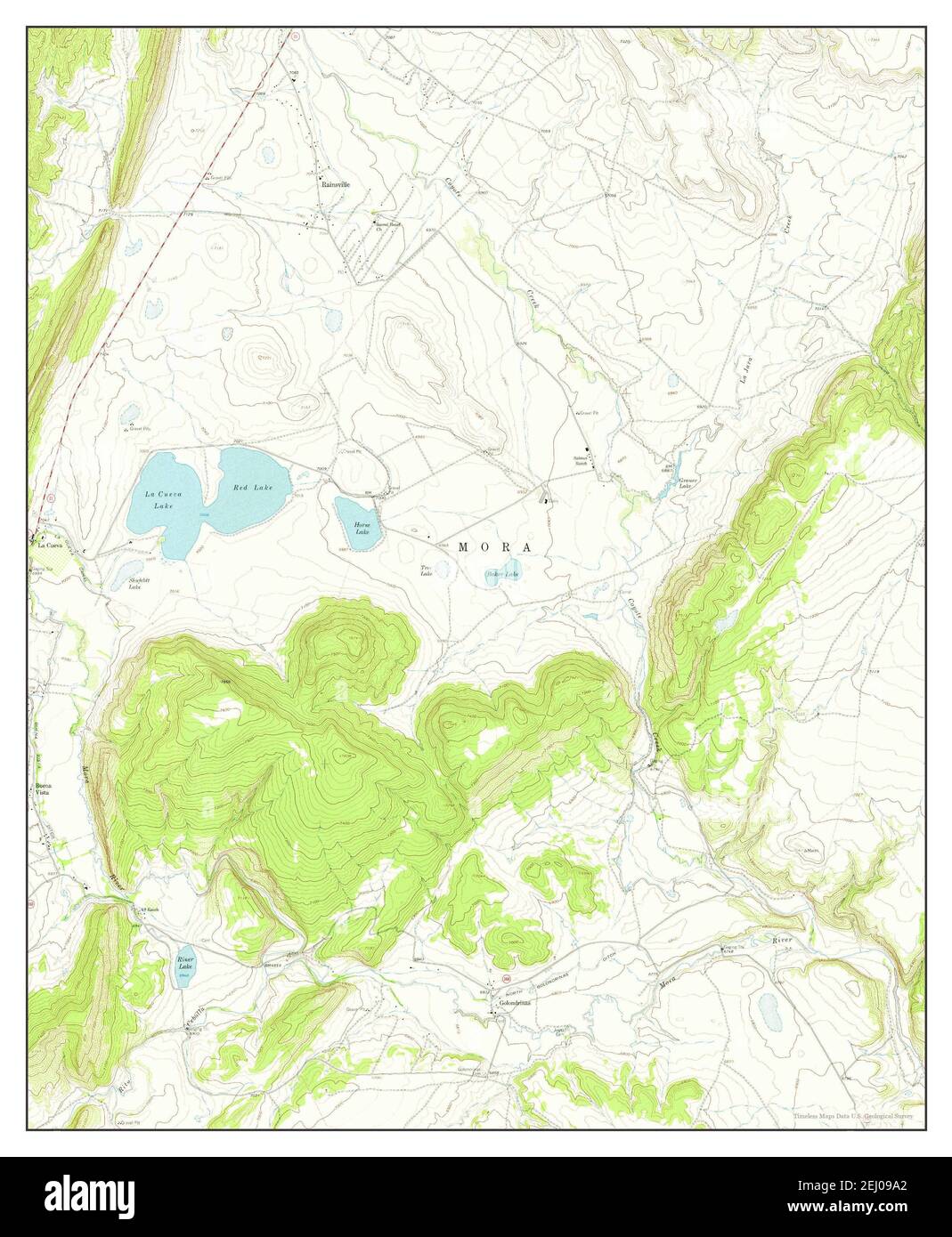 Rainsville, New Mexico, map 1963, 1:24000, United States of America by Timeless Maps, data U.S. Geological Survey Stock Photohttps://www.alamy.com/image-license-details/?v=1https://www.alamy.com/rainsville-new-mexico-map-1963-124000-united-states-of-america-by-timeless-maps-data-us-geological-survey-image406909610.html
RM2EJ09A2–Rainsville, New Mexico, map 1963, 1:24000, United States of America by Timeless Maps, data U.S. Geological Survey
 USGS TOPO Map New Mexico NM Rainsville 192007 1963 24000 Inverted Restoration Stock Photohttps://www.alamy.com/image-license-details/?v=1https://www.alamy.com/usgs-topo-map-new-mexico-nm-rainsville-192007-1963-24000-inverted-restoration-image336812621.html
RM2AFY3X5–USGS TOPO Map New Mexico NM Rainsville 192007 1963 24000 Inverted Restoration
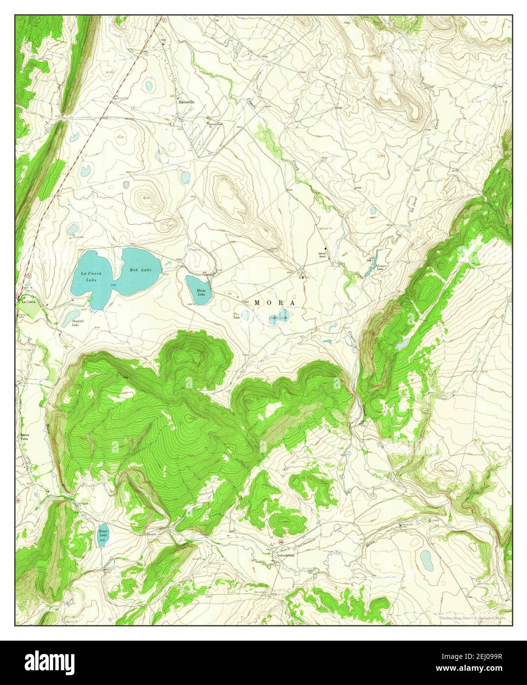 Rainsville, New Mexico, map 1963, 1:24000, United States of America by Timeless Maps, data U.S. Geological Survey Stock Photohttps://www.alamy.com/image-license-details/?v=1https://www.alamy.com/rainsville-new-mexico-map-1963-124000-united-states-of-america-by-timeless-maps-data-us-geological-survey-image406909603.html
RM2EJ099R–Rainsville, New Mexico, map 1963, 1:24000, United States of America by Timeless Maps, data U.S. Geological Survey