Quick filters:
Map of ralls Stock Photos and Images
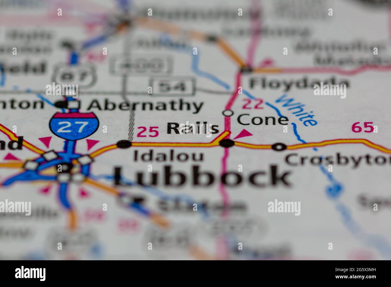 Ralls Texas USA shown on a Geography map or Road map Stock Photohttps://www.alamy.com/image-license-details/?v=1https://www.alamy.com/ralls-texas-usa-shown-on-a-geography-map-or-road-map-image433906161.html
RM2G5X3MH–Ralls Texas USA shown on a Geography map or Road map
 Hutchison, Ralls County, US, United States, Missouri, N 39 20' 45'', S 91 38' 33'', map, Cartascapes Map published in 2024. Explore Cartascapes, a map revealing Earth's diverse landscapes, cultures, and ecosystems. Journey through time and space, discovering the interconnectedness of our planet's past, present, and future. Stock Photohttps://www.alamy.com/image-license-details/?v=1https://www.alamy.com/hutchison-ralls-county-us-united-states-missouri-n-39-20-45-s-91-38-33-map-cartascapes-map-published-in-2024-explore-cartascapes-a-map-revealing-earths-diverse-landscapes-cultures-and-ecosystems-journey-through-time-and-space-discovering-the-interconnectedness-of-our-planets-past-present-and-future-image621346636.html
RM2Y2TNY8–Hutchison, Ralls County, US, United States, Missouri, N 39 20' 45'', S 91 38' 33'', map, Cartascapes Map published in 2024. Explore Cartascapes, a map revealing Earth's diverse landscapes, cultures, and ecosystems. Journey through time and space, discovering the interconnectedness of our planet's past, present, and future.
 Map of Ralls in Missouri Stock Photohttps://www.alamy.com/image-license-details/?v=1https://www.alamy.com/map-of-ralls-in-missouri-image362069322.html
RF2C11K36–Map of Ralls in Missouri
 Frederic Edwin Church - Drawing. a. Sketch. Tequendama Ralls near Bogota, Colombia. b. View of distant mountain ranges. - Stock Photohttps://www.alamy.com/image-license-details/?v=1https://www.alamy.com/stock-photo-frederic-edwin-church-drawing-a-sketch-tequendama-ralls-near-bogota-148419672.html
RMJHD2PG–Frederic Edwin Church - Drawing. a. Sketch. Tequendama Ralls near Bogota, Colombia. b. View of distant mountain ranges. -
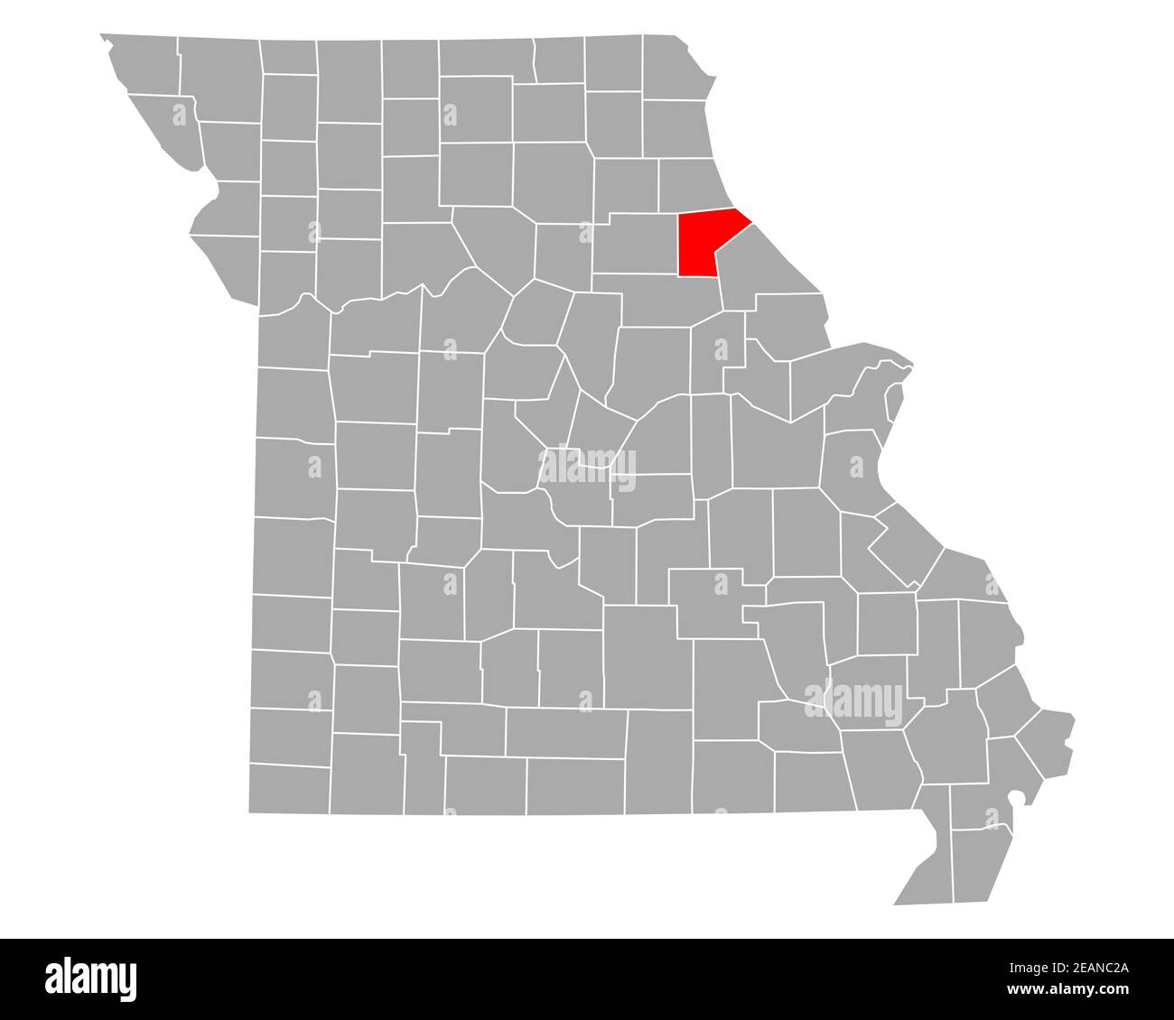 Map of Ralls in Missouri Stock Photohttps://www.alamy.com/image-license-details/?v=1https://www.alamy.com/map-of-ralls-in-missouri-image402455490.html
RF2EANC2A–Map of Ralls in Missouri
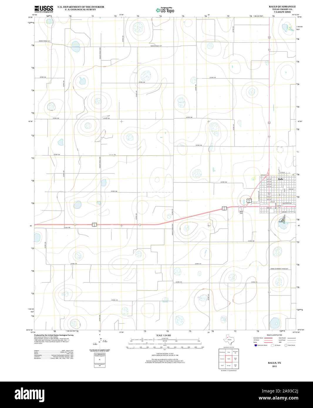 USGS TOPO Map Texas TX Ralls 20121109 TM Restoration Stock Photohttps://www.alamy.com/image-license-details/?v=1https://www.alamy.com/usgs-topo-map-texas-tx-ralls-20121109-tm-restoration-image332604234.html
RM2A93C2J–USGS TOPO Map Texas TX Ralls 20121109 TM Restoration
 Ralls County (Missouri) outline map set Stock Vectorhttps://www.alamy.com/image-license-details/?v=1https://www.alamy.com/ralls-county-missouri-outline-map-set-image621082083.html
RF2Y2CMEY–Ralls County (Missouri) outline map set
 . P.J. Hannifan & Co.'s new commercial railroad and county map of New Yort State and gazetteer .. . the battles of the Armyof Potomac, Colonel Hayes received a severe wound in the arm, butremained with his regiment to the last, and was the first officer whose 286 OF REPRESENTATIVE BUSINESS HOUSES. NIAGARA rALLS.-Continued. MEAT MARKETS.Gaismer,H., Main., opp. Linwood Market. D T HSVV Sanitary Plumber r. 0. UHI1, and Gasfitter, Agents for Magee Boston Heater Furnace.540 Main St.. Niagara Falls, N. Y. McKenna, M., 370 3d. Kellers, P. J.. 2013 Main Street. Ellenbaum, J. H. Watson, J., & Son, Susp Stock Photohttps://www.alamy.com/image-license-details/?v=1https://www.alamy.com/pj-hannifan-cos-new-commercial-railroad-and-county-map-of-new-yort-state-and-gazetteer-the-battles-of-the-armyof-potomac-colonel-hayes-received-a-severe-wound-in-the-arm-butremained-with-his-regiment-to-the-last-and-was-the-first-officer-whose-286-of-representative-business-houses-niagara-ralls-continued-meat-marketsgaismerh-main-opp-linwood-market-d-t-hsvv-sanitary-plumber-r-0-uhi1-and-gasfitter-agents-for-magee-boston-heater-furnace540-main-st-niagara-falls-n-y-mckenna-m-370-3d-kellers-p-j-2013-main-street-ellenbaum-j-h-watson-j-son-susp-image375642148.html
RM2CR3YB0–. P.J. Hannifan & Co.'s new commercial railroad and county map of New Yort State and gazetteer .. . the battles of the Armyof Potomac, Colonel Hayes received a severe wound in the arm, butremained with his regiment to the last, and was the first officer whose 286 OF REPRESENTATIVE BUSINESS HOUSES. NIAGARA rALLS.-Continued. MEAT MARKETS.Gaismer,H., Main., opp. Linwood Market. D T HSVV Sanitary Plumber r. 0. UHI1, and Gasfitter, Agents for Magee Boston Heater Furnace.540 Main St.. Niagara Falls, N. Y. McKenna, M., 370 3d. Kellers, P. J.. 2013 Main Street. Ellenbaum, J. H. Watson, J., & Son, Susp
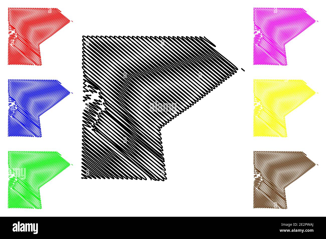 Ralls County, Missouri (U.S. county, United States of America, USA, U.S., US) map vector illustration, scribble sketch Ralls map Stock Vectorhttps://www.alamy.com/image-license-details/?v=1https://www.alamy.com/ralls-county-missouri-us-county-united-states-of-america-usa-us-us-map-vector-illustration-scribble-sketch-ralls-map-image397570618.html
RF2E2PWAJ–Ralls County, Missouri (U.S. county, United States of America, USA, U.S., US) map vector illustration, scribble sketch Ralls map
 Spalding, Ralls County, US, United States, Missouri, N 39 37' 7'', S 91 31' 35'', map, Cartascapes Map published in 2024. Explore Cartascapes, a map revealing Earth's diverse landscapes, cultures, and ecosystems. Journey through time and space, discovering the interconnectedness of our planet's past, present, and future. Stock Photohttps://www.alamy.com/image-license-details/?v=1https://www.alamy.com/spalding-ralls-county-us-united-states-missouri-n-39-37-7-s-91-31-35-map-cartascapes-map-published-in-2024-explore-cartascapes-a-map-revealing-earths-diverse-landscapes-cultures-and-ecosystems-journey-through-time-and-space-discovering-the-interconnectedness-of-our-planets-past-present-and-future-image621224511.html
RM2Y2K65K–Spalding, Ralls County, US, United States, Missouri, N 39 37' 7'', S 91 31' 35'', map, Cartascapes Map published in 2024. Explore Cartascapes, a map revealing Earth's diverse landscapes, cultures, and ecosystems. Journey through time and space, discovering the interconnectedness of our planet's past, present, and future.
 Map of Ralls in Missouri Stock Photohttps://www.alamy.com/image-license-details/?v=1https://www.alamy.com/map-of-ralls-in-missouri-image360928502.html
RF2BY5KYJ–Map of Ralls in Missouri
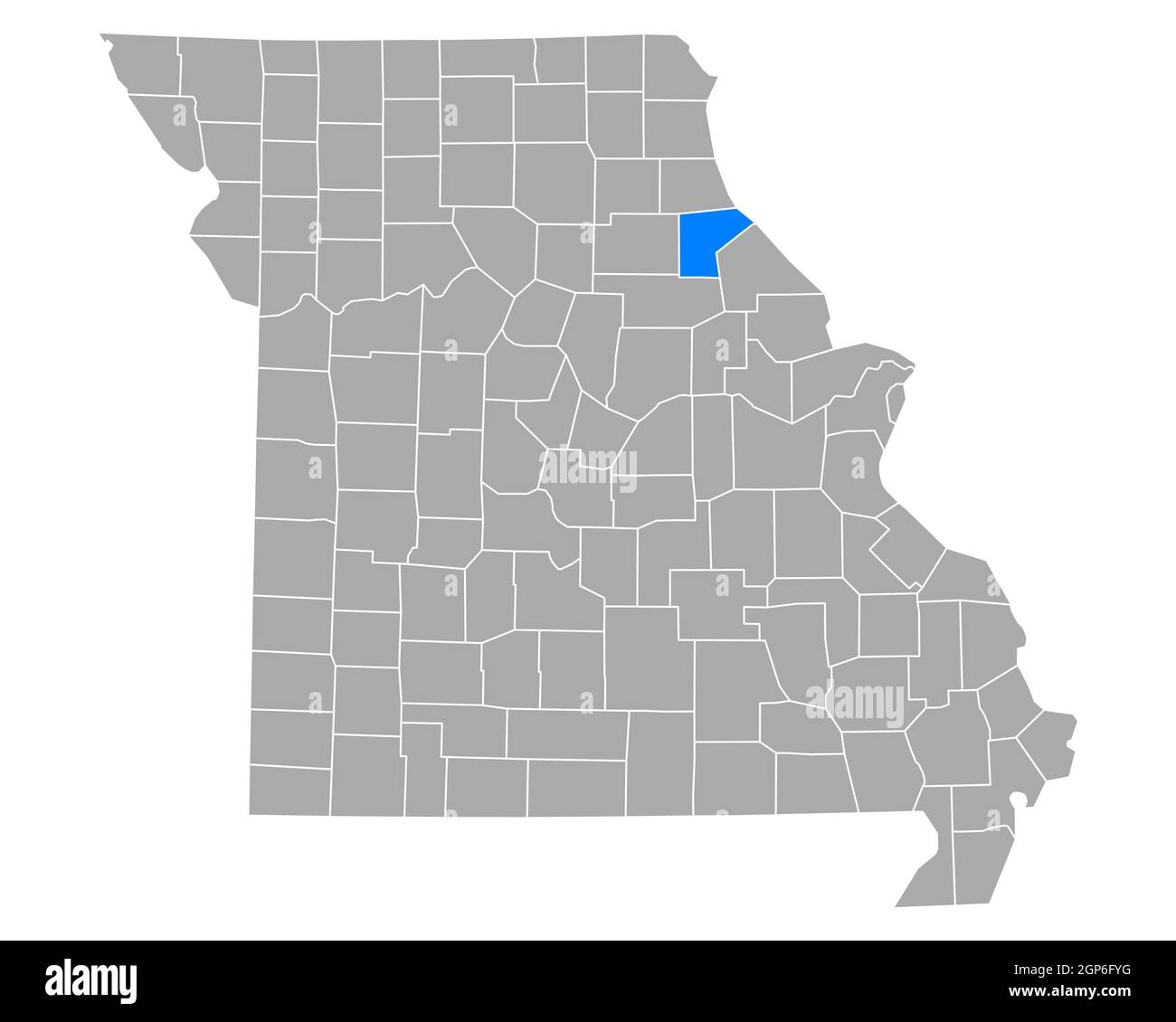 Map of Ralls in Missouri Stock Photohttps://www.alamy.com/image-license-details/?v=1https://www.alamy.com/map-of-ralls-in-missouri-image443925876.html
RF2GP6FYG–Map of Ralls in Missouri
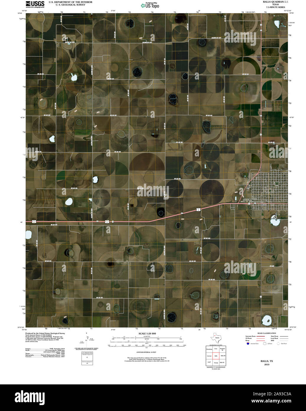 USGS TOPO Map Texas TX Ralls 20100304 TM Restoration Stock Photohttps://www.alamy.com/image-license-details/?v=1https://www.alamy.com/usgs-topo-map-texas-tx-ralls-20100304-tm-restoration-image332604254.html
RM2A93C3A–USGS TOPO Map Texas TX Ralls 20100304 TM Restoration
 Ralls County, Missouri (U.S. county, United States of America, USA, U.S., US) map vector illustration, scribble sketch Ralls map Stock Vectorhttps://www.alamy.com/image-license-details/?v=1https://www.alamy.com/ralls-county-missouri-us-county-united-states-of-america-usa-us-us-map-vector-illustration-scribble-sketch-ralls-map-image381798606.html
RF2D54C0E–Ralls County, Missouri (U.S. county, United States of America, USA, U.S., US) map vector illustration, scribble sketch Ralls map
 Joanna, Ralls County, US, United States, Missouri, N 39 32' 27'', S 91 40' 9'', map, Cartascapes Map published in 2024. Explore Cartascapes, a map revealing Earth's diverse landscapes, cultures, and ecosystems. Journey through time and space, discovering the interconnectedness of our planet's past, present, and future. Stock Photohttps://www.alamy.com/image-license-details/?v=1https://www.alamy.com/joanna-ralls-county-us-united-states-missouri-n-39-32-27-s-91-40-9-map-cartascapes-map-published-in-2024-explore-cartascapes-a-map-revealing-earths-diverse-landscapes-cultures-and-ecosystems-journey-through-time-and-space-discovering-the-interconnectedness-of-our-planets-past-present-and-future-image621255426.html
RM2Y2MHHP–Joanna, Ralls County, US, United States, Missouri, N 39 32' 27'', S 91 40' 9'', map, Cartascapes Map published in 2024. Explore Cartascapes, a map revealing Earth's diverse landscapes, cultures, and ecosystems. Journey through time and space, discovering the interconnectedness of our planet's past, present, and future.
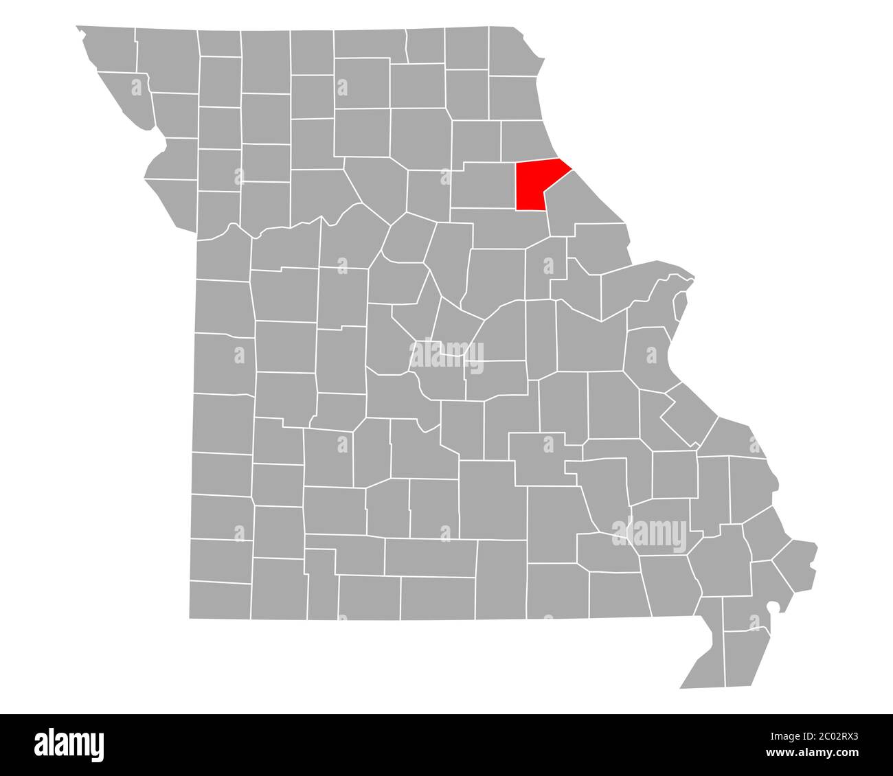 Map of Ralls in Missouri Stock Photohttps://www.alamy.com/image-license-details/?v=1https://www.alamy.com/map-of-ralls-in-missouri-image361480395.html
RF2C02RX3–Map of Ralls in Missouri
 Map of Ralls in Missouri Stock Photohttps://www.alamy.com/image-license-details/?v=1https://www.alamy.com/map-of-ralls-in-missouri-image385793927.html
RF2DBJC2F–Map of Ralls in Missouri
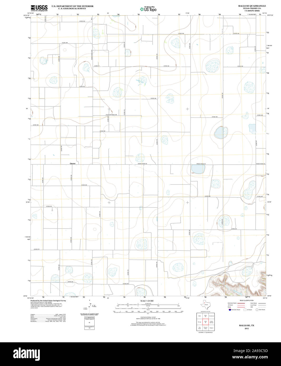 USGS TOPO Map Texas TX Ralls SE 20121101 TM Restoration Stock Photohttps://www.alamy.com/image-license-details/?v=1https://www.alamy.com/usgs-topo-map-texas-tx-ralls-se-20121101-tm-restoration-image332604313.html
RM2A93C5D–USGS TOPO Map Texas TX Ralls SE 20121101 TM Restoration
 Ralls County, Missouri (U.S. county, United States of America, USA, U.S., US) map vector illustration, scribble sketch Ralls map Stock Vectorhttps://www.alamy.com/image-license-details/?v=1https://www.alamy.com/ralls-county-missouri-us-county-united-states-of-america-usa-us-us-map-vector-illustration-scribble-sketch-ralls-map-image386974206.html
RF2DDG5FA–Ralls County, Missouri (U.S. county, United States of America, USA, U.S., US) map vector illustration, scribble sketch Ralls map
 The Landing, Ralls County, US, United States, Missouri, N 39 33' 49'', S 91 39' 39'', map, Cartascapes Map published in 2024. Explore Cartascapes, a map revealing Earth's diverse landscapes, cultures, and ecosystems. Journey through time and space, discovering the interconnectedness of our planet's past, present, and future. Stock Photohttps://www.alamy.com/image-license-details/?v=1https://www.alamy.com/the-landing-ralls-county-us-united-states-missouri-n-39-33-49-s-91-39-39-map-cartascapes-map-published-in-2024-explore-cartascapes-a-map-revealing-earths-diverse-landscapes-cultures-and-ecosystems-journey-through-time-and-space-discovering-the-interconnectedness-of-our-planets-past-present-and-future-image621169587.html
RM2Y2GM43–The Landing, Ralls County, US, United States, Missouri, N 39 33' 49'', S 91 39' 39'', map, Cartascapes Map published in 2024. Explore Cartascapes, a map revealing Earth's diverse landscapes, cultures, and ecosystems. Journey through time and space, discovering the interconnectedness of our planet's past, present, and future.
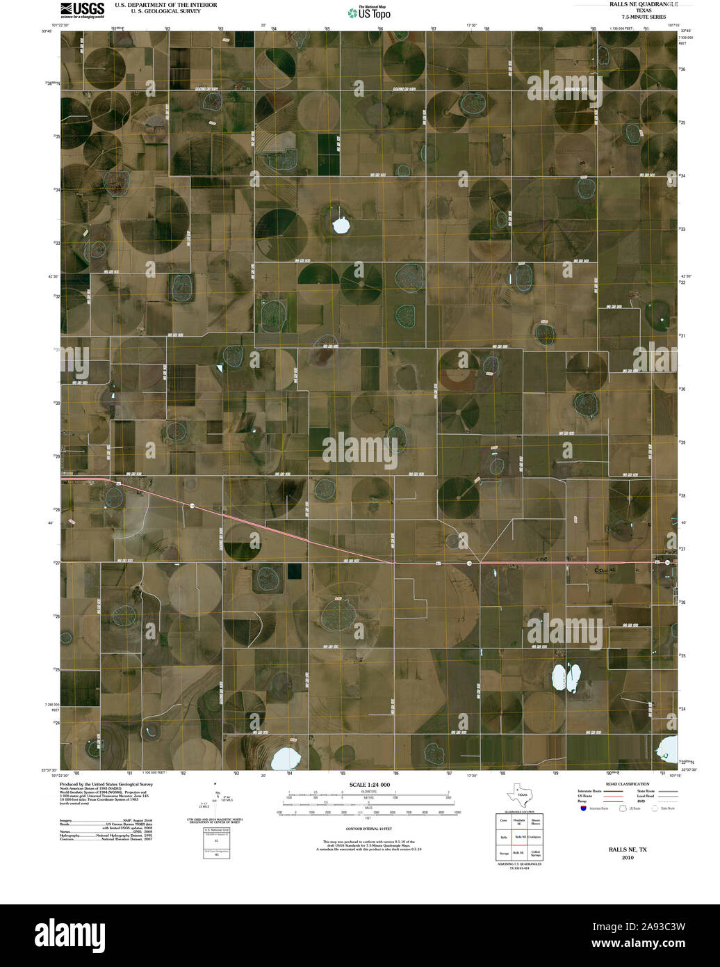 USGS TOPO Map Texas TX Ralls NE 20100414 TM Restoration Stock Photohttps://www.alamy.com/image-license-details/?v=1https://www.alamy.com/usgs-topo-map-texas-tx-ralls-ne-20100414-tm-restoration-image332604269.html
RM2A93C3W–USGS TOPO Map Texas TX Ralls NE 20100414 TM Restoration
 Saverton, Ralls County, US, United States, Missouri, N 39 38' 47'', S 91 16' 5'', map, Cartascapes Map published in 2024. Explore Cartascapes, a map revealing Earth's diverse landscapes, cultures, and ecosystems. Journey through time and space, discovering the interconnectedness of our planet's past, present, and future. Stock Photohttps://www.alamy.com/image-license-details/?v=1https://www.alamy.com/saverton-ralls-county-us-united-states-missouri-n-39-38-47-s-91-16-5-map-cartascapes-map-published-in-2024-explore-cartascapes-a-map-revealing-earths-diverse-landscapes-cultures-and-ecosystems-journey-through-time-and-space-discovering-the-interconnectedness-of-our-planets-past-present-and-future-image621426520.html
RM2Y30BT8–Saverton, Ralls County, US, United States, Missouri, N 39 38' 47'', S 91 16' 5'', map, Cartascapes Map published in 2024. Explore Cartascapes, a map revealing Earth's diverse landscapes, cultures, and ecosystems. Journey through time and space, discovering the interconnectedness of our planet's past, present, and future.
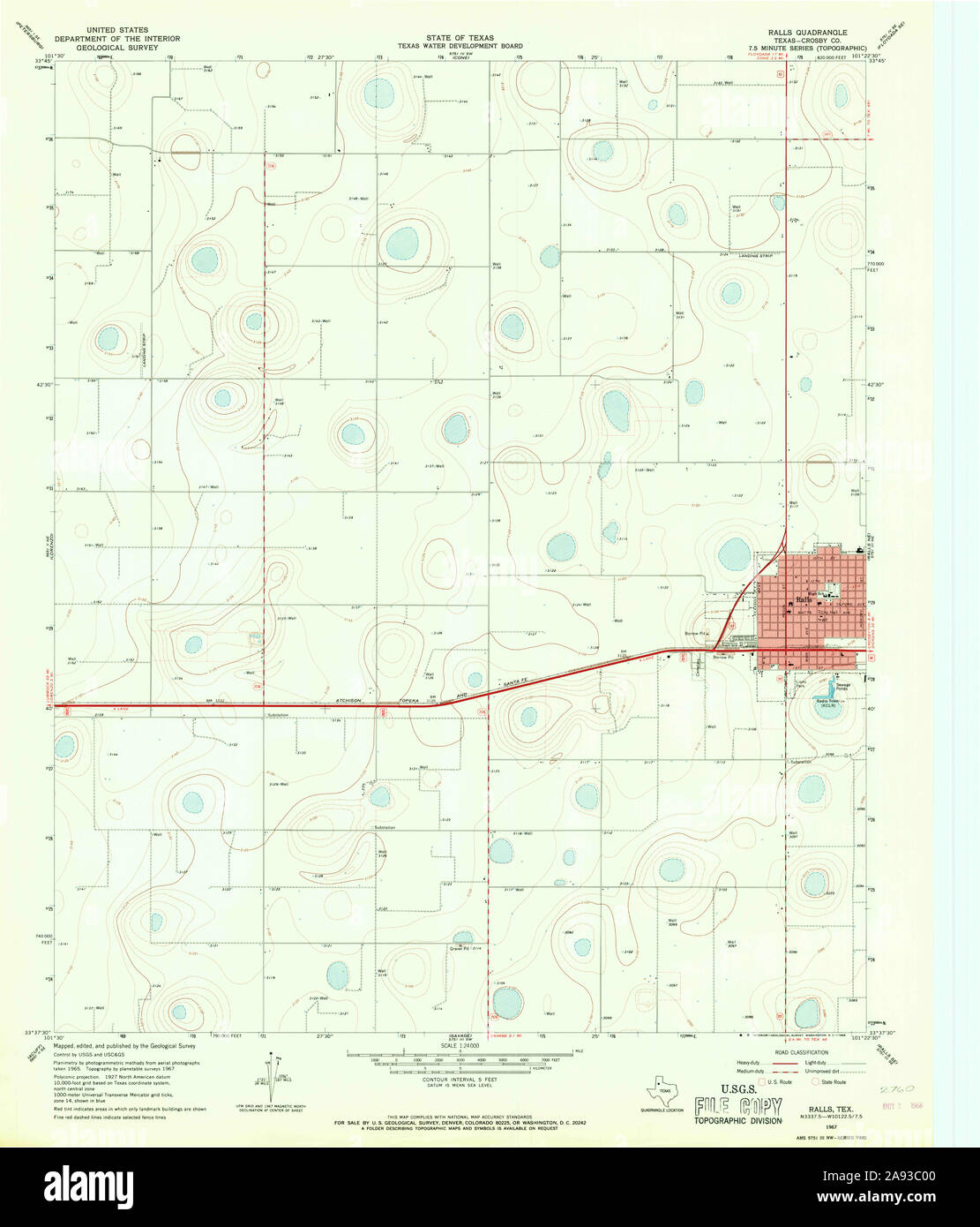 USGS TOPO Map Texas TX Ralls 115078 1967 24000 Restoration Stock Photohttps://www.alamy.com/image-license-details/?v=1https://www.alamy.com/usgs-topo-map-texas-tx-ralls-115078-1967-24000-restoration-image332604160.html
RM2A93C00–USGS TOPO Map Texas TX Ralls 115078 1967 24000 Restoration
 Cincinnati, Ralls County, US, United States, Missouri, N 39 33' 48'', S 91 35' 39'', map, Cartascapes Map published in 2024. Explore Cartascapes, a map revealing Earth's diverse landscapes, cultures, and ecosystems. Journey through time and space, discovering the interconnectedness of our planet's past, present, and future. Stock Photohttps://www.alamy.com/image-license-details/?v=1https://www.alamy.com/cincinnati-ralls-county-us-united-states-missouri-n-39-33-48-s-91-35-39-map-cartascapes-map-published-in-2024-explore-cartascapes-a-map-revealing-earths-diverse-landscapes-cultures-and-ecosystems-journey-through-time-and-space-discovering-the-interconnectedness-of-our-planets-past-present-and-future-image621168893.html
RM2Y2GK79–Cincinnati, Ralls County, US, United States, Missouri, N 39 33' 48'', S 91 35' 39'', map, Cartascapes Map published in 2024. Explore Cartascapes, a map revealing Earth's diverse landscapes, cultures, and ecosystems. Journey through time and space, discovering the interconnectedness of our planet's past, present, and future.
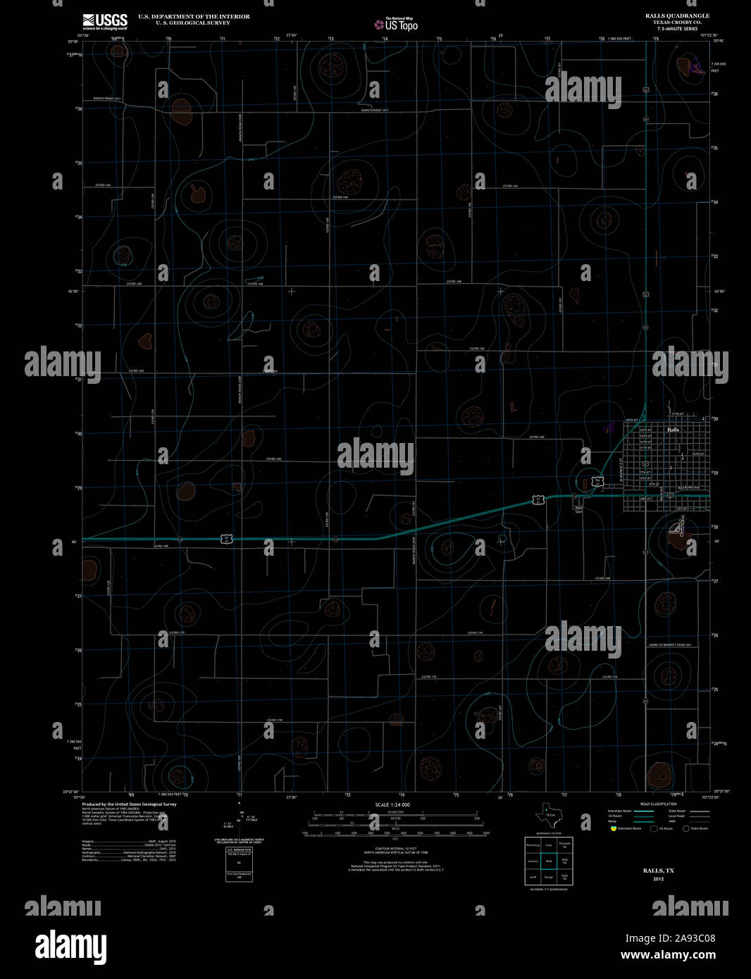 USGS TOPO Map Texas TX Ralls 20121109 TM Inverted Restoration Stock Photohttps://www.alamy.com/image-license-details/?v=1https://www.alamy.com/usgs-topo-map-texas-tx-ralls-20121109-tm-inverted-restoration-image332604168.html
RM2A93C08–USGS TOPO Map Texas TX Ralls 20121109 TM Inverted Restoration
 Ralls, Ralls County, US, United States, Missouri, N 39 41' 1'', S 91 24' 5'', map, Cartascapes Map published in 2024. Explore Cartascapes, a map revealing Earth's diverse landscapes, cultures, and ecosystems. Journey through time and space, discovering the interconnectedness of our planet's past, present, and future. Stock Photohttps://www.alamy.com/image-license-details/?v=1https://www.alamy.com/ralls-ralls-county-us-united-states-missouri-n-39-41-1-s-91-24-5-map-cartascapes-map-published-in-2024-explore-cartascapes-a-map-revealing-earths-diverse-landscapes-cultures-and-ecosystems-journey-through-time-and-space-discovering-the-interconnectedness-of-our-planets-past-present-and-future-image621254292.html
RM2Y2MG58–Ralls, Ralls County, US, United States, Missouri, N 39 41' 1'', S 91 24' 5'', map, Cartascapes Map published in 2024. Explore Cartascapes, a map revealing Earth's diverse landscapes, cultures, and ecosystems. Journey through time and space, discovering the interconnectedness of our planet's past, present, and future.
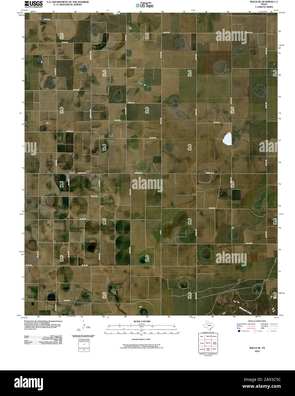 USGS TOPO Map Texas TX Ralls SE 20100304 TM Restoration Stock Photohttps://www.alamy.com/image-license-details/?v=1https://www.alamy.com/usgs-topo-map-texas-tx-ralls-se-20100304-tm-restoration-image332604312.html
RM2A93C5C–USGS TOPO Map Texas TX Ralls SE 20100304 TM Restoration
 Center, Ralls County, US, United States, Missouri, N 39 30' 29'', S 91 31' 43'', map, Cartascapes Map published in 2024. Explore Cartascapes, a map revealing Earth's diverse landscapes, cultures, and ecosystems. Journey through time and space, discovering the interconnectedness of our planet's past, present, and future. Stock Photohttps://www.alamy.com/image-license-details/?v=1https://www.alamy.com/center-ralls-county-us-united-states-missouri-n-39-30-29-s-91-31-43-map-cartascapes-map-published-in-2024-explore-cartascapes-a-map-revealing-earths-diverse-landscapes-cultures-and-ecosystems-journey-through-time-and-space-discovering-the-interconnectedness-of-our-planets-past-present-and-future-image621263904.html
RM2Y2N0CG–Center, Ralls County, US, United States, Missouri, N 39 30' 29'', S 91 31' 43'', map, Cartascapes Map published in 2024. Explore Cartascapes, a map revealing Earth's diverse landscapes, cultures, and ecosystems. Journey through time and space, discovering the interconnectedness of our planet's past, present, and future.
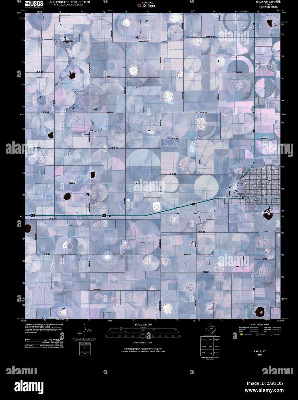 USGS TOPO Map Texas TX Ralls 20100304 TM Inverted Restoration Stock Photohttps://www.alamy.com/image-license-details/?v=1https://www.alamy.com/usgs-topo-map-texas-tx-ralls-20100304-tm-inverted-restoration-image332604169.html
RM2A93C09–USGS TOPO Map Texas TX Ralls 20100304 TM Inverted Restoration
 Perry, Ralls County, US, United States, Missouri, N 39 25' 52'', S 91 40' 30'', map, Cartascapes Map published in 2024. Explore Cartascapes, a map revealing Earth's diverse landscapes, cultures, and ecosystems. Journey through time and space, discovering the interconnectedness of our planet's past, present, and future. Stock Photohttps://www.alamy.com/image-license-details/?v=1https://www.alamy.com/perry-ralls-county-us-united-states-missouri-n-39-25-52-s-91-40-30-map-cartascapes-map-published-in-2024-explore-cartascapes-a-map-revealing-earths-diverse-landscapes-cultures-and-ecosystems-journey-through-time-and-space-discovering-the-interconnectedness-of-our-planets-past-present-and-future-image621342017.html
RM2Y2TG29–Perry, Ralls County, US, United States, Missouri, N 39 25' 52'', S 91 40' 30'', map, Cartascapes Map published in 2024. Explore Cartascapes, a map revealing Earth's diverse landscapes, cultures, and ecosystems. Journey through time and space, discovering the interconnectedness of our planet's past, present, and future.
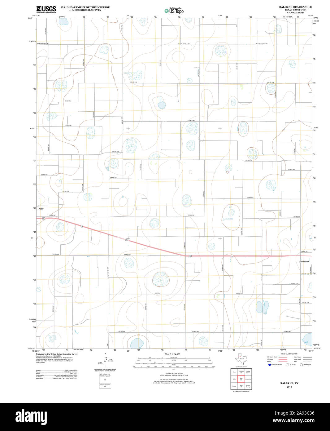 USGS TOPO Map Texas TX Ralls NE 20121109 TM Restoration Stock Photohttps://www.alamy.com/image-license-details/?v=1https://www.alamy.com/usgs-topo-map-texas-tx-ralls-ne-20121109-tm-restoration-image332604250.html
RM2A93C36–USGS TOPO Map Texas TX Ralls NE 20121109 TM Restoration
 Hassard, Ralls County, US, United States, Missouri, N 39 39' 25'', S 91 39' 34'', map, Cartascapes Map published in 2024. Explore Cartascapes, a map revealing Earth's diverse landscapes, cultures, and ecosystems. Journey through time and space, discovering the interconnectedness of our planet's past, present, and future. Stock Photohttps://www.alamy.com/image-license-details/?v=1https://www.alamy.com/hassard-ralls-county-us-united-states-missouri-n-39-39-25-s-91-39-34-map-cartascapes-map-published-in-2024-explore-cartascapes-a-map-revealing-earths-diverse-landscapes-cultures-and-ecosystems-journey-through-time-and-space-discovering-the-interconnectedness-of-our-planets-past-present-and-future-image621377742.html
RM2Y2X5J6–Hassard, Ralls County, US, United States, Missouri, N 39 39' 25'', S 91 39' 34'', map, Cartascapes Map published in 2024. Explore Cartascapes, a map revealing Earth's diverse landscapes, cultures, and ecosystems. Journey through time and space, discovering the interconnectedness of our planet's past, present, and future.
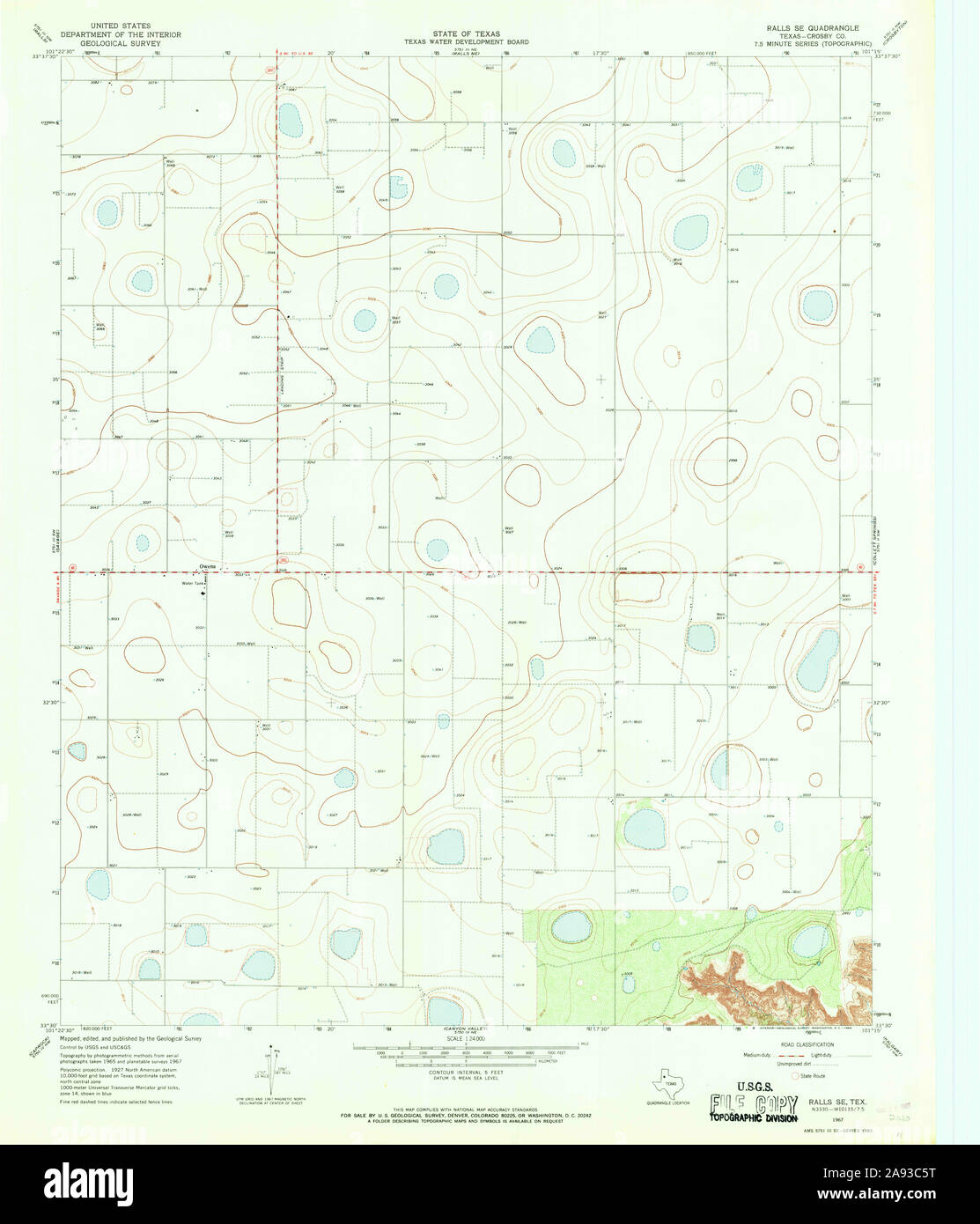 USGS TOPO Map Texas TX Ralls SE 115077 1967 24000 Restoration Stock Photohttps://www.alamy.com/image-license-details/?v=1https://www.alamy.com/usgs-topo-map-texas-tx-ralls-se-115077-1967-24000-restoration-image332604324.html
RM2A93C5T–USGS TOPO Map Texas TX Ralls SE 115077 1967 24000 Restoration
 Center, Ralls County, US, United States, Missouri, N 39 30' 29'', S 91 31' 43'', map, Cartascapes Map published in 2024. Explore Cartascapes, a map revealing Earth's diverse landscapes, cultures, and ecosystems. Journey through time and space, discovering the interconnectedness of our planet's past, present, and future. Stock Photohttps://www.alamy.com/image-license-details/?v=1https://www.alamy.com/center-ralls-county-us-united-states-missouri-n-39-30-29-s-91-31-43-map-cartascapes-map-published-in-2024-explore-cartascapes-a-map-revealing-earths-diverse-landscapes-cultures-and-ecosystems-journey-through-time-and-space-discovering-the-interconnectedness-of-our-planets-past-present-and-future-image621393371.html
RM2Y2XWGB–Center, Ralls County, US, United States, Missouri, N 39 30' 29'', S 91 31' 43'', map, Cartascapes Map published in 2024. Explore Cartascapes, a map revealing Earth's diverse landscapes, cultures, and ecosystems. Journey through time and space, discovering the interconnectedness of our planet's past, present, and future.
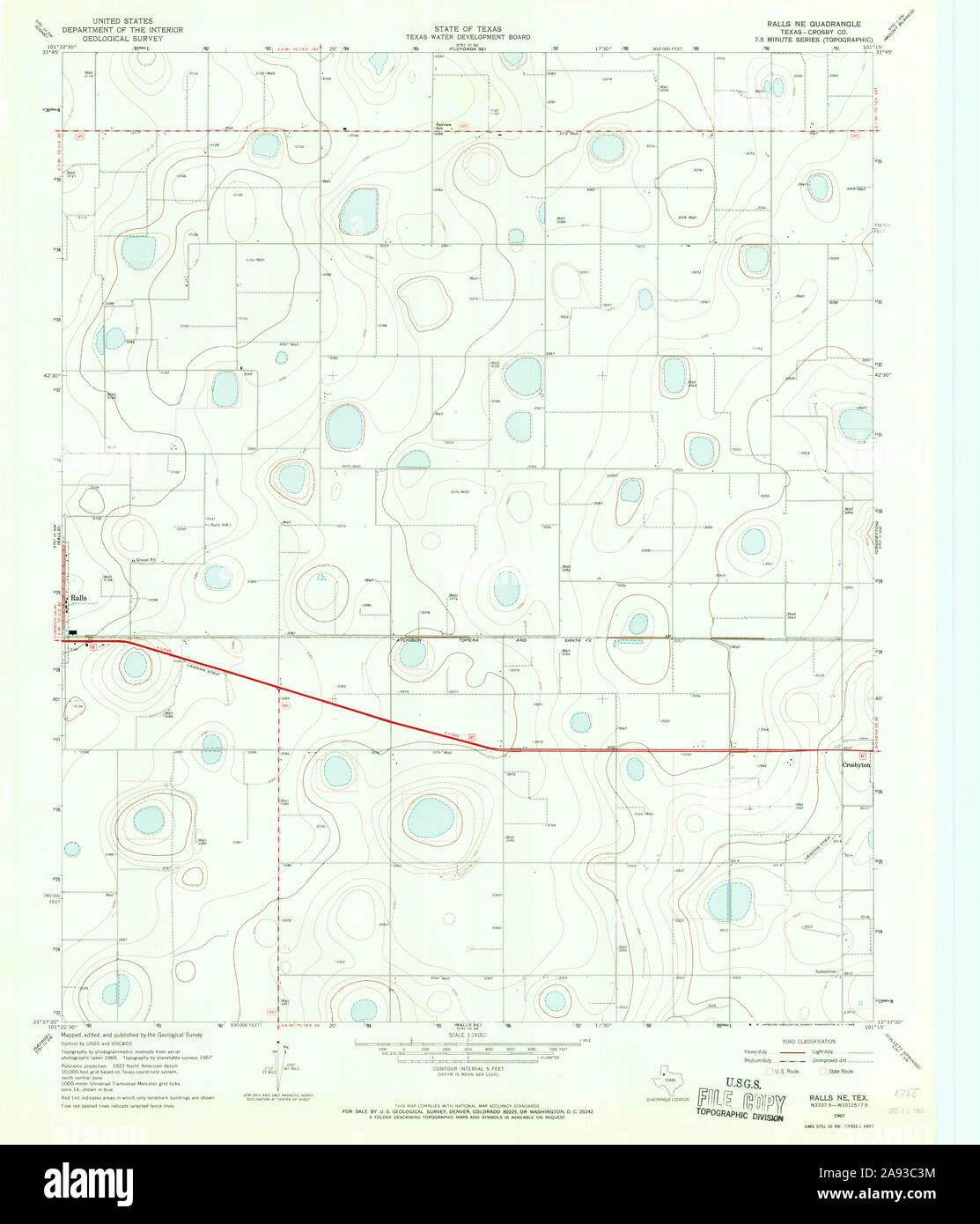 USGS TOPO Map Texas TX Ralls NE 115076 1967 24000 Restoration Stock Photohttps://www.alamy.com/image-license-details/?v=1https://www.alamy.com/usgs-topo-map-texas-tx-ralls-ne-115076-1967-24000-restoration-image332604264.html
RM2A93C3M–USGS TOPO Map Texas TX Ralls NE 115076 1967 24000 Restoration
 Huntington, Ralls County, US, United States, Missouri, N 39 39' 41'', S 91 35' 55'', map, Cartascapes Map published in 2024. Explore Cartascapes, a map revealing Earth's diverse landscapes, cultures, and ecosystems. Journey through time and space, discovering the interconnectedness of our planet's past, present, and future. Stock Photohttps://www.alamy.com/image-license-details/?v=1https://www.alamy.com/huntington-ralls-county-us-united-states-missouri-n-39-39-41-s-91-35-55-map-cartascapes-map-published-in-2024-explore-cartascapes-a-map-revealing-earths-diverse-landscapes-cultures-and-ecosystems-journey-through-time-and-space-discovering-the-interconnectedness-of-our-planets-past-present-and-future-image621218809.html
RM2Y2JXX1–Huntington, Ralls County, US, United States, Missouri, N 39 39' 41'', S 91 35' 55'', map, Cartascapes Map published in 2024. Explore Cartascapes, a map revealing Earth's diverse landscapes, cultures, and ecosystems. Journey through time and space, discovering the interconnectedness of our planet's past, present, and future.
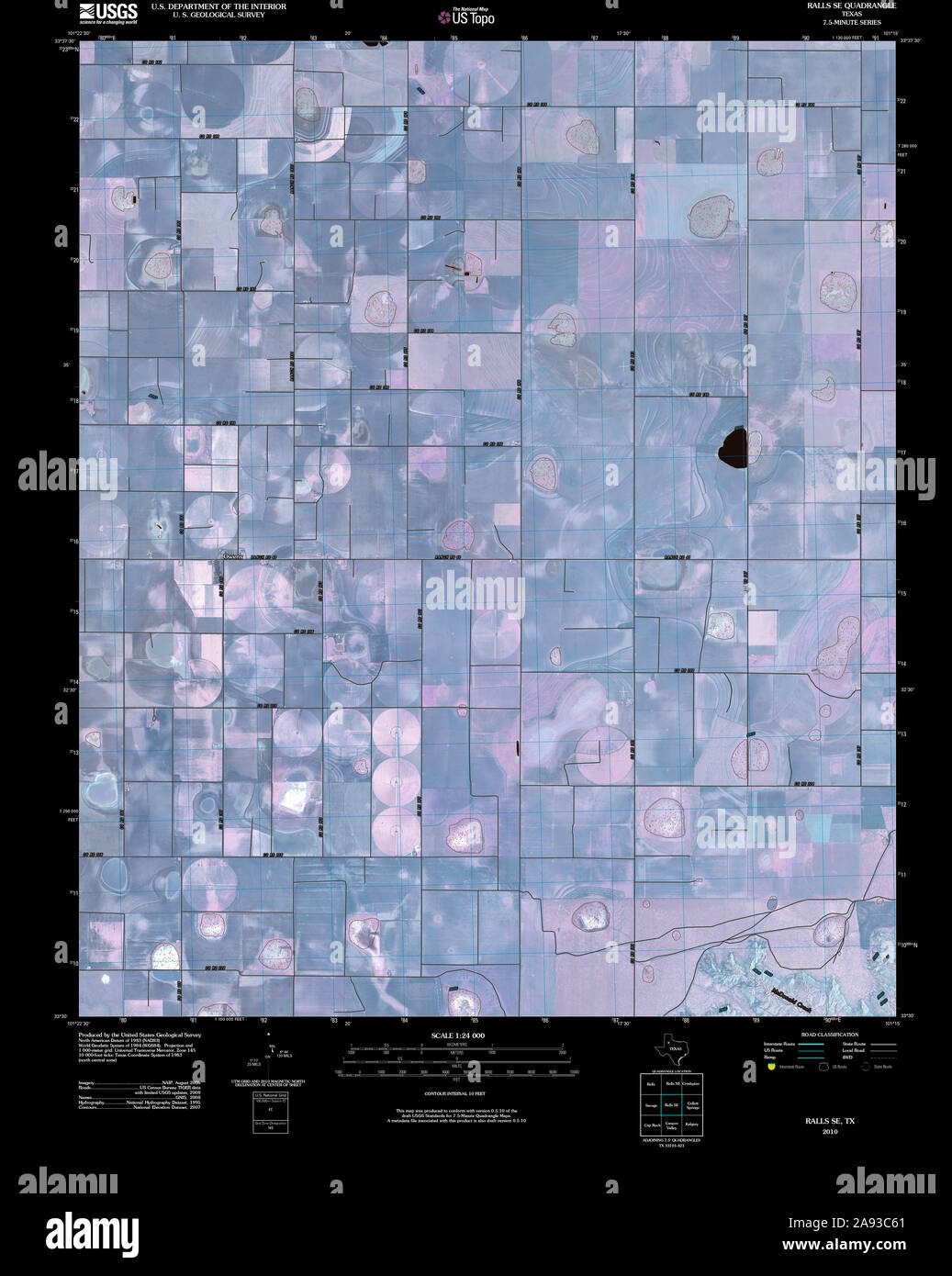 USGS TOPO Map Texas TX Ralls SE 20100304 TM Inverted Restoration Stock Photohttps://www.alamy.com/image-license-details/?v=1https://www.alamy.com/usgs-topo-map-texas-tx-ralls-se-20100304-tm-inverted-restoration-image332604329.html
RM2A93C61–USGS TOPO Map Texas TX Ralls SE 20100304 TM Inverted Restoration
 Ilasco, Ralls County, US, United States, Missouri, N 39 40' 17'', S 91 18' 38'', map, Cartascapes Map published in 2024. Explore Cartascapes, a map revealing Earth's diverse landscapes, cultures, and ecosystems. Journey through time and space, discovering the interconnectedness of our planet's past, present, and future. Stock Photohttps://www.alamy.com/image-license-details/?v=1https://www.alamy.com/ilasco-ralls-county-us-united-states-missouri-n-39-40-17-s-91-18-38-map-cartascapes-map-published-in-2024-explore-cartascapes-a-map-revealing-earths-diverse-landscapes-cultures-and-ecosystems-journey-through-time-and-space-discovering-the-interconnectedness-of-our-planets-past-present-and-future-image621459894.html
RM2Y31XC6–Ilasco, Ralls County, US, United States, Missouri, N 39 40' 17'', S 91 18' 38'', map, Cartascapes Map published in 2024. Explore Cartascapes, a map revealing Earth's diverse landscapes, cultures, and ecosystems. Journey through time and space, discovering the interconnectedness of our planet's past, present, and future.
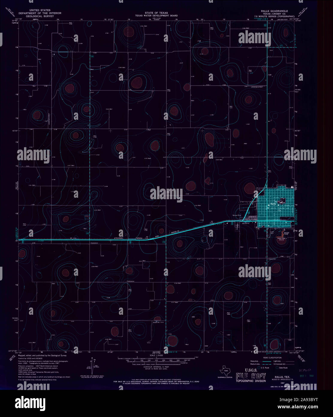 USGS TOPO Map Texas TX Ralls 115078 1967 24000 Inverted Restoration Stock Photohttps://www.alamy.com/image-license-details/?v=1https://www.alamy.com/usgs-topo-map-texas-tx-ralls-115078-1967-24000-inverted-restoration-image332604156.html
RM2A93BYT–USGS TOPO Map Texas TX Ralls 115078 1967 24000 Inverted Restoration
 Madisonville, Ralls County, US, United States, Missouri, N 39 27' 26'', S 91 29' 47'', map, Cartascapes Map published in 2024. Explore Cartascapes, a map revealing Earth's diverse landscapes, cultures, and ecosystems. Journey through time and space, discovering the interconnectedness of our planet's past, present, and future. Stock Photohttps://www.alamy.com/image-license-details/?v=1https://www.alamy.com/madisonville-ralls-county-us-united-states-missouri-n-39-27-26-s-91-29-47-map-cartascapes-map-published-in-2024-explore-cartascapes-a-map-revealing-earths-diverse-landscapes-cultures-and-ecosystems-journey-through-time-and-space-discovering-the-interconnectedness-of-our-planets-past-present-and-future-image621297955.html
RM2Y2PFTK–Madisonville, Ralls County, US, United States, Missouri, N 39 27' 26'', S 91 29' 47'', map, Cartascapes Map published in 2024. Explore Cartascapes, a map revealing Earth's diverse landscapes, cultures, and ecosystems. Journey through time and space, discovering the interconnectedness of our planet's past, present, and future.
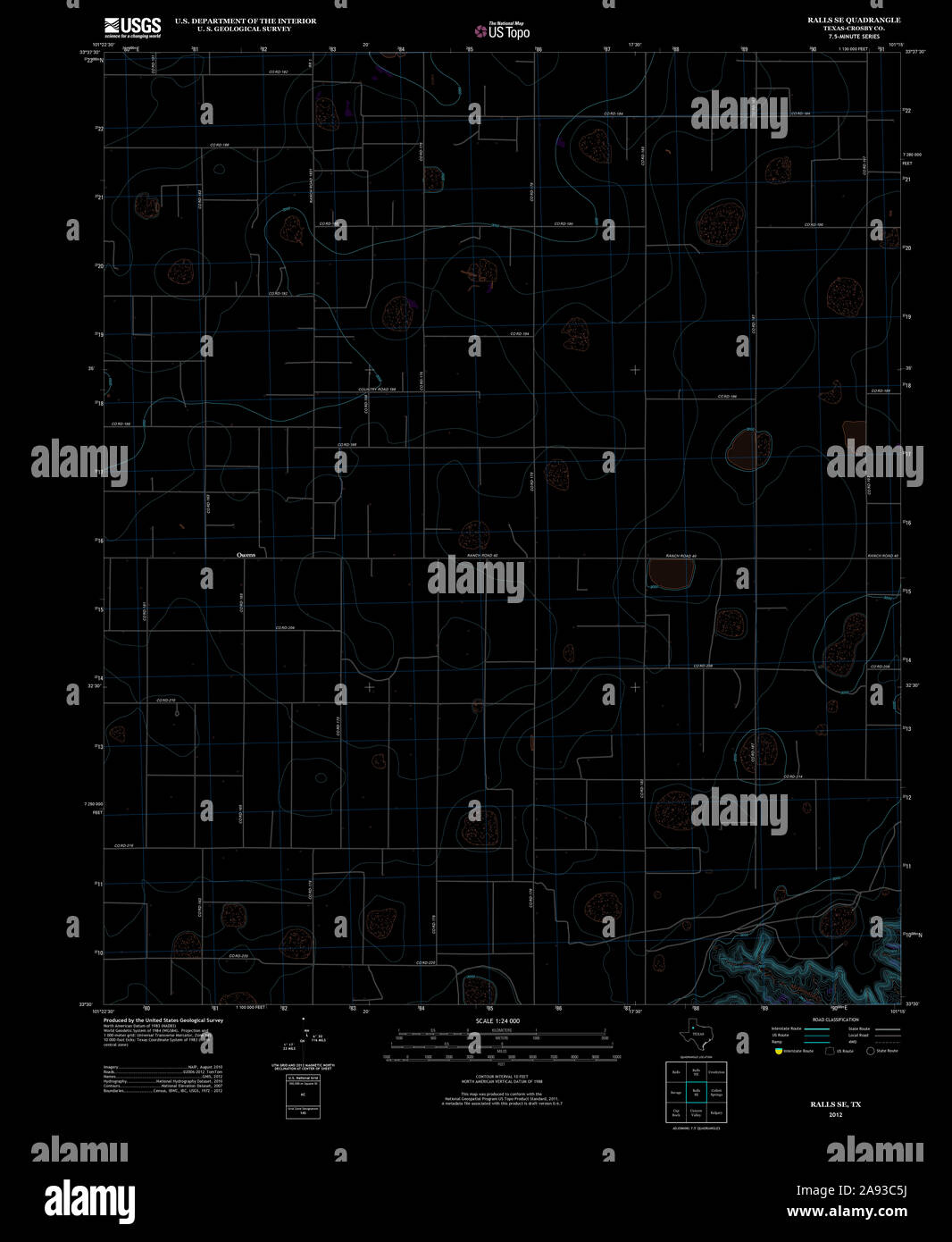 USGS TOPO Map Texas TX Ralls SE 20121101 TM Inverted Restoration Stock Photohttps://www.alamy.com/image-license-details/?v=1https://www.alamy.com/usgs-topo-map-texas-tx-ralls-se-20121101-tm-inverted-restoration-image332604318.html
RM2A93C5J–USGS TOPO Map Texas TX Ralls SE 20121101 TM Inverted Restoration
 Sheil, Ralls County, US, United States, Missouri, N 39 38' 2'', S 91 35' 54'', map, Cartascapes Map published in 2024. Explore Cartascapes, a map revealing Earth's diverse landscapes, cultures, and ecosystems. Journey through time and space, discovering the interconnectedness of our planet's past, present, and future. Stock Photohttps://www.alamy.com/image-license-details/?v=1https://www.alamy.com/sheil-ralls-county-us-united-states-missouri-n-39-38-2-s-91-35-54-map-cartascapes-map-published-in-2024-explore-cartascapes-a-map-revealing-earths-diverse-landscapes-cultures-and-ecosystems-journey-through-time-and-space-discovering-the-interconnectedness-of-our-planets-past-present-and-future-image621146082.html
RM2Y2FJ4J–Sheil, Ralls County, US, United States, Missouri, N 39 38' 2'', S 91 35' 54'', map, Cartascapes Map published in 2024. Explore Cartascapes, a map revealing Earth's diverse landscapes, cultures, and ecosystems. Journey through time and space, discovering the interconnectedness of our planet's past, present, and future.
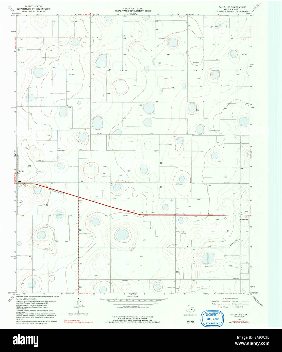 USGS TOPO Map Texas TX Ralls NE 117559 1967 24000 Restoration Stock Photohttps://www.alamy.com/image-license-details/?v=1https://www.alamy.com/usgs-topo-map-texas-tx-ralls-ne-117559-1967-24000-restoration-image332604258.html
RM2A93C3E–USGS TOPO Map Texas TX Ralls NE 117559 1967 24000 Restoration
 Ralls, Crosby County, US, United States, Texas, N 33 40' 27'', S 101 23' 15'', map, Cartascapes Map published in 2024. Explore Cartascapes, a map revealing Earth's diverse landscapes, cultures, and ecosystems. Journey through time and space, discovering the interconnectedness of our planet's past, present, and future. Stock Photohttps://www.alamy.com/image-license-details/?v=1https://www.alamy.com/ralls-crosby-county-us-united-states-texas-n-33-40-27-s-101-23-15-map-cartascapes-map-published-in-2024-explore-cartascapes-a-map-revealing-earths-diverse-landscapes-cultures-and-ecosystems-journey-through-time-and-space-discovering-the-interconnectedness-of-our-planets-past-present-and-future-image621474337.html
RM2Y32GT1–Ralls, Crosby County, US, United States, Texas, N 33 40' 27'', S 101 23' 15'', map, Cartascapes Map published in 2024. Explore Cartascapes, a map revealing Earth's diverse landscapes, cultures, and ecosystems. Journey through time and space, discovering the interconnectedness of our planet's past, present, and future.
 USGS TOPO Map Texas TX Ralls NE 20121109 TM Inverted Restoration Stock Photohttps://www.alamy.com/image-license-details/?v=1https://www.alamy.com/usgs-topo-map-texas-tx-ralls-ne-20121109-tm-inverted-restoration-image332604242.html
RM2A93C2X–USGS TOPO Map Texas TX Ralls NE 20121109 TM Inverted Restoration
 West Hartford, Ralls County, US, United States, Missouri, N 39 24' 38'', S 91 36' 19'', map, Cartascapes Map published in 2024. Explore Cartascapes, a map revealing Earth's diverse landscapes, cultures, and ecosystems. Journey through time and space, discovering the interconnectedness of our planet's past, present, and future. Stock Photohttps://www.alamy.com/image-license-details/?v=1https://www.alamy.com/west-hartford-ralls-county-us-united-states-missouri-n-39-24-38-s-91-36-19-map-cartascapes-map-published-in-2024-explore-cartascapes-a-map-revealing-earths-diverse-landscapes-cultures-and-ecosystems-journey-through-time-and-space-discovering-the-interconnectedness-of-our-planets-past-present-and-future-image621466792.html
RM2Y3276G–West Hartford, Ralls County, US, United States, Missouri, N 39 24' 38'', S 91 36' 19'', map, Cartascapes Map published in 2024. Explore Cartascapes, a map revealing Earth's diverse landscapes, cultures, and ecosystems. Journey through time and space, discovering the interconnectedness of our planet's past, present, and future.
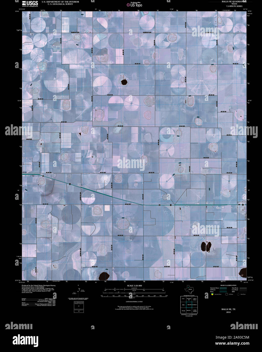 USGS TOPO Map Texas TX Ralls NE 20100414 TM Inverted Restoration Stock Photohttps://www.alamy.com/image-license-details/?v=1https://www.alamy.com/usgs-topo-map-texas-tx-ralls-ne-20100414-tm-inverted-restoration-image332604320.html
RM2A93C5M–USGS TOPO Map Texas TX Ralls NE 20100414 TM Inverted Restoration
 Flint Hill, Ralls County, US, United States, Missouri, N 39 37' 26'', S 91 22' 59'', map, Cartascapes Map published in 2024. Explore Cartascapes, a map revealing Earth's diverse landscapes, cultures, and ecosystems. Journey through time and space, discovering the interconnectedness of our planet's past, present, and future. Stock Photohttps://www.alamy.com/image-license-details/?v=1https://www.alamy.com/flint-hill-ralls-county-us-united-states-missouri-n-39-37-26-s-91-22-59-map-cartascapes-map-published-in-2024-explore-cartascapes-a-map-revealing-earths-diverse-landscapes-cultures-and-ecosystems-journey-through-time-and-space-discovering-the-interconnectedness-of-our-planets-past-present-and-future-image621351115.html
RM2Y2TYK7–Flint Hill, Ralls County, US, United States, Missouri, N 39 37' 26'', S 91 22' 59'', map, Cartascapes Map published in 2024. Explore Cartascapes, a map revealing Earth's diverse landscapes, cultures, and ecosystems. Journey through time and space, discovering the interconnectedness of our planet's past, present, and future.
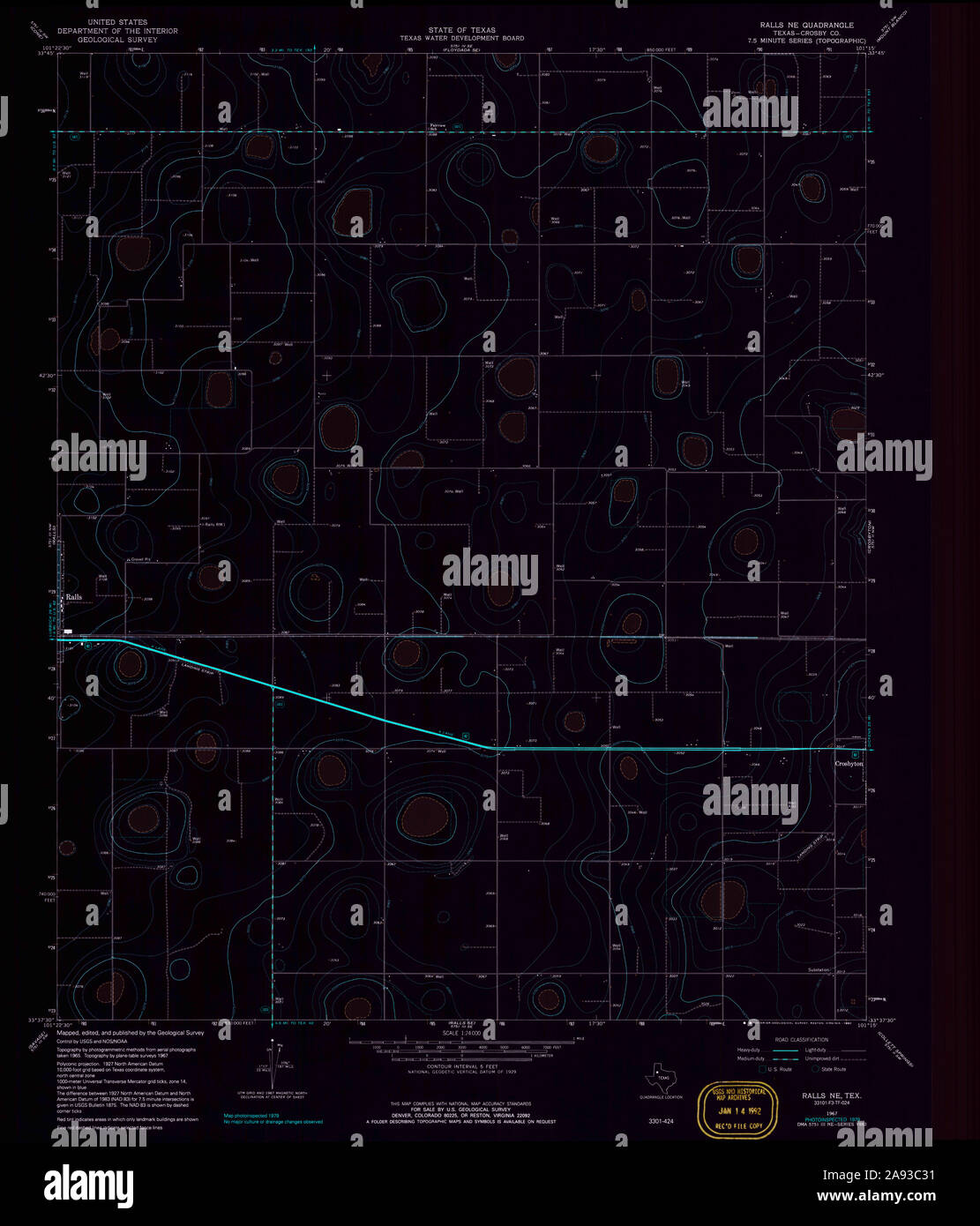 USGS TOPO Map Texas TX Ralls NE 117559 1967 24000 Inverted Restoration Stock Photohttps://www.alamy.com/image-license-details/?v=1https://www.alamy.com/usgs-topo-map-texas-tx-ralls-ne-117559-1967-24000-inverted-restoration-image332604245.html
RM2A93C31–USGS TOPO Map Texas TX Ralls NE 117559 1967 24000 Inverted Restoration
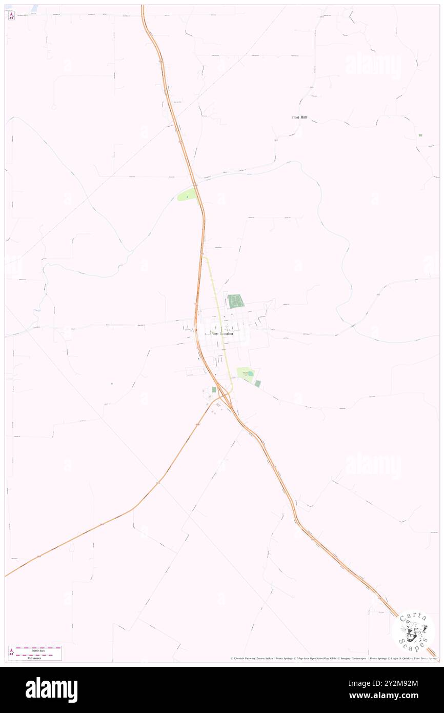 New London, Ralls County, US, United States, Missouri, N 39 35' 7'', S 91 24' 3'', map, Cartascapes Map published in 2024. Explore Cartascapes, a map revealing Earth's diverse landscapes, cultures, and ecosystems. Journey through time and space, discovering the interconnectedness of our planet's past, present, and future. Stock Photohttps://www.alamy.com/image-license-details/?v=1https://www.alamy.com/new-london-ralls-county-us-united-states-missouri-n-39-35-7-s-91-24-3-map-cartascapes-map-published-in-2024-explore-cartascapes-a-map-revealing-earths-diverse-landscapes-cultures-and-ecosystems-journey-through-time-and-space-discovering-the-interconnectedness-of-our-planets-past-present-and-future-image621248732.html
RM2Y2M92M–New London, Ralls County, US, United States, Missouri, N 39 35' 7'', S 91 24' 3'', map, Cartascapes Map published in 2024. Explore Cartascapes, a map revealing Earth's diverse landscapes, cultures, and ecosystems. Journey through time and space, discovering the interconnectedness of our planet's past, present, and future.
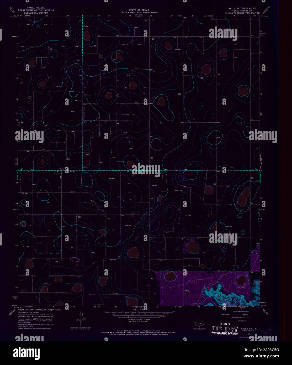 USGS TOPO Map Texas TX Ralls SE 115077 1967 24000 Inverted Restoration Stock Photohttps://www.alamy.com/image-license-details/?v=1https://www.alamy.com/usgs-topo-map-texas-tx-ralls-se-115077-1967-24000-inverted-restoration-image332604316.html
RM2A93C5G–USGS TOPO Map Texas TX Ralls SE 115077 1967 24000 Inverted Restoration
 Salt River, Ralls County, US, United States, Missouri, N 39 34' 58'', S 91 18' 19'', map, Cartascapes Map published in 2024. Explore Cartascapes, a map revealing Earth's diverse landscapes, cultures, and ecosystems. Journey through time and space, discovering the interconnectedness of our planet's past, present, and future. Stock Photohttps://www.alamy.com/image-license-details/?v=1https://www.alamy.com/salt-river-ralls-county-us-united-states-missouri-n-39-34-58-s-91-18-19-map-cartascapes-map-published-in-2024-explore-cartascapes-a-map-revealing-earths-diverse-landscapes-cultures-and-ecosystems-journey-through-time-and-space-discovering-the-interconnectedness-of-our-planets-past-present-and-future-image621448765.html
RM2Y31C6N–Salt River, Ralls County, US, United States, Missouri, N 39 34' 58'', S 91 18' 19'', map, Cartascapes Map published in 2024. Explore Cartascapes, a map revealing Earth's diverse landscapes, cultures, and ecosystems. Journey through time and space, discovering the interconnectedness of our planet's past, present, and future.
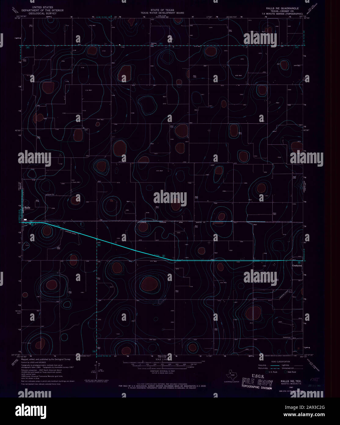 USGS TOPO Map Texas TX Ralls NE 115076 1967 24000 Inverted Restoration Stock Photohttps://www.alamy.com/image-license-details/?v=1https://www.alamy.com/usgs-topo-map-texas-tx-ralls-ne-115076-1967-24000-inverted-restoration-image332604232.html
RM2A93C2G–USGS TOPO Map Texas TX Ralls NE 115076 1967 24000 Inverted Restoration
 Shaver Ford, Ralls County, US, United States, Missouri, N 39 31' 18'', S 91 41' 22'', map, Cartascapes Map published in 2024. Explore Cartascapes, a map revealing Earth's diverse landscapes, cultures, and ecosystems. Journey through time and space, discovering the interconnectedness of our planet's past, present, and future. Stock Photohttps://www.alamy.com/image-license-details/?v=1https://www.alamy.com/shaver-ford-ralls-county-us-united-states-missouri-n-39-31-18-s-91-41-22-map-cartascapes-map-published-in-2024-explore-cartascapes-a-map-revealing-earths-diverse-landscapes-cultures-and-ecosystems-journey-through-time-and-space-discovering-the-interconnectedness-of-our-planets-past-present-and-future-image621268774.html
RM2Y2N6JE–Shaver Ford, Ralls County, US, United States, Missouri, N 39 31' 18'', S 91 41' 22'', map, Cartascapes Map published in 2024. Explore Cartascapes, a map revealing Earth's diverse landscapes, cultures, and ecosystems. Journey through time and space, discovering the interconnectedness of our planet's past, present, and future.
 Monkey Run, Ralls County, US, United States, Missouri, N 39 40' 20'', S 91 18' 4'', map, Cartascapes Map published in 2024. Explore Cartascapes, a map revealing Earth's diverse landscapes, cultures, and ecosystems. Journey through time and space, discovering the interconnectedness of our planet's past, present, and future. Stock Photohttps://www.alamy.com/image-license-details/?v=1https://www.alamy.com/monkey-run-ralls-county-us-united-states-missouri-n-39-40-20-s-91-18-4-map-cartascapes-map-published-in-2024-explore-cartascapes-a-map-revealing-earths-diverse-landscapes-cultures-and-ecosystems-journey-through-time-and-space-discovering-the-interconnectedness-of-our-planets-past-present-and-future-image621195504.html
RM2Y2HW5M–Monkey Run, Ralls County, US, United States, Missouri, N 39 40' 20'', S 91 18' 4'', map, Cartascapes Map published in 2024. Explore Cartascapes, a map revealing Earth's diverse landscapes, cultures, and ecosystems. Journey through time and space, discovering the interconnectedness of our planet's past, present, and future.
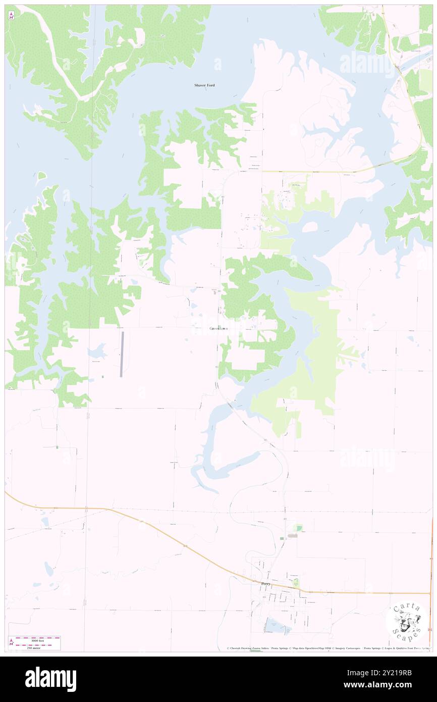 Greenlawn, Ralls County, US, United States, Missouri, N 39 28' 39'', S 91 41' 10'', map, Cartascapes Map published in 2024. Explore Cartascapes, a map revealing Earth's diverse landscapes, cultures, and ecosystems. Journey through time and space, discovering the interconnectedness of our planet's past, present, and future. Stock Photohttps://www.alamy.com/image-license-details/?v=1https://www.alamy.com/greenlawn-ralls-county-us-united-states-missouri-n-39-28-39-s-91-41-10-map-cartascapes-map-published-in-2024-explore-cartascapes-a-map-revealing-earths-diverse-landscapes-cultures-and-ecosystems-journey-through-time-and-space-discovering-the-interconnectedness-of-our-planets-past-present-and-future-image620832223.html
RM2Y219RB–Greenlawn, Ralls County, US, United States, Missouri, N 39 28' 39'', S 91 41' 10'', map, Cartascapes Map published in 2024. Explore Cartascapes, a map revealing Earth's diverse landscapes, cultures, and ecosystems. Journey through time and space, discovering the interconnectedness of our planet's past, present, and future.
 Rensselaer, Ralls County, US, United States, Missouri, N 39 40' 14'', S 91 32' 40'', map, Cartascapes Map published in 2024. Explore Cartascapes, a map revealing Earth's diverse landscapes, cultures, and ecosystems. Journey through time and space, discovering the interconnectedness of our planet's past, present, and future. Stock Photohttps://www.alamy.com/image-license-details/?v=1https://www.alamy.com/rensselaer-ralls-county-us-united-states-missouri-n-39-40-14-s-91-32-40-map-cartascapes-map-published-in-2024-explore-cartascapes-a-map-revealing-earths-diverse-landscapes-cultures-and-ecosystems-journey-through-time-and-space-discovering-the-interconnectedness-of-our-planets-past-present-and-future-image620822764.html
RM2Y20WNG–Rensselaer, Ralls County, US, United States, Missouri, N 39 40' 14'', S 91 32' 40'', map, Cartascapes Map published in 2024. Explore Cartascapes, a map revealing Earth's diverse landscapes, cultures, and ecosystems. Journey through time and space, discovering the interconnectedness of our planet's past, present, and future.
 Ralls, Crosby County, US, United States, Texas, N 33 40' 27'', S 101 23' 15'', map, Cartascapes Map published in 2024. Explore Cartascapes, a map revealing Earth's diverse landscapes, cultures, and ecosystems. Journey through time and space, discovering the interconnectedness of our planet's past, present, and future. Stock Photohttps://www.alamy.com/image-license-details/?v=1https://www.alamy.com/ralls-crosby-county-us-united-states-texas-n-33-40-27-s-101-23-15-map-cartascapes-map-published-in-2024-explore-cartascapes-a-map-revealing-earths-diverse-landscapes-cultures-and-ecosystems-journey-through-time-and-space-discovering-the-interconnectedness-of-our-planets-past-present-and-future-image620856643.html
RM2Y22CYF–Ralls, Crosby County, US, United States, Texas, N 33 40' 27'', S 101 23' 15'', map, Cartascapes Map published in 2024. Explore Cartascapes, a map revealing Earth's diverse landscapes, cultures, and ecosystems. Journey through time and space, discovering the interconnectedness of our planet's past, present, and future.
 Rensselaer, Ralls County, US, United States, Missouri, N 39 40' 14'', S 91 32' 40'', map, Cartascapes Map published in 2024. Explore Cartascapes, a map revealing Earth's diverse landscapes, cultures, and ecosystems. Journey through time and space, discovering the interconnectedness of our planet's past, present, and future. Stock Photohttps://www.alamy.com/image-license-details/?v=1https://www.alamy.com/rensselaer-ralls-county-us-united-states-missouri-n-39-40-14-s-91-32-40-map-cartascapes-map-published-in-2024-explore-cartascapes-a-map-revealing-earths-diverse-landscapes-cultures-and-ecosystems-journey-through-time-and-space-discovering-the-interconnectedness-of-our-planets-past-present-and-future-image620880892.html
RM2Y23FWG–Rensselaer, Ralls County, US, United States, Missouri, N 39 40' 14'', S 91 32' 40'', map, Cartascapes Map published in 2024. Explore Cartascapes, a map revealing Earth's diverse landscapes, cultures, and ecosystems. Journey through time and space, discovering the interconnectedness of our planet's past, present, and future.
 Perry, Ralls County, US, United States, Missouri, N 39 25' 52'', S 91 40' 30'', map, Cartascapes Map published in 2024. Explore Cartascapes, a map revealing Earth's diverse landscapes, cultures, and ecosystems. Journey through time and space, discovering the interconnectedness of our planet's past, present, and future. Stock Photohttps://www.alamy.com/image-license-details/?v=1https://www.alamy.com/perry-ralls-county-us-united-states-missouri-n-39-25-52-s-91-40-30-map-cartascapes-map-published-in-2024-explore-cartascapes-a-map-revealing-earths-diverse-landscapes-cultures-and-ecosystems-journey-through-time-and-space-discovering-the-interconnectedness-of-our-planets-past-present-and-future-image620865082.html
RM2Y22RMX–Perry, Ralls County, US, United States, Missouri, N 39 25' 52'', S 91 40' 30'', map, Cartascapes Map published in 2024. Explore Cartascapes, a map revealing Earth's diverse landscapes, cultures, and ecosystems. Journey through time and space, discovering the interconnectedness of our planet's past, present, and future.
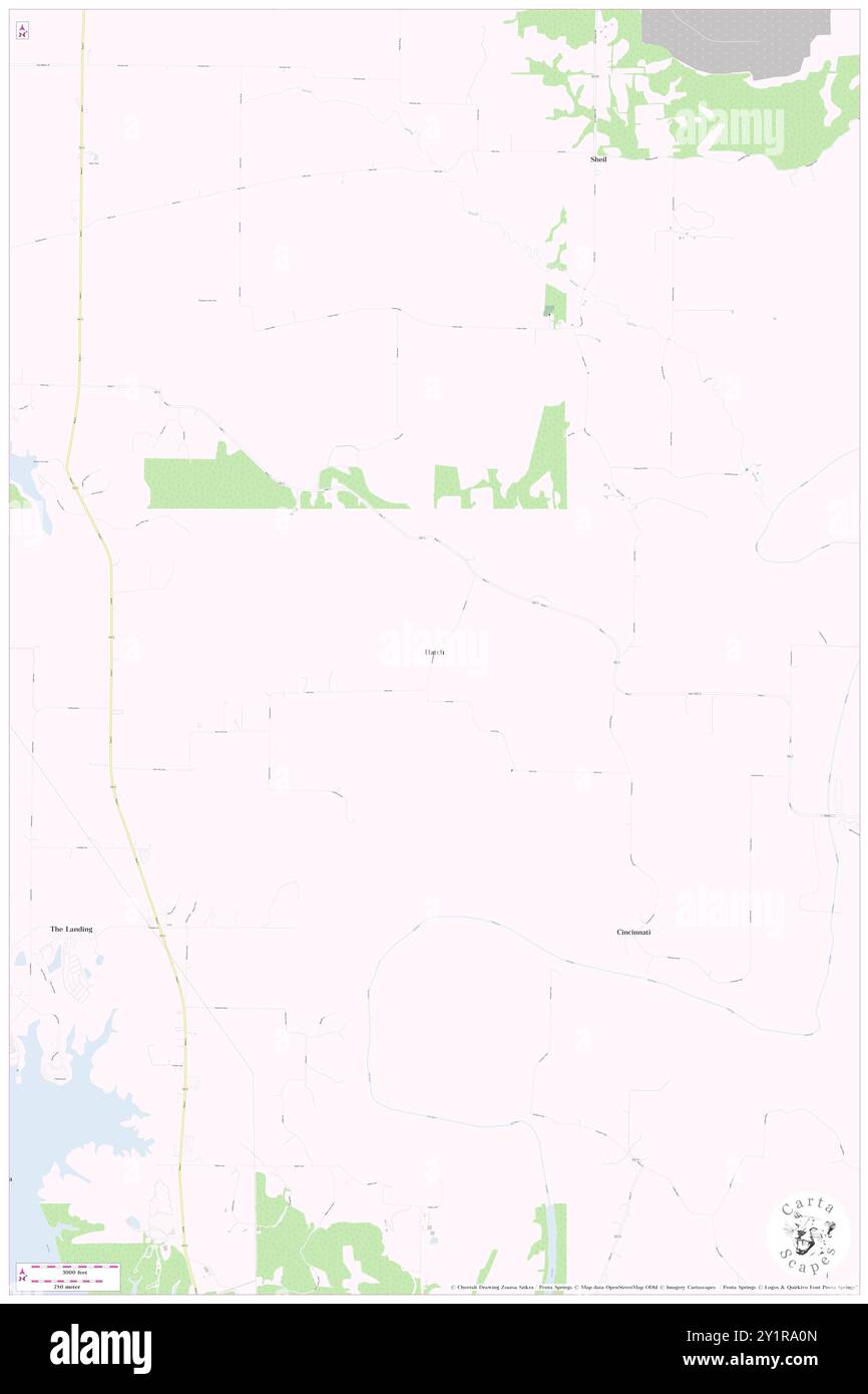 Hatch, Ralls County, US, United States, Missouri, N 39 35' 20'', S 91 37' 4'', map, Cartascapes Map published in 2024. Explore Cartascapes, a map revealing Earth's diverse landscapes, cultures, and ecosystems. Journey through time and space, discovering the interconnectedness of our planet's past, present, and future. Stock Photohttps://www.alamy.com/image-license-details/?v=1https://www.alamy.com/hatch-ralls-county-us-united-states-missouri-n-39-35-20-s-91-37-4-map-cartascapes-map-published-in-2024-explore-cartascapes-a-map-revealing-earths-diverse-landscapes-cultures-and-ecosystems-journey-through-time-and-space-discovering-the-interconnectedness-of-our-planets-past-present-and-future-image620700661.html
RM2Y1RA0N–Hatch, Ralls County, US, United States, Missouri, N 39 35' 20'', S 91 37' 4'', map, Cartascapes Map published in 2024. Explore Cartascapes, a map revealing Earth's diverse landscapes, cultures, and ecosystems. Journey through time and space, discovering the interconnectedness of our planet's past, present, and future.
 New London, Ralls County, US, United States, Missouri, N 39 35' 7'', S 91 24' 3'', map, Cartascapes Map published in 2024. Explore Cartascapes, a map revealing Earth's diverse landscapes, cultures, and ecosystems. Journey through time and space, discovering the interconnectedness of our planet's past, present, and future. Stock Photohttps://www.alamy.com/image-license-details/?v=1https://www.alamy.com/new-london-ralls-county-us-united-states-missouri-n-39-35-7-s-91-24-3-map-cartascapes-map-published-in-2024-explore-cartascapes-a-map-revealing-earths-diverse-landscapes-cultures-and-ecosystems-journey-through-time-and-space-discovering-the-interconnectedness-of-our-planets-past-present-and-future-image620739717.html
RM2Y1W3RH–New London, Ralls County, US, United States, Missouri, N 39 35' 7'', S 91 24' 3'', map, Cartascapes Map published in 2024. Explore Cartascapes, a map revealing Earth's diverse landscapes, cultures, and ecosystems. Journey through time and space, discovering the interconnectedness of our planet's past, present, and future.
 Flint Hill, Ralls County, US, United States, Missouri, N 39 37' 26'', S 91 22' 59'', map, Cartascapes Map published in 2024. Explore Cartascapes, a map revealing Earth's diverse landscapes, cultures, and ecosystems. Journey through time and space, discovering the interconnectedness of our planet's past, present, and future. Stock Photohttps://www.alamy.com/image-license-details/?v=1https://www.alamy.com/flint-hill-ralls-county-us-united-states-missouri-n-39-37-26-s-91-22-59-map-cartascapes-map-published-in-2024-explore-cartascapes-a-map-revealing-earths-diverse-landscapes-cultures-and-ecosystems-journey-through-time-and-space-discovering-the-interconnectedness-of-our-planets-past-present-and-future-image620810534.html
RM2Y20A4P–Flint Hill, Ralls County, US, United States, Missouri, N 39 37' 26'', S 91 22' 59'', map, Cartascapes Map published in 2024. Explore Cartascapes, a map revealing Earth's diverse landscapes, cultures, and ecosystems. Journey through time and space, discovering the interconnectedness of our planet's past, present, and future.
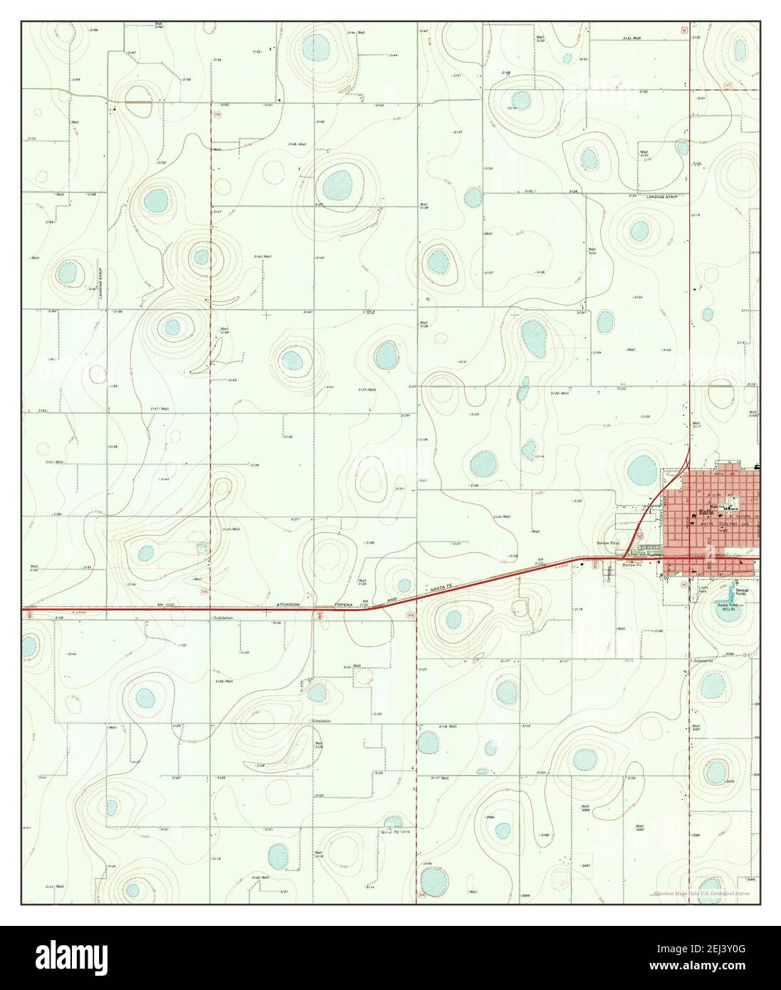 Ralls, Texas, map 1967, 1:24000, United States of America by Timeless Maps, data U.S. Geological Survey Stock Photohttps://www.alamy.com/image-license-details/?v=1https://www.alamy.com/ralls-texas-map-1967-124000-united-states-of-america-by-timeless-maps-data-us-geological-survey-image406989312.html
RM2EJ3Y0G–Ralls, Texas, map 1967, 1:24000, United States of America by Timeless Maps, data U.S. Geological Survey
 Ralls SE, Texas, map 1967, 1:24000, United States of America by Timeless Maps, data U.S. Geological Survey Stock Photohttps://www.alamy.com/image-license-details/?v=1https://www.alamy.com/ralls-se-texas-map-1967-124000-united-states-of-america-by-timeless-maps-data-us-geological-survey-image406989315.html
RM2EJ3Y0K–Ralls SE, Texas, map 1967, 1:24000, United States of America by Timeless Maps, data U.S. Geological Survey