Map of republic washington Stock Photos and Images
(183)See map of republic washington stock video clipsQuick filters:
Map of republic washington Stock Photos and Images
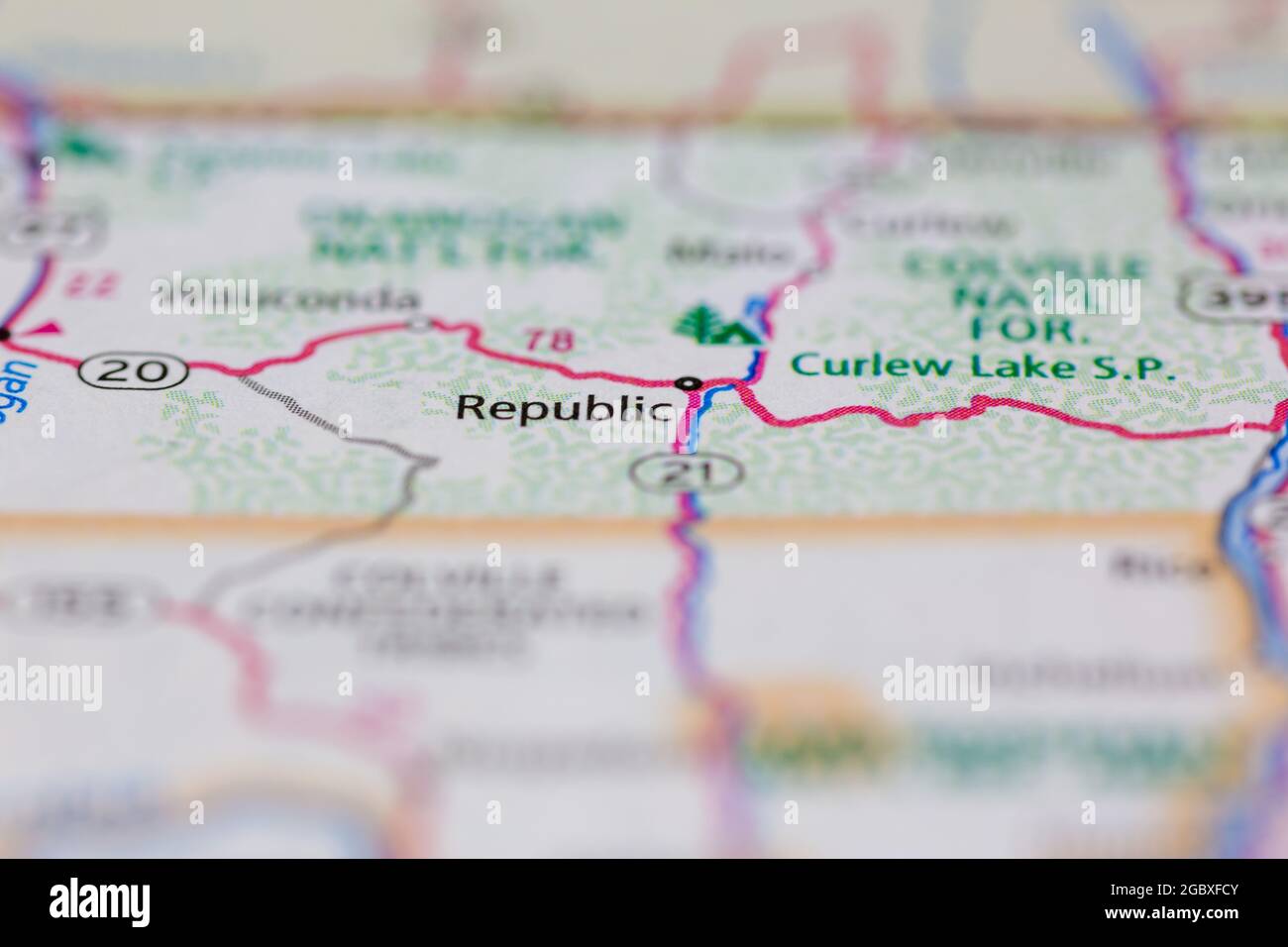 Republic Washington State USA shown on a road map or Geography map Stock Photohttps://www.alamy.com/image-license-details/?v=1https://www.alamy.com/republic-washington-state-usa-shown-on-a-road-map-or-geography-map-image437603291.html
RM2GBXFCY–Republic Washington State USA shown on a road map or Geography map
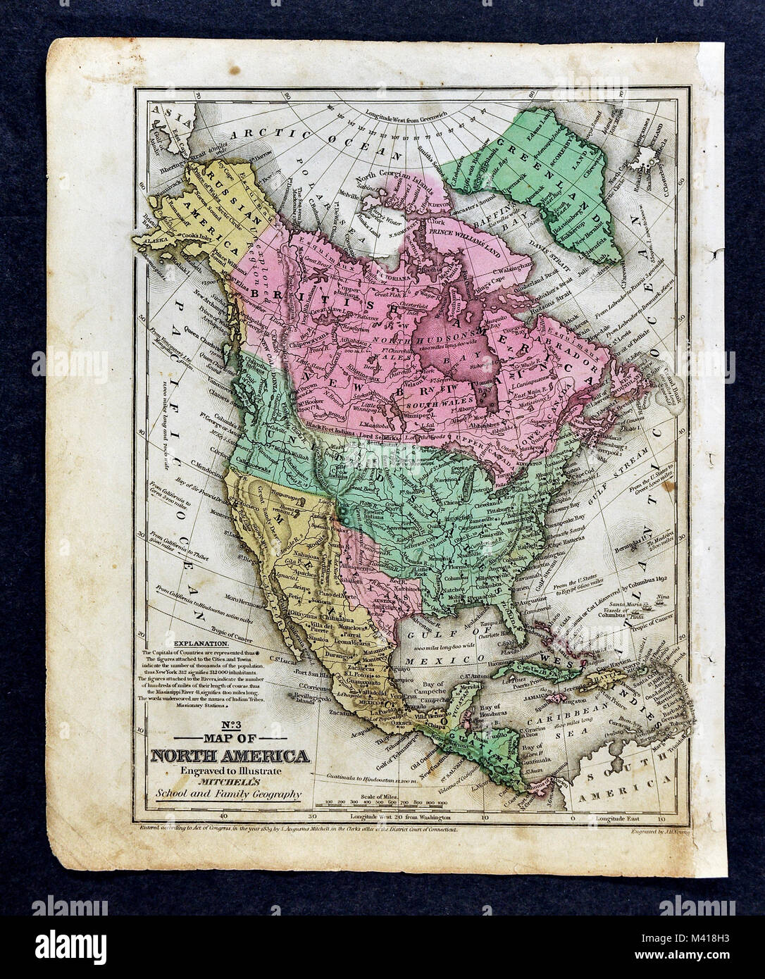 1839 Mitchell Map - North America - United States - Republic of Texas - New Albion California - Mexico Canada Russian Alaska Stock Photohttps://www.alamy.com/image-license-details/?v=1https://www.alamy.com/stock-photo-1839-mitchell-map-north-america-united-states-republic-of-texas-new-174591007.html
RFM418H3–1839 Mitchell Map - North America - United States - Republic of Texas - New Albion California - Mexico Canada Russian Alaska
 Washington Travel Concept Country Name On The Political World Map Very Macro Close-Up View Stock Photograph Stock Photohttps://www.alamy.com/image-license-details/?v=1https://www.alamy.com/washington-travel-concept-country-name-on-the-political-world-map-very-macro-close-up-view-stock-photograph-image495533696.html
RF2KP5E80–Washington Travel Concept Country Name On The Political World Map Very Macro Close-Up View Stock Photograph
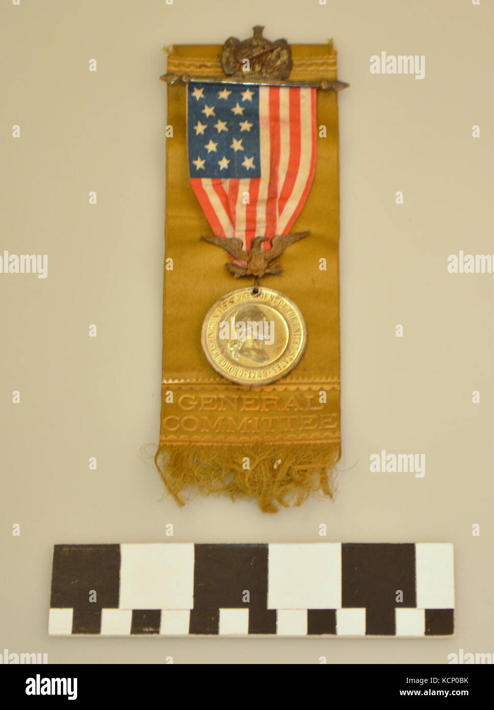 Grand Army of the Republic Ribbon Badge Comemmorating the Centennial of the Inauguration of President George Washington Stock Photohttps://www.alamy.com/image-license-details/?v=1https://www.alamy.com/stock-image-grand-army-of-the-republic-ribbon-badge-comemmorating-the-centennial-162752455.html
RMKCP0BK–Grand Army of the Republic Ribbon Badge Comemmorating the Centennial of the Inauguration of President George Washington
 Czech Republic Artemis Accords Signing. NASA Administrator Bill Nelson, left, points to a ground track map for the International Space Station in the Space Operations Center during a tour with Miloslav Stašek, Ambassador of the Czech Republic to the United States, Foreign Affairs Minister for the Czech Republic, Jan Lipavský, and Acting Assistant Secretary of State for Oceans and International Environmental and Scientific Affairs Jennifer R. Littlejohn, following the signing of the Artemis Accords, Wednesday, May 3, 2023, at The Mary W. Jackson NASA Headquarters building in Washington DC. The Stock Photohttps://www.alamy.com/image-license-details/?v=1https://www.alamy.com/czech-republic-artemis-accords-signing-nasa-administrator-bill-nelson-left-points-to-a-ground-track-map-for-the-international-space-station-in-the-space-operations-center-during-a-tour-with-miloslav-staek-ambassador-of-the-czech-republic-to-the-united-states-foreign-affairs-minister-for-the-czech-republic-jan-lipavsk-and-acting-assistant-secretary-of-state-for-oceans-and-international-environmental-and-scientific-affairs-jennifer-r-littlejohn-following-the-signing-of-the-artemis-accords-wednesday-may-3-2023-at-the-mary-w-jackson-nasa-headquarters-building-in-washington-dc-the-image556779564.html
RM2R9RE0C–Czech Republic Artemis Accords Signing. NASA Administrator Bill Nelson, left, points to a ground track map for the International Space Station in the Space Operations Center during a tour with Miloslav Stašek, Ambassador of the Czech Republic to the United States, Foreign Affairs Minister for the Czech Republic, Jan Lipavský, and Acting Assistant Secretary of State for Oceans and International Environmental and Scientific Affairs Jennifer R. Littlejohn, following the signing of the Artemis Accords, Wednesday, May 3, 2023, at The Mary W. Jackson NASA Headquarters building in Washington DC. The
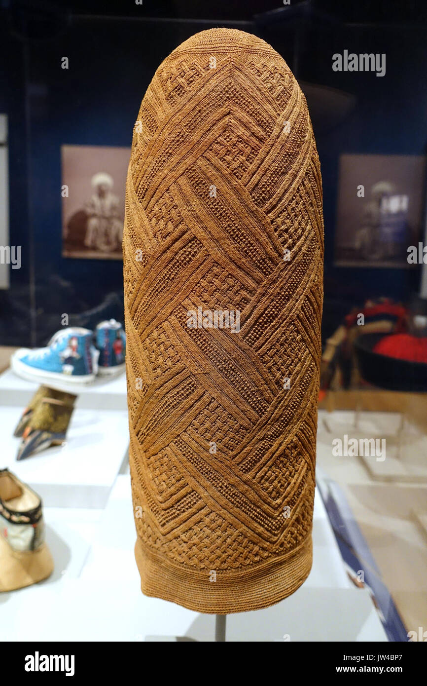 Chief or nobleman's headdress (mpu), Kongo related peoples, possibly Vili or Yombe, Democratic Republic of Congo, Cabinda, or Angola, 1800s, raffia Textile Museum, George Washington University DSC09949 Stock Photohttps://www.alamy.com/image-license-details/?v=1https://www.alamy.com/chief-or-noblemans-headdress-mpu-kongo-related-peoples-possibly-vili-image153146399.html
RMJW4BP7–Chief or nobleman's headdress (mpu), Kongo related peoples, possibly Vili or Yombe, Democratic Republic of Congo, Cabinda, or Angola, 1800s, raffia Textile Museum, George Washington University DSC09949
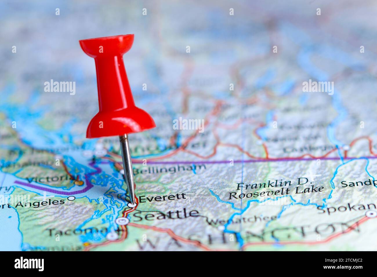 Everett, Washington pin on map Stock Photohttps://www.alamy.com/image-license-details/?v=1https://www.alamy.com/everett-washington-pin-on-map-image575771506.html
RF2TCMJC2–Everett, Washington pin on map
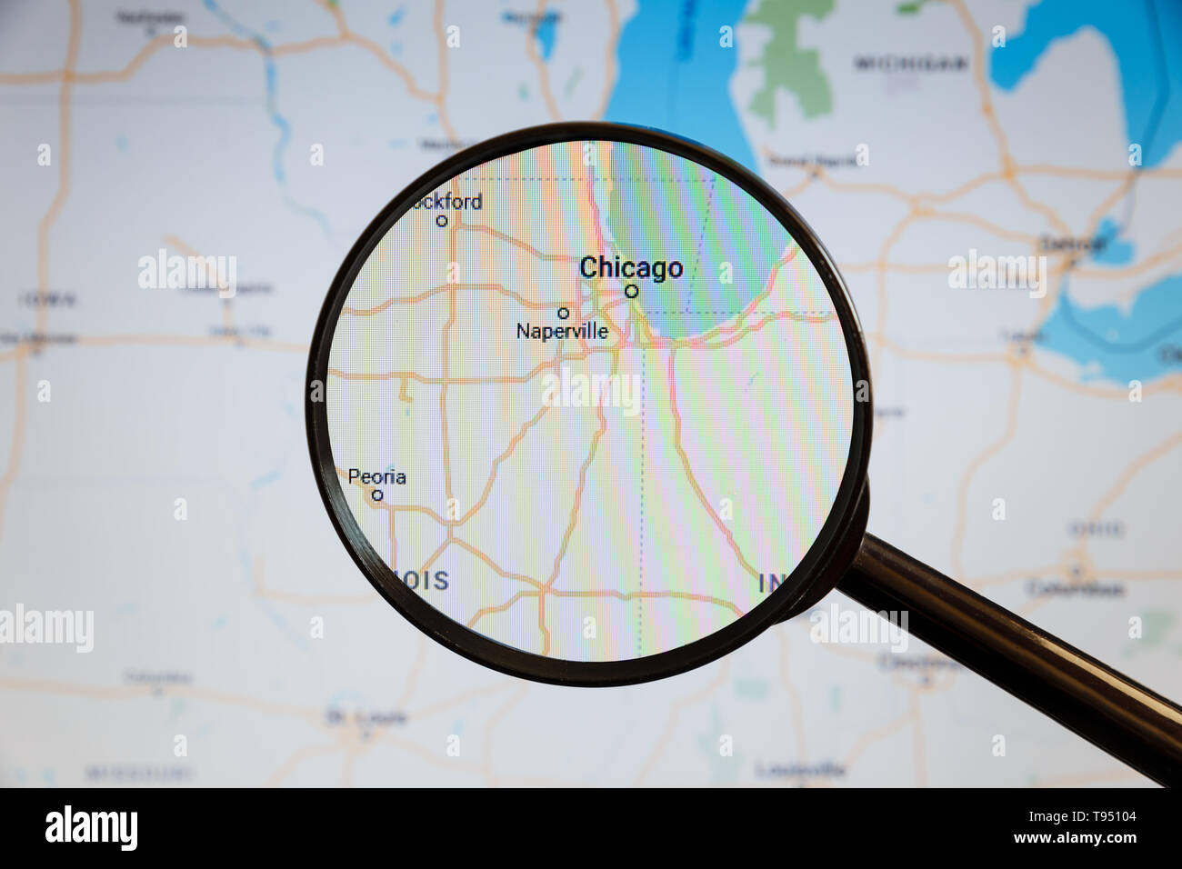 Chicago, United States. Political map. The city on the monitor screen through a magnifying glass. Stock Photohttps://www.alamy.com/image-license-details/?v=1https://www.alamy.com/chicago-united-states-political-map-the-city-on-the-monitor-screen-through-a-magnifying-glass-image246587604.html
RFT95104–Chicago, United States. Political map. The city on the monitor screen through a magnifying glass.
 United States on a map of North America with its main routes marked in red and with the rest of the countries blurred out Stock Photohttps://www.alamy.com/image-license-details/?v=1https://www.alamy.com/united-states-on-a-map-of-north-america-with-its-main-routes-marked-in-red-and-with-the-rest-of-the-countries-blurred-out-image448522440.html
RM2H1KXXG–United States on a map of North America with its main routes marked in red and with the rest of the countries blurred out
 Republic, Ferry County, US, United States, Washington, N 48 38' 53'', S 118 44' 16'', map, Cartascapes Map published in 2024. Explore Cartascapes, a map revealing Earth's diverse landscapes, cultures, and ecosystems. Journey through time and space, discovering the interconnectedness of our planet's past, present, and future. Stock Photohttps://www.alamy.com/image-license-details/?v=1https://www.alamy.com/republic-ferry-county-us-united-states-washington-n-48-38-53-s-118-44-16-map-cartascapes-map-published-in-2024-explore-cartascapes-a-map-revealing-earths-diverse-landscapes-cultures-and-ecosystems-journey-through-time-and-space-discovering-the-interconnectedness-of-our-planets-past-present-and-future-image621174695.html
RM2Y2GXJF–Republic, Ferry County, US, United States, Washington, N 48 38' 53'', S 118 44' 16'', map, Cartascapes Map published in 2024. Explore Cartascapes, a map revealing Earth's diverse landscapes, cultures, and ecosystems. Journey through time and space, discovering the interconnectedness of our planet's past, present, and future.
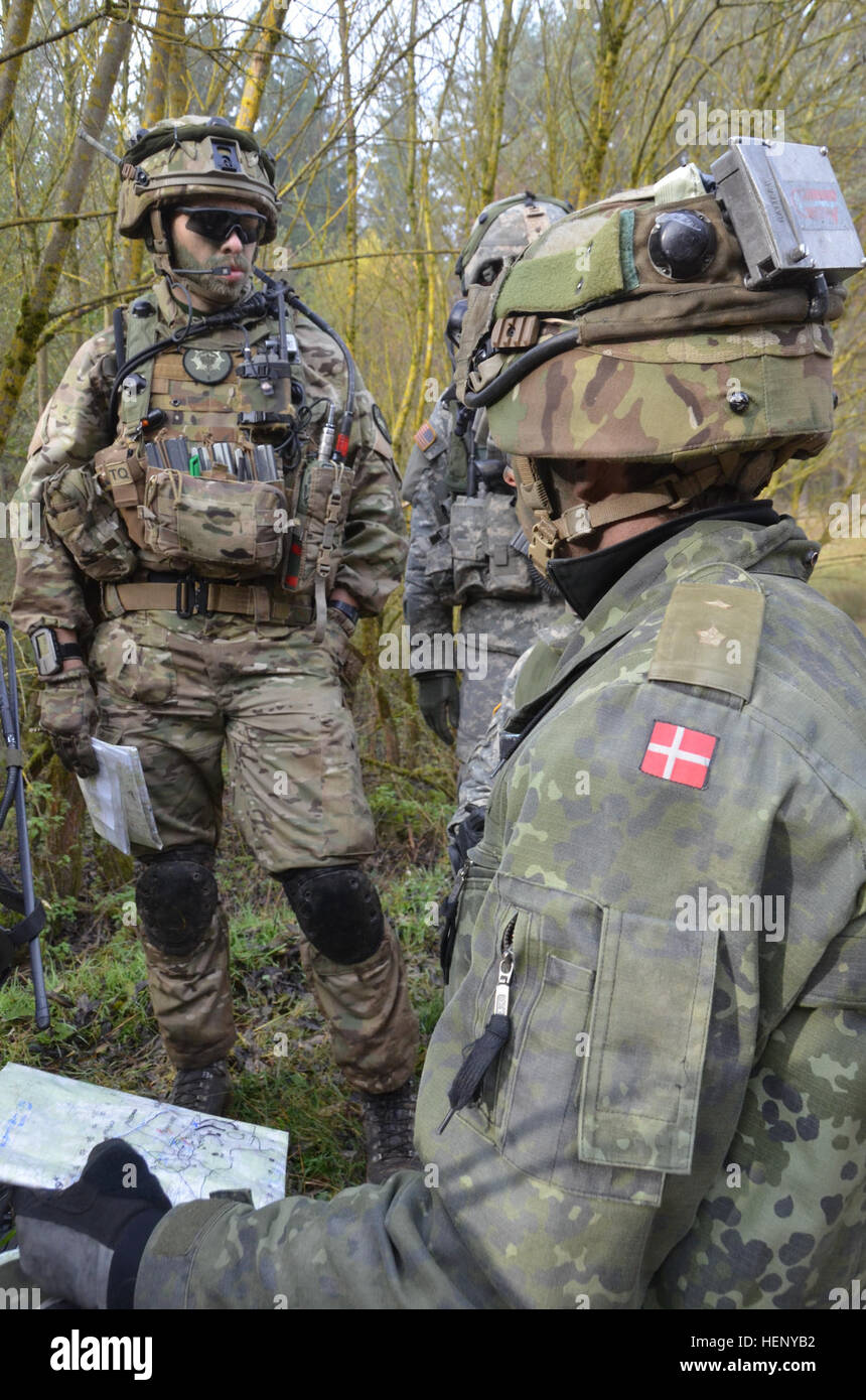 Danish soldiers of Alpha Company, 3rd Reconnaissance Battalion, Guard Hussar Regiment review a map while conducting a combat rehearsal during exercise Combined Resolve III at the Joint Multinational Readiness Center in Hohenfels, Germany, Nov. 8, 2014. Combined Resolve III is a multinational exercise, which includes more than 4,000 participants from NATO and partner nations, and is designed to provide a complex training scenario that focuses on multinational unified land operations and reinforces the U.S. commitment to NATO and Europe. (U.S. Army photo by Pfc. Shardesia Washington/Released) Co Stock Photohttps://www.alamy.com/image-license-details/?v=1https://www.alamy.com/stock-photo-danish-soldiers-of-alpha-company-3rd-reconnaissance-battalion-guard-129560230.html
RMHENYB2–Danish soldiers of Alpha Company, 3rd Reconnaissance Battalion, Guard Hussar Regiment review a map while conducting a combat rehearsal during exercise Combined Resolve III at the Joint Multinational Readiness Center in Hohenfels, Germany, Nov. 8, 2014. Combined Resolve III is a multinational exercise, which includes more than 4,000 participants from NATO and partner nations, and is designed to provide a complex training scenario that focuses on multinational unified land operations and reinforces the U.S. commitment to NATO and Europe. (U.S. Army photo by Pfc. Shardesia Washington/Released) Co
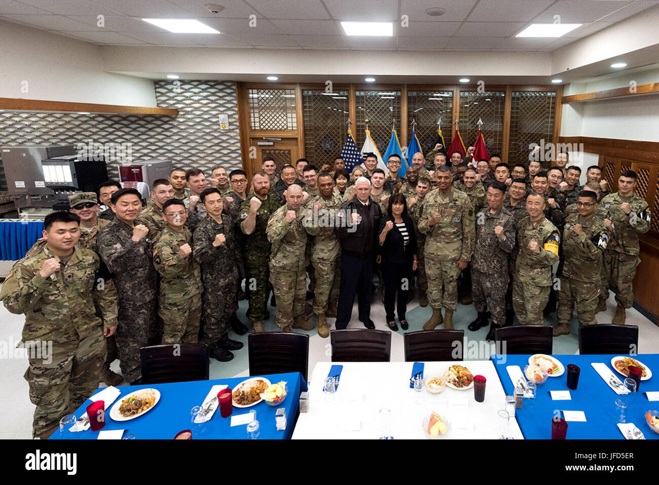 Vice President Mike Pence and Mrs. Karen Pence pose for a photo with U.S. and Republic of Korea soldiers in the Mess Hall at the Korean Demilitarized Zone (DMZ), Monday, April 17, 2017. (Official White House Photo by Myles Cullen) Stock Photohttps://www.alamy.com/image-license-details/?v=1https://www.alamy.com/stock-photo-vice-president-mike-pence-and-mrs-karen-pence-pose-for-a-photo-with-147192495.html
RMJFD5ER–Vice President Mike Pence and Mrs. Karen Pence pose for a photo with U.S. and Republic of Korea soldiers in the Mess Hall at the Korean Demilitarized Zone (DMZ), Monday, April 17, 2017. (Official White House Photo by Myles Cullen)
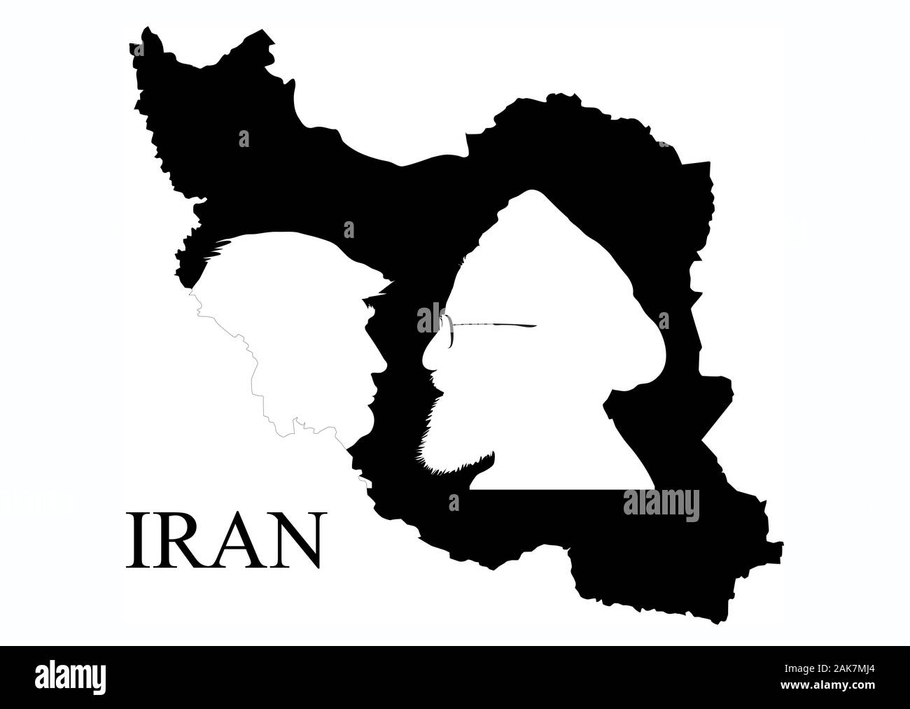 Donald Trump vs. Hassan Rouhani. Silhouette of leaders of the United States and Iran, placed on the shape of Iran territory. Conceptual illustration. Stock Photohttps://www.alamy.com/image-license-details/?v=1https://www.alamy.com/donald-trump-vs-hassan-rouhani-silhouette-of-leaders-of-the-united-states-and-iran-placed-on-the-shape-of-iran-territory-conceptual-illustration-image338845308.html
RF2AK7MJ4–Donald Trump vs. Hassan Rouhani. Silhouette of leaders of the United States and Iran, placed on the shape of Iran territory. Conceptual illustration.
 Vice President Mike Pence departs the Blue House “Cheongwadae” in Seoul, South Korea, following a working luncheon with Acting Republic of Korea President Hwang Kyo-ahn, Monday, April 17, 2017. (Official White House Photo by Myles Cullen) Stock Photohttps://www.alamy.com/image-license-details/?v=1https://www.alamy.com/stock-photo-vice-president-mike-pence-departs-the-blue-house-cheongwadae-in-seoul-147192497.html
RMJFD5EW–Vice President Mike Pence departs the Blue House “Cheongwadae” in Seoul, South Korea, following a working luncheon with Acting Republic of Korea President Hwang Kyo-ahn, Monday, April 17, 2017. (Official White House Photo by Myles Cullen)
 SEATTLE WASHINGTON - November 21, 2019: 1976 Stamp commemorating 30 years of Communism in Poland post WWII. Scott # 2045. Stock Photohttps://www.alamy.com/image-license-details/?v=1https://www.alamy.com/seattle-washington-november-21-2019-1976-stamp-commemorating-30-years-of-communism-in-poland-post-wwii-scott-2045-image334156532.html
RF2ABJ41T–SEATTLE WASHINGTON - November 21, 2019: 1976 Stamp commemorating 30 years of Communism in Poland post WWII. Scott # 2045.
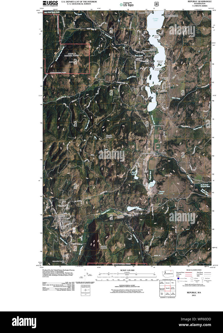 USGS Topo Map Washington State WA Republic 20110505 TM Restoration Stock Photohttps://www.alamy.com/image-license-details/?v=1https://www.alamy.com/usgs-topo-map-washington-state-wa-republic-20110505-tm-restoration-image267507449.html
RMWF60DD–USGS Topo Map Washington State WA Republic 20110505 TM Restoration
 SEATTLE WASHINGTON - October 4, 2019: Guinea Bissau stamp of 1983, commemorating 200th anniversary of first untethered manned hot air balloon flight. Stock Photohttps://www.alamy.com/image-license-details/?v=1https://www.alamy.com/seattle-washington-october-4-2019-guinea-bissau-stamp-of-1983-commemorating-200th-anniversary-of-first-untethered-manned-hot-air-balloon-flight-image332728488.html
RF2A992G8–SEATTLE WASHINGTON - October 4, 2019: Guinea Bissau stamp of 1983, commemorating 200th anniversary of first untethered manned hot air balloon flight.
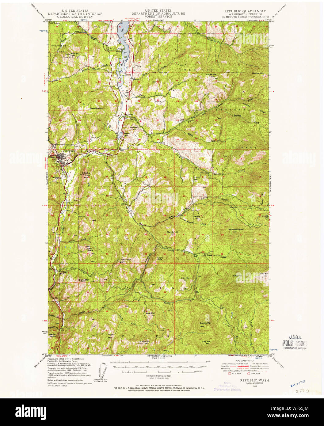 USGS Topo Map Washington State WA Republic 243430 1948 62500 Restoration Stock Photohttps://www.alamy.com/image-license-details/?v=1https://www.alamy.com/usgs-topo-map-washington-state-wa-republic-243430-1948-62500-restoration-image267511516.html
RMWF65JM–USGS Topo Map Washington State WA Republic 243430 1948 62500 Restoration
 Flags of the U.S. states Stock Photohttps://www.alamy.com/image-license-details/?v=1https://www.alamy.com/stock-photo-flags-of-the-us-states-132105518.html
RFHJWWX6–Flags of the U.S. states
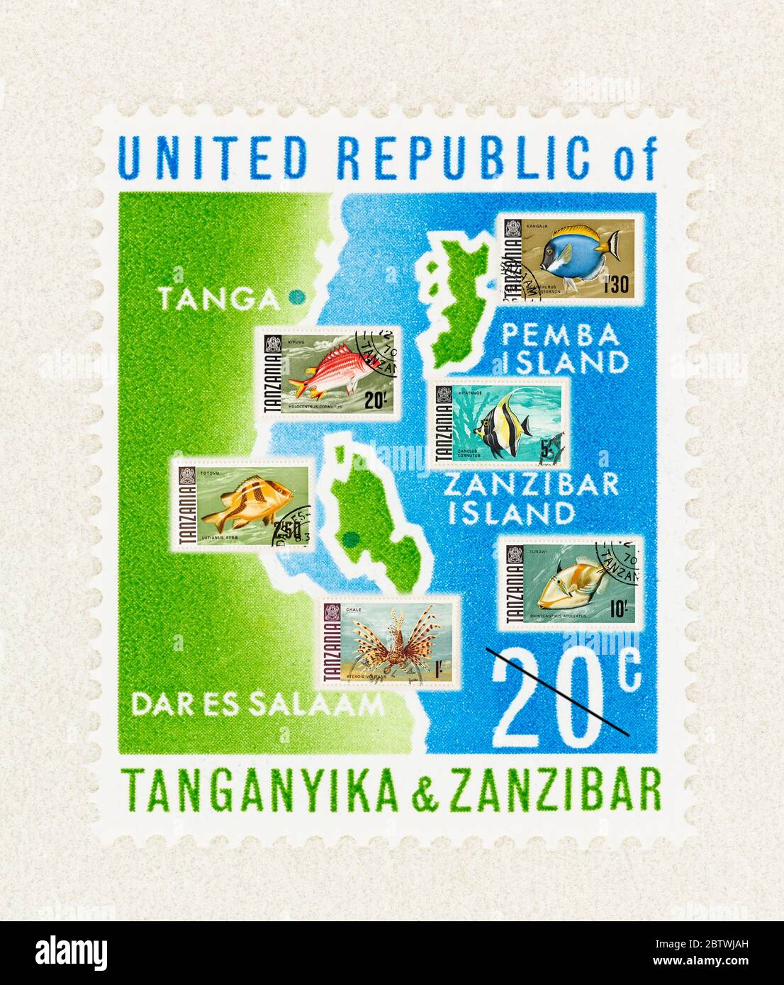 SEATTLE WASHINGTON - May 25, 2020: Collage with map of first stamp of Tanzania, featuring Tanganyika and Zanzibar, with added stamps of tropical fish Stock Photohttps://www.alamy.com/image-license-details/?v=1https://www.alamy.com/seattle-washington-may-25-2020-collage-with-map-of-first-stamp-of-tanzania-featuring-tanganyika-and-zanzibar-with-added-stamps-of-tropical-fish-image359522313.html
RF2BTWJAH–SEATTLE WASHINGTON - May 25, 2020: Collage with map of first stamp of Tanzania, featuring Tanganyika and Zanzibar, with added stamps of tropical fish
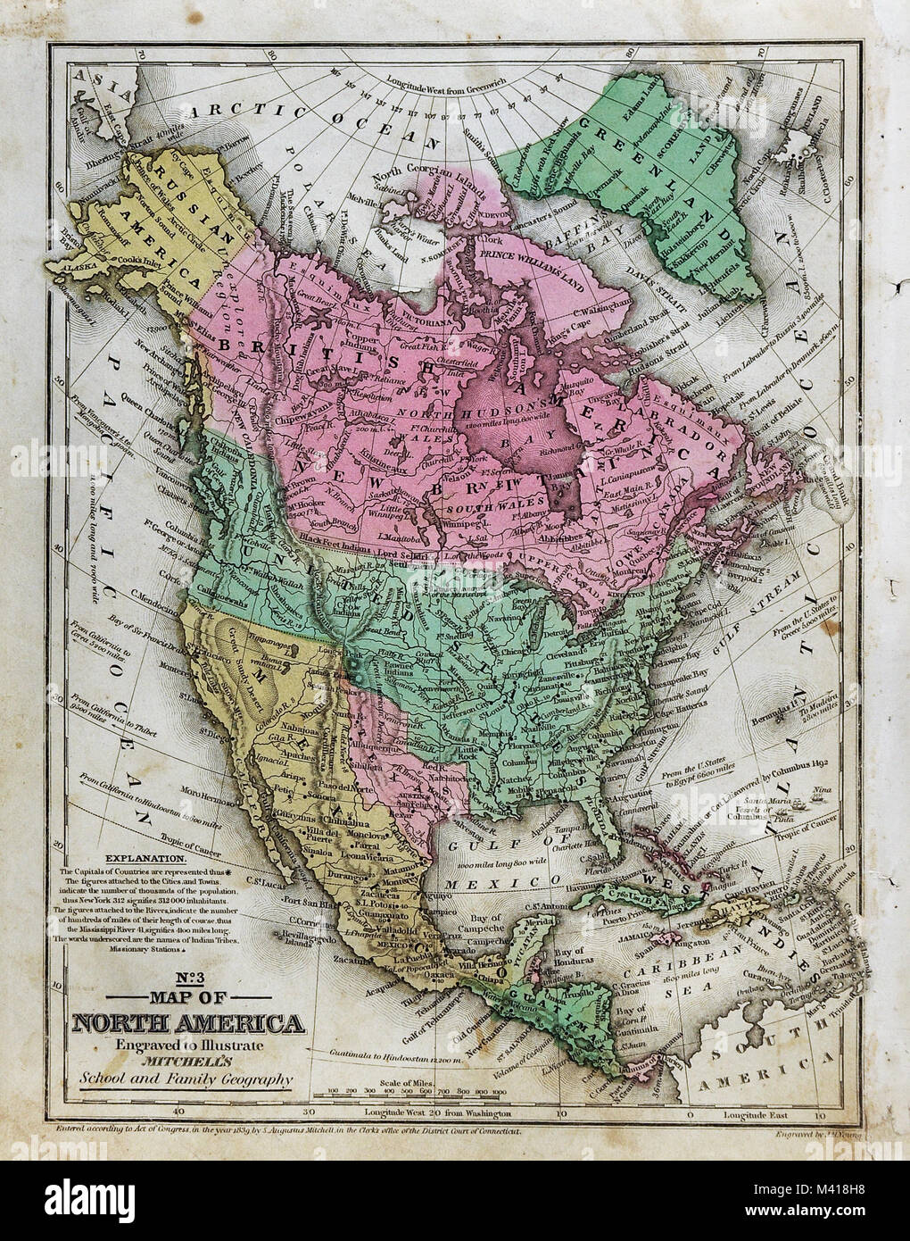 1839 Mitchell Map - North America - United States - Republic of Texas - New Albion California - Mexico Canada Russian Alaska Stock Photohttps://www.alamy.com/image-license-details/?v=1https://www.alamy.com/stock-photo-1839-mitchell-map-north-america-united-states-republic-of-texas-new-174591012.html
RFM418H8–1839 Mitchell Map - North America - United States - Republic of Texas - New Albion California - Mexico Canada Russian Alaska
 . English: A beautiful 1855 first edition example of Colton's map of Greece. Covers from Corfu to Thera and Lesbos. Color coded according to region. Throughout, Colton identifies various cities, towns, rivers and assortment of additional topographical details. Surrounded by Colton's typical spiral motif border. Dated and copyrighted to J. H. Colton, 1855. Published from Colton's 172 William Street Office in New York City. Issued as page no. 23 in volume 2 of the first edition of George Washington Colton's 1855 Atlas of the World . Greece and the Ionian Republic.. 1855 (dated). 1855 Colton Ma Stock Photohttps://www.alamy.com/image-license-details/?v=1https://www.alamy.com/english-a-beautiful-1855-first-edition-example-of-coltons-map-of-greece-covers-from-corfu-to-thera-and-lesbos-color-coded-according-to-region-throughout-colton-identifies-various-cities-towns-rivers-and-assortment-of-additional-topographical-details-surrounded-by-coltons-typical-spiral-motif-border-dated-and-copyrighted-to-j-h-colton-1855-published-from-coltons-172-william-street-office-in-new-york-city-issued-as-page-no-23-in-volume-2-of-the-first-edition-of-george-washington-coltons-1855-atlas-of-the-world-greece-and-the-ionian-republic-1855-dated-1855-colton-ma-image184959624.html
RMMMWHTT–. English: A beautiful 1855 first edition example of Colton's map of Greece. Covers from Corfu to Thera and Lesbos. Color coded according to region. Throughout, Colton identifies various cities, towns, rivers and assortment of additional topographical details. Surrounded by Colton's typical spiral motif border. Dated and copyrighted to J. H. Colton, 1855. Published from Colton's 172 William Street Office in New York City. Issued as page no. 23 in volume 2 of the first edition of George Washington Colton's 1855 Atlas of the World . Greece and the Ionian Republic.. 1855 (dated). 1855 Colton Ma
 19th century map of United States of America. Published in New Dollar Atlas of the United States and Dominion of Canada. (Rand McNally & Co's, Chicago Stock Photohttps://www.alamy.com/image-license-details/?v=1https://www.alamy.com/19th-century-map-of-united-states-of-america-published-in-new-dollar-atlas-of-the-united-states-and-dominion-of-canada-rand-mcnally-cos-chicago-image385203883.html
RF2DAKFDF–19th century map of United States of America. Published in New Dollar Atlas of the United States and Dominion of Canada. (Rand McNally & Co's, Chicago
 Seattle, USA. 30th Sep, 2024. A bullet hole in a steel tourist sign map on 5th and Pike across from the recently announced Starbucks store closure, an immediate reason was not given. This follows the closure of the 1st and Pike store. 5th and Pike has seen a high amount of closures including Banana Republic and Ann Taylor Loft. The area has struggled with an increase in crime and drug use following the covid shutdown. James Anderson/Alamy Live news Stock Photohttps://www.alamy.com/image-license-details/?v=1https://www.alamy.com/seattle-usa-30th-sep-2024-a-bullet-hole-in-a-steel-tourist-sign-map-on-5th-and-pike-across-from-the-recently-announced-starbucks-store-closure-an-immediate-reason-was-not-given-this-follows-the-closure-of-the-1st-and-pike-store-5th-and-pike-has-seen-a-high-amount-of-closures-including-banana-republic-and-ann-taylor-loft-the-area-has-struggled-with-an-increase-in-crime-and-drug-use-following-the-covid-shutdown-james-andersonalamy-live-news-image624320761.html
RM2Y7M7E1–Seattle, USA. 30th Sep, 2024. A bullet hole in a steel tourist sign map on 5th and Pike across from the recently announced Starbucks store closure, an immediate reason was not given. This follows the closure of the 1st and Pike store. 5th and Pike has seen a high amount of closures including Banana Republic and Ann Taylor Loft. The area has struggled with an increase in crime and drug use following the covid shutdown. James Anderson/Alamy Live news
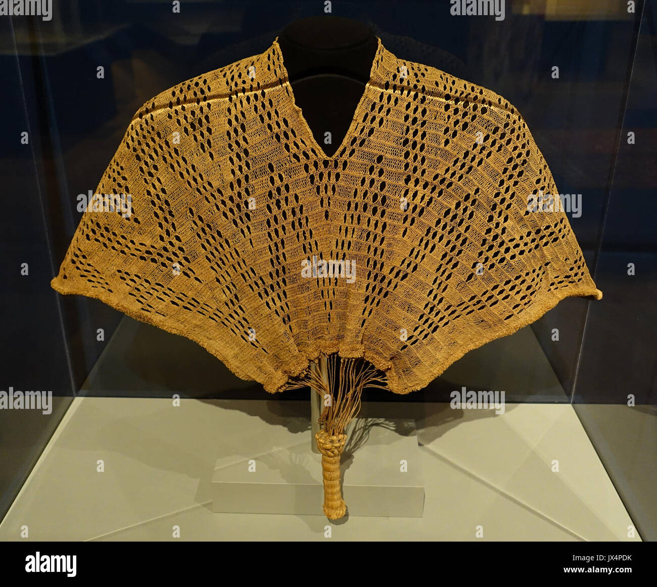 Kinzembe or Zamba kya Mfumu, Kongo related people, Democratic Republic of Congo, or Angola, possibly 19th century AD, raffia palm fiber Textile Museum, George Washington University DSC09766 Stock Photohttps://www.alamy.com/image-license-details/?v=1https://www.alamy.com/kinzembe-or-zamba-kya-mfumu-kongo-related-people-democratic-republic-image153769439.html
RMJX4PDK–Kinzembe or Zamba kya Mfumu, Kongo related people, Democratic Republic of Congo, or Angola, possibly 19th century AD, raffia palm fiber Textile Museum, George Washington University DSC09766
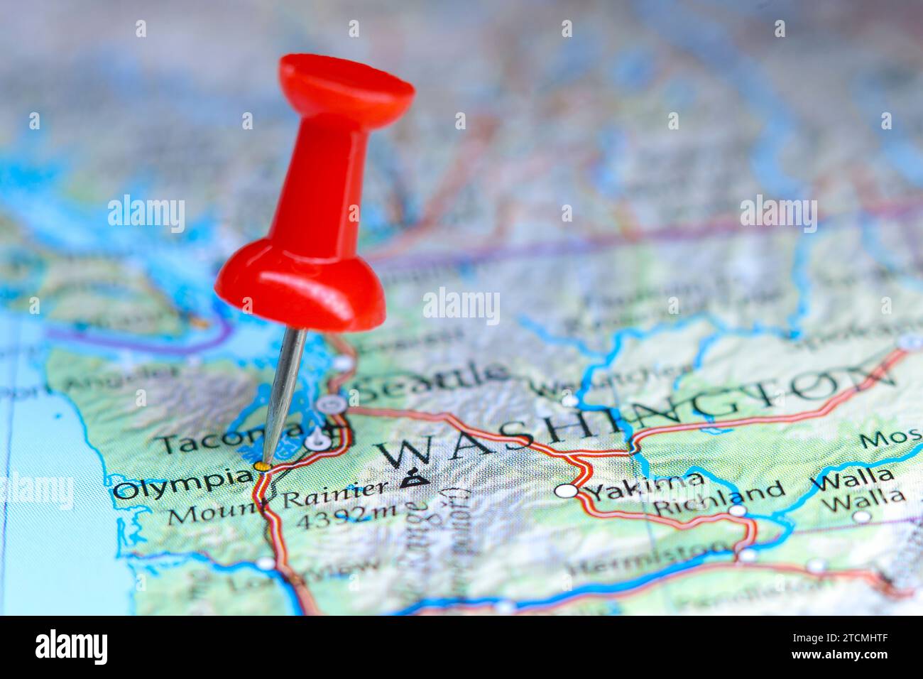 Olympia, Washington pin on map Stock Photohttps://www.alamy.com/image-license-details/?v=1https://www.alamy.com/olympia-washington-pin-on-map-image575771071.html
RF2TCMHTF–Olympia, Washington pin on map
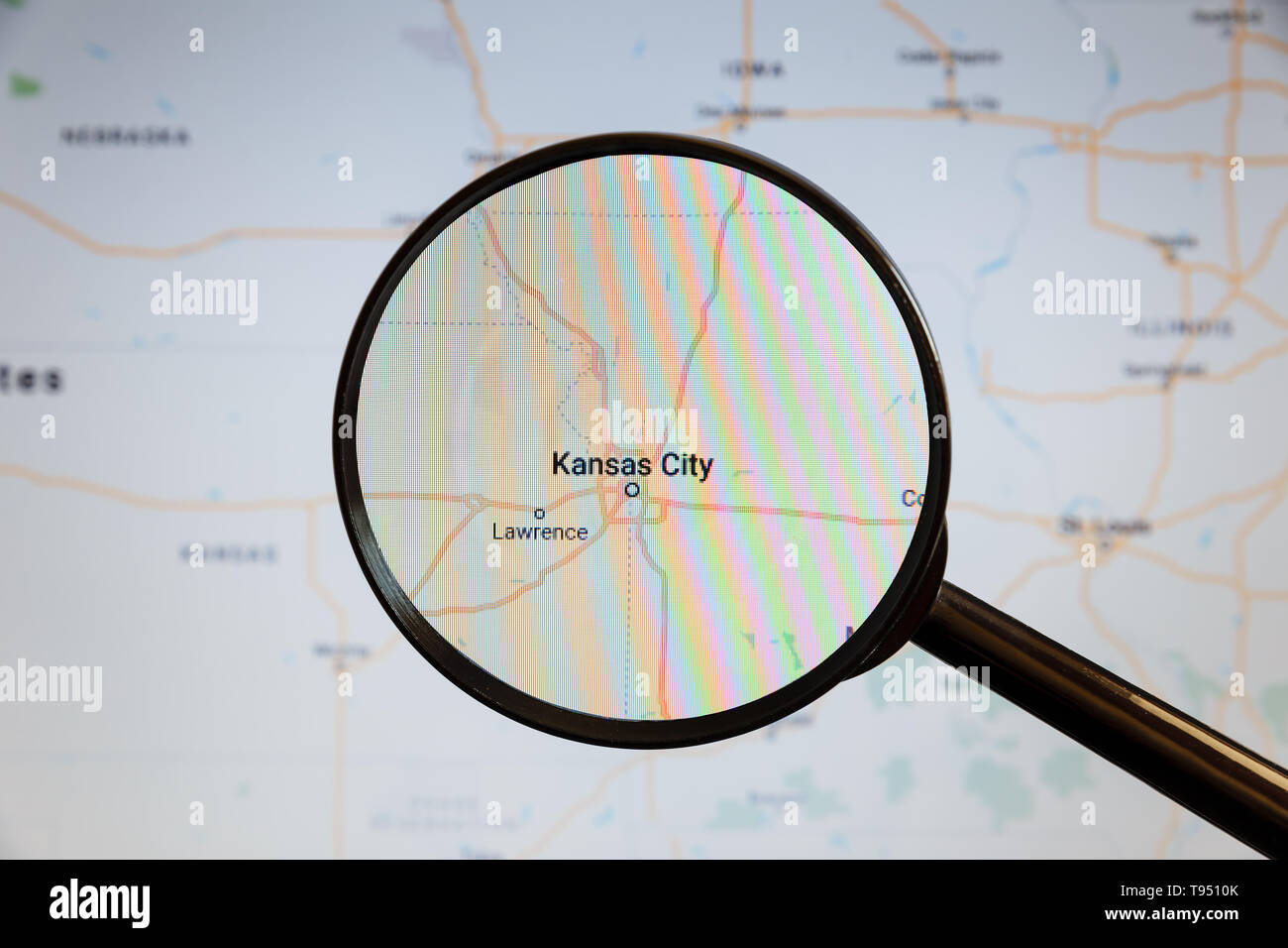 Kansas City, United States. Political map. The city on the monitor screen through a magnifying glass. Stock Photohttps://www.alamy.com/image-license-details/?v=1https://www.alamy.com/kansas-city-united-states-political-map-the-city-on-the-monitor-screen-through-a-magnifying-glass-image246587619.html
RFT9510K–Kansas City, United States. Political map. The city on the monitor screen through a magnifying glass.
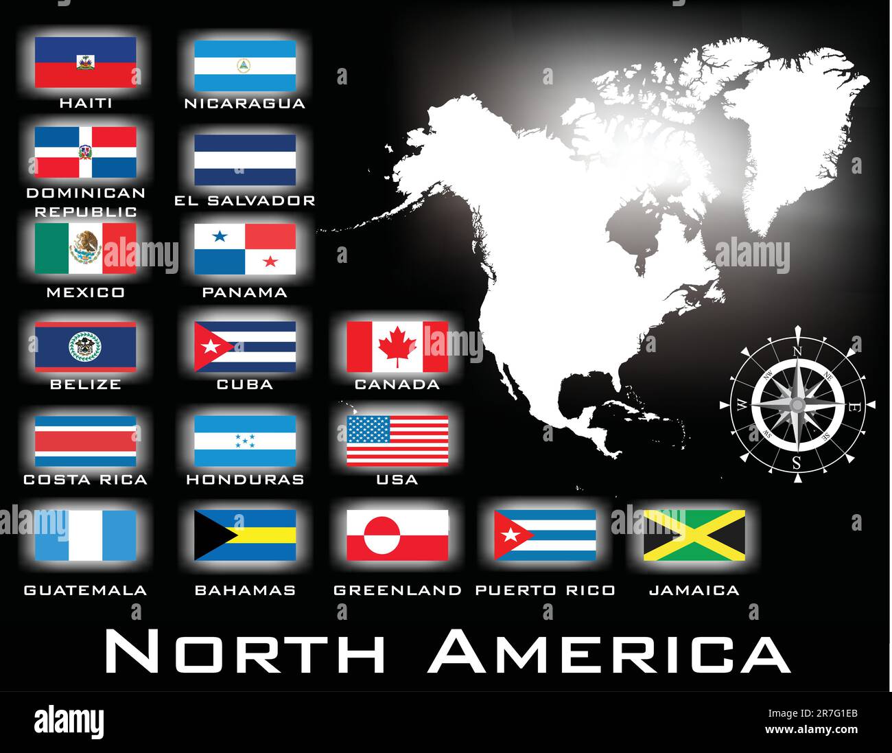 map of North America Stock Vectorhttps://www.alamy.com/image-license-details/?v=1https://www.alamy.com/map-of-north-america-image555386787.html
RF2R7G1EB–map of North America
 Republic, Ferry County, US, United States, Washington, N 48 38' 53'', S 118 44' 16'', map, Cartascapes Map published in 2024. Explore Cartascapes, a map revealing Earth's diverse landscapes, cultures, and ecosystems. Journey through time and space, discovering the interconnectedness of our planet's past, present, and future. Stock Photohttps://www.alamy.com/image-license-details/?v=1https://www.alamy.com/republic-ferry-county-us-united-states-washington-n-48-38-53-s-118-44-16-map-cartascapes-map-published-in-2024-explore-cartascapes-a-map-revealing-earths-diverse-landscapes-cultures-and-ecosystems-journey-through-time-and-space-discovering-the-interconnectedness-of-our-planets-past-present-and-future-image621451310.html
RM2Y31FDJ–Republic, Ferry County, US, United States, Washington, N 48 38' 53'', S 118 44' 16'', map, Cartascapes Map published in 2024. Explore Cartascapes, a map revealing Earth's diverse landscapes, cultures, and ecosystems. Journey through time and space, discovering the interconnectedness of our planet's past, present, and future.
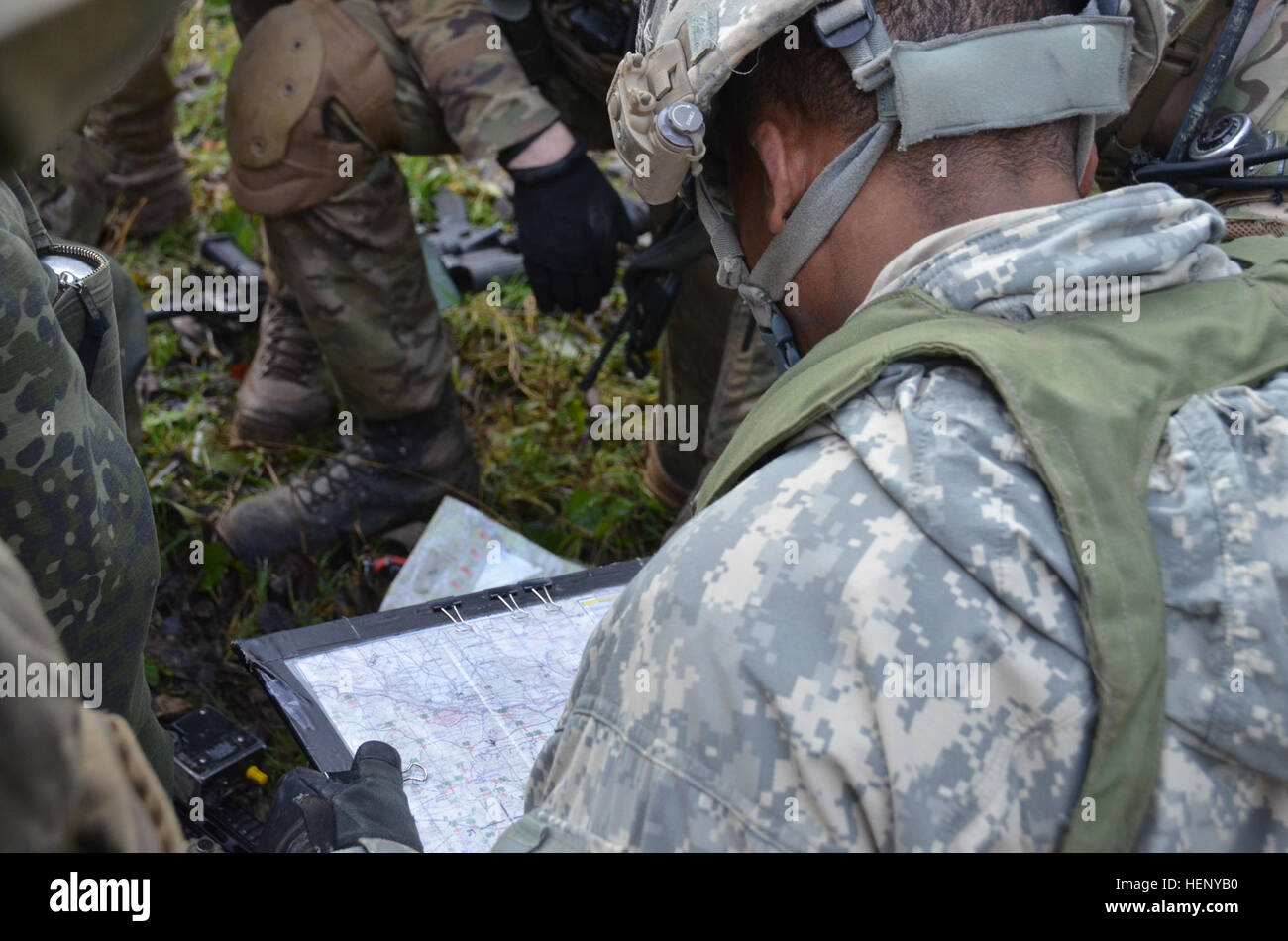 A U.S. soldier reviews a map while conducting combat rehearsal during exercise Combined Resolve III at the Joint Multinational Readiness Center in Hohenfels, Germany, Nov. 8, 2014. Combined Resolve III is a multinational exercise, which includes more than 4,000 participants from NATO and partner nations, and is designed to provide a complex training scenario that focuses on multinational unified land operations and reinforces the U.S. commitment to NATO and Europe. (U.S. Army photo by Pfc. Shardesia Washington/Released) Combined Resolve III 141108-A-SG416-002 Stock Photohttps://www.alamy.com/image-license-details/?v=1https://www.alamy.com/stock-photo-a-us-soldier-reviews-a-map-while-conducting-combat-rehearsal-during-129560228.html
RMHENYB0–A U.S. soldier reviews a map while conducting combat rehearsal during exercise Combined Resolve III at the Joint Multinational Readiness Center in Hohenfels, Germany, Nov. 8, 2014. Combined Resolve III is a multinational exercise, which includes more than 4,000 participants from NATO and partner nations, and is designed to provide a complex training scenario that focuses on multinational unified land operations and reinforces the U.S. commitment to NATO and Europe. (U.S. Army photo by Pfc. Shardesia Washington/Released) Combined Resolve III 141108-A-SG416-002
RFEA4GX0–America Canada World Earth Icon Globe Map
 Danish soldiers of Alpha Company, 3rd Reconnaissance Battalion, Guard Hussar Regiment review a map while conducting a combat rehearsal during exercise Combined Resolve III at the Joint Multinational Readiness Center in Hohenfels, Germany, Nov. 4, 2014. Combined Resolve III is a multinational exercise, which includes more than 4,000 participants from NATO and partner nations, and is designed to provide a complex training scenario that focuses on multinational unified land operations and reinforces the U.S. commitment to NATO and Europe. (U.S. Army photo by Pfc. Shardesia Washington/Released) C Stock Photohttps://www.alamy.com/image-license-details/?v=1https://www.alamy.com/stock-photo-danish-soldiers-of-alpha-company-3rd-reconnaissance-battalion-guard-129560023.html
RMHENY3K–Danish soldiers of Alpha Company, 3rd Reconnaissance Battalion, Guard Hussar Regiment review a map while conducting a combat rehearsal during exercise Combined Resolve III at the Joint Multinational Readiness Center in Hohenfels, Germany, Nov. 4, 2014. Combined Resolve III is a multinational exercise, which includes more than 4,000 participants from NATO and partner nations, and is designed to provide a complex training scenario that focuses on multinational unified land operations and reinforces the U.S. commitment to NATO and Europe. (U.S. Army photo by Pfc. Shardesia Washington/Released) C
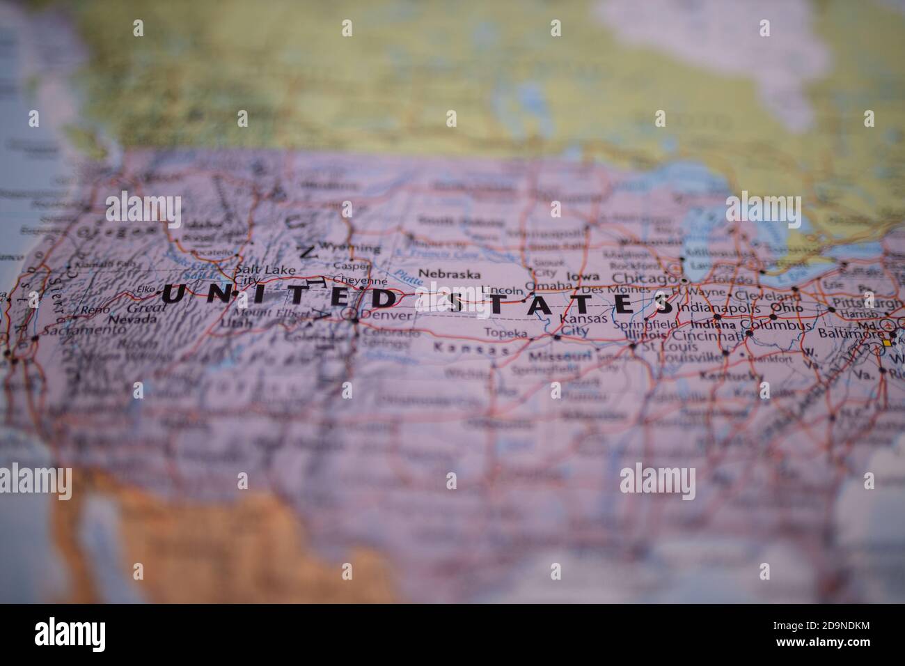 The United States of America on a colorful map with its main routes in red Stock Photohttps://www.alamy.com/image-license-details/?v=1https://www.alamy.com/the-united-states-of-america-on-a-colorful-map-with-its-main-routes-in-red-image384631736.html
RF2D9NDKM–The United States of America on a colorful map with its main routes in red
 U.S. Army Capt. David Macaspac, left, recovery team leader, Defense POW/MIA Accounting Agency (DPAA), shows Vincent “B.J.” Lawrence, Senior Vice Commander in Chief, Veterans of Foreign Wars of the United States (VFW), center, and Robert E. Wallace, Assistant Adjutant General and Executive Director of VFW Washington Office, a terrain map during a site visit in Quang Nam province, Socialist Republic of Vietnam, March 21, 2018. Lawrence and Wallace visited the site to learn more about DPAA’s mission to provide the fullest possible accounting for missing personnel to their families and the nation. Stock Photohttps://www.alamy.com/image-license-details/?v=1https://www.alamy.com/us-army-capt-david-macaspac-left-recovery-team-leader-defense-powmia-accounting-agency-dpaa-shows-vincent-bj-lawrence-senior-vice-commander-in-chief-veterans-of-foreign-wars-of-the-united-states-vfw-center-and-robert-e-wallace-assistant-adjutant-general-and-executive-director-of-vfw-washington-office-a-terrain-map-during-a-site-visit-in-quang-nam-province-socialist-republic-of-vietnam-march-21-2018-lawrence-and-wallace-visited-the-site-to-learn-more-about-dpaas-mission-to-provide-the-fullest-possible-accounting-for-missing-personnel-to-their-families-and-the-nation-image180206471.html
RMMD535B–U.S. Army Capt. David Macaspac, left, recovery team leader, Defense POW/MIA Accounting Agency (DPAA), shows Vincent “B.J.” Lawrence, Senior Vice Commander in Chief, Veterans of Foreign Wars of the United States (VFW), center, and Robert E. Wallace, Assistant Adjutant General and Executive Director of VFW Washington Office, a terrain map during a site visit in Quang Nam province, Socialist Republic of Vietnam, March 21, 2018. Lawrence and Wallace visited the site to learn more about DPAA’s mission to provide the fullest possible accounting for missing personnel to their families and the nation.
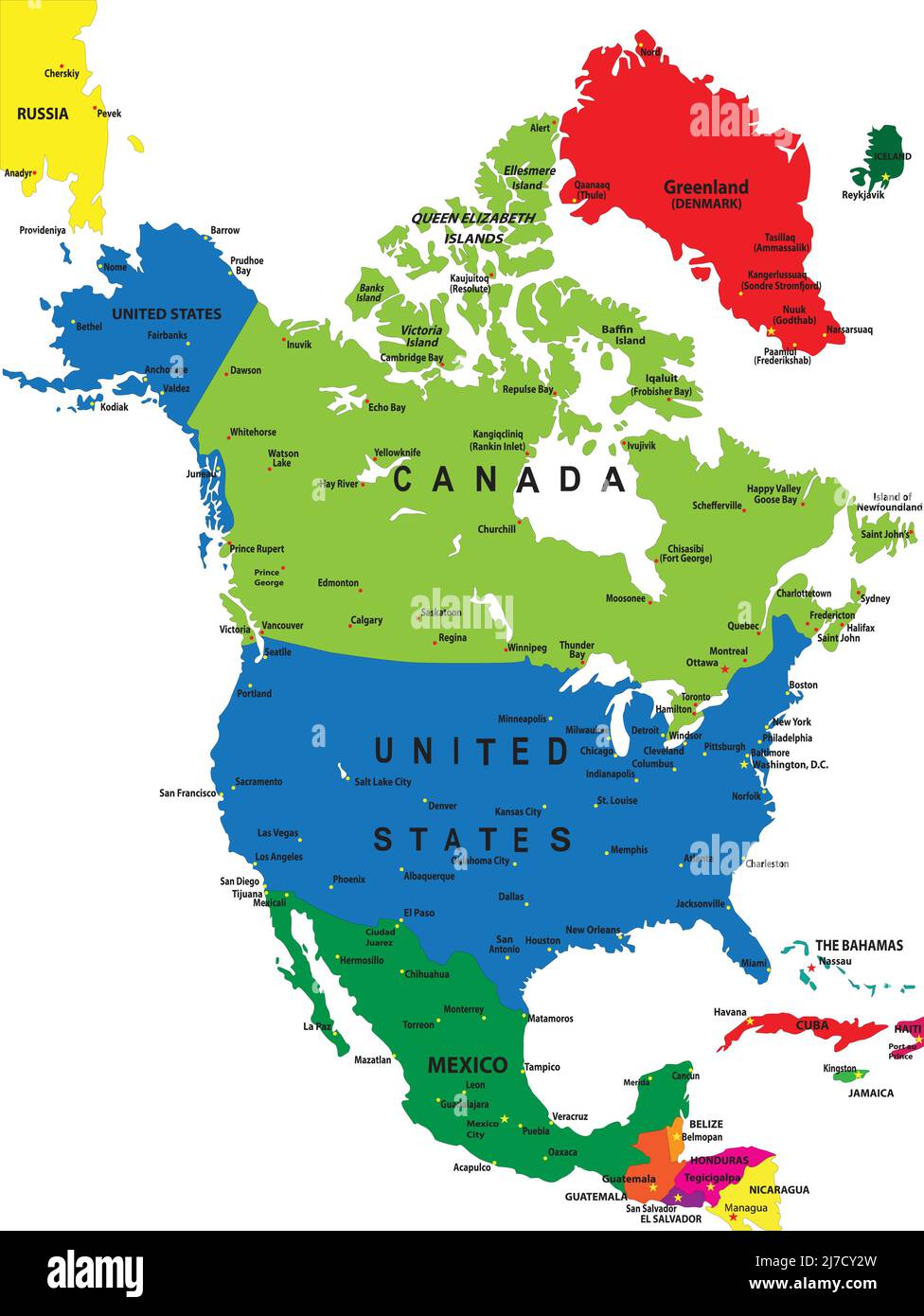 Political map of North America in vector format with country borders and main cities. Stock Vectorhttps://www.alamy.com/image-license-details/?v=1https://www.alamy.com/political-map-of-north-america-in-vector-format-with-country-borders-and-main-cities-image469267201.html
RF2J7CY2W–Political map of North America in vector format with country borders and main cities.
 Tomas Garrigue Masaryk sand sculpture on Mill Colonnade, Karlovy Vary, Czech republic. Travel destination. Artistic object. Stock Photohttps://www.alamy.com/image-license-details/?v=1https://www.alamy.com/tomas-garrigue-masaryk-sand-sculpture-on-mill-colonnade-karlovy-vary-czech-republic-travel-destination-artistic-object-image225102944.html
RFR2692T–Tomas Garrigue Masaryk sand sculpture on Mill Colonnade, Karlovy Vary, Czech republic. Travel destination. Artistic object.
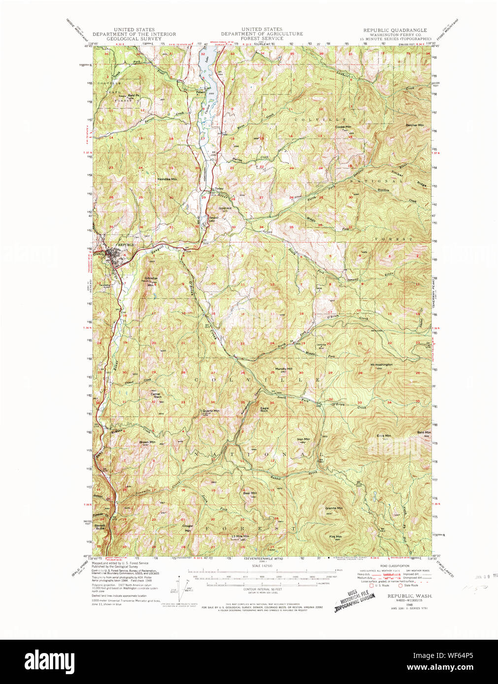 USGS Topo Map Washington State WA Republic 243429 1948 62500 Restoration Stock Photohttps://www.alamy.com/image-license-details/?v=1https://www.alamy.com/usgs-topo-map-washington-state-wa-republic-243429-1948-62500-restoration-image267510829.html
RMWF64P5–USGS Topo Map Washington State WA Republic 243429 1948 62500 Restoration
![Catalogue of points of historic interest : [Washington D.C. and metropolitan area] 1865 by Grand Army of the Republic. Committee on Marking Points of Historic Interest., Grand Army of the Republic. National Encampment 1902 : Washington D.C.) Stock Photo Catalogue of points of historic interest : [Washington D.C. and metropolitan area] 1865 by Grand Army of the Republic. Committee on Marking Points of Historic Interest., Grand Army of the Republic. National Encampment 1902 : Washington D.C.) Stock Photo](https://c8.alamy.com/comp/2S79H7Y/catalogue-of-points-of-historic-interest-washington-dc-and-metropolitan-area-1865-by-grand-army-of-the-republic-committee-on-marking-points-of-historic-interest-grand-army-of-the-republic-national-encampment-1902-washington-dc-2S79H7Y.jpg) Catalogue of points of historic interest : [Washington D.C. and metropolitan area] 1865 by Grand Army of the Republic. Committee on Marking Points of Historic Interest., Grand Army of the Republic. National Encampment 1902 : Washington D.C.) Stock Photohttps://www.alamy.com/image-license-details/?v=1https://www.alamy.com/catalogue-of-points-of-historic-interest-washington-dc-and-metropolitan-area-1865-by-grand-army-of-the-republic-committee-on-marking-points-of-historic-interest-grand-army-of-the-republic-national-encampment-1902-washington-dc-image641297327.html
Catalogue of points of historic interest : [Washington D.C. and metropolitan area] 1865 by Grand Army of the Republic. Committee on Marking Points of Historic Interest., Grand Army of the Republic. National Encampment 1902 : Washington D.C.) Stock Photohttps://www.alamy.com/image-license-details/?v=1https://www.alamy.com/catalogue-of-points-of-historic-interest-washington-dc-and-metropolitan-area-1865-by-grand-army-of-the-republic-committee-on-marking-points-of-historic-interest-grand-army-of-the-republic-national-encampment-1902-washington-dc-image641297327.htmlRM2S79H7Y–Catalogue of points of historic interest : [Washington D.C. and metropolitan area] 1865 by Grand Army of the Republic. Committee on Marking Points of Historic Interest., Grand Army of the Republic. National Encampment 1902 : Washington D.C.)
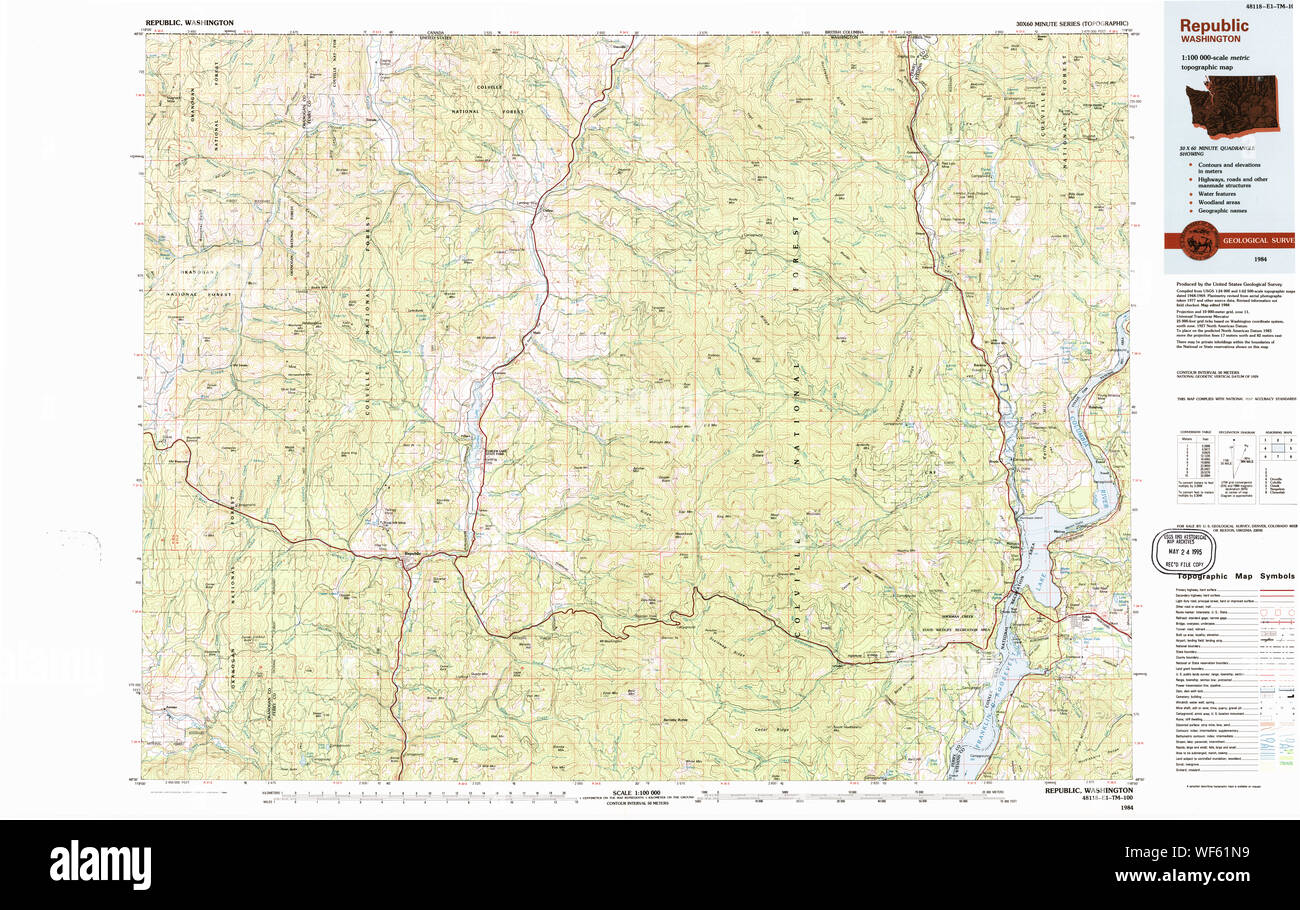 USGS Topo Map Washington State WA Republic 239717 1984 100000 Restoration Stock Photohttps://www.alamy.com/image-license-details/?v=1https://www.alamy.com/usgs-topo-map-washington-state-wa-republic-239717-1984-100000-restoration-image267508453.html
RMWF61N9–USGS Topo Map Washington State WA Republic 239717 1984 100000 Restoration
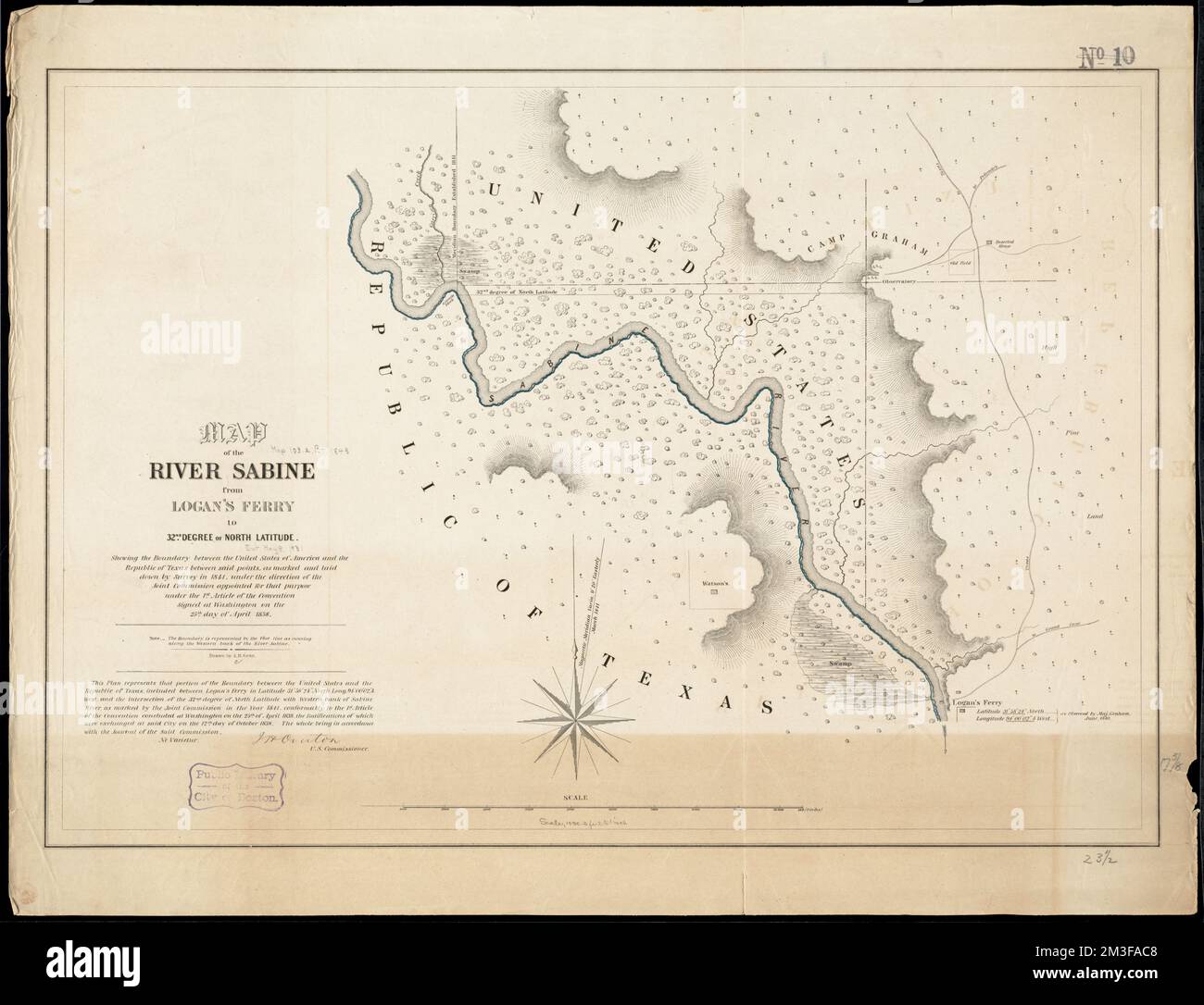 Map of the river Sabine from Logan's Ferry to 32nd degree of north latitude : shewing the boundary between the United States of America and the Republic of Texas between said points, as marked and laid down by survey in 1841, under the direction of the Joint Commission appointed for that purpose under the 1st article of the convention signed at Washington on the 25th day of April 1838 , Sabine River Tex. and La., Maps, Texas, Boundaries, Maps Norman B. Leventhal Map Center Collection Stock Photohttps://www.alamy.com/image-license-details/?v=1https://www.alamy.com/map-of-the-river-sabine-from-logans-ferry-to-32nd-degree-of-north-latitude-shewing-the-boundary-between-the-united-states-of-america-and-the-republic-of-texas-between-said-points-as-marked-and-laid-down-by-survey-in-1841-under-the-direction-of-the-joint-commission-appointed-for-that-purpose-under-the-1st-article-of-the-convention-signed-at-washington-on-the-25th-day-of-april-1838-sabine-river-tex-and-la-maps-texas-boundaries-maps-norman-b-leventhal-map-center-collection-image501282104.html
RM2M3FAC8–Map of the river Sabine from Logan's Ferry to 32nd degree of north latitude : shewing the boundary between the United States of America and the Republic of Texas between said points, as marked and laid down by survey in 1841, under the direction of the Joint Commission appointed for that purpose under the 1st article of the convention signed at Washington on the 25th day of April 1838 , Sabine River Tex. and La., Maps, Texas, Boundaries, Maps Norman B. Leventhal Map Center Collection
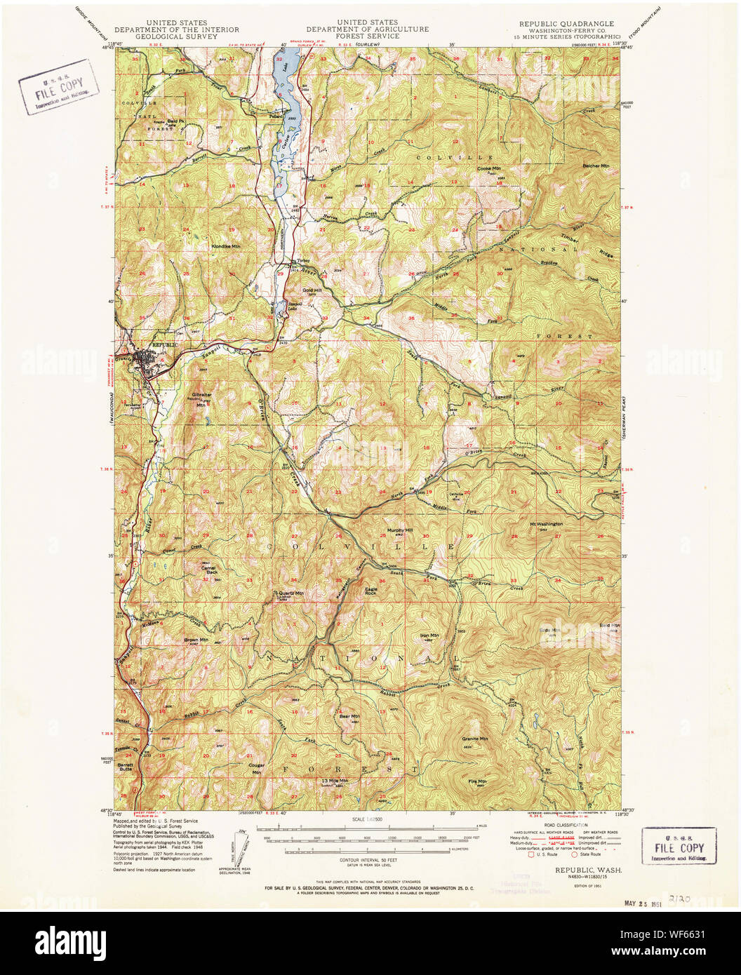 USGS Topo Map Washington State WA Republic 243431 1951 62500 Restoration Stock Photohttps://www.alamy.com/image-license-details/?v=1https://www.alamy.com/usgs-topo-map-washington-state-wa-republic-243431-1951-62500-restoration-image267511861.html
RMWF6631–USGS Topo Map Washington State WA Republic 243431 1951 62500 Restoration
 United States and Sahrawi Arab Democratic Republic flags for official meeting against background of world map. Stock Vectorhttps://www.alamy.com/image-license-details/?v=1https://www.alamy.com/united-states-and-sahrawi-arab-democratic-republic-flags-for-official-meeting-against-background-of-world-map-image553961666.html
RF2R573N6–United States and Sahrawi Arab Democratic Republic flags for official meeting against background of world map.
 Seattle, USA. 30th Sep, 2024. A bullet hole in a steel tourist sign map on 5th and Pike across from the recently announced Starbucks store closure, an immediate reason was not given. This follows the closure of the 1st and Pike store. 5th and Pike has seen a high amount of closures including Banana Republic and Ann Taylor Loft. The area has struggled with an increase in crime and drug use following the covid shutdown. James Anderson/Alamy Live news Stock Photohttps://www.alamy.com/image-license-details/?v=1https://www.alamy.com/seattle-usa-30th-sep-2024-a-bullet-hole-in-a-steel-tourist-sign-map-on-5th-and-pike-across-from-the-recently-announced-starbucks-store-closure-an-immediate-reason-was-not-given-this-follows-the-closure-of-the-1st-and-pike-store-5th-and-pike-has-seen-a-high-amount-of-closures-including-banana-republic-and-ann-taylor-loft-the-area-has-struggled-with-an-increase-in-crime-and-drug-use-following-the-covid-shutdown-james-andersonalamy-live-news-image624320910.html
RM2Y7M7KA–Seattle, USA. 30th Sep, 2024. A bullet hole in a steel tourist sign map on 5th and Pike across from the recently announced Starbucks store closure, an immediate reason was not given. This follows the closure of the 1st and Pike store. 5th and Pike has seen a high amount of closures including Banana Republic and Ann Taylor Loft. The area has struggled with an increase in crime and drug use following the covid shutdown. James Anderson/Alamy Live news
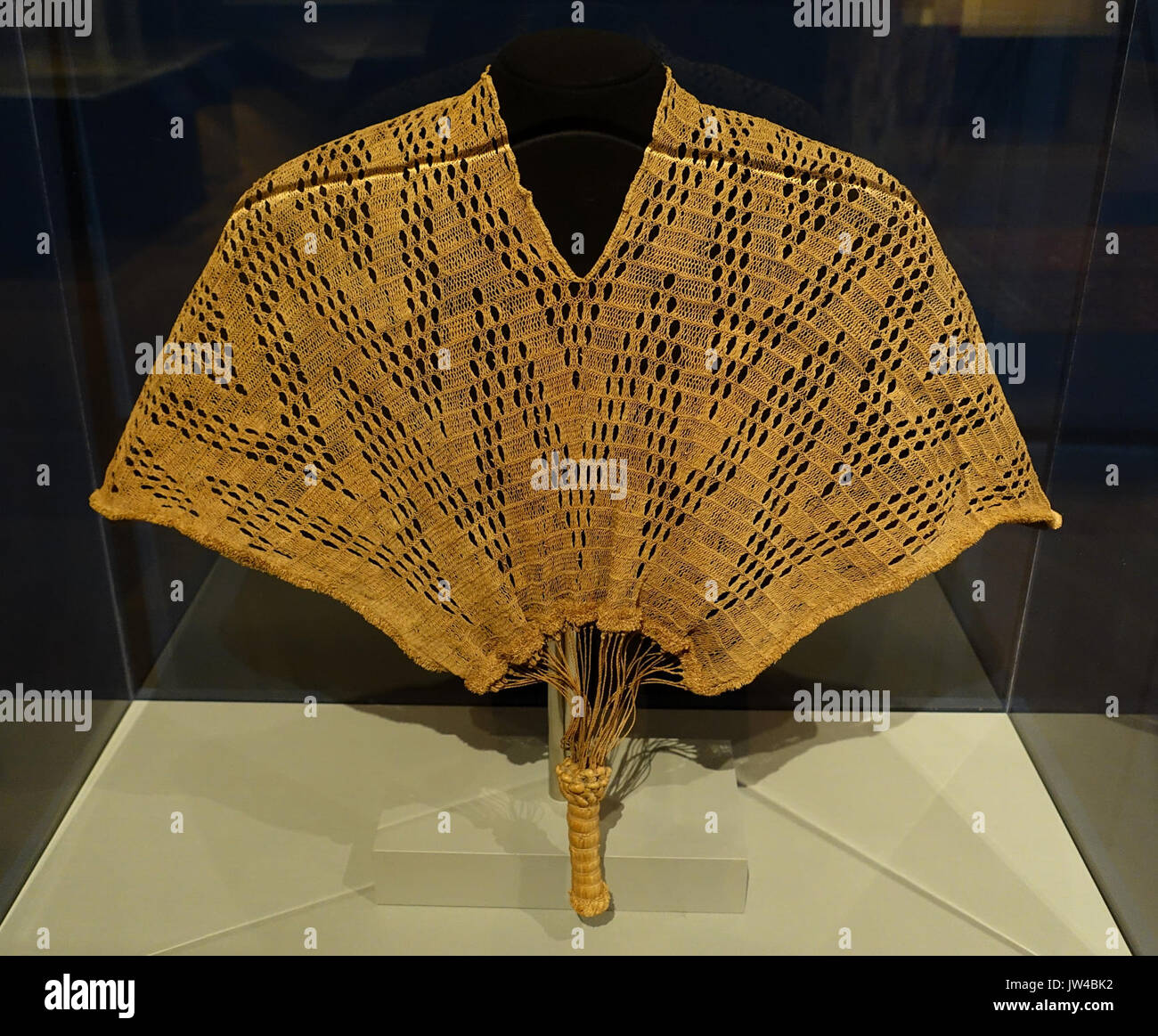 Kinzembe or Zamba kya Mfumu, Kongo related people, Democratic Republic of Congo, or Angola, possibly 19th century AD, raffia palm fiber Textile Museum, George Washington University DSC09766 Stock Photohttps://www.alamy.com/image-license-details/?v=1https://www.alamy.com/kinzembe-or-zamba-kya-mfumu-kongo-related-people-democratic-republic-image153146310.html
RMJW4BK2–Kinzembe or Zamba kya Mfumu, Kongo related people, Democratic Republic of Congo, or Angola, possibly 19th century AD, raffia palm fiber Textile Museum, George Washington University DSC09766
 Bellingham, Washington pin on map Stock Photohttps://www.alamy.com/image-license-details/?v=1https://www.alamy.com/bellingham-washington-pin-on-map-image575771503.html
RF2TCMJBY–Bellingham, Washington pin on map
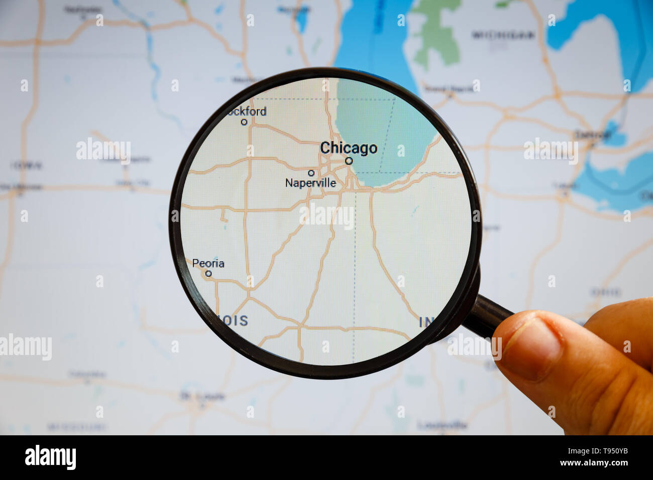 Chicago, United States. Political map. The city on the monitor screen through a magnifying glass in hand. Stock Photohttps://www.alamy.com/image-license-details/?v=1https://www.alamy.com/chicago-united-states-political-map-the-city-on-the-monitor-screen-through-a-magnifying-glass-in-hand-image246587583.html
RFT950YB–Chicago, United States. Political map. The city on the monitor screen through a magnifying glass in hand.
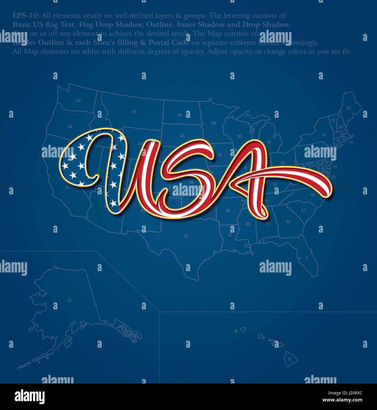 Vector illustration of a custom-made Lettering of the word “USA” over the United States map. The design follows the flow of a waving American flag. Al Stock Vectorhttps://www.alamy.com/image-license-details/?v=1https://www.alamy.com/stock-photo-vector-illustration-of-a-custom-made-lettering-of-the-word-usa-over-138919268.html
RFJ208XC–Vector illustration of a custom-made Lettering of the word “USA” over the United States map. The design follows the flow of a waving American flag. Al
 City of Republic, Ferry County, US, United States, Washington, N 48 38' 54'', S 118 43' 58'', map, Cartascapes Map published in 2024. Explore Cartascapes, a map revealing Earth's diverse landscapes, cultures, and ecosystems. Journey through time and space, discovering the interconnectedness of our planet's past, present, and future. Stock Photohttps://www.alamy.com/image-license-details/?v=1https://www.alamy.com/city-of-republic-ferry-county-us-united-states-washington-n-48-38-54-s-118-43-58-map-cartascapes-map-published-in-2024-explore-cartascapes-a-map-revealing-earths-diverse-landscapes-cultures-and-ecosystems-journey-through-time-and-space-discovering-the-interconnectedness-of-our-planets-past-present-and-future-image633807843.html
RM2YR4CAB–City of Republic, Ferry County, US, United States, Washington, N 48 38' 54'', S 118 43' 58'', map, Cartascapes Map published in 2024. Explore Cartascapes, a map revealing Earth's diverse landscapes, cultures, and ecosystems. Journey through time and space, discovering the interconnectedness of our planet's past, present, and future.
 United States of America Map Stock Vectorhttps://www.alamy.com/image-license-details/?v=1https://www.alamy.com/united-states-of-america-map-image177800758.html
RFM97EK2–United States of America Map
RFRKX4G4–North and South America Global World, Vector Map Icon of the World Globe
 3D Waving United States of America and Czech Republic Merged Flag Closeup View Stock Photohttps://www.alamy.com/image-license-details/?v=1https://www.alamy.com/3d-waving-united-states-of-america-and-czech-republic-merged-flag-closeup-view-image479788164.html
RF2JTG6KG–3D Waving United States of America and Czech Republic Merged Flag Closeup View
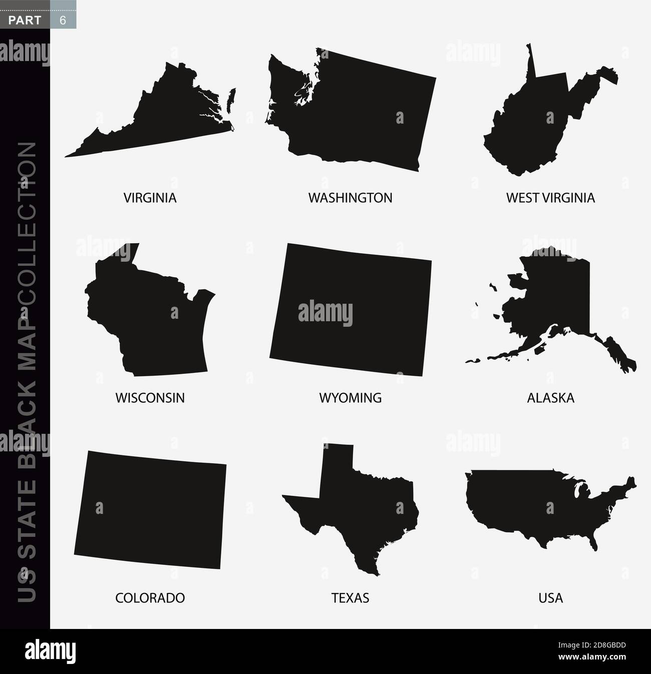 Black map collection of USA states, black contour maps. US state map collection Part 6. Stock Vectorhttps://www.alamy.com/image-license-details/?v=1https://www.alamy.com/black-map-collection-of-usa-states-black-contour-maps-us-state-map-collection-part-6-image383905577.html
RF2D8GBDD–Black map collection of USA states, black contour maps. US state map collection Part 6.
RF2B7GEPR–usa map with star silhouette style icon
 U.S. Army Capt. David Macaspac, left, recovery team leader, Defense POW/MIA Accounting Agency (DPAA), shows Vincent “B.J.” Lawrence, Senior Vice Commander in Chief, Veterans of Foreign Wars of the United States (VFW), center, and Robert E. Wallace, Assistant Adjutant General and Executive Director of VFW Washington Office, a terrain map during a site visit in Quang Nam province, Socialist Republic of Vietnam, March 21, 2018. Lawrence and Wallace visited the site to learn more about DPAA’s mission to provide the fullest possible accounting for missing personnel to their families and the nation. Stock Photohttps://www.alamy.com/image-license-details/?v=1https://www.alamy.com/us-army-capt-david-macaspac-left-recovery-team-leader-defense-powmia-accounting-agency-dpaa-shows-vincent-bj-lawrence-senior-vice-commander-in-chief-veterans-of-foreign-wars-of-the-united-states-vfw-center-and-robert-e-wallace-assistant-adjutant-general-and-executive-director-of-vfw-washington-office-a-terrain-map-during-a-site-visit-in-quang-nam-province-socialist-republic-of-vietnam-march-21-2018-lawrence-and-wallace-visited-the-site-to-learn-more-about-dpaas-mission-to-provide-the-fullest-possible-accounting-for-missing-personnel-to-their-families-and-the-nation-image184692610.html
RMMMDD8J–U.S. Army Capt. David Macaspac, left, recovery team leader, Defense POW/MIA Accounting Agency (DPAA), shows Vincent “B.J.” Lawrence, Senior Vice Commander in Chief, Veterans of Foreign Wars of the United States (VFW), center, and Robert E. Wallace, Assistant Adjutant General and Executive Director of VFW Washington Office, a terrain map during a site visit in Quang Nam province, Socialist Republic of Vietnam, March 21, 2018. Lawrence and Wallace visited the site to learn more about DPAA’s mission to provide the fullest possible accounting for missing personnel to their families and the nation.
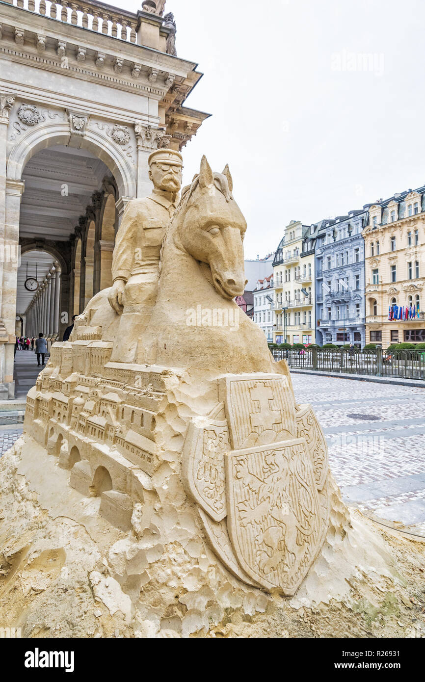 Tomas Garrigue Masaryk sand sculpture on Mill Colonnade, Karlovy Vary, Czech republic. Travel destination. Artistic object. Stock Photohttps://www.alamy.com/image-license-details/?v=1https://www.alamy.com/tomas-garrigue-masaryk-sand-sculpture-on-mill-colonnade-karlovy-vary-czech-republic-travel-destination-artistic-object-image225102949.html
RFR26931–Tomas Garrigue Masaryk sand sculpture on Mill Colonnade, Karlovy Vary, Czech republic. Travel destination. Artistic object.
 ballot box USA Stock Photohttps://www.alamy.com/image-license-details/?v=1https://www.alamy.com/stock-photo-ballot-box-usa-75067677.html
RFEA3HGD–ballot box USA
 World map with magnified USA. USA flag and map. Stock Vectorhttps://www.alamy.com/image-license-details/?v=1https://www.alamy.com/world-map-with-magnified-usa-usa-flag-and-map-image330842066.html
RF2A674C2–World map with magnified USA. USA flag and map.
 Vector Illustration of Washington U.S. state flag Stock Vectorhttps://www.alamy.com/image-license-details/?v=1https://www.alamy.com/vector-illustration-of-washington-us-state-flag-image268041638.html
RFWG29RJ–Vector Illustration of Washington U.S. state flag
 United State of America map lettering black and white. USA typography map. Stock Vectorhttps://www.alamy.com/image-license-details/?v=1https://www.alamy.com/united-state-of-america-map-lettering-black-and-white-usa-typography-map-image463639506.html
RF2HX8GWP–United State of America map lettering black and white. USA typography map.
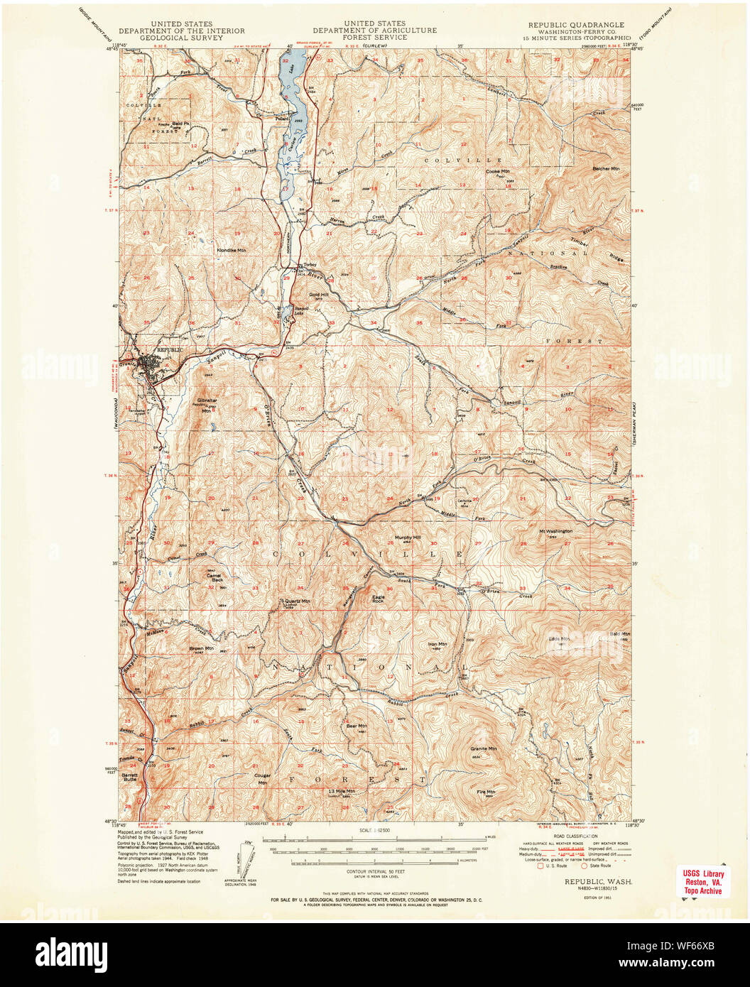 USGS Topo Map Washington State WA Republic 243432 1951 62500 Restoration Stock Photohttps://www.alamy.com/image-license-details/?v=1https://www.alamy.com/usgs-topo-map-washington-state-wa-republic-243432-1951-62500-restoration-image267512515.html
RMWF66XB–USGS Topo Map Washington State WA Republic 243432 1951 62500 Restoration
 United States and Zimbabwe flags for official meeting against background of world map. Stock Vectorhttps://www.alamy.com/image-license-details/?v=1https://www.alamy.com/united-states-and-zimbabwe-flags-for-official-meeting-against-background-of-world-map-image553962496.html
RF2R574PT–United States and Zimbabwe flags for official meeting against background of world map.
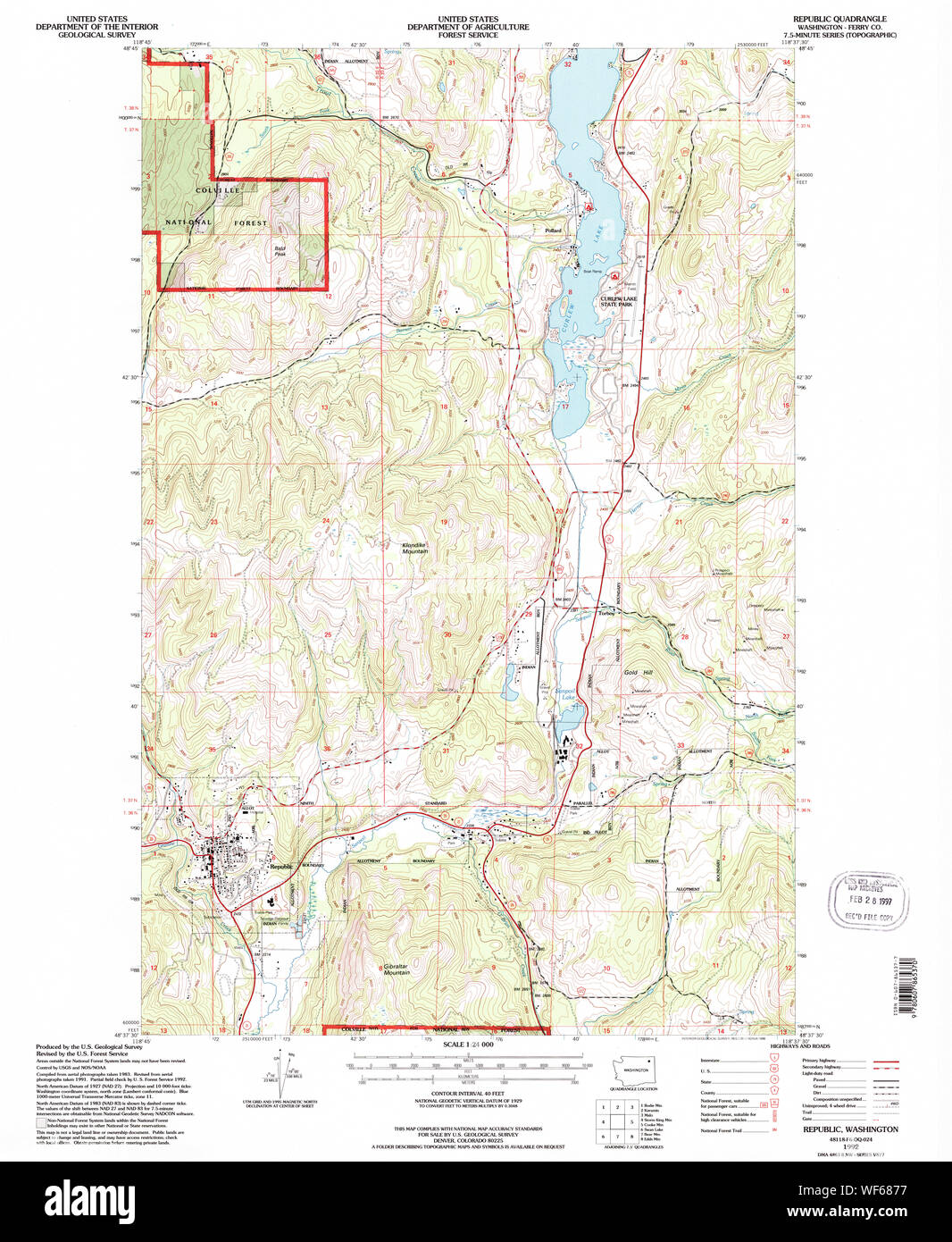 USGS Topo Map Washington State WA Republic 243435 1992 24000 Restoration Stock Photohttps://www.alamy.com/image-license-details/?v=1https://www.alamy.com/usgs-topo-map-washington-state-wa-republic-243435-1992-24000-restoration-image267513547.html
RMWF6877–USGS Topo Map Washington State WA Republic 243435 1992 24000 Restoration
 Seattle, USA. 30th Sep, 2024. A bullet hole in a steel tourist sign map on 5th and Pike across from the recently announced Starbucks store closure, an immediate reason was not given. This follows the closure of the 1st and Pike store. 5th and Pike has seen a high amount of closures including Banana Republic and Ann Taylor Loft. The area has struggled with an increase in crime and drug use following the covid shutdown. James Anderson/Alamy Live news Stock Photohttps://www.alamy.com/image-license-details/?v=1https://www.alamy.com/seattle-usa-30th-sep-2024-a-bullet-hole-in-a-steel-tourist-sign-map-on-5th-and-pike-across-from-the-recently-announced-starbucks-store-closure-an-immediate-reason-was-not-given-this-follows-the-closure-of-the-1st-and-pike-store-5th-and-pike-has-seen-a-high-amount-of-closures-including-banana-republic-and-ann-taylor-loft-the-area-has-struggled-with-an-increase-in-crime-and-drug-use-following-the-covid-shutdown-james-andersonalamy-live-news-image624320755.html
RM2Y7M7DR–Seattle, USA. 30th Sep, 2024. A bullet hole in a steel tourist sign map on 5th and Pike across from the recently announced Starbucks store closure, an immediate reason was not given. This follows the closure of the 1st and Pike store. 5th and Pike has seen a high amount of closures including Banana Republic and Ann Taylor Loft. The area has struggled with an increase in crime and drug use following the covid shutdown. James Anderson/Alamy Live news
 Tacoma, Washington pin on map Stock Photohttps://www.alamy.com/image-license-details/?v=1https://www.alamy.com/tacoma-washington-pin-on-map-image575771063.html
RF2TCMHT7–Tacoma, Washington pin on map
 Kansas City, United States. Political map. The city on the monitor screen through a magnifying glass in hand. Stock Photohttps://www.alamy.com/image-license-details/?v=1https://www.alamy.com/kansas-city-united-states-political-map-the-city-on-the-monitor-screen-through-a-magnifying-glass-in-hand-image246587610.html
RFT9510A–Kansas City, United States. Political map. The city on the monitor screen through a magnifying glass in hand.
 card area Stock Photohttps://www.alamy.com/image-license-details/?v=1https://www.alamy.com/stock-photo-card-area-131195506.html
RFHHCD5P–card area
 Township of Washington, Republic County, US, United States, Kansas, N 39 57' 30'', S 97 45' 47'', map, Cartascapes Map published in 2024. Explore Cartascapes, a map revealing Earth's diverse landscapes, cultures, and ecosystems. Journey through time and space, discovering the interconnectedness of our planet's past, present, and future. Stock Photohttps://www.alamy.com/image-license-details/?v=1https://www.alamy.com/township-of-washington-republic-county-us-united-states-kansas-n-39-57-30-s-97-45-47-map-cartascapes-map-published-in-2024-explore-cartascapes-a-map-revealing-earths-diverse-landscapes-cultures-and-ecosystems-journey-through-time-and-space-discovering-the-interconnectedness-of-our-planets-past-present-and-future-image633832780.html
RM2YR5G50–Township of Washington, Republic County, US, United States, Kansas, N 39 57' 30'', S 97 45' 47'', map, Cartascapes Map published in 2024. Explore Cartascapes, a map revealing Earth's diverse landscapes, cultures, and ecosystems. Journey through time and space, discovering the interconnectedness of our planet's past, present, and future.
 . Review of reviews and world's work . MAPPING THE WORLD ON A STANDARD SCALE 32:. Photograph by Baclir.ich, Washington ACHESON F. HASSAN GEORGE OTIS SMITH ROBERT BRADFORD MARSHALL (Cartographer) (Director) (Chief Geographer) OFFICIALS OF THE GEOLOGICAL SURVEY ACTIVE IN COMPILING THE AMERICAN STANDARD MAP abandon Paris as a pri-mary meridian to acceptthat of their British neigh-bors. And the same subor-dination of national prideto scientific progress andinternational comity ledthe French Republic buta few months ago to adoptinternational standardtime with the meridian ofGreenwich as a startingp Stock Photohttps://www.alamy.com/image-license-details/?v=1https://www.alamy.com/review-of-reviews-and-worlds-work-mapping-the-world-on-a-standard-scale-32-photograph-by-baclirich-washington-acheson-f-hassan-george-otis-smith-robert-bradford-marshall-cartographer-director-chief-geographer-officials-of-the-geological-survey-active-in-compiling-the-american-standard-map-abandon-paris-as-a-pri-mary-meridian-to-acceptthat-of-their-british-neigh-bors-and-the-same-subor-dination-of-national-prideto-scientific-progress-andinternational-comity-ledthe-french-republic-buta-few-months-ago-to-adoptinternational-standardtime-with-the-meridian-ofgreenwich-as-a-startingp-image369748714.html
RM2CDFE76–. Review of reviews and world's work . MAPPING THE WORLD ON A STANDARD SCALE 32:. Photograph by Baclir.ich, Washington ACHESON F. HASSAN GEORGE OTIS SMITH ROBERT BRADFORD MARSHALL (Cartographer) (Director) (Chief Geographer) OFFICIALS OF THE GEOLOGICAL SURVEY ACTIVE IN COMPILING THE AMERICAN STANDARD MAP abandon Paris as a pri-mary meridian to acceptthat of their British neigh-bors. And the same subor-dination of national prideto scientific progress andinternational comity ledthe French Republic buta few months ago to adoptinternational standardtime with the meridian ofGreenwich as a startingp
RF2BXRYDC–North and South America. Vector Map Icon of the World Globe, Earth. All elements are on individual layers in the vector file.
 3D Waving United States of America and Congo republic Merged Flag Closeup View Stock Photohttps://www.alamy.com/image-license-details/?v=1https://www.alamy.com/3d-waving-united-states-of-america-and-congo-republic-merged-flag-closeup-view-image479788069.html
RF2JTG6G5–3D Waving United States of America and Congo republic Merged Flag Closeup View
 USA geographic map isolated on white background. Flat, vector illustration Stock Vectorhttps://www.alamy.com/image-license-details/?v=1https://www.alamy.com/usa-geographic-map-isolated-on-white-background-flat-vector-illustration-image345013098.html
RF2B18KMA–USA geographic map isolated on white background. Flat, vector illustration
 map with united states of america flag silhouette style Stock Vectorhttps://www.alamy.com/image-license-details/?v=1https://www.alamy.com/map-with-united-states-of-america-flag-silhouette-style-image348889232.html
RF2B7H7NM–map with united states of america flag silhouette style
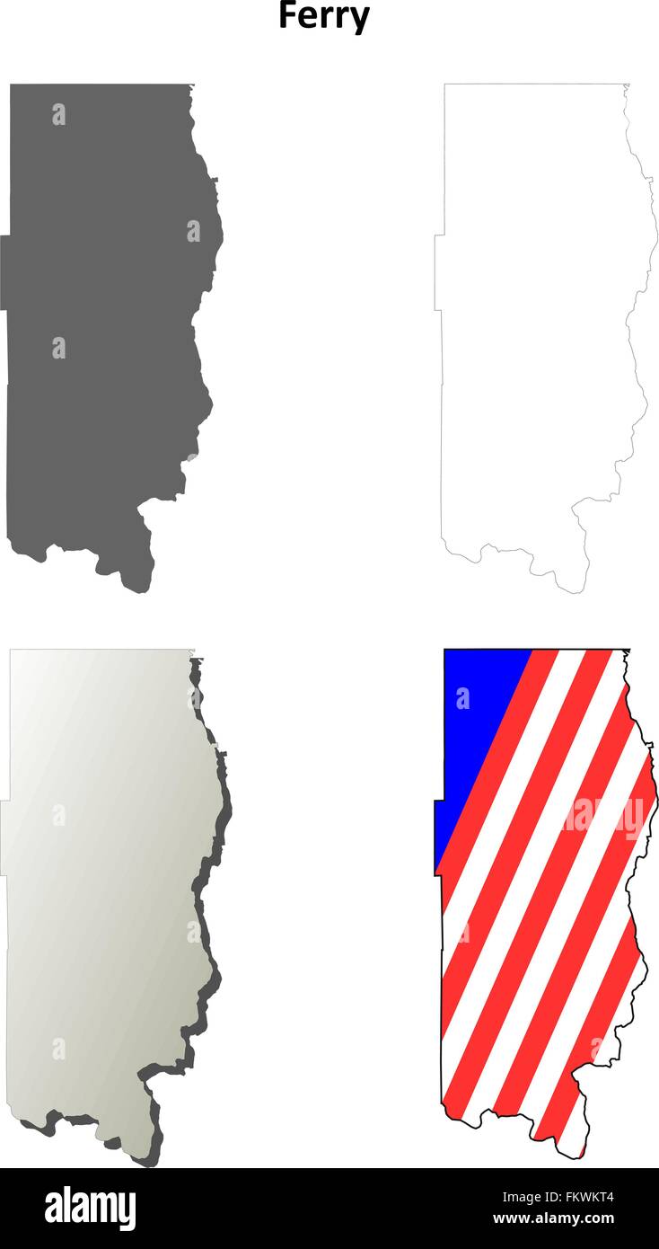 Ferry County, Washington outline map set Stock Vectorhttps://www.alamy.com/image-license-details/?v=1https://www.alamy.com/stock-photo-ferry-county-washington-outline-map-set-98294676.html
RFFKWKT4–Ferry County, Washington outline map set
 Tomas Garrigue Masaryk sand sculpture on Mill Colonnade, Karlovy Vary, Czech republic. Travel destination. Artistic object. Black and white photo. Stock Photohttps://www.alamy.com/image-license-details/?v=1https://www.alamy.com/tomas-garrigue-masaryk-sand-sculpture-on-mill-colonnade-karlovy-vary-czech-republic-travel-destination-artistic-object-black-and-white-photo-image242028859.html
RFT1NA7R–Tomas Garrigue Masaryk sand sculpture on Mill Colonnade, Karlovy Vary, Czech republic. Travel destination. Artistic object. Black and white photo.
 Washington City Travel Sticker, Background, Texture. Stock Photohttps://www.alamy.com/image-license-details/?v=1https://www.alamy.com/washington-city-travel-sticker-background-texture-image273632937.html
RFWW51GW–Washington City Travel Sticker, Background, Texture.
 happy presidents day celebration poster with usa flag in map Stock Vectorhttps://www.alamy.com/image-license-details/?v=1https://www.alamy.com/happy-presidents-day-celebration-poster-with-usa-flag-in-map-image344050029.html
RF2AYMR91–happy presidents day celebration poster with usa flag in map
 Presidential election in the United States of America, Grunge flag and USA map. Stock Photohttps://www.alamy.com/image-license-details/?v=1https://www.alamy.com/presidential-election-in-the-united-states-of-america-grunge-flag-and-usa-map-image384402278.html
RF2D9B10P–Presidential election in the United States of America, Grunge flag and USA map.
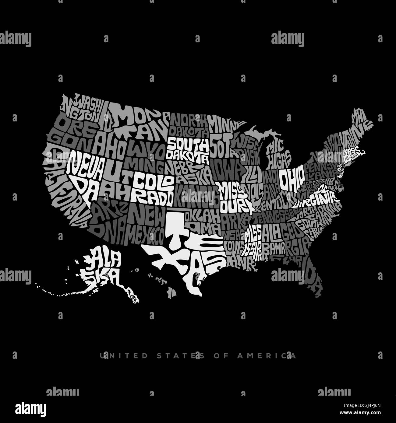 USA map typography. United States of America map lettering in black and white. Stock Vectorhttps://www.alamy.com/image-license-details/?v=1https://www.alamy.com/usa-map-typography-united-states-of-america-map-lettering-in-black-and-white-image467635805.html
RF2J4PJ6N–USA map typography. United States of America map lettering in black and white.
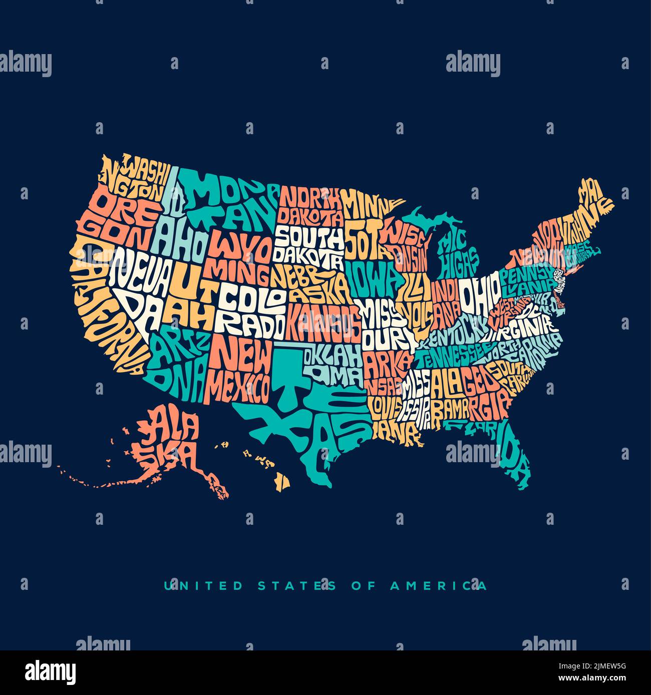 USA map typography. United States of America map typography art. Stock Vectorhttps://www.alamy.com/image-license-details/?v=1https://www.alamy.com/usa-map-typography-united-states-of-america-map-typography-art-image477300140.html
RF2JMEW5G–USA map typography. United States of America map typography art.
 United States and Slovenia flags for official meeting against background of world map. Stock Vectorhttps://www.alamy.com/image-license-details/?v=1https://www.alamy.com/united-states-and-slovenia-flags-for-official-meeting-against-background-of-world-map-image553960875.html
RF2R572MY–United States and Slovenia flags for official meeting against background of world map.
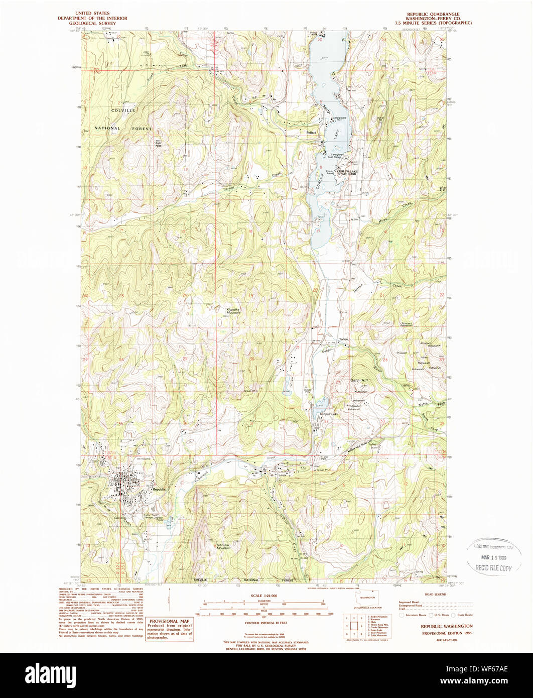 USGS Topo Map Washington State WA Republic 243434 1988 24000 Restoration Stock Photohttps://www.alamy.com/image-license-details/?v=1https://www.alamy.com/usgs-topo-map-washington-state-wa-republic-243434-1988-24000-restoration-image267512854.html
RMWF67AE–USGS Topo Map Washington State WA Republic 243434 1988 24000 Restoration
 Seattle, USA. 30th Sep, 2024. A bullet hole in a steel tourist sign map on 5th and Pike across from the recently announced Starbucks store closure, an immediate reason was not given. This follows the closure of the 1st and Pike store. 5th and Pike has seen a high amount of closures including Banana Republic and Ann Taylor Loft. The area has struggled with an increase in crime and drug use following the covid shutdown. James Anderson/Alamy Live news Stock Photohttps://www.alamy.com/image-license-details/?v=1https://www.alamy.com/seattle-usa-30th-sep-2024-a-bullet-hole-in-a-steel-tourist-sign-map-on-5th-and-pike-across-from-the-recently-announced-starbucks-store-closure-an-immediate-reason-was-not-given-this-follows-the-closure-of-the-1st-and-pike-store-5th-and-pike-has-seen-a-high-amount-of-closures-including-banana-republic-and-ann-taylor-loft-the-area-has-struggled-with-an-increase-in-crime-and-drug-use-following-the-covid-shutdown-james-andersonalamy-live-news-image624320776.html
RM2Y7M7EG–Seattle, USA. 30th Sep, 2024. A bullet hole in a steel tourist sign map on 5th and Pike across from the recently announced Starbucks store closure, an immediate reason was not given. This follows the closure of the 1st and Pike store. 5th and Pike has seen a high amount of closures including Banana Republic and Ann Taylor Loft. The area has struggled with an increase in crime and drug use following the covid shutdown. James Anderson/Alamy Live news
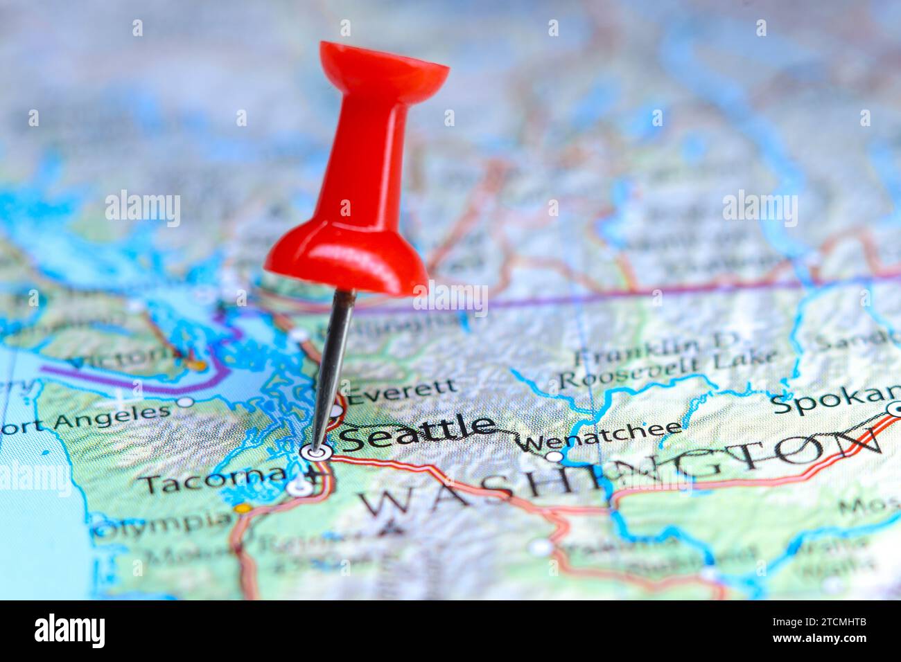 Seattle, Washington pin on map Stock Photohttps://www.alamy.com/image-license-details/?v=1https://www.alamy.com/seattle-washington-pin-on-map-image575771067.html
RF2TCMHTB–Seattle, Washington pin on map
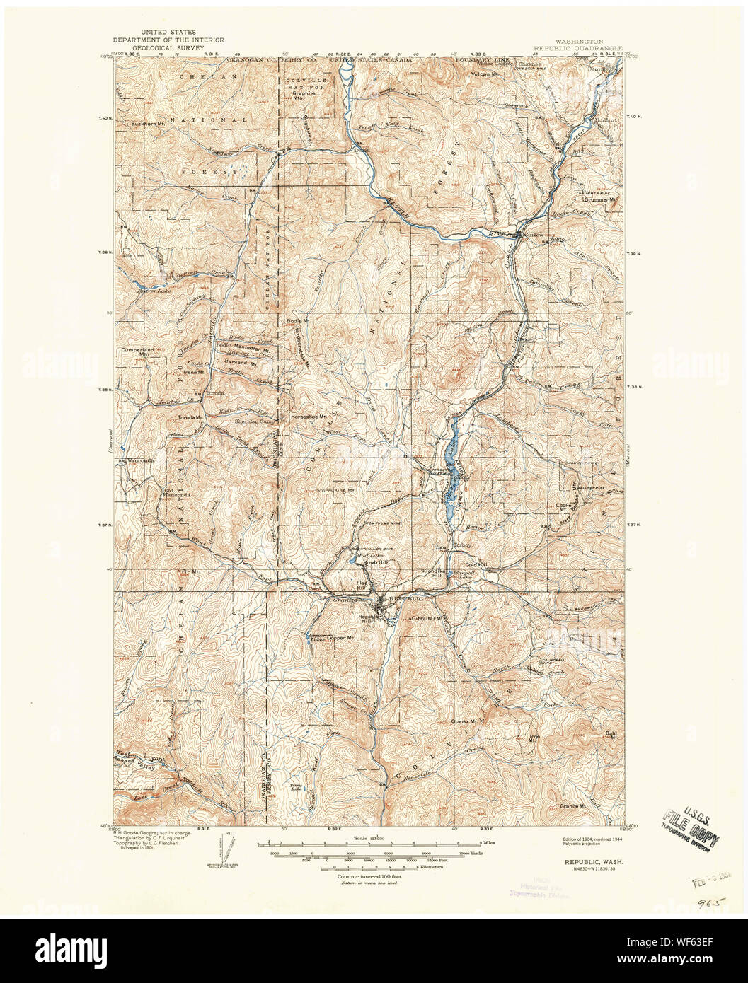 USGS Topo Map Washington State WA Republic 243427 1904 125000 Restoration Stock Photohttps://www.alamy.com/image-license-details/?v=1https://www.alamy.com/usgs-topo-map-washington-state-wa-republic-243427-1904-125000-restoration-image267509831.html
RMWF63EF–USGS Topo Map Washington State WA Republic 243427 1904 125000 Restoration
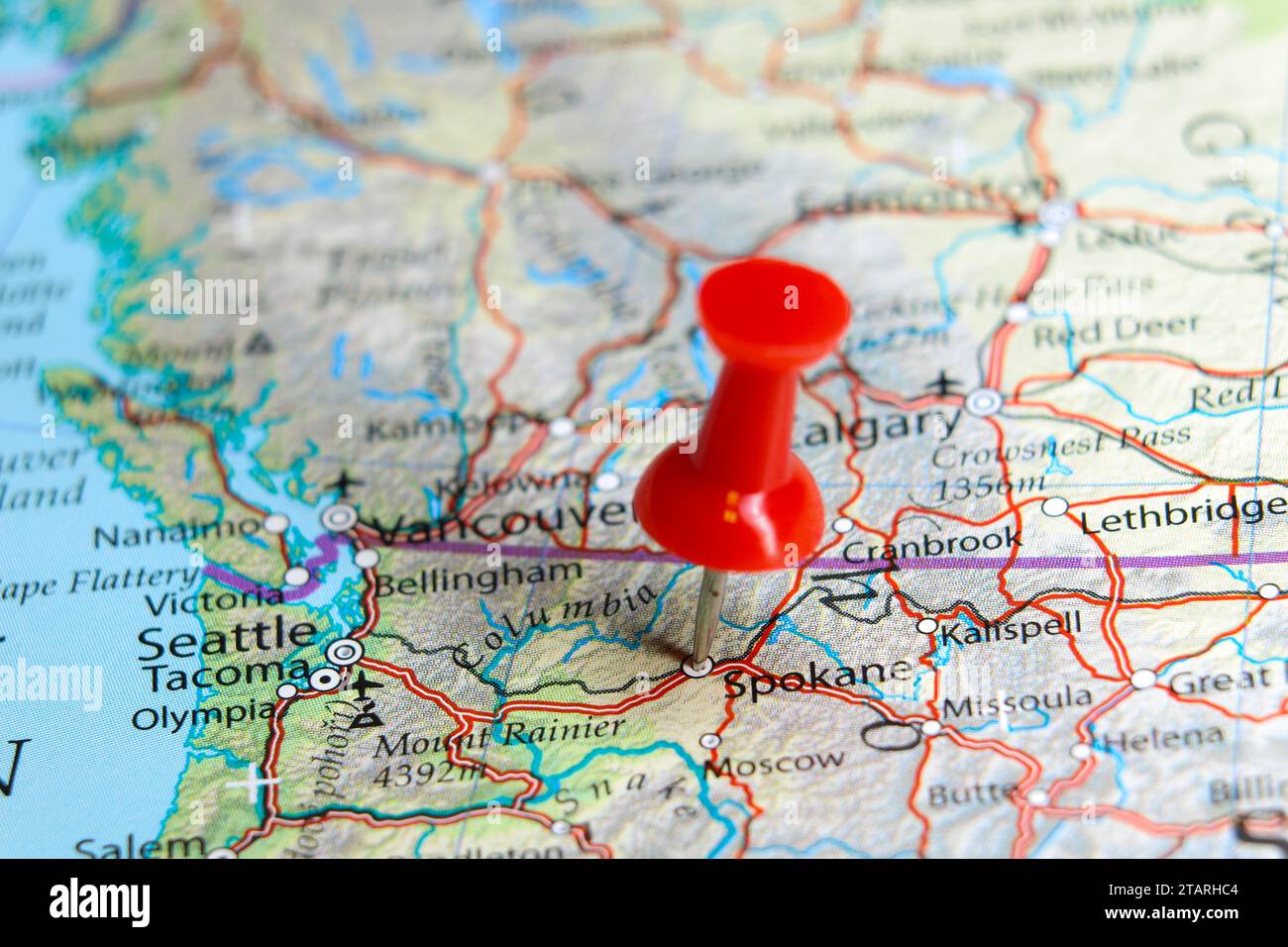 Spokane, Washington pin on map Stock Photohttps://www.alamy.com/image-license-details/?v=1https://www.alamy.com/spokane-washington-pin-on-map-image574607268.html
RF2TARHC4–Spokane, Washington pin on map
 Post route map of the state of Texas with adjacent parts of Louisiana, Arkansas, Indian Territory and of the Republic of Mexico showing post offices with the intermediate distances and mail routes in operation on the 1st of October 1891. Also shows railroads and counties. Prime meridians: Washington, D.C. and Greenwich. Inset: North-western portion of Texas. 'The service on this diagram brought up to date of Oct. 1st. 1891.'... , Texas Stock Photohttps://www.alamy.com/image-license-details/?v=1https://www.alamy.com/post-route-map-of-the-state-of-texas-with-adjacent-parts-of-louisiana-arkansas-indian-territory-and-of-the-republic-of-mexico-showing-post-offices-with-the-intermediate-distances-and-mail-routes-in-operation-on-the-1st-of-october-1891-also-shows-railroads-and-counties-prime-meridians-washington-dc-and-greenwich-inset-north-western-portion-of-texas-the-service-on-this-diagram-brought-up-to-date-of-oct-1st-1891-texas-image502698464.html
RM2M5RW0G–Post route map of the state of Texas with adjacent parts of Louisiana, Arkansas, Indian Territory and of the Republic of Mexico showing post offices with the intermediate distances and mail routes in operation on the 1st of October 1891. Also shows railroads and counties. Prime meridians: Washington, D.C. and Greenwich. Inset: North-western portion of Texas. 'The service on this diagram brought up to date of Oct. 1st. 1891.'... , Texas
![. The Westward Movement; the colonies and the Republic west of the Alleghanies, 1763-1798; with full cartographical illustrations from contemporary sources. : .••J> • • V ?;& ->?. *+«r v «x*I. • • if?. ty&^JlUJii^yv&nJ? [The above map is from a MS. map by Heckewelder (1796), reproduced in the Western ReserveHist. Soc. Tract. No. 64 (1884). It shows the valleys of Muskingum and Cayahoga, and the In-dian paths.] 256 THE INSECURITY OF THE NORTHWEST. Albert Gallatin was at this time surveying some adjacent prop-erty on the Kanawha for himself. When these plans were well devised, Washington Stock Photo . The Westward Movement; the colonies and the Republic west of the Alleghanies, 1763-1798; with full cartographical illustrations from contemporary sources. : .••J> • • V ?;& ->?. *+«r v «x*I. • • if?. ty&^JlUJii^yv&nJ? [The above map is from a MS. map by Heckewelder (1796), reproduced in the Western ReserveHist. Soc. Tract. No. 64 (1884). It shows the valleys of Muskingum and Cayahoga, and the In-dian paths.] 256 THE INSECURITY OF THE NORTHWEST. Albert Gallatin was at this time surveying some adjacent prop-erty on the Kanawha for himself. When these plans were well devised, Washington Stock Photo](https://c8.alamy.com/comp/2CEDXY3/the-westward-movement-the-colonies-and-the-republic-west-of-the-alleghanies-1763-1798-with-full-cartographical-illustrations-from-contemporary-sources-jgt-v-gt-r-v-xi-if-tyjlujiiyvnj-the-above-map-is-from-a-ms-map-by-heckewelder-1796-reproduced-in-the-western-reservehist-soc-tract-no-64-1884-it-shows-the-valleys-of-muskingum-and-cayahoga-and-the-in-dian-paths-256-the-insecurity-of-the-northwest-albert-gallatin-was-at-this-time-surveying-some-adjacent-prop-erty-on-the-kanawha-for-himself-when-these-plans-were-well-devised-washington-2CEDXY3.jpg) . The Westward Movement; the colonies and the Republic west of the Alleghanies, 1763-1798; with full cartographical illustrations from contemporary sources. : .••J> • • V ?;& ->?. *+«r v «x*I. • • if?. ty&^JlUJii^yv&nJ? [The above map is from a MS. map by Heckewelder (1796), reproduced in the Western ReserveHist. Soc. Tract. No. 64 (1884). It shows the valleys of Muskingum and Cayahoga, and the In-dian paths.] 256 THE INSECURITY OF THE NORTHWEST. Albert Gallatin was at this time surveying some adjacent prop-erty on the Kanawha for himself. When these plans were well devised, Washington Stock Photohttps://www.alamy.com/image-license-details/?v=1https://www.alamy.com/the-westward-movement-the-colonies-and-the-republic-west-of-the-alleghanies-1763-1798-with-full-cartographical-illustrations-from-contemporary-sources-jgt-v-gt-r-v-xi-if-tyjlujiiyvnj-the-above-map-is-from-a-ms-map-by-heckewelder-1796-reproduced-in-the-western-reservehist-soc-tract-no-64-1884-it-shows-the-valleys-of-muskingum-and-cayahoga-and-the-in-dian-paths-256-the-insecurity-of-the-northwest-albert-gallatin-was-at-this-time-surveying-some-adjacent-prop-erty-on-the-kanawha-for-himself-when-these-plans-were-well-devised-washington-image370329431.html
. The Westward Movement; the colonies and the Republic west of the Alleghanies, 1763-1798; with full cartographical illustrations from contemporary sources. : .••J> • • V ?;& ->?. *+«r v «x*I. • • if?. ty&^JlUJii^yv&nJ? [The above map is from a MS. map by Heckewelder (1796), reproduced in the Western ReserveHist. Soc. Tract. No. 64 (1884). It shows the valleys of Muskingum and Cayahoga, and the In-dian paths.] 256 THE INSECURITY OF THE NORTHWEST. Albert Gallatin was at this time surveying some adjacent prop-erty on the Kanawha for himself. When these plans were well devised, Washington Stock Photohttps://www.alamy.com/image-license-details/?v=1https://www.alamy.com/the-westward-movement-the-colonies-and-the-republic-west-of-the-alleghanies-1763-1798-with-full-cartographical-illustrations-from-contemporary-sources-jgt-v-gt-r-v-xi-if-tyjlujiiyvnj-the-above-map-is-from-a-ms-map-by-heckewelder-1796-reproduced-in-the-western-reservehist-soc-tract-no-64-1884-it-shows-the-valleys-of-muskingum-and-cayahoga-and-the-in-dian-paths-256-the-insecurity-of-the-northwest-albert-gallatin-was-at-this-time-surveying-some-adjacent-prop-erty-on-the-kanawha-for-himself-when-these-plans-were-well-devised-washington-image370329431.htmlRM2CEDXY3–. The Westward Movement; the colonies and the Republic west of the Alleghanies, 1763-1798; with full cartographical illustrations from contemporary sources. : .••J> • • V ?;& ->?. *+«r v «x*I. • • if?. ty&^JlUJii^yv&nJ? [The above map is from a MS. map by Heckewelder (1796), reproduced in the Western ReserveHist. Soc. Tract. No. 64 (1884). It shows the valleys of Muskingum and Cayahoga, and the In-dian paths.] 256 THE INSECURITY OF THE NORTHWEST. Albert Gallatin was at this time surveying some adjacent prop-erty on the Kanawha for himself. When these plans were well devised, Washington
 North and South America Global World Stock Photohttps://www.alamy.com/image-license-details/?v=1https://www.alamy.com/stock-photo-north-and-south-america-global-world-90418307.html
RFF72WD7–North and South America Global World
 USA Flag Set, Flag Set #132. Vector. Stock Vectorhttps://www.alamy.com/image-license-details/?v=1https://www.alamy.com/usa-flag-set-flag-set-132-vector-image345638864.html
RF2B295W4–USA Flag Set, Flag Set #132. Vector.
 United States of America Map Stock Vectorhttps://www.alamy.com/image-license-details/?v=1https://www.alamy.com/stock-photo-united-states-of-america-map-102060100.html
RFFX16KG–United States of America Map
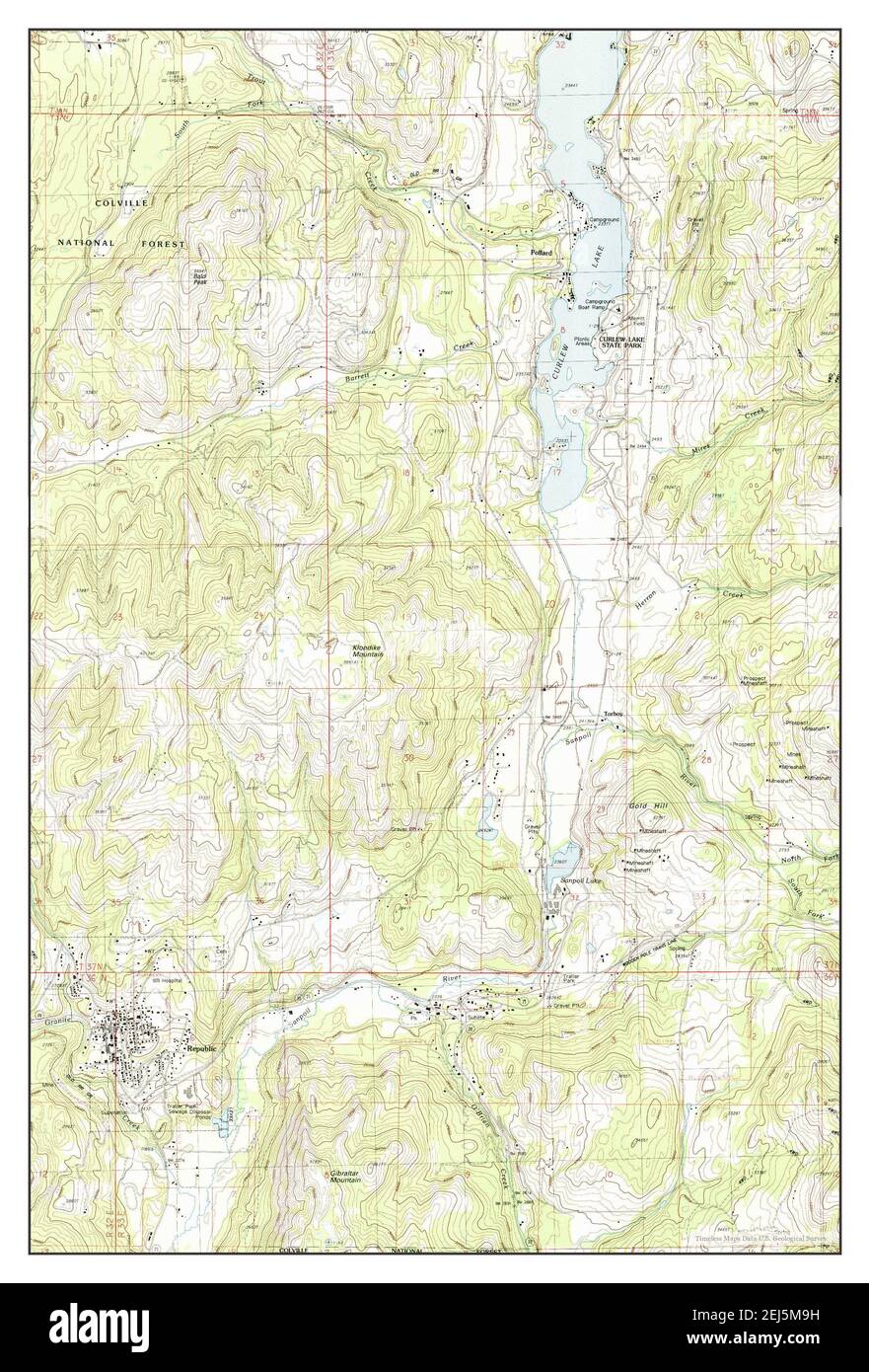 Republic, Washington, map 1988, 1:24000, United States of America by Timeless Maps, data U.S. Geological Survey Stock Photohttps://www.alamy.com/image-license-details/?v=1https://www.alamy.com/republic-washington-map-1988-124000-united-states-of-america-by-timeless-maps-data-us-geological-survey-image407027981.html
RM2EJ5M9H–Republic, Washington, map 1988, 1:24000, United States of America by Timeless Maps, data U.S. Geological Survey
 isometric flag of United States of America in static position and in motion on flagpole. 3d vector Stock Vectorhttps://www.alamy.com/image-license-details/?v=1https://www.alamy.com/isometric-flag-of-united-states-of-america-in-static-position-and-in-motion-on-flagpole-3d-vector-image426509470.html
RF2FNW552–isometric flag of United States of America in static position and in motion on flagpole. 3d vector
 Tomas Garrigue Masaryk sand sculpture on Mill Colonnade, Karlovy Vary, Czech republic. Travel destination. Artistic object. Black and white photo. Stock Photohttps://www.alamy.com/image-license-details/?v=1https://www.alamy.com/tomas-garrigue-masaryk-sand-sculpture-on-mill-colonnade-karlovy-vary-czech-republic-travel-destination-artistic-object-black-and-white-photo-image242056666.html
RFT1PHMX–Tomas Garrigue Masaryk sand sculpture on Mill Colonnade, Karlovy Vary, Czech republic. Travel destination. Artistic object. Black and white photo.
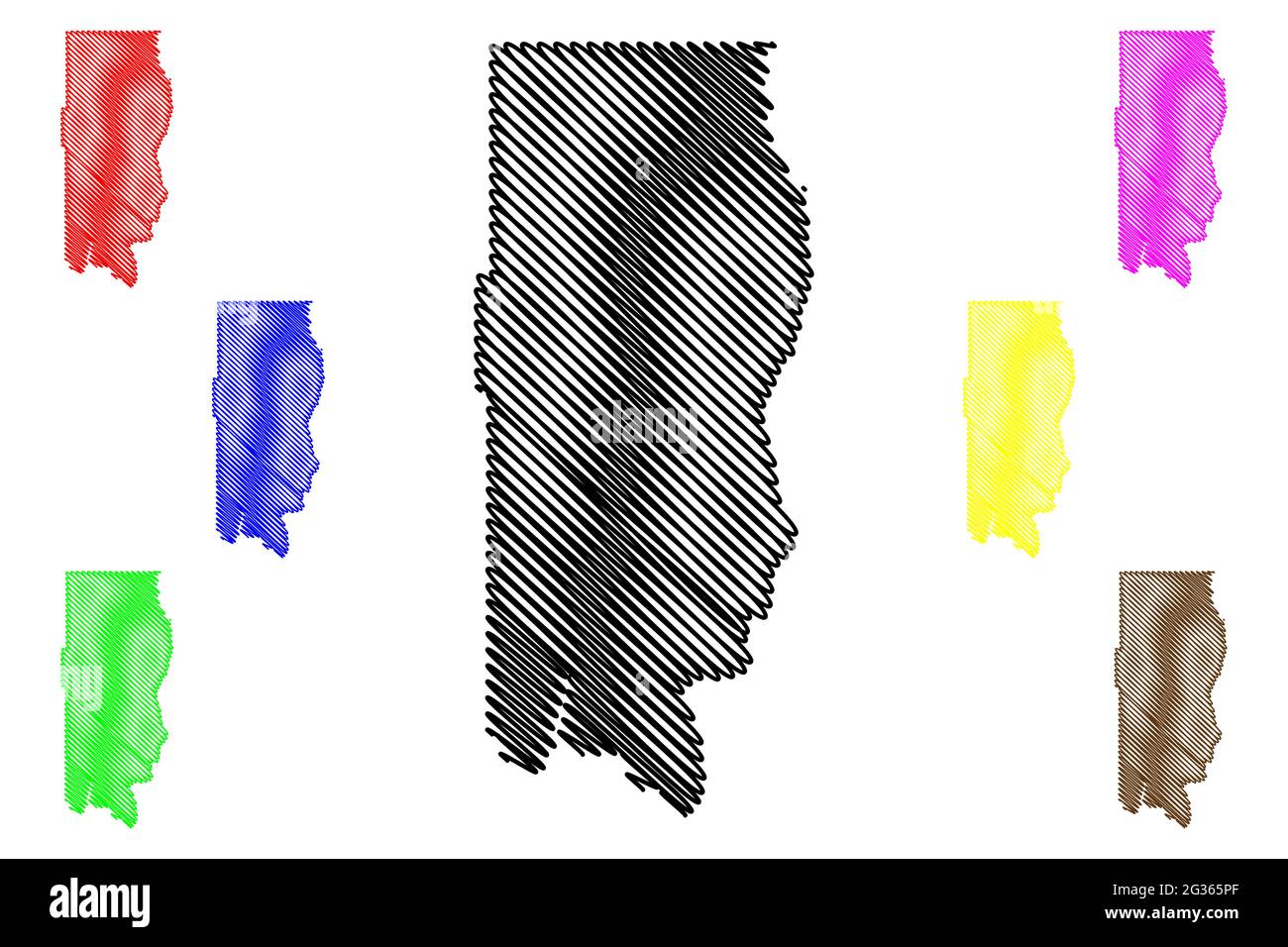 Ferry County, State of Washington (U.S. county, United States of America, USA, U.S., US) map vector illustration, scribble sketch Ferry map Stock Vectorhttps://www.alamy.com/image-license-details/?v=1https://www.alamy.com/ferry-county-state-of-washington-us-county-united-states-of-america-usa-us-us-map-vector-illustration-scribble-sketch-ferry-map-image432239431.html
RF2G365PF–Ferry County, State of Washington (U.S. county, United States of America, USA, U.S., US) map vector illustration, scribble sketch Ferry map
 happy presidents day celebration poster with usa flag in map Stock Vectorhttps://www.alamy.com/image-license-details/?v=1https://www.alamy.com/happy-presidents-day-celebration-poster-with-usa-flag-in-map-image344049551.html
RF2AYMPKY–happy presidents day celebration poster with usa flag in map
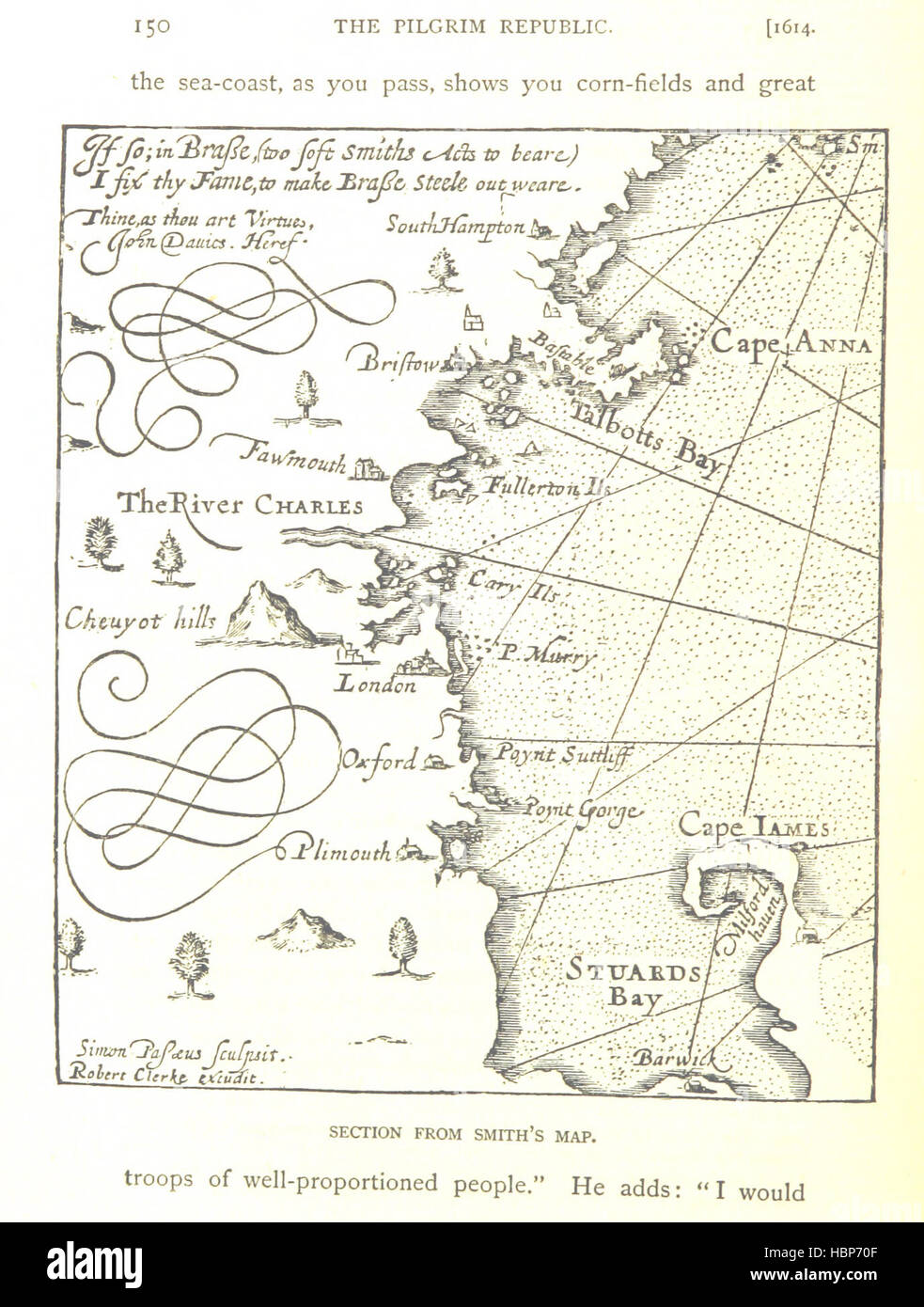 Image taken from page 206 of 'The Pilgrim Republic; an historical review of the Colony of New Plymouth, with sketches of the rise of other New England Settlements, etc' Image taken from page 206 of 'The Pilgrim Republic; an Stock Photohttps://www.alamy.com/image-license-details/?v=1https://www.alamy.com/stock-photo-image-taken-from-page-206-of-the-pilgrim-republic-an-historical-review-127722239.html
RMHBP70F–Image taken from page 206 of 'The Pilgrim Republic; an historical review of the Colony of New Plymouth, with sketches of the rise of other New England Settlements, etc' Image taken from page 206 of 'The Pilgrim Republic; an
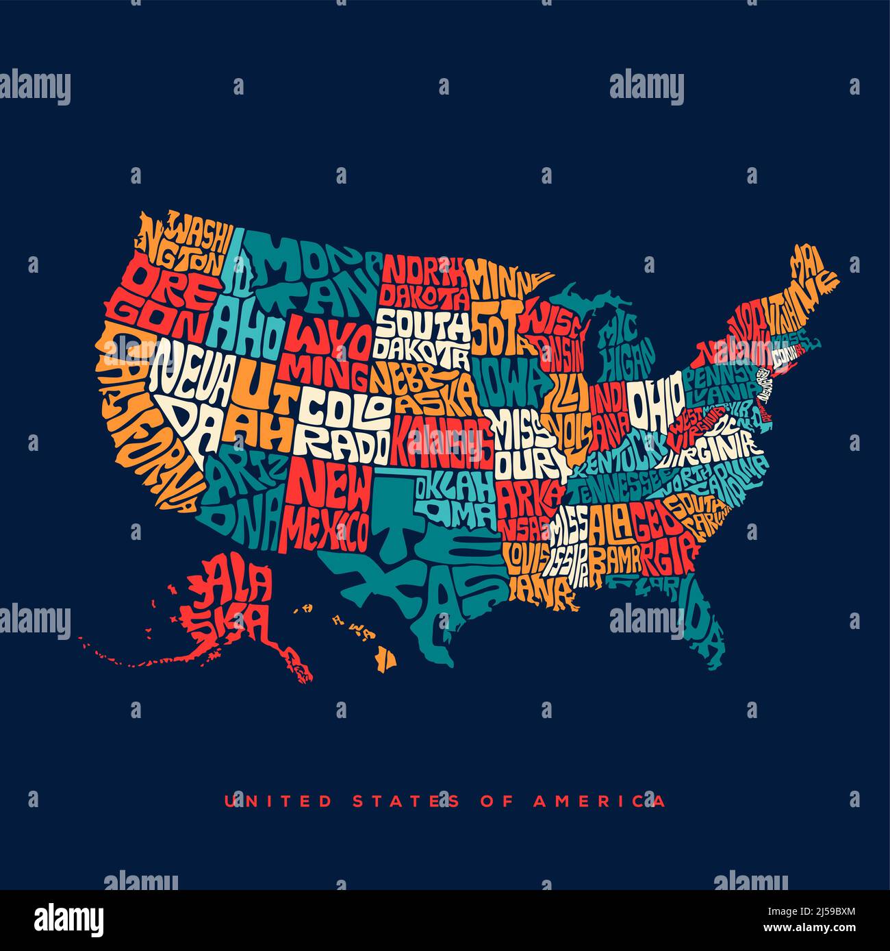 USA map typography. United States of America map typography art. USA Map lettering with all states name. Stock Vectorhttps://www.alamy.com/image-license-details/?v=1https://www.alamy.com/usa-map-typography-united-states-of-america-map-typography-art-usa-map-lettering-with-all-states-name-image467960156.html
RF2J59BXM–USA map typography. United States of America map typography art. USA Map lettering with all states name.
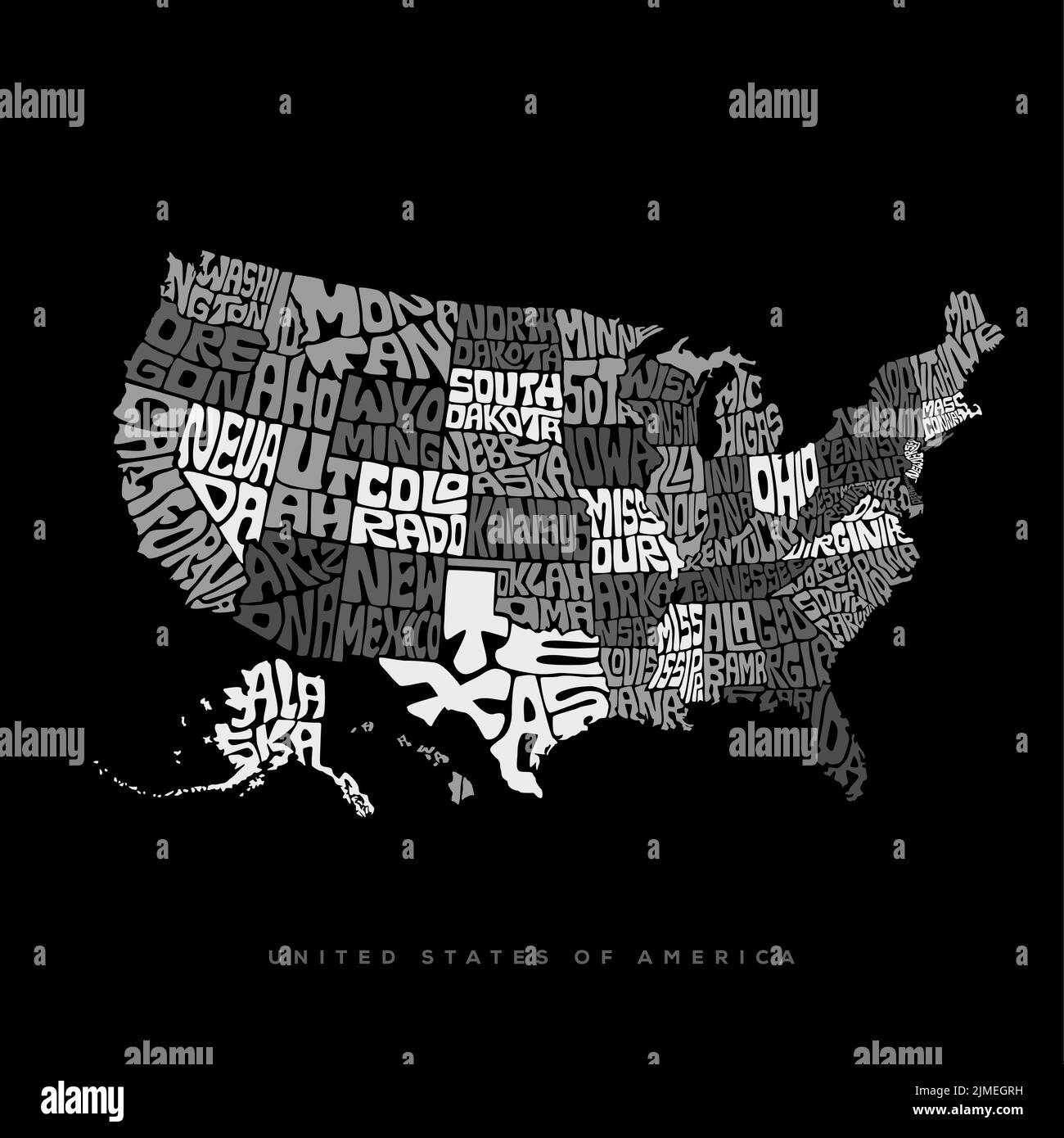 USA map typography. United States of America map lettering in black and white. Stock Vectorhttps://www.alamy.com/image-license-details/?v=1https://www.alamy.com/usa-map-typography-united-states-of-america-map-lettering-in-black-and-white-image477293589.html
RF2JMEGRH–USA map typography. United States of America map lettering in black and white.
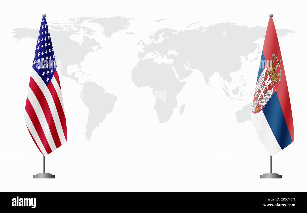 United States and Serbia flags for official meeting against background of world map. Stock Vectorhttps://www.alamy.com/image-license-details/?v=1https://www.alamy.com/united-states-and-serbia-flags-for-official-meeting-against-background-of-world-map-image553962045.html
RF2R5746N–United States and Serbia flags for official meeting against background of world map.
