Map of riceville Cut Out Stock Images
 Riceville, Howard County, US, United States, Iowa, N 43 21' 49'', S 92 33' 14'', map, Cartascapes Map published in 2024. Explore Cartascapes, a map revealing Earth's diverse landscapes, cultures, and ecosystems. Journey through time and space, discovering the interconnectedness of our planet's past, present, and future. Stock Photohttps://www.alamy.com/image-license-details/?v=1https://www.alamy.com/riceville-howard-county-us-united-states-iowa-n-43-21-49-s-92-33-14-map-cartascapes-map-published-in-2024-explore-cartascapes-a-map-revealing-earths-diverse-landscapes-cultures-and-ecosystems-journey-through-time-and-space-discovering-the-interconnectedness-of-our-planets-past-present-and-future-image621223773.html
RM2Y2K579–Riceville, Howard County, US, United States, Iowa, N 43 21' 49'', S 92 33' 14'', map, Cartascapes Map published in 2024. Explore Cartascapes, a map revealing Earth's diverse landscapes, cultures, and ecosystems. Journey through time and space, discovering the interconnectedness of our planet's past, present, and future.
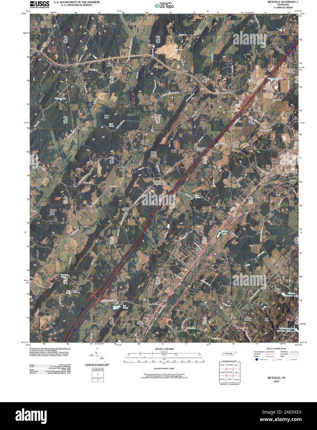 USGS TOPO Map Tennessee TN Riceville 20100514 TM Restoration Stock Photohttps://www.alamy.com/image-license-details/?v=1https://www.alamy.com/usgs-topo-map-tennessee-tn-riceville-20100514-tm-restoration-image335622978.html
RM2AE0XEX–USGS TOPO Map Tennessee TN Riceville 20100514 TM Restoration
 Riceville, Crawford County, US, United States, Indiana, N 38 19' 28'', S 86 39' 55'', map, Cartascapes Map published in 2024. Explore Cartascapes, a map revealing Earth's diverse landscapes, cultures, and ecosystems. Journey through time and space, discovering the interconnectedness of our planet's past, present, and future. Stock Photohttps://www.alamy.com/image-license-details/?v=1https://www.alamy.com/riceville-crawford-county-us-united-states-indiana-n-38-19-28-s-86-39-55-map-cartascapes-map-published-in-2024-explore-cartascapes-a-map-revealing-earths-diverse-landscapes-cultures-and-ecosystems-journey-through-time-and-space-discovering-the-interconnectedness-of-our-planets-past-present-and-future-image621267994.html
RM2Y2N5JJ–Riceville, Crawford County, US, United States, Indiana, N 38 19' 28'', S 86 39' 55'', map, Cartascapes Map published in 2024. Explore Cartascapes, a map revealing Earth's diverse landscapes, cultures, and ecosystems. Journey through time and space, discovering the interconnectedness of our planet's past, present, and future.
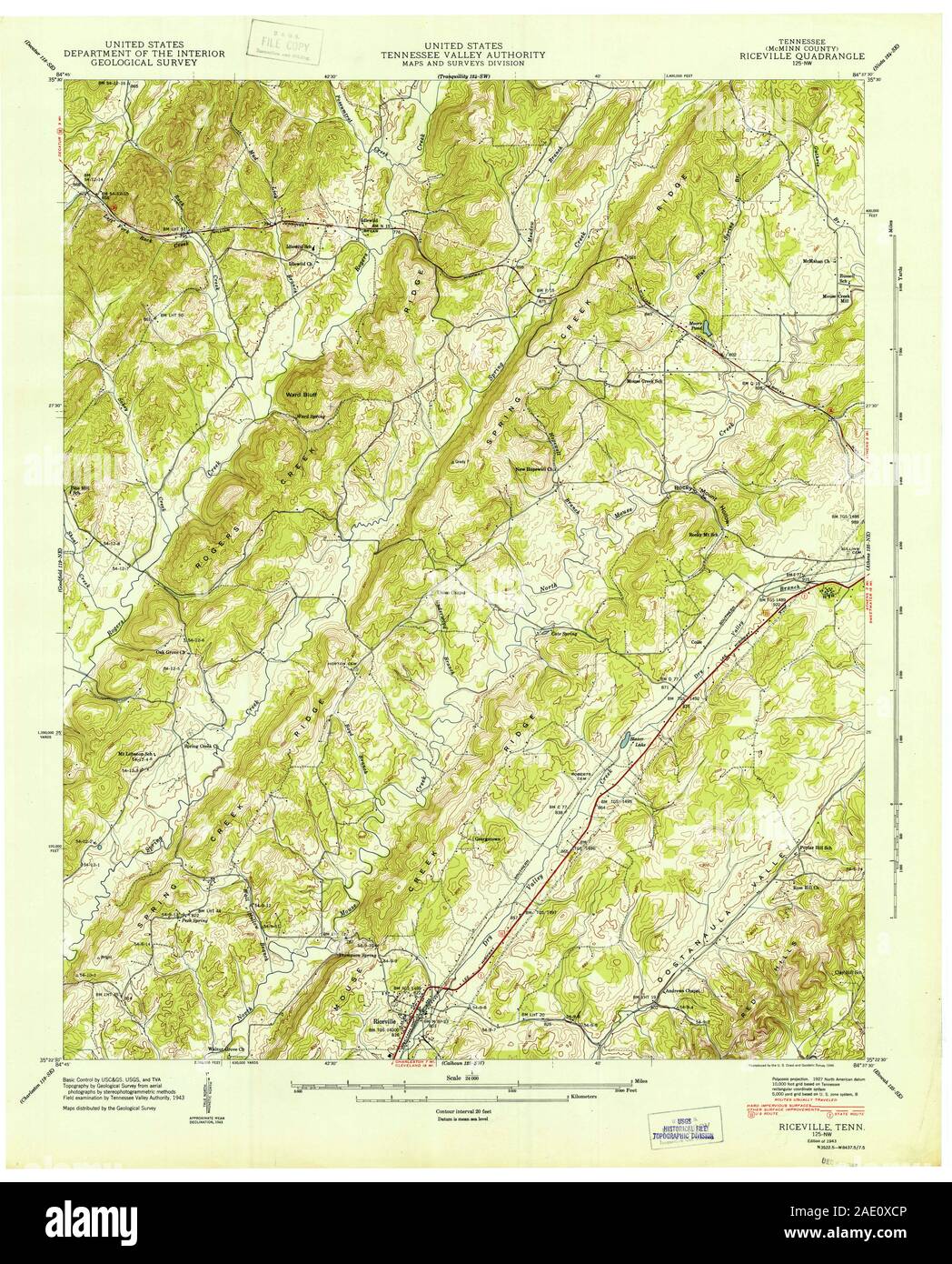 USGS TOPO Map Tennessee TN Riceville 155584 1943 24000 Restoration Stock Photohttps://www.alamy.com/image-license-details/?v=1https://www.alamy.com/usgs-topo-map-tennessee-tn-riceville-155584-1943-24000-restoration-image335622918.html
RM2AE0XCP–USGS TOPO Map Tennessee TN Riceville 155584 1943 24000 Restoration
 Riceville, Crawford County, US, United States, Pennsylvania, N 41 46' 39'', S 79 48' 10'', map, Cartascapes Map published in 2024. Explore Cartascapes, a map revealing Earth's diverse landscapes, cultures, and ecosystems. Journey through time and space, discovering the interconnectedness of our planet's past, present, and future. Stock Photohttps://www.alamy.com/image-license-details/?v=1https://www.alamy.com/riceville-crawford-county-us-united-states-pennsylvania-n-41-46-39-s-79-48-10-map-cartascapes-map-published-in-2024-explore-cartascapes-a-map-revealing-earths-diverse-landscapes-cultures-and-ecosystems-journey-through-time-and-space-discovering-the-interconnectedness-of-our-planets-past-present-and-future-image621233287.html
RM2Y2KHB3–Riceville, Crawford County, US, United States, Pennsylvania, N 41 46' 39'', S 79 48' 10'', map, Cartascapes Map published in 2024. Explore Cartascapes, a map revealing Earth's diverse landscapes, cultures, and ecosystems. Journey through time and space, discovering the interconnectedness of our planet's past, present, and future.
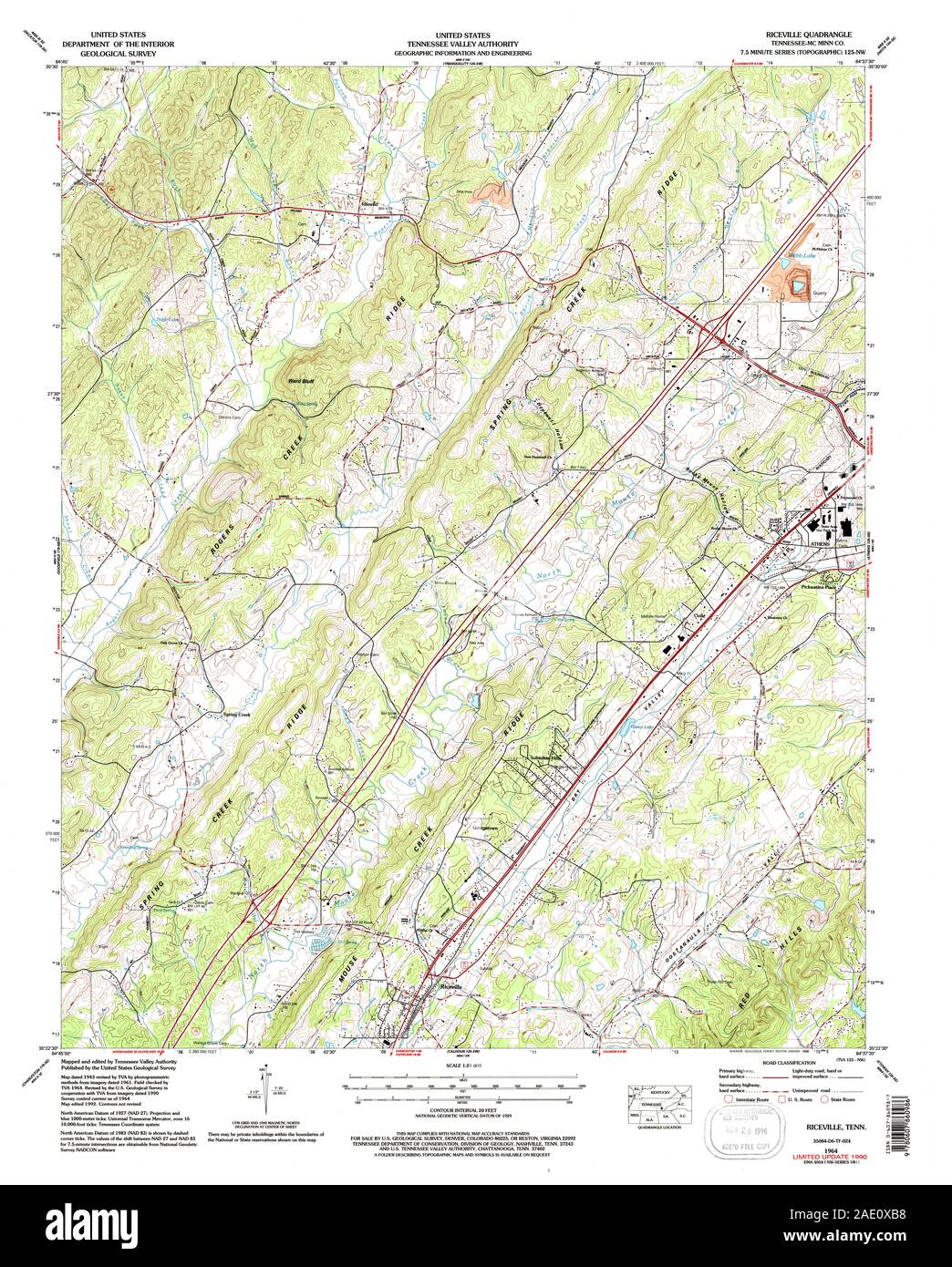 USGS TOPO Map Tennessee TN Riceville 148668 1964 24000 Restoration Stock Photohttps://www.alamy.com/image-license-details/?v=1https://www.alamy.com/usgs-topo-map-tennessee-tn-riceville-148668-1964-24000-restoration-image335622876.html
RM2AE0XB8–USGS TOPO Map Tennessee TN Riceville 148668 1964 24000 Restoration
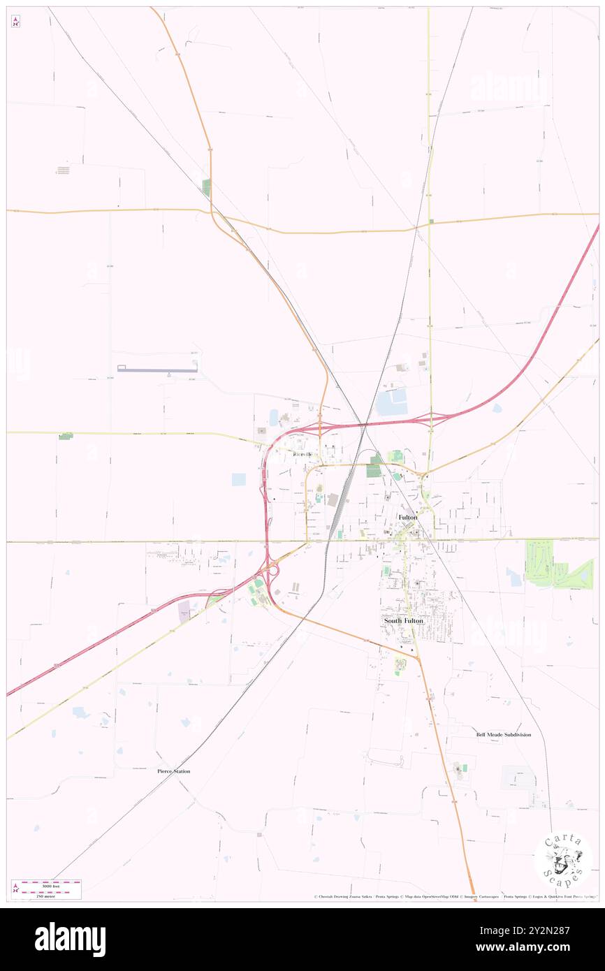 Riceville, Fulton County, US, United States, Kentucky, N 36 30' 51'', S 88 53' 35'', map, Cartascapes Map published in 2024. Explore Cartascapes, a map revealing Earth's diverse landscapes, cultures, and ecosystems. Journey through time and space, discovering the interconnectedness of our planet's past, present, and future. Stock Photohttps://www.alamy.com/image-license-details/?v=1https://www.alamy.com/riceville-fulton-county-us-united-states-kentucky-n-36-30-51-s-88-53-35-map-cartascapes-map-published-in-2024-explore-cartascapes-a-map-revealing-earths-diverse-landscapes-cultures-and-ecosystems-journey-through-time-and-space-discovering-the-interconnectedness-of-our-planets-past-present-and-future-image621265351.html
RM2Y2N287–Riceville, Fulton County, US, United States, Kentucky, N 36 30' 51'', S 88 53' 35'', map, Cartascapes Map published in 2024. Explore Cartascapes, a map revealing Earth's diverse landscapes, cultures, and ecosystems. Journey through time and space, discovering the interconnectedness of our planet's past, present, and future.
 USGS TOPO Map Tennessee TN Riceville 155585 1943 24000 Restoration Stock Photohttps://www.alamy.com/image-license-details/?v=1https://www.alamy.com/usgs-topo-map-tennessee-tn-riceville-155585-1943-24000-restoration-image335622908.html
RM2AE0XCC–USGS TOPO Map Tennessee TN Riceville 155585 1943 24000 Restoration
 Riceville, Cascade County, US, United States, Montana, N 47 12' 52'', S 110 56' 0'', map, Cartascapes Map published in 2024. Explore Cartascapes, a map revealing Earth's diverse landscapes, cultures, and ecosystems. Journey through time and space, discovering the interconnectedness of our planet's past, present, and future. Stock Photohttps://www.alamy.com/image-license-details/?v=1https://www.alamy.com/riceville-cascade-county-us-united-states-montana-n-47-12-52-s-110-56-0-map-cartascapes-map-published-in-2024-explore-cartascapes-a-map-revealing-earths-diverse-landscapes-cultures-and-ecosystems-journey-through-time-and-space-discovering-the-interconnectedness-of-our-planets-past-present-and-future-image621277487.html
RM2Y2NHNK–Riceville, Cascade County, US, United States, Montana, N 47 12' 52'', S 110 56' 0'', map, Cartascapes Map published in 2024. Explore Cartascapes, a map revealing Earth's diverse landscapes, cultures, and ecosystems. Journey through time and space, discovering the interconnectedness of our planet's past, present, and future.
 USGS TOPO Map Tennessee TN Riceville 155587 1964 24000 Restoration Stock Photohttps://www.alamy.com/image-license-details/?v=1https://www.alamy.com/usgs-topo-map-tennessee-tn-riceville-155587-1964-24000-restoration-image335622987.html
RM2AE0XF7–USGS TOPO Map Tennessee TN Riceville 155587 1964 24000 Restoration
 Riceville, Vermilion Parish, US, United States, Louisiana, N 30 4' 34'', S 92 30' 51'', map, Cartascapes Map published in 2024. Explore Cartascapes, a map revealing Earth's diverse landscapes, cultures, and ecosystems. Journey through time and space, discovering the interconnectedness of our planet's past, present, and future. Stock Photohttps://www.alamy.com/image-license-details/?v=1https://www.alamy.com/riceville-vermilion-parish-us-united-states-louisiana-n-30-4-34-s-92-30-51-map-cartascapes-map-published-in-2024-explore-cartascapes-a-map-revealing-earths-diverse-landscapes-cultures-and-ecosystems-journey-through-time-and-space-discovering-the-interconnectedness-of-our-planets-past-present-and-future-image621431706.html
RM2Y30JDE–Riceville, Vermilion Parish, US, United States, Louisiana, N 30 4' 34'', S 92 30' 51'', map, Cartascapes Map published in 2024. Explore Cartascapes, a map revealing Earth's diverse landscapes, cultures, and ecosystems. Journey through time and space, discovering the interconnectedness of our planet's past, present, and future.
 USGS TOPO Map Montana MT Riceville 20110607 TM geo Restoration Stock Photohttps://www.alamy.com/image-license-details/?v=1https://www.alamy.com/usgs-topo-map-montana-mt-riceville-20110607-tm-geo-restoration-image333517431.html
RM2AAH0TR–USGS TOPO Map Montana MT Riceville 20110607 TM geo Restoration
 Riceville, Crittenden County, US, United States, Arkansas, N 35 7' 23'', S 90 13' 33'', map, Cartascapes Map published in 2024. Explore Cartascapes, a map revealing Earth's diverse landscapes, cultures, and ecosystems. Journey through time and space, discovering the interconnectedness of our planet's past, present, and future. Stock Photohttps://www.alamy.com/image-license-details/?v=1https://www.alamy.com/riceville-crittenden-county-us-united-states-arkansas-n-35-7-23-s-90-13-33-map-cartascapes-map-published-in-2024-explore-cartascapes-a-map-revealing-earths-diverse-landscapes-cultures-and-ecosystems-journey-through-time-and-space-discovering-the-interconnectedness-of-our-planets-past-present-and-future-image621238940.html
RM2Y2KTH0–Riceville, Crittenden County, US, United States, Arkansas, N 35 7' 23'', S 90 13' 33'', map, Cartascapes Map published in 2024. Explore Cartascapes, a map revealing Earth's diverse landscapes, cultures, and ecosystems. Journey through time and space, discovering the interconnectedness of our planet's past, present, and future.
 USGS TOPO Map Tennessee TN Riceville 155586 1964 24000 Restoration Stock Photohttps://www.alamy.com/image-license-details/?v=1https://www.alamy.com/usgs-topo-map-tennessee-tn-riceville-155586-1964-24000-restoration-image335622947.html
RM2AE0XDR–USGS TOPO Map Tennessee TN Riceville 155586 1964 24000 Restoration
 Riceville, Harrison County, US, United States, Mississippi, N 30 36' 22'', S 89 17' 45'', map, Cartascapes Map published in 2024. Explore Cartascapes, a map revealing Earth's diverse landscapes, cultures, and ecosystems. Journey through time and space, discovering the interconnectedness of our planet's past, present, and future. Stock Photohttps://www.alamy.com/image-license-details/?v=1https://www.alamy.com/riceville-harrison-county-us-united-states-mississippi-n-30-36-22-s-89-17-45-map-cartascapes-map-published-in-2024-explore-cartascapes-a-map-revealing-earths-diverse-landscapes-cultures-and-ecosystems-journey-through-time-and-space-discovering-the-interconnectedness-of-our-planets-past-present-and-future-image621394686.html
RM2Y2XY7A–Riceville, Harrison County, US, United States, Mississippi, N 30 36' 22'', S 89 17' 45'', map, Cartascapes Map published in 2024. Explore Cartascapes, a map revealing Earth's diverse landscapes, cultures, and ecosystems. Journey through time and space, discovering the interconnectedness of our planet's past, present, and future.
 USGS TOPO Map Montana MT Riceville 266319 1995 24000 geo Restoration Stock Photohttps://www.alamy.com/image-license-details/?v=1https://www.alamy.com/usgs-topo-map-montana-mt-riceville-266319-1995-24000-geo-restoration-image333517452.html
RM2AAH0WG–USGS TOPO Map Montana MT Riceville 266319 1995 24000 geo Restoration
 Riceville, Cattaraugus County, US, United States, New York, N 42 26' 33'', S 78 36' 53'', map, Cartascapes Map published in 2024. Explore Cartascapes, a map revealing Earth's diverse landscapes, cultures, and ecosystems. Journey through time and space, discovering the interconnectedness of our planet's past, present, and future. Stock Photohttps://www.alamy.com/image-license-details/?v=1https://www.alamy.com/riceville-cattaraugus-county-us-united-states-new-york-n-42-26-33-s-78-36-53-map-cartascapes-map-published-in-2024-explore-cartascapes-a-map-revealing-earths-diverse-landscapes-cultures-and-ecosystems-journey-through-time-and-space-discovering-the-interconnectedness-of-our-planets-past-present-and-future-image621296757.html
RM2Y2PE9W–Riceville, Cattaraugus County, US, United States, New York, N 42 26' 33'', S 78 36' 53'', map, Cartascapes Map published in 2024. Explore Cartascapes, a map revealing Earth's diverse landscapes, cultures, and ecosystems. Journey through time and space, discovering the interconnectedness of our planet's past, present, and future.
 USGS TOPO Map Montana MT Riceville 266321 1967 24000 geo Restoration Stock Photohttps://www.alamy.com/image-license-details/?v=1https://www.alamy.com/usgs-topo-map-montana-mt-riceville-266321-1967-24000-geo-restoration-image333517507.html
RM2AAH0YF–USGS TOPO Map Montana MT Riceville 266321 1967 24000 geo Restoration
 Riceville (historical), Pearl River County, US, United States, Mississippi, N 30 47' 35'', S 89 45' 40'', map, Cartascapes Map published in 2024. Explore Cartascapes, a map revealing Earth's diverse landscapes, cultures, and ecosystems. Journey through time and space, discovering the interconnectedness of our planet's past, present, and future. Stock Photohttps://www.alamy.com/image-license-details/?v=1https://www.alamy.com/riceville-historical-pearl-river-county-us-united-states-mississippi-n-30-47-35-s-89-45-40-map-cartascapes-map-published-in-2024-explore-cartascapes-a-map-revealing-earths-diverse-landscapes-cultures-and-ecosystems-journey-through-time-and-space-discovering-the-interconnectedness-of-our-planets-past-present-and-future-image621437938.html
RM2Y30XC2–Riceville (historical), Pearl River County, US, United States, Mississippi, N 30 47' 35'', S 89 45' 40'', map, Cartascapes Map published in 2024. Explore Cartascapes, a map revealing Earth's diverse landscapes, cultures, and ecosystems. Journey through time and space, discovering the interconnectedness of our planet's past, present, and future.
 VA Riceville 188518 1954 62500 Stock Photohttps://www.alamy.com/image-license-details/?v=1https://www.alamy.com/va-riceville-188518-1954-62500-image336272828.html
RM2AF2FBT–VA Riceville 188518 1954 62500
 Riceville, Crawford County, US, United States, Pennsylvania, N 41 46' 39'', S 79 48' 10'', map, Cartascapes Map published in 2024. Explore Cartascapes, a map revealing Earth's diverse landscapes, cultures, and ecosystems. Journey through time and space, discovering the interconnectedness of our planet's past, present, and future. Stock Photohttps://www.alamy.com/image-license-details/?v=1https://www.alamy.com/riceville-crawford-county-us-united-states-pennsylvania-n-41-46-39-s-79-48-10-map-cartascapes-map-published-in-2024-explore-cartascapes-a-map-revealing-earths-diverse-landscapes-cultures-and-ecosystems-journey-through-time-and-space-discovering-the-interconnectedness-of-our-planets-past-present-and-future-image620856716.html
RM2Y22D24–Riceville, Crawford County, US, United States, Pennsylvania, N 41 46' 39'', S 79 48' 10'', map, Cartascapes Map published in 2024. Explore Cartascapes, a map revealing Earth's diverse landscapes, cultures, and ecosystems. Journey through time and space, discovering the interconnectedness of our planet's past, present, and future.
 USGS TOPO Maps Iowa IA Riceville 20130423 TM Restoration Stock Photohttps://www.alamy.com/image-license-details/?v=1https://www.alamy.com/usgs-topo-maps-iowa-ia-riceville-20130423-tm-restoration-image259981984.html
RMW2Y5JT–USGS TOPO Maps Iowa IA Riceville 20130423 TM Restoration
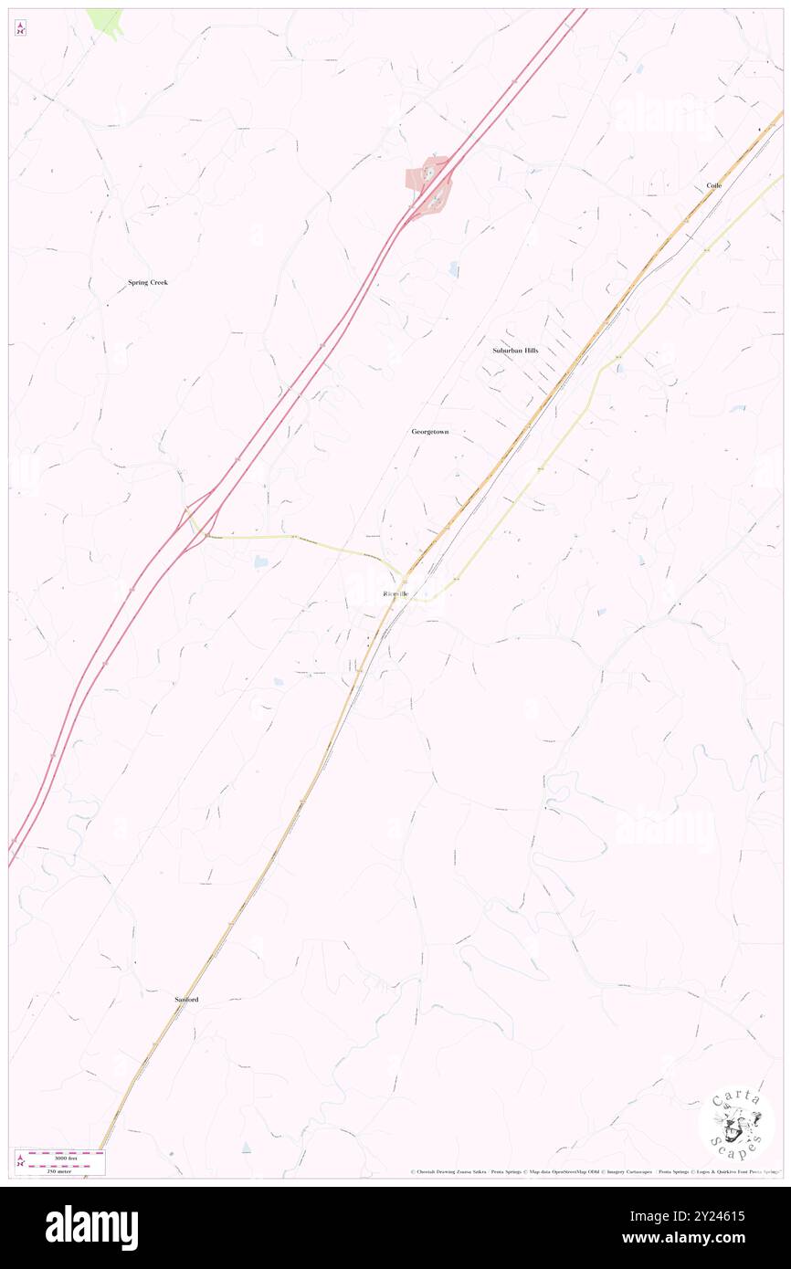 Riceville, McMinn County, US, United States, Tennessee, N 35 23' 5'', S 84 41' 34'', map, Cartascapes Map published in 2024. Explore Cartascapes, a map revealing Earth's diverse landscapes, cultures, and ecosystems. Journey through time and space, discovering the interconnectedness of our planet's past, present, and future. Stock Photohttps://www.alamy.com/image-license-details/?v=1https://www.alamy.com/riceville-mcminn-county-us-united-states-tennessee-n-35-23-5-s-84-41-34-map-cartascapes-map-published-in-2024-explore-cartascapes-a-map-revealing-earths-diverse-landscapes-cultures-and-ecosystems-journey-through-time-and-space-discovering-the-interconnectedness-of-our-planets-past-present-and-future-image620895105.html
RM2Y24615–Riceville, McMinn County, US, United States, Tennessee, N 35 23' 5'', S 84 41' 34'', map, Cartascapes Map published in 2024. Explore Cartascapes, a map revealing Earth's diverse landscapes, cultures, and ecosystems. Journey through time and space, discovering the interconnectedness of our planet's past, present, and future.
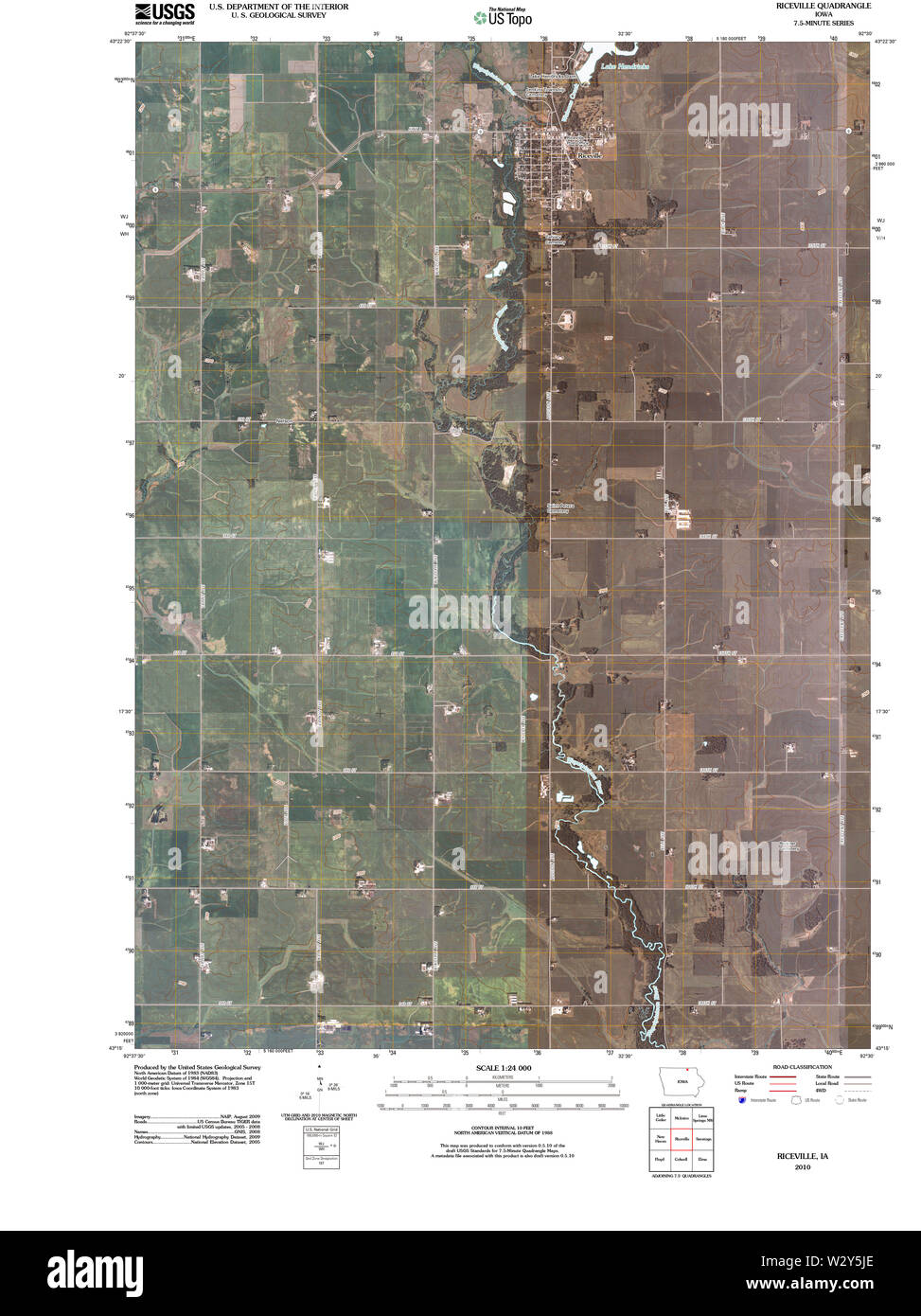 USGS TOPO Maps Iowa IA Riceville 20100528 TM Restoration Stock Photohttps://www.alamy.com/image-license-details/?v=1https://www.alamy.com/usgs-topo-maps-iowa-ia-riceville-20100528-tm-restoration-image259981974.html
RMW2Y5JE–USGS TOPO Maps Iowa IA Riceville 20100528 TM Restoration
 Riceville, Howard County, US, United States, Iowa, N 43 21' 49'', S 92 33' 14'', map, Cartascapes Map published in 2024. Explore Cartascapes, a map revealing Earth's diverse landscapes, cultures, and ecosystems. Journey through time and space, discovering the interconnectedness of our planet's past, present, and future. Stock Photohttps://www.alamy.com/image-license-details/?v=1https://www.alamy.com/riceville-howard-county-us-united-states-iowa-n-43-21-49-s-92-33-14-map-cartascapes-map-published-in-2024-explore-cartascapes-a-map-revealing-earths-diverse-landscapes-cultures-and-ecosystems-journey-through-time-and-space-discovering-the-interconnectedness-of-our-planets-past-present-and-future-image620781148.html
RM2Y1Y0K8–Riceville, Howard County, US, United States, Iowa, N 43 21' 49'', S 92 33' 14'', map, Cartascapes Map published in 2024. Explore Cartascapes, a map revealing Earth's diverse landscapes, cultures, and ecosystems. Journey through time and space, discovering the interconnectedness of our planet's past, present, and future.
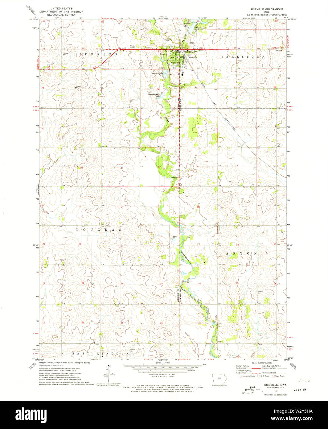 USGS TOPO Maps Iowa IA Riceville 175419 1972 24000 Restoration Stock Photohttps://www.alamy.com/image-license-details/?v=1https://www.alamy.com/usgs-topo-maps-iowa-ia-riceville-175419-1972-24000-restoration-image259981942.html
RMW2Y5HA–USGS TOPO Maps Iowa IA Riceville 175419 1972 24000 Restoration
 Riceville, Johnson County, US, United States, Kentucky, N 37 44' 4'', S 82 55' 27'', map, Cartascapes Map published in 2024. Explore Cartascapes, a map revealing Earth's diverse landscapes, cultures, and ecosystems. Journey through time and space, discovering the interconnectedness of our planet's past, present, and future. Stock Photohttps://www.alamy.com/image-license-details/?v=1https://www.alamy.com/riceville-johnson-county-us-united-states-kentucky-n-37-44-4-s-82-55-27-map-cartascapes-map-published-in-2024-explore-cartascapes-a-map-revealing-earths-diverse-landscapes-cultures-and-ecosystems-journey-through-time-and-space-discovering-the-interconnectedness-of-our-planets-past-present-and-future-image620740645.html
RM2Y1W50N–Riceville, Johnson County, US, United States, Kentucky, N 37 44' 4'', S 82 55' 27'', map, Cartascapes Map published in 2024. Explore Cartascapes, a map revealing Earth's diverse landscapes, cultures, and ecosystems. Journey through time and space, discovering the interconnectedness of our planet's past, present, and future.
 Riceville, Pittsylvania County, US, United States, Virginia, N 36 53' 28'', S 79 10' 8'', map, Cartascapes Map published in 2024. Explore Cartascapes, a map revealing Earth's diverse landscapes, cultures, and ecosystems. Journey through time and space, discovering the interconnectedness of our planet's past, present, and future. Stock Photohttps://www.alamy.com/image-license-details/?v=1https://www.alamy.com/riceville-pittsylvania-county-us-united-states-virginia-n-36-53-28-s-79-10-8-map-cartascapes-map-published-in-2024-explore-cartascapes-a-map-revealing-earths-diverse-landscapes-cultures-and-ecosystems-journey-through-time-and-space-discovering-the-interconnectedness-of-our-planets-past-present-and-future-image620855459.html
RM2Y22BD7–Riceville, Pittsylvania County, US, United States, Virginia, N 36 53' 28'', S 79 10' 8'', map, Cartascapes Map published in 2024. Explore Cartascapes, a map revealing Earth's diverse landscapes, cultures, and ecosystems. Journey through time and space, discovering the interconnectedness of our planet's past, present, and future.
 Riceville, Buncombe County, US, United States, North Carolina, N 35 37' 57'', S 82 28' 12'', map, Cartascapes Map published in 2024. Explore Cartascapes, a map revealing Earth's diverse landscapes, cultures, and ecosystems. Journey through time and space, discovering the interconnectedness of our planet's past, present, and future. Stock Photohttps://www.alamy.com/image-license-details/?v=1https://www.alamy.com/riceville-buncombe-county-us-united-states-north-carolina-n-35-37-57-s-82-28-12-map-cartascapes-map-published-in-2024-explore-cartascapes-a-map-revealing-earths-diverse-landscapes-cultures-and-ecosystems-journey-through-time-and-space-discovering-the-interconnectedness-of-our-planets-past-present-and-future-image620852229.html
RM2Y2279W–Riceville, Buncombe County, US, United States, North Carolina, N 35 37' 57'', S 82 28' 12'', map, Cartascapes Map published in 2024. Explore Cartascapes, a map revealing Earth's diverse landscapes, cultures, and ecosystems. Journey through time and space, discovering the interconnectedness of our planet's past, present, and future.
 Riceville, Fulton County, US, United States, New York, N 43 5' 37'', S 74 16' 54'', map, Cartascapes Map published in 2024. Explore Cartascapes, a map revealing Earth's diverse landscapes, cultures, and ecosystems. Journey through time and space, discovering the interconnectedness of our planet's past, present, and future. Stock Photohttps://www.alamy.com/image-license-details/?v=1https://www.alamy.com/riceville-fulton-county-us-united-states-new-york-n-43-5-37-s-74-16-54-map-cartascapes-map-published-in-2024-explore-cartascapes-a-map-revealing-earths-diverse-landscapes-cultures-and-ecosystems-journey-through-time-and-space-discovering-the-interconnectedness-of-our-planets-past-present-and-future-image620729181.html
RM2Y1TJB9–Riceville, Fulton County, US, United States, New York, N 43 5' 37'', S 74 16' 54'', map, Cartascapes Map published in 2024. Explore Cartascapes, a map revealing Earth's diverse landscapes, cultures, and ecosystems. Journey through time and space, discovering the interconnectedness of our planet's past, present, and future.
 Township of Riceville, Becker County, US, United States, Minnesota, N 47 1' 15'', S 96 0' 1'', map, Cartascapes Map published in 2024. Explore Cartascapes, a map revealing Earth's diverse landscapes, cultures, and ecosystems. Journey through time and space, discovering the interconnectedness of our planet's past, present, and future. Stock Photohttps://www.alamy.com/image-license-details/?v=1https://www.alamy.com/township-of-riceville-becker-county-us-united-states-minnesota-n-47-1-15-s-96-0-1-map-cartascapes-map-published-in-2024-explore-cartascapes-a-map-revealing-earths-diverse-landscapes-cultures-and-ecosystems-journey-through-time-and-space-discovering-the-interconnectedness-of-our-planets-past-present-and-future-image633854285.html
RM2YR6FH1–Township of Riceville, Becker County, US, United States, Minnesota, N 47 1' 15'', S 96 0' 1'', map, Cartascapes Map published in 2024. Explore Cartascapes, a map revealing Earth's diverse landscapes, cultures, and ecosystems. Journey through time and space, discovering the interconnectedness of our planet's past, present, and future.
 Riceville (historical), Mitchell County, US, United States, Iowa, N 43 23' 5'', S 92 33' 47'', map, Cartascapes Map published in 2024. Explore Cartascapes, a map revealing Earth's diverse landscapes, cultures, and ecosystems. Journey through time and space, discovering the interconnectedness of our planet's past, present, and future. Stock Photohttps://www.alamy.com/image-license-details/?v=1https://www.alamy.com/riceville-historical-mitchell-county-us-united-states-iowa-n-43-23-5-s-92-33-47-map-cartascapes-map-published-in-2024-explore-cartascapes-a-map-revealing-earths-diverse-landscapes-cultures-and-ecosystems-journey-through-time-and-space-discovering-the-interconnectedness-of-our-planets-past-present-and-future-image620875966.html
RM2Y239HJ–Riceville (historical), Mitchell County, US, United States, Iowa, N 43 23' 5'', S 92 33' 47'', map, Cartascapes Map published in 2024. Explore Cartascapes, a map revealing Earth's diverse landscapes, cultures, and ecosystems. Journey through time and space, discovering the interconnectedness of our planet's past, present, and future.
 Riceville (historical), Clark County, US, United States, Ohio, N 39 54' 23'', S 83 48' 14'', map, Cartascapes Map published in 2024. Explore Cartascapes, a map revealing Earth's diverse landscapes, cultures, and ecosystems. Journey through time and space, discovering the interconnectedness of our planet's past, present, and future. Stock Photohttps://www.alamy.com/image-license-details/?v=1https://www.alamy.com/riceville-historical-clark-county-us-united-states-ohio-n-39-54-23-s-83-48-14-map-cartascapes-map-published-in-2024-explore-cartascapes-a-map-revealing-earths-diverse-landscapes-cultures-and-ecosystems-journey-through-time-and-space-discovering-the-interconnectedness-of-our-planets-past-present-and-future-image620821179.html
RM2Y20RMY–Riceville (historical), Clark County, US, United States, Ohio, N 39 54' 23'', S 83 48' 14'', map, Cartascapes Map published in 2024. Explore Cartascapes, a map revealing Earth's diverse landscapes, cultures, and ecosystems. Journey through time and space, discovering the interconnectedness of our planet's past, present, and future.
 City of Riceville, Howard County, US, United States, Iowa, N 43 21' 43'', S 92 33' 14'', map, Cartascapes Map published in 2024. Explore Cartascapes, a map revealing Earth's diverse landscapes, cultures, and ecosystems. Journey through time and space, discovering the interconnectedness of our planet's past, present, and future. Stock Photohttps://www.alamy.com/image-license-details/?v=1https://www.alamy.com/city-of-riceville-howard-county-us-united-states-iowa-n-43-21-43-s-92-33-14-map-cartascapes-map-published-in-2024-explore-cartascapes-a-map-revealing-earths-diverse-landscapes-cultures-and-ecosystems-journey-through-time-and-space-discovering-the-interconnectedness-of-our-planets-past-present-and-future-image633887932.html
RM2YR82EM–City of Riceville, Howard County, US, United States, Iowa, N 43 21' 43'', S 92 33' 14'', map, Cartascapes Map published in 2024. Explore Cartascapes, a map revealing Earth's diverse landscapes, cultures, and ecosystems. Journey through time and space, discovering the interconnectedness of our planet's past, present, and future.
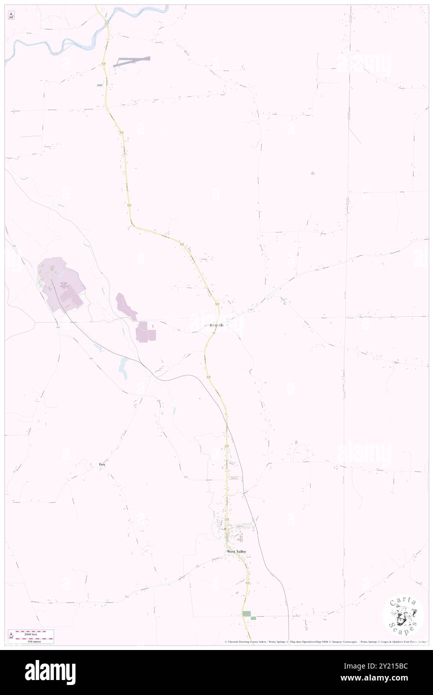 Riceville, Cattaraugus County, US, United States, New York, N 42 26' 33'', S 78 36' 53'', map, Cartascapes Map published in 2024. Explore Cartascapes, a map revealing Earth's diverse landscapes, cultures, and ecosystems. Journey through time and space, discovering the interconnectedness of our planet's past, present, and future. Stock Photohttps://www.alamy.com/image-license-details/?v=1https://www.alamy.com/riceville-cattaraugus-county-us-united-states-new-york-n-42-26-33-s-78-36-53-map-cartascapes-map-published-in-2024-explore-cartascapes-a-map-revealing-earths-diverse-landscapes-cultures-and-ecosystems-journey-through-time-and-space-discovering-the-interconnectedness-of-our-planets-past-present-and-future-image620828752.html
RM2Y215BC–Riceville, Cattaraugus County, US, United States, New York, N 42 26' 33'', S 78 36' 53'', map, Cartascapes Map published in 2024. Explore Cartascapes, a map revealing Earth's diverse landscapes, cultures, and ecosystems. Journey through time and space, discovering the interconnectedness of our planet's past, present, and future.
 Riceville, Madawaska County, Canada, New Brunswick, N 47 20' 49'', W 68 27' 37'', map, Timeless Map published in 2021. Travelers, explorers and adventurers like Florence Nightingale, David Livingstone, Ernest Shackleton, Lewis and Clark and Sherlock Holmes relied on maps to plan travels to the world's most remote corners, Timeless Maps is mapping most locations on the globe, showing the achievement of great dreams Stock Photohttps://www.alamy.com/image-license-details/?v=1https://www.alamy.com/riceville-madawaska-county-canada-new-brunswick-n-47-20-49-w-68-27-37-map-timeless-map-published-in-2021-travelers-explorers-and-adventurers-like-florence-nightingale-david-livingstone-ernest-shackleton-lewis-and-clark-and-sherlock-holmes-relied-on-maps-to-plan-travels-to-the-worlds-most-remote-corners-timeless-maps-is-mapping-most-locations-on-the-globe-showing-the-achievement-of-great-dreams-image457846889.html
RM2HGTMAH–Riceville, Madawaska County, Canada, New Brunswick, N 47 20' 49'', W 68 27' 37'', map, Timeless Map published in 2021. Travelers, explorers and adventurers like Florence Nightingale, David Livingstone, Ernest Shackleton, Lewis and Clark and Sherlock Holmes relied on maps to plan travels to the world's most remote corners, Timeless Maps is mapping most locations on the globe, showing the achievement of great dreams
 Riceville, Carleton County, Canada, New Brunswick, N 46 0' 0'', W 67 31' 0'', map, Timeless Map published in 2021. Travelers, explorers and adventurers like Florence Nightingale, David Livingstone, Ernest Shackleton, Lewis and Clark and Sherlock Holmes relied on maps to plan travels to the world's most remote corners, Timeless Maps is mapping most locations on the globe, showing the achievement of great dreams Stock Photohttps://www.alamy.com/image-license-details/?v=1https://www.alamy.com/riceville-carleton-county-canada-new-brunswick-n-46-0-0-w-67-31-0-map-timeless-map-published-in-2021-travelers-explorers-and-adventurers-like-florence-nightingale-david-livingstone-ernest-shackleton-lewis-and-clark-and-sherlock-holmes-relied-on-maps-to-plan-travels-to-the-worlds-most-remote-corners-timeless-maps-is-mapping-most-locations-on-the-globe-showing-the-achievement-of-great-dreams-image457846956.html
RM2HGTMD0–Riceville, Carleton County, Canada, New Brunswick, N 46 0' 0'', W 67 31' 0'', map, Timeless Map published in 2021. Travelers, explorers and adventurers like Florence Nightingale, David Livingstone, Ernest Shackleton, Lewis and Clark and Sherlock Holmes relied on maps to plan travels to the world's most remote corners, Timeless Maps is mapping most locations on the globe, showing the achievement of great dreams
 Riceville, Tennessee, map 1964, 1:24000, United States of America by Timeless Maps, data U.S. Geological Survey Stock Photohttps://www.alamy.com/image-license-details/?v=1https://www.alamy.com/riceville-tennessee-map-1964-124000-united-states-of-america-by-timeless-maps-data-us-geological-survey-image406970702.html
RM2EJ337X–Riceville, Tennessee, map 1964, 1:24000, United States of America by Timeless Maps, data U.S. Geological Survey
 Riceville, Tennessee, map 1935, 1:24000, United States of America by Timeless Maps, data U.S. Geological Survey Stock Photohttps://www.alamy.com/image-license-details/?v=1https://www.alamy.com/riceville-tennessee-map-1935-124000-united-states-of-america-by-timeless-maps-data-us-geological-survey-image406970715.html
RM2EJ338B–Riceville, Tennessee, map 1935, 1:24000, United States of America by Timeless Maps, data U.S. Geological Survey
 Riceville, Iowa, map 1972, 1:24000, United States of America by Timeless Maps, data U.S. Geological Survey Stock Photohttps://www.alamy.com/image-license-details/?v=1https://www.alamy.com/riceville-iowa-map-1972-124000-united-states-of-america-by-timeless-maps-data-us-geological-survey-image406331234.html
RM2EH1YHP–Riceville, Iowa, map 1972, 1:24000, United States of America by Timeless Maps, data U.S. Geological Survey
 Riceville, Tennessee, map 1943, 1:24000, United States of America by Timeless Maps, data U.S. Geological Survey Stock Photohttps://www.alamy.com/image-license-details/?v=1https://www.alamy.com/riceville-tennessee-map-1943-124000-united-states-of-america-by-timeless-maps-data-us-geological-survey-image406970727.html
RM2EJ338R–Riceville, Tennessee, map 1943, 1:24000, United States of America by Timeless Maps, data U.S. Geological Survey
 Riceville, Virginia, map 1954, 1:62500, United States of America by Timeless Maps, data U.S. Geological Survey Stock Photohttps://www.alamy.com/image-license-details/?v=1https://www.alamy.com/riceville-virginia-map-1954-162500-united-states-of-america-by-timeless-maps-data-us-geological-survey-image414271697.html
RM2F1YKNN–Riceville, Virginia, map 1954, 1:62500, United States of America by Timeless Maps, data U.S. Geological Survey
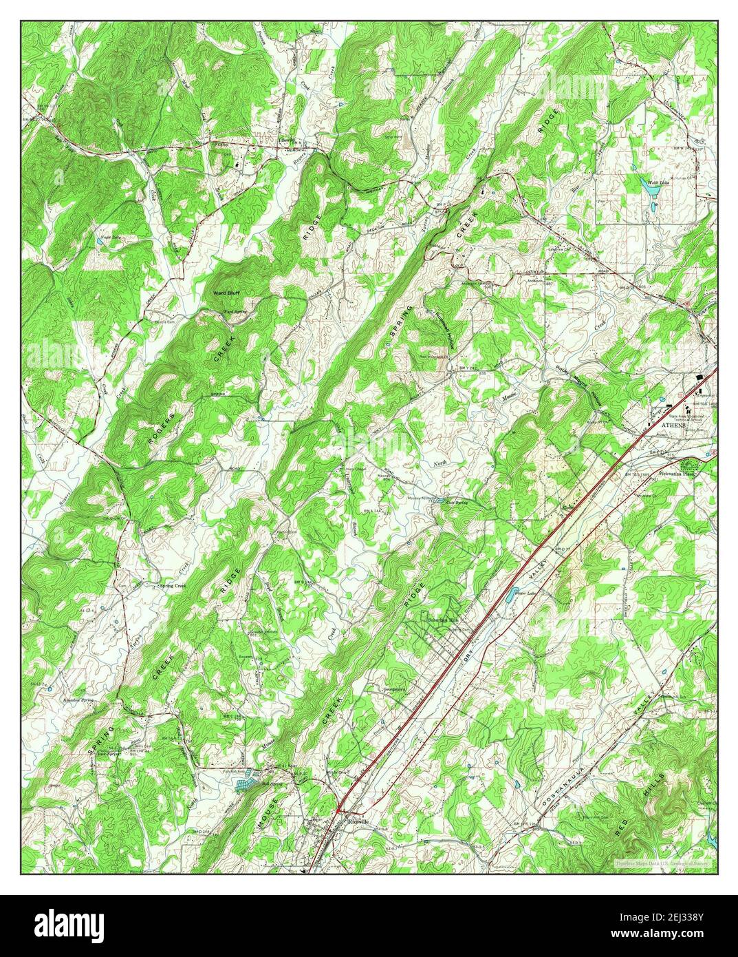 Riceville, Tennessee, map 1964, 1:24000, United States of America by Timeless Maps, data U.S. Geological Survey Stock Photohttps://www.alamy.com/image-license-details/?v=1https://www.alamy.com/riceville-tennessee-map-1964-124000-united-states-of-america-by-timeless-maps-data-us-geological-survey-image406970731.html
RM2EJ338Y–Riceville, Tennessee, map 1964, 1:24000, United States of America by Timeless Maps, data U.S. Geological Survey
 Riceville, Montana, map 1967, 1:24000, United States of America by Timeless Maps, data U.S. Geological Survey Stock Photohttps://www.alamy.com/image-license-details/?v=1https://www.alamy.com/riceville-montana-map-1967-124000-united-states-of-america-by-timeless-maps-data-us-geological-survey-image406865394.html
RM2EHX8XX–Riceville, Montana, map 1967, 1:24000, United States of America by Timeless Maps, data U.S. Geological Survey
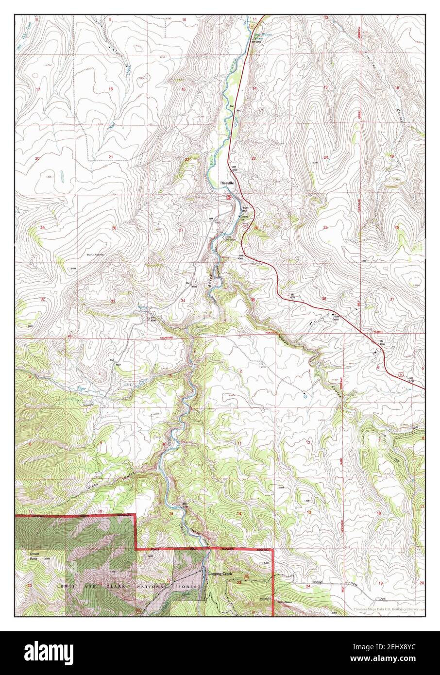 Riceville, Montana, map 1995, 1:24000, United States of America by Timeless Maps, data U.S. Geological Survey Stock Photohttps://www.alamy.com/image-license-details/?v=1https://www.alamy.com/riceville-montana-map-1995-124000-united-states-of-america-by-timeless-maps-data-us-geological-survey-image406865408.html
RM2EHX8YC–Riceville, Montana, map 1995, 1:24000, United States of America by Timeless Maps, data U.S. Geological Survey
 Riceville, Tennessee, map 1964, 1:24000, United States of America by Timeless Maps, data U.S. Geological Survey Stock Photohttps://www.alamy.com/image-license-details/?v=1https://www.alamy.com/riceville-tennessee-map-1964-124000-united-states-of-america-by-timeless-maps-data-us-geological-survey-image406970722.html
RM2EJ338J–Riceville, Tennessee, map 1964, 1:24000, United States of America by Timeless Maps, data U.S. Geological Survey
 Riceville, Tennessee, map 1943, 1:24000, United States of America by Timeless Maps, data U.S. Geological Survey Stock Photohttps://www.alamy.com/image-license-details/?v=1https://www.alamy.com/riceville-tennessee-map-1943-124000-united-states-of-america-by-timeless-maps-data-us-geological-survey-image406970724.html
RM2EJ338M–Riceville, Tennessee, map 1943, 1:24000, United States of America by Timeless Maps, data U.S. Geological Survey