Quick filters:
Map of richmond missouri Stock Photos and Images
 Richmond Missouri USA shown on a Geography map or road map Stock Photohttps://www.alamy.com/image-license-details/?v=1https://www.alamy.com/richmond-missouri-usa-shown-on-a-geography-map-or-road-map-image426432711.html
RM2FNNK7K–Richmond Missouri USA shown on a Geography map or road map
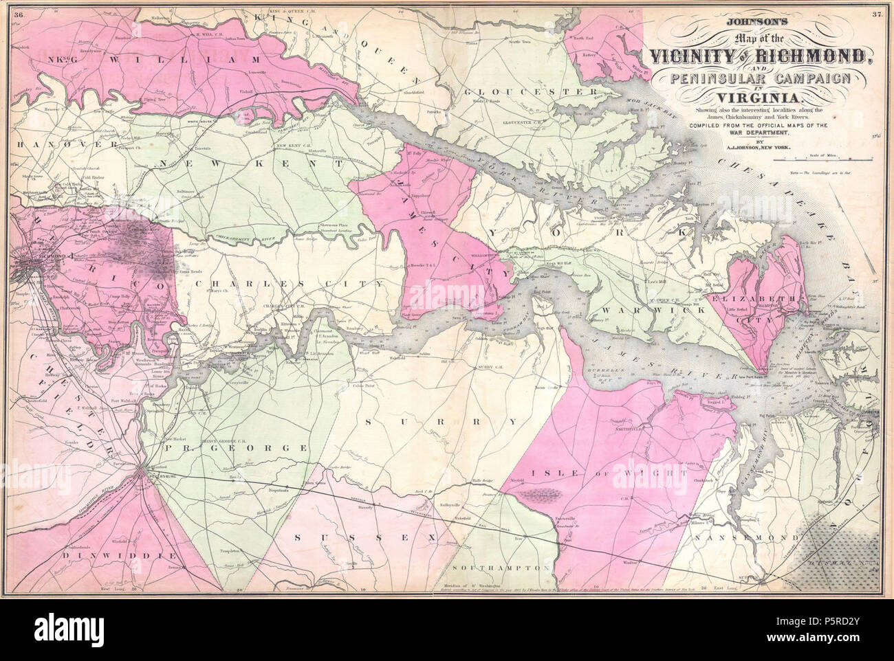
 1862 Johnson's Map of The Vicinity Of Richmond and Peninsular Campaign in Virginia - Geographicus - Richmond-j-62 Richmond and Petersburg Railroad. Stock Photohttps://www.alamy.com/image-license-details/?v=1https://www.alamy.com/1862-johnsons-map-of-the-vicinity-of-richmond-and-peninsular-campaign-in-virginia-geographicus-richmond-j-62-richmond-and-petersburg-railroad-image210112864.html
RMP5RD2T–1862 Johnson's Map of The Vicinity Of Richmond and Peninsular Campaign in Virginia - Geographicus - Richmond-j-62 Richmond and Petersburg Railroad.
 Richmond pinned on a map of Missouri, USA Stock Photohttps://www.alamy.com/image-license-details/?v=1https://www.alamy.com/stock-photo-richmond-pinned-on-a-map-of-missouri-usa-127351674.html
RFHB5AA2–Richmond pinned on a map of Missouri, USA
 Richmond Heights, Saint Louis County, US, United States, Missouri, N 38 37' 43'', S 90 19' 10'', map, Cartascapes Map published in 2024. Explore Cartascapes, a map revealing Earth's diverse landscapes, cultures, and ecosystems. Journey through time and space, discovering the interconnectedness of our planet's past, present, and future. Stock Photohttps://www.alamy.com/image-license-details/?v=1https://www.alamy.com/richmond-heights-saint-louis-county-us-united-states-missouri-n-38-37-43-s-90-19-10-map-cartascapes-map-published-in-2024-explore-cartascapes-a-map-revealing-earths-diverse-landscapes-cultures-and-ecosystems-journey-through-time-and-space-discovering-the-interconnectedness-of-our-planets-past-present-and-future-image621202223.html
RM2Y2J5NK–Richmond Heights, Saint Louis County, US, United States, Missouri, N 38 37' 43'', S 90 19' 10'', map, Cartascapes Map published in 2024. Explore Cartascapes, a map revealing Earth's diverse landscapes, cultures, and ecosystems. Journey through time and space, discovering the interconnectedness of our planet's past, present, and future.
 1862 Johnson's Map of The Vicinity Of Richmond and Peninsular Campaign in Virginia - Geographicus - Richmond-j-62. Stock Photohttps://www.alamy.com/image-license-details/?v=1https://www.alamy.com/1862-johnsons-map-of-the-vicinity-of-richmond-and-peninsular-campaign-in-virginia-geographicus-richmond-j-62-image210112867.html
RMP5RD2Y–1862 Johnson's Map of The Vicinity Of Richmond and Peninsular Campaign in Virginia - Geographicus - Richmond-j-62.
 USGS TOPO Map Missouri MO Richmond 20120103 TM Restoration Stock Photohttps://www.alamy.com/image-license-details/?v=1https://www.alamy.com/usgs-topo-map-missouri-mo-richmond-20120103-tm-restoration-image333276175.html
RM2AA614F–USGS TOPO Map Missouri MO Richmond 20120103 TM Restoration
 Ray County, Missouri (U.S. county, United States of America, USA, U.S., US) map vector illustration, scribble sketch Ray map Stock Vectorhttps://www.alamy.com/image-license-details/?v=1https://www.alamy.com/ray-county-missouri-us-county-united-states-of-america-usa-us-us-map-vector-illustration-scribble-sketch-ray-map-image386974375.html
RF2DDG5NB–Ray County, Missouri (U.S. county, United States of America, USA, U.S., US) map vector illustration, scribble sketch Ray map
 Image taken from page 647 of 'The Great South: a record of journeys in Louisiana, Texas, the Indian Territory, Missouri, Arkansas, Mississippi, Alabama, Georgia. ... Profusely illustrated from original sketches by J. W. Champney' Image taken from page 647 of 'The Great South a Stock Photohttps://www.alamy.com/image-license-details/?v=1https://www.alamy.com/stock-photo-image-taken-from-page-647-of-the-great-south-a-record-of-journeys-127623157.html
RMHBHMHW–Image taken from page 647 of 'The Great South: a record of journeys in Louisiana, Texas, the Indian Territory, Missouri, Arkansas, Mississippi, Alabama, Georgia. ... Profusely illustrated from original sketches by J. W. Champney' Image taken from page 647 of 'The Great South a
 Richmond, Ray County, US, United States, Missouri, N 39 16' 43'', S 93 58' 36'', map, Cartascapes Map published in 2024. Explore Cartascapes, a map revealing Earth's diverse landscapes, cultures, and ecosystems. Journey through time and space, discovering the interconnectedness of our planet's past, present, and future. Stock Photohttps://www.alamy.com/image-license-details/?v=1https://www.alamy.com/richmond-ray-county-us-united-states-missouri-n-39-16-43-s-93-58-36-map-cartascapes-map-published-in-2024-explore-cartascapes-a-map-revealing-earths-diverse-landscapes-cultures-and-ecosystems-journey-through-time-and-space-discovering-the-interconnectedness-of-our-planets-past-present-and-future-image620850182.html
RM2Y224MP–Richmond, Ray County, US, United States, Missouri, N 39 16' 43'', S 93 58' 36'', map, Cartascapes Map published in 2024. Explore Cartascapes, a map revealing Earth's diverse landscapes, cultures, and ecosystems. Journey through time and space, discovering the interconnectedness of our planet's past, present, and future.
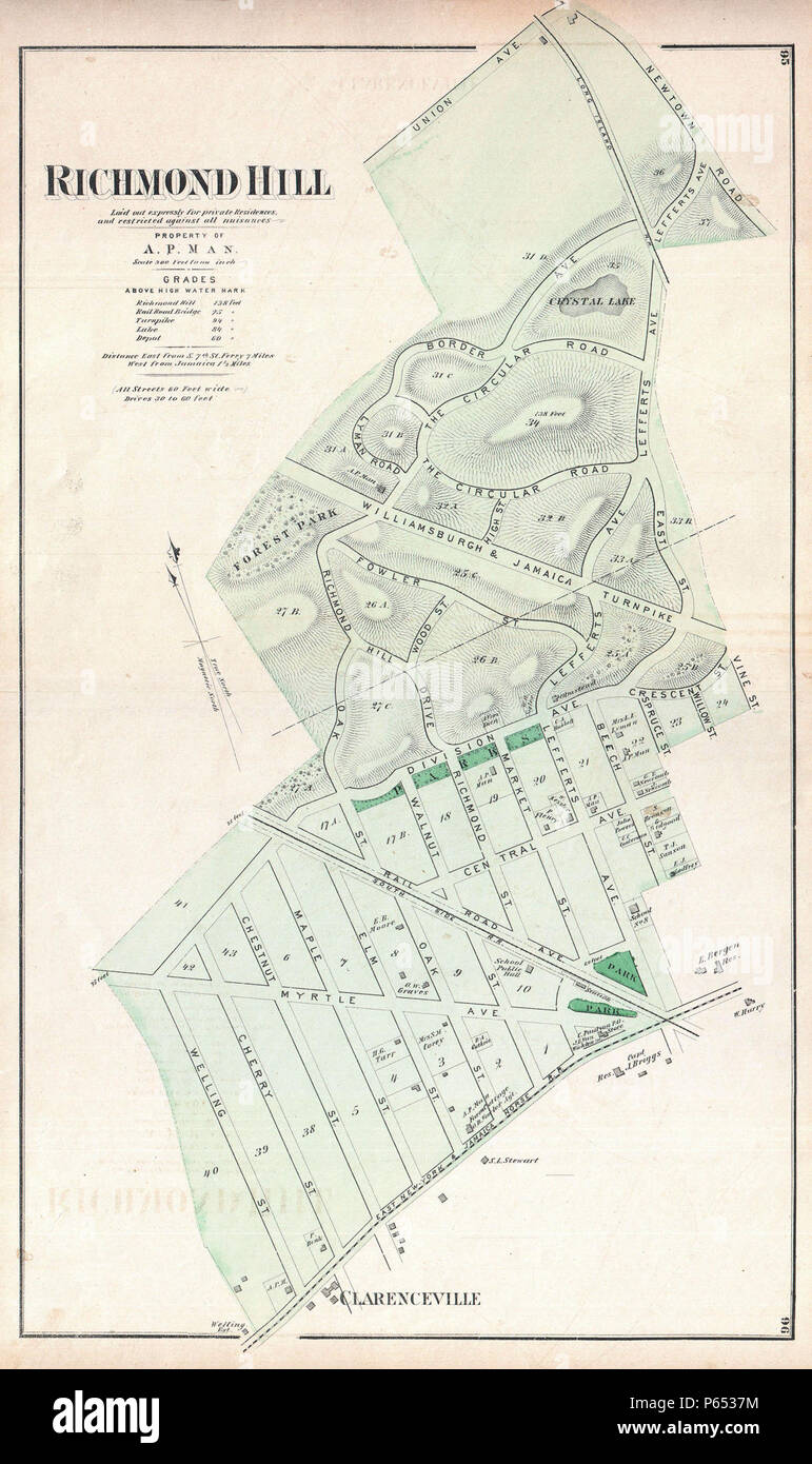
 1873 Beers Map of Richmond Hill, Queens, New York City - Geographicus - RichmondHill-beers-1873. Stock Photohttps://www.alamy.com/image-license-details/?v=1https://www.alamy.com/1873-beers-map-of-richmond-hill-queens-new-york-city-geographicus-richmondhill-beers-1873-image210324680.html
RMP6537M–1873 Beers Map of Richmond Hill, Queens, New York City - Geographicus - RichmondHill-beers-1873.
 USGS TOPO Map Missouri MO Richmond 20120103 TM Inverted Restoration Stock Photohttps://www.alamy.com/image-license-details/?v=1https://www.alamy.com/usgs-topo-map-missouri-mo-richmond-20120103-tm-inverted-restoration-image333276191.html
RM2AA6153–USGS TOPO Map Missouri MO Richmond 20120103 TM Inverted Restoration
 Ray County, Missouri (U.S. county, United States of America, USA, U.S., US) map vector illustration, scribble sketch Ray map Stock Vectorhttps://www.alamy.com/image-license-details/?v=1https://www.alamy.com/ray-county-missouri-us-county-united-states-of-america-usa-us-us-map-vector-illustration-scribble-sketch-ray-map-image397571688.html
RF2E2PXMT–Ray County, Missouri (U.S. county, United States of America, USA, U.S., US) map vector illustration, scribble sketch Ray map
 Richmond, Ray County, US, United States, Missouri, N 39 16' 43'', S 93 58' 36'', map, Cartascapes Map published in 2024. Explore Cartascapes, a map revealing Earth's diverse landscapes, cultures, and ecosystems. Journey through time and space, discovering the interconnectedness of our planet's past, present, and future. Stock Photohttps://www.alamy.com/image-license-details/?v=1https://www.alamy.com/richmond-ray-county-us-united-states-missouri-n-39-16-43-s-93-58-36-map-cartascapes-map-published-in-2024-explore-cartascapes-a-map-revealing-earths-diverse-landscapes-cultures-and-ecosystems-journey-through-time-and-space-discovering-the-interconnectedness-of-our-planets-past-present-and-future-image620837263.html
RM2Y21G7B–Richmond, Ray County, US, United States, Missouri, N 39 16' 43'', S 93 58' 36'', map, Cartascapes Map published in 2024. Explore Cartascapes, a map revealing Earth's diverse landscapes, cultures, and ecosystems. Journey through time and space, discovering the interconnectedness of our planet's past, present, and future.
 USGS TOPO Map Missouri MO Richmond 324001 1957 24000 Restoration Stock Photohttps://www.alamy.com/image-license-details/?v=1https://www.alamy.com/usgs-topo-map-missouri-mo-richmond-324001-1957-24000-restoration-image333276242.html
RM2AA616X–USGS TOPO Map Missouri MO Richmond 324001 1957 24000 Restoration
 Ray County, Missouri (U.S. county, United States of America, USA, U.S., US) map vector illustration, scribble sketch Ray map Stock Vectorhttps://www.alamy.com/image-license-details/?v=1https://www.alamy.com/ray-county-missouri-us-county-united-states-of-america-usa-us-us-map-vector-illustration-scribble-sketch-ray-map-image381800394.html
RF2D54E8A–Ray County, Missouri (U.S. county, United States of America, USA, U.S., US) map vector illustration, scribble sketch Ray map
 Richmond Heights, Saint Louis County, US, United States, Missouri, N 38 37' 43'', S 90 19' 10'', map, Cartascapes Map published in 2024. Explore Cartascapes, a map revealing Earth's diverse landscapes, cultures, and ecosystems. Journey through time and space, discovering the interconnectedness of our planet's past, present, and future. Stock Photohttps://www.alamy.com/image-license-details/?v=1https://www.alamy.com/richmond-heights-saint-louis-county-us-united-states-missouri-n-38-37-43-s-90-19-10-map-cartascapes-map-published-in-2024-explore-cartascapes-a-map-revealing-earths-diverse-landscapes-cultures-and-ecosystems-journey-through-time-and-space-discovering-the-interconnectedness-of-our-planets-past-present-and-future-image620850588.html
RM2Y22578–Richmond Heights, Saint Louis County, US, United States, Missouri, N 38 37' 43'', S 90 19' 10'', map, Cartascapes Map published in 2024. Explore Cartascapes, a map revealing Earth's diverse landscapes, cultures, and ecosystems. Journey through time and space, discovering the interconnectedness of our planet's past, present, and future.
 USGS TOPO Map Missouri MO Richmond 324002 1957 24000 Restoration Stock Photohttps://www.alamy.com/image-license-details/?v=1https://www.alamy.com/usgs-topo-map-missouri-mo-richmond-324002-1957-24000-restoration-image333276312.html
RM2AA619C–USGS TOPO Map Missouri MO Richmond 324002 1957 24000 Restoration
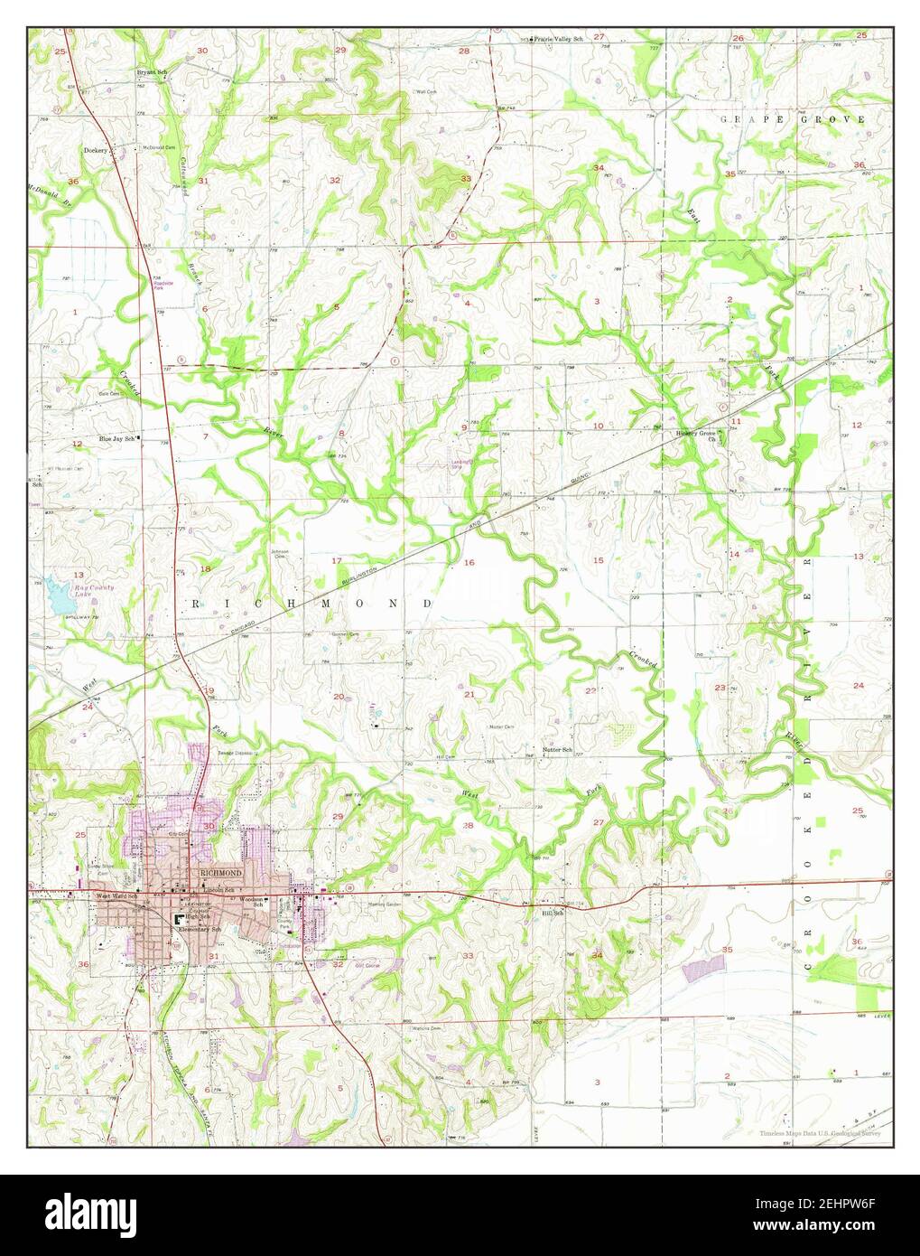
 Richmond, Missouri, map 1957, 1:24000, United States of America by Timeless Maps, data U.S. Geological Survey Stock Photohttps://www.alamy.com/image-license-details/?v=1https://www.alamy.com/richmond-missouri-map-1957-124000-united-states-of-america-by-timeless-maps-data-us-geological-survey-image406790343.html
RM2EHPW6F–Richmond, Missouri, map 1957, 1:24000, United States of America by Timeless Maps, data U.S. Geological Survey
 USGS TOPO Map Missouri MO Richmond 324001 1957 24000 Inverted Restoration Stock Photohttps://www.alamy.com/image-license-details/?v=1https://www.alamy.com/usgs-topo-map-missouri-mo-richmond-324001-1957-24000-inverted-restoration-image333276248.html
RM2AA6174–USGS TOPO Map Missouri MO Richmond 324001 1957 24000 Inverted Restoration
 Richmond, Missouri, map 1957, 1:24000, United States of America by Timeless Maps, data U.S. Geological Survey Stock Photohttps://www.alamy.com/image-license-details/?v=1https://www.alamy.com/richmond-missouri-map-1957-124000-united-states-of-america-by-timeless-maps-data-us-geological-survey-image406789867.html
RM2EHPTHF–Richmond, Missouri, map 1957, 1:24000, United States of America by Timeless Maps, data U.S. Geological Survey
 USGS TOPO Map Missouri MO Richmond 324002 1957 24000 Inverted Restoration Stock Photohttps://www.alamy.com/image-license-details/?v=1https://www.alamy.com/usgs-topo-map-missouri-mo-richmond-324002-1957-24000-inverted-restoration-image333276254.html
RM2AA617A–USGS TOPO Map Missouri MO Richmond 324002 1957 24000 Inverted Restoration