Map of saarland Stock Vectors & Vector Art
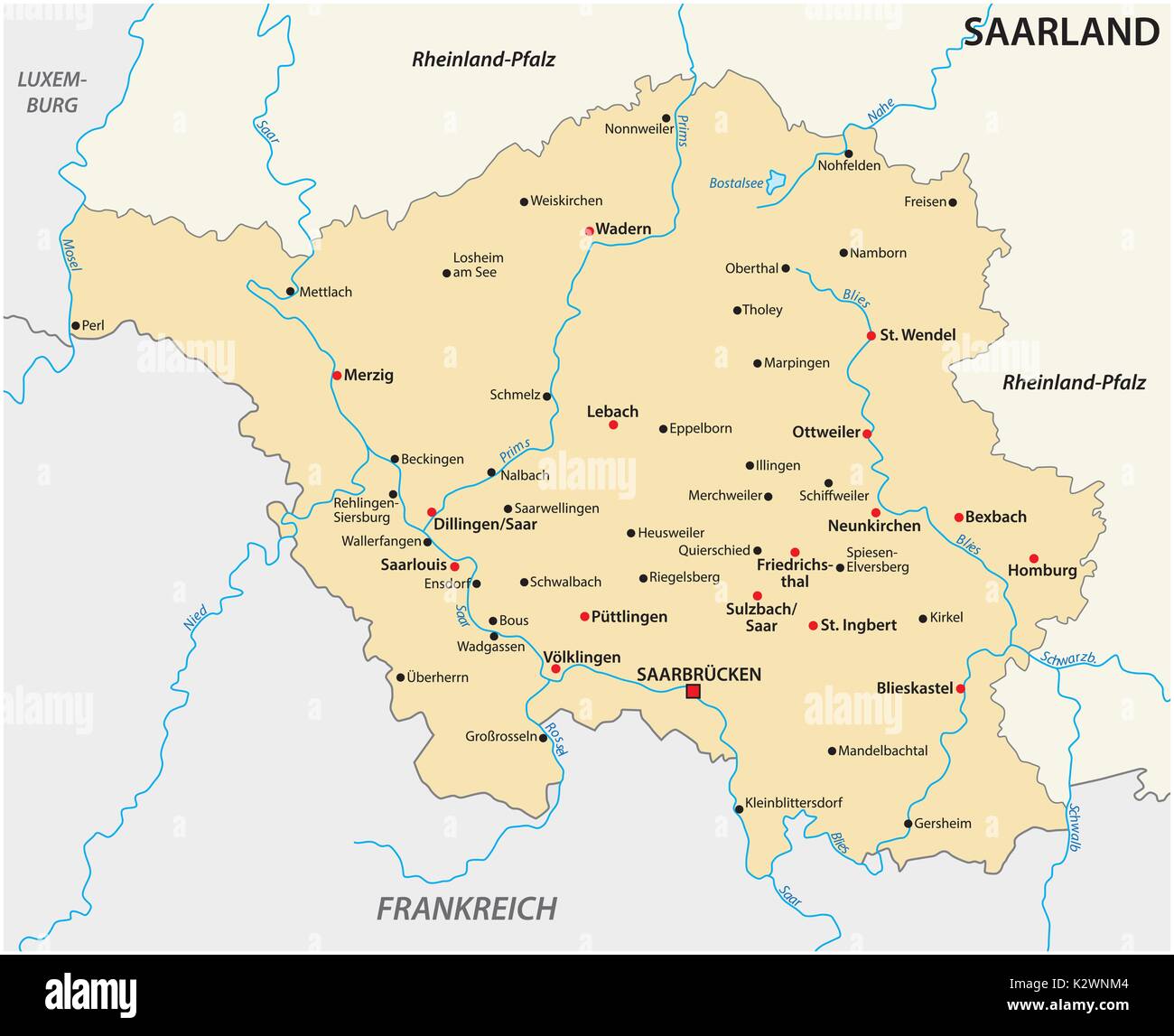 Map of the state of Saarland with the most important cities Stock Vectorhttps://www.alamy.com/image-license-details/?v=1https://www.alamy.com/map-of-the-state-of-saarland-with-the-most-important-cities-image156688452.html
RFK2WNM4–Map of the state of Saarland with the most important cities
 12 of 16 states of Germany with a name, capital and detailed vector Saarland map for printing posters, postcards and t-shirts Stock Vectorhttps://www.alamy.com/image-license-details/?v=1https://www.alamy.com/12-of-16-states-of-germany-with-a-name-capital-and-detailed-vector-saarland-map-for-printing-posters-postcards-and-t-shirts-image468682358.html
RF2J6E93J–12 of 16 states of Germany with a name, capital and detailed vector Saarland map for printing posters, postcards and t-shirts
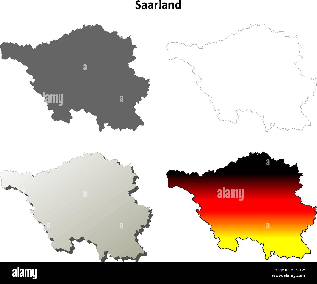 Saarland blank outline map set Stock Vectorhttps://www.alamy.com/image-license-details/?v=1https://www.alamy.com/saarland-blank-outline-map-set-image177775833.html
RFM96ATW–Saarland blank outline map set
 Map of Saarland Stock Vectorhttps://www.alamy.com/image-license-details/?v=1https://www.alamy.com/stock-photo-map-of-saarland-104648718.html
RFG274E6–Map of Saarland
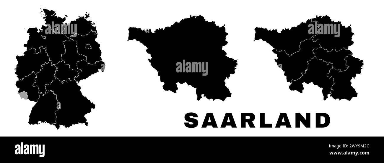 Saarland map, German state. Germany administrative division, regions and boroughs, amt and municipalities. Stock Vectorhttps://www.alamy.com/image-license-details/?v=1https://www.alamy.com/saarland-map-german-state-germany-administrative-division-regions-and-boroughs-amt-and-municipalities-image601961540.html
RF2WY9M2C–Saarland map, German state. Germany administrative division, regions and boroughs, amt and municipalities.
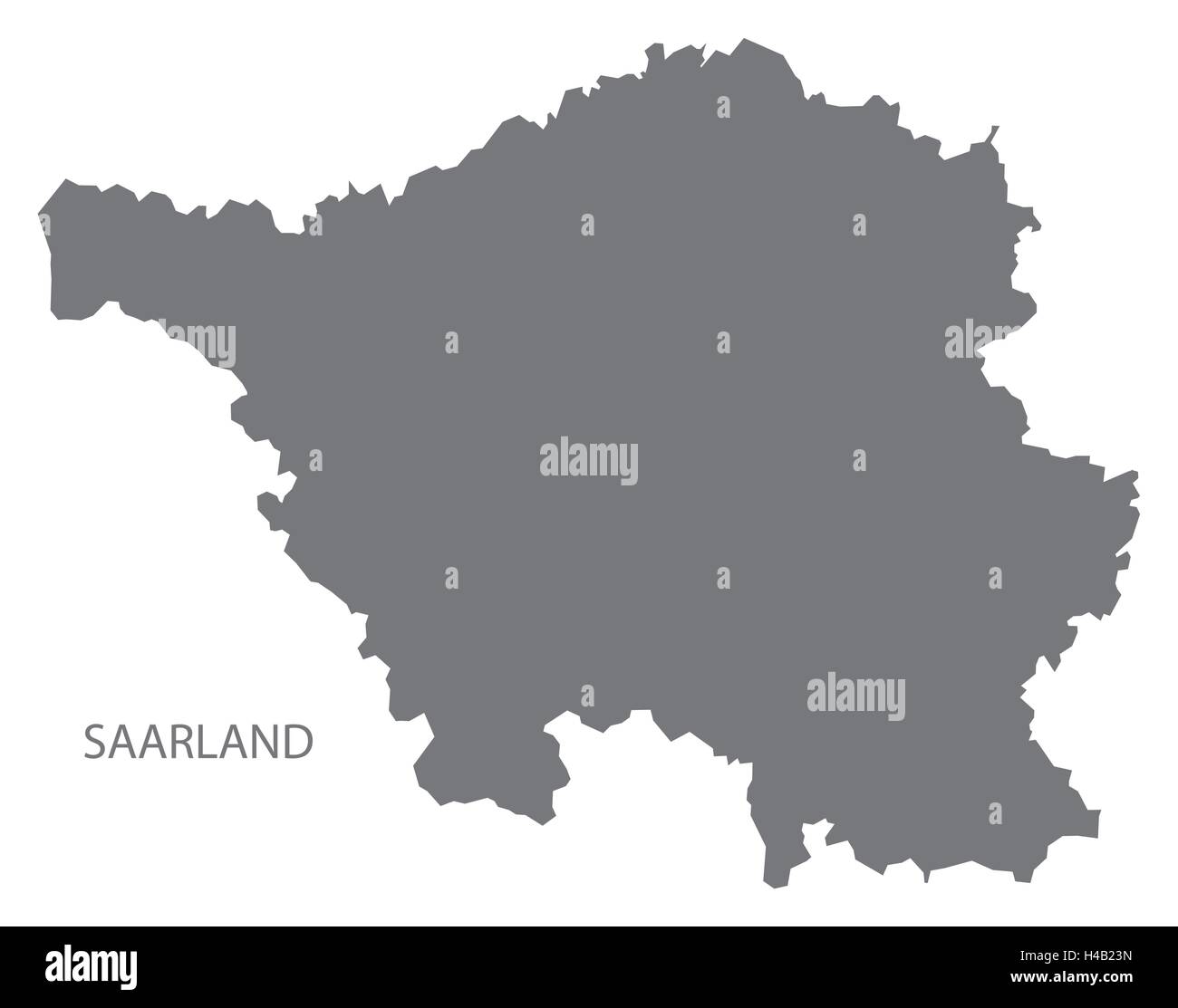 Saarland Germany Map grey Stock Vectorhttps://www.alamy.com/image-license-details/?v=1https://www.alamy.com/stock-photo-saarland-germany-map-grey-123174345.html
RFH4B23N–Saarland Germany Map grey
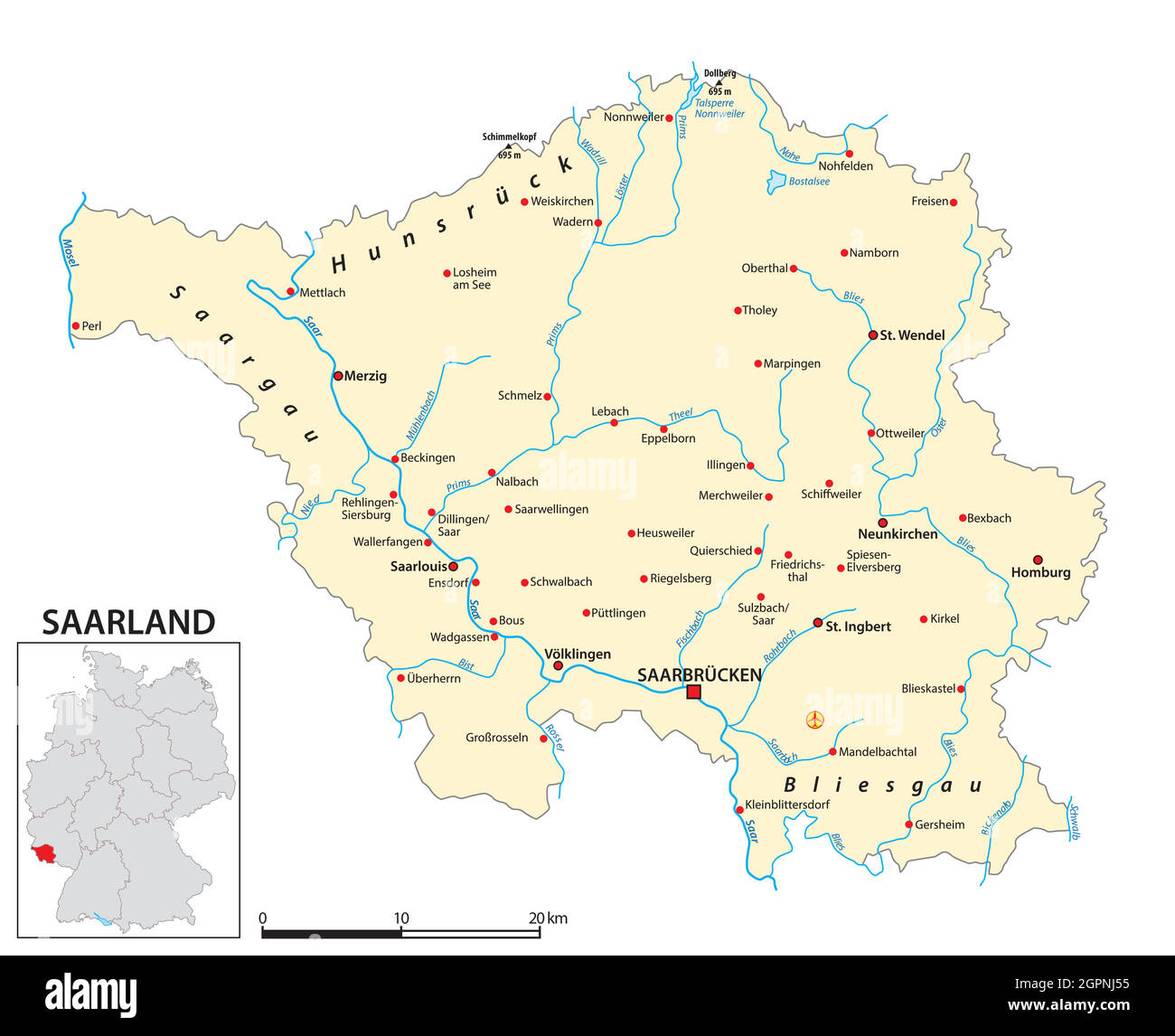 Map of the state of Saarland in German language Stock Vectorhttps://www.alamy.com/image-license-details/?v=1https://www.alamy.com/map-of-the-state-of-saarland-in-german-language-image444256881.html
RF2GPNJ55–Map of the state of Saarland in German language
 Neunkirchen grey county map of Saarland Germany DE Stock Vectorhttps://www.alamy.com/image-license-details/?v=1https://www.alamy.com/neunkirchen-grey-county-map-of-saarland-germany-de-image260391284.html
RFW3HRMM–Neunkirchen grey county map of Saarland Germany DE
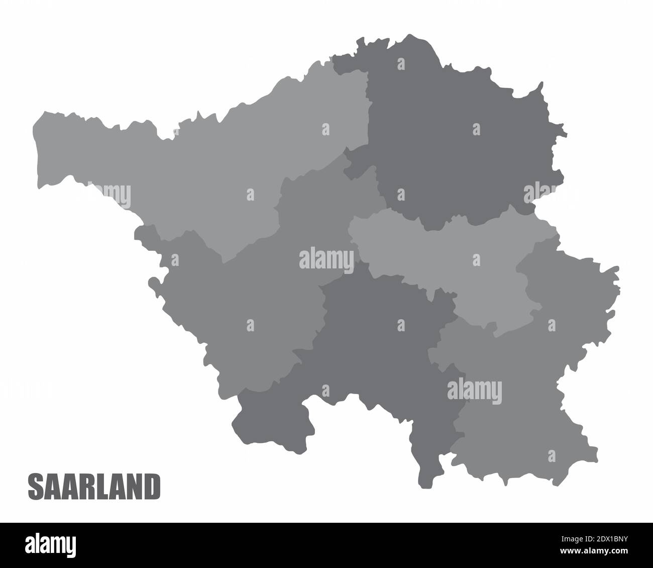 Saarland districts map Stock Vectorhttps://www.alamy.com/image-license-details/?v=1https://www.alamy.com/saarland-districts-map-image394640343.html
RF2DX1BNY–Saarland districts map
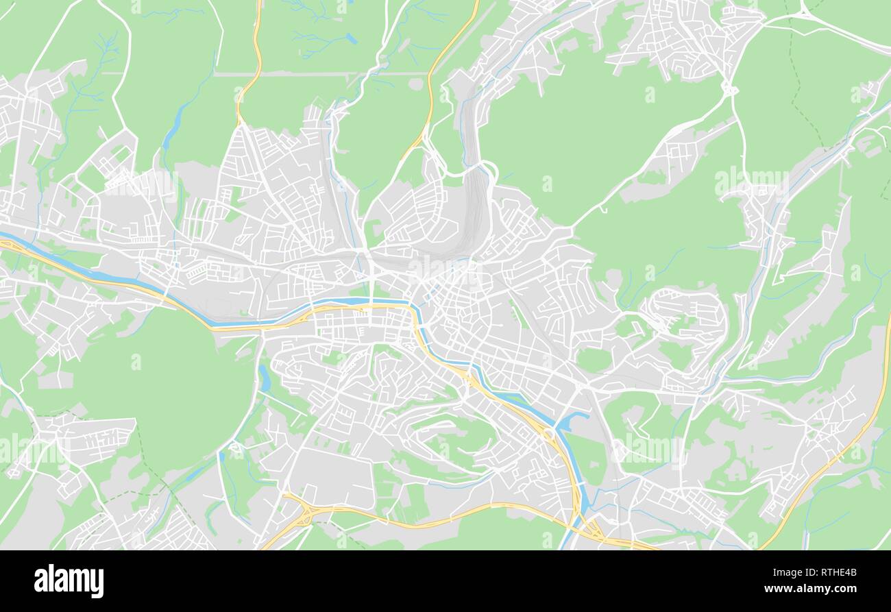 Saarbrucken, Germany printable street map in classic style colors with all relevant motorways, roads and railways. Use this map for any kind of digita Stock Vectorhttps://www.alamy.com/image-license-details/?v=1https://www.alamy.com/saarbrucken-germany-printable-street-map-in-classic-style-colors-with-all-relevant-motorways-roads-and-railways-use-this-map-for-any-kind-of-digita-image238870811.html
RFRTHE4B–Saarbrucken, Germany printable street map in classic style colors with all relevant motorways, roads and railways. Use this map for any kind of digita
 Symbol Map of the Bundesland Saarland (Germany) showing the Bundesland with a pattern of randomly distributed black circles of different sizes Stock Vectorhttps://www.alamy.com/image-license-details/?v=1https://www.alamy.com/symbol-map-of-the-bundesland-saarland-germany-showing-the-bundesland-with-a-pattern-of-randomly-distributed-black-circles-of-different-sizes-image621705330.html
RF2Y3D3DP–Symbol Map of the Bundesland Saarland (Germany) showing the Bundesland with a pattern of randomly distributed black circles of different sizes
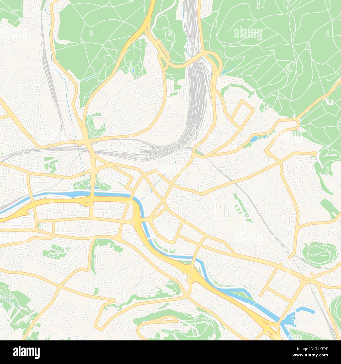 Printable map of Saarbrucken, Germany with main and secondary roads and larger railways. This map is carefully designed for routing and placing indivi Stock Vectorhttps://www.alamy.com/image-license-details/?v=1https://www.alamy.com/printable-map-of-saarbrucken-germany-with-main-and-secondary-roads-and-larger-railways-this-map-is-carefully-designed-for-routing-and-placing-indivi-image243832890.html
RFT4KF9E–Printable map of Saarbrucken, Germany with main and secondary roads and larger railways. This map is carefully designed for routing and placing indivi
 Vector isolated illustration of simplified administrative map of Germany. Blue silhouette of Saarland (state). Grey silhouettes. White outline Stock Vectorhttps://www.alamy.com/image-license-details/?v=1https://www.alamy.com/vector-isolated-illustration-of-simplified-administrative-map-of-germany-blue-silhouette-of-saarland-state-grey-silhouettes-white-outline-image566448473.html
RF2RWFXPH–Vector isolated illustration of simplified administrative map of Germany. Blue silhouette of Saarland (state). Grey silhouettes. White outline
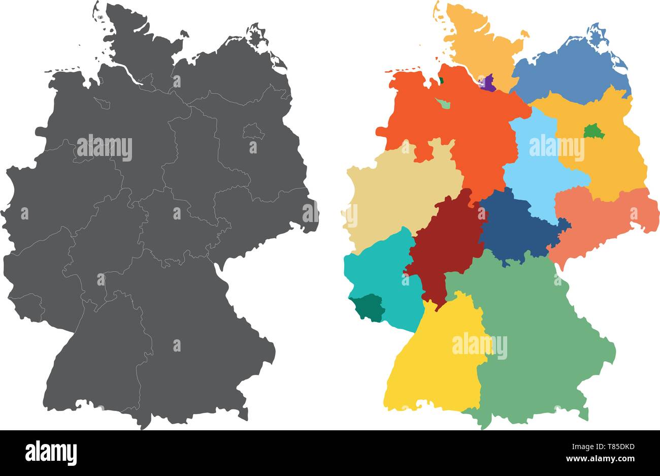 Germany high detailed vector map Stock Vectorhttps://www.alamy.com/image-license-details/?v=1https://www.alamy.com/germany-high-detailed-vector-map-image245982897.html
RFT85DKD–Germany high detailed vector map
 Germany region silhouettes set and blank map of the country isolated on white background. Vector illustration design Stock Vectorhttps://www.alamy.com/image-license-details/?v=1https://www.alamy.com/germany-region-silhouettes-set-and-blank-map-of-the-country-isolated-on-white-background-vector-illustration-design-image613859486.html
RF2XJKM12–Germany region silhouettes set and blank map of the country isolated on white background. Vector illustration design
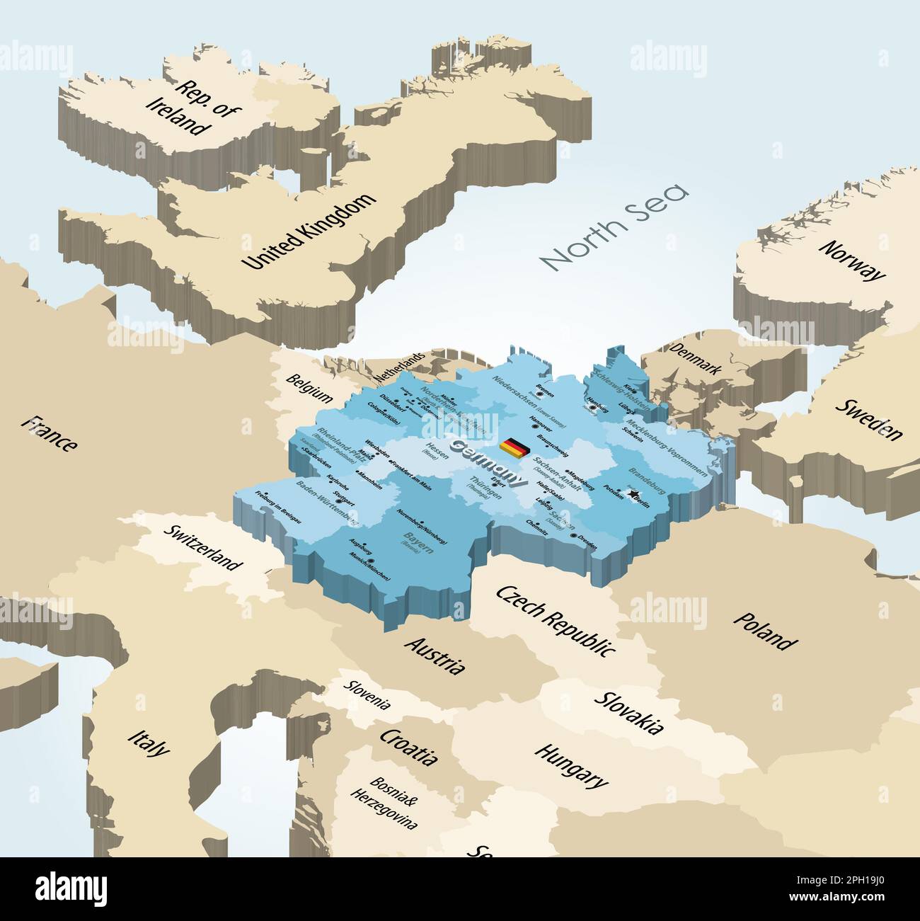 Germany states isometric map with neighbouring countries Stock Vectorhttps://www.alamy.com/image-license-details/?v=1https://www.alamy.com/germany-states-isometric-map-with-neighbouring-countries-image544000072.html
RF2PH19J0–Germany states isometric map with neighbouring countries
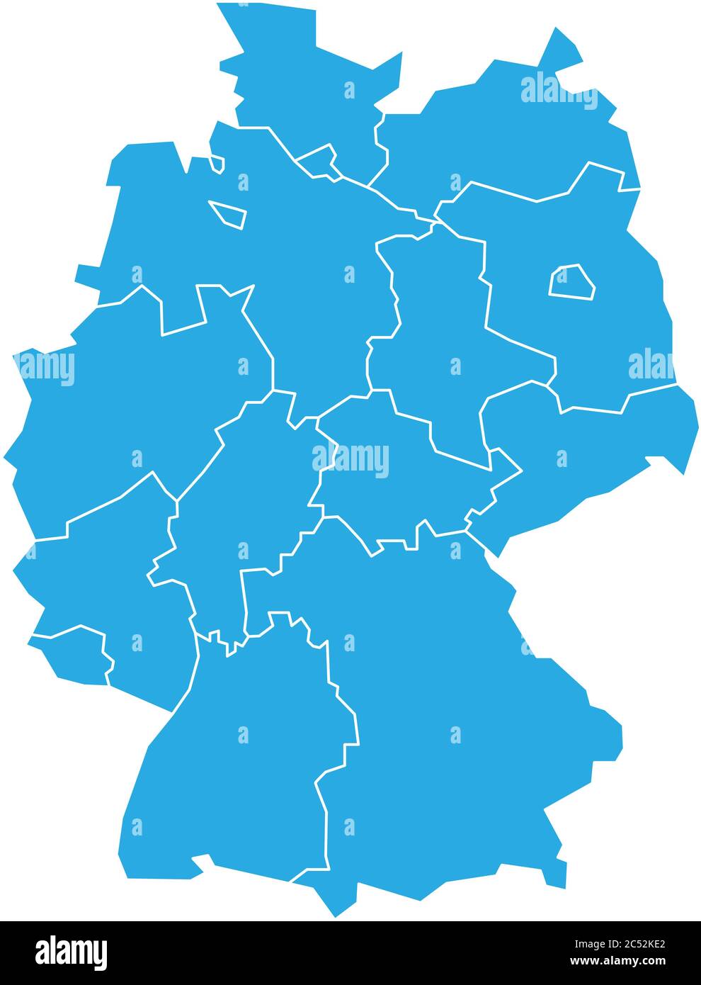 Map of Germany devided to 13 federal states and 3 city-states - Berlin, Bremen and Hamburg. Simple flat blank blue vector map silhouette. Stock Vectorhttps://www.alamy.com/image-license-details/?v=1https://www.alamy.com/map-of-germany-devided-to-13-federal-states-and-3-city-states-berlin-bremen-and-hamburg-simple-flat-blank-blue-vector-map-silhouette-image364550202.html
RF2C52KE2–Map of Germany devided to 13 federal states and 3 city-states - Berlin, Bremen and Hamburg. Simple flat blank blue vector map silhouette.
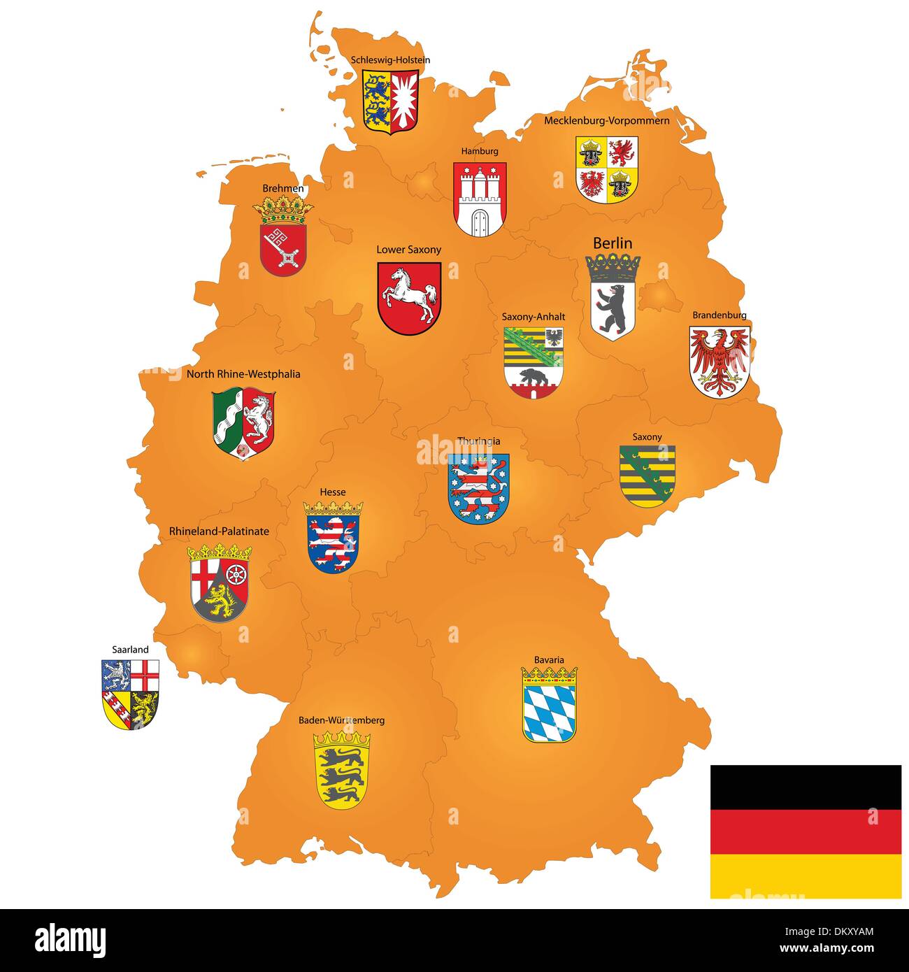 map of Germany Stock Vectorhttps://www.alamy.com/image-license-details/?v=1https://www.alamy.com/map-of-germany-image63901788.html
RFDKXYAM–map of Germany
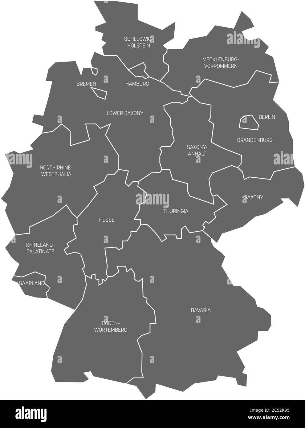 Map of Germany devided to 13 federal states and 3 city-states - Berlin, Bremen and Hamburg, Europe. Simple flat grey vector map with white labels. Stock Vectorhttps://www.alamy.com/image-license-details/?v=1https://www.alamy.com/map-of-germany-devided-to-13-federal-states-and-3-city-states-berlin-bremen-and-hamburg-europe-simple-flat-grey-vector-map-with-white-labels-image364550065.html
RF2C52K95–Map of Germany devided to 13 federal states and 3 city-states - Berlin, Bremen and Hamburg, Europe. Simple flat grey vector map with white labels.
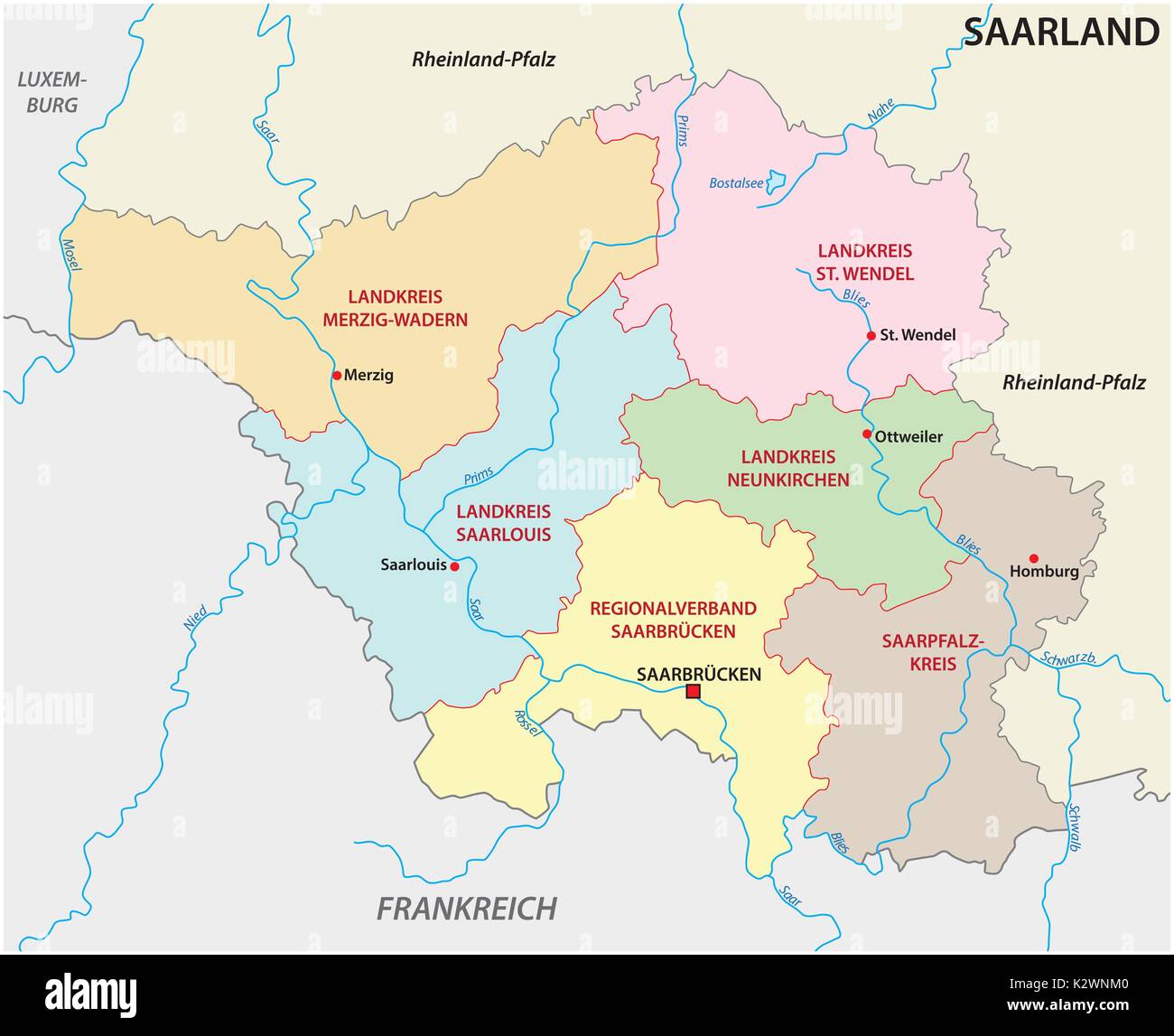 administrative and political map of the state of Saarland Stock Vectorhttps://www.alamy.com/image-license-details/?v=1https://www.alamy.com/administrative-and-political-map-of-the-state-of-saarland-image156688448.html
RFK2WNM0–administrative and political map of the state of Saarland
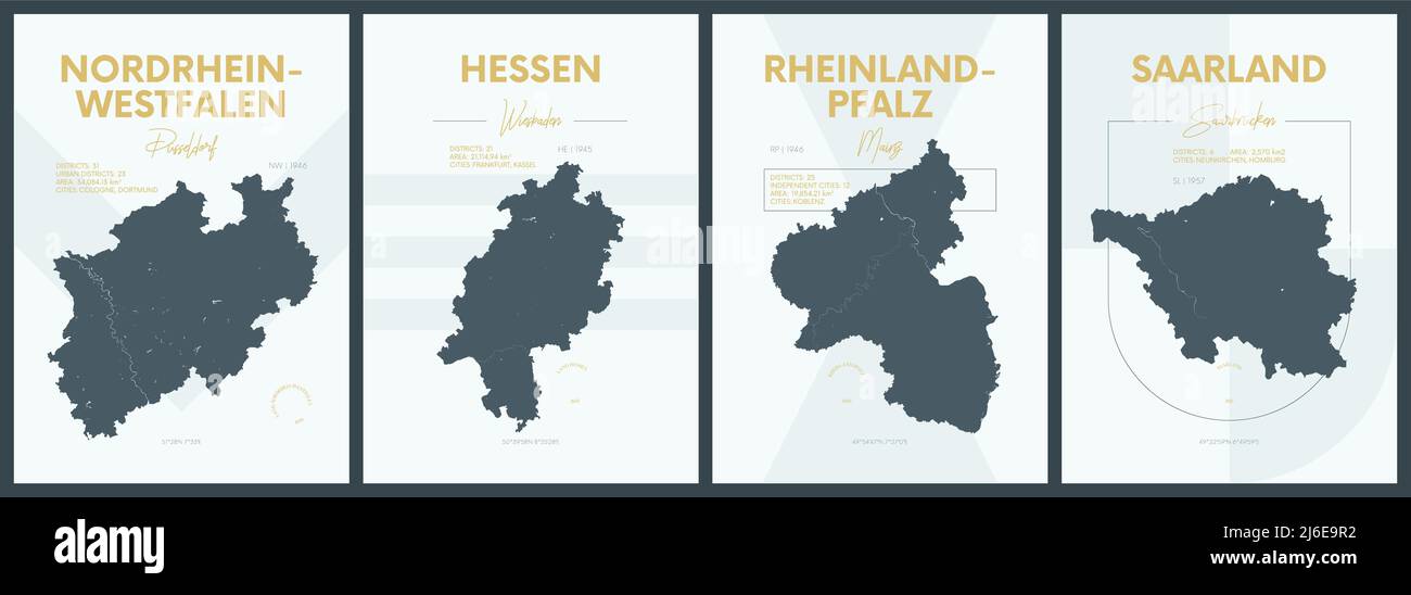 Vector posters with highly detailed silhouettes maps states of Germany - Nordrhein-Westfalen, Hessen, Rheinland-Pfalz, Saarland - set 3 of 4 Stock Vectorhttps://www.alamy.com/image-license-details/?v=1https://www.alamy.com/vector-posters-with-highly-detailed-silhouettes-maps-states-of-germany-nordrhein-westfalen-hessen-rheinland-pfalz-saarland-set-3-of-4-image468682902.html
RF2J6E9R2–Vector posters with highly detailed silhouettes maps states of Germany - Nordrhein-Westfalen, Hessen, Rheinland-Pfalz, Saarland - set 3 of 4
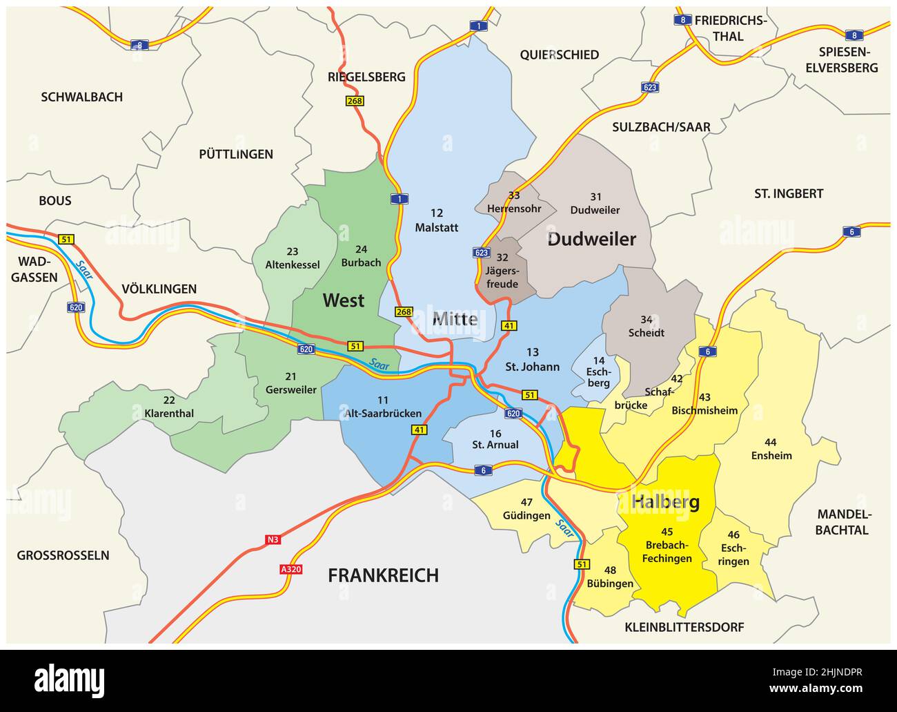 administrative vector map of the capital of Saarland, Saarbruecken Stock Vectorhttps://www.alamy.com/image-license-details/?v=1https://www.alamy.com/administrative-vector-map-of-the-capital-of-saarland-saarbruecken-image459005199.html
RF2HJNDPR–administrative vector map of the capital of Saarland, Saarbruecken
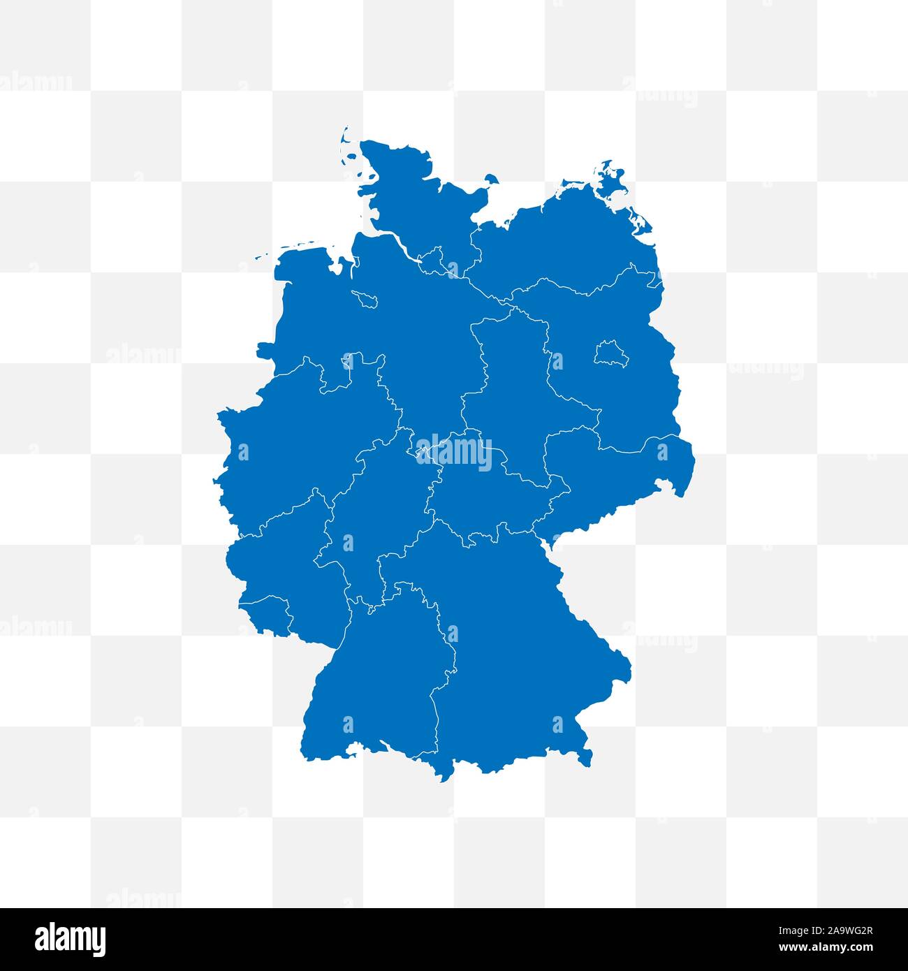 Germany map on transparent background. Vector illustration. Stock Vectorhttps://www.alamy.com/image-license-details/?v=1https://www.alamy.com/germany-map-on-transparent-background-vector-illustration-image333090319.html
RF2A9WG2R–Germany map on transparent background. Vector illustration.
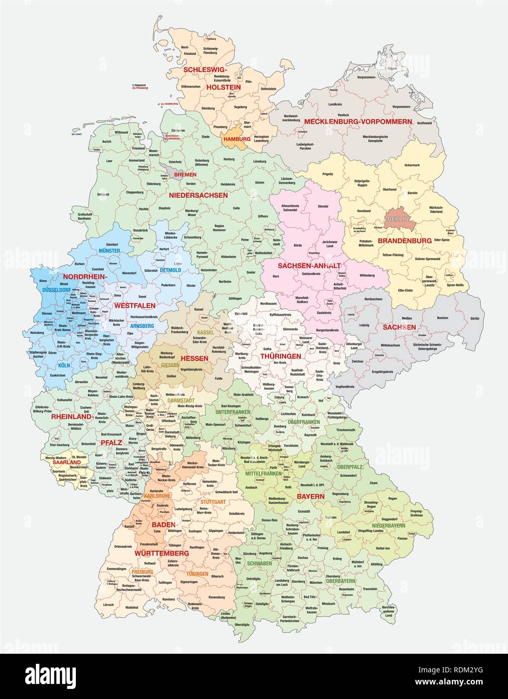 administrative and political vector map of Germany, newly revised 2019 Stock Vectorhttps://www.alamy.com/image-license-details/?v=1https://www.alamy.com/administrative-and-political-vector-map-of-germany-newly-revised-2019-image232166692.html
RFRDM2YG–administrative and political vector map of Germany, newly revised 2019
 Saarland map with title Stock Vectorhttps://www.alamy.com/image-license-details/?v=1https://www.alamy.com/stock-photo-saarland-map-with-title-104648717.html
RFG274E5–Saarland map with title
 Vector administrative map of Federal Republic of Germany with the flags of the federal states Stock Vectorhttps://www.alamy.com/image-license-details/?v=1https://www.alamy.com/vector-administrative-map-of-federal-republic-of-germany-with-the-flags-of-the-federal-states-image364350707.html
RF2C4NH17–Vector administrative map of Federal Republic of Germany with the flags of the federal states
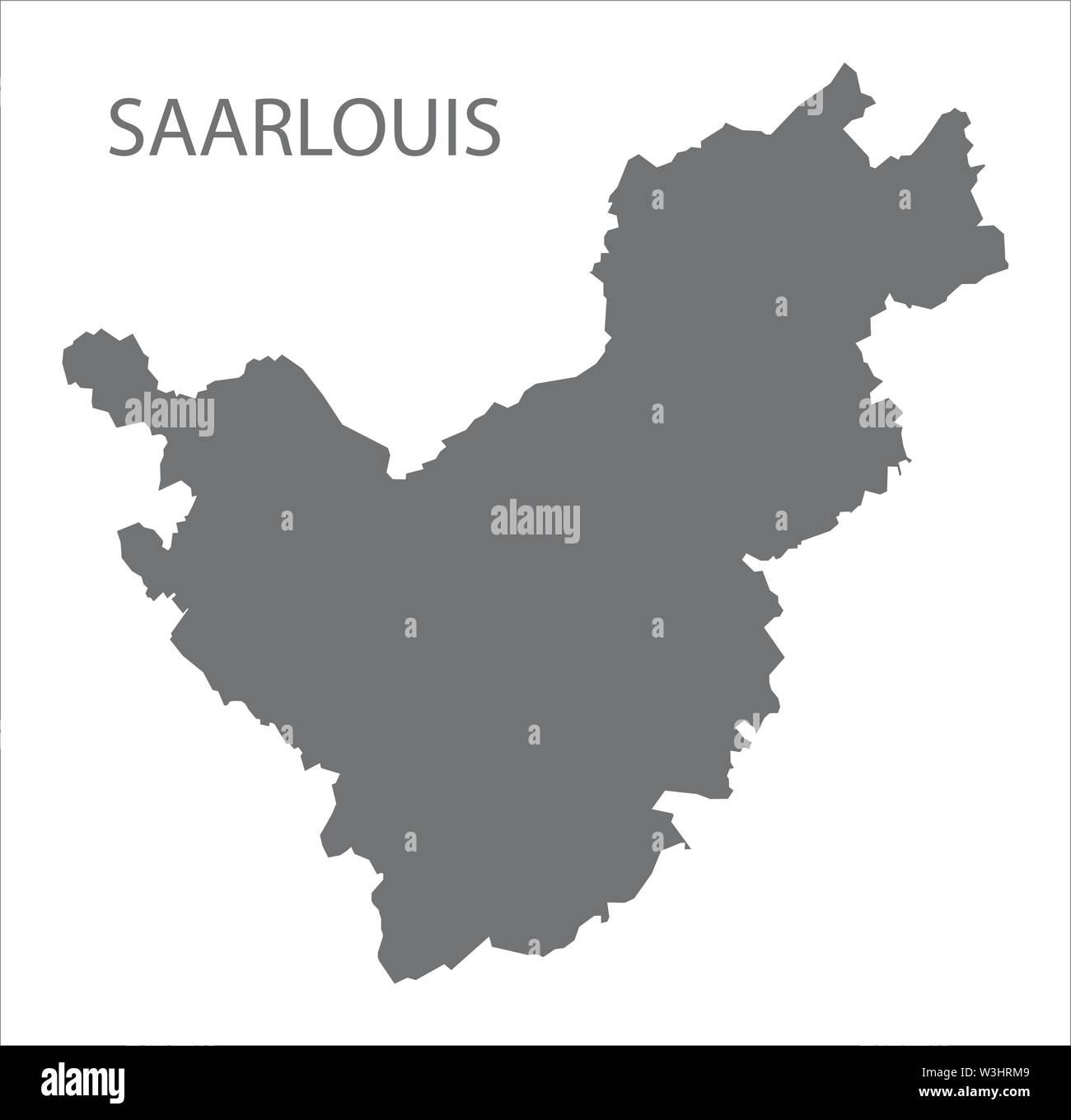 Saarlouis grey county map of Saarland Germany DE Stock Vectorhttps://www.alamy.com/image-license-details/?v=1https://www.alamy.com/saarlouis-grey-county-map-of-saarland-germany-de-image260391273.html
RFW3HRM9–Saarlouis grey county map of Saarland Germany DE
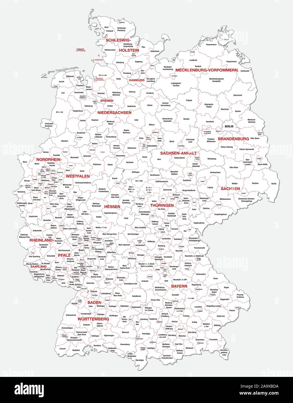 administrative and political map of Germany newly revised 2019 in black and white Stock Vectorhttps://www.alamy.com/image-license-details/?v=1https://www.alamy.com/administrative-and-political-map-of-germany-newly-revised-2019-in-black-and-white-image333108646.html
RF2A9XBDA–administrative and political map of Germany newly revised 2019 in black and white
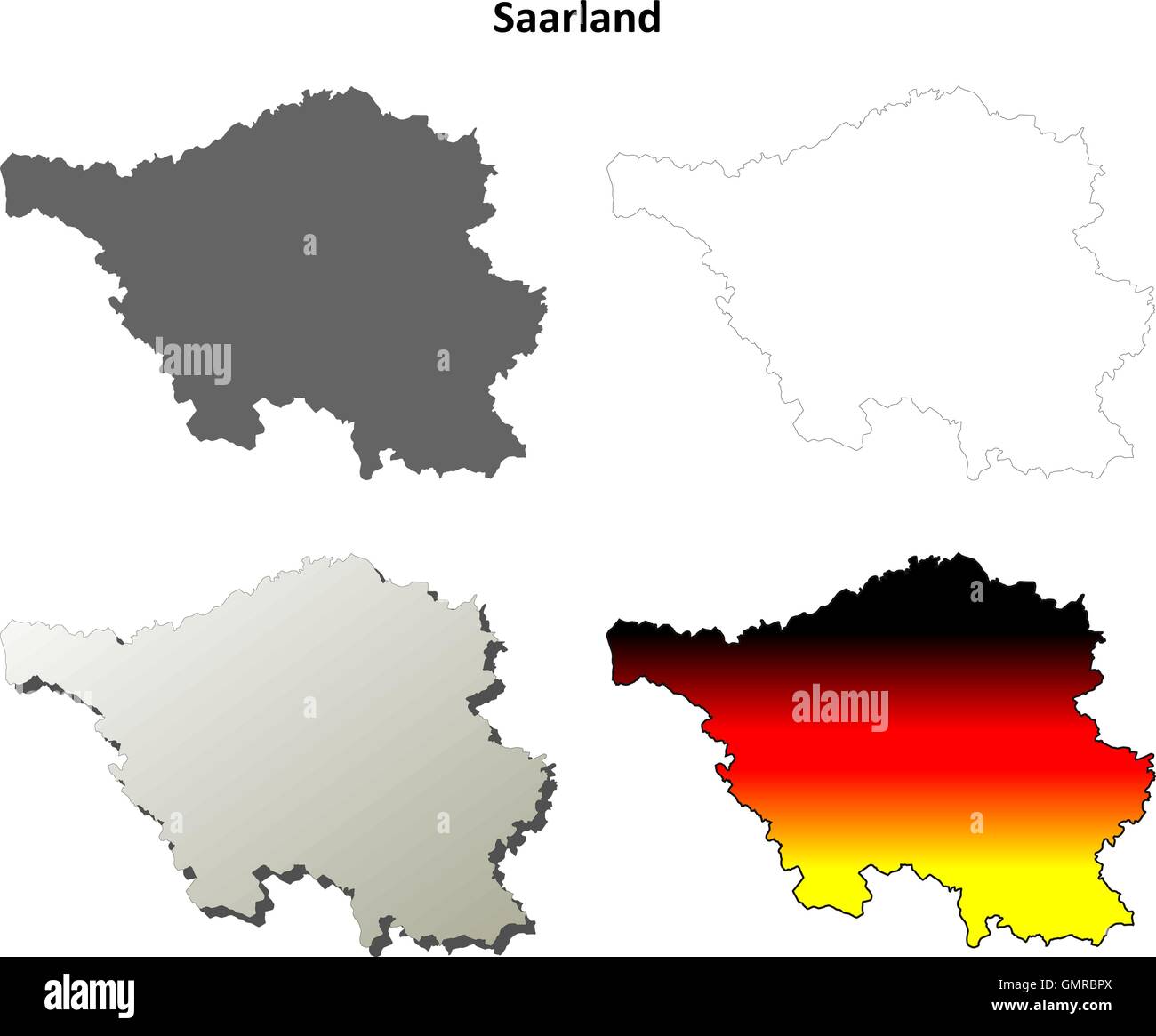 Saarland blank outline map set Stock Vectorhttps://www.alamy.com/image-license-details/?v=1https://www.alamy.com/stock-photo-saarland-blank-outline-map-set-116069490.html
RFGMRBPX–Saarland blank outline map set
 Symbol Map of the State Saarland (Germany). Abstract map showing the Bundesland with a pattern of overlapping colorful squares like candies Stock Vectorhttps://www.alamy.com/image-license-details/?v=1https://www.alamy.com/symbol-map-of-the-state-saarland-germany-abstract-map-showing-the-bundesland-with-a-pattern-of-overlapping-colorful-squares-like-candies-image611839988.html
RF2XFBM44–Symbol Map of the State Saarland (Germany). Abstract map showing the Bundesland with a pattern of overlapping colorful squares like candies
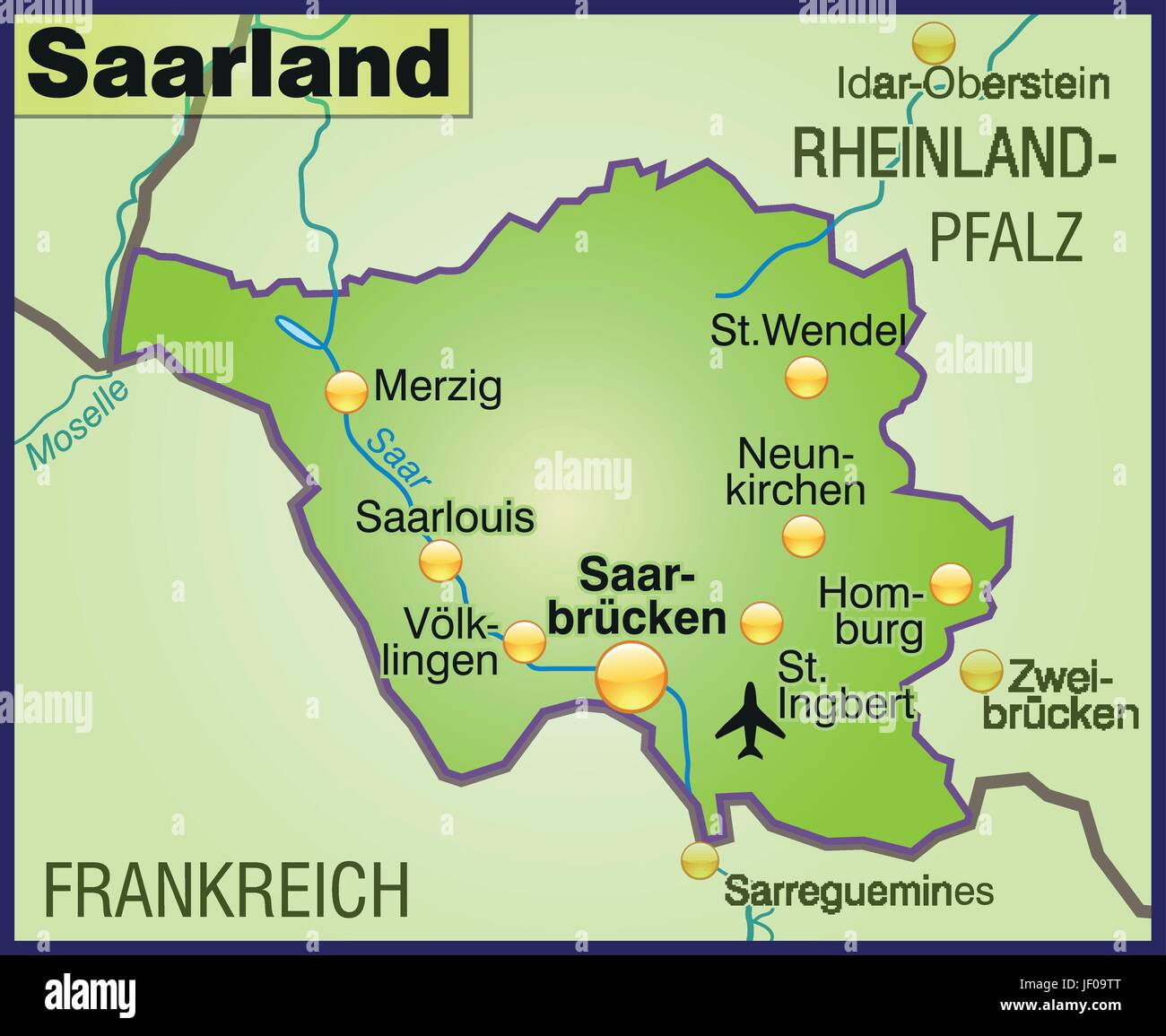 map of saarland as an overview map in green Stock Vectorhttps://www.alamy.com/image-license-details/?v=1https://www.alamy.com/stock-photo-map-of-saarland-as-an-overview-map-in-green-146910536.html
RFJF09TT–map of saarland as an overview map in green
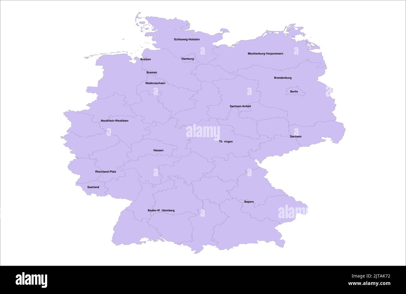 Germany Vector Map illustration with its districts on white background Stock Vectorhttps://www.alamy.com/image-license-details/?v=1https://www.alamy.com/germany-vector-map-illustration-with-its-districts-on-white-background-image479666294.html
RF2JTAK72–Germany Vector Map illustration with its districts on white background
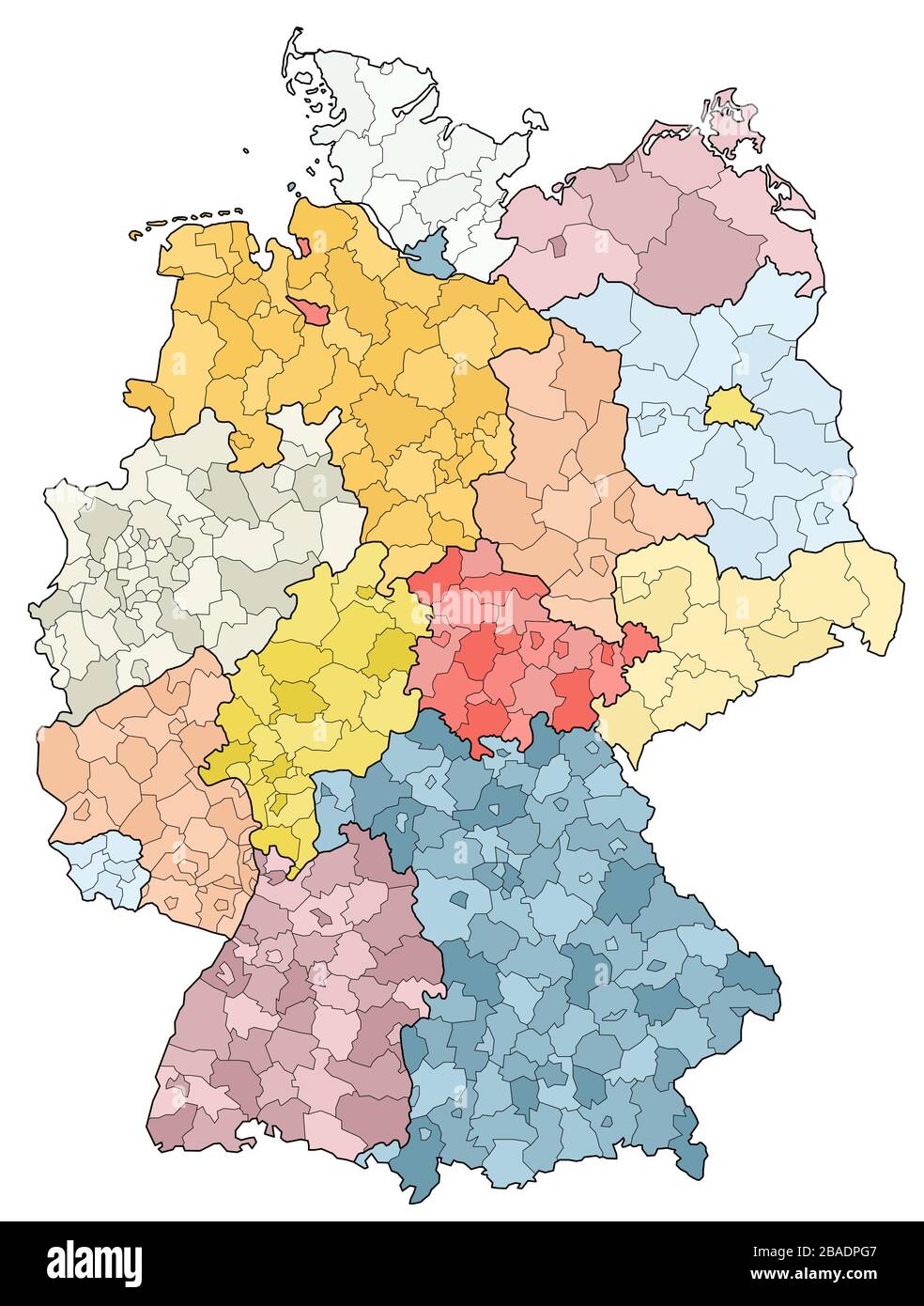 west european country germany and the federal states Stock Vectorhttps://www.alamy.com/image-license-details/?v=1https://www.alamy.com/west-european-country-germany-and-the-federal-states-image350656999.html
RF2BADPG7–west european country germany and the federal states
 Saarland silhouette map isolated on white background, Germany Stock Vectorhttps://www.alamy.com/image-license-details/?v=1https://www.alamy.com/saarland-silhouette-map-isolated-on-white-background-germany-image614557087.html
RF2XKRDRB–Saarland silhouette map isolated on white background, Germany
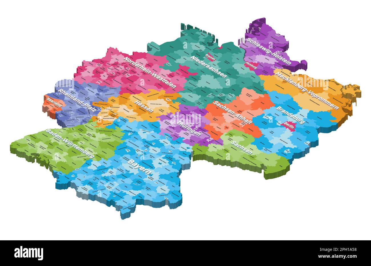 Germany isometric map colored by states and administrative districts, with inscriptions Stock Vectorhttps://www.alamy.com/image-license-details/?v=1https://www.alamy.com/germany-isometric-map-colored-by-states-and-administrative-districts-with-inscriptions-image544000500.html
RF2PH1A58–Germany isometric map colored by states and administrative districts, with inscriptions
RF2E2X0A0–The Saarland state silhouette map icon on dark box, Germany
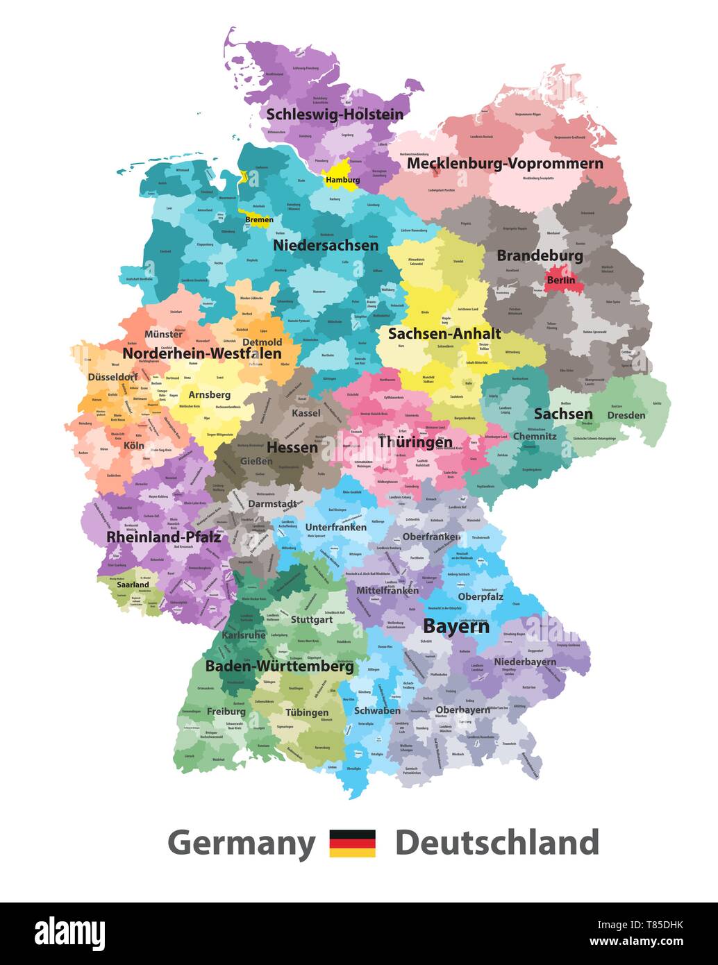 Germany high detailed vector map (colored by states and administrative districts Stock Vectorhttps://www.alamy.com/image-license-details/?v=1https://www.alamy.com/germany-high-detailed-vector-map-colored-by-states-and-administrative-districts-image245982847.html
RFT85DHK–Germany high detailed vector map (colored by states and administrative districts
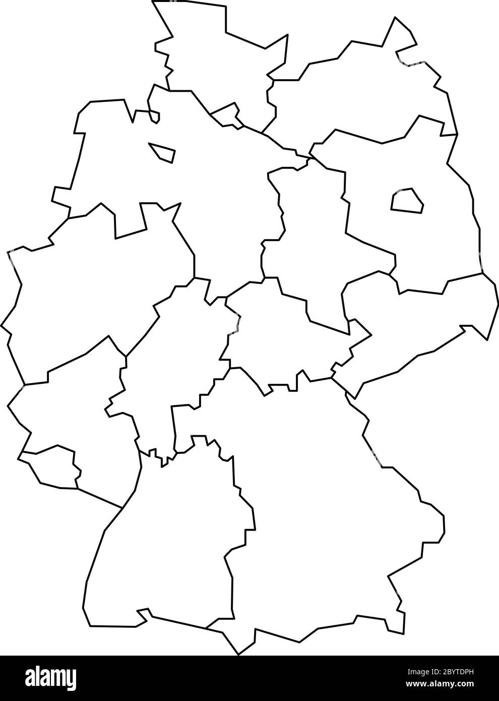 Map of Germany devided to 13 federal states and 3 city-states - Berlin, Bremen and Hamburg, Europe. Simple flat blank white vector map with black outlines. Stock Vectorhttps://www.alamy.com/image-license-details/?v=1https://www.alamy.com/map-of-germany-devided-to-13-federal-states-and-3-city-states-berlin-bremen-and-hamburg-europe-simple-flat-blank-white-vector-map-with-black-outlines-image361340745.html
RF2BYTDPH–Map of Germany devided to 13 federal states and 3 city-states - Berlin, Bremen and Hamburg, Europe. Simple flat blank white vector map with black outlines.
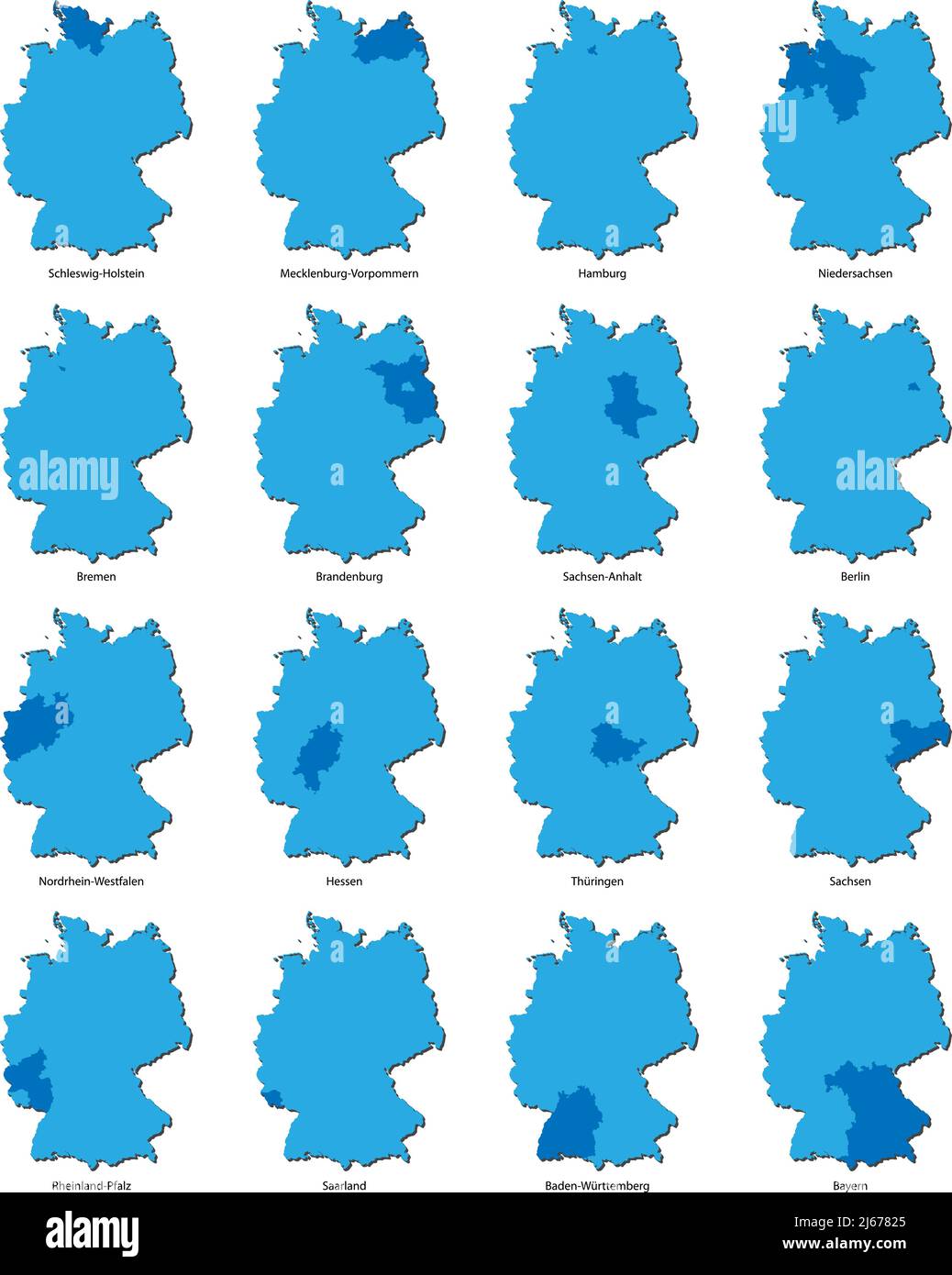 maps of Germany with each of the sixteen separate federal states highlighted, vector illustration Stock Vectorhttps://www.alamy.com/image-license-details/?v=1https://www.alamy.com/maps-of-germany-with-each-of-the-sixteen-separate-federal-states-highlighted-vector-illustration-image468527869.html
RF2J67825–maps of Germany with each of the sixteen separate federal states highlighted, vector illustration
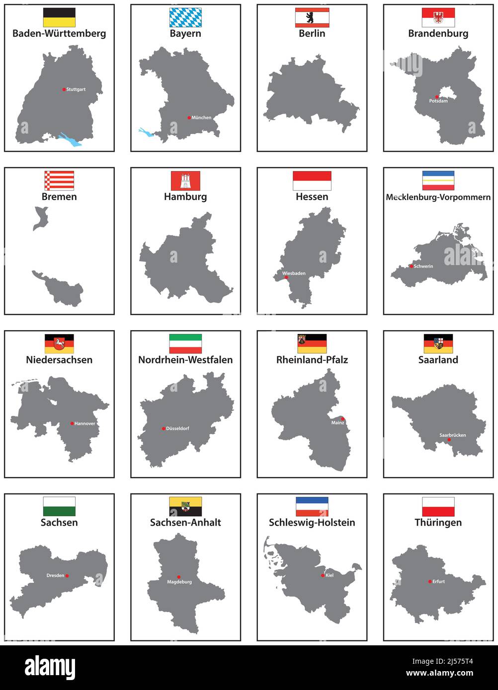 Vector maps with flags of the 16 states of Germany Stock Vectorhttps://www.alamy.com/image-license-details/?v=1https://www.alamy.com/vector-maps-with-flags-of-the-16-states-of-germany-image467911476.html
RF2J575T4–Vector maps with flags of the 16 states of Germany
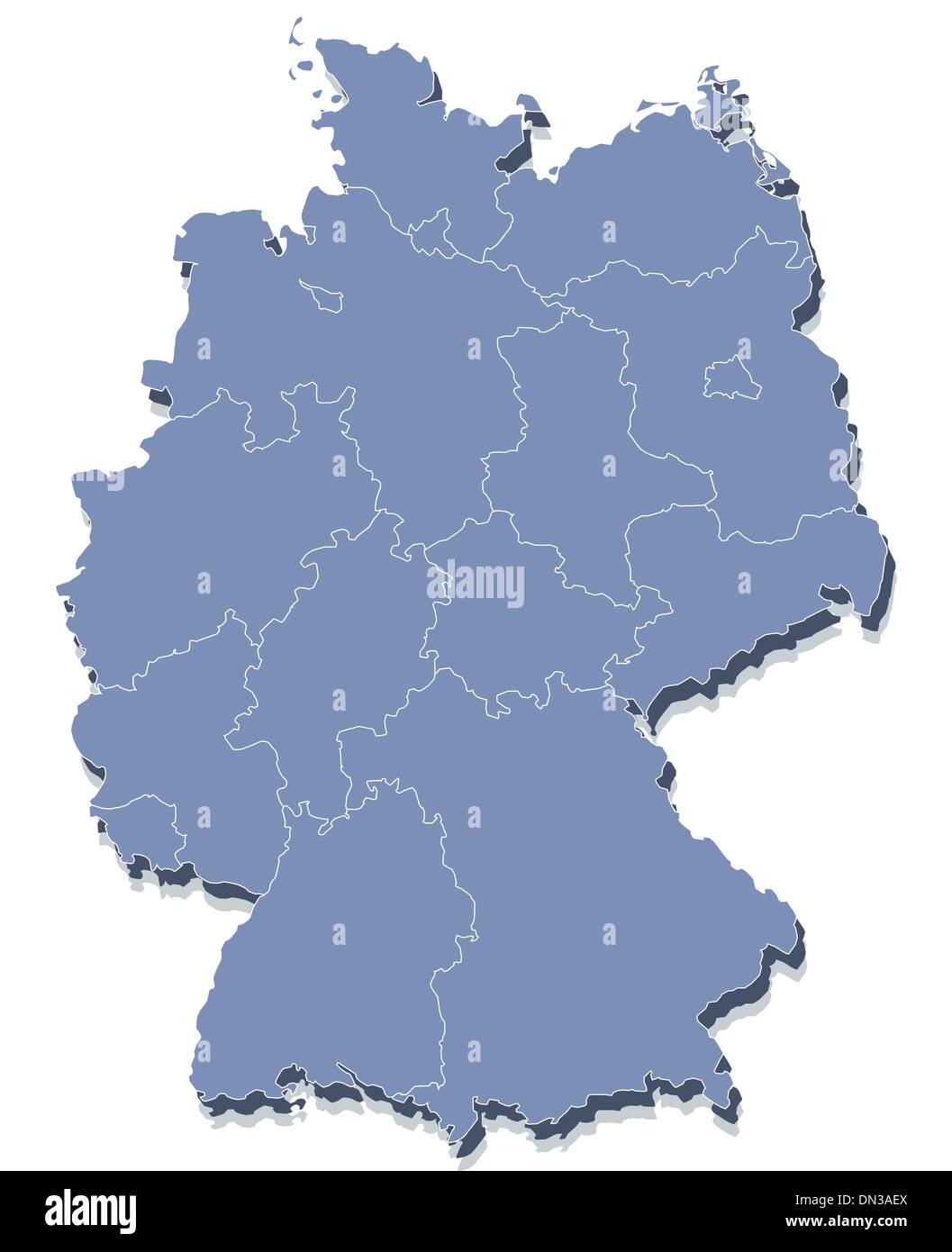 vector map of Germany Stock Vectorhttps://www.alamy.com/image-license-details/?v=1https://www.alamy.com/vector-map-of-germany-image64612994.html
RFDN3AEX–vector map of Germany
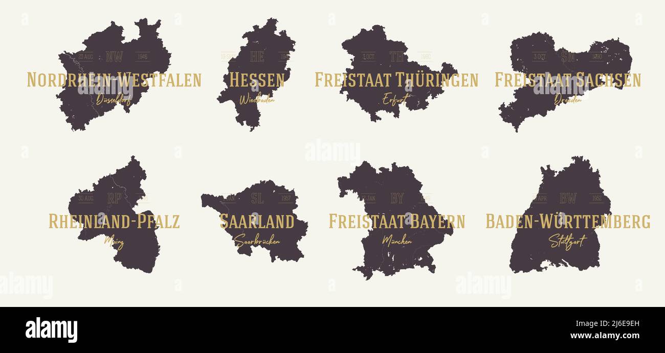 Set 2 of 2 Highly detailed maps vector silhouettes states of Germany with names and capital Stock Vectorhttps://www.alamy.com/image-license-details/?v=1https://www.alamy.com/set-2-of-2-highly-detailed-maps-vector-silhouettes-states-of-germany-with-names-and-capital-image468682665.html
RF2J6E9EH–Set 2 of 2 Highly detailed maps vector silhouettes states of Germany with names and capital
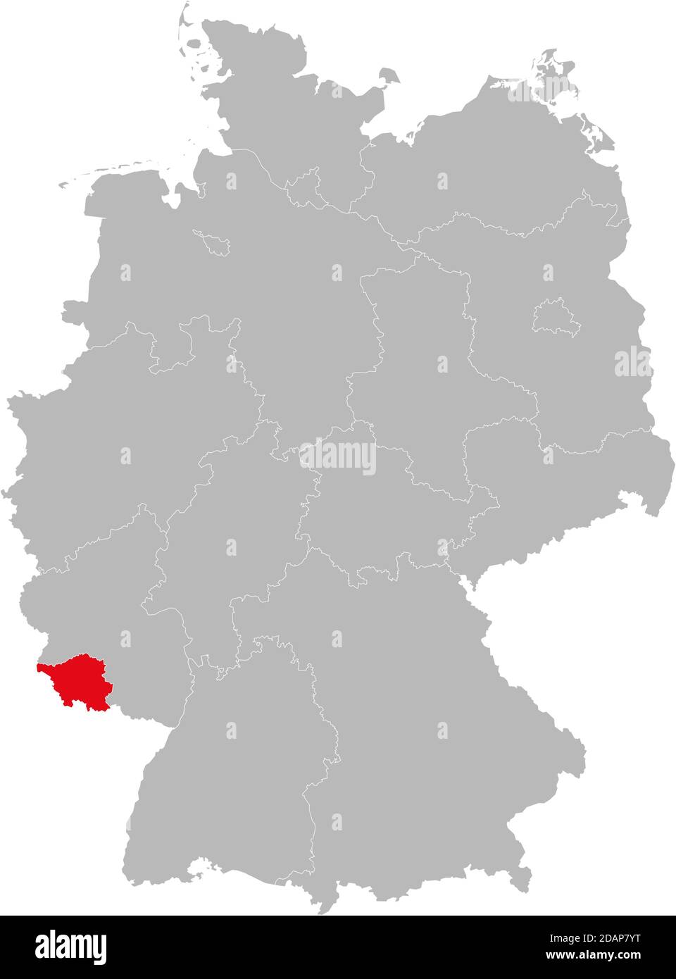 Saarland state isolated on Germany map. Business concepts and backgrounds. Stock Vectorhttps://www.alamy.com/image-license-details/?v=1https://www.alamy.com/saarland-state-isolated-on-germany-map-business-concepts-and-backgrounds-image385263868.html
RF2DAP7YT–Saarland state isolated on Germany map. Business concepts and backgrounds.
 I love Saarland with map Stock Vectorhttps://www.alamy.com/image-license-details/?v=1https://www.alamy.com/stock-photo-i-love-saarland-with-map-104648711.html
RFG274DY–I love Saarland with map
 map of germany with all cities over one hundred thousand inhabitants in german language Stock Vectorhttps://www.alamy.com/image-license-details/?v=1https://www.alamy.com/map-of-germany-with-all-cities-over-one-hundred-thousand-inhabitants-in-german-language-image247399329.html
RFTAE0A9–map of germany with all cities over one hundred thousand inhabitants in german language
 Merzig-Wadern grey county map of Saarland Germany DE Stock Vectorhttps://www.alamy.com/image-license-details/?v=1https://www.alamy.com/merzig-wadern-grey-county-map-of-saarland-germany-de-image260391266.html
RFW3HRM2–Merzig-Wadern grey county map of Saarland Germany DE
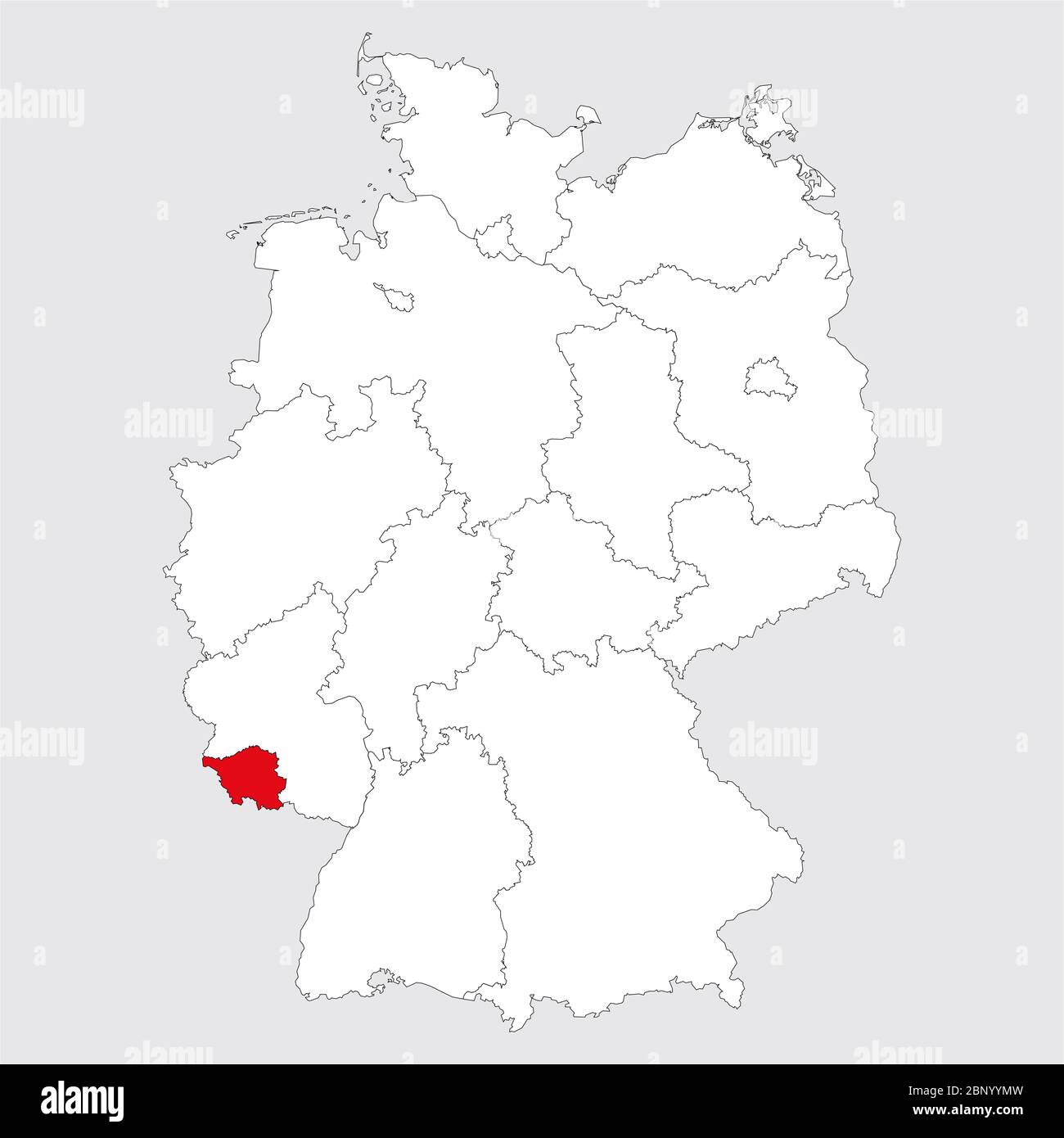 Saarland province highlighted on germany map. Gray background. German political map. Stock Vectorhttps://www.alamy.com/image-license-details/?v=1https://www.alamy.com/saarland-province-highlighted-on-germany-map-gray-background-german-political-map-image357729593.html
RF2BNYYMW–Saarland province highlighted on germany map. Gray background. German political map.
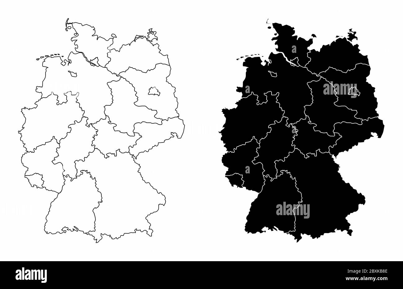 Germany regions maps Stock Vectorhttps://www.alamy.com/image-license-details/?v=1https://www.alamy.com/germany-regions-maps-image360614366.html
RF2BXKB8E–Germany regions maps
 Symbol Map of the Bundesland Saarland (Germany) showing the state with black, crossing lines like Mikado Sticks or a spider web Stock Vectorhttps://www.alamy.com/image-license-details/?v=1https://www.alamy.com/symbol-map-of-the-bundesland-saarland-germany-showing-the-state-with-black-crossing-lines-like-mikado-sticks-or-a-spider-web-image616046118.html
RF2XP7932–Symbol Map of the Bundesland Saarland (Germany) showing the state with black, crossing lines like Mikado Sticks or a spider web
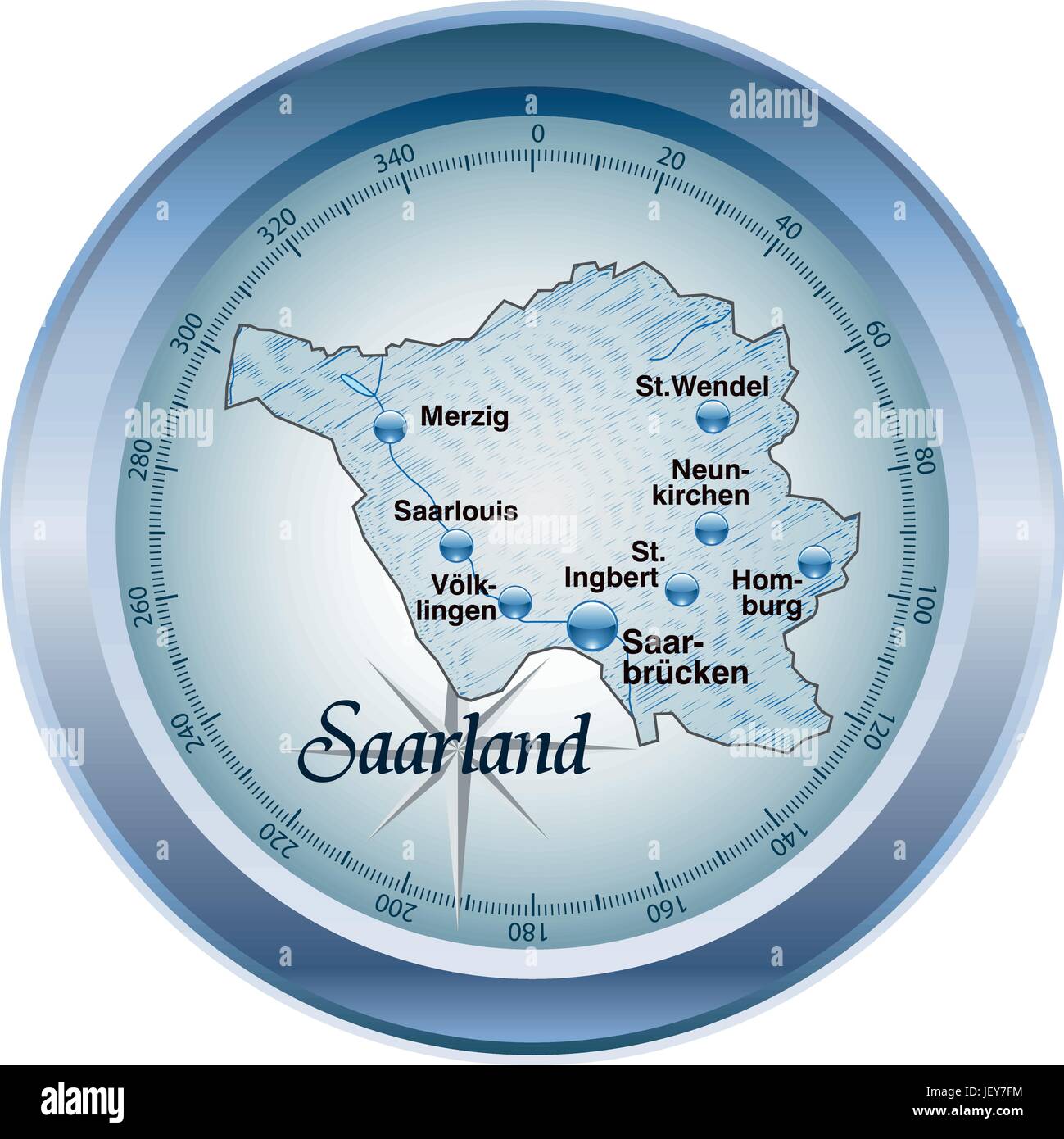 map of saarland as an overview map in blue Stock Vectorhttps://www.alamy.com/image-license-details/?v=1https://www.alamy.com/stock-photo-map-of-saarland-as-an-overview-map-in-blue-146886760.html
RFJEY7FM–map of saarland as an overview map in blue
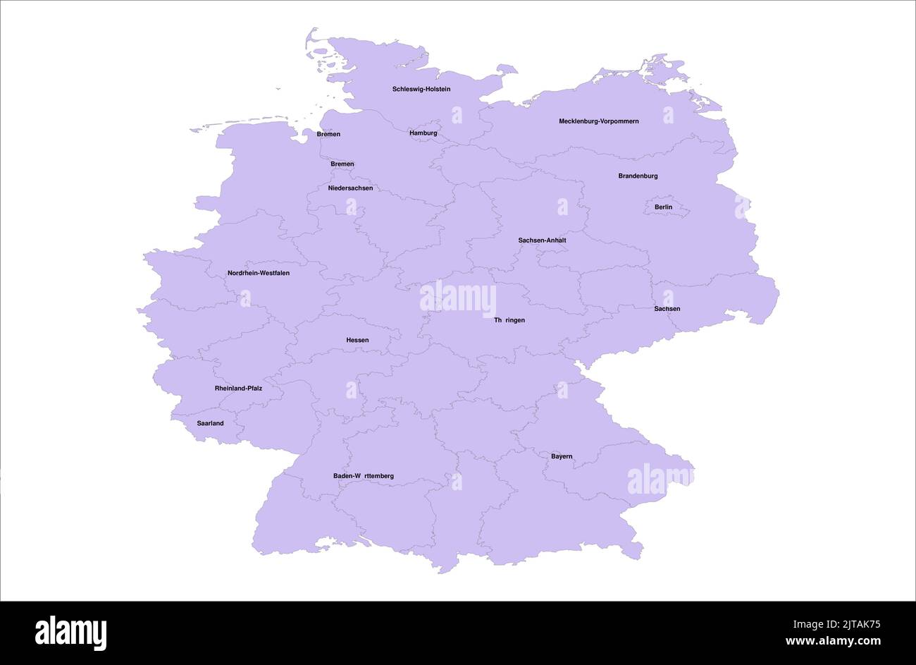 Germany Vector Map illustration with its districts on white background Stock Vectorhttps://www.alamy.com/image-license-details/?v=1https://www.alamy.com/germany-vector-map-illustration-with-its-districts-on-white-background-image479666297.html
RF2JTAK75–Germany Vector Map illustration with its districts on white background
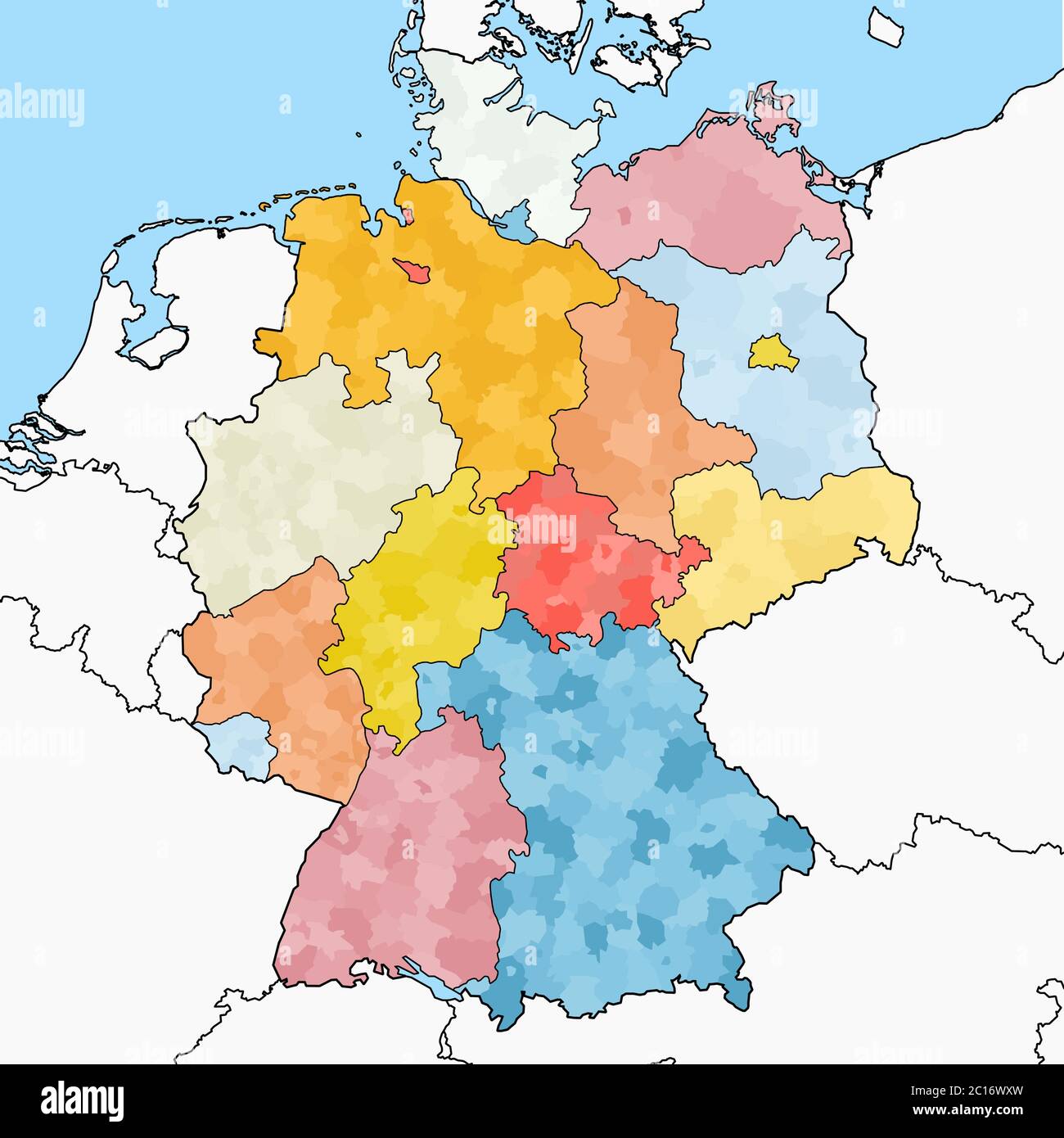 west european country germany and the federal states Stock Vectorhttps://www.alamy.com/image-license-details/?v=1https://www.alamy.com/west-european-country-germany-and-the-federal-states-image362184449.html
RF2C16WXW–west european country germany and the federal states
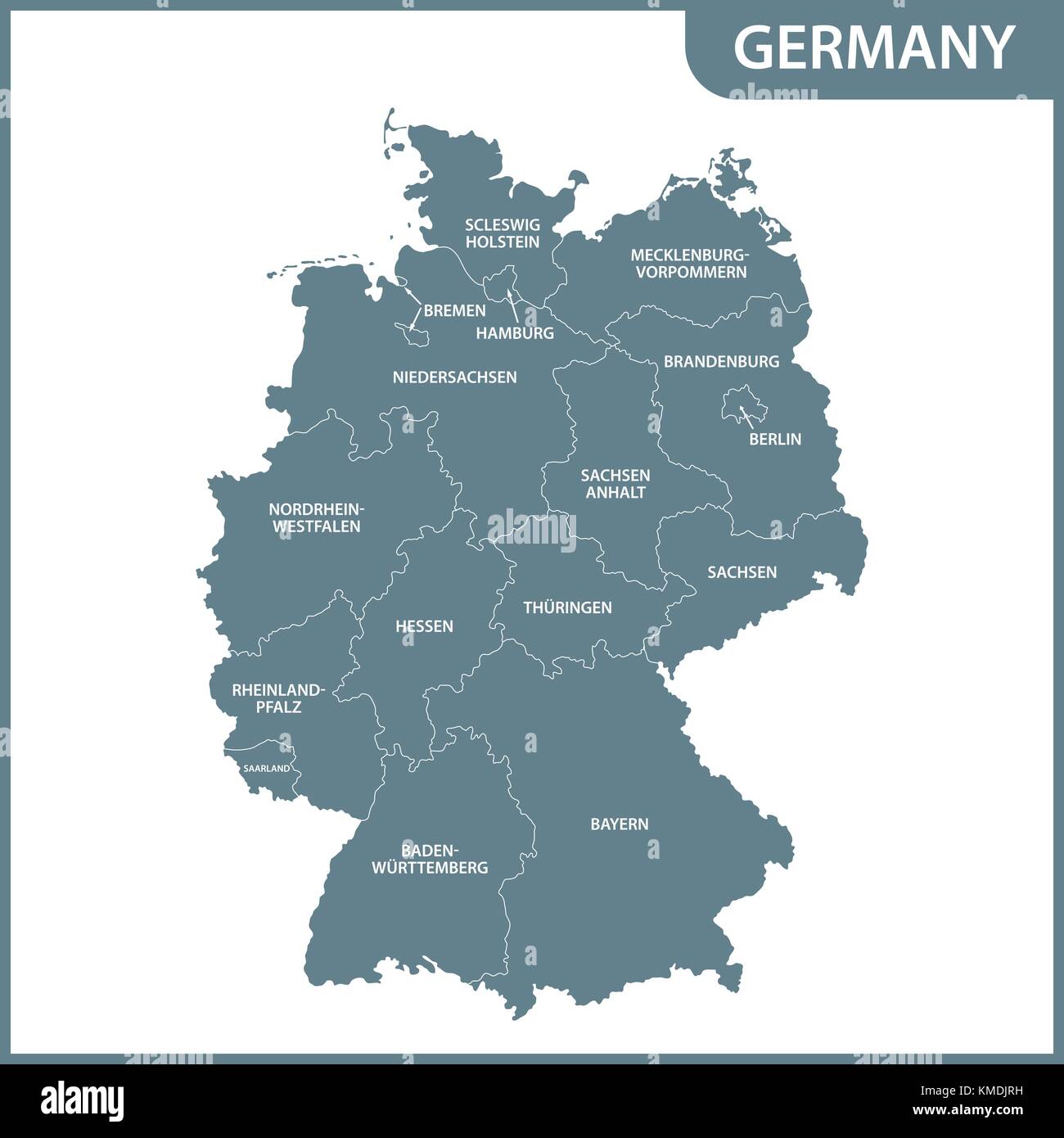 The detailed map of the Germany with regions Stock Vectorhttps://www.alamy.com/image-license-details/?v=1https://www.alamy.com/stock-image-the-detailed-map-of-the-germany-with-regions-167486581.html
RFKMDJRH–The detailed map of the Germany with regions
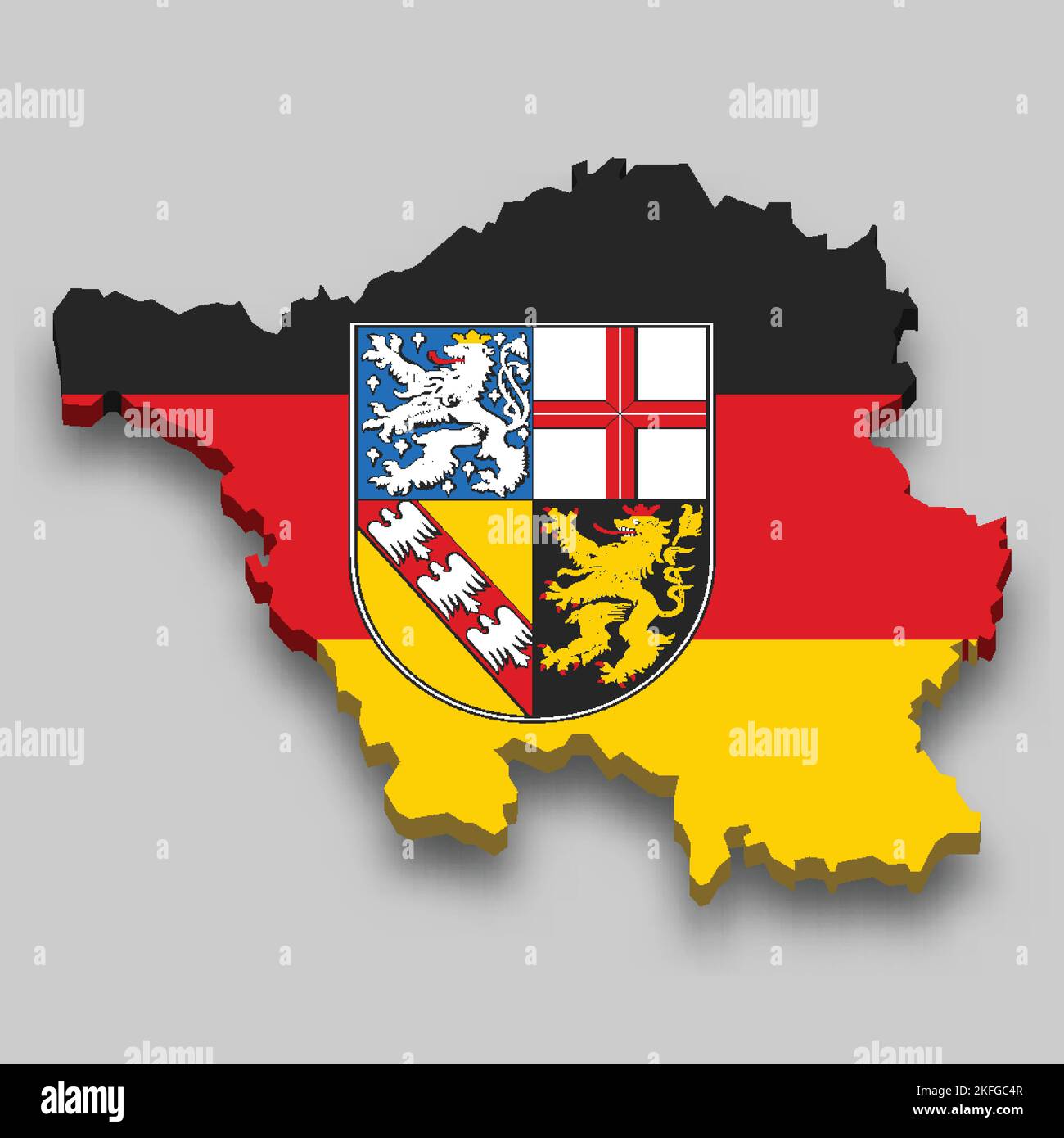 3d isometric Map of Saarland is a state of Germany with national flag Stock Vectorhttps://www.alamy.com/image-license-details/?v=1https://www.alamy.com/3d-isometric-map-of-saarland-is-a-state-of-germany-with-national-flag-image491470919.html
RF2KFGC4R–3d isometric Map of Saarland is a state of Germany with national flag
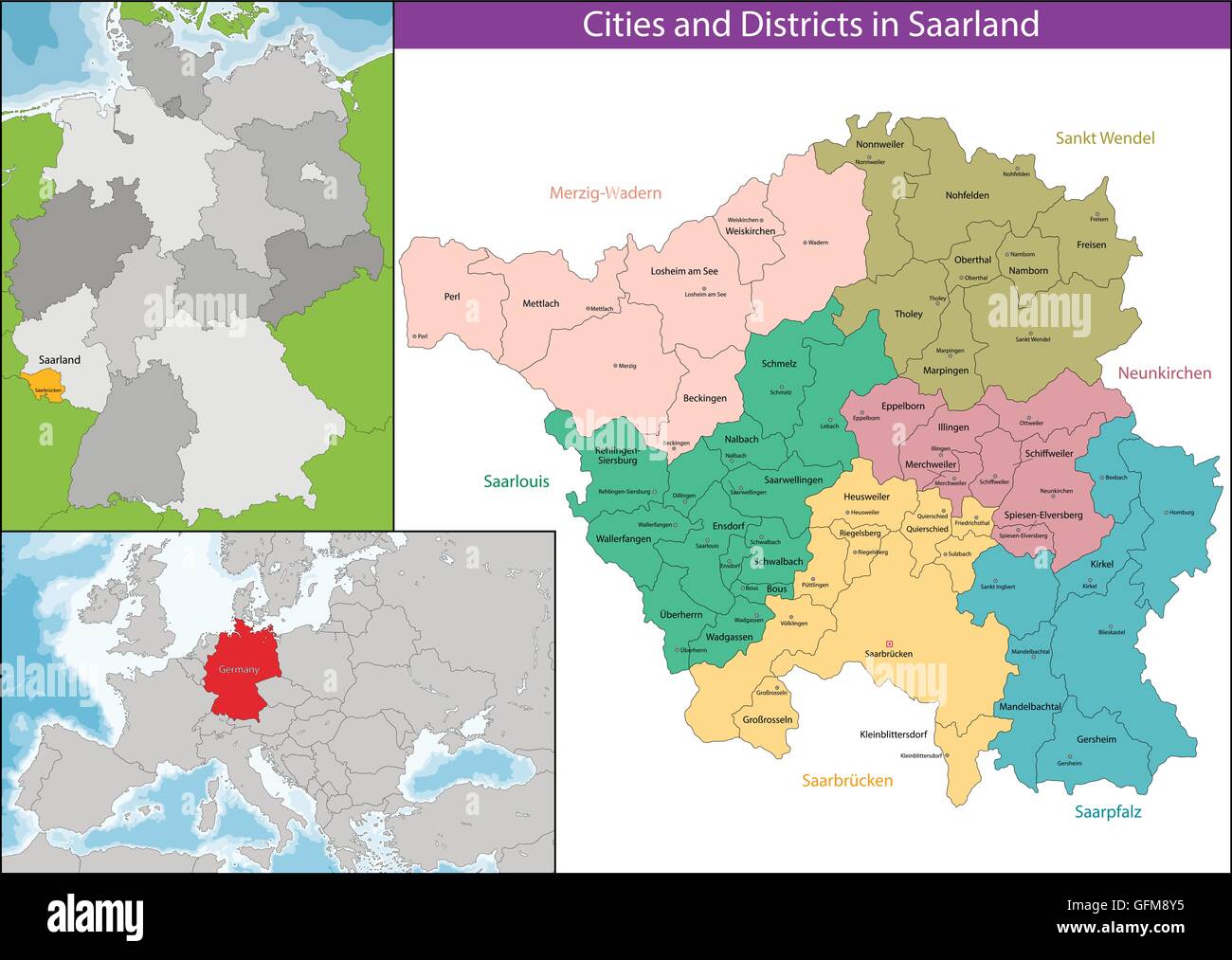 Map of Saarland Stock Vectorhttps://www.alamy.com/image-license-details/?v=1https://www.alamy.com/stock-photo-map-of-saarland-112928121.html
RFGFM8Y5–Map of Saarland
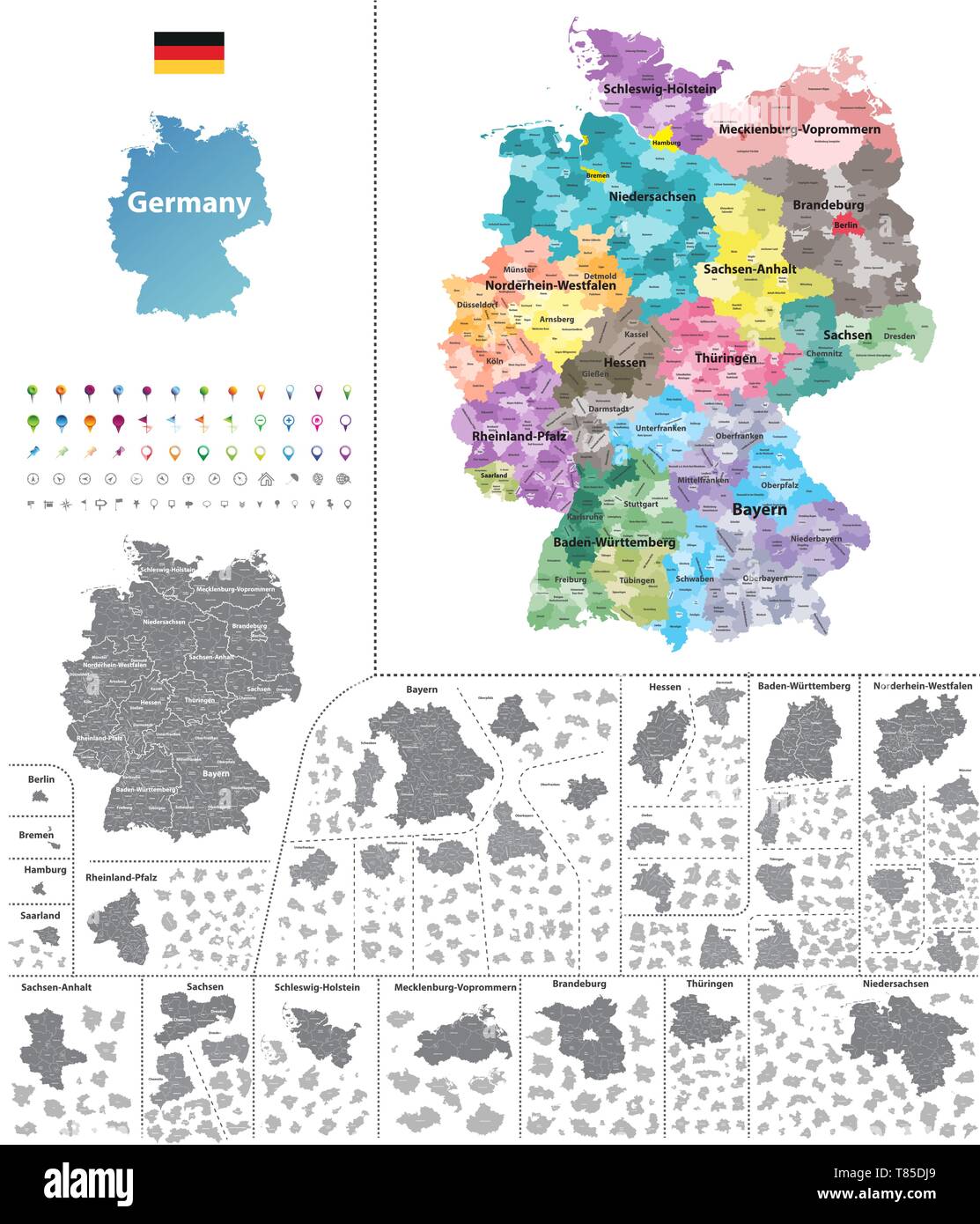 Germany high detailed vector map (colored by states and administrative districts Stock Vectorhttps://www.alamy.com/image-license-details/?v=1https://www.alamy.com/germany-high-detailed-vector-map-colored-by-states-and-administrative-districts-image245982865.html
RFT85DJ9–Germany high detailed vector map (colored by states and administrative districts
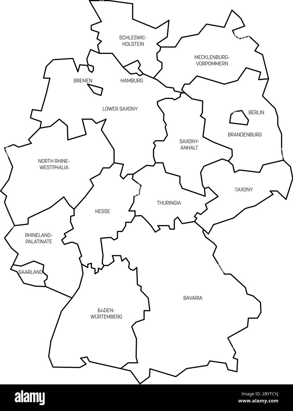 Map of Germany devided to 13 federal states and 3 city-states - Berlin, Bremen and Hamburg, Europe. Simple flat white vector map with black outlines and labels. Stock Vectorhttps://www.alamy.com/image-license-details/?v=1https://www.alamy.com/map-of-germany-devided-to-13-federal-states-and-3-city-states-berlin-bremen-and-hamburg-europe-simple-flat-white-vector-map-with-black-outlines-and-labels-image361340102.html
RF2BYTCYJ–Map of Germany devided to 13 federal states and 3 city-states - Berlin, Bremen and Hamburg, Europe. Simple flat white vector map with black outlines and labels.
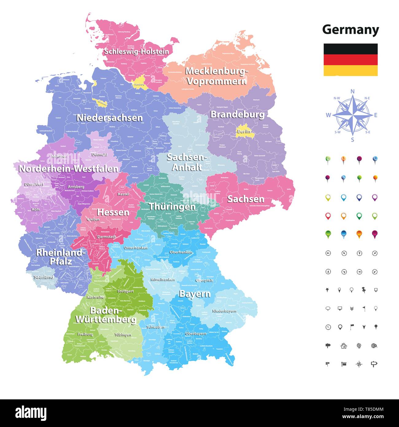 Germany high detailed vector map (colored by states and administrative districts Stock Vectorhttps://www.alamy.com/image-license-details/?v=1https://www.alamy.com/germany-high-detailed-vector-map-colored-by-states-and-administrative-districts-image245982932.html
RFT85DMM–Germany high detailed vector map (colored by states and administrative districts
 Map of Germany devided to 13 federal states and 3 city-states - Berlin, Bremen and Hamburg, Europe. Simple flat blank white vector map with black outlines. Stock Vectorhttps://www.alamy.com/image-license-details/?v=1https://www.alamy.com/map-of-germany-devided-to-13-federal-states-and-3-city-states-berlin-bremen-and-hamburg-europe-simple-flat-blank-white-vector-map-with-black-outlines-image360275667.html
RF2BX3Y83–Map of Germany devided to 13 federal states and 3 city-states - Berlin, Bremen and Hamburg, Europe. Simple flat blank white vector map with black outlines.
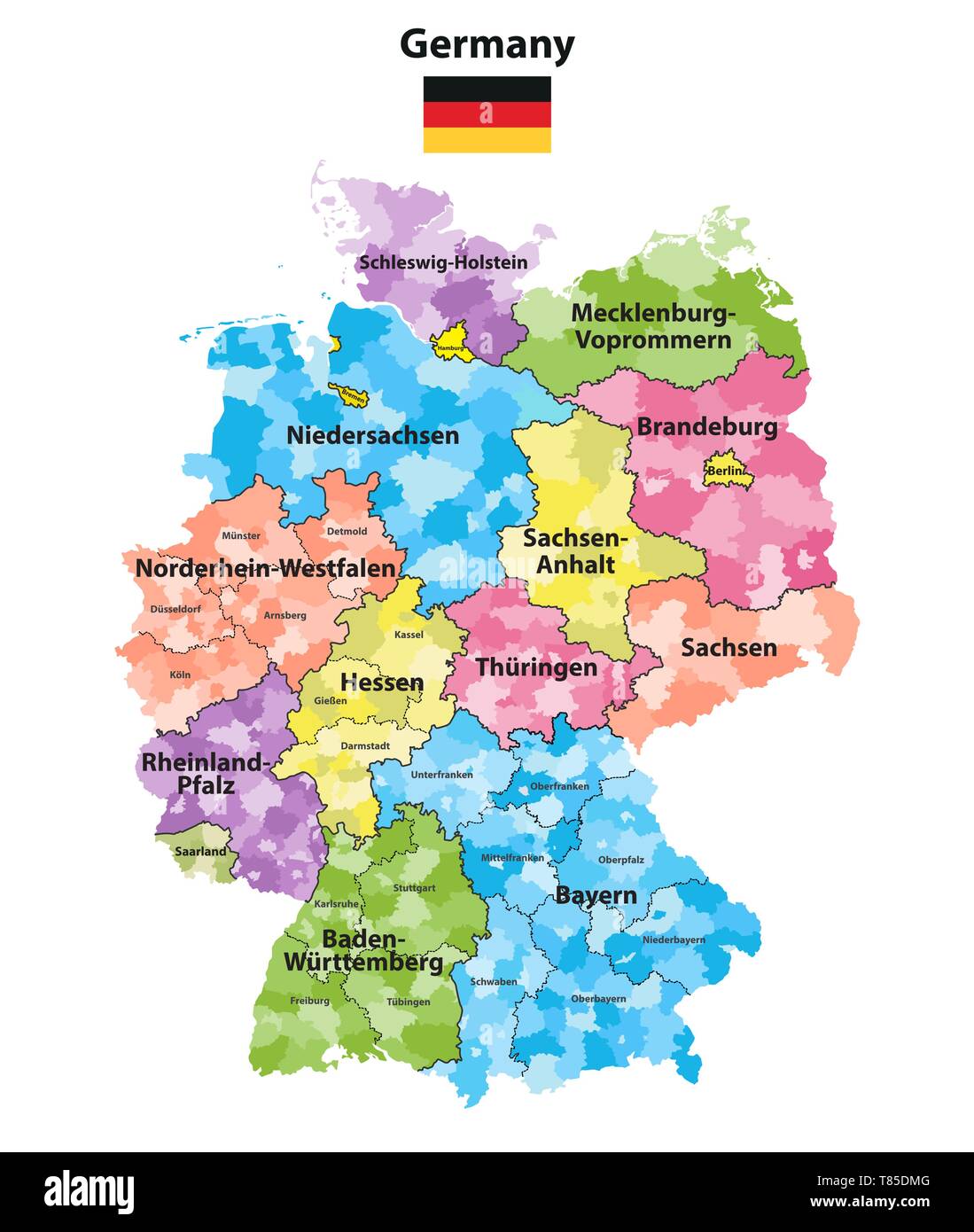 Germany high detailed vector map (colored by states and administrative districts Stock Vectorhttps://www.alamy.com/image-license-details/?v=1https://www.alamy.com/germany-high-detailed-vector-map-colored-by-states-and-administrative-districts-image245982928.html
RFT85DMG–Germany high detailed vector map (colored by states and administrative districts
 Map of Saarland, Germany with Dot Pattern Stock Vectorhttps://www.alamy.com/image-license-details/?v=1https://www.alamy.com/stock-photo-map-of-saarland-germany-with-dot-pattern-104372438.html
RFG1PG32–Map of Saarland, Germany with Dot Pattern
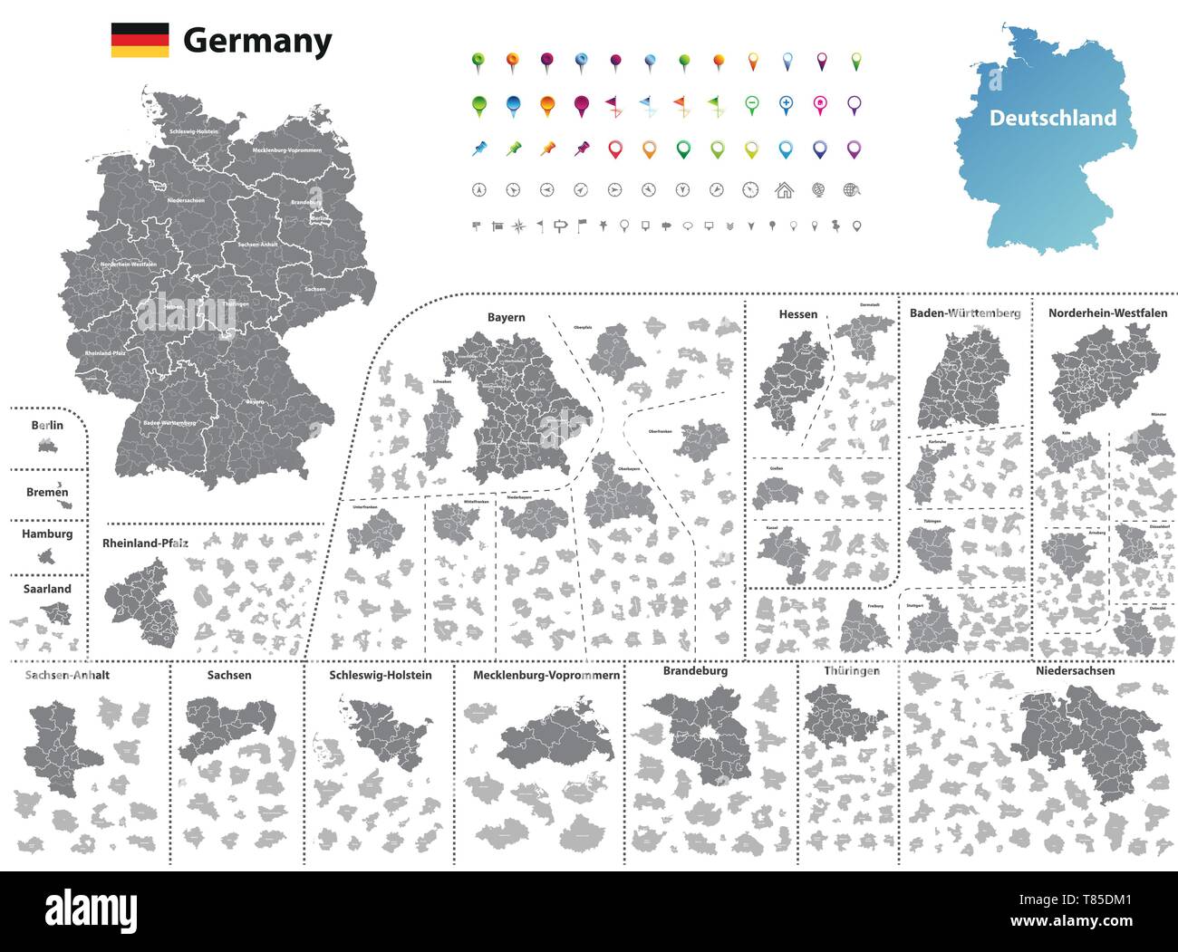 Germany high detailed vector map (colored by states and administrative districts Stock Vectorhttps://www.alamy.com/image-license-details/?v=1https://www.alamy.com/germany-high-detailed-vector-map-colored-by-states-and-administrative-districts-image245982913.html
RFT85DM1–Germany high detailed vector map (colored by states and administrative districts
 Saarland Stock Vectorhttps://www.alamy.com/image-license-details/?v=1https://www.alamy.com/stock-photo-saarland-104648716.html
RFG274E4–Saarland
 Saarbrucken, Saarland, Germany high resolution vector map with city boundaries and editable paths. White outlines for main roads. Many detailed paths. Stock Vectorhttps://www.alamy.com/image-license-details/?v=1https://www.alamy.com/saarbrucken-saarland-germany-high-resolution-vector-map-with-city-boundaries-and-editable-paths-white-outlines-for-main-roads-many-detailed-paths-image458422265.html
RF2HHPX7N–Saarbrucken, Saarland, Germany high resolution vector map with city boundaries and editable paths. White outlines for main roads. Many detailed paths.
 Saarpfalz-Kreis grey county map of Saarland Germany DE Stock Vectorhttps://www.alamy.com/image-license-details/?v=1https://www.alamy.com/saarpfalz-kreis-grey-county-map-of-saarland-germany-de-image260391327.html
RFW3HRP7–Saarpfalz-Kreis grey county map of Saarland Germany DE
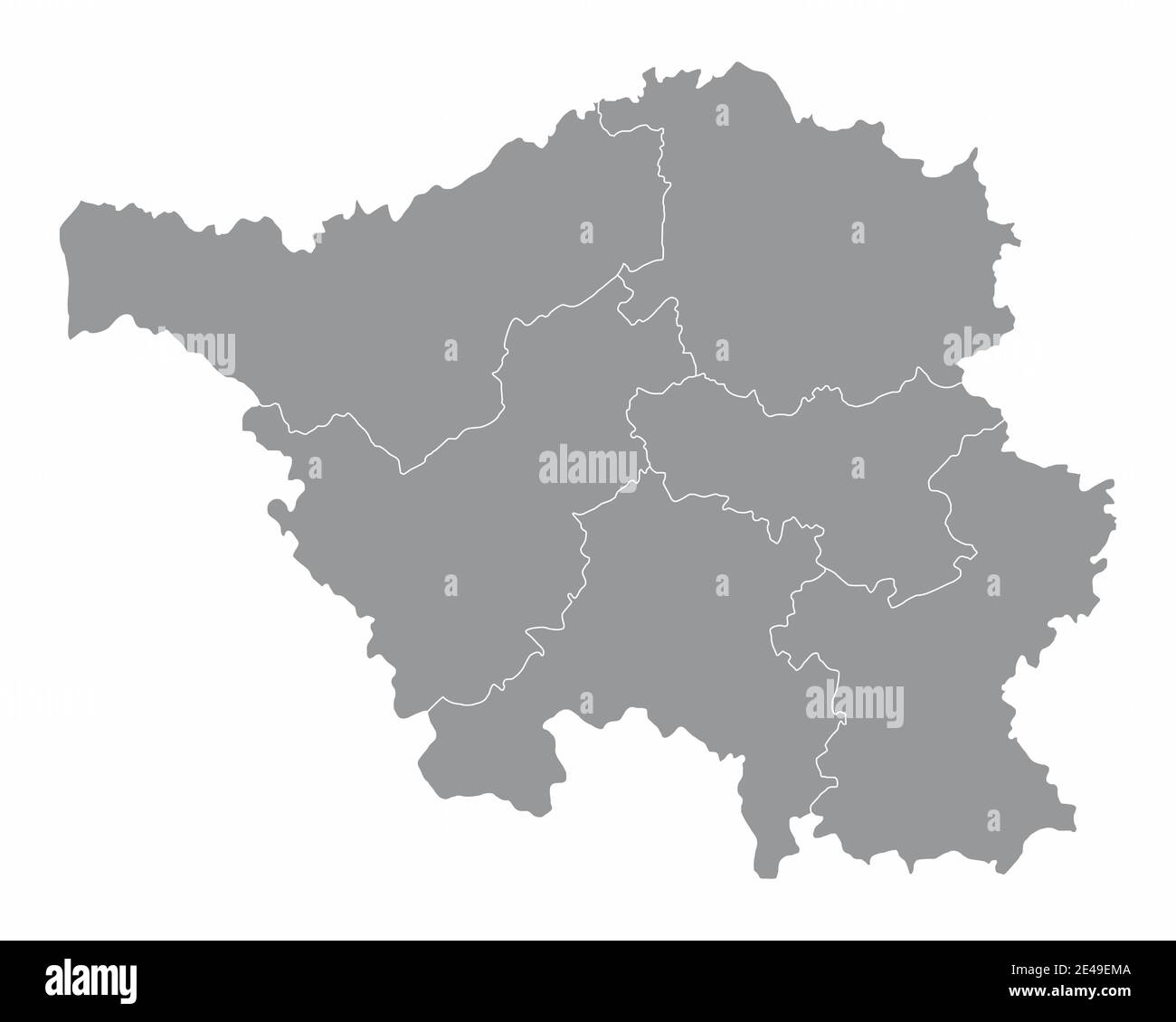 Saarland districts map Stock Vectorhttps://www.alamy.com/image-license-details/?v=1https://www.alamy.com/saarland-districts-map-image398506202.html
RF2E49EMA–Saarland districts map
 Saarland (Federal Republic of Germany, State of Germany) map vector illustration, scribble sketch Saarland map Stock Vectorhttps://www.alamy.com/image-license-details/?v=1https://www.alamy.com/saarland-federal-republic-of-germany-state-of-germany-map-vector-illustration-scribble-sketch-saarland-map-image215713333.html
RFPEXGFH–Saarland (Federal Republic of Germany, State of Germany) map vector illustration, scribble sketch Saarland map
 Symbol Map of the Bundesland Saarland (Germany) showing the state/province with a pattern of black circles Stock Vectorhttps://www.alamy.com/image-license-details/?v=1https://www.alamy.com/symbol-map-of-the-bundesland-saarland-germany-showing-the-stateprovince-with-a-pattern-of-black-circles-image612051975.html
RF2XFNAF3–Symbol Map of the Bundesland Saarland (Germany) showing the state/province with a pattern of black circles
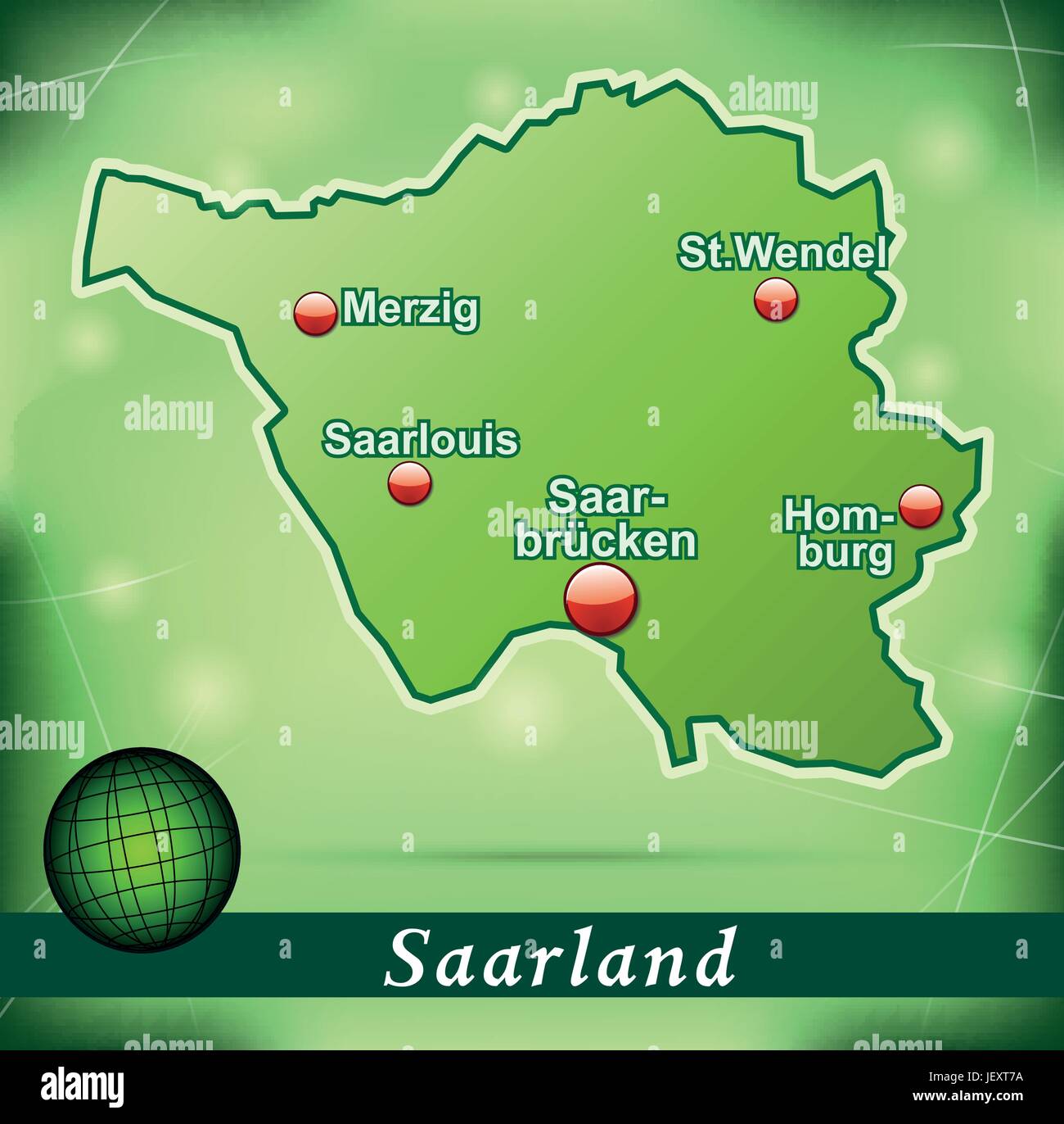 island map of saarland abstract background in green Stock Vectorhttps://www.alamy.com/image-license-details/?v=1https://www.alamy.com/stock-photo-island-map-of-saarland-abstract-background-in-green-146877902.html
RFJEXT7A–island map of saarland abstract background in green
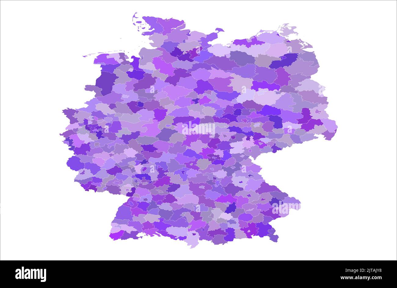 Germany Administrative area vector map illustration , germany map , Stock Vectorhttps://www.alamy.com/image-license-details/?v=1https://www.alamy.com/germany-administrative-area-vector-map-illustration-germany-map-image479666076.html
RF2JTAJY8–Germany Administrative area vector map illustration , germany map ,
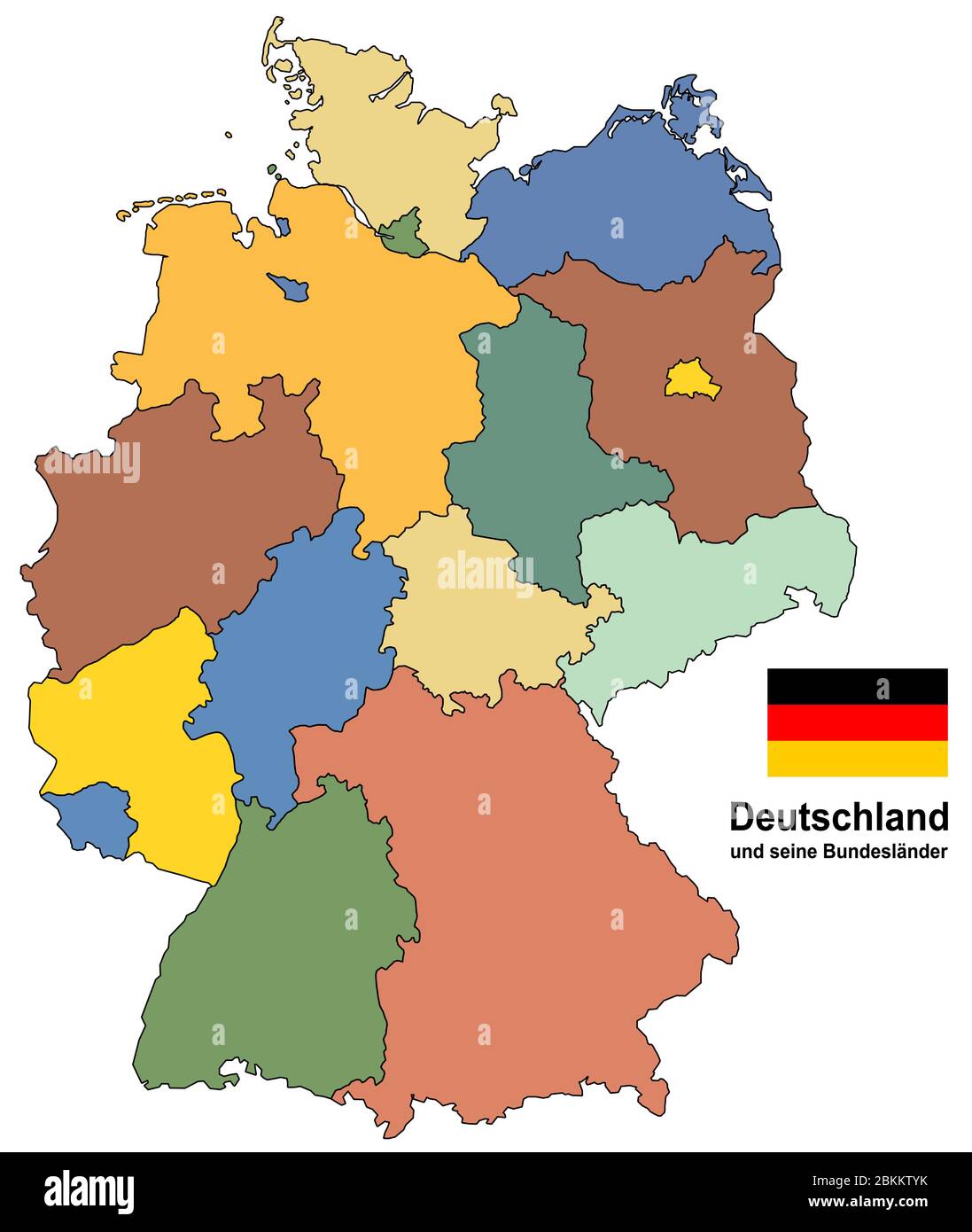 west european country germany and the federal states Stock Vectorhttps://www.alamy.com/image-license-details/?v=1https://www.alamy.com/west-european-country-germany-and-the-federal-states-image356322503.html
RF2BKKTYK–west european country germany and the federal states
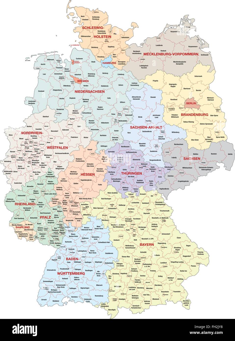 administrative map of Germany Stock Vectorhttps://www.alamy.com/image-license-details/?v=1https://www.alamy.com/stock-photo-administrative-map-of-germany-96559772.html
RFFH2JY8–administrative map of Germany
 3d map of Saarland is a state of Germany Stock Vectorhttps://www.alamy.com/image-license-details/?v=1https://www.alamy.com/3d-map-of-saarland-is-a-state-of-germany-image359564634.html
RF2BTYGA2–3d map of Saarland is a state of Germany
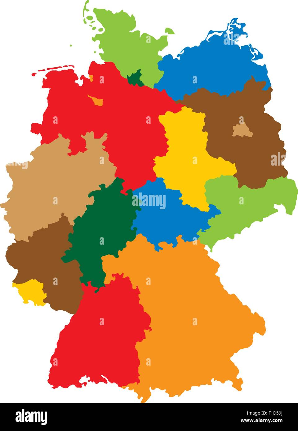 Germany divided into 16 states Stock Vectorhttps://www.alamy.com/image-license-details/?v=1https://www.alamy.com/stock-photo-germany-divided-into-16-states-86956062.html
RFF1D59J–Germany divided into 16 states
 Saarland state outline map set Stock Vectorhttps://www.alamy.com/image-license-details/?v=1https://www.alamy.com/saarland-state-outline-map-set-image620773210.html
RF2Y1XJFP–Saarland state outline map set
RFF1D59N–German States Icons
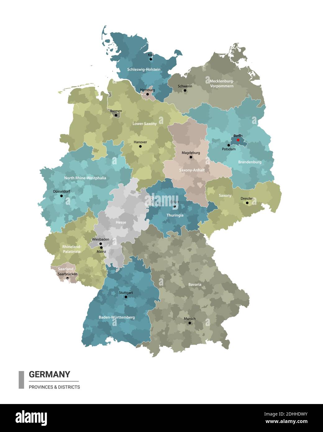 Germany higt detailed map with subdivisions. Administrative map of Germany with districts and cities name, colored by states and administrative distri Stock Vectorhttps://www.alamy.com/image-license-details/?v=1https://www.alamy.com/germany-higt-detailed-map-with-subdivisions-administrative-map-of-germany-with-districts-and-cities-name-colored-by-states-and-administrative-distri-image389461351.html
RF2DHHDWY–Germany higt detailed map with subdivisions. Administrative map of Germany with districts and cities name, colored by states and administrative distri
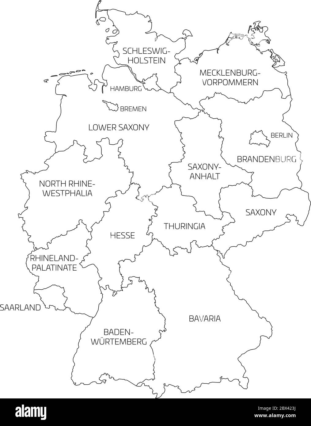 Map of Germany devided to 13 federal states and 3 city-states - Berlin, Bremen and Hamburg, Europe. Simple flat white vector map with black outlines and labels. Stock Vectorhttps://www.alamy.com/image-license-details/?v=1https://www.alamy.com/map-of-germany-devided-to-13-federal-states-and-3-city-states-berlin-bremen-and-hamburg-europe-simple-flat-white-vector-map-with-black-outlines-and-labels-image360277894.html
RF2BX423J–Map of Germany devided to 13 federal states and 3 city-states - Berlin, Bremen and Hamburg, Europe. Simple flat white vector map with black outlines and labels.
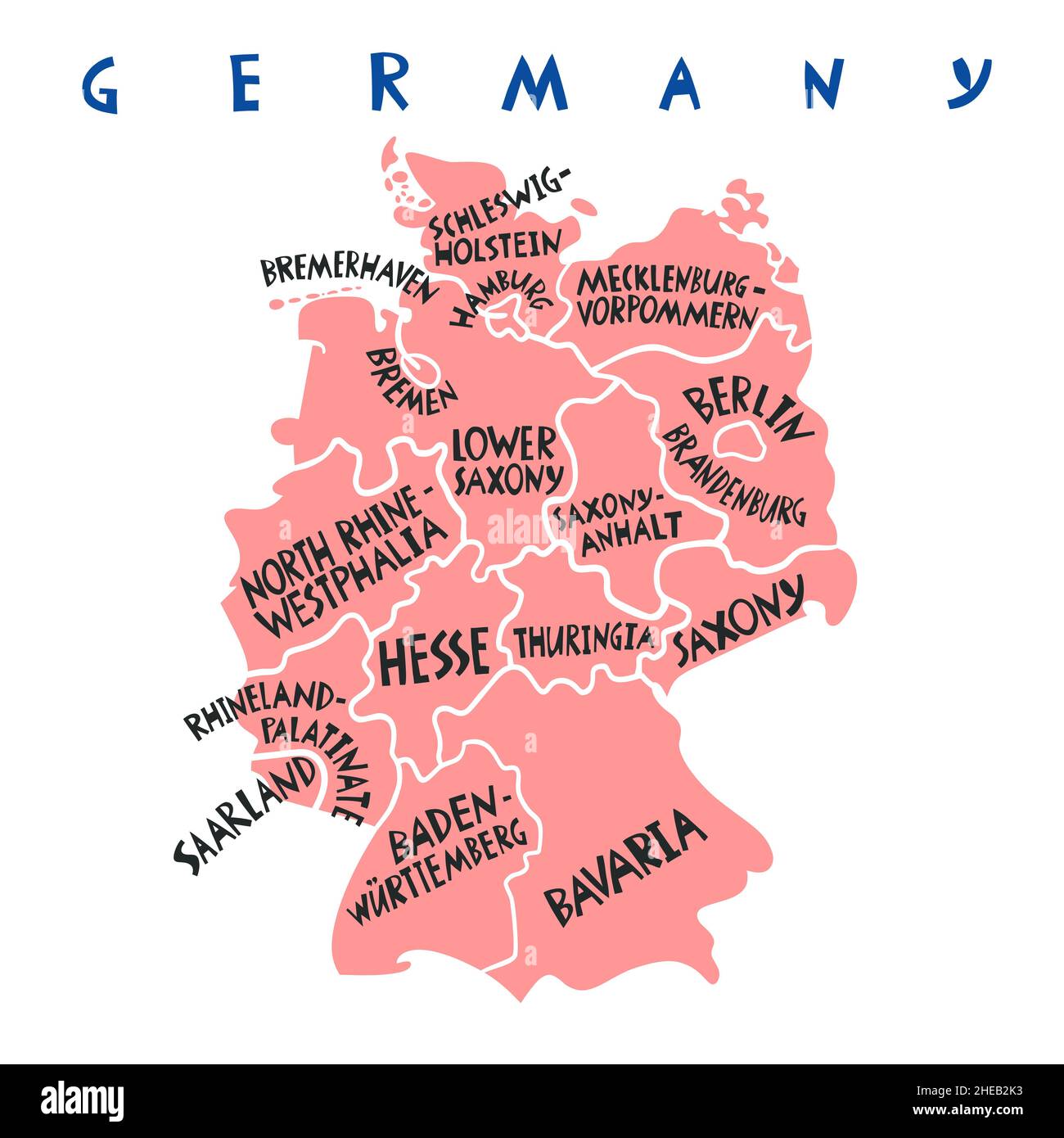 Vector hand drawn stylized map of Germany states. Travel illustration. Federal Republic of Germany geography illustration. Europe map element Stock Vectorhttps://www.alamy.com/image-license-details/?v=1https://www.alamy.com/vector-hand-drawn-stylized-map-of-germany-states-travel-illustration-federal-republic-of-germany-geography-illustration-europe-map-element-image456318327.html
RF2HEB2K3–Vector hand drawn stylized map of Germany states. Travel illustration. Federal Republic of Germany geography illustration. Europe map element
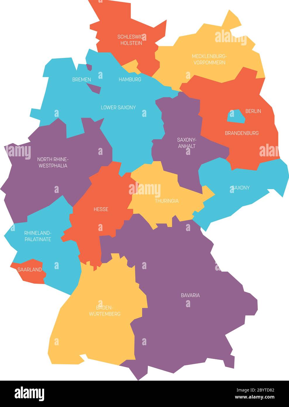 Map of Germany devided to 13 federal states and 3 city-states - Berlin, Bremen and Hamburg, Europe. Simple flat vector map in four colors with white labels. Stock Vectorhttps://www.alamy.com/image-license-details/?v=1https://www.alamy.com/map-of-germany-devided-to-13-federal-states-and-3-city-states-berlin-bremen-and-hamburg-europe-simple-flat-vector-map-in-four-colors-with-white-labels-image361340338.html
RF2BYTD82–Map of Germany devided to 13 federal states and 3 city-states - Berlin, Bremen and Hamburg, Europe. Simple flat vector map in four colors with white labels.
 Germany high detailed vector map (colored by states and administrative districts Stock Vectorhttps://www.alamy.com/image-license-details/?v=1https://www.alamy.com/germany-high-detailed-vector-map-colored-by-states-and-administrative-districts-image245982899.html
RFT85DKF–Germany high detailed vector map (colored by states and administrative districts
 I love Saarland Stock Vectorhttps://www.alamy.com/image-license-details/?v=1https://www.alamy.com/stock-photo-i-love-saarland-104648712.html
RFG274E0–I love Saarland
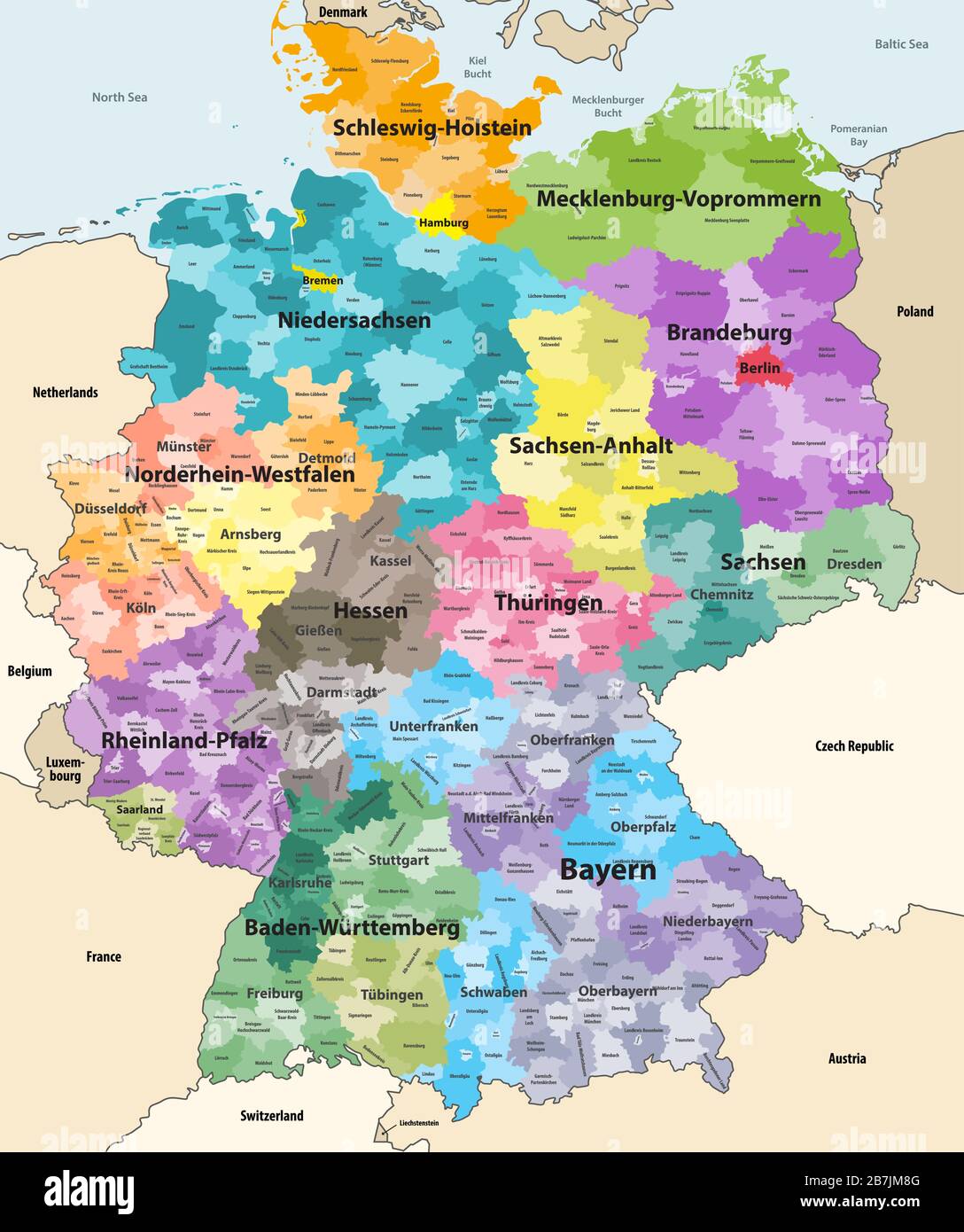 Germany high detailed vector map with neighbouring countries and territories. Map colored by states and administrative districts, with subdivisions Stock Vectorhttps://www.alamy.com/image-license-details/?v=1https://www.alamy.com/germany-high-detailed-vector-map-with-neighbouring-countries-and-territories-map-colored-by-states-and-administrative-districts-with-subdivisions-image348921008.html
RF2B7JM8G–Germany high detailed vector map with neighbouring countries and territories. Map colored by states and administrative districts, with subdivisions
 Regionalverband Saarbruecken grey county map of Saarland Germany DE Stock Vectorhttps://www.alamy.com/image-license-details/?v=1https://www.alamy.com/regionalverband-saarbruecken-grey-county-map-of-saarland-germany-de-image260391245.html
RFW3HRK9–Regionalverband Saarbruecken grey county map of Saarland Germany DE
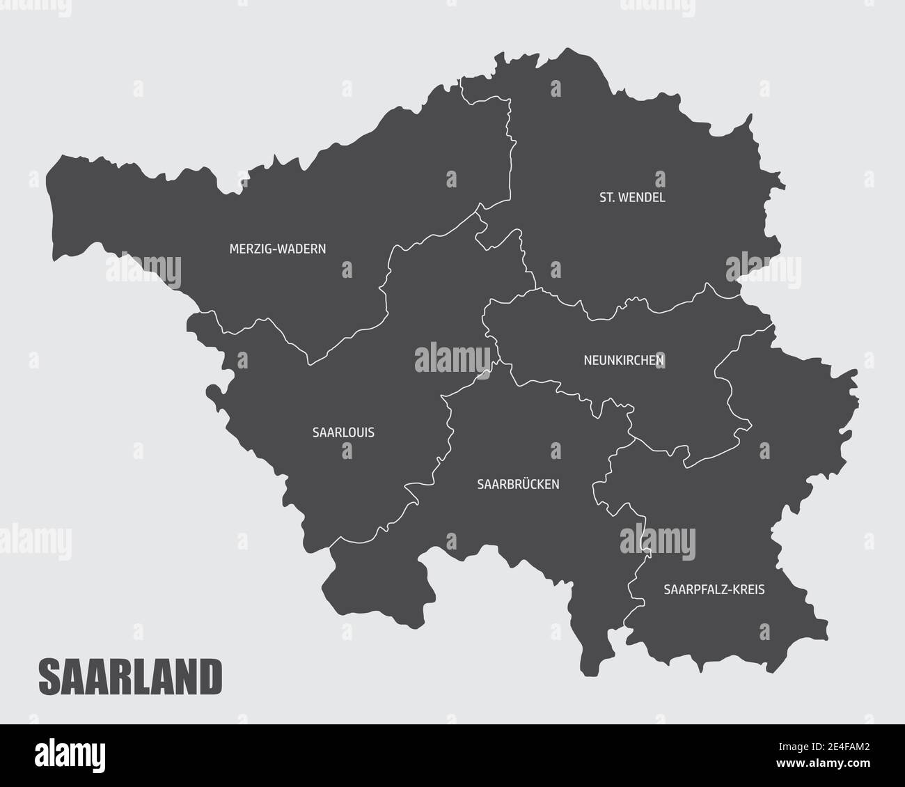 Saarland districts map Stock Vectorhttps://www.alamy.com/image-license-details/?v=1https://www.alamy.com/saarland-districts-map-image398634770.html
RF2E4FAM2–Saarland districts map
 Saarland (Federal Republic of Germany, State of Germany) map vector illustration, scribble sketch Saarland map Stock Vectorhttps://www.alamy.com/image-license-details/?v=1https://www.alamy.com/saarland-federal-republic-of-germany-state-of-germany-map-vector-illustration-scribble-sketch-saarland-map-image215664095.html
RFPET9N3–Saarland (Federal Republic of Germany, State of Germany) map vector illustration, scribble sketch Saarland map
 Map on flag button of Saarland, Germany Stock Vectorhttps://www.alamy.com/image-license-details/?v=1https://www.alamy.com/stock-photo-map-on-flag-button-of-saarland-germany-104372437.html
RFG1PG31–Map on flag button of Saarland, Germany
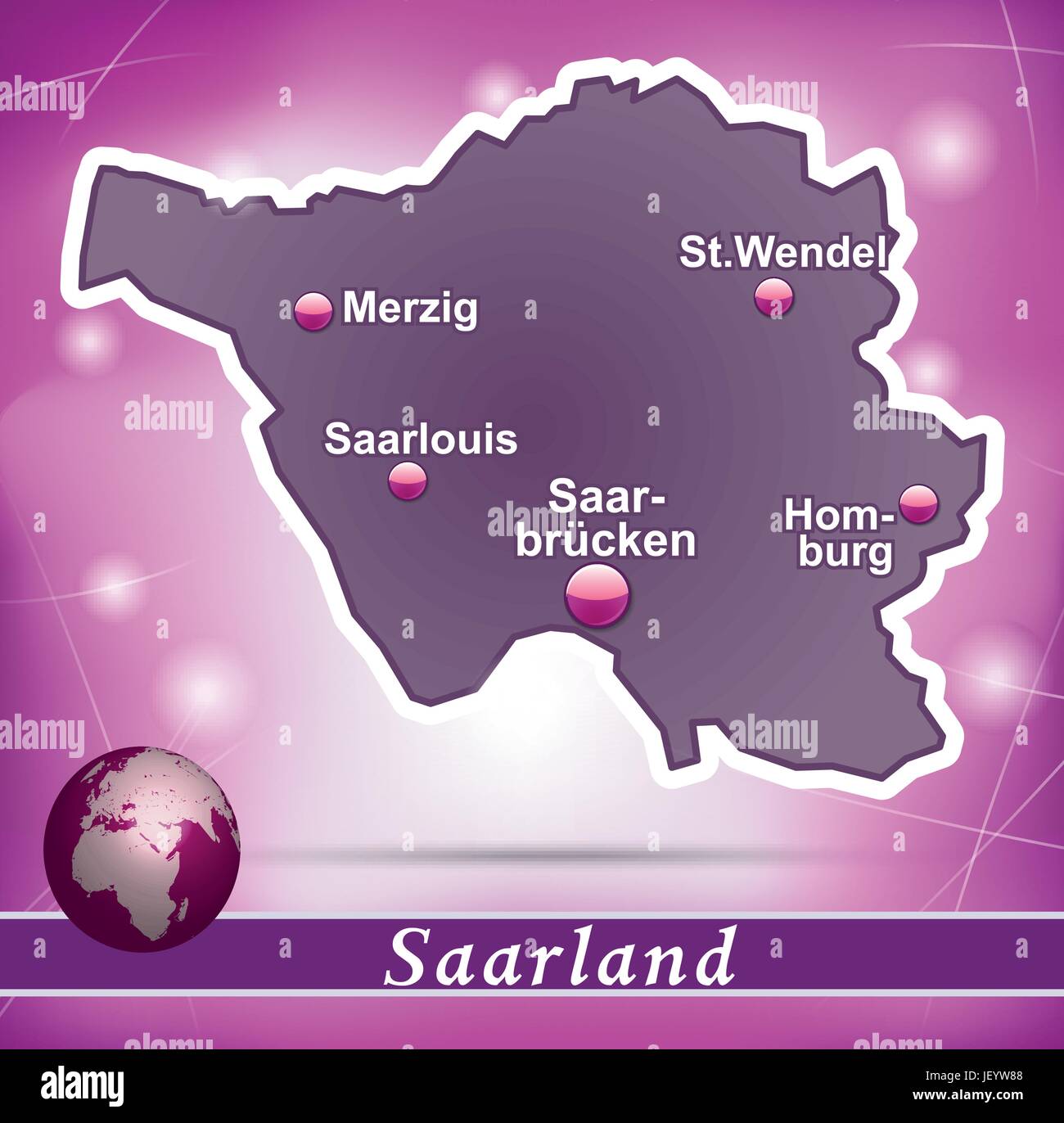 island map of saarland abstract background in violet Stock Vectorhttps://www.alamy.com/image-license-details/?v=1https://www.alamy.com/stock-photo-island-map-of-saarland-abstract-background-in-violet-146900664.html
RFJEYW88–island map of saarland abstract background in violet
RF2NPE4W5–Germany map icon of Saarland, geography blank concept, isolated graphic background vector illustration .
 west european country germany and the federal states Stock Vectorhttps://www.alamy.com/image-license-details/?v=1https://www.alamy.com/west-european-country-germany-and-the-federal-states-image350657010.html
RF2BADPGJ–west european country germany and the federal states
RF2JMXJYR–Germany, Thuringia city skyline isolated vector illustration, icons
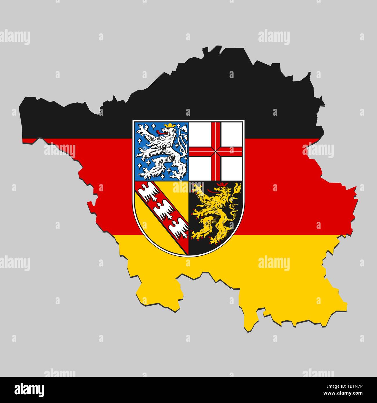 Map of Saarland is a state Germany with flag. Vector Illustration Stock Vectorhttps://www.alamy.com/image-license-details/?v=1https://www.alamy.com/map-of-saarland-is-a-state-germany-with-flag-vector-illustration-image248249898.html
RFTBTN7P–Map of Saarland is a state Germany with flag. Vector Illustration
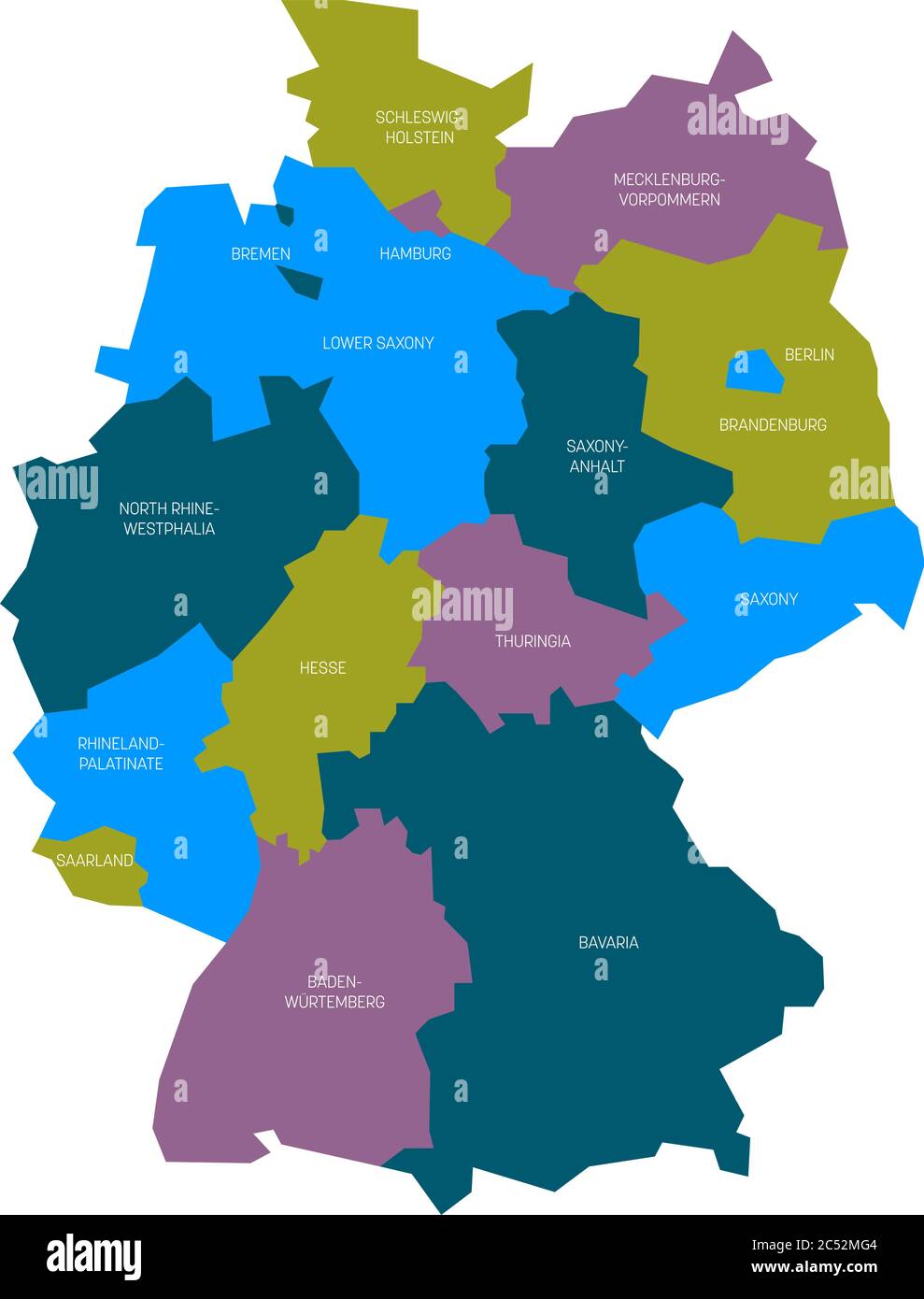 Map of Germany devided to 13 federal states and 3 city-states - Berlin, Bremen and Hamburg, Europe. Simple flat vector map in four colors with white labels. Stock Vectorhttps://www.alamy.com/image-license-details/?v=1https://www.alamy.com/map-of-germany-devided-to-13-federal-states-and-3-city-states-berlin-bremen-and-hamburg-europe-simple-flat-vector-map-in-four-colors-with-white-labels-image364551044.html
RF2C52MG4–Map of Germany devided to 13 federal states and 3 city-states - Berlin, Bremen and Hamburg, Europe. Simple flat vector map in four colors with white labels.
 Made in Saarland barcode Stock Vectorhttps://www.alamy.com/image-license-details/?v=1https://www.alamy.com/stock-photo-made-in-saarland-barcode-104648710.html
RFG274DX–Made in Saarland barcode
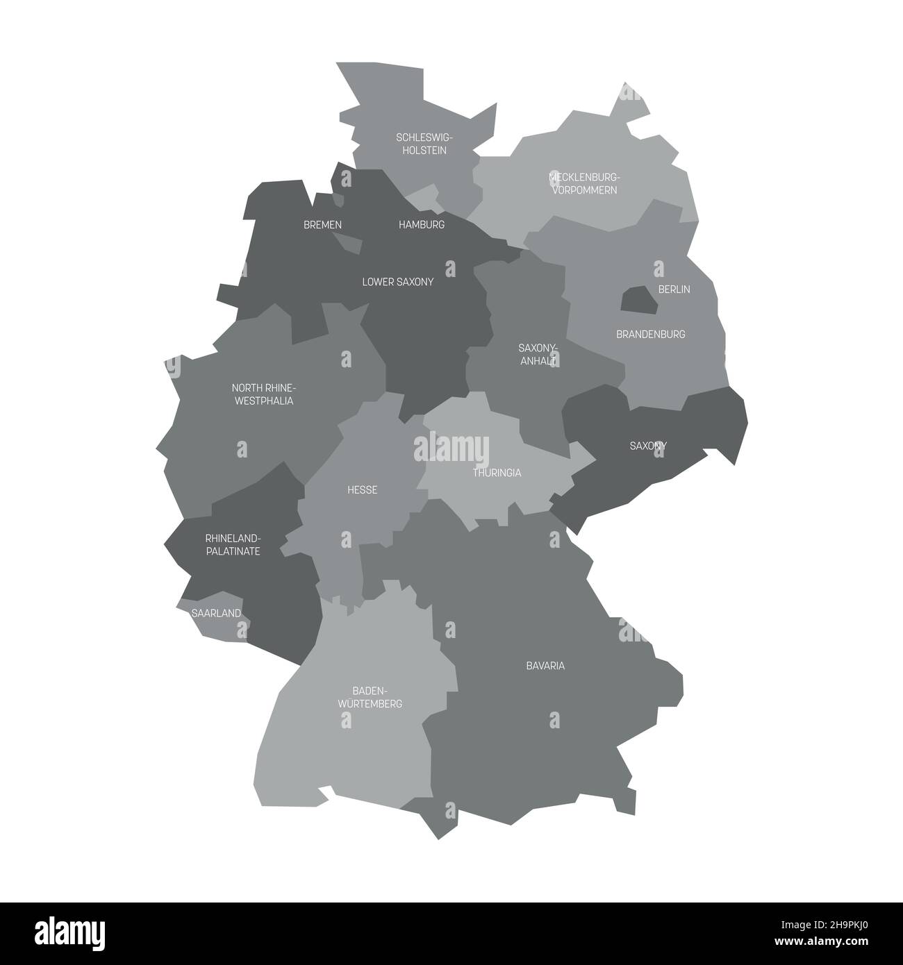 Germany - map of states and city states Stock Vectorhttps://www.alamy.com/image-license-details/?v=1https://www.alamy.com/germany-map-of-states-and-city-states-image453499816.html
RF2H9PKJ0–Germany - map of states and city states
 St Wendel grey county map of Saarland Germany DE Stock Vectorhttps://www.alamy.com/image-license-details/?v=1https://www.alamy.com/st-wendel-grey-county-map-of-saarland-germany-de-image260391216.html
RFW3HRJ8–St Wendel grey county map of Saarland Germany DE
 Saarland silhouette maps Stock Vectorhttps://www.alamy.com/image-license-details/?v=1https://www.alamy.com/saarland-silhouette-maps-image395122409.html
RF2DXRAJH–Saarland silhouette maps
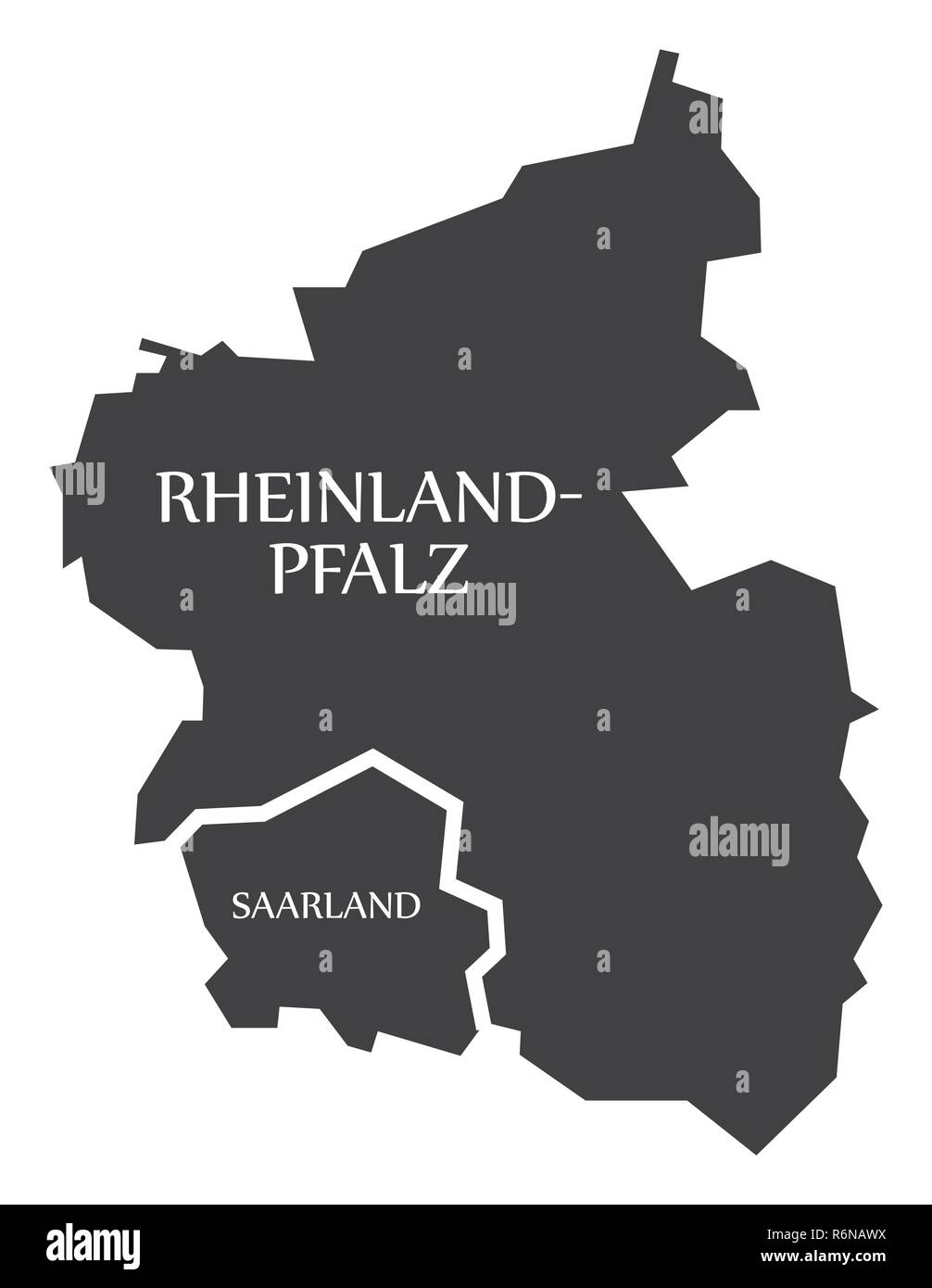 Rhineland Palatinate - Saarland federal states map of Germany black with titles Stock Vectorhttps://www.alamy.com/image-license-details/?v=1https://www.alamy.com/rhineland-palatinate-saarland-federal-states-map-of-germany-black-with-titles-image227892278.html
RFR6NAWX–Rhineland Palatinate - Saarland federal states map of Germany black with titles
 Saarland (Federal Republic of Germany, State of Germany) map vector illustration, scribble sketch Saarland map Stock Vectorhttps://www.alamy.com/image-license-details/?v=1https://www.alamy.com/saarland-federal-republic-of-germany-state-of-germany-map-vector-illustration-scribble-sketch-saarland-map-image217969772.html
RFPJHAJM–Saarland (Federal Republic of Germany, State of Germany) map vector illustration, scribble sketch Saarland map
