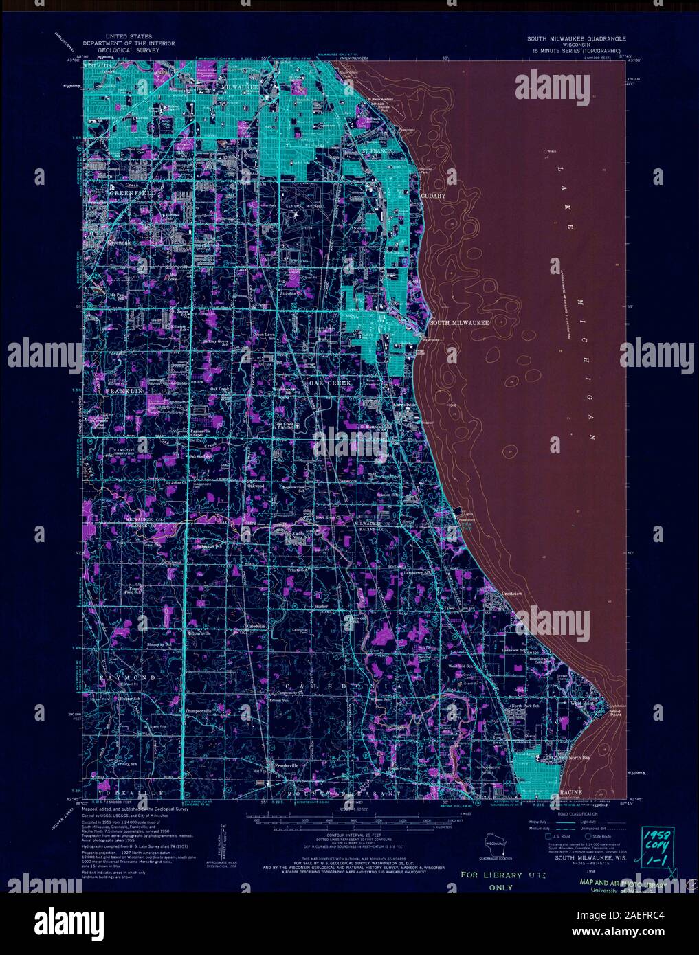
Map of south milwaukee Stock Photos and Images
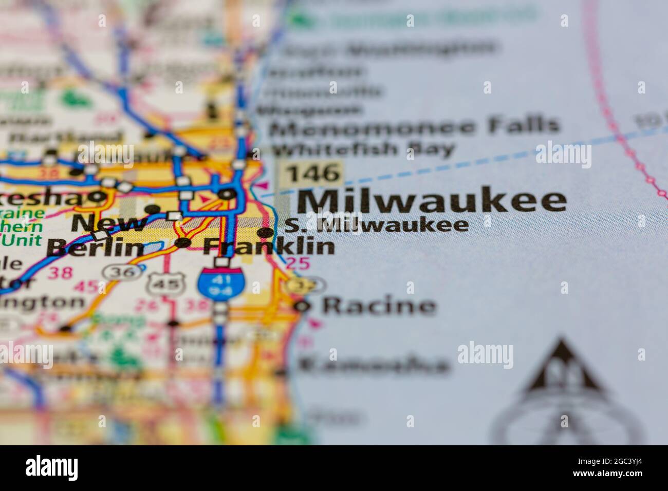 South Milwaukee Wisconsin USA shown on a road map or Geography map Stock Photohttps://www.alamy.com/image-license-details/?v=1https://www.alamy.com/south-milwaukee-wisconsin-usa-shown-on-a-road-map-or-geography-map-image437722604.html
RM2GC3YJ4–South Milwaukee Wisconsin USA shown on a road map or Geography map
 South Milwaukee, Milwaukee County, US, United States, Wisconsin, N 42 54' 38'', S 87 51' 38'', map, Cartascapes Map published in 2024. Explore Cartascapes, a map revealing Earth's diverse landscapes, cultures, and ecosystems. Journey through time and space, discovering the interconnectedness of our planet's past, present, and future. Stock Photohttps://www.alamy.com/image-license-details/?v=1https://www.alamy.com/south-milwaukee-milwaukee-county-us-united-states-wisconsin-n-42-54-38-s-87-51-38-map-cartascapes-map-published-in-2024-explore-cartascapes-a-map-revealing-earths-diverse-landscapes-cultures-and-ecosystems-journey-through-time-and-space-discovering-the-interconnectedness-of-our-planets-past-present-and-future-image621255772.html
RM2Y2MJ24–South Milwaukee, Milwaukee County, US, United States, Wisconsin, N 42 54' 38'', S 87 51' 38'', map, Cartascapes Map published in 2024. Explore Cartascapes, a map revealing Earth's diverse landscapes, cultures, and ecosystems. Journey through time and space, discovering the interconnectedness of our planet's past, present, and future.
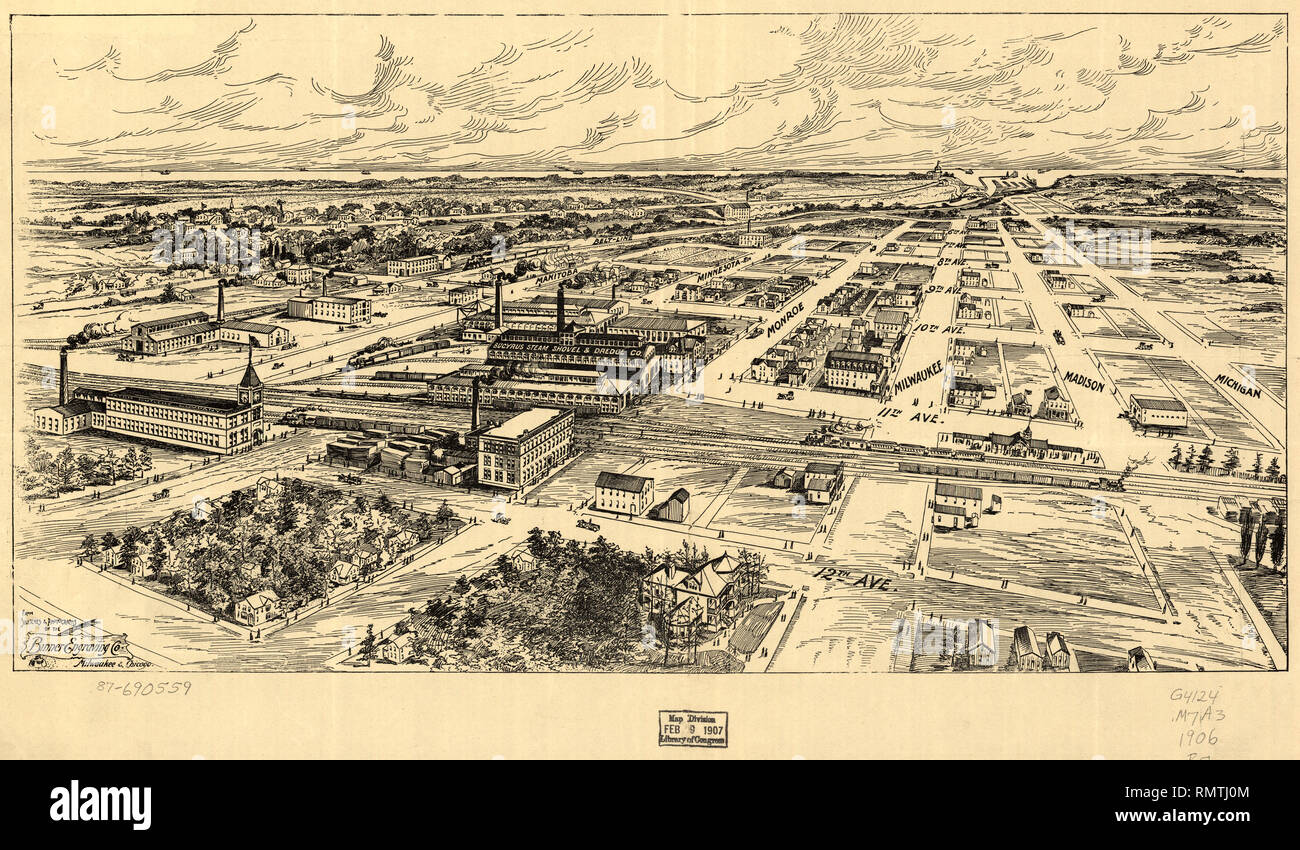 Bird's Eye View of South Milwaukee, Binner Engraving Co., 1907 Stock Photohttps://www.alamy.com/image-license-details/?v=1https://www.alamy.com/birds-eye-view-of-south-milwaukee-binner-engraving-co-1907-image236568884.html
RMRMTJ0M–Bird's Eye View of South Milwaukee, Binner Engraving Co., 1907
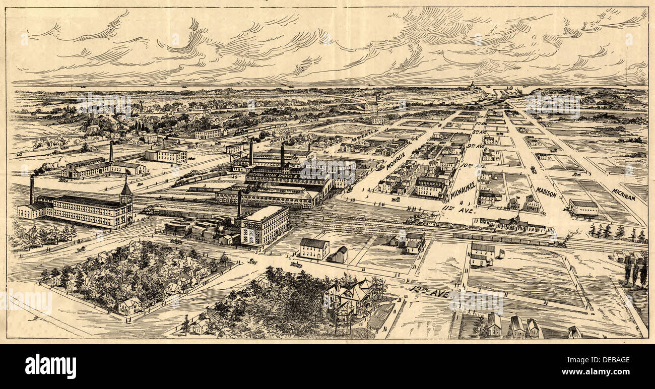 Bird's-eye view of South Milwaukee 1906 Stock Photohttps://www.alamy.com/image-license-details/?v=1https://www.alamy.com/birds-eye-view-of-south-milwaukee-1906-image60486062.html
RMDEBAGE–Bird's-eye view of South Milwaukee 1906
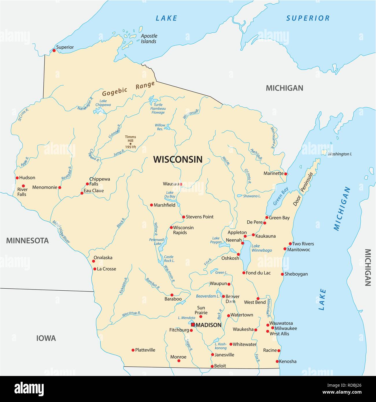 Vector Map of the U.S. state of Wisconsin Stock Vectorhttps://www.alamy.com/image-license-details/?v=1https://www.alamy.com/vector-map-of-the-us-state-of-wisconsin-image231980958.html
RFRDBJ26–Vector Map of the U.S. state of Wisconsin
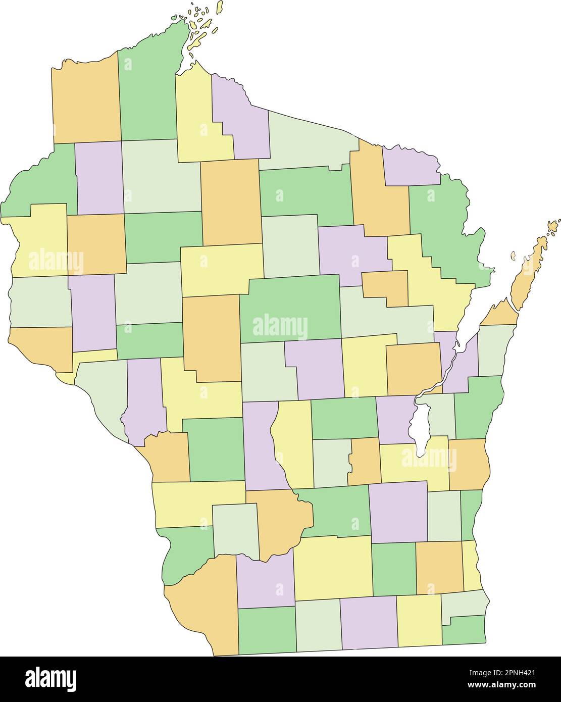 Wisconsin - Highly detailed editable political map. Stock Vectorhttps://www.alamy.com/image-license-details/?v=1https://www.alamy.com/wisconsin-highly-detailed-editable-political-map-image546805561.html
RF2PNH421–Wisconsin - Highly detailed editable political map.
 Bird's eye view of the city of Holyoke, and village of South Hadley Falls, Mass. looking north. Indexed for points of interest. 30 vignettes surrounding map. 'Beck & Pauli, Lith., Milwaukee, Wis.'... , Massachusetts , Hampden ,county , Holyoke Massachusetts , Hampshire ,county , South Hadley 838-872 US-5, Longmeadow, MA 01106, USA Stock Photohttps://www.alamy.com/image-license-details/?v=1https://www.alamy.com/birds-eye-view-of-the-city-of-holyoke-and-village-of-south-hadley-falls-mass-looking-north-indexed-for-points-of-interest-30-vignettes-surrounding-map-beck-pauli-lith-milwaukee-wis-massachusetts-hampden-county-holyoke-massachusetts-hampshire-county-south-hadley-838-872-us-5-longmeadow-ma-01106-usa-image502710312.html
RM2M5TC3M–Bird's eye view of the city of Holyoke, and village of South Hadley Falls, Mass. looking north. Indexed for points of interest. 30 vignettes surrounding map. 'Beck & Pauli, Lith., Milwaukee, Wis.'... , Massachusetts , Hampden ,county , Holyoke Massachusetts , Hampshire ,county , South Hadley 838-872 US-5, Longmeadow, MA 01106, USA
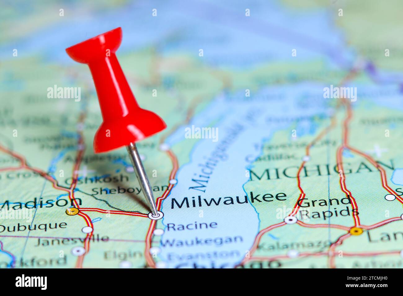 Milwaukee, Wisconsin pin on map Stock Photohttps://www.alamy.com/image-license-details/?v=1https://www.alamy.com/milwaukee-wisconsin-pin-on-map-image575771644.html
RF2TCMJH0–Milwaukee, Wisconsin pin on map
 President Donald J. Trump walks along the South Lawn of the White House with daughter and advisor Ivanka Trump in Washington, D.C., Tuesday, June 13, 2017, and boards Marine One en route to Milwaukee, Wisconsin, via Joint Base Andrews in Maryland. (Official White House Photo by Joyce N. Boghosian) Stock Photohttps://www.alamy.com/image-license-details/?v=1https://www.alamy.com/stock-photo-president-donald-j-trump-walks-along-the-south-lawn-of-the-white-house-147192791.html
RMJFD5WB–President Donald J. Trump walks along the South Lawn of the White House with daughter and advisor Ivanka Trump in Washington, D.C., Tuesday, June 13, 2017, and boards Marine One en route to Milwaukee, Wisconsin, via Joint Base Andrews in Maryland. (Official White House Photo by Joyce N. Boghosian)
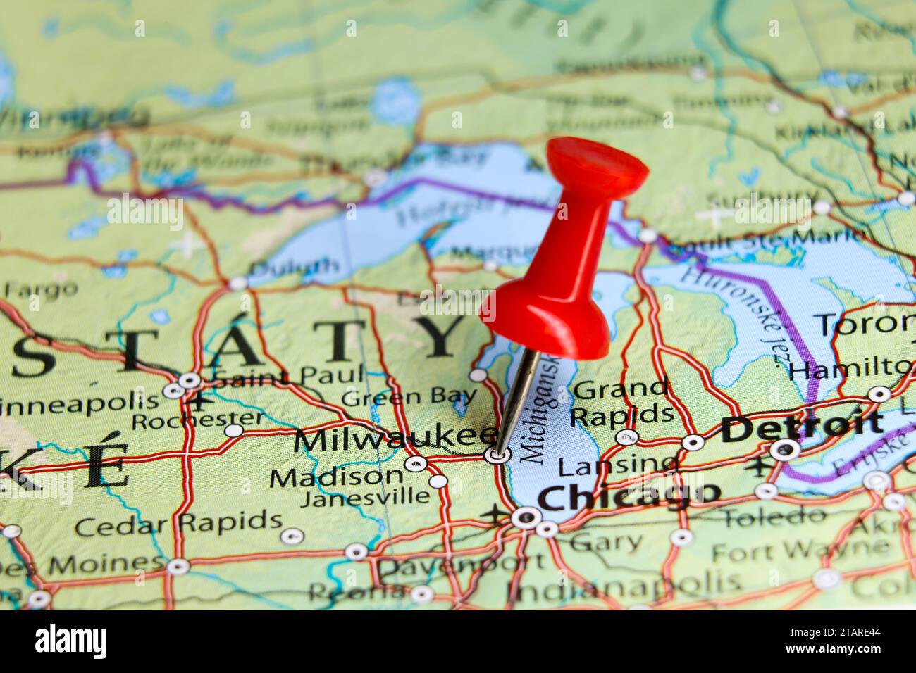 Milwaukee, Wisconsin pin on map Stock Photohttps://www.alamy.com/image-license-details/?v=1https://www.alamy.com/milwaukee-wisconsin-pin-on-map-image574604692.html
RF2TARE44–Milwaukee, Wisconsin pin on map
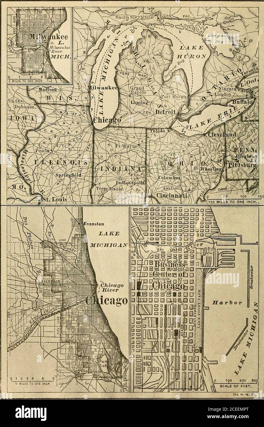 . A complete geography. ist 89° from Greenwich Ifinfl^lr^ ^f.l^ n *^«n«t^t««- Do you find any lakes south of that line?at influence must the Great Lakes have upon the summer climate of places nea • n^rrhan thTtastf r$fSt ?^ ^^ *^ ^°^^°^- ^^^ ^ ^^^^ andTarmSStSeXmeiVof !S Wet ^ ^^ ^^ ^^^^ *^^ ^^^^^ ^^^^^ --* ^--. Fk;. 117.Map shfiwinti the location of Cbica.uo and Milwaukee VIII CENTRAL STATES Physiography and Climate. — A hundred years ago, when a con-siderable number of pioneers pushed across the Appalachian Moun-tains into Ohio and Kentucky, they were gladdened by the sight ofimmense tracts Stock Photohttps://www.alamy.com/image-license-details/?v=1https://www.alamy.com/a-complete-geography-ist-89-from-greenwich-ifinfllr-fl-n-ntt-do-you-find-any-lakes-south-of-that-lineat-influence-must-the-great-lakes-have-upon-the-summer-climate-of-places-nea-nrrhan-thttastf-rfst-andtarmsstsexmeivof-!s-wet-fk-117map-shfiwinti-the-location-of-cbicauo-and-milwaukee-viii-central-states-physiography-and-climate-a-hundred-years-ago-when-a-con-siderable-number-of-pioneers-pushed-across-the-appalachian-moun-tains-into-ohio-and-kentucky-they-were-gladdened-by-the-sight-ofimmense-tracts-image370346560.html
RM2CEEMPT–. A complete geography. ist 89° from Greenwich Ifinfl^lr^ ^f.l^ n *^«n«t^t««- Do you find any lakes south of that line?at influence must the Great Lakes have upon the summer climate of places nea • n^rrhan thTtastf r$fSt ?^ ^^ *^ ^°^^°^- ^^^ ^ ^^^^ andTarmSStSeXmeiVof !S Wet ^ ^^ ^^ ^^^^ *^^ ^^^^^ ^^^^^ --* ^--. Fk;. 117.Map shfiwinti the location of Cbica.uo and Milwaukee VIII CENTRAL STATES Physiography and Climate. — A hundred years ago, when a con-siderable number of pioneers pushed across the Appalachian Moun-tains into Ohio and Kentucky, they were gladdened by the sight ofimmense tracts
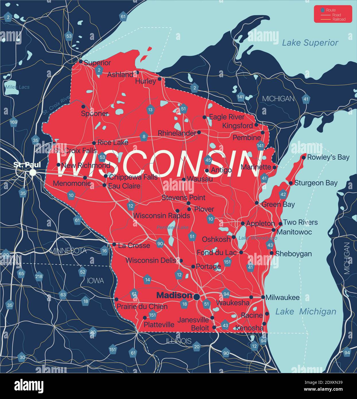 Wisconsin state detailed editable map with cities and towns, geographic sites, roads, railways, interstates and U.S. highways. Vector EPS-10 file, tre Stock Vectorhttps://www.alamy.com/image-license-details/?v=1https://www.alamy.com/wisconsin-state-detailed-editable-map-with-cities-and-towns-geographic-sites-roads-railways-interstates-and-us-highways-vector-eps-10-file-tre-image395042797.html
RF2DXKN39–Wisconsin state detailed editable map with cities and towns, geographic sites, roads, railways, interstates and U.S. highways. Vector EPS-10 file, tre
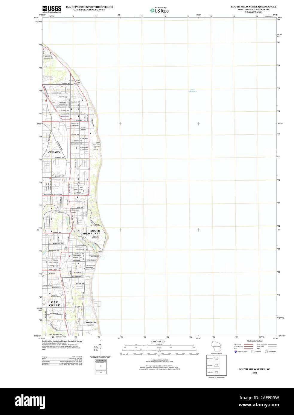 WI South Milwaukee 20130614 TM Restoration Stock Photohttps://www.alamy.com/image-license-details/?v=1https://www.alamy.com/wi-south-milwaukee-20130614-tm-restoration-image335949653.html
RM2AEFR5W–WI South Milwaukee 20130614 TM Restoration
 South Milwaukee, Milwaukee County, US, United States, Wisconsin, N 42 54' 38'', S 87 51' 38'', map, Cartascapes Map published in 2024. Explore Cartascapes, a map revealing Earth's diverse landscapes, cultures, and ecosystems. Journey through time and space, discovering the interconnectedness of our planet's past, present, and future. Stock Photohttps://www.alamy.com/image-license-details/?v=1https://www.alamy.com/south-milwaukee-milwaukee-county-us-united-states-wisconsin-n-42-54-38-s-87-51-38-map-cartascapes-map-published-in-2024-explore-cartascapes-a-map-revealing-earths-diverse-landscapes-cultures-and-ecosystems-journey-through-time-and-space-discovering-the-interconnectedness-of-our-planets-past-present-and-future-image620783281.html
RM2Y1Y3BD–South Milwaukee, Milwaukee County, US, United States, Wisconsin, N 42 54' 38'', S 87 51' 38'', map, Cartascapes Map published in 2024. Explore Cartascapes, a map revealing Earth's diverse landscapes, cultures, and ecosystems. Journey through time and space, discovering the interconnectedness of our planet's past, present, and future.
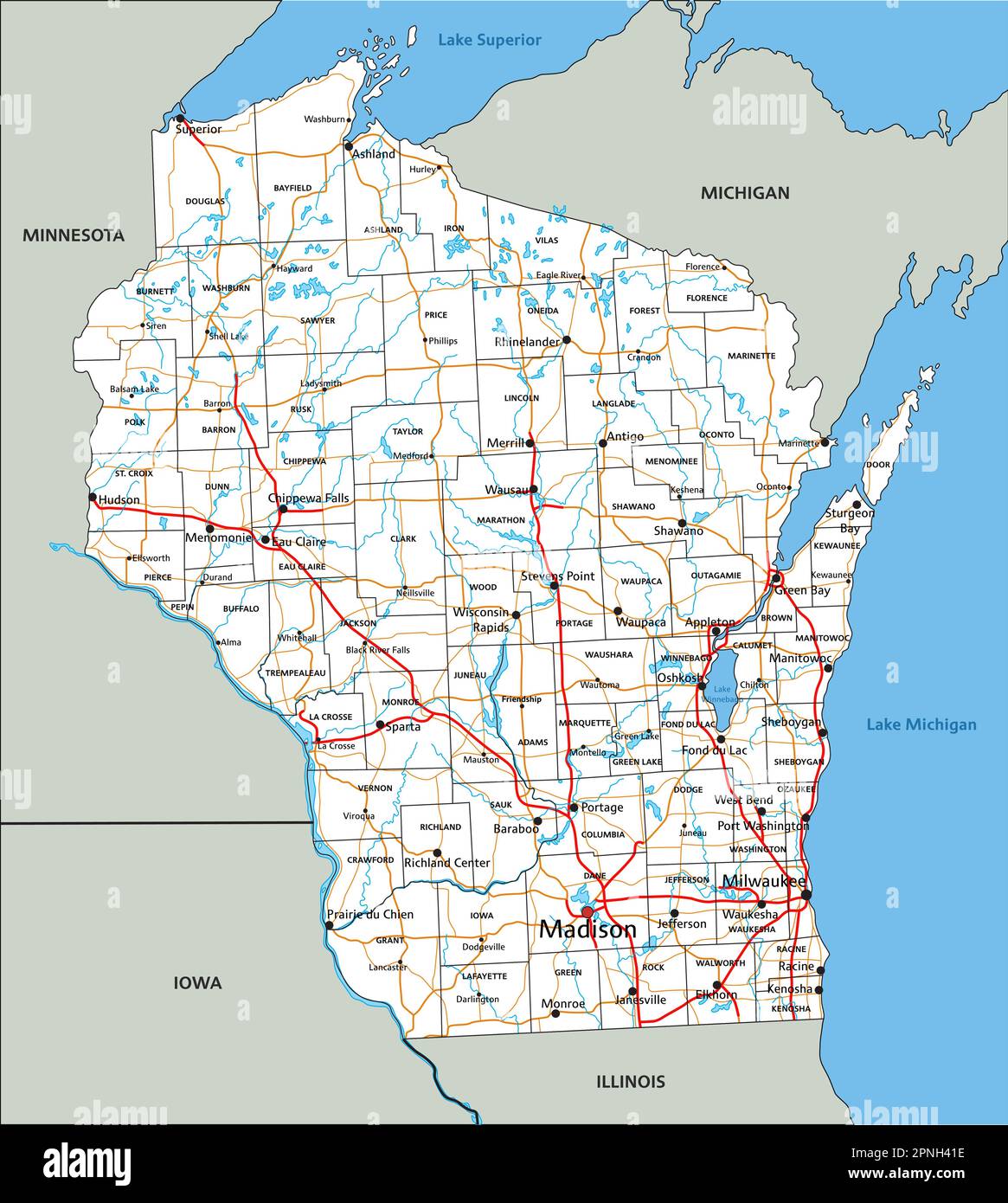 High detailed Wisconsin road map with labeling. Stock Vectorhttps://www.alamy.com/image-license-details/?v=1https://www.alamy.com/high-detailed-wisconsin-road-map-with-labeling-image546805546.html
RF2PNH41E–High detailed Wisconsin road map with labeling.
 View of Wakefield, Mass., 1882. Includes illus. Map is an aerial artist's rendering of Wakefield in 1882, covering the area from Lake Quannapowitt south to the intersection of Main and Bennett Streets. Major buildings such as the Cyrus Wakefield Estate, Town Hall, and Wakefield Rattan Company complex are depicted. 'Beck & Pauli, Lith., Milwaukee, Wis.'... , Massachusetts , Middlesex ,county , Quannapowitt, Lake Stock Photohttps://www.alamy.com/image-license-details/?v=1https://www.alamy.com/view-of-wakefield-mass-1882-includes-illus-map-is-an-aerial-artists-rendering-of-wakefield-in-1882-covering-the-area-from-lake-quannapowitt-south-to-the-intersection-of-main-and-bennett-streets-major-buildings-such-as-the-cyrus-wakefield-estate-town-hall-and-wakefield-rattan-company-complex-are-depicted-beck-pauli-lith-milwaukee-wis-massachusetts-middlesex-county-quannapowitt-lake-image502745031.html
RM2M5X0BK–View of Wakefield, Mass., 1882. Includes illus. Map is an aerial artist's rendering of Wakefield in 1882, covering the area from Lake Quannapowitt south to the intersection of Main and Bennett Streets. Major buildings such as the Cyrus Wakefield Estate, Town Hall, and Wakefield Rattan Company complex are depicted. 'Beck & Pauli, Lith., Milwaukee, Wis.'... , Massachusetts , Middlesex ,county , Quannapowitt, Lake
 WI South Milwaukee 20100907 TM Restoration Stock Photohttps://www.alamy.com/image-license-details/?v=1https://www.alamy.com/wi-south-milwaukee-20100907-tm-restoration-image335949648.html
RM2AEFR5M–WI South Milwaukee 20100907 TM Restoration
 City of South Milwaukee, Milwaukee County, US, United States, Wisconsin, N 42 54' 43'', S 87 51' 45'', map, Cartascapes Map published in 2024. Explore Cartascapes, a map revealing Earth's diverse landscapes, cultures, and ecosystems. Journey through time and space, discovering the interconnectedness of our planet's past, present, and future. Stock Photohttps://www.alamy.com/image-license-details/?v=1https://www.alamy.com/city-of-south-milwaukee-milwaukee-county-us-united-states-wisconsin-n-42-54-43-s-87-51-45-map-cartascapes-map-published-in-2024-explore-cartascapes-a-map-revealing-earths-diverse-landscapes-cultures-and-ecosystems-journey-through-time-and-space-discovering-the-interconnectedness-of-our-planets-past-present-and-future-image633902510.html
RM2YR8N3A–City of South Milwaukee, Milwaukee County, US, United States, Wisconsin, N 42 54' 43'', S 87 51' 45'', map, Cartascapes Map published in 2024. Explore Cartascapes, a map revealing Earth's diverse landscapes, cultures, and ecosystems. Journey through time and space, discovering the interconnectedness of our planet's past, present, and future.
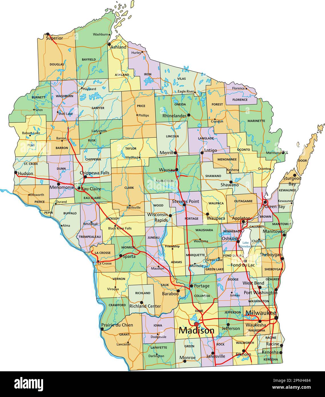 Wisconsin - Highly detailed editable political map with labeling. Stock Vectorhttps://www.alamy.com/image-license-details/?v=1https://www.alamy.com/wisconsin-highly-detailed-editable-political-map-with-labeling-image546805732.html
RF2PNH484–Wisconsin - Highly detailed editable political map with labeling.
 WI South Milwaukee 700219 1958 24000 Restoration Stock Photohttps://www.alamy.com/image-license-details/?v=1https://www.alamy.com/wi-south-milwaukee-700219-1958-24000-restoration-image335949852.html
RM2AEFRD0–WI South Milwaukee 700219 1958 24000 Restoration
 South Milwaukee, Wisconsin, map 1958, 1:24000, United States of America by Timeless Maps, data U.S. Geological Survey Stock Photohttps://www.alamy.com/image-license-details/?v=1https://www.alamy.com/south-milwaukee-wisconsin-map-1958-124000-united-states-of-america-by-timeless-maps-data-us-geological-survey-image407034145.html
RM2EJ605N–South Milwaukee, Wisconsin, map 1958, 1:24000, United States of America by Timeless Maps, data U.S. Geological Survey
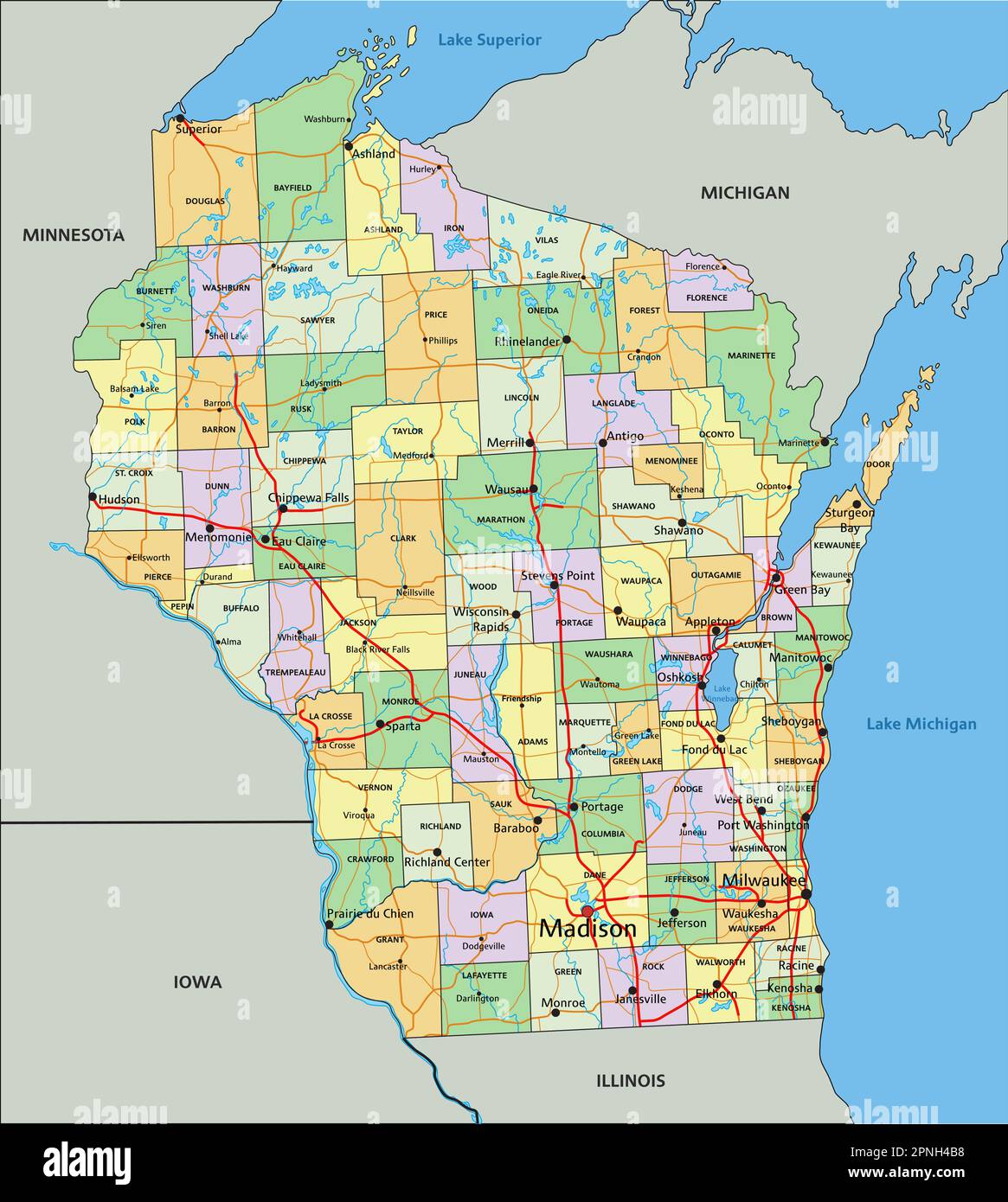 Wisconsin - Highly detailed editable political map with labeling. Stock Vectorhttps://www.alamy.com/image-license-details/?v=1https://www.alamy.com/wisconsin-highly-detailed-editable-political-map-with-labeling-image546805820.html
RF2PNH4B8–Wisconsin - Highly detailed editable political map with labeling.
 WI South Milwaukee 803034 1958 62500 Restoration Stock Photohttps://www.alamy.com/image-license-details/?v=1https://www.alamy.com/wi-south-milwaukee-803034-1958-62500-restoration-image335949930.html
RM2AEFRFP–WI South Milwaukee 803034 1958 62500 Restoration
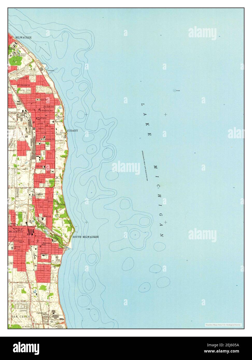 South Milwaukee, Wisconsin, map 1958, 1:24000, United States of America by Timeless Maps, data U.S. Geological Survey Stock Photohttps://www.alamy.com/image-license-details/?v=1https://www.alamy.com/south-milwaukee-wisconsin-map-1958-124000-united-states-of-america-by-timeless-maps-data-us-geological-survey-image407034134.html
RM2EJ605A–South Milwaukee, Wisconsin, map 1958, 1:24000, United States of America by Timeless Maps, data U.S. Geological Survey
 WI South Milwaukee 800609 1958 24000 Restoration Stock Photohttps://www.alamy.com/image-license-details/?v=1https://www.alamy.com/wi-south-milwaukee-800609-1958-24000-restoration-image335949939.html
RM2AEFRG3–WI South Milwaukee 800609 1958 24000 Restoration
 South Milwaukee, Wisconsin, map 1958, 1:24000, United States of America by Timeless Maps, data U.S. Geological Survey Stock Photohttps://www.alamy.com/image-license-details/?v=1https://www.alamy.com/south-milwaukee-wisconsin-map-1958-124000-united-states-of-america-by-timeless-maps-data-us-geological-survey-image407034138.html
RM2EJ605E–South Milwaukee, Wisconsin, map 1958, 1:24000, United States of America by Timeless Maps, data U.S. Geological Survey
 WI South Milwaukee 501910 1958 24000 Restoration Stock Photohttps://www.alamy.com/image-license-details/?v=1https://www.alamy.com/wi-south-milwaukee-501910-1958-24000-restoration-image335949708.html
RM2AEFR7T–WI South Milwaukee 501910 1958 24000 Restoration
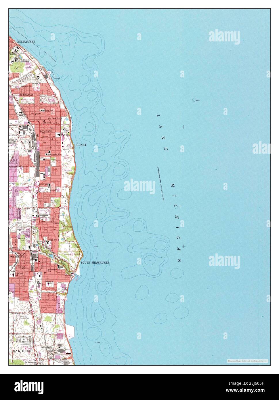 South Milwaukee, Wisconsin, map 1958, 1:24000, United States of America by Timeless Maps, data U.S. Geological Survey Stock Photohttps://www.alamy.com/image-license-details/?v=1https://www.alamy.com/south-milwaukee-wisconsin-map-1958-124000-united-states-of-america-by-timeless-maps-data-us-geological-survey-image407034141.html
RM2EJ605H–South Milwaukee, Wisconsin, map 1958, 1:24000, United States of America by Timeless Maps, data U.S. Geological Survey
 WI South Milwaukee 20130614 TM Inverted Restoration Stock Photohttps://www.alamy.com/image-license-details/?v=1https://www.alamy.com/wi-south-milwaukee-20130614-tm-inverted-restoration-image335949641.html
RM2AEFR5D–WI South Milwaukee 20130614 TM Inverted Restoration
 South Milwaukee, Wisconsin, map 1958, 1:62500, United States of America by Timeless Maps, data U.S. Geological Survey Stock Photohttps://www.alamy.com/image-license-details/?v=1https://www.alamy.com/south-milwaukee-wisconsin-map-1958-162500-united-states-of-america-by-timeless-maps-data-us-geological-survey-image414308808.html
RM2F21B34–South Milwaukee, Wisconsin, map 1958, 1:62500, United States of America by Timeless Maps, data U.S. Geological Survey
 WI South Milwaukee 503535 1958 62500 Restoration Stock Photohttps://www.alamy.com/image-license-details/?v=1https://www.alamy.com/wi-south-milwaukee-503535-1958-62500-restoration-image335949787.html
RM2AEFRAK–WI South Milwaukee 503535 1958 62500 Restoration
 South Milwaukee, Wisconsin, map 1958, 1:62500, United States of America by Timeless Maps, data U.S. Geological Survey Stock Photohttps://www.alamy.com/image-license-details/?v=1https://www.alamy.com/south-milwaukee-wisconsin-map-1958-162500-united-states-of-america-by-timeless-maps-data-us-geological-survey-image414308780.html
RM2F21B24–South Milwaukee, Wisconsin, map 1958, 1:62500, United States of America by Timeless Maps, data U.S. Geological Survey
 WI South Milwaukee 20100907 TM Inverted Restoration Stock Photohttps://www.alamy.com/image-license-details/?v=1https://www.alamy.com/wi-south-milwaukee-20100907-tm-inverted-restoration-image335949639.html
RM2AEFR5B–WI South Milwaukee 20100907 TM Inverted Restoration
 WI South Milwaukee 800132 1958 24000 Restoration Stock Photohttps://www.alamy.com/image-license-details/?v=1https://www.alamy.com/wi-south-milwaukee-800132-1958-24000-restoration-image335949940.html
RM2AEFRG4–WI South Milwaukee 800132 1958 24000 Restoration
 WI South Milwaukee 800132 1958 24000 Inverted Restoration Stock Photohttps://www.alamy.com/image-license-details/?v=1https://www.alamy.com/wi-south-milwaukee-800132-1958-24000-inverted-restoration-image335949829.html
RM2AEFRC5–WI South Milwaukee 800132 1958 24000 Inverted Restoration
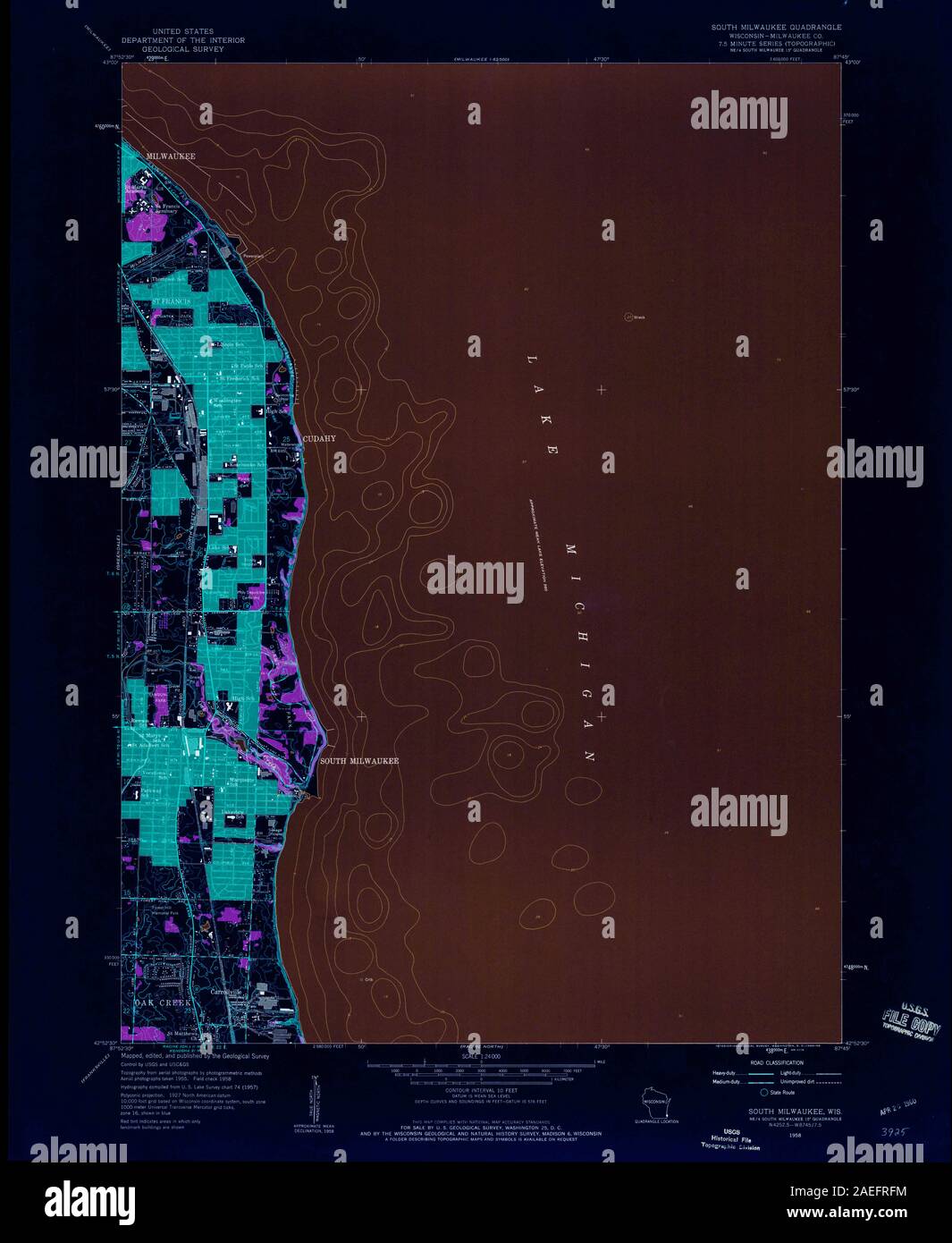 WI South Milwaukee 800609 1958 24000 Inverted Restoration Stock Photohttps://www.alamy.com/image-license-details/?v=1https://www.alamy.com/wi-south-milwaukee-800609-1958-24000-inverted-restoration-image335949928.html
RM2AEFRFM–WI South Milwaukee 800609 1958 24000 Inverted Restoration
 WI South Milwaukee 501910 1958 24000 Inverted Restoration Stock Photohttps://www.alamy.com/image-license-details/?v=1https://www.alamy.com/wi-south-milwaukee-501910-1958-24000-inverted-restoration-image335949830.html
RM2AEFRC6–WI South Milwaukee 501910 1958 24000 Inverted Restoration
 WI South Milwaukee 803034 1958 62500 Inverted Restoration Stock Photohttps://www.alamy.com/image-license-details/?v=1https://www.alamy.com/wi-south-milwaukee-803034-1958-62500-inverted-restoration-image335949932.html
RM2AEFRFT–WI South Milwaukee 803034 1958 62500 Inverted Restoration
