Quick filters:
Map of south tyrol Stock Photos and Images
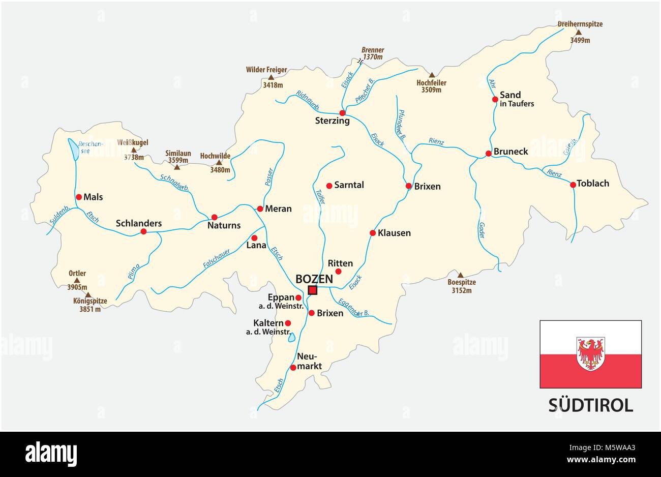 Simple map of the Italian province of South Tyrol in german language with flag Stock Vectorhttps://www.alamy.com/image-license-details/?v=1https://www.alamy.com/stock-photo-simple-map-of-the-italian-province-of-south-tyrol-in-german-language-175733883.html
RFM5WAA3–Simple map of the Italian province of South Tyrol in german language with flag
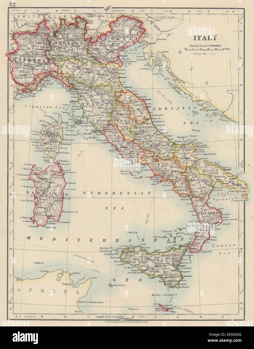 ITALY. States/territorial divisions. Without South Tyrol. JOHNSTON 1910 map Stock Photohttps://www.alamy.com/image-license-details/?v=1https://www.alamy.com/italy-statesterritorial-divisions-without-south-tyrol-johnston-1910-map-image401429184.html
RF2E92K0G–ITALY. States/territorial divisions. Without South Tyrol. JOHNSTON 1910 map
 Tourists looking at a map of South Tyrol footpaths - Appiano, Bolzano province, Trentino Alto-Adige - South Tyrol, Italy, Europe. Stock Photohttps://www.alamy.com/image-license-details/?v=1https://www.alamy.com/tourists-looking-at-a-map-of-south-tyrol-footpaths-appiano-bolzano-province-trentino-alto-adige-south-tyrol-italy-europe-image502287009.html
RF2M5545N–Tourists looking at a map of South Tyrol footpaths - Appiano, Bolzano province, Trentino Alto-Adige - South Tyrol, Italy, Europe.
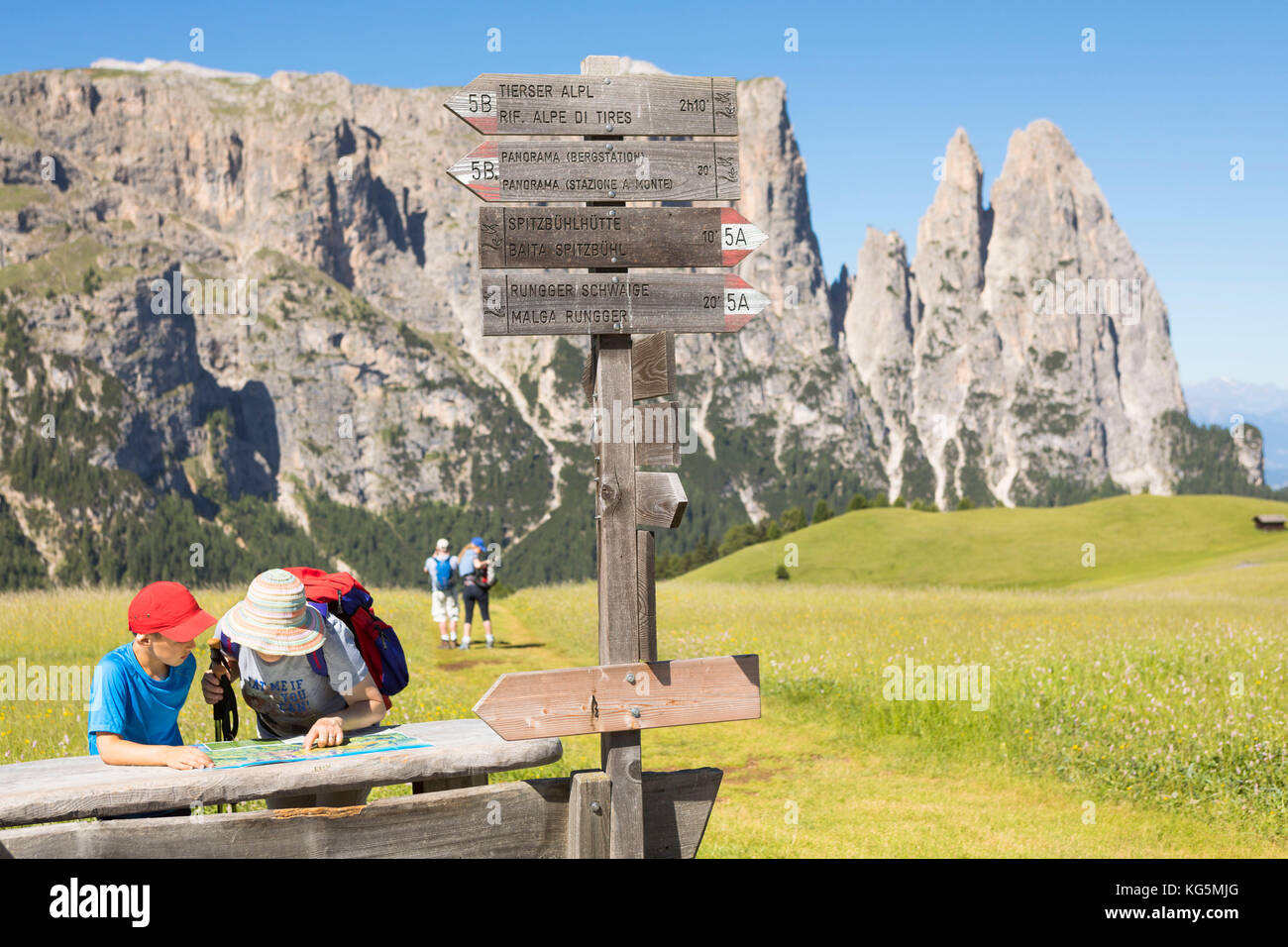 tourists are looking at a hiking map on the Seiser Alm (Alpe di Siusi), Bolzano province, South Tyrol, Trentino Alto Adige, Italy Stock Photohttps://www.alamy.com/image-license-details/?v=1https://www.alamy.com/stock-image-tourists-are-looking-at-a-hiking-map-on-the-seiser-alm-alpe-di-siusi-164853768.html
RMKG5MJG–tourists are looking at a hiking map on the Seiser Alm (Alpe di Siusi), Bolzano province, South Tyrol, Trentino Alto Adige, Italy
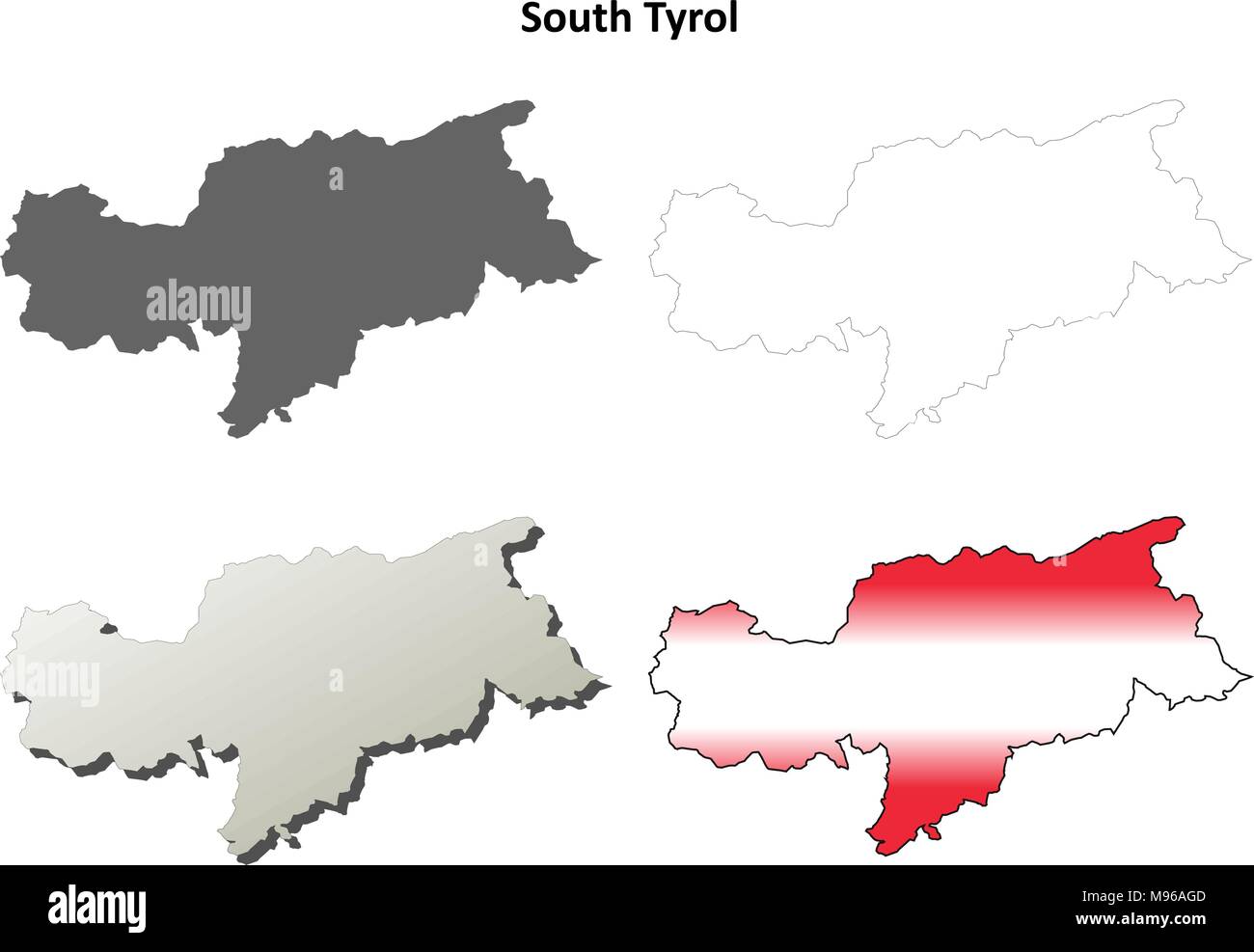 South Tyrol outline map set - Austrian version Stock Vectorhttps://www.alamy.com/image-license-details/?v=1https://www.alamy.com/south-tyrol-outline-map-set-austrian-version-image177775597.html
RFM96AGD–South Tyrol outline map set - Austrian version
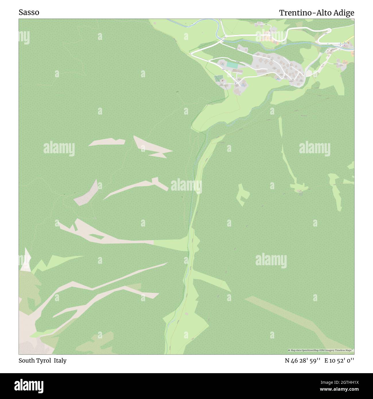 Sasso, South Tyrol, Italy, Trentino-Alto Adige, N 46 28' 59'', E 10 52' 0'', map, Timeless Map published in 2021. Travelers, explorers and adventurers like Florence Nightingale, David Livingstone, Ernest Shackleton, Lewis and Clark and Sherlock Holmes relied on maps to plan travels to the world's most remote corners, Timeless Maps is mapping most locations on the globe, showing the achievement of great dreams Stock Photohttps://www.alamy.com/image-license-details/?v=1https://www.alamy.com/sasso-south-tyrol-italy-trentino-alto-adige-n-46-28-59-e-10-52-0-map-timeless-map-published-in-2021-travelers-explorers-and-adventurers-like-florence-nightingale-david-livingstone-ernest-shackleton-lewis-and-clark-and-sherlock-holmes-relied-on-maps-to-plan-travels-to-the-worlds-most-remote-corners-timeless-maps-is-mapping-most-locations-on-the-globe-showing-the-achievement-of-great-dreams-image445397510.html
RM2GTHH1X–Sasso, South Tyrol, Italy, Trentino-Alto Adige, N 46 28' 59'', E 10 52' 0'', map, Timeless Map published in 2021. Travelers, explorers and adventurers like Florence Nightingale, David Livingstone, Ernest Shackleton, Lewis and Clark and Sherlock Holmes relied on maps to plan travels to the world's most remote corners, Timeless Maps is mapping most locations on the globe, showing the achievement of great dreams
 Trentino - South Tyrol region watercolor map of Italy in front of a white background Stock Photohttps://www.alamy.com/image-license-details/?v=1https://www.alamy.com/trentino-south-tyrol-region-watercolor-map-of-italy-in-front-of-a-white-background-image220456167.html
RFPPJJ2F–Trentino - South Tyrol region watercolor map of Italy in front of a white background
 Two mountainbikers looking at map, South Tyrol, Italy Stock Photohttps://www.alamy.com/image-license-details/?v=1https://www.alamy.com/stock-photo-two-mountainbikers-looking-at-map-south-tyrol-italy-48844702.html
RMCRD1WJ–Two mountainbikers looking at map, South Tyrol, Italy
 dolomites, alps, south tyrol, orientation, hiking, rosarium, spare time, free Stock Photohttps://www.alamy.com/image-license-details/?v=1https://www.alamy.com/stock-photo-dolomites-alps-south-tyrol-orientation-hiking-rosarium-spare-time-131496834.html
RFHHX5FE–dolomites, alps, south tyrol, orientation, hiking, rosarium, spare time, free
 Italy, South Tyrol, Mature couple with map hiking on dolomites Stock Photohttps://www.alamy.com/image-license-details/?v=1https://www.alamy.com/stock-photo-italy-south-tyrol-mature-couple-with-map-hiking-on-dolomites-36686788.html
RFC3K6AC–Italy, South Tyrol, Mature couple with map hiking on dolomites
 Cropped shot of male hiker on top of mountain holding map, Peitlerkofel, South Tyrol, Italy Stock Photohttps://www.alamy.com/image-license-details/?v=1https://www.alamy.com/stock-photo-cropped-shot-of-male-hiker-on-top-of-mountain-holding-map-peitlerkofel-81332794.html
RFEM90PJ–Cropped shot of male hiker on top of mountain holding map, Peitlerkofel, South Tyrol, Italy
 Three mountain bikers reading map, South Tyrol, Italy Stock Photohttps://www.alamy.com/image-license-details/?v=1https://www.alamy.com/stock-photo-three-mountain-bikers-reading-map-south-tyrol-italy-86233114.html
RMF08762–Three mountain bikers reading map, South Tyrol, Italy
 Italy, South Tyrol, Trentino, the Piz La Ila high plateau near Stern / La Villa, alpine meadow, hiker, lookout point at the †tia de Bioch mountain hut Stock Photohttps://www.alamy.com/image-license-details/?v=1https://www.alamy.com/italy-south-tyrol-trentino-the-piz-la-ila-high-plateau-near-stern-la-villa-alpine-meadow-hiker-lookout-point-at-the-tia-de-bioch-mountain-hut-image216972892.html
RMPGYY3T–Italy, South Tyrol, Trentino, the Piz La Ila high plateau near Stern / La Villa, alpine meadow, hiker, lookout point at the †tia de Bioch mountain hut
 1958, historical, motor touring the alps, a man changing a tyre on the mountain road in South Tyrol, Italy. Baggage under a waterproof covering on the roof. Car passengers outside looking at a map. Stock Photohttps://www.alamy.com/image-license-details/?v=1https://www.alamy.com/1958-historical-motor-touring-the-alps-a-man-changing-a-tyre-on-the-mountain-road-in-south-tyrol-italy-baggage-under-a-waterproof-covering-on-the-roof-car-passengers-outside-looking-at-a-map-image472885225.html
RM2JD9NX1–1958, historical, motor touring the alps, a man changing a tyre on the mountain road in South Tyrol, Italy. Baggage under a waterproof covering on the roof. Car passengers outside looking at a map.
 Female hiker reading map, Stubai Alps, Trentino-Alto Adige/South Tyrol, Italy Stock Photohttps://www.alamy.com/image-license-details/?v=1https://www.alamy.com/stock-photo-female-hiker-reading-map-stubai-alps-trentino-alto-adigesouth-tyrol-30931482.html
RMBP91BP–Female hiker reading map, Stubai Alps, Trentino-Alto Adige/South Tyrol, Italy
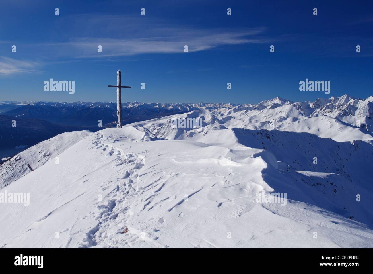 Mountain with summit cross in snow Landscape in the nature park South Tyrol, Alps, Italy Stock Photohttps://www.alamy.com/image-license-details/?v=1https://www.alamy.com/mountain-with-summit-cross-in-snow-landscape-in-the-nature-park-south-tyrol-alps-italy-image483616319.html
RF2K2PHFB–Mountain with summit cross in snow Landscape in the nature park South Tyrol, Alps, Italy
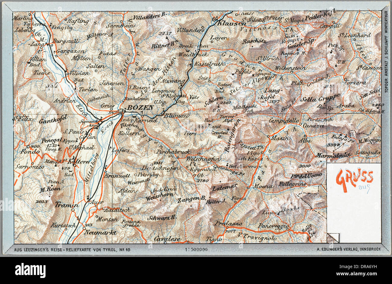 Map of Bozen / Bolzano - Italy Stock Photohttps://www.alamy.com/image-license-details/?v=1https://www.alamy.com/map-of-bozen-bolzano-italy-image65993189.html
RMDRA6YH–Map of Bozen / Bolzano - Italy
 Detail of postcard souvenirs of a map and Dolomite mountain scenes in a shop selling tourist souvenirs on Passo Falzarega. Stock Photohttps://www.alamy.com/image-license-details/?v=1https://www.alamy.com/stock-photo-detail-of-postcard-souvenirs-of-a-map-and-dolomite-mountain-scenes-85753394.html
RMEYEB96–Detail of postcard souvenirs of a map and Dolomite mountain scenes in a shop selling tourist souvenirs on Passo Falzarega.
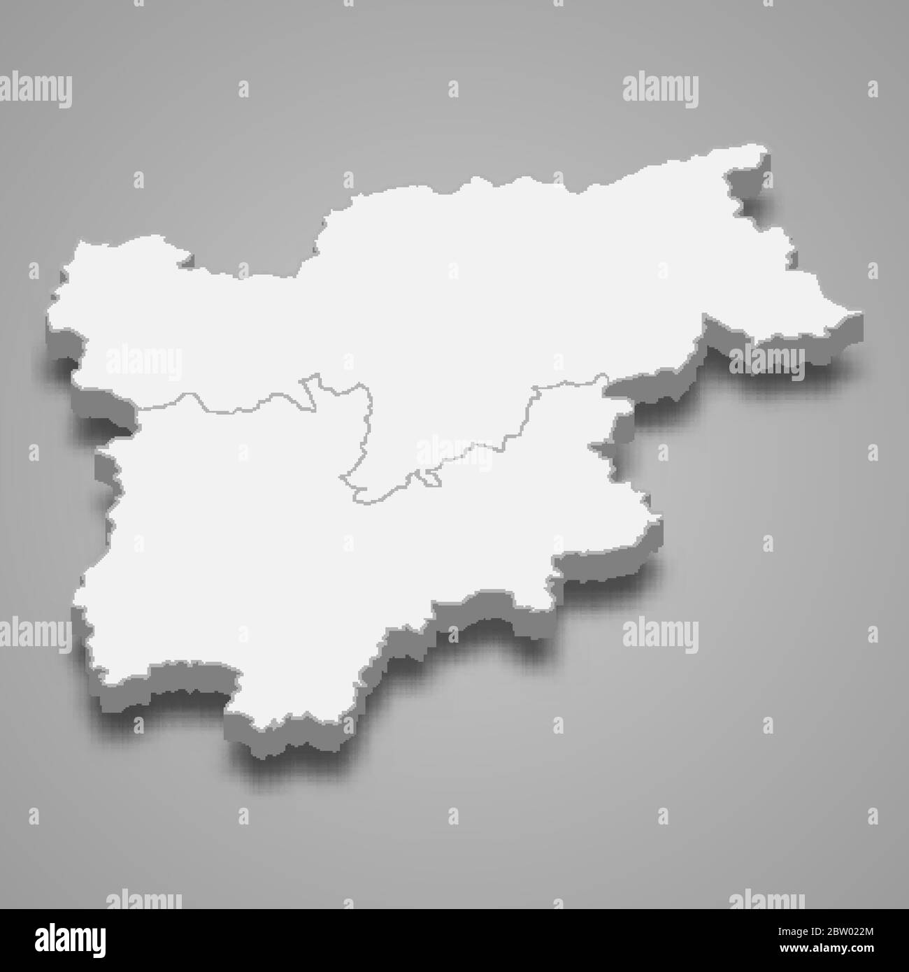 3d map of Trentino-South Tyrol is a region of Italy Stock Vectorhttps://www.alamy.com/image-license-details/?v=1https://www.alamy.com/3d-map-of-trentino-south-tyrol-is-a-region-of-italy-image359575404.html
RF2BW022M–3d map of Trentino-South Tyrol is a region of Italy
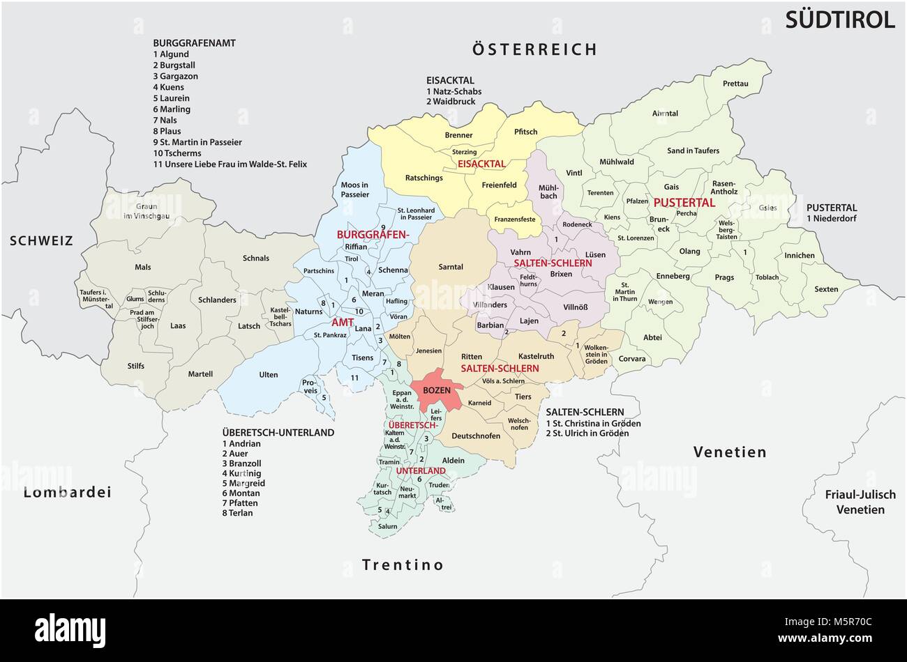 Administrative and political map of the Italian province of South Tyrol in German language Stock Vectorhttps://www.alamy.com/image-license-details/?v=1https://www.alamy.com/stock-photo-administrative-and-political-map-of-the-italian-province-of-south-175687356.html
RFM5R70C–Administrative and political map of the Italian province of South Tyrol in German language
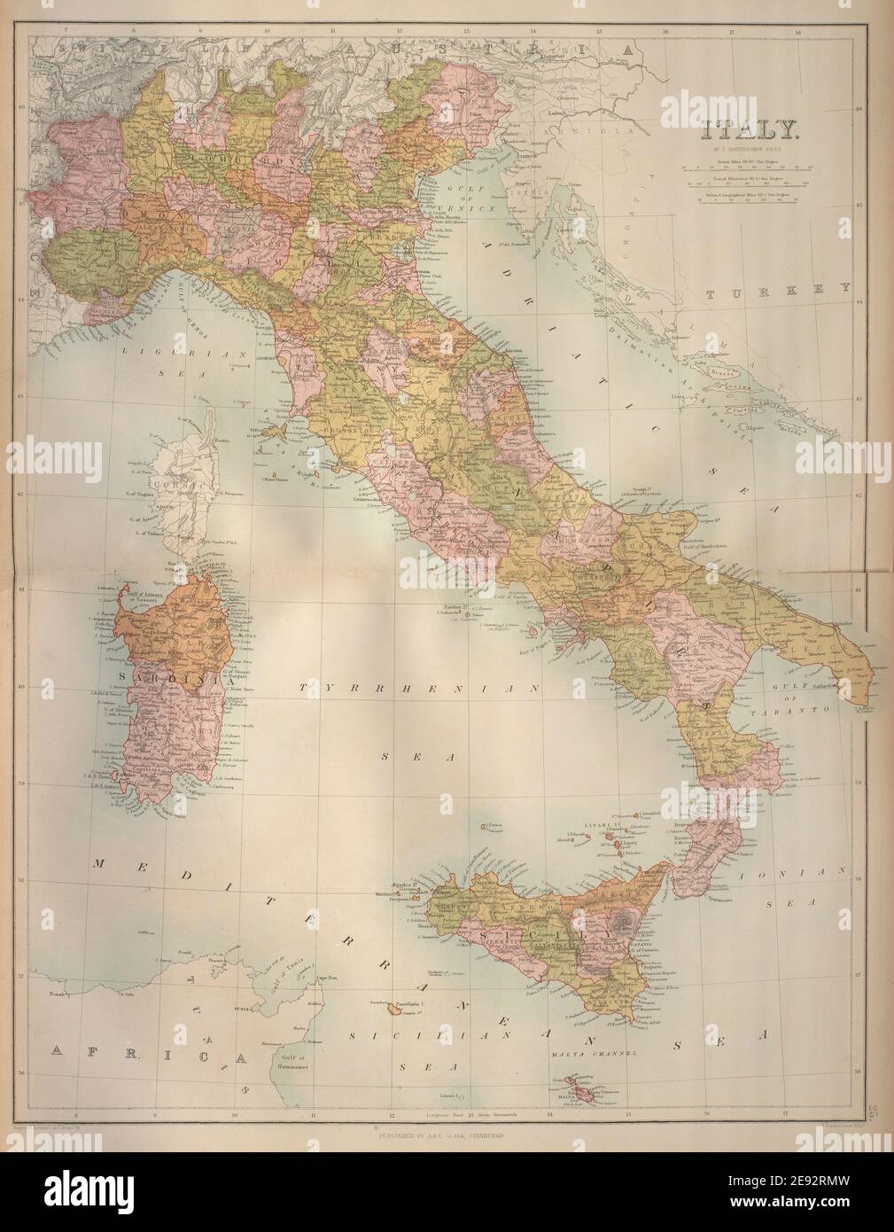 Italy in provinces. Railways. Excl. Trieste & South Tyrol. BARTHOLOMEW 1870 map Stock Photohttps://www.alamy.com/image-license-details/?v=1https://www.alamy.com/italy-in-provinces-railways-excl-trieste-south-tyrol-bartholomew-1870-map-image401432889.html
RF2E92RMW–Italy in provinces. Railways. Excl. Trieste & South Tyrol. BARTHOLOMEW 1870 map
 Bolzano province map Stock Vectorhttps://www.alamy.com/image-license-details/?v=1https://www.alamy.com/bolzano-province-map-image368429900.html
RF2CBBC2M–Bolzano province map
 two bikers are looking at the road map on the Seiser Alm, (Alpe di Siusi), Bolzano province, South Tyrol, Trentino Alto Adige, Italy Stock Photohttps://www.alamy.com/image-license-details/?v=1https://www.alamy.com/stock-image-two-bikers-are-looking-at-the-road-map-on-the-seiser-alm-alpe-di-siusi-164853776.html
RMKG5MJT–two bikers are looking at the road map on the Seiser Alm, (Alpe di Siusi), Bolzano province, South Tyrol, Trentino Alto Adige, Italy
 Different tourists at the meadow from the croda rossa preparing for the hike. Stock Photohttps://www.alamy.com/image-license-details/?v=1https://www.alamy.com/different-tourists-at-the-meadow-from-the-croda-rossa-preparing-for-the-hike-image389661427.html
RF2DHXH3F–Different tourists at the meadow from the croda rossa preparing for the hike.
 Quellenhof, South Tyrol, Italy, Trentino-Alto Adige, N 46 44' 45'', E 11 12' 18'', map, Timeless Map published in 2021. Travelers, explorers and adventurers like Florence Nightingale, David Livingstone, Ernest Shackleton, Lewis and Clark and Sherlock Holmes relied on maps to plan travels to the world's most remote corners, Timeless Maps is mapping most locations on the globe, showing the achievement of great dreams Stock Photohttps://www.alamy.com/image-license-details/?v=1https://www.alamy.com/quellenhof-south-tyrol-italy-trentino-alto-adige-n-46-44-45-e-11-12-18-map-timeless-map-published-in-2021-travelers-explorers-and-adventurers-like-florence-nightingale-david-livingstone-ernest-shackleton-lewis-and-clark-and-sherlock-holmes-relied-on-maps-to-plan-travels-to-the-worlds-most-remote-corners-timeless-maps-is-mapping-most-locations-on-the-globe-showing-the-achievement-of-great-dreams-image445537719.html
RM2GTRYWB–Quellenhof, South Tyrol, Italy, Trentino-Alto Adige, N 46 44' 45'', E 11 12' 18'', map, Timeless Map published in 2021. Travelers, explorers and adventurers like Florence Nightingale, David Livingstone, Ernest Shackleton, Lewis and Clark and Sherlock Holmes relied on maps to plan travels to the world's most remote corners, Timeless Maps is mapping most locations on the globe, showing the achievement of great dreams
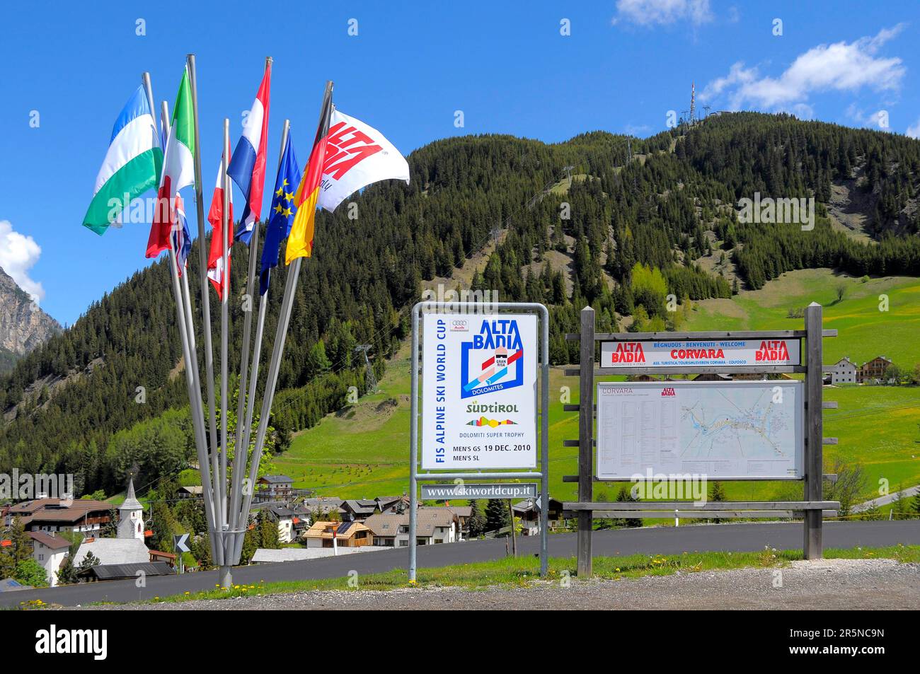 South Tyrol, Corvara, Alta Badia, Local map Stock Photohttps://www.alamy.com/image-license-details/?v=1https://www.alamy.com/south-tyrol-corvara-alta-badia-local-map-image554275729.html
RM2R5NC9N–South Tyrol, Corvara, Alta Badia, Local map
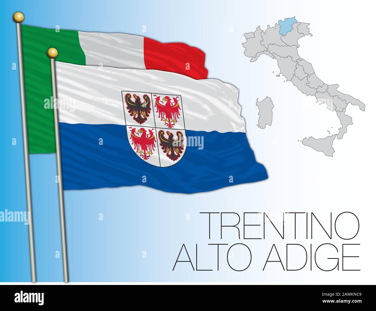 Trentino Alto Adige official regional flag and map, Italy, vector illustration Stock Vectorhttps://www.alamy.com/image-license-details/?v=1https://www.alamy.com/trentino-alto-adige-official-regional-flag-and-map-italy-vector-illustration-image342797289.html
RF2AWKNC9–Trentino Alto Adige official regional flag and map, Italy, vector illustration
 dolomites, alps, south tyrol, orientation, hiking, rosarium, spare time, free Stock Photohttps://www.alamy.com/image-license-details/?v=1https://www.alamy.com/stock-photo-dolomites-alps-south-tyrol-orientation-hiking-rosarium-spare-time-131855109.html
RFHJEEF1–dolomites, alps, south tyrol, orientation, hiking, rosarium, spare time, free
 Italy, South Tyrol, Mature couple with map hiking on dolomites Stock Photohttps://www.alamy.com/image-license-details/?v=1https://www.alamy.com/stock-photo-italy-south-tyrol-mature-couple-with-map-hiking-on-dolomites-36686791.html
RFC3K6AF–Italy, South Tyrol, Mature couple with map hiking on dolomites
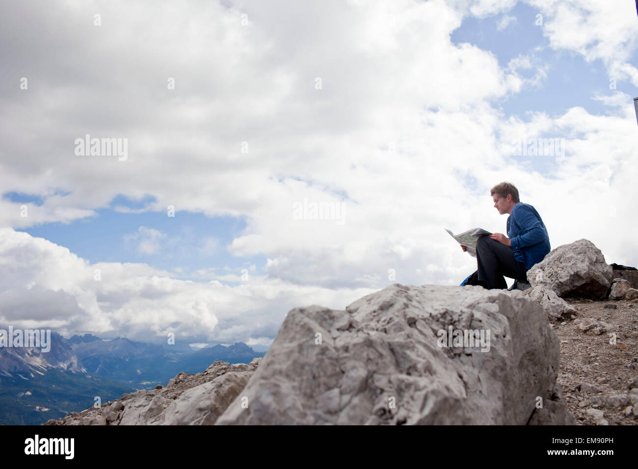 Male hiker sitting on top of mountain rock reading map, Peitlerkofel, South Tyrol, Italy Stock Photohttps://www.alamy.com/image-license-details/?v=1https://www.alamy.com/stock-photo-male-hiker-sitting-on-top-of-mountain-rock-reading-map-peitlerkofel-81332793.html
RFEM90PH–Male hiker sitting on top of mountain rock reading map, Peitlerkofel, South Tyrol, Italy
 Young woman contemplating on a mountain overlooking Matschertal and the Ortler mountain range, South Tyrol, Italy Stock Photohttps://www.alamy.com/image-license-details/?v=1https://www.alamy.com/young-woman-contemplating-on-a-mountain-overlooking-matschertal-and-image6918015.html
RMA8HEG0–Young woman contemplating on a mountain overlooking Matschertal and the Ortler mountain range, South Tyrol, Italy
 Italy, South Tyrol, Trentino, the Piz La Ila high plateau near Stern / La Villa, alpine meadow, hiker, lookout point at the †tia de Bioch mountain hut Stock Photohttps://www.alamy.com/image-license-details/?v=1https://www.alamy.com/italy-south-tyrol-trentino-the-piz-la-ila-high-plateau-near-stern-la-villa-alpine-meadow-hiker-lookout-point-at-the-tia-de-bioch-mountain-hut-image216972888.html
RMPGYY3M–Italy, South Tyrol, Trentino, the Piz La Ila high plateau near Stern / La Villa, alpine meadow, hiker, lookout point at the †tia de Bioch mountain hut
 . English: An extremely attractive example of John Cary’s 1799 map of the Swabia region of Germany. Covers from the Upper Rhine region south as far as Switzerland, Lake Constance and Tyrol. Extends eastward as far as Bavaria and westward as far as France. Includes the Black Forest region and the Duchy of Wurtenburg (Stuttgart). Highly detailed with color coding according to region. Shows forests, cities, palaces, forts, roads and rivers. All in all, one of the most interesting and attractive atlas maps Swabia to appear in first years of the 19th century. Prepared in 1799 by John Cary for issu Stock Photohttps://www.alamy.com/image-license-details/?v=1https://www.alamy.com/english-an-extremely-attractive-example-of-john-carys-1799-map-of-the-swabia-region-of-germany-covers-from-the-upper-rhine-region-south-as-far-as-switzerland-lake-constance-and-tyrol-extends-eastward-as-far-as-bavaria-and-westward-as-far-as-france-includes-the-black-forest-region-and-the-duchy-of-wurtenburg-stuttgart-highly-detailed-with-color-coding-according-to-region-shows-forests-cities-palaces-forts-roads-and-rivers-all-in-all-one-of-the-most-interesting-and-attractive-atlas-maps-swabia-to-appear-in-first-years-of-the-19th-century-prepared-in-1799-by-john-cary-for-issu-image184911764.html
RMMMRCRG–. English: An extremely attractive example of John Cary’s 1799 map of the Swabia region of Germany. Covers from the Upper Rhine region south as far as Switzerland, Lake Constance and Tyrol. Extends eastward as far as Bavaria and westward as far as France. Includes the Black Forest region and the Duchy of Wurtenburg (Stuttgart). Highly detailed with color coding according to region. Shows forests, cities, palaces, forts, roads and rivers. All in all, one of the most interesting and attractive atlas maps Swabia to appear in first years of the 19th century. Prepared in 1799 by John Cary for issu
 young woman reading a map, view to valley Pensertal, Astenberg, Sarntal range, South Tyrol, Alta Badia, Italy Stock Photohttps://www.alamy.com/image-license-details/?v=1https://www.alamy.com/stock-photo-young-woman-reading-a-map-view-to-valley-pensertal-astenberg-sarntal-27681162.html
RMBH0YGX–young woman reading a map, view to valley Pensertal, Astenberg, Sarntal range, South Tyrol, Alta Badia, Italy
 Young woman with map on lake braies in south tyrol, italy Stock Photohttps://www.alamy.com/image-license-details/?v=1https://www.alamy.com/stock-photo-young-woman-with-map-on-lake-braies-in-south-tyrol-italy-76942892.html
RFED51CC–Young woman with map on lake braies in south tyrol, italy
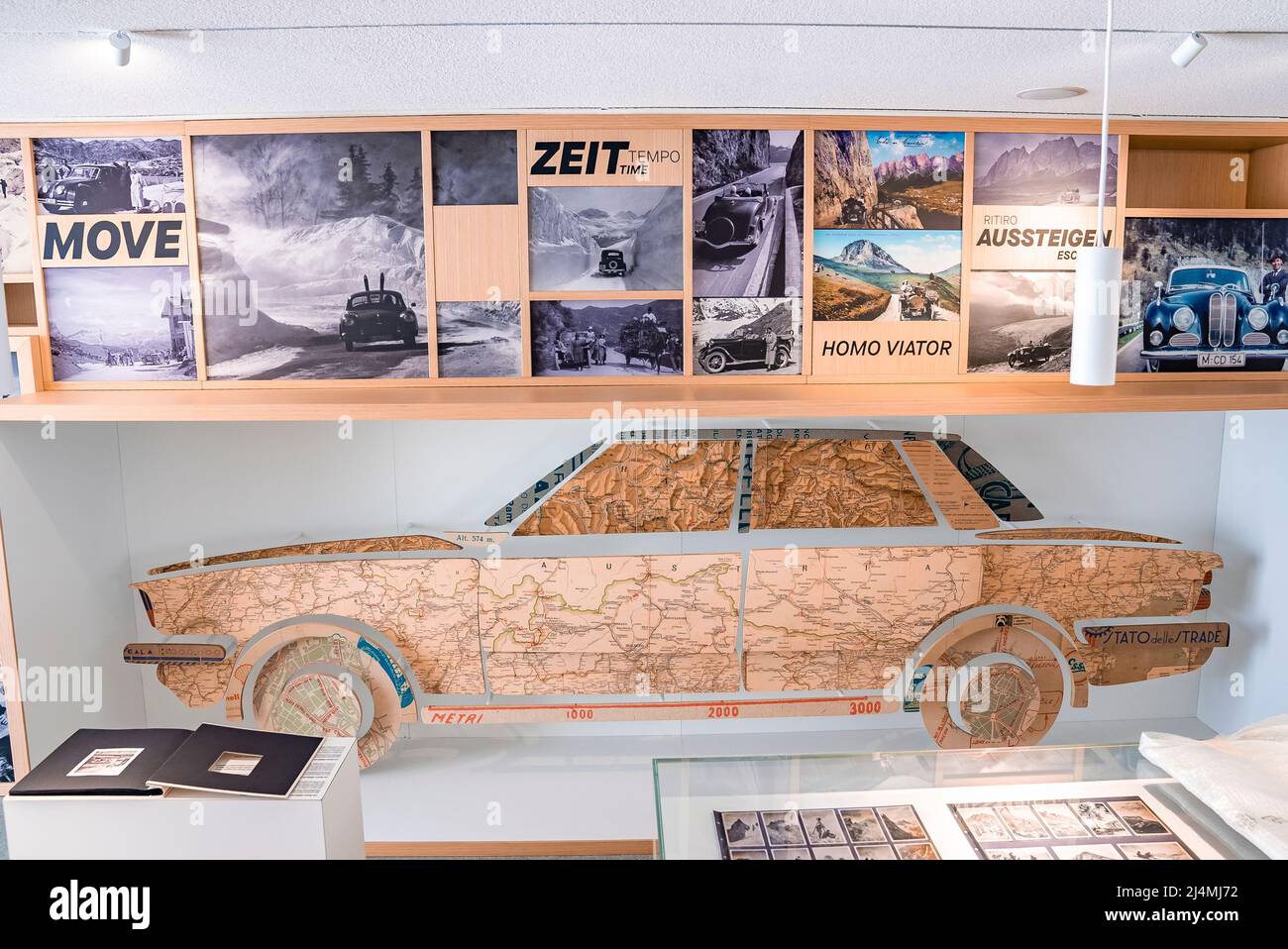 Interior of museum decorated with various photos and car shape made of map Stock Photohttps://www.alamy.com/image-license-details/?v=1https://www.alamy.com/interior-of-museum-decorated-with-various-photos-and-car-shape-made-of-map-image467591910.html
RF2J4MJ72–Interior of museum decorated with various photos and car shape made of map
 Under the gaze of CCTV, tourists point to a map in the northern Italian south Tyrolean city of Bozen-Bolzano. Stock Photohttps://www.alamy.com/image-license-details/?v=1https://www.alamy.com/stock-photo-under-the-gaze-of-cctv-tourists-point-to-a-map-in-the-northern-italian-85752171.html
RMEYE9NF–Under the gaze of CCTV, tourists point to a map in the northern Italian south Tyrolean city of Bozen-Bolzano.
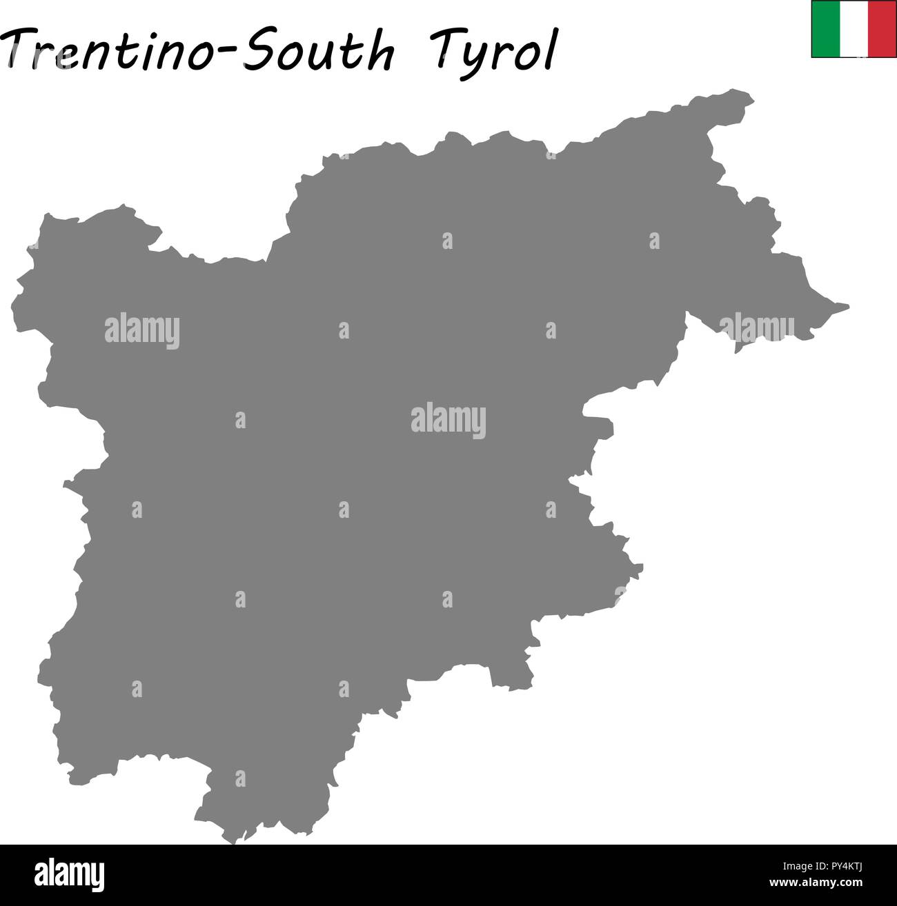 High Quality map of Trentino-South Tyrol is a region of Italy Stock Vectorhttps://www.alamy.com/image-license-details/?v=1https://www.alamy.com/high-quality-map-of-trentino-south-tyrol-is-a-region-of-italy-image223223522.html
RFPY4KTJ–High Quality map of Trentino-South Tyrol is a region of Italy
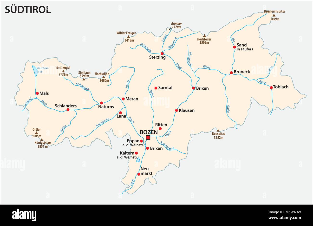 Simple map of the Italian province of South Tyrol in german language Stock Vectorhttps://www.alamy.com/image-license-details/?v=1https://www.alamy.com/stock-photo-simple-map-of-the-italian-province-of-south-tyrol-in-german-language-175733877.html
RFM5WA9W–Simple map of the Italian province of South Tyrol in german language
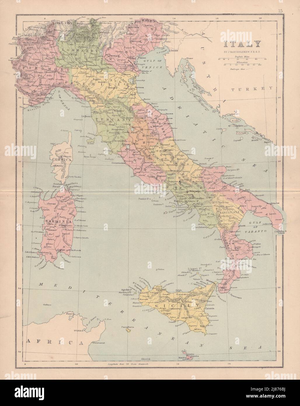 ITALY showing regions. Excludes Trieste/Istria & South Tyrol. COLLINS 1873 map Stock Photohttps://www.alamy.com/image-license-details/?v=1https://www.alamy.com/italy-showing-regions-excludes-triesteistria-south-tyrol-collins-1873-map-image469755878.html
RF2J876BJ–ITALY showing regions. Excludes Trieste/Istria & South Tyrol. COLLINS 1873 map
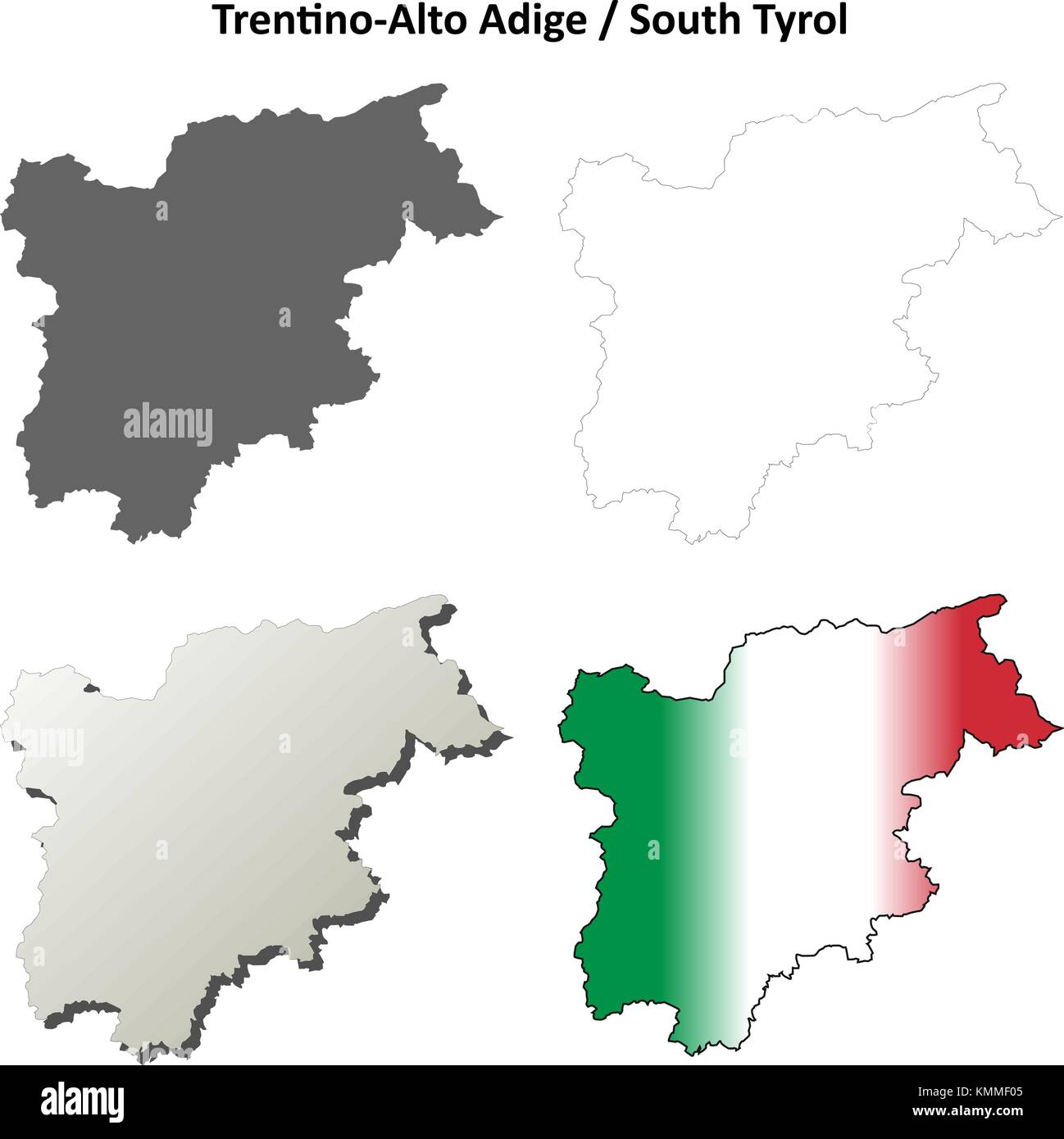 Trentino-Alto Adige blank outline map set Stock Vectorhttps://www.alamy.com/image-license-details/?v=1https://www.alamy.com/stock-image-trentino-alto-adige-blank-outline-map-set-167637237.html
RFKMMF05–Trentino-Alto Adige blank outline map set
 Verano, Province of Bolzano, South Tyrol, Italy. Hiking map near Verano Stock Photohttps://www.alamy.com/image-license-details/?v=1https://www.alamy.com/verano-province-of-bolzano-south-tyrol-italy-hiking-map-near-verano-image398577838.html
RM2E4CP2P–Verano, Province of Bolzano, South Tyrol, Italy. Hiking map near Verano
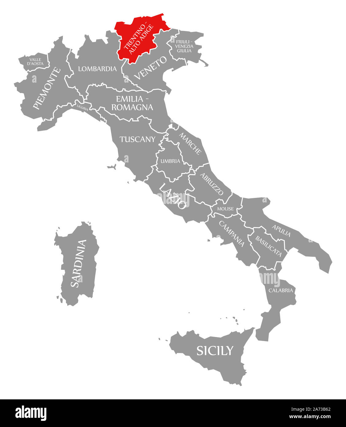 Trentino-South Tyrol red highlighted in map of Italy Stock Photohttps://www.alamy.com/image-license-details/?v=1https://www.alamy.com/trentino-south-tyrol-red-highlighted-in-map-of-italy-image331374234.html
RF2A73B62–Trentino-South Tyrol red highlighted in map of Italy
 Pianlargo, South Tyrol, Italy, Trentino-Alto Adige, N 46 48' 56'', E 11 12' 5'', map, Timeless Map published in 2021. Travelers, explorers and adventurers like Florence Nightingale, David Livingstone, Ernest Shackleton, Lewis and Clark and Sherlock Holmes relied on maps to plan travels to the world's most remote corners, Timeless Maps is mapping most locations on the globe, showing the achievement of great dreams Stock Photohttps://www.alamy.com/image-license-details/?v=1https://www.alamy.com/pianlargo-south-tyrol-italy-trentino-alto-adige-n-46-48-56-e-11-12-5-map-timeless-map-published-in-2021-travelers-explorers-and-adventurers-like-florence-nightingale-david-livingstone-ernest-shackleton-lewis-and-clark-and-sherlock-holmes-relied-on-maps-to-plan-travels-to-the-worlds-most-remote-corners-timeless-maps-is-mapping-most-locations-on-the-globe-showing-the-achievement-of-great-dreams-image445693206.html
RM2GW326E–Pianlargo, South Tyrol, Italy, Trentino-Alto Adige, N 46 48' 56'', E 11 12' 5'', map, Timeless Map published in 2021. Travelers, explorers and adventurers like Florence Nightingale, David Livingstone, Ernest Shackleton, Lewis and Clark and Sherlock Holmes relied on maps to plan travels to the world's most remote corners, Timeless Maps is mapping most locations on the globe, showing the achievement of great dreams
 Female hiker with backpack reads hiking map at Sarca river, Val Genova, Genova valley, near Carisolo Stock Photohttps://www.alamy.com/image-license-details/?v=1https://www.alamy.com/female-hiker-with-backpack-reads-hiking-map-at-sarca-river-val-genova-genova-valley-near-carisolo-image221267550.html
RMPRYH0E–Female hiker with backpack reads hiking map at Sarca river, Val Genova, Genova valley, near Carisolo
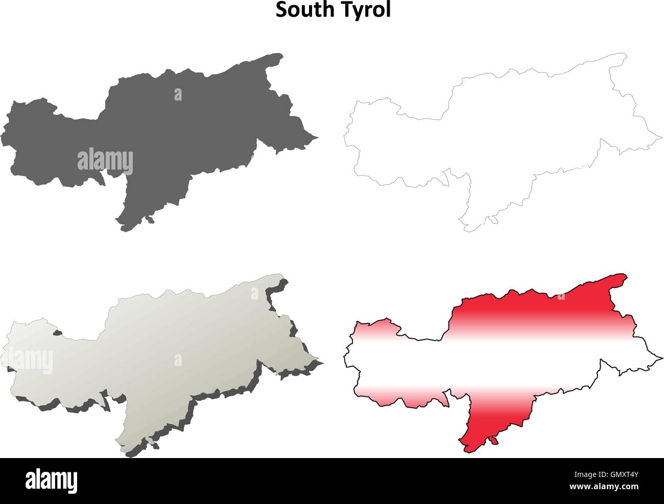 South Tyrol blank outline map set - Austrian version Stock Vectorhttps://www.alamy.com/image-license-details/?v=1https://www.alamy.com/stock-photo-south-tyrol-blank-outline-map-set-austrian-version-116145035.html
RFGMXT4Y–South Tyrol blank outline map set - Austrian version
 isolated, colour, south tyrol, europe, illustration, flag, administration, Stock Photohttps://www.alamy.com/image-license-details/?v=1https://www.alamy.com/stock-photo-isolated-colour-south-tyrol-europe-illustration-flag-administration-131682947.html
RFHJ6JXB–isolated, colour, south tyrol, europe, illustration, flag, administration,
 Italy, South Tyrol, Mature couple with map hiking on dolomites Stock Photohttps://www.alamy.com/image-license-details/?v=1https://www.alamy.com/stock-photo-italy-south-tyrol-mature-couple-with-map-hiking-on-dolomites-36686700.html
RFC3K678–Italy, South Tyrol, Mature couple with map hiking on dolomites
 Woman on bicycle reading map, Jenesien, South Tyrol, Italy Stock Photohttps://www.alamy.com/image-license-details/?v=1https://www.alamy.com/stock-photo-woman-on-bicycle-reading-map-jenesien-south-tyrol-italy-119527816.html
RFGXCXXG–Woman on bicycle reading map, Jenesien, South Tyrol, Italy
 Young woman contemplating on a mountain overlooking Matschertal and the Ortler mountain range, South Tyrol, Italy Stock Photohttps://www.alamy.com/image-license-details/?v=1https://www.alamy.com/young-woman-contemplating-on-a-mountain-overlooking-matschertal-and-image6918006.html
RMA8HDY7–Young woman contemplating on a mountain overlooking Matschertal and the Ortler mountain range, South Tyrol, Italy
 Italy, South Tyrol, Trentino, the Piz La Ila high plateau near Stern / La Villa, alpine meadow, hiker, lookout point at the †tia de Bioch mountain hut Stock Photohttps://www.alamy.com/image-license-details/?v=1https://www.alamy.com/italy-south-tyrol-trentino-the-piz-la-ila-high-plateau-near-stern-la-villa-alpine-meadow-hiker-lookout-point-at-the-tia-de-bioch-mountain-hut-image216972879.html
RMPGYY3B–Italy, South Tyrol, Trentino, the Piz La Ila high plateau near Stern / La Villa, alpine meadow, hiker, lookout point at the †tia de Bioch mountain hut
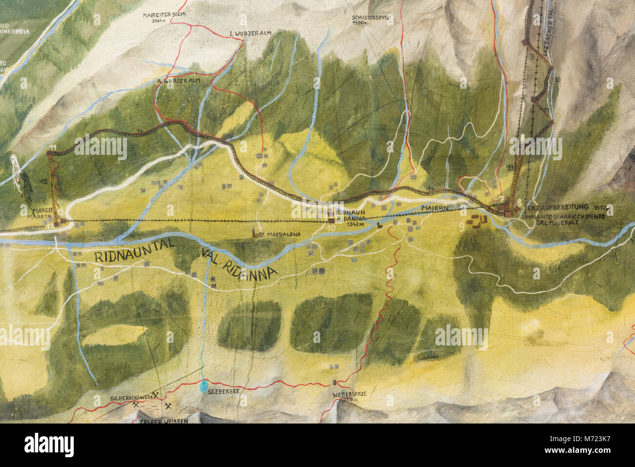 Ridnaun Valley in South Tyrol,Italy-may 27,2017: Map of the mines in Ridnaun Valley. Monteneve is the highest mine in Europe and has been the longest Stock Photohttps://www.alamy.com/image-license-details/?v=1https://www.alamy.com/stock-photo-ridnaun-valley-in-south-tyrolitaly-may-272017-map-of-the-mines-in-176453067.html
RFM723K7–Ridnaun Valley in South Tyrol,Italy-may 27,2017: Map of the mines in Ridnaun Valley. Monteneve is the highest mine in Europe and has been the longest
 Mountain bikers looking at an environment map at the mountain station Col Alt, Corvara, Trentino South Tyrol, Italy Stock Photohttps://www.alamy.com/image-license-details/?v=1https://www.alamy.com/mountain-bikers-looking-at-an-environment-map-at-the-mountain-station-col-alt-corvara-trentino-south-tyrol-italy-image208087087.html
RMP2F55K–Mountain bikers looking at an environment map at the mountain station Col Alt, Corvara, Trentino South Tyrol, Italy
 Young woman with map on lake braies in south tyrol, italy Stock Photohttps://www.alamy.com/image-license-details/?v=1https://www.alamy.com/stock-photo-young-woman-with-map-on-lake-braies-in-south-tyrol-italy-76942893.html
RFED51CD–Young woman with map on lake braies in south tyrol, italy
 Interior of modern museum with large display hanging over map on floor Stock Photohttps://www.alamy.com/image-license-details/?v=1https://www.alamy.com/interior-of-modern-museum-with-large-display-hanging-over-map-on-floor-image467590890.html
RF2J4MGXJ–Interior of modern museum with large display hanging over map on floor
 Hiking couple consult their map with panoramic views of mountain tops behind in the Pralongià above San Cassiano-St. Kassian in the Dolomites, south Tyrol, northern Italy. In winter, the Pralongià meadows are the heart of Alta Badia’s skiing area. Stock Photohttps://www.alamy.com/image-license-details/?v=1https://www.alamy.com/stock-photo-hiking-couple-consult-their-map-with-panoramic-views-of-mountain-tops-85750372.html
RMEYE7D8–Hiking couple consult their map with panoramic views of mountain tops behind in the Pralongià above San Cassiano-St. Kassian in the Dolomites, south Tyrol, northern Italy. In winter, the Pralongià meadows are the heart of Alta Badia’s skiing area.
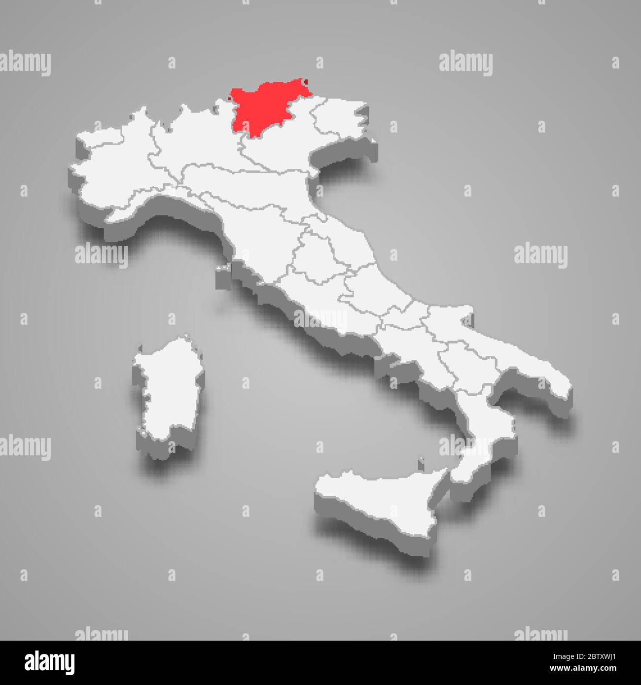 Trentino-South Tyrol region location within Italy 3d map Stock Vectorhttps://www.alamy.com/image-license-details/?v=1https://www.alamy.com/trentino-south-tyrol-region-location-within-italy-3d-map-image359549961.html
RF2BTXWJ1–Trentino-South Tyrol region location within Italy 3d map
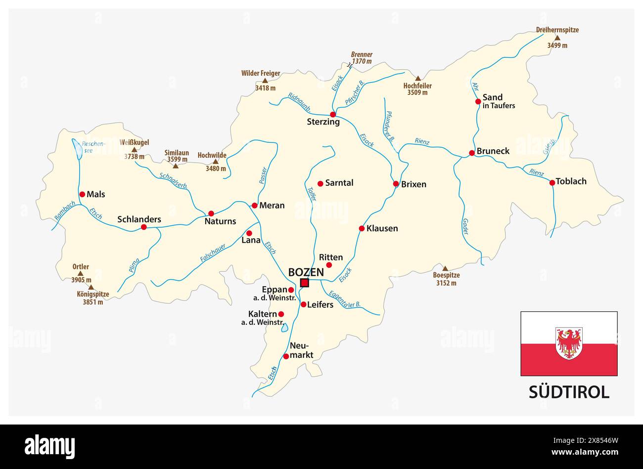 simple map of the Italian province of South Tyrol in german language with flag Stock Photohttps://www.alamy.com/image-license-details/?v=1https://www.alamy.com/simple-map-of-the-italian-province-of-south-tyrol-in-german-language-with-flag-image607393217.html
RF2X8546W–simple map of the Italian province of South Tyrol in german language with flag
 'Le Tyrol sous le nom duq'uel…' Tirol & Trentino/South Tyrol. VAUGONDY 1753 map Stock Photohttps://www.alamy.com/image-license-details/?v=1https://www.alamy.com/le-tyrol-sous-le-nom-duquel-tirol-trentinosouth-tyrol-vaugondy-1753-map-image401432587.html
RF2E92RA3–'Le Tyrol sous le nom duq'uel…' Tirol & Trentino/South Tyrol. VAUGONDY 1753 map
 Map of Trentino-South Tyrol Stock Photohttps://www.alamy.com/image-license-details/?v=1https://www.alamy.com/map-of-trentino-south-tyrol-image363448909.html
RF2C38EP5–Map of Trentino-South Tyrol
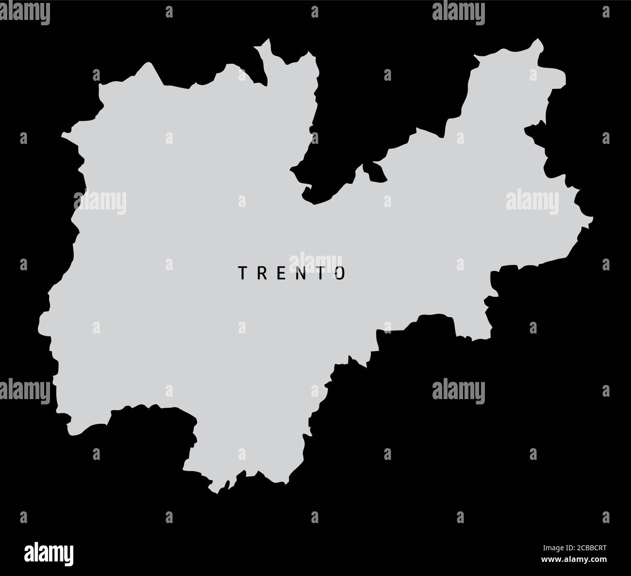 Trento province map Stock Vectorhttps://www.alamy.com/image-license-details/?v=1https://www.alamy.com/trento-province-map-image368430492.html
RF2CBBCRT–Trento province map
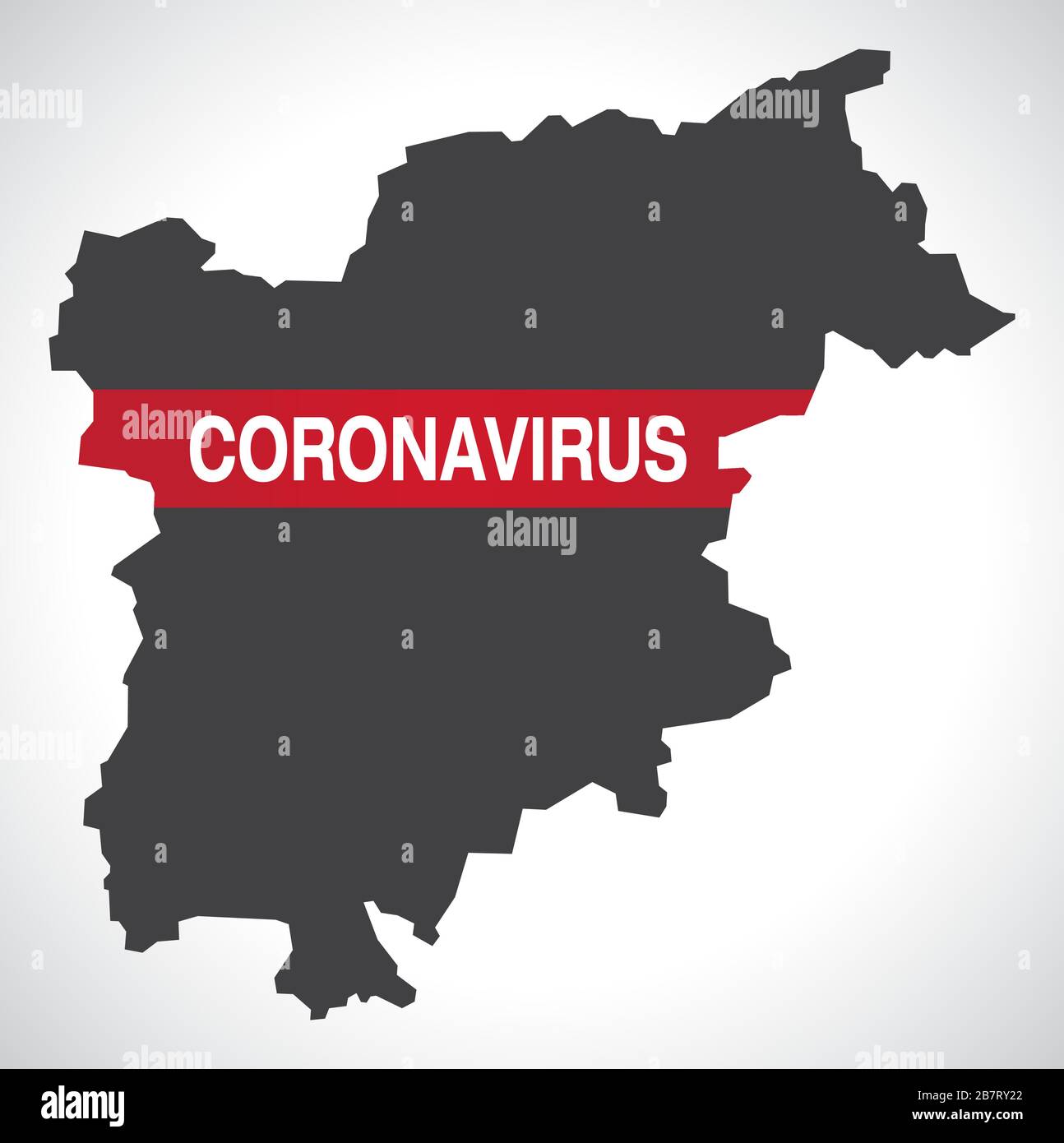 Trentino-South Tyrol ITALY region map with Coronavirus warning illustration Stock Vectorhttps://www.alamy.com/image-license-details/?v=1https://www.alamy.com/trentino-south-tyrol-italy-region-map-with-coronavirus-warning-illustration-image349036074.html
RF2B7RY22–Trentino-South Tyrol ITALY region map with Coronavirus warning illustration
 Pezzè, South Tyrol, Italy, Trentino-Alto Adige, N 46 43' 45'', E 11 46' 58'', map, Timeless Map published in 2021. Travelers, explorers and adventurers like Florence Nightingale, David Livingstone, Ernest Shackleton, Lewis and Clark and Sherlock Holmes relied on maps to plan travels to the world's most remote corners, Timeless Maps is mapping most locations on the globe, showing the achievement of great dreams Stock Photohttps://www.alamy.com/image-license-details/?v=1https://www.alamy.com/pezz-south-tyrol-italy-trentino-alto-adige-n-46-43-45-e-11-46-58-map-timeless-map-published-in-2021-travelers-explorers-and-adventurers-like-florence-nightingale-david-livingstone-ernest-shackleton-lewis-and-clark-and-sherlock-holmes-relied-on-maps-to-plan-travels-to-the-worlds-most-remote-corners-timeless-maps-is-mapping-most-locations-on-the-globe-showing-the-achievement-of-great-dreams-image445655309.html
RM2GW19W1–Pezzè, South Tyrol, Italy, Trentino-Alto Adige, N 46 43' 45'', E 11 46' 58'', map, Timeless Map published in 2021. Travelers, explorers and adventurers like Florence Nightingale, David Livingstone, Ernest Shackleton, Lewis and Clark and Sherlock Holmes relied on maps to plan travels to the world's most remote corners, Timeless Maps is mapping most locations on the globe, showing the achievement of great dreams
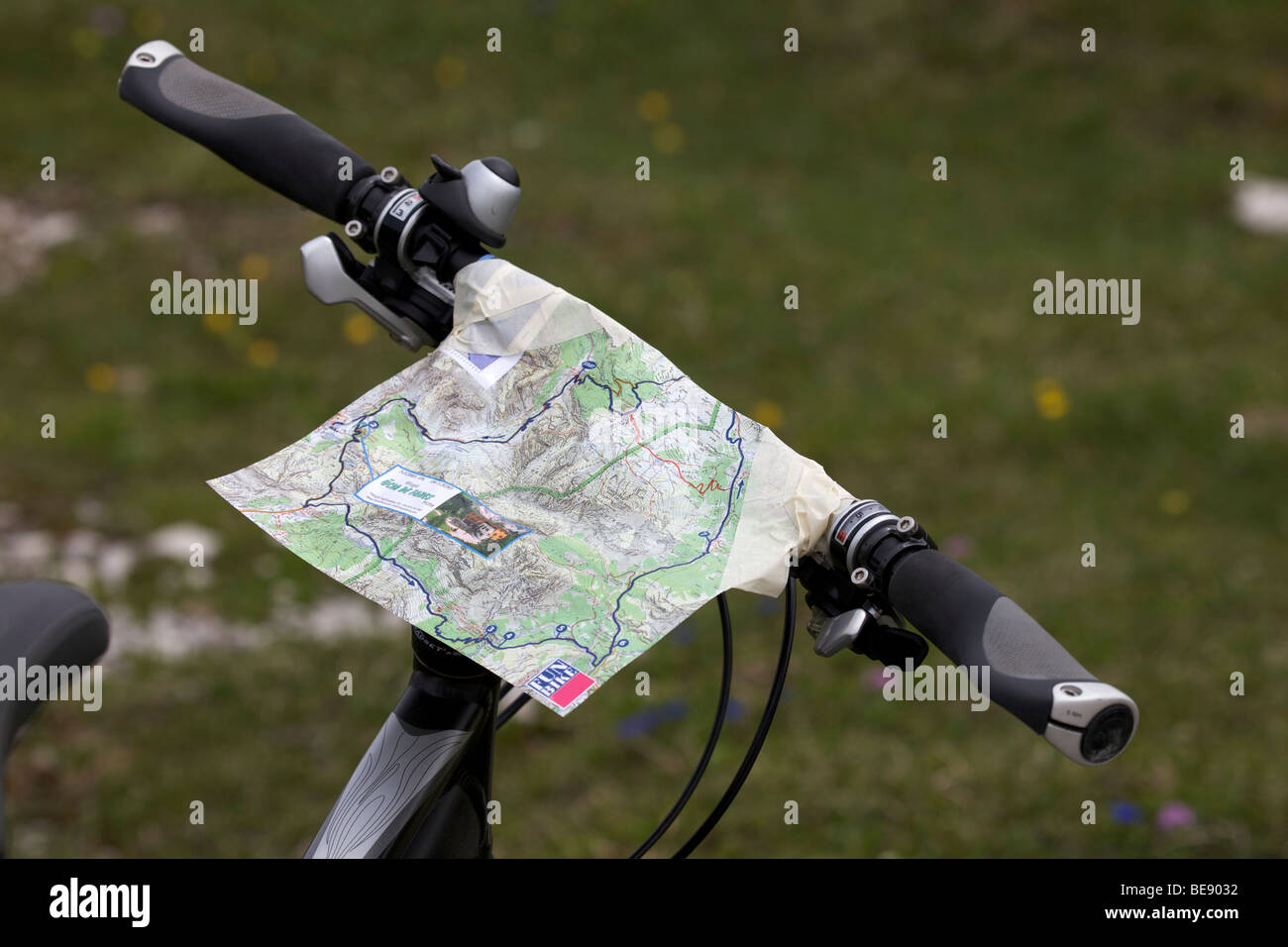 Map taped to a bicycle handlebar Stock Photohttps://www.alamy.com/image-license-details/?v=1https://www.alamy.com/stock-photo-map-taped-to-a-bicycle-handlebar-26013206.html
RFBE9032–Map taped to a bicycle handlebar
 Apple harvest in South Tyrol 2015 Stock Photohttps://www.alamy.com/image-license-details/?v=1https://www.alamy.com/apple-harvest-in-south-tyrol-2015-image155525026.html
RMK10NN6–Apple harvest in South Tyrol 2015
 isolated, colour, south tyrol, europe, illustration, flag, administration, Stock Photohttps://www.alamy.com/image-license-details/?v=1https://www.alamy.com/stock-photo-isolated-colour-south-tyrol-europe-illustration-flag-administration-131682948.html
RFHJ6JXC–isolated, colour, south tyrol, europe, illustration, flag, administration,
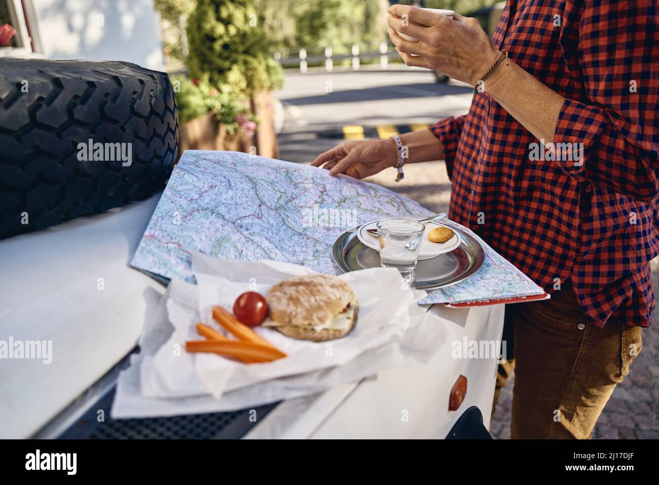 Woman with map on off-road vehicle at vacation, Schnalstal, South Tyrol, Italy Stock Photohttps://www.alamy.com/image-license-details/?v=1https://www.alamy.com/woman-with-map-on-off-road-vehicle-at-vacation-schnalstal-south-tyrol-italy-image465458967.html
RF2J17DJF–Woman with map on off-road vehicle at vacation, Schnalstal, South Tyrol, Italy
 Woman wearing cycling helmet reading map, Jenesien, South Tyrol, Italy Stock Photohttps://www.alamy.com/image-license-details/?v=1https://www.alamy.com/stock-photo-woman-wearing-cycling-helmet-reading-map-jenesien-south-tyrol-italy-119527814.html
RFGXCXXE–Woman wearing cycling helmet reading map, Jenesien, South Tyrol, Italy
 Young woman reading map in the mountains above Matschertal, South Tyrol, Italy Stock Photohttps://www.alamy.com/image-license-details/?v=1https://www.alamy.com/young-woman-reading-map-in-the-mountains-above-matschertal-south-tyrol-image6918052.html
RMA8HEJ5–Young woman reading map in the mountains above Matschertal, South Tyrol, Italy
 Italy, Trentino-Alto Adige, Sextener Dolomites, tour over Büllelejoch to Oberbachernspitze, resting place in the mountain area Stock Photohttps://www.alamy.com/image-license-details/?v=1https://www.alamy.com/stock-photo-italy-trentino-alto-adige-sextener-dolomites-tour-over-bllelejoch-111481548.html
RFGDABRT–Italy, Trentino-Alto Adige, Sextener Dolomites, tour over Büllelejoch to Oberbachernspitze, resting place in the mountain area
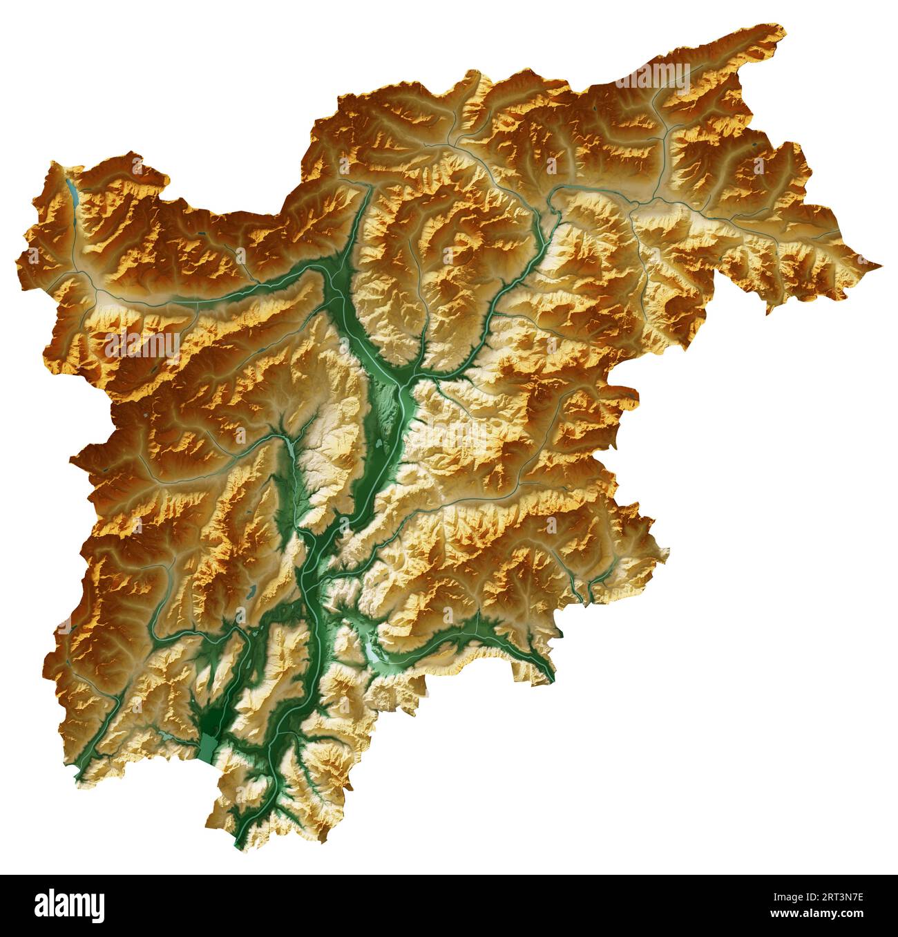 Trentino-Alto Adige. A region of Italy. Detailed 3D rendering of a shaded relief map, rivers, lakes. Colored by elevation. Pure white background. Stock Photohttps://www.alamy.com/image-license-details/?v=1https://www.alamy.com/trentino-alto-adige-a-region-of-italy-detailed-3d-rendering-of-a-shaded-relief-map-rivers-lakes-colored-by-elevation-pure-white-background-image565566050.html
RF2RT3N7E–Trentino-Alto Adige. A region of Italy. Detailed 3D rendering of a shaded relief map, rivers, lakes. Colored by elevation. Pure white background.
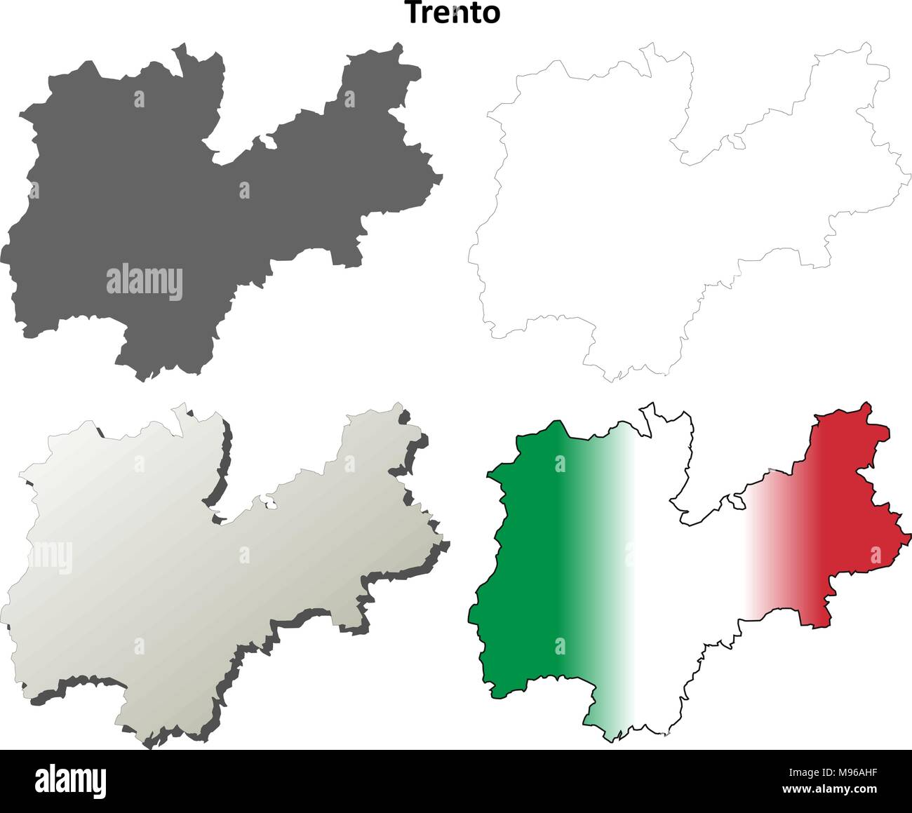 Trento blank detailed outline map set Stock Vectorhttps://www.alamy.com/image-license-details/?v=1https://www.alamy.com/trento-blank-detailed-outline-map-set-image177775627.html
RFM96AHF–Trento blank detailed outline map set
 Young woman with map on lake braies in south tyrol, italy Stock Photohttps://www.alamy.com/image-license-details/?v=1https://www.alamy.com/stock-photo-young-woman-with-map-on-lake-braies-in-south-tyrol-italy-76942935.html
RFED51DY–Young woman with map on lake braies in south tyrol, italy
 Assorted documents on table in decorated modern luxury hotel lobby Stock Photohttps://www.alamy.com/image-license-details/?v=1https://www.alamy.com/assorted-documents-on-table-in-decorated-modern-luxury-hotel-lobby-image467593738.html
RF2J4MMGA–Assorted documents on table in decorated modern luxury hotel lobby
 Hiking couple consult their map with panoramic views of mountain tops behind in the Pralongià above San Cassiano-St. Kassian in the Dolomites, south Tyrol, northern Italy. In winter, the Pralongià meadows are the heart of Alta Badia’s skiing area. Stock Photohttps://www.alamy.com/image-license-details/?v=1https://www.alamy.com/stock-photo-hiking-couple-consult-their-map-with-panoramic-views-of-mountain-tops-85750676.html
RMEYE7T4–Hiking couple consult their map with panoramic views of mountain tops behind in the Pralongià above San Cassiano-St. Kassian in the Dolomites, south Tyrol, northern Italy. In winter, the Pralongià meadows are the heart of Alta Badia’s skiing area.
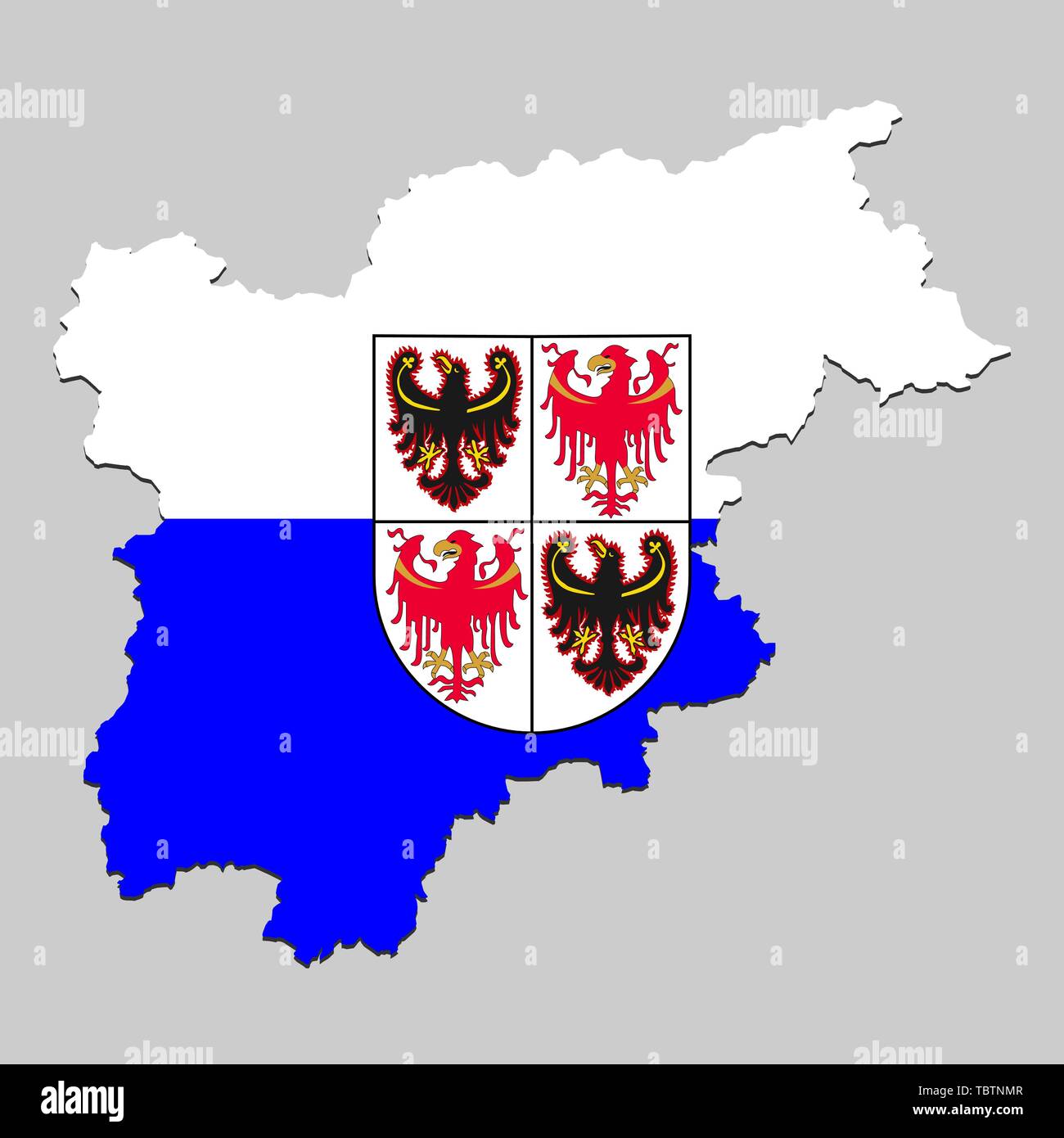 Map of Trentino - South Tyrol is a state Italy with flag. Vector Illustration Stock Vectorhttps://www.alamy.com/image-license-details/?v=1https://www.alamy.com/map-of-trentino-south-tyrol-is-a-state-italy-with-flag-vector-illustration-image248250263.html
RFTBTNMR–Map of Trentino - South Tyrol is a state Italy with flag. Vector Illustration
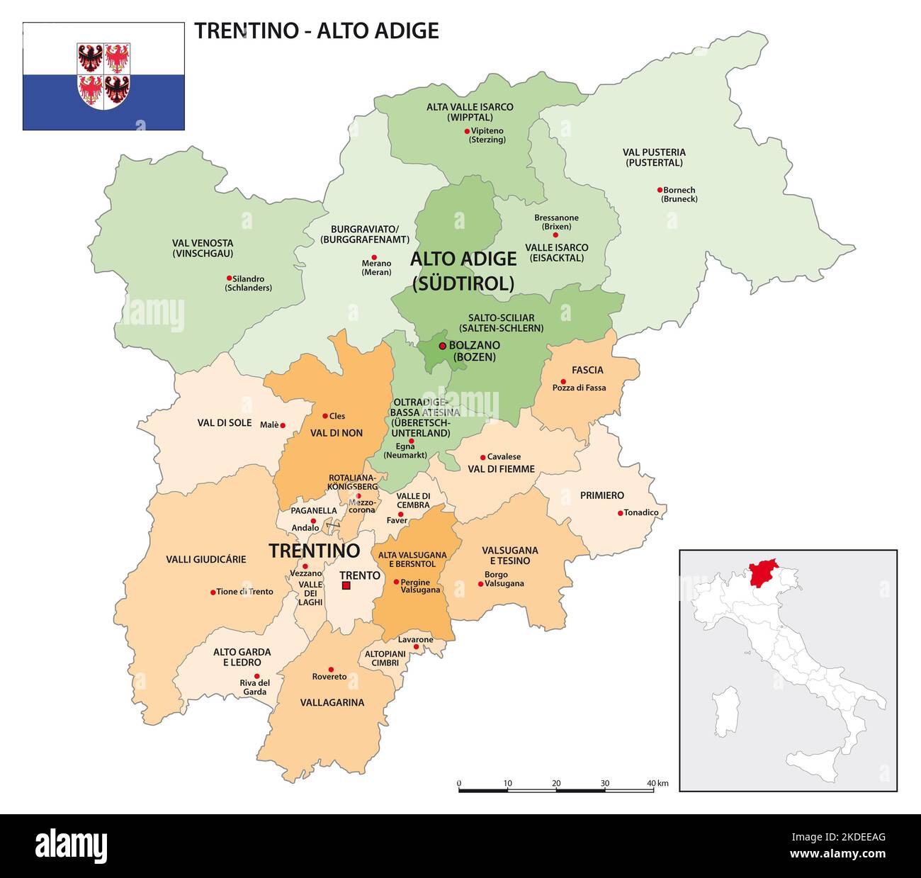 District map of Trentino-Alto Adige with flag Stock Photohttps://www.alamy.com/image-license-details/?v=1https://www.alamy.com/district-map-of-trentino-alto-adige-with-flag-image490199432.html
RF2KDEEAG–District map of Trentino-Alto Adige with flag
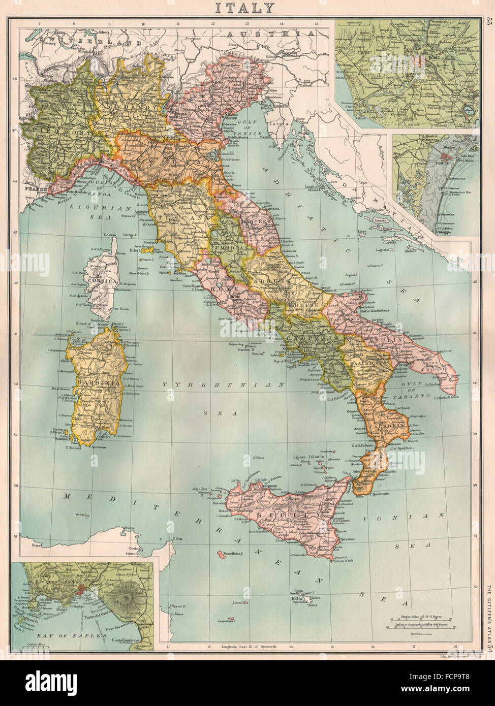 ITALY: before incorporation of South Tyrol & Trieste. BARTHOLOMEW, 1898 map Stock Photohttps://www.alamy.com/image-license-details/?v=1https://www.alamy.com/stock-photo-italy-before-incorporation-of-south-tyrol-trieste-bartholomew-1898-93918392.html
RFFCP9T8–ITALY: before incorporation of South Tyrol & Trieste. BARTHOLOMEW, 1898 map
 Map of Trentino-South Tyrol Stock Photohttps://www.alamy.com/image-license-details/?v=1https://www.alamy.com/map-of-trentino-south-tyrol-image363482565.html
RF2C3A1M5–Map of Trentino-South Tyrol
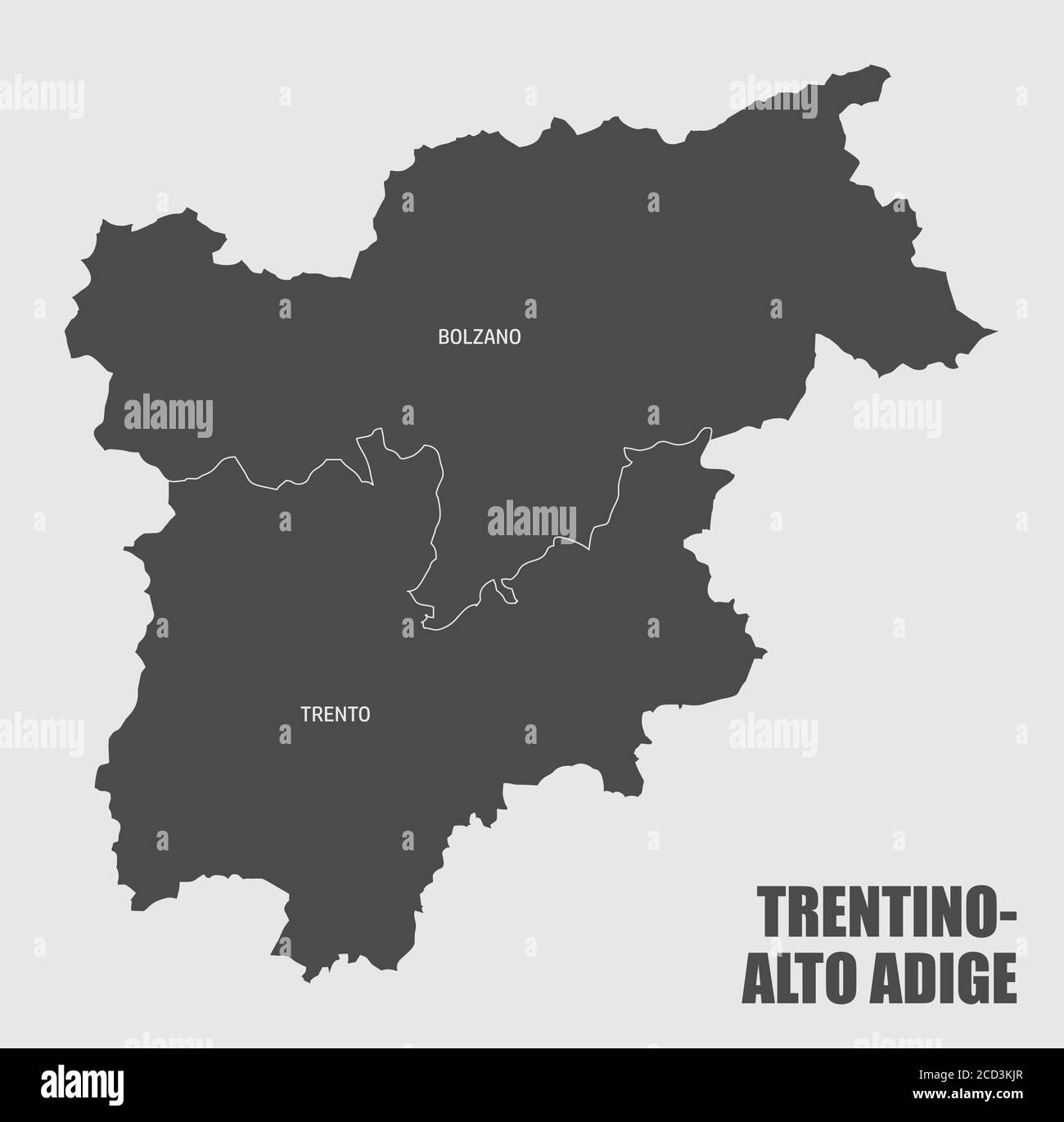 Trentino-Alto Adige region map Stock Vectorhttps://www.alamy.com/image-license-details/?v=1https://www.alamy.com/trentino-alto-adige-region-map-image369489535.html
RF2CD3KJR–Trentino-Alto Adige region map
 Female hiker looking at map display in front of Tre Cime di Lavaredo, Sexten Dolomites, Italy Stock Photohttps://www.alamy.com/image-license-details/?v=1https://www.alamy.com/stock-photo-female-hiker-looking-at-map-display-in-front-of-tre-cime-di-lavaredo-37836059.html
RMC5FG7R–Female hiker looking at map display in front of Tre Cime di Lavaredo, Sexten Dolomites, Italy
 Weissenbach, South Tyrol, Italy, Trentino-Alto Adige, N 46 46' 17'', E 11 22' 5'', map, Timeless Map published in 2021. Travelers, explorers and adventurers like Florence Nightingale, David Livingstone, Ernest Shackleton, Lewis and Clark and Sherlock Holmes relied on maps to plan travels to the world's most remote corners, Timeless Maps is mapping most locations on the globe, showing the achievement of great dreams Stock Photohttps://www.alamy.com/image-license-details/?v=1https://www.alamy.com/weissenbach-south-tyrol-italy-trentino-alto-adige-n-46-46-17-e-11-22-5-map-timeless-map-published-in-2021-travelers-explorers-and-adventurers-like-florence-nightingale-david-livingstone-ernest-shackleton-lewis-and-clark-and-sherlock-holmes-relied-on-maps-to-plan-travels-to-the-worlds-most-remote-corners-timeless-maps-is-mapping-most-locations-on-the-globe-showing-the-achievement-of-great-dreams-image445497463.html
RM2GTP4FK–Weissenbach, South Tyrol, Italy, Trentino-Alto Adige, N 46 46' 17'', E 11 22' 5'', map, Timeless Map published in 2021. Travelers, explorers and adventurers like Florence Nightingale, David Livingstone, Ernest Shackleton, Lewis and Clark and Sherlock Holmes relied on maps to plan travels to the world's most remote corners, Timeless Maps is mapping most locations on the globe, showing the achievement of great dreams
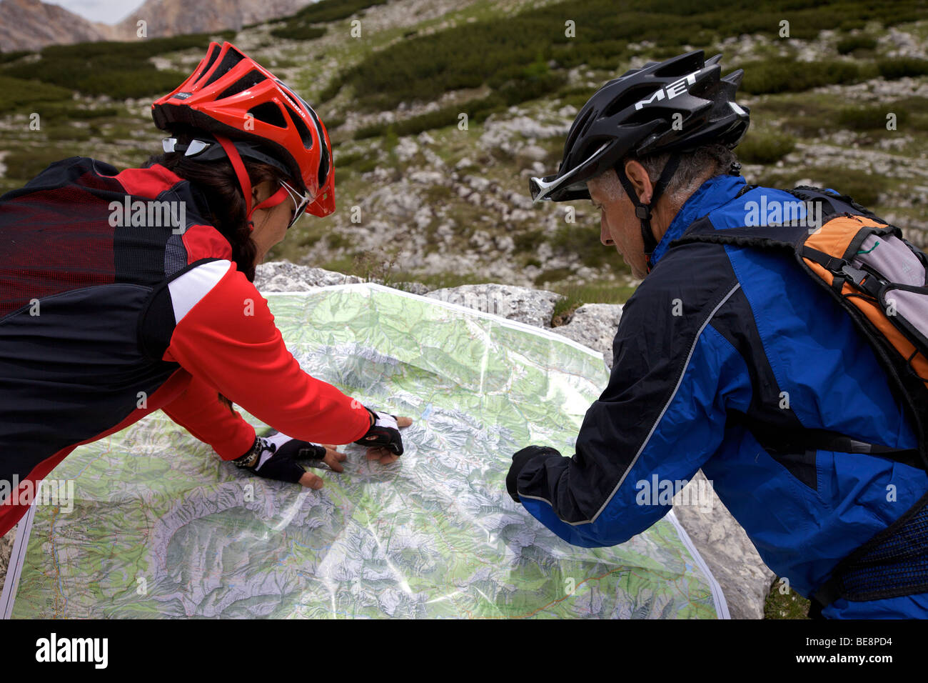 Mountain bike riders looking at a map Stock Photohttps://www.alamy.com/image-license-details/?v=1https://www.alamy.com/stock-photo-mountain-bike-riders-looking-at-a-map-26008784.html
RMBE8PD4–Mountain bike riders looking at a map
 Innichen (San Candido, South Tyrol), circa 1920 Stock Photohttps://www.alamy.com/image-license-details/?v=1https://www.alamy.com/innichen-san-candido-south-tyrol-circa-1920-image153835242.html
RMJX7PBP–Innichen (San Candido, South Tyrol), circa 1920
 isolated, colour, south tyrol, europe, illustration, flag, administration, Stock Photohttps://www.alamy.com/image-license-details/?v=1https://www.alamy.com/stock-photo-isolated-colour-south-tyrol-europe-illustration-flag-administration-131682945.html
RFHJ6JX9–isolated, colour, south tyrol, europe, illustration, flag, administration,
 south tyrol region on administration map of italy with flags Stock Photohttps://www.alamy.com/image-license-details/?v=1https://www.alamy.com/stock-photo-south-tyrol-region-on-administration-map-of-italy-with-flags-125791442.html
RFH8J87E–south tyrol region on administration map of italy with flags
 Woman wearing cycling helmet reading map, Jenesien, South Tyrol, Italy Stock Photohttps://www.alamy.com/image-license-details/?v=1https://www.alamy.com/stock-photo-woman-wearing-cycling-helmet-reading-map-jenesien-south-tyrol-italy-119527812.html
RFGXCXXC–Woman wearing cycling helmet reading map, Jenesien, South Tyrol, Italy
 Young woman reading map in the mountains above Matschertal, South Tyrol, Italy Stock Photohttps://www.alamy.com/image-license-details/?v=1https://www.alamy.com/young-woman-reading-map-in-the-mountains-above-matschertal-south-tyrol-image6918075.html
RMA8HEKC–Young woman reading map in the mountains above Matschertal, South Tyrol, Italy
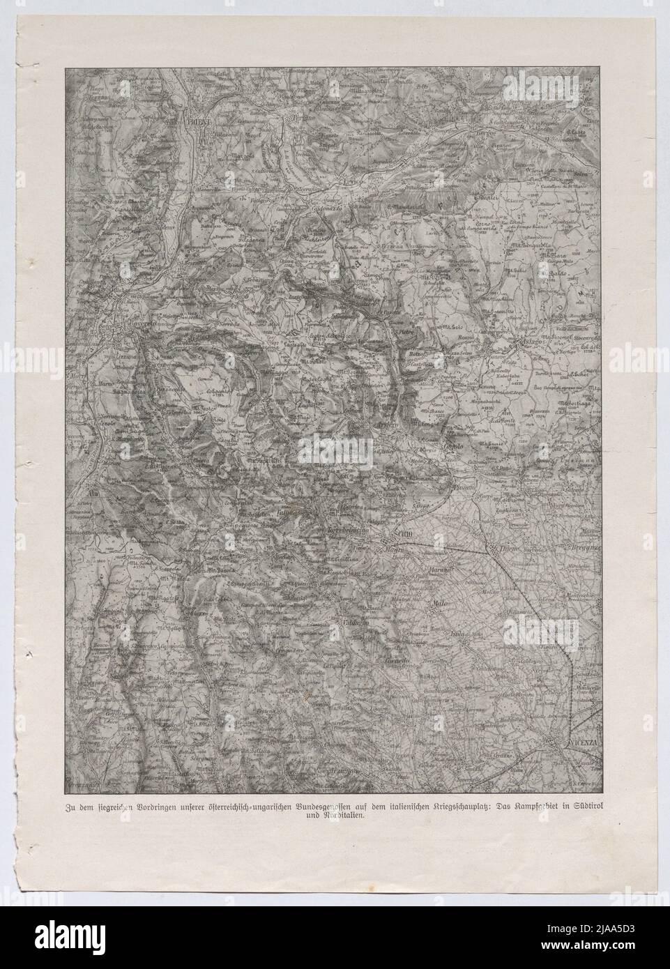 Excerpt from the Leipziger 'Illustrated Zeitung' No. 3805 of June 1, 1916, page 779: Map of the combat area in South Tyrol and northern Italy. Unknown Stock Photohttps://www.alamy.com/image-license-details/?v=1https://www.alamy.com/excerpt-from-the-leipziger-illustrated-zeitung-no-3805-of-june-1-1916-page-779-map-of-the-combat-area-in-south-tyrol-and-northern-italy-unknown-image471050303.html
RM2JAA5D3–Excerpt from the Leipziger 'Illustrated Zeitung' No. 3805 of June 1, 1916, page 779: Map of the combat area in South Tyrol and northern Italy. Unknown
 Stadtplan bzw Landkarten beim Discounter - von Wien, Korfu, Berlin, Gardasee, Bodensee, Südtirol, Kopenhagen, Portugal, Prag, Kroatien, Mallorca, Paris, New York, etc *** City map or maps at the discounter of Vienna, Corfu, Berlin, Lake Garda, Lake Constance, South Tyrol, Copenhagen, Portugal, Prague, Croatia, Majorca, Paris, New York, etc Stock Photohttps://www.alamy.com/image-license-details/?v=1https://www.alamy.com/stadtplan-bzw-landkarten-beim-discounter-von-wien-korfu-berlin-gardasee-bodensee-sdtirol-kopenhagen-portugal-prag-kroatien-mallorca-paris-new-york-etc-city-map-or-maps-at-the-discounter-of-vienna-corfu-berlin-lake-garda-lake-constance-south-tyrol-copenhagen-portugal-prague-croatia-majorca-paris-new-york-etc-image593231001.html
RM2WD405D–Stadtplan bzw Landkarten beim Discounter - von Wien, Korfu, Berlin, Gardasee, Bodensee, Südtirol, Kopenhagen, Portugal, Prag, Kroatien, Mallorca, Paris, New York, etc *** City map or maps at the discounter of Vienna, Corfu, Berlin, Lake Garda, Lake Constance, South Tyrol, Copenhagen, Portugal, Prague, Croatia, Majorca, Paris, New York, etc
 Bolzano blank outline map set - Italian version Stock Vectorhttps://www.alamy.com/image-license-details/?v=1https://www.alamy.com/bolzano-blank-outline-map-set-italian-version-image177775375.html
RFM96A8F–Bolzano blank outline map set - Italian version
 Young woman with map on lake braies in south tyrol, italy Stock Photohttps://www.alamy.com/image-license-details/?v=1https://www.alamy.com/stock-photo-young-woman-with-map-on-lake-braies-in-south-tyrol-italy-76942932.html
RFED51DT–Young woman with map on lake braies in south tyrol, italy
 Woman with skis and poles analyzes slopes status board during skiing holiday Stock Photohttps://www.alamy.com/image-license-details/?v=1https://www.alamy.com/woman-with-skis-and-poles-analyzes-slopes-status-board-during-skiing-holiday-image467592107.html
RF2J4MJE3–Woman with skis and poles analyzes slopes status board during skiing holiday
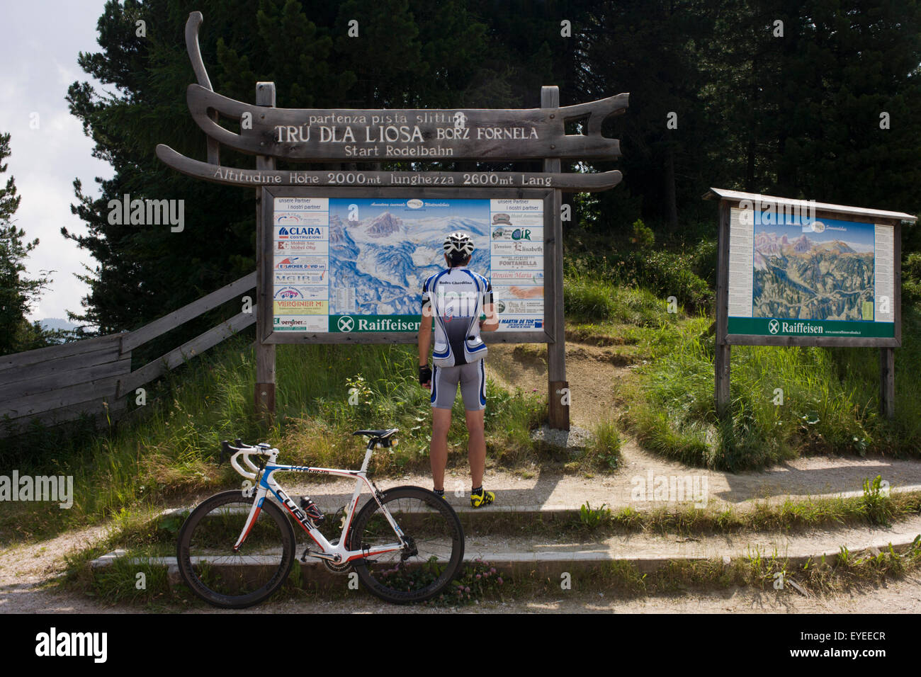 Resting cyclist consults map of Dolomites mountain range while on the summit of the Wurzjoch Pass Stock Photohttps://www.alamy.com/image-license-details/?v=1https://www.alamy.com/stock-photo-resting-cyclist-consults-map-of-dolomites-mountain-range-while-on-85755847.html
RMEYEECR–Resting cyclist consults map of Dolomites mountain range while on the summit of the Wurzjoch Pass
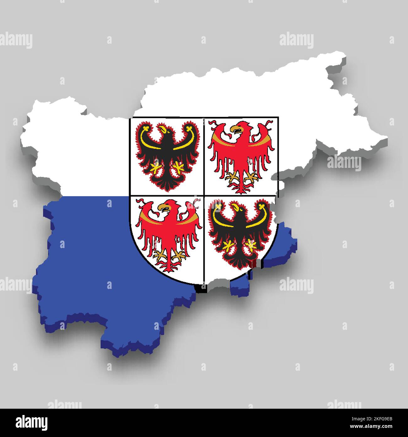 3d isometric Map of Trentino-South Tyrol is a region of Italy with national flag Stock Vectorhttps://www.alamy.com/image-license-details/?v=1https://www.alamy.com/3d-isometric-map-of-trentino-south-tyrol-is-a-region-of-italy-with-national-flag-image491468835.html
RF2KFG9EB–3d isometric Map of Trentino-South Tyrol is a region of Italy with national flag
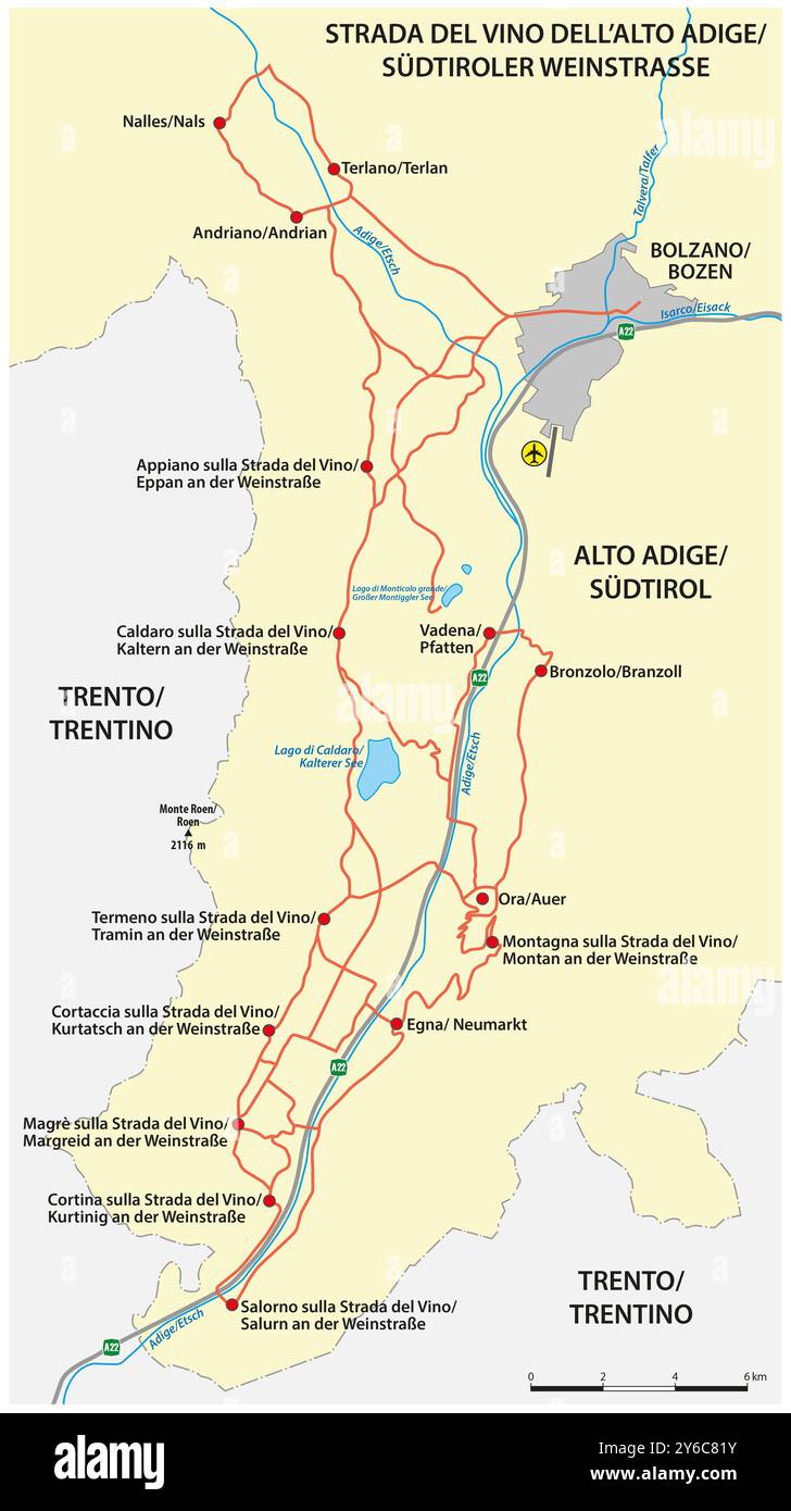 Map of the South Tyrolean wine route, Italy Stock Photohttps://www.alamy.com/image-license-details/?v=1https://www.alamy.com/map-of-the-south-tyrolean-wine-route-italy-image623530935.html
RF2Y6C81Y–Map of the South Tyrolean wine route, Italy
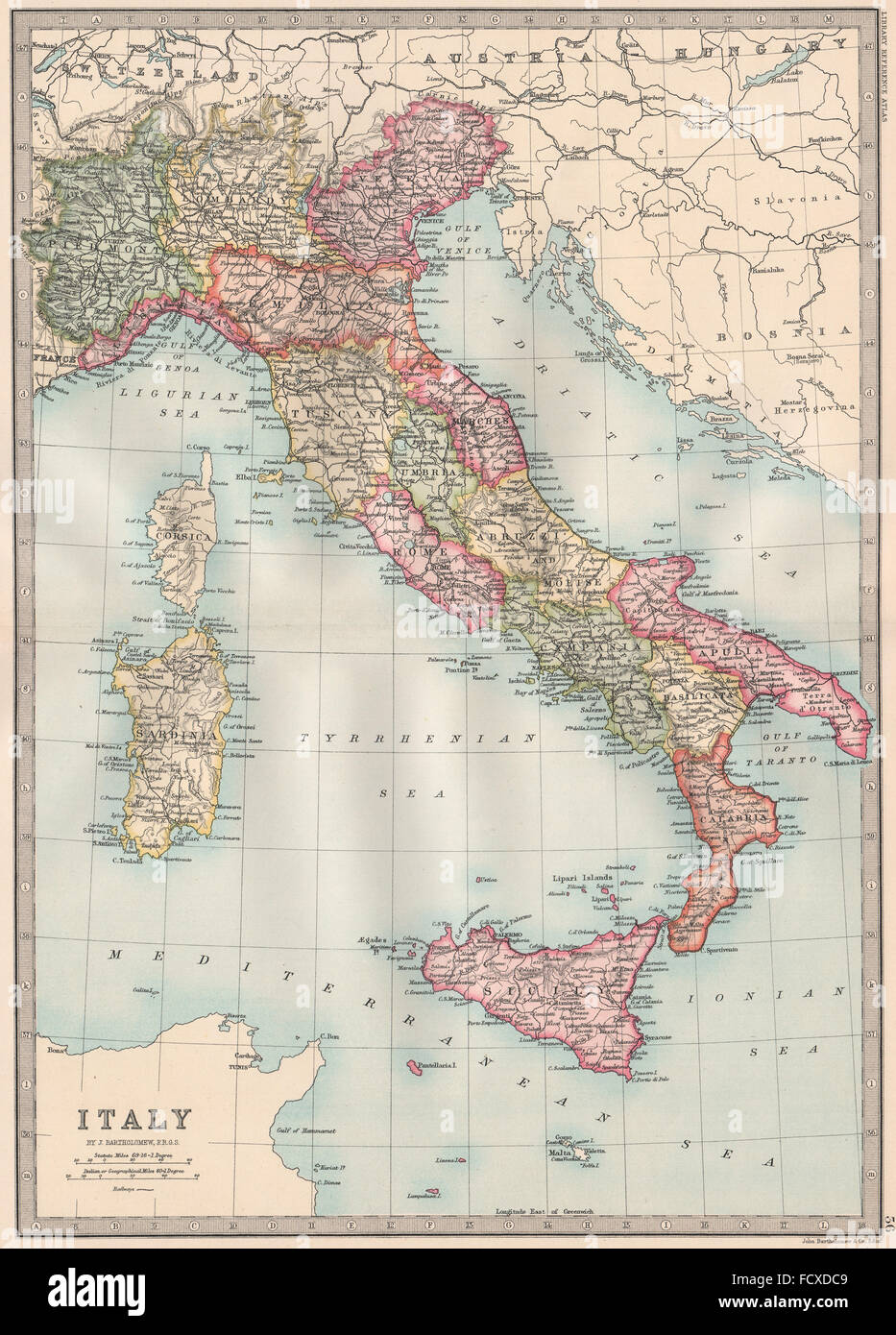 ITALY: without Istria & South Tyrol. BARTHOLOMEW, 1890 antique map Stock Photohttps://www.alamy.com/image-license-details/?v=1https://www.alamy.com/stock-photo-italy-without-istria-south-tyrol-bartholomew-1890-antique-map-94009001.html
RFFCXDC9–ITALY: without Istria & South Tyrol. BARTHOLOMEW, 1890 antique map
 Map of Trentino-South Tyrol Stock Photohttps://www.alamy.com/image-license-details/?v=1https://www.alamy.com/map-of-trentino-south-tyrol-image363493792.html
RF2C3AG14–Map of Trentino-South Tyrol
