Quick filters:
Map of spearfish Stock Photos and Images
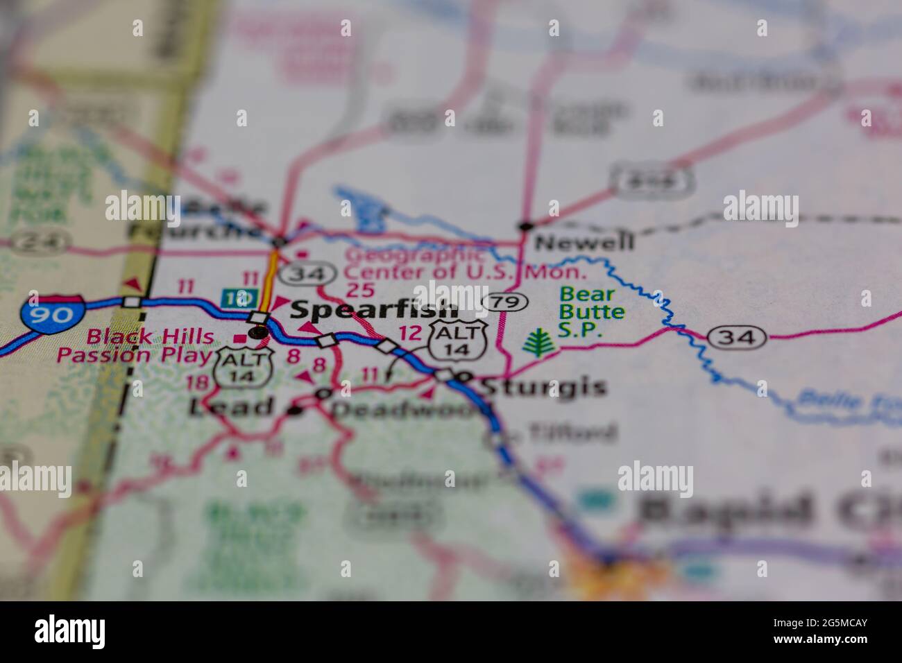 Spearfish South Dakota USA shown on a Geography map or Road map Stock Photohttps://www.alamy.com/image-license-details/?v=1https://www.alamy.com/spearfish-south-dakota-usa-shown-on-a-geography-map-or-road-map-image433781235.html
RM2G5MCAY–Spearfish South Dakota USA shown on a Geography map or Road map
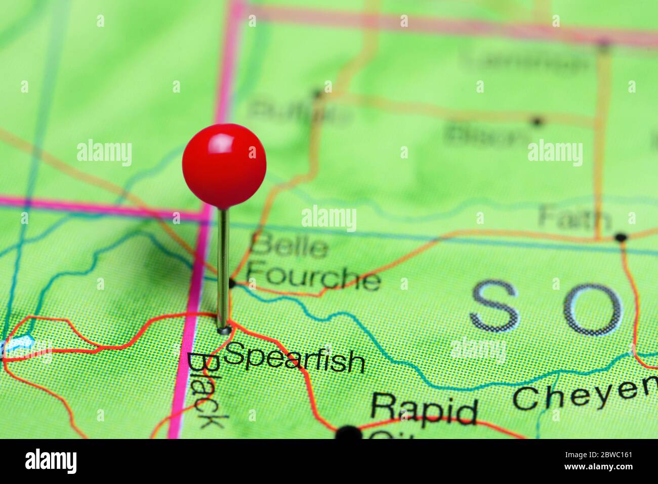 Spearfish pinned on a map of South Dakota, USA Stock Photohttps://www.alamy.com/image-license-details/?v=1https://www.alamy.com/spearfish-pinned-on-a-map-of-south-dakota-usa-image359838137.html
RF2BWC161–Spearfish pinned on a map of South Dakota, USA
 Spearfish, Lawrence County, US, United States, South Dakota, N 44 29' 26'', S 103 51' 33'', map, Cartascapes Map published in 2024. Explore Cartascapes, a map revealing Earth's diverse landscapes, cultures, and ecosystems. Journey through time and space, discovering the interconnectedness of our planet's past, present, and future. Stock Photohttps://www.alamy.com/image-license-details/?v=1https://www.alamy.com/spearfish-lawrence-county-us-united-states-south-dakota-n-44-29-26-s-103-51-33-map-cartascapes-map-published-in-2024-explore-cartascapes-a-map-revealing-earths-diverse-landscapes-cultures-and-ecosystems-journey-through-time-and-space-discovering-the-interconnectedness-of-our-planets-past-present-and-future-image621498895.html
RM2Y33M53–Spearfish, Lawrence County, US, United States, South Dakota, N 44 29' 26'', S 103 51' 33'', map, Cartascapes Map published in 2024. Explore Cartascapes, a map revealing Earth's diverse landscapes, cultures, and ecosystems. Journey through time and space, discovering the interconnectedness of our planet's past, present, and future.
 Sanborn Fire Insurance Map from Spearfish, Lawrence County, South Dakota. Stock Photohttps://www.alamy.com/image-license-details/?v=1https://www.alamy.com/sanborn-fire-insurance-map-from-spearfish-lawrence-county-south-dakota-image456485271.html
RM2HEJKHB–Sanborn Fire Insurance Map from Spearfish, Lawrence County, South Dakota.
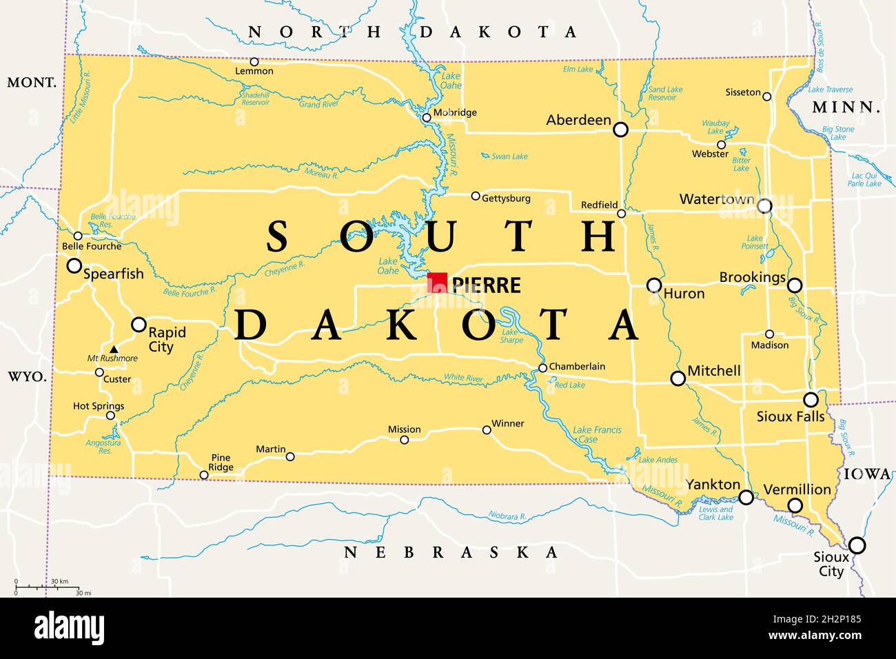 South Dakota, SD, political map, with capital Pierre, and largest city Sioux Falls. State in the upper Midwestern subregion of the United States. Stock Photohttps://www.alamy.com/image-license-details/?v=1https://www.alamy.com/south-dakota-sd-political-map-with-capital-pierre-and-largest-city-sioux-falls-state-in-the-upper-midwestern-subregion-of-the-united-states-image449182837.html
RF2H2P185–South Dakota, SD, political map, with capital Pierre, and largest city Sioux Falls. State in the upper Midwestern subregion of the United States.
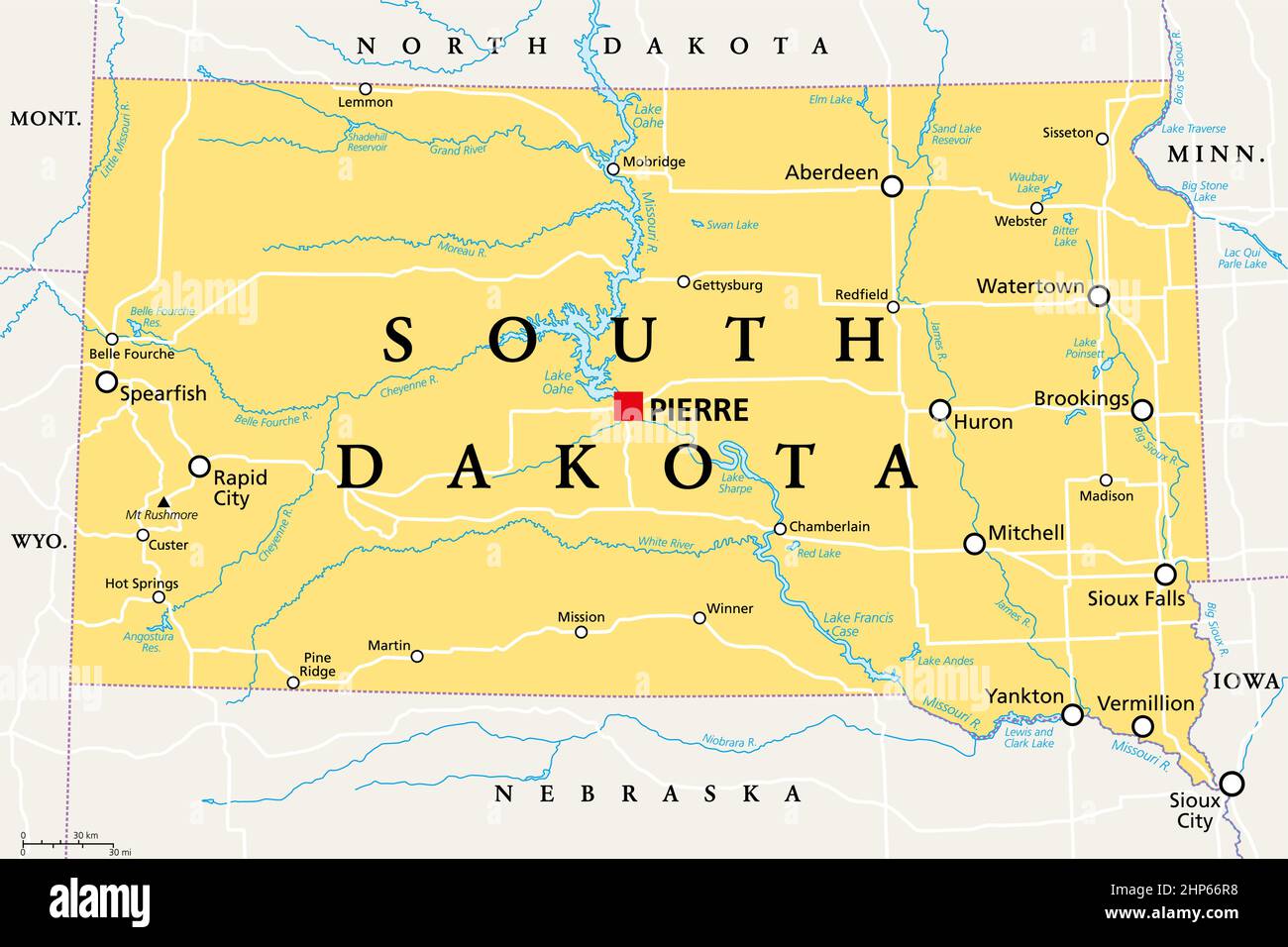 South Dakota, SD, political map, US state, The Mount Rushmore State Stock Vectorhttps://www.alamy.com/image-license-details/?v=1https://www.alamy.com/south-dakota-sd-political-map-us-state-the-mount-rushmore-state-image461129068.html
RF2HP66R8–South Dakota, SD, political map, US state, The Mount Rushmore State
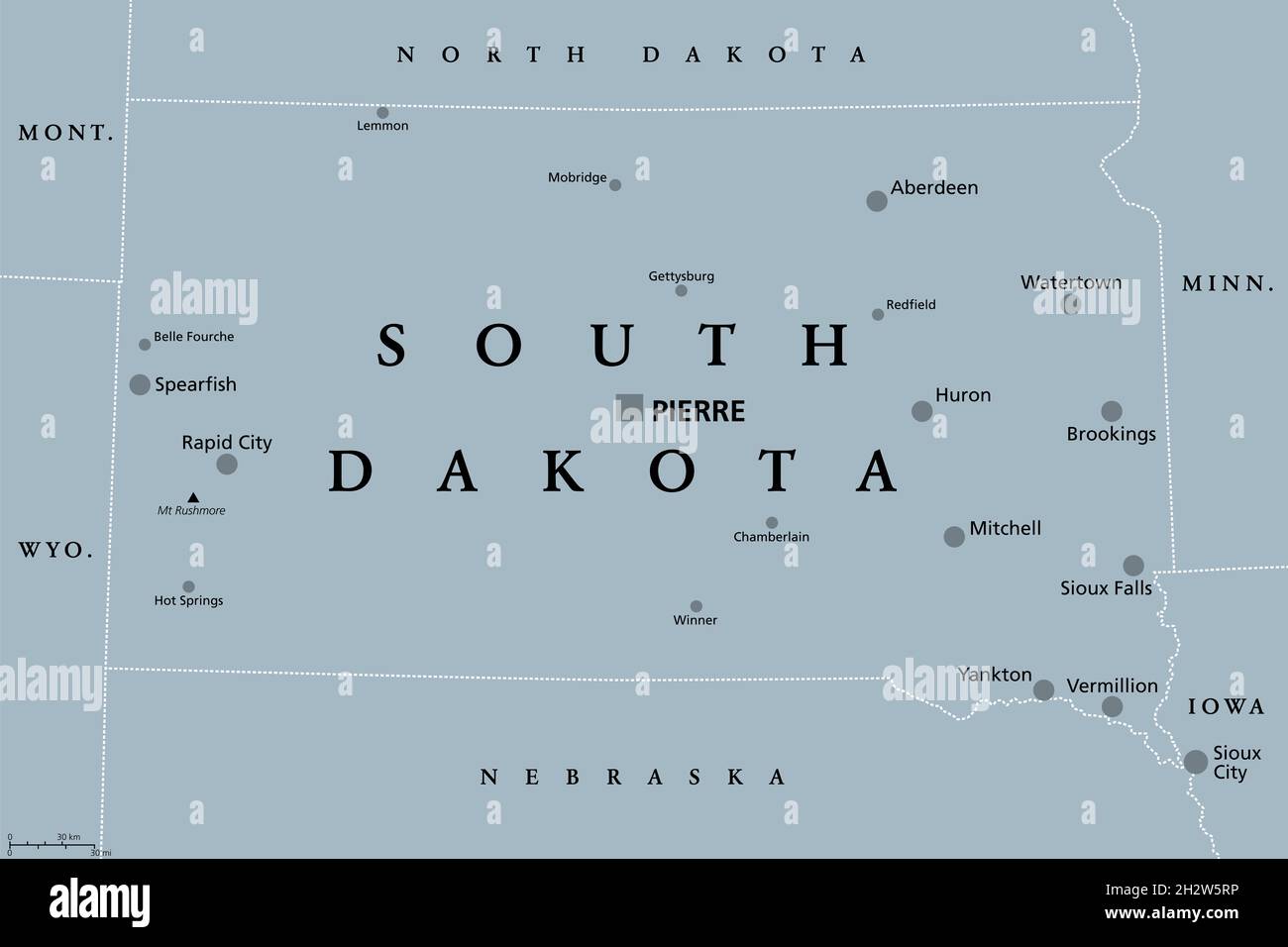 South Dakota, SD, gray political map, with capital Pierre, and largest city Sioux Falls. State in the upper Midwestern subregion of United States. Stock Photohttps://www.alamy.com/image-license-details/?v=1https://www.alamy.com/south-dakota-sd-gray-political-map-with-capital-pierre-and-largest-city-sioux-falls-state-in-the-upper-midwestern-subregion-of-united-states-image449252266.html
RF2H2W5RP–South Dakota, SD, gray political map, with capital Pierre, and largest city Sioux Falls. State in the upper Midwestern subregion of United States.
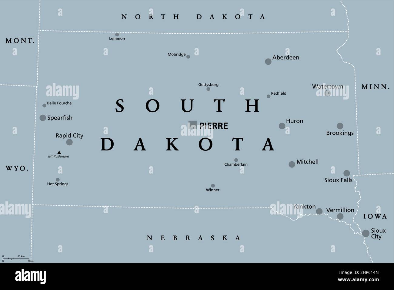 South Dakota, SD, gray political map, US state, The Mount Rushmore State Stock Vectorhttps://www.alamy.com/image-license-details/?v=1https://www.alamy.com/south-dakota-sd-gray-political-map-us-state-the-mount-rushmore-state-image461124629.html
RF2HP614N–South Dakota, SD, gray political map, US state, The Mount Rushmore State
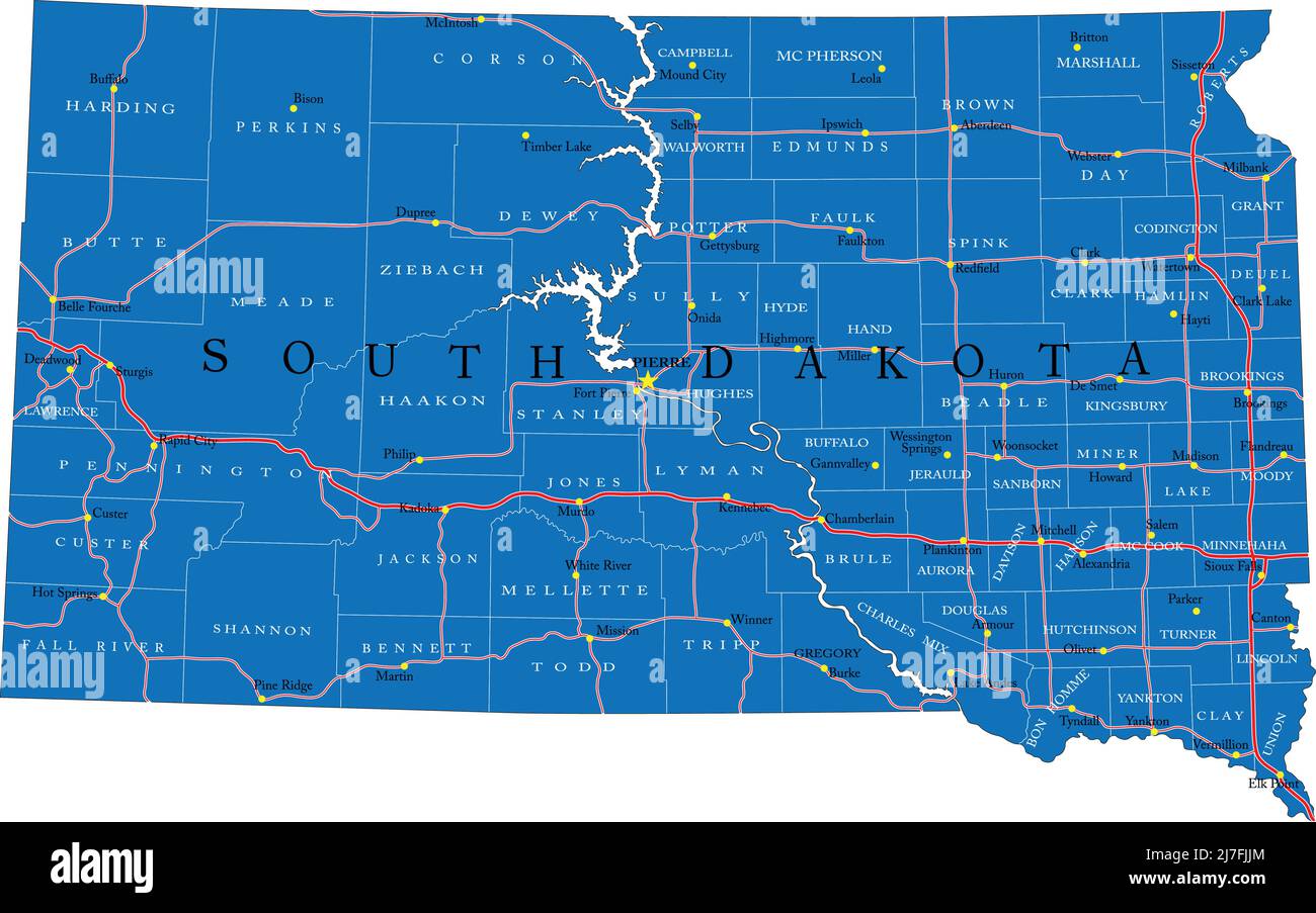 Detailed map of South Dakota state,in vector format,with county borders,roads and major cities. Stock Vectorhttps://www.alamy.com/image-license-details/?v=1https://www.alamy.com/detailed-map-of-south-dakota-statein-vector-formatwith-county-bordersroads-and-major-cities-image469326444.html
RF2J7FJJM–Detailed map of South Dakota state,in vector format,with county borders,roads and major cities.
 PSM V26 D356 Young swordfish and western atlantic spearfish tetrapturus albidus Stock Photohttps://www.alamy.com/image-license-details/?v=1https://www.alamy.com/stock-photo-psm-v26-d356-young-swordfish-and-western-atlantic-spearfish-tetrapturus-140367240.html
RMJ4A7RM–PSM V26 D356 Young swordfish and western atlantic spearfish tetrapturus albidus
 South Dakota, state of United States of America. Open Street Map Stock Photohttps://www.alamy.com/image-license-details/?v=1https://www.alamy.com/south-dakota-state-of-united-states-of-america-open-street-map-image546020935.html
RF2PM9B7K–South Dakota, state of United States of America. Open Street Map
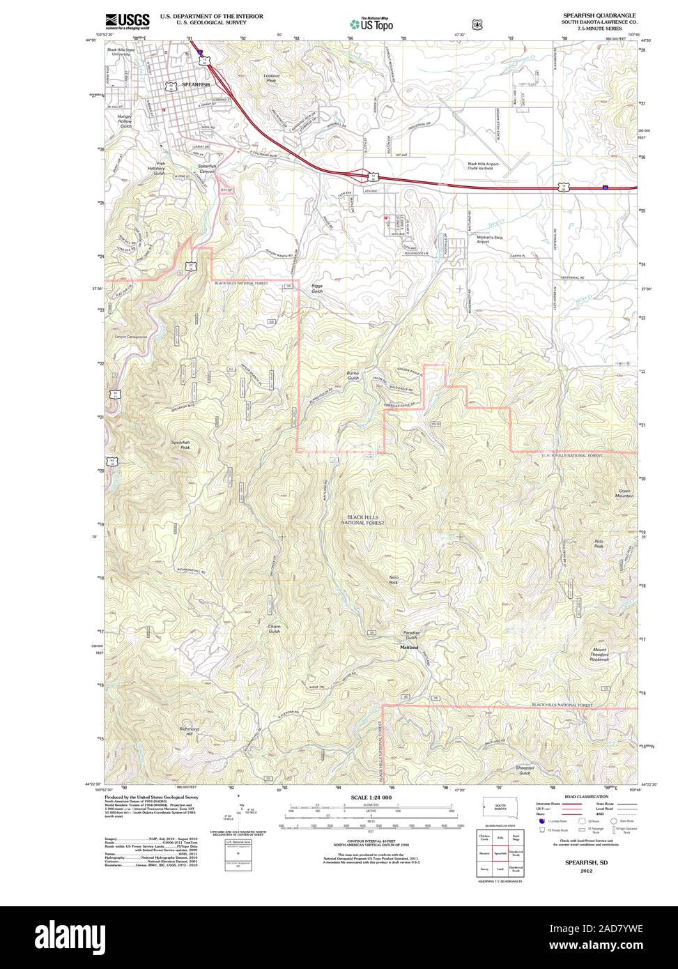 USGS TOPO Map South Dakota SD Spearfish 20120702 TM Restoration Stock Photohttps://www.alamy.com/image-license-details/?v=1https://www.alamy.com/usgs-topo-map-south-dakota-sd-spearfish-20120702-tm-restoration-image335163066.html
RM2AD7YWE–USGS TOPO Map South Dakota SD Spearfish 20120702 TM Restoration
 33508 Spearfish Station, South Dakota Stock Photohttps://www.alamy.com/image-license-details/?v=1https://www.alamy.com/stock-photo-33508-spearfish-station-south-dakota-115091121.html
RMGK6RW5–33508 Spearfish Station, South Dakota
 North Spearfish, Lawrence County, US, United States, South Dakota, N 44 30' 23'', S 103 53' 31'', map, Cartascapes Map published in 2024. Explore Cartascapes, a map revealing Earth's diverse landscapes, cultures, and ecosystems. Journey through time and space, discovering the interconnectedness of our planet's past, present, and future. Stock Photohttps://www.alamy.com/image-license-details/?v=1https://www.alamy.com/north-spearfish-lawrence-county-us-united-states-south-dakota-n-44-30-23-s-103-53-31-map-cartascapes-map-published-in-2024-explore-cartascapes-a-map-revealing-earths-diverse-landscapes-cultures-and-ecosystems-journey-through-time-and-space-discovering-the-interconnectedness-of-our-planets-past-present-and-future-image621384620.html
RM2Y2XEBT–North Spearfish, Lawrence County, US, United States, South Dakota, N 44 30' 23'', S 103 53' 31'', map, Cartascapes Map published in 2024. Explore Cartascapes, a map revealing Earth's diverse landscapes, cultures, and ecosystems. Journey through time and space, discovering the interconnectedness of our planet's past, present, and future.
 Sanborn Fire Insurance Map from Spearfish, Lawrence County, South Dakota. Stock Photohttps://www.alamy.com/image-license-details/?v=1https://www.alamy.com/sanborn-fire-insurance-map-from-spearfish-lawrence-county-south-dakota-image456485285.html
RM2HEJKHW–Sanborn Fire Insurance Map from Spearfish, Lawrence County, South Dakota.
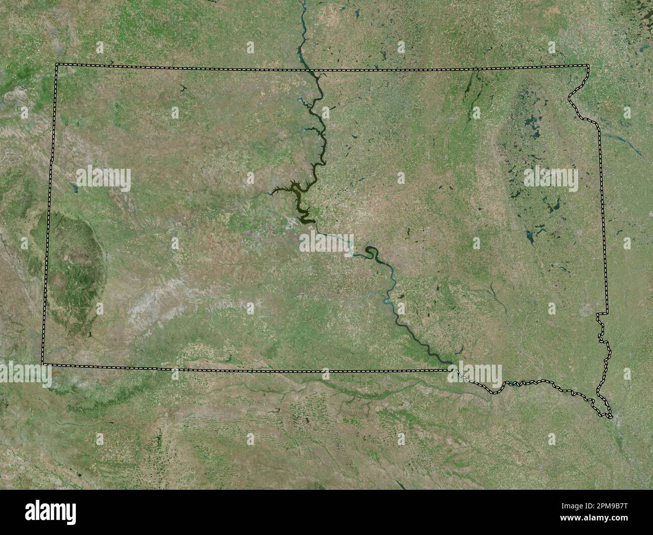 South Dakota, state of United States of America. High resolution satellite map Stock Photohttps://www.alamy.com/image-license-details/?v=1https://www.alamy.com/south-dakota-state-of-united-states-of-america-high-resolution-satellite-map-image546020940.html
RF2PM9B7T–South Dakota, state of United States of America. High resolution satellite map
 USGS TOPO Map South Dakota SD Spearfish 344278 1961 24000 Restoration Stock Photohttps://www.alamy.com/image-license-details/?v=1https://www.alamy.com/usgs-topo-map-south-dakota-sd-spearfish-344278-1961-24000-restoration-image335163530.html
RM2AD80E2–USGS TOPO Map South Dakota SD Spearfish 344278 1961 24000 Restoration
 33496 Spearfish Station, South Dakota Stock Photohttps://www.alamy.com/image-license-details/?v=1https://www.alamy.com/stock-photo-33496-spearfish-station-south-dakota-115090974.html
RMGK6RKX–33496 Spearfish Station, South Dakota
 North Spearfish, Lawrence County, US, United States, South Dakota, N 44 30' 23'', S 103 53' 31'', map, Cartascapes Map published in 2024. Explore Cartascapes, a map revealing Earth's diverse landscapes, cultures, and ecosystems. Journey through time and space, discovering the interconnectedness of our planet's past, present, and future. Stock Photohttps://www.alamy.com/image-license-details/?v=1https://www.alamy.com/north-spearfish-lawrence-county-us-united-states-south-dakota-n-44-30-23-s-103-53-31-map-cartascapes-map-published-in-2024-explore-cartascapes-a-map-revealing-earths-diverse-landscapes-cultures-and-ecosystems-journey-through-time-and-space-discovering-the-interconnectedness-of-our-planets-past-present-and-future-image621173376.html
RM2Y2GTYC–North Spearfish, Lawrence County, US, United States, South Dakota, N 44 30' 23'', S 103 53' 31'', map, Cartascapes Map published in 2024. Explore Cartascapes, a map revealing Earth's diverse landscapes, cultures, and ecosystems. Journey through time and space, discovering the interconnectedness of our planet's past, present, and future.
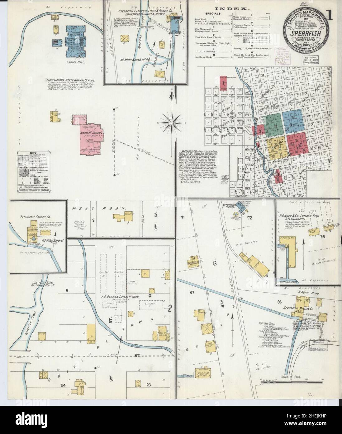 Sanborn Fire Insurance Map from Spearfish, Lawrence County, South Dakota. Stock Photohttps://www.alamy.com/image-license-details/?v=1https://www.alamy.com/sanborn-fire-insurance-map-from-spearfish-lawrence-county-south-dakota-image456485282.html
RM2HEJKHP–Sanborn Fire Insurance Map from Spearfish, Lawrence County, South Dakota.
 South Dakota, state of United States of America. Low resolution satellite map Stock Photohttps://www.alamy.com/image-license-details/?v=1https://www.alamy.com/south-dakota-state-of-united-states-of-america-low-resolution-satellite-map-image546020938.html
RF2PM9B7P–South Dakota, state of United States of America. Low resolution satellite map
 USGS TOPO Map South Dakota SD Spearfish 20120702 TM Inverted Restoration Stock Photohttps://www.alamy.com/image-license-details/?v=1https://www.alamy.com/usgs-topo-map-south-dakota-sd-spearfish-20120702-tm-inverted-restoration-image335162983.html
RM2AD7YPF–USGS TOPO Map South Dakota SD Spearfish 20120702 TM Inverted Restoration
 American fishes (Page 253, Figure- Spearfish) Stock Photohttps://www.alamy.com/image-license-details/?v=1https://www.alamy.com/stock-photo-american-fishes-page-253-figure-spearfish-121986024.html
RMH2CXBM–American fishes (Page 253, Figure- Spearfish)
 Spearfish, Lawrence County, US, United States, South Dakota, N 44 29' 26'', S 103 51' 33'', map, Cartascapes Map published in 2024. Explore Cartascapes, a map revealing Earth's diverse landscapes, cultures, and ecosystems. Journey through time and space, discovering the interconnectedness of our planet's past, present, and future. Stock Photohttps://www.alamy.com/image-license-details/?v=1https://www.alamy.com/spearfish-lawrence-county-us-united-states-south-dakota-n-44-29-26-s-103-51-33-map-cartascapes-map-published-in-2024-explore-cartascapes-a-map-revealing-earths-diverse-landscapes-cultures-and-ecosystems-journey-through-time-and-space-discovering-the-interconnectedness-of-our-planets-past-present-and-future-image620728887.html
RM2Y1TJ0R–Spearfish, Lawrence County, US, United States, South Dakota, N 44 29' 26'', S 103 51' 33'', map, Cartascapes Map published in 2024. Explore Cartascapes, a map revealing Earth's diverse landscapes, cultures, and ecosystems. Journey through time and space, discovering the interconnectedness of our planet's past, present, and future.
 Sanborn Fire Insurance Map from Spearfish, Lawrence County, South Dakota. Stock Photohttps://www.alamy.com/image-license-details/?v=1https://www.alamy.com/sanborn-fire-insurance-map-from-spearfish-lawrence-county-south-dakota-image456485284.html
RM2HEJKHT–Sanborn Fire Insurance Map from Spearfish, Lawrence County, South Dakota.
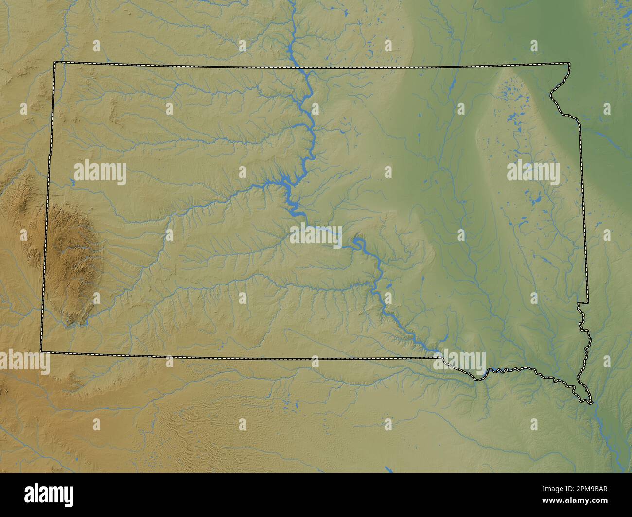 South Dakota, state of United States of America. Colored elevation map with lakes and rivers Stock Photohttps://www.alamy.com/image-license-details/?v=1https://www.alamy.com/south-dakota-state-of-united-states-of-america-colored-elevation-map-with-lakes-and-rivers-image546021023.html
RF2PM9BAR–South Dakota, state of United States of America. Colored elevation map with lakes and rivers
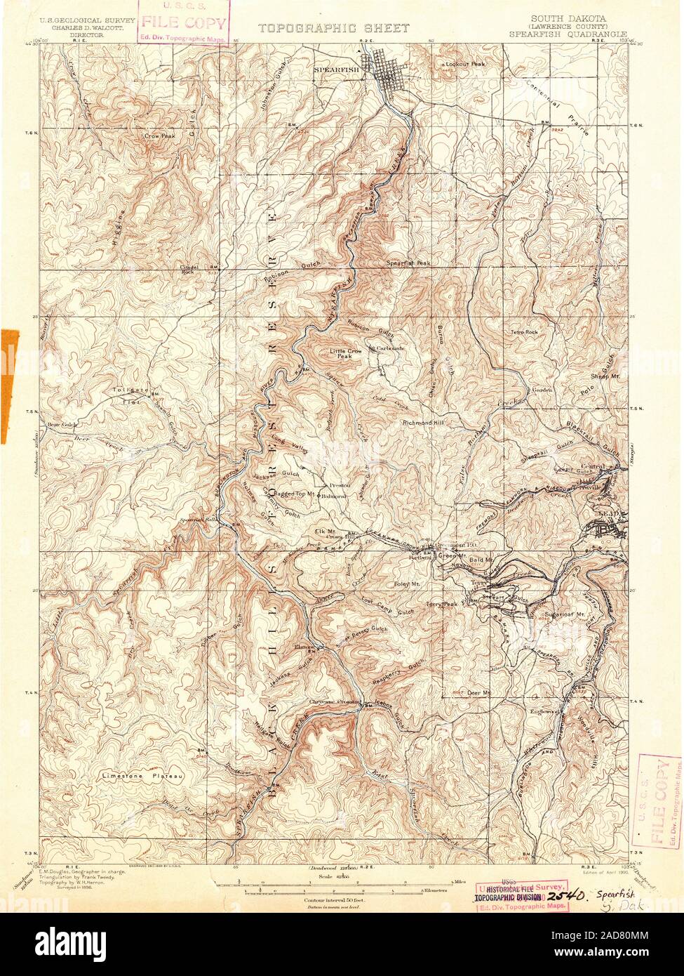 USGS TOPO Map South Dakota SD Spearfish 344645 1900 62500 Restoration Stock Photohttps://www.alamy.com/image-license-details/?v=1https://www.alamy.com/usgs-topo-map-south-dakota-sd-spearfish-344645-1900-62500-restoration-image335163716.html
RM2AD80MM–USGS TOPO Map South Dakota SD Spearfish 344645 1900 62500 Restoration
 City of Spearfish, Lawrence County, US, United States, South Dakota, N 44 29' 27'', S 103 48' 58'', map, Cartascapes Map published in 2024. Explore Cartascapes, a map revealing Earth's diverse landscapes, cultures, and ecosystems. Journey through time and space, discovering the interconnectedness of our planet's past, present, and future. Stock Photohttps://www.alamy.com/image-license-details/?v=1https://www.alamy.com/city-of-spearfish-lawrence-county-us-united-states-south-dakota-n-44-29-27-s-103-48-58-map-cartascapes-map-published-in-2024-explore-cartascapes-a-map-revealing-earths-diverse-landscapes-cultures-and-ecosystems-journey-through-time-and-space-discovering-the-interconnectedness-of-our-planets-past-present-and-future-image633834478.html
RM2YR5J9J–City of Spearfish, Lawrence County, US, United States, South Dakota, N 44 29' 27'', S 103 48' 58'', map, Cartascapes Map published in 2024. Explore Cartascapes, a map revealing Earth's diverse landscapes, cultures, and ecosystems. Journey through time and space, discovering the interconnectedness of our planet's past, present, and future.
 Sanborn Fire Insurance Map from Spearfish, Lawrence County, South Dakota. Stock Photohttps://www.alamy.com/image-license-details/?v=1https://www.alamy.com/sanborn-fire-insurance-map-from-spearfish-lawrence-county-south-dakota-image456485265.html
RM2HEJKH5–Sanborn Fire Insurance Map from Spearfish, Lawrence County, South Dakota.
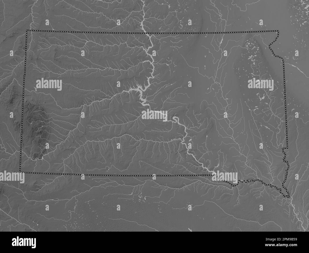 South Dakota, state of United States of America. Grayscale elevation map with lakes and rivers Stock Photohttps://www.alamy.com/image-license-details/?v=1https://www.alamy.com/south-dakota-state-of-united-states-of-america-grayscale-elevation-map-with-lakes-and-rivers-image546020869.html
RF2PM9B59–South Dakota, state of United States of America. Grayscale elevation map with lakes and rivers
 USGS TOPO Map South Dakota SD Spearfish 344646 1915 62500 Restoration Stock Photohttps://www.alamy.com/image-license-details/?v=1https://www.alamy.com/usgs-topo-map-south-dakota-sd-spearfish-344646-1915-62500-restoration-image335163927.html
RM2AD8107–USGS TOPO Map South Dakota SD Spearfish 344646 1915 62500 Restoration
 Spearfish, South Dakota, map 1915, 1:62500, United States of America by Timeless Maps, data U.S. Geological Survey Stock Photohttps://www.alamy.com/image-license-details/?v=1https://www.alamy.com/spearfish-south-dakota-map-1915-162500-united-states-of-america-by-timeless-maps-data-us-geological-survey-image414227448.html
RM2F1WK9C–Spearfish, South Dakota, map 1915, 1:62500, United States of America by Timeless Maps, data U.S. Geological Survey
 Sanborn Fire Insurance Map from Spearfish, Lawrence County, South Dakota. Stock Photohttps://www.alamy.com/image-license-details/?v=1https://www.alamy.com/sanborn-fire-insurance-map-from-spearfish-lawrence-county-south-dakota-image456485262.html
RM2HEJKH2–Sanborn Fire Insurance Map from Spearfish, Lawrence County, South Dakota.
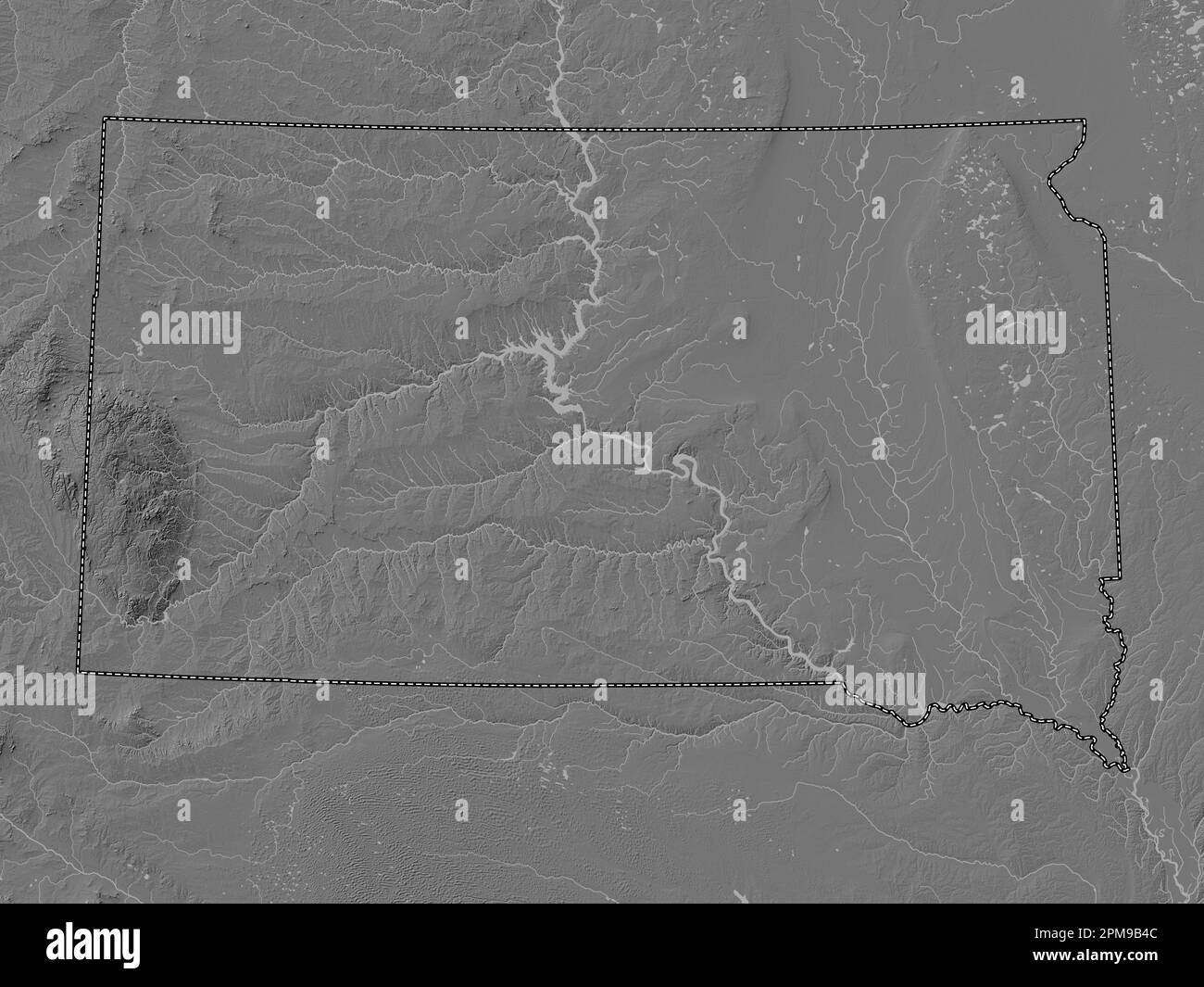 South Dakota, state of United States of America. Bilevel elevation map with lakes and rivers Stock Photohttps://www.alamy.com/image-license-details/?v=1https://www.alamy.com/south-dakota-state-of-united-states-of-america-bilevel-elevation-map-with-lakes-and-rivers-image546020844.html
RF2PM9B4C–South Dakota, state of United States of America. Bilevel elevation map with lakes and rivers
 USGS TOPO Map South Dakota SD Spearfish 344644 1915 62500 Restoration Stock Photohttps://www.alamy.com/image-license-details/?v=1https://www.alamy.com/usgs-topo-map-south-dakota-sd-spearfish-344644-1915-62500-restoration-image335163704.html
RM2AD80M8–USGS TOPO Map South Dakota SD Spearfish 344644 1915 62500 Restoration
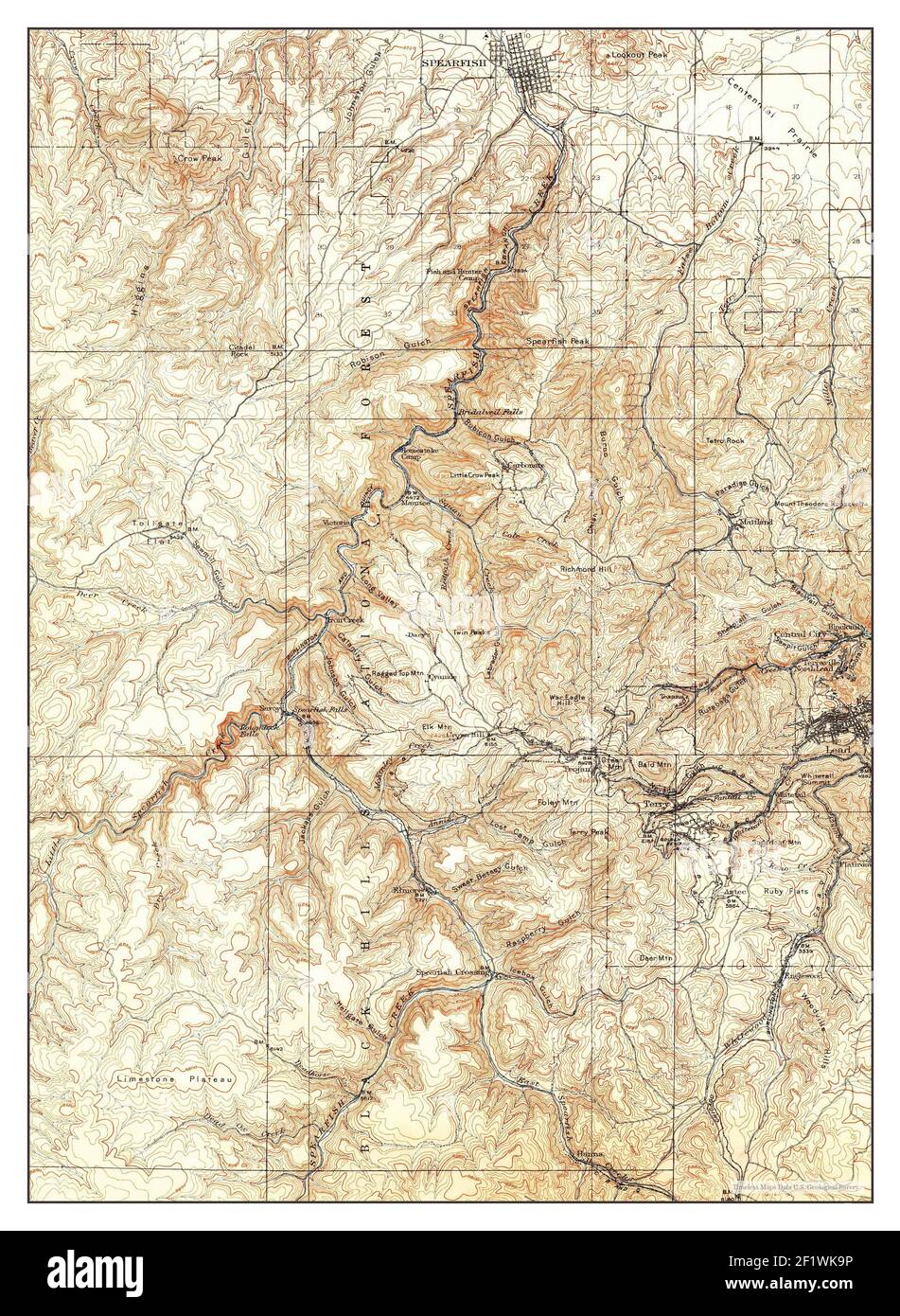 Spearfish, South Dakota, map 1915, 1:62500, United States of America by Timeless Maps, data U.S. Geological Survey Stock Photohttps://www.alamy.com/image-license-details/?v=1https://www.alamy.com/spearfish-south-dakota-map-1915-162500-united-states-of-america-by-timeless-maps-data-us-geological-survey-image414227458.html
RM2F1WK9P–Spearfish, South Dakota, map 1915, 1:62500, United States of America by Timeless Maps, data U.S. Geological Survey
 Sanborn Fire Insurance Map from Spearfish, Lawrence County, South Dakota. Stock Photohttps://www.alamy.com/image-license-details/?v=1https://www.alamy.com/sanborn-fire-insurance-map-from-spearfish-lawrence-county-south-dakota-image456485286.html
RM2HEJKHX–Sanborn Fire Insurance Map from Spearfish, Lawrence County, South Dakota.
 South Dakota, state of United States of America. Elevation map colored in sepia tones with lakes and rivers Stock Photohttps://www.alamy.com/image-license-details/?v=1https://www.alamy.com/south-dakota-state-of-united-states-of-america-elevation-map-colored-in-sepia-tones-with-lakes-and-rivers-image546020986.html
RF2PM9B9E–South Dakota, state of United States of America. Elevation map colored in sepia tones with lakes and rivers
 USGS TOPO Map South Dakota SD Spearfish 344280 1961 24000 Restoration Stock Photohttps://www.alamy.com/image-license-details/?v=1https://www.alamy.com/usgs-topo-map-south-dakota-sd-spearfish-344280-1961-24000-restoration-image335163514.html
RM2AD80DE–USGS TOPO Map South Dakota SD Spearfish 344280 1961 24000 Restoration
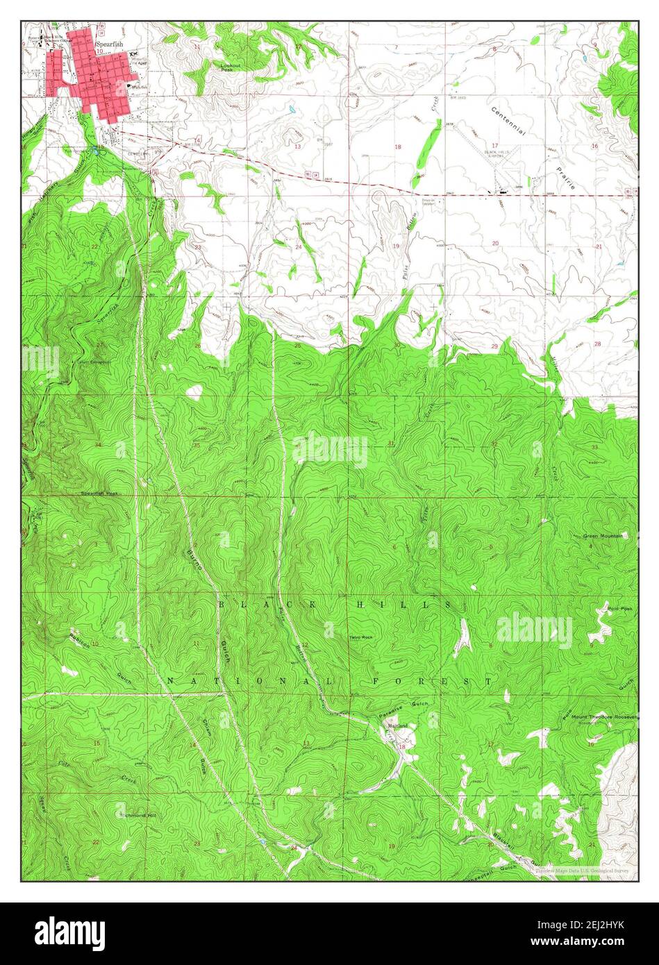 Spearfish, South Dakota, map 1961, 1:24000, United States of America by Timeless Maps, data U.S. Geological Survey Stock Photohttps://www.alamy.com/image-license-details/?v=1https://www.alamy.com/spearfish-south-dakota-map-1961-124000-united-states-of-america-by-timeless-maps-data-us-geological-survey-image406960279.html
RM2EJ2HYK–Spearfish, South Dakota, map 1961, 1:24000, United States of America by Timeless Maps, data U.S. Geological Survey
 Sanborn Fire Insurance Map from Spearfish, Lawrence County, South Dakota. Stock Photohttps://www.alamy.com/image-license-details/?v=1https://www.alamy.com/sanborn-fire-insurance-map-from-spearfish-lawrence-county-south-dakota-image456485266.html
RM2HEJKH6–Sanborn Fire Insurance Map from Spearfish, Lawrence County, South Dakota.
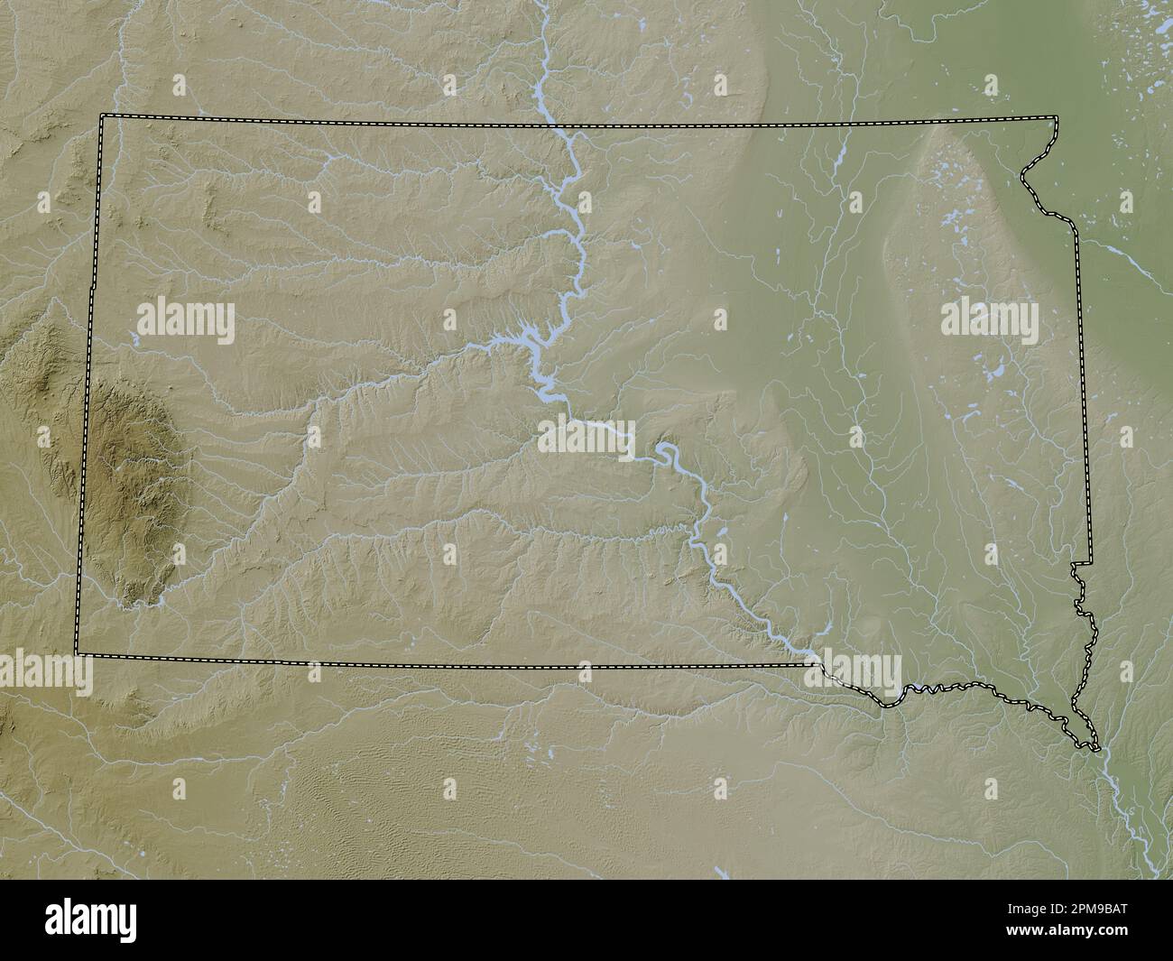 South Dakota, state of United States of America. Elevation map colored in wiki style with lakes and rivers Stock Photohttps://www.alamy.com/image-license-details/?v=1https://www.alamy.com/south-dakota-state-of-united-states-of-america-elevation-map-colored-in-wiki-style-with-lakes-and-rivers-image546021024.html
RF2PM9BAT–South Dakota, state of United States of America. Elevation map colored in wiki style with lakes and rivers
 USGS TOPO Map South Dakota SD Spearfish 344279 1961 24000 Restoration Stock Photohttps://www.alamy.com/image-license-details/?v=1https://www.alamy.com/usgs-topo-map-south-dakota-sd-spearfish-344279-1961-24000-restoration-image335163710.html
RM2AD80ME–USGS TOPO Map South Dakota SD Spearfish 344279 1961 24000 Restoration
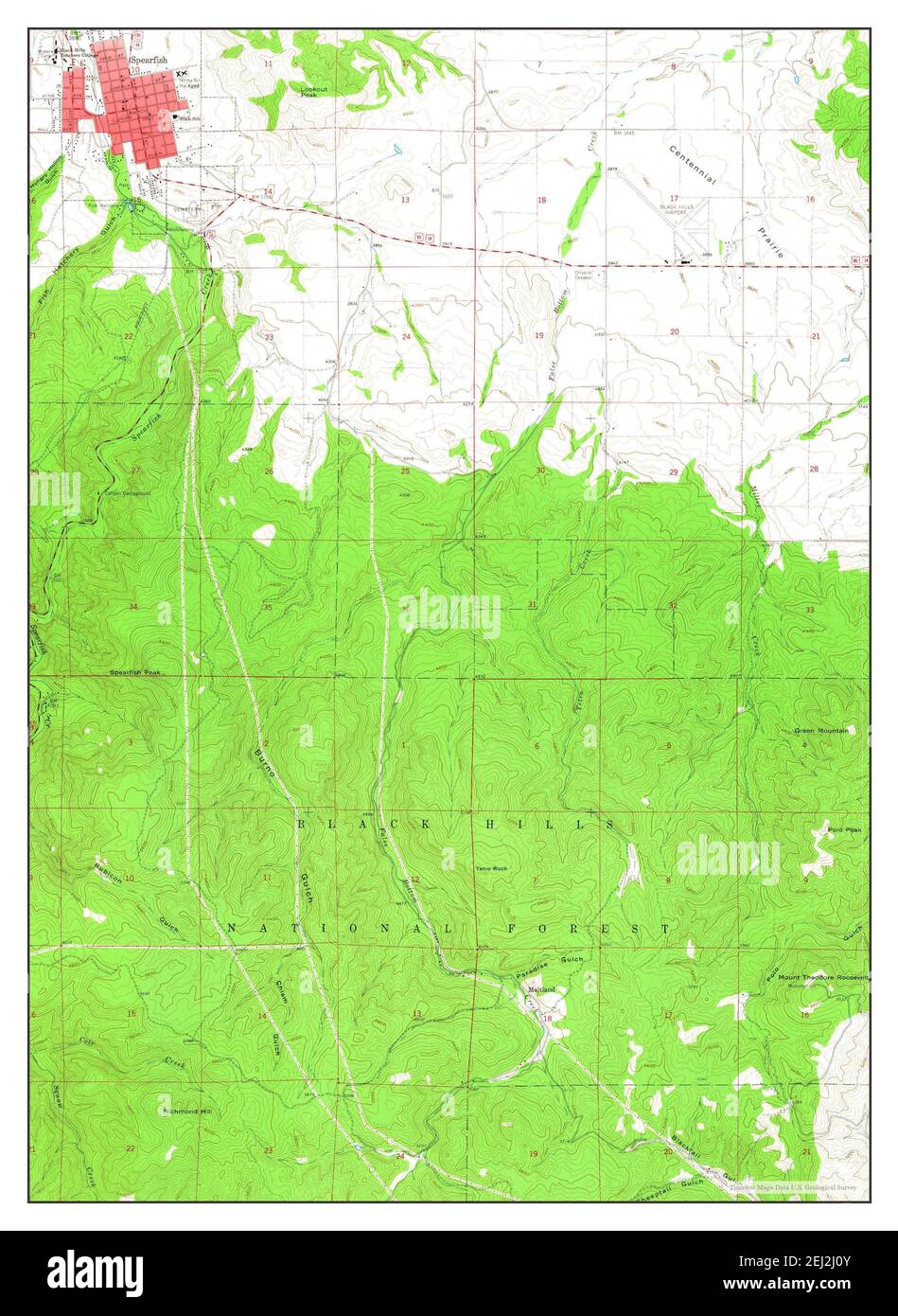 Spearfish, South Dakota, map 1961, 1:24000, United States of America by Timeless Maps, data U.S. Geological Survey Stock Photohttps://www.alamy.com/image-license-details/?v=1https://www.alamy.com/spearfish-south-dakota-map-1961-124000-united-states-of-america-by-timeless-maps-data-us-geological-survey-image406960315.html
RM2EJ2J0Y–Spearfish, South Dakota, map 1961, 1:24000, United States of America by Timeless Maps, data U.S. Geological Survey
 Sanborn Fire Insurance Map from Spearfish, Lawrence County, South Dakota. Stock Photohttps://www.alamy.com/image-license-details/?v=1https://www.alamy.com/sanborn-fire-insurance-map-from-spearfish-lawrence-county-south-dakota-image456485283.html
RM2HEJKHR–Sanborn Fire Insurance Map from Spearfish, Lawrence County, South Dakota.
 South Dakota, state of United States of America. Open Street Map. Locations of major cities of the region. Corner auxiliary location maps Stock Photohttps://www.alamy.com/image-license-details/?v=1https://www.alamy.com/south-dakota-state-of-united-states-of-america-open-street-map-locations-of-major-cities-of-the-region-corner-auxiliary-location-maps-image546020913.html
RF2PM9B6W–South Dakota, state of United States of America. Open Street Map. Locations of major cities of the region. Corner auxiliary location maps
 USGS TOPO Map South Dakota SD Spearfish 344277 1961 24000 Restoration Stock Photohttps://www.alamy.com/image-license-details/?v=1https://www.alamy.com/usgs-topo-map-south-dakota-sd-spearfish-344277-1961-24000-restoration-image335163254.html
RM2AD8046–USGS TOPO Map South Dakota SD Spearfish 344277 1961 24000 Restoration
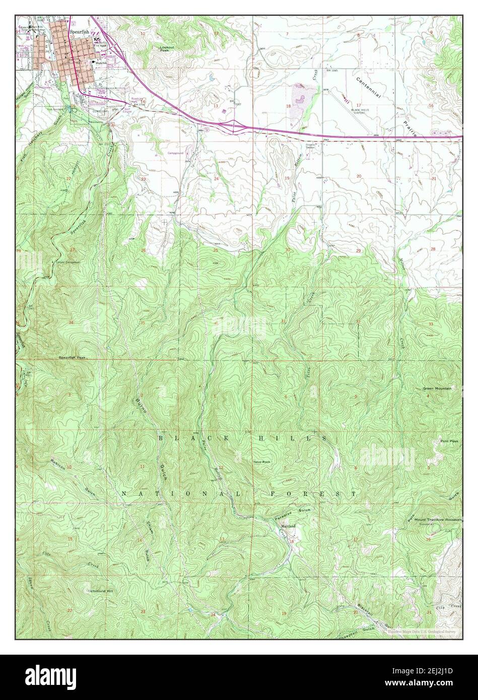 Spearfish, South Dakota, map 1961, 1:24000, United States of America by Timeless Maps, data U.S. Geological Survey Stock Photohttps://www.alamy.com/image-license-details/?v=1https://www.alamy.com/spearfish-south-dakota-map-1961-124000-united-states-of-america-by-timeless-maps-data-us-geological-survey-image406960329.html
RM2EJ2J1D–Spearfish, South Dakota, map 1961, 1:24000, United States of America by Timeless Maps, data U.S. Geological Survey
 Sanborn Fire Insurance Map from Spearfish, Lawrence County, South Dakota. Stock Photohttps://www.alamy.com/image-license-details/?v=1https://www.alamy.com/sanborn-fire-insurance-map-from-spearfish-lawrence-county-south-dakota-image456485257.html
RM2HEJKGW–Sanborn Fire Insurance Map from Spearfish, Lawrence County, South Dakota.
 South Dakota, state of United States of America. Bilevel elevation map with lakes and rivers. Locations and names of major cities of the region. Corne Stock Photohttps://www.alamy.com/image-license-details/?v=1https://www.alamy.com/south-dakota-state-of-united-states-of-america-bilevel-elevation-map-with-lakes-and-rivers-locations-and-names-of-major-cities-of-the-region-corne-image546020849.html
RF2PM9B4H–South Dakota, state of United States of America. Bilevel elevation map with lakes and rivers. Locations and names of major cities of the region. Corne
 USGS TOPO Map South Dakota SD Spearfish 344276 1961 24000 Restoration Stock Photohttps://www.alamy.com/image-license-details/?v=1https://www.alamy.com/usgs-topo-map-south-dakota-sd-spearfish-344276-1961-24000-restoration-image335163257.html
RM2AD8049–USGS TOPO Map South Dakota SD Spearfish 344276 1961 24000 Restoration
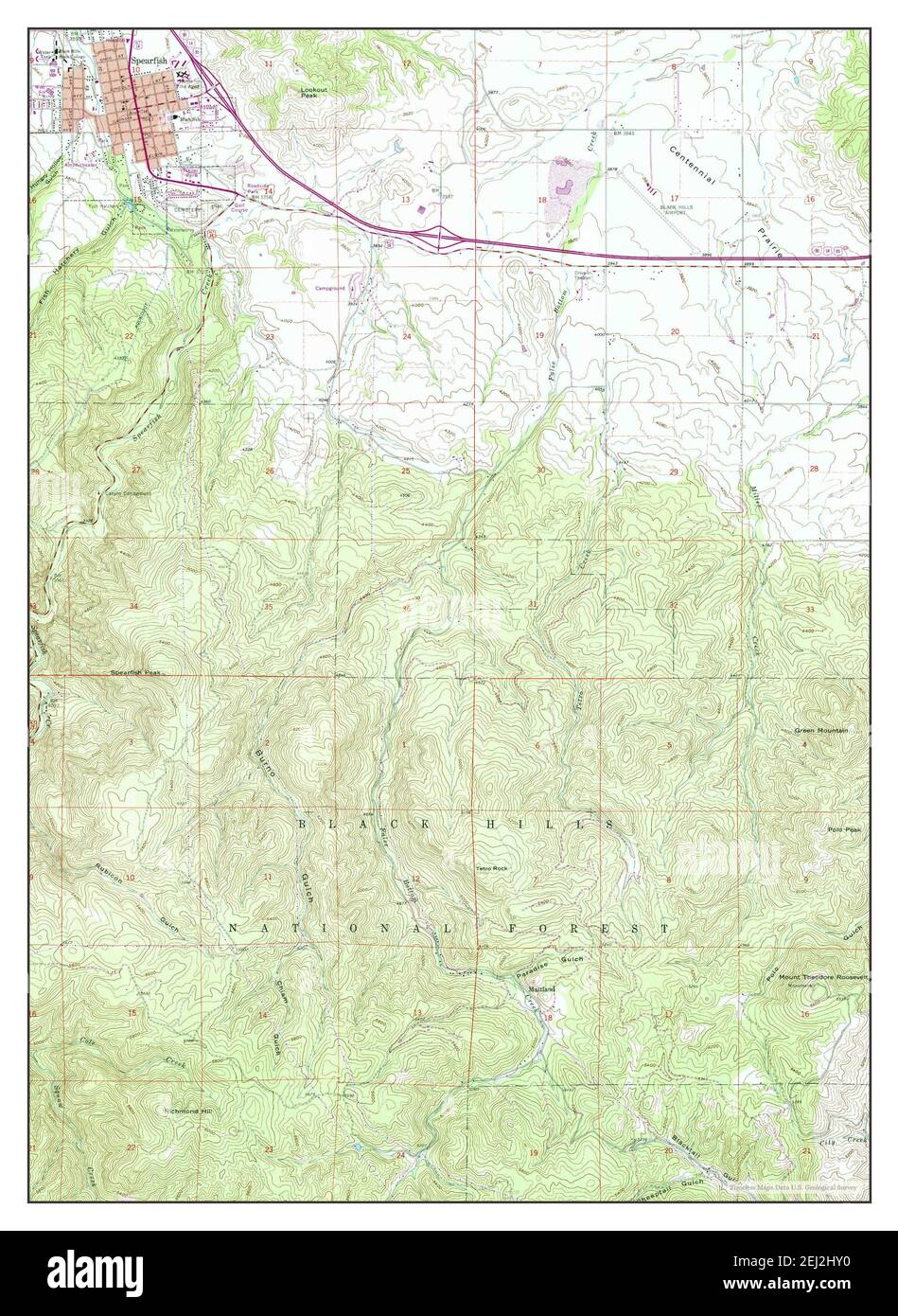 Spearfish, South Dakota, map 1961, 1:24000, United States of America by Timeless Maps, data U.S. Geological Survey Stock Photohttps://www.alamy.com/image-license-details/?v=1https://www.alamy.com/spearfish-south-dakota-map-1961-124000-united-states-of-america-by-timeless-maps-data-us-geological-survey-image406960260.html
RM2EJ2HY0–Spearfish, South Dakota, map 1961, 1:24000, United States of America by Timeless Maps, data U.S. Geological Survey
 Sanborn Fire Insurance Map from Spearfish, Lawrence County, South Dakota. Stock Photohttps://www.alamy.com/image-license-details/?v=1https://www.alamy.com/sanborn-fire-insurance-map-from-spearfish-lawrence-county-south-dakota-image456485278.html
RM2HEJKHJ–Sanborn Fire Insurance Map from Spearfish, Lawrence County, South Dakota.
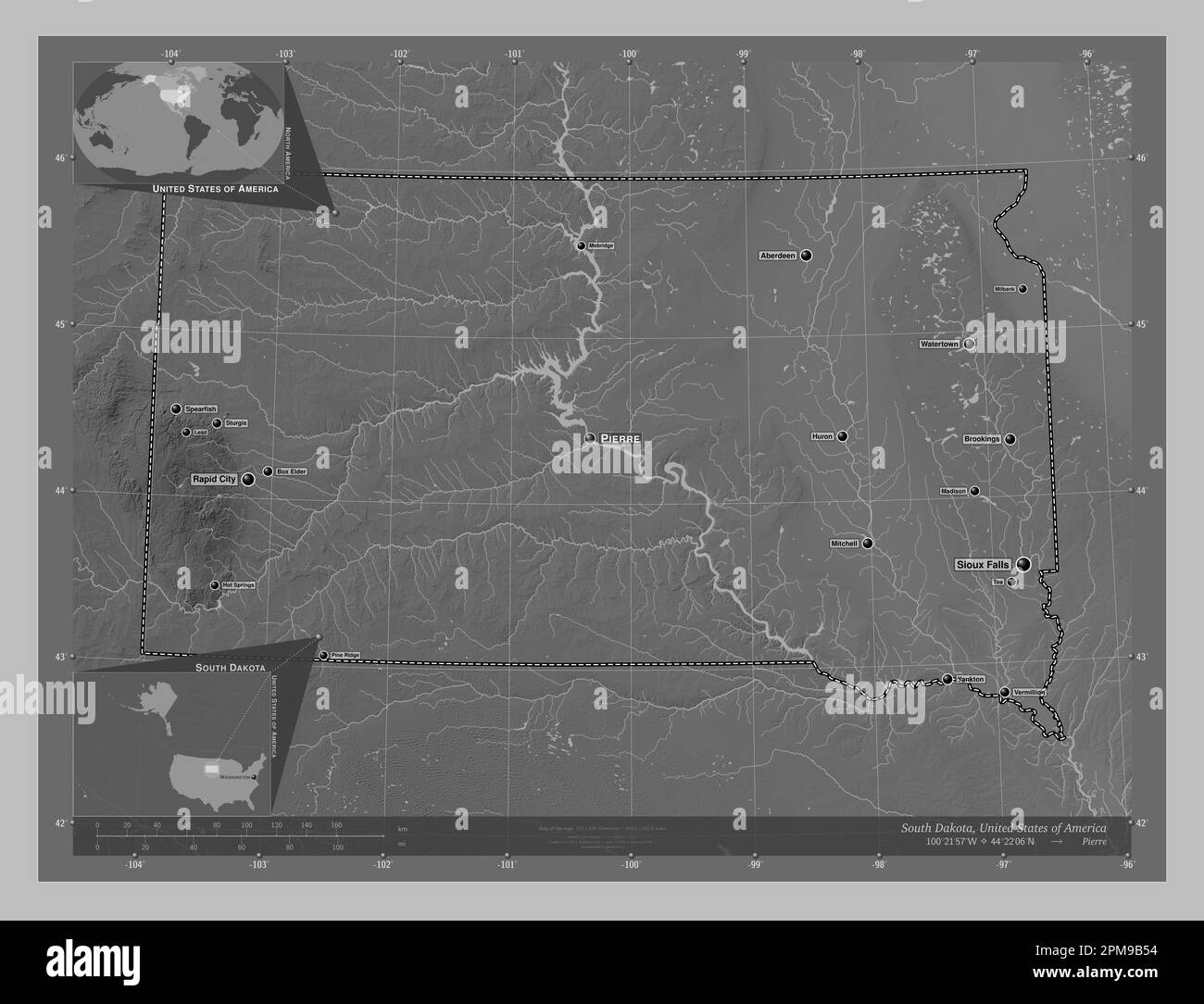 South Dakota, state of United States of America. Grayscale elevation map with lakes and rivers. Locations and names of major cities of the region. Cor Stock Photohttps://www.alamy.com/image-license-details/?v=1https://www.alamy.com/south-dakota-state-of-united-states-of-america-grayscale-elevation-map-with-lakes-and-rivers-locations-and-names-of-major-cities-of-the-region-cor-image546020864.html
RF2PM9B54–South Dakota, state of United States of America. Grayscale elevation map with lakes and rivers. Locations and names of major cities of the region. Cor
 USGS TOPO Map South Dakota SD Spearfish 344275 1961 24000 Restoration Stock Photohttps://www.alamy.com/image-license-details/?v=1https://www.alamy.com/usgs-topo-map-south-dakota-sd-spearfish-344275-1961-24000-restoration-image335162976.html
RM2AD7YP8–USGS TOPO Map South Dakota SD Spearfish 344275 1961 24000 Restoration
 Sanborn Fire Insurance Map from Spearfish, Lawrence County, South Dakota. Stock Photohttps://www.alamy.com/image-license-details/?v=1https://www.alamy.com/sanborn-fire-insurance-map-from-spearfish-lawrence-county-south-dakota-image456485274.html
RM2HEJKHE–Sanborn Fire Insurance Map from Spearfish, Lawrence County, South Dakota.
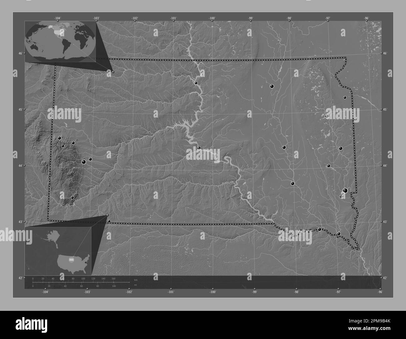 South Dakota, state of United States of America. Bilevel elevation map with lakes and rivers. Locations of major cities of the region. Corner auxiliar Stock Photohttps://www.alamy.com/image-license-details/?v=1https://www.alamy.com/south-dakota-state-of-united-states-of-america-bilevel-elevation-map-with-lakes-and-rivers-locations-of-major-cities-of-the-region-corner-auxiliar-image546020851.html
RF2PM9B4K–South Dakota, state of United States of America. Bilevel elevation map with lakes and rivers. Locations of major cities of the region. Corner auxiliar
 USGS TOPO Map South Dakota SD Spearfish 344279 1961 24000 Inverted Restoration Stock Photohttps://www.alamy.com/image-license-details/?v=1https://www.alamy.com/usgs-topo-map-south-dakota-sd-spearfish-344279-1961-24000-inverted-restoration-image335163487.html
RM2AD80CF–USGS TOPO Map South Dakota SD Spearfish 344279 1961 24000 Inverted Restoration
 Sanborn Fire Insurance Map from Spearfish, Lawrence County, South Dakota. Stock Photohttps://www.alamy.com/image-license-details/?v=1https://www.alamy.com/sanborn-fire-insurance-map-from-spearfish-lawrence-county-south-dakota-image456485208.html
RM2HEJKF4–Sanborn Fire Insurance Map from Spearfish, Lawrence County, South Dakota.
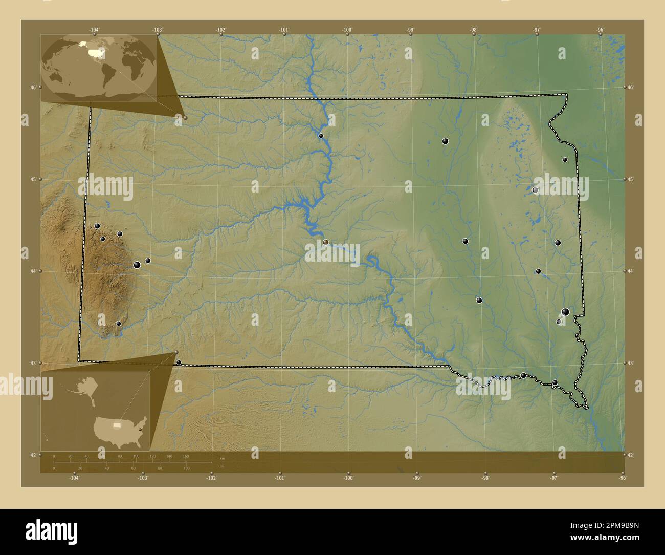 South Dakota, state of United States of America. Colored elevation map with lakes and rivers. Locations of major cities of the region. Corner auxiliar Stock Photohttps://www.alamy.com/image-license-details/?v=1https://www.alamy.com/south-dakota-state-of-united-states-of-america-colored-elevation-map-with-lakes-and-rivers-locations-of-major-cities-of-the-region-corner-auxiliar-image546020993.html
RF2PM9B9N–South Dakota, state of United States of America. Colored elevation map with lakes and rivers. Locations of major cities of the region. Corner auxiliar
 USGS TOPO Map South Dakota SD Spearfish 344646 1915 62500 Inverted Restoration Stock Photohttps://www.alamy.com/image-license-details/?v=1https://www.alamy.com/usgs-topo-map-south-dakota-sd-spearfish-344646-1915-62500-inverted-restoration-image335163925.html
RM2AD8105–USGS TOPO Map South Dakota SD Spearfish 344646 1915 62500 Inverted Restoration
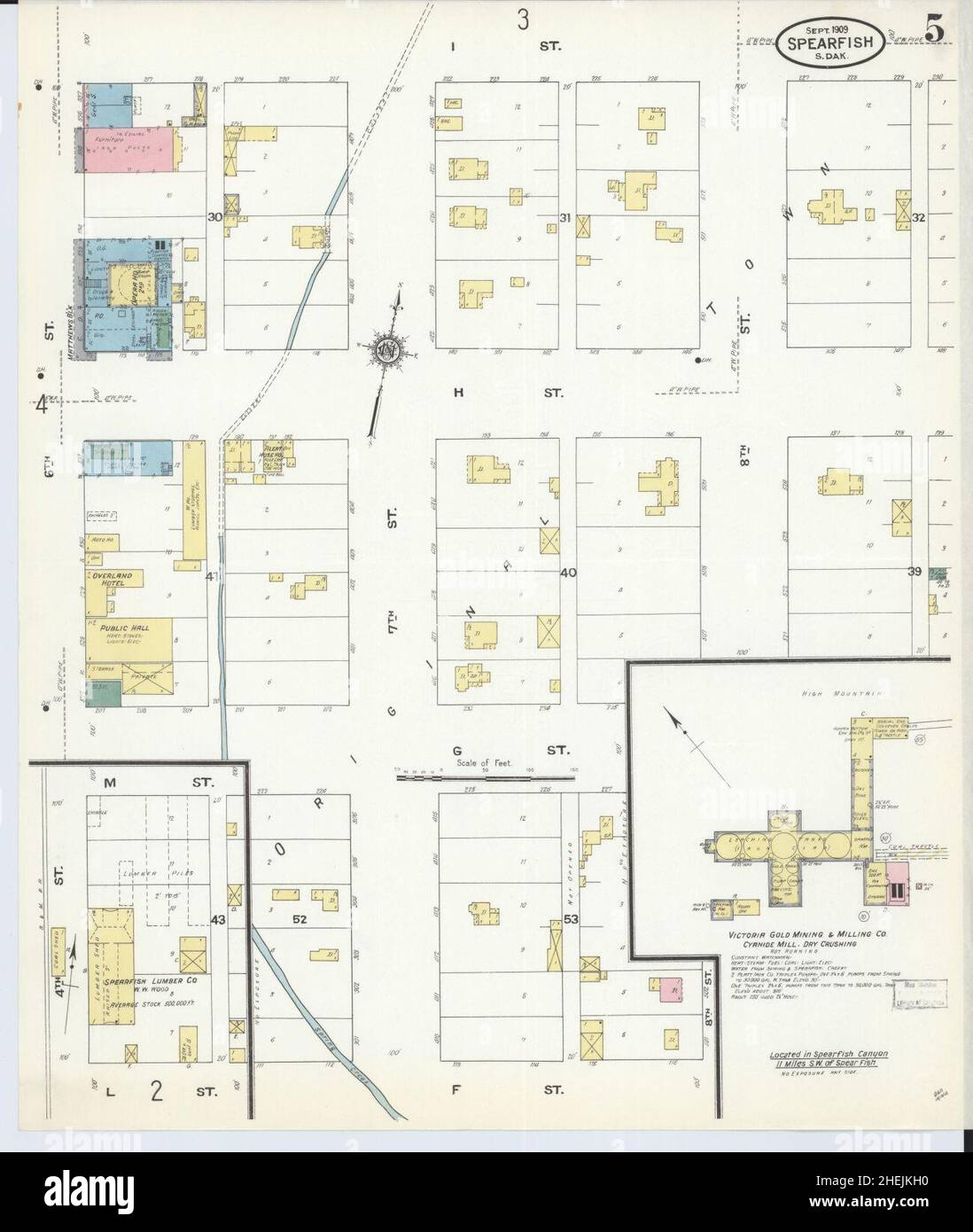 Sanborn Fire Insurance Map from Spearfish, Lawrence County, South Dakota. Stock Photohttps://www.alamy.com/image-license-details/?v=1https://www.alamy.com/sanborn-fire-insurance-map-from-spearfish-lawrence-county-south-dakota-image456485260.html
RM2HEJKH0–Sanborn Fire Insurance Map from Spearfish, Lawrence County, South Dakota.
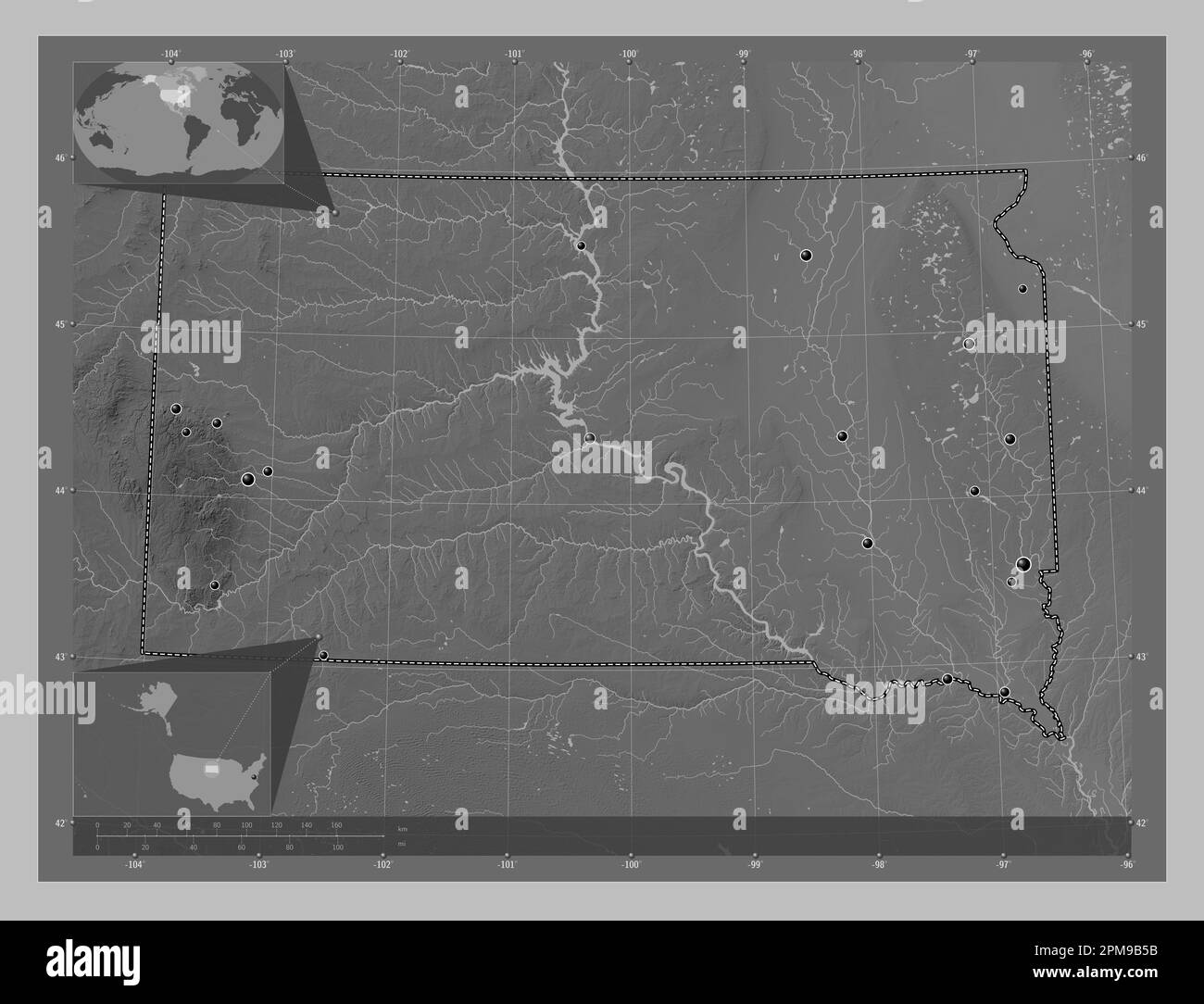 South Dakota, state of United States of America. Grayscale elevation map with lakes and rivers. Locations of major cities of the region. Corner auxili Stock Photohttps://www.alamy.com/image-license-details/?v=1https://www.alamy.com/south-dakota-state-of-united-states-of-america-grayscale-elevation-map-with-lakes-and-rivers-locations-of-major-cities-of-the-region-corner-auxili-image546020871.html
RF2PM9B5B–South Dakota, state of United States of America. Grayscale elevation map with lakes and rivers. Locations of major cities of the region. Corner auxili
 USGS TOPO Map South Dakota SD Spearfish 344278 1961 24000 Inverted Restoration Stock Photohttps://www.alamy.com/image-license-details/?v=1https://www.alamy.com/usgs-topo-map-south-dakota-sd-spearfish-344278-1961-24000-inverted-restoration-image335163513.html
RM2AD80DD–USGS TOPO Map South Dakota SD Spearfish 344278 1961 24000 Inverted Restoration
 Sanborn Fire Insurance Map from Spearfish, Lawrence County, South Dakota. Stock Photohttps://www.alamy.com/image-license-details/?v=1https://www.alamy.com/sanborn-fire-insurance-map-from-spearfish-lawrence-county-south-dakota-image456485275.html
RM2HEJKHF–Sanborn Fire Insurance Map from Spearfish, Lawrence County, South Dakota.
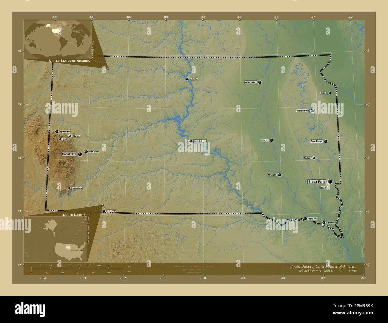 South Dakota, state of United States of America. Colored elevation map with lakes and rivers. Locations and names of major cities of the region. Corne Stock Photohttps://www.alamy.com/image-license-details/?v=1https://www.alamy.com/south-dakota-state-of-united-states-of-america-colored-elevation-map-with-lakes-and-rivers-locations-and-names-of-major-cities-of-the-region-corne-image546020991.html
RF2PM9B9K–South Dakota, state of United States of America. Colored elevation map with lakes and rivers. Locations and names of major cities of the region. Corne
 USGS TOPO Map South Dakota SD Spearfish 344276 1961 24000 Inverted Restoration Stock Photohttps://www.alamy.com/image-license-details/?v=1https://www.alamy.com/usgs-topo-map-south-dakota-sd-spearfish-344276-1961-24000-inverted-restoration-image335163251.html
RM2AD8043–USGS TOPO Map South Dakota SD Spearfish 344276 1961 24000 Inverted Restoration
 Sanborn Fire Insurance Map from Spearfish, Lawrence County, South Dakota. Stock Photohttps://www.alamy.com/image-license-details/?v=1https://www.alamy.com/sanborn-fire-insurance-map-from-spearfish-lawrence-county-south-dakota-image456485272.html
RM2HEJKHC–Sanborn Fire Insurance Map from Spearfish, Lawrence County, South Dakota.
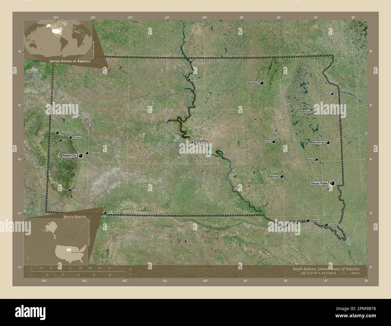 South Dakota, state of United States of America. High resolution satellite map. Locations and names of major cities of the region. Corner auxiliary lo Stock Photohttps://www.alamy.com/image-license-details/?v=1https://www.alamy.com/south-dakota-state-of-united-states-of-america-high-resolution-satellite-map-locations-and-names-of-major-cities-of-the-region-corner-auxiliary-lo-image546020924.html
RF2PM9B78–South Dakota, state of United States of America. High resolution satellite map. Locations and names of major cities of the region. Corner auxiliary lo
 USGS TOPO Map South Dakota SD Spearfish 344645 1900 62500 Inverted Restoration Stock Photohttps://www.alamy.com/image-license-details/?v=1https://www.alamy.com/usgs-topo-map-south-dakota-sd-spearfish-344645-1900-62500-inverted-restoration-image335163742.html
RM2AD80NJ–USGS TOPO Map South Dakota SD Spearfish 344645 1900 62500 Inverted Restoration
 Sanborn Fire Insurance Map from Spearfish, Lawrence County, South Dakota. Stock Photohttps://www.alamy.com/image-license-details/?v=1https://www.alamy.com/sanborn-fire-insurance-map-from-spearfish-lawrence-county-south-dakota-image456485281.html
RM2HEJKHN–Sanborn Fire Insurance Map from Spearfish, Lawrence County, South Dakota.
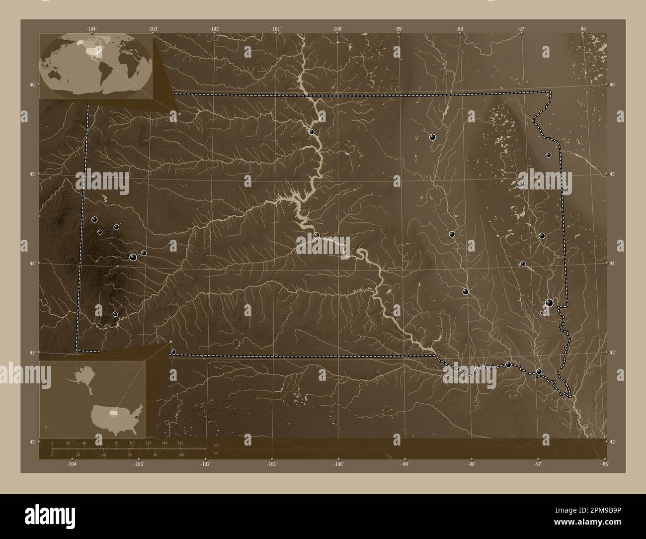 South Dakota, state of United States of America. Elevation map colored in sepia tones with lakes and rivers. Locations of major cities of the region. Stock Photohttps://www.alamy.com/image-license-details/?v=1https://www.alamy.com/south-dakota-state-of-united-states-of-america-elevation-map-colored-in-sepia-tones-with-lakes-and-rivers-locations-of-major-cities-of-the-region-image546020994.html
RF2PM9B9P–South Dakota, state of United States of America. Elevation map colored in sepia tones with lakes and rivers. Locations of major cities of the region.
 USGS TOPO Map South Dakota SD Spearfish 344275 1961 24000 Inverted Restoration Stock Photohttps://www.alamy.com/image-license-details/?v=1https://www.alamy.com/usgs-topo-map-south-dakota-sd-spearfish-344275-1961-24000-inverted-restoration-image335163239.html
RM2AD803K–USGS TOPO Map South Dakota SD Spearfish 344275 1961 24000 Inverted Restoration
 Sanborn Fire Insurance Map from Spearfish, Lawrence County, South Dakota. Stock Photohttps://www.alamy.com/image-license-details/?v=1https://www.alamy.com/sanborn-fire-insurance-map-from-spearfish-lawrence-county-south-dakota-image456485268.html
RM2HEJKH8–Sanborn Fire Insurance Map from Spearfish, Lawrence County, South Dakota.
 South Dakota, state of United States of America. Elevation map colored in wiki style with lakes and rivers. Locations and names of major cities of the Stock Photohttps://www.alamy.com/image-license-details/?v=1https://www.alamy.com/south-dakota-state-of-united-states-of-america-elevation-map-colored-in-wiki-style-with-lakes-and-rivers-locations-and-names-of-major-cities-of-the-image546021029.html
RF2PM9BB1–South Dakota, state of United States of America. Elevation map colored in wiki style with lakes and rivers. Locations and names of major cities of the
 USGS TOPO Map South Dakota SD Spearfish 344277 1961 24000 Inverted Restoration Stock Photohttps://www.alamy.com/image-license-details/?v=1https://www.alamy.com/usgs-topo-map-south-dakota-sd-spearfish-344277-1961-24000-inverted-restoration-image335163217.html
RM2AD802W–USGS TOPO Map South Dakota SD Spearfish 344277 1961 24000 Inverted Restoration
 Sanborn Fire Insurance Map from Spearfish, Lawrence County, South Dakota. Stock Photohttps://www.alamy.com/image-license-details/?v=1https://www.alamy.com/sanborn-fire-insurance-map-from-spearfish-lawrence-county-south-dakota-image456485259.html
RM2HEJKGY–Sanborn Fire Insurance Map from Spearfish, Lawrence County, South Dakota.
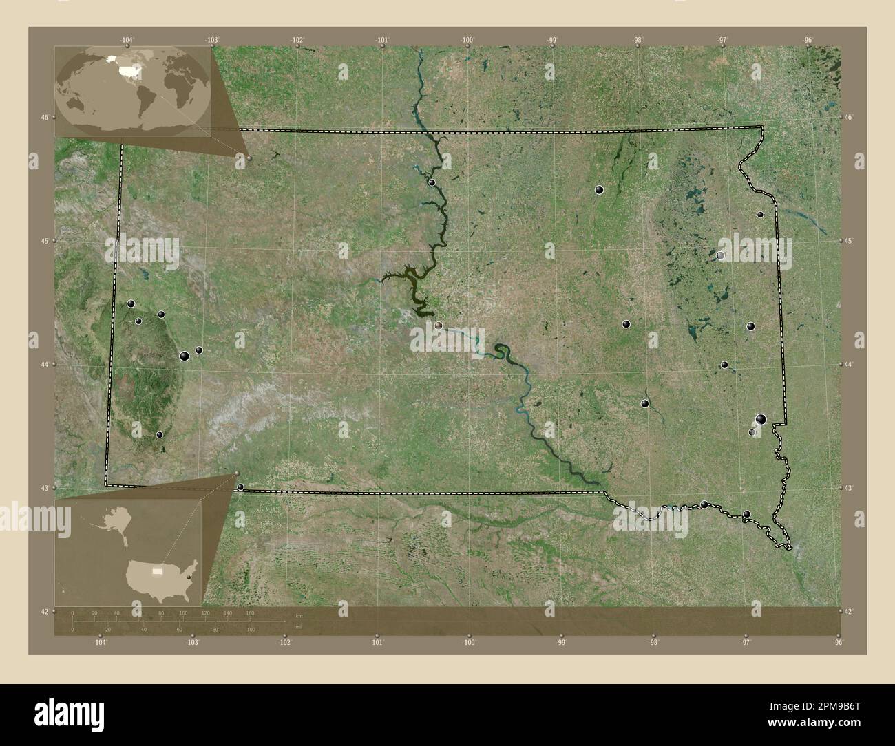 South Dakota, state of United States of America. High resolution satellite map. Locations of major cities of the region. Corner auxiliary location map Stock Photohttps://www.alamy.com/image-license-details/?v=1https://www.alamy.com/south-dakota-state-of-united-states-of-america-high-resolution-satellite-map-locations-of-major-cities-of-the-region-corner-auxiliary-location-map-image546020912.html
RF2PM9B6T–South Dakota, state of United States of America. High resolution satellite map. Locations of major cities of the region. Corner auxiliary location map
 USGS TOPO Map South Dakota SD Spearfish 344644 1915 62500 Inverted Restoration Stock Photohttps://www.alamy.com/image-license-details/?v=1https://www.alamy.com/usgs-topo-map-south-dakota-sd-spearfish-344644-1915-62500-inverted-restoration-image335163703.html
RM2AD80M7–USGS TOPO Map South Dakota SD Spearfish 344644 1915 62500 Inverted Restoration
 Sanborn Fire Insurance Map from Spearfish, Lawrence County, South Dakota. Stock Photohttps://www.alamy.com/image-license-details/?v=1https://www.alamy.com/sanborn-fire-insurance-map-from-spearfish-lawrence-county-south-dakota-image456485263.html
RM2HEJKH3–Sanborn Fire Insurance Map from Spearfish, Lawrence County, South Dakota.
 South Dakota, state of United States of America. Low resolution satellite map. Locations of major cities of the region. Corner auxiliary location maps Stock Photohttps://www.alamy.com/image-license-details/?v=1https://www.alamy.com/south-dakota-state-of-united-states-of-america-low-resolution-satellite-map-locations-of-major-cities-of-the-region-corner-auxiliary-location-maps-image546020992.html
RF2PM9B9M–South Dakota, state of United States of America. Low resolution satellite map. Locations of major cities of the region. Corner auxiliary location maps
 USGS TOPO Map South Dakota SD Spearfish 344280 1961 24000 Inverted Restoration Stock Photohttps://www.alamy.com/image-license-details/?v=1https://www.alamy.com/usgs-topo-map-south-dakota-sd-spearfish-344280-1961-24000-inverted-restoration-image335163511.html
RM2AD80DB–USGS TOPO Map South Dakota SD Spearfish 344280 1961 24000 Inverted Restoration
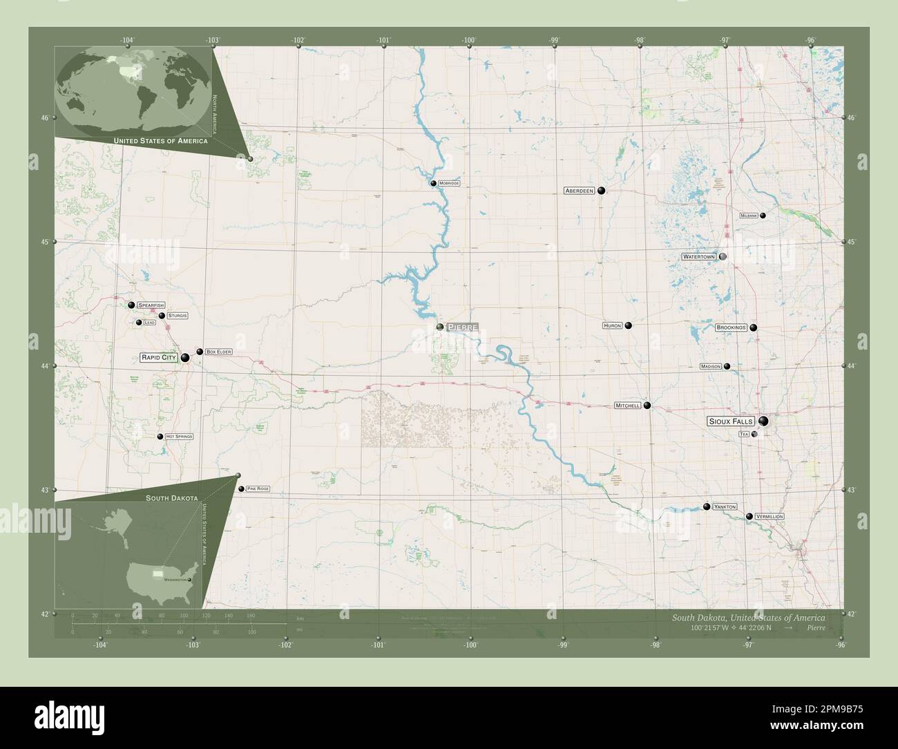 South Dakota, state of United States of America. Open Street Map. Locations and names of major cities of the region. Corner auxiliary location maps Stock Photohttps://www.alamy.com/image-license-details/?v=1https://www.alamy.com/south-dakota-state-of-united-states-of-america-open-street-map-locations-and-names-of-major-cities-of-the-region-corner-auxiliary-location-maps-image546020921.html
RF2PM9B75–South Dakota, state of United States of America. Open Street Map. Locations and names of major cities of the region. Corner auxiliary location maps
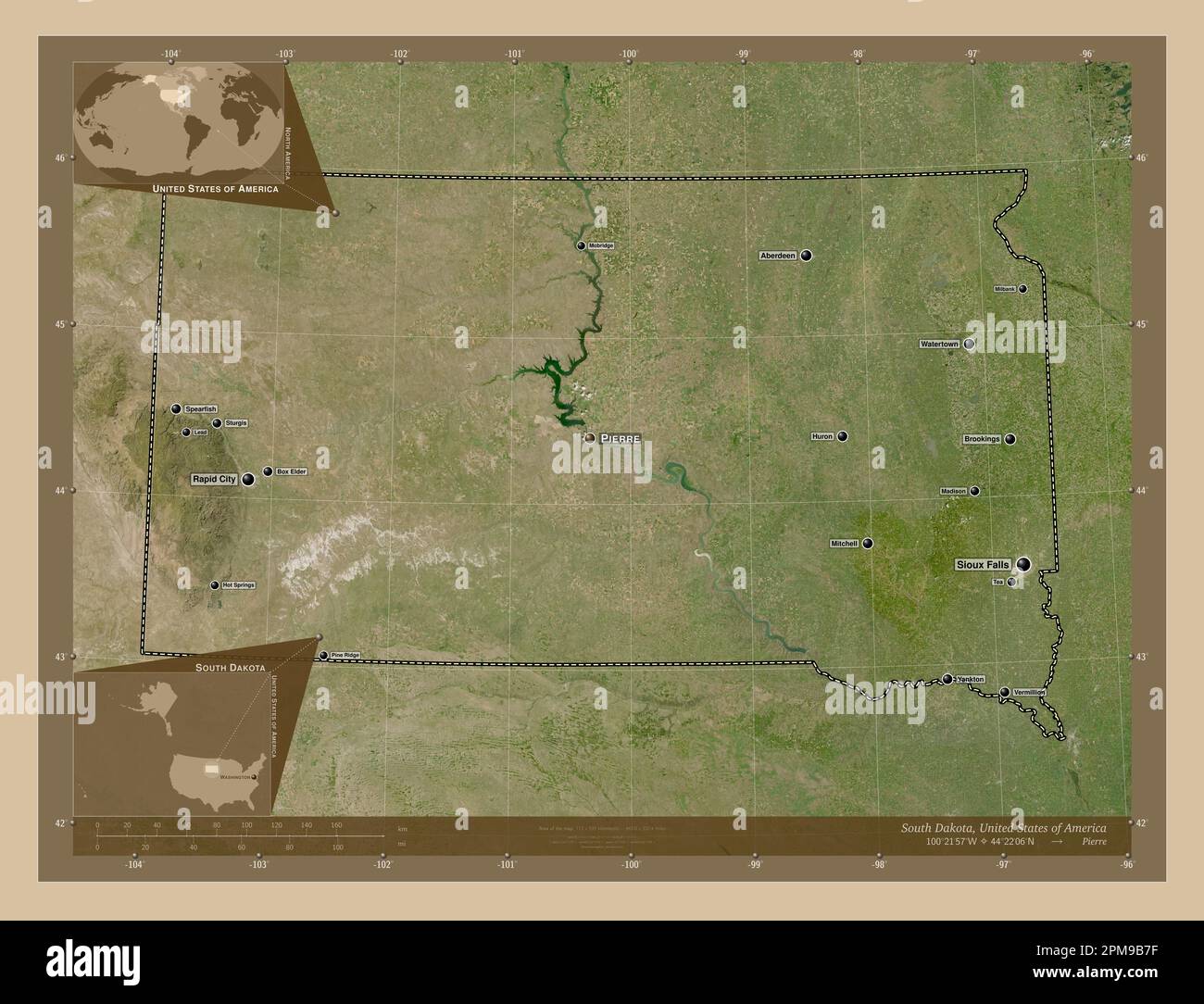 South Dakota, state of United States of America. Low resolution satellite map. Locations and names of major cities of the region. Corner auxiliary loc Stock Photohttps://www.alamy.com/image-license-details/?v=1https://www.alamy.com/south-dakota-state-of-united-states-of-america-low-resolution-satellite-map-locations-and-names-of-major-cities-of-the-region-corner-auxiliary-loc-image546020931.html
RF2PM9B7F–South Dakota, state of United States of America. Low resolution satellite map. Locations and names of major cities of the region. Corner auxiliary loc
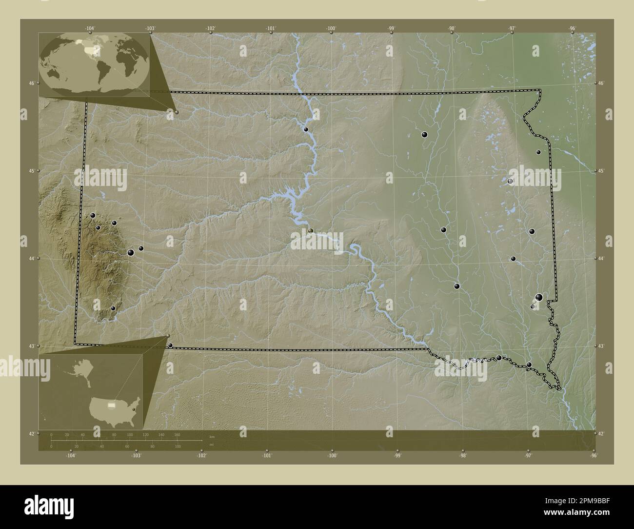 South Dakota, state of United States of America. Elevation map colored in wiki style with lakes and rivers. Locations of major cities of the region. C Stock Photohttps://www.alamy.com/image-license-details/?v=1https://www.alamy.com/south-dakota-state-of-united-states-of-america-elevation-map-colored-in-wiki-style-with-lakes-and-rivers-locations-of-major-cities-of-the-region-c-image546021043.html
RF2PM9BBF–South Dakota, state of United States of America. Elevation map colored in wiki style with lakes and rivers. Locations of major cities of the region. C
 South Dakota, state of United States of America. Elevation map colored in sepia tones with lakes and rivers. Locations and names of major cities of th Stock Photohttps://www.alamy.com/image-license-details/?v=1https://www.alamy.com/south-dakota-state-of-united-states-of-america-elevation-map-colored-in-sepia-tones-with-lakes-and-rivers-locations-and-names-of-major-cities-of-th-image546021036.html
RF2PM9BB8–South Dakota, state of United States of America. Elevation map colored in sepia tones with lakes and rivers. Locations and names of major cities of th
 South Dakota, state of United States of America. Solid color shape. Locations of major cities of the region. Corner auxiliary location maps Stock Photohttps://www.alamy.com/image-license-details/?v=1https://www.alamy.com/south-dakota-state-of-united-states-of-america-solid-color-shape-locations-of-major-cities-of-the-region-corner-auxiliary-location-maps-image546020933.html
RF2PM9B7H–South Dakota, state of United States of America. Solid color shape. Locations of major cities of the region. Corner auxiliary location maps
 South Dakota, state of United States of America. Solid color shape Stock Photohttps://www.alamy.com/image-license-details/?v=1https://www.alamy.com/south-dakota-state-of-united-states-of-america-solid-color-shape-image546020928.html
RF2PM9B7C–South Dakota, state of United States of America. Solid color shape
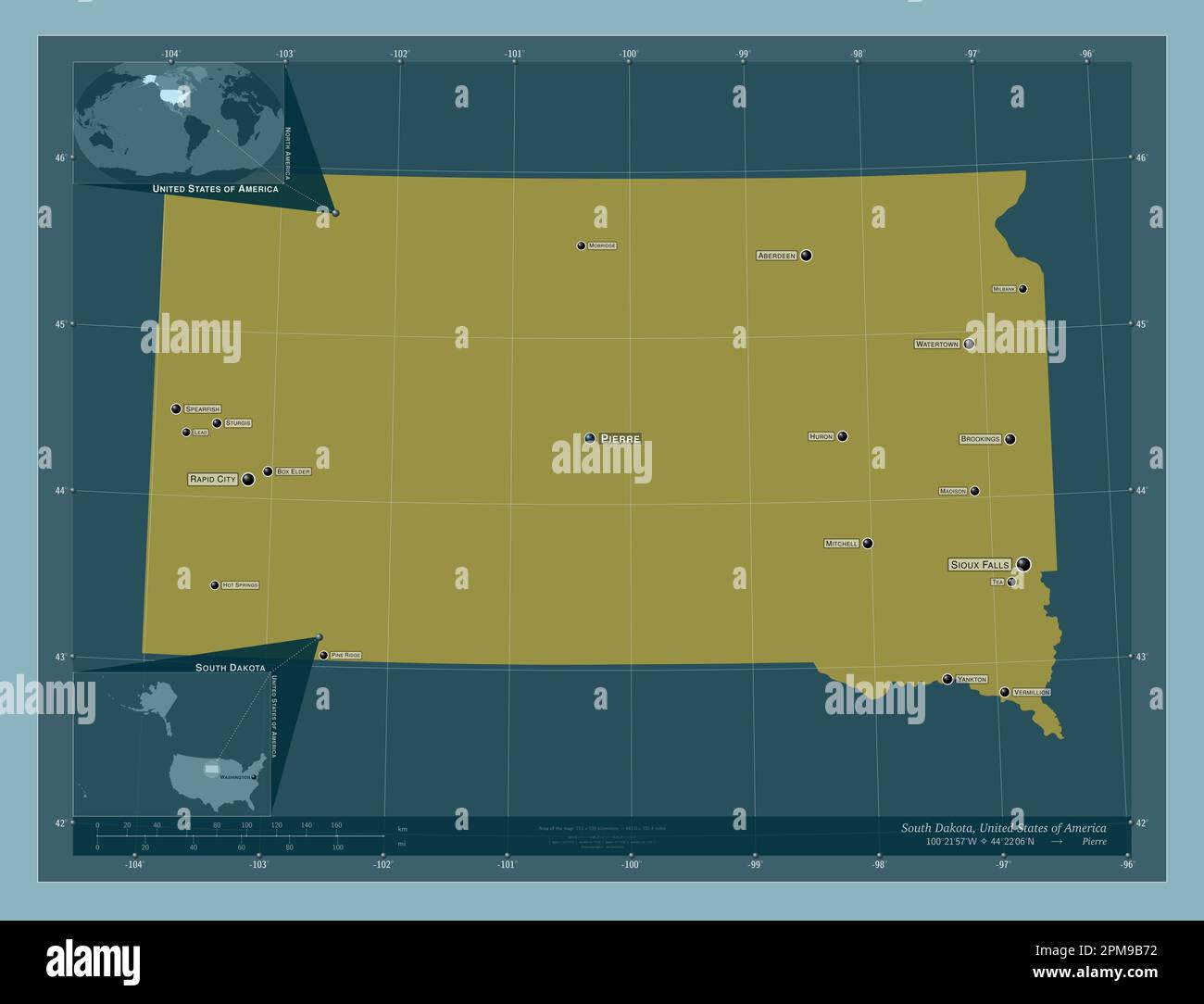 South Dakota, state of United States of America. Solid color shape. Locations and names of major cities of the region. Corner auxiliary location maps Stock Photohttps://www.alamy.com/image-license-details/?v=1https://www.alamy.com/south-dakota-state-of-united-states-of-america-solid-color-shape-locations-and-names-of-major-cities-of-the-region-corner-auxiliary-location-maps-image546020918.html
RF2PM9B72–South Dakota, state of United States of America. Solid color shape. Locations and names of major cities of the region. Corner auxiliary location maps