Get 20% off Images & Videos—Ends Sunday! Use code: FLASH20%
Quick filters:
Map of stephenville Stock Photos and Images
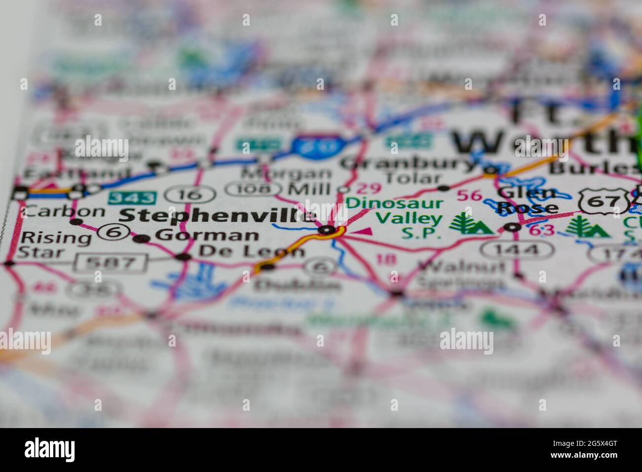 Stephenville Texas USA shown on a Geography map or Road map Stock Photohttps://www.alamy.com/image-license-details/?v=1https://www.alamy.com/stephenville-texas-usa-shown-on-a-geography-map-or-road-map-image433906840.html
RM2G5X4GT–Stephenville Texas USA shown on a Geography map or Road map
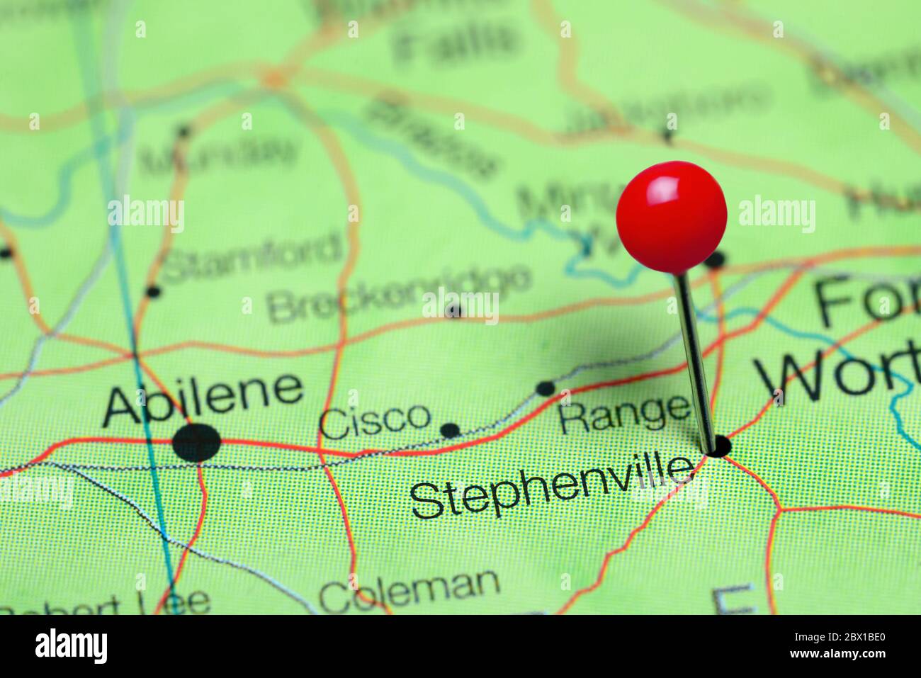 Stephenville pinned on a map of Texas, USA Stock Photohttps://www.alamy.com/image-license-details/?v=1https://www.alamy.com/stephenville-pinned-on-a-map-of-texas-usa-image360219384.html
RF2BX1BE0–Stephenville pinned on a map of Texas, USA
 City of Stephenville, Erath County, US, United States, Texas, N 32 12' 53'', S 98 13' 13'', map, Cartascapes Map published in 2024. Explore Cartascapes, a map revealing Earth's diverse landscapes, cultures, and ecosystems. Journey through time and space, discovering the interconnectedness of our planet's past, present, and future. Stock Photohttps://www.alamy.com/image-license-details/?v=1https://www.alamy.com/city-of-stephenville-erath-county-us-united-states-texas-n-32-12-53-s-98-13-13-map-cartascapes-map-published-in-2024-explore-cartascapes-a-map-revealing-earths-diverse-landscapes-cultures-and-ecosystems-journey-through-time-and-space-discovering-the-interconnectedness-of-our-planets-past-present-and-future-image633817884.html
RM2YR4W50–City of Stephenville, Erath County, US, United States, Texas, N 32 12' 53'', S 98 13' 13'', map, Cartascapes Map published in 2024. Explore Cartascapes, a map revealing Earth's diverse landscapes, cultures, and ecosystems. Journey through time and space, discovering the interconnectedness of our planet's past, present, and future.
 Sanborn Fire Insurance Map from Stephenville, Erath County, Texas. Stock Photohttps://www.alamy.com/image-license-details/?v=1https://www.alamy.com/sanborn-fire-insurance-map-from-stephenville-erath-county-texas-image456489366.html
RM2HEJTRJ–Sanborn Fire Insurance Map from Stephenville, Erath County, Texas.
 Stephenville, Erath County, US, United States, Texas, N 32 13' 14'', S 98 12' 8'', map, Cartascapes Map published in 2024. Explore Cartascapes, a map revealing Earth's diverse landscapes, cultures, and ecosystems. Journey through time and space, discovering the interconnectedness of our planet's past, present, and future. Stock Photohttps://www.alamy.com/image-license-details/?v=1https://www.alamy.com/stephenville-erath-county-us-united-states-texas-n-32-13-14-s-98-12-8-map-cartascapes-map-published-in-2024-explore-cartascapes-a-map-revealing-earths-diverse-landscapes-cultures-and-ecosystems-journey-through-time-and-space-discovering-the-interconnectedness-of-our-planets-past-present-and-future-image621304934.html
RM2Y2PTNX–Stephenville, Erath County, US, United States, Texas, N 32 13' 14'', S 98 12' 8'', map, Cartascapes Map published in 2024. Explore Cartascapes, a map revealing Earth's diverse landscapes, cultures, and ecosystems. Journey through time and space, discovering the interconnectedness of our planet's past, present, and future.
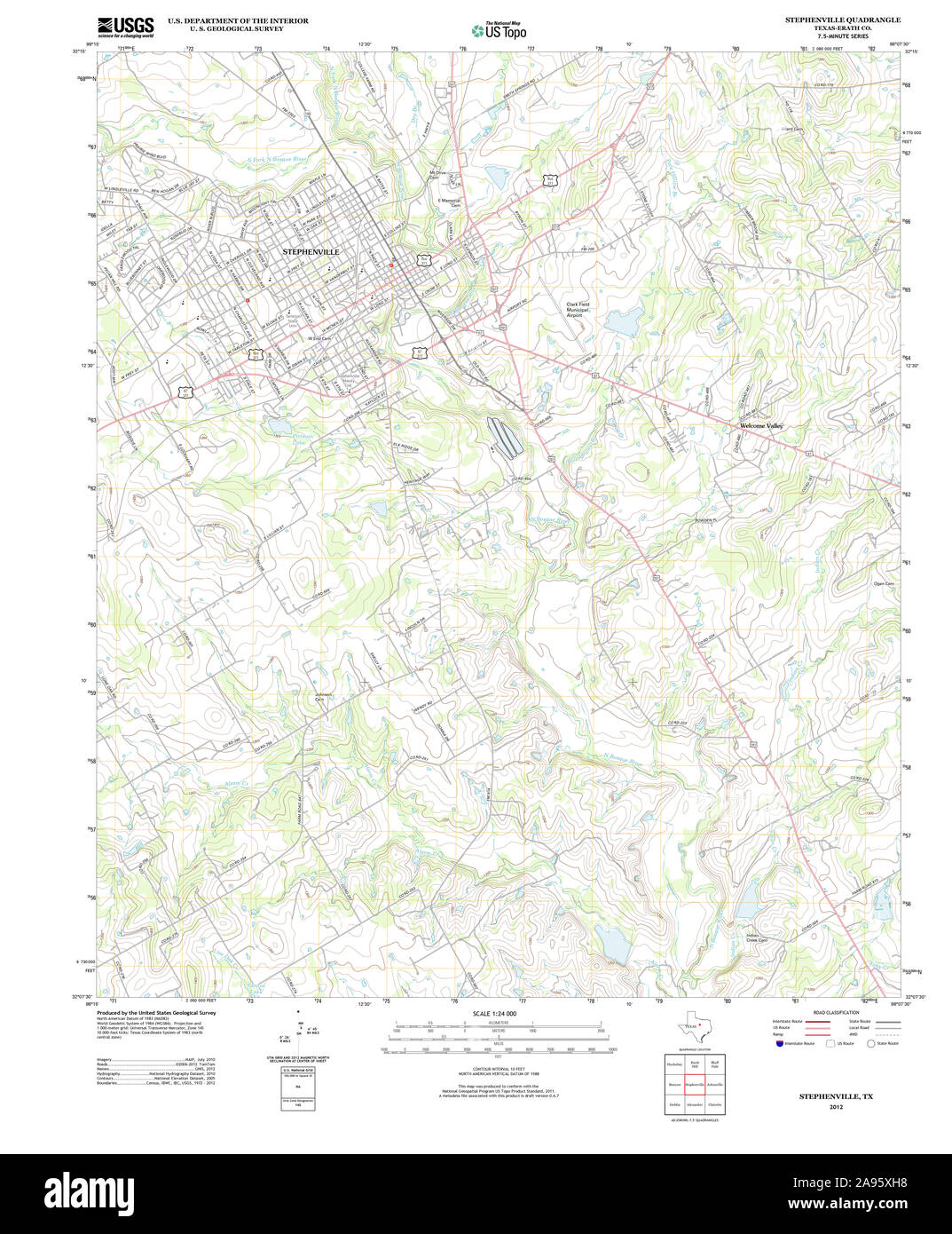 USGS TOPO Map Texas TX Stephenville 20121116 TM Restoration Stock Photohttps://www.alamy.com/image-license-details/?v=1https://www.alamy.com/usgs-topo-map-texas-tx-stephenville-20121116-tm-restoration-image332659524.html
RM2A95XH8–USGS TOPO Map Texas TX Stephenville 20121116 TM Restoration
 Erath County, Texas (Counties in Texas, United States of America,USA, U.S., US) map vector illustration, scribble sketch Erath map Stock Vectorhttps://www.alamy.com/image-license-details/?v=1https://www.alamy.com/erath-county-texas-counties-in-texas-united-states-of-americausa-us-us-map-vector-illustration-scribble-sketch-erath-map-image263543055.html
RFW8NBRY–Erath County, Texas (Counties in Texas, United States of America,USA, U.S., US) map vector illustration, scribble sketch Erath map
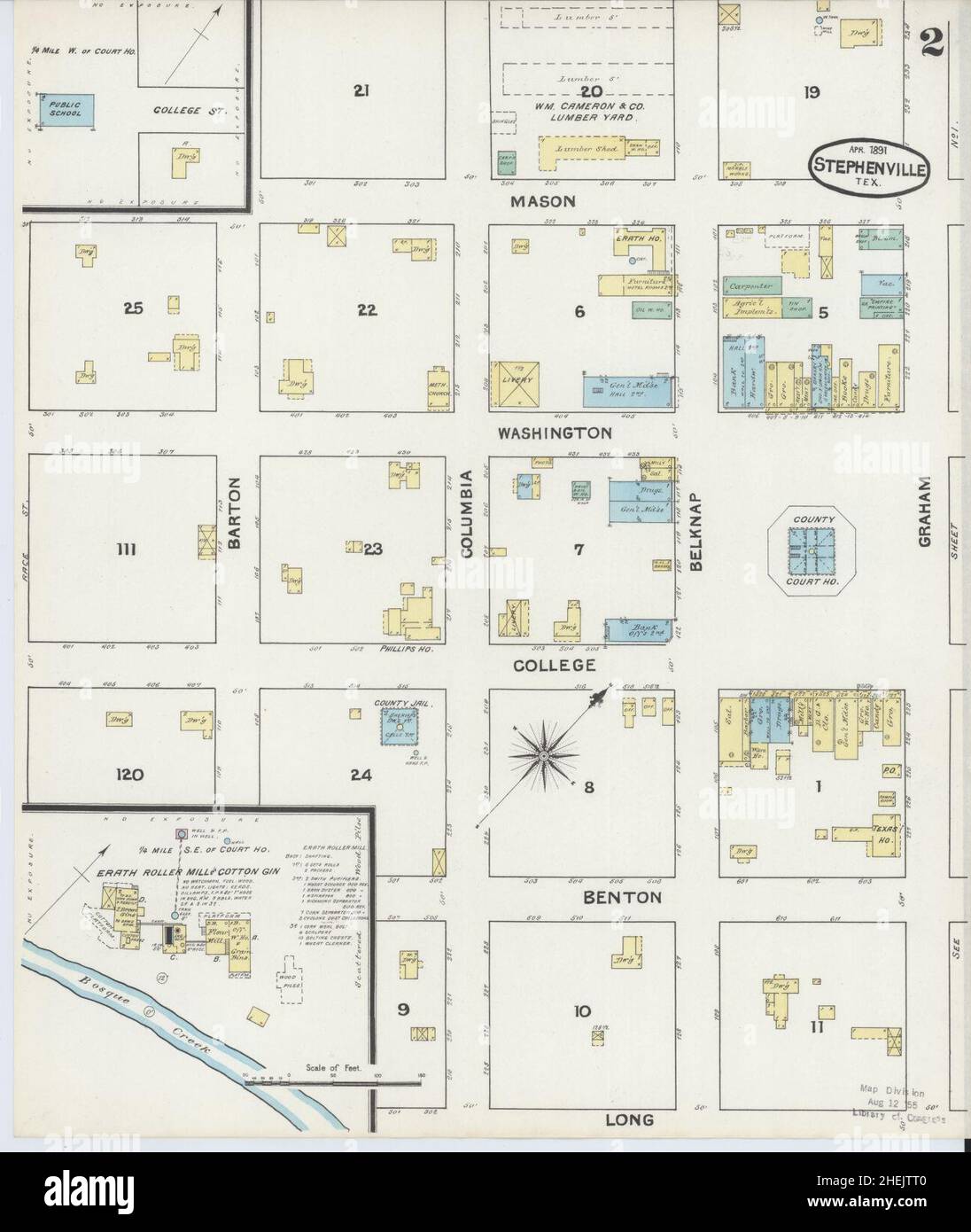 Sanborn Fire Insurance Map from Stephenville, Erath County, Texas. Stock Photohttps://www.alamy.com/image-license-details/?v=1https://www.alamy.com/sanborn-fire-insurance-map-from-stephenville-erath-county-texas-image456489376.html
RM2HEJTT0–Sanborn Fire Insurance Map from Stephenville, Erath County, Texas.
 Stephenville, Sunflower County, US, United States, Mississippi, N 33 32' 53'', S 90 40' 18'', map, Cartascapes Map published in 2024. Explore Cartascapes, a map revealing Earth's diverse landscapes, cultures, and ecosystems. Journey through time and space, discovering the interconnectedness of our planet's past, present, and future. Stock Photohttps://www.alamy.com/image-license-details/?v=1https://www.alamy.com/stephenville-sunflower-county-us-united-states-mississippi-n-33-32-53-s-90-40-18-map-cartascapes-map-published-in-2024-explore-cartascapes-a-map-revealing-earths-diverse-landscapes-cultures-and-ecosystems-journey-through-time-and-space-discovering-the-interconnectedness-of-our-planets-past-present-and-future-image621409118.html
RM2Y2YHJP–Stephenville, Sunflower County, US, United States, Mississippi, N 33 32' 53'', S 90 40' 18'', map, Cartascapes Map published in 2024. Explore Cartascapes, a map revealing Earth's diverse landscapes, cultures, and ecosystems. Journey through time and space, discovering the interconnectedness of our planet's past, present, and future.
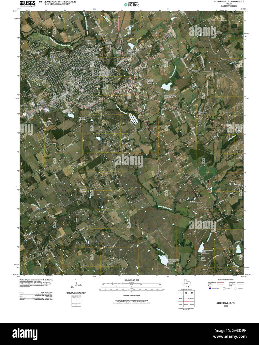 USGS TOPO Map Texas TX Stephenville 20100318 TM Restoration Stock Photohttps://www.alamy.com/image-license-details/?v=1https://www.alamy.com/usgs-topo-map-texas-tx-stephenville-20100318-tm-restoration-image332659449.html
RM2A95XEH–USGS TOPO Map Texas TX Stephenville 20100318 TM Restoration
 Erath County, Texas (Counties in Texas, United States of America,USA, U.S., US) map vector illustration, scribble sketch Erath map Stock Vectorhttps://www.alamy.com/image-license-details/?v=1https://www.alamy.com/erath-county-texas-counties-in-texas-united-states-of-americausa-us-us-map-vector-illustration-scribble-sketch-erath-map-image257094346.html
RFTX7JCX–Erath County, Texas (Counties in Texas, United States of America,USA, U.S., US) map vector illustration, scribble sketch Erath map
 Sanborn Fire Insurance Map from Stephenville, Erath County, Texas. Stock Photohttps://www.alamy.com/image-license-details/?v=1https://www.alamy.com/sanborn-fire-insurance-map-from-stephenville-erath-county-texas-image456489379.html
RM2HEJTT3–Sanborn Fire Insurance Map from Stephenville, Erath County, Texas.
 Stephenville, Erath County, US, United States, Texas, N 32 13' 14'', S 98 12' 8'', map, Cartascapes Map published in 2024. Explore Cartascapes, a map revealing Earth's diverse landscapes, cultures, and ecosystems. Journey through time and space, discovering the interconnectedness of our planet's past, present, and future. Stock Photohttps://www.alamy.com/image-license-details/?v=1https://www.alamy.com/stephenville-erath-county-us-united-states-texas-n-32-13-14-s-98-12-8-map-cartascapes-map-published-in-2024-explore-cartascapes-a-map-revealing-earths-diverse-landscapes-cultures-and-ecosystems-journey-through-time-and-space-discovering-the-interconnectedness-of-our-planets-past-present-and-future-image620841653.html
RM2Y21NT5–Stephenville, Erath County, US, United States, Texas, N 32 13' 14'', S 98 12' 8'', map, Cartascapes Map published in 2024. Explore Cartascapes, a map revealing Earth's diverse landscapes, cultures, and ecosystems. Journey through time and space, discovering the interconnectedness of our planet's past, present, and future.
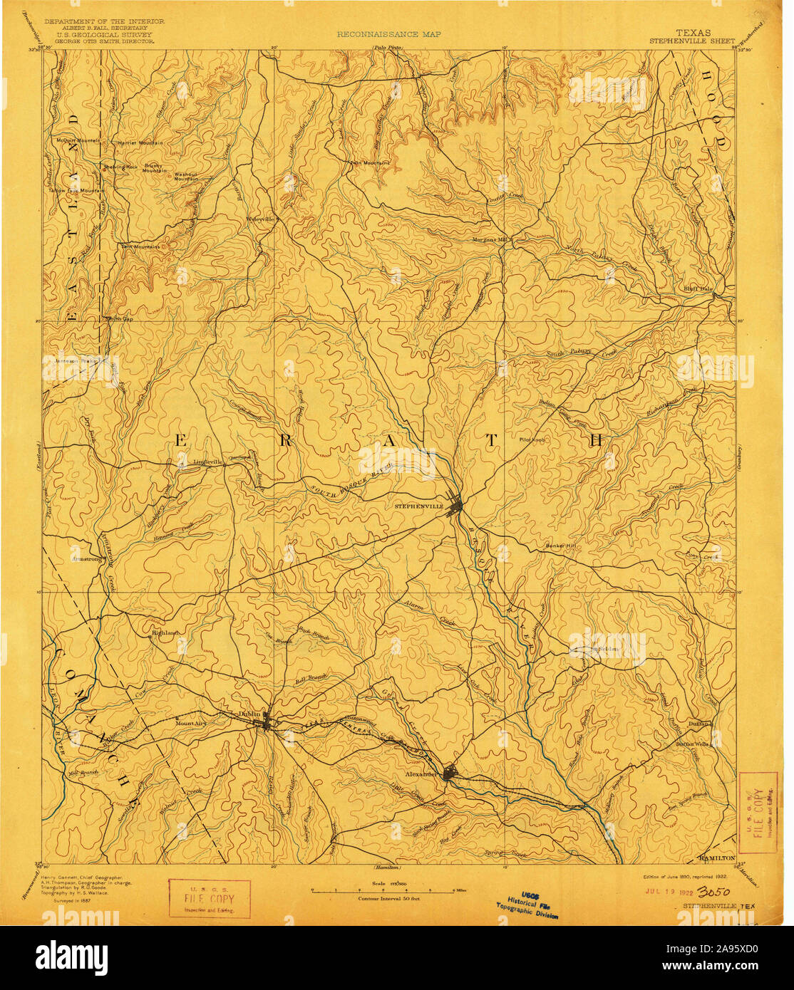 USGS TOPO Map Texas TX Stephenville 128663 1890 125000 Restoration Stock Photohttps://www.alamy.com/image-license-details/?v=1https://www.alamy.com/usgs-topo-map-texas-tx-stephenville-128663-1890-125000-restoration-image332659404.html
RM2A95XD0–USGS TOPO Map Texas TX Stephenville 128663 1890 125000 Restoration
 Erath County, Texas (Counties in Texas, United States of America,USA, U.S., US) map vector illustration, scribble sketch Erath map Stock Vectorhttps://www.alamy.com/image-license-details/?v=1https://www.alamy.com/erath-county-texas-counties-in-texas-united-states-of-americausa-us-us-map-vector-illustration-scribble-sketch-erath-map-image261360820.html
RFW560B0–Erath County, Texas (Counties in Texas, United States of America,USA, U.S., US) map vector illustration, scribble sketch Erath map
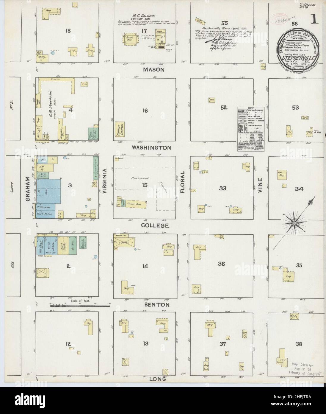 Sanborn Fire Insurance Map from Stephenville, Erath County, Texas. Stock Photohttps://www.alamy.com/image-license-details/?v=1https://www.alamy.com/sanborn-fire-insurance-map-from-stephenville-erath-county-texas-image456489358.html
RM2HEJTRA–Sanborn Fire Insurance Map from Stephenville, Erath County, Texas.
 Stephenville, Saint Martin Parish, US, United States, Louisiana, N 29 46' 41'', S 91 9' 57'', map, Cartascapes Map published in 2024. Explore Cartascapes, a map revealing Earth's diverse landscapes, cultures, and ecosystems. Journey through time and space, discovering the interconnectedness of our planet's past, present, and future. Stock Photohttps://www.alamy.com/image-license-details/?v=1https://www.alamy.com/stephenville-saint-martin-parish-us-united-states-louisiana-n-29-46-41-s-91-9-57-map-cartascapes-map-published-in-2024-explore-cartascapes-a-map-revealing-earths-diverse-landscapes-cultures-and-ecosystems-journey-through-time-and-space-discovering-the-interconnectedness-of-our-planets-past-present-and-future-image620718983.html
RM2Y1T5B3–Stephenville, Saint Martin Parish, US, United States, Louisiana, N 29 46' 41'', S 91 9' 57'', map, Cartascapes Map published in 2024. Explore Cartascapes, a map revealing Earth's diverse landscapes, cultures, and ecosystems. Journey through time and space, discovering the interconnectedness of our planet's past, present, and future.
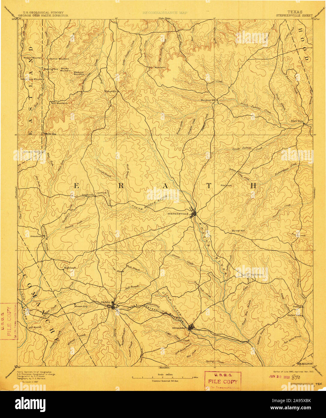 USGS TOPO Map Texas TX Stephenville 128613 1890 125000 Restoration Stock Photohttps://www.alamy.com/image-license-details/?v=1https://www.alamy.com/usgs-topo-map-texas-tx-stephenville-128613-1890-125000-restoration-image332659367.html
RM2A95XBK–USGS TOPO Map Texas TX Stephenville 128613 1890 125000 Restoration
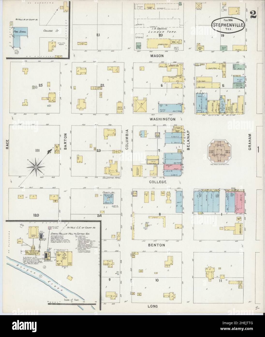 Sanborn Fire Insurance Map from Stephenville, Erath County, Texas. Stock Photohttps://www.alamy.com/image-license-details/?v=1https://www.alamy.com/sanborn-fire-insurance-map-from-stephenville-erath-county-texas-image456489392.html
RM2HEJTTG–Sanborn Fire Insurance Map from Stephenville, Erath County, Texas.
 Stephenville, Canada, Newfoundland and Labrador, N 48 33' 0'', W 58 34' 54'', map, Timeless Map published in 2021. Travelers, explorers and adventurers like Florence Nightingale, David Livingstone, Ernest Shackleton, Lewis and Clark and Sherlock Holmes relied on maps to plan travels to the world's most remote corners, Timeless Maps is mapping most locations on the globe, showing the achievement of great dreams Stock Photohttps://www.alamy.com/image-license-details/?v=1https://www.alamy.com/stephenville-canada-newfoundland-and-labrador-n-48-33-0-w-58-34-54-map-timeless-map-published-in-2021-travelers-explorers-and-adventurers-like-florence-nightingale-david-livingstone-ernest-shackleton-lewis-and-clark-and-sherlock-holmes-relied-on-maps-to-plan-travels-to-the-worlds-most-remote-corners-timeless-maps-is-mapping-most-locations-on-the-globe-showing-the-achievement-of-great-dreams-image457886137.html
RM2HGXEC9–Stephenville, Canada, Newfoundland and Labrador, N 48 33' 0'', W 58 34' 54'', map, Timeless Map published in 2021. Travelers, explorers and adventurers like Florence Nightingale, David Livingstone, Ernest Shackleton, Lewis and Clark and Sherlock Holmes relied on maps to plan travels to the world's most remote corners, Timeless Maps is mapping most locations on the globe, showing the achievement of great dreams
 USGS TOPO Map Texas TX Stephenville 122416 1961 24000 Restoration Stock Photohttps://www.alamy.com/image-license-details/?v=1https://www.alamy.com/usgs-topo-map-texas-tx-stephenville-122416-1961-24000-restoration-image332659103.html
RM2A95X27–USGS TOPO Map Texas TX Stephenville 122416 1961 24000 Restoration
 Stephenville Crossing, Canada, Newfoundland and Labrador, N 48 30' 0'', W 58 25' 54'', map, Timeless Map published in 2021. Travelers, explorers and adventurers like Florence Nightingale, David Livingstone, Ernest Shackleton, Lewis and Clark and Sherlock Holmes relied on maps to plan travels to the world's most remote corners, Timeless Maps is mapping most locations on the globe, showing the achievement of great dreams Stock Photohttps://www.alamy.com/image-license-details/?v=1https://www.alamy.com/stephenville-crossing-canada-newfoundland-and-labrador-n-48-30-0-w-58-25-54-map-timeless-map-published-in-2021-travelers-explorers-and-adventurers-like-florence-nightingale-david-livingstone-ernest-shackleton-lewis-and-clark-and-sherlock-holmes-relied-on-maps-to-plan-travels-to-the-worlds-most-remote-corners-timeless-maps-is-mapping-most-locations-on-the-globe-showing-the-achievement-of-great-dreams-image457886165.html
RM2HGXED9–Stephenville Crossing, Canada, Newfoundland and Labrador, N 48 30' 0'', W 58 25' 54'', map, Timeless Map published in 2021. Travelers, explorers and adventurers like Florence Nightingale, David Livingstone, Ernest Shackleton, Lewis and Clark and Sherlock Holmes relied on maps to plan travels to the world's most remote corners, Timeless Maps is mapping most locations on the globe, showing the achievement of great dreams
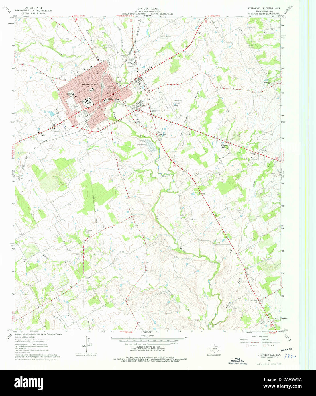 USGS TOPO Map Texas TX Stephenville 122414 1961 24000 Restoration Stock Photohttps://www.alamy.com/image-license-details/?v=1https://www.alamy.com/usgs-topo-map-texas-tx-stephenville-122414-1961-24000-restoration-image332658994.html
RM2A95WXA–USGS TOPO Map Texas TX Stephenville 122414 1961 24000 Restoration
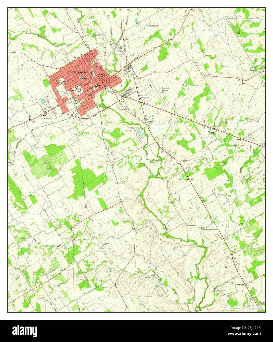 Stephenville, Texas, map 1961, 1:24000, United States of America by Timeless Maps, data U.S. Geological Survey Stock Photohttps://www.alamy.com/image-license-details/?v=1https://www.alamy.com/stephenville-texas-map-1961-124000-united-states-of-america-by-timeless-maps-data-us-geological-survey-image406991723.html
RM2EJ422K–Stephenville, Texas, map 1961, 1:24000, United States of America by Timeless Maps, data U.S. Geological Survey
 USGS TOPO Map Texas TX Stephenville 123424 1985 100000 Restoration Stock Photohttps://www.alamy.com/image-license-details/?v=1https://www.alamy.com/usgs-topo-map-texas-tx-stephenville-123424-1985-100000-restoration-image332659202.html
RM2A95X5P–USGS TOPO Map Texas TX Stephenville 123424 1985 100000 Restoration
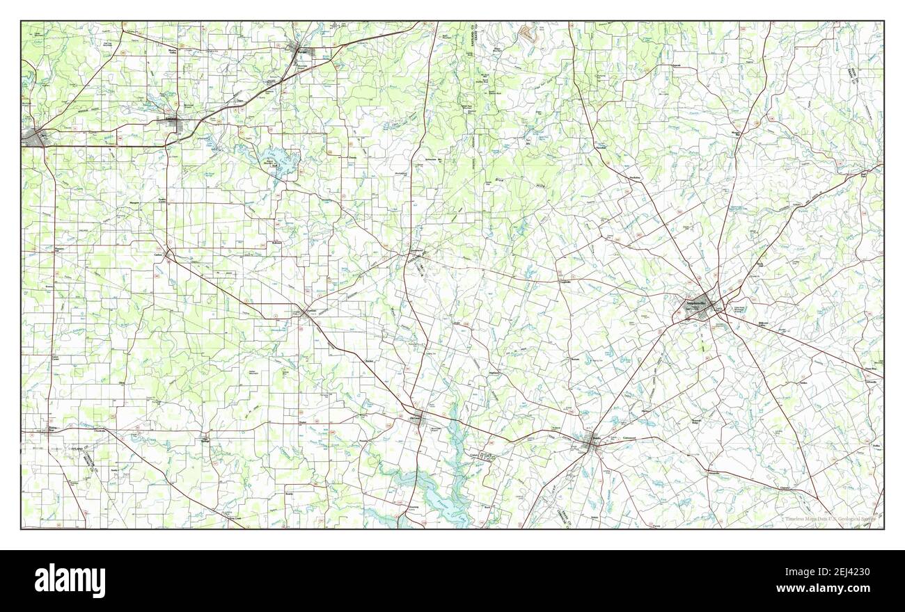 Stephenville, Texas, map 1985, 1:100000, United States of America by Timeless Maps, data U.S. Geological Survey Stock Photohttps://www.alamy.com/image-license-details/?v=1https://www.alamy.com/stephenville-texas-map-1985-1100000-united-states-of-america-by-timeless-maps-data-us-geological-survey-image406991732.html
RM2EJ4230–Stephenville, Texas, map 1985, 1:100000, United States of America by Timeless Maps, data U.S. Geological Survey
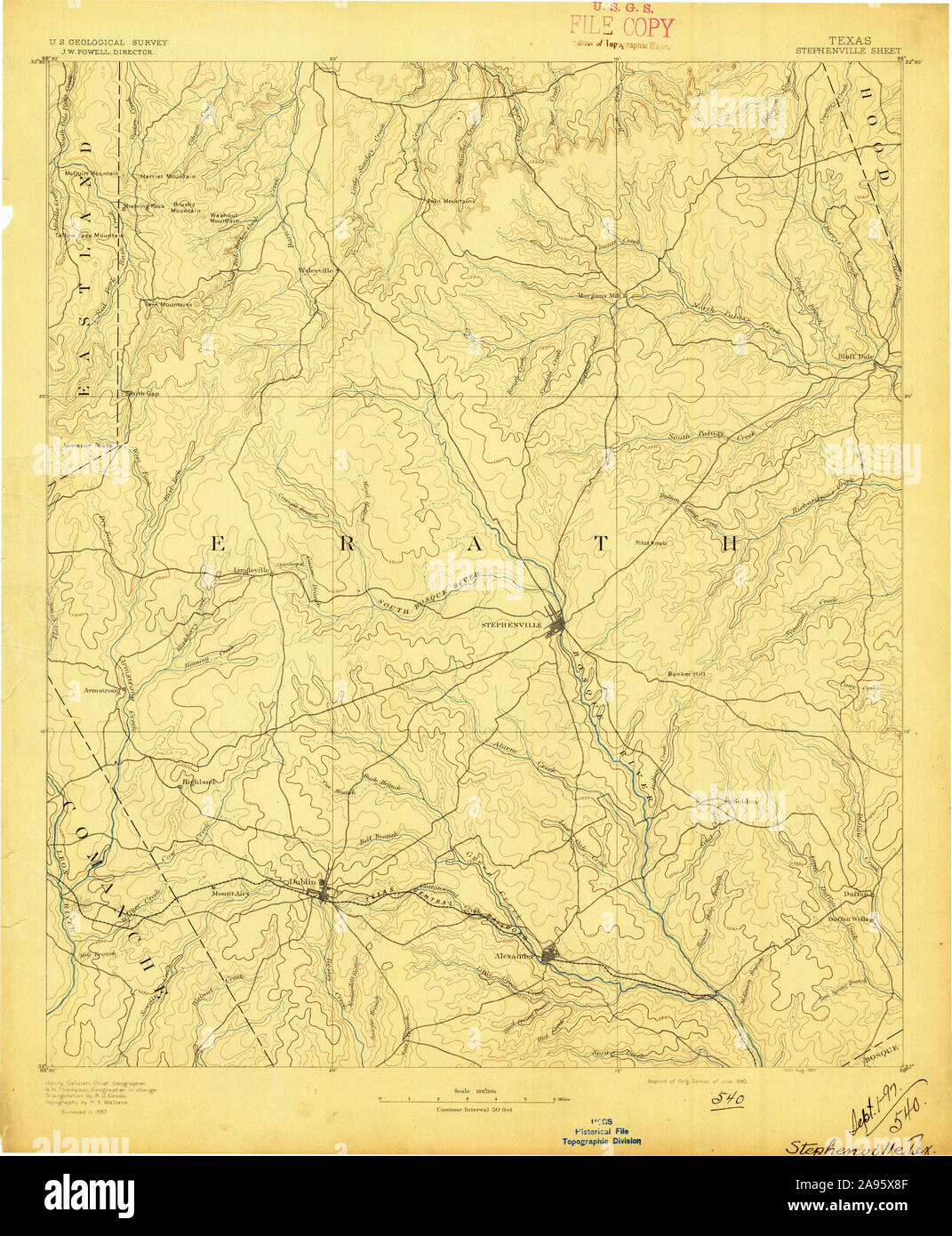 USGS TOPO Map Texas TX Stephenville 128550 1890 125000 Restoration Stock Photohttps://www.alamy.com/image-license-details/?v=1https://www.alamy.com/usgs-topo-map-texas-tx-stephenville-128550-1890-125000-restoration-image332659279.html
RM2A95X8F–USGS TOPO Map Texas TX Stephenville 128550 1890 125000 Restoration
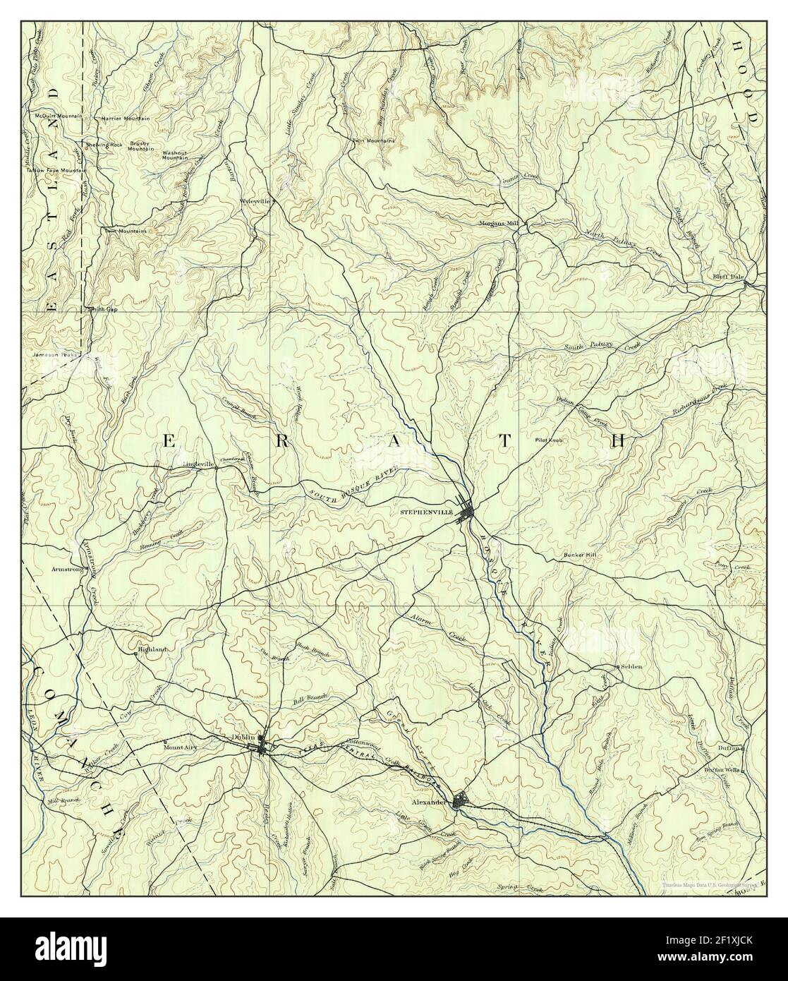 Stephenville, Texas, map 1890, 1:125000, United States of America by Timeless Maps, data U.S. Geological Survey Stock Photohttps://www.alamy.com/image-license-details/?v=1https://www.alamy.com/stephenville-texas-map-1890-1125000-united-states-of-america-by-timeless-maps-data-us-geological-survey-image414248707.html
RM2F1XJCK–Stephenville, Texas, map 1890, 1:125000, United States of America by Timeless Maps, data U.S. Geological Survey
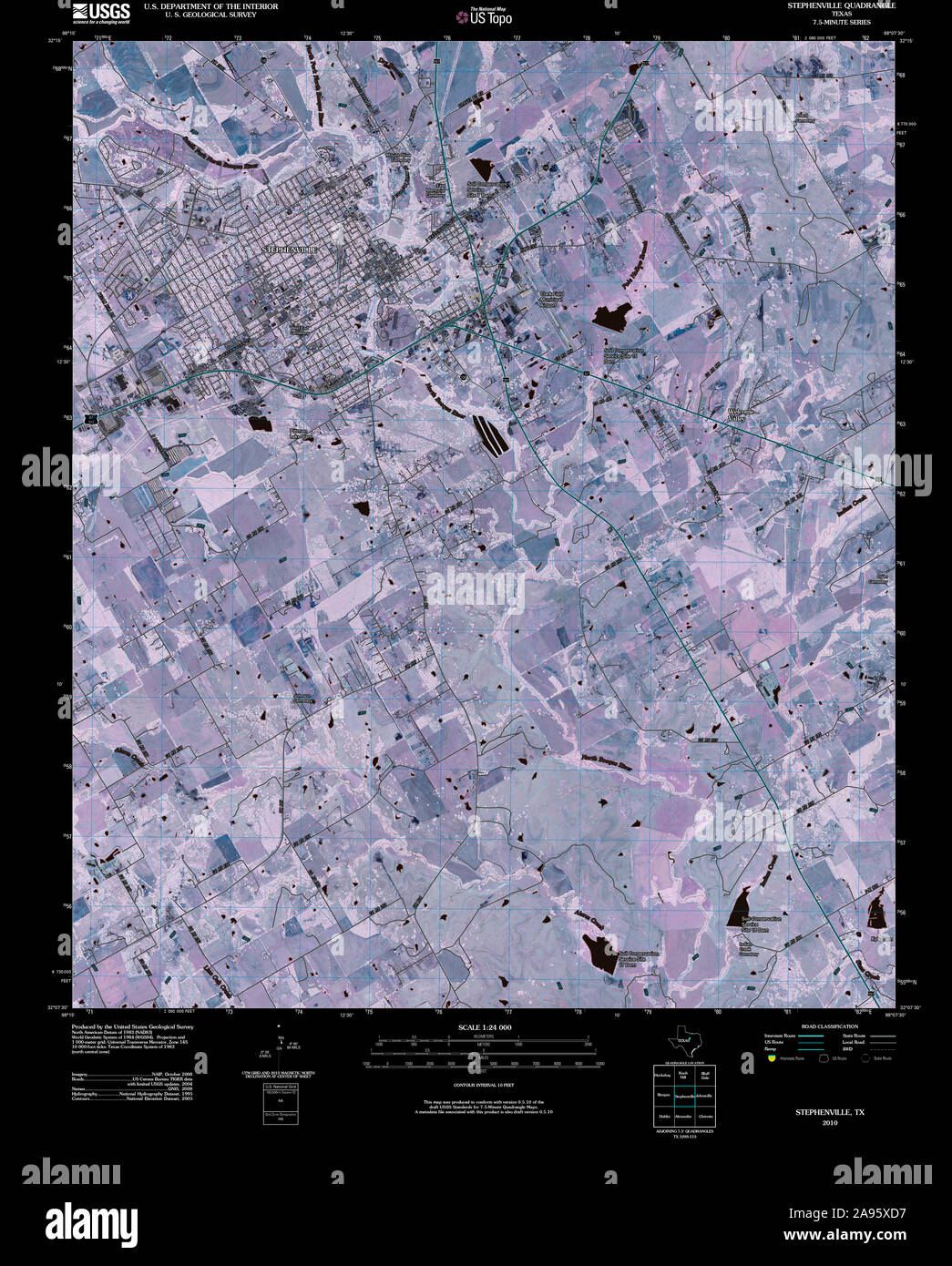 USGS TOPO Map Texas TX Stephenville 20100318 TM Inverted Restoration Stock Photohttps://www.alamy.com/image-license-details/?v=1https://www.alamy.com/usgs-topo-map-texas-tx-stephenville-20100318-tm-inverted-restoration-image332659411.html
RM2A95XD7–USGS TOPO Map Texas TX Stephenville 20100318 TM Inverted Restoration
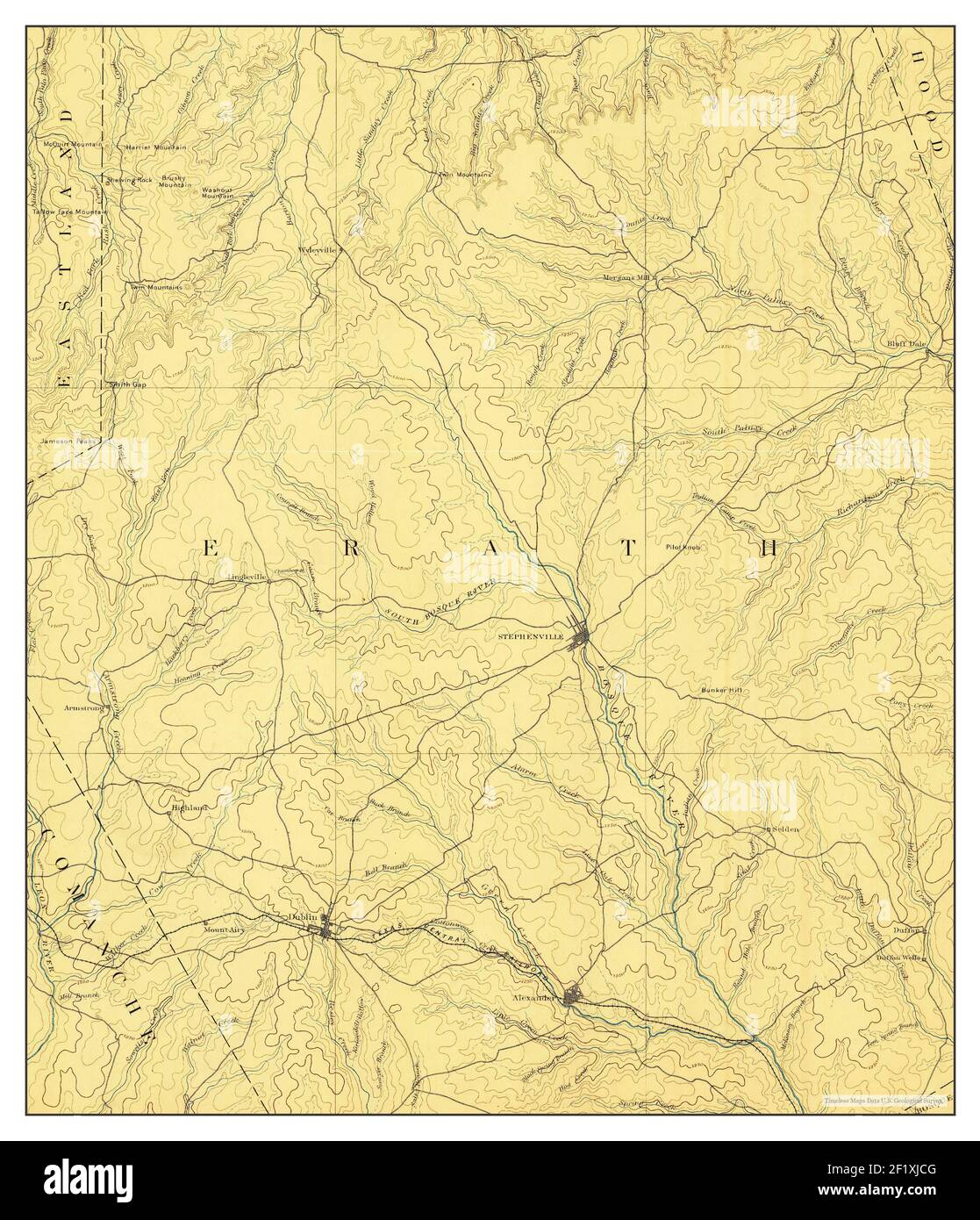 Stephenville, Texas, map 1890, 1:125000, United States of America by Timeless Maps, data U.S. Geological Survey Stock Photohttps://www.alamy.com/image-license-details/?v=1https://www.alamy.com/stephenville-texas-map-1890-1125000-united-states-of-america-by-timeless-maps-data-us-geological-survey-image414248704.html
RM2F1XJCG–Stephenville, Texas, map 1890, 1:125000, United States of America by Timeless Maps, data U.S. Geological Survey
 USGS TOPO Map Texas TX Stephenville 123423 1961 24000 Restoration Stock Photohttps://www.alamy.com/image-license-details/?v=1https://www.alamy.com/usgs-topo-map-texas-tx-stephenville-123423-1961-24000-restoration-image332659213.html
RM2A95X65–USGS TOPO Map Texas TX Stephenville 123423 1961 24000 Restoration
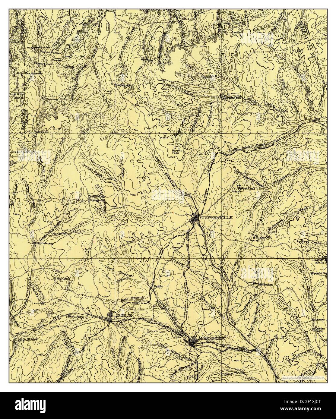 Stephenville, Texas, map 1920, 1:125000, United States of America by Timeless Maps, data U.S. Geological Survey Stock Photohttps://www.alamy.com/image-license-details/?v=1https://www.alamy.com/stephenville-texas-map-1920-1125000-united-states-of-america-by-timeless-maps-data-us-geological-survey-image414248712.html
RM2F1XJCT–Stephenville, Texas, map 1920, 1:125000, United States of America by Timeless Maps, data U.S. Geological Survey
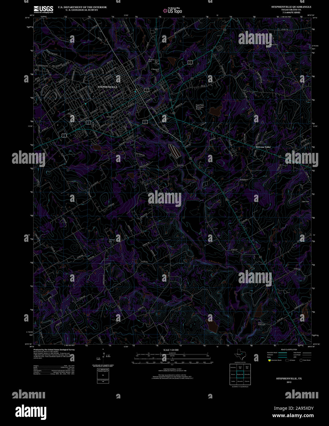 USGS TOPO Map Texas TX Stephenville 20121116 TM Inverted Restoration Stock Photohttps://www.alamy.com/image-license-details/?v=1https://www.alamy.com/usgs-topo-map-texas-tx-stephenville-20121116-tm-inverted-restoration-image332659431.html
RM2A95XDY–USGS TOPO Map Texas TX Stephenville 20121116 TM Inverted Restoration
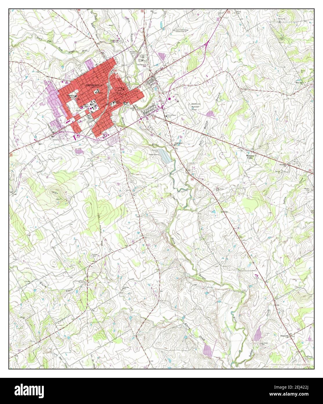 Stephenville, Texas, map 1961, 1:24000, United States of America by Timeless Maps, data U.S. Geological Survey Stock Photohttps://www.alamy.com/image-license-details/?v=1https://www.alamy.com/stephenville-texas-map-1961-124000-united-states-of-america-by-timeless-maps-data-us-geological-survey-image406991722.html
RM2EJ422J–Stephenville, Texas, map 1961, 1:24000, United States of America by Timeless Maps, data U.S. Geological Survey
 USGS TOPO Map Texas TX Stephenville 128650 1920 125000 Restoration Stock Photohttps://www.alamy.com/image-license-details/?v=1https://www.alamy.com/usgs-topo-map-texas-tx-stephenville-128650-1920-125000-restoration-image332659354.html
RM2A95XB6–USGS TOPO Map Texas TX Stephenville 128650 1920 125000 Restoration
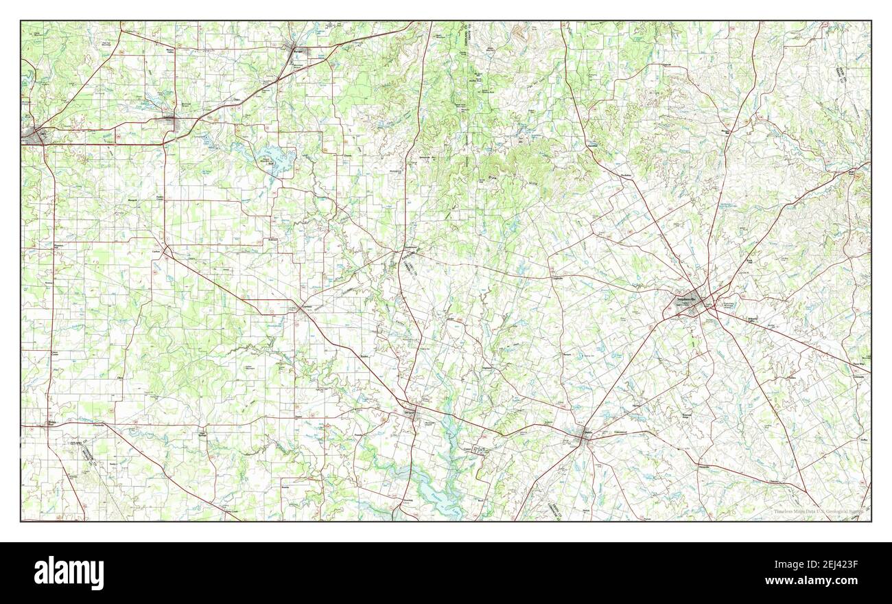 Stephenville, Texas, map 1985, 1:100000, United States of America by Timeless Maps, data U.S. Geological Survey Stock Photohttps://www.alamy.com/image-license-details/?v=1https://www.alamy.com/stephenville-texas-map-1985-1100000-united-states-of-america-by-timeless-maps-data-us-geological-survey-image406991747.html
RM2EJ423F–Stephenville, Texas, map 1985, 1:100000, United States of America by Timeless Maps, data U.S. Geological Survey
 USGS TOPO Map Texas TX Stephenville 123425 1985 100000 Restoration Stock Photohttps://www.alamy.com/image-license-details/?v=1https://www.alamy.com/usgs-topo-map-texas-tx-stephenville-123425-1985-100000-restoration-image332659284.html
RM2A95X8M–USGS TOPO Map Texas TX Stephenville 123425 1985 100000 Restoration
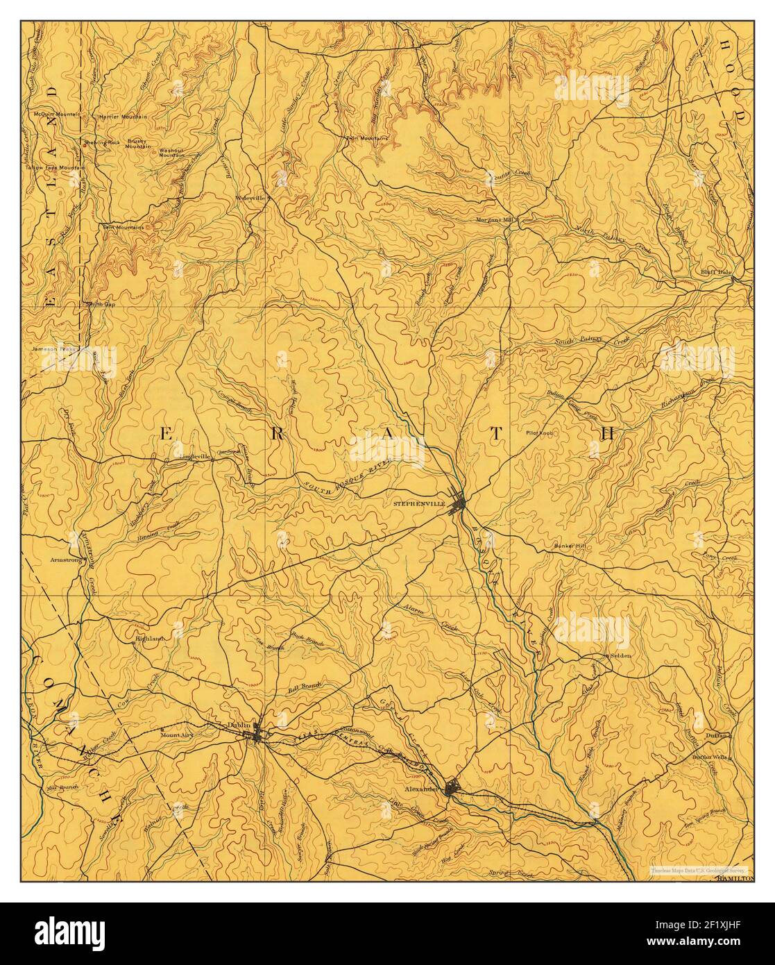 Stephenville, Texas, map 1890, 1:125000, United States of America by Timeless Maps, data U.S. Geological Survey Stock Photohttps://www.alamy.com/image-license-details/?v=1https://www.alamy.com/stephenville-texas-map-1890-1125000-united-states-of-america-by-timeless-maps-data-us-geological-survey-image414248843.html
RM2F1XJHF–Stephenville, Texas, map 1890, 1:125000, United States of America by Timeless Maps, data U.S. Geological Survey
 USGS TOPO Map Texas TX Stephenville 122415 1961 24000 Restoration Stock Photohttps://www.alamy.com/image-license-details/?v=1https://www.alamy.com/usgs-topo-map-texas-tx-stephenville-122415-1961-24000-restoration-image332659112.html
RM2A95X2G–USGS TOPO Map Texas TX Stephenville 122415 1961 24000 Restoration
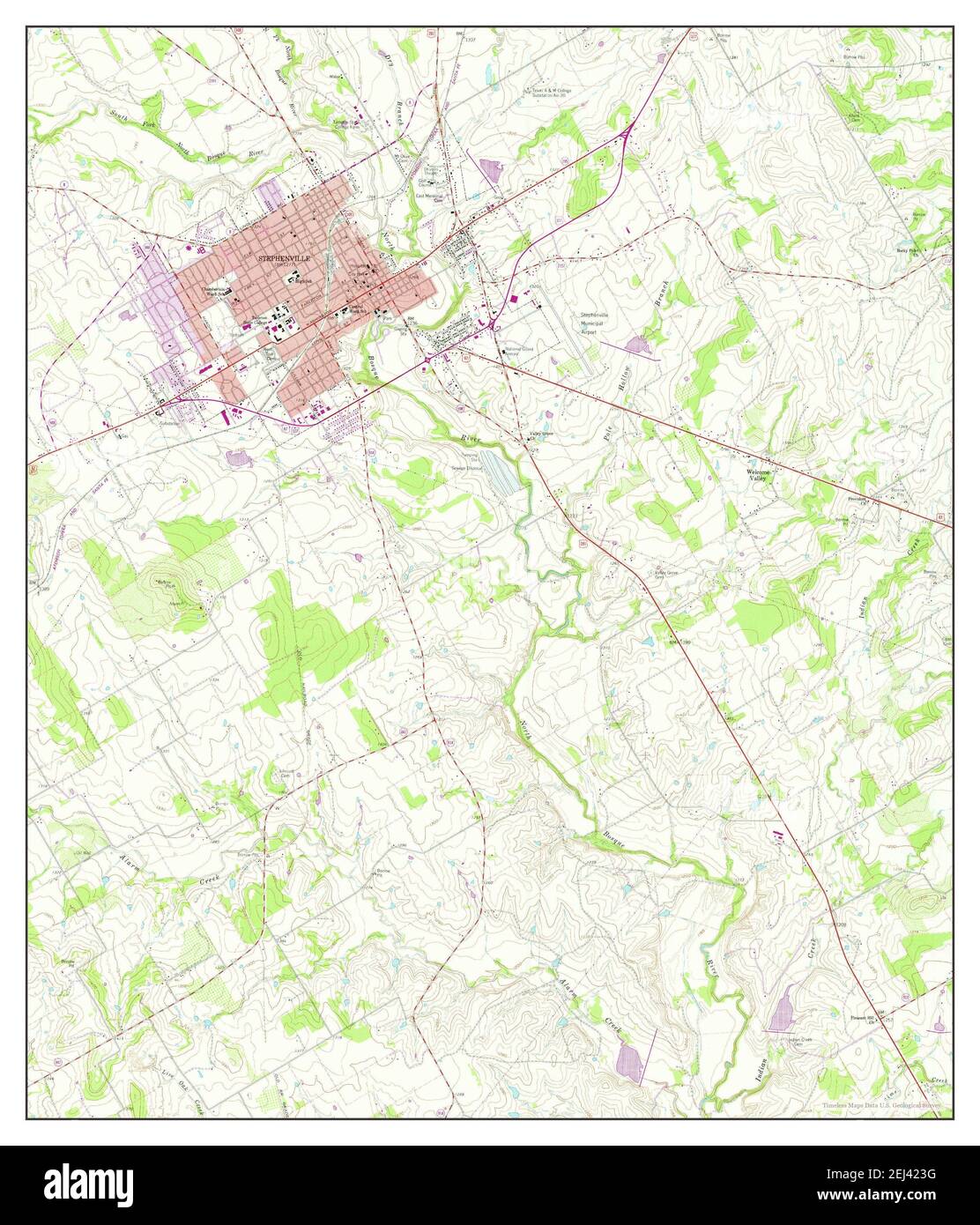 Stephenville, Texas, map 1961, 1:24000, United States of America by Timeless Maps, data U.S. Geological Survey Stock Photohttps://www.alamy.com/image-license-details/?v=1https://www.alamy.com/stephenville-texas-map-1961-124000-united-states-of-america-by-timeless-maps-data-us-geological-survey-image406991748.html
RM2EJ423G–Stephenville, Texas, map 1961, 1:24000, United States of America by Timeless Maps, data U.S. Geological Survey
 USGS TOPO Map Texas TX Stephenville 128549 1890 125000 Restoration Stock Photohttps://www.alamy.com/image-license-details/?v=1https://www.alamy.com/usgs-topo-map-texas-tx-stephenville-128549-1890-125000-restoration-image332659289.html
RM2A95X8W–USGS TOPO Map Texas TX Stephenville 128549 1890 125000 Restoration
 Stephenville, Texas, map 1890, 1:125000, United States of America by Timeless Maps, data U.S. Geological Survey Stock Photohttps://www.alamy.com/image-license-details/?v=1https://www.alamy.com/stephenville-texas-map-1890-1125000-united-states-of-america-by-timeless-maps-data-us-geological-survey-image414248718.html
RM2F1XJD2–Stephenville, Texas, map 1890, 1:125000, United States of America by Timeless Maps, data U.S. Geological Survey
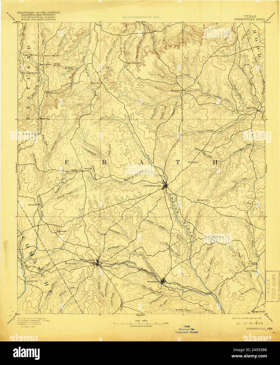 USGS TOPO Map Texas TX Stephenville 128637 1890 125000 Restoration Stock Photohttps://www.alamy.com/image-license-details/?v=1https://www.alamy.com/usgs-topo-map-texas-tx-stephenville-128637-1890-125000-restoration-image332659356.html
RM2A95XB8–USGS TOPO Map Texas TX Stephenville 128637 1890 125000 Restoration
 Stephenville, Texas, map 1890, 1:125000, United States of America by Timeless Maps, data U.S. Geological Survey Stock Photohttps://www.alamy.com/image-license-details/?v=1https://www.alamy.com/stephenville-texas-map-1890-1125000-united-states-of-america-by-timeless-maps-data-us-geological-survey-image414248719.html
RM2F1XJD3–Stephenville, Texas, map 1890, 1:125000, United States of America by Timeless Maps, data U.S. Geological Survey
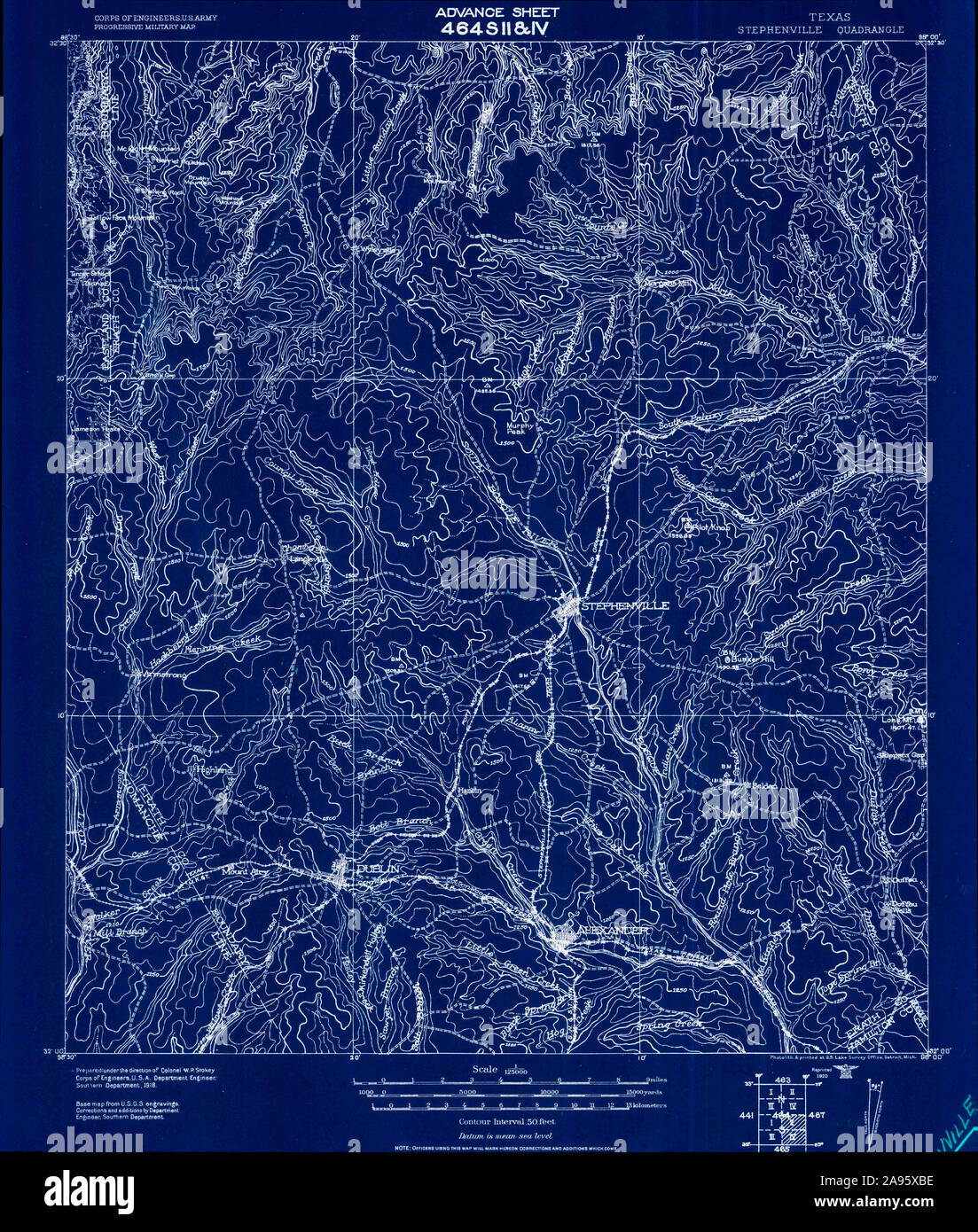 USGS TOPO Map Texas TX Stephenville 128650 1920 125000 Inverted Restoration Stock Photohttps://www.alamy.com/image-license-details/?v=1https://www.alamy.com/usgs-topo-map-texas-tx-stephenville-128650-1920-125000-inverted-restoration-image332659362.html
RM2A95XBE–USGS TOPO Map Texas TX Stephenville 128650 1920 125000 Inverted Restoration
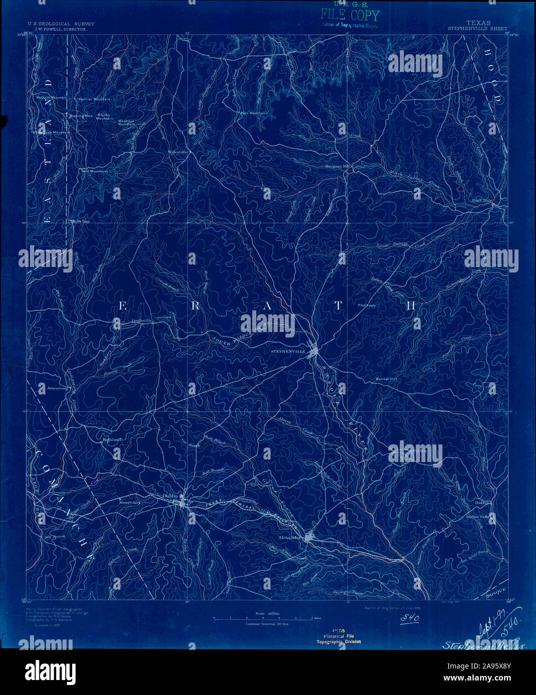 USGS TOPO Map Texas TX Stephenville 128550 1890 125000 Inverted Restoration Stock Photohttps://www.alamy.com/image-license-details/?v=1https://www.alamy.com/usgs-topo-map-texas-tx-stephenville-128550-1890-125000-inverted-restoration-image332659291.html
RM2A95X8Y–USGS TOPO Map Texas TX Stephenville 128550 1890 125000 Inverted Restoration
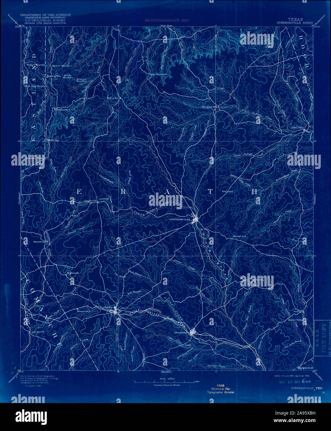 USGS TOPO Map Texas TX Stephenville 128637 1890 125000 Inverted Restoration Stock Photohttps://www.alamy.com/image-license-details/?v=1https://www.alamy.com/usgs-topo-map-texas-tx-stephenville-128637-1890-125000-inverted-restoration-image332659365.html
RM2A95XBH–USGS TOPO Map Texas TX Stephenville 128637 1890 125000 Inverted Restoration
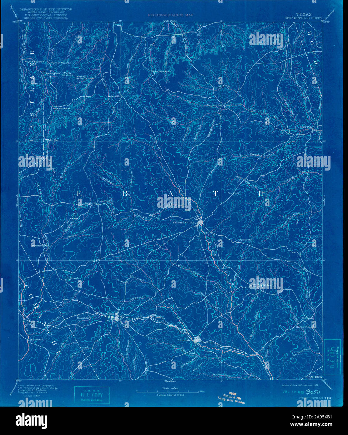 USGS TOPO Map Texas TX Stephenville 128663 1890 125000 Inverted Restoration Stock Photohttps://www.alamy.com/image-license-details/?v=1https://www.alamy.com/usgs-topo-map-texas-tx-stephenville-128663-1890-125000-inverted-restoration-image332659349.html
RM2A95XB1–USGS TOPO Map Texas TX Stephenville 128663 1890 125000 Inverted Restoration
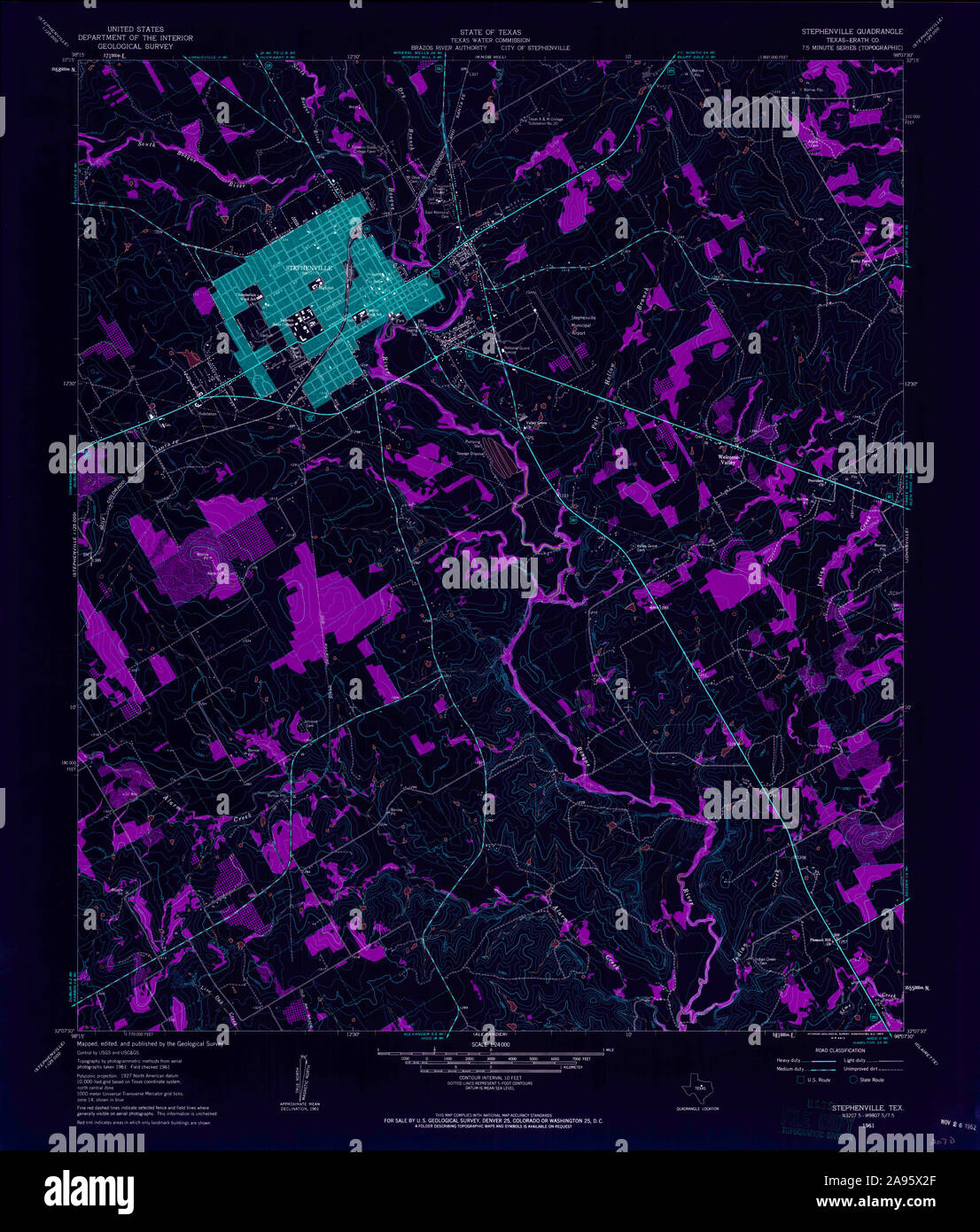 USGS TOPO Map Texas TX Stephenville 122415 1961 24000 Inverted Restoration Stock Photohttps://www.alamy.com/image-license-details/?v=1https://www.alamy.com/usgs-topo-map-texas-tx-stephenville-122415-1961-24000-inverted-restoration-image332659111.html
RM2A95X2F–USGS TOPO Map Texas TX Stephenville 122415 1961 24000 Inverted Restoration
 USGS TOPO Map Texas TX Stephenville 123425 1985 100000 Inverted Restoration Stock Photohttps://www.alamy.com/image-license-details/?v=1https://www.alamy.com/usgs-topo-map-texas-tx-stephenville-123425-1985-100000-inverted-restoration-image332659292.html
RM2A95X90–USGS TOPO Map Texas TX Stephenville 123425 1985 100000 Inverted Restoration
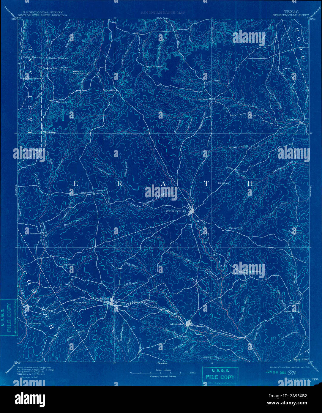 USGS TOPO Map Texas TX Stephenville 128613 1890 125000 Inverted Restoration Stock Photohttps://www.alamy.com/image-license-details/?v=1https://www.alamy.com/usgs-topo-map-texas-tx-stephenville-128613-1890-125000-inverted-restoration-image332659350.html
RM2A95XB2–USGS TOPO Map Texas TX Stephenville 128613 1890 125000 Inverted Restoration
 USGS TOPO Map Texas TX Stephenville 122416 1961 24000 Inverted Restoration Stock Photohttps://www.alamy.com/image-license-details/?v=1https://www.alamy.com/usgs-topo-map-texas-tx-stephenville-122416-1961-24000-inverted-restoration-image332659105.html
RM2A95X29–USGS TOPO Map Texas TX Stephenville 122416 1961 24000 Inverted Restoration
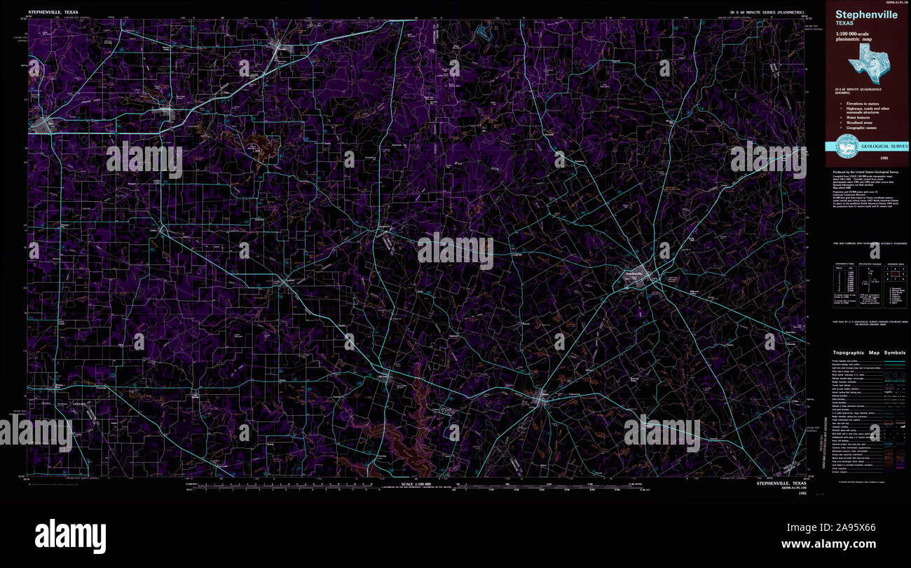 USGS TOPO Map Texas TX Stephenville 123424 1985 100000 Inverted Restoration Stock Photohttps://www.alamy.com/image-license-details/?v=1https://www.alamy.com/usgs-topo-map-texas-tx-stephenville-123424-1985-100000-inverted-restoration-image332659214.html
RM2A95X66–USGS TOPO Map Texas TX Stephenville 123424 1985 100000 Inverted Restoration
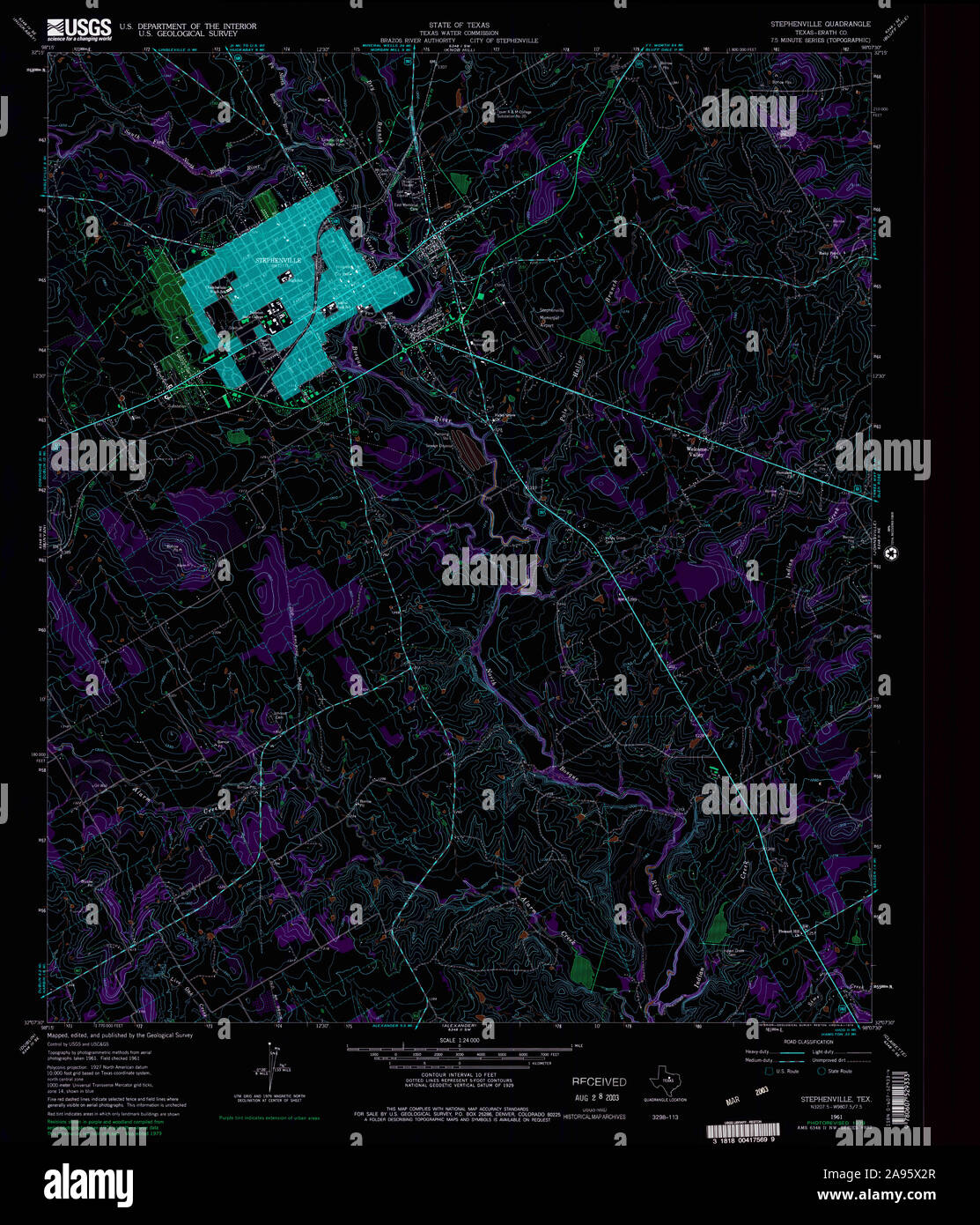 USGS TOPO Map Texas TX Stephenville 123423 1961 24000 Inverted Restoration Stock Photohttps://www.alamy.com/image-license-details/?v=1https://www.alamy.com/usgs-topo-map-texas-tx-stephenville-123423-1961-24000-inverted-restoration-image332659119.html
RM2A95X2R–USGS TOPO Map Texas TX Stephenville 123423 1961 24000 Inverted Restoration
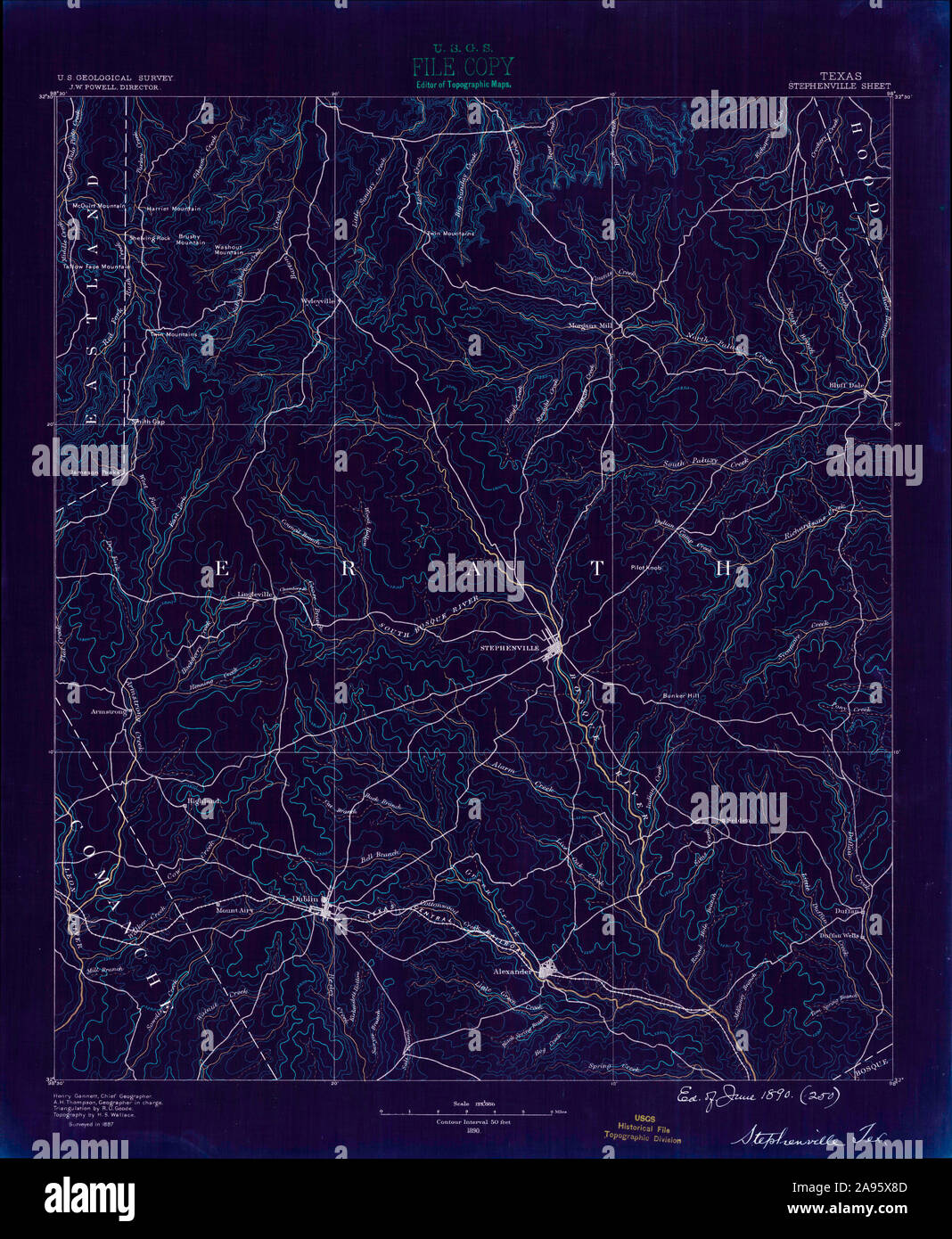 USGS TOPO Map Texas TX Stephenville 128549 1890 125000 Inverted Restoration Stock Photohttps://www.alamy.com/image-license-details/?v=1https://www.alamy.com/usgs-topo-map-texas-tx-stephenville-128549-1890-125000-inverted-restoration-image332659277.html
RM2A95X8D–USGS TOPO Map Texas TX Stephenville 128549 1890 125000 Inverted Restoration
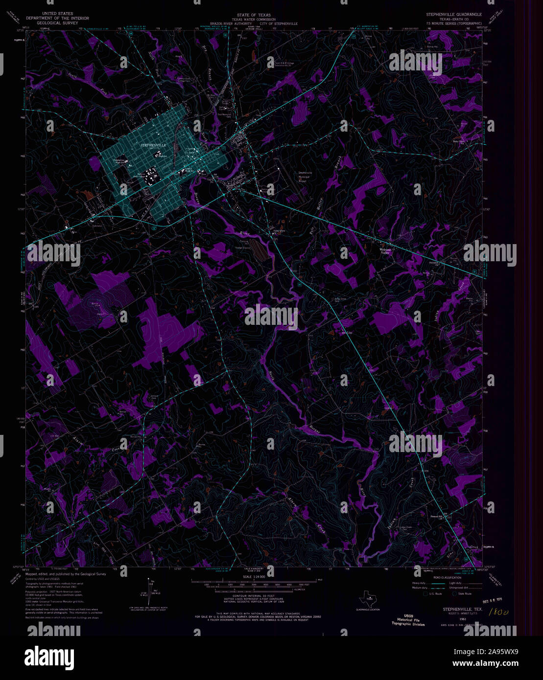 USGS TOPO Map Texas TX Stephenville 122414 1961 24000 Inverted Restoration Stock Photohttps://www.alamy.com/image-license-details/?v=1https://www.alamy.com/usgs-topo-map-texas-tx-stephenville-122414-1961-24000-inverted-restoration-image332658993.html
RM2A95WX9–USGS TOPO Map Texas TX Stephenville 122414 1961 24000 Inverted Restoration