Quick filters:
Map of stevensville Stock Photos and Images
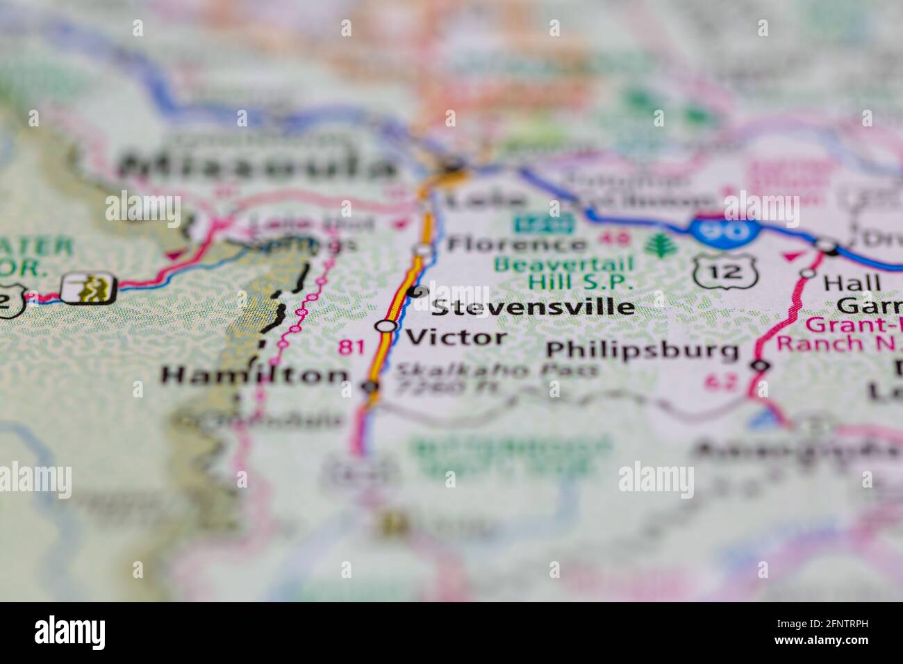 Stevensville Montana USA shown on a Geography map or road map Stock Photohttps://www.alamy.com/image-license-details/?v=1https://www.alamy.com/stevensville-montana-usa-shown-on-a-geography-map-or-road-map-image426502121.html
RM2FNTRPH–Stevensville Montana USA shown on a Geography map or road map
 Stevensville, Bradford County, US, United States, Pennsylvania, N 41 45' 38'', S 76 10' 34'', map, Cartascapes Map published in 2024. Explore Cartascapes, a map revealing Earth's diverse landscapes, cultures, and ecosystems. Journey through time and space, discovering the interconnectedness of our planet's past, present, and future. Stock Photohttps://www.alamy.com/image-license-details/?v=1https://www.alamy.com/stevensville-bradford-county-us-united-states-pennsylvania-n-41-45-38-s-76-10-34-map-cartascapes-map-published-in-2024-explore-cartascapes-a-map-revealing-earths-diverse-landscapes-cultures-and-ecosystems-journey-through-time-and-space-discovering-the-interconnectedness-of-our-planets-past-present-and-future-image621248082.html
RM2Y2M87E–Stevensville, Bradford County, US, United States, Pennsylvania, N 41 45' 38'', S 76 10' 34'', map, Cartascapes Map published in 2024. Explore Cartascapes, a map revealing Earth's diverse landscapes, cultures, and ecosystems. Journey through time and space, discovering the interconnectedness of our planet's past, present, and future.
 May 18 2018 Stevensville MI USA; a police man directs traffic at the scene of a bad accident on the highway Stock Photohttps://www.alamy.com/image-license-details/?v=1https://www.alamy.com/may-18-2018-stevensville-mi-usa-a-police-man-directs-traffic-at-the-scene-of-a-bad-accident-on-the-highway-image207058549.html
RFP0T985–May 18 2018 Stevensville MI USA; a police man directs traffic at the scene of a bad accident on the highway
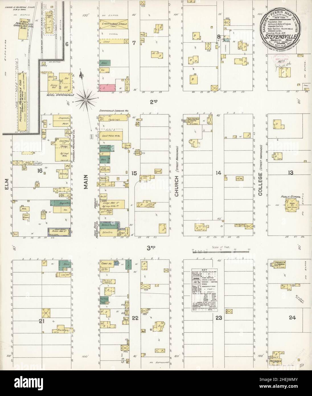 Sanborn Fire Insurance Map from Stevensville, Ravalli County, Montana. Stock Photohttps://www.alamy.com/image-license-details/?v=1https://www.alamy.com/sanborn-fire-insurance-map-from-stevensville-ravalli-county-montana-image456490075.html
RM2HEJWMY–Sanborn Fire Insurance Map from Stevensville, Ravalli County, Montana.
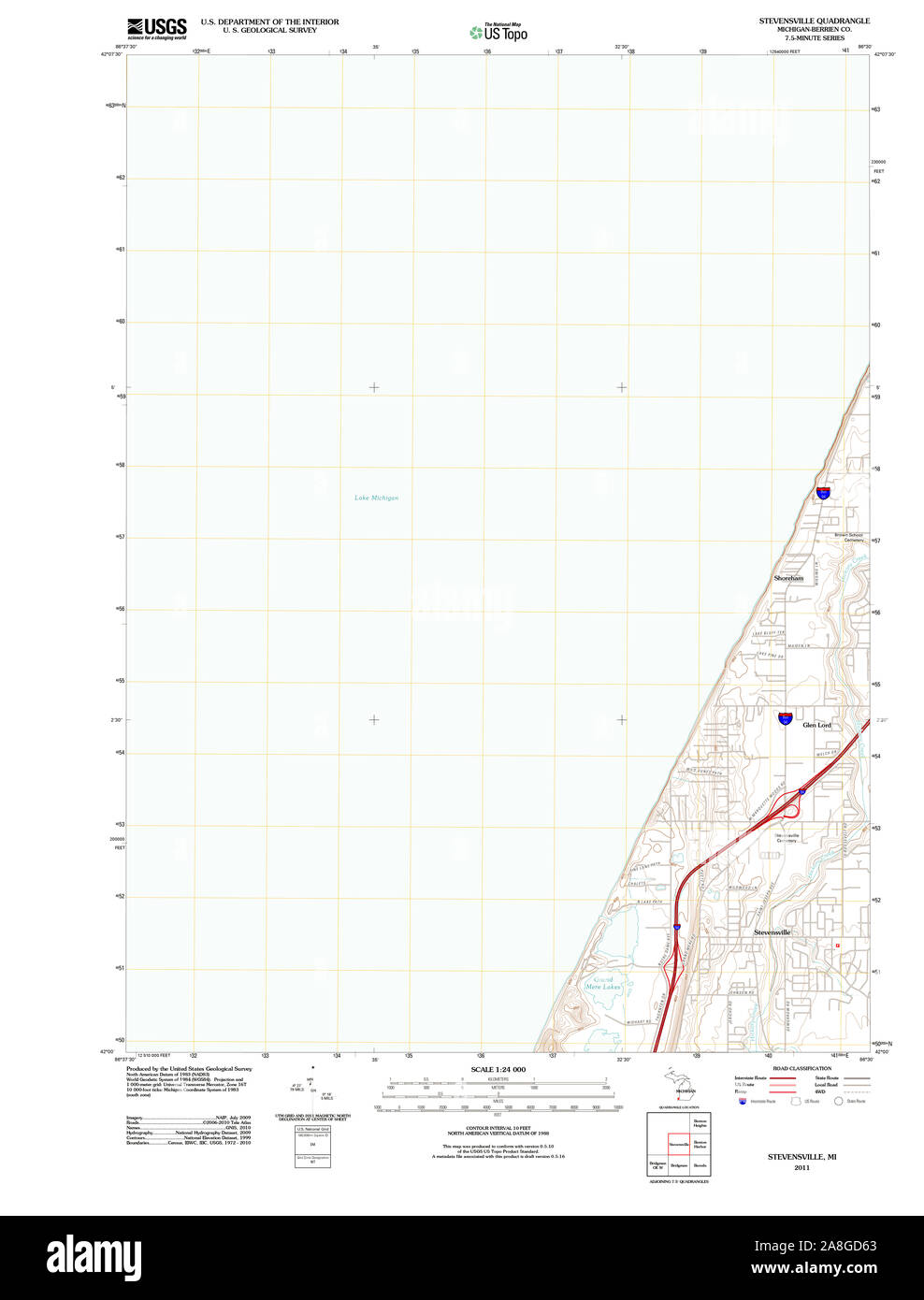 USGS TOPO Map Michigan MI Stevensville 20110908 TM Stock Photohttps://www.alamy.com/image-license-details/?v=1https://www.alamy.com/usgs-topo-map-michigan-mi-stevensville-20110908-tm-image332275835.html
RM2A8GD63–USGS TOPO Map Michigan MI Stevensville 20110908 TM
 Stevensville, Chittenden County, US, United States, Vermont, N 44 30' 18'', S 72 51' 59'', map, Cartascapes Map published in 2024. Explore Cartascapes, a map revealing Earth's diverse landscapes, cultures, and ecosystems. Journey through time and space, discovering the interconnectedness of our planet's past, present, and future. Stock Photohttps://www.alamy.com/image-license-details/?v=1https://www.alamy.com/stevensville-chittenden-county-us-united-states-vermont-n-44-30-18-s-72-51-59-map-cartascapes-map-published-in-2024-explore-cartascapes-a-map-revealing-earths-diverse-landscapes-cultures-and-ecosystems-journey-through-time-and-space-discovering-the-interconnectedness-of-our-planets-past-present-and-future-image621298984.html
RM2Y2PH5C–Stevensville, Chittenden County, US, United States, Vermont, N 44 30' 18'', S 72 51' 59'', map, Cartascapes Map published in 2024. Explore Cartascapes, a map revealing Earth's diverse landscapes, cultures, and ecosystems. Journey through time and space, discovering the interconnectedness of our planet's past, present, and future.
 May 18 2018 Stevensville MI USA;people stand near a tow truck and a very smashed truck at the scene of an accident Stock Photohttps://www.alamy.com/image-license-details/?v=1https://www.alamy.com/may-18-2018-stevensville-mi-usapeople-stand-near-a-tow-truck-and-a-very-smashed-truck-at-the-scene-of-an-accident-image207058381.html
RFP0T925–May 18 2018 Stevensville MI USA;people stand near a tow truck and a very smashed truck at the scene of an accident
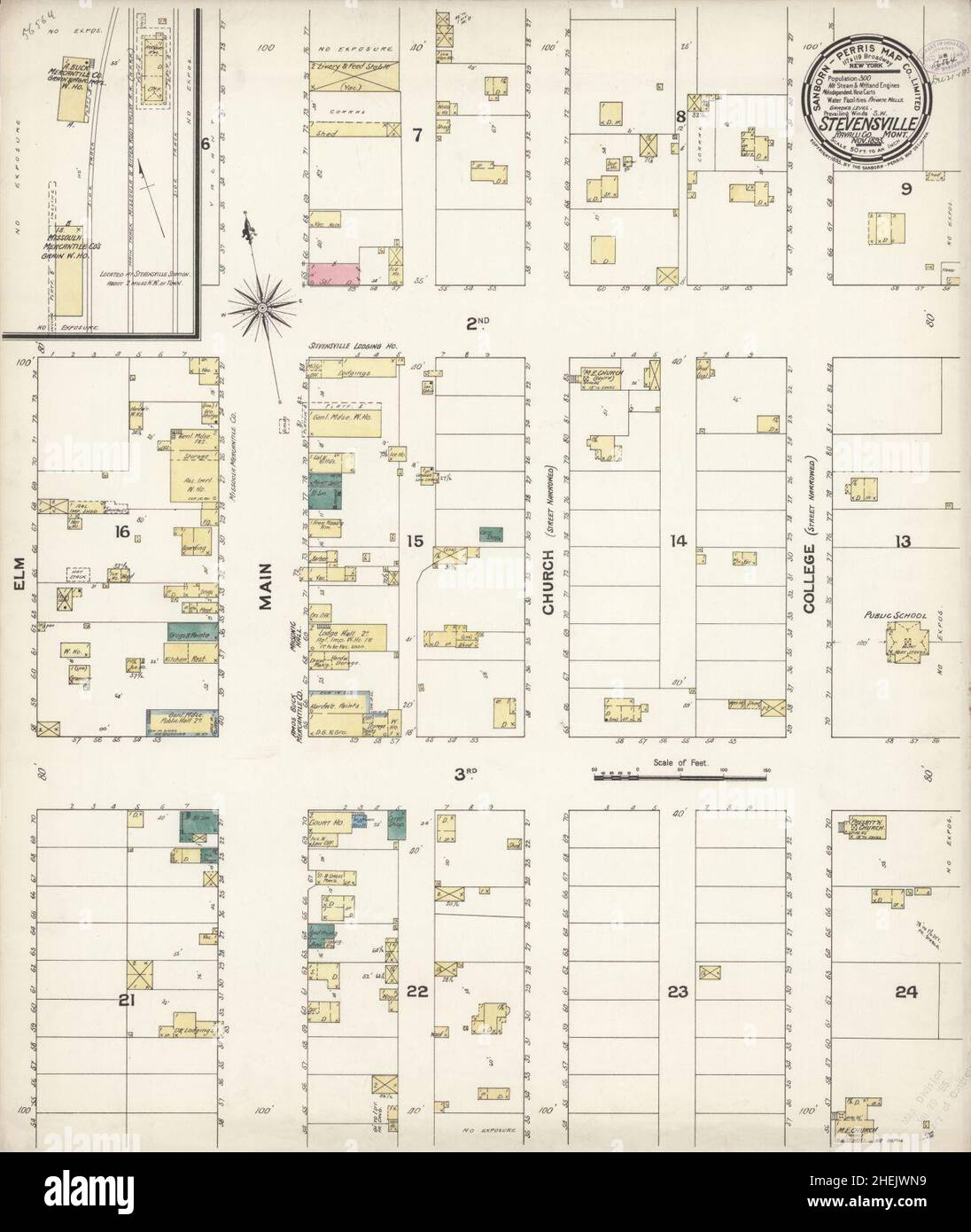 Sanborn Fire Insurance Map from Stevensville, Ravalli County, Montana. Stock Photohttps://www.alamy.com/image-license-details/?v=1https://www.alamy.com/sanborn-fire-insurance-map-from-stevensville-ravalli-county-montana-image456490085.html
RM2HEJWN9–Sanborn Fire Insurance Map from Stevensville, Ravalli County, Montana.
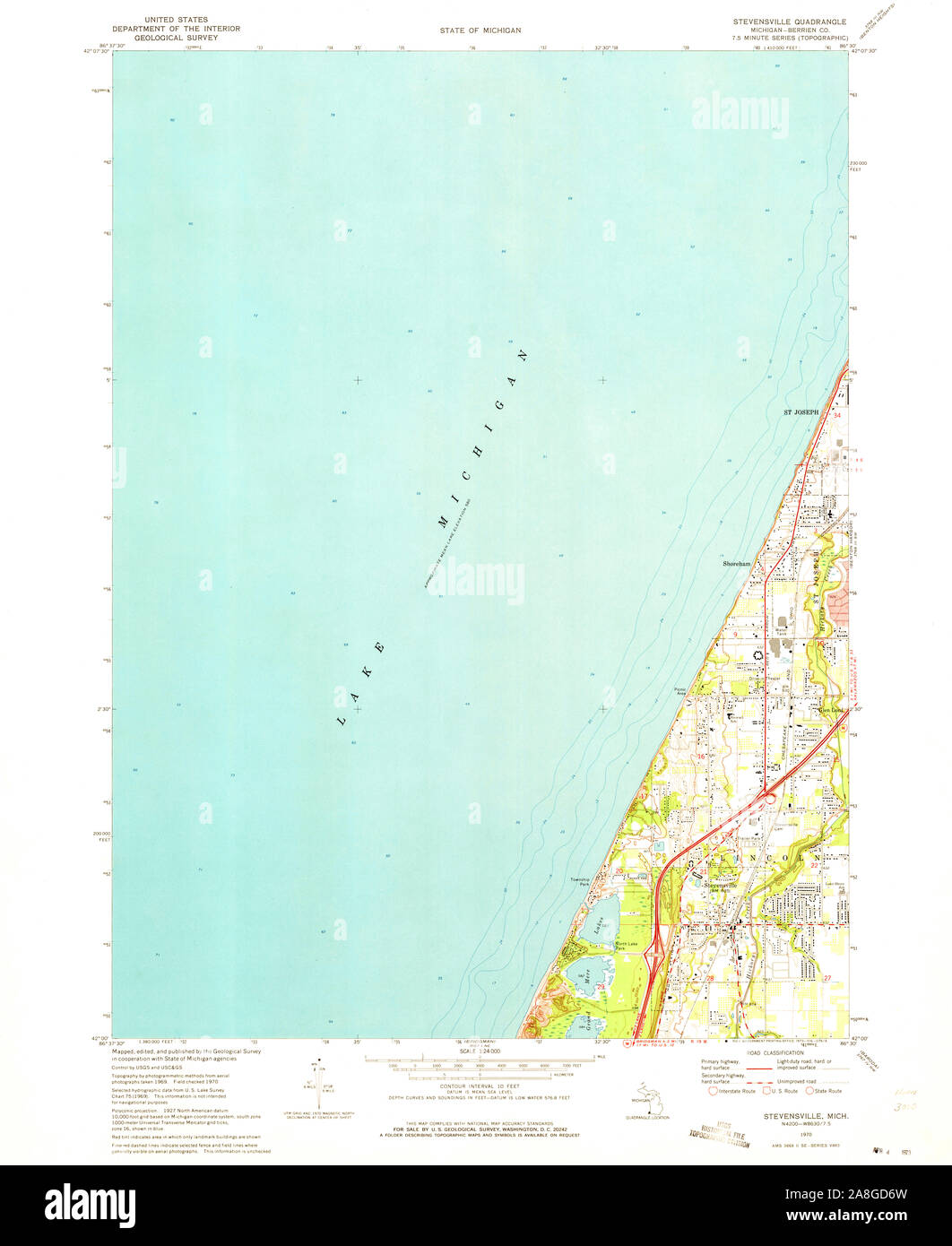 USGS TOPO Map Michigan MI Stevensville 277332 1970 24000 Stock Photohttps://www.alamy.com/image-license-details/?v=1https://www.alamy.com/usgs-topo-map-michigan-mi-stevensville-277332-1970-24000-image332275857.html
RM2A8GD6W–USGS TOPO Map Michigan MI Stevensville 277332 1970 24000
 Stevensville, Berrien County, US, United States, Michigan, N 42 0' 52'', S 86 31' 10'', map, Cartascapes Map published in 2024. Explore Cartascapes, a map revealing Earth's diverse landscapes, cultures, and ecosystems. Journey through time and space, discovering the interconnectedness of our planet's past, present, and future. Stock Photohttps://www.alamy.com/image-license-details/?v=1https://www.alamy.com/stevensville-berrien-county-us-united-states-michigan-n-42-0-52-s-86-31-10-map-cartascapes-map-published-in-2024-explore-cartascapes-a-map-revealing-earths-diverse-landscapes-cultures-and-ecosystems-journey-through-time-and-space-discovering-the-interconnectedness-of-our-planets-past-present-and-future-image621405296.html
RM2Y2YCP8–Stevensville, Berrien County, US, United States, Michigan, N 42 0' 52'', S 86 31' 10'', map, Cartascapes Map published in 2024. Explore Cartascapes, a map revealing Earth's diverse landscapes, cultures, and ecosystems. Journey through time and space, discovering the interconnectedness of our planet's past, present, and future.
 May 18 2018 Stevensville MI USA; a bad accident shows first res-ponders, police, fire truck and tow truck. Important workers when you need help Stock Photohttps://www.alamy.com/image-license-details/?v=1https://www.alamy.com/may-18-2018-stevensville-mi-usa-a-bad-accident-shows-first-res-ponders-police-fire-truck-and-tow-truck-important-workers-when-you-need-help-image207058547.html
RFP0T983–May 18 2018 Stevensville MI USA; a bad accident shows first res-ponders, police, fire truck and tow truck. Important workers when you need help
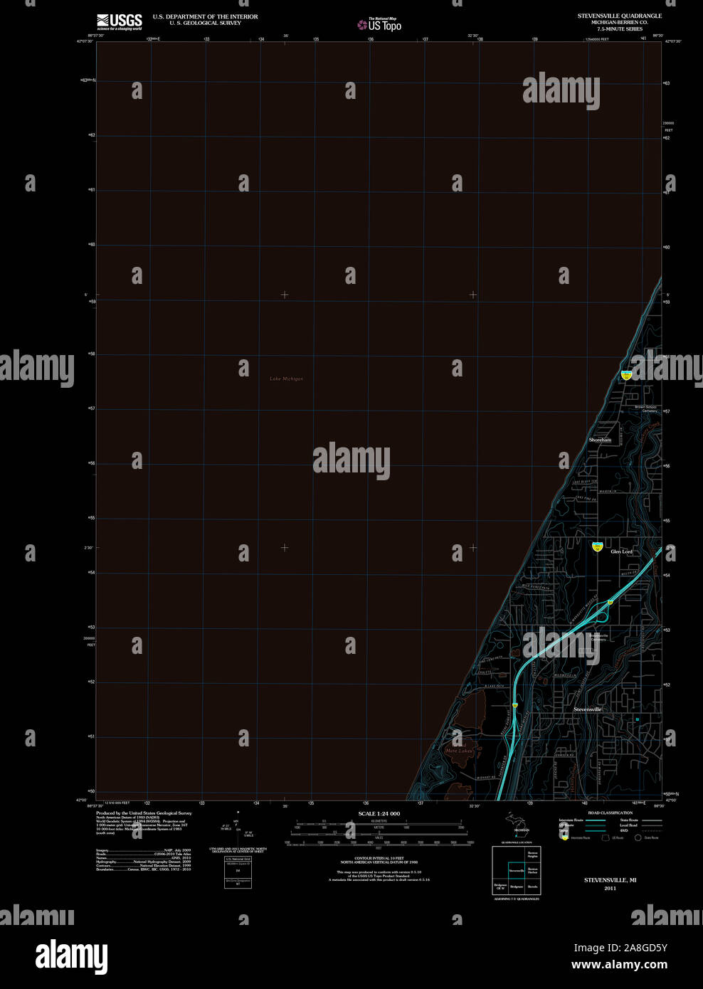 USGS TOPO Map Michigan MI Stevensville 20110908 TM Inverted Stock Photohttps://www.alamy.com/image-license-details/?v=1https://www.alamy.com/usgs-topo-map-michigan-mi-stevensville-20110908-tm-inverted-image332275831.html
RM2A8GD5Y–USGS TOPO Map Michigan MI Stevensville 20110908 TM Inverted
 Stevensville, Ravalli County, US, United States, Montana, N 46 30' 35'', S 114 5' 35'', map, Cartascapes Map published in 2024. Explore Cartascapes, a map revealing Earth's diverse landscapes, cultures, and ecosystems. Journey through time and space, discovering the interconnectedness of our planet's past, present, and future. Stock Photohttps://www.alamy.com/image-license-details/?v=1https://www.alamy.com/stevensville-ravalli-county-us-united-states-montana-n-46-30-35-s-114-5-35-map-cartascapes-map-published-in-2024-explore-cartascapes-a-map-revealing-earths-diverse-landscapes-cultures-and-ecosystems-journey-through-time-and-space-discovering-the-interconnectedness-of-our-planets-past-present-and-future-image621196965.html
RM2Y2HY1W–Stevensville, Ravalli County, US, United States, Montana, N 46 30' 35'', S 114 5' 35'', map, Cartascapes Map published in 2024. Explore Cartascapes, a map revealing Earth's diverse landscapes, cultures, and ecosystems. Journey through time and space, discovering the interconnectedness of our planet's past, present, and future.
 May 18 2018 Stevensville MI USA; A police man in rain gear directs traffic at the scene of a bad accident, with fire trucks waiting behind him Stock Photohttps://www.alamy.com/image-license-details/?v=1https://www.alamy.com/may-18-2018-stevensville-mi-usa-a-police-man-in-rain-gear-directs-traffic-at-the-scene-of-a-bad-accident-with-fire-trucks-waiting-behind-him-image207058378.html
RFP0T922–May 18 2018 Stevensville MI USA; A police man in rain gear directs traffic at the scene of a bad accident, with fire trucks waiting behind him
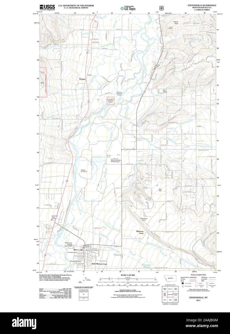 USGS TOPO Map Montana MT Stevensville 20110603 TM geo Restoration Stock Photohttps://www.alamy.com/image-license-details/?v=1https://www.alamy.com/usgs-topo-map-montana-mt-stevensville-20110603-tm-geo-restoration-image333547780.html
RM2AAJBGM–USGS TOPO Map Montana MT Stevensville 20110603 TM geo Restoration
 Stevensville, Berrien County, US, United States, Michigan, N 42 0' 52'', S 86 31' 10'', map, Cartascapes Map published in 2024. Explore Cartascapes, a map revealing Earth's diverse landscapes, cultures, and ecosystems. Journey through time and space, discovering the interconnectedness of our planet's past, present, and future. Stock Photohttps://www.alamy.com/image-license-details/?v=1https://www.alamy.com/stevensville-berrien-county-us-united-states-michigan-n-42-0-52-s-86-31-10-map-cartascapes-map-published-in-2024-explore-cartascapes-a-map-revealing-earths-diverse-landscapes-cultures-and-ecosystems-journey-through-time-and-space-discovering-the-interconnectedness-of-our-planets-past-present-and-future-image621407687.html
RM2Y2YFRK–Stevensville, Berrien County, US, United States, Michigan, N 42 0' 52'', S 86 31' 10'', map, Cartascapes Map published in 2024. Explore Cartascapes, a map revealing Earth's diverse landscapes, cultures, and ecosystems. Journey through time and space, discovering the interconnectedness of our planet's past, present, and future.
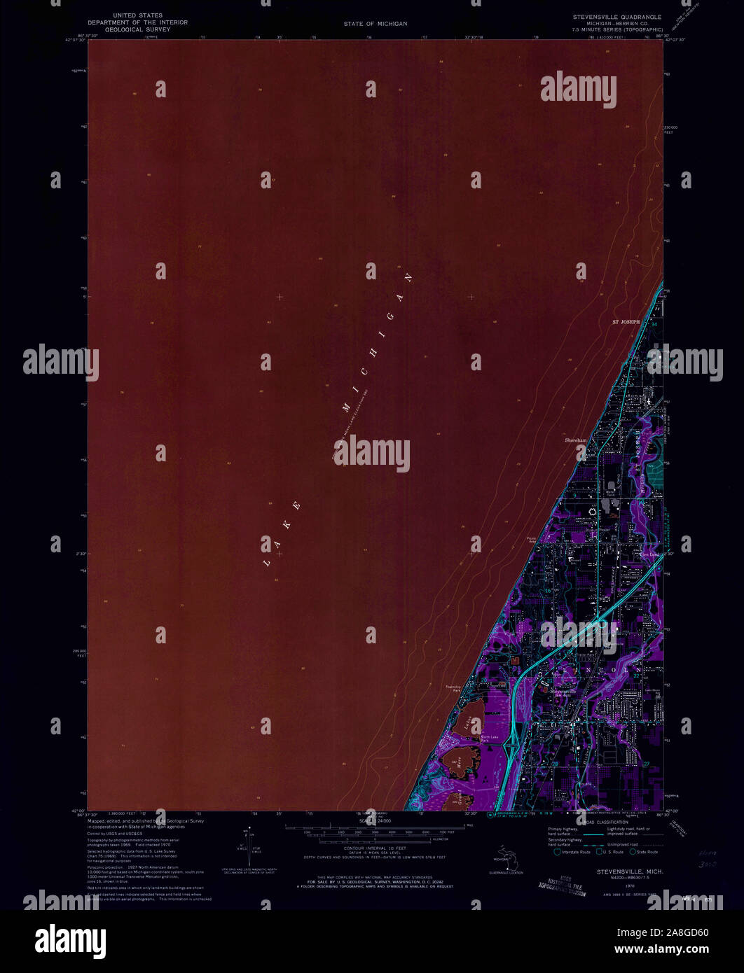 USGS TOPO Map Michigan MI Stevensville 277332 1970 24000 Inverted Stock Photohttps://www.alamy.com/image-license-details/?v=1https://www.alamy.com/usgs-topo-map-michigan-mi-stevensville-277332-1970-24000-inverted-image332275832.html
RM2A8GD60–USGS TOPO Map Michigan MI Stevensville 277332 1970 24000 Inverted
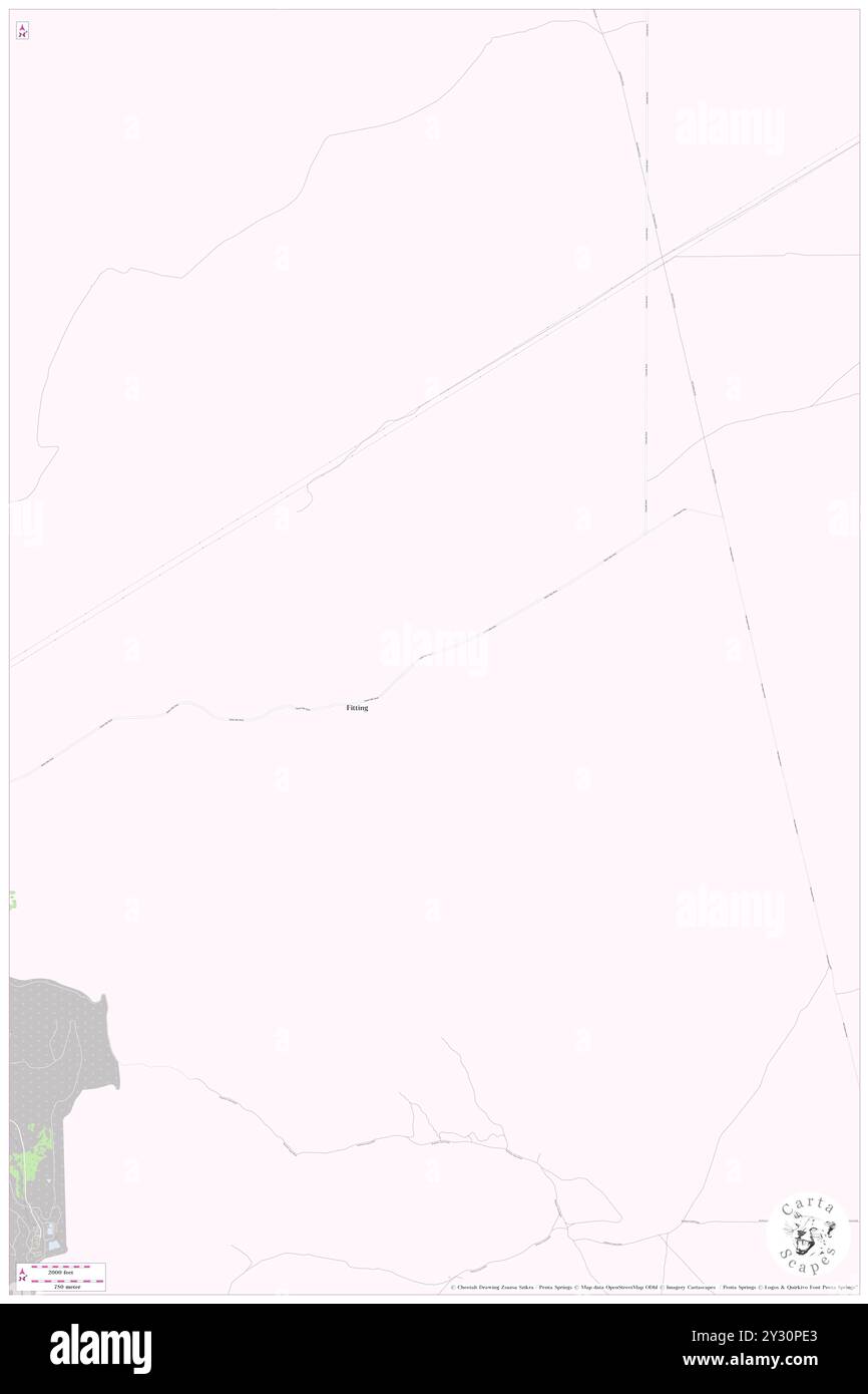 Stevensville (historical), Pershing County, US, United States, Nevada, N 40 20' 28'', S 118 5' 45'', map, Cartascapes Map published in 2024. Explore Cartascapes, a map revealing Earth's diverse landscapes, cultures, and ecosystems. Journey through time and space, discovering the interconnectedness of our planet's past, present, and future. Stock Photohttps://www.alamy.com/image-license-details/?v=1https://www.alamy.com/stevensville-historical-pershing-county-us-united-states-nevada-n-40-20-28-s-118-5-45-map-cartascapes-map-published-in-2024-explore-cartascapes-a-map-revealing-earths-diverse-landscapes-cultures-and-ecosystems-journey-through-time-and-space-discovering-the-interconnectedness-of-our-planets-past-present-and-future-image621434859.html
RM2Y30PE3–Stevensville (historical), Pershing County, US, United States, Nevada, N 40 20' 28'', S 118 5' 45'', map, Cartascapes Map published in 2024. Explore Cartascapes, a map revealing Earth's diverse landscapes, cultures, and ecosystems. Journey through time and space, discovering the interconnectedness of our planet's past, present, and future.
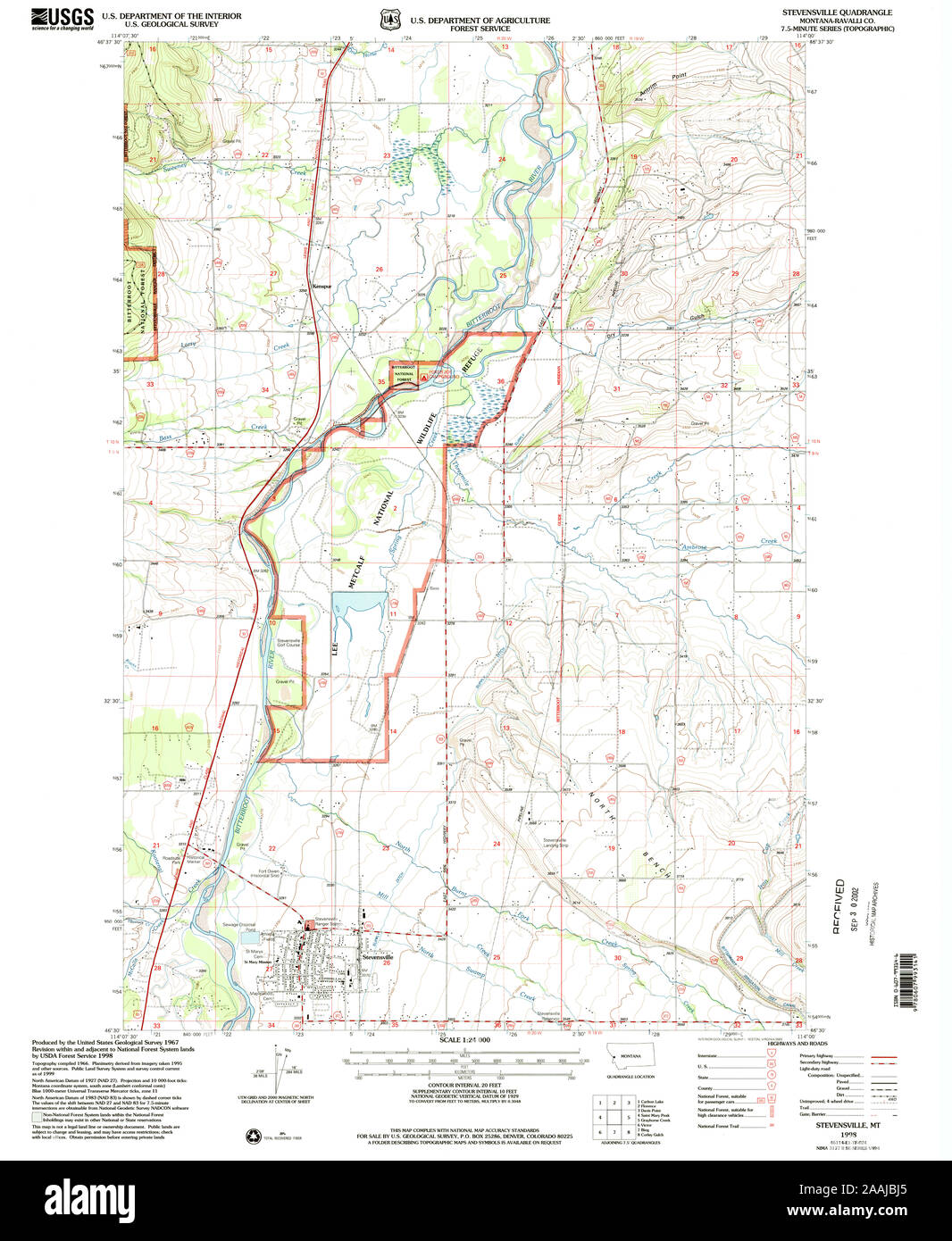 USGS TOPO Map Montana MT Stevensville 266948 1998 24000 geo Restoration Stock Photohttps://www.alamy.com/image-license-details/?v=1https://www.alamy.com/usgs-topo-map-montana-mt-stevensville-266948-1998-24000-geo-restoration-image333547821.html
RM2AAJBJ5–USGS TOPO Map Montana MT Stevensville 266948 1998 24000 geo Restoration
 Stevensville, Aroostook County, US, United States, Maine, N 46 47' 46'', S 67 51' 52'', map, Cartascapes Map published in 2024. Explore Cartascapes, a map revealing Earth's diverse landscapes, cultures, and ecosystems. Journey through time and space, discovering the interconnectedness of our planet's past, present, and future. Stock Photohttps://www.alamy.com/image-license-details/?v=1https://www.alamy.com/stevensville-aroostook-county-us-united-states-maine-n-46-47-46-s-67-51-52-map-cartascapes-map-published-in-2024-explore-cartascapes-a-map-revealing-earths-diverse-landscapes-cultures-and-ecosystems-journey-through-time-and-space-discovering-the-interconnectedness-of-our-planets-past-present-and-future-image620677024.html
RM2Y1P7TG–Stevensville, Aroostook County, US, United States, Maine, N 46 47' 46'', S 67 51' 52'', map, Cartascapes Map published in 2024. Explore Cartascapes, a map revealing Earth's diverse landscapes, cultures, and ecosystems. Journey through time and space, discovering the interconnectedness of our planet's past, present, and future.
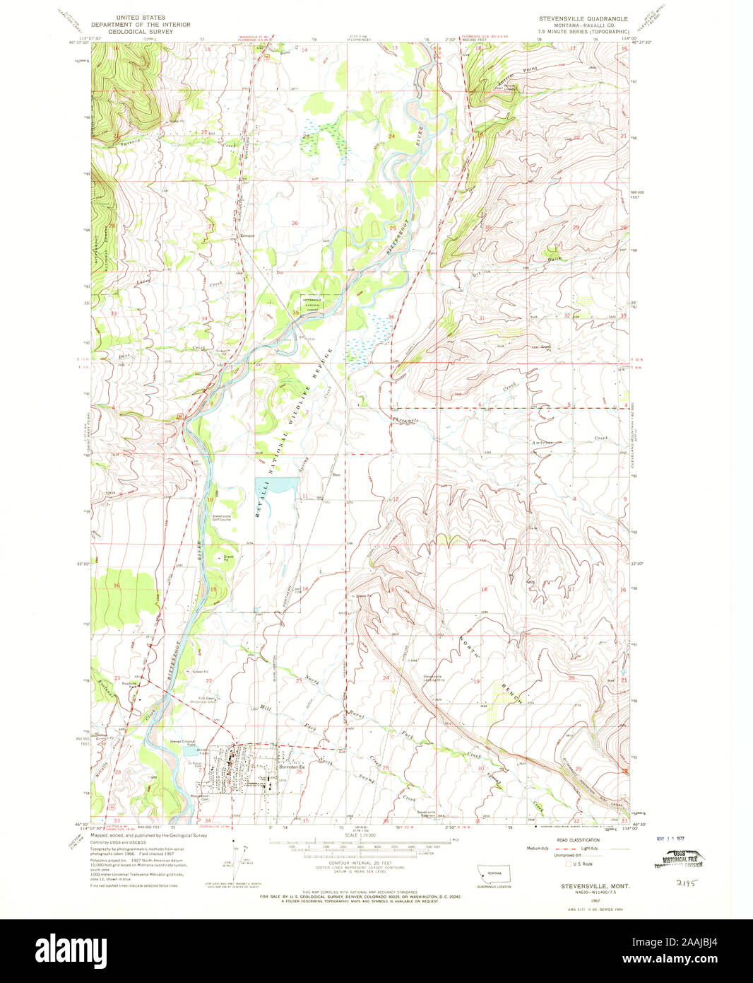 USGS TOPO Map Montana MT Stevensville 266949 1967 24000 geo Restoration Stock Photohttps://www.alamy.com/image-license-details/?v=1https://www.alamy.com/usgs-topo-map-montana-mt-stevensville-266949-1967-24000-geo-restoration-image333547820.html
RM2AAJBJ4–USGS TOPO Map Montana MT Stevensville 266949 1967 24000 geo Restoration
 Stevensville, Ravalli County, US, United States, Montana, N 46 30' 35'', S 114 5' 35'', map, Cartascapes Map published in 2024. Explore Cartascapes, a map revealing Earth's diverse landscapes, cultures, and ecosystems. Journey through time and space, discovering the interconnectedness of our planet's past, present, and future. Stock Photohttps://www.alamy.com/image-license-details/?v=1https://www.alamy.com/stevensville-ravalli-county-us-united-states-montana-n-46-30-35-s-114-5-35-map-cartascapes-map-published-in-2024-explore-cartascapes-a-map-revealing-earths-diverse-landscapes-cultures-and-ecosystems-journey-through-time-and-space-discovering-the-interconnectedness-of-our-planets-past-present-and-future-image620883156.html
RM2Y23JPC–Stevensville, Ravalli County, US, United States, Montana, N 46 30' 35'', S 114 5' 35'', map, Cartascapes Map published in 2024. Explore Cartascapes, a map revealing Earth's diverse landscapes, cultures, and ecosystems. Journey through time and space, discovering the interconnectedness of our planet's past, present, and future.
 USGS TOPO Map Montana MT Stevensville 266950 1967 24000 geo Restoration Stock Photohttps://www.alamy.com/image-license-details/?v=1https://www.alamy.com/usgs-topo-map-montana-mt-stevensville-266950-1967-24000-geo-restoration-image333547823.html
RM2AAJBJ7–USGS TOPO Map Montana MT Stevensville 266950 1967 24000 geo Restoration
 Stevensville, Queen Anne's County, US, United States, Maryland, N 38 58' 50'', S 76 18' 51'', map, Cartascapes Map published in 2024. Explore Cartascapes, a map revealing Earth's diverse landscapes, cultures, and ecosystems. Journey through time and space, discovering the interconnectedness of our planet's past, present, and future. Stock Photohttps://www.alamy.com/image-license-details/?v=1https://www.alamy.com/stevensville-queen-annes-county-us-united-states-maryland-n-38-58-50-s-76-18-51-map-cartascapes-map-published-in-2024-explore-cartascapes-a-map-revealing-earths-diverse-landscapes-cultures-and-ecosystems-journey-through-time-and-space-discovering-the-interconnectedness-of-our-planets-past-present-and-future-image620693301.html
RM2Y1R0HW–Stevensville, Queen Anne's County, US, United States, Maryland, N 38 58' 50'', S 76 18' 51'', map, Cartascapes Map published in 2024. Explore Cartascapes, a map revealing Earth's diverse landscapes, cultures, and ecosystems. Journey through time and space, discovering the interconnectedness of our planet's past, present, and future.
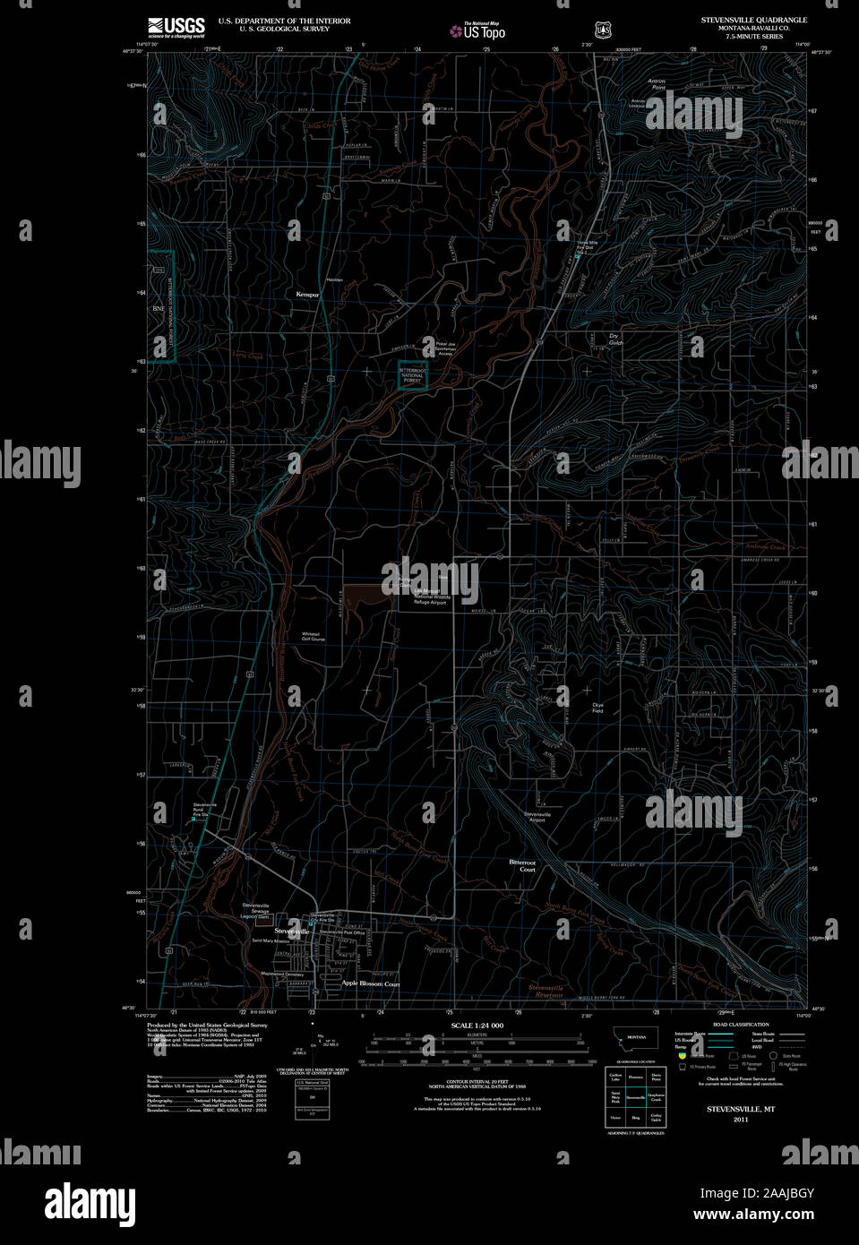 USGS TOPO Map Montana MT Stevensville 20110603 TM geo Inverted Restoration Stock Photohttps://www.alamy.com/image-license-details/?v=1https://www.alamy.com/usgs-topo-map-montana-mt-stevensville-20110603-tm-geo-inverted-restoration-image333547787.html
RM2AAJBGY–USGS TOPO Map Montana MT Stevensville 20110603 TM geo Inverted Restoration
 Stevensville, King and Queen County, US, United States, Virginia, N 37 43' 40'', S 76 55' 10'', map, Cartascapes Map published in 2024. Explore Cartascapes, a map revealing Earth's diverse landscapes, cultures, and ecosystems. Journey through time and space, discovering the interconnectedness of our planet's past, present, and future. Stock Photohttps://www.alamy.com/image-license-details/?v=1https://www.alamy.com/stevensville-king-and-queen-county-us-united-states-virginia-n-37-43-40-s-76-55-10-map-cartascapes-map-published-in-2024-explore-cartascapes-a-map-revealing-earths-diverse-landscapes-cultures-and-ecosystems-journey-through-time-and-space-discovering-the-interconnectedness-of-our-planets-past-present-and-future-image620883573.html
RM2Y23K99–Stevensville, King and Queen County, US, United States, Virginia, N 37 43' 40'', S 76 55' 10'', map, Cartascapes Map published in 2024. Explore Cartascapes, a map revealing Earth's diverse landscapes, cultures, and ecosystems. Journey through time and space, discovering the interconnectedness of our planet's past, present, and future.
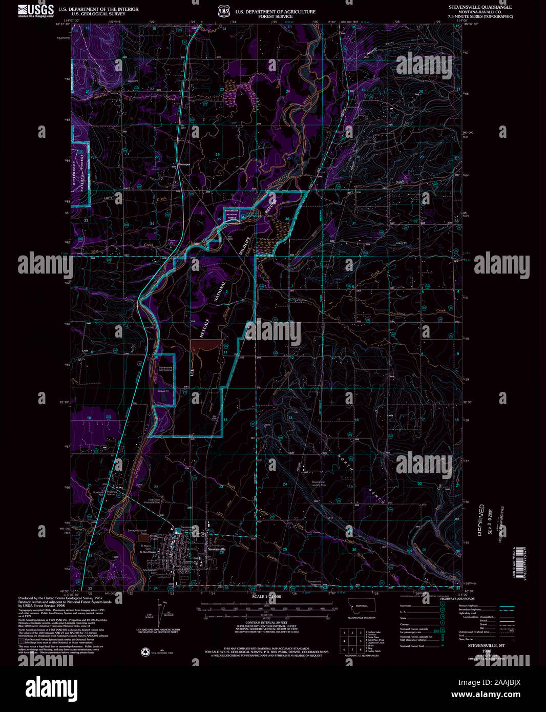 USGS TOPO Map Montana MT Stevensville 266948 1998 24000 geo Inverted Restoration Stock Photohttps://www.alamy.com/image-license-details/?v=1https://www.alamy.com/usgs-topo-map-montana-mt-stevensville-266948-1998-24000-geo-inverted-restoration-image333547842.html
RM2AAJBJX–USGS TOPO Map Montana MT Stevensville 266948 1998 24000 geo Inverted Restoration
 Stevensville, King and Queen County, US, United States, Virginia, N 37 43' 40'', S 76 55' 10'', map, Cartascapes Map published in 2024. Explore Cartascapes, a map revealing Earth's diverse landscapes, cultures, and ecosystems. Journey through time and space, discovering the interconnectedness of our planet's past, present, and future. Stock Photohttps://www.alamy.com/image-license-details/?v=1https://www.alamy.com/stevensville-king-and-queen-county-us-united-states-virginia-n-37-43-40-s-76-55-10-map-cartascapes-map-published-in-2024-explore-cartascapes-a-map-revealing-earths-diverse-landscapes-cultures-and-ecosystems-journey-through-time-and-space-discovering-the-interconnectedness-of-our-planets-past-present-and-future-image620837567.html
RM2Y21GJ7–Stevensville, King and Queen County, US, United States, Virginia, N 37 43' 40'', S 76 55' 10'', map, Cartascapes Map published in 2024. Explore Cartascapes, a map revealing Earth's diverse landscapes, cultures, and ecosystems. Journey through time and space, discovering the interconnectedness of our planet's past, present, and future.
 USGS TOPO Map Montana MT Stevensville 266950 1967 24000 geo Inverted Restoration Stock Photohttps://www.alamy.com/image-license-details/?v=1https://www.alamy.com/usgs-topo-map-montana-mt-stevensville-266950-1967-24000-geo-inverted-restoration-image333547843.html
RM2AAJBJY–USGS TOPO Map Montana MT Stevensville 266950 1967 24000 geo Inverted Restoration
 Stevensville, Queen Anne's County, US, United States, Maryland, N 38 58' 50'', S 76 18' 51'', map, Cartascapes Map published in 2024. Explore Cartascapes, a map revealing Earth's diverse landscapes, cultures, and ecosystems. Journey through time and space, discovering the interconnectedness of our planet's past, present, and future. Stock Photohttps://www.alamy.com/image-license-details/?v=1https://www.alamy.com/stevensville-queen-annes-county-us-united-states-maryland-n-38-58-50-s-76-18-51-map-cartascapes-map-published-in-2024-explore-cartascapes-a-map-revealing-earths-diverse-landscapes-cultures-and-ecosystems-journey-through-time-and-space-discovering-the-interconnectedness-of-our-planets-past-present-and-future-image620868324.html
RM2Y22YTM–Stevensville, Queen Anne's County, US, United States, Maryland, N 38 58' 50'', S 76 18' 51'', map, Cartascapes Map published in 2024. Explore Cartascapes, a map revealing Earth's diverse landscapes, cultures, and ecosystems. Journey through time and space, discovering the interconnectedness of our planet's past, present, and future.
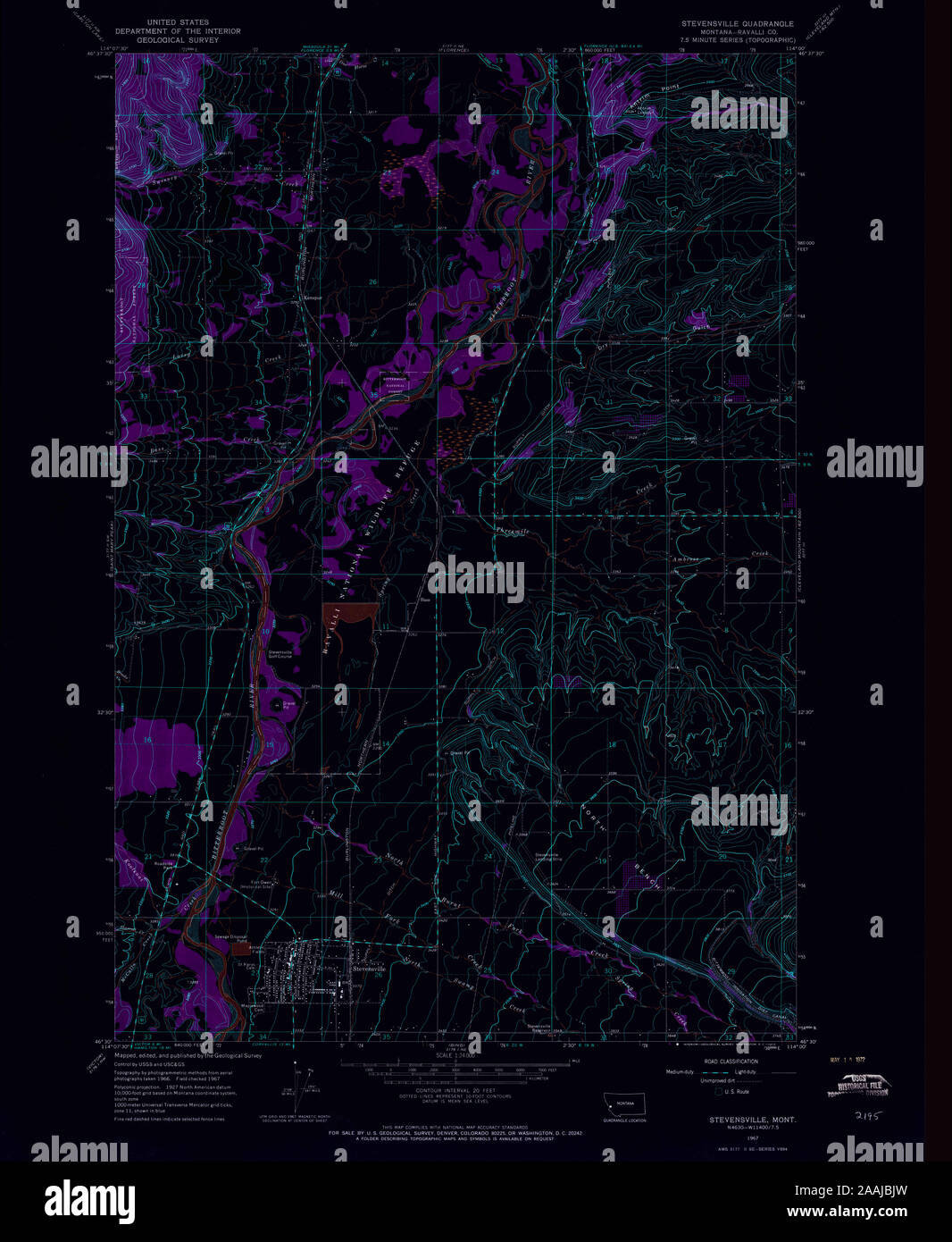 USGS TOPO Map Montana MT Stevensville 266949 1967 24000 geo Inverted Restoration Stock Photohttps://www.alamy.com/image-license-details/?v=1https://www.alamy.com/usgs-topo-map-montana-mt-stevensville-266949-1967-24000-geo-inverted-restoration-image333547841.html
RM2AAJBJW–USGS TOPO Map Montana MT Stevensville 266949 1967 24000 geo Inverted Restoration
 Stevensville, Regional Municipality of Niagara, Canada, Ontario, N 42 56' 35'', W 79 2' 58'', map, Timeless Map published in 2021. Travelers, explorers and adventurers like Florence Nightingale, David Livingstone, Ernest Shackleton, Lewis and Clark and Sherlock Holmes relied on maps to plan travels to the world's most remote corners, Timeless Maps is mapping most locations on the globe, showing the achievement of great dreams Stock Photohttps://www.alamy.com/image-license-details/?v=1https://www.alamy.com/stevensville-regional-municipality-of-niagara-canada-ontario-n-42-56-35-w-79-2-58-map-timeless-map-published-in-2021-travelers-explorers-and-adventurers-like-florence-nightingale-david-livingstone-ernest-shackleton-lewis-and-clark-and-sherlock-holmes-relied-on-maps-to-plan-travels-to-the-worlds-most-remote-corners-timeless-maps-is-mapping-most-locations-on-the-globe-showing-the-achievement-of-great-dreams-image457892882.html
RM2HGXR16–Stevensville, Regional Municipality of Niagara, Canada, Ontario, N 42 56' 35'', W 79 2' 58'', map, Timeless Map published in 2021. Travelers, explorers and adventurers like Florence Nightingale, David Livingstone, Ernest Shackleton, Lewis and Clark and Sherlock Holmes relied on maps to plan travels to the world's most remote corners, Timeless Maps is mapping most locations on the globe, showing the achievement of great dreams
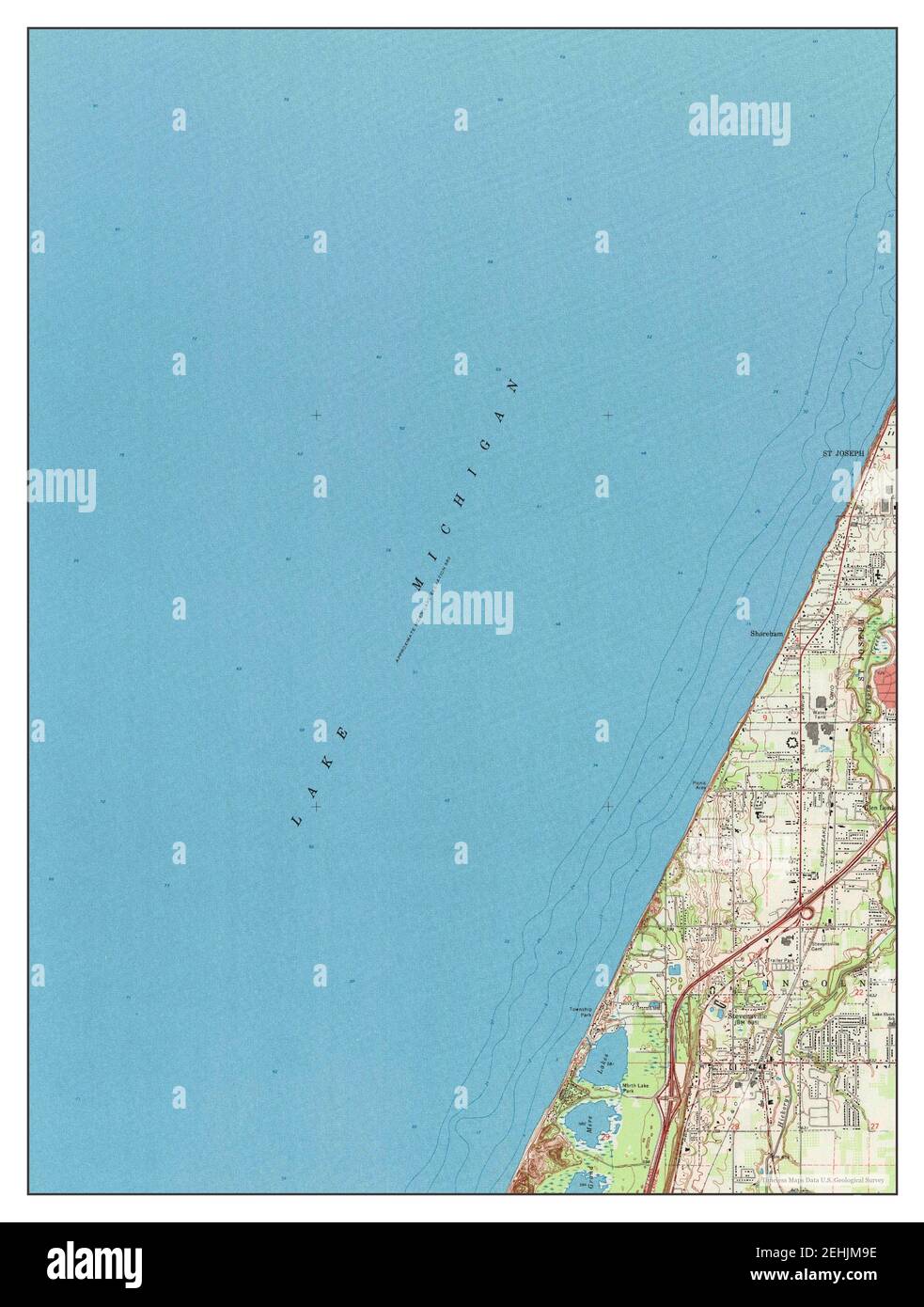 Stevensville, Michigan, map 1970, 1:24000, United States of America by Timeless Maps, data U.S. Geological Survey Stock Photohttps://www.alamy.com/image-license-details/?v=1https://www.alamy.com/stevensville-michigan-map-1970-124000-united-states-of-america-by-timeless-maps-data-us-geological-survey-image406698698.html
RM2EHJM9E–Stevensville, Michigan, map 1970, 1:24000, United States of America by Timeless Maps, data U.S. Geological Survey
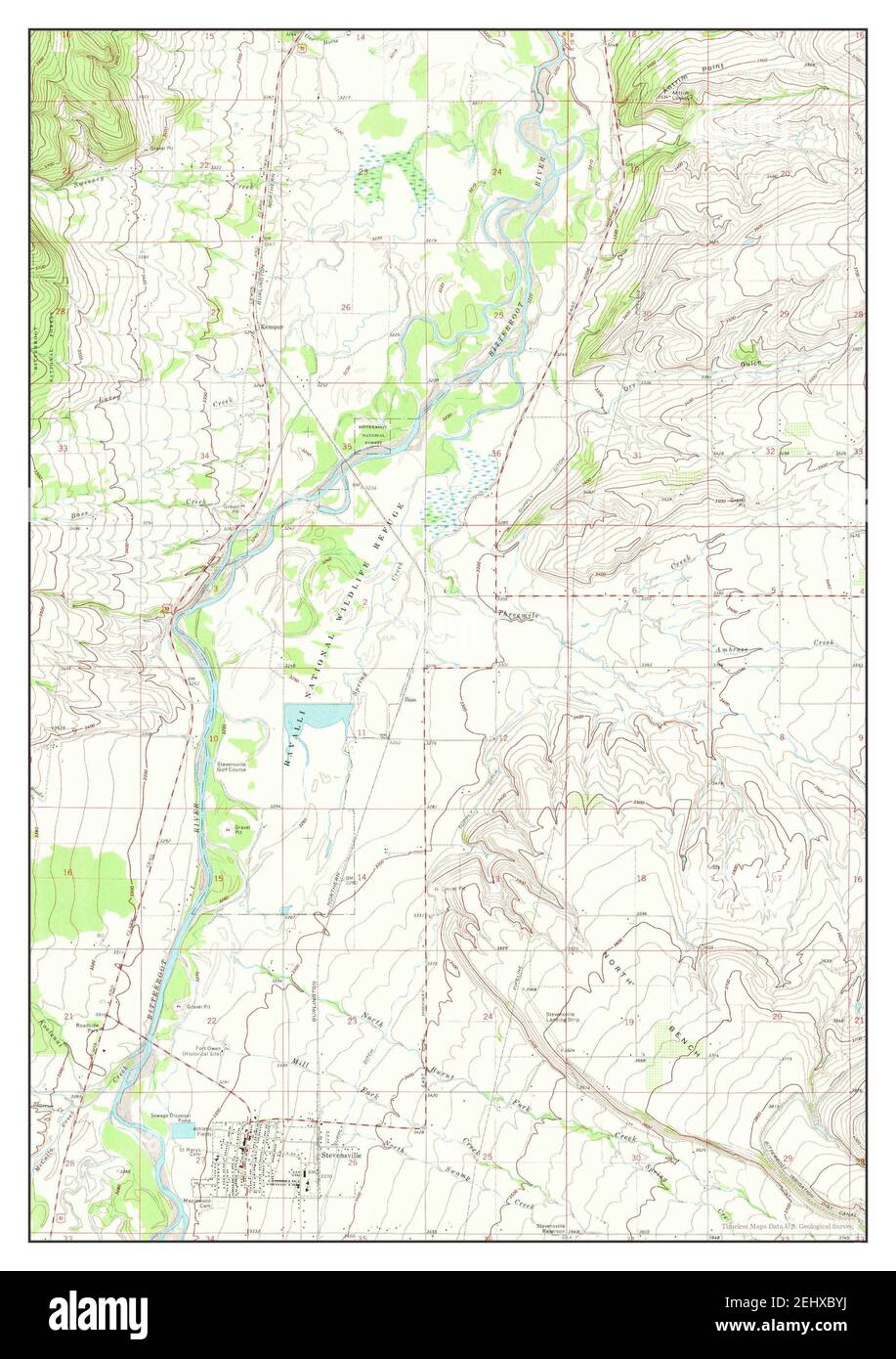 Stevensville, Montana, map 1967, 1:24000, United States of America by Timeless Maps, data U.S. Geological Survey Stock Photohttps://www.alamy.com/image-license-details/?v=1https://www.alamy.com/stevensville-montana-map-1967-124000-united-states-of-america-by-timeless-maps-data-us-geological-survey-image406867766.html
RM2EHXBYJ–Stevensville, Montana, map 1967, 1:24000, United States of America by Timeless Maps, data U.S. Geological Survey
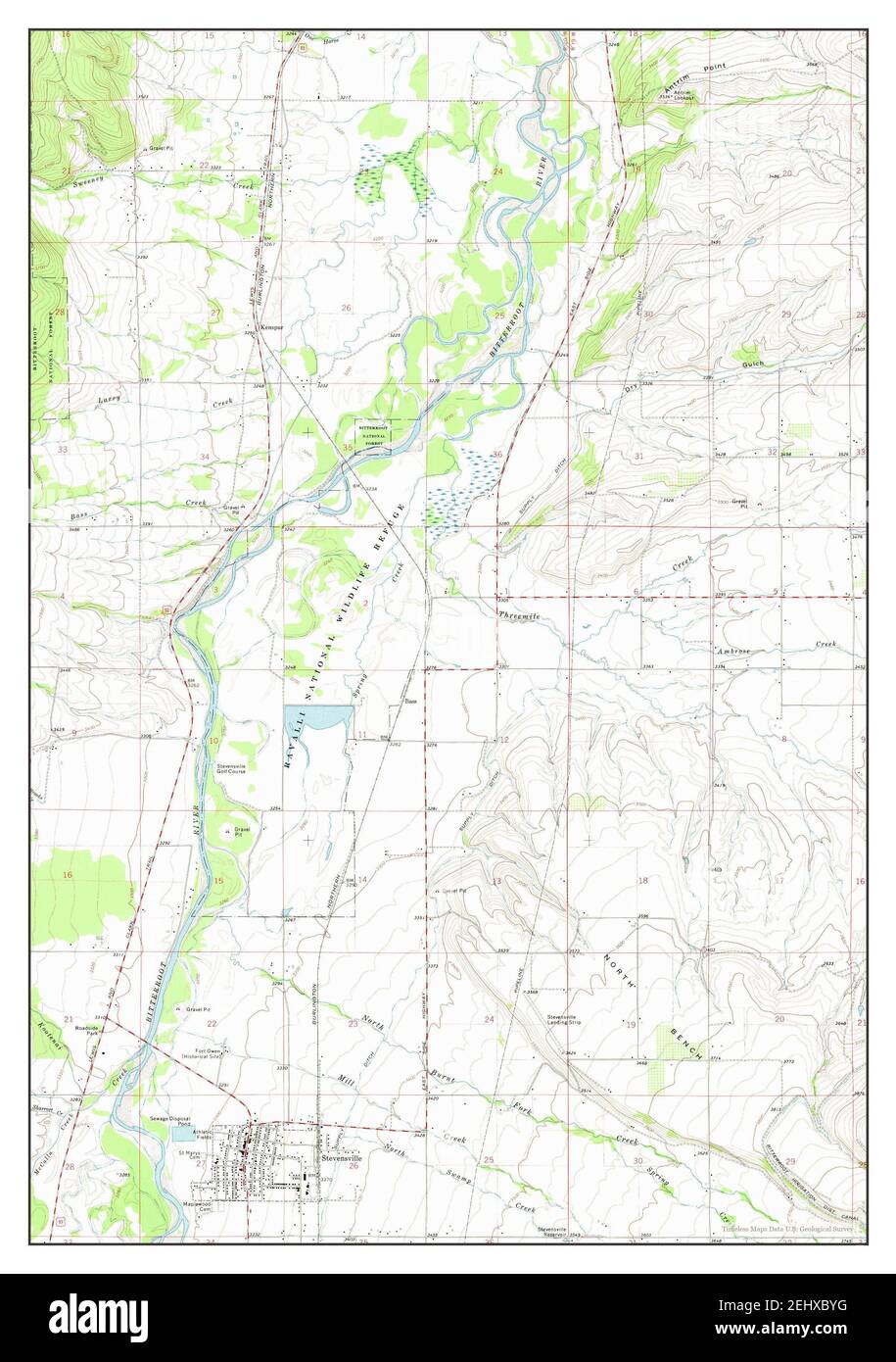 Stevensville, Montana, map 1967, 1:24000, United States of America by Timeless Maps, data U.S. Geological Survey Stock Photohttps://www.alamy.com/image-license-details/?v=1https://www.alamy.com/stevensville-montana-map-1967-124000-united-states-of-america-by-timeless-maps-data-us-geological-survey-image406867764.html
RM2EHXBYG–Stevensville, Montana, map 1967, 1:24000, United States of America by Timeless Maps, data U.S. Geological Survey
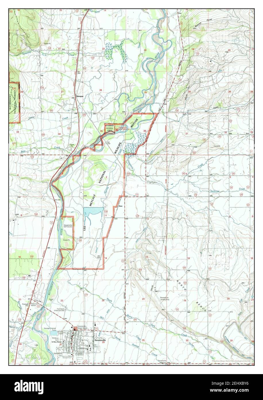 Stevensville, Montana, map 1998, 1:24000, United States of America by Timeless Maps, data U.S. Geological Survey Stock Photohttps://www.alamy.com/image-license-details/?v=1https://www.alamy.com/stevensville-montana-map-1998-124000-united-states-of-america-by-timeless-maps-data-us-geological-survey-image406867754.html
RM2EHXBY6–Stevensville, Montana, map 1998, 1:24000, United States of America by Timeless Maps, data U.S. Geological Survey