Map of stoddard Cut Out Stock Images
 Advance, Stoddard County, US, United States, Missouri, N 37 6' 16'', S 89 54' 34'', map, Cartascapes Map published in 2024. Explore Cartascapes, a map revealing Earth's diverse landscapes, cultures, and ecosystems. Journey through time and space, discovering the interconnectedness of our planet's past, present, and future. Stock Photohttps://www.alamy.com/image-license-details/?v=1https://www.alamy.com/advance-stoddard-county-us-united-states-missouri-n-37-6-16-s-89-54-34-map-cartascapes-map-published-in-2024-explore-cartascapes-a-map-revealing-earths-diverse-landscapes-cultures-and-ecosystems-journey-through-time-and-space-discovering-the-interconnectedness-of-our-planets-past-present-and-future-image621166357.html
RM2Y2GG0N–Advance, Stoddard County, US, United States, Missouri, N 37 6' 16'', S 89 54' 34'', map, Cartascapes Map published in 2024. Explore Cartascapes, a map revealing Earth's diverse landscapes, cultures, and ecosystems. Journey through time and space, discovering the interconnectedness of our planet's past, present, and future.
 Map of Stoddard in Missouri Stock Photohttps://www.alamy.com/image-license-details/?v=1https://www.alamy.com/map-of-stoddard-in-missouri-image362069468.html
RF2C11K8C–Map of Stoddard in Missouri
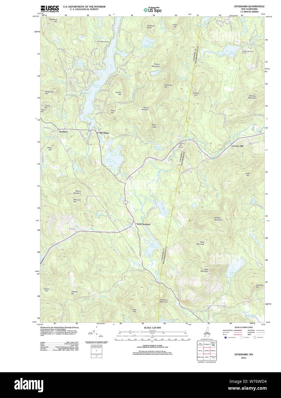 USGS TOPO Map New Hampshire NH Stoddard 20120709 TM Restoration Stock Photohttps://www.alamy.com/image-license-details/?v=1https://www.alamy.com/usgs-topo-map-new-hampshire-nh-stoddard-20120709-tm-restoration-image262609792.html
RMW76WD4–USGS TOPO Map New Hampshire NH Stoddard 20120709 TM Restoration
 Appletons Stoddard Richard Henry signature Stock Photohttps://www.alamy.com/image-license-details/?v=1https://www.alamy.com/stock-photo-appletons-stoddard-richard-henry-signature-147464661.html
RMJFWGK1–Appletons Stoddard Richard Henry signature
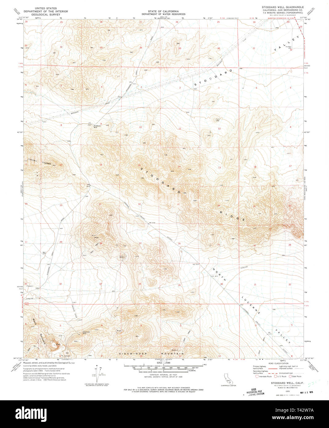 USGS TOPO Map California CA Stoddard Well 300689 1970 24000 Restoration Stock Photohttps://www.alamy.com/image-license-details/?v=1https://www.alamy.com/usgs-topo-map-california-ca-stoddard-well-300689-1970-24000-restoration-image243467486.html
RMT42W7A–USGS TOPO Map California CA Stoddard Well 300689 1970 24000 Restoration
 Map of Stoddard in Missouri Stock Photohttps://www.alamy.com/image-license-details/?v=1https://www.alamy.com/map-of-stoddard-in-missouri-image402459152.html
RF2EANGN4–Map of Stoddard in Missouri
 STODDARD(1892) pg61 Hula Girls Stock Photohttps://www.alamy.com/image-license-details/?v=1https://www.alamy.com/stock-photo-stoddard1892-pg61-hula-girls-74011140.html
RME8BDY0–STODDARD(1892) pg61 Hula Girls
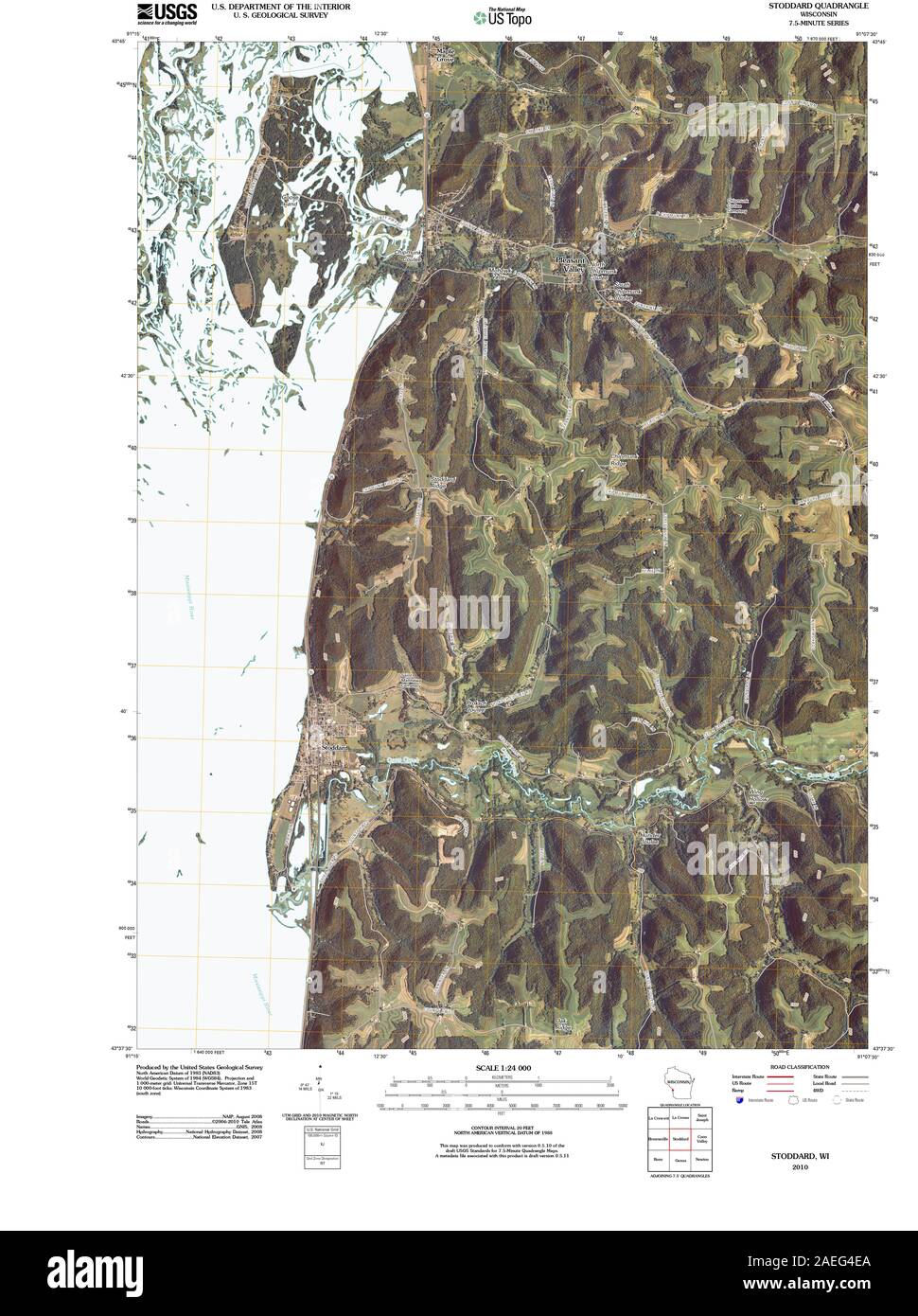 WI Stoddard 20100914 TM Restoration Stock Photohttps://www.alamy.com/image-license-details/?v=1https://www.alamy.com/wi-stoddard-20100914-tm-restoration-image335956946.html
RM2AEG4EA–WI Stoddard 20100914 TM Restoration
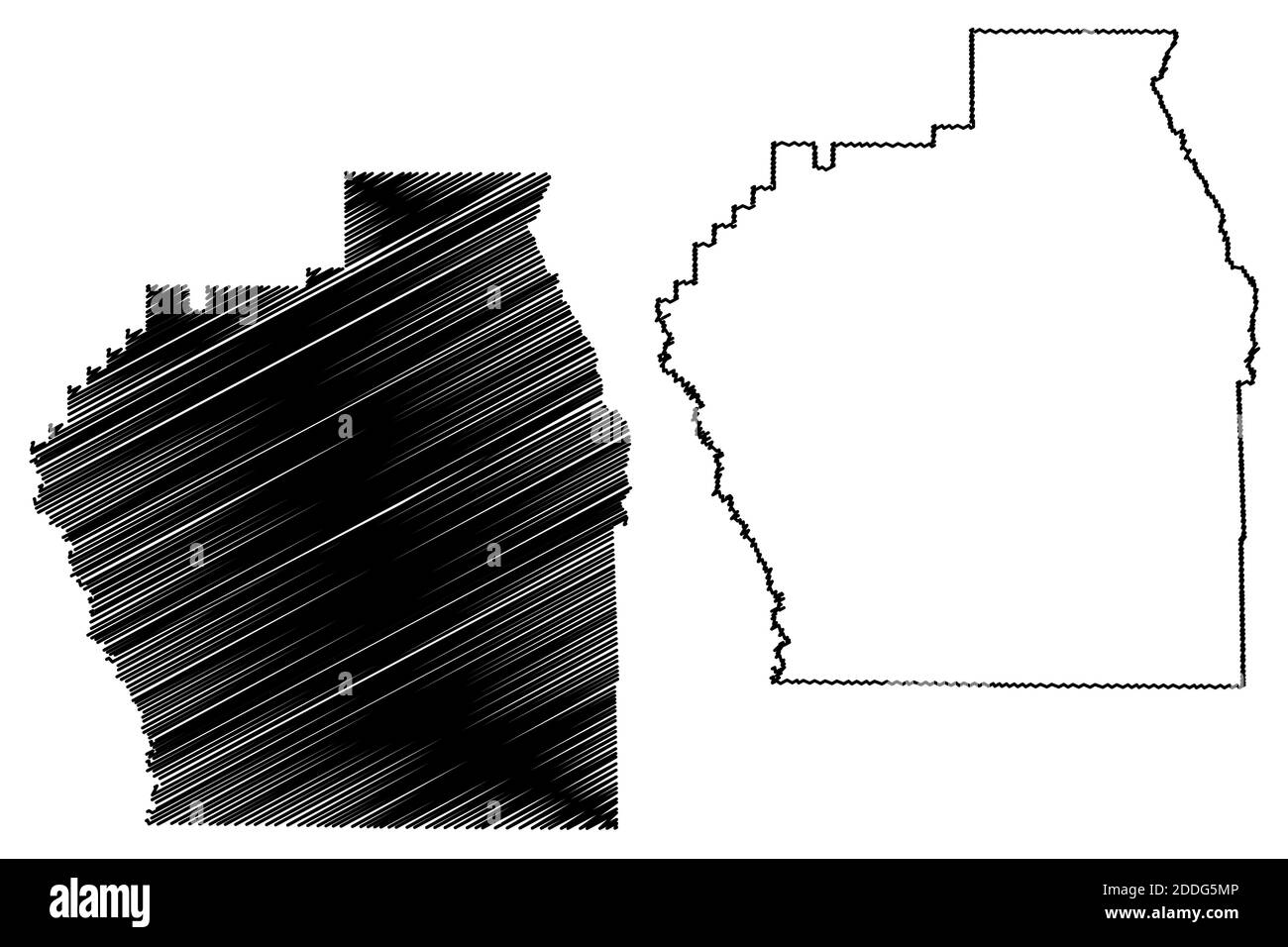 Stoddard County, Missouri (U.S. county, United States of America, USA, U.S., US) map vector illustration, scribble sketch Stoddard map Stock Vectorhttps://www.alamy.com/image-license-details/?v=1https://www.alamy.com/stoddard-county-missouri-us-county-united-states-of-america-usa-us-us-map-vector-illustration-scribble-sketch-stoddard-map-image386974358.html
RF2DDG5MP–Stoddard County, Missouri (U.S. county, United States of America, USA, U.S., US) map vector illustration, scribble sketch Stoddard map
 Pyletown, Stoddard County, US, United States, Missouri, N 36 43' 29'', S 90 1' 7'', map, Cartascapes Map published in 2024. Explore Cartascapes, a map revealing Earth's diverse landscapes, cultures, and ecosystems. Journey through time and space, discovering the interconnectedness of our planet's past, present, and future. Stock Photohttps://www.alamy.com/image-license-details/?v=1https://www.alamy.com/pyletown-stoddard-county-us-united-states-missouri-n-36-43-29-s-90-1-7-map-cartascapes-map-published-in-2024-explore-cartascapes-a-map-revealing-earths-diverse-landscapes-cultures-and-ecosystems-journey-through-time-and-space-discovering-the-interconnectedness-of-our-planets-past-present-and-future-image621247697.html
RM2Y2M7NN–Pyletown, Stoddard County, US, United States, Missouri, N 36 43' 29'', S 90 1' 7'', map, Cartascapes Map published in 2024. Explore Cartascapes, a map revealing Earth's diverse landscapes, cultures, and ecosystems. Journey through time and space, discovering the interconnectedness of our planet's past, present, and future.
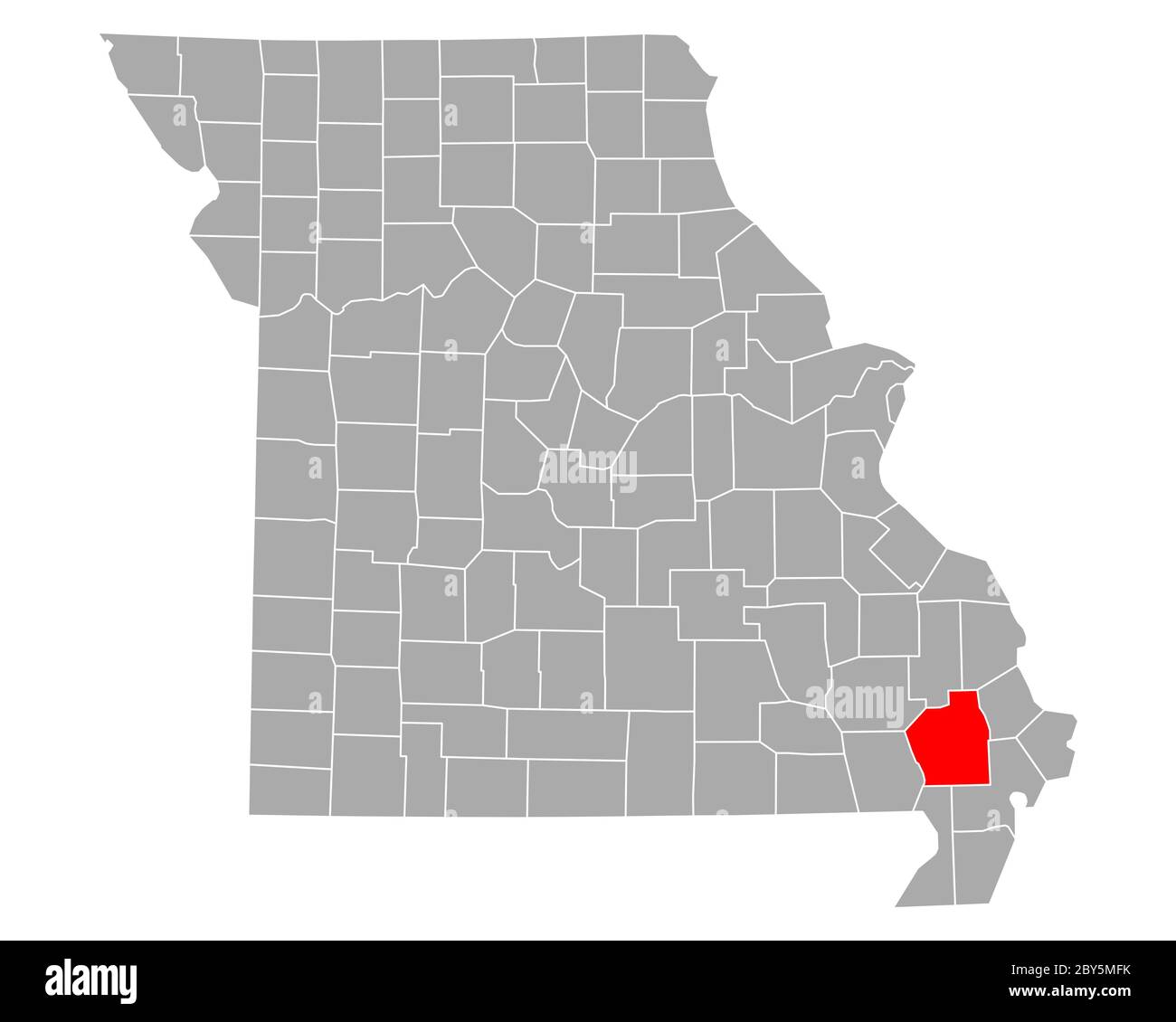 Map of Stoddard in Missouri Stock Photohttps://www.alamy.com/image-license-details/?v=1https://www.alamy.com/map-of-stoddard-in-missouri-image360928951.html
RF2BY5MFK–Map of Stoddard in Missouri
 STODDARD(1892) pg10 Queen Liliuokalani Stock Photohttps://www.alamy.com/image-license-details/?v=1https://www.alamy.com/stoddard1892-pg10-queen-liliuokalani-image154602425.html
RMJYEMY5–STODDARD(1892) pg10 Queen Liliuokalani
 Map of Stoddard in Missouri Stock Photohttps://www.alamy.com/image-license-details/?v=1https://www.alamy.com/map-of-stoddard-in-missouri-image402471710.html
RF2EAP4NJ–Map of Stoddard in Missouri
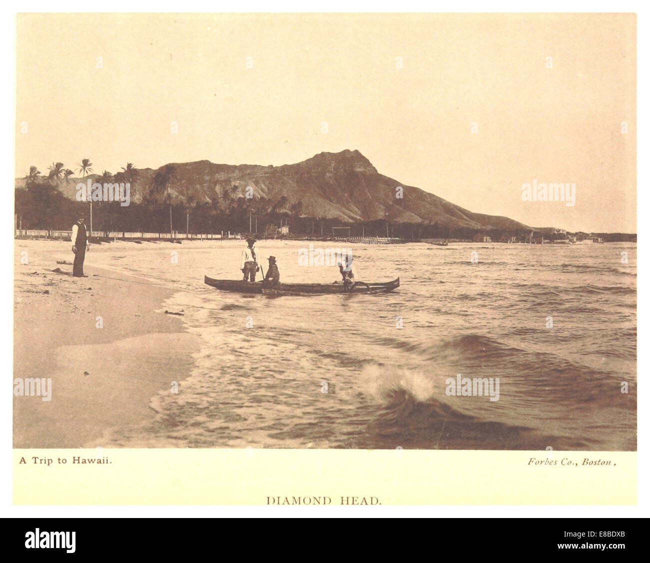 STODDARD(1892) pg16 Diamond Head Stock Photohttps://www.alamy.com/image-license-details/?v=1https://www.alamy.com/stock-photo-stoddard1892-pg16-diamond-head-74011123.html
RME8BDXB–STODDARD(1892) pg16 Diamond Head
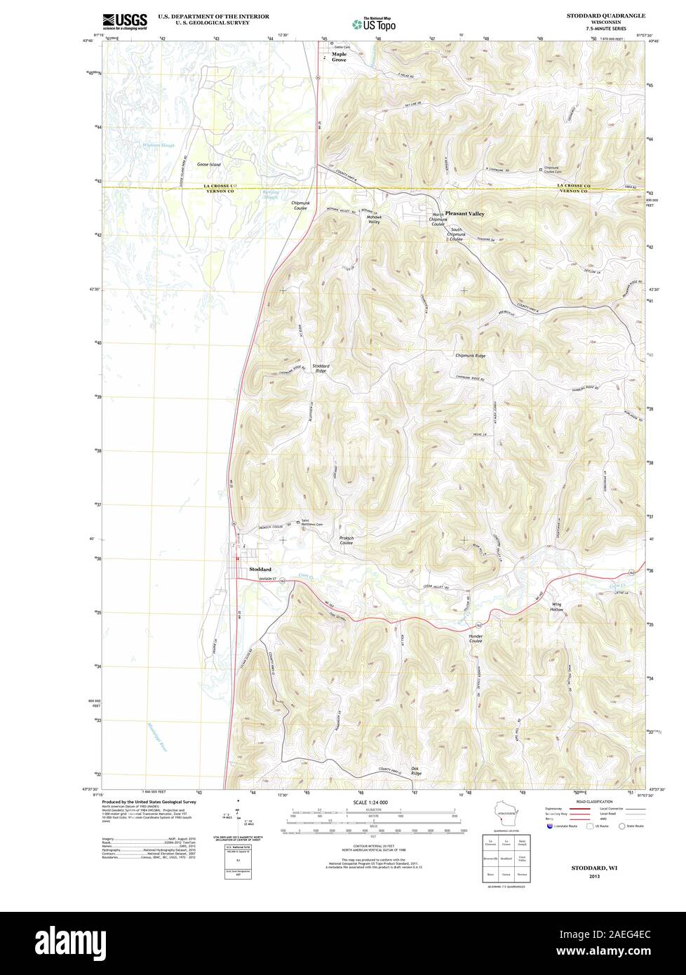 WI Stoddard 20130614 TM Restoration Stock Photohttps://www.alamy.com/image-license-details/?v=1https://www.alamy.com/wi-stoddard-20130614-tm-restoration-image335956948.html
RM2AEG4EC–WI Stoddard 20130614 TM Restoration
 Stoddard County, Missouri (U.S. county, United States of America, USA, U.S., US) map vector illustration, scribble sketch Stoddard map Stock Vectorhttps://www.alamy.com/image-license-details/?v=1https://www.alamy.com/stoddard-county-missouri-us-county-united-states-of-america-usa-us-us-map-vector-illustration-scribble-sketch-stoddard-map-image397410134.html
RF2E2FGK2–Stoddard County, Missouri (U.S. county, United States of America, USA, U.S., US) map vector illustration, scribble sketch Stoddard map
 Baker, Stoddard County, US, United States, Missouri, N 36 46' 22'', S 89 45' 51'', map, Cartascapes Map published in 2024. Explore Cartascapes, a map revealing Earth's diverse landscapes, cultures, and ecosystems. Journey through time and space, discovering the interconnectedness of our planet's past, present, and future. Stock Photohttps://www.alamy.com/image-license-details/?v=1https://www.alamy.com/baker-stoddard-county-us-united-states-missouri-n-36-46-22-s-89-45-51-map-cartascapes-map-published-in-2024-explore-cartascapes-a-map-revealing-earths-diverse-landscapes-cultures-and-ecosystems-journey-through-time-and-space-discovering-the-interconnectedness-of-our-planets-past-present-and-future-image621241513.html
RM2Y2KYTW–Baker, Stoddard County, US, United States, Missouri, N 36 46' 22'', S 89 45' 51'', map, Cartascapes Map published in 2024. Explore Cartascapes, a map revealing Earth's diverse landscapes, cultures, and ecosystems. Journey through time and space, discovering the interconnectedness of our planet's past, present, and future.
 Map of Stoddard in Missouri Stock Photohttps://www.alamy.com/image-license-details/?v=1https://www.alamy.com/map-of-stoddard-in-missouri-image361482082.html
RF2C02X2A–Map of Stoddard in Missouri
 STODDARD(1892) pg73 Cocoanut Island Hilo Stock Photohttps://www.alamy.com/image-license-details/?v=1https://www.alamy.com/stoddard1892-pg73-cocoanut-island-hilo-image154599571.html
RMJYEH97–STODDARD(1892) pg73 Cocoanut Island Hilo
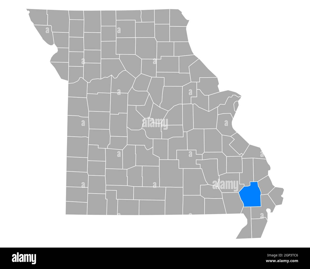 Map of Stoddard in Missouri Stock Photohttps://www.alamy.com/image-license-details/?v=1https://www.alamy.com/map-of-stoddard-in-missouri-image443866646.html
RF2GP3TC6–Map of Stoddard in Missouri
 STODDARD(1892) pg10 Queen Liliuokalani Stock Photohttps://www.alamy.com/image-license-details/?v=1https://www.alamy.com/stock-photo-stoddard1892-pg10-queen-liliuokalani-74011120.html
RME8BDX8–STODDARD(1892) pg10 Queen Liliuokalani
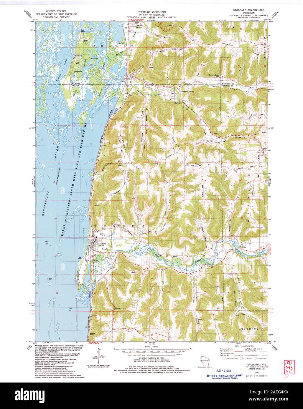 WI Stoddard 501963 1983 24000 Restoration Stock Photohttps://www.alamy.com/image-license-details/?v=1https://www.alamy.com/wi-stoddard-501963-1983-24000-restoration-image335957102.html
RM2AEG4KX–WI Stoddard 501963 1983 24000 Restoration
 Stoddard County, Missouri (U.S. county, United States of America, USA, U.S., US) map vector illustration, scribble sketch Stoddard map Stock Vectorhttps://www.alamy.com/image-license-details/?v=1https://www.alamy.com/stoddard-county-missouri-us-county-united-states-of-america-usa-us-us-map-vector-illustration-scribble-sketch-stoddard-map-image382072587.html
RF2D5GWDF–Stoddard County, Missouri (U.S. county, United States of America, USA, U.S., US) map vector illustration, scribble sketch Stoddard map
 Leora, Stoddard County, US, United States, Missouri, N 37 0' 1'', S 90 1' 5'', map, Cartascapes Map published in 2024. Explore Cartascapes, a map revealing Earth's diverse landscapes, cultures, and ecosystems. Journey through time and space, discovering the interconnectedness of our planet's past, present, and future. Stock Photohttps://www.alamy.com/image-license-details/?v=1https://www.alamy.com/leora-stoddard-county-us-united-states-missouri-n-37-0-1-s-90-1-5-map-cartascapes-map-published-in-2024-explore-cartascapes-a-map-revealing-earths-diverse-landscapes-cultures-and-ecosystems-journey-through-time-and-space-discovering-the-interconnectedness-of-our-planets-past-present-and-future-image621419955.html
RM2Y303DR–Leora, Stoddard County, US, United States, Missouri, N 37 0' 1'', S 90 1' 5'', map, Cartascapes Map published in 2024. Explore Cartascapes, a map revealing Earth's diverse landscapes, cultures, and ecosystems. Journey through time and space, discovering the interconnectedness of our planet's past, present, and future.
 STODDARD(1892) pg35 Oceanic S. S. Co's S. S. Mariposa Stock Photohttps://www.alamy.com/image-license-details/?v=1https://www.alamy.com/stoddard1892-pg35-oceanic-s-s-cos-s-s-mariposa-image154599563.html
RMJYEH8Y–STODDARD(1892) pg35 Oceanic S. S. Co's S. S. Mariposa
 STODDARD(1892) pg43 Island motive Stock Photohttps://www.alamy.com/image-license-details/?v=1https://www.alamy.com/stock-photo-stoddard1892-pg43-island-motive-74011135.html
RME8BDXR–STODDARD(1892) pg43 Island motive
 UT Stoddard Mountain 20110404 TM Restoration Stock Photohttps://www.alamy.com/image-license-details/?v=1https://www.alamy.com/ut-stoddard-mountain-20110404-tm-restoration-image334075623.html
RM2ABECT7–UT Stoddard Mountain 20110404 TM Restoration
 Randol, Stoddard County, US, United States, Missouri, N 36 47' 13'', S 90 7' 48'', map, Cartascapes Map published in 2024. Explore Cartascapes, a map revealing Earth's diverse landscapes, cultures, and ecosystems. Journey through time and space, discovering the interconnectedness of our planet's past, present, and future. Stock Photohttps://www.alamy.com/image-license-details/?v=1https://www.alamy.com/randol-stoddard-county-us-united-states-missouri-n-36-47-13-s-90-7-48-map-cartascapes-map-published-in-2024-explore-cartascapes-a-map-revealing-earths-diverse-landscapes-cultures-and-ecosystems-journey-through-time-and-space-discovering-the-interconnectedness-of-our-planets-past-present-and-future-image621176324.html
RM2Y2H0MM–Randol, Stoddard County, US, United States, Missouri, N 36 47' 13'', S 90 7' 48'', map, Cartascapes Map published in 2024. Explore Cartascapes, a map revealing Earth's diverse landscapes, cultures, and ecosystems. Journey through time and space, discovering the interconnectedness of our planet's past, present, and future.
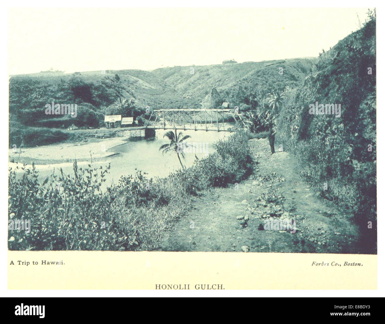 STODDARD(1892) pg67 Honolii Gulch Stock Photohttps://www.alamy.com/image-license-details/?v=1https://www.alamy.com/stock-photo-stoddard1892-pg67-honolii-gulch-74011143.html
RME8BDY3–STODDARD(1892) pg67 Honolii Gulch
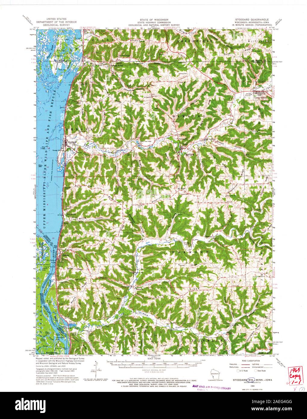 WI Stoddard 503552 1965 62500 Restoration Stock Photohttps://www.alamy.com/image-license-details/?v=1https://www.alamy.com/wi-stoddard-503552-1965-62500-restoration-image335957008.html
RM2AEG4GG–WI Stoddard 503552 1965 62500 Restoration
 Dudley, Stoddard County, US, United States, Missouri, N 36 47' 19'', S 90 5' 35'', map, Cartascapes Map published in 2024. Explore Cartascapes, a map revealing Earth's diverse landscapes, cultures, and ecosystems. Journey through time and space, discovering the interconnectedness of our planet's past, present, and future. Stock Photohttps://www.alamy.com/image-license-details/?v=1https://www.alamy.com/dudley-stoddard-county-us-united-states-missouri-n-36-47-19-s-90-5-35-map-cartascapes-map-published-in-2024-explore-cartascapes-a-map-revealing-earths-diverse-landscapes-cultures-and-ecosystems-journey-through-time-and-space-discovering-the-interconnectedness-of-our-planets-past-present-and-future-image621209754.html
RM2Y2JFAJ–Dudley, Stoddard County, US, United States, Missouri, N 36 47' 19'', S 90 5' 35'', map, Cartascapes Map published in 2024. Explore Cartascapes, a map revealing Earth's diverse landscapes, cultures, and ecosystems. Journey through time and space, discovering the interconnectedness of our planet's past, present, and future.
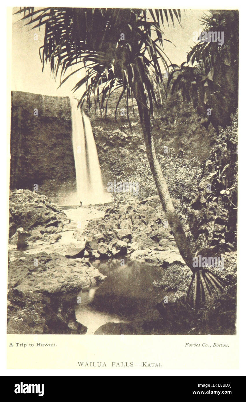 STODDARD(1892) pg29 Wailua Falls - Kaua Stock Photohttps://www.alamy.com/image-license-details/?v=1https://www.alamy.com/stock-photo-stoddard1892-pg29-wailua-falls-kaua-74011130.html
RME8BDXJ–STODDARD(1892) pg29 Wailua Falls - Kaua
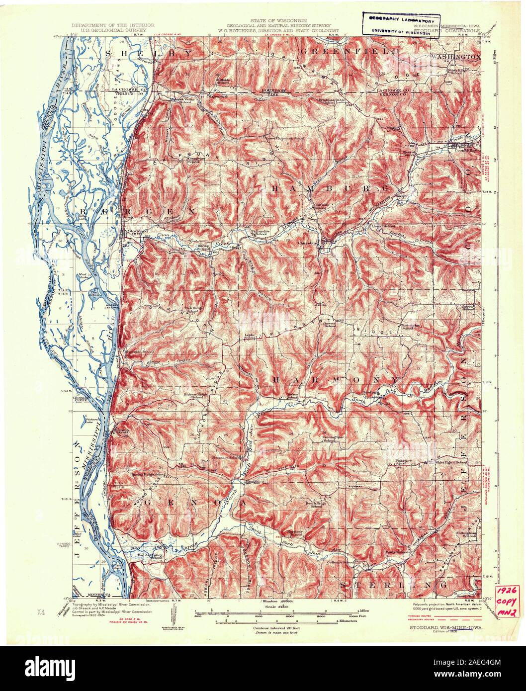 WI Stoddard 505911 1926 62500 Restoration Stock Photohttps://www.alamy.com/image-license-details/?v=1https://www.alamy.com/wi-stoddard-505911-1926-62500-restoration-image335957012.html
RM2AEG4GM–WI Stoddard 505911 1926 62500 Restoration
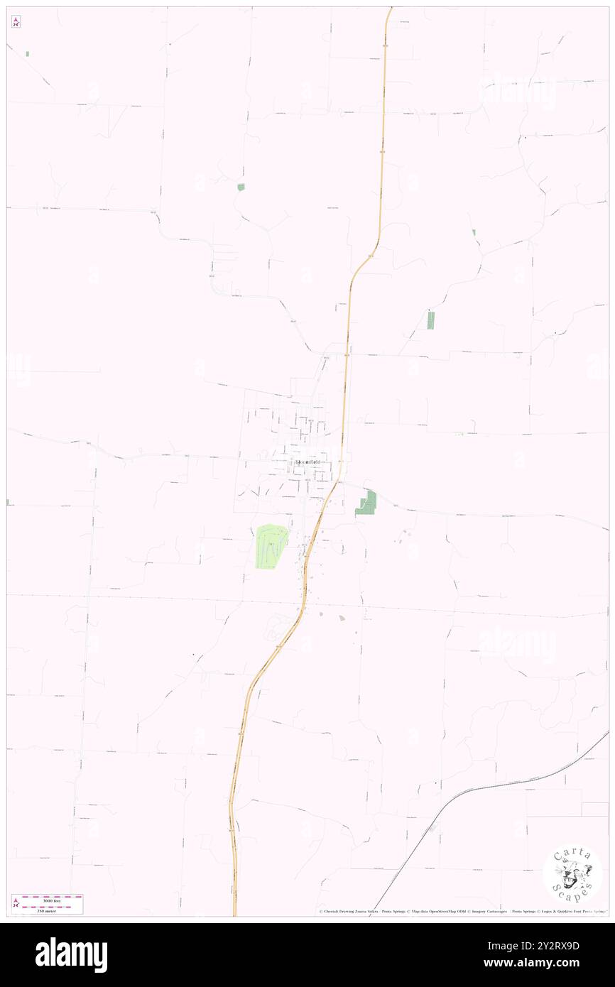 Bloomfield, Stoddard County, US, United States, Missouri, N 36 53' 9'', S 89 55' 45'', map, Cartascapes Map published in 2024. Explore Cartascapes, a map revealing Earth's diverse landscapes, cultures, and ecosystems. Journey through time and space, discovering the interconnectedness of our planet's past, present, and future. Stock Photohttps://www.alamy.com/image-license-details/?v=1https://www.alamy.com/bloomfield-stoddard-county-us-united-states-missouri-n-36-53-9-s-89-55-45-map-cartascapes-map-published-in-2024-explore-cartascapes-a-map-revealing-earths-diverse-landscapes-cultures-and-ecosystems-journey-through-time-and-space-discovering-the-interconnectedness-of-our-planets-past-present-and-future-image621328105.html
RM2Y2RX9D–Bloomfield, Stoddard County, US, United States, Missouri, N 36 53' 9'', S 89 55' 45'', map, Cartascapes Map published in 2024. Explore Cartascapes, a map revealing Earth's diverse landscapes, cultures, and ecosystems. Journey through time and space, discovering the interconnectedness of our planet's past, present, and future.
 STODDARD(1892) pg73 Cocoanut Island - Hilo Stock Photohttps://www.alamy.com/image-license-details/?v=1https://www.alamy.com/stock-photo-stoddard1892-pg73-cocoanut-island-hilo-74011144.html
RME8BDY4–STODDARD(1892) pg73 Cocoanut Island - Hilo
 Hunterville, Stoddard County, US, United States, Missouri, N 36 49' 14'', S 89 48' 27'', map, Cartascapes Map published in 2024. Explore Cartascapes, a map revealing Earth's diverse landscapes, cultures, and ecosystems. Journey through time and space, discovering the interconnectedness of our planet's past, present, and future. Stock Photohttps://www.alamy.com/image-license-details/?v=1https://www.alamy.com/hunterville-stoddard-county-us-united-states-missouri-n-36-49-14-s-89-48-27-map-cartascapes-map-published-in-2024-explore-cartascapes-a-map-revealing-earths-diverse-landscapes-cultures-and-ecosystems-journey-through-time-and-space-discovering-the-interconnectedness-of-our-planets-past-present-and-future-image621367035.html
RM2Y2WKYR–Hunterville, Stoddard County, US, United States, Missouri, N 36 49' 14'', S 89 48' 27'', map, Cartascapes Map published in 2024. Explore Cartascapes, a map revealing Earth's diverse landscapes, cultures, and ecosystems. Journey through time and space, discovering the interconnectedness of our planet's past, present, and future.
 STODDARD(1892) pg10 Queen Liliuokalani Stock Photohttps://www.alamy.com/image-license-details/?v=1https://www.alamy.com/stock-photo-stoddard1892-pg10-queen-liliuokalani-76867178.html
RMED1GTA–STODDARD(1892) pg10 Queen Liliuokalani
 Cobb, Stoddard County, US, United States, Missouri, N 36 55' 3'', S 90 12' 48'', map, Cartascapes Map published in 2024. Explore Cartascapes, a map revealing Earth's diverse landscapes, cultures, and ecosystems. Journey through time and space, discovering the interconnectedness of our planet's past, present, and future. Stock Photohttps://www.alamy.com/image-license-details/?v=1https://www.alamy.com/cobb-stoddard-county-us-united-states-missouri-n-36-55-3-s-90-12-48-map-cartascapes-map-published-in-2024-explore-cartascapes-a-map-revealing-earths-diverse-landscapes-cultures-and-ecosystems-journey-through-time-and-space-discovering-the-interconnectedness-of-our-planets-past-present-and-future-image621427228.html
RM2Y30CNG–Cobb, Stoddard County, US, United States, Missouri, N 36 55' 3'', S 90 12' 48'', map, Cartascapes Map published in 2024. Explore Cartascapes, a map revealing Earth's diverse landscapes, cultures, and ecosystems. Journey through time and space, discovering the interconnectedness of our planet's past, present, and future.
 STODDARD(1892) pg55 Avenue of Royal Palms - Honolulu Stock Photohttps://www.alamy.com/image-license-details/?v=1https://www.alamy.com/stock-photo-stoddard1892-pg55-avenue-of-royal-palms-honolulu-74011139.html
RME8BDXY–STODDARD(1892) pg55 Avenue of Royal Palms - Honolulu
 Zadock, Stoddard County, US, United States, Missouri, N 36 59' 20'', S 89 56' 14'', map, Cartascapes Map published in 2024. Explore Cartascapes, a map revealing Earth's diverse landscapes, cultures, and ecosystems. Journey through time and space, discovering the interconnectedness of our planet's past, present, and future. Stock Photohttps://www.alamy.com/image-license-details/?v=1https://www.alamy.com/zadock-stoddard-county-us-united-states-missouri-n-36-59-20-s-89-56-14-map-cartascapes-map-published-in-2024-explore-cartascapes-a-map-revealing-earths-diverse-landscapes-cultures-and-ecosystems-journey-through-time-and-space-discovering-the-interconnectedness-of-our-planets-past-present-and-future-image621454303.html
RM2Y31K8F–Zadock, Stoddard County, US, United States, Missouri, N 36 59' 20'', S 89 56' 14'', map, Cartascapes Map published in 2024. Explore Cartascapes, a map revealing Earth's diverse landscapes, cultures, and ecosystems. Journey through time and space, discovering the interconnectedness of our planet's past, present, and future.
 STODDARD(1892) pg73 Cocoanut Island - Hilo Stock Photohttps://www.alamy.com/image-license-details/?v=1https://www.alamy.com/stock-photo-stoddard1892-pg73-cocoanut-island-hilo-76867191.html
RMED1GTR–STODDARD(1892) pg73 Cocoanut Island - Hilo
 Essex, Stoddard County, US, United States, Missouri, N 36 48' 45'', S 89 51' 41'', map, Cartascapes Map published in 2024. Explore Cartascapes, a map revealing Earth's diverse landscapes, cultures, and ecosystems. Journey through time and space, discovering the interconnectedness of our planet's past, present, and future. Stock Photohttps://www.alamy.com/image-license-details/?v=1https://www.alamy.com/essex-stoddard-county-us-united-states-missouri-n-36-48-45-s-89-51-41-map-cartascapes-map-published-in-2024-explore-cartascapes-a-map-revealing-earths-diverse-landscapes-cultures-and-ecosystems-journey-through-time-and-space-discovering-the-interconnectedness-of-our-planets-past-present-and-future-image621437013.html
RM2Y30W71–Essex, Stoddard County, US, United States, Missouri, N 36 48' 45'', S 89 51' 41'', map, Cartascapes Map published in 2024. Explore Cartascapes, a map revealing Earth's diverse landscapes, cultures, and ecosystems. Journey through time and space, discovering the interconnectedness of our planet's past, present, and future.
 STODDARD(1892) pg11 H. R. H. Princess Kaiulaxi Stock Photohttps://www.alamy.com/image-license-details/?v=1https://www.alamy.com/stock-photo-stoddard1892-pg11-h-r-h-princess-kaiulaxi-74011122.html
RME8BDXA–STODDARD(1892) pg11 H. R. H. Princess Kaiulaxi
 Penermon, Stoddard County, US, United States, Missouri, N 36 47' 24'', S 89 49' 45'', map, Cartascapes Map published in 2024. Explore Cartascapes, a map revealing Earth's diverse landscapes, cultures, and ecosystems. Journey through time and space, discovering the interconnectedness of our planet's past, present, and future. Stock Photohttps://www.alamy.com/image-license-details/?v=1https://www.alamy.com/penermon-stoddard-county-us-united-states-missouri-n-36-47-24-s-89-49-45-map-cartascapes-map-published-in-2024-explore-cartascapes-a-map-revealing-earths-diverse-landscapes-cultures-and-ecosystems-journey-through-time-and-space-discovering-the-interconnectedness-of-our-planets-past-present-and-future-image621272255.html
RM2Y2NB2R–Penermon, Stoddard County, US, United States, Missouri, N 36 47' 24'', S 89 49' 45'', map, Cartascapes Map published in 2024. Explore Cartascapes, a map revealing Earth's diverse landscapes, cultures, and ecosystems. Journey through time and space, discovering the interconnectedness of our planet's past, present, and future.
 STODDARD(1892) pg35 Oceanic S. S. Co's S. S. Mariposa Stock Photohttps://www.alamy.com/image-license-details/?v=1https://www.alamy.com/stock-photo-stoddard1892-pg35-oceanic-s-s-cos-s-s-mariposa-74011131.html
RME8BDXK–STODDARD(1892) pg35 Oceanic S. S. Co's S. S. Mariposa
 Stoddard, Morgan County, US, United States, Utah, N 41 4' 0'', S 111 42' 40'', map, Cartascapes Map published in 2024. Explore Cartascapes, a map revealing Earth's diverse landscapes, cultures, and ecosystems. Journey through time and space, discovering the interconnectedness of our planet's past, present, and future. Stock Photohttps://www.alamy.com/image-license-details/?v=1https://www.alamy.com/stoddard-morgan-county-us-united-states-utah-n-41-4-0-s-111-42-40-map-cartascapes-map-published-in-2024-explore-cartascapes-a-map-revealing-earths-diverse-landscapes-cultures-and-ecosystems-journey-through-time-and-space-discovering-the-interconnectedness-of-our-planets-past-present-and-future-image621352652.html
RM2Y2W1J4–Stoddard, Morgan County, US, United States, Utah, N 41 4' 0'', S 111 42' 40'', map, Cartascapes Map published in 2024. Explore Cartascapes, a map revealing Earth's diverse landscapes, cultures, and ecosystems. Journey through time and space, discovering the interconnectedness of our planet's past, present, and future.
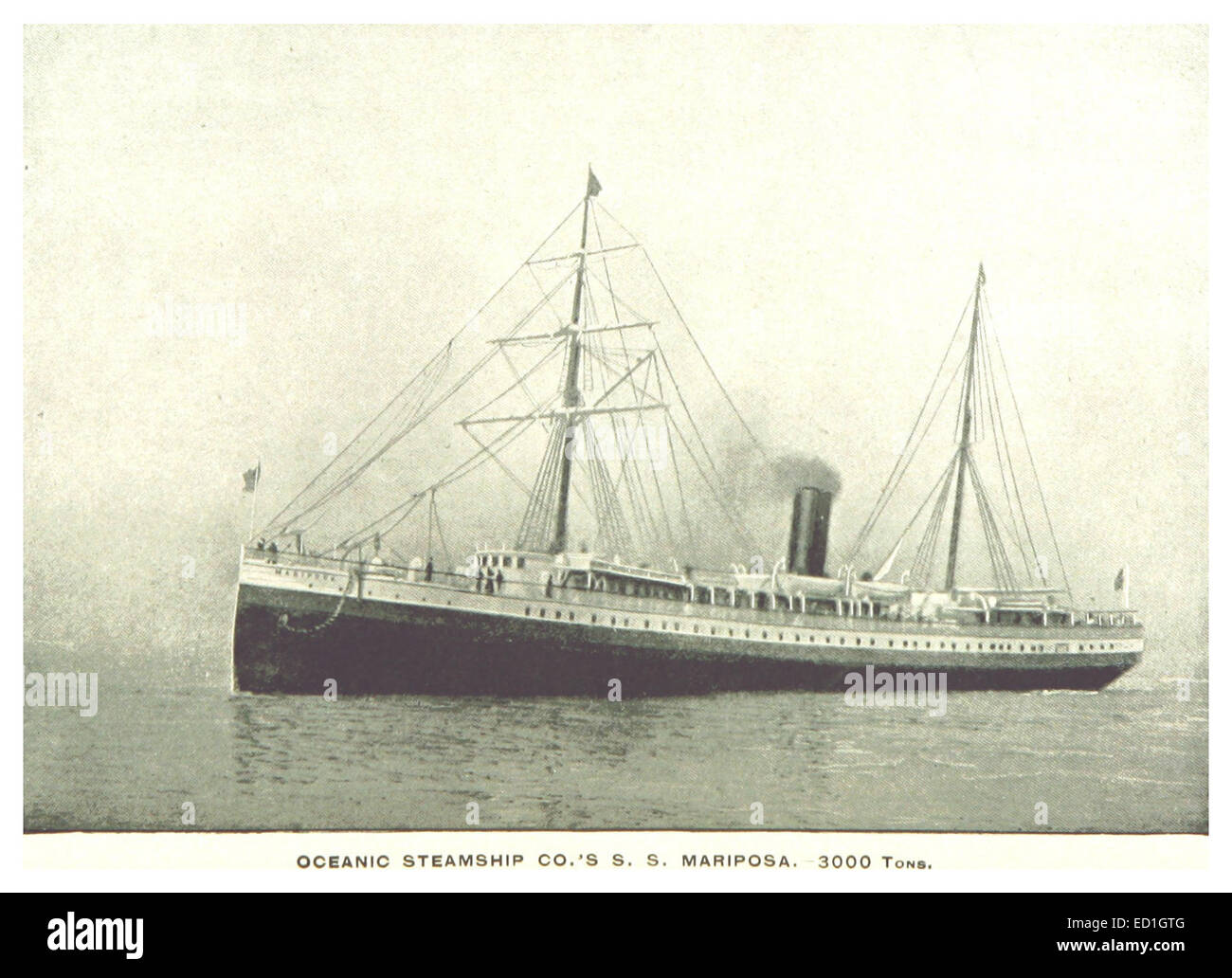 STODDARD(1892) pg35 Oceanic S. S. Co's S. S. Mariposa Stock Photohttps://www.alamy.com/image-license-details/?v=1https://www.alamy.com/stock-photo-stoddard1892-pg35-oceanic-s-s-cos-s-s-mariposa-76867184.html
RMED1GTG–STODDARD(1892) pg35 Oceanic S. S. Co's S. S. Mariposa
 Advance, Stoddard County, US, United States, Missouri, N 37 6' 16'', S 89 54' 34'', map, Cartascapes Map published in 2024. Explore Cartascapes, a map revealing Earth's diverse landscapes, cultures, and ecosystems. Journey through time and space, discovering the interconnectedness of our planet's past, present, and future. Stock Photohttps://www.alamy.com/image-license-details/?v=1https://www.alamy.com/advance-stoddard-county-us-united-states-missouri-n-37-6-16-s-89-54-34-map-cartascapes-map-published-in-2024-explore-cartascapes-a-map-revealing-earths-diverse-landscapes-cultures-and-ecosystems-journey-through-time-and-space-discovering-the-interconnectedness-of-our-planets-past-present-and-future-image621374540.html
RM2Y2X1FT–Advance, Stoddard County, US, United States, Missouri, N 37 6' 16'', S 89 54' 34'', map, Cartascapes Map published in 2024. Explore Cartascapes, a map revealing Earth's diverse landscapes, cultures, and ecosystems. Journey through time and space, discovering the interconnectedness of our planet's past, present, and future.
![Image taken from page 286 of 'John L. Stoddard's Lectures [on his travels]. Illustrated ... with views of the worlds famous places and people, etc' Image taken from page 286 of 'John L Stoddard's Lectures Stock Photo Image taken from page 286 of 'John L. Stoddard's Lectures [on his travels]. Illustrated ... with views of the worlds famous places and people, etc' Image taken from page 286 of 'John L Stoddard's Lectures Stock Photo](https://c8.alamy.com/comp/HFM05H/image-taken-from-page-286-of-john-l-stoddards-lectures-on-his-travels-HFM05H.jpg) Image taken from page 286 of 'John L. Stoddard's Lectures [on his travels]. Illustrated ... with views of the worlds famous places and people, etc' Image taken from page 286 of 'John L Stoddard's Lectures Stock Photohttps://www.alamy.com/image-license-details/?v=1https://www.alamy.com/stock-photo-image-taken-from-page-286-of-john-l-stoddards-lectures-on-his-travels-130131613.html
Image taken from page 286 of 'John L. Stoddard's Lectures [on his travels]. Illustrated ... with views of the worlds famous places and people, etc' Image taken from page 286 of 'John L Stoddard's Lectures Stock Photohttps://www.alamy.com/image-license-details/?v=1https://www.alamy.com/stock-photo-image-taken-from-page-286-of-john-l-stoddards-lectures-on-his-travels-130131613.htmlRMHFM05H–Image taken from page 286 of 'John L. Stoddard's Lectures [on his travels]. Illustrated ... with views of the worlds famous places and people, etc' Image taken from page 286 of 'John L Stoddard's Lectures
 Dexter, Stoddard County, US, United States, Missouri, N 36 47' 45'', S 89 57' 28'', map, Cartascapes Map published in 2024. Explore Cartascapes, a map revealing Earth's diverse landscapes, cultures, and ecosystems. Journey through time and space, discovering the interconnectedness of our planet's past, present, and future. Stock Photohttps://www.alamy.com/image-license-details/?v=1https://www.alamy.com/dexter-stoddard-county-us-united-states-missouri-n-36-47-45-s-89-57-28-map-cartascapes-map-published-in-2024-explore-cartascapes-a-map-revealing-earths-diverse-landscapes-cultures-and-ecosystems-journey-through-time-and-space-discovering-the-interconnectedness-of-our-planets-past-present-and-future-image621227718.html
RM2Y2KA86–Dexter, Stoddard County, US, United States, Missouri, N 36 47' 45'', S 89 57' 28'', map, Cartascapes Map published in 2024. Explore Cartascapes, a map revealing Earth's diverse landscapes, cultures, and ecosystems. Journey through time and space, discovering the interconnectedness of our planet's past, present, and future.
![Image taken from page 184 of 'John L. Stoddard's Lectures [on his travels]. Illustrated ... with views of the worlds famous places and people, etc' Image taken from page 184 of 'John L Stoddard's Lectures Stock Photo Image taken from page 184 of 'John L. Stoddard's Lectures [on his travels]. Illustrated ... with views of the worlds famous places and people, etc' Image taken from page 184 of 'John L Stoddard's Lectures Stock Photo](https://c8.alamy.com/comp/HFHW31/image-taken-from-page-184-of-john-l-stoddards-lectures-on-his-travels-HFHW31.jpg) Image taken from page 184 of 'John L. Stoddard's Lectures [on his travels]. Illustrated ... with views of the worlds famous places and people, etc' Image taken from page 184 of 'John L Stoddard's Lectures Stock Photohttps://www.alamy.com/image-license-details/?v=1https://www.alamy.com/stock-photo-image-taken-from-page-184-of-john-l-stoddards-lectures-on-his-travels-130085285.html
Image taken from page 184 of 'John L. Stoddard's Lectures [on his travels]. Illustrated ... with views of the worlds famous places and people, etc' Image taken from page 184 of 'John L Stoddard's Lectures Stock Photohttps://www.alamy.com/image-license-details/?v=1https://www.alamy.com/stock-photo-image-taken-from-page-184-of-john-l-stoddards-lectures-on-his-travels-130085285.htmlRMHFHW31–Image taken from page 184 of 'John L. Stoddard's Lectures [on his travels]. Illustrated ... with views of the worlds famous places and people, etc' Image taken from page 184 of 'John L Stoddard's Lectures
 Painton, Stoddard County, US, United States, Missouri, N 37 4' 56'', S 89 47' 41'', map, Cartascapes Map published in 2024. Explore Cartascapes, a map revealing Earth's diverse landscapes, cultures, and ecosystems. Journey through time and space, discovering the interconnectedness of our planet's past, present, and future. Stock Photohttps://www.alamy.com/image-license-details/?v=1https://www.alamy.com/painton-stoddard-county-us-united-states-missouri-n-37-4-56-s-89-47-41-map-cartascapes-map-published-in-2024-explore-cartascapes-a-map-revealing-earths-diverse-landscapes-cultures-and-ecosystems-journey-through-time-and-space-discovering-the-interconnectedness-of-our-planets-past-present-and-future-image621380697.html
RM2Y2X9BN–Painton, Stoddard County, US, United States, Missouri, N 37 4' 56'', S 89 47' 41'', map, Cartascapes Map published in 2024. Explore Cartascapes, a map revealing Earth's diverse landscapes, cultures, and ecosystems. Journey through time and space, discovering the interconnectedness of our planet's past, present, and future.
![Image taken from page 306 of 'John L. Stoddard's Lectures [on his travels]. Illustrated ... with views of the worlds famous places and people, etc' Image taken from page 306 of 'John L Stoddard's Lectures Stock Photo Image taken from page 306 of 'John L. Stoddard's Lectures [on his travels]. Illustrated ... with views of the worlds famous places and people, etc' Image taken from page 306 of 'John L Stoddard's Lectures Stock Photo](https://c8.alamy.com/comp/HFM57R/image-taken-from-page-306-of-john-l-stoddards-lectures-on-his-travels-HFM57R.jpg) Image taken from page 306 of 'John L. Stoddard's Lectures [on his travels]. Illustrated ... with views of the worlds famous places and people, etc' Image taken from page 306 of 'John L Stoddard's Lectures Stock Photohttps://www.alamy.com/image-license-details/?v=1https://www.alamy.com/stock-photo-image-taken-from-page-306-of-john-l-stoddards-lectures-on-his-travels-130135595.html
Image taken from page 306 of 'John L. Stoddard's Lectures [on his travels]. Illustrated ... with views of the worlds famous places and people, etc' Image taken from page 306 of 'John L Stoddard's Lectures Stock Photohttps://www.alamy.com/image-license-details/?v=1https://www.alamy.com/stock-photo-image-taken-from-page-306-of-john-l-stoddards-lectures-on-his-travels-130135595.htmlRMHFM57R–Image taken from page 306 of 'John L. Stoddard's Lectures [on his travels]. Illustrated ... with views of the worlds famous places and people, etc' Image taken from page 306 of 'John L Stoddard's Lectures
 Idlewild, Stoddard County, US, United States, Missouri, N 37 0' 13'', S 90 6' 14'', map, Cartascapes Map published in 2024. Explore Cartascapes, a map revealing Earth's diverse landscapes, cultures, and ecosystems. Journey through time and space, discovering the interconnectedness of our planet's past, present, and future. Stock Photohttps://www.alamy.com/image-license-details/?v=1https://www.alamy.com/idlewild-stoddard-county-us-united-states-missouri-n-37-0-13-s-90-6-14-map-cartascapes-map-published-in-2024-explore-cartascapes-a-map-revealing-earths-diverse-landscapes-cultures-and-ecosystems-journey-through-time-and-space-discovering-the-interconnectedness-of-our-planets-past-present-and-future-image621485487.html
RM2Y33327–Idlewild, Stoddard County, US, United States, Missouri, N 37 0' 13'', S 90 6' 14'', map, Cartascapes Map published in 2024. Explore Cartascapes, a map revealing Earth's diverse landscapes, cultures, and ecosystems. Journey through time and space, discovering the interconnectedness of our planet's past, present, and future.
![Image taken from page 212 of 'John L. Stoddard's Lectures [on his travels]. Illustrated ... with views of the worlds famous places and people, etc' Image taken from page 212 of 'John L Stoddard's Lectures Stock Photo Image taken from page 212 of 'John L. Stoddard's Lectures [on his travels]. Illustrated ... with views of the worlds famous places and people, etc' Image taken from page 212 of 'John L Stoddard's Lectures Stock Photo](https://c8.alamy.com/comp/HFJ7C4/image-taken-from-page-212-of-john-l-stoddards-lectures-on-his-travels-HFJ7C4.jpg) Image taken from page 212 of 'John L. Stoddard's Lectures [on his travels]. Illustrated ... with views of the worlds famous places and people, etc' Image taken from page 212 of 'John L Stoddard's Lectures Stock Photohttps://www.alamy.com/image-license-details/?v=1https://www.alamy.com/stock-photo-image-taken-from-page-212-of-john-l-stoddards-lectures-on-his-travels-130093380.html
Image taken from page 212 of 'John L. Stoddard's Lectures [on his travels]. Illustrated ... with views of the worlds famous places and people, etc' Image taken from page 212 of 'John L Stoddard's Lectures Stock Photohttps://www.alamy.com/image-license-details/?v=1https://www.alamy.com/stock-photo-image-taken-from-page-212-of-john-l-stoddards-lectures-on-his-travels-130093380.htmlRMHFJ7C4–Image taken from page 212 of 'John L. Stoddard's Lectures [on his travels]. Illustrated ... with views of the worlds famous places and people, etc' Image taken from page 212 of 'John L Stoddard's Lectures
 Durnell, Stoddard County, US, United States, Missouri, N 36 58' 7'', S 89 48' 51'', map, Cartascapes Map published in 2024. Explore Cartascapes, a map revealing Earth's diverse landscapes, cultures, and ecosystems. Journey through time and space, discovering the interconnectedness of our planet's past, present, and future. Stock Photohttps://www.alamy.com/image-license-details/?v=1https://www.alamy.com/durnell-stoddard-county-us-united-states-missouri-n-36-58-7-s-89-48-51-map-cartascapes-map-published-in-2024-explore-cartascapes-a-map-revealing-earths-diverse-landscapes-cultures-and-ecosystems-journey-through-time-and-space-discovering-the-interconnectedness-of-our-planets-past-present-and-future-image621227871.html
RM2Y2KADK–Durnell, Stoddard County, US, United States, Missouri, N 36 58' 7'', S 89 48' 51'', map, Cartascapes Map published in 2024. Explore Cartascapes, a map revealing Earth's diverse landscapes, cultures, and ecosystems. Journey through time and space, discovering the interconnectedness of our planet's past, present, and future.
![Image taken from page 325 of 'John L. Stoddard's Lectures [on his travels]. Illustrated ... with views of the worlds famous places and people, etc' Image taken from page 325 of 'John L Stoddard's Lectures Stock Photo Image taken from page 325 of 'John L. Stoddard's Lectures [on his travels]. Illustrated ... with views of the worlds famous places and people, etc' Image taken from page 325 of 'John L Stoddard's Lectures Stock Photo](https://c8.alamy.com/comp/HFM9JA/image-taken-from-page-325-of-john-l-stoddards-lectures-on-his-travels-HFM9JA.jpg) Image taken from page 325 of 'John L. Stoddard's Lectures [on his travels]. Illustrated ... with views of the worlds famous places and people, etc' Image taken from page 325 of 'John L Stoddard's Lectures Stock Photohttps://www.alamy.com/image-license-details/?v=1https://www.alamy.com/stock-photo-image-taken-from-page-325-of-john-l-stoddards-lectures-on-his-travels-130139026.html
Image taken from page 325 of 'John L. Stoddard's Lectures [on his travels]. Illustrated ... with views of the worlds famous places and people, etc' Image taken from page 325 of 'John L Stoddard's Lectures Stock Photohttps://www.alamy.com/image-license-details/?v=1https://www.alamy.com/stock-photo-image-taken-from-page-325-of-john-l-stoddards-lectures-on-his-travels-130139026.htmlRMHFM9JA–Image taken from page 325 of 'John L. Stoddard's Lectures [on his travels]. Illustrated ... with views of the worlds famous places and people, etc' Image taken from page 325 of 'John L Stoddard's Lectures
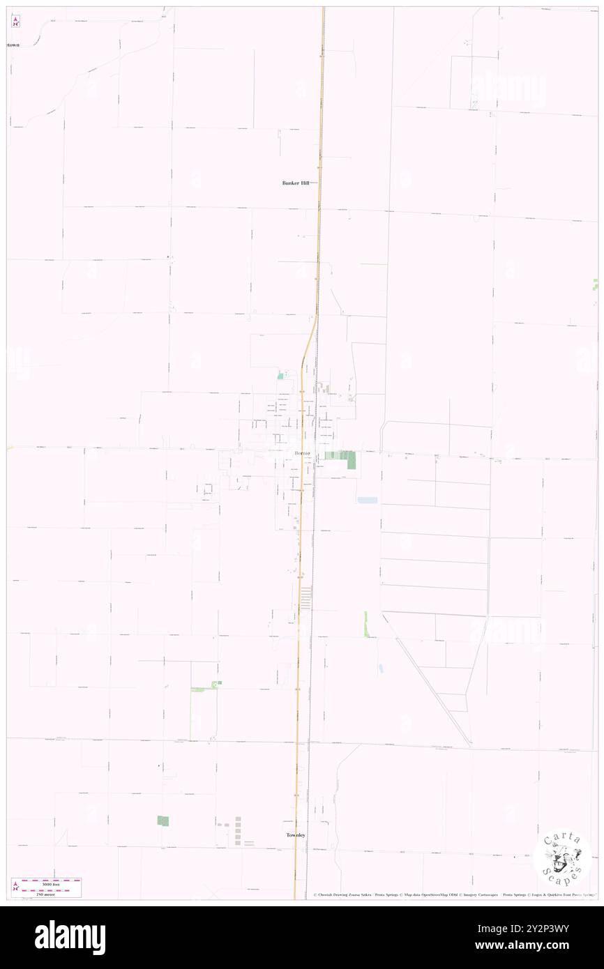 Bernie, Stoddard County, US, United States, Missouri, N 36 40' 8'', S 89 58' 7'', map, Cartascapes Map published in 2024. Explore Cartascapes, a map revealing Earth's diverse landscapes, cultures, and ecosystems. Journey through time and space, discovering the interconnectedness of our planet's past, present, and future. Stock Photohttps://www.alamy.com/image-license-details/?v=1https://www.alamy.com/bernie-stoddard-county-us-united-states-missouri-n-36-40-8-s-89-58-7-map-cartascapes-map-published-in-2024-explore-cartascapes-a-map-revealing-earths-diverse-landscapes-cultures-and-ecosystems-journey-through-time-and-space-discovering-the-interconnectedness-of-our-planets-past-present-and-future-image621288583.html
RM2Y2P3WY–Bernie, Stoddard County, US, United States, Missouri, N 36 40' 8'', S 89 58' 7'', map, Cartascapes Map published in 2024. Explore Cartascapes, a map revealing Earth's diverse landscapes, cultures, and ecosystems. Journey through time and space, discovering the interconnectedness of our planet's past, present, and future.
 Bloomfield, Stoddard County, US, United States, Missouri, N 36 53' 9'', S 89 55' 45'', map, Cartascapes Map published in 2024. Explore Cartascapes, a map revealing Earth's diverse landscapes, cultures, and ecosystems. Journey through time and space, discovering the interconnectedness of our planet's past, present, and future. Stock Photohttps://www.alamy.com/image-license-details/?v=1https://www.alamy.com/bloomfield-stoddard-county-us-united-states-missouri-n-36-53-9-s-89-55-45-map-cartascapes-map-published-in-2024-explore-cartascapes-a-map-revealing-earths-diverse-landscapes-cultures-and-ecosystems-journey-through-time-and-space-discovering-the-interconnectedness-of-our-planets-past-present-and-future-image621215445.html
RM2Y2JPHW–Bloomfield, Stoddard County, US, United States, Missouri, N 36 53' 9'', S 89 55' 45'', map, Cartascapes Map published in 2024. Explore Cartascapes, a map revealing Earth's diverse landscapes, cultures, and ecosystems. Journey through time and space, discovering the interconnectedness of our planet's past, present, and future.
 LaValle, Stoddard County, US, United States, Missouri, N 36 40' 31'', S 89 46' 25'', map, Cartascapes Map published in 2024. Explore Cartascapes, a map revealing Earth's diverse landscapes, cultures, and ecosystems. Journey through time and space, discovering the interconnectedness of our planet's past, present, and future. Stock Photohttps://www.alamy.com/image-license-details/?v=1https://www.alamy.com/lavalle-stoddard-county-us-united-states-missouri-n-36-40-31-s-89-46-25-map-cartascapes-map-published-in-2024-explore-cartascapes-a-map-revealing-earths-diverse-landscapes-cultures-and-ecosystems-journey-through-time-and-space-discovering-the-interconnectedness-of-our-planets-past-present-and-future-image621263885.html
RM2Y2N0BW–LaValle, Stoddard County, US, United States, Missouri, N 36 40' 31'', S 89 46' 25'', map, Cartascapes Map published in 2024. Explore Cartascapes, a map revealing Earth's diverse landscapes, cultures, and ecosystems. Journey through time and space, discovering the interconnectedness of our planet's past, present, and future.
 Ardeola, Stoddard County, US, United States, Missouri, N 37 0' 4'', S 89 51' 10'', map, Cartascapes Map published in 2024. Explore Cartascapes, a map revealing Earth's diverse landscapes, cultures, and ecosystems. Journey through time and space, discovering the interconnectedness of our planet's past, present, and future. Stock Photohttps://www.alamy.com/image-license-details/?v=1https://www.alamy.com/ardeola-stoddard-county-us-united-states-missouri-n-37-0-4-s-89-51-10-map-cartascapes-map-published-in-2024-explore-cartascapes-a-map-revealing-earths-diverse-landscapes-cultures-and-ecosystems-journey-through-time-and-space-discovering-the-interconnectedness-of-our-planets-past-present-and-future-image621238072.html
RM2Y2KRE0–Ardeola, Stoddard County, US, United States, Missouri, N 37 0' 4'', S 89 51' 10'', map, Cartascapes Map published in 2024. Explore Cartascapes, a map revealing Earth's diverse landscapes, cultures, and ecosystems. Journey through time and space, discovering the interconnectedness of our planet's past, present, and future.
 Tillman, Stoddard County, US, United States, Missouri, N 37 3' 19'', S 89 51' 51'', map, Cartascapes Map published in 2024. Explore Cartascapes, a map revealing Earth's diverse landscapes, cultures, and ecosystems. Journey through time and space, discovering the interconnectedness of our planet's past, present, and future. Stock Photohttps://www.alamy.com/image-license-details/?v=1https://www.alamy.com/tillman-stoddard-county-us-united-states-missouri-n-37-3-19-s-89-51-51-map-cartascapes-map-published-in-2024-explore-cartascapes-a-map-revealing-earths-diverse-landscapes-cultures-and-ecosystems-journey-through-time-and-space-discovering-the-interconnectedness-of-our-planets-past-present-and-future-image621199903.html
RM2Y2J2PR–Tillman, Stoddard County, US, United States, Missouri, N 37 3' 19'', S 89 51' 51'', map, Cartascapes Map published in 2024. Explore Cartascapes, a map revealing Earth's diverse landscapes, cultures, and ecosystems. Journey through time and space, discovering the interconnectedness of our planet's past, present, and future.
 Hickman, Stoddard County, US, United States, Missouri, N 36 59' 26'', S 90 7' 1'', map, Cartascapes Map published in 2024. Explore Cartascapes, a map revealing Earth's diverse landscapes, cultures, and ecosystems. Journey through time and space, discovering the interconnectedness of our planet's past, present, and future. Stock Photohttps://www.alamy.com/image-license-details/?v=1https://www.alamy.com/hickman-stoddard-county-us-united-states-missouri-n-36-59-26-s-90-7-1-map-cartascapes-map-published-in-2024-explore-cartascapes-a-map-revealing-earths-diverse-landscapes-cultures-and-ecosystems-journey-through-time-and-space-discovering-the-interconnectedness-of-our-planets-past-present-and-future-image621458286.html
RM2Y31TAP–Hickman, Stoddard County, US, United States, Missouri, N 36 59' 26'', S 90 7' 1'', map, Cartascapes Map published in 2024. Explore Cartascapes, a map revealing Earth's diverse landscapes, cultures, and ecosystems. Journey through time and space, discovering the interconnectedness of our planet's past, present, and future.
 Hickman, Stoddard County, US, United States, Missouri, N 36 59' 26'', S 90 7' 1'', map, Cartascapes Map published in 2024. Explore Cartascapes, a map revealing Earth's diverse landscapes, cultures, and ecosystems. Journey through time and space, discovering the interconnectedness of our planet's past, present, and future. Stock Photohttps://www.alamy.com/image-license-details/?v=1https://www.alamy.com/hickman-stoddard-county-us-united-states-missouri-n-36-59-26-s-90-7-1-map-cartascapes-map-published-in-2024-explore-cartascapes-a-map-revealing-earths-diverse-landscapes-cultures-and-ecosystems-journey-through-time-and-space-discovering-the-interconnectedness-of-our-planets-past-present-and-future-image621229928.html
RM2Y2KD34–Hickman, Stoddard County, US, United States, Missouri, N 36 59' 26'', S 90 7' 1'', map, Cartascapes Map published in 2024. Explore Cartascapes, a map revealing Earth's diverse landscapes, cultures, and ecosystems. Journey through time and space, discovering the interconnectedness of our planet's past, present, and future.
 Dudley, Stoddard County, US, United States, Missouri, N 36 47' 19'', S 90 5' 35'', map, Cartascapes Map published in 2024. Explore Cartascapes, a map revealing Earth's diverse landscapes, cultures, and ecosystems. Journey through time and space, discovering the interconnectedness of our planet's past, present, and future. Stock Photohttps://www.alamy.com/image-license-details/?v=1https://www.alamy.com/dudley-stoddard-county-us-united-states-missouri-n-36-47-19-s-90-5-35-map-cartascapes-map-published-in-2024-explore-cartascapes-a-map-revealing-earths-diverse-landscapes-cultures-and-ecosystems-journey-through-time-and-space-discovering-the-interconnectedness-of-our-planets-past-present-and-future-image621491690.html
RM2Y33AYP–Dudley, Stoddard County, US, United States, Missouri, N 36 47' 19'', S 90 5' 35'', map, Cartascapes Map published in 2024. Explore Cartascapes, a map revealing Earth's diverse landscapes, cultures, and ecosystems. Journey through time and space, discovering the interconnectedness of our planet's past, present, and future.
 Idalia, Stoddard County, US, United States, Missouri, N 36 51' 50'', S 89 51' 39'', map, Cartascapes Map published in 2024. Explore Cartascapes, a map revealing Earth's diverse landscapes, cultures, and ecosystems. Journey through time and space, discovering the interconnectedness of our planet's past, present, and future. Stock Photohttps://www.alamy.com/image-license-details/?v=1https://www.alamy.com/idalia-stoddard-county-us-united-states-missouri-n-36-51-50-s-89-51-39-map-cartascapes-map-published-in-2024-explore-cartascapes-a-map-revealing-earths-diverse-landscapes-cultures-and-ecosystems-journey-through-time-and-space-discovering-the-interconnectedness-of-our-planets-past-present-and-future-image621298565.html
RM2Y2PGJD–Idalia, Stoddard County, US, United States, Missouri, N 36 51' 50'', S 89 51' 39'', map, Cartascapes Map published in 2024. Explore Cartascapes, a map revealing Earth's diverse landscapes, cultures, and ecosystems. Journey through time and space, discovering the interconnectedness of our planet's past, present, and future.
 Penermon, Stoddard County, US, United States, Missouri, N 36 47' 24'', S 89 49' 45'', map, Cartascapes Map published in 2024. Explore Cartascapes, a map revealing Earth's diverse landscapes, cultures, and ecosystems. Journey through time and space, discovering the interconnectedness of our planet's past, present, and future. Stock Photohttps://www.alamy.com/image-license-details/?v=1https://www.alamy.com/penermon-stoddard-county-us-united-states-missouri-n-36-47-24-s-89-49-45-map-cartascapes-map-published-in-2024-explore-cartascapes-a-map-revealing-earths-diverse-landscapes-cultures-and-ecosystems-journey-through-time-and-space-discovering-the-interconnectedness-of-our-planets-past-present-and-future-image621195220.html
RM2Y2HTRG–Penermon, Stoddard County, US, United States, Missouri, N 36 47' 24'', S 89 49' 45'', map, Cartascapes Map published in 2024. Explore Cartascapes, a map revealing Earth's diverse landscapes, cultures, and ecosystems. Journey through time and space, discovering the interconnectedness of our planet's past, present, and future.
 Cyrus, Stoddard County, US, United States, Missouri, N 36 39' 34'', S 90 3' 20'', map, Cartascapes Map published in 2024. Explore Cartascapes, a map revealing Earth's diverse landscapes, cultures, and ecosystems. Journey through time and space, discovering the interconnectedness of our planet's past, present, and future. Stock Photohttps://www.alamy.com/image-license-details/?v=1https://www.alamy.com/cyrus-stoddard-county-us-united-states-missouri-n-36-39-34-s-90-3-20-map-cartascapes-map-published-in-2024-explore-cartascapes-a-map-revealing-earths-diverse-landscapes-cultures-and-ecosystems-journey-through-time-and-space-discovering-the-interconnectedness-of-our-planets-past-present-and-future-image621287707.html
RM2Y2P2PK–Cyrus, Stoddard County, US, United States, Missouri, N 36 39' 34'', S 90 3' 20'', map, Cartascapes Map published in 2024. Explore Cartascapes, a map revealing Earth's diverse landscapes, cultures, and ecosystems. Journey through time and space, discovering the interconnectedness of our planet's past, present, and future.
 Brownwood, Stoddard County, US, United States, Missouri, N 37 4' 51'', S 89 57' 16'', map, Cartascapes Map published in 2024. Explore Cartascapes, a map revealing Earth's diverse landscapes, cultures, and ecosystems. Journey through time and space, discovering the interconnectedness of our planet's past, present, and future. Stock Photohttps://www.alamy.com/image-license-details/?v=1https://www.alamy.com/brownwood-stoddard-county-us-united-states-missouri-n-37-4-51-s-89-57-16-map-cartascapes-map-published-in-2024-explore-cartascapes-a-map-revealing-earths-diverse-landscapes-cultures-and-ecosystems-journey-through-time-and-space-discovering-the-interconnectedness-of-our-planets-past-present-and-future-image621414490.html
RM2Y2YTEJ–Brownwood, Stoddard County, US, United States, Missouri, N 37 4' 51'', S 89 57' 16'', map, Cartascapes Map published in 2024. Explore Cartascapes, a map revealing Earth's diverse landscapes, cultures, and ecosystems. Journey through time and space, discovering the interconnectedness of our planet's past, present, and future.
 Messler, Stoddard County, US, United States, Missouri, N 37 3' 58'', S 89 48' 12'', map, Cartascapes Map published in 2024. Explore Cartascapes, a map revealing Earth's diverse landscapes, cultures, and ecosystems. Journey through time and space, discovering the interconnectedness of our planet's past, present, and future. Stock Photohttps://www.alamy.com/image-license-details/?v=1https://www.alamy.com/messler-stoddard-county-us-united-states-missouri-n-37-3-58-s-89-48-12-map-cartascapes-map-published-in-2024-explore-cartascapes-a-map-revealing-earths-diverse-landscapes-cultures-and-ecosystems-journey-through-time-and-space-discovering-the-interconnectedness-of-our-planets-past-present-and-future-image621467337.html
RM2Y327X1–Messler, Stoddard County, US, United States, Missouri, N 37 3' 58'', S 89 48' 12'', map, Cartascapes Map published in 2024. Explore Cartascapes, a map revealing Earth's diverse landscapes, cultures, and ecosystems. Journey through time and space, discovering the interconnectedness of our planet's past, present, and future.
 Aid, Stoddard County, US, United States, Missouri, N 36 52' 37'', S 90 2' 28'', map, Cartascapes Map published in 2024. Explore Cartascapes, a map revealing Earth's diverse landscapes, cultures, and ecosystems. Journey through time and space, discovering the interconnectedness of our planet's past, present, and future. Stock Photohttps://www.alamy.com/image-license-details/?v=1https://www.alamy.com/aid-stoddard-county-us-united-states-missouri-n-36-52-37-s-90-2-28-map-cartascapes-map-published-in-2024-explore-cartascapes-a-map-revealing-earths-diverse-landscapes-cultures-and-ecosystems-journey-through-time-and-space-discovering-the-interconnectedness-of-our-planets-past-present-and-future-image621306229.html
RM2Y2PXC5–Aid, Stoddard County, US, United States, Missouri, N 36 52' 37'', S 90 2' 28'', map, Cartascapes Map published in 2024. Explore Cartascapes, a map revealing Earth's diverse landscapes, cultures, and ecosystems. Journey through time and space, discovering the interconnectedness of our planet's past, present, and future.
 Shreve, Stoddard County, US, United States, Missouri, N 36 38' 46'', S 90 5' 45'', map, Cartascapes Map published in 2024. Explore Cartascapes, a map revealing Earth's diverse landscapes, cultures, and ecosystems. Journey through time and space, discovering the interconnectedness of our planet's past, present, and future. Stock Photohttps://www.alamy.com/image-license-details/?v=1https://www.alamy.com/shreve-stoddard-county-us-united-states-missouri-n-36-38-46-s-90-5-45-map-cartascapes-map-published-in-2024-explore-cartascapes-a-map-revealing-earths-diverse-landscapes-cultures-and-ecosystems-journey-through-time-and-space-discovering-the-interconnectedness-of-our-planets-past-present-and-future-image621398138.html
RM2Y2Y3JJ–Shreve, Stoddard County, US, United States, Missouri, N 36 38' 46'', S 90 5' 45'', map, Cartascapes Map published in 2024. Explore Cartascapes, a map revealing Earth's diverse landscapes, cultures, and ecosystems. Journey through time and space, discovering the interconnectedness of our planet's past, present, and future.
 Mingo, Stoddard County, US, United States, Missouri, N 36 56' 14'', S 90 12' 0'', map, Cartascapes Map published in 2024. Explore Cartascapes, a map revealing Earth's diverse landscapes, cultures, and ecosystems. Journey through time and space, discovering the interconnectedness of our planet's past, present, and future. Stock Photohttps://www.alamy.com/image-license-details/?v=1https://www.alamy.com/mingo-stoddard-county-us-united-states-missouri-n-36-56-14-s-90-12-0-map-cartascapes-map-published-in-2024-explore-cartascapes-a-map-revealing-earths-diverse-landscapes-cultures-and-ecosystems-journey-through-time-and-space-discovering-the-interconnectedness-of-our-planets-past-present-and-future-image621446313.html
RM2Y31935–Mingo, Stoddard County, US, United States, Missouri, N 36 56' 14'', S 90 12' 0'', map, Cartascapes Map published in 2024. Explore Cartascapes, a map revealing Earth's diverse landscapes, cultures, and ecosystems. Journey through time and space, discovering the interconnectedness of our planet's past, present, and future.
 Guam, Stoddard County, US, United States, Missouri, N 36 54' 7'', S 89 49' 25'', map, Cartascapes Map published in 2024. Explore Cartascapes, a map revealing Earth's diverse landscapes, cultures, and ecosystems. Journey through time and space, discovering the interconnectedness of our planet's past, present, and future. Stock Photohttps://www.alamy.com/image-license-details/?v=1https://www.alamy.com/guam-stoddard-county-us-united-states-missouri-n-36-54-7-s-89-49-25-map-cartascapes-map-published-in-2024-explore-cartascapes-a-map-revealing-earths-diverse-landscapes-cultures-and-ecosystems-journey-through-time-and-space-discovering-the-interconnectedness-of-our-planets-past-present-and-future-image621389543.html
RM2Y2XMKK–Guam, Stoddard County, US, United States, Missouri, N 36 54' 7'', S 89 49' 25'', map, Cartascapes Map published in 2024. Explore Cartascapes, a map revealing Earth's diverse landscapes, cultures, and ecosystems. Journey through time and space, discovering the interconnectedness of our planet's past, present, and future.
 Curdton, Stoddard County, US, United States, Missouri, N 36 57' 52'', S 90 3' 19'', map, Cartascapes Map published in 2024. Explore Cartascapes, a map revealing Earth's diverse landscapes, cultures, and ecosystems. Journey through time and space, discovering the interconnectedness of our planet's past, present, and future. Stock Photohttps://www.alamy.com/image-license-details/?v=1https://www.alamy.com/curdton-stoddard-county-us-united-states-missouri-n-36-57-52-s-90-3-19-map-cartascapes-map-published-in-2024-explore-cartascapes-a-map-revealing-earths-diverse-landscapes-cultures-and-ecosystems-journey-through-time-and-space-discovering-the-interconnectedness-of-our-planets-past-present-and-future-image621239392.html
RM2Y2KW54–Curdton, Stoddard County, US, United States, Missouri, N 36 57' 52'', S 90 3' 19'', map, Cartascapes Map published in 2024. Explore Cartascapes, a map revealing Earth's diverse landscapes, cultures, and ecosystems. Journey through time and space, discovering the interconnectedness of our planet's past, present, and future.
 Kinder, Stoddard County, US, United States, Missouri, N 37 0' 57'', S 90 4' 41'', map, Cartascapes Map published in 2024. Explore Cartascapes, a map revealing Earth's diverse landscapes, cultures, and ecosystems. Journey through time and space, discovering the interconnectedness of our planet's past, present, and future. Stock Photohttps://www.alamy.com/image-license-details/?v=1https://www.alamy.com/kinder-stoddard-county-us-united-states-missouri-n-37-0-57-s-90-4-41-map-cartascapes-map-published-in-2024-explore-cartascapes-a-map-revealing-earths-diverse-landscapes-cultures-and-ecosystems-journey-through-time-and-space-discovering-the-interconnectedness-of-our-planets-past-present-and-future-image621410137.html
RM2Y2YJY5–Kinder, Stoddard County, US, United States, Missouri, N 37 0' 57'', S 90 4' 41'', map, Cartascapes Map published in 2024. Explore Cartascapes, a map revealing Earth's diverse landscapes, cultures, and ecosystems. Journey through time and space, discovering the interconnectedness of our planet's past, present, and future.
 Heagy, Stoddard County, US, United States, Missouri, N 37 2' 18'', S 89 48' 10'', map, Cartascapes Map published in 2024. Explore Cartascapes, a map revealing Earth's diverse landscapes, cultures, and ecosystems. Journey through time and space, discovering the interconnectedness of our planet's past, present, and future. Stock Photohttps://www.alamy.com/image-license-details/?v=1https://www.alamy.com/heagy-stoddard-county-us-united-states-missouri-n-37-2-18-s-89-48-10-map-cartascapes-map-published-in-2024-explore-cartascapes-a-map-revealing-earths-diverse-landscapes-cultures-and-ecosystems-journey-through-time-and-space-discovering-the-interconnectedness-of-our-planets-past-present-and-future-image621247902.html
RM2Y2M812–Heagy, Stoddard County, US, United States, Missouri, N 37 2' 18'', S 89 48' 10'', map, Cartascapes Map published in 2024. Explore Cartascapes, a map revealing Earth's diverse landscapes, cultures, and ecosystems. Journey through time and space, discovering the interconnectedness of our planet's past, present, and future.
 Shawan, Stoddard County, US, United States, Missouri, N 36 57' 50'', S 89 46' 47'', map, Cartascapes Map published in 2024. Explore Cartascapes, a map revealing Earth's diverse landscapes, cultures, and ecosystems. Journey through time and space, discovering the interconnectedness of our planet's past, present, and future. Stock Photohttps://www.alamy.com/image-license-details/?v=1https://www.alamy.com/shawan-stoddard-county-us-united-states-missouri-n-36-57-50-s-89-46-47-map-cartascapes-map-published-in-2024-explore-cartascapes-a-map-revealing-earths-diverse-landscapes-cultures-and-ecosystems-journey-through-time-and-space-discovering-the-interconnectedness-of-our-planets-past-present-and-future-image621205479.html
RM2Y2J9WY–Shawan, Stoddard County, US, United States, Missouri, N 36 57' 50'', S 89 46' 47'', map, Cartascapes Map published in 2024. Explore Cartascapes, a map revealing Earth's diverse landscapes, cultures, and ecosystems. Journey through time and space, discovering the interconnectedness of our planet's past, present, and future.
 Asherville, Stoddard County, US, United States, Missouri, N 36 53' 55'', S 90 11' 14'', map, Cartascapes Map published in 2024. Explore Cartascapes, a map revealing Earth's diverse landscapes, cultures, and ecosystems. Journey through time and space, discovering the interconnectedness of our planet's past, present, and future. Stock Photohttps://www.alamy.com/image-license-details/?v=1https://www.alamy.com/asherville-stoddard-county-us-united-states-missouri-n-36-53-55-s-90-11-14-map-cartascapes-map-published-in-2024-explore-cartascapes-a-map-revealing-earths-diverse-landscapes-cultures-and-ecosystems-journey-through-time-and-space-discovering-the-interconnectedness-of-our-planets-past-present-and-future-image621254717.html
RM2Y2MGMD–Asherville, Stoddard County, US, United States, Missouri, N 36 53' 55'', S 90 11' 14'', map, Cartascapes Map published in 2024. Explore Cartascapes, a map revealing Earth's diverse landscapes, cultures, and ecosystems. Journey through time and space, discovering the interconnectedness of our planet's past, present, and future.
 Frisco, Stoddard County, US, United States, Missouri, N 36 45' 32'', S 89 51' 44'', map, Cartascapes Map published in 2024. Explore Cartascapes, a map revealing Earth's diverse landscapes, cultures, and ecosystems. Journey through time and space, discovering the interconnectedness of our planet's past, present, and future. Stock Photohttps://www.alamy.com/image-license-details/?v=1https://www.alamy.com/frisco-stoddard-county-us-united-states-missouri-n-36-45-32-s-89-51-44-map-cartascapes-map-published-in-2024-explore-cartascapes-a-map-revealing-earths-diverse-landscapes-cultures-and-ecosystems-journey-through-time-and-space-discovering-the-interconnectedness-of-our-planets-past-present-and-future-image621260291.html
RM2Y2MRRF–Frisco, Stoddard County, US, United States, Missouri, N 36 45' 32'', S 89 51' 44'', map, Cartascapes Map published in 2024. Explore Cartascapes, a map revealing Earth's diverse landscapes, cultures, and ecosystems. Journey through time and space, discovering the interconnectedness of our planet's past, present, and future.
 Buffington, Stoddard County, US, United States, Missouri, N 36 49' 50'', S 89 44' 35'', map, Cartascapes Map published in 2024. Explore Cartascapes, a map revealing Earth's diverse landscapes, cultures, and ecosystems. Journey through time and space, discovering the interconnectedness of our planet's past, present, and future. Stock Photohttps://www.alamy.com/image-license-details/?v=1https://www.alamy.com/buffington-stoddard-county-us-united-states-missouri-n-36-49-50-s-89-44-35-map-cartascapes-map-published-in-2024-explore-cartascapes-a-map-revealing-earths-diverse-landscapes-cultures-and-ecosystems-journey-through-time-and-space-discovering-the-interconnectedness-of-our-planets-past-present-and-future-image621431965.html
RM2Y30JPN–Buffington, Stoddard County, US, United States, Missouri, N 36 49' 50'', S 89 44' 35'', map, Cartascapes Map published in 2024. Explore Cartascapes, a map revealing Earth's diverse landscapes, cultures, and ecosystems. Journey through time and space, discovering the interconnectedness of our planet's past, present, and future.
 Redd, Stoddard County, US, United States, Missouri, N 36 50' 52'', S 90 3' 38'', map, Cartascapes Map published in 2024. Explore Cartascapes, a map revealing Earth's diverse landscapes, cultures, and ecosystems. Journey through time and space, discovering the interconnectedness of our planet's past, present, and future. Stock Photohttps://www.alamy.com/image-license-details/?v=1https://www.alamy.com/redd-stoddard-county-us-united-states-missouri-n-36-50-52-s-90-3-38-map-cartascapes-map-published-in-2024-explore-cartascapes-a-map-revealing-earths-diverse-landscapes-cultures-and-ecosystems-journey-through-time-and-space-discovering-the-interconnectedness-of-our-planets-past-present-and-future-image621227766.html
RM2Y2KA9X–Redd, Stoddard County, US, United States, Missouri, N 36 50' 52'', S 90 3' 38'', map, Cartascapes Map published in 2024. Explore Cartascapes, a map revealing Earth's diverse landscapes, cultures, and ecosystems. Journey through time and space, discovering the interconnectedness of our planet's past, present, and future.
 Toga, Stoddard County, US, United States, Missouri, N 37 6' 58'', S 89 53' 5'', map, Cartascapes Map published in 2024. Explore Cartascapes, a map revealing Earth's diverse landscapes, cultures, and ecosystems. Journey through time and space, discovering the interconnectedness of our planet's past, present, and future. Stock Photohttps://www.alamy.com/image-license-details/?v=1https://www.alamy.com/toga-stoddard-county-us-united-states-missouri-n-37-6-58-s-89-53-5-map-cartascapes-map-published-in-2024-explore-cartascapes-a-map-revealing-earths-diverse-landscapes-cultures-and-ecosystems-journey-through-time-and-space-discovering-the-interconnectedness-of-our-planets-past-present-and-future-image621194404.html
RM2Y2HRPC–Toga, Stoddard County, US, United States, Missouri, N 37 6' 58'', S 89 53' 5'', map, Cartascapes Map published in 2024. Explore Cartascapes, a map revealing Earth's diverse landscapes, cultures, and ecosystems. Journey through time and space, discovering the interconnectedness of our planet's past, present, and future.
 Dexter, Stoddard County, US, United States, Missouri, N 36 47' 45'', S 89 57' 28'', map, Cartascapes Map published in 2024. Explore Cartascapes, a map revealing Earth's diverse landscapes, cultures, and ecosystems. Journey through time and space, discovering the interconnectedness of our planet's past, present, and future. Stock Photohttps://www.alamy.com/image-license-details/?v=1https://www.alamy.com/dexter-stoddard-county-us-united-states-missouri-n-36-47-45-s-89-57-28-map-cartascapes-map-published-in-2024-explore-cartascapes-a-map-revealing-earths-diverse-landscapes-cultures-and-ecosystems-journey-through-time-and-space-discovering-the-interconnectedness-of-our-planets-past-present-and-future-image621424917.html
RM2Y309R1–Dexter, Stoddard County, US, United States, Missouri, N 36 47' 45'', S 89 57' 28'', map, Cartascapes Map published in 2024. Explore Cartascapes, a map revealing Earth's diverse landscapes, cultures, and ecosystems. Journey through time and space, discovering the interconnectedness of our planet's past, present, and future.
 Eaglette, Stoddard County, US, United States, Missouri, N 37 2' 8'', S 90 2' 22'', map, Cartascapes Map published in 2024. Explore Cartascapes, a map revealing Earth's diverse landscapes, cultures, and ecosystems. Journey through time and space, discovering the interconnectedness of our planet's past, present, and future. Stock Photohttps://www.alamy.com/image-license-details/?v=1https://www.alamy.com/eaglette-stoddard-county-us-united-states-missouri-n-37-2-8-s-90-2-22-map-cartascapes-map-published-in-2024-explore-cartascapes-a-map-revealing-earths-diverse-landscapes-cultures-and-ecosystems-journey-through-time-and-space-discovering-the-interconnectedness-of-our-planets-past-present-and-future-image621247905.html
RM2Y2M815–Eaglette, Stoddard County, US, United States, Missouri, N 37 2' 8'', S 90 2' 22'', map, Cartascapes Map published in 2024. Explore Cartascapes, a map revealing Earth's diverse landscapes, cultures, and ecosystems. Journey through time and space, discovering the interconnectedness of our planet's past, present, and future.
 Miller (historical), Stoddard County, US, United States, Missouri, N 36 43' 15'', S 89 57' 58'', map, Cartascapes Map published in 2024. Explore Cartascapes, a map revealing Earth's diverse landscapes, cultures, and ecosystems. Journey through time and space, discovering the interconnectedness of our planet's past, present, and future. Stock Photohttps://www.alamy.com/image-license-details/?v=1https://www.alamy.com/miller-historical-stoddard-county-us-united-states-missouri-n-36-43-15-s-89-57-58-map-cartascapes-map-published-in-2024-explore-cartascapes-a-map-revealing-earths-diverse-landscapes-cultures-and-ecosystems-journey-through-time-and-space-discovering-the-interconnectedness-of-our-planets-past-present-and-future-image621155518.html
RM2Y2G25J–Miller (historical), Stoddard County, US, United States, Missouri, N 36 43' 15'', S 89 57' 58'', map, Cartascapes Map published in 2024. Explore Cartascapes, a map revealing Earth's diverse landscapes, cultures, and ecosystems. Journey through time and space, discovering the interconnectedness of our planet's past, present, and future.
 Fort Stoddard, Mobile County, US, United States, Alabama, N 31 5' 59'', S 87 58' 44'', map, Cartascapes Map published in 2024. Explore Cartascapes, a map revealing Earth's diverse landscapes, cultures, and ecosystems. Journey through time and space, discovering the interconnectedness of our planet's past, present, and future. Stock Photohttps://www.alamy.com/image-license-details/?v=1https://www.alamy.com/fort-stoddard-mobile-county-us-united-states-alabama-n-31-5-59-s-87-58-44-map-cartascapes-map-published-in-2024-explore-cartascapes-a-map-revealing-earths-diverse-landscapes-cultures-and-ecosystems-journey-through-time-and-space-discovering-the-interconnectedness-of-our-planets-past-present-and-future-image621300780.html
RM2Y2PKDG–Fort Stoddard, Mobile County, US, United States, Alabama, N 31 5' 59'', S 87 58' 44'', map, Cartascapes Map published in 2024. Explore Cartascapes, a map revealing Earth's diverse landscapes, cultures, and ecosystems. Journey through time and space, discovering the interconnectedness of our planet's past, present, and future.
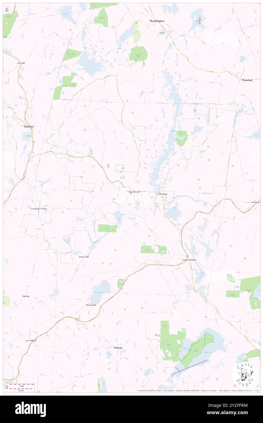 Stoddard, Cheshire County, US, United States, New Hampshire, N 43 4' 43'', S 72 6' 52'', map, Cartascapes Map published in 2024. Explore Cartascapes, a map revealing Earth's diverse landscapes, cultures, and ecosystems. Journey through time and space, discovering the interconnectedness of our planet's past, present, and future. Stock Photohttps://www.alamy.com/image-license-details/?v=1https://www.alamy.com/stoddard-cheshire-county-us-united-states-new-hampshire-n-43-4-43-s-72-6-52-map-cartascapes-map-published-in-2024-explore-cartascapes-a-map-revealing-earths-diverse-landscapes-cultures-and-ecosystems-journey-through-time-and-space-discovering-the-interconnectedness-of-our-planets-past-present-and-future-image621144264.html
RM2Y2FFRM–Stoddard, Cheshire County, US, United States, New Hampshire, N 43 4' 43'', S 72 6' 52'', map, Cartascapes Map published in 2024. Explore Cartascapes, a map revealing Earth's diverse landscapes, cultures, and ecosystems. Journey through time and space, discovering the interconnectedness of our planet's past, present, and future.
 Stoddard, Cheshire County, US, United States, New Hampshire, N 43 4' 43'', S 72 6' 52'', map, Cartascapes Map published in 2024. Explore Cartascapes, a map revealing Earth's diverse landscapes, cultures, and ecosystems. Journey through time and space, discovering the interconnectedness of our planet's past, present, and future. Stock Photohttps://www.alamy.com/image-license-details/?v=1https://www.alamy.com/stoddard-cheshire-county-us-united-states-new-hampshire-n-43-4-43-s-72-6-52-map-cartascapes-map-published-in-2024-explore-cartascapes-a-map-revealing-earths-diverse-landscapes-cultures-and-ecosystems-journey-through-time-and-space-discovering-the-interconnectedness-of-our-planets-past-present-and-future-image621230638.html
RM2Y2KE0E–Stoddard, Cheshire County, US, United States, New Hampshire, N 43 4' 43'', S 72 6' 52'', map, Cartascapes Map published in 2024. Explore Cartascapes, a map revealing Earth's diverse landscapes, cultures, and ecosystems. Journey through time and space, discovering the interconnectedness of our planet's past, present, and future.
 Charter Oak, Stoddard County, US, United States, Missouri, N 36 42' 55'', S 89 43' 11'', map, Cartascapes Map published in 2024. Explore Cartascapes, a map revealing Earth's diverse landscapes, cultures, and ecosystems. Journey through time and space, discovering the interconnectedness of our planet's past, present, and future. Stock Photohttps://www.alamy.com/image-license-details/?v=1https://www.alamy.com/charter-oak-stoddard-county-us-united-states-missouri-n-36-42-55-s-89-43-11-map-cartascapes-map-published-in-2024-explore-cartascapes-a-map-revealing-earths-diverse-landscapes-cultures-and-ecosystems-journey-through-time-and-space-discovering-the-interconnectedness-of-our-planets-past-present-and-future-image621301605.html
RM2Y2PMF1–Charter Oak, Stoddard County, US, United States, Missouri, N 36 42' 55'', S 89 43' 11'', map, Cartascapes Map published in 2024. Explore Cartascapes, a map revealing Earth's diverse landscapes, cultures, and ecosystems. Journey through time and space, discovering the interconnectedness of our planet's past, present, and future.
 Bell City, Stoddard County, US, United States, Missouri, N 37 1' 25'', S 89 49' 11'', map, Cartascapes Map published in 2024. Explore Cartascapes, a map revealing Earth's diverse landscapes, cultures, and ecosystems. Journey through time and space, discovering the interconnectedness of our planet's past, present, and future. Stock Photohttps://www.alamy.com/image-license-details/?v=1https://www.alamy.com/bell-city-stoddard-county-us-united-states-missouri-n-37-1-25-s-89-49-11-map-cartascapes-map-published-in-2024-explore-cartascapes-a-map-revealing-earths-diverse-landscapes-cultures-and-ecosystems-journey-through-time-and-space-discovering-the-interconnectedness-of-our-planets-past-present-and-future-image621408149.html
RM2Y2YGC5–Bell City, Stoddard County, US, United States, Missouri, N 37 1' 25'', S 89 49' 11'', map, Cartascapes Map published in 2024. Explore Cartascapes, a map revealing Earth's diverse landscapes, cultures, and ecosystems. Journey through time and space, discovering the interconnectedness of our planet's past, present, and future.
 Castorville (historical), Stoddard County, US, United States, Missouri, N 36 58' 30'', S 90 0' 38'', map, Cartascapes Map published in 2024. Explore Cartascapes, a map revealing Earth's diverse landscapes, cultures, and ecosystems. Journey through time and space, discovering the interconnectedness of our planet's past, present, and future. Stock Photohttps://www.alamy.com/image-license-details/?v=1https://www.alamy.com/castorville-historical-stoddard-county-us-united-states-missouri-n-36-58-30-s-90-0-38-map-cartascapes-map-published-in-2024-explore-cartascapes-a-map-revealing-earths-diverse-landscapes-cultures-and-ecosystems-journey-through-time-and-space-discovering-the-interconnectedness-of-our-planets-past-present-and-future-image621429659.html
RM2Y30FTB–Castorville (historical), Stoddard County, US, United States, Missouri, N 36 58' 30'', S 90 0' 38'', map, Cartascapes Map published in 2024. Explore Cartascapes, a map revealing Earth's diverse landscapes, cultures, and ecosystems. Journey through time and space, discovering the interconnectedness of our planet's past, present, and future.
 Bell City, Stoddard County, US, United States, Missouri, N 37 1' 25'', S 89 49' 11'', map, Cartascapes Map published in 2024. Explore Cartascapes, a map revealing Earth's diverse landscapes, cultures, and ecosystems. Journey through time and space, discovering the interconnectedness of our planet's past, present, and future. Stock Photohttps://www.alamy.com/image-license-details/?v=1https://www.alamy.com/bell-city-stoddard-county-us-united-states-missouri-n-37-1-25-s-89-49-11-map-cartascapes-map-published-in-2024-explore-cartascapes-a-map-revealing-earths-diverse-landscapes-cultures-and-ecosystems-journey-through-time-and-space-discovering-the-interconnectedness-of-our-planets-past-present-and-future-image621220561.html
RM2Y2K14H–Bell City, Stoddard County, US, United States, Missouri, N 37 1' 25'', S 89 49' 11'', map, Cartascapes Map published in 2024. Explore Cartascapes, a map revealing Earth's diverse landscapes, cultures, and ecosystems. Journey through time and space, discovering the interconnectedness of our planet's past, present, and future.
 Acorn Ridge, Stoddard County, US, United States, Missouri, N 36 54' 48'', S 90 3' 29'', map, Cartascapes Map published in 2024. Explore Cartascapes, a map revealing Earth's diverse landscapes, cultures, and ecosystems. Journey through time and space, discovering the interconnectedness of our planet's past, present, and future. Stock Photohttps://www.alamy.com/image-license-details/?v=1https://www.alamy.com/acorn-ridge-stoddard-county-us-united-states-missouri-n-36-54-48-s-90-3-29-map-cartascapes-map-published-in-2024-explore-cartascapes-a-map-revealing-earths-diverse-landscapes-cultures-and-ecosystems-journey-through-time-and-space-discovering-the-interconnectedness-of-our-planets-past-present-and-future-image621182340.html
RM2Y2H8BG–Acorn Ridge, Stoddard County, US, United States, Missouri, N 36 54' 48'', S 90 3' 29'', map, Cartascapes Map published in 2024. Explore Cartascapes, a map revealing Earth's diverse landscapes, cultures, and ecosystems. Journey through time and space, discovering the interconnectedness of our planet's past, present, and future.
 Birds Corner, Stoddard County, US, United States, Missouri, N 36 53' 23'', S 89 45' 49'', map, Cartascapes Map published in 2024. Explore Cartascapes, a map revealing Earth's diverse landscapes, cultures, and ecosystems. Journey through time and space, discovering the interconnectedness of our planet's past, present, and future. Stock Photohttps://www.alamy.com/image-license-details/?v=1https://www.alamy.com/birds-corner-stoddard-county-us-united-states-missouri-n-36-53-23-s-89-45-49-map-cartascapes-map-published-in-2024-explore-cartascapes-a-map-revealing-earths-diverse-landscapes-cultures-and-ecosystems-journey-through-time-and-space-discovering-the-interconnectedness-of-our-planets-past-present-and-future-image621488126.html
RM2Y336CE–Birds Corner, Stoddard County, US, United States, Missouri, N 36 53' 23'', S 89 45' 49'', map, Cartascapes Map published in 2024. Explore Cartascapes, a map revealing Earth's diverse landscapes, cultures, and ecosystems. Journey through time and space, discovering the interconnectedness of our planet's past, present, and future.
 Circle City, Stoddard County, US, United States, Missouri, N 36 51' 24'', S 89 48' 8'', map, Cartascapes Map published in 2024. Explore Cartascapes, a map revealing Earth's diverse landscapes, cultures, and ecosystems. Journey through time and space, discovering the interconnectedness of our planet's past, present, and future. Stock Photohttps://www.alamy.com/image-license-details/?v=1https://www.alamy.com/circle-city-stoddard-county-us-united-states-missouri-n-36-51-24-s-89-48-8-map-cartascapes-map-published-in-2024-explore-cartascapes-a-map-revealing-earths-diverse-landscapes-cultures-and-ecosystems-journey-through-time-and-space-discovering-the-interconnectedness-of-our-planets-past-present-and-future-image621194661.html
RM2Y2HT3H–Circle City, Stoddard County, US, United States, Missouri, N 36 51' 24'', S 89 48' 8'', map, Cartascapes Map published in 2024. Explore Cartascapes, a map revealing Earth's diverse landscapes, cultures, and ecosystems. Journey through time and space, discovering the interconnectedness of our planet's past, present, and future.
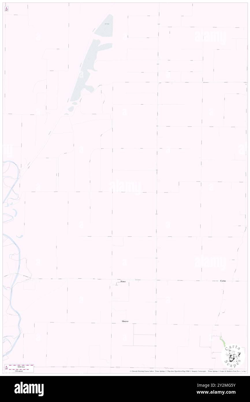 Shover (historical), Stoddard County, US, United States, Missouri, N 36 41' 24'', S 90 5' 45'', map, Cartascapes Map published in 2024. Explore Cartascapes, a map revealing Earth's diverse landscapes, cultures, and ecosystems. Journey through time and space, discovering the interconnectedness of our planet's past, present, and future. Stock Photohttps://www.alamy.com/image-license-details/?v=1https://www.alamy.com/shover-historical-stoddard-county-us-united-states-missouri-n-36-41-24-s-90-5-45-map-cartascapes-map-published-in-2024-explore-cartascapes-a-map-revealing-earths-diverse-landscapes-cultures-and-ecosystems-journey-through-time-and-space-discovering-the-interconnectedness-of-our-planets-past-present-and-future-image621254311.html
RM2Y2MG5Y–Shover (historical), Stoddard County, US, United States, Missouri, N 36 41' 24'', S 90 5' 45'', map, Cartascapes Map published in 2024. Explore Cartascapes, a map revealing Earth's diverse landscapes, cultures, and ecosystems. Journey through time and space, discovering the interconnectedness of our planet's past, present, and future.
 Zeta (historical), Stoddard County, US, United States, Missouri, N 36 57' 20'', S 89 52' 5'', map, Cartascapes Map published in 2024. Explore Cartascapes, a map revealing Earth's diverse landscapes, cultures, and ecosystems. Journey through time and space, discovering the interconnectedness of our planet's past, present, and future. Stock Photohttps://www.alamy.com/image-license-details/?v=1https://www.alamy.com/zeta-historical-stoddard-county-us-united-states-missouri-n-36-57-20-s-89-52-5-map-cartascapes-map-published-in-2024-explore-cartascapes-a-map-revealing-earths-diverse-landscapes-cultures-and-ecosystems-journey-through-time-and-space-discovering-the-interconnectedness-of-our-planets-past-present-and-future-image621219131.html
RM2Y2JY9F–Zeta (historical), Stoddard County, US, United States, Missouri, N 36 57' 20'', S 89 52' 5'', map, Cartascapes Map published in 2024. Explore Cartascapes, a map revealing Earth's diverse landscapes, cultures, and ecosystems. Journey through time and space, discovering the interconnectedness of our planet's past, present, and future.
 Bunker Hill, Stoddard County, US, United States, Missouri, N 36 42' 21'', S 89 58' 11'', map, Cartascapes Map published in 2024. Explore Cartascapes, a map revealing Earth's diverse landscapes, cultures, and ecosystems. Journey through time and space, discovering the interconnectedness of our planet's past, present, and future. Stock Photohttps://www.alamy.com/image-license-details/?v=1https://www.alamy.com/bunker-hill-stoddard-county-us-united-states-missouri-n-36-42-21-s-89-58-11-map-cartascapes-map-published-in-2024-explore-cartascapes-a-map-revealing-earths-diverse-landscapes-cultures-and-ecosystems-journey-through-time-and-space-discovering-the-interconnectedness-of-our-planets-past-present-and-future-image621440548.html
RM2Y311N8–Bunker Hill, Stoddard County, US, United States, Missouri, N 36 42' 21'', S 89 58' 11'', map, Cartascapes Map published in 2024. Explore Cartascapes, a map revealing Earth's diverse landscapes, cultures, and ecosystems. Journey through time and space, discovering the interconnectedness of our planet's past, present, and future.
 Green Oaks, Stoddard County, US, United States, Missouri, N 36 47' 17'', S 90 9' 51'', map, Cartascapes Map published in 2024. Explore Cartascapes, a map revealing Earth's diverse landscapes, cultures, and ecosystems. Journey through time and space, discovering the interconnectedness of our planet's past, present, and future. Stock Photohttps://www.alamy.com/image-license-details/?v=1https://www.alamy.com/green-oaks-stoddard-county-us-united-states-missouri-n-36-47-17-s-90-9-51-map-cartascapes-map-published-in-2024-explore-cartascapes-a-map-revealing-earths-diverse-landscapes-cultures-and-ecosystems-journey-through-time-and-space-discovering-the-interconnectedness-of-our-planets-past-present-and-future-image621217848.html
RM2Y2JWKM–Green Oaks, Stoddard County, US, United States, Missouri, N 36 47' 17'', S 90 9' 51'', map, Cartascapes Map published in 2024. Explore Cartascapes, a map revealing Earth's diverse landscapes, cultures, and ecosystems. Journey through time and space, discovering the interconnectedness of our planet's past, present, and future.