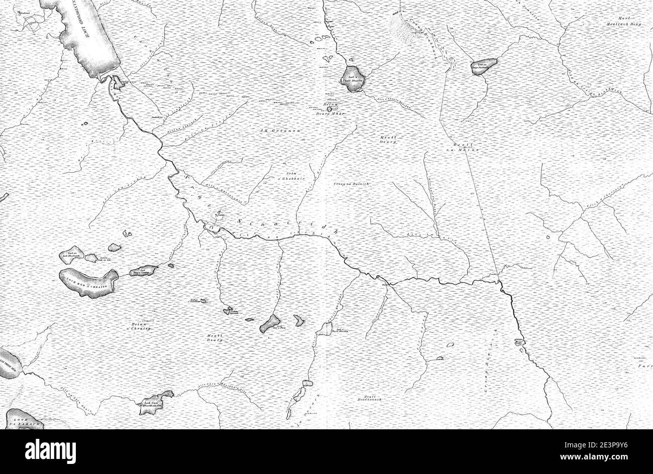
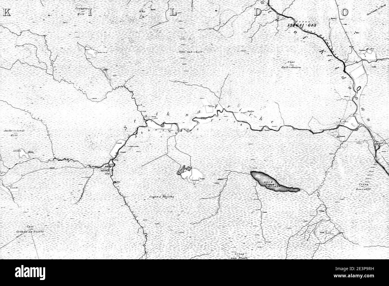
Map of sutherland Black & White Stock Photos
 Old map of Sutherland County from original geography textbook, 1884 Stock Photohttps://www.alamy.com/image-license-details/?v=1https://www.alamy.com/stock-photo-old-map-of-sutherland-county-from-original-geography-textbook-1884-35173909.html
RMC168K1–Old map of Sutherland County from original geography textbook, 1884
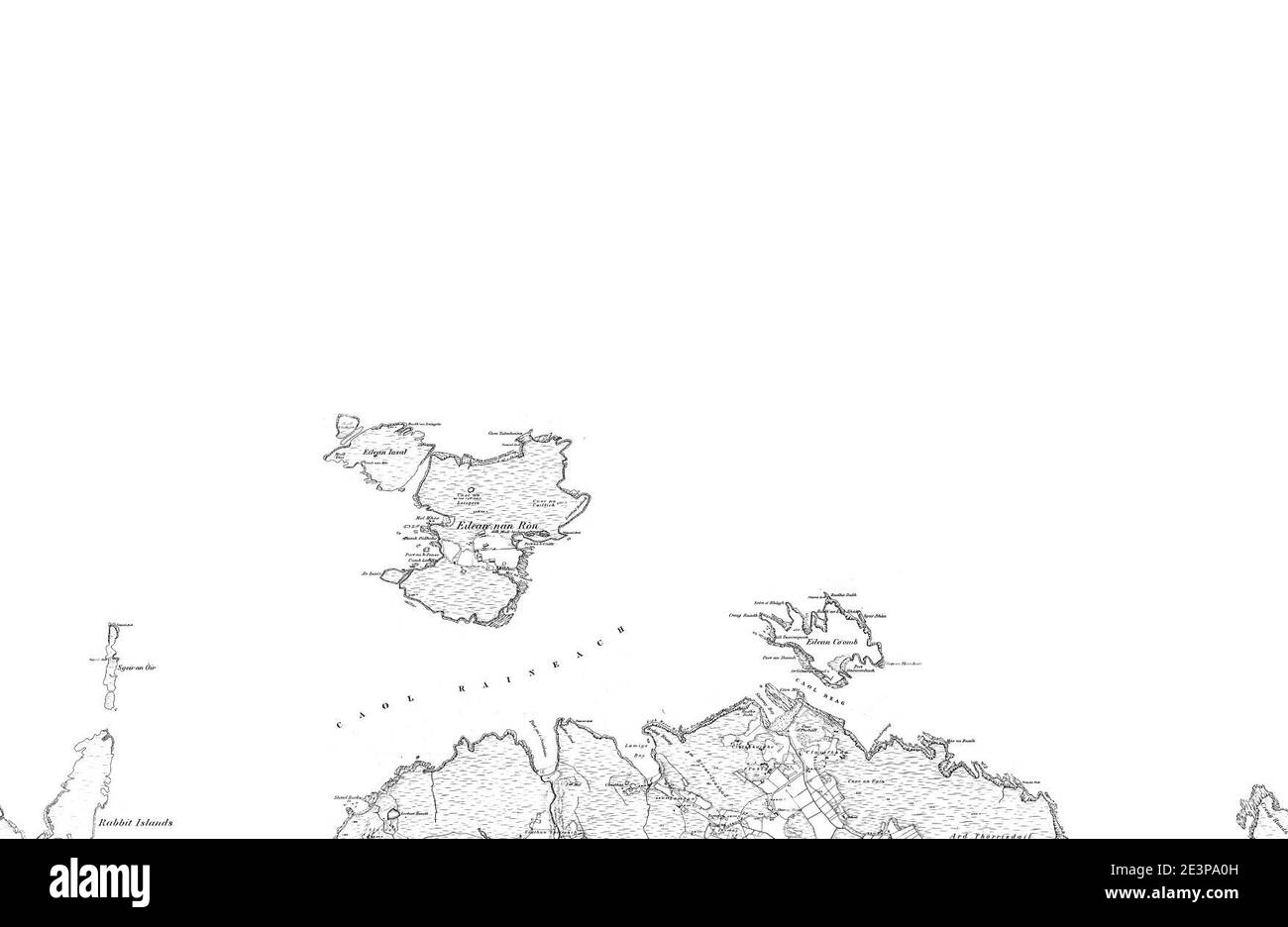 Map of Sutherland Sheet 008, Ordnance Survey, 1878-1881. Stock Photohttps://www.alamy.com/image-license-details/?v=1https://www.alamy.com/map-of-sutherland-sheet-008-ordnance-survey-1878-1881-image398173233.html
RM2E3PA0H–Map of Sutherland Sheet 008, Ordnance Survey, 1878-1881.
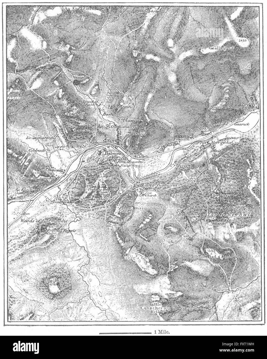 SCOTLAND: Balmoral, sketch map, c1885 Stock Photohttps://www.alamy.com/image-license-details/?v=1https://www.alamy.com/stock-photo-scotland-balmoral-sketch-map-c1885-102561245.html
RFFXT1WH–SCOTLAND: Balmoral, sketch map, c1885
 The hunt for escaped convict Frank Mitchell. Men of the 1st Argyll and Sutherland Highlanders took part in the manhunt today. Each armed with a pick handle, led by by unarmed piper Paddy Pearson, they are seen spreading out among a railway line at Lydford, Devon. Piper James Johnstone examines a map with a comrade armed with a pick handle. 14th December 1966. Stock Photohttps://www.alamy.com/image-license-details/?v=1https://www.alamy.com/the-hunt-for-escaped-convict-frank-mitchell-men-of-the-1st-argyll-and-sutherland-highlanders-took-part-in-the-manhunt-today-each-armed-with-a-pick-handle-led-by-by-unarmed-piper-paddy-pearson-they-are-seen-spreading-out-among-a-railway-line-at-lydford-devon-piper-james-johnstone-examines-a-map-with-a-comrade-armed-with-a-pick-handle-14th-december-1966-image462273601.html
RM2HT2AKD–The hunt for escaped convict Frank Mitchell. Men of the 1st Argyll and Sutherland Highlanders took part in the manhunt today. Each armed with a pick handle, led by by unarmed piper Paddy Pearson, they are seen spreading out among a railway line at Lydford, Devon. Piper James Johnstone examines a map with a comrade armed with a pick handle. 14th December 1966.
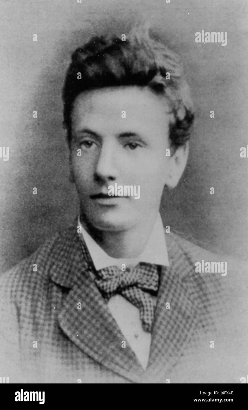 Sutherland photo1 Stock Photohttps://www.alamy.com/image-license-details/?v=1https://www.alamy.com/stock-photo-sutherland-photo1-140491358.html
RMJ4FX4E–Sutherland photo1
 Glendon was the Sutherland property - Glendon, Lockhardt's Creek (now 29201294574 o Stock Photohttps://www.alamy.com/image-license-details/?v=1https://www.alamy.com/stock-photo-glendon-was-the-sutherland-property-glendon-lockhardts-creek-now-29201294574-147110747.html
RMJF9D77–Glendon was the Sutherland property - Glendon, Lockhardt's Creek (now 29201294574 o
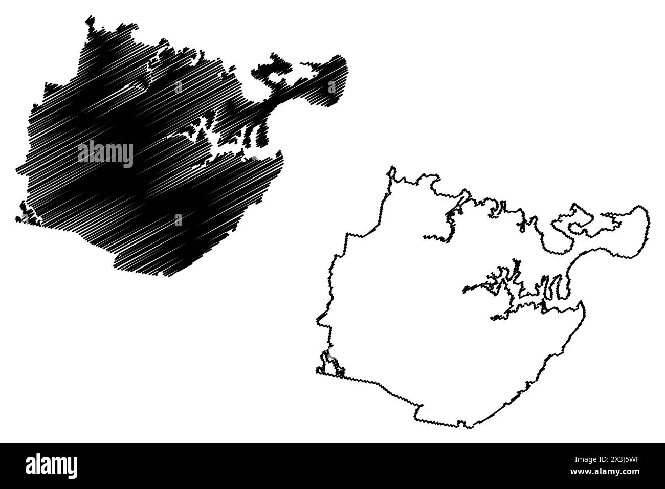 Sutherland Shire (Commonwealth of Australia, New South Wales, NSW) map vector illustration, scribble sketch Sutherland map Stock Vectorhttps://www.alamy.com/image-license-details/?v=1https://www.alamy.com/sutherland-shire-commonwealth-of-australia-new-south-wales-nsw-map-vector-illustration-scribble-sketch-sutherland-map-image604606619.html
RF2X3J5WF–Sutherland Shire (Commonwealth of Australia, New South Wales, NSW) map vector illustration, scribble sketch Sutherland map
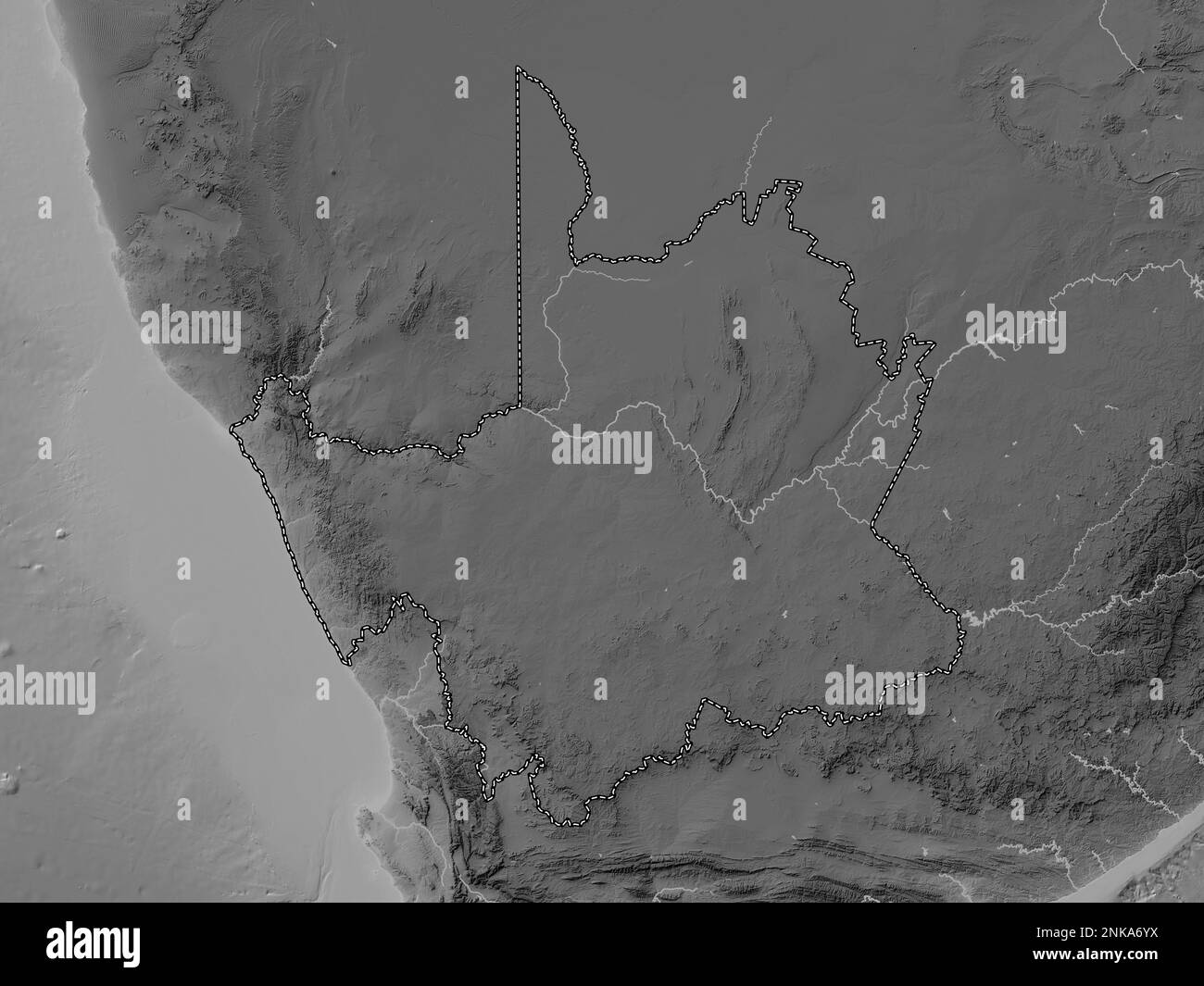 Northern Cape, province of South Africa. Grayscale elevation map with lakes and rivers Stock Photohttps://www.alamy.com/image-license-details/?v=1https://www.alamy.com/northern-cape-province-of-south-africa-grayscale-elevation-map-with-lakes-and-rivers-image528214510.html
RF2NKA6YX–Northern Cape, province of South Africa. Grayscale elevation map with lakes and rivers
 'Norden's View of Windsor Castle, 1607.' 1895. Artist: John Norden. Stock Photohttps://www.alamy.com/image-license-details/?v=1https://www.alamy.com/nordens-view-of-windsor-castle-1607-1895-artist-john-norden-image186159209.html
RMMPT7Y5–'Norden's View of Windsor Castle, 1607.' 1895. Artist: John Norden.
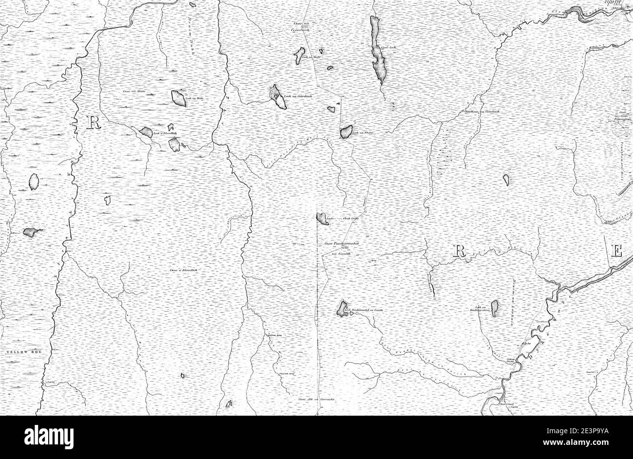 Map of Sutherland Sheet 028, Ordnance Survey, 1878-1881. Stock Photohttps://www.alamy.com/image-license-details/?v=1https://www.alamy.com/map-of-sutherland-sheet-028-ordnance-survey-1878-1881-image398173198.html
RM2E3P9YA–Map of Sutherland Sheet 028, Ordnance Survey, 1878-1881.
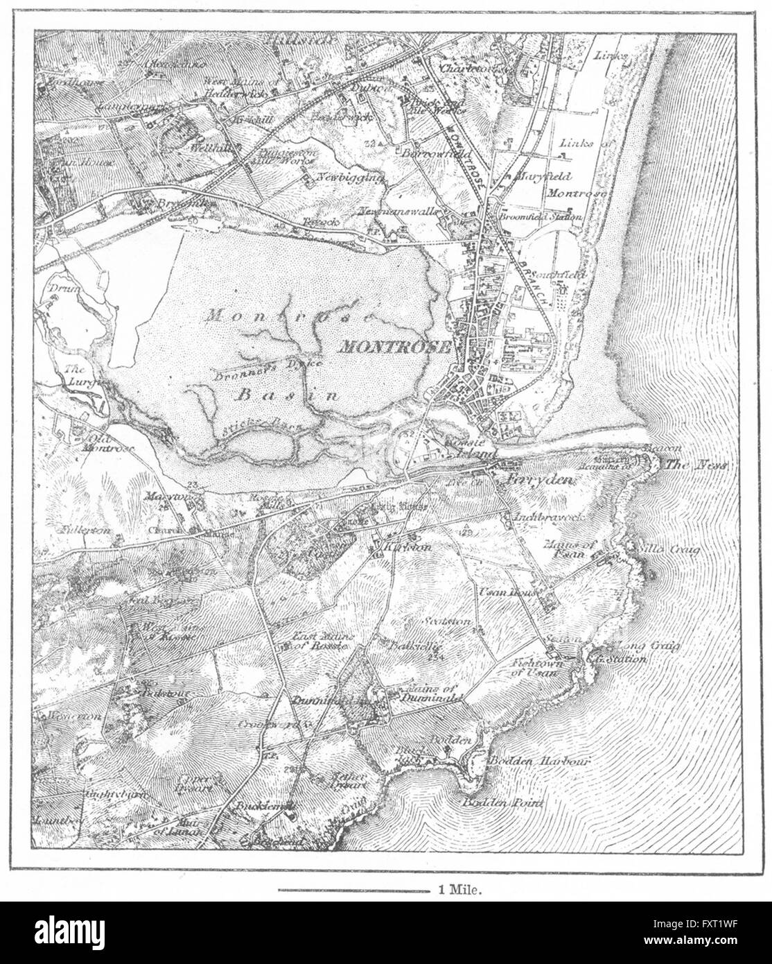 SCOTLAND: Montrose, sketch map, c1885 Stock Photohttps://www.alamy.com/image-license-details/?v=1https://www.alamy.com/stock-photo-scotland-montrose-sketch-map-c1885-102561243.html
RFFXT1WF–SCOTLAND: Montrose, sketch map, c1885
 Urilla sutherland Stock Photohttps://www.alamy.com/image-license-details/?v=1https://www.alamy.com/stock-photo-urilla-sutherland-140673153.html
RMJ4T615–Urilla sutherland
 49644 Gillaroo Trout, Loch Mulach-Corrie, Sutherland Stock Photohttps://www.alamy.com/image-license-details/?v=1https://www.alamy.com/stock-photo-49644-gillaroo-trout-loch-mulach-corrie-sutherland-115076908.html
RMGK65NG–49644 Gillaroo Trout, Loch Mulach-Corrie, Sutherland
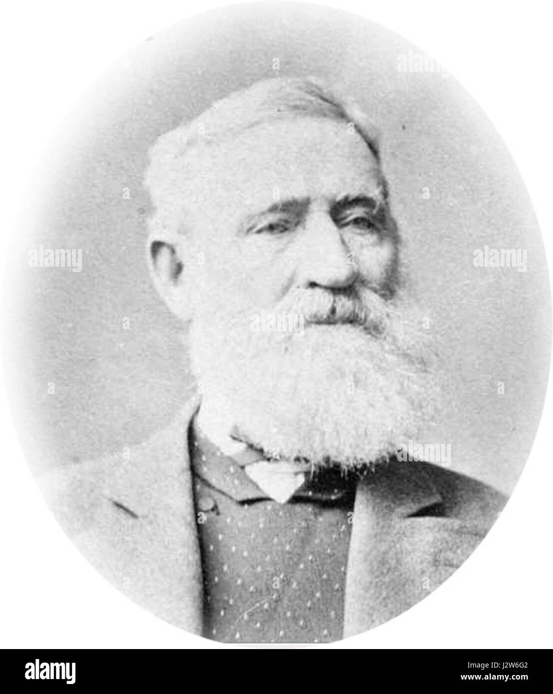 010 Joseph Sutherland 1836 Stock Photohttps://www.alamy.com/image-license-details/?v=1https://www.alamy.com/stock-photo-010-joseph-sutherland-1836-139466210.html
RMJ2W6G2–010 Joseph Sutherland 1836
 Northern Cape, province of South Africa. Bilevel elevation map with lakes and rivers Stock Photohttps://www.alamy.com/image-license-details/?v=1https://www.alamy.com/northern-cape-province-of-south-africa-bilevel-elevation-map-with-lakes-and-rivers-image528213988.html
RF2NKA698–Northern Cape, province of South Africa. Bilevel elevation map with lakes and rivers
 Thomas Sutherland Stock Photohttps://www.alamy.com/image-license-details/?v=1https://www.alamy.com/stock-photo-thomas-sutherland-140707185.html
RMJ4WNCH–Thomas Sutherland
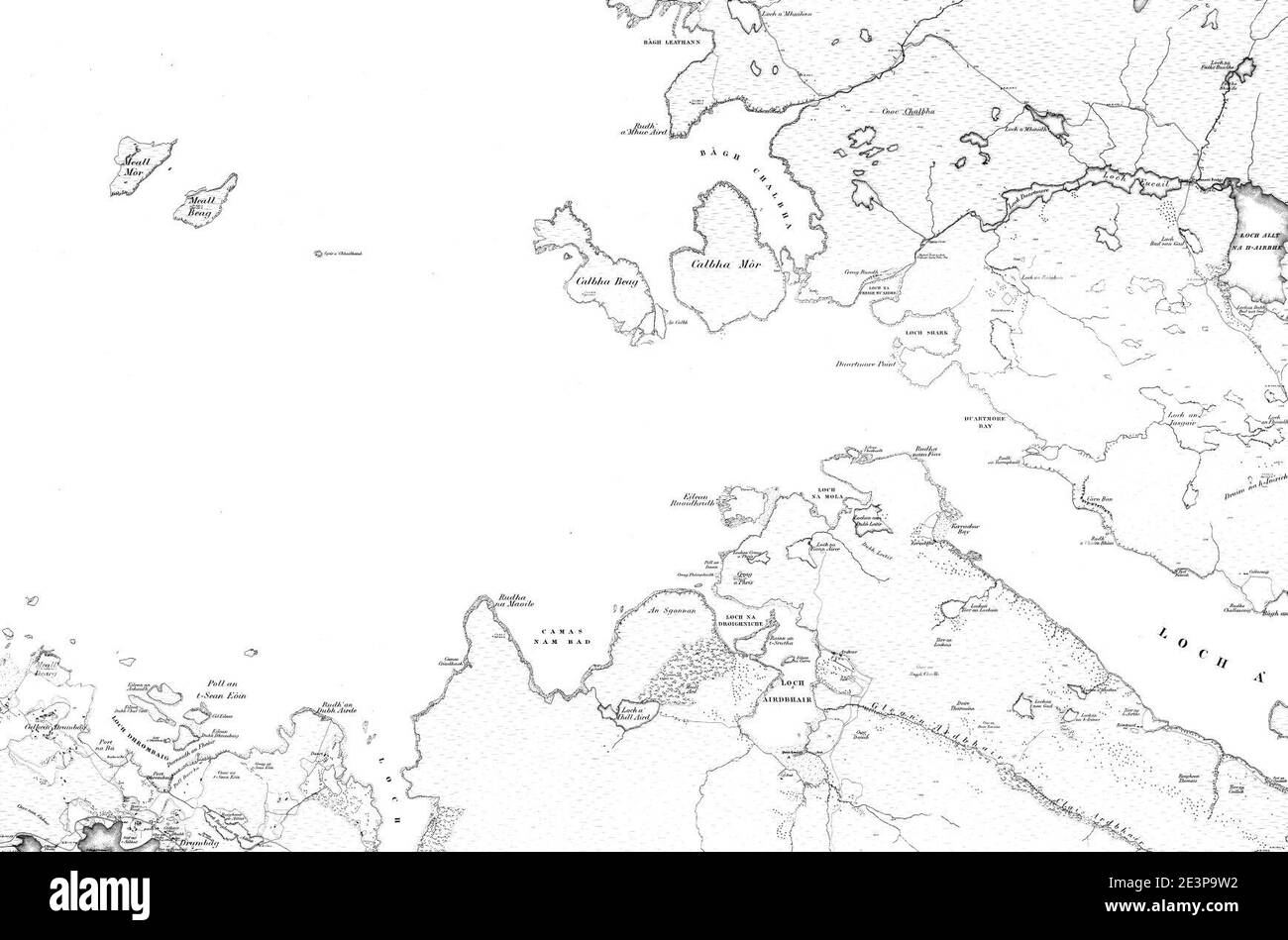 Map of Sutherland Sheet 049, Ordnance Survey, 1878-1881. Stock Photohttps://www.alamy.com/image-license-details/?v=1https://www.alamy.com/map-of-sutherland-sheet-049-ordnance-survey-1878-1881-image398173134.html
RM2E3P9W2–Map of Sutherland Sheet 049, Ordnance Survey, 1878-1881.
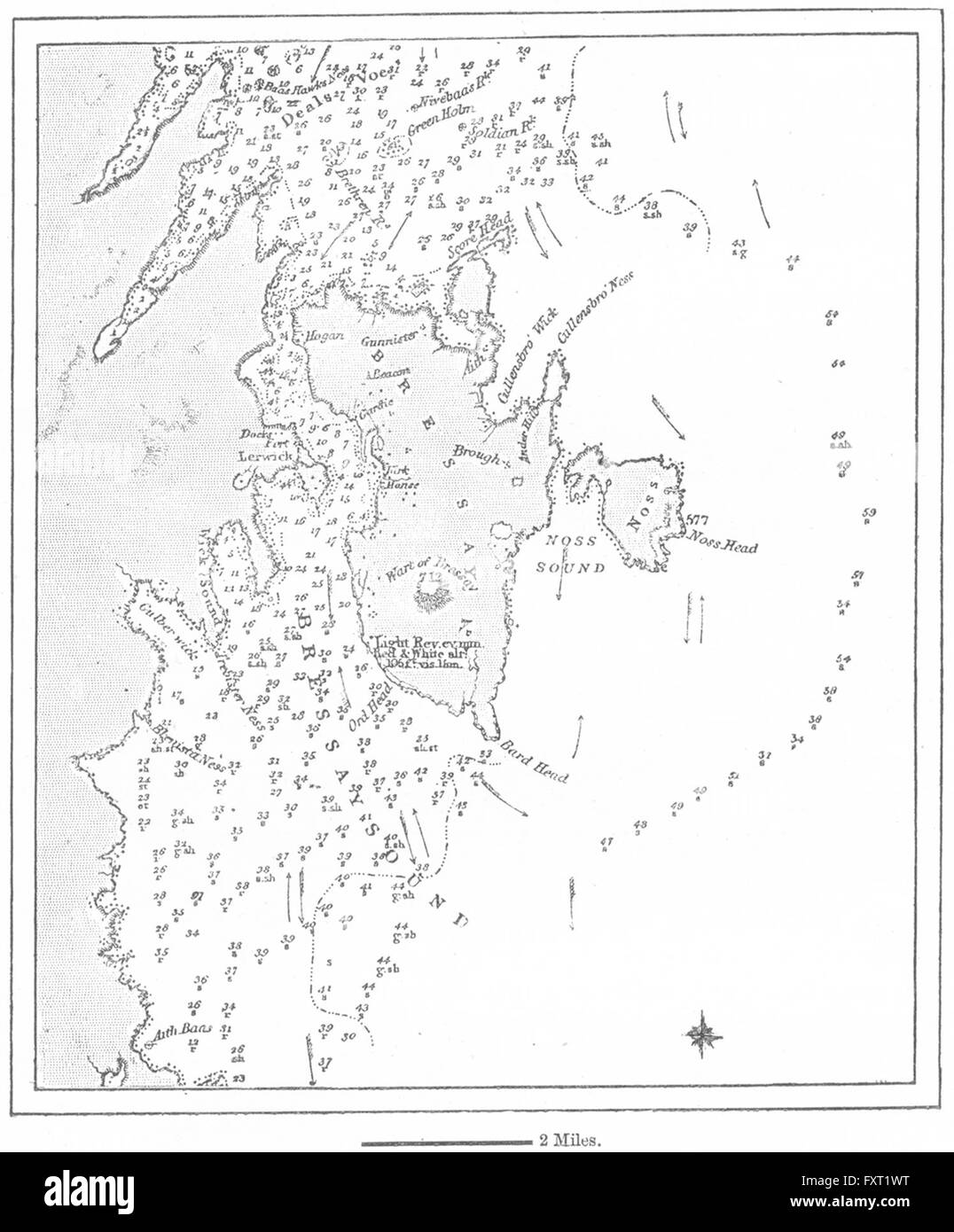 SCOTLAND: Lerwick, sketch map, c1885 Stock Photohttps://www.alamy.com/image-license-details/?v=1https://www.alamy.com/stock-photo-scotland-lerwick-sketch-map-c1885-102561252.html
RFFXT1WT–SCOTLAND: Lerwick, sketch map, c1885
 49648 Loch Balligill Trout, Melvich, Sutherland July 1901 Stock Photohttps://www.alamy.com/image-license-details/?v=1https://www.alamy.com/stock-photo-49648-loch-balligill-trout-melvich-sutherland-july-1901-115076914.html
RMGK65NP–49648 Loch Balligill Trout, Melvich, Sutherland July 1901
 Northern Cape, province of South Africa. Bilevel elevation map with lakes and rivers. Locations of major cities of the region. Corner auxiliary locati Stock Photohttps://www.alamy.com/image-license-details/?v=1https://www.alamy.com/northern-cape-province-of-south-africa-bilevel-elevation-map-with-lakes-and-rivers-locations-of-major-cities-of-the-region-corner-auxiliary-locati-image528214508.html
RF2NKA6YT–Northern Cape, province of South Africa. Bilevel elevation map with lakes and rivers. Locations of major cities of the region. Corner auxiliary locati
 Donald Matheson Sutherland Stock Photohttps://www.alamy.com/image-license-details/?v=1https://www.alamy.com/stock-photo-donald-matheson-sutherland-139778761.html
RMJ3BD6H–Donald Matheson Sutherland
 John Sutherland (physician) 1855 Stock Photohttps://www.alamy.com/image-license-details/?v=1https://www.alamy.com/stock-photo-john-sutherland-physician-1855-142967443.html
RMJ8GMC3–John Sutherland (physician) 1855
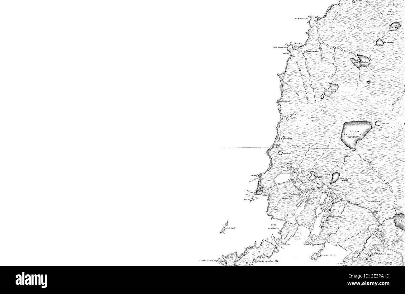 Map of Sutherland Sheet 012, Ordnance Survey, 1878-1881. Stock Photohttps://www.alamy.com/image-license-details/?v=1https://www.alamy.com/map-of-sutherland-sheet-012-ordnance-survey-1878-1881-image398173257.html
RM2E3PA1D–Map of Sutherland Sheet 012, Ordnance Survey, 1878-1881.
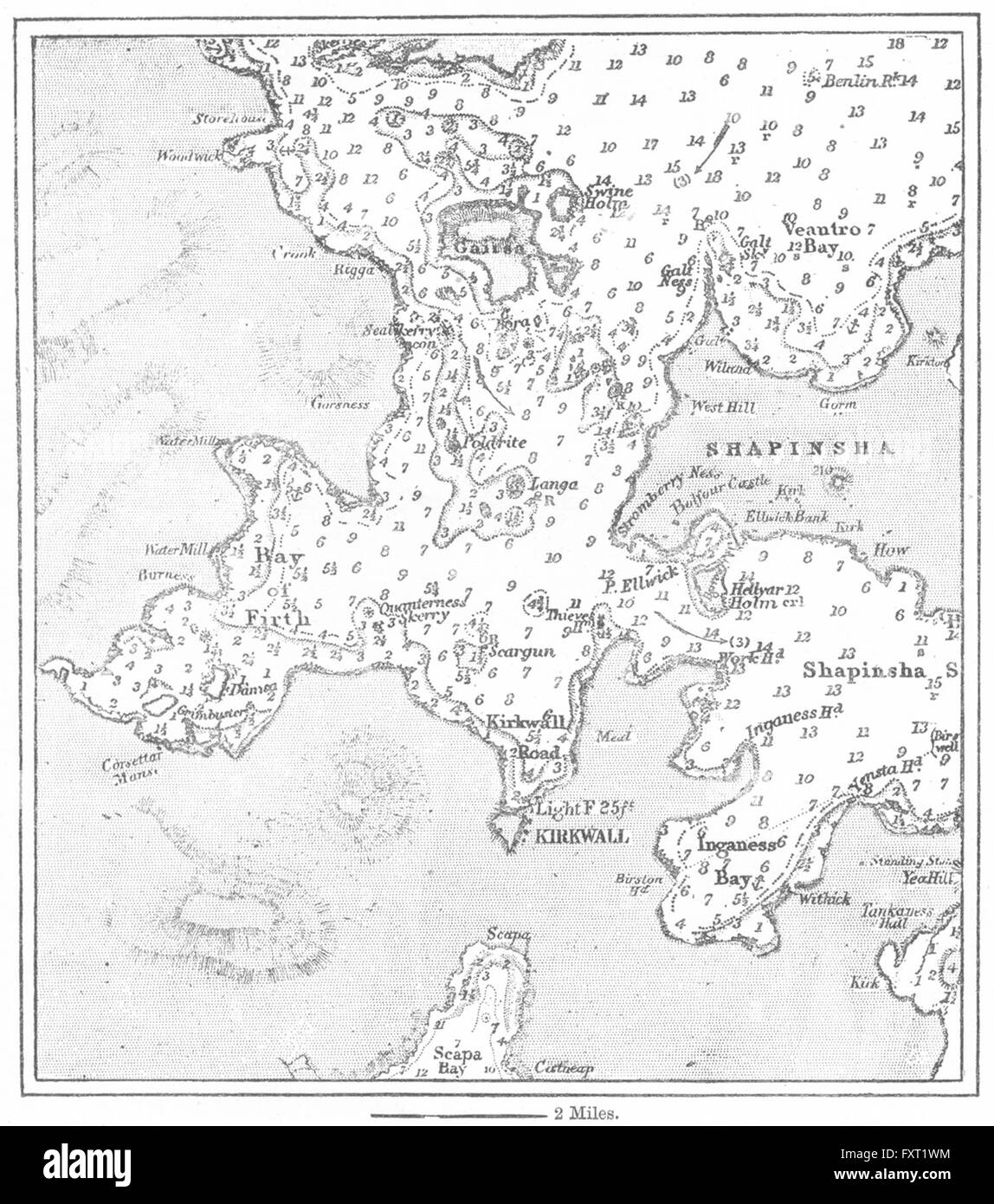 SCOTLAND: Kirkwall, sketch map, c1885 Stock Photohttps://www.alamy.com/image-license-details/?v=1https://www.alamy.com/stock-photo-scotland-kirkwall-sketch-map-c1885-102561248.html
RFFXT1WM–SCOTLAND: Kirkwall, sketch map, c1885
 49641 5-lb Loch Crosophuill Trout, Sutherland 1900 Stock Photohttps://www.alamy.com/image-license-details/?v=1https://www.alamy.com/stock-photo-49641-5-lb-loch-crosophuill-trout-sutherland-1900-115076905.html
RMGK65ND–49641 5-lb Loch Crosophuill Trout, Sutherland 1900
 Northern Cape, province of South Africa. Grayscale elevation map with lakes and rivers. Locations of major cities of the region. Corner auxiliary loca Stock Photohttps://www.alamy.com/image-license-details/?v=1https://www.alamy.com/northern-cape-province-of-south-africa-grayscale-elevation-map-with-lakes-and-rivers-locations-of-major-cities-of-the-region-corner-auxiliary-loca-image528214493.html
RF2NKA6Y9–Northern Cape, province of South Africa. Grayscale elevation map with lakes and rivers. Locations of major cities of the region. Corner auxiliary loca
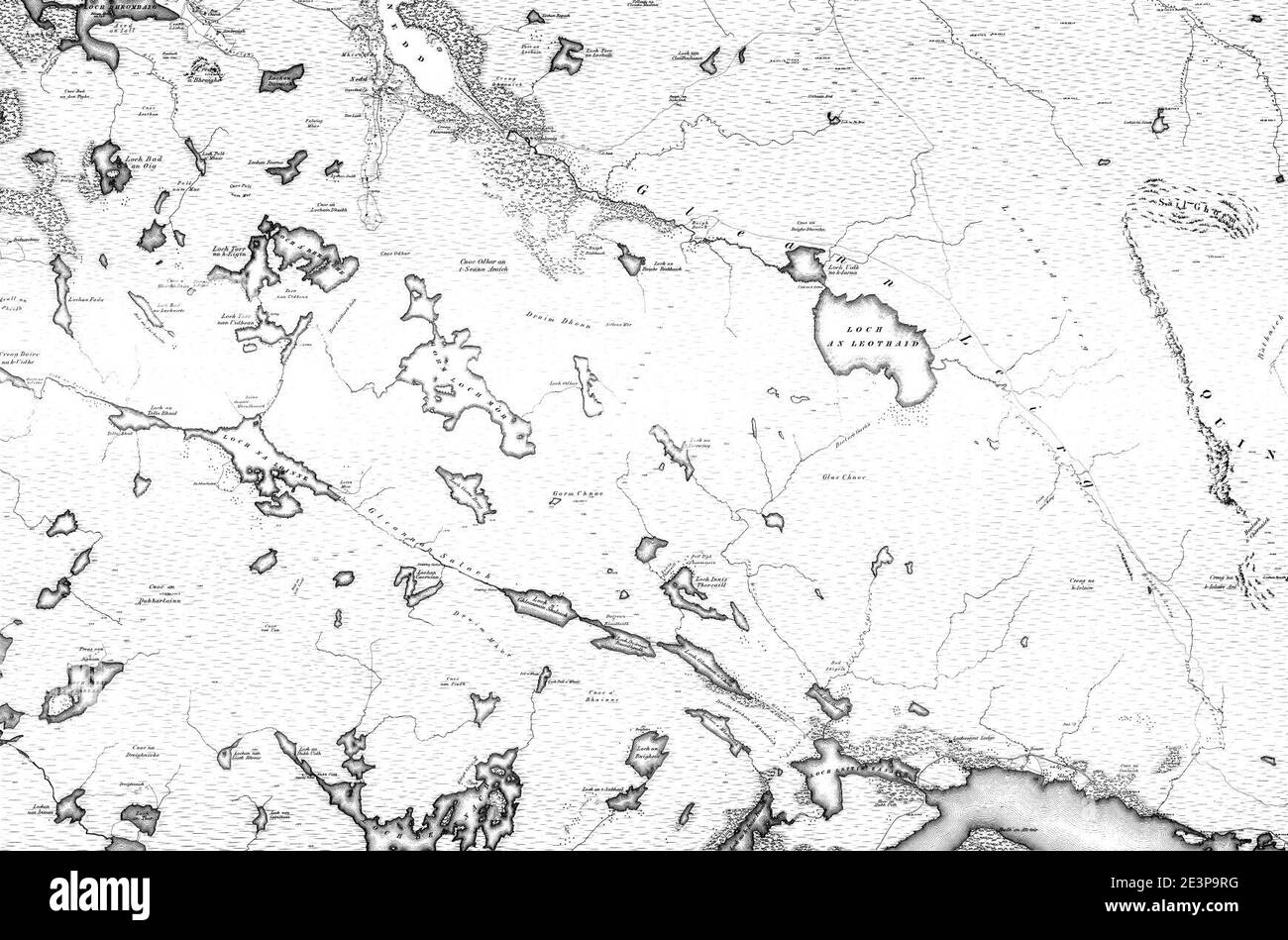 Map of Sutherland Sheet 059, Ordnance Survey, 1878-1881. Stock Photohttps://www.alamy.com/image-license-details/?v=1https://www.alamy.com/map-of-sutherland-sheet-059-ordnance-survey-1878-1881-image398173092.html
RM2E3P9RG–Map of Sutherland Sheet 059, Ordnance Survey, 1878-1881.
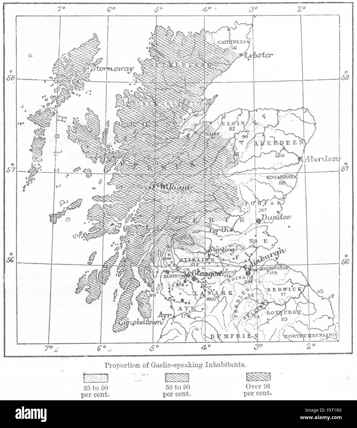 SCOTLAND: Linguistic to E Ravenstein, sketch map, c1885 Stock Photohttps://www.alamy.com/image-license-details/?v=1https://www.alamy.com/stock-photo-scotland-linguistic-to-e-ravenstein-sketch-map-c1885-102561198.html
RFFXT1RX–SCOTLAND: Linguistic to E Ravenstein, sketch map, c1885
 49628 9-lb Durness Trout, Sutherland June 1908 Stock Photohttps://www.alamy.com/image-license-details/?v=1https://www.alamy.com/stock-photo-49628-9-lb-durness-trout-sutherland-june-1908-115076890.html
RMGK65MX–49628 9-lb Durness Trout, Sutherland June 1908
 Northern Cape, province of South Africa. Bilevel elevation map with lakes and rivers. Locations and names of major cities of the region. Corner auxili Stock Photohttps://www.alamy.com/image-license-details/?v=1https://www.alamy.com/northern-cape-province-of-south-africa-bilevel-elevation-map-with-lakes-and-rivers-locations-and-names-of-major-cities-of-the-region-corner-auxili-image528214045.html
RF2NKA6B9–Northern Cape, province of South Africa. Bilevel elevation map with lakes and rivers. Locations and names of major cities of the region. Corner auxili
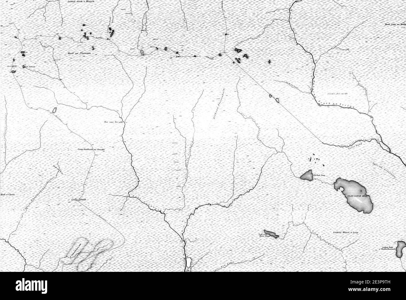 Map of Sutherland Sheet 075, Ordnance Survey, 1878-1881. Stock Photohttps://www.alamy.com/image-license-details/?v=1https://www.alamy.com/map-of-sutherland-sheet-075-ordnance-survey-1878-1881-image398173121.html
RM2E3P9TH–Map of Sutherland Sheet 075, Ordnance Survey, 1878-1881.
 49656 7-lb Loch Shin Trout, Sutherland June 1902 Stock Photohttps://www.alamy.com/image-license-details/?v=1https://www.alamy.com/stock-photo-49656-7-lb-loch-shin-trout-sutherland-june-1902-115076923.html
RMGK65P3–49656 7-lb Loch Shin Trout, Sutherland June 1902
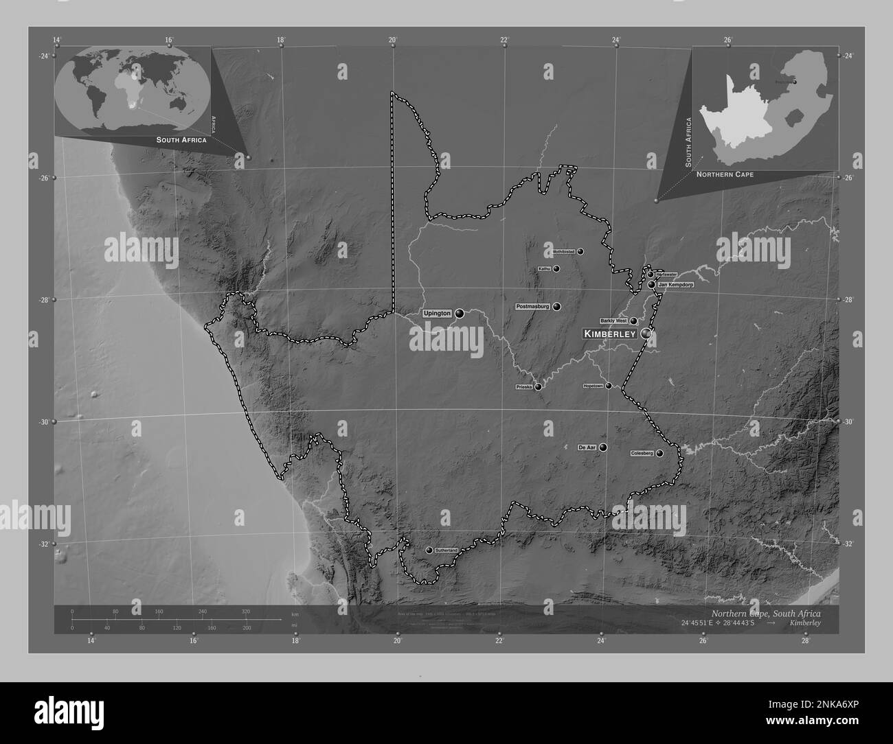 Northern Cape, province of South Africa. Grayscale elevation map with lakes and rivers. Locations and names of major cities of the region. Corner auxi Stock Photohttps://www.alamy.com/image-license-details/?v=1https://www.alamy.com/northern-cape-province-of-south-africa-grayscale-elevation-map-with-lakes-and-rivers-locations-and-names-of-major-cities-of-the-region-corner-auxi-image528214478.html
RF2NKA6XP–Northern Cape, province of South Africa. Grayscale elevation map with lakes and rivers. Locations and names of major cities of the region. Corner auxi
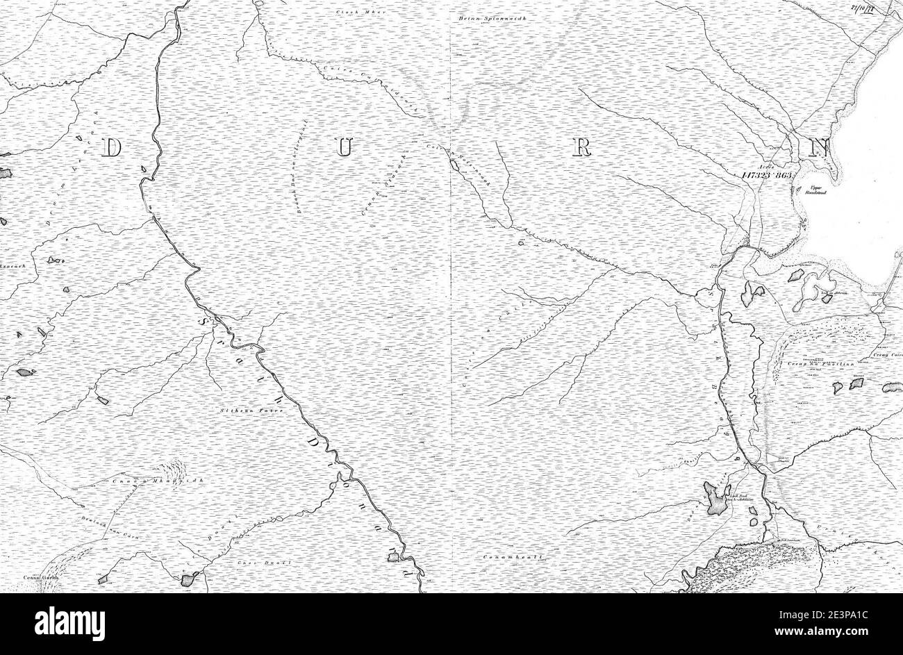 Map of Sutherland Sheet 023, Ordnance Survey, 1878-1881. Stock Photohttps://www.alamy.com/image-license-details/?v=1https://www.alamy.com/map-of-sutherland-sheet-023-ordnance-survey-1878-1881-image398173256.html
RM2E3PA1C–Map of Sutherland Sheet 023, Ordnance Survey, 1878-1881.
 49637 1-lb Loch Stattel Trout, Sutherland July 1900 Stock Photohttps://www.alamy.com/image-license-details/?v=1https://www.alamy.com/stock-photo-49637-1-lb-loch-stattel-trout-sutherland-july-1900-115076901.html
RMGK65N9–49637 1-lb Loch Stattel Trout, Sutherland July 1900
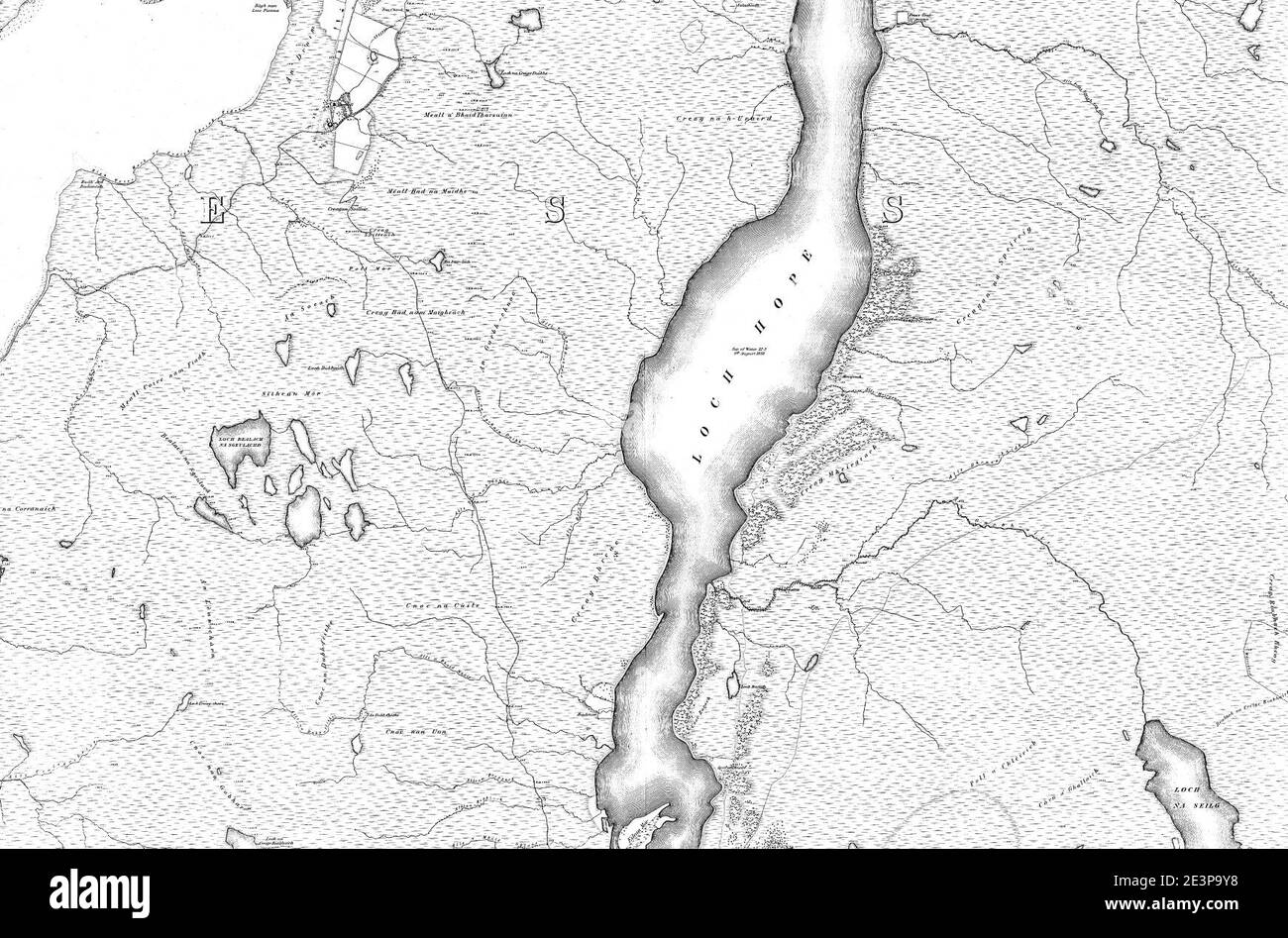 Map of Sutherland Sheet 024, Ordnance Survey, 1878-1881. Stock Photohttps://www.alamy.com/image-license-details/?v=1https://www.alamy.com/map-of-sutherland-sheet-024-ordnance-survey-1878-1881-image398173196.html
RM2E3P9Y8–Map of Sutherland Sheet 024, Ordnance Survey, 1878-1881.
 49639 3-lb Loch Crosophuill Trout, Sutherland June 1900 Stock Photohttps://www.alamy.com/image-license-details/?v=1https://www.alamy.com/stock-photo-49639-3-lb-loch-crosophuill-trout-sutherland-june-1900-115076902.html
RMGK65NA–49639 3-lb Loch Crosophuill Trout, Sutherland June 1900
 Map of Sutherland Sheet 011, Ordnance Survey, 1878-1881. Stock Photohttps://www.alamy.com/image-license-details/?v=1https://www.alamy.com/map-of-sutherland-sheet-011-ordnance-survey-1878-1881-image398173219.html
RM2E3PA03–Map of Sutherland Sheet 011, Ordnance Survey, 1878-1881.
 49640 4-lb Loch Crosophuill Trout, Sutherland June 1903 Stock Photohttps://www.alamy.com/image-license-details/?v=1https://www.alamy.com/stock-photo-49640-4-lb-loch-crosophuill-trout-sutherland-june-1903-115076904.html
RMGK65NC–49640 4-lb Loch Crosophuill Trout, Sutherland June 1903
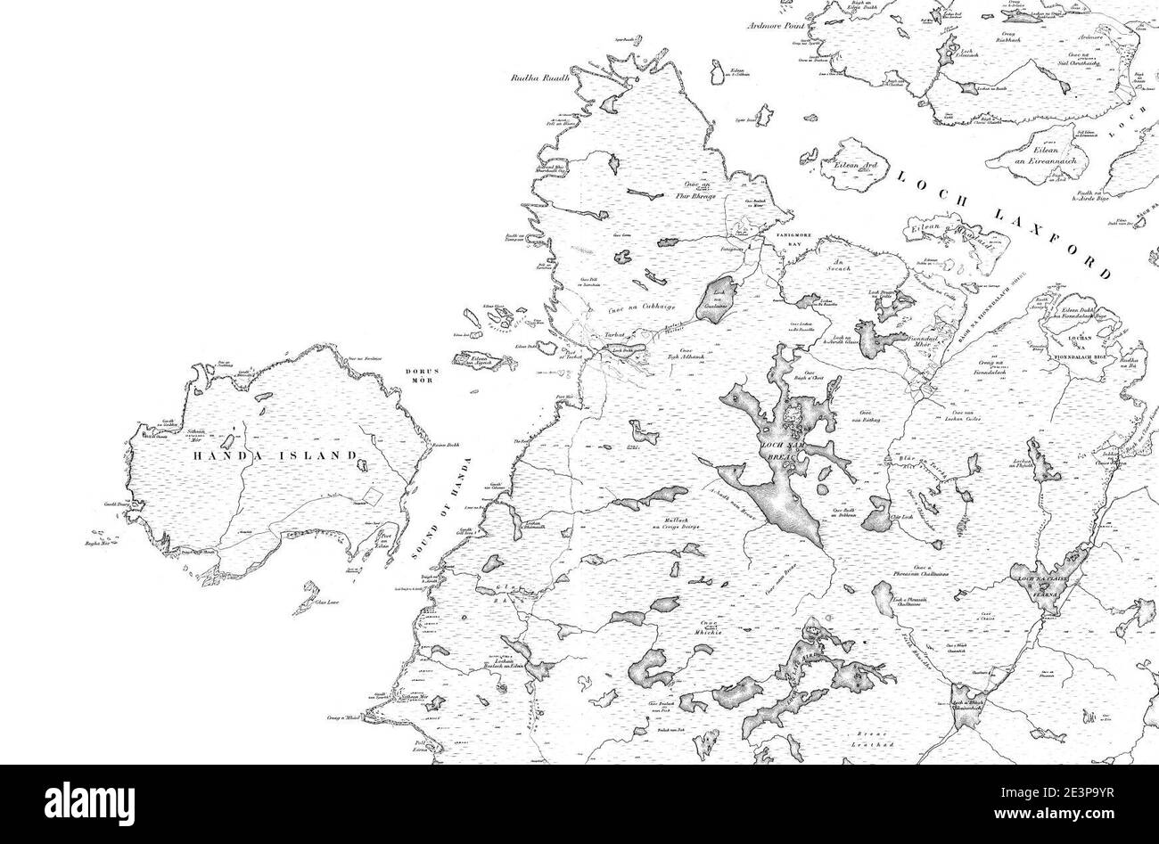 Map of Sutherland Sheet 030, Ordnance Survey, 1878-1881. Stock Photohttps://www.alamy.com/image-license-details/?v=1https://www.alamy.com/map-of-sutherland-sheet-030-ordnance-survey-1878-1881-image398173211.html
RM2E3P9YR–Map of Sutherland Sheet 030, Ordnance Survey, 1878-1881.
 49698 Deformed Trout, caught in Clashfern, Sutherland July 1904 Stock Photohttps://www.alamy.com/image-license-details/?v=1https://www.alamy.com/stock-photo-49698-deformed-trout-caught-in-clashfern-sutherland-july-1904-115076976.html
RMGK65T0–49698 Deformed Trout, caught in Clashfern, Sutherland July 1904
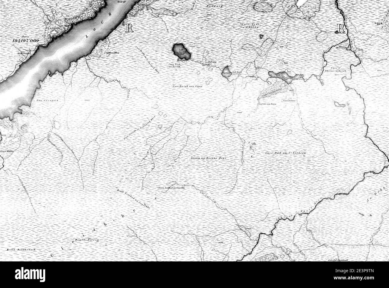 Map of Sutherland Sheet 054, Ordnance Survey, 1878-1881. Stock Photohttps://www.alamy.com/image-license-details/?v=1https://www.alamy.com/map-of-sutherland-sheet-054-ordnance-survey-1878-1881-image398173125.html
RM2E3P9TN–Map of Sutherland Sheet 054, Ordnance Survey, 1878-1881.
 49638 Loch Stattel Trout, Sutherland; average 1 lb JUly 1902 Stock Photohttps://www.alamy.com/image-license-details/?v=1https://www.alamy.com/stock-photo-49638-loch-stattel-trout-sutherland-average-1-lb-july-1902-115076903.html
RMGK65NB–49638 Loch Stattel Trout, Sutherland; average 1 lb JUly 1902
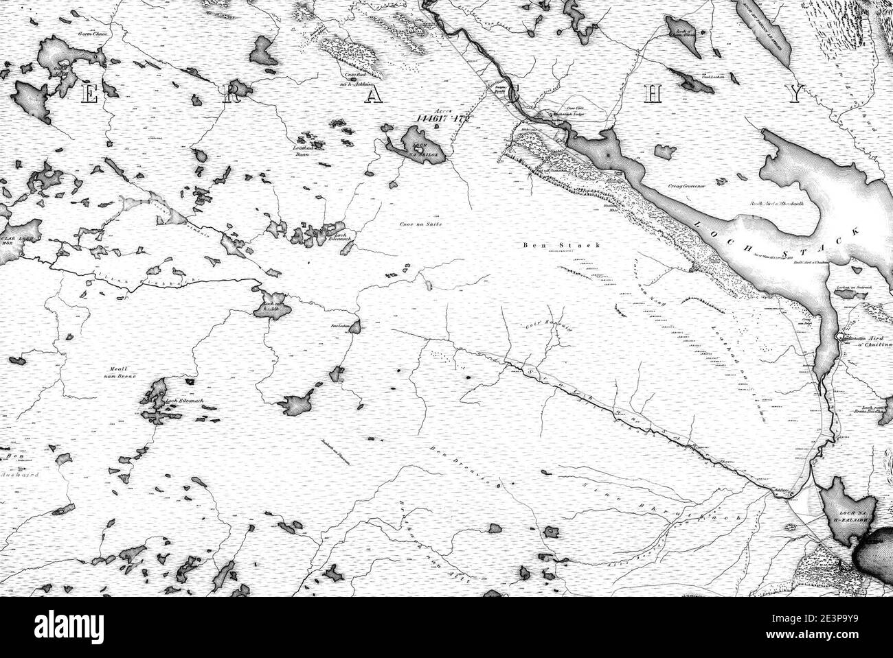 Map of Sutherland Sheet 040, Ordnance Survey, 1878-1881. Stock Photohttps://www.alamy.com/image-license-details/?v=1https://www.alamy.com/map-of-sutherland-sheet-040-ordnance-survey-1878-1881-image398173197.html
RM2E3P9Y9–Map of Sutherland Sheet 040, Ordnance Survey, 1878-1881.
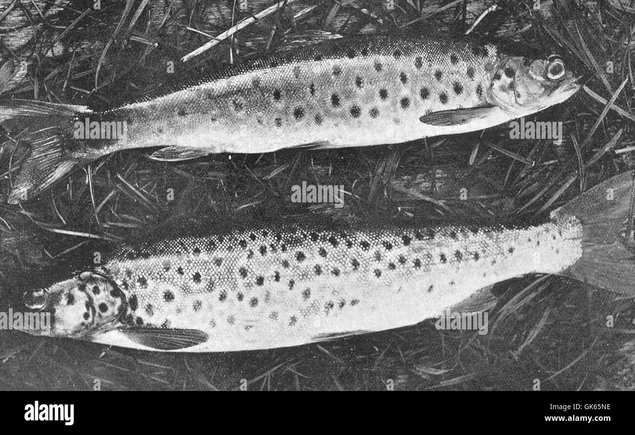 49642 12-lb Loch Gorm Trout, Scourie, Sutherland July 1904 Stock Photohttps://www.alamy.com/image-license-details/?v=1https://www.alamy.com/stock-photo-49642-12-lb-loch-gorm-trout-scourie-sutherland-july-1904-115076906.html
RMGK65NE–49642 12-lb Loch Gorm Trout, Scourie, Sutherland July 1904
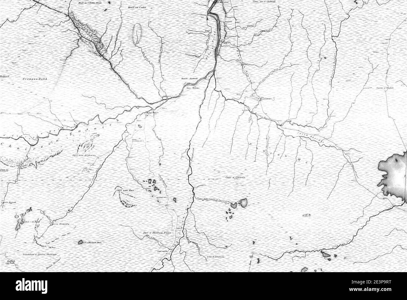 Map of Sutherland Sheet 042, Ordnance Survey, 1878-1881. Stock Photohttps://www.alamy.com/image-license-details/?v=1https://www.alamy.com/map-of-sutherland-sheet-042-ordnance-survey-1878-1881-image398173100.html
RM2E3P9RT–Map of Sutherland Sheet 042, Ordnance Survey, 1878-1881.
 49523 Showing Salmon-Beds diverting the water where the gravel is raised River Duart More, Sutherland Stock Photohttps://www.alamy.com/image-license-details/?v=1https://www.alamy.com/stock-photo-49523-showing-salmon-beds-diverting-the-water-where-the-gravel-is-115076759.html
RMGK65G7–49523 Showing Salmon-Beds diverting the water where the gravel is raised River Duart More, Sutherland
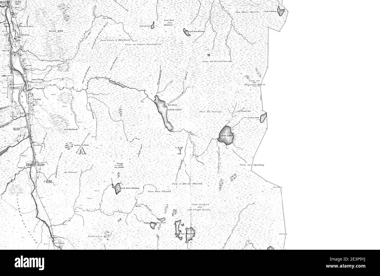 Map of Sutherland Sheet 029, Ordnance Survey, 1878-1881. Stock Photohttps://www.alamy.com/image-license-details/?v=1https://www.alamy.com/map-of-sutherland-sheet-029-ordnance-survey-1878-1881-image398173206.html
RM2E3P9YJ–Map of Sutherland Sheet 029, Ordnance Survey, 1878-1881.
 49693 12-lb Deformed Trout, caught in Loch Clashfern, Sutherland July 1904 Stock Photohttps://www.alamy.com/image-license-details/?v=1https://www.alamy.com/stock-photo-49693-12-lb-deformed-trout-caught-in-loch-clashfern-sutherland-july-115076970.html
RMGK65RP–49693 12-lb Deformed Trout, caught in Loch Clashfern, Sutherland July 1904
 Map of Sutherland Sheet 035, Ordnance Survey, 1878-1881. Stock Photohttps://www.alamy.com/image-license-details/?v=1https://www.alamy.com/map-of-sutherland-sheet-035-ordnance-survey-1878-1881-image398173216.html
RM2E3PA00–Map of Sutherland Sheet 035, Ordnance Survey, 1878-1881.
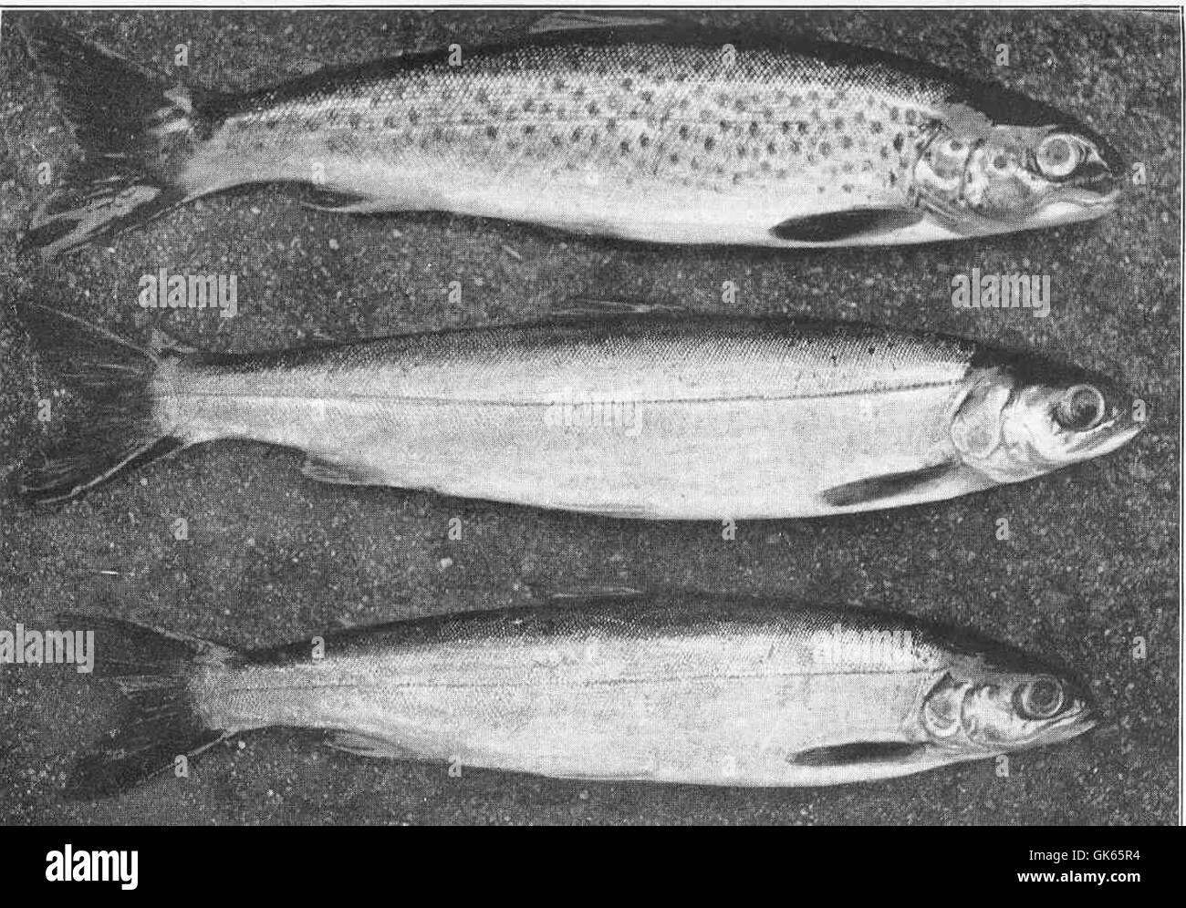 49678 One Brown Trout, two Char 12 lb each Loch Baden, Sutherland, July 1908 Stock Photohttps://www.alamy.com/image-license-details/?v=1https://www.alamy.com/stock-photo-49678-one-brown-trout-two-char-12-lb-each-loch-baden-sutherland-july-115076952.html
RMGK65R4–49678 One Brown Trout, two Char 12 lb each Loch Baden, Sutherland, July 1908
 Map of Sutherland Sheet 033, Ordnance Survey, 1878-1881. Stock Photohttps://www.alamy.com/image-license-details/?v=1https://www.alamy.com/map-of-sutherland-sheet-033-ordnance-survey-1878-1881-image398173225.html
RM2E3PA09–Map of Sutherland Sheet 033, Ordnance Survey, 1878-1881.
 Map of Sutherland Sheet 047, Ordnance Survey, 1878-1881. Stock Photohttps://www.alamy.com/image-license-details/?v=1https://www.alamy.com/map-of-sutherland-sheet-047-ordnance-survey-1878-1881-image398173135.html
RM2E3P9W3–Map of Sutherland Sheet 047, Ordnance Survey, 1878-1881.
 Map of Sutherland Sheet 019, Ordnance Survey, 1878-1881. Stock Photohttps://www.alamy.com/image-license-details/?v=1https://www.alamy.com/map-of-sutherland-sheet-019-ordnance-survey-1878-1881-image398173199.html
RM2E3P9YB–Map of Sutherland Sheet 019, Ordnance Survey, 1878-1881.
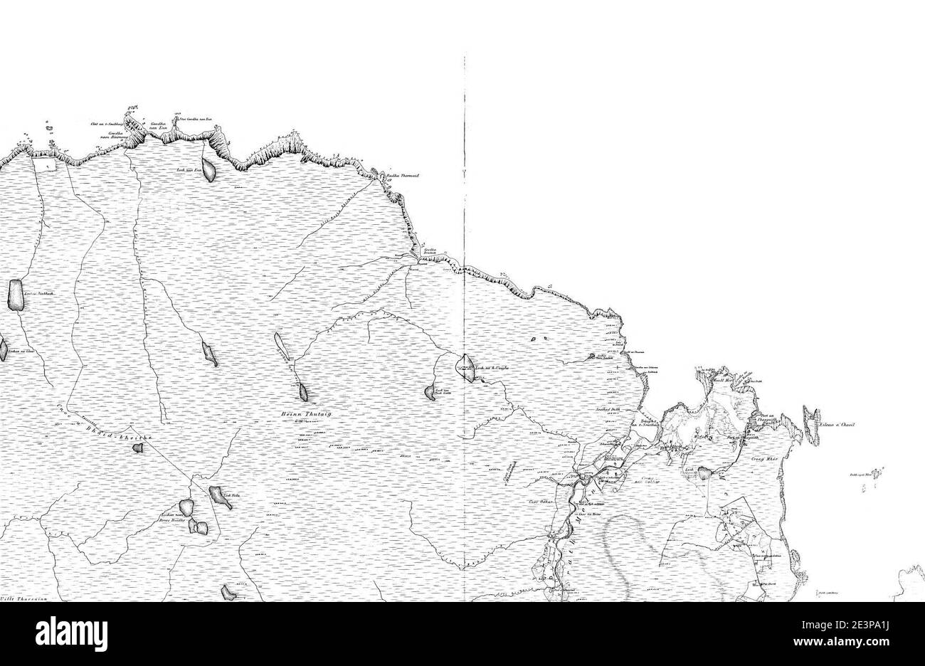 Map of Sutherland Sheet 007, Ordnance Survey, 1878-1881. Stock Photohttps://www.alamy.com/image-license-details/?v=1https://www.alamy.com/map-of-sutherland-sheet-007-ordnance-survey-1878-1881-image398173262.html
RM2E3PA1J–Map of Sutherland Sheet 007, Ordnance Survey, 1878-1881.
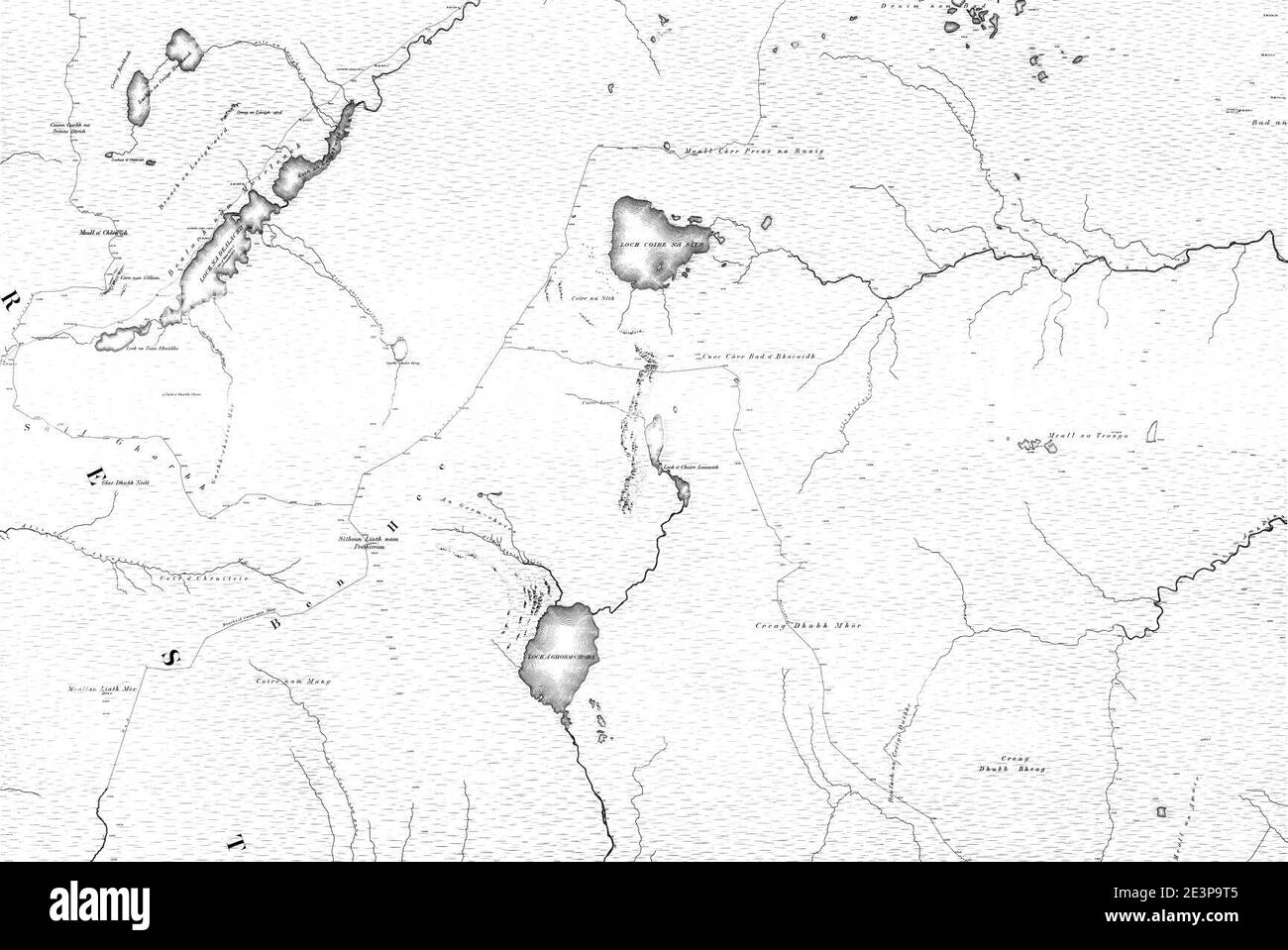 Map of Sutherland Sheet 052, Ordnance Survey, 1878-1881. Stock Photohttps://www.alamy.com/image-license-details/?v=1https://www.alamy.com/map-of-sutherland-sheet-052-ordnance-survey-1878-1881-image398173109.html
RM2E3P9T5–Map of Sutherland Sheet 052, Ordnance Survey, 1878-1881.
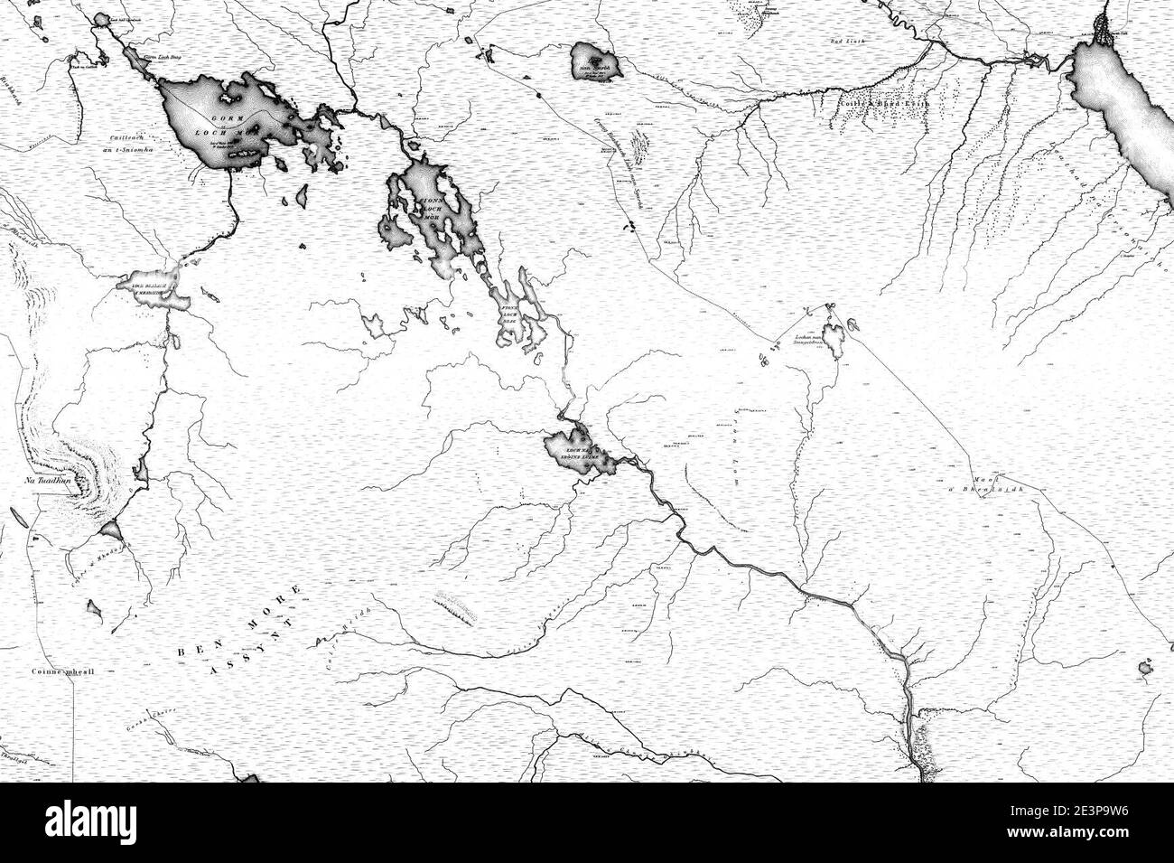 Map of Sutherland Sheet 072, Ordnance Survey, 1878-1881. Stock Photohttps://www.alamy.com/image-license-details/?v=1https://www.alamy.com/map-of-sutherland-sheet-072-ordnance-survey-1878-1881-image398173138.html
RM2E3P9W6–Map of Sutherland Sheet 072, Ordnance Survey, 1878-1881.
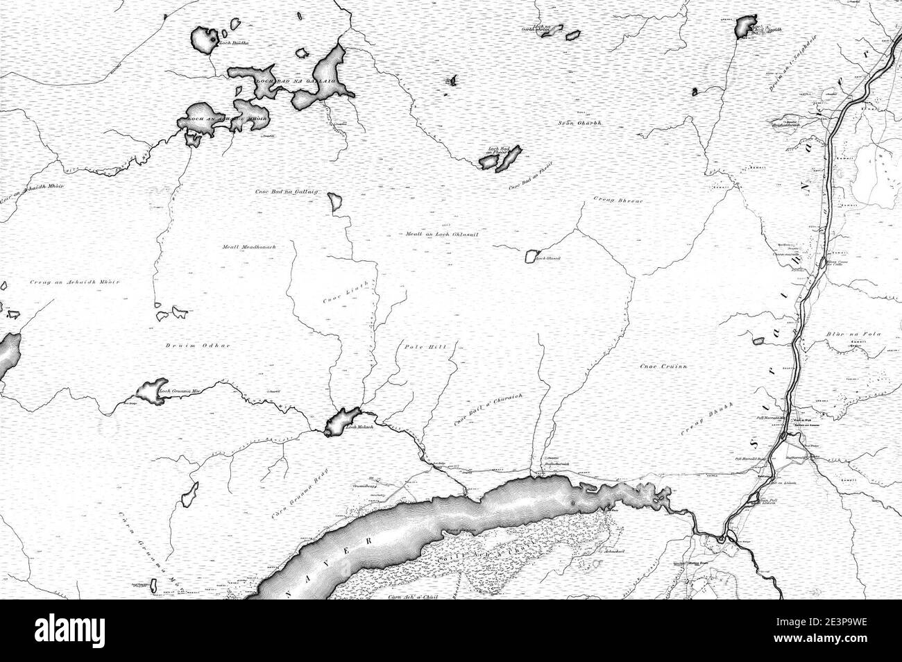 Map of Sutherland Sheet 044, Ordnance Survey, 1878-1881. Stock Photohttps://www.alamy.com/image-license-details/?v=1https://www.alamy.com/map-of-sutherland-sheet-044-ordnance-survey-1878-1881-image398173146.html
RM2E3P9WE–Map of Sutherland Sheet 044, Ordnance Survey, 1878-1881.
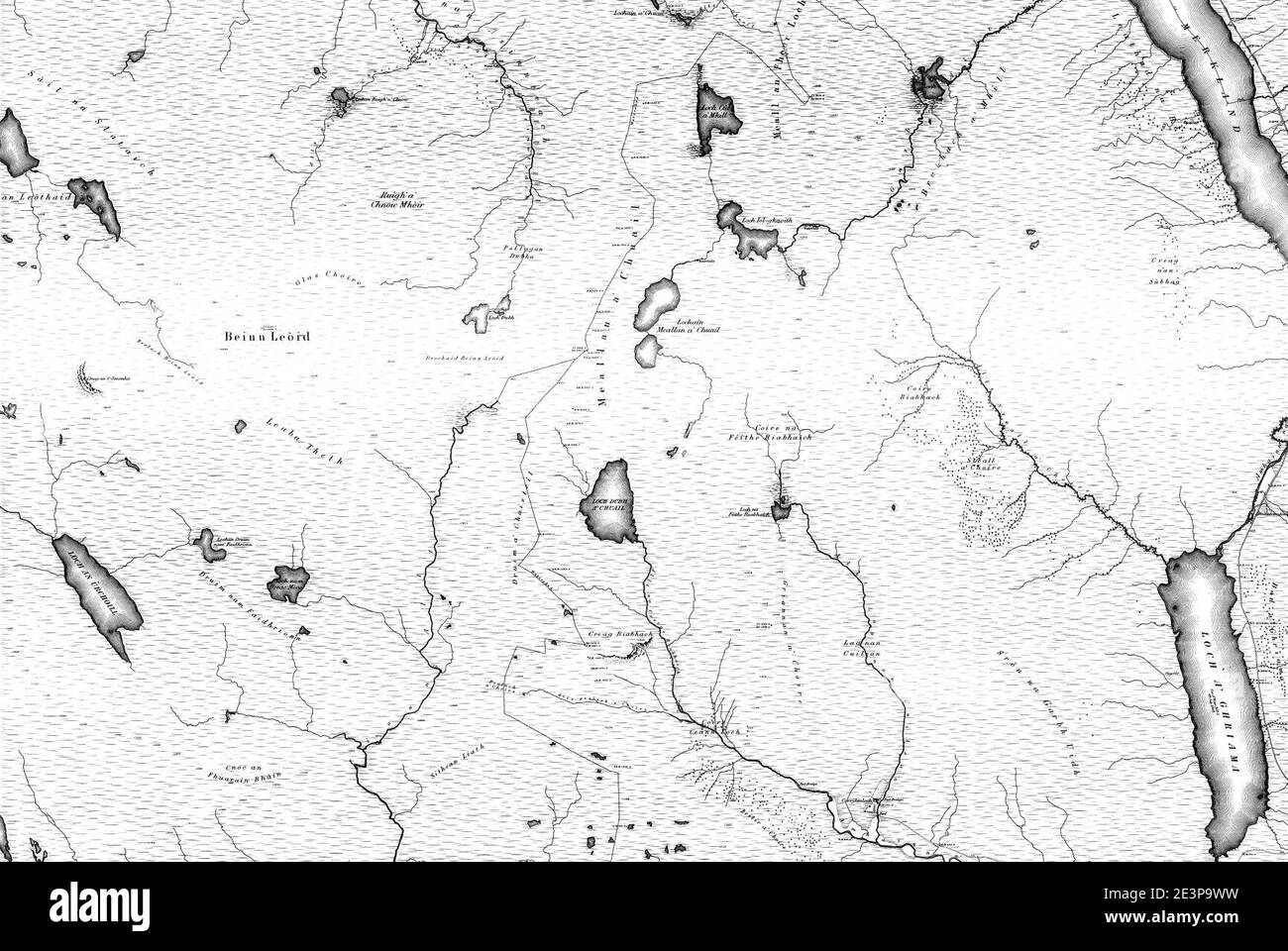 Map of Sutherland Sheet 061, Ordnance Survey, 1878-1881. Stock Photohttps://www.alamy.com/image-license-details/?v=1https://www.alamy.com/map-of-sutherland-sheet-061-ordnance-survey-1878-1881-image398173157.html
RM2E3P9WW–Map of Sutherland Sheet 061, Ordnance Survey, 1878-1881.
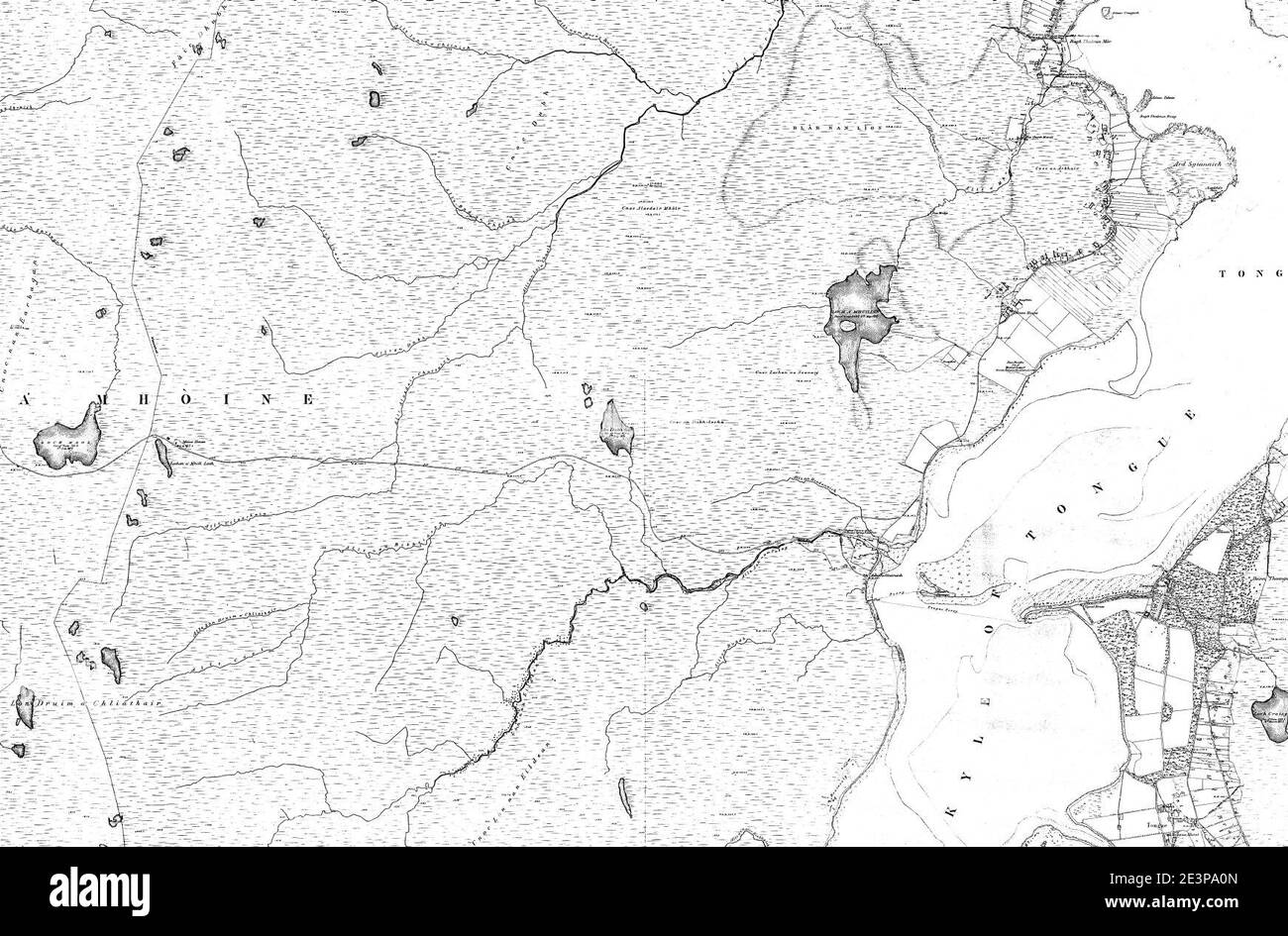 Map of Sutherland Sheet 016, Ordnance Survey, 1878-1881. Stock Photohttps://www.alamy.com/image-license-details/?v=1https://www.alamy.com/map-of-sutherland-sheet-016-ordnance-survey-1878-1881-image398173237.html
RM2E3PA0N–Map of Sutherland Sheet 016, Ordnance Survey, 1878-1881.
 Map of Sutherland Sheet 065, Ordnance Survey, 1878-1881. Stock Photohttps://www.alamy.com/image-license-details/?v=1https://www.alamy.com/map-of-sutherland-sheet-065-ordnance-survey-1878-1881-image398173103.html
RM2E3P9RY–Map of Sutherland Sheet 065, Ordnance Survey, 1878-1881.
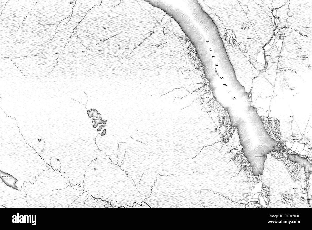 Map of Sutherland Sheet 094, Ordnance Survey, 1878-1881. Stock Photohttps://www.alamy.com/image-license-details/?v=1https://www.alamy.com/map-of-sutherland-sheet-094-ordnance-survey-1878-1881-image398173006.html
RM2E3P9ME–Map of Sutherland Sheet 094, Ordnance Survey, 1878-1881.
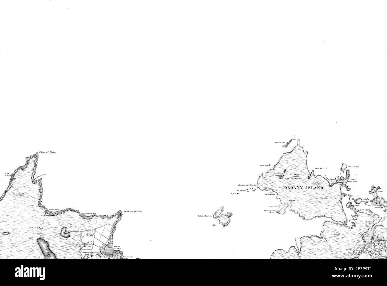 Map of Sutherland Sheet 048, Ordnance Survey, 1878-1881. Stock Photohttps://www.alamy.com/image-license-details/?v=1https://www.alamy.com/map-of-sutherland-sheet-048-ordnance-survey-1878-1881-image398173105.html
RM2E3P9T1–Map of Sutherland Sheet 048, Ordnance Survey, 1878-1881.
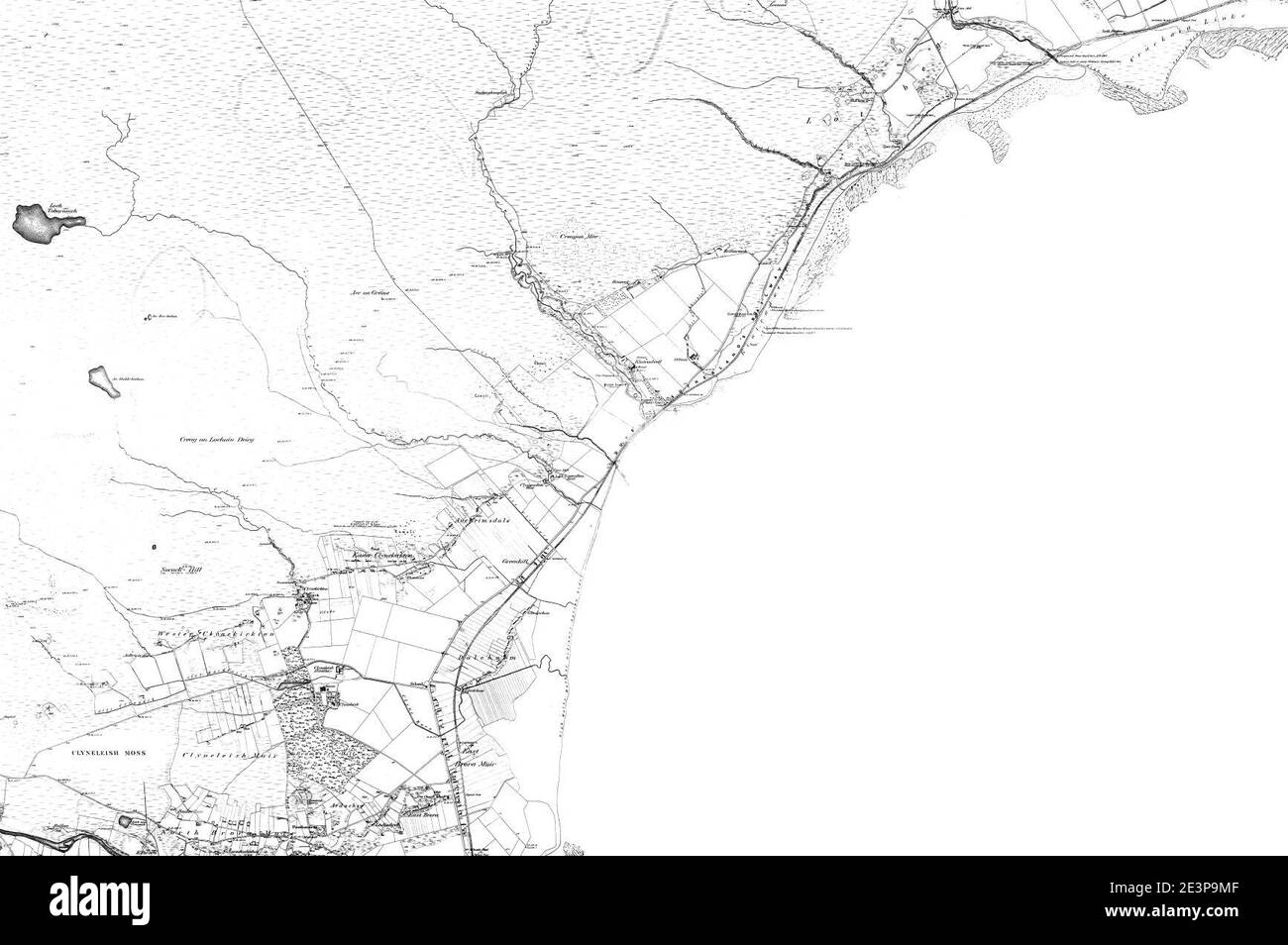 Map of Sutherland Sheet 098, Ordnance Survey, 1878-1881. Stock Photohttps://www.alamy.com/image-license-details/?v=1https://www.alamy.com/map-of-sutherland-sheet-098-ordnance-survey-1878-1881-image398173007.html
RM2E3P9MF–Map of Sutherland Sheet 098, Ordnance Survey, 1878-1881.
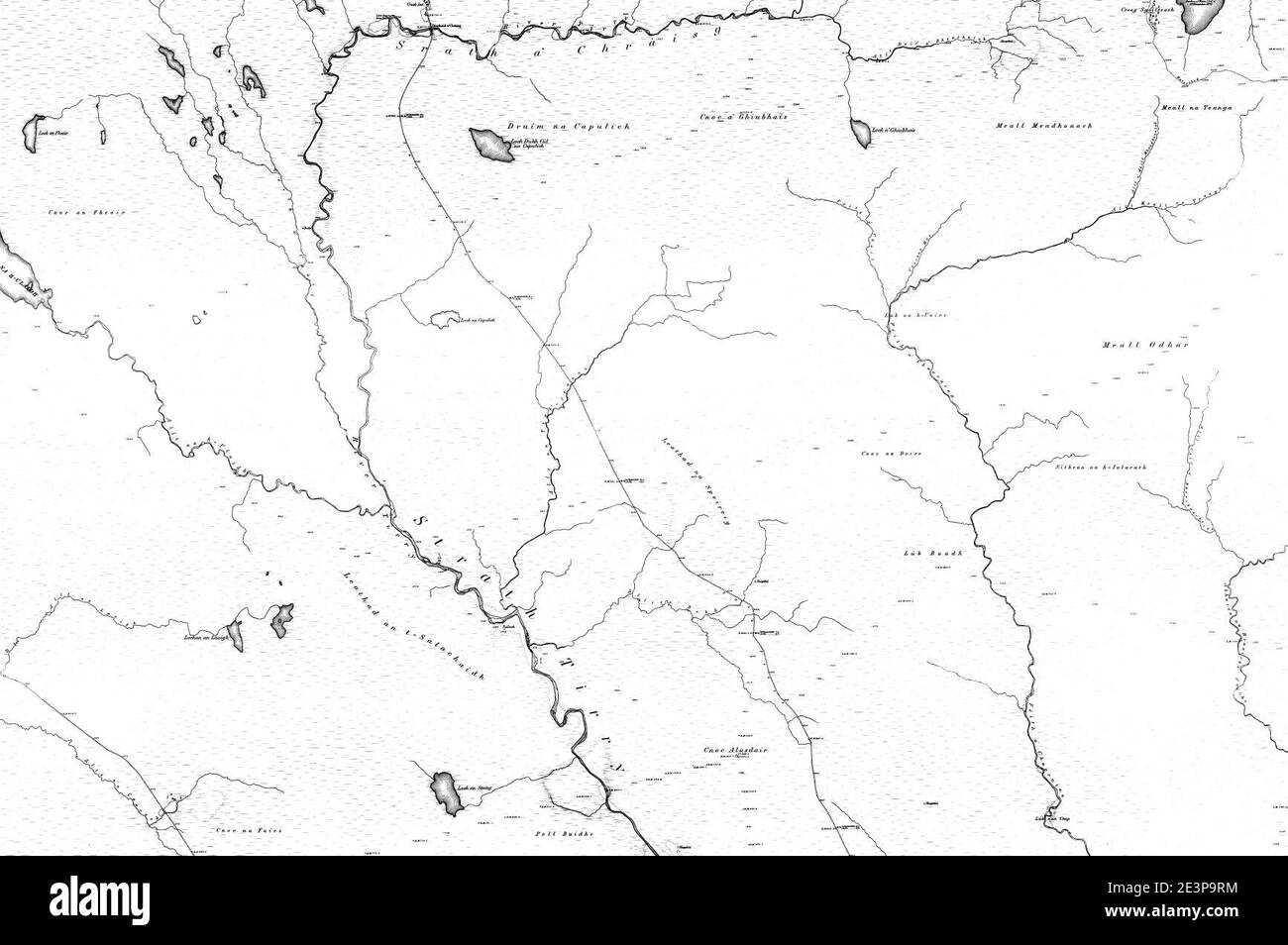 Map of Sutherland Sheet 074, Ordnance Survey, 1878-1881. Stock Photohttps://www.alamy.com/image-license-details/?v=1https://www.alamy.com/map-of-sutherland-sheet-074-ordnance-survey-1878-1881-image398173096.html
RM2E3P9RM–Map of Sutherland Sheet 074, Ordnance Survey, 1878-1881.
 Map of Sutherland Sheet 080, Ordnance Survey, 1878-1881. Stock Photohttps://www.alamy.com/image-license-details/?v=1https://www.alamy.com/map-of-sutherland-sheet-080-ordnance-survey-1878-1881-image398173139.html
RM2E3P9W7–Map of Sutherland Sheet 080, Ordnance Survey, 1878-1881.
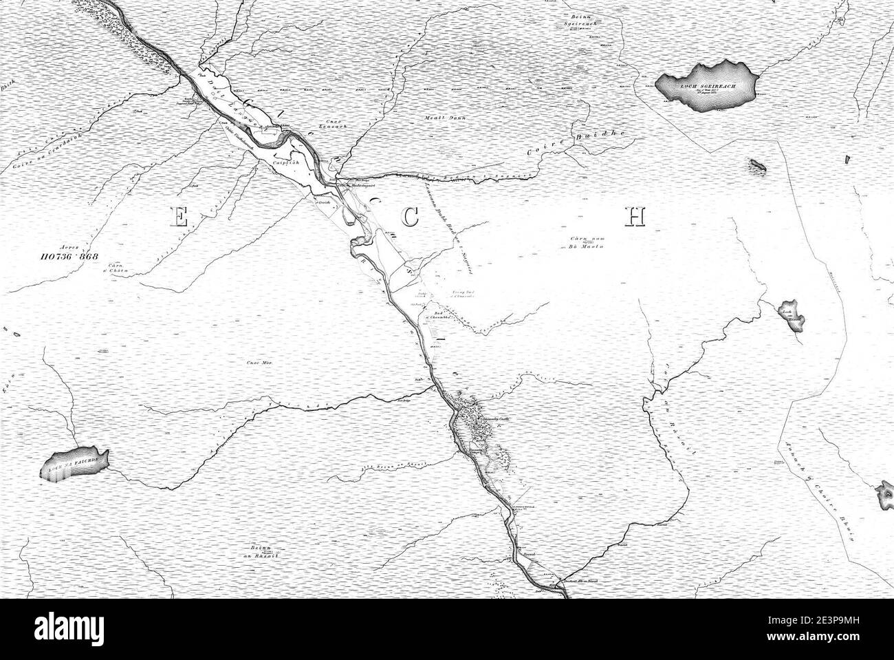 Map of Sutherland Sheet 093, Ordnance Survey, 1878-1881. Stock Photohttps://www.alamy.com/image-license-details/?v=1https://www.alamy.com/map-of-sutherland-sheet-093-ordnance-survey-1878-1881-image398173009.html
RM2E3P9MH–Map of Sutherland Sheet 093, Ordnance Survey, 1878-1881.
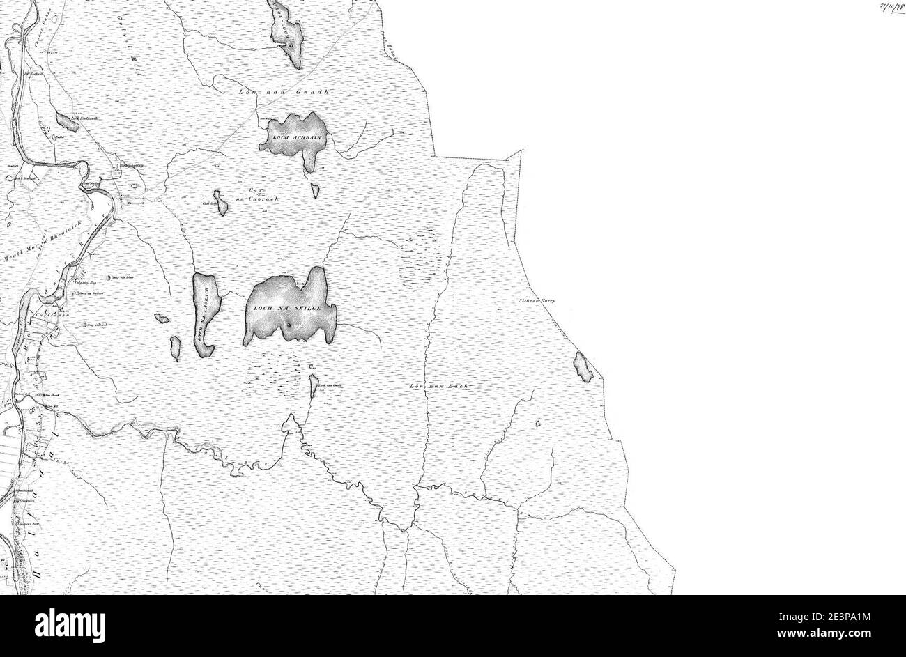 Map of Sutherland Sheet 020, Ordnance Survey, 1878-1881. Stock Photohttps://www.alamy.com/image-license-details/?v=1https://www.alamy.com/map-of-sutherland-sheet-020-ordnance-survey-1878-1881-image398173264.html
RM2E3PA1M–Map of Sutherland Sheet 020, Ordnance Survey, 1878-1881.
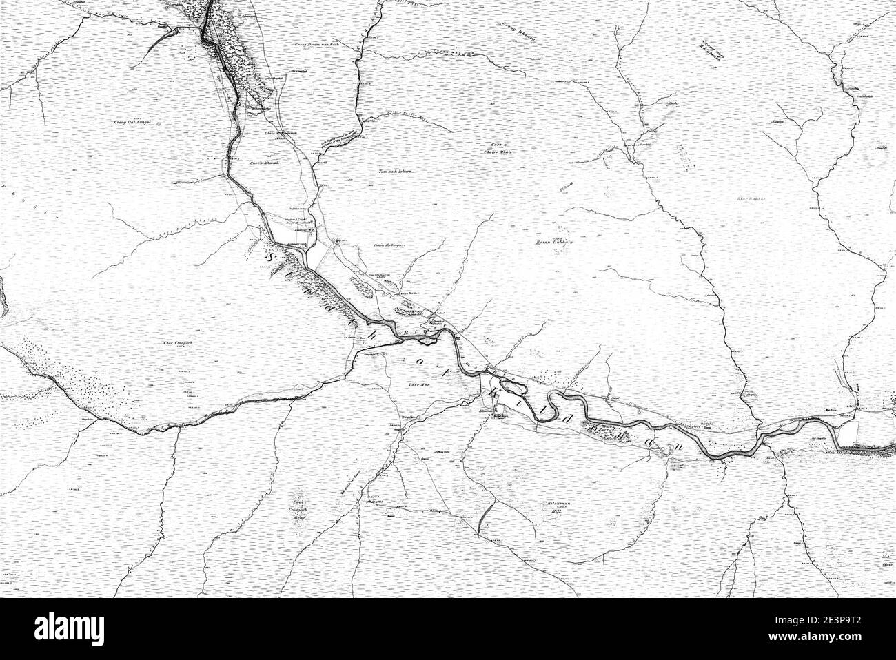 Map of Sutherland Sheet 078, Ordnance Survey, 1878-1881. Stock Photohttps://www.alamy.com/image-license-details/?v=1https://www.alamy.com/map-of-sutherland-sheet-078-ordnance-survey-1878-1881-image398173106.html
RM2E3P9T2–Map of Sutherland Sheet 078, Ordnance Survey, 1878-1881.
 Map of Sutherland Sheet 090, Ordnance Survey, 1878-1881. Stock Photohttps://www.alamy.com/image-license-details/?v=1https://www.alamy.com/map-of-sutherland-sheet-090-ordnance-survey-1878-1881-image398173011.html
RM2E3P9MK–Map of Sutherland Sheet 090, Ordnance Survey, 1878-1881.
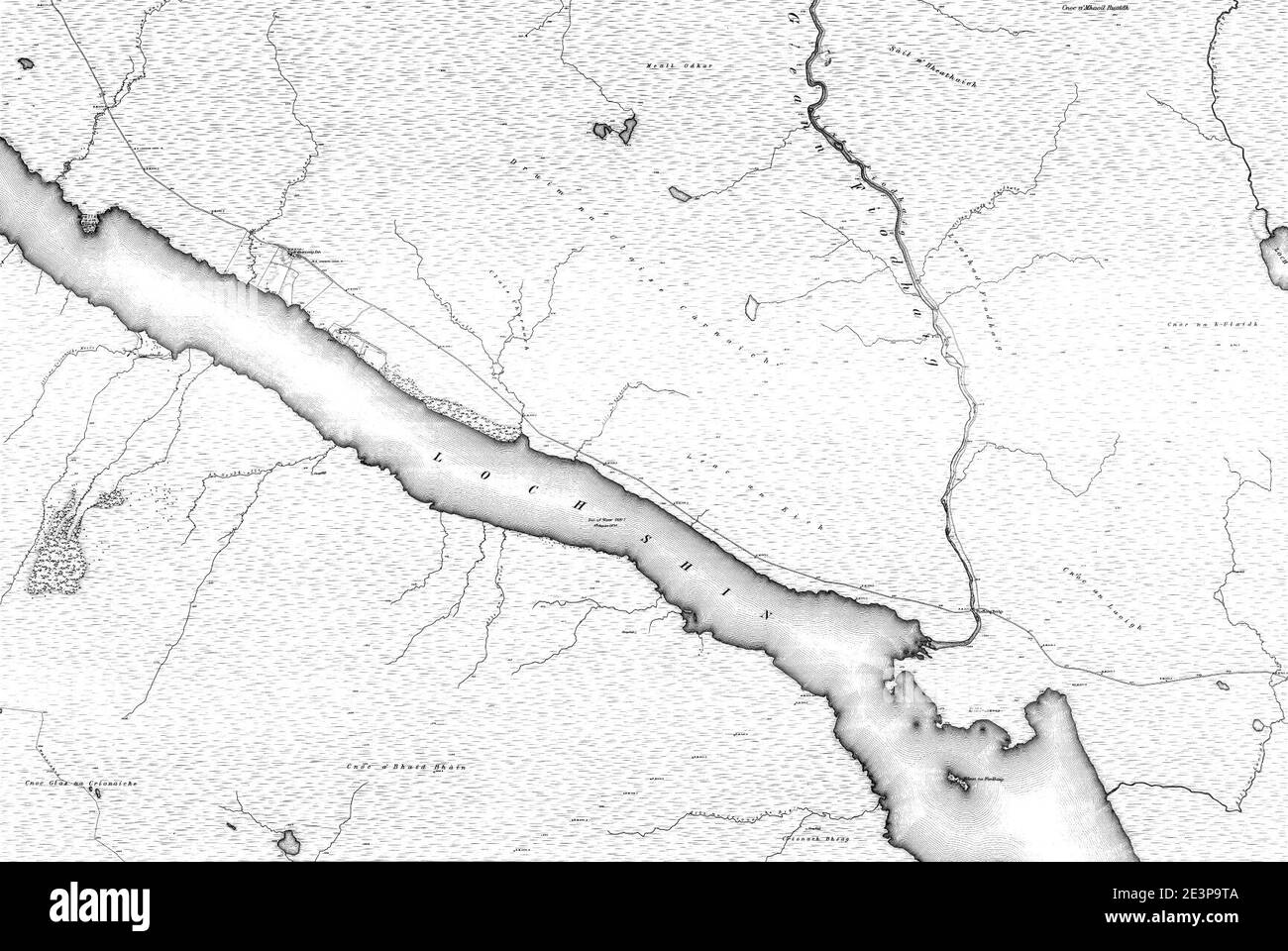 Map of Sutherland Sheet 073, Ordnance Survey, 1878-1881. Stock Photohttps://www.alamy.com/image-license-details/?v=1https://www.alamy.com/map-of-sutherland-sheet-073-ordnance-survey-1878-1881-image398173114.html
RM2E3P9TA–Map of Sutherland Sheet 073, Ordnance Survey, 1878-1881.
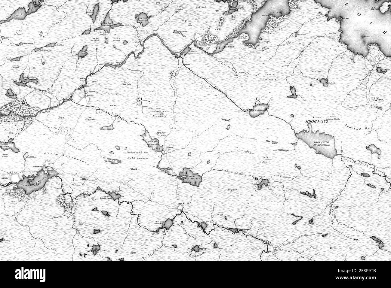 Map of Sutherland Sheet 070, Ordnance Survey, 1878-1881. Stock Photohttps://www.alamy.com/image-license-details/?v=1https://www.alamy.com/map-of-sutherland-sheet-070-ordnance-survey-1878-1881-image398173115.html
RM2E3P9TB–Map of Sutherland Sheet 070, Ordnance Survey, 1878-1881.
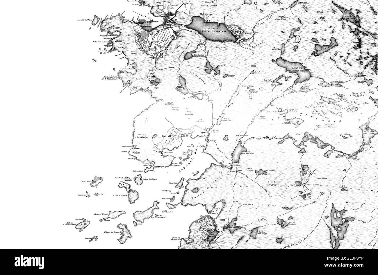 Map of Sutherland Sheet 039, Ordnance Survey, 1878-1881. Stock Photohttps://www.alamy.com/image-license-details/?v=1https://www.alamy.com/map-of-sutherland-sheet-039-ordnance-survey-1878-1881-image398173210.html
RM2E3P9YP–Map of Sutherland Sheet 039, Ordnance Survey, 1878-1881.
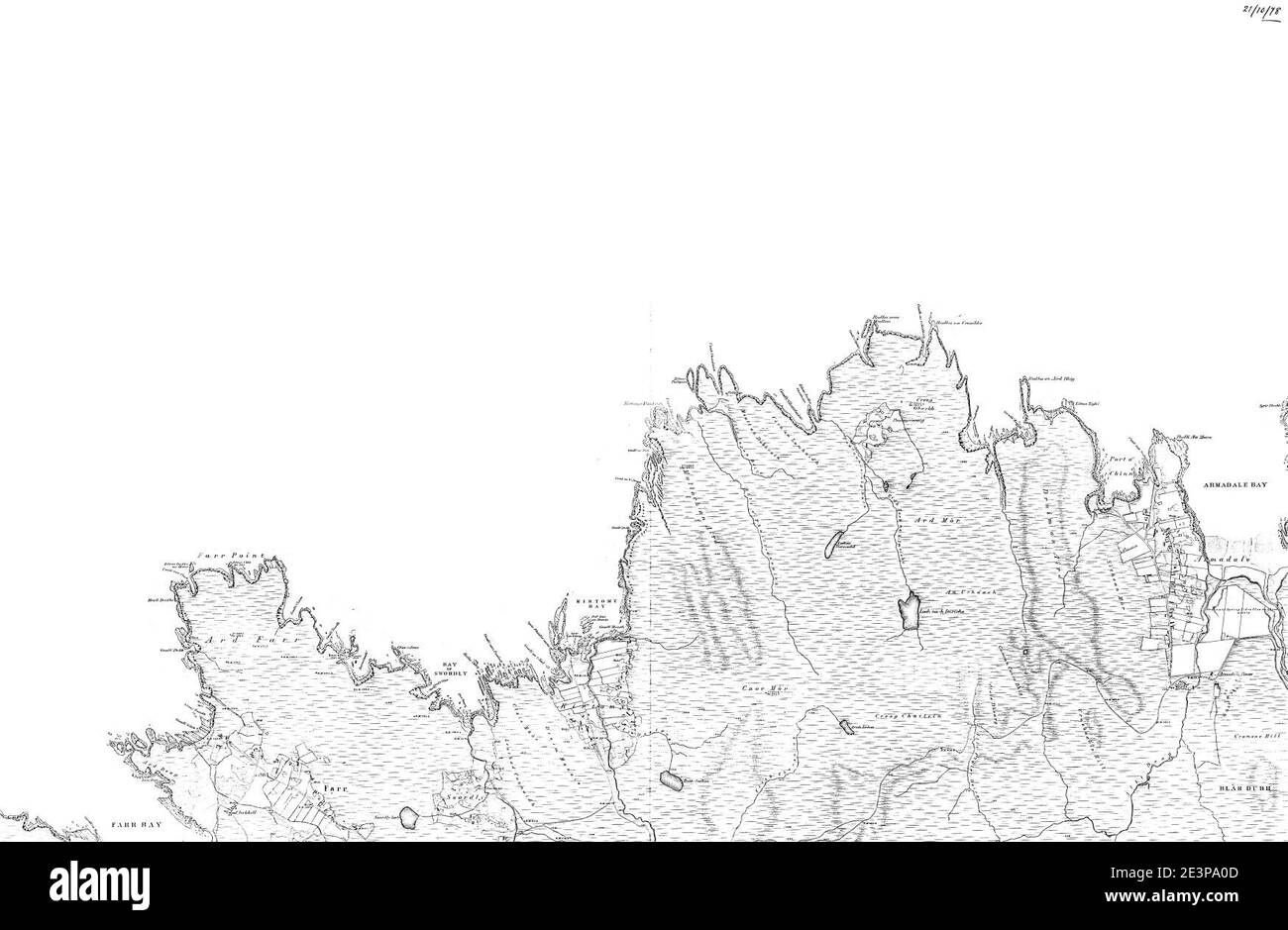 Map of Sutherland Sheet 009, Ordnance Survey, 1878-1881. Stock Photohttps://www.alamy.com/image-license-details/?v=1https://www.alamy.com/map-of-sutherland-sheet-009-ordnance-survey-1878-1881-image398173229.html
RM2E3PA0D–Map of Sutherland Sheet 009, Ordnance Survey, 1878-1881.
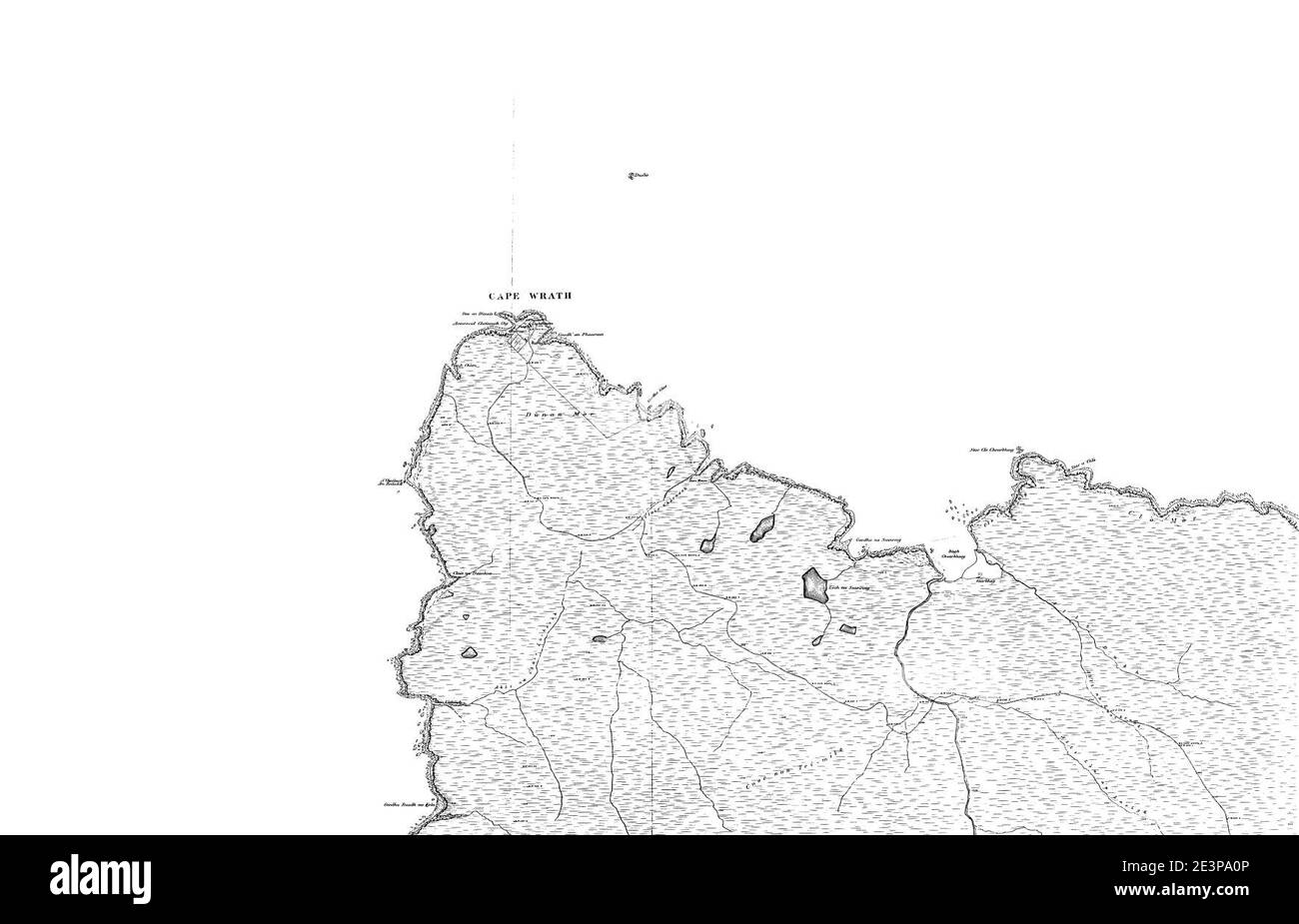 Map of Sutherland Sheet 001, Ordnance Survey, 1878-1881. Stock Photohttps://www.alamy.com/image-license-details/?v=1https://www.alamy.com/map-of-sutherland-sheet-001-ordnance-survey-1878-1881-image398173238.html
RM2E3PA0P–Map of Sutherland Sheet 001, Ordnance Survey, 1878-1881.
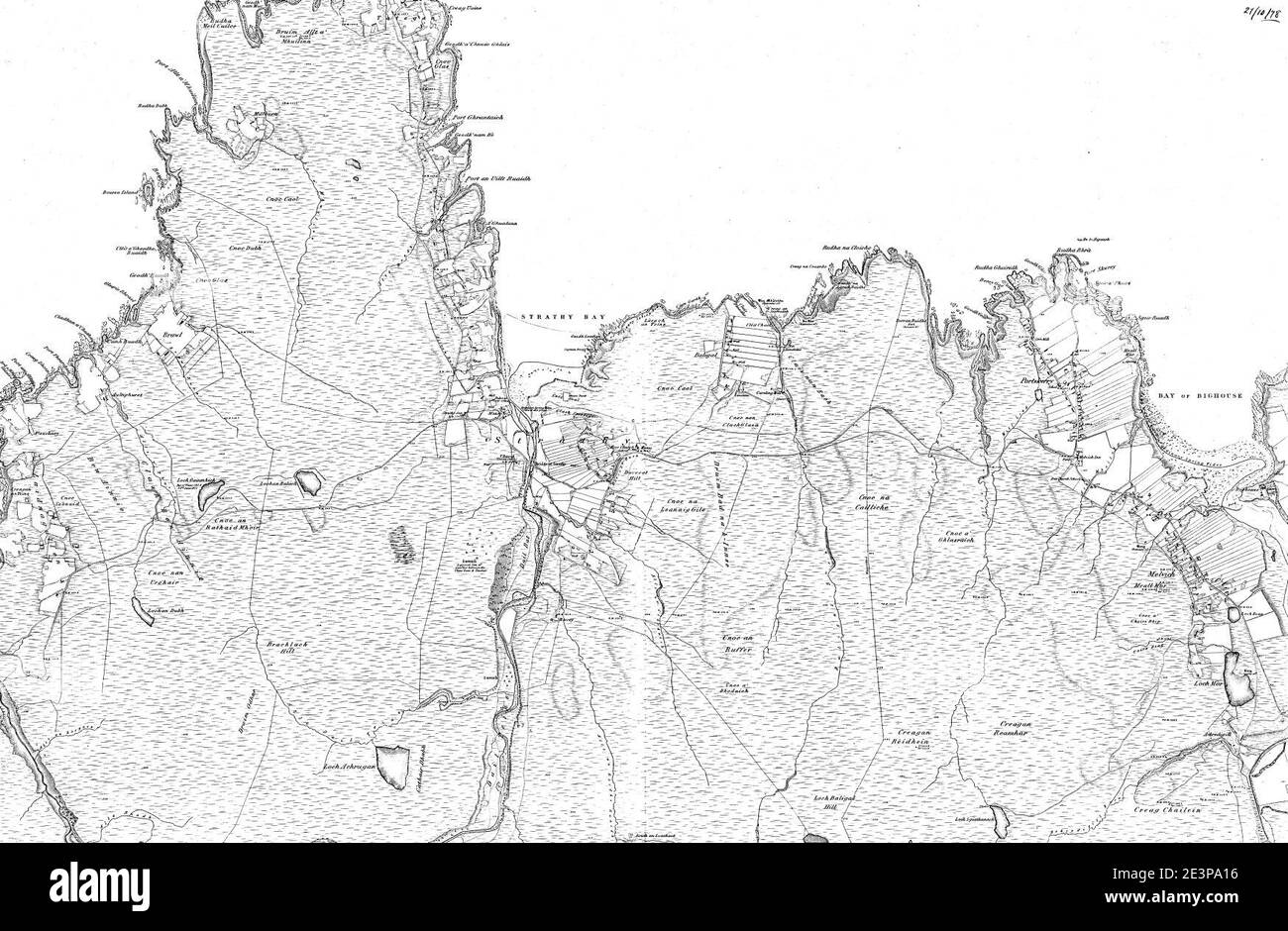 Map of Sutherland Sheet 010, Ordnance Survey, 1878-1881. Stock Photohttps://www.alamy.com/image-license-details/?v=1https://www.alamy.com/map-of-sutherland-sheet-010-ordnance-survey-1878-1881-image398173250.html
RM2E3PA16–Map of Sutherland Sheet 010, Ordnance Survey, 1878-1881.
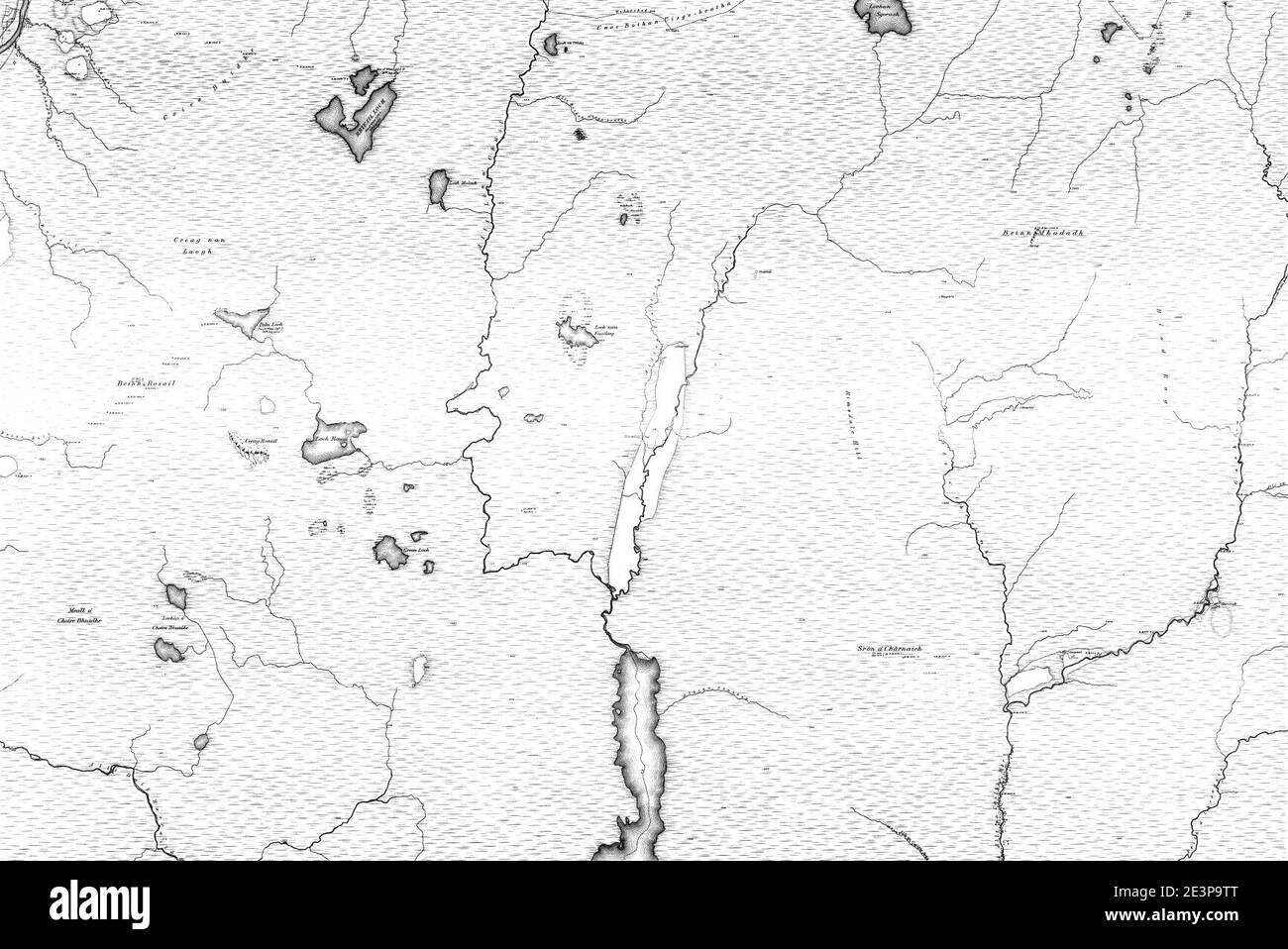 Map of Sutherland Sheet 045, Ordnance Survey, 1878-1881. Stock Photohttps://www.alamy.com/image-license-details/?v=1https://www.alamy.com/map-of-sutherland-sheet-045-ordnance-survey-1878-1881-image398173128.html
RM2E3P9TT–Map of Sutherland Sheet 045, Ordnance Survey, 1878-1881.
 Map of Sutherland Sheet 079, Ordnance Survey, 1878-1881. Stock Photohttps://www.alamy.com/image-license-details/?v=1https://www.alamy.com/map-of-sutherland-sheet-079-ordnance-survey-1878-1881-image398173129.html
RM2E3P9TW–Map of Sutherland Sheet 079, Ordnance Survey, 1878-1881.
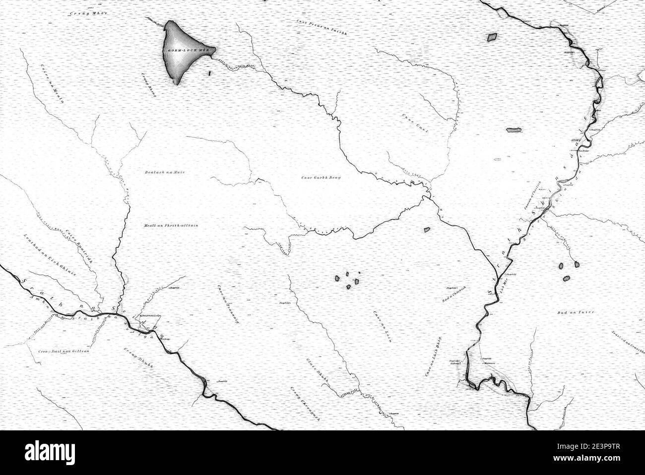 Map of Sutherland Sheet 076, Ordnance Survey, 1878-1881. Stock Photohttps://www.alamy.com/image-license-details/?v=1https://www.alamy.com/map-of-sutherland-sheet-076-ordnance-survey-1878-1881-image398173127.html
RM2E3P9TR–Map of Sutherland Sheet 076, Ordnance Survey, 1878-1881.
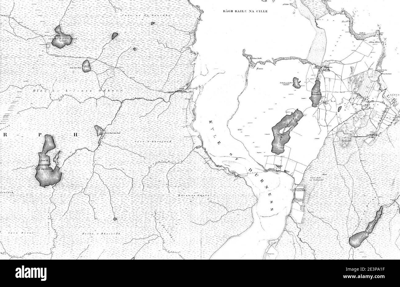 Map of Sutherland Sheet 005, Ordnance Survey, 1878-1881. Stock Photohttps://www.alamy.com/image-license-details/?v=1https://www.alamy.com/map-of-sutherland-sheet-005-ordnance-survey-1878-1881-image398173259.html
RM2E3PA1F–Map of Sutherland Sheet 005, Ordnance Survey, 1878-1881.
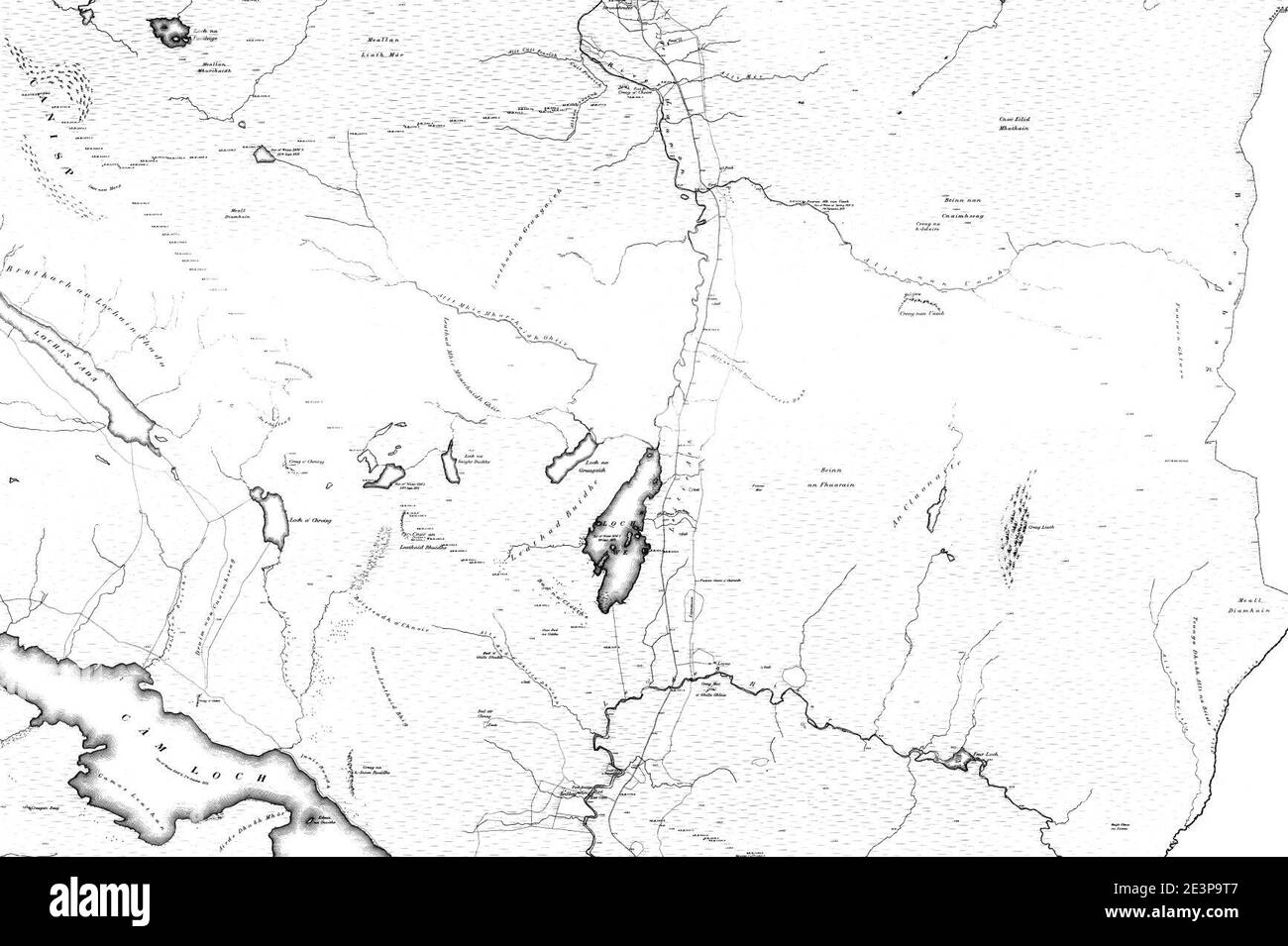 Map of Sutherland Sheet 082, Ordnance Survey, 1878-1881. Stock Photohttps://www.alamy.com/image-license-details/?v=1https://www.alamy.com/map-of-sutherland-sheet-082-ordnance-survey-1878-1881-image398173111.html
RM2E3P9T7–Map of Sutherland Sheet 082, Ordnance Survey, 1878-1881.
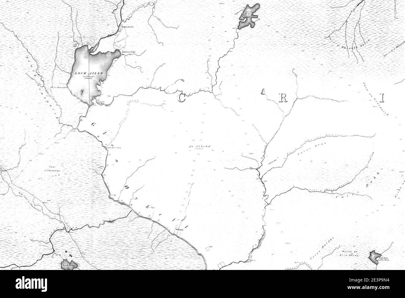 Map of Sutherland Sheet 092, Ordnance Survey, 1878-1881. Stock Photohttps://www.alamy.com/image-license-details/?v=1https://www.alamy.com/map-of-sutherland-sheet-092-ordnance-survey-1878-1881-image398173024.html
RM2E3P9N4–Map of Sutherland Sheet 092, Ordnance Survey, 1878-1881.
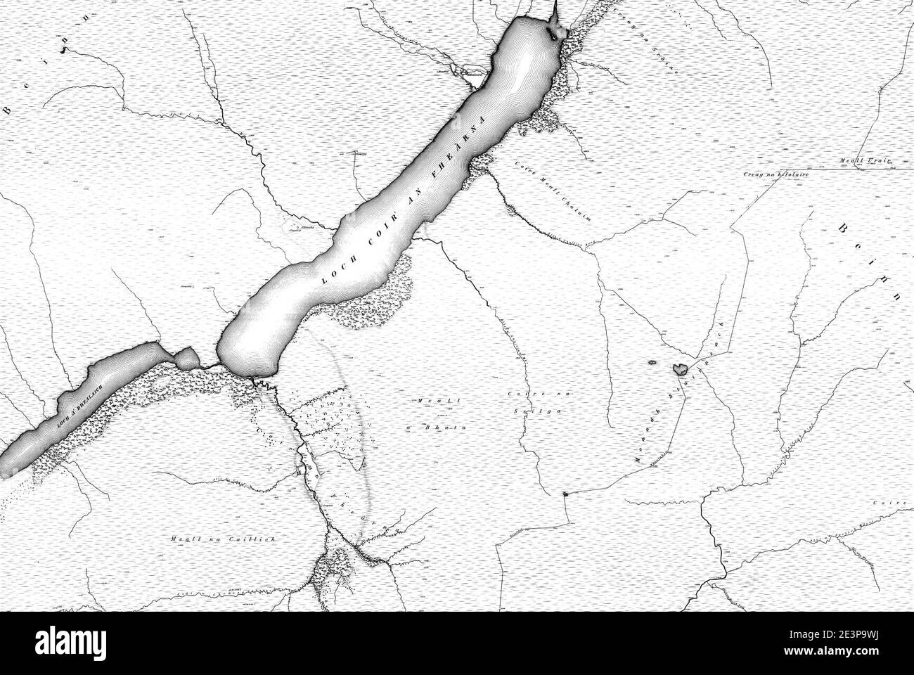 Map of Sutherland Sheet 064, Ordnance Survey, 1878-1881. Stock Photohttps://www.alamy.com/image-license-details/?v=1https://www.alamy.com/map-of-sutherland-sheet-064-ordnance-survey-1878-1881-image398173150.html
RM2E3P9WJ–Map of Sutherland Sheet 064, Ordnance Survey, 1878-1881.
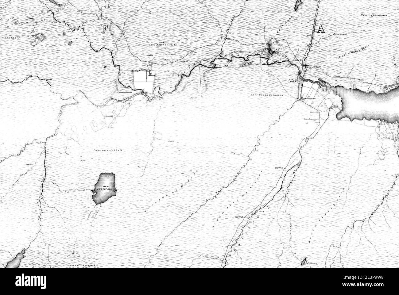 Map of Sutherland Sheet 053, Ordnance Survey, 1878-1881. Stock Photohttps://www.alamy.com/image-license-details/?v=1https://www.alamy.com/map-of-sutherland-sheet-053-ordnance-survey-1878-1881-image398173140.html
RM2E3P9W8–Map of Sutherland Sheet 053, Ordnance Survey, 1878-1881.
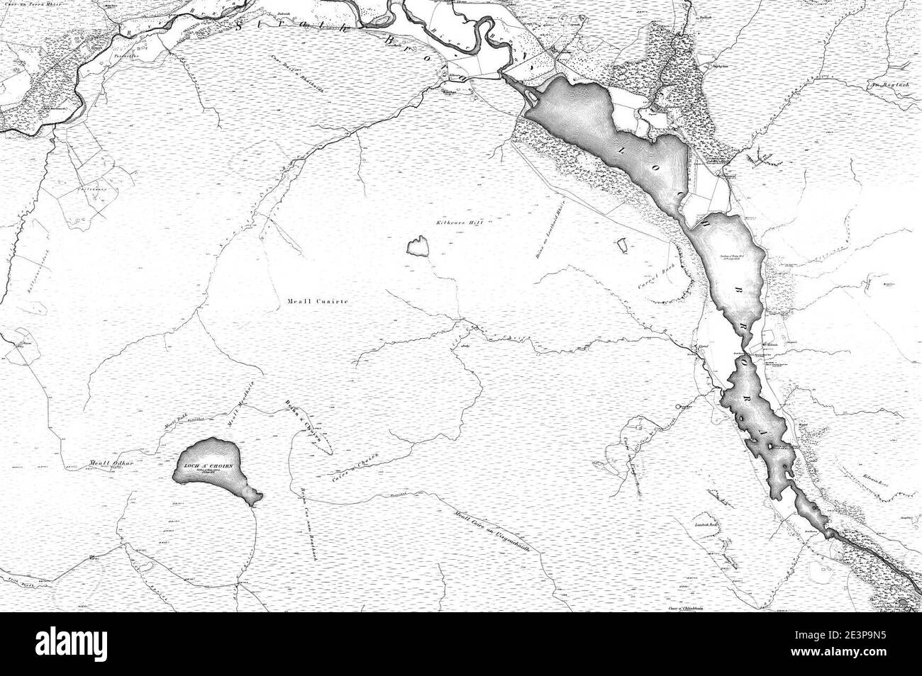 Map of Sutherland Sheet 097, Ordnance Survey, 1878-1881. Stock Photohttps://www.alamy.com/image-license-details/?v=1https://www.alamy.com/map-of-sutherland-sheet-097-ordnance-survey-1878-1881-image398173025.html
RM2E3P9N5–Map of Sutherland Sheet 097, Ordnance Survey, 1878-1881.
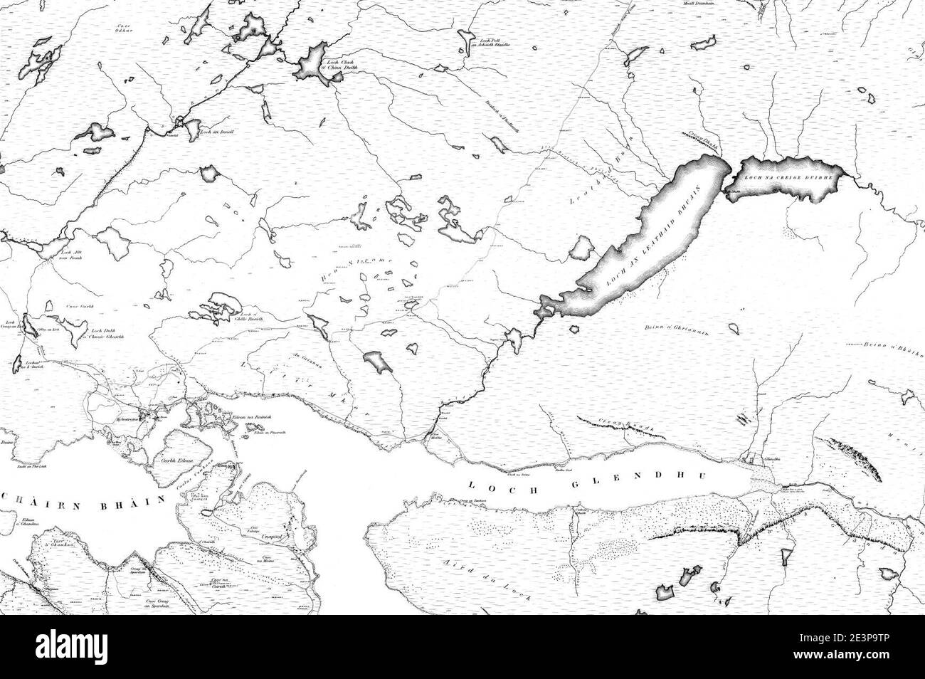 Map of Sutherland Sheet 050, Ordnance Survey, 1878-1881. Stock Photohttps://www.alamy.com/image-license-details/?v=1https://www.alamy.com/map-of-sutherland-sheet-050-ordnance-survey-1878-1881-image398173126.html
RM2E3P9TP–Map of Sutherland Sheet 050, Ordnance Survey, 1878-1881.
 Map of Sutherland Sheet 003, Ordnance Survey, 1878-1881. Stock Photohttps://www.alamy.com/image-license-details/?v=1https://www.alamy.com/map-of-sutherland-sheet-003-ordnance-survey-1878-1881-image398173235.html
RM2E3PA0K–Map of Sutherland Sheet 003, Ordnance Survey, 1878-1881.
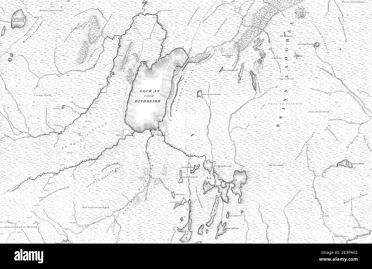 Map of Sutherland Sheet 034, Ordnance Survey, 1878-1881. Stock Photohttps://www.alamy.com/image-license-details/?v=1https://www.alamy.com/map-of-sutherland-sheet-034-ordnance-survey-1878-1881-image398173218.html
RM2E3PA02–Map of Sutherland Sheet 034, Ordnance Survey, 1878-1881.
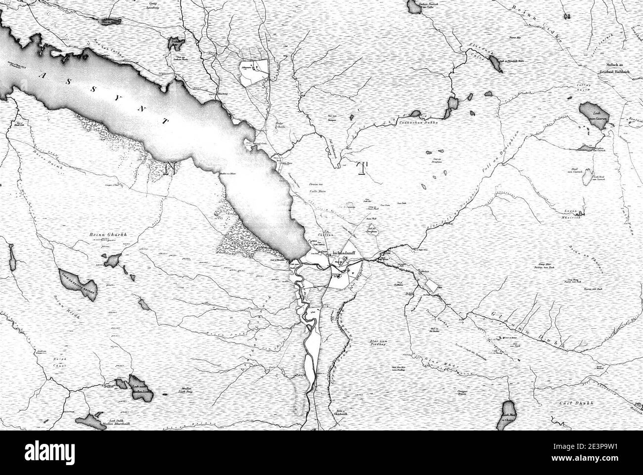 Map of Sutherland Sheet 071, Ordnance Survey, 1878-1881. Stock Photohttps://www.alamy.com/image-license-details/?v=1https://www.alamy.com/map-of-sutherland-sheet-071-ordnance-survey-1878-1881-image398173133.html
RM2E3P9W1–Map of Sutherland Sheet 071, Ordnance Survey, 1878-1881.
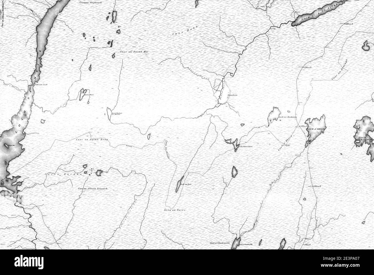 Map of Sutherland Sheet 043, Ordnance Survey, 1878-1881. Stock Photohttps://www.alamy.com/image-license-details/?v=1https://www.alamy.com/map-of-sutherland-sheet-043-ordnance-survey-1878-1881-image398173223.html
RM2E3PA07–Map of Sutherland Sheet 043, Ordnance Survey, 1878-1881.
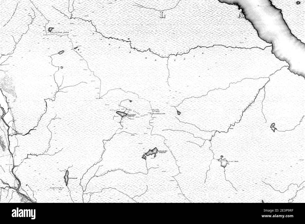 Map of Sutherland Sheet 084, Ordnance Survey, 1878-1881. Stock Photohttps://www.alamy.com/image-license-details/?v=1https://www.alamy.com/map-of-sutherland-sheet-084-ordnance-survey-1878-1881-image398173091.html
RM2E3P9RF–Map of Sutherland Sheet 084, Ordnance Survey, 1878-1881.
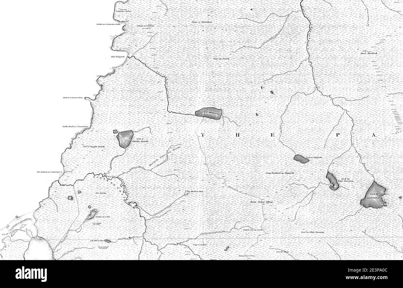 Map of Sutherland Sheet 004, Ordnance Survey, 1878-1881. Stock Photohttps://www.alamy.com/image-license-details/?v=1https://www.alamy.com/map-of-sutherland-sheet-004-ordnance-survey-1878-1881-image398173228.html
RM2E3PA0C–Map of Sutherland Sheet 004, Ordnance Survey, 1878-1881.
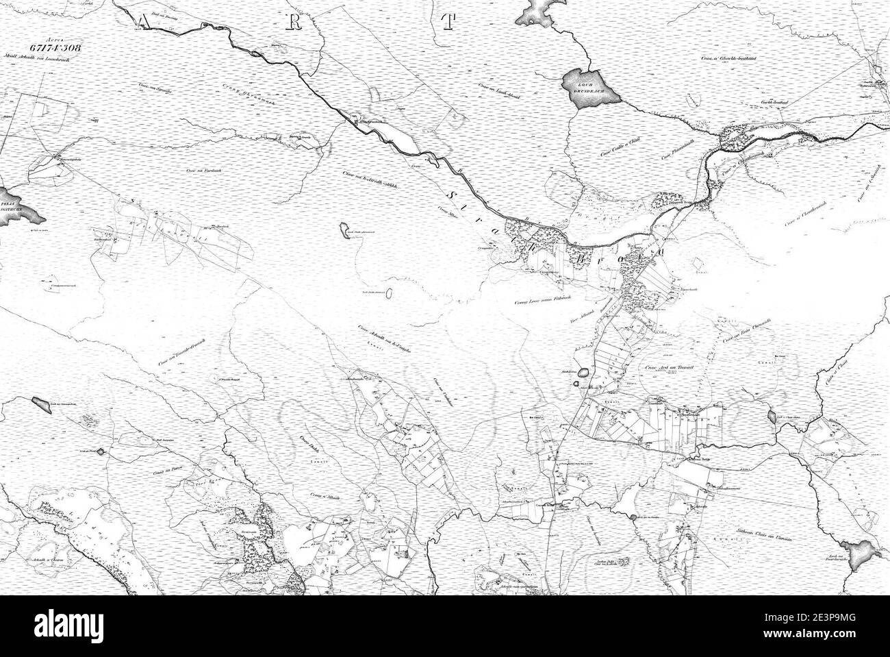 Map of Sutherland Sheet 096, Ordnance Survey, 1878-1881. Stock Photohttps://www.alamy.com/image-license-details/?v=1https://www.alamy.com/map-of-sutherland-sheet-096-ordnance-survey-1878-1881-image398173008.html
RM2E3P9MG–Map of Sutherland Sheet 096, Ordnance Survey, 1878-1881.
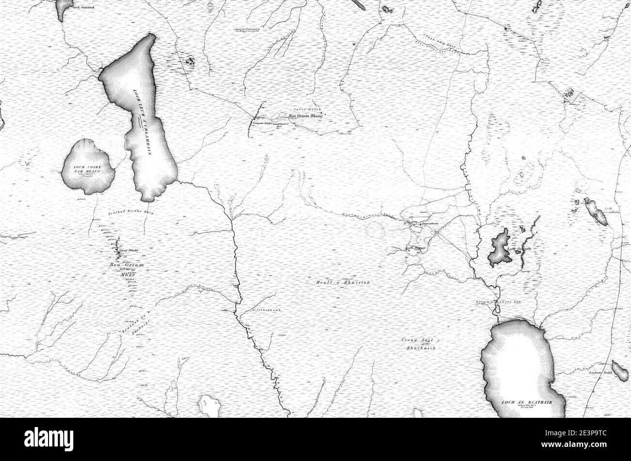 Map of Sutherland Sheet 046, Ordnance Survey, 1878-1881. Stock Photohttps://www.alamy.com/image-license-details/?v=1https://www.alamy.com/map-of-sutherland-sheet-046-ordnance-survey-1878-1881-image398173116.html
RM2E3P9TC–Map of Sutherland Sheet 046, Ordnance Survey, 1878-1881.
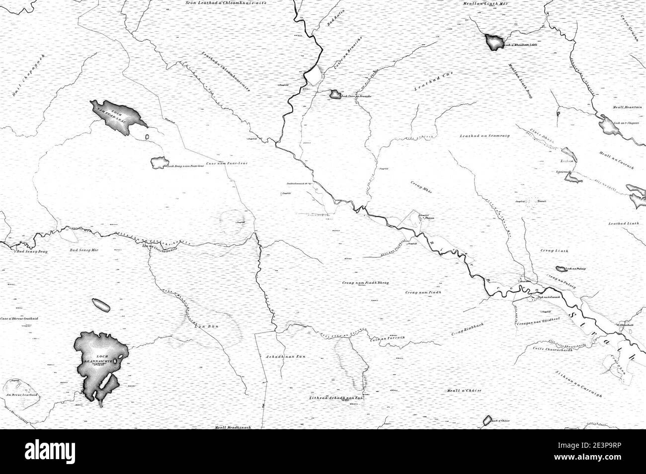 Map of Sutherland Sheet 086, Ordnance Survey, 1878-1881. Stock Photohttps://www.alamy.com/image-license-details/?v=1https://www.alamy.com/map-of-sutherland-sheet-086-ordnance-survey-1878-1881-image398173098.html
RM2E3P9RP–Map of Sutherland Sheet 086, Ordnance Survey, 1878-1881.
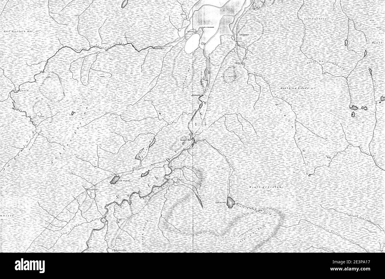 Map of Sutherland Sheet 014, Ordnance Survey, 1878-1881. Stock Photohttps://www.alamy.com/image-license-details/?v=1https://www.alamy.com/map-of-sutherland-sheet-014-ordnance-survey-1878-1881-image398173251.html
RM2E3PA17–Map of Sutherland Sheet 014, Ordnance Survey, 1878-1881.
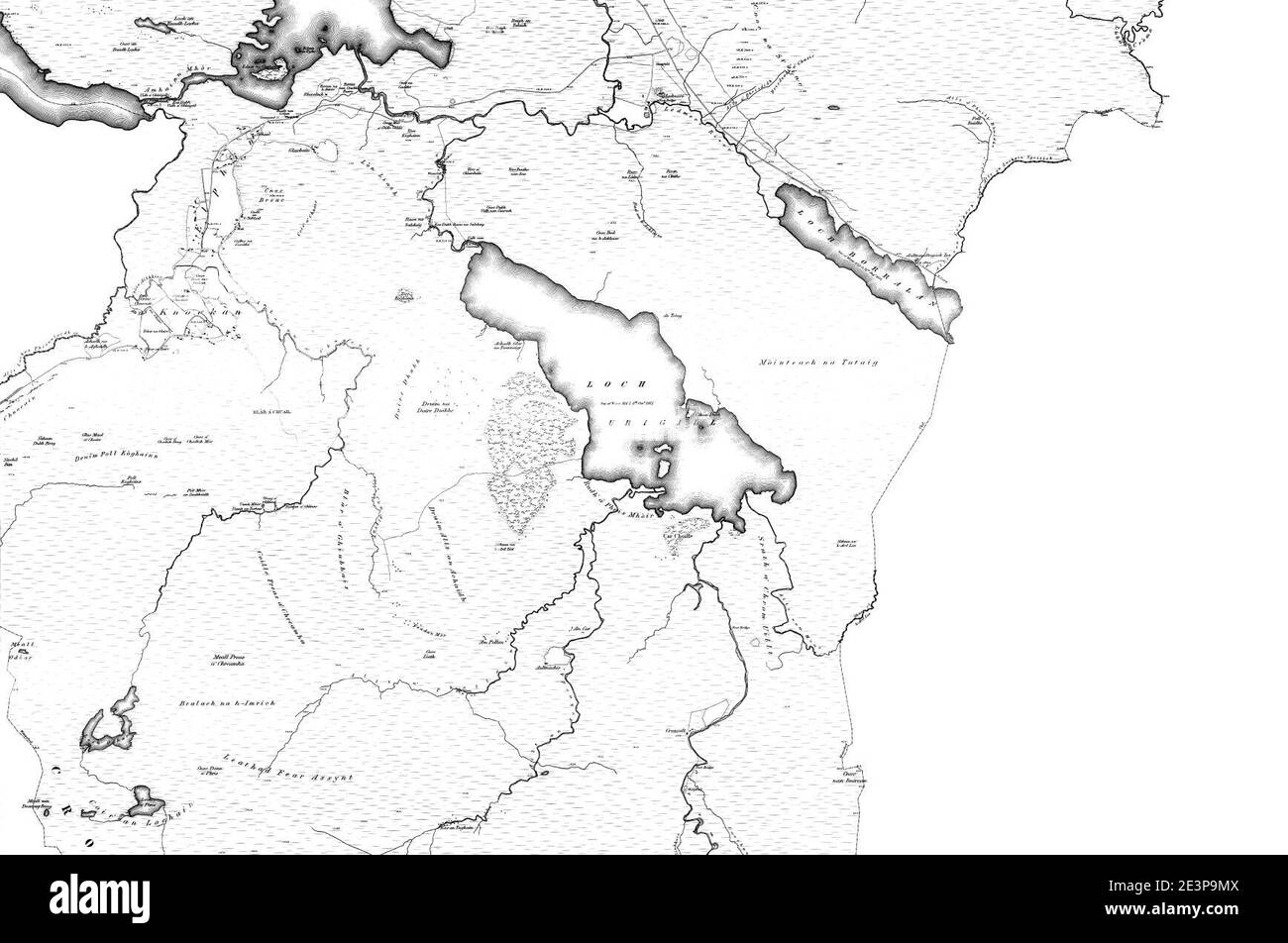 Map of Sutherland Sheet 091, Ordnance Survey, 1878-1881. Stock Photohttps://www.alamy.com/image-license-details/?v=1https://www.alamy.com/map-of-sutherland-sheet-091-ordnance-survey-1878-1881-image398173018.html
RM2E3P9MX–Map of Sutherland Sheet 091, Ordnance Survey, 1878-1881.
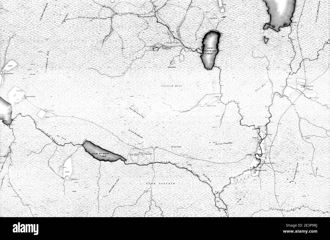 Map of Sutherland Sheet 056, Ordnance Survey, 1878-1881. Stock Photohttps://www.alamy.com/image-license-details/?v=1https://www.alamy.com/map-of-sutherland-sheet-056-ordnance-survey-1878-1881-image398173094.html
RM2E3P9RJ–Map of Sutherland Sheet 056, Ordnance Survey, 1878-1881.
