Map of sweetwater texas Cut Out Stock Images
 Sweetwater, Nolan County, US, United States, Texas, N 32 28' 15'', S 100 24' 21'', map, Cartascapes Map published in 2024. Explore Cartascapes, a map revealing Earth's diverse landscapes, cultures, and ecosystems. Journey through time and space, discovering the interconnectedness of our planet's past, present, and future. Stock Photohttps://www.alamy.com/image-license-details/?v=1https://www.alamy.com/sweetwater-nolan-county-us-united-states-texas-n-32-28-15-s-100-24-21-map-cartascapes-map-published-in-2024-explore-cartascapes-a-map-revealing-earths-diverse-landscapes-cultures-and-ecosystems-journey-through-time-and-space-discovering-the-interconnectedness-of-our-planets-past-present-and-future-image621240858.html
RM2Y2KY1E–Sweetwater, Nolan County, US, United States, Texas, N 32 28' 15'', S 100 24' 21'', map, Cartascapes Map published in 2024. Explore Cartascapes, a map revealing Earth's diverse landscapes, cultures, and ecosystems. Journey through time and space, discovering the interconnectedness of our planet's past, present, and future.
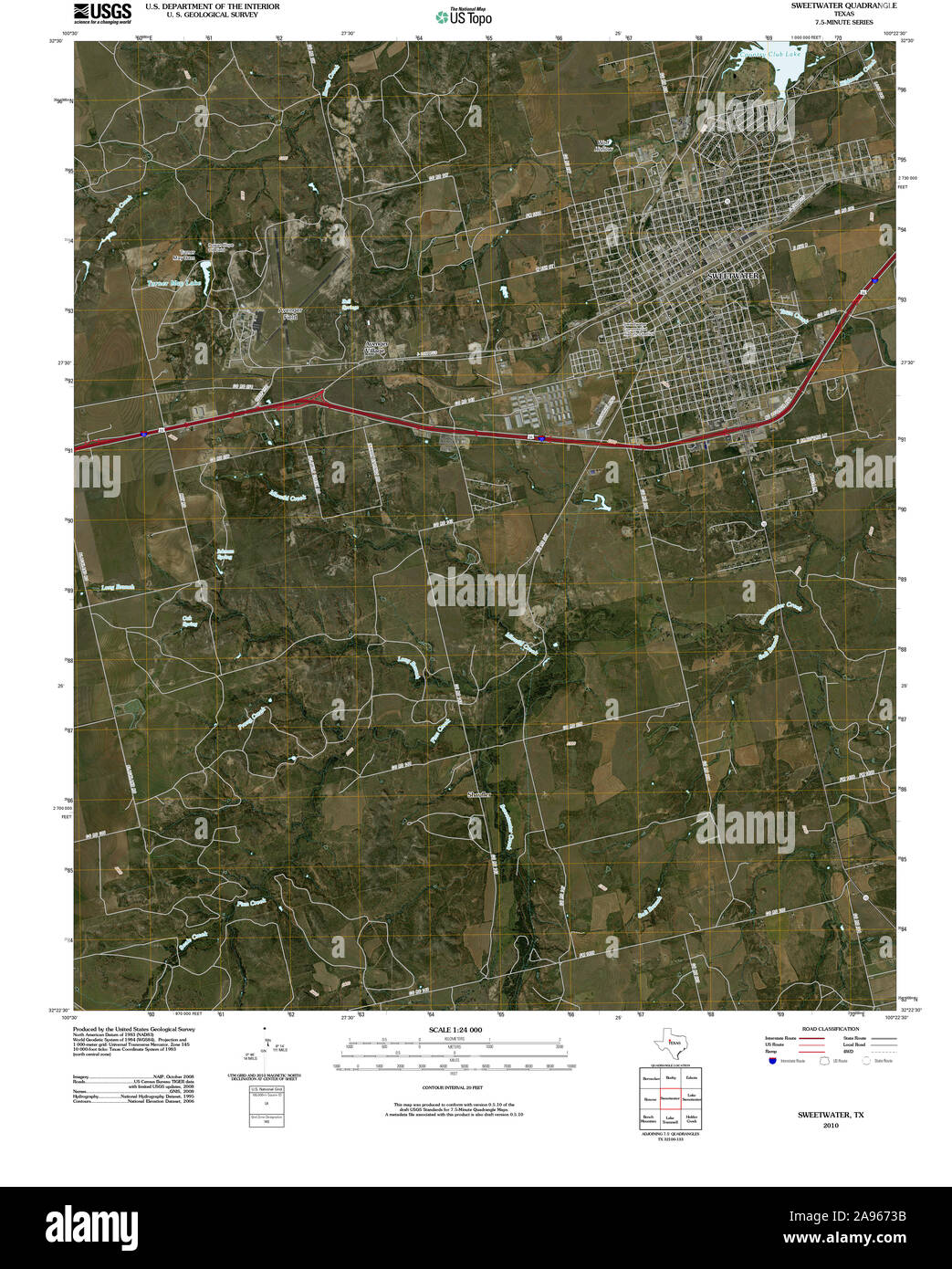 USGS TOPO Map Texas TX Sweetwater 20100224 TM Restoration Stock Photohttps://www.alamy.com/image-license-details/?v=1https://www.alamy.com/usgs-topo-map-texas-tx-sweetwater-20100224-tm-restoration-image332666191.html
RM2A9673B–USGS TOPO Map Texas TX Sweetwater 20100224 TM Restoration
 Sweetwater, Nolan County, US, United States, Texas, N 32 28' 15'', S 100 24' 21'', map, Cartascapes Map published in 2024. Explore Cartascapes, a map revealing Earth's diverse landscapes, cultures, and ecosystems. Journey through time and space, discovering the interconnectedness of our planet's past, present, and future. Stock Photohttps://www.alamy.com/image-license-details/?v=1https://www.alamy.com/sweetwater-nolan-county-us-united-states-texas-n-32-28-15-s-100-24-21-map-cartascapes-map-published-in-2024-explore-cartascapes-a-map-revealing-earths-diverse-landscapes-cultures-and-ecosystems-journey-through-time-and-space-discovering-the-interconnectedness-of-our-planets-past-present-and-future-image621241612.html
RM2Y2M00C–Sweetwater, Nolan County, US, United States, Texas, N 32 28' 15'', S 100 24' 21'', map, Cartascapes Map published in 2024. Explore Cartascapes, a map revealing Earth's diverse landscapes, cultures, and ecosystems. Journey through time and space, discovering the interconnectedness of our planet's past, present, and future.
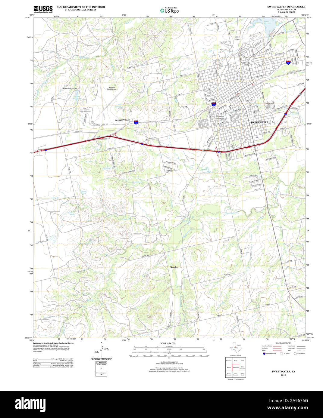 USGS TOPO Map Texas TX Sweetwater 20121207 TM Restoration Stock Photohttps://www.alamy.com/image-license-details/?v=1https://www.alamy.com/usgs-topo-map-texas-tx-sweetwater-20121207-tm-restoration-image332666280.html
RM2A9676G–USGS TOPO Map Texas TX Sweetwater 20121207 TM Restoration
 City of Sweetwater, Nolan County, US, United States, Texas, N 32 28' 2'', S 100 24' 36'', map, Cartascapes Map published in 2024. Explore Cartascapes, a map revealing Earth's diverse landscapes, cultures, and ecosystems. Journey through time and space, discovering the interconnectedness of our planet's past, present, and future. Stock Photohttps://www.alamy.com/image-license-details/?v=1https://www.alamy.com/city-of-sweetwater-nolan-county-us-united-states-texas-n-32-28-2-s-100-24-36-map-cartascapes-map-published-in-2024-explore-cartascapes-a-map-revealing-earths-diverse-landscapes-cultures-and-ecosystems-journey-through-time-and-space-discovering-the-interconnectedness-of-our-planets-past-present-and-future-image633879147.html
RM2YR7K8Y–City of Sweetwater, Nolan County, US, United States, Texas, N 32 28' 2'', S 100 24' 36'', map, Cartascapes Map published in 2024. Explore Cartascapes, a map revealing Earth's diverse landscapes, cultures, and ecosystems. Journey through time and space, discovering the interconnectedness of our planet's past, present, and future.
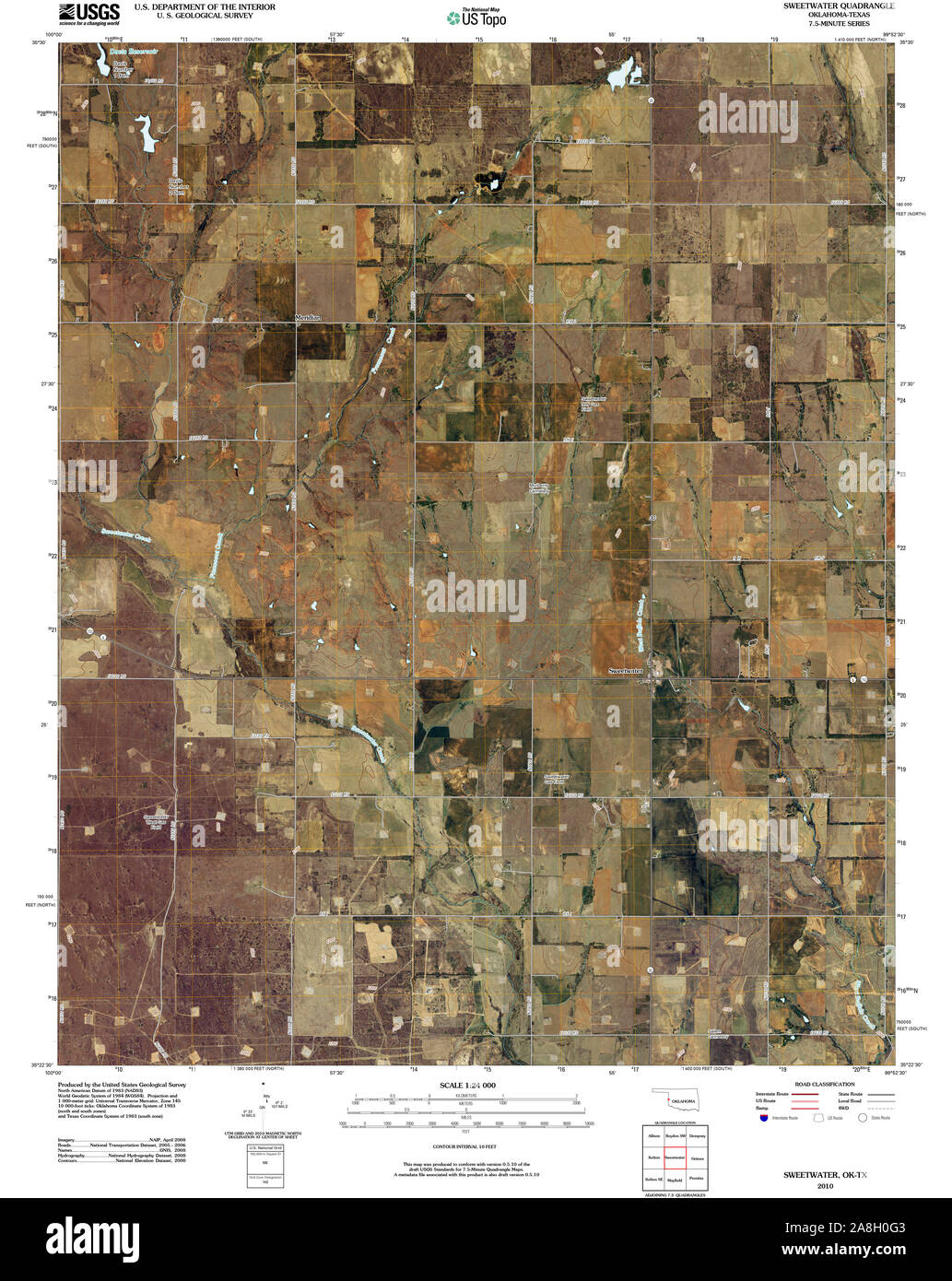 USGS TOPO Map Texas OK Sweetwater 20100101 TM Restoration Stock Photohttps://www.alamy.com/image-license-details/?v=1https://www.alamy.com/usgs-topo-map-texas-ok-sweetwater-20100101-tm-restoration-image332287875.html
RM2A8H0G3–USGS TOPO Map Texas OK Sweetwater 20100101 TM Restoration
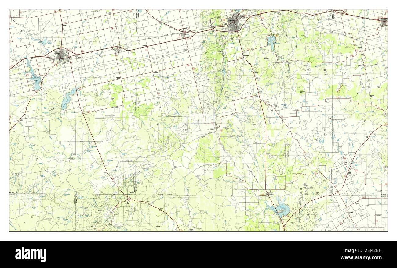 Sweetwater, Texas, map 1985, 1:100000, United States of America by Timeless Maps, data U.S. Geological Survey Stock Photohttps://www.alamy.com/image-license-details/?v=1https://www.alamy.com/sweetwater-texas-map-1985-1100000-united-states-of-america-by-timeless-maps-data-us-geological-survey-image406991973.html
RM2EJ42BH–Sweetwater, Texas, map 1985, 1:100000, United States of America by Timeless Maps, data U.S. Geological Survey
 USGS TOPO Map Texas OK Sweetwater 20121115 TM Restoration Stock Photohttps://www.alamy.com/image-license-details/?v=1https://www.alamy.com/usgs-topo-map-texas-ok-sweetwater-20121115-tm-restoration-image332287934.html
RM2A8H0J6–USGS TOPO Map Texas OK Sweetwater 20121115 TM Restoration
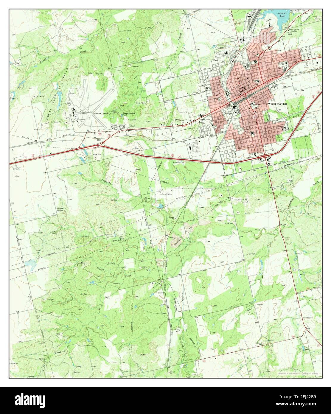 Sweetwater, Texas, map 1969, 1:24000, United States of America by Timeless Maps, data U.S. Geological Survey Stock Photohttps://www.alamy.com/image-license-details/?v=1https://www.alamy.com/sweetwater-texas-map-1969-124000-united-states-of-america-by-timeless-maps-data-us-geological-survey-image406991965.html
RM2EJ42B9–Sweetwater, Texas, map 1969, 1:24000, United States of America by Timeless Maps, data U.S. Geological Survey
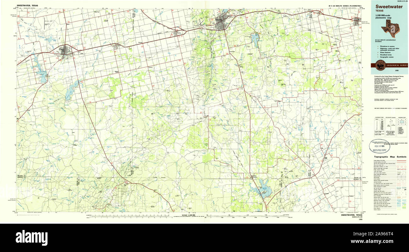 USGS TOPO Map Texas TX Sweetwater 123451 1985 100000 Restoration Stock Photohttps://www.alamy.com/image-license-details/?v=1https://www.alamy.com/usgs-topo-map-texas-tx-sweetwater-123451-1985-100000-restoration-image332665988.html
RM2A966T4–USGS TOPO Map Texas TX Sweetwater 123451 1985 100000 Restoration
 Sweetwater, Texas, map 1893, 1:125000, United States of America by Timeless Maps, data U.S. Geological Survey Stock Photohttps://www.alamy.com/image-license-details/?v=1https://www.alamy.com/sweetwater-texas-map-1893-1125000-united-states-of-america-by-timeless-maps-data-us-geological-survey-image414248857.html
RM2F1XJJ1–Sweetwater, Texas, map 1893, 1:125000, United States of America by Timeless Maps, data U.S. Geological Survey
 USGS TOPO Map Texas OK Sweetwater 706898 1989 24000 Restoration Stock Photohttps://www.alamy.com/image-license-details/?v=1https://www.alamy.com/usgs-topo-map-texas-ok-sweetwater-706898-1989-24000-restoration-image332287939.html
RM2A8H0JB–USGS TOPO Map Texas OK Sweetwater 706898 1989 24000 Restoration
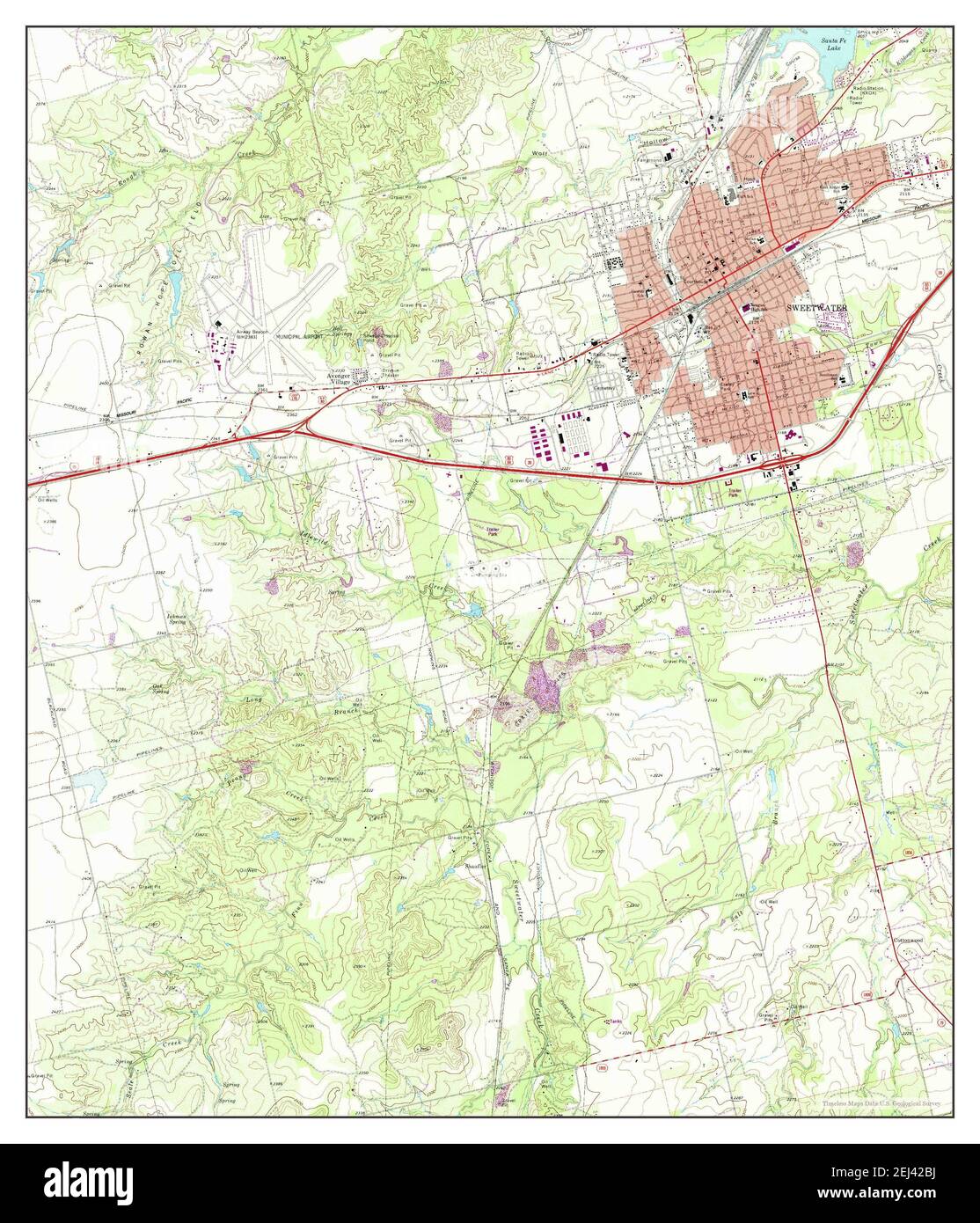 Sweetwater, Texas, map 1969, 1:24000, United States of America by Timeless Maps, data U.S. Geological Survey Stock Photohttps://www.alamy.com/image-license-details/?v=1https://www.alamy.com/sweetwater-texas-map-1969-124000-united-states-of-america-by-timeless-maps-data-us-geological-survey-image406991974.html
RM2EJ42BJ–Sweetwater, Texas, map 1969, 1:24000, United States of America by Timeless Maps, data U.S. Geological Survey
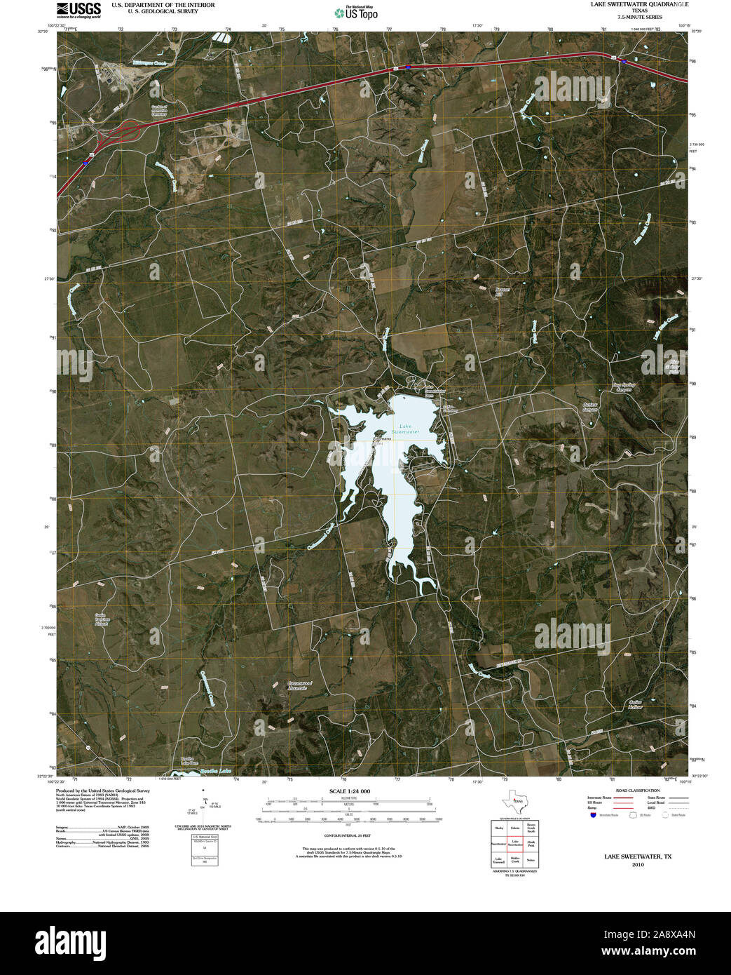 USGS TOPO Map Texas TX Lake Sweetwater 20100224 TM Restoration Stock Photohttps://www.alamy.com/image-license-details/?v=1https://www.alamy.com/usgs-topo-map-texas-tx-lake-sweetwater-20100224-tm-restoration-image332492965.html
RM2A8XA4N–USGS TOPO Map Texas TX Lake Sweetwater 20100224 TM Restoration
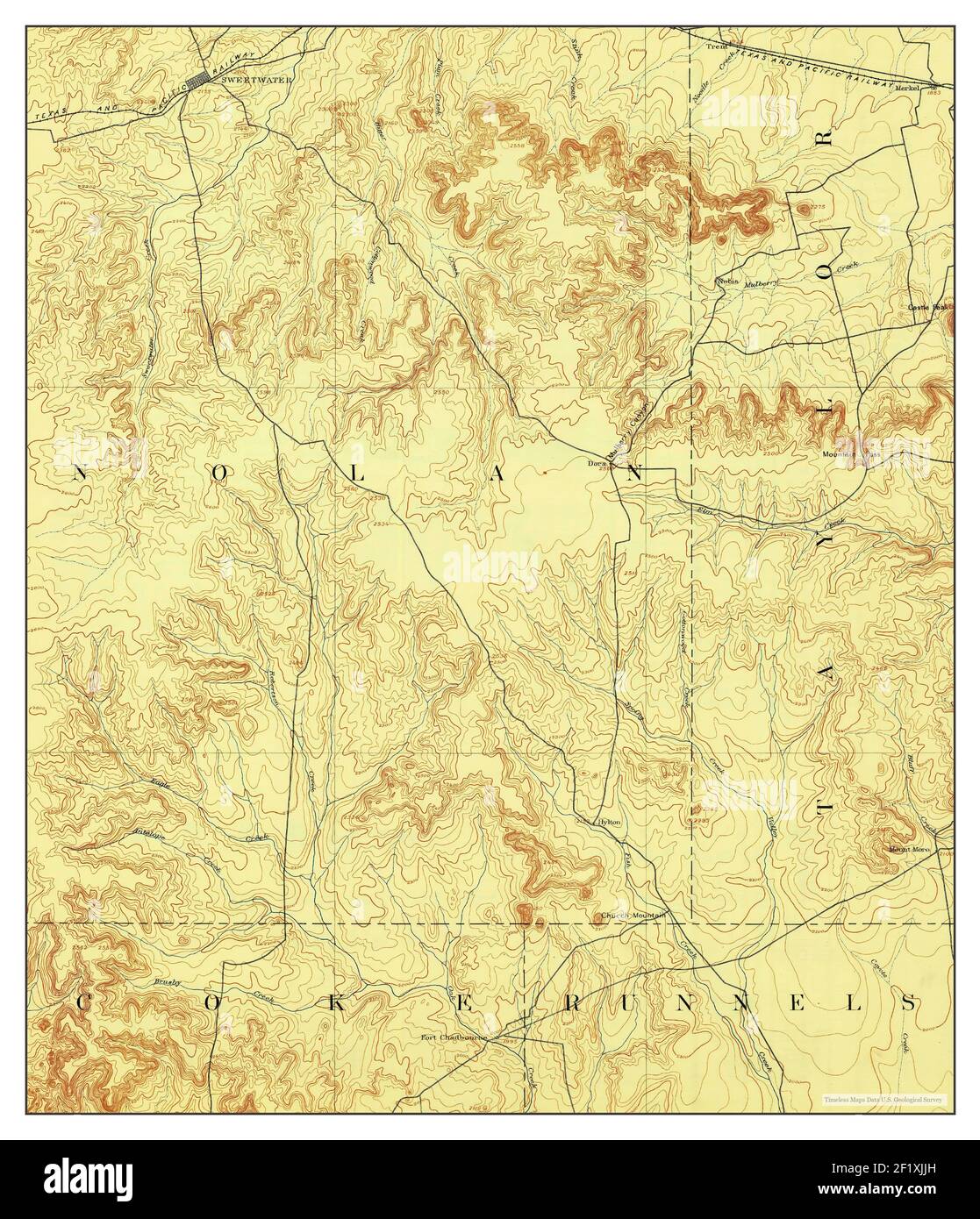 Sweetwater, Texas, map 1893, 1:125000, United States of America by Timeless Maps, data U.S. Geological Survey Stock Photohttps://www.alamy.com/image-license-details/?v=1https://www.alamy.com/sweetwater-texas-map-1893-1125000-united-states-of-america-by-timeless-maps-data-us-geological-survey-image414248873.html
RM2F1XJJH–Sweetwater, Texas, map 1893, 1:125000, United States of America by Timeless Maps, data U.S. Geological Survey
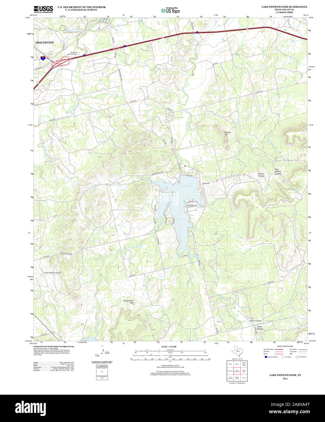 USGS TOPO Map Texas TX Lake Sweetwater 20121207 TM Restoration Stock Photohttps://www.alamy.com/image-license-details/?v=1https://www.alamy.com/usgs-topo-map-texas-tx-lake-sweetwater-20121207-tm-restoration-image332492968.html
RM2A8XA4T–USGS TOPO Map Texas TX Lake Sweetwater 20121207 TM Restoration
 Sweetwater, Texas, map 1893, 1:125000, United States of America by Timeless Maps, data U.S. Geological Survey Stock Photohttps://www.alamy.com/image-license-details/?v=1https://www.alamy.com/sweetwater-texas-map-1893-1125000-united-states-of-america-by-timeless-maps-data-us-geological-survey-image414248869.html
RM2F1XJJD–Sweetwater, Texas, map 1893, 1:125000, United States of America by Timeless Maps, data U.S. Geological Survey
 USGS TOPO Map Texas TX Lake Sweetwater 117994 1969 24000 Restoration Stock Photohttps://www.alamy.com/image-license-details/?v=1https://www.alamy.com/usgs-topo-map-texas-tx-lake-sweetwater-117994-1969-24000-restoration-image332492975.html
RM2A8XA53–USGS TOPO Map Texas TX Lake Sweetwater 117994 1969 24000 Restoration
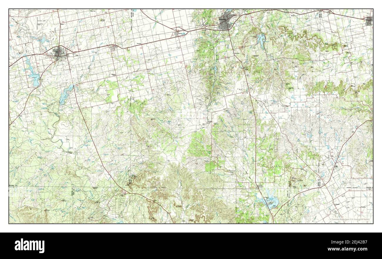 Sweetwater, Texas, map 1985, 1:100000, United States of America by Timeless Maps, data U.S. Geological Survey Stock Photohttps://www.alamy.com/image-license-details/?v=1https://www.alamy.com/sweetwater-texas-map-1985-1100000-united-states-of-america-by-timeless-maps-data-us-geological-survey-image406991963.html
RM2EJ42B7–Sweetwater, Texas, map 1985, 1:100000, United States of America by Timeless Maps, data U.S. Geological Survey
 Sweetwater, Texas, map 1893, 1:125000, United States of America by Timeless Maps, data U.S. Geological Survey Stock Photohttps://www.alamy.com/image-license-details/?v=1https://www.alamy.com/sweetwater-texas-map-1893-1125000-united-states-of-america-by-timeless-maps-data-us-geological-survey-image414248866.html
RM2F1XJJA–Sweetwater, Texas, map 1893, 1:125000, United States of America by Timeless Maps, data U.S. Geological Survey