Quick filters:
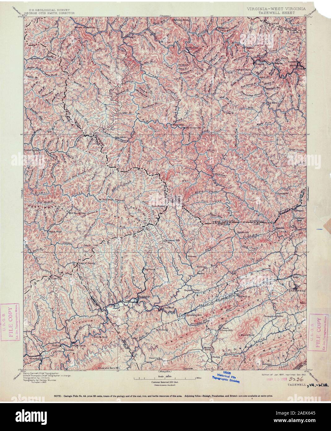
Map of tazewell Stock Photos and Images
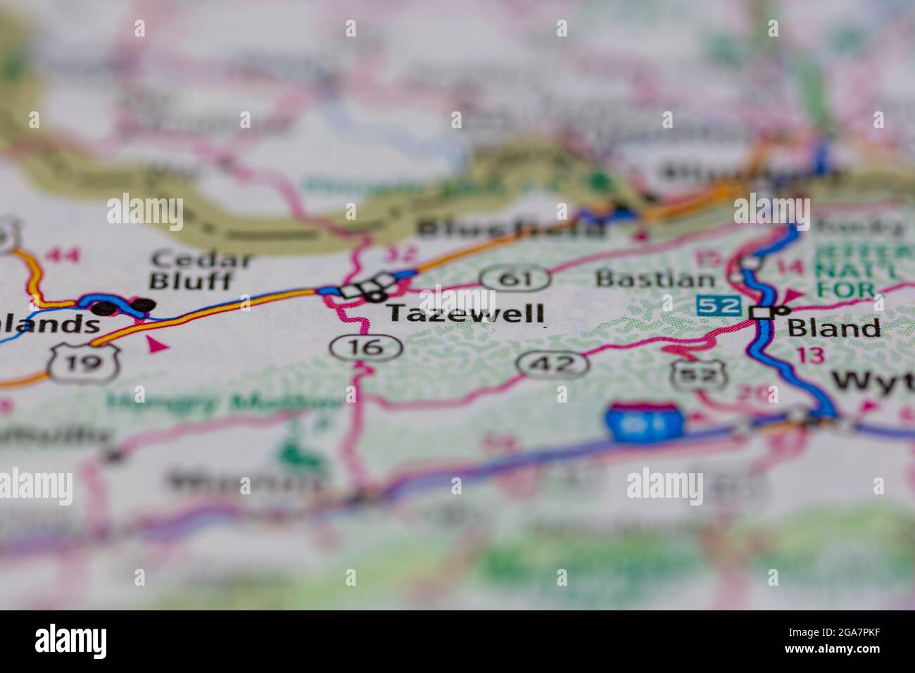 Tazewell Virginia shown on a road map or Geography map Stock Photohttps://www.alamy.com/image-license-details/?v=1https://www.alamy.com/tazewell-virginia-shown-on-a-road-map-or-geography-map-image436577219.html
RM2GA7PKF–Tazewell Virginia shown on a road map or Geography map
 Letter to Littleton W. Tazewell (NYPL b11904004-5213478) Stock Photohttps://www.alamy.com/image-license-details/?v=1https://www.alamy.com/stock-photo-letter-to-littleton-w-tazewell-nypl-b11904004-5213478-148451472.html
RMJHEFA8–Letter to Littleton W. Tazewell (NYPL b11904004-5213478)
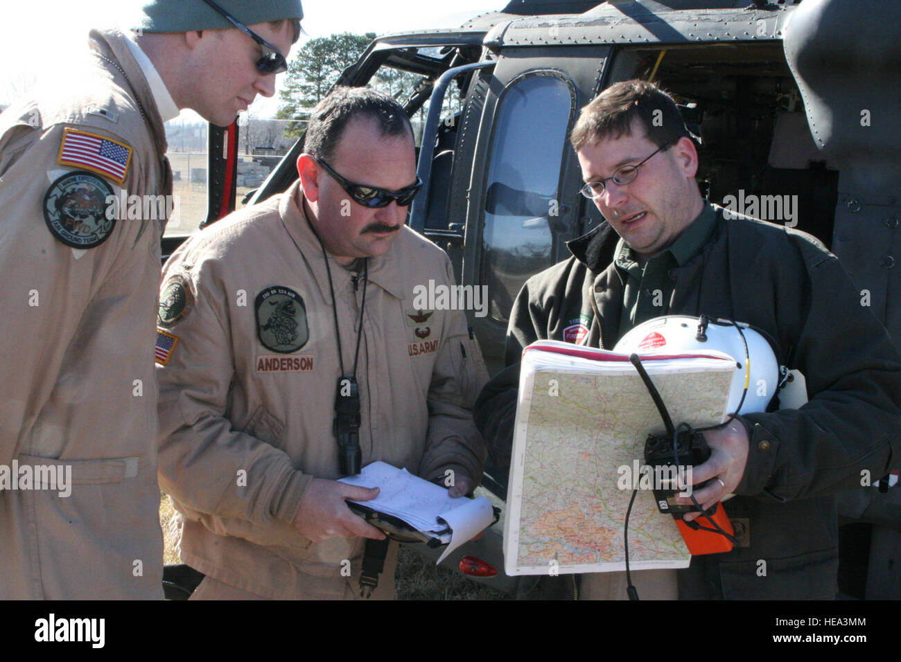 Virginia National Guard aviators Chief Warrant Officer 4 John Anderson (center) and Warrant Officer Aaron Trombley (left) review the map location of their target area with Dave Slack, the regional forester for the Tazewell region of the Virginia Department of Forestry. Maj. Cotton Puryear, Virginia National Guard Public Affairs) Stock Photohttps://www.alamy.com/image-license-details/?v=1https://www.alamy.com/stock-photo-virginia-national-guard-aviators-chief-warrant-officer-4-john-anderson-129300212.html
RMHEA3MM–Virginia National Guard aviators Chief Warrant Officer 4 John Anderson (center) and Warrant Officer Aaron Trombley (left) review the map location of their target area with Dave Slack, the regional forester for the Tazewell region of the Virginia Department of Forestry. Maj. Cotton Puryear, Virginia National Guard Public Affairs)
 Fravert, Tazewell County, US, United States, Illinois, N 40 26' 56'', S 89 22' 14'', map, Cartascapes Map published in 2024. Explore Cartascapes, a map revealing Earth's diverse landscapes, cultures, and ecosystems. Journey through time and space, discovering the interconnectedness of our planet's past, present, and future. Stock Photohttps://www.alamy.com/image-license-details/?v=1https://www.alamy.com/fravert-tazewell-county-us-united-states-illinois-n-40-26-56-s-89-22-14-map-cartascapes-map-published-in-2024-explore-cartascapes-a-map-revealing-earths-diverse-landscapes-cultures-and-ecosystems-journey-through-time-and-space-discovering-the-interconnectedness-of-our-planets-past-present-and-future-image621377558.html
RM2Y2X5BJ–Fravert, Tazewell County, US, United States, Illinois, N 40 26' 56'', S 89 22' 14'', map, Cartascapes Map published in 2024. Explore Cartascapes, a map revealing Earth's diverse landscapes, cultures, and ecosystems. Journey through time and space, discovering the interconnectedness of our planet's past, present, and future.
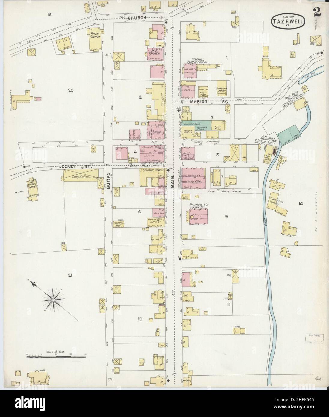 Sanborn Fire Insurance Map from Tazewell, Tazewell County, Virginia. Stock Photohttps://www.alamy.com/image-license-details/?v=1https://www.alamy.com/sanborn-fire-insurance-map-from-tazewell-tazewell-county-virginia-image456495877.html
RM2HEK545–Sanborn Fire Insurance Map from Tazewell, Tazewell County, Virginia.
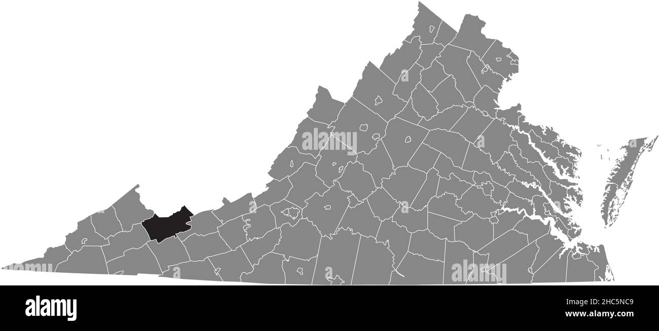 Black highlighted location map of the Tazewell inside gray administrative map of the Federal State of Virginia, USA Stock Vectorhttps://www.alamy.com/image-license-details/?v=1https://www.alamy.com/black-highlighted-location-map-of-the-tazewell-inside-gray-administrative-map-of-the-federal-state-of-virginia-usa-image454972009.html
RF2HC5NC9–Black highlighted location map of the Tazewell inside gray administrative map of the Federal State of Virginia, USA
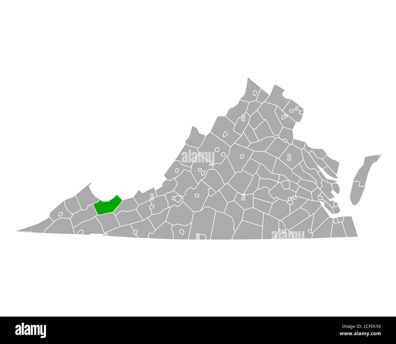 Map of Tazewell in Virginia Stock Photohttps://www.alamy.com/image-license-details/?v=1https://www.alamy.com/map-of-tazewell-in-virginia-image370959958.html
RF2CFEK5X–Map of Tazewell in Virginia
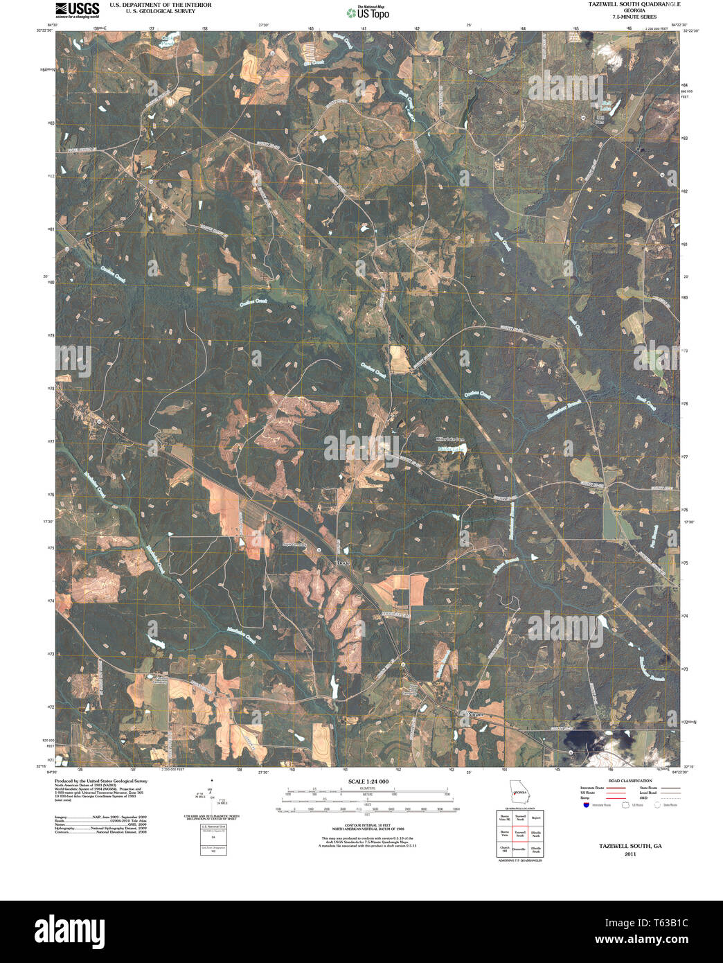 USGS TOPO Map Georgia GA Tazewell South 20110225 TM Restoration Stock Photohttps://www.alamy.com/image-license-details/?v=1https://www.alamy.com/usgs-topo-map-georgia-ga-tazewell-south-20110225-tm-restoration-image244707608.html
RMT63B1C–USGS TOPO Map Georgia GA Tazewell South 20110225 TM Restoration
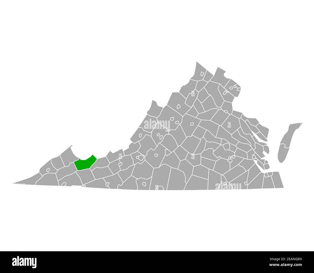 Map of Tazewell in Virginia Stock Photohttps://www.alamy.com/image-license-details/?v=1https://www.alamy.com/map-of-tazewell-in-virginia-image402459230.html
RF2EANGRX–Map of Tazewell in Virginia
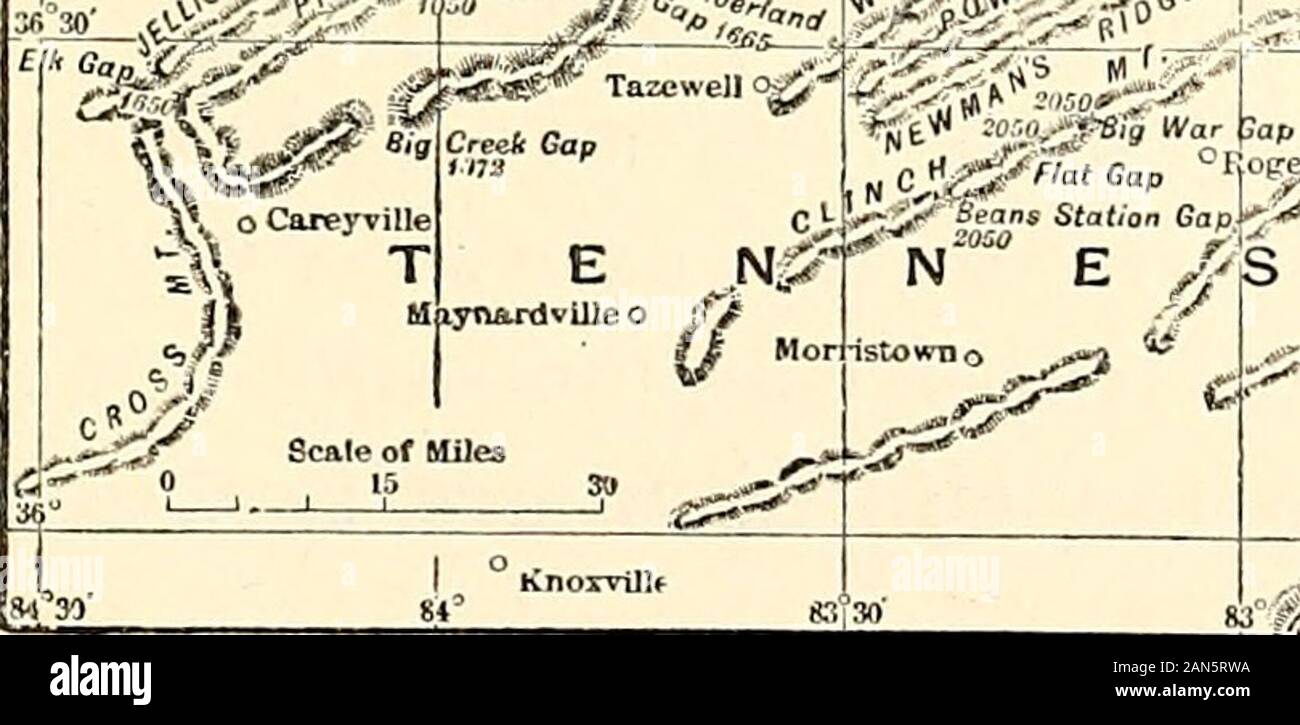 The blue-grass region of Kentucky : and other Kentucky articles . fc*F»* Tazewell ojj- %;5** 35§PT. Gap f>t,. ??-,,-J-V., jgjg Moccasin Gap ^#^5->t° ^^^N-fe^C AROLINA MAP SHOWING MOUNTAIN PASSES OF THE CUMBERLAND. 278 MOUNTAIN PASSES OF THE CUMBERLAND ant article of commerce. As early as 1823 it wasmade at Cumberland Gap, and shipped by river tomarkets as remote as New Orleans and St. Louis. Atan early date, also, it was made in a small charcoalforge at Big Creek Gap, and was hauled in wagonsinto central Kentucky, where it found a ready marketfor such purposes as plough-shares and wagon Stock Photohttps://www.alamy.com/image-license-details/?v=1https://www.alamy.com/the-blue-grass-region-of-kentucky-and-other-kentucky-articles-fcf-tazewell-ojj-5-35pt-gap-fgtt-j-v-jgjg-moccasin-gap-5-gtt-n-fec-arolina-map-showing-mountain-passes-of-the-cumberland-278-mountain-passes-of-the-cumberland-ant-article-of-commerce-as-early-as-1823-it-wasmade-at-cumberland-gap-and-shipped-by-river-tomarkets-as-remote-as-new-orleans-and-st-louis-atan-early-date-also-it-was-made-in-a-small-charcoalforge-at-big-creek-gap-and-was-hauled-in-wagonsinto-central-kentucky-where-it-found-a-ready-marketfor-such-purposes-as-plough-shares-and-wagon-image340033270.html
RM2AN5RWA–The blue-grass region of Kentucky : and other Kentucky articles . fc*F»* Tazewell ojj- %;5** 35§PT. Gap f>t,. ??-,,-J-V., jgjg Moccasin Gap ^#^5->t° ^^^N-fe^C AROLINA MAP SHOWING MOUNTAIN PASSES OF THE CUMBERLAND. 278 MOUNTAIN PASSES OF THE CUMBERLAND ant article of commerce. As early as 1823 it wasmade at Cumberland Gap, and shipped by river tomarkets as remote as New Orleans and St. Louis. Atan early date, also, it was made in a small charcoalforge at Big Creek Gap, and was hauled in wagonsinto central Kentucky, where it found a ready marketfor such purposes as plough-shares and wagon
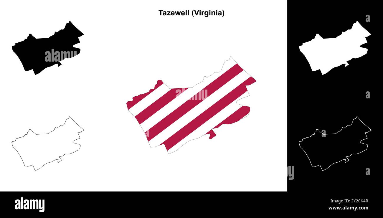 Tazewell County (Virginia) outline map set Stock Vectorhttps://www.alamy.com/image-license-details/?v=1https://www.alamy.com/tazewell-county-virginia-outline-map-set-image620817591.html
RF2Y20K4R–Tazewell County (Virginia) outline map set
 Tazewell County, Illinois (U.S. county, United States of America, USA, U.S., US) map vector illustration, scribble sketch Tazewell map Stock Vectorhttps://www.alamy.com/image-license-details/?v=1https://www.alamy.com/tazewell-county-illinois-us-county-united-states-of-america-usa-us-us-map-vector-illustration-scribble-sketch-tazewell-map-image366012225.html
RF2C7D895–Tazewell County, Illinois (U.S. county, United States of America, USA, U.S., US) map vector illustration, scribble sketch Tazewell map
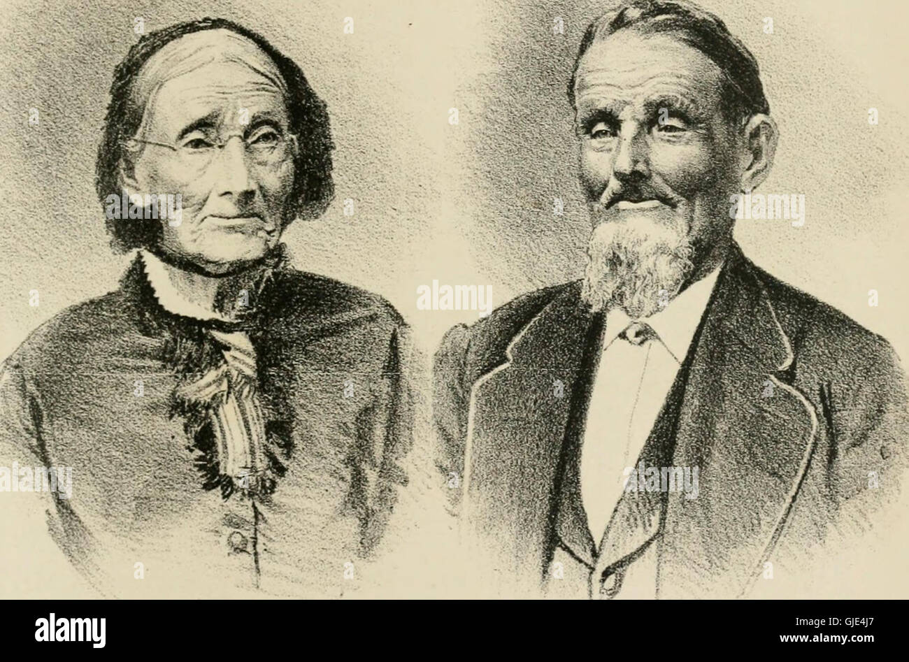 History of Tazewell county, Illinois; together with sketches of its cities, villages and townships, educational, religious, civil, military, and political history; portraits of prominent persons and Stock Photohttps://www.alamy.com/image-license-details/?v=1https://www.alamy.com/stock-photo-history-of-tazewell-county-illinois-together-with-sketches-of-its-114636991.html
RMGJE4J7–History of Tazewell county, Illinois; together with sketches of its cities, villages and townships, educational, religious, civil, military, and political history; portraits of prominent persons and
 Letter to Littleton W. Tazewell (NYPL b11904004-5213477) Stock Photohttps://www.alamy.com/image-license-details/?v=1https://www.alamy.com/stock-photo-letter-to-littleton-w-tazewell-nypl-b11904004-5213477-148451471.html
RMJHEFA7–Letter to Littleton W. Tazewell (NYPL b11904004-5213477)
 Tazewell, Littleton W. Norfolk, Virginia. To Carter B. Page (NYPL b11868620-5386197) Stock Photohttps://www.alamy.com/image-license-details/?v=1https://www.alamy.com/stock-photo-tazewell-littleton-w-norfolk-virginia-to-carter-b-page-nypl-b11868620-148469299.html
RMJHFA2Y–Tazewell, Littleton W. Norfolk, Virginia. To Carter B. Page (NYPL b11868620-5386197)
 Walnut, Tazewell County, US, United States, Illinois, N 40 29' 2'', S 89 22' 17'', map, Cartascapes Map published in 2024. Explore Cartascapes, a map revealing Earth's diverse landscapes, cultures, and ecosystems. Journey through time and space, discovering the interconnectedness of our planet's past, present, and future. Stock Photohttps://www.alamy.com/image-license-details/?v=1https://www.alamy.com/walnut-tazewell-county-us-united-states-illinois-n-40-29-2-s-89-22-17-map-cartascapes-map-published-in-2024-explore-cartascapes-a-map-revealing-earths-diverse-landscapes-cultures-and-ecosystems-journey-through-time-and-space-discovering-the-interconnectedness-of-our-planets-past-present-and-future-image621164569.html
RM2Y2GDMW–Walnut, Tazewell County, US, United States, Illinois, N 40 29' 2'', S 89 22' 17'', map, Cartascapes Map published in 2024. Explore Cartascapes, a map revealing Earth's diverse landscapes, cultures, and ecosystems. Journey through time and space, discovering the interconnectedness of our planet's past, present, and future.
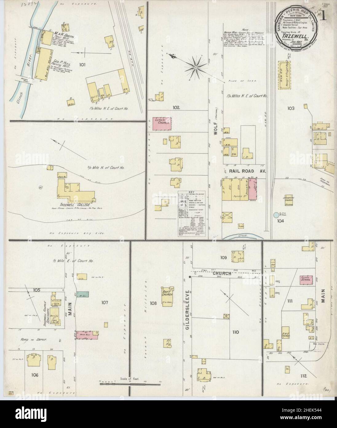 Sanborn Fire Insurance Map from Tazewell, Tazewell County, Virginia. Stock Photohttps://www.alamy.com/image-license-details/?v=1https://www.alamy.com/sanborn-fire-insurance-map-from-tazewell-tazewell-county-virginia-image456495876.html
RM2HEK544–Sanborn Fire Insurance Map from Tazewell, Tazewell County, Virginia.
 Map of Tazewell in Virginia Stock Photohttps://www.alamy.com/image-license-details/?v=1https://www.alamy.com/map-of-tazewell-in-virginia-image370542055.html
RF2CERJ4R–Map of Tazewell in Virginia
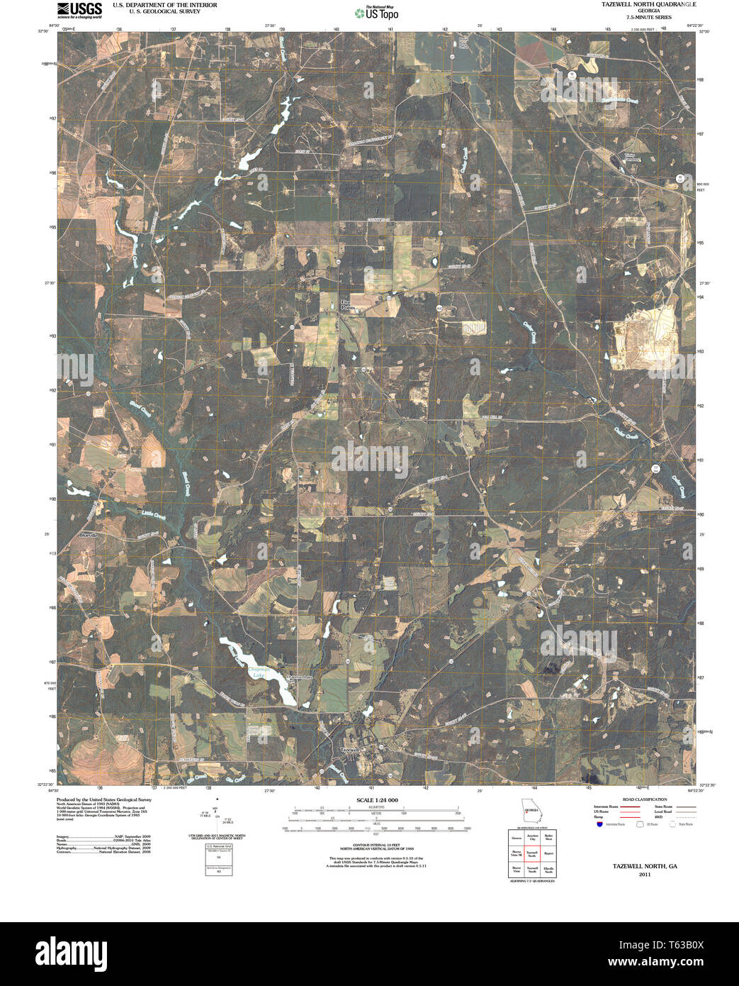 USGS TOPO Map Georgia GA Tazewell North 20110225 TM Restoration Stock Photohttps://www.alamy.com/image-license-details/?v=1https://www.alamy.com/usgs-topo-map-georgia-ga-tazewell-north-20110225-tm-restoration-image244707594.html
RMT63B0X–USGS TOPO Map Georgia GA Tazewell North 20110225 TM Restoration
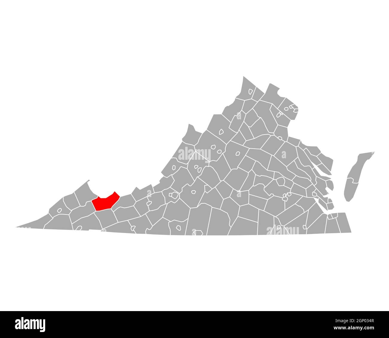 Map of Tazewell in Virginia Stock Photohttps://www.alamy.com/image-license-details/?v=1https://www.alamy.com/map-of-tazewell-in-virginia-image443784119.html
RF2GP034R–Map of Tazewell in Virginia
 USGS TOPO Map Georgia GA Tazewell North 247107 1971 24000 Restoration Stock Photohttps://www.alamy.com/image-license-details/?v=1https://www.alamy.com/usgs-topo-map-georgia-ga-tazewell-north-247107-1971-24000-restoration-image244707596.html
RMT63B10–USGS TOPO Map Georgia GA Tazewell North 247107 1971 24000 Restoration
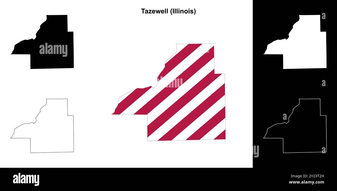 Tazewell County (Illinois) outline map set Stock Vectorhttps://www.alamy.com/image-license-details/?v=1https://www.alamy.com/tazewell-county-illinois-outline-map-set-image620887305.html
RF2Y23T2H–Tazewell County (Illinois) outline map set
 . The Official hotel red book and directory . te Library and all Theatres Write for Illustrated Booklet and Map of City HOTEL RICHMOND CORPORATION S. T. ATKINSON Managing Director PULASKI, * t Pulaski Co. Pop.4,807. (RR., Nor. & W.) HOTEL PULASKI. (A. P.)$2.25-$3. J. K. Groveclose,Prop.MAPLE SHADE INN. (A. P.) $2.r>o to f& w. it. Bodge. RADFORD, * t Montgomery Co.Pop. 4,202. (RR., Nor. & W.)WEST END HOTEL. (A. P.) |2.50. v. J. Debmott. REEDVILLE, * f Northumberland Co. Pop. 000.Reedville House. (A. P.) J. F. Sn « EEZJOBD, Prop. RICHLANDS, * f Tazewell Co. Pop.743. (RR., Nor. & W.)RICHLAND Stock Photohttps://www.alamy.com/image-license-details/?v=1https://www.alamy.com/the-official-hotel-red-book-and-directory-te-library-and-all-theatres-write-for-illustrated-booklet-and-map-of-city-hotel-richmond-corporation-s-t-atkinson-managing-director-pulaski-t-pulaski-co-pop4807-rr-nor-w-hotel-pulaski-a-p225-3-j-k-groveclosepropmaple-shade-inn-a-p-2rgto-to-f-w-it-bodge-radford-t-montgomery-copop-4202-rr-nor-wwest-end-hotel-a-p-250-v-j-debmott-reedville-f-northumberland-co-pop-000reedville-house-a-p-j-f-sn-eezjobd-prop-richlands-f-tazewell-co-pop743-rr-nor-wrichland-image375675035.html
RM2CR5D9F–. The Official hotel red book and directory . te Library and all Theatres Write for Illustrated Booklet and Map of City HOTEL RICHMOND CORPORATION S. T. ATKINSON Managing Director PULASKI, * t Pulaski Co. Pop.4,807. (RR., Nor. & W.) HOTEL PULASKI. (A. P.)$2.25-$3. J. K. Groveclose,Prop.MAPLE SHADE INN. (A. P.) $2.r>o to f& w. it. Bodge. RADFORD, * t Montgomery Co.Pop. 4,202. (RR., Nor. & W.)WEST END HOTEL. (A. P.) |2.50. v. J. Debmott. REEDVILLE, * f Northumberland Co. Pop. 000.Reedville House. (A. P.) J. F. Sn « EEZJOBD, Prop. RICHLANDS, * f Tazewell Co. Pop.743. (RR., Nor. & W.)RICHLAND
 Tazewell County, Illinois (U.S. county, United States of America, USA, U.S., US) map vector illustration, scribble sketch Tazewell map Stock Vectorhttps://www.alamy.com/image-license-details/?v=1https://www.alamy.com/tazewell-county-illinois-us-county-united-states-of-america-usa-us-us-map-vector-illustration-scribble-sketch-tazewell-map-image362289443.html
RF2C1BKTK–Tazewell County, Illinois (U.S. county, United States of America, USA, U.S., US) map vector illustration, scribble sketch Tazewell map
 History of Tazewell county, Illinois; together with sketches of its cities, villages and townships, educational, religious, civil, military, and political history; portraits of prominent persons and Stock Photohttps://www.alamy.com/image-license-details/?v=1https://www.alamy.com/stock-photo-history-of-tazewell-county-illinois-together-with-sketches-of-its-114283140.html
RMGHX18M–History of Tazewell county, Illinois; together with sketches of its cities, villages and townships, educational, religious, civil, military, and political history; portraits of prominent persons and
 Tazewell, Littleton W. Norfolk, Virginia. To Carter B. Page (NYPL b11868620-5386196) Stock Photohttps://www.alamy.com/image-license-details/?v=1https://www.alamy.com/stock-photo-tazewell-littleton-w-norfolk-virginia-to-carter-b-page-nypl-b11868620-148469298.html
RMJHFA2X–Tazewell, Littleton W. Norfolk, Virginia. To Carter B. Page (NYPL b11868620-5386196)
 Brownwood, Tazewell County, US, United States, Illinois, N 40 23' 46'', S 89 28' 29'', map, Cartascapes Map published in 2024. Explore Cartascapes, a map revealing Earth's diverse landscapes, cultures, and ecosystems. Journey through time and space, discovering the interconnectedness of our planet's past, present, and future. Stock Photohttps://www.alamy.com/image-license-details/?v=1https://www.alamy.com/brownwood-tazewell-county-us-united-states-illinois-n-40-23-46-s-89-28-29-map-cartascapes-map-published-in-2024-explore-cartascapes-a-map-revealing-earths-diverse-landscapes-cultures-and-ecosystems-journey-through-time-and-space-discovering-the-interconnectedness-of-our-planets-past-present-and-future-image621460221.html
RM2Y31XRW–Brownwood, Tazewell County, US, United States, Illinois, N 40 23' 46'', S 89 28' 29'', map, Cartascapes Map published in 2024. Explore Cartascapes, a map revealing Earth's diverse landscapes, cultures, and ecosystems. Journey through time and space, discovering the interconnectedness of our planet's past, present, and future.
 (Map of Kanawha, Boone, Logan, Wyoming, McDowell, Mercer, Raleigh, Fayette, Nicholas, Greenbrier, Summers and Monroe Counties, West Va., and Tazewell, Smyth, Washington, Bland, Giles, Craig, LOC 0006. Stock Photohttps://www.alamy.com/image-license-details/?v=1https://www.alamy.com/map-of-kanawha-boone-logan-wyoming-mcdowell-mercer-raleigh-fayette-nicholas-greenbrier-summers-and-monroe-counties-west-va-and-tazewell-smyth-washington-bland-giles-craig-loc-0006-image207960902.html
RMP29C72–(Map of Kanawha, Boone, Logan, Wyoming, McDowell, Mercer, Raleigh, Fayette, Nicholas, Greenbrier, Summers and Monroe Counties, West Va., and Tazewell, Smyth, Washington, Bland, Giles, Craig, LOC 0006.
 Map of Tazewell in Illinois Stock Photohttps://www.alamy.com/image-license-details/?v=1https://www.alamy.com/map-of-tazewell-in-illinois-image358923174.html
RF2BRXA4P–Map of Tazewell in Illinois
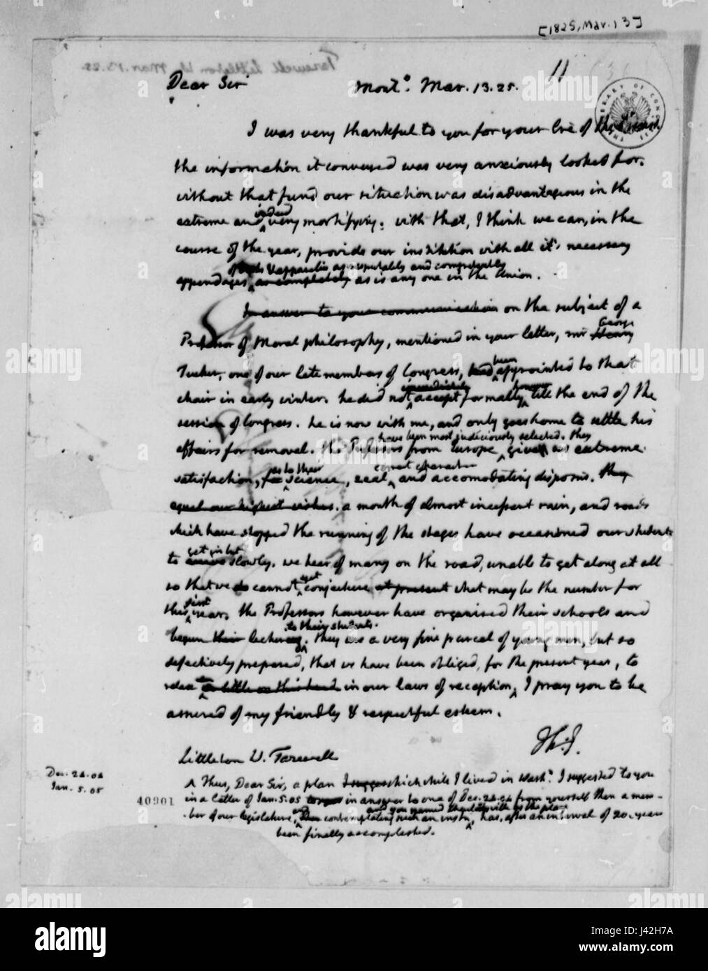 Letter from Thomas Jefferson to Littleton Waller Tazewell 1825 Stock Photohttps://www.alamy.com/image-license-details/?v=1https://www.alamy.com/stock-photo-letter-from-thomas-jefferson-to-littleton-waller-tazewell-1825-140199006.html
RMJ42H7A–Letter from Thomas Jefferson to Littleton Waller Tazewell 1825
 Map of Tazewell in Virginia Stock Photohttps://www.alamy.com/image-license-details/?v=1https://www.alamy.com/map-of-tazewell-in-virginia-image443795624.html
RF2GP0HRM–Map of Tazewell in Virginia
 USGS TOPO Map Georgia GA Tazewell South 247110 1971 24000 Restoration Stock Photohttps://www.alamy.com/image-license-details/?v=1https://www.alamy.com/usgs-topo-map-georgia-ga-tazewell-south-247110-1971-24000-restoration-image244707618.html
RMT63B1P–USGS TOPO Map Georgia GA Tazewell South 247110 1971 24000 Restoration
 Tazewell County, Illinois (U.S. county, United States of America, USA, U.S., US) map vector illustration, scribble sketch Tazewell map Stock Vectorhttps://www.alamy.com/image-license-details/?v=1https://www.alamy.com/tazewell-county-illinois-us-county-united-states-of-america-usa-us-us-map-vector-illustration-scribble-sketch-tazewell-map-image369419781.html
RF2CD0EKH–Tazewell County, Illinois (U.S. county, United States of America, USA, U.S., US) map vector illustration, scribble sketch Tazewell map
 Premier, Tazewell County, US, United States, Virginia, N 37 6' 55'', S 81 52' 9'', map, Cartascapes Map published in 2024. Explore Cartascapes, a map revealing Earth's diverse landscapes, cultures, and ecosystems. Journey through time and space, discovering the interconnectedness of our planet's past, present, and future. Stock Photohttps://www.alamy.com/image-license-details/?v=1https://www.alamy.com/premier-tazewell-county-us-united-states-virginia-n-37-6-55-s-81-52-9-map-cartascapes-map-published-in-2024-explore-cartascapes-a-map-revealing-earths-diverse-landscapes-cultures-and-ecosystems-journey-through-time-and-space-discovering-the-interconnectedness-of-our-planets-past-present-and-future-image621468016.html
RM2Y328P8–Premier, Tazewell County, US, United States, Virginia, N 37 6' 55'', S 81 52' 9'', map, Cartascapes Map published in 2024. Explore Cartascapes, a map revealing Earth's diverse landscapes, cultures, and ecosystems. Journey through time and space, discovering the interconnectedness of our planet's past, present, and future.
 Map of Kanawha, Boone, Logan, Wyoming, McDowell, Mercer, Raleigh, Fayette, Nicholas, Greenbrier, Summers and Monroe Counties, West Va., and Tazewell, Smyth, Washington, Bland, Giles, Craig, Stock Photohttps://www.alamy.com/image-license-details/?v=1https://www.alamy.com/map-of-kanawha-boone-logan-wyoming-mcdowell-mercer-raleigh-fayette-nicholas-greenbrier-summers-and-monroe-counties-west-va-and-tazewell-smyth-washington-bland-giles-craig-image398187387.html
RM2E3R023–Map of Kanawha, Boone, Logan, Wyoming, McDowell, Mercer, Raleigh, Fayette, Nicholas, Greenbrier, Summers and Monroe Counties, West Va., and Tazewell, Smyth, Washington, Bland, Giles, Craig,
 Map of Tazewell in Illinois Stock Photohttps://www.alamy.com/image-license-details/?v=1https://www.alamy.com/map-of-tazewell-in-illinois-image358072398.html
RF2BPFGYX–Map of Tazewell in Illinois
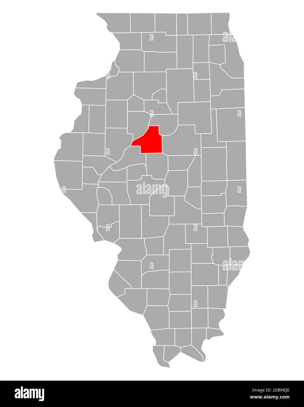 Map of Tazewell in Illinois Stock Photohttps://www.alamy.com/image-license-details/?v=1https://www.alamy.com/map-of-tazewell-in-illinois-image385773990.html
RF2DBHEJE–Map of Tazewell in Illinois
 USGS TOPO Map Georgia GA Tazewell North 247108 1971 24000 Restoration Stock Photohttps://www.alamy.com/image-license-details/?v=1https://www.alamy.com/usgs-topo-map-georgia-ga-tazewell-north-247108-1971-24000-restoration-image244707604.html
RMT63B18–USGS TOPO Map Georgia GA Tazewell North 247108 1971 24000 Restoration
 Tazewell County, Commonwealth of Virginia (U.S. county, United States of America, USA, U.S., US) map vector illustration, scribble sketch Tazewell map Stock Vectorhttps://www.alamy.com/image-license-details/?v=1https://www.alamy.com/tazewell-county-commonwealth-of-virginia-us-county-united-states-of-america-usa-us-us-map-vector-illustration-scribble-sketch-tazewell-map-image630778299.html
RF2YJ6C4B–Tazewell County, Commonwealth of Virginia (U.S. county, United States of America, USA, U.S., US) map vector illustration, scribble sketch Tazewell map
 Tremont, Tazewell County, US, United States, Illinois, N 40 31' 39'', S 89 29' 33'', map, Cartascapes Map published in 2024. Explore Cartascapes, a map revealing Earth's diverse landscapes, cultures, and ecosystems. Journey through time and space, discovering the interconnectedness of our planet's past, present, and future. Stock Photohttps://www.alamy.com/image-license-details/?v=1https://www.alamy.com/tremont-tazewell-county-us-united-states-illinois-n-40-31-39-s-89-29-33-map-cartascapes-map-published-in-2024-explore-cartascapes-a-map-revealing-earths-diverse-landscapes-cultures-and-ecosystems-journey-through-time-and-space-discovering-the-interconnectedness-of-our-planets-past-present-and-future-image621151039.html
RM2Y2FTDK–Tremont, Tazewell County, US, United States, Illinois, N 40 31' 39'', S 89 29' 33'', map, Cartascapes Map published in 2024. Explore Cartascapes, a map revealing Earth's diverse landscapes, cultures, and ecosystems. Journey through time and space, discovering the interconnectedness of our planet's past, present, and future.
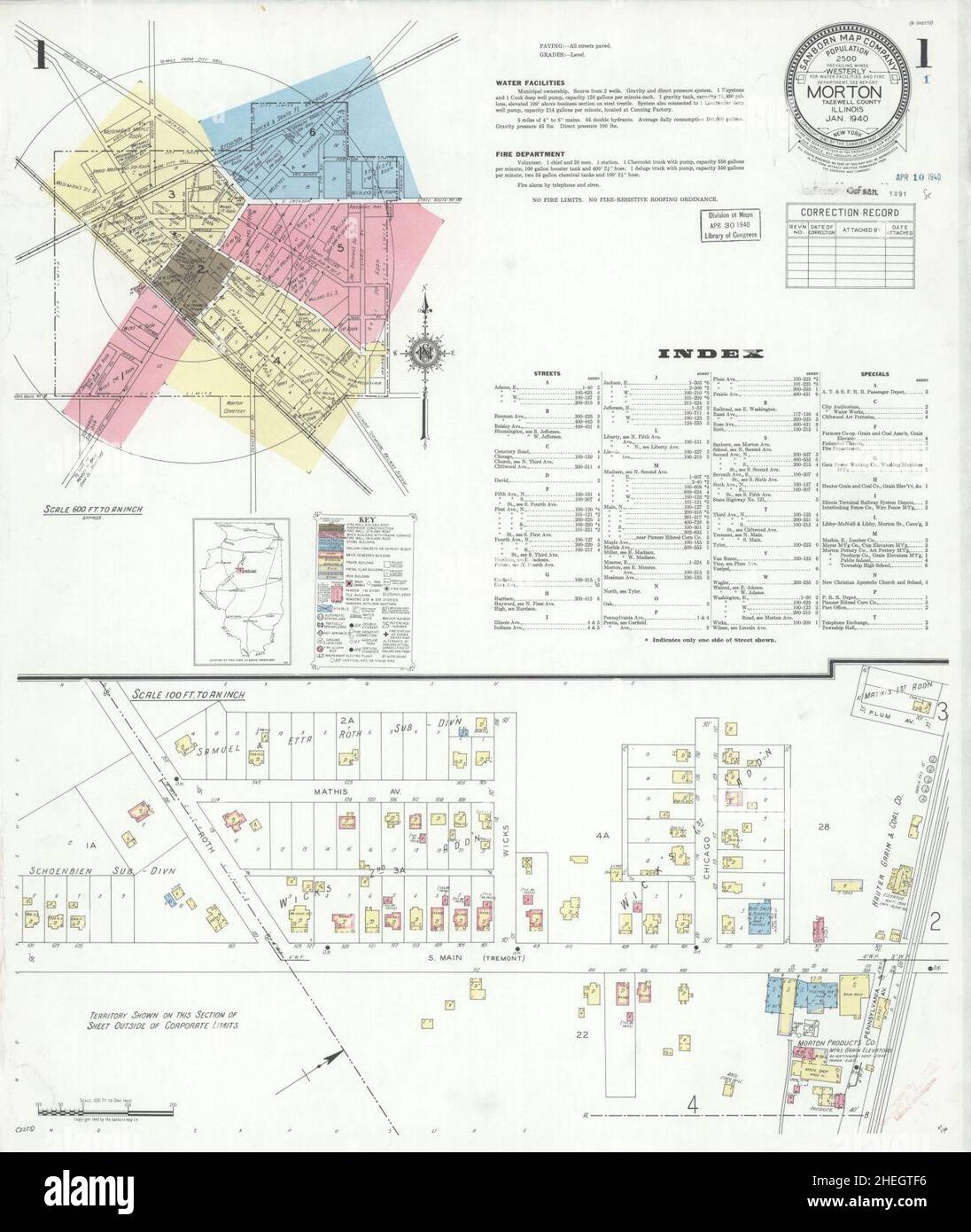 Sanborn Fire Insurance Map from Morton, Tazewell County, Illinois. Stock Photohttps://www.alamy.com/image-license-details/?v=1https://www.alamy.com/sanborn-fire-insurance-map-from-morton-tazewell-county-illinois-image456445226.html
RM2HEGTF6–Sanborn Fire Insurance Map from Morton, Tazewell County, Illinois.
 Map of Tazewell in Illinois Stock Photohttps://www.alamy.com/image-license-details/?v=1https://www.alamy.com/map-of-tazewell-in-illinois-image359542886.html
RF2BTXGHA–Map of Tazewell in Illinois
 Map of Tazewell in Illinois Stock Photohttps://www.alamy.com/image-license-details/?v=1https://www.alamy.com/map-of-tazewell-in-illinois-image443853663.html
RF2GP37TF–Map of Tazewell in Illinois
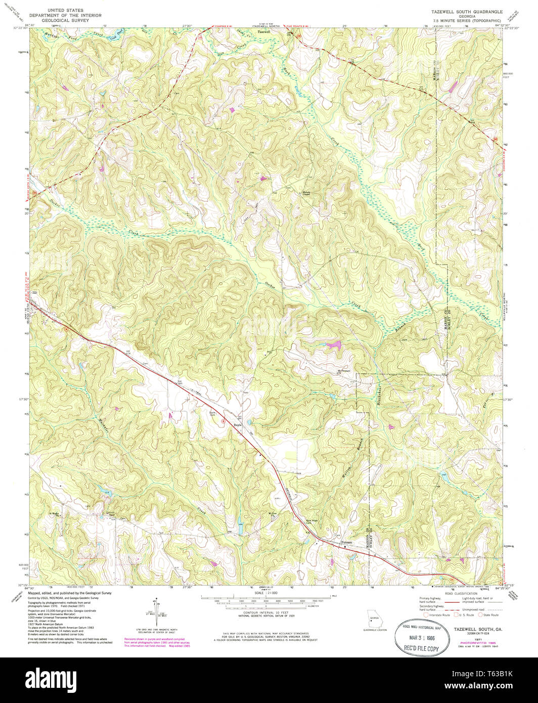 USGS TOPO Map Georgia GA Tazewell South 247109 1971 24000 Restoration Stock Photohttps://www.alamy.com/image-license-details/?v=1https://www.alamy.com/usgs-topo-map-georgia-ga-tazewell-south-247109-1971-24000-restoration-image244707615.html
RMT63B1K–USGS TOPO Map Georgia GA Tazewell South 247109 1971 24000 Restoration
 USGS TOPO Map Georgia GA Tazewell South 20110225 TM Inverted Restoration Stock Photohttps://www.alamy.com/image-license-details/?v=1https://www.alamy.com/usgs-topo-map-georgia-ga-tazewell-south-20110225-tm-inverted-restoration-image244707607.html
RMT63B1B–USGS TOPO Map Georgia GA Tazewell South 20110225 TM Inverted Restoration
 Tazewell County, Commonwealth of Virginia (U.S. county, United States of America, USA, U.S., US) map vector illustration, scribble sketch Tazewell map Stock Vectorhttps://www.alamy.com/image-license-details/?v=1https://www.alamy.com/tazewell-county-commonwealth-of-virginia-us-county-united-states-of-america-usa-us-us-map-vector-illustration-scribble-sketch-tazewell-map-image432076046.html
RF2G2XNBA–Tazewell County, Commonwealth of Virginia (U.S. county, United States of America, USA, U.S., US) map vector illustration, scribble sketch Tazewell map
 Fourway, Tazewell County, US, United States, Virginia, N 37 7' 58'', S 81 29' 36'', map, Cartascapes Map published in 2024. Explore Cartascapes, a map revealing Earth's diverse landscapes, cultures, and ecosystems. Journey through time and space, discovering the interconnectedness of our planet's past, present, and future. Stock Photohttps://www.alamy.com/image-license-details/?v=1https://www.alamy.com/fourway-tazewell-county-us-united-states-virginia-n-37-7-58-s-81-29-36-map-cartascapes-map-published-in-2024-explore-cartascapes-a-map-revealing-earths-diverse-landscapes-cultures-and-ecosystems-journey-through-time-and-space-discovering-the-interconnectedness-of-our-planets-past-present-and-future-image621418710.html
RM2Y301WA–Fourway, Tazewell County, US, United States, Virginia, N 37 7' 58'', S 81 29' 36'', map, Cartascapes Map published in 2024. Explore Cartascapes, a map revealing Earth's diverse landscapes, cultures, and ecosystems. Journey through time and space, discovering the interconnectedness of our planet's past, present, and future.
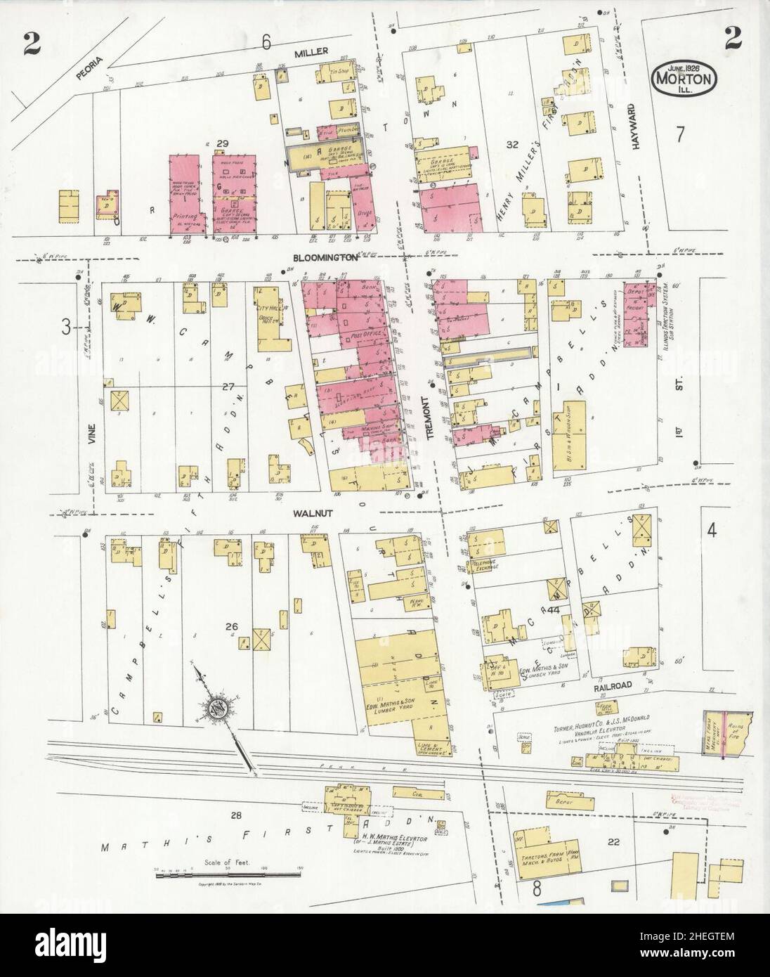 Sanborn Fire Insurance Map from Morton, Tazewell County, Illinois. Stock Photohttps://www.alamy.com/image-license-details/?v=1https://www.alamy.com/sanborn-fire-insurance-map-from-morton-tazewell-county-illinois-image456445212.html
RM2HEGTEM–Sanborn Fire Insurance Map from Morton, Tazewell County, Illinois.
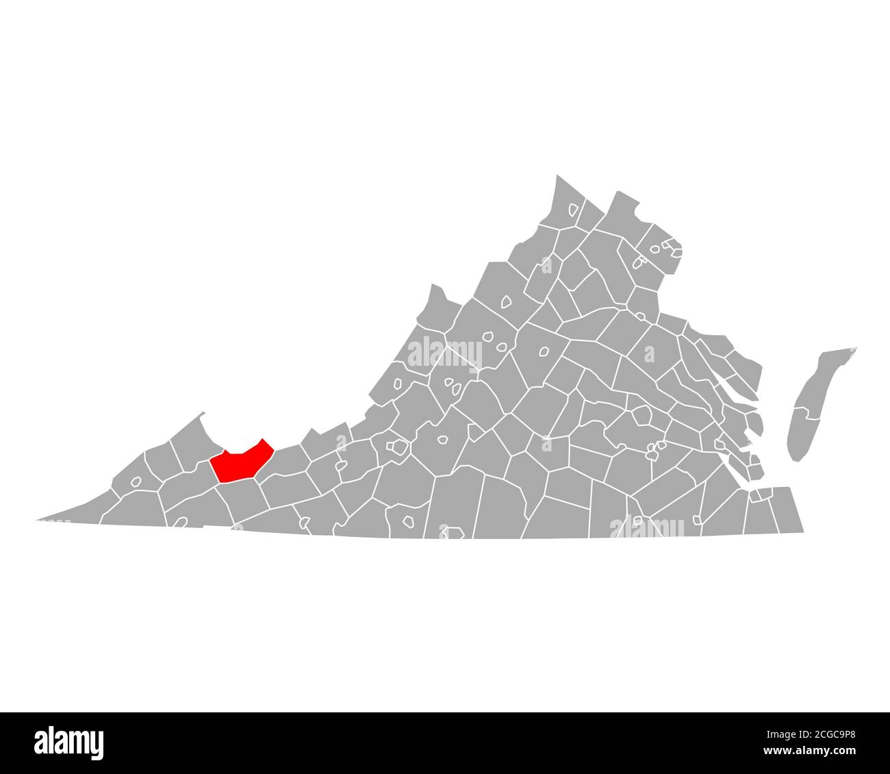 Map of Tazewell in Virginia Stock Photohttps://www.alamy.com/image-license-details/?v=1https://www.alamy.com/map-of-tazewell-in-virginia-image371523328.html
RF2CGC9P8–Map of Tazewell in Virginia
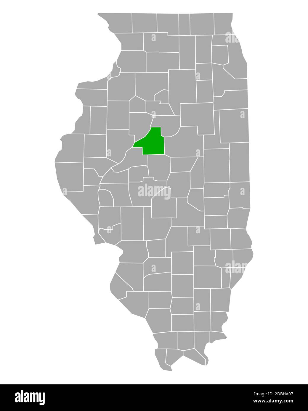 Map of Tazewell in Illinois Stock Photohttps://www.alamy.com/image-license-details/?v=1https://www.alamy.com/map-of-tazewell-in-illinois-image385770343.html
RF2DBHA07–Map of Tazewell in Illinois
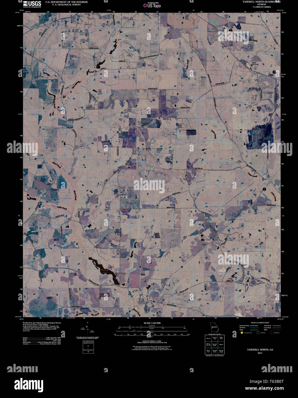 USGS TOPO Map Georgia GA Tazewell North 20110225 TM Inverted Restoration Stock Photohttps://www.alamy.com/image-license-details/?v=1https://www.alamy.com/usgs-topo-map-georgia-ga-tazewell-north-20110225-tm-inverted-restoration-image244707592.html
RMT63B0T–USGS TOPO Map Georgia GA Tazewell North 20110225 TM Inverted Restoration
 Tazewell County, Commonwealth of Virginia (U.S. county, United States of America, USA, U.S., US) map vector illustration, scribble sketch Tazewell map Stock Vectorhttps://www.alamy.com/image-license-details/?v=1https://www.alamy.com/tazewell-county-commonwealth-of-virginia-us-county-united-states-of-america-usa-us-us-map-vector-illustration-scribble-sketch-tazewell-map-image397625761.html
RF2E2WBM1–Tazewell County, Commonwealth of Virginia (U.S. county, United States of America, USA, U.S., US) map vector illustration, scribble sketch Tazewell map
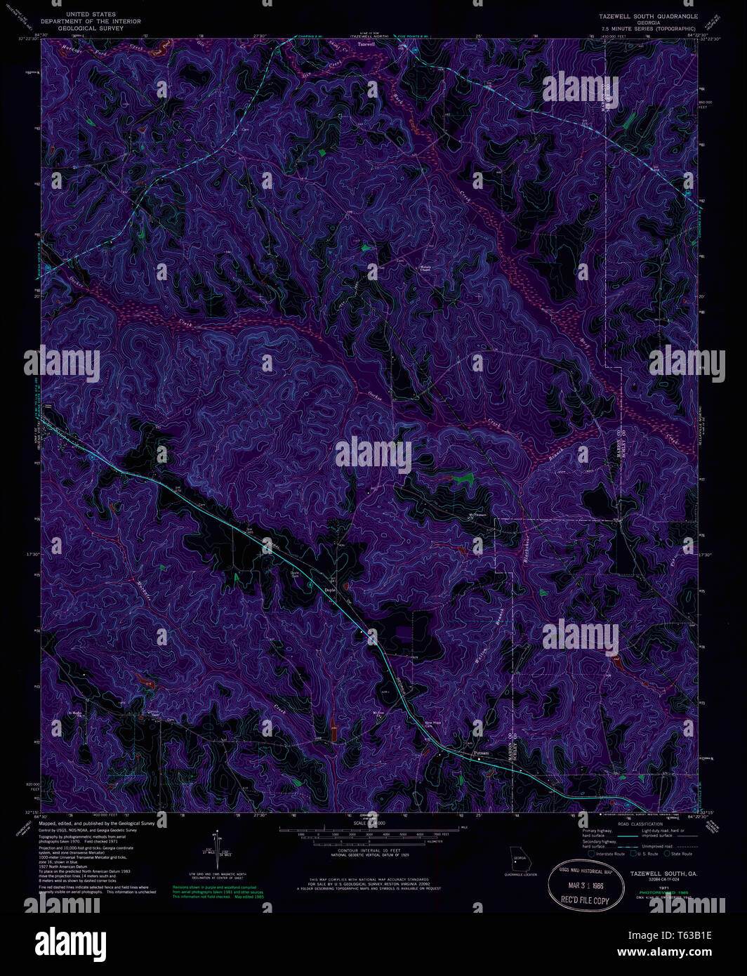 USGS TOPO Map Georgia GA Tazewell South 247109 1971 24000 Inverted Restoration Stock Photohttps://www.alamy.com/image-license-details/?v=1https://www.alamy.com/usgs-topo-map-georgia-ga-tazewell-south-247109-1971-24000-inverted-restoration-image244707610.html
RMT63B1E–USGS TOPO Map Georgia GA Tazewell South 247109 1971 24000 Inverted Restoration
 Cliffield, Tazewell County, US, United States, Virginia, N 37 5' 52'', S 81 39' 24'', map, Cartascapes Map published in 2024. Explore Cartascapes, a map revealing Earth's diverse landscapes, cultures, and ecosystems. Journey through time and space, discovering the interconnectedness of our planet's past, present, and future. Stock Photohttps://www.alamy.com/image-license-details/?v=1https://www.alamy.com/cliffield-tazewell-county-us-united-states-virginia-n-37-5-52-s-81-39-24-map-cartascapes-map-published-in-2024-explore-cartascapes-a-map-revealing-earths-diverse-landscapes-cultures-and-ecosystems-journey-through-time-and-space-discovering-the-interconnectedness-of-our-planets-past-present-and-future-image621168018.html
RM2Y2GJ42–Cliffield, Tazewell County, US, United States, Virginia, N 37 5' 52'', S 81 39' 24'', map, Cartascapes Map published in 2024. Explore Cartascapes, a map revealing Earth's diverse landscapes, cultures, and ecosystems. Journey through time and space, discovering the interconnectedness of our planet's past, present, and future.
 Sanborn Fire Insurance Map from Pekin, Tazewell County, Illinois. Stock Photohttps://www.alamy.com/image-license-details/?v=1https://www.alamy.com/sanborn-fire-insurance-map-from-pekin-tazewell-county-illinois-image456456523.html
RM2HEHAXK–Sanborn Fire Insurance Map from Pekin, Tazewell County, Illinois.
 Tazewell County, Commonwealth of Virginia (U.S. county, United States of America, USA, U.S., US) map vector illustration, scribble sketch Tazewell map Stock Vectorhttps://www.alamy.com/image-license-details/?v=1https://www.alamy.com/tazewell-county-commonwealth-of-virginia-us-county-united-states-of-america-usa-us-us-map-vector-illustration-scribble-sketch-tazewell-map-image418833042.html
RF2F9BDPX–Tazewell County, Commonwealth of Virginia (U.S. county, United States of America, USA, U.S., US) map vector illustration, scribble sketch Tazewell map
 USGS TOPO Map Georgia GA Tazewell South 247110 1971 24000 Inverted Restoration Stock Photohttps://www.alamy.com/image-license-details/?v=1https://www.alamy.com/usgs-topo-map-georgia-ga-tazewell-south-247110-1971-24000-inverted-restoration-image244707616.html
RMT63B1M–USGS TOPO Map Georgia GA Tazewell South 247110 1971 24000 Inverted Restoration
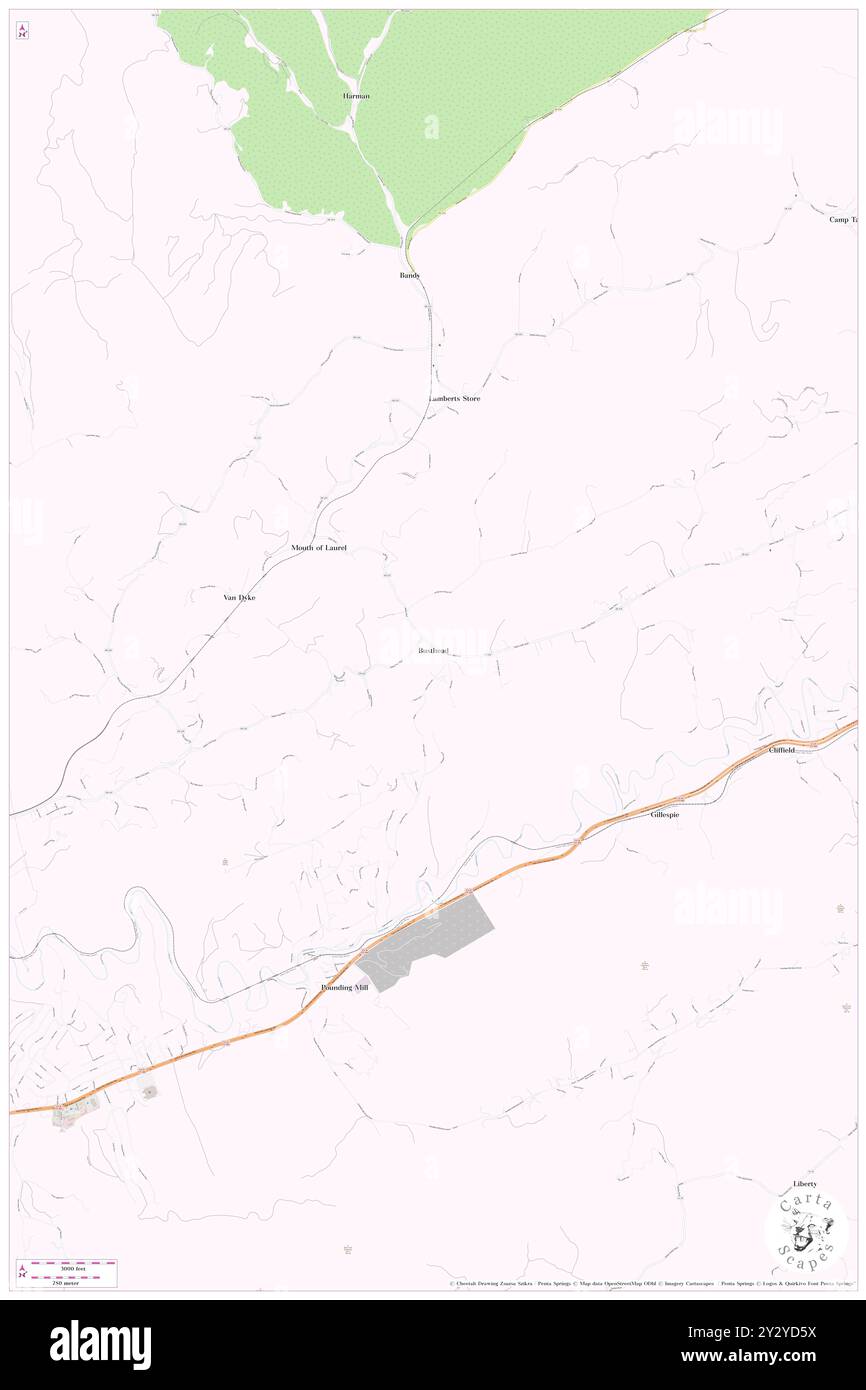 Busthead, Tazewell County, US, United States, Virginia, N 37 6' 26'', S 81 41' 53'', map, Cartascapes Map published in 2024. Explore Cartascapes, a map revealing Earth's diverse landscapes, cultures, and ecosystems. Journey through time and space, discovering the interconnectedness of our planet's past, present, and future. Stock Photohttps://www.alamy.com/image-license-details/?v=1https://www.alamy.com/busthead-tazewell-county-us-united-states-virginia-n-37-6-26-s-81-41-53-map-cartascapes-map-published-in-2024-explore-cartascapes-a-map-revealing-earths-diverse-landscapes-cultures-and-ecosystems-journey-through-time-and-space-discovering-the-interconnectedness-of-our-planets-past-present-and-future-image621405622.html
RM2Y2YD5X–Busthead, Tazewell County, US, United States, Virginia, N 37 6' 26'', S 81 41' 53'', map, Cartascapes Map published in 2024. Explore Cartascapes, a map revealing Earth's diverse landscapes, cultures, and ecosystems. Journey through time and space, discovering the interconnectedness of our planet's past, present, and future.
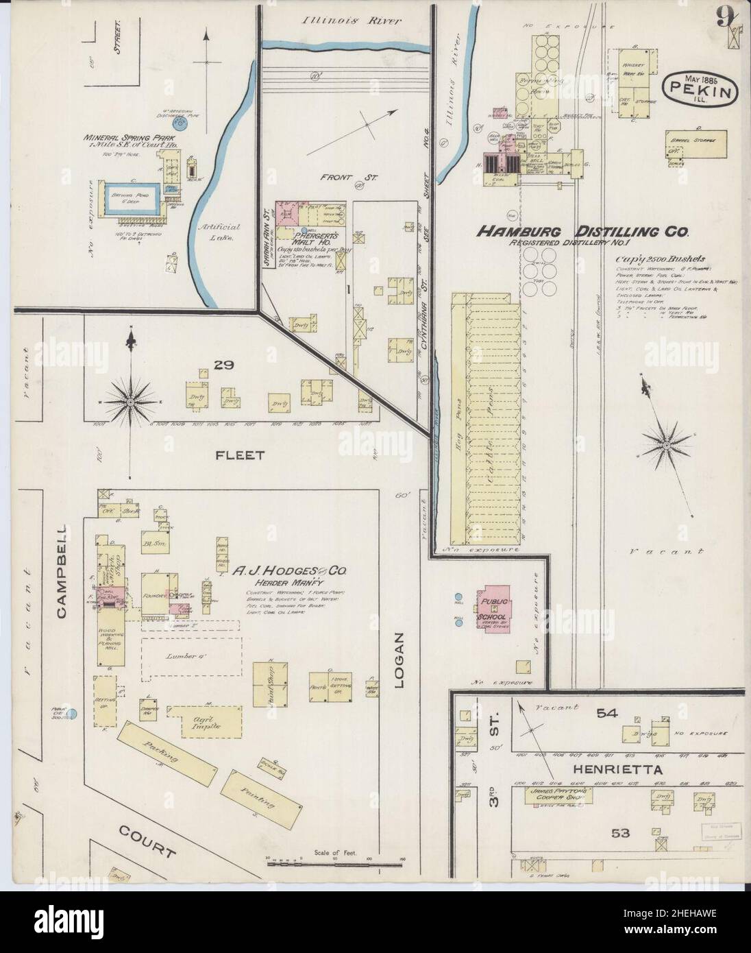 Sanborn Fire Insurance Map from Pekin, Tazewell County, Illinois. Stock Photohttps://www.alamy.com/image-license-details/?v=1https://www.alamy.com/sanborn-fire-insurance-map-from-pekin-tazewell-county-illinois-image456456490.html
RM2HEHAWE–Sanborn Fire Insurance Map from Pekin, Tazewell County, Illinois.
 Claiborne County, State of Tennessee (U.S. county, United States of America, USA, U.S., US) map vector illustration, scribble sketch Claiborne map Stock Vectorhttps://www.alamy.com/image-license-details/?v=1https://www.alamy.com/claiborne-county-state-of-tennessee-us-county-united-states-of-america-usa-us-us-map-vector-illustration-scribble-sketch-claiborne-map-image391986032.html
RF2DNME54–Claiborne County, State of Tennessee (U.S. county, United States of America, USA, U.S., US) map vector illustration, scribble sketch Claiborne map
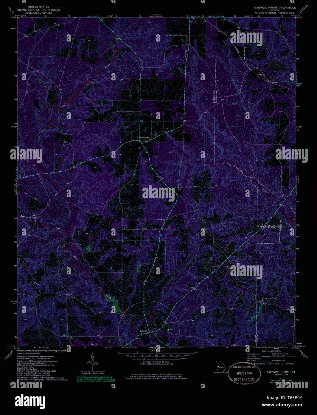 USGS TOPO Map Georgia GA Tazewell North 247107 1971 24000 Inverted Restoration Stock Photohttps://www.alamy.com/image-license-details/?v=1https://www.alamy.com/usgs-topo-map-georgia-ga-tazewell-north-247107-1971-24000-inverted-restoration-image244707595.html
RMT63B0Y–USGS TOPO Map Georgia GA Tazewell North 247107 1971 24000 Inverted Restoration
 Mindale, Tazewell County, US, United States, Illinois, N 40 25' 33'', S 89 22' 11'', map, Cartascapes Map published in 2024. Explore Cartascapes, a map revealing Earth's diverse landscapes, cultures, and ecosystems. Journey through time and space, discovering the interconnectedness of our planet's past, present, and future. Stock Photohttps://www.alamy.com/image-license-details/?v=1https://www.alamy.com/mindale-tazewell-county-us-united-states-illinois-n-40-25-33-s-89-22-11-map-cartascapes-map-published-in-2024-explore-cartascapes-a-map-revealing-earths-diverse-landscapes-cultures-and-ecosystems-journey-through-time-and-space-discovering-the-interconnectedness-of-our-planets-past-present-and-future-image621294652.html
RM2Y2PBJM–Mindale, Tazewell County, US, United States, Illinois, N 40 25' 33'', S 89 22' 11'', map, Cartascapes Map published in 2024. Explore Cartascapes, a map revealing Earth's diverse landscapes, cultures, and ecosystems. Journey through time and space, discovering the interconnectedness of our planet's past, present, and future.
 Sanborn Fire Insurance Map from Pekin, Tazewell County, Illinois. Stock Photohttps://www.alamy.com/image-license-details/?v=1https://www.alamy.com/sanborn-fire-insurance-map-from-pekin-tazewell-county-illinois-image456456515.html
RM2HEHAXB–Sanborn Fire Insurance Map from Pekin, Tazewell County, Illinois.
 Claiborne County, State of Tennessee (U.S. county, United States of America, USA, U.S., US) map vector illustration, scribble sketch Claiborne map Stock Vectorhttps://www.alamy.com/image-license-details/?v=1https://www.alamy.com/claiborne-county-state-of-tennessee-us-county-united-states-of-america-usa-us-us-map-vector-illustration-scribble-sketch-claiborne-map-image428838286.html
RF2FWK7H2–Claiborne County, State of Tennessee (U.S. county, United States of America, USA, U.S., US) map vector illustration, scribble sketch Claiborne map
 USGS TOPO Map Georgia GA Tazewell North 247108 1971 24000 Inverted Restoration Stock Photohttps://www.alamy.com/image-license-details/?v=1https://www.alamy.com/usgs-topo-map-georgia-ga-tazewell-north-247108-1971-24000-inverted-restoration-image244707601.html
RMT63B15–USGS TOPO Map Georgia GA Tazewell North 247108 1971 24000 Inverted Restoration
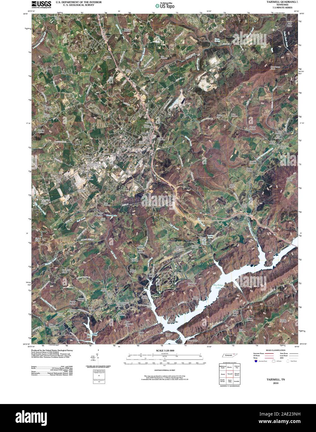 USGS TOPO Map Tennessee TN Tazewell 20100427 TM Restoration Stock Photohttps://www.alamy.com/image-license-details/?v=1https://www.alamy.com/usgs-topo-map-tennessee-tn-tazewell-20100427-tm-restoration-image335649037.html
RM2AE23NH–USGS TOPO Map Tennessee TN Tazewell 20100427 TM Restoration
 Benbow, Tazewell County, US, United States, Virginia, N 37 3' 56'', S 81 30' 36'', map, Cartascapes Map published in 2024. Explore Cartascapes, a map revealing Earth's diverse landscapes, cultures, and ecosystems. Journey through time and space, discovering the interconnectedness of our planet's past, present, and future. Stock Photohttps://www.alamy.com/image-license-details/?v=1https://www.alamy.com/benbow-tazewell-county-us-united-states-virginia-n-37-3-56-s-81-30-36-map-cartascapes-map-published-in-2024-explore-cartascapes-a-map-revealing-earths-diverse-landscapes-cultures-and-ecosystems-journey-through-time-and-space-discovering-the-interconnectedness-of-our-planets-past-present-and-future-image621279460.html
RM2Y2NM84–Benbow, Tazewell County, US, United States, Virginia, N 37 3' 56'', S 81 30' 36'', map, Cartascapes Map published in 2024. Explore Cartascapes, a map revealing Earth's diverse landscapes, cultures, and ecosystems. Journey through time and space, discovering the interconnectedness of our planet's past, present, and future.
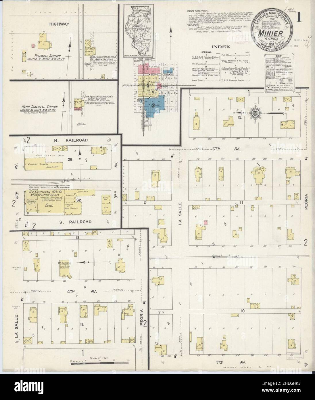 Sanborn Fire Insurance Map from Minier, Tazewell County, Illinois. Stock Photohttps://www.alamy.com/image-license-details/?v=1https://www.alamy.com/sanborn-fire-insurance-map-from-minier-tazewell-county-illinois-image456439847.html
RM2HEGHK3–Sanborn Fire Insurance Map from Minier, Tazewell County, Illinois.
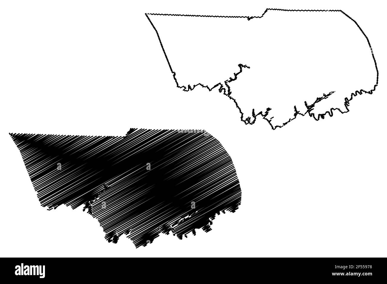 Claiborne County, State of Tennessee (U.S. county, United States of America, USA, U.S., US) map vector illustration, scribble sketch Claiborne map Stock Vectorhttps://www.alamy.com/image-license-details/?v=1https://www.alamy.com/claiborne-county-state-of-tennessee-us-county-united-states-of-america-usa-us-us-map-vector-illustration-scribble-sketch-claiborne-map-image416239132.html
RF2F55978–Claiborne County, State of Tennessee (U.S. county, United States of America, USA, U.S., US) map vector illustration, scribble sketch Claiborne map
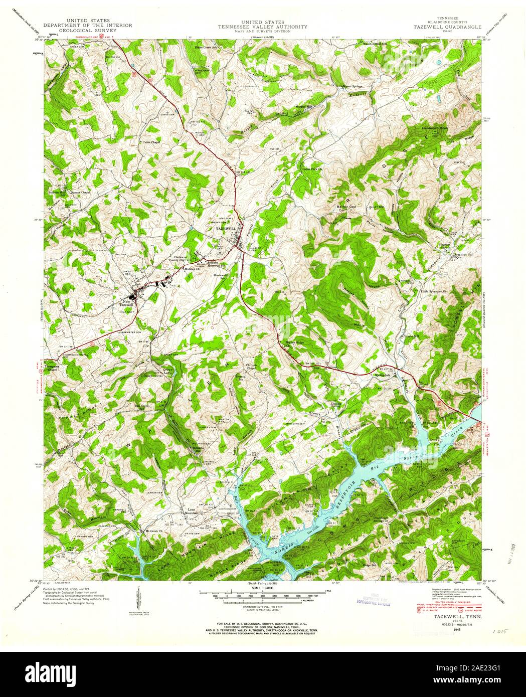 USGS TOPO Map Tennessee TN Tazewell 155880 1943 24000 Restoration Stock Photohttps://www.alamy.com/image-license-details/?v=1https://www.alamy.com/usgs-topo-map-tennessee-tn-tazewell-155880-1943-24000-restoration-image335648881.html
RM2AE23G1–USGS TOPO Map Tennessee TN Tazewell 155880 1943 24000 Restoration
 Tabors, Tazewell County, US, United States, Virginia, N 37 15' 26'', S 81 22' 41'', map, Cartascapes Map published in 2024. Explore Cartascapes, a map revealing Earth's diverse landscapes, cultures, and ecosystems. Journey through time and space, discovering the interconnectedness of our planet's past, present, and future. Stock Photohttps://www.alamy.com/image-license-details/?v=1https://www.alamy.com/tabors-tazewell-county-us-united-states-virginia-n-37-15-26-s-81-22-41-map-cartascapes-map-published-in-2024-explore-cartascapes-a-map-revealing-earths-diverse-landscapes-cultures-and-ecosystems-journey-through-time-and-space-discovering-the-interconnectedness-of-our-planets-past-present-and-future-image621237697.html
RM2Y2KR0H–Tabors, Tazewell County, US, United States, Virginia, N 37 15' 26'', S 81 22' 41'', map, Cartascapes Map published in 2024. Explore Cartascapes, a map revealing Earth's diverse landscapes, cultures, and ecosystems. Journey through time and space, discovering the interconnectedness of our planet's past, present, and future.
 Sanborn Fire Insurance Map from Pekin, Tazewell County, Illinois. Stock Photohttps://www.alamy.com/image-license-details/?v=1https://www.alamy.com/sanborn-fire-insurance-map-from-pekin-tazewell-county-illinois-image456456506.html
RM2HEHAX2–Sanborn Fire Insurance Map from Pekin, Tazewell County, Illinois.
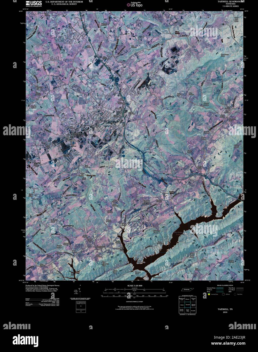 USGS TOPO Map Tennessee TN Tazewell 20100427 TM Inverted Restoration Stock Photohttps://www.alamy.com/image-license-details/?v=1https://www.alamy.com/usgs-topo-map-tennessee-tn-tazewell-20100427-tm-inverted-restoration-image335648959.html
RM2AE23JR–USGS TOPO Map Tennessee TN Tazewell 20100427 TM Inverted Restoration
 Harman, Tazewell County, US, United States, Virginia, N 37 9' 35'', S 81 42' 26'', map, Cartascapes Map published in 2024. Explore Cartascapes, a map revealing Earth's diverse landscapes, cultures, and ecosystems. Journey through time and space, discovering the interconnectedness of our planet's past, present, and future. Stock Photohttps://www.alamy.com/image-license-details/?v=1https://www.alamy.com/harman-tazewell-county-us-united-states-virginia-n-37-9-35-s-81-42-26-map-cartascapes-map-published-in-2024-explore-cartascapes-a-map-revealing-earths-diverse-landscapes-cultures-and-ecosystems-journey-through-time-and-space-discovering-the-interconnectedness-of-our-planets-past-present-and-future-image621488716.html
RM2Y3375G–Harman, Tazewell County, US, United States, Virginia, N 37 9' 35'', S 81 42' 26'', map, Cartascapes Map published in 2024. Explore Cartascapes, a map revealing Earth's diverse landscapes, cultures, and ecosystems. Journey through time and space, discovering the interconnectedness of our planet's past, present, and future.
 Sanborn Fire Insurance Map from Delavan, Tazewell County, Illinois. Stock Photohttps://www.alamy.com/image-license-details/?v=1https://www.alamy.com/sanborn-fire-insurance-map-from-delavan-tazewell-county-illinois-image456365641.html
RM2HED70W–Sanborn Fire Insurance Map from Delavan, Tazewell County, Illinois.
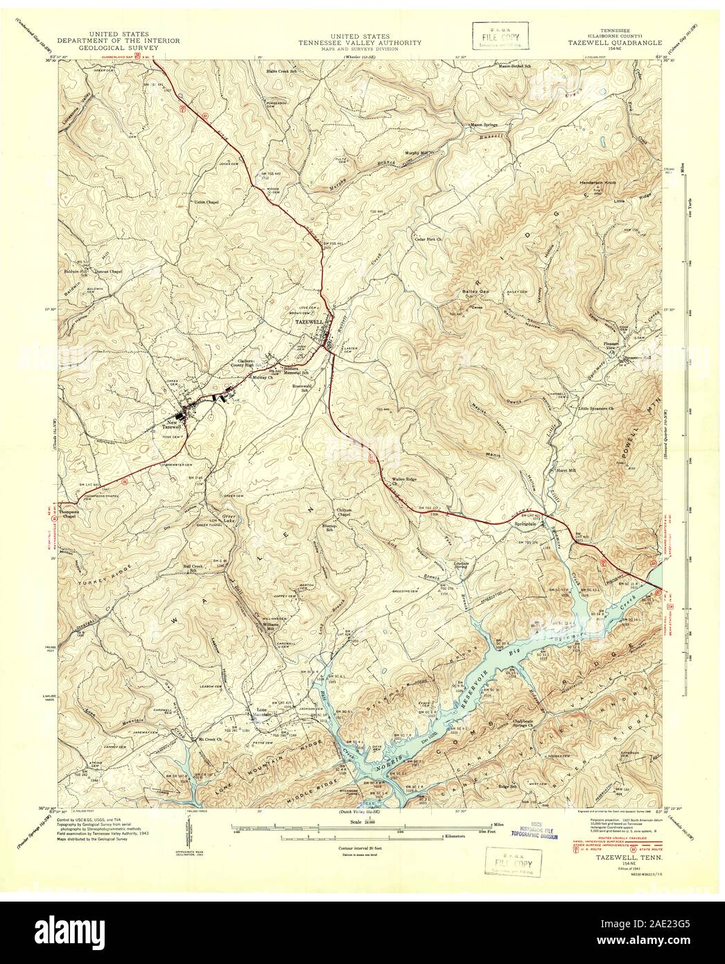 USGS TOPO Map Tennessee TN Tazewell 155879 1943 24000 Restoration Stock Photohttps://www.alamy.com/image-license-details/?v=1https://www.alamy.com/usgs-topo-map-tennessee-tn-tazewell-155879-1943-24000-restoration-image335648885.html
RM2AE23G5–USGS TOPO Map Tennessee TN Tazewell 155879 1943 24000 Restoration
 Maxwell, Tazewell County, US, United States, Virginia, N 37 6' 18'', S 81 37' 22'', map, Cartascapes Map published in 2024. Explore Cartascapes, a map revealing Earth's diverse landscapes, cultures, and ecosystems. Journey through time and space, discovering the interconnectedness of our planet's past, present, and future. Stock Photohttps://www.alamy.com/image-license-details/?v=1https://www.alamy.com/maxwell-tazewell-county-us-united-states-virginia-n-37-6-18-s-81-37-22-map-cartascapes-map-published-in-2024-explore-cartascapes-a-map-revealing-earths-diverse-landscapes-cultures-and-ecosystems-journey-through-time-and-space-discovering-the-interconnectedness-of-our-planets-past-present-and-future-image621235285.html
RM2Y2KKXD–Maxwell, Tazewell County, US, United States, Virginia, N 37 6' 18'', S 81 37' 22'', map, Cartascapes Map published in 2024. Explore Cartascapes, a map revealing Earth's diverse landscapes, cultures, and ecosystems. Journey through time and space, discovering the interconnectedness of our planet's past, present, and future.
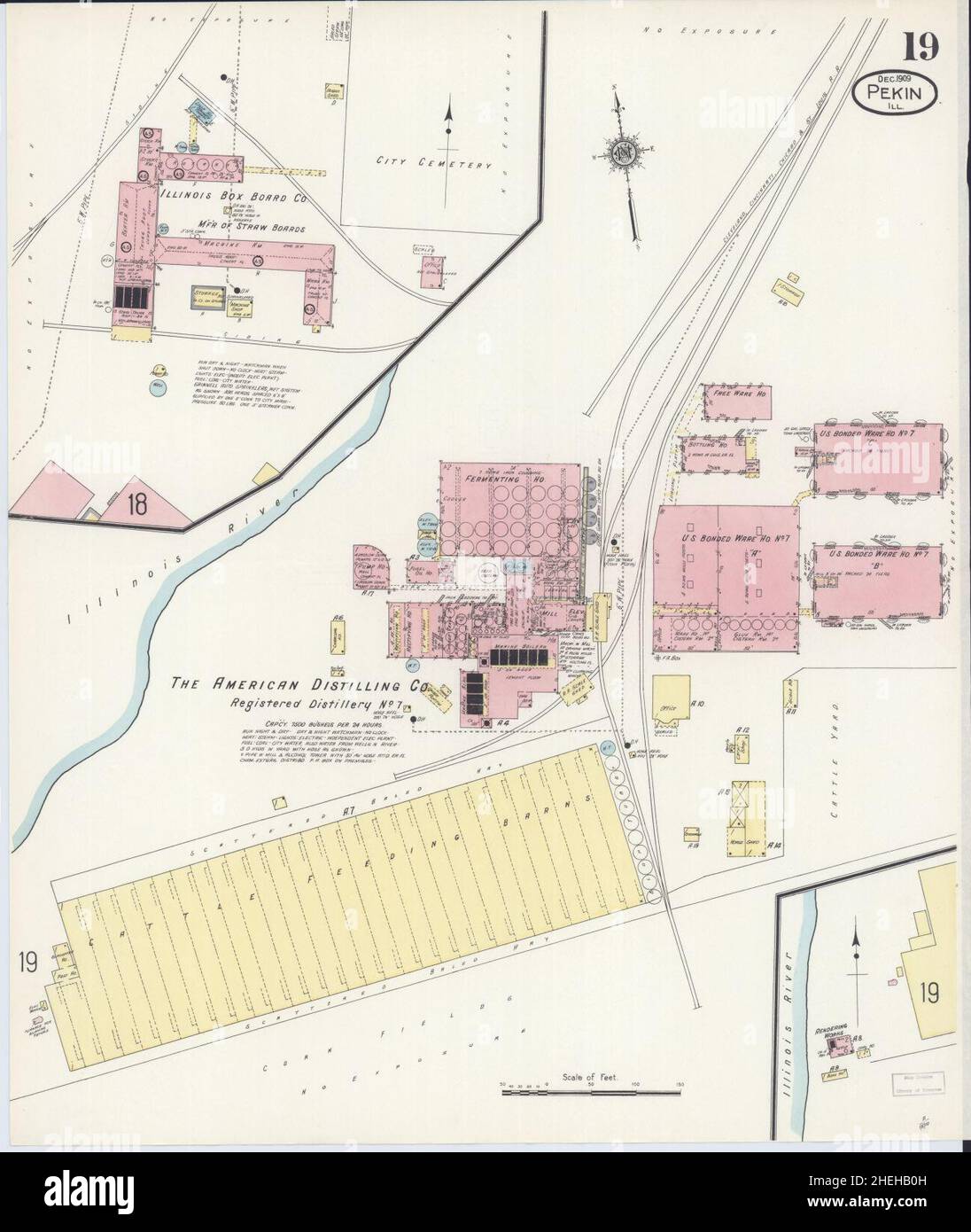 Sanborn Fire Insurance Map from Pekin, Tazewell County, Illinois. Stock Photohttps://www.alamy.com/image-license-details/?v=1https://www.alamy.com/sanborn-fire-insurance-map-from-pekin-tazewell-county-illinois-image456456577.html
RM2HEHB0H–Sanborn Fire Insurance Map from Pekin, Tazewell County, Illinois.
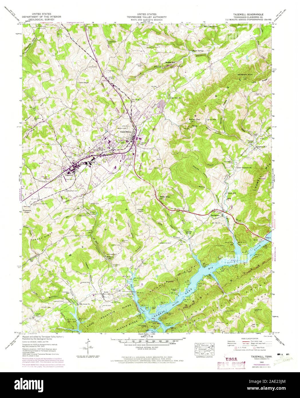 USGS TOPO Map Tennessee TN Tazewell 155881 1943 24000 Restoration Stock Photohttps://www.alamy.com/image-license-details/?v=1https://www.alamy.com/usgs-topo-map-tennessee-tn-tazewell-155881-1943-24000-restoration-image335648956.html
RM2AE23JM–USGS TOPO Map Tennessee TN Tazewell 155881 1943 24000 Restoration
 Mackinaw, Tazewell County, US, United States, Illinois, N 40 32' 13'', S 89 21' 27'', map, Cartascapes Map published in 2024. Explore Cartascapes, a map revealing Earth's diverse landscapes, cultures, and ecosystems. Journey through time and space, discovering the interconnectedness of our planet's past, present, and future. Stock Photohttps://www.alamy.com/image-license-details/?v=1https://www.alamy.com/mackinaw-tazewell-county-us-united-states-illinois-n-40-32-13-s-89-21-27-map-cartascapes-map-published-in-2024-explore-cartascapes-a-map-revealing-earths-diverse-landscapes-cultures-and-ecosystems-journey-through-time-and-space-discovering-the-interconnectedness-of-our-planets-past-present-and-future-image621297876.html
RM2Y2PFNT–Mackinaw, Tazewell County, US, United States, Illinois, N 40 32' 13'', S 89 21' 27'', map, Cartascapes Map published in 2024. Explore Cartascapes, a map revealing Earth's diverse landscapes, cultures, and ecosystems. Journey through time and space, discovering the interconnectedness of our planet's past, present, and future.
 Sanborn Fire Insurance Map from Pekin, Tazewell County, Illinois. Stock Photohttps://www.alamy.com/image-license-details/?v=1https://www.alamy.com/sanborn-fire-insurance-map-from-pekin-tazewell-county-illinois-image456456589.html
RM2HEHB11–Sanborn Fire Insurance Map from Pekin, Tazewell County, Illinois.
 USGS TOPO Map Tennessee TN Tazewell 155878 1936 24000 Restoration Stock Photohttps://www.alamy.com/image-license-details/?v=1https://www.alamy.com/usgs-topo-map-tennessee-tn-tazewell-155878-1936-24000-restoration-image335648777.html
RM2AE23C9–USGS TOPO Map Tennessee TN Tazewell 155878 1936 24000 Restoration
 Pekin, Tazewell County, US, United States, Illinois, N 40 34' 3'', S 89 38' 26'', map, Cartascapes Map published in 2024. Explore Cartascapes, a map revealing Earth's diverse landscapes, cultures, and ecosystems. Journey through time and space, discovering the interconnectedness of our planet's past, present, and future. Stock Photohttps://www.alamy.com/image-license-details/?v=1https://www.alamy.com/pekin-tazewell-county-us-united-states-illinois-n-40-34-3-s-89-38-26-map-cartascapes-map-published-in-2024-explore-cartascapes-a-map-revealing-earths-diverse-landscapes-cultures-and-ecosystems-journey-through-time-and-space-discovering-the-interconnectedness-of-our-planets-past-present-and-future-image621239459.html
RM2Y2KW7F–Pekin, Tazewell County, US, United States, Illinois, N 40 34' 3'', S 89 38' 26'', map, Cartascapes Map published in 2024. Explore Cartascapes, a map revealing Earth's diverse landscapes, cultures, and ecosystems. Journey through time and space, discovering the interconnectedness of our planet's past, present, and future.
 Sanborn Fire Insurance Map from Pekin, Tazewell County, Illinois. Stock Photohttps://www.alamy.com/image-license-details/?v=1https://www.alamy.com/sanborn-fire-insurance-map-from-pekin-tazewell-county-illinois-image456456638.html
RM2HEHB2P–Sanborn Fire Insurance Map from Pekin, Tazewell County, Illinois.
 USGS TOPO Map Tennessee TN Tazewell 155880 1943 24000 Inverted Restoration Stock Photohttps://www.alamy.com/image-license-details/?v=1https://www.alamy.com/usgs-topo-map-tennessee-tn-tazewell-155880-1943-24000-inverted-restoration-image335648883.html
RM2AE23G3–USGS TOPO Map Tennessee TN Tazewell 155880 1943 24000 Inverted Restoration
 Crandall, Tazewell County, US, United States, Illinois, N 40 37' 58'', S 89 25' 55'', map, Cartascapes Map published in 2024. Explore Cartascapes, a map revealing Earth's diverse landscapes, cultures, and ecosystems. Journey through time and space, discovering the interconnectedness of our planet's past, present, and future. Stock Photohttps://www.alamy.com/image-license-details/?v=1https://www.alamy.com/crandall-tazewell-county-us-united-states-illinois-n-40-37-58-s-89-25-55-map-cartascapes-map-published-in-2024-explore-cartascapes-a-map-revealing-earths-diverse-landscapes-cultures-and-ecosystems-journey-through-time-and-space-discovering-the-interconnectedness-of-our-planets-past-present-and-future-image621399222.html
RM2Y2Y51A–Crandall, Tazewell County, US, United States, Illinois, N 40 37' 58'', S 89 25' 55'', map, Cartascapes Map published in 2024. Explore Cartascapes, a map revealing Earth's diverse landscapes, cultures, and ecosystems. Journey through time and space, discovering the interconnectedness of our planet's past, present, and future.
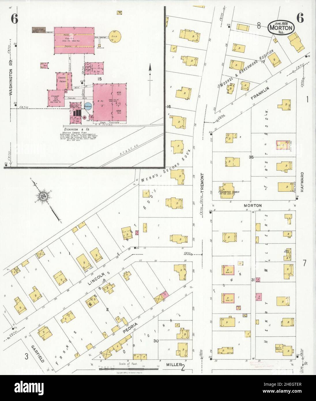 Sanborn Fire Insurance Map from Morton, Tazewell County, Illinois. Stock Photohttps://www.alamy.com/image-license-details/?v=1https://www.alamy.com/sanborn-fire-insurance-map-from-morton-tazewell-county-illinois-image456445215.html
RM2HEGTER–Sanborn Fire Insurance Map from Morton, Tazewell County, Illinois.
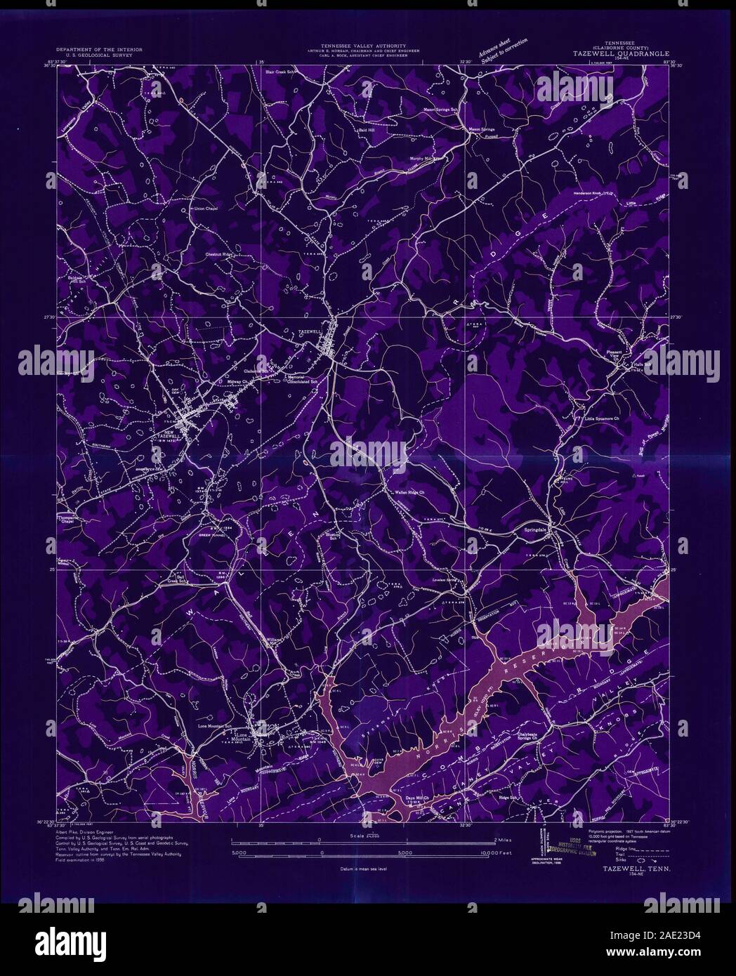 USGS TOPO Map Tennessee TN Tazewell 155878 1936 24000 Inverted Restoration Stock Photohttps://www.alamy.com/image-license-details/?v=1https://www.alamy.com/usgs-topo-map-tennessee-tn-tazewell-155878-1936-24000-inverted-restoration-image335648800.html
RM2AE23D4–USGS TOPO Map Tennessee TN Tazewell 155878 1936 24000 Inverted Restoration
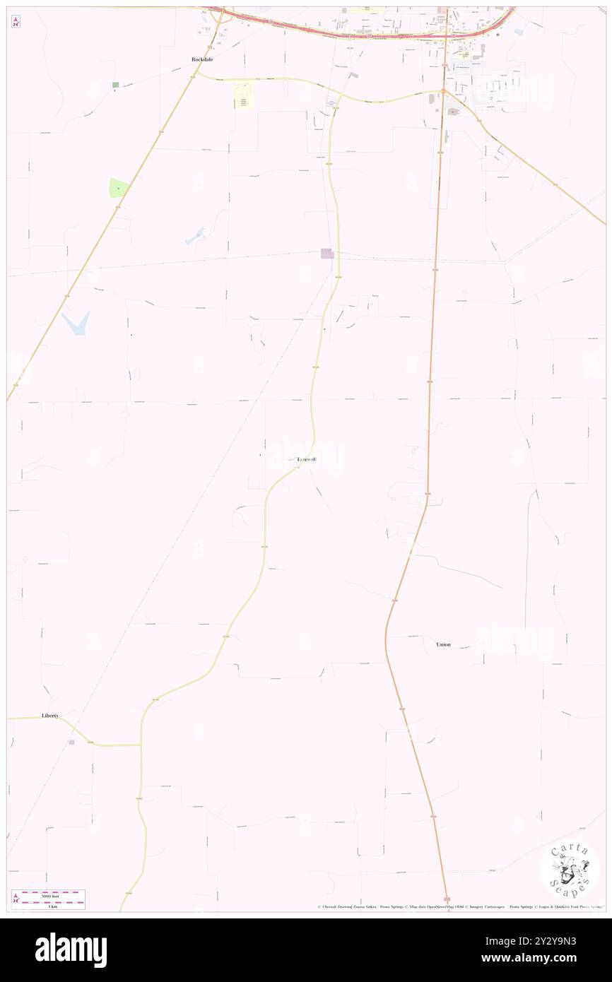 Tazewell, Hopkins County, US, United States, Texas, N 33 3' 24'', S 95 37' 11'', map, Cartascapes Map published in 2024. Explore Cartascapes, a map revealing Earth's diverse landscapes, cultures, and ecosystems. Journey through time and space, discovering the interconnectedness of our planet's past, present, and future. Stock Photohttps://www.alamy.com/image-license-details/?v=1https://www.alamy.com/tazewell-hopkins-county-us-united-states-texas-n-33-3-24-s-95-37-11-map-cartascapes-map-published-in-2024-explore-cartascapes-a-map-revealing-earths-diverse-landscapes-cultures-and-ecosystems-journey-through-time-and-space-discovering-the-interconnectedness-of-our-planets-past-present-and-future-image621402911.html
RM2Y2Y9N3–Tazewell, Hopkins County, US, United States, Texas, N 33 3' 24'', S 95 37' 11'', map, Cartascapes Map published in 2024. Explore Cartascapes, a map revealing Earth's diverse landscapes, cultures, and ecosystems. Journey through time and space, discovering the interconnectedness of our planet's past, present, and future.
 Sanborn Fire Insurance Map from Pekin, Tazewell County, Illinois. Stock Photohttps://www.alamy.com/image-license-details/?v=1https://www.alamy.com/sanborn-fire-insurance-map-from-pekin-tazewell-county-illinois-image456456509.html
RM2HEHAX5–Sanborn Fire Insurance Map from Pekin, Tazewell County, Illinois.
 USGS TOPO Map Tennessee TN Tazewell 155879 1943 24000 Inverted Restoration Stock Photohttps://www.alamy.com/image-license-details/?v=1https://www.alamy.com/usgs-topo-map-tennessee-tn-tazewell-155879-1943-24000-inverted-restoration-image335648887.html
RM2AE23G7–USGS TOPO Map Tennessee TN Tazewell 155879 1943 24000 Inverted Restoration
 Stoehrs, Tazewell County, US, United States, Illinois, N 40 31' 23'', S 89 41' 37'', map, Cartascapes Map published in 2024. Explore Cartascapes, a map revealing Earth's diverse landscapes, cultures, and ecosystems. Journey through time and space, discovering the interconnectedness of our planet's past, present, and future. Stock Photohttps://www.alamy.com/image-license-details/?v=1https://www.alamy.com/stoehrs-tazewell-county-us-united-states-illinois-n-40-31-23-s-89-41-37-map-cartascapes-map-published-in-2024-explore-cartascapes-a-map-revealing-earths-diverse-landscapes-cultures-and-ecosystems-journey-through-time-and-space-discovering-the-interconnectedness-of-our-planets-past-present-and-future-image621433796.html
RM2Y30N44–Stoehrs, Tazewell County, US, United States, Illinois, N 40 31' 23'', S 89 41' 37'', map, Cartascapes Map published in 2024. Explore Cartascapes, a map revealing Earth's diverse landscapes, cultures, and ecosystems. Journey through time and space, discovering the interconnectedness of our planet's past, present, and future.
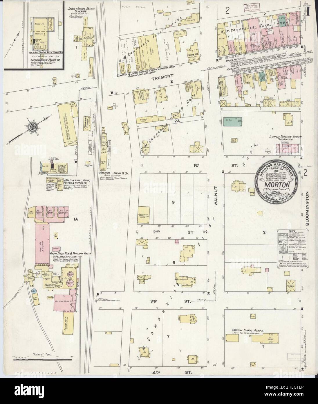 Sanborn Fire Insurance Map from Morton, Tazewell County, Illinois. Stock Photohttps://www.alamy.com/image-license-details/?v=1https://www.alamy.com/sanborn-fire-insurance-map-from-morton-tazewell-county-illinois-image456445214.html
RM2HEGTEP–Sanborn Fire Insurance Map from Morton, Tazewell County, Illinois.
 USGS TOPO Map Tennessee TN Tazewell 155881 1943 24000 Inverted Restoration Stock Photohttps://www.alamy.com/image-license-details/?v=1https://www.alamy.com/usgs-topo-map-tennessee-tn-tazewell-155881-1943-24000-inverted-restoration-image335648954.html
RM2AE23JJ–USGS TOPO Map Tennessee TN Tazewell 155881 1943 24000 Inverted Restoration
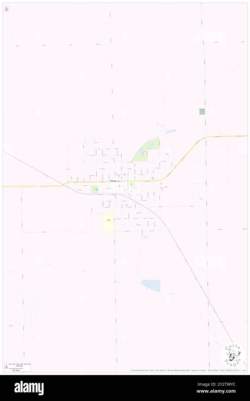 Delavan, Tazewell County, US, United States, Illinois, N 40 22' 21'', S 89 32' 50'', map, Cartascapes Map published in 2024. Explore Cartascapes, a map revealing Earth's diverse landscapes, cultures, and ecosystems. Journey through time and space, discovering the interconnectedness of our planet's past, present, and future. Stock Photohttps://www.alamy.com/image-license-details/?v=1https://www.alamy.com/delavan-tazewell-county-us-united-states-illinois-n-40-22-21-s-89-32-50-map-cartascapes-map-published-in-2024-explore-cartascapes-a-map-revealing-earths-diverse-landscapes-cultures-and-ecosystems-journey-through-time-and-space-discovering-the-interconnectedness-of-our-planets-past-present-and-future-image621349776.html
RM2Y2TWYC–Delavan, Tazewell County, US, United States, Illinois, N 40 22' 21'', S 89 32' 50'', map, Cartascapes Map published in 2024. Explore Cartascapes, a map revealing Earth's diverse landscapes, cultures, and ecosystems. Journey through time and space, discovering the interconnectedness of our planet's past, present, and future.
 Sanborn Fire Insurance Map from Pekin, Tazewell County, Illinois. Stock Photohttps://www.alamy.com/image-license-details/?v=1https://www.alamy.com/sanborn-fire-insurance-map-from-pekin-tazewell-county-illinois-image456456491.html
RM2HEHAWF–Sanborn Fire Insurance Map from Pekin, Tazewell County, Illinois.
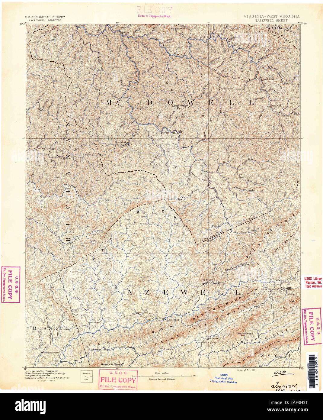 VA Tazewell 189185 1891 125000 Stock Photohttps://www.alamy.com/image-license-details/?v=1https://www.alamy.com/va-tazewell-189185-1891-125000-image336296124.html
RM2AF3H3T–VA Tazewell 189185 1891 125000
 Winkel, Tazewell County, US, United States, Illinois, N 40 20' 56'', S 89 37' 53'', map, Cartascapes Map published in 2024. Explore Cartascapes, a map revealing Earth's diverse landscapes, cultures, and ecosystems. Journey through time and space, discovering the interconnectedness of our planet's past, present, and future. Stock Photohttps://www.alamy.com/image-license-details/?v=1https://www.alamy.com/winkel-tazewell-county-us-united-states-illinois-n-40-20-56-s-89-37-53-map-cartascapes-map-published-in-2024-explore-cartascapes-a-map-revealing-earths-diverse-landscapes-cultures-and-ecosystems-journey-through-time-and-space-discovering-the-interconnectedness-of-our-planets-past-present-and-future-image621431364.html
RM2Y30J18–Winkel, Tazewell County, US, United States, Illinois, N 40 20' 56'', S 89 37' 53'', map, Cartascapes Map published in 2024. Explore Cartascapes, a map revealing Earth's diverse landscapes, cultures, and ecosystems. Journey through time and space, discovering the interconnectedness of our planet's past, present, and future.
 Sanborn Fire Insurance Map from Delavan, Tazewell County, Illinois. Stock Photohttps://www.alamy.com/image-license-details/?v=1https://www.alamy.com/sanborn-fire-insurance-map-from-delavan-tazewell-county-illinois-image456365634.html
RM2HED70J–Sanborn Fire Insurance Map from Delavan, Tazewell County, Illinois.
