Map of the british empire flag Stock Photos and Images
(37)See map of the british empire flag stock video clipsMap of the british empire flag Stock Photos and Images
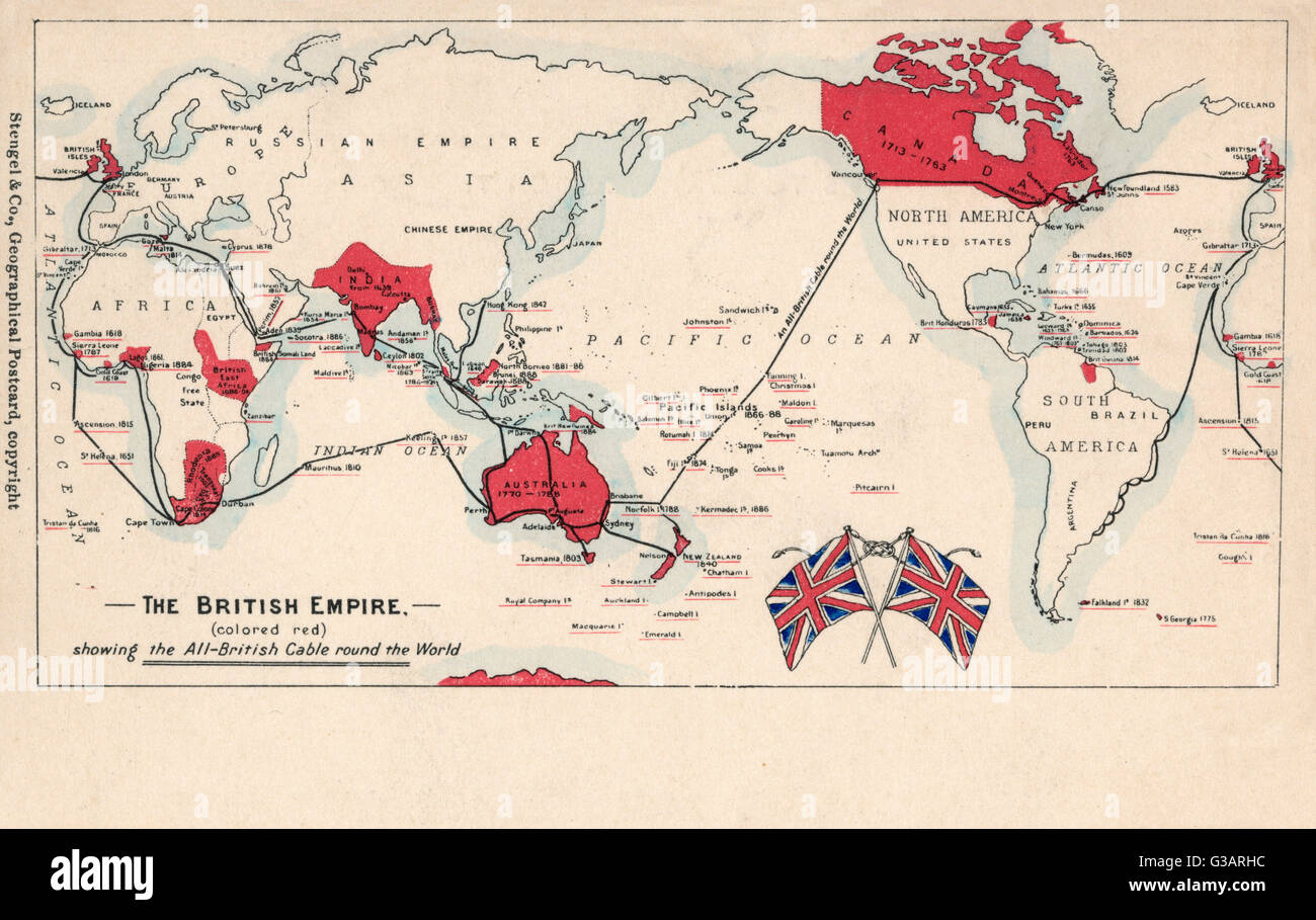 Map of the British Empire (coloured red), showing the All-British international cable going round the world, enabling telegraphic communication. Date: circa 1902 Stock Photohttps://www.alamy.com/image-license-details/?v=1https://www.alamy.com/stock-photo-map-of-the-british-empire-coloured-red-showing-the-all-british-international-105344216.html
RMG3ARHC–Map of the British Empire (coloured red), showing the All-British international cable going round the world, enabling telegraphic communication. Date: circa 1902
 Card for playing Empire Whist circa 1925 Stock Photohttps://www.alamy.com/image-license-details/?v=1https://www.alamy.com/card-for-playing-empire-whist-circa-1925-image329675416.html
RM2A4A0A0–Card for playing Empire Whist circa 1925
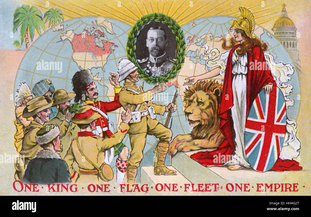 'One King, One Flag, One Fleet, One Empire' - inset portrait of King George V (1865-1936) (1/4). Stock Photohttps://www.alamy.com/image-license-details/?v=1https://www.alamy.com/stock-photo-one-king-one-flag-one-fleet-one-empire-inset-portrait-of-king-george-131022160.html
RMHH4G2T–'One King, One Flag, One Fleet, One Empire' - inset portrait of King George V (1865-1936) (1/4).
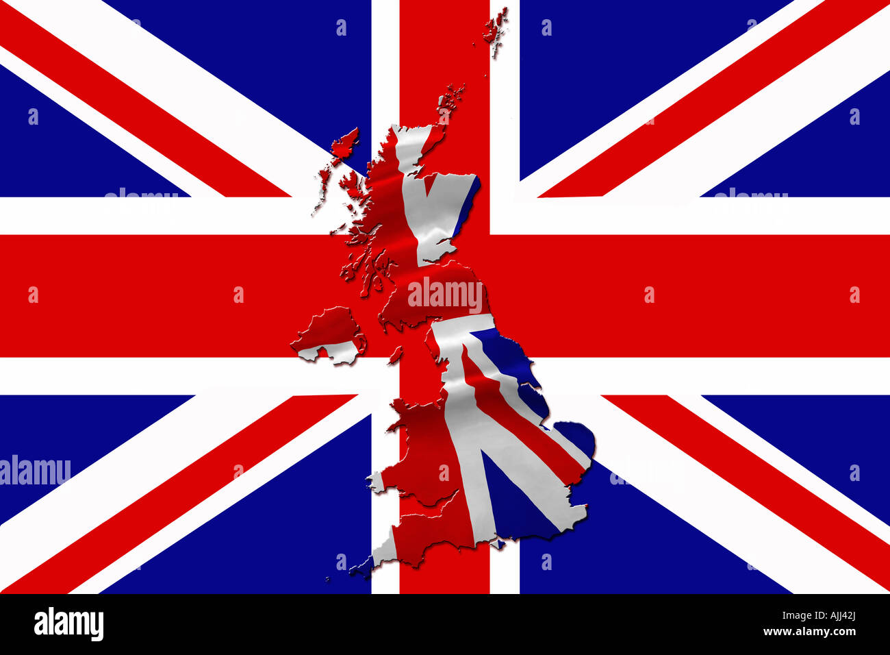 United Kingdom map and Union Jack flag concept. National flag of the United Kingdom Stock Photohttps://www.alamy.com/image-license-details/?v=1https://www.alamy.com/stock-photo-united-kingdom-map-and-union-jack-flag-concept-national-flag-of-the-14746841.html
RMAJJ42J–United Kingdom map and Union Jack flag concept. National flag of the United Kingdom
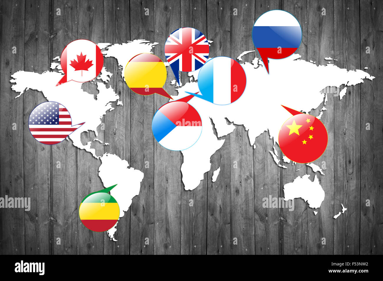 Flags of different countries on the white map. Stock Photohttps://www.alamy.com/image-license-details/?v=1https://www.alamy.com/stock-photo-flags-of-different-countries-on-the-white-map-89208142.html
RFF53NW2–Flags of different countries on the white map.
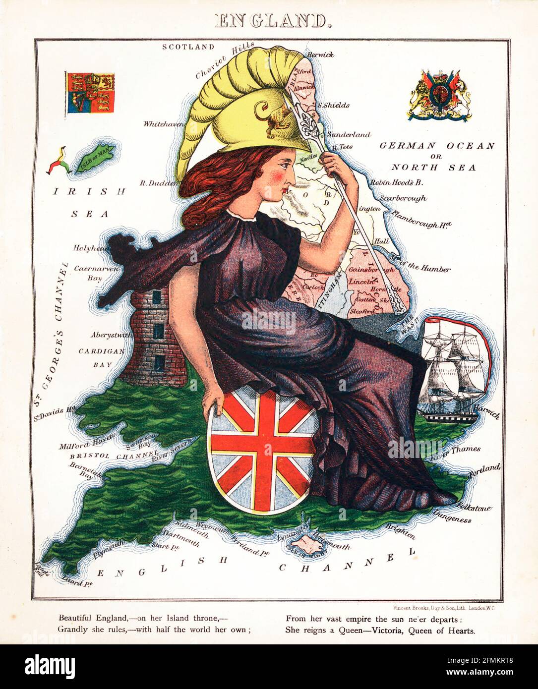 England – geographical fun. Illustrated satirical / cartographic map. Published in London by the firm of Hodder and Stoughton in 1869. Stock Photohttps://www.alamy.com/image-license-details/?v=1https://www.alamy.com/england-geographical-fun-illustrated-satirical-cartographic-map-published-in-london-by-the-firm-of-hodder-and-stoughton-in-1869-image425777752.html
RM2FMKRT8–England – geographical fun. Illustrated satirical / cartographic map. Published in London by the firm of Hodder and Stoughton in 1869.
 British Empire flag RMG RP 17 35 Stock Photohttps://www.alamy.com/image-license-details/?v=1https://www.alamy.com/stock-image-british-empire-flag-rmg-rp-17-35-162159008.html
RMKBPYD4–British Empire flag RMG RP 17 35
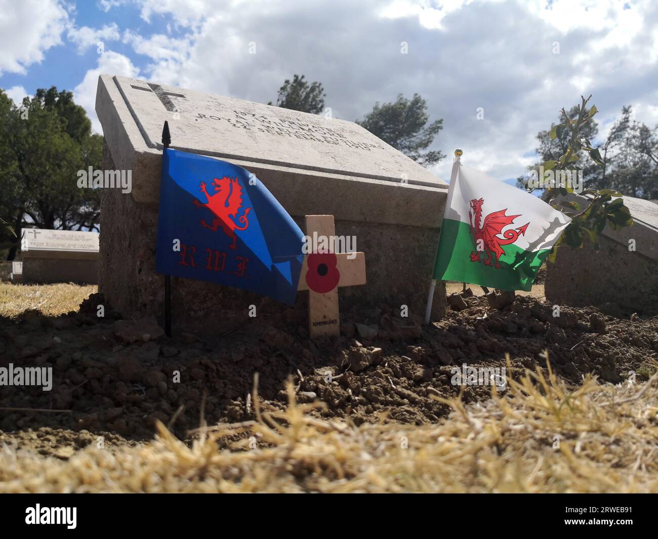 Hill 10 Cemetery, Royal Welch Fusiliers and Wales Flag. One of the graves of 699 Commonwealth servicemen who died during the Gallipoli Campaign Stock Photohttps://www.alamy.com/image-license-details/?v=1https://www.alamy.com/hill-10-cemetery-royal-welch-fusiliers-and-wales-flag-one-of-the-graves-of-699-commonwealth-servicemen-who-died-during-the-gallipoli-campaign-image566414381.html
RF2RWEB91–Hill 10 Cemetery, Royal Welch Fusiliers and Wales Flag. One of the graves of 699 Commonwealth servicemen who died during the Gallipoli Campaign
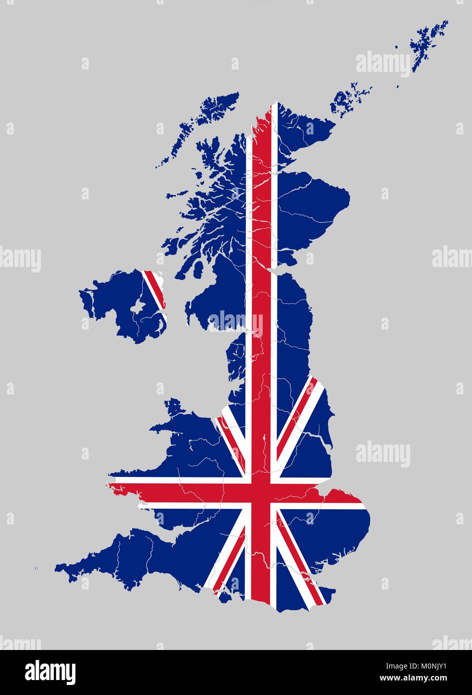 Map of the United Kingdom with rivers on the British flag. Stock Vectorhttps://www.alamy.com/image-license-details/?v=1https://www.alamy.com/stock-photo-map-of-the-united-kingdom-with-rivers-on-the-british-flag-172579541.html
RFM0NJY1–Map of the United Kingdom with rivers on the British flag.
 The Flag of The Commonwealth of Nations with a Ripple Effect Stock Photohttps://www.alamy.com/image-license-details/?v=1https://www.alamy.com/the-flag-of-the-commonwealth-of-nations-with-a-ripple-effect-image598621824.html
RF2WNWG6T–The Flag of The Commonwealth of Nations with a Ripple Effect
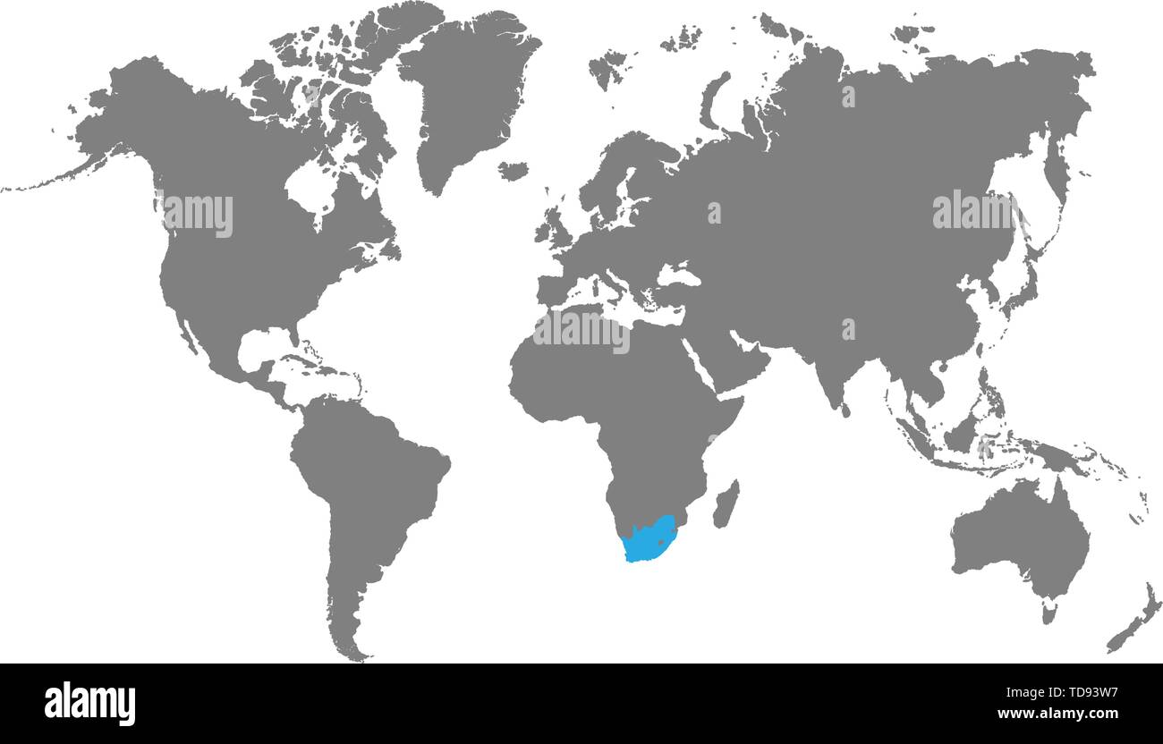 The map South Africa of is highlighted in blue on the world map Stock Vectorhttps://www.alamy.com/image-license-details/?v=1https://www.alamy.com/the-map-south-africa-of-is-highlighted-in-blue-on-the-world-map-image249136307.html
RFTD93W7–The map South Africa of is highlighted in blue on the world map
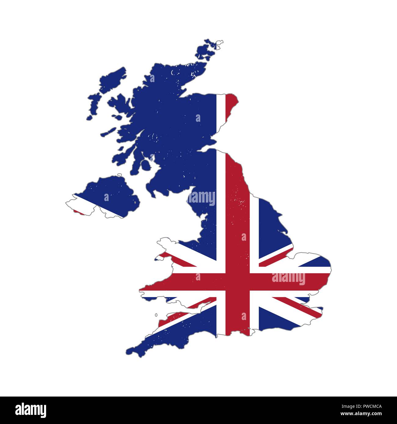 United Kingdom country silhouette with flag on background on white Stock Vectorhttps://www.alamy.com/image-license-details/?v=1https://www.alamy.com/united-kingdom-country-silhouette-with-flag-on-background-on-white-image222170266.html
RFPWCMCA–United Kingdom country silhouette with flag on background on white
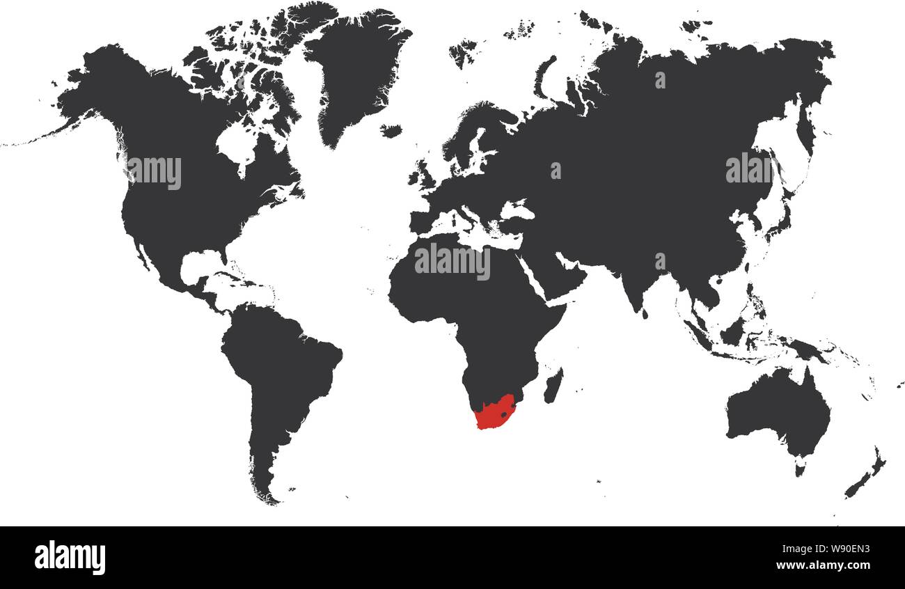 The map South Africa of is highlighted in red on the world map - Vector illustration Stock Vectorhttps://www.alamy.com/image-license-details/?v=1https://www.alamy.com/the-map-south-africa-of-is-highlighted-in-red-on-the-world-map-vector-illustration-image263698991.html
RFW90EN3–The map South Africa of is highlighted in red on the world map - Vector illustration
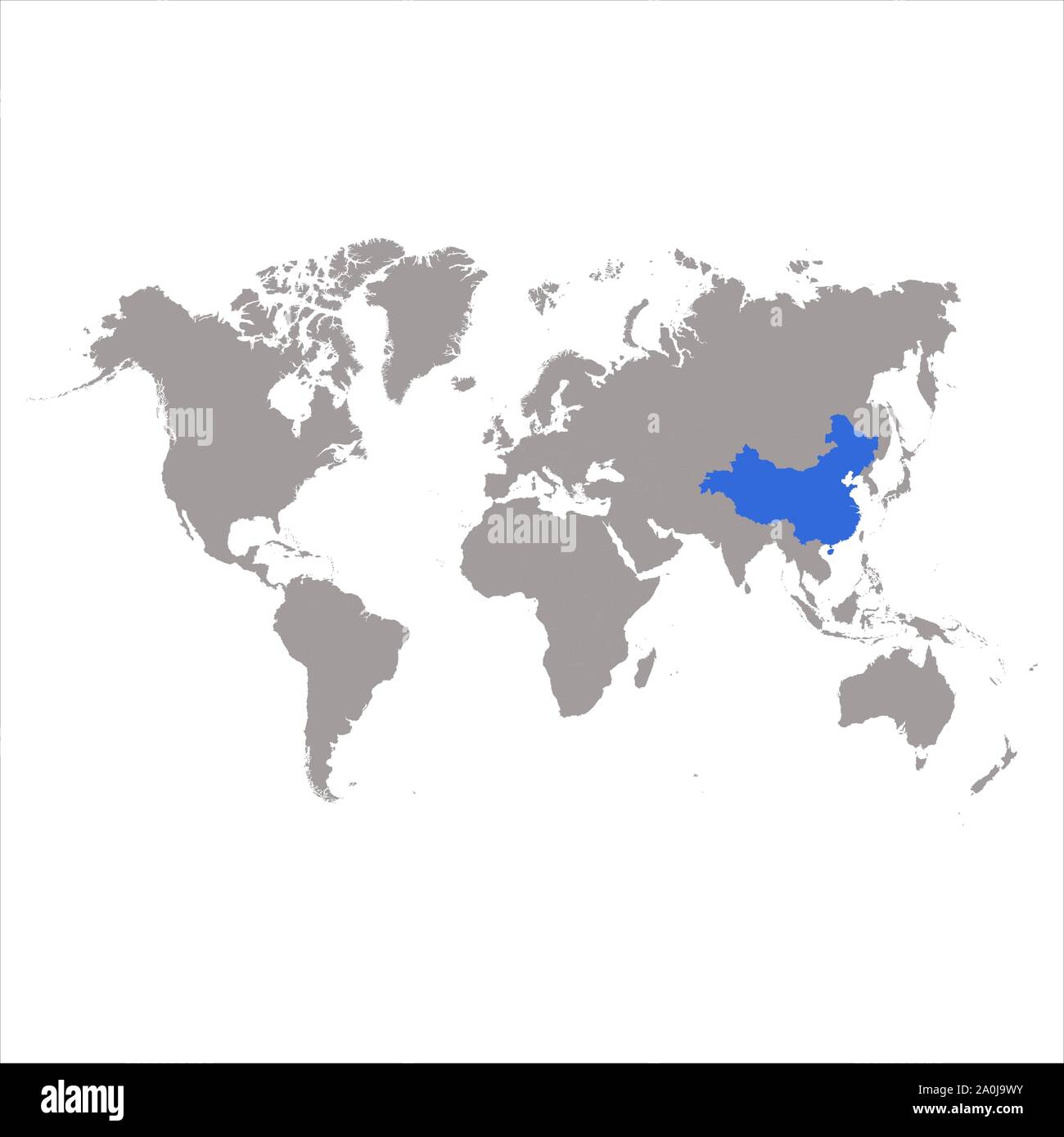 The map China of is highlighted in blue on the world map Stock Vectorhttps://www.alamy.com/image-license-details/?v=1https://www.alamy.com/the-map-china-of-is-highlighted-in-blue-on-the-world-map-image327399911.html
RF2A0J9WY–The map China of is highlighted in blue on the world map
 Vector map St. George's. Isolated vector Illustration. Black on White background. EPS 10 Illustration. Stock Vectorhttps://www.alamy.com/image-license-details/?v=1https://www.alamy.com/vector-map-st-georges-isolated-vector-illustration-black-on-white-background-eps-10-illustration-image359695634.html
RF2BW5FCJ–Vector map St. George's. Isolated vector Illustration. Black on White background. EPS 10 Illustration.
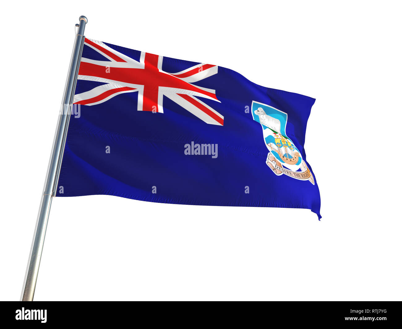 Falkland Islands National Flag waving in the wind, isolated white background. High Definition Stock Photohttps://www.alamy.com/image-license-details/?v=1https://www.alamy.com/falkland-islands-national-flag-waving-in-the-wind-isolated-white-background-high-definition-image238887924.html
RFRTJ7YG–Falkland Islands National Flag waving in the wind, isolated white background. High Definition
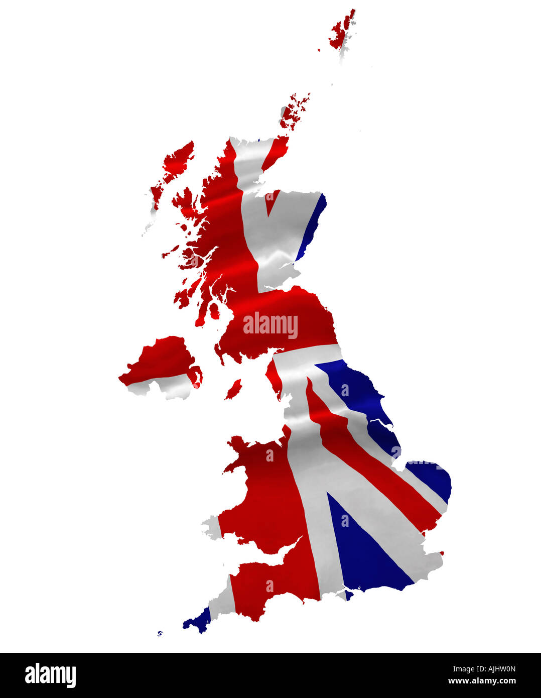 United Kingdom map and Union Jack flag concept. National flag of the United Kingdom Stock Photohttps://www.alamy.com/image-license-details/?v=1https://www.alamy.com/stock-photo-united-kingdom-map-and-union-jack-flag-concept-national-flag-of-the-14744468.html
RMAJHW0N–United Kingdom map and Union Jack flag concept. National flag of the United Kingdom
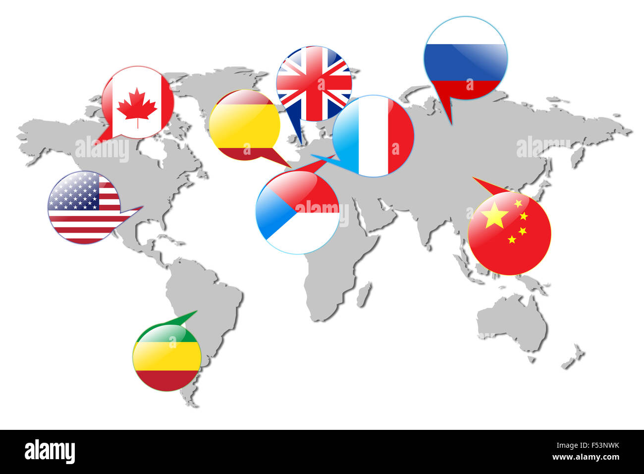 Flags of different countries on the white map. Stock Photohttps://www.alamy.com/image-license-details/?v=1https://www.alamy.com/stock-photo-flags-of-different-countries-on-the-white-map-89208159.html
RFF53NWK–Flags of different countries on the white map.
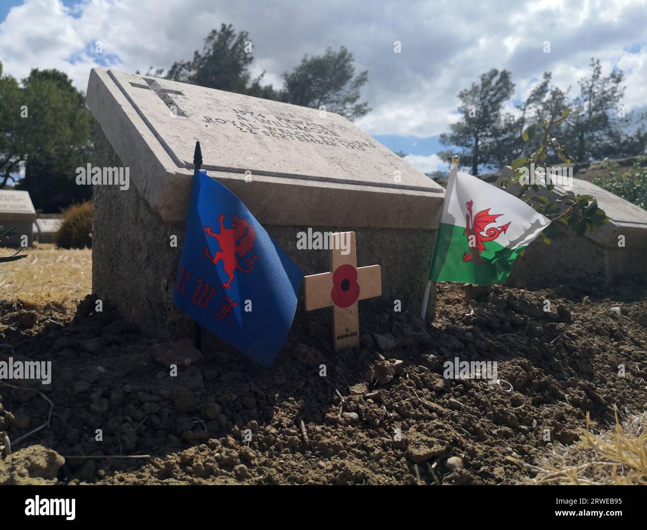 Hill 10 Cemetery, Royal Welch Fusiliers and Wales Flag. One of the graves of 699 Commonwealth servicemen who died in Suvla during the Gallipoli Battle Stock Photohttps://www.alamy.com/image-license-details/?v=1https://www.alamy.com/hill-10-cemetery-royal-welch-fusiliers-and-wales-flag-one-of-the-graves-of-699-commonwealth-servicemen-who-died-in-suvla-during-the-gallipoli-battle-image566414385.html
RF2RWEB95–Hill 10 Cemetery, Royal Welch Fusiliers and Wales Flag. One of the graves of 699 Commonwealth servicemen who died in Suvla during the Gallipoli Battle
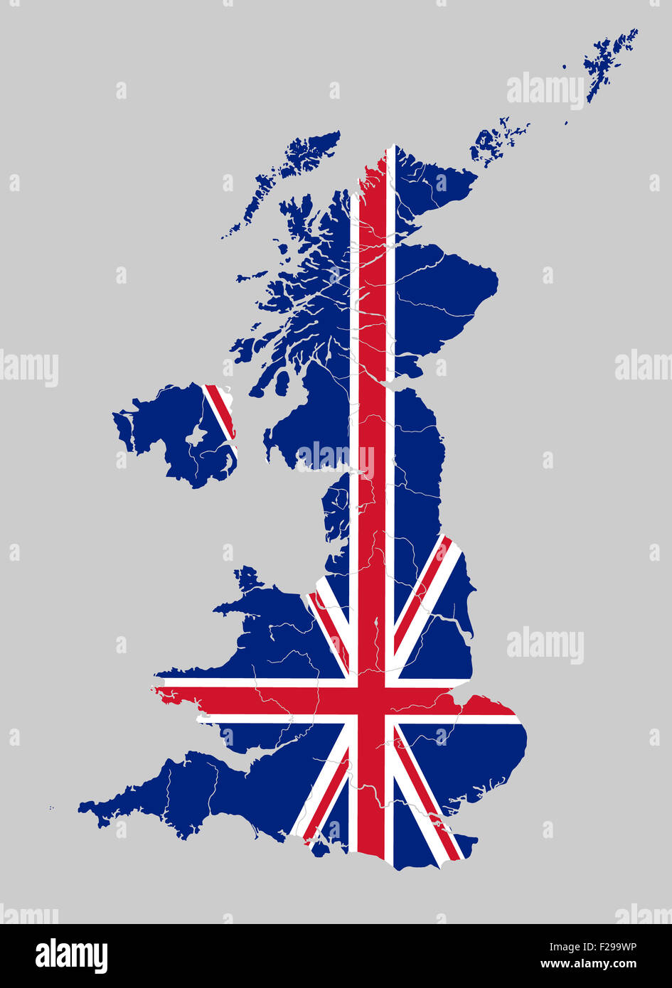 Map of the United Kingdom with rivers on the British flag. Stock Photohttps://www.alamy.com/image-license-details/?v=1https://www.alamy.com/stock-photo-map-of-the-united-kingdom-with-rivers-on-the-british-flag-87486498.html
RFF299WP–Map of the United Kingdom with rivers on the British flag.
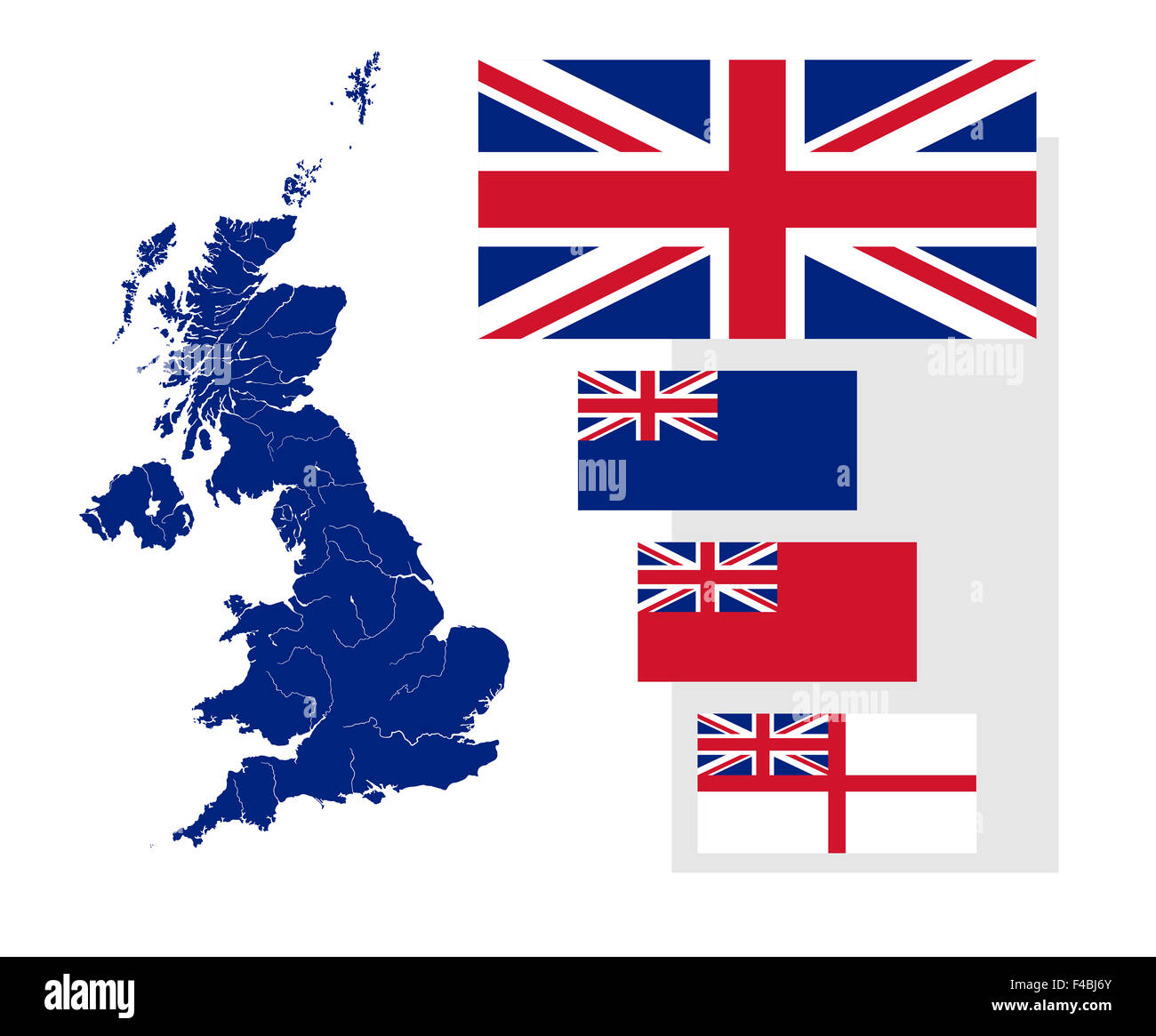 Map of the United Kingdom with rivers and four British flags - national flag, state ensign, civil ensign and naval ensign. Stock Photohttps://www.alamy.com/image-license-details/?v=1https://www.alamy.com/stock-photo-map-of-the-united-kingdom-with-rivers-and-four-british-flags-national-88766243.html
RFF4BJ6Y–Map of the United Kingdom with rivers and four British flags - national flag, state ensign, civil ensign and naval ensign.
 Falkland Islands National Flag Waving on pole against sunny blue sky background. High Definition Stock Photohttps://www.alamy.com/image-license-details/?v=1https://www.alamy.com/falkland-islands-national-flag-waving-on-pole-against-sunny-blue-sky-background-high-definition-image238887917.html
RFRTJ7Y9–Falkland Islands National Flag Waving on pole against sunny blue sky background. High Definition
 Colorful earth and map in the gray room. Elements of this image furnished by NASA Stock Photohttps://www.alamy.com/image-license-details/?v=1https://www.alamy.com/stock-photo-colorful-earth-and-map-in-the-gray-room-elements-of-this-image-furnished-89472860.html
RMF5FRF8–Colorful earth and map in the gray room. Elements of this image furnished by NASA
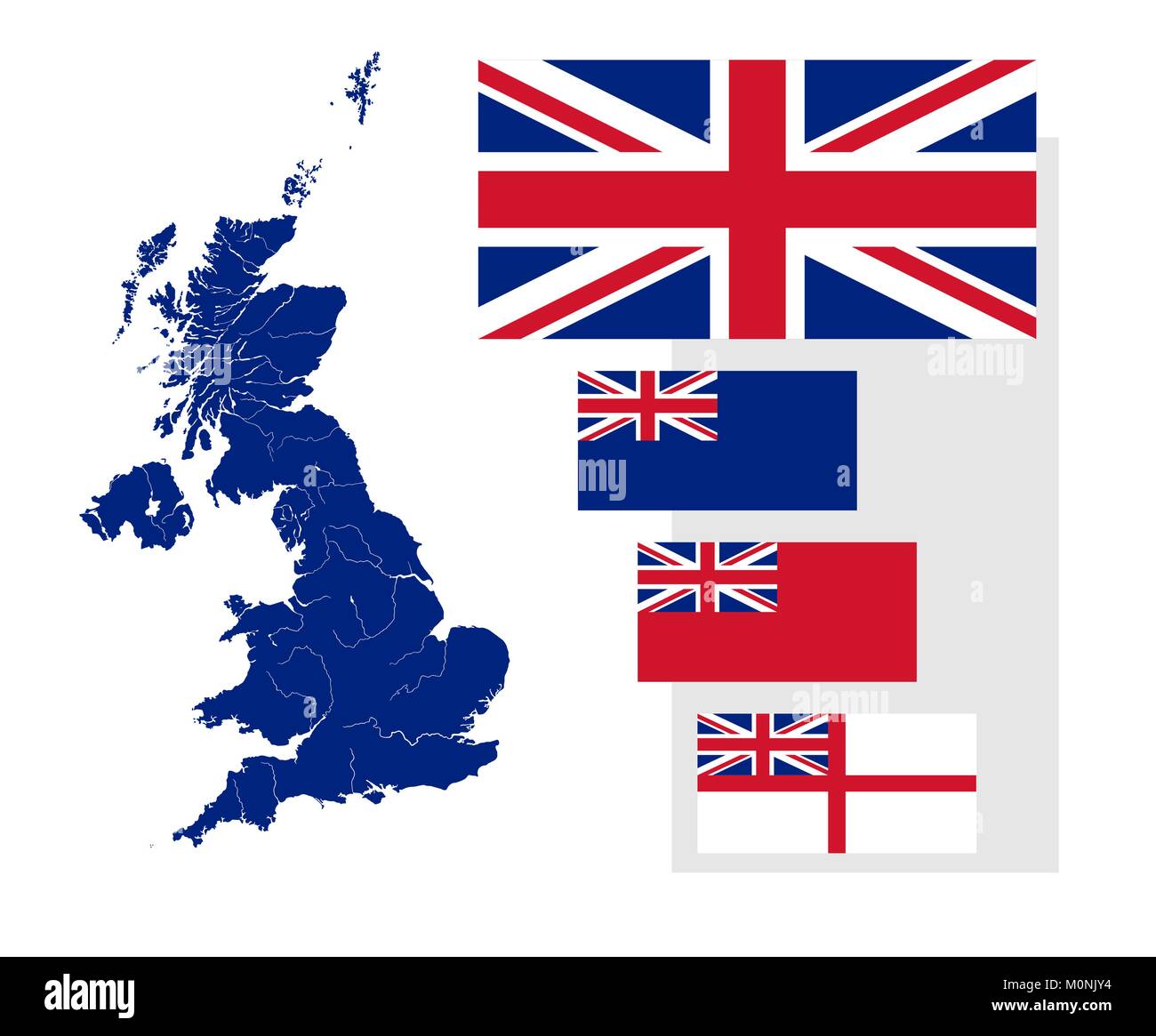 Map of the United Kingdom with rivers and four British flags - national flag, state ensign, civil ensign and naval ensign. Flags has a proper design, Stock Vectorhttps://www.alamy.com/image-license-details/?v=1https://www.alamy.com/stock-photo-map-of-the-united-kingdom-with-rivers-and-four-british-flags-national-172579544.html
RFM0NJY4–Map of the United Kingdom with rivers and four British flags - national flag, state ensign, civil ensign and naval ensign. Flags has a proper design,
 Falkland Islands National Flag Waving on pole against deep blue sky background. High Definition Stock Photohttps://www.alamy.com/image-license-details/?v=1https://www.alamy.com/falkland-islands-national-flag-waving-on-pole-against-deep-blue-sky-background-high-definition-image238887923.html
RFRTJ7YF–Falkland Islands National Flag Waving on pole against deep blue sky background. High Definition
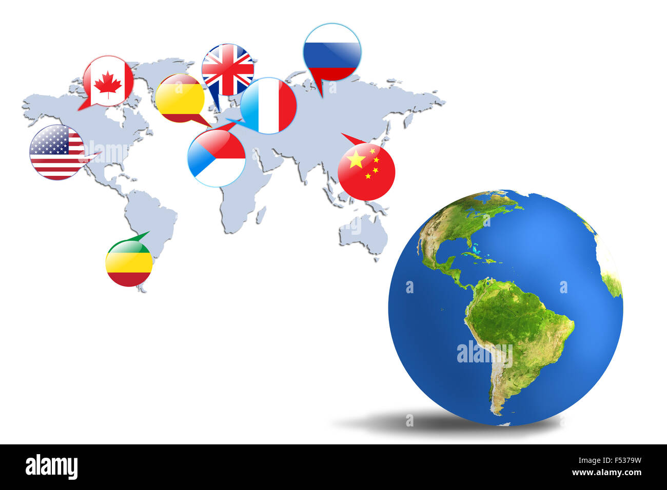 Colorful earth and map in the gray room. Elements of this image furnished by NASA Stock Photohttps://www.alamy.com/image-license-details/?v=1https://www.alamy.com/stock-photo-colorful-earth-and-map-in-the-gray-room-elements-of-this-image-furnished-89196741.html
RMF5379W–Colorful earth and map in the gray room. Elements of this image furnished by NASA
 Flags of different countries on the white map. Elements of this image furnished by NASA Stock Photohttps://www.alamy.com/image-license-details/?v=1https://www.alamy.com/stock-photo-flags-of-different-countries-on-the-white-map-elements-of-this-image-89205686.html
RMF53JNA–Flags of different countries on the white map. Elements of this image furnished by NASA
 Colorful earth and map in the gray room. Elements of this image furnished by NASA Stock Photohttps://www.alamy.com/image-license-details/?v=1https://www.alamy.com/stock-photo-colorful-earth-and-map-in-the-gray-room-elements-of-this-image-furnished-89198599.html
RMF539M7–Colorful earth and map in the gray room. Elements of this image furnished by NASA
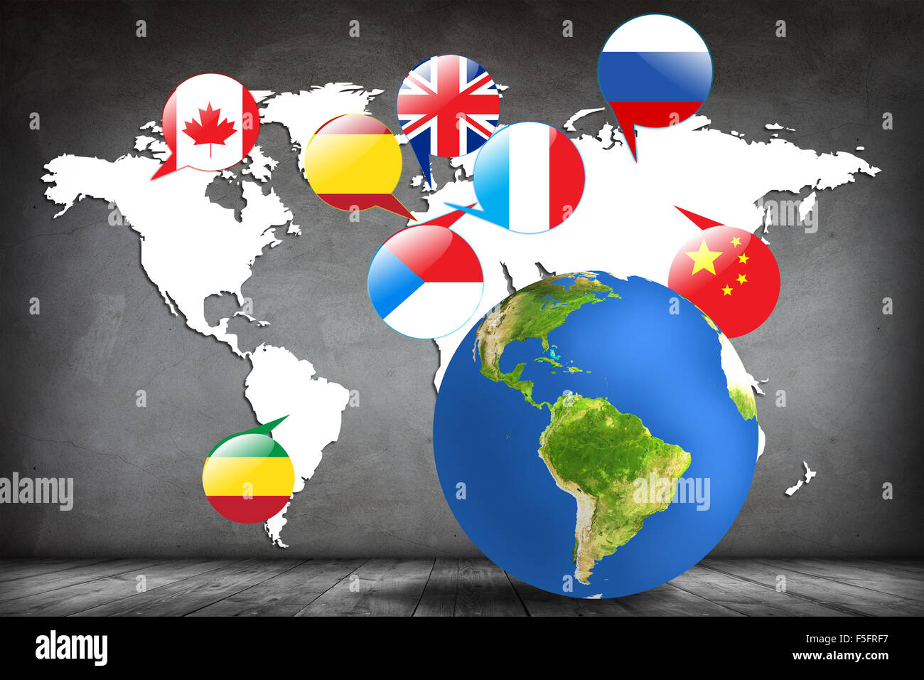 Colorful earth and map in the gray room. Elements of this image furnished by NASA Stock Photohttps://www.alamy.com/image-license-details/?v=1https://www.alamy.com/stock-photo-colorful-earth-and-map-in-the-gray-room-elements-of-this-image-furnished-89472859.html
RMF5FRF7–Colorful earth and map in the gray room. Elements of this image furnished by NASA
 Flags of different countries on the white map. Elements of this image furnished by NASA Stock Photohttps://www.alamy.com/image-license-details/?v=1https://www.alamy.com/stock-photo-flags-of-different-countries-on-the-white-map-elements-of-this-image-89205731.html
RMF53JPY–Flags of different countries on the white map. Elements of this image furnished by NASA
 Colorful earth and map in the gray room. Elements of this image furnished by NASA Stock Photohttps://www.alamy.com/image-license-details/?v=1https://www.alamy.com/stock-photo-colorful-earth-and-map-in-the-gray-room-elements-of-this-image-furnished-89472855.html
RMF5FRF3–Colorful earth and map in the gray room. Elements of this image furnished by NASA
 Flags of different countries on the white map. Elements of this image furnished by NASA Stock Photohttps://www.alamy.com/image-license-details/?v=1https://www.alamy.com/stock-photo-flags-of-different-countries-on-the-white-map-elements-of-this-image-89205725.html
RMF53JPN–Flags of different countries on the white map. Elements of this image furnished by NASA
 Flags of different countries on the white map. Elements of this image furnished by NASA Stock Photohttps://www.alamy.com/image-license-details/?v=1https://www.alamy.com/stock-photo-flags-of-different-countries-on-the-white-map-elements-of-this-image-89196677.html
RMF5377H–Flags of different countries on the white map. Elements of this image furnished by NASA
 Flags of different countries on the white map. Elements of this image furnished by NASA Stock Photohttps://www.alamy.com/image-license-details/?v=1https://www.alamy.com/stock-photo-flags-of-different-countries-on-the-white-map-elements-of-this-image-89205694.html
RMF53JNJ–Flags of different countries on the white map. Elements of this image furnished by NASA
 Flags of different countries on the white map. Elements of this image furnished by NASA Stock Photohttps://www.alamy.com/image-license-details/?v=1https://www.alamy.com/stock-photo-flags-of-different-countries-on-the-white-map-elements-of-this-image-89472852.html
RMF5FRF0–Flags of different countries on the white map. Elements of this image furnished by NASA
 Colorful earth and map in the gray room. Elements of this image furnished by NASA Stock Photohttps://www.alamy.com/image-license-details/?v=1https://www.alamy.com/stock-photo-colorful-earth-and-map-in-the-gray-room-elements-of-this-image-furnished-89198593.html
RMF539M1–Colorful earth and map in the gray room. Elements of this image furnished by NASA
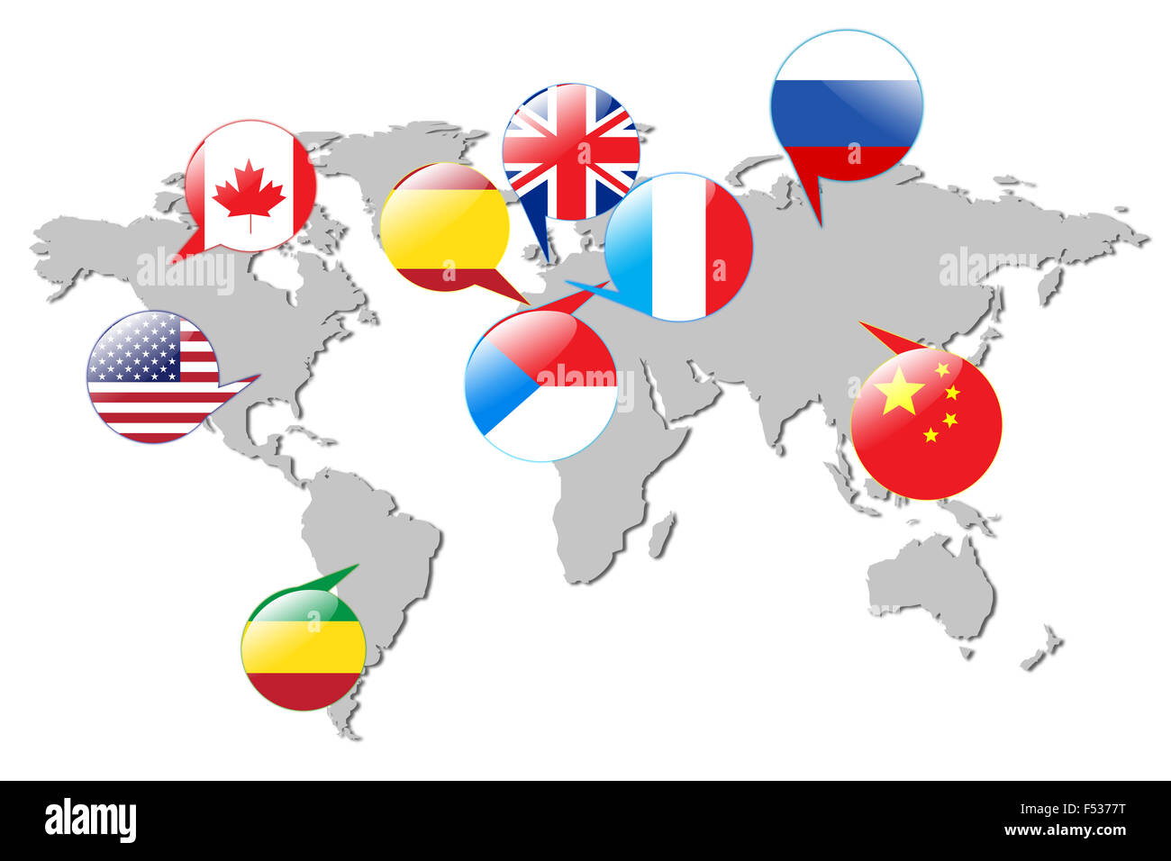 Flags of different countries on the gray map.Isolated on white. Elements of this image furnished by NASA Stock Photohttps://www.alamy.com/image-license-details/?v=1https://www.alamy.com/stock-photo-flags-of-different-countries-on-the-gray-mapisolated-on-white-elements-89196684.html
RMF5377T–Flags of different countries on the gray map.Isolated on white. Elements of this image furnished by NASA