Map of the country of the moors Stock Photos and Images
(84)See map of the country of the moors stock video clipsQuick filters:
Map of the country of the moors Stock Photos and Images
 Landscape view of North Yorkshire Moors and Roseberry Topping, Claybank, Stokesley, England Stock Photohttps://www.alamy.com/image-license-details/?v=1https://www.alamy.com/landscape-view-of-north-yorkshire-moors-and-roseberry-topping-claybank-stokesley-england-image327456117.html
RM2A0MWH9–Landscape view of North Yorkshire Moors and Roseberry Topping, Claybank, Stokesley, England
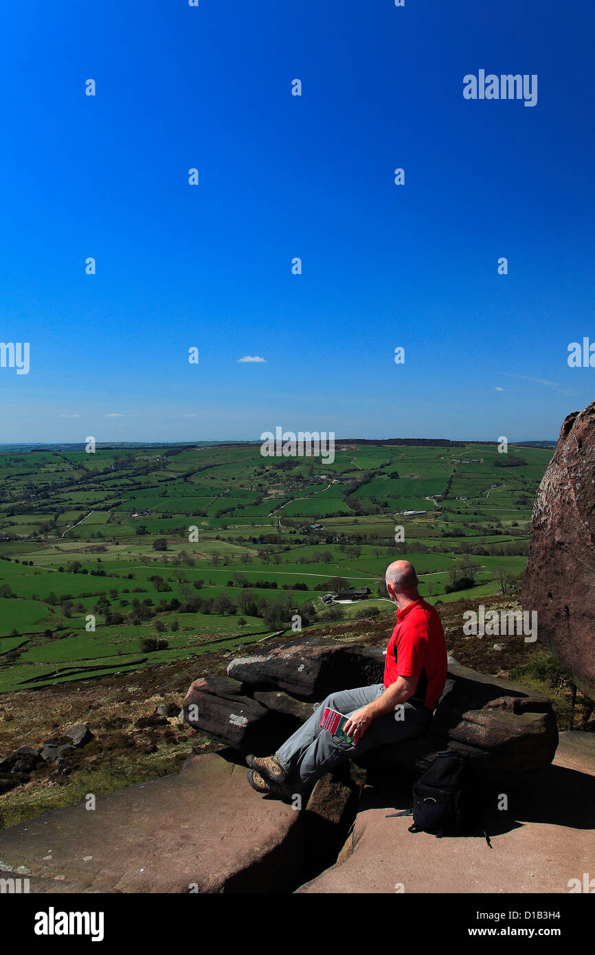 Adult Male walker reading a map by the Sandstone rock formations of the Roaches Rocks, with Tittesworth Reservoir Staffordshire Stock Photohttps://www.alamy.com/image-license-details/?v=1https://www.alamy.com/stock-photo-adult-male-walker-reading-a-map-by-the-sandstone-rock-formations-of-52490064.html
RFD1B3H4–Adult Male walker reading a map by the Sandstone rock formations of the Roaches Rocks, with Tittesworth Reservoir Staffordshire
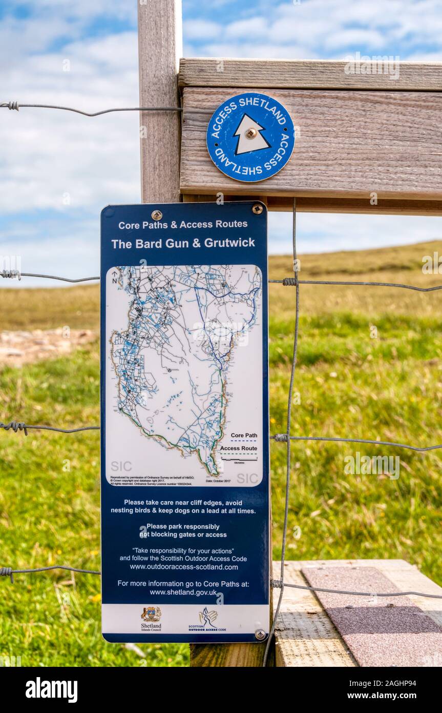 Access Shetland waymark and footpath map on a stile in Bressay, Shetland. Stock Photohttps://www.alamy.com/image-license-details/?v=1https://www.alamy.com/access-shetland-waymark-and-footpath-map-on-a-stile-in-bressay-shetland-image337222176.html
RM2AGHP94–Access Shetland waymark and footpath map on a stile in Bressay, Shetland.
 An indicator on the West Pennine Moors, pointing the way, to any hikers or dog walkers. Stock Photohttps://www.alamy.com/image-license-details/?v=1https://www.alamy.com/an-indicator-on-the-west-pennine-moors-pointing-the-way-to-any-hikers-or-dog-walkers-image603154212.html
RM2X1819T–An indicator on the West Pennine Moors, pointing the way, to any hikers or dog walkers.
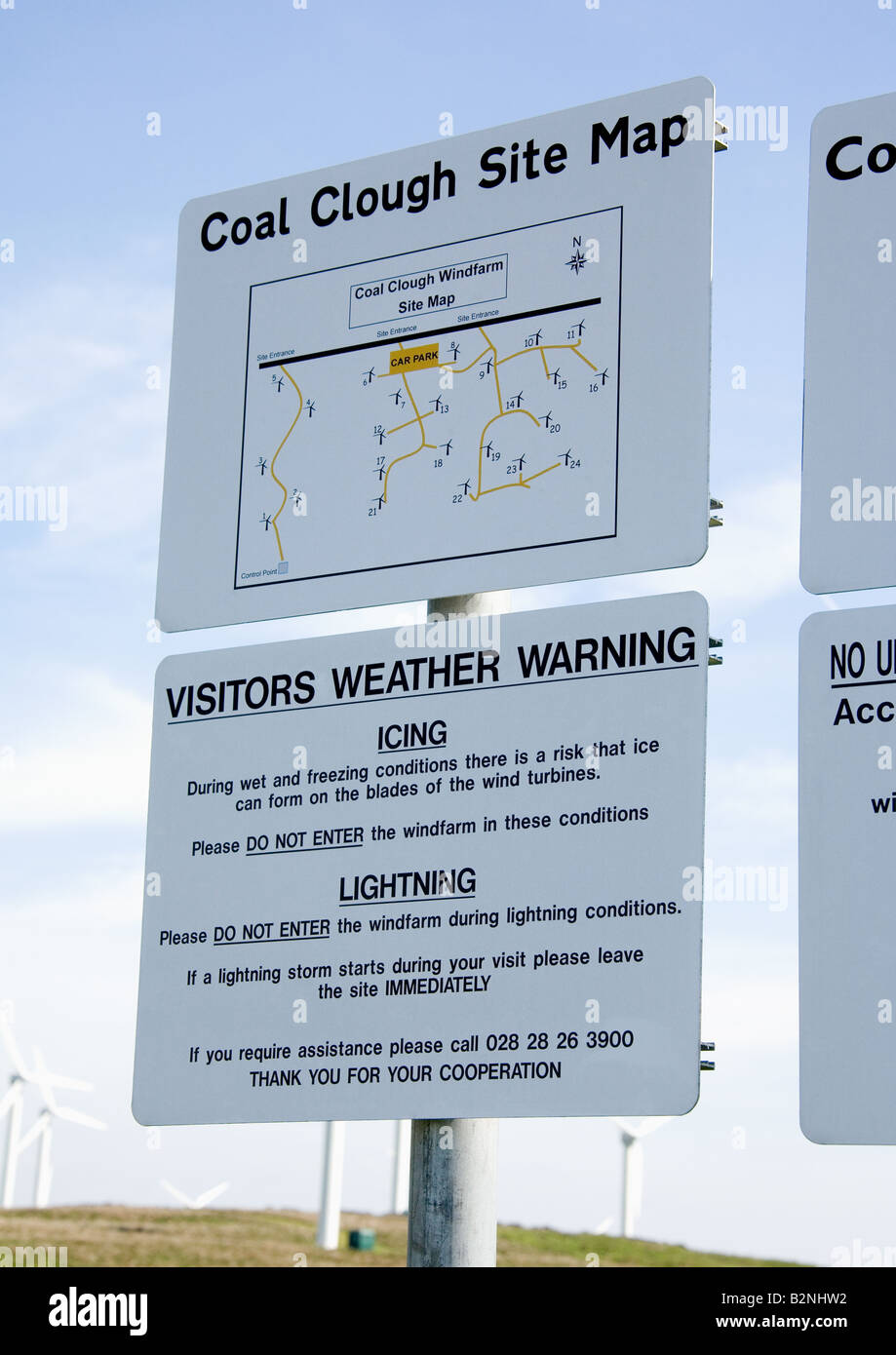 Site map and signage at the site entrance to Coal Clough Windfarm, Cliviger, Near Burnley, Lancashire, England, UK. Stock Photohttps://www.alamy.com/image-license-details/?v=1https://www.alamy.com/stock-photo-site-map-and-signage-at-the-site-entrance-to-coal-clough-windfarm-18914702.html
RMB2NHW2–Site map and signage at the site entrance to Coal Clough Windfarm, Cliviger, Near Burnley, Lancashire, England, UK.
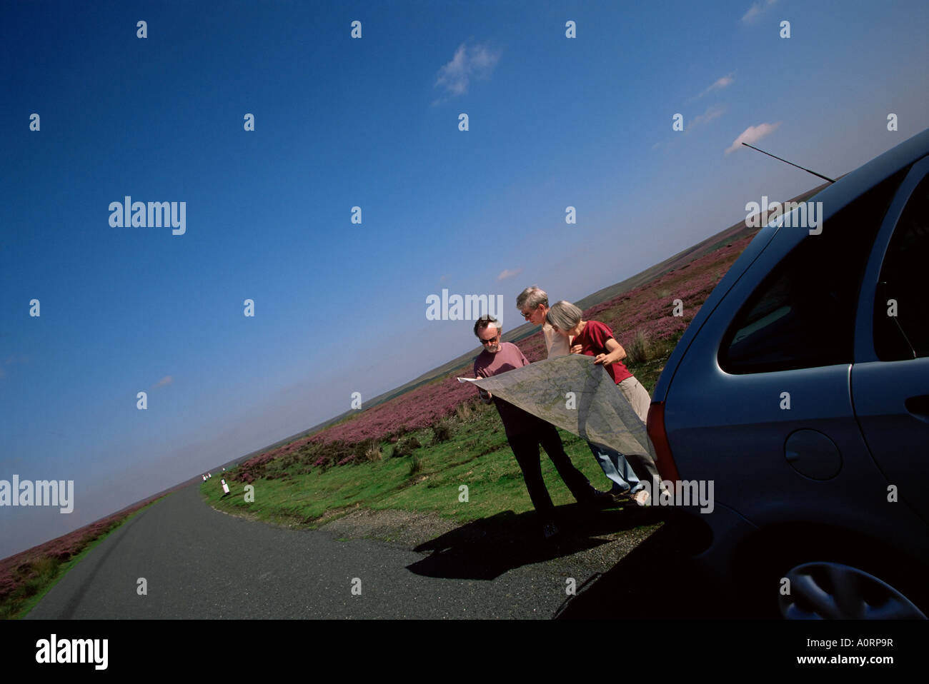 Motorists looking at the map North Yorkshire Moors Yorkshire England United Kingdom Europe Stock Photohttps://www.alamy.com/image-license-details/?v=1https://www.alamy.com/stock-photo-motorists-looking-at-the-map-north-yorkshire-moors-yorkshire-england-10058386.html
RMA0RP9R–Motorists looking at the map North Yorkshire Moors Yorkshire England United Kingdom Europe
 Bilingual information sign for Rhinog National Nature Reserve and Biogenetic Reserve in mountains of Snowdonia Wales UK Stock Photohttps://www.alamy.com/image-license-details/?v=1https://www.alamy.com/stock-photo-bilingual-information-sign-for-rhinog-national-nature-reserve-and-114581530.html
RMGJBHWE–Bilingual information sign for Rhinog National Nature Reserve and Biogenetic Reserve in mountains of Snowdonia Wales UK
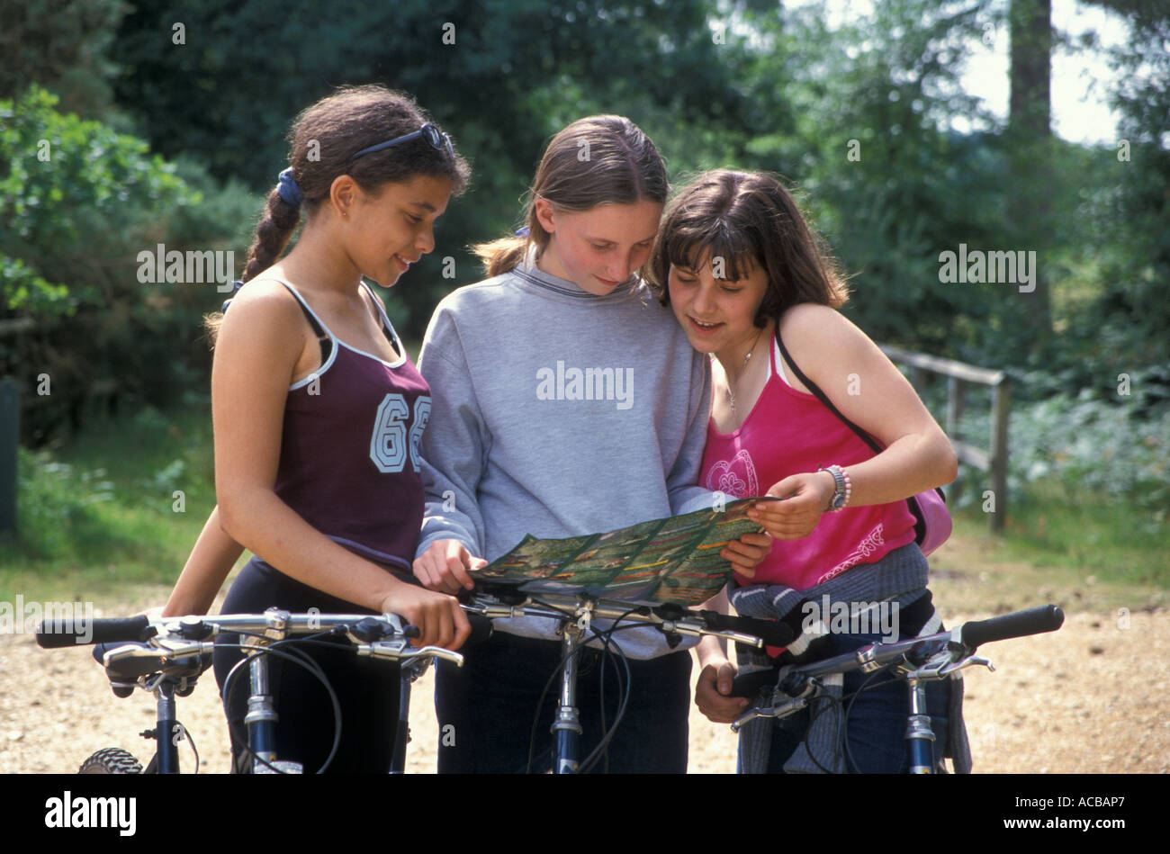 Three teenage girls in countryside reading ordnance survey map Stock Photohttps://www.alamy.com/image-license-details/?v=1https://www.alamy.com/three-teenage-girls-in-countryside-reading-ordnance-survey-map-image7487206.html
RMACBAP7–Three teenage girls in countryside reading ordnance survey map
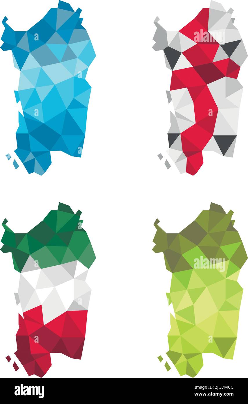 Sardinia, Sardigna island above in low poly polygon design vector illustration with italian and sardinian flag pattern. Stock Vectorhttps://www.alamy.com/image-license-details/?v=1https://www.alamy.com/sardinia-sardigna-island-above-in-low-poly-polygon-design-vector-illustration-with-italian-and-sardinian-flag-pattern-image474815840.html
RF2JGDMCG–Sardinia, Sardigna island above in low poly polygon design vector illustration with italian and sardinian flag pattern.
 A young couple looking at a map while walkIng on moor in hills Gwynedd, North Wales UK KATHY DEWITT Stock Photohttps://www.alamy.com/image-license-details/?v=1https://www.alamy.com/a-young-couple-looking-at-a-map-while-walking-on-moor-in-hills-gwynedd-image1518873.html
RMAR2D1A–A young couple looking at a map while walkIng on moor in hills Gwynedd, North Wales UK KATHY DEWITT
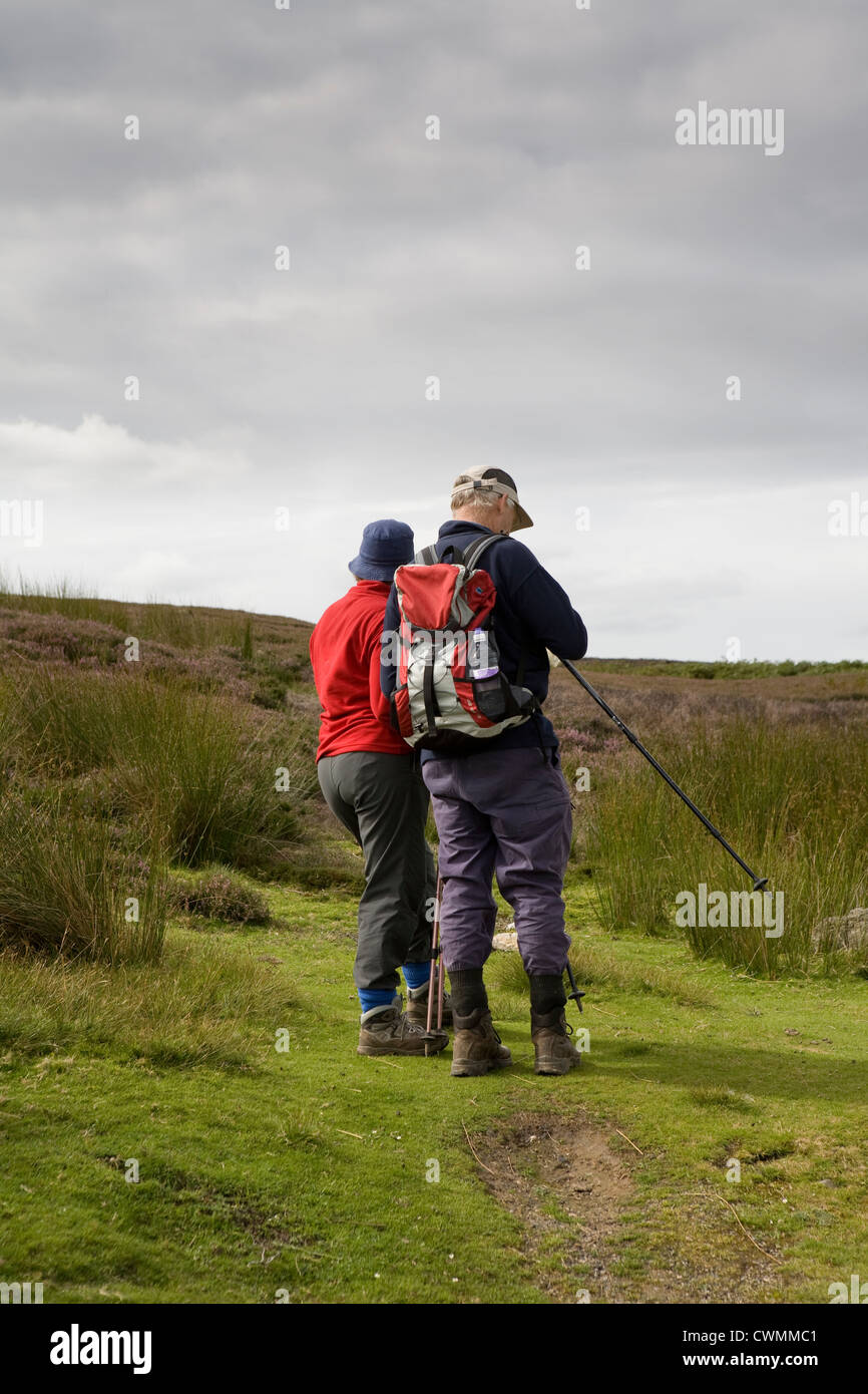 Redmire and Grinton Moors to Reeth in the North Yorkshire Dales, Richmondshire, UK Stock Photohttps://www.alamy.com/image-license-details/?v=1https://www.alamy.com/stock-photo-redmire-and-grinton-moors-to-reeth-in-the-north-yorkshire-dales-richmondshire-50242193.html
RMCWMMC1–Redmire and Grinton Moors to Reeth in the North Yorkshire Dales, Richmondshire, UK
 Hiker at Nicky Nook, a viewing point with views towards Bleasdale, Trough of Bowland, Lancashire, England, United Kingdom. Stock Photohttps://www.alamy.com/image-license-details/?v=1https://www.alamy.com/stock-photo-hiker-at-nicky-nook-a-viewing-point-with-views-towards-bleasdale-trough-95689045.html
RMFFK09W–Hiker at Nicky Nook, a viewing point with views towards Bleasdale, Trough of Bowland, Lancashire, England, United Kingdom.
 Mountain Biker Checking Map Stock Photohttps://www.alamy.com/image-license-details/?v=1https://www.alamy.com/stock-photo-mountain-biker-checking-map-20377601.html
RMB547RD–Mountain Biker Checking Map
 Map of the country of the Moors. The World in Miniature. Edited by F. Shoberl. London, 1827. Source: 570.c.46 vol.I, plate 3, page 1. Author: FREDERICK SHOBERL. Stock Photohttps://www.alamy.com/image-license-details/?v=1https://www.alamy.com/map-of-the-country-of-the-moors-the-world-in-miniature-edited-by-f-shoberl-london-1827-source-570c46-voli-plate-3-page-1-author-frederick-shoberl-image226946328.html
RMR568A0–Map of the country of the Moors. The World in Miniature. Edited by F. Shoberl. London, 1827. Source: 570.c.46 vol.I, plate 3, page 1. Author: FREDERICK SHOBERL.
 NORTH YORKSHIRE MOORS. Ripon Northallerton Richmond Thirsk. LARGE, 1903 map Stock Photohttps://www.alamy.com/image-license-details/?v=1https://www.alamy.com/stock-photo-north-yorkshire-moors-ripon-northallerton-richmond-thirsk-large-1903-115474738.html
RFGKT95P–NORTH YORKSHIRE MOORS. Ripon Northallerton Richmond Thirsk. LARGE, 1903 map
 Hill Walker Taking a Break Stock Photohttps://www.alamy.com/image-license-details/?v=1https://www.alamy.com/hill-walker-taking-a-break-image9571398.html
RMAX71T7–Hill Walker Taking a Break
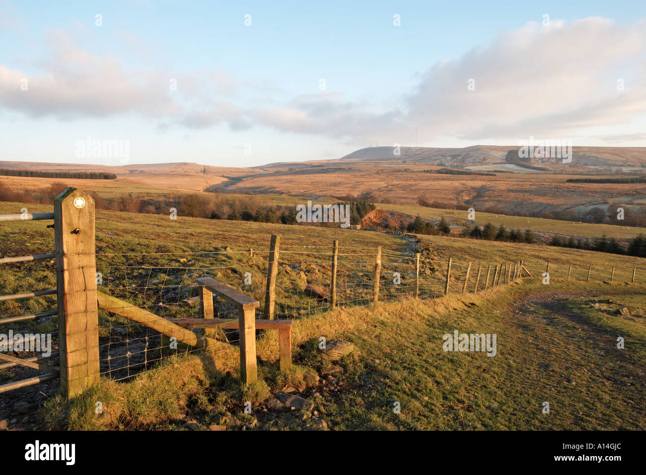 footpath sign near stile on moorland Anglezarke Lancashire public access land Stock Photohttps://www.alamy.com/image-license-details/?v=1https://www.alamy.com/footpath-sign-near-stile-on-moorland-anglezarke-lancashire-public-image5794859.html
RMA14GJC–footpath sign near stile on moorland Anglezarke Lancashire public access land
 Moors Peak, Auckland, NZ, New Zealand, Auckland, S 36 7' 41'', N 175 19' 12'', map, Cartascapes Map published in 2024. Explore Cartascapes, a map revealing Earth's diverse landscapes, cultures, and ecosystems. Journey through time and space, discovering the interconnectedness of our planet's past, present, and future. Stock Photohttps://www.alamy.com/image-license-details/?v=1https://www.alamy.com/moors-peak-auckland-nz-new-zealand-auckland-s-36-7-41-n-175-19-12-map-cartascapes-map-published-in-2024-explore-cartascapes-a-map-revealing-earths-diverse-landscapes-cultures-and-ecosystems-journey-through-time-and-space-discovering-the-interconnectedness-of-our-planets-past-present-and-future-image634069205.html
RM2YRG9MN–Moors Peak, Auckland, NZ, New Zealand, Auckland, S 36 7' 41'', N 175 19' 12'', map, Cartascapes Map published in 2024. Explore Cartascapes, a map revealing Earth's diverse landscapes, cultures, and ecosystems. Journey through time and space, discovering the interconnectedness of our planet's past, present, and future.
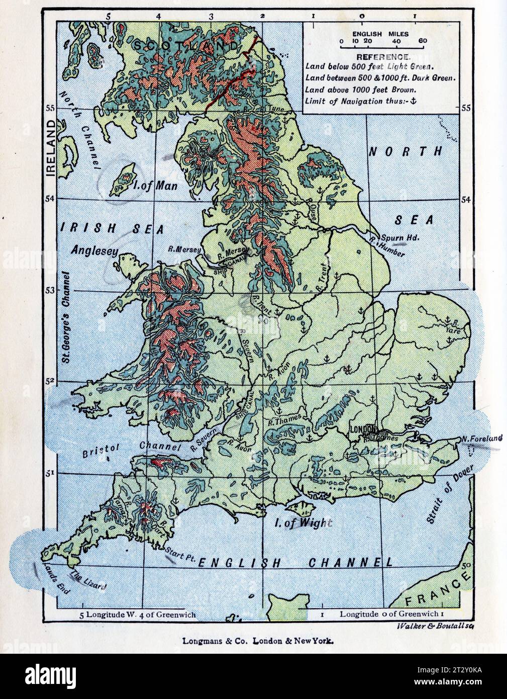 map of England circa 1910 from a school geography text book Stock Photohttps://www.alamy.com/image-license-details/?v=1https://www.alamy.com/map-of-england-circa-1910-from-a-school-geography-text-book-image569764702.html
RM2T2Y0KA–map of England circa 1910 from a school geography text book
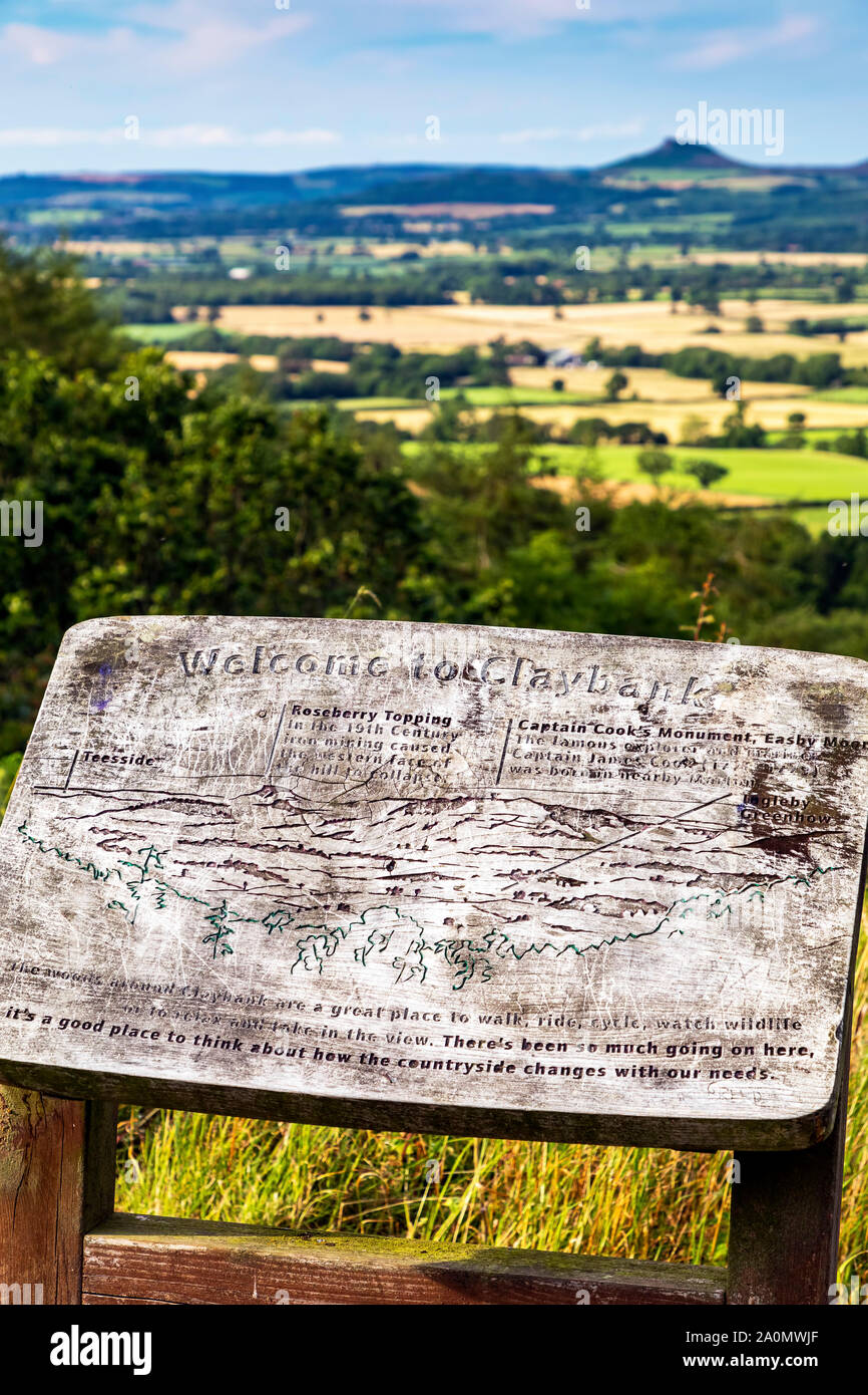 Landscape view of North Yorkshire Moors and Roseberry Topping, Claybank, Stokesley, England Stock Photohttps://www.alamy.com/image-license-details/?v=1https://www.alamy.com/landscape-view-of-north-yorkshire-moors-and-roseberry-topping-claybank-stokesley-england-image327456151.html
RM2A0MWJF–Landscape view of North Yorkshire Moors and Roseberry Topping, Claybank, Stokesley, England
 Adult Male walker reading a map by the Sandstone rock formations of the Roaches Rocks, with Tittesworth Reservoir Staffordshire Stock Photohttps://www.alamy.com/image-license-details/?v=1https://www.alamy.com/stock-photo-adult-male-walker-reading-a-map-by-the-sandstone-rock-formations-of-52489949.html
RFD1B3D1–Adult Male walker reading a map by the Sandstone rock formations of the Roaches Rocks, with Tittesworth Reservoir Staffordshire
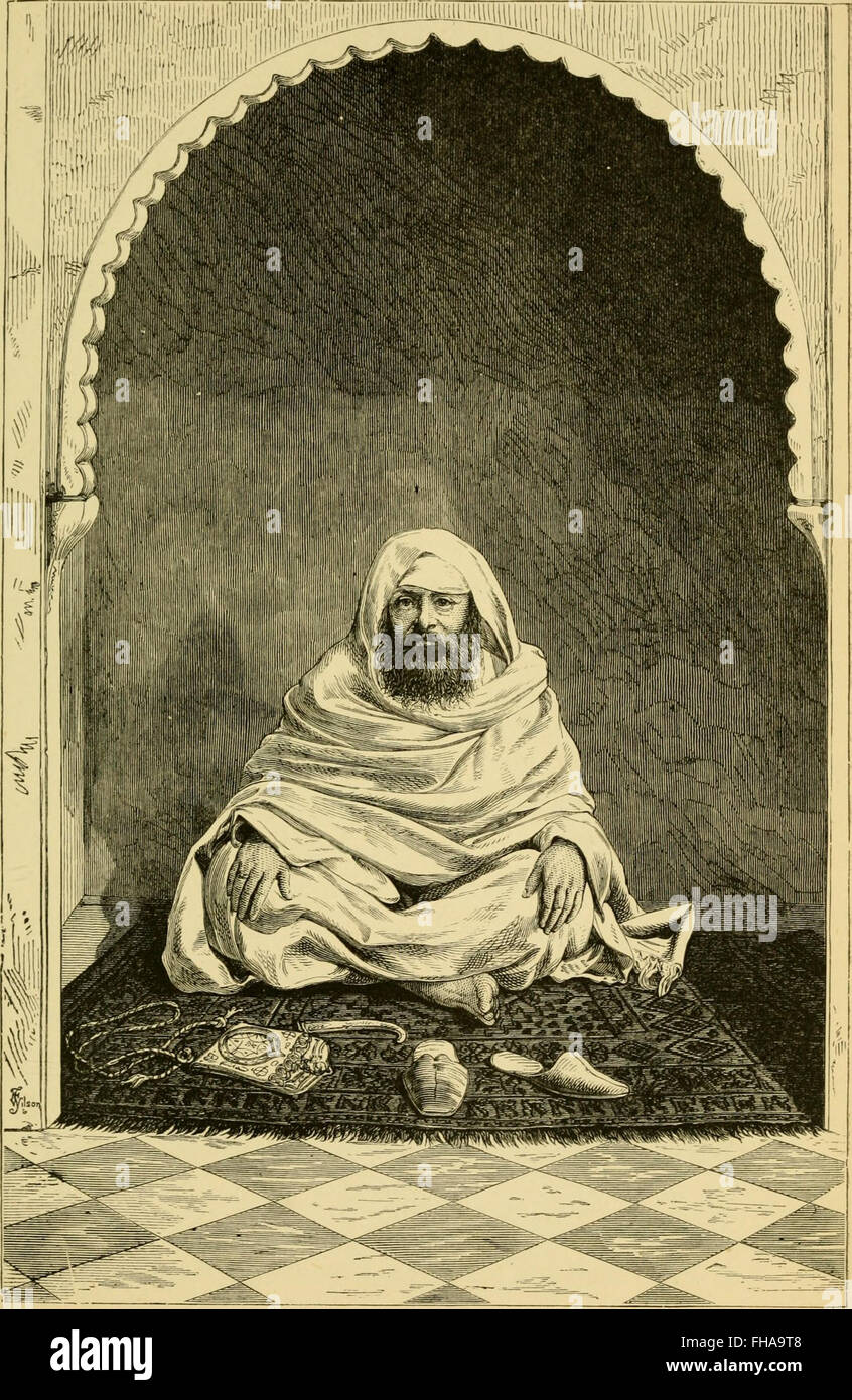 Marocco and the Moors- being an account of travels, with a general description of the country and its people (1891) Stock Photohttps://www.alamy.com/image-license-details/?v=1https://www.alamy.com/stock-photo-marocco-and-the-moors-being-an-account-of-travels-with-a-general-description-96728248.html
RMFHA9T8–Marocco and the Moors- being an account of travels, with a general description of the country and its people (1891)
 The story of Columbus . MAP OF PORTUGAL, SPAIN, AND GENOA. COLUMBUS IN SPAIN. 31. PORTRAIT OF KING FERDINAND. governed by Ferdinand and Isabella. Before the timeof this king and queen the country had been divided up into a great many king-doms, and there were allsorts of disorders, whilethe Moors, who had onceconquered all Spain, wereat war almost continuallywith the Christians. Butwhen Ferdinand, w^ho washeir to the throne of Ara-gon, and Isabella, whobecame Queen of Castile,were married, and othersmall kingdoms came un-der their rule, Spain began to be, for the first time,a powerful country. Stock Photohttps://www.alamy.com/image-license-details/?v=1https://www.alamy.com/the-story-of-columbus-map-of-portugal-spain-and-genoa-columbus-in-spain-31-portrait-of-king-ferdinand-governed-by-ferdinand-and-isabella-before-the-timeof-this-king-and-queen-the-country-had-been-divided-up-into-a-great-many-king-doms-and-there-were-allsorts-of-disorders-whilethe-moors-who-had-onceconquered-all-spain-wereat-war-almost-continuallywith-the-christians-butwhen-ferdinand-who-washeir-to-the-throne-of-ara-gon-and-isabella-whobecame-queen-of-castilewere-married-and-othersmall-kingdoms-came-un-der-their-rule-spain-began-to-be-for-the-first-timea-powerful-country-image338948672.html
RM2AKCCDM–The story of Columbus . MAP OF PORTUGAL, SPAIN, AND GENOA. COLUMBUS IN SPAIN. 31. PORTRAIT OF KING FERDINAND. governed by Ferdinand and Isabella. Before the timeof this king and queen the country had been divided up into a great many king-doms, and there were allsorts of disorders, whilethe Moors, who had onceconquered all Spain, wereat war almost continuallywith the Christians. Butwhen Ferdinand, w^ho washeir to the throne of Ara-gon, and Isabella, whobecame Queen of Castile,were married, and othersmall kingdoms came un-der their rule, Spain began to be, for the first time,a powerful country.
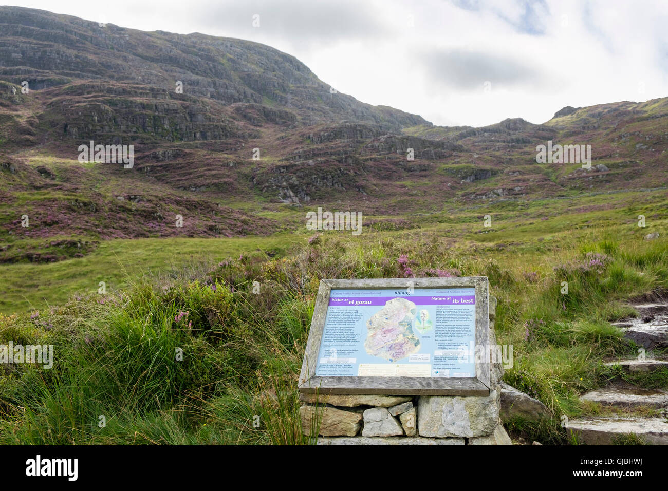 Bilingual information sign for Rhinog National Nature Reserve and Biogenetic Reserve beside a footpath in Snowdonia Wales UK Stock Photohttps://www.alamy.com/image-license-details/?v=1https://www.alamy.com/stock-photo-bilingual-information-sign-for-rhinog-national-nature-reserve-and-114581534.html
RMGJBHWJ–Bilingual information sign for Rhinog National Nature Reserve and Biogenetic Reserve beside a footpath in Snowdonia Wales UK
 Three teenage girls in countryside with bikes looking at map for route directions Stock Photohttps://www.alamy.com/image-license-details/?v=1https://www.alamy.com/three-teenage-girls-in-countryside-with-bikes-looking-at-map-for-route-image7487286.html
RMACBAY7–Three teenage girls in countryside with bikes looking at map for route directions
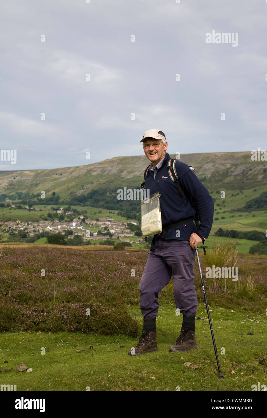 Redmire and Grinton Moors to Reeth in the North Yorkshire Dales, Richmondshire, UK Stock Photohttps://www.alamy.com/image-license-details/?v=1https://www.alamy.com/stock-photo-redmire-and-grinton-moors-to-reeth-in-the-north-yorkshire-dales-richmondshire-50242177.html
RMCWMMBD–Redmire and Grinton Moors to Reeth in the North Yorkshire Dales, Richmondshire, UK
 Summery Scottish Hills Stock Photohttps://www.alamy.com/image-license-details/?v=1https://www.alamy.com/summery-scottish-hills-image9571400.html
RFAX71T9–Summery Scottish Hills
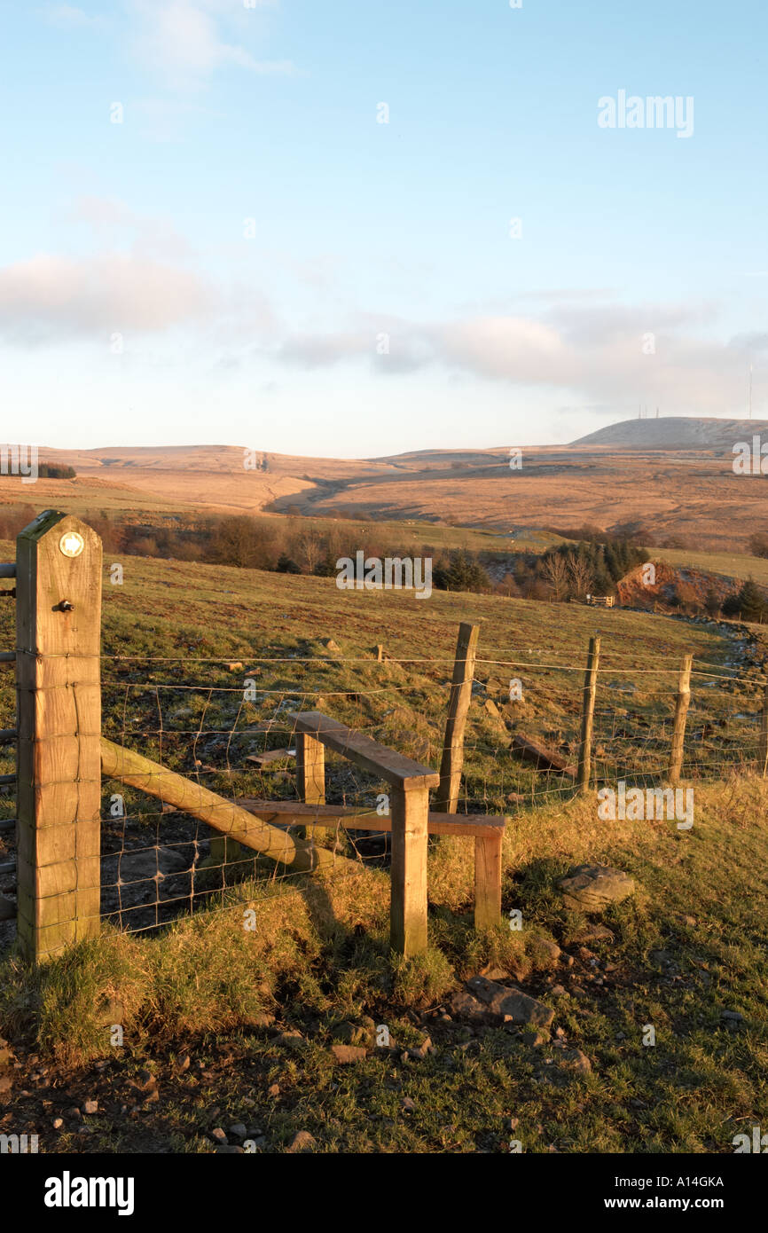 footpath sign near stile on moorland Anglezarke Lancashire public access land Stock Photohttps://www.alamy.com/image-license-details/?v=1https://www.alamy.com/footpath-sign-near-stile-on-moorland-anglezarke-lancashire-public-image5794873.html
RMA14GKA–footpath sign near stile on moorland Anglezarke Lancashire public access land
 Moors, Clinton County, US, United States, Missouri, N 39 43' 9'', S 94 23' 31'', map, Cartascapes Map published in 2024. Explore Cartascapes, a map revealing Earth's diverse landscapes, cultures, and ecosystems. Journey through time and space, discovering the interconnectedness of our planet's past, present, and future. Stock Photohttps://www.alamy.com/image-license-details/?v=1https://www.alamy.com/moors-clinton-county-us-united-states-missouri-n-39-43-9-s-94-23-31-map-cartascapes-map-published-in-2024-explore-cartascapes-a-map-revealing-earths-diverse-landscapes-cultures-and-ecosystems-journey-through-time-and-space-discovering-the-interconnectedness-of-our-planets-past-present-and-future-image620792300.html
RM2Y1YEWG–Moors, Clinton County, US, United States, Missouri, N 39 43' 9'', S 94 23' 31'', map, Cartascapes Map published in 2024. Explore Cartascapes, a map revealing Earth's diverse landscapes, cultures, and ecosystems. Journey through time and space, discovering the interconnectedness of our planet's past, present, and future.
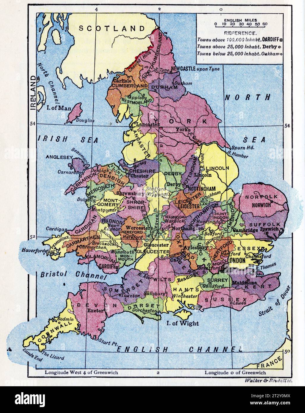 map of England circa 1910 from a school geography text book Stock Photohttps://www.alamy.com/image-license-details/?v=1https://www.alamy.com/map-of-england-circa-1910-from-a-school-geography-text-book-image569764746.html
RM2T2Y0MX–map of England circa 1910 from a school geography text book
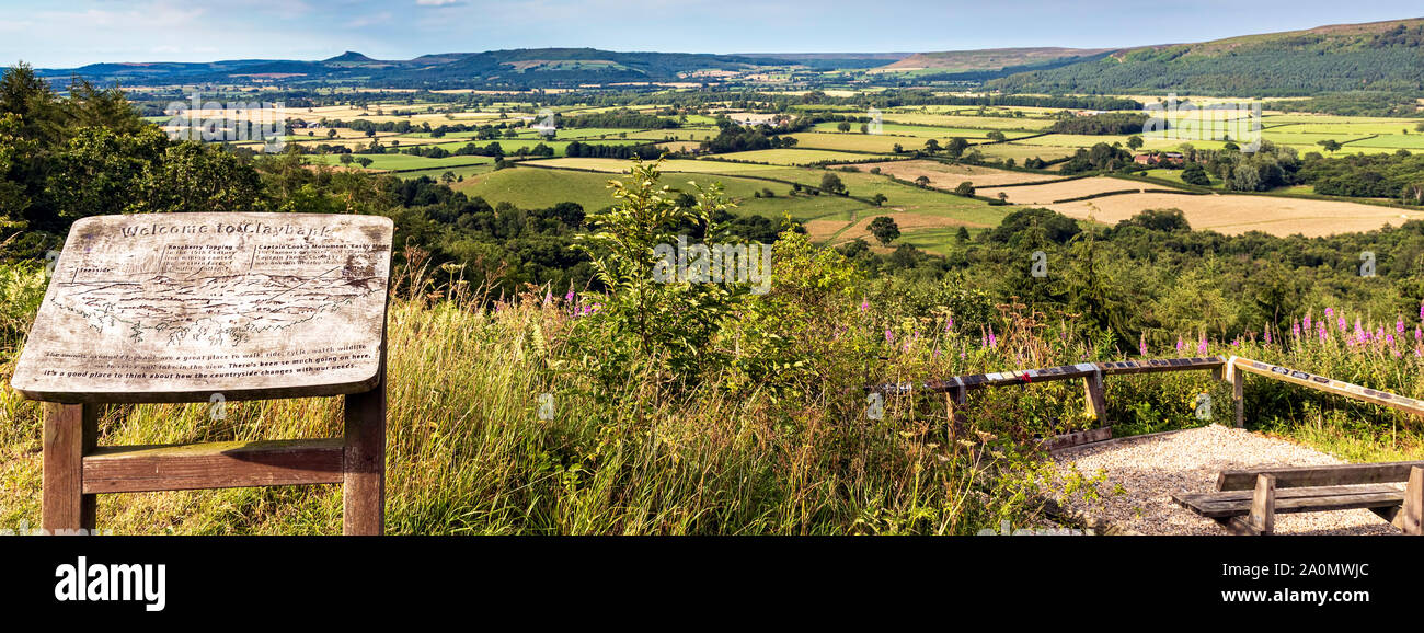 Landscape view of North Yorkshire Moors and Roseberry Topping, Claybank, Stokesley, England Stock Photohttps://www.alamy.com/image-license-details/?v=1https://www.alamy.com/landscape-view-of-north-yorkshire-moors-and-roseberry-topping-claybank-stokesley-england-image327456148.html
RM2A0MWJC–Landscape view of North Yorkshire Moors and Roseberry Topping, Claybank, Stokesley, England
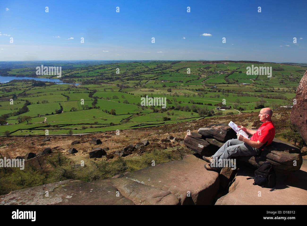 Adult Male walker reading a map by the Sandstone rock formations of the Roaches Rocks, with Tittesworth Reservoir Staffordshire Stock Photohttps://www.alamy.com/image-license-details/?v=1https://www.alamy.com/stock-photo-adult-male-walker-reading-a-map-by-the-sandstone-rock-formations-of-52489614.html
RFD1B312–Adult Male walker reading a map by the Sandstone rock formations of the Roaches Rocks, with Tittesworth Reservoir Staffordshire
 Marocco and the Moors- being an account of travels, with a general description of the country and its people (1891) Stock Photohttps://www.alamy.com/image-license-details/?v=1https://www.alamy.com/stock-photo-marocco-and-the-moors-being-an-account-of-travels-with-a-general-description-101167234.html
RMFTGFRE–Marocco and the Moors- being an account of travels, with a general description of the country and its people (1891)
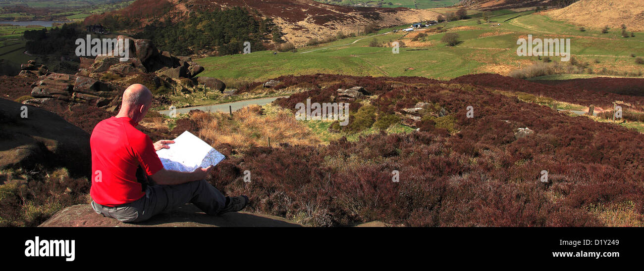 Adult Male walker reading a map by the Sandstone rock formations of the Ramshaw Rocks, Staffordshire, England, UK. Stock Photohttps://www.alamy.com/image-license-details/?v=1https://www.alamy.com/stock-photo-adult-male-walker-reading-a-map-by-the-sandstone-rock-formations-of-52840153.html
RMD1Y249–Adult Male walker reading a map by the Sandstone rock formations of the Ramshaw Rocks, Staffordshire, England, UK.
![Marocco and the Moors: being an account of travels, with a general description of the country and its people . ort ...... 297 APPE]NDICES. A. The Site of the Pioman City Volubilis .... 821 B. The Sultans Passport ....... 330 C. The Drugs in use amongst the Moors .... 333 LIST OF ILLUSTRATIONS. The Sultan going to Mosque Map of Marocco sho^ang Authors Route Tangier, the Landing-place. Old Map of Country about Tangier Village of Conical-shaped Huts . Plan of the Tovrn. of Mogador Mogador fiom the Sea Tattoo Mark Moorish Costume—full dress City of Marocco . Snake-charmer ..... Map of the City of Stock Photo Marocco and the Moors: being an account of travels, with a general description of the country and its people . ort ...... 297 APPE]NDICES. A. The Site of the Pioman City Volubilis .... 821 B. The Sultans Passport ....... 330 C. The Drugs in use amongst the Moors .... 333 LIST OF ILLUSTRATIONS. The Sultan going to Mosque Map of Marocco sho^ang Authors Route Tangier, the Landing-place. Old Map of Country about Tangier Village of Conical-shaped Huts . Plan of the Tovrn. of Mogador Mogador fiom the Sea Tattoo Mark Moorish Costume—full dress City of Marocco . Snake-charmer ..... Map of the City of Stock Photo](https://c8.alamy.com/comp/2AJGYH7/marocco-and-the-moors-being-an-account-of-travels-with-a-general-description-of-the-country-and-its-people-ort-297-appe-ndices-a-the-site-of-the-pioman-city-volubilis-821-b-the-sultans-passport-330-c-the-drugs-in-use-amongst-the-moors-333-list-of-illustrations-the-sultan-going-to-mosque-map-of-marocco-shoang-authors-route-tangier-the-landing-place-old-map-of-country-about-tangier-village-of-conical-shaped-huts-plan-of-the-tovrn-of-mogador-mogador-fiom-the-sea-tattoo-mark-moorish-costumefull-dress-city-of-marocco-snake-charmer-map-of-the-city-of-2AJGYH7.jpg) Marocco and the Moors: being an account of travels, with a general description of the country and its people . ort ...... 297 APPE]NDICES. A. The Site of the Pioman City Volubilis .... 821 B. The Sultans Passport ....... 330 C. The Drugs in use amongst the Moors .... 333 LIST OF ILLUSTRATIONS. The Sultan going to Mosque Map of Marocco sho^ang Authors Route Tangier, the Landing-place. Old Map of Country about Tangier Village of Conical-shaped Huts . Plan of the Tovrn. of Mogador Mogador fiom the Sea Tattoo Mark Moorish Costume—full dress City of Marocco . Snake-charmer ..... Map of the City of Stock Photohttps://www.alamy.com/image-license-details/?v=1https://www.alamy.com/marocco-and-the-moors-being-an-account-of-travels-with-a-general-description-of-the-country-and-its-people-ort-297-appe-ndices-a-the-site-of-the-pioman-city-volubilis-821-b-the-sultans-passport-330-c-the-drugs-in-use-amongst-the-moors-333-list-of-illustrations-the-sultan-going-to-mosque-map-of-marocco-shoang-authors-route-tangier-the-landing-place-old-map-of-country-about-tangier-village-of-conical-shaped-huts-plan-of-the-tovrn-of-mogador-mogador-fiom-the-sea-tattoo-mark-moorish-costumefull-dress-city-of-marocco-snake-charmer-map-of-the-city-of-image338433683.html
Marocco and the Moors: being an account of travels, with a general description of the country and its people . ort ...... 297 APPE]NDICES. A. The Site of the Pioman City Volubilis .... 821 B. The Sultans Passport ....... 330 C. The Drugs in use amongst the Moors .... 333 LIST OF ILLUSTRATIONS. The Sultan going to Mosque Map of Marocco sho^ang Authors Route Tangier, the Landing-place. Old Map of Country about Tangier Village of Conical-shaped Huts . Plan of the Tovrn. of Mogador Mogador fiom the Sea Tattoo Mark Moorish Costume—full dress City of Marocco . Snake-charmer ..... Map of the City of Stock Photohttps://www.alamy.com/image-license-details/?v=1https://www.alamy.com/marocco-and-the-moors-being-an-account-of-travels-with-a-general-description-of-the-country-and-its-people-ort-297-appe-ndices-a-the-site-of-the-pioman-city-volubilis-821-b-the-sultans-passport-330-c-the-drugs-in-use-amongst-the-moors-333-list-of-illustrations-the-sultan-going-to-mosque-map-of-marocco-shoang-authors-route-tangier-the-landing-place-old-map-of-country-about-tangier-village-of-conical-shaped-huts-plan-of-the-tovrn-of-mogador-mogador-fiom-the-sea-tattoo-mark-moorish-costumefull-dress-city-of-marocco-snake-charmer-map-of-the-city-of-image338433683.htmlRM2AJGYH7–Marocco and the Moors: being an account of travels, with a general description of the country and its people . ort ...... 297 APPE]NDICES. A. The Site of the Pioman City Volubilis .... 821 B. The Sultans Passport ....... 330 C. The Drugs in use amongst the Moors .... 333 LIST OF ILLUSTRATIONS. The Sultan going to Mosque Map of Marocco sho^ang Authors Route Tangier, the Landing-place. Old Map of Country about Tangier Village of Conical-shaped Huts . Plan of the Tovrn. of Mogador Mogador fiom the Sea Tattoo Mark Moorish Costume—full dress City of Marocco . Snake-charmer ..... Map of the City of
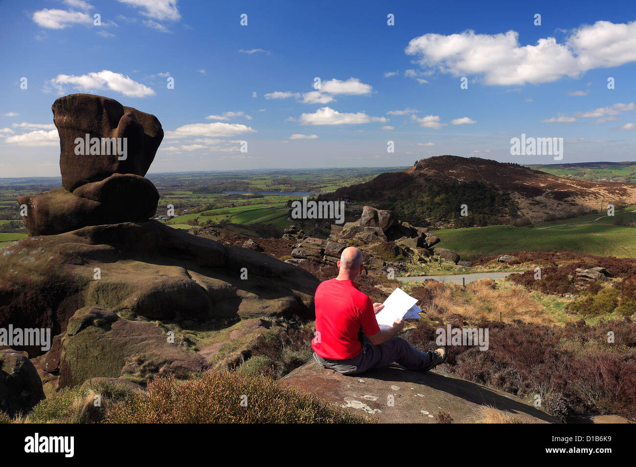 Adult Male walker reading a map by the Sandstone rock formations of the Ramshaw Rocks, Staffordshire, England, UK. Stock Photohttps://www.alamy.com/image-license-details/?v=1https://www.alamy.com/stock-photo-adult-male-walker-reading-a-map-by-the-sandstone-rock-formations-of-52492477.html
RFD1B6K9–Adult Male walker reading a map by the Sandstone rock formations of the Ramshaw Rocks, Staffordshire, England, UK.
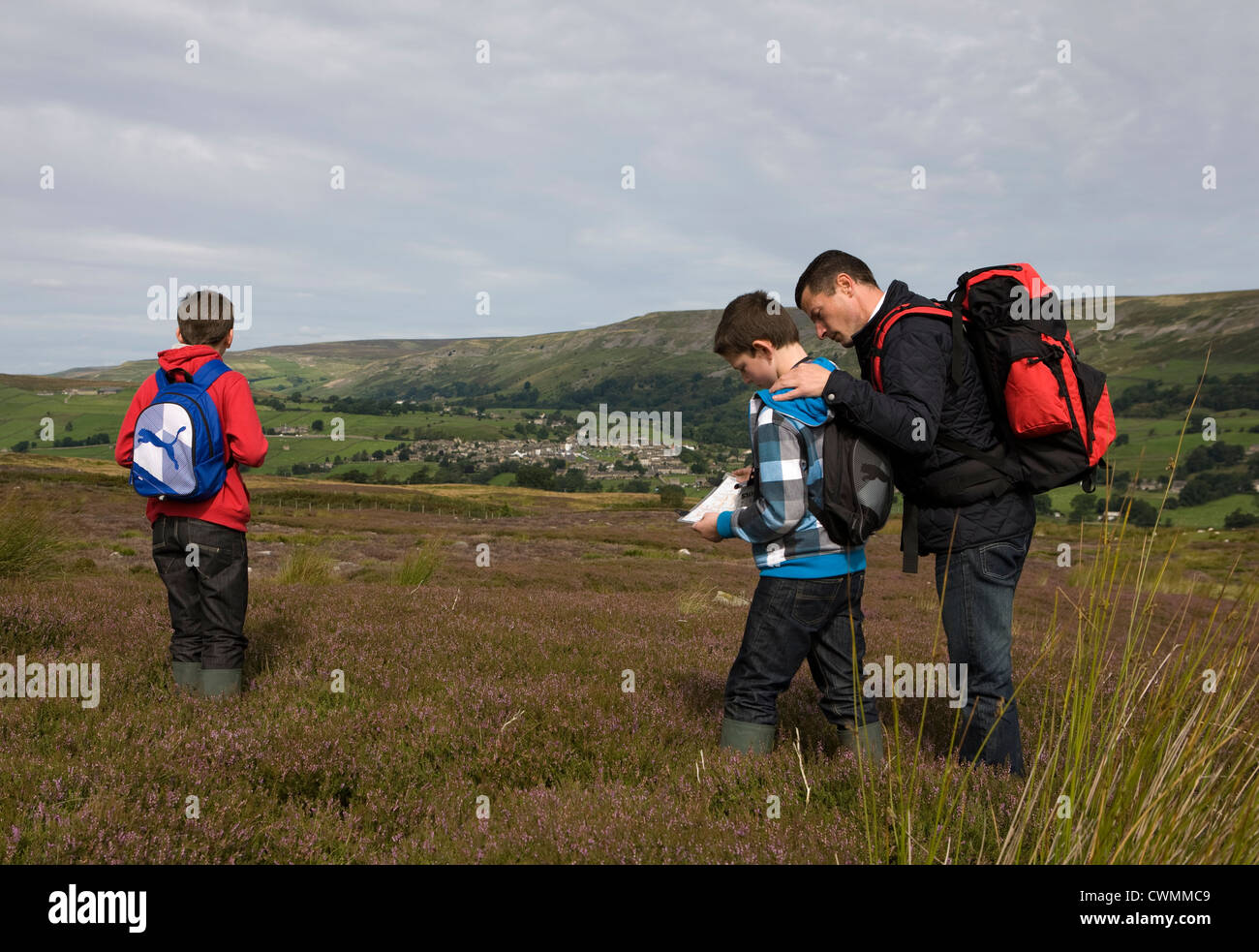 Redmire and Grinton Moors to Reeth in the North Yorkshire Dales, Richmondshire, UK Stock Photohttps://www.alamy.com/image-license-details/?v=1https://www.alamy.com/stock-photo-redmire-and-grinton-moors-to-reeth-in-the-north-yorkshire-dales-richmondshire-50242201.html
RMCWMMC9–Redmire and Grinton Moors to Reeth in the North Yorkshire Dales, Richmondshire, UK
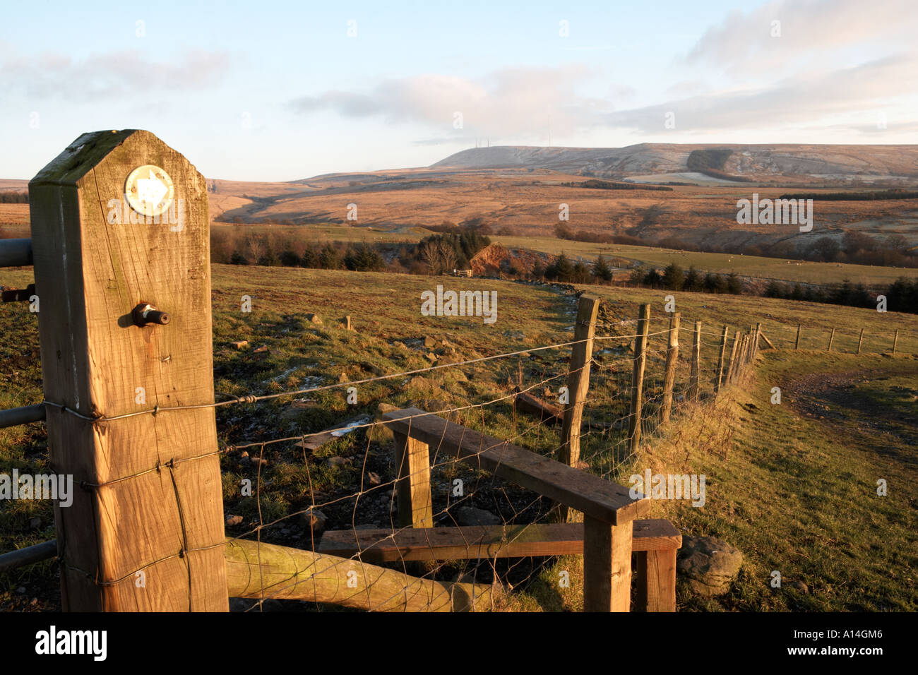 footpath sign near stile on moorland Anglezarke Lancashire public access land Stock Photohttps://www.alamy.com/image-license-details/?v=1https://www.alamy.com/footpath-sign-near-stile-on-moorland-anglezarke-lancashire-public-image5794885.html
RMA14GM6–footpath sign near stile on moorland Anglezarke Lancashire public access land
 Draycott in the Moors, Staffordshire, GB, United Kingdom, England, N 52 56' 51'', S 2 1' 41'', map, Cartascapes Map published in 2024. Explore Cartascapes, a map revealing Earth's diverse landscapes, cultures, and ecosystems. Journey through time and space, discovering the interconnectedness of our planet's past, present, and future. Stock Photohttps://www.alamy.com/image-license-details/?v=1https://www.alamy.com/draycott-in-the-moors-staffordshire-gb-united-kingdom-england-n-52-56-51-s-2-1-41-map-cartascapes-map-published-in-2024-explore-cartascapes-a-map-revealing-earths-diverse-landscapes-cultures-and-ecosystems-journey-through-time-and-space-discovering-the-interconnectedness-of-our-planets-past-present-and-future-image604281646.html
RM2X33BBA–Draycott in the Moors, Staffordshire, GB, United Kingdom, England, N 52 56' 51'', S 2 1' 41'', map, Cartascapes Map published in 2024. Explore Cartascapes, a map revealing Earth's diverse landscapes, cultures, and ecosystems. Journey through time and space, discovering the interconnectedness of our planet's past, present, and future.
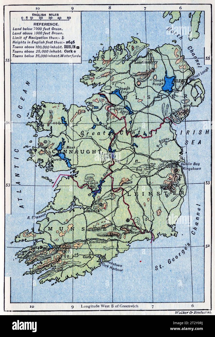 map of Ireland circa 1910 from a school geography text book Stock Photohttps://www.alamy.com/image-license-details/?v=1https://www.alamy.com/map-of-ireland-circa-1910-from-a-school-geography-text-book-image569764822.html
RM2T2Y0RJ–map of Ireland circa 1910 from a school geography text book
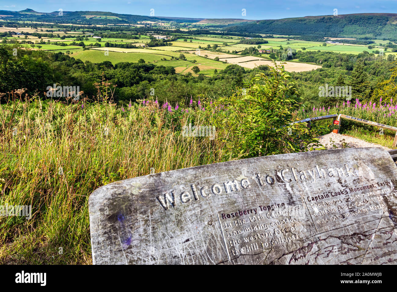 Landscape view of North Yorkshire Moors and Roseberry Topping, Claybank, Stokesley, England Stock Photohttps://www.alamy.com/image-license-details/?v=1https://www.alamy.com/landscape-view-of-north-yorkshire-moors-and-roseberry-topping-claybank-stokesley-england-image327456147.html
RM2A0MWJB–Landscape view of North Yorkshire Moors and Roseberry Topping, Claybank, Stokesley, England
 Marocco and the Moors- being an account of travels, with a general description of the country and its people (1891) Stock Photohttps://www.alamy.com/image-license-details/?v=1https://www.alamy.com/stock-photo-marocco-and-the-moors-being-an-account-of-travels-with-a-general-description-96728242.html
RMFHA9T2–Marocco and the Moors- being an account of travels, with a general description of the country and its people (1891)
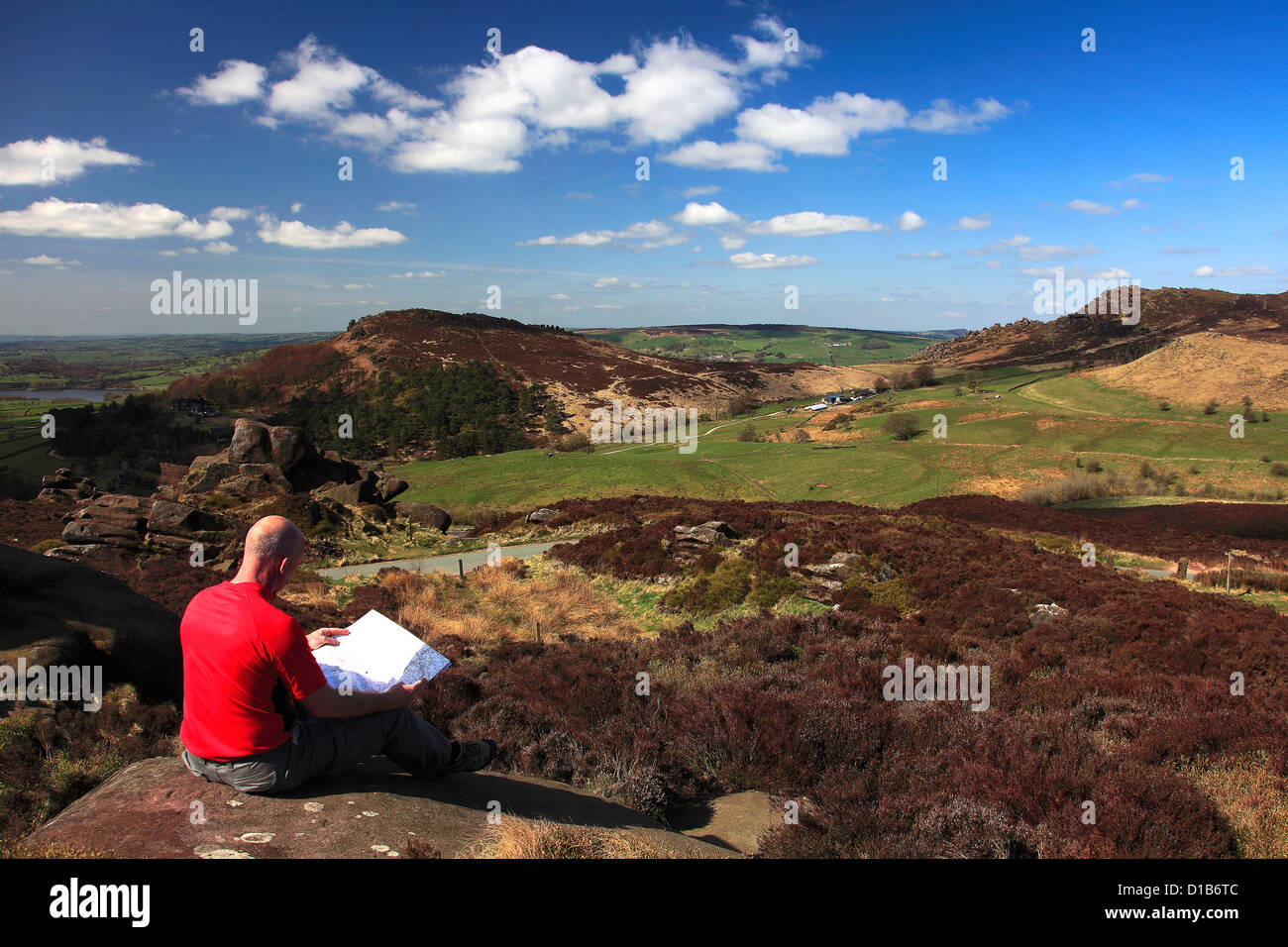 Adult Male walker reading a map by the Sandstone rock formations of the Ramshaw Rocks, Staffordshire, England, UK. Stock Photohttps://www.alamy.com/image-license-details/?v=1https://www.alamy.com/stock-photo-adult-male-walker-reading-a-map-by-the-sandstone-rock-formations-of-52492620.html
RFD1B6TC–Adult Male walker reading a map by the Sandstone rock formations of the Ramshaw Rocks, Staffordshire, England, UK.
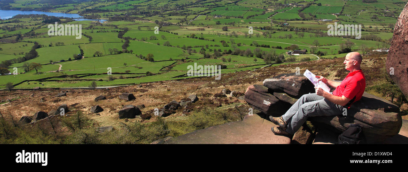 Adult Male walker ( English 43 years old ) reading a map by the Sandstone rock formations of the Roaches Rocks, Staffordshire Stock Photohttps://www.alamy.com/image-license-details/?v=1https://www.alamy.com/stock-photo-adult-male-walker-english-43-years-old-reading-a-map-by-the-sandstone-52836480.html
RMD1XWD4–Adult Male walker ( English 43 years old ) reading a map by the Sandstone rock formations of the Roaches Rocks, Staffordshire
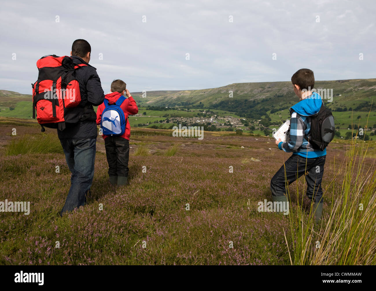 Redmire and Grinton Moors to Reeth in the North Yorkshire Dales, Richmondshire, UK Stock Photohttps://www.alamy.com/image-license-details/?v=1https://www.alamy.com/stock-photo-redmire-and-grinton-moors-to-reeth-in-the-north-yorkshire-dales-richmondshire-50242161.html
RMCWMMAW–Redmire and Grinton Moors to Reeth in the North Yorkshire Dales, Richmondshire, UK
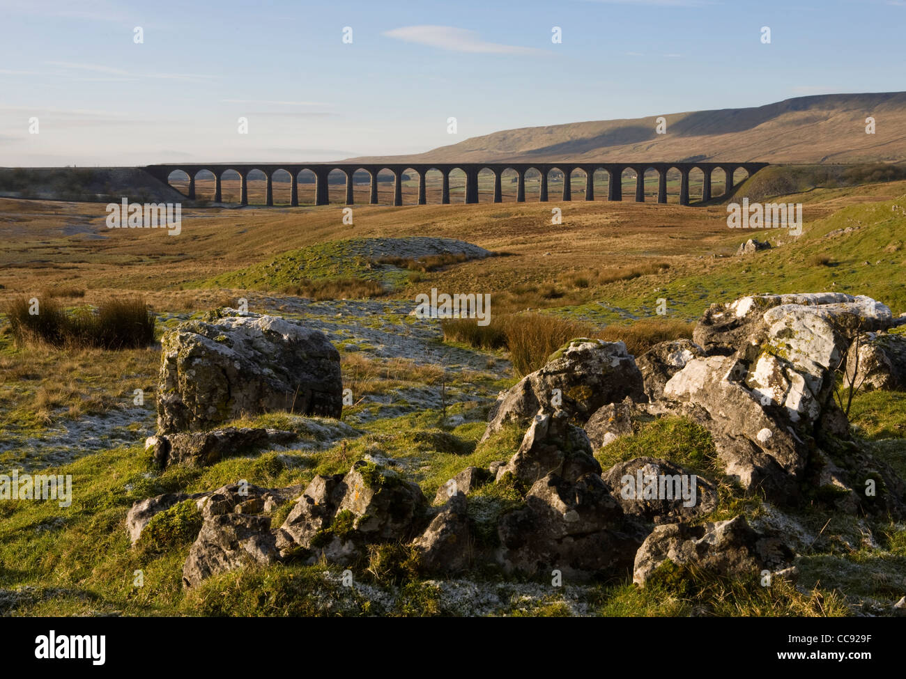 Limestone Pavement at the Ribblehead Viaduct across the River Ribble at Ribblehead, Chapel-le-dale in North Yorkshire, UK Stock Photohttps://www.alamy.com/image-license-details/?v=1https://www.alamy.com/stock-photo-limestone-pavement-at-the-ribblehead-viaduct-across-the-river-ribble-41996011.html
RMCC929F–Limestone Pavement at the Ribblehead Viaduct across the River Ribble at Ribblehead, Chapel-le-dale in North Yorkshire, UK
 Moors Neighborhood (historical), Owsley County, US, United States, Kentucky, N 37 28' 28'', S 83 48' 23'', map, Cartascapes Map published in 2024. Explore Cartascapes, a map revealing Earth's diverse landscapes, cultures, and ecosystems. Journey through time and space, discovering the interconnectedness of our planet's past, present, and future. Stock Photohttps://www.alamy.com/image-license-details/?v=1https://www.alamy.com/moors-neighborhood-historical-owsley-county-us-united-states-kentucky-n-37-28-28-s-83-48-23-map-cartascapes-map-published-in-2024-explore-cartascapes-a-map-revealing-earths-diverse-landscapes-cultures-and-ecosystems-journey-through-time-and-space-discovering-the-interconnectedness-of-our-planets-past-present-and-future-image620857689.html
RM2Y22E8W–Moors Neighborhood (historical), Owsley County, US, United States, Kentucky, N 37 28' 28'', S 83 48' 23'', map, Cartascapes Map published in 2024. Explore Cartascapes, a map revealing Earth's diverse landscapes, cultures, and ecosystems. Journey through time and space, discovering the interconnectedness of our planet's past, present, and future.
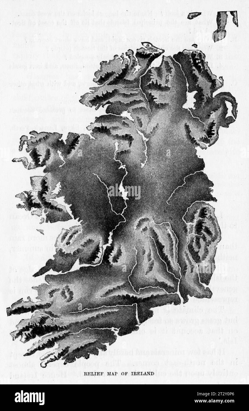 relief map of Ireland circa 1910 from a school geography text book Stock Photohttps://www.alamy.com/image-license-details/?v=1https://www.alamy.com/relief-map-of-ireland-circa-1910-from-a-school-geography-text-book-image569764782.html
RM2T2Y0P6–relief map of Ireland circa 1910 from a school geography text book
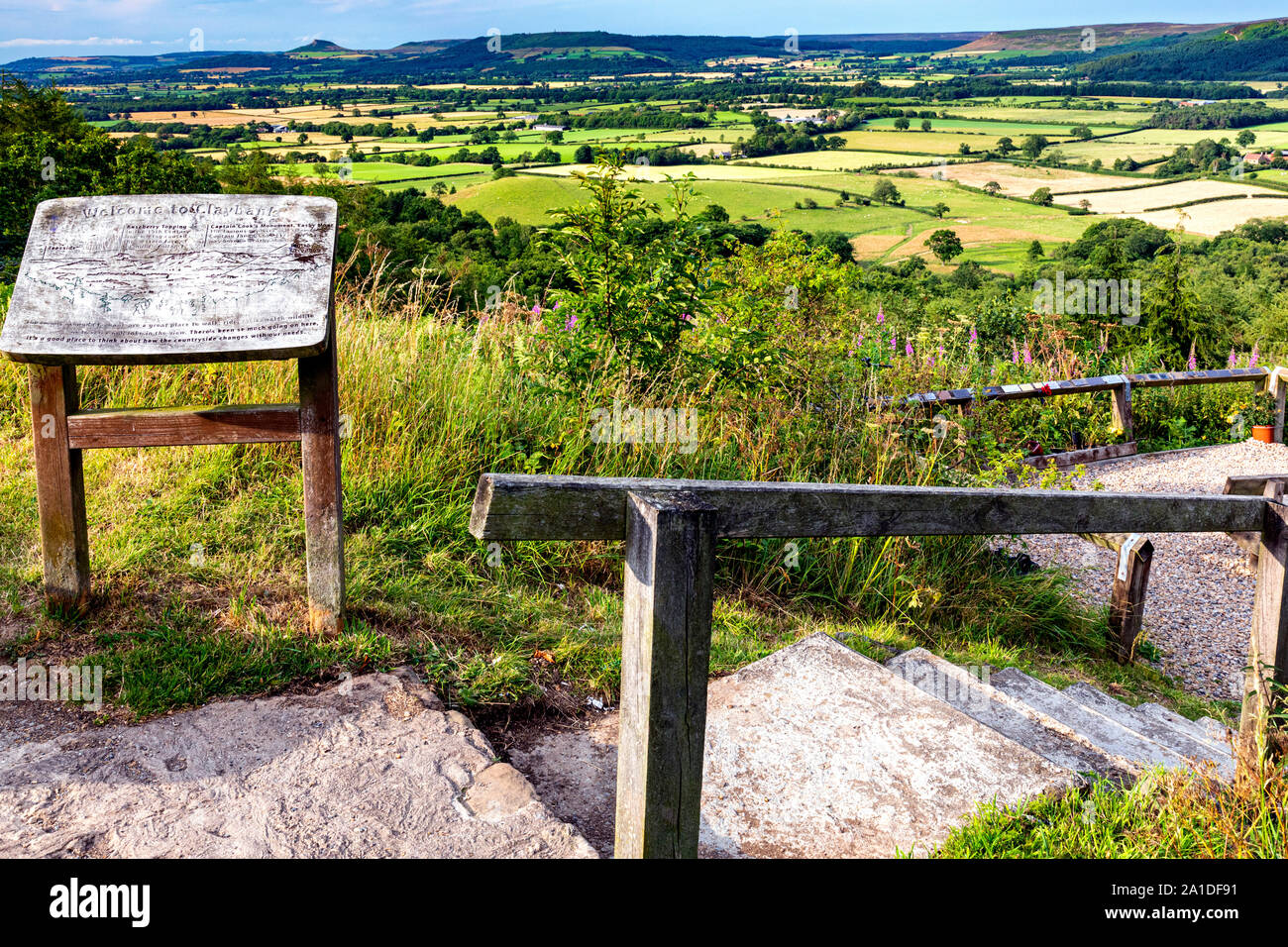 View from Claybank, North Yorkshire Moors, Stokesley, England Stock Photohttps://www.alamy.com/image-license-details/?v=1https://www.alamy.com/view-from-claybank-north-yorkshire-moors-stokesley-england-image327909037.html
RM2A1DF91–View from Claybank, North Yorkshire Moors, Stokesley, England
 Marocco and the Moors- being an account of travels, with a general description of the country and its people (1891) Stock Photohttps://www.alamy.com/image-license-details/?v=1https://www.alamy.com/stock-photo-marocco-and-the-moors-being-an-account-of-travels-with-a-general-description-96728244.html
RMFHA9T4–Marocco and the Moors- being an account of travels, with a general description of the country and its people (1891)
 Limestone Pavement moorland landscape at the Ribblehead Viaduct across the River Ribble in North Yorkshire, UK Stock Photohttps://www.alamy.com/image-license-details/?v=1https://www.alamy.com/stock-photo-limestone-pavement-moorland-landscape-at-the-ribblehead-viaduct-across-41996023.html
RMCC929Y–Limestone Pavement moorland landscape at the Ribblehead Viaduct across the River Ribble in North Yorkshire, UK
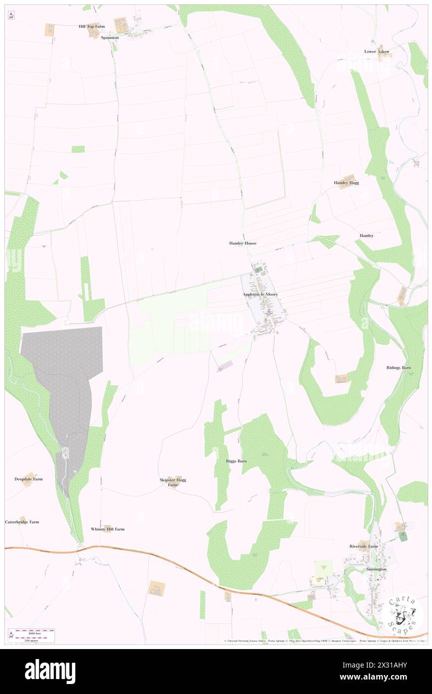 Appleton-le-Moors, North Yorkshire, GB, United Kingdom, England, N 54 16' 45'', S 0 52' 39'', map, Cartascapes Map published in 2024. Explore Cartascapes, a map revealing Earth's diverse landscapes, cultures, and ecosystems. Journey through time and space, discovering the interconnectedness of our planet's past, present, and future. Stock Photohttps://www.alamy.com/image-license-details/?v=1https://www.alamy.com/appleton-le-moors-north-yorkshire-gb-united-kingdom-england-n-54-16-45-s-0-52-39-map-cartascapes-map-published-in-2024-explore-cartascapes-a-map-revealing-earths-diverse-landscapes-cultures-and-ecosystems-journey-through-time-and-space-discovering-the-interconnectedness-of-our-planets-past-present-and-future-image604237143.html
RM2X31AHY–Appleton-le-Moors, North Yorkshire, GB, United Kingdom, England, N 54 16' 45'', S 0 52' 39'', map, Cartascapes Map published in 2024. Explore Cartascapes, a map revealing Earth's diverse landscapes, cultures, and ecosystems. Journey through time and space, discovering the interconnectedness of our planet's past, present, and future.
 relief map of Scotland circa 1910 from a school geography text book Stock Photohttps://www.alamy.com/image-license-details/?v=1https://www.alamy.com/relief-map-of-scotland-circa-1910-from-a-school-geography-text-book-image569764778.html
RM2T2Y0P2–relief map of Scotland circa 1910 from a school geography text book
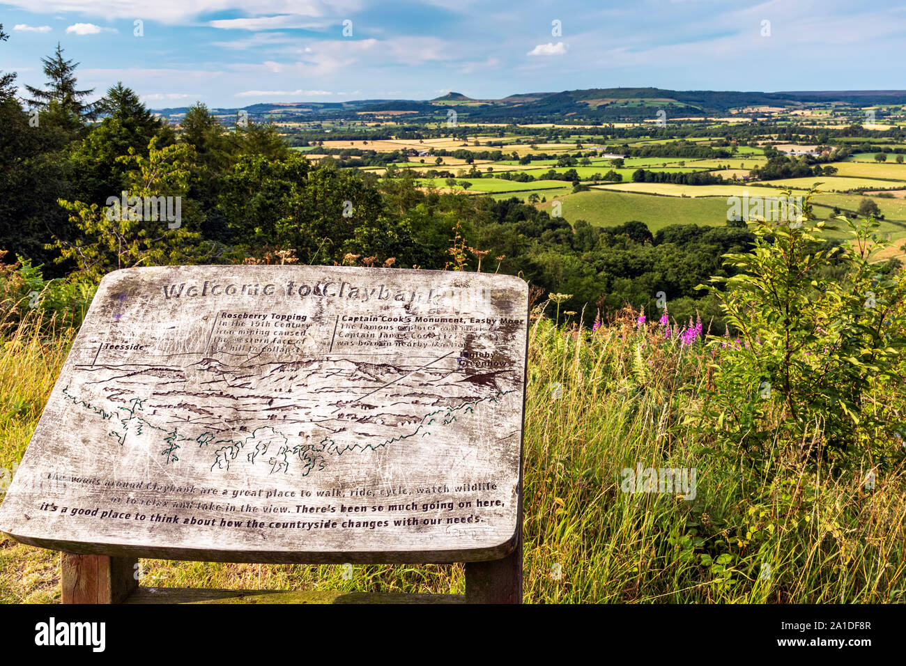 View from Claybank, North Yorkshire Moors, Stokesley, England Stock Photohttps://www.alamy.com/image-license-details/?v=1https://www.alamy.com/view-from-claybank-north-yorkshire-moors-stokesley-england-image327909031.html
RM2A1DF8R–View from Claybank, North Yorkshire Moors, Stokesley, England
 2 of 'Morocco and the Moors; being an account of travels, with a general description of the country and its people' Stock Photohttps://www.alamy.com/image-license-details/?v=1https://www.alamy.com/stock-photo-2-of-morocco-and-the-moors-being-an-account-of-travels-with-a-general-95800495.html
RFFFT2E7–2 of 'Morocco and the Moors; being an account of travels, with a general description of the country and its people'
 Margam Moors, Neath Port Talbot, GB, United Kingdom, Wales, N 51 33' 46'', S 3 46' 11'', map, Cartascapes Map published in 2024. Explore Cartascapes, a map revealing Earth's diverse landscapes, cultures, and ecosystems. Journey through time and space, discovering the interconnectedness of our planet's past, present, and future. Stock Photohttps://www.alamy.com/image-license-details/?v=1https://www.alamy.com/margam-moors-neath-port-talbot-gb-united-kingdom-wales-n-51-33-46-s-3-46-11-map-cartascapes-map-published-in-2024-explore-cartascapes-a-map-revealing-earths-diverse-landscapes-cultures-and-ecosystems-journey-through-time-and-space-discovering-the-interconnectedness-of-our-planets-past-present-and-future-image604267826.html
RM2X32NNP–Margam Moors, Neath Port Talbot, GB, United Kingdom, Wales, N 51 33' 46'', S 3 46' 11'', map, Cartascapes Map published in 2024. Explore Cartascapes, a map revealing Earth's diverse landscapes, cultures, and ecosystems. Journey through time and space, discovering the interconnectedness of our planet's past, present, and future.
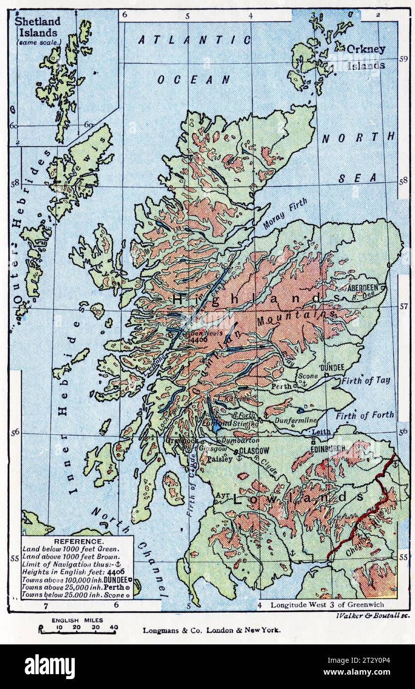 map of Scotland and the Shetland Islands circa 1910 from a school geography text book Stock Photohttps://www.alamy.com/image-license-details/?v=1https://www.alamy.com/map-of-scotland-and-the-shetland-islands-circa-1910-from-a-school-geography-text-book-image569764780.html
RM2T2Y0P4–map of Scotland and the Shetland Islands circa 1910 from a school geography text book
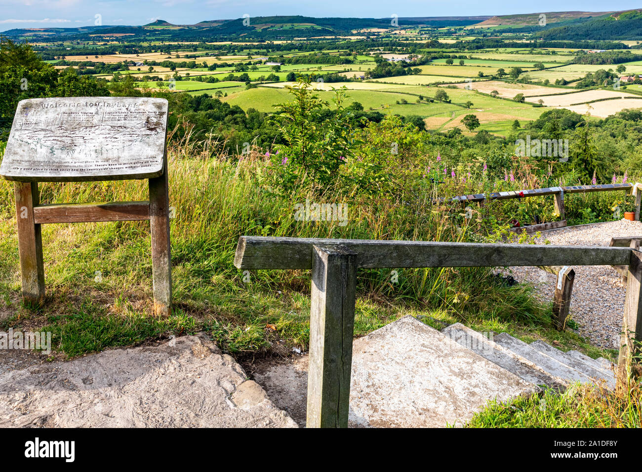 View from Claybank, North Yorkshire Moors, Stokesley, England Stock Photohttps://www.alamy.com/image-license-details/?v=1https://www.alamy.com/view-from-claybank-north-yorkshire-moors-stokesley-england-image327909035.html
RM2A1DF8Y–View from Claybank, North Yorkshire Moors, Stokesley, England
 Image taken from page 22 of 'Morocco and the Moors: being an account of travels, with a general description of the country and its people' Image taken from page 22 of 'Morocco and the Moors Stock Photohttps://www.alamy.com/image-license-details/?v=1https://www.alamy.com/stock-photo-image-taken-from-page-22-of-morocco-and-the-moors-being-an-account-127717689.html
RMHBP161–Image taken from page 22 of 'Morocco and the Moors: being an account of travels, with a general description of the country and its people' Image taken from page 22 of 'Morocco and the Moors
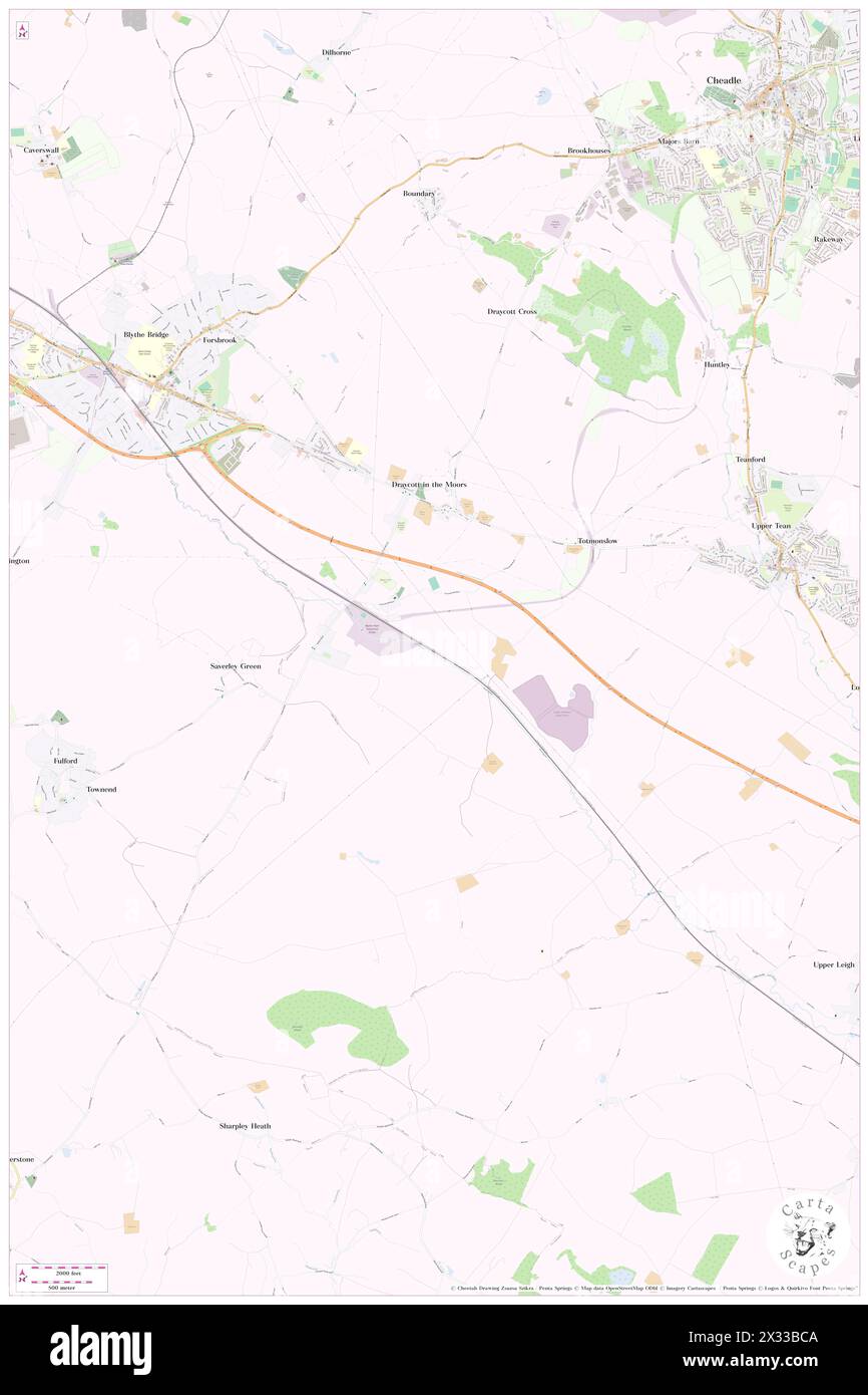 Draycott in the Moors, Staffordshire, GB, United Kingdom, England, N 52 56' 51'', S 2 1' 41'', map, Cartascapes Map published in 2024. Explore Cartascapes, a map revealing Earth's diverse landscapes, cultures, and ecosystems. Journey through time and space, discovering the interconnectedness of our planet's past, present, and future. Stock Photohttps://www.alamy.com/image-license-details/?v=1https://www.alamy.com/draycott-in-the-moors-staffordshire-gb-united-kingdom-england-n-52-56-51-s-2-1-41-map-cartascapes-map-published-in-2024-explore-cartascapes-a-map-revealing-earths-diverse-landscapes-cultures-and-ecosystems-journey-through-time-and-space-discovering-the-interconnectedness-of-our-planets-past-present-and-future-image604281674.html
RM2X33BCA–Draycott in the Moors, Staffordshire, GB, United Kingdom, England, N 52 56' 51'', S 2 1' 41'', map, Cartascapes Map published in 2024. Explore Cartascapes, a map revealing Earth's diverse landscapes, cultures, and ecosystems. Journey through time and space, discovering the interconnectedness of our planet's past, present, and future.
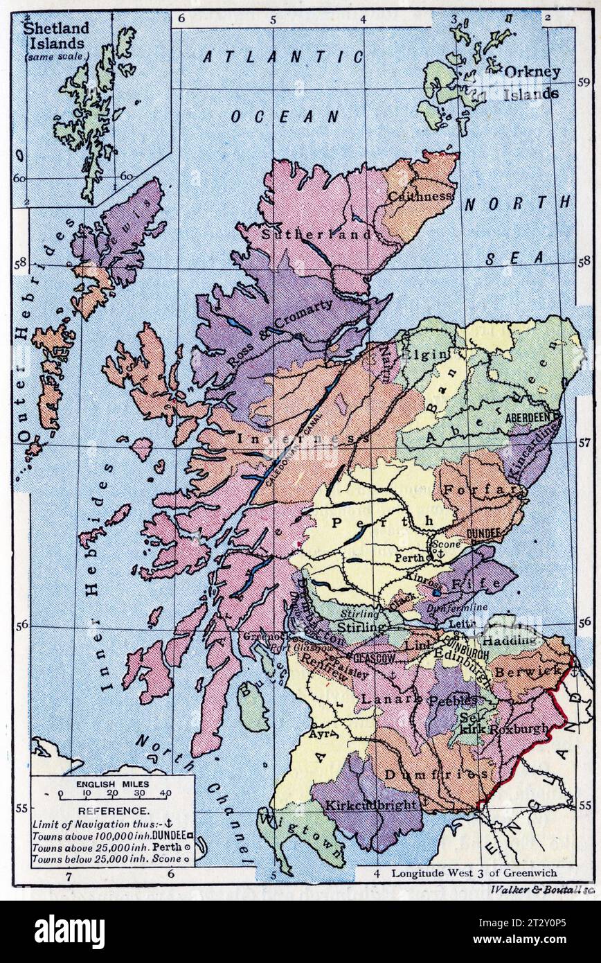 Political map of Scotland and the Shetland Islands circa 1910 from a school geography text book Stock Photohttps://www.alamy.com/image-license-details/?v=1https://www.alamy.com/political-map-of-scotland-and-the-shetland-islands-circa-1910-from-a-school-geography-text-book-image569764781.html
RM2T2Y0P5–Political map of Scotland and the Shetland Islands circa 1910 from a school geography text book
 Marocco and the Moors- being an account of travels, with a general description of the country and its people (1891) Stock Photohttps://www.alamy.com/image-license-details/?v=1https://www.alamy.com/stock-photo-marocco-and-the-moors-being-an-account-of-travels-with-a-general-description-87013388.html
RMF1FPD0–Marocco and the Moors- being an account of travels, with a general description of the country and its people (1891)
 Margam Moors, Neath Port Talbot, GB, United Kingdom, Wales, N 51 33' 46'', S 3 46' 11'', map, Cartascapes Map published in 2024. Explore Cartascapes, a map revealing Earth's diverse landscapes, cultures, and ecosystems. Journey through time and space, discovering the interconnectedness of our planet's past, present, and future. Stock Photohttps://www.alamy.com/image-license-details/?v=1https://www.alamy.com/margam-moors-neath-port-talbot-gb-united-kingdom-wales-n-51-33-46-s-3-46-11-map-cartascapes-map-published-in-2024-explore-cartascapes-a-map-revealing-earths-diverse-landscapes-cultures-and-ecosystems-journey-through-time-and-space-discovering-the-interconnectedness-of-our-planets-past-present-and-future-image604267833.html
RM2X32NP1–Margam Moors, Neath Port Talbot, GB, United Kingdom, Wales, N 51 33' 46'', S 3 46' 11'', map, Cartascapes Map published in 2024. Explore Cartascapes, a map revealing Earth's diverse landscapes, cultures, and ecosystems. Journey through time and space, discovering the interconnectedness of our planet's past, present, and future.
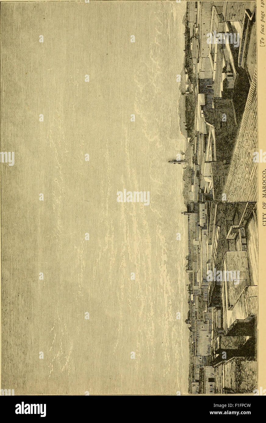 Marocco and the Moors- being an account of travels, with a general description of the country and its people (1891) Stock Photohttps://www.alamy.com/image-license-details/?v=1https://www.alamy.com/stock-photo-marocco-and-the-moors-being-an-account-of-travels-with-a-general-description-87013385.html
RMF1FPCW–Marocco and the Moors- being an account of travels, with a general description of the country and its people (1891)
 Bradley in the Moors, Staffordshire, GB, United Kingdom, England, N 52 58' 7'', S 1 54' 43'', map, Cartascapes Map published in 2024. Explore Cartascapes, a map revealing Earth's diverse landscapes, cultures, and ecosystems. Journey through time and space, discovering the interconnectedness of our planet's past, present, and future. Stock Photohttps://www.alamy.com/image-license-details/?v=1https://www.alamy.com/bradley-in-the-moors-staffordshire-gb-united-kingdom-england-n-52-58-7-s-1-54-43-map-cartascapes-map-published-in-2024-explore-cartascapes-a-map-revealing-earths-diverse-landscapes-cultures-and-ecosystems-journey-through-time-and-space-discovering-the-interconnectedness-of-our-planets-past-present-and-future-image604181712.html
RM2X2XRX8–Bradley in the Moors, Staffordshire, GB, United Kingdom, England, N 52 58' 7'', S 1 54' 43'', map, Cartascapes Map published in 2024. Explore Cartascapes, a map revealing Earth's diverse landscapes, cultures, and ecosystems. Journey through time and space, discovering the interconnectedness of our planet's past, present, and future.
 Marocco and the Moors- being an account of travels, with a general description of the country and its people (1891) Stock Photohttps://www.alamy.com/image-license-details/?v=1https://www.alamy.com/stock-photo-marocco-and-the-moors-being-an-account-of-travels-with-a-general-description-87013390.html
RMF1FPD2–Marocco and the Moors- being an account of travels, with a general description of the country and its people (1891)
 Appleton-le-Moors, North Yorkshire, GB, United Kingdom, England, N 54 16' 45'', S 0 52' 39'', map, Cartascapes Map published in 2024. Explore Cartascapes, a map revealing Earth's diverse landscapes, cultures, and ecosystems. Journey through time and space, discovering the interconnectedness of our planet's past, present, and future. Stock Photohttps://www.alamy.com/image-license-details/?v=1https://www.alamy.com/appleton-le-moors-north-yorkshire-gb-united-kingdom-england-n-54-16-45-s-0-52-39-map-cartascapes-map-published-in-2024-explore-cartascapes-a-map-revealing-earths-diverse-landscapes-cultures-and-ecosystems-journey-through-time-and-space-discovering-the-interconnectedness-of-our-planets-past-present-and-future-image604237141.html
RM2X31AHW–Appleton-le-Moors, North Yorkshire, GB, United Kingdom, England, N 54 16' 45'', S 0 52' 39'', map, Cartascapes Map published in 2024. Explore Cartascapes, a map revealing Earth's diverse landscapes, cultures, and ecosystems. Journey through time and space, discovering the interconnectedness of our planet's past, present, and future.
 Marocco and the Moors- being an account of travels, with a general description of the country and its people (1891) Stock Photohttps://www.alamy.com/image-license-details/?v=1https://www.alamy.com/stock-photo-marocco-and-the-moors-being-an-account-of-travels-with-a-general-description-87013391.html
RMF1FPD3–Marocco and the Moors- being an account of travels, with a general description of the country and its people (1891)
 Appleton le Moors, North Yorkshire, GB, United Kingdom, England, N 54 16' 0'', S 0 52' 0'', map, Cartascapes Map published in 2024. Explore Cartascapes, a map revealing Earth's diverse landscapes, cultures, and ecosystems. Journey through time and space, discovering the interconnectedness of our planet's past, present, and future. Stock Photohttps://www.alamy.com/image-license-details/?v=1https://www.alamy.com/appleton-le-moors-north-yorkshire-gb-united-kingdom-england-n-54-16-0-s-0-52-0-map-cartascapes-map-published-in-2024-explore-cartascapes-a-map-revealing-earths-diverse-landscapes-cultures-and-ecosystems-journey-through-time-and-space-discovering-the-interconnectedness-of-our-planets-past-present-and-future-image604185238.html
RM2X2Y0C6–Appleton le Moors, North Yorkshire, GB, United Kingdom, England, N 54 16' 0'', S 0 52' 0'', map, Cartascapes Map published in 2024. Explore Cartascapes, a map revealing Earth's diverse landscapes, cultures, and ecosystems. Journey through time and space, discovering the interconnectedness of our planet's past, present, and future.
 Marocco and the Moors- being an account of travels, with a general description of the country and its people (1891) Stock Photohttps://www.alamy.com/image-license-details/?v=1https://www.alamy.com/stock-photo-marocco-and-the-moors-being-an-account-of-travels-with-a-general-description-87013386.html
RMF1FPCX–Marocco and the Moors- being an account of travels, with a general description of the country and its people (1891)
 Eyton upon the Weald Moors, Telford and Wrekin, GB, United Kingdom, England, N 52 43' 51'', S 2 31' 2'', map, Cartascapes Map published in 2024. Explore Cartascapes, a map revealing Earth's diverse landscapes, cultures, and ecosystems. Journey through time and space, discovering the interconnectedness of our planet's past, present, and future. Stock Photohttps://www.alamy.com/image-license-details/?v=1https://www.alamy.com/eyton-upon-the-weald-moors-telford-and-wrekin-gb-united-kingdom-england-n-52-43-51-s-2-31-2-map-cartascapes-map-published-in-2024-explore-cartascapes-a-map-revealing-earths-diverse-landscapes-cultures-and-ecosystems-journey-through-time-and-space-discovering-the-interconnectedness-of-our-planets-past-present-and-future-image604282515.html
RM2X33CEB–Eyton upon the Weald Moors, Telford and Wrekin, GB, United Kingdom, England, N 52 43' 51'', S 2 31' 2'', map, Cartascapes Map published in 2024. Explore Cartascapes, a map revealing Earth's diverse landscapes, cultures, and ecosystems. Journey through time and space, discovering the interconnectedness of our planet's past, present, and future.
 Marocco and the Moors- being an account of travels, with a general description of the country and its people (1891) Stock Photohttps://www.alamy.com/image-license-details/?v=1https://www.alamy.com/stock-photo-marocco-and-the-moors-being-an-account-of-travels-with-a-general-description-87013393.html
RMF1FPD5–Marocco and the Moors- being an account of travels, with a general description of the country and its people (1891)
 Eyton upon the Weald Moors, Telford and Wrekin, GB, United Kingdom, England, N 52 43' 51'', S 2 31' 2'', map, Cartascapes Map published in 2024. Explore Cartascapes, a map revealing Earth's diverse landscapes, cultures, and ecosystems. Journey through time and space, discovering the interconnectedness of our planet's past, present, and future. Stock Photohttps://www.alamy.com/image-license-details/?v=1https://www.alamy.com/eyton-upon-the-weald-moors-telford-and-wrekin-gb-united-kingdom-england-n-52-43-51-s-2-31-2-map-cartascapes-map-published-in-2024-explore-cartascapes-a-map-revealing-earths-diverse-landscapes-cultures-and-ecosystems-journey-through-time-and-space-discovering-the-interconnectedness-of-our-planets-past-present-and-future-image604282499.html
RM2X33CDR–Eyton upon the Weald Moors, Telford and Wrekin, GB, United Kingdom, England, N 52 43' 51'', S 2 31' 2'', map, Cartascapes Map published in 2024. Explore Cartascapes, a map revealing Earth's diverse landscapes, cultures, and ecosystems. Journey through time and space, discovering the interconnectedness of our planet's past, present, and future.
 Marocco and the Moors- being an account of travels, with a general description of the country and its people (1891) Stock Photohttps://www.alamy.com/image-license-details/?v=1https://www.alamy.com/stock-photo-marocco-and-the-moors-being-an-account-of-travels-with-a-general-description-87013387.html
RMF1FPCY–Marocco and the Moors- being an account of travels, with a general description of the country and its people (1891)
 Thornton-le-Moors, Cheshire West and Chester, GB, United Kingdom, England, N 53 15' 36'', S 2 50' 5'', map, Cartascapes Map published in 2024. Explore Cartascapes, a map revealing Earth's diverse landscapes, cultures, and ecosystems. Journey through time and space, discovering the interconnectedness of our planet's past, present, and future. Stock Photohttps://www.alamy.com/image-license-details/?v=1https://www.alamy.com/thornton-le-moors-cheshire-west-and-chester-gb-united-kingdom-england-n-53-15-36-s-2-50-5-map-cartascapes-map-published-in-2024-explore-cartascapes-a-map-revealing-earths-diverse-landscapes-cultures-and-ecosystems-journey-through-time-and-space-discovering-the-interconnectedness-of-our-planets-past-present-and-future-image604241113.html
RM2X31FKN–Thornton-le-Moors, Cheshire West and Chester, GB, United Kingdom, England, N 53 15' 36'', S 2 50' 5'', map, Cartascapes Map published in 2024. Explore Cartascapes, a map revealing Earth's diverse landscapes, cultures, and ecosystems. Journey through time and space, discovering the interconnectedness of our planet's past, present, and future.
 Marocco and the Moors- being an account of travels, with a general description of the country and its people (1891) Stock Photohttps://www.alamy.com/image-license-details/?v=1https://www.alamy.com/stock-photo-marocco-and-the-moors-being-an-account-of-travels-with-a-general-description-87013389.html
RMF1FPD1–Marocco and the Moors- being an account of travels, with a general description of the country and its people (1891)
 Preston upon the Weald Moors, Telford and Wrekin, GB, United Kingdom, England, N 52 43' 55'', S 2 28' 35'', map, Cartascapes Map published in 2024. Explore Cartascapes, a map revealing Earth's diverse landscapes, cultures, and ecosystems. Journey through time and space, discovering the interconnectedness of our planet's past, present, and future. Stock Photohttps://www.alamy.com/image-license-details/?v=1https://www.alamy.com/preston-upon-the-weald-moors-telford-and-wrekin-gb-united-kingdom-england-n-52-43-55-s-2-28-35-map-cartascapes-map-published-in-2024-explore-cartascapes-a-map-revealing-earths-diverse-landscapes-cultures-and-ecosystems-journey-through-time-and-space-discovering-the-interconnectedness-of-our-planets-past-present-and-future-image604257470.html
RM2X328FX–Preston upon the Weald Moors, Telford and Wrekin, GB, United Kingdom, England, N 52 43' 55'', S 2 28' 35'', map, Cartascapes Map published in 2024. Explore Cartascapes, a map revealing Earth's diverse landscapes, cultures, and ecosystems. Journey through time and space, discovering the interconnectedness of our planet's past, present, and future.
![Image taken from page 94 of 'Among the Moors. Sketches of Oriental life. [With illustrations.] F.P' Image taken from page 94 of 'Among the Moors Sketches Stock Photo Image taken from page 94 of 'Among the Moors. Sketches of Oriental life. [With illustrations.] F.P' Image taken from page 94 of 'Among the Moors Sketches Stock Photo](https://c8.alamy.com/comp/HBXEAY/image-taken-from-page-94-of-among-the-moors-sketches-of-oriental-life-HBXEAY.jpg) Image taken from page 94 of 'Among the Moors. Sketches of Oriental life. [With illustrations.] F.P' Image taken from page 94 of 'Among the Moors Sketches Stock Photohttps://www.alamy.com/image-license-details/?v=1https://www.alamy.com/stock-photo-image-taken-from-page-94-of-among-the-moors-sketches-of-oriental-life-127815827.html
Image taken from page 94 of 'Among the Moors. Sketches of Oriental life. [With illustrations.] F.P' Image taken from page 94 of 'Among the Moors Sketches Stock Photohttps://www.alamy.com/image-license-details/?v=1https://www.alamy.com/stock-photo-image-taken-from-page-94-of-among-the-moors-sketches-of-oriental-life-127815827.htmlRMHBXEAY–Image taken from page 94 of 'Among the Moors. Sketches of Oriental life. [With illustrations.] F.P' Image taken from page 94 of 'Among the Moors Sketches
 Preston upon the Weald Moors, Telford and Wrekin, GB, United Kingdom, England, N 52 43' 55'', S 2 28' 35'', map, Cartascapes Map published in 2024. Explore Cartascapes, a map revealing Earth's diverse landscapes, cultures, and ecosystems. Journey through time and space, discovering the interconnectedness of our planet's past, present, and future. Stock Photohttps://www.alamy.com/image-license-details/?v=1https://www.alamy.com/preston-upon-the-weald-moors-telford-and-wrekin-gb-united-kingdom-england-n-52-43-55-s-2-28-35-map-cartascapes-map-published-in-2024-explore-cartascapes-a-map-revealing-earths-diverse-landscapes-cultures-and-ecosystems-journey-through-time-and-space-discovering-the-interconnectedness-of-our-planets-past-present-and-future-image604257479.html
RM2X328G7–Preston upon the Weald Moors, Telford and Wrekin, GB, United Kingdom, England, N 52 43' 55'', S 2 28' 35'', map, Cartascapes Map published in 2024. Explore Cartascapes, a map revealing Earth's diverse landscapes, cultures, and ecosystems. Journey through time and space, discovering the interconnectedness of our planet's past, present, and future.
![Image taken from page 320 of 'Among the Moors. Sketches of Oriental life. [With illustrations.] F.P' Image taken from page 320 of 'Among the Moors Sketches Stock Photo Image taken from page 320 of 'Among the Moors. Sketches of Oriental life. [With illustrations.] F.P' Image taken from page 320 of 'Among the Moors Sketches Stock Photo](https://c8.alamy.com/comp/HBXDN4/image-taken-from-page-320-of-among-the-moors-sketches-of-oriental-HBXDN4.jpg) Image taken from page 320 of 'Among the Moors. Sketches of Oriental life. [With illustrations.] F.P' Image taken from page 320 of 'Among the Moors Sketches Stock Photohttps://www.alamy.com/image-license-details/?v=1https://www.alamy.com/stock-photo-image-taken-from-page-320-of-among-the-moors-sketches-of-oriental-127815328.html
Image taken from page 320 of 'Among the Moors. Sketches of Oriental life. [With illustrations.] F.P' Image taken from page 320 of 'Among the Moors Sketches Stock Photohttps://www.alamy.com/image-license-details/?v=1https://www.alamy.com/stock-photo-image-taken-from-page-320-of-among-the-moors-sketches-of-oriental-127815328.htmlRMHBXDN4–Image taken from page 320 of 'Among the Moors. Sketches of Oriental life. [With illustrations.] F.P' Image taken from page 320 of 'Among the Moors Sketches
 West Moors, Dorset, GB, United Kingdom, England, N 50 49' 41'', S 1 52' 51'', map, Cartascapes Map published in 2024. Explore Cartascapes, a map revealing Earth's diverse landscapes, cultures, and ecosystems. Journey through time and space, discovering the interconnectedness of our planet's past, present, and future. Stock Photohttps://www.alamy.com/image-license-details/?v=1https://www.alamy.com/west-moors-dorset-gb-united-kingdom-england-n-50-49-41-s-1-52-51-map-cartascapes-map-published-in-2024-explore-cartascapes-a-map-revealing-earths-diverse-landscapes-cultures-and-ecosystems-journey-through-time-and-space-discovering-the-interconnectedness-of-our-planets-past-present-and-future-image604251468.html
RM2X320WG–West Moors, Dorset, GB, United Kingdom, England, N 50 49' 41'', S 1 52' 51'', map, Cartascapes Map published in 2024. Explore Cartascapes, a map revealing Earth's diverse landscapes, cultures, and ecosystems. Journey through time and space, discovering the interconnectedness of our planet's past, present, and future.
![Image taken from page 330 of 'Among the Moors. Sketches of Oriental life. [With illustrations.] F.P' Image taken from page 330 of 'Among the Moors Sketches Stock Photo Image taken from page 330 of 'Among the Moors. Sketches of Oriental life. [With illustrations.] F.P' Image taken from page 330 of 'Among the Moors Sketches Stock Photo](https://c8.alamy.com/comp/HBX7DC/image-taken-from-page-330-of-among-the-moors-sketches-of-oriental-HBX7DC.jpg) Image taken from page 330 of 'Among the Moors. Sketches of Oriental life. [With illustrations.] F.P' Image taken from page 330 of 'Among the Moors Sketches Stock Photohttps://www.alamy.com/image-license-details/?v=1https://www.alamy.com/stock-photo-image-taken-from-page-330-of-among-the-moors-sketches-of-oriental-127810408.html
Image taken from page 330 of 'Among the Moors. Sketches of Oriental life. [With illustrations.] F.P' Image taken from page 330 of 'Among the Moors Sketches Stock Photohttps://www.alamy.com/image-license-details/?v=1https://www.alamy.com/stock-photo-image-taken-from-page-330-of-among-the-moors-sketches-of-oriental-127810408.htmlRMHBX7DC–Image taken from page 330 of 'Among the Moors. Sketches of Oriental life. [With illustrations.] F.P' Image taken from page 330 of 'Among the Moors Sketches
 West Moors, Dorset, GB, United Kingdom, England, N 50 49' 41'', S 1 52' 51'', map, Cartascapes Map published in 2024. Explore Cartascapes, a map revealing Earth's diverse landscapes, cultures, and ecosystems. Journey through time and space, discovering the interconnectedness of our planet's past, present, and future. Stock Photohttps://www.alamy.com/image-license-details/?v=1https://www.alamy.com/west-moors-dorset-gb-united-kingdom-england-n-50-49-41-s-1-52-51-map-cartascapes-map-published-in-2024-explore-cartascapes-a-map-revealing-earths-diverse-landscapes-cultures-and-ecosystems-journey-through-time-and-space-discovering-the-interconnectedness-of-our-planets-past-present-and-future-image604251475.html
RM2X320WR–West Moors, Dorset, GB, United Kingdom, England, N 50 49' 41'', S 1 52' 51'', map, Cartascapes Map published in 2024. Explore Cartascapes, a map revealing Earth's diverse landscapes, cultures, and ecosystems. Journey through time and space, discovering the interconnectedness of our planet's past, present, and future.
![Image taken from page 175 of 'Among the Moors. Sketches of Oriental life. [With illustrations.] F.P' Image taken from page 175 of 'Among the Moors Sketches Stock Photo Image taken from page 175 of 'Among the Moors. Sketches of Oriental life. [With illustrations.] F.P' Image taken from page 175 of 'Among the Moors Sketches Stock Photo](https://c8.alamy.com/comp/HBX2HC/image-taken-from-page-175-of-among-the-moors-sketches-of-oriental-HBX2HC.jpg) Image taken from page 175 of 'Among the Moors. Sketches of Oriental life. [With illustrations.] F.P' Image taken from page 175 of 'Among the Moors Sketches Stock Photohttps://www.alamy.com/image-license-details/?v=1https://www.alamy.com/stock-photo-image-taken-from-page-175-of-among-the-moors-sketches-of-oriental-127806600.html
Image taken from page 175 of 'Among the Moors. Sketches of Oriental life. [With illustrations.] F.P' Image taken from page 175 of 'Among the Moors Sketches Stock Photohttps://www.alamy.com/image-license-details/?v=1https://www.alamy.com/stock-photo-image-taken-from-page-175-of-among-the-moors-sketches-of-oriental-127806600.htmlRMHBX2HC–Image taken from page 175 of 'Among the Moors. Sketches of Oriental life. [With illustrations.] F.P' Image taken from page 175 of 'Among the Moors Sketches