Map of three rivers Cut Out Stock Images
 Three Rivers, Cloncurry, AU, Australia, Queensland, S 19 49' 31'', N 140 9' 42'', map, Cartascapes Map published in 2024. Explore Cartascapes, a map revealing Earth's diverse landscapes, cultures, and ecosystems. Journey through time and space, discovering the interconnectedness of our planet's past, present, and future. Stock Photohttps://www.alamy.com/image-license-details/?v=1https://www.alamy.com/three-rivers-cloncurry-au-australia-queensland-s-19-49-31-n-140-9-42-map-cartascapes-map-published-in-2024-explore-cartascapes-a-map-revealing-earths-diverse-landscapes-cultures-and-ecosystems-journey-through-time-and-space-discovering-the-interconnectedness-of-our-planets-past-present-and-future-image625739544.html
RM2YA0W4T–Three Rivers, Cloncurry, AU, Australia, Queensland, S 19 49' 31'', N 140 9' 42'', map, Cartascapes Map published in 2024. Explore Cartascapes, a map revealing Earth's diverse landscapes, cultures, and ecosystems. Journey through time and space, discovering the interconnectedness of our planet's past, present, and future.
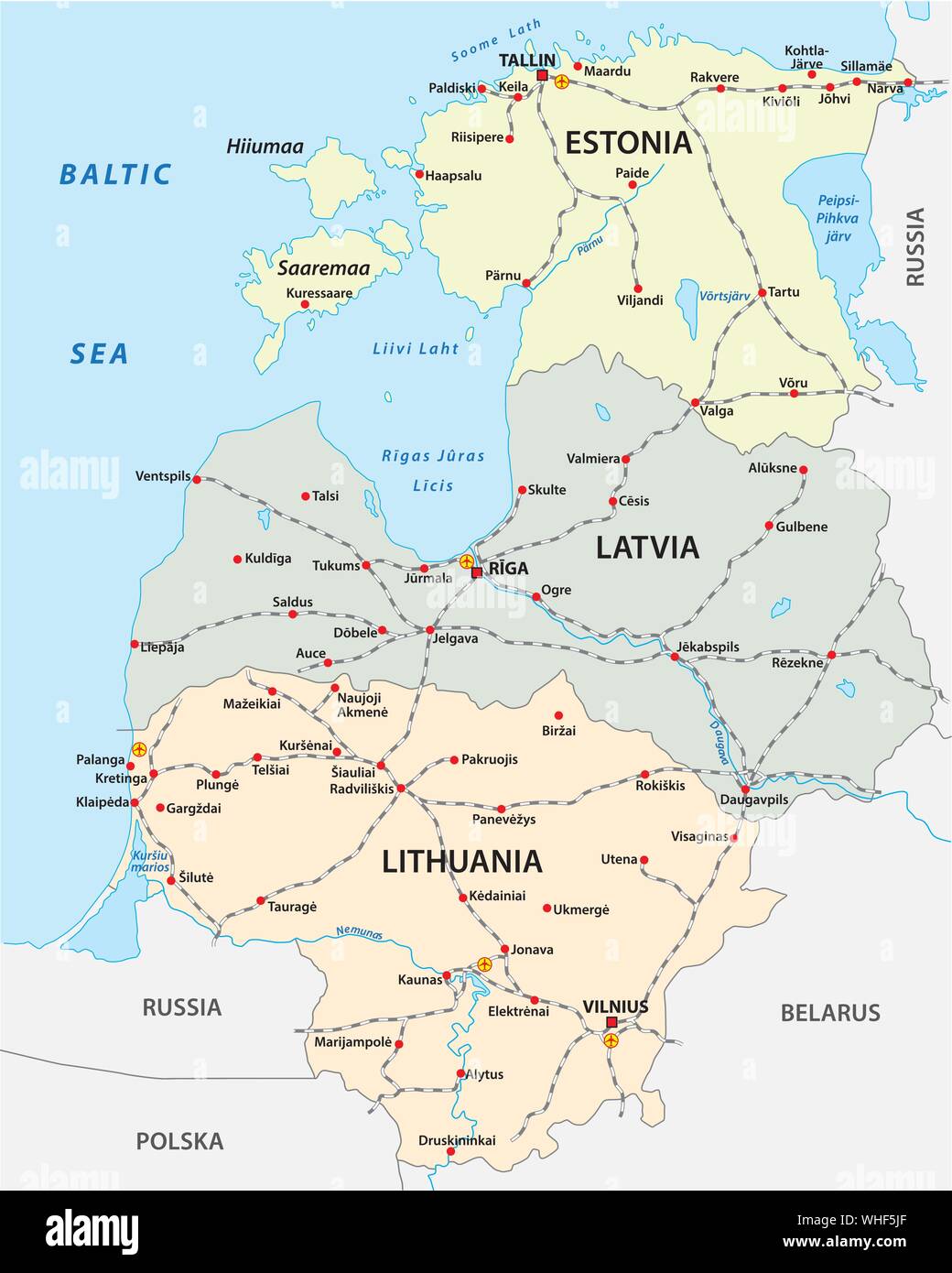 Map of the railroad tracks in the three Baltic states Stock Vectorhttps://www.alamy.com/image-license-details/?v=1https://www.alamy.com/map-of-the-railroad-tracks-in-the-three-baltic-states-image268938391.html
RFWHF5JF–Map of the railroad tracks in the three Baltic states
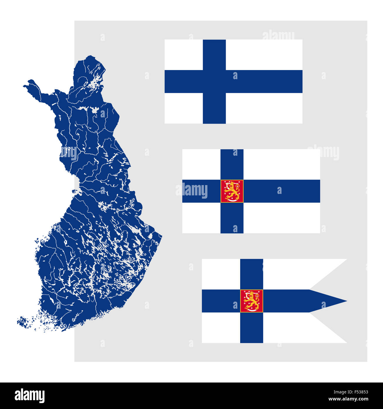 Map of Finland with lakes and rivers and three Finnish flags. Stock Photohttps://www.alamy.com/image-license-details/?v=1https://www.alamy.com/stock-photo-map-of-finland-with-lakes-and-rivers-and-three-finnish-flags-89197391.html
RFF53853–Map of Finland with lakes and rivers and three Finnish flags.
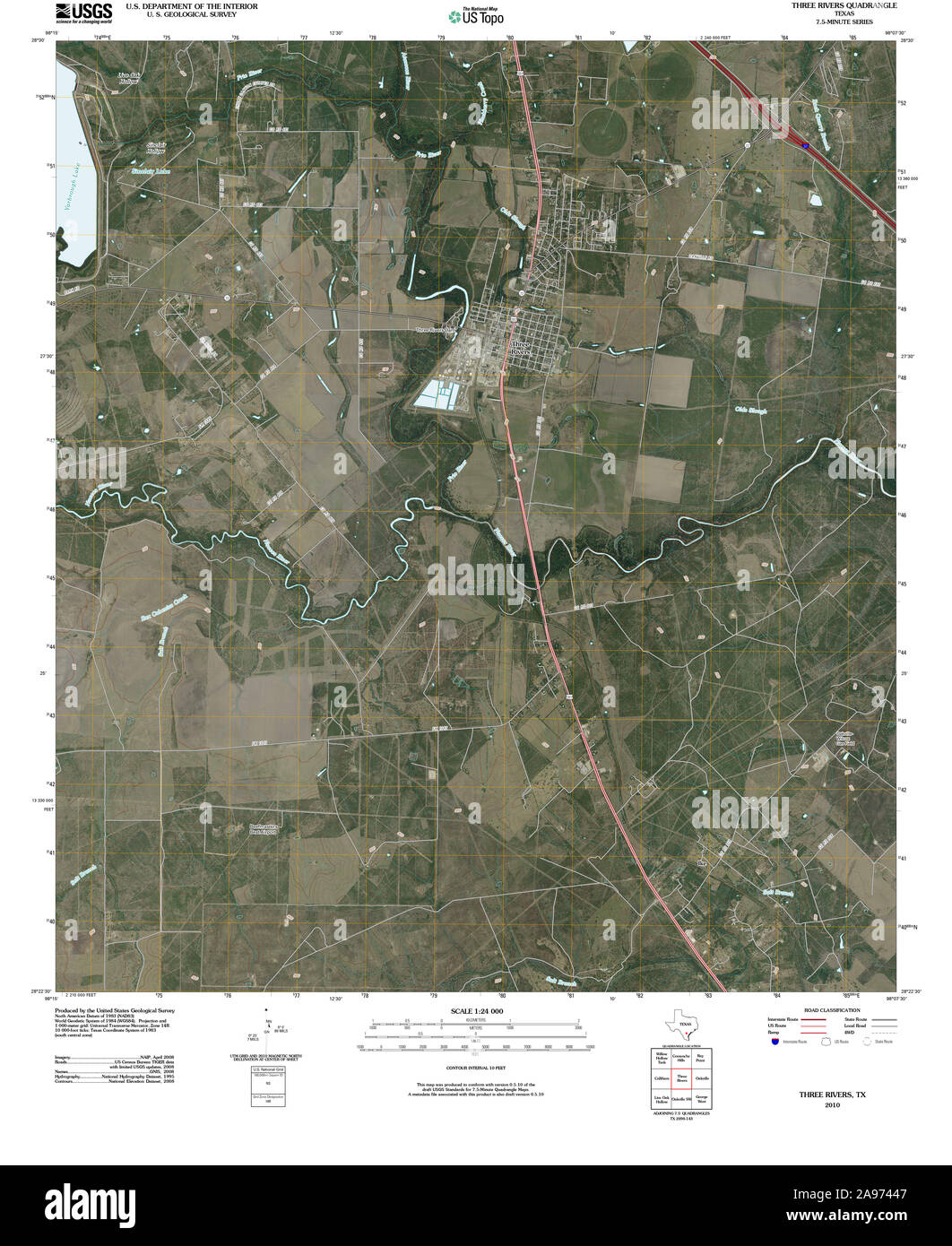 USGS TOPO Map Texas TX Three Rivers 20100524 TM Restoration Stock Photohttps://www.alamy.com/image-license-details/?v=1https://www.alamy.com/usgs-topo-map-texas-tx-three-rivers-20100524-tm-restoration-image332685815.html
RM2A97447–USGS TOPO Map Texas TX Three Rivers 20100524 TM Restoration
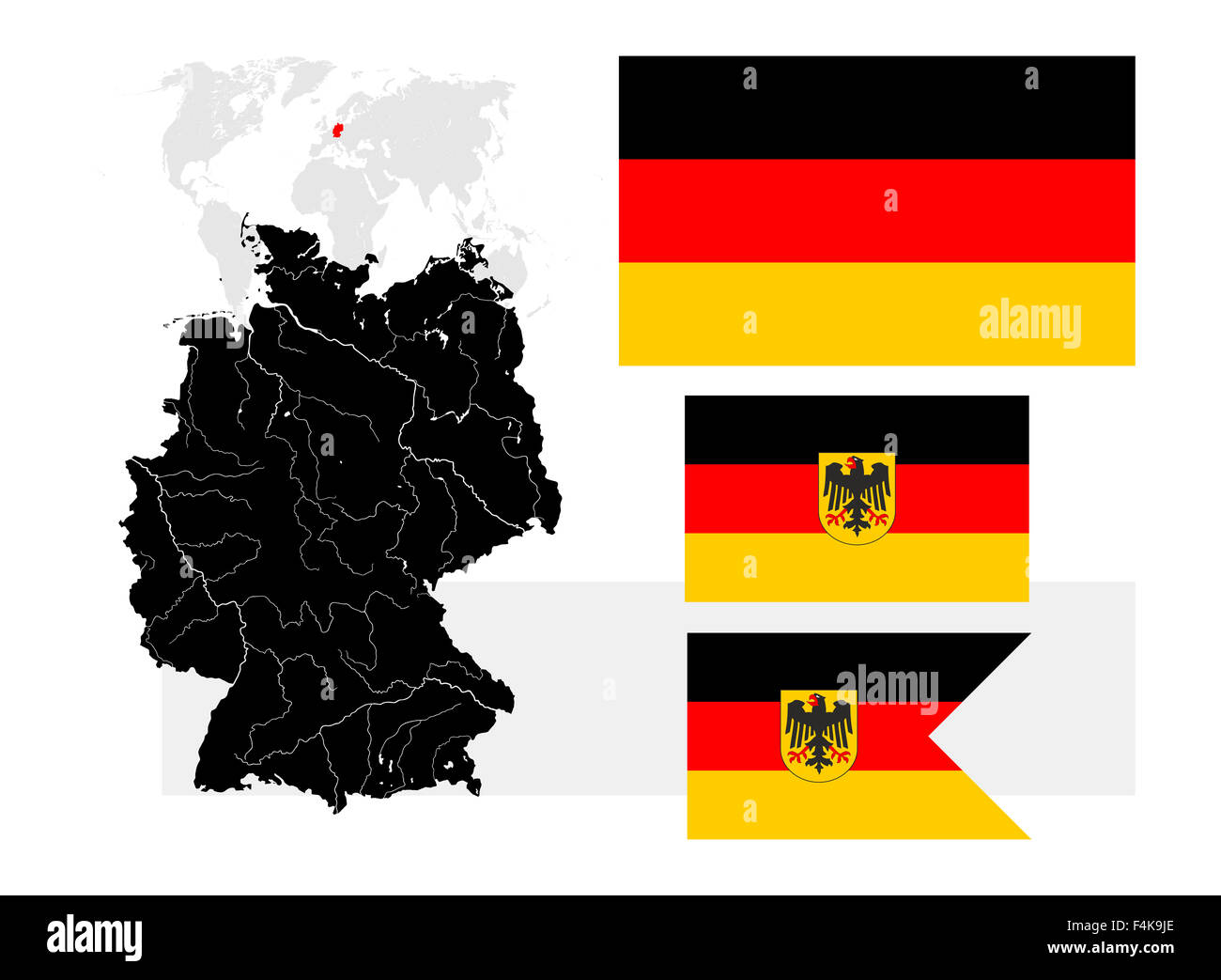 Very detailed map of Germany with lakes and rivers and three German flags Stock Photohttps://www.alamy.com/image-license-details/?v=1https://www.alamy.com/stock-photo-very-detailed-map-of-germany-with-lakes-and-rivers-and-three-german-88935126.html
RFF4K9JE–Very detailed map of Germany with lakes and rivers and three German flags
 Satellite map of Milan, streets and building of area number 3, municipalities number three. Lombardy. Italy Stock Vectorhttps://www.alamy.com/image-license-details/?v=1https://www.alamy.com/satellite-map-of-milan-streets-and-building-of-area-number-3-municipalities-number-three-lombardy-italy-image329595217.html
RF2A46A1N–Satellite map of Milan, streets and building of area number 3, municipalities number three. Lombardy. Italy
 Syria Topographic Map 3d realistic Syria map Color texture and Rivers 3d illustration Stock Photohttps://www.alamy.com/image-license-details/?v=1https://www.alamy.com/syria-topographic-map-3d-realistic-syria-map-color-texture-and-rivers-3d-illustration-image476773185.html
RF2JKJW1N–Syria Topographic Map 3d realistic Syria map Color texture and Rivers 3d illustration
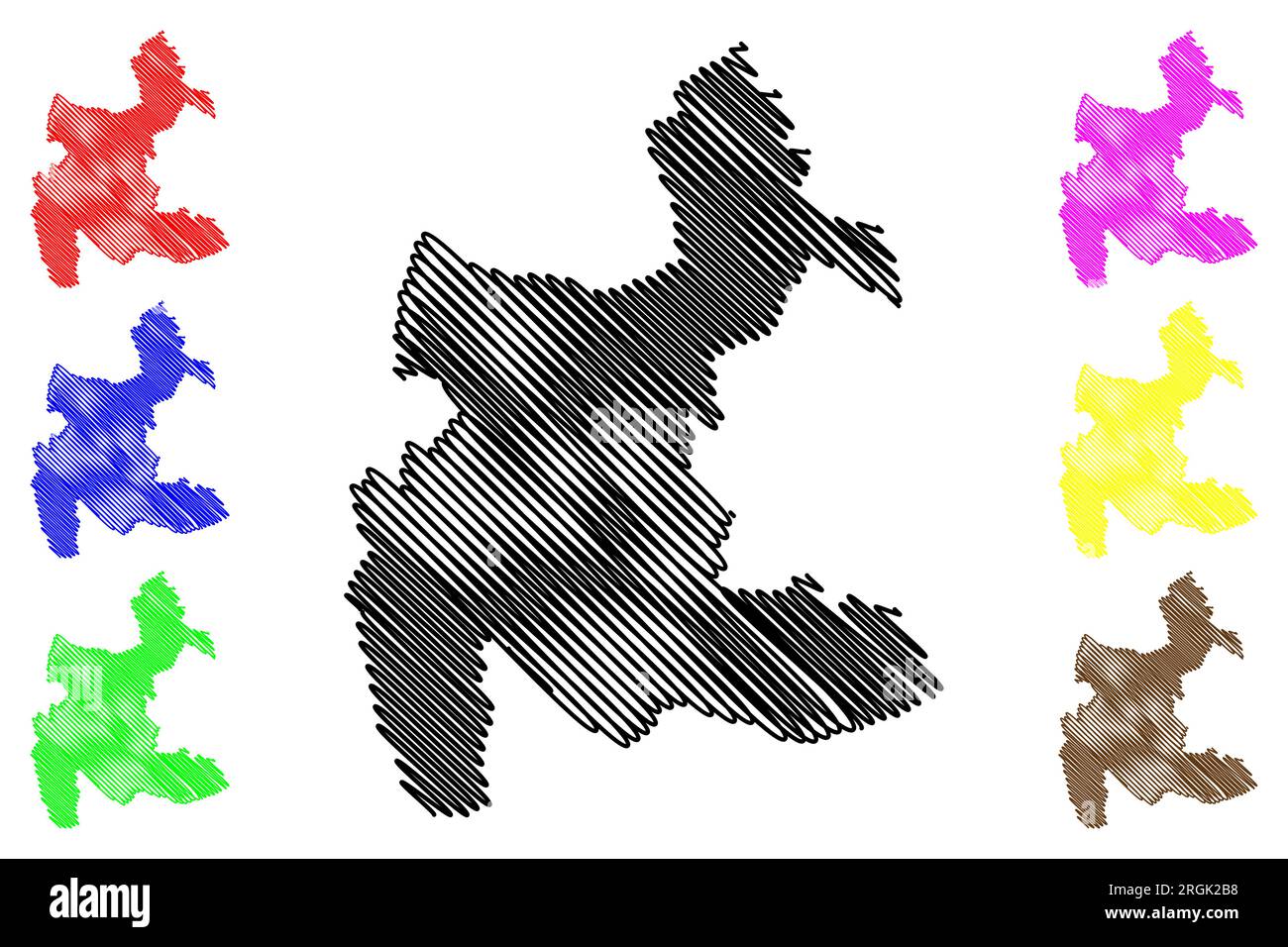 Three Rivers Non-metropolitan district (United Kingdom of Great Britain and Northern Ireland, ceremonial county Hertfordshire or Herts, England) map v Stock Vectorhttps://www.alamy.com/image-license-details/?v=1https://www.alamy.com/three-rivers-non-metropolitan-district-united-kingdom-of-great-britain-and-northern-ireland-ceremonial-county-hertfordshire-or-herts-england-map-v-image560985244.html
RF2RGK2B8–Three Rivers Non-metropolitan district (United Kingdom of Great Britain and Northern Ireland, ceremonial county Hertfordshire or Herts, England) map v
 Three Rivers Creek, , AU, Australia, Tasmania, S 39 53' 34'', N 143 51' 28'', map, Cartascapes Map published in 2024. Explore Cartascapes, a map revealing Earth's diverse landscapes, cultures, and ecosystems. Journey through time and space, discovering the interconnectedness of our planet's past, present, and future. Stock Photohttps://www.alamy.com/image-license-details/?v=1https://www.alamy.com/three-rivers-creek-au-australia-tasmania-s-39-53-34-n-143-51-28-map-cartascapes-map-published-in-2024-explore-cartascapes-a-map-revealing-earths-diverse-landscapes-cultures-and-ecosystems-journey-through-time-and-space-discovering-the-interconnectedness-of-our-planets-past-present-and-future-image625729842.html
RM2YA0CPA–Three Rivers Creek, , AU, Australia, Tasmania, S 39 53' 34'', N 143 51' 28'', map, Cartascapes Map published in 2024. Explore Cartascapes, a map revealing Earth's diverse landscapes, cultures, and ecosystems. Journey through time and space, discovering the interconnectedness of our planet's past, present, and future.
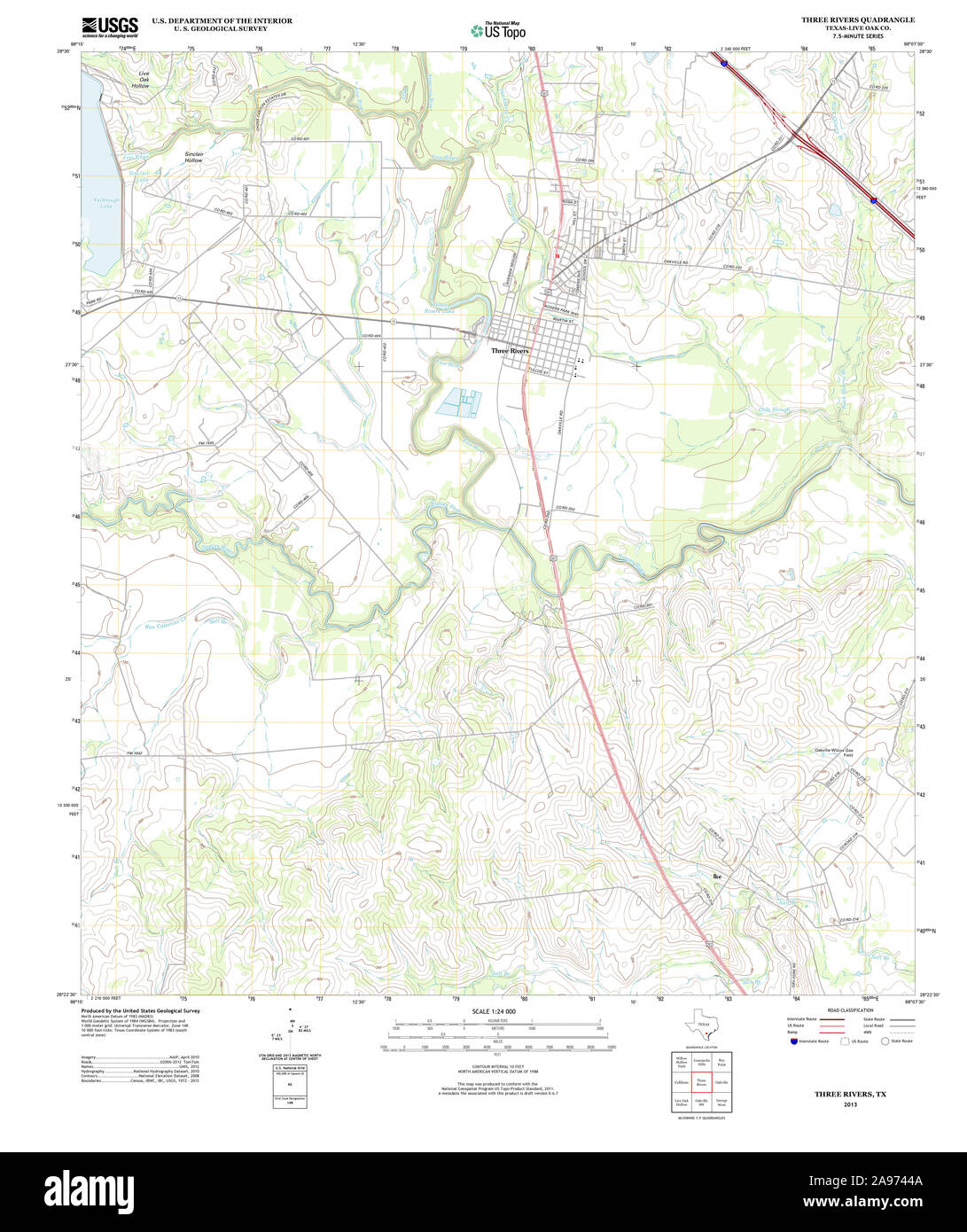 USGS TOPO Map Texas TX Three Rivers 20130115 TM Restoration Stock Photohttps://www.alamy.com/image-license-details/?v=1https://www.alamy.com/usgs-topo-map-texas-tx-three-rivers-20130115-tm-restoration-image332685818.html
RM2A9744A–USGS TOPO Map Texas TX Three Rivers 20130115 TM Restoration
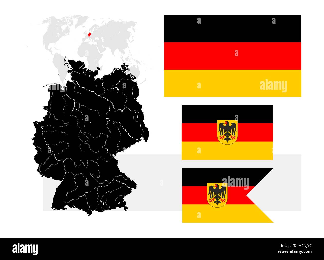 Very detailed map of Germany with lakes and rivers and three German flags - Bundesflagge und Handelsflagge (Civil and state flag, civil ensign, rectan Stock Vectorhttps://www.alamy.com/image-license-details/?v=1https://www.alamy.com/stock-photo-very-detailed-map-of-germany-with-lakes-and-rivers-and-three-german-172579552.html
RFM0NJYC–Very detailed map of Germany with lakes and rivers and three German flags - Bundesflagge und Handelsflagge (Civil and state flag, civil ensign, rectan
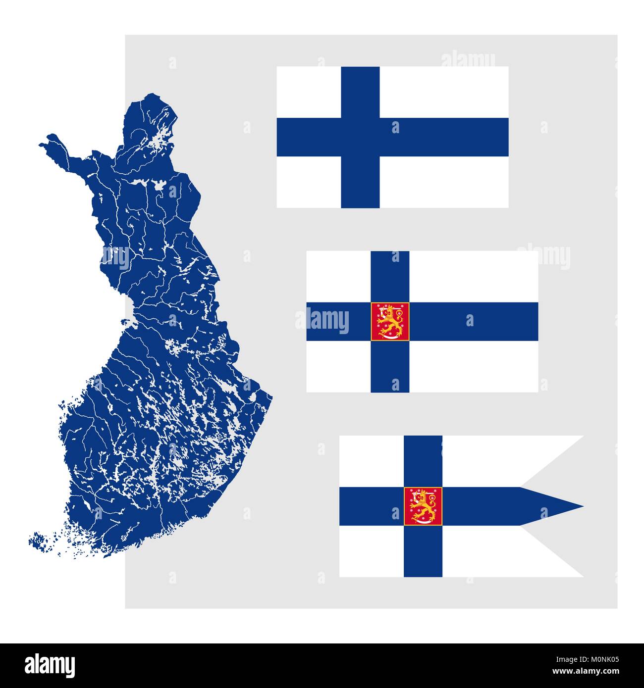 Very detailed map of Finland with lakes and rivers and three Finnish flags - National flag (Civil flag and ensign, rectangle), The State flag (State f Stock Vectorhttps://www.alamy.com/image-license-details/?v=1https://www.alamy.com/stock-photo-very-detailed-map-of-finland-with-lakes-and-rivers-and-three-finnish-172579573.html
RFM0NK05–Very detailed map of Finland with lakes and rivers and three Finnish flags - National flag (Civil flag and ensign, rectangle), The State flag (State f
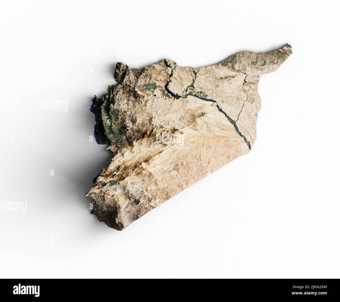 Syria Topographic Map 3d realistic Syria map Color texture and Rivers 3d illustration Stock Photohttps://www.alamy.com/image-license-details/?v=1https://www.alamy.com/syria-topographic-map-3d-realistic-syria-map-color-texture-and-rivers-3d-illustration-image476821148.html
RF2JKN26M–Syria Topographic Map 3d realistic Syria map Color texture and Rivers 3d illustration
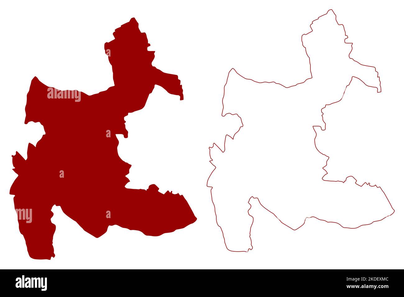 Three Rivers Non-metropolitan district (United Kingdom of Great Britain and Northern Ireland, ceremonial county Hertfordshire or Herts, England) map v Stock Vectorhttps://www.alamy.com/image-license-details/?v=1https://www.alamy.com/three-rivers-non-metropolitan-district-united-kingdom-of-great-britain-and-northern-ireland-ceremonial-county-hertfordshire-or-herts-england-map-v-image490209116.html
RF2KDEXMC–Three Rivers Non-metropolitan district (United Kingdom of Great Britain and Northern Ireland, ceremonial county Hertfordshire or Herts, England) map v
 Three Rivers, Cloncurry, AU, Australia, Queensland, S 19 49' 31'', N 140 9' 42'', map, Cartascapes Map published in 2024. Explore Cartascapes, a map revealing Earth's diverse landscapes, cultures, and ecosystems. Journey through time and space, discovering the interconnectedness of our planet's past, present, and future. Stock Photohttps://www.alamy.com/image-license-details/?v=1https://www.alamy.com/three-rivers-cloncurry-au-australia-queensland-s-19-49-31-n-140-9-42-map-cartascapes-map-published-in-2024-explore-cartascapes-a-map-revealing-earths-diverse-landscapes-cultures-and-ecosystems-journey-through-time-and-space-discovering-the-interconnectedness-of-our-planets-past-present-and-future-image625678354.html
RM2Y9X33E–Three Rivers, Cloncurry, AU, Australia, Queensland, S 19 49' 31'', N 140 9' 42'', map, Cartascapes Map published in 2024. Explore Cartascapes, a map revealing Earth's diverse landscapes, cultures, and ecosystems. Journey through time and space, discovering the interconnectedness of our planet's past, present, and future.
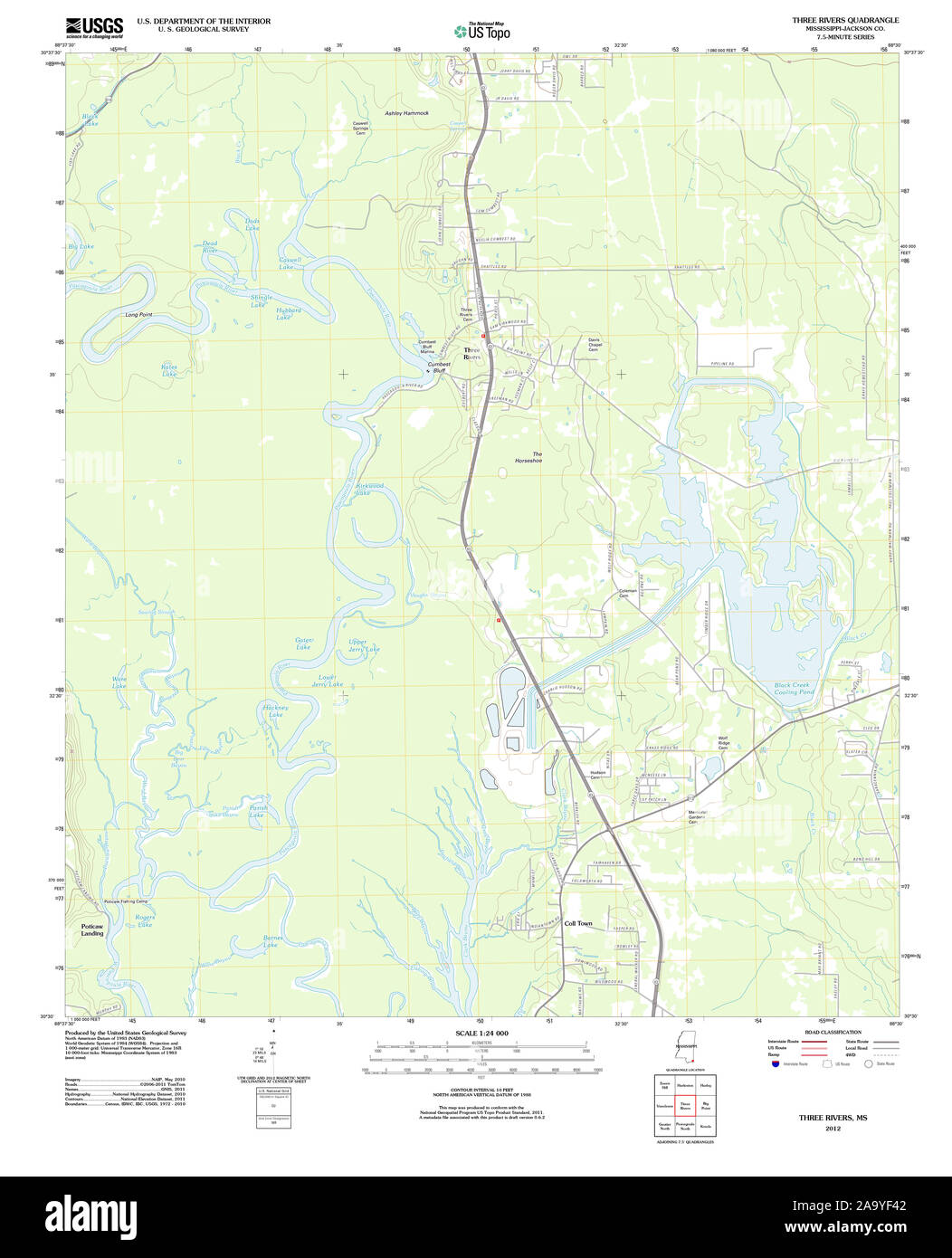 USGS TOPO Map Mississippi MS Three Rivers 20120416 TM Restoration Stock Photohttps://www.alamy.com/image-license-details/?v=1https://www.alamy.com/usgs-topo-map-mississippi-ms-three-rivers-20120416-tm-restoration-image333133474.html
RM2A9YF42–USGS TOPO Map Mississippi MS Three Rivers 20120416 TM Restoration
 Three Rivers Non-metropolitan district (United Kingdom of Great Britain and Northern Ireland, ceremonial county Hertfordshire or Herts, England) map v Stock Vectorhttps://www.alamy.com/image-license-details/?v=1https://www.alamy.com/three-rivers-non-metropolitan-district-united-kingdom-of-great-britain-and-northern-ireland-ceremonial-county-hertfordshire-or-herts-england-map-v-image544574371.html
RF2PHYE4K–Three Rivers Non-metropolitan district (United Kingdom of Great Britain and Northern Ireland, ceremonial county Hertfordshire or Herts, England) map v
 Three Rivers Bay, , AU, Australia, Tasmania, S 39 53' 24'', N 143 50' 24'', map, Cartascapes Map published in 2024. Explore Cartascapes, a map revealing Earth's diverse landscapes, cultures, and ecosystems. Journey through time and space, discovering the interconnectedness of our planet's past, present, and future. Stock Photohttps://www.alamy.com/image-license-details/?v=1https://www.alamy.com/three-rivers-bay-au-australia-tasmania-s-39-53-24-n-143-50-24-map-cartascapes-map-published-in-2024-explore-cartascapes-a-map-revealing-earths-diverse-landscapes-cultures-and-ecosystems-journey-through-time-and-space-discovering-the-interconnectedness-of-our-planets-past-present-and-future-image625398081.html
RM2Y9D9HN–Three Rivers Bay, , AU, Australia, Tasmania, S 39 53' 24'', N 143 50' 24'', map, Cartascapes Map published in 2024. Explore Cartascapes, a map revealing Earth's diverse landscapes, cultures, and ecosystems. Journey through time and space, discovering the interconnectedness of our planet's past, present, and future.
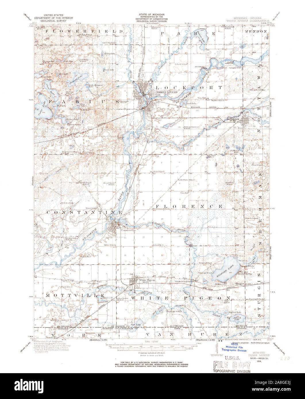 USGS TOPO Map Michigan MI Three Rivers 278551 1914 62500 Stock Photohttps://www.alamy.com/image-license-details/?v=1https://www.alamy.com/usgs-topo-map-michigan-mi-three-rivers-278551-1914-62500-image332276550.html
RM2A8GE3J–USGS TOPO Map Michigan MI Three Rivers 278551 1914 62500
 Three Rivers, Meekatharra, AU, Australia, Western Australia, S 25 7' 30'', N 119 9' 12'', map, Cartascapes Map published in 2024. Explore Cartascapes, a map revealing Earth's diverse landscapes, cultures, and ecosystems. Journey through time and space, discovering the interconnectedness of our planet's past, present, and future. Stock Photohttps://www.alamy.com/image-license-details/?v=1https://www.alamy.com/three-rivers-meekatharra-au-australia-western-australia-s-25-7-30-n-119-9-12-map-cartascapes-map-published-in-2024-explore-cartascapes-a-map-revealing-earths-diverse-landscapes-cultures-and-ecosystems-journey-through-time-and-space-discovering-the-interconnectedness-of-our-planets-past-present-and-future-image625740713.html
RM2YA0XJH–Three Rivers, Meekatharra, AU, Australia, Western Australia, S 25 7' 30'', N 119 9' 12'', map, Cartascapes Map published in 2024. Explore Cartascapes, a map revealing Earth's diverse landscapes, cultures, and ecosystems. Journey through time and space, discovering the interconnectedness of our planet's past, present, and future.
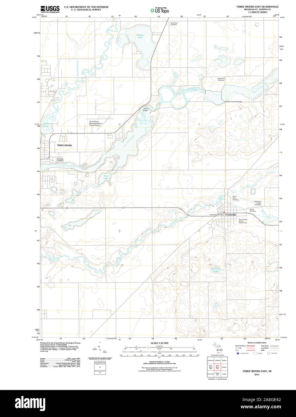 USGS TOPO Map Michigan MI Three Rivers East 20110927 TM Stock Photohttps://www.alamy.com/image-license-details/?v=1https://www.alamy.com/usgs-topo-map-michigan-mi-three-rivers-east-20110927-tm-image332276562.html
RM2A8GE42–USGS TOPO Map Michigan MI Three Rivers East 20110927 TM
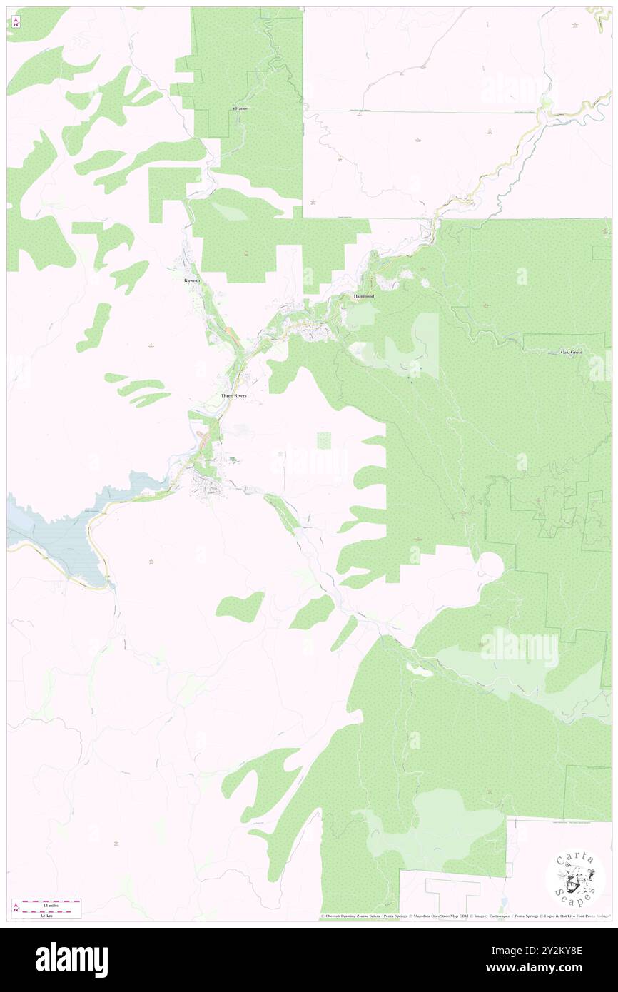 Three Rivers, Tulare County, US, United States, California, N 36 26' 19'', S 118 54' 16'', map, Cartascapes Map published in 2024. Explore Cartascapes, a map revealing Earth's diverse landscapes, cultures, and ecosystems. Journey through time and space, discovering the interconnectedness of our planet's past, present, and future. Stock Photohttps://www.alamy.com/image-license-details/?v=1https://www.alamy.com/three-rivers-tulare-county-us-united-states-california-n-36-26-19-s-118-54-16-map-cartascapes-map-published-in-2024-explore-cartascapes-a-map-revealing-earths-diverse-landscapes-cultures-and-ecosystems-journey-through-time-and-space-discovering-the-interconnectedness-of-our-planets-past-present-and-future-image621241054.html
RM2Y2KY8E–Three Rivers, Tulare County, US, United States, California, N 36 26' 19'', S 118 54' 16'', map, Cartascapes Map published in 2024. Explore Cartascapes, a map revealing Earth's diverse landscapes, cultures, and ecosystems. Journey through time and space, discovering the interconnectedness of our planet's past, present, and future.
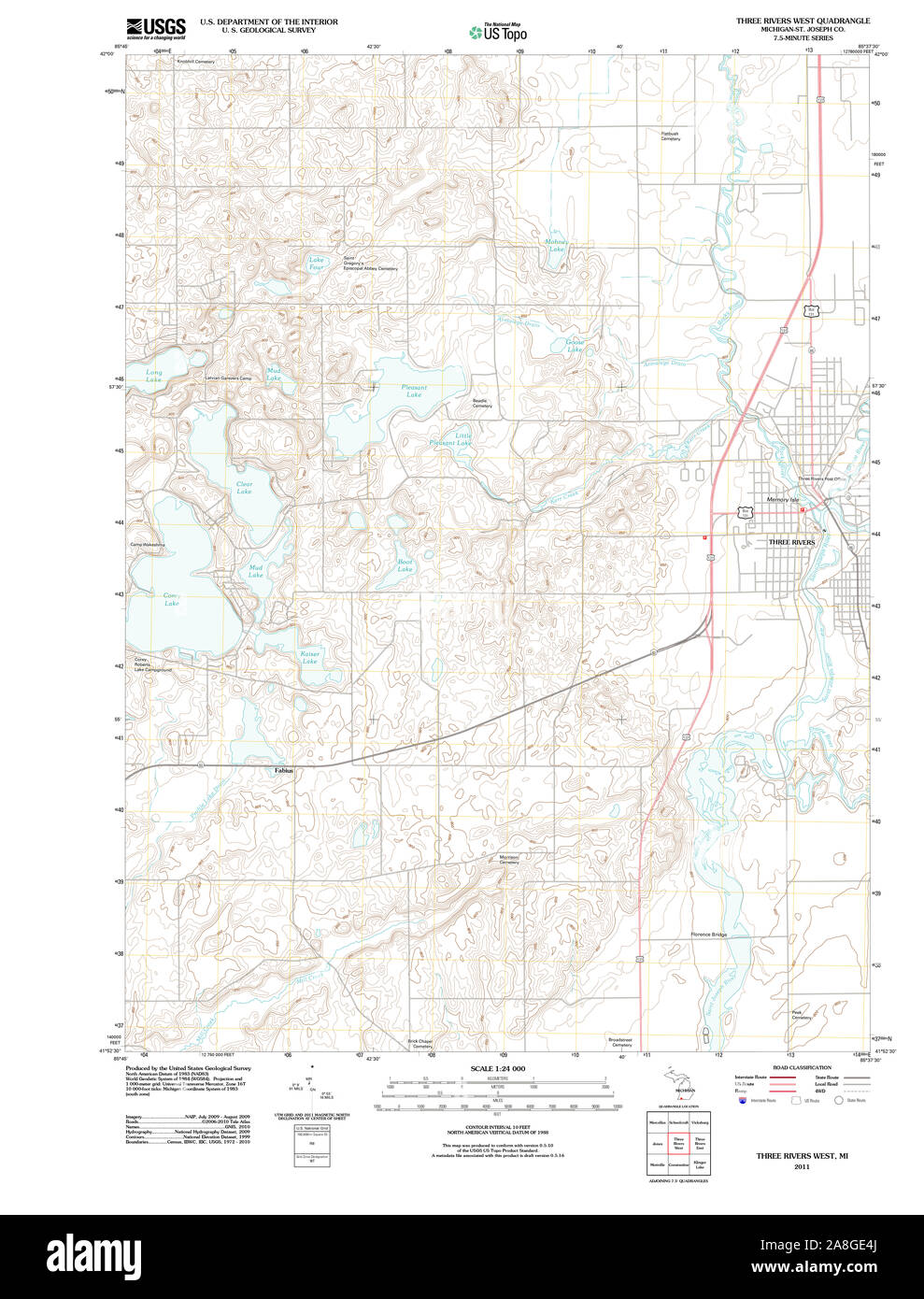 USGS TOPO Map Michigan MI Three Rivers West 20110920 TM Stock Photohttps://www.alamy.com/image-license-details/?v=1https://www.alamy.com/usgs-topo-map-michigan-mi-three-rivers-west-20110920-tm-image332276578.html
RM2A8GE4J–USGS TOPO Map Michigan MI Three Rivers West 20110920 TM
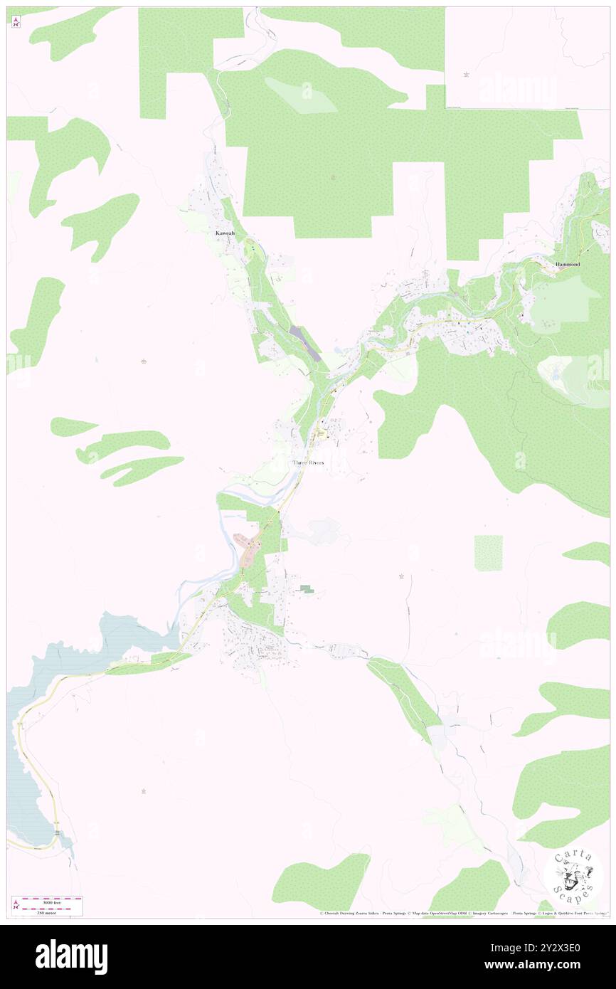 Three Rivers, Tulare County, US, United States, California, N 36 26' 19'', S 118 54' 16'', map, Cartascapes Map published in 2024. Explore Cartascapes, a map revealing Earth's diverse landscapes, cultures, and ecosystems. Journey through time and space, discovering the interconnectedness of our planet's past, present, and future. Stock Photohttps://www.alamy.com/image-license-details/?v=1https://www.alamy.com/three-rivers-tulare-county-us-united-states-california-n-36-26-19-s-118-54-16-map-cartascapes-map-published-in-2024-explore-cartascapes-a-map-revealing-earths-diverse-landscapes-cultures-and-ecosystems-journey-through-time-and-space-discovering-the-interconnectedness-of-our-planets-past-present-and-future-image621376056.html
RM2Y2X3E0–Three Rivers, Tulare County, US, United States, California, N 36 26' 19'', S 118 54' 16'', map, Cartascapes Map published in 2024. Explore Cartascapes, a map revealing Earth's diverse landscapes, cultures, and ecosystems. Journey through time and space, discovering the interconnectedness of our planet's past, present, and future.
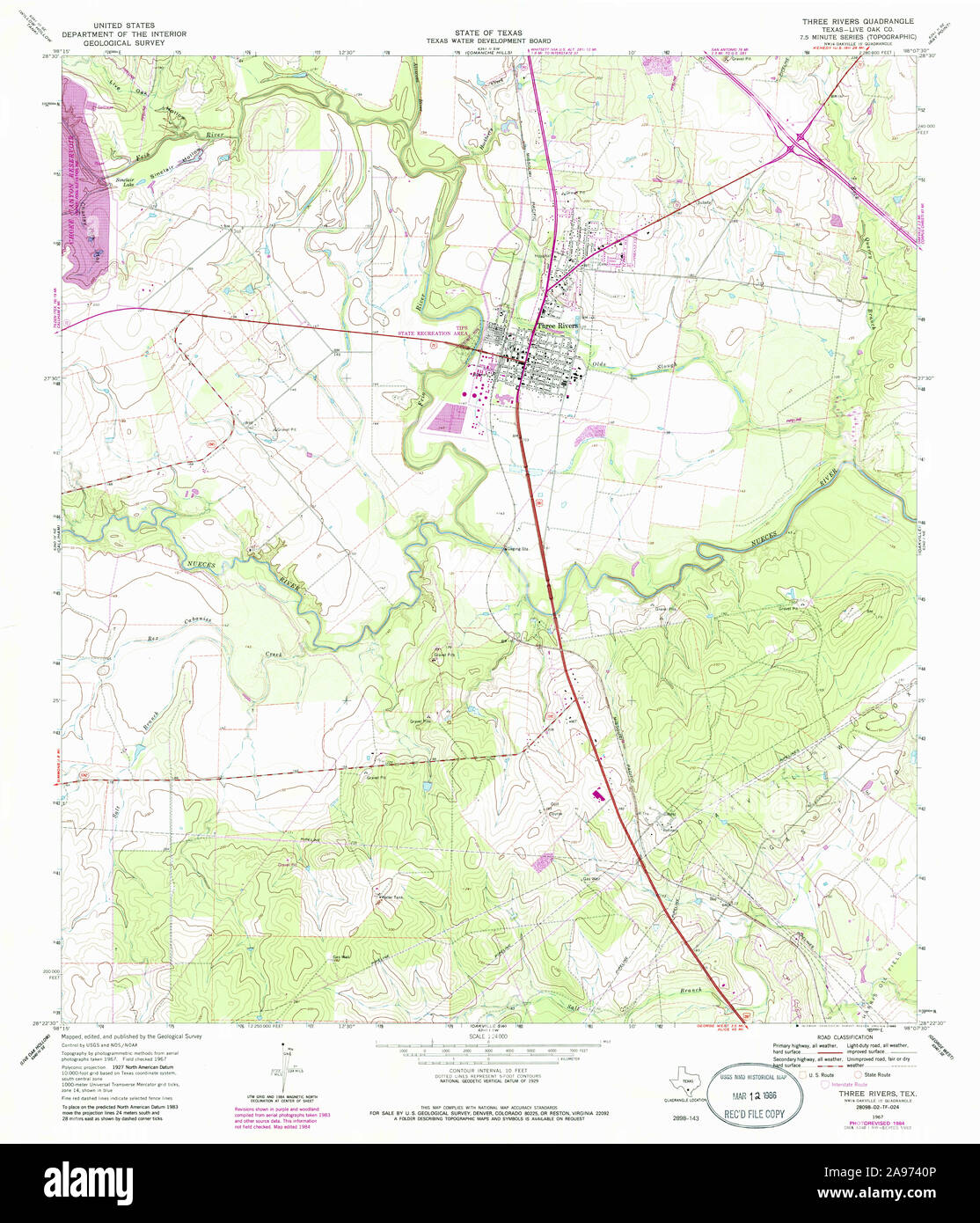 USGS TOPO Map Texas TX Three Rivers 123501 1967 24000 Restoration Stock Photohttps://www.alamy.com/image-license-details/?v=1https://www.alamy.com/usgs-topo-map-texas-tx-three-rivers-123501-1967-24000-restoration-image332685718.html
RM2A9740P–USGS TOPO Map Texas TX Three Rivers 123501 1967 24000 Restoration
 Three Rivers, Hampden County, US, United States, Massachusetts, N 42 10' 40'', S 72 22' 7'', map, Cartascapes Map published in 2024. Explore Cartascapes, a map revealing Earth's diverse landscapes, cultures, and ecosystems. Journey through time and space, discovering the interconnectedness of our planet's past, present, and future. Stock Photohttps://www.alamy.com/image-license-details/?v=1https://www.alamy.com/three-rivers-hampden-county-us-united-states-massachusetts-n-42-10-40-s-72-22-7-map-cartascapes-map-published-in-2024-explore-cartascapes-a-map-revealing-earths-diverse-landscapes-cultures-and-ecosystems-journey-through-time-and-space-discovering-the-interconnectedness-of-our-planets-past-present-and-future-image621422188.html
RM2Y3069G–Three Rivers, Hampden County, US, United States, Massachusetts, N 42 10' 40'', S 72 22' 7'', map, Cartascapes Map published in 2024. Explore Cartascapes, a map revealing Earth's diverse landscapes, cultures, and ecosystems. Journey through time and space, discovering the interconnectedness of our planet's past, present, and future.
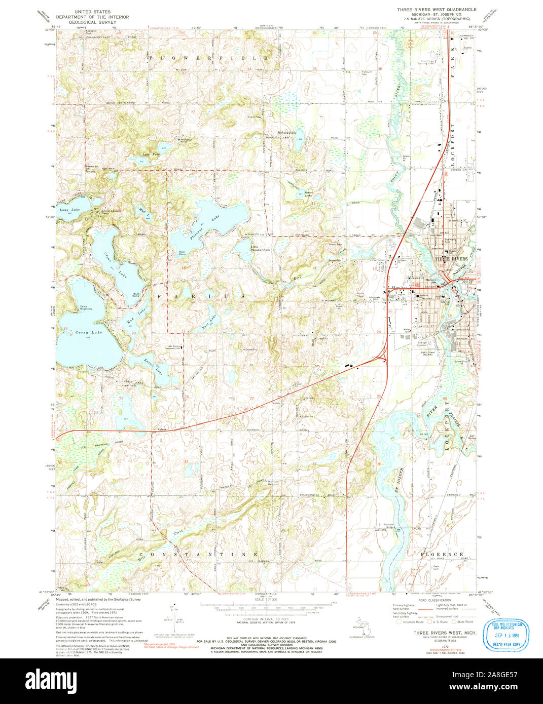 USGS TOPO Map Michigan MI Three Rivers West 277392 1972 24000 Stock Photohttps://www.alamy.com/image-license-details/?v=1https://www.alamy.com/usgs-topo-map-michigan-mi-three-rivers-west-277392-1972-24000-image332276595.html
RM2A8GE57–USGS TOPO Map Michigan MI Three Rivers West 277392 1972 24000
 Three Rivers, Jackson County, US, United States, Mississippi, N 30 35' 12'', S 88 33' 45'', map, Cartascapes Map published in 2024. Explore Cartascapes, a map revealing Earth's diverse landscapes, cultures, and ecosystems. Journey through time and space, discovering the interconnectedness of our planet's past, present, and future. Stock Photohttps://www.alamy.com/image-license-details/?v=1https://www.alamy.com/three-rivers-jackson-county-us-united-states-mississippi-n-30-35-12-s-88-33-45-map-cartascapes-map-published-in-2024-explore-cartascapes-a-map-revealing-earths-diverse-landscapes-cultures-and-ecosystems-journey-through-time-and-space-discovering-the-interconnectedness-of-our-planets-past-present-and-future-image621206357.html
RM2Y2JB19–Three Rivers, Jackson County, US, United States, Mississippi, N 30 35' 12'', S 88 33' 45'', map, Cartascapes Map published in 2024. Explore Cartascapes, a map revealing Earth's diverse landscapes, cultures, and ecosystems. Journey through time and space, discovering the interconnectedness of our planet's past, present, and future.
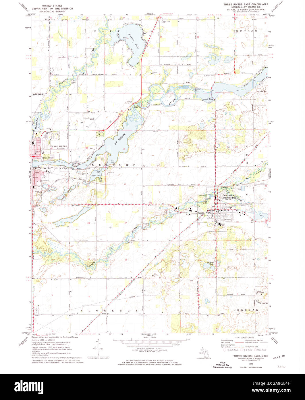 USGS TOPO Map Michigan MI Three Rivers East 277389 1972 24000 Stock Photohttps://www.alamy.com/image-license-details/?v=1https://www.alamy.com/usgs-topo-map-michigan-mi-three-rivers-east-277389-1972-24000-image332276577.html
RM2A8GE4H–USGS TOPO Map Michigan MI Three Rivers East 277389 1972 24000
 Three Rivers, Deschutes County, US, United States, Oregon, N 43 49' 12'', S 121 28' 9'', map, Cartascapes Map published in 2024. Explore Cartascapes, a map revealing Earth's diverse landscapes, cultures, and ecosystems. Journey through time and space, discovering the interconnectedness of our planet's past, present, and future. Stock Photohttps://www.alamy.com/image-license-details/?v=1https://www.alamy.com/three-rivers-deschutes-county-us-united-states-oregon-n-43-49-12-s-121-28-9-map-cartascapes-map-published-in-2024-explore-cartascapes-a-map-revealing-earths-diverse-landscapes-cultures-and-ecosystems-journey-through-time-and-space-discovering-the-interconnectedness-of-our-planets-past-present-and-future-image621158180.html
RM2Y2G5GM–Three Rivers, Deschutes County, US, United States, Oregon, N 43 49' 12'', S 121 28' 9'', map, Cartascapes Map published in 2024. Explore Cartascapes, a map revealing Earth's diverse landscapes, cultures, and ecosystems. Journey through time and space, discovering the interconnectedness of our planet's past, present, and future.
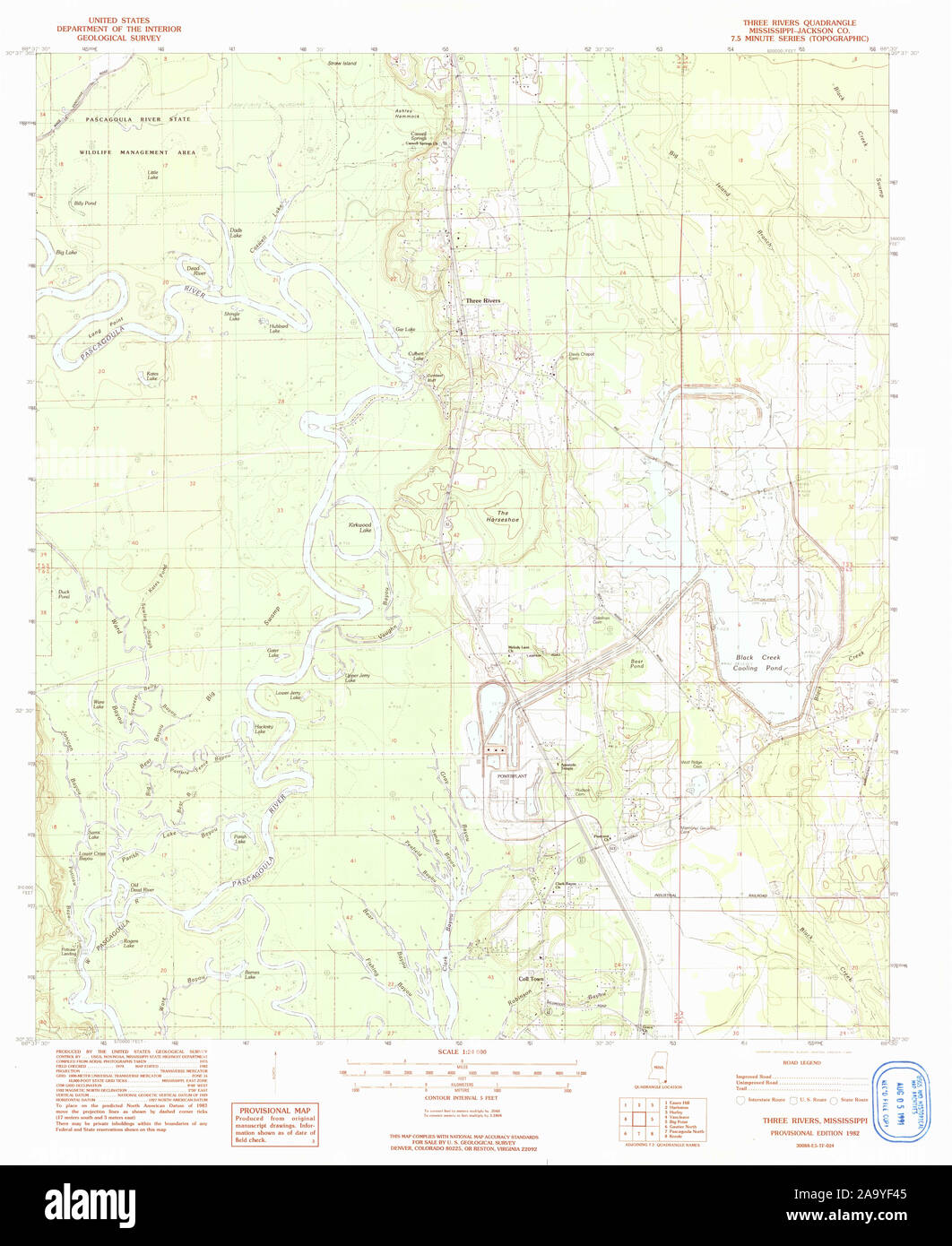 USGS TOPO Map Mississippi MS Three Rivers 336563 1982 24000 Restoration Stock Photohttps://www.alamy.com/image-license-details/?v=1https://www.alamy.com/usgs-topo-map-mississippi-ms-three-rivers-336563-1982-24000-restoration-image333133477.html
RM2A9YF45–USGS TOPO Map Mississippi MS Three Rivers 336563 1982 24000 Restoration
 Three Rivers, Deschutes County, US, United States, Oregon, N 43 49' 12'', S 121 28' 9'', map, Cartascapes Map published in 2024. Explore Cartascapes, a map revealing Earth's diverse landscapes, cultures, and ecosystems. Journey through time and space, discovering the interconnectedness of our planet's past, present, and future. Stock Photohttps://www.alamy.com/image-license-details/?v=1https://www.alamy.com/three-rivers-deschutes-county-us-united-states-oregon-n-43-49-12-s-121-28-9-map-cartascapes-map-published-in-2024-explore-cartascapes-a-map-revealing-earths-diverse-landscapes-cultures-and-ecosystems-journey-through-time-and-space-discovering-the-interconnectedness-of-our-planets-past-present-and-future-image621362831.html
RM2Y2WEHK–Three Rivers, Deschutes County, US, United States, Oregon, N 43 49' 12'', S 121 28' 9'', map, Cartascapes Map published in 2024. Explore Cartascapes, a map revealing Earth's diverse landscapes, cultures, and ecosystems. Journey through time and space, discovering the interconnectedness of our planet's past, present, and future.
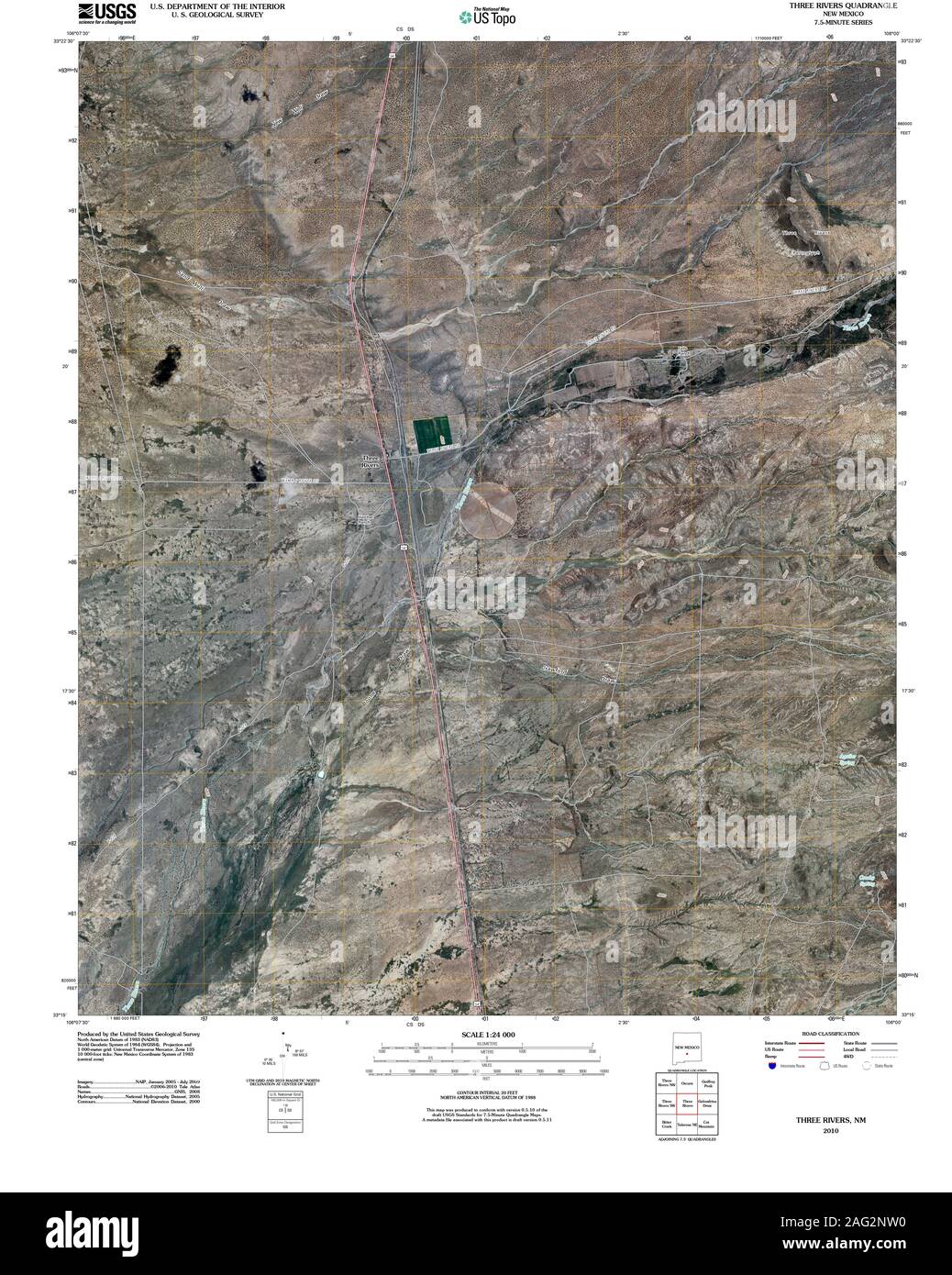 USGS TOPO Map New Mexico NM Three Rivers 20100909 TM Restoration Stock Photohttps://www.alamy.com/image-license-details/?v=1https://www.alamy.com/usgs-topo-map-new-mexico-nm-three-rivers-20100909-tm-restoration-image336892556.html
RM2AG2NW0–USGS TOPO Map New Mexico NM Three Rivers 20100909 TM Restoration
 Three Rivers, Live Oak County, US, United States, Texas, N 28 27' 36'', S 98 10' 57'', map, Cartascapes Map published in 2024. Explore Cartascapes, a map revealing Earth's diverse landscapes, cultures, and ecosystems. Journey through time and space, discovering the interconnectedness of our planet's past, present, and future. Stock Photohttps://www.alamy.com/image-license-details/?v=1https://www.alamy.com/three-rivers-live-oak-county-us-united-states-texas-n-28-27-36-s-98-10-57-map-cartascapes-map-published-in-2024-explore-cartascapes-a-map-revealing-earths-diverse-landscapes-cultures-and-ecosystems-journey-through-time-and-space-discovering-the-interconnectedness-of-our-planets-past-present-and-future-image621239493.html
RM2Y2KW8N–Three Rivers, Live Oak County, US, United States, Texas, N 28 27' 36'', S 98 10' 57'', map, Cartascapes Map published in 2024. Explore Cartascapes, a map revealing Earth's diverse landscapes, cultures, and ecosystems. Journey through time and space, discovering the interconnectedness of our planet's past, present, and future.
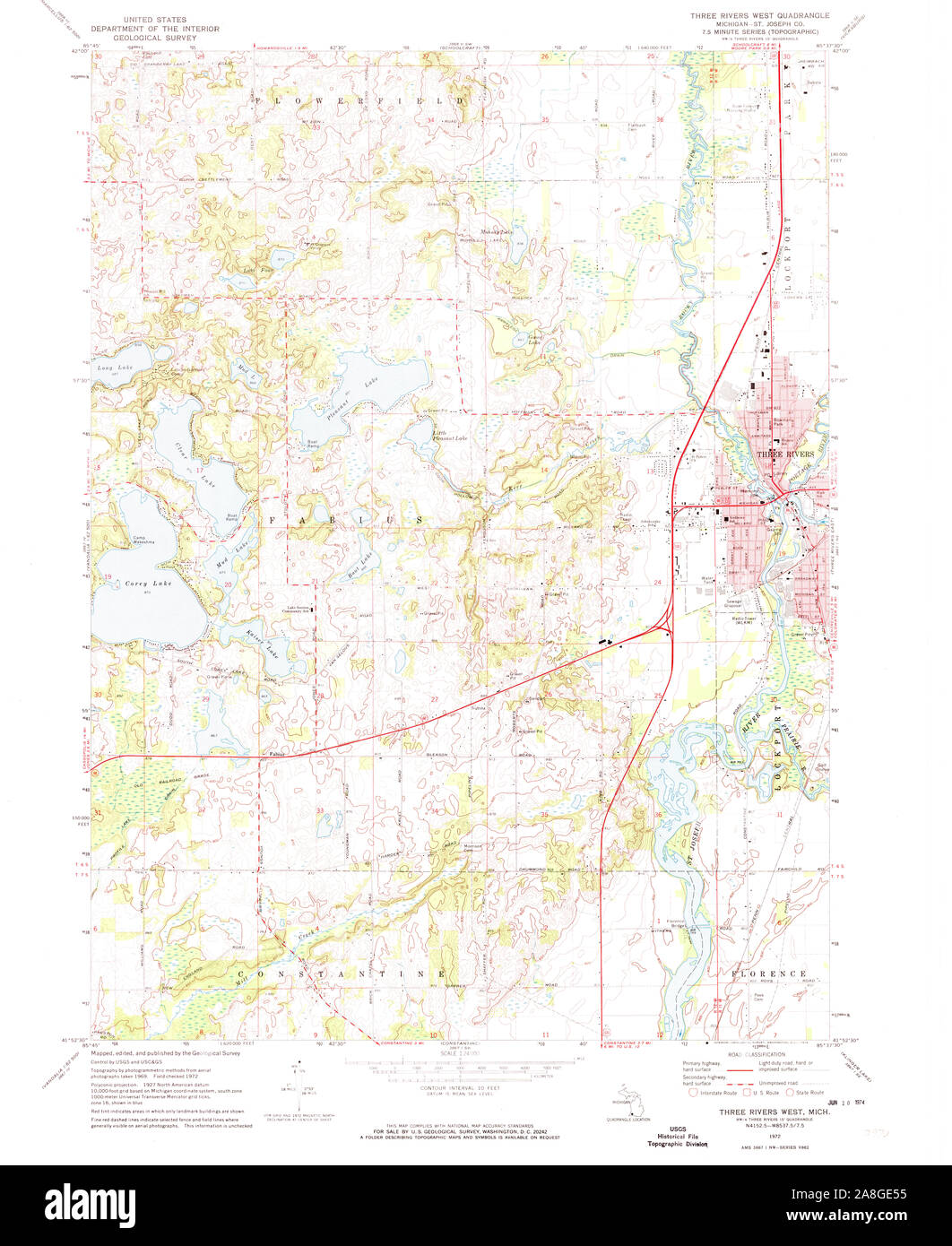 USGS TOPO Map Michigan MI Three Rivers West 277391 1972 24000 Stock Photohttps://www.alamy.com/image-license-details/?v=1https://www.alamy.com/usgs-topo-map-michigan-mi-three-rivers-west-277391-1972-24000-image332276593.html
RM2A8GE55–USGS TOPO Map Michigan MI Three Rivers West 277391 1972 24000
 Woodlake-Three Rivers, Tulare County, US, United States, California, N 36 33' 43'', S 118 48' 24'', map, Cartascapes Map published in 2024. Explore Cartascapes, a map revealing Earth's diverse landscapes, cultures, and ecosystems. Journey through time and space, discovering the interconnectedness of our planet's past, present, and future. Stock Photohttps://www.alamy.com/image-license-details/?v=1https://www.alamy.com/woodlake-three-rivers-tulare-county-us-united-states-california-n-36-33-43-s-118-48-24-map-cartascapes-map-published-in-2024-explore-cartascapes-a-map-revealing-earths-diverse-landscapes-cultures-and-ecosystems-journey-through-time-and-space-discovering-the-interconnectedness-of-our-planets-past-present-and-future-image621302879.html
RM2Y2PP4F–Woodlake-Three Rivers, Tulare County, US, United States, California, N 36 33' 43'', S 118 48' 24'', map, Cartascapes Map published in 2024. Explore Cartascapes, a map revealing Earth's diverse landscapes, cultures, and ecosystems. Journey through time and space, discovering the interconnectedness of our planet's past, present, and future.
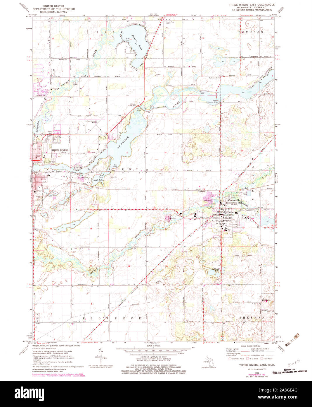 USGS TOPO Map Michigan MI Three Rivers East 277390 1972 24000 Stock Photohttps://www.alamy.com/image-license-details/?v=1https://www.alamy.com/usgs-topo-map-michigan-mi-three-rivers-east-277390-1972-24000-image332276576.html
RM2A8GE4G–USGS TOPO Map Michigan MI Three Rivers East 277390 1972 24000
 Three Rivers, Live Oak County, US, United States, Texas, N 28 27' 36'', S 98 10' 57'', map, Cartascapes Map published in 2024. Explore Cartascapes, a map revealing Earth's diverse landscapes, cultures, and ecosystems. Journey through time and space, discovering the interconnectedness of our planet's past, present, and future. Stock Photohttps://www.alamy.com/image-license-details/?v=1https://www.alamy.com/three-rivers-live-oak-county-us-united-states-texas-n-28-27-36-s-98-10-57-map-cartascapes-map-published-in-2024-explore-cartascapes-a-map-revealing-earths-diverse-landscapes-cultures-and-ecosystems-journey-through-time-and-space-discovering-the-interconnectedness-of-our-planets-past-present-and-future-image621384820.html
RM2Y2XEK0–Three Rivers, Live Oak County, US, United States, Texas, N 28 27' 36'', S 98 10' 57'', map, Cartascapes Map published in 2024. Explore Cartascapes, a map revealing Earth's diverse landscapes, cultures, and ecosystems. Journey through time and space, discovering the interconnectedness of our planet's past, present, and future.
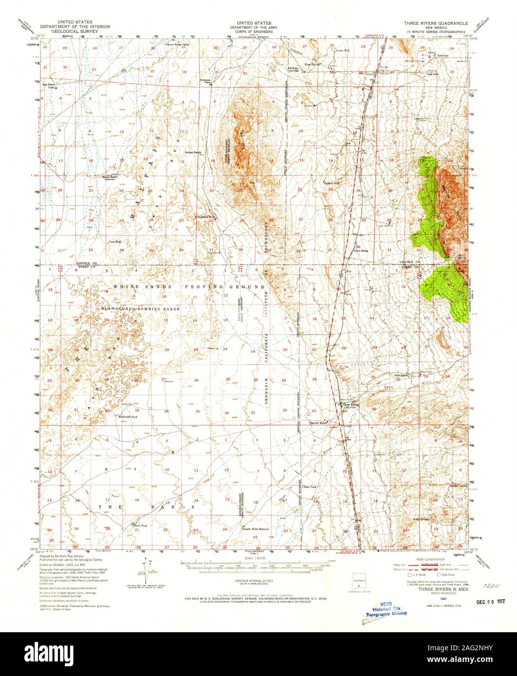 USGS TOPO Map New Mexico NM Three Rivers 193286 1947 62500 Restoration Stock Photohttps://www.alamy.com/image-license-details/?v=1https://www.alamy.com/usgs-topo-map-new-mexico-nm-three-rivers-193286-1947-62500-restoration-image336892359.html
RM2AG2NHY–USGS TOPO Map New Mexico NM Three Rivers 193286 1947 62500 Restoration
 Three Rivers, Saint Joseph County, US, United States, Michigan, N 41 56' 38'', S 85 37' 56'', map, Cartascapes Map published in 2024. Explore Cartascapes, a map revealing Earth's diverse landscapes, cultures, and ecosystems. Journey through time and space, discovering the interconnectedness of our planet's past, present, and future. Stock Photohttps://www.alamy.com/image-license-details/?v=1https://www.alamy.com/three-rivers-saint-joseph-county-us-united-states-michigan-n-41-56-38-s-85-37-56-map-cartascapes-map-published-in-2024-explore-cartascapes-a-map-revealing-earths-diverse-landscapes-cultures-and-ecosystems-journey-through-time-and-space-discovering-the-interconnectedness-of-our-planets-past-present-and-future-image621459839.html
RM2Y31XA7–Three Rivers, Saint Joseph County, US, United States, Michigan, N 41 56' 38'', S 85 37' 56'', map, Cartascapes Map published in 2024. Explore Cartascapes, a map revealing Earth's diverse landscapes, cultures, and ecosystems. Journey through time and space, discovering the interconnectedness of our planet's past, present, and future.
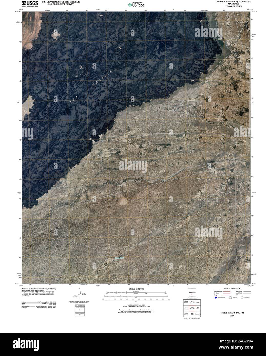 USGS TOPO Map New Mexico NM Three Rivers SW 20100909 TM Restoration Stock Photohttps://www.alamy.com/image-license-details/?v=1https://www.alamy.com/usgs-topo-map-new-mexico-nm-three-rivers-sw-20100909-tm-restoration-image336892874.html
RM2AG2P8A–USGS TOPO Map New Mexico NM Three Rivers SW 20100909 TM Restoration
 Three Rivers, Onondaga County, US, United States, New York, N 43 12' 3'', S 76 16' 40'', map, Cartascapes Map published in 2024. Explore Cartascapes, a map revealing Earth's diverse landscapes, cultures, and ecosystems. Journey through time and space, discovering the interconnectedness of our planet's past, present, and future. Stock Photohttps://www.alamy.com/image-license-details/?v=1https://www.alamy.com/three-rivers-onondaga-county-us-united-states-new-york-n-43-12-3-s-76-16-40-map-cartascapes-map-published-in-2024-explore-cartascapes-a-map-revealing-earths-diverse-landscapes-cultures-and-ecosystems-journey-through-time-and-space-discovering-the-interconnectedness-of-our-planets-past-present-and-future-image621400500.html
RM2Y2Y6K0–Three Rivers, Onondaga County, US, United States, New York, N 43 12' 3'', S 76 16' 40'', map, Cartascapes Map published in 2024. Explore Cartascapes, a map revealing Earth's diverse landscapes, cultures, and ecosystems. Journey through time and space, discovering the interconnectedness of our planet's past, present, and future.
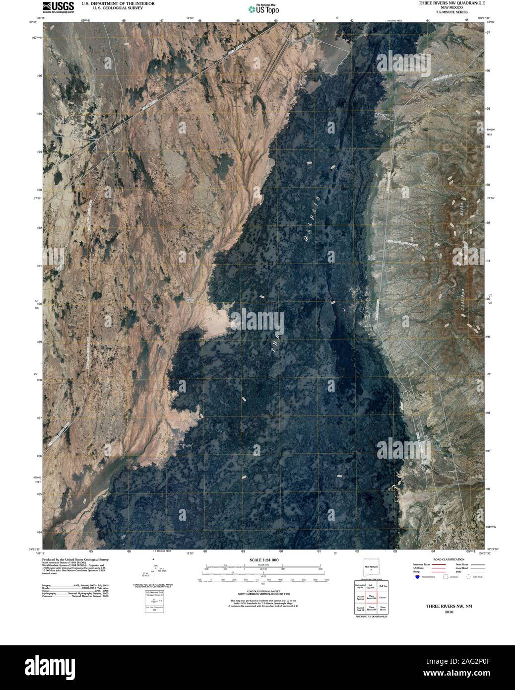 USGS TOPO Map New Mexico NM Three Rivers NW 20100915 TM Restoration Stock Photohttps://www.alamy.com/image-license-details/?v=1https://www.alamy.com/usgs-topo-map-new-mexico-nm-three-rivers-nw-20100915-tm-restoration-image336892655.html
RM2AG2P0F–USGS TOPO Map New Mexico NM Three Rivers NW 20100915 TM Restoration
 Three Rivers, Otero County, US, United States, New Mexico, N 33 19' 17'', S 106 4' 29'', map, Cartascapes Map published in 2024. Explore Cartascapes, a map revealing Earth's diverse landscapes, cultures, and ecosystems. Journey through time and space, discovering the interconnectedness of our planet's past, present, and future. Stock Photohttps://www.alamy.com/image-license-details/?v=1https://www.alamy.com/three-rivers-otero-county-us-united-states-new-mexico-n-33-19-17-s-106-4-29-map-cartascapes-map-published-in-2024-explore-cartascapes-a-map-revealing-earths-diverse-landscapes-cultures-and-ecosystems-journey-through-time-and-space-discovering-the-interconnectedness-of-our-planets-past-present-and-future-image621213311.html
RM2Y2JKWK–Three Rivers, Otero County, US, United States, New Mexico, N 33 19' 17'', S 106 4' 29'', map, Cartascapes Map published in 2024. Explore Cartascapes, a map revealing Earth's diverse landscapes, cultures, and ecosystems. Journey through time and space, discovering the interconnectedness of our planet's past, present, and future.
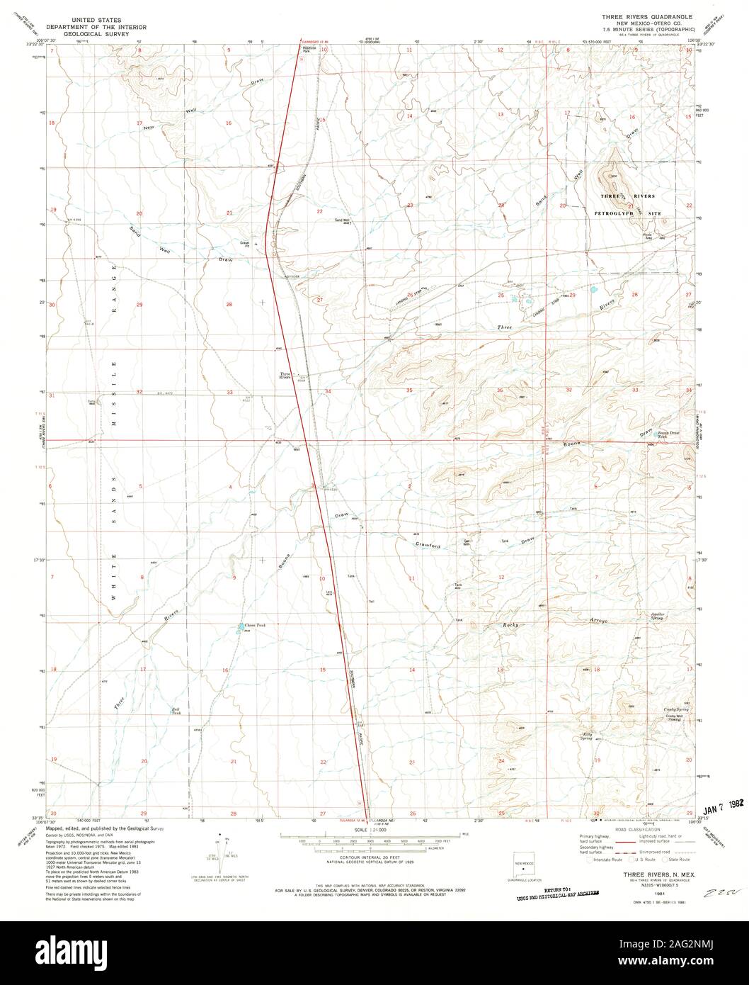 USGS TOPO Map New Mexico NM Three Rivers 193290 1981 24000 Restoration Stock Photohttps://www.alamy.com/image-license-details/?v=1https://www.alamy.com/usgs-topo-map-new-mexico-nm-three-rivers-193290-1981-24000-restoration-image336892434.html
RM2AG2NMJ–USGS TOPO Map New Mexico NM Three Rivers 193290 1981 24000 Restoration
 Three Rivers Mobile Home Park, Dakota County, US, United States, Minnesota, N 44 42' 56'', S 92 50' 4'', map, Cartascapes Map published in 2024. Explore Cartascapes, a map revealing Earth's diverse landscapes, cultures, and ecosystems. Journey through time and space, discovering the interconnectedness of our planet's past, present, and future. Stock Photohttps://www.alamy.com/image-license-details/?v=1https://www.alamy.com/three-rivers-mobile-home-park-dakota-county-us-united-states-minnesota-n-44-42-56-s-92-50-4-map-cartascapes-map-published-in-2024-explore-cartascapes-a-map-revealing-earths-diverse-landscapes-cultures-and-ecosystems-journey-through-time-and-space-discovering-the-interconnectedness-of-our-planets-past-present-and-future-image621438517.html
RM2Y30Y4N–Three Rivers Mobile Home Park, Dakota County, US, United States, Minnesota, N 44 42' 56'', S 92 50' 4'', map, Cartascapes Map published in 2024. Explore Cartascapes, a map revealing Earth's diverse landscapes, cultures, and ecosystems. Journey through time and space, discovering the interconnectedness of our planet's past, present, and future.
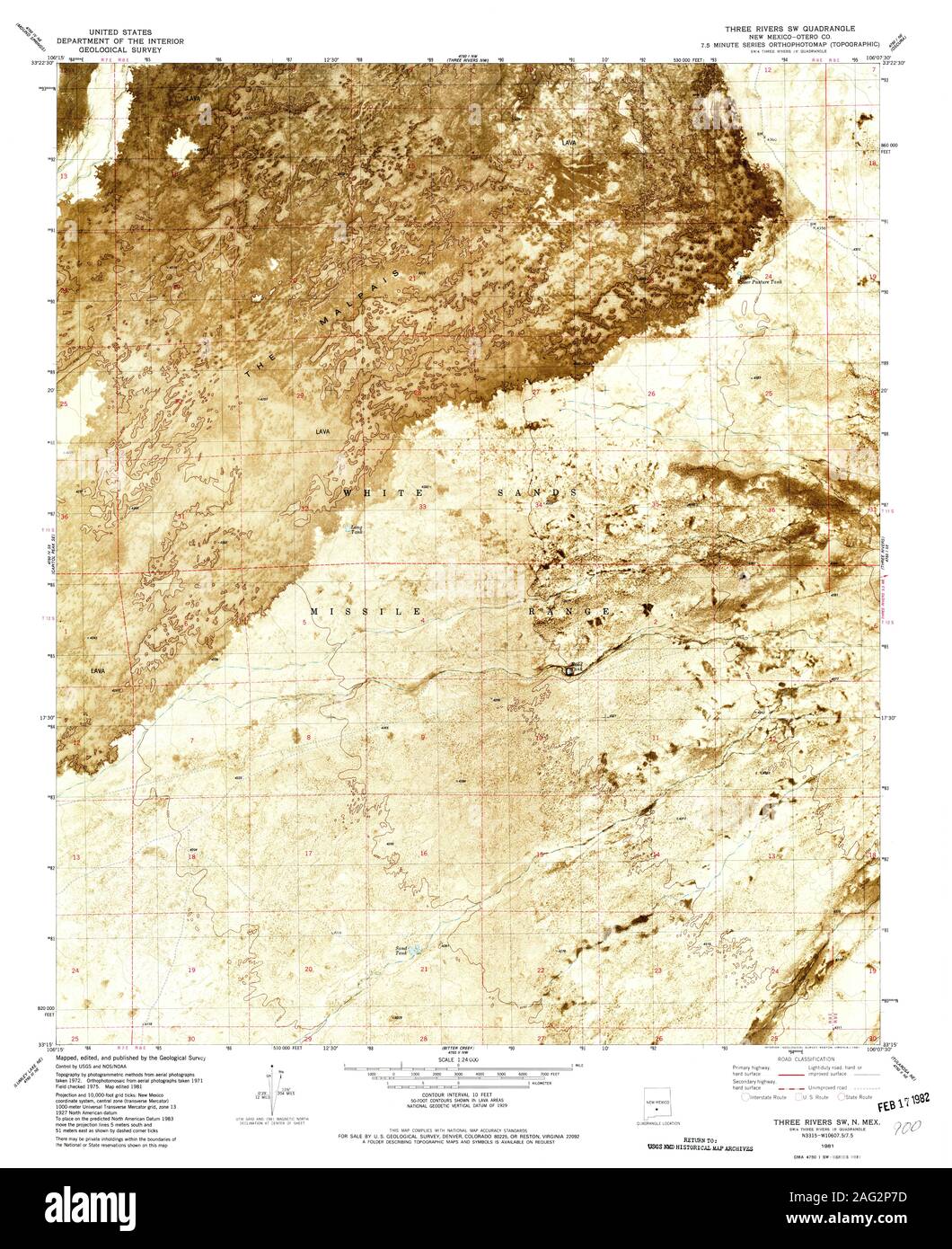 USGS TOPO Map New Mexico NM Three Rivers SW 193285 1981 24000 Restoration Stock Photohttps://www.alamy.com/image-license-details/?v=1https://www.alamy.com/usgs-topo-map-new-mexico-nm-three-rivers-sw-193285-1981-24000-restoration-image336892849.html
RM2AG2P7D–USGS TOPO Map New Mexico NM Three Rivers SW 193285 1981 24000 Restoration
 Three Rivers, Mackenzie District, NZ, New Zealand, Canterbury, S 43 58' 5'', N 170 51' 36'', map, Cartascapes Map published in 2024. Explore Cartascapes, a map revealing Earth's diverse landscapes, cultures, and ecosystems. Journey through time and space, discovering the interconnectedness of our planet's past, present, and future. Stock Photohttps://www.alamy.com/image-license-details/?v=1https://www.alamy.com/three-rivers-mackenzie-district-nz-new-zealand-canterbury-s-43-58-5-n-170-51-36-map-cartascapes-map-published-in-2024-explore-cartascapes-a-map-revealing-earths-diverse-landscapes-cultures-and-ecosystems-journey-through-time-and-space-discovering-the-interconnectedness-of-our-planets-past-present-and-future-image633938315.html
RM2YRAAP3–Three Rivers, Mackenzie District, NZ, New Zealand, Canterbury, S 43 58' 5'', N 170 51' 36'', map, Cartascapes Map published in 2024. Explore Cartascapes, a map revealing Earth's diverse landscapes, cultures, and ecosystems. Journey through time and space, discovering the interconnectedness of our planet's past, present, and future.
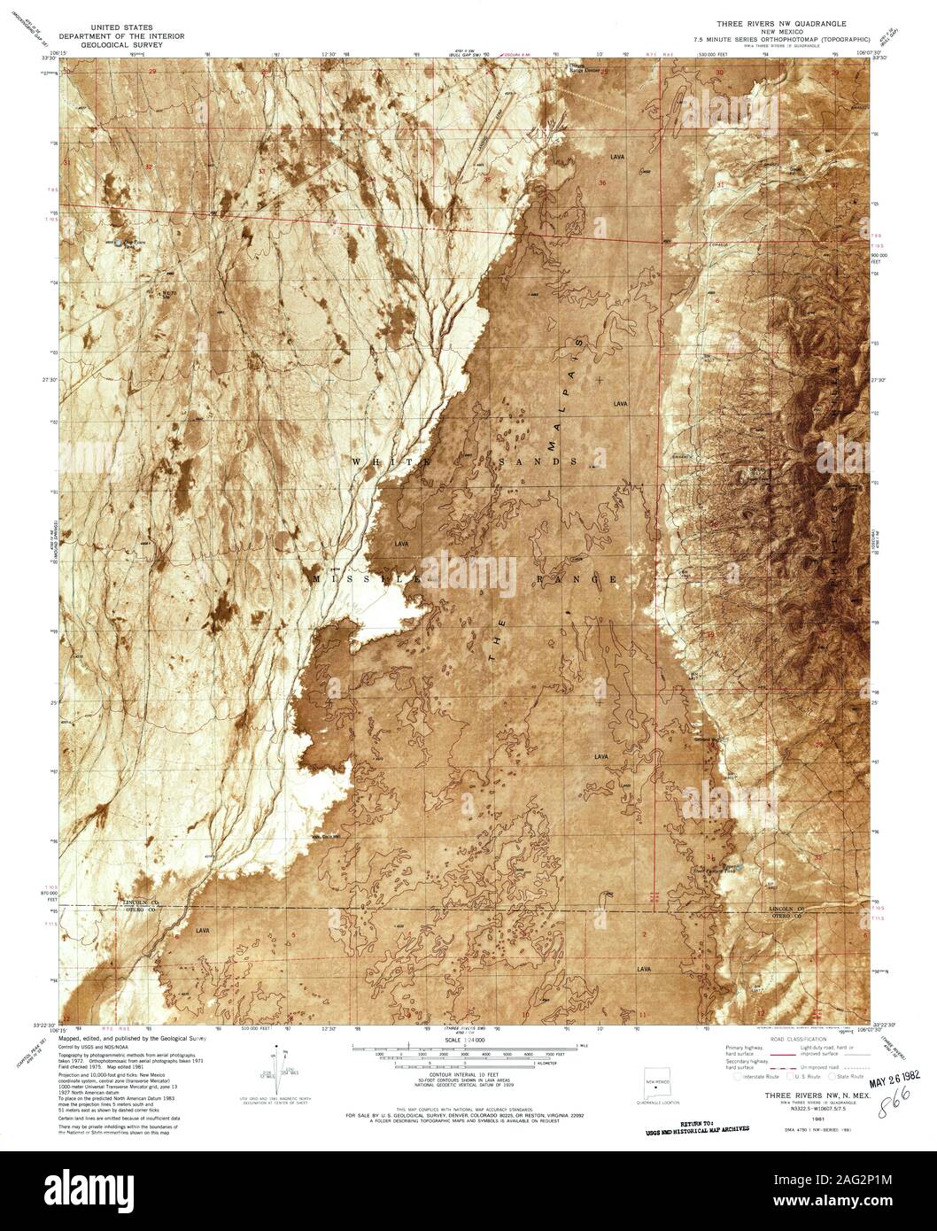 USGS TOPO Map New Mexico NM Three Rivers NW 193284 1981 24000 Restoration Stock Photohttps://www.alamy.com/image-license-details/?v=1https://www.alamy.com/usgs-topo-map-new-mexico-nm-three-rivers-nw-193284-1981-24000-restoration-image336892688.html
RM2AG2P1M–USGS TOPO Map New Mexico NM Three Rivers NW 193284 1981 24000 Restoration
 Three Rivers, Hampden County, US, United States, Massachusetts, N 42 10' 52'', S 72 21' 38'', map, Cartascapes Map published in 2024. Explore Cartascapes, a map revealing Earth's diverse landscapes, cultures, and ecosystems. Journey through time and space, discovering the interconnectedness of our planet's past, present, and future. Stock Photohttps://www.alamy.com/image-license-details/?v=1https://www.alamy.com/three-rivers-hampden-county-us-united-states-massachusetts-n-42-10-52-s-72-21-38-map-cartascapes-map-published-in-2024-explore-cartascapes-a-map-revealing-earths-diverse-landscapes-cultures-and-ecosystems-journey-through-time-and-space-discovering-the-interconnectedness-of-our-planets-past-present-and-future-image620871633.html
RM2Y2342W–Three Rivers, Hampden County, US, United States, Massachusetts, N 42 10' 52'', S 72 21' 38'', map, Cartascapes Map published in 2024. Explore Cartascapes, a map revealing Earth's diverse landscapes, cultures, and ecosystems. Journey through time and space, discovering the interconnectedness of our planet's past, present, and future.
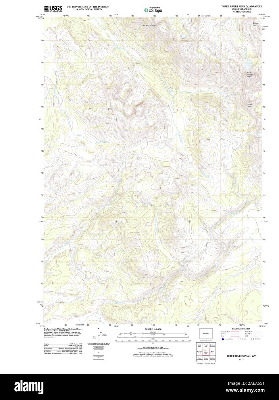 WY Three Rivers Peak 20120607 TM Restoration Stock Photohttps://www.alamy.com/image-license-details/?v=1https://www.alamy.com/wy-three-rivers-peak-20120607-tm-restoration-image335826541.html
RM2AEA651–WY Three Rivers Peak 20120607 TM Restoration
 Three Rivers, Saint Joseph County, US, United States, Michigan, N 41 56' 38'', S 85 37' 56'', map, Cartascapes Map published in 2024. Explore Cartascapes, a map revealing Earth's diverse landscapes, cultures, and ecosystems. Journey through time and space, discovering the interconnectedness of our planet's past, present, and future. Stock Photohttps://www.alamy.com/image-license-details/?v=1https://www.alamy.com/three-rivers-saint-joseph-county-us-united-states-michigan-n-41-56-38-s-85-37-56-map-cartascapes-map-published-in-2024-explore-cartascapes-a-map-revealing-earths-diverse-landscapes-cultures-and-ecosystems-journey-through-time-and-space-discovering-the-interconnectedness-of-our-planets-past-present-and-future-image620761745.html
RM2Y1X3X9–Three Rivers, Saint Joseph County, US, United States, Michigan, N 41 56' 38'', S 85 37' 56'', map, Cartascapes Map published in 2024. Explore Cartascapes, a map revealing Earth's diverse landscapes, cultures, and ecosystems. Journey through time and space, discovering the interconnectedness of our planet's past, present, and future.
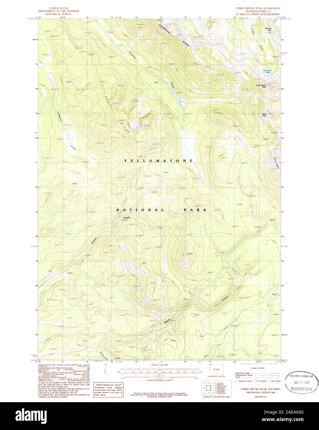 WY Three Rivers Peak 341705 1986 24000 Restoration Stock Photohttps://www.alamy.com/image-license-details/?v=1https://www.alamy.com/wy-three-rivers-peak-341705-1986-24000-restoration-image335826568.html
RM2AEA660–WY Three Rivers Peak 341705 1986 24000 Restoration
 City of Three Rivers, Live Oak County, US, United States, Texas, N 28 28' 0'', S 98 10' 42'', map, Cartascapes Map published in 2024. Explore Cartascapes, a map revealing Earth's diverse landscapes, cultures, and ecosystems. Journey through time and space, discovering the interconnectedness of our planet's past, present, and future. Stock Photohttps://www.alamy.com/image-license-details/?v=1https://www.alamy.com/city-of-three-rivers-live-oak-county-us-united-states-texas-n-28-28-0-s-98-10-42-map-cartascapes-map-published-in-2024-explore-cartascapes-a-map-revealing-earths-diverse-landscapes-cultures-and-ecosystems-journey-through-time-and-space-discovering-the-interconnectedness-of-our-planets-past-present-and-future-image633801756.html
RM2YR44H0–City of Three Rivers, Live Oak County, US, United States, Texas, N 28 28' 0'', S 98 10' 42'', map, Cartascapes Map published in 2024. Explore Cartascapes, a map revealing Earth's diverse landscapes, cultures, and ecosystems. Journey through time and space, discovering the interconnectedness of our planet's past, present, and future.
 City of Three Rivers, Saint Joseph County, US, United States, Michigan, N 41 56' 47'', S 85 37' 40'', map, Cartascapes Map published in 2024. Explore Cartascapes, a map revealing Earth's diverse landscapes, cultures, and ecosystems. Journey through time and space, discovering the interconnectedness of our planet's past, present, and future. Stock Photohttps://www.alamy.com/image-license-details/?v=1https://www.alamy.com/city-of-three-rivers-saint-joseph-county-us-united-states-michigan-n-41-56-47-s-85-37-40-map-cartascapes-map-published-in-2024-explore-cartascapes-a-map-revealing-earths-diverse-landscapes-cultures-and-ecosystems-journey-through-time-and-space-discovering-the-interconnectedness-of-our-planets-past-present-and-future-image633826307.html
RM2YR57WR–City of Three Rivers, Saint Joseph County, US, United States, Michigan, N 41 56' 47'', S 85 37' 40'', map, Cartascapes Map published in 2024. Explore Cartascapes, a map revealing Earth's diverse landscapes, cultures, and ecosystems. Journey through time and space, discovering the interconnectedness of our planet's past, present, and future.
 Township of Three Rivers, Spink County, US, United States, South Dakota, N 44 56' 27'', S 98 31' 59'', map, Cartascapes Map published in 2024. Explore Cartascapes, a map revealing Earth's diverse landscapes, cultures, and ecosystems. Journey through time and space, discovering the interconnectedness of our planet's past, present, and future. Stock Photohttps://www.alamy.com/image-license-details/?v=1https://www.alamy.com/township-of-three-rivers-spink-county-us-united-states-south-dakota-n-44-56-27-s-98-31-59-map-cartascapes-map-published-in-2024-explore-cartascapes-a-map-revealing-earths-diverse-landscapes-cultures-and-ecosystems-journey-through-time-and-space-discovering-the-interconnectedness-of-our-planets-past-present-and-future-image633879784.html
RM2YR7M3M–Township of Three Rivers, Spink County, US, United States, South Dakota, N 44 56' 27'', S 98 31' 59'', map, Cartascapes Map published in 2024. Explore Cartascapes, a map revealing Earth's diverse landscapes, cultures, and ecosystems. Journey through time and space, discovering the interconnectedness of our planet's past, present, and future.
 Three Rivers Mobile Home Park, Snohomish County, US, United States, Washington, N 47 49' 58'', S 122 3' 16'', map, Cartascapes Map published in 2024. Explore Cartascapes, a map revealing Earth's diverse landscapes, cultures, and ecosystems. Journey through time and space, discovering the interconnectedness of our planet's past, present, and future. Stock Photohttps://www.alamy.com/image-license-details/?v=1https://www.alamy.com/three-rivers-mobile-home-park-snohomish-county-us-united-states-washington-n-47-49-58-s-122-3-16-map-cartascapes-map-published-in-2024-explore-cartascapes-a-map-revealing-earths-diverse-landscapes-cultures-and-ecosystems-journey-through-time-and-space-discovering-the-interconnectedness-of-our-planets-past-present-and-future-image620725512.html
RM2Y1TDM8–Three Rivers Mobile Home Park, Snohomish County, US, United States, Washington, N 47 49' 58'', S 122 3' 16'', map, Cartascapes Map published in 2024. Explore Cartascapes, a map revealing Earth's diverse landscapes, cultures, and ecosystems. Journey through time and space, discovering the interconnectedness of our planet's past, present, and future.
 Three Rivers, Hertfordshire, GB, United Kingdom, England, N 51 40' 12'', S 0 27' 3'', map, Cartascapes Map published in 2024. Explore Cartascapes, a map revealing Earth's diverse landscapes, cultures, and ecosystems. Journey through time and space, discovering the interconnectedness of our planet's past, present, and future. Stock Photohttps://www.alamy.com/image-license-details/?v=1https://www.alamy.com/three-rivers-hertfordshire-gb-united-kingdom-england-n-51-40-12-s-0-27-3-map-cartascapes-map-published-in-2024-explore-cartascapes-a-map-revealing-earths-diverse-landscapes-cultures-and-ecosystems-journey-through-time-and-space-discovering-the-interconnectedness-of-our-planets-past-present-and-future-image604147424.html
RM2X2W85M–Three Rivers, Hertfordshire, GB, United Kingdom, England, N 51 40' 12'', S 0 27' 3'', map, Cartascapes Map published in 2024. Explore Cartascapes, a map revealing Earth's diverse landscapes, cultures, and ecosystems. Journey through time and space, discovering the interconnectedness of our planet's past, present, and future.
 Three Rivers, Hertfordshire, GB, United Kingdom, England, N 51 40' 12'', S 0 27' 3'', map, Cartascapes Map published in 2024. Explore Cartascapes, a map revealing Earth's diverse landscapes, cultures, and ecosystems. Journey through time and space, discovering the interconnectedness of our planet's past, present, and future. Stock Photohttps://www.alamy.com/image-license-details/?v=1https://www.alamy.com/three-rivers-hertfordshire-gb-united-kingdom-england-n-51-40-12-s-0-27-3-map-cartascapes-map-published-in-2024-explore-cartascapes-a-map-revealing-earths-diverse-landscapes-cultures-and-ecosystems-journey-through-time-and-space-discovering-the-interconnectedness-of-our-planets-past-present-and-future-image604147402.html
RM2X2W84X–Three Rivers, Hertfordshire, GB, United Kingdom, England, N 51 40' 12'', S 0 27' 3'', map, Cartascapes Map published in 2024. Explore Cartascapes, a map revealing Earth's diverse landscapes, cultures, and ecosystems. Journey through time and space, discovering the interconnectedness of our planet's past, present, and future.
 Three Rivers, Hertfordshire, GB, United Kingdom, England, N 51 40' 12'', S 0 27' 3'', map, Cartascapes Map published in 2024. Explore Cartascapes, a map revealing Earth's diverse landscapes, cultures, and ecosystems. Journey through time and space, discovering the interconnectedness of our planet's past, present, and future. Stock Photohttps://www.alamy.com/image-license-details/?v=1https://www.alamy.com/three-rivers-hertfordshire-gb-united-kingdom-england-n-51-40-12-s-0-27-3-map-cartascapes-map-published-in-2024-explore-cartascapes-a-map-revealing-earths-diverse-landscapes-cultures-and-ecosystems-journey-through-time-and-space-discovering-the-interconnectedness-of-our-planets-past-present-and-future-image604147404.html
RM2X2W850–Three Rivers, Hertfordshire, GB, United Kingdom, England, N 51 40' 12'', S 0 27' 3'', map, Cartascapes Map published in 2024. Explore Cartascapes, a map revealing Earth's diverse landscapes, cultures, and ecosystems. Journey through time and space, discovering the interconnectedness of our planet's past, present, and future.
 Three Rivers, Cloncurry, Australia, Queensland, S 19 49' 31'', E 140 9' 42'', map, Timeless Map published in 2021. Travelers, explorers and adventurers like Florence Nightingale, David Livingstone, Ernest Shackleton, Lewis and Clark and Sherlock Holmes relied on maps to plan travels to the world's most remote corners, Timeless Maps is mapping most locations on the globe, showing the achievement of great dreams Stock Photohttps://www.alamy.com/image-license-details/?v=1https://www.alamy.com/three-rivers-cloncurry-australia-queensland-s-19-49-31-e-140-9-42-map-timeless-map-published-in-2021-travelers-explorers-and-adventurers-like-florence-nightingale-david-livingstone-ernest-shackleton-lewis-and-clark-and-sherlock-holmes-relied-on-maps-to-plan-travels-to-the-worlds-most-remote-corners-timeless-maps-is-mapping-most-locations-on-the-globe-showing-the-achievement-of-great-dreams-image457794945.html
RM2HGPA3D–Three Rivers, Cloncurry, Australia, Queensland, S 19 49' 31'', E 140 9' 42'', map, Timeless Map published in 2021. Travelers, explorers and adventurers like Florence Nightingale, David Livingstone, Ernest Shackleton, Lewis and Clark and Sherlock Holmes relied on maps to plan travels to the world's most remote corners, Timeless Maps is mapping most locations on the globe, showing the achievement of great dreams
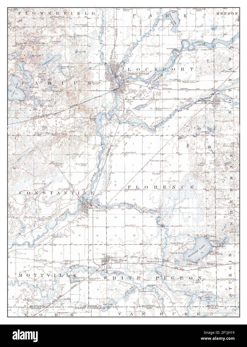 Three Rivers, Michigan, map 1914, 1:62500, United States of America by Timeless Maps, data U.S. Geological Survey Stock Photohttps://www.alamy.com/image-license-details/?v=1https://www.alamy.com/three-rivers-michigan-map-1914-162500-united-states-of-america-by-timeless-maps-data-us-geological-survey-image414071989.html
RM2F1JH19–Three Rivers, Michigan, map 1914, 1:62500, United States of America by Timeless Maps, data U.S. Geological Survey
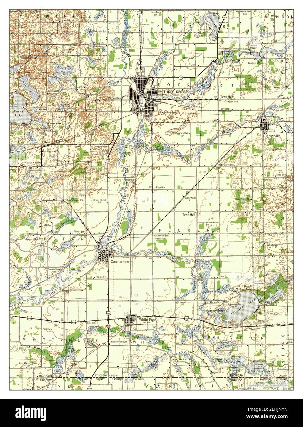 Three Rivers, Michigan, map 1943, 1:62500, United States of America by Timeless Maps, data U.S. Geological Survey Stock Photohttps://www.alamy.com/image-license-details/?v=1https://www.alamy.com/three-rivers-michigan-map-1943-162500-united-states-of-america-by-timeless-maps-data-us-geological-survey-image406699993.html
RM2EHJNYN–Three Rivers, Michigan, map 1943, 1:62500, United States of America by Timeless Maps, data U.S. Geological Survey
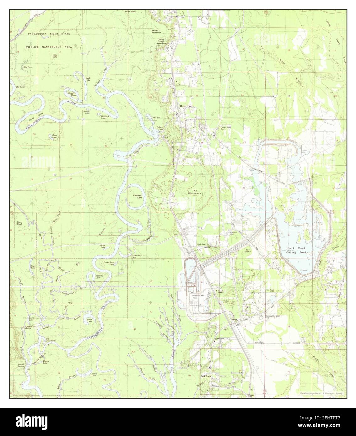 Three Rivers, Mississippi, map 1982, 1:24000, United States of America by Timeless Maps, data U.S. Geological Survey Stock Photohttps://www.alamy.com/image-license-details/?v=1https://www.alamy.com/three-rivers-mississippi-map-1982-124000-united-states-of-america-by-timeless-maps-data-us-geological-survey-image406832391.html
RM2EHTPT7–Three Rivers, Mississippi, map 1982, 1:24000, United States of America by Timeless Maps, data U.S. Geological Survey
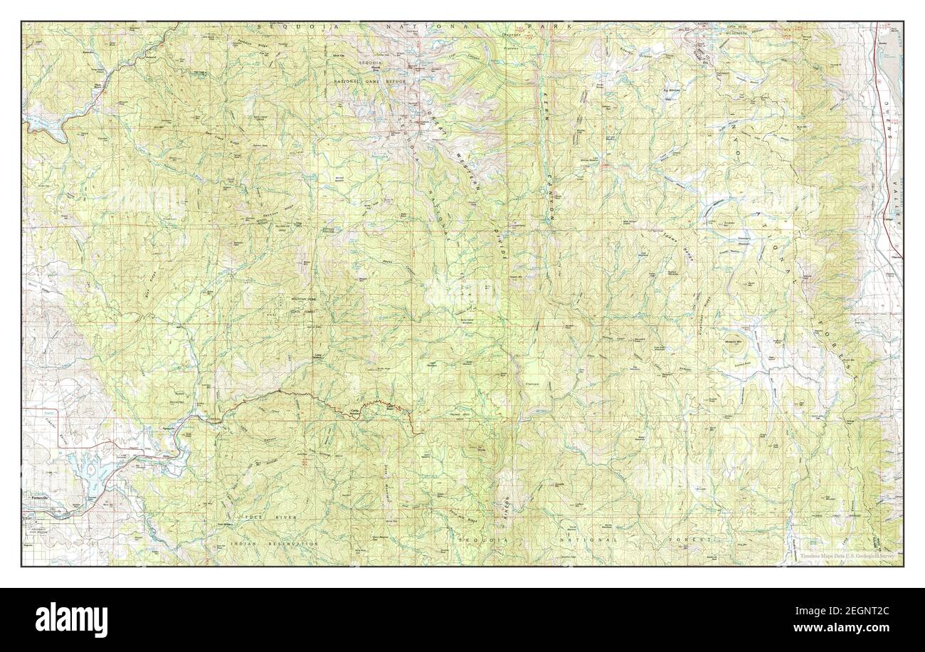 Three Rivers, California, map 1978, 1:100000, United States of America by Timeless Maps, data U.S. Geological Survey Stock Photohttps://www.alamy.com/image-license-details/?v=1https://www.alamy.com/three-rivers-california-map-1978-1100000-united-states-of-america-by-timeless-maps-data-us-geological-survey-image406152836.html
RM2EGNT2C–Three Rivers, California, map 1978, 1:100000, United States of America by Timeless Maps, data U.S. Geological Survey
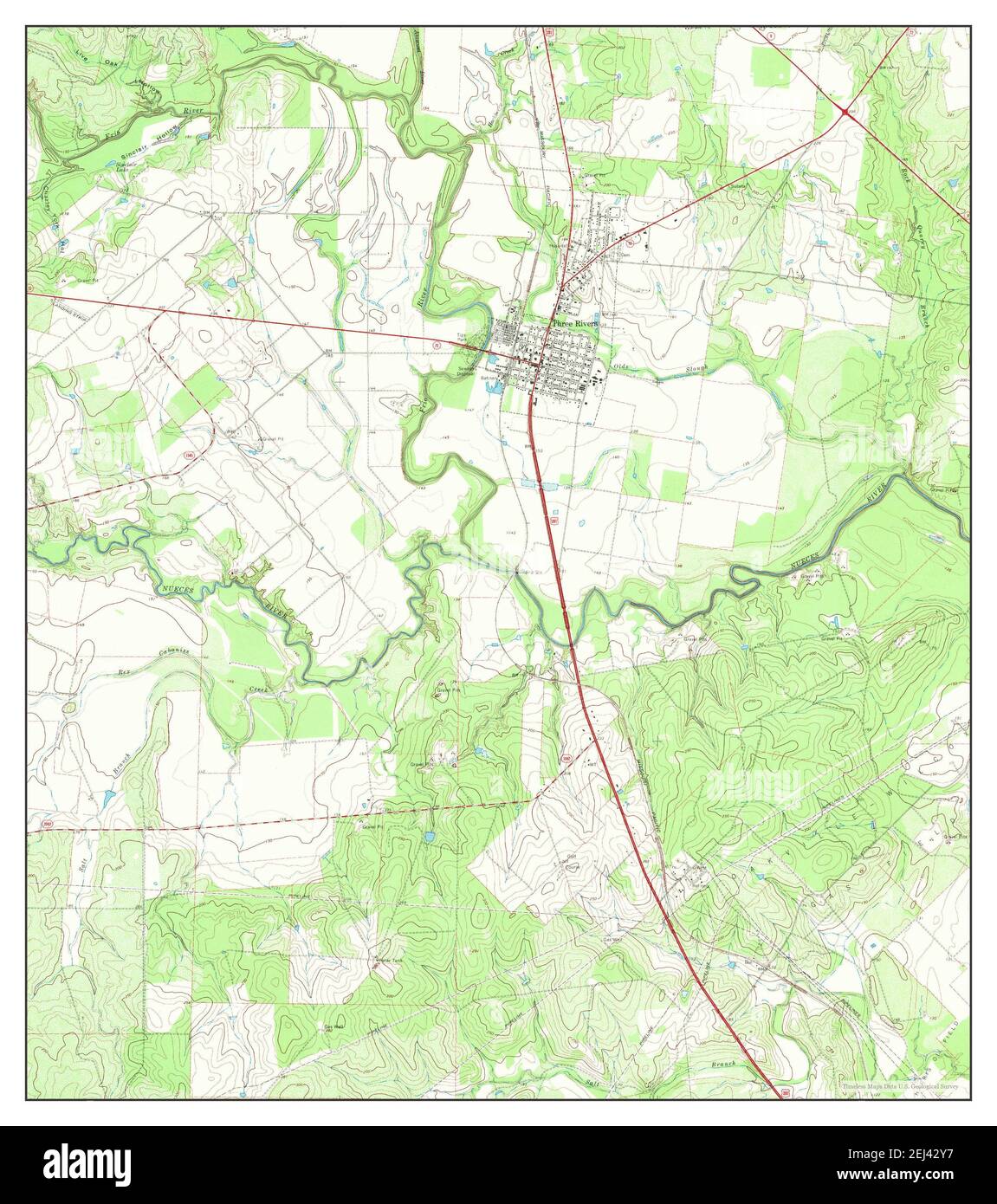 Three Rivers, Texas, map 1967, 1:24000, United States of America by Timeless Maps, data U.S. Geological Survey Stock Photohttps://www.alamy.com/image-license-details/?v=1https://www.alamy.com/three-rivers-texas-map-1967-124000-united-states-of-america-by-timeless-maps-data-us-geological-survey-image406992411.html
RM2EJ42Y7–Three Rivers, Texas, map 1967, 1:24000, United States of America by Timeless Maps, data U.S. Geological Survey
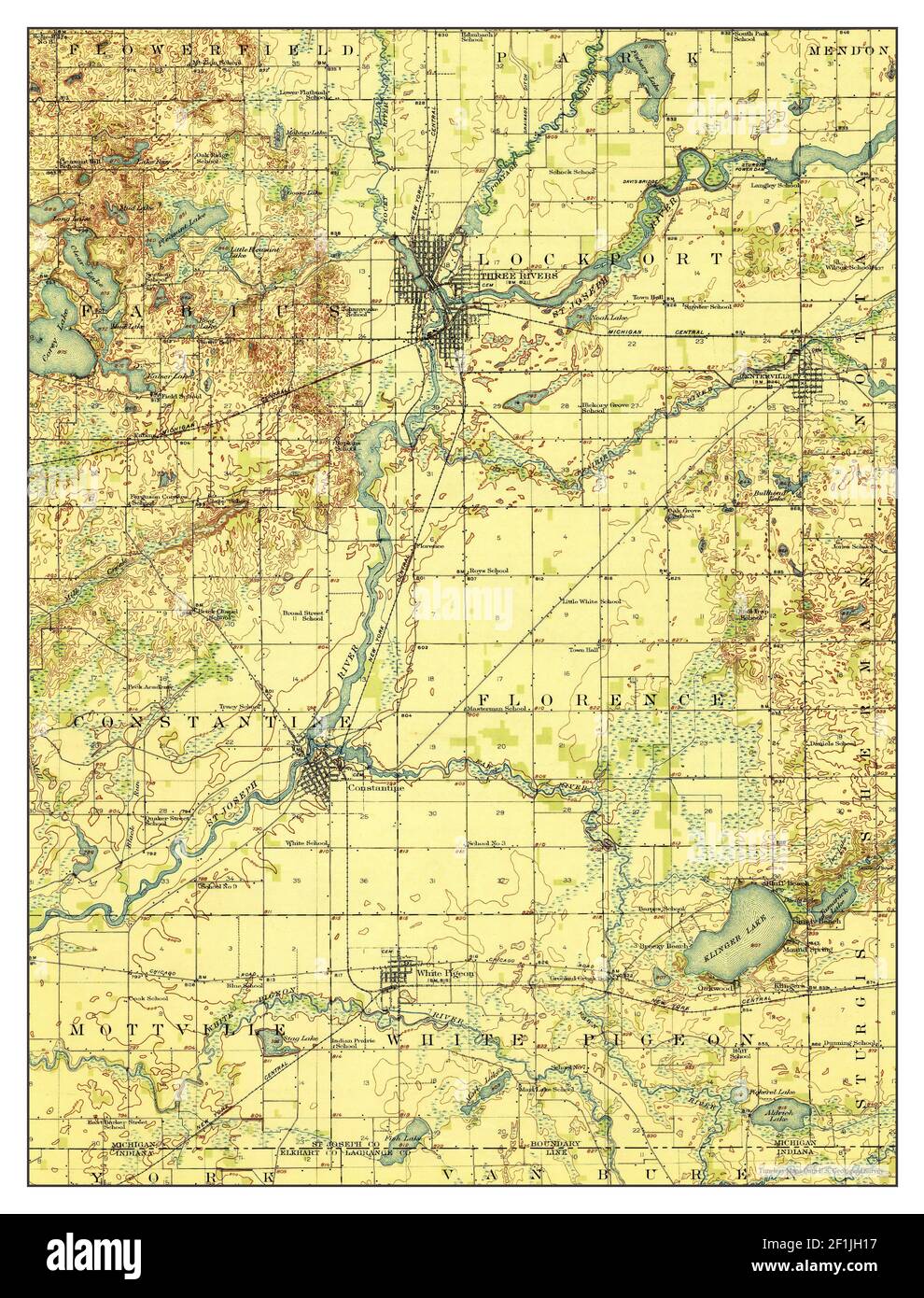 Three Rivers, Michigan, map 1916, 1:62500, United States of America by Timeless Maps, data U.S. Geological Survey Stock Photohttps://www.alamy.com/image-license-details/?v=1https://www.alamy.com/three-rivers-michigan-map-1916-162500-united-states-of-america-by-timeless-maps-data-us-geological-survey-image414071987.html
RM2F1JH17–Three Rivers, Michigan, map 1916, 1:62500, United States of America by Timeless Maps, data U.S. Geological Survey
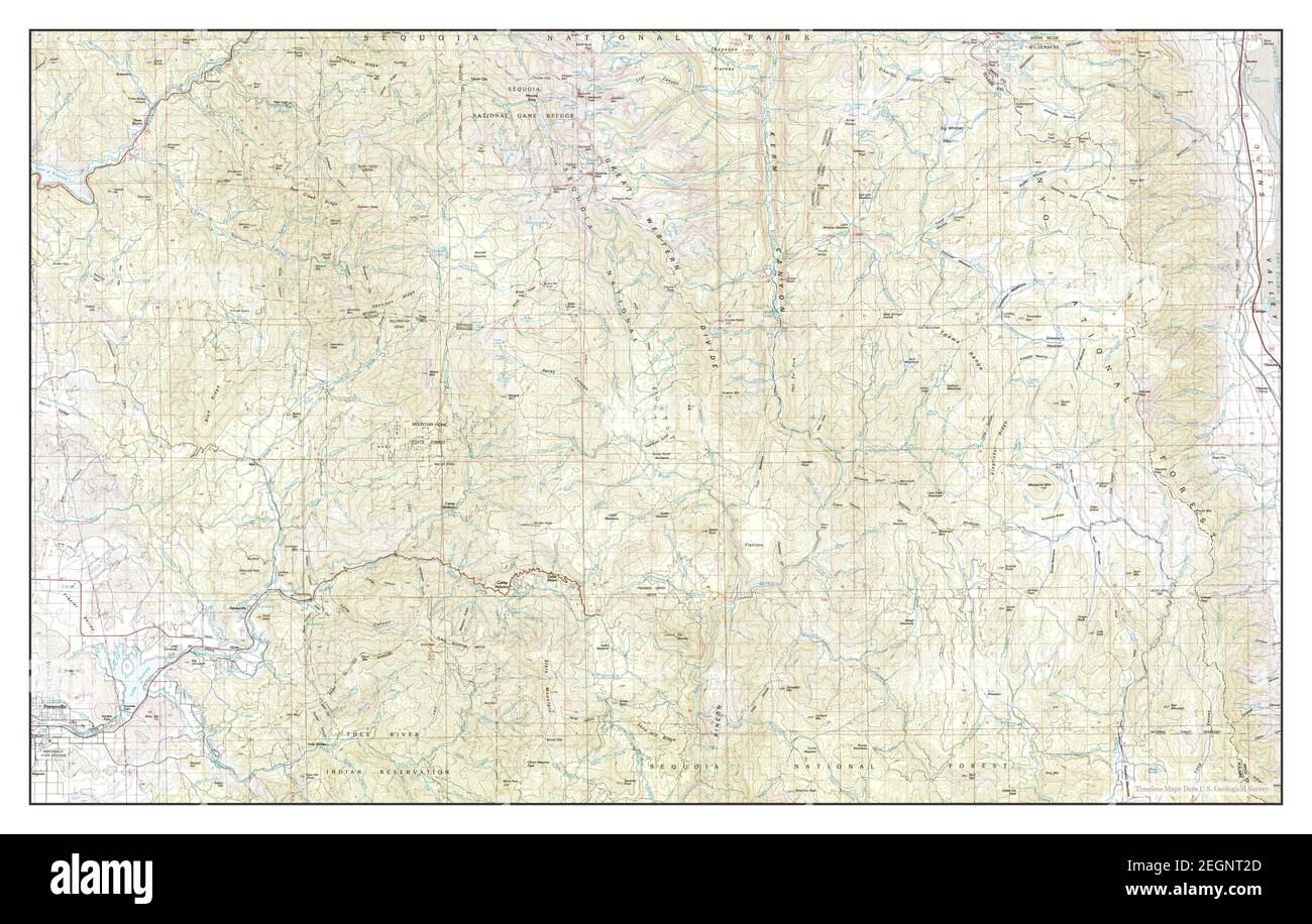 Three Rivers, California, map 1978, 1:100000, United States of America by Timeless Maps, data U.S. Geological Survey Stock Photohttps://www.alamy.com/image-license-details/?v=1https://www.alamy.com/three-rivers-california-map-1978-1100000-united-states-of-america-by-timeless-maps-data-us-geological-survey-image406152837.html
RM2EGNT2D–Three Rivers, California, map 1978, 1:100000, United States of America by Timeless Maps, data U.S. Geological Survey
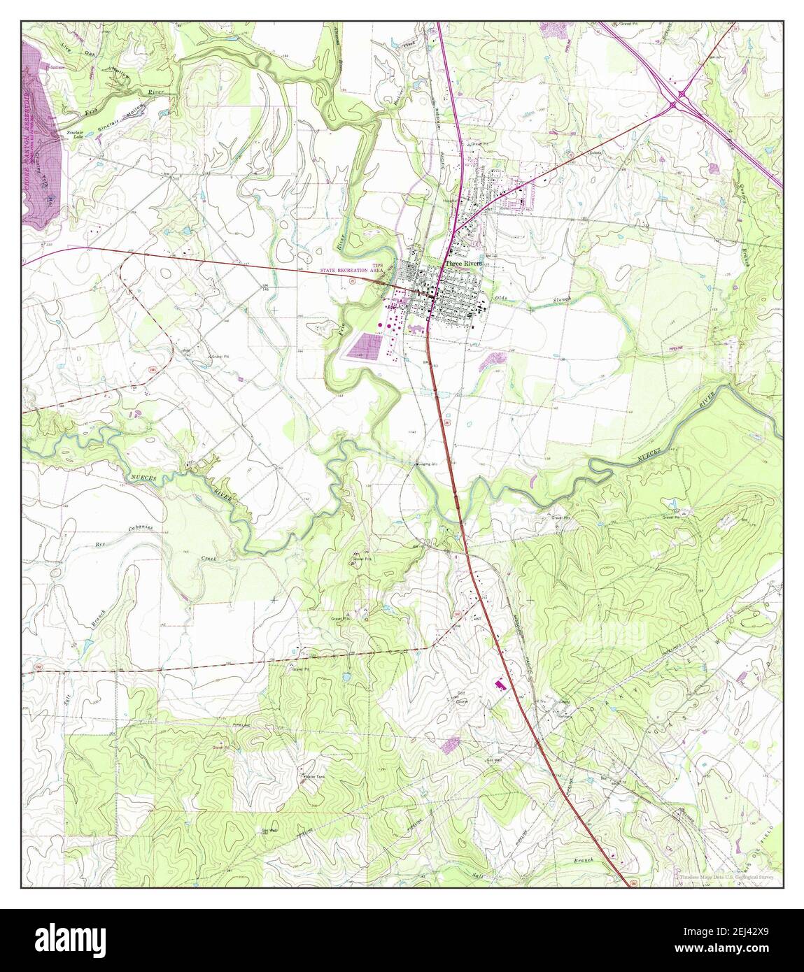 Three Rivers, Texas, map 1967, 1:24000, United States of America by Timeless Maps, data U.S. Geological Survey Stock Photohttps://www.alamy.com/image-license-details/?v=1https://www.alamy.com/three-rivers-texas-map-1967-124000-united-states-of-america-by-timeless-maps-data-us-geological-survey-image406992385.html
RM2EJ42X9–Three Rivers, Texas, map 1967, 1:24000, United States of America by Timeless Maps, data U.S. Geological Survey
 Three Rivers, Michigan, map 1916, 1:62500, United States of America by Timeless Maps, data U.S. Geological Survey Stock Photohttps://www.alamy.com/image-license-details/?v=1https://www.alamy.com/three-rivers-michigan-map-1916-162500-united-states-of-america-by-timeless-maps-data-us-geological-survey-image414071999.html
RM2F1JH1K–Three Rivers, Michigan, map 1916, 1:62500, United States of America by Timeless Maps, data U.S. Geological Survey
 Three Rivers, New Mexico, map 1947, 1:62500, United States of America by Timeless Maps, data U.S. Geological Survey Stock Photohttps://www.alamy.com/image-license-details/?v=1https://www.alamy.com/three-rivers-new-mexico-map-1947-162500-united-states-of-america-by-timeless-maps-data-us-geological-survey-image414116776.html
RM2F1MJ4T–Three Rivers, New Mexico, map 1947, 1:62500, United States of America by Timeless Maps, data U.S. Geological Survey
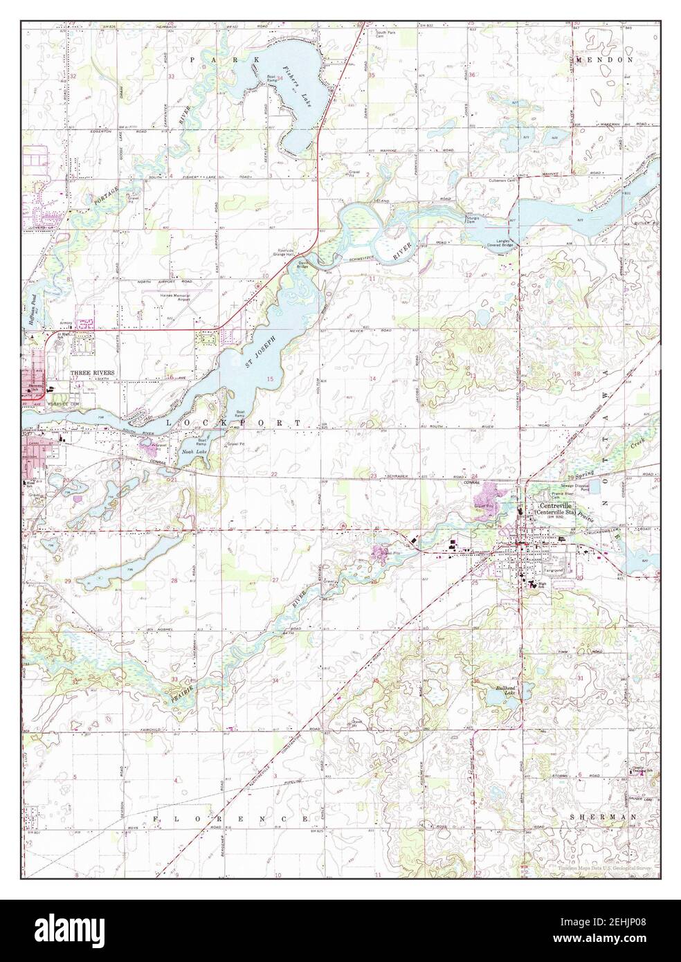 Three Rivers East, Michigan, map 1972, 1:24000, United States of America by Timeless Maps, data U.S. Geological Survey Stock Photohttps://www.alamy.com/image-license-details/?v=1https://www.alamy.com/three-rivers-east-michigan-map-1972-124000-united-states-of-america-by-timeless-maps-data-us-geological-survey-image406700008.html
RM2EHJP08–Three Rivers East, Michigan, map 1972, 1:24000, United States of America by Timeless Maps, data U.S. Geological Survey
 Three Rivers West, Michigan, map 1972, 1:24000, United States of America by Timeless Maps, data U.S. Geological Survey Stock Photohttps://www.alamy.com/image-license-details/?v=1https://www.alamy.com/three-rivers-west-michigan-map-1972-124000-united-states-of-america-by-timeless-maps-data-us-geological-survey-image406700003.html
RM2EHJP03–Three Rivers West, Michigan, map 1972, 1:24000, United States of America by Timeless Maps, data U.S. Geological Survey
 Three Rivers East, Michigan, map 1972, 1:24000, United States of America by Timeless Maps, data U.S. Geological Survey Stock Photohttps://www.alamy.com/image-license-details/?v=1https://www.alamy.com/three-rivers-east-michigan-map-1972-124000-united-states-of-america-by-timeless-maps-data-us-geological-survey-image406700004.html
RM2EHJP04–Three Rivers East, Michigan, map 1972, 1:24000, United States of America by Timeless Maps, data U.S. Geological Survey
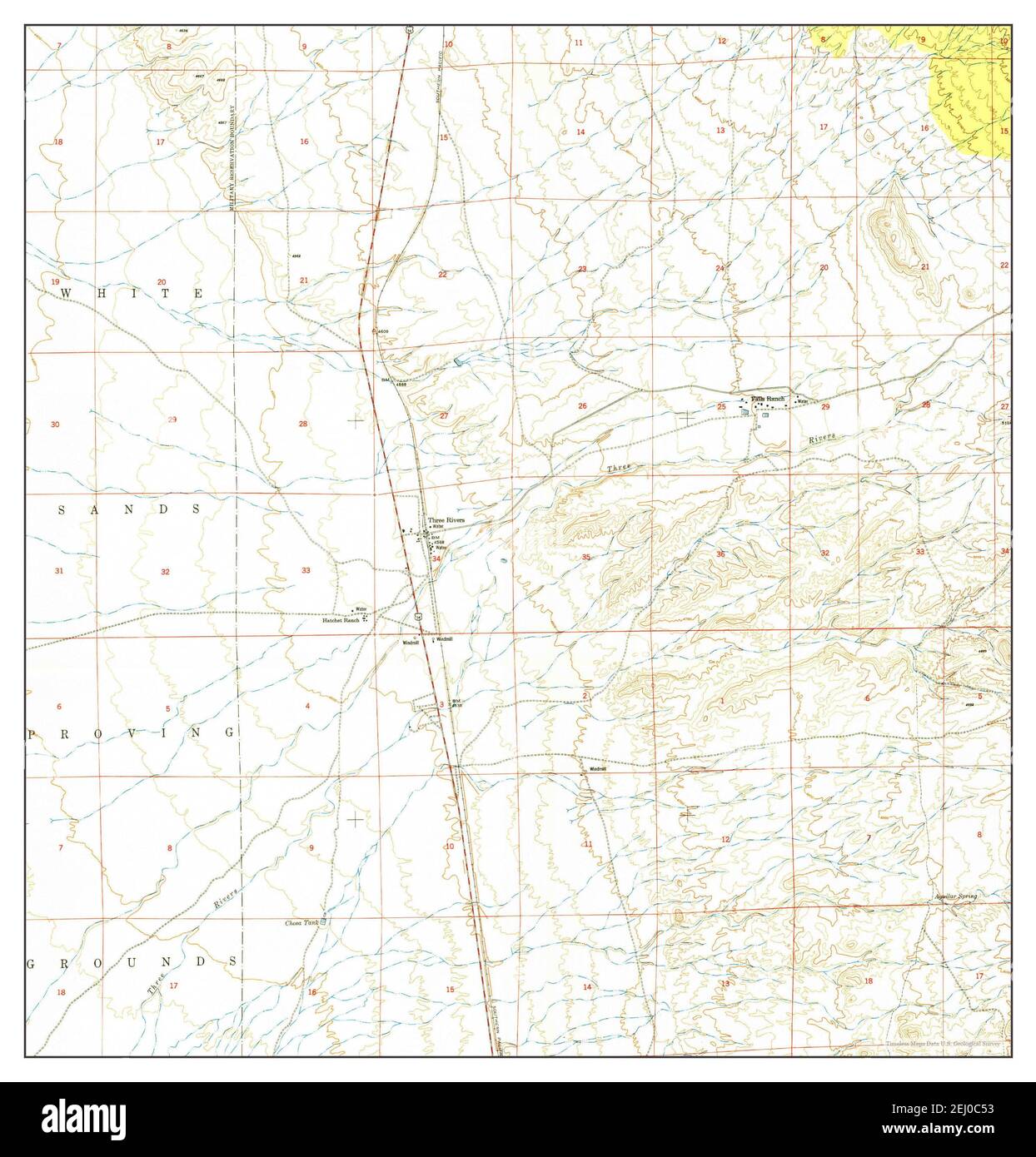 Three Rivers, New Mexico, map 1950, 1:24000, United States of America by Timeless Maps, data U.S. Geological Survey Stock Photohttps://www.alamy.com/image-license-details/?v=1https://www.alamy.com/three-rivers-new-mexico-map-1950-124000-united-states-of-america-by-timeless-maps-data-us-geological-survey-image406911823.html
RM2EJ0C53–Three Rivers, New Mexico, map 1950, 1:24000, United States of America by Timeless Maps, data U.S. Geological Survey
 Three Rivers West, Michigan, map 1972, 1:24000, United States of America by Timeless Maps, data U.S. Geological Survey Stock Photohttps://www.alamy.com/image-license-details/?v=1https://www.alamy.com/three-rivers-west-michigan-map-1972-124000-united-states-of-america-by-timeless-maps-data-us-geological-survey-image406699998.html
RM2EHJNYX–Three Rivers West, Michigan, map 1972, 1:24000, United States of America by Timeless Maps, data U.S. Geological Survey
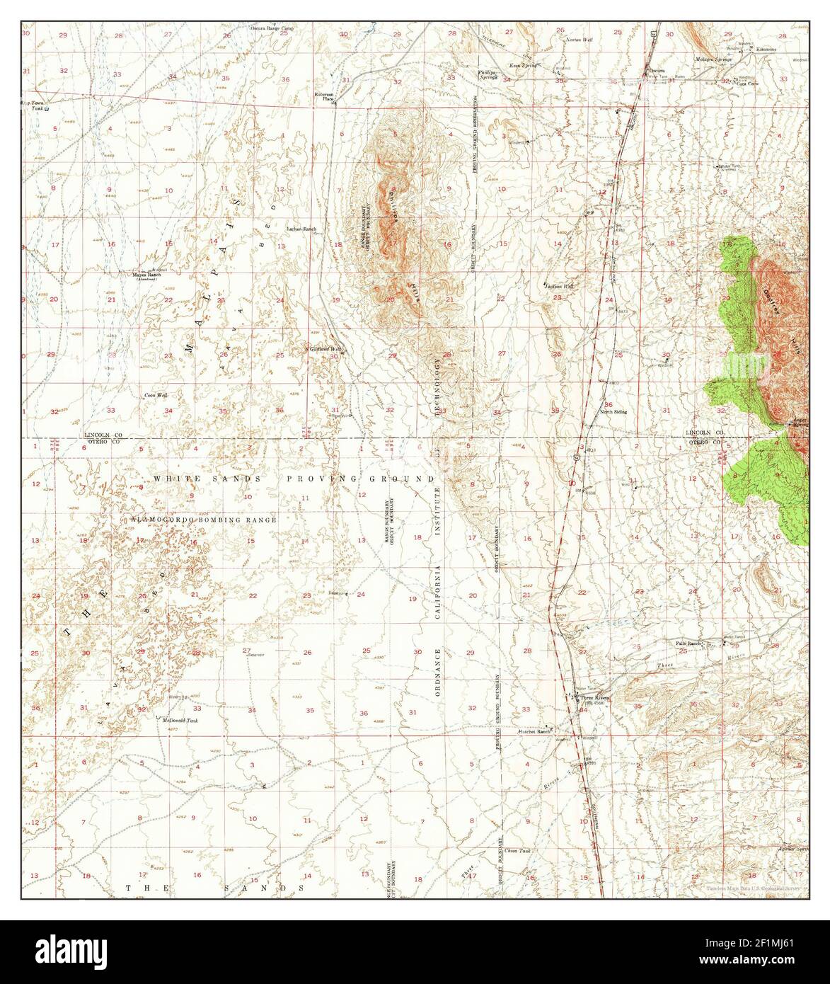 Three Rivers, New Mexico, map 1947, 1:62500, United States of America by Timeless Maps, data U.S. Geological Survey Stock Photohttps://www.alamy.com/image-license-details/?v=1https://www.alamy.com/three-rivers-new-mexico-map-1947-162500-united-states-of-america-by-timeless-maps-data-us-geological-survey-image414116809.html
RM2F1MJ61–Three Rivers, New Mexico, map 1947, 1:62500, United States of America by Timeless Maps, data U.S. Geological Survey
 Three Rivers NW, New Mexico, map 1981, 1:24000, United States of America by Timeless Maps, data U.S. Geological Survey Stock Photohttps://www.alamy.com/image-license-details/?v=1https://www.alamy.com/three-rivers-nw-new-mexico-map-1981-124000-united-states-of-america-by-timeless-maps-data-us-geological-survey-image406911838.html
RM2EJ0C5J–Three Rivers NW, New Mexico, map 1981, 1:24000, United States of America by Timeless Maps, data U.S. Geological Survey