Map of towson oklahoma Cut Out Stock Images
 Fort Towson, Choctaw County, US, United States, Oklahoma, N 34 1' 7'', S 95 15' 58'', map, Cartascapes Map published in 2024. Explore Cartascapes, a map revealing Earth's diverse landscapes, cultures, and ecosystems. Journey through time and space, discovering the interconnectedness of our planet's past, present, and future. Stock Photohttps://www.alamy.com/image-license-details/?v=1https://www.alamy.com/fort-towson-choctaw-county-us-united-states-oklahoma-n-34-1-7-s-95-15-58-map-cartascapes-map-published-in-2024-explore-cartascapes-a-map-revealing-earths-diverse-landscapes-cultures-and-ecosystems-journey-through-time-and-space-discovering-the-interconnectedness-of-our-planets-past-present-and-future-image621218069.html
RM2Y2JWYH–Fort Towson, Choctaw County, US, United States, Oklahoma, N 34 1' 7'', S 95 15' 58'', map, Cartascapes Map published in 2024. Explore Cartascapes, a map revealing Earth's diverse landscapes, cultures, and ecosystems. Journey through time and space, discovering the interconnectedness of our planet's past, present, and future.
 USGS TOPO Map Oklahoma OK Fort Towson 20121205 TM Restoration Stock Photohttps://www.alamy.com/image-license-details/?v=1https://www.alamy.com/usgs-topo-map-oklahoma-ok-fort-towson-20121205-tm-restoration-image334227928.html
RM2ABNB3M–USGS TOPO Map Oklahoma OK Fort Towson 20121205 TM Restoration
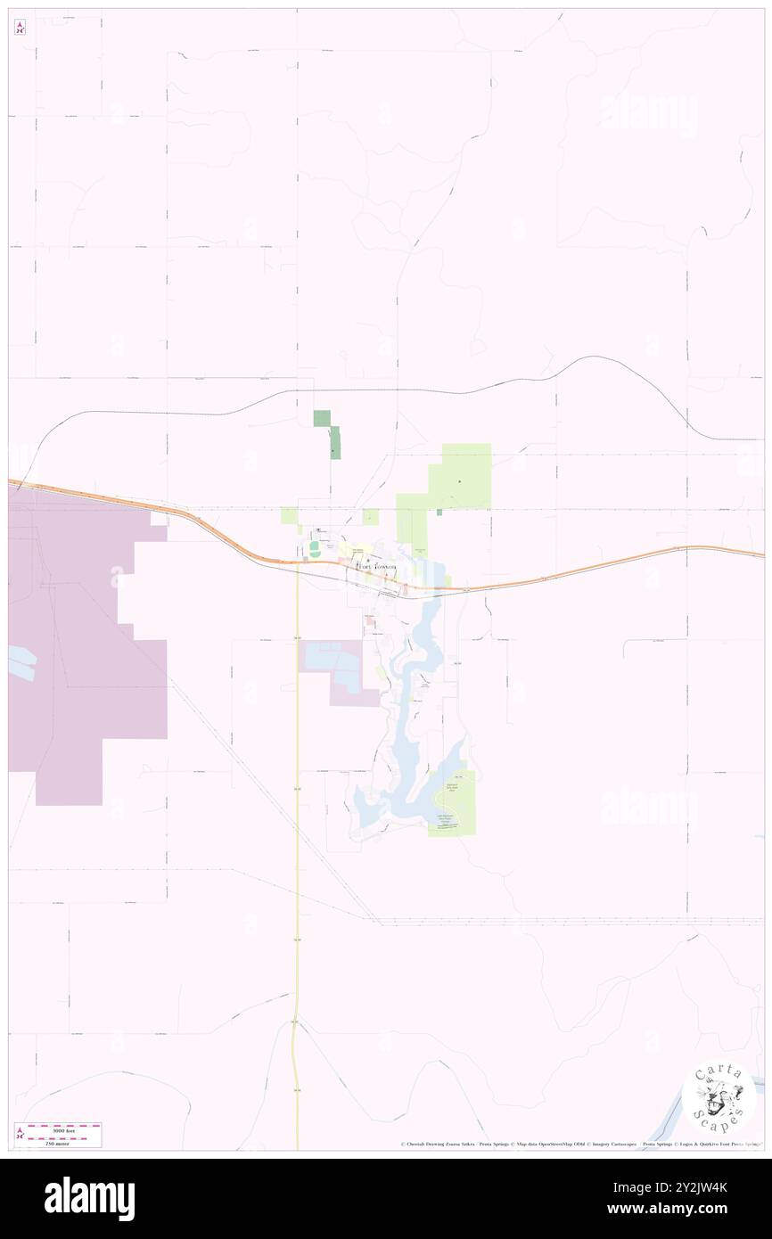 Fort Towson, Choctaw County, US, United States, Oklahoma, N 34 1' 7'', S 95 15' 58'', map, Cartascapes Map published in 2024. Explore Cartascapes, a map revealing Earth's diverse landscapes, cultures, and ecosystems. Journey through time and space, discovering the interconnectedness of our planet's past, present, and future. Stock Photohttps://www.alamy.com/image-license-details/?v=1https://www.alamy.com/fort-towson-choctaw-county-us-united-states-oklahoma-n-34-1-7-s-95-15-58-map-cartascapes-map-published-in-2024-explore-cartascapes-a-map-revealing-earths-diverse-landscapes-cultures-and-ecosystems-journey-through-time-and-space-discovering-the-interconnectedness-of-our-planets-past-present-and-future-image621217427.html
RM2Y2JW4K–Fort Towson, Choctaw County, US, United States, Oklahoma, N 34 1' 7'', S 95 15' 58'', map, Cartascapes Map published in 2024. Explore Cartascapes, a map revealing Earth's diverse landscapes, cultures, and ecosystems. Journey through time and space, discovering the interconnectedness of our planet's past, present, and future.
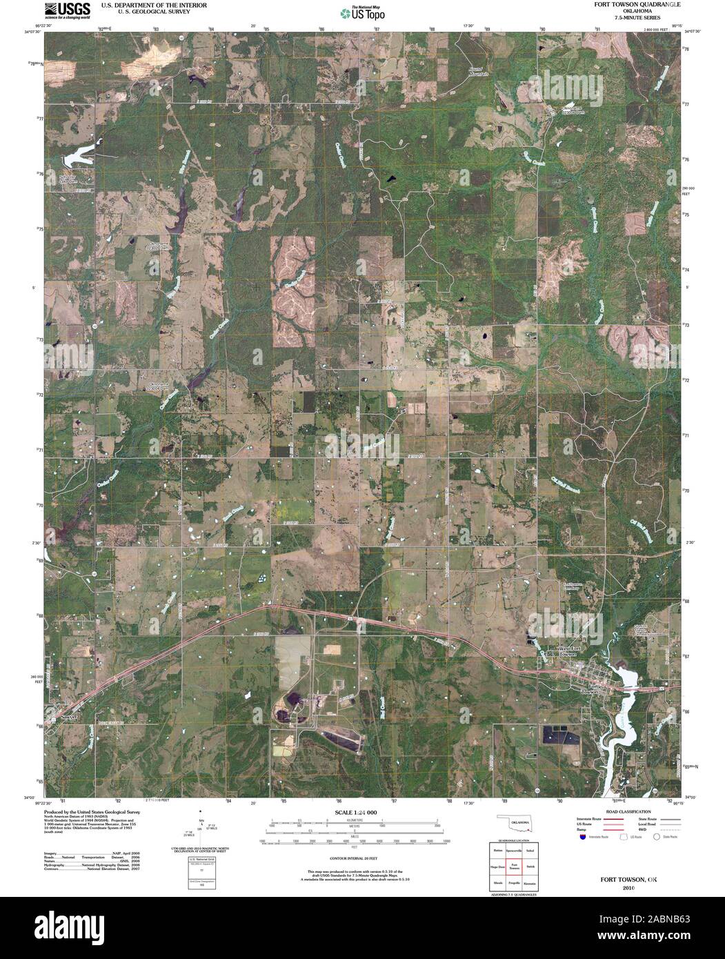 USGS TOPO Map Oklahoma OK Fort Towson 20100131 TM Restoration Stock Photohttps://www.alamy.com/image-license-details/?v=1https://www.alamy.com/usgs-topo-map-oklahoma-ok-fort-towson-20100131-tm-restoration-image334227995.html
RM2ABNB63–USGS TOPO Map Oklahoma OK Fort Towson 20100131 TM Restoration
 West Fort Towson, Choctaw County, US, United States, Oklahoma, N 34 1' 22'', S 95 16' 25'', map, Cartascapes Map published in 2024. Explore Cartascapes, a map revealing Earth's diverse landscapes, cultures, and ecosystems. Journey through time and space, discovering the interconnectedness of our planet's past, present, and future. Stock Photohttps://www.alamy.com/image-license-details/?v=1https://www.alamy.com/west-fort-towson-choctaw-county-us-united-states-oklahoma-n-34-1-22-s-95-16-25-map-cartascapes-map-published-in-2024-explore-cartascapes-a-map-revealing-earths-diverse-landscapes-cultures-and-ecosystems-journey-through-time-and-space-discovering-the-interconnectedness-of-our-planets-past-present-and-future-image621366895.html
RM2Y2WKPR–West Fort Towson, Choctaw County, US, United States, Oklahoma, N 34 1' 22'', S 95 16' 25'', map, Cartascapes Map published in 2024. Explore Cartascapes, a map revealing Earth's diverse landscapes, cultures, and ecosystems. Journey through time and space, discovering the interconnectedness of our planet's past, present, and future.
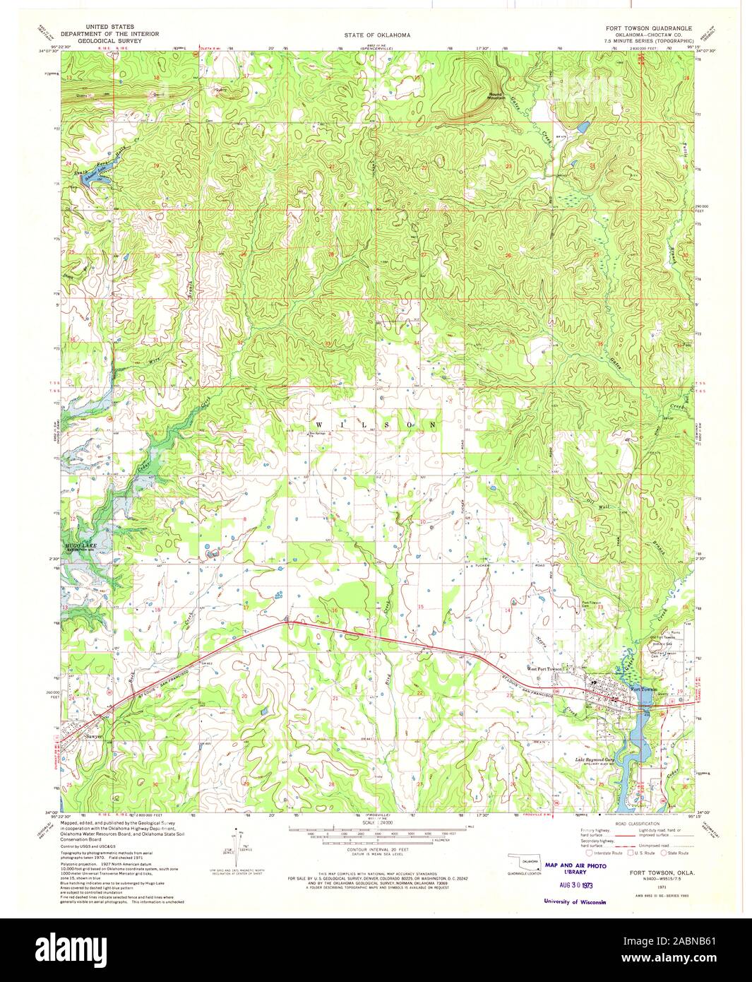 USGS TOPO Map Oklahoma OK Fort Towson 705890 1971 24000 Restoration Stock Photohttps://www.alamy.com/image-license-details/?v=1https://www.alamy.com/usgs-topo-map-oklahoma-ok-fort-towson-705890-1971-24000-restoration-image334227993.html
RM2ABNB61–USGS TOPO Map Oklahoma OK Fort Towson 705890 1971 24000 Restoration
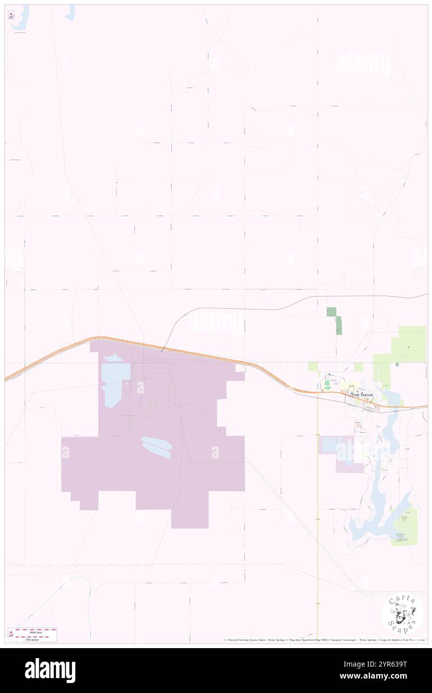 Town of Fort Towson, Choctaw County, US, United States, Oklahoma, N 34 2' 2'', S 95 18' 8'', map, Cartascapes Map published in 2024. Explore Cartascapes, a map revealing Earth's diverse landscapes, cultures, and ecosystems. Journey through time and space, discovering the interconnectedness of our planet's past, present, and future. Stock Photohttps://www.alamy.com/image-license-details/?v=1https://www.alamy.com/town-of-fort-towson-choctaw-county-us-united-states-oklahoma-n-34-2-2-s-95-18-8-map-cartascapes-map-published-in-2024-explore-cartascapes-a-map-revealing-earths-diverse-landscapes-cultures-and-ecosystems-journey-through-time-and-space-discovering-the-interconnectedness-of-our-planets-past-present-and-future-image633844676.html
RM2YR639T–Town of Fort Towson, Choctaw County, US, United States, Oklahoma, N 34 2' 2'', S 95 18' 8'', map, Cartascapes Map published in 2024. Explore Cartascapes, a map revealing Earth's diverse landscapes, cultures, and ecosystems. Journey through time and space, discovering the interconnectedness of our planet's past, present, and future.
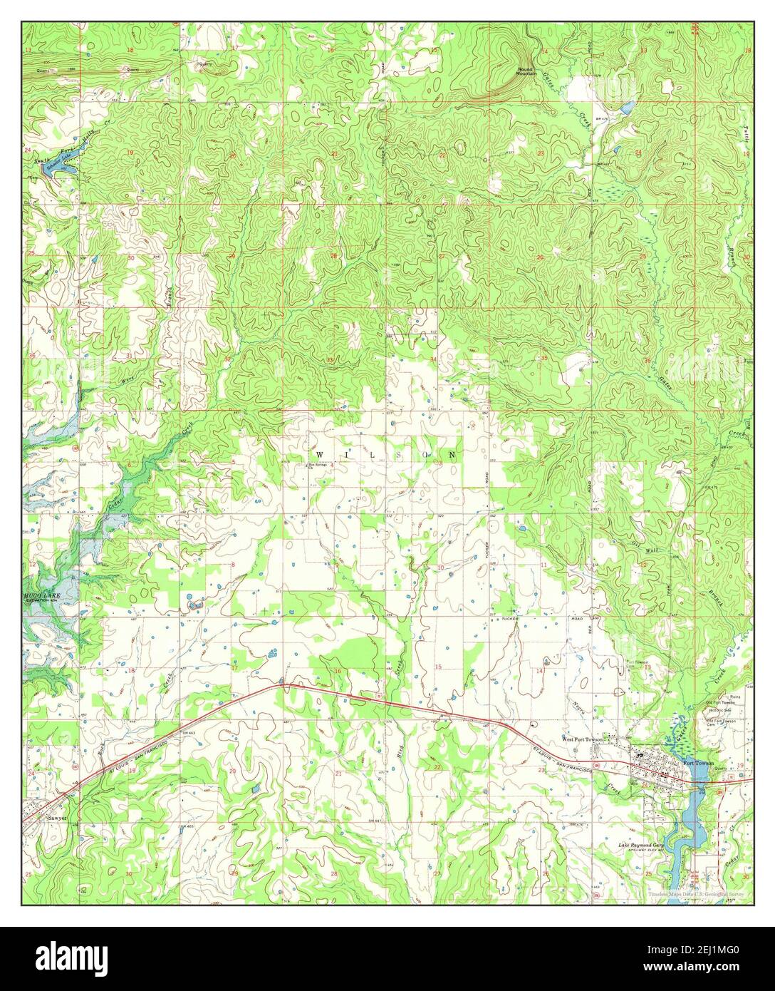 Fort Towson, Oklahoma, map 1971, 1:24000, United States of America by Timeless Maps, data U.S. Geological Survey Stock Photohttps://www.alamy.com/image-license-details/?v=1https://www.alamy.com/fort-towson-oklahoma-map-1971-124000-united-states-of-america-by-timeless-maps-data-us-geological-survey-image406940352.html
RM2EJ1MG0–Fort Towson, Oklahoma, map 1971, 1:24000, United States of America by Timeless Maps, data U.S. Geological Survey