Quick filters:
Map of toyama Stock Photos and Images
 Symbol Map of the Prefecture Toyama (Japan) showing the territory with a pattern of colorful buttons Stock Photohttps://www.alamy.com/image-license-details/?v=1https://www.alamy.com/symbol-map-of-the-prefecture-toyama-japan-showing-the-territory-with-a-pattern-of-colorful-buttons-image615806898.html
RF2XNTBYE–Symbol Map of the Prefecture Toyama (Japan) showing the territory with a pattern of colorful buttons
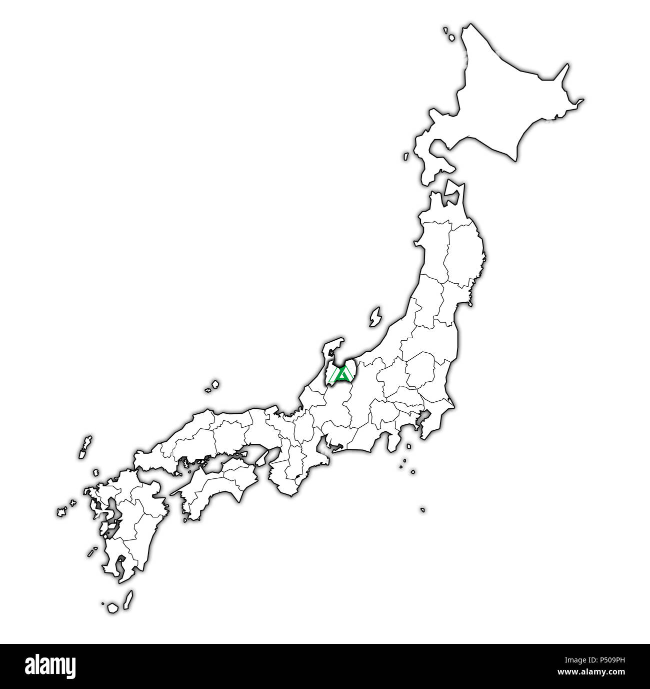 flag of toyama prefecture on map with administrative divisions and borders of japan Stock Photohttps://www.alamy.com/image-license-details/?v=1https://www.alamy.com/flag-of-toyama-prefecture-on-map-with-administrative-divisions-and-borders-of-japan-image209605385.html
RFP509PH–flag of toyama prefecture on map with administrative divisions and borders of japan
 Toyama Tomosada Stock Photohttps://www.alamy.com/image-license-details/?v=1https://www.alamy.com/stock-photo-toyama-tomosada-140669321.html
RMJ4T149–Toyama Tomosada
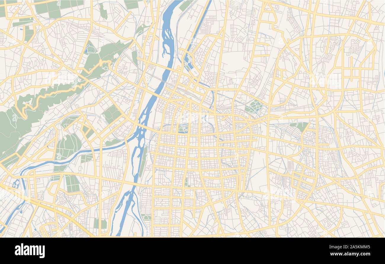 Printable street map of Toyama, Prefecture Toyama, Japan. Map template for business use. Stock Vectorhttps://www.alamy.com/image-license-details/?v=1https://www.alamy.com/printable-street-map-of-toyama-prefecture-toyama-japan-map-template-for-business-use-image330503605.html
RF2A5KMM5–Printable street map of Toyama, Prefecture Toyama, Japan. Map template for business use.
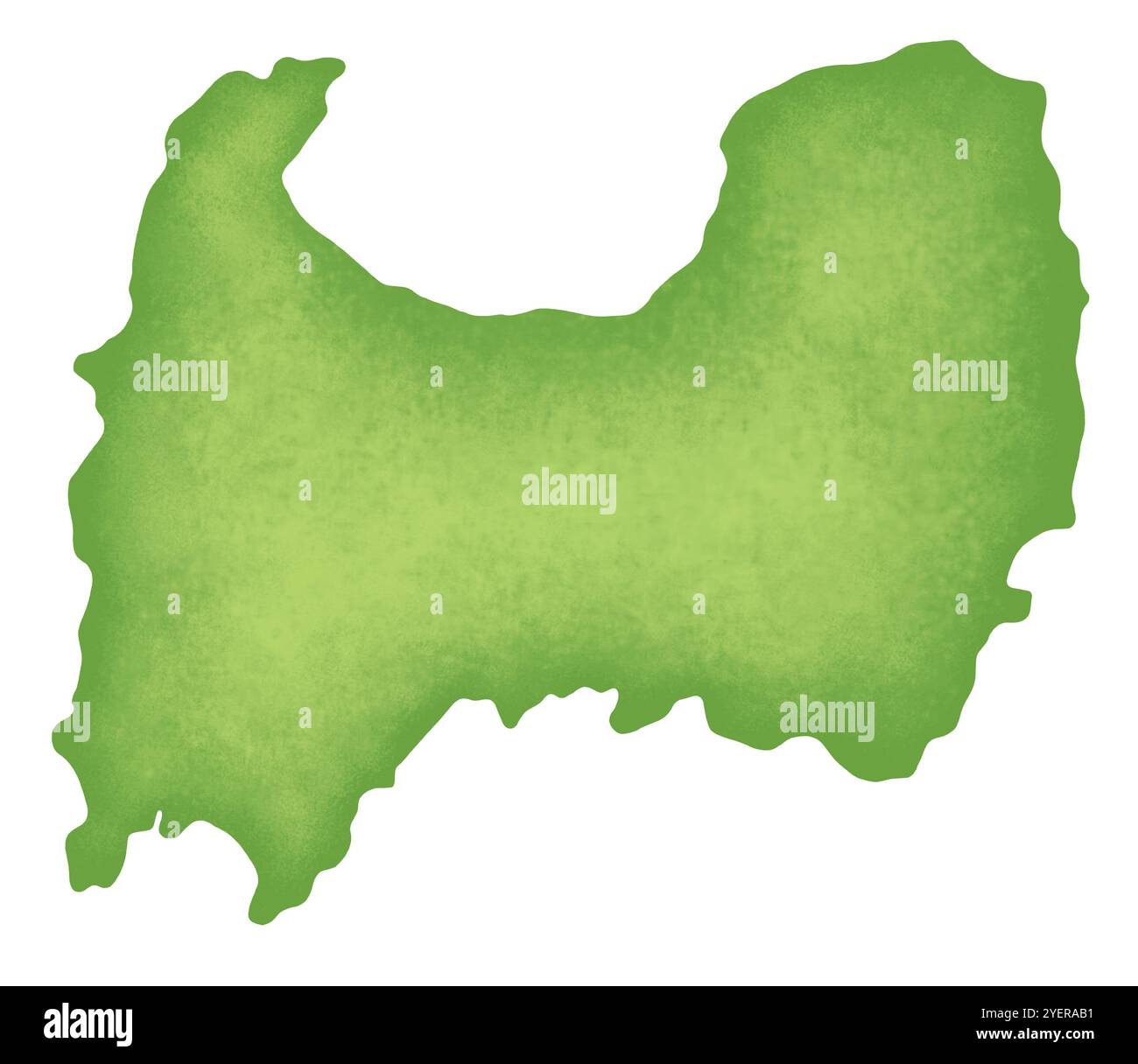 Map of Toyama Prefecture Stock Photohttps://www.alamy.com/image-license-details/?v=1https://www.alamy.com/map-of-toyama-prefecture-image628691477.html
RF2YERAB1–Map of Toyama Prefecture
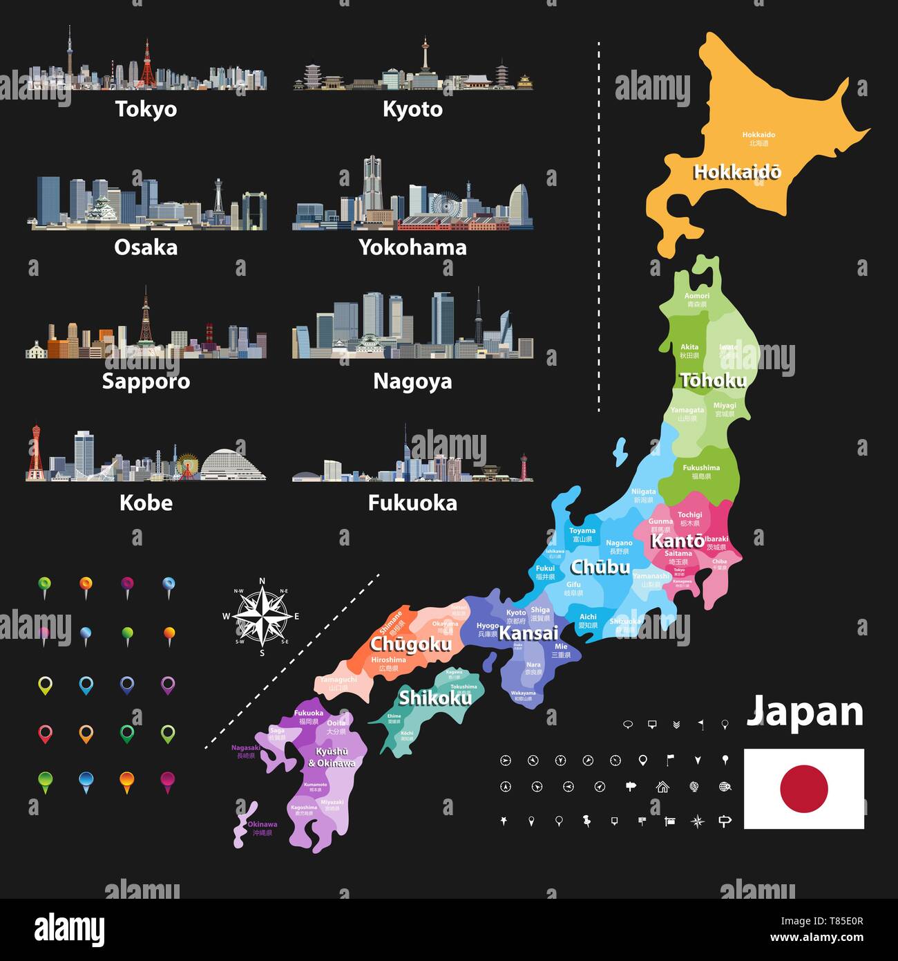 vector illustration of Japanese flag and prefectures map colored by regions Stock Vectorhttps://www.alamy.com/image-license-details/?v=1https://www.alamy.com/vector-illustration-of-japanese-flag-and-prefectures-map-colored-by-regions-image245983159.html
RFT85E0R–vector illustration of Japanese flag and prefectures map colored by regions
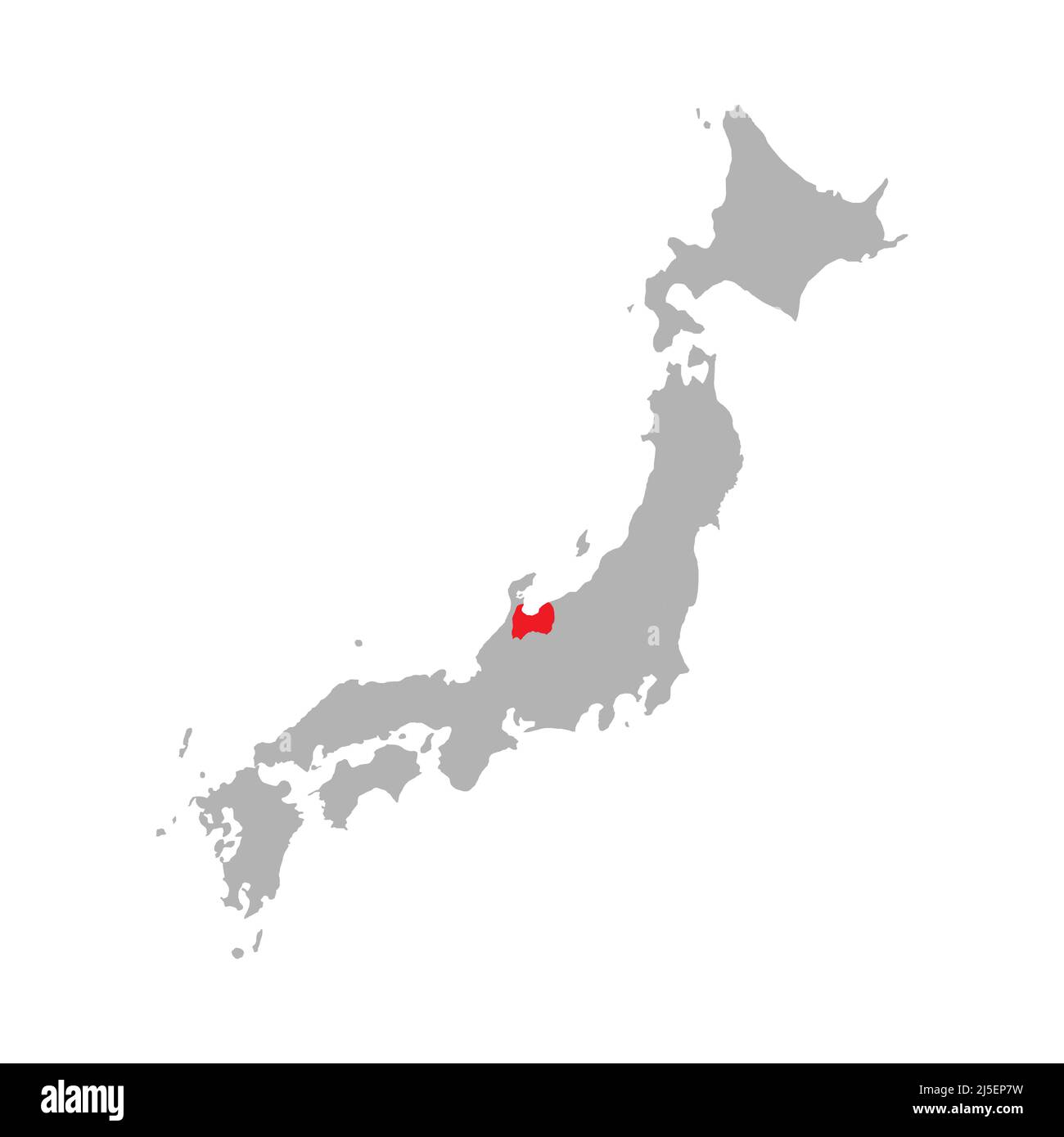 Toyama prefecture highlighted on the map of Japan Stock Vectorhttps://www.alamy.com/image-license-details/?v=1https://www.alamy.com/toyama-prefecture-highlighted-on-the-map-of-japan-image468078013.html
RF2J5EP7W–Toyama prefecture highlighted on the map of Japan
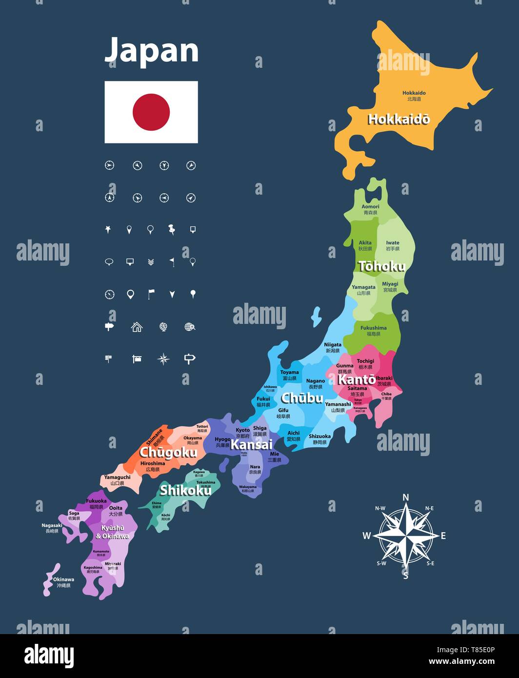 vector illustration of Japanese flag and prefectures map colored by regions Stock Vectorhttps://www.alamy.com/image-license-details/?v=1https://www.alamy.com/vector-illustration-of-japanese-flag-and-prefectures-map-colored-by-regions-image245983158.html
RFT85E0P–vector illustration of Japanese flag and prefectures map colored by regions
 Toyama blank outline map set Stock Vectorhttps://www.alamy.com/image-license-details/?v=1https://www.alamy.com/toyama-blank-outline-map-set-image178159163.html
RFM9RRR7–Toyama blank outline map set
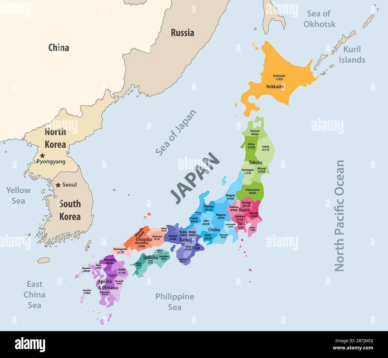 Japan prefectures (japanese names gives in parentheses) vector map colored be regions with neighbouring countries and territories Stock Vectorhttps://www.alamy.com/image-license-details/?v=1https://www.alamy.com/japan-prefectures-japanese-names-gives-in-parentheses-vector-map-colored-be-regions-with-neighbouring-countries-and-territories-image348921150.html
RF2B7JMDJ–Japan prefectures (japanese names gives in parentheses) vector map colored be regions with neighbouring countries and territories
 Toyama Prefecture rubber stamp Stock Vectorhttps://www.alamy.com/image-license-details/?v=1https://www.alamy.com/toyama-prefecture-rubber-stamp-image444256426.html
RF2GPNHGX–Toyama Prefecture rubber stamp
 Toyama blank outline map set Stock Vectorhttps://www.alamy.com/image-license-details/?v=1https://www.alamy.com/stock-photo-toyama-blank-outline-map-set-116136221.html
RFGMXCX5–Toyama blank outline map set
 Toyama-wan, , JP, Japan, , N 36 49' 59'', N 137 10' 0'', map, Cartascapes Map published in 2024. Explore Cartascapes, a map revealing Earth's diverse landscapes, cultures, and ecosystems. Journey through time and space, discovering the interconnectedness of our planet's past, present, and future. Stock Photohttps://www.alamy.com/image-license-details/?v=1https://www.alamy.com/toyama-wan-jp-japan-n-36-49-59-n-137-10-0-map-cartascapes-map-published-in-2024-explore-cartascapes-a-map-revealing-earths-diverse-landscapes-cultures-and-ecosystems-journey-through-time-and-space-discovering-the-interconnectedness-of-our-planets-past-present-and-future-image634641720.html
RM2YTEBYM–Toyama-wan, , JP, Japan, , N 36 49' 59'', N 137 10' 0'', map, Cartascapes Map published in 2024. Explore Cartascapes, a map revealing Earth's diverse landscapes, cultures, and ecosystems. Journey through time and space, discovering the interconnectedness of our planet's past, present, and future.
 Toyama province highlighted red on Japan map. Gray background. Perfect for business concepts, backgrounds, backdrop, sticker, banner, poster, label, c Stock Vectorhttps://www.alamy.com/image-license-details/?v=1https://www.alamy.com/toyama-province-highlighted-red-on-japan-map-gray-background-perfect-for-business-concepts-backgrounds-backdrop-sticker-banner-poster-label-c-image357665059.html
RF2BNW1C3–Toyama province highlighted red on Japan map. Gray background. Perfect for business concepts, backgrounds, backdrop, sticker, banner, poster, label, c
 Toyama, Japan - Oct 4, 2017. Interior of the train station in Toyama, Japan. Toyama is a seaside city by the coast of the Sea of Japan. Stock Photohttps://www.alamy.com/image-license-details/?v=1https://www.alamy.com/toyama-japan-oct-4-2017-interior-of-the-train-station-in-toyama-japan-toyama-is-a-seaside-city-by-the-coast-of-the-sea-of-japan-image442048272.html
RF2GK5128–Toyama, Japan - Oct 4, 2017. Interior of the train station in Toyama, Japan. Toyama is a seaside city by the coast of the Sea of Japan.
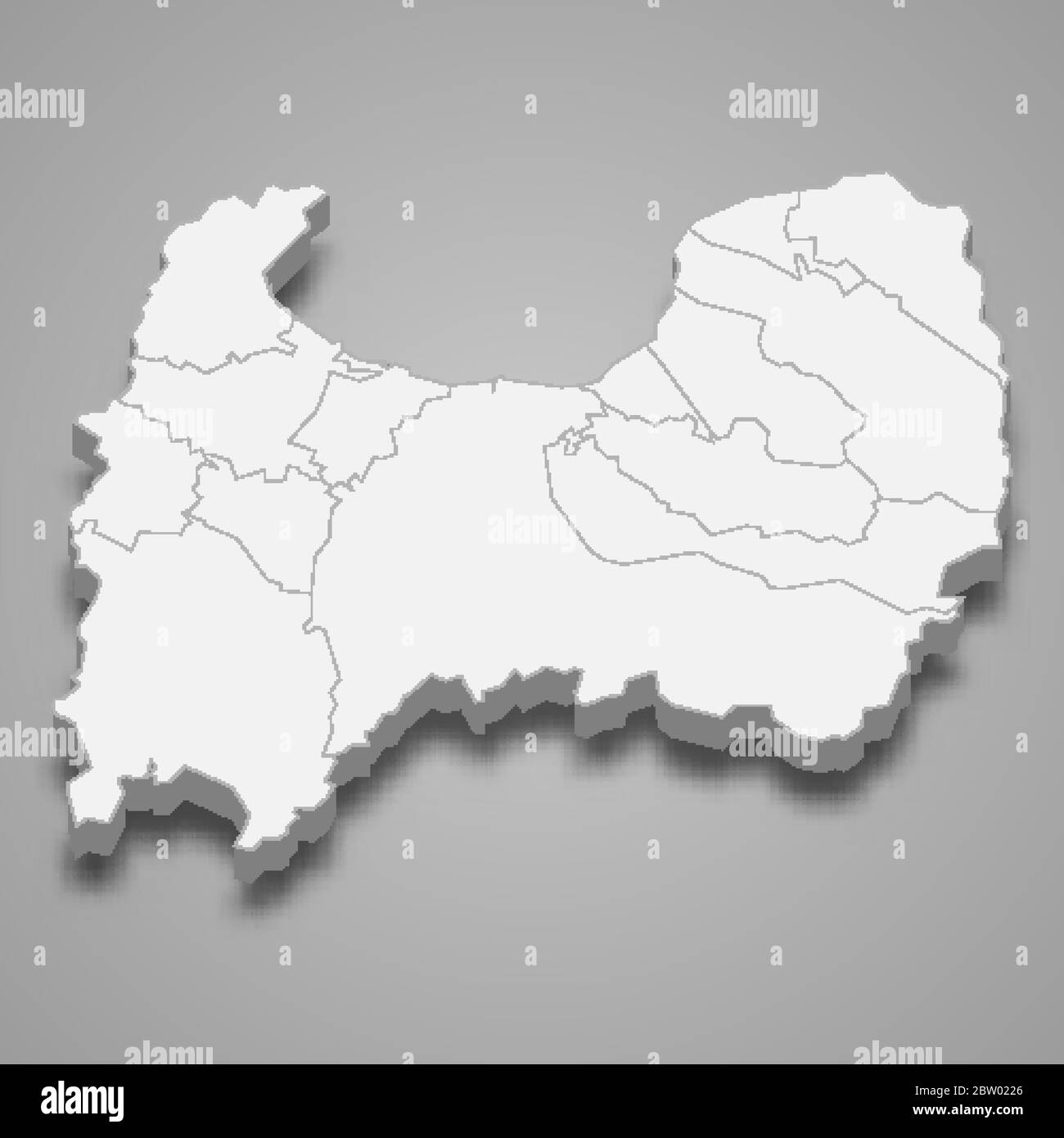 3d map of Toyama is a prefecture of Japan Stock Vectorhttps://www.alamy.com/image-license-details/?v=1https://www.alamy.com/3d-map-of-toyama-is-a-prefecture-of-japan-image359575390.html
RF2BW0226–3d map of Toyama is a prefecture of Japan
 Toyama Prefecture, Japan. Vector rubber stamp over white background Stock Vectorhttps://www.alamy.com/image-license-details/?v=1https://www.alamy.com/toyama-prefecture-japan-vector-rubber-stamp-over-white-background-image379268612.html
RF2D114YG–Toyama Prefecture, Japan. Vector rubber stamp over white background
 3D Illustration of a waving flag of Toyama (Japan country) Stock Photohttps://www.alamy.com/image-license-details/?v=1https://www.alamy.com/3d-illustration-of-a-waving-flag-of-toyama-japan-country-image356580190.html
RF2BM3HJP–3D Illustration of a waving flag of Toyama (Japan country)
 Flag of Japanese prefecture Toyama Stock Vectorhttps://www.alamy.com/image-license-details/?v=1https://www.alamy.com/flag-of-japanese-prefecture-toyama-image151521482.html
RFJPEB5E–Flag of Japanese prefecture Toyama
 Symbol Map of the Prefecture Toyama (Japan) showing the state with black, crossing lines like Mikado Sticks or a spider web Stock Vectorhttps://www.alamy.com/image-license-details/?v=1https://www.alamy.com/symbol-map-of-the-prefecture-toyama-japan-showing-the-state-with-black-crossing-lines-like-mikado-sticks-or-a-spider-web-image615837446.html
RF2XNWPXE–Symbol Map of the Prefecture Toyama (Japan) showing the state with black, crossing lines like Mikado Sticks or a spider web
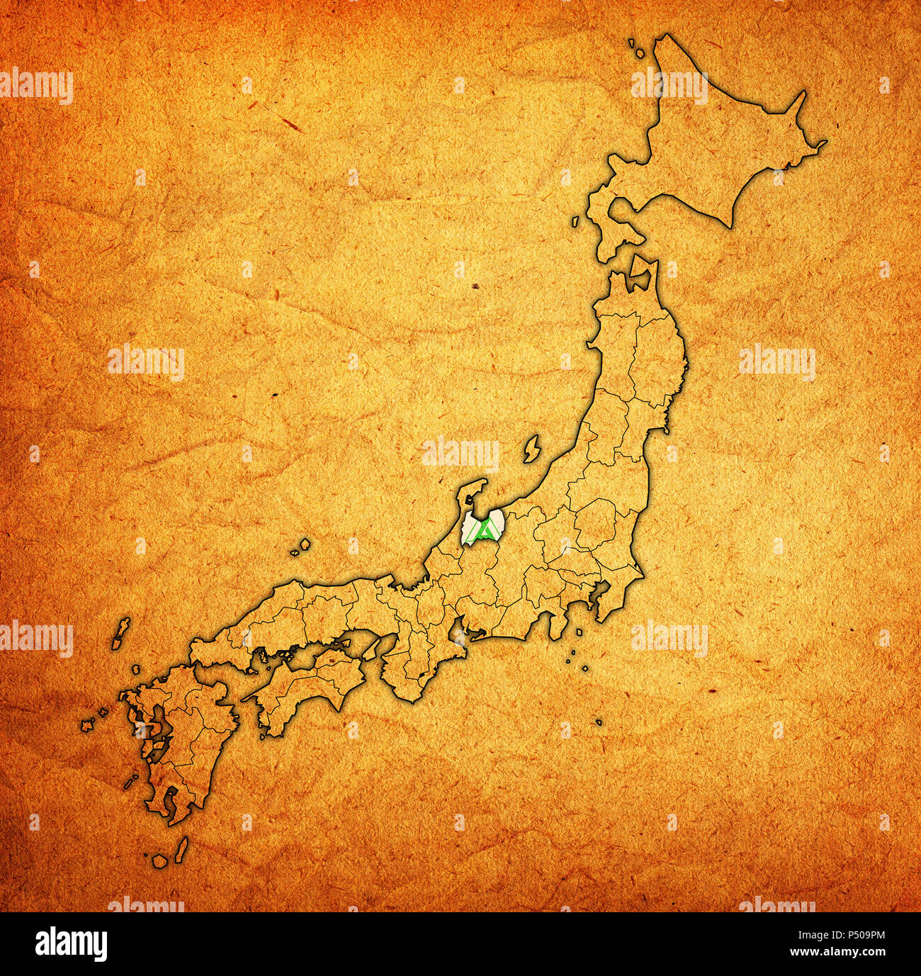 flag of toyama prefecture on map with administrative divisions and borders of japan Stock Photohttps://www.alamy.com/image-license-details/?v=1https://www.alamy.com/flag-of-toyama-prefecture-on-map-with-administrative-divisions-and-borders-of-japan-image209605388.html
RFP509PM–flag of toyama prefecture on map with administrative divisions and borders of japan
 Toyama Tomoakira Stock Photohttps://www.alamy.com/image-license-details/?v=1https://www.alamy.com/stock-photo-toyama-tomoakira-140669315.html
RMJ4T143–Toyama Tomoakira
 Printable street map of Takaoka, Prefecture Toyama, Japan. Map template for business use. Stock Vectorhttps://www.alamy.com/image-license-details/?v=1https://www.alamy.com/printable-street-map-of-takaoka-prefecture-toyama-japan-map-template-for-business-use-image330863231.html
RF2A683BY–Printable street map of Takaoka, Prefecture Toyama, Japan. Map template for business use.
 Map of Chubu Region Stock Photohttps://www.alamy.com/image-license-details/?v=1https://www.alamy.com/map-of-chubu-region-image628691436.html
RF2YERA9G–Map of Chubu Region
 Toyama Prefecture (Administrative divisions of Japan, Prefectures of Japan) map vector illustration, scribble sketch Toyama map Stock Vectorhttps://www.alamy.com/image-license-details/?v=1https://www.alamy.com/toyama-prefecture-administrative-divisions-of-japan-prefectures-of-japan-map-vector-illustration-scribble-sketch-toyama-map-image230373507.html
RFRAPBN7–Toyama Prefecture (Administrative divisions of Japan, Prefectures of Japan) map vector illustration, scribble sketch Toyama map
 Toyama prefecture highlighted on the map of Japan Stock Vectorhttps://www.alamy.com/image-license-details/?v=1https://www.alamy.com/toyama-prefecture-highlighted-on-the-map-of-japan-image471045597.html
RF2JA9YD1–Toyama prefecture highlighted on the map of Japan
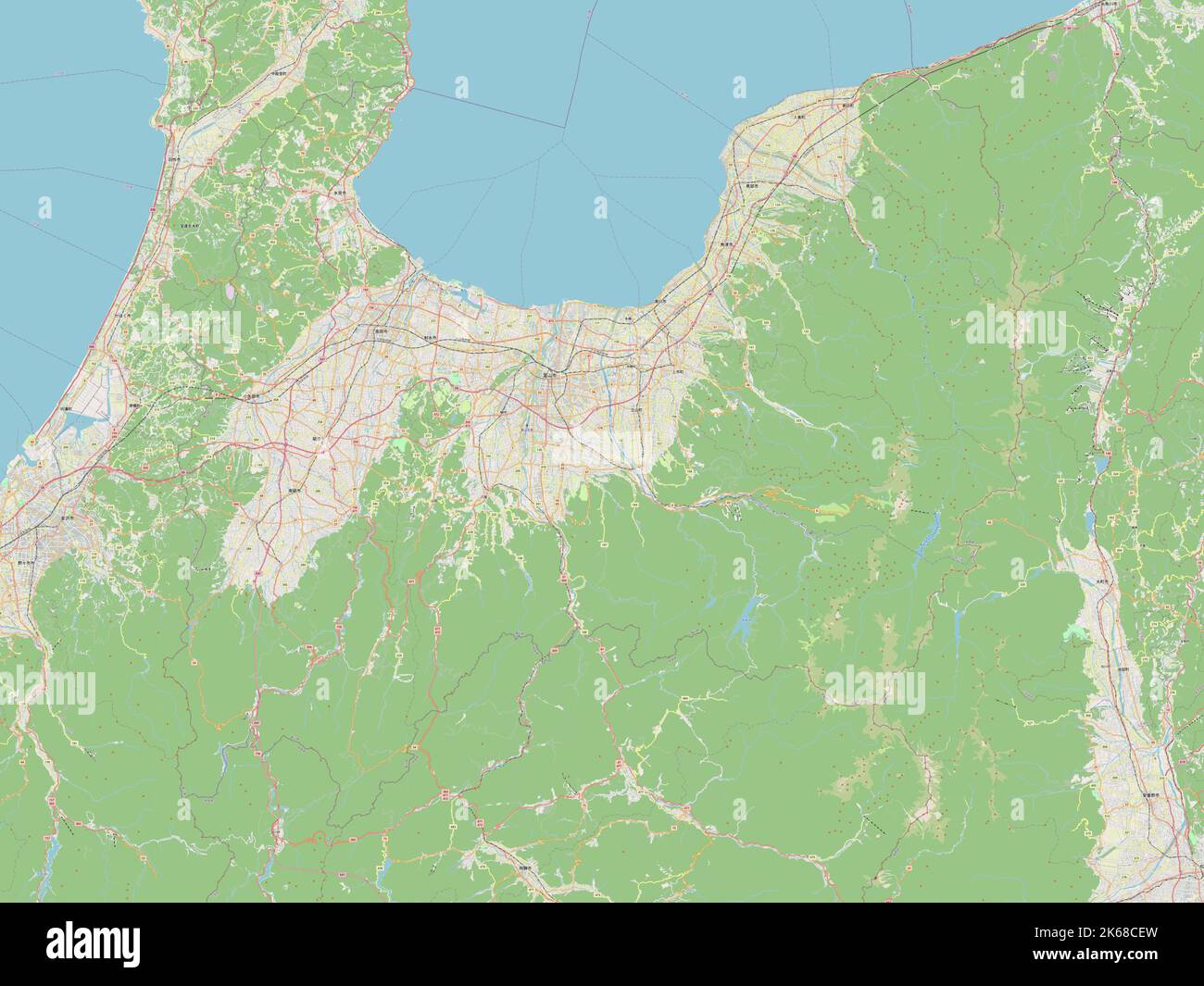 Toyama, prefecture of Japan. Open Street Map Stock Photohttps://www.alamy.com/image-license-details/?v=1https://www.alamy.com/toyama-prefecture-of-japan-open-street-map-image485763681.html
RF2K68CEW–Toyama, prefecture of Japan. Open Street Map
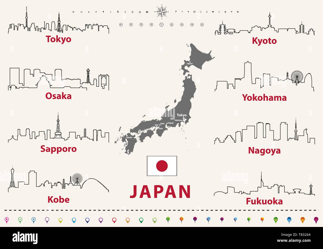 vector illustration of japanese cities skylines outlines Stock Vectorhttps://www.alamy.com/image-license-details/?v=1https://www.alamy.com/vector-illustration-of-japanese-cities-skylines-outlines-image245929996.html
RFT83264–vector illustration of japanese cities skylines outlines
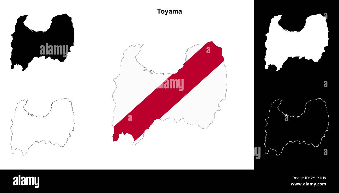 Toyama prefecture outline map set Stock Vectorhttps://www.alamy.com/image-license-details/?v=1https://www.alamy.com/toyama-prefecture-outline-map-set-image620781876.html
RF2Y1Y1H8–Toyama prefecture outline map set
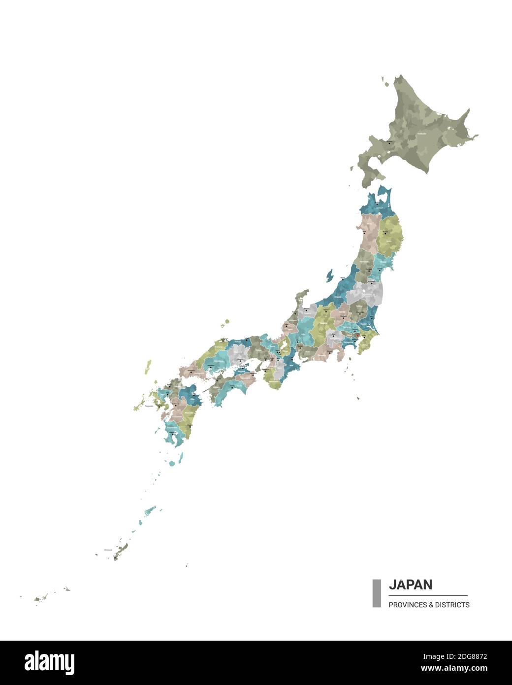 Japan higt detailed map with subdivisions. Administrative map of Japan with districts and cities name, colored by states and administrative districts. Stock Vectorhttps://www.alamy.com/image-license-details/?v=1https://www.alamy.com/japan-higt-detailed-map-with-subdivisions-administrative-map-of-japan-with-districts-and-cities-name-colored-by-states-and-administrative-districts-image388644678.html
RF2DG8872–Japan higt detailed map with subdivisions. Administrative map of Japan with districts and cities name, colored by states and administrative districts.
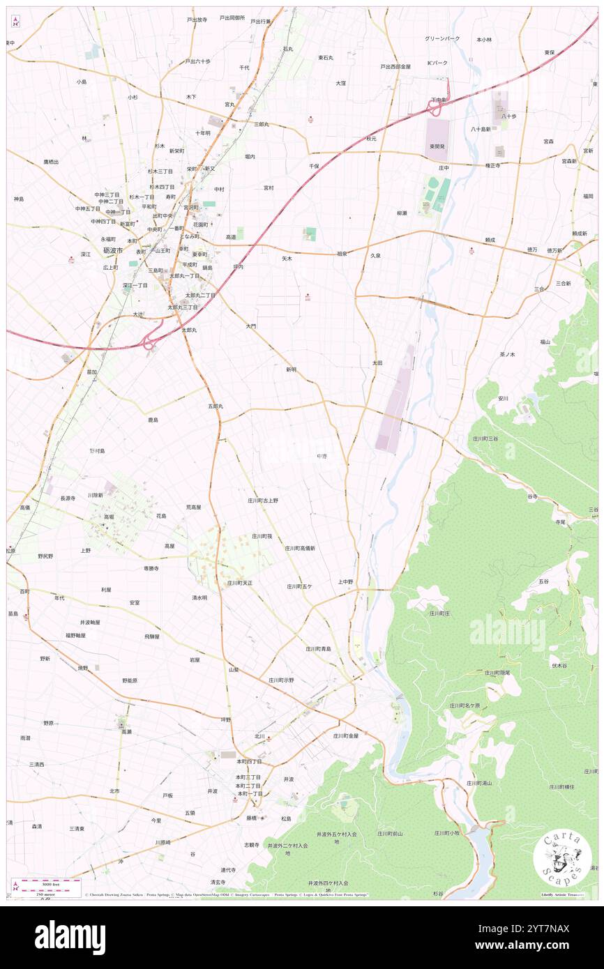 Nakano, , JP, Japan, Toyama, N 36 36' 30'', N 136 58' 44'', map, Cartascapes Map published in 2024. Explore Cartascapes, a map revealing Earth's diverse landscapes, cultures, and ecosystems. Journey through time and space, discovering the interconnectedness of our planet's past, present, and future. Stock Photohttps://www.alamy.com/image-license-details/?v=1https://www.alamy.com/nakano-jp-japan-toyama-n-36-36-30-n-136-58-44-map-cartascapes-map-published-in-2024-explore-cartascapes-a-map-revealing-earths-diverse-landscapes-cultures-and-ecosystems-journey-through-time-and-space-discovering-the-interconnectedness-of-our-planets-past-present-and-future-image634495426.html
RM2YT7NAX–Nakano, , JP, Japan, Toyama, N 36 36' 30'', N 136 58' 44'', map, Cartascapes Map published in 2024. Explore Cartascapes, a map revealing Earth's diverse landscapes, cultures, and ecosystems. Journey through time and space, discovering the interconnectedness of our planet's past, present, and future.
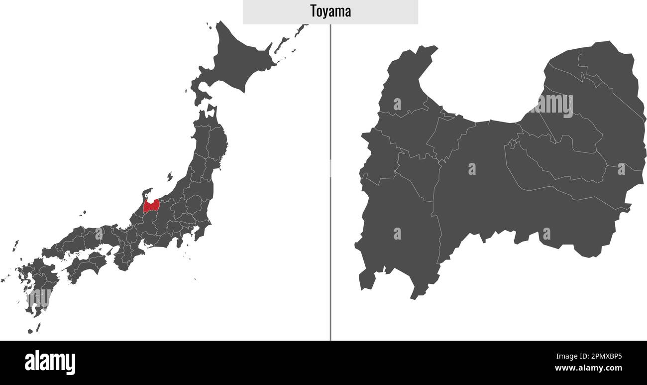 map of Toyama prefecture of Japan and location on Japanese map Stock Vectorhttps://www.alamy.com/image-license-details/?v=1https://www.alamy.com/map-of-toyama-prefecture-of-japan-and-location-on-japanese-map-image546394525.html
RF2PMXBP5–map of Toyama prefecture of Japan and location on Japanese map
 Symbol Map of the Prefecture Toyama (Japan) showing the state/province with a pattern of black circles Stock Vectorhttps://www.alamy.com/image-license-details/?v=1https://www.alamy.com/symbol-map-of-the-prefecture-toyama-japan-showing-the-stateprovince-with-a-pattern-of-black-circles-image612955850.html
RF2XH6FCA–Symbol Map of the Prefecture Toyama (Japan) showing the state/province with a pattern of black circles
 flag of toyama prefecture on map with administrative divisions and borders of japan Stock Photohttps://www.alamy.com/image-license-details/?v=1https://www.alamy.com/flag-of-toyama-prefecture-on-map-with-administrative-divisions-and-borders-of-japan-image209605402.html
RFP509R6–flag of toyama prefecture on map with administrative divisions and borders of japan
 Toyama Tomomasa Stock Photohttps://www.alamy.com/image-license-details/?v=1https://www.alamy.com/stock-photo-toyama-tomomasa-140669320.html
RMJ4T148–Toyama Tomomasa
 Toyama Prefecture (Administrative divisions of Japan, Prefectures of Japan) map vector illustration, scribble sketch Toyama map Stock Vectorhttps://www.alamy.com/image-license-details/?v=1https://www.alamy.com/toyama-prefecture-administrative-divisions-of-japan-prefectures-of-japan-map-vector-illustration-scribble-sketch-toyama-map-image231780109.html
RFRD2DW1–Toyama Prefecture (Administrative divisions of Japan, Prefectures of Japan) map vector illustration, scribble sketch Toyama map
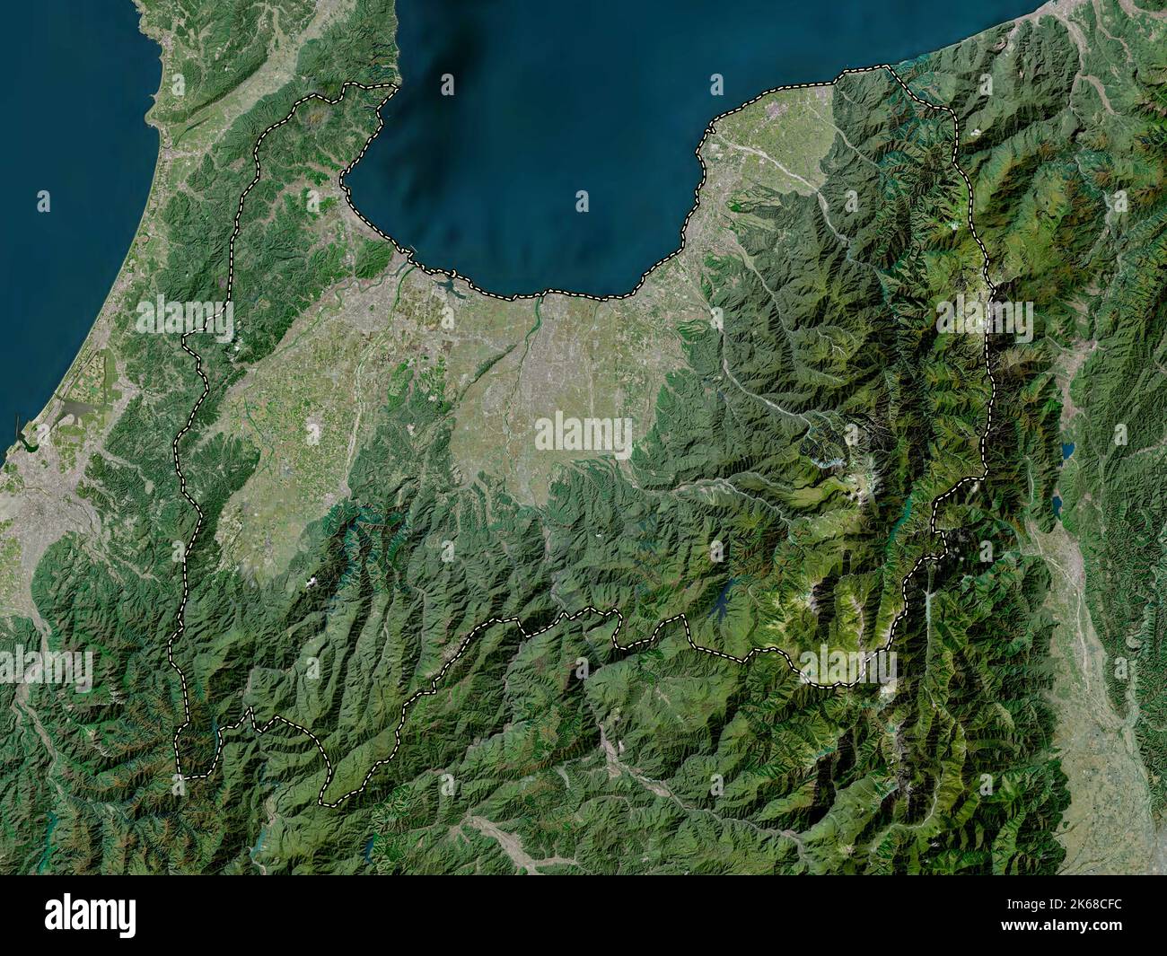 Toyama, prefecture of Japan. High resolution satellite map Stock Photohttps://www.alamy.com/image-license-details/?v=1https://www.alamy.com/toyama-prefecture-of-japan-high-resolution-satellite-map-image485763696.html
RF2K68CFC–Toyama, prefecture of Japan. High resolution satellite map
 Tsuzuraori, , JP, Japan, Toyama, N 36 40' 29'', N 136 48' 51'', map, Cartascapes Map published in 2024. Explore Cartascapes, a map revealing Earth's diverse landscapes, cultures, and ecosystems. Journey through time and space, discovering the interconnectedness of our planet's past, present, and future. Stock Photohttps://www.alamy.com/image-license-details/?v=1https://www.alamy.com/tsuzuraori-jp-japan-toyama-n-36-40-29-n-136-48-51-map-cartascapes-map-published-in-2024-explore-cartascapes-a-map-revealing-earths-diverse-landscapes-cultures-and-ecosystems-journey-through-time-and-space-discovering-the-interconnectedness-of-our-planets-past-present-and-future-image634463608.html
RM2YT68PG–Tsuzuraori, , JP, Japan, Toyama, N 36 40' 29'', N 136 48' 51'', map, Cartascapes Map published in 2024. Explore Cartascapes, a map revealing Earth's diverse landscapes, cultures, and ecosystems. Journey through time and space, discovering the interconnectedness of our planet's past, present, and future.
 3d isometric Map of Toyama is a prefecture of Japan with national flag Stock Vectorhttps://www.alamy.com/image-license-details/?v=1https://www.alamy.com/3d-isometric-map-of-toyama-is-a-prefecture-of-japan-with-national-flag-image491470403.html
RF2KFGBEB–3d isometric Map of Toyama is a prefecture of Japan with national flag
 flag of toyama prefecture on map with administrative divisions and borders of japan Stock Photohttps://www.alamy.com/image-license-details/?v=1https://www.alamy.com/flag-of-toyama-prefecture-on-map-with-administrative-divisions-and-borders-of-japan-image209605362.html
RFP509NP–flag of toyama prefecture on map with administrative divisions and borders of japan
 Toyama Tomoharu Stock Photohttps://www.alamy.com/image-license-details/?v=1https://www.alamy.com/stock-photo-toyama-tomoharu-140669316.html
RMJ4T144–Toyama Tomoharu
 Toyama Prefecture (Administrative divisions of Japan, Prefectures of Japan) map vector illustration, scribble sketch Toyama map Stock Vectorhttps://www.alamy.com/image-license-details/?v=1https://www.alamy.com/toyama-prefecture-administrative-divisions-of-japan-prefectures-of-japan-map-vector-illustration-scribble-sketch-toyama-map-image228792103.html
RFR86AJF–Toyama Prefecture (Administrative divisions of Japan, Prefectures of Japan) map vector illustration, scribble sketch Toyama map
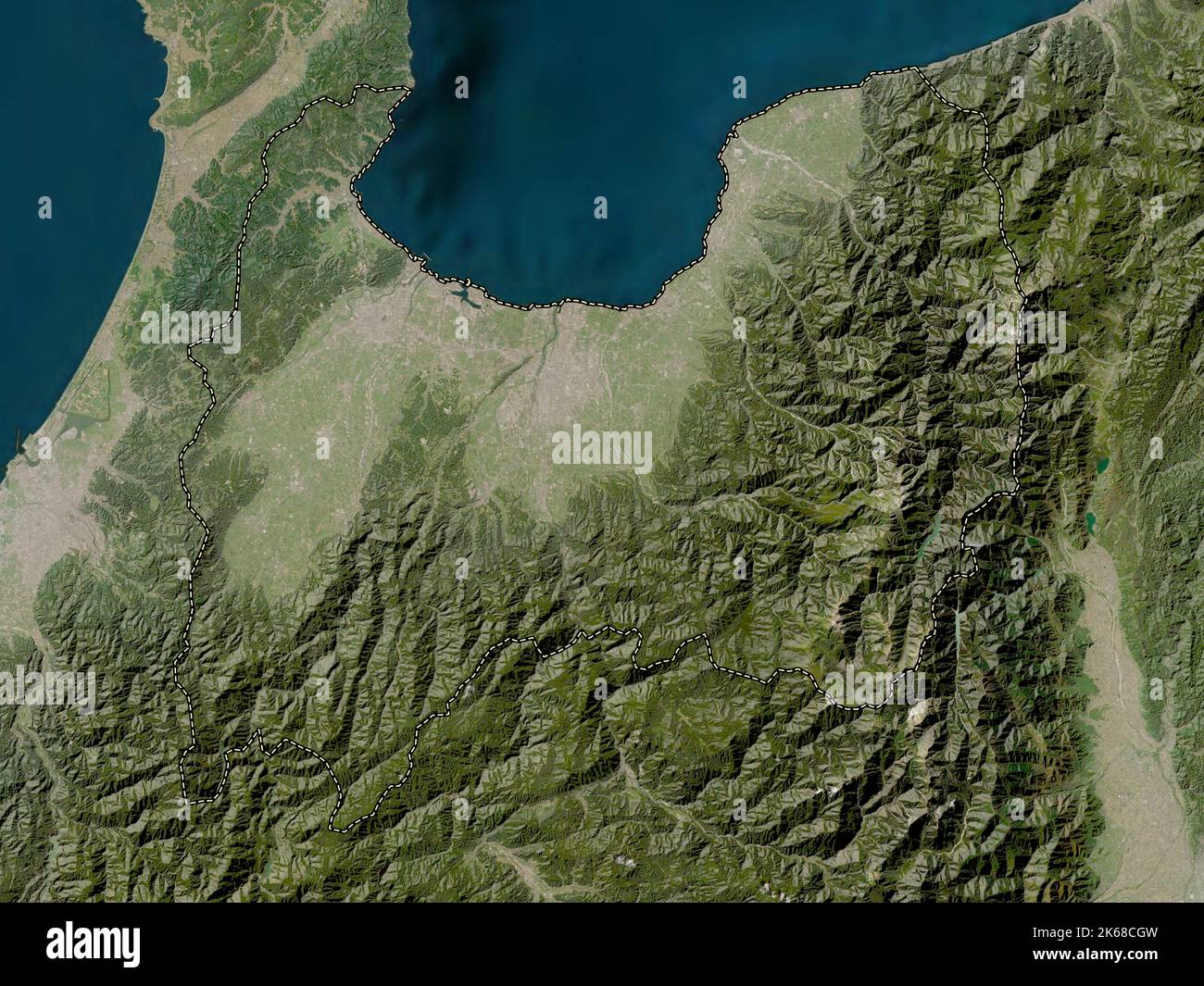 Toyama, prefecture of Japan. Low resolution satellite map Stock Photohttps://www.alamy.com/image-license-details/?v=1https://www.alamy.com/toyama-prefecture-of-japan-low-resolution-satellite-map-image485763737.html
RF2K68CGW–Toyama, prefecture of Japan. Low resolution satellite map
 Toyama Prefecture (Administrative divisions of Japan, Prefectures of Japan) map is designed cannabis leaf green and black, Toyama map made of marijuan Stock Vectorhttps://www.alamy.com/image-license-details/?v=1https://www.alamy.com/toyama-prefecture-administrative-divisions-of-japan-prefectures-of-japan-map-is-designed-cannabis-leaf-green-and-black-toyama-map-made-of-marijuan-image264342102.html
RFWA1R1A–Toyama Prefecture (Administrative divisions of Japan, Prefectures of Japan) map is designed cannabis leaf green and black, Toyama map made of marijuan
 Hashiri, , JP, Japan, Toyama, N 36 52' 3'', N 136 50' 57'', map, Cartascapes Map published in 2024. Explore Cartascapes, a map revealing Earth's diverse landscapes, cultures, and ecosystems. Journey through time and space, discovering the interconnectedness of our planet's past, present, and future. Stock Photohttps://www.alamy.com/image-license-details/?v=1https://www.alamy.com/hashiri-jp-japan-toyama-n-36-52-3-n-136-50-57-map-cartascapes-map-published-in-2024-explore-cartascapes-a-map-revealing-earths-diverse-landscapes-cultures-and-ecosystems-journey-through-time-and-space-discovering-the-interconnectedness-of-our-planets-past-present-and-future-image634515150.html
RM2YT8JFA–Hashiri, , JP, Japan, Toyama, N 36 52' 3'', N 136 50' 57'', map, Cartascapes Map published in 2024. Explore Cartascapes, a map revealing Earth's diverse landscapes, cultures, and ecosystems. Journey through time and space, discovering the interconnectedness of our planet's past, present, and future.
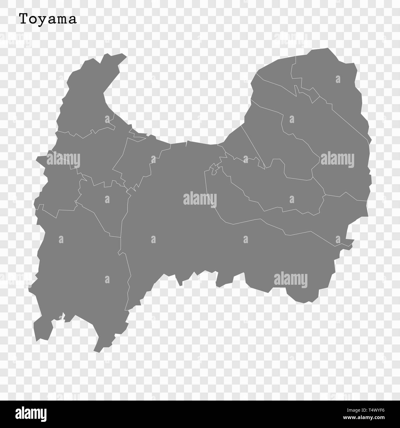 High Quality map of Toyama is a prefecture of Japan with borders of the districts Stock Vectorhttps://www.alamy.com/image-license-details/?v=1https://www.alamy.com/high-quality-map-of-toyama-is-a-prefecture-of-japan-with-borders-of-the-districts-image243974170.html
RFT4WYF6–High Quality map of Toyama is a prefecture of Japan with borders of the districts
 Toyama Hidetomo Stock Photohttps://www.alamy.com/image-license-details/?v=1https://www.alamy.com/stock-photo-toyama-hidetomo-140669314.html
RMJ4T142–Toyama Hidetomo
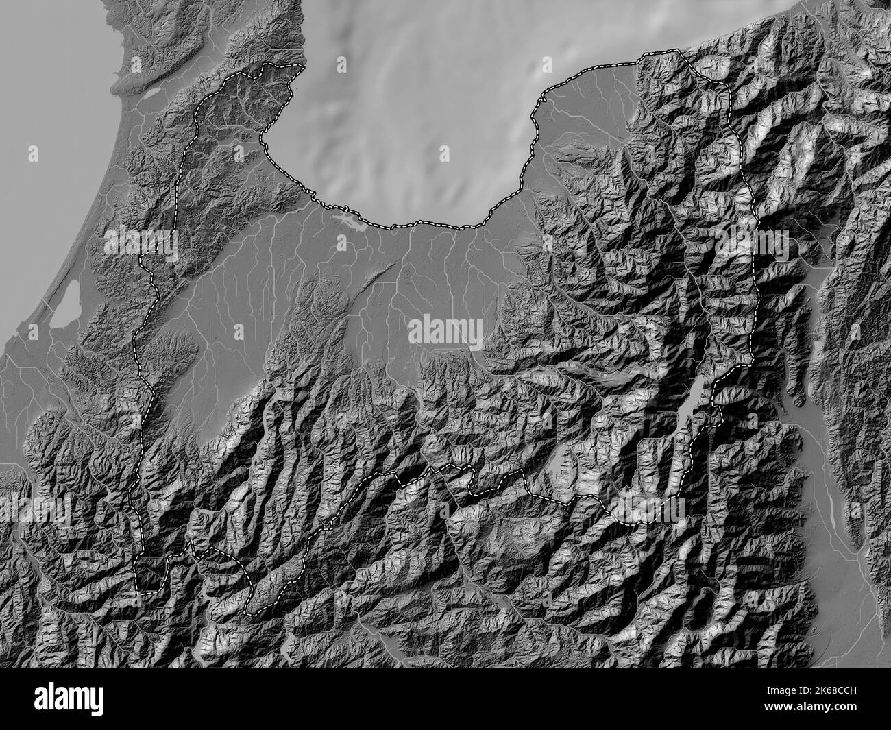 Toyama, prefecture of Japan. Bilevel elevation map with lakes and rivers Stock Photohttps://www.alamy.com/image-license-details/?v=1https://www.alamy.com/toyama-prefecture-of-japan-bilevel-elevation-map-with-lakes-and-rivers-image485763617.html
RF2K68CCH–Toyama, prefecture of Japan. Bilevel elevation map with lakes and rivers
 Toyama-heiya, , JP, Japan, , N 36 40' 0'', N 137 15' 0'', map, Cartascapes Map published in 2024. Explore Cartascapes, a map revealing Earth's diverse landscapes, cultures, and ecosystems. Journey through time and space, discovering the interconnectedness of our planet's past, present, and future. Stock Photohttps://www.alamy.com/image-license-details/?v=1https://www.alamy.com/toyama-heiya-jp-japan-n-36-40-0-n-137-15-0-map-cartascapes-map-published-in-2024-explore-cartascapes-a-map-revealing-earths-diverse-landscapes-cultures-and-ecosystems-journey-through-time-and-space-discovering-the-interconnectedness-of-our-planets-past-present-and-future-image634564818.html
RM2YTAWW6–Toyama-heiya, , JP, Japan, , N 36 40' 0'', N 137 15' 0'', map, Cartascapes Map published in 2024. Explore Cartascapes, a map revealing Earth's diverse landscapes, cultures, and ecosystems. Journey through time and space, discovering the interconnectedness of our planet's past, present, and future.
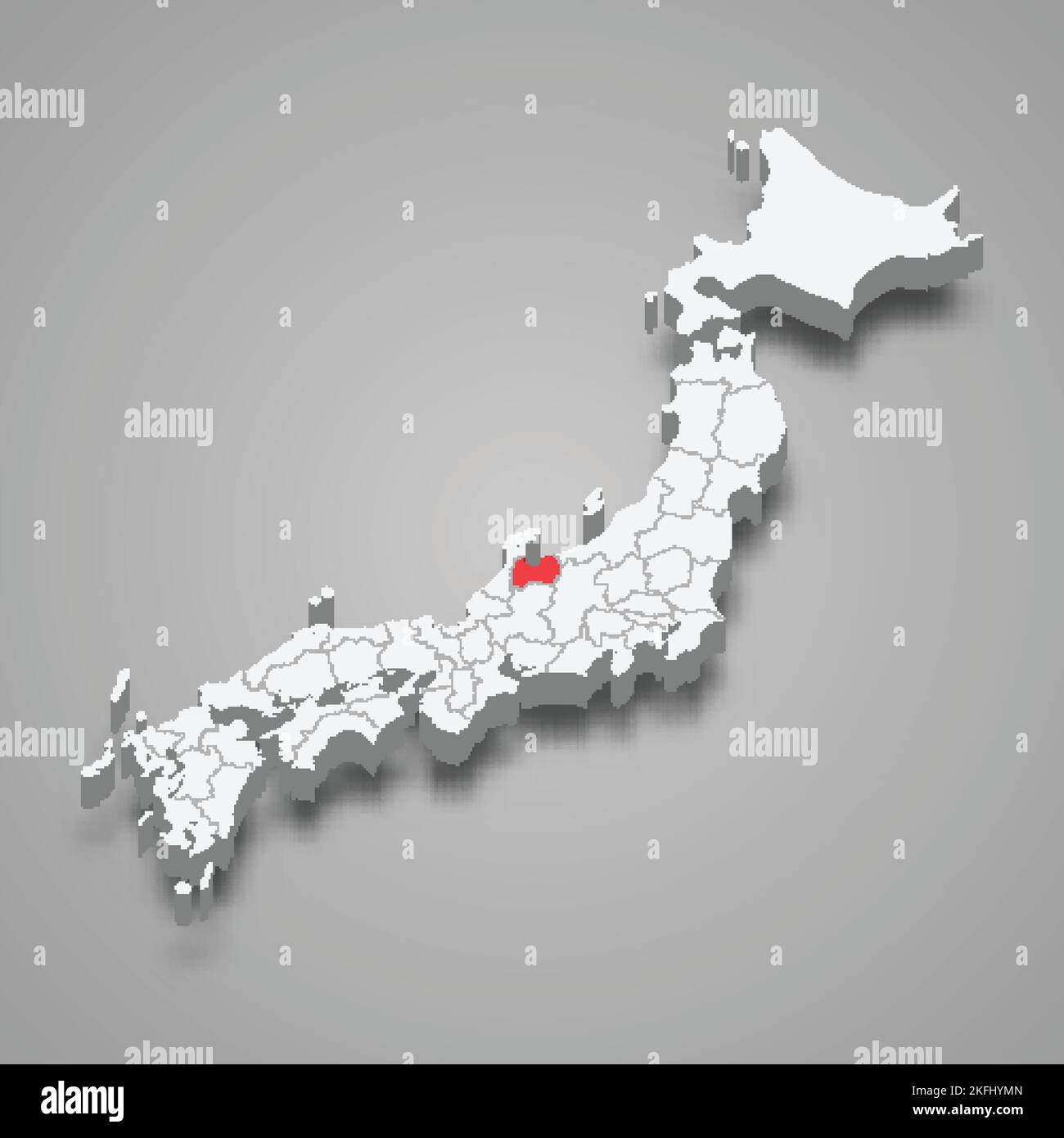 Toyama region location within Japan 3d isometric map Stock Vectorhttps://www.alamy.com/image-license-details/?v=1https://www.alamy.com/toyama-region-location-within-japan-3d-isometric-map-image491505077.html
RF2KFHYMN–Toyama region location within Japan 3d isometric map
 Toyama Tomohisa Stock Photohttps://www.alamy.com/image-license-details/?v=1https://www.alamy.com/stock-photo-toyama-tomohisa-140669317.html
RMJ4T145–Toyama Tomohisa
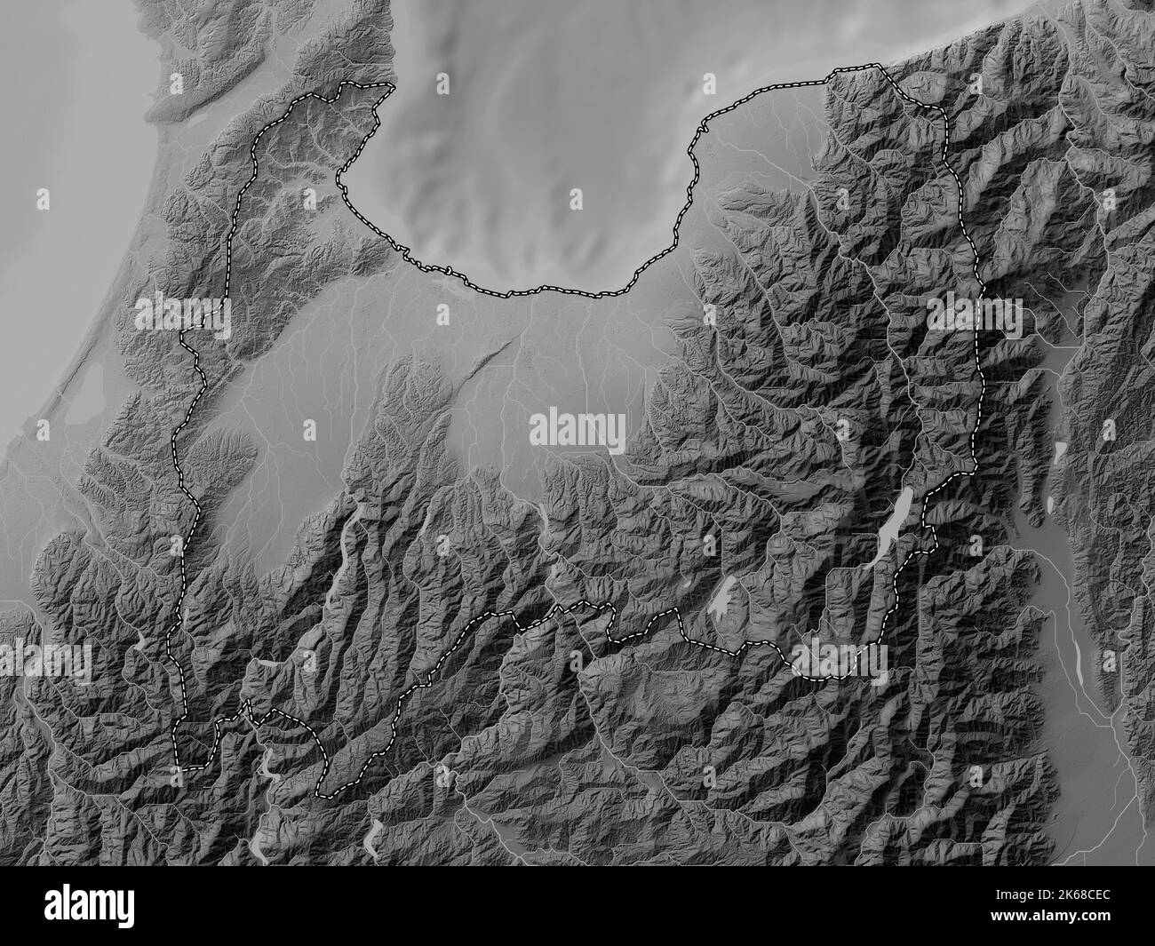 Toyama, prefecture of Japan. Grayscale elevation map with lakes and rivers Stock Photohttps://www.alamy.com/image-license-details/?v=1https://www.alamy.com/toyama-prefecture-of-japan-grayscale-elevation-map-with-lakes-and-rivers-image485763668.html
RF2K68CEC–Toyama, prefecture of Japan. Grayscale elevation map with lakes and rivers
 Ebie, , JP, Japan, Toyama, N 36 46' 0'', N 137 9' 0'', map, Cartascapes Map published in 2024. Explore Cartascapes, a map revealing Earth's diverse landscapes, cultures, and ecosystems. Journey through time and space, discovering the interconnectedness of our planet's past, present, and future. Stock Photohttps://www.alamy.com/image-license-details/?v=1https://www.alamy.com/ebie-jp-japan-toyama-n-36-46-0-n-137-9-0-map-cartascapes-map-published-in-2024-explore-cartascapes-a-map-revealing-earths-diverse-landscapes-cultures-and-ecosystems-journey-through-time-and-space-discovering-the-interconnectedness-of-our-planets-past-present-and-future-image634829093.html
RM2YTPXYH–Ebie, , JP, Japan, Toyama, N 36 46' 0'', N 137 9' 0'', map, Cartascapes Map published in 2024. Explore Cartascapes, a map revealing Earth's diverse landscapes, cultures, and ecosystems. Journey through time and space, discovering the interconnectedness of our planet's past, present, and future.
 Chubu region location within Japan 3d isometric map Stock Vectorhttps://www.alamy.com/image-license-details/?v=1https://www.alamy.com/chubu-region-location-within-japan-3d-isometric-map-image543258608.html
RF2PFRFW4–Chubu region location within Japan 3d isometric map
 Toyama Tomoyori Stock Photohttps://www.alamy.com/image-license-details/?v=1https://www.alamy.com/stock-photo-toyama-tomoyori-140669322.html
RMJ4T14A–Toyama Tomoyori
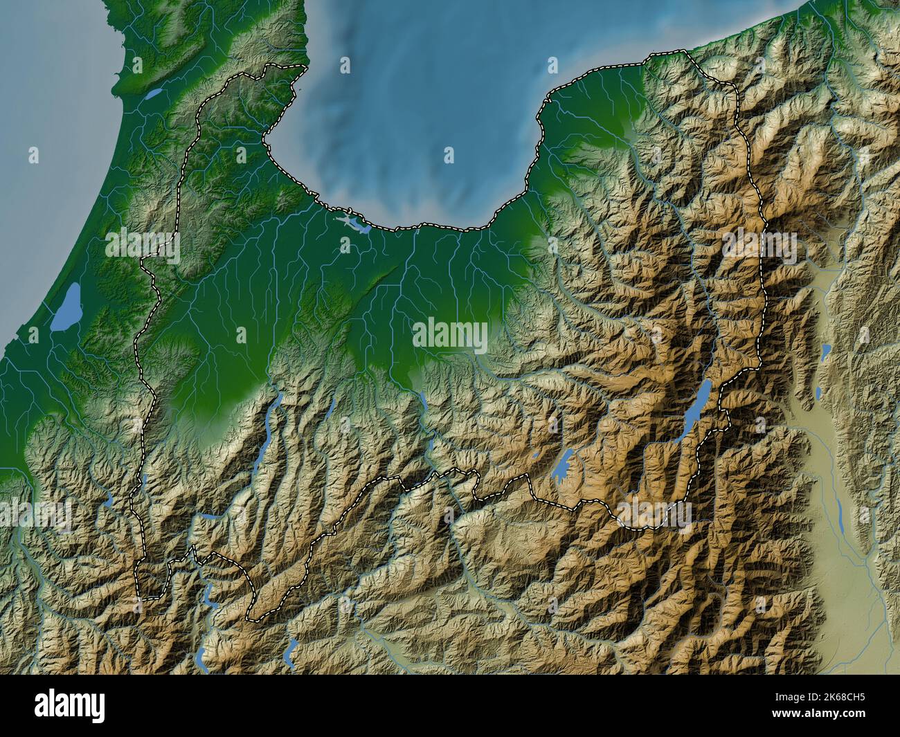 Toyama, prefecture of Japan. Colored elevation map with lakes and rivers Stock Photohttps://www.alamy.com/image-license-details/?v=1https://www.alamy.com/toyama-prefecture-of-japan-colored-elevation-map-with-lakes-and-rivers-image485763745.html
RF2K68CH5–Toyama, prefecture of Japan. Colored elevation map with lakes and rivers
 Nakamura, , JP, Japan, Toyama, N 36 37' 49'', N 137 58' 22'', map, Cartascapes Map published in 2024. Explore Cartascapes, a map revealing Earth's diverse landscapes, cultures, and ecosystems. Journey through time and space, discovering the interconnectedness of our planet's past, present, and future. Stock Photohttps://www.alamy.com/image-license-details/?v=1https://www.alamy.com/nakamura-jp-japan-toyama-n-36-37-49-n-137-58-22-map-cartascapes-map-published-in-2024-explore-cartascapes-a-map-revealing-earths-diverse-landscapes-cultures-and-ecosystems-journey-through-time-and-space-discovering-the-interconnectedness-of-our-planets-past-present-and-future-image634496482.html
RM2YT7PMJ–Nakamura, , JP, Japan, Toyama, N 36 37' 49'', N 137 58' 22'', map, Cartascapes Map published in 2024. Explore Cartascapes, a map revealing Earth's diverse landscapes, cultures, and ecosystems. Journey through time and space, discovering the interconnectedness of our planet's past, present, and future.
 Toyama Tomoyoshi Stock Photohttps://www.alamy.com/image-license-details/?v=1https://www.alamy.com/stock-photo-toyama-tomoyoshi-140669325.html
RMJ4T14D–Toyama Tomoyoshi
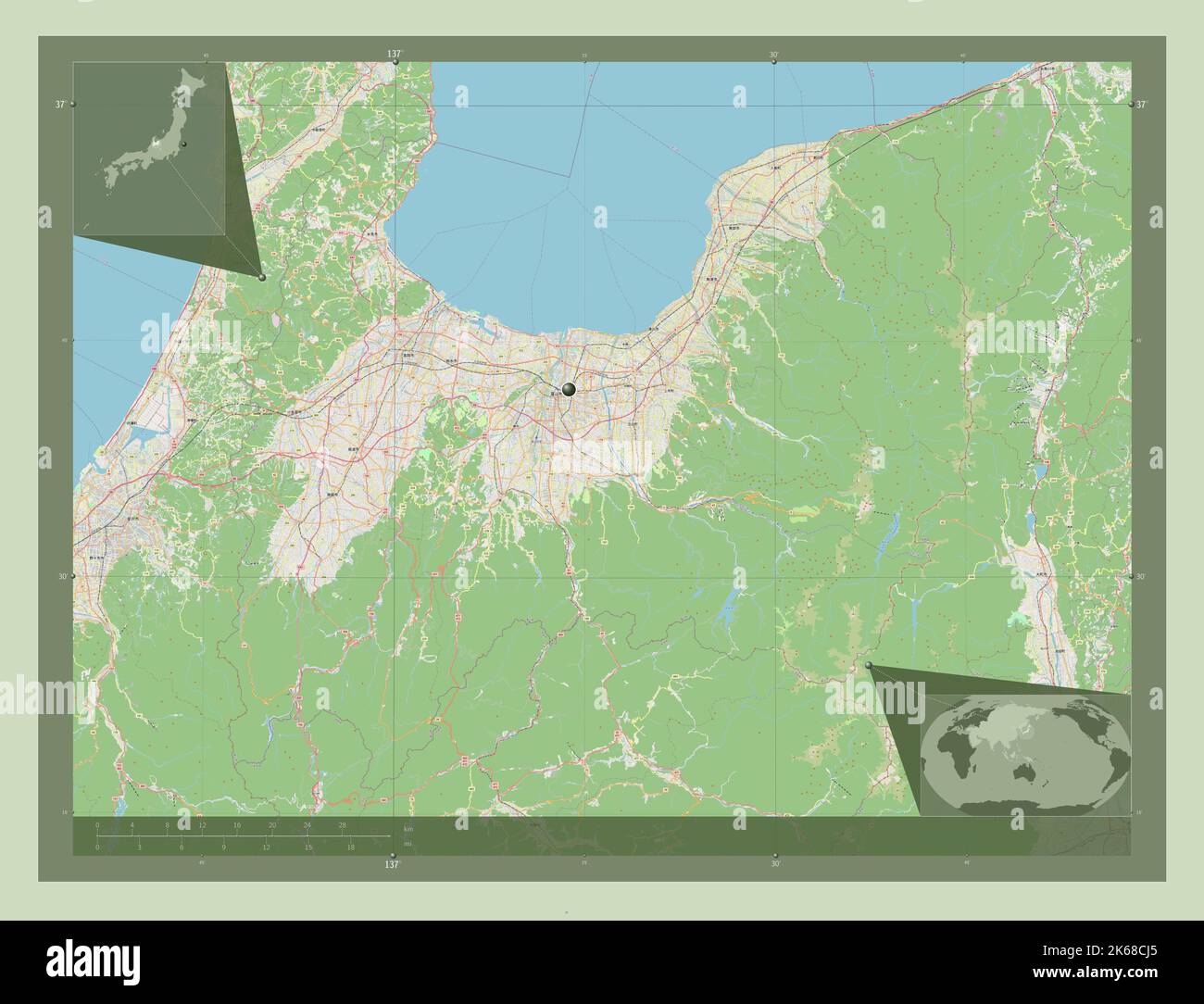 Toyama, prefecture of Japan. Open Street Map. Corner auxiliary location maps Stock Photohttps://www.alamy.com/image-license-details/?v=1https://www.alamy.com/toyama-prefecture-of-japan-open-street-map-corner-auxiliary-location-maps-image485763773.html
RF2K68CJ5–Toyama, prefecture of Japan. Open Street Map. Corner auxiliary location maps
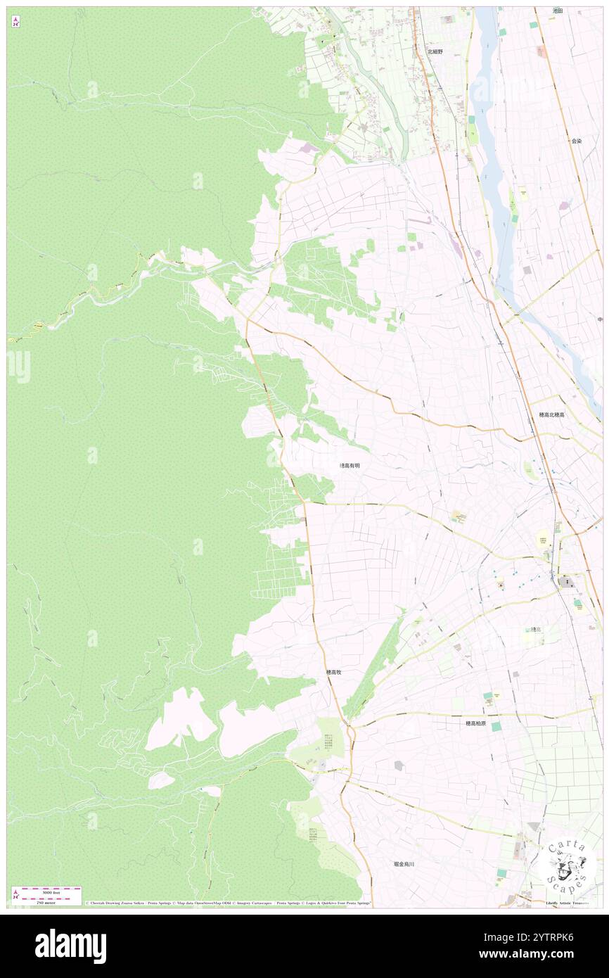 Koiwadake, , JP, Japan, Toyama, N 36 21' 20'', N 137 50' 23'', map, Cartascapes Map published in 2024. Explore Cartascapes, a map revealing Earth's diverse landscapes, cultures, and ecosystems. Journey through time and space, discovering the interconnectedness of our planet's past, present, and future. Stock Photohttps://www.alamy.com/image-license-details/?v=1https://www.alamy.com/koiwadake-jp-japan-toyama-n-36-21-20-n-137-50-23-map-cartascapes-map-published-in-2024-explore-cartascapes-a-map-revealing-earths-diverse-landscapes-cultures-and-ecosystems-journey-through-time-and-space-discovering-the-interconnectedness-of-our-planets-past-present-and-future-image634847674.html
RM2YTRPK6–Koiwadake, , JP, Japan, Toyama, N 36 21' 20'', N 137 50' 23'', map, Cartascapes Map published in 2024. Explore Cartascapes, a map revealing Earth's diverse landscapes, cultures, and ecosystems. Journey through time and space, discovering the interconnectedness of our planet's past, present, and future.
 Toyama Toyonaka Stock Photohttps://www.alamy.com/image-license-details/?v=1https://www.alamy.com/stock-photo-toyama-toyonaka-140669326.html
RMJ4T14E–Toyama Toyonaka
 Toyama, prefecture of Japan. Low resolution satellite map. Corner auxiliary location maps Stock Photohttps://www.alamy.com/image-license-details/?v=1https://www.alamy.com/toyama-prefecture-of-japan-low-resolution-satellite-map-corner-auxiliary-location-maps-image485763682.html
RF2K68CEX–Toyama, prefecture of Japan. Low resolution satellite map. Corner auxiliary location maps
 Muromaki Gawa, , JP, Japan, Toyama, N 36 33' 30'', N 137 5' 53'', map, Cartascapes Map published in 2024. Explore Cartascapes, a map revealing Earth's diverse landscapes, cultures, and ecosystems. Journey through time and space, discovering the interconnectedness of our planet's past, present, and future. Stock Photohttps://www.alamy.com/image-license-details/?v=1https://www.alamy.com/muromaki-gawa-jp-japan-toyama-n-36-33-30-n-137-5-53-map-cartascapes-map-published-in-2024-explore-cartascapes-a-map-revealing-earths-diverse-landscapes-cultures-and-ecosystems-journey-through-time-and-space-discovering-the-interconnectedness-of-our-planets-past-present-and-future-image634478411.html
RM2YT6YK7–Muromaki Gawa, , JP, Japan, Toyama, N 36 33' 30'', N 137 5' 53'', map, Cartascapes Map published in 2024. Explore Cartascapes, a map revealing Earth's diverse landscapes, cultures, and ecosystems. Journey through time and space, discovering the interconnectedness of our planet's past, present, and future.
 Toyama Tomokiyo Stock Photohttps://www.alamy.com/image-license-details/?v=1https://www.alamy.com/stock-photo-toyama-tomokiyo-140669318.html
RMJ4T146–Toyama Tomokiyo
 Toyama, prefecture of Japan. High resolution satellite map. Corner auxiliary location maps Stock Photohttps://www.alamy.com/image-license-details/?v=1https://www.alamy.com/toyama-prefecture-of-japan-high-resolution-satellite-map-corner-auxiliary-location-maps-image485763695.html
RF2K68CFB–Toyama, prefecture of Japan. High resolution satellite map. Corner auxiliary location maps
 Kamiichi Gawa, , JP, Japan, Toyama, N 36 45' 29'', N 137 19' 10'', map, Cartascapes Map published in 2024. Explore Cartascapes, a map revealing Earth's diverse landscapes, cultures, and ecosystems. Journey through time and space, discovering the interconnectedness of our planet's past, present, and future. Stock Photohttps://www.alamy.com/image-license-details/?v=1https://www.alamy.com/kamiichi-gawa-jp-japan-toyama-n-36-45-29-n-137-19-10-map-cartascapes-map-published-in-2024-explore-cartascapes-a-map-revealing-earths-diverse-landscapes-cultures-and-ecosystems-journey-through-time-and-space-discovering-the-interconnectedness-of-our-planets-past-present-and-future-image634683256.html
RM2YTG8Y4–Kamiichi Gawa, , JP, Japan, Toyama, N 36 45' 29'', N 137 19' 10'', map, Cartascapes Map published in 2024. Explore Cartascapes, a map revealing Earth's diverse landscapes, cultures, and ecosystems. Journey through time and space, discovering the interconnectedness of our planet's past, present, and future.
 Toyama Tomomasa(18th) Stock Photohttps://www.alamy.com/image-license-details/?v=1https://www.alamy.com/stock-photo-toyama-tomomasa18th-140669319.html
RMJ4T147–Toyama Tomomasa(18th)
 Toyama, prefecture of Japan. Colored elevation map with lakes and rivers. Corner auxiliary location maps Stock Photohttps://www.alamy.com/image-license-details/?v=1https://www.alamy.com/toyama-prefecture-of-japan-colored-elevation-map-with-lakes-and-rivers-corner-auxiliary-location-maps-image485763755.html
RF2K68CHF–Toyama, prefecture of Japan. Colored elevation map with lakes and rivers. Corner auxiliary location maps
 Kumano Gawa, , JP, Japan, Toyama, N 36 40' 42'', N 137 11' 44'', map, Cartascapes Map published in 2024. Explore Cartascapes, a map revealing Earth's diverse landscapes, cultures, and ecosystems. Journey through time and space, discovering the interconnectedness of our planet's past, present, and future. Stock Photohttps://www.alamy.com/image-license-details/?v=1https://www.alamy.com/kumano-gawa-jp-japan-toyama-n-36-40-42-n-137-11-44-map-cartascapes-map-published-in-2024-explore-cartascapes-a-map-revealing-earths-diverse-landscapes-cultures-and-ecosystems-journey-through-time-and-space-discovering-the-interconnectedness-of-our-planets-past-present-and-future-image634534661.html
RM2YT9FC5–Kumano Gawa, , JP, Japan, Toyama, N 36 40' 42'', N 137 11' 44'', map, Cartascapes Map published in 2024. Explore Cartascapes, a map revealing Earth's diverse landscapes, cultures, and ecosystems. Journey through time and space, discovering the interconnectedness of our planet's past, present, and future.
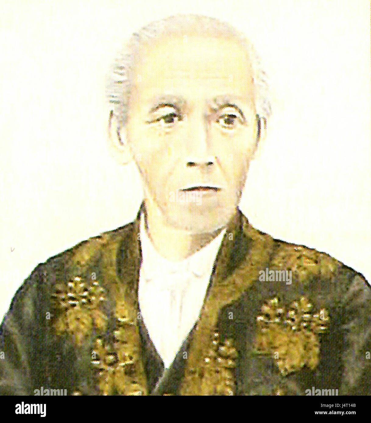 Toyama Tomoyoshi(19th) Stock Photohttps://www.alamy.com/image-license-details/?v=1https://www.alamy.com/stock-photo-toyama-tomoyoshi19th-140669323.html
RMJ4T14B–Toyama Tomoyoshi(19th)
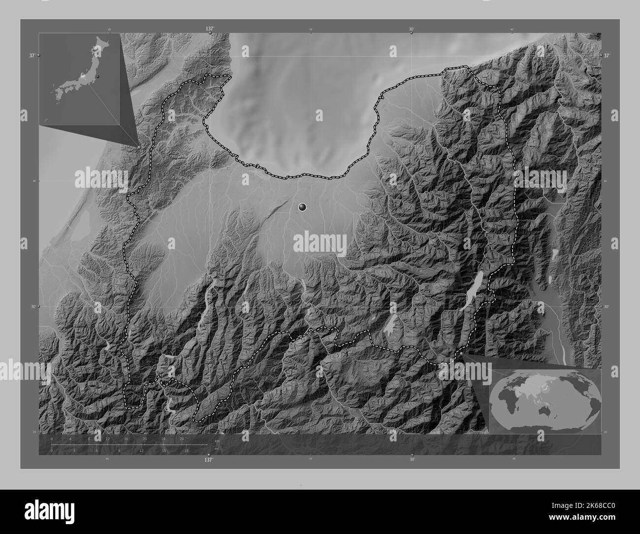 Toyama, prefecture of Japan. Grayscale elevation map with lakes and rivers. Corner auxiliary location maps Stock Photohttps://www.alamy.com/image-license-details/?v=1https://www.alamy.com/toyama-prefecture-of-japan-grayscale-elevation-map-with-lakes-and-rivers-corner-auxiliary-location-maps-image485763600.html
RF2K68CC0–Toyama, prefecture of Japan. Grayscale elevation map with lakes and rivers. Corner auxiliary location maps
 Katakai Gawa, , JP, Japan, Toyama, N 36 51' 37'', N 137 24' 32'', map, Cartascapes Map published in 2024. Explore Cartascapes, a map revealing Earth's diverse landscapes, cultures, and ecosystems. Journey through time and space, discovering the interconnectedness of our planet's past, present, and future. Stock Photohttps://www.alamy.com/image-license-details/?v=1https://www.alamy.com/katakai-gawa-jp-japan-toyama-n-36-51-37-n-137-24-32-map-cartascapes-map-published-in-2024-explore-cartascapes-a-map-revealing-earths-diverse-landscapes-cultures-and-ecosystems-journey-through-time-and-space-discovering-the-interconnectedness-of-our-planets-past-present-and-future-image634502829.html
RM2YT82R9–Katakai Gawa, , JP, Japan, Toyama, N 36 51' 37'', N 137 24' 32'', map, Cartascapes Map published in 2024. Explore Cartascapes, a map revealing Earth's diverse landscapes, cultures, and ecosystems. Journey through time and space, discovering the interconnectedness of our planet's past, present, and future.
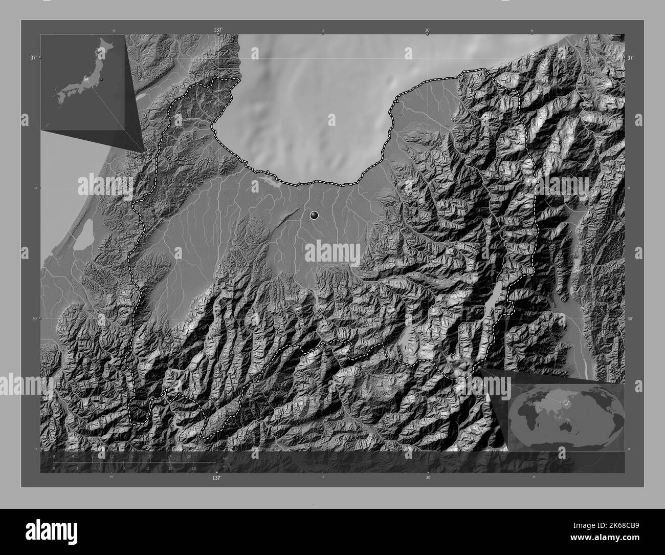 Toyama, prefecture of Japan. Bilevel elevation map with lakes and rivers. Corner auxiliary location maps Stock Photohttps://www.alamy.com/image-license-details/?v=1https://www.alamy.com/toyama-prefecture-of-japan-bilevel-elevation-map-with-lakes-and-rivers-corner-auxiliary-location-maps-image485763581.html
RF2K68CB9–Toyama, prefecture of Japan. Bilevel elevation map with lakes and rivers. Corner auxiliary location maps
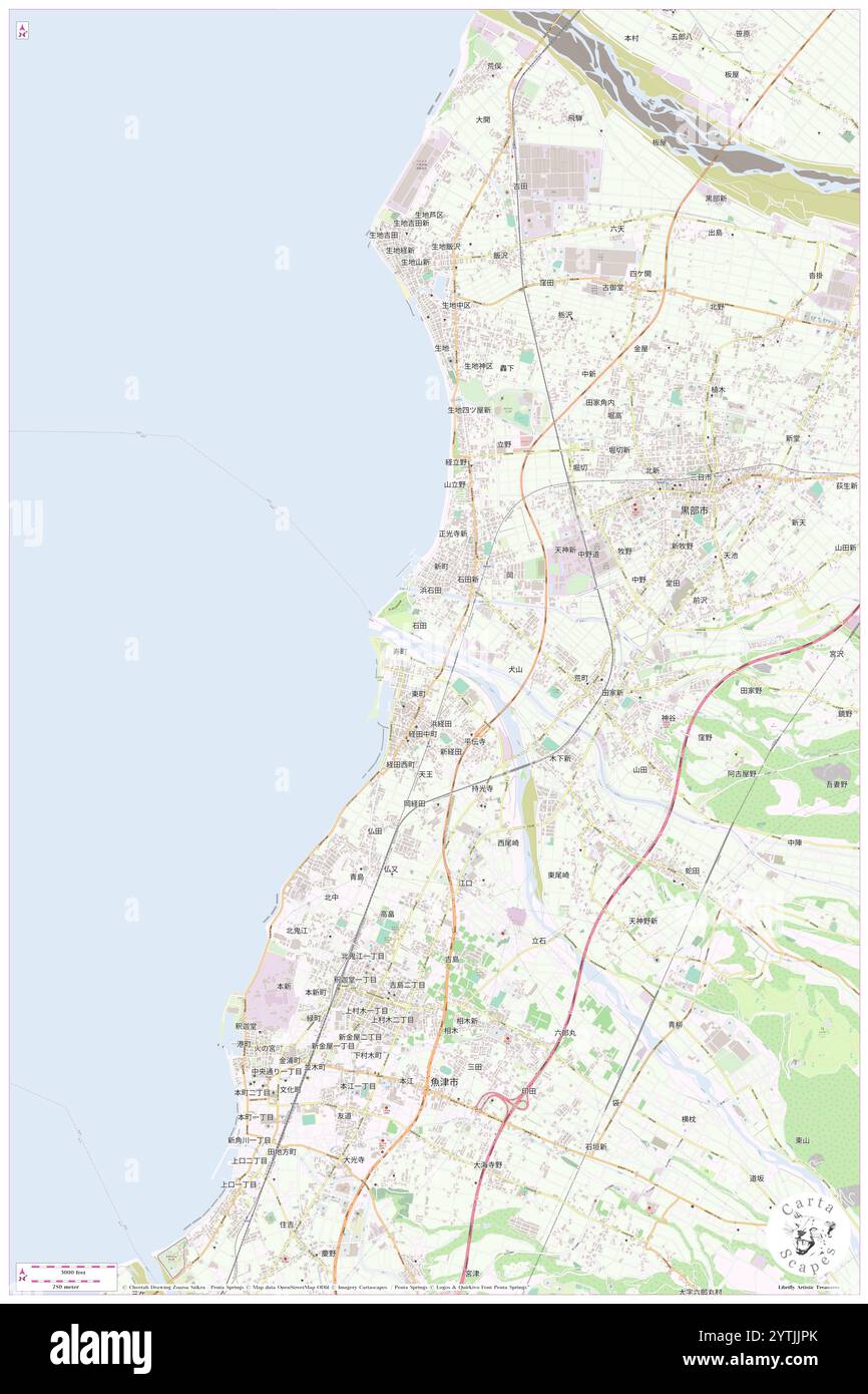 Fuse Gawa, , JP, Japan, Toyama, N 36 51' 27'', N 137 25' 1'', map, Cartascapes Map published in 2024. Explore Cartascapes, a map revealing Earth's diverse landscapes, cultures, and ecosystems. Journey through time and space, discovering the interconnectedness of our planet's past, present, and future. Stock Photohttps://www.alamy.com/image-license-details/?v=1https://www.alamy.com/fuse-gawa-jp-japan-toyama-n-36-51-27-n-137-25-1-map-cartascapes-map-published-in-2024-explore-cartascapes-a-map-revealing-earths-diverse-landscapes-cultures-and-ecosystems-journey-through-time-and-space-discovering-the-interconnectedness-of-our-planets-past-present-and-future-image634734875.html
RM2YTJJPK–Fuse Gawa, , JP, Japan, Toyama, N 36 51' 27'', N 137 25' 1'', map, Cartascapes Map published in 2024. Explore Cartascapes, a map revealing Earth's diverse landscapes, cultures, and ecosystems. Journey through time and space, discovering the interconnectedness of our planet's past, present, and future.
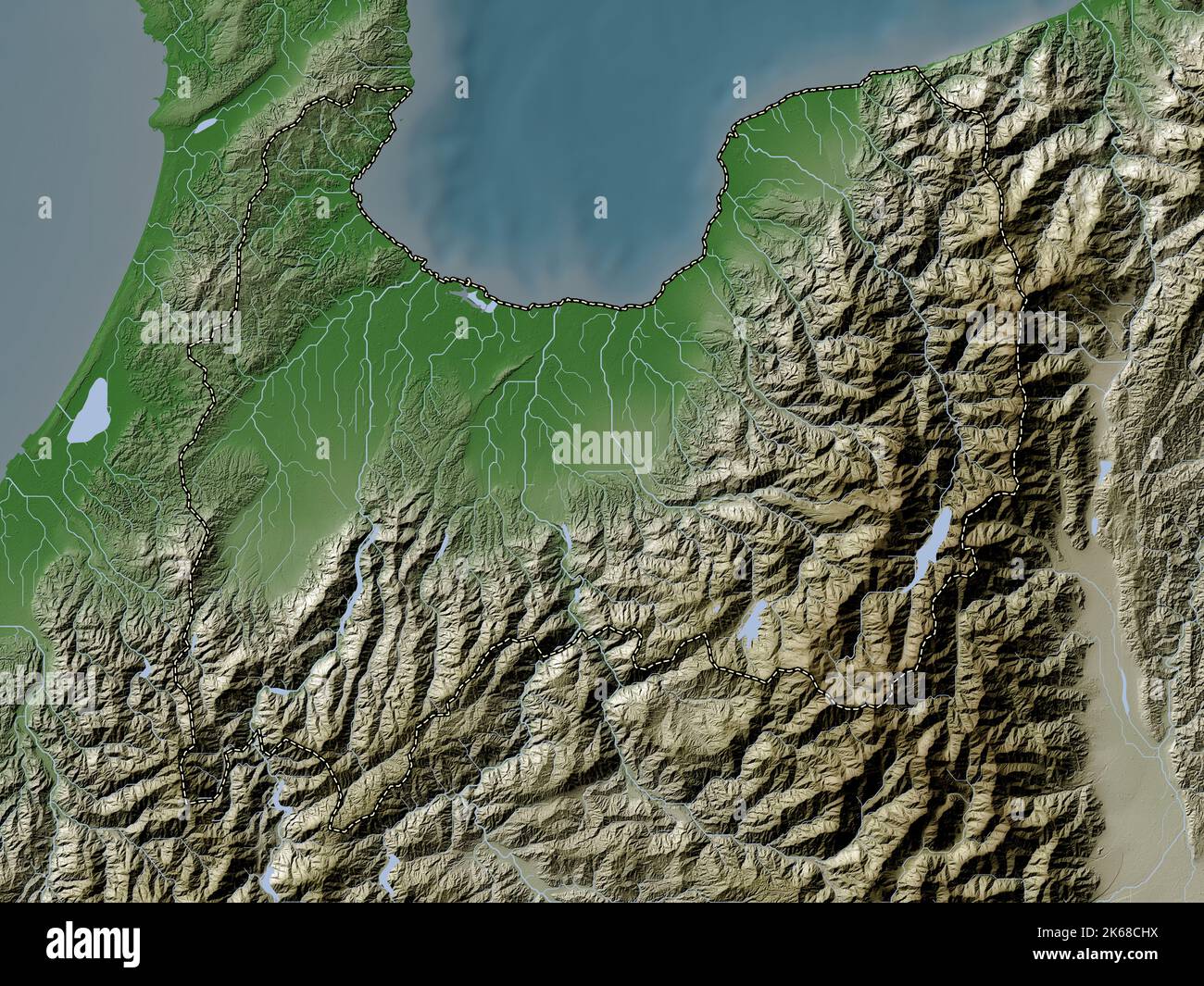 Toyama, prefecture of Japan. Elevation map colored in wiki style with lakes and rivers Stock Photohttps://www.alamy.com/image-license-details/?v=1https://www.alamy.com/toyama-prefecture-of-japan-elevation-map-colored-in-wiki-style-with-lakes-and-rivers-image485763766.html
RF2K68CHX–Toyama, prefecture of Japan. Elevation map colored in wiki style with lakes and rivers
 Nyu Gawa, , JP, Japan, Toyama, N 36 57' 36'', N 137 31' 52'', map, Cartascapes Map published in 2024. Explore Cartascapes, a map revealing Earth's diverse landscapes, cultures, and ecosystems. Journey through time and space, discovering the interconnectedness of our planet's past, present, and future. Stock Photohttps://www.alamy.com/image-license-details/?v=1https://www.alamy.com/nyu-gawa-jp-japan-toyama-n-36-57-36-n-137-31-52-map-cartascapes-map-published-in-2024-explore-cartascapes-a-map-revealing-earths-diverse-landscapes-cultures-and-ecosystems-journey-through-time-and-space-discovering-the-interconnectedness-of-our-planets-past-present-and-future-image634931369.html
RM2YTYHC9–Nyu Gawa, , JP, Japan, Toyama, N 36 57' 36'', N 137 31' 52'', map, Cartascapes Map published in 2024. Explore Cartascapes, a map revealing Earth's diverse landscapes, cultures, and ecosystems. Journey through time and space, discovering the interconnectedness of our planet's past, present, and future.
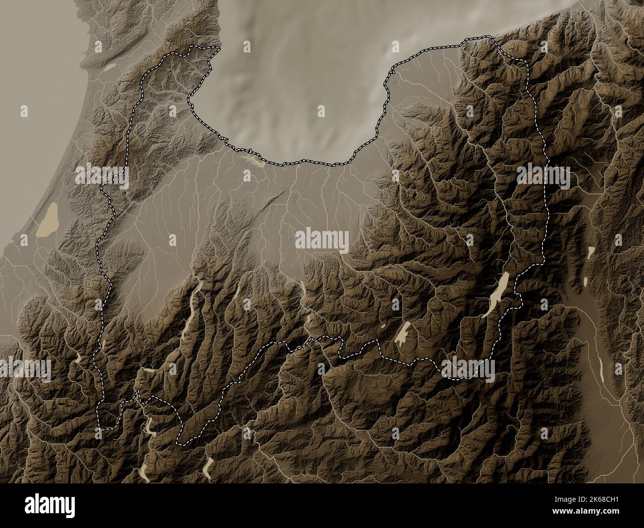 Toyama, prefecture of Japan. Elevation map colored in sepia tones with lakes and rivers Stock Photohttps://www.alamy.com/image-license-details/?v=1https://www.alamy.com/toyama-prefecture-of-japan-elevation-map-colored-in-sepia-tones-with-lakes-and-rivers-image485763741.html
RF2K68CH1–Toyama, prefecture of Japan. Elevation map colored in sepia tones with lakes and rivers
 Shape of Toyama, prefecture of Japan, with its capital isolated on white background. Colored elevation map. 3D rendering Stock Photohttps://www.alamy.com/image-license-details/?v=1https://www.alamy.com/shape-of-toyama-prefecture-of-japan-with-its-capital-isolated-on-white-background-colored-elevation-map-3d-rendering-image368495562.html
RF2CBEBRP–Shape of Toyama, prefecture of Japan, with its capital isolated on white background. Colored elevation map. 3D rendering
 Kado Kawa, , JP, Japan, Toyama, N 36 48' 39'', N 137 23' 36'', map, Cartascapes Map published in 2024. Explore Cartascapes, a map revealing Earth's diverse landscapes, cultures, and ecosystems. Journey through time and space, discovering the interconnectedness of our planet's past, present, and future. Stock Photohttps://www.alamy.com/image-license-details/?v=1https://www.alamy.com/kado-kawa-jp-japan-toyama-n-36-48-39-n-137-23-36-map-cartascapes-map-published-in-2024-explore-cartascapes-a-map-revealing-earths-diverse-landscapes-cultures-and-ecosystems-journey-through-time-and-space-discovering-the-interconnectedness-of-our-planets-past-present-and-future-image634945850.html
RM2YW07WE–Kado Kawa, , JP, Japan, Toyama, N 36 48' 39'', N 137 23' 36'', map, Cartascapes Map published in 2024. Explore Cartascapes, a map revealing Earth's diverse landscapes, cultures, and ecosystems. Journey through time and space, discovering the interconnectedness of our planet's past, present, and future.
 Shape of Toyama, prefecture of Japan, with its capital isolated on white background. Topographic relief map. 3D rendering Stock Photohttps://www.alamy.com/image-license-details/?v=1https://www.alamy.com/shape-of-toyama-prefecture-of-japan-with-its-capital-isolated-on-white-background-topographic-relief-map-3d-rendering-image368495665.html
RF2CBEBYD–Shape of Toyama, prefecture of Japan, with its capital isolated on white background. Topographic relief map. 3D rendering
 Yatazo Dani, , JP, Japan, Toyama, N 36 49' 6'', N 137 36' 1'', map, Cartascapes Map published in 2024. Explore Cartascapes, a map revealing Earth's diverse landscapes, cultures, and ecosystems. Journey through time and space, discovering the interconnectedness of our planet's past, present, and future. Stock Photohttps://www.alamy.com/image-license-details/?v=1https://www.alamy.com/yatazo-dani-jp-japan-toyama-n-36-49-6-n-137-36-1-map-cartascapes-map-published-in-2024-explore-cartascapes-a-map-revealing-earths-diverse-landscapes-cultures-and-ecosystems-journey-through-time-and-space-discovering-the-interconnectedness-of-our-planets-past-present-and-future-image634897202.html
RM2YTX1T2–Yatazo Dani, , JP, Japan, Toyama, N 36 49' 6'', N 137 36' 1'', map, Cartascapes Map published in 2024. Explore Cartascapes, a map revealing Earth's diverse landscapes, cultures, and ecosystems. Journey through time and space, discovering the interconnectedness of our planet's past, present, and future.
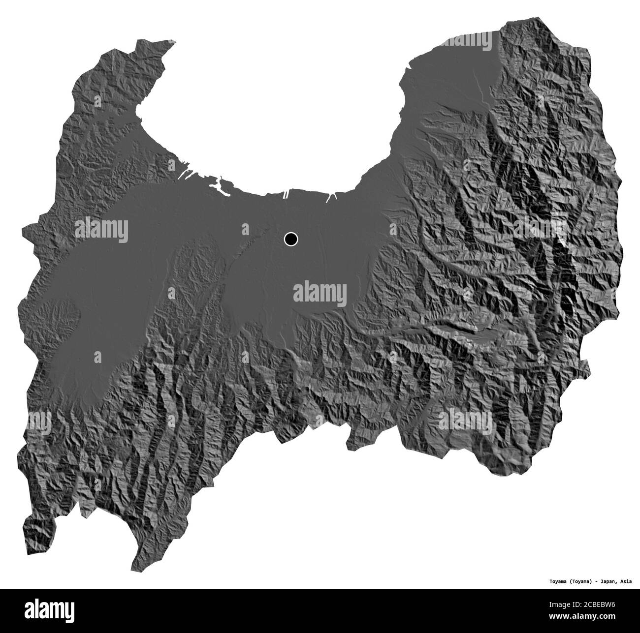 Shape of Toyama, prefecture of Japan, with its capital isolated on white background. Bilevel elevation map. 3D rendering Stock Photohttps://www.alamy.com/image-license-details/?v=1https://www.alamy.com/shape-of-toyama-prefecture-of-japan-with-its-capital-isolated-on-white-background-bilevel-elevation-map-3d-rendering-image368495602.html
RF2CBEBW6–Shape of Toyama, prefecture of Japan, with its capital isolated on white background. Bilevel elevation map. 3D rendering
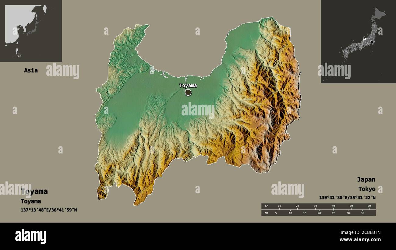 Shape of Toyama, prefecture of Japan, and its capital. Distance scale, previews and labels. Topographic relief map. 3D rendering Stock Photohttps://www.alamy.com/image-license-details/?v=1https://www.alamy.com/shape-of-toyama-prefecture-of-japan-and-its-capital-distance-scale-previews-and-labels-topographic-relief-map-3d-rendering-image368495589.html
RF2CBEBTN–Shape of Toyama, prefecture of Japan, and its capital. Distance scale, previews and labels. Topographic relief map. 3D rendering
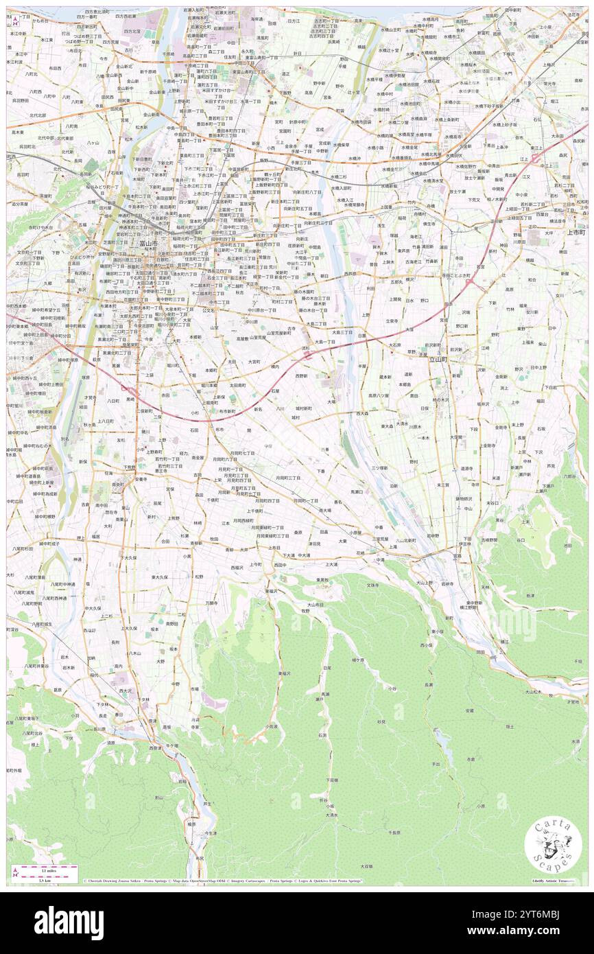 Toyama-ken, , JP, Japan, Toyama, N 36 38' 21'', N 137 15' 54'', map, Cartascapes Map published in 2024. Explore Cartascapes, a map revealing Earth's diverse landscapes, cultures, and ecosystems. Journey through time and space, discovering the interconnectedness of our planet's past, present, and future. Stock Photohttps://www.alamy.com/image-license-details/?v=1https://www.alamy.com/toyama-ken-jp-japan-toyama-n-36-38-21-n-137-15-54-map-cartascapes-map-published-in-2024-explore-cartascapes-a-map-revealing-earths-diverse-landscapes-cultures-and-ecosystems-journey-through-time-and-space-discovering-the-interconnectedness-of-our-planets-past-present-and-future-image634472710.html
RM2YT6MBJ–Toyama-ken, , JP, Japan, Toyama, N 36 38' 21'', N 137 15' 54'', map, Cartascapes Map published in 2024. Explore Cartascapes, a map revealing Earth's diverse landscapes, cultures, and ecosystems. Journey through time and space, discovering the interconnectedness of our planet's past, present, and future.
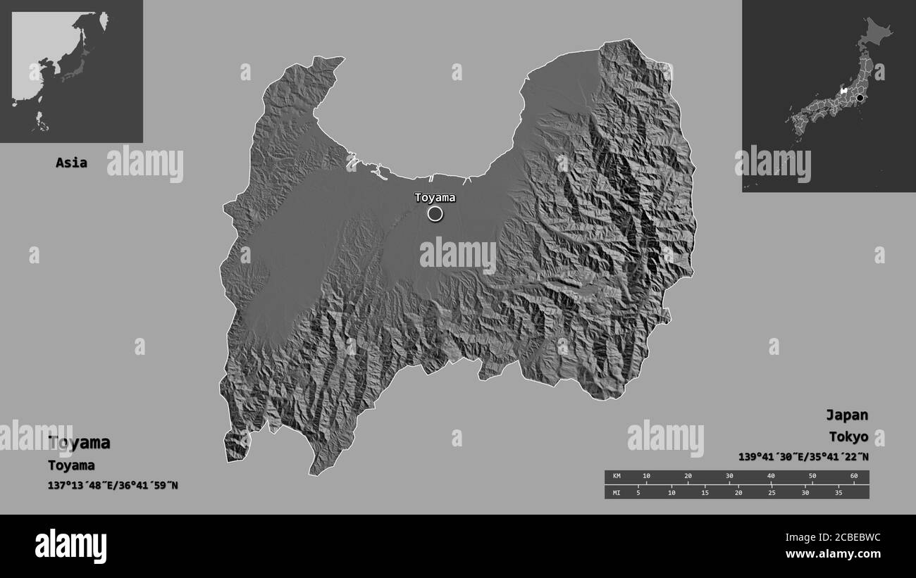 Shape of Toyama, prefecture of Japan, and its capital. Distance scale, previews and labels. Bilevel elevation map. 3D rendering Stock Photohttps://www.alamy.com/image-license-details/?v=1https://www.alamy.com/shape-of-toyama-prefecture-of-japan-and-its-capital-distance-scale-previews-and-labels-bilevel-elevation-map-3d-rendering-image368495608.html
RF2CBEBWC–Shape of Toyama, prefecture of Japan, and its capital. Distance scale, previews and labels. Bilevel elevation map. 3D rendering
 Toyama Shinko, , JP, Japan, Toyama, N 36 45' 39'', N 137 11' 33'', map, Cartascapes Map published in 2024. Explore Cartascapes, a map revealing Earth's diverse landscapes, cultures, and ecosystems. Journey through time and space, discovering the interconnectedness of our planet's past, present, and future. Stock Photohttps://www.alamy.com/image-license-details/?v=1https://www.alamy.com/toyama-shinko-jp-japan-toyama-n-36-45-39-n-137-11-33-map-cartascapes-map-published-in-2024-explore-cartascapes-a-map-revealing-earths-diverse-landscapes-cultures-and-ecosystems-journey-through-time-and-space-discovering-the-interconnectedness-of-our-planets-past-present-and-future-image634672424.html
RM2YTFR48–Toyama Shinko, , JP, Japan, Toyama, N 36 45' 39'', N 137 11' 33'', map, Cartascapes Map published in 2024. Explore Cartascapes, a map revealing Earth's diverse landscapes, cultures, and ecosystems. Journey through time and space, discovering the interconnectedness of our planet's past, present, and future.
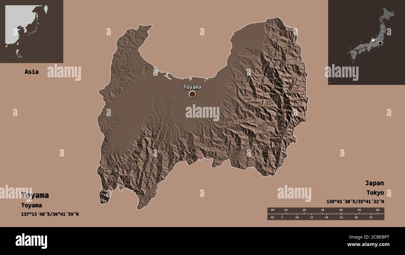 Shape of Toyama, prefecture of Japan, and its capital. Distance scale, previews and labels. Colored elevation map. 3D rendering Stock Photohttps://www.alamy.com/image-license-details/?v=1https://www.alamy.com/shape-of-toyama-prefecture-of-japan-and-its-capital-distance-scale-previews-and-labels-colored-elevation-map-3d-rendering-image368495536.html
RF2CBEBPT–Shape of Toyama, prefecture of Japan, and its capital. Distance scale, previews and labels. Colored elevation map. 3D rendering
 Jogangi Gawa, , JP, Japan, Toyama, N 36 45' 25'', N 137 17' 46'', map, Cartascapes Map published in 2024. Explore Cartascapes, a map revealing Earth's diverse landscapes, cultures, and ecosystems. Journey through time and space, discovering the interconnectedness of our planet's past, present, and future. Stock Photohttps://www.alamy.com/image-license-details/?v=1https://www.alamy.com/jogangi-gawa-jp-japan-toyama-n-36-45-25-n-137-17-46-map-cartascapes-map-published-in-2024-explore-cartascapes-a-map-revealing-earths-diverse-landscapes-cultures-and-ecosystems-journey-through-time-and-space-discovering-the-interconnectedness-of-our-planets-past-present-and-future-image634848058.html
RM2YTRR4X–Jogangi Gawa, , JP, Japan, Toyama, N 36 45' 25'', N 137 17' 46'', map, Cartascapes Map published in 2024. Explore Cartascapes, a map revealing Earth's diverse landscapes, cultures, and ecosystems. Journey through time and space, discovering the interconnectedness of our planet's past, present, and future.
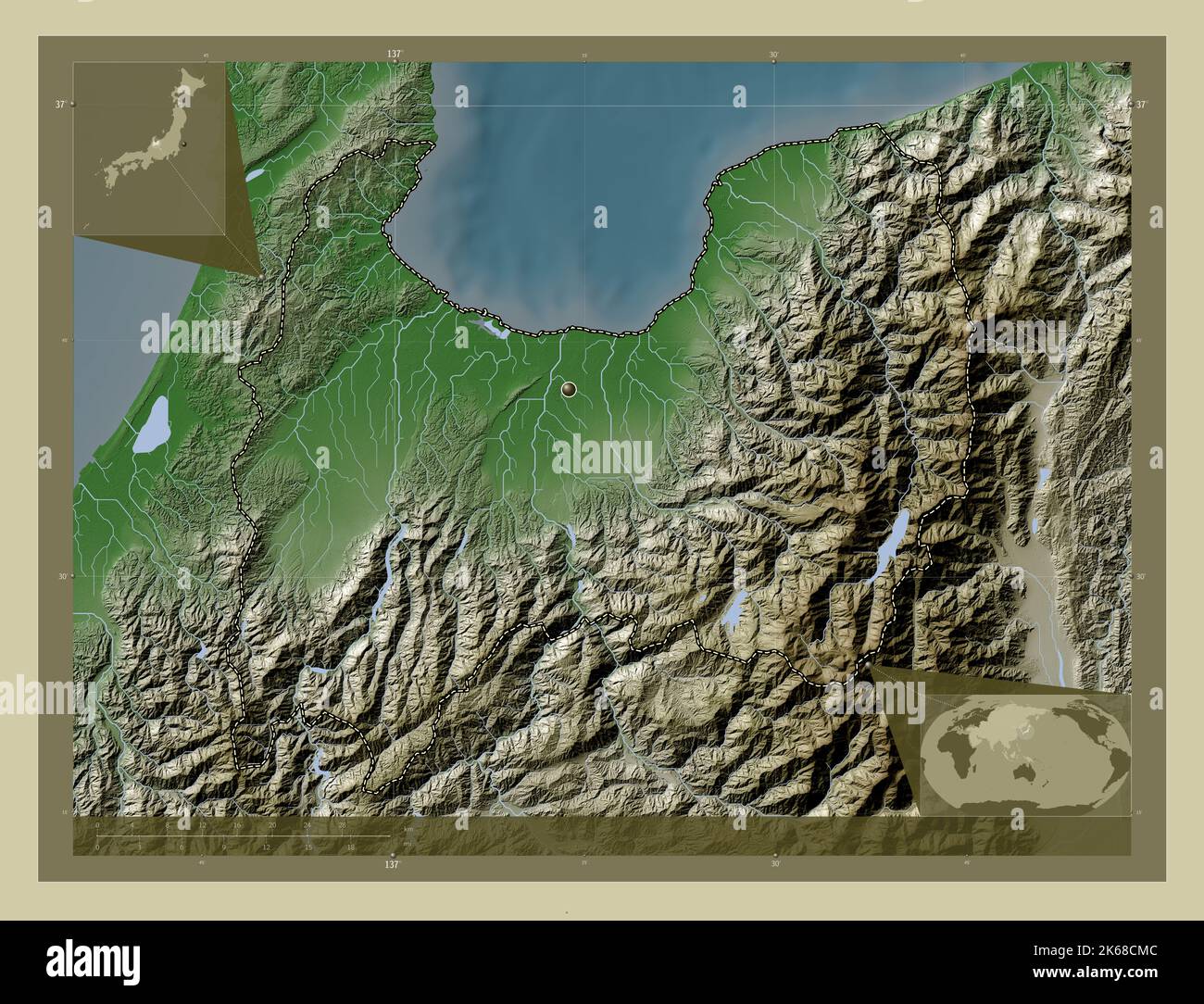 Toyama, prefecture of Japan. Elevation map colored in wiki style with lakes and rivers. Corner auxiliary location maps Stock Photohttps://www.alamy.com/image-license-details/?v=1https://www.alamy.com/toyama-prefecture-of-japan-elevation-map-colored-in-wiki-style-with-lakes-and-rivers-corner-auxiliary-location-maps-image485763836.html
RF2K68CMC–Toyama, prefecture of Japan. Elevation map colored in wiki style with lakes and rivers. Corner auxiliary location maps
 Kara Shima, , JP, Japan, Toyama, N 36 51' 50'', N 136 59' 44'', map, Cartascapes Map published in 2024. Explore Cartascapes, a map revealing Earth's diverse landscapes, cultures, and ecosystems. Journey through time and space, discovering the interconnectedness of our planet's past, present, and future. Stock Photohttps://www.alamy.com/image-license-details/?v=1https://www.alamy.com/kara-shima-jp-japan-toyama-n-36-51-50-n-136-59-44-map-cartascapes-map-published-in-2024-explore-cartascapes-a-map-revealing-earths-diverse-landscapes-cultures-and-ecosystems-journey-through-time-and-space-discovering-the-interconnectedness-of-our-planets-past-present-and-future-image634906701.html
RM2YTXDY9–Kara Shima, , JP, Japan, Toyama, N 36 51' 50'', N 136 59' 44'', map, Cartascapes Map published in 2024. Explore Cartascapes, a map revealing Earth's diverse landscapes, cultures, and ecosystems. Journey through time and space, discovering the interconnectedness of our planet's past, present, and future.
 Toyama, prefecture of Japan. Elevation map colored in sepia tones with lakes and rivers. Corner auxiliary location maps Stock Photohttps://www.alamy.com/image-license-details/?v=1https://www.alamy.com/toyama-prefecture-of-japan-elevation-map-colored-in-sepia-tones-with-lakes-and-rivers-corner-auxiliary-location-maps-image485763754.html
RF2K68CHE–Toyama, prefecture of Japan. Elevation map colored in sepia tones with lakes and rivers. Corner auxiliary location maps
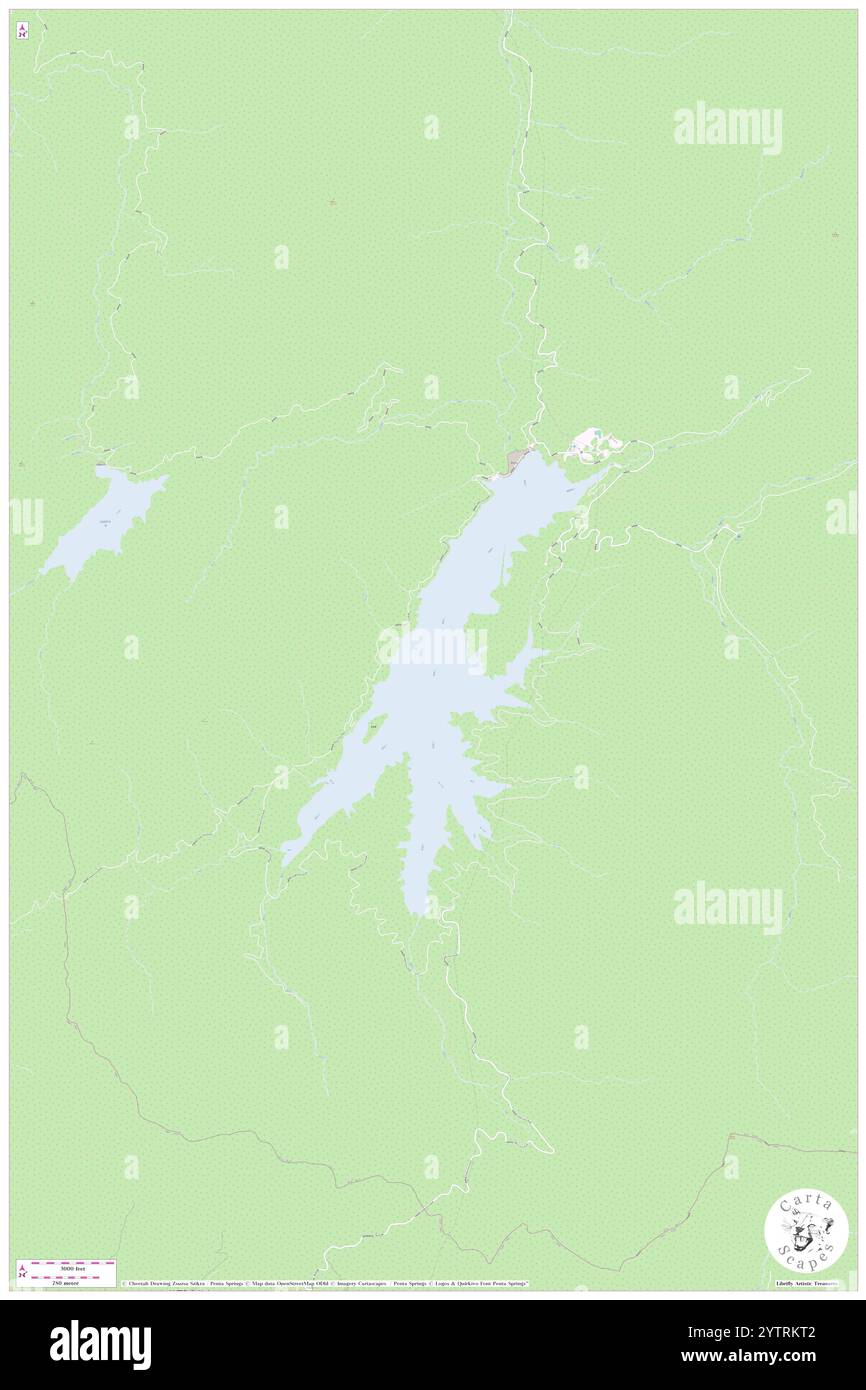 Arimine Ko, , JP, Japan, Toyama, N 36 28' 17'', N 137 26' 19'', map, Cartascapes Map published in 2024. Explore Cartascapes, a map revealing Earth's diverse landscapes, cultures, and ecosystems. Journey through time and space, discovering the interconnectedness of our planet's past, present, and future. Stock Photohttps://www.alamy.com/image-license-details/?v=1https://www.alamy.com/arimine-ko-jp-japan-toyama-n-36-28-17-n-137-26-19-map-cartascapes-map-published-in-2024-explore-cartascapes-a-map-revealing-earths-diverse-landscapes-cultures-and-ecosystems-journey-through-time-and-space-discovering-the-interconnectedness-of-our-planets-past-present-and-future-image634845458.html
RM2YTRKT2–Arimine Ko, , JP, Japan, Toyama, N 36 28' 17'', N 137 26' 19'', map, Cartascapes Map published in 2024. Explore Cartascapes, a map revealing Earth's diverse landscapes, cultures, and ecosystems. Journey through time and space, discovering the interconnectedness of our planet's past, present, and future.
 Toyama, prefecture of Japan. Open Street Map. Locations of major cities of the region. Corner auxiliary location maps Stock Photohttps://www.alamy.com/image-license-details/?v=1https://www.alamy.com/toyama-prefecture-of-japan-open-street-map-locations-of-major-cities-of-the-region-corner-auxiliary-location-maps-image485763693.html
RF2K68CF9–Toyama, prefecture of Japan. Open Street Map. Locations of major cities of the region. Corner auxiliary location maps
 Toyama, prefecture of Japan. Grayscaled map with lakes and rivers. Shape outlined against its country area. 3D rendering Stock Photohttps://www.alamy.com/image-license-details/?v=1https://www.alamy.com/toyama-prefecture-of-japan-grayscaled-map-with-lakes-and-rivers-shape-outlined-against-its-country-area-3d-rendering-image364222160.html
RF2C4FN28–Toyama, prefecture of Japan. Grayscaled map with lakes and rivers. Shape outlined against its country area. 3D rendering
 Toyama, prefecture of Japan. Open Street Map. Locations and names of major cities of the region. Corner auxiliary location maps Stock Photohttps://www.alamy.com/image-license-details/?v=1https://www.alamy.com/toyama-prefecture-of-japan-open-street-map-locations-and-names-of-major-cities-of-the-region-corner-auxiliary-location-maps-image485763650.html
RF2K68CDP–Toyama, prefecture of Japan. Open Street Map. Locations and names of major cities of the region. Corner auxiliary location maps
 Fushiki-Toyama-ko, , JP, Japan, , N 36 47' 59'', N 137 4' 0'', map, Cartascapes Map published in 2024. Explore Cartascapes, a map revealing Earth's diverse landscapes, cultures, and ecosystems. Journey through time and space, discovering the interconnectedness of our planet's past, present, and future. Stock Photohttps://www.alamy.com/image-license-details/?v=1https://www.alamy.com/fushiki-toyama-ko-jp-japan-n-36-47-59-n-137-4-0-map-cartascapes-map-published-in-2024-explore-cartascapes-a-map-revealing-earths-diverse-landscapes-cultures-and-ecosystems-journey-through-time-and-space-discovering-the-interconnectedness-of-our-planets-past-present-and-future-image634788595.html
RM2YTN397–Fushiki-Toyama-ko, , JP, Japan, , N 36 47' 59'', N 137 4' 0'', map, Cartascapes Map published in 2024. Explore Cartascapes, a map revealing Earth's diverse landscapes, cultures, and ecosystems. Journey through time and space, discovering the interconnectedness of our planet's past, present, and future.
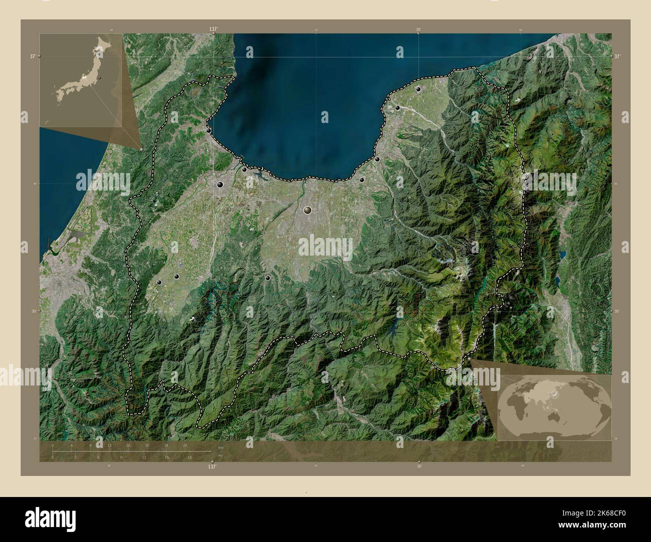 Toyama, prefecture of Japan. High resolution satellite map. Locations of major cities of the region. Corner auxiliary location maps Stock Photohttps://www.alamy.com/image-license-details/?v=1https://www.alamy.com/toyama-prefecture-of-japan-high-resolution-satellite-map-locations-of-major-cities-of-the-region-corner-auxiliary-location-maps-image485763684.html
RF2K68CF0–Toyama, prefecture of Japan. High resolution satellite map. Locations of major cities of the region. Corner auxiliary location maps
 Kurobe Gawa, , JP, Japan, Toyama, N 36 55' 16'', N 137 25' 32'', map, Cartascapes Map published in 2024. Explore Cartascapes, a map revealing Earth's diverse landscapes, cultures, and ecosystems. Journey through time and space, discovering the interconnectedness of our planet's past, present, and future. Stock Photohttps://www.alamy.com/image-license-details/?v=1https://www.alamy.com/kurobe-gawa-jp-japan-toyama-n-36-55-16-n-137-25-32-map-cartascapes-map-published-in-2024-explore-cartascapes-a-map-revealing-earths-diverse-landscapes-cultures-and-ecosystems-journey-through-time-and-space-discovering-the-interconnectedness-of-our-planets-past-present-and-future-image634857269.html
RM2YTT6WW–Kurobe Gawa, , JP, Japan, Toyama, N 36 55' 16'', N 137 25' 32'', map, Cartascapes Map published in 2024. Explore Cartascapes, a map revealing Earth's diverse landscapes, cultures, and ecosystems. Journey through time and space, discovering the interconnectedness of our planet's past, present, and future.
 Toyama, prefecture of Japan. Low resolution satellite map. Locations of major cities of the region. Corner auxiliary location maps Stock Photohttps://www.alamy.com/image-license-details/?v=1https://www.alamy.com/toyama-prefecture-of-japan-low-resolution-satellite-map-locations-of-major-cities-of-the-region-corner-auxiliary-location-maps-image485763664.html
RF2K68CE8–Toyama, prefecture of Japan. Low resolution satellite map. Locations of major cities of the region. Corner auxiliary location maps
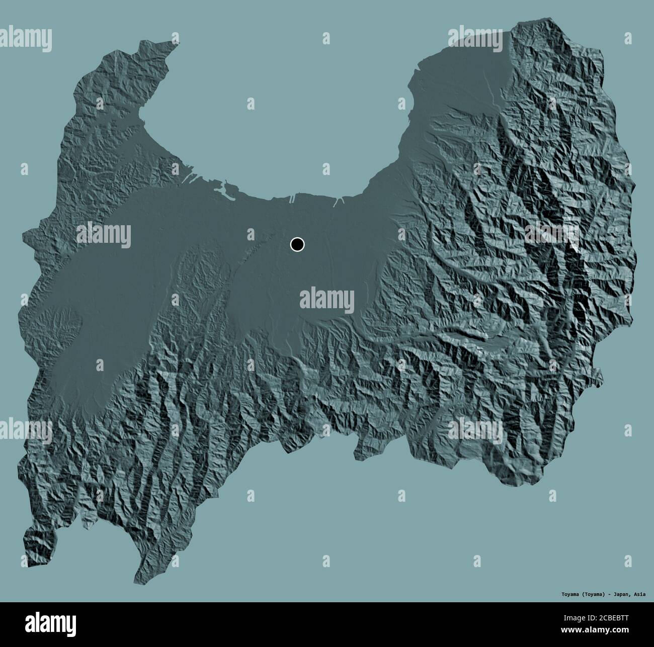 Shape of Toyama, prefecture of Japan, with its capital isolated on a solid color background. Colored elevation map. 3D rendering Stock Photohttps://www.alamy.com/image-license-details/?v=1https://www.alamy.com/shape-of-toyama-prefecture-of-japan-with-its-capital-isolated-on-a-solid-color-background-colored-elevation-map-3d-rendering-image368495592.html
RF2CBEBTT–Shape of Toyama, prefecture of Japan, with its capital isolated on a solid color background. Colored elevation map. 3D rendering