Map of trenton Black & White Stock Photos
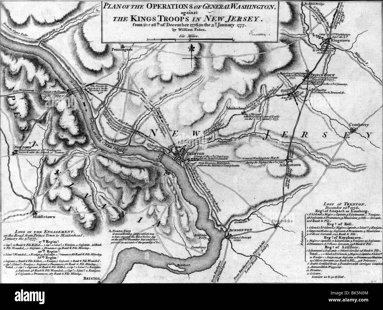 Map of operations of General Washington, against the Kings troops in New Jersey, from the December 26, 1776 to January 3rd, 1777 Stock Photohttps://www.alamy.com/image-license-details/?v=1https://www.alamy.com/stock-photo-map-of-operations-of-general-washington-against-the-kings-troops-in-29015076.html
RMBK5N0M–Map of operations of General Washington, against the Kings troops in New Jersey, from the December 26, 1776 to January 3rd, 1777
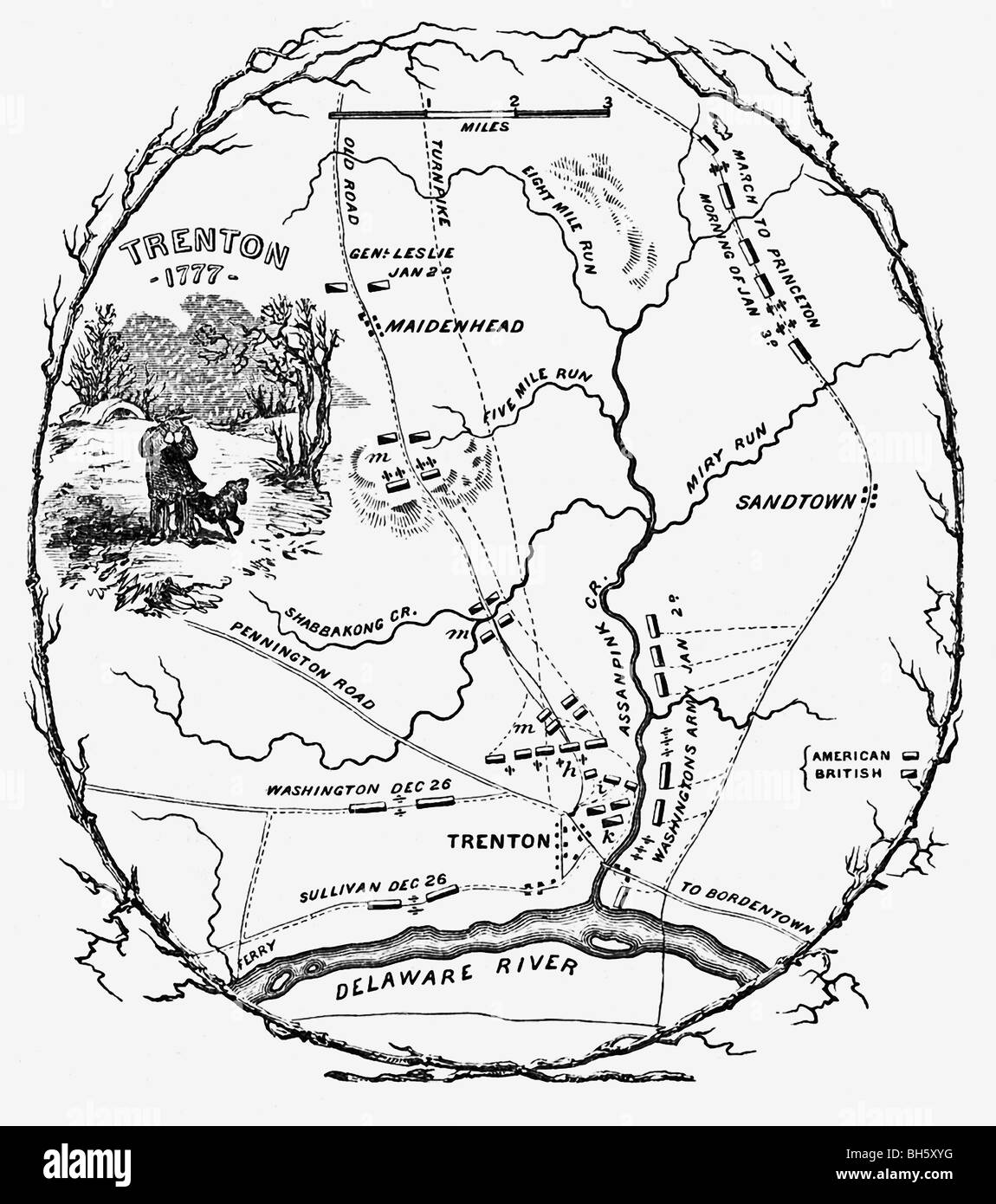 The map shows the battlefield plans for confrontations that took place 1776–1777 at Trenton between British and American troops. Stock Photohttps://www.alamy.com/image-license-details/?v=1https://www.alamy.com/stock-photo-the-map-shows-the-battlefield-plans-for-confrontations-that-took-place-27790436.html
RFBH5XYG–The map shows the battlefield plans for confrontations that took place 1776–1777 at Trenton between British and American troops.
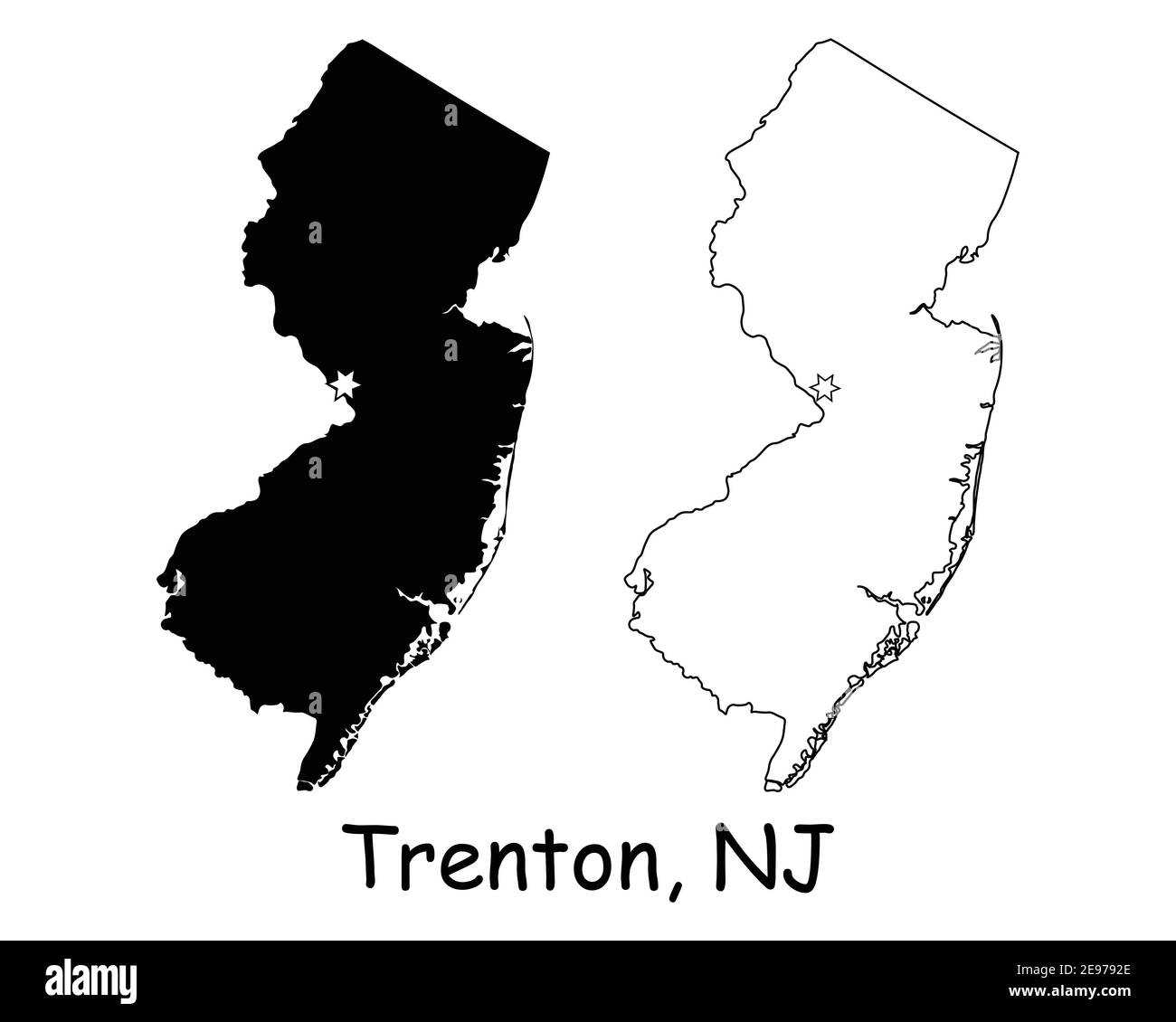 New Jersey NJ state Map USA with Capital City Star at Trenton. Black silhouette and outline isolated on a white background. EPS Vector Stock Vectorhttps://www.alamy.com/image-license-details/?v=1https://www.alamy.com/new-jersey-nj-state-map-usa-with-capital-city-star-at-trenton-black-silhouette-and-outline-isolated-on-a-white-background-eps-vector-image401531158.html
RF2E9792E–New Jersey NJ state Map USA with Capital City Star at Trenton. Black silhouette and outline isolated on a white background. EPS Vector
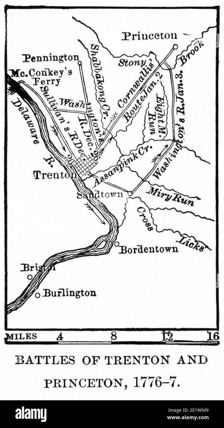 Battles of Trenton and Princeton, 1776-7, Map Illustration, Ridpath's History of the World, Volume III, by John Clark Ridpath, LL. D., Merrill & Baker Publishers, New York, 1897 Stock Photohttps://www.alamy.com/image-license-details/?v=1https://www.alamy.com/battles-of-trenton-and-princeton-1776-7-map-illustration-ridpaths-history-of-the-world-volume-iii-by-john-clark-ridpath-ll-d-merrill-baker-publishers-new-york-1897-image397002041.html
RM2E1W049–Battles of Trenton and Princeton, 1776-7, Map Illustration, Ridpath's History of the World, Volume III, by John Clark Ridpath, LL. D., Merrill & Baker Publishers, New York, 1897
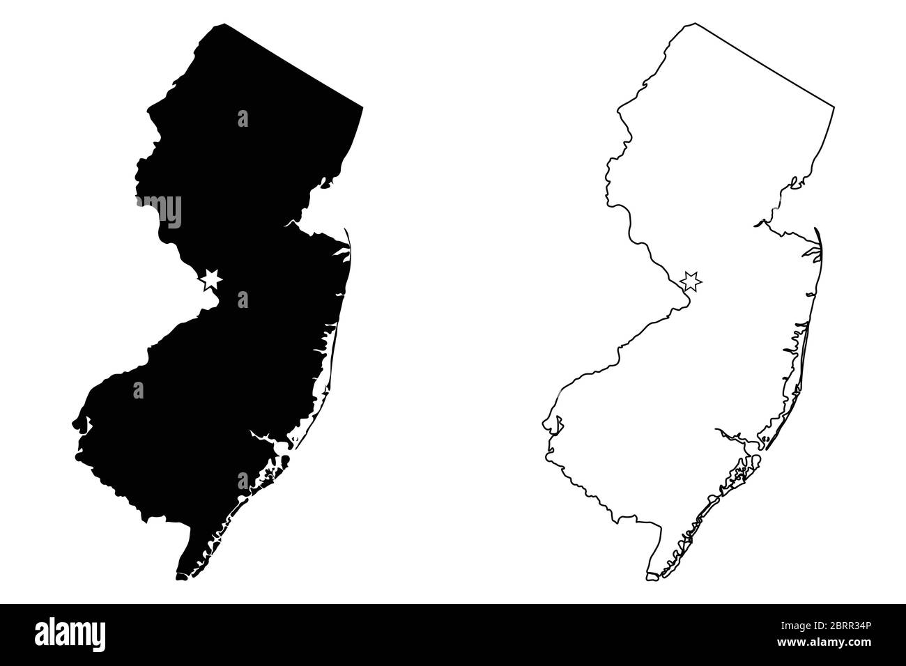 New Jersey NJ state Map USA with Capital City Star at Trenton. Black silhouette and outline isolated on a white background. EPS Vector Stock Vectorhttps://www.alamy.com/image-license-details/?v=1https://www.alamy.com/new-jersey-nj-state-map-usa-with-capital-city-star-at-trenton-black-silhouette-and-outline-isolated-on-a-white-background-eps-vector-image358851830.html
RF2BRR34P–New Jersey NJ state Map USA with Capital City Star at Trenton. Black silhouette and outline isolated on a white background. EPS Vector
 Map of the state of New Jersey - USA Stock Photohttps://www.alamy.com/image-license-details/?v=1https://www.alamy.com/stock-photo-map-of-the-state-of-new-jersey-usa-53606790.html
RFD36006–Map of the state of New Jersey - USA
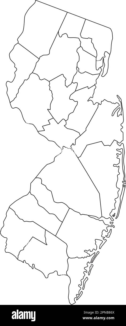 Highly Detailed New Jersey Blind Map. Stock Vectorhttps://www.alamy.com/image-license-details/?v=1https://www.alamy.com/highly-detailed-new-jersey-blind-map-image546677122.html
RF2PNB86X–Highly Detailed New Jersey Blind Map.
 New Jersey, state of USA - solid black outline map of country area. Simple flat vector illustration. Stock Vectorhttps://www.alamy.com/image-license-details/?v=1https://www.alamy.com/new-jersey-state-of-usa-solid-black-outline-map-of-country-area-simple-flat-vector-illustration-image361337636.html
RF2BYT9RG–New Jersey, state of USA - solid black outline map of country area. Simple flat vector illustration.
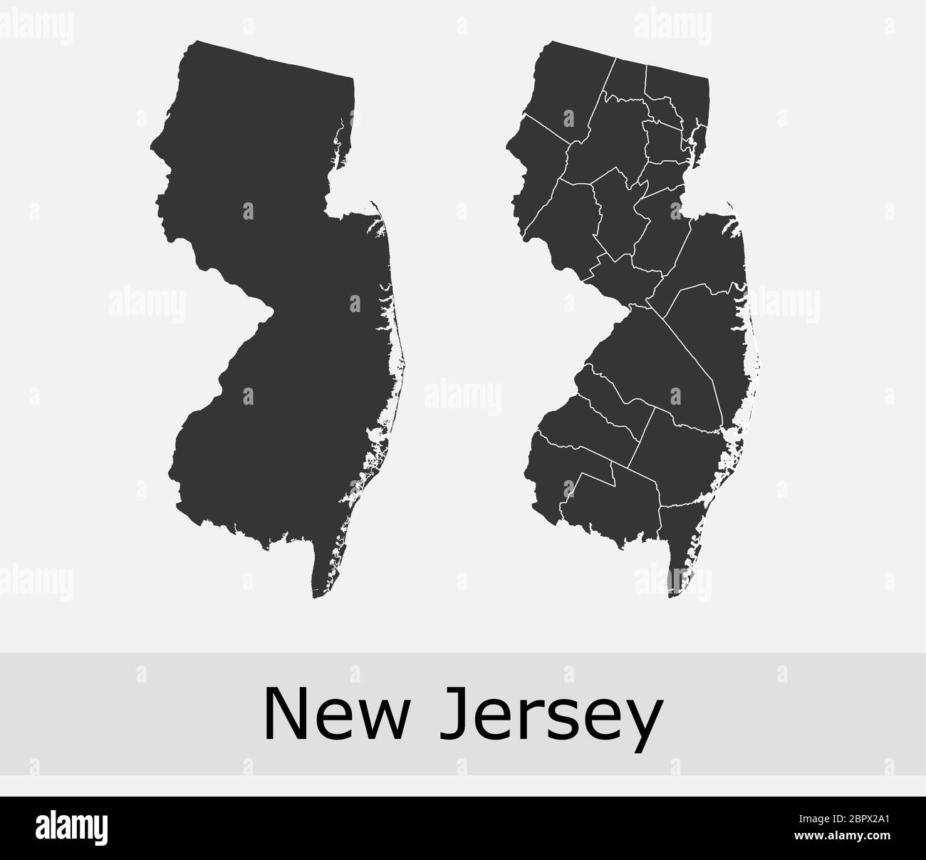 New Jersey maps vector outline counties, townships, regions, municipalities, departments, borders Stock Vectorhttps://www.alamy.com/image-license-details/?v=1https://www.alamy.com/new-jersey-maps-vector-outline-counties-townships-regions-municipalities-departments-borders-image358302393.html
RF2BPX2A1–New Jersey maps vector outline counties, townships, regions, municipalities, departments, borders
 New Jersey, state of USA - solid black silhouette map of country area. Simple flat vector illustration. Stock Vectorhttps://www.alamy.com/image-license-details/?v=1https://www.alamy.com/new-jersey-state-of-usa-solid-black-silhouette-map-of-country-area-simple-flat-vector-illustration-image369098170.html
RF2CCDTDE–New Jersey, state of USA - solid black silhouette map of country area. Simple flat vector illustration.
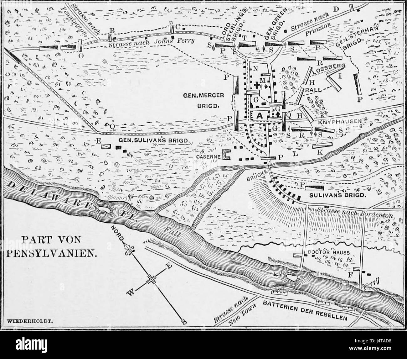 The Hessians Wiederhold's plan of the Battle of Trenton Stock Photohttps://www.alamy.com/image-license-details/?v=1https://www.alamy.com/stock-photo-the-hessians-wiederholds-plan-of-the-battle-of-trenton-140676628.html
RMJ4TAD8–The Hessians Wiederhold's plan of the Battle of Trenton
 new jersey NJ state shape with usa american flag in map shape black and white outline simplified vector isolated on transparent background Stock Vectorhttps://www.alamy.com/image-license-details/?v=1https://www.alamy.com/new-jersey-nj-state-shape-with-usa-american-flag-in-map-shape-black-and-white-outline-simplified-vector-isolated-on-transparent-background-image604291680.html
RF2X33T5M–new jersey NJ state shape with usa american flag in map shape black and white outline simplified vector isolated on transparent background
RF2M8P8F3–New Jersey map, united states of america. Flat concept icon symbol vector illustration .
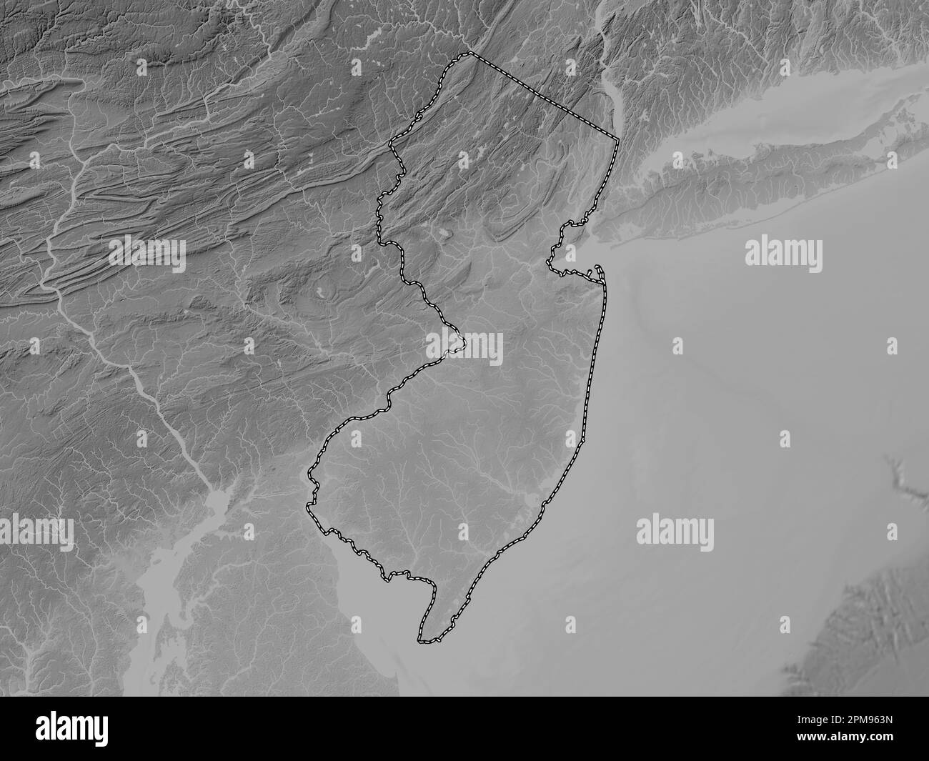 New Jersey, state of United States of America. Grayscale elevation map with lakes and rivers Stock Photohttps://www.alamy.com/image-license-details/?v=1https://www.alamy.com/new-jersey-state-of-united-states-of-america-grayscale-elevation-map-with-lakes-and-rivers-image546016905.html
RF2PM963N–New Jersey, state of United States of America. Grayscale elevation map with lakes and rivers
RF2N94P4B–New Jersey map, united states of america. Flat concept icon symbol vector illustration .
 Gilchrist County, Florida (U.S. county, United States of America,USA, U.S., US) map vector illustration, scribble sketch Gilchrist map Stock Vectorhttps://www.alamy.com/image-license-details/?v=1https://www.alamy.com/gilchrist-county-florida-us-county-united-states-of-americausa-us-us-map-vector-illustration-scribble-sketch-gilchrist-map-image345586722.html
RF2B26RAX–Gilchrist County, Florida (U.S. county, United States of America,USA, U.S., US) map vector illustration, scribble sketch Gilchrist map
RF2MM2G1A–New Jersey map, united states of america. Flat concept icon symbol vector illustration .
RF2JN08YY–United States, Newark city skyline isolated vector illustration, icons
RF2PJE52J–New Jersey map, united states of america. Flat concept icon symbol vector illustration .
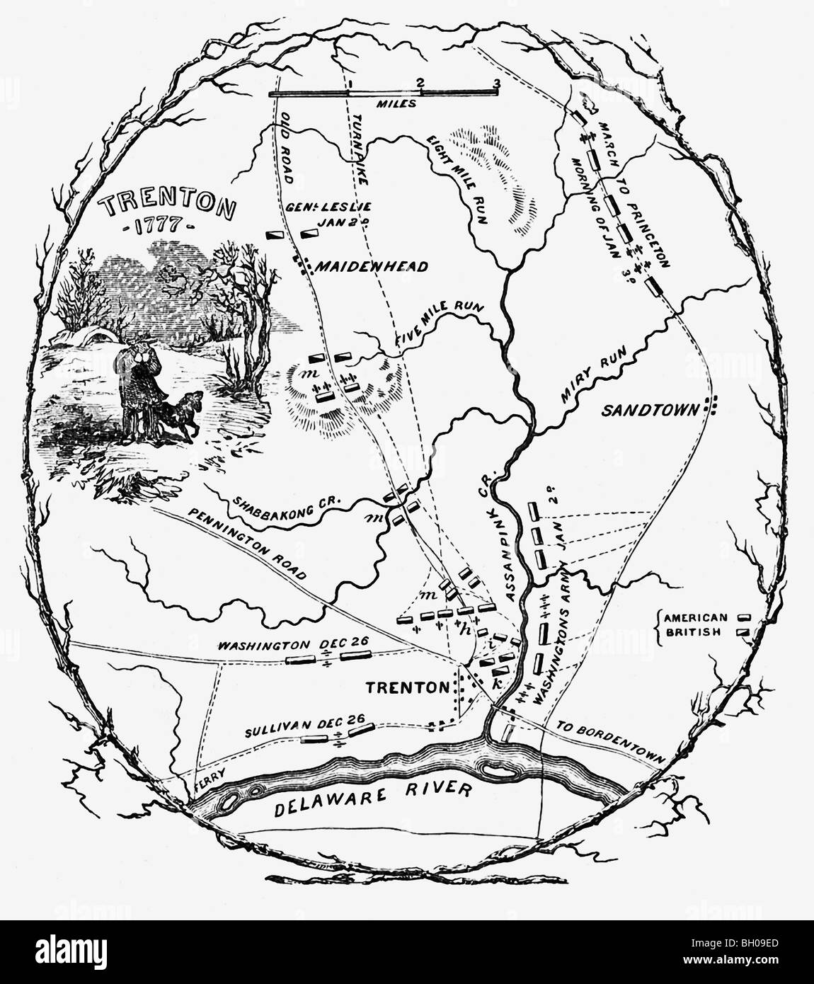 The map shows the battlefield plans for the Battle of Trenton that took place 1776–1777 between British and American troops. Stock Photohttps://www.alamy.com/image-license-details/?v=1https://www.alamy.com/stock-photo-the-map-shows-the-battlefield-plans-for-the-battle-of-trenton-that-27666981.html
RFBH09ED–The map shows the battlefield plans for the Battle of Trenton that took place 1776–1777 between British and American troops.
 New Jersey state of United States of America, USA. Simplified thick black outline map. Simple flat vector illustration Stock Vectorhttps://www.alamy.com/image-license-details/?v=1https://www.alamy.com/new-jersey-state-of-united-states-of-america-usa-simplified-thick-black-outline-map-simple-flat-vector-illustration-image491460517.html
RF2KFFXW9–New Jersey state of United States of America, USA. Simplified thick black outline map. Simple flat vector illustration
 PSM V34 D040 Artificial cliff of trenton gravels Stock Photohttps://www.alamy.com/image-license-details/?v=1https://www.alamy.com/stock-photo-psm-v34-d040-artificial-cliff-of-trenton-gravels-140423073.html
RMJ4CR1N–PSM V34 D040 Artificial cliff of trenton gravels
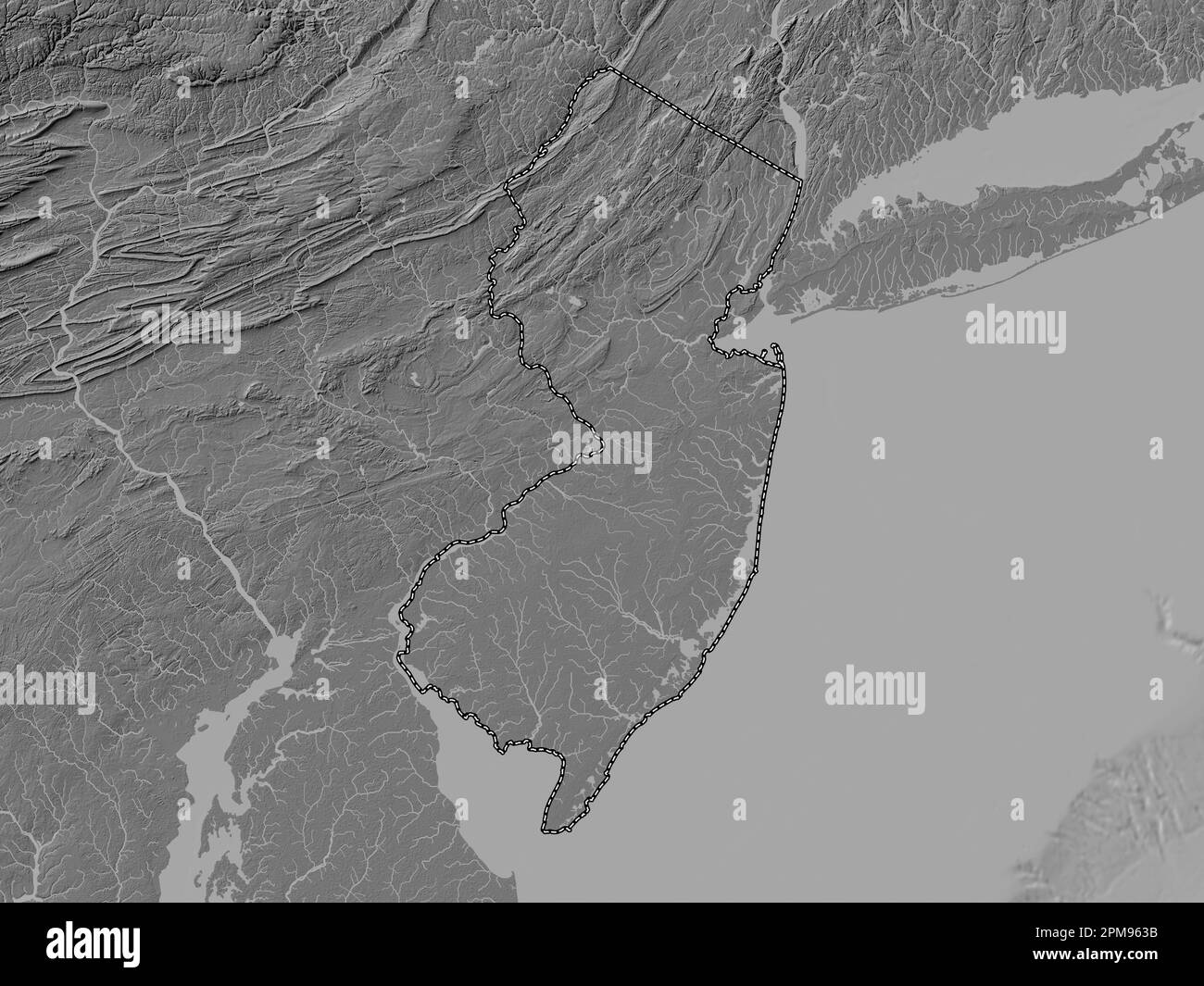 New Jersey, state of United States of America. Bilevel elevation map with lakes and rivers Stock Photohttps://www.alamy.com/image-license-details/?v=1https://www.alamy.com/new-jersey-state-of-united-states-of-america-bilevel-elevation-map-with-lakes-and-rivers-image546016895.html
RF2PM963B–New Jersey, state of United States of America. Bilevel elevation map with lakes and rivers
 Dade County, Georgia (U.S. county, United States of America,USA, U.S., US) map vector illustration, scribble sketch Dade map Stock Vectorhttps://www.alamy.com/image-license-details/?v=1https://www.alamy.com/dade-county-georgia-us-county-united-states-of-americausa-us-us-map-vector-illustration-scribble-sketch-dade-map-image354445201.html
RF2BGJAD5–Dade County, Georgia (U.S. county, United States of America,USA, U.S., US) map vector illustration, scribble sketch Dade map
RF2RJ354E–New Jersey map, united states of america. Flat concept icon symbol vector illustration .
 New Jersey state of United States of America, USA. Simplified thick black outline map. Simple flat vector illustration Stock Vectorhttps://www.alamy.com/image-license-details/?v=1https://www.alamy.com/new-jersey-state-of-united-states-of-america-usa-simplified-thick-black-outline-map-simple-flat-vector-illustration-image502261968.html
RF2M5407C–New Jersey state of United States of America, USA. Simplified thick black outline map. Simple flat vector illustration
 PSM V34 D041 Trenton gravels on top of columbia loam and gravels Stock Photohttps://www.alamy.com/image-license-details/?v=1https://www.alamy.com/stock-photo-psm-v34-d041-trenton-gravels-on-top-of-columbia-loam-and-gravels-140368539.html
RMJ4A9E3–PSM V34 D041 Trenton gravels on top of columbia loam and gravels
 New Jersey, state of United States of America. Grayscale elevation map with lakes and rivers. Corner auxiliary location maps Stock Photohttps://www.alamy.com/image-license-details/?v=1https://www.alamy.com/new-jersey-state-of-united-states-of-america-grayscale-elevation-map-with-lakes-and-rivers-corner-auxiliary-location-maps-image546016900.html
RF2PM963G–New Jersey, state of United States of America. Grayscale elevation map with lakes and rivers. Corner auxiliary location maps
 Gilchrist County, Florida (U.S. county, United States of America,USA, U.S., US) map vector illustration, scribble sketch Gilchrist map Stock Vectorhttps://www.alamy.com/image-license-details/?v=1https://www.alamy.com/gilchrist-county-florida-us-county-united-states-of-americausa-us-us-map-vector-illustration-scribble-sketch-gilchrist-map-image349383968.html
RF2B8BPPT–Gilchrist County, Florida (U.S. county, United States of America,USA, U.S., US) map vector illustration, scribble sketch Gilchrist map
RF2RAA2PP–New Jersey map, united states of america. Flat concept icon symbol vector illustration .
 New Jersey state of United States of America, USA. Simplified thick black silhouette map with rounded corners. Simple flat vector illustration Stock Vectorhttps://www.alamy.com/image-license-details/?v=1https://www.alamy.com/new-jersey-state-of-united-states-of-america-usa-simplified-thick-black-silhouette-map-with-rounded-corners-simple-flat-vector-illustration-image502642402.html
RF2M5N9EA–New Jersey state of United States of America, USA. Simplified thick black silhouette map with rounded corners. Simple flat vector illustration
 Washington at Trenton, New Jersey, January 2d, 1777, engraving by Daggett, after Trumbull Stock Photohttps://www.alamy.com/image-license-details/?v=1https://www.alamy.com/stock-image-washington-at-trenton-new-jersey-january-2d-1777-engraving-by-daggett-161652263.html
RMKAYW33–Washington at Trenton, New Jersey, January 2d, 1777, engraving by Daggett, after Trumbull
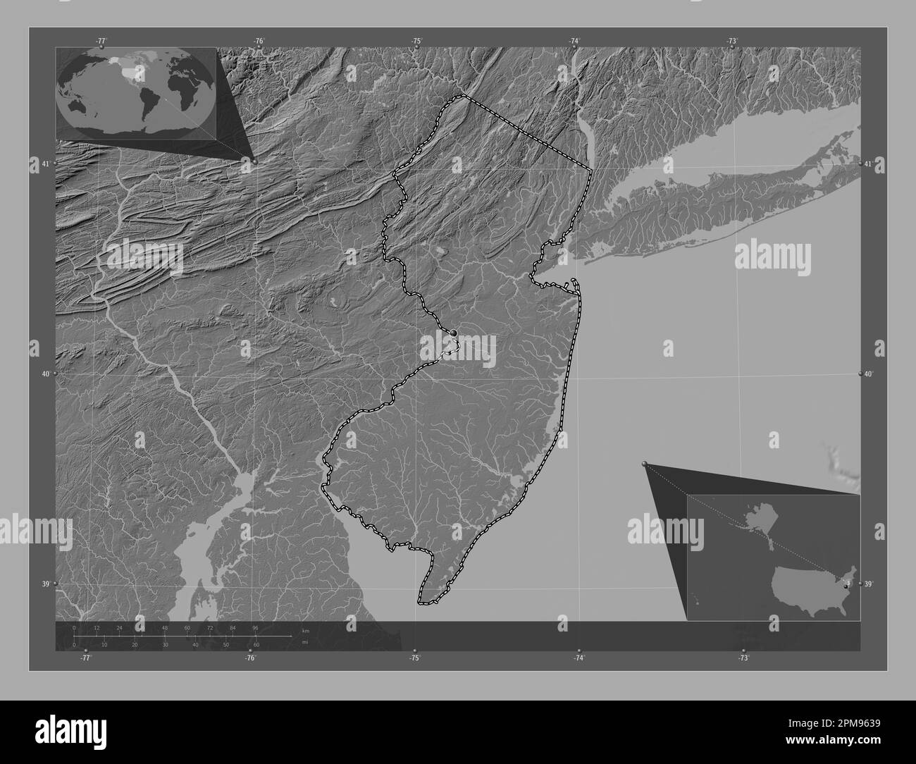 New Jersey, state of United States of America. Bilevel elevation map with lakes and rivers. Corner auxiliary location maps Stock Photohttps://www.alamy.com/image-license-details/?v=1https://www.alamy.com/new-jersey-state-of-united-states-of-america-bilevel-elevation-map-with-lakes-and-rivers-corner-auxiliary-location-maps-image546016893.html
RF2PM9639–New Jersey, state of United States of America. Bilevel elevation map with lakes and rivers. Corner auxiliary location maps
 Dade County, Georgia (U.S. county, United States of America,USA, U.S., US) map vector illustration, scribble sketch Dade map Stock Vectorhttps://www.alamy.com/image-license-details/?v=1https://www.alamy.com/dade-county-georgia-us-county-united-states-of-americausa-us-us-map-vector-illustration-scribble-sketch-dade-map-image357658358.html
RF2BNTMTP–Dade County, Georgia (U.S. county, United States of America,USA, U.S., US) map vector illustration, scribble sketch Dade map
RF2PN7AKM–New Jersey map, united states of america. Flat concept icon symbol vector illustration .
 New Jersey state of United States of America, USA. Simplified thick black outline map with rounded corners. Simple flat vector illustration Stock Vectorhttps://www.alamy.com/image-license-details/?v=1https://www.alamy.com/new-jersey-state-of-united-states-of-america-usa-simplified-thick-black-outline-map-with-rounded-corners-simple-flat-vector-illustration-image499254894.html
RF2M070KX–New Jersey state of United States of America, USA. Simplified thick black outline map with rounded corners. Simple flat vector illustration
 Exterior view of the Trenton Hotel on Olive Street, north of 5th Street, Los Angeles, ca.1880 1900 (CHS 5146) Stock Photohttps://www.alamy.com/image-license-details/?v=1https://www.alamy.com/stock-image-exterior-view-of-the-trenton-hotel-on-olive-street-north-of-5th-street-162737132.html
RMKCN8TC–Exterior view of the Trenton Hotel on Olive Street, north of 5th Street, Los Angeles, ca.1880 1900 (CHS 5146)
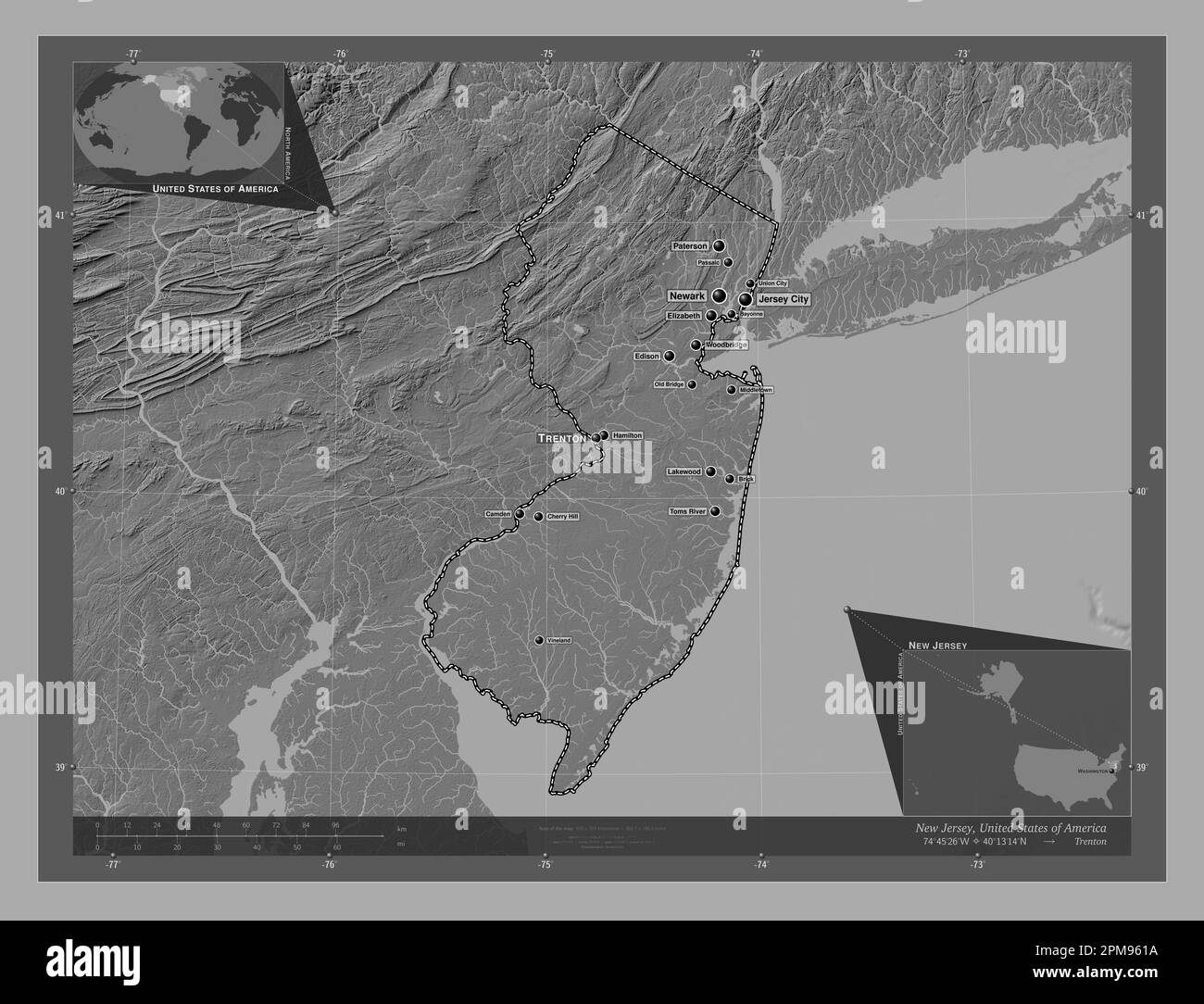 New Jersey, state of United States of America. Bilevel elevation map with lakes and rivers. Locations and names of major cities of the region. Corner Stock Photohttps://www.alamy.com/image-license-details/?v=1https://www.alamy.com/new-jersey-state-of-united-states-of-america-bilevel-elevation-map-with-lakes-and-rivers-locations-and-names-of-major-cities-of-the-region-corner-image546016838.html
RF2PM961A–New Jersey, state of United States of America. Bilevel elevation map with lakes and rivers. Locations and names of major cities of the region. Corner
 Gibson County, State of Tennessee (U.S. county, United States of America, USA, U.S., US) map vector illustration, scribble sketch Gibson map Stock Vectorhttps://www.alamy.com/image-license-details/?v=1https://www.alamy.com/gibson-county-state-of-tennessee-us-county-united-states-of-america-usa-us-us-map-vector-illustration-scribble-sketch-gibson-map-image392288585.html
RF2DP682H–Gibson County, State of Tennessee (U.S. county, United States of America, USA, U.S., US) map vector illustration, scribble sketch Gibson map
RF2R0KA0W–New Jersey map, united states of america. Flat concept icon symbol vector illustration .
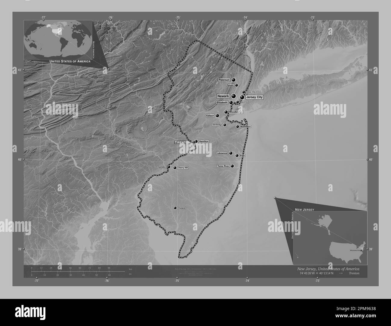 New Jersey, state of United States of America. Grayscale elevation map with lakes and rivers. Locations and names of major cities of the region. Corne Stock Photohttps://www.alamy.com/image-license-details/?v=1https://www.alamy.com/new-jersey-state-of-united-states-of-america-grayscale-elevation-map-with-lakes-and-rivers-locations-and-names-of-major-cities-of-the-region-corne-image546016892.html
RF2PM9638–New Jersey, state of United States of America. Grayscale elevation map with lakes and rivers. Locations and names of major cities of the region. Corne
 Gibson County, State of Tennessee (U.S. county, United States of America, USA, U.S., US) map vector illustration, scribble sketch Gibson map Stock Vectorhttps://www.alamy.com/image-license-details/?v=1https://www.alamy.com/gibson-county-state-of-tennessee-us-county-united-states-of-america-usa-us-us-map-vector-illustration-scribble-sketch-gibson-map-image416345804.html
RF2F5A590–Gibson County, State of Tennessee (U.S. county, United States of America, USA, U.S., US) map vector illustration, scribble sketch Gibson map
RF2RCRA07–New Jersey map, united states of america. Flat concept icon symbol vector illustration .
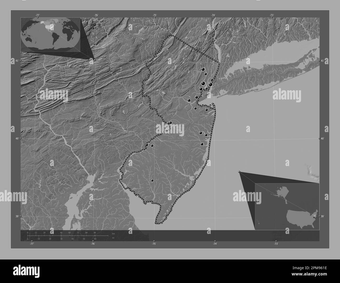 New Jersey, state of United States of America. Bilevel elevation map with lakes and rivers. Locations of major cities of the region. Corner auxiliary Stock Photohttps://www.alamy.com/image-license-details/?v=1https://www.alamy.com/new-jersey-state-of-united-states-of-america-bilevel-elevation-map-with-lakes-and-rivers-locations-of-major-cities-of-the-region-corner-auxiliary-image546016842.html
RF2PM961E–New Jersey, state of United States of America. Bilevel elevation map with lakes and rivers. Locations of major cities of the region. Corner auxiliary
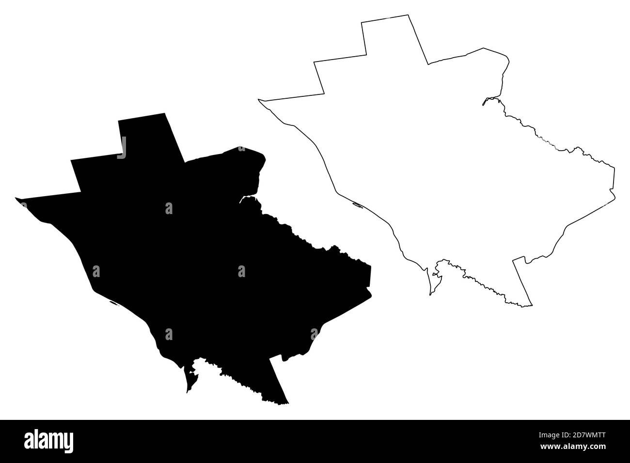 Mercer County, New Jersey (U.S. county, United States of America, USA, U.S., US) map vector illustration, scribble sketch Mercer map Stock Vectorhttps://www.alamy.com/image-license-details/?v=1https://www.alamy.com/mercer-county-new-jersey-us-county-united-states-of-america-usa-us-us-map-vector-illustration-scribble-sketch-mercer-map-image383495864.html
RF2D7WMTT–Mercer County, New Jersey (U.S. county, United States of America, USA, U.S., US) map vector illustration, scribble sketch Mercer map
RF2PH6NYH–New Jersey map, united states of america. Flat concept icon symbol vector illustration .
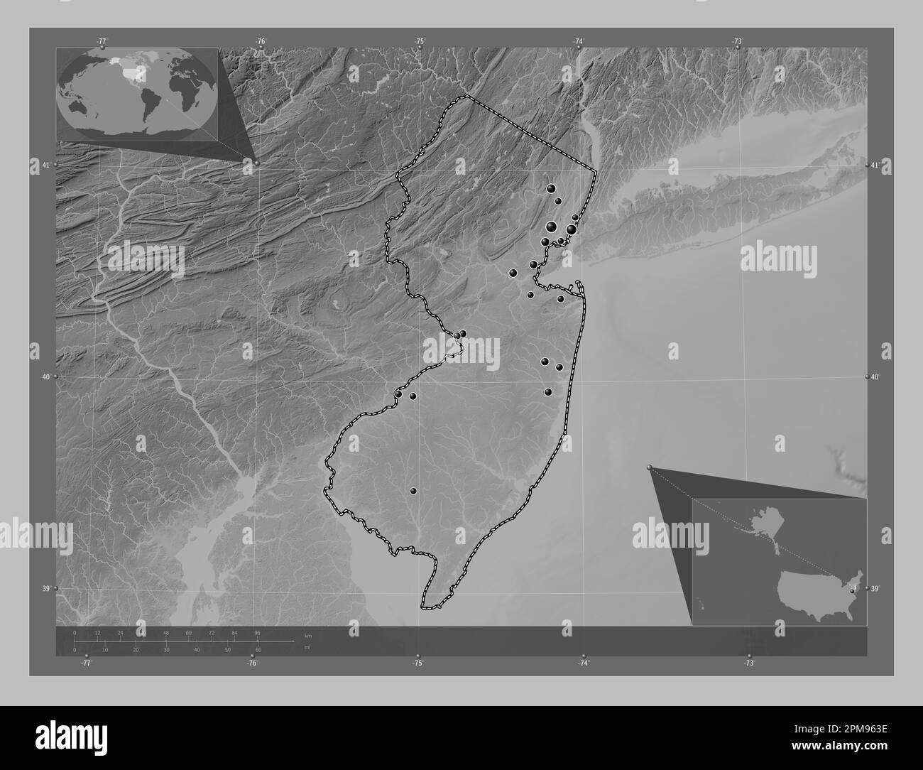 New Jersey, state of United States of America. Grayscale elevation map with lakes and rivers. Locations of major cities of the region. Corner auxiliar Stock Photohttps://www.alamy.com/image-license-details/?v=1https://www.alamy.com/new-jersey-state-of-united-states-of-america-grayscale-elevation-map-with-lakes-and-rivers-locations-of-major-cities-of-the-region-corner-auxiliar-image546016898.html
RF2PM963E–New Jersey, state of United States of America. Grayscale elevation map with lakes and rivers. Locations of major cities of the region. Corner auxiliar
 Mercer County, New Jersey (U.S. county, United States of America, USA, U.S., US) map vector illustration, scribble sketch Mercer map Stock Vectorhttps://www.alamy.com/image-license-details/?v=1https://www.alamy.com/mercer-county-new-jersey-us-county-united-states-of-america-usa-us-us-map-vector-illustration-scribble-sketch-mercer-map-image397455223.html
RF2E2HJ5B–Mercer County, New Jersey (U.S. county, United States of America, USA, U.S., US) map vector illustration, scribble sketch Mercer map
 New Jersey, state of United States. Grayscaled map with lakes and rivers. Shape outlined against its country area. 3D rendering Stock Photohttps://www.alamy.com/image-license-details/?v=1https://www.alamy.com/new-jersey-state-of-united-states-grayscaled-map-with-lakes-and-rivers-shape-outlined-against-its-country-area-3d-rendering-image364283695.html
RF2C4JFFY–New Jersey, state of United States. Grayscaled map with lakes and rivers. Shape outlined against its country area. 3D rendering
RF2PX1M6F–New Jersey map, united states of america. Flat concept icon symbol vector illustration .
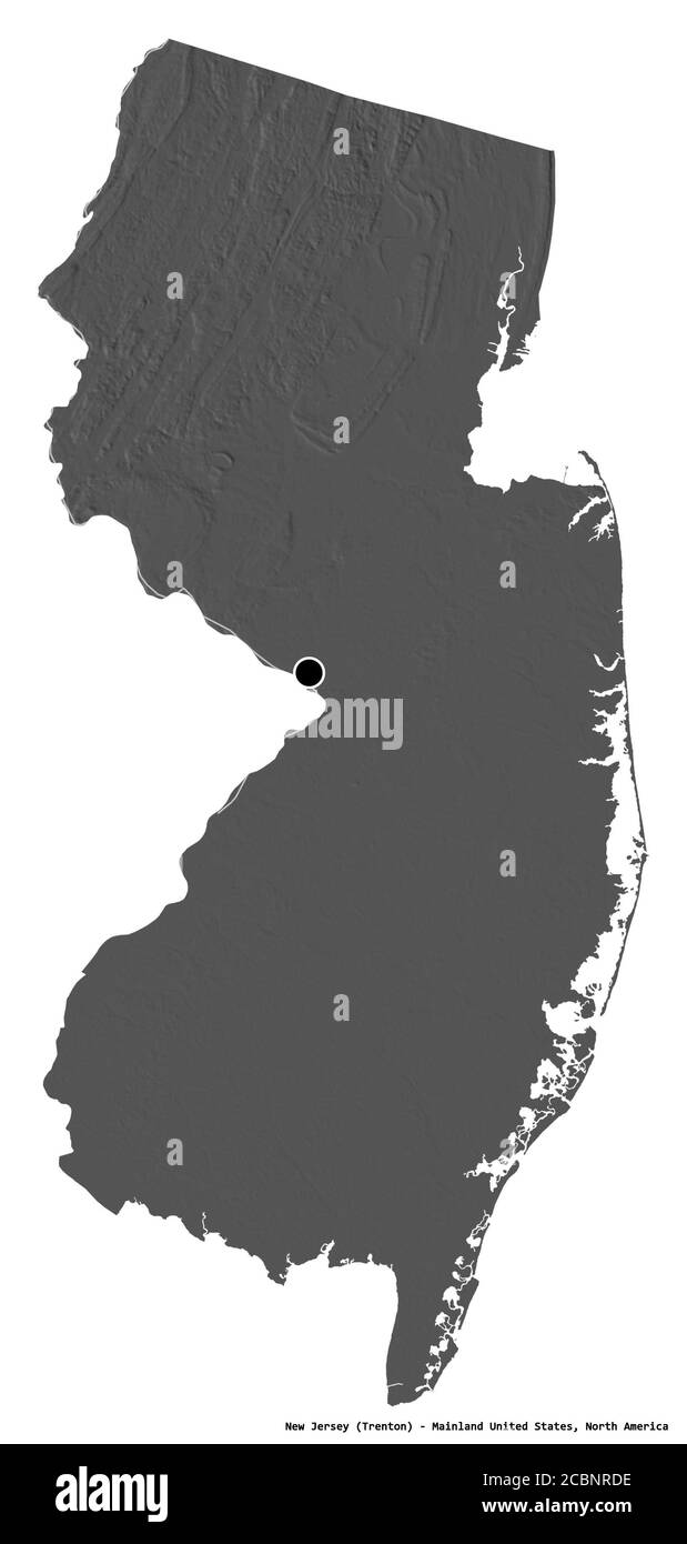 Shape of New Jersey, state of Mainland United States, with its capital isolated on white background. Bilevel elevation map. 3D rendering Stock Photohttps://www.alamy.com/image-license-details/?v=1https://www.alamy.com/shape-of-new-jersey-state-of-mainland-united-states-with-its-capital-isolated-on-white-background-bilevel-elevation-map-3d-rendering-image368658346.html
RF2CBNRDE–Shape of New Jersey, state of Mainland United States, with its capital isolated on white background. Bilevel elevation map. 3D rendering
 Desaturated shape of Mainland United States with its capital, main regional division and the separated New Jersey area. Labels. Bilevel elevation map. Stock Photohttps://www.alamy.com/image-license-details/?v=1https://www.alamy.com/desaturated-shape-of-mainland-united-states-with-its-capital-main-regional-division-and-the-separated-new-jersey-area-labels-bilevel-elevation-map-image368658336.html
RF2CBNRD4–Desaturated shape of Mainland United States with its capital, main regional division and the separated New Jersey area. Labels. Bilevel elevation map.
 Jones County, North Carolina State (U.S. county, United States of America, USA, U.S., US) map vector illustration, scribble sketch Jones map Stock Vectorhttps://www.alamy.com/image-license-details/?v=1https://www.alamy.com/jones-county-north-carolina-state-us-county-united-states-of-america-usa-us-us-map-vector-illustration-scribble-sketch-jones-map-image384728734.html
RF2D9WWBX–Jones County, North Carolina State (U.S. county, United States of America, USA, U.S., US) map vector illustration, scribble sketch Jones map
RF2PFXBH3–New Jersey map, united states of america. Flat concept icon symbol vector illustration .
 Shape of New Jersey, state of Mainland United States, and its capital. Distance scale, previews and labels. Bilevel elevation map. 3D rendering Stock Photohttps://www.alamy.com/image-license-details/?v=1https://www.alamy.com/shape-of-new-jersey-state-of-mainland-united-states-and-its-capital-distance-scale-previews-and-labels-bilevel-elevation-map-3d-rendering-image368658341.html
RF2CBNRD9–Shape of New Jersey, state of Mainland United States, and its capital. Distance scale, previews and labels. Bilevel elevation map. 3D rendering
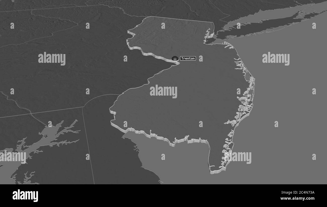 Zoom in on New Jersey (state of United States) extruded. Oblique perspective. Bilevel elevation map with surface waters. 3D rendering Stock Photohttps://www.alamy.com/image-license-details/?v=1https://www.alamy.com/zoom-in-on-new-jersey-state-of-united-states-extruded-oblique-perspective-bilevel-elevation-map-with-surface-waters-3d-rendering-image364342926.html
RF2C4N73A–Zoom in on New Jersey (state of United States) extruded. Oblique perspective. Bilevel elevation map with surface waters. 3D rendering
 Jones County, North Carolina State (U.S. county, United States of America, USA, U.S., US) map vector illustration, scribble sketch Jones map Stock Vectorhttps://www.alamy.com/image-license-details/?v=1https://www.alamy.com/jones-county-north-carolina-state-us-county-united-states-of-america-usa-us-us-map-vector-illustration-scribble-sketch-jones-map-image401802744.html
RF2E9KKE0–Jones County, North Carolina State (U.S. county, United States of America, USA, U.S., US) map vector illustration, scribble sketch Jones map
 Zoom in on New Jersey (state of United States) outlined. Oblique perspective. Bilevel elevation map with surface waters. 3D rendering Stock Photohttps://www.alamy.com/image-license-details/?v=1https://www.alamy.com/zoom-in-on-new-jersey-state-of-united-states-outlined-oblique-perspective-bilevel-elevation-map-with-surface-waters-3d-rendering-image364342910.html
RF2C4N72P–Zoom in on New Jersey (state of United States) outlined. Oblique perspective. Bilevel elevation map with surface waters. 3D rendering
 New Jersey, state of United States. Grayscaled map with lakes and rivers. Shape presented against its country area with informative overlays. 3D rende Stock Photohttps://www.alamy.com/image-license-details/?v=1https://www.alamy.com/new-jersey-state-of-united-states-grayscaled-map-with-lakes-and-rivers-shape-presented-against-its-country-area-with-informative-overlays-3d-rende-image364283696.html
RF2C4JFG0–New Jersey, state of United States. Grayscaled map with lakes and rivers. Shape presented against its country area with informative overlays. 3D rende
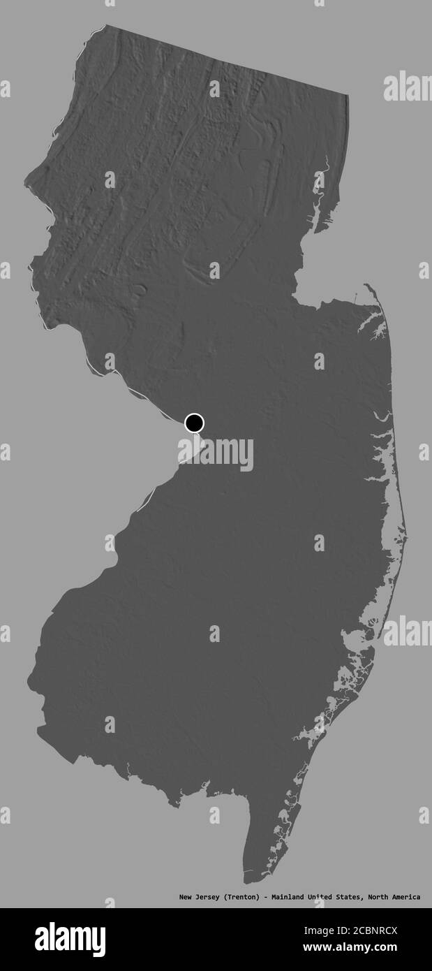 Shape of New Jersey, state of Mainland United States, with its capital isolated on a solid color background. Bilevel elevation map. 3D rendering Stock Photohttps://www.alamy.com/image-license-details/?v=1https://www.alamy.com/shape-of-new-jersey-state-of-mainland-united-states-with-its-capital-isolated-on-a-solid-color-background-bilevel-elevation-map-3d-rendering-image368658330.html
RF2CBNRCX–Shape of New Jersey, state of Mainland United States, with its capital isolated on a solid color background. Bilevel elevation map. 3D rendering
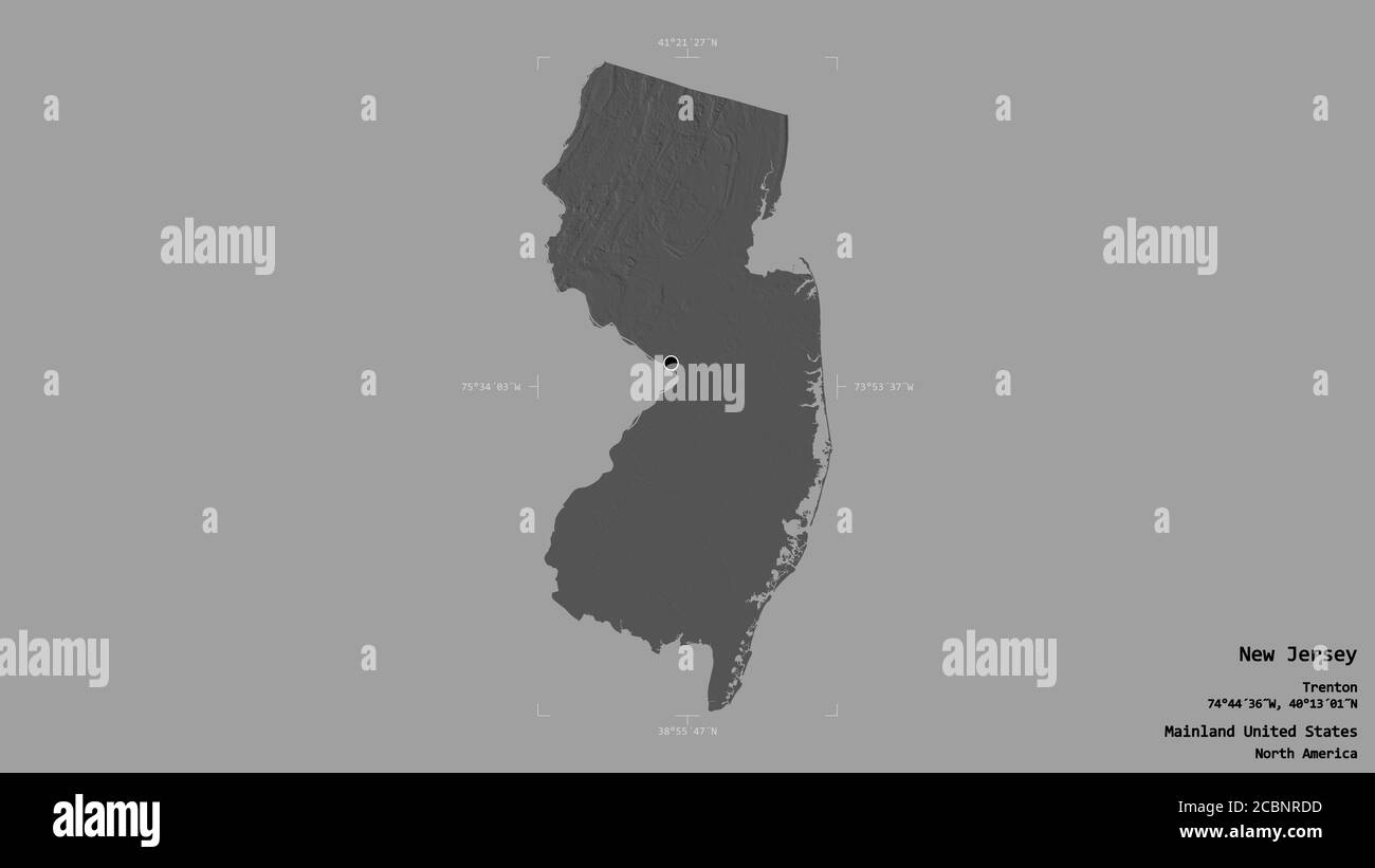 Area of New Jersey, state of Mainland United States, isolated on a solid background in a georeferenced bounding box. Labels. Bilevel elevation map. 3D Stock Photohttps://www.alamy.com/image-license-details/?v=1https://www.alamy.com/area-of-new-jersey-state-of-mainland-united-states-isolated-on-a-solid-background-in-a-georeferenced-bounding-box-labels-bilevel-elevation-map-3d-image368658345.html
RF2CBNRDD–Area of New Jersey, state of Mainland United States, isolated on a solid background in a georeferenced bounding box. Labels. Bilevel elevation map. 3D
 Shape of New Jersey, state of Mainland United States, with its capital isolated on solid background. Distance scale, region preview and labels. Bileve Stock Photohttps://www.alamy.com/image-license-details/?v=1https://www.alamy.com/shape-of-new-jersey-state-of-mainland-united-states-with-its-capital-isolated-on-solid-background-distance-scale-region-preview-and-labels-bileve-image368658328.html
RF2CBNRCT–Shape of New Jersey, state of Mainland United States, with its capital isolated on solid background. Distance scale, region preview and labels. Bileve