Map of tucumcari new mexico Cut Out Stock Images
(15)See map of tucumcari new mexico stock video clipsMap of tucumcari new mexico Cut Out Stock Images
 Tucumcari, Quay County, US, United States, New Mexico, N 35 10' 18'', S 103 43' 36'', map, Cartascapes Map published in 2024. Explore Cartascapes, a map revealing Earth's diverse landscapes, cultures, and ecosystems. Journey through time and space, discovering the interconnectedness of our planet's past, present, and future. Stock Photohttps://www.alamy.com/image-license-details/?v=1https://www.alamy.com/tucumcari-quay-county-us-united-states-new-mexico-n-35-10-18-s-103-43-36-map-cartascapes-map-published-in-2024-explore-cartascapes-a-map-revealing-earths-diverse-landscapes-cultures-and-ecosystems-journey-through-time-and-space-discovering-the-interconnectedness-of-our-planets-past-present-and-future-image621219165.html
RM2Y2JYAN–Tucumcari, Quay County, US, United States, New Mexico, N 35 10' 18'', S 103 43' 36'', map, Cartascapes Map published in 2024. Explore Cartascapes, a map revealing Earth's diverse landscapes, cultures, and ecosystems. Journey through time and space, discovering the interconnectedness of our planet's past, present, and future.
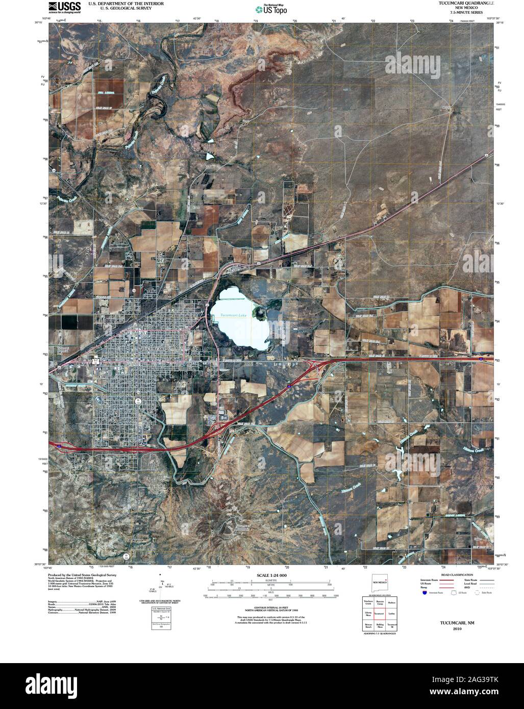 USGS TOPO Map New Mexico NM Tucumcari 20100928 TM Restoration Stock Photohttps://www.alamy.com/image-license-details/?v=1https://www.alamy.com/usgs-topo-map-new-mexico-nm-tucumcari-20100928-tm-restoration-image336905091.html
RM2AG39TK–USGS TOPO Map New Mexico NM Tucumcari 20100928 TM Restoration
 Quay County, New Mexico (U.S. county, United States of America, USA, U.S., US) map vector illustration, scribble sketch Quay map Stock Vectorhttps://www.alamy.com/image-license-details/?v=1https://www.alamy.com/quay-county-new-mexico-us-county-united-states-of-america-usa-us-us-map-vector-illustration-scribble-sketch-quay-map-image397482521.html
RF2E2JW09–Quay County, New Mexico (U.S. county, United States of America, USA, U.S., US) map vector illustration, scribble sketch Quay map
 City of Tucumcari, Quay County, US, United States, New Mexico, N 35 10' 12'', S 103 42' 14'', map, Cartascapes Map published in 2024. Explore Cartascapes, a map revealing Earth's diverse landscapes, cultures, and ecosystems. Journey through time and space, discovering the interconnectedness of our planet's past, present, and future. Stock Photohttps://www.alamy.com/image-license-details/?v=1https://www.alamy.com/city-of-tucumcari-quay-county-us-united-states-new-mexico-n-35-10-12-s-103-42-14-map-cartascapes-map-published-in-2024-explore-cartascapes-a-map-revealing-earths-diverse-landscapes-cultures-and-ecosystems-journey-through-time-and-space-discovering-the-interconnectedness-of-our-planets-past-present-and-future-image633778276.html
RM2YR32JC–City of Tucumcari, Quay County, US, United States, New Mexico, N 35 10' 12'', S 103 42' 14'', map, Cartascapes Map published in 2024. Explore Cartascapes, a map revealing Earth's diverse landscapes, cultures, and ecosystems. Journey through time and space, discovering the interconnectedness of our planet's past, present, and future.
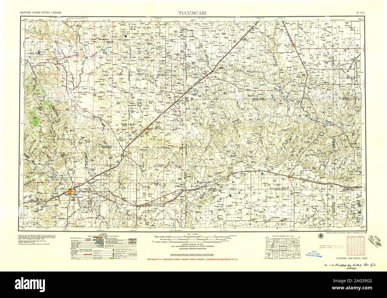 USGS TOPO Map New Mexico NM Tucumcari 193393 1958 250000 Restoration Stock Photohttps://www.alamy.com/image-license-details/?v=1https://www.alamy.com/usgs-topo-map-new-mexico-nm-tucumcari-193393-1958-250000-restoration-image336904850.html
RM2AG39G2–USGS TOPO Map New Mexico NM Tucumcari 193393 1958 250000 Restoration
 Quay County, New Mexico (U.S. county, United States of America, USA, U.S., US) map vector illustration, scribble sketch Quay map Stock Vectorhttps://www.alamy.com/image-license-details/?v=1https://www.alamy.com/quay-county-new-mexico-us-county-united-states-of-america-usa-us-us-map-vector-illustration-scribble-sketch-quay-map-image399019629.html
RF2E54WH1–Quay County, New Mexico (U.S. county, United States of America, USA, U.S., US) map vector illustration, scribble sketch Quay map
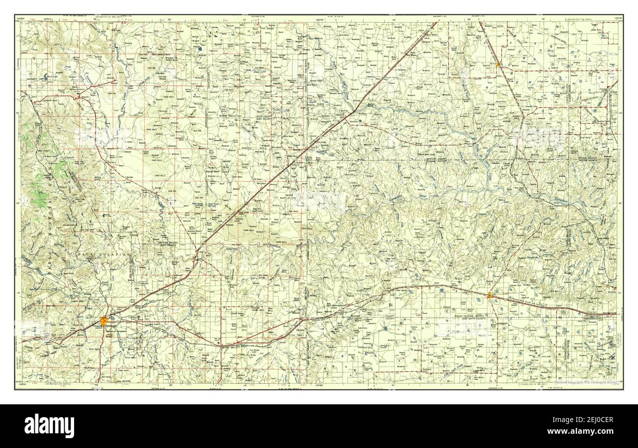 Tucumcari, New Mexico, map 1958, 1:250000, United States of America by Timeless Maps, data U.S. Geological Survey Stock Photohttps://www.alamy.com/image-license-details/?v=1https://www.alamy.com/tucumcari-new-mexico-map-1958-1250000-united-states-of-america-by-timeless-maps-data-us-geological-survey-image406912095.html
RM2EJ0CER–Tucumcari, New Mexico, map 1958, 1:250000, United States of America by Timeless Maps, data U.S. Geological Survey
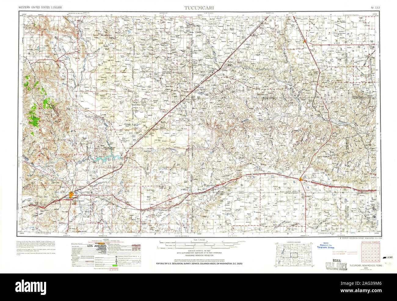 USGS TOPO Map New Mexico NM Tucumcari 193394 1954 250000 Restoration Stock Photohttps://www.alamy.com/image-license-details/?v=1https://www.alamy.com/usgs-topo-map-new-mexico-nm-tucumcari-193394-1954-250000-restoration-image336904966.html
RM2AG39M6–USGS TOPO Map New Mexico NM Tucumcari 193394 1954 250000 Restoration
 Quay County, New Mexico (U.S. county, United States of America, USA, U.S., US) map vector illustration, scribble sketch Quay map Stock Vectorhttps://www.alamy.com/image-license-details/?v=1https://www.alamy.com/quay-county-new-mexico-us-county-united-states-of-america-usa-us-us-map-vector-illustration-scribble-sketch-quay-map-image383661872.html
RF2D858HM–Quay County, New Mexico (U.S. county, United States of America, USA, U.S., US) map vector illustration, scribble sketch Quay map
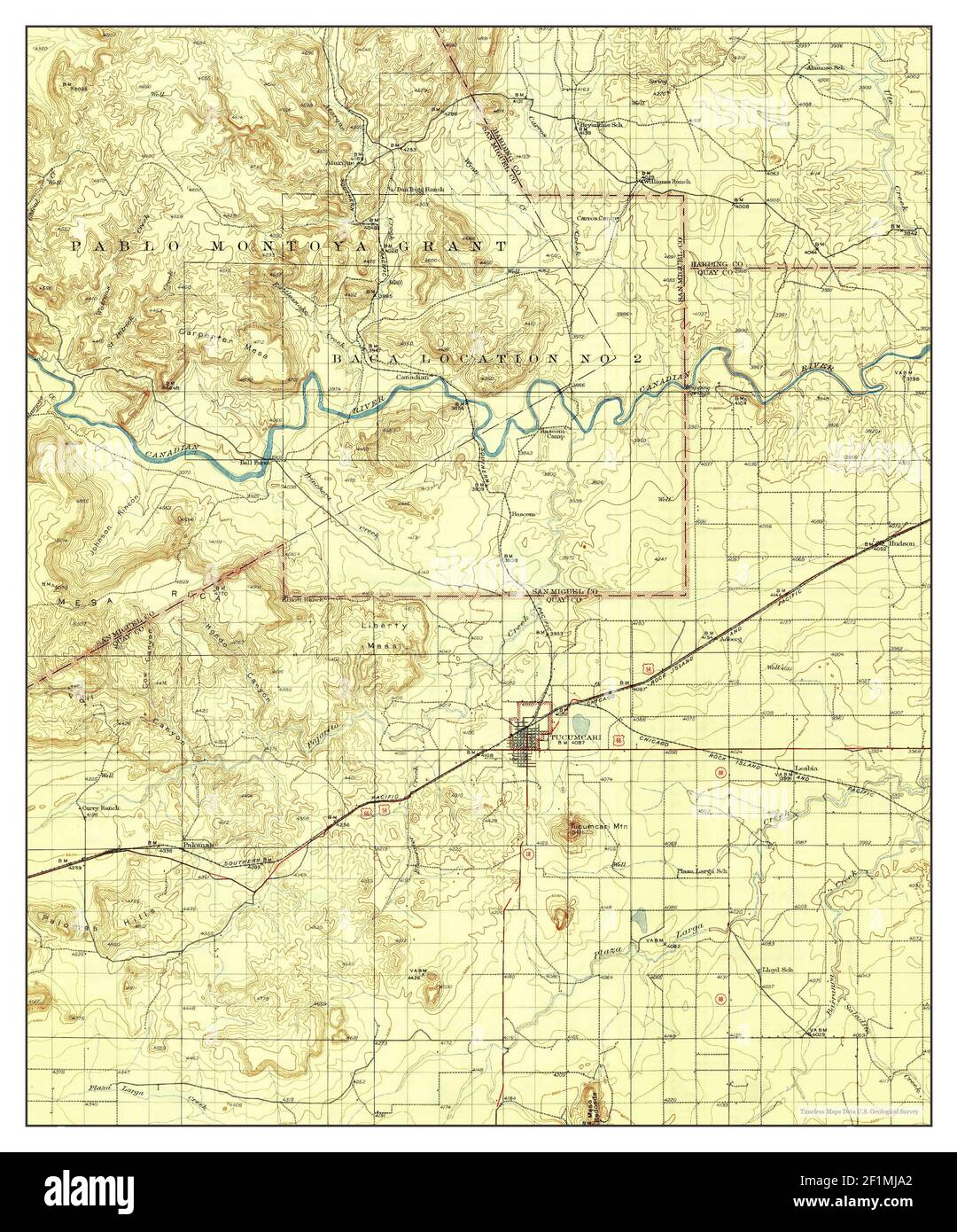 Tucumcari, New Mexico, map 1930, 1:125000, United States of America by Timeless Maps, data U.S. Geological Survey Stock Photohttps://www.alamy.com/image-license-details/?v=1https://www.alamy.com/tucumcari-new-mexico-map-1930-1125000-united-states-of-america-by-timeless-maps-data-us-geological-survey-image414116922.html
RM2F1MJA2–Tucumcari, New Mexico, map 1930, 1:125000, United States of America by Timeless Maps, data U.S. Geological Survey
 USGS TOPO Map New Mexico NM Tucumcari SE 20100928 TM Restoration Stock Photohttps://www.alamy.com/image-license-details/?v=1https://www.alamy.com/usgs-topo-map-new-mexico-nm-tucumcari-se-20100928-tm-restoration-image336905240.html
RM2AG3A20–USGS TOPO Map New Mexico NM Tucumcari SE 20100928 TM Restoration
 Tucumcari, New Mexico, map 1954, 1:250000, United States of America by Timeless Maps, data U.S. Geological Survey Stock Photohttps://www.alamy.com/image-license-details/?v=1https://www.alamy.com/tucumcari-new-mexico-map-1954-1250000-united-states-of-america-by-timeless-maps-data-us-geological-survey-image406912084.html
RM2EJ0CEC–Tucumcari, New Mexico, map 1954, 1:250000, United States of America by Timeless Maps, data U.S. Geological Survey
 USGS TOPO Map New Mexico NM Tucumcari 193396 1954 250000 Restoration Stock Photohttps://www.alamy.com/image-license-details/?v=1https://www.alamy.com/usgs-topo-map-new-mexico-nm-tucumcari-193396-1954-250000-restoration-image336905282.html
RM2AG3A3E–USGS TOPO Map New Mexico NM Tucumcari 193396 1954 250000 Restoration
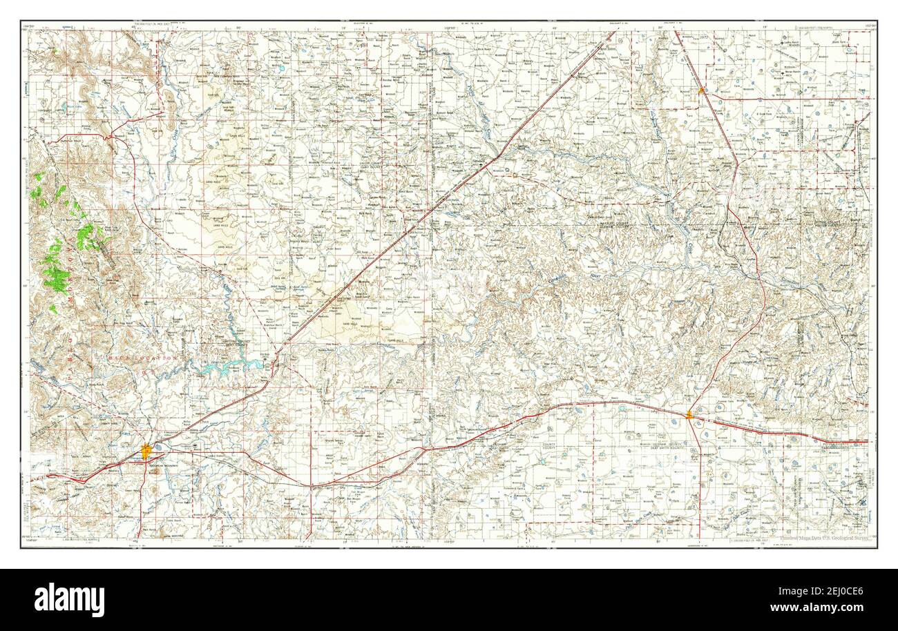 Tucumcari, New Mexico, map 1954, 1:250000, United States of America by Timeless Maps, data U.S. Geological Survey Stock Photohttps://www.alamy.com/image-license-details/?v=1https://www.alamy.com/tucumcari-new-mexico-map-1954-1250000-united-states-of-america-by-timeless-maps-data-us-geological-survey-image406912078.html
RM2EJ0CE6–Tucumcari, New Mexico, map 1954, 1:250000, United States of America by Timeless Maps, data U.S. Geological Survey
 Tucumcari, New Mexico, map 1930, 1:125000, United States of America by Timeless Maps, data U.S. Geological Survey Stock Photohttps://www.alamy.com/image-license-details/?v=1https://www.alamy.com/tucumcari-new-mexico-map-1930-1125000-united-states-of-america-by-timeless-maps-data-us-geological-survey-image414116905.html
RM2F1MJ9D–Tucumcari, New Mexico, map 1930, 1:125000, United States of America by Timeless Maps, data U.S. Geological Survey