Quick filters:
Map of tupper lake Stock Photos and Images
 Tupper Lake New York USA Shown on a Geography map or road map Stock Photohttps://www.alamy.com/image-license-details/?v=1https://www.alamy.com/tupper-lake-new-york-usa-shown-on-a-geography-map-or-road-map-image429052904.html
RM2FX11A0–Tupper Lake New York USA Shown on a Geography map or road map
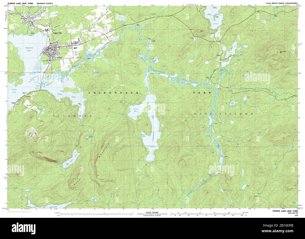 Highly detailed view of the 1979 topographic map for Tupper Lake, NY Stock Photohttps://www.alamy.com/image-license-details/?v=1https://www.alamy.com/highly-detailed-view-of-the-1979-topographic-map-for-tupper-lake-ny-image344965359.html
RF2B16ERB–Highly detailed view of the 1979 topographic map for Tupper Lake, NY
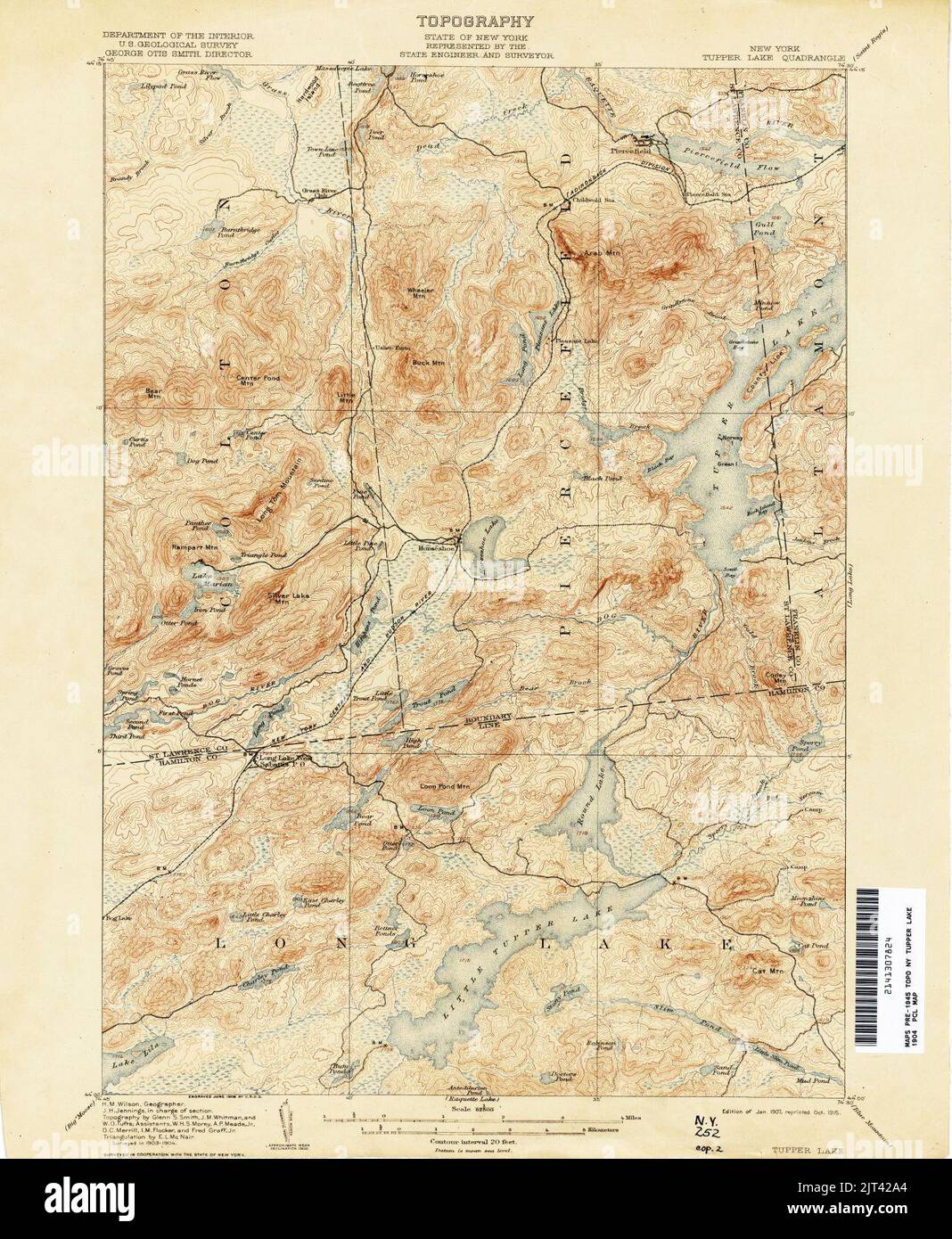 Tupper Lake New York USGS topo map 1904. Stock Photohttps://www.alamy.com/image-license-details/?v=1https://www.alamy.com/tupper-lake-new-york-usgs-topo-map-1904-image479521340.html
RM2JT42A4–Tupper Lake New York USGS topo map 1904.
 Map showing the Adirondack Lake regions Map of part of the Adirondack Lake Region extending from Forked Lake northward to St. Regis Lake and from Cranberry Lake eastward to lower Saranac Lake Cartographic. Maps. 1880. Lionel Pincus and Princess Firyal Map Division. Adirondack Mountains Region (N.Y.), Real property , New York (State) , Adirondack Mountains (N.Y.), Landowners , New York (State) , Adirondack Mountains (N.Y.), Adirondack Mountains (N.Y.), Saranac Lake (N.Y.), Tupper Lake (N.Y.), Long Lake (N.Y.) Stock Photohttps://www.alamy.com/image-license-details/?v=1https://www.alamy.com/map-showing-the-adirondack-lake-regions-map-of-part-of-the-adirondack-lake-region-extending-from-forked-lake-northward-to-st-regis-lake-and-from-cranberry-lake-eastward-to-lower-saranac-lake-cartographic-maps-1880-lionel-pincus-and-princess-firyal-map-division-adirondack-mountains-region-ny-real-property-new-york-state-adirondack-mountains-ny-landowners-new-york-state-adirondack-mountains-ny-adirondack-mountains-ny-saranac-lake-ny-tupper-lake-ny-long-lake-ny-image484307527.html
RM2K3X35B–Map showing the Adirondack Lake regions Map of part of the Adirondack Lake Region extending from Forked Lake northward to St. Regis Lake and from Cranberry Lake eastward to lower Saranac Lake Cartographic. Maps. 1880. Lionel Pincus and Princess Firyal Map Division. Adirondack Mountains Region (N.Y.), Real property , New York (State) , Adirondack Mountains (N.Y.), Landowners , New York (State) , Adirondack Mountains (N.Y.), Adirondack Mountains (N.Y.), Saranac Lake (N.Y.), Tupper Lake (N.Y.), Long Lake (N.Y.)
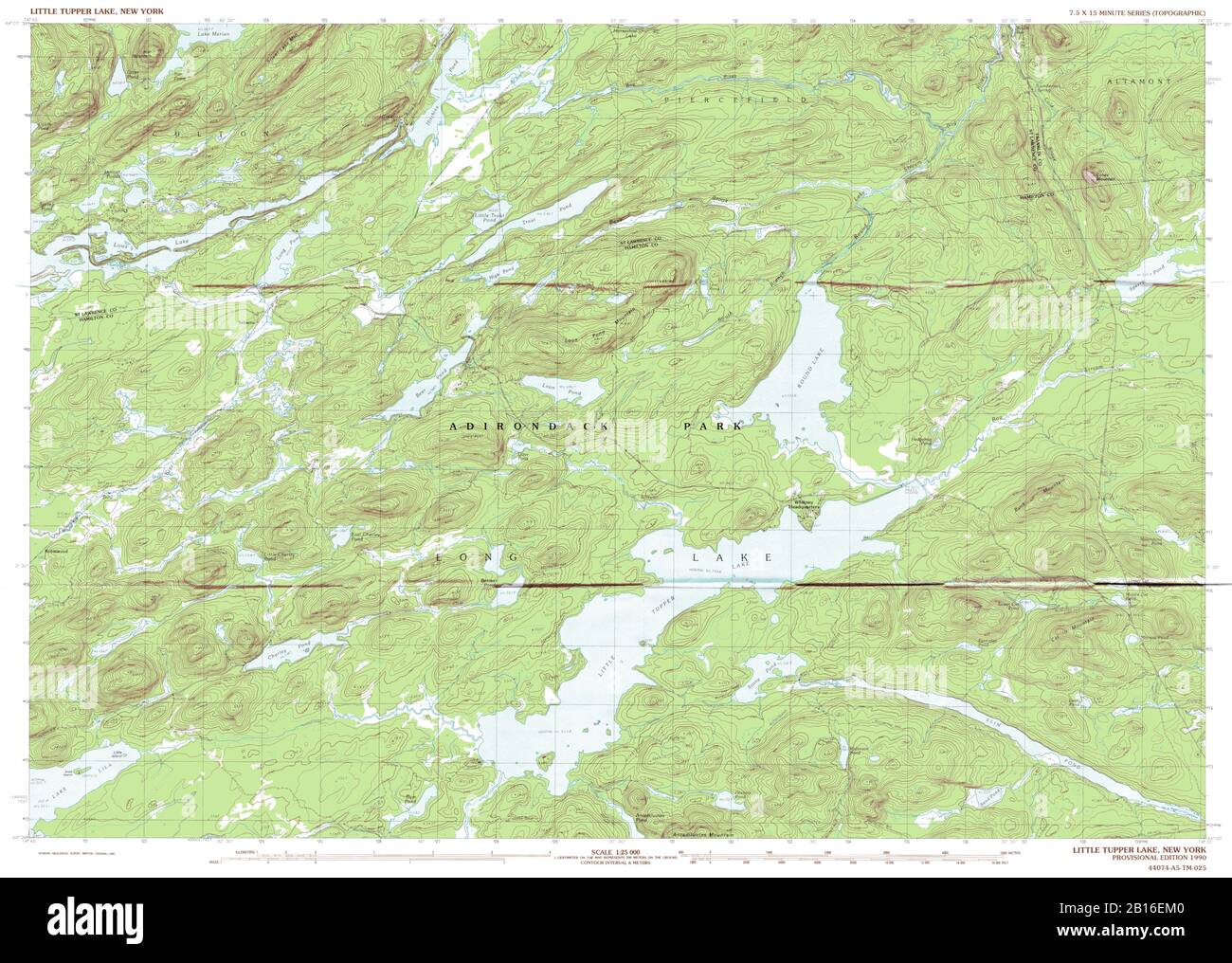 Highly detailed view of the 1990 topographic map for Little Tupper Lake, NY Stock Photohttps://www.alamy.com/image-license-details/?v=1https://www.alamy.com/highly-detailed-view-of-the-1990-topographic-map-for-little-tupper-lake-ny-image344965264.html
RF2B16EM0–Highly detailed view of the 1990 topographic map for Little Tupper Lake, NY
 Tupper Lake, Franklin County, US, United States, New York, N 44 13' 26'', S 74 27' 50'', map, Cartascapes Map published in 2024. Explore Cartascapes, a map revealing Earth's diverse landscapes, cultures, and ecosystems. Journey through time and space, discovering the interconnectedness of our planet's past, present, and future. Stock Photohttps://www.alamy.com/image-license-details/?v=1https://www.alamy.com/tupper-lake-franklin-county-us-united-states-new-york-n-44-13-26-s-74-27-50-map-cartascapes-map-published-in-2024-explore-cartascapes-a-map-revealing-earths-diverse-landscapes-cultures-and-ecosystems-journey-through-time-and-space-discovering-the-interconnectedness-of-our-planets-past-present-and-future-image621429241.html
RM2Y30F9D–Tupper Lake, Franklin County, US, United States, New York, N 44 13' 26'', S 74 27' 50'', map, Cartascapes Map published in 2024. Explore Cartascapes, a map revealing Earth's diverse landscapes, cultures, and ecosystems. Journey through time and space, discovering the interconnectedness of our planet's past, present, and future.
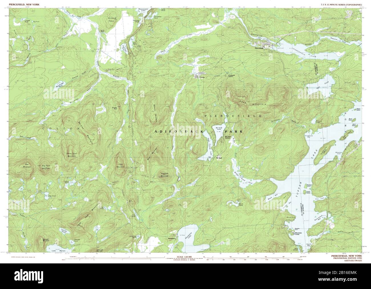 Highly detailed view of the 1990 topographic map for Piercefield, NY Stock Photohttps://www.alamy.com/image-license-details/?v=1https://www.alamy.com/highly-detailed-view-of-the-1990-topographic-map-for-piercefield-ny-image344965283.html
RF2B16EMK–Highly detailed view of the 1990 topographic map for Piercefield, NY
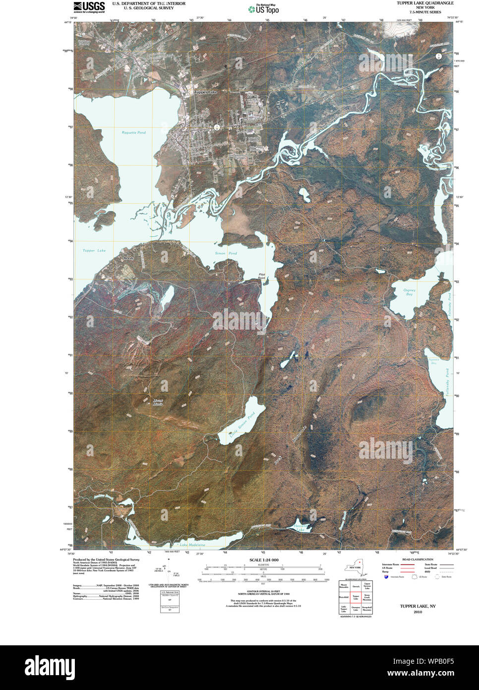 New York NY Tupper Lake 20100629 TM Restoration Stock Photohttps://www.alamy.com/image-license-details/?v=1https://www.alamy.com/new-york-ny-tupper-lake-20100629-tm-restoration-image271919849.html
RMWPB0F5–New York NY Tupper Lake 20100629 TM Restoration
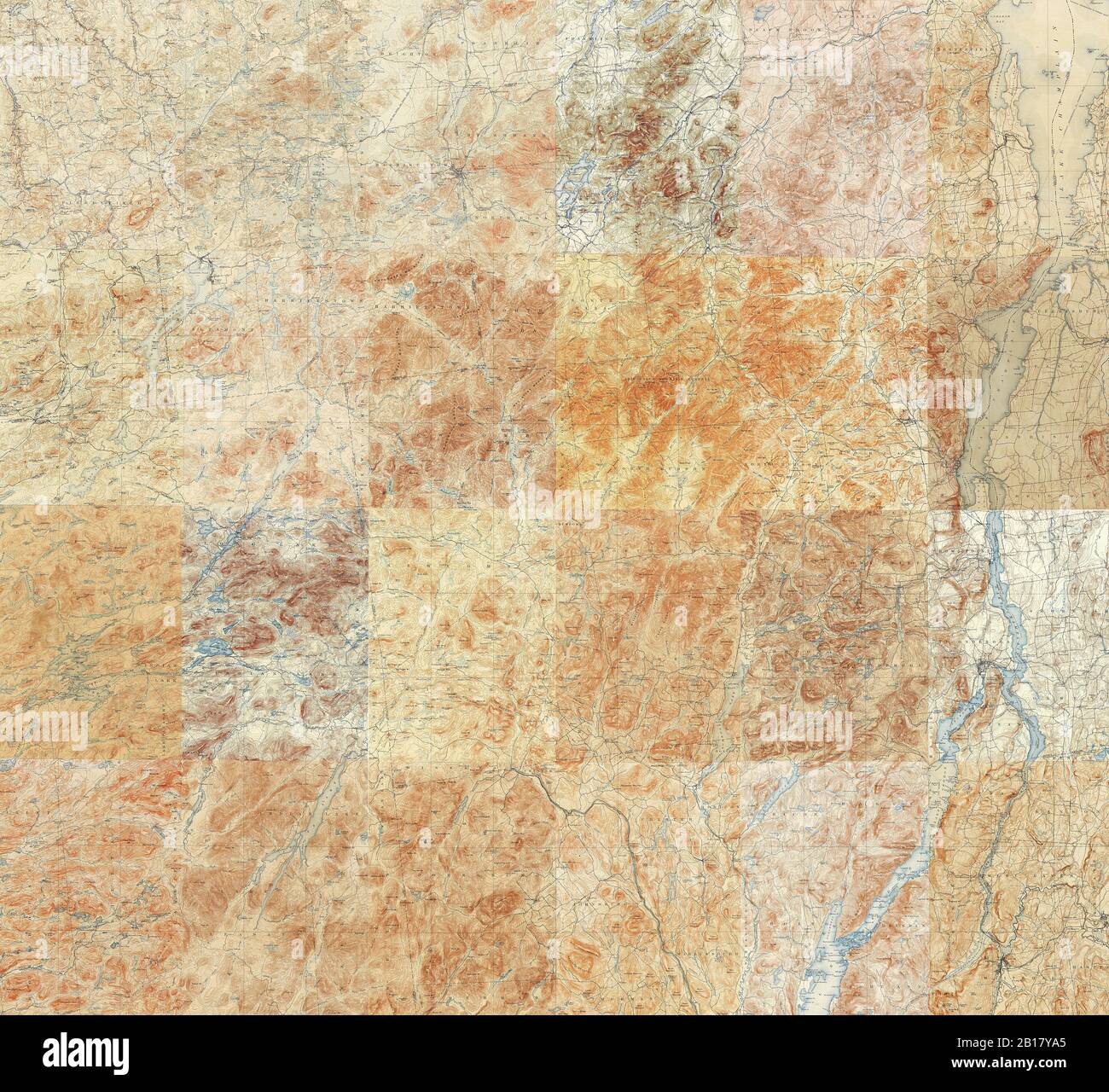 Topographic Map of the Adirondacks - Compilation of 24 individual 15 minute quadrangles in the Adirondack Park Stock Photohttps://www.alamy.com/image-license-details/?v=1https://www.alamy.com/topographic-map-of-the-adirondacks-compilation-of-24-individual-15-minute-quadrangles-in-the-adirondack-park-image344997133.html
RF2B17YA5–Topographic Map of the Adirondacks - Compilation of 24 individual 15 minute quadrangles in the Adirondack Park
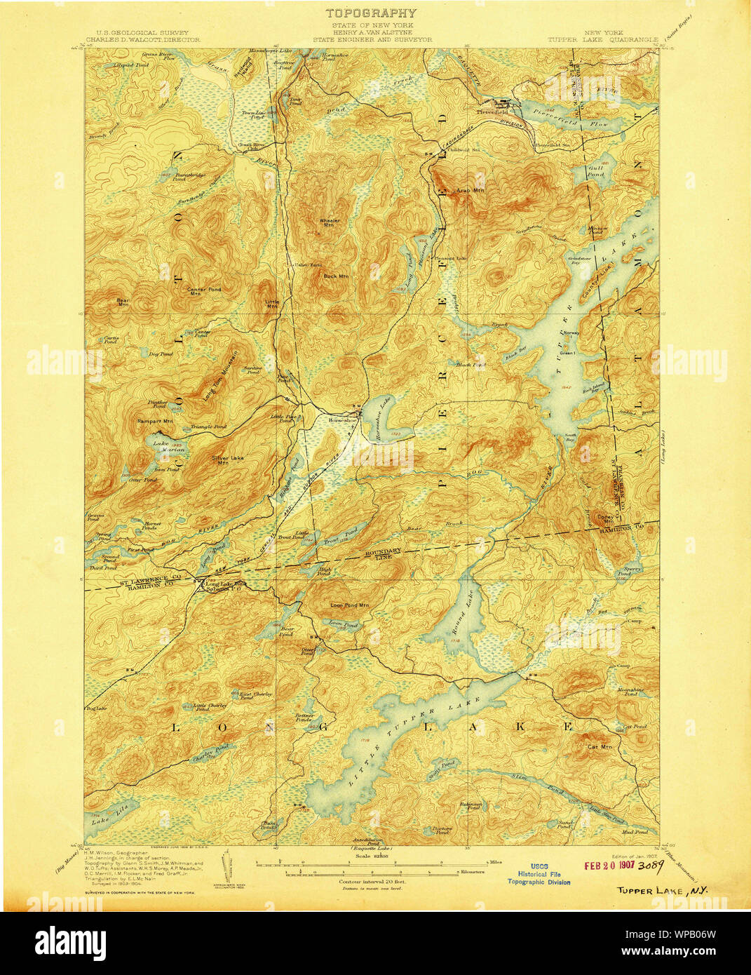 New York NY Tupper Lake 144372 1907 62500 Restoration Stock Photohttps://www.alamy.com/image-license-details/?v=1https://www.alamy.com/new-york-ny-tupper-lake-144372-1907-62500-restoration-image271919617.html
RMWPB06W–New York NY Tupper Lake 144372 1907 62500 Restoration
 Forest protection in Canada, 1912-1914, by Clyde Leavitt . s of Two large Spruce Tops 66 Unlopped Tops, Little Tupper Lake, Whitney Tract. 66 XIII Result of Fire of May 20, 1911, in pile of Lopped Tops 69 Lopped Brush Piling and Skidway of Pulpwood 69 XIV. Recent Cutting on Santa Clara Lumber Co.s Tract 72 XV Unlopped Top, 21 years after Cutting for Lumber 80 Unlopped Top, Fourteen Years after Lumbering 80 XVI. Windfall on Cutting to Ten-inch Diameter Limit 85 XVII Oil and Coal Burning Railways in Canada and United States— Map 93 XVIII Scotch Pine and Jack Pine Plantation on Blow-sand Formatio Stock Photohttps://www.alamy.com/image-license-details/?v=1https://www.alamy.com/forest-protection-in-canada-1912-1914-by-clyde-leavitt-s-of-two-large-spruce-tops-66-unlopped-tops-little-tupper-lake-whitney-tract-66-xiii-result-of-fire-of-may-20-1911-in-pile-of-lopped-tops-69-lopped-brush-piling-and-skidway-of-pulpwood-69-xiv-recent-cutting-on-santa-clara-lumber-cos-tract-72-xv-unlopped-top-21-years-after-cutting-for-lumber-80-unlopped-top-fourteen-years-after-lumbering-80-xvi-windfall-on-cutting-to-ten-inch-diameter-limit-85-xvii-oil-and-coal-burning-railways-in-canada-and-united-states-map-93-xviii-scotch-pine-and-jack-pine-plantation-on-blow-sand-formatio-image340179682.html
RM2ANCEJA–Forest protection in Canada, 1912-1914, by Clyde Leavitt . s of Two large Spruce Tops 66 Unlopped Tops, Little Tupper Lake, Whitney Tract. 66 XIII Result of Fire of May 20, 1911, in pile of Lopped Tops 69 Lopped Brush Piling and Skidway of Pulpwood 69 XIV. Recent Cutting on Santa Clara Lumber Co.s Tract 72 XV Unlopped Top, 21 years after Cutting for Lumber 80 Unlopped Top, Fourteen Years after Lumbering 80 XVI. Windfall on Cutting to Ten-inch Diameter Limit 85 XVII Oil and Coal Burning Railways in Canada and United States— Map 93 XVIII Scotch Pine and Jack Pine Plantation on Blow-sand Formatio
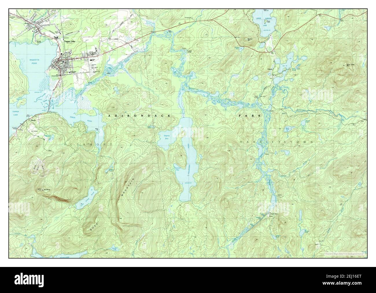 Tupper Lake, New York, map 1979, 1:25000, United States of America by Timeless Maps, data U.S. Geological Survey Stock Photohttps://www.alamy.com/image-license-details/?v=1https://www.alamy.com/tupper-lake-new-york-map-1979-125000-united-states-of-america-by-timeless-maps-data-us-geological-survey-image406929344.html
RM2EJ16ET–Tupper Lake, New York, map 1979, 1:25000, United States of America by Timeless Maps, data U.S. Geological Survey
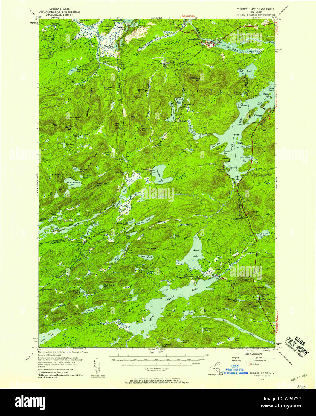 New York NY Tupper Lake 139417 1954 62500 Restoration Stock Photohttps://www.alamy.com/image-license-details/?v=1https://www.alamy.com/new-york-ny-tupper-lake-139417-1954-62500-restoration-image271919419.html
RMWPAYYR–New York NY Tupper Lake 139417 1954 62500 Restoration
 . The Canadian field-naturalist. 1977 Notes 185 Records of the Boreal Toad from the Yukon and Northern British Columbia Francis R. Cook Herpetology Section, National Museum of Natural Sciences, Ottawa, Ontario KIA 0M8 Logier and Toner (1961, pp. 27-28) list and map Prince William Sound and Yujutat in Alaska and Telegraph Creek, Lake Tetana, Hudson Hope, and Tupper Creek in British Columbia as the northern boundary of the range for the Boreal Toad, Bufo boreas boreas. Stebbins (1966, Map 31) apparently followed these points in drawing his northern range limit for the subspecies. Herreid (1963) Stock Photohttps://www.alamy.com/image-license-details/?v=1https://www.alamy.com/the-canadian-field-naturalist-1977-notes-185-records-of-the-boreal-toad-from-the-yukon-and-northern-british-columbia-francis-r-cook-herpetology-section-national-museum-of-natural-sciences-ottawa-ontario-kia-0m8-logier-and-toner-1961-pp-27-28-list-and-map-prince-william-sound-and-yujutat-in-alaska-and-telegraph-creek-lake-tetana-hudson-hope-and-tupper-creek-in-british-columbia-as-the-northern-boundary-of-the-range-for-the-boreal-toad-bufo-boreas-boreas-stebbins-1966-map-31-apparently-followed-these-points-in-drawing-his-northern-range-limit-for-the-subspecies-herreid-1963-image233631224.html
RMRG2R08–. The Canadian field-naturalist. 1977 Notes 185 Records of the Boreal Toad from the Yukon and Northern British Columbia Francis R. Cook Herpetology Section, National Museum of Natural Sciences, Ottawa, Ontario KIA 0M8 Logier and Toner (1961, pp. 27-28) list and map Prince William Sound and Yujutat in Alaska and Telegraph Creek, Lake Tetana, Hudson Hope, and Tupper Creek in British Columbia as the northern boundary of the range for the Boreal Toad, Bufo boreas boreas. Stebbins (1966, Map 31) apparently followed these points in drawing his northern range limit for the subspecies. Herreid (1963)
 Tupper Lake, New York, map 1907, 1:62500, United States of America by Timeless Maps, data U.S. Geological Survey Stock Photohttps://www.alamy.com/image-license-details/?v=1https://www.alamy.com/tupper-lake-new-york-map-1907-162500-united-states-of-america-by-timeless-maps-data-us-geological-survey-image414155858.html
RM2F1PC0J–Tupper Lake, New York, map 1907, 1:62500, United States of America by Timeless Maps, data U.S. Geological Survey
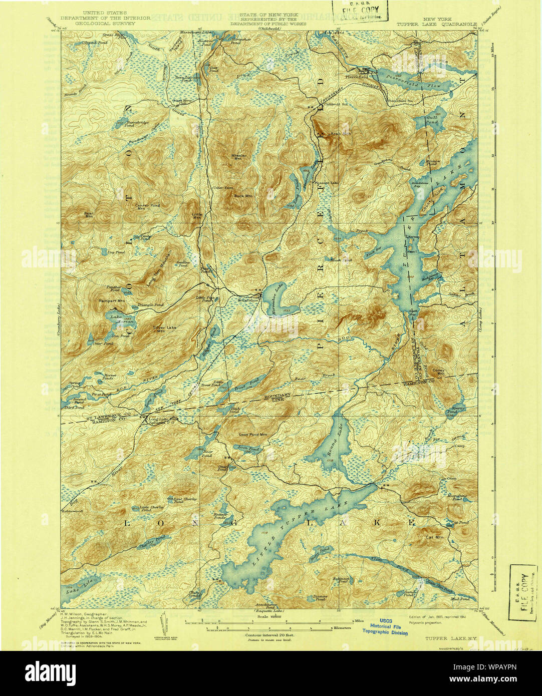 New York NY Tupper Lake 139408 1907 62500 Restoration Stock Photohttps://www.alamy.com/image-license-details/?v=1https://www.alamy.com/new-york-ny-tupper-lake-139408-1907-62500-restoration-image271919277.html
RMWPAYPN–New York NY Tupper Lake 139408 1907 62500 Restoration
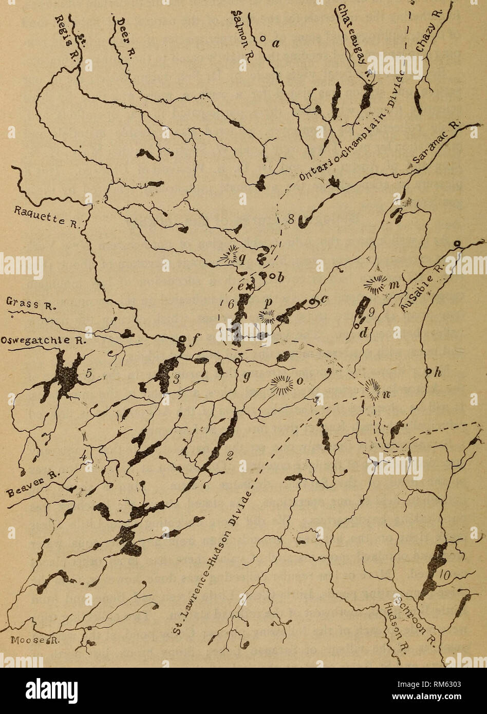 . Annual report of the Regents. New York State Museum; Science. 386 NEW YORK STATE MUSEUM. Map 1 Drainage map of the Saranac region LaTces: IRaquette; 2 Long; 3 Tupper ; 4 Ne-ha-sa-ne; 5 Cranberry; 6 Upper Saranac ; 7 St Regis; 8 Rain, ''To^L^.'ti^aJoneT^Taranac Junction; c Saranac Lake; d Lake Placid : e Saranac Inn ; /Tupper Lake ^ ^untkinfrm^^?It^ce; n Marcy (Tahawus); o Seward; p Boot Bay ; a St Regis. Please note that these images are extracted from scanned page images that may have been digitally enhanced for readability - coloration and appearance of these illustrations may not perfectl Stock Photohttps://www.alamy.com/image-license-details/?v=1https://www.alamy.com/annual-report-of-the-regents-new-york-state-museum-science-386-new-york-state-museum-map-1-drainage-map-of-the-saranac-region-latces-iraquette-2-long-3-tupper-4-ne-ha-sa-ne-5-cranberry-6-upper-saranac-7-st-regis-8-rain-toltiajonettaranac-junction-c-saranac-lake-d-lake-placid-e-saranac-inn-tupper-lake-untkinfrmitce-n-marcy-tahawus-o-seward-p-boot-bay-a-st-regis-please-note-that-these-images-are-extracted-from-scanned-page-images-that-may-have-been-digitally-enhanced-for-readability-coloration-and-appearance-of-these-illustrations-may-not-perfectl-image236161971.html
RMRM6303–. Annual report of the Regents. New York State Museum; Science. 386 NEW YORK STATE MUSEUM. Map 1 Drainage map of the Saranac region LaTces: IRaquette; 2 Long; 3 Tupper ; 4 Ne-ha-sa-ne; 5 Cranberry; 6 Upper Saranac ; 7 St Regis; 8 Rain, ''To^L^.'ti^aJoneT^Taranac Junction; c Saranac Lake; d Lake Placid : e Saranac Inn ; /Tupper Lake ^ ^untkinfrm^^?It^ce; n Marcy (Tahawus); o Seward; p Boot Bay ; a St Regis. Please note that these images are extracted from scanned page images that may have been digitally enhanced for readability - coloration and appearance of these illustrations may not perfectl
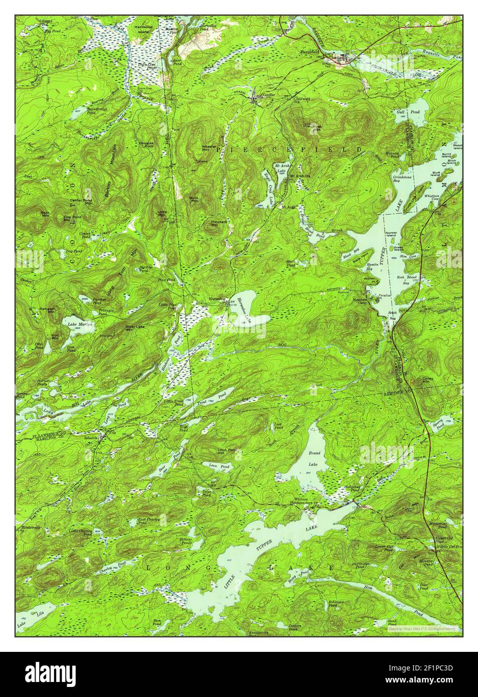 Tupper Lake, New York, map 1954, 1:62500, United States of America by Timeless Maps, data U.S. Geological Survey Stock Photohttps://www.alamy.com/image-license-details/?v=1https://www.alamy.com/tupper-lake-new-york-map-1954-162500-united-states-of-america-by-timeless-maps-data-us-geological-survey-image414155937.html
RM2F1PC3D–Tupper Lake, New York, map 1954, 1:62500, United States of America by Timeless Maps, data U.S. Geological Survey
 New York NY Tupper Lake 139406 1907 62500 Restoration Stock Photohttps://www.alamy.com/image-license-details/?v=1https://www.alamy.com/new-york-ny-tupper-lake-139406-1907-62500-restoration-image271919206.html
RMWPAYM6–New York NY Tupper Lake 139406 1907 62500 Restoration
 . Check list of the amphibians and reptiles of Canada and Alaska. Amphibians; Amphibians; Reptiles; Reptiles. Map 65. Thamnophis sirtalis ssp. (in British Columbia) 1937, p. K23). Okanagan Landing (7. s. concinnus) (Co'wan, 1937, p. K23). Vernon (T. parietalis) (Fannin, 1898, p. 58); (T. s. concinnus) (Cowan, 1937, p. K23). Peace River District {T. s. parietalis) (Carl, 1944, p. 33, 1951, p. 33). Charlie Lake, Tupper Creek {T. s. parietalis) (Cowan, 1939,p. 93). East of Rocky Mountains (T.s. parietalis) (Carl, 1951,p. 33). Province, Greater part of (T. s. tetrataenia) (Carl, 1944, p. 33,1951, Stock Photohttps://www.alamy.com/image-license-details/?v=1https://www.alamy.com/check-list-of-the-amphibians-and-reptiles-of-canada-and-alaska-amphibians-amphibians-reptiles-reptiles-map-65-thamnophis-sirtalis-ssp-in-british-columbia-1937-p-k23-okanagan-landing-7-s-concinnus-cowan-1937-p-k23-vernon-t-parietalis-fannin-1898-p-58-t-s-concinnus-cowan-1937-p-k23-peace-river-district-t-s-parietalis-carl-1944-p-33-1951-p-33-charlie-lake-tupper-creek-t-s-parietalis-cowan-1939p-93-east-of-rocky-mountains-ts-parietalis-carl-1951p-33-province-greater-part-of-t-s-tetrataenia-carl-1944-p-331951-image235011272.html
RMRJ9K7M–. Check list of the amphibians and reptiles of Canada and Alaska. Amphibians; Amphibians; Reptiles; Reptiles. Map 65. Thamnophis sirtalis ssp. (in British Columbia) 1937, p. K23). Okanagan Landing (7. s. concinnus) (Co'wan, 1937, p. K23). Vernon (T. parietalis) (Fannin, 1898, p. 58); (T. s. concinnus) (Cowan, 1937, p. K23). Peace River District {T. s. parietalis) (Carl, 1944, p. 33, 1951, p. 33). Charlie Lake, Tupper Creek {T. s. parietalis) (Cowan, 1939,p. 93). East of Rocky Mountains (T.s. parietalis) (Carl, 1951,p. 33). Province, Greater part of (T. s. tetrataenia) (Carl, 1944, p. 33,1951,
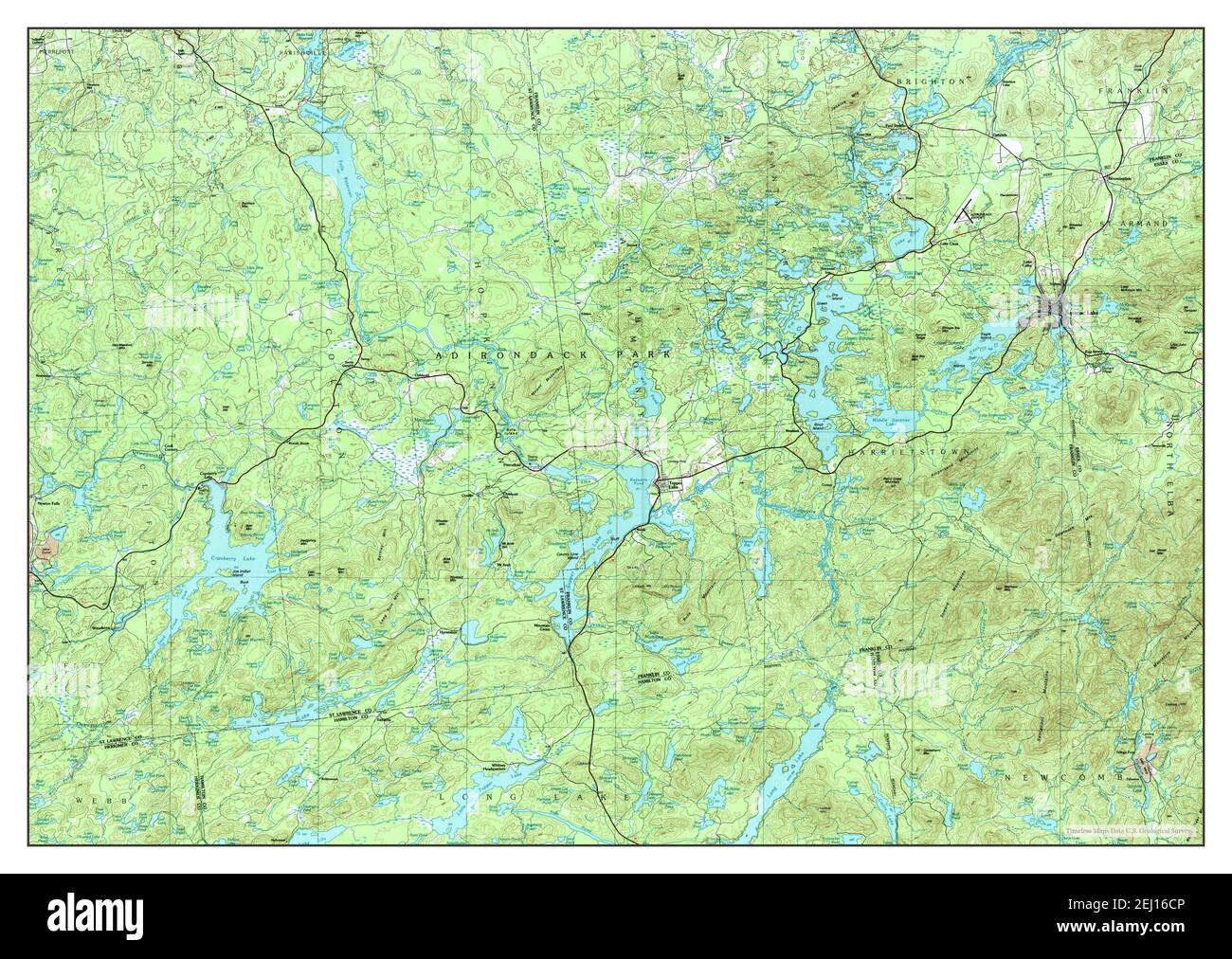 Tupper Lake, New York, map 1985, 1:100000, United States of America by Timeless Maps, data U.S. Geological Survey Stock Photohttps://www.alamy.com/image-license-details/?v=1https://www.alamy.com/tupper-lake-new-york-map-1985-1100000-united-states-of-america-by-timeless-maps-data-us-geological-survey-image406929286.html
RM2EJ16CP–Tupper Lake, New York, map 1985, 1:100000, United States of America by Timeless Maps, data U.S. Geological Survey
 New York NY Tupper Lake 139416 1954 62500 Restoration Stock Photohttps://www.alamy.com/image-license-details/?v=1https://www.alamy.com/new-york-ny-tupper-lake-139416-1954-62500-restoration-image271919373.html
RMWPAYX5–New York NY Tupper Lake 139416 1954 62500 Restoration
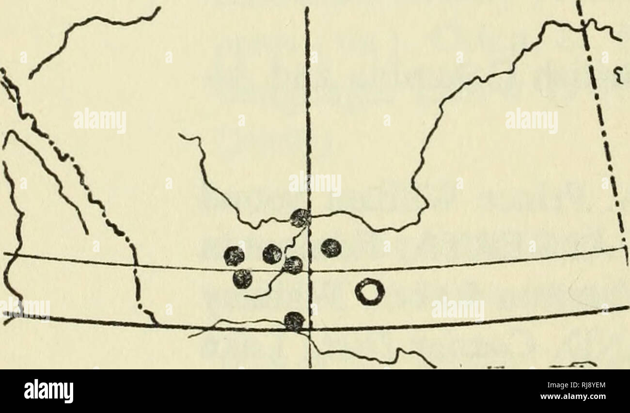 . Check list of the amphibians and reptiles of Canada and Alaska. Amphibians; Amphibians; Reptiles; Reptiles. Map 22. Bufo boreas boreas (Storer, 1925, p. 169). Coast Dist., Range J, Bella Coola (Cowan, 1937, p. K19). Coast Dist., Range 4, Ootsa Lake (Cowan, 1937, p. K19). Koote- nay Dist., Cranbrook (Cowan, 1937, p. K19). New Westminster Dist., Van- couver (Slevin, 1928, p. 92). Peace River Dist., Hudson Hope (rom). Tupper Creek (pmbc). Similkameen Dist., Osoyoos (pmbc). Queen Char- lotte Islands Z)/5/.,Masset (Storer, 1925, p. 169). VANCOUVER ISLAND. Alberni Dist., Albemi Valley (Cowan, 1937 Stock Photohttps://www.alamy.com/image-license-details/?v=1https://www.alamy.com/check-list-of-the-amphibians-and-reptiles-of-canada-and-alaska-amphibians-amphibians-reptiles-reptiles-map-22-bufo-boreas-boreas-storer-1925-p-169-coast-dist-range-j-bella-coola-cowan-1937-p-k19-coast-dist-range-4-ootsa-lake-cowan-1937-p-k19-koote-nay-dist-cranbrook-cowan-1937-p-k19-new-westminster-dist-van-couver-slevin-1928-p-92-peace-river-dist-hudson-hope-rom-tupper-creek-pmbc-similkameen-dist-osoyoos-pmbc-queen-char-lotte-islands-z5masset-storer-1925-p-169-vancouver-island-alberni-dist-albemi-valley-cowan-1937-image234995788.html
RMRJ8YEM–. Check list of the amphibians and reptiles of Canada and Alaska. Amphibians; Amphibians; Reptiles; Reptiles. Map 22. Bufo boreas boreas (Storer, 1925, p. 169). Coast Dist., Range J, Bella Coola (Cowan, 1937, p. K19). Coast Dist., Range 4, Ootsa Lake (Cowan, 1937, p. K19). Koote- nay Dist., Cranbrook (Cowan, 1937, p. K19). New Westminster Dist., Van- couver (Slevin, 1928, p. 92). Peace River Dist., Hudson Hope (rom). Tupper Creek (pmbc). Similkameen Dist., Osoyoos (pmbc). Queen Char- lotte Islands Z)/5/.,Masset (Storer, 1925, p. 169). VANCOUVER ISLAND. Alberni Dist., Albemi Valley (Cowan, 1937
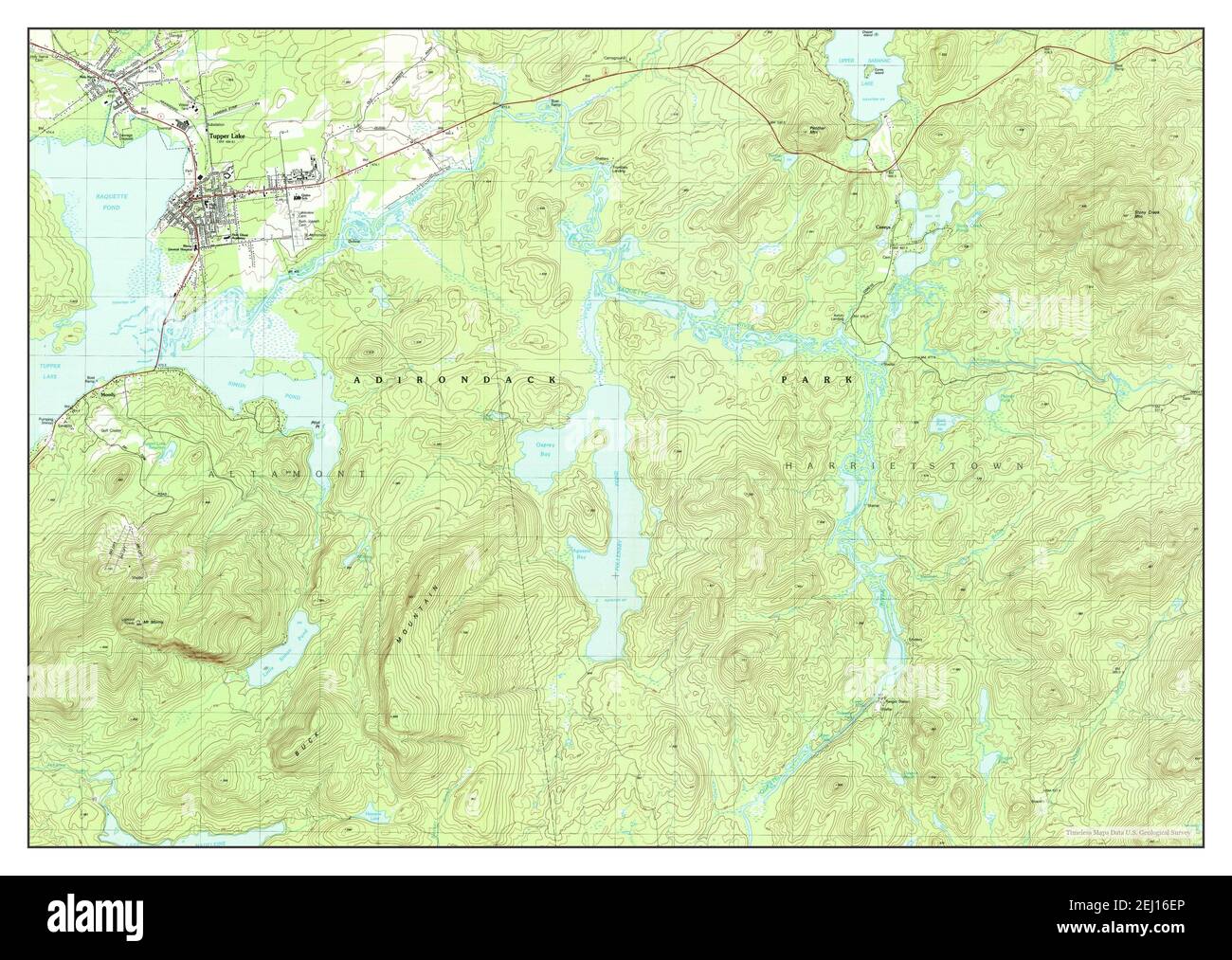 Tupper Lake, New York, map 1979, 1:25000, United States of America by Timeless Maps, data U.S. Geological Survey Stock Photohttps://www.alamy.com/image-license-details/?v=1https://www.alamy.com/tupper-lake-new-york-map-1979-125000-united-states-of-america-by-timeless-maps-data-us-geological-survey-image406929342.html
RM2EJ16EP–Tupper Lake, New York, map 1979, 1:25000, United States of America by Timeless Maps, data U.S. Geological Survey
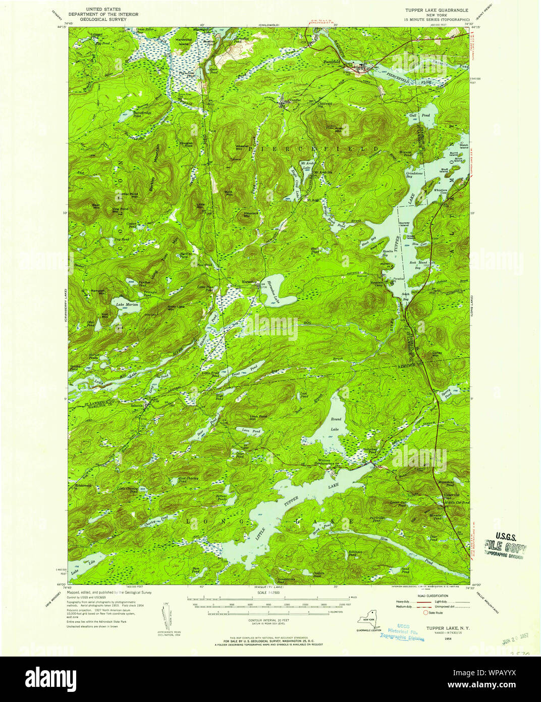 New York NY Tupper Lake 139418 1954 62500 Restoration Stock Photohttps://www.alamy.com/image-license-details/?v=1https://www.alamy.com/new-york-ny-tupper-lake-139418-1954-62500-restoration-image271919422.html
RMWPAYYX–New York NY Tupper Lake 139418 1954 62500 Restoration
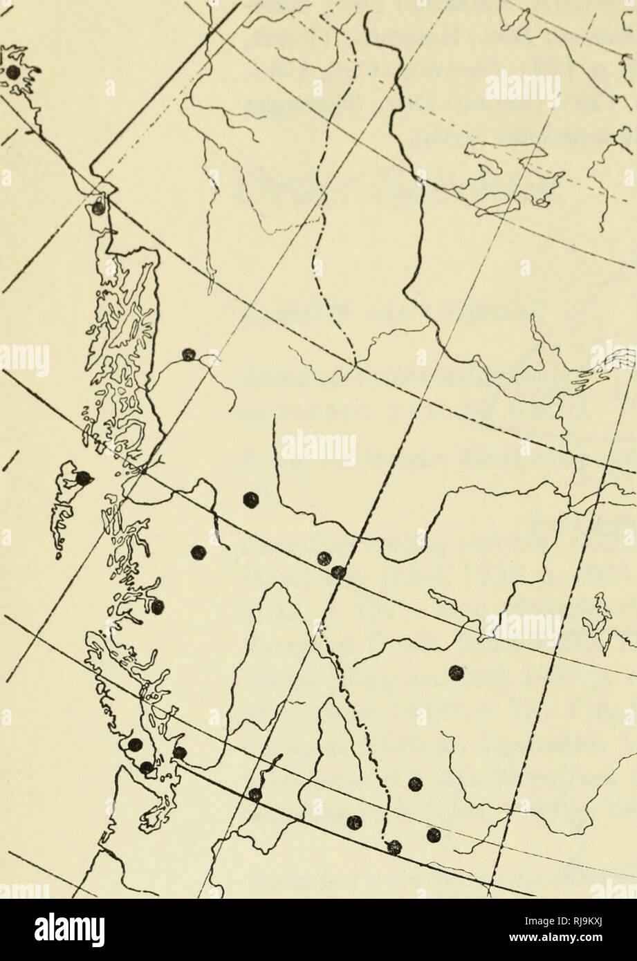 . Check list of the amphibians and reptiles of Canada and Alaska. Amphibians; Amphibians; Reptiles; Reptiles. Map 22. Bufo boreas boreas (Storer, 1925, p. 169). Coast Dist., Range J, Bella Coola (Cowan, 1937, p. K19). Coast Dist., Range 4, Ootsa Lake (Cowan, 1937, p. K19). Koote- nay Dist., Cranbrook (Cowan, 1937, p. K19). New Westminster Dist., Van- couver (Slevin, 1928, p. 92). Peace River Dist., Hudson Hope (rom). Tupper Creek (pmbc). Similkameen Dist., Osoyoos (pmbc). Queen Char- lotte Islands Z)/5/.,Masset (Storer, 1925, p. 169). VANCOUVER ISLAND. Alberni Dist., Albemi Valley (Cowan, 1937 Stock Photohttps://www.alamy.com/image-license-details/?v=1https://www.alamy.com/check-list-of-the-amphibians-and-reptiles-of-canada-and-alaska-amphibians-amphibians-reptiles-reptiles-map-22-bufo-boreas-boreas-storer-1925-p-169-coast-dist-range-j-bella-coola-cowan-1937-p-k19-coast-dist-range-4-ootsa-lake-cowan-1937-p-k19-koote-nay-dist-cranbrook-cowan-1937-p-k19-new-westminster-dist-van-couver-slevin-1928-p-92-peace-river-dist-hudson-hope-rom-tupper-creek-pmbc-similkameen-dist-osoyoos-pmbc-queen-char-lotte-islands-z5masset-storer-1925-p-169-vancouver-island-alberni-dist-albemi-valley-cowan-1937-image235011802.html
RMRJ9KXJ–. Check list of the amphibians and reptiles of Canada and Alaska. Amphibians; Amphibians; Reptiles; Reptiles. Map 22. Bufo boreas boreas (Storer, 1925, p. 169). Coast Dist., Range J, Bella Coola (Cowan, 1937, p. K19). Coast Dist., Range 4, Ootsa Lake (Cowan, 1937, p. K19). Koote- nay Dist., Cranbrook (Cowan, 1937, p. K19). New Westminster Dist., Van- couver (Slevin, 1928, p. 92). Peace River Dist., Hudson Hope (rom). Tupper Creek (pmbc). Similkameen Dist., Osoyoos (pmbc). Queen Char- lotte Islands Z)/5/.,Masset (Storer, 1925, p. 169). VANCOUVER ISLAND. Alberni Dist., Albemi Valley (Cowan, 1937
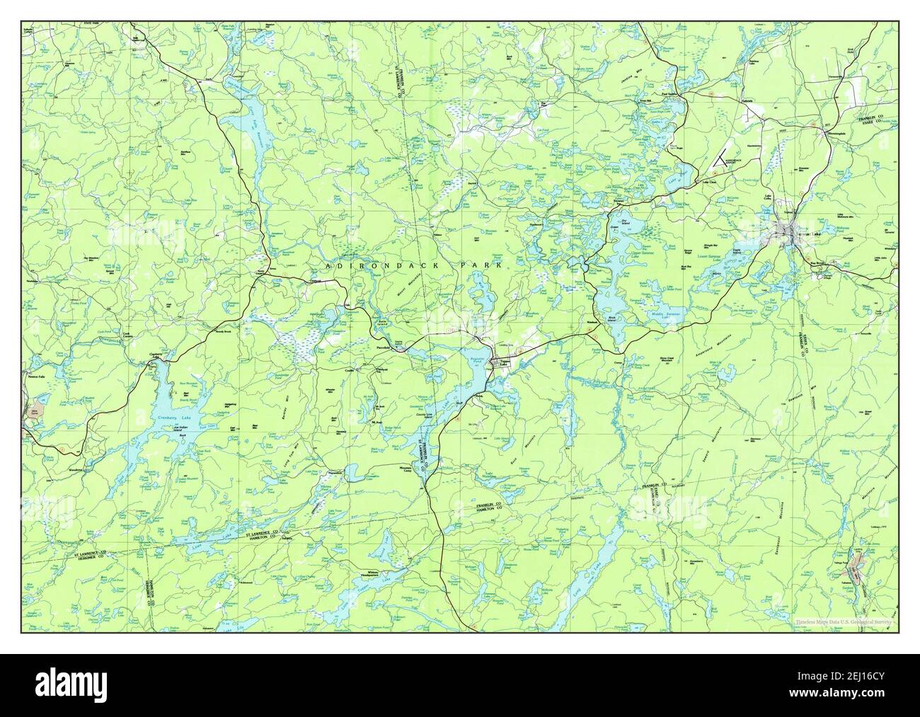 Tupper Lake, New York, map 1985, 1:100000, United States of America by Timeless Maps, data U.S. Geological Survey Stock Photohttps://www.alamy.com/image-license-details/?v=1https://www.alamy.com/tupper-lake-new-york-map-1985-1100000-united-states-of-america-by-timeless-maps-data-us-geological-survey-image406929291.html
RM2EJ16CY–Tupper Lake, New York, map 1985, 1:100000, United States of America by Timeless Maps, data U.S. Geological Survey
 New York NY Tupper Lake 136976 1999 25000 Restoration Stock Photohttps://www.alamy.com/image-license-details/?v=1https://www.alamy.com/new-york-ny-tupper-lake-136976-1999-25000-restoration-image271919162.html
RMWPAYJJ–New York NY Tupper Lake 136976 1999 25000 Restoration
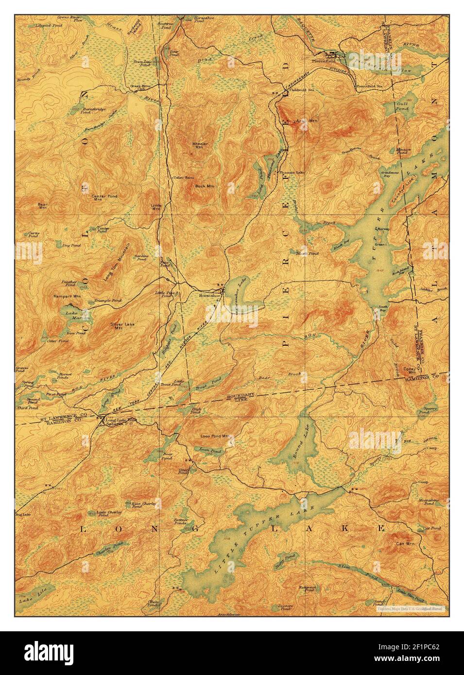 Tupper Lake, New York, map 1907, 1:62500, United States of America by Timeless Maps, data U.S. Geological Survey Stock Photohttps://www.alamy.com/image-license-details/?v=1https://www.alamy.com/tupper-lake-new-york-map-1907-162500-united-states-of-america-by-timeless-maps-data-us-geological-survey-image414156010.html
RM2F1PC62–Tupper Lake, New York, map 1907, 1:62500, United States of America by Timeless Maps, data U.S. Geological Survey
 New York NY Tupper Lake 144375 1907 62500 Restoration Stock Photohttps://www.alamy.com/image-license-details/?v=1https://www.alamy.com/new-york-ny-tupper-lake-144375-1907-62500-restoration-image271919707.html
RMWPB0A3–New York NY Tupper Lake 144375 1907 62500 Restoration
 Tupper Lake, New York, map 1907, 1:62500, United States of America by Timeless Maps, data U.S. Geological Survey Stock Photohttps://www.alamy.com/image-license-details/?v=1https://www.alamy.com/tupper-lake-new-york-map-1907-162500-united-states-of-america-by-timeless-maps-data-us-geological-survey-image414156037.html
RM2F1PC71–Tupper Lake, New York, map 1907, 1:62500, United States of America by Timeless Maps, data U.S. Geological Survey
 New York NY Tupper Lake 139409 1907 62500 Restoration Stock Photohttps://www.alamy.com/image-license-details/?v=1https://www.alamy.com/new-york-ny-tupper-lake-139409-1907-62500-restoration-image271919321.html
RMWPAYT9–New York NY Tupper Lake 139409 1907 62500 Restoration
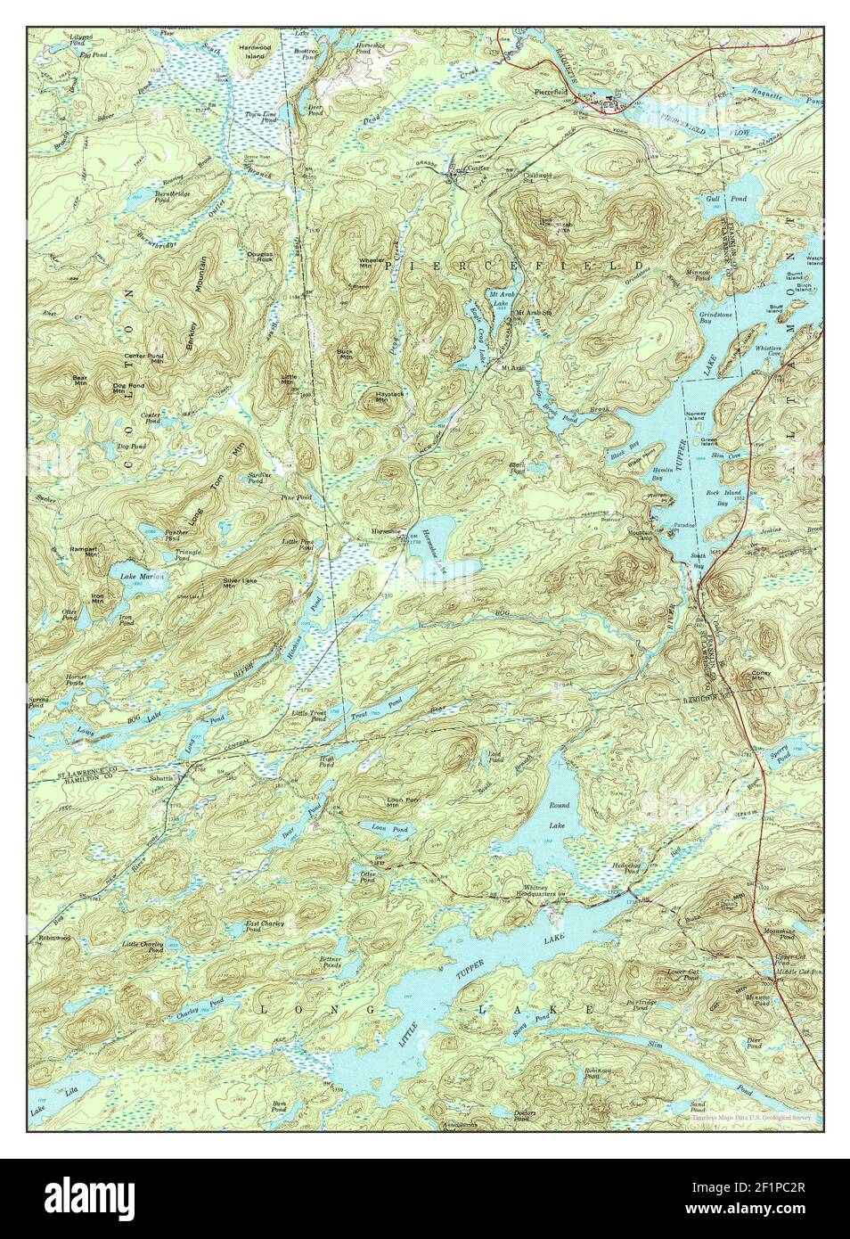 Tupper Lake, New York, map 1954, 1:62500, United States of America by Timeless Maps, data U.S. Geological Survey Stock Photohttps://www.alamy.com/image-license-details/?v=1https://www.alamy.com/tupper-lake-new-york-map-1954-162500-united-states-of-america-by-timeless-maps-data-us-geological-survey-image414155919.html
RM2F1PC2R–Tupper Lake, New York, map 1954, 1:62500, United States of America by Timeless Maps, data U.S. Geological Survey
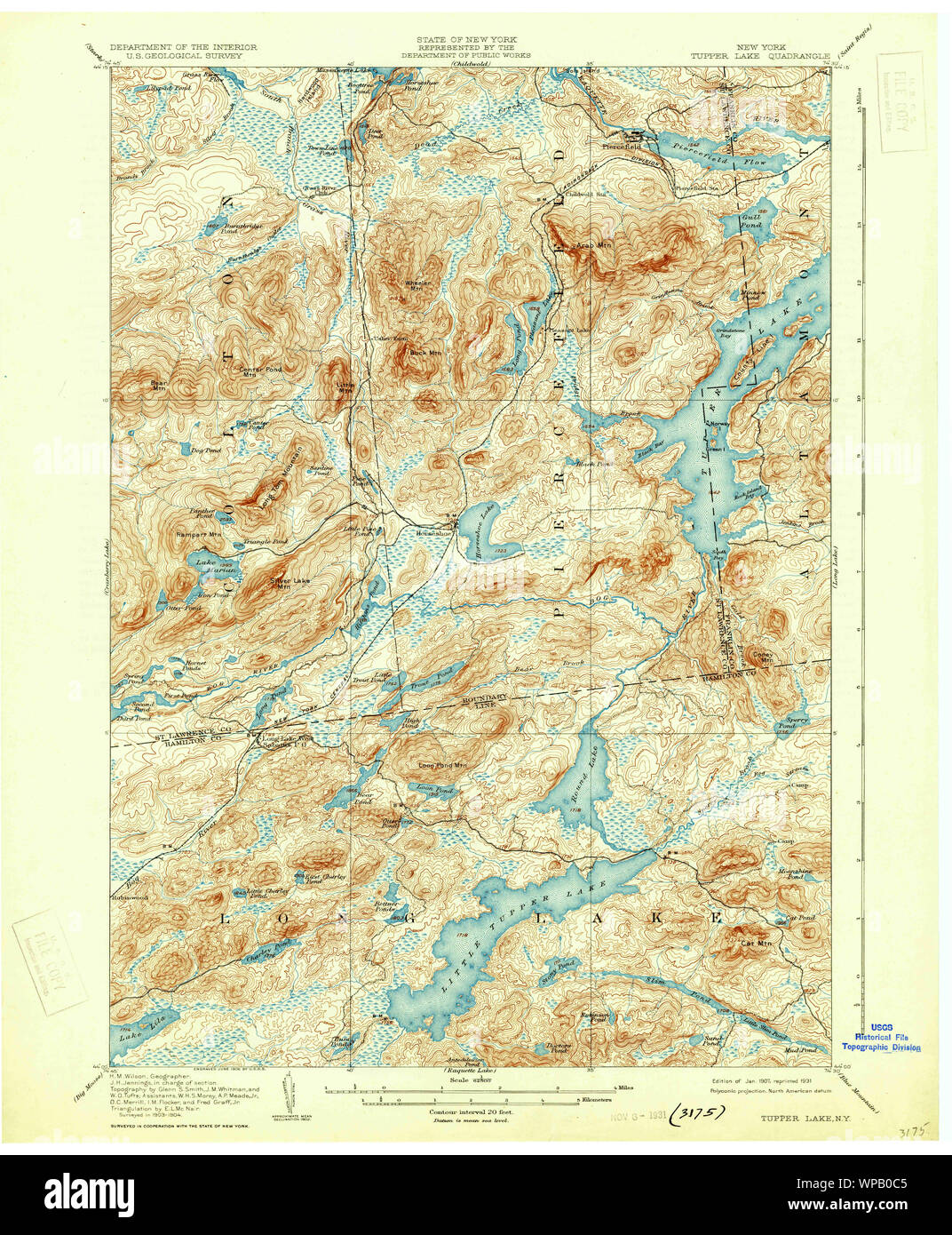 New York NY Tupper Lake 144376 1907 62500 Restoration Stock Photohttps://www.alamy.com/image-license-details/?v=1https://www.alamy.com/new-york-ny-tupper-lake-144376-1907-62500-restoration-image271919765.html
RMWPB0C5–New York NY Tupper Lake 144376 1907 62500 Restoration
 Tupper Lake, New York, map 1954, 1:62500, United States of America by Timeless Maps, data U.S. Geological Survey Stock Photohttps://www.alamy.com/image-license-details/?v=1https://www.alamy.com/tupper-lake-new-york-map-1954-162500-united-states-of-america-by-timeless-maps-data-us-geological-survey-image414155930.html
RM2F1PC36–Tupper Lake, New York, map 1954, 1:62500, United States of America by Timeless Maps, data U.S. Geological Survey
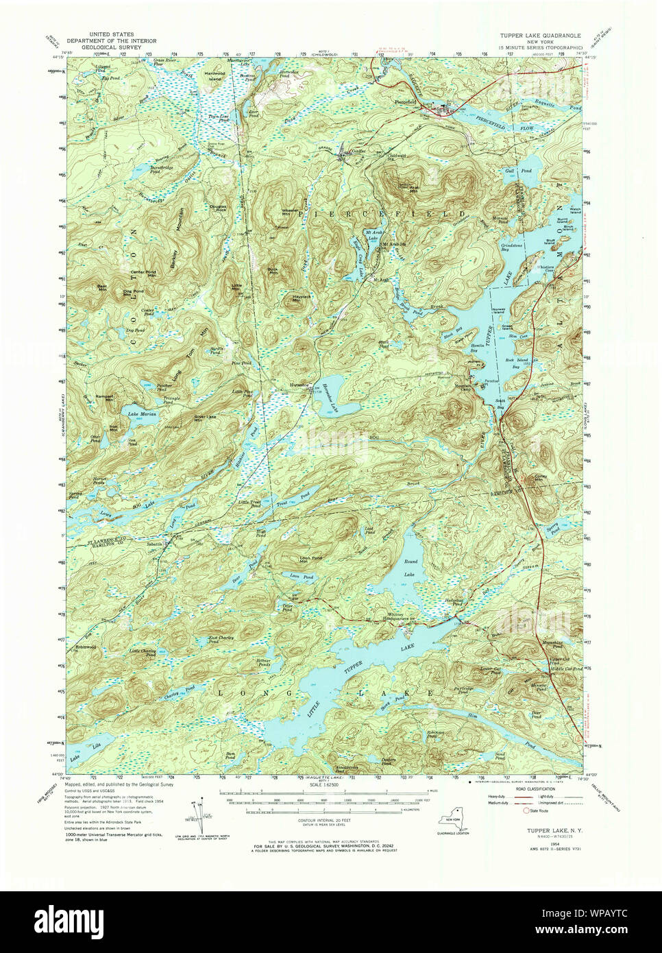 New York NY Tupper Lake 139414 1954 62500 Restoration Stock Photohttps://www.alamy.com/image-license-details/?v=1https://www.alamy.com/new-york-ny-tupper-lake-139414-1954-62500-restoration-image271919324.html
RMWPAYTC–New York NY Tupper Lake 139414 1954 62500 Restoration
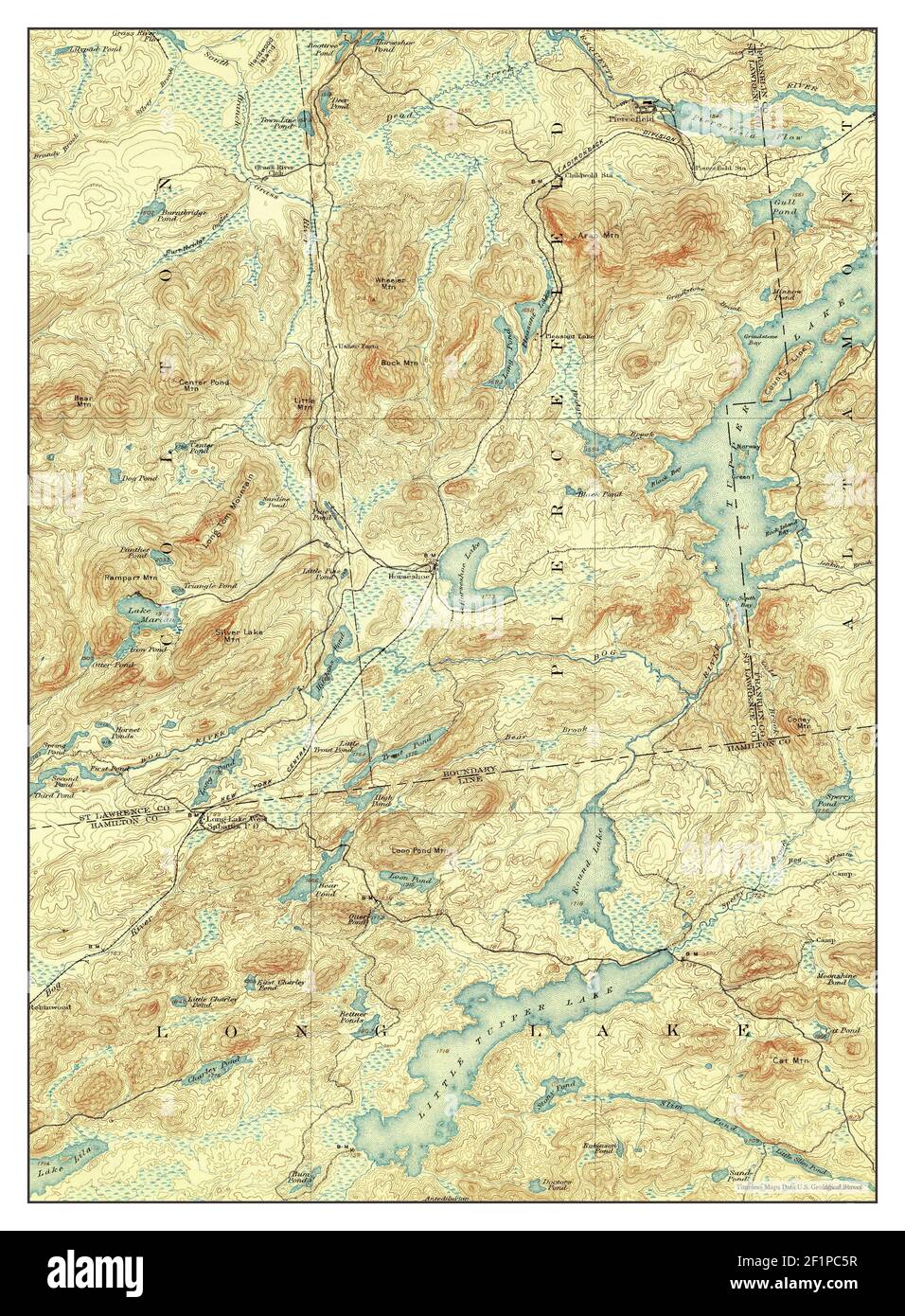 Tupper Lake, New York, map 1907, 1:62500, United States of America by Timeless Maps, data U.S. Geological Survey Stock Photohttps://www.alamy.com/image-license-details/?v=1https://www.alamy.com/tupper-lake-new-york-map-1907-162500-united-states-of-america-by-timeless-maps-data-us-geological-survey-image414156003.html
RM2F1PC5R–Tupper Lake, New York, map 1907, 1:62500, United States of America by Timeless Maps, data U.S. Geological Survey
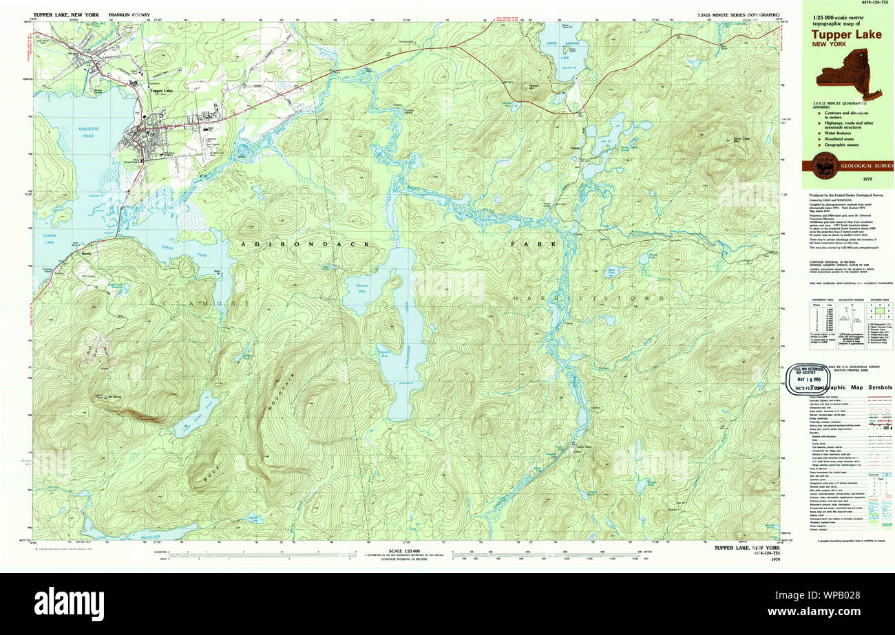 New York NY Tupper Lake 139420 1979 25000 Restoration Stock Photohttps://www.alamy.com/image-license-details/?v=1https://www.alamy.com/new-york-ny-tupper-lake-139420-1979-25000-restoration-image271919488.html
RMWPB028–New York NY Tupper Lake 139420 1979 25000 Restoration
 Tupper Lake, New York, map 1954, 1:62500, United States of America by Timeless Maps, data U.S. Geological Survey Stock Photohttps://www.alamy.com/image-license-details/?v=1https://www.alamy.com/tupper-lake-new-york-map-1954-162500-united-states-of-america-by-timeless-maps-data-us-geological-survey-image414155927.html
RM2F1PC33–Tupper Lake, New York, map 1954, 1:62500, United States of America by Timeless Maps, data U.S. Geological Survey
 New York NY Tupper Lake 144373 1907 62500 Restoration Stock Photohttps://www.alamy.com/image-license-details/?v=1https://www.alamy.com/new-york-ny-tupper-lake-144373-1907-62500-restoration-image271919657.html
RMWPB089–New York NY Tupper Lake 144373 1907 62500 Restoration
 Tupper Lake, New York, map 1907, 1:62500, United States of America by Timeless Maps, data U.S. Geological Survey Stock Photohttps://www.alamy.com/image-license-details/?v=1https://www.alamy.com/tupper-lake-new-york-map-1907-162500-united-states-of-america-by-timeless-maps-data-us-geological-survey-image414156040.html
RM2F1PC74–Tupper Lake, New York, map 1907, 1:62500, United States of America by Timeless Maps, data U.S. Geological Survey
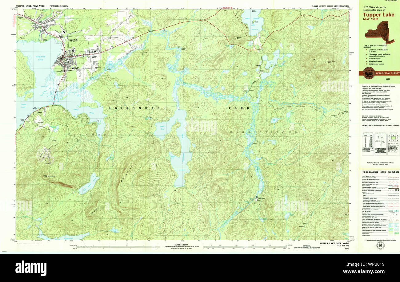 New York NY Tupper Lake 139419 1979 25000 Restoration Stock Photohttps://www.alamy.com/image-license-details/?v=1https://www.alamy.com/new-york-ny-tupper-lake-139419-1979-25000-restoration-image271919461.html
RMWPB019–New York NY Tupper Lake 139419 1979 25000 Restoration
 Tupper Lake, New York, map 1907, 1:62500, United States of America by Timeless Maps, data U.S. Geological Survey Stock Photohttps://www.alamy.com/image-license-details/?v=1https://www.alamy.com/tupper-lake-new-york-map-1907-162500-united-states-of-america-by-timeless-maps-data-us-geological-survey-image414155999.html
RM2F1PC5K–Tupper Lake, New York, map 1907, 1:62500, United States of America by Timeless Maps, data U.S. Geological Survey
 New York NY Tupper Lake 144374 1907 62500 Restoration Stock Photohttps://www.alamy.com/image-license-details/?v=1https://www.alamy.com/new-york-ny-tupper-lake-144374-1907-62500-restoration-image271919702.html
RMWPB09X–New York NY Tupper Lake 144374 1907 62500 Restoration
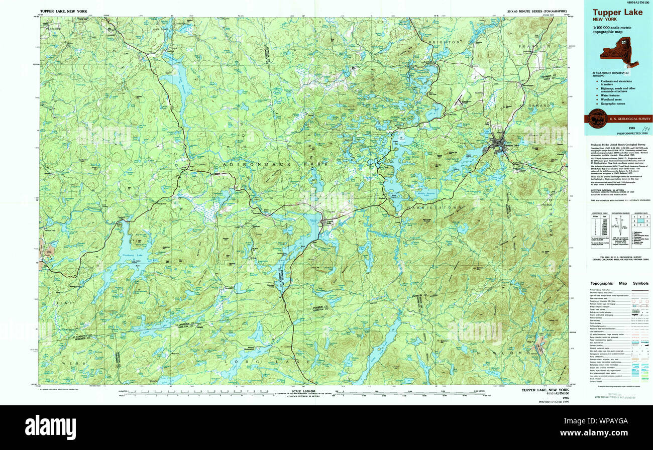 New York NY Tupper Lake 136974 1985 100000 Restoration Stock Photohttps://www.alamy.com/image-license-details/?v=1https://www.alamy.com/new-york-ny-tupper-lake-136974-1985-100000-restoration-image271919098.html
RMWPAYGA–New York NY Tupper Lake 136974 1985 100000 Restoration
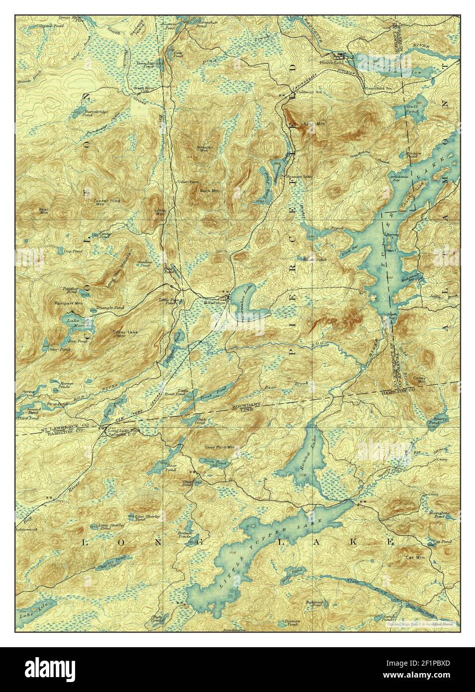 Tupper Lake, New York, map 1907, 1:62500, United States of America by Timeless Maps, data U.S. Geological Survey Stock Photohttps://www.alamy.com/image-license-details/?v=1https://www.alamy.com/tupper-lake-new-york-map-1907-162500-united-states-of-america-by-timeless-maps-data-us-geological-survey-image414155797.html
RM2F1PBXD–Tupper Lake, New York, map 1907, 1:62500, United States of America by Timeless Maps, data U.S. Geological Survey
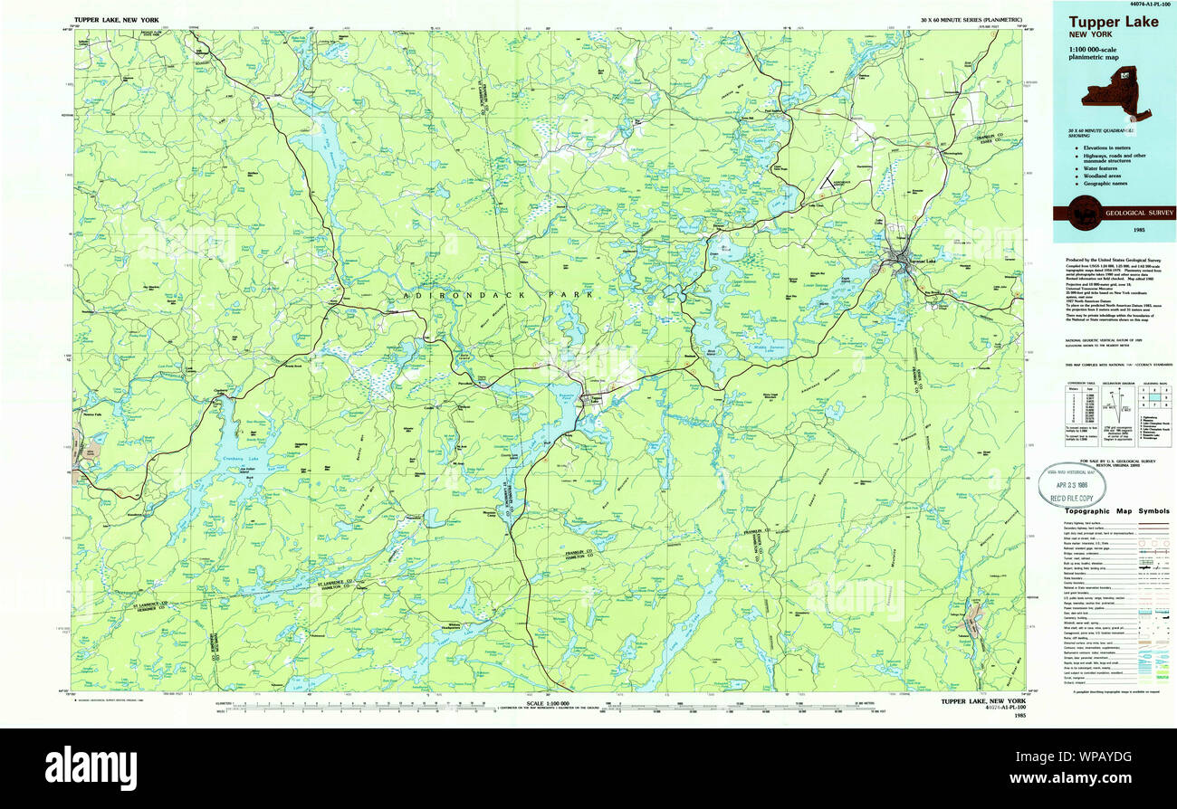 New York NY Tupper Lake 136972 1985 100000 Restoration Stock Photohttps://www.alamy.com/image-license-details/?v=1https://www.alamy.com/new-york-ny-tupper-lake-136972-1985-100000-restoration-image271919020.html
RMWPAYDG–New York NY Tupper Lake 136972 1985 100000 Restoration
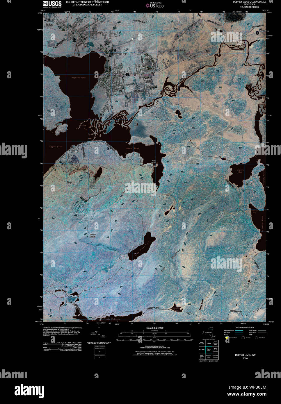 New York NY Tupper Lake 20100629 TM Inverted Restoration Stock Photohttps://www.alamy.com/image-license-details/?v=1https://www.alamy.com/new-york-ny-tupper-lake-20100629-tm-inverted-restoration-image271919836.html
RMWPB0EM–New York NY Tupper Lake 20100629 TM Inverted Restoration
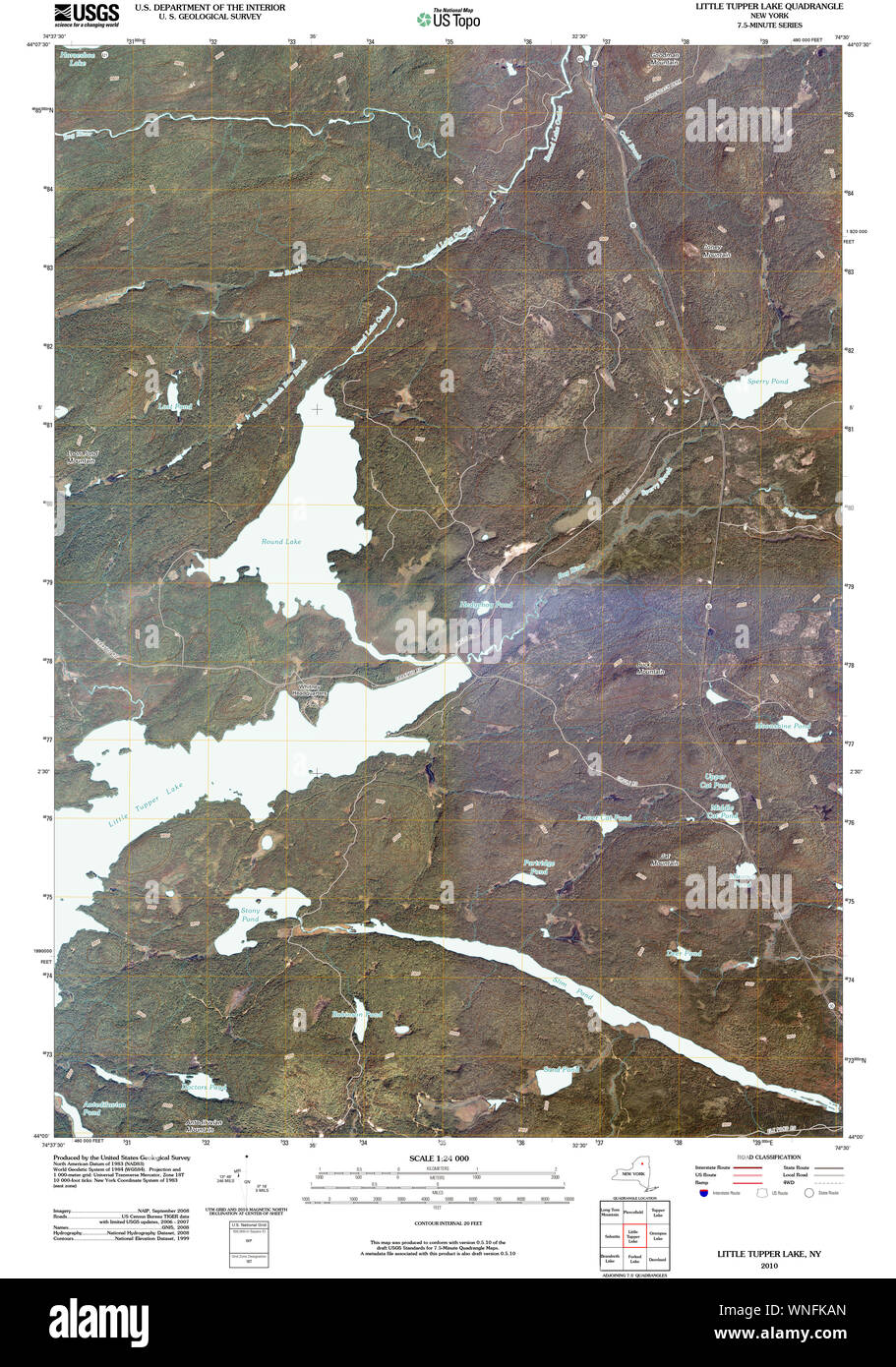 New York NY Little Tupper Lake 20100415 TM Restoration Stock Photohttps://www.alamy.com/image-license-details/?v=1https://www.alamy.com/new-york-ny-little-tupper-lake-20100415-tm-restoration-image271407773.html
RMWNFKAN–New York NY Little Tupper Lake 20100415 TM Restoration
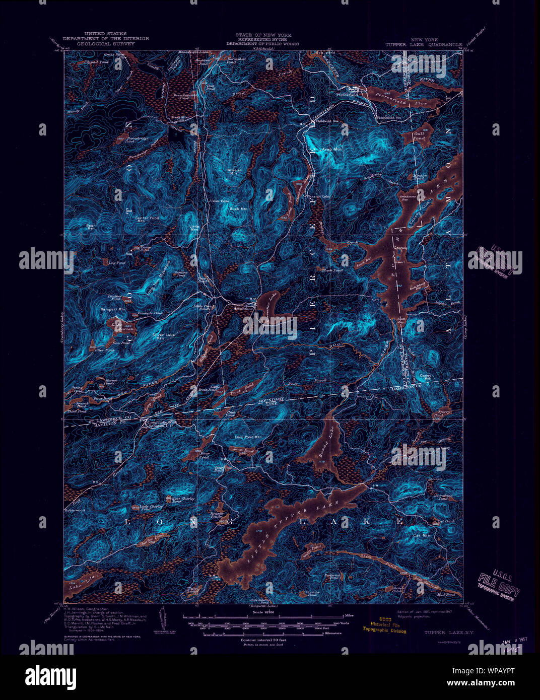 New York NY Tupper Lake 139409 1907 62500 Inverted Restoration Stock Photohttps://www.alamy.com/image-license-details/?v=1https://www.alamy.com/new-york-ny-tupper-lake-139409-1907-62500-inverted-restoration-image271919280.html
RMWPAYPT–New York NY Tupper Lake 139409 1907 62500 Inverted Restoration
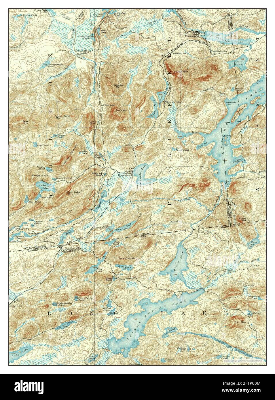 Tupper Lake, New York, map 1907, 1:62500, United States of America by Timeless Maps, data U.S. Geological Survey Stock Photohttps://www.alamy.com/image-license-details/?v=1https://www.alamy.com/tupper-lake-new-york-map-1907-162500-united-states-of-america-by-timeless-maps-data-us-geological-survey-image414155860.html
RM2F1PC0M–Tupper Lake, New York, map 1907, 1:62500, United States of America by Timeless Maps, data U.S. Geological Survey
 New York NY Tupper Lake 144375 1907 62500 Inverted Restoration Stock Photohttps://www.alamy.com/image-license-details/?v=1https://www.alamy.com/new-york-ny-tupper-lake-144375-1907-62500-inverted-restoration-image271919706.html
RMWPB0A2–New York NY Tupper Lake 144375 1907 62500 Inverted Restoration
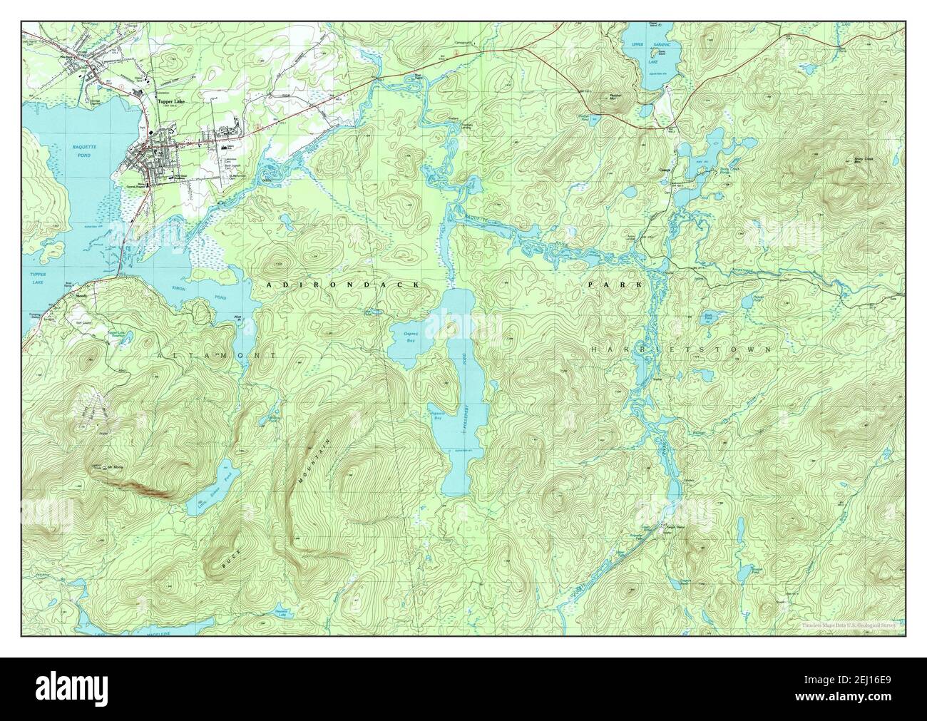 Tupper Lake, New York, map 1999, 1:25000, United States of America by Timeless Maps, data U.S. Geological Survey Stock Photohttps://www.alamy.com/image-license-details/?v=1https://www.alamy.com/tupper-lake-new-york-map-1999-125000-united-states-of-america-by-timeless-maps-data-us-geological-survey-image406929329.html
RM2EJ16E9–Tupper Lake, New York, map 1999, 1:25000, United States of America by Timeless Maps, data U.S. Geological Survey
 New York NY Tupper Lake 136976 1999 25000 Inverted Restoration Stock Photohttps://www.alamy.com/image-license-details/?v=1https://www.alamy.com/new-york-ny-tupper-lake-136976-1999-25000-inverted-restoration-image271919153.html
RMWPAYJ9–New York NY Tupper Lake 136976 1999 25000 Inverted Restoration
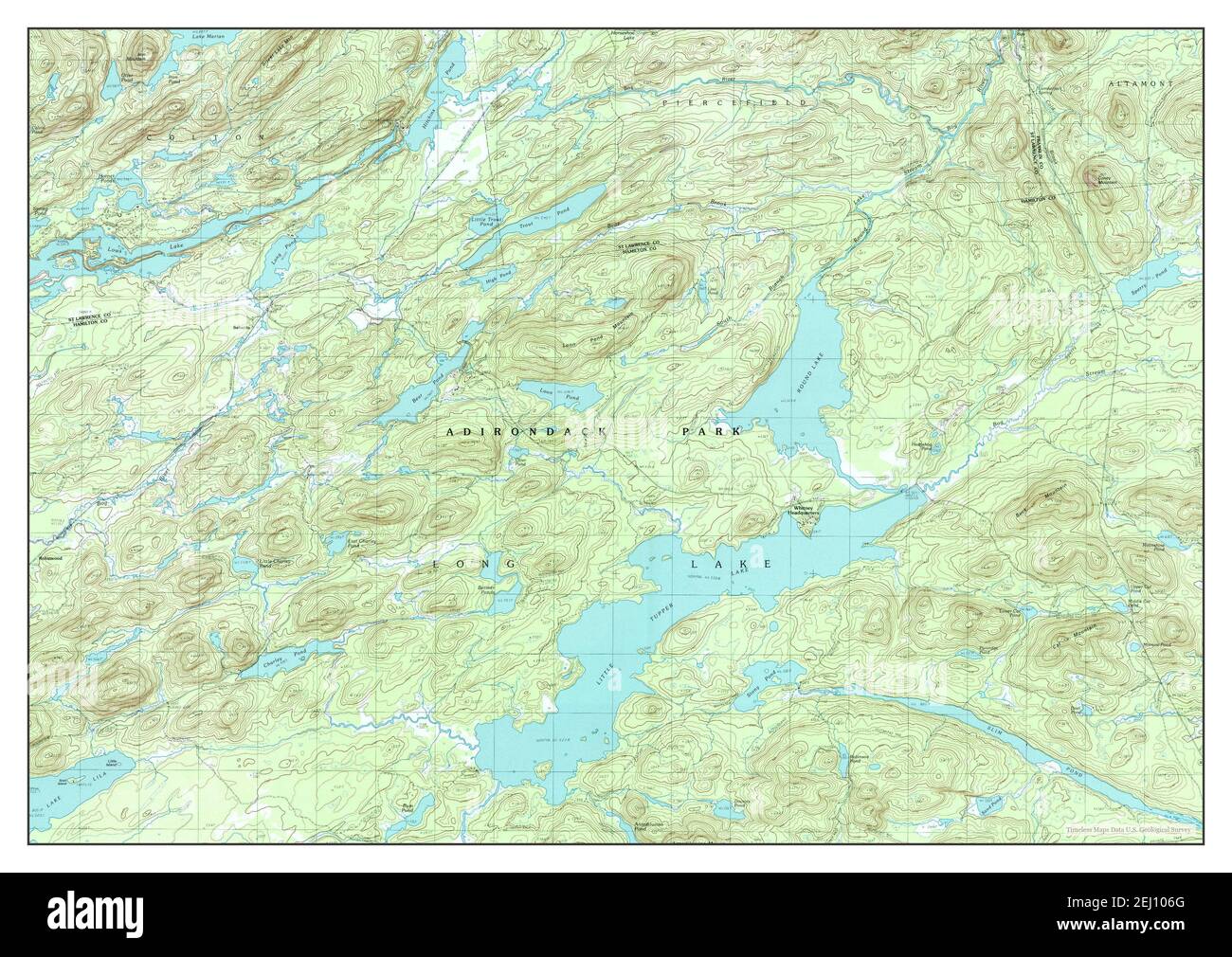 Little Tupper Lake, New York, map 1999, 1:25000, United States of America by Timeless Maps, data U.S. Geological Survey Stock Photohttps://www.alamy.com/image-license-details/?v=1https://www.alamy.com/little-tupper-lake-new-york-map-1999-125000-united-states-of-america-by-timeless-maps-data-us-geological-survey-image406924408.html
RM2EJ106G–Little Tupper Lake, New York, map 1999, 1:25000, United States of America by Timeless Maps, data U.S. Geological Survey
 New York NY Tupper Lake 144374 1907 62500 Inverted Restoration Stock Photohttps://www.alamy.com/image-license-details/?v=1https://www.alamy.com/new-york-ny-tupper-lake-144374-1907-62500-inverted-restoration-image271919659.html
RMWPB08B–New York NY Tupper Lake 144374 1907 62500 Inverted Restoration
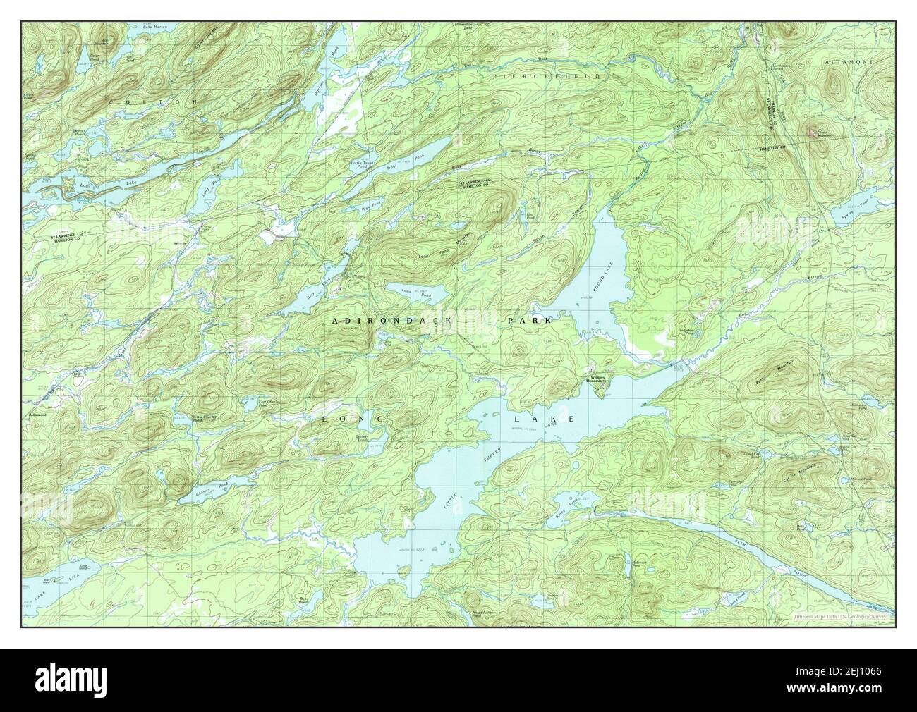 Little Tupper Lake, New York, map 1990, 1:25000, United States of America by Timeless Maps, data U.S. Geological Survey Stock Photohttps://www.alamy.com/image-license-details/?v=1https://www.alamy.com/little-tupper-lake-new-york-map-1990-125000-united-states-of-america-by-timeless-maps-data-us-geological-survey-image406924398.html
RM2EJ1066–Little Tupper Lake, New York, map 1990, 1:25000, United States of America by Timeless Maps, data U.S. Geological Survey
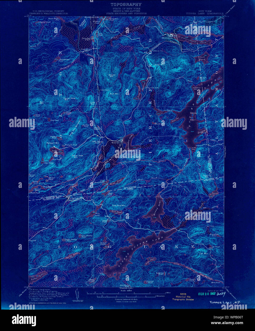 New York NY Tupper Lake 144372 1907 62500 Inverted Restoration Stock Photohttps://www.alamy.com/image-license-details/?v=1https://www.alamy.com/new-york-ny-tupper-lake-144372-1907-62500-inverted-restoration-image271919616.html
RMWPB06T–New York NY Tupper Lake 144372 1907 62500 Inverted Restoration
 New York NY Tupper Lake 139420 1979 25000 Inverted Restoration Stock Photohttps://www.alamy.com/image-license-details/?v=1https://www.alamy.com/new-york-ny-tupper-lake-139420-1979-25000-inverted-restoration-image271919501.html
RMWPB02N–New York NY Tupper Lake 139420 1979 25000 Inverted Restoration
 New York NY Little Tupper Lake 137361 1990 25000 Restoration Stock Photohttps://www.alamy.com/image-license-details/?v=1https://www.alamy.com/new-york-ny-little-tupper-lake-137361-1990-25000-restoration-image271406702.html
RMWNFJ0E–New York NY Little Tupper Lake 137361 1990 25000 Restoration
 New York NY Tupper Lake 139418 1954 62500 Inverted Restoration Stock Photohttps://www.alamy.com/image-license-details/?v=1https://www.alamy.com/new-york-ny-tupper-lake-139418-1954-62500-inverted-restoration-image271919421.html
RMWPAYYW–New York NY Tupper Lake 139418 1954 62500 Inverted Restoration
 New York NY Tupper Lake 144373 1907 62500 Inverted Restoration Stock Photohttps://www.alamy.com/image-license-details/?v=1https://www.alamy.com/new-york-ny-tupper-lake-144373-1907-62500-inverted-restoration-image271919588.html
RMWPB05T–New York NY Tupper Lake 144373 1907 62500 Inverted Restoration
 New York NY Tupper Lake 139406 1907 62500 Inverted Restoration Stock Photohttps://www.alamy.com/image-license-details/?v=1https://www.alamy.com/new-york-ny-tupper-lake-139406-1907-62500-inverted-restoration-image271919210.html
RMWPAYMA–New York NY Tupper Lake 139406 1907 62500 Inverted Restoration
 New York NY Tupper Lake 139414 1954 62500 Inverted Restoration Stock Photohttps://www.alamy.com/image-license-details/?v=1https://www.alamy.com/new-york-ny-tupper-lake-139414-1954-62500-inverted-restoration-image271919319.html
RMWPAYT7–New York NY Tupper Lake 139414 1954 62500 Inverted Restoration
 New York NY Tupper Lake 139417 1954 62500 Inverted Restoration Stock Photohttps://www.alamy.com/image-license-details/?v=1https://www.alamy.com/new-york-ny-tupper-lake-139417-1954-62500-inverted-restoration-image271919375.html
RMWPAYX7–New York NY Tupper Lake 139417 1954 62500 Inverted Restoration
 New York NY Tupper Lake 139416 1954 62500 Inverted Restoration Stock Photohttps://www.alamy.com/image-license-details/?v=1https://www.alamy.com/new-york-ny-tupper-lake-139416-1954-62500-inverted-restoration-image271919368.html
RMWPAYX0–New York NY Tupper Lake 139416 1954 62500 Inverted Restoration
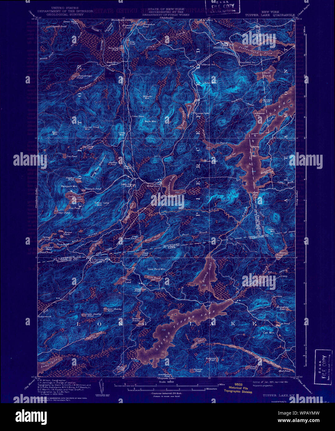 New York NY Tupper Lake 139408 1907 62500 Inverted Restoration Stock Photohttps://www.alamy.com/image-license-details/?v=1https://www.alamy.com/new-york-ny-tupper-lake-139408-1907-62500-inverted-restoration-image271919225.html
RMWPAYMW–New York NY Tupper Lake 139408 1907 62500 Inverted Restoration
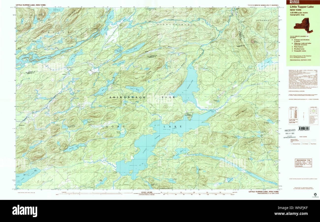 New York NY Little Tupper Lake 137363 1999 25000 Restoration Stock Photohttps://www.alamy.com/image-license-details/?v=1https://www.alamy.com/new-york-ny-little-tupper-lake-137363-1999-25000-restoration-image271407235.html
RMWNFJKF–New York NY Little Tupper Lake 137363 1999 25000 Restoration
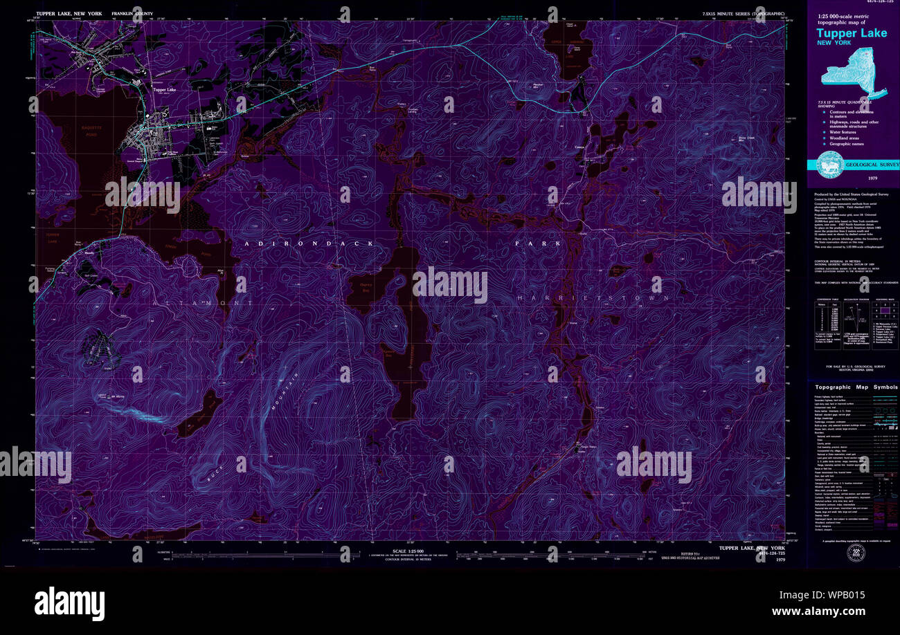 New York NY Tupper Lake 139419 1979 25000 Inverted Restoration Stock Photohttps://www.alamy.com/image-license-details/?v=1https://www.alamy.com/new-york-ny-tupper-lake-139419-1979-25000-inverted-restoration-image271919457.html
RMWPB015–New York NY Tupper Lake 139419 1979 25000 Inverted Restoration
 New York NY Tupper Lake 144376 1907 62500 Inverted Restoration Stock Photohttps://www.alamy.com/image-license-details/?v=1https://www.alamy.com/new-york-ny-tupper-lake-144376-1907-62500-inverted-restoration-image271919778.html
RMWPB0CJ–New York NY Tupper Lake 144376 1907 62500 Inverted Restoration
 New York NY Tupper Lake 136972 1985 100000 Inverted Restoration Stock Photohttps://www.alamy.com/image-license-details/?v=1https://www.alamy.com/new-york-ny-tupper-lake-136972-1985-100000-inverted-restoration-image271919019.html
RMWPAYDF–New York NY Tupper Lake 136972 1985 100000 Inverted Restoration
 New York NY Tupper Lake 136974 1985 100000 Inverted Restoration Stock Photohttps://www.alamy.com/image-license-details/?v=1https://www.alamy.com/new-york-ny-tupper-lake-136974-1985-100000-inverted-restoration-image271919081.html
RMWPAYFN–New York NY Tupper Lake 136974 1985 100000 Inverted Restoration
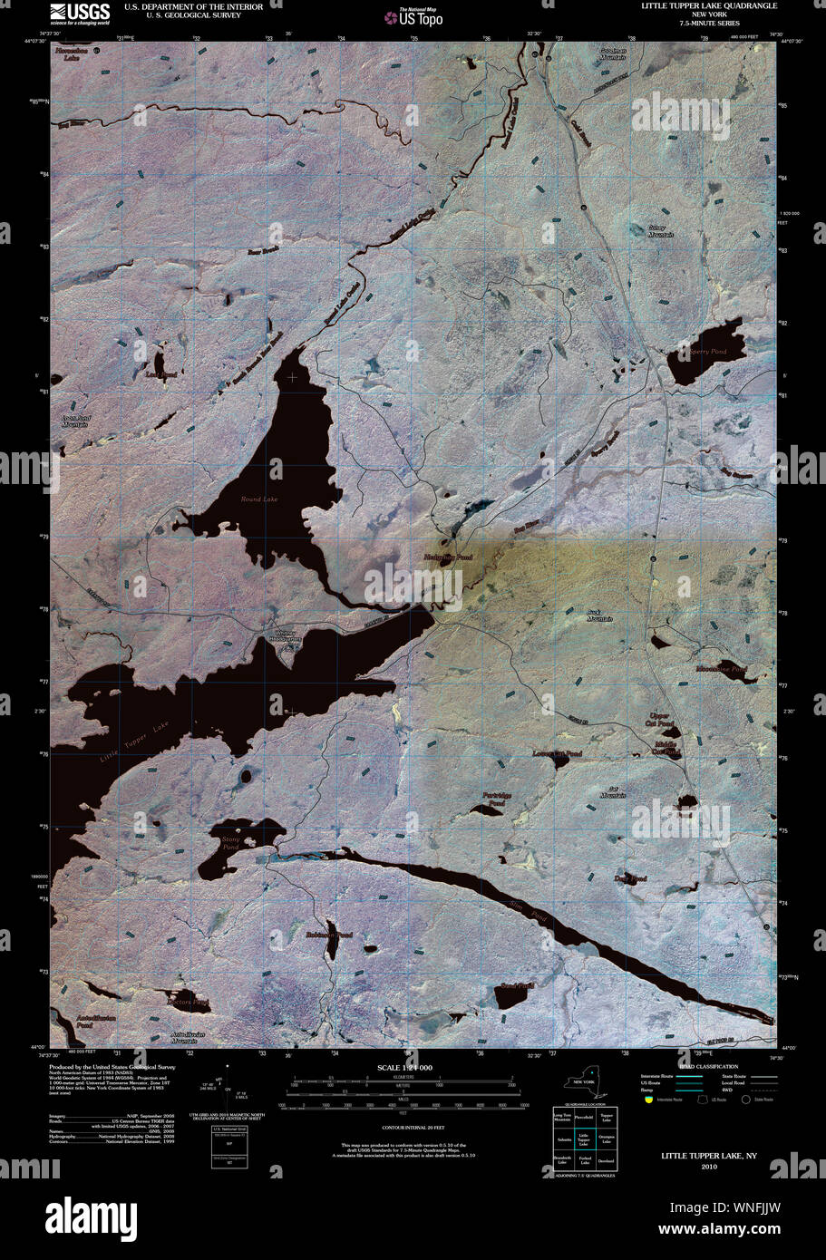 New York NY Little Tupper Lake 20100415 TM Inverted Restoration Stock Photohttps://www.alamy.com/image-license-details/?v=1https://www.alamy.com/new-york-ny-little-tupper-lake-20100415-tm-inverted-restoration-image271407217.html
RMWNFJJW–New York NY Little Tupper Lake 20100415 TM Inverted Restoration
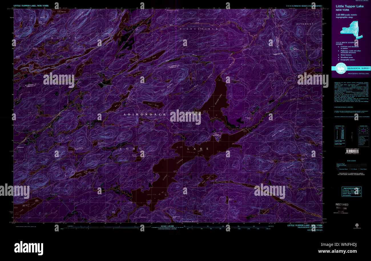 New York NY Little Tupper Lake 137361 1990 25000 Inverted Restoration Stock Photohttps://www.alamy.com/image-license-details/?v=1https://www.alamy.com/new-york-ny-little-tupper-lake-137361-1990-25000-inverted-restoration-image271406286.html
RMWNFHDJ–New York NY Little Tupper Lake 137361 1990 25000 Inverted Restoration
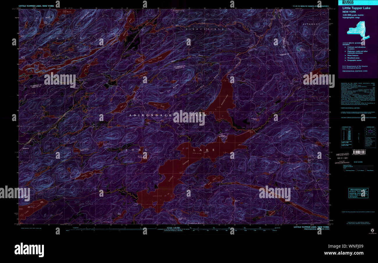 New York NY Little Tupper Lake 137363 1999 25000 Inverted Restoration Stock Photohttps://www.alamy.com/image-license-details/?v=1https://www.alamy.com/new-york-ny-little-tupper-lake-137363-1999-25000-inverted-restoration-image271406697.html
RMWNFJ09–New York NY Little Tupper Lake 137363 1999 25000 Inverted Restoration