Map of two harbors Cut Out Stock Images
 Two Harbors, Lake County, US, United States, Minnesota, N 47 1' 21'', S 91 40' 14'', map, Cartascapes Map published in 2024. Explore Cartascapes, a map revealing Earth's diverse landscapes, cultures, and ecosystems. Journey through time and space, discovering the interconnectedness of our planet's past, present, and future. Stock Photohttps://www.alamy.com/image-license-details/?v=1https://www.alamy.com/two-harbors-lake-county-us-united-states-minnesota-n-47-1-21-s-91-40-14-map-cartascapes-map-published-in-2024-explore-cartascapes-a-map-revealing-earths-diverse-landscapes-cultures-and-ecosystems-journey-through-time-and-space-discovering-the-interconnectedness-of-our-planets-past-present-and-future-image621163085.html
RM2Y2GBRW–Two Harbors, Lake County, US, United States, Minnesota, N 47 1' 21'', S 91 40' 14'', map, Cartascapes Map published in 2024. Explore Cartascapes, a map revealing Earth's diverse landscapes, cultures, and ecosystems. Journey through time and space, discovering the interconnectedness of our planet's past, present, and future.
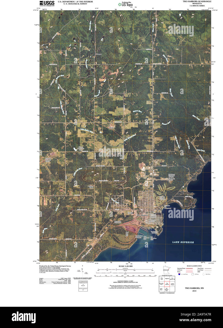 USGS TOPO Map MInnesota MN Two Harbors 20100817 TM Restoration Stock Photohttps://www.alamy.com/image-license-details/?v=1https://www.alamy.com/usgs-topo-map-minnesota-mn-two-harbors-20100817-tm-restoration-image333063803.html
RM2A9TA7R–USGS TOPO Map MInnesota MN Two Harbors 20100817 TM Restoration
 Lake County, Minnesota (U.S. county, United States of America, USA, U.S., US) map vector illustration, scribble sketch Lake map Stock Vectorhttps://www.alamy.com/image-license-details/?v=1https://www.alamy.com/lake-county-minnesota-us-county-united-states-of-america-usa-us-us-map-vector-illustration-scribble-sketch-lake-map-image386070602.html
RF2DC30YP–Lake County, Minnesota (U.S. county, United States of America, USA, U.S., US) map vector illustration, scribble sketch Lake map
 Two Harbors, Los Angeles County, US, United States, California, N 33 26' 24'', S 118 29' 57'', map, Cartascapes Map published in 2024. Explore Cartascapes, a map revealing Earth's diverse landscapes, cultures, and ecosystems. Journey through time and space, discovering the interconnectedness of our planet's past, present, and future. Stock Photohttps://www.alamy.com/image-license-details/?v=1https://www.alamy.com/two-harbors-los-angeles-county-us-united-states-california-n-33-26-24-s-118-29-57-map-cartascapes-map-published-in-2024-explore-cartascapes-a-map-revealing-earths-diverse-landscapes-cultures-and-ecosystems-journey-through-time-and-space-discovering-the-interconnectedness-of-our-planets-past-present-and-future-image621453538.html
RM2Y31J96–Two Harbors, Los Angeles County, US, United States, California, N 33 26' 24'', S 118 29' 57'', map, Cartascapes Map published in 2024. Explore Cartascapes, a map revealing Earth's diverse landscapes, cultures, and ecosystems. Journey through time and space, discovering the interconnectedness of our planet's past, present, and future.
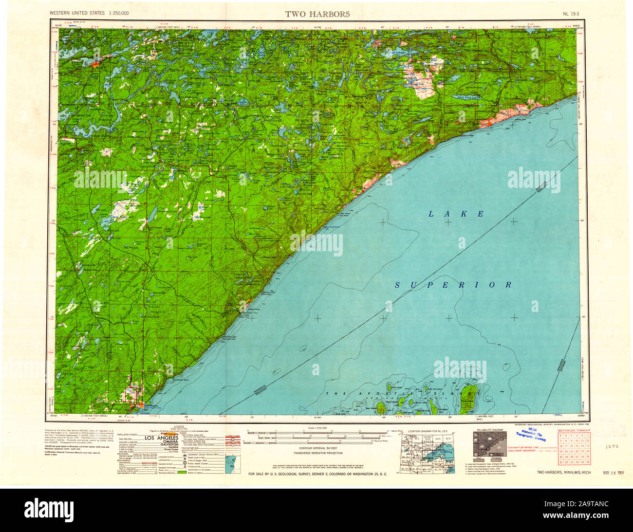 USGS TOPO Map MInnesota MN Two Harbors 805402 1964 250000 Restoration Stock Photohttps://www.alamy.com/image-license-details/?v=1https://www.alamy.com/usgs-topo-map-minnesota-mn-two-harbors-805402-1964-250000-restoration-image333064184.html
RM2A9TANC–USGS TOPO Map MInnesota MN Two Harbors 805402 1964 250000 Restoration
 Lake County, Minnesota (U.S. county, United States of America, USA, U.S., US) map vector illustration, scribble sketch Lake map Stock Vectorhttps://www.alamy.com/image-license-details/?v=1https://www.alamy.com/lake-county-minnesota-us-county-united-states-of-america-usa-us-us-map-vector-illustration-scribble-sketch-lake-map-image375205352.html
RF2CPC274–Lake County, Minnesota (U.S. county, United States of America, USA, U.S., US) map vector illustration, scribble sketch Lake map
 City of Two Harbors, Lake County, US, United States, Minnesota, N 47 1' 49'', S 91 40' 32'', map, Cartascapes Map published in 2024. Explore Cartascapes, a map revealing Earth's diverse landscapes, cultures, and ecosystems. Journey through time and space, discovering the interconnectedness of our planet's past, present, and future. Stock Photohttps://www.alamy.com/image-license-details/?v=1https://www.alamy.com/city-of-two-harbors-lake-county-us-united-states-minnesota-n-47-1-49-s-91-40-32-map-cartascapes-map-published-in-2024-explore-cartascapes-a-map-revealing-earths-diverse-landscapes-cultures-and-ecosystems-journey-through-time-and-space-discovering-the-interconnectedness-of-our-planets-past-present-and-future-image633911617.html
RM2YR94MH–City of Two Harbors, Lake County, US, United States, Minnesota, N 47 1' 49'', S 91 40' 32'', map, Cartascapes Map published in 2024. Explore Cartascapes, a map revealing Earth's diverse landscapes, cultures, and ecosystems. Journey through time and space, discovering the interconnectedness of our planet's past, present, and future.
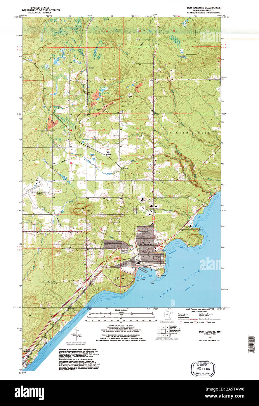 USGS TOPO Map MInnesota MN Two Harbors 805913 1992 24000 Restoration Stock Photohttps://www.alamy.com/image-license-details/?v=1https://www.alamy.com/usgs-topo-map-minnesota-mn-two-harbors-805913-1992-24000-restoration-image333064292.html
RM2A9TAW8–USGS TOPO Map MInnesota MN Two Harbors 805913 1992 24000 Restoration
 Lake County, Minnesota (U.S. county, United States of America, USA, U.S., US) map vector illustration, scribble sketch Lake map Stock Vectorhttps://www.alamy.com/image-license-details/?v=1https://www.alamy.com/lake-county-minnesota-us-county-united-states-of-america-usa-us-us-map-vector-illustration-scribble-sketch-lake-map-image389461126.html
RF2DHHDHX–Lake County, Minnesota (U.S. county, United States of America, USA, U.S., US) map vector illustration, scribble sketch Lake map
 Two Harbors, Lake County, US, United States, Minnesota, N 47 1' 21'', S 91 40' 14'', map, Cartascapes Map published in 2024. Explore Cartascapes, a map revealing Earth's diverse landscapes, cultures, and ecosystems. Journey through time and space, discovering the interconnectedness of our planet's past, present, and future. Stock Photohttps://www.alamy.com/image-license-details/?v=1https://www.alamy.com/two-harbors-lake-county-us-united-states-minnesota-n-47-1-21-s-91-40-14-map-cartascapes-map-published-in-2024-explore-cartascapes-a-map-revealing-earths-diverse-landscapes-cultures-and-ecosystems-journey-through-time-and-space-discovering-the-interconnectedness-of-our-planets-past-present-and-future-image620707555.html
RM2Y1RJPY–Two Harbors, Lake County, US, United States, Minnesota, N 47 1' 21'', S 91 40' 14'', map, Cartascapes Map published in 2024. Explore Cartascapes, a map revealing Earth's diverse landscapes, cultures, and ecosystems. Journey through time and space, discovering the interconnectedness of our planet's past, present, and future.
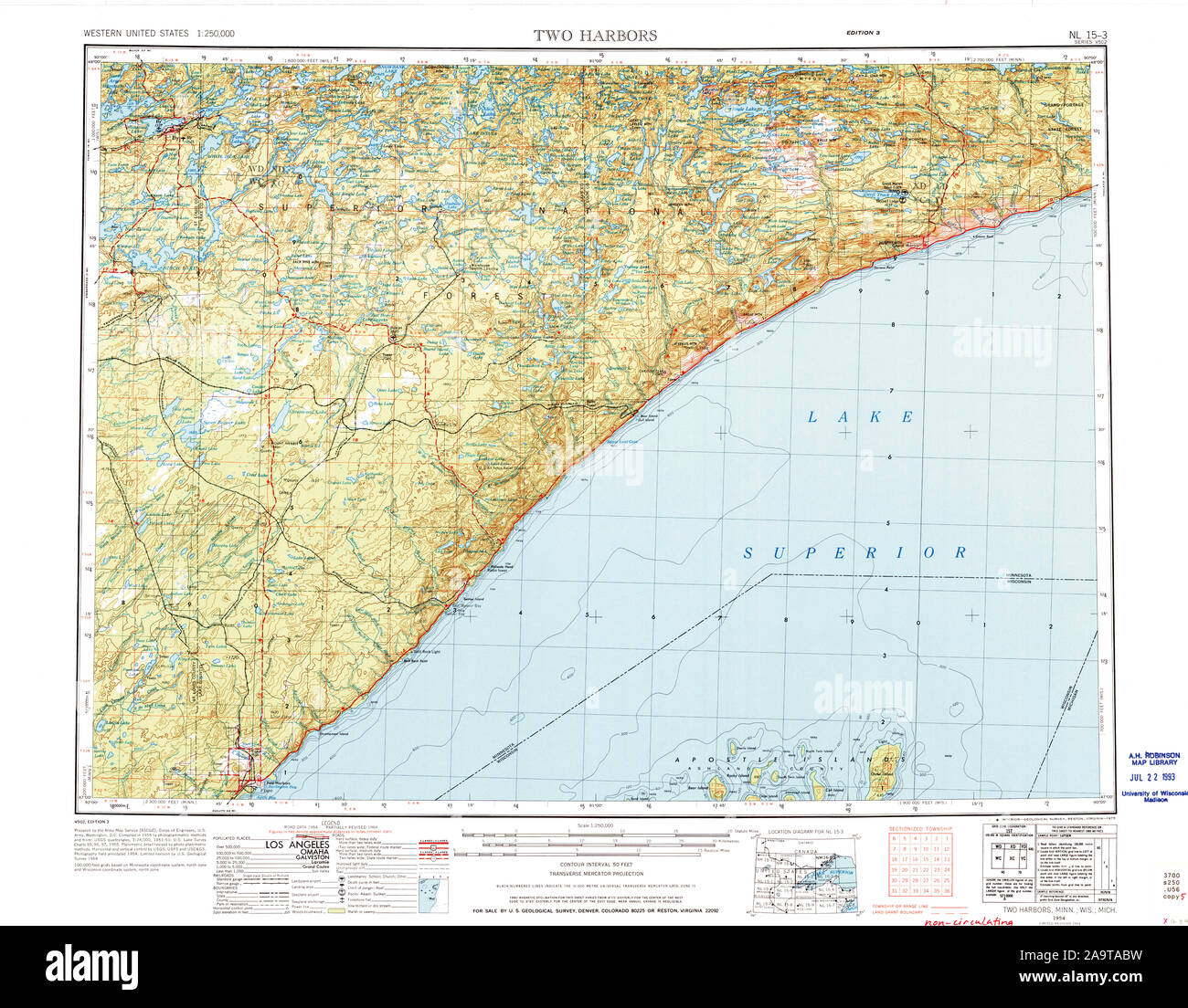 USGS TOPO Map MInnesota MN Two Harbors 503728 1954 250000 Restoration Stock Photohttps://www.alamy.com/image-license-details/?v=1https://www.alamy.com/usgs-topo-map-minnesota-mn-two-harbors-503728-1954-250000-restoration-image333063917.html
RM2A9TABW–USGS TOPO Map MInnesota MN Two Harbors 503728 1954 250000 Restoration
 Two Harbors, Minnesota, map 1957, 1:24000, United States of America by Timeless Maps, data U.S. Geological Survey Stock Photohttps://www.alamy.com/image-license-details/?v=1https://www.alamy.com/two-harbors-minnesota-map-1957-124000-united-states-of-america-by-timeless-maps-data-us-geological-survey-image406732777.html
RM2EHM7PH–Two Harbors, Minnesota, map 1957, 1:24000, United States of America by Timeless Maps, data U.S. Geological Survey
 USGS TOPO Map MInnesota MN Two Harbors NE 20100817 TM Restoration Stock Photohttps://www.alamy.com/image-license-details/?v=1https://www.alamy.com/usgs-topo-map-minnesota-mn-two-harbors-ne-20100817-tm-restoration-image333064440.html
RM2A9TB2G–USGS TOPO Map MInnesota MN Two Harbors NE 20100817 TM Restoration
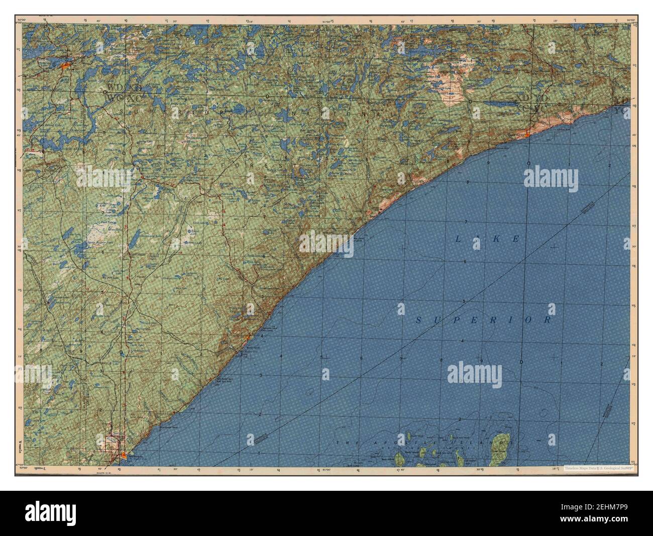 Two Harbors, Minnesota, map 1957, 1:250000, United States of America by Timeless Maps, data U.S. Geological Survey Stock Photohttps://www.alamy.com/image-license-details/?v=1https://www.alamy.com/two-harbors-minnesota-map-1957-1250000-united-states-of-america-by-timeless-maps-data-us-geological-survey-image406732769.html
RM2EHM7P9–Two Harbors, Minnesota, map 1957, 1:250000, United States of America by Timeless Maps, data U.S. Geological Survey
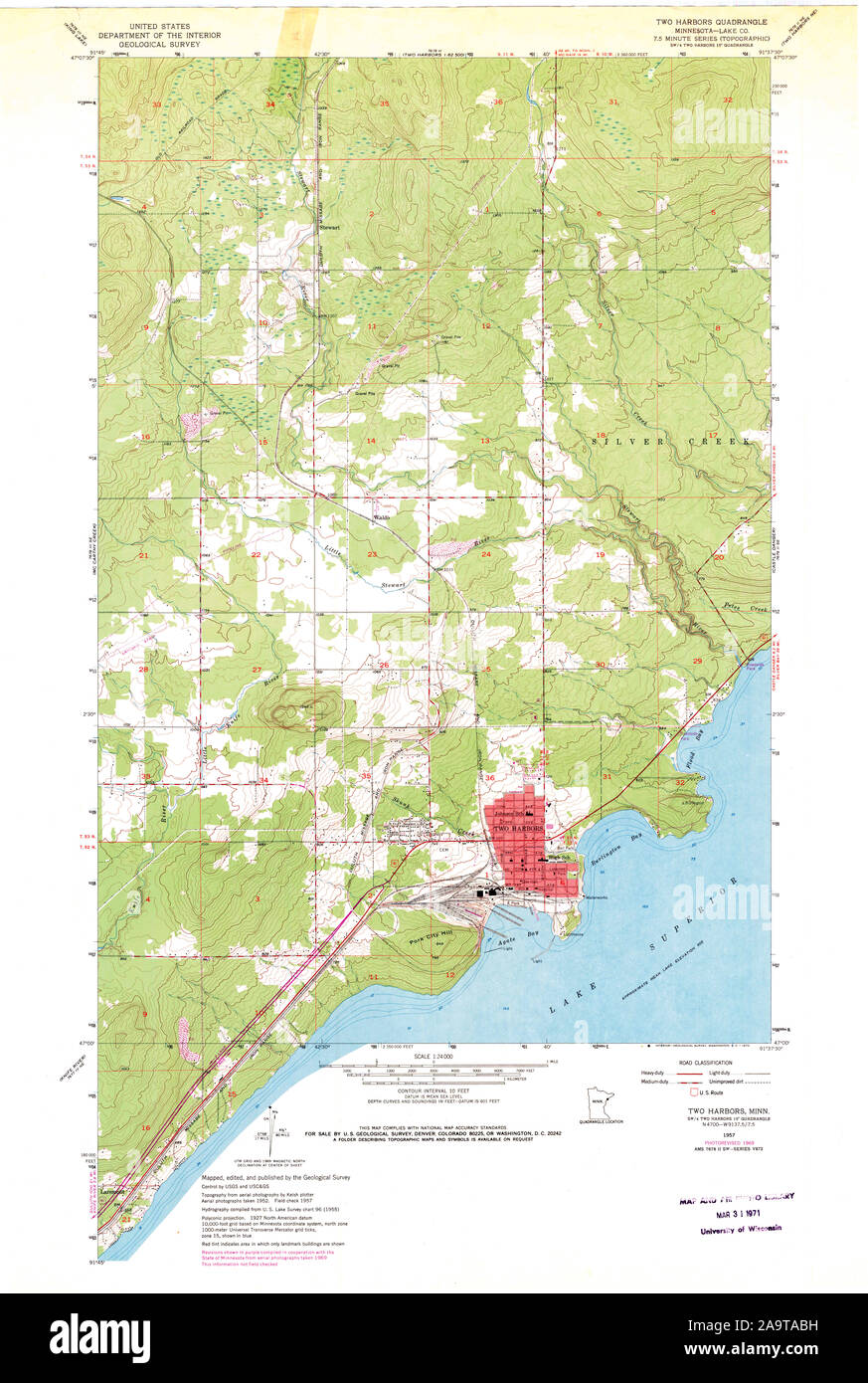 USGS TOPO Map MInnesota MN Two Harbors 506034 1957 24000 Restoration Stock Photohttps://www.alamy.com/image-license-details/?v=1https://www.alamy.com/usgs-topo-map-minnesota-mn-two-harbors-506034-1957-24000-restoration-image333063909.html
RM2A9TABH–USGS TOPO Map MInnesota MN Two Harbors 506034 1957 24000 Restoration
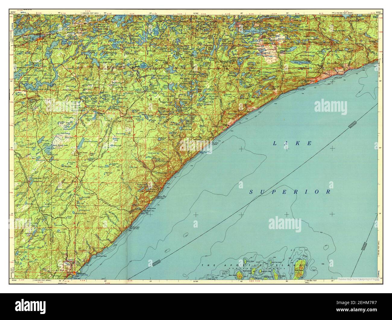 Two Harbors, Minnesota, map 1958, 1:250000, United States of America by Timeless Maps, data U.S. Geological Survey Stock Photohttps://www.alamy.com/image-license-details/?v=1https://www.alamy.com/two-harbors-minnesota-map-1958-1250000-united-states-of-america-by-timeless-maps-data-us-geological-survey-image406732795.html
RM2EHM7R7–Two Harbors, Minnesota, map 1958, 1:250000, United States of America by Timeless Maps, data U.S. Geological Survey
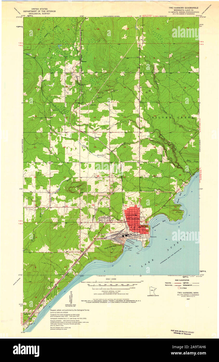 USGS TOPO Map MInnesota MN Two Harbors 506036 1957 24000 Restoration Stock Photohttps://www.alamy.com/image-license-details/?v=1https://www.alamy.com/usgs-topo-map-minnesota-mn-two-harbors-506036-1957-24000-restoration-image333064066.html
RM2A9TAH6–USGS TOPO Map MInnesota MN Two Harbors 506036 1957 24000 Restoration
 Two Harbors, Minnesota, map 1954, 1:250000, United States of America by Timeless Maps, data U.S. Geological Survey Stock Photohttps://www.alamy.com/image-license-details/?v=1https://www.alamy.com/two-harbors-minnesota-map-1954-1250000-united-states-of-america-by-timeless-maps-data-us-geological-survey-image406732790.html
RM2EHM7R2–Two Harbors, Minnesota, map 1954, 1:250000, United States of America by Timeless Maps, data U.S. Geological Survey
 USGS TOPO Map MInnesota MN Two Harbors OE S 20100923 TM Restoration Stock Photohttps://www.alamy.com/image-license-details/?v=1https://www.alamy.com/usgs-topo-map-minnesota-mn-two-harbors-oe-s-20100923-tm-restoration-image333064533.html
RM2A9TB5W–USGS TOPO Map MInnesota MN Two Harbors OE S 20100923 TM Restoration
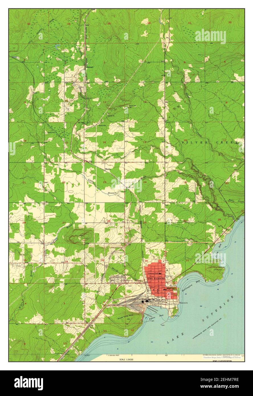 Two Harbors, Minnesota, map 1957, 1:24000, United States of America by Timeless Maps, data U.S. Geological Survey Stock Photohttps://www.alamy.com/image-license-details/?v=1https://www.alamy.com/two-harbors-minnesota-map-1957-124000-united-states-of-america-by-timeless-maps-data-us-geological-survey-image406732802.html
RM2EHM7RE–Two Harbors, Minnesota, map 1957, 1:24000, United States of America by Timeless Maps, data U.S. Geological Survey
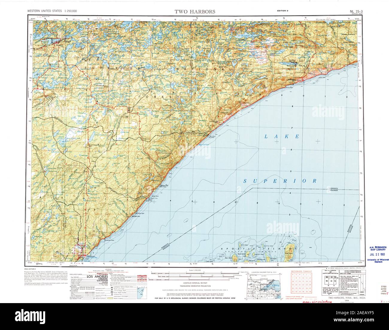 MN Two Harbors 503728 1954 250000 Restoration Stock Photohttps://www.alamy.com/image-license-details/?v=1https://www.alamy.com/mn-two-harbors-503728-1954-250000-restoration-image335843289.html
RM2AEAYF5–MN Two Harbors 503728 1954 250000 Restoration
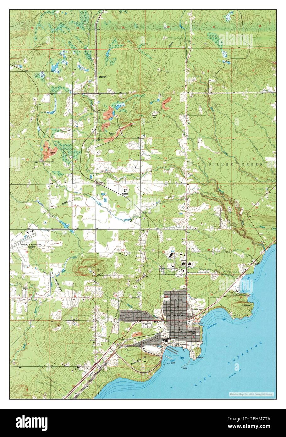 Two Harbors, Minnesota, map 1992, 1:24000, United States of America by Timeless Maps, data U.S. Geological Survey Stock Photohttps://www.alamy.com/image-license-details/?v=1https://www.alamy.com/two-harbors-minnesota-map-1992-124000-united-states-of-america-by-timeless-maps-data-us-geological-survey-image406732826.html
RM2EHM7TA–Two Harbors, Minnesota, map 1992, 1:24000, United States of America by Timeless Maps, data U.S. Geological Survey
 MN Two Harbors 805402 1964 250000 Restoration Stock Photohttps://www.alamy.com/image-license-details/?v=1https://www.alamy.com/mn-two-harbors-805402-1964-250000-restoration-image335843348.html
RM2AEAYH8–MN Two Harbors 805402 1964 250000 Restoration
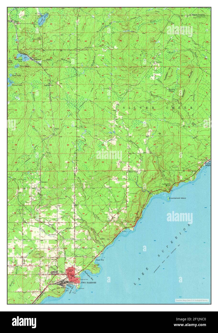 Two Harbors, Minnesota, map 1957, 1:62500, United States of America by Timeless Maps, data U.S. Geological Survey Stock Photohttps://www.alamy.com/image-license-details/?v=1https://www.alamy.com/two-harbors-minnesota-map-1957-162500-united-states-of-america-by-timeless-maps-data-us-geological-survey-image414075424.html
RM2F1JNC0–Two Harbors, Minnesota, map 1957, 1:62500, United States of America by Timeless Maps, data U.S. Geological Survey
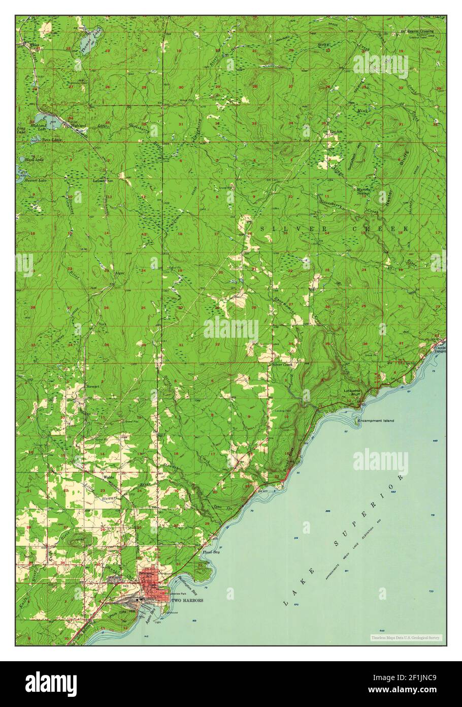 Two Harbors, Minnesota, map 1957, 1:62500, United States of America by Timeless Maps, data U.S. Geological Survey Stock Photohttps://www.alamy.com/image-license-details/?v=1https://www.alamy.com/two-harbors-minnesota-map-1957-162500-united-states-of-america-by-timeless-maps-data-us-geological-survey-image414075433.html
RM2F1JNC9–Two Harbors, Minnesota, map 1957, 1:62500, United States of America by Timeless Maps, data U.S. Geological Survey
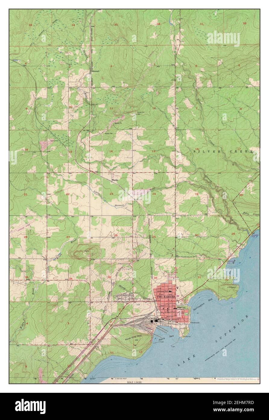 Two Harbors, Minnesota, map 1957, 1:24000, United States of America by Timeless Maps, data U.S. Geological Survey Stock Photohttps://www.alamy.com/image-license-details/?v=1https://www.alamy.com/two-harbors-minnesota-map-1957-124000-united-states-of-america-by-timeless-maps-data-us-geological-survey-image406732801.html
RM2EHM7RD–Two Harbors, Minnesota, map 1957, 1:24000, United States of America by Timeless Maps, data U.S. Geological Survey
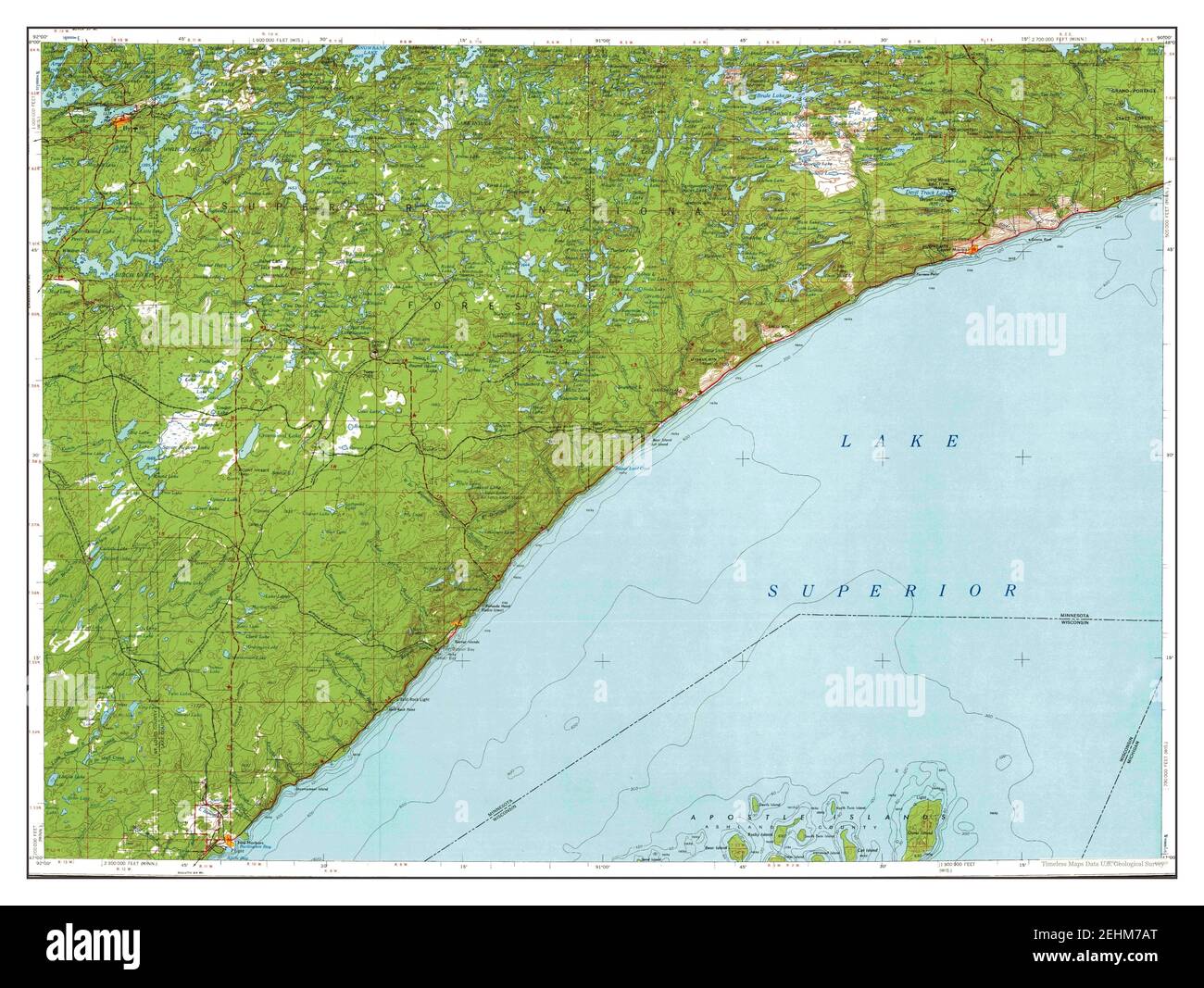 Two Harbors, Minnesota, map 1954, 1:250000, United States of America by Timeless Maps, data U.S. Geological Survey Stock Photohttps://www.alamy.com/image-license-details/?v=1https://www.alamy.com/two-harbors-minnesota-map-1954-1250000-united-states-of-america-by-timeless-maps-data-us-geological-survey-image406732448.html
RM2EHM7AT–Two Harbors, Minnesota, map 1954, 1:250000, United States of America by Timeless Maps, data U.S. Geological Survey
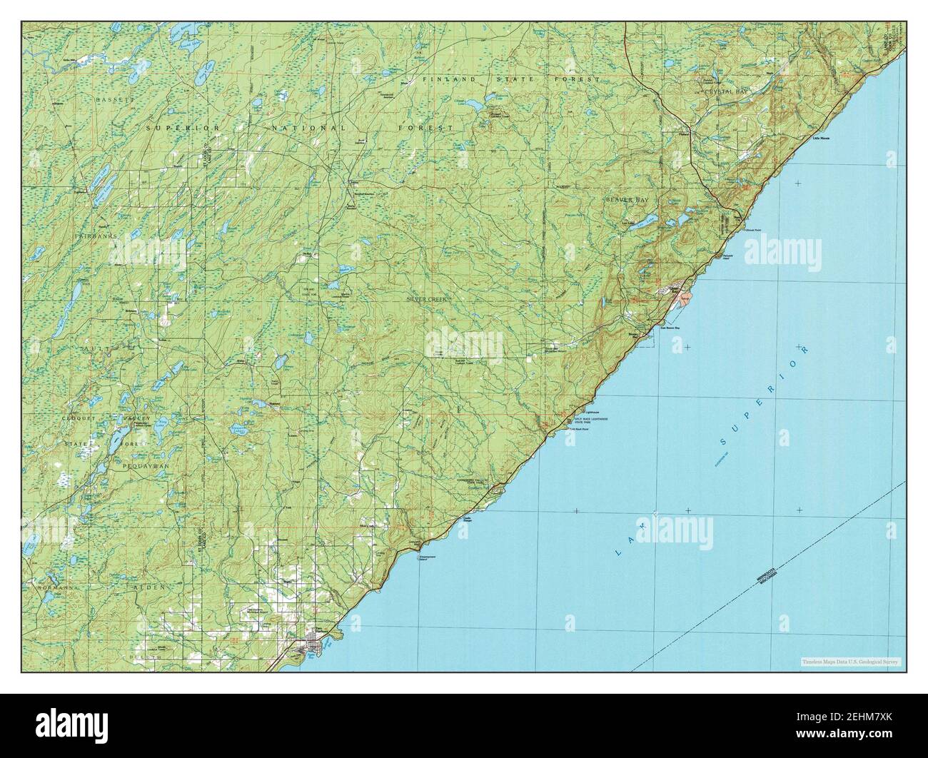 Two Harbors, Minnesota, map 1976, 1:100000, United States of America by Timeless Maps, data U.S. Geological Survey Stock Photohttps://www.alamy.com/image-license-details/?v=1https://www.alamy.com/two-harbors-minnesota-map-1976-1100000-united-states-of-america-by-timeless-maps-data-us-geological-survey-image406732891.html
RM2EHM7XK–Two Harbors, Minnesota, map 1976, 1:100000, United States of America by Timeless Maps, data U.S. Geological Survey
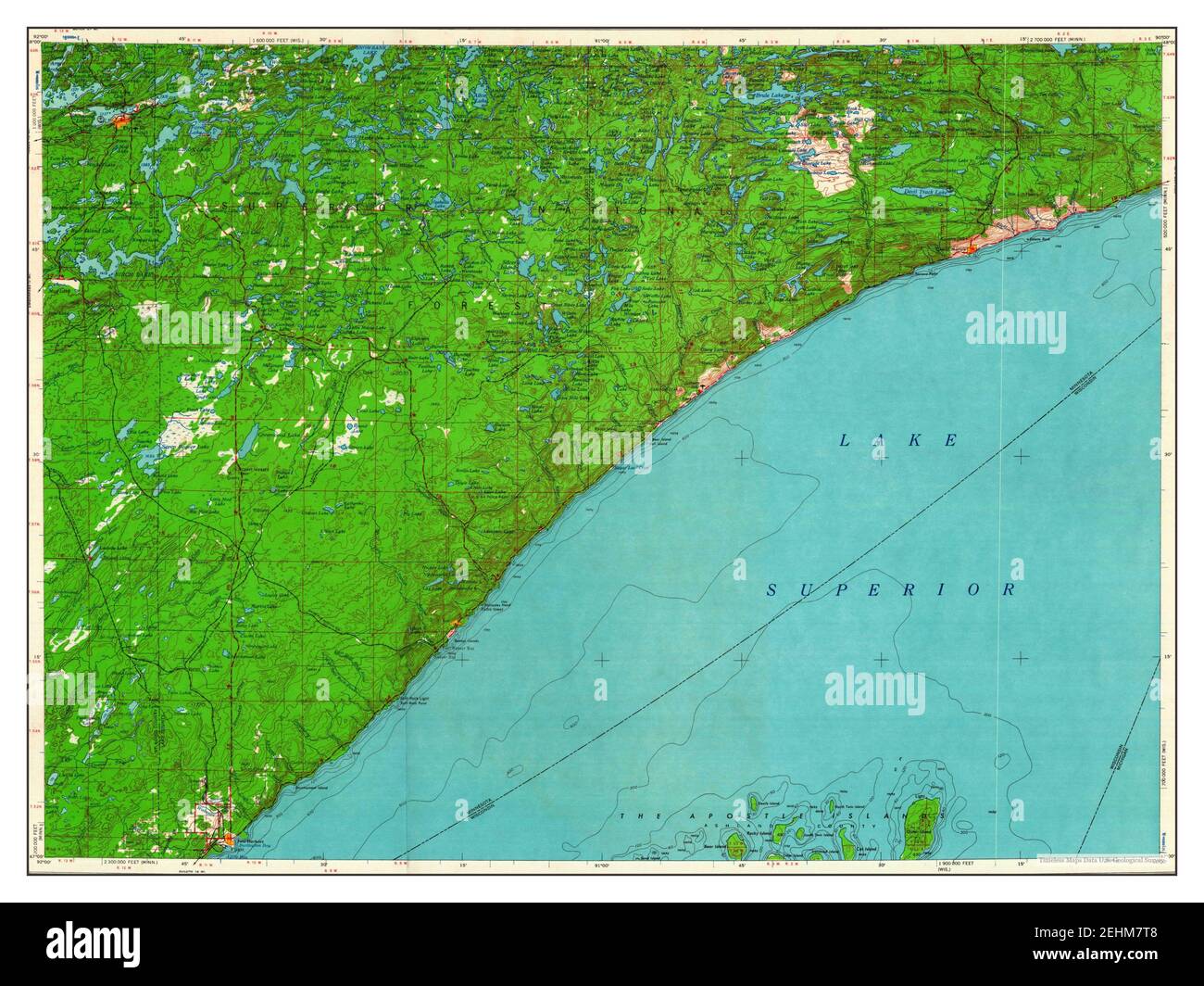 Two Harbors, Minnesota, map 1964, 1:250000, United States of America by Timeless Maps, data U.S. Geological Survey Stock Photohttps://www.alamy.com/image-license-details/?v=1https://www.alamy.com/two-harbors-minnesota-map-1964-1250000-united-states-of-america-by-timeless-maps-data-us-geological-survey-image406732824.html
RM2EHM7T8–Two Harbors, Minnesota, map 1964, 1:250000, United States of America by Timeless Maps, data U.S. Geological Survey
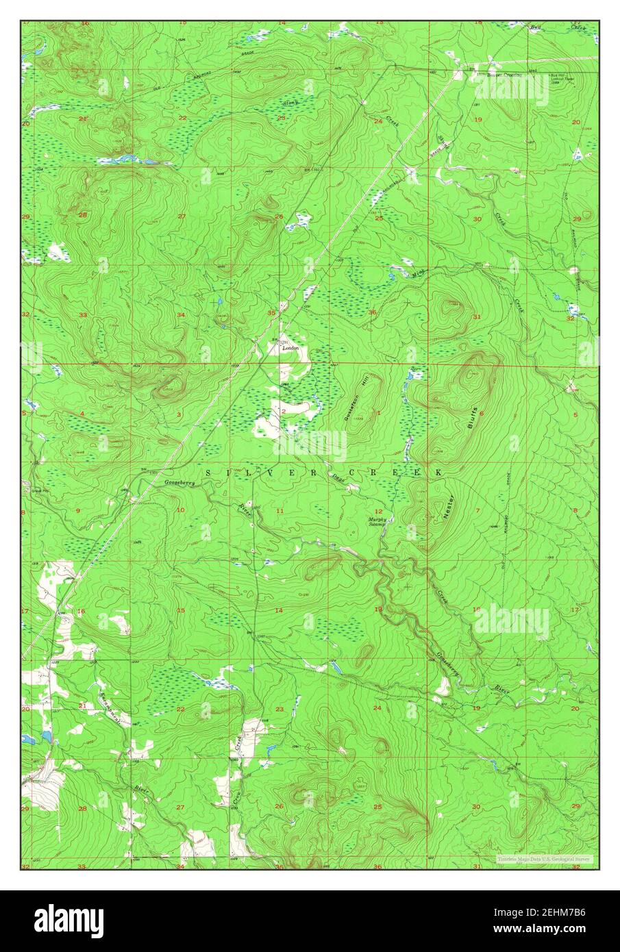 Two Harbors NE, Minnesota, map 1957, 1:24000, United States of America by Timeless Maps, data U.S. Geological Survey Stock Photohttps://www.alamy.com/image-license-details/?v=1https://www.alamy.com/two-harbors-ne-minnesota-map-1957-124000-united-states-of-america-by-timeless-maps-data-us-geological-survey-image406732458.html
RM2EHM7B6–Two Harbors NE, Minnesota, map 1957, 1:24000, United States of America by Timeless Maps, data U.S. Geological Survey
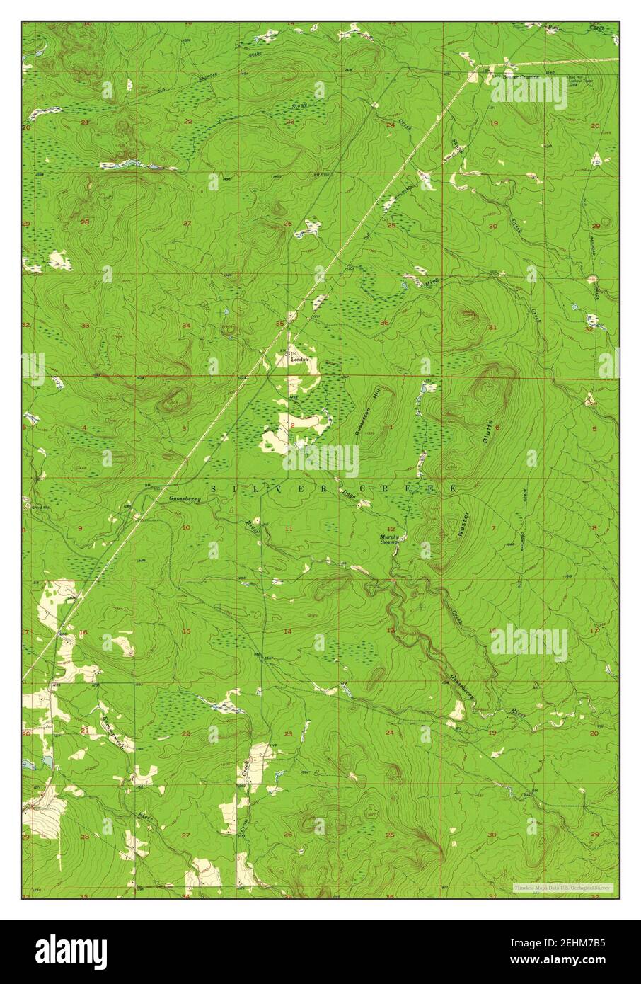 Two Harbors NE, Minnesota, map 1957, 1:24000, United States of America by Timeless Maps, data U.S. Geological Survey Stock Photohttps://www.alamy.com/image-license-details/?v=1https://www.alamy.com/two-harbors-ne-minnesota-map-1957-124000-united-states-of-america-by-timeless-maps-data-us-geological-survey-image406732457.html
RM2EHM7B5–Two Harbors NE, Minnesota, map 1957, 1:24000, United States of America by Timeless Maps, data U.S. Geological Survey
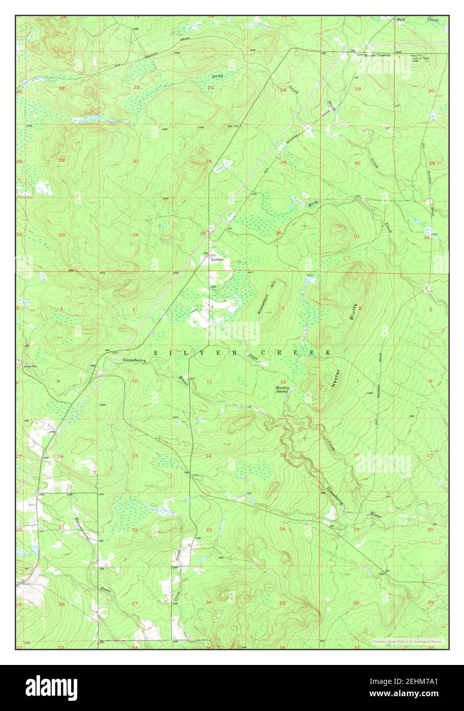 Two Harbors NE, Minnesota, map 1957, 1:24000, United States of America by Timeless Maps, data U.S. Geological Survey Stock Photohttps://www.alamy.com/image-license-details/?v=1https://www.alamy.com/two-harbors-ne-minnesota-map-1957-124000-united-states-of-america-by-timeless-maps-data-us-geological-survey-image406732425.html
RM2EHM7A1–Two Harbors NE, Minnesota, map 1957, 1:24000, United States of America by Timeless Maps, data U.S. Geological Survey