Quick filters:
Map of verdigre Stock Photos and Images
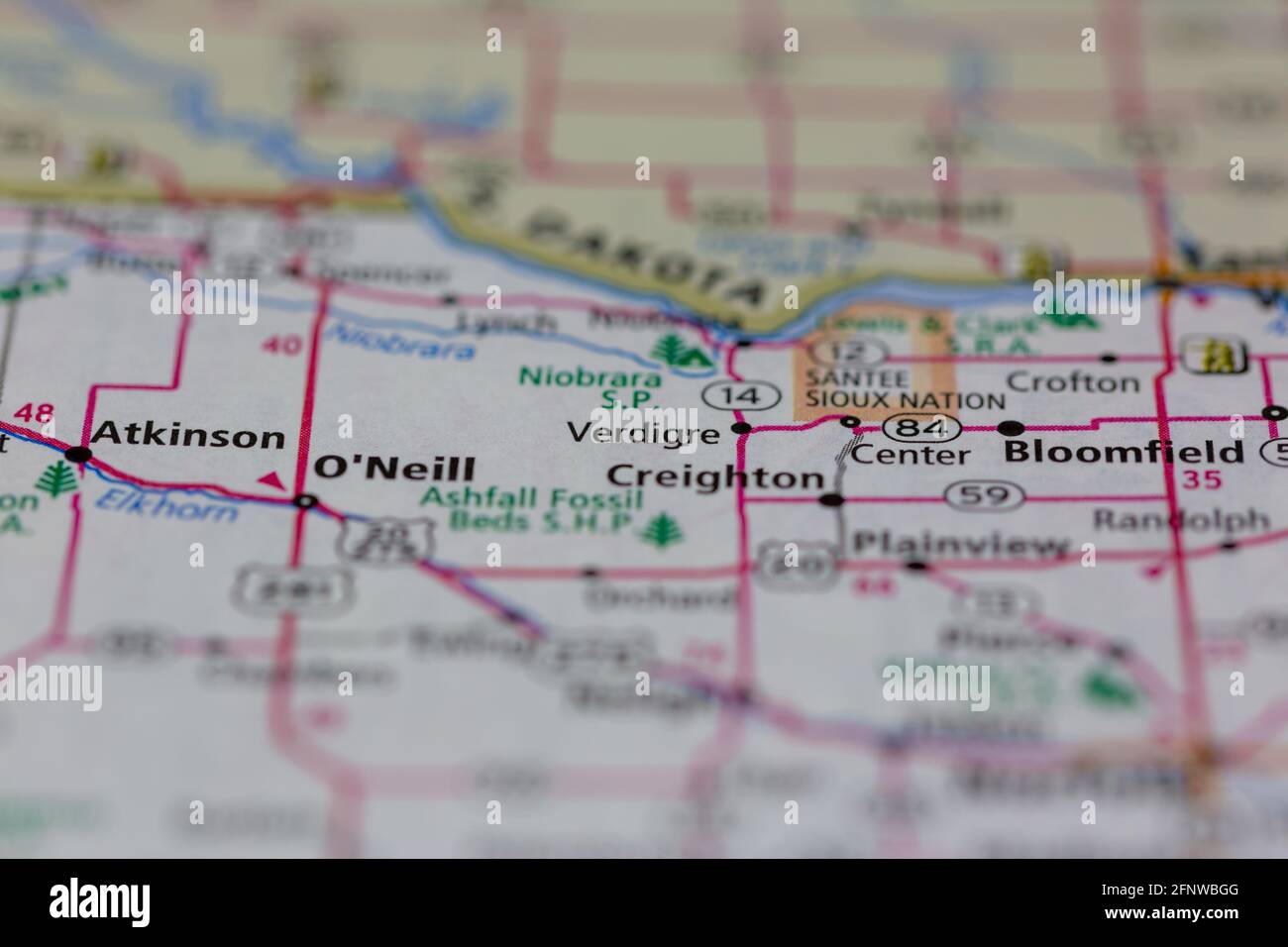 Verdigre Nebraska USA Shown on a Geography map or Road map Stock Photohttps://www.alamy.com/image-license-details/?v=1https://www.alamy.com/verdigre-nebraska-usa-shown-on-a-geography-map-or-road-map-image426514496.html
RM2FNWBGG–Verdigre Nebraska USA Shown on a Geography map or Road map
 Verdigre, Knox County, US, United States, Nebraska, N 42 35' 49'', S 98 2' 1'', map, Cartascapes Map published in 2024. Explore Cartascapes, a map revealing Earth's diverse landscapes, cultures, and ecosystems. Journey through time and space, discovering the interconnectedness of our planet's past, present, and future. Stock Photohttps://www.alamy.com/image-license-details/?v=1https://www.alamy.com/verdigre-knox-county-us-united-states-nebraska-n-42-35-49-s-98-2-1-map-cartascapes-map-published-in-2024-explore-cartascapes-a-map-revealing-earths-diverse-landscapes-cultures-and-ecosystems-journey-through-time-and-space-discovering-the-interconnectedness-of-our-planets-past-present-and-future-image620834672.html
RM2Y21CXT–Verdigre, Knox County, US, United States, Nebraska, N 42 35' 49'', S 98 2' 1'', map, Cartascapes Map published in 2024. Explore Cartascapes, a map revealing Earth's diverse landscapes, cultures, and ecosystems. Journey through time and space, discovering the interconnectedness of our planet's past, present, and future.
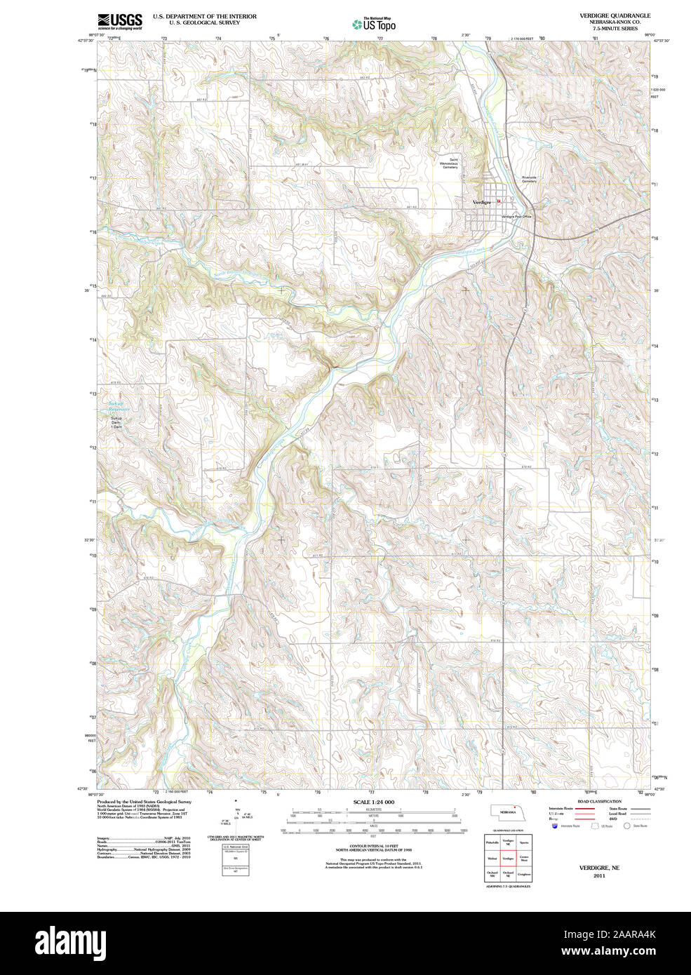 USGS TOPO Map Nebraska NE Verdigre 20111108 TM Restoration Stock Photohttps://www.alamy.com/image-license-details/?v=1https://www.alamy.com/usgs-topo-map-nebraska-ne-verdigre-20111108-tm-restoration-image333656419.html
RM2AARA4K–USGS TOPO Map Nebraska NE Verdigre 20111108 TM Restoration
 Verdigre, Knox County, US, United States, Nebraska, N 42 35' 49'', S 98 2' 1'', map, Cartascapes Map published in 2024. Explore Cartascapes, a map revealing Earth's diverse landscapes, cultures, and ecosystems. Journey through time and space, discovering the interconnectedness of our planet's past, present, and future. Stock Photohttps://www.alamy.com/image-license-details/?v=1https://www.alamy.com/verdigre-knox-county-us-united-states-nebraska-n-42-35-49-s-98-2-1-map-cartascapes-map-published-in-2024-explore-cartascapes-a-map-revealing-earths-diverse-landscapes-cultures-and-ecosystems-journey-through-time-and-space-discovering-the-interconnectedness-of-our-planets-past-present-and-future-image620834505.html
RM2Y21CMW–Verdigre, Knox County, US, United States, Nebraska, N 42 35' 49'', S 98 2' 1'', map, Cartascapes Map published in 2024. Explore Cartascapes, a map revealing Earth's diverse landscapes, cultures, and ecosystems. Journey through time and space, discovering the interconnectedness of our planet's past, present, and future.
 USGS TOPO Map Nebraska NE Verdigre NE 20111025 TM Restoration Stock Photohttps://www.alamy.com/image-license-details/?v=1https://www.alamy.com/usgs-topo-map-nebraska-ne-verdigre-ne-20111025-tm-restoration-image333656603.html
RM2AARAB7–USGS TOPO Map Nebraska NE Verdigre NE 20111025 TM Restoration
 Township of Verdigre, Knox County, US, United States, Nebraska, N 42 34' 4'', S 98 0' 47'', map, Cartascapes Map published in 2024. Explore Cartascapes, a map revealing Earth's diverse landscapes, cultures, and ecosystems. Journey through time and space, discovering the interconnectedness of our planet's past, present, and future. Stock Photohttps://www.alamy.com/image-license-details/?v=1https://www.alamy.com/township-of-verdigre-knox-county-us-united-states-nebraska-n-42-34-4-s-98-0-47-map-cartascapes-map-published-in-2024-explore-cartascapes-a-map-revealing-earths-diverse-landscapes-cultures-and-ecosystems-journey-through-time-and-space-discovering-the-interconnectedness-of-our-planets-past-present-and-future-image633870829.html
RM2YR78KW–Township of Verdigre, Knox County, US, United States, Nebraska, N 42 34' 4'', S 98 0' 47'', map, Cartascapes Map published in 2024. Explore Cartascapes, a map revealing Earth's diverse landscapes, cultures, and ecosystems. Journey through time and space, discovering the interconnectedness of our planet's past, present, and future.
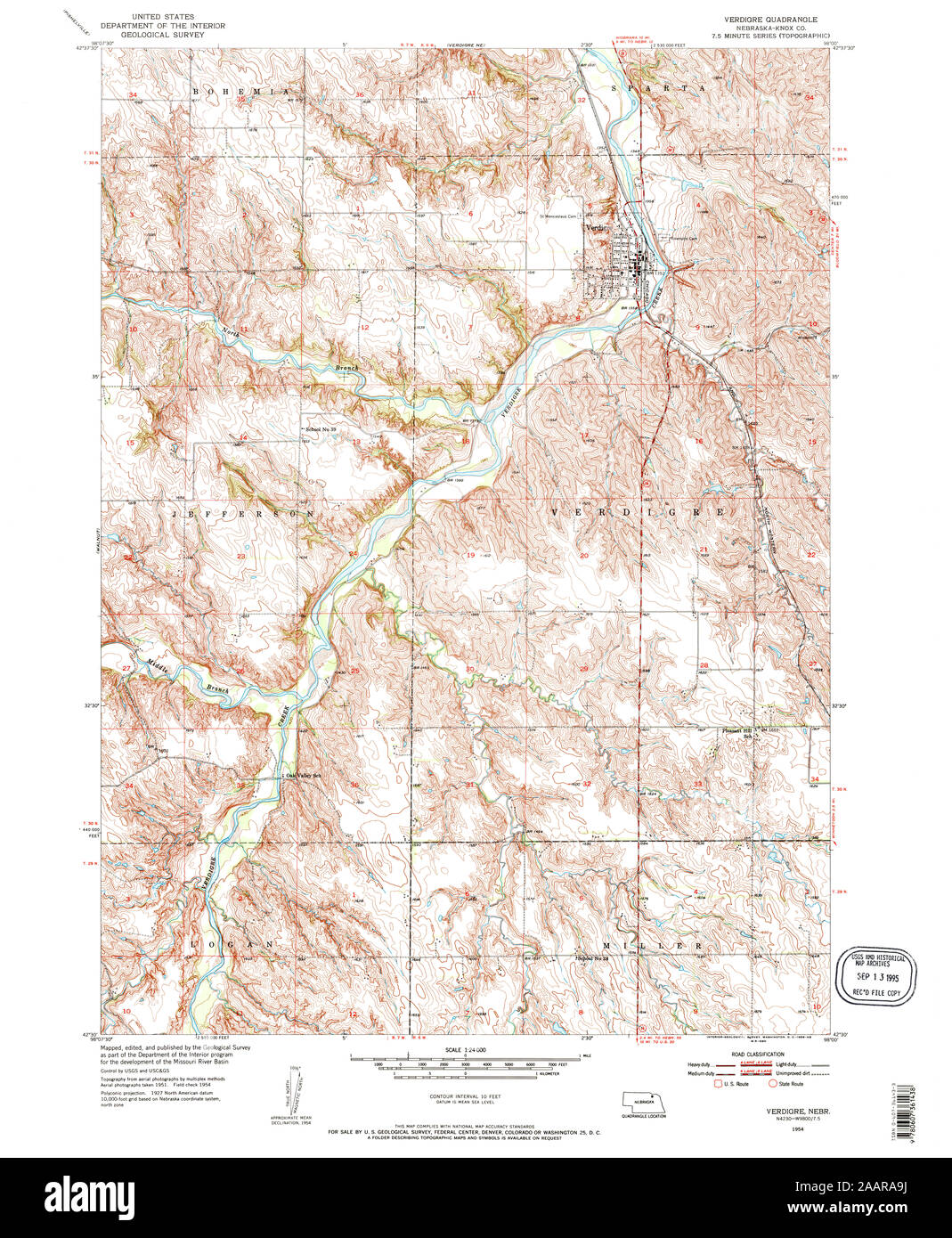 USGS TOPO Map Nebraska NE Verdigre 317398 1954 24000 Restoration Stock Photohttps://www.alamy.com/image-license-details/?v=1https://www.alamy.com/usgs-topo-map-nebraska-ne-verdigre-317398-1954-24000-restoration-image333656558.html
RM2AARA9J–USGS TOPO Map Nebraska NE Verdigre 317398 1954 24000 Restoration
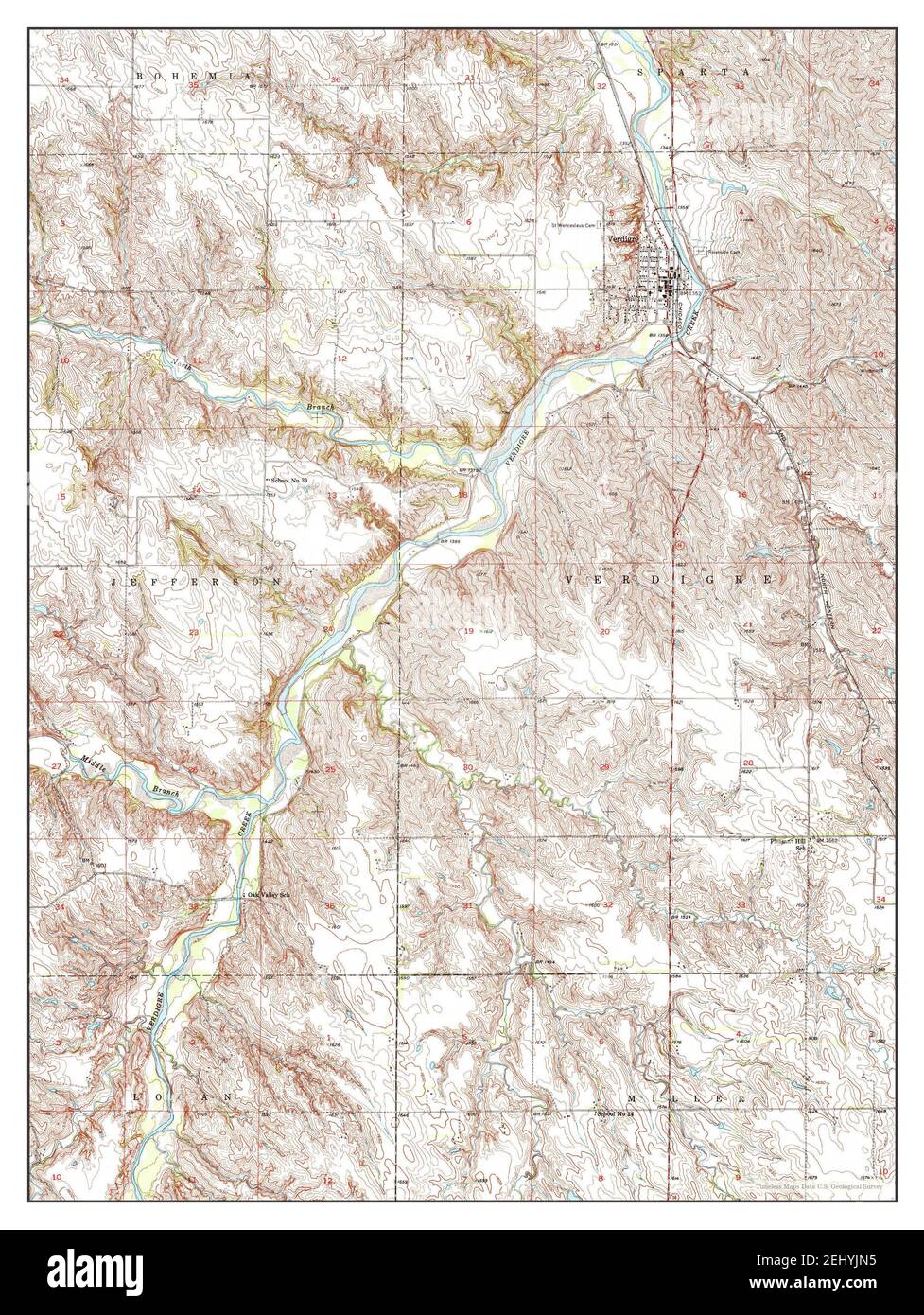 Verdigre, Nebraska, map 1954, 1:24000, United States of America by Timeless Maps, data U.S. Geological Survey Stock Photohttps://www.alamy.com/image-license-details/?v=1https://www.alamy.com/verdigre-nebraska-map-1954-124000-united-states-of-america-by-timeless-maps-data-us-geological-survey-image406895025.html
RM2EHYJN5–Verdigre, Nebraska, map 1954, 1:24000, United States of America by Timeless Maps, data U.S. Geological Survey
 USGS TOPO Map Nebraska NE Verdigre 317397 1954 24000 Restoration Stock Photohttps://www.alamy.com/image-license-details/?v=1https://www.alamy.com/usgs-topo-map-nebraska-ne-verdigre-317397-1954-24000-restoration-image333656496.html
RM2AARA7C–USGS TOPO Map Nebraska NE Verdigre 317397 1954 24000 Restoration
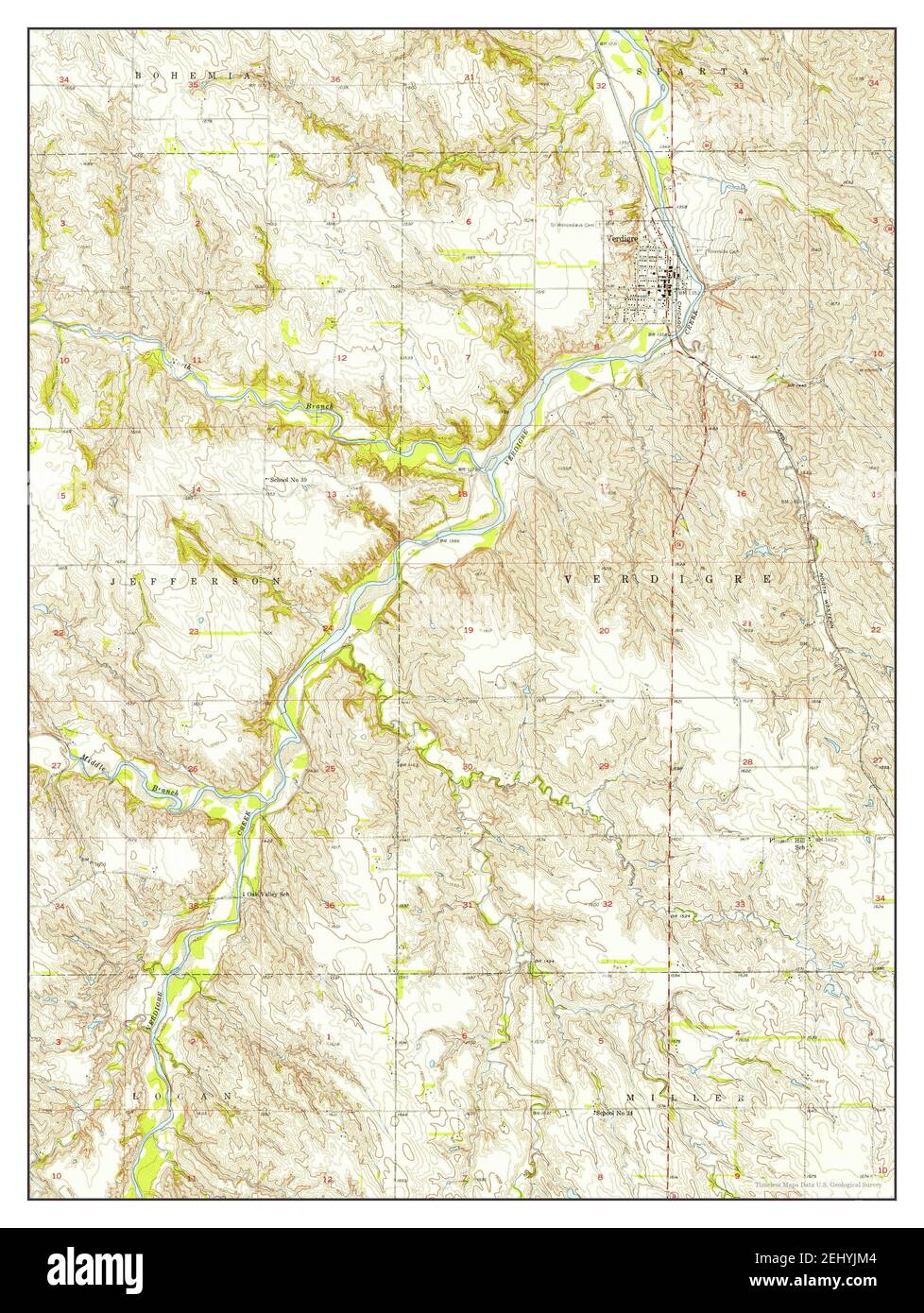 Verdigre, Nebraska, map 1954, 1:24000, United States of America by Timeless Maps, data U.S. Geological Survey Stock Photohttps://www.alamy.com/image-license-details/?v=1https://www.alamy.com/verdigre-nebraska-map-1954-124000-united-states-of-america-by-timeless-maps-data-us-geological-survey-image406894996.html
RM2EHYJM4–Verdigre, Nebraska, map 1954, 1:24000, United States of America by Timeless Maps, data U.S. Geological Survey
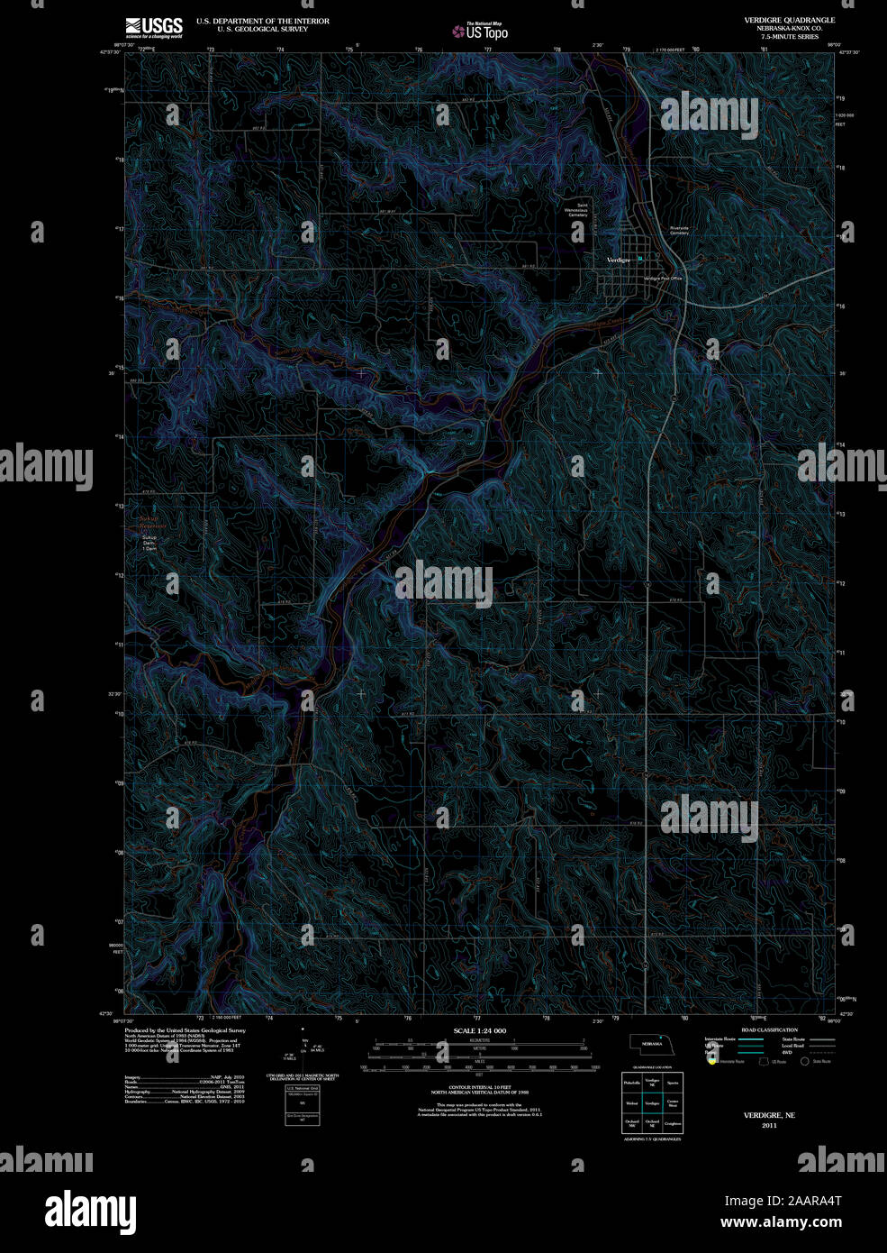 USGS TOPO Map Nebraska NE Verdigre 20111108 TM Inverted Restoration Stock Photohttps://www.alamy.com/image-license-details/?v=1https://www.alamy.com/usgs-topo-map-nebraska-ne-verdigre-20111108-tm-inverted-restoration-image333656424.html
RM2AARA4T–USGS TOPO Map Nebraska NE Verdigre 20111108 TM Inverted Restoration
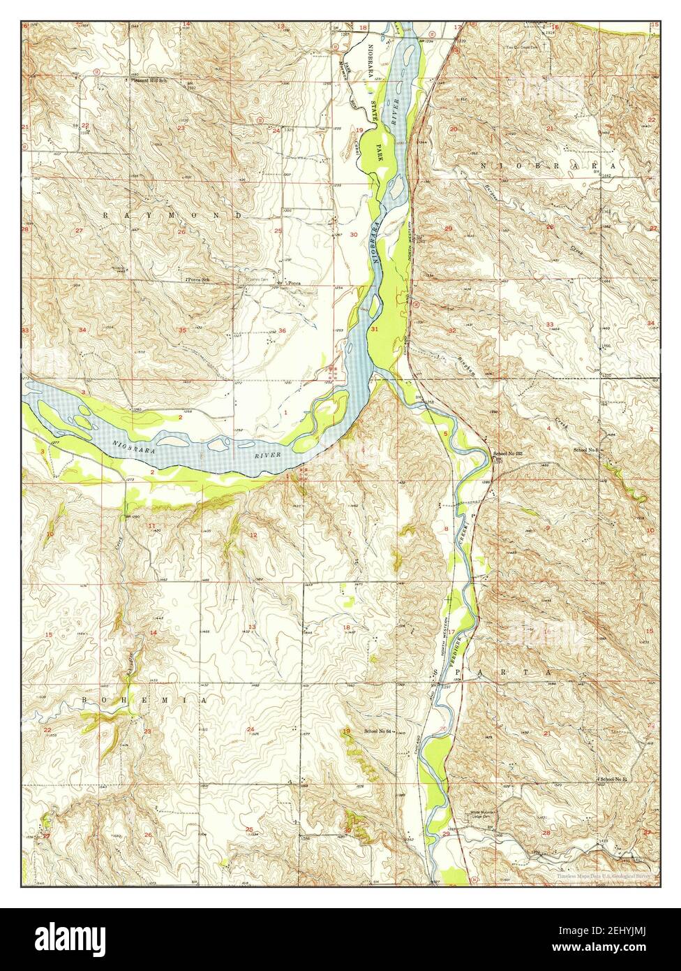 Verdigre NE, Nebraska, map 1950, 1:24000, United States of America by Timeless Maps, data U.S. Geological Survey Stock Photohttps://www.alamy.com/image-license-details/?v=1https://www.alamy.com/verdigre-ne-nebraska-map-1950-124000-united-states-of-america-by-timeless-maps-data-us-geological-survey-image406895010.html
RM2EHYJMJ–Verdigre NE, Nebraska, map 1950, 1:24000, United States of America by Timeless Maps, data U.S. Geological Survey
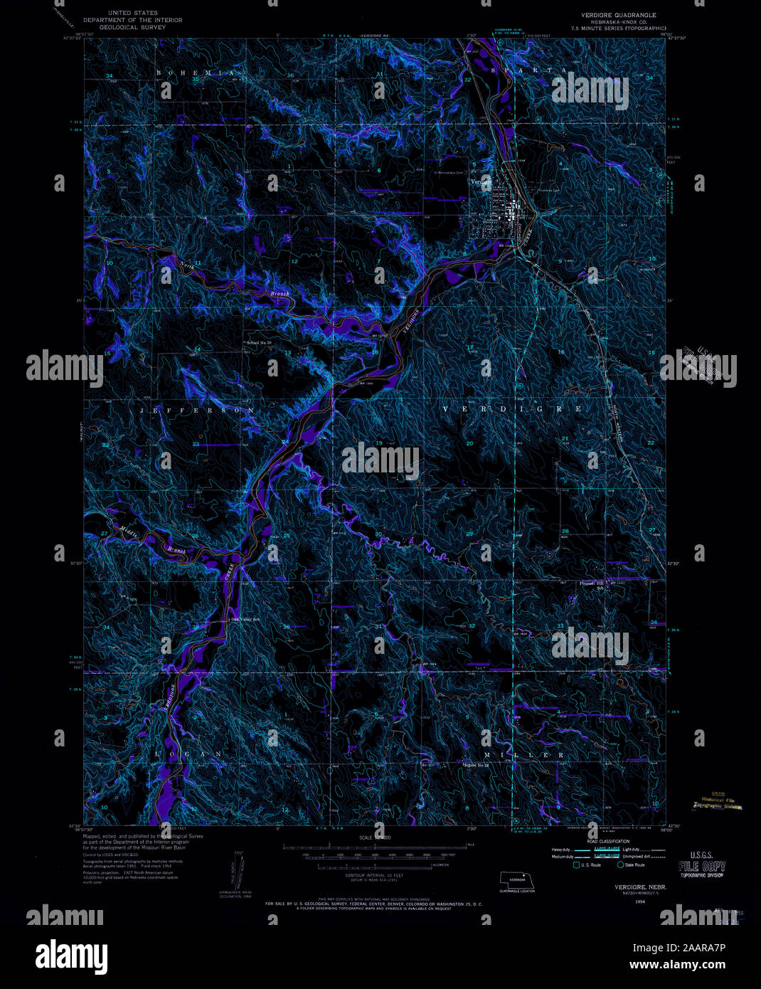 USGS TOPO Map Nebraska NE Verdigre 317397 1954 24000 Inverted Restoration Stock Photohttps://www.alamy.com/image-license-details/?v=1https://www.alamy.com/usgs-topo-map-nebraska-ne-verdigre-317397-1954-24000-inverted-restoration-image333656506.html
RM2AARA7P–USGS TOPO Map Nebraska NE Verdigre 317397 1954 24000 Inverted Restoration
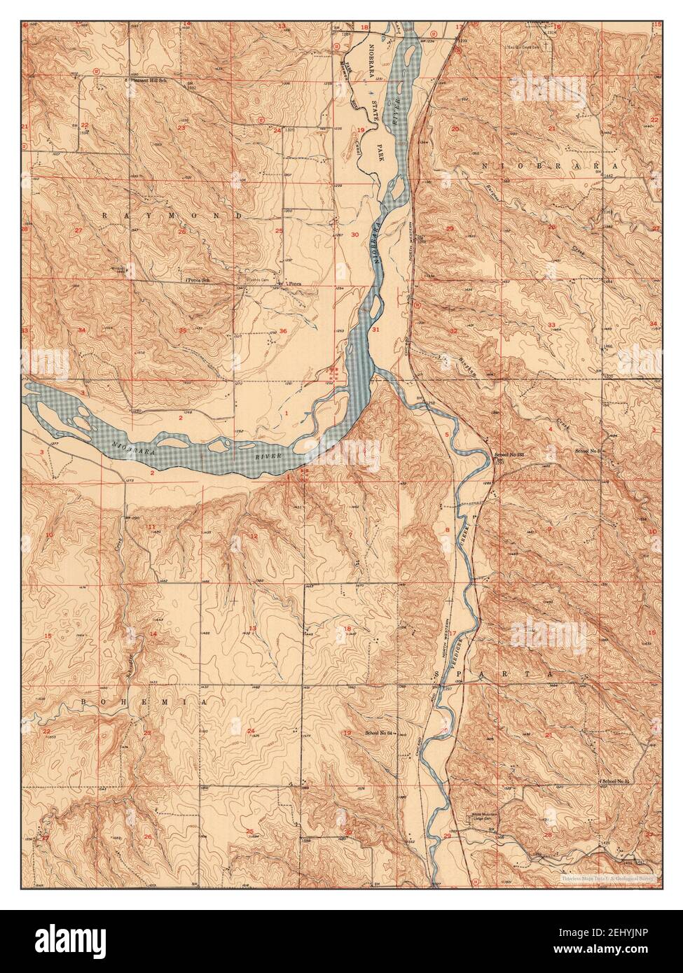 Verdigre NE, Nebraska, map 1950, 1:24000, United States of America by Timeless Maps, data U.S. Geological Survey Stock Photohttps://www.alamy.com/image-license-details/?v=1https://www.alamy.com/verdigre-ne-nebraska-map-1950-124000-united-states-of-america-by-timeless-maps-data-us-geological-survey-image406895042.html
RM2EHYJNP–Verdigre NE, Nebraska, map 1950, 1:24000, United States of America by Timeless Maps, data U.S. Geological Survey
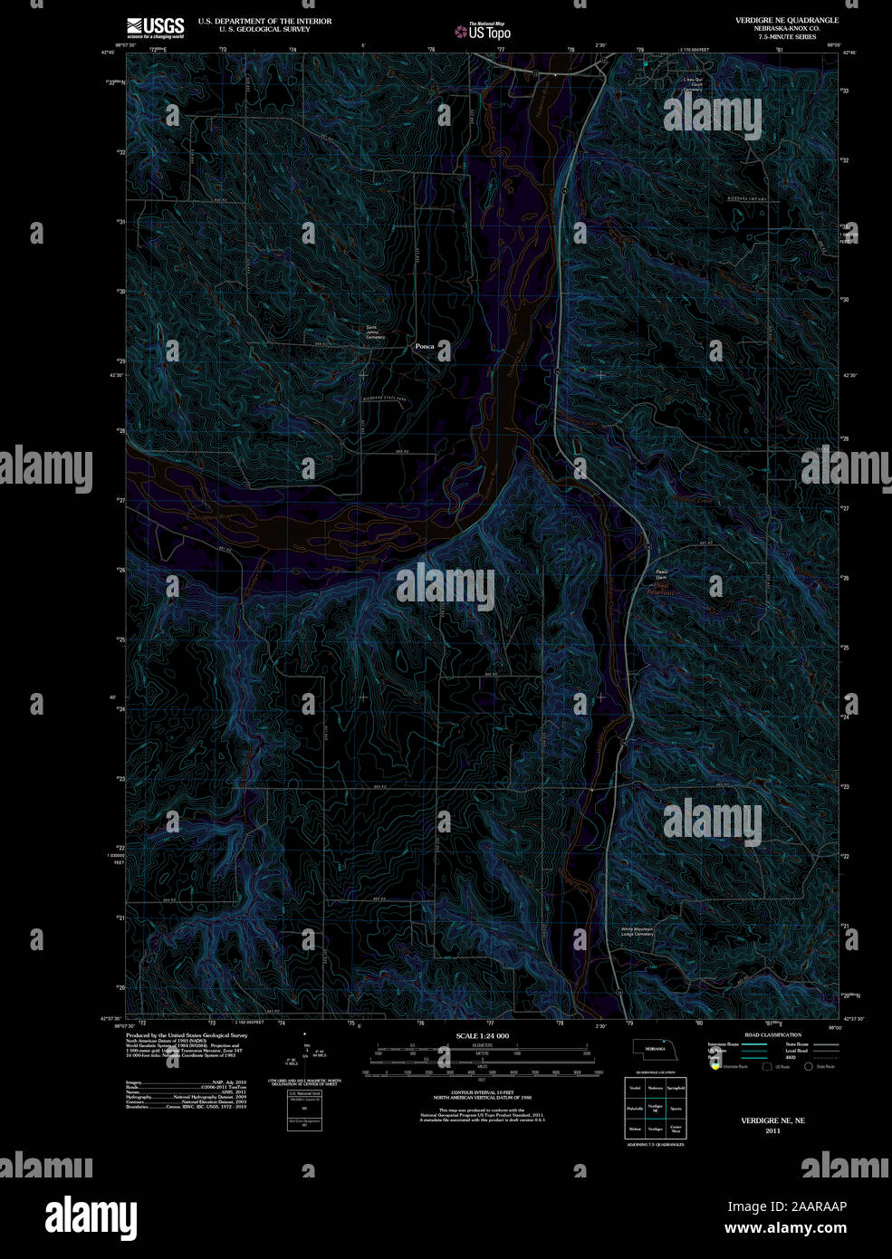 USGS TOPO Map Nebraska NE Verdigre NE 20111025 TM Inverted Restoration Stock Photohttps://www.alamy.com/image-license-details/?v=1https://www.alamy.com/usgs-topo-map-nebraska-ne-verdigre-ne-20111025-tm-inverted-restoration-image333656590.html
RM2AARAAP–USGS TOPO Map Nebraska NE Verdigre NE 20111025 TM Inverted Restoration
 Verdigre NE, Nebraska, map 1950, 1:24000, United States of America by Timeless Maps, data U.S. Geological Survey Stock Photohttps://www.alamy.com/image-license-details/?v=1https://www.alamy.com/verdigre-ne-nebraska-map-1950-124000-united-states-of-america-by-timeless-maps-data-us-geological-survey-image406895016.html
RM2EHYJMT–Verdigre NE, Nebraska, map 1950, 1:24000, United States of America by Timeless Maps, data U.S. Geological Survey
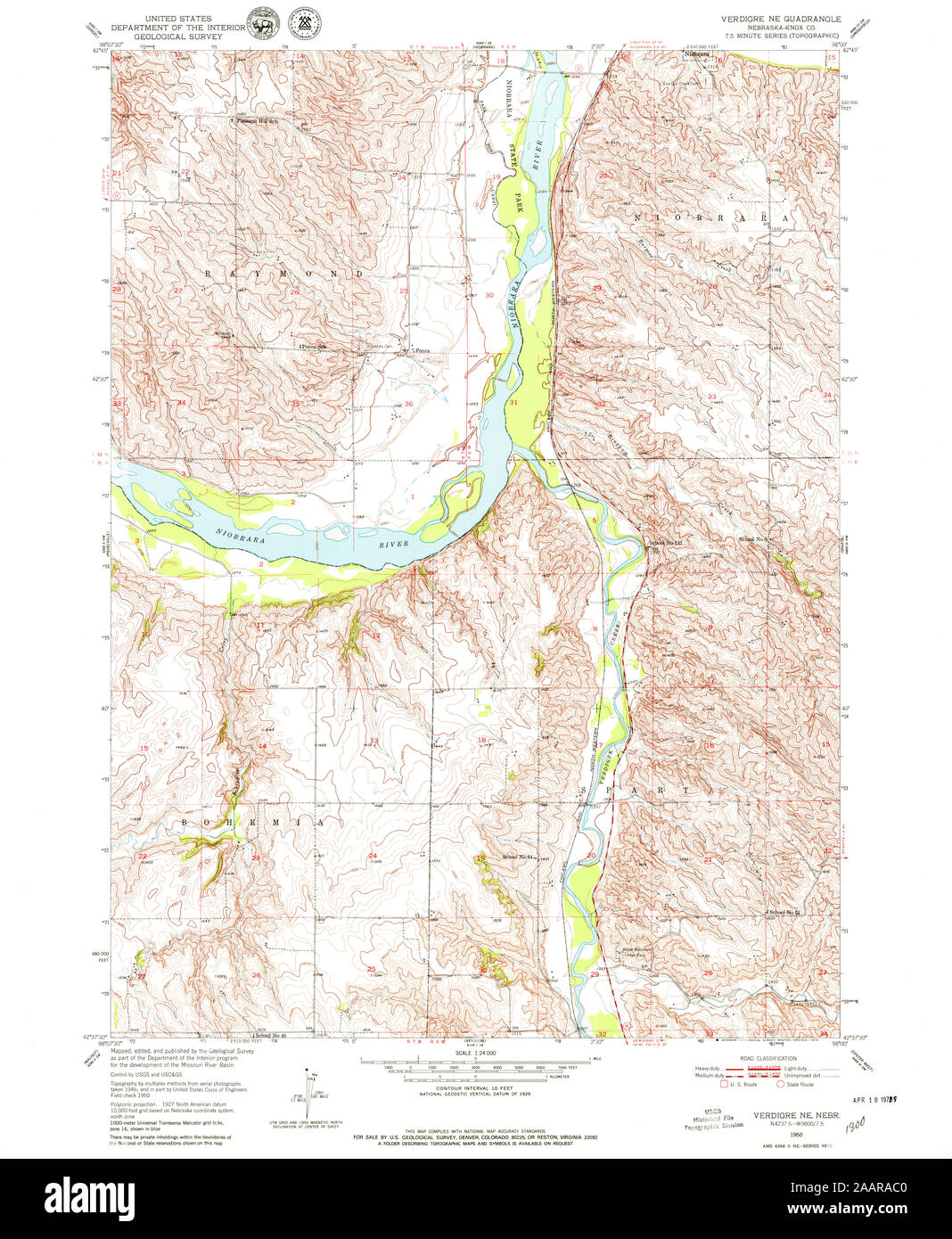 USGS TOPO Map Nebraska NE Verdigre NE 317400 1950 24000 Restoration Stock Photohttps://www.alamy.com/image-license-details/?v=1https://www.alamy.com/usgs-topo-map-nebraska-ne-verdigre-ne-317400-1950-24000-restoration-image333656624.html
RM2AARAC0–USGS TOPO Map Nebraska NE Verdigre NE 317400 1950 24000 Restoration
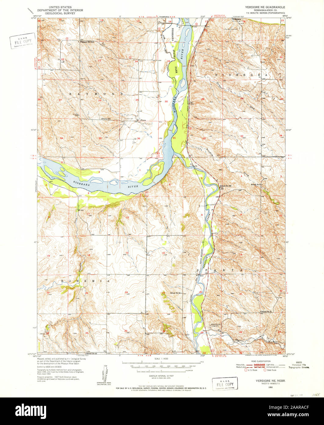 USGS TOPO Map Nebraska NE Verdigre NE 317399 1950 24000 Restoration Stock Photohttps://www.alamy.com/image-license-details/?v=1https://www.alamy.com/usgs-topo-map-nebraska-ne-verdigre-ne-317399-1950-24000-restoration-image333656639.html
RM2AARACF–USGS TOPO Map Nebraska NE Verdigre NE 317399 1950 24000 Restoration
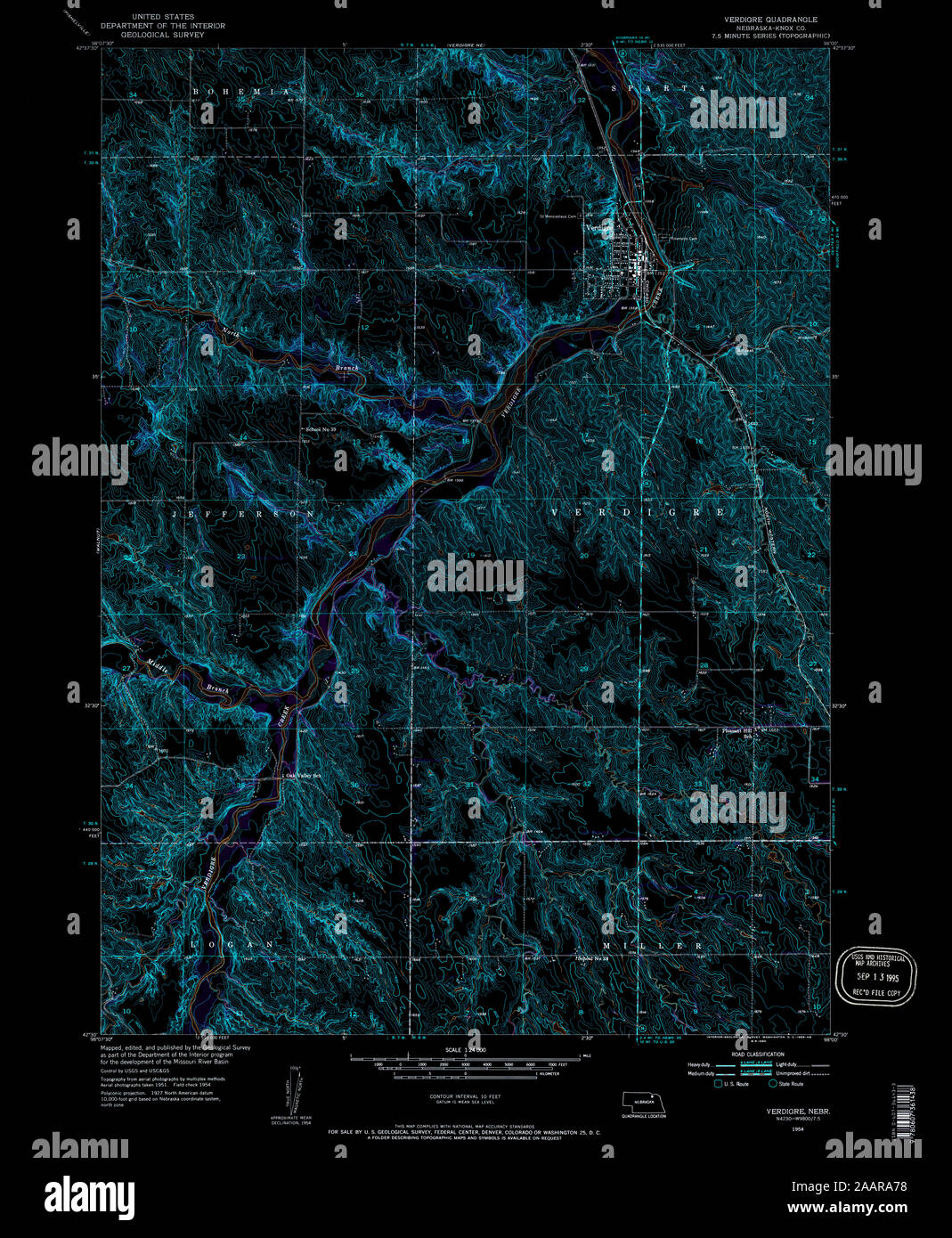 USGS TOPO Map Nebraska NE Verdigre 317398 1954 24000 Inverted Restoration Stock Photohttps://www.alamy.com/image-license-details/?v=1https://www.alamy.com/usgs-topo-map-nebraska-ne-verdigre-317398-1954-24000-inverted-restoration-image333656492.html
RM2AARA78–USGS TOPO Map Nebraska NE Verdigre 317398 1954 24000 Inverted Restoration
 USGS TOPO Map Nebraska NE Verdigre NE 317400 1950 24000 Inverted Restoration Stock Photohttps://www.alamy.com/image-license-details/?v=1https://www.alamy.com/usgs-topo-map-nebraska-ne-verdigre-ne-317400-1950-24000-inverted-restoration-image333656646.html
RM2AARACP–USGS TOPO Map Nebraska NE Verdigre NE 317400 1950 24000 Inverted Restoration
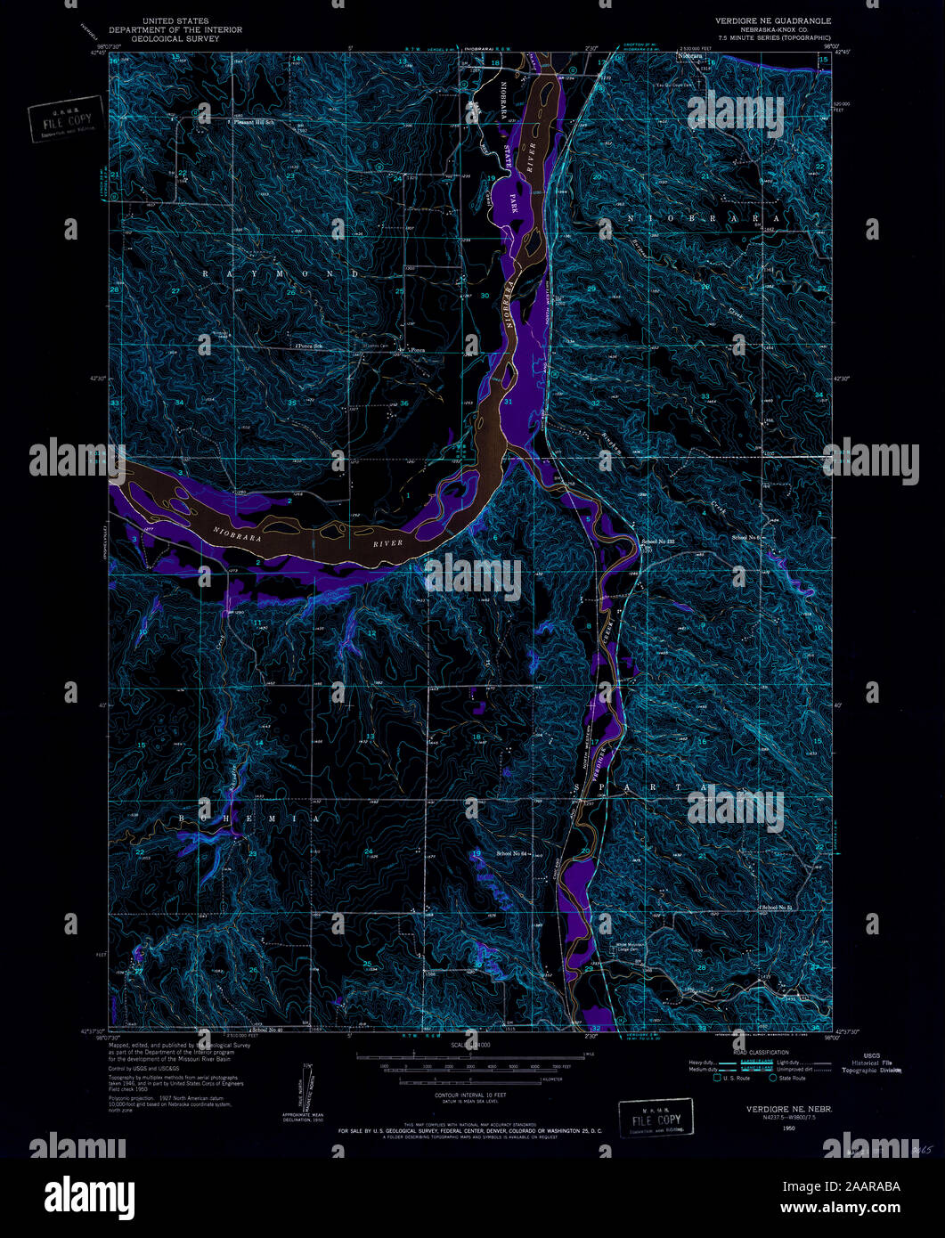 USGS TOPO Map Nebraska NE Verdigre NE 317399 1950 24000 Inverted Restoration Stock Photohttps://www.alamy.com/image-license-details/?v=1https://www.alamy.com/usgs-topo-map-nebraska-ne-verdigre-ne-317399-1950-24000-inverted-restoration-image333656606.html
RM2AARABA–USGS TOPO Map Nebraska NE Verdigre NE 317399 1950 24000 Inverted Restoration