Quick filters:
Map of wagoner Stock Photos and Images
 Wagoner Oklahoma USA shown on a Geography map or road map Stock Photohttps://www.alamy.com/image-license-details/?v=1https://www.alamy.com/wagoner-oklahoma-usa-shown-on-a-geography-map-or-road-map-image432579231.html
RM2G3NK67–Wagoner Oklahoma USA shown on a Geography map or road map
 Wagoner pinned on a map of Oklahoma, USA Stock Photohttps://www.alamy.com/image-license-details/?v=1https://www.alamy.com/wagoner-pinned-on-a-map-of-oklahoma-usa-image359136330.html
RF2BT821E–Wagoner pinned on a map of Oklahoma, USA
 Wagoner, Wagoner County, US, United States, Oklahoma, N 35 57' 34'', S 95 22' 9'', map, Cartascapes Map published in 2024. Explore Cartascapes, a map revealing Earth's diverse landscapes, cultures, and ecosystems. Journey through time and space, discovering the interconnectedness of our planet's past, present, and future. Stock Photohttps://www.alamy.com/image-license-details/?v=1https://www.alamy.com/wagoner-wagoner-county-us-united-states-oklahoma-n-35-57-34-s-95-22-9-map-cartascapes-map-published-in-2024-explore-cartascapes-a-map-revealing-earths-diverse-landscapes-cultures-and-ecosystems-journey-through-time-and-space-discovering-the-interconnectedness-of-our-planets-past-present-and-future-image621165246.html
RM2Y2GEH2–Wagoner, Wagoner County, US, United States, Oklahoma, N 35 57' 34'', S 95 22' 9'', map, Cartascapes Map published in 2024. Explore Cartascapes, a map revealing Earth's diverse landscapes, cultures, and ecosystems. Journey through time and space, discovering the interconnectedness of our planet's past, present, and future.
 Sanborn Fire Insurance Map from Wagoner, Wagoner County, Oklahoma. Stock Photohttps://www.alamy.com/image-license-details/?v=1https://www.alamy.com/sanborn-fire-insurance-map-from-wagoner-wagoner-county-oklahoma-image456509138.html
RM2HEKP1P–Sanborn Fire Insurance Map from Wagoner, Wagoner County, Oklahoma.
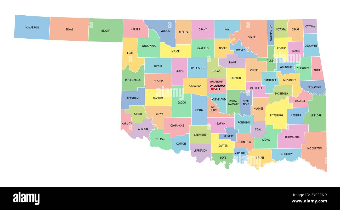 Oklahoma, U.S. state, subdivided into 77 counties, multi colored political map with capital Oklahoma City, borders and county names. Stock Photohttps://www.alamy.com/image-license-details/?v=1https://www.alamy.com/oklahoma-us-state-subdivided-into-77-counties-multi-colored-political-map-with-capital-oklahoma-city-borders-and-county-names-image619892163.html
RF2Y0EENR–Oklahoma, U.S. state, subdivided into 77 counties, multi colored political map with capital Oklahoma City, borders and county names.
 Map of Wagoner in Oklahoma Stock Photohttps://www.alamy.com/image-license-details/?v=1https://www.alamy.com/map-of-wagoner-in-oklahoma-image365209689.html
RF2C64MK5–Map of Wagoner in Oklahoma
 Oklahoma, U.S. state, political map with borders and county names. State in the South Central region of the USA, subdivided into 77 counties. Stock Photohttps://www.alamy.com/image-license-details/?v=1https://www.alamy.com/oklahoma-us-state-political-map-with-borders-and-county-names-state-in-the-south-central-region-of-the-usa-subdivided-into-77-counties-image617747634.html
RF2XW0RBE–Oklahoma, U.S. state, political map with borders and county names. State in the South Central region of the USA, subdivided into 77 counties.
![. English: A generall map of this following Spanish manuscriptBound sheet. Col. ms. Scale: [ca. 1:19 000 000 (lat)]. Cartographic Note: Scale in English leagues. Contents Note: Shows Sharpe's track. Depicts the silver mine at Potosi. Has a decorated title cartouche and scale. Bound in 'A Wagoner of the South Sea describeing the sea coast from acapulco to Albemarle isle', an English translation of a Spanish derrotero captured from the Spanish ship 'Rosario' by Captain Bartholomew Sharpe in 1680. Hack made multiple copies of this atlas. This one was presented to James II. P/33(1) Mar del Zur by Stock Photo . English: A generall map of this following Spanish manuscriptBound sheet. Col. ms. Scale: [ca. 1:19 000 000 (lat)]. Cartographic Note: Scale in English leagues. Contents Note: Shows Sharpe's track. Depicts the silver mine at Potosi. Has a decorated title cartouche and scale. Bound in 'A Wagoner of the South Sea describeing the sea coast from acapulco to Albemarle isle', an English translation of a Spanish derrotero captured from the Spanish ship 'Rosario' by Captain Bartholomew Sharpe in 1680. Hack made multiple copies of this atlas. This one was presented to James II. P/33(1) Mar del Zur by Stock Photo](https://c8.alamy.com/comp/P089NP/english-a-generall-map-of-this-following-spanish-manuscriptbound-sheet-col-ms-scale-ca-119-000-000-lat-cartographic-note-scale-in-english-leagues-contents-note-shows-sharpes-track-depicts-the-silver-mine-at-potosi-has-a-decorated-title-cartouche-and-scale-bound-in-a-wagoner-of-the-south-sea-describeing-the-sea-coast-from-acapulco-to-albemarle-isle-an-english-translation-of-a-spanish-derrotero-captured-from-the-spanish-ship-rosario-by-captain-bartholomew-sharpe-in-1680-hack-made-multiple-copies-of-this-atlas-this-one-was-presented-to-james-ii-p331-mar-del-zur-by-P089NP.jpg) . English: A generall map of this following Spanish manuscriptBound sheet. Col. ms. Scale: [ca. 1:19 000 000 (lat)]. Cartographic Note: Scale in English leagues. Contents Note: Shows Sharpe's track. Depicts the silver mine at Potosi. Has a decorated title cartouche and scale. Bound in 'A Wagoner of the South Sea describeing the sea coast from acapulco to Albemarle isle', an English translation of a Spanish derrotero captured from the Spanish ship 'Rosario' by Captain Bartholomew Sharpe in 1680. Hack made multiple copies of this atlas. This one was presented to James II. P/33(1) Mar del Zur by Stock Photohttps://www.alamy.com/image-license-details/?v=1https://www.alamy.com/english-a-generall-map-of-this-following-spanish-manuscriptbound-sheet-col-ms-scale-ca-119-000-000-lat-cartographic-note-scale-in-english-leagues-contents-note-shows-sharpes-track-depicts-the-silver-mine-at-potosi-has-a-decorated-title-cartouche-and-scale-bound-in-a-wagoner-of-the-south-sea-describeing-the-sea-coast-from-acapulco-to-albemarle-isle-an-english-translation-of-a-spanish-derrotero-captured-from-the-spanish-ship-rosario-by-captain-bartholomew-sharpe-in-1680-hack-made-multiple-copies-of-this-atlas-this-one-was-presented-to-james-ii-p331-mar-del-zur-by-image206707698.html
. English: A generall map of this following Spanish manuscriptBound sheet. Col. ms. Scale: [ca. 1:19 000 000 (lat)]. Cartographic Note: Scale in English leagues. Contents Note: Shows Sharpe's track. Depicts the silver mine at Potosi. Has a decorated title cartouche and scale. Bound in 'A Wagoner of the South Sea describeing the sea coast from acapulco to Albemarle isle', an English translation of a Spanish derrotero captured from the Spanish ship 'Rosario' by Captain Bartholomew Sharpe in 1680. Hack made multiple copies of this atlas. This one was presented to James II. P/33(1) Mar del Zur by Stock Photohttps://www.alamy.com/image-license-details/?v=1https://www.alamy.com/english-a-generall-map-of-this-following-spanish-manuscriptbound-sheet-col-ms-scale-ca-119-000-000-lat-cartographic-note-scale-in-english-leagues-contents-note-shows-sharpes-track-depicts-the-silver-mine-at-potosi-has-a-decorated-title-cartouche-and-scale-bound-in-a-wagoner-of-the-south-sea-describeing-the-sea-coast-from-acapulco-to-albemarle-isle-an-english-translation-of-a-spanish-derrotero-captured-from-the-spanish-ship-rosario-by-captain-bartholomew-sharpe-in-1680-hack-made-multiple-copies-of-this-atlas-this-one-was-presented-to-james-ii-p331-mar-del-zur-by-image206707698.htmlRMP089NP–. English: A generall map of this following Spanish manuscriptBound sheet. Col. ms. Scale: [ca. 1:19 000 000 (lat)]. Cartographic Note: Scale in English leagues. Contents Note: Shows Sharpe's track. Depicts the silver mine at Potosi. Has a decorated title cartouche and scale. Bound in 'A Wagoner of the South Sea describeing the sea coast from acapulco to Albemarle isle', an English translation of a Spanish derrotero captured from the Spanish ship 'Rosario' by Captain Bartholomew Sharpe in 1680. Hack made multiple copies of this atlas. This one was presented to James II. P/33(1) Mar del Zur by
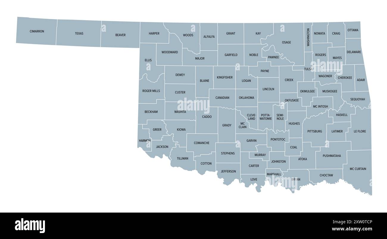 Oklahoma, U.S. state, gray political map with borders and county names. State in the South Central region of USA, subdivided into 77 counties. Stock Photohttps://www.alamy.com/image-license-details/?v=1https://www.alamy.com/oklahoma-us-state-gray-political-map-with-borders-and-county-names-state-in-the-south-central-region-of-usa-subdivided-into-77-counties-image617748454.html
RF2XW0TCP–Oklahoma, U.S. state, gray political map with borders and county names. State in the South Central region of USA, subdivided into 77 counties.
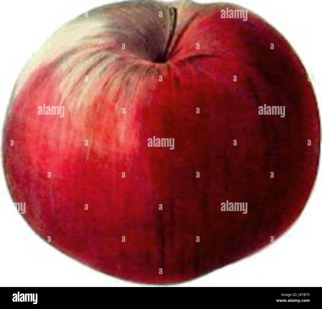 The wagoner apple Stock Photohttps://www.alamy.com/image-license-details/?v=1https://www.alamy.com/stock-photo-the-wagoner-apple-140677241.html
RMJ4TB75–The wagoner apple
 Map of Wagoner in Oklahoma Stock Photohttps://www.alamy.com/image-license-details/?v=1https://www.alamy.com/map-of-wagoner-in-oklahoma-image402459196.html
RF2EANGPM–Map of Wagoner in Oklahoma
RF2E49C6J–Rectangular map of US state Oklahoma with pin icon of Oklahoma
 USGS TOPO Map Arizona AZ Wagoner 20120518 TM Restoration Stock Photohttps://www.alamy.com/image-license-details/?v=1https://www.alamy.com/usgs-topo-map-arizona-az-wagoner-20120518-tm-restoration-image242494559.html
RMT2EG7Y–USGS TOPO Map Arizona AZ Wagoner 20120518 TM Restoration
 Wagoner County (Oklahoma) outline map set Stock Vectorhttps://www.alamy.com/image-license-details/?v=1https://www.alamy.com/wagoner-county-oklahoma-outline-map-set-image621159589.html
RF2Y2G7B1–Wagoner County (Oklahoma) outline map set
 US flag on a wall Stock Photohttps://www.alamy.com/image-license-details/?v=1https://www.alamy.com/us-flag-on-a-wall-image363590671.html
RM2C3EYH3–US flag on a wall
 . Bulletin of the Museum of Comparative Zoology at Harvard College. Zoology; Zoology. Fig. 62. Porto Seguro from the sea.. Fig. 63. Valley north of Porto Seguro. kilometre north of the upper cit}- a narrow valley cutting across these hills has the outline shown in Figure C3. ^ The map of Porto Seguro and its reef herewith is from a survey made in 1876 by Luther Wagoner, member of the Commissilo Gcologica do Brazil. It lias not been published before. VOL. XLIV. 7. Please note that these images are extracted from scanned page images that may have been digitally enhanced for readability - colorat Stock Photohttps://www.alamy.com/image-license-details/?v=1https://www.alamy.com/bulletin-of-the-museum-of-comparative-zoology-at-harvard-college-zoology-zoology-fig-62-porto-seguro-from-the-sea-fig-63-valley-north-of-porto-seguro-kilometre-north-of-the-upper-cit-a-narrow-valley-cutting-across-these-hills-has-the-outline-shown-in-figure-c3-the-map-of-porto-seguro-and-its-reef-herewith-is-from-a-survey-made-in-1876-by-luther-wagoner-member-of-the-commissilo-gcologica-do-brazil-it-lias-not-been-published-before-vol-xliv-7-please-note-that-these-images-are-extracted-from-scanned-page-images-that-may-have-been-digitally-enhanced-for-readability-colorat-image233934801.html
RMRGGJ69–. Bulletin of the Museum of Comparative Zoology at Harvard College. Zoology; Zoology. Fig. 62. Porto Seguro from the sea.. Fig. 63. Valley north of Porto Seguro. kilometre north of the upper cit}- a narrow valley cutting across these hills has the outline shown in Figure C3. ^ The map of Porto Seguro and its reef herewith is from a survey made in 1876 by Luther Wagoner, member of the Commissilo Gcologica do Brazil. It lias not been published before. VOL. XLIV. 7. Please note that these images are extracted from scanned page images that may have been digitally enhanced for readability - colorat
 Muskogee and northeastern Oklahoma, including the counties of Muskogee, McIntosh, Wagoner, Cherokee, Sequoyah, Adair, Delaware, Mayes, Rogers, Washington, Nowata, Craig, and Ottawa (1922) Stock Photohttps://www.alamy.com/image-license-details/?v=1https://www.alamy.com/stock-photo-muskogee-and-northeastern-oklahoma-including-the-counties-of-muskogee-98662161.html
RMFMECGH–Muskogee and northeastern Oklahoma, including the counties of Muskogee, McIntosh, Wagoner, Cherokee, Sequoyah, Adair, Delaware, Mayes, Rogers, Washington, Nowata, Craig, and Ottawa (1922)
 Wagoner and Washita County, Oklahoma State (U.S. county, United States of America, USA, U.S., US) map vector illustration, scribble sketch map Stock Vectorhttps://www.alamy.com/image-license-details/?v=1https://www.alamy.com/wagoner-and-washita-county-oklahoma-state-us-county-united-states-of-america-usa-us-us-map-vector-illustration-scribble-sketch-map-image425612714.html
RF2FMC9A2–Wagoner and Washita County, Oklahoma State (U.S. county, United States of America, USA, U.S., US) map vector illustration, scribble sketch map
 Anchor, Wagoner County, US, United States, Oklahoma, N 35 50' 8'', S 95 24' 10'', map, Cartascapes Map published in 2024. Explore Cartascapes, a map revealing Earth's diverse landscapes, cultures, and ecosystems. Journey through time and space, discovering the interconnectedness of our planet's past, present, and future. Stock Photohttps://www.alamy.com/image-license-details/?v=1https://www.alamy.com/anchor-wagoner-county-us-united-states-oklahoma-n-35-50-8-s-95-24-10-map-cartascapes-map-published-in-2024-explore-cartascapes-a-map-revealing-earths-diverse-landscapes-cultures-and-ecosystems-journey-through-time-and-space-discovering-the-interconnectedness-of-our-planets-past-present-and-future-image621388625.html
RM2Y2XKEW–Anchor, Wagoner County, US, United States, Oklahoma, N 35 50' 8'', S 95 24' 10'', map, Cartascapes Map published in 2024. Explore Cartascapes, a map revealing Earth's diverse landscapes, cultures, and ecosystems. Journey through time and space, discovering the interconnectedness of our planet's past, present, and future.
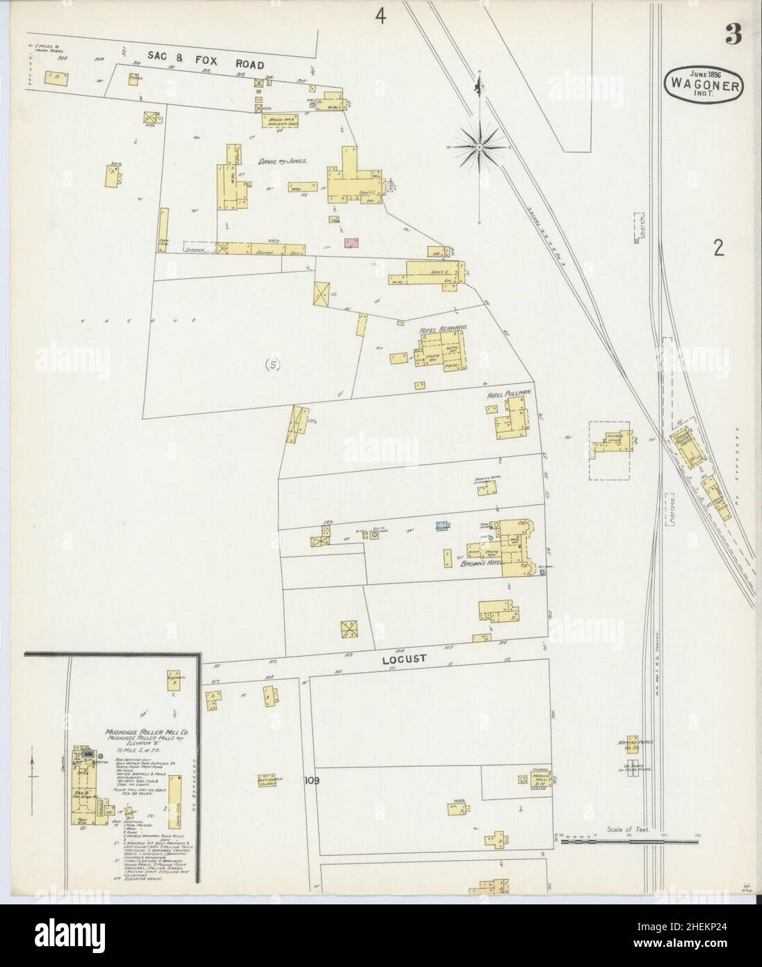 Sanborn Fire Insurance Map from Wagoner, Wagoner County, Oklahoma. Stock Photohttps://www.alamy.com/image-license-details/?v=1https://www.alamy.com/sanborn-fire-insurance-map-from-wagoner-wagoner-county-oklahoma-image456509148.html
RM2HEKP24–Sanborn Fire Insurance Map from Wagoner, Wagoner County, Oklahoma.
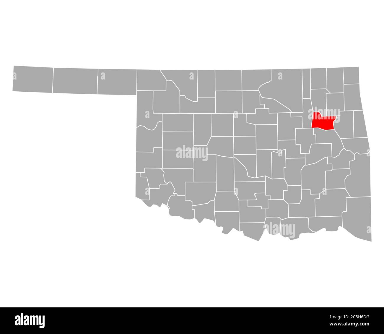 Map of Wagoner in Oklahoma Stock Photohttps://www.alamy.com/image-license-details/?v=1https://www.alamy.com/map-of-wagoner-in-oklahoma-image364869276.html
RF2C5H6DG–Map of Wagoner in Oklahoma
 H O Wagoner Stock Photohttps://www.alamy.com/image-license-details/?v=1https://www.alamy.com/stock-image-h-o-wagoner-162779017.html
RMKCR689–H O Wagoner
 Map of Wagoner in Oklahoma Stock Photohttps://www.alamy.com/image-license-details/?v=1https://www.alamy.com/map-of-wagoner-in-oklahoma-image443784149.html
RF2GP035W–Map of Wagoner in Oklahoma
 USGS TOPO Map Missouri MO Wagoner 20111209 TM Restoration Stock Photohttps://www.alamy.com/image-license-details/?v=1https://www.alamy.com/usgs-topo-map-missouri-mo-wagoner-20111209-tm-restoration-image333301137.html
RM2AA7501–USGS TOPO Map Missouri MO Wagoner 20111209 TM Restoration
 Muskogee and northeastern Oklahoma, including the counties of Muskogee, McIntosh, Wagoner, Cherokee, Sequoyah, Adair, Delaware, Mayes, Rogers, Washington, Nowata, Craig, and Ottawa (1922) Stock Photohttps://www.alamy.com/image-license-details/?v=1https://www.alamy.com/stock-photo-muskogee-and-northeastern-oklahoma-including-the-counties-of-muskogee-98662154.html
RMFMECGA–Muskogee and northeastern Oklahoma, including the counties of Muskogee, McIntosh, Wagoner, Cherokee, Sequoyah, Adair, Delaware, Mayes, Rogers, Washington, Nowata, Craig, and Ottawa (1922)
 Wagoner and Washita County, Oklahoma State (U.S. county, United States of America, USA, U.S., US) map vector illustration, scribble sketch map Stock Vectorhttps://www.alamy.com/image-license-details/?v=1https://www.alamy.com/wagoner-and-washita-county-oklahoma-state-us-county-united-states-of-america-usa-us-us-map-vector-illustration-scribble-sketch-map-image387126913.html
RF2DDR495–Wagoner and Washita County, Oklahoma State (U.S. county, United States of America, USA, U.S., US) map vector illustration, scribble sketch map
 Wagoner, Yavapai County, US, United States, Arizona, N 34 12' 49'', S 112 32' 8'', map, Cartascapes Map published in 2024. Explore Cartascapes, a map revealing Earth's diverse landscapes, cultures, and ecosystems. Journey through time and space, discovering the interconnectedness of our planet's past, present, and future. Stock Photohttps://www.alamy.com/image-license-details/?v=1https://www.alamy.com/wagoner-yavapai-county-us-united-states-arizona-n-34-12-49-s-112-32-8-map-cartascapes-map-published-in-2024-explore-cartascapes-a-map-revealing-earths-diverse-landscapes-cultures-and-ecosystems-journey-through-time-and-space-discovering-the-interconnectedness-of-our-planets-past-present-and-future-image621265108.html
RM2Y2N1YG–Wagoner, Yavapai County, US, United States, Arizona, N 34 12' 49'', S 112 32' 8'', map, Cartascapes Map published in 2024. Explore Cartascapes, a map revealing Earth's diverse landscapes, cultures, and ecosystems. Journey through time and space, discovering the interconnectedness of our planet's past, present, and future.
 Sanborn Fire Insurance Map from Wagoner, Wagoner County, Oklahoma. Stock Photohttps://www.alamy.com/image-license-details/?v=1https://www.alamy.com/sanborn-fire-insurance-map-from-wagoner-wagoner-county-oklahoma-image456509117.html
RM2HEKP11–Sanborn Fire Insurance Map from Wagoner, Wagoner County, Oklahoma.
 Map of Wagoner in Oklahoma Stock Photohttps://www.alamy.com/image-license-details/?v=1https://www.alamy.com/map-of-wagoner-in-oklahoma-image364180330.html
RF2C4DRMA–Map of Wagoner in Oklahoma
 Andrew Wagoner MET DP113896 Stock Photohttps://www.alamy.com/image-license-details/?v=1https://www.alamy.com/andrew-wagoner-met-dp113896-image155583397.html
RMK13C5W–Andrew Wagoner MET DP113896
 Map of Wagoner in Oklahoma Stock Photohttps://www.alamy.com/image-license-details/?v=1https://www.alamy.com/map-of-wagoner-in-oklahoma-image443866636.html
RF2GP3TBT–Map of Wagoner in Oklahoma
 USGS TOPO Map Arizona AZ Wagoner 315172 1950 62500 Restoration Stock Photohttps://www.alamy.com/image-license-details/?v=1https://www.alamy.com/usgs-topo-map-arizona-az-wagoner-315172-1950-62500-restoration-image242494595.html
RMT2EG97–USGS TOPO Map Arizona AZ Wagoner 315172 1950 62500 Restoration
 Muskogee and northeastern Oklahoma, including the counties of Muskogee, McIntosh, Wagoner, Cherokee, Sequoyah, Adair, Delaware, Mayes, Rogers, Washington, Nowata, Craig, and Ottawa (1922) Stock Photohttps://www.alamy.com/image-license-details/?v=1https://www.alamy.com/stock-photo-muskogee-and-northeastern-oklahoma-including-the-counties-of-muskogee-98662153.html
RMFMECG9–Muskogee and northeastern Oklahoma, including the counties of Muskogee, McIntosh, Wagoner, Cherokee, Sequoyah, Adair, Delaware, Mayes, Rogers, Washington, Nowata, Craig, and Ottawa (1922)
 Wagoner and Washita County, Oklahoma State (U.S. county, United States of America, USA, U.S., US) map vector illustration, scribble sketch map Stock Vectorhttps://www.alamy.com/image-license-details/?v=1https://www.alamy.com/wagoner-and-washita-county-oklahoma-state-us-county-united-states-of-america-usa-us-us-map-vector-illustration-scribble-sketch-map-image412855568.html
RF2EYK5DM–Wagoner and Washita County, Oklahoma State (U.S. county, United States of America, USA, U.S., US) map vector illustration, scribble sketch map
 Toppers, Wagoner County, US, United States, Oklahoma, N 35 58' 14'', S 95 18' 34'', map, Cartascapes Map published in 2024. Explore Cartascapes, a map revealing Earth's diverse landscapes, cultures, and ecosystems. Journey through time and space, discovering the interconnectedness of our planet's past, present, and future. Stock Photohttps://www.alamy.com/image-license-details/?v=1https://www.alamy.com/toppers-wagoner-county-us-united-states-oklahoma-n-35-58-14-s-95-18-34-map-cartascapes-map-published-in-2024-explore-cartascapes-a-map-revealing-earths-diverse-landscapes-cultures-and-ecosystems-journey-through-time-and-space-discovering-the-interconnectedness-of-our-planets-past-present-and-future-image621313964.html
RM2Y2R88C–Toppers, Wagoner County, US, United States, Oklahoma, N 35 58' 14'', S 95 18' 34'', map, Cartascapes Map published in 2024. Explore Cartascapes, a map revealing Earth's diverse landscapes, cultures, and ecosystems. Journey through time and space, discovering the interconnectedness of our planet's past, present, and future.
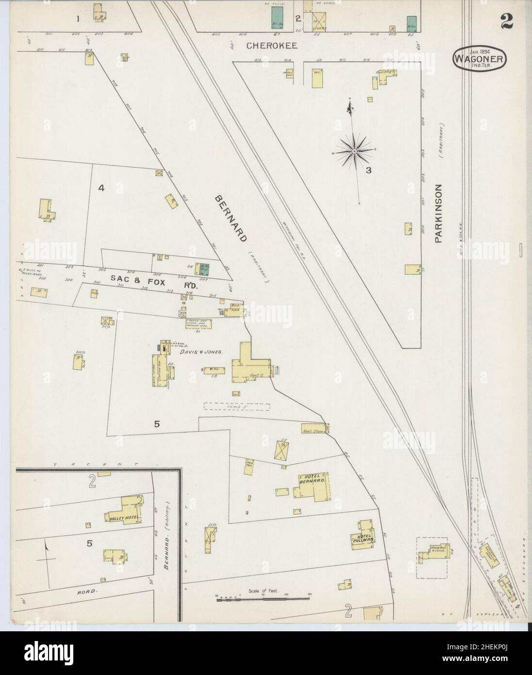 Sanborn Fire Insurance Map from Wagoner, Wagoner County, Oklahoma. Stock Photohttps://www.alamy.com/image-license-details/?v=1https://www.alamy.com/sanborn-fire-insurance-map-from-wagoner-wagoner-county-oklahoma-image456509106.html
RM2HEKP0J–Sanborn Fire Insurance Map from Wagoner, Wagoner County, Oklahoma.
 USGS TOPO Map Arizona AZ Wagoner 315170 1947 62500 Restoration Stock Photohttps://www.alamy.com/image-license-details/?v=1https://www.alamy.com/usgs-topo-map-arizona-az-wagoner-315170-1947-62500-restoration-image242494590.html
RMT2EG92–USGS TOPO Map Arizona AZ Wagoner 315170 1947 62500 Restoration
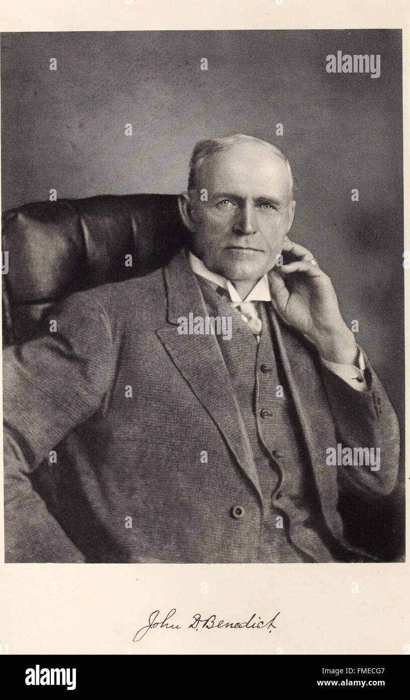 Muskogee and northeastern Oklahoma, including the counties of Muskogee, McIntosh, Wagoner, Cherokee, Sequoyah, Adair, Delaware, Mayes, Rogers, Washington, Nowata, Craig, and Ottawa (1922) Stock Photohttps://www.alamy.com/image-license-details/?v=1https://www.alamy.com/stock-photo-muskogee-and-northeastern-oklahoma-including-the-counties-of-muskogee-98662151.html
RMFMECG7–Muskogee and northeastern Oklahoma, including the counties of Muskogee, McIntosh, Wagoner, Cherokee, Sequoyah, Adair, Delaware, Mayes, Rogers, Washington, Nowata, Craig, and Ottawa (1922)
 Leliaetta, Wagoner County, US, United States, Oklahoma, N 36 1' 2'', S 95 22' 4'', map, Cartascapes Map published in 2024. Explore Cartascapes, a map revealing Earth's diverse landscapes, cultures, and ecosystems. Journey through time and space, discovering the interconnectedness of our planet's past, present, and future. Stock Photohttps://www.alamy.com/image-license-details/?v=1https://www.alamy.com/leliaetta-wagoner-county-us-united-states-oklahoma-n-36-1-2-s-95-22-4-map-cartascapes-map-published-in-2024-explore-cartascapes-a-map-revealing-earths-diverse-landscapes-cultures-and-ecosystems-journey-through-time-and-space-discovering-the-interconnectedness-of-our-planets-past-present-and-future-image621291727.html
RM2Y2P7X7–Leliaetta, Wagoner County, US, United States, Oklahoma, N 36 1' 2'', S 95 22' 4'', map, Cartascapes Map published in 2024. Explore Cartascapes, a map revealing Earth's diverse landscapes, cultures, and ecosystems. Journey through time and space, discovering the interconnectedness of our planet's past, present, and future.
 Sanborn Fire Insurance Map from Wagoner, Wagoner County, Oklahoma. Stock Photohttps://www.alamy.com/image-license-details/?v=1https://www.alamy.com/sanborn-fire-insurance-map-from-wagoner-wagoner-county-oklahoma-image456509122.html
RM2HEKP16–Sanborn Fire Insurance Map from Wagoner, Wagoner County, Oklahoma.
 USGS TOPO Map Arizona AZ Wagoner 315171 1950 62500 Restoration Stock Photohttps://www.alamy.com/image-license-details/?v=1https://www.alamy.com/usgs-topo-map-arizona-az-wagoner-315171-1950-62500-restoration-image242494593.html
RMT2EG95–USGS TOPO Map Arizona AZ Wagoner 315171 1950 62500 Restoration
 Muskogee and northeastern Oklahoma, including the counties of Muskogee, McIntosh, Wagoner, Cherokee, Sequoyah, Adair, Delaware, Mayes, Rogers, Washington, Nowata, Craig, and Ottawa (1922) Stock Photohttps://www.alamy.com/image-license-details/?v=1https://www.alamy.com/stock-photo-muskogee-and-northeastern-oklahoma-including-the-counties-of-muskogee-98662148.html
RMFMECG4–Muskogee and northeastern Oklahoma, including the counties of Muskogee, McIntosh, Wagoner, Cherokee, Sequoyah, Adair, Delaware, Mayes, Rogers, Washington, Nowata, Craig, and Ottawa (1922)
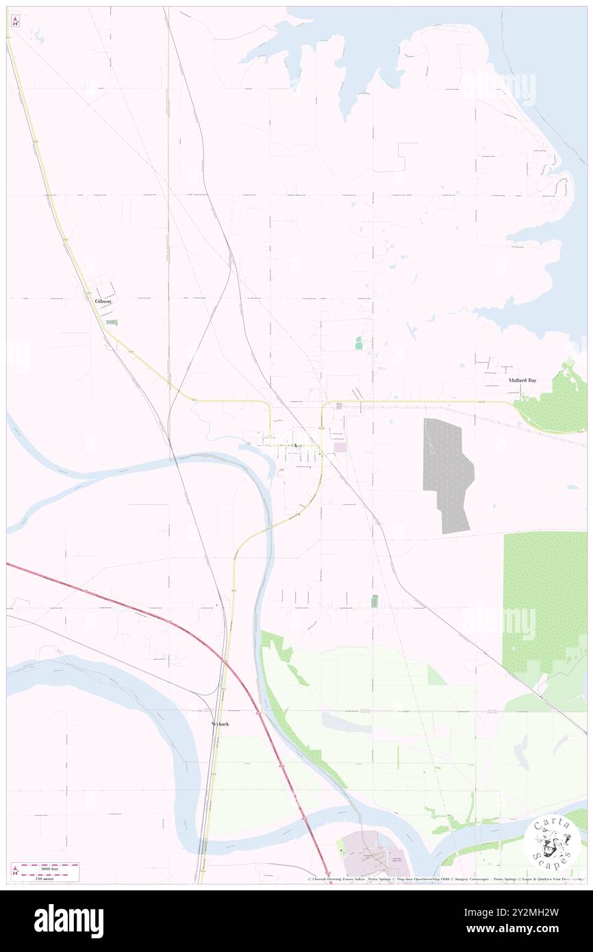 Okay, Wagoner County, US, United States, Oklahoma, N 35 51' 2'', S 95 19' 5'', map, Cartascapes Map published in 2024. Explore Cartascapes, a map revealing Earth's diverse landscapes, cultures, and ecosystems. Journey through time and space, discovering the interconnectedness of our planet's past, present, and future. Stock Photohttps://www.alamy.com/image-license-details/?v=1https://www.alamy.com/okay-wagoner-county-us-united-states-oklahoma-n-35-51-2-s-95-19-5-map-cartascapes-map-published-in-2024-explore-cartascapes-a-map-revealing-earths-diverse-landscapes-cultures-and-ecosystems-journey-through-time-and-space-discovering-the-interconnectedness-of-our-planets-past-present-and-future-image621255009.html
RM2Y2MH2W–Okay, Wagoner County, US, United States, Oklahoma, N 35 51' 2'', S 95 19' 5'', map, Cartascapes Map published in 2024. Explore Cartascapes, a map revealing Earth's diverse landscapes, cultures, and ecosystems. Journey through time and space, discovering the interconnectedness of our planet's past, present, and future.
 Sanborn Fire Insurance Map from Wagoner, Wagoner County, Oklahoma. Stock Photohttps://www.alamy.com/image-license-details/?v=1https://www.alamy.com/sanborn-fire-insurance-map-from-wagoner-wagoner-county-oklahoma-image456509141.html
RM2HEKP1W–Sanborn Fire Insurance Map from Wagoner, Wagoner County, Oklahoma.
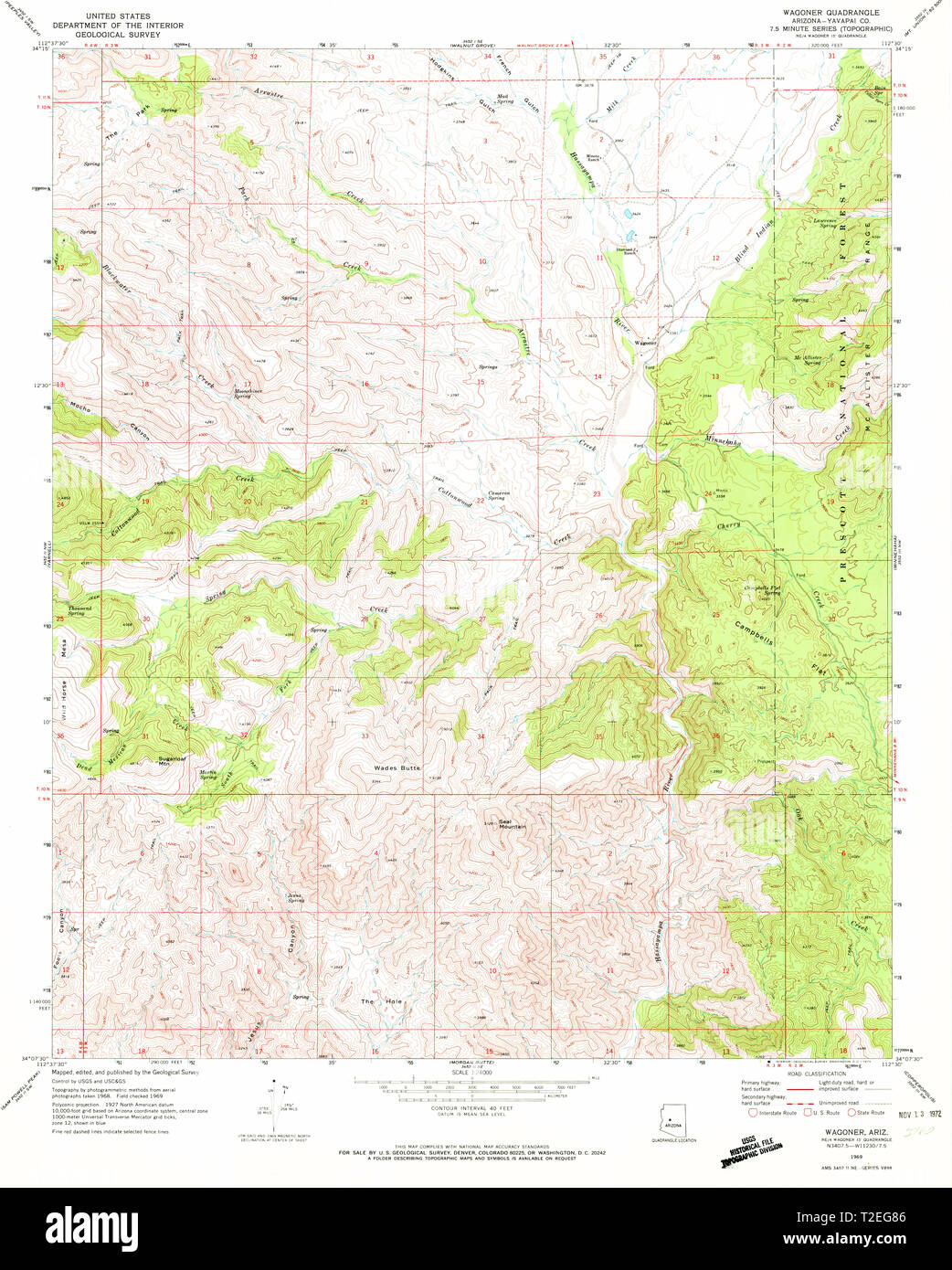 USGS TOPO Map Arizona AZ Wagoner 313957 1969 24000 Restoration Stock Photohttps://www.alamy.com/image-license-details/?v=1https://www.alamy.com/usgs-topo-map-arizona-az-wagoner-313957-1969-24000-restoration-image242494566.html
RMT2EG86–USGS TOPO Map Arizona AZ Wagoner 313957 1969 24000 Restoration
 Muskogee and northeastern Oklahoma, including the counties of Muskogee, McIntosh, Wagoner, Cherokee, Sequoyah, Adair, Delaware, Mayes, Rogers, Washington, Nowata, Craig, and Ottawa (1922) Stock Photohttps://www.alamy.com/image-license-details/?v=1https://www.alamy.com/stock-photo-muskogee-and-northeastern-oklahoma-including-the-counties-of-muskogee-98662155.html
RMFMECGB–Muskogee and northeastern Oklahoma, including the counties of Muskogee, McIntosh, Wagoner, Cherokee, Sequoyah, Adair, Delaware, Mayes, Rogers, Washington, Nowata, Craig, and Ottawa (1922)
 Wagoner, Cedar County, US, United States, Missouri, N 37 40' 14'', S 93 55' 31'', map, Cartascapes Map published in 2024. Explore Cartascapes, a map revealing Earth's diverse landscapes, cultures, and ecosystems. Journey through time and space, discovering the interconnectedness of our planet's past, present, and future. Stock Photohttps://www.alamy.com/image-license-details/?v=1https://www.alamy.com/wagoner-cedar-county-us-united-states-missouri-n-37-40-14-s-93-55-31-map-cartascapes-map-published-in-2024-explore-cartascapes-a-map-revealing-earths-diverse-landscapes-cultures-and-ecosystems-journey-through-time-and-space-discovering-the-interconnectedness-of-our-planets-past-present-and-future-image621455603.html
RM2Y31MXY–Wagoner, Cedar County, US, United States, Missouri, N 37 40' 14'', S 93 55' 31'', map, Cartascapes Map published in 2024. Explore Cartascapes, a map revealing Earth's diverse landscapes, cultures, and ecosystems. Journey through time and space, discovering the interconnectedness of our planet's past, present, and future.
 Sanborn Fire Insurance Map from Wagoner, Wagoner County, Oklahoma. Stock Photohttps://www.alamy.com/image-license-details/?v=1https://www.alamy.com/sanborn-fire-insurance-map-from-wagoner-wagoner-county-oklahoma-image456509116.html
RM2HEKP10–Sanborn Fire Insurance Map from Wagoner, Wagoner County, Oklahoma.
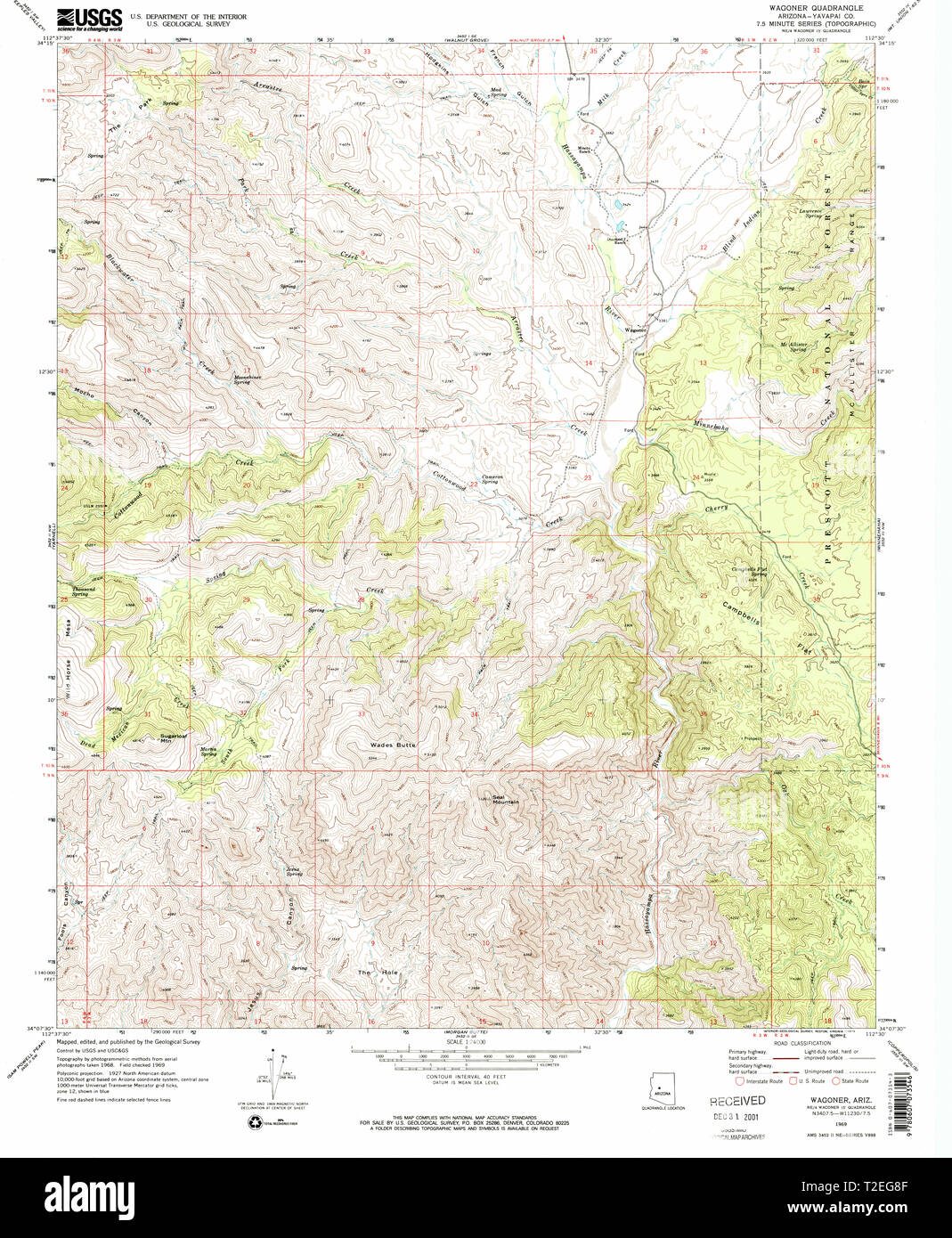 USGS TOPO Map Arizona AZ Wagoner 313958 1969 24000 Restoration Stock Photohttps://www.alamy.com/image-license-details/?v=1https://www.alamy.com/usgs-topo-map-arizona-az-wagoner-313958-1969-24000-restoration-image242494575.html
RMT2EG8F–USGS TOPO Map Arizona AZ Wagoner 313958 1969 24000 Restoration
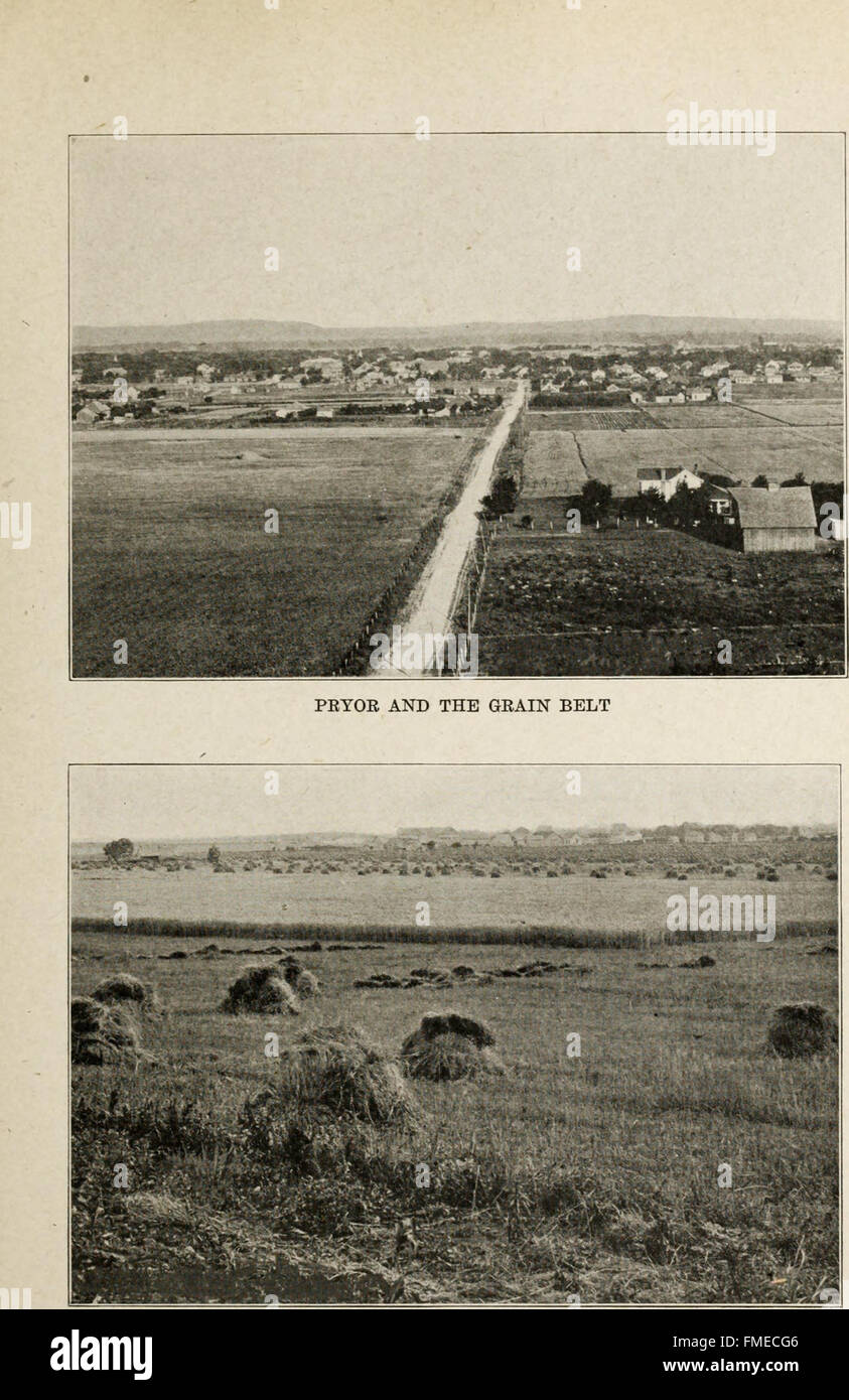 Muskogee and northeastern Oklahoma, including the counties of Muskogee, McIntosh, Wagoner, Cherokee, Sequoyah, Adair, Delaware, Mayes, Rogers, Washington, Nowata, Craig, and Ottawa (1922) Stock Photohttps://www.alamy.com/image-license-details/?v=1https://www.alamy.com/stock-photo-muskogee-and-northeastern-oklahoma-including-the-counties-of-muskogee-98662150.html
RMFMECG6–Muskogee and northeastern Oklahoma, including the counties of Muskogee, McIntosh, Wagoner, Cherokee, Sequoyah, Adair, Delaware, Mayes, Rogers, Washington, Nowata, Craig, and Ottawa (1922)
 Stonebluff, Wagoner County, US, United States, Oklahoma, N 35 53' 9'', S 95 44' 12'', map, Cartascapes Map published in 2024. Explore Cartascapes, a map revealing Earth's diverse landscapes, cultures, and ecosystems. Journey through time and space, discovering the interconnectedness of our planet's past, present, and future. Stock Photohttps://www.alamy.com/image-license-details/?v=1https://www.alamy.com/stonebluff-wagoner-county-us-united-states-oklahoma-n-35-53-9-s-95-44-12-map-cartascapes-map-published-in-2024-explore-cartascapes-a-map-revealing-earths-diverse-landscapes-cultures-and-ecosystems-journey-through-time-and-space-discovering-the-interconnectedness-of-our-planets-past-present-and-future-image621240735.html
RM2Y2KXW3–Stonebluff, Wagoner County, US, United States, Oklahoma, N 35 53' 9'', S 95 44' 12'', map, Cartascapes Map published in 2024. Explore Cartascapes, a map revealing Earth's diverse landscapes, cultures, and ecosystems. Journey through time and space, discovering the interconnectedness of our planet's past, present, and future.
 Sanborn Fire Insurance Map from Wagoner, Wagoner County, Oklahoma. Stock Photohttps://www.alamy.com/image-license-details/?v=1https://www.alamy.com/sanborn-fire-insurance-map-from-wagoner-wagoner-county-oklahoma-image456509137.html
RM2HEKP1N–Sanborn Fire Insurance Map from Wagoner, Wagoner County, Oklahoma.
 USGS TOPO Map Arizona AZ Wagoner 20120518 TM Inverted Restoration Stock Photohttps://www.alamy.com/image-license-details/?v=1https://www.alamy.com/usgs-topo-map-arizona-az-wagoner-20120518-tm-inverted-restoration-image242494558.html
RMT2EG7X–USGS TOPO Map Arizona AZ Wagoner 20120518 TM Inverted Restoration
 Muskogee and northeastern Oklahoma, including the counties of Muskogee, McIntosh, Wagoner, Cherokee, Sequoyah, Adair, Delaware, Mayes, Rogers, Washington, Nowata, Craig, and Ottawa (1922) Stock Photohttps://www.alamy.com/image-license-details/?v=1https://www.alamy.com/stock-photo-muskogee-and-northeastern-oklahoma-including-the-counties-of-muskogee-98662169.html
RMFMECGW–Muskogee and northeastern Oklahoma, including the counties of Muskogee, McIntosh, Wagoner, Cherokee, Sequoyah, Adair, Delaware, Mayes, Rogers, Washington, Nowata, Craig, and Ottawa (1922)
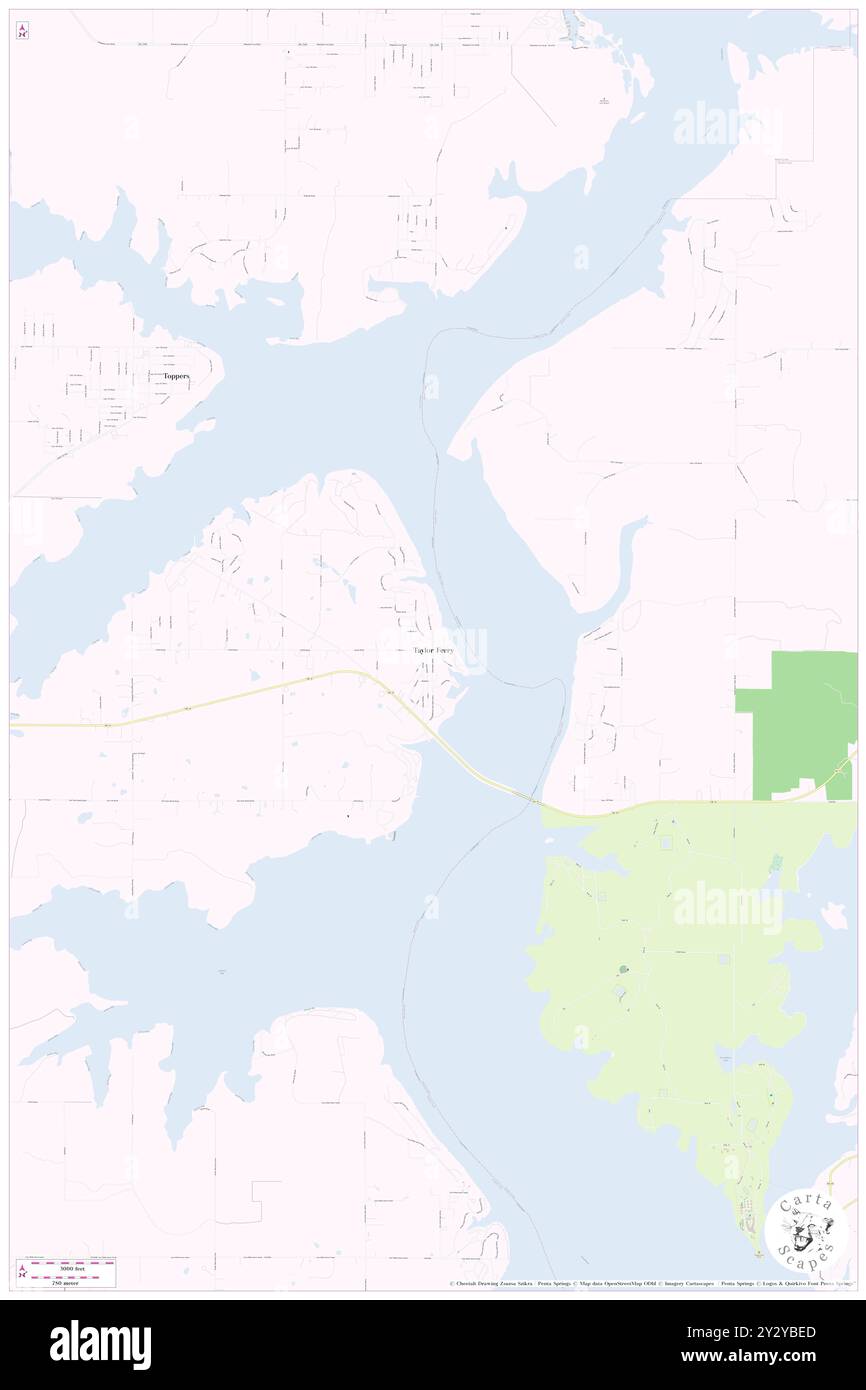 Taylor Ferry, Wagoner County, US, United States, Oklahoma, N 35 56' 39'', S 95 16' 44'', map, Cartascapes Map published in 2024. Explore Cartascapes, a map revealing Earth's diverse landscapes, cultures, and ecosystems. Journey through time and space, discovering the interconnectedness of our planet's past, present, and future. Stock Photohttps://www.alamy.com/image-license-details/?v=1https://www.alamy.com/taylor-ferry-wagoner-county-us-united-states-oklahoma-n-35-56-39-s-95-16-44-map-cartascapes-map-published-in-2024-explore-cartascapes-a-map-revealing-earths-diverse-landscapes-cultures-and-ecosystems-journey-through-time-and-space-discovering-the-interconnectedness-of-our-planets-past-present-and-future-image621404293.html
RM2Y2YBED–Taylor Ferry, Wagoner County, US, United States, Oklahoma, N 35 56' 39'', S 95 16' 44'', map, Cartascapes Map published in 2024. Explore Cartascapes, a map revealing Earth's diverse landscapes, cultures, and ecosystems. Journey through time and space, discovering the interconnectedness of our planet's past, present, and future.
 Sanborn Fire Insurance Map from Wagoner, Wagoner County, Oklahoma. Stock Photohttps://www.alamy.com/image-license-details/?v=1https://www.alamy.com/sanborn-fire-insurance-map-from-wagoner-wagoner-county-oklahoma-image456509147.html
RM2HEKP23–Sanborn Fire Insurance Map from Wagoner, Wagoner County, Oklahoma.
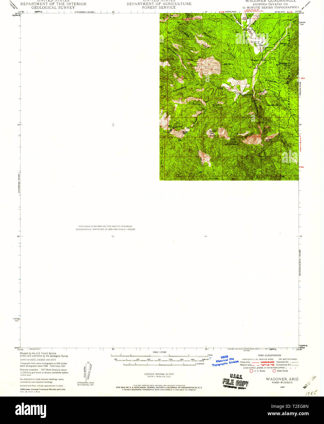 USGS TOPO Map Arizona AZ Wagoner 315169 1947 62500 Restoration Stock Photohttps://www.alamy.com/image-license-details/?v=1https://www.alamy.com/usgs-topo-map-arizona-az-wagoner-315169-1947-62500-restoration-image242494581.html
RMT2EG8N–USGS TOPO Map Arizona AZ Wagoner 315169 1947 62500 Restoration
 Muskogee and northeastern Oklahoma, including the counties of Muskogee, McIntosh, Wagoner, Cherokee, Sequoyah, Adair, Delaware, Mayes, Rogers, Washington, Nowata, Craig, and Ottawa (1922) Stock Photohttps://www.alamy.com/image-license-details/?v=1https://www.alamy.com/stock-photo-muskogee-and-northeastern-oklahoma-including-the-counties-of-muskogee-98662164.html
RMFMECGM–Muskogee and northeastern Oklahoma, including the counties of Muskogee, McIntosh, Wagoner, Cherokee, Sequoyah, Adair, Delaware, Mayes, Rogers, Washington, Nowata, Craig, and Ottawa (1922)
 Wagoner (historical), Pike County, US, United States, Kentucky, N 37 31' 31'', S 82 34' 42'', map, Cartascapes Map published in 2024. Explore Cartascapes, a map revealing Earth's diverse landscapes, cultures, and ecosystems. Journey through time and space, discovering the interconnectedness of our planet's past, present, and future. Stock Photohttps://www.alamy.com/image-license-details/?v=1https://www.alamy.com/wagoner-historical-pike-county-us-united-states-kentucky-n-37-31-31-s-82-34-42-map-cartascapes-map-published-in-2024-explore-cartascapes-a-map-revealing-earths-diverse-landscapes-cultures-and-ecosystems-journey-through-time-and-space-discovering-the-interconnectedness-of-our-planets-past-present-and-future-image621371659.html
RM2Y2WWTY–Wagoner (historical), Pike County, US, United States, Kentucky, N 37 31' 31'', S 82 34' 42'', map, Cartascapes Map published in 2024. Explore Cartascapes, a map revealing Earth's diverse landscapes, cultures, and ecosystems. Journey through time and space, discovering the interconnectedness of our planet's past, present, and future.
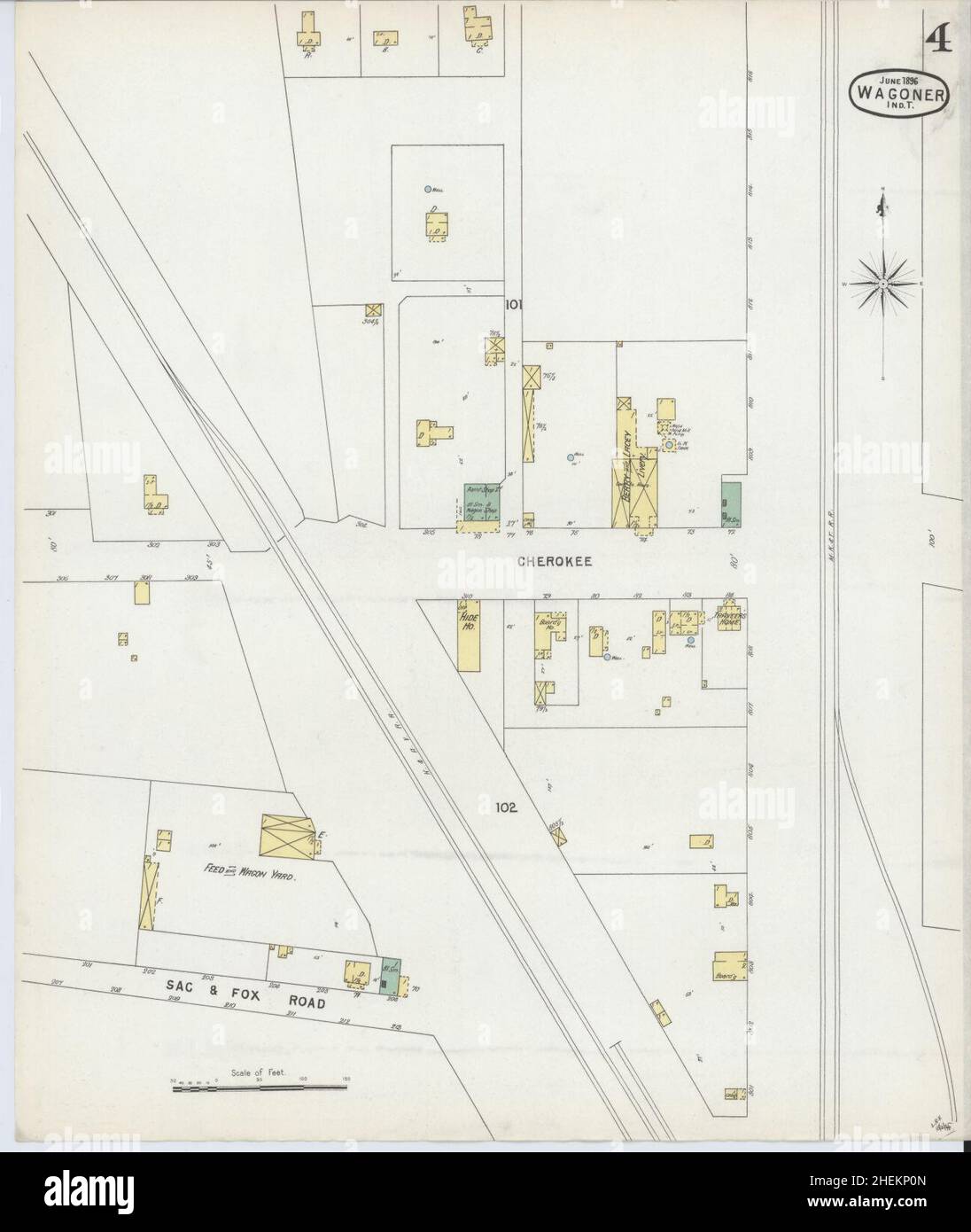 Sanborn Fire Insurance Map from Wagoner, Wagoner County, Oklahoma. Stock Photohttps://www.alamy.com/image-license-details/?v=1https://www.alamy.com/sanborn-fire-insurance-map-from-wagoner-wagoner-county-oklahoma-image456509109.html
RM2HEKP0N–Sanborn Fire Insurance Map from Wagoner, Wagoner County, Oklahoma.
 USGS TOPO Map Oklahoma OK Wagoner East 20100131 TM Restoration Stock Photohttps://www.alamy.com/image-license-details/?v=1https://www.alamy.com/usgs-topo-map-oklahoma-ok-wagoner-east-20100131-tm-restoration-image334315653.html
RM2ABWB0N–USGS TOPO Map Oklahoma OK Wagoner East 20100131 TM Restoration
 Muskogee and northeastern Oklahoma, including the counties of Muskogee, McIntosh, Wagoner, Cherokee, Sequoyah, Adair, Delaware, Mayes, Rogers, Washington, Nowata, Craig, and Ottawa (1922) Stock Photohttps://www.alamy.com/image-license-details/?v=1https://www.alamy.com/stock-photo-muskogee-and-northeastern-oklahoma-including-the-counties-of-muskogee-101168592.html
RMFTGHG0–Muskogee and northeastern Oklahoma, including the counties of Muskogee, McIntosh, Wagoner, Cherokee, Sequoyah, Adair, Delaware, Mayes, Rogers, Washington, Nowata, Craig, and Ottawa (1922)
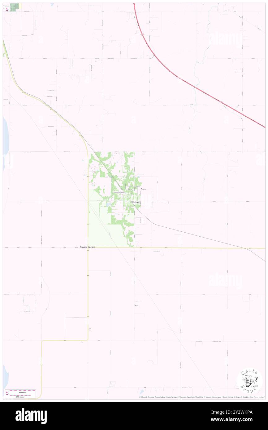 Red Bird, Wagoner County, US, United States, Oklahoma, N 35 53' 8'', S 95 35' 19'', map, Cartascapes Map published in 2024. Explore Cartascapes, a map revealing Earth's diverse landscapes, cultures, and ecosystems. Journey through time and space, discovering the interconnectedness of our planet's past, present, and future. Stock Photohttps://www.alamy.com/image-license-details/?v=1https://www.alamy.com/red-bird-wagoner-county-us-united-states-oklahoma-n-35-53-8-s-95-35-19-map-cartascapes-map-published-in-2024-explore-cartascapes-a-map-revealing-earths-diverse-landscapes-cultures-and-ecosystems-journey-through-time-and-space-discovering-the-interconnectedness-of-our-planets-past-present-and-future-image621366882.html
RM2Y2WKPA–Red Bird, Wagoner County, US, United States, Oklahoma, N 35 53' 8'', S 95 35' 19'', map, Cartascapes Map published in 2024. Explore Cartascapes, a map revealing Earth's diverse landscapes, cultures, and ecosystems. Journey through time and space, discovering the interconnectedness of our planet's past, present, and future.
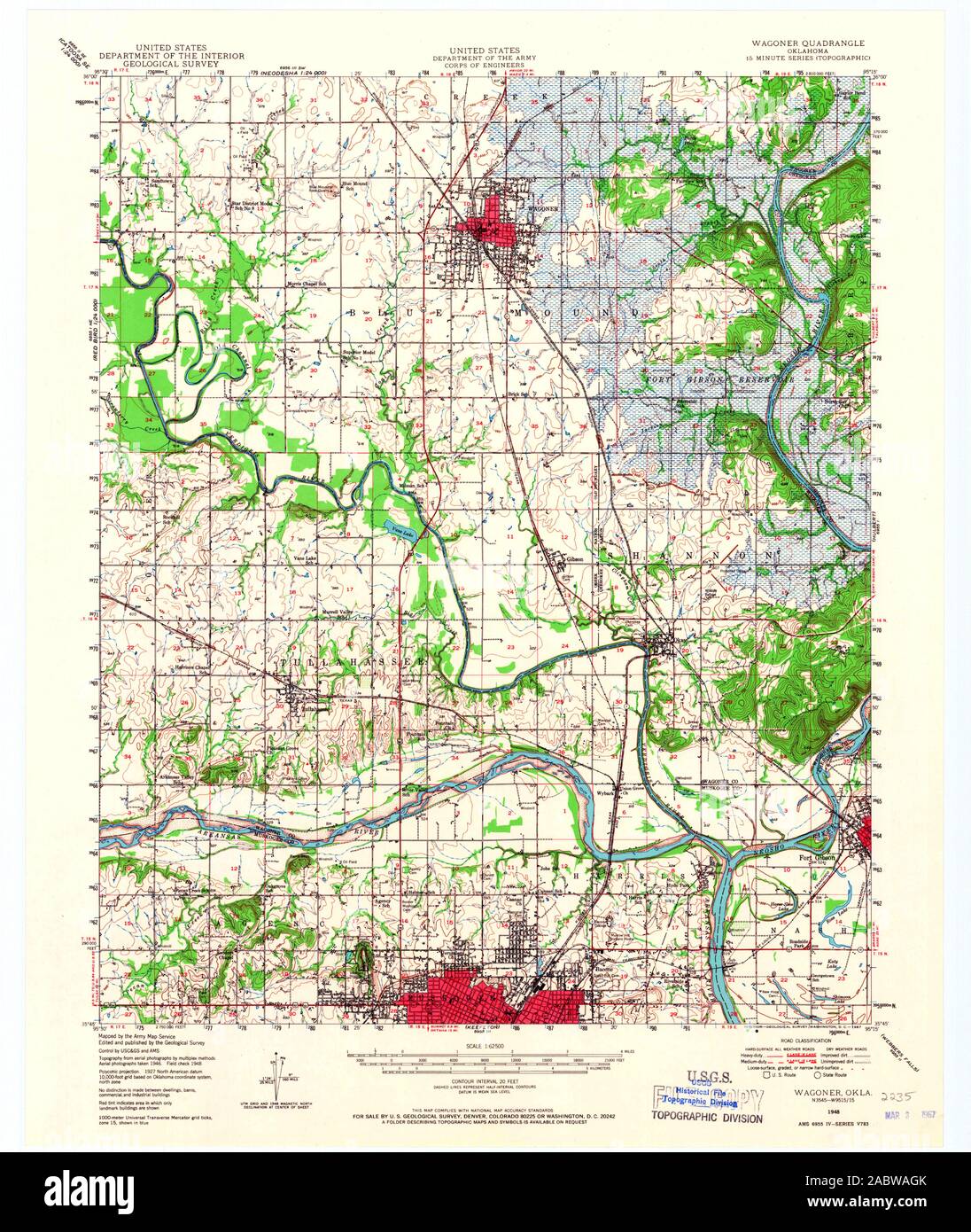 USGS TOPO Map Oklahoma OK Wagoner 801085 1948 62500 Restoration Stock Photohttps://www.alamy.com/image-license-details/?v=1https://www.alamy.com/usgs-topo-map-oklahoma-ok-wagoner-801085-1948-62500-restoration-image334315315.html
RM2ABWAGK–USGS TOPO Map Oklahoma OK Wagoner 801085 1948 62500 Restoration
 Muskogee and northeastern Oklahoma, including the counties of Muskogee, McIntosh, Wagoner, Cherokee, Sequoyah, Adair, Delaware, Mayes, Rogers, Washington, Nowata, Craig, and Ottawa (1922) Stock Photohttps://www.alamy.com/image-license-details/?v=1https://www.alamy.com/stock-photo-muskogee-and-northeastern-oklahoma-including-the-counties-of-muskogee-98662149.html
RMFMECG5–Muskogee and northeastern Oklahoma, including the counties of Muskogee, McIntosh, Wagoner, Cherokee, Sequoyah, Adair, Delaware, Mayes, Rogers, Washington, Nowata, Craig, and Ottawa (1922)
 Wagoner, Ashe County, US, United States, North Carolina, N 36 24' 6'', S 81 23' 11'', map, Cartascapes Map published in 2024. Explore Cartascapes, a map revealing Earth's diverse landscapes, cultures, and ecosystems. Journey through time and space, discovering the interconnectedness of our planet's past, present, and future. Stock Photohttps://www.alamy.com/image-license-details/?v=1https://www.alamy.com/wagoner-ashe-county-us-united-states-north-carolina-n-36-24-6-s-81-23-11-map-cartascapes-map-published-in-2024-explore-cartascapes-a-map-revealing-earths-diverse-landscapes-cultures-and-ecosystems-journey-through-time-and-space-discovering-the-interconnectedness-of-our-planets-past-present-and-future-image621470579.html
RM2Y32C1R–Wagoner, Ashe County, US, United States, North Carolina, N 36 24' 6'', S 81 23' 11'', map, Cartascapes Map published in 2024. Explore Cartascapes, a map revealing Earth's diverse landscapes, cultures, and ecosystems. Journey through time and space, discovering the interconnectedness of our planet's past, present, and future.
 USGS TOPO Map Oklahoma OK Wagoner West 20100114 TM Restoration Stock Photohttps://www.alamy.com/image-license-details/?v=1https://www.alamy.com/usgs-topo-map-oklahoma-ok-wagoner-west-20100114-tm-restoration-image334316804.html
RM2ABWCDT–USGS TOPO Map Oklahoma OK Wagoner West 20100114 TM Restoration
 Muskogee and northeastern Oklahoma, including the counties of Muskogee, McIntosh, Wagoner, Cherokee, Sequoyah, Adair, Delaware, Mayes, Rogers, Washington, Nowata, Craig, and Ottawa (1922) Stock Photohttps://www.alamy.com/image-license-details/?v=1https://www.alamy.com/stock-photo-muskogee-and-northeastern-oklahoma-including-the-counties-of-muskogee-98662159.html
RMFMECGF–Muskogee and northeastern Oklahoma, including the counties of Muskogee, McIntosh, Wagoner, Cherokee, Sequoyah, Adair, Delaware, Mayes, Rogers, Washington, Nowata, Craig, and Ottawa (1922)
 New Tulsa, Wagoner County, US, United States, Oklahoma, N 36 4' 30'', S 95 40' 21'', map, Cartascapes Map published in 2024. Explore Cartascapes, a map revealing Earth's diverse landscapes, cultures, and ecosystems. Journey through time and space, discovering the interconnectedness of our planet's past, present, and future. Stock Photohttps://www.alamy.com/image-license-details/?v=1https://www.alamy.com/new-tulsa-wagoner-county-us-united-states-oklahoma-n-36-4-30-s-95-40-21-map-cartascapes-map-published-in-2024-explore-cartascapes-a-map-revealing-earths-diverse-landscapes-cultures-and-ecosystems-journey-through-time-and-space-discovering-the-interconnectedness-of-our-planets-past-present-and-future-image621364274.html
RM2Y2WGD6–New Tulsa, Wagoner County, US, United States, Oklahoma, N 36 4' 30'', S 95 40' 21'', map, Cartascapes Map published in 2024. Explore Cartascapes, a map revealing Earth's diverse landscapes, cultures, and ecosystems. Journey through time and space, discovering the interconnectedness of our planet's past, present, and future.
 USGS TOPO Map Missouri MO Wagoner 324420 1956 24000 Restoration Stock Photohttps://www.alamy.com/image-license-details/?v=1https://www.alamy.com/usgs-topo-map-missouri-mo-wagoner-324420-1956-24000-restoration-image333301213.html
RM2AA752N–USGS TOPO Map Missouri MO Wagoner 324420 1956 24000 Restoration
 Muskogee and northeastern Oklahoma, including the counties of Muskogee, McIntosh, Wagoner, Cherokee, Sequoyah, Adair, Delaware, Mayes, Rogers, Washington, Nowata, Craig, and Ottawa (1922) Stock Photohttps://www.alamy.com/image-license-details/?v=1https://www.alamy.com/stock-photo-muskogee-and-northeastern-oklahoma-including-the-counties-of-muskogee-98662165.html
RMFMECGN–Muskogee and northeastern Oklahoma, including the counties of Muskogee, McIntosh, Wagoner, Cherokee, Sequoyah, Adair, Delaware, Mayes, Rogers, Washington, Nowata, Craig, and Ottawa (1922)
 Mallard Bay, Wagoner County, US, United States, Oklahoma, N 35 51' 35'', S 95 16' 44'', map, Cartascapes Map published in 2024. Explore Cartascapes, a map revealing Earth's diverse landscapes, cultures, and ecosystems. Journey through time and space, discovering the interconnectedness of our planet's past, present, and future. Stock Photohttps://www.alamy.com/image-license-details/?v=1https://www.alamy.com/mallard-bay-wagoner-county-us-united-states-oklahoma-n-35-51-35-s-95-16-44-map-cartascapes-map-published-in-2024-explore-cartascapes-a-map-revealing-earths-diverse-landscapes-cultures-and-ecosystems-journey-through-time-and-space-discovering-the-interconnectedness-of-our-planets-past-present-and-future-image621174937.html
RM2Y2GXY5–Mallard Bay, Wagoner County, US, United States, Oklahoma, N 35 51' 35'', S 95 16' 44'', map, Cartascapes Map published in 2024. Explore Cartascapes, a map revealing Earth's diverse landscapes, cultures, and ecosystems. Journey through time and space, discovering the interconnectedness of our planet's past, present, and future.
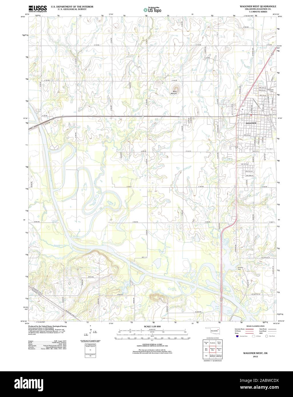 USGS TOPO Map Oklahoma OK Wagoner West 20121108 TM Restoration Stock Photohttps://www.alamy.com/image-license-details/?v=1https://www.alamy.com/usgs-topo-map-oklahoma-ok-wagoner-west-20121108-tm-restoration-image334316806.html
RM2ABWCDX–USGS TOPO Map Oklahoma OK Wagoner West 20121108 TM Restoration
 Muskogee and northeastern Oklahoma, including the counties of Muskogee, McIntosh, Wagoner, Cherokee, Sequoyah, Adair, Delaware, Mayes, Rogers, Washington, Nowata, Craig, and Ottawa (1922) Stock Photohttps://www.alamy.com/image-license-details/?v=1https://www.alamy.com/stock-photo-muskogee-and-northeastern-oklahoma-including-the-counties-of-muskogee-98662157.html
RMFMECGD–Muskogee and northeastern Oklahoma, including the counties of Muskogee, McIntosh, Wagoner, Cherokee, Sequoyah, Adair, Delaware, Mayes, Rogers, Washington, Nowata, Craig, and Ottawa (1922)
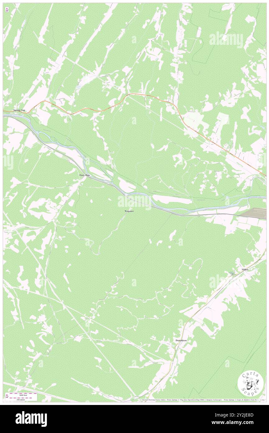 Wagoner, Mineral County, US, United States, West Virginia, N 39 32' 17'', S 78 40' 20'', map, Cartascapes Map published in 2024. Explore Cartascapes, a map revealing Earth's diverse landscapes, cultures, and ecosystems. Journey through time and space, discovering the interconnectedness of our planet's past, present, and future. Stock Photohttps://www.alamy.com/image-license-details/?v=1https://www.alamy.com/wagoner-mineral-county-us-united-states-west-virginia-n-39-32-17-s-78-40-20-map-cartascapes-map-published-in-2024-explore-cartascapes-a-map-revealing-earths-diverse-landscapes-cultures-and-ecosystems-journey-through-time-and-space-discovering-the-interconnectedness-of-our-planets-past-present-and-future-image621208909.html
RM2Y2JE8D–Wagoner, Mineral County, US, United States, West Virginia, N 39 32' 17'', S 78 40' 20'', map, Cartascapes Map published in 2024. Explore Cartascapes, a map revealing Earth's diverse landscapes, cultures, and ecosystems. Journey through time and space, discovering the interconnectedness of our planet's past, present, and future.
 USGS TOPO Map Missouri MO Wagoner 324421 1956 24000 Restoration Stock Photohttps://www.alamy.com/image-license-details/?v=1https://www.alamy.com/usgs-topo-map-missouri-mo-wagoner-324421-1956-24000-restoration-image333301215.html
RM2AA752R–USGS TOPO Map Missouri MO Wagoner 324421 1956 24000 Restoration
 Muskogee and northeastern Oklahoma, including the counties of Muskogee, McIntosh, Wagoner, Cherokee, Sequoyah, Adair, Delaware, Mayes, Rogers, Washington, Nowata, Craig, and Ottawa (1922) Stock Photohttps://www.alamy.com/image-license-details/?v=1https://www.alamy.com/stock-photo-muskogee-and-northeastern-oklahoma-including-the-counties-of-muskogee-98662156.html
RMFMECGC–Muskogee and northeastern Oklahoma, including the counties of Muskogee, McIntosh, Wagoner, Cherokee, Sequoyah, Adair, Delaware, Mayes, Rogers, Washington, Nowata, Craig, and Ottawa (1922)
 Wagoner, Yadkin County, US, United States, North Carolina, N 36 9' 25'', S 80 47' 39'', map, Cartascapes Map published in 2024. Explore Cartascapes, a map revealing Earth's diverse landscapes, cultures, and ecosystems. Journey through time and space, discovering the interconnectedness of our planet's past, present, and future. Stock Photohttps://www.alamy.com/image-license-details/?v=1https://www.alamy.com/wagoner-yadkin-county-us-united-states-north-carolina-n-36-9-25-s-80-47-39-map-cartascapes-map-published-in-2024-explore-cartascapes-a-map-revealing-earths-diverse-landscapes-cultures-and-ecosystems-journey-through-time-and-space-discovering-the-interconnectedness-of-our-planets-past-present-and-future-image621251288.html
RM2Y2MCA0–Wagoner, Yadkin County, US, United States, North Carolina, N 36 9' 25'', S 80 47' 39'', map, Cartascapes Map published in 2024. Explore Cartascapes, a map revealing Earth's diverse landscapes, cultures, and ecosystems. Journey through time and space, discovering the interconnectedness of our planet's past, present, and future.
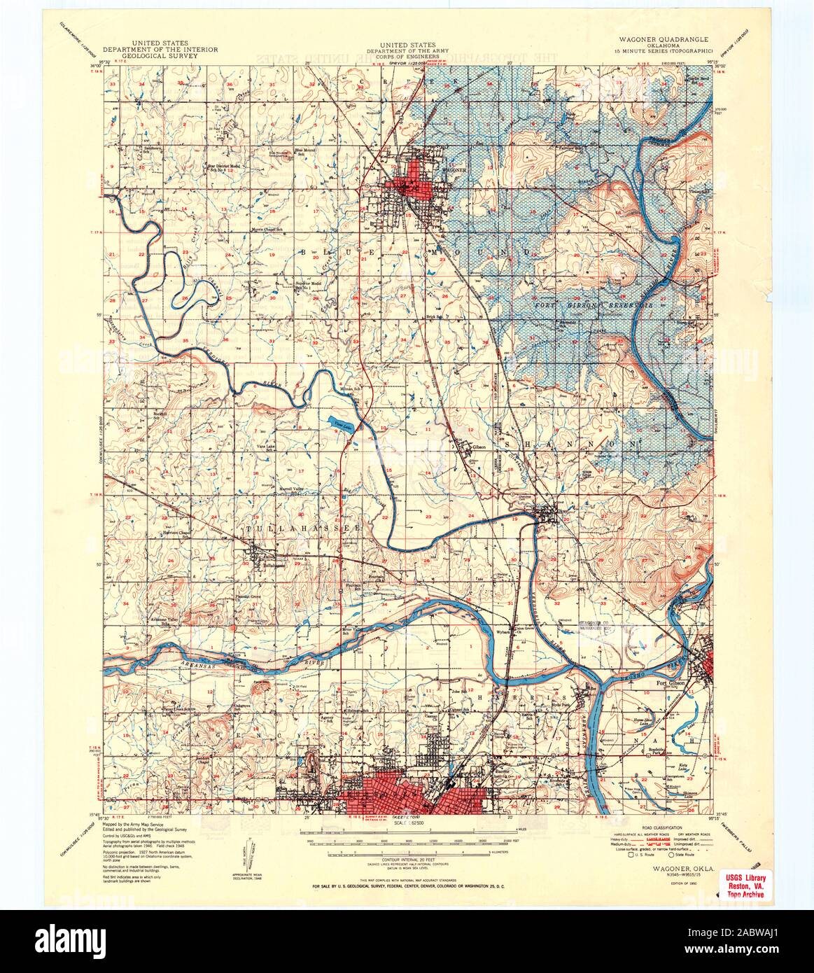 USGS TOPO Map Oklahoma OK Wagoner 802441 1950 62500 Restoration Stock Photohttps://www.alamy.com/image-license-details/?v=1https://www.alamy.com/usgs-topo-map-oklahoma-ok-wagoner-802441-1950-62500-restoration-image334315353.html
RM2ABWAJ1–USGS TOPO Map Oklahoma OK Wagoner 802441 1950 62500 Restoration
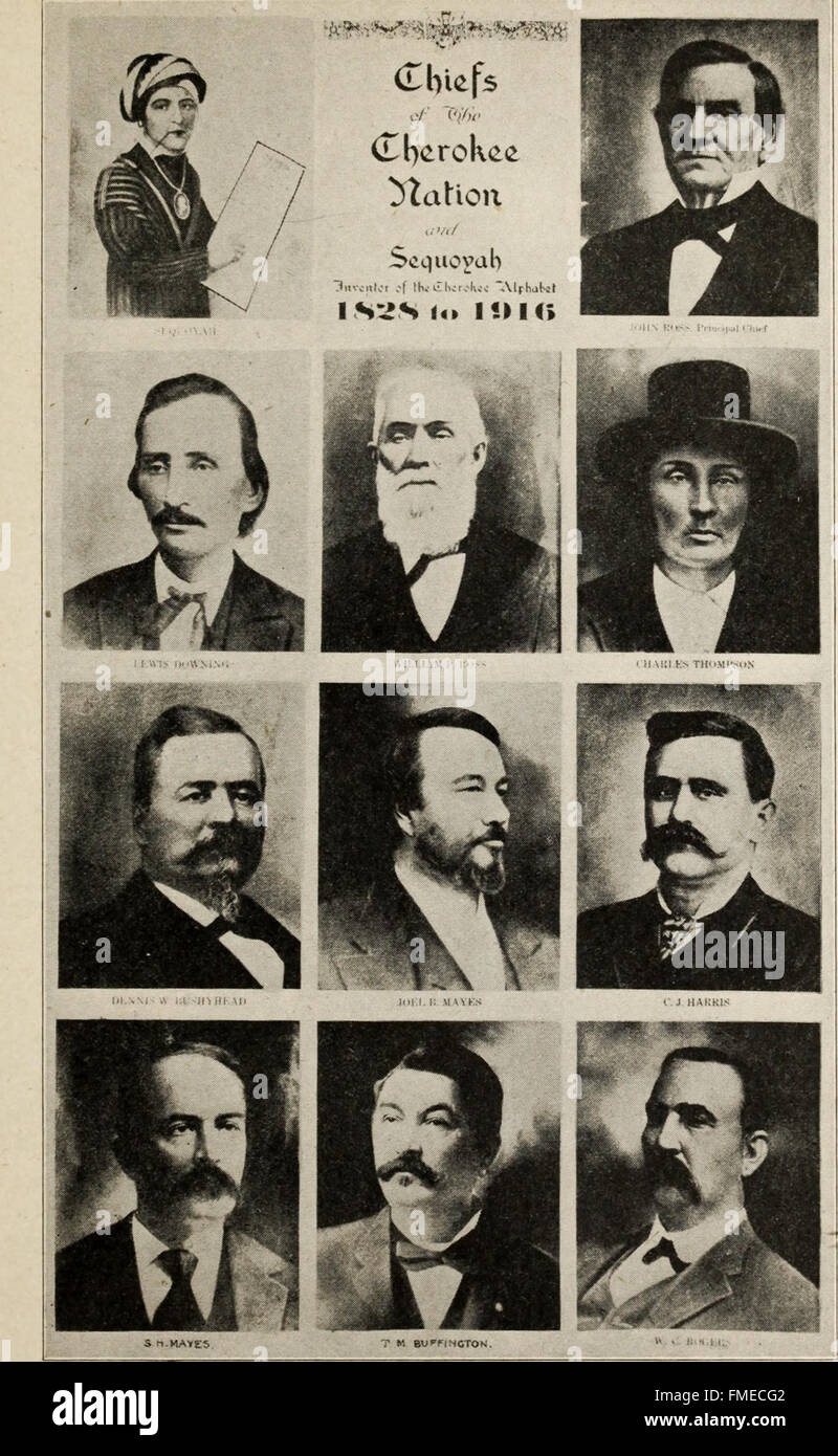 Muskogee and northeastern Oklahoma, including the counties of Muskogee, McIntosh, Wagoner, Cherokee, Sequoyah, Adair, Delaware, Mayes, Rogers, Washington, Nowata, Craig, and Ottawa (1922) Stock Photohttps://www.alamy.com/image-license-details/?v=1https://www.alamy.com/stock-photo-muskogee-and-northeastern-oklahoma-including-the-counties-of-muskogee-98662146.html
RMFMECG2–Muskogee and northeastern Oklahoma, including the counties of Muskogee, McIntosh, Wagoner, Cherokee, Sequoyah, Adair, Delaware, Mayes, Rogers, Washington, Nowata, Craig, and Ottawa (1922)
 Fair Oaks, Wagoner County, US, United States, Oklahoma, N 36 9' 59'', S 95 41' 39'', map, Cartascapes Map published in 2024. Explore Cartascapes, a map revealing Earth's diverse landscapes, cultures, and ecosystems. Journey through time and space, discovering the interconnectedness of our planet's past, present, and future. Stock Photohttps://www.alamy.com/image-license-details/?v=1https://www.alamy.com/fair-oaks-wagoner-county-us-united-states-oklahoma-n-36-9-59-s-95-41-39-map-cartascapes-map-published-in-2024-explore-cartascapes-a-map-revealing-earths-diverse-landscapes-cultures-and-ecosystems-journey-through-time-and-space-discovering-the-interconnectedness-of-our-planets-past-present-and-future-image621337461.html
RM2Y2TA7H–Fair Oaks, Wagoner County, US, United States, Oklahoma, N 36 9' 59'', S 95 41' 39'', map, Cartascapes Map published in 2024. Explore Cartascapes, a map revealing Earth's diverse landscapes, cultures, and ecosystems. Journey through time and space, discovering the interconnectedness of our planet's past, present, and future.
 USGS TOPO Map Oklahoma OK Wagoner East 20121127 TM Restoration Stock Photohttps://www.alamy.com/image-license-details/?v=1https://www.alamy.com/usgs-topo-map-oklahoma-ok-wagoner-east-20121127-tm-restoration-image334315661.html
RM2ABWB11–USGS TOPO Map Oklahoma OK Wagoner East 20121127 TM Restoration
 Muskogee and northeastern Oklahoma, including the counties of Muskogee, McIntosh, Wagoner, Cherokee, Sequoyah, Adair, Delaware, Mayes, Rogers, Washington, Nowata, Craig, and Ottawa (1922) Stock Photohttps://www.alamy.com/image-license-details/?v=1https://www.alamy.com/stock-photo-muskogee-and-northeastern-oklahoma-including-the-counties-of-muskogee-98662168.html
RMFMECGT–Muskogee and northeastern Oklahoma, including the counties of Muskogee, McIntosh, Wagoner, Cherokee, Sequoyah, Adair, Delaware, Mayes, Rogers, Washington, Nowata, Craig, and Ottawa (1922)
 Rocky Point, Wagoner County, US, United States, Oklahoma, N 36 1' 42'', S 95 19' 40'', map, Cartascapes Map published in 2024. Explore Cartascapes, a map revealing Earth's diverse landscapes, cultures, and ecosystems. Journey through time and space, discovering the interconnectedness of our planet's past, present, and future. Stock Photohttps://www.alamy.com/image-license-details/?v=1https://www.alamy.com/rocky-point-wagoner-county-us-united-states-oklahoma-n-36-1-42-s-95-19-40-map-cartascapes-map-published-in-2024-explore-cartascapes-a-map-revealing-earths-diverse-landscapes-cultures-and-ecosystems-journey-through-time-and-space-discovering-the-interconnectedness-of-our-planets-past-present-and-future-image621457493.html
RM2Y31RAD–Rocky Point, Wagoner County, US, United States, Oklahoma, N 36 1' 42'', S 95 19' 40'', map, Cartascapes Map published in 2024. Explore Cartascapes, a map revealing Earth's diverse landscapes, cultures, and ecosystems. Journey through time and space, discovering the interconnectedness of our planet's past, present, and future.
 USGS TOPO Map Missouri MO Wagoner 20111209 TM Inverted Restoration Stock Photohttps://www.alamy.com/image-license-details/?v=1https://www.alamy.com/usgs-topo-map-missouri-mo-wagoner-20111209-tm-inverted-restoration-image333301136.html
RM2AA7500–USGS TOPO Map Missouri MO Wagoner 20111209 TM Inverted Restoration
 Muskogee and northeastern Oklahoma, including the counties of Muskogee, McIntosh, Wagoner, Cherokee, Sequoyah, Adair, Delaware, Mayes, Rogers, Washington, Nowata, Craig, and Ottawa (1922) Stock Photohttps://www.alamy.com/image-license-details/?v=1https://www.alamy.com/stock-photo-muskogee-and-northeastern-oklahoma-including-the-counties-of-muskogee-98662163.html
RMFMECGK–Muskogee and northeastern Oklahoma, including the counties of Muskogee, McIntosh, Wagoner, Cherokee, Sequoyah, Adair, Delaware, Mayes, Rogers, Washington, Nowata, Craig, and Ottawa (1922)
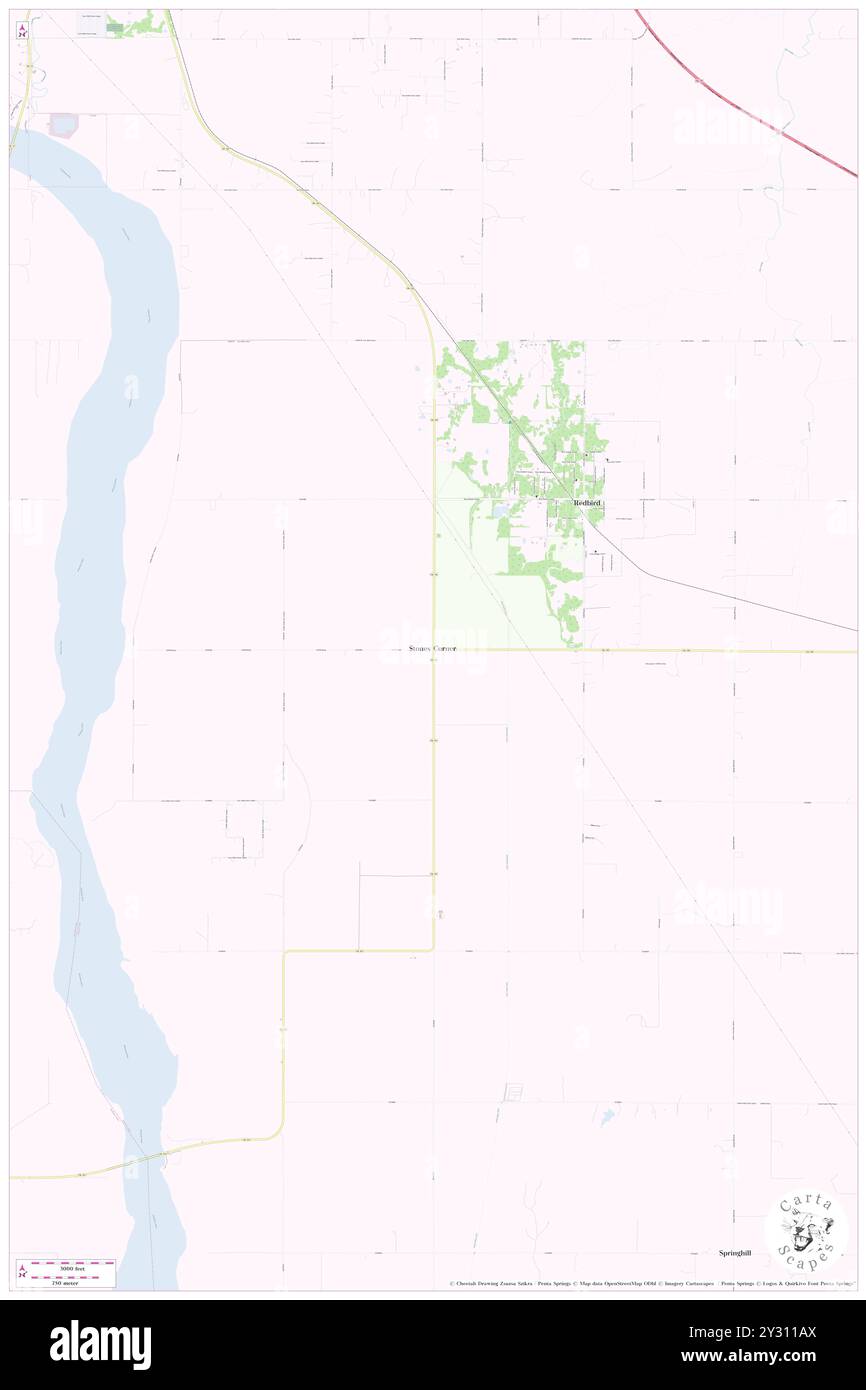 Stones Corner, Wagoner County, US, United States, Oklahoma, N 35 52' 16'', S 95 36' 23'', map, Cartascapes Map published in 2024. Explore Cartascapes, a map revealing Earth's diverse landscapes, cultures, and ecosystems. Journey through time and space, discovering the interconnectedness of our planet's past, present, and future. Stock Photohttps://www.alamy.com/image-license-details/?v=1https://www.alamy.com/stones-corner-wagoner-county-us-united-states-oklahoma-n-35-52-16-s-95-36-23-map-cartascapes-map-published-in-2024-explore-cartascapes-a-map-revealing-earths-diverse-landscapes-cultures-and-ecosystems-journey-through-time-and-space-discovering-the-interconnectedness-of-our-planets-past-present-and-future-image621440258.html
RM2Y311AX–Stones Corner, Wagoner County, US, United States, Oklahoma, N 35 52' 16'', S 95 36' 23'', map, Cartascapes Map published in 2024. Explore Cartascapes, a map revealing Earth's diverse landscapes, cultures, and ecosystems. Journey through time and space, discovering the interconnectedness of our planet's past, present, and future.
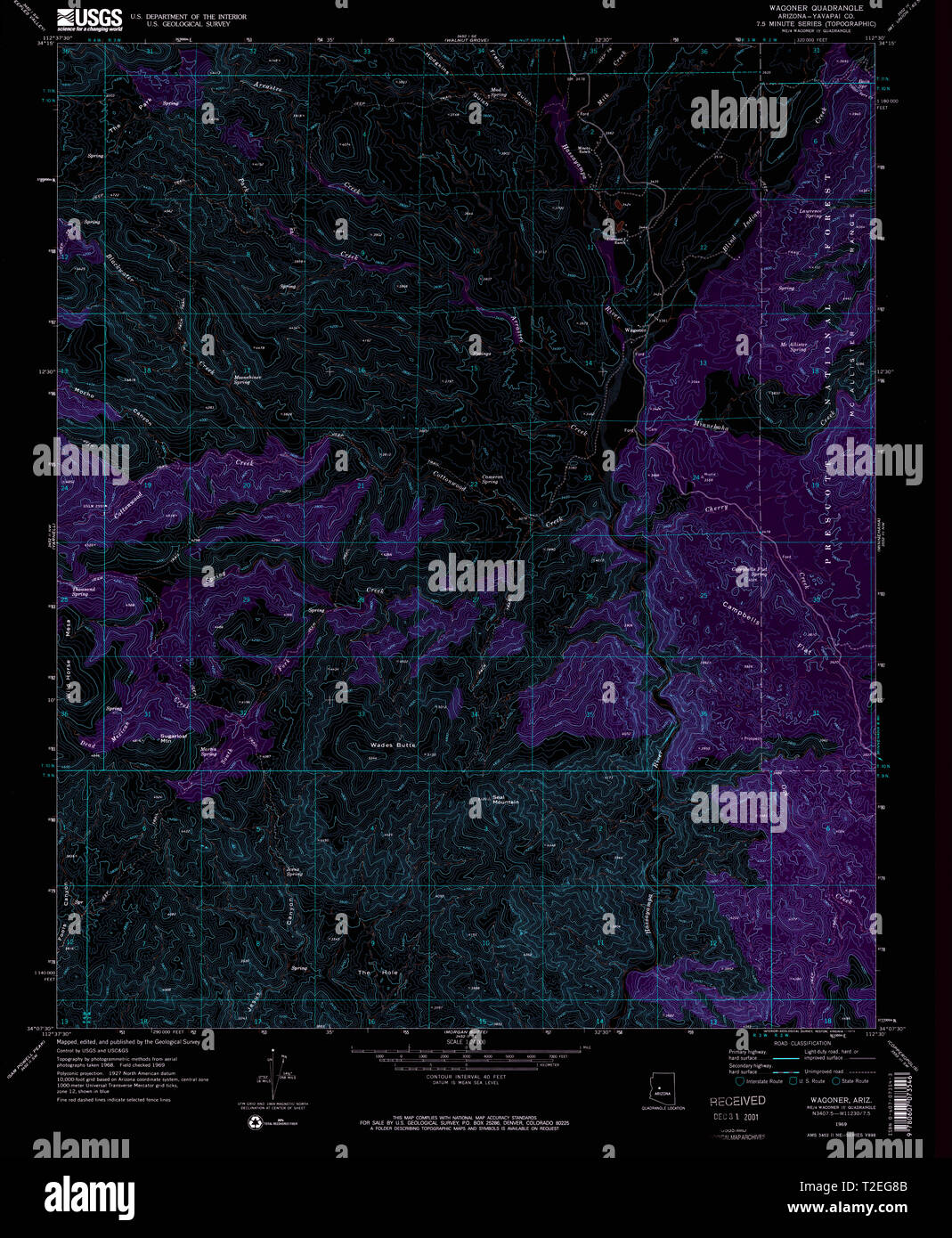 USGS TOPO Map Arizona AZ Wagoner 313958 1969 24000 Inverted Restoration Stock Photohttps://www.alamy.com/image-license-details/?v=1https://www.alamy.com/usgs-topo-map-arizona-az-wagoner-313958-1969-24000-inverted-restoration-image242494571.html
RMT2EG8B–USGS TOPO Map Arizona AZ Wagoner 313958 1969 24000 Inverted Restoration
 Muskogee and northeastern Oklahoma, including the counties of Muskogee, McIntosh, Wagoner, Cherokee, Sequoyah, Adair, Delaware, Mayes, Rogers, Washington, Nowata, Craig, and Ottawa (1922) Stock Photohttps://www.alamy.com/image-license-details/?v=1https://www.alamy.com/stock-photo-muskogee-and-northeastern-oklahoma-including-the-counties-of-muskogee-114637702.html
RMGJE5FJ–Muskogee and northeastern Oklahoma, including the counties of Muskogee, McIntosh, Wagoner, Cherokee, Sequoyah, Adair, Delaware, Mayes, Rogers, Washington, Nowata, Craig, and Ottawa (1922)
 Tullahassee, Wagoner County, US, United States, Oklahoma, N 35 50' 5'', S 95 26' 15'', map, Cartascapes Map published in 2024. Explore Cartascapes, a map revealing Earth's diverse landscapes, cultures, and ecosystems. Journey through time and space, discovering the interconnectedness of our planet's past, present, and future. Stock Photohttps://www.alamy.com/image-license-details/?v=1https://www.alamy.com/tullahassee-wagoner-county-us-united-states-oklahoma-n-35-50-5-s-95-26-15-map-cartascapes-map-published-in-2024-explore-cartascapes-a-map-revealing-earths-diverse-landscapes-cultures-and-ecosystems-journey-through-time-and-space-discovering-the-interconnectedness-of-our-planets-past-present-and-future-image620860735.html
RM2Y22J5K–Tullahassee, Wagoner County, US, United States, Oklahoma, N 35 50' 5'', S 95 26' 15'', map, Cartascapes Map published in 2024. Explore Cartascapes, a map revealing Earth's diverse landscapes, cultures, and ecosystems. Journey through time and space, discovering the interconnectedness of our planet's past, present, and future.
 USGS TOPO Map Arizona AZ Wagoner 315170 1947 62500 Inverted Restoration Stock Photohttps://www.alamy.com/image-license-details/?v=1https://www.alamy.com/usgs-topo-map-arizona-az-wagoner-315170-1947-62500-inverted-restoration-image242494582.html
RMT2EG8P–USGS TOPO Map Arizona AZ Wagoner 315170 1947 62500 Inverted Restoration
 Muskogee and northeastern Oklahoma, including the counties of Muskogee, McIntosh, Wagoner, Cherokee, Sequoyah, Adair, Delaware, Mayes, Rogers, Washington, Nowata, Craig, and Ottawa (1922) Stock Photohttps://www.alamy.com/image-license-details/?v=1https://www.alamy.com/stock-photo-muskogee-and-northeastern-oklahoma-including-the-counties-of-muskogee-114068316.html
RMGHG78C–Muskogee and northeastern Oklahoma, including the counties of Muskogee, McIntosh, Wagoner, Cherokee, Sequoyah, Adair, Delaware, Mayes, Rogers, Washington, Nowata, Craig, and Ottawa (1922)
 Porter, Wagoner County, US, United States, Oklahoma, N 35 52' 15'', S 95 31' 20'', map, Cartascapes Map published in 2024. Explore Cartascapes, a map revealing Earth's diverse landscapes, cultures, and ecosystems. Journey through time and space, discovering the interconnectedness of our planet's past, present, and future. Stock Photohttps://www.alamy.com/image-license-details/?v=1https://www.alamy.com/porter-wagoner-county-us-united-states-oklahoma-n-35-52-15-s-95-31-20-map-cartascapes-map-published-in-2024-explore-cartascapes-a-map-revealing-earths-diverse-landscapes-cultures-and-ecosystems-journey-through-time-and-space-discovering-the-interconnectedness-of-our-planets-past-present-and-future-image620795634.html
RM2Y1YK4J–Porter, Wagoner County, US, United States, Oklahoma, N 35 52' 15'', S 95 31' 20'', map, Cartascapes Map published in 2024. Explore Cartascapes, a map revealing Earth's diverse landscapes, cultures, and ecosystems. Journey through time and space, discovering the interconnectedness of our planet's past, present, and future.
 USGS TOPO Map Arizona AZ Wagoner 315171 1950 62500 Inverted Restoration Stock Photohttps://www.alamy.com/image-license-details/?v=1https://www.alamy.com/usgs-topo-map-arizona-az-wagoner-315171-1950-62500-inverted-restoration-image242494591.html
RMT2EG93–USGS TOPO Map Arizona AZ Wagoner 315171 1950 62500 Inverted Restoration
 Muskogee and northeastern Oklahoma, including the counties of Muskogee, McIntosh, Wagoner, Cherokee, Sequoyah, Adair, Delaware, Mayes, Rogers, Washington, Nowata, Craig, and Ottawa (1922) Stock Photohttps://www.alamy.com/image-license-details/?v=1https://www.alamy.com/stock-photo-muskogee-and-northeastern-oklahoma-including-the-counties-of-muskogee-114467922.html
RMGJ6D02–Muskogee and northeastern Oklahoma, including the counties of Muskogee, McIntosh, Wagoner, Cherokee, Sequoyah, Adair, Delaware, Mayes, Rogers, Washington, Nowata, Craig, and Ottawa (1922)
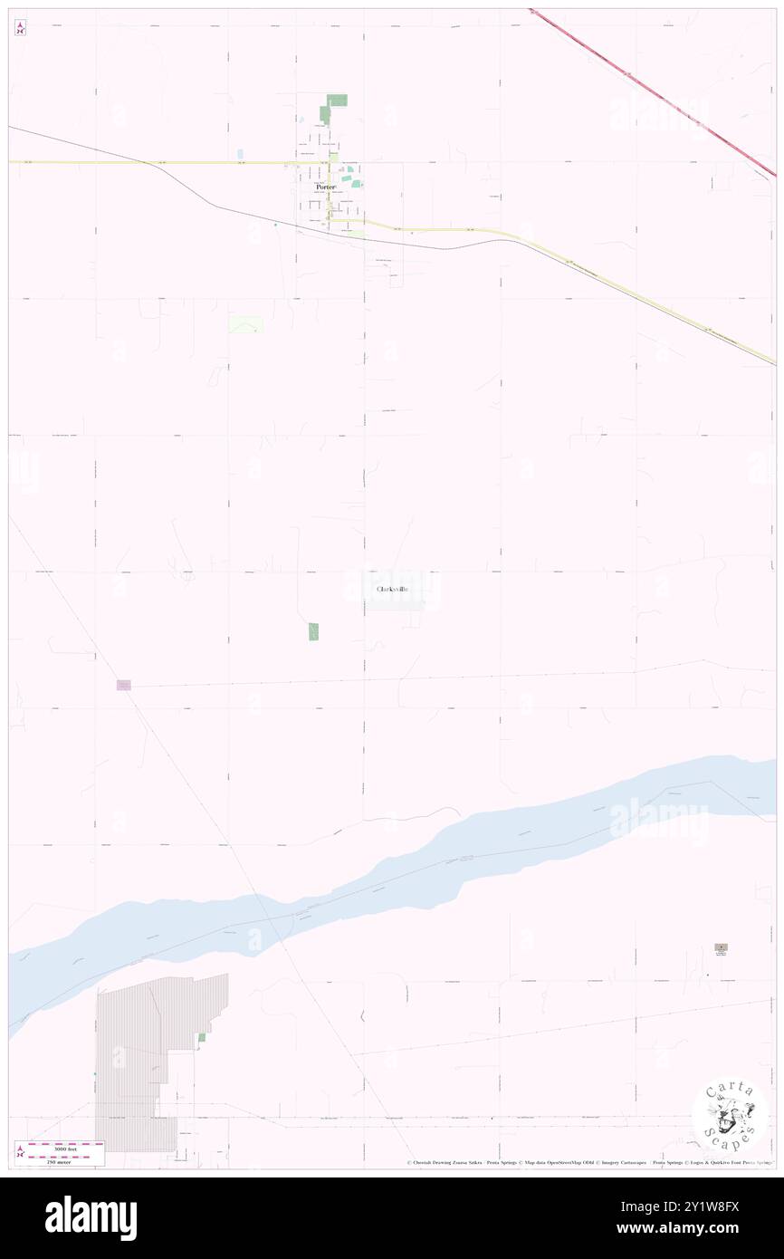 Clarksville, Wagoner County, US, United States, Oklahoma, N 35 49' 32'', S 95 30' 50'', map, Cartascapes Map published in 2024. Explore Cartascapes, a map revealing Earth's diverse landscapes, cultures, and ecosystems. Journey through time and space, discovering the interconnectedness of our planet's past, present, and future. Stock Photohttps://www.alamy.com/image-license-details/?v=1https://www.alamy.com/clarksville-wagoner-county-us-united-states-oklahoma-n-35-49-32-s-95-30-50-map-cartascapes-map-published-in-2024-explore-cartascapes-a-map-revealing-earths-diverse-landscapes-cultures-and-ecosystems-journey-through-time-and-space-discovering-the-interconnectedness-of-our-planets-past-present-and-future-image620743422.html
RM2Y1W8FX–Clarksville, Wagoner County, US, United States, Oklahoma, N 35 49' 32'', S 95 30' 50'', map, Cartascapes Map published in 2024. Explore Cartascapes, a map revealing Earth's diverse landscapes, cultures, and ecosystems. Journey through time and space, discovering the interconnectedness of our planet's past, present, and future.
 USGS TOPO Map Arizona AZ Wagoner 315172 1950 62500 Inverted Restoration Stock Photohttps://www.alamy.com/image-license-details/?v=1https://www.alamy.com/usgs-topo-map-arizona-az-wagoner-315172-1950-62500-inverted-restoration-image242494594.html
RMT2EG96–USGS TOPO Map Arizona AZ Wagoner 315172 1950 62500 Inverted Restoration
 Muskogee and northeastern Oklahoma, including the counties of Muskogee, McIntosh, Wagoner, Cherokee, Sequoyah, Adair, Delaware, Mayes, Rogers, Washington, Nowata, Craig, and Ottawa (1922) Stock Photohttps://www.alamy.com/image-license-details/?v=1https://www.alamy.com/stock-photo-muskogee-and-northeastern-oklahoma-including-the-counties-of-muskogee-114126369.html
RMGHJW9N–Muskogee and northeastern Oklahoma, including the counties of Muskogee, McIntosh, Wagoner, Cherokee, Sequoyah, Adair, Delaware, Mayes, Rogers, Washington, Nowata, Craig, and Ottawa (1922)
 Gibson, Wagoner County, US, United States, Oklahoma, N 35 52' 15'', S 95 21' 6'', map, Cartascapes Map published in 2024. Explore Cartascapes, a map revealing Earth's diverse landscapes, cultures, and ecosystems. Journey through time and space, discovering the interconnectedness of our planet's past, present, and future. Stock Photohttps://www.alamy.com/image-license-details/?v=1https://www.alamy.com/gibson-wagoner-county-us-united-states-oklahoma-n-35-52-15-s-95-21-6-map-cartascapes-map-published-in-2024-explore-cartascapes-a-map-revealing-earths-diverse-landscapes-cultures-and-ecosystems-journey-through-time-and-space-discovering-the-interconnectedness-of-our-planets-past-present-and-future-image620780576.html
RM2Y1XYXT–Gibson, Wagoner County, US, United States, Oklahoma, N 35 52' 15'', S 95 21' 6'', map, Cartascapes Map published in 2024. Explore Cartascapes, a map revealing Earth's diverse landscapes, cultures, and ecosystems. Journey through time and space, discovering the interconnectedness of our planet's past, present, and future.
 USGS TOPO Map Arizona AZ Wagoner 315169 1947 62500 Inverted Restoration Stock Photohttps://www.alamy.com/image-license-details/?v=1https://www.alamy.com/usgs-topo-map-arizona-az-wagoner-315169-1947-62500-inverted-restoration-image242494579.html
RMT2EG8K–USGS TOPO Map Arizona AZ Wagoner 315169 1947 62500 Inverted Restoration