Map of wallula washington Stock Photos and Images
(35)See map of wallula washington stock video clipsMap of wallula washington Stock Photos and Images
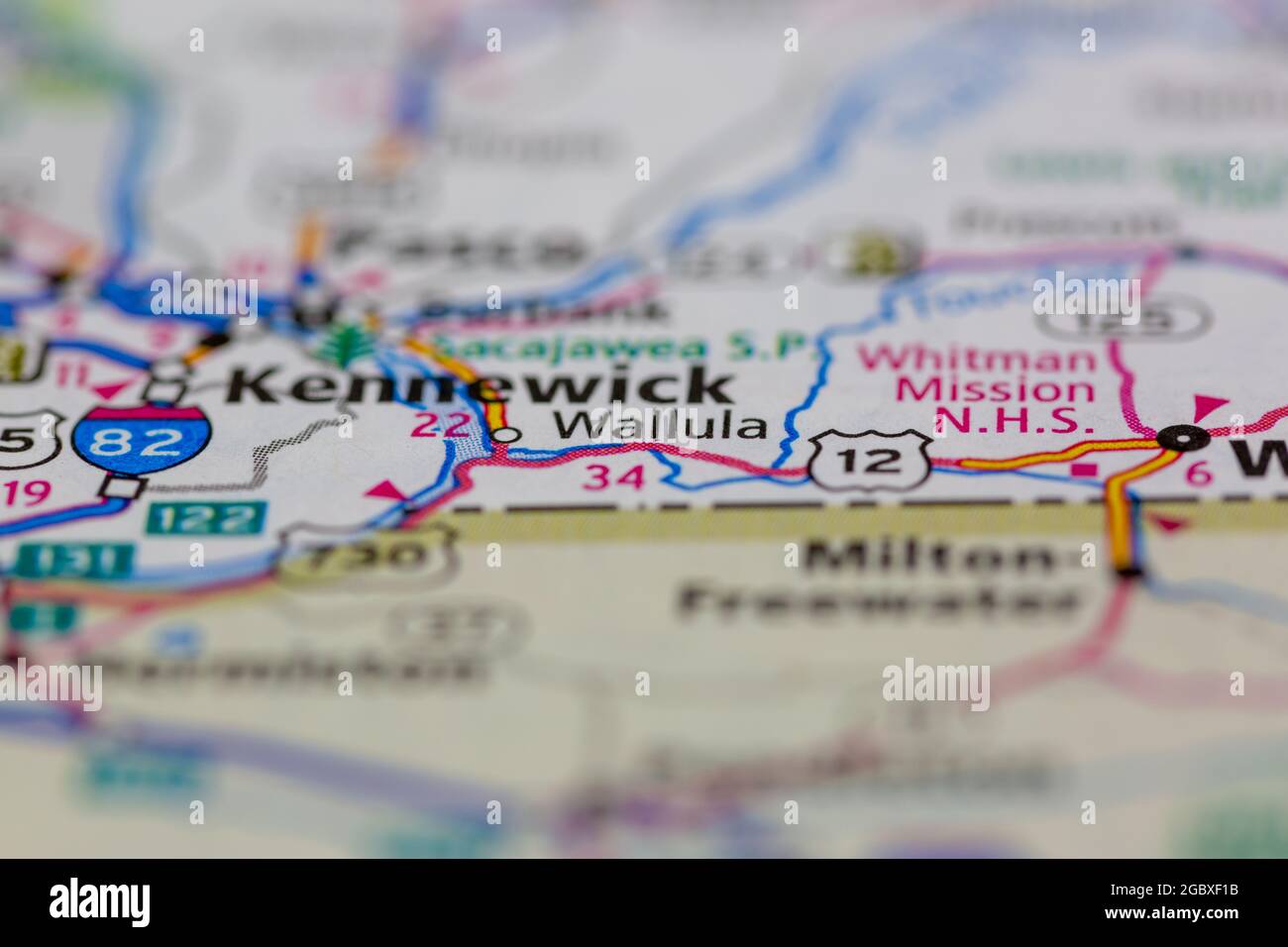 Wallula Washington State USA shown on a road map or Geography map Stock Photohttps://www.alamy.com/image-license-details/?v=1https://www.alamy.com/wallula-washington-state-usa-shown-on-a-road-map-or-geography-map-image437602967.html
RM2GBXF1B–Wallula Washington State USA shown on a road map or Geography map
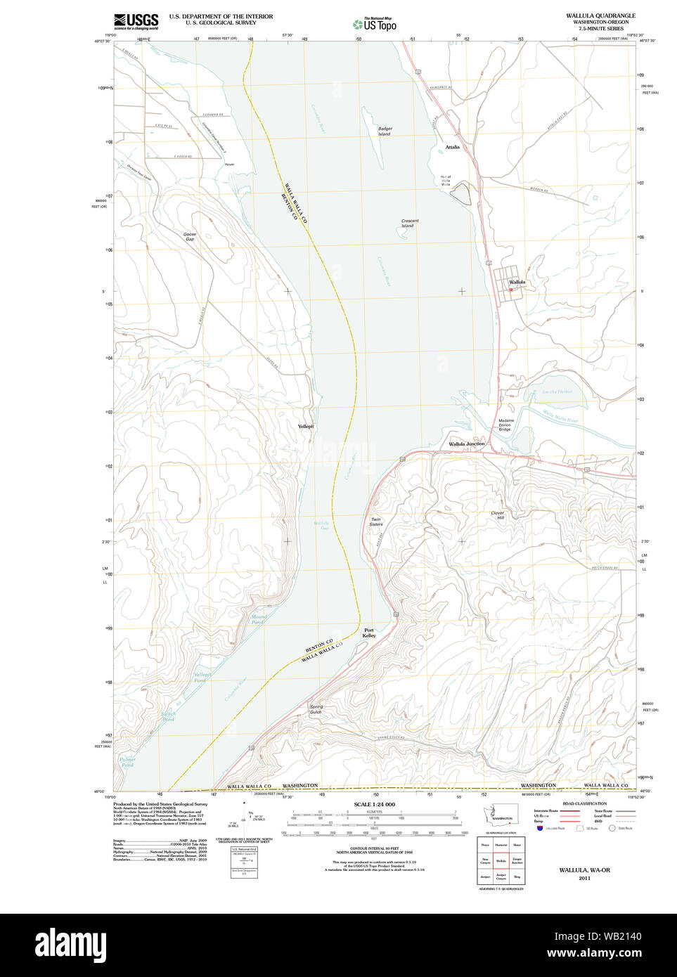 USGS Topo Map Washington Wallula 20110914 TM Restoration Stock Photohttps://www.alamy.com/image-license-details/?v=1https://www.alamy.com/usgs-topo-map-washington-wallula-20110914-tm-restoration-image264961536.html
RMWB2140–USGS Topo Map Washington Wallula 20110914 TM Restoration
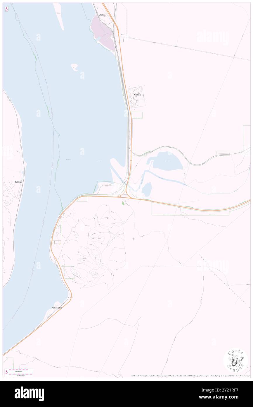 Wallula Junction, Walla Walla County, US, United States, Washington, N 46 3' 30'', S 118 54' 34'', map, Cartascapes Map published in 2024. Explore Cartascapes, a map revealing Earth's diverse landscapes, cultures, and ecosystems. Journey through time and space, discovering the interconnectedness of our planet's past, present, and future. Stock Photohttps://www.alamy.com/image-license-details/?v=1https://www.alamy.com/wallula-junction-walla-walla-county-us-united-states-washington-n-46-3-30-s-118-54-34-map-cartascapes-map-published-in-2024-explore-cartascapes-a-map-revealing-earths-diverse-landscapes-cultures-and-ecosystems-journey-through-time-and-space-discovering-the-interconnectedness-of-our-planets-past-present-and-future-image620842971.html
RM2Y21RF7–Wallula Junction, Walla Walla County, US, United States, Washington, N 46 3' 30'', S 118 54' 34'', map, Cartascapes Map published in 2024. Explore Cartascapes, a map revealing Earth's diverse landscapes, cultures, and ecosystems. Journey through time and space, discovering the interconnectedness of our planet's past, present, and future.
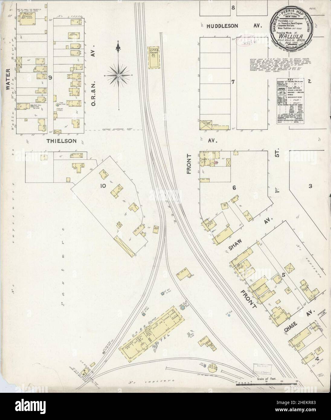 Sanborn Fire Insurance Map from Wallula, Walla Walla County, Washington. Stock Photohttps://www.alamy.com/image-license-details/?v=1https://www.alamy.com/sanborn-fire-insurance-map-from-wallula-walla-walla-county-washington-image456510099.html
RM2HEKR83–Sanborn Fire Insurance Map from Wallula, Walla Walla County, Washington.
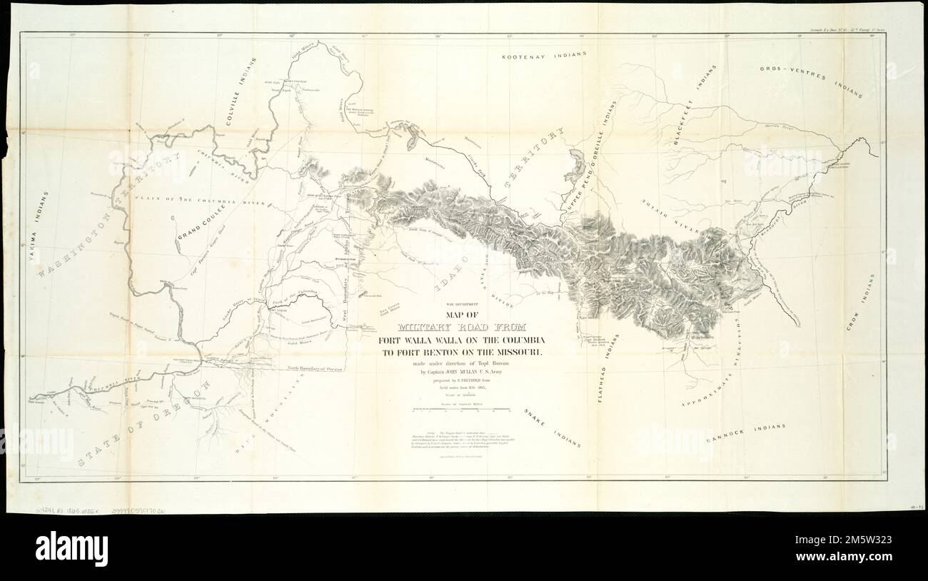 Map of military road from Fort Walla Walla on the Columbia to Fort Benton on the Missouri. Relief shown by hachures. 'Senate Ex. Doc. No. 43-37th Congr. 3d. Sess.' Shows roads, camps, trails, rapids and locations of battles. 'Theodore Kolecki, P.M. Engel, Gustavus Sohon, W.W. de Lacy, Capt. Leo White and C.R. Howard have contributed the material for this map Columbia navigable by Steamers to Priest's Rapids. Snake River to Lewiston, possibly higher. Wallula and Lewiston are the present points of debarkation.'... , Idaho Montana Oregon Washington Stock Photohttps://www.alamy.com/image-license-details/?v=1https://www.alamy.com/map-of-military-road-from-fort-walla-walla-on-the-columbia-to-fort-benton-on-the-missouri-relief-shown-by-hachures-senate-ex-doc-no-43-37th-congr-3d-sess-shows-roads-camps-trails-rapids-and-locations-of-battles-theodore-kolecki-pm-engel-gustavus-sohon-ww-de-lacy-capt-leo-white-and-cr-howard-have-contributed-the-material-for-this-map-columbia-navigable-by-steamers-to-priests-rapids-snake-river-to-lewiston-possibly-higher-wallula-and-lewiston-are-the-present-points-of-debarkation-idaho-montana-oregon-washington-image502725163.html
RM2M5W323–Map of military road from Fort Walla Walla on the Columbia to Fort Benton on the Missouri. Relief shown by hachures. 'Senate Ex. Doc. No. 43-37th Congr. 3d. Sess.' Shows roads, camps, trails, rapids and locations of battles. 'Theodore Kolecki, P.M. Engel, Gustavus Sohon, W.W. de Lacy, Capt. Leo White and C.R. Howard have contributed the material for this map Columbia navigable by Steamers to Priest's Rapids. Snake River to Lewiston, possibly higher. Wallula and Lewiston are the present points of debarkation.'... , Idaho Montana Oregon Washington
 Wallula Lake (United States of America, Washington state, Oregon) map vector illustration, scribble sketch Reservoir McNary Dam map Stock Vectorhttps://www.alamy.com/image-license-details/?v=1https://www.alamy.com/wallula-lake-united-states-of-america-washington-state-oregon-map-vector-illustration-scribble-sketch-reservoir-mcnary-dam-map-image593089567.html
RF2WCWFP7–Wallula Lake (United States of America, Washington state, Oregon) map vector illustration, scribble sketch Reservoir McNary Dam map
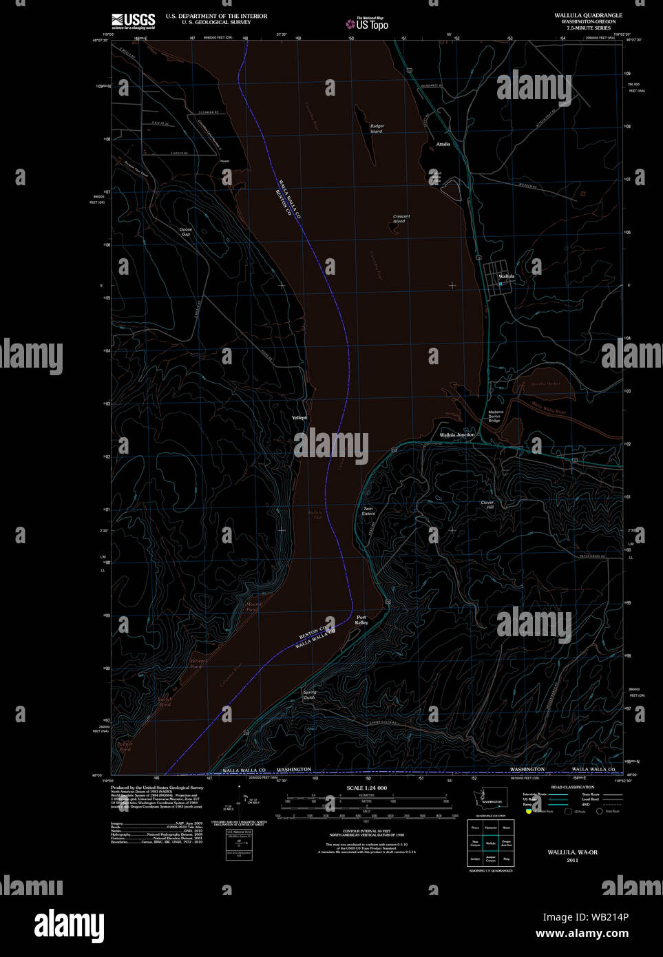 USGS Topo Map Washington Wallula 20110914 TM Inverted Restoration Stock Photohttps://www.alamy.com/image-license-details/?v=1https://www.alamy.com/usgs-topo-map-washington-wallula-20110914-tm-inverted-restoration-image264961558.html
RMWB214P–USGS Topo Map Washington Wallula 20110914 TM Inverted Restoration
 Wallula, Walla Walla County, US, United States, Washington, N 46 5' 7'', S 118 54' 19'', map, Cartascapes Map published in 2024. Explore Cartascapes, a map revealing Earth's diverse landscapes, cultures, and ecosystems. Journey through time and space, discovering the interconnectedness of our planet's past, present, and future. Stock Photohttps://www.alamy.com/image-license-details/?v=1https://www.alamy.com/wallula-walla-walla-county-us-united-states-washington-n-46-5-7-s-118-54-19-map-cartascapes-map-published-in-2024-explore-cartascapes-a-map-revealing-earths-diverse-landscapes-cultures-and-ecosystems-journey-through-time-and-space-discovering-the-interconnectedness-of-our-planets-past-present-and-future-image620797450.html
RM2Y1YNDE–Wallula, Walla Walla County, US, United States, Washington, N 46 5' 7'', S 118 54' 19'', map, Cartascapes Map published in 2024. Explore Cartascapes, a map revealing Earth's diverse landscapes, cultures, and ecosystems. Journey through time and space, discovering the interconnectedness of our planet's past, present, and future.
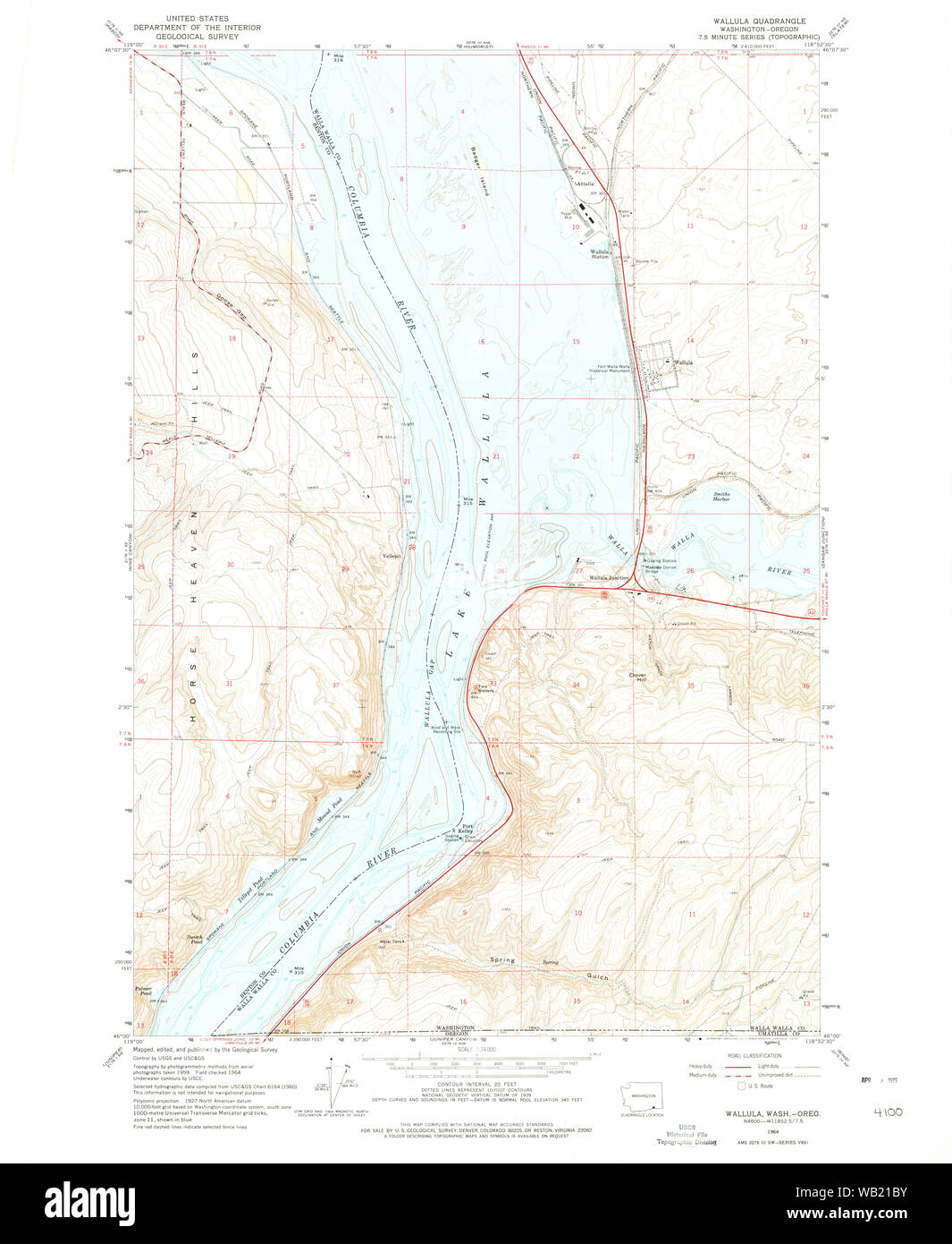 USGS Topo Map Washington Wallula 244520 1964 24000 Restoration Stock Photohttps://www.alamy.com/image-license-details/?v=1https://www.alamy.com/usgs-topo-map-washington-wallula-244520-1964-24000-restoration-image264961759.html
RMWB21BY–USGS Topo Map Washington Wallula 244520 1964 24000 Restoration
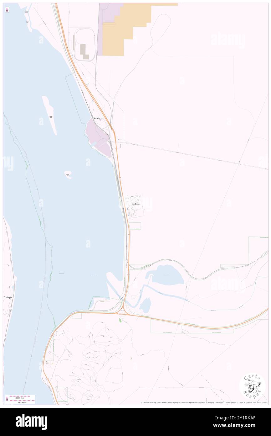 Wallula, Walla Walla County, US, United States, Washington, N 46 5' 7'', S 118 54' 19'', map, Cartascapes Map published in 2024. Explore Cartascapes, a map revealing Earth's diverse landscapes, cultures, and ecosystems. Journey through time and space, discovering the interconnectedness of our planet's past, present, and future. Stock Photohttps://www.alamy.com/image-license-details/?v=1https://www.alamy.com/wallula-walla-walla-county-us-united-states-washington-n-46-5-7-s-118-54-19-map-cartascapes-map-published-in-2024-explore-cartascapes-a-map-revealing-earths-diverse-landscapes-cultures-and-ecosystems-journey-through-time-and-space-discovering-the-interconnectedness-of-our-planets-past-present-and-future-image620707991.html
RM2Y1RKAF–Wallula, Walla Walla County, US, United States, Washington, N 46 5' 7'', S 118 54' 19'', map, Cartascapes Map published in 2024. Explore Cartascapes, a map revealing Earth's diverse landscapes, cultures, and ecosystems. Journey through time and space, discovering the interconnectedness of our planet's past, present, and future.
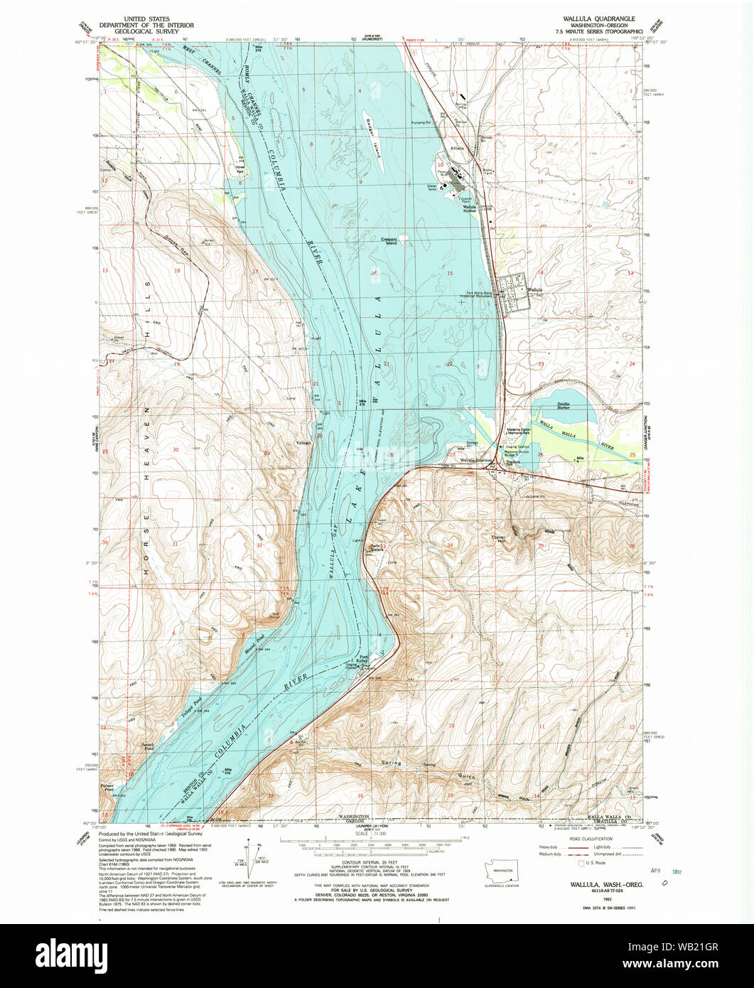 USGS Topo Map Washington Wallula 244522 1992 24000 Restoration Stock Photohttps://www.alamy.com/image-license-details/?v=1https://www.alamy.com/usgs-topo-map-washington-wallula-244522-1992-24000-restoration-image264961895.html
RMWB21GR–USGS Topo Map Washington Wallula 244522 1992 24000 Restoration
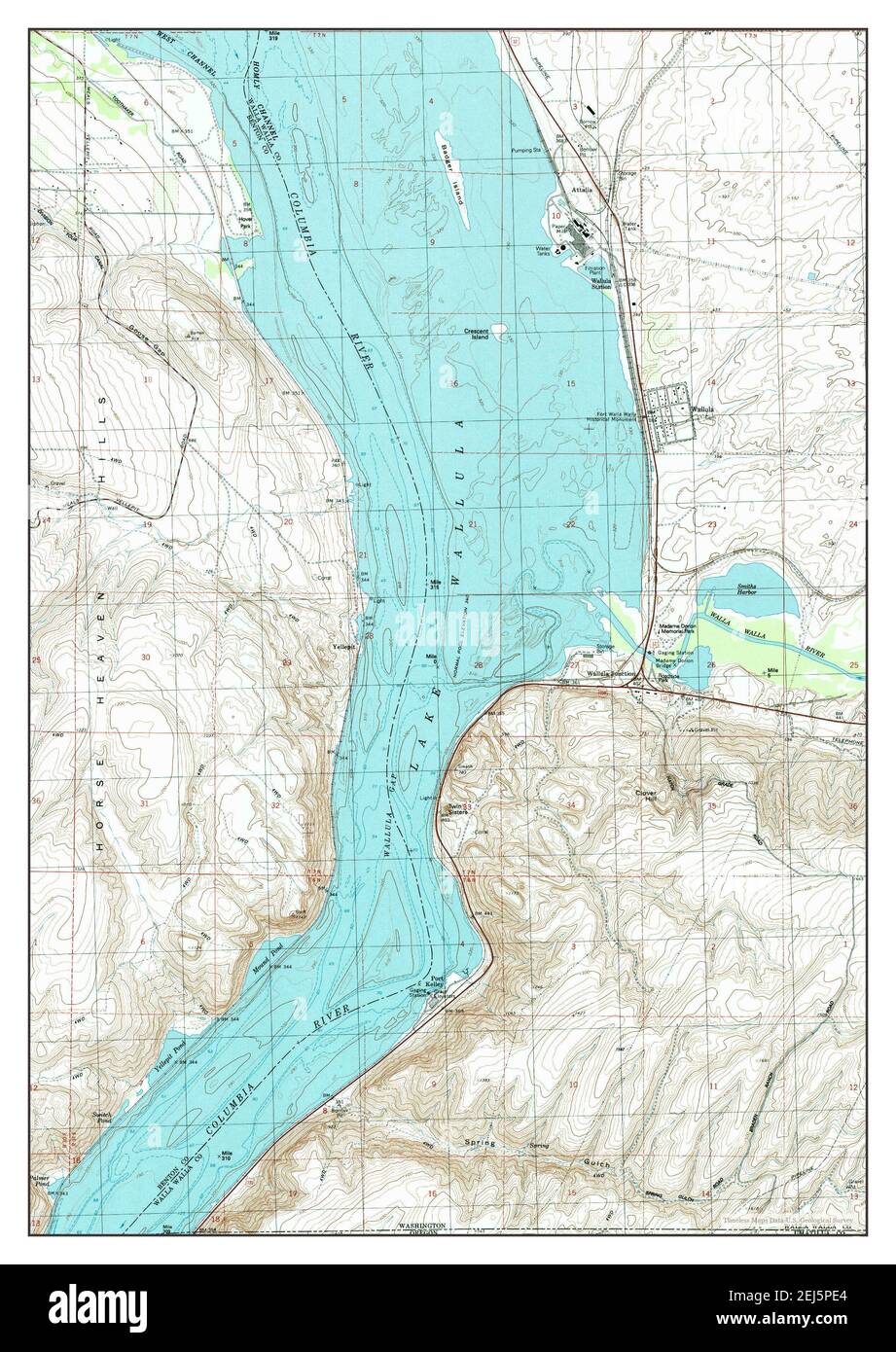 Wallula, Washington, map 1992, 1:24000, United States of America by Timeless Maps, data U.S. Geological Survey Stock Photohttps://www.alamy.com/image-license-details/?v=1https://www.alamy.com/wallula-washington-map-1992-124000-united-states-of-america-by-timeless-maps-data-us-geological-survey-image407029676.html
RM2EJ5PE4–Wallula, Washington, map 1992, 1:24000, United States of America by Timeless Maps, data U.S. Geological Survey
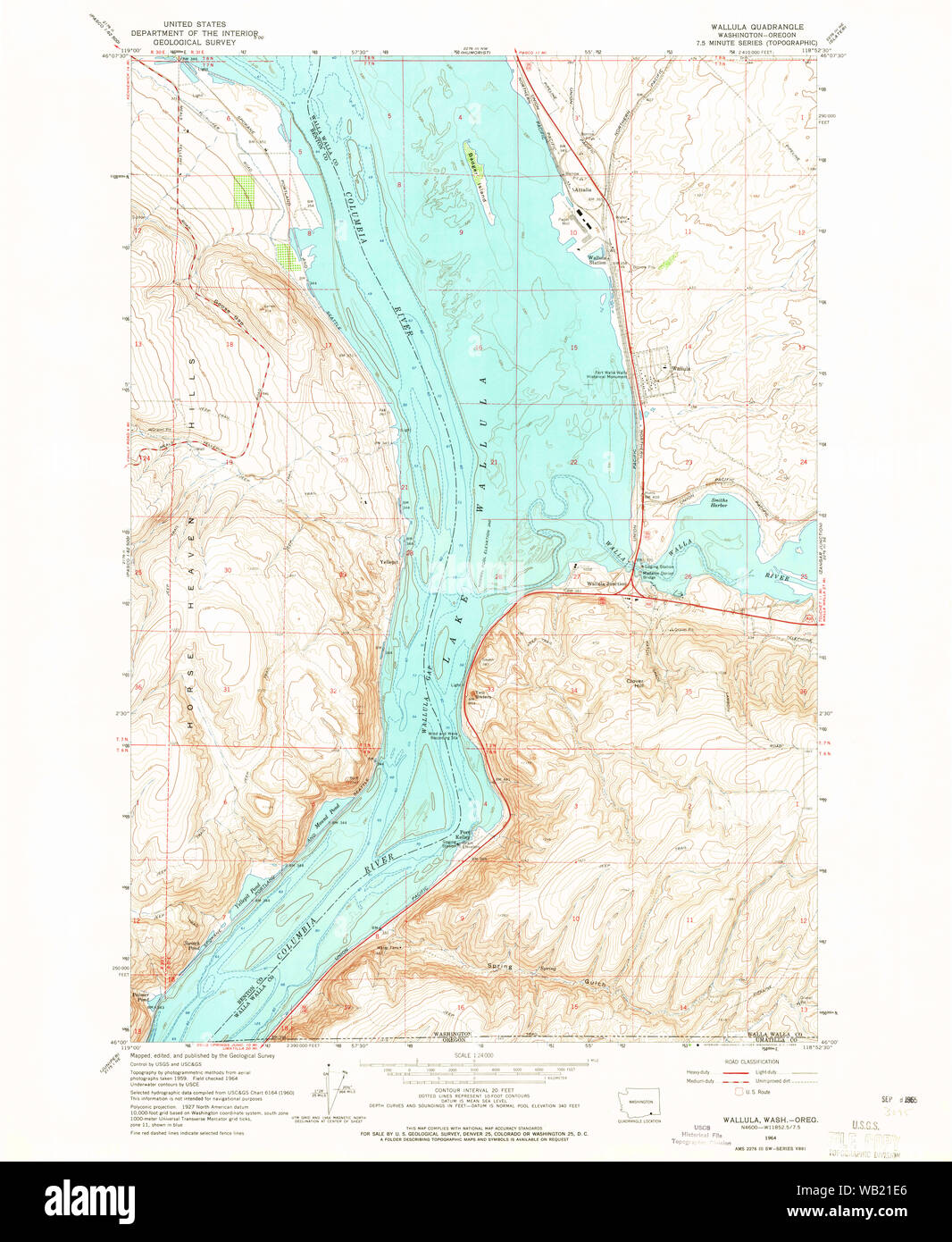 USGS Topo Map Washington Wallula 244521 1964 24000 Restoration Stock Photohttps://www.alamy.com/image-license-details/?v=1https://www.alamy.com/usgs-topo-map-washington-wallula-244521-1964-24000-restoration-image264961822.html
RMWB21E6–USGS Topo Map Washington Wallula 244521 1964 24000 Restoration
 USGS Topo Map Washington Wallula 244518 1918 125000 Restoration Stock Photohttps://www.alamy.com/image-license-details/?v=1https://www.alamy.com/usgs-topo-map-washington-wallula-244518-1918-125000-restoration-image264961624.html
RMWB2174–USGS Topo Map Washington Wallula 244518 1918 125000 Restoration
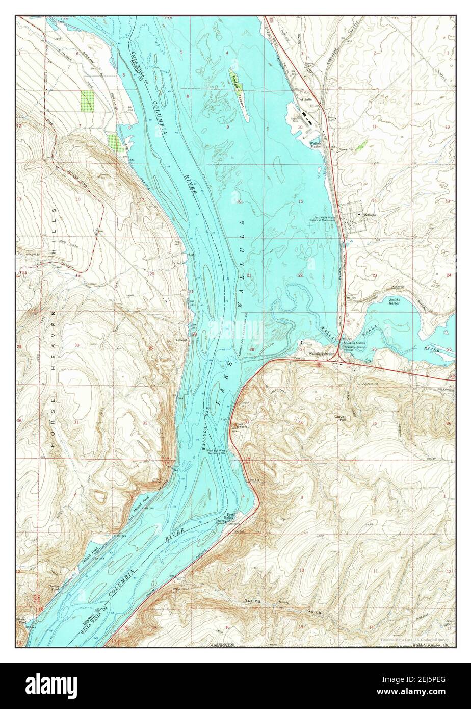 Wallula, Washington, map 1964, 1:24000, United States of America by Timeless Maps, data U.S. Geological Survey Stock Photohttps://www.alamy.com/image-license-details/?v=1https://www.alamy.com/wallula-washington-map-1964-124000-united-states-of-america-by-timeless-maps-data-us-geological-survey-image407029688.html
RM2EJ5PEG–Wallula, Washington, map 1964, 1:24000, United States of America by Timeless Maps, data U.S. Geological Survey
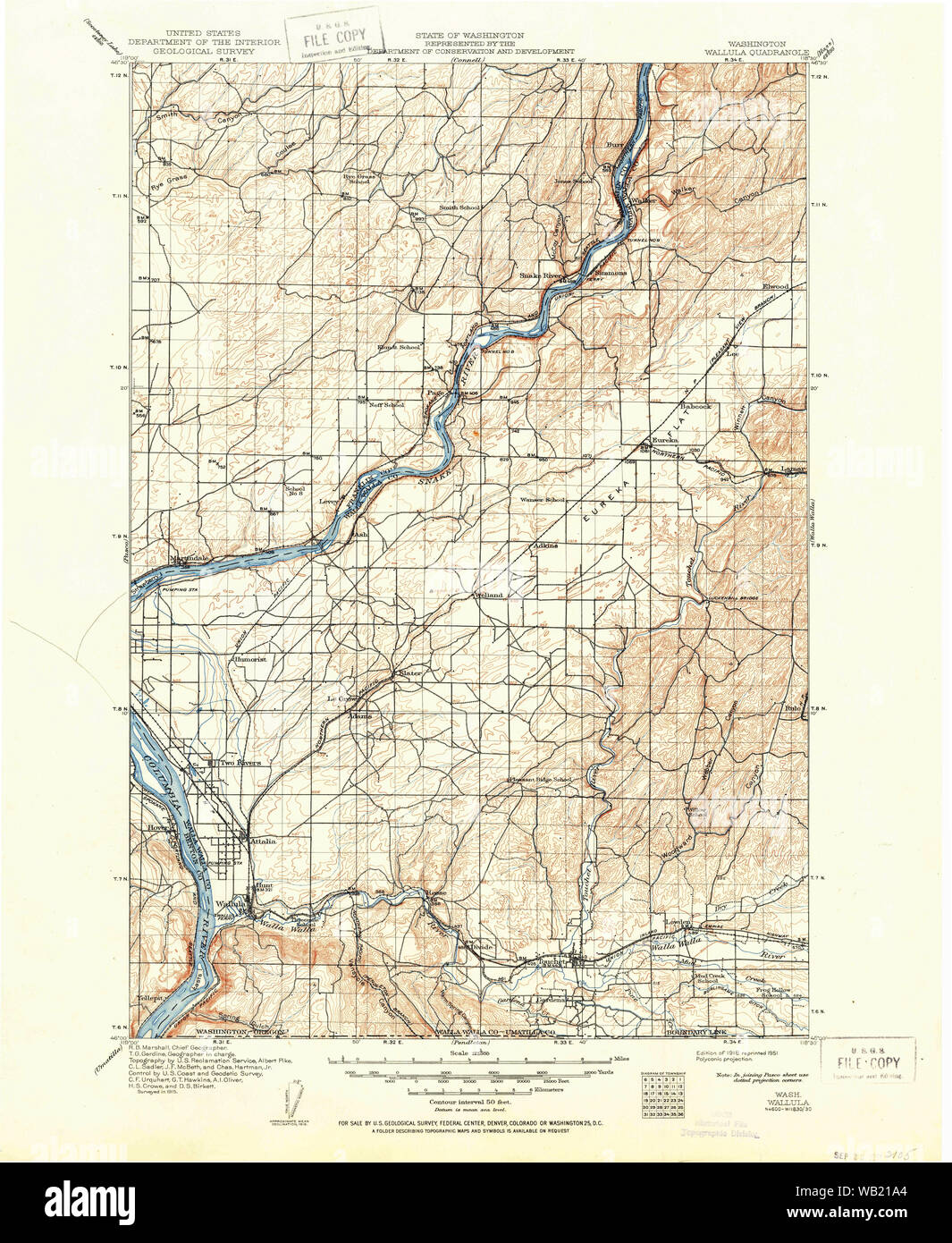 USGS Topo Map Washington Wallula 244519 1918 125000 Restoration Stock Photohttps://www.alamy.com/image-license-details/?v=1https://www.alamy.com/usgs-topo-map-washington-wallula-244519-1918-125000-restoration-image264961708.html
RMWB21A4–USGS Topo Map Washington Wallula 244519 1918 125000 Restoration
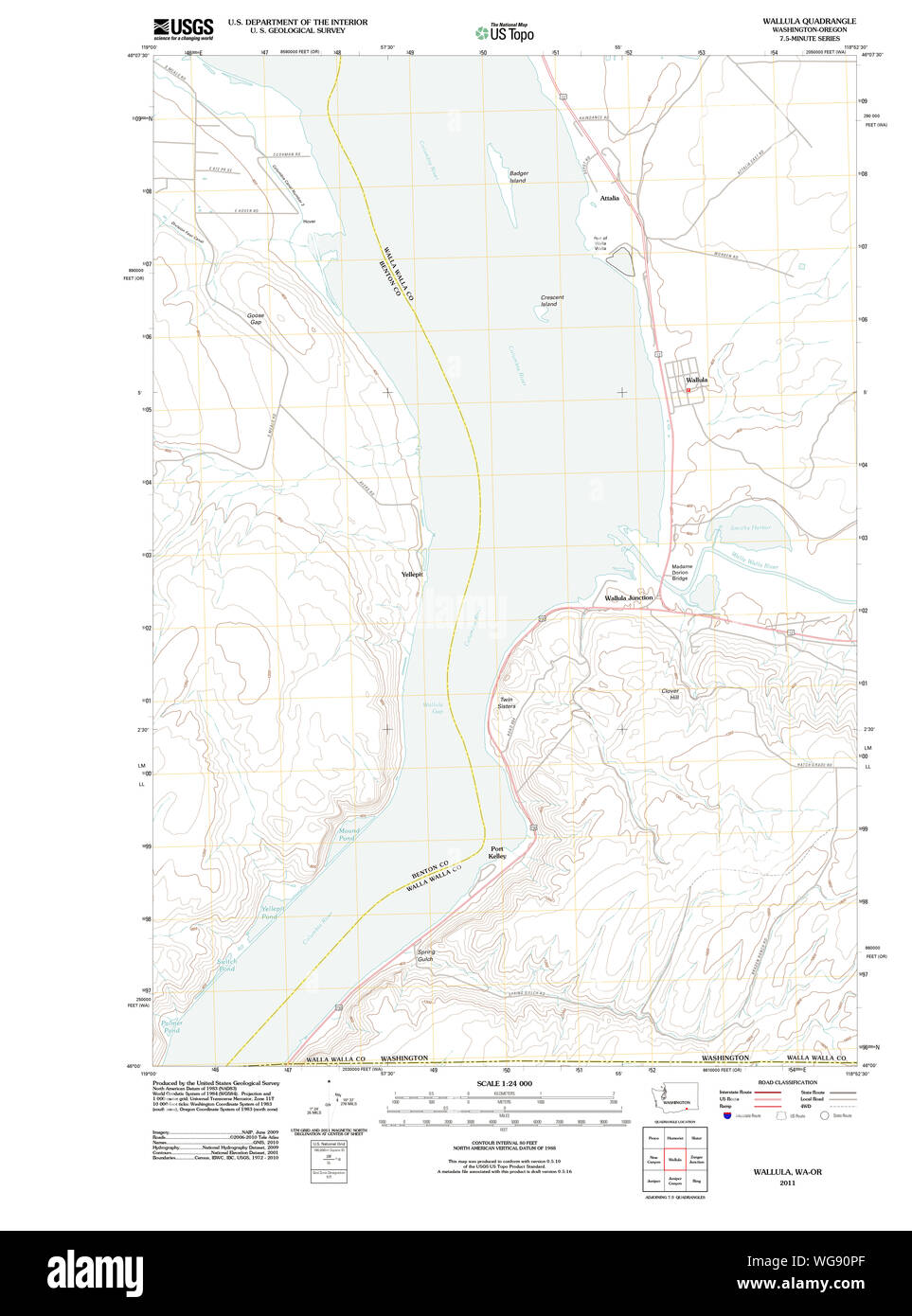 USGS Topo Map Washington State WA Wallula 20110914 TM Restoration Stock Photohttps://www.alamy.com/image-license-details/?v=1https://www.alamy.com/usgs-topo-map-washington-state-wa-wallula-20110914-tm-restoration-image268188215.html
RMWG90PF–USGS Topo Map Washington State WA Wallula 20110914 TM Restoration
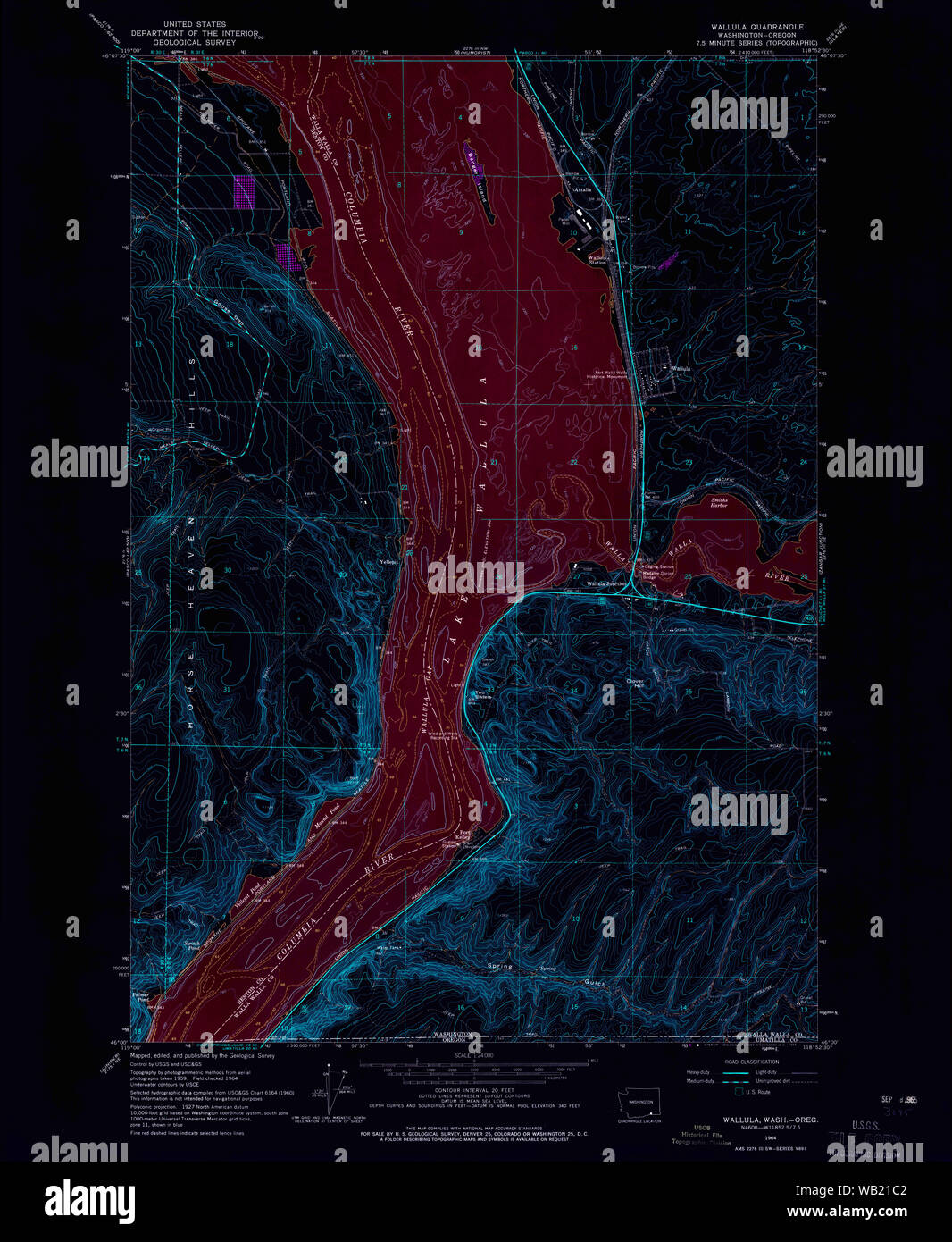 USGS Topo Map Washington Wallula 244521 1964 24000 Inverted Restoration Stock Photohttps://www.alamy.com/image-license-details/?v=1https://www.alamy.com/usgs-topo-map-washington-wallula-244521-1964-24000-inverted-restoration-image264961762.html
RMWB21C2–USGS Topo Map Washington Wallula 244521 1964 24000 Inverted Restoration
 Wallula, Washington, map 1918, 1:125000, United States of America by Timeless Maps, data U.S. Geological Survey Stock Photohttps://www.alamy.com/image-license-details/?v=1https://www.alamy.com/wallula-washington-map-1918-1125000-united-states-of-america-by-timeless-maps-data-us-geological-survey-image414295688.html
RM2F20PAG–Wallula, Washington, map 1918, 1:125000, United States of America by Timeless Maps, data U.S. Geological Survey
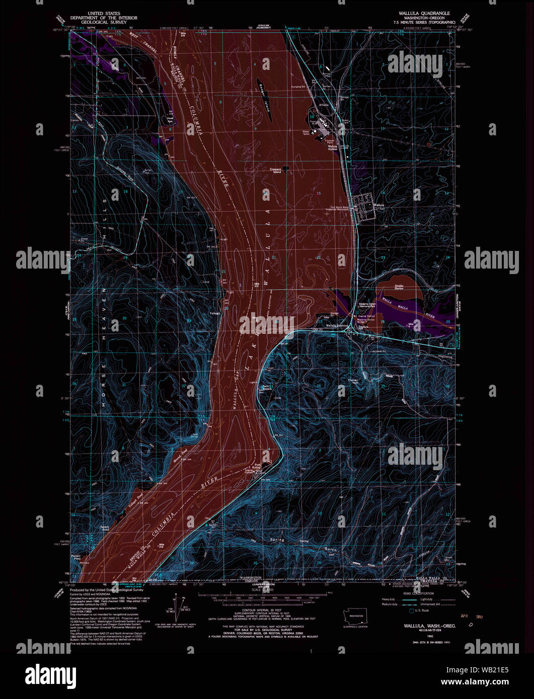 USGS Topo Map Washington Wallula 244522 1992 24000 Inverted Restoration Stock Photohttps://www.alamy.com/image-license-details/?v=1https://www.alamy.com/usgs-topo-map-washington-wallula-244522-1992-24000-inverted-restoration-image264961821.html
RMWB21E5–USGS Topo Map Washington Wallula 244522 1992 24000 Inverted Restoration
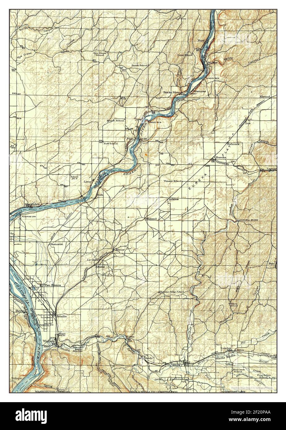 Wallula, Washington, map 1918, 1:125000, United States of America by Timeless Maps, data U.S. Geological Survey Stock Photohttps://www.alamy.com/image-license-details/?v=1https://www.alamy.com/wallula-washington-map-1918-1125000-united-states-of-america-by-timeless-maps-data-us-geological-survey-image414295682.html
RM2F20PAA–Wallula, Washington, map 1918, 1:125000, United States of America by Timeless Maps, data U.S. Geological Survey
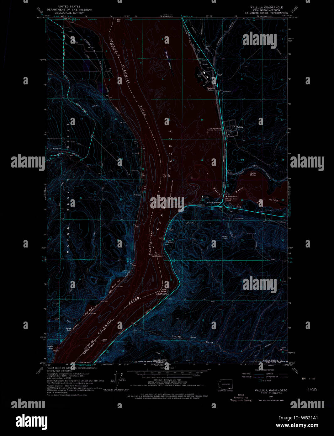 USGS Topo Map Washington Wallula 244520 1964 24000 Inverted Restoration Stock Photohttps://www.alamy.com/image-license-details/?v=1https://www.alamy.com/usgs-topo-map-washington-wallula-244520-1964-24000-inverted-restoration-image264961705.html
RMWB21A1–USGS Topo Map Washington Wallula 244520 1964 24000 Inverted Restoration
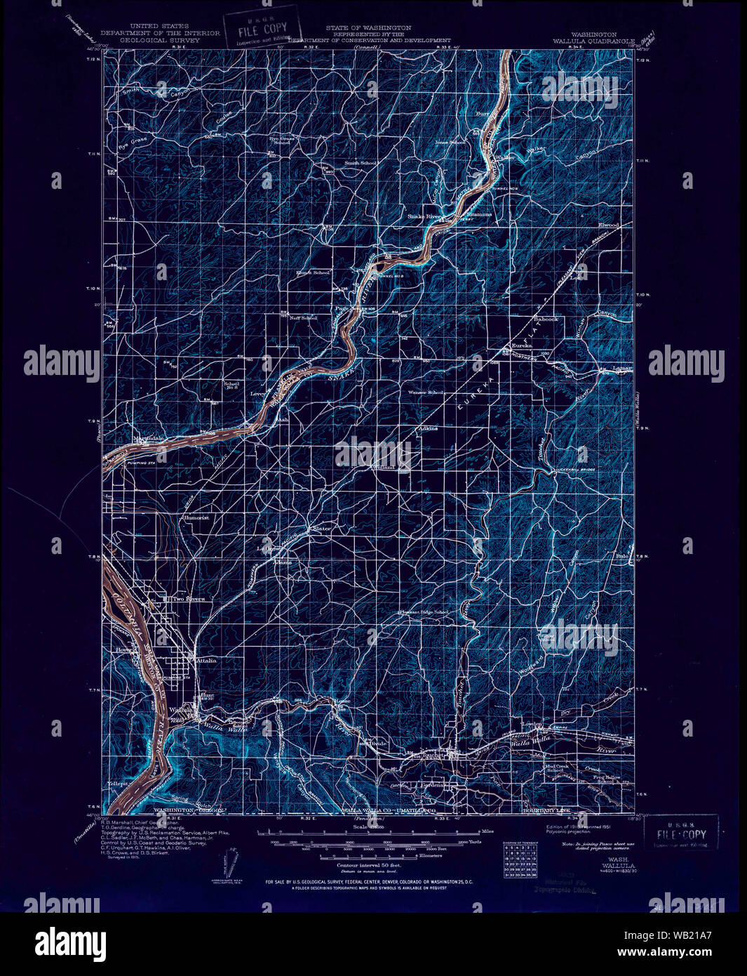 USGS Topo Map Washington Wallula 244519 1918 125000 Inverted Restoration Stock Photohttps://www.alamy.com/image-license-details/?v=1https://www.alamy.com/usgs-topo-map-washington-wallula-244519-1918-125000-inverted-restoration-image264961711.html
RMWB21A7–USGS Topo Map Washington Wallula 244519 1918 125000 Inverted Restoration
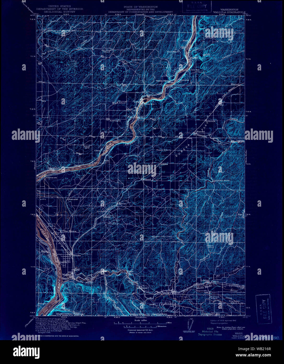 USGS Topo Map Washington Wallula 244518 1918 125000 Inverted Restoration Stock Photohttps://www.alamy.com/image-license-details/?v=1https://www.alamy.com/usgs-topo-map-washington-wallula-244518-1918-125000-inverted-restoration-image264961615.html
RMWB216R–USGS Topo Map Washington Wallula 244518 1918 125000 Inverted Restoration
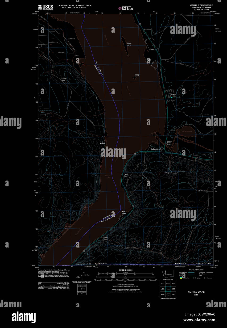 USGS Topo Map Washington State WA Wallula 20110914 TM Inverted Restoration Stock Photohttps://www.alamy.com/image-license-details/?v=1https://www.alamy.com/usgs-topo-map-washington-state-wa-wallula-20110914-tm-inverted-restoration-image268187876.html
RMWG90AC–USGS Topo Map Washington State WA Wallula 20110914 TM Inverted Restoration
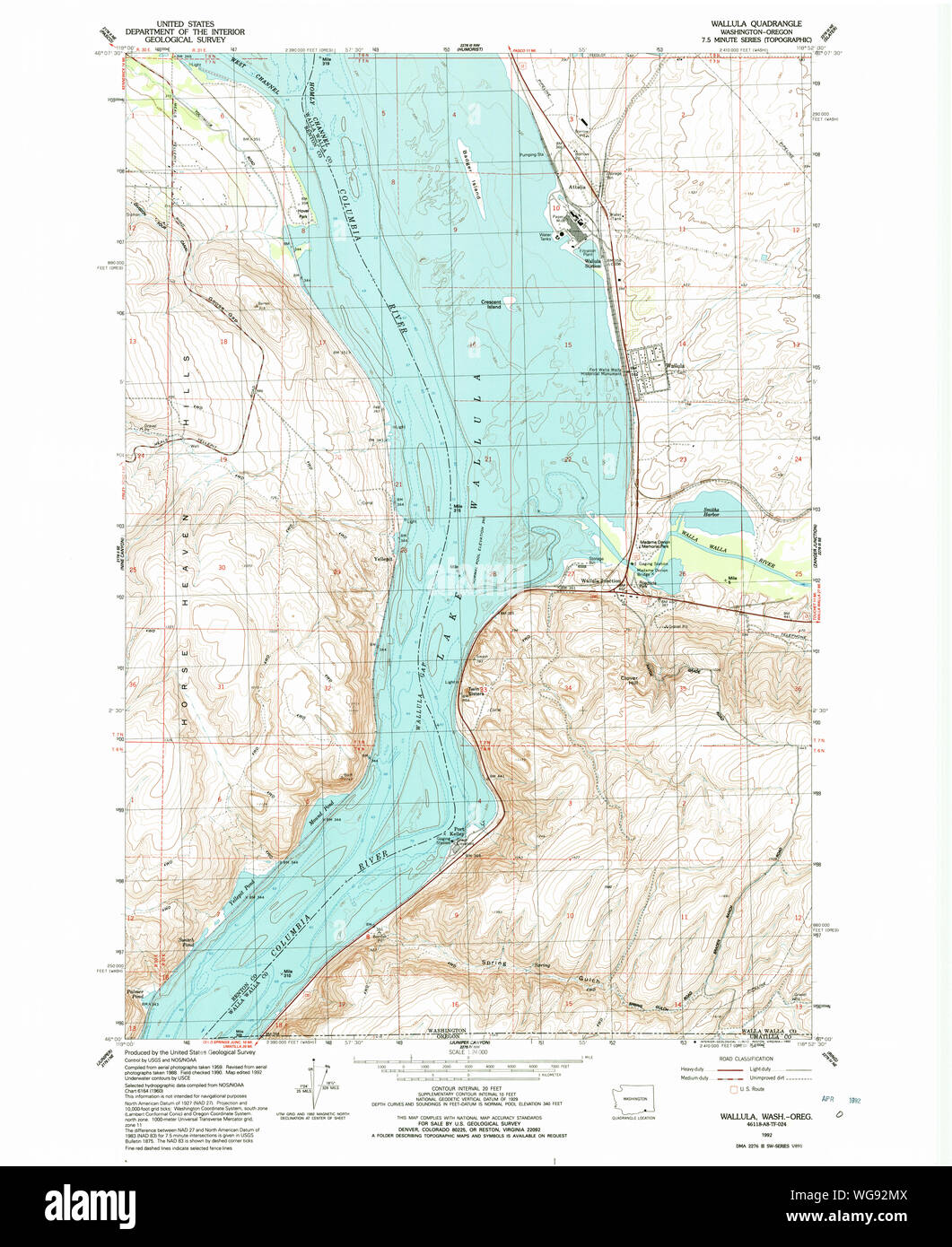 USGS Topo Map Washington State WA Wallula 244522 1992 24000 Restoration Stock Photohttps://www.alamy.com/image-license-details/?v=1https://www.alamy.com/usgs-topo-map-washington-state-wa-wallula-244522-1992-24000-restoration-image268189738.html
RMWG92MX–USGS Topo Map Washington State WA Wallula 244522 1992 24000 Restoration
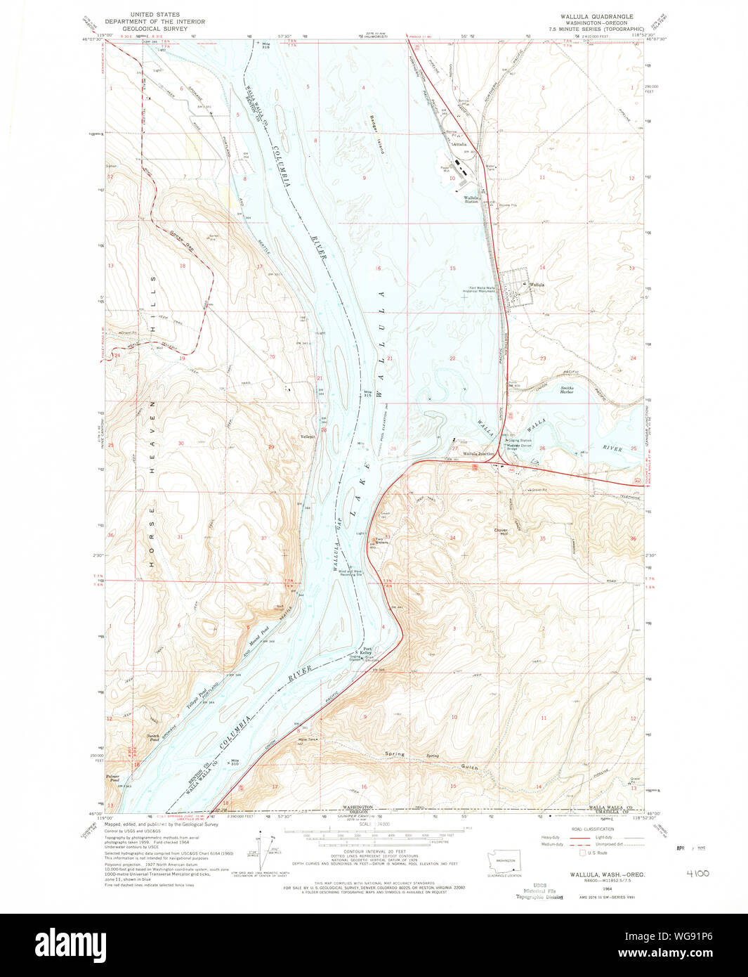 USGS Topo Map Washington State WA Wallula 244520 1964 24000 Restoration Stock Photohttps://www.alamy.com/image-license-details/?v=1https://www.alamy.com/usgs-topo-map-washington-state-wa-wallula-244520-1964-24000-restoration-image268188990.html
RMWG91P6–USGS Topo Map Washington State WA Wallula 244520 1964 24000 Restoration
 USGS Topo Map Washington State WA Wallula 244521 1964 24000 Restoration Stock Photohttps://www.alamy.com/image-license-details/?v=1https://www.alamy.com/usgs-topo-map-washington-state-wa-wallula-244521-1964-24000-restoration-image268189381.html
RMWG9285–USGS Topo Map Washington State WA Wallula 244521 1964 24000 Restoration
 USGS Topo Map Washington State WA Wallula 244519 1918 125000 Restoration Stock Photohttps://www.alamy.com/image-license-details/?v=1https://www.alamy.com/usgs-topo-map-washington-state-wa-wallula-244519-1918-125000-restoration-image268188590.html
RMWG917X–USGS Topo Map Washington State WA Wallula 244519 1918 125000 Restoration
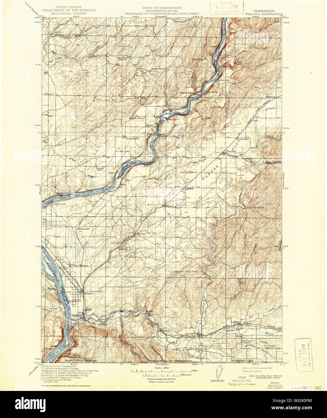 USGS Topo Map Washington State WA Wallula 244518 1918 125000 Restoration Stock Photohttps://www.alamy.com/image-license-details/?v=1https://www.alamy.com/usgs-topo-map-washington-state-wa-wallula-244518-1918-125000-restoration-image268188220.html
RMWG90PM–USGS Topo Map Washington State WA Wallula 244518 1918 125000 Restoration
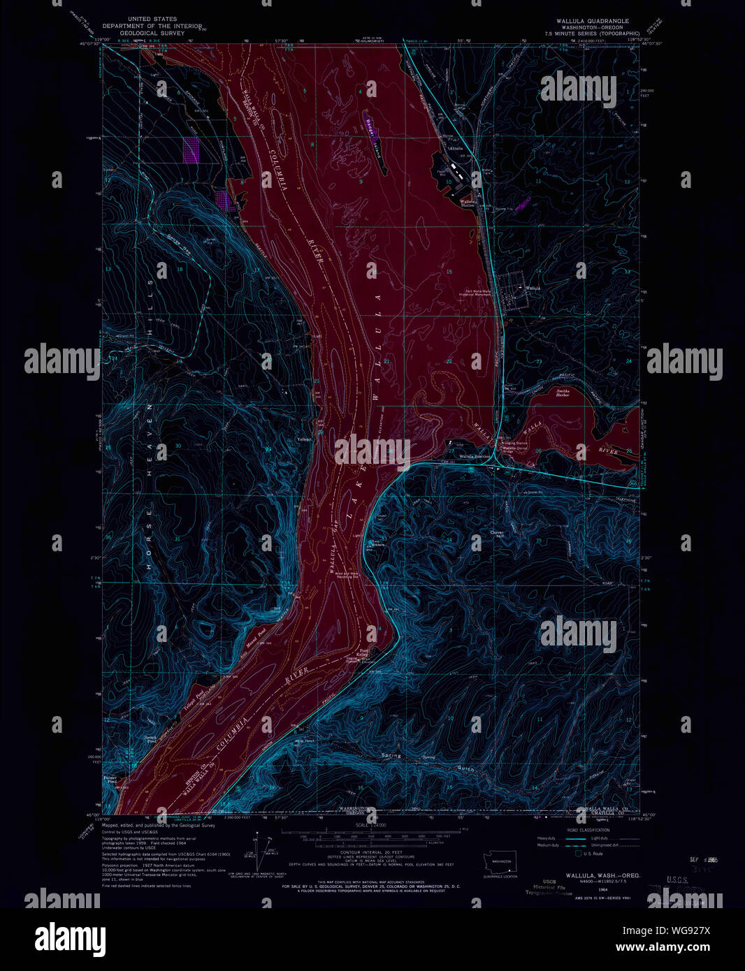 USGS Topo Map Washington State WA Wallula 244521 1964 24000 Inverted Restoration Stock Photohttps://www.alamy.com/image-license-details/?v=1https://www.alamy.com/usgs-topo-map-washington-state-wa-wallula-244521-1964-24000-inverted-restoration-image268189374.html
RMWG927X–USGS Topo Map Washington State WA Wallula 244521 1964 24000 Inverted Restoration
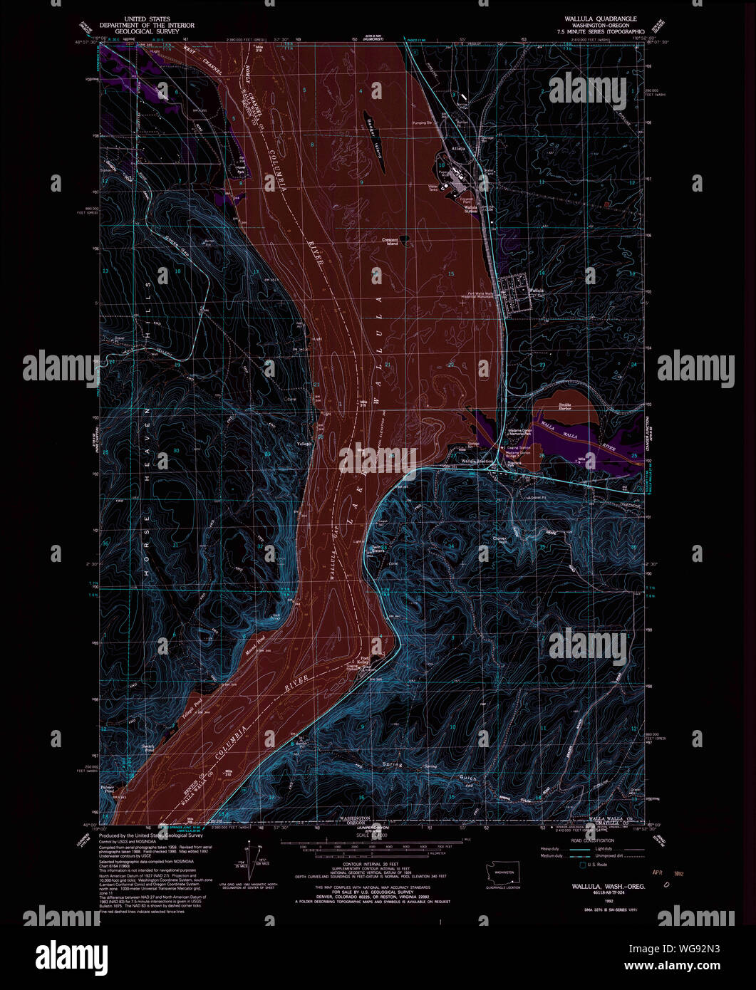 USGS Topo Map Washington State WA Wallula 244522 1992 24000 Inverted Restoration Stock Photohttps://www.alamy.com/image-license-details/?v=1https://www.alamy.com/usgs-topo-map-washington-state-wa-wallula-244522-1992-24000-inverted-restoration-image268189743.html
RMWG92N3–USGS Topo Map Washington State WA Wallula 244522 1992 24000 Inverted Restoration
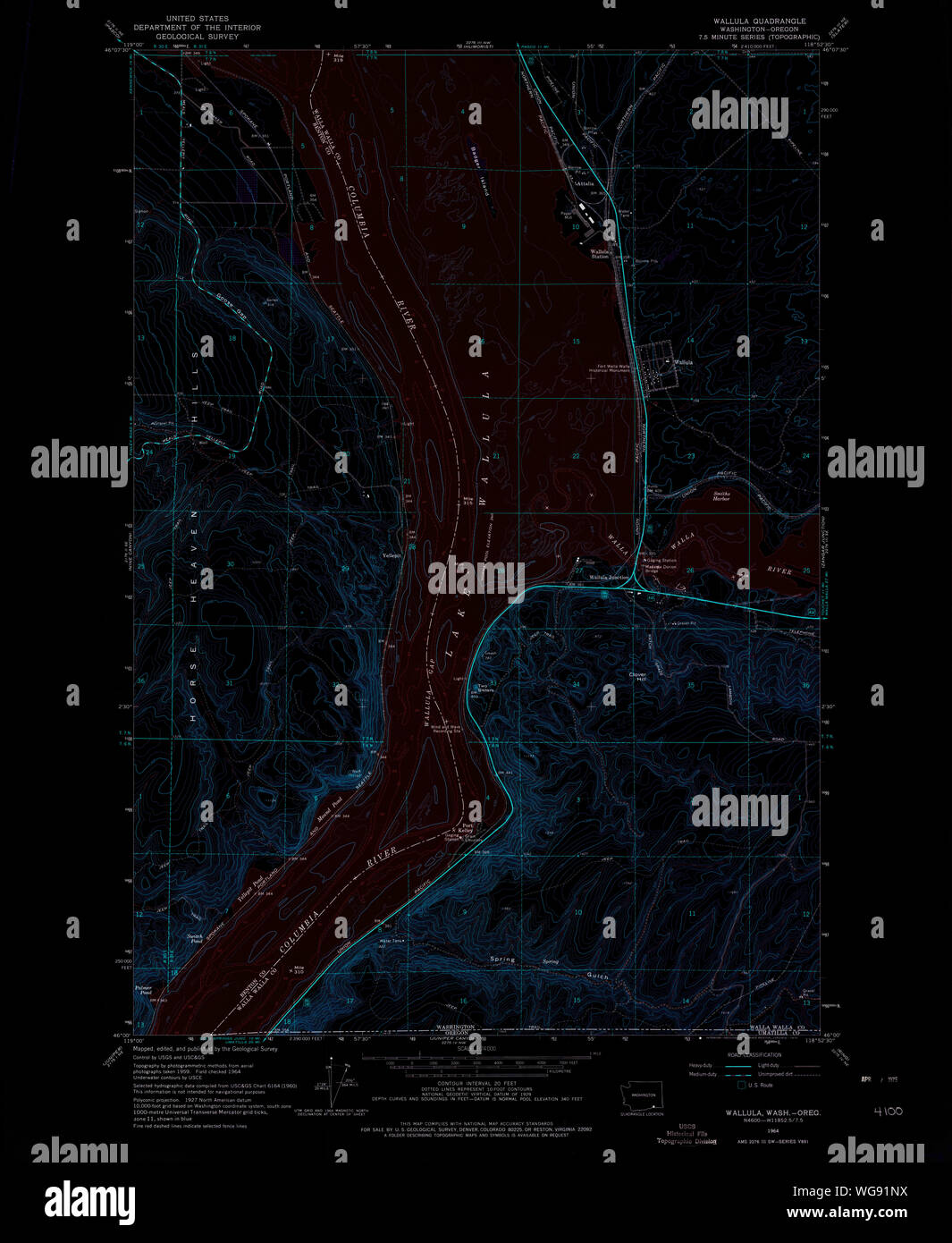 USGS Topo Map Washington State WA Wallula 244520 1964 24000 Inverted Restoration Stock Photohttps://www.alamy.com/image-license-details/?v=1https://www.alamy.com/usgs-topo-map-washington-state-wa-wallula-244520-1964-24000-inverted-restoration-image268188982.html
RMWG91NX–USGS Topo Map Washington State WA Wallula 244520 1964 24000 Inverted Restoration
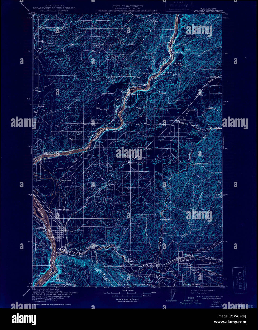 USGS Topo Map Washington State WA Wallula 244518 1918 125000 Inverted Restoration Stock Photohttps://www.alamy.com/image-license-details/?v=1https://www.alamy.com/usgs-topo-map-washington-state-wa-wallula-244518-1918-125000-inverted-restoration-image268188218.html
RMWG90PJ–USGS Topo Map Washington State WA Wallula 244518 1918 125000 Inverted Restoration
 USGS Topo Map Washington State WA Wallula 244519 1918 125000 Inverted Restoration Stock Photohttps://www.alamy.com/image-license-details/?v=1https://www.alamy.com/usgs-topo-map-washington-state-wa-wallula-244519-1918-125000-inverted-restoration-image268188602.html
RMWG918A–USGS Topo Map Washington State WA Wallula 244519 1918 125000 Inverted Restoration