Map of warner Cut Out Stock Images
 William Lee Warner Stock Photohttps://www.alamy.com/image-license-details/?v=1https://www.alamy.com/stock-image-william-lee-warner-161658178.html
RMKB04JA–William Lee Warner
 USGS Topo Map Oregon Warner Peak 20110816 TM Restoration Stock Photohttps://www.alamy.com/image-license-details/?v=1https://www.alamy.com/usgs-topo-map-oregon-warner-peak-20110816-tm-restoration-image264934013.html
RMWB0P11–USGS Topo Map Oregon Warner Peak 20110816 TM Restoration
 Warner Point, , AU, Australia, Queensland, S 23 28' 45'', N 150 59' 25'', map, Cartascapes Map published in 2024. Explore Cartascapes, a map revealing Earth's diverse landscapes, cultures, and ecosystems. Journey through time and space, discovering the interconnectedness of our planet's past, present, and future. Stock Photohttps://www.alamy.com/image-license-details/?v=1https://www.alamy.com/warner-point-au-australia-queensland-s-23-28-45-n-150-59-25-map-cartascapes-map-published-in-2024-explore-cartascapes-a-map-revealing-earths-diverse-landscapes-cultures-and-ecosystems-journey-through-time-and-space-discovering-the-interconnectedness-of-our-planets-past-present-and-future-image625469946.html
RM2Y9GH8A–Warner Point, , AU, Australia, Queensland, S 23 28' 45'', N 150 59' 25'', map, Cartascapes Map published in 2024. Explore Cartascapes, a map revealing Earth's diverse landscapes, cultures, and ecosystems. Journey through time and space, discovering the interconnectedness of our planet's past, present, and future.
 USGS Topo Map Oregon Warner Mountain 20110722 TM Restoration Stock Photohttps://www.alamy.com/image-license-details/?v=1https://www.alamy.com/usgs-topo-map-oregon-warner-mountain-20110722-tm-restoration-image264933863.html
RMWB0NRK–USGS Topo Map Oregon Warner Mountain 20110722 TM Restoration
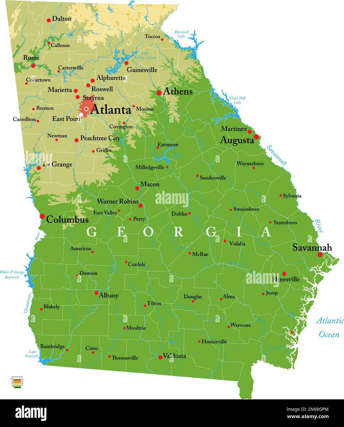 Highly detailed physical map of the Georgia, in vector format,with all the relief forms,regions and big cities. Stock Vectorhttps://www.alamy.com/image-license-details/?v=1https://www.alamy.com/highly-detailed-physical-map-of-the-georgia-in-vector-formatwith-all-the-relief-formsregions-and-big-cities-image520517052.html
RF2N6RGPM–Highly detailed physical map of the Georgia, in vector format,with all the relief forms,regions and big cities.
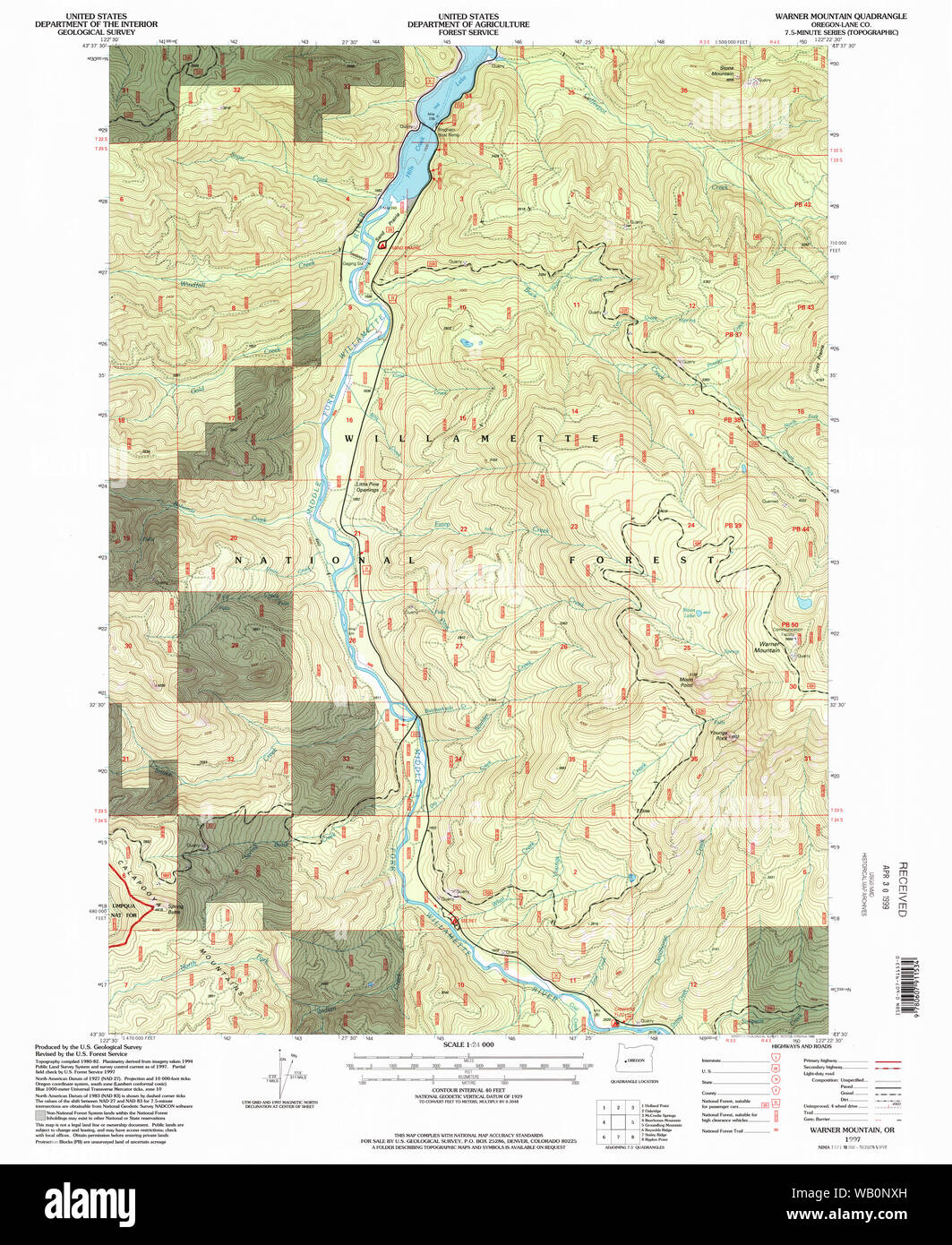 USGS Topo Map Oregon Warner Mountain 282021 1997 24000 Restoration Stock Photohttps://www.alamy.com/image-license-details/?v=1https://www.alamy.com/usgs-topo-map-oregon-warner-mountain-282021-1997-24000-restoration-image264933945.html
RMWB0NXH–USGS Topo Map Oregon Warner Mountain 282021 1997 24000 Restoration
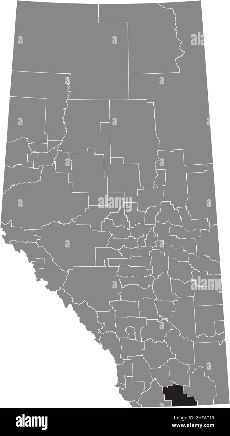 Black flat blank highlighted location map of the COUNTY OF WARNER NO. 5 municipal district inside gray administrative map of the Canadian province of Stock Vectorhttps://www.alamy.com/image-license-details/?v=1https://www.alamy.com/black-flat-blank-highlighted-location-map-of-the-county-of-warner-no-5-municipal-district-inside-gray-administrative-map-of-the-canadian-province-of-image456313125.html
RF2HEAT19–Black flat blank highlighted location map of the COUNTY OF WARNER NO. 5 municipal district inside gray administrative map of the Canadian province of
 US OH(1891) p683 CLEVELAND, WARNER & SWASEY Stock Photohttps://www.alamy.com/image-license-details/?v=1https://www.alamy.com/us-oh1891-p683-cleveland-warner-swasey-image154604561.html
RMJYERKD–US OH(1891) p683 CLEVELAND, WARNER & SWASEY
 US-OH(1891) p683 CLEVELAND, WARNER & SWASEY Stock Photohttps://www.alamy.com/image-license-details/?v=1https://www.alamy.com/stock-photo-us-oh1891-p683-cleveland-warner-swasey-73672960.html
RME7T2H4–US-OH(1891) p683 CLEVELAND, WARNER & SWASEY
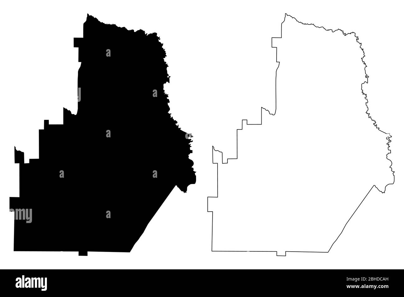 Houston County, Georgia (U.S. county, United States of America,USA, U.S., US) map vector illustration, scribble sketch Houston map Stock Vectorhttps://www.alamy.com/image-license-details/?v=1https://www.alamy.com/houston-county-georgia-us-county-united-states-of-americausa-us-us-map-vector-illustration-scribble-sketch-houston-map-image354951593.html
RF2BHDCAH–Houston County, Georgia (U.S. county, United States of America,USA, U.S., US) map vector illustration, scribble sketch Houston map
 Image relative to usa travel. Georgia state cities list Stock Vectorhttps://www.alamy.com/image-license-details/?v=1https://www.alamy.com/image-relative-to-usa-travel-georgia-state-cities-list-image333534329.html
RF2AAHPC9–Image relative to usa travel. Georgia state cities list
 Warner Waterhole, , AU, Australia, Queensland, S 20 23' 59'', N 141 16' 59'', map, Cartascapes Map published in 2024. Explore Cartascapes, a map revealing Earth's diverse landscapes, cultures, and ecosystems. Journey through time and space, discovering the interconnectedness of our planet's past, present, and future. Stock Photohttps://www.alamy.com/image-license-details/?v=1https://www.alamy.com/warner-waterhole-au-australia-queensland-s-20-23-59-n-141-16-59-map-cartascapes-map-published-in-2024-explore-cartascapes-a-map-revealing-earths-diverse-landscapes-cultures-and-ecosystems-journey-through-time-and-space-discovering-the-interconnectedness-of-our-planets-past-present-and-future-image625805028.html
RM2YA3TKG–Warner Waterhole, , AU, Australia, Queensland, S 20 23' 59'', N 141 16' 59'', map, Cartascapes Map published in 2024. Explore Cartascapes, a map revealing Earth's diverse landscapes, cultures, and ecosystems. Journey through time and space, discovering the interconnectedness of our planet's past, present, and future.
 USGS Topo Map Oregon Warner Mountain 282020 1986 24000 Restoration Stock Photohttps://www.alamy.com/image-license-details/?v=1https://www.alamy.com/usgs-topo-map-oregon-warner-mountain-282020-1986-24000-restoration-image264933919.html
RMWB0NWK–USGS Topo Map Oregon Warner Mountain 282020 1986 24000 Restoration
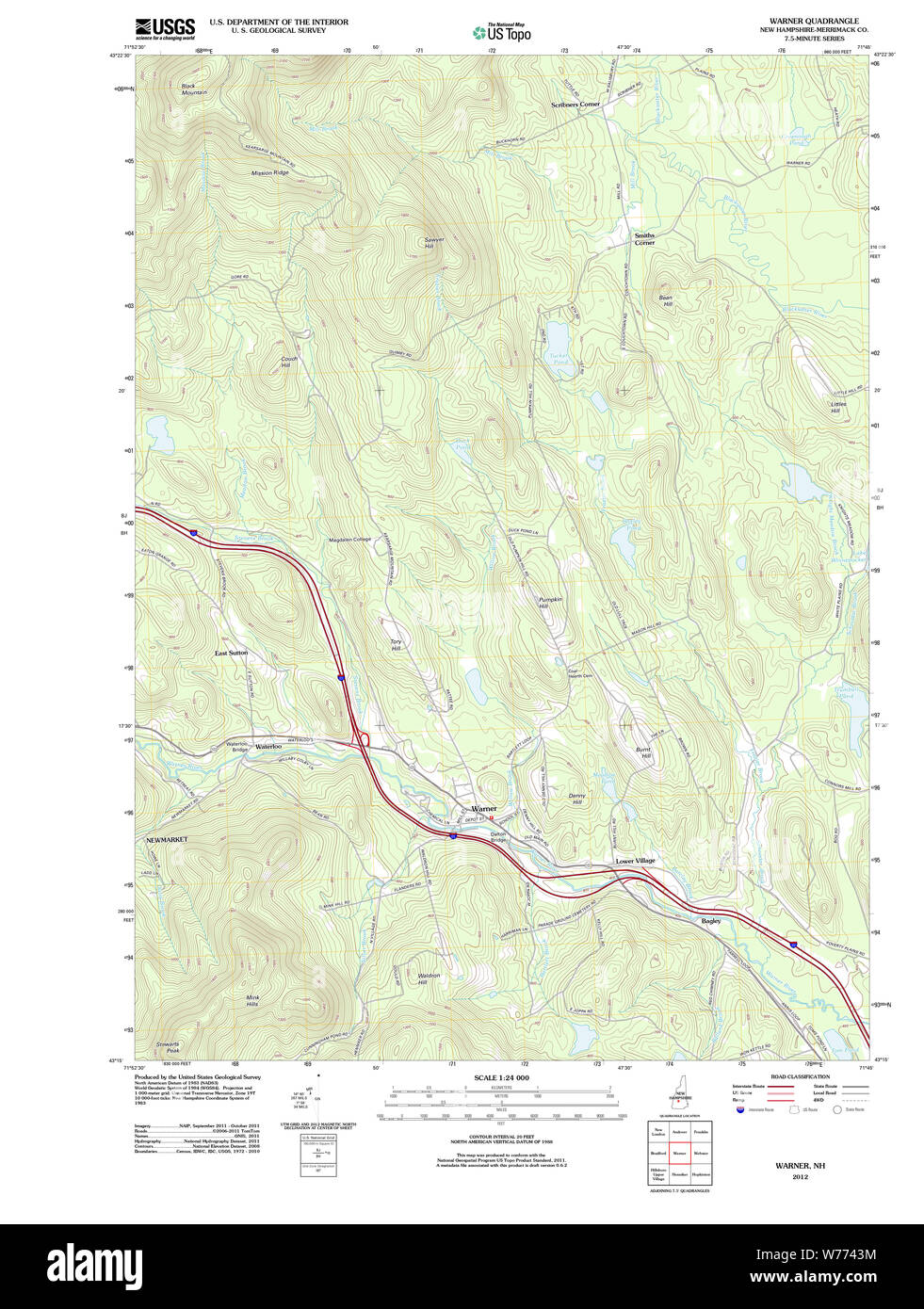 USGS TOPO Map New Hampshire NH Warner 20120608 TM Restoration Stock Photohttps://www.alamy.com/image-license-details/?v=1https://www.alamy.com/usgs-topo-map-new-hampshire-nh-warner-20120608-tm-restoration-image262615016.html
RMW7743M–USGS TOPO Map New Hampshire NH Warner 20120608 TM Restoration
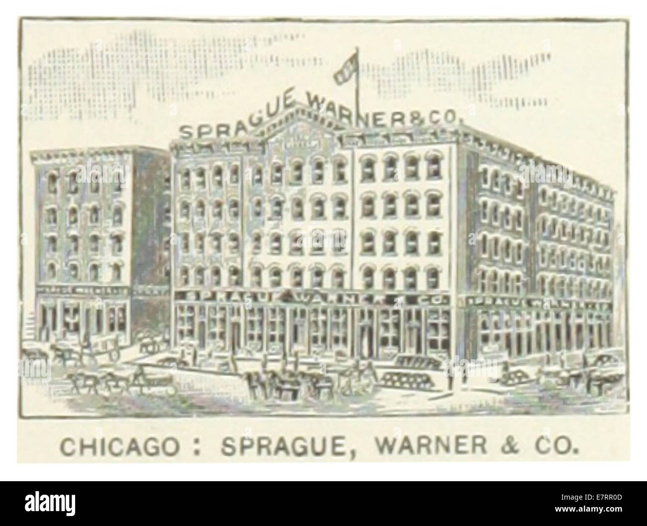 US-IL(1891) p231 CHICAGO, SPRAGUE, WARNER & COMPANY Stock Photohttps://www.alamy.com/image-license-details/?v=1https://www.alamy.com/stock-photo-us-il1891-p231-chicago-sprague-warner-company-73667005.html
RME7RR0D–US-IL(1891) p231 CHICAGO, SPRAGUE, WARNER & COMPANY
 USGS TOPO Map New Hampshire NH Warner 329841 1998 24000 Restoration Stock Photohttps://www.alamy.com/image-license-details/?v=1https://www.alamy.com/usgs-topo-map-new-hampshire-nh-warner-329841-1998-24000-restoration-image262615130.html
RMW7747P–USGS TOPO Map New Hampshire NH Warner 329841 1998 24000 Restoration
 Houston County, Georgia (U.S. county, United States of America,USA, U.S., US) map vector illustration, scribble sketch Houston map Stock Vectorhttps://www.alamy.com/image-license-details/?v=1https://www.alamy.com/houston-county-georgia-us-county-united-states-of-americausa-us-us-map-vector-illustration-scribble-sketch-houston-map-image365508122.html
RF2C6J99E–Houston County, Georgia (U.S. county, United States of America,USA, U.S., US) map vector illustration, scribble sketch Houston map
 Warner Creek, , AU, Australia, Tasmania, S 41 42' 0'', N 146 35' 46'', map, Cartascapes Map published in 2024. Explore Cartascapes, a map revealing Earth's diverse landscapes, cultures, and ecosystems. Journey through time and space, discovering the interconnectedness of our planet's past, present, and future. Stock Photohttps://www.alamy.com/image-license-details/?v=1https://www.alamy.com/warner-creek-au-australia-tasmania-s-41-42-0-n-146-35-46-map-cartascapes-map-published-in-2024-explore-cartascapes-a-map-revealing-earths-diverse-landscapes-cultures-and-ecosystems-journey-through-time-and-space-discovering-the-interconnectedness-of-our-planets-past-present-and-future-image625542349.html
RM2Y9KWJ5–Warner Creek, , AU, Australia, Tasmania, S 41 42' 0'', N 146 35' 46'', map, Cartascapes Map published in 2024. Explore Cartascapes, a map revealing Earth's diverse landscapes, cultures, and ecosystems. Journey through time and space, discovering the interconnectedness of our planet's past, present, and future.
 US-OH(1891) p683 CLEVELAND, WARNER & SWASEY Stock Photohttps://www.alamy.com/image-license-details/?v=1https://www.alamy.com/stock-photo-us-oh1891-p683-cleveland-warner-swasey-75599582.html
RMEAYT12–US-OH(1891) p683 CLEVELAND, WARNER & SWASEY
 USGS TOPO Map New Hampshire NH Warner 329840 1987 24000 Restoration Stock Photohttps://www.alamy.com/image-license-details/?v=1https://www.alamy.com/usgs-topo-map-new-hampshire-nh-warner-329840-1987-24000-restoration-image262615111.html
RMW77473–USGS TOPO Map New Hampshire NH Warner 329840 1987 24000 Restoration
 Houston County, Georgia (U.S. county, United States of America,USA, U.S., US) map vector illustration, scribble sketch Houston map Stock Vectorhttps://www.alamy.com/image-license-details/?v=1https://www.alamy.com/houston-county-georgia-us-county-united-states-of-americausa-us-us-map-vector-illustration-scribble-sketch-houston-map-image357957102.html
RF2BPA9X6–Houston County, Georgia (U.S. county, United States of America,USA, U.S., US) map vector illustration, scribble sketch Houston map
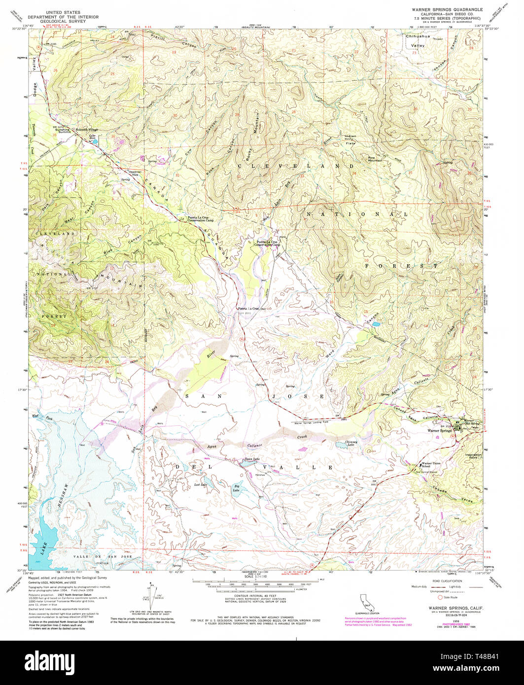 USGS TOPO Map California CA Warner Springs 301208 1959 24000 Restoration Stock Photohttps://www.alamy.com/image-license-details/?v=1https://www.alamy.com/usgs-topo-map-california-ca-warner-springs-301208-1959-24000-restoration-image243588129.html
RMT48B41–USGS TOPO Map California CA Warner Springs 301208 1959 24000 Restoration
 Warner Well, , AU, Australia, South Australia, S 32 26' 33'', N 135 27' 16'', map, Cartascapes Map published in 2024. Explore Cartascapes, a map revealing Earth's diverse landscapes, cultures, and ecosystems. Journey through time and space, discovering the interconnectedness of our planet's past, present, and future. Stock Photohttps://www.alamy.com/image-license-details/?v=1https://www.alamy.com/warner-well-au-australia-south-australia-s-32-26-33-n-135-27-16-map-cartascapes-map-published-in-2024-explore-cartascapes-a-map-revealing-earths-diverse-landscapes-cultures-and-ecosystems-journey-through-time-and-space-discovering-the-interconnectedness-of-our-planets-past-present-and-future-image625723931.html
RM2YA0577–Warner Well, , AU, Australia, South Australia, S 32 26' 33'', N 135 27' 16'', map, Cartascapes Map published in 2024. Explore Cartascapes, a map revealing Earth's diverse landscapes, cultures, and ecosystems. Journey through time and space, discovering the interconnectedness of our planet's past, present, and future.
 US-IL(1891) p231 CHICAGO, SPRAGUE, WARNER & COMPANY Stock Photohttps://www.alamy.com/image-license-details/?v=1https://www.alamy.com/stock-photo-us-il1891-p231-chicago-sprague-warner-company-75192386.html
RMEA98JA–US-IL(1891) p231 CHICAGO, SPRAGUE, WARNER & COMPANY
 USGS TOPO Map California CA Warner Springs 301207 1959 24000 Restoration Stock Photohttps://www.alamy.com/image-license-details/?v=1https://www.alamy.com/usgs-topo-map-california-ca-warner-springs-301207-1959-24000-restoration-image243588117.html
RMT48B3H–USGS TOPO Map California CA Warner Springs 301207 1959 24000 Restoration
 Warner, Moreton Bay, AU, Australia, Queensland, S 27 18' 43'', N 152 56' 59'', map, Cartascapes Map published in 2024. Explore Cartascapes, a map revealing Earth's diverse landscapes, cultures, and ecosystems. Journey through time and space, discovering the interconnectedness of our planet's past, present, and future. Stock Photohttps://www.alamy.com/image-license-details/?v=1https://www.alamy.com/warner-moreton-bay-au-australia-queensland-s-27-18-43-n-152-56-59-map-cartascapes-map-published-in-2024-explore-cartascapes-a-map-revealing-earths-diverse-landscapes-cultures-and-ecosystems-journey-through-time-and-space-discovering-the-interconnectedness-of-our-planets-past-present-and-future-image625743540.html
RM2YA127G–Warner, Moreton Bay, AU, Australia, Queensland, S 27 18' 43'', N 152 56' 59'', map, Cartascapes Map published in 2024. Explore Cartascapes, a map revealing Earth's diverse landscapes, cultures, and ecosystems. Journey through time and space, discovering the interconnectedness of our planet's past, present, and future.
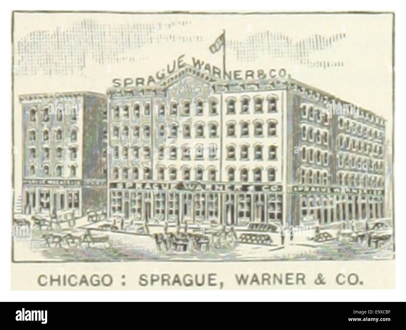 US-IL(1891) p231 CHICAGO, SPRAGUE, WARNER & COMPANY Stock Photohttps://www.alamy.com/image-license-details/?v=1https://www.alamy.com/stock-photo-us-il1891-p231-chicago-sprague-warner-company-74953859.html
RME9XCBF–US-IL(1891) p231 CHICAGO, SPRAGUE, WARNER & COMPANY
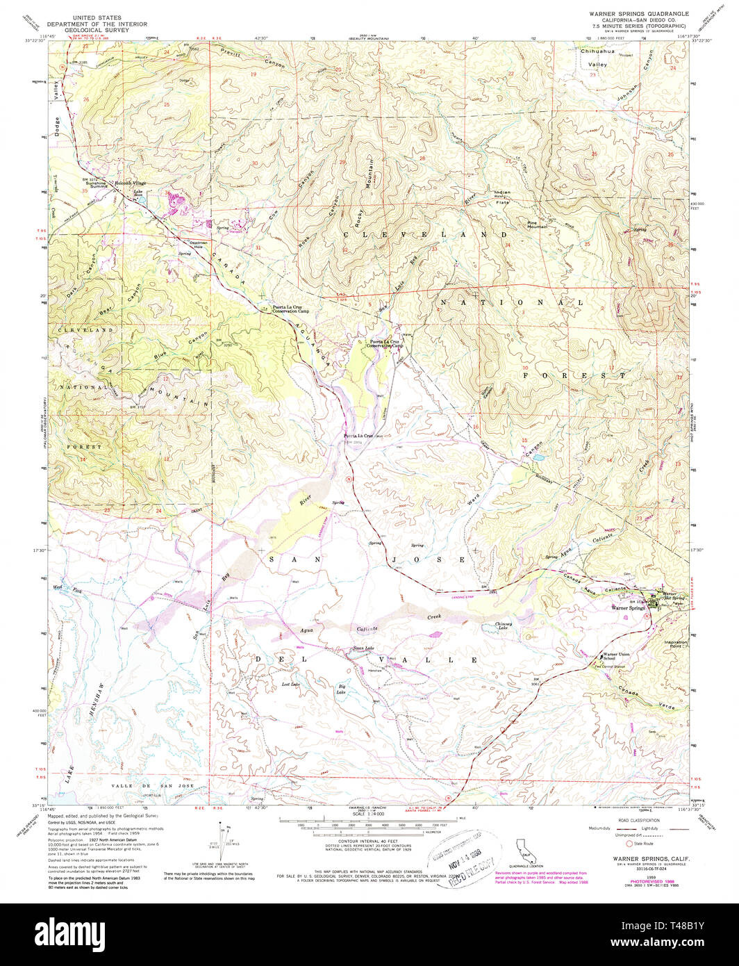 USGS TOPO Map California CA Warner Springs 295643 1958 24000 Restoration Stock Photohttps://www.alamy.com/image-license-details/?v=1https://www.alamy.com/usgs-topo-map-california-ca-warner-springs-295643-1958-24000-restoration-image243588071.html
RMT48B1Y–USGS TOPO Map California CA Warner Springs 295643 1958 24000 Restoration
 USGS TOPO Map Oklahoma OK Warner 20121108 TM Restoration Stock Photohttps://www.alamy.com/image-license-details/?v=1https://www.alamy.com/usgs-topo-map-oklahoma-ok-warner-20121108-tm-restoration-image334321484.html
RM2ABWJD0–USGS TOPO Map Oklahoma OK Warner 20121108 TM Restoration
 Warner Dam, , AU, Australia, South Australia, S 32 37' 45'', N 136 49' 38'', map, Cartascapes Map published in 2024. Explore Cartascapes, a map revealing Earth's diverse landscapes, cultures, and ecosystems. Journey through time and space, discovering the interconnectedness of our planet's past, present, and future. Stock Photohttps://www.alamy.com/image-license-details/?v=1https://www.alamy.com/warner-dam-au-australia-south-australia-s-32-37-45-n-136-49-38-map-cartascapes-map-published-in-2024-explore-cartascapes-a-map-revealing-earths-diverse-landscapes-cultures-and-ecosystems-journey-through-time-and-space-discovering-the-interconnectedness-of-our-planets-past-present-and-future-image625823745.html
RM2YA4MG1–Warner Dam, , AU, Australia, South Australia, S 32 37' 45'', N 136 49' 38'', map, Cartascapes Map published in 2024. Explore Cartascapes, a map revealing Earth's diverse landscapes, cultures, and ecosystems. Journey through time and space, discovering the interconnectedness of our planet's past, present, and future.
 USGS TOPO Map Oklahoma OK Warner 20100114 TM Restoration Stock Photohttps://www.alamy.com/image-license-details/?v=1https://www.alamy.com/usgs-topo-map-oklahoma-ok-warner-20100114-tm-restoration-image334321490.html
RM2ABWJD6–USGS TOPO Map Oklahoma OK Warner 20100114 TM Restoration
 Warner, Moreton Bay, AU, Australia, Queensland, S 27 18' 43'', N 152 56' 59'', map, Cartascapes Map published in 2024. Explore Cartascapes, a map revealing Earth's diverse landscapes, cultures, and ecosystems. Journey through time and space, discovering the interconnectedness of our planet's past, present, and future. Stock Photohttps://www.alamy.com/image-license-details/?v=1https://www.alamy.com/warner-moreton-bay-au-australia-queensland-s-27-18-43-n-152-56-59-map-cartascapes-map-published-in-2024-explore-cartascapes-a-map-revealing-earths-diverse-landscapes-cultures-and-ecosystems-journey-through-time-and-space-discovering-the-interconnectedness-of-our-planets-past-present-and-future-image625426752.html
RM2Y9EJ5M–Warner, Moreton Bay, AU, Australia, Queensland, S 27 18' 43'', N 152 56' 59'', map, Cartascapes Map published in 2024. Explore Cartascapes, a map revealing Earth's diverse landscapes, cultures, and ecosystems. Journey through time and space, discovering the interconnectedness of our planet's past, present, and future.
 USGS TOPO Map Oklahoma OK Warner NW 20121127 TM Restoration Stock Photohttps://www.alamy.com/image-license-details/?v=1https://www.alamy.com/usgs-topo-map-oklahoma-ok-warner-nw-20121127-tm-restoration-image334322046.html
RM2ABWK52–USGS TOPO Map Oklahoma OK Warner NW 20121127 TM Restoration
 Warner Dam, , AU, Australia, South Australia, S 32 28' 39'', N 135 56' 39'', map, Cartascapes Map published in 2024. Explore Cartascapes, a map revealing Earth's diverse landscapes, cultures, and ecosystems. Journey through time and space, discovering the interconnectedness of our planet's past, present, and future. Stock Photohttps://www.alamy.com/image-license-details/?v=1https://www.alamy.com/warner-dam-au-australia-south-australia-s-32-28-39-n-135-56-39-map-cartascapes-map-published-in-2024-explore-cartascapes-a-map-revealing-earths-diverse-landscapes-cultures-and-ecosystems-journey-through-time-and-space-discovering-the-interconnectedness-of-our-planets-past-present-and-future-image625806187.html
RM2YA3X4Y–Warner Dam, , AU, Australia, South Australia, S 32 28' 39'', N 135 56' 39'', map, Cartascapes Map published in 2024. Explore Cartascapes, a map revealing Earth's diverse landscapes, cultures, and ecosystems. Journey through time and space, discovering the interconnectedness of our planet's past, present, and future.
 USGS TOPO Map South Dakota SD Warner 20120615 TM Restoration Stock Photohttps://www.alamy.com/image-license-details/?v=1https://www.alamy.com/usgs-topo-map-south-dakota-sd-warner-20120615-tm-restoration-image335181069.html
RM2AD8PTD–USGS TOPO Map South Dakota SD Warner 20120615 TM Restoration
 Warner Sugarloaf, Meander Valley, AU, Australia, Tasmania, S 41 41' 10'', N 146 38' 29'', map, Cartascapes Map published in 2024. Explore Cartascapes, a map revealing Earth's diverse landscapes, cultures, and ecosystems. Journey through time and space, discovering the interconnectedness of our planet's past, present, and future. Stock Photohttps://www.alamy.com/image-license-details/?v=1https://www.alamy.com/warner-sugarloaf-meander-valley-au-australia-tasmania-s-41-41-10-n-146-38-29-map-cartascapes-map-published-in-2024-explore-cartascapes-a-map-revealing-earths-diverse-landscapes-cultures-and-ecosystems-journey-through-time-and-space-discovering-the-interconnectedness-of-our-planets-past-present-and-future-image625826902.html
RM2YA4TGP–Warner Sugarloaf, Meander Valley, AU, Australia, Tasmania, S 41 41' 10'', N 146 38' 29'', map, Cartascapes Map published in 2024. Explore Cartascapes, a map revealing Earth's diverse landscapes, cultures, and ecosystems. Journey through time and space, discovering the interconnectedness of our planet's past, present, and future.
 USGS TOPO Map Oklahoma OK Warner 707034 1963 24000 Restoration Stock Photohttps://www.alamy.com/image-license-details/?v=1https://www.alamy.com/usgs-topo-map-oklahoma-ok-warner-707034-1963-24000-restoration-image334321737.html
RM2ABWJP1–USGS TOPO Map Oklahoma OK Warner 707034 1963 24000 Restoration
 Warner, Muskogee County, US, United States, Oklahoma, N 35 29' 39'', S 95 18' 19'', map, Cartascapes Map published in 2024. Explore Cartascapes, a map revealing Earth's diverse landscapes, cultures, and ecosystems. Journey through time and space, discovering the interconnectedness of our planet's past, present, and future. Stock Photohttps://www.alamy.com/image-license-details/?v=1https://www.alamy.com/warner-muskogee-county-us-united-states-oklahoma-n-35-29-39-s-95-18-19-map-cartascapes-map-published-in-2024-explore-cartascapes-a-map-revealing-earths-diverse-landscapes-cultures-and-ecosystems-journey-through-time-and-space-discovering-the-interconnectedness-of-our-planets-past-present-and-future-image621377431.html
RM2Y2X573–Warner, Muskogee County, US, United States, Oklahoma, N 35 29' 39'', S 95 18' 19'', map, Cartascapes Map published in 2024. Explore Cartascapes, a map revealing Earth's diverse landscapes, cultures, and ecosystems. Journey through time and space, discovering the interconnectedness of our planet's past, present, and future.
 USGS TOPO Map Oklahoma OK Warner NW 20100223 TM Restoration Stock Photohttps://www.alamy.com/image-license-details/?v=1https://www.alamy.com/usgs-topo-map-oklahoma-ok-warner-nw-20100223-tm-restoration-image334322068.html
RM2ABWK5T–USGS TOPO Map Oklahoma OK Warner NW 20100223 TM Restoration
 Warner, Washington County, US, United States, Ohio, N 39 33' 46'', S 81 25' 5'', map, Cartascapes Map published in 2024. Explore Cartascapes, a map revealing Earth's diverse landscapes, cultures, and ecosystems. Journey through time and space, discovering the interconnectedness of our planet's past, present, and future. Stock Photohttps://www.alamy.com/image-license-details/?v=1https://www.alamy.com/warner-washington-county-us-united-states-ohio-n-39-33-46-s-81-25-5-map-cartascapes-map-published-in-2024-explore-cartascapes-a-map-revealing-earths-diverse-landscapes-cultures-and-ecosystems-journey-through-time-and-space-discovering-the-interconnectedness-of-our-planets-past-present-and-future-image621415924.html
RM2Y2YX9T–Warner, Washington County, US, United States, Ohio, N 39 33' 46'', S 81 25' 5'', map, Cartascapes Map published in 2024. Explore Cartascapes, a map revealing Earth's diverse landscapes, cultures, and ecosystems. Journey through time and space, discovering the interconnectedness of our planet's past, present, and future.
 USGS TOPO Map Oklahoma OK Warner 707031 1963 24000 Restoration Stock Photohttps://www.alamy.com/image-license-details/?v=1https://www.alamy.com/usgs-topo-map-oklahoma-ok-warner-707031-1963-24000-restoration-image334321501.html
RM2ABWJDH–USGS TOPO Map Oklahoma OK Warner 707031 1963 24000 Restoration
 Warner Bros. Movie World, , AU, Australia, Queensland, S 27 54' 27'', N 153 18' 43'', map, Cartascapes Map published in 2024. Explore Cartascapes, a map revealing Earth's diverse landscapes, cultures, and ecosystems. Journey through time and space, discovering the interconnectedness of our planet's past, present, and future. Stock Photohttps://www.alamy.com/image-license-details/?v=1https://www.alamy.com/warner-bros-movie-world-au-australia-queensland-s-27-54-27-n-153-18-43-map-cartascapes-map-published-in-2024-explore-cartascapes-a-map-revealing-earths-diverse-landscapes-cultures-and-ecosystems-journey-through-time-and-space-discovering-the-interconnectedness-of-our-planets-past-present-and-future-image625461383.html
RM2Y9G6AF–Warner Bros. Movie World, , AU, Australia, Queensland, S 27 54' 27'', N 153 18' 43'', map, Cartascapes Map published in 2024. Explore Cartascapes, a map revealing Earth's diverse landscapes, cultures, and ecosystems. Journey through time and space, discovering the interconnectedness of our planet's past, present, and future.
 USGS TOPO Map Oklahoma OK Warner NW 707035 1963 24000 Restoration Stock Photohttps://www.alamy.com/image-license-details/?v=1https://www.alamy.com/usgs-topo-map-oklahoma-ok-warner-nw-707035-1963-24000-restoration-image334322324.html
RM2ABWKF0–USGS TOPO Map Oklahoma OK Warner NW 707035 1963 24000 Restoration
 Warner Park, , AU, Australia, New South Wales, S 33 47' 54'', N 151 12' 4'', map, Cartascapes Map published in 2024. Explore Cartascapes, a map revealing Earth's diverse landscapes, cultures, and ecosystems. Journey through time and space, discovering the interconnectedness of our planet's past, present, and future. Stock Photohttps://www.alamy.com/image-license-details/?v=1https://www.alamy.com/warner-park-au-australia-new-south-wales-s-33-47-54-n-151-12-4-map-cartascapes-map-published-in-2024-explore-cartascapes-a-map-revealing-earths-diverse-landscapes-cultures-and-ecosystems-journey-through-time-and-space-discovering-the-interconnectedness-of-our-planets-past-present-and-future-image625759761.html
RM2YA1PXW–Warner Park, , AU, Australia, New South Wales, S 33 47' 54'', N 151 12' 4'', map, Cartascapes Map published in 2024. Explore Cartascapes, a map revealing Earth's diverse landscapes, cultures, and ecosystems. Journey through time and space, discovering the interconnectedness of our planet's past, present, and future.
 USGS TOPO Map Oklahoma OK Warner NW 707032 1963 24000 Restoration Stock Photohttps://www.alamy.com/image-license-details/?v=1https://www.alamy.com/usgs-topo-map-oklahoma-ok-warner-nw-707032-1963-24000-restoration-image334322064.html
RM2ABWK5M–USGS TOPO Map Oklahoma OK Warner NW 707032 1963 24000 Restoration
 Warner, Washington County, US, United States, Pennsylvania, N 40 8' 19'', S 79 56' 7'', map, Cartascapes Map published in 2024. Explore Cartascapes, a map revealing Earth's diverse landscapes, cultures, and ecosystems. Journey through time and space, discovering the interconnectedness of our planet's past, present, and future. Stock Photohttps://www.alamy.com/image-license-details/?v=1https://www.alamy.com/warner-washington-county-us-united-states-pennsylvania-n-40-8-19-s-79-56-7-map-cartascapes-map-published-in-2024-explore-cartascapes-a-map-revealing-earths-diverse-landscapes-cultures-and-ecosystems-journey-through-time-and-space-discovering-the-interconnectedness-of-our-planets-past-present-and-future-image621453403.html
RM2Y31J4B–Warner, Washington County, US, United States, Pennsylvania, N 40 8' 19'', S 79 56' 7'', map, Cartascapes Map published in 2024. Explore Cartascapes, a map revealing Earth's diverse landscapes, cultures, and ecosystems. Journey through time and space, discovering the interconnectedness of our planet's past, present, and future.
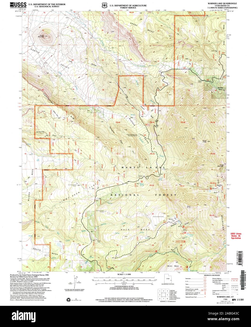 UT Warner Lake 252656 2001 24000 Restoration Stock Photohttps://www.alamy.com/image-license-details/?v=1https://www.alamy.com/ut-warner-lake-252656-2001-24000-restoration-image334112672.html
RM2ABG43C–UT Warner Lake 252656 2001 24000 Restoration
 Warner, Henry County, US, United States, Illinois, N 41 24' 37'', S 90 22' 33'', map, Cartascapes Map published in 2024. Explore Cartascapes, a map revealing Earth's diverse landscapes, cultures, and ecosystems. Journey through time and space, discovering the interconnectedness of our planet's past, present, and future. Stock Photohttps://www.alamy.com/image-license-details/?v=1https://www.alamy.com/warner-henry-county-us-united-states-illinois-n-41-24-37-s-90-22-33-map-cartascapes-map-published-in-2024-explore-cartascapes-a-map-revealing-earths-diverse-landscapes-cultures-and-ecosystems-journey-through-time-and-space-discovering-the-interconnectedness-of-our-planets-past-present-and-future-image621267651.html
RM2Y2N56B–Warner, Henry County, US, United States, Illinois, N 41 24' 37'', S 90 22' 33'', map, Cartascapes Map published in 2024. Explore Cartascapes, a map revealing Earth's diverse landscapes, cultures, and ecosystems. Journey through time and space, discovering the interconnectedness of our planet's past, present, and future.
 Warner Park, , AU, Australia, New South Wales, S 32 57' 54'', N 151 38' 4'', map, Cartascapes Map published in 2024. Explore Cartascapes, a map revealing Earth's diverse landscapes, cultures, and ecosystems. Journey through time and space, discovering the interconnectedness of our planet's past, present, and future. Stock Photohttps://www.alamy.com/image-license-details/?v=1https://www.alamy.com/warner-park-au-australia-new-south-wales-s-32-57-54-n-151-38-4-map-cartascapes-map-published-in-2024-explore-cartascapes-a-map-revealing-earths-diverse-landscapes-cultures-and-ecosystems-journey-through-time-and-space-discovering-the-interconnectedness-of-our-planets-past-present-and-future-image625589522.html
RM2Y9P1PX–Warner Park, , AU, Australia, New South Wales, S 32 57' 54'', N 151 38' 4'', map, Cartascapes Map published in 2024. Explore Cartascapes, a map revealing Earth's diverse landscapes, cultures, and ecosystems. Journey through time and space, discovering the interconnectedness of our planet's past, present, and future.
 Warner Reserve, , AU, Australia, New South Wales, S 32 57' 54'', N 151 38' 4'', map, Cartascapes Map published in 2024. Explore Cartascapes, a map revealing Earth's diverse landscapes, cultures, and ecosystems. Journey through time and space, discovering the interconnectedness of our planet's past, present, and future. Stock Photohttps://www.alamy.com/image-license-details/?v=1https://www.alamy.com/warner-reserve-au-australia-new-south-wales-s-32-57-54-n-151-38-4-map-cartascapes-map-published-in-2024-explore-cartascapes-a-map-revealing-earths-diverse-landscapes-cultures-and-ecosystems-journey-through-time-and-space-discovering-the-interconnectedness-of-our-planets-past-present-and-future-image625427600.html
RM2Y9EK80–Warner Reserve, , AU, Australia, New South Wales, S 32 57' 54'', N 151 38' 4'', map, Cartascapes Map published in 2024. Explore Cartascapes, a map revealing Earth's diverse landscapes, cultures, and ecosystems. Journey through time and space, discovering the interconnectedness of our planet's past, present, and future.
 Warner, Muskogee County, US, United States, Oklahoma, N 35 29' 39'', S 95 18' 19'', map, Cartascapes Map published in 2024. Explore Cartascapes, a map revealing Earth's diverse landscapes, cultures, and ecosystems. Journey through time and space, discovering the interconnectedness of our planet's past, present, and future. Stock Photohttps://www.alamy.com/image-license-details/?v=1https://www.alamy.com/warner-muskogee-county-us-united-states-oklahoma-n-35-29-39-s-95-18-19-map-cartascapes-map-published-in-2024-explore-cartascapes-a-map-revealing-earths-diverse-landscapes-cultures-and-ecosystems-journey-through-time-and-space-discovering-the-interconnectedness-of-our-planets-past-present-and-future-image621460433.html
RM2Y31Y3D–Warner, Muskogee County, US, United States, Oklahoma, N 35 29' 39'', S 95 18' 19'', map, Cartascapes Map published in 2024. Explore Cartascapes, a map revealing Earth's diverse landscapes, cultures, and ecosystems. Journey through time and space, discovering the interconnectedness of our planet's past, present, and future.
 Warner, Whitman County, US, United States, Washington, N 47 9' 11'', S 117 8' 14'', map, Cartascapes Map published in 2024. Explore Cartascapes, a map revealing Earth's diverse landscapes, cultures, and ecosystems. Journey through time and space, discovering the interconnectedness of our planet's past, present, and future. Stock Photohttps://www.alamy.com/image-license-details/?v=1https://www.alamy.com/warner-whitman-county-us-united-states-washington-n-47-9-11-s-117-8-14-map-cartascapes-map-published-in-2024-explore-cartascapes-a-map-revealing-earths-diverse-landscapes-cultures-and-ecosystems-journey-through-time-and-space-discovering-the-interconnectedness-of-our-planets-past-present-and-future-image621169871.html
RM2Y2GME7–Warner, Whitman County, US, United States, Washington, N 47 9' 11'', S 117 8' 14'', map, Cartascapes Map published in 2024. Explore Cartascapes, a map revealing Earth's diverse landscapes, cultures, and ecosystems. Journey through time and space, discovering the interconnectedness of our planet's past, present, and future.
 Warner, Brown County, US, United States, South Dakota, N 45 19' 32'', S 98 29' 43'', map, Cartascapes Map published in 2024. Explore Cartascapes, a map revealing Earth's diverse landscapes, cultures, and ecosystems. Journey through time and space, discovering the interconnectedness of our planet's past, present, and future. Stock Photohttps://www.alamy.com/image-license-details/?v=1https://www.alamy.com/warner-brown-county-us-united-states-south-dakota-n-45-19-32-s-98-29-43-map-cartascapes-map-published-in-2024-explore-cartascapes-a-map-revealing-earths-diverse-landscapes-cultures-and-ecosystems-journey-through-time-and-space-discovering-the-interconnectedness-of-our-planets-past-present-and-future-image621222695.html
RM2Y2K3TR–Warner, Brown County, US, United States, South Dakota, N 45 19' 32'', S 98 29' 43'', map, Cartascapes Map published in 2024. Explore Cartascapes, a map revealing Earth's diverse landscapes, cultures, and ecosystems. Journey through time and space, discovering the interconnectedness of our planet's past, present, and future.
 Warner, Brown County, US, United States, South Dakota, N 45 19' 32'', S 98 29' 43'', map, Cartascapes Map published in 2024. Explore Cartascapes, a map revealing Earth's diverse landscapes, cultures, and ecosystems. Journey through time and space, discovering the interconnectedness of our planet's past, present, and future. Stock Photohttps://www.alamy.com/image-license-details/?v=1https://www.alamy.com/warner-brown-county-us-united-states-south-dakota-n-45-19-32-s-98-29-43-map-cartascapes-map-published-in-2024-explore-cartascapes-a-map-revealing-earths-diverse-landscapes-cultures-and-ecosystems-journey-through-time-and-space-discovering-the-interconnectedness-of-our-planets-past-present-and-future-image621233956.html
RM2Y2KJ70–Warner, Brown County, US, United States, South Dakota, N 45 19' 32'', S 98 29' 43'', map, Cartascapes Map published in 2024. Explore Cartascapes, a map revealing Earth's diverse landscapes, cultures, and ecosystems. Journey through time and space, discovering the interconnectedness of our planet's past, present, and future.
 Warner Park, Maricopa County, US, United States, Arizona, N 33 20' 0'', S 111 51' 22'', map, Cartascapes Map published in 2024. Explore Cartascapes, a map revealing Earth's diverse landscapes, cultures, and ecosystems. Journey through time and space, discovering the interconnectedness of our planet's past, present, and future. Stock Photohttps://www.alamy.com/image-license-details/?v=1https://www.alamy.com/warner-park-maricopa-county-us-united-states-arizona-n-33-20-0-s-111-51-22-map-cartascapes-map-published-in-2024-explore-cartascapes-a-map-revealing-earths-diverse-landscapes-cultures-and-ecosystems-journey-through-time-and-space-discovering-the-interconnectedness-of-our-planets-past-present-and-future-image621151740.html
RM2Y2FWAM–Warner Park, Maricopa County, US, United States, Arizona, N 33 20' 0'', S 111 51' 22'', map, Cartascapes Map published in 2024. Explore Cartascapes, a map revealing Earth's diverse landscapes, cultures, and ecosystems. Journey through time and space, discovering the interconnectedness of our planet's past, present, and future.
 Warner Junction, Grayson County, US, United States, Texas, N 33 48' 5'', S 96 32' 8'', map, Cartascapes Map published in 2024. Explore Cartascapes, a map revealing Earth's diverse landscapes, cultures, and ecosystems. Journey through time and space, discovering the interconnectedness of our planet's past, present, and future. Stock Photohttps://www.alamy.com/image-license-details/?v=1https://www.alamy.com/warner-junction-grayson-county-us-united-states-texas-n-33-48-5-s-96-32-8-map-cartascapes-map-published-in-2024-explore-cartascapes-a-map-revealing-earths-diverse-landscapes-cultures-and-ecosystems-journey-through-time-and-space-discovering-the-interconnectedness-of-our-planets-past-present-and-future-image621243648.html
RM2Y2M2H4–Warner Junction, Grayson County, US, United States, Texas, N 33 48' 5'', S 96 32' 8'', map, Cartascapes Map published in 2024. Explore Cartascapes, a map revealing Earth's diverse landscapes, cultures, and ecosystems. Journey through time and space, discovering the interconnectedness of our planet's past, present, and future.
 Warner (historical), Cherokee County, US, United States, Alabama, N 33 57' 37'', S 85 27' 49'', map, Cartascapes Map published in 2024. Explore Cartascapes, a map revealing Earth's diverse landscapes, cultures, and ecosystems. Journey through time and space, discovering the interconnectedness of our planet's past, present, and future. Stock Photohttps://www.alamy.com/image-license-details/?v=1https://www.alamy.com/warner-historical-cherokee-county-us-united-states-alabama-n-33-57-37-s-85-27-49-map-cartascapes-map-published-in-2024-explore-cartascapes-a-map-revealing-earths-diverse-landscapes-cultures-and-ecosystems-journey-through-time-and-space-discovering-the-interconnectedness-of-our-planets-past-present-and-future-image621317839.html
RM2Y2RD6R–Warner (historical), Cherokee County, US, United States, Alabama, N 33 57' 37'', S 85 27' 49'', map, Cartascapes Map published in 2024. Explore Cartascapes, a map revealing Earth's diverse landscapes, cultures, and ecosystems. Journey through time and space, discovering the interconnectedness of our planet's past, present, and future.
 Warner Springs, San Diego County, US, United States, California, N 33 16' 56'', S 116 38' 1'', map, Cartascapes Map published in 2024. Explore Cartascapes, a map revealing Earth's diverse landscapes, cultures, and ecosystems. Journey through time and space, discovering the interconnectedness of our planet's past, present, and future. Stock Photohttps://www.alamy.com/image-license-details/?v=1https://www.alamy.com/warner-springs-san-diego-county-us-united-states-california-n-33-16-56-s-116-38-1-map-cartascapes-map-published-in-2024-explore-cartascapes-a-map-revealing-earths-diverse-landscapes-cultures-and-ecosystems-journey-through-time-and-space-discovering-the-interconnectedness-of-our-planets-past-present-and-future-image621393260.html
RM2Y2XWCC–Warner Springs, San Diego County, US, United States, California, N 33 16' 56'', S 116 38' 1'', map, Cartascapes Map published in 2024. Explore Cartascapes, a map revealing Earth's diverse landscapes, cultures, and ecosystems. Journey through time and space, discovering the interconnectedness of our planet's past, present, and future.
 Garth Warner, Salt Lake County, US, United States, Utah, N 40 34' 39'', S 111 51' 30'', map, Cartascapes Map published in 2024. Explore Cartascapes, a map revealing Earth's diverse landscapes, cultures, and ecosystems. Journey through time and space, discovering the interconnectedness of our planet's past, present, and future. Stock Photohttps://www.alamy.com/image-license-details/?v=1https://www.alamy.com/garth-warner-salt-lake-county-us-united-states-utah-n-40-34-39-s-111-51-30-map-cartascapes-map-published-in-2024-explore-cartascapes-a-map-revealing-earths-diverse-landscapes-cultures-and-ecosystems-journey-through-time-and-space-discovering-the-interconnectedness-of-our-planets-past-present-and-future-image621227690.html
RM2Y2KA76–Garth Warner, Salt Lake County, US, United States, Utah, N 40 34' 39'', S 111 51' 30'', map, Cartascapes Map published in 2024. Explore Cartascapes, a map revealing Earth's diverse landscapes, cultures, and ecosystems. Journey through time and space, discovering the interconnectedness of our planet's past, present, and future.
 Warner Village, Mercer County, US, United States, New Jersey, N 40 14' 1'', S 74 43' 32'', map, Cartascapes Map published in 2024. Explore Cartascapes, a map revealing Earth's diverse landscapes, cultures, and ecosystems. Journey through time and space, discovering the interconnectedness of our planet's past, present, and future. Stock Photohttps://www.alamy.com/image-license-details/?v=1https://www.alamy.com/warner-village-mercer-county-us-united-states-new-jersey-n-40-14-1-s-74-43-32-map-cartascapes-map-published-in-2024-explore-cartascapes-a-map-revealing-earths-diverse-landscapes-cultures-and-ecosystems-journey-through-time-and-space-discovering-the-interconnectedness-of-our-planets-past-present-and-future-image621431417.html
RM2Y30J35–Warner Village, Mercer County, US, United States, New Jersey, N 40 14' 1'', S 74 43' 32'', map, Cartascapes Map published in 2024. Explore Cartascapes, a map revealing Earth's diverse landscapes, cultures, and ecosystems. Journey through time and space, discovering the interconnectedness of our planet's past, present, and future.
 Warner Glen, Augusta-Margaret River Shire, AU, Australia, Western Australia, S 34 5' 49'', N 115 13' 0'', map, Cartascapes Map published in 2024. Explore Cartascapes, a map revealing Earth's diverse landscapes, cultures, and ecosystems. Journey through time and space, discovering the interconnectedness of our planet's past, present, and future. Stock Photohttps://www.alamy.com/image-license-details/?v=1https://www.alamy.com/warner-glen-augusta-margaret-river-shire-au-australia-western-australia-s-34-5-49-n-115-13-0-map-cartascapes-map-published-in-2024-explore-cartascapes-a-map-revealing-earths-diverse-landscapes-cultures-and-ecosystems-journey-through-time-and-space-discovering-the-interconnectedness-of-our-planets-past-present-and-future-image625643023.html
RM2Y9TE1K–Warner Glen, Augusta-Margaret River Shire, AU, Australia, Western Australia, S 34 5' 49'', N 115 13' 0'', map, Cartascapes Map published in 2024. Explore Cartascapes, a map revealing Earth's diverse landscapes, cultures, and ecosystems. Journey through time and space, discovering the interconnectedness of our planet's past, present, and future.
 Warner Glen, Augusta-Margaret River Shire, AU, Australia, Western Australia, S 34 5' 49'', N 115 13' 0'', map, Cartascapes Map published in 2024. Explore Cartascapes, a map revealing Earth's diverse landscapes, cultures, and ecosystems. Journey through time and space, discovering the interconnectedness of our planet's past, present, and future. Stock Photohttps://www.alamy.com/image-license-details/?v=1https://www.alamy.com/warner-glen-augusta-margaret-river-shire-au-australia-western-australia-s-34-5-49-n-115-13-0-map-cartascapes-map-published-in-2024-explore-cartascapes-a-map-revealing-earths-diverse-landscapes-cultures-and-ecosystems-journey-through-time-and-space-discovering-the-interconnectedness-of-our-planets-past-present-and-future-image625564169.html
RM2Y9MWDD–Warner Glen, Augusta-Margaret River Shire, AU, Australia, Western Australia, S 34 5' 49'', N 115 13' 0'', map, Cartascapes Map published in 2024. Explore Cartascapes, a map revealing Earth's diverse landscapes, cultures, and ecosystems. Journey through time and space, discovering the interconnectedness of our planet's past, present, and future.
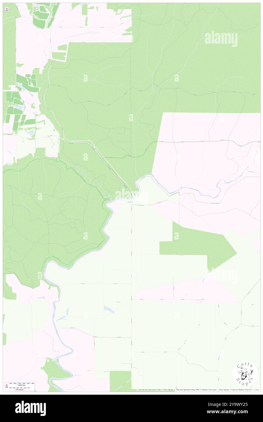 Warner Glen Bridge, Augusta-Margaret River Shire, AU, Australia, Western Australia, S 34 5' 35'', N 115 12' 58'', map, Cartascapes Map published in 2024. Explore Cartascapes, a map revealing Earth's diverse landscapes, cultures, and ecosystems. Journey through time and space, discovering the interconnectedness of our planet's past, present, and future. Stock Photohttps://www.alamy.com/image-license-details/?v=1https://www.alamy.com/warner-glen-bridge-augusta-margaret-river-shire-au-australia-western-australia-s-34-5-35-n-115-12-58-map-cartascapes-map-published-in-2024-explore-cartascapes-a-map-revealing-earths-diverse-landscapes-cultures-and-ecosystems-journey-through-time-and-space-discovering-the-interconnectedness-of-our-planets-past-present-and-future-image625675181.html
RM2Y9WY25–Warner Glen Bridge, Augusta-Margaret River Shire, AU, Australia, Western Australia, S 34 5' 35'', N 115 12' 58'', map, Cartascapes Map published in 2024. Explore Cartascapes, a map revealing Earth's diverse landscapes, cultures, and ecosystems. Journey through time and space, discovering the interconnectedness of our planet's past, present, and future.
 Warner Robins, Houston County, US, United States, Georgia, N 32 36' 56'', S 83 37' 35'', map, Cartascapes Map published in 2024. Explore Cartascapes, a map revealing Earth's diverse landscapes, cultures, and ecosystems. Journey through time and space, discovering the interconnectedness of our planet's past, present, and future. Stock Photohttps://www.alamy.com/image-license-details/?v=1https://www.alamy.com/warner-robins-houston-county-us-united-states-georgia-n-32-36-56-s-83-37-35-map-cartascapes-map-published-in-2024-explore-cartascapes-a-map-revealing-earths-diverse-landscapes-cultures-and-ecosystems-journey-through-time-and-space-discovering-the-interconnectedness-of-our-planets-past-present-and-future-image621153668.html
RM2Y2FYRG–Warner Robins, Houston County, US, United States, Georgia, N 32 36' 56'', S 83 37' 35'', map, Cartascapes Map published in 2024. Explore Cartascapes, a map revealing Earth's diverse landscapes, cultures, and ecosystems. Journey through time and space, discovering the interconnectedness of our planet's past, present, and future.
 Warner Robins, Houston County, US, United States, Georgia, N 32 36' 56'', S 83 37' 35'', map, Cartascapes Map published in 2024. Explore Cartascapes, a map revealing Earth's diverse landscapes, cultures, and ecosystems. Journey through time and space, discovering the interconnectedness of our planet's past, present, and future. Stock Photohttps://www.alamy.com/image-license-details/?v=1https://www.alamy.com/warner-robins-houston-county-us-united-states-georgia-n-32-36-56-s-83-37-35-map-cartascapes-map-published-in-2024-explore-cartascapes-a-map-revealing-earths-diverse-landscapes-cultures-and-ecosystems-journey-through-time-and-space-discovering-the-interconnectedness-of-our-planets-past-present-and-future-image621206791.html
RM2Y2JBGR–Warner Robins, Houston County, US, United States, Georgia, N 32 36' 56'', S 83 37' 35'', map, Cartascapes Map published in 2024. Explore Cartascapes, a map revealing Earth's diverse landscapes, cultures, and ecosystems. Journey through time and space, discovering the interconnectedness of our planet's past, present, and future.
 Warner, Ouachita County, US, United States, Arkansas, N 33 38' 17'', S 92 47' 51'', map, Cartascapes Map published in 2024. Explore Cartascapes, a map revealing Earth's diverse landscapes, cultures, and ecosystems. Journey through time and space, discovering the interconnectedness of our planet's past, present, and future. Stock Photohttps://www.alamy.com/image-license-details/?v=1https://www.alamy.com/warner-ouachita-county-us-united-states-arkansas-n-33-38-17-s-92-47-51-map-cartascapes-map-published-in-2024-explore-cartascapes-a-map-revealing-earths-diverse-landscapes-cultures-and-ecosystems-journey-through-time-and-space-discovering-the-interconnectedness-of-our-planets-past-present-and-future-image620775608.html
RM2Y1XNHC–Warner, Ouachita County, US, United States, Arkansas, N 33 38' 17'', S 92 47' 51'', map, Cartascapes Map published in 2024. Explore Cartascapes, a map revealing Earth's diverse landscapes, cultures, and ecosystems. Journey through time and space, discovering the interconnectedness of our planet's past, present, and future.
 Warner, Middlesex County, US, United States, Virginia, N 37 38' 18'', S 76 38' 43'', map, Cartascapes Map published in 2024. Explore Cartascapes, a map revealing Earth's diverse landscapes, cultures, and ecosystems. Journey through time and space, discovering the interconnectedness of our planet's past, present, and future. Stock Photohttps://www.alamy.com/image-license-details/?v=1https://www.alamy.com/warner-middlesex-county-us-united-states-virginia-n-37-38-18-s-76-38-43-map-cartascapes-map-published-in-2024-explore-cartascapes-a-map-revealing-earths-diverse-landscapes-cultures-and-ecosystems-journey-through-time-and-space-discovering-the-interconnectedness-of-our-planets-past-present-and-future-image620872660.html
RM2Y235BG–Warner, Middlesex County, US, United States, Virginia, N 37 38' 18'', S 76 38' 43'', map, Cartascapes Map published in 2024. Explore Cartascapes, a map revealing Earth's diverse landscapes, cultures, and ecosystems. Journey through time and space, discovering the interconnectedness of our planet's past, present, and future.
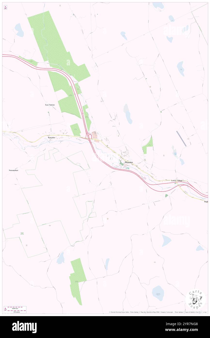 Town of Warner, Merrimack County, US, United States, New Hampshire, N 43 16' 55'', S 71 49' 42'', map, Cartascapes Map published in 2024. Explore Cartascapes, a map revealing Earth's diverse landscapes, cultures, and ecosystems. Journey through time and space, discovering the interconnectedness of our planet's past, present, and future. Stock Photohttps://www.alamy.com/image-license-details/?v=1https://www.alamy.com/town-of-warner-merrimack-county-us-united-states-new-hampshire-n-43-16-55-s-71-49-42-map-cartascapes-map-published-in-2024-explore-cartascapes-a-map-revealing-earths-diverse-landscapes-cultures-and-ecosystems-journey-through-time-and-space-discovering-the-interconnectedness-of-our-planets-past-present-and-future-image633880920.html
RM2YR7NG8–Town of Warner, Merrimack County, US, United States, New Hampshire, N 43 16' 55'', S 71 49' 42'', map, Cartascapes Map published in 2024. Explore Cartascapes, a map revealing Earth's diverse landscapes, cultures, and ecosystems. Journey through time and space, discovering the interconnectedness of our planet's past, present, and future.
 Town of Warner, Muskogee County, US, United States, Oklahoma, N 35 29' 24'', S 95 18' 30'', map, Cartascapes Map published in 2024. Explore Cartascapes, a map revealing Earth's diverse landscapes, cultures, and ecosystems. Journey through time and space, discovering the interconnectedness of our planet's past, present, and future. Stock Photohttps://www.alamy.com/image-license-details/?v=1https://www.alamy.com/town-of-warner-muskogee-county-us-united-states-oklahoma-n-35-29-24-s-95-18-30-map-cartascapes-map-published-in-2024-explore-cartascapes-a-map-revealing-earths-diverse-landscapes-cultures-and-ecosystems-journey-through-time-and-space-discovering-the-interconnectedness-of-our-planets-past-present-and-future-image633782268.html
RM2YR37N0–Town of Warner, Muskogee County, US, United States, Oklahoma, N 35 29' 24'', S 95 18' 30'', map, Cartascapes Map published in 2024. Explore Cartascapes, a map revealing Earth's diverse landscapes, cultures, and ecosystems. Journey through time and space, discovering the interconnectedness of our planet's past, present, and future.
 Mount Warner, Westland District, NZ, New Zealand, West Coast, S 43 9' 29'', N 171 2' 24'', map, Cartascapes Map published in 2024. Explore Cartascapes, a map revealing Earth's diverse landscapes, cultures, and ecosystems. Journey through time and space, discovering the interconnectedness of our planet's past, present, and future. Stock Photohttps://www.alamy.com/image-license-details/?v=1https://www.alamy.com/mount-warner-westland-district-nz-new-zealand-west-coast-s-43-9-29-n-171-2-24-map-cartascapes-map-published-in-2024-explore-cartascapes-a-map-revealing-earths-diverse-landscapes-cultures-and-ecosystems-journey-through-time-and-space-discovering-the-interconnectedness-of-our-planets-past-present-and-future-image633996215.html
RM2YRD0HY–Mount Warner, Westland District, NZ, New Zealand, West Coast, S 43 9' 29'', N 171 2' 24'', map, Cartascapes Map published in 2024. Explore Cartascapes, a map revealing Earth's diverse landscapes, cultures, and ecosystems. Journey through time and space, discovering the interconnectedness of our planet's past, present, and future.
 Warner, Merrimack County, US, United States, New Hampshire, N 43 16' 50'', S 71 49' 0'', map, Cartascapes Map published in 2024. Explore Cartascapes, a map revealing Earth's diverse landscapes, cultures, and ecosystems. Journey through time and space, discovering the interconnectedness of our planet's past, present, and future. Stock Photohttps://www.alamy.com/image-license-details/?v=1https://www.alamy.com/warner-merrimack-county-us-united-states-new-hampshire-n-43-16-50-s-71-49-0-map-cartascapes-map-published-in-2024-explore-cartascapes-a-map-revealing-earths-diverse-landscapes-cultures-and-ecosystems-journey-through-time-and-space-discovering-the-interconnectedness-of-our-planets-past-present-and-future-image620876285.html
RM2Y23A11–Warner, Merrimack County, US, United States, New Hampshire, N 43 16' 50'', S 71 49' 0'', map, Cartascapes Map published in 2024. Explore Cartascapes, a map revealing Earth's diverse landscapes, cultures, and ecosystems. Journey through time and space, discovering the interconnectedness of our planet's past, present, and future.
 Mount Warner, Ashburton District, NZ, New Zealand, Canterbury, S 43 10' 0'', N 171 3' 0'', map, Cartascapes Map published in 2024. Explore Cartascapes, a map revealing Earth's diverse landscapes, cultures, and ecosystems. Journey through time and space, discovering the interconnectedness of our planet's past, present, and future. Stock Photohttps://www.alamy.com/image-license-details/?v=1https://www.alamy.com/mount-warner-ashburton-district-nz-new-zealand-canterbury-s-43-10-0-n-171-3-0-map-cartascapes-map-published-in-2024-explore-cartascapes-a-map-revealing-earths-diverse-landscapes-cultures-and-ecosystems-journey-through-time-and-space-discovering-the-interconnectedness-of-our-planets-past-present-and-future-image634055740.html
RM2YRFMFT–Mount Warner, Ashburton District, NZ, New Zealand, Canterbury, S 43 10' 0'', N 171 3' 0'', map, Cartascapes Map published in 2024. Explore Cartascapes, a map revealing Earth's diverse landscapes, cultures, and ecosystems. Journey through time and space, discovering the interconnectedness of our planet's past, present, and future.
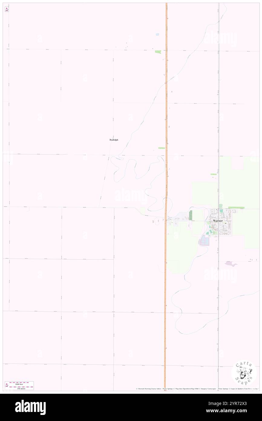 Township of Warner, Brown County, US, United States, South Dakota, N 45 19' 56'', S 98 31' 45'', map, Cartascapes Map published in 2024. Explore Cartascapes, a map revealing Earth's diverse landscapes, cultures, and ecosystems. Journey through time and space, discovering the interconnectedness of our planet's past, present, and future. Stock Photohttps://www.alamy.com/image-license-details/?v=1https://www.alamy.com/township-of-warner-brown-county-us-united-states-south-dakota-n-45-19-56-s-98-31-45-map-cartascapes-map-published-in-2024-explore-cartascapes-a-map-revealing-earths-diverse-landscapes-cultures-and-ecosystems-journey-through-time-and-space-discovering-the-interconnectedness-of-our-planets-past-present-and-future-image633866299.html
RM2YR72X3–Township of Warner, Brown County, US, United States, South Dakota, N 45 19' 56'', S 98 31' 45'', map, Cartascapes Map published in 2024. Explore Cartascapes, a map revealing Earth's diverse landscapes, cultures, and ecosystems. Journey through time and space, discovering the interconnectedness of our planet's past, present, and future.
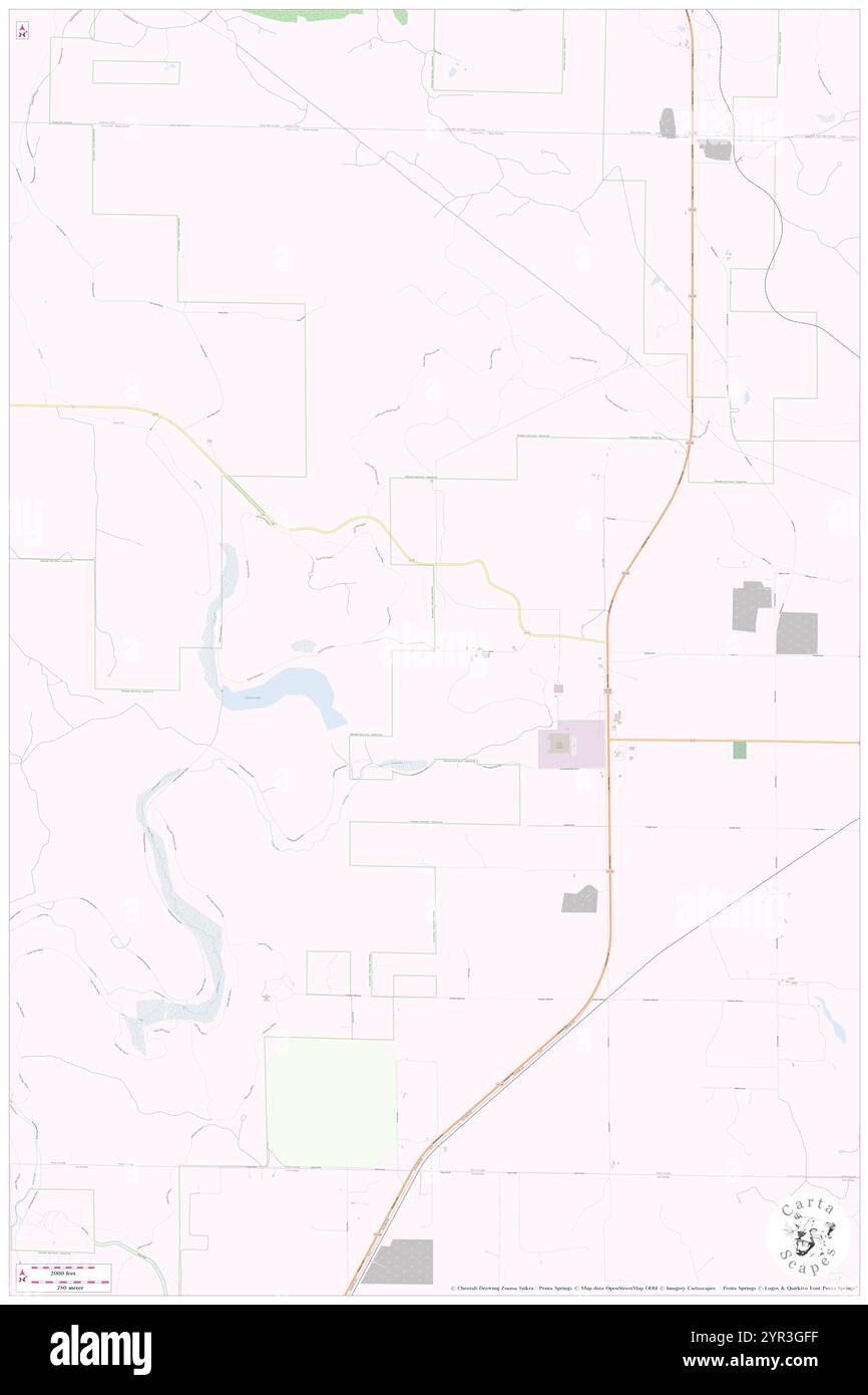 Township of Warner, Antrim County, US, United States, Michigan, N 45 4' 26'', S 84 55' 6'', map, Cartascapes Map published in 2024. Explore Cartascapes, a map revealing Earth's diverse landscapes, cultures, and ecosystems. Journey through time and space, discovering the interconnectedness of our planet's past, present, and future. Stock Photohttps://www.alamy.com/image-license-details/?v=1https://www.alamy.com/township-of-warner-antrim-county-us-united-states-michigan-n-45-4-26-s-84-55-6-map-cartascapes-map-published-in-2024-explore-cartascapes-a-map-revealing-earths-diverse-landscapes-cultures-and-ecosystems-journey-through-time-and-space-discovering-the-interconnectedness-of-our-planets-past-present-and-future-image633789171.html
RM2YR3GFF–Township of Warner, Antrim County, US, United States, Michigan, N 45 4' 26'', S 84 55' 6'', map, Cartascapes Map published in 2024. Explore Cartascapes, a map revealing Earth's diverse landscapes, cultures, and ecosystems. Journey through time and space, discovering the interconnectedness of our planet's past, present, and future.
 Warner, Merrimack County, US, United States, New Hampshire, N 43 16' 50'', S 71 49' 0'', map, Cartascapes Map published in 2024. Explore Cartascapes, a map revealing Earth's diverse landscapes, cultures, and ecosystems. Journey through time and space, discovering the interconnectedness of our planet's past, present, and future. Stock Photohttps://www.alamy.com/image-license-details/?v=1https://www.alamy.com/warner-merrimack-county-us-united-states-new-hampshire-n-43-16-50-s-71-49-0-map-cartascapes-map-published-in-2024-explore-cartascapes-a-map-revealing-earths-diverse-landscapes-cultures-and-ecosystems-journey-through-time-and-space-discovering-the-interconnectedness-of-our-planets-past-present-and-future-image620827953.html
RM2Y214AW–Warner, Merrimack County, US, United States, New Hampshire, N 43 16' 50'', S 71 49' 0'', map, Cartascapes Map published in 2024. Explore Cartascapes, a map revealing Earth's diverse landscapes, cultures, and ecosystems. Journey through time and space, discovering the interconnectedness of our planet's past, present, and future.
 Town of Warner, Brown County, US, United States, South Dakota, N 45 19' 30'', S 98 29' 42'', map, Cartascapes Map published in 2024. Explore Cartascapes, a map revealing Earth's diverse landscapes, cultures, and ecosystems. Journey through time and space, discovering the interconnectedness of our planet's past, present, and future. Stock Photohttps://www.alamy.com/image-license-details/?v=1https://www.alamy.com/town-of-warner-brown-county-us-united-states-south-dakota-n-45-19-30-s-98-29-42-map-cartascapes-map-published-in-2024-explore-cartascapes-a-map-revealing-earths-diverse-landscapes-cultures-and-ecosystems-journey-through-time-and-space-discovering-the-interconnectedness-of-our-planets-past-present-and-future-image633826369.html
RM2YR5801–Town of Warner, Brown County, US, United States, South Dakota, N 45 19' 30'', S 98 29' 42'', map, Cartascapes Map published in 2024. Explore Cartascapes, a map revealing Earth's diverse landscapes, cultures, and ecosystems. Journey through time and space, discovering the interconnectedness of our planet's past, present, and future.
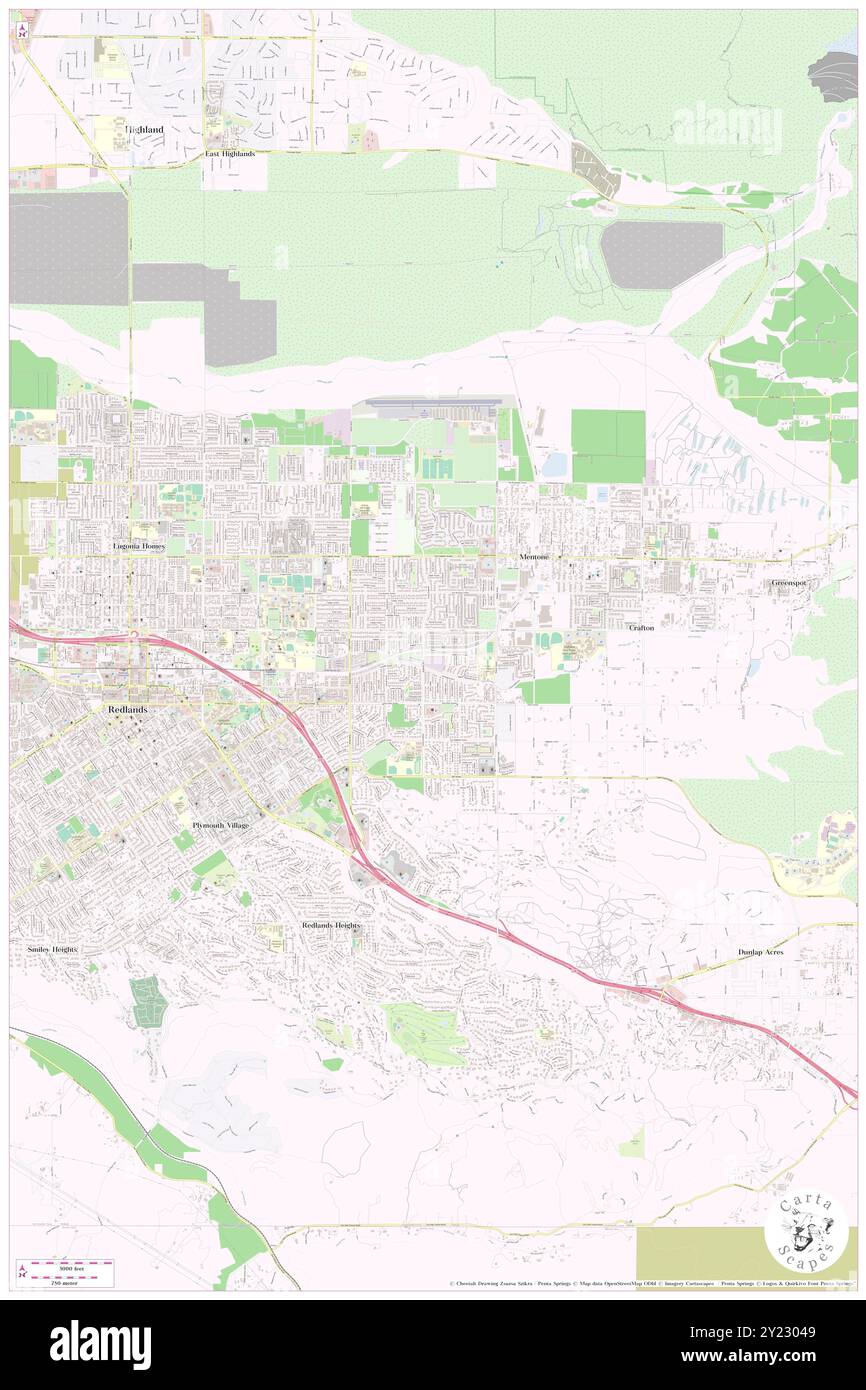 Warner, San Bernardino County, US, United States, California, N 34 3' 39'', S 117 8' 47'', map, Cartascapes Map published in 2024. Explore Cartascapes, a map revealing Earth's diverse landscapes, cultures, and ecosystems. Journey through time and space, discovering the interconnectedness of our planet's past, present, and future. Stock Photohttps://www.alamy.com/image-license-details/?v=1https://www.alamy.com/warner-san-bernardino-county-us-united-states-california-n-34-3-39-s-117-8-47-map-cartascapes-map-published-in-2024-explore-cartascapes-a-map-revealing-earths-diverse-landscapes-cultures-and-ecosystems-journey-through-time-and-space-discovering-the-interconnectedness-of-our-planets-past-present-and-future-image620868537.html
RM2Y23049–Warner, San Bernardino County, US, United States, California, N 34 3' 39'', S 117 8' 47'', map, Cartascapes Map published in 2024. Explore Cartascapes, a map revealing Earth's diverse landscapes, cultures, and ecosystems. Journey through time and space, discovering the interconnectedness of our planet's past, present, and future.
 Town of Warner, Clark County, US, United States, Wisconsin, N 44 48' 52'', S 90 37' 7'', map, Cartascapes Map published in 2024. Explore Cartascapes, a map revealing Earth's diverse landscapes, cultures, and ecosystems. Journey through time and space, discovering the interconnectedness of our planet's past, present, and future. Stock Photohttps://www.alamy.com/image-license-details/?v=1https://www.alamy.com/town-of-warner-clark-county-us-united-states-wisconsin-n-44-48-52-s-90-37-7-map-cartascapes-map-published-in-2024-explore-cartascapes-a-map-revealing-earths-diverse-landscapes-cultures-and-ecosystems-journey-through-time-and-space-discovering-the-interconnectedness-of-our-planets-past-present-and-future-image633909086.html
RM2YR91E6–Town of Warner, Clark County, US, United States, Wisconsin, N 44 48' 52'', S 90 37' 7'', map, Cartascapes Map published in 2024. Explore Cartascapes, a map revealing Earth's diverse landscapes, cultures, and ecosystems. Journey through time and space, discovering the interconnectedness of our planet's past, present, and future.
 Town of Warner, Clark County, US, United States, Wisconsin, N 44 48' 52'', S 90 37' 7'', map, Cartascapes Map published in 2024. Explore Cartascapes, a map revealing Earth's diverse landscapes, cultures, and ecosystems. Journey through time and space, discovering the interconnectedness of our planet's past, present, and future. Stock Photohttps://www.alamy.com/image-license-details/?v=1https://www.alamy.com/town-of-warner-clark-county-us-united-states-wisconsin-n-44-48-52-s-90-37-7-map-cartascapes-map-published-in-2024-explore-cartascapes-a-map-revealing-earths-diverse-landscapes-cultures-and-ecosystems-journey-through-time-and-space-discovering-the-interconnectedness-of-our-planets-past-present-and-future-image633777299.html
RM2YR31BF–Town of Warner, Clark County, US, United States, Wisconsin, N 44 48' 52'', S 90 37' 7'', map, Cartascapes Map published in 2024. Explore Cartascapes, a map revealing Earth's diverse landscapes, cultures, and ecosystems. Journey through time and space, discovering the interconnectedness of our planet's past, present, and future.
 City of Warner Robins, Houston County, US, United States, Georgia, N 32 35' 54'', S 83 39' 10'', map, Cartascapes Map published in 2024. Explore Cartascapes, a map revealing Earth's diverse landscapes, cultures, and ecosystems. Journey through time and space, discovering the interconnectedness of our planet's past, present, and future. Stock Photohttps://www.alamy.com/image-license-details/?v=1https://www.alamy.com/city-of-warner-robins-houston-county-us-united-states-georgia-n-32-35-54-s-83-39-10-map-cartascapes-map-published-in-2024-explore-cartascapes-a-map-revealing-earths-diverse-landscapes-cultures-and-ecosystems-journey-through-time-and-space-discovering-the-interconnectedness-of-our-planets-past-present-and-future-image633887407.html
RM2YR81RY–City of Warner Robins, Houston County, US, United States, Georgia, N 32 35' 54'', S 83 39' 10'', map, Cartascapes Map published in 2024. Explore Cartascapes, a map revealing Earth's diverse landscapes, cultures, and ecosystems. Journey through time and space, discovering the interconnectedness of our planet's past, present, and future.
 Warner Light Vessel (historical), Portsmouth, GB, United Kingdom, England, N 50 43' 51'', S 1 3' 59'', map, Cartascapes Map published in 2024. Explore Cartascapes, a map revealing Earth's diverse landscapes, cultures, and ecosystems. Journey through time and space, discovering the interconnectedness of our planet's past, present, and future. Stock Photohttps://www.alamy.com/image-license-details/?v=1https://www.alamy.com/warner-light-vessel-historical-portsmouth-gb-united-kingdom-england-n-50-43-51-s-1-3-59-map-cartascapes-map-published-in-2024-explore-cartascapes-a-map-revealing-earths-diverse-landscapes-cultures-and-ecosystems-journey-through-time-and-space-discovering-the-interconnectedness-of-our-planets-past-present-and-future-image604074343.html
RM2X2NXYK–Warner Light Vessel (historical), Portsmouth, GB, United Kingdom, England, N 50 43' 51'', S 1 3' 59'', map, Cartascapes Map published in 2024. Explore Cartascapes, a map revealing Earth's diverse landscapes, cultures, and ecosystems. Journey through time and space, discovering the interconnectedness of our planet's past, present, and future.
 Warner, Canada, Alberta, N 49 16' 59'', W 112 12' 6'', map, Timeless Map published in 2021. Travelers, explorers and adventurers like Florence Nightingale, David Livingstone, Ernest Shackleton, Lewis and Clark and Sherlock Holmes relied on maps to plan travels to the world's most remote corners, Timeless Maps is mapping most locations on the globe, showing the achievement of great dreams Stock Photohttps://www.alamy.com/image-license-details/?v=1https://www.alamy.com/warner-canada-alberta-n-49-16-59-w-112-12-6-map-timeless-map-published-in-2021-travelers-explorers-and-adventurers-like-florence-nightingale-david-livingstone-ernest-shackleton-lewis-and-clark-and-sherlock-holmes-relied-on-maps-to-plan-travels-to-the-worlds-most-remote-corners-timeless-maps-is-mapping-most-locations-on-the-globe-showing-the-achievement-of-great-dreams-image457889566.html
RM2HGXJPP–Warner, Canada, Alberta, N 49 16' 59'', W 112 12' 6'', map, Timeless Map published in 2021. Travelers, explorers and adventurers like Florence Nightingale, David Livingstone, Ernest Shackleton, Lewis and Clark and Sherlock Holmes relied on maps to plan travels to the world's most remote corners, Timeless Maps is mapping most locations on the globe, showing the achievement of great dreams
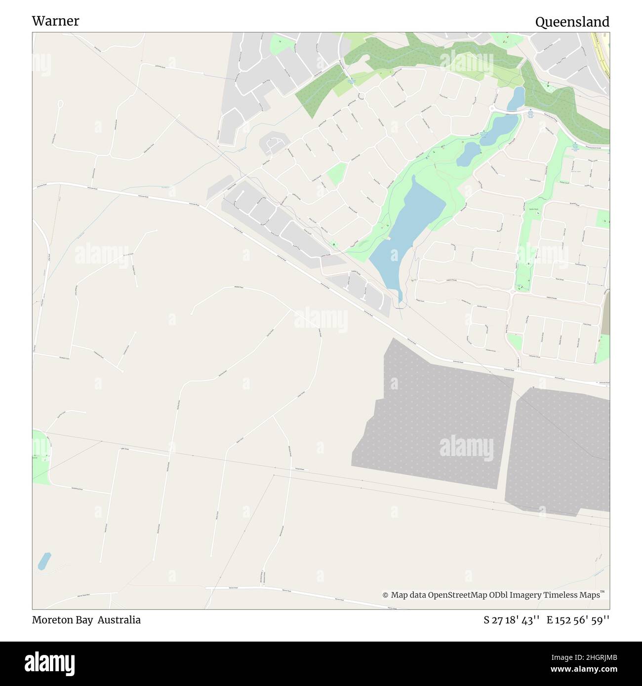 Warner, Moreton Bay, Australia, Queensland, S 27 18' 43'', E 152 56' 59'', map, Timeless Map published in 2021. Travelers, explorers and adventurers like Florence Nightingale, David Livingstone, Ernest Shackleton, Lewis and Clark and Sherlock Holmes relied on maps to plan travels to the world's most remote corners, Timeless Maps is mapping most locations on the globe, showing the achievement of great dreams Stock Photohttps://www.alamy.com/image-license-details/?v=1https://www.alamy.com/warner-moreton-bay-australia-queensland-s-27-18-43-e-152-56-59-map-timeless-map-published-in-2021-travelers-explorers-and-adventurers-like-florence-nightingale-david-livingstone-ernest-shackleton-lewis-and-clark-and-sherlock-holmes-relied-on-maps-to-plan-travels-to-the-worlds-most-remote-corners-timeless-maps-is-mapping-most-locations-on-the-globe-showing-the-achievement-of-great-dreams-image457823643.html
RM2HGRJMB–Warner, Moreton Bay, Australia, Queensland, S 27 18' 43'', E 152 56' 59'', map, Timeless Map published in 2021. Travelers, explorers and adventurers like Florence Nightingale, David Livingstone, Ernest Shackleton, Lewis and Clark and Sherlock Holmes relied on maps to plan travels to the world's most remote corners, Timeless Maps is mapping most locations on the globe, showing the achievement of great dreams
 Warner Bay, Canada, British Columbia, N 51 2' 11'', W 127 5' 44'', map, Timeless Map published in 2021. Travelers, explorers and adventurers like Florence Nightingale, David Livingstone, Ernest Shackleton, Lewis and Clark and Sherlock Holmes relied on maps to plan travels to the world's most remote corners, Timeless Maps is mapping most locations on the globe, showing the achievement of great dreams Stock Photohttps://www.alamy.com/image-license-details/?v=1https://www.alamy.com/warner-bay-canada-british-columbia-n-51-2-11-w-127-5-44-map-timeless-map-published-in-2021-travelers-explorers-and-adventurers-like-florence-nightingale-david-livingstone-ernest-shackleton-lewis-and-clark-and-sherlock-holmes-relied-on-maps-to-plan-travels-to-the-worlds-most-remote-corners-timeless-maps-is-mapping-most-locations-on-the-globe-showing-the-achievement-of-great-dreams-image457889632.html
RM2HGXJW4–Warner Bay, Canada, British Columbia, N 51 2' 11'', W 127 5' 44'', map, Timeless Map published in 2021. Travelers, explorers and adventurers like Florence Nightingale, David Livingstone, Ernest Shackleton, Lewis and Clark and Sherlock Holmes relied on maps to plan travels to the world's most remote corners, Timeless Maps is mapping most locations on the globe, showing the achievement of great dreams
 Warner, Regional Municipality of Niagara, Canada, Ontario, N 43 1' 23'', W 79 38' 41'', map, Timeless Map published in 2021. Travelers, explorers and adventurers like Florence Nightingale, David Livingstone, Ernest Shackleton, Lewis and Clark and Sherlock Holmes relied on maps to plan travels to the world's most remote corners, Timeless Maps is mapping most locations on the globe, showing the achievement of great dreams Stock Photohttps://www.alamy.com/image-license-details/?v=1https://www.alamy.com/warner-regional-municipality-of-niagara-canada-ontario-n-43-1-23-w-79-38-41-map-timeless-map-published-in-2021-travelers-explorers-and-adventurers-like-florence-nightingale-david-livingstone-ernest-shackleton-lewis-and-clark-and-sherlock-holmes-relied-on-maps-to-plan-travels-to-the-worlds-most-remote-corners-timeless-maps-is-mapping-most-locations-on-the-globe-showing-the-achievement-of-great-dreams-image457889677.html
RM2HGXJXN–Warner, Regional Municipality of Niagara, Canada, Ontario, N 43 1' 23'', W 79 38' 41'', map, Timeless Map published in 2021. Travelers, explorers and adventurers like Florence Nightingale, David Livingstone, Ernest Shackleton, Lewis and Clark and Sherlock Holmes relied on maps to plan travels to the world's most remote corners, Timeless Maps is mapping most locations on the globe, showing the achievement of great dreams
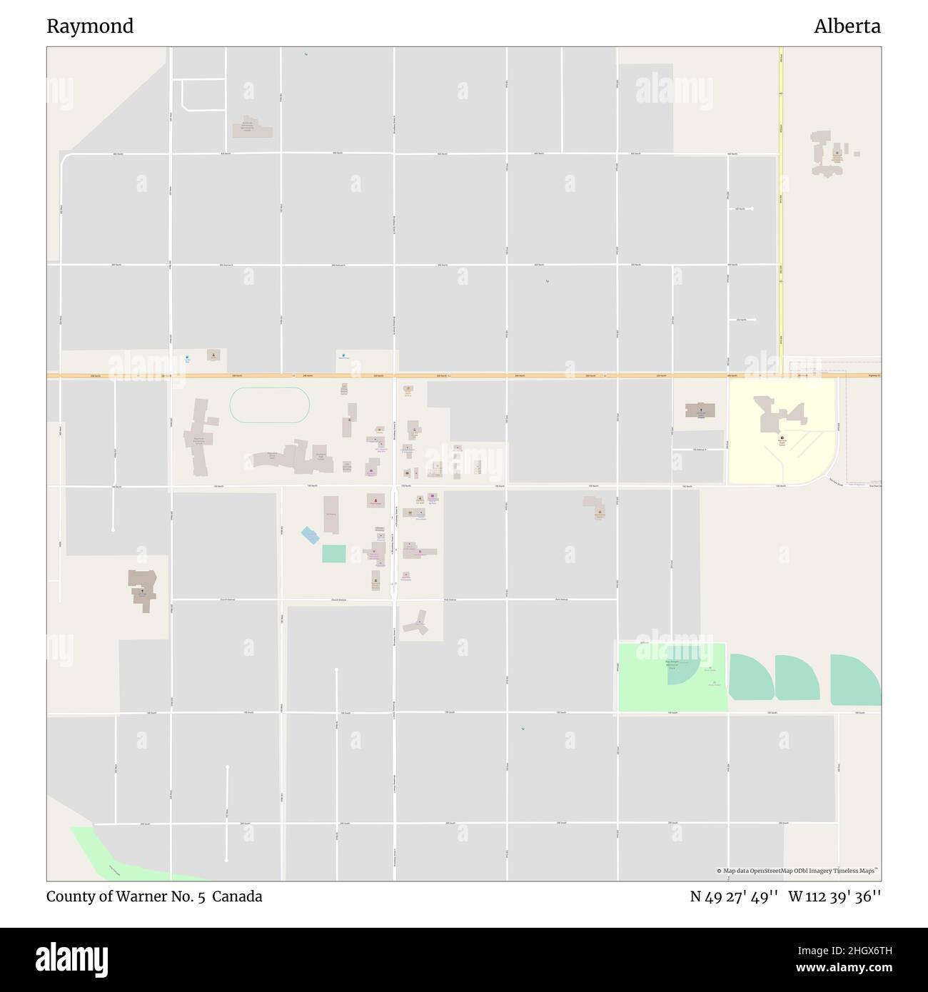 Raymond, County of Warner No. 5, Canada, Alberta, N 49 27' 49'', W 112 39' 36'', map, Timeless Map published in 2021. Travelers, explorers and adventurers like Florence Nightingale, David Livingstone, Ernest Shackleton, Lewis and Clark and Sherlock Holmes relied on maps to plan travels to the world's most remote corners, Timeless Maps is mapping most locations on the globe, showing the achievement of great dreams Stock Photohttps://www.alamy.com/image-license-details/?v=1https://www.alamy.com/raymond-county-of-warner-no-5-canada-alberta-n-49-27-49-w-112-39-36-map-timeless-map-published-in-2021-travelers-explorers-and-adventurers-like-florence-nightingale-david-livingstone-ernest-shackleton-lewis-and-clark-and-sherlock-holmes-relied-on-maps-to-plan-travels-to-the-worlds-most-remote-corners-timeless-maps-is-mapping-most-locations-on-the-globe-showing-the-achievement-of-great-dreams-image457880209.html
RM2HGX6TH–Raymond, County of Warner No. 5, Canada, Alberta, N 49 27' 49'', W 112 39' 36'', map, Timeless Map published in 2021. Travelers, explorers and adventurers like Florence Nightingale, David Livingstone, Ernest Shackleton, Lewis and Clark and Sherlock Holmes relied on maps to plan travels to the world's most remote corners, Timeless Maps is mapping most locations on the globe, showing the achievement of great dreams
 Warner Glen, Augusta-Margaret River Shire, Australia, Western Australia, S 34 5' 49'', E 115 13' 0'', map, Timeless Map published in 2021. Travelers, explorers and adventurers like Florence Nightingale, David Livingstone, Ernest Shackleton, Lewis and Clark and Sherlock Holmes relied on maps to plan travels to the world's most remote corners, Timeless Maps is mapping most locations on the globe, showing the achievement of great dreams Stock Photohttps://www.alamy.com/image-license-details/?v=1https://www.alamy.com/warner-glen-augusta-margaret-river-shire-australia-western-australia-s-34-5-49-e-115-13-0-map-timeless-map-published-in-2021-travelers-explorers-and-adventurers-like-florence-nightingale-david-livingstone-ernest-shackleton-lewis-and-clark-and-sherlock-holmes-relied-on-maps-to-plan-travels-to-the-worlds-most-remote-corners-timeless-maps-is-mapping-most-locations-on-the-globe-showing-the-achievement-of-great-dreams-image457793471.html
RM2HGP86R–Warner Glen, Augusta-Margaret River Shire, Australia, Western Australia, S 34 5' 49'', E 115 13' 0'', map, Timeless Map published in 2021. Travelers, explorers and adventurers like Florence Nightingale, David Livingstone, Ernest Shackleton, Lewis and Clark and Sherlock Holmes relied on maps to plan travels to the world's most remote corners, Timeless Maps is mapping most locations on the globe, showing the achievement of great dreams
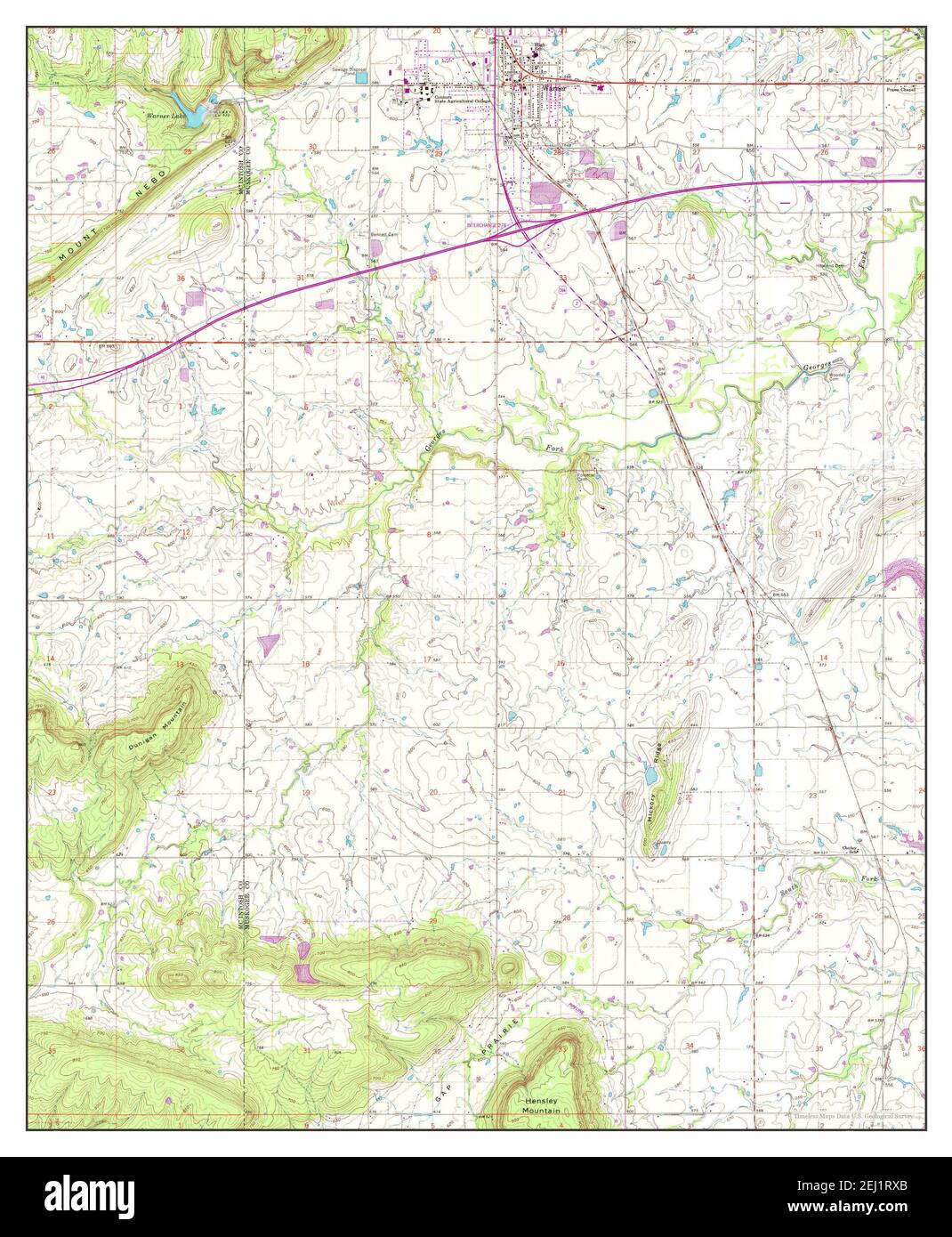 Warner, Oklahoma, map 1963, 1:24000, United States of America by Timeless Maps, data U.S. Geological Survey Stock Photohttps://www.alamy.com/image-license-details/?v=1https://www.alamy.com/warner-oklahoma-map-1963-124000-united-states-of-america-by-timeless-maps-data-us-geological-survey-image406942995.html
RM2EJ1RXB–Warner, Oklahoma, map 1963, 1:24000, United States of America by Timeless Maps, data U.S. Geological Survey
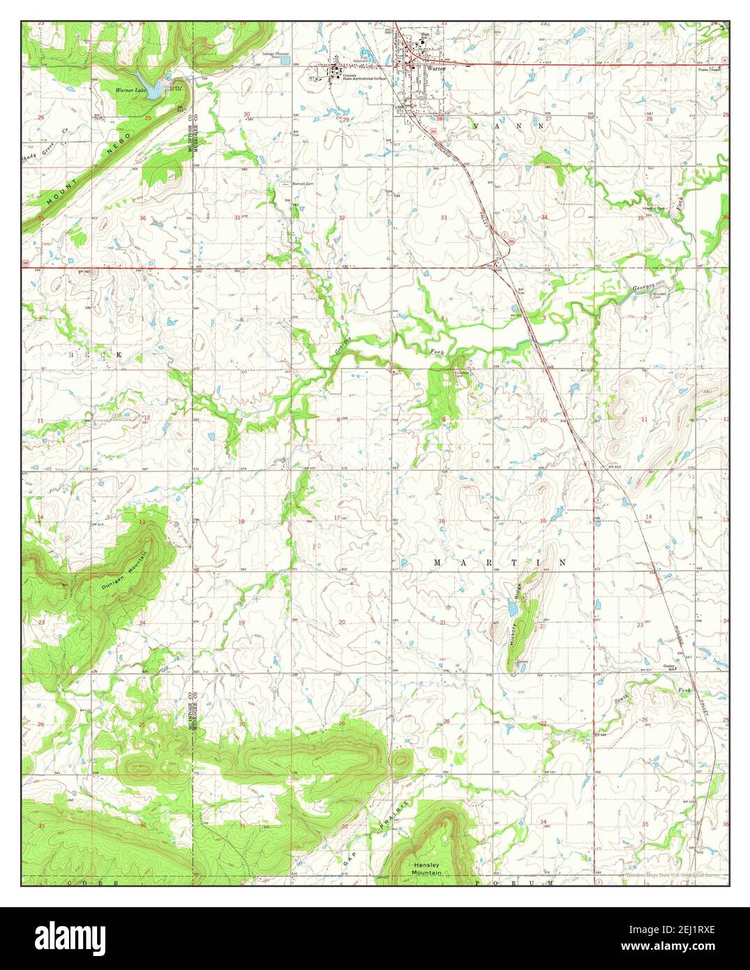 Warner, Oklahoma, map 1963, 1:24000, United States of America by Timeless Maps, data U.S. Geological Survey Stock Photohttps://www.alamy.com/image-license-details/?v=1https://www.alamy.com/warner-oklahoma-map-1963-124000-united-states-of-america-by-timeless-maps-data-us-geological-survey-image406942998.html
RM2EJ1RXE–Warner, Oklahoma, map 1963, 1:24000, United States of America by Timeless Maps, data U.S. Geological Survey
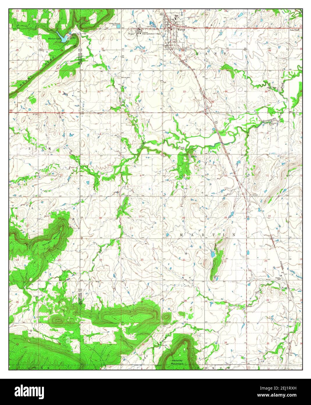 Warner, Oklahoma, map 1963, 1:24000, United States of America by Timeless Maps, data U.S. Geological Survey Stock Photohttps://www.alamy.com/image-license-details/?v=1https://www.alamy.com/warner-oklahoma-map-1963-124000-united-states-of-america-by-timeless-maps-data-us-geological-survey-image406943001.html
RM2EJ1RXH–Warner, Oklahoma, map 1963, 1:24000, United States of America by Timeless Maps, data U.S. Geological Survey
 Warner, New Hampshire, map 1998, 1:24000, United States of America by Timeless Maps, data U.S. Geological Survey Stock Photohttps://www.alamy.com/image-license-details/?v=1https://www.alamy.com/warner-new-hampshire-map-1998-124000-united-states-of-america-by-timeless-maps-data-us-geological-survey-image406897558.html
RM2EHYNYJ–Warner, New Hampshire, map 1998, 1:24000, United States of America by Timeless Maps, data U.S. Geological Survey
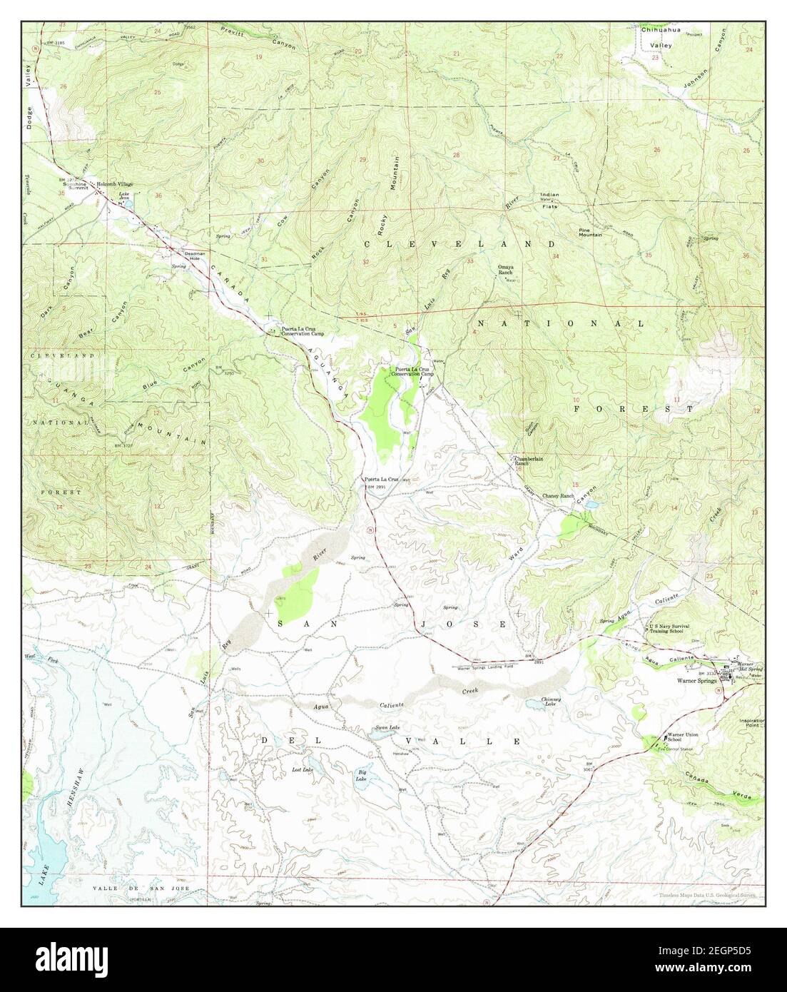 Warner Springs, California, map 1959, 1:24000, United States of America by Timeless Maps, data U.S. Geological Survey Stock Photohttps://www.alamy.com/image-license-details/?v=1https://www.alamy.com/warner-springs-california-map-1959-124000-united-states-of-america-by-timeless-maps-data-us-geological-survey-image406160193.html
RM2EGP5D5–Warner Springs, California, map 1959, 1:24000, United States of America by Timeless Maps, data U.S. Geological Survey
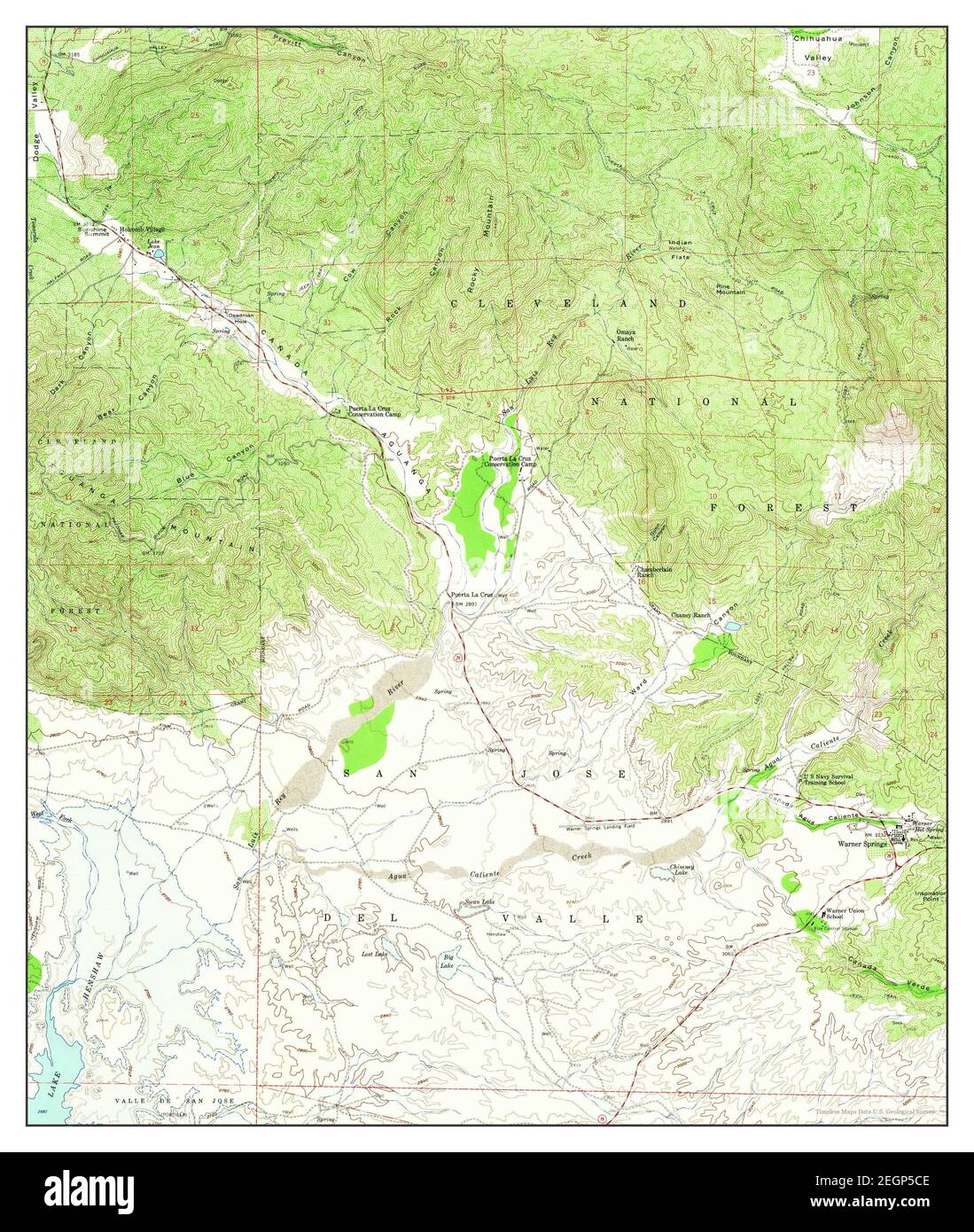 Warner Springs, California, map 1959, 1:24000, United States of America by Timeless Maps, data U.S. Geological Survey Stock Photohttps://www.alamy.com/image-license-details/?v=1https://www.alamy.com/warner-springs-california-map-1959-124000-united-states-of-america-by-timeless-maps-data-us-geological-survey-image406160174.html
RM2EGP5CE–Warner Springs, California, map 1959, 1:24000, United States of America by Timeless Maps, data U.S. Geological Survey
 Warner Springs, California, map 1959, 1:24000, United States of America by Timeless Maps, data U.S. Geological Survey Stock Photohttps://www.alamy.com/image-license-details/?v=1https://www.alamy.com/warner-springs-california-map-1959-124000-united-states-of-america-by-timeless-maps-data-us-geological-survey-image406160175.html
RM2EGP5CF–Warner Springs, California, map 1959, 1:24000, United States of America by Timeless Maps, data U.S. Geological Survey
 Warner Springs, California, map 1939, 1:62500, United States of America by Timeless Maps, data U.S. Geological Survey Stock Photohttps://www.alamy.com/image-license-details/?v=1https://www.alamy.com/warner-springs-california-map-1939-162500-united-states-of-america-by-timeless-maps-data-us-geological-survey-image414022584.html
RM2F1GA0T–Warner Springs, California, map 1939, 1:62500, United States of America by Timeless Maps, data U.S. Geological Survey
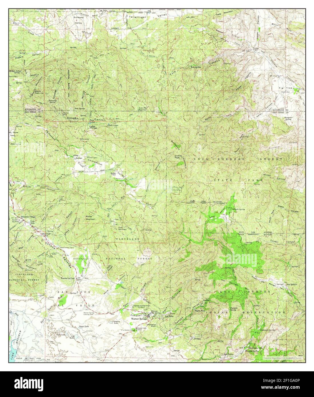 Warner Springs, California, map 1960, 1:62500, United States of America by Timeless Maps, data U.S. Geological Survey Stock Photohttps://www.alamy.com/image-license-details/?v=1https://www.alamy.com/warner-springs-california-map-1960-162500-united-states-of-america-by-timeless-maps-data-us-geological-survey-image414022582.html
RM2F1GA0P–Warner Springs, California, map 1960, 1:62500, United States of America by Timeless Maps, data U.S. Geological Survey
 Warner Springs, California, map 1947, 1:62500, United States of America by Timeless Maps, data U.S. Geological Survey Stock Photohttps://www.alamy.com/image-license-details/?v=1https://www.alamy.com/warner-springs-california-map-1947-162500-united-states-of-america-by-timeless-maps-data-us-geological-survey-image406160159.html
RM2EGP5BY–Warner Springs, California, map 1947, 1:62500, United States of America by Timeless Maps, data U.S. Geological Survey
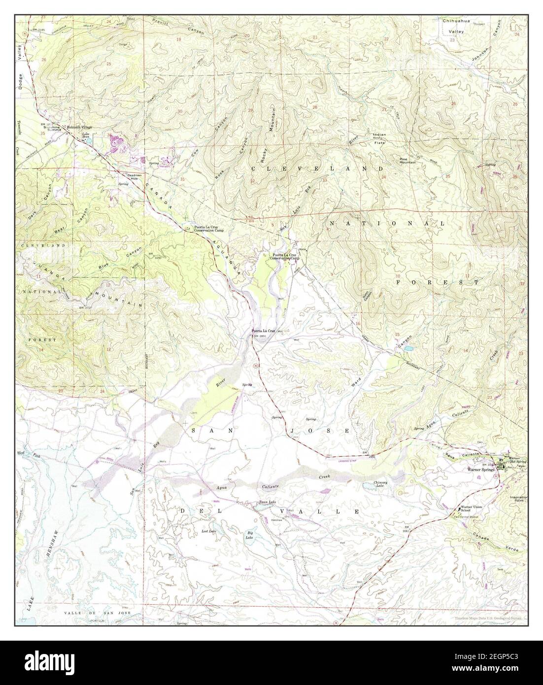 Warner Springs, California, map 1958, 1:24000, United States of America by Timeless Maps, data U.S. Geological Survey Stock Photohttps://www.alamy.com/image-license-details/?v=1https://www.alamy.com/warner-springs-california-map-1958-124000-united-states-of-america-by-timeless-maps-data-us-geological-survey-image406160163.html
RM2EGP5C3–Warner Springs, California, map 1958, 1:24000, United States of America by Timeless Maps, data U.S. Geological Survey
 Warner, South Dakota, map 1953, 1:24000, United States of America by Timeless Maps, data U.S. Geological Survey Stock Photohttps://www.alamy.com/image-license-details/?v=1https://www.alamy.com/warner-south-dakota-map-1953-124000-united-states-of-america-by-timeless-maps-data-us-geological-survey-image406960480.html
RM2EJ2J6T–Warner, South Dakota, map 1953, 1:24000, United States of America by Timeless Maps, data U.S. Geological Survey
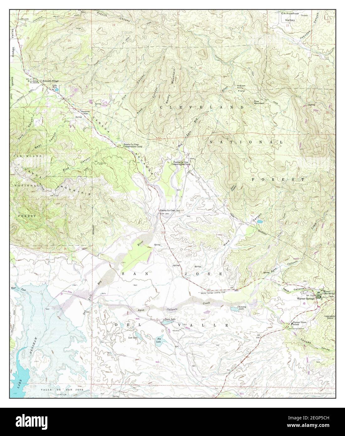 Warner Springs, California, map 1959, 1:24000, United States of America by Timeless Maps, data U.S. Geological Survey Stock Photohttps://www.alamy.com/image-license-details/?v=1https://www.alamy.com/warner-springs-california-map-1959-124000-united-states-of-america-by-timeless-maps-data-us-geological-survey-image406160177.html
RM2EGP5CH–Warner Springs, California, map 1959, 1:24000, United States of America by Timeless Maps, data U.S. Geological Survey