Map of warrenton Cut Out Stock Images
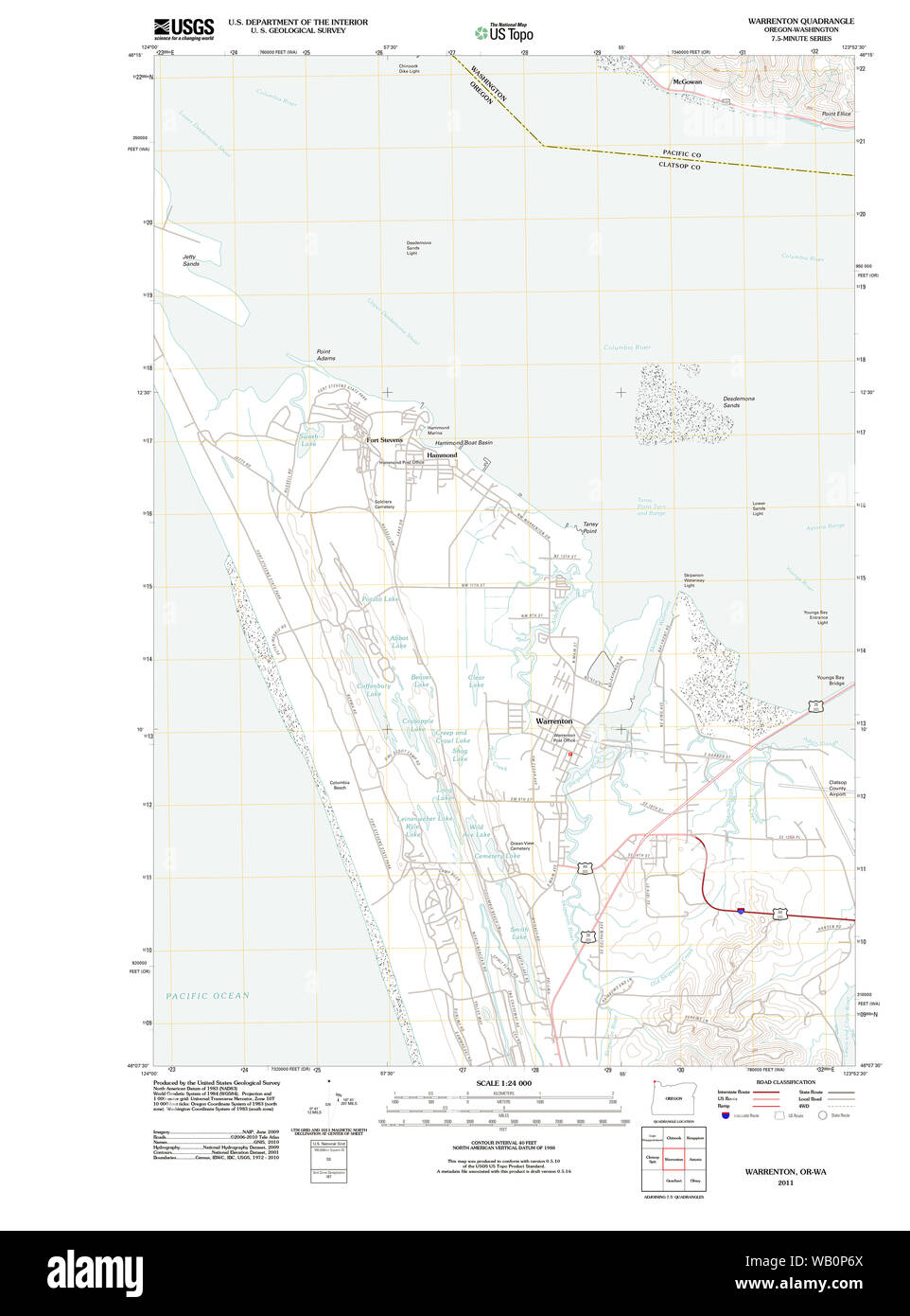 USGS Topo Map Oregon Warrenton 20110818 TM Restoration Stock Photohttps://www.alamy.com/image-license-details/?v=1https://www.alamy.com/usgs-topo-map-oregon-warrenton-20110818-tm-restoration-image264934178.html
RMWB0P6X–USGS Topo Map Oregon Warrenton 20110818 TM Restoration
 Warrenton, Warren County, US, United States, Missouri, N 38 48' 41'', S 91 8' 29'', map, Cartascapes Map published in 2024. Explore Cartascapes, a map revealing Earth's diverse landscapes, cultures, and ecosystems. Journey through time and space, discovering the interconnectedness of our planet's past, present, and future. Stock Photohttps://www.alamy.com/image-license-details/?v=1https://www.alamy.com/warrenton-warren-county-us-united-states-missouri-n-38-48-41-s-91-8-29-map-cartascapes-map-published-in-2024-explore-cartascapes-a-map-revealing-earths-diverse-landscapes-cultures-and-ecosystems-journey-through-time-and-space-discovering-the-interconnectedness-of-our-planets-past-present-and-future-image621149363.html
RM2Y2FP9R–Warrenton, Warren County, US, United States, Missouri, N 38 48' 41'', S 91 8' 29'', map, Cartascapes Map published in 2024. Explore Cartascapes, a map revealing Earth's diverse landscapes, cultures, and ecosystems. Journey through time and space, discovering the interconnectedness of our planet's past, present, and future.
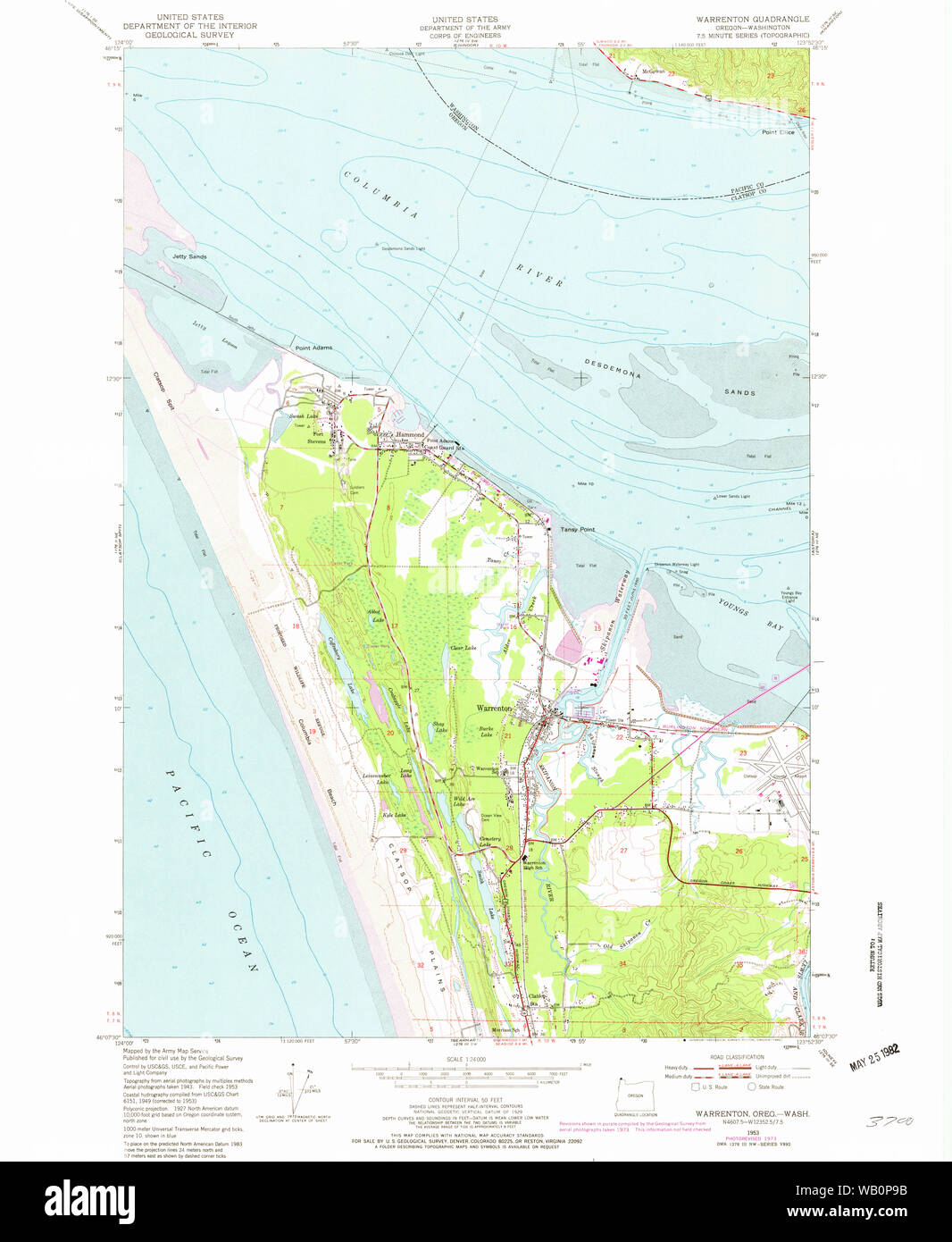 USGS Topo Map Oregon Warrenton 282026 1953 24000 Restoration Stock Photohttps://www.alamy.com/image-license-details/?v=1https://www.alamy.com/usgs-topo-map-oregon-warrenton-282026-1953-24000-restoration-image264934247.html
RMWB0P9B–USGS Topo Map Oregon Warrenton 282026 1953 24000 Restoration
 Warren County, Georgia (U.S. county, United States of America, USA, U.S., US) map vector illustration, scribble sketch Warren map Stock Vectorhttps://www.alamy.com/image-license-details/?v=1https://www.alamy.com/warren-county-georgia-us-county-united-states-of-america-usa-us-us-map-vector-illustration-scribble-sketch-warren-map-image365755041.html
RF2C71G81–Warren County, Georgia (U.S. county, United States of America, USA, U.S., US) map vector illustration, scribble sketch Warren map
 Warrenton, Gibson County, US, United States, Indiana, N 38 10' 23'', S 87 31' 58'', map, Cartascapes Map published in 2024. Explore Cartascapes, a map revealing Earth's diverse landscapes, cultures, and ecosystems. Journey through time and space, discovering the interconnectedness of our planet's past, present, and future. Stock Photohttps://www.alamy.com/image-license-details/?v=1https://www.alamy.com/warrenton-gibson-county-us-united-states-indiana-n-38-10-23-s-87-31-58-map-cartascapes-map-published-in-2024-explore-cartascapes-a-map-revealing-earths-diverse-landscapes-cultures-and-ecosystems-journey-through-time-and-space-discovering-the-interconnectedness-of-our-planets-past-present-and-future-image621471191.html
RM2Y32CRK–Warrenton, Gibson County, US, United States, Indiana, N 38 10' 23'', S 87 31' 58'', map, Cartascapes Map published in 2024. Explore Cartascapes, a map revealing Earth's diverse landscapes, cultures, and ecosystems. Journey through time and space, discovering the interconnectedness of our planet's past, present, and future.
 USGS Topo Map Oregon Warrenton 282027 1953 24000 Restoration Stock Photohttps://www.alamy.com/image-license-details/?v=1https://www.alamy.com/usgs-topo-map-oregon-warrenton-282027-1953-24000-restoration-image264934279.html
RMWB0PAF–USGS Topo Map Oregon Warrenton 282027 1953 24000 Restoration
 Warren County, Missouri (U.S. county, United States of America, USA, U.S., US) map vector illustration, scribble sketch Warren map Stock Vectorhttps://www.alamy.com/image-license-details/?v=1https://www.alamy.com/warren-county-missouri-us-county-united-states-of-america-usa-us-us-map-vector-illustration-scribble-sketch-warren-map-image382071309.html
RF2D5GRRW–Warren County, Missouri (U.S. county, United States of America, USA, U.S., US) map vector illustration, scribble sketch Warren map
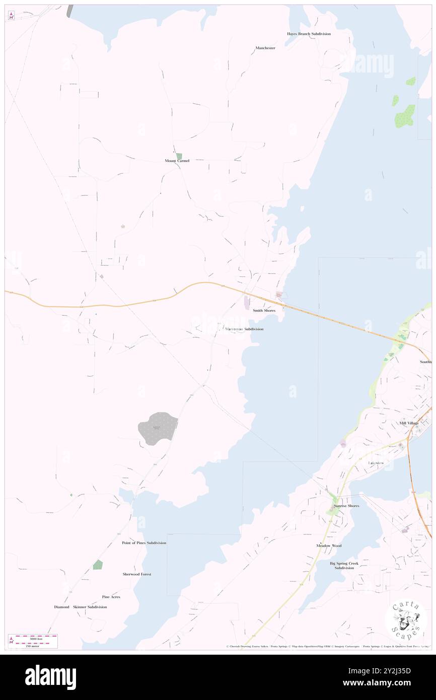 Warrenton, Marshall County, US, United States, Alabama, N 34 21' 24'', S 86 21' 33'', map, Cartascapes Map published in 2024. Explore Cartascapes, a map revealing Earth's diverse landscapes, cultures, and ecosystems. Journey through time and space, discovering the interconnectedness of our planet's past, present, and future. Stock Photohttps://www.alamy.com/image-license-details/?v=1https://www.alamy.com/warrenton-marshall-county-us-united-states-alabama-n-34-21-24-s-86-21-33-map-cartascapes-map-published-in-2024-explore-cartascapes-a-map-revealing-earths-diverse-landscapes-cultures-and-ecosystems-journey-through-time-and-space-discovering-the-interconnectedness-of-our-planets-past-present-and-future-image621200201.html
RM2Y2J35D–Warrenton, Marshall County, US, United States, Alabama, N 34 21' 24'', S 86 21' 33'', map, Cartascapes Map published in 2024. Explore Cartascapes, a map revealing Earth's diverse landscapes, cultures, and ecosystems. Journey through time and space, discovering the interconnectedness of our planet's past, present, and future.
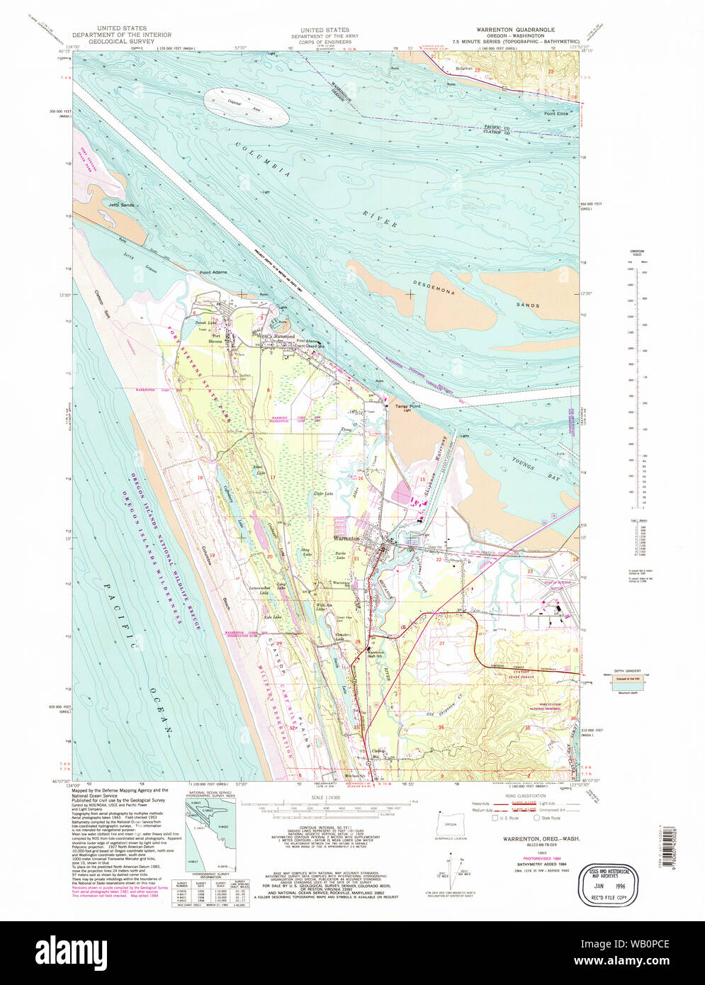 USGS Topo Map Oregon Warrenton 282028 1953 24000 Restoration Stock Photohttps://www.alamy.com/image-license-details/?v=1https://www.alamy.com/usgs-topo-map-oregon-warrenton-282028-1953-24000-restoration-image264934334.html
RMWB0PCE–USGS Topo Map Oregon Warrenton 282028 1953 24000 Restoration
 Warren County, Georgia (U.S. county, United States of America, USA, U.S., US) map vector illustration, scribble sketch Warren map Stock Vectorhttps://www.alamy.com/image-license-details/?v=1https://www.alamy.com/warren-county-georgia-us-county-united-states-of-america-usa-us-us-map-vector-illustration-scribble-sketch-warren-map-image358946745.html
RF2BRYC6H–Warren County, Georgia (U.S. county, United States of America, USA, U.S., US) map vector illustration, scribble sketch Warren map
 Warrenton, Fayette County, US, United States, Texas, N 30 1' 2'', S 96 43' 54'', map, Cartascapes Map published in 2024. Explore Cartascapes, a map revealing Earth's diverse landscapes, cultures, and ecosystems. Journey through time and space, discovering the interconnectedness of our planet's past, present, and future. Stock Photohttps://www.alamy.com/image-license-details/?v=1https://www.alamy.com/warrenton-fayette-county-us-united-states-texas-n-30-1-2-s-96-43-54-map-cartascapes-map-published-in-2024-explore-cartascapes-a-map-revealing-earths-diverse-landscapes-cultures-and-ecosystems-journey-through-time-and-space-discovering-the-interconnectedness-of-our-planets-past-present-and-future-image621417455.html
RM2Y3008F–Warrenton, Fayette County, US, United States, Texas, N 30 1' 2'', S 96 43' 54'', map, Cartascapes Map published in 2024. Explore Cartascapes, a map revealing Earth's diverse landscapes, cultures, and ecosystems. Journey through time and space, discovering the interconnectedness of our planet's past, present, and future.
 USGS Topo Map Oregon Warrenton 282030 1996 24000 Restoration Stock Photohttps://www.alamy.com/image-license-details/?v=1https://www.alamy.com/usgs-topo-map-oregon-warrenton-282030-1996-24000-restoration-image264934393.html
RMWB0PEH–USGS Topo Map Oregon Warrenton 282030 1996 24000 Restoration
 Warren County, Missouri (U.S. county, United States of America, USA, U.S., US) map vector illustration, scribble sketch Warren map Stock Vectorhttps://www.alamy.com/image-license-details/?v=1https://www.alamy.com/warren-county-missouri-us-county-united-states-of-america-usa-us-us-map-vector-illustration-scribble-sketch-warren-map-image386974455.html
RF2DDG5T7–Warren County, Missouri (U.S. county, United States of America, USA, U.S., US) map vector illustration, scribble sketch Warren map
 Warrenton, Fayette County, US, United States, Kentucky, N 38 3' 59'', S 84 28' 0'', map, Cartascapes Map published in 2024. Explore Cartascapes, a map revealing Earth's diverse landscapes, cultures, and ecosystems. Journey through time and space, discovering the interconnectedness of our planet's past, present, and future. Stock Photohttps://www.alamy.com/image-license-details/?v=1https://www.alamy.com/warrenton-fayette-county-us-united-states-kentucky-n-38-3-59-s-84-28-0-map-cartascapes-map-published-in-2024-explore-cartascapes-a-map-revealing-earths-diverse-landscapes-cultures-and-ecosystems-journey-through-time-and-space-discovering-the-interconnectedness-of-our-planets-past-present-and-future-image621185276.html
RM2Y2HC4C–Warrenton, Fayette County, US, United States, Kentucky, N 38 3' 59'', S 84 28' 0'', map, Cartascapes Map published in 2024. Explore Cartascapes, a map revealing Earth's diverse landscapes, cultures, and ecosystems. Journey through time and space, discovering the interconnectedness of our planet's past, present, and future.
 USGS Topo Map Oregon Warrenton 282029 1953 24000 Restoration Stock Photohttps://www.alamy.com/image-license-details/?v=1https://www.alamy.com/usgs-topo-map-oregon-warrenton-282029-1953-24000-restoration-image264934358.html
RMWB0PDA–USGS Topo Map Oregon Warrenton 282029 1953 24000 Restoration
 Warren County, Missouri (U.S. county, United States of America, USA, U.S., US) map vector illustration, scribble sketch Warren map Stock Vectorhttps://www.alamy.com/image-license-details/?v=1https://www.alamy.com/warren-county-missouri-us-county-united-states-of-america-usa-us-us-map-vector-illustration-scribble-sketch-warren-map-image397413859.html
RF2E2FNC3–Warren County, Missouri (U.S. county, United States of America, USA, U.S., US) map vector illustration, scribble sketch Warren map
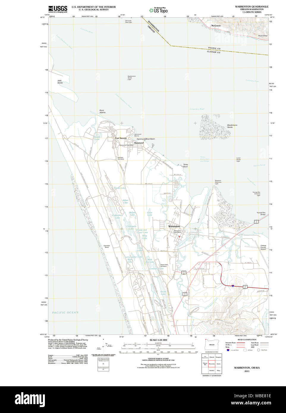 USGS Topo Map Oregon OR Warrenton 20110818 TM Restoration Stock Photohttps://www.alamy.com/image-license-details/?v=1https://www.alamy.com/usgs-topo-map-oregon-or-warrenton-20110818-tm-restoration-image265230378.html
RMWBE81E–USGS Topo Map Oregon OR Warrenton 20110818 TM Restoration
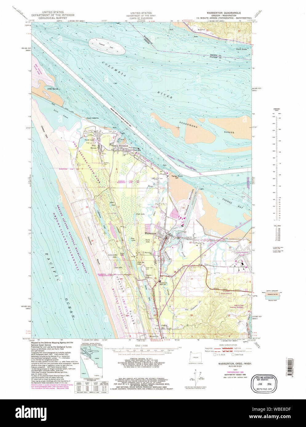 USGS Topo Map Oregon OR Warrenton 282028 1953 24000 Restoration Stock Photohttps://www.alamy.com/image-license-details/?v=1https://www.alamy.com/usgs-topo-map-oregon-or-warrenton-282028-1953-24000-restoration-image265230715.html
RMWBE8DF–USGS Topo Map Oregon OR Warrenton 282028 1953 24000 Restoration
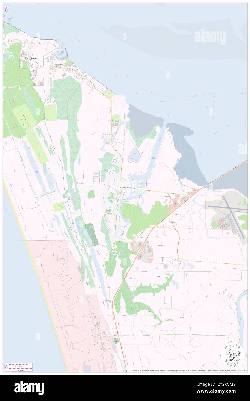 Warrenton, Clatsop County, US, United States, Oregon, N 46 9' 54'', S 123 55' 25'', map, Cartascapes Map published in 2024. Explore Cartascapes, a map revealing Earth's diverse landscapes, cultures, and ecosystems. Journey through time and space, discovering the interconnectedness of our planet's past, present, and future. Stock Photohttps://www.alamy.com/image-license-details/?v=1https://www.alamy.com/warrenton-clatsop-county-us-united-states-oregon-n-46-9-54-s-123-55-25-map-cartascapes-map-published-in-2024-explore-cartascapes-a-map-revealing-earths-diverse-landscapes-cultures-and-ecosystems-journey-through-time-and-space-discovering-the-interconnectedness-of-our-planets-past-present-and-future-image621383288.html
RM2Y2XCM8–Warrenton, Clatsop County, US, United States, Oregon, N 46 9' 54'', S 123 55' 25'', map, Cartascapes Map published in 2024. Explore Cartascapes, a map revealing Earth's diverse landscapes, cultures, and ecosystems. Journey through time and space, discovering the interconnectedness of our planet's past, present, and future.
 Warren County, Georgia (U.S. county, United States of America, USA, U.S., US) map vector illustration, scribble sketch Warren map Stock Vectorhttps://www.alamy.com/image-license-details/?v=1https://www.alamy.com/warren-county-georgia-us-county-united-states-of-america-usa-us-us-map-vector-illustration-scribble-sketch-warren-map-image356017096.html
RF2BK5YC8–Warren County, Georgia (U.S. county, United States of America, USA, U.S., US) map vector illustration, scribble sketch Warren map
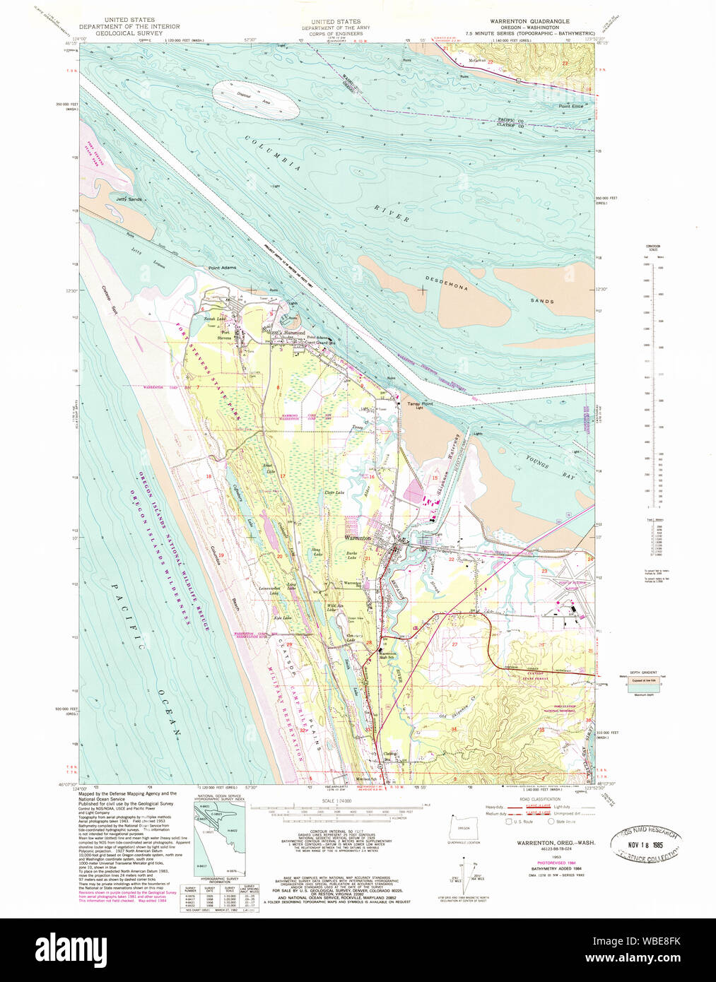 USGS Topo Map Oregon OR Warrenton 282029 1953 24000 Restoration Stock Photohttps://www.alamy.com/image-license-details/?v=1https://www.alamy.com/usgs-topo-map-oregon-or-warrenton-282029-1953-24000-restoration-image265230775.html
RMWBE8FK–USGS Topo Map Oregon OR Warrenton 282029 1953 24000 Restoration
 Warrenton, Warren County, US, United States, Georgia, N 33 24' 25'', S 82 39' 43'', map, Cartascapes Map published in 2024. Explore Cartascapes, a map revealing Earth's diverse landscapes, cultures, and ecosystems. Journey through time and space, discovering the interconnectedness of our planet's past, present, and future. Stock Photohttps://www.alamy.com/image-license-details/?v=1https://www.alamy.com/warrenton-warren-county-us-united-states-georgia-n-33-24-25-s-82-39-43-map-cartascapes-map-published-in-2024-explore-cartascapes-a-map-revealing-earths-diverse-landscapes-cultures-and-ecosystems-journey-through-time-and-space-discovering-the-interconnectedness-of-our-planets-past-present-and-future-image621197343.html
RM2Y2HYFB–Warrenton, Warren County, US, United States, Georgia, N 33 24' 25'', S 82 39' 43'', map, Cartascapes Map published in 2024. Explore Cartascapes, a map revealing Earth's diverse landscapes, cultures, and ecosystems. Journey through time and space, discovering the interconnectedness of our planet's past, present, and future.
 Fauquier County, Commonwealth of Virginia (U.S. county, United States of America, USA, U.S., US) map vector illustration, scribble sketch Fauquier map Stock Vectorhttps://www.alamy.com/image-license-details/?v=1https://www.alamy.com/fauquier-county-commonwealth-of-virginia-us-county-united-states-of-america-usa-us-us-map-vector-illustration-scribble-sketch-fauquier-map-image629748831.html
RF2YGFF1K–Fauquier County, Commonwealth of Virginia (U.S. county, United States of America, USA, U.S., US) map vector illustration, scribble sketch Fauquier map
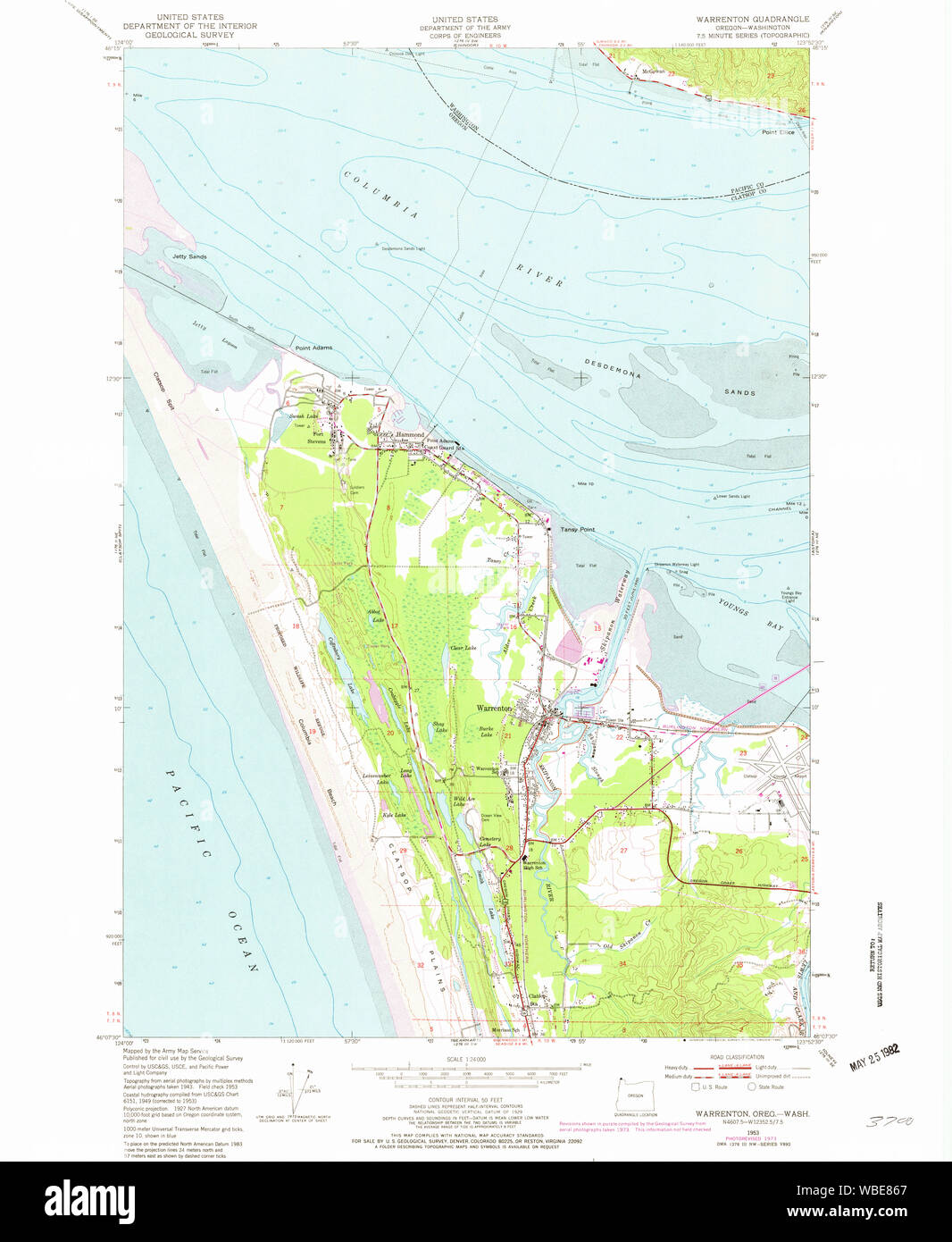 USGS Topo Map Oregon OR Warrenton 282026 1953 24000 Restoration Stock Photohttps://www.alamy.com/image-license-details/?v=1https://www.alamy.com/usgs-topo-map-oregon-or-warrenton-282026-1953-24000-restoration-image265230511.html
RMWBE867–USGS Topo Map Oregon OR Warrenton 282026 1953 24000 Restoration
 Warrenton, Lincoln County, US, United States, Arkansas, N 33 50' 20'', S 91 39' 30'', map, Cartascapes Map published in 2024. Explore Cartascapes, a map revealing Earth's diverse landscapes, cultures, and ecosystems. Journey through time and space, discovering the interconnectedness of our planet's past, present, and future. Stock Photohttps://www.alamy.com/image-license-details/?v=1https://www.alamy.com/warrenton-lincoln-county-us-united-states-arkansas-n-33-50-20-s-91-39-30-map-cartascapes-map-published-in-2024-explore-cartascapes-a-map-revealing-earths-diverse-landscapes-cultures-and-ecosystems-journey-through-time-and-space-discovering-the-interconnectedness-of-our-planets-past-present-and-future-image621255274.html
RM2Y2MHCA–Warrenton, Lincoln County, US, United States, Arkansas, N 33 50' 20'', S 91 39' 30'', map, Cartascapes Map published in 2024. Explore Cartascapes, a map revealing Earth's diverse landscapes, cultures, and ecosystems. Journey through time and space, discovering the interconnectedness of our planet's past, present, and future.
 Fauquier County, Commonwealth of Virginia (U.S. county, United States of America, USA, U.S., US) map vector illustration, scribble sketch Fauquier map Stock Vectorhttps://www.alamy.com/image-license-details/?v=1https://www.alamy.com/fauquier-county-commonwealth-of-virginia-us-county-united-states-of-america-usa-us-us-map-vector-illustration-scribble-sketch-fauquier-map-image418012065.html
RF2F822J9–Fauquier County, Commonwealth of Virginia (U.S. county, United States of America, USA, U.S., US) map vector illustration, scribble sketch Fauquier map
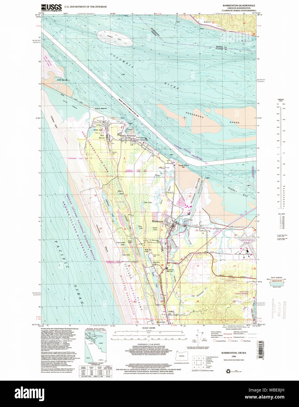 USGS Topo Map Oregon OR Warrenton 282030 1996 24000 Restoration Stock Photohttps://www.alamy.com/image-license-details/?v=1https://www.alamy.com/usgs-topo-map-oregon-or-warrenton-282030-1996-24000-restoration-image265230857.html
RMWBE8JH–USGS Topo Map Oregon OR Warrenton 282030 1996 24000 Restoration
 Warrenton Heights, Warren County, US, United States, Mississippi, N 32 14' 15'', S 90 55' 0'', map, Cartascapes Map published in 2024. Explore Cartascapes, a map revealing Earth's diverse landscapes, cultures, and ecosystems. Journey through time and space, discovering the interconnectedness of our planet's past, present, and future. Stock Photohttps://www.alamy.com/image-license-details/?v=1https://www.alamy.com/warrenton-heights-warren-county-us-united-states-mississippi-n-32-14-15-s-90-55-0-map-cartascapes-map-published-in-2024-explore-cartascapes-a-map-revealing-earths-diverse-landscapes-cultures-and-ecosystems-journey-through-time-and-space-discovering-the-interconnectedness-of-our-planets-past-present-and-future-image621189634.html
RM2Y2HHM2–Warrenton Heights, Warren County, US, United States, Mississippi, N 32 14' 15'', S 90 55' 0'', map, Cartascapes Map published in 2024. Explore Cartascapes, a map revealing Earth's diverse landscapes, cultures, and ecosystems. Journey through time and space, discovering the interconnectedness of our planet's past, present, and future.
 Fauquier County, Commonwealth of Virginia (U.S. county, United States of America, USA, U.S., US) map vector illustration, scribble sketch Fauquier map Stock Vectorhttps://www.alamy.com/image-license-details/?v=1https://www.alamy.com/fauquier-county-commonwealth-of-virginia-us-county-united-states-of-america-usa-us-us-map-vector-illustration-scribble-sketch-fauquier-map-image431575190.html
RF2G23XFJ–Fauquier County, Commonwealth of Virginia (U.S. county, United States of America, USA, U.S., US) map vector illustration, scribble sketch Fauquier map
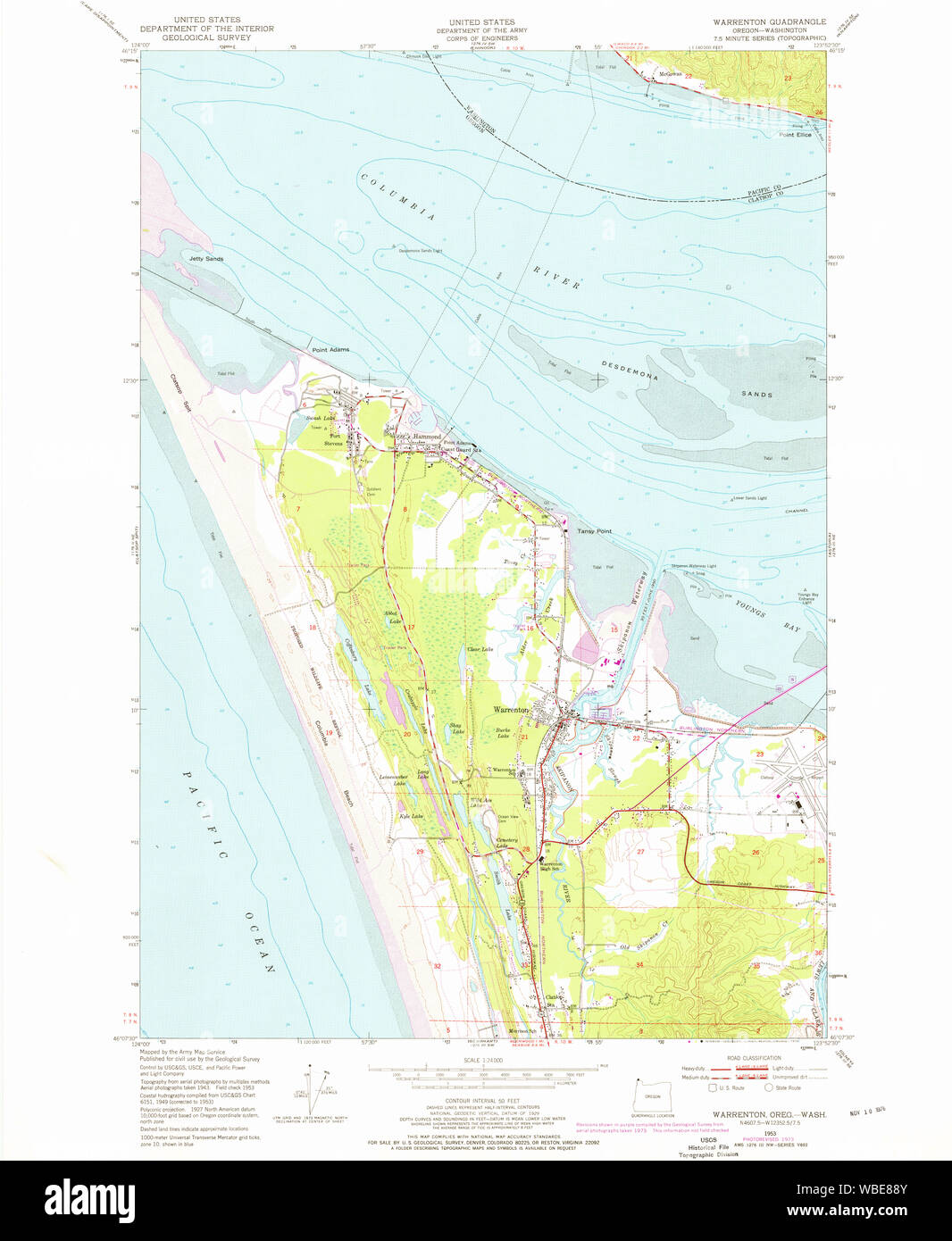 USGS Topo Map Oregon OR Warrenton 282027 1953 24000 Restoration Stock Photohttps://www.alamy.com/image-license-details/?v=1https://www.alamy.com/usgs-topo-map-oregon-or-warrenton-282027-1953-24000-restoration-image265230587.html
RMWBE88Y–USGS Topo Map Oregon OR Warrenton 282027 1953 24000 Restoration
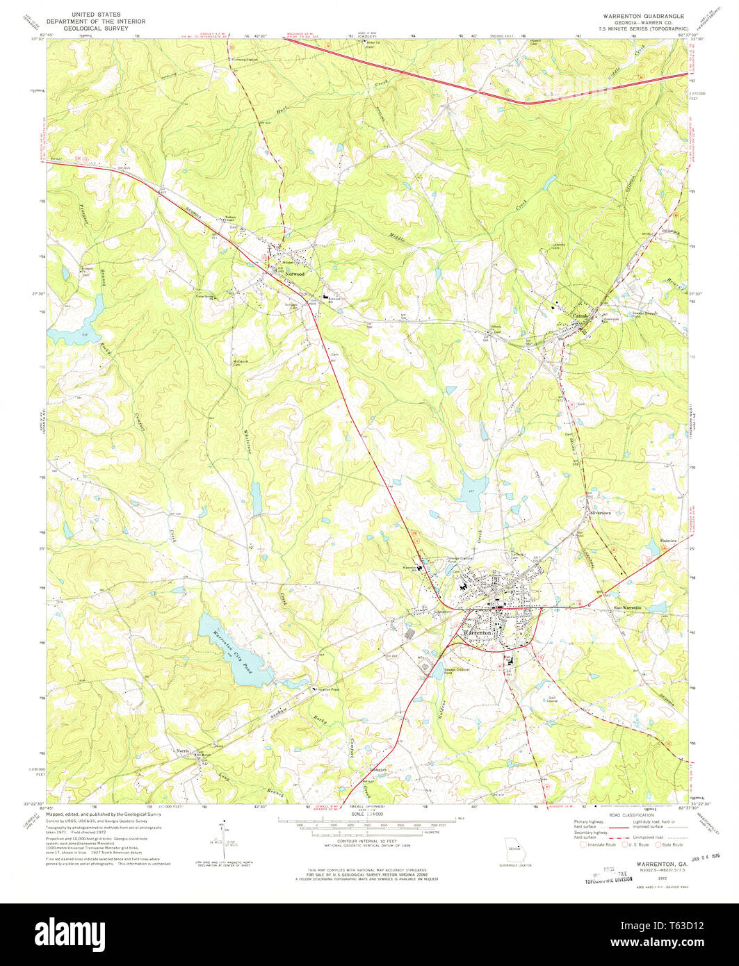 USGS TOPO Map Georgia GA Warrenton 247230 1972 24000 Restoration Stock Photohttps://www.alamy.com/image-license-details/?v=1https://www.alamy.com/usgs-topo-map-georgia-ga-warrenton-247230-1972-24000-restoration-image244709166.html
RMT63D12–USGS TOPO Map Georgia GA Warrenton 247230 1972 24000 Restoration
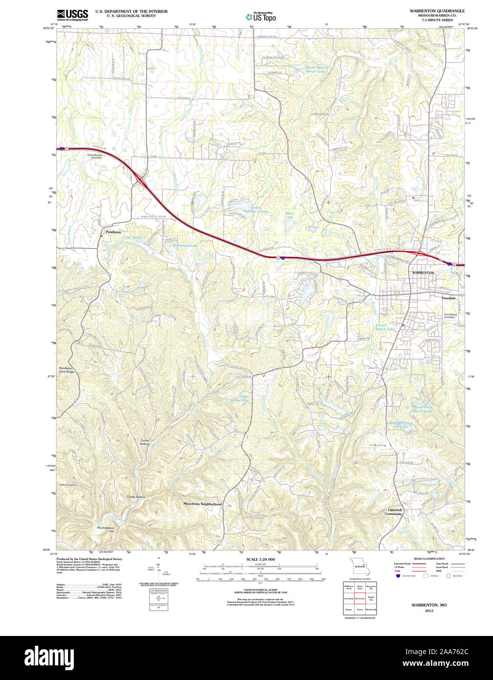 USGS TOPO Map Missouri MO Warrenton 20120117 TM Restoration Stock Photohttps://www.alamy.com/image-license-details/?v=1https://www.alamy.com/usgs-topo-map-missouri-mo-warrenton-20120117-tm-restoration-image333301988.html
RM2AA762C–USGS TOPO Map Missouri MO Warrenton 20120117 TM Restoration
 Warrenton, Warren County, US, United States, North Carolina, N 36 23' 54'', S 78 9' 18'', map, Cartascapes Map published in 2024. Explore Cartascapes, a map revealing Earth's diverse landscapes, cultures, and ecosystems. Journey through time and space, discovering the interconnectedness of our planet's past, present, and future. Stock Photohttps://www.alamy.com/image-license-details/?v=1https://www.alamy.com/warrenton-warren-county-us-united-states-north-carolina-n-36-23-54-s-78-9-18-map-cartascapes-map-published-in-2024-explore-cartascapes-a-map-revealing-earths-diverse-landscapes-cultures-and-ecosystems-journey-through-time-and-space-discovering-the-interconnectedness-of-our-planets-past-present-and-future-image621180063.html
RM2Y2H5E7–Warrenton, Warren County, US, United States, North Carolina, N 36 23' 54'', S 78 9' 18'', map, Cartascapes Map published in 2024. Explore Cartascapes, a map revealing Earth's diverse landscapes, cultures, and ecosystems. Journey through time and space, discovering the interconnectedness of our planet's past, present, and future.
 Fauquier County, Commonwealth of Virginia (U.S. county, United States of America, USA, U.S., US) map vector illustration, scribble sketch Fauquier map Stock Vectorhttps://www.alamy.com/image-license-details/?v=1https://www.alamy.com/fauquier-county-commonwealth-of-virginia-us-county-united-states-of-america-usa-us-us-map-vector-illustration-scribble-sketch-fauquier-map-image397495475.html
RF2E2KDEY–Fauquier County, Commonwealth of Virginia (U.S. county, United States of America, USA, U.S., US) map vector illustration, scribble sketch Fauquier map
 USGS TOPO Map Missouri MO Warrenton 324433 1973 24000 Restoration Stock Photohttps://www.alamy.com/image-license-details/?v=1https://www.alamy.com/usgs-topo-map-missouri-mo-warrenton-324433-1973-24000-restoration-image333302131.html
RM2AA767F–USGS TOPO Map Missouri MO Warrenton 324433 1973 24000 Restoration
 West Warrenton, Warren County, US, United States, Georgia, N 33 24' 43'', S 82 40' 30'', map, Cartascapes Map published in 2024. Explore Cartascapes, a map revealing Earth's diverse landscapes, cultures, and ecosystems. Journey through time and space, discovering the interconnectedness of our planet's past, present, and future. Stock Photohttps://www.alamy.com/image-license-details/?v=1https://www.alamy.com/west-warrenton-warren-county-us-united-states-georgia-n-33-24-43-s-82-40-30-map-cartascapes-map-published-in-2024-explore-cartascapes-a-map-revealing-earths-diverse-landscapes-cultures-and-ecosystems-journey-through-time-and-space-discovering-the-interconnectedness-of-our-planets-past-present-and-future-image621496556.html
RM2Y33H5G–West Warrenton, Warren County, US, United States, Georgia, N 33 24' 43'', S 82 40' 30'', map, Cartascapes Map published in 2024. Explore Cartascapes, a map revealing Earth's diverse landscapes, cultures, and ecosystems. Journey through time and space, discovering the interconnectedness of our planet's past, present, and future.
 Warren County, North Carolina State (U.S. county, United States of America, USA, U.S., US) map vector illustration, scribble sketch Warren map Stock Vectorhttps://www.alamy.com/image-license-details/?v=1https://www.alamy.com/warren-county-north-carolina-state-us-county-united-states-of-america-usa-us-us-map-vector-illustration-scribble-sketch-warren-map-image407164663.html
RF2EJBXK3–Warren County, North Carolina State (U.S. county, United States of America, USA, U.S., US) map vector illustration, scribble sketch Warren map
 USGS TOPO Map North Carolina NC Warrenton 20100830 TM Restoration Stock Photohttps://www.alamy.com/image-license-details/?v=1https://www.alamy.com/usgs-topo-map-north-carolina-nc-warrenton-20100830-tm-restoration-image336529509.html
RM2AFE6R1–USGS TOPO Map North Carolina NC Warrenton 20100830 TM Restoration
 Warrenton Subdivision, Marshall County, US, United States, Alabama, N 34 21' 23'', S 86 21' 11'', map, Cartascapes Map published in 2024. Explore Cartascapes, a map revealing Earth's diverse landscapes, cultures, and ecosystems. Journey through time and space, discovering the interconnectedness of our planet's past, present, and future. Stock Photohttps://www.alamy.com/image-license-details/?v=1https://www.alamy.com/warrenton-subdivision-marshall-county-us-united-states-alabama-n-34-21-23-s-86-21-11-map-cartascapes-map-published-in-2024-explore-cartascapes-a-map-revealing-earths-diverse-landscapes-cultures-and-ecosystems-journey-through-time-and-space-discovering-the-interconnectedness-of-our-planets-past-present-and-future-image621300492.html
RM2Y2PK38–Warrenton Subdivision, Marshall County, US, United States, Alabama, N 34 21' 23'', S 86 21' 11'', map, Cartascapes Map published in 2024. Explore Cartascapes, a map revealing Earth's diverse landscapes, cultures, and ecosystems. Journey through time and space, discovering the interconnectedness of our planet's past, present, and future.
 Warren County, North Carolina State (U.S. county, United States of America, USA, U.S., US) map vector illustration, scribble sketch Warren map Stock Vectorhttps://www.alamy.com/image-license-details/?v=1https://www.alamy.com/warren-county-north-carolina-state-us-county-united-states-of-america-usa-us-us-map-vector-illustration-scribble-sketch-warren-map-image402133098.html
RF2EA6MTA–Warren County, North Carolina State (U.S. county, United States of America, USA, U.S., US) map vector illustration, scribble sketch Warren map
 USGS TOPO Map Missouri MO Warrenton 324432 1973 24000 Restoration Stock Photohttps://www.alamy.com/image-license-details/?v=1https://www.alamy.com/usgs-topo-map-missouri-mo-warrenton-324432-1973-24000-restoration-image333302094.html
RM2AA7666–USGS TOPO Map Missouri MO Warrenton 324432 1973 24000 Restoration
 Warrenton, Abbeville County, US, United States, South Carolina, N 34 9' 23'', S 82 28' 31'', map, Cartascapes Map published in 2024. Explore Cartascapes, a map revealing Earth's diverse landscapes, cultures, and ecosystems. Journey through time and space, discovering the interconnectedness of our planet's past, present, and future. Stock Photohttps://www.alamy.com/image-license-details/?v=1https://www.alamy.com/warrenton-abbeville-county-us-united-states-south-carolina-n-34-9-23-s-82-28-31-map-cartascapes-map-published-in-2024-explore-cartascapes-a-map-revealing-earths-diverse-landscapes-cultures-and-ecosystems-journey-through-time-and-space-discovering-the-interconnectedness-of-our-planets-past-present-and-future-image621216481.html
RM2Y2JRXW–Warrenton, Abbeville County, US, United States, South Carolina, N 34 9' 23'', S 82 28' 31'', map, Cartascapes Map published in 2024. Explore Cartascapes, a map revealing Earth's diverse landscapes, cultures, and ecosystems. Journey through time and space, discovering the interconnectedness of our planet's past, present, and future.
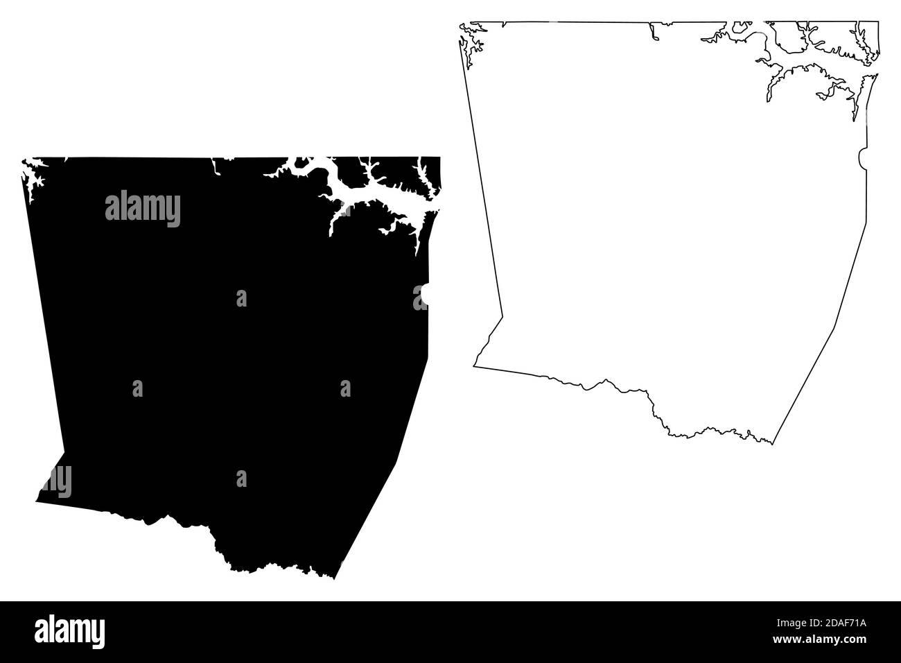 Warren County, North Carolina State (U.S. county, United States of America, USA, U.S., US) map vector illustration, scribble sketch Warren map Stock Vectorhttps://www.alamy.com/image-license-details/?v=1https://www.alamy.com/warren-county-north-carolina-state-us-county-united-states-of-america-usa-us-us-map-vector-illustration-scribble-sketch-warren-map-image385109462.html
RF2DAF71A–Warren County, North Carolina State (U.S. county, United States of America, USA, U.S., US) map vector illustration, scribble sketch Warren map
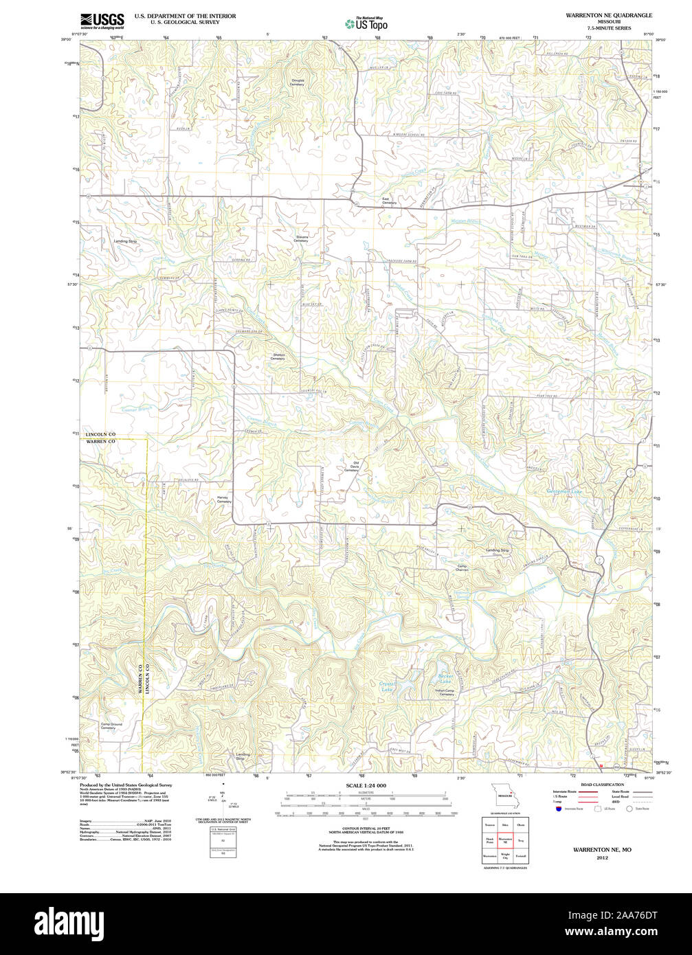 USGS TOPO Map Missouri MO Warrenton NE 20120117 TM Restoration Stock Photohttps://www.alamy.com/image-license-details/?v=1https://www.alamy.com/usgs-topo-map-missouri-mo-warrenton-ne-20120117-tm-restoration-image333302308.html
RM2AA76DT–USGS TOPO Map Missouri MO Warrenton NE 20120117 TM Restoration
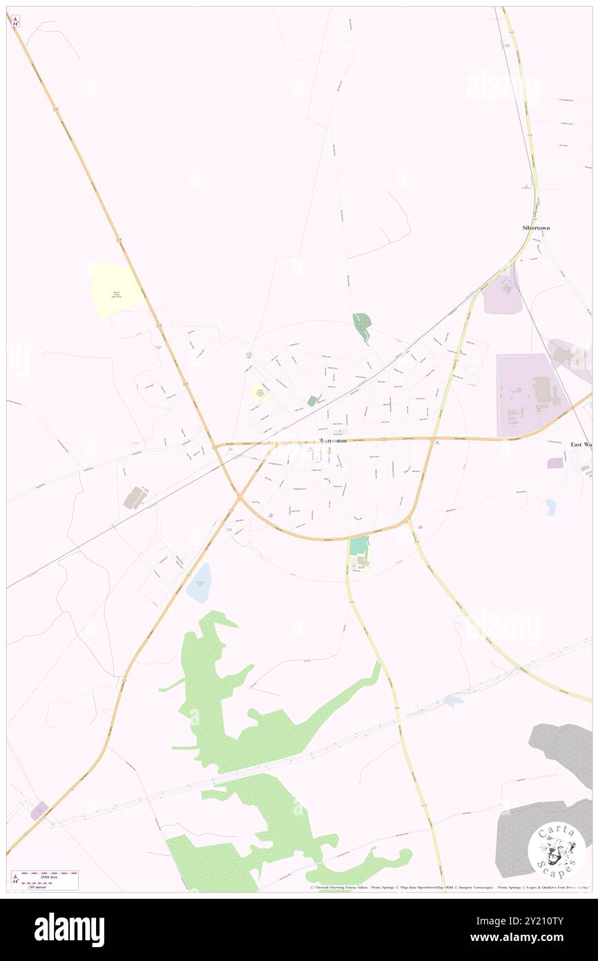 Warrenton, Warren County, US, United States, Georgia, N 33 24' 25'', S 82 39' 43'', map, Cartascapes Map published in 2024. Explore Cartascapes, a map revealing Earth's diverse landscapes, cultures, and ecosystems. Journey through time and space, discovering the interconnectedness of our planet's past, present, and future. Stock Photohttps://www.alamy.com/image-license-details/?v=1https://www.alamy.com/warrenton-warren-county-us-united-states-georgia-n-33-24-25-s-82-39-43-map-cartascapes-map-published-in-2024-explore-cartascapes-a-map-revealing-earths-diverse-landscapes-cultures-and-ecosystems-journey-through-time-and-space-discovering-the-interconnectedness-of-our-planets-past-present-and-future-image620825211.html
RM2Y210TY–Warrenton, Warren County, US, United States, Georgia, N 33 24' 25'', S 82 39' 43'', map, Cartascapes Map published in 2024. Explore Cartascapes, a map revealing Earth's diverse landscapes, cultures, and ecosystems. Journey through time and space, discovering the interconnectedness of our planet's past, present, and future.
 USGS TOPO Map Missouri MO Warrenton NE 324434 1973 24000 Restoration Stock Photohttps://www.alamy.com/image-license-details/?v=1https://www.alamy.com/usgs-topo-map-missouri-mo-warrenton-ne-324434-1973-24000-restoration-image333302315.html
RM2AA76E3–USGS TOPO Map Missouri MO Warrenton NE 324434 1973 24000 Restoration
 Warrenton, Fauquier County, US, United States, Virginia, N 38 42' 48'', S 77 47' 42'', map, Cartascapes Map published in 2024. Explore Cartascapes, a map revealing Earth's diverse landscapes, cultures, and ecosystems. Journey through time and space, discovering the interconnectedness of our planet's past, present, and future. Stock Photohttps://www.alamy.com/image-license-details/?v=1https://www.alamy.com/warrenton-fauquier-county-us-united-states-virginia-n-38-42-48-s-77-47-42-map-cartascapes-map-published-in-2024-explore-cartascapes-a-map-revealing-earths-diverse-landscapes-cultures-and-ecosystems-journey-through-time-and-space-discovering-the-interconnectedness-of-our-planets-past-present-and-future-image620902885.html
RM2Y24FY1–Warrenton, Fauquier County, US, United States, Virginia, N 38 42' 48'', S 77 47' 42'', map, Cartascapes Map published in 2024. Explore Cartascapes, a map revealing Earth's diverse landscapes, cultures, and ecosystems. Journey through time and space, discovering the interconnectedness of our planet's past, present, and future.
 USGS TOPO Map North Carolina NC Warrenton 165016 1970 24000 Restoration Stock Photohttps://www.alamy.com/image-license-details/?v=1https://www.alamy.com/usgs-topo-map-north-carolina-nc-warrenton-165016-1970-24000-restoration-image336529465.html
RM2AFE6ND–USGS TOPO Map North Carolina NC Warrenton 165016 1970 24000 Restoration
 Warrenton, Warren County, US, United States, Mississippi, N 32 14' 50'', S 90 55' 42'', map, Cartascapes Map published in 2024. Explore Cartascapes, a map revealing Earth's diverse landscapes, cultures, and ecosystems. Journey through time and space, discovering the interconnectedness of our planet's past, present, and future. Stock Photohttps://www.alamy.com/image-license-details/?v=1https://www.alamy.com/warrenton-warren-county-us-united-states-mississippi-n-32-14-50-s-90-55-42-map-cartascapes-map-published-in-2024-explore-cartascapes-a-map-revealing-earths-diverse-landscapes-cultures-and-ecosystems-journey-through-time-and-space-discovering-the-interconnectedness-of-our-planets-past-present-and-future-image620702568.html
RM2Y1RCCT–Warrenton, Warren County, US, United States, Mississippi, N 32 14' 50'', S 90 55' 42'', map, Cartascapes Map published in 2024. Explore Cartascapes, a map revealing Earth's diverse landscapes, cultures, and ecosystems. Journey through time and space, discovering the interconnectedness of our planet's past, present, and future.
 USGS TOPO Map North Carolina NC Warrenton 165017 1977 24000 Restoration Stock Photohttps://www.alamy.com/image-license-details/?v=1https://www.alamy.com/usgs-topo-map-north-carolina-nc-warrenton-165017-1977-24000-restoration-image336529507.html
RM2AFE6PY–USGS TOPO Map North Carolina NC Warrenton 165017 1977 24000 Restoration
 Warrenton, Jefferson County, US, United States, Ohio, N 40 11' 31'', S 80 40' 48'', map, Cartascapes Map published in 2024. Explore Cartascapes, a map revealing Earth's diverse landscapes, cultures, and ecosystems. Journey through time and space, discovering the interconnectedness of our planet's past, present, and future. Stock Photohttps://www.alamy.com/image-license-details/?v=1https://www.alamy.com/warrenton-jefferson-county-us-united-states-ohio-n-40-11-31-s-80-40-48-map-cartascapes-map-published-in-2024-explore-cartascapes-a-map-revealing-earths-diverse-landscapes-cultures-and-ecosystems-journey-through-time-and-space-discovering-the-interconnectedness-of-our-planets-past-present-and-future-image620674791.html
RM2Y1P50R–Warrenton, Jefferson County, US, United States, Ohio, N 40 11' 31'', S 80 40' 48'', map, Cartascapes Map published in 2024. Explore Cartascapes, a map revealing Earth's diverse landscapes, cultures, and ecosystems. Journey through time and space, discovering the interconnectedness of our planet's past, present, and future.
 VA Warrenton 20110531 TM Stock Photohttps://www.alamy.com/image-license-details/?v=1https://www.alamy.com/va-warrenton-20110531-tm-image336305875.html
RM2AF41G3–VA Warrenton 20110531 TM
 Warrenton, Clatsop County, US, United States, Oregon, N 46 9' 54'', S 123 55' 25'', map, Cartascapes Map published in 2024. Explore Cartascapes, a map revealing Earth's diverse landscapes, cultures, and ecosystems. Journey through time and space, discovering the interconnectedness of our planet's past, present, and future. Stock Photohttps://www.alamy.com/image-license-details/?v=1https://www.alamy.com/warrenton-clatsop-county-us-united-states-oregon-n-46-9-54-s-123-55-25-map-cartascapes-map-published-in-2024-explore-cartascapes-a-map-revealing-earths-diverse-landscapes-cultures-and-ecosystems-journey-through-time-and-space-discovering-the-interconnectedness-of-our-planets-past-present-and-future-image620759120.html
RM2Y1X0GG–Warrenton, Clatsop County, US, United States, Oregon, N 46 9' 54'', S 123 55' 25'', map, Cartascapes Map published in 2024. Explore Cartascapes, a map revealing Earth's diverse landscapes, cultures, and ecosystems. Journey through time and space, discovering the interconnectedness of our planet's past, present, and future.
 VA Warrenton 189206 1894 125000 Stock Photohttps://www.alamy.com/image-license-details/?v=1https://www.alamy.com/va-warrenton-189206-1894-125000-image336305803.html
RM2AF41DF–VA Warrenton 189206 1894 125000
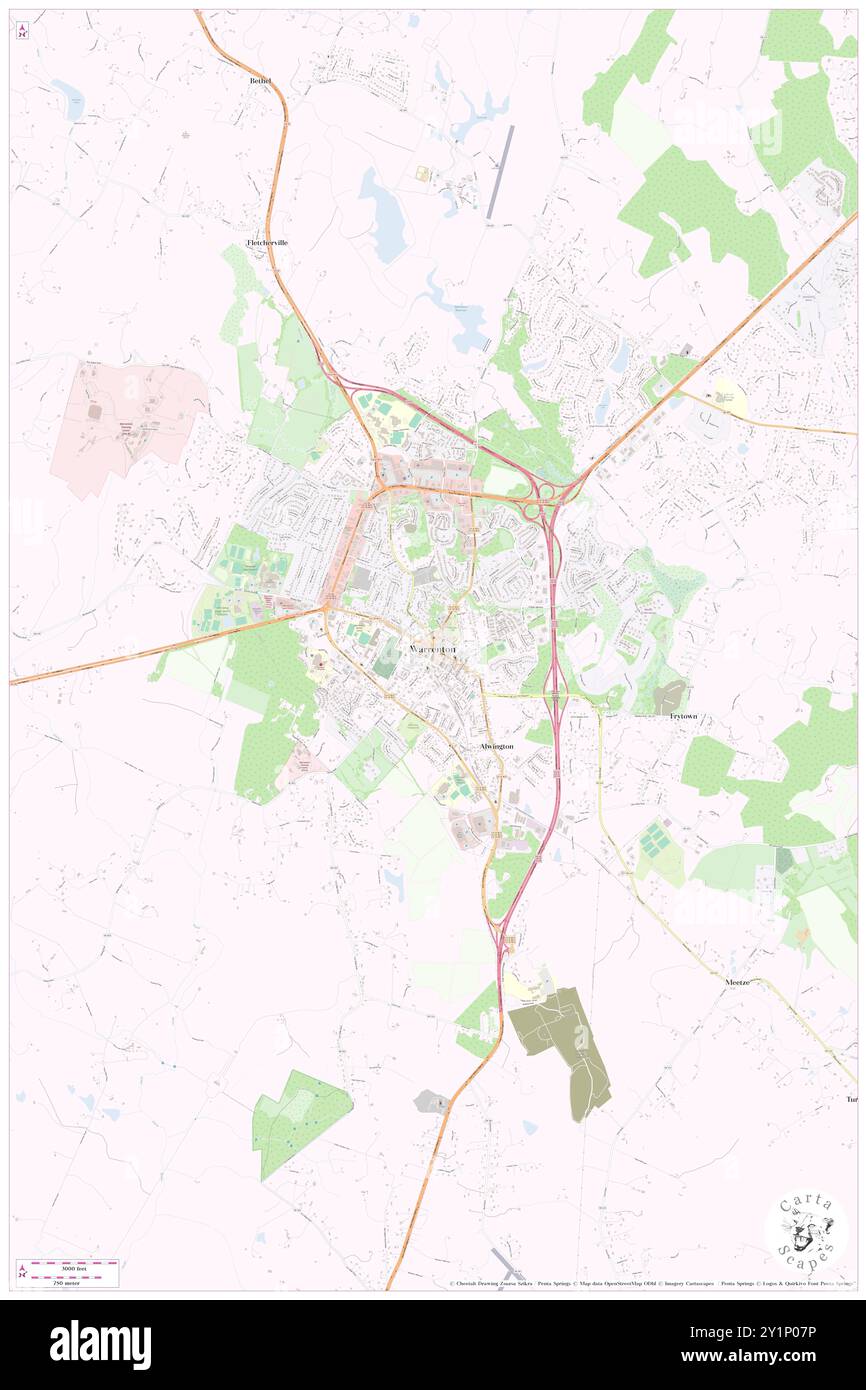 Warrenton, Fauquier County, US, United States, Virginia, N 38 42' 48'', S 77 47' 42'', map, Cartascapes Map published in 2024. Explore Cartascapes, a map revealing Earth's diverse landscapes, cultures, and ecosystems. Journey through time and space, discovering the interconnectedness of our planet's past, present, and future. Stock Photohttps://www.alamy.com/image-license-details/?v=1https://www.alamy.com/warrenton-fauquier-county-us-united-states-virginia-n-38-42-48-s-77-47-42-map-cartascapes-map-published-in-2024-explore-cartascapes-a-map-revealing-earths-diverse-landscapes-cultures-and-ecosystems-journey-through-time-and-space-discovering-the-interconnectedness-of-our-planets-past-present-and-future-image620671066.html
RM2Y1P07P–Warrenton, Fauquier County, US, United States, Virginia, N 38 42' 48'', S 77 47' 42'', map, Cartascapes Map published in 2024. Explore Cartascapes, a map revealing Earth's diverse landscapes, cultures, and ecosystems. Journey through time and space, discovering the interconnectedness of our planet's past, present, and future.
 VA Warrenton 187130 1994 24000 Stock Photohttps://www.alamy.com/image-license-details/?v=1https://www.alamy.com/va-warrenton-187130-1994-24000-image336305498.html
RM2AF412J–VA Warrenton 187130 1994 24000
 Warrenton, Warren County, US, United States, Missouri, N 38 48' 41'', S 91 8' 29'', map, Cartascapes Map published in 2024. Explore Cartascapes, a map revealing Earth's diverse landscapes, cultures, and ecosystems. Journey through time and space, discovering the interconnectedness of our planet's past, present, and future. Stock Photohttps://www.alamy.com/image-license-details/?v=1https://www.alamy.com/warrenton-warren-county-us-united-states-missouri-n-38-48-41-s-91-8-29-map-cartascapes-map-published-in-2024-explore-cartascapes-a-map-revealing-earths-diverse-landscapes-cultures-and-ecosystems-journey-through-time-and-space-discovering-the-interconnectedness-of-our-planets-past-present-and-future-image620789482.html
RM2Y1YB8X–Warrenton, Warren County, US, United States, Missouri, N 38 48' 41'', S 91 8' 29'', map, Cartascapes Map published in 2024. Explore Cartascapes, a map revealing Earth's diverse landscapes, cultures, and ecosystems. Journey through time and space, discovering the interconnectedness of our planet's past, present, and future.
 VA Warrenton 187128 1966 24000 Stock Photohttps://www.alamy.com/image-license-details/?v=1https://www.alamy.com/va-warrenton-187128-1966-24000-image336305418.html
RM2AF40YP–VA Warrenton 187128 1966 24000
 City of Warrenton, Warren County, US, United States, Georgia, N 33 24' 24'', S 82 39' 54'', map, Cartascapes Map published in 2024. Explore Cartascapes, a map revealing Earth's diverse landscapes, cultures, and ecosystems. Journey through time and space, discovering the interconnectedness of our planet's past, present, and future. Stock Photohttps://www.alamy.com/image-license-details/?v=1https://www.alamy.com/city-of-warrenton-warren-county-us-united-states-georgia-n-33-24-24-s-82-39-54-map-cartascapes-map-published-in-2024-explore-cartascapes-a-map-revealing-earths-diverse-landscapes-cultures-and-ecosystems-journey-through-time-and-space-discovering-the-interconnectedness-of-our-planets-past-present-and-future-image633816532.html
RM2YR4RCM–City of Warrenton, Warren County, US, United States, Georgia, N 33 24' 24'', S 82 39' 54'', map, Cartascapes Map published in 2024. Explore Cartascapes, a map revealing Earth's diverse landscapes, cultures, and ecosystems. Journey through time and space, discovering the interconnectedness of our planet's past, present, and future.
 VA Warrenton 187127 1966 24000 Stock Photohttps://www.alamy.com/image-license-details/?v=1https://www.alamy.com/va-warrenton-187127-1966-24000-image336305414.html
RM2AF40YJ–VA Warrenton 187127 1966 24000
 Township of Warrenton, Warren County, US, United States, North Carolina, N 36 23' 35'', S 78 9' 46'', map, Cartascapes Map published in 2024. Explore Cartascapes, a map revealing Earth's diverse landscapes, cultures, and ecosystems. Journey through time and space, discovering the interconnectedness of our planet's past, present, and future. Stock Photohttps://www.alamy.com/image-license-details/?v=1https://www.alamy.com/township-of-warrenton-warren-county-us-united-states-north-carolina-n-36-23-35-s-78-9-46-map-cartascapes-map-published-in-2024-explore-cartascapes-a-map-revealing-earths-diverse-landscapes-cultures-and-ecosystems-journey-through-time-and-space-discovering-the-interconnectedness-of-our-planets-past-present-and-future-image633873368.html
RM2YR7BXG–Township of Warrenton, Warren County, US, United States, North Carolina, N 36 23' 35'', S 78 9' 46'', map, Cartascapes Map published in 2024. Explore Cartascapes, a map revealing Earth's diverse landscapes, cultures, and ecosystems. Journey through time and space, discovering the interconnectedness of our planet's past, present, and future.
 VA Warrenton 187126 1966 24000 Stock Photohttps://www.alamy.com/image-license-details/?v=1https://www.alamy.com/va-warrenton-187126-1966-24000-image336305420.html
RM2AF40YT–VA Warrenton 187126 1966 24000
 City of Warrenton, Clatsop County, US, United States, Oregon, N 46 10' 18'', S 123 55' 24'', map, Cartascapes Map published in 2024. Explore Cartascapes, a map revealing Earth's diverse landscapes, cultures, and ecosystems. Journey through time and space, discovering the interconnectedness of our planet's past, present, and future. Stock Photohttps://www.alamy.com/image-license-details/?v=1https://www.alamy.com/city-of-warrenton-clatsop-county-us-united-states-oregon-n-46-10-18-s-123-55-24-map-cartascapes-map-published-in-2024-explore-cartascapes-a-map-revealing-earths-diverse-landscapes-cultures-and-ecosystems-journey-through-time-and-space-discovering-the-interconnectedness-of-our-planets-past-present-and-future-image633827348.html
RM2YR5970–City of Warrenton, Clatsop County, US, United States, Oregon, N 46 10' 18'', S 123 55' 24'', map, Cartascapes Map published in 2024. Explore Cartascapes, a map revealing Earth's diverse landscapes, cultures, and ecosystems. Journey through time and space, discovering the interconnectedness of our planet's past, present, and future.
 VA Warrenton 189204 1894 125000 Stock Photohttps://www.alamy.com/image-license-details/?v=1https://www.alamy.com/va-warrenton-189204-1894-125000-image336305766.html
RM2AF41C6–VA Warrenton 189204 1894 125000
 Warrenton Place, Trumbull County, US, United States, Ohio, N 41 18' 58'', S 80 51' 27'', map, Cartascapes Map published in 2024. Explore Cartascapes, a map revealing Earth's diverse landscapes, cultures, and ecosystems. Journey through time and space, discovering the interconnectedness of our planet's past, present, and future. Stock Photohttps://www.alamy.com/image-license-details/?v=1https://www.alamy.com/warrenton-place-trumbull-county-us-united-states-ohio-n-41-18-58-s-80-51-27-map-cartascapes-map-published-in-2024-explore-cartascapes-a-map-revealing-earths-diverse-landscapes-cultures-and-ecosystems-journey-through-time-and-space-discovering-the-interconnectedness-of-our-planets-past-present-and-future-image620712258.html
RM2Y1RTPX–Warrenton Place, Trumbull County, US, United States, Ohio, N 41 18' 58'', S 80 51' 27'', map, Cartascapes Map published in 2024. Explore Cartascapes, a map revealing Earth's diverse landscapes, cultures, and ecosystems. Journey through time and space, discovering the interconnectedness of our planet's past, present, and future.
 VA Warrenton 188704 1927 62500 Stock Photohttps://www.alamy.com/image-license-details/?v=1https://www.alamy.com/va-warrenton-188704-1927-62500-image336305684.html
RM2AF4198–VA Warrenton 188704 1927 62500
 Warrenton, Warren County, US, United States, North Carolina, N 36 23' 54'', S 78 9' 18'', map, Cartascapes Map published in 2024. Explore Cartascapes, a map revealing Earth's diverse landscapes, cultures, and ecosystems. Journey through time and space, discovering the interconnectedness of our planet's past, present, and future. Stock Photohttps://www.alamy.com/image-license-details/?v=1https://www.alamy.com/warrenton-warren-county-us-united-states-north-carolina-n-36-23-54-s-78-9-18-map-cartascapes-map-published-in-2024-explore-cartascapes-a-map-revealing-earths-diverse-landscapes-cultures-and-ecosystems-journey-through-time-and-space-discovering-the-interconnectedness-of-our-planets-past-present-and-future-image620764372.html
RM2Y1X784–Warrenton, Warren County, US, United States, North Carolina, N 36 23' 54'', S 78 9' 18'', map, Cartascapes Map published in 2024. Explore Cartascapes, a map revealing Earth's diverse landscapes, cultures, and ecosystems. Journey through time and space, discovering the interconnectedness of our planet's past, present, and future.
 VA Warrenton 187129 1966 24000 Stock Photohttps://www.alamy.com/image-license-details/?v=1https://www.alamy.com/va-warrenton-187129-1966-24000-image336305499.html
RM2AF412K–VA Warrenton 187129 1966 24000
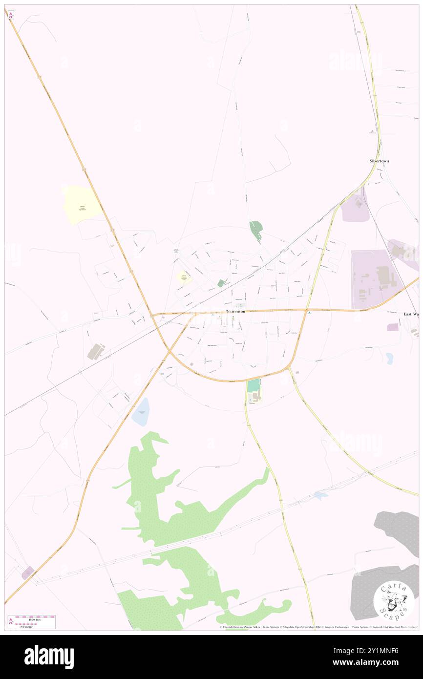 Warrenton, Abbeville County, US, United States, South Carolina, N 34 9' 23'', S 82 28' 31'', map, Cartascapes Map published in 2024. Explore Cartascapes, a map revealing Earth's diverse landscapes, cultures, and ecosystems. Journey through time and space, discovering the interconnectedness of our planet's past, present, and future. Stock Photohttps://www.alamy.com/image-license-details/?v=1https://www.alamy.com/warrenton-abbeville-county-us-united-states-south-carolina-n-34-9-23-s-82-28-31-map-cartascapes-map-published-in-2024-explore-cartascapes-a-map-revealing-earths-diverse-landscapes-cultures-and-ecosystems-journey-through-time-and-space-discovering-the-interconnectedness-of-our-planets-past-present-and-future-image620643834.html
RM2Y1MNF6–Warrenton, Abbeville County, US, United States, South Carolina, N 34 9' 23'', S 82 28' 31'', map, Cartascapes Map published in 2024. Explore Cartascapes, a map revealing Earth's diverse landscapes, cultures, and ecosystems. Journey through time and space, discovering the interconnectedness of our planet's past, present, and future.
 Town of Warrenton, Warren County, US, United States, North Carolina, N 36 23' 58'', S 78 9' 24'', map, Cartascapes Map published in 2024. Explore Cartascapes, a map revealing Earth's diverse landscapes, cultures, and ecosystems. Journey through time and space, discovering the interconnectedness of our planet's past, present, and future. Stock Photohttps://www.alamy.com/image-license-details/?v=1https://www.alamy.com/town-of-warrenton-warren-county-us-united-states-north-carolina-n-36-23-58-s-78-9-24-map-cartascapes-map-published-in-2024-explore-cartascapes-a-map-revealing-earths-diverse-landscapes-cultures-and-ecosystems-journey-through-time-and-space-discovering-the-interconnectedness-of-our-planets-past-present-and-future-image633828490.html
RM2YR5AKP–Town of Warrenton, Warren County, US, United States, North Carolina, N 36 23' 58'', S 78 9' 24'', map, Cartascapes Map published in 2024. Explore Cartascapes, a map revealing Earth's diverse landscapes, cultures, and ecosystems. Journey through time and space, discovering the interconnectedness of our planet's past, present, and future.
 Warrenton Center, Stafford County, US, United States, Virginia, N 38 21' 17'', S 77 30' 32'', map, Cartascapes Map published in 2024. Explore Cartascapes, a map revealing Earth's diverse landscapes, cultures, and ecosystems. Journey through time and space, discovering the interconnectedness of our planet's past, present, and future. Stock Photohttps://www.alamy.com/image-license-details/?v=1https://www.alamy.com/warrenton-center-stafford-county-us-united-states-virginia-n-38-21-17-s-77-30-32-map-cartascapes-map-published-in-2024-explore-cartascapes-a-map-revealing-earths-diverse-landscapes-cultures-and-ecosystems-journey-through-time-and-space-discovering-the-interconnectedness-of-our-planets-past-present-and-future-image620848483.html
RM2Y222G3–Warrenton Center, Stafford County, US, United States, Virginia, N 38 21' 17'', S 77 30' 32'', map, Cartascapes Map published in 2024. Explore Cartascapes, a map revealing Earth's diverse landscapes, cultures, and ecosystems. Journey through time and space, discovering the interconnectedness of our planet's past, present, and future.
 Warrenton Estates, Montgomery County, US, United States, Alabama, N 32 18' 49'', S 86 14' 12'', map, Cartascapes Map published in 2024. Explore Cartascapes, a map revealing Earth's diverse landscapes, cultures, and ecosystems. Journey through time and space, discovering the interconnectedness of our planet's past, present, and future. Stock Photohttps://www.alamy.com/image-license-details/?v=1https://www.alamy.com/warrenton-estates-montgomery-county-us-united-states-alabama-n-32-18-49-s-86-14-12-map-cartascapes-map-published-in-2024-explore-cartascapes-a-map-revealing-earths-diverse-landscapes-cultures-and-ecosystems-journey-through-time-and-space-discovering-the-interconnectedness-of-our-planets-past-present-and-future-image620903105.html
RM2Y24G6W–Warrenton Estates, Montgomery County, US, United States, Alabama, N 32 18' 49'', S 86 14' 12'', map, Cartascapes Map published in 2024. Explore Cartascapes, a map revealing Earth's diverse landscapes, cultures, and ecosystems. Journey through time and space, discovering the interconnectedness of our planet's past, present, and future.
 Township of Warrenton, Marshall County, US, United States, Minnesota, N 48 14' 21'', S 96 49' 37'', map, Cartascapes Map published in 2024. Explore Cartascapes, a map revealing Earth's diverse landscapes, cultures, and ecosystems. Journey through time and space, discovering the interconnectedness of our planet's past, present, and future. Stock Photohttps://www.alamy.com/image-license-details/?v=1https://www.alamy.com/township-of-warrenton-marshall-county-us-united-states-minnesota-n-48-14-21-s-96-49-37-map-cartascapes-map-published-in-2024-explore-cartascapes-a-map-revealing-earths-diverse-landscapes-cultures-and-ecosystems-journey-through-time-and-space-discovering-the-interconnectedness-of-our-planets-past-present-and-future-image633913719.html
RM2YR97BK–Township of Warrenton, Marshall County, US, United States, Minnesota, N 48 14' 21'', S 96 49' 37'', map, Cartascapes Map published in 2024. Explore Cartascapes, a map revealing Earth's diverse landscapes, cultures, and ecosystems. Journey through time and space, discovering the interconnectedness of our planet's past, present, and future.
 City of Warrenton, Warren County, US, United States, Missouri, N 38 49' 6'', S 91 8' 7'', map, Cartascapes Map published in 2024. Explore Cartascapes, a map revealing Earth's diverse landscapes, cultures, and ecosystems. Journey through time and space, discovering the interconnectedness of our planet's past, present, and future. Stock Photohttps://www.alamy.com/image-license-details/?v=1https://www.alamy.com/city-of-warrenton-warren-county-us-united-states-missouri-n-38-49-6-s-91-8-7-map-cartascapes-map-published-in-2024-explore-cartascapes-a-map-revealing-earths-diverse-landscapes-cultures-and-ecosystems-journey-through-time-and-space-discovering-the-interconnectedness-of-our-planets-past-present-and-future-image633880358.html
RM2YR7MT6–City of Warrenton, Warren County, US, United States, Missouri, N 38 49' 6'', S 91 8' 7'', map, Cartascapes Map published in 2024. Explore Cartascapes, a map revealing Earth's diverse landscapes, cultures, and ecosystems. Journey through time and space, discovering the interconnectedness of our planet's past, present, and future.
 East Warrenton, Warren County, US, United States, Georgia, N 33 24' 24'', S 82 38' 23'', map, Cartascapes Map published in 2024. Explore Cartascapes, a map revealing Earth's diverse landscapes, cultures, and ecosystems. Journey through time and space, discovering the interconnectedness of our planet's past, present, and future. Stock Photohttps://www.alamy.com/image-license-details/?v=1https://www.alamy.com/east-warrenton-warren-county-us-united-states-georgia-n-33-24-24-s-82-38-23-map-cartascapes-map-published-in-2024-explore-cartascapes-a-map-revealing-earths-diverse-landscapes-cultures-and-ecosystems-journey-through-time-and-space-discovering-the-interconnectedness-of-our-planets-past-present-and-future-image620901402.html
RM2Y24E22–East Warrenton, Warren County, US, United States, Georgia, N 33 24' 24'', S 82 38' 23'', map, Cartascapes Map published in 2024. Explore Cartascapes, a map revealing Earth's diverse landscapes, cultures, and ecosystems. Journey through time and space, discovering the interconnectedness of our planet's past, present, and future.
 Town of Warrenton, Fauquier County, US, United States, Virginia, N 38 43' 3'', S 77 47' 50'', map, Cartascapes Map published in 2024. Explore Cartascapes, a map revealing Earth's diverse landscapes, cultures, and ecosystems. Journey through time and space, discovering the interconnectedness of our planet's past, present, and future. Stock Photohttps://www.alamy.com/image-license-details/?v=1https://www.alamy.com/town-of-warrenton-fauquier-county-us-united-states-virginia-n-38-43-3-s-77-47-50-map-cartascapes-map-published-in-2024-explore-cartascapes-a-map-revealing-earths-diverse-landscapes-cultures-and-ecosystems-journey-through-time-and-space-discovering-the-interconnectedness-of-our-planets-past-present-and-future-image633889059.html
RM2YR83XY–Town of Warrenton, Fauquier County, US, United States, Virginia, N 38 43' 3'', S 77 47' 50'', map, Cartascapes Map published in 2024. Explore Cartascapes, a map revealing Earth's diverse landscapes, cultures, and ecosystems. Journey through time and space, discovering the interconnectedness of our planet's past, present, and future.
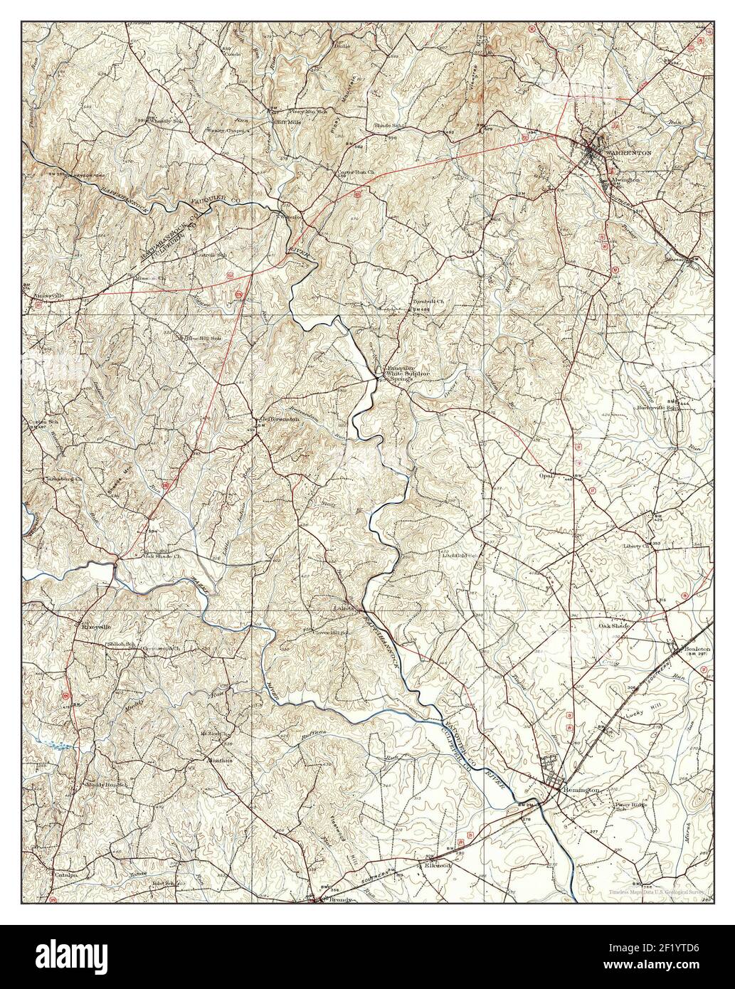 Warrenton, Virginia, map 1927, 1:62500, United States of America by Timeless Maps, data U.S. Geological Survey Stock Photohttps://www.alamy.com/image-license-details/?v=1https://www.alamy.com/warrenton-virginia-map-1927-162500-united-states-of-america-by-timeless-maps-data-us-geological-survey-image414275378.html
RM2F1YTD6–Warrenton, Virginia, map 1927, 1:62500, United States of America by Timeless Maps, data U.S. Geological Survey
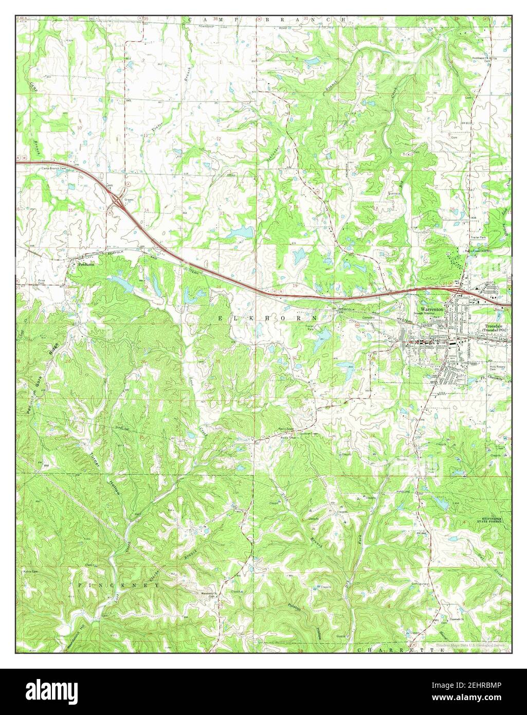 Warrenton, Missouri, map 1973, 1:24000, United States of America by Timeless Maps, data U.S. Geological Survey Stock Photohttps://www.alamy.com/image-license-details/?v=1https://www.alamy.com/warrenton-missouri-map-1973-124000-united-states-of-america-by-timeless-maps-data-us-geological-survey-image406801718.html
RM2EHRBMP–Warrenton, Missouri, map 1973, 1:24000, United States of America by Timeless Maps, data U.S. Geological Survey
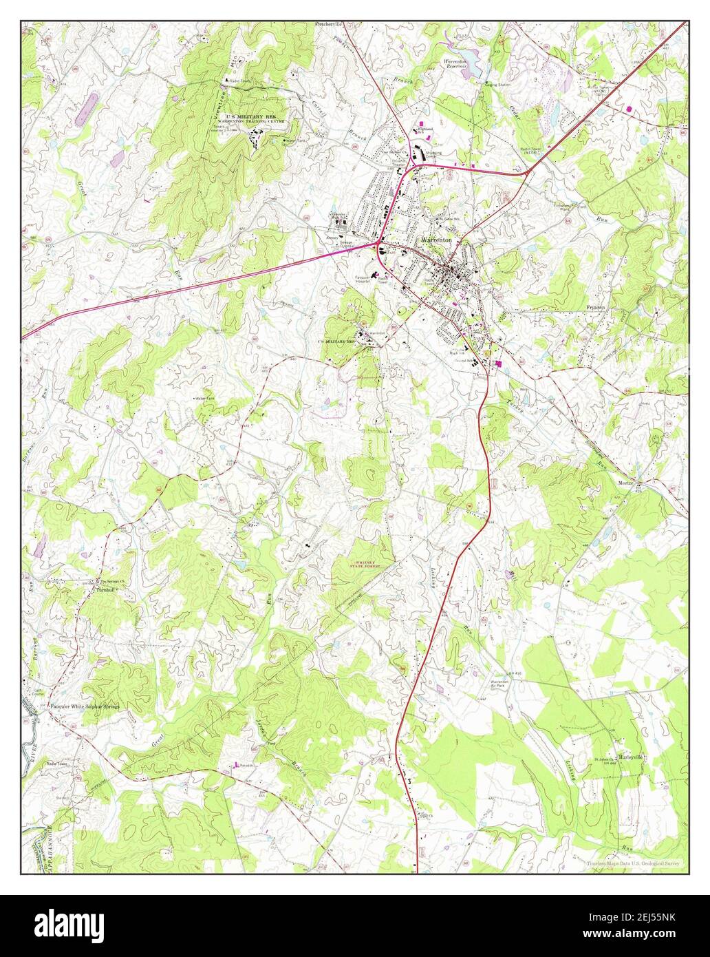 Warrenton, Virginia, map 1966, 1:24000, United States of America by Timeless Maps, data U.S. Geological Survey Stock Photohttps://www.alamy.com/image-license-details/?v=1https://www.alamy.com/warrenton-virginia-map-1966-124000-united-states-of-america-by-timeless-maps-data-us-geological-survey-image407016559.html
RM2EJ55NK–Warrenton, Virginia, map 1966, 1:24000, United States of America by Timeless Maps, data U.S. Geological Survey
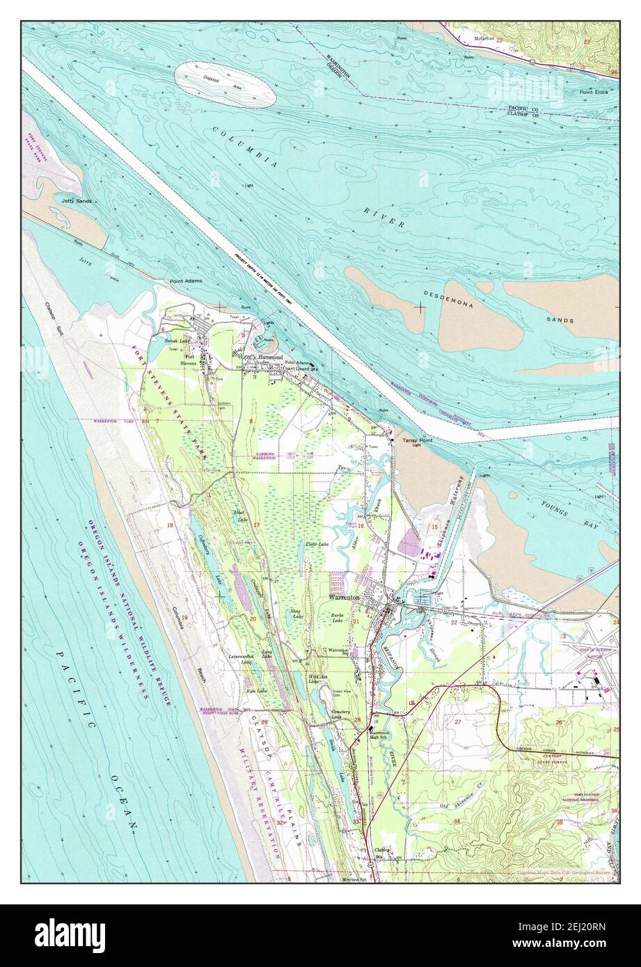 Warrenton, Oregon, map 1953, 1:24000, United States of America by Timeless Maps, data U.S. Geological Survey Stock Photohttps://www.alamy.com/image-license-details/?v=1https://www.alamy.com/warrenton-oregon-map-1953-124000-united-states-of-america-by-timeless-maps-data-us-geological-survey-image406946841.html
RM2EJ20RN–Warrenton, Oregon, map 1953, 1:24000, United States of America by Timeless Maps, data U.S. Geological Survey
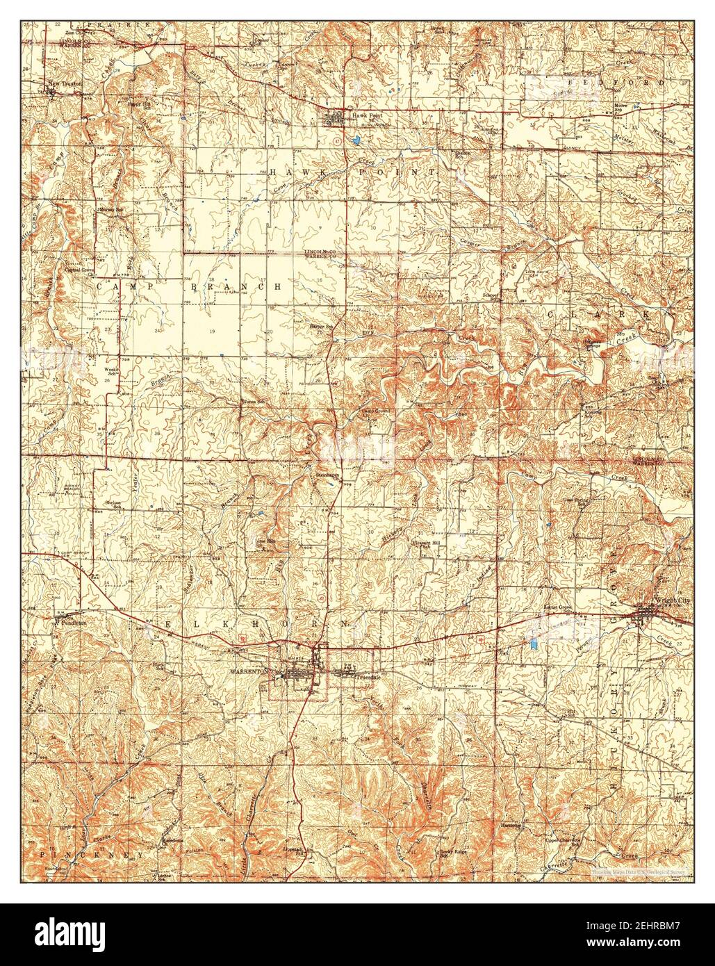 Warrenton, Missouri, map 1945, 1:62500, United States of America by Timeless Maps, data U.S. Geological Survey Stock Photohttps://www.alamy.com/image-license-details/?v=1https://www.alamy.com/warrenton-missouri-map-1945-162500-united-states-of-america-by-timeless-maps-data-us-geological-survey-image406801703.html
RM2EHRBM7–Warrenton, Missouri, map 1945, 1:62500, United States of America by Timeless Maps, data U.S. Geological Survey
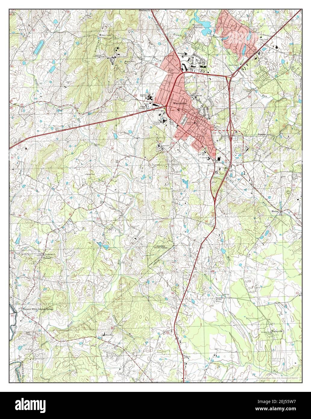 Warrenton, Virginia, map 1994, 1:24000, United States of America by Timeless Maps, data U.S. Geological Survey Stock Photohttps://www.alamy.com/image-license-details/?v=1https://www.alamy.com/warrenton-virginia-map-1994-124000-united-states-of-america-by-timeless-maps-data-us-geological-survey-image407016659.html
RM2EJ55W7–Warrenton, Virginia, map 1994, 1:24000, United States of America by Timeless Maps, data U.S. Geological Survey
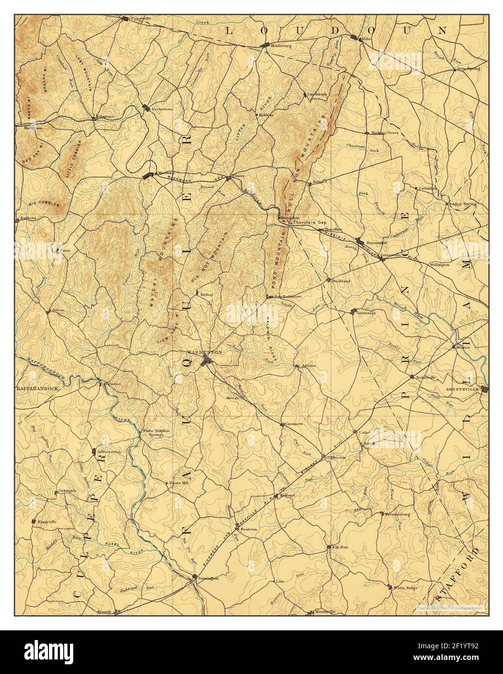 Warrenton, Virginia, map 1894, 1:62500, United States of America by Timeless Maps, data U.S. Geological Survey Stock Photohttps://www.alamy.com/image-license-details/?v=1https://www.alamy.com/warrenton-virginia-map-1894-162500-united-states-of-america-by-timeless-maps-data-us-geological-survey-image414275262.html
RM2F1YT92–Warrenton, Virginia, map 1894, 1:62500, United States of America by Timeless Maps, data U.S. Geological Survey
 Warrenton, Virginia, map 1894, 1:125000, United States of America by Timeless Maps, data U.S. Geological Survey Stock Photohttps://www.alamy.com/image-license-details/?v=1https://www.alamy.com/warrenton-virginia-map-1894-1125000-united-states-of-america-by-timeless-maps-data-us-geological-survey-image414275364.html
RM2F1YTCM–Warrenton, Virginia, map 1894, 1:125000, United States of America by Timeless Maps, data U.S. Geological Survey
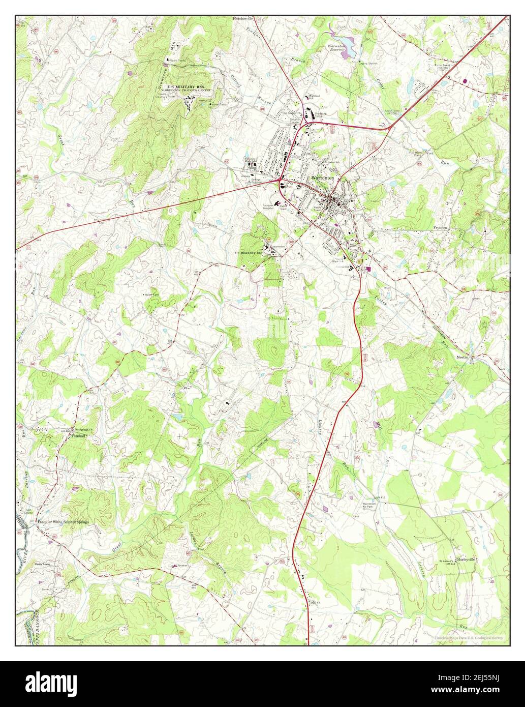 Warrenton, Virginia, map 1966, 1:24000, United States of America by Timeless Maps, data U.S. Geological Survey Stock Photohttps://www.alamy.com/image-license-details/?v=1https://www.alamy.com/warrenton-virginia-map-1966-124000-united-states-of-america-by-timeless-maps-data-us-geological-survey-image407016558.html
RM2EJ55NJ–Warrenton, Virginia, map 1966, 1:24000, United States of America by Timeless Maps, data U.S. Geological Survey
 Warrenton, Missouri, map 1943, 1:62500, United States of America by Timeless Maps, data U.S. Geological Survey Stock Photohttps://www.alamy.com/image-license-details/?v=1https://www.alamy.com/warrenton-missouri-map-1943-162500-united-states-of-america-by-timeless-maps-data-us-geological-survey-image414088384.html
RM2F1K9XT–Warrenton, Missouri, map 1943, 1:62500, United States of America by Timeless Maps, data U.S. Geological Survey
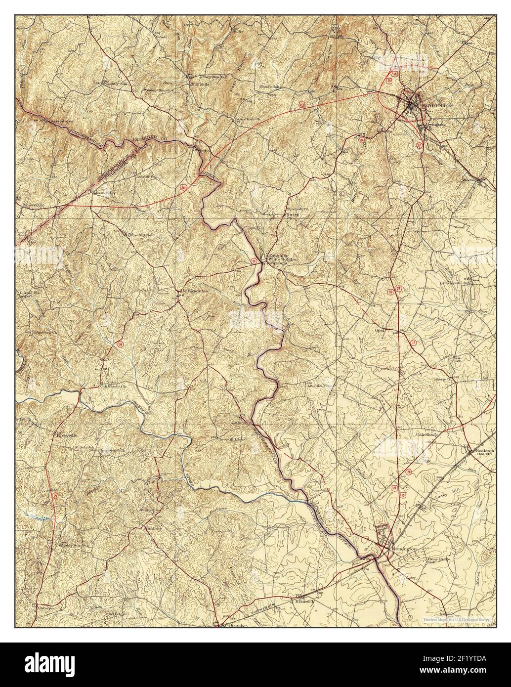 Warrenton, Virginia, map 1930, 1:62500, United States of America by Timeless Maps, data U.S. Geological Survey Stock Photohttps://www.alamy.com/image-license-details/?v=1https://www.alamy.com/warrenton-virginia-map-1930-162500-united-states-of-america-by-timeless-maps-data-us-geological-survey-image414275382.html
RM2F1YTDA–Warrenton, Virginia, map 1930, 1:62500, United States of America by Timeless Maps, data U.S. Geological Survey
 Warrenton, Virginia, map 1894, 1:125000, United States of America by Timeless Maps, data U.S. Geological Survey Stock Photohttps://www.alamy.com/image-license-details/?v=1https://www.alamy.com/warrenton-virginia-map-1894-1125000-united-states-of-america-by-timeless-maps-data-us-geological-survey-image414275376.html
RM2F1YTD4–Warrenton, Virginia, map 1894, 1:125000, United States of America by Timeless Maps, data U.S. Geological Survey
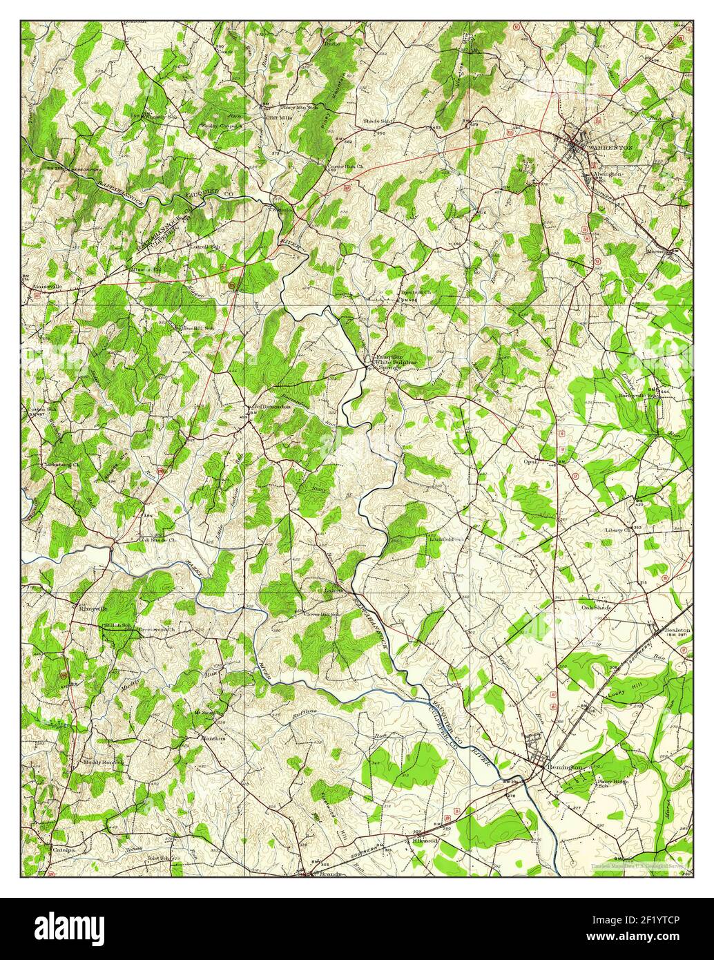 Warrenton, Virginia, map 1927, 1:62500, United States of America by Timeless Maps, data U.S. Geological Survey Stock Photohttps://www.alamy.com/image-license-details/?v=1https://www.alamy.com/warrenton-virginia-map-1927-162500-united-states-of-america-by-timeless-maps-data-us-geological-survey-image414275366.html
RM2F1YTCP–Warrenton, Virginia, map 1927, 1:62500, United States of America by Timeless Maps, data U.S. Geological Survey
 Warrenton, Oregon, map 1953, 1:24000, United States of America by Timeless Maps, data U.S. Geological Survey Stock Photohttps://www.alamy.com/image-license-details/?v=1https://www.alamy.com/warrenton-oregon-map-1953-124000-united-states-of-america-by-timeless-maps-data-us-geological-survey-image406946843.html
RM2EJ20RR–Warrenton, Oregon, map 1953, 1:24000, United States of America by Timeless Maps, data U.S. Geological Survey
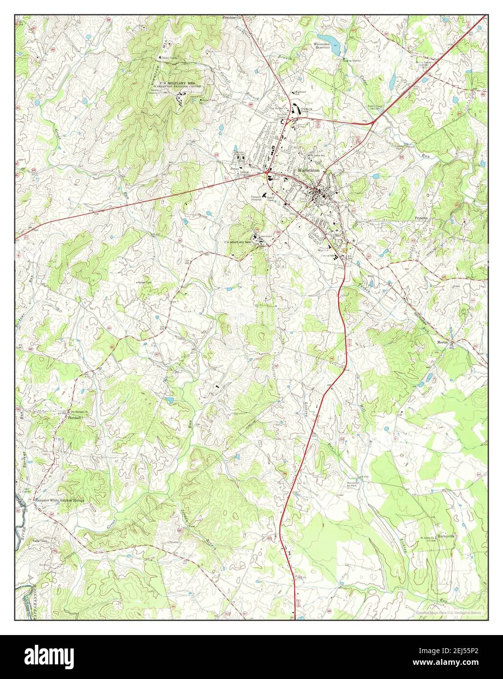 Warrenton, Virginia, map 1966, 1:24000, United States of America by Timeless Maps, data U.S. Geological Survey Stock Photohttps://www.alamy.com/image-license-details/?v=1https://www.alamy.com/warrenton-virginia-map-1966-124000-united-states-of-america-by-timeless-maps-data-us-geological-survey-image407016570.html
RM2EJ55P2–Warrenton, Virginia, map 1966, 1:24000, United States of America by Timeless Maps, data U.S. Geological Survey
 Warrenton, Georgia, map 1972, 1:24000, United States of America by Timeless Maps, data U.S. Geological Survey Stock Photohttps://www.alamy.com/image-license-details/?v=1https://www.alamy.com/warrenton-georgia-map-1972-124000-united-states-of-america-by-timeless-maps-data-us-geological-survey-image406293561.html
RM2EH07G9–Warrenton, Georgia, map 1972, 1:24000, United States of America by Timeless Maps, data U.S. Geological Survey
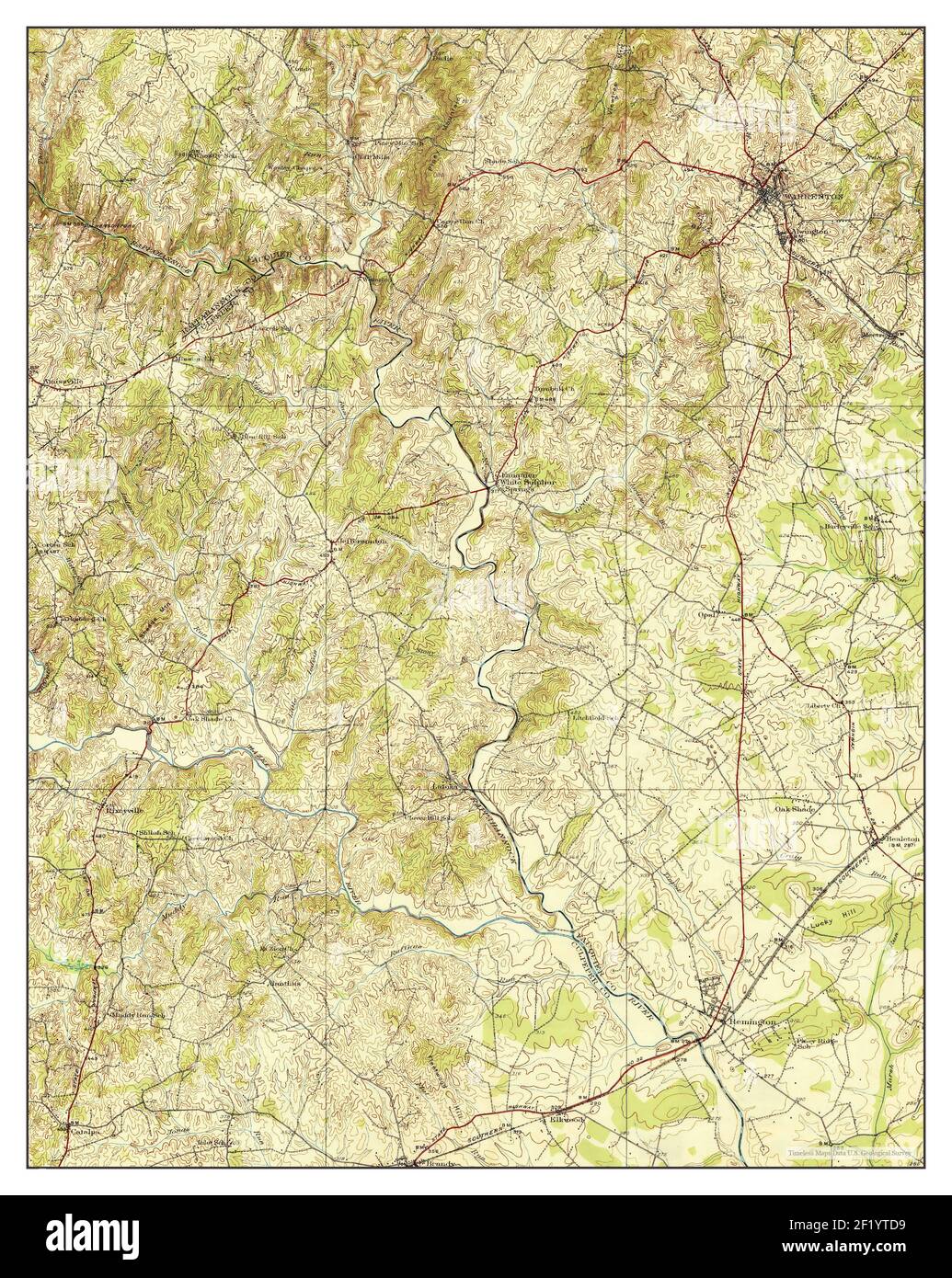 Warrenton, Virginia, map 1930, 1:62500, United States of America by Timeless Maps, data U.S. Geological Survey Stock Photohttps://www.alamy.com/image-license-details/?v=1https://www.alamy.com/warrenton-virginia-map-1930-162500-united-states-of-america-by-timeless-maps-data-us-geological-survey-image414275381.html
RM2F1YTD9–Warrenton, Virginia, map 1930, 1:62500, United States of America by Timeless Maps, data U.S. Geological Survey
 Warrenton, Virginia, map 1894, 1:125000, United States of America by Timeless Maps, data U.S. Geological Survey Stock Photohttps://www.alamy.com/image-license-details/?v=1https://www.alamy.com/warrenton-virginia-map-1894-1125000-united-states-of-america-by-timeless-maps-data-us-geological-survey-image414275514.html
RM2F1YTJ2–Warrenton, Virginia, map 1894, 1:125000, United States of America by Timeless Maps, data U.S. Geological Survey
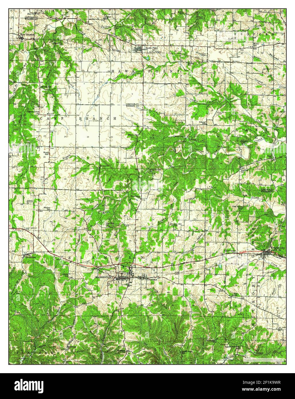 Warrenton, Missouri, map 1943, 1:62500, United States of America by Timeless Maps, data U.S. Geological Survey Stock Photohttps://www.alamy.com/image-license-details/?v=1https://www.alamy.com/warrenton-missouri-map-1943-162500-united-states-of-america-by-timeless-maps-data-us-geological-survey-image414088355.html
RM2F1K9WR–Warrenton, Missouri, map 1943, 1:62500, United States of America by Timeless Maps, data U.S. Geological Survey
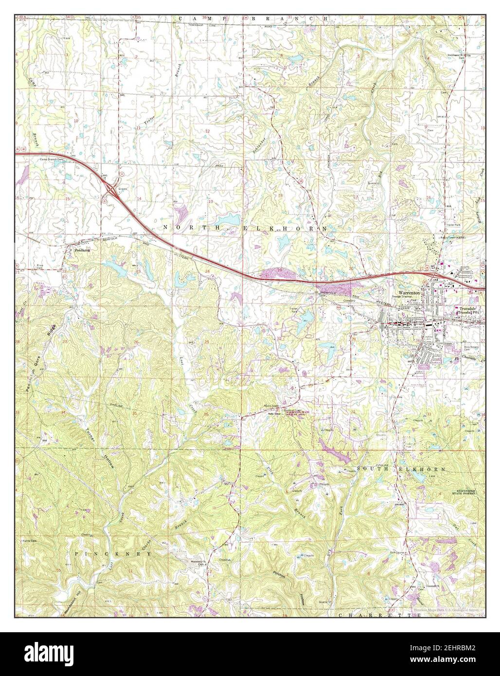 Warrenton, Missouri, map 1973, 1:24000, United States of America by Timeless Maps, data U.S. Geological Survey Stock Photohttps://www.alamy.com/image-license-details/?v=1https://www.alamy.com/warrenton-missouri-map-1973-124000-united-states-of-america-by-timeless-maps-data-us-geological-survey-image406801698.html
RM2EHRBM2–Warrenton, Missouri, map 1973, 1:24000, United States of America by Timeless Maps, data U.S. Geological Survey
 Warrenton, Virginia, map 1927, 1:62500, United States of America by Timeless Maps, data U.S. Geological Survey Stock Photohttps://www.alamy.com/image-license-details/?v=1https://www.alamy.com/warrenton-virginia-map-1927-162500-united-states-of-america-by-timeless-maps-data-us-geological-survey-image414275383.html
RM2F1YTDB–Warrenton, Virginia, map 1927, 1:62500, United States of America by Timeless Maps, data U.S. Geological Survey
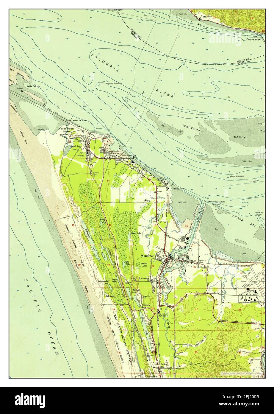 Warrenton, Oregon, map 1953, 1:24000, United States of America by Timeless Maps, data U.S. Geological Survey Stock Photohttps://www.alamy.com/image-license-details/?v=1https://www.alamy.com/warrenton-oregon-map-1953-124000-united-states-of-america-by-timeless-maps-data-us-geological-survey-image406946825.html
RM2EJ20R5–Warrenton, Oregon, map 1953, 1:24000, United States of America by Timeless Maps, data U.S. Geological Survey
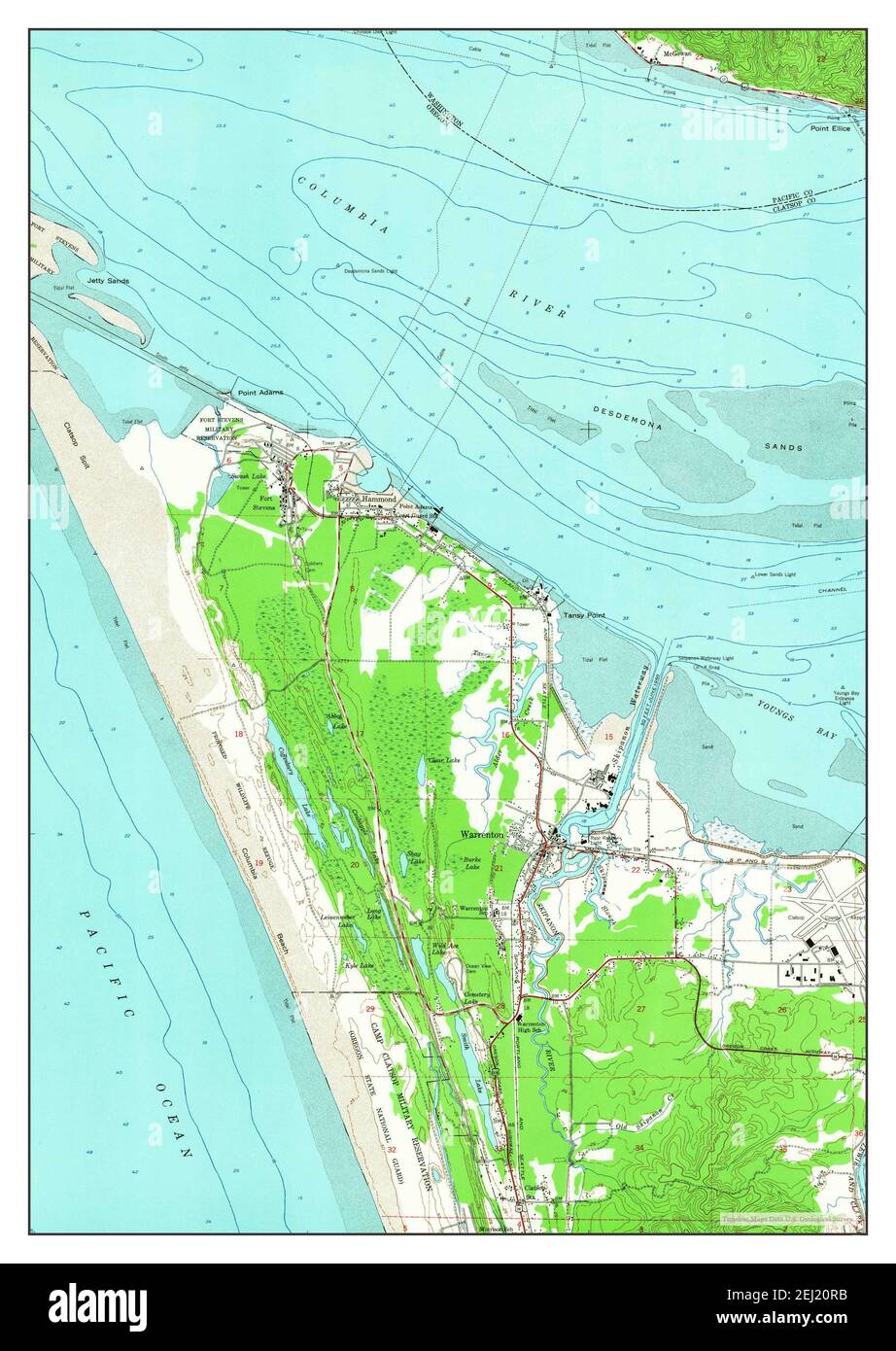 Warrenton, Oregon, map 1953, 1:24000, United States of America by Timeless Maps, data U.S. Geological Survey Stock Photohttps://www.alamy.com/image-license-details/?v=1https://www.alamy.com/warrenton-oregon-map-1953-124000-united-states-of-america-by-timeless-maps-data-us-geological-survey-image406946831.html
RM2EJ20RB–Warrenton, Oregon, map 1953, 1:24000, United States of America by Timeless Maps, data U.S. Geological Survey
 Warrenton, Oregon, map 1996, 1:24000, United States of America by Timeless Maps, data U.S. Geological Survey Stock Photohttps://www.alamy.com/image-license-details/?v=1https://www.alamy.com/warrenton-oregon-map-1996-124000-united-states-of-america-by-timeless-maps-data-us-geological-survey-image406946852.html
RM2EJ20T4–Warrenton, Oregon, map 1996, 1:24000, United States of America by Timeless Maps, data U.S. Geological Survey