Quick filters:
Map of warroad Stock Photos and Images
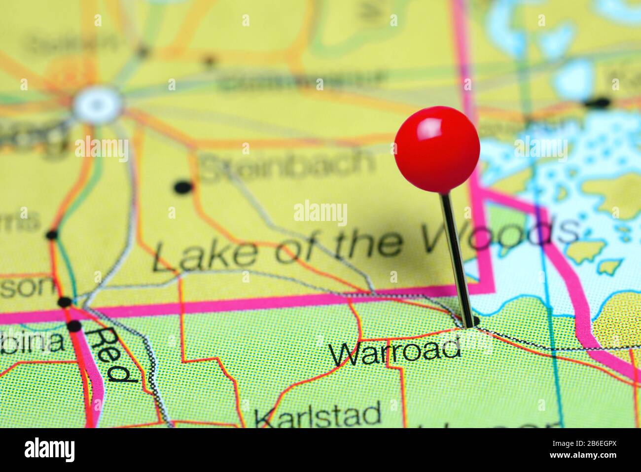 Warroad pinned on a map of Minnesota, USA Stock Photohttps://www.alamy.com/image-license-details/?v=1https://www.alamy.com/warroad-pinned-on-a-map-of-minnesota-usa-image348215810.html
RF2B6EGPX–Warroad pinned on a map of Minnesota, USA
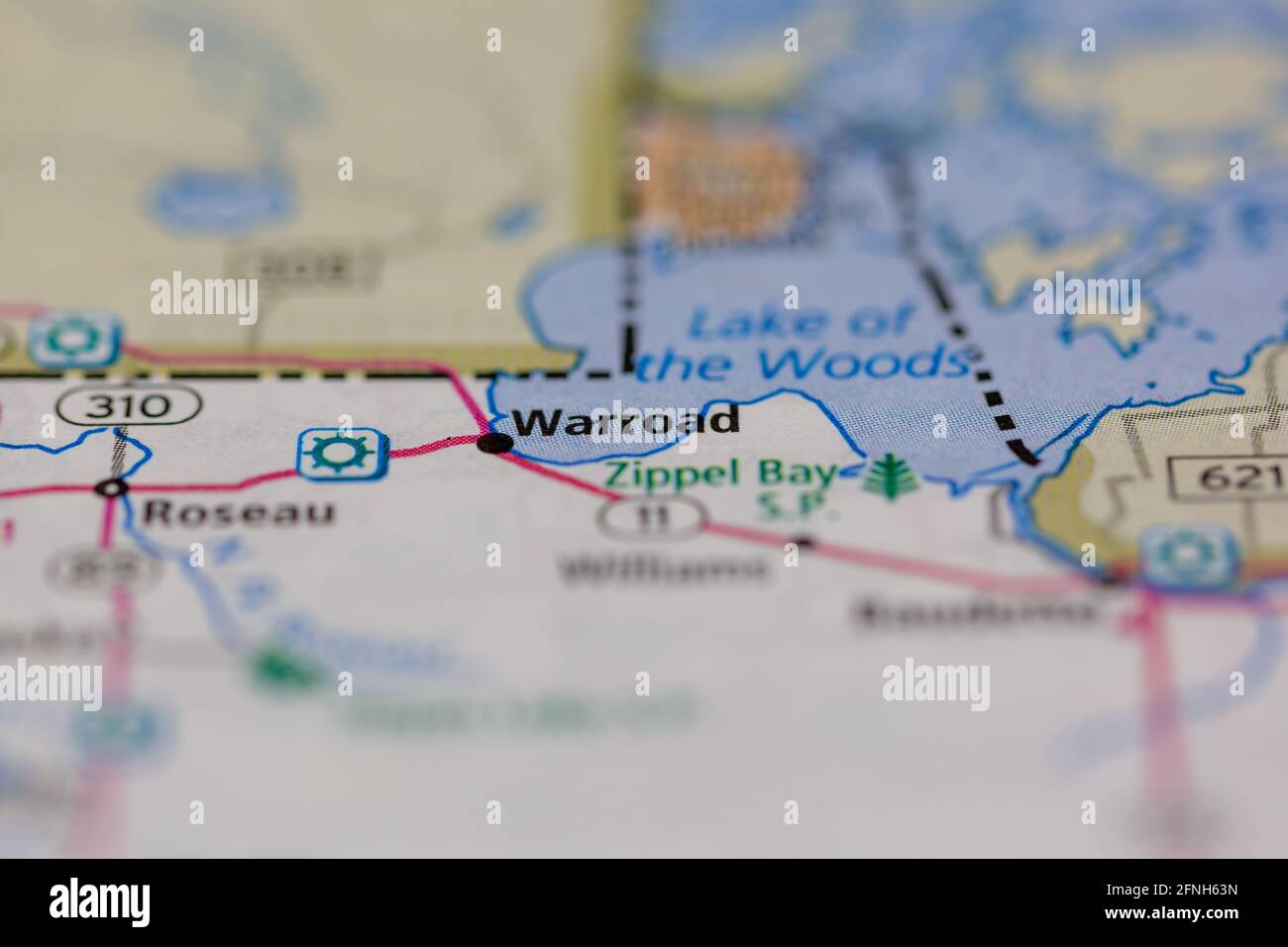 05-17-2021 Portsmouth, Hampshire, UK, Warroad Minnesota USA shown on a Geography map or road map Stock Photohttps://www.alamy.com/image-license-details/?v=1https://www.alamy.com/05-17-2021-portsmouth-hampshire-uk-warroad-minnesota-usa-shown-on-a-geography-map-or-road-map-image426334601.html
RM2FNH63N–05-17-2021 Portsmouth, Hampshire, UK, Warroad Minnesota USA shown on a Geography map or road map
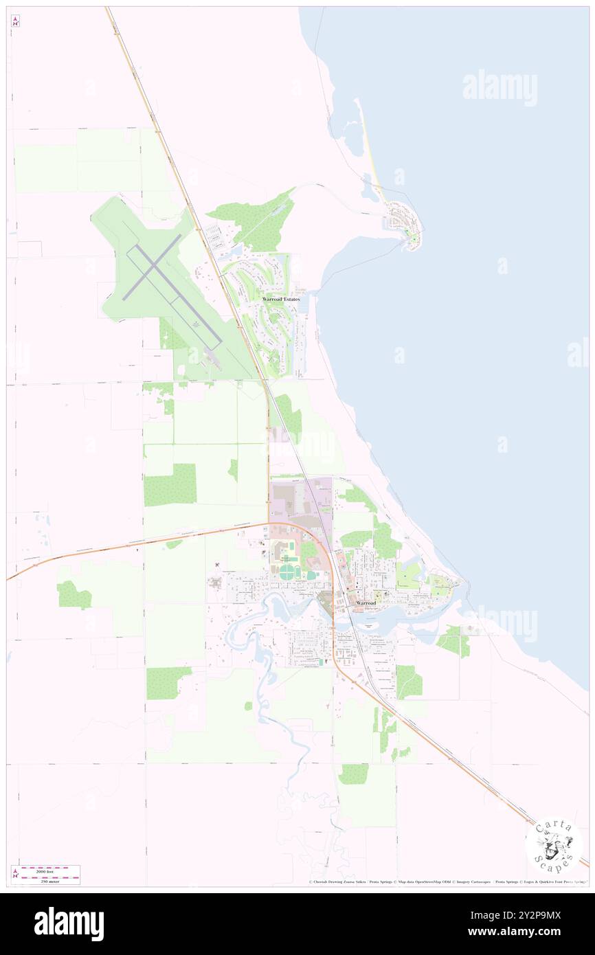 Warroad, Roseau County, US, United States, Minnesota, N 48 54' 18'', S 95 18' 51'', map, Cartascapes Map published in 2024. Explore Cartascapes, a map revealing Earth's diverse landscapes, cultures, and ecosystems. Journey through time and space, discovering the interconnectedness of our planet's past, present, and future. Stock Photohttps://www.alamy.com/image-license-details/?v=1https://www.alamy.com/warroad-roseau-county-us-united-states-minnesota-n-48-54-18-s-95-18-51-map-cartascapes-map-published-in-2024-explore-cartascapes-a-map-revealing-earths-diverse-landscapes-cultures-and-ecosystems-journey-through-time-and-space-discovering-the-interconnectedness-of-our-planets-past-present-and-future-image621293146.html
RM2Y2P9MX–Warroad, Roseau County, US, United States, Minnesota, N 48 54' 18'', S 95 18' 51'', map, Cartascapes Map published in 2024. Explore Cartascapes, a map revealing Earth's diverse landscapes, cultures, and ecosystems. Journey through time and space, discovering the interconnectedness of our planet's past, present, and future.
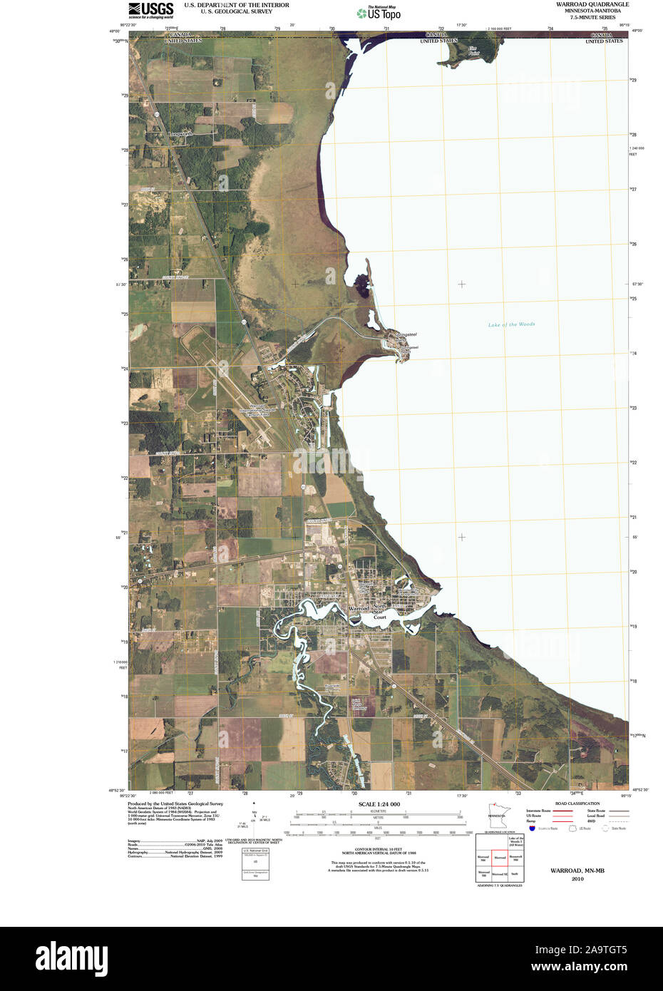 USGS TOPO Map MInnesota MN Warroad 20100914 TM Restoration Stock Photohttps://www.alamy.com/image-license-details/?v=1https://www.alamy.com/usgs-topo-map-minnesota-mn-warroad-20100914-tm-restoration-image333068965.html
RM2A9TGT5–USGS TOPO Map MInnesota MN Warroad 20100914 TM Restoration
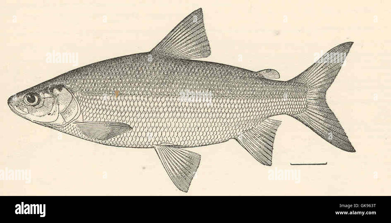 42885 Leucichthys tullibee (Richardson) Tullibee (Drawn from a specimen 9 inches long, collected in Lake of the Woods at Warroad, Minn) Stock Photohttps://www.alamy.com/image-license-details/?v=1https://www.alamy.com/stock-photo-42885-leucichthys-tullibee-richardson-tullibee-drawn-from-a-specimen-115143052.html
RMGK963T–42885 Leucichthys tullibee (Richardson) Tullibee (Drawn from a specimen 9 inches long, collected in Lake of the Woods at Warroad, Minn)
 Warroad, Roseau County, US, United States, Minnesota, N 48 54' 18'', S 95 18' 51'', map, Cartascapes Map published in 2024. Explore Cartascapes, a map revealing Earth's diverse landscapes, cultures, and ecosystems. Journey through time and space, discovering the interconnectedness of our planet's past, present, and future. Stock Photohttps://www.alamy.com/image-license-details/?v=1https://www.alamy.com/warroad-roseau-county-us-united-states-minnesota-n-48-54-18-s-95-18-51-map-cartascapes-map-published-in-2024-explore-cartascapes-a-map-revealing-earths-diverse-landscapes-cultures-and-ecosystems-journey-through-time-and-space-discovering-the-interconnectedness-of-our-planets-past-present-and-future-image620793899.html
RM2Y1YGXK–Warroad, Roseau County, US, United States, Minnesota, N 48 54' 18'', S 95 18' 51'', map, Cartascapes Map published in 2024. Explore Cartascapes, a map revealing Earth's diverse landscapes, cultures, and ecosystems. Journey through time and space, discovering the interconnectedness of our planet's past, present, and future.
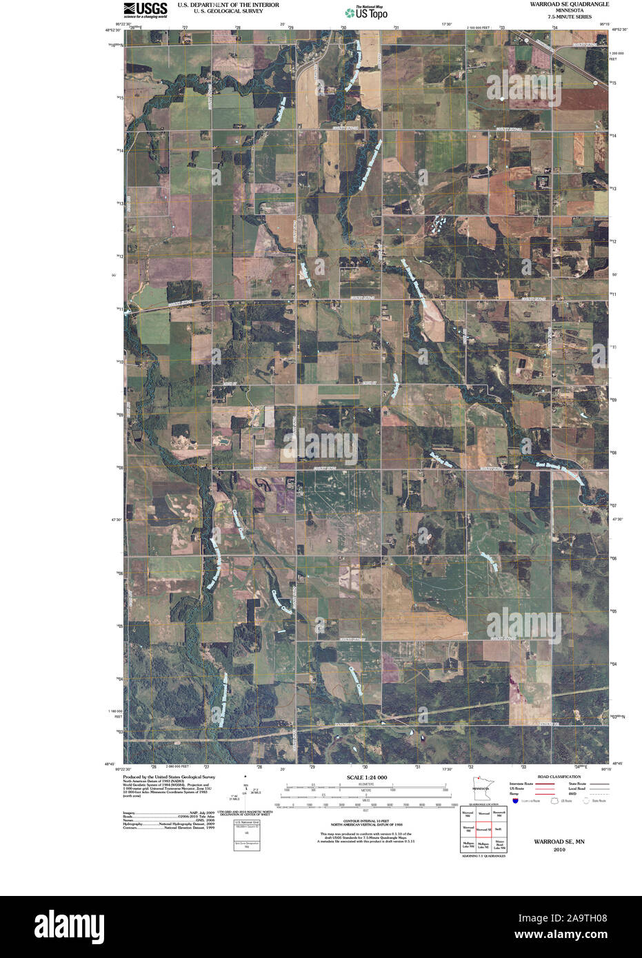 USGS TOPO Map MInnesota MN Warroad SE 20100818 TM Restoration Stock Photohttps://www.alamy.com/image-license-details/?v=1https://www.alamy.com/usgs-topo-map-minnesota-mn-warroad-se-20100818-tm-restoration-image333069080.html
RM2A9TH08–USGS TOPO Map MInnesota MN Warroad SE 20100818 TM Restoration
 City of Warroad, Roseau County, US, United States, Minnesota, N 48 54' 30'', S 95 19' 14'', map, Cartascapes Map published in 2024. Explore Cartascapes, a map revealing Earth's diverse landscapes, cultures, and ecosystems. Journey through time and space, discovering the interconnectedness of our planet's past, present, and future. Stock Photohttps://www.alamy.com/image-license-details/?v=1https://www.alamy.com/city-of-warroad-roseau-county-us-united-states-minnesota-n-48-54-30-s-95-19-14-map-cartascapes-map-published-in-2024-explore-cartascapes-a-map-revealing-earths-diverse-landscapes-cultures-and-ecosystems-journey-through-time-and-space-discovering-the-interconnectedness-of-our-planets-past-present-and-future-image633874712.html
RM2YR7DJG–City of Warroad, Roseau County, US, United States, Minnesota, N 48 54' 30'', S 95 19' 14'', map, Cartascapes Map published in 2024. Explore Cartascapes, a map revealing Earth's diverse landscapes, cultures, and ecosystems. Journey through time and space, discovering the interconnectedness of our planet's past, present, and future.
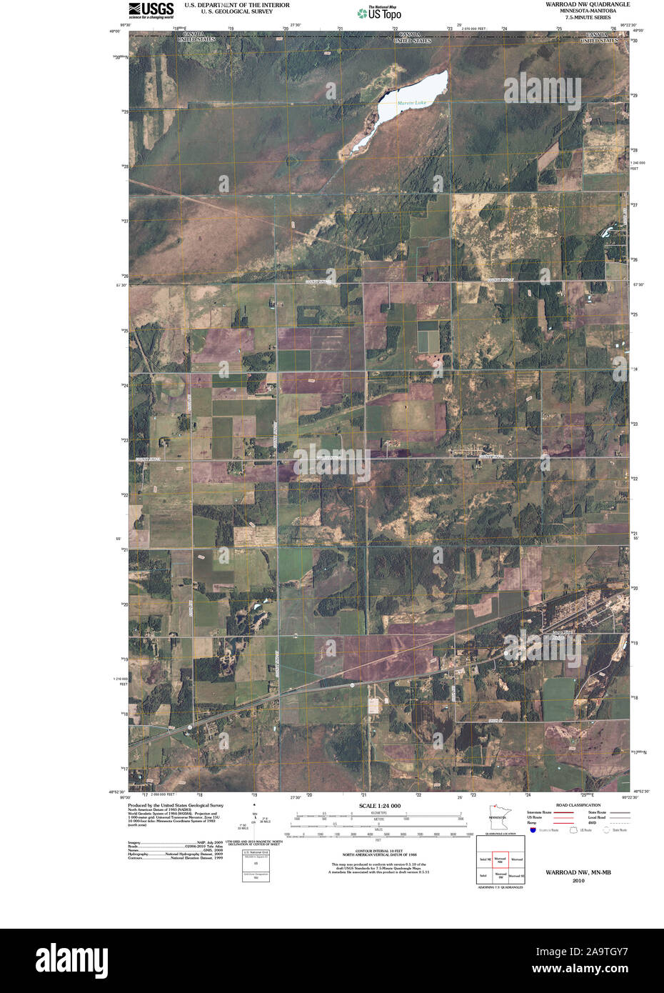 USGS TOPO Map MInnesota MN Warroad NW 20100914 TM Restoration Stock Photohttps://www.alamy.com/image-license-details/?v=1https://www.alamy.com/usgs-topo-map-minnesota-mn-warroad-nw-20100914-tm-restoration-image333069051.html
RM2A9TGY7–USGS TOPO Map MInnesota MN Warroad NW 20100914 TM Restoration
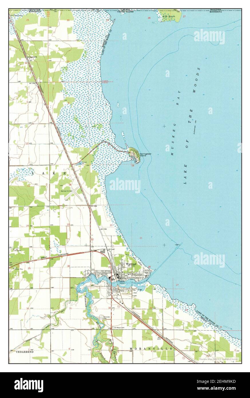 Warroad, Minnesota, map 1967, 1:24000, United States of America by Timeless Maps, data U.S. Geological Survey Stock Photohttps://www.alamy.com/image-license-details/?v=1https://www.alamy.com/warroad-minnesota-map-1967-124000-united-states-of-america-by-timeless-maps-data-us-geological-survey-image406734257.html
RM2EHM9KD–Warroad, Minnesota, map 1967, 1:24000, United States of America by Timeless Maps, data U.S. Geological Survey
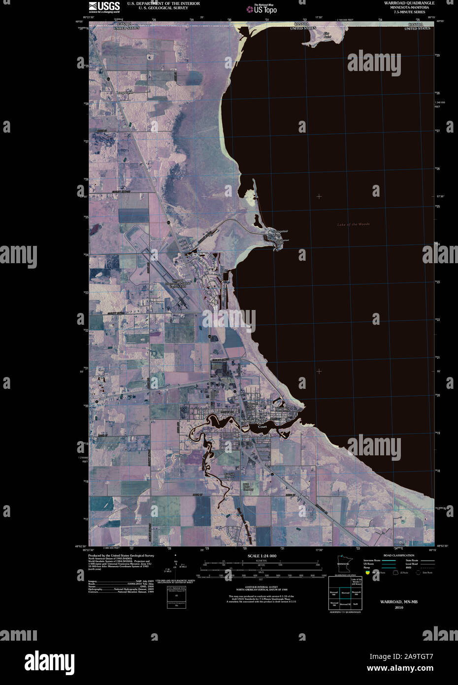 USGS TOPO Map MInnesota MN Warroad 20100914 TM Inverted Restoration Stock Photohttps://www.alamy.com/image-license-details/?v=1https://www.alamy.com/usgs-topo-map-minnesota-mn-warroad-20100914-tm-inverted-restoration-image333068967.html
RM2A9TGT7–USGS TOPO Map MInnesota MN Warroad 20100914 TM Inverted Restoration
 Warroad, Minnesota, map 1967, 1:24000, United States of America by Timeless Maps, data U.S. Geological Survey Stock Photohttps://www.alamy.com/image-license-details/?v=1https://www.alamy.com/warroad-minnesota-map-1967-124000-united-states-of-america-by-timeless-maps-data-us-geological-survey-image406734235.html
RM2EHM9JK–Warroad, Minnesota, map 1967, 1:24000, United States of America by Timeless Maps, data U.S. Geological Survey
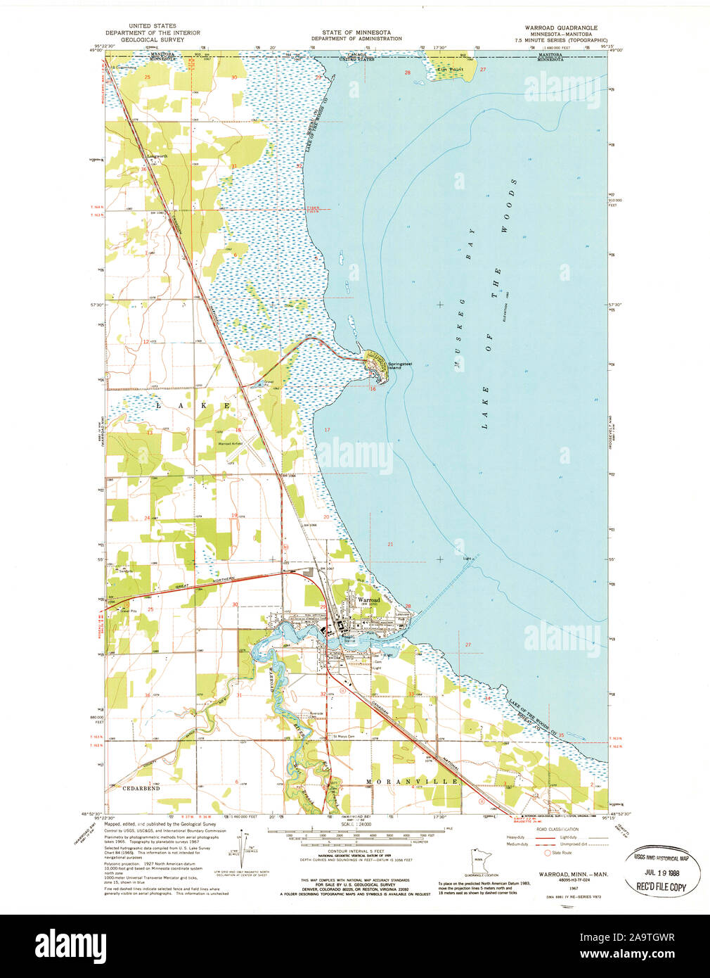 USGS TOPO Map MInnesota MN Warroad 805920 1967 24000 Restoration Stock Photohttps://www.alamy.com/image-license-details/?v=1https://www.alamy.com/usgs-topo-map-minnesota-mn-warroad-805920-1967-24000-restoration-image333069011.html
RM2A9TGWR–USGS TOPO Map MInnesota MN Warroad 805920 1967 24000 Restoration
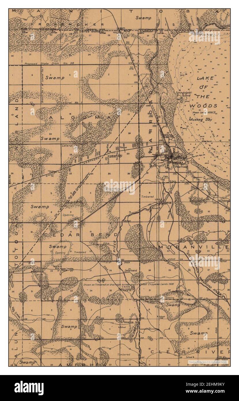 Warroad, Minnesota, map 1943, 1:62500, United States of America by Timeless Maps, data U.S. Geological Survey Stock Photohttps://www.alamy.com/image-license-details/?v=1https://www.alamy.com/warroad-minnesota-map-1943-162500-united-states-of-america-by-timeless-maps-data-us-geological-survey-image406734271.html
RM2EHM9KY–Warroad, Minnesota, map 1943, 1:62500, United States of America by Timeless Maps, data U.S. Geological Survey
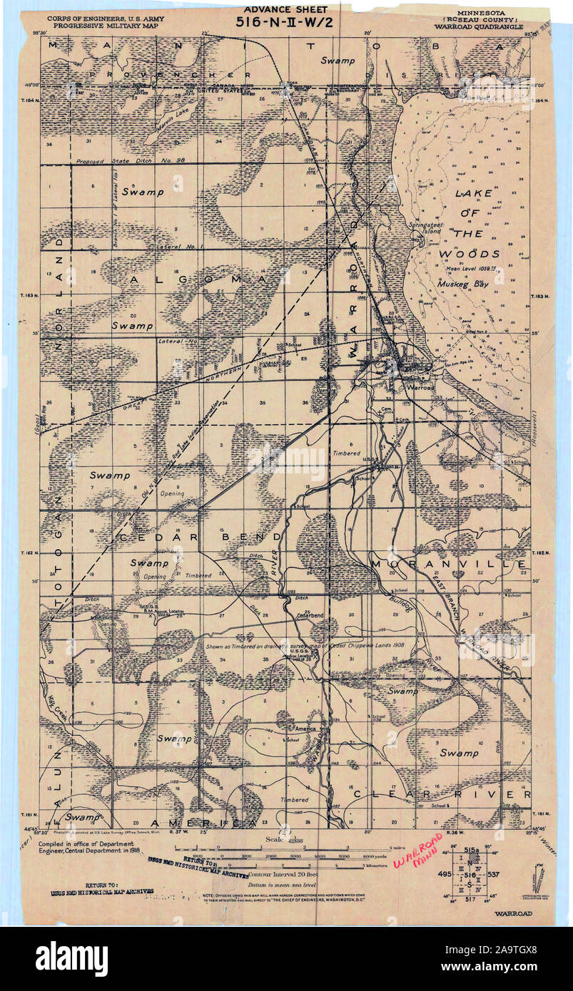 USGS TOPO Map MInnesota MN Warroad 805538 1918 62500 Restoration Stock Photohttps://www.alamy.com/image-license-details/?v=1https://www.alamy.com/usgs-topo-map-minnesota-mn-warroad-805538-1918-62500-restoration-image333069024.html
RM2A9TGX8–USGS TOPO Map MInnesota MN Warroad 805538 1918 62500 Restoration
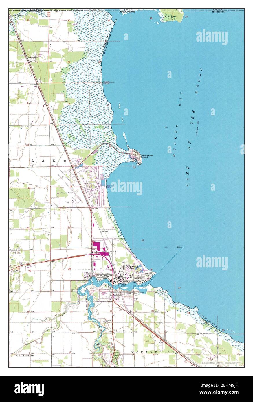 Warroad, Minnesota, map 1967, 1:24000, United States of America by Timeless Maps, data U.S. Geological Survey Stock Photohttps://www.alamy.com/image-license-details/?v=1https://www.alamy.com/warroad-minnesota-map-1967-124000-united-states-of-america-by-timeless-maps-data-us-geological-survey-image406734233.html
RM2EHM9JH–Warroad, Minnesota, map 1967, 1:24000, United States of America by Timeless Maps, data U.S. Geological Survey
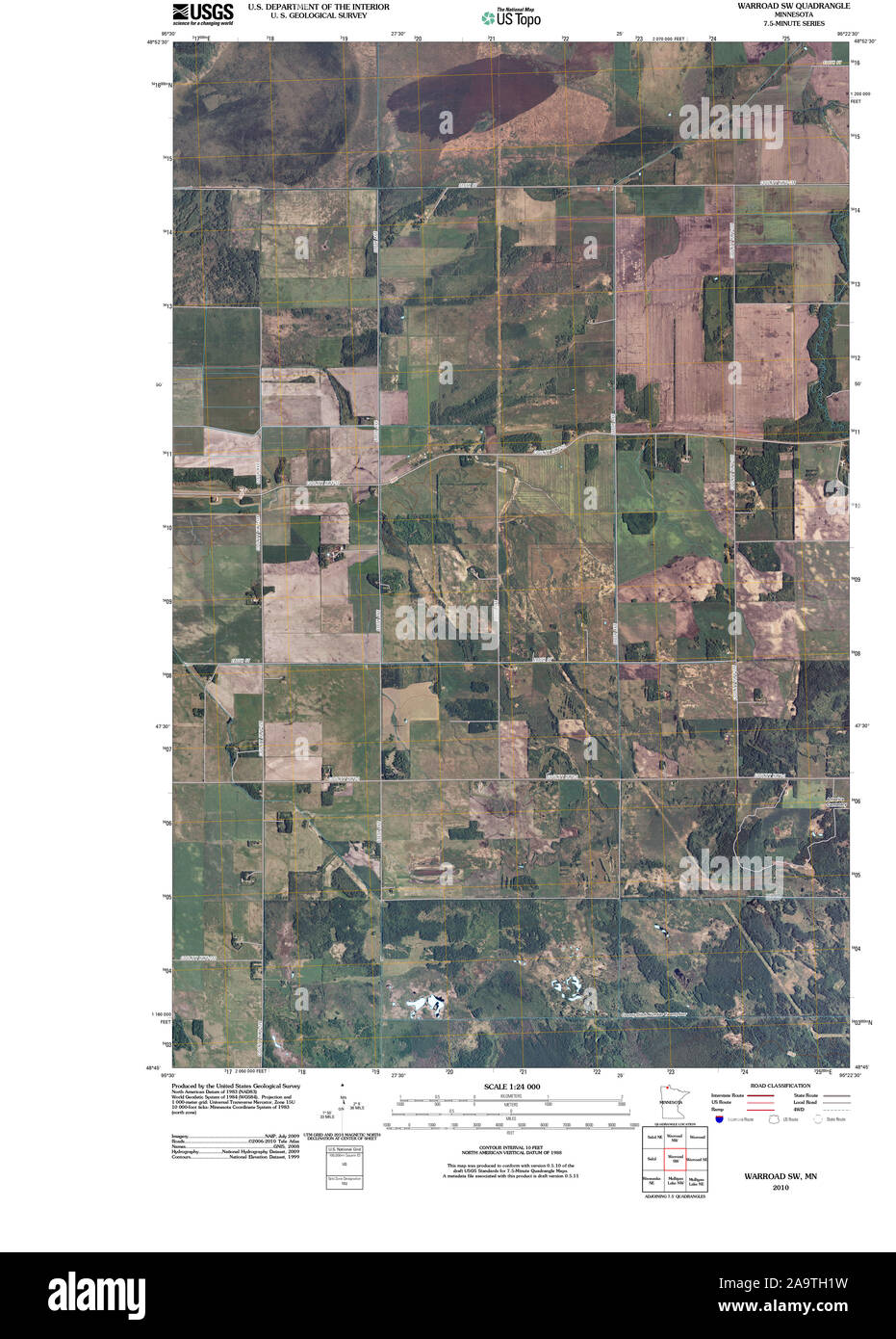 USGS TOPO Map MInnesota MN Warroad SW 20100818 TM Restoration Stock Photohttps://www.alamy.com/image-license-details/?v=1https://www.alamy.com/usgs-topo-map-minnesota-mn-warroad-sw-20100818-tm-restoration-image333069125.html
RM2A9TH1W–USGS TOPO Map MInnesota MN Warroad SW 20100818 TM Restoration
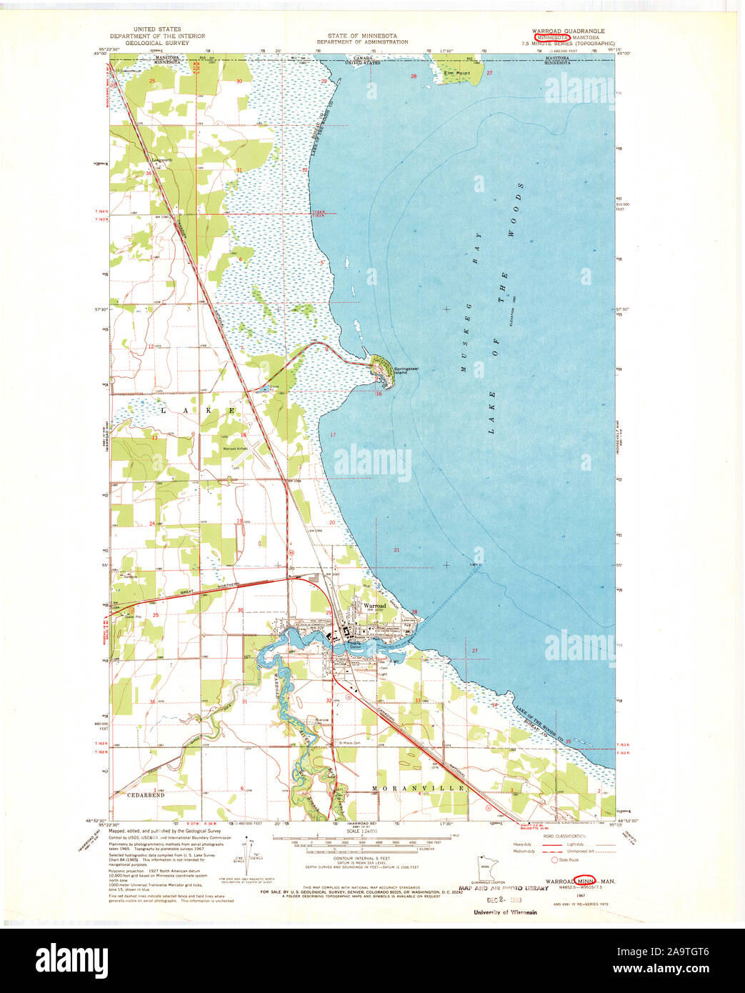 USGS TOPO Map MInnesota MN Warroad 506126 1967 24000 Restoration Stock Photohttps://www.alamy.com/image-license-details/?v=1https://www.alamy.com/usgs-topo-map-minnesota-mn-warroad-506126-1967-24000-restoration-image333068966.html
RM2A9TGT6–USGS TOPO Map MInnesota MN Warroad 506126 1967 24000 Restoration
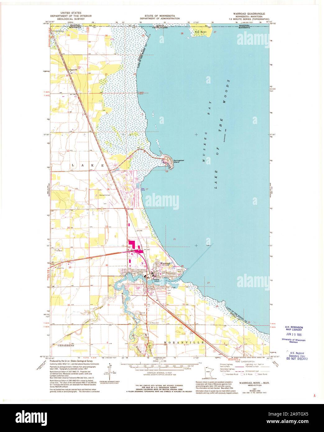 USGS TOPO Map MInnesota MN Warroad 506125 1967 24000 Restoration Stock Photohttps://www.alamy.com/image-license-details/?v=1https://www.alamy.com/usgs-topo-map-minnesota-mn-warroad-506125-1967-24000-restoration-image333069021.html
RM2A9TGX5–USGS TOPO Map MInnesota MN Warroad 506125 1967 24000 Restoration
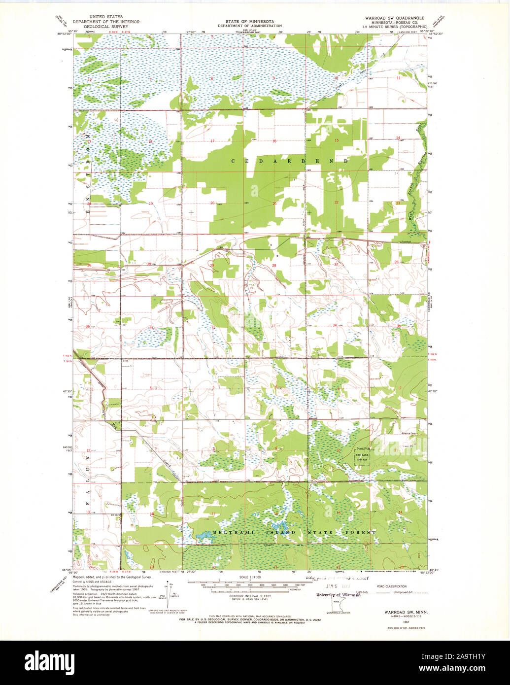 USGS TOPO Map MInnesota MN Warroad SW 506131 1967 24000 Restoration Stock Photohttps://www.alamy.com/image-license-details/?v=1https://www.alamy.com/usgs-topo-map-minnesota-mn-warroad-sw-506131-1967-24000-restoration-image333069127.html
RM2A9TH1Y–USGS TOPO Map MInnesota MN Warroad SW 506131 1967 24000 Restoration
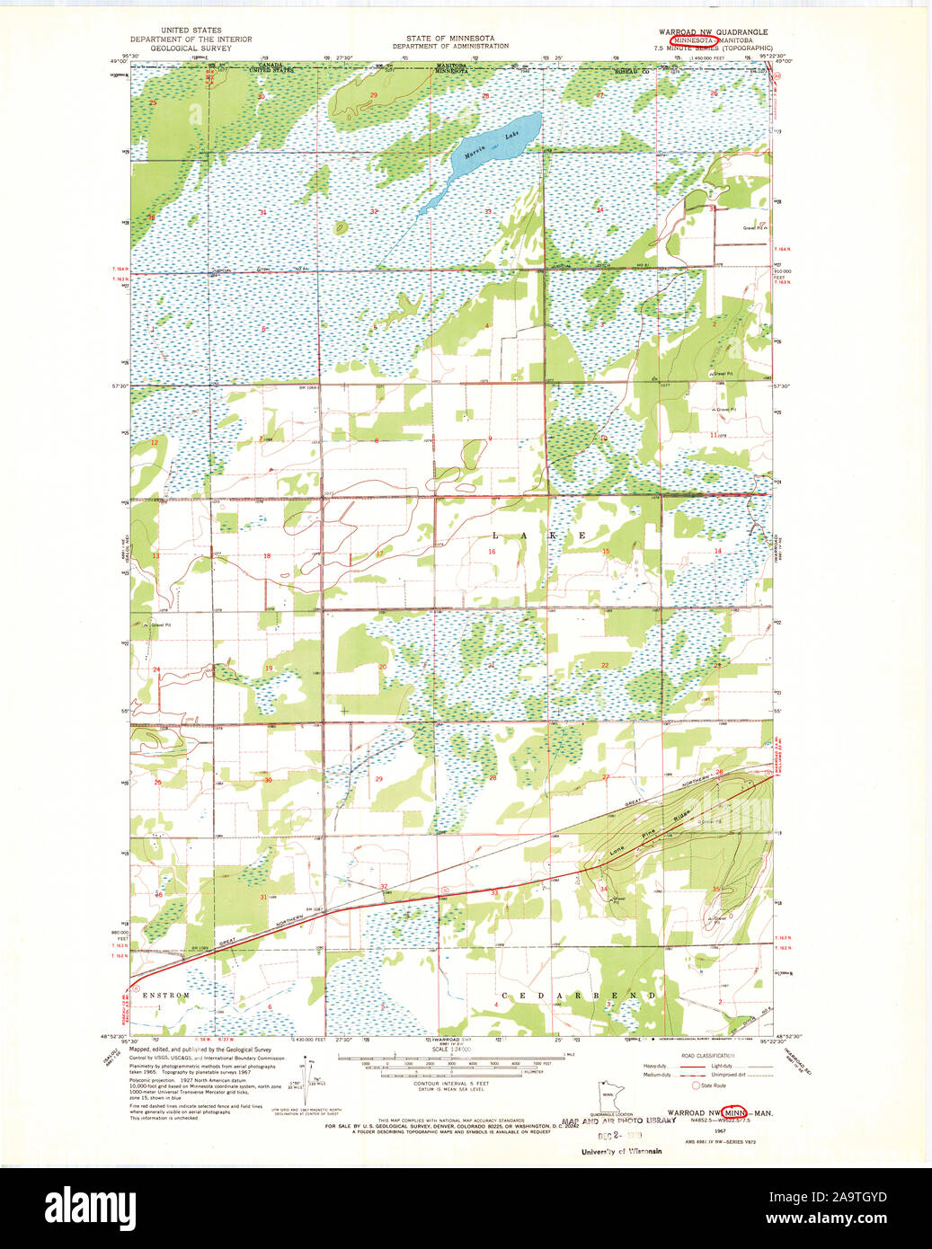 USGS TOPO Map MInnesota MN Warroad NW 506127 1967 24000 Restoration Stock Photohttps://www.alamy.com/image-license-details/?v=1https://www.alamy.com/usgs-topo-map-minnesota-mn-warroad-nw-506127-1967-24000-restoration-image333069057.html
RM2A9TGYD–USGS TOPO Map MInnesota MN Warroad NW 506127 1967 24000 Restoration
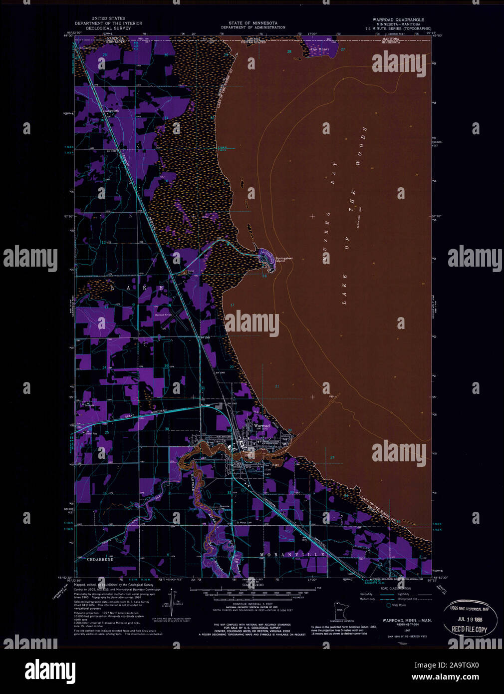 USGS TOPO Map MInnesota MN Warroad 805920 1967 24000 Inverted Restoration Stock Photohttps://www.alamy.com/image-license-details/?v=1https://www.alamy.com/usgs-topo-map-minnesota-mn-warroad-805920-1967-24000-inverted-restoration-image333069016.html
RM2A9TGX0–USGS TOPO Map MInnesota MN Warroad 805920 1967 24000 Inverted Restoration
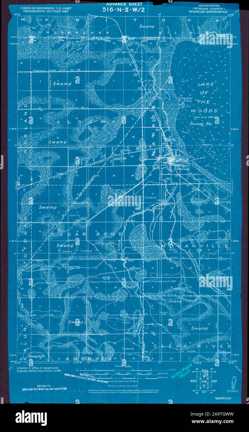 USGS TOPO Map MInnesota MN Warroad 805538 1918 62500 Inverted Restoration Stock Photohttps://www.alamy.com/image-license-details/?v=1https://www.alamy.com/usgs-topo-map-minnesota-mn-warroad-805538-1918-62500-inverted-restoration-image333069013.html
RM2A9TGWW–USGS TOPO Map MInnesota MN Warroad 805538 1918 62500 Inverted Restoration
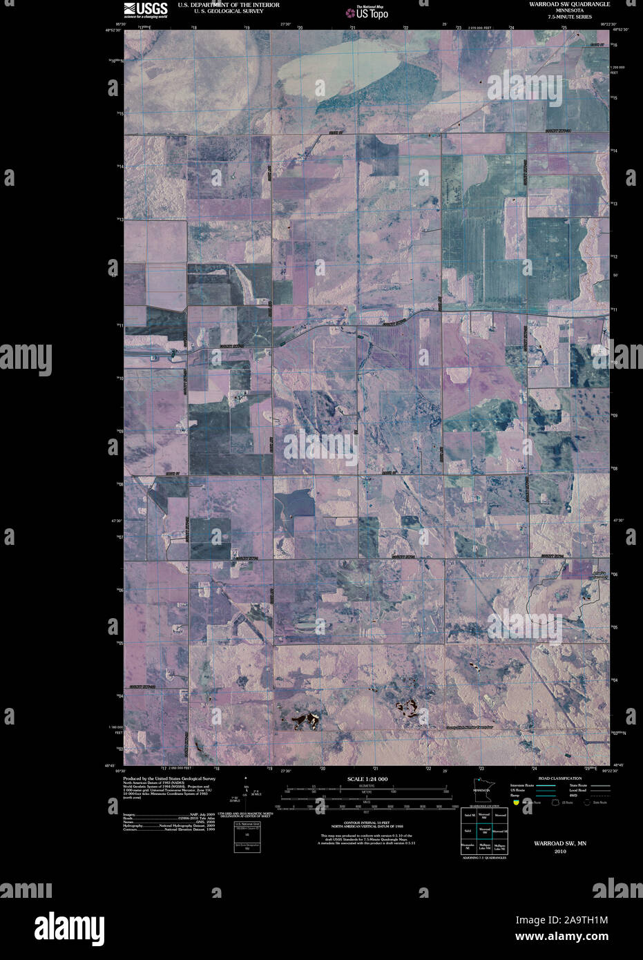 USGS TOPO Map MInnesota MN Warroad SW 20100818 TM Inverted Restoration Stock Photohttps://www.alamy.com/image-license-details/?v=1https://www.alamy.com/usgs-topo-map-minnesota-mn-warroad-sw-20100818-tm-inverted-restoration-image333069120.html
RM2A9TH1M–USGS TOPO Map MInnesota MN Warroad SW 20100818 TM Inverted Restoration
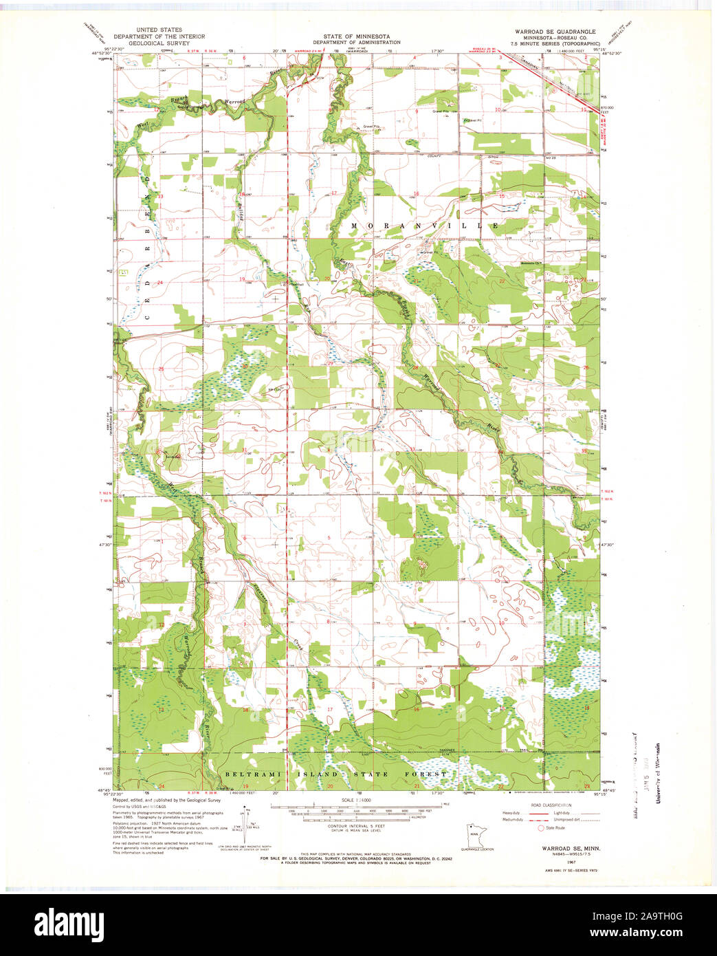 USGS TOPO Map MInnesota MN Warroad SE 506129 1967 24000 Restoration Stock Photohttps://www.alamy.com/image-license-details/?v=1https://www.alamy.com/usgs-topo-map-minnesota-mn-warroad-se-506129-1967-24000-restoration-image333069088.html
RM2A9TH0G–USGS TOPO Map MInnesota MN Warroad SE 506129 1967 24000 Restoration
 USGS TOPO Map MInnesota MN Warroad SE 506128 1967 24000 Restoration Stock Photohttps://www.alamy.com/image-license-details/?v=1https://www.alamy.com/usgs-topo-map-minnesota-mn-warroad-se-506128-1967-24000-restoration-image333069094.html
RM2A9TH0P–USGS TOPO Map MInnesota MN Warroad SE 506128 1967 24000 Restoration
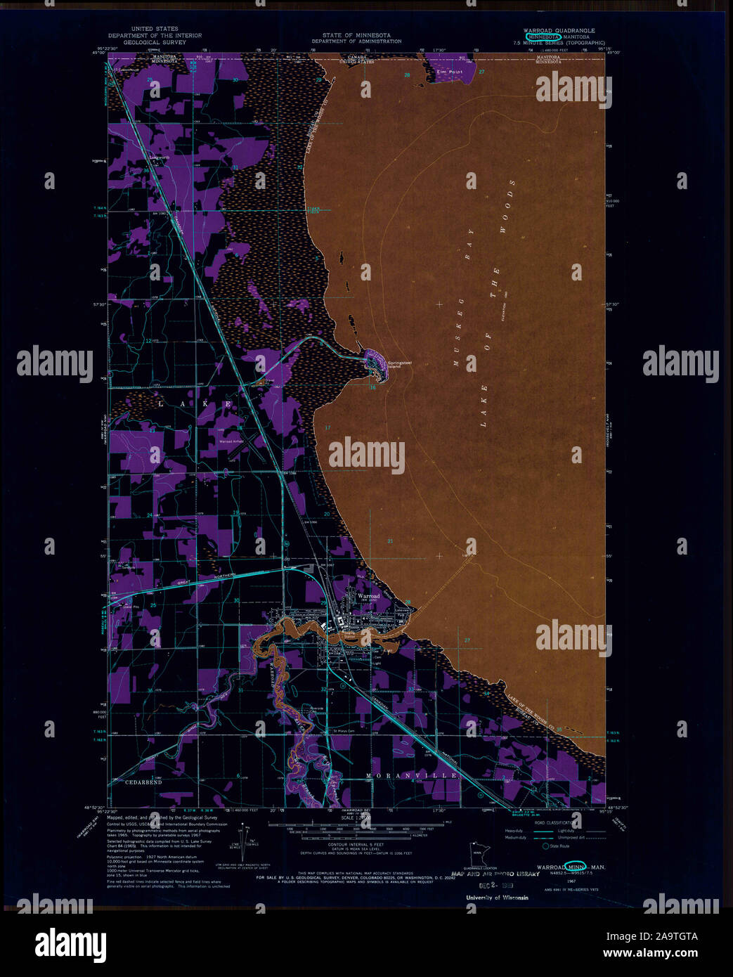 USGS TOPO Map MInnesota MN Warroad 506126 1967 24000 Inverted Restoration Stock Photohttps://www.alamy.com/image-license-details/?v=1https://www.alamy.com/usgs-topo-map-minnesota-mn-warroad-506126-1967-24000-inverted-restoration-image333068970.html
RM2A9TGTA–USGS TOPO Map MInnesota MN Warroad 506126 1967 24000 Inverted Restoration
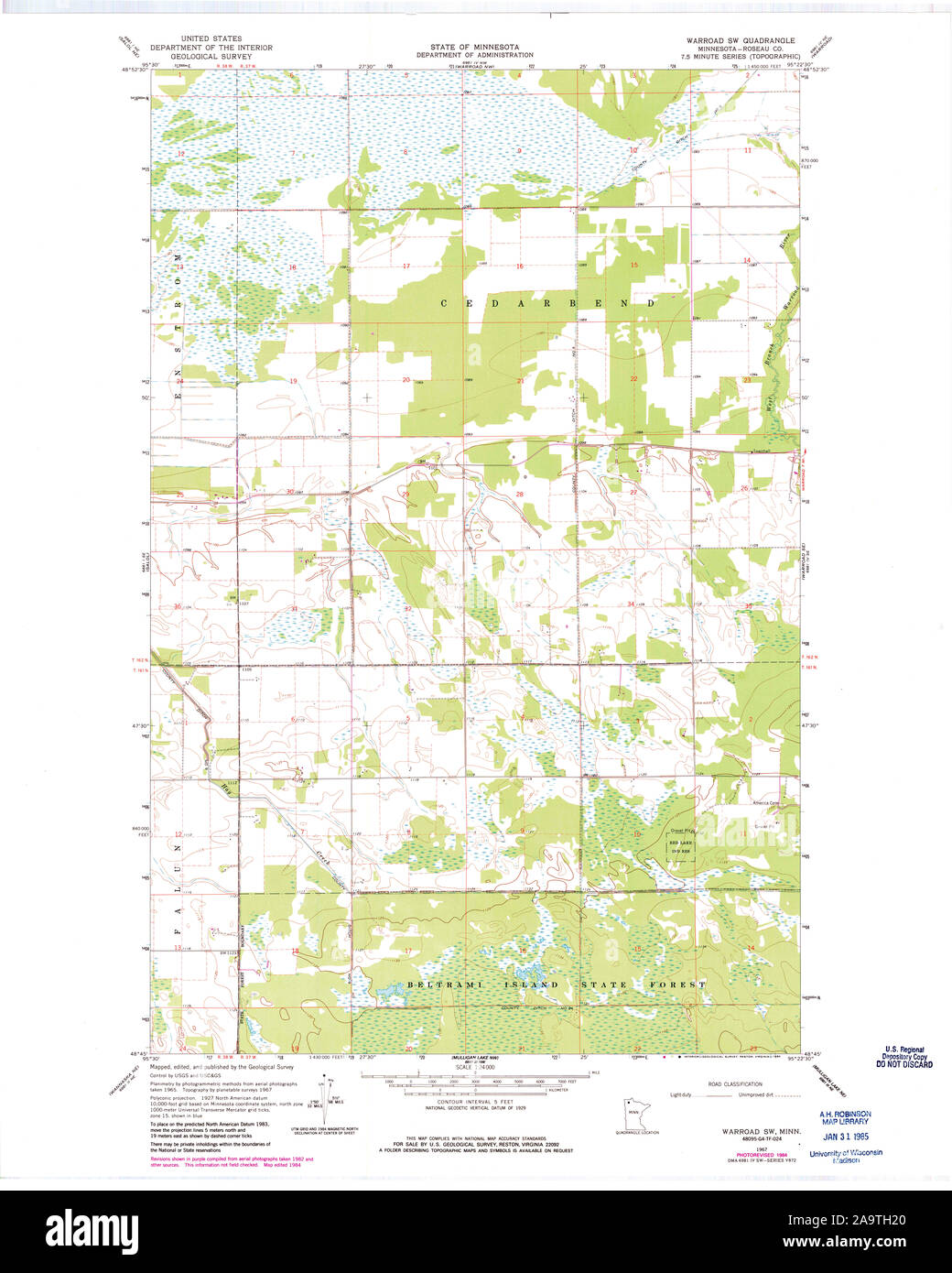 USGS TOPO Map MInnesota MN Warroad SW 506130 1967 24000 Restoration Stock Photohttps://www.alamy.com/image-license-details/?v=1https://www.alamy.com/usgs-topo-map-minnesota-mn-warroad-sw-506130-1967-24000-restoration-image333069128.html
RM2A9TH20–USGS TOPO Map MInnesota MN Warroad SW 506130 1967 24000 Restoration
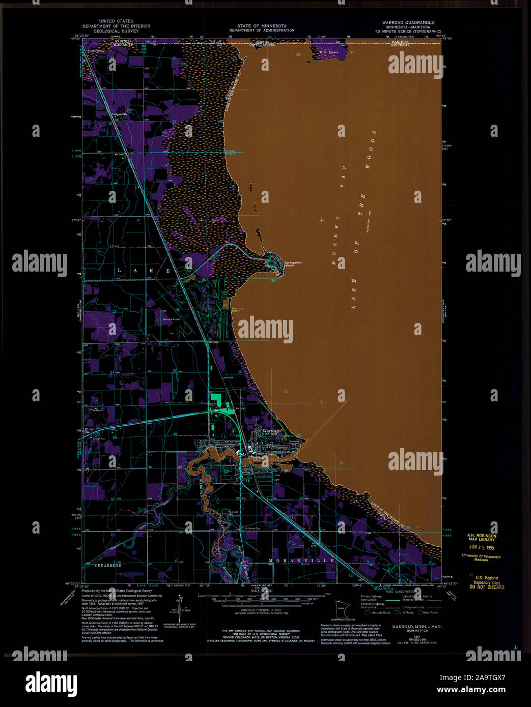 USGS TOPO Map MInnesota MN Warroad 506125 1967 24000 Inverted Restoration Stock Photohttps://www.alamy.com/image-license-details/?v=1https://www.alamy.com/usgs-topo-map-minnesota-mn-warroad-506125-1967-24000-inverted-restoration-image333069023.html
RM2A9TGX7–USGS TOPO Map MInnesota MN Warroad 506125 1967 24000 Inverted Restoration
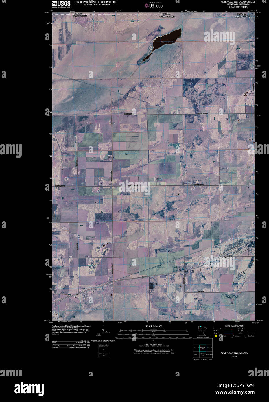 USGS TOPO Map MInnesota MN Warroad NW 20100914 TM Inverted Restoration Stock Photohttps://www.alamy.com/image-license-details/?v=1https://www.alamy.com/usgs-topo-map-minnesota-mn-warroad-nw-20100914-tm-inverted-restoration-image333069020.html
RM2A9TGX4–USGS TOPO Map MInnesota MN Warroad NW 20100914 TM Inverted Restoration
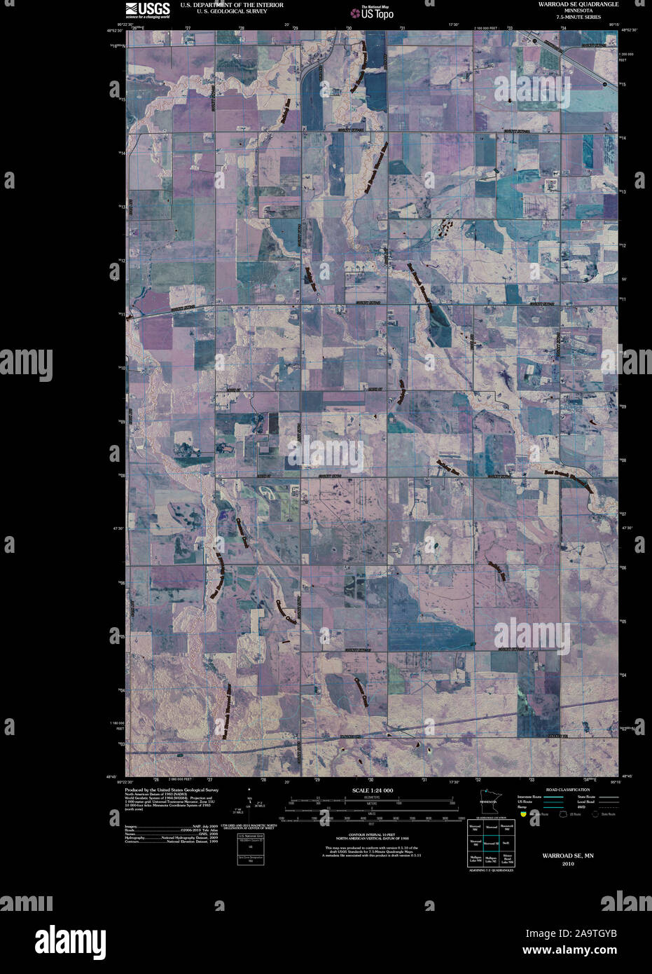 USGS TOPO Map MInnesota MN Warroad SE 20100818 TM Inverted Restoration Stock Photohttps://www.alamy.com/image-license-details/?v=1https://www.alamy.com/usgs-topo-map-minnesota-mn-warroad-se-20100818-tm-inverted-restoration-image333069055.html
RM2A9TGYB–USGS TOPO Map MInnesota MN Warroad SE 20100818 TM Inverted Restoration
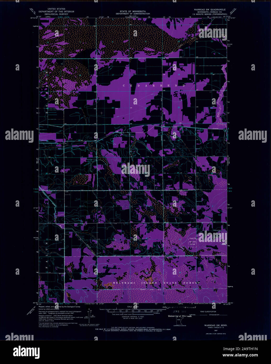 USGS TOPO Map MInnesota MN Warroad SW 506131 1967 24000 Inverted Restoration Stock Photohttps://www.alamy.com/image-license-details/?v=1https://www.alamy.com/usgs-topo-map-minnesota-mn-warroad-sw-506131-1967-24000-inverted-restoration-image333069121.html
RM2A9TH1N–USGS TOPO Map MInnesota MN Warroad SW 506131 1967 24000 Inverted Restoration
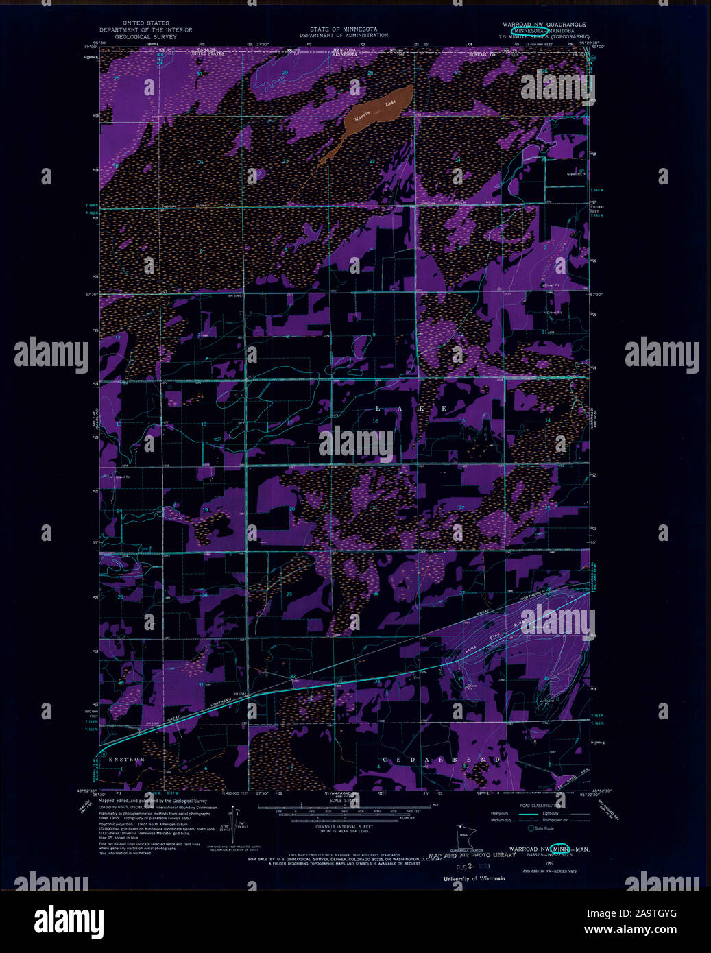 USGS TOPO Map MInnesota MN Warroad NW 506127 1967 24000 Inverted Restoration Stock Photohttps://www.alamy.com/image-license-details/?v=1https://www.alamy.com/usgs-topo-map-minnesota-mn-warroad-nw-506127-1967-24000-inverted-restoration-image333069060.html
RM2A9TGYG–USGS TOPO Map MInnesota MN Warroad NW 506127 1967 24000 Inverted Restoration
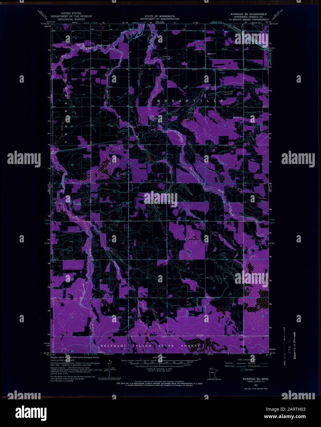 USGS TOPO Map MInnesota MN Warroad SE 506129 1967 24000 Inverted Restoration Stock Photohttps://www.alamy.com/image-license-details/?v=1https://www.alamy.com/usgs-topo-map-minnesota-mn-warroad-se-506129-1967-24000-inverted-restoration-image333069075.html
RM2A9TH03–USGS TOPO Map MInnesota MN Warroad SE 506129 1967 24000 Inverted Restoration
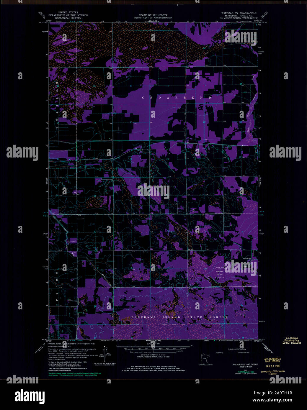 USGS TOPO Map MInnesota MN Warroad SW 506130 1967 24000 Inverted Restoration Stock Photohttps://www.alamy.com/image-license-details/?v=1https://www.alamy.com/usgs-topo-map-minnesota-mn-warroad-sw-506130-1967-24000-inverted-restoration-image333069123.html
RM2A9TH1R–USGS TOPO Map MInnesota MN Warroad SW 506130 1967 24000 Inverted Restoration
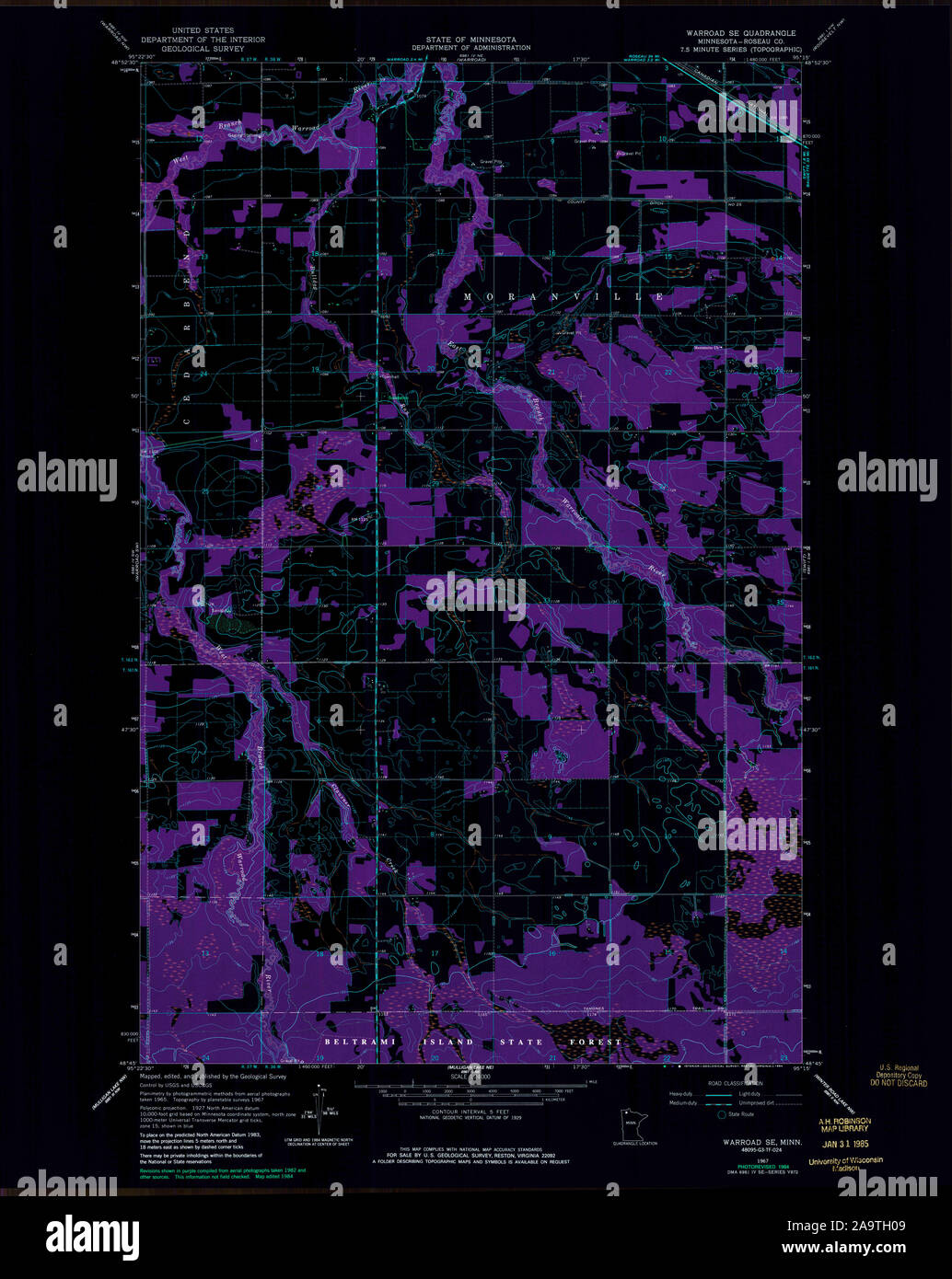 USGS TOPO Map MInnesota MN Warroad SE 506128 1967 24000 Inverted Restoration Stock Photohttps://www.alamy.com/image-license-details/?v=1https://www.alamy.com/usgs-topo-map-minnesota-mn-warroad-se-506128-1967-24000-inverted-restoration-image333069081.html
RM2A9TH09–USGS TOPO Map MInnesota MN Warroad SE 506128 1967 24000 Inverted Restoration