Quick filters:
Map of washington Stock Photos and Images
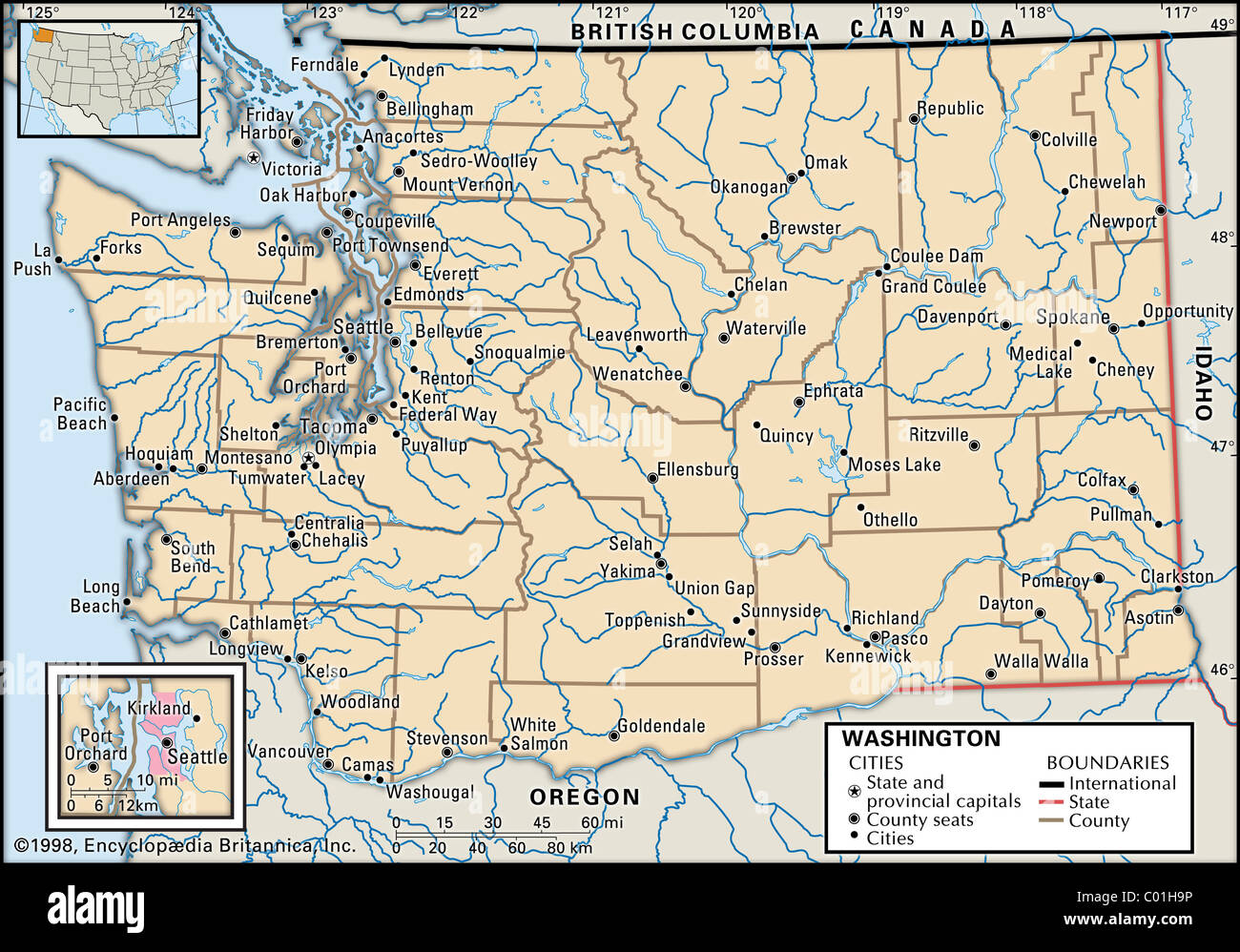 Map of Washington State Stock Photohttps://www.alamy.com/image-license-details/?v=1https://www.alamy.com/stock-photo-map-of-washington-state-34456290.html
RMC01H9P–Map of Washington State
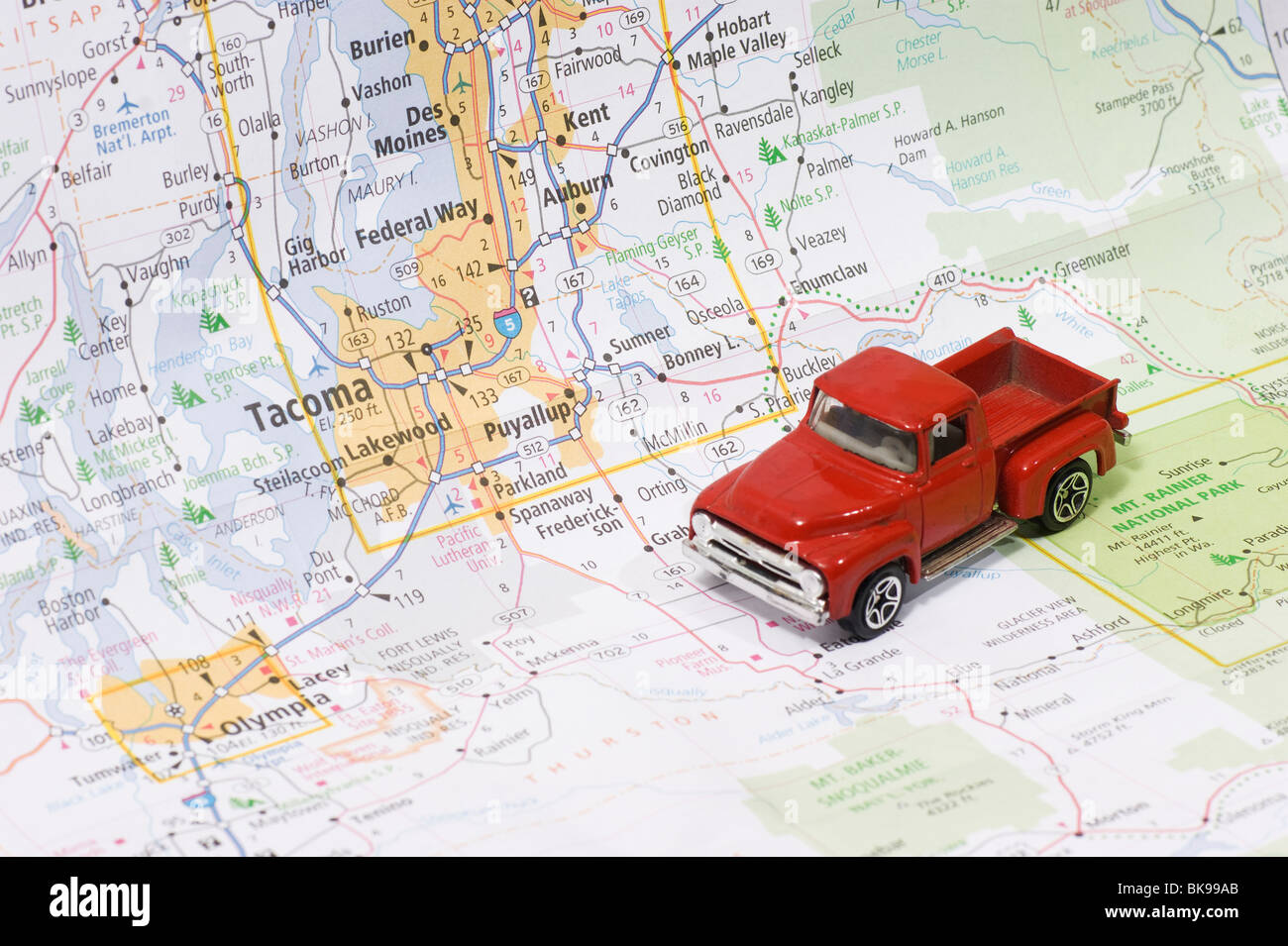 Die Cast Model Car Truck on Local Area Road Map Stock Photohttps://www.alamy.com/image-license-details/?v=1https://www.alamy.com/stock-photo-die-cast-model-car-truck-on-local-area-road-map-29093747.html
RMBK99AB–Die Cast Model Car Truck on Local Area Road Map
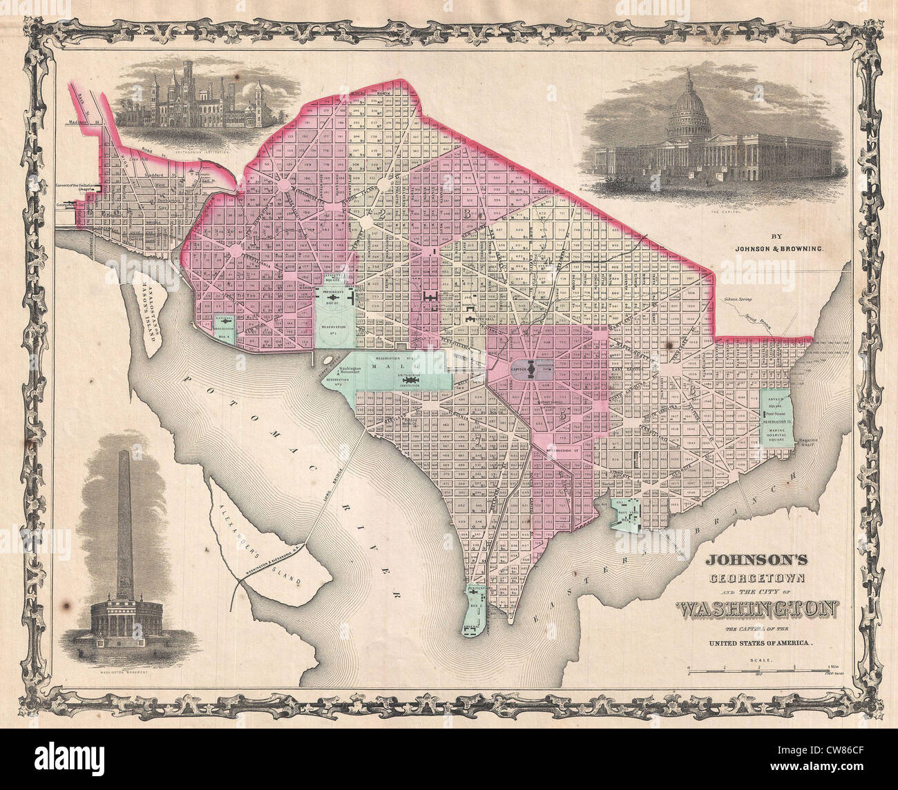 1861 Johnson Map of Washington D.C. and Georgetown Stock Photohttps://www.alamy.com/image-license-details/?v=1https://www.alamy.com/stock-photo-1861-johnson-map-of-washington-dc-and-georgetown-49967807.html
RMCW86CF–1861 Johnson Map of Washington D.C. and Georgetown
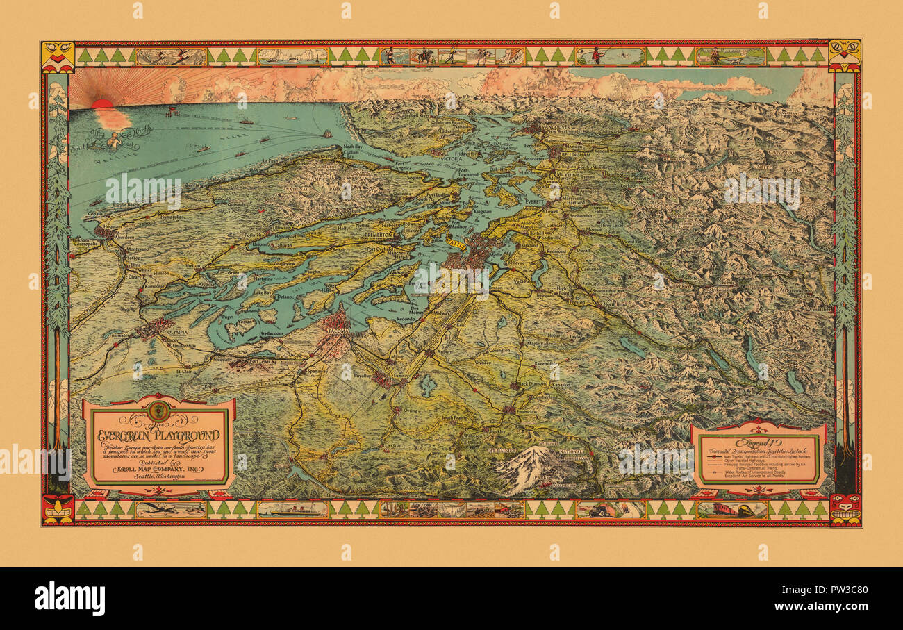 Map Of Washington 1930 Stock Photohttps://www.alamy.com/image-license-details/?v=1https://www.alamy.com/map-of-washington-1930-image221966304.html
RFPW3C80–Map Of Washington 1930
 Wsu archives map washington oregon 1853 Stock Photohttps://www.alamy.com/image-license-details/?v=1https://www.alamy.com/stock-photo-wsu-archives-map-washington-oregon-1853-140675244.html
RMJ4T8KT–Wsu archives map washington oregon 1853
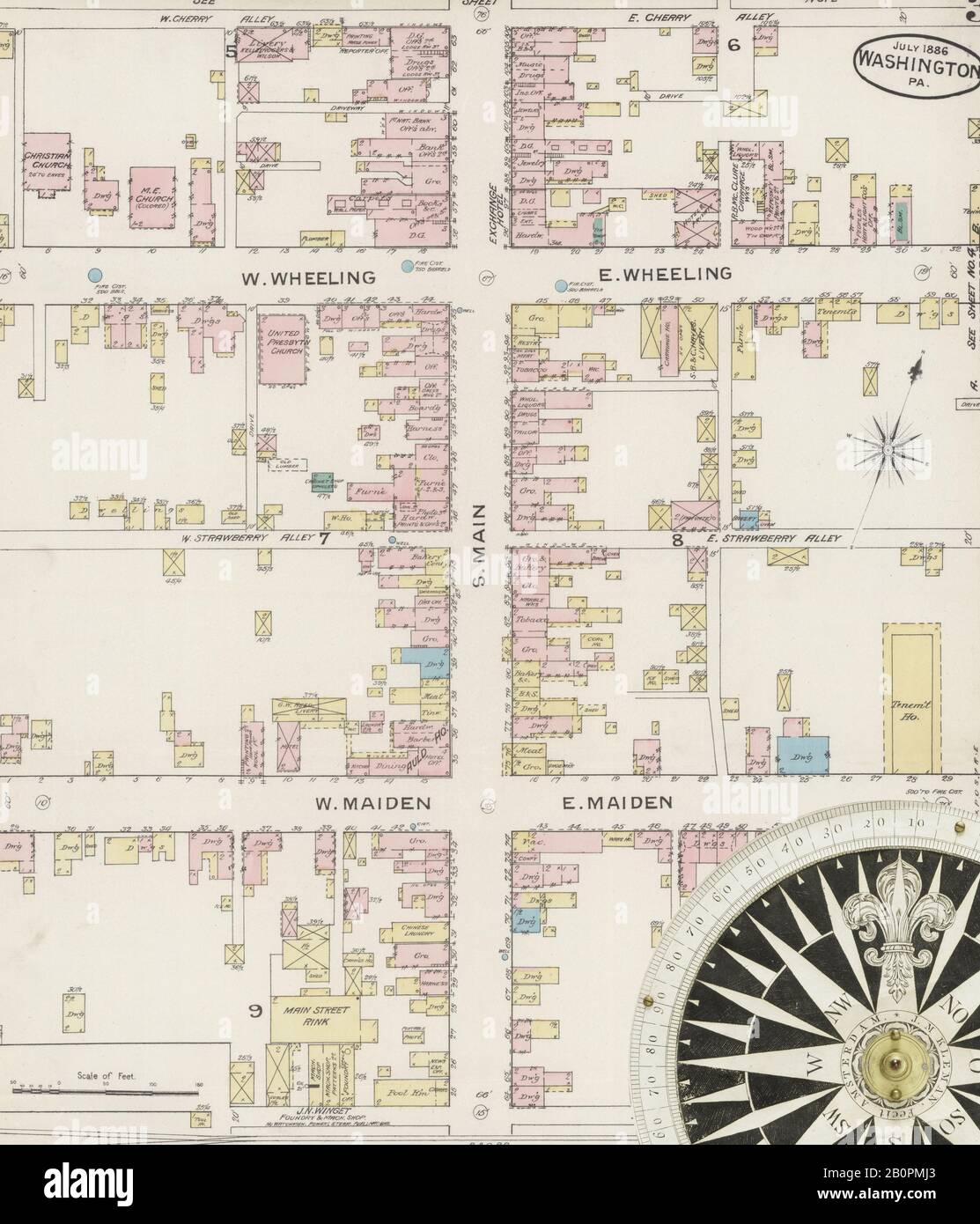 Image 3 of Sanborn Fire Insurance Map from Washington, Washington County, Pennsylvania. Jul 1886. 4 Sheet(s), America, street map with a Nineteenth Century compass Stock Photohttps://www.alamy.com/image-license-details/?v=1https://www.alamy.com/image-3-of-sanborn-fire-insurance-map-from-washington-washington-county-pennsylvania-jul-1886-4-sheets-america-street-map-with-a-nineteenth-century-compass-image344706491.html
RM2B0PMJ3–Image 3 of Sanborn Fire Insurance Map from Washington, Washington County, Pennsylvania. Jul 1886. 4 Sheet(s), America, street map with a Nineteenth Century compass
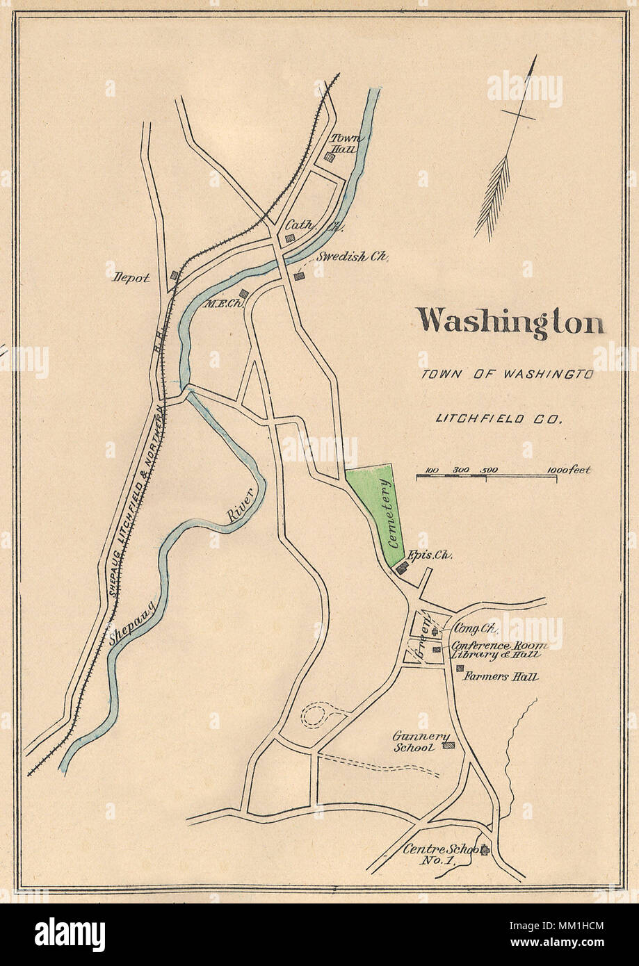 Map of Washington. Washington. 1893 Stock Photohttps://www.alamy.com/image-license-details/?v=1https://www.alamy.com/map-of-washington-washington-1893-image184432436.html
RMMM1HCM–Map of Washington. Washington. 1893
 Silver Map of Washington Stock Photohttps://www.alamy.com/image-license-details/?v=1https://www.alamy.com/silver-map-of-washington-image8320723.html
RFAHXBW4–Silver Map of Washington
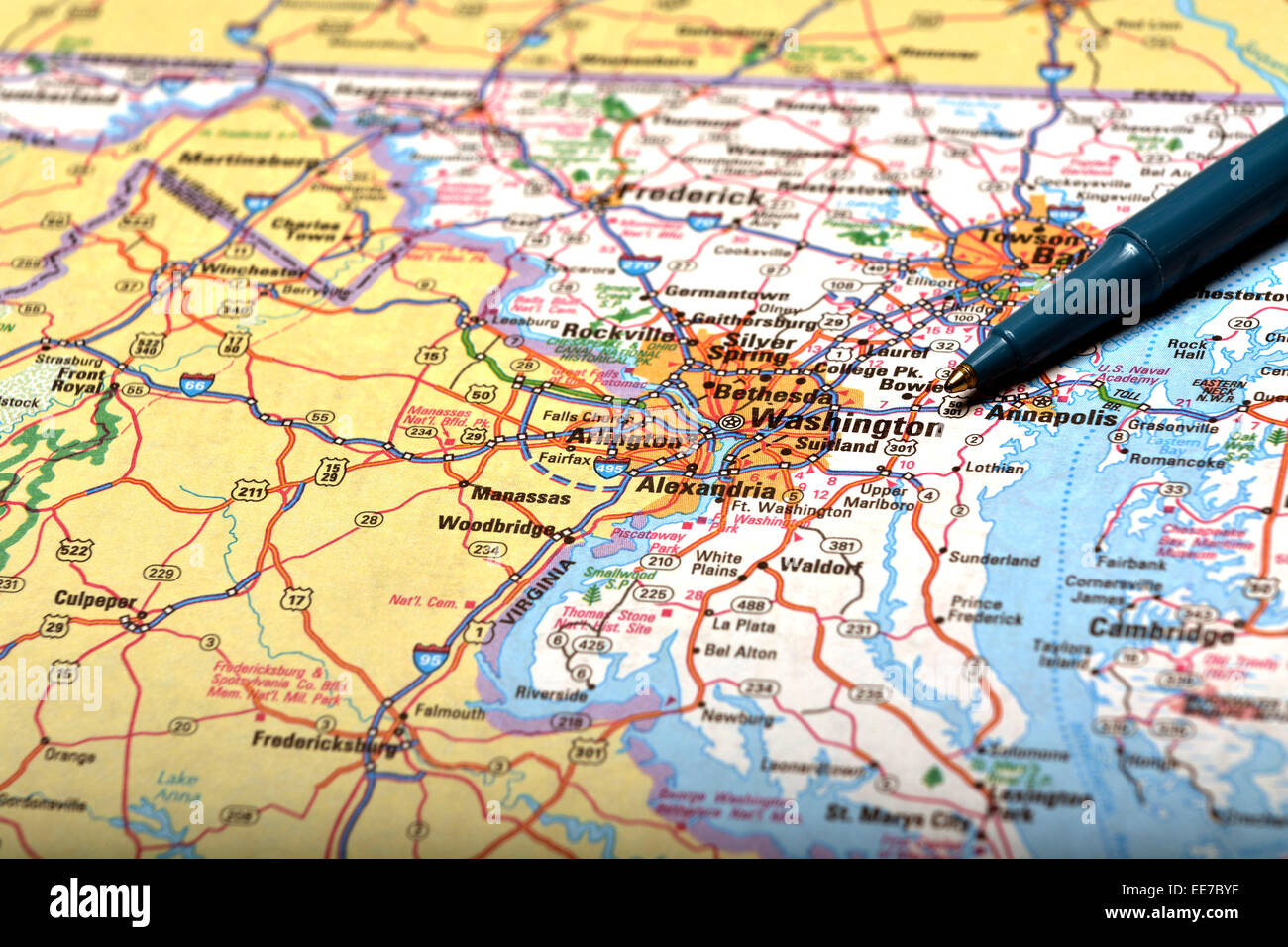 Detailed closeup map of Washington and pen pointing to destination for travel Stock Photohttps://www.alamy.com/image-license-details/?v=1https://www.alamy.com/stock-photo-detailed-closeup-map-of-washington-and-pen-pointing-to-destination-77609715.html
RMEE7BYF–Detailed closeup map of Washington and pen pointing to destination for travel
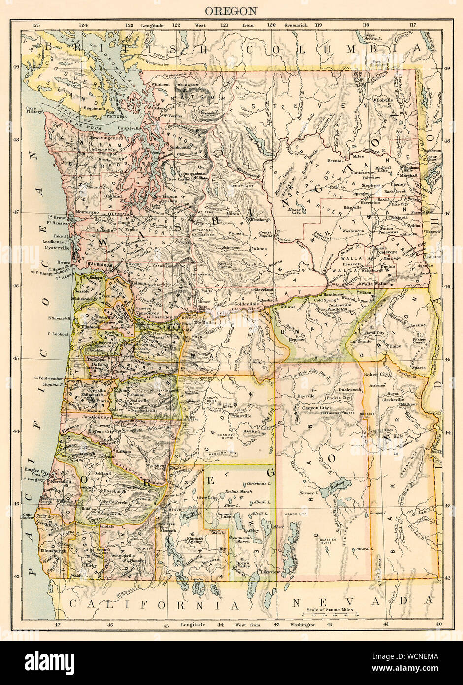 Map of Washington and Oregon, 1870s. Color lithograph Stock Photohttps://www.alamy.com/image-license-details/?v=1https://www.alamy.com/map-of-washington-and-oregon-1870s-color-lithograph-image266003930.html
RMWCNEMA–Map of Washington and Oregon, 1870s. Color lithograph
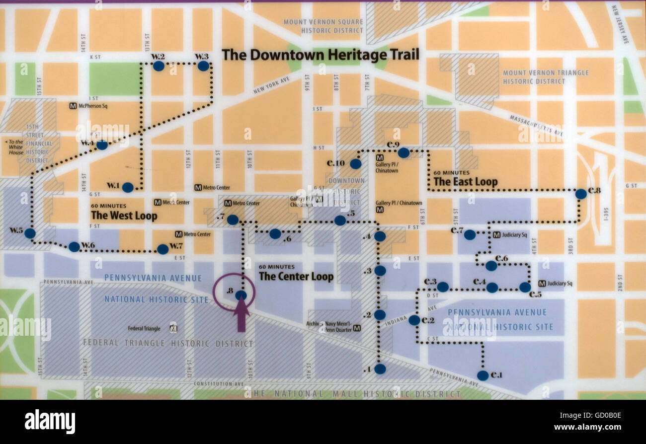 downtown heritage trail map of Washington DC Stock Photohttps://www.alamy.com/image-license-details/?v=1https://www.alamy.com/stock-photo-downtown-heritage-trail-map-of-washington-dc-111261374.html
RMGD0B0E–downtown heritage trail map of Washington DC
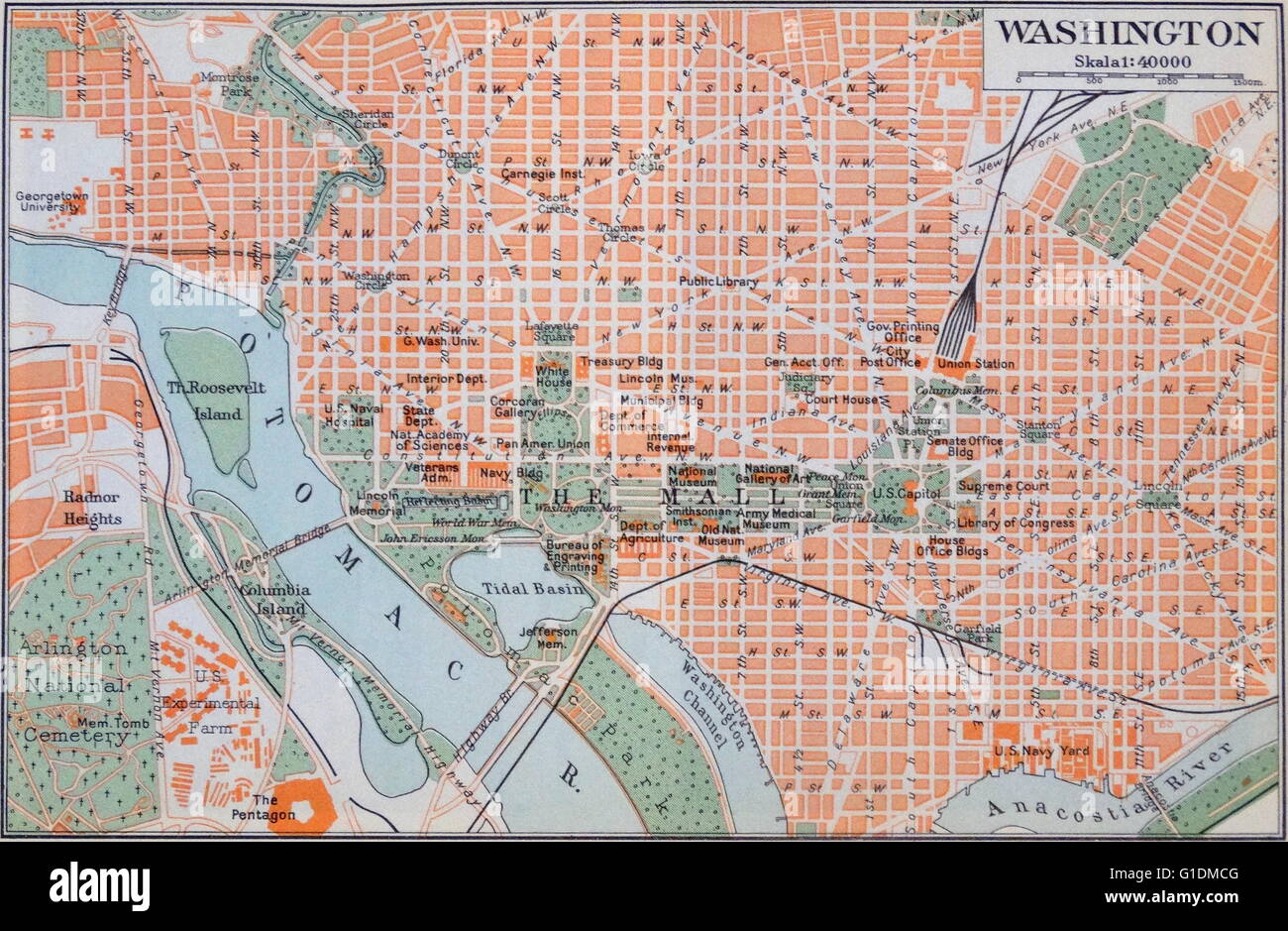 Map of Washington D.C. during the 20th Century Stock Photohttps://www.alamy.com/image-license-details/?v=1https://www.alamy.com/stock-photo-map-of-washington-dc-during-the-20th-century-104178272.html
RMG1DMCG–Map of Washington D.C. during the 20th Century
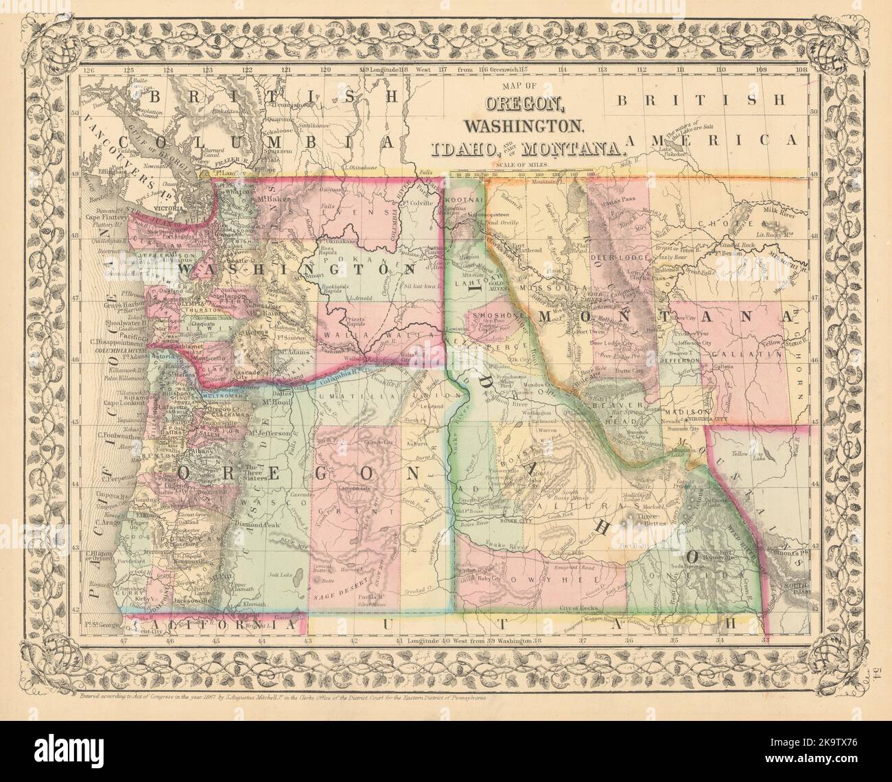 Map of Oregon, Washington, Idaho, and Part of Montana. MITCHELL 1869 old Stock Photohttps://www.alamy.com/image-license-details/?v=1https://www.alamy.com/map-of-oregon-washington-idaho-and-part-of-montana-mitchell-1869-old-image487969642.html
RF2K9TX76–Map of Oregon, Washington, Idaho, and Part of Montana. MITCHELL 1869 old
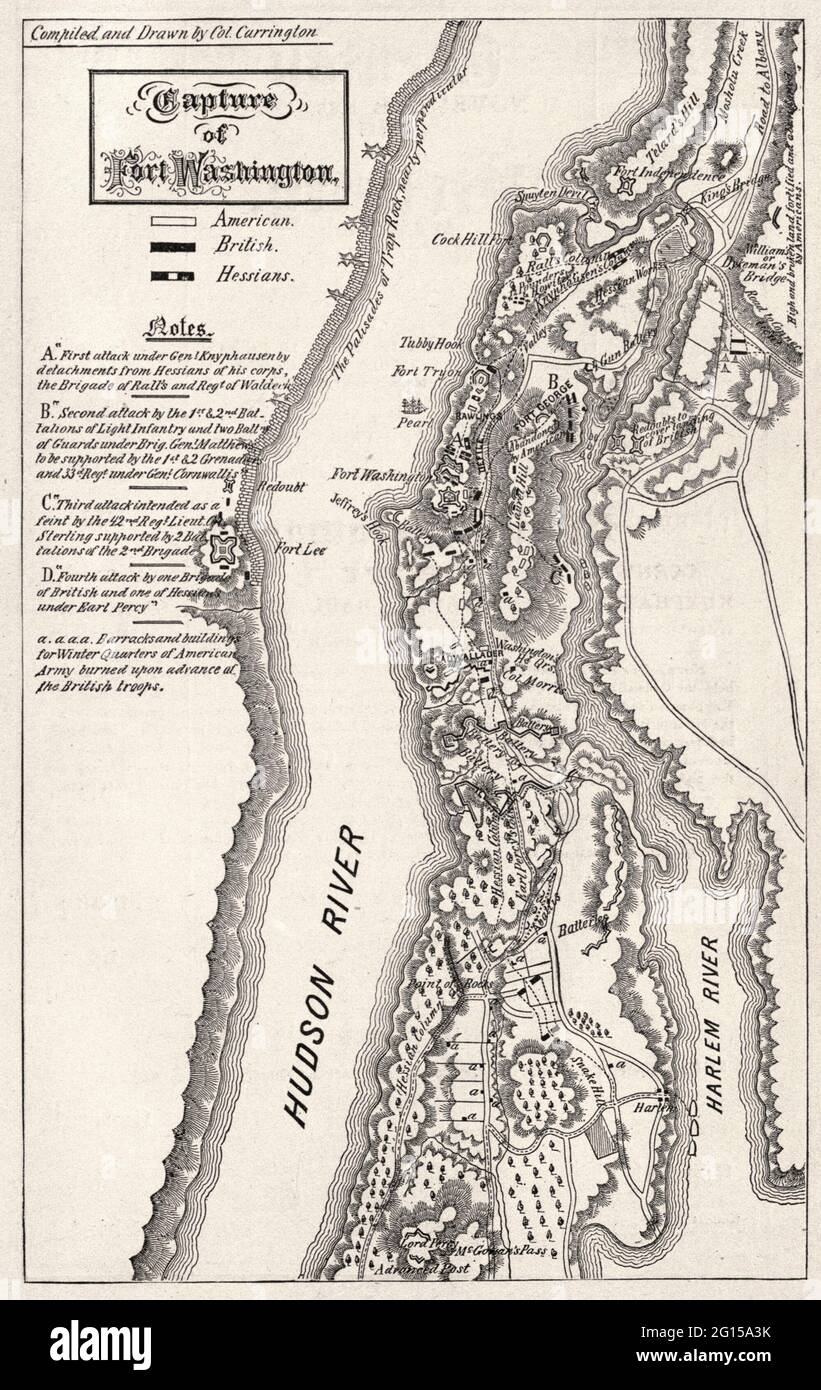 Map of the Capture of Fort Washington during the American Revolution Stock Photohttps://www.alamy.com/image-license-details/?v=1https://www.alamy.com/map-of-the-capture-of-fort-washington-during-the-american-revolution-image430991559.html
RM2G15A3K–Map of the Capture of Fort Washington during the American Revolution
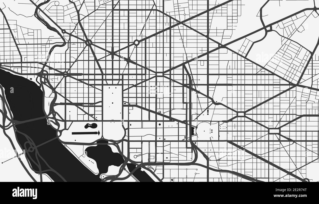 Urban city map of Washington. Vector illustration, Washington map grayscale art poster. Street map image with roads, metropolitan city area view. Stock Vectorhttps://www.alamy.com/image-license-details/?v=1https://www.alamy.com/urban-city-map-of-washington-vector-illustration-washington-map-grayscale-art-poster-street-map-image-with-roads-metropolitan-city-area-view-image397578296.html
RF2E2R74T–Urban city map of Washington. Vector illustration, Washington map grayscale art poster. Street map image with roads, metropolitan city area view.
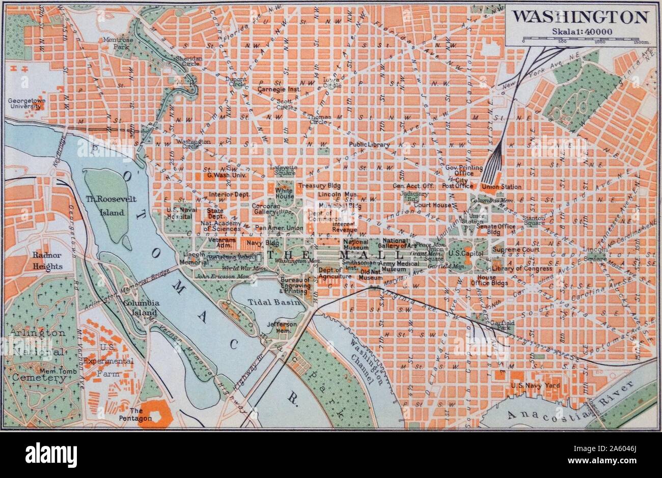 Map of Washington D.C. during the 20th Century Stock Photohttps://www.alamy.com/image-license-details/?v=1https://www.alamy.com/map-of-washington-dc-during-the-20th-century-image330688250.html
RM2A6046J–Map of Washington D.C. during the 20th Century
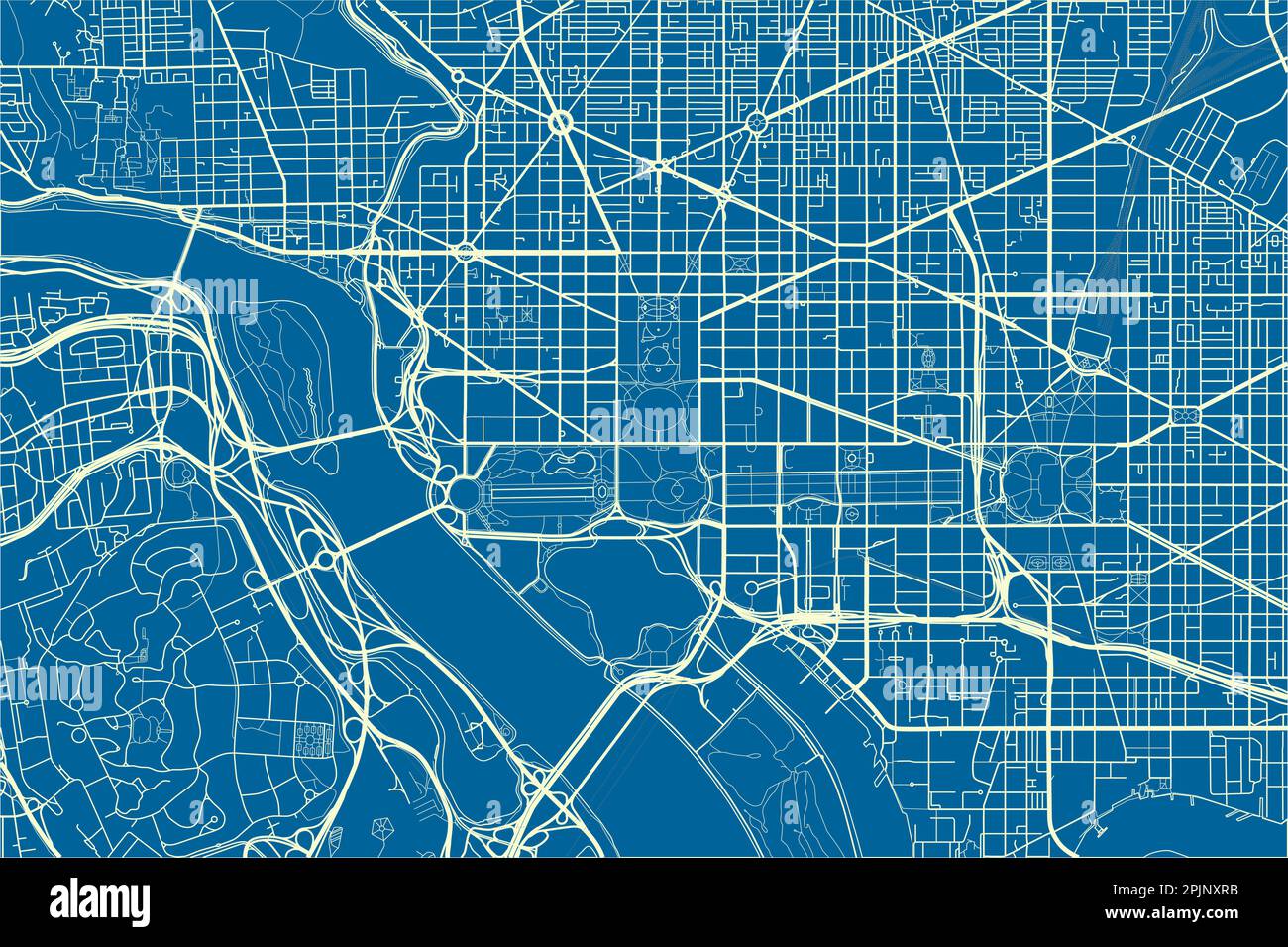 Blue and White vector city map of Washington, D.C. with well organized separated layers. Stock Vectorhttps://www.alamy.com/image-license-details/?v=1https://www.alamy.com/blue-and-white-vector-city-map-of-washington-dc-with-well-organized-separated-layers-image545067247.html
RF2PJNXRB–Blue and White vector city map of Washington, D.C. with well organized separated layers.
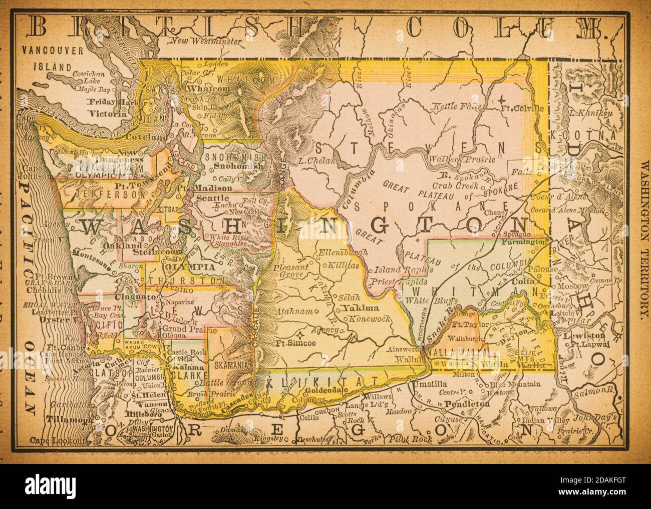 19th century map of Washington Territory. Published in New Dollar Atlas of the United States and Dominion of Canada. (Rand McNally & Co's, Chicago, 18 Stock Photohttps://www.alamy.com/image-license-details/?v=1https://www.alamy.com/19th-century-map-of-washington-territory-published-in-new-dollar-atlas-of-the-united-states-and-dominion-of-canada-rand-mcnally-cos-chicago-18-image385203976.html
RF2DAKFGT–19th century map of Washington Territory. Published in New Dollar Atlas of the United States and Dominion of Canada. (Rand McNally & Co's, Chicago, 18
 map of washington Stock Photohttps://www.alamy.com/image-license-details/?v=1https://www.alamy.com/stock-photo-map-of-washington-143678285.html
RFJ9N339–map of washington
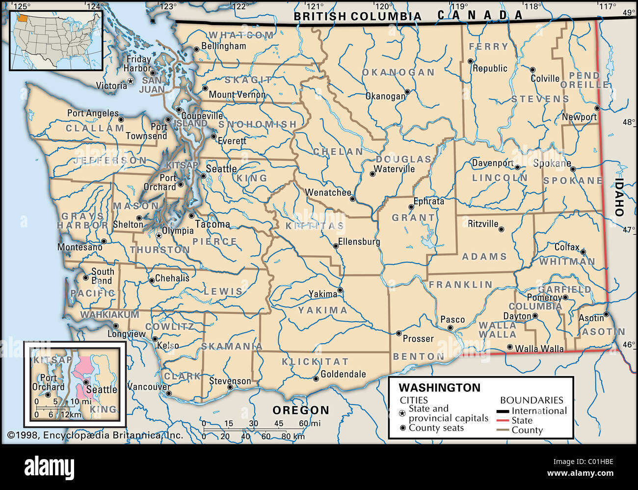 Political map of Washington State Stock Photohttps://www.alamy.com/image-license-details/?v=1https://www.alamy.com/stock-photo-political-map-of-washington-state-34456338.html
RMC01HBE–Political map of Washington State
 A close up of a map of Washington D C with car keys Stock Photohttps://www.alamy.com/image-license-details/?v=1https://www.alamy.com/stock-photo-a-close-up-of-a-map-of-washington-d-c-with-car-keys-15950779.html
RFAR636M–A close up of a map of Washington D C with car keys
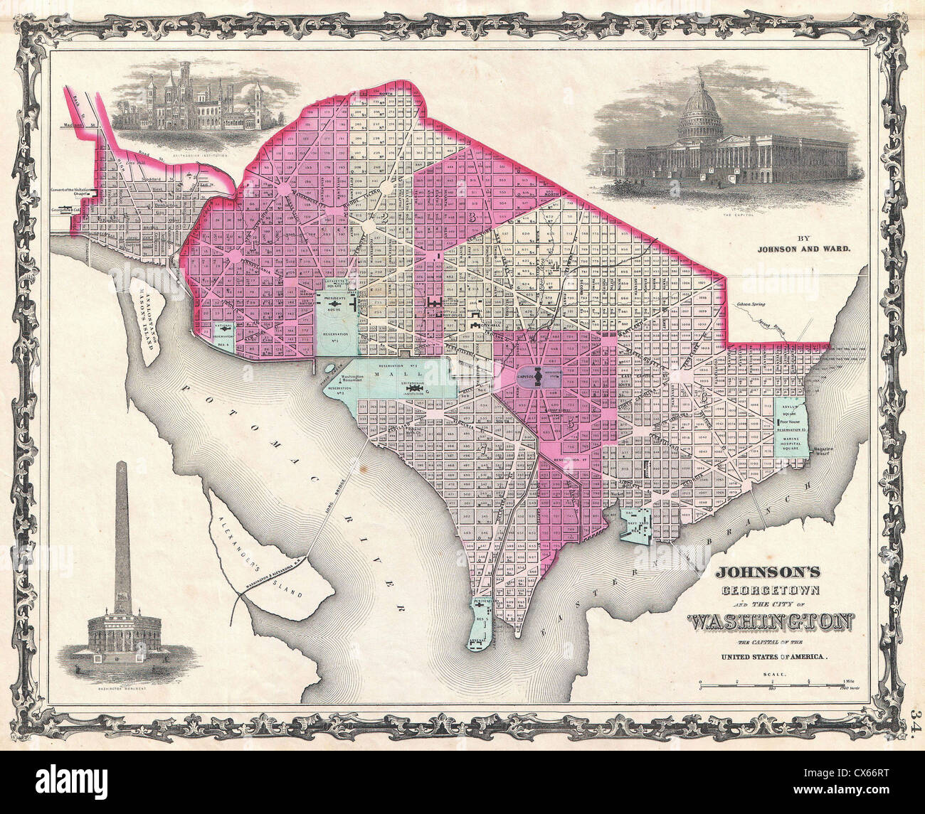 1862 Johnson Map of Washington D.C. and Georgetown Stock Photohttps://www.alamy.com/image-license-details/?v=1https://www.alamy.com/stock-photo-1862-johnson-map-of-washington-dc-and-georgetown-50538876.html
RMCX66RT–1862 Johnson Map of Washington D.C. and Georgetown
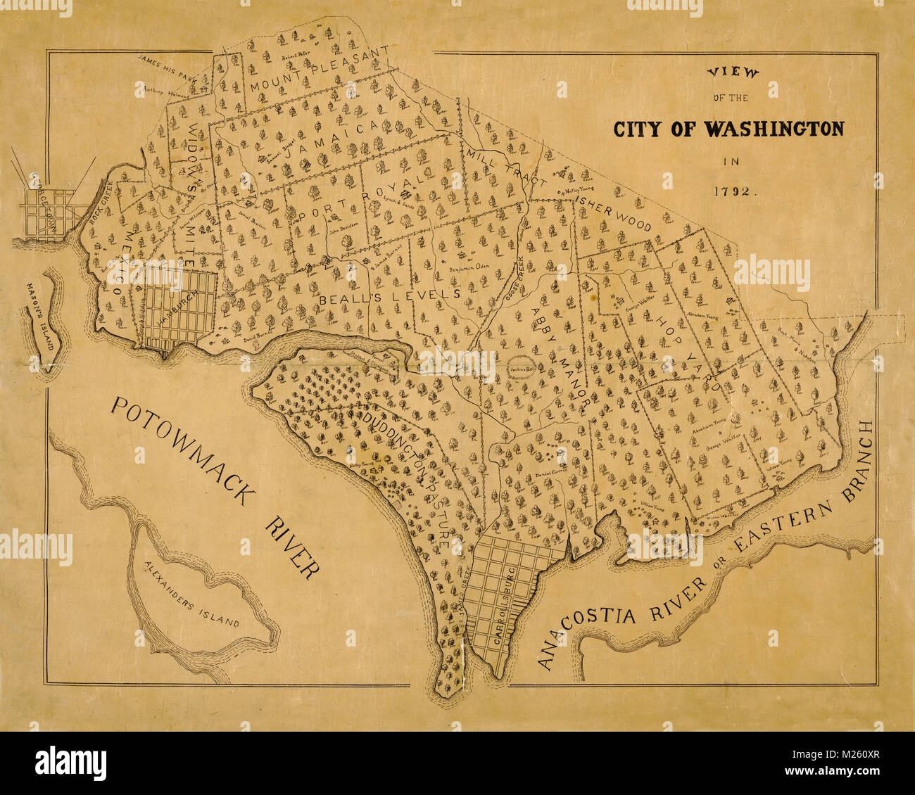 Historical map of Washington, D.C. circa 1792 showing landowners and land grants made in the 1660's. Stock Photohttps://www.alamy.com/image-license-details/?v=1https://www.alamy.com/stock-photo-historical-map-of-washington-dc-circa-1792-showing-landowners-and-173465455.html
RFM260XR–Historical map of Washington, D.C. circa 1792 showing landowners and land grants made in the 1660's.
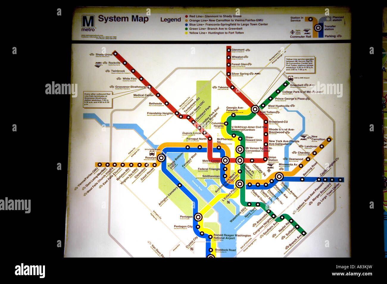 Map of the Metrorail system in Washington D C Stock Photohttps://www.alamy.com/image-license-details/?v=1https://www.alamy.com/stock-photo-map-of-the-metrorail-system-in-washington-d-c-11976720.html
RMA83KJW–Map of the Metrorail system in Washington D C
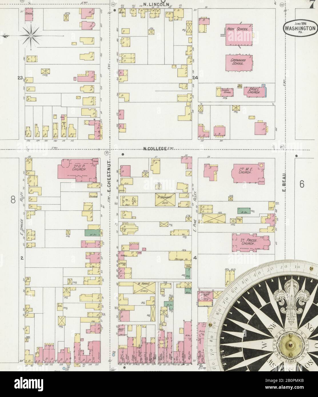 Image 7 of Sanborn Fire Insurance Map from Washington, Washington County, Pennsylvania. Jun 1896. 18 Sheet(s), America, street map with a Nineteenth Century compass Stock Photohttps://www.alamy.com/image-license-details/?v=1https://www.alamy.com/image-7-of-sanborn-fire-insurance-map-from-washington-washington-county-pennsylvania-jun-1896-18-sheets-america-street-map-with-a-nineteenth-century-compass-image344706527.html
RM2B0PMKB–Image 7 of Sanborn Fire Insurance Map from Washington, Washington County, Pennsylvania. Jun 1896. 18 Sheet(s), America, street map with a Nineteenth Century compass
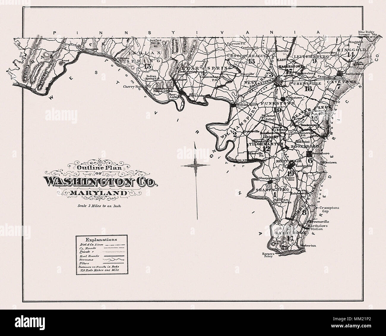 Map of Washington County, Maryland. 1877 Stock Photohttps://www.alamy.com/image-license-details/?v=1https://www.alamy.com/map-of-washington-county-maryland-1877-image184442106.html
RMMM21P2–Map of Washington County, Maryland. 1877
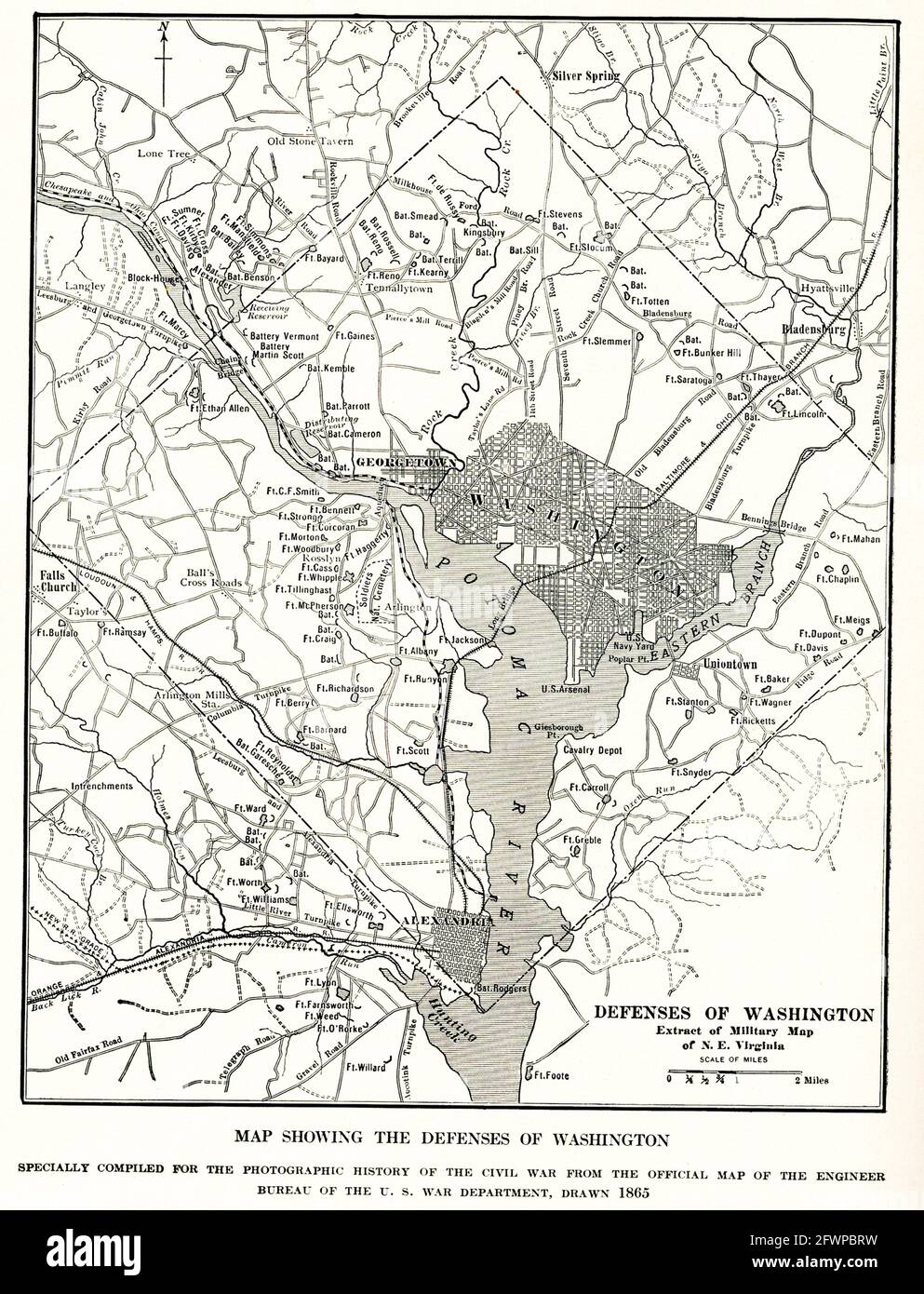 Map Showing defenses of Washington. specially compiled for photographic history of Civil War from the official map of the Engineer Bureau of the U.S. War Department drawn in 1865 Stock Photohttps://www.alamy.com/image-license-details/?v=1https://www.alamy.com/map-showing-defenses-of-washington-specially-compiled-for-photographic-history-of-civil-war-from-the-official-map-of-the-engineer-bureau-of-the-us-war-department-drawn-in-1865-image428907469.html
RF2FWPBRW–Map Showing defenses of Washington. specially compiled for photographic history of Civil War from the official map of the Engineer Bureau of the U.S. War Department drawn in 1865
 Map of Washington, USA, satellite view map in 3d. Black and white Stock Photohttps://www.alamy.com/image-license-details/?v=1https://www.alamy.com/stock-photo-map-of-washington-usa-satellite-view-map-in-3d-black-and-white-88067848.html
RFF37RC8–Map of Washington, USA, satellite view map in 3d. Black and white
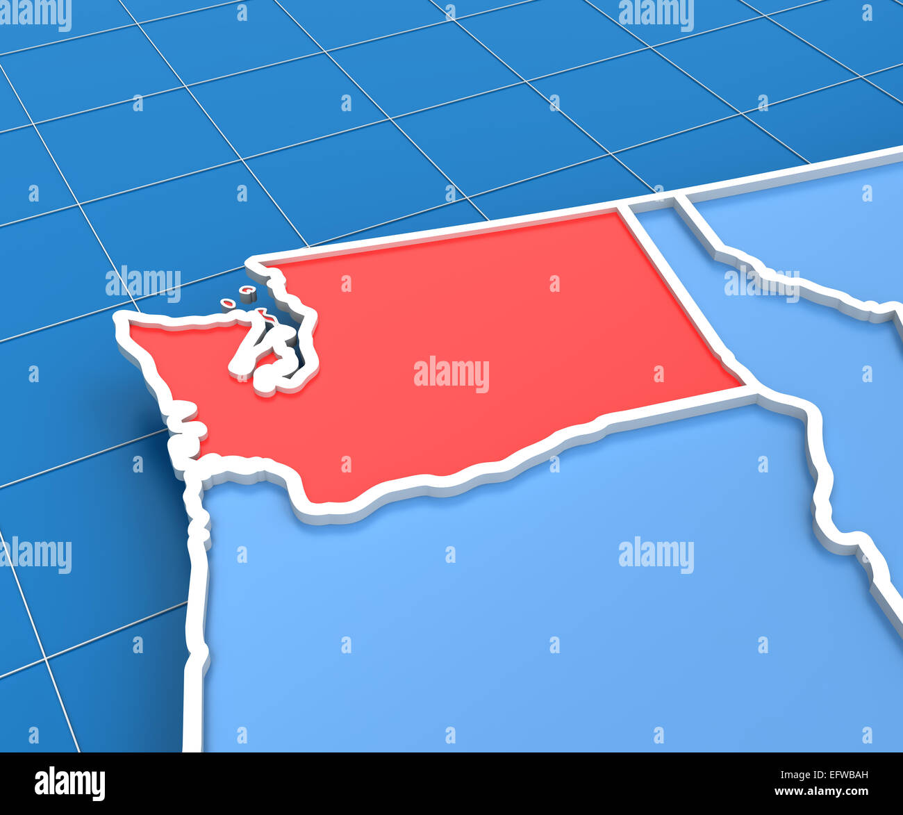 3d render of USA map with Washington state highlighted Stock Photohttps://www.alamy.com/image-license-details/?v=1https://www.alamy.com/stock-photo-3d-render-of-usa-map-with-washington-state-highlighted-78619033.html
RFEFWBAH–3d render of USA map with Washington state highlighted
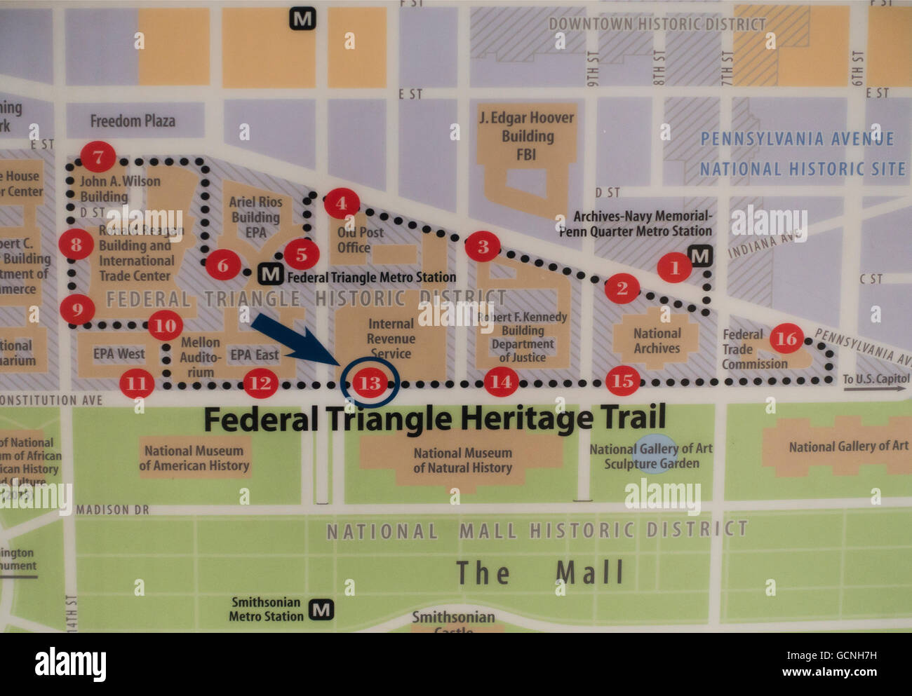 federal triangle heritage trail map of Washington DC Stock Photohttps://www.alamy.com/image-license-details/?v=1https://www.alamy.com/stock-photo-federal-triangle-heritage-trail-map-of-washington-dc-111112613.html
RMGCNH7H–federal triangle heritage trail map of Washington DC
 Label with map of Washington Stock Photohttps://www.alamy.com/image-license-details/?v=1https://www.alamy.com/label-with-map-of-washington-image477459334.html
RF2JMP472–Label with map of Washington
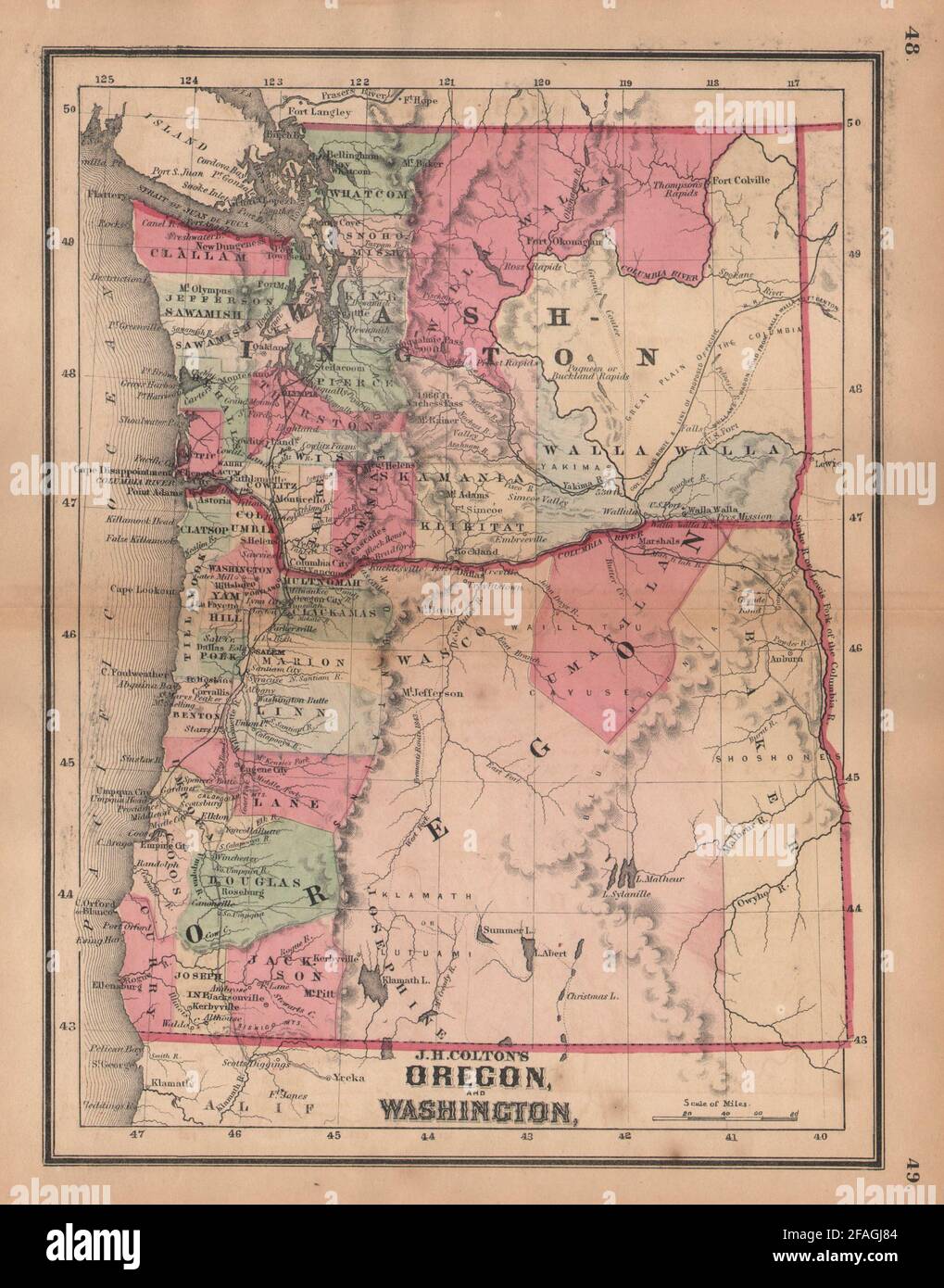 J. H. Colton's map of Oregon and Washington 1864 old antique plan chart Stock Photohttps://www.alamy.com/image-license-details/?v=1https://www.alamy.com/j-h-coltons-map-of-oregon-and-washington-1864-old-antique-plan-chart-image419560964.html
RF2FAGJ84–J. H. Colton's map of Oregon and Washington 1864 old antique plan chart
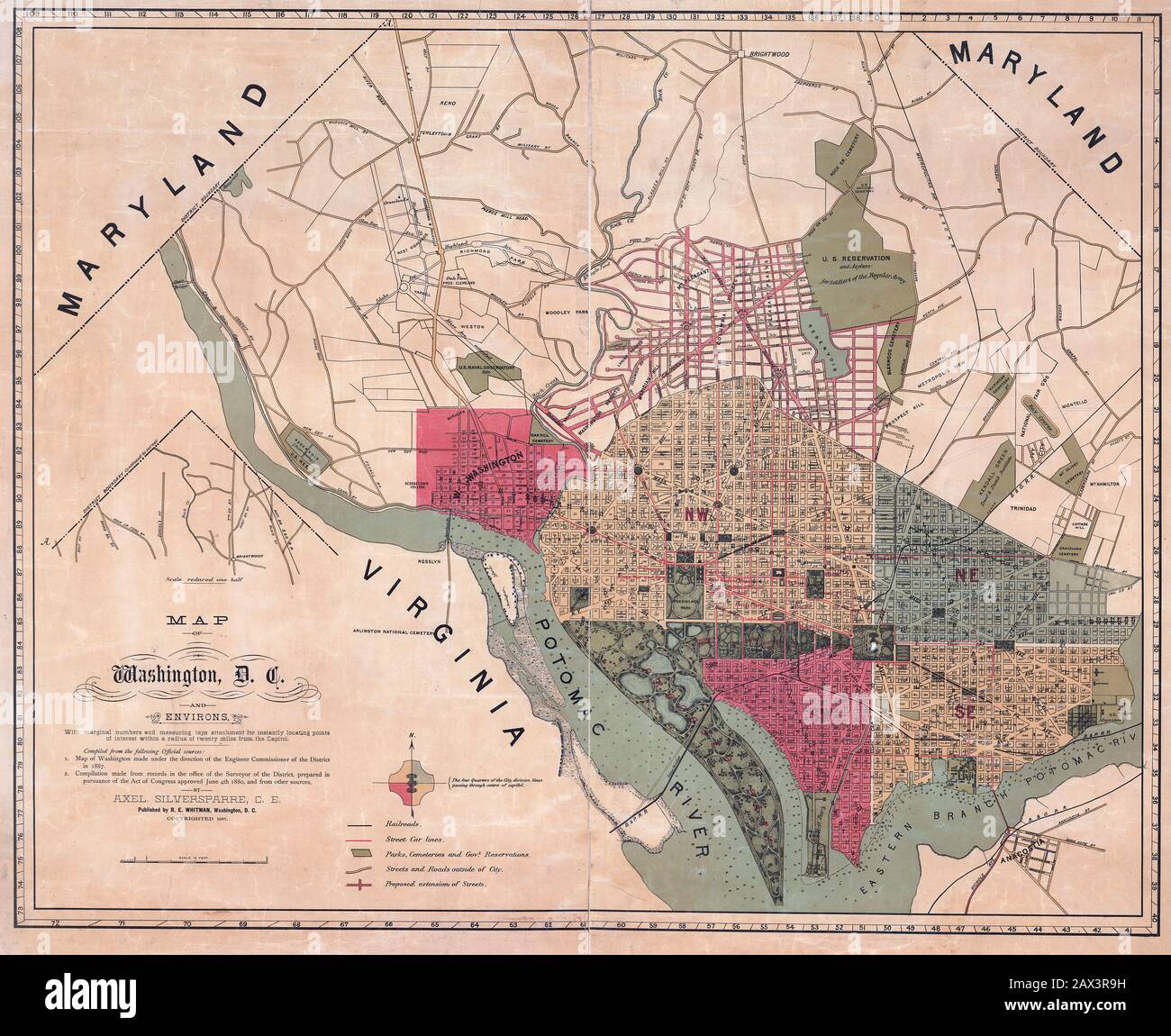 Map of Washington, D.C., and environs : with marginal numbers and measuring tape attachment for instantly locating points of interest within a radius of twenty miles from the Capitol 1887 Stock Photohttps://www.alamy.com/image-license-details/?v=1https://www.alamy.com/map-of-washington-dc-and-environs-with-marginal-numbers-and-measuring-tape-attachment-for-instantly-locating-points-of-interest-within-a-radius-of-twenty-miles-from-the-capitol-1887-image343062205.html
RM2AX3R9H–Map of Washington, D.C., and environs : with marginal numbers and measuring tape attachment for instantly locating points of interest within a radius of twenty miles from the Capitol 1887
 Map of Washington D.C., USA. Detailed city vector map, metropolitan area. Streetmap with roads and water. Stock Vectorhttps://www.alamy.com/image-license-details/?v=1https://www.alamy.com/map-of-washington-dc-usa-detailed-city-vector-map-metropolitan-area-streetmap-with-roads-and-water-image598745026.html
RF2WP35AX–Map of Washington D.C., USA. Detailed city vector map, metropolitan area. Streetmap with roads and water.
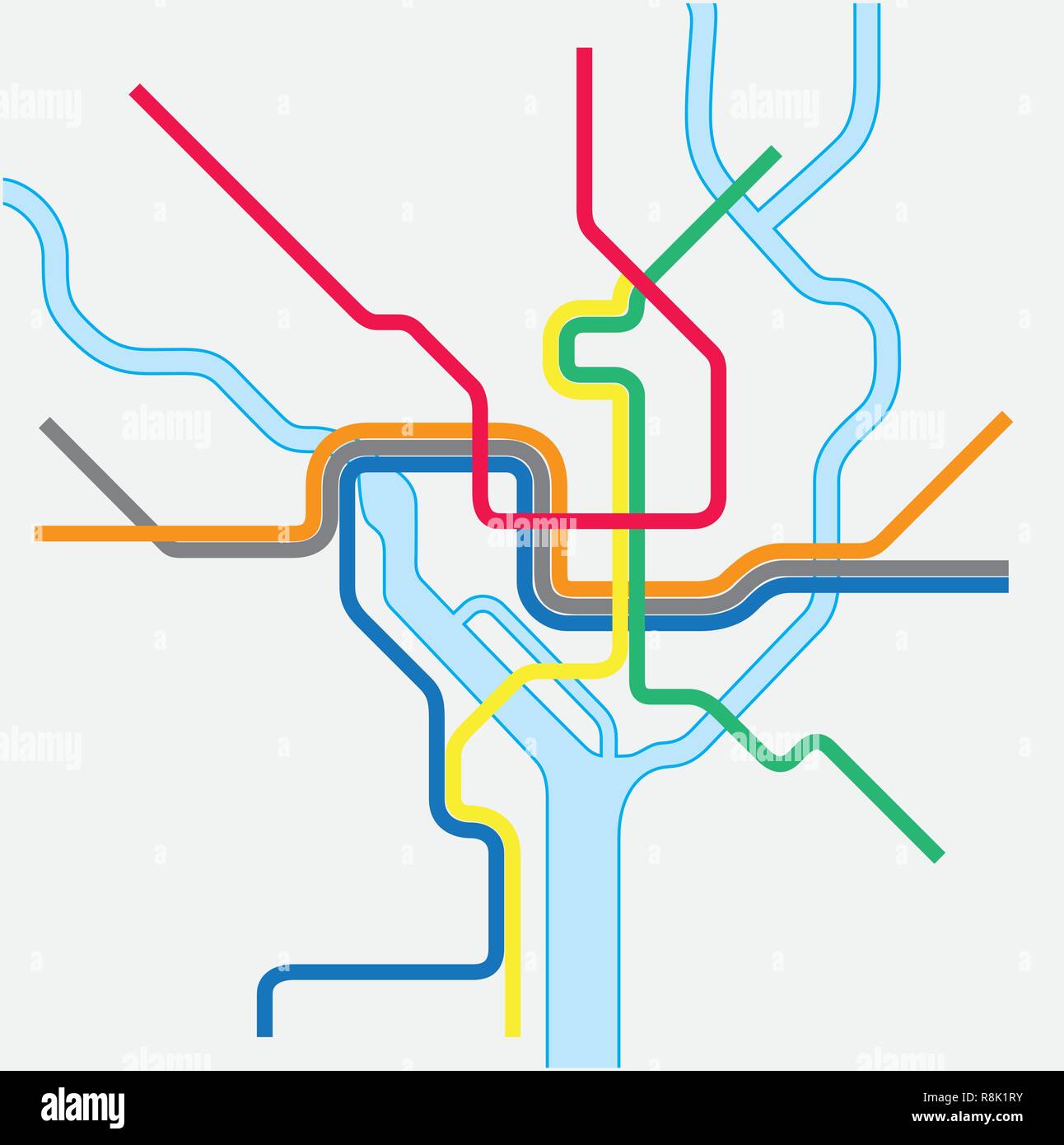 Metro map of Washington DC, United states Stock Vectorhttps://www.alamy.com/image-license-details/?v=1https://www.alamy.com/metro-map-of-washington-dc-united-states-image229070575.html
RFR8K1RY–Metro map of Washington DC, United states
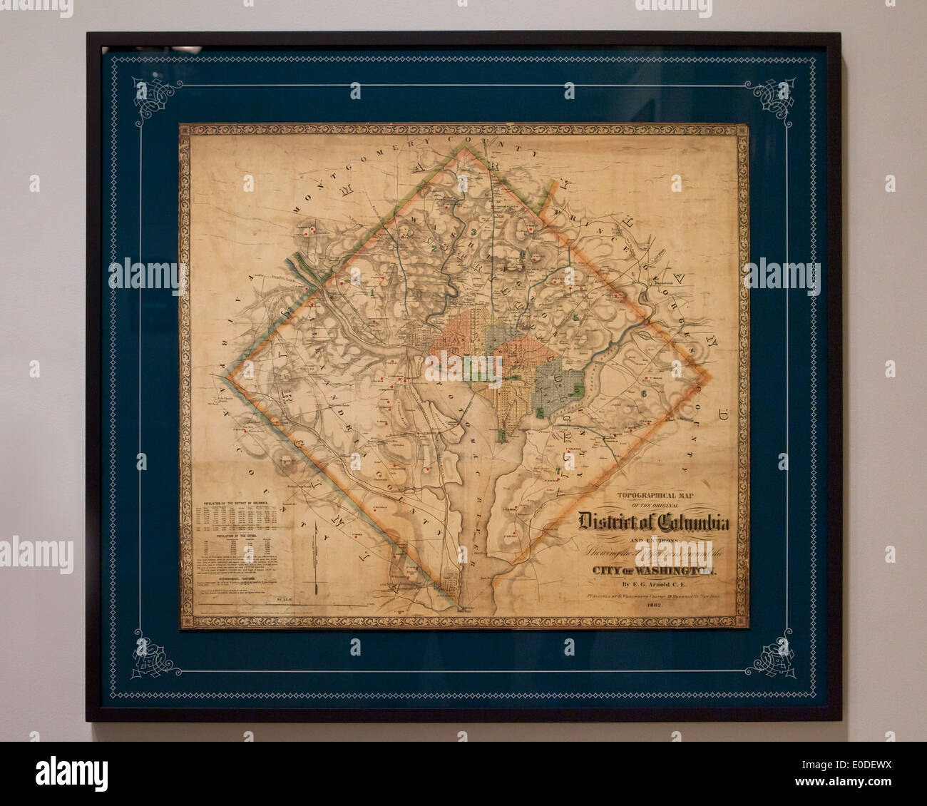 Vintage map of Washington, DC USA - c. 1862 Stock Photohttps://www.alamy.com/image-license-details/?v=1https://www.alamy.com/vintage-map-of-washington-dc-usa-c-1862-image69138550.html
RME0DEWX–Vintage map of Washington, DC USA - c. 1862
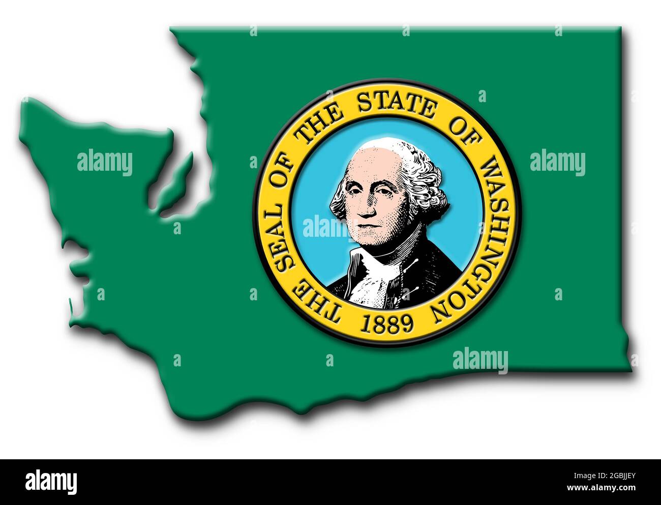 State map of Washington state showing state outline and the official State Flag Stock Photohttps://www.alamy.com/image-license-details/?v=1https://www.alamy.com/state-map-of-washington-state-showing-state-outline-and-the-official-state-flag-image437430083.html
RM2GBJJEY–State map of Washington state showing state outline and the official State Flag
 map of washington Stock Photohttps://www.alamy.com/image-license-details/?v=1https://www.alamy.com/stock-photo-map-of-washington-143763489.html
RFJ9TYP9–map of washington
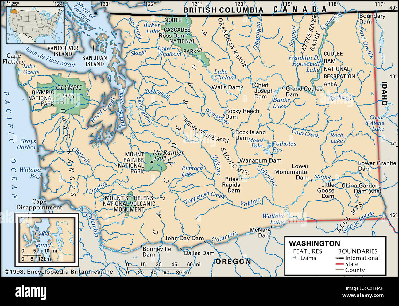 Map of Washington State Stock Photohttps://www.alamy.com/image-license-details/?v=1https://www.alamy.com/stock-photo-map-of-washington-state-34456313.html
RMC01HAH–Map of Washington State
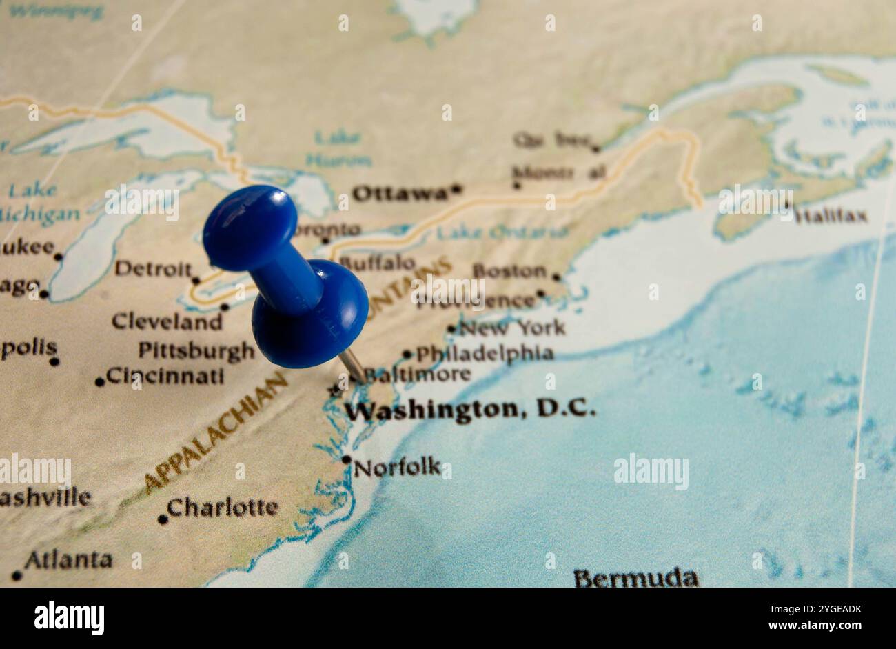 Close-up map of Washington, D.C. with a blue pin marking the city, ideal for travel or geography themes. Stock Photohttps://www.alamy.com/image-license-details/?v=1https://www.alamy.com/close-up-map-of-washington-dc-with-a-blue-pin-marking-the-city-ideal-for-travel-or-geography-themes-image629723295.html
RF2YGEADK–Close-up map of Washington, D.C. with a blue pin marking the city, ideal for travel or geography themes.
 1850 Mitchell Map of Washington D.C. & Georgetown Stock Photohttps://www.alamy.com/image-license-details/?v=1https://www.alamy.com/stock-photo-1850-mitchell-map-of-washington-dc-georgetown-43378158.html
RMCEG17X–1850 Mitchell Map of Washington D.C. & Georgetown
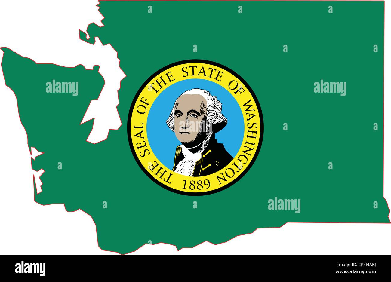 Map of Washington State USA Stock Vectorhttps://www.alamy.com/image-license-details/?v=1https://www.alamy.com/map-of-washington-state-usa-image553659558.html
RF2R4NABJ–Map of Washington State USA
 Map of the Metrorail system in Washington D C Stock Photohttps://www.alamy.com/image-license-details/?v=1https://www.alamy.com/stock-photo-map-of-the-metrorail-system-in-washington-d-c-11976721.html
RMA83KJX–Map of the Metrorail system in Washington D C
 Image 8 of Sanborn Fire Insurance Map from Washington, Washington County, Pennsylvania. Nov 1891. 8 Sheet(s), America, street map with a Nineteenth Century compass Stock Photohttps://www.alamy.com/image-license-details/?v=1https://www.alamy.com/image-8-of-sanborn-fire-insurance-map-from-washington-washington-county-pennsylvania-nov-1891-8-sheets-america-street-map-with-a-nineteenth-century-compass-image344706513.html
RM2B0PMJW–Image 8 of Sanborn Fire Insurance Map from Washington, Washington County, Pennsylvania. Nov 1891. 8 Sheet(s), America, street map with a Nineteenth Century compass
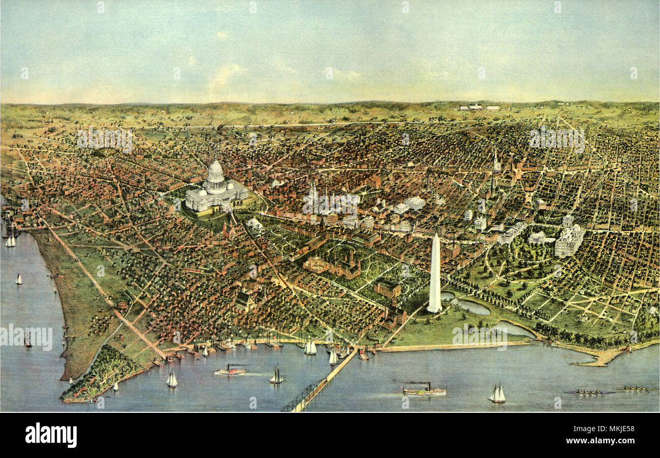 Map of Washington D.C. 1892 Stock Photohttps://www.alamy.com/image-license-details/?v=1https://www.alamy.com/map-of-washington-dc-1892-image184188404.html
RMMKJE58–Map of Washington D.C. 1892
 Map of WASHINGTON DC1, North American, isolated map, showing its states and cities, with name, World map, vector, EPS, Government, politics Stock Vectorhttps://www.alamy.com/image-license-details/?v=1https://www.alamy.com/map-of-washington-dc1-north-american-isolated-map-showing-its-states-and-cities-with-name-world-map-vector-eps-government-politics-image612135521.html
RF2XFW52W–Map of WASHINGTON DC1, North American, isolated map, showing its states and cities, with name, World map, vector, EPS, Government, politics
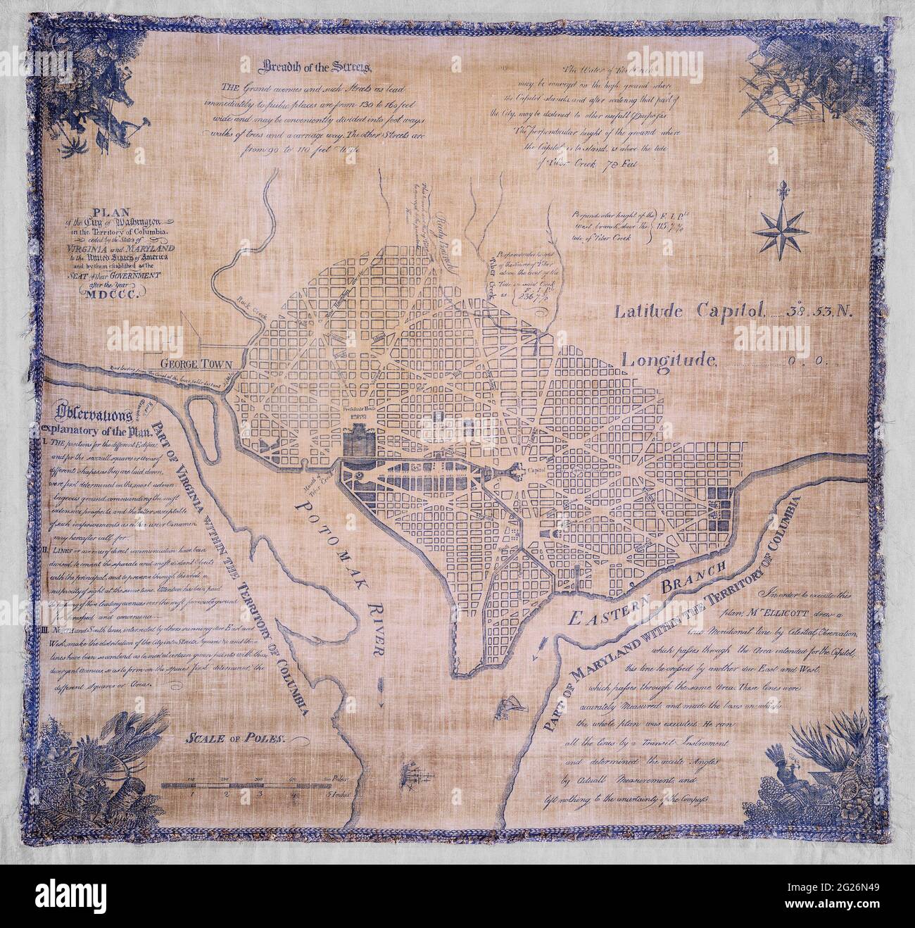 Original title: 'Plan of the city of Washington in the territory of Columbia : ceded by the states of Virginia and Maryland to the United States of America and by them established as the seat of their government after the year MDCCC.' This is an enhanced, reintroduction of an historical cloth map showing the formation of the District of Columbia. Includes extensive historical notes. Surveyor: Andrew Ellicott. Dated as 1792. Stock Photohttps://www.alamy.com/image-license-details/?v=1https://www.alamy.com/original-title-plan-of-the-city-of-washington-in-the-territory-of-columbia-ceded-by-the-states-of-virginia-and-maryland-to-the-united-states-of-america-and-by-them-established-as-the-seat-of-their-government-after-the-year-mdccc-this-is-an-enhanced-reintroduction-of-an-historical-cloth-map-showing-the-formation-of-the-district-of-columbia-includes-extensive-historical-notes-surveyor-andrew-ellicott-dated-as-1792-image431636809.html
RM2G26N49–Original title: 'Plan of the city of Washington in the territory of Columbia : ceded by the states of Virginia and Maryland to the United States of America and by them established as the seat of their government after the year MDCCC.' This is an enhanced, reintroduction of an historical cloth map showing the formation of the District of Columbia. Includes extensive historical notes. Surveyor: Andrew Ellicott. Dated as 1792.
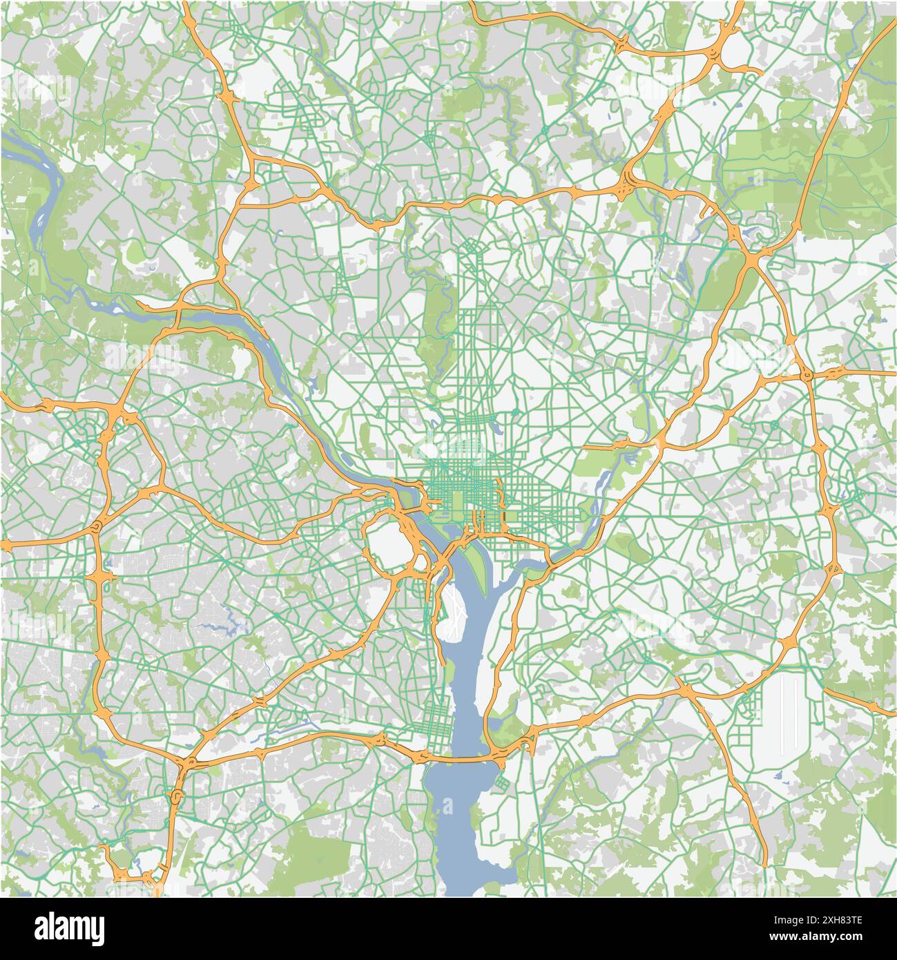 Road map of Washington in District of Columbia. Contains layered vector with roads water, parks, etc. Stock Vectorhttps://www.alamy.com/image-license-details/?v=1https://www.alamy.com/road-map-of-washington-in-district-of-columbia-contains-layered-vector-with-roads-water-parks-etc-image612990686.html
RF2XH83TE–Road map of Washington in District of Columbia. Contains layered vector with roads water, parks, etc.
 federal triangle heritage trail map of Washington DC Stock Photohttps://www.alamy.com/image-license-details/?v=1https://www.alamy.com/stock-photo-federal-triangle-heritage-trail-map-of-washington-dc-111112647.html
RMGCNH8R–federal triangle heritage trail map of Washington DC
 Vintage label with map of Washington Stock Photohttps://www.alamy.com/image-license-details/?v=1https://www.alamy.com/vintage-label-with-map-of-washington-image477448713.html
RF2JMNJKN–Vintage label with map of Washington
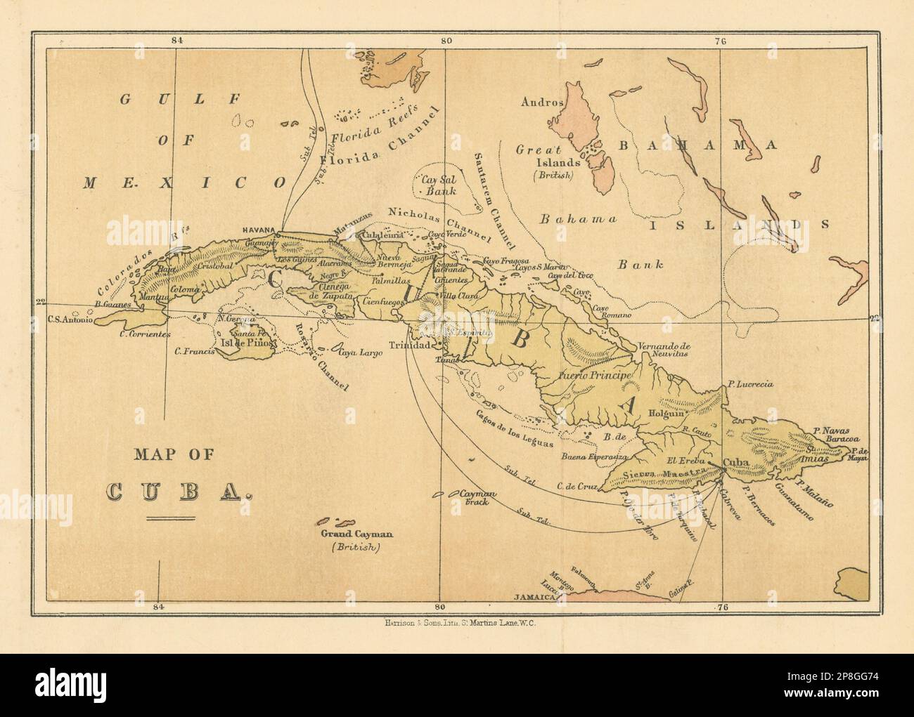 Map of Cuba. WASHINGTON EVES 1889 old antique vintage plan chart Stock Photohttps://www.alamy.com/image-license-details/?v=1https://www.alamy.com/map-of-cuba-washington-eves-1889-old-antique-vintage-plan-chart-image538802632.html
RF2P8GG74–Map of Cuba. WASHINGTON EVES 1889 old antique vintage plan chart
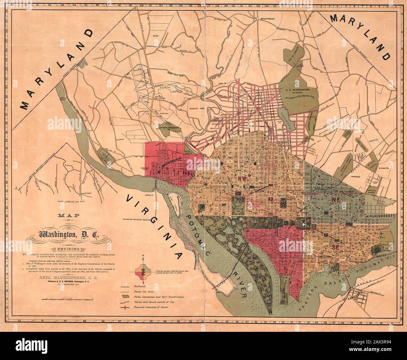 Map of Washington, D.C., and environs : with marginal numbers and measuring tape attachment for instantly locating points of interest within a radius of twenty miles from the Capitol 1887 Stock Photohttps://www.alamy.com/image-license-details/?v=1https://www.alamy.com/map-of-washington-dc-and-environs-with-marginal-numbers-and-measuring-tape-attachment-for-instantly-locating-points-of-interest-within-a-radius-of-twenty-miles-from-the-capitol-1887-image343062192.html
RM2AX3R94–Map of Washington, D.C., and environs : with marginal numbers and measuring tape attachment for instantly locating points of interest within a radius of twenty miles from the Capitol 1887
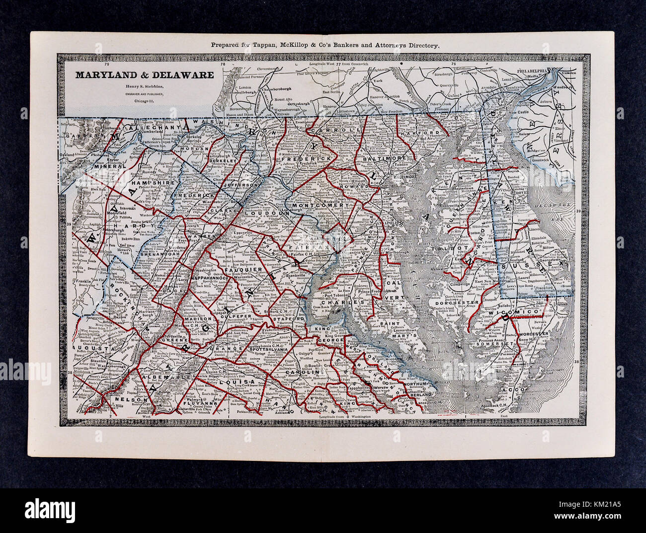 George Cram Antique Map from 1866 Atlas for Attorneys and Bankers: United States - Maryland Delaware Virginia Washington DC Stock Photohttps://www.alamy.com/image-license-details/?v=1https://www.alamy.com/stock-image-george-cram-antique-map-from-1866-atlas-for-attorneys-and-bankers-167231405.html
RFKM21A5–George Cram Antique Map from 1866 Atlas for Attorneys and Bankers: United States - Maryland Delaware Virginia Washington DC
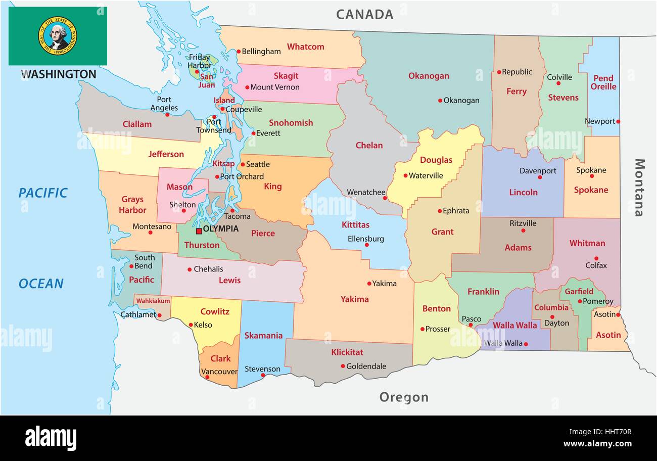 Administrative and political vector map of the US state of Washington with flag Stock Vectorhttps://www.alamy.com/image-license-details/?v=1https://www.alamy.com/stock-photo-administrative-and-political-vector-map-of-the-us-state-of-washington-131454087.html
RFHHT70R–Administrative and political vector map of the US state of Washington with flag
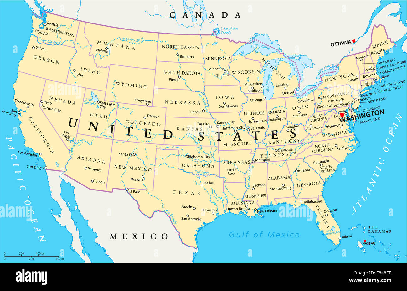 United States of America Political Map Stock Photohttps://www.alamy.com/image-license-details/?v=1https://www.alamy.com/stock-photo-united-states-of-america-political-map-73853206.html
RFE848EE–United States of America Political Map
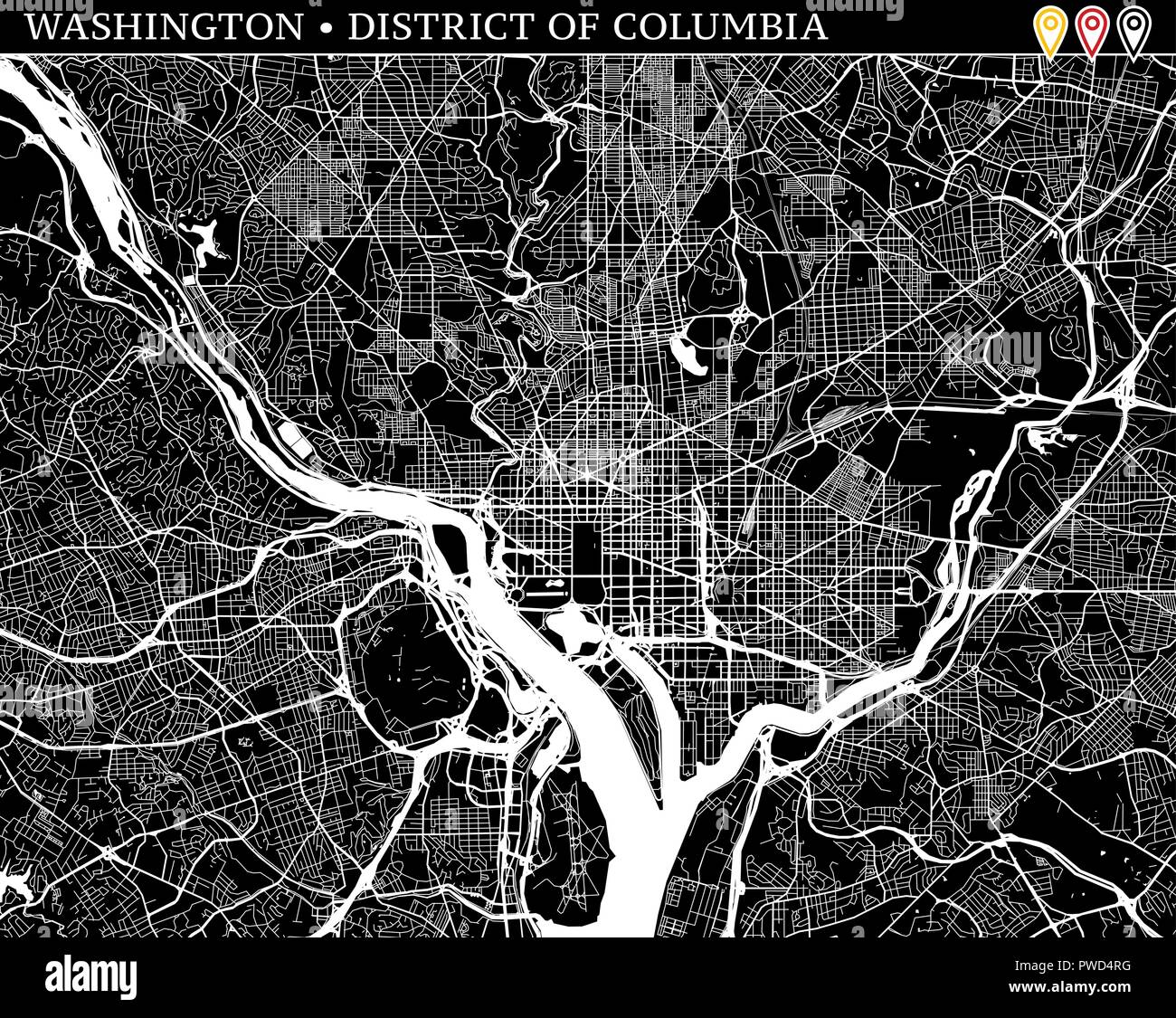 Simple map of Washington, District of Columbia, USA. Black and white version for clean backgrounds and prints. This map of Washington contains three m Stock Vectorhttps://www.alamy.com/image-license-details/?v=1https://www.alamy.com/simple-map-of-washington-district-of-columbia-usa-black-and-white-version-for-clean-backgrounds-and-prints-this-map-of-washington-contains-three-m-image222179988.html
RFPWD4RG–Simple map of Washington, District of Columbia, USA. Black and white version for clean backgrounds and prints. This map of Washington contains three m
 map of washington Stock Photohttps://www.alamy.com/image-license-details/?v=1https://www.alamy.com/stock-photo-map-of-washington-143190622.html
RFJ8XW2P–map of washington
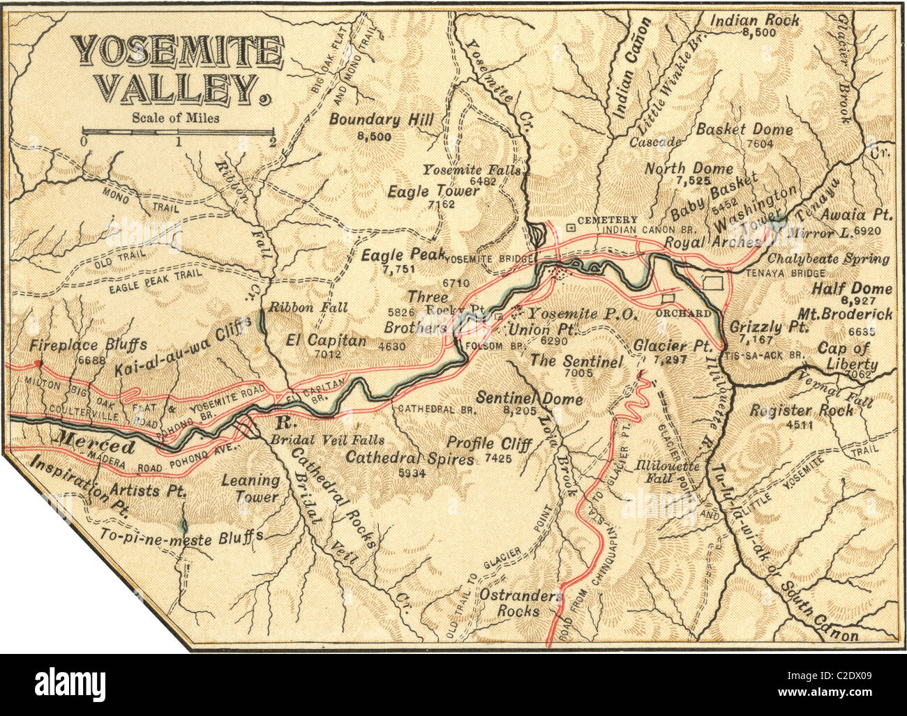 Map of Yosemite Valley Stock Photohttps://www.alamy.com/image-license-details/?v=1https://www.alamy.com/stock-photo-map-of-yosemite-valley-35955817.html
RMC2DX09–Map of Yosemite Valley
 Silver Map of Washington Stock Photohttps://www.alamy.com/image-license-details/?v=1https://www.alamy.com/stock-photo-silver-map-of-washington-49896311.html
RFCW4Y73–Silver Map of Washington
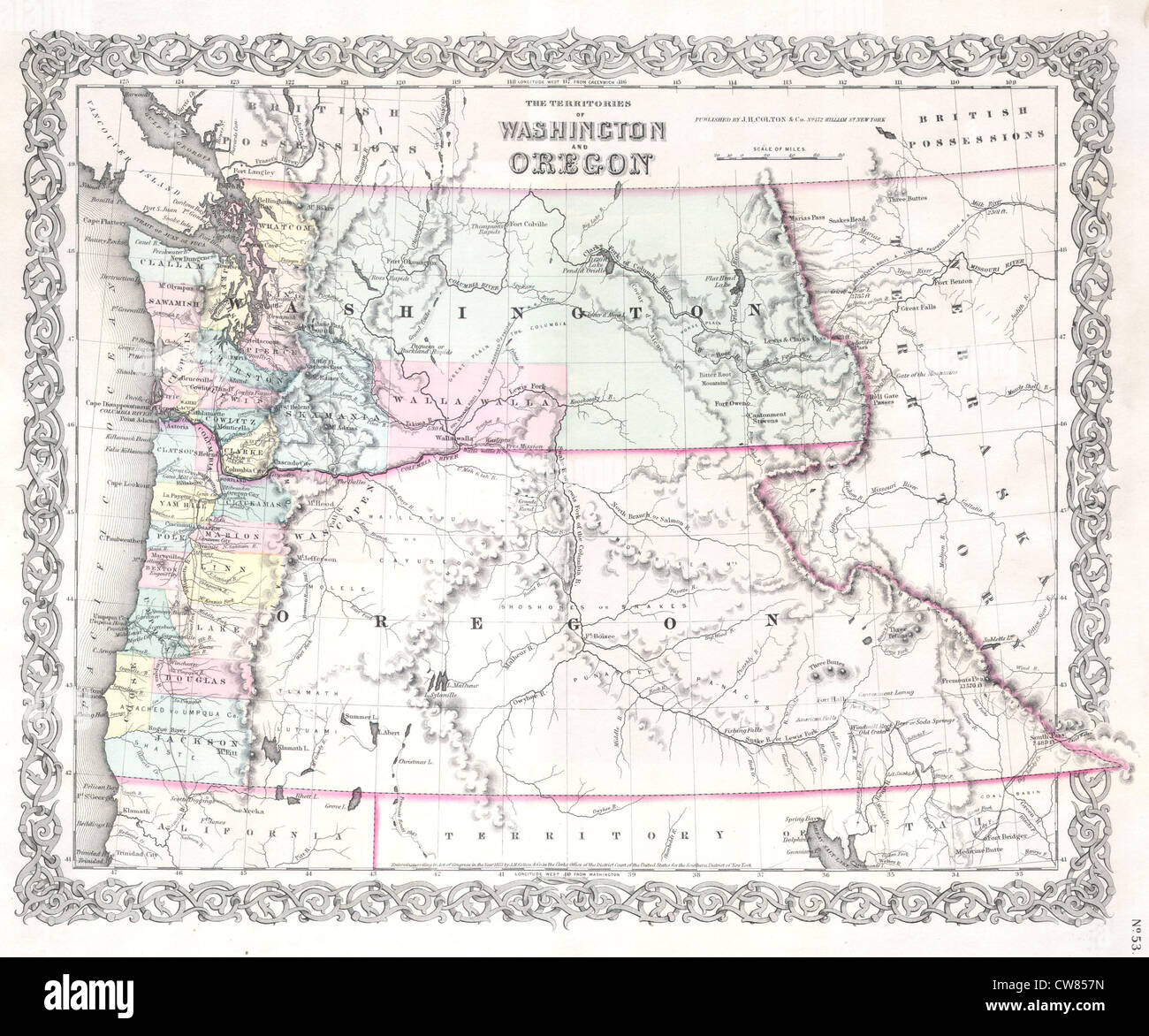 1853 Colton Map of Washington and Oregon ( w- Montana, Idaho ) Stock Photohttps://www.alamy.com/image-license-details/?v=1https://www.alamy.com/stock-photo-1853-colton-map-of-washington-and-oregon-w-montana-idaho-49966889.html
RMCW857N–1853 Colton Map of Washington and Oregon ( w- Montana, Idaho )
 Map of Washington filled with the state flag Stock Photohttps://www.alamy.com/image-license-details/?v=1https://www.alamy.com/map-of-washington-filled-with-the-state-flag-image69095619.html
RFE0BG4K–Map of Washington filled with the state flag
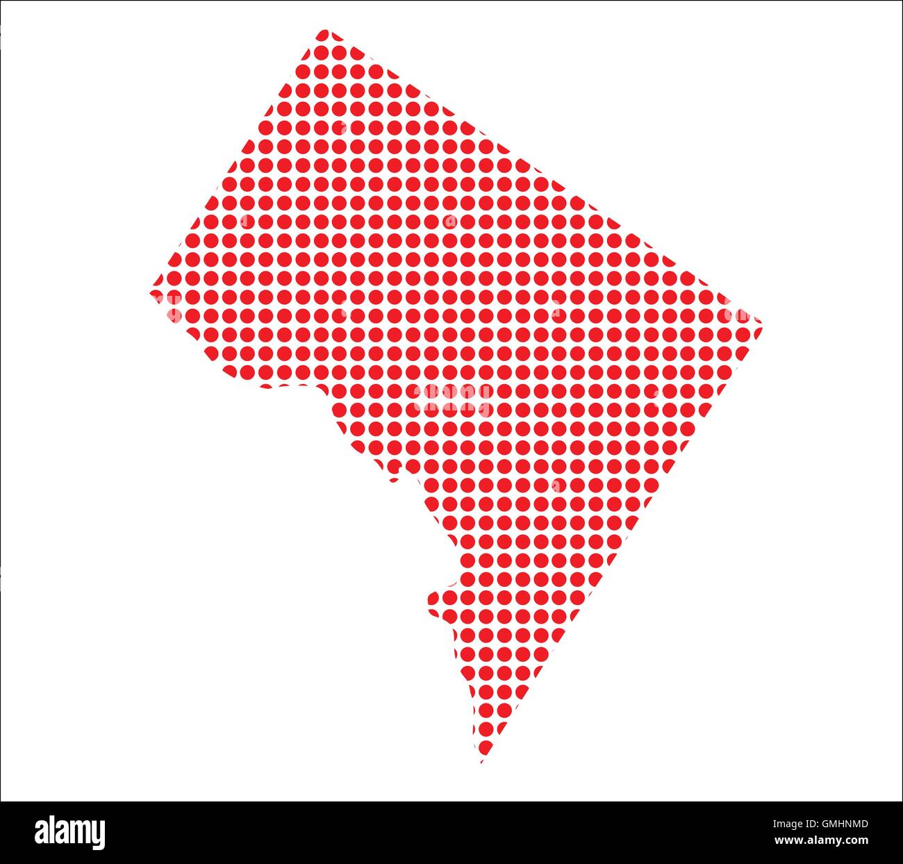 Red Dot Map of Washington DC Stock Vectorhttps://www.alamy.com/image-license-details/?v=1https://www.alamy.com/stock-photo-red-dot-map-of-washington-dc-115945549.html
RFGMHNMD–Red Dot Map of Washington DC
 Image 6 of Sanborn Fire Insurance Map from Washington, Washington County, Pennsylvania. Jun 1896. 18 Sheet(s), America, street map with a Nineteenth Century compass Stock Photohttps://www.alamy.com/image-license-details/?v=1https://www.alamy.com/image-6-of-sanborn-fire-insurance-map-from-washington-washington-county-pennsylvania-jun-1896-18-sheets-america-street-map-with-a-nineteenth-century-compass-image344706525.html
RM2B0PMK9–Image 6 of Sanborn Fire Insurance Map from Washington, Washington County, Pennsylvania. Jun 1896. 18 Sheet(s), America, street map with a Nineteenth Century compass
 Map of Washington Hollow. 1867 Stock Photohttps://www.alamy.com/image-license-details/?v=1https://www.alamy.com/map-of-washington-hollow-1867-image184425755.html
RMMM18X3–Map of Washington Hollow. 1867
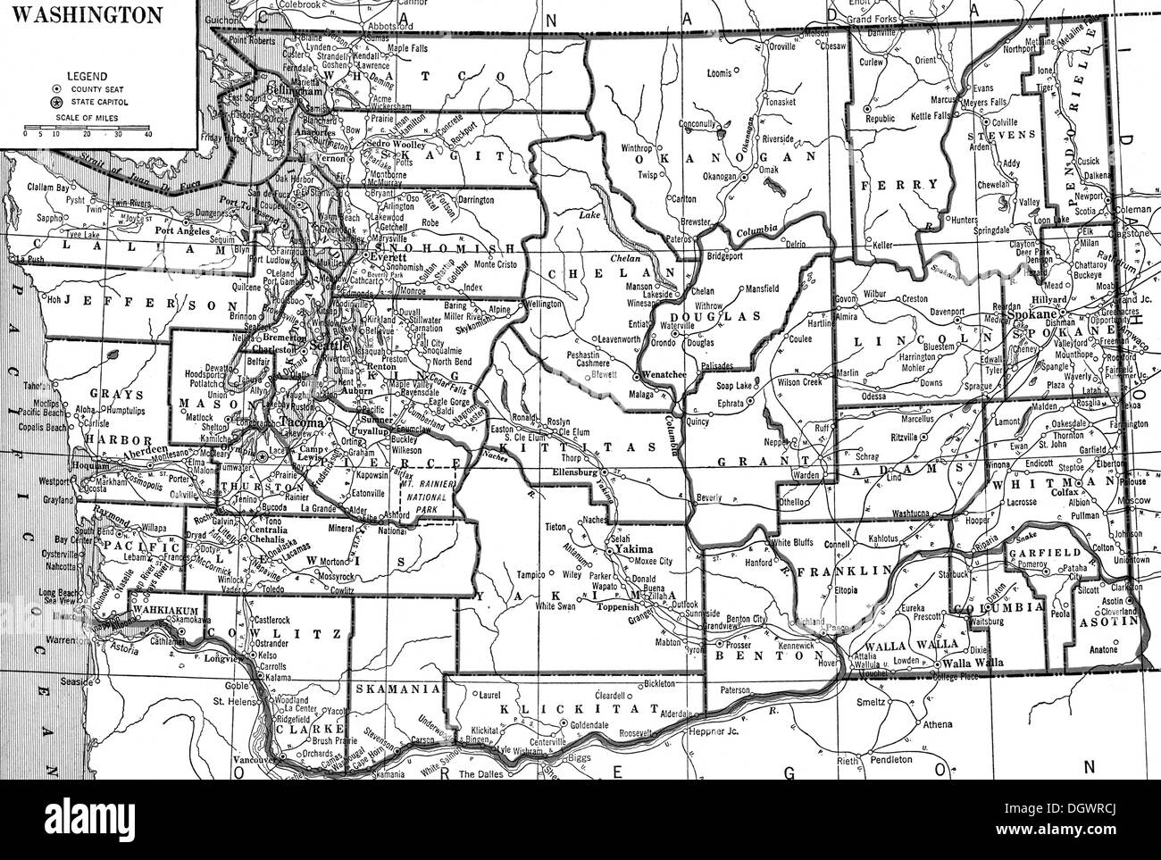 Old map of Washington, 1930's Stock Photohttps://www.alamy.com/image-license-details/?v=1https://www.alamy.com/old-map-of-washington-1930s-image62032786.html
RMDGWRCJ–Old map of Washington, 1930's
 Map of the world laid into the sidewalk at the U Naval Memorial in Washington DC DA10278 Stock Photohttps://www.alamy.com/image-license-details/?v=1https://www.alamy.com/map-of-the-world-laid-into-the-sidewalk-at-the-u-naval-memorial-in-image48963.html
RMA0BF43–Map of the world laid into the sidewalk at the U Naval Memorial in Washington DC DA10278
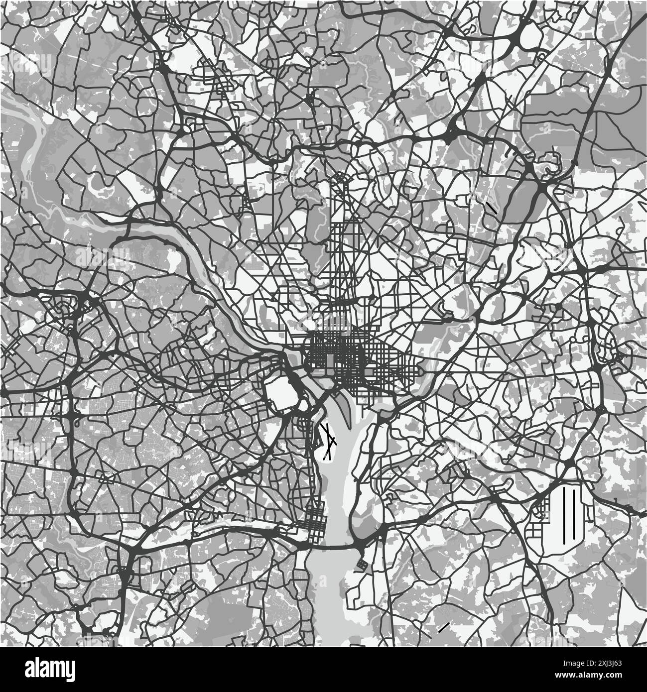 Map of Washington in District of Columbia in grayscale. Contains layered vector with roads water, parks, etc. Stock Vectorhttps://www.alamy.com/image-license-details/?v=1https://www.alamy.com/map-of-washington-in-district-of-columbia-in-grayscale-contains-layered-vector-with-roads-water-parks-etc-image613506827.html
RF2XJ3J63–Map of Washington in District of Columbia in grayscale. Contains layered vector with roads water, parks, etc.
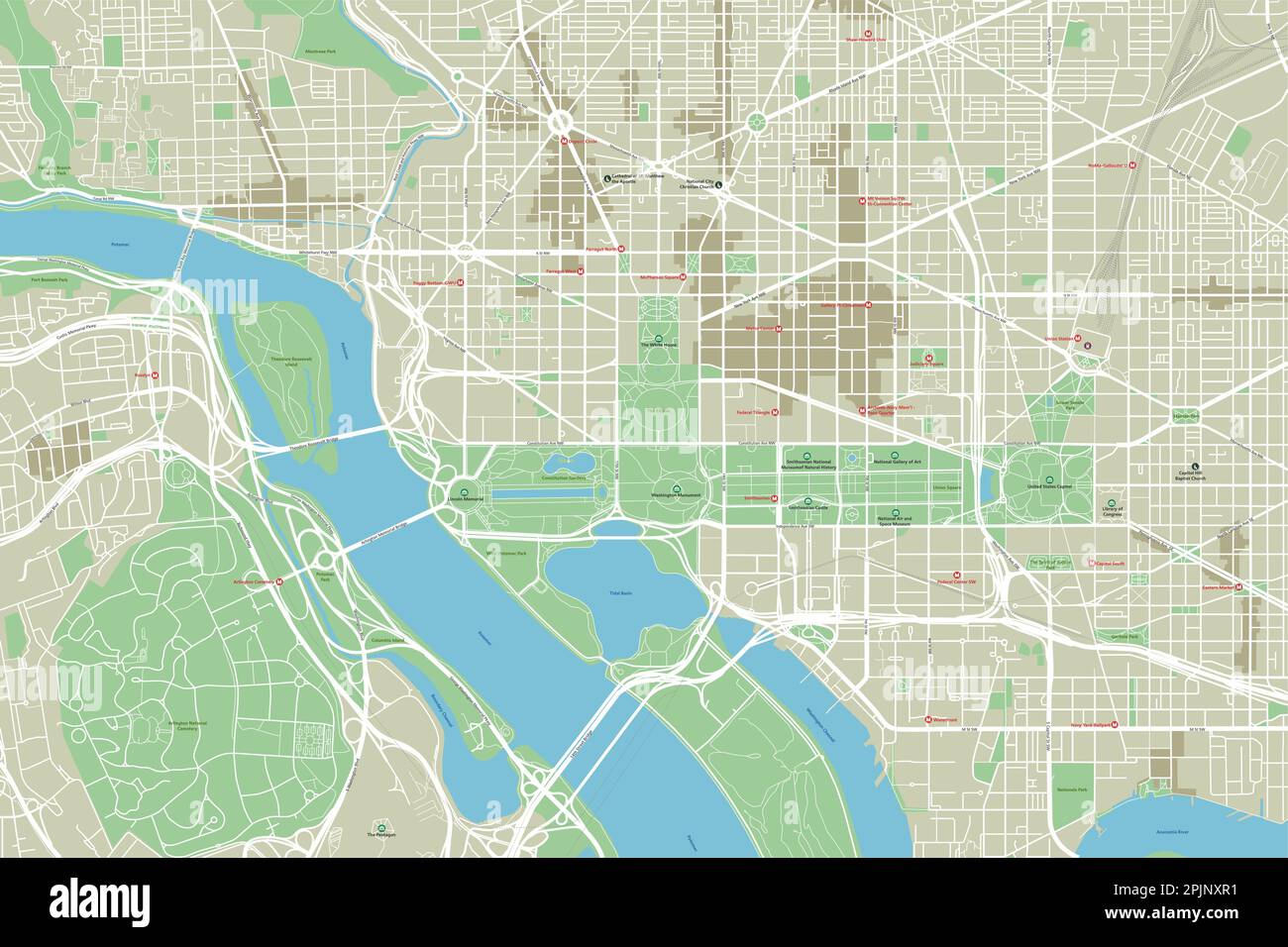 Vector city map of Washington, D.C. with well organized separated layers. Stock Vectorhttps://www.alamy.com/image-license-details/?v=1https://www.alamy.com/vector-city-map-of-washington-dc-with-well-organized-separated-layers-image545067237.html
RF2PJNXR1–Vector city map of Washington, D.C. with well organized separated layers.
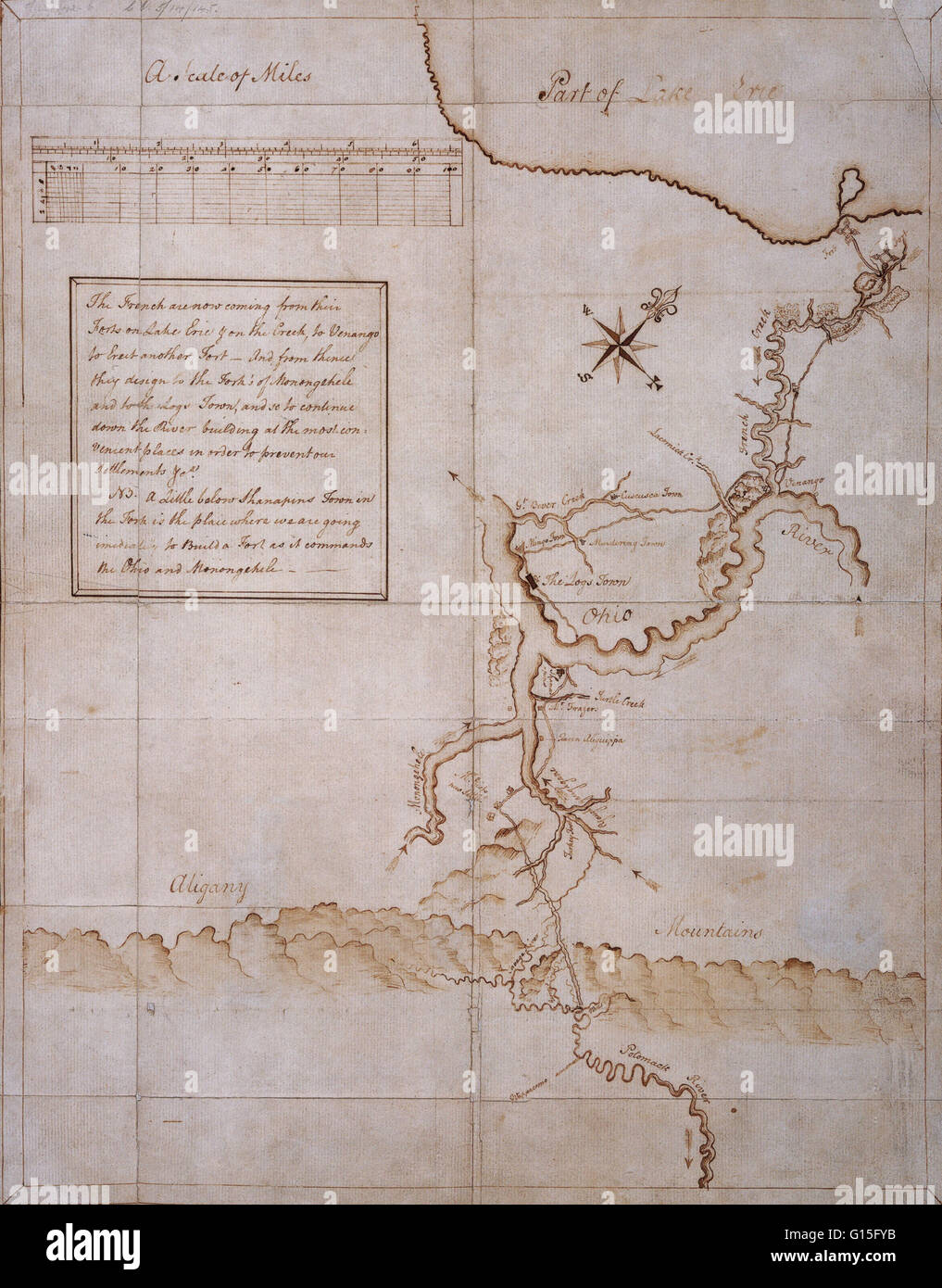 Manuscript map drawn by George Washington during the campaign of 1753-54. Stock Photohttps://www.alamy.com/image-license-details/?v=1https://www.alamy.com/stock-photo-manuscript-map-drawn-by-george-washington-during-the-campaign-of-1753-103999151.html
RMG15FYB–Manuscript map drawn by George Washington during the campaign of 1753-54.
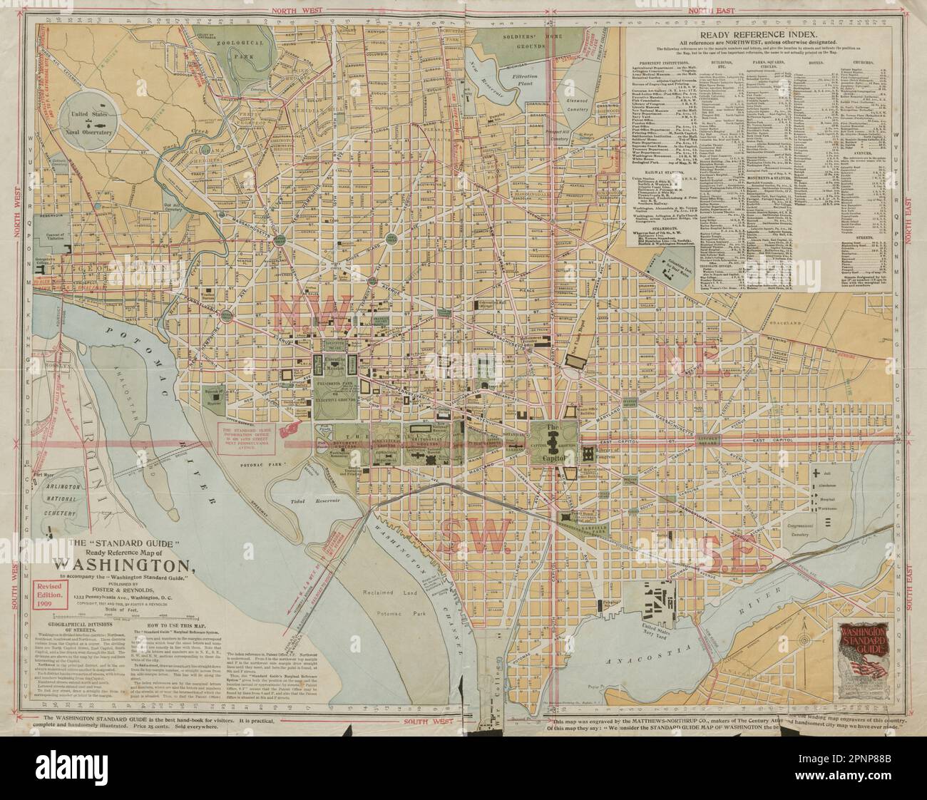 The 'Standard Guide' Ready Reference Map of Washington DC 1909 old antique Stock Photohttps://www.alamy.com/image-license-details/?v=1https://www.alamy.com/the-standard-guide-ready-reference-map-of-washington-dc-1909-old-antique-image546918635.html
RF2PNP88B–The 'Standard Guide' Ready Reference Map of Washington DC 1909 old antique
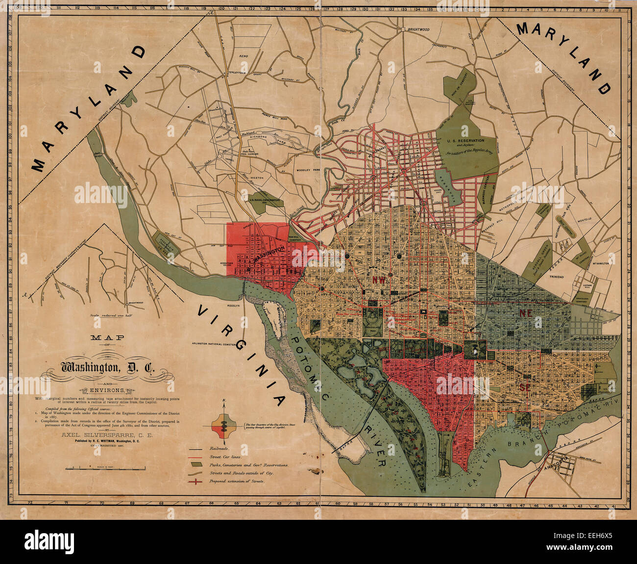 Map of Washington, D.C., and environs : with marginal numbers and measuring tape attachment for instantly locating points of interest within a radius of twenty miles from the Capitol 1887 Stock Photohttps://www.alamy.com/image-license-details/?v=1https://www.alamy.com/stock-photo-map-of-washington-dc-and-environs-with-marginal-numbers-and-measuring-77825277.html
RMEEH6X5–Map of Washington, D.C., and environs : with marginal numbers and measuring tape attachment for instantly locating points of interest within a radius of twenty miles from the Capitol 1887
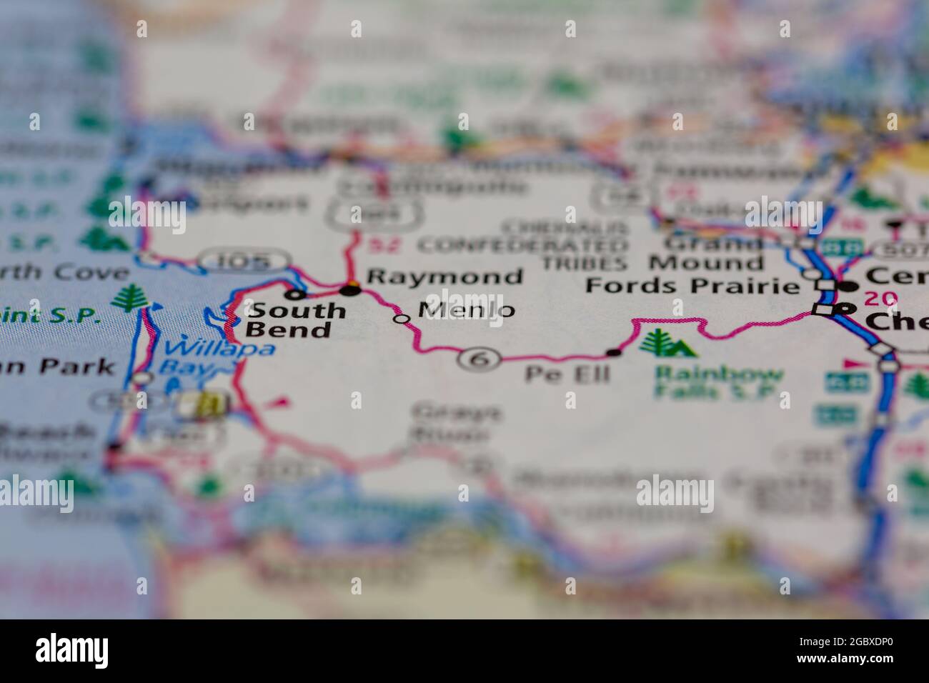 Menlo Washington State USA shown on a road map or Geography map Stock Photohttps://www.alamy.com/image-license-details/?v=1https://www.alamy.com/menlo-washington-state-usa-shown-on-a-road-map-or-geography-map-image437601976.html
RM2GBXDP0–Menlo Washington State USA shown on a road map or Geography map
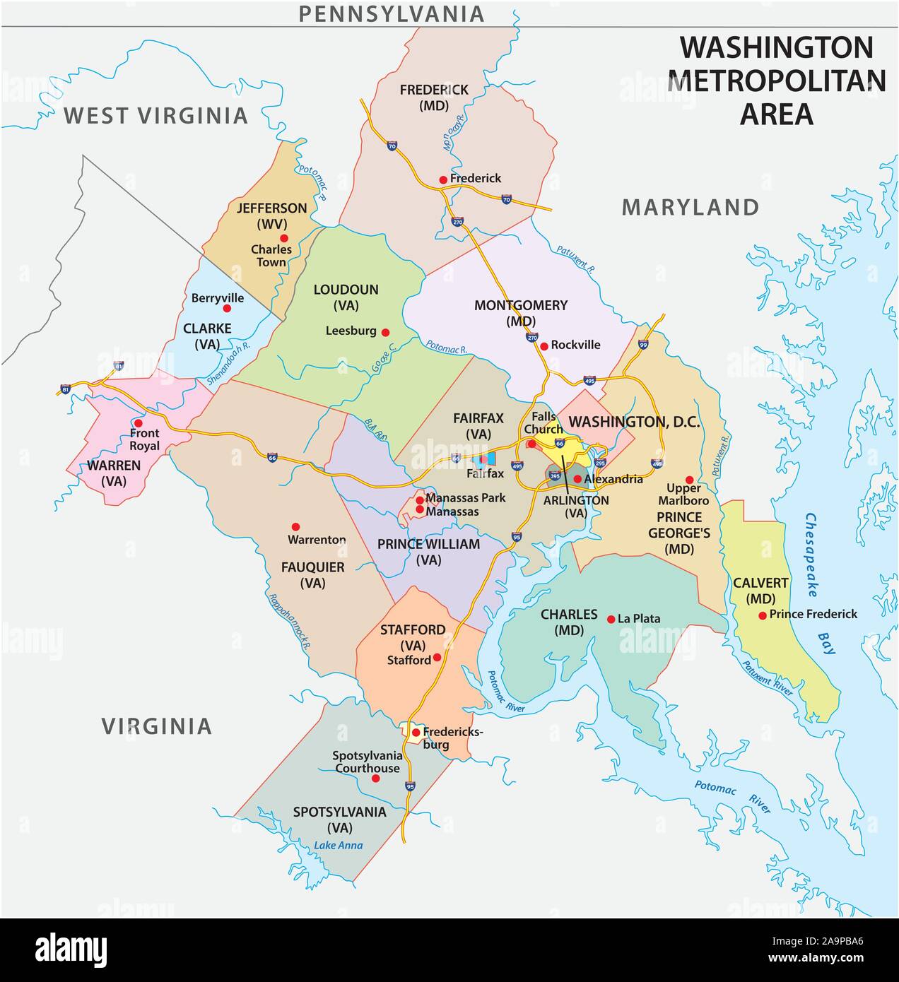 Map of Washington DC Metropolitan Area is the metropolitan area based in Washington DC Stock Vectorhttps://www.alamy.com/image-license-details/?v=1https://www.alamy.com/map-of-washington-dc-metropolitan-area-is-the-metropolitan-area-based-in-washington-dc-image333020750.html
RF2A9PBA6–Map of Washington DC Metropolitan Area is the metropolitan area based in Washington DC
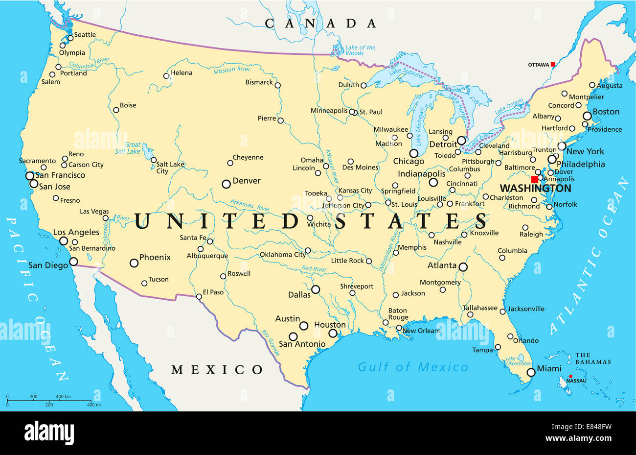 United States of America Political Map Stock Photohttps://www.alamy.com/image-license-details/?v=1https://www.alamy.com/stock-photo-united-states-of-america-political-map-73853245.html
RFE848FW–United States of America Political Map
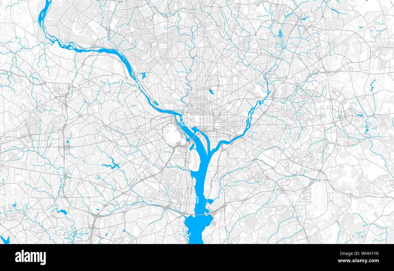 Rich detailed vector area map of Washington, D.C., U.S.A.. Map template for home decor. Stock Vectorhttps://www.alamy.com/image-license-details/?v=1https://www.alamy.com/rich-detailed-vector-area-map-of-washington-dc-usa-map-template-for-home-decor-image268979415.html
RFWHH1YK–Rich detailed vector area map of Washington, D.C., U.S.A.. Map template for home decor.
 map of washington Stock Photohttps://www.alamy.com/image-license-details/?v=1https://www.alamy.com/stock-photo-map-of-washington-143369693.html
RFJ971E5–map of washington
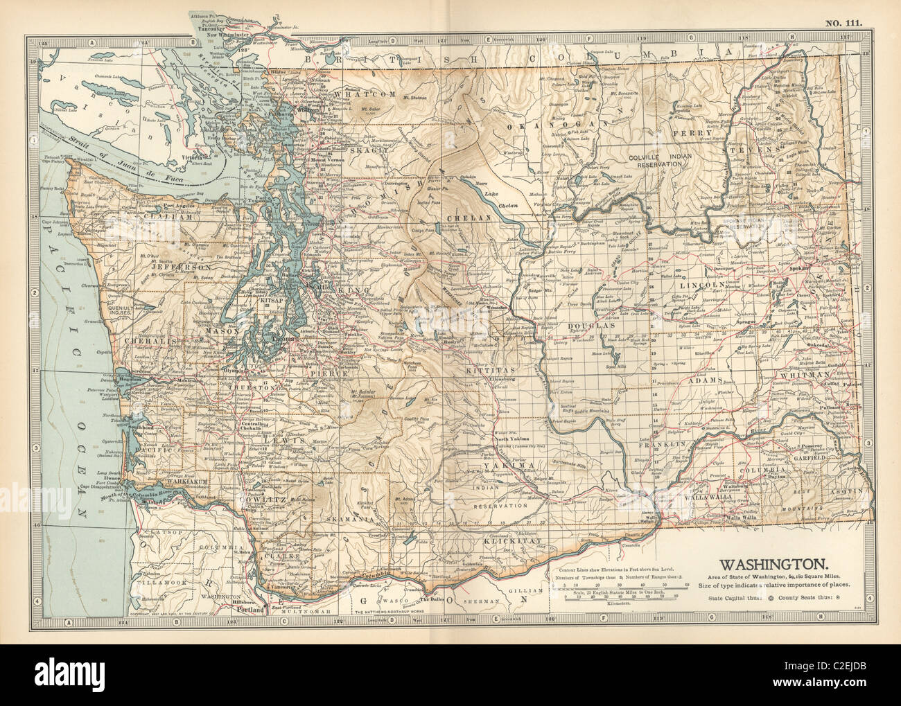 Map of Washington State Stock Photohttps://www.alamy.com/image-license-details/?v=1https://www.alamy.com/stock-photo-map-of-washington-state-35971863.html
RMC2EJDB–Map of Washington State
 Map of Washington, satellite view, streets and highways, USa Stock Vectorhttps://www.alamy.com/image-license-details/?v=1https://www.alamy.com/stock-photo-map-of-washington-satellite-view-streets-and-highways-usa-106683621.html
RFG5FT19–Map of Washington, satellite view, streets and highways, USa
 1855 U.S. Coast Survey Chart or Map of Washington and Oregon Stock Photohttps://www.alamy.com/image-license-details/?v=1https://www.alamy.com/stock-photo-1855-us-coast-survey-chart-or-map-of-washington-and-oregon-49967434.html
RMCW85Y6–1855 U.S. Coast Survey Chart or Map of Washington and Oregon
 Map of Washington filled with the state flag Stock Photohttps://www.alamy.com/image-license-details/?v=1https://www.alamy.com/map-of-washington-filled-with-the-state-flag-image69095668.html
RFE0BG6C–Map of Washington filled with the state flag
 Map of Washington DC on Google Maps under a magnifying glass. Washington DC is the capital city of United States Stock Photohttps://www.alamy.com/image-license-details/?v=1https://www.alamy.com/stock-photo-map-of-washington-dc-on-google-maps-under-a-magnifying-glass-washington-140027649.html
RFJ3PPKD–Map of Washington DC on Google Maps under a magnifying glass. Washington DC is the capital city of United States
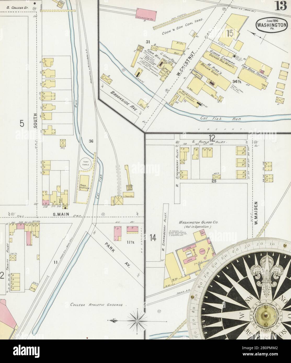 Image 13 of Sanborn Fire Insurance Map from Washington, Washington County, Pennsylvania. Jun 1896. 18 Sheet(s), America, street map with a Nineteenth Century compass Stock Photohttps://www.alamy.com/image-license-details/?v=1https://www.alamy.com/image-13-of-sanborn-fire-insurance-map-from-washington-washington-county-pennsylvania-jun-1896-18-sheets-america-street-map-with-a-nineteenth-century-compass-image344706546.html
RM2B0PMM2–Image 13 of Sanborn Fire Insurance Map from Washington, Washington County, Pennsylvania. Jun 1896. 18 Sheet(s), America, street map with a Nineteenth Century compass
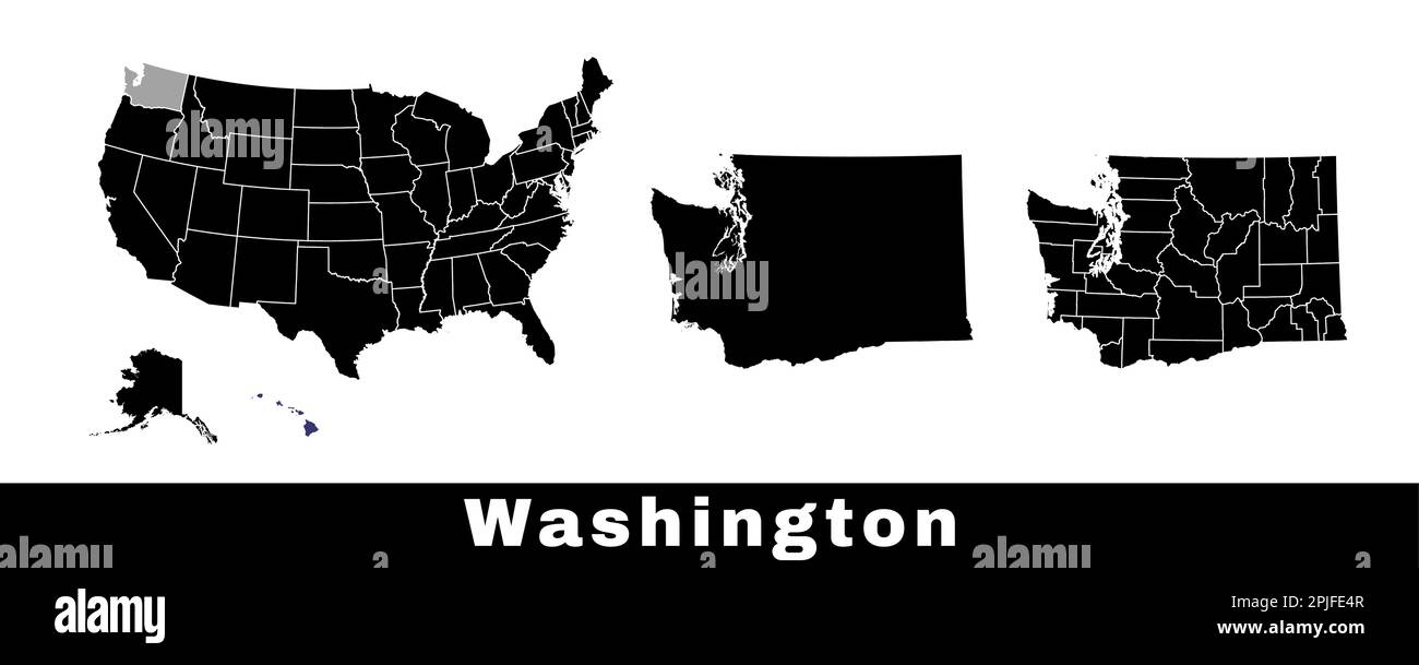 Washington state map, USA. Set of Washington maps with outline border, counties and US states map. Black and white color vector illustration. Stock Vectorhttps://www.alamy.com/image-license-details/?v=1https://www.alamy.com/washington-state-map-usa-set-of-washington-maps-with-outline-border-counties-and-us-states-map-black-and-white-color-vector-illustration-image544925607.html
RF2PJFE4R–Washington state map, USA. Set of Washington maps with outline border, counties and US states map. Black and white color vector illustration.
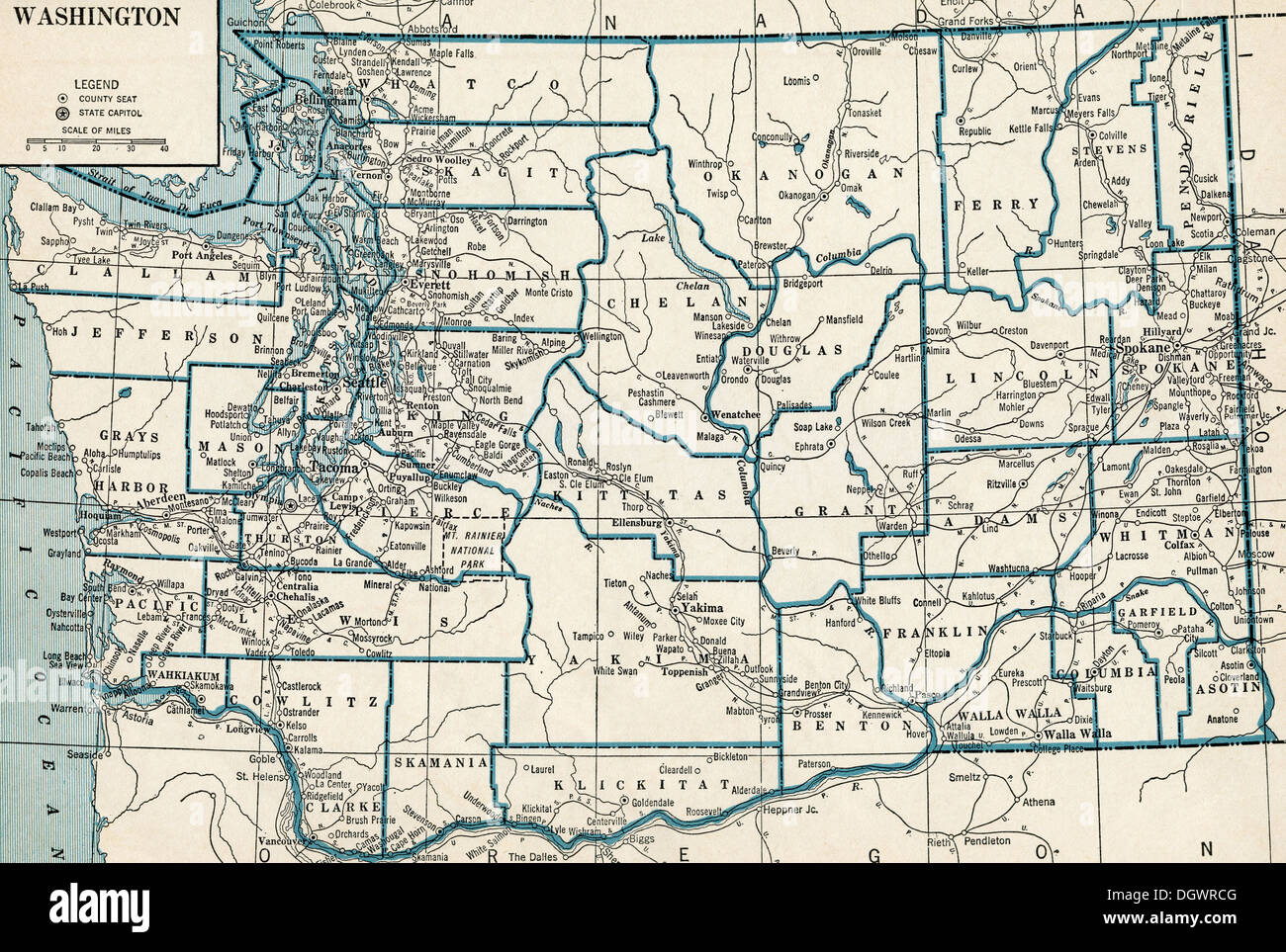 Old map of Washington, 1930's Stock Photohttps://www.alamy.com/image-license-details/?v=1https://www.alamy.com/old-map-of-washington-1930s-image62032784.html
RMDGWRCG–Old map of Washington, 1930's
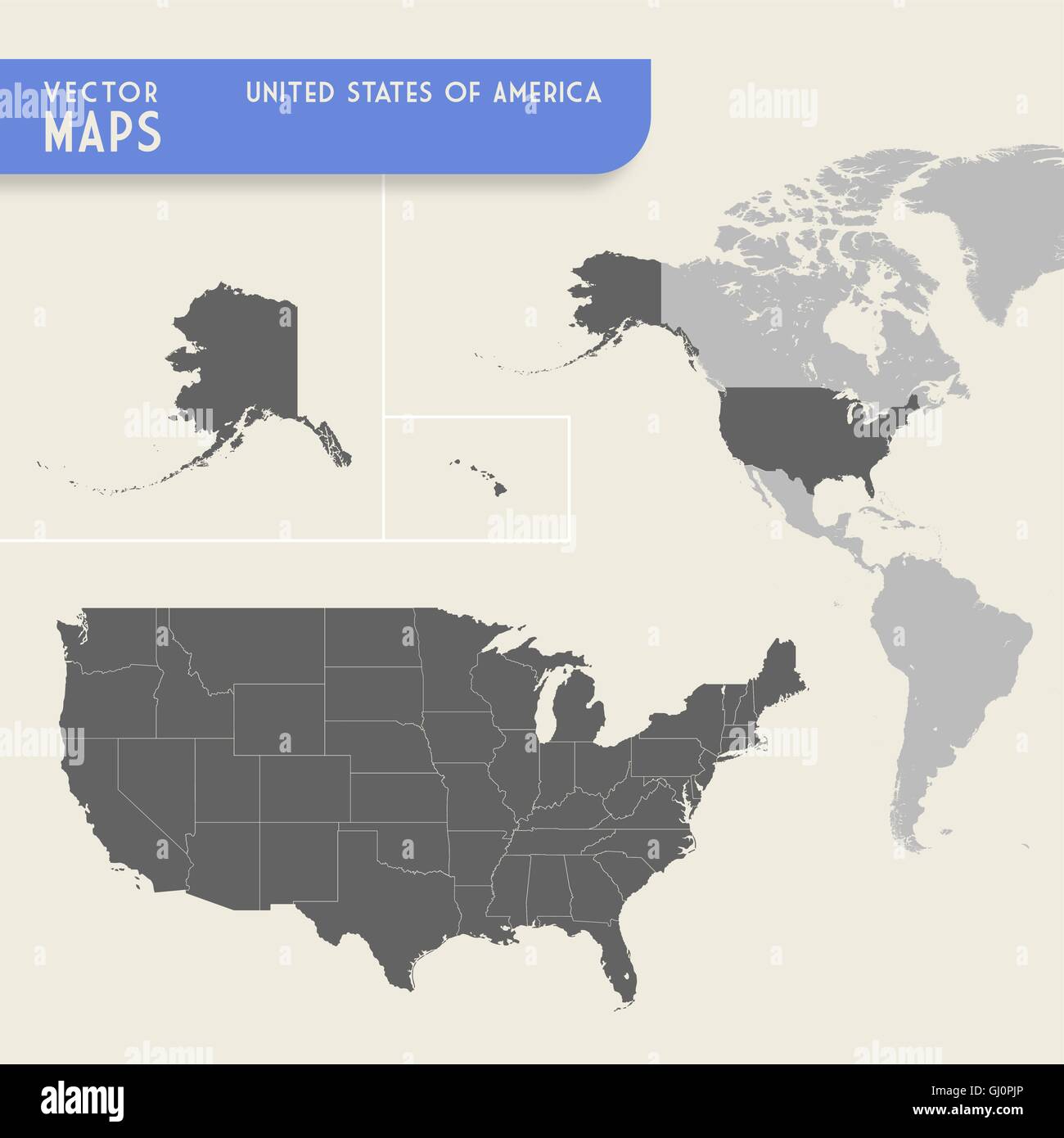 Vector map of the United States of america with also a minimap of the whole North and South America continents, with highlighted Stock Vectorhttps://www.alamy.com/image-license-details/?v=1https://www.alamy.com/stock-photo-vector-map-of-the-united-states-of-america-with-also-a-minimap-of-114343790.html
RFGJ0PJP–Vector map of the United States of america with also a minimap of the whole North and South America continents, with highlighted
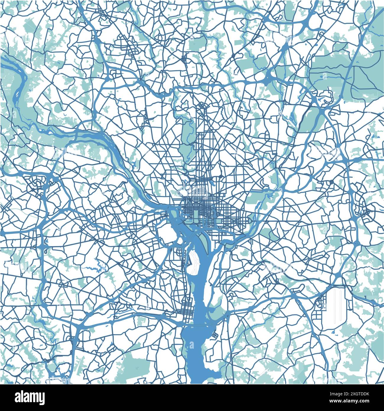 Map of Washington in District of Columbia in blue. Contains layered vector with roads water, parks, etc. Stock Vectorhttps://www.alamy.com/image-license-details/?v=1https://www.alamy.com/map-of-washington-in-district-of-columbia-in-blue-contains-layered-vector-with-roads-water-parks-etc-image612734799.html
RF2XGTDDK–Map of Washington in District of Columbia in blue. Contains layered vector with roads water, parks, etc.
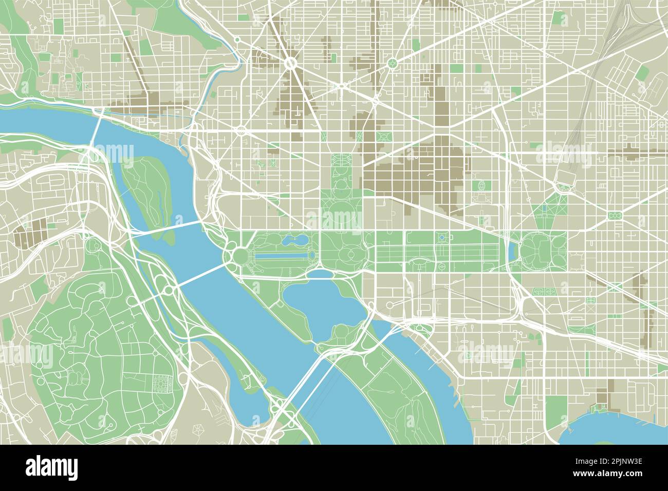 Vector city map of Washington, D.C. with well organized separated layers. Stock Vectorhttps://www.alamy.com/image-license-details/?v=1https://www.alamy.com/vector-city-map-of-washington-dc-with-well-organized-separated-layers-image545065906.html
RF2PJNW3E–Vector city map of Washington, D.C. with well organized separated layers.
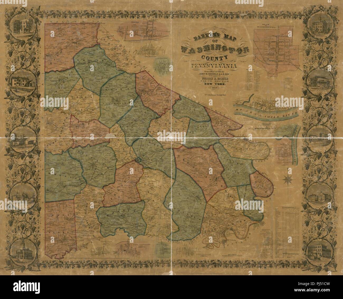 Barker's map of Washington County, Pennsylvania - from actual surveys Stock Photohttps://www.alamy.com/image-license-details/?v=1https://www.alamy.com/barkers-map-of-washington-county-pennsylvania-from-actual-surveys-image217699129.html
RMPJ51CW–Barker's map of Washington County, Pennsylvania - from actual surveys
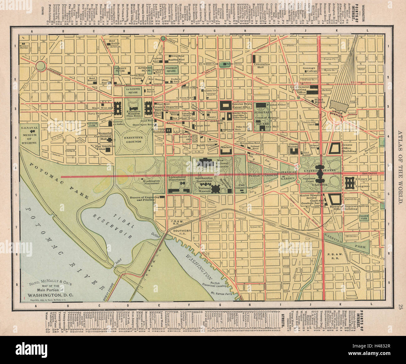 Washington D.C. town city map plan. Washington DC. RAND MCNALLY 1912 old Stock Photohttps://www.alamy.com/image-license-details/?v=1https://www.alamy.com/stock-photo-washington-dc-town-city-map-plan-washington-dc-rand-mcnally-1912-old-123109247.html
RFH4832R–Washington D.C. town city map plan. Washington DC. RAND MCNALLY 1912 old
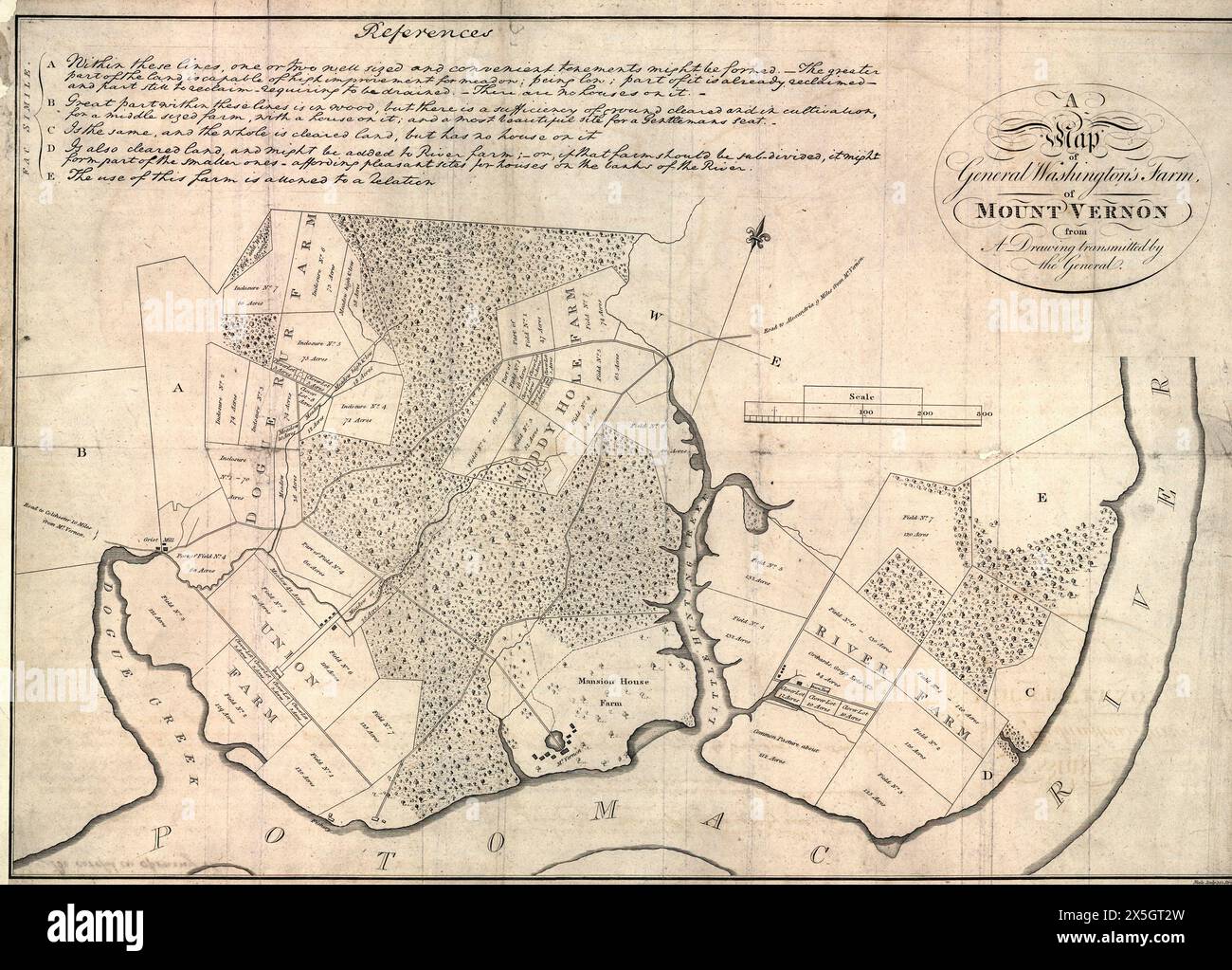 A map of General Washington's farm of Mount Vernon from a drawing transmitted by the General, 1801 Stock Photohttps://www.alamy.com/image-license-details/?v=1https://www.alamy.com/a-map-of-general-washingtons-farm-of-mount-vernon-from-a-drawing-transmitted-by-the-general-1801-image605806289.html
RM2X5GT2W–A map of General Washington's farm of Mount Vernon from a drawing transmitted by the General, 1801
 Map of Washington, DC with Red Push Pin Stock Photohttps://www.alamy.com/image-license-details/?v=1https://www.alamy.com/map-of-washington-dc-with-red-push-pin-image263805677.html
RFW95AR9–Map of Washington, DC with Red Push Pin
 Map of Washington on rusty metal Stock Photohttps://www.alamy.com/image-license-details/?v=1https://www.alamy.com/map-of-washington-on-rusty-metal-image634539842.html
RF2YT9P16–Map of Washington on rusty metal
 3d isometric Map of Washington is a state of United States with national flag Stock Vectorhttps://www.alamy.com/image-license-details/?v=1https://www.alamy.com/3d-isometric-map-of-washington-is-a-state-of-united-states-with-national-flag-image491472487.html
RF2KFGE4R–3d isometric Map of Washington is a state of United States with national flag
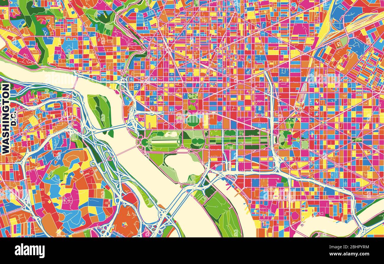 Colorful vector map of Washington, D.C., U.S.A.. Art Map template for selfprinting wall art in landscape format. Stock Vectorhttps://www.alamy.com/image-license-details/?v=1https://www.alamy.com/colorful-vector-map-of-washington-dc-usa-art-map-template-for-selfprinting-wall-art-in-landscape-format-image355161288.html
RF2BHPYRM–Colorful vector map of Washington, D.C., U.S.A.. Art Map template for selfprinting wall art in landscape format.
 map of washington Stock Photohttps://www.alamy.com/image-license-details/?v=1https://www.alamy.com/stock-photo-map-of-washington-143690565.html
RFJ9NJNW–map of washington
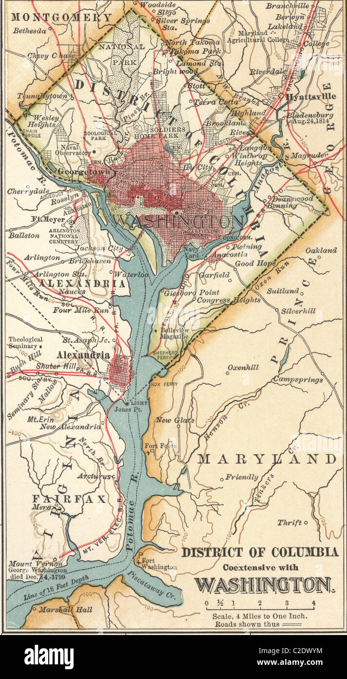 Map of Washington DC Stock Photohttps://www.alamy.com/image-license-details/?v=1https://www.alamy.com/stock-photo-map-of-washington-dc-35955800.html
RMC2DWYM–Map of Washington DC
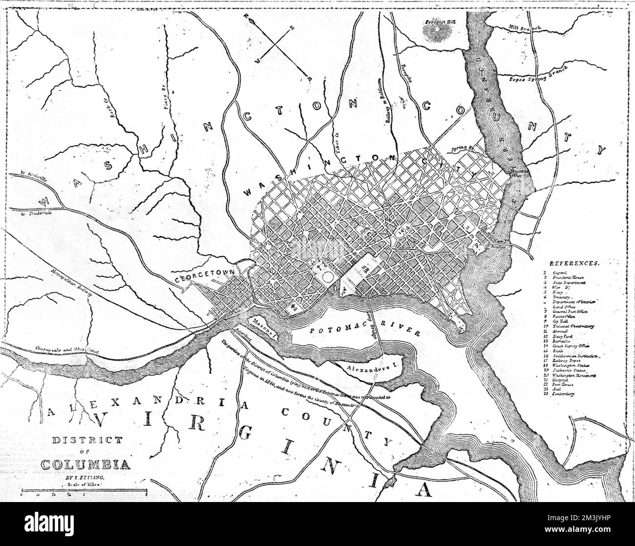 American Civil War. Map of the border between Washington DC Stock Photohttps://www.alamy.com/image-license-details/?v=1https://www.alamy.com/american-civil-war-map-of-the-border-between-washington-dc-image501361442.html
RM2M3JYHP–American Civil War. Map of the border between Washington DC
 1872 Walling Map of Washington and Oregon Stock Photohttps://www.alamy.com/image-license-details/?v=1https://www.alamy.com/stock-photo-1872-walling-map-of-washington-and-oregon-49967793.html
RMCW86C1–1872 Walling Map of Washington and Oregon
 Map of Washington filled with the state flag Stock Photohttps://www.alamy.com/image-license-details/?v=1https://www.alamy.com/map-of-washington-filled-with-the-state-flag-image69095663.html
RFE0BG67–Map of Washington filled with the state flag
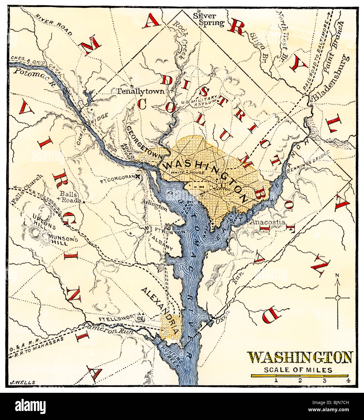 Map of the Washington DC vicinity at the outset of the Civil War. Hand-colored woodcut Stock Photohttps://www.alamy.com/image-license-details/?v=1https://www.alamy.com/stock-photo-map-of-the-washington-dc-vicinity-at-the-outset-of-the-civil-war-hand-28741009.html
RMBJN7CH–Map of the Washington DC vicinity at the outset of the Civil War. Hand-colored woodcut