Quick filters:
Map of whitefish point Stock Photos and Images
 Whitefish Point Michigan USA shown on a Geography map or road map Stock Photohttps://www.alamy.com/image-license-details/?v=1https://www.alamy.com/whitefish-point-michigan-usa-shown-on-a-geography-map-or-road-map-image426087195.html
RM2FN5XFR–Whitefish Point Michigan USA shown on a Geography map or road map
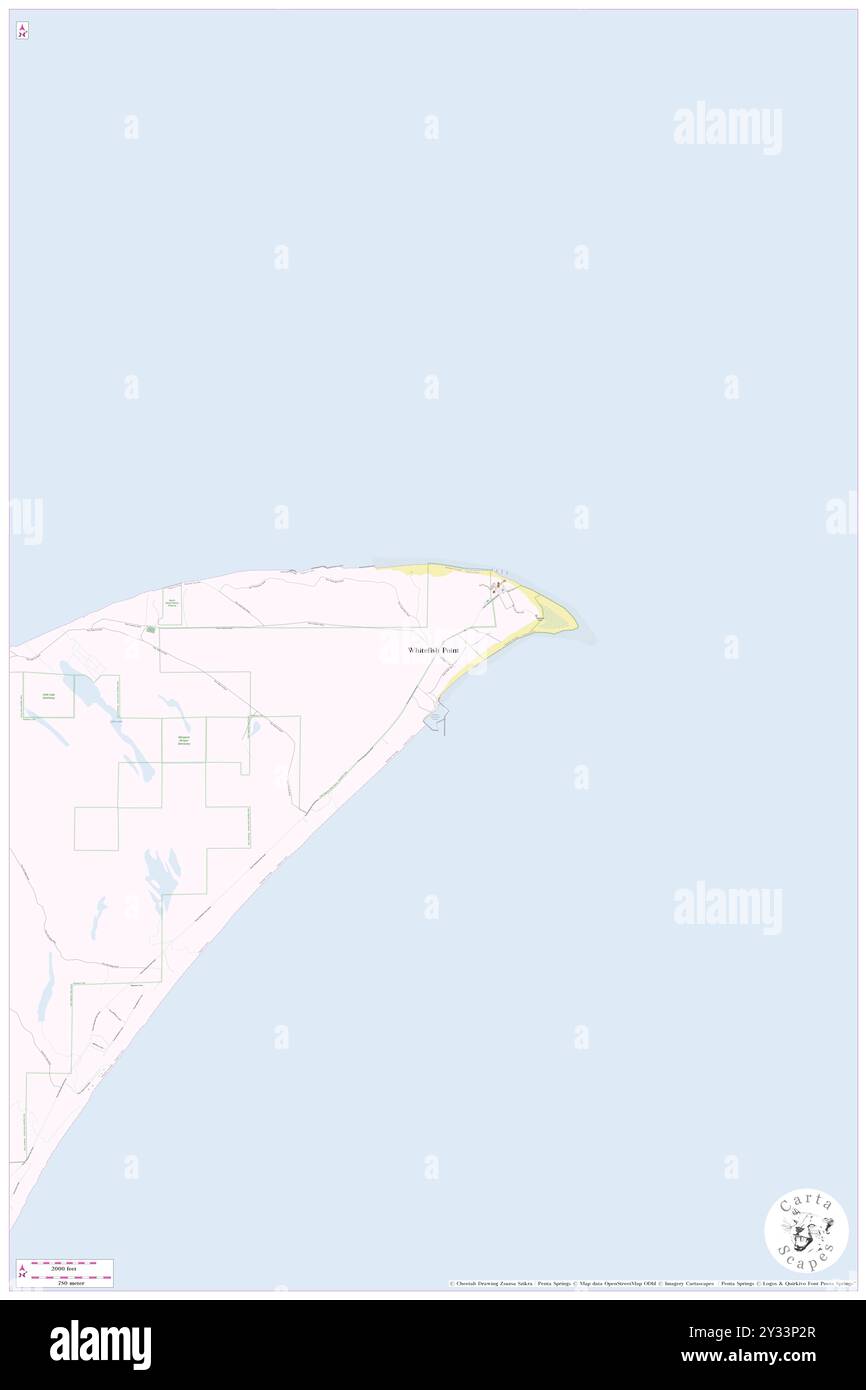 Whitefish Point, Chippewa County, US, United States, Michigan, N 46 45' 57'', S 84 57' 55'', map, Cartascapes Map published in 2024. Explore Cartascapes, a map revealing Earth's diverse landscapes, cultures, and ecosystems. Journey through time and space, discovering the interconnectedness of our planet's past, present, and future. Stock Photohttps://www.alamy.com/image-license-details/?v=1https://www.alamy.com/whitefish-point-chippewa-county-us-united-states-michigan-n-46-45-57-s-84-57-55-map-cartascapes-map-published-in-2024-explore-cartascapes-a-map-revealing-earths-diverse-landscapes-cultures-and-ecosystems-journey-through-time-and-space-discovering-the-interconnectedness-of-our-planets-past-present-and-future-image621500399.html
RM2Y33P2R–Whitefish Point, Chippewa County, US, United States, Michigan, N 46 45' 57'', S 84 57' 55'', map, Cartascapes Map published in 2024. Explore Cartascapes, a map revealing Earth's diverse landscapes, cultures, and ecosystems. Journey through time and space, discovering the interconnectedness of our planet's past, present, and future.
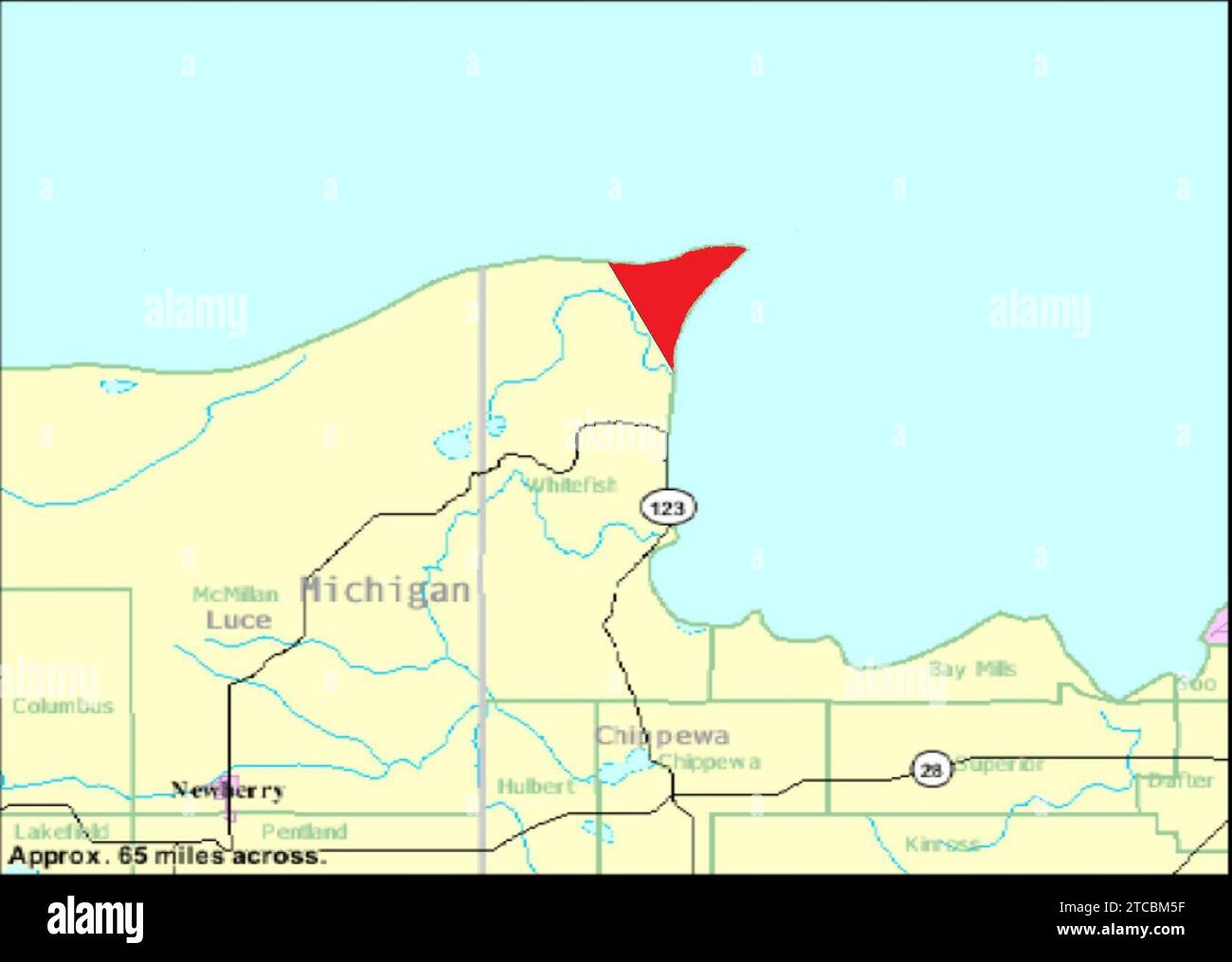 Whitefish Point Map. Stock Photohttps://www.alamy.com/image-license-details/?v=1https://www.alamy.com/whitefish-point-map-image575575323.html
RM2TCBM5F–Whitefish Point Map.
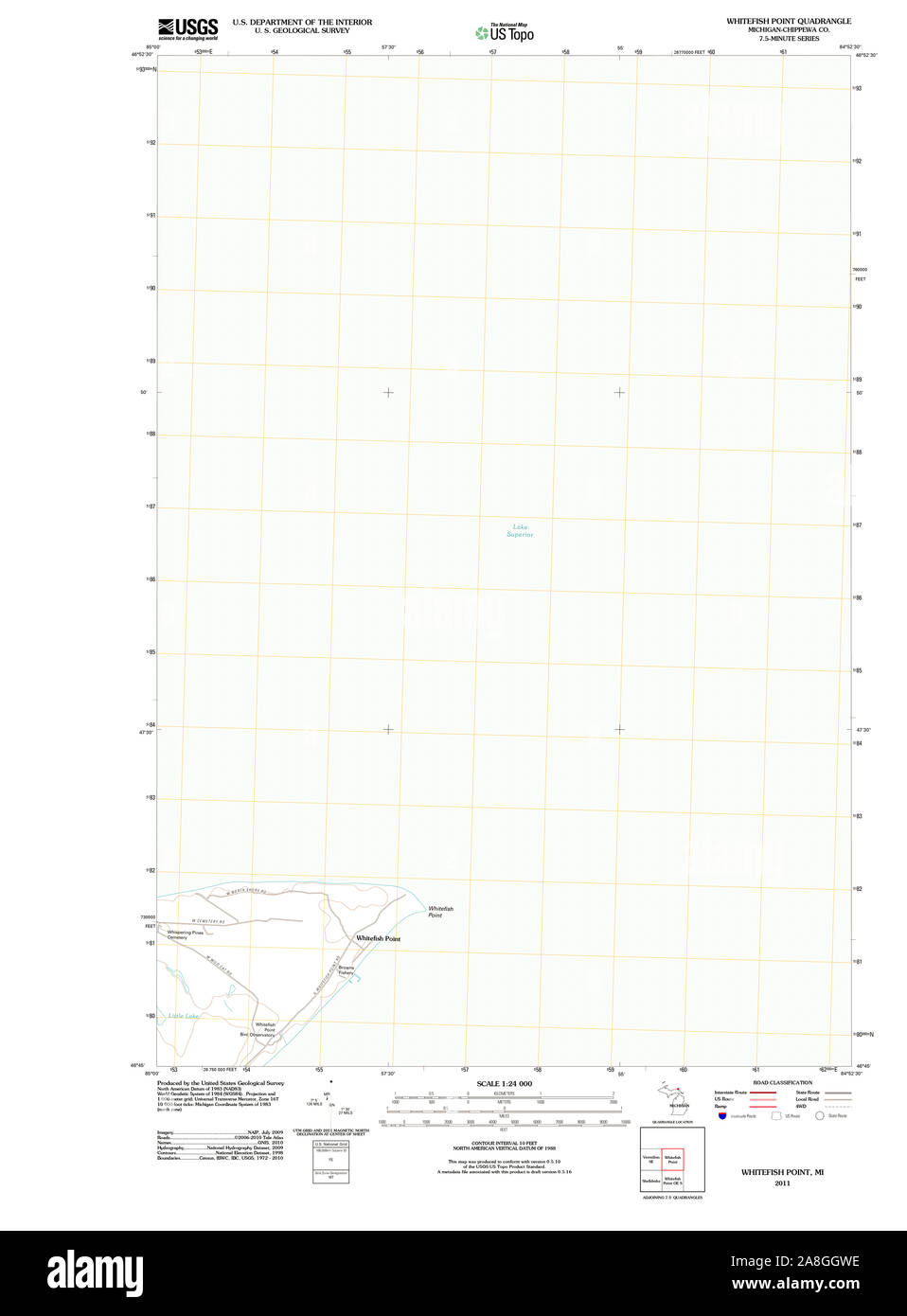 USGS TOPO Map Michigan MI Whitefish Point 20110913 TM Stock Photohttps://www.alamy.com/image-license-details/?v=1https://www.alamy.com/usgs-topo-map-michigan-mi-whitefish-point-20110913-tm-image332278730.html
RM2A8GGWE–USGS TOPO Map Michigan MI Whitefish Point 20110913 TM
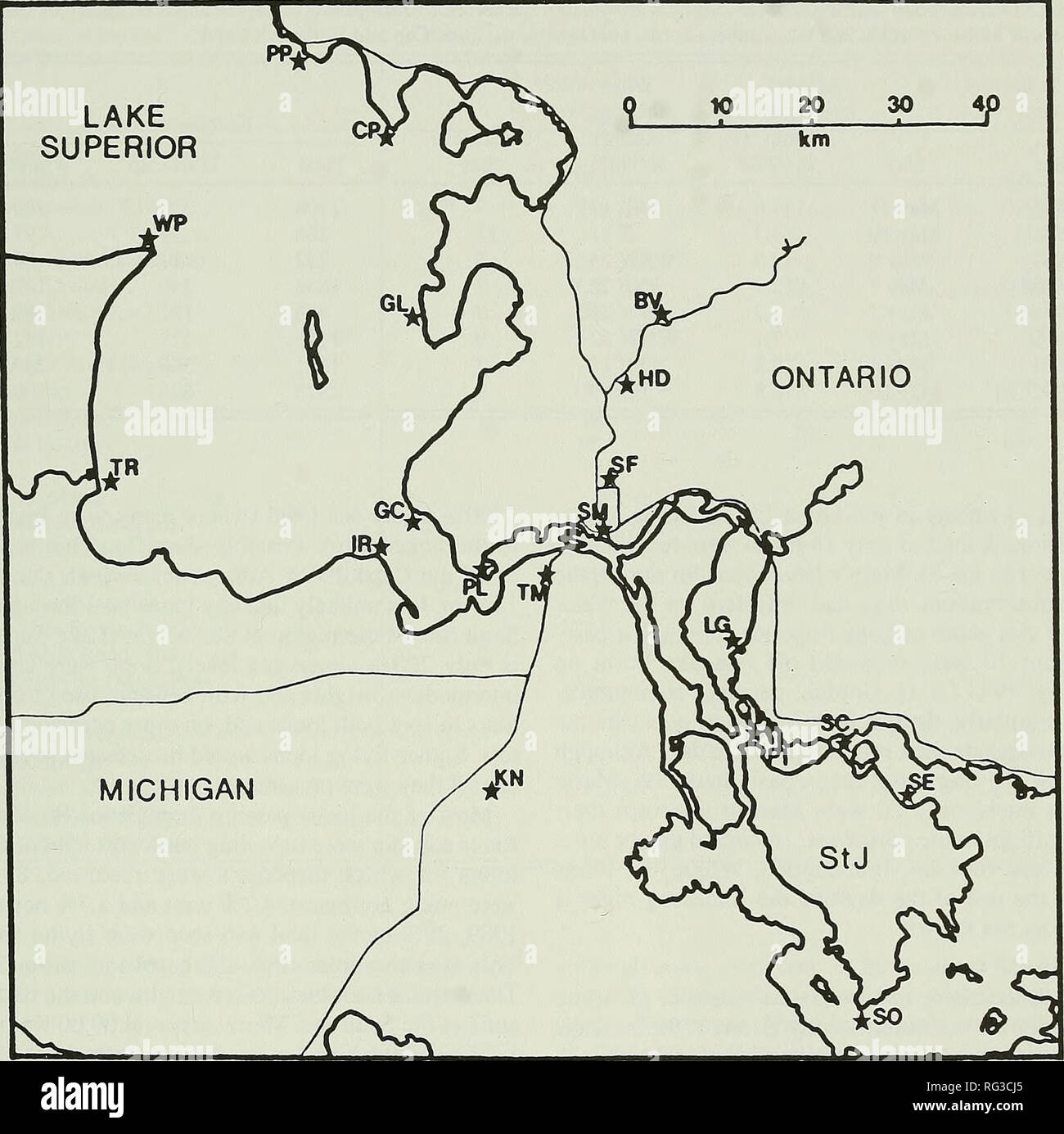 . The Canadian field-naturalist. 1993 Sanders: Spring Migration Routes of Common Loons 197 LAKE SUPERIOR 10 20 30. Figure 1. Map of the Sault Ste. Marie region of the Great Lakes, showing the location of the observation sites from which loon migration was recorded. See Table 3 for names corresponding to the abbreviations. breeding plumage, with the exception of four loons passing Gros Cap in 1990 and three flying up the St. Mary's River past Sault Ste. Marie in 1992, which were identified as Red-throated Loons. Of 4838 loons recorded by Ewert (1982) passing Whitefish Point in 1982, only 18 wer Stock Photohttps://www.alamy.com/image-license-details/?v=1https://www.alamy.com/the-canadian-field-naturalist-1993-sanders-spring-migration-routes-of-common-loons-197-lake-superior-10-20-30-figure-1-map-of-the-sault-ste-marie-region-of-the-great-lakes-showing-the-location-of-the-observation-sites-from-which-loon-migration-was-recorded-see-table-3-for-names-corresponding-to-the-abbreviations-breeding-plumage-with-the-exception-of-four-loons-passing-gros-cap-in-1990-and-three-flying-up-the-st-marys-river-past-sault-ste-marie-in-1992-which-were-identified-as-red-throated-loons-of-4838-loons-recorded-by-ewert-1982-passing-whitefish-point-in-1982-only-18-wer-image233645053.html
RMRG3CJ5–. The Canadian field-naturalist. 1993 Sanders: Spring Migration Routes of Common Loons 197 LAKE SUPERIOR 10 20 30. Figure 1. Map of the Sault Ste. Marie region of the Great Lakes, showing the location of the observation sites from which loon migration was recorded. See Table 3 for names corresponding to the abbreviations. breeding plumage, with the exception of four loons passing Gros Cap in 1990 and three flying up the St. Mary's River past Sault Ste. Marie in 1992, which were identified as Red-throated Loons. Of 4838 loons recorded by Ewert (1982) passing Whitefish Point in 1982, only 18 wer
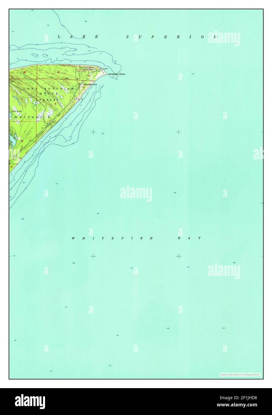 Whitefish Point, Michigan, map 1951, 1:24000, United States of America by Timeless Maps, data U.S. Geological Survey Stock Photohttps://www.alamy.com/image-license-details/?v=1https://www.alamy.com/whitefish-point-michigan-map-1951-124000-united-states-of-america-by-timeless-maps-data-us-geological-survey-image414072324.html
RM2F1JHD8–Whitefish Point, Michigan, map 1951, 1:24000, United States of America by Timeless Maps, data U.S. Geological Survey
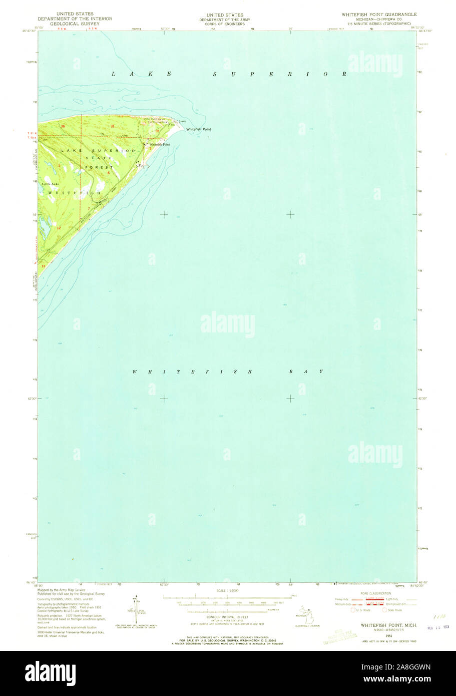 USGS TOPO Map Michigan MI Whitefish Point 277525 1951 24000 Stock Photohttps://www.alamy.com/image-license-details/?v=1https://www.alamy.com/usgs-topo-map-michigan-mi-whitefish-point-277525-1951-24000-image332278737.html
RM2A8GGWN–USGS TOPO Map Michigan MI Whitefish Point 277525 1951 24000
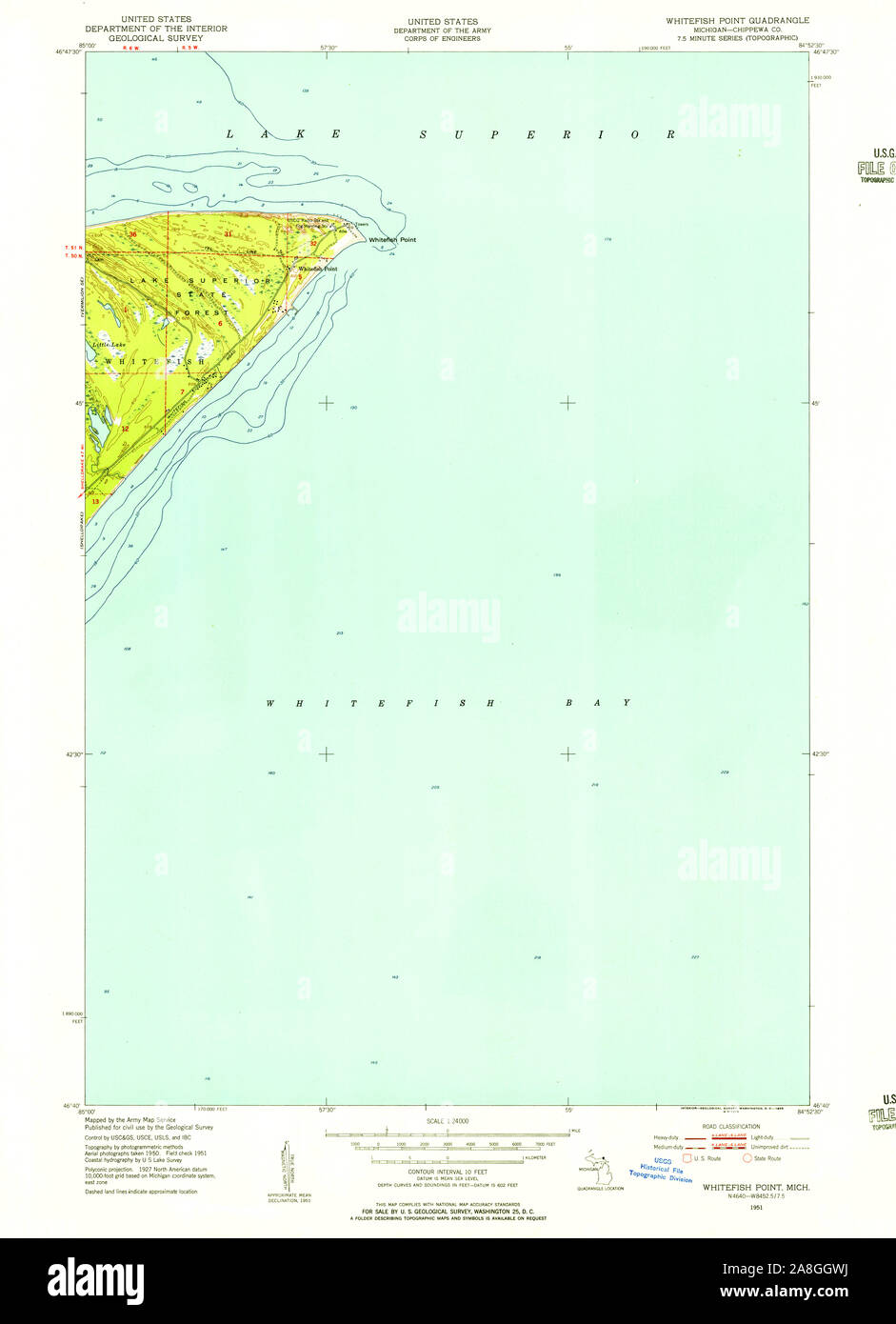 USGS TOPO Map Michigan MI Whitefish Point 277526 1951 24000 Stock Photohttps://www.alamy.com/image-license-details/?v=1https://www.alamy.com/usgs-topo-map-michigan-mi-whitefish-point-277526-1951-24000-image332278734.html
RM2A8GGWJ–USGS TOPO Map Michigan MI Whitefish Point 277526 1951 24000
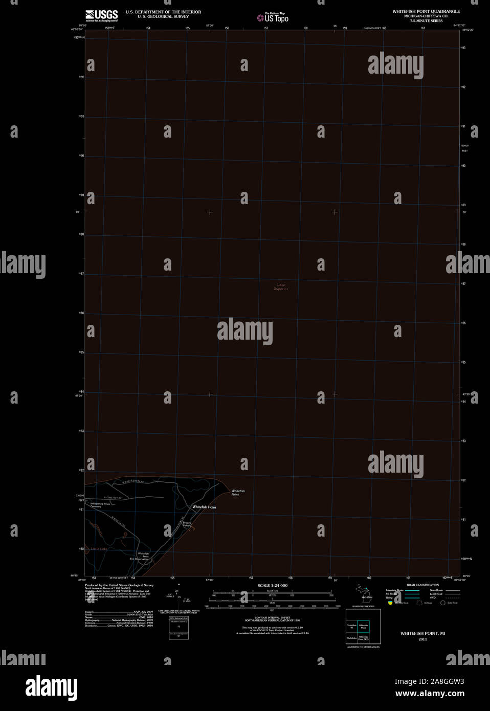 USGS TOPO Map Michigan MI Whitefish Point 20110913 TM Inverted Stock Photohttps://www.alamy.com/image-license-details/?v=1https://www.alamy.com/usgs-topo-map-michigan-mi-whitefish-point-20110913-tm-inverted-image332278719.html
RM2A8GGW3–USGS TOPO Map Michigan MI Whitefish Point 20110913 TM Inverted
 USGS TOPO Map Michigan MI Whitefish Point 277526 1951 24000 Inverted Stock Photohttps://www.alamy.com/image-license-details/?v=1https://www.alamy.com/usgs-topo-map-michigan-mi-whitefish-point-277526-1951-24000-inverted-image332278724.html
RM2A8GGW8–USGS TOPO Map Michigan MI Whitefish Point 277526 1951 24000 Inverted
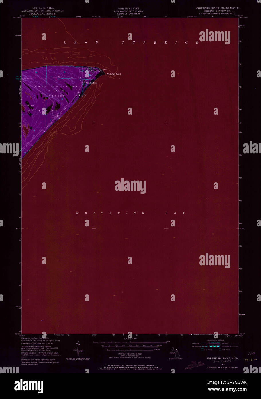 USGS TOPO Map Michigan MI Whitefish Point 277525 1951 24000 Inverted Stock Photohttps://www.alamy.com/image-license-details/?v=1https://www.alamy.com/usgs-topo-map-michigan-mi-whitefish-point-277525-1951-24000-inverted-image332278735.html
RM2A8GGWK–USGS TOPO Map Michigan MI Whitefish Point 277525 1951 24000 Inverted
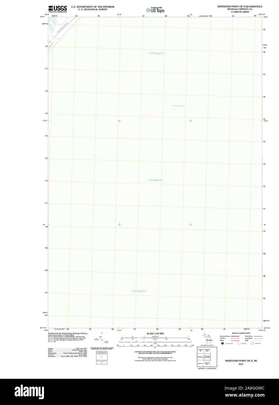 USGS TOPO Map Michigan MI Whitefish Point OE S 20110913 TM Stock Photohttps://www.alamy.com/image-license-details/?v=1https://www.alamy.com/usgs-topo-map-michigan-mi-whitefish-point-oe-s-20110913-tm-image332278728.html
RM2A8GGWC–USGS TOPO Map Michigan MI Whitefish Point OE S 20110913 TM
 USGS TOPO Map Michigan MI Whitefish Point OE S 20110913 TM Inverted Stock Photohttps://www.alamy.com/image-license-details/?v=1https://www.alamy.com/usgs-topo-map-michigan-mi-whitefish-point-oe-s-20110913-tm-inverted-image332278722.html
RM2A8GGW6–USGS TOPO Map Michigan MI Whitefish Point OE S 20110913 TM Inverted