Quick filters:
Map of willmar minnesota Stock Photos and Images
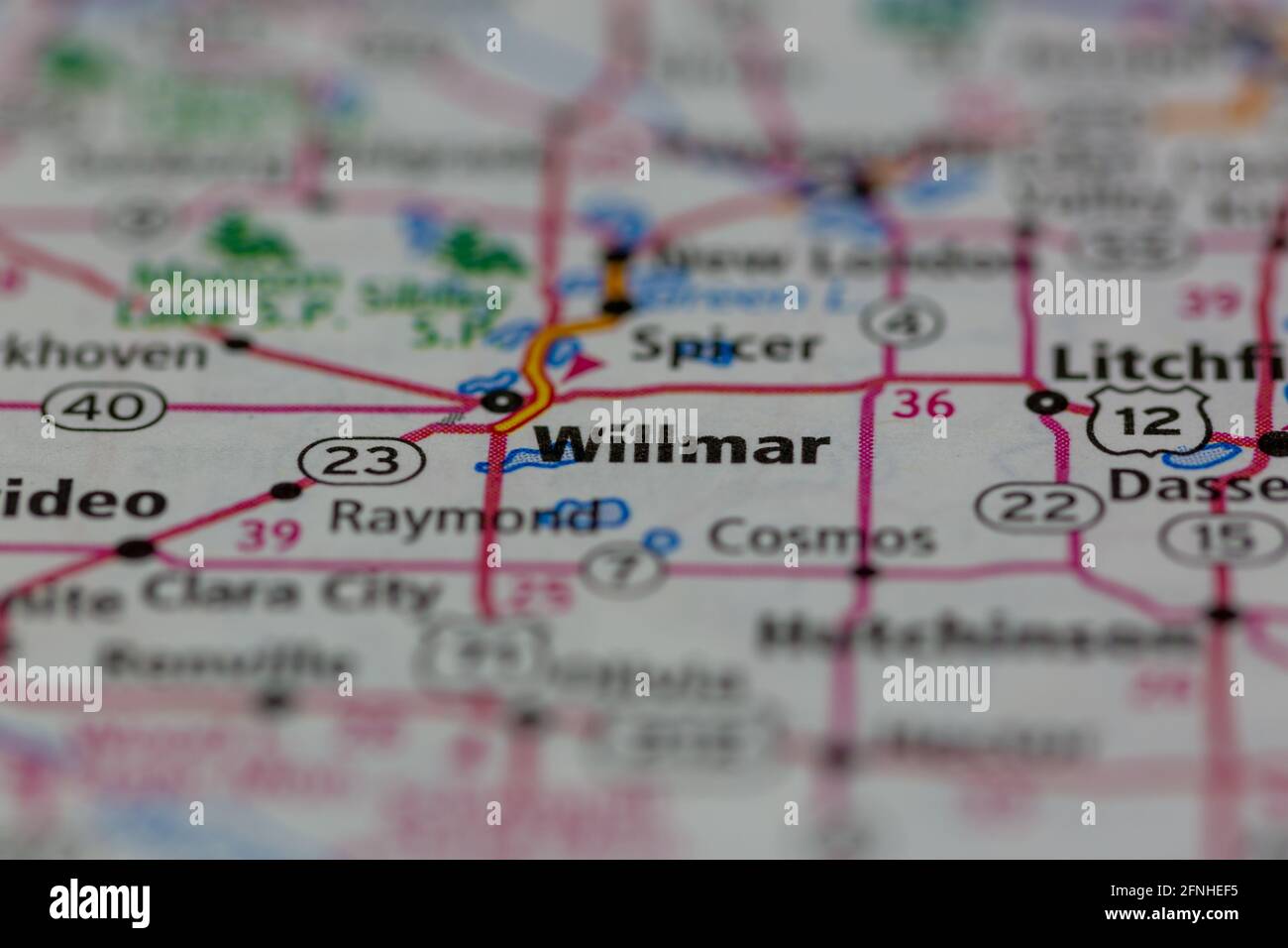 Willmar Minnesota USA shown on a Geography map or road map Stock Photohttps://www.alamy.com/image-license-details/?v=1https://www.alamy.com/willmar-minnesota-usa-shown-on-a-geography-map-or-road-map-image426341193.html
RM2FNHEF5–Willmar Minnesota USA shown on a Geography map or road map
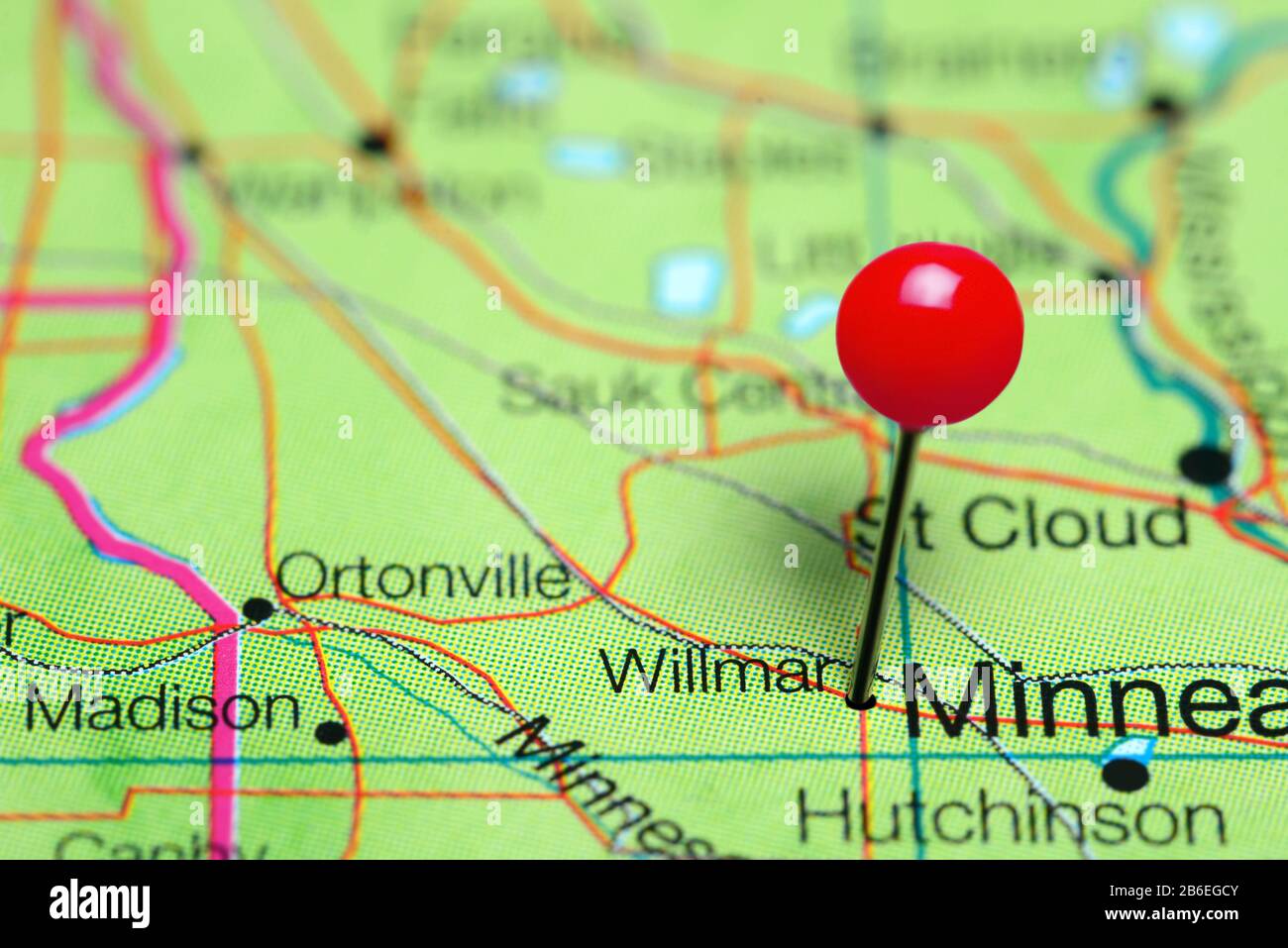 Willmar pinned on a map of Minnesota, USA Stock Photohttps://www.alamy.com/image-license-details/?v=1https://www.alamy.com/willmar-pinned-on-a-map-of-minnesota-usa-image348215531.html
RF2B6EGCY–Willmar pinned on a map of Minnesota, USA
 Willmar, Kandiyohi County, US, United States, Minnesota, N 45 7' 18'', S 95 2' 36'', map, Cartascapes Map published in 2024. Explore Cartascapes, a map revealing Earth's diverse landscapes, cultures, and ecosystems. Journey through time and space, discovering the interconnectedness of our planet's past, present, and future. Stock Photohttps://www.alamy.com/image-license-details/?v=1https://www.alamy.com/willmar-kandiyohi-county-us-united-states-minnesota-n-45-7-18-s-95-2-36-map-cartascapes-map-published-in-2024-explore-cartascapes-a-map-revealing-earths-diverse-landscapes-cultures-and-ecosystems-journey-through-time-and-space-discovering-the-interconnectedness-of-our-planets-past-present-and-future-image620855477.html
RM2Y22BDW–Willmar, Kandiyohi County, US, United States, Minnesota, N 45 7' 18'', S 95 2' 36'', map, Cartascapes Map published in 2024. Explore Cartascapes, a map revealing Earth's diverse landscapes, cultures, and ecosystems. Journey through time and space, discovering the interconnectedness of our planet's past, present, and future.
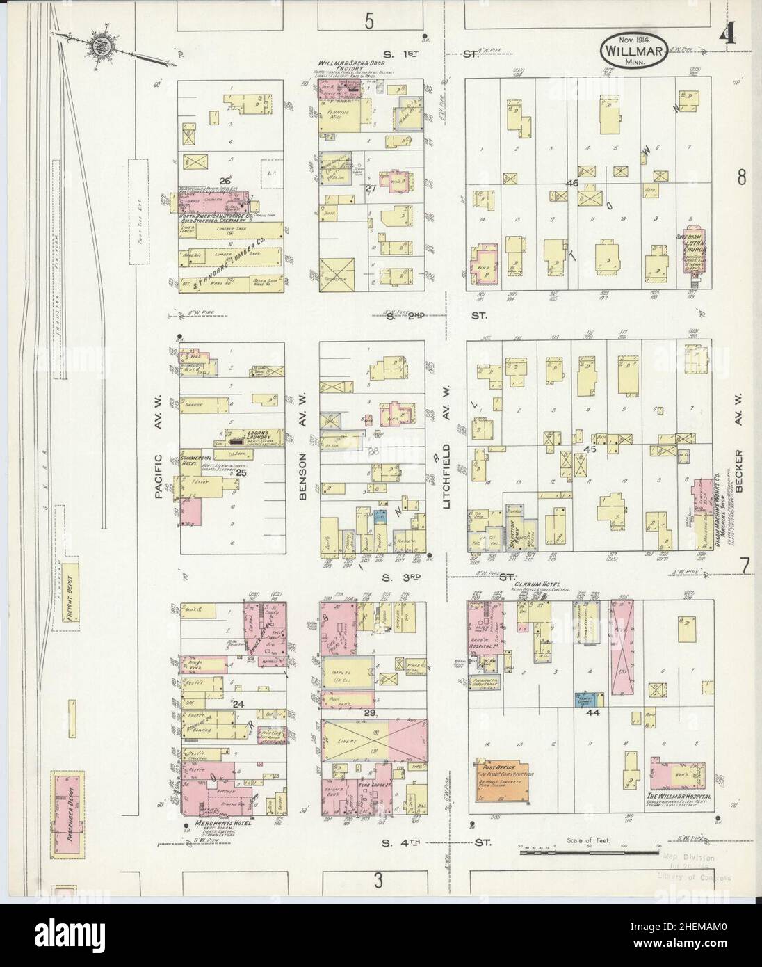 Sanborn Fire Insurance Map from Willmar, Kandiyohi County, Minnesota. Stock Photohttps://www.alamy.com/image-license-details/?v=1https://www.alamy.com/sanborn-fire-insurance-map-from-willmar-kandiyohi-county-minnesota-image456522192.html
RM2HEMAM0–Sanborn Fire Insurance Map from Willmar, Kandiyohi County, Minnesota.
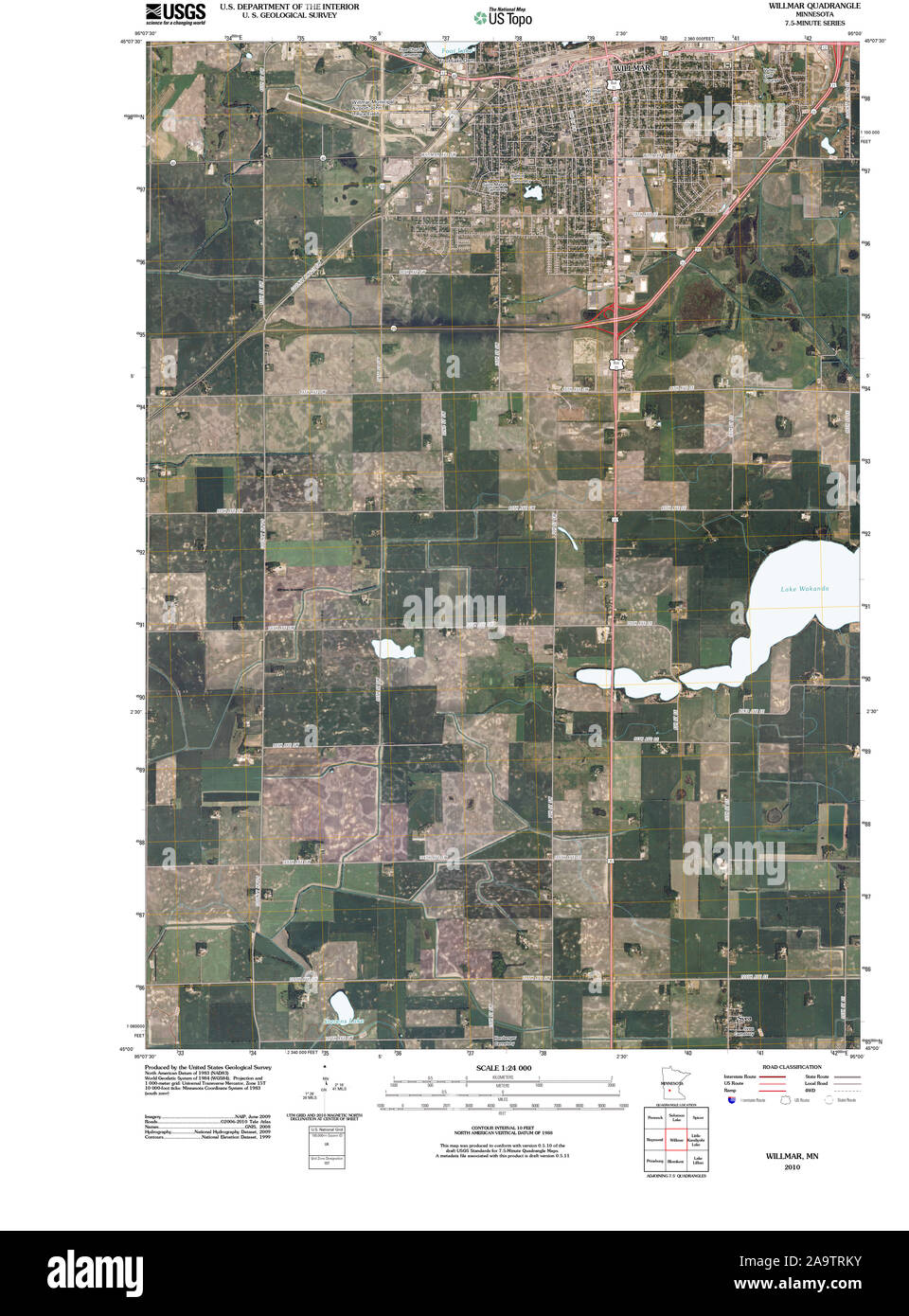 USGS TOPO Map MInnesota MN Willmar 20100818 TM Restoration Stock Photohttps://www.alamy.com/image-license-details/?v=1https://www.alamy.com/usgs-topo-map-minnesota-mn-willmar-20100818-tm-restoration-image333074335.html
RM2A9TRKY–USGS TOPO Map MInnesota MN Willmar 20100818 TM Restoration
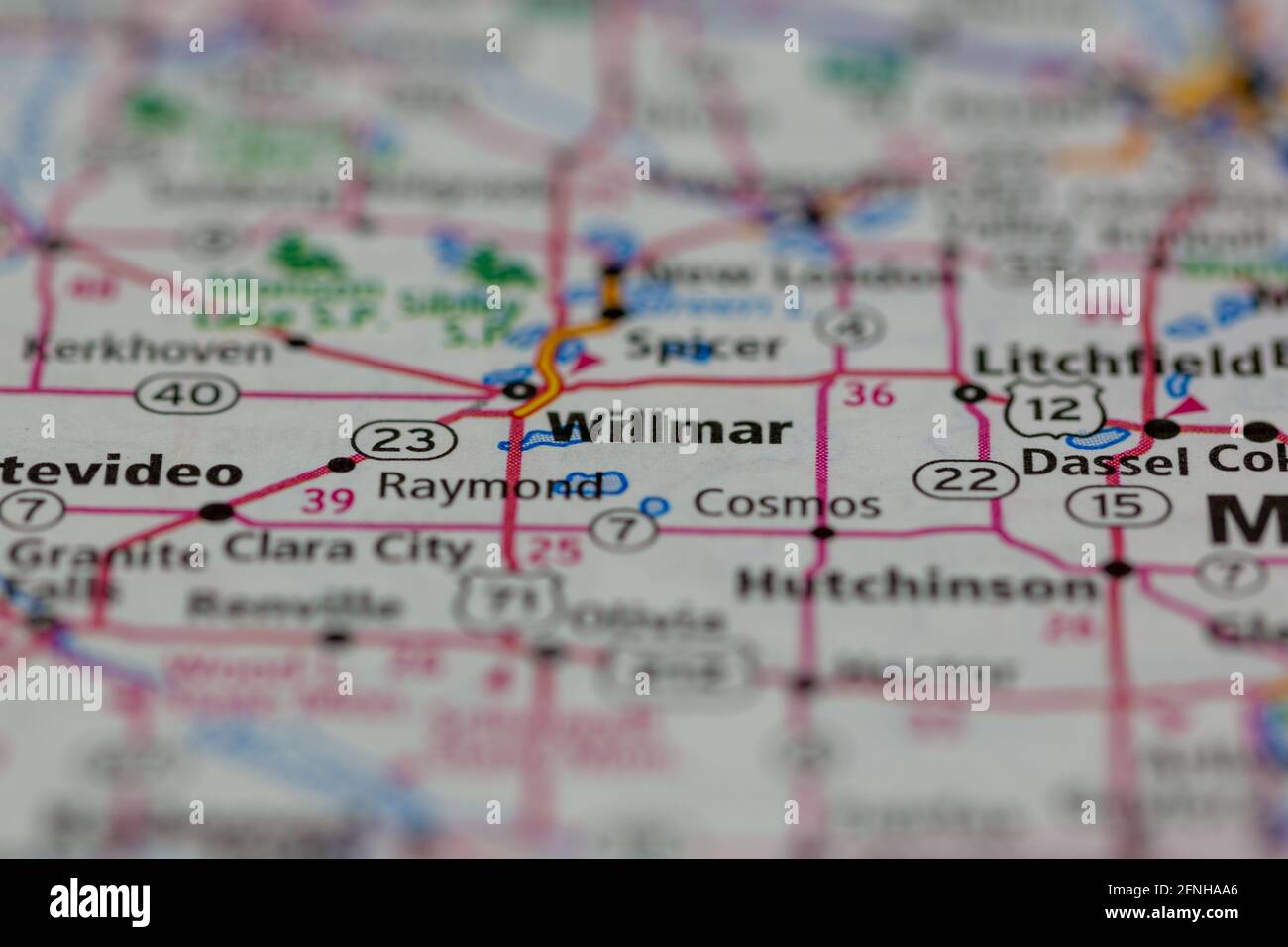 05-17-2021 Portsmouth, Hampshire, UK, Willmar Minnesota USA shown on a Geography map or road map Stock Photohttps://www.alamy.com/image-license-details/?v=1https://www.alamy.com/05-17-2021-portsmouth-hampshire-uk-willmar-minnesota-usa-shown-on-a-geography-map-or-road-map-image426337918.html
RM2FNHAA6–05-17-2021 Portsmouth, Hampshire, UK, Willmar Minnesota USA shown on a Geography map or road map
 Willmar, Kandiyohi County, US, United States, Minnesota, N 45 7' 18'', S 95 2' 36'', map, Cartascapes Map published in 2024. Explore Cartascapes, a map revealing Earth's diverse landscapes, cultures, and ecosystems. Journey through time and space, discovering the interconnectedness of our planet's past, present, and future. Stock Photohttps://www.alamy.com/image-license-details/?v=1https://www.alamy.com/willmar-kandiyohi-county-us-united-states-minnesota-n-45-7-18-s-95-2-36-map-cartascapes-map-published-in-2024-explore-cartascapes-a-map-revealing-earths-diverse-landscapes-cultures-and-ecosystems-journey-through-time-and-space-discovering-the-interconnectedness-of-our-planets-past-present-and-future-image620652777.html
RM2Y1N4XH–Willmar, Kandiyohi County, US, United States, Minnesota, N 45 7' 18'', S 95 2' 36'', map, Cartascapes Map published in 2024. Explore Cartascapes, a map revealing Earth's diverse landscapes, cultures, and ecosystems. Journey through time and space, discovering the interconnectedness of our planet's past, present, and future.
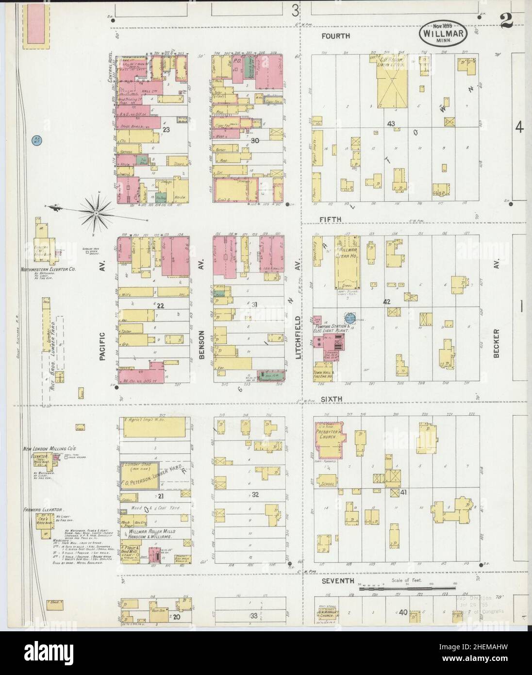 Sanborn Fire Insurance Map from Willmar, Kandiyohi County, Minnesota. Stock Photohttps://www.alamy.com/image-license-details/?v=1https://www.alamy.com/sanborn-fire-insurance-map-from-willmar-kandiyohi-county-minnesota-image456522133.html
RM2HEMAHW–Sanborn Fire Insurance Map from Willmar, Kandiyohi County, Minnesota.
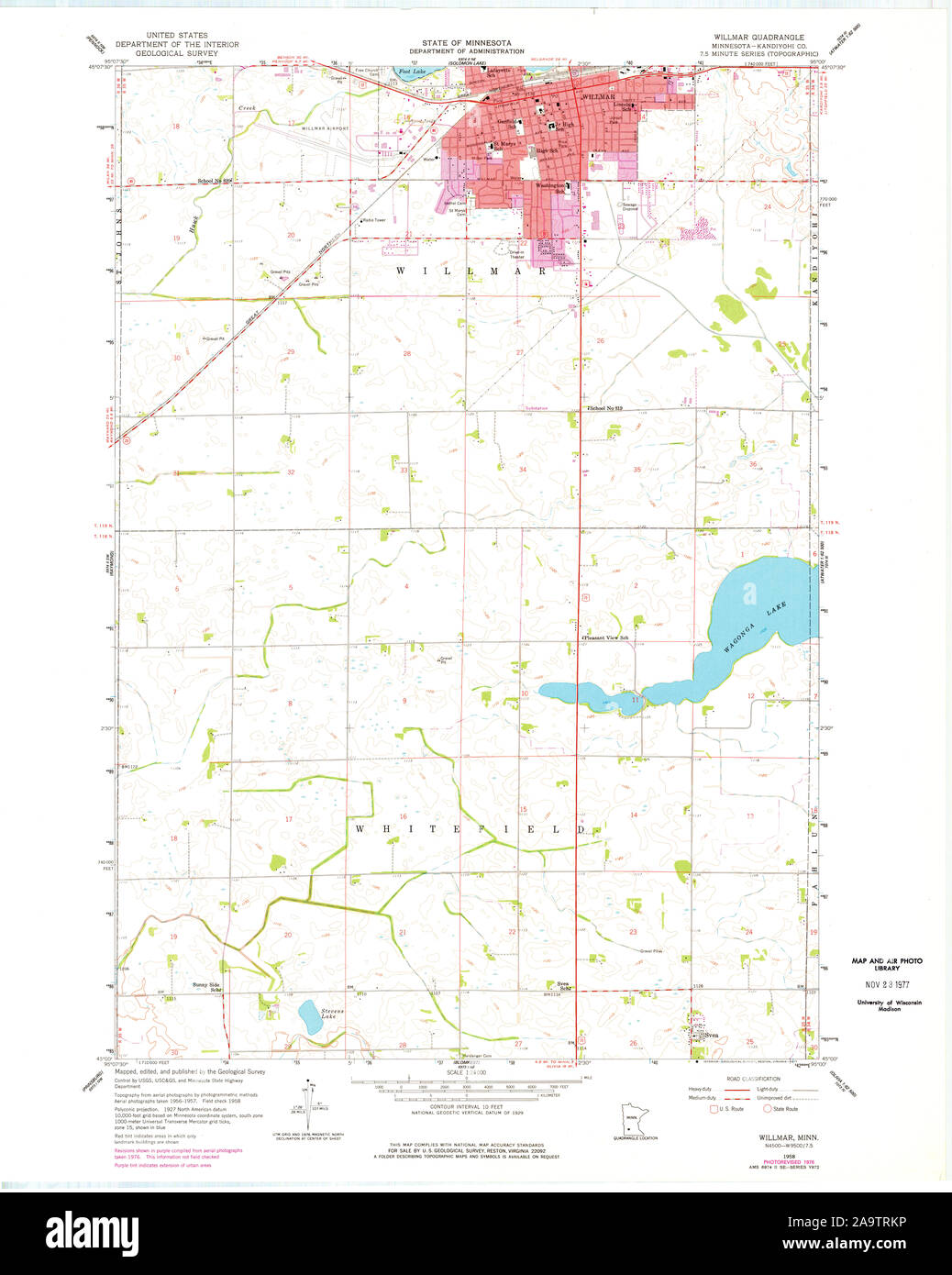 USGS TOPO Map MInnesota MN Willmar 506217 1958 24000 Restoration Stock Photohttps://www.alamy.com/image-license-details/?v=1https://www.alamy.com/usgs-topo-map-minnesota-mn-willmar-506217-1958-24000-restoration-image333074330.html
RM2A9TRKP–USGS TOPO Map MInnesota MN Willmar 506217 1958 24000 Restoration
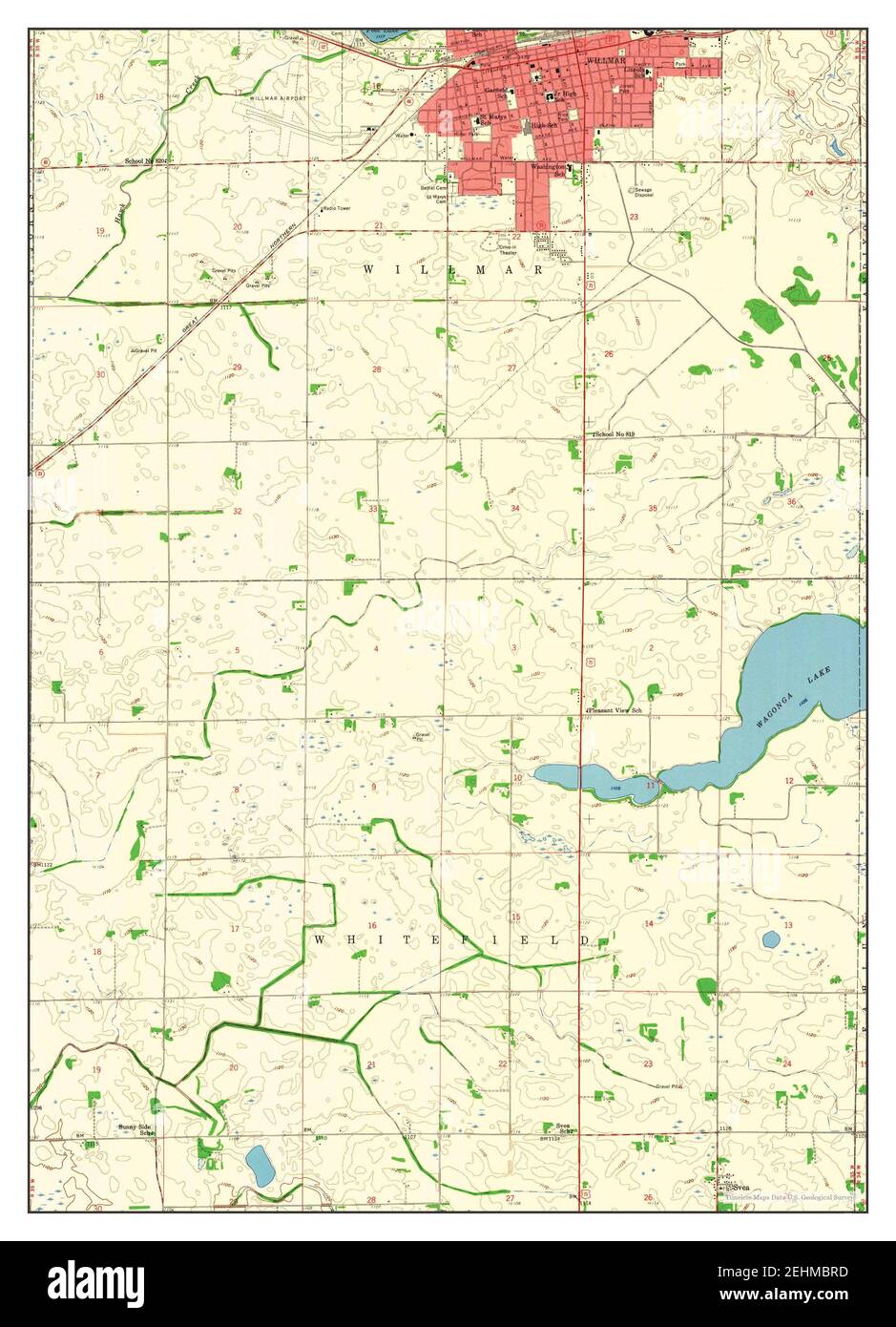 Willmar, Minnesota, map 1958, 1:24000, United States of America by Timeless Maps, data U.S. Geological Survey Stock Photohttps://www.alamy.com/image-license-details/?v=1https://www.alamy.com/willmar-minnesota-map-1958-124000-united-states-of-america-by-timeless-maps-data-us-geological-survey-image406735937.html
RM2EHMBRD–Willmar, Minnesota, map 1958, 1:24000, United States of America by Timeless Maps, data U.S. Geological Survey
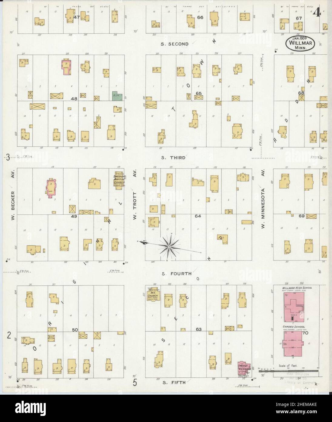 Sanborn Fire Insurance Map from Willmar, Kandiyohi County, Minnesota. Stock Photohttps://www.alamy.com/image-license-details/?v=1https://www.alamy.com/sanborn-fire-insurance-map-from-willmar-kandiyohi-county-minnesota-image456522178.html
RM2HEMAKE–Sanborn Fire Insurance Map from Willmar, Kandiyohi County, Minnesota.
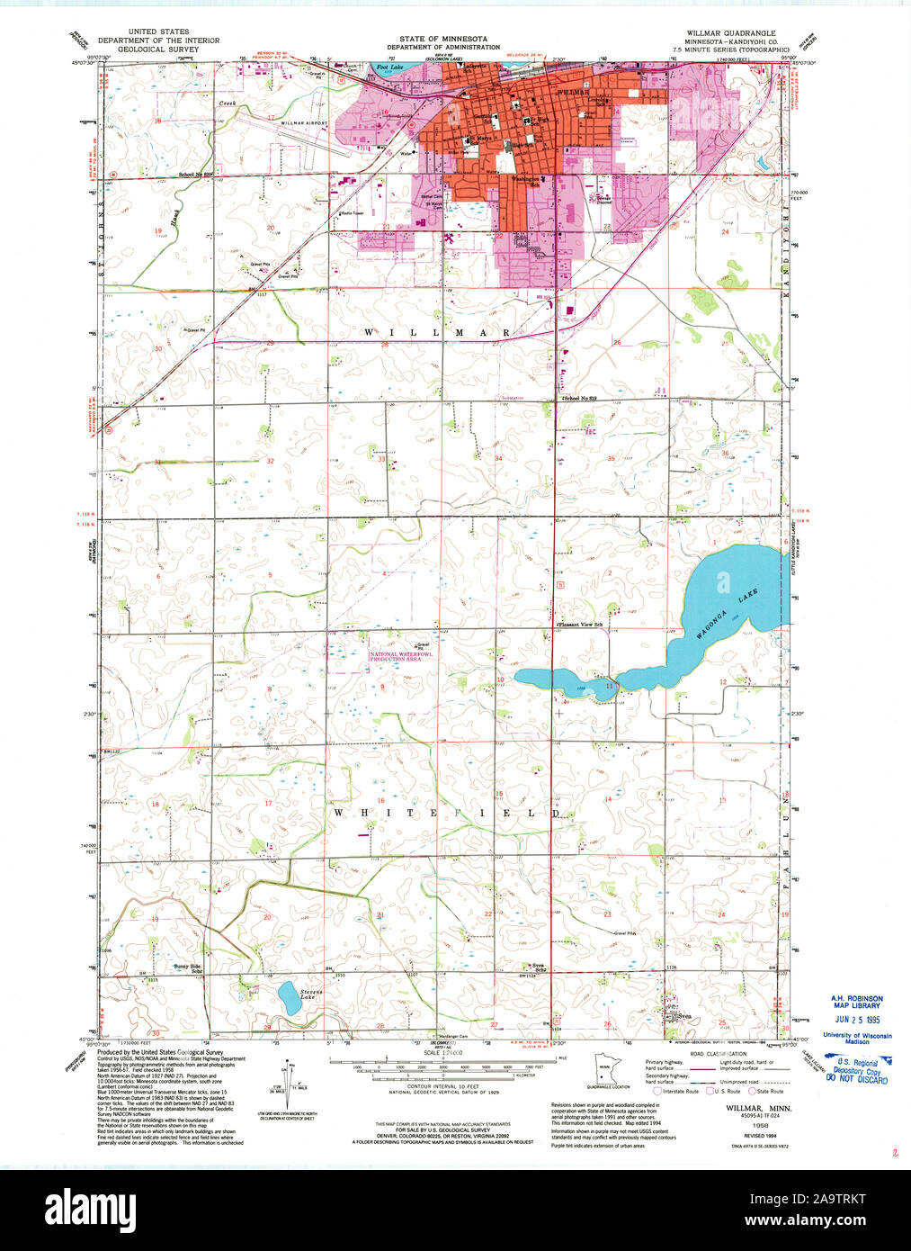 USGS TOPO Map MInnesota MN Willmar 506216 1958 24000 Restoration Stock Photohttps://www.alamy.com/image-license-details/?v=1https://www.alamy.com/usgs-topo-map-minnesota-mn-willmar-506216-1958-24000-restoration-image333074332.html
RM2A9TRKT–USGS TOPO Map MInnesota MN Willmar 506216 1958 24000 Restoration
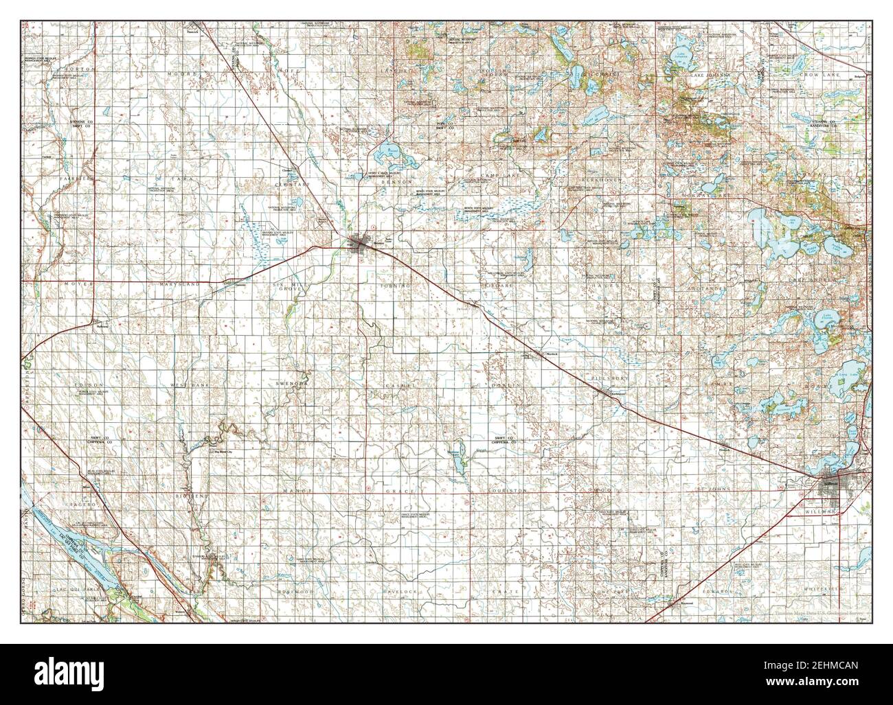 Willmar, Minnesota, map 1986, 1:100000, United States of America by Timeless Maps, data U.S. Geological Survey Stock Photohttps://www.alamy.com/image-license-details/?v=1https://www.alamy.com/willmar-minnesota-map-1986-1100000-united-states-of-america-by-timeless-maps-data-us-geological-survey-image406736365.html
RM2EHMCAN–Willmar, Minnesota, map 1986, 1:100000, United States of America by Timeless Maps, data U.S. Geological Survey
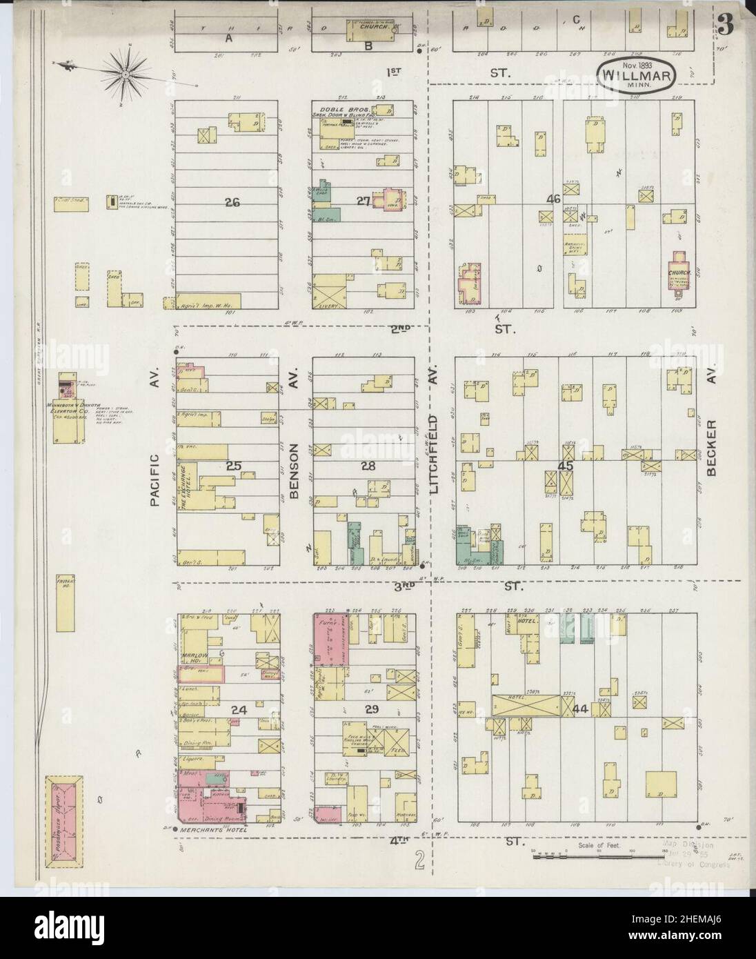 Sanborn Fire Insurance Map from Willmar, Kandiyohi County, Minnesota. Stock Photohttps://www.alamy.com/image-license-details/?v=1https://www.alamy.com/sanborn-fire-insurance-map-from-willmar-kandiyohi-county-minnesota-image456522142.html
RM2HEMAJ6–Sanborn Fire Insurance Map from Willmar, Kandiyohi County, Minnesota.
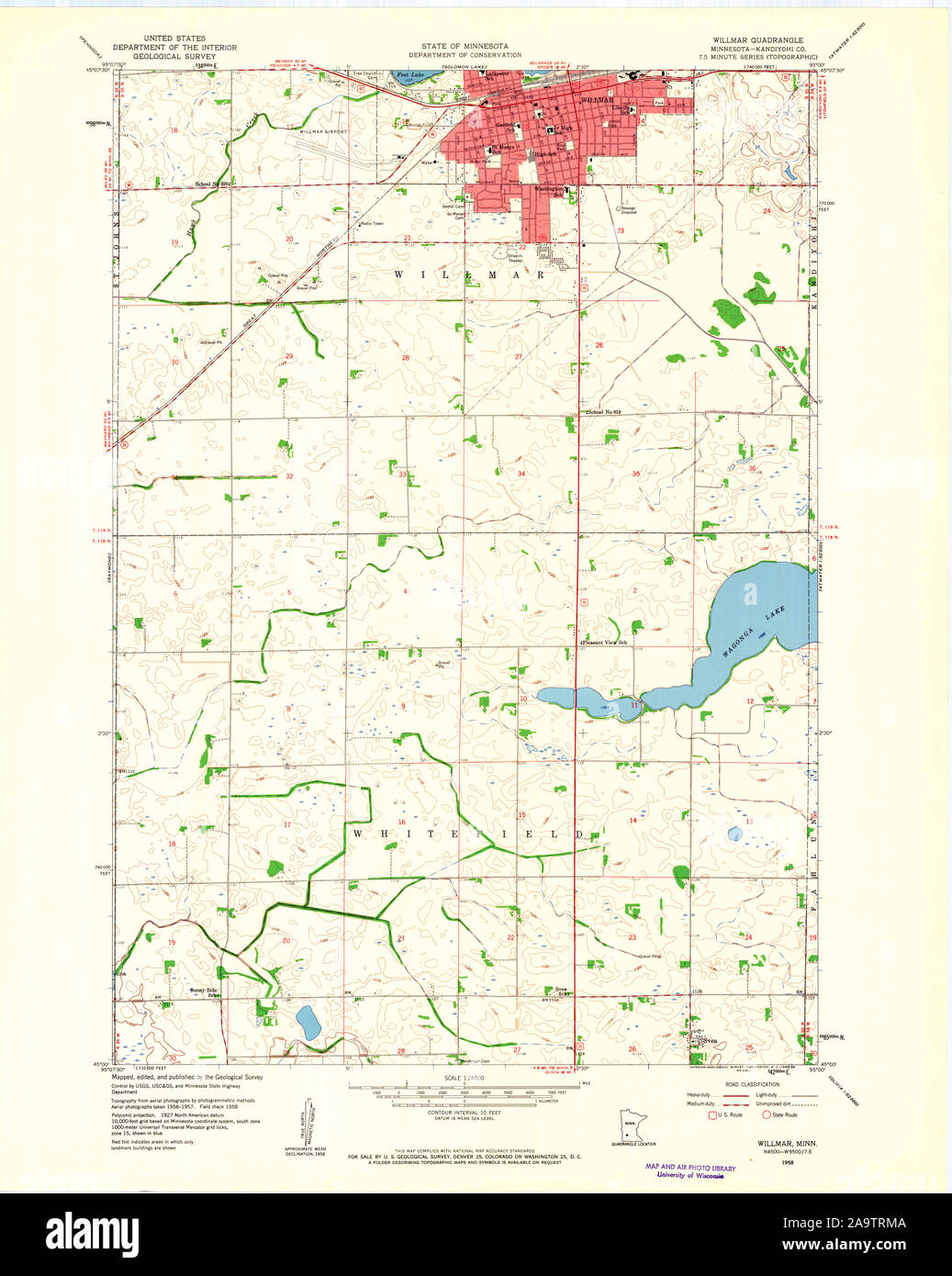 USGS TOPO Map MInnesota MN Willmar 506218 1958 24000 Restoration Stock Photohttps://www.alamy.com/image-license-details/?v=1https://www.alamy.com/usgs-topo-map-minnesota-mn-willmar-506218-1958-24000-restoration-image333074346.html
RM2A9TRMA–USGS TOPO Map MInnesota MN Willmar 506218 1958 24000 Restoration
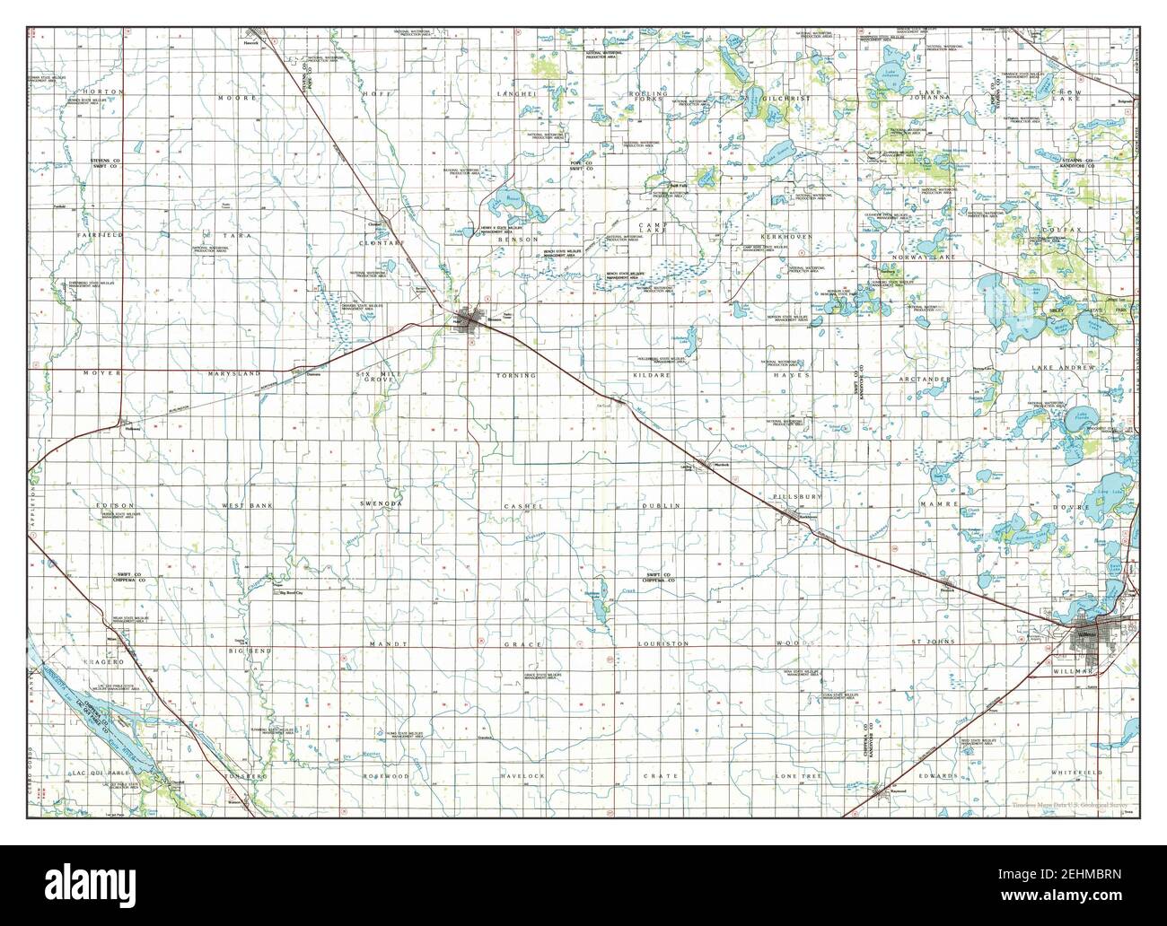 Willmar, Minnesota, map 1986, 1:100000, United States of America by Timeless Maps, data U.S. Geological Survey Stock Photohttps://www.alamy.com/image-license-details/?v=1https://www.alamy.com/willmar-minnesota-map-1986-1100000-united-states-of-america-by-timeless-maps-data-us-geological-survey-image406735945.html
RM2EHMBRN–Willmar, Minnesota, map 1986, 1:100000, United States of America by Timeless Maps, data U.S. Geological Survey
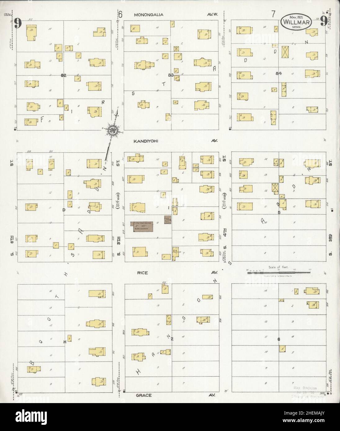 Sanborn Fire Insurance Map from Willmar, Kandiyohi County, Minnesota. Stock Photohttps://www.alamy.com/image-license-details/?v=1https://www.alamy.com/sanborn-fire-insurance-map-from-willmar-kandiyohi-county-minnesota-image456522163.html
RM2HEMAJY–Sanborn Fire Insurance Map from Willmar, Kandiyohi County, Minnesota.
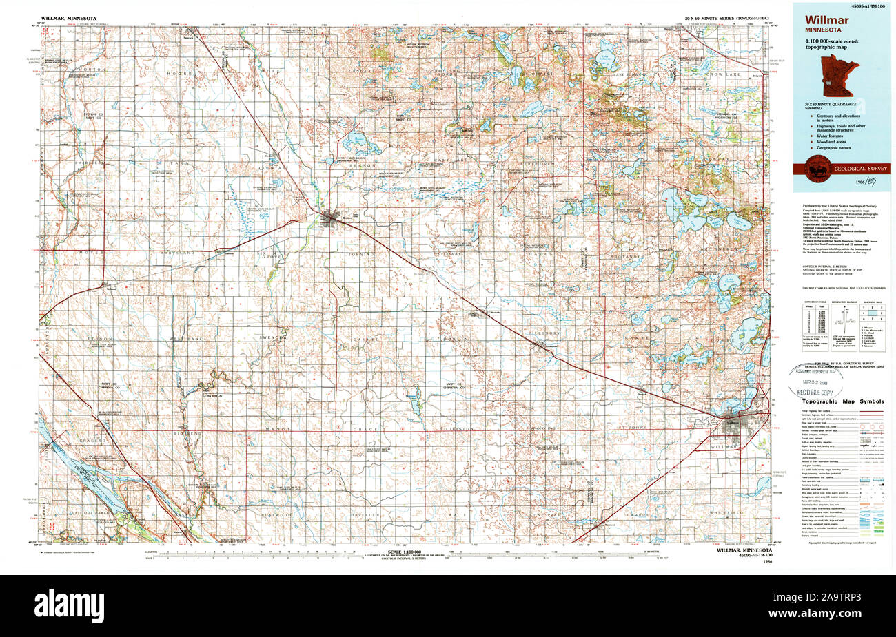 USGS TOPO Map MInnesota MN Willmar 805928 1986 100000 Restoration Stock Photohttps://www.alamy.com/image-license-details/?v=1https://www.alamy.com/usgs-topo-map-minnesota-mn-willmar-805928-1986-100000-restoration-image333074395.html
RM2A9TRP3–USGS TOPO Map MInnesota MN Willmar 805928 1986 100000 Restoration
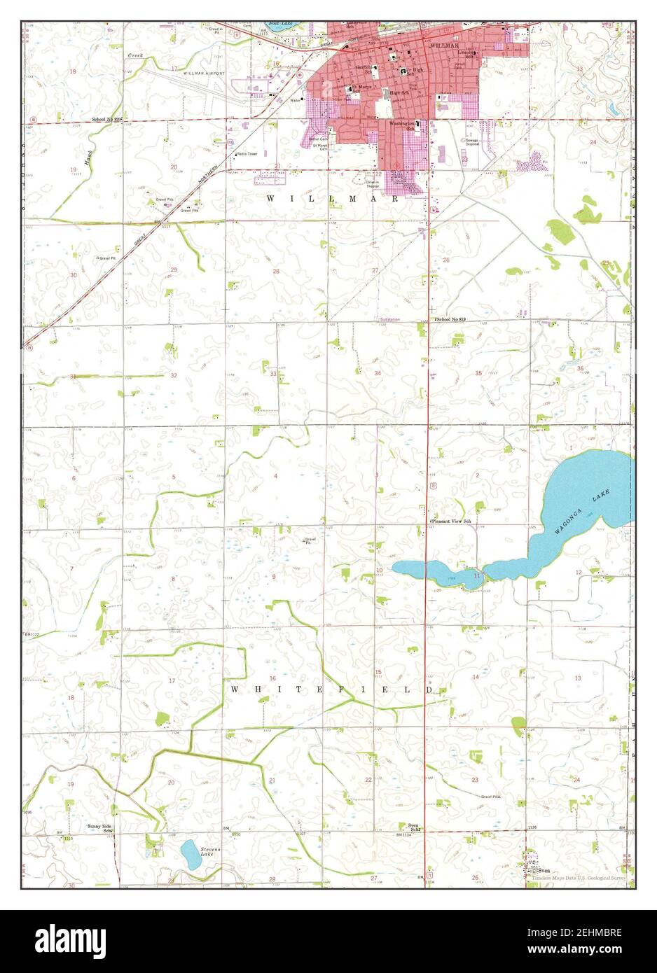 Willmar, Minnesota, map 1958, 1:24000, United States of America by Timeless Maps, data U.S. Geological Survey Stock Photohttps://www.alamy.com/image-license-details/?v=1https://www.alamy.com/willmar-minnesota-map-1958-124000-united-states-of-america-by-timeless-maps-data-us-geological-survey-image406735938.html
RM2EHMBRE–Willmar, Minnesota, map 1958, 1:24000, United States of America by Timeless Maps, data U.S. Geological Survey
 Sanborn Fire Insurance Map from Willmar, Kandiyohi County, Minnesota. Stock Photohttps://www.alamy.com/image-license-details/?v=1https://www.alamy.com/sanborn-fire-insurance-map-from-willmar-kandiyohi-county-minnesota-image456522141.html
RM2HEMAJ5–Sanborn Fire Insurance Map from Willmar, Kandiyohi County, Minnesota.
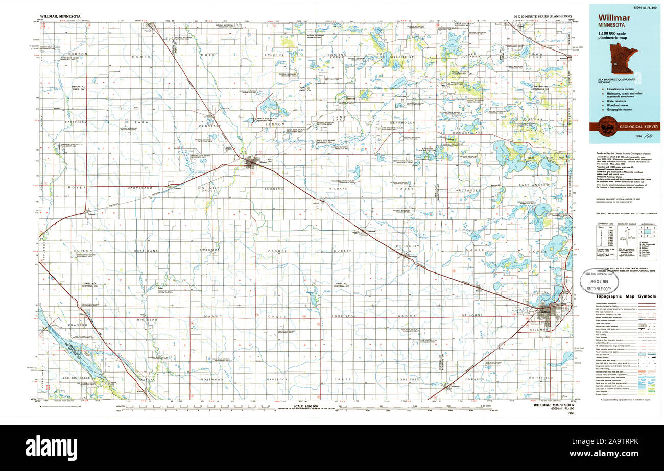 USGS TOPO Map MInnesota MN Willmar 805929 1986 100000 Restoration Stock Photohttps://www.alamy.com/image-license-details/?v=1https://www.alamy.com/usgs-topo-map-minnesota-mn-willmar-805929-1986-100000-restoration-image333074411.html
RM2A9TRPK–USGS TOPO Map MInnesota MN Willmar 805929 1986 100000 Restoration
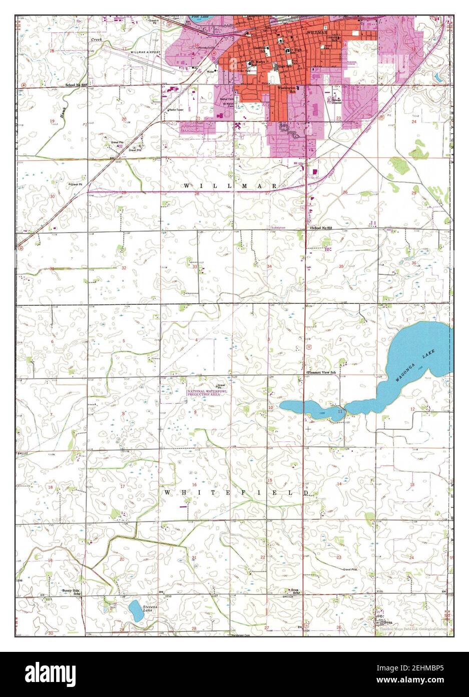 Willmar, Minnesota, map 1958, 1:24000, United States of America by Timeless Maps, data U.S. Geological Survey Stock Photohttps://www.alamy.com/image-license-details/?v=1https://www.alamy.com/willmar-minnesota-map-1958-124000-united-states-of-america-by-timeless-maps-data-us-geological-survey-image406735901.html
RM2EHMBP5–Willmar, Minnesota, map 1958, 1:24000, United States of America by Timeless Maps, data U.S. Geological Survey
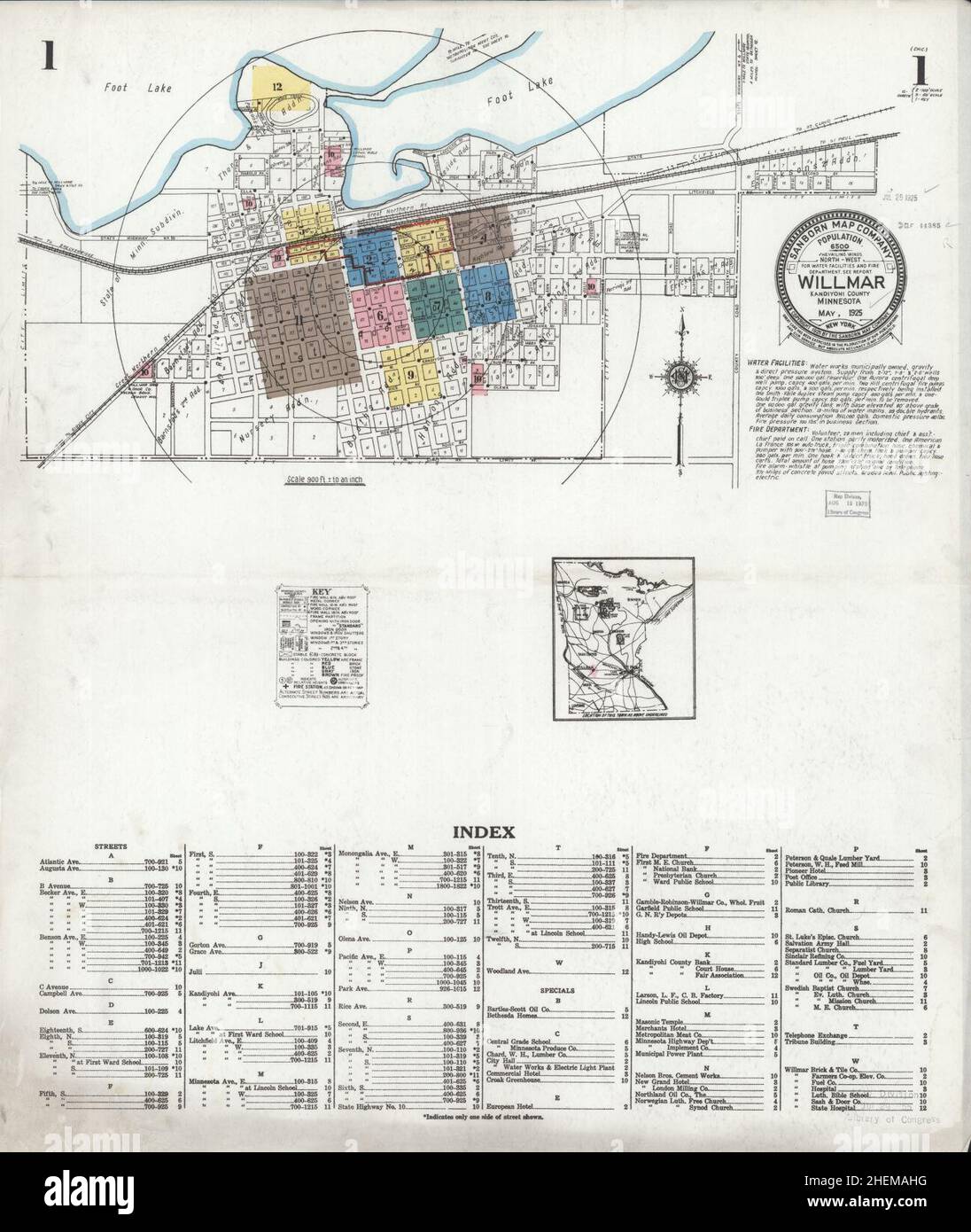 Sanborn Fire Insurance Map from Willmar, Kandiyohi County, Minnesota. Stock Photohttps://www.alamy.com/image-license-details/?v=1https://www.alamy.com/sanborn-fire-insurance-map-from-willmar-kandiyohi-county-minnesota-image456522124.html
RM2HEMAHG–Sanborn Fire Insurance Map from Willmar, Kandiyohi County, Minnesota.
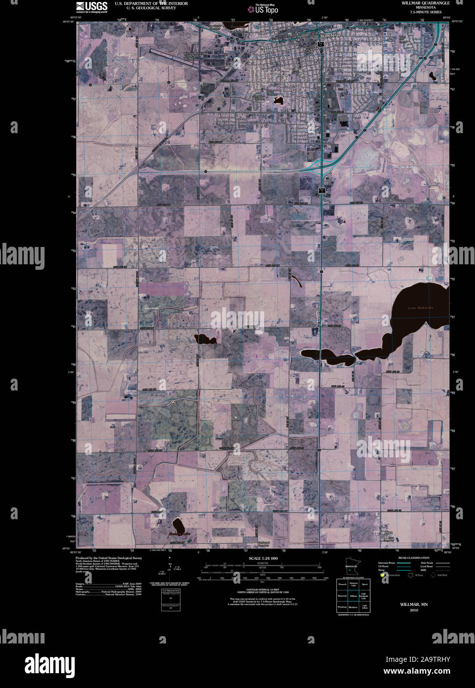 USGS TOPO Map MInnesota MN Willmar 20100818 TM Inverted Restoration Stock Photohttps://www.alamy.com/image-license-details/?v=1https://www.alamy.com/usgs-topo-map-minnesota-mn-willmar-20100818-tm-inverted-restoration-image333074279.html
RM2A9TRHY–USGS TOPO Map MInnesota MN Willmar 20100818 TM Inverted Restoration
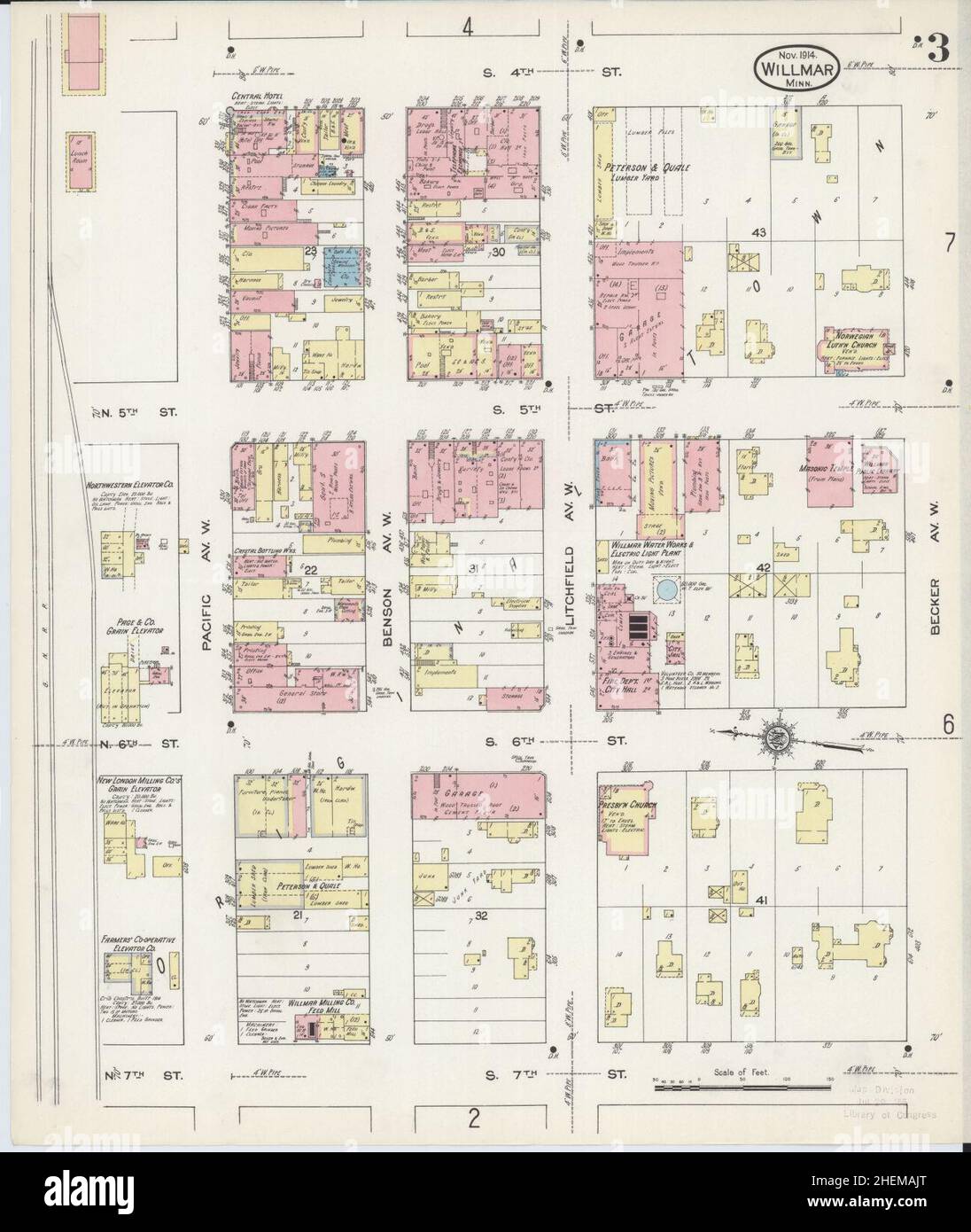 Sanborn Fire Insurance Map from Willmar, Kandiyohi County, Minnesota. Stock Photohttps://www.alamy.com/image-license-details/?v=1https://www.alamy.com/sanborn-fire-insurance-map-from-willmar-kandiyohi-county-minnesota-image456522160.html
RM2HEMAJT–Sanborn Fire Insurance Map from Willmar, Kandiyohi County, Minnesota.
 USGS TOPO Map MInnesota MN Willmar 506218 1958 24000 Inverted Restoration Stock Photohttps://www.alamy.com/image-license-details/?v=1https://www.alamy.com/usgs-topo-map-minnesota-mn-willmar-506218-1958-24000-inverted-restoration-image333074341.html
RM2A9TRM5–USGS TOPO Map MInnesota MN Willmar 506218 1958 24000 Inverted Restoration
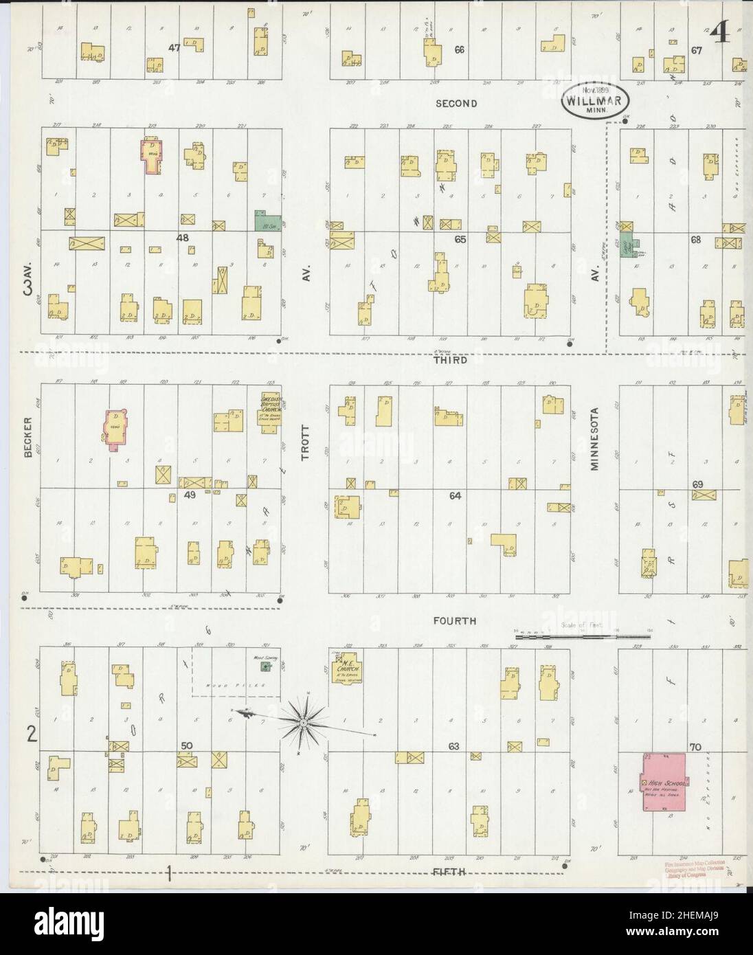 Sanborn Fire Insurance Map from Willmar, Kandiyohi County, Minnesota. Stock Photohttps://www.alamy.com/image-license-details/?v=1https://www.alamy.com/sanborn-fire-insurance-map-from-willmar-kandiyohi-county-minnesota-image456522145.html
RM2HEMAJ9–Sanborn Fire Insurance Map from Willmar, Kandiyohi County, Minnesota.
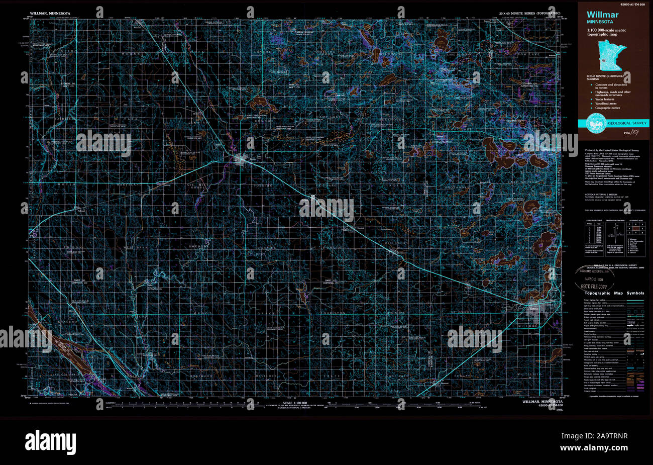 USGS TOPO Map MInnesota MN Willmar 805928 1986 100000 Inverted Restoration Stock Photohttps://www.alamy.com/image-license-details/?v=1https://www.alamy.com/usgs-topo-map-minnesota-mn-willmar-805928-1986-100000-inverted-restoration-image333074387.html
RM2A9TRNR–USGS TOPO Map MInnesota MN Willmar 805928 1986 100000 Inverted Restoration
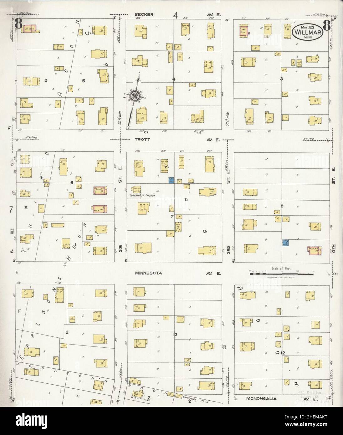 Sanborn Fire Insurance Map from Willmar, Kandiyohi County, Minnesota. Stock Photohttps://www.alamy.com/image-license-details/?v=1https://www.alamy.com/sanborn-fire-insurance-map-from-willmar-kandiyohi-county-minnesota-image456522188.html
RM2HEMAKT–Sanborn Fire Insurance Map from Willmar, Kandiyohi County, Minnesota.
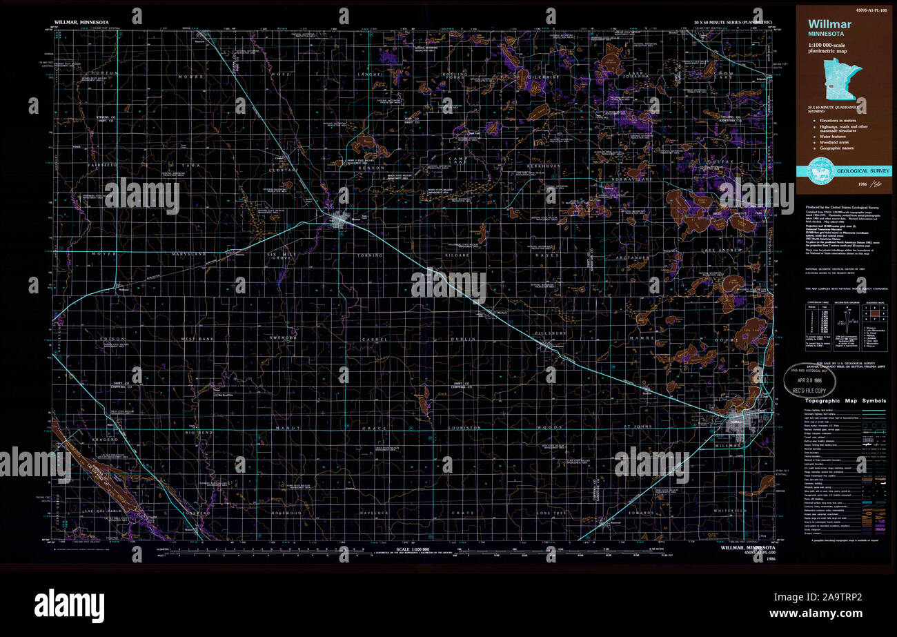 USGS TOPO Map MInnesota MN Willmar 805929 1986 100000 Inverted Restoration Stock Photohttps://www.alamy.com/image-license-details/?v=1https://www.alamy.com/usgs-topo-map-minnesota-mn-willmar-805929-1986-100000-inverted-restoration-image333074394.html
RM2A9TRP2–USGS TOPO Map MInnesota MN Willmar 805929 1986 100000 Inverted Restoration
 Sanborn Fire Insurance Map from Willmar, Kandiyohi County, Minnesota. Stock Photohttps://www.alamy.com/image-license-details/?v=1https://www.alamy.com/sanborn-fire-insurance-map-from-willmar-kandiyohi-county-minnesota-image456522138.html
RM2HEMAJ2–Sanborn Fire Insurance Map from Willmar, Kandiyohi County, Minnesota.
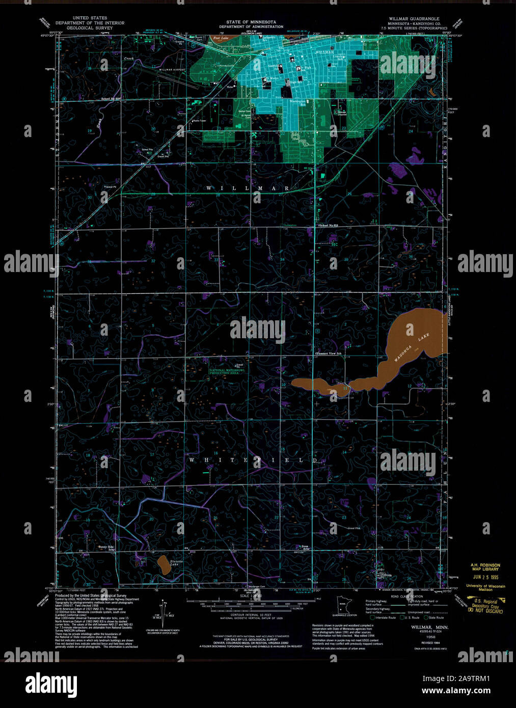 USGS TOPO Map MInnesota MN Willmar 506216 1958 24000 Inverted Restoration Stock Photohttps://www.alamy.com/image-license-details/?v=1https://www.alamy.com/usgs-topo-map-minnesota-mn-willmar-506216-1958-24000-inverted-restoration-image333074337.html
RM2A9TRM1–USGS TOPO Map MInnesota MN Willmar 506216 1958 24000 Inverted Restoration
 Sanborn Fire Insurance Map from Willmar, Kandiyohi County, Minnesota. Stock Photohttps://www.alamy.com/image-license-details/?v=1https://www.alamy.com/sanborn-fire-insurance-map-from-willmar-kandiyohi-county-minnesota-image456522197.html
RM2HEMAM5–Sanborn Fire Insurance Map from Willmar, Kandiyohi County, Minnesota.
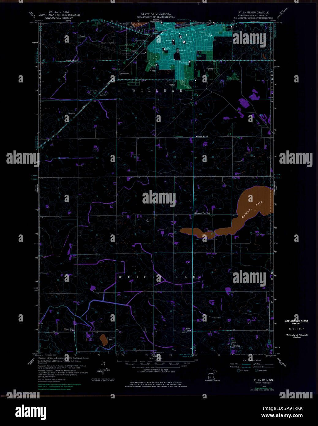 USGS TOPO Map MInnesota MN Willmar 506217 1958 24000 Inverted Restoration Stock Photohttps://www.alamy.com/image-license-details/?v=1https://www.alamy.com/usgs-topo-map-minnesota-mn-willmar-506217-1958-24000-inverted-restoration-image333074327.html
RM2A9TRKK–USGS TOPO Map MInnesota MN Willmar 506217 1958 24000 Inverted Restoration
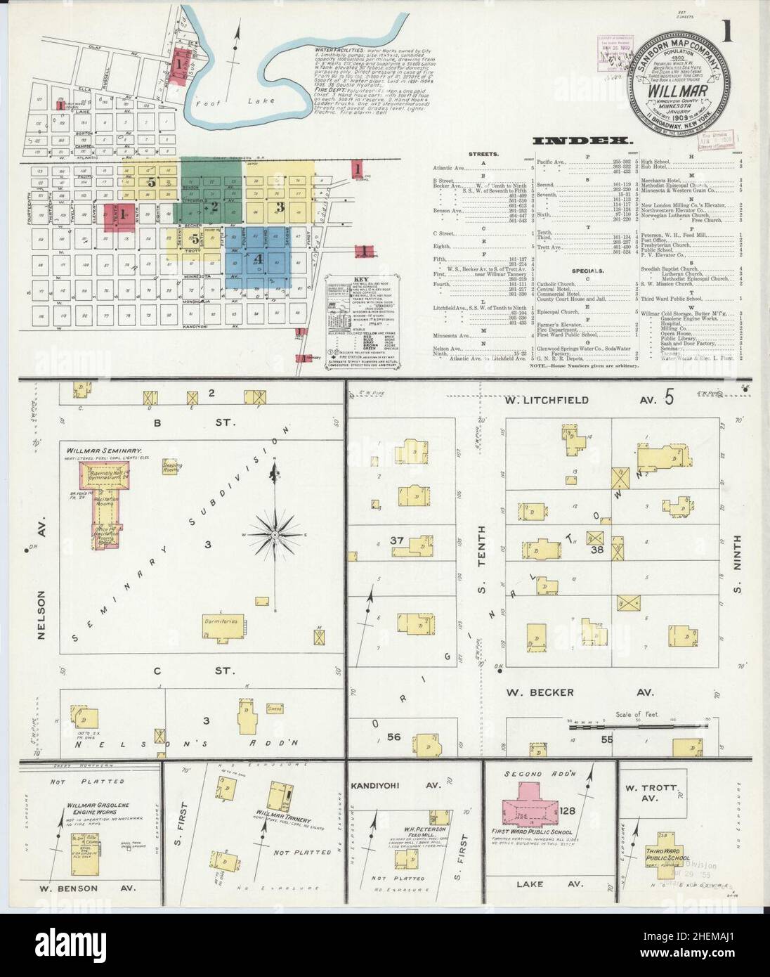 Sanborn Fire Insurance Map from Willmar, Kandiyohi County, Minnesota. Stock Photohttps://www.alamy.com/image-license-details/?v=1https://www.alamy.com/sanborn-fire-insurance-map-from-willmar-kandiyohi-county-minnesota-image456522137.html
RM2HEMAJ1–Sanborn Fire Insurance Map from Willmar, Kandiyohi County, Minnesota.
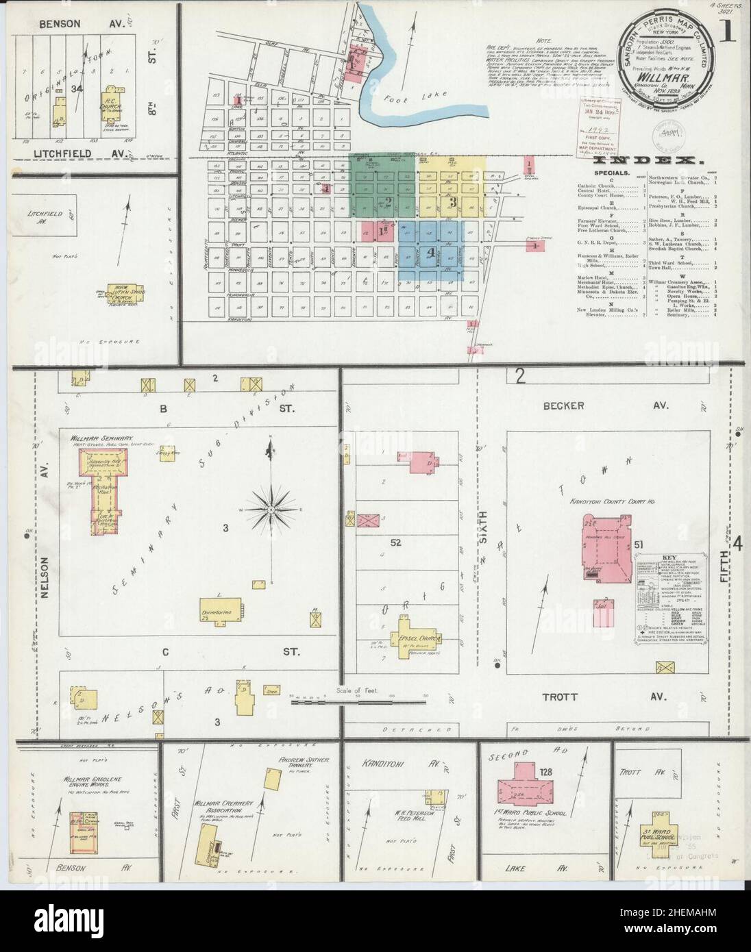 Sanborn Fire Insurance Map from Willmar, Kandiyohi County, Minnesota. Stock Photohttps://www.alamy.com/image-license-details/?v=1https://www.alamy.com/sanborn-fire-insurance-map-from-willmar-kandiyohi-county-minnesota-image456522128.html
RM2HEMAHM–Sanborn Fire Insurance Map from Willmar, Kandiyohi County, Minnesota.
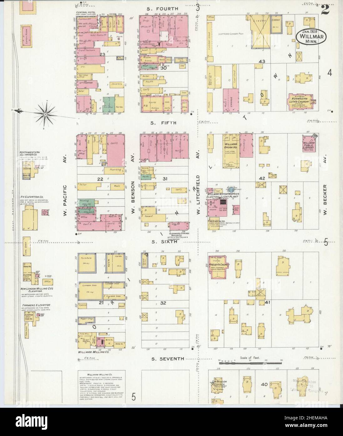 Sanborn Fire Insurance Map from Willmar, Kandiyohi County, Minnesota. Stock Photohttps://www.alamy.com/image-license-details/?v=1https://www.alamy.com/sanborn-fire-insurance-map-from-willmar-kandiyohi-county-minnesota-image456522118.html
RM2HEMAHA–Sanborn Fire Insurance Map from Willmar, Kandiyohi County, Minnesota.
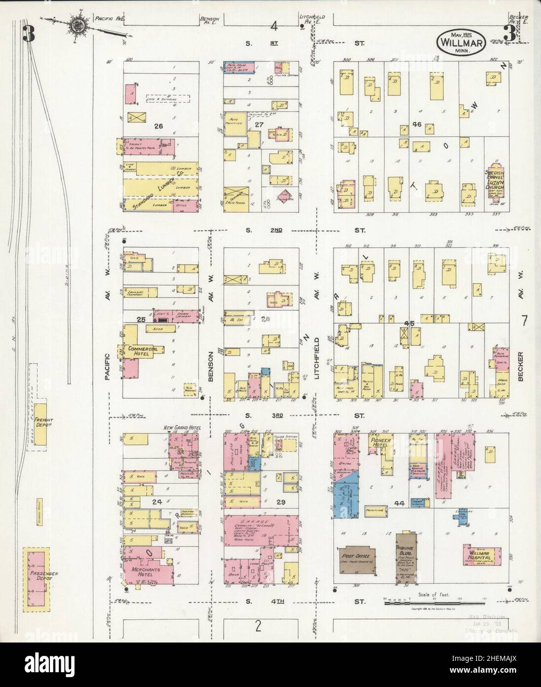 Sanborn Fire Insurance Map from Willmar, Kandiyohi County, Minnesota. Stock Photohttps://www.alamy.com/image-license-details/?v=1https://www.alamy.com/sanborn-fire-insurance-map-from-willmar-kandiyohi-county-minnesota-image456522162.html
RM2HEMAJX–Sanborn Fire Insurance Map from Willmar, Kandiyohi County, Minnesota.
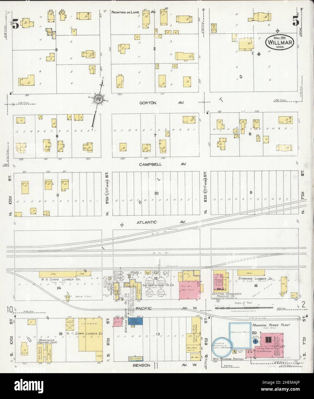 Sanborn Fire Insurance Map from Willmar, Kandiyohi County, Minnesota. Stock Photohttps://www.alamy.com/image-license-details/?v=1https://www.alamy.com/sanborn-fire-insurance-map-from-willmar-kandiyohi-county-minnesota-image456522158.html
RM2HEMAJP–Sanborn Fire Insurance Map from Willmar, Kandiyohi County, Minnesota.
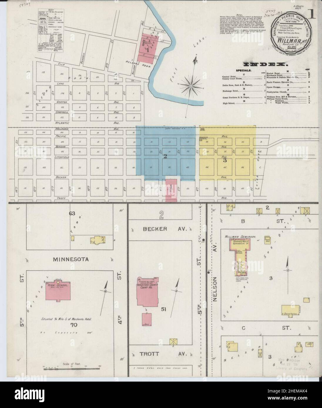 Sanborn Fire Insurance Map from Willmar, Kandiyohi County, Minnesota. Stock Photohttps://www.alamy.com/image-license-details/?v=1https://www.alamy.com/sanborn-fire-insurance-map-from-willmar-kandiyohi-county-minnesota-image456522168.html
RM2HEMAK4–Sanborn Fire Insurance Map from Willmar, Kandiyohi County, Minnesota.
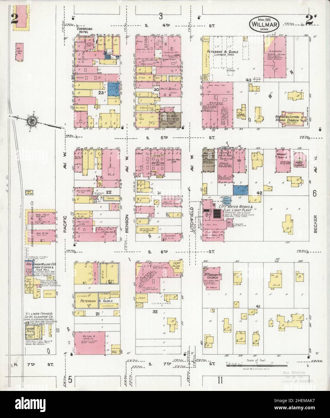 Sanborn Fire Insurance Map from Willmar, Kandiyohi County, Minnesota. Stock Photohttps://www.alamy.com/image-license-details/?v=1https://www.alamy.com/sanborn-fire-insurance-map-from-willmar-kandiyohi-county-minnesota-image456522171.html
RM2HEMAK7–Sanborn Fire Insurance Map from Willmar, Kandiyohi County, Minnesota.
 Sanborn Fire Insurance Map from Willmar, Kandiyohi County, Minnesota. Stock Photohttps://www.alamy.com/image-license-details/?v=1https://www.alamy.com/sanborn-fire-insurance-map-from-willmar-kandiyohi-county-minnesota-image456522179.html
RM2HEMAKF–Sanborn Fire Insurance Map from Willmar, Kandiyohi County, Minnesota.
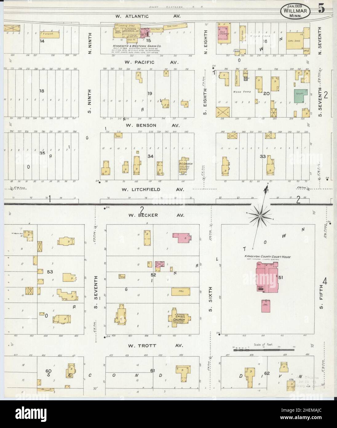 Sanborn Fire Insurance Map from Willmar, Kandiyohi County, Minnesota. Stock Photohttps://www.alamy.com/image-license-details/?v=1https://www.alamy.com/sanborn-fire-insurance-map-from-willmar-kandiyohi-county-minnesota-image456522148.html
RM2HEMAJC–Sanborn Fire Insurance Map from Willmar, Kandiyohi County, Minnesota.
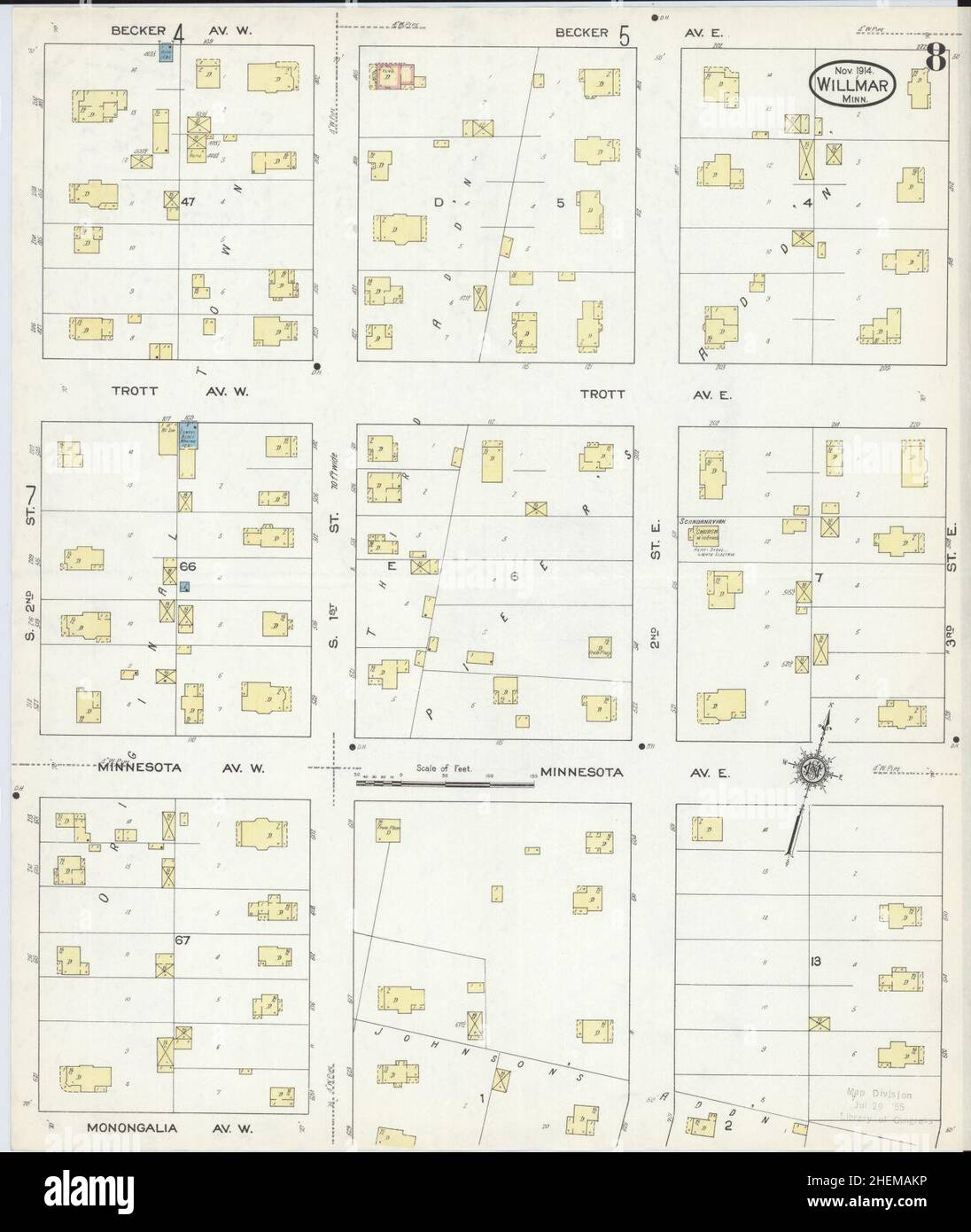 Sanborn Fire Insurance Map from Willmar, Kandiyohi County, Minnesota. Stock Photohttps://www.alamy.com/image-license-details/?v=1https://www.alamy.com/sanborn-fire-insurance-map-from-willmar-kandiyohi-county-minnesota-image456522186.html
RM2HEMAKP–Sanborn Fire Insurance Map from Willmar, Kandiyohi County, Minnesota.
 Sanborn Fire Insurance Map from Willmar, Kandiyohi County, Minnesota. Stock Photohttps://www.alamy.com/image-license-details/?v=1https://www.alamy.com/sanborn-fire-insurance-map-from-willmar-kandiyohi-county-minnesota-image456522132.html
RM2HEMAHT–Sanborn Fire Insurance Map from Willmar, Kandiyohi County, Minnesota.
 Sanborn Fire Insurance Map from Willmar, Kandiyohi County, Minnesota. Stock Photohttps://www.alamy.com/image-license-details/?v=1https://www.alamy.com/sanborn-fire-insurance-map-from-willmar-kandiyohi-county-minnesota-image456522113.html
RM2HEMAH5–Sanborn Fire Insurance Map from Willmar, Kandiyohi County, Minnesota.
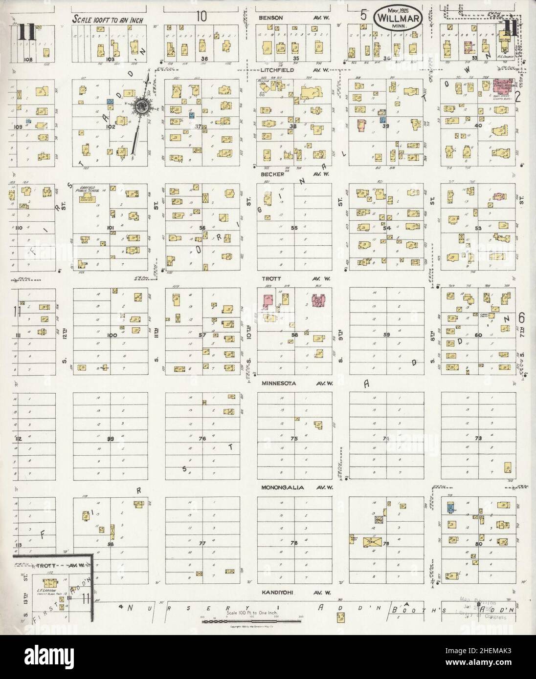 Sanborn Fire Insurance Map from Willmar, Kandiyohi County, Minnesota. Stock Photohttps://www.alamy.com/image-license-details/?v=1https://www.alamy.com/sanborn-fire-insurance-map-from-willmar-kandiyohi-county-minnesota-image456522167.html
RM2HEMAK3–Sanborn Fire Insurance Map from Willmar, Kandiyohi County, Minnesota.
 Sanborn Fire Insurance Map from Willmar, Kandiyohi County, Minnesota. Stock Photohttps://www.alamy.com/image-license-details/?v=1https://www.alamy.com/sanborn-fire-insurance-map-from-willmar-kandiyohi-county-minnesota-image456522146.html
RM2HEMAJA–Sanborn Fire Insurance Map from Willmar, Kandiyohi County, Minnesota.
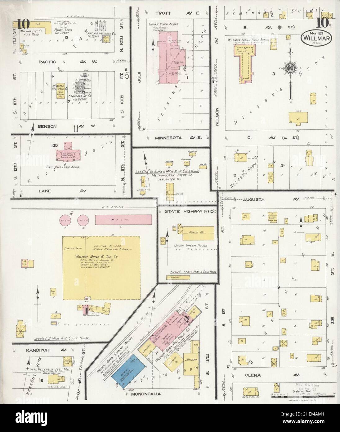 Sanborn Fire Insurance Map from Willmar, Kandiyohi County, Minnesota. Stock Photohttps://www.alamy.com/image-license-details/?v=1https://www.alamy.com/sanborn-fire-insurance-map-from-willmar-kandiyohi-county-minnesota-image456522193.html
RM2HEMAM1–Sanborn Fire Insurance Map from Willmar, Kandiyohi County, Minnesota.
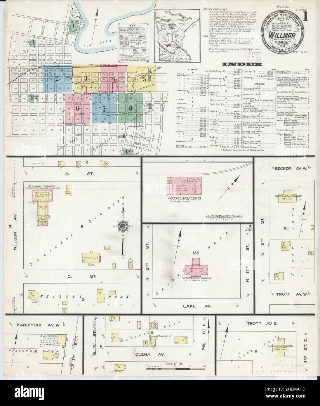 Sanborn Fire Insurance Map from Willmar, Kandiyohi County, Minnesota. Stock Photohttps://www.alamy.com/image-license-details/?v=1https://www.alamy.com/sanborn-fire-insurance-map-from-willmar-kandiyohi-county-minnesota-image456522121.html
RM2HEMAHD–Sanborn Fire Insurance Map from Willmar, Kandiyohi County, Minnesota.
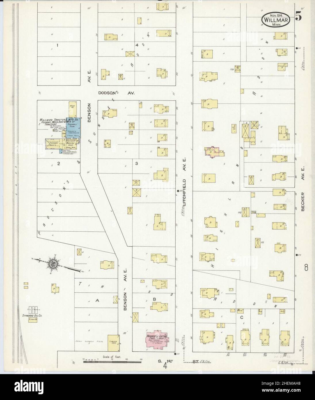 Sanborn Fire Insurance Map from Willmar, Kandiyohi County, Minnesota. Stock Photohttps://www.alamy.com/image-license-details/?v=1https://www.alamy.com/sanborn-fire-insurance-map-from-willmar-kandiyohi-county-minnesota-image456522116.html
RM2HEMAH8–Sanborn Fire Insurance Map from Willmar, Kandiyohi County, Minnesota.
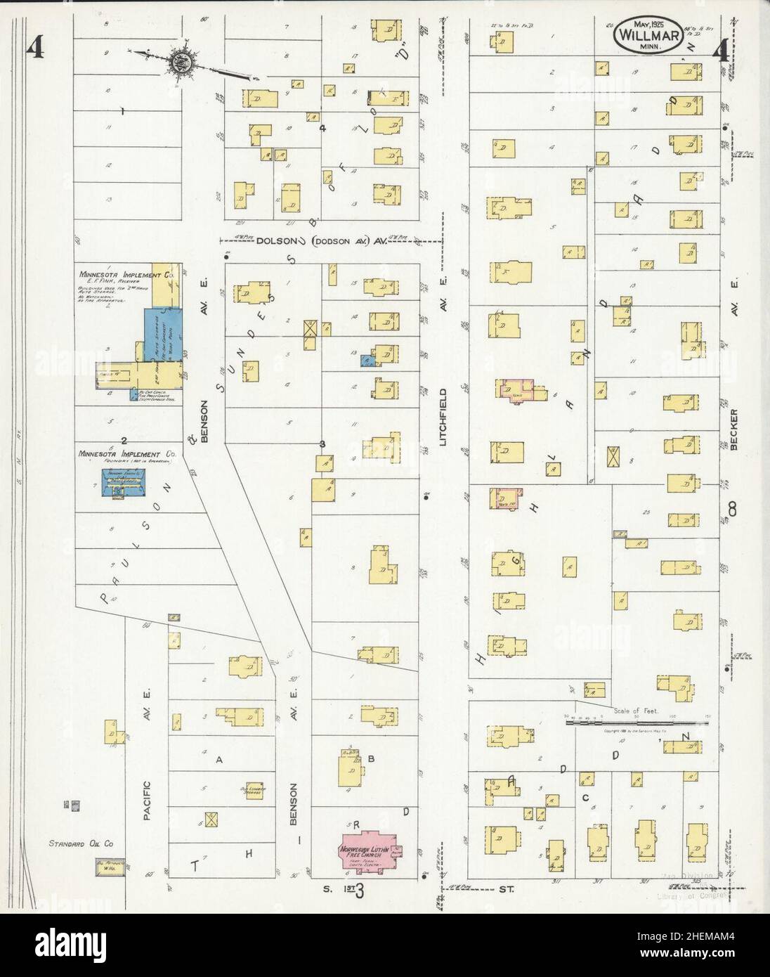 Sanborn Fire Insurance Map from Willmar, Kandiyohi County, Minnesota. Stock Photohttps://www.alamy.com/image-license-details/?v=1https://www.alamy.com/sanborn-fire-insurance-map-from-willmar-kandiyohi-county-minnesota-image456522196.html
RM2HEMAM4–Sanborn Fire Insurance Map from Willmar, Kandiyohi County, Minnesota.
 Sanborn Fire Insurance Map from Willmar, Kandiyohi County, Minnesota. Stock Photohttps://www.alamy.com/image-license-details/?v=1https://www.alamy.com/sanborn-fire-insurance-map-from-willmar-kandiyohi-county-minnesota-image456522165.html
RM2HEMAK1–Sanborn Fire Insurance Map from Willmar, Kandiyohi County, Minnesota.
 Sanborn Fire Insurance Map from Willmar, Kandiyohi County, Minnesota. Stock Photohttps://www.alamy.com/image-license-details/?v=1https://www.alamy.com/sanborn-fire-insurance-map-from-willmar-kandiyohi-county-minnesota-image456522155.html
RM2HEMAJK–Sanborn Fire Insurance Map from Willmar, Kandiyohi County, Minnesota.