Quick filters:
Map of wilton Stock Photos and Images
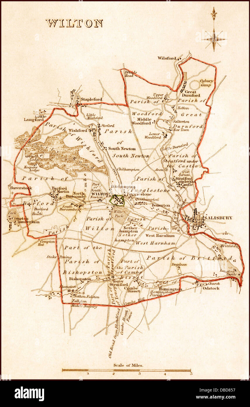 1832 Pre Victorian Map of Wilton near Salisbury Stock Photohttps://www.alamy.com/image-license-details/?v=1https://www.alamy.com/stock-photo-1832-pre-victorian-map-of-wilton-near-salisbury-58684115.html
RFDBD857–1832 Pre Victorian Map of Wilton near Salisbury
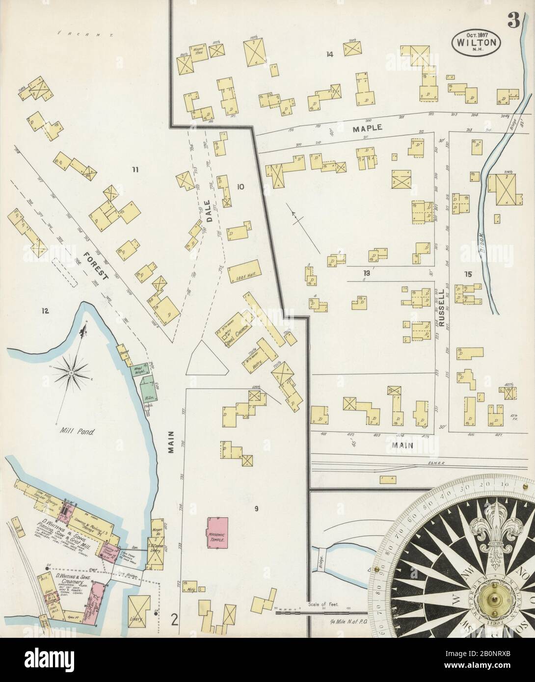 Image 3 of Sanborn Fire Insurance Map from Wilton, Hillsborough County, New Hampshire. Oct 1897. 3 Sheet(s), America, street map with a Nineteenth Century compass Stock Photohttps://www.alamy.com/image-license-details/?v=1https://www.alamy.com/image-3-of-sanborn-fire-insurance-map-from-wilton-hillsborough-county-new-hampshire-oct-1897-3-sheets-america-street-map-with-a-nineteenth-century-compass-image344687123.html
RM2B0NRXB–Image 3 of Sanborn Fire Insurance Map from Wilton, Hillsborough County, New Hampshire. Oct 1897. 3 Sheet(s), America, street map with a Nineteenth Century compass
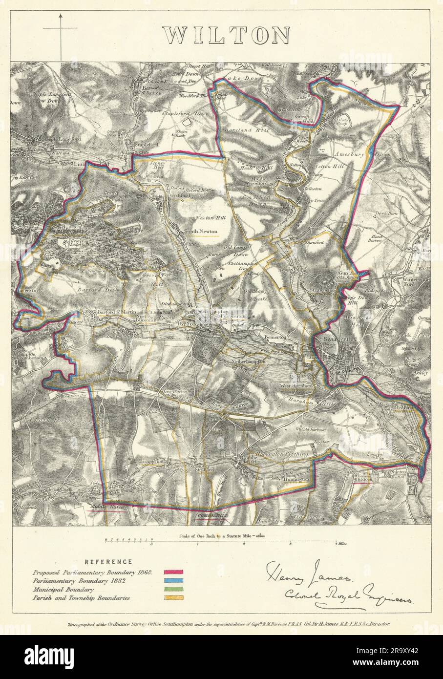 Wilton, Wiltshire. JAMES. Parliamentary Boundary Commission 1868 old map Stock Photohttps://www.alamy.com/image-license-details/?v=1https://www.alamy.com/wilton-wiltshire-james-parliamentary-boundary-commission-1868-old-map-image556855714.html
RF2R9XY42–Wilton, Wiltshire. JAMES. Parliamentary Boundary Commission 1868 old map
 Image 2 of Sanborn Fire Insurance Map from Wilton, Hillsborough County, New Hampshire. Sep 1885. 2 Sheet(s), America, street map with a Nineteenth Century compass Stock Photohttps://www.alamy.com/image-license-details/?v=1https://www.alamy.com/image-2-of-sanborn-fire-insurance-map-from-wilton-hillsborough-county-new-hampshire-sep-1885-2-sheets-america-street-map-with-a-nineteenth-century-compass-image344687110.html
RM2B0NRWX–Image 2 of Sanborn Fire Insurance Map from Wilton, Hillsborough County, New Hampshire. Sep 1885. 2 Sheet(s), America, street map with a Nineteenth Century compass
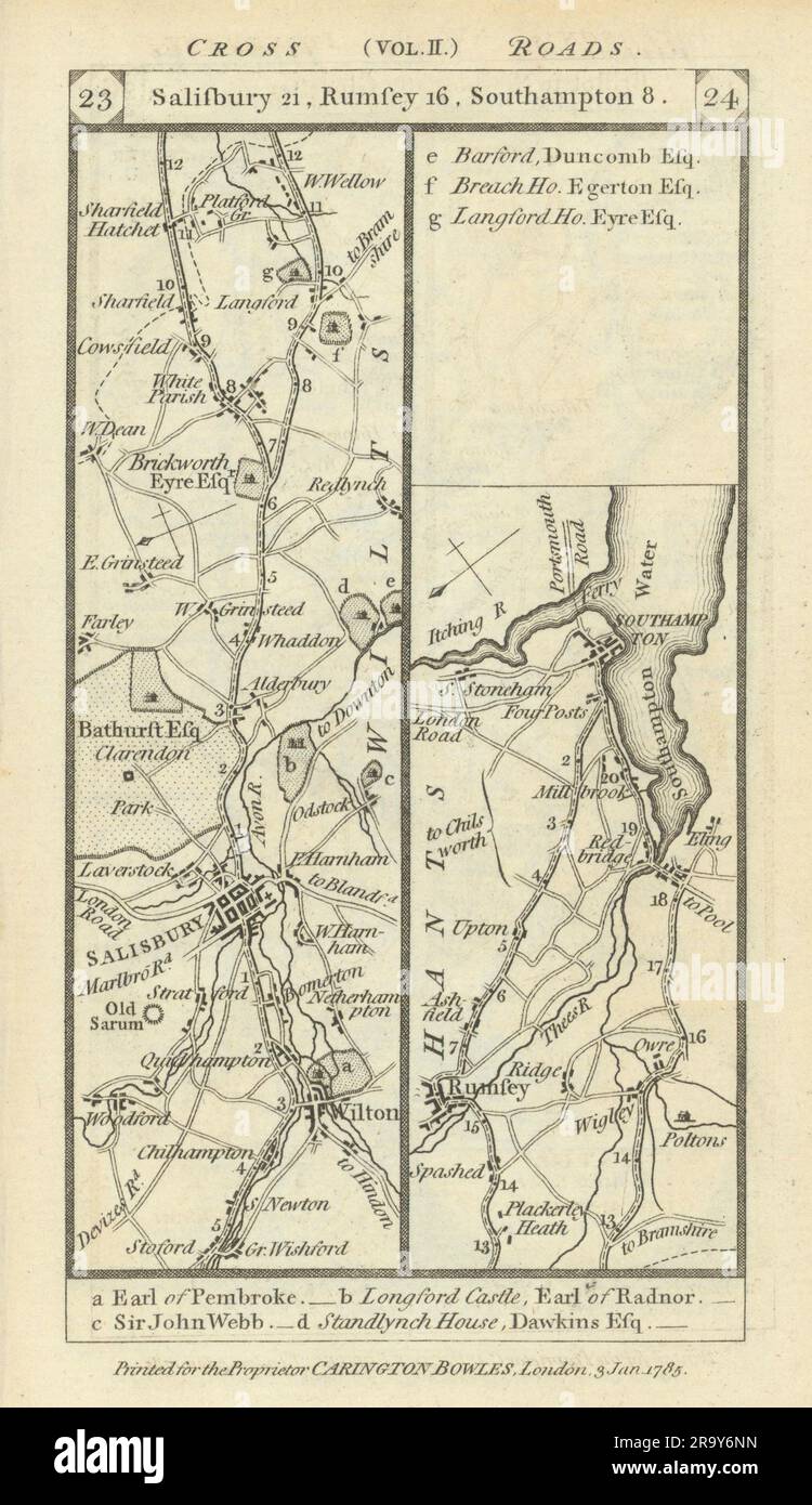 Wilton - Salisbury - Romsey - Southampton road strip map PATERSON 1785 old Stock Photohttps://www.alamy.com/image-license-details/?v=1https://www.alamy.com/wilton-salisbury-romsey-southampton-road-strip-map-paterson-1785-old-image556861697.html
RF2R9Y6NN–Wilton - Salisbury - Romsey - Southampton road strip map PATERSON 1785 old
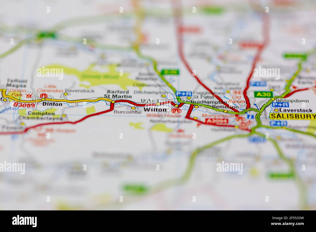 Wilton Shown on a Geography map or road map Stock Photohttps://www.alamy.com/image-license-details/?v=1https://www.alamy.com/wilton-shown-on-a-geography-map-or-road-map-image416234333.html
RM2F5533W–Wilton Shown on a Geography map or road map
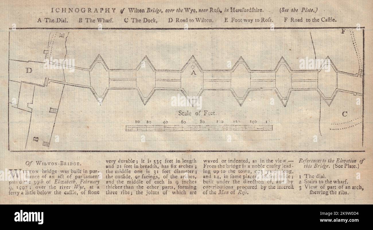 Wilton Bridge over the Wye near Ross in Herefordshire. GENTS MAG 1753 old map Stock Photohttps://www.alamy.com/image-license-details/?v=1https://www.alamy.com/wilton-bridge-over-the-wye-near-ross-in-herefordshire-gents-mag-1753-old-map-image487971376.html
RF2K9W0D4–Wilton Bridge over the Wye near Ross in Herefordshire. GENTS MAG 1753 old map
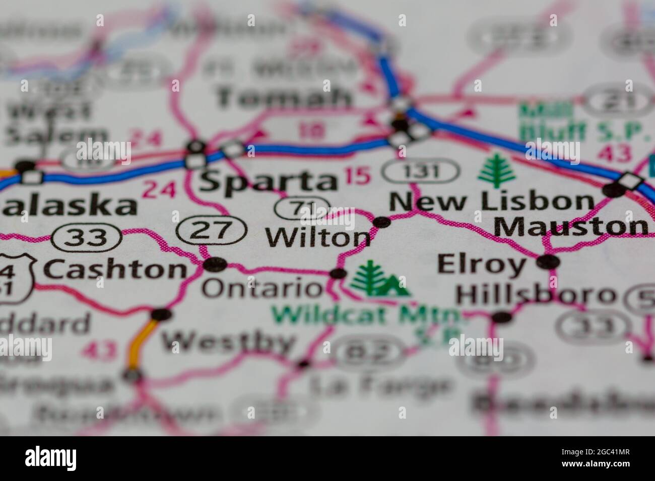 Wilton Wisconsin USA shown on a road map or Geography map Stock Photohttps://www.alamy.com/image-license-details/?v=1https://www.alamy.com/wilton-wisconsin-usa-shown-on-a-road-map-or-geography-map-image437724247.html
RM2GC41MR–Wilton Wisconsin USA shown on a road map or Geography map
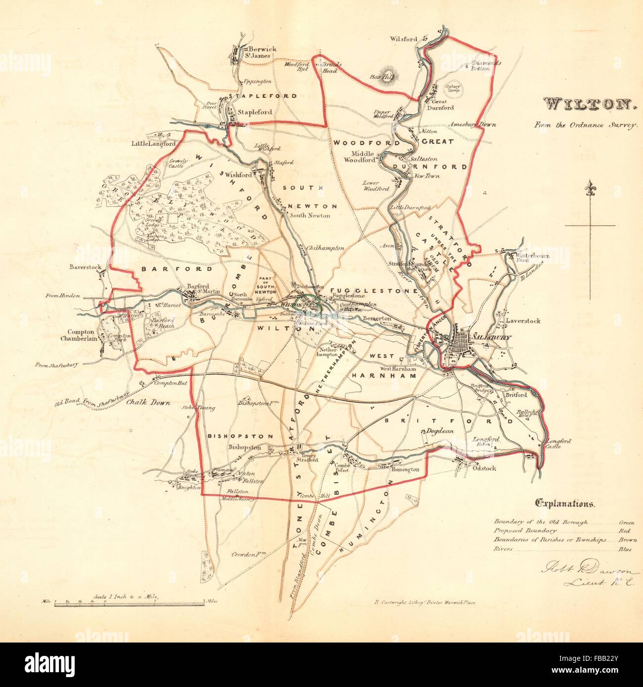 WILTON borough/town plan. REFORM ACT. Salisbury. Wiltshire. DAWSON, 1832 map Stock Photohttps://www.alamy.com/image-license-details/?v=1https://www.alamy.com/stock-photo-wilton-boroughtown-plan-reform-act-salisbury-wiltshire-dawson-1832-93056179.html
RFFBB22Y–WILTON borough/town plan. REFORM ACT. Salisbury. Wiltshire. DAWSON, 1832 map
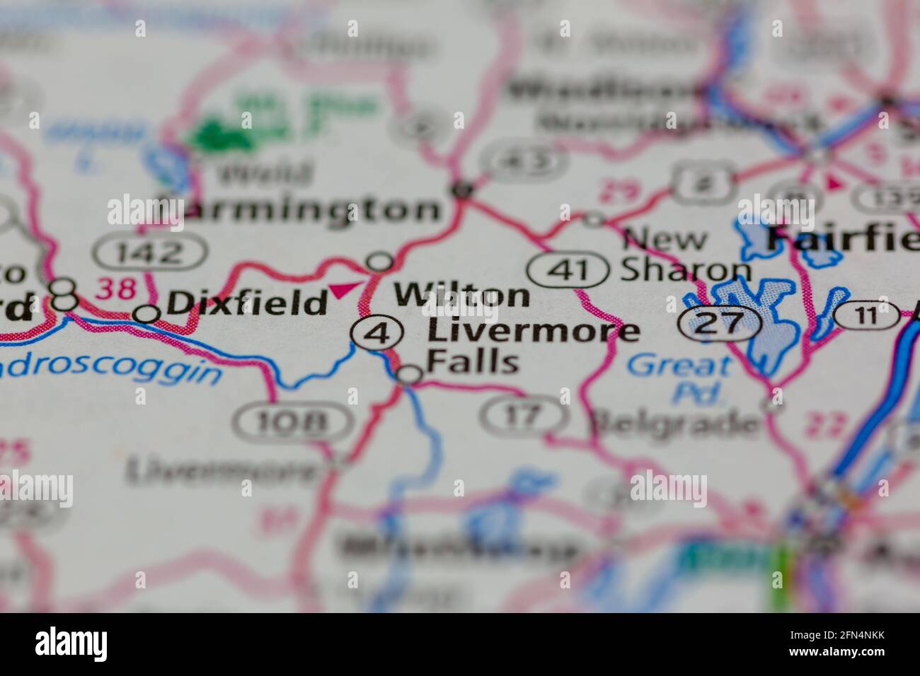 Wilton Maine USA shown on a Geography map or road map Stock Photohttps://www.alamy.com/image-license-details/?v=1https://www.alamy.com/wilton-maine-usa-shown-on-a-geography-map-or-road-map-image426061431.html
RM2FN4NKK–Wilton Maine USA shown on a Geography map or road map
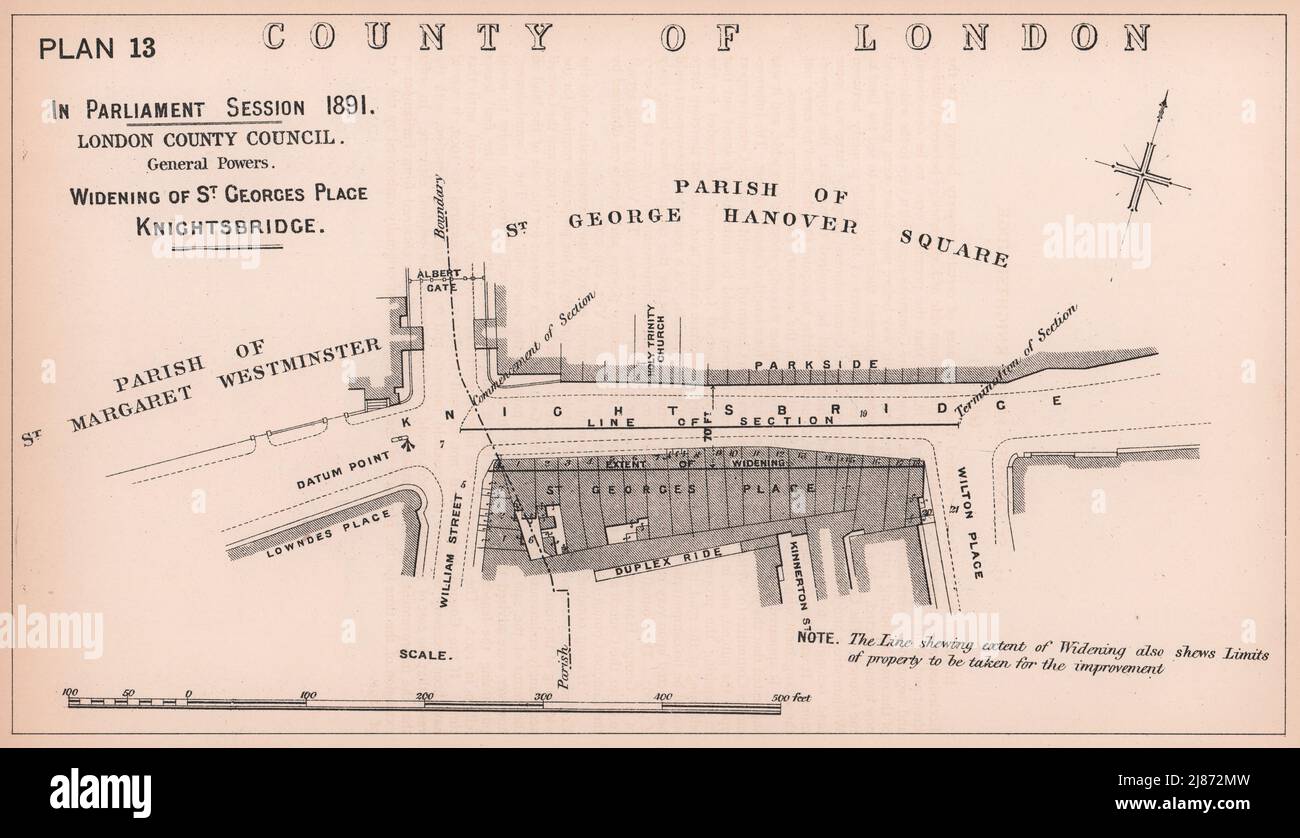 1891 Knightsbridge widening. Albert Gate. Wilton Place. French Embassy 1898 map Stock Photohttps://www.alamy.com/image-license-details/?v=1https://www.alamy.com/1891-knightsbridge-widening-albert-gate-wilton-place-french-embassy-1898-map-image469753001.html
RF2J872MW–1891 Knightsbridge widening. Albert Gate. Wilton Place. French Embassy 1898 map
 Wilton, Cook Shire, AU, Australia, Queensland, S 15 25' 0'', N 145 3' 0'', map, Cartascapes Map published in 2024. Explore Cartascapes, a map revealing Earth's diverse landscapes, cultures, and ecosystems. Journey through time and space, discovering the interconnectedness of our planet's past, present, and future. Stock Photohttps://www.alamy.com/image-license-details/?v=1https://www.alamy.com/wilton-cook-shire-au-australia-queensland-s-15-25-0-n-145-3-0-map-cartascapes-map-published-in-2024-explore-cartascapes-a-map-revealing-earths-diverse-landscapes-cultures-and-ecosystems-journey-through-time-and-space-discovering-the-interconnectedness-of-our-planets-past-present-and-future-image625416641.html
RM2Y9E58H–Wilton, Cook Shire, AU, Australia, Queensland, S 15 25' 0'', N 145 3' 0'', map, Cartascapes Map published in 2024. Explore Cartascapes, a map revealing Earth's diverse landscapes, cultures, and ecosystems. Journey through time and space, discovering the interconnectedness of our planet's past, present, and future.
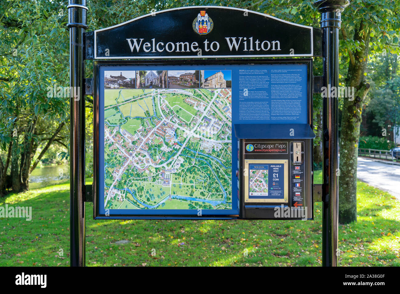 Wilton town street map and map vending machine Stock Photohttps://www.alamy.com/image-license-details/?v=1https://www.alamy.com/wilton-town-street-map-and-map-vending-machine-image329029135.html
RM2A38G0F–Wilton town street map and map vending machine
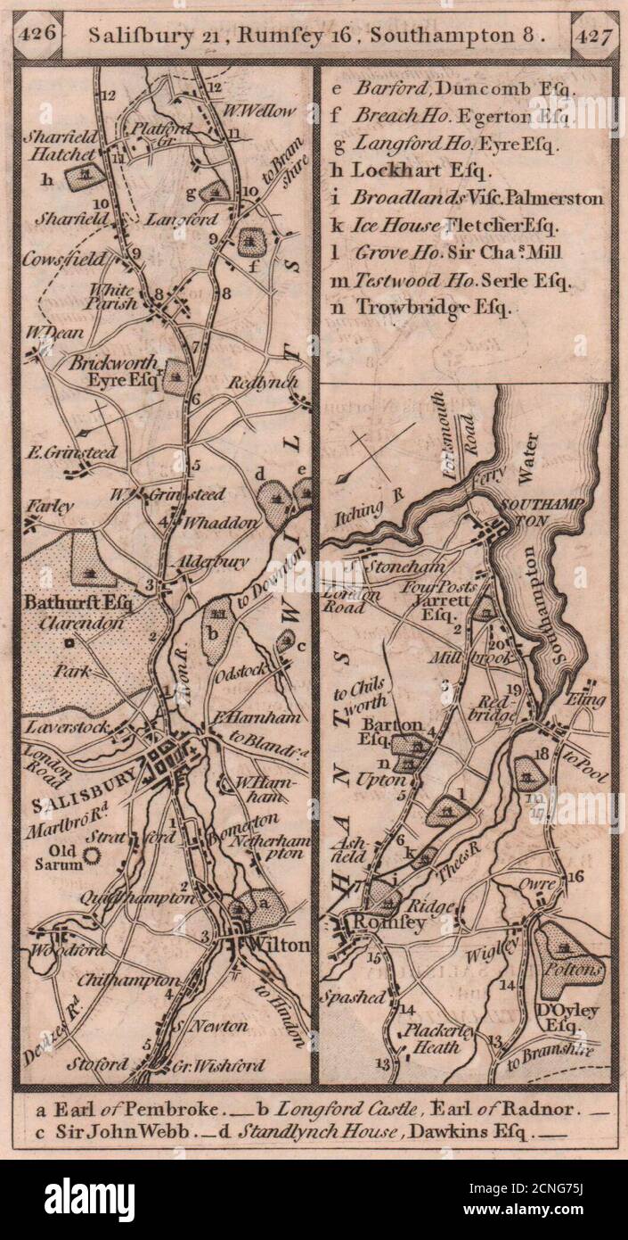 Wilton - Salisbury - Romsey - Southampton road strip map PATERSON 1803 old Stock Photohttps://www.alamy.com/image-license-details/?v=1https://www.alamy.com/wilton-salisbury-romsey-southampton-road-strip-map-paterson-1803-old-image374682382.html
RF2CNG75J–Wilton - Salisbury - Romsey - Southampton road strip map PATERSON 1803 old
 Sanborn Fire Insurance Map from Wilton Junction, Muscatine County, Iowa. Stock Photohttps://www.alamy.com/image-license-details/?v=1https://www.alamy.com/sanborn-fire-insurance-map-from-wilton-junction-muscatine-county-iowa-image456522879.html
RM2HEMBGF–Sanborn Fire Insurance Map from Wilton Junction, Muscatine County, Iowa.
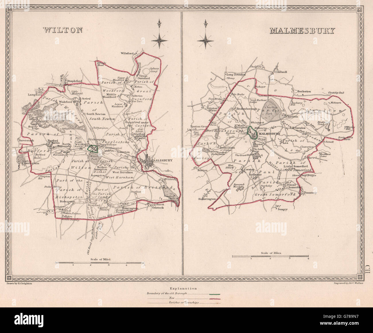 WILTSHIRE TOWNS. Wilton Malmesbury borough plans. CREIGHTON/WALKER, 1835 map Stock Photohttps://www.alamy.com/image-license-details/?v=1https://www.alamy.com/stock-photo-wiltshire-towns-wilton-malmesbury-borough-plans-creightonwalker-1835-107748067.html
RFG789N7–WILTSHIRE TOWNS. Wilton Malmesbury borough plans. CREIGHTON/WALKER, 1835 map
 Wellington, New Zealand - November 6th 2017: Signpost Map and Information board at the main entrance of the Otari-Wilton bush Walkway. Stock Photohttps://www.alamy.com/image-license-details/?v=1https://www.alamy.com/wellington-new-zealand-november-6th-2017-signpost-map-and-information-board-at-the-main-entrance-of-the-otari-wilton-bush-walkway-image255345950.html
RFTRC0A6–Wellington, New Zealand - November 6th 2017: Signpost Map and Information board at the main entrance of the Otari-Wilton bush Walkway.
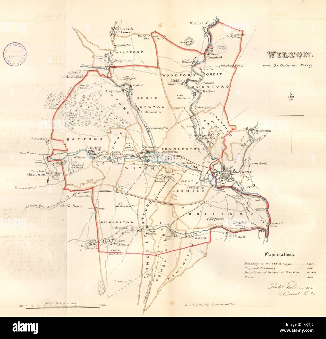 WILTON town/borough plan. REFORM ACT. Salisbury. Wiltshire. DAWSON 1832 map Stock Photohttps://www.alamy.com/image-license-details/?v=1https://www.alamy.com/stock-photo-wilton-townborough-plan-reform-act-salisbury-wiltshire-dawson-1832-171281773.html
RFKXJFJ5–WILTON town/borough plan. REFORM ACT. Salisbury. Wiltshire. DAWSON 1832 map
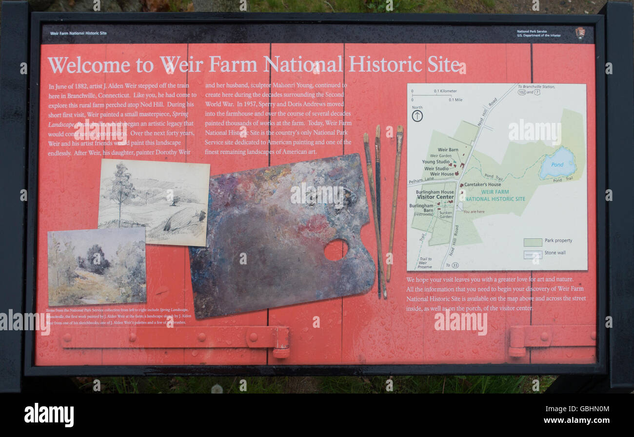 Weir Farm National Historic site Wilton CT Stock Photohttps://www.alamy.com/image-license-details/?v=1https://www.alamy.com/stock-photo-weir-farm-national-historic-site-wilton-ct-110413092.html
RMGBHN0M–Weir Farm National Historic site Wilton CT
![An EXACT PLAN OF THE Gardens and Park at Wilton Author Rocque, John 43.41.a.3. Place of publication: [London] Publisher: [John Roque] Publish'd according to Act of Parliament, Date of publication: 1746. Item type: 1 map Dimensions: 61 x 78 cm Former owner: George III, King of Great Britain, 1738-1820 Stock Photo An EXACT PLAN OF THE Gardens and Park at Wilton Author Rocque, John 43.41.a.3. Place of publication: [London] Publisher: [John Roque] Publish'd according to Act of Parliament, Date of publication: 1746. Item type: 1 map Dimensions: 61 x 78 cm Former owner: George III, King of Great Britain, 1738-1820 Stock Photo](https://c8.alamy.com/comp/2E9EM48/an-exact-plan-of-the-gardens-and-park-at-wilton-author-rocque-john-4341a3-place-of-publication-london-publisher-john-roque-publishd-according-to-act-of-parliament-date-of-publication-1746-item-type-1-map-dimensions-61-x-78-cm-former-owner-george-iii-king-of-great-britain-1738-1820-2E9EM48.jpg) An EXACT PLAN OF THE Gardens and Park at Wilton Author Rocque, John 43.41.a.3. Place of publication: [London] Publisher: [John Roque] Publish'd according to Act of Parliament, Date of publication: 1746. Item type: 1 map Dimensions: 61 x 78 cm Former owner: George III, King of Great Britain, 1738-1820 Stock Photohttps://www.alamy.com/image-license-details/?v=1https://www.alamy.com/an-exact-plan-of-the-gardens-and-park-at-wilton-author-rocque-john-4341a3-place-of-publication-london-publisher-john-roque-publishd-according-to-act-of-parliament-date-of-publication-1746-item-type-1-map-dimensions-61-x-78-cm-former-owner-george-iii-king-of-great-britain-1738-1820-image401693496.html
An EXACT PLAN OF THE Gardens and Park at Wilton Author Rocque, John 43.41.a.3. Place of publication: [London] Publisher: [John Roque] Publish'd according to Act of Parliament, Date of publication: 1746. Item type: 1 map Dimensions: 61 x 78 cm Former owner: George III, King of Great Britain, 1738-1820 Stock Photohttps://www.alamy.com/image-license-details/?v=1https://www.alamy.com/an-exact-plan-of-the-gardens-and-park-at-wilton-author-rocque-john-4341a3-place-of-publication-london-publisher-john-roque-publishd-according-to-act-of-parliament-date-of-publication-1746-item-type-1-map-dimensions-61-x-78-cm-former-owner-george-iii-king-of-great-britain-1738-1820-image401693496.htmlRM2E9EM48–An EXACT PLAN OF THE Gardens and Park at Wilton Author Rocque, John 43.41.a.3. Place of publication: [London] Publisher: [John Roque] Publish'd according to Act of Parliament, Date of publication: 1746. Item type: 1 map Dimensions: 61 x 78 cm Former owner: George III, King of Great Britain, 1738-1820
![Wilton [Township] 1866 Stock Photo Wilton [Township] 1866 Stock Photo](https://c8.alamy.com/comp/2YPECM0/wilton-township-1866-2YPECM0.jpg) Wilton [Township] 1866 Stock Photohttps://www.alamy.com/image-license-details/?v=1https://www.alamy.com/wilton-township-1866-image633412976.html
Wilton [Township] 1866 Stock Photohttps://www.alamy.com/image-license-details/?v=1https://www.alamy.com/wilton-township-1866-image633412976.htmlRM2YPECM0–Wilton [Township] 1866
 Wilton House23 Stock Photohttps://www.alamy.com/image-license-details/?v=1https://www.alamy.com/stock-photo-wilton-house23-140690271.html
RMJ4TYTF–Wilton House23
 Image 1 of Sanborn Fire Insurance Map from Wilton, Hillsborough County, New Hampshire. Sep 1885. 2 Sheet(s), America, street map with a Nineteenth Century compass Stock Photohttps://www.alamy.com/image-license-details/?v=1https://www.alamy.com/image-1-of-sanborn-fire-insurance-map-from-wilton-hillsborough-county-new-hampshire-sep-1885-2-sheets-america-street-map-with-a-nineteenth-century-compass-image344687108.html
RM2B0NRWT–Image 1 of Sanborn Fire Insurance Map from Wilton, Hillsborough County, New Hampshire. Sep 1885. 2 Sheet(s), America, street map with a Nineteenth Century compass
 Marie wilton Stock Photohttps://www.alamy.com/image-license-details/?v=1https://www.alamy.com/stock-photo-marie-wilton-140215064.html
RMJ439MT–Marie wilton
 Pianta di Roma e del Campo Marzio, Collection of maps of Rome, Piranesi, Giovanni Battista, 1720-1778, Etching, engraving, ca. 1774, On the date of the map, see Wilton-Ely, no. 1097, Reimagined by Gibon, design of warm cheerful glowing of brightness and light rays radiance. Classic art reinvented with a modern twist. Photography inspired by futurism, embracing dynamic energy of modern technology, movement, speed and revolutionize culture. Stock Photohttps://www.alamy.com/image-license-details/?v=1https://www.alamy.com/pianta-di-roma-e-del-campo-marzio-collection-of-maps-of-rome-piranesi-giovanni-battista-1720-1778-etching-engraving-ca-1774-on-the-date-of-the-map-see-wilton-ely-no-1097-reimagined-by-gibon-design-of-warm-cheerful-glowing-of-brightness-and-light-rays-radiance-classic-art-reinvented-with-a-modern-twist-photography-inspired-by-futurism-embracing-dynamic-energy-of-modern-technology-movement-speed-and-revolutionize-culture-image350079806.html
RF2B9FEA6–Pianta di Roma e del Campo Marzio, Collection of maps of Rome, Piranesi, Giovanni Battista, 1720-1778, Etching, engraving, ca. 1774, On the date of the map, see Wilton-Ely, no. 1097, Reimagined by Gibon, design of warm cheerful glowing of brightness and light rays radiance. Classic art reinvented with a modern twist. Photography inspired by futurism, embracing dynamic energy of modern technology, movement, speed and revolutionize culture.
 Edith of Wilton Stock Photohttps://www.alamy.com/image-license-details/?v=1https://www.alamy.com/stock-photo-edith-of-wilton-139777652.html
RMJ3BBR0–Edith of Wilton
 Wilton, Iowa, USA. 20th May, 2019. Iowa Governor Kim Reynolds watches as Lt. Gov. Adam Gregg signs an Official Iowa Road Map at the Candy Kitchen in Wilton, Iowa Monday, May 20, 2019. Credit: Kevin E. Schmidt/Quad-City Times/ZUMA Wire/Alamy Live News Stock Photohttps://www.alamy.com/image-license-details/?v=1https://www.alamy.com/wilton-iowa-usa-20th-may-2019-iowa-governor-kim-reynolds-watches-as-lt-gov-adam-gregg-signs-an-official-iowa-road-map-at-the-candy-kitchen-in-wilton-iowa-monday-may-20-2019-credit-kevin-e-schmidtquad-city-timeszuma-wirealamy-live-news-image247035075.html
RMT9WBN7–Wilton, Iowa, USA. 20th May, 2019. Iowa Governor Kim Reynolds watches as Lt. Gov. Adam Gregg signs an Official Iowa Road Map at the Candy Kitchen in Wilton, Iowa Monday, May 20, 2019. Credit: Kevin E. Schmidt/Quad-City Times/ZUMA Wire/Alamy Live News
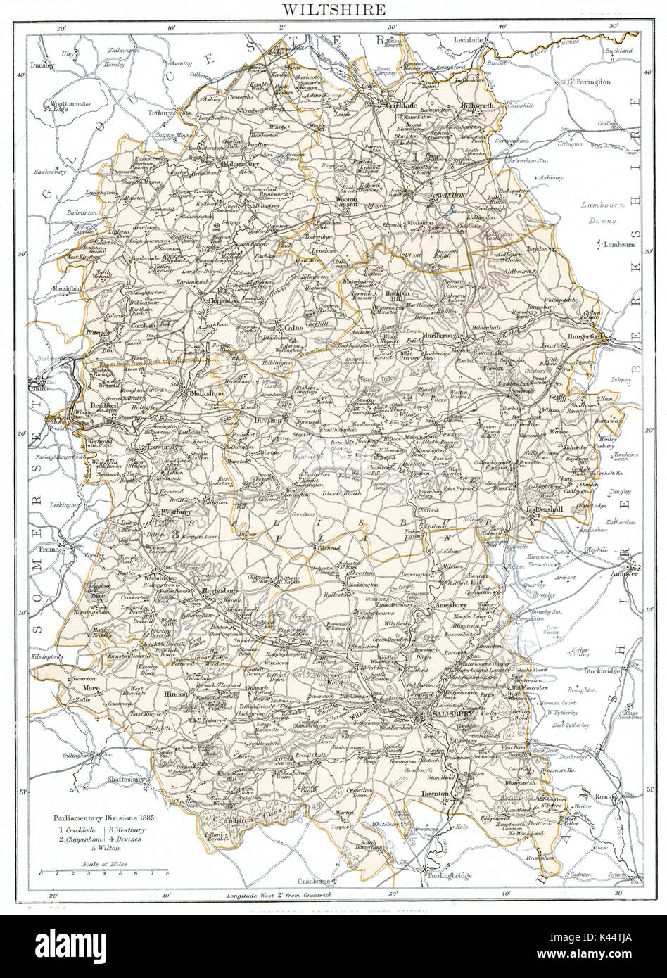 Antique map, circa 1875, of Wiltshire Stock Photohttps://www.alamy.com/image-license-details/?v=1https://www.alamy.com/antique-map-circa-1875-of-wiltshire-image157459074.html
RMK44TJA–Antique map, circa 1875, of Wiltshire
 54 of 'Wilton and its associations ... With illustrations ... by W. F. Tiffin' Stock Photohttps://www.alamy.com/image-license-details/?v=1https://www.alamy.com/stock-photo-54-of-wilton-and-its-associations-with-illustrations-by-w-f-tiffin-95706671.html
RMFFKPRB–54 of 'Wilton and its associations ... With illustrations ... by W. F. Tiffin'
 . Illustrated catalogue of school supplies.. -STANDARD CLOTH BLACKBOARDS. Superior Marking Surface. Finished both sides. A Perfectly Flexible Blackboard for teachers, lecturers, etc.Eolls tightly, like a map, without injury. With rings or hooks completefor hanging. No. 1. 2 X 2 feet $0.80 No. 2. 3 X 3 1.75 No. 3. 3 X 4 2.50 No. 4. 3 X 5 3.00 No. 5. 3 X 6 3.50 No. 6. 3 X 7 4.00 No. 7. 4 X 4 3.00 No. 8. 4 X 5 3.75 No. 9. 4 X 6 4.50 No. 10. 4 X 7 5.25 STANDARD BLACKBOARD ERASERS.Made from Best Wilton Velvet Carpet. 6-inch, per dozen 6-inch, gross 7-inch, dozen 7-inch, gross. iO.606.00 .707.00 BLA Stock Photohttps://www.alamy.com/image-license-details/?v=1https://www.alamy.com/illustrated-catalogue-of-school-supplies-standard-cloth-blackboards-superior-marking-surface-finished-both-sides-a-perfectly-flexible-blackboard-for-teachers-lecturers-etceolls-tightly-like-a-map-without-injury-with-rings-or-hooks-completefor-hanging-no-1-2-x-2-feet-080-no-2-3-x-3-175-no-3-3-x-4-250-no-4-3-x-5-300-no-5-3-x-6-350-no-6-3-x-7-400-no-7-4-x-4-300-no-8-4-x-5-375-no-9-4-x-6-450-no-10-4-x-7-525-standard-blackboard-erasersmade-from-best-wilton-velvet-carpet-6-inch-per-dozen-6-inch-gross-7-inch-dozen-7-inch-gross-io60600-70700-bla-image337048239.html
RM2AG9TD3–. Illustrated catalogue of school supplies.. -STANDARD CLOTH BLACKBOARDS. Superior Marking Surface. Finished both sides. A Perfectly Flexible Blackboard for teachers, lecturers, etc.Eolls tightly, like a map, without injury. With rings or hooks completefor hanging. No. 1. 2 X 2 feet $0.80 No. 2. 3 X 3 1.75 No. 3. 3 X 4 2.50 No. 4. 3 X 5 3.00 No. 5. 3 X 6 3.50 No. 6. 3 X 7 4.00 No. 7. 4 X 4 3.00 No. 8. 4 X 5 3.75 No. 9. 4 X 6 4.50 No. 10. 4 X 7 5.25 STANDARD BLACKBOARD ERASERS.Made from Best Wilton Velvet Carpet. 6-inch, per dozen 6-inch, gross 7-inch, dozen 7-inch, gross. iO.606.00 .707.00 BLA
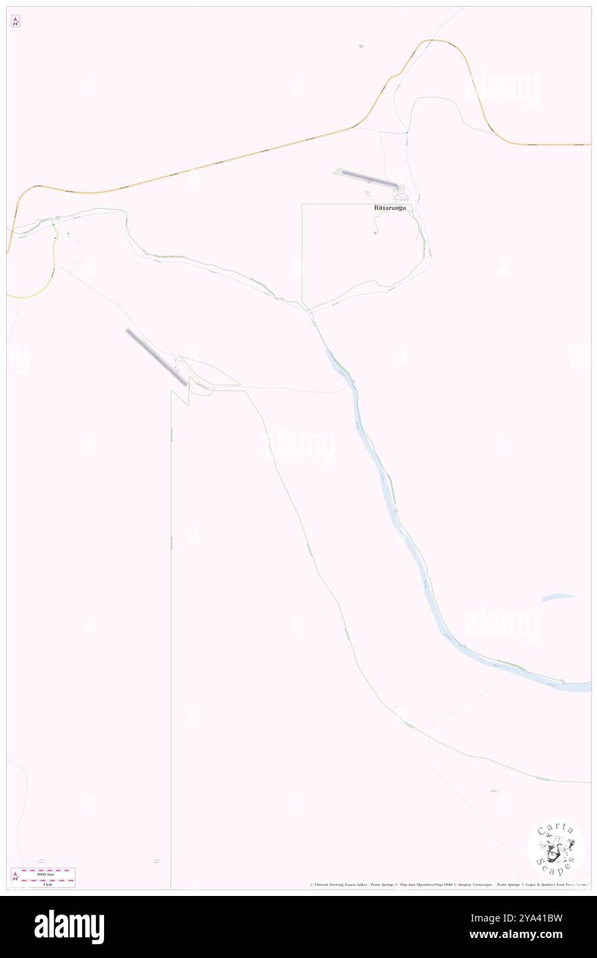 Wilton River, , AU, Australia, Northern Territory, S 14 45' 0'', N 134 33' 0'', map, Cartascapes Map published in 2024. Explore Cartascapes, a map revealing Earth's diverse landscapes, cultures, and ecosystems. Journey through time and space, discovering the interconnectedness of our planet's past, present, and future. Stock Photohttps://www.alamy.com/image-license-details/?v=1https://www.alamy.com/wilton-river-au-australia-northern-territory-s-14-45-0-n-134-33-0-map-cartascapes-map-published-in-2024-explore-cartascapes-a-map-revealing-earths-diverse-landscapes-cultures-and-ecosystems-journey-through-time-and-space-discovering-the-interconnectedness-of-our-planets-past-present-and-future-image625808733.html
RM2YA41BW–Wilton River, , AU, Australia, Northern Territory, S 14 45' 0'', N 134 33' 0'', map, Cartascapes Map published in 2024. Explore Cartascapes, a map revealing Earth's diverse landscapes, cultures, and ecosystems. Journey through time and space, discovering the interconnectedness of our planet's past, present, and future.
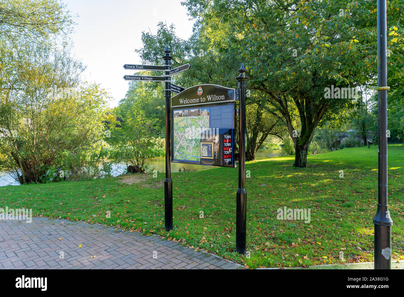 Wilton town street map and map vending machine Stock Photohttps://www.alamy.com/image-license-details/?v=1https://www.alamy.com/wilton-town-street-map-and-map-vending-machine-image329029164.html
RM2A38G1G–Wilton town street map and map vending machine
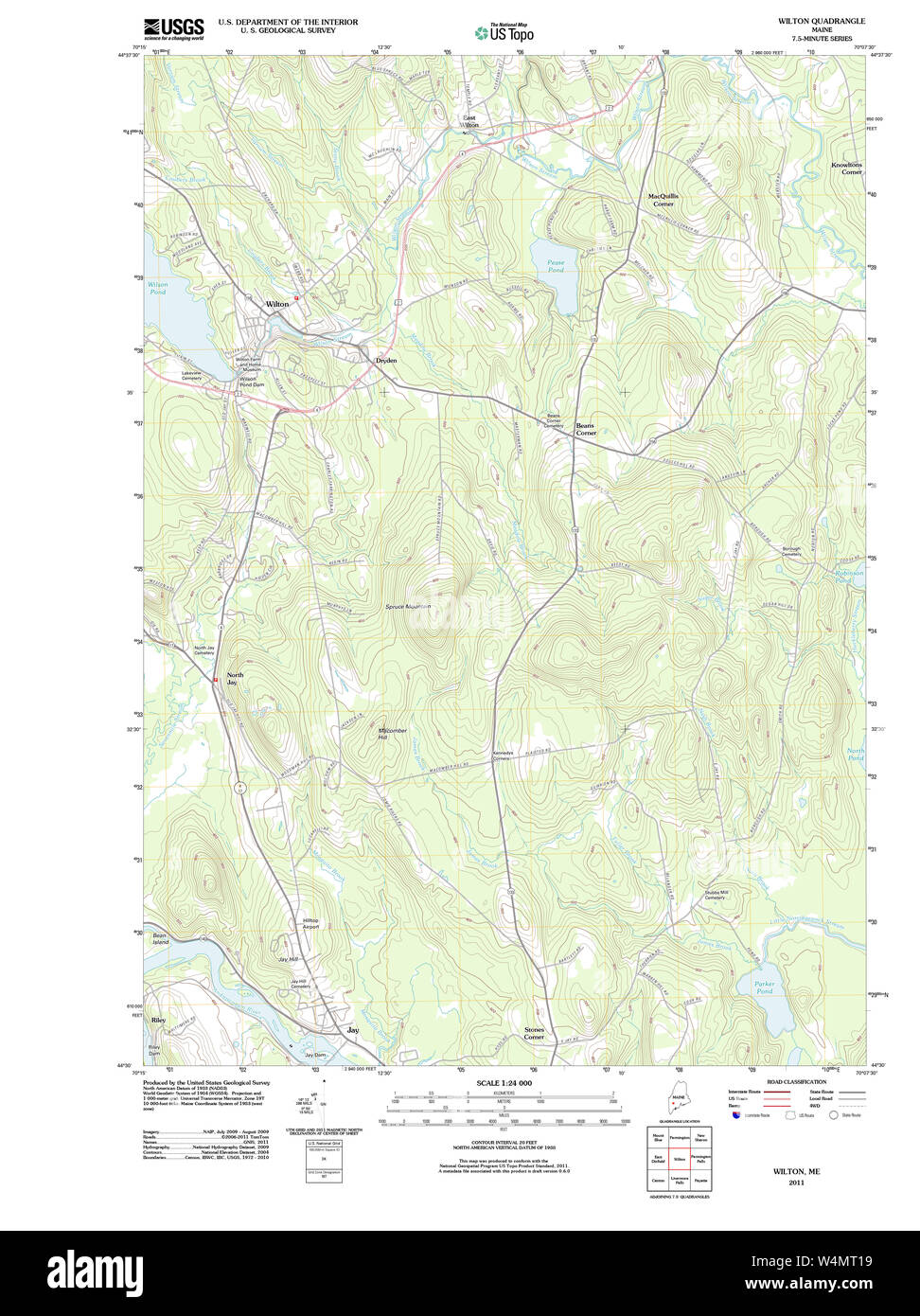 Maine USGS Historical Map Wilton 20110902 TM Restoration Stock Photohttps://www.alamy.com/image-license-details/?v=1https://www.alamy.com/maine-usgs-historical-map-wilton-20110902-tm-restoration-image261072037.html
RMW4MT19–Maine USGS Historical Map Wilton 20110902 TM Restoration
 Sanborn Fire Insurance Map from Wilton Junction, Muscatine County, Iowa. Stock Photohttps://www.alamy.com/image-license-details/?v=1https://www.alamy.com/sanborn-fire-insurance-map-from-wilton-junction-muscatine-county-iowa-image456522886.html
RM2HEMBGP–Sanborn Fire Insurance Map from Wilton Junction, Muscatine County, Iowa.
 Maine USGS Historical Map Wilton 103114 1968 24000 Restoration Stock Photohttps://www.alamy.com/image-license-details/?v=1https://www.alamy.com/maine-usgs-historical-map-wilton-103114-1968-24000-restoration-image261072030.html
RMW4MT12–Maine USGS Historical Map Wilton 103114 1968 24000 Restoration
 WILTON borough/ town plan. REFORM ACT. Salisbury. Wiltshire. DAWSON 1832 map Stock Photohttps://www.alamy.com/image-license-details/?v=1https://www.alamy.com/stock-photo-wilton-borough-town-plan-reform-act-salisbury-wiltshire-dawson-1832-171281791.html
RFKXJFJR–WILTON borough/ town plan. REFORM ACT. Salisbury. Wiltshire. DAWSON 1832 map
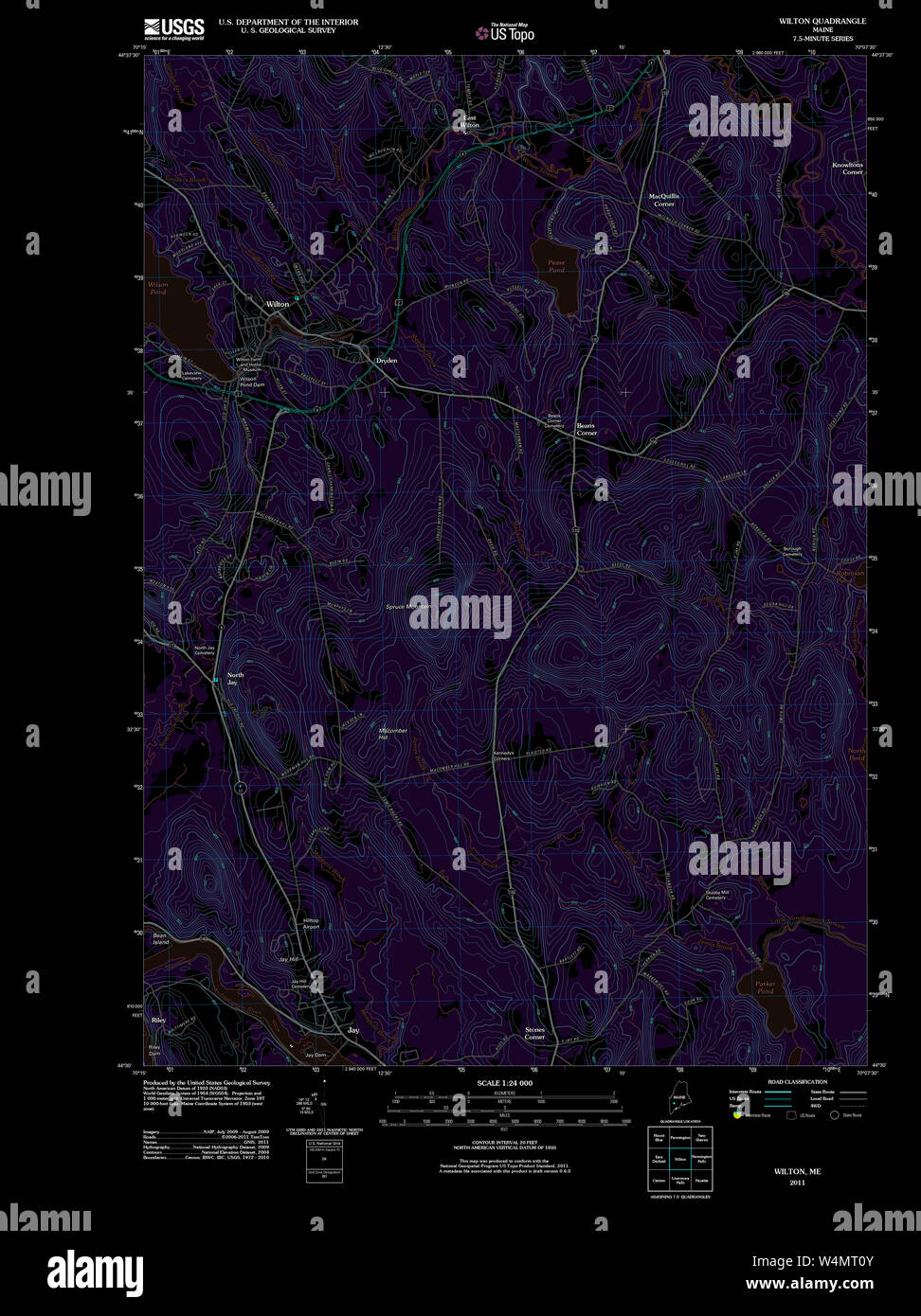 Maine USGS Historical Map Wilton 20110902 TM Inversion Restoration Stock Photohttps://www.alamy.com/image-license-details/?v=1https://www.alamy.com/maine-usgs-historical-map-wilton-20110902-tm-inversion-restoration-image261072027.html
RMW4MT0Y–Maine USGS Historical Map Wilton 20110902 TM Inversion Restoration
 A colored south east view of the remains of Wilton Priory drawn by J. Buckler. Map information: Title: A colored south-east view of the remains of Wilton Priory; drawn by J. Buckler. 43.41.a.2.b. Date of publication: ca. 1790-1825. Item type: Ms. 11 in. x 8 in. Former owner: George III, King of Great Britain, 1738-1820 Stock Photohttps://www.alamy.com/image-license-details/?v=1https://www.alamy.com/a-colored-south-east-view-of-the-remains-of-wilton-priory-drawn-by-j-buckler-map-information-title-a-colored-south-east-view-of-the-remains-of-wilton-priory-drawn-by-j-buckler-4341a2b-date-of-publication-ca-1790-1825-item-type-ms-11-in-x-8-in-former-owner-george-iii-king-of-great-britain-1738-1820-image401693513.html
RM2E9EM4W–A colored south east view of the remains of Wilton Priory drawn by J. Buckler. Map information: Title: A colored south-east view of the remains of Wilton Priory; drawn by J. Buckler. 43.41.a.2.b. Date of publication: ca. 1790-1825. Item type: Ms. 11 in. x 8 in. Former owner: George III, King of Great Britain, 1738-1820
![Beechers Hollow [Village]; Beechers Hollow Business Directory; Batchellorville Business Directory; Wilton [Village]; Wilton Business Directory; Porters [Village]; Porters Corners Business Directory; Batchellorville [Village]; Galway Business Directory; Galway [Village] 1866 Stock Photo Beechers Hollow [Village]; Beechers Hollow Business Directory; Batchellorville Business Directory; Wilton [Village]; Wilton Business Directory; Porters [Village]; Porters Corners Business Directory; Batchellorville [Village]; Galway Business Directory; Galway [Village] 1866 Stock Photo](https://c8.alamy.com/comp/2YPECKW/beechers-hollow-village-beechers-hollow-business-directory-batchellorville-business-directory-wilton-village-wilton-business-directory-porters-village-porters-corners-business-directory-batchellorville-village-galway-business-directory-galway-village-1866-2YPECKW.jpg) Beechers Hollow [Village]; Beechers Hollow Business Directory; Batchellorville Business Directory; Wilton [Village]; Wilton Business Directory; Porters [Village]; Porters Corners Business Directory; Batchellorville [Village]; Galway Business Directory; Galway [Village] 1866 Stock Photohttps://www.alamy.com/image-license-details/?v=1https://www.alamy.com/beechers-hollow-village-beechers-hollow-business-directory-batchellorville-business-directory-wilton-village-wilton-business-directory-porters-village-porters-corners-business-directory-batchellorville-village-galway-business-directory-galway-village-1866-image633412973.html
Beechers Hollow [Village]; Beechers Hollow Business Directory; Batchellorville Business Directory; Wilton [Village]; Wilton Business Directory; Porters [Village]; Porters Corners Business Directory; Batchellorville [Village]; Galway Business Directory; Galway [Village] 1866 Stock Photohttps://www.alamy.com/image-license-details/?v=1https://www.alamy.com/beechers-hollow-village-beechers-hollow-business-directory-batchellorville-business-directory-wilton-village-wilton-business-directory-porters-village-porters-corners-business-directory-batchellorville-village-galway-business-directory-galway-village-1866-image633412973.htmlRM2YPECKW–Beechers Hollow [Village]; Beechers Hollow Business Directory; Batchellorville Business Directory; Wilton [Village]; Wilton Business Directory; Porters [Village]; Porters Corners Business Directory; Batchellorville [Village]; Galway Business Directory; Galway [Village] 1866
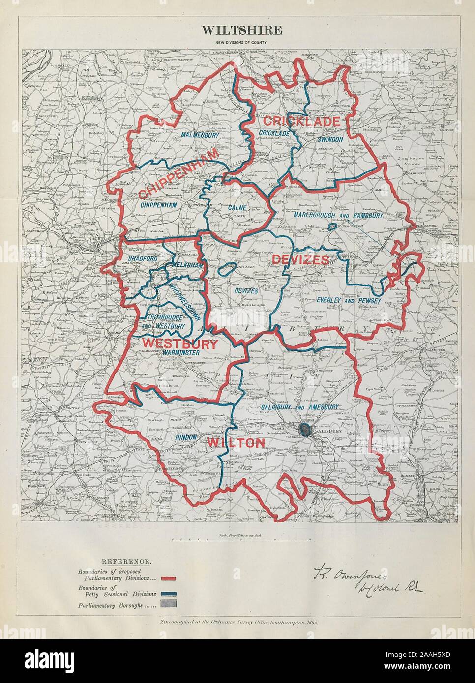 Wiltshire Parliamentary Divisions Cricklade Devizes BOUNDARY COMMISSION 1885 map Stock Photohttps://www.alamy.com/image-license-details/?v=1https://www.alamy.com/wiltshire-parliamentary-divisions-cricklade-devizes-boundary-commission-1885-map-image333521397.html
RF2AAH5XD–Wiltshire Parliamentary Divisions Cricklade Devizes BOUNDARY COMMISSION 1885 map
 Image 2 of Sanborn Fire Insurance Map from Wilton, Hillsborough County, New Hampshire. Jan 1892. 2 Sheet(s), America, street map with a Nineteenth Century compass Stock Photohttps://www.alamy.com/image-license-details/?v=1https://www.alamy.com/image-2-of-sanborn-fire-insurance-map-from-wilton-hillsborough-county-new-hampshire-jan-1892-2-sheets-america-street-map-with-a-nineteenth-century-compass-image344687117.html
RM2B0NRX5–Image 2 of Sanborn Fire Insurance Map from Wilton, Hillsborough County, New Hampshire. Jan 1892. 2 Sheet(s), America, street map with a Nineteenth Century compass
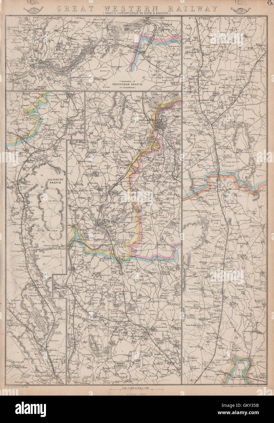 GREAT WESTERN RAILWAY 2. Didcot to Bath, Bristol & Cheltenham. WELLER, 1863 map Stock Photohttps://www.alamy.com/image-license-details/?v=1https://www.alamy.com/stock-photo-great-western-railway-2-didcot-to-bath-bristol-cheltenham-weller-1863-115535879.html
RFGKY35B–GREAT WESTERN RAILWAY 2. Didcot to Bath, Bristol & Cheltenham. WELLER, 1863 map
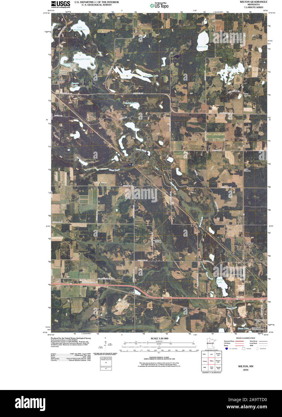 USGS TOPO Map MInnesota MN Wilton 20100817 TM Restoration Stock Photohttps://www.alamy.com/image-license-details/?v=1https://www.alamy.com/usgs-topo-map-minnesota-mn-wilton-20100817-tm-restoration-image333074924.html
RM2A9TTD0–USGS TOPO Map MInnesota MN Wilton 20100817 TM Restoration
 Kineowatha Camps Wilton Stock Photohttps://www.alamy.com/image-license-details/?v=1https://www.alamy.com/stock-photo-kineowatha-camps-wilton-140044795.html
RMJ3RGFR–Kineowatha Camps Wilton
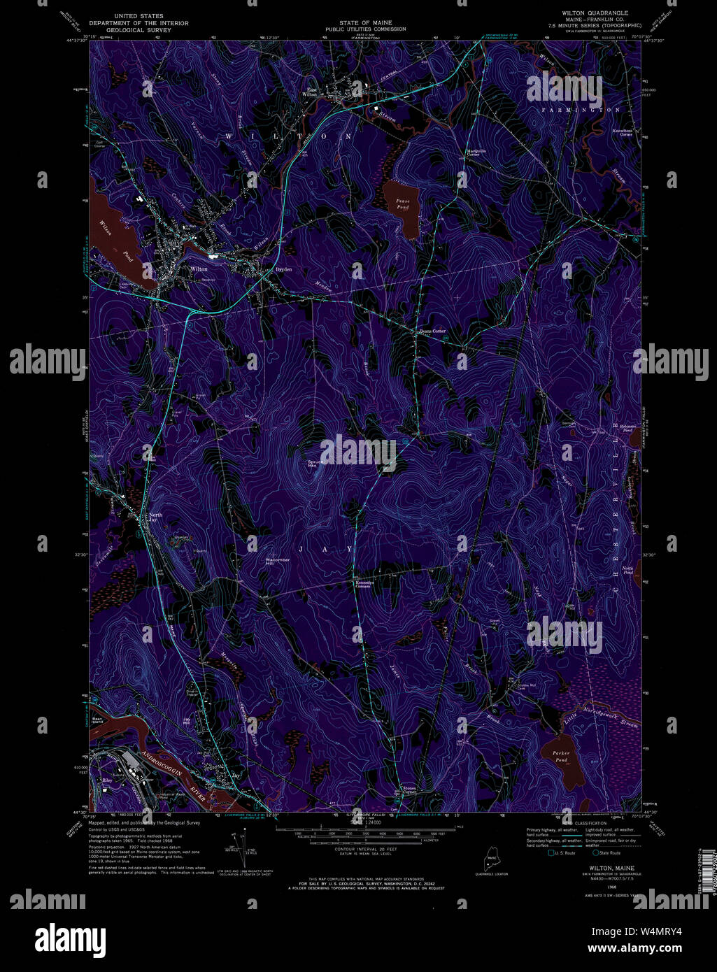 Maine USGS Historical Map Wilton 103114 1968 24000 Inversion Restoration Stock Photohttps://www.alamy.com/image-license-details/?v=1https://www.alamy.com/maine-usgs-historical-map-wilton-103114-1968-24000-inversion-restoration-image261071976.html
RMW4MRY4–Maine USGS Historical Map Wilton 103114 1968 24000 Inversion Restoration
 Pianta di Roma e del Campo Marzio, Collection of maps of Rome, Piranesi, Giovanni Battista, 1720-1778, Etching reimagined Stock Photohttps://www.alamy.com/image-license-details/?v=1https://www.alamy.com/pianta-di-roma-e-del-campo-marzio-collection-of-maps-of-rome-piranesi-giovanni-battista-1720-1778-etching-reimagined-image230262843.html
RFRAHAGY–Pianta di Roma e del Campo Marzio, Collection of maps of Rome, Piranesi, Giovanni Battista, 1720-1778, Etching reimagined
 Image taken from page 154 of 'Wilton and its associations Stock Photohttps://www.alamy.com/image-license-details/?v=1https://www.alamy.com/stock-photo-image-taken-from-page-154-of-wilton-and-its-associations-127725737.html
RMHBPBDD–Image taken from page 154 of 'Wilton and its associations
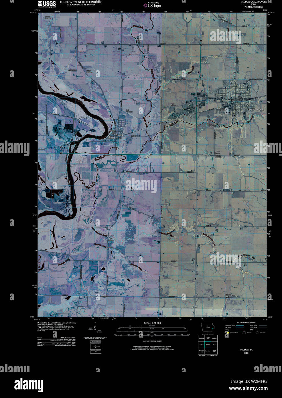 USGS TOPO Map Iowa IA Wilton 20100422 TM Inverted Restoration Stock Photohttps://www.alamy.com/image-license-details/?v=1https://www.alamy.com/usgs-topo-map-iowa-ia-wilton-20100422-tm-inverted-restoration-image259836279.html
RMW2MFR3–USGS TOPO Map Iowa IA Wilton 20100422 TM Inverted Restoration
 Wilton River, , AU, Australia, Northern Territory, S 14 34' 37'', N 134 35' 59'', map, Cartascapes Map published in 2024. Explore Cartascapes, a map revealing Earth's diverse landscapes, cultures, and ecosystems. Journey through time and space, discovering the interconnectedness of our planet's past, present, and future. Stock Photohttps://www.alamy.com/image-license-details/?v=1https://www.alamy.com/wilton-river-au-australia-northern-territory-s-14-34-37-n-134-35-59-map-cartascapes-map-published-in-2024-explore-cartascapes-a-map-revealing-earths-diverse-landscapes-cultures-and-ecosystems-journey-through-time-and-space-discovering-the-interconnectedness-of-our-planets-past-present-and-future-image625723178.html
RM2YA048A–Wilton River, , AU, Australia, Northern Territory, S 14 34' 37'', N 134 35' 59'', map, Cartascapes Map published in 2024. Explore Cartascapes, a map revealing Earth's diverse landscapes, cultures, and ecosystems. Journey through time and space, discovering the interconnectedness of our planet's past, present, and future.
 . Huebinger's map and guide for river to river road;. MOSCOW SJ M. West to Atalissa, 4 M. Northeast to Wilton.HOTEI.—Teufel, rate $1.40; Chas. Winkler, rate $1.50.REP.VIRS—J. E. Parker.G.V.SOLIXE—J. E. Parker.HELL TRLEPHO:VE—M o s c o w Mut. Tel. Co., ^^?ashing?ton St. 49 FRENCH AUTO OIL—The Remedy for go Per Cent of Your Auto Troubles. HISE HOUSE E. H. HISE, PROP. WEST LIBERTY, IOWA DItmars, Kerr and Companys Garage Stock Photohttps://www.alamy.com/image-license-details/?v=1https://www.alamy.com/huebingers-map-and-guide-for-river-to-river-road-moscow-sj-m-west-to-atalissa-4-m-northeast-to-wiltonhoteiteufel-rate-140-chas-winkler-rate-150repvirsj-e-parkergvsolixej-e-parkerhell-trlephovem-o-s-c-o-w-mut-tel-co-ashington-st-49-french-auto-oilthe-remedy-for-go-per-cent-of-your-auto-troubles-hise-house-e-h-hise-prop-west-liberty-iowa-ditmars-kerr-and-companys-garage-image370567535.html
RM2CETPJR–. Huebinger's map and guide for river to river road;. MOSCOW SJ M. West to Atalissa, 4 M. Northeast to Wilton.HOTEI.—Teufel, rate $1.40; Chas. Winkler, rate $1.50.REP.VIRS—J. E. Parker.G.V.SOLIXE—J. E. Parker.HELL TRLEPHO:VE—M o s c o w Mut. Tel. Co., ^^?ashing?ton St. 49 FRENCH AUTO OIL—The Remedy for go Per Cent of Your Auto Troubles. HISE HOUSE E. H. HISE, PROP. WEST LIBERTY, IOWA DItmars, Kerr and Companys Garage
 Sanborn Fire Insurance Map from Wilton Junction, Muscatine County, Iowa. Stock Photohttps://www.alamy.com/image-license-details/?v=1https://www.alamy.com/sanborn-fire-insurance-map-from-wilton-junction-muscatine-county-iowa-image456522982.html
RM2HEMBM6–Sanborn Fire Insurance Map from Wilton Junction, Muscatine County, Iowa.
 A colored south west view of Wilton Church drawn by J. Buckler. Map information: Title: A colored south-west view of Wilton Church; drawn by J. Buckler. 43.41.a.1.b. Date of publication: ca. 1790-1825. Item type: Ms. 1 f. 1 in. x 9 in. Former owner: George III, King of Great Britain, 1738-1820 Stock Photohttps://www.alamy.com/image-license-details/?v=1https://www.alamy.com/a-colored-south-west-view-of-wilton-church-drawn-by-j-buckler-map-information-title-a-colored-south-west-view-of-wilton-church-drawn-by-j-buckler-4341a1b-date-of-publication-ca-1790-1825-item-type-ms-1-f-1-in-x-9-in-former-owner-george-iii-king-of-great-britain-1738-1820-image401693485.html
RM2E9EM3W–A colored south west view of Wilton Church drawn by J. Buckler. Map information: Title: A colored south-west view of Wilton Church; drawn by J. Buckler. 43.41.a.1.b. Date of publication: ca. 1790-1825. Item type: Ms. 1 f. 1 in. x 9 in. Former owner: George III, King of Great Britain, 1738-1820
 Queens, Vol. 3, Double Page Plate No. 8; Part of Ward Three Flushing. [Map bounded by Madison Ave., Bowne Ave., Parsons Ave., Central Ave., Wilson Ave., Boerum Ave., Sanford Ave., Franklyn Ave., Cypress Ave., Jamaica Ave., Forest Ave., Burling Ave., Smart Ave., Robinson Ave., Union Ave., Queens Ave., Laburnum Ave., Sinclair Ave.; Including Murray St., Barclay St., Percy St., Ash St., Union St., Beech St., Delaware St., Elm St., 16th St., Franconia St., Hawthorne St., Hollywood Pl., Whittier St., Tennison St., Bryant St., Halleck St., Wilton St., Moore St., Schiller St., Oak St., Poplar St., Qu Stock Photohttps://www.alamy.com/image-license-details/?v=1https://www.alamy.com/queens-vol-3-double-page-plate-no-8-part-of-ward-three-flushing-map-bounded-by-madison-ave-bowne-ave-parsons-ave-central-ave-wilson-ave-boerum-ave-sanford-ave-franklyn-ave-cypress-ave-jamaica-ave-forest-ave-burling-ave-smart-ave-robinson-ave-union-ave-queens-ave-laburnum-ave-sinclair-ave-including-murray-st-barclay-st-percy-st-ash-st-union-st-beech-st-delaware-st-elm-st-16th-st-franconia-st-hawthorne-st-hollywood-pl-whittier-st-tennison-st-bryant-st-halleck-st-wilton-st-moore-st-schiller-st-oak-st-poplar-st-qu-image633981781.html
RM2YRCA6D–Queens, Vol. 3, Double Page Plate No. 8; Part of Ward Three Flushing. [Map bounded by Madison Ave., Bowne Ave., Parsons Ave., Central Ave., Wilson Ave., Boerum Ave., Sanford Ave., Franklyn Ave., Cypress Ave., Jamaica Ave., Forest Ave., Burling Ave., Smart Ave., Robinson Ave., Union Ave., Queens Ave., Laburnum Ave., Sinclair Ave.; Including Murray St., Barclay St., Percy St., Ash St., Union St., Beech St., Delaware St., Elm St., 16th St., Franconia St., Hawthorne St., Hollywood Pl., Whittier St., Tennison St., Bryant St., Halleck St., Wilton St., Moore St., Schiller St., Oak St., Poplar St., Qu
 Image 1 of Sanborn Fire Insurance Map from Wilton, Hillsborough County, New Hampshire. Oct 1897. 3 Sheet(s), America, street map with a Nineteenth Century compass Stock Photohttps://www.alamy.com/image-license-details/?v=1https://www.alamy.com/image-1-of-sanborn-fire-insurance-map-from-wilton-hillsborough-county-new-hampshire-oct-1897-3-sheets-america-street-map-with-a-nineteenth-century-compass-image344687119.html
RM2B0NRX7–Image 1 of Sanborn Fire Insurance Map from Wilton, Hillsborough County, New Hampshire. Oct 1897. 3 Sheet(s), America, street map with a Nineteenth Century compass
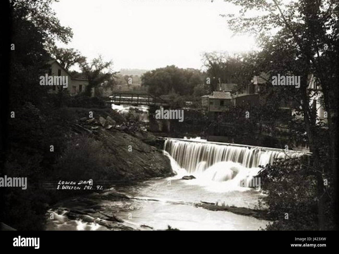 Lower dam Wilton Maine Stock Photohttps://www.alamy.com/image-license-details/?v=1https://www.alamy.com/stock-photo-lower-dam-wilton-maine-140188577.html
RMJ423XW–Lower dam Wilton Maine
 Two Centuries of Soho: its institutions, firms, and amusements. By the Clergy of St. Anne's, Soho, J. H. Cardwell ... H. B. Freeman ... G. C. Wilton ... assisted by other contributors, etc Image taken from page 190 of 'Two Centuries of Soho Stock Photohttps://www.alamy.com/image-license-details/?v=1https://www.alamy.com/stock-photo-two-centuries-of-soho-its-institutions-firms-and-amusements-by-the-127737766.html
RMHBPXR2–Two Centuries of Soho: its institutions, firms, and amusements. By the Clergy of St. Anne's, Soho, J. H. Cardwell ... H. B. Freeman ... G. C. Wilton ... assisted by other contributors, etc Image taken from page 190 of 'Two Centuries of Soho
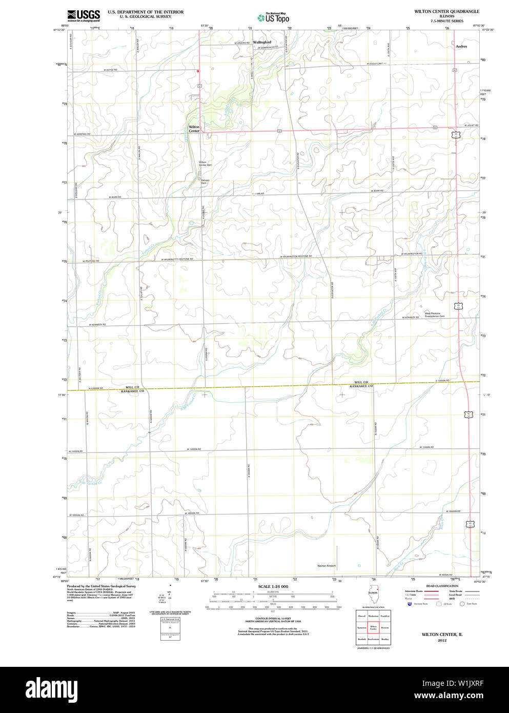 USGS TOPO Map Illinois IL Wilton Center 20120809 TM Restoration Stock Photohttps://www.alamy.com/image-license-details/?v=1https://www.alamy.com/usgs-topo-map-illinois-il-wilton-center-20120809-tm-restoration-image259186355.html
RMW1JXRF–USGS TOPO Map Illinois IL Wilton Center 20120809 TM Restoration
 Wilton Park, Toowoomba, AU, Australia, Queensland, S 27 32' 36'', N 151 49' 52'', map, Cartascapes Map published in 2024. Explore Cartascapes, a map revealing Earth's diverse landscapes, cultures, and ecosystems. Journey through time and space, discovering the interconnectedness of our planet's past, present, and future. Stock Photohttps://www.alamy.com/image-license-details/?v=1https://www.alamy.com/wilton-park-toowoomba-au-australia-queensland-s-27-32-36-n-151-49-52-map-cartascapes-map-published-in-2024-explore-cartascapes-a-map-revealing-earths-diverse-landscapes-cultures-and-ecosystems-journey-through-time-and-space-discovering-the-interconnectedness-of-our-planets-past-present-and-future-image625459037.html
RM2Y9G3AN–Wilton Park, Toowoomba, AU, Australia, Queensland, S 27 32' 36'', N 151 49' 52'', map, Cartascapes Map published in 2024. Explore Cartascapes, a map revealing Earth's diverse landscapes, cultures, and ecosystems. Journey through time and space, discovering the interconnectedness of our planet's past, present, and future.
 . Huebinger's map and guide for river to river road;. A Road here leads intoStockton. The one on westernedge of town due south to Pleas-ant Prairie (page 134) on Mus-catine Branch of River to RiverRoad leading- east to Davenportand southwest to Muscatine. UISLL TELEPHONE—Davenport<& Tipton Telephone Co., DepotSt. 47 WILTON JCT. 4 M. Southwest to Moscow, 7 M. East to Durant.HOTEL—Commercial, rate $2.00; three restaurants.G.VR.VGE—John Wacker.GASOLINE—At garage.nELL TELEPHOXE—Wilton Tel. DURANT 7 JI. West to Wilton Jet., 17.4 M.East to Davenport. HOTEL—American, rate J1.25;Durant, rate .$1.50 Stock Photohttps://www.alamy.com/image-license-details/?v=1https://www.alamy.com/huebingers-map-and-guide-for-river-to-river-road-a-road-here-leads-intostockton-the-one-on-westernedge-of-town-due-south-to-pleas-ant-prairie-page-134-on-mus-catine-branch-of-river-to-riverroad-leading-east-to-davenportand-southwest-to-muscatine-uisll-telephonedavenportlt-tipton-telephone-co-depotst-47-wilton-jct-4-m-southwest-to-moscow-7-m-east-to-duranthotelcommercial-rate-200-three-restaurantsgvrvgejohn-wackergasolineat-garagenell-telephoxewilton-tel-durant-7-ji-west-to-wilton-jet-174-meast-to-davenport-hotelamerican-rate-j125durant-rate-150-image370568009.html
RM2CETR7N–. Huebinger's map and guide for river to river road;. A Road here leads intoStockton. The one on westernedge of town due south to Pleas-ant Prairie (page 134) on Mus-catine Branch of River to RiverRoad leading- east to Davenportand southwest to Muscatine. UISLL TELEPHONE—Davenport<& Tipton Telephone Co., DepotSt. 47 WILTON JCT. 4 M. Southwest to Moscow, 7 M. East to Durant.HOTEL—Commercial, rate $2.00; three restaurants.G.VR.VGE—John Wacker.GASOLINE—At garage.nELL TELEPHOXE—Wilton Tel. DURANT 7 JI. West to Wilton Jet., 17.4 M.East to Davenport. HOTEL—American, rate J1.25;Durant, rate .$1.50
 Sanborn Fire Insurance Map from Wilton, Hillsborough County, New Hampshire. Stock Photohttps://www.alamy.com/image-license-details/?v=1https://www.alamy.com/sanborn-fire-insurance-map-from-wilton-hillsborough-county-new-hampshire-image456522901.html
RM2HEMBH9–Sanborn Fire Insurance Map from Wilton, Hillsborough County, New Hampshire.
![Plan du Chateau Jardin et Parc de Wilton la Terre du Comte de Pembroke situeeÃÅ dans le ComteÃÅ de Wilts, aÃÄ 75 Miles de LONDRES. Author Rocque, John 43.41.b. Place of publication: London Publisher: Published According to Act of Parliament. Price 2s. 6d Printed for Rob.t Sayer N.o 53 in Fleet Street., Date of publication: [1754]. Item type: 1 map Dimensions: 35 x 56 cm Former owner: George III, King of Great Britain, 1738-1820 Stock Photo Plan du Chateau Jardin et Parc de Wilton la Terre du Comte de Pembroke situeeÃÅ dans le ComteÃÅ de Wilts, aÃÄ 75 Miles de LONDRES. Author Rocque, John 43.41.b. Place of publication: London Publisher: Published According to Act of Parliament. Price 2s. 6d Printed for Rob.t Sayer N.o 53 in Fleet Street., Date of publication: [1754]. Item type: 1 map Dimensions: 35 x 56 cm Former owner: George III, King of Great Britain, 1738-1820 Stock Photo](https://c8.alamy.com/comp/2E9EM4X/plan-du-chateau-jardin-et-parc-de-wilton-la-terre-du-comte-de-pembroke-situee-dans-le-comte-de-wilts-a-75-miles-de-londres-author-rocque-john-4341b-place-of-publication-london-publisher-published-according-to-act-of-parliament-price-2s-6d-printed-for-robt-sayer-no-53-in-fleet-street-date-of-publication-1754-item-type-1-map-dimensions-35-x-56-cm-former-owner-george-iii-king-of-great-britain-1738-1820-2E9EM4X.jpg) Plan du Chateau Jardin et Parc de Wilton la Terre du Comte de Pembroke situeeÃÅ dans le ComteÃÅ de Wilts, aÃÄ 75 Miles de LONDRES. Author Rocque, John 43.41.b. Place of publication: London Publisher: Published According to Act of Parliament. Price 2s. 6d Printed for Rob.t Sayer N.o 53 in Fleet Street., Date of publication: [1754]. Item type: 1 map Dimensions: 35 x 56 cm Former owner: George III, King of Great Britain, 1738-1820 Stock Photohttps://www.alamy.com/image-license-details/?v=1https://www.alamy.com/plan-du-chateau-jardin-et-parc-de-wilton-la-terre-du-comte-de-pembroke-situee-dans-le-comte-de-wilts-a-75-miles-de-londres-author-rocque-john-4341b-place-of-publication-london-publisher-published-according-to-act-of-parliament-price-2s-6d-printed-for-robt-sayer-no-53-in-fleet-street-date-of-publication-1754-item-type-1-map-dimensions-35-x-56-cm-former-owner-george-iii-king-of-great-britain-1738-1820-image401693514.html
Plan du Chateau Jardin et Parc de Wilton la Terre du Comte de Pembroke situeeÃÅ dans le ComteÃÅ de Wilts, aÃÄ 75 Miles de LONDRES. Author Rocque, John 43.41.b. Place of publication: London Publisher: Published According to Act of Parliament. Price 2s. 6d Printed for Rob.t Sayer N.o 53 in Fleet Street., Date of publication: [1754]. Item type: 1 map Dimensions: 35 x 56 cm Former owner: George III, King of Great Britain, 1738-1820 Stock Photohttps://www.alamy.com/image-license-details/?v=1https://www.alamy.com/plan-du-chateau-jardin-et-parc-de-wilton-la-terre-du-comte-de-pembroke-situee-dans-le-comte-de-wilts-a-75-miles-de-londres-author-rocque-john-4341b-place-of-publication-london-publisher-published-according-to-act-of-parliament-price-2s-6d-printed-for-robt-sayer-no-53-in-fleet-street-date-of-publication-1754-item-type-1-map-dimensions-35-x-56-cm-former-owner-george-iii-king-of-great-britain-1738-1820-image401693514.htmlRM2E9EM4X–Plan du Chateau Jardin et Parc de Wilton la Terre du Comte de Pembroke situeeÃÅ dans le ComteÃÅ de Wilts, aÃÄ 75 Miles de LONDRES. Author Rocque, John 43.41.b. Place of publication: London Publisher: Published According to Act of Parliament. Price 2s. 6d Printed for Rob.t Sayer N.o 53 in Fleet Street., Date of publication: [1754]. Item type: 1 map Dimensions: 35 x 56 cm Former owner: George III, King of Great Britain, 1738-1820
![Queens, Vol. 1, Double Page Plate No. 29; Part of Ward 4; Jamaica; Sub Plan; [Map bounded by Merrick Road, Cumberland St., Carmen PL., Highview PL., Highview Ave., South St.; Including Merrick Plank Road, Hobson St., Dewey Ave., Samuel St., Gilbert St., George St., Adolph St., Theodore St., Herbert St., Watson Ave., Baldwin Ave., Borough Lane, Rosevelt Ave.]; Sub Plan From Plate No. 18; [Map bounded by Locust Ave., Waldron St., Forman Ave., Stevens St., Stewart St.; Including Duane St., Tremont St., Rutland St., Central Ave., Leslie Ave., Gordon St., Irving Ave., Wilton Ave., Caxton Ave.]; Sub Stock Photo Queens, Vol. 1, Double Page Plate No. 29; Part of Ward 4; Jamaica; Sub Plan; [Map bounded by Merrick Road, Cumberland St., Carmen PL., Highview PL., Highview Ave., South St.; Including Merrick Plank Road, Hobson St., Dewey Ave., Samuel St., Gilbert St., George St., Adolph St., Theodore St., Herbert St., Watson Ave., Baldwin Ave., Borough Lane, Rosevelt Ave.]; Sub Plan From Plate No. 18; [Map bounded by Locust Ave., Waldron St., Forman Ave., Stevens St., Stewart St.; Including Duane St., Tremont St., Rutland St., Central Ave., Leslie Ave., Gordon St., Irving Ave., Wilton Ave., Caxton Ave.]; Sub Stock Photo](https://c8.alamy.com/comp/2YRC946/queens-vol-1-double-page-plate-no-29-part-of-ward-4-jamaica-sub-plan-map-bounded-by-merrick-road-cumberland-st-carmen-pl-highview-pl-highview-ave-south-st-including-merrick-plank-road-hobson-st-dewey-ave-samuel-st-gilbert-st-george-st-adolph-st-theodore-st-herbert-st-watson-ave-baldwin-ave-borough-lane-rosevelt-ave-sub-plan-from-plate-no-18-map-bounded-by-locust-ave-waldron-st-forman-ave-stevens-st-stewart-st-including-duane-st-tremont-st-rutland-st-central-ave-leslie-ave-gordon-st-irving-ave-wilton-ave-caxton-ave-sub-2YRC946.jpg) Queens, Vol. 1, Double Page Plate No. 29; Part of Ward 4; Jamaica; Sub Plan; [Map bounded by Merrick Road, Cumberland St., Carmen PL., Highview PL., Highview Ave., South St.; Including Merrick Plank Road, Hobson St., Dewey Ave., Samuel St., Gilbert St., George St., Adolph St., Theodore St., Herbert St., Watson Ave., Baldwin Ave., Borough Lane, Rosevelt Ave.]; Sub Plan From Plate No. 18; [Map bounded by Locust Ave., Waldron St., Forman Ave., Stevens St., Stewart St.; Including Duane St., Tremont St., Rutland St., Central Ave., Leslie Ave., Gordon St., Irving Ave., Wilton Ave., Caxton Ave.]; Sub Stock Photohttps://www.alamy.com/image-license-details/?v=1https://www.alamy.com/queens-vol-1-double-page-plate-no-29-part-of-ward-4-jamaica-sub-plan-map-bounded-by-merrick-road-cumberland-st-carmen-pl-highview-pl-highview-ave-south-st-including-merrick-plank-road-hobson-st-dewey-ave-samuel-st-gilbert-st-george-st-adolph-st-theodore-st-herbert-st-watson-ave-baldwin-ave-borough-lane-rosevelt-ave-sub-plan-from-plate-no-18-map-bounded-by-locust-ave-waldron-st-forman-ave-stevens-st-stewart-st-including-duane-st-tremont-st-rutland-st-central-ave-leslie-ave-gordon-st-irving-ave-wilton-ave-caxton-ave-sub-image633980934.html
Queens, Vol. 1, Double Page Plate No. 29; Part of Ward 4; Jamaica; Sub Plan; [Map bounded by Merrick Road, Cumberland St., Carmen PL., Highview PL., Highview Ave., South St.; Including Merrick Plank Road, Hobson St., Dewey Ave., Samuel St., Gilbert St., George St., Adolph St., Theodore St., Herbert St., Watson Ave., Baldwin Ave., Borough Lane, Rosevelt Ave.]; Sub Plan From Plate No. 18; [Map bounded by Locust Ave., Waldron St., Forman Ave., Stevens St., Stewart St.; Including Duane St., Tremont St., Rutland St., Central Ave., Leslie Ave., Gordon St., Irving Ave., Wilton Ave., Caxton Ave.]; Sub Stock Photohttps://www.alamy.com/image-license-details/?v=1https://www.alamy.com/queens-vol-1-double-page-plate-no-29-part-of-ward-4-jamaica-sub-plan-map-bounded-by-merrick-road-cumberland-st-carmen-pl-highview-pl-highview-ave-south-st-including-merrick-plank-road-hobson-st-dewey-ave-samuel-st-gilbert-st-george-st-adolph-st-theodore-st-herbert-st-watson-ave-baldwin-ave-borough-lane-rosevelt-ave-sub-plan-from-plate-no-18-map-bounded-by-locust-ave-waldron-st-forman-ave-stevens-st-stewart-st-including-duane-st-tremont-st-rutland-st-central-ave-leslie-ave-gordon-st-irving-ave-wilton-ave-caxton-ave-sub-image633980934.htmlRM2YRC946–Queens, Vol. 1, Double Page Plate No. 29; Part of Ward 4; Jamaica; Sub Plan; [Map bounded by Merrick Road, Cumberland St., Carmen PL., Highview PL., Highview Ave., South St.; Including Merrick Plank Road, Hobson St., Dewey Ave., Samuel St., Gilbert St., George St., Adolph St., Theodore St., Herbert St., Watson Ave., Baldwin Ave., Borough Lane, Rosevelt Ave.]; Sub Plan From Plate No. 18; [Map bounded by Locust Ave., Waldron St., Forman Ave., Stevens St., Stewart St.; Including Duane St., Tremont St., Rutland St., Central Ave., Leslie Ave., Gordon St., Irving Ave., Wilton Ave., Caxton Ave.]; Sub
 Image 1 of Sanborn Fire Insurance Map from Wilton, Hillsborough County, New Hampshire. Jan 1892. 2 Sheet(s), America, street map with a Nineteenth Century compass Stock Photohttps://www.alamy.com/image-license-details/?v=1https://www.alamy.com/image-1-of-sanborn-fire-insurance-map-from-wilton-hillsborough-county-new-hampshire-jan-1892-2-sheets-america-street-map-with-a-nineteenth-century-compass-image344687113.html
RM2B0NRX1–Image 1 of Sanborn Fire Insurance Map from Wilton, Hillsborough County, New Hampshire. Jan 1892. 2 Sheet(s), America, street map with a Nineteenth Century compass
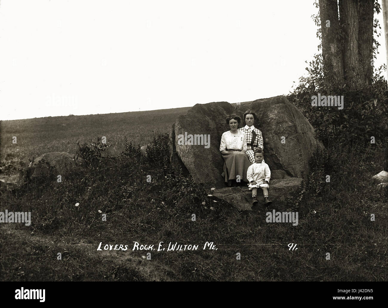 Lovers Rock Wilton Maine Stock Photohttps://www.alamy.com/image-license-details/?v=1https://www.alamy.com/stock-photo-lovers-rock-wilton-maine-140196257.html
RMJ42DN5–Lovers Rock Wilton Maine
 Two Centuries of Soho: its institutions, firms, and amusements. By the Clergy of St. Anne's, Soho, J. H. Cardwell ... H. B. Freeman ... G. C. Wilton ... assisted by other contributors, etc Image taken from page 88 of 'Two Centuries of Soho Stock Photohttps://www.alamy.com/image-license-details/?v=1https://www.alamy.com/stock-photo-two-centuries-of-soho-its-institutions-firms-and-amusements-by-the-127701051.html
RMHBN7YR–Two Centuries of Soho: its institutions, firms, and amusements. By the Clergy of St. Anne's, Soho, J. H. Cardwell ... H. B. Freeman ... G. C. Wilton ... assisted by other contributors, etc Image taken from page 88 of 'Two Centuries of Soho
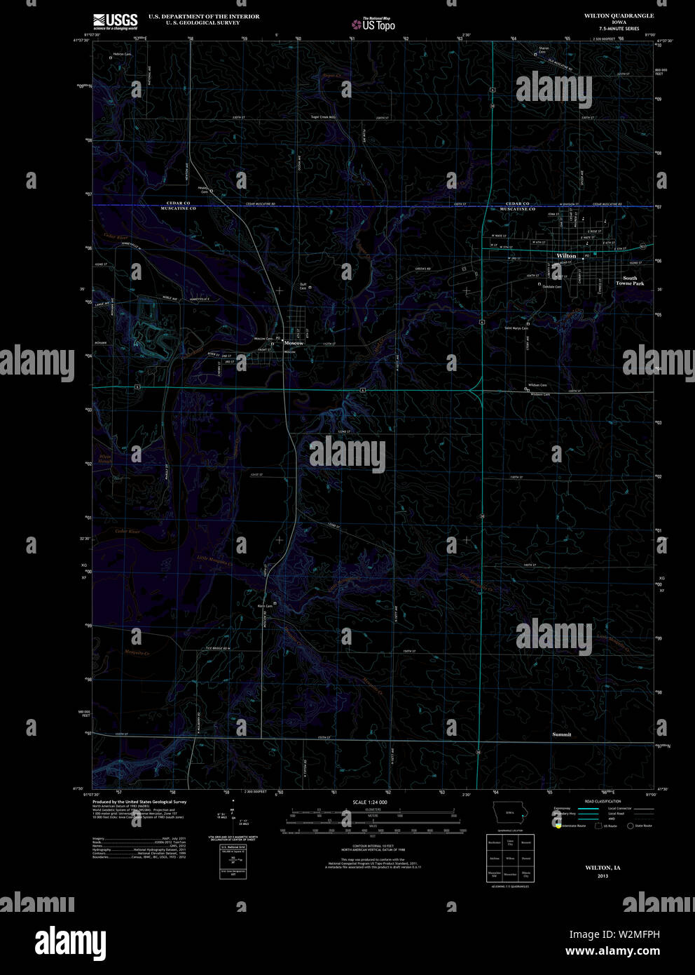 USGS TOPO Map Iowa IA Wilton 20130422 TM Inverted Restoration Stock Photohttps://www.alamy.com/image-license-details/?v=1https://www.alamy.com/usgs-topo-map-iowa-ia-wilton-20130422-tm-inverted-restoration-image259836265.html
RMW2MFPH–USGS TOPO Map Iowa IA Wilton 20130422 TM Inverted Restoration
 Wilton Crossing, , AU, Australia, Northern Territory, S 14 40' 54'', N 134 34' 24'', map, Cartascapes Map published in 2024. Explore Cartascapes, a map revealing Earth's diverse landscapes, cultures, and ecosystems. Journey through time and space, discovering the interconnectedness of our planet's past, present, and future. Stock Photohttps://www.alamy.com/image-license-details/?v=1https://www.alamy.com/wilton-crossing-au-australia-northern-territory-s-14-40-54-n-134-34-24-map-cartascapes-map-published-in-2024-explore-cartascapes-a-map-revealing-earths-diverse-landscapes-cultures-and-ecosystems-journey-through-time-and-space-discovering-the-interconnectedness-of-our-planets-past-present-and-future-image625595635.html
RM2Y9P9H7–Wilton Crossing, , AU, Australia, Northern Territory, S 14 40' 54'', N 134 34' 24'', map, Cartascapes Map published in 2024. Explore Cartascapes, a map revealing Earth's diverse landscapes, cultures, and ecosystems. Journey through time and space, discovering the interconnectedness of our planet's past, present, and future.
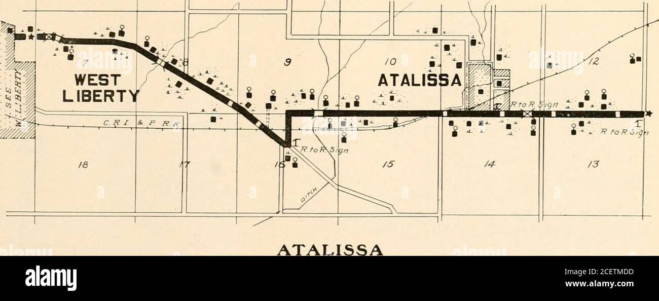 . Huebinger's map and guide for river to river road;. BURLINGTON BASKET CO., 23 Main St.. Burlington. Iowa A Leilh. Pres. D. <;. Acncw. V.P. W. li. Harris, Cash. UNION SAVINGS BANK Capital $40,000.00 :: Su plus $30,000.00COLLECTIONS 4 SPE( lALT) WILTON JUNCTION IOWA i.tCII..!. NinciLAnS. Pr»s.. GKO. BANNKK. V. Irt-sWAt. I.ASG. Cash.. FKKD A. MATRER Asst. Casli. THE WILTON SAVINGS BANK CAPITAL and SURPLUS $4(1,000 Wilton Junction, lOT. 6 il. West to West Liberty. 5.1M. East to Moscow. HOTEL.—Not operating. Boardand room can be had at pri-vate house, Mrs. Mary Davis. GAR.VGE—None. Repairingbl Stock Photohttps://www.alamy.com/image-license-details/?v=1https://www.alamy.com/huebingers-map-and-guide-for-river-to-river-road-burlington-basket-co-23-main-st-burlington-iowa-a-leilh-pres-d-lt-acncw-vp-w-li-harris-cash-union-savings-bank-capital-4000000-su-plus-3000000collections-4-spe-lalt-wilton-junction-iowa-itcii!-nincilans-prs-gko-bannkk-v-irt-swat-iasg-cash-fkkd-a-matrer-asst-casli-the-wilton-savings-bank-capital-and-surplus-41000-wilton-junction-lot-6-il-west-to-west-liberty-51m-east-to-moscow-hotelnot-operating-boardand-room-can-be-had-at-pri-vate-house-mrs-mary-davis-garvgenone-repairingbl-image370565817.html
RM2CETMDD–. Huebinger's map and guide for river to river road;. BURLINGTON BASKET CO., 23 Main St.. Burlington. Iowa A Leilh. Pres. D. <;. Acncw. V.P. W. li. Harris, Cash. UNION SAVINGS BANK Capital $40,000.00 :: Su plus $30,000.00COLLECTIONS 4 SPE( lALT) WILTON JUNCTION IOWA i.tCII..!. NinciLAnS. Pr»s.. GKO. BANNKK. V. Irt-sWAt. I.ASG. Cash.. FKKD A. MATRER Asst. Casli. THE WILTON SAVINGS BANK CAPITAL and SURPLUS $4(1,000 Wilton Junction, lOT. 6 il. West to West Liberty. 5.1M. East to Moscow. HOTEL.—Not operating. Boardand room can be had at pri-vate house, Mrs. Mary Davis. GAR.VGE—None. Repairingbl
 Sanborn Fire Insurance Map from Wilton, Hillsborough County, New Hampshire. Stock Photohttps://www.alamy.com/image-license-details/?v=1https://www.alamy.com/sanborn-fire-insurance-map-from-wilton-hillsborough-county-new-hampshire-image456522873.html
RM2HEMBG9–Sanborn Fire Insurance Map from Wilton, Hillsborough County, New Hampshire.
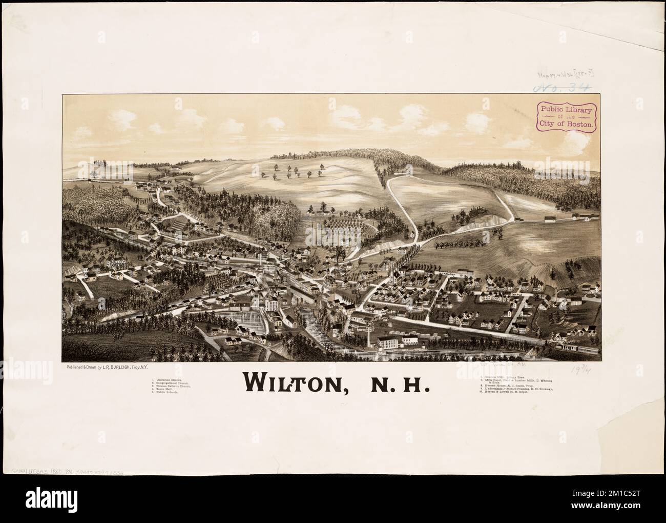 Wilton, N.H , Wilton N.H., Aerial views Norman B. Leventhal Map Center Collection Stock Photohttps://www.alamy.com/image-license-details/?v=1https://www.alamy.com/wilton-nh-wilton-nh-aerial-views-norman-b-leventhal-map-center-collection-image499982752.html
RM2M1C52T–Wilton, N.H , Wilton N.H., Aerial views Norman B. Leventhal Map Center Collection
 Image 2 of Sanborn Fire Insurance Map from Wilton, Hillsborough County, New Hampshire. Oct 1897. 3 Sheet(s), America, street map with a Nineteenth Century compass Stock Photohttps://www.alamy.com/image-license-details/?v=1https://www.alamy.com/image-2-of-sanborn-fire-insurance-map-from-wilton-hillsborough-county-new-hampshire-oct-1897-3-sheets-america-street-map-with-a-nineteenth-century-compass-image344687121.html
RM2B0NRX9–Image 2 of Sanborn Fire Insurance Map from Wilton, Hillsborough County, New Hampshire. Oct 1897. 3 Sheet(s), America, street map with a Nineteenth Century compass
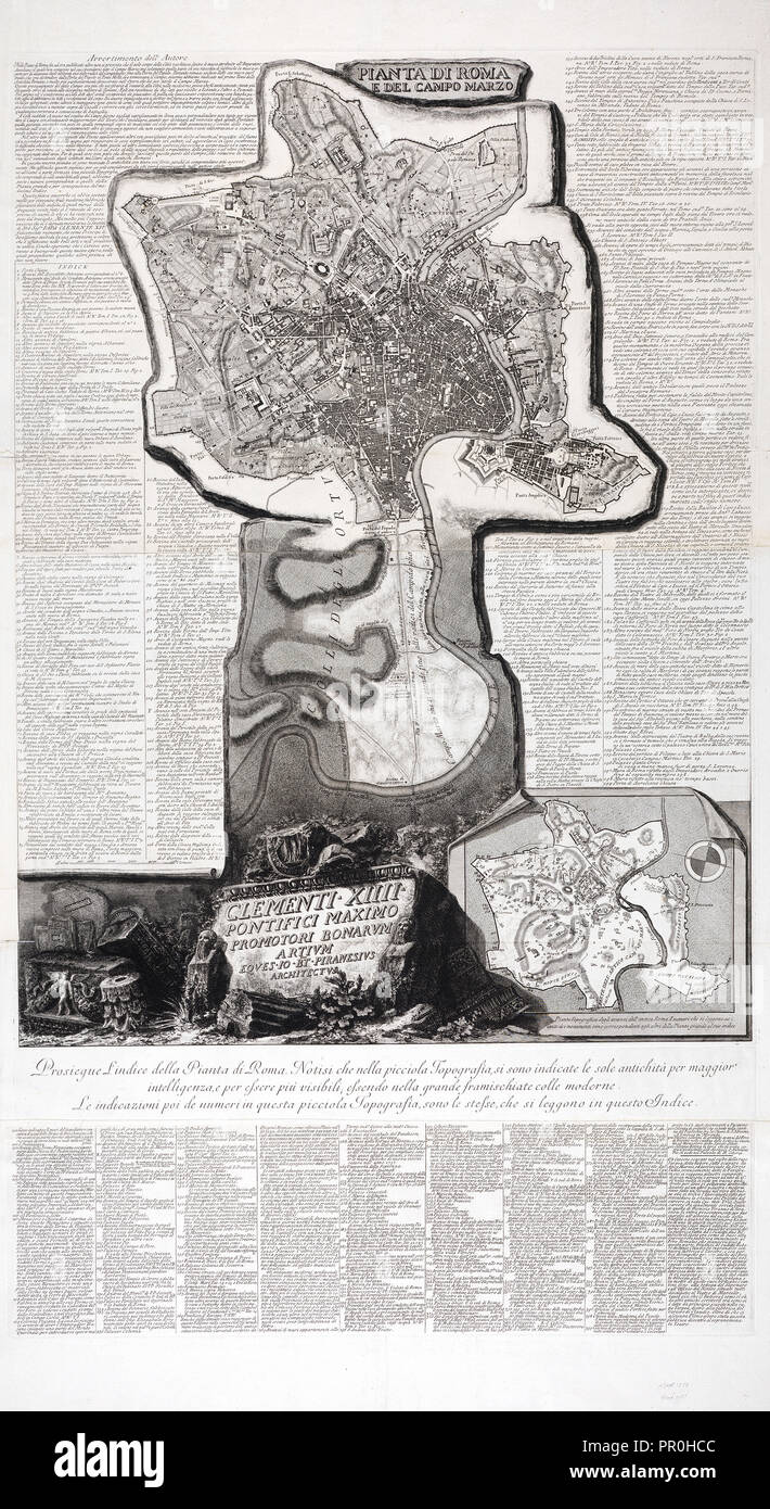 Pianta di Roma e del Campo Marzio, Collection of maps of Rome, Piranesi, Giovanni Battista, 1720-1778, Etching, engraving Stock Photohttps://www.alamy.com/image-license-details/?v=1https://www.alamy.com/pianta-di-roma-e-del-campo-marzio-collection-of-maps-of-rome-piranesi-giovanni-battista-1720-1778-etching-engraving-image220675180.html
RMPR0HCC–Pianta di Roma e del Campo Marzio, Collection of maps of Rome, Piranesi, Giovanni Battista, 1720-1778, Etching, engraving
 Wilton engineering and slipway Rotterdam 1918 Stock Photohttps://www.alamy.com/image-license-details/?v=1https://www.alamy.com/stock-photo-wilton-engineering-and-slipway-rotterdam-1918-140675552.html
RMJ4T92T–Wilton engineering and slipway Rotterdam 1918
 John La Farge, by Robert Wilton Lockwood Stock Photohttps://www.alamy.com/image-license-details/?v=1https://www.alamy.com/stock-photo-john-la-farge-by-robert-wilton-lockwood-142963516.html
RMJ8GFBT–John La Farge, by Robert Wilton Lockwood
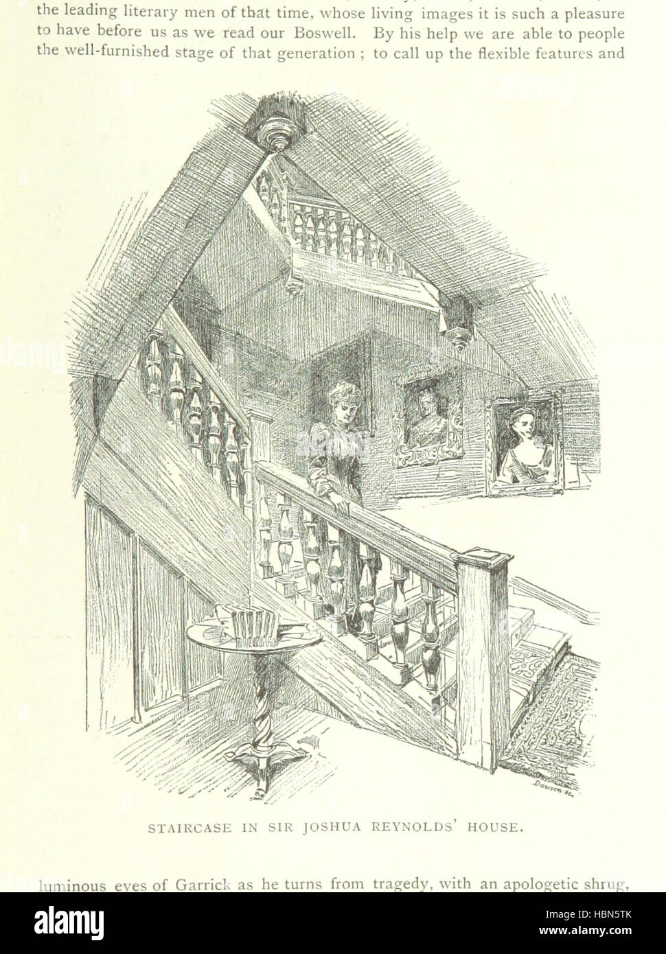 Two Centuries of Soho: its institutions, firms, and amusements. By the Clergy of St. Anne's, Soho, J. H. Cardwell ... H. B. Freeman ... G. C. Wilton ... assisted by other contributors, etc Image taken from page 257 of 'Two Centuries of Soho Stock Photohttps://www.alamy.com/image-license-details/?v=1https://www.alamy.com/stock-photo-two-centuries-of-soho-its-institutions-firms-and-amusements-by-the-127699395.html
RMHBN5TK–Two Centuries of Soho: its institutions, firms, and amusements. By the Clergy of St. Anne's, Soho, J. H. Cardwell ... H. B. Freeman ... G. C. Wilton ... assisted by other contributors, etc Image taken from page 257 of 'Two Centuries of Soho
 'Pennantia baylisiana' tree, Otari-Wilton Bush Stock Photohttps://www.alamy.com/image-license-details/?v=1https://www.alamy.com/stock-photo-pennantia-baylisiana-tree-otari-wilton-bush-141293544.html
RMJ5TDA0–'Pennantia baylisiana' tree, Otari-Wilton Bush
 Wilton, Muscatine County, US, United States, Iowa, N 41 35' 20'', S 91 1' 0'', map, Cartascapes Map published in 2024. Explore Cartascapes, a map revealing Earth's diverse landscapes, cultures, and ecosystems. Journey through time and space, discovering the interconnectedness of our planet's past, present, and future. Stock Photohttps://www.alamy.com/image-license-details/?v=1https://www.alamy.com/wilton-muscatine-county-us-united-states-iowa-n-41-35-20-s-91-1-0-map-cartascapes-map-published-in-2024-explore-cartascapes-a-map-revealing-earths-diverse-landscapes-cultures-and-ecosystems-journey-through-time-and-space-discovering-the-interconnectedness-of-our-planets-past-present-and-future-image621193699.html
RM2Y2HPW7–Wilton, Muscatine County, US, United States, Iowa, N 41 35' 20'', S 91 1' 0'', map, Cartascapes Map published in 2024. Explore Cartascapes, a map revealing Earth's diverse landscapes, cultures, and ecosystems. Journey through time and space, discovering the interconnectedness of our planet's past, present, and future.
 Sir Neville Wilkinson on the Steps of the Palladian Bridge at Wilton House Stock Photohttps://www.alamy.com/image-license-details/?v=1https://www.alamy.com/stock-photo-sir-neville-wilkinson-on-the-steps-of-the-palladian-bridge-at-wilton-140489126.html
RMJ4FR8P–Sir Neville Wilkinson on the Steps of the Palladian Bridge at Wilton House
 USGS TOPO Map North Carolina NC Wilton 20100909 TM Restoration Stock Photohttps://www.alamy.com/image-license-details/?v=1https://www.alamy.com/usgs-topo-map-north-carolina-nc-wilton-20100909-tm-restoration-image336534022.html
RM2AFECG6–USGS TOPO Map North Carolina NC Wilton 20100909 TM Restoration
 Sanborn Fire Insurance Map from Wilton, Hillsborough County, New Hampshire. Stock Photohttps://www.alamy.com/image-license-details/?v=1https://www.alamy.com/sanborn-fire-insurance-map-from-wilton-hillsborough-county-new-hampshire-image456522899.html
RM2HEMBH7–Sanborn Fire Insurance Map from Wilton, Hillsborough County, New Hampshire.
![Cascade at Wilton Author Stukeley, William 43.41.e. Place of publication: [England] Publisher: [printed for the author] Date of publication: [1724] Item type: 1 print Medium: etching Dimensions: sheet 13.7 x 16.6 cm. Former owner: George III, King of Great Britain, 1738-1820 Stock Photo Cascade at Wilton Author Stukeley, William 43.41.e. Place of publication: [England] Publisher: [printed for the author] Date of publication: [1724] Item type: 1 print Medium: etching Dimensions: sheet 13.7 x 16.6 cm. Former owner: George III, King of Great Britain, 1738-1820 Stock Photo](https://c8.alamy.com/comp/2E9EM4D/cascade-at-wilton-author-stukeley-william-4341e-place-of-publication-england-publisher-printed-for-the-author-date-of-publication-1724-item-type-1-print-medium-etching-dimensions-sheet-137-x-166-cm-former-owner-george-iii-king-of-great-britain-1738-1820-2E9EM4D.jpg) Cascade at Wilton Author Stukeley, William 43.41.e. Place of publication: [England] Publisher: [printed for the author] Date of publication: [1724] Item type: 1 print Medium: etching Dimensions: sheet 13.7 x 16.6 cm. Former owner: George III, King of Great Britain, 1738-1820 Stock Photohttps://www.alamy.com/image-license-details/?v=1https://www.alamy.com/cascade-at-wilton-author-stukeley-william-4341e-place-of-publication-england-publisher-printed-for-the-author-date-of-publication-1724-item-type-1-print-medium-etching-dimensions-sheet-137-x-166-cm-former-owner-george-iii-king-of-great-britain-1738-1820-image401693501.html
Cascade at Wilton Author Stukeley, William 43.41.e. Place of publication: [England] Publisher: [printed for the author] Date of publication: [1724] Item type: 1 print Medium: etching Dimensions: sheet 13.7 x 16.6 cm. Former owner: George III, King of Great Britain, 1738-1820 Stock Photohttps://www.alamy.com/image-license-details/?v=1https://www.alamy.com/cascade-at-wilton-author-stukeley-william-4341e-place-of-publication-england-publisher-printed-for-the-author-date-of-publication-1724-item-type-1-print-medium-etching-dimensions-sheet-137-x-166-cm-former-owner-george-iii-king-of-great-britain-1738-1820-image401693501.htmlRM2E9EM4D–Cascade at Wilton Author Stukeley, William 43.41.e. Place of publication: [England] Publisher: [printed for the author] Date of publication: [1724] Item type: 1 print Medium: etching Dimensions: sheet 13.7 x 16.6 cm. Former owner: George III, King of Great Britain, 1738-1820
 Two Centuries of Soho: its institutions, firms, and amusements. By the Clergy of St. Anne's, Soho, J. H. Cardwell ... H. B. Freeman ... G. C. Wilton ... assisted by other contributors, etc Image taken from page 133 of 'Two Centuries of Soho Stock Photohttps://www.alamy.com/image-license-details/?v=1https://www.alamy.com/stock-photo-two-centuries-of-soho-its-institutions-firms-and-amusements-by-the-127702574.html
RMHBN9X6–Two Centuries of Soho: its institutions, firms, and amusements. By the Clergy of St. Anne's, Soho, J. H. Cardwell ... H. B. Freeman ... G. C. Wilton ... assisted by other contributors, etc Image taken from page 133 of 'Two Centuries of Soho
 Wilton, Franklin County, US, United States, Maine, N 44 35' 34'', S 70 13' 41'', map, Cartascapes Map published in 2024. Explore Cartascapes, a map revealing Earth's diverse landscapes, cultures, and ecosystems. Journey through time and space, discovering the interconnectedness of our planet's past, present, and future. Stock Photohttps://www.alamy.com/image-license-details/?v=1https://www.alamy.com/wilton-franklin-county-us-united-states-maine-n-44-35-34-s-70-13-41-map-cartascapes-map-published-in-2024-explore-cartascapes-a-map-revealing-earths-diverse-landscapes-cultures-and-ecosystems-journey-through-time-and-space-discovering-the-interconnectedness-of-our-planets-past-present-and-future-image621168985.html
RM2Y2GKAH–Wilton, Franklin County, US, United States, Maine, N 44 35' 34'', S 70 13' 41'', map, Cartascapes Map published in 2024. Explore Cartascapes, a map revealing Earth's diverse landscapes, cultures, and ecosystems. Journey through time and space, discovering the interconnectedness of our planet's past, present, and future.
 Wilton Cartulary (BL Harley 436) folio 24v copy of a charter of King Edgar Stock Photohttps://www.alamy.com/image-license-details/?v=1https://www.alamy.com/stock-photo-wilton-cartulary-bl-harley-436-folio-24v-copy-of-a-charter-of-king-140715964.html
RMJ4X4J4–Wilton Cartulary (BL Harley 436) folio 24v copy of a charter of King Edgar
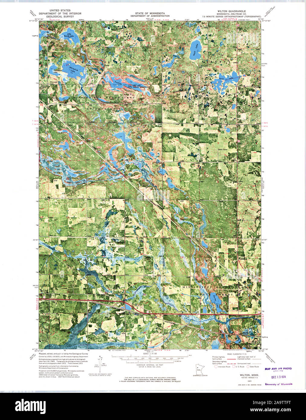 USGS TOPO Map MInnesota MN Wilton 506230 1972 24000 Restoration Stock Photohttps://www.alamy.com/image-license-details/?v=1https://www.alamy.com/usgs-topo-map-minnesota-mn-wilton-506230-1972-24000-restoration-image333075004.html
RM2A9TTFT–USGS TOPO Map MInnesota MN Wilton 506230 1972 24000 Restoration
 Sanborn Fire Insurance Map from Wilton Junction, Muscatine County, Iowa. Stock Photohttps://www.alamy.com/image-license-details/?v=1https://www.alamy.com/sanborn-fire-insurance-map-from-wilton-junction-muscatine-county-iowa-image456522897.html
RM2HEMBH5–Sanborn Fire Insurance Map from Wilton Junction, Muscatine County, Iowa.
![Salisbury from Wilton Park . Author Clerk, John 43.39.e. Place of publication: [England] Publisher: [publisher not identified] Date of publication: [1772] Item type: 1 print Medium: etching Dimensions: sheet 10.7 x 16 cm Former owner: George III, King of Great Britain, 1738-1820 Stock Photo Salisbury from Wilton Park . Author Clerk, John 43.39.e. Place of publication: [England] Publisher: [publisher not identified] Date of publication: [1772] Item type: 1 print Medium: etching Dimensions: sheet 10.7 x 16 cm Former owner: George III, King of Great Britain, 1738-1820 Stock Photo](https://c8.alamy.com/comp/2E9EM01/salisbury-from-wilton-park-author-clerk-john-4339e-place-of-publication-england-publisher-publisher-not-identified-date-of-publication-1772-item-type-1-print-medium-etching-dimensions-sheet-107-x-16-cm-former-owner-george-iii-king-of-great-britain-1738-1820-2E9EM01.jpg) Salisbury from Wilton Park . Author Clerk, John 43.39.e. Place of publication: [England] Publisher: [publisher not identified] Date of publication: [1772] Item type: 1 print Medium: etching Dimensions: sheet 10.7 x 16 cm Former owner: George III, King of Great Britain, 1738-1820 Stock Photohttps://www.alamy.com/image-license-details/?v=1https://www.alamy.com/salisbury-from-wilton-park-author-clerk-john-4339e-place-of-publication-england-publisher-publisher-not-identified-date-of-publication-1772-item-type-1-print-medium-etching-dimensions-sheet-107-x-16-cm-former-owner-george-iii-king-of-great-britain-1738-1820-image401693377.html
Salisbury from Wilton Park . Author Clerk, John 43.39.e. Place of publication: [England] Publisher: [publisher not identified] Date of publication: [1772] Item type: 1 print Medium: etching Dimensions: sheet 10.7 x 16 cm Former owner: George III, King of Great Britain, 1738-1820 Stock Photohttps://www.alamy.com/image-license-details/?v=1https://www.alamy.com/salisbury-from-wilton-park-author-clerk-john-4339e-place-of-publication-england-publisher-publisher-not-identified-date-of-publication-1772-item-type-1-print-medium-etching-dimensions-sheet-107-x-16-cm-former-owner-george-iii-king-of-great-britain-1738-1820-image401693377.htmlRM2E9EM01–Salisbury from Wilton Park . Author Clerk, John 43.39.e. Place of publication: [England] Publisher: [publisher not identified] Date of publication: [1772] Item type: 1 print Medium: etching Dimensions: sheet 10.7 x 16 cm Former owner: George III, King of Great Britain, 1738-1820
 Two Centuries of Soho: its institutions, firms, and amusements. By the Clergy of St. Anne's, Soho, J. H. Cardwell ... H. B. Freeman ... G. C. Wilton ... assisted by other contributors, etc Image taken from page 269 of 'Two Centuries of Soho Stock Photohttps://www.alamy.com/image-license-details/?v=1https://www.alamy.com/stock-photo-two-centuries-of-soho-its-institutions-firms-and-amusements-by-the-127794304.html
RMHBWEX8–Two Centuries of Soho: its institutions, firms, and amusements. By the Clergy of St. Anne's, Soho, J. H. Cardwell ... H. B. Freeman ... G. C. Wilton ... assisted by other contributors, etc Image taken from page 269 of 'Two Centuries of Soho
 Wilton, Shelby County, US, United States, Alabama, N 33 4' 43'', S 86 52' 53'', map, Cartascapes Map published in 2024. Explore Cartascapes, a map revealing Earth's diverse landscapes, cultures, and ecosystems. Journey through time and space, discovering the interconnectedness of our planet's past, present, and future. Stock Photohttps://www.alamy.com/image-license-details/?v=1https://www.alamy.com/wilton-shelby-county-us-united-states-alabama-n-33-4-43-s-86-52-53-map-cartascapes-map-published-in-2024-explore-cartascapes-a-map-revealing-earths-diverse-landscapes-cultures-and-ecosystems-journey-through-time-and-space-discovering-the-interconnectedness-of-our-planets-past-present-and-future-image621354511.html
RM2Y2W40F–Wilton, Shelby County, US, United States, Alabama, N 33 4' 43'', S 86 52' 53'', map, Cartascapes Map published in 2024. Explore Cartascapes, a map revealing Earth's diverse landscapes, cultures, and ecosystems. Journey through time and space, discovering the interconnectedness of our planet's past, present, and future.
 Frank Wilton Baillie Stock Photohttps://www.alamy.com/image-license-details/?v=1https://www.alamy.com/stock-image-frank-wilton-baillie-162732318.html
RMKCN2ME–Frank Wilton Baillie
 USGS TOPO Map MInnesota MN Wilton 20100817 TM Inverted Restoration Stock Photohttps://www.alamy.com/image-license-details/?v=1https://www.alamy.com/usgs-topo-map-minnesota-mn-wilton-20100817-tm-inverted-restoration-image333074966.html
RM2A9TTEE–USGS TOPO Map MInnesota MN Wilton 20100817 TM Inverted Restoration
 Sanborn Fire Insurance Map from Wilton Junction, Muscatine County, Iowa. Stock Photohttps://www.alamy.com/image-license-details/?v=1https://www.alamy.com/sanborn-fire-insurance-map-from-wilton-junction-muscatine-county-iowa-image456522872.html
RM2HEMBG8–Sanborn Fire Insurance Map from Wilton Junction, Muscatine County, Iowa.
![Cottage at St. Nicholas. Author Stockdale, Frederick Wilton Litchfield 18.40.2. Place of publication: [London] Publisher: Pub.d Oct.r 1. 1810, by Testolini, Printseller, Cornhill., Date of publication: [1810 c.] Item type: 1 print Medium: etching Dimensions: platemark 17.7 x 22.8 cm Former owner: George III, King of Great Britain, 1738-1820 Stock Photo Cottage at St. Nicholas. Author Stockdale, Frederick Wilton Litchfield 18.40.2. Place of publication: [London] Publisher: Pub.d Oct.r 1. 1810, by Testolini, Printseller, Cornhill., Date of publication: [1810 c.] Item type: 1 print Medium: etching Dimensions: platemark 17.7 x 22.8 cm Former owner: George III, King of Great Britain, 1738-1820 Stock Photo](https://c8.alamy.com/comp/2E9H9FT/cottage-at-st-nicholas-author-stockdale-frederick-wilton-litchfield-18402-place-of-publication-london-publisher-pubd-octr-1-1810-by-testolini-printseller-cornhill-date-of-publication-1810-c-item-type-1-print-medium-etching-dimensions-platemark-177-x-228-cm-former-owner-george-iii-king-of-great-britain-1738-1820-2E9H9FT.jpg) Cottage at St. Nicholas. Author Stockdale, Frederick Wilton Litchfield 18.40.2. Place of publication: [London] Publisher: Pub.d Oct.r 1. 1810, by Testolini, Printseller, Cornhill., Date of publication: [1810 c.] Item type: 1 print Medium: etching Dimensions: platemark 17.7 x 22.8 cm Former owner: George III, King of Great Britain, 1738-1820 Stock Photohttps://www.alamy.com/image-license-details/?v=1https://www.alamy.com/cottage-at-st-nicholas-author-stockdale-frederick-wilton-litchfield-18402-place-of-publication-london-publisher-pubd-octr-1-1810-by-testolini-printseller-cornhill-date-of-publication-1810-c-item-type-1-print-medium-etching-dimensions-platemark-177-x-228-cm-former-owner-george-iii-king-of-great-britain-1738-1820-image401751052.html
Cottage at St. Nicholas. Author Stockdale, Frederick Wilton Litchfield 18.40.2. Place of publication: [London] Publisher: Pub.d Oct.r 1. 1810, by Testolini, Printseller, Cornhill., Date of publication: [1810 c.] Item type: 1 print Medium: etching Dimensions: platemark 17.7 x 22.8 cm Former owner: George III, King of Great Britain, 1738-1820 Stock Photohttps://www.alamy.com/image-license-details/?v=1https://www.alamy.com/cottage-at-st-nicholas-author-stockdale-frederick-wilton-litchfield-18402-place-of-publication-london-publisher-pubd-octr-1-1810-by-testolini-printseller-cornhill-date-of-publication-1810-c-item-type-1-print-medium-etching-dimensions-platemark-177-x-228-cm-former-owner-george-iii-king-of-great-britain-1738-1820-image401751052.htmlRM2E9H9FT–Cottage at St. Nicholas. Author Stockdale, Frederick Wilton Litchfield 18.40.2. Place of publication: [London] Publisher: Pub.d Oct.r 1. 1810, by Testolini, Printseller, Cornhill., Date of publication: [1810 c.] Item type: 1 print Medium: etching Dimensions: platemark 17.7 x 22.8 cm Former owner: George III, King of Great Britain, 1738-1820
 Two Centuries of Soho: its institutions, firms, and amusements. By the Clergy of St. Anne's, Soho, J. H. Cardwell ... H. B. Freeman ... G. C. Wilton ... assisted by other contributors, etc Image taken from page 298 of 'Two Centuries of Soho Stock Photohttps://www.alamy.com/image-license-details/?v=1https://www.alamy.com/stock-photo-two-centuries-of-soho-its-institutions-firms-and-amusements-by-the-127725925.html
RMHBPBM5–Two Centuries of Soho: its institutions, firms, and amusements. By the Clergy of St. Anne's, Soho, J. H. Cardwell ... H. B. Freeman ... G. C. Wilton ... assisted by other contributors, etc Image taken from page 298 of 'Two Centuries of Soho
 Wilton, Fairfield County, US, United States, Connecticut, N 41 11' 43'', S 73 26' 16'', map, Cartascapes Map published in 2024. Explore Cartascapes, a map revealing Earth's diverse landscapes, cultures, and ecosystems. Journey through time and space, discovering the interconnectedness of our planet's past, present, and future. Stock Photohttps://www.alamy.com/image-license-details/?v=1https://www.alamy.com/wilton-fairfield-county-us-united-states-connecticut-n-41-11-43-s-73-26-16-map-cartascapes-map-published-in-2024-explore-cartascapes-a-map-revealing-earths-diverse-landscapes-cultures-and-ecosystems-journey-through-time-and-space-discovering-the-interconnectedness-of-our-planets-past-present-and-future-image621167258.html
RM2Y2GH4X–Wilton, Fairfield County, US, United States, Connecticut, N 41 11' 43'', S 73 26' 16'', map, Cartascapes Map published in 2024. Explore Cartascapes, a map revealing Earth's diverse landscapes, cultures, and ecosystems. Journey through time and space, discovering the interconnectedness of our planet's past, present, and future.
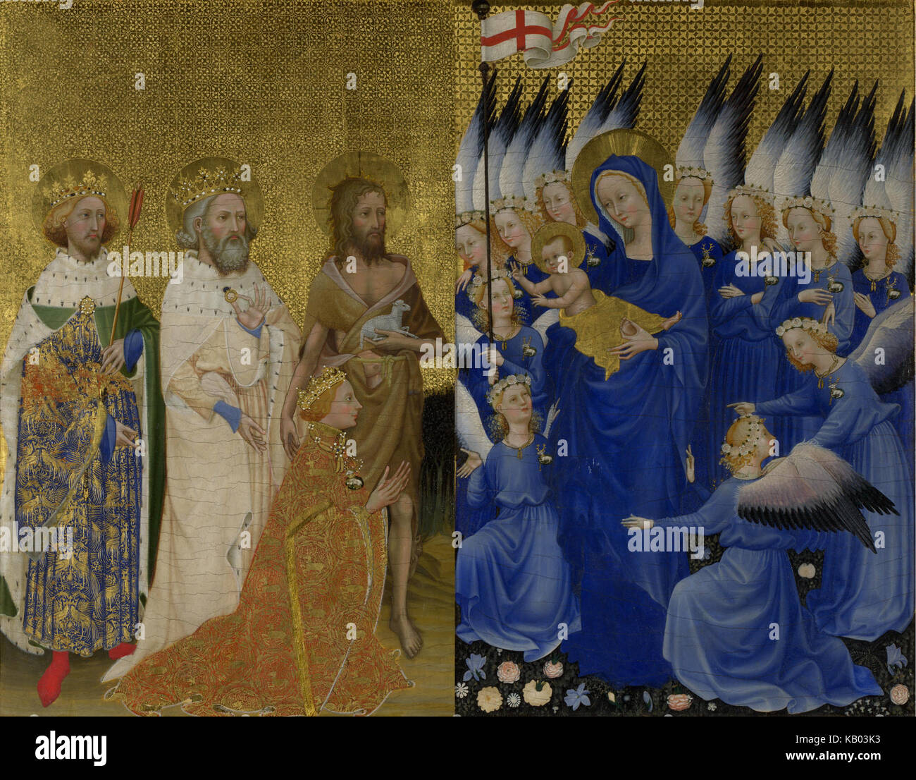 The Wilton diptych; stitched panels Stock Photohttps://www.alamy.com/image-license-details/?v=1https://www.alamy.com/stock-image-the-wilton-diptych-stitched-panels-161657415.html
RMKB03K3–The Wilton diptych; stitched panels
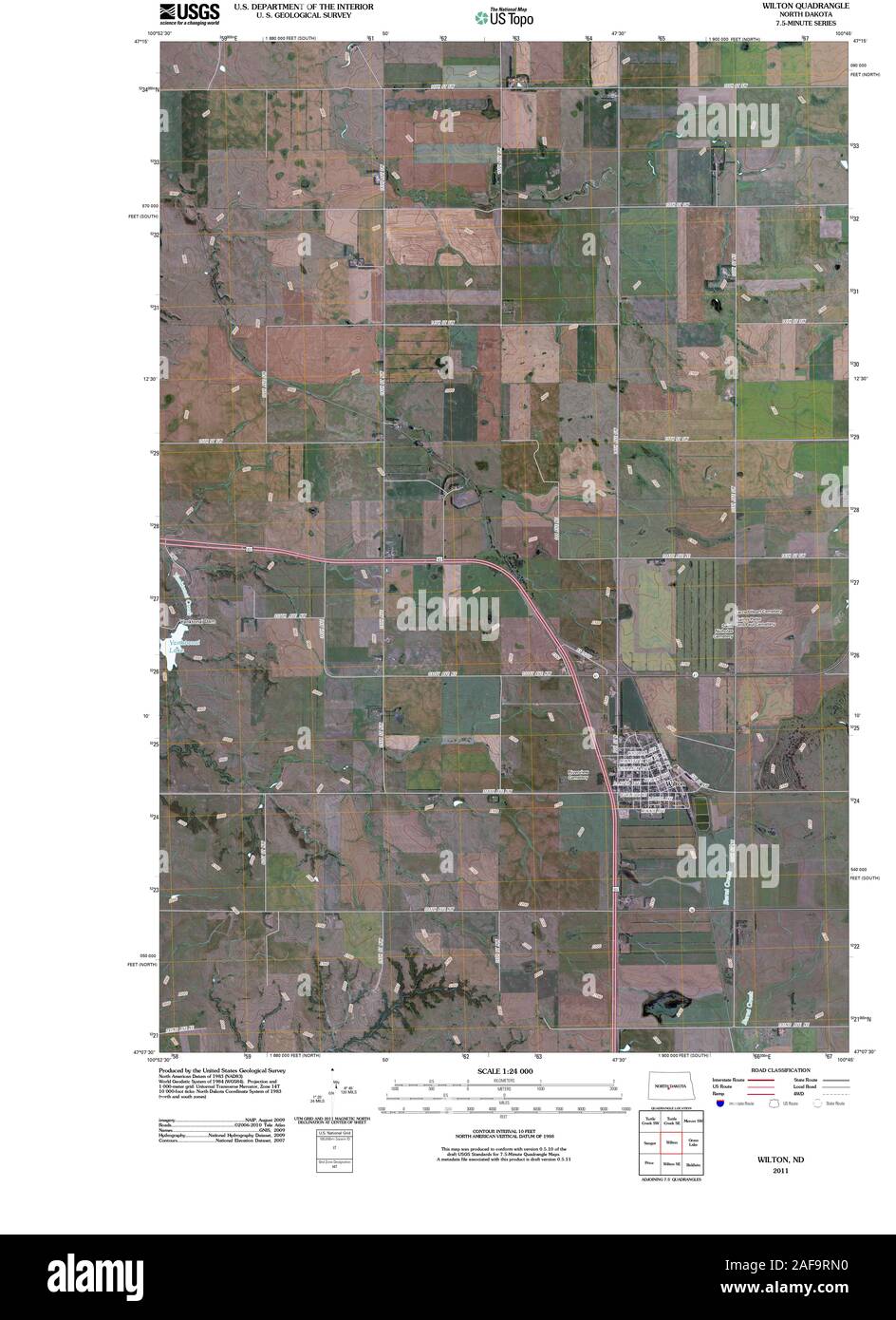 USGS TOPO Map North Dakota ND Wilton 20110414 TM Restoration Stock Photohttps://www.alamy.com/image-license-details/?v=1https://www.alamy.com/usgs-topo-map-north-dakota-nd-wilton-20110414-tm-restoration-image336433020.html
RM2AF9RN0–USGS TOPO Map North Dakota ND Wilton 20110414 TM Restoration
 Sanborn Fire Insurance Map from Wilton Junction, Muscatine County, Iowa. Stock Photohttps://www.alamy.com/image-license-details/?v=1https://www.alamy.com/sanborn-fire-insurance-map-from-wilton-junction-muscatine-county-iowa-image456522875.html
RM2HEMBGB–Sanborn Fire Insurance Map from Wilton Junction, Muscatine County, Iowa.
![Detling Church near Maidstone Author Stockdale, Frederick Wilton Litchfield 18.19. Place of publication: [London] Publisher: Pub.d Oct.r 1. 1810, by Testolini, Printseller, Cornhill., Date of publication: [1810 c.] Item type: 1 print Medium: etching Dimensions: platemark 17.2 x 22.9 cm Former owner: George III, King of Great Britain, 1738-1820 Stock Photo Detling Church near Maidstone Author Stockdale, Frederick Wilton Litchfield 18.19. Place of publication: [London] Publisher: Pub.d Oct.r 1. 1810, by Testolini, Printseller, Cornhill., Date of publication: [1810 c.] Item type: 1 print Medium: etching Dimensions: platemark 17.2 x 22.9 cm Former owner: George III, King of Great Britain, 1738-1820 Stock Photo](https://c8.alamy.com/comp/2E9H8R2/detling-church-near-maidstone-author-stockdale-frederick-wilton-litchfield-1819-place-of-publication-london-publisher-pubd-octr-1-1810-by-testolini-printseller-cornhill-date-of-publication-1810-c-item-type-1-print-medium-etching-dimensions-platemark-172-x-229-cm-former-owner-george-iii-king-of-great-britain-1738-1820-2E9H8R2.jpg) Detling Church near Maidstone Author Stockdale, Frederick Wilton Litchfield 18.19. Place of publication: [London] Publisher: Pub.d Oct.r 1. 1810, by Testolini, Printseller, Cornhill., Date of publication: [1810 c.] Item type: 1 print Medium: etching Dimensions: platemark 17.2 x 22.9 cm Former owner: George III, King of Great Britain, 1738-1820 Stock Photohttps://www.alamy.com/image-license-details/?v=1https://www.alamy.com/detling-church-near-maidstone-author-stockdale-frederick-wilton-litchfield-1819-place-of-publication-london-publisher-pubd-octr-1-1810-by-testolini-printseller-cornhill-date-of-publication-1810-c-item-type-1-print-medium-etching-dimensions-platemark-172-x-229-cm-former-owner-george-iii-king-of-great-britain-1738-1820-image401750470.html
Detling Church near Maidstone Author Stockdale, Frederick Wilton Litchfield 18.19. Place of publication: [London] Publisher: Pub.d Oct.r 1. 1810, by Testolini, Printseller, Cornhill., Date of publication: [1810 c.] Item type: 1 print Medium: etching Dimensions: platemark 17.2 x 22.9 cm Former owner: George III, King of Great Britain, 1738-1820 Stock Photohttps://www.alamy.com/image-license-details/?v=1https://www.alamy.com/detling-church-near-maidstone-author-stockdale-frederick-wilton-litchfield-1819-place-of-publication-london-publisher-pubd-octr-1-1810-by-testolini-printseller-cornhill-date-of-publication-1810-c-item-type-1-print-medium-etching-dimensions-platemark-172-x-229-cm-former-owner-george-iii-king-of-great-britain-1738-1820-image401750470.htmlRM2E9H8R2–Detling Church near Maidstone Author Stockdale, Frederick Wilton Litchfield 18.19. Place of publication: [London] Publisher: Pub.d Oct.r 1. 1810, by Testolini, Printseller, Cornhill., Date of publication: [1810 c.] Item type: 1 print Medium: etching Dimensions: platemark 17.2 x 22.9 cm Former owner: George III, King of Great Britain, 1738-1820
 Image taken from page 320 of 'Two Centuries of Soho: its institutions, firms, and amusements. By the Clergy of St. Anne's, Soho, J. H. Cardwell ... H. B. Freeman ... G. C. Wilton ... assisted by other contributors, etc' Image taken from page 320 of 'Two Centuries of Soho Stock Photohttps://www.alamy.com/image-license-details/?v=1https://www.alamy.com/stock-photo-image-taken-from-page-320-of-two-centuries-of-soho-its-institutions-127724831.html
RMHBPA93–Image taken from page 320 of 'Two Centuries of Soho: its institutions, firms, and amusements. By the Clergy of St. Anne's, Soho, J. H. Cardwell ... H. B. Freeman ... G. C. Wilton ... assisted by other contributors, etc' Image taken from page 320 of 'Two Centuries of Soho