Quick filters:
Map of wiltshire Stock Photos and Images
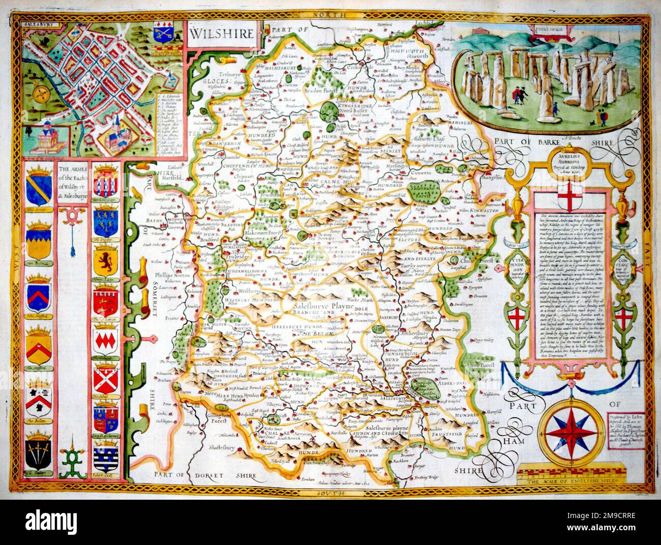 17th century Map of Wiltshire, England Stock Photohttps://www.alamy.com/image-license-details/?v=1https://www.alamy.com/17th-century-map-of-wiltshire-england-image504914690.html
RM2M9CRRE–17th century Map of Wiltshire, England
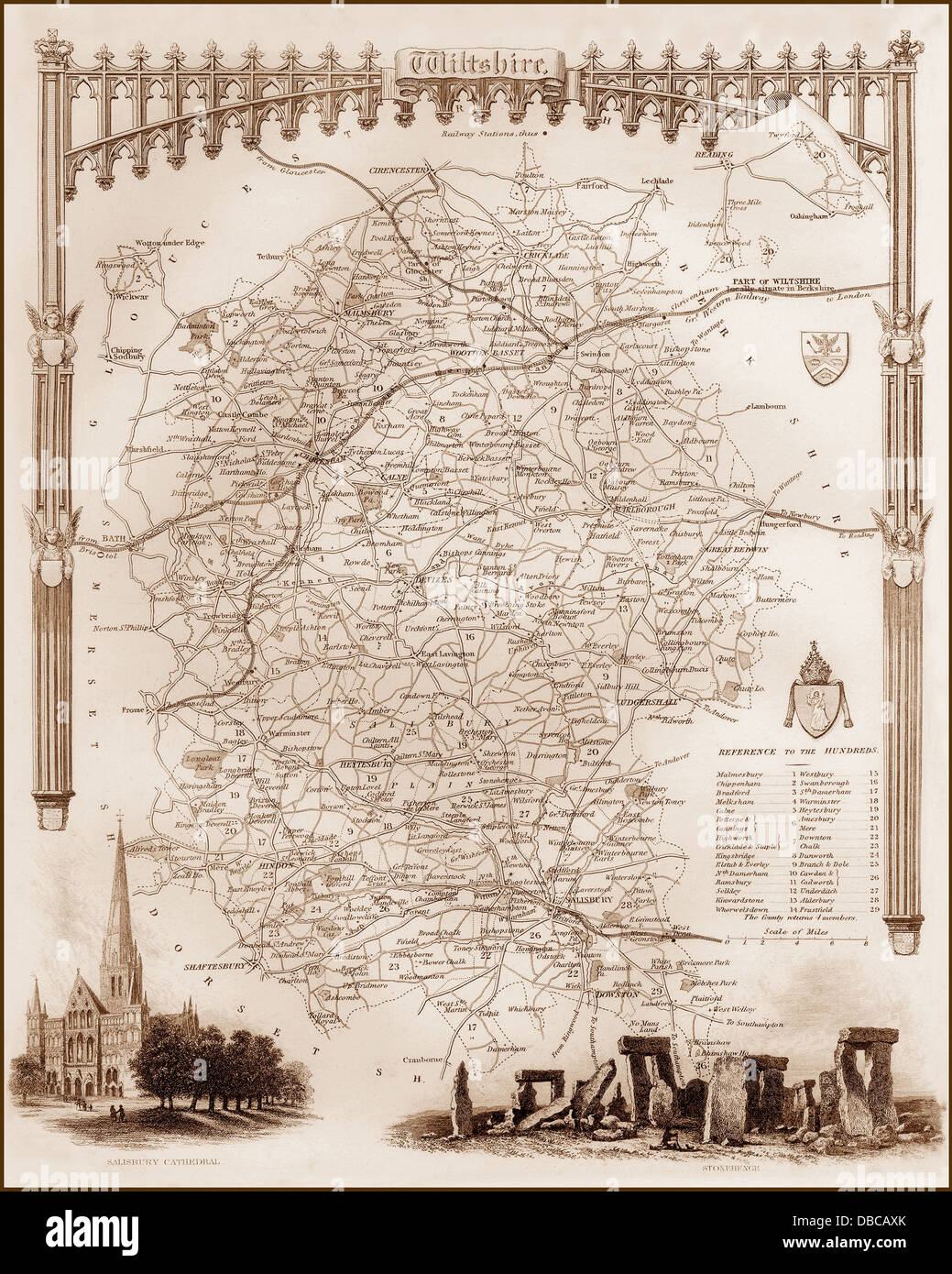 1840s Victorian Map of Wiltshire Stock Photohttps://www.alamy.com/image-license-details/?v=1https://www.alamy.com/stock-photo-1840s-victorian-map-of-wiltshire-58664331.html
RFDBCAXK–1840s Victorian Map of Wiltshire
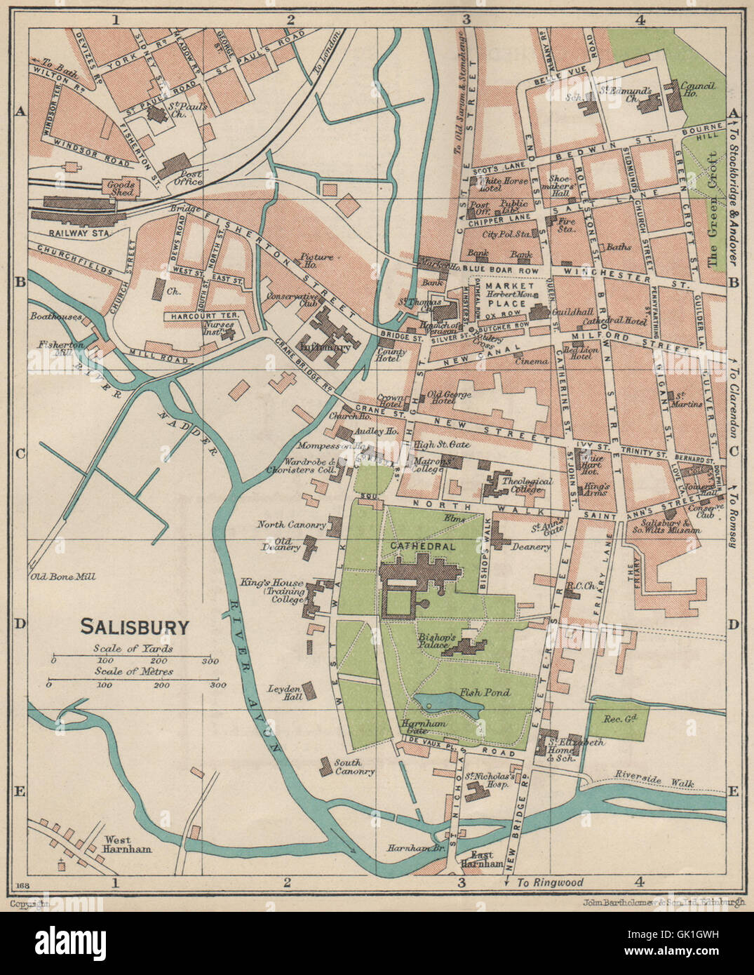 SALISBURY. Vintage town city map plan. Wiltshire, 1939 Stock Photohttps://www.alamy.com/image-license-details/?v=1https://www.alamy.com/stock-photo-salisbury-vintage-town-city-map-plan-wiltshire-1939-114975885.html
RFGK1GWH–SALISBURY. Vintage town city map plan. Wiltshire, 1939
 Map of Wiltshire, England, 1870s. Color lithograph Stock Photohttps://www.alamy.com/image-license-details/?v=1https://www.alamy.com/map-of-wiltshire-england-1870s-color-lithograph-image60671577.html
RMDEKR61–Map of Wiltshire, England, 1870s. Color lithograph
 3d map of Wiltshire is a ceremonial county of England Stock Vectorhttps://www.alamy.com/image-license-details/?v=1https://www.alamy.com/3d-map-of-wiltshire-is-a-ceremonial-county-of-england-image370280025.html
RF2CEBKXH–3d map of Wiltshire is a ceremonial county of England
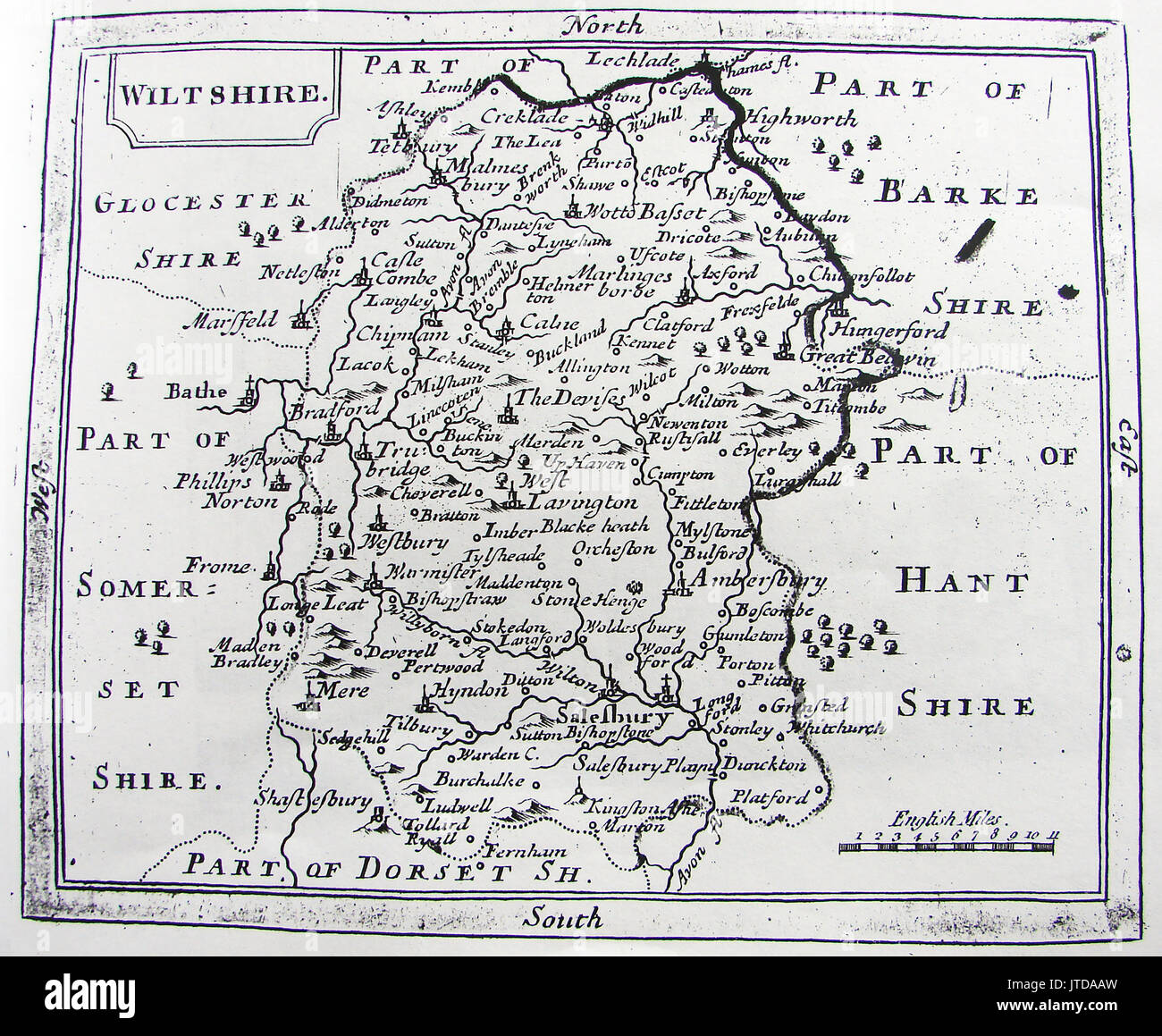 A 1780 map of the county of Wiltshire showing Stonehenge Stock Photohttps://www.alamy.com/image-license-details/?v=1https://www.alamy.com/a-1780-map-of-the-county-of-wiltshire-showing-stonehenge-image152728209.html
RMJTDAAW–A 1780 map of the county of Wiltshire showing Stonehenge
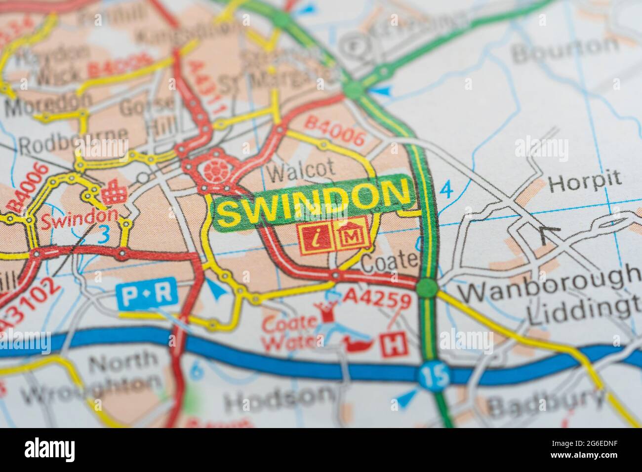 A macro closeup of a page in a printed road map atlas showing the town of Swindon in the county of Wiltshire in England Stock Photohttps://www.alamy.com/image-license-details/?v=1https://www.alamy.com/a-macro-closeup-of-a-page-in-a-printed-road-map-atlas-showing-the-town-of-swindon-in-the-county-of-wiltshire-in-england-image434265259.html
RM2G6EDNF–A macro closeup of a page in a printed road map atlas showing the town of Swindon in the county of Wiltshire in England
 A TOPOGRAPHICAL MAP OF WILTSHIRE Author Andrews, John 43.30.8 tab.end. Place of publication: London Publisher: Published according to Act of Parliament Augt. 19th. 1773. , Sold by A. Dury in Dukes Court St. Martins Lane, , Jno. Andrews No.5 Bridge Court, Westminster Bridge., Date of publication: 1773. Item type: 1 map Medium: hand coloured Dimensions: 273 x 189 cm Former owner: George III, King of Great Britain, 1738-1820 Stock Photohttps://www.alamy.com/image-license-details/?v=1https://www.alamy.com/a-topographical-map-of-wiltshire-author-andrews-john-43308-tabend-place-of-publication-london-publisher-published-according-to-act-of-parliament-augt-19th-1773-sold-by-a-dury-in-dukes-court-st-martins-lane-jno-andrews-no5-bridge-court-westminster-bridge-date-of-publication-1773-item-type-1-map-medium-hand-coloured-dimensions-273-x-189-cm-former-owner-george-iii-king-of-great-britain-1738-1820-image401693222.html
RM2E9EKPE–A TOPOGRAPHICAL MAP OF WILTSHIRE Author Andrews, John 43.30.8 tab.end. Place of publication: London Publisher: Published according to Act of Parliament Augt. 19th. 1773. , Sold by A. Dury in Dukes Court St. Martins Lane, , Jno. Andrews No.5 Bridge Court, Westminster Bridge., Date of publication: 1773. Item type: 1 map Medium: hand coloured Dimensions: 273 x 189 cm Former owner: George III, King of Great Britain, 1738-1820
 Child looking at English Heritage Map, Stonehenge, Wiltshire, England, UK, GB. Stock Photohttps://www.alamy.com/image-license-details/?v=1https://www.alamy.com/child-looking-at-english-heritage-map-stonehenge-wiltshire-england-uk-gb-image621112155.html
RM2Y2E2TY–Child looking at English Heritage Map, Stonehenge, Wiltshire, England, UK, GB.
 . Extract of Andrews’ and Dury’s Map of Wiltshire, 1773, showing Corsham . 1773 date of scan not known downloaded on October 10, 2006 . Andrews and Dury 144 Corsham map 1773 Stock Photohttps://www.alamy.com/image-license-details/?v=1https://www.alamy.com/extract-of-andrews-and-durys-map-of-wiltshire-1773-showing-corsham-1773-date-of-scan-not-known-downloaded-on-october-10-2006-andrews-and-dury-144-corsham-map-1773-image188250567.html
RMMX7FEF–. Extract of Andrews’ and Dury’s Map of Wiltshire, 1773, showing Corsham . 1773 date of scan not known downloaded on October 10, 2006 . Andrews and Dury 144 Corsham map 1773
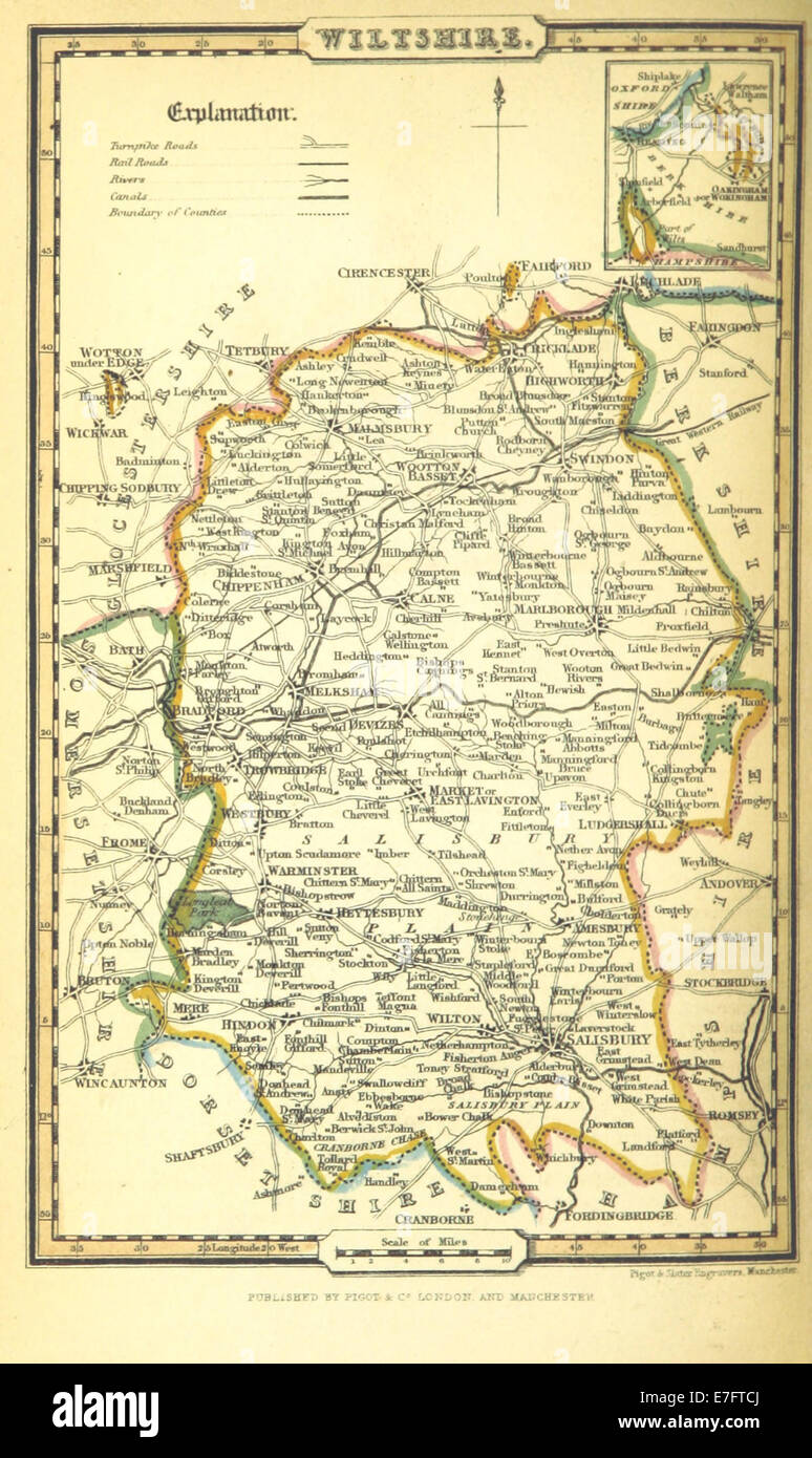 Pigot and Co (1842) p1.584 - Map of Wiltshire Stock Photohttps://www.alamy.com/image-license-details/?v=1https://www.alamy.com/stock-photo-pigot-and-co-1842-p1584-map-of-wiltshire-73492514.html
RME7FTCJ–Pigot and Co (1842) p1.584 - Map of Wiltshire
 Map of Wiltshire Sheet 274, Ordnance Survey, 1878-1890. Stock Photohttps://www.alamy.com/image-license-details/?v=1https://www.alamy.com/map-of-wiltshire-sheet-274-ordnance-survey-1878-1890-image398167392.html
RM2E3P2G0–Map of Wiltshire Sheet 274, Ordnance Survey, 1878-1890.
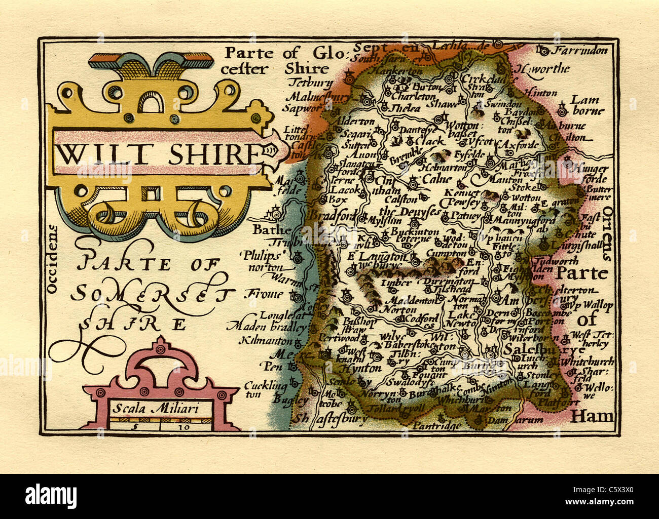 Wiltshire - Old English County Map by John Speed, circa 1625 Stock Photohttps://www.alamy.com/image-license-details/?v=1https://www.alamy.com/stock-photo-wiltshire-old-english-county-map-by-john-speed-circa-1625-38067848.html
RFC5X3X0–Wiltshire - Old English County Map by John Speed, circa 1625
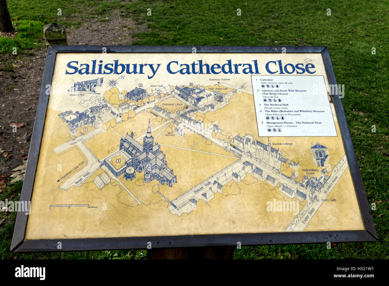 Salisbury Cathedral Close Map, Salisbury, Wiltshire, United Kingdom. Stock Photohttps://www.alamy.com/image-license-details/?v=1https://www.alamy.com/stock-photo-salisbury-cathedral-close-map-salisbury-wiltshire-united-kingdom-122361933.html
RMH321W1–Salisbury Cathedral Close Map, Salisbury, Wiltshire, United Kingdom.
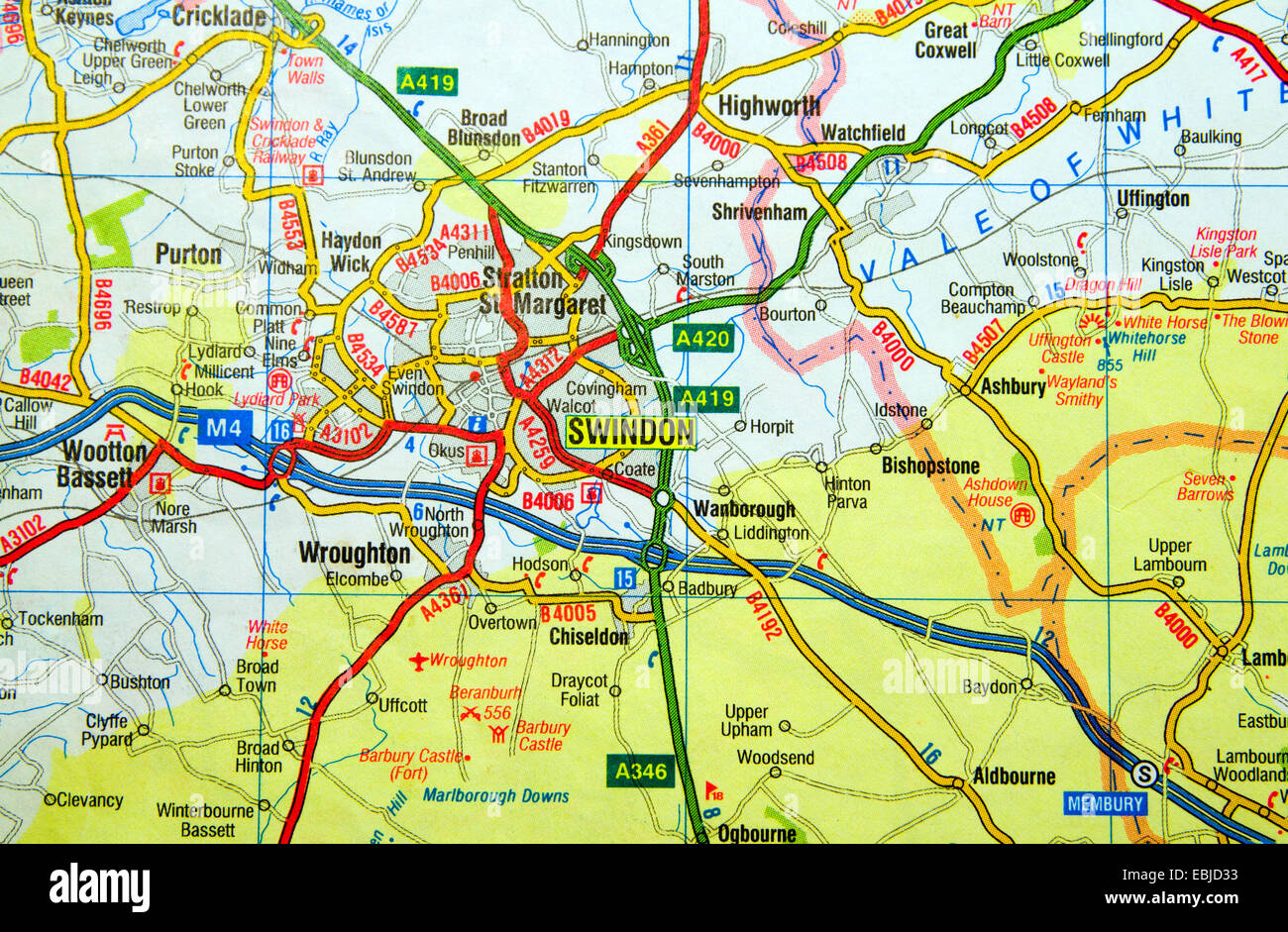 Road Map of Swindon, Wiltshire, England Stock Photohttps://www.alamy.com/image-license-details/?v=1https://www.alamy.com/stock-photo-road-map-of-swindon-wiltshire-england-76008103.html
RMEBJD33–Road Map of Swindon, Wiltshire, England
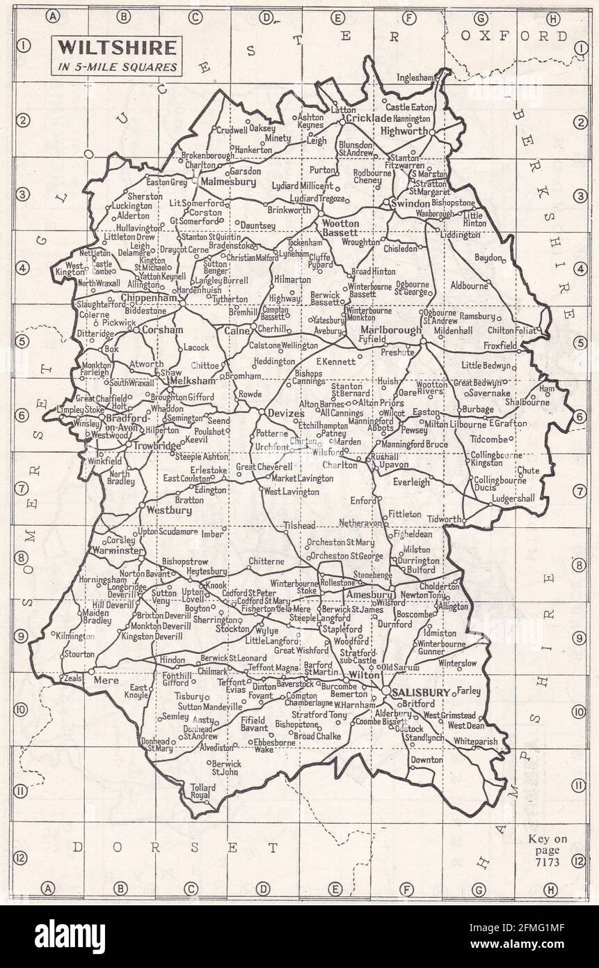 Vintage map of Wiltshire, UK 1930s Stock Photohttps://www.alamy.com/image-license-details/?v=1https://www.alamy.com/vintage-map-of-wiltshire-uk-1930s-image425694543.html
RF2FMG1MF–Vintage map of Wiltshire, UK 1930s
 Map wiltshire, UK, 19th century engraving Stock Photohttps://www.alamy.com/image-license-details/?v=1https://www.alamy.com/stock-photo-map-wiltshire-uk-19th-century-engraving-77459211.html
RMEE0G0B–Map wiltshire, UK, 19th century engraving
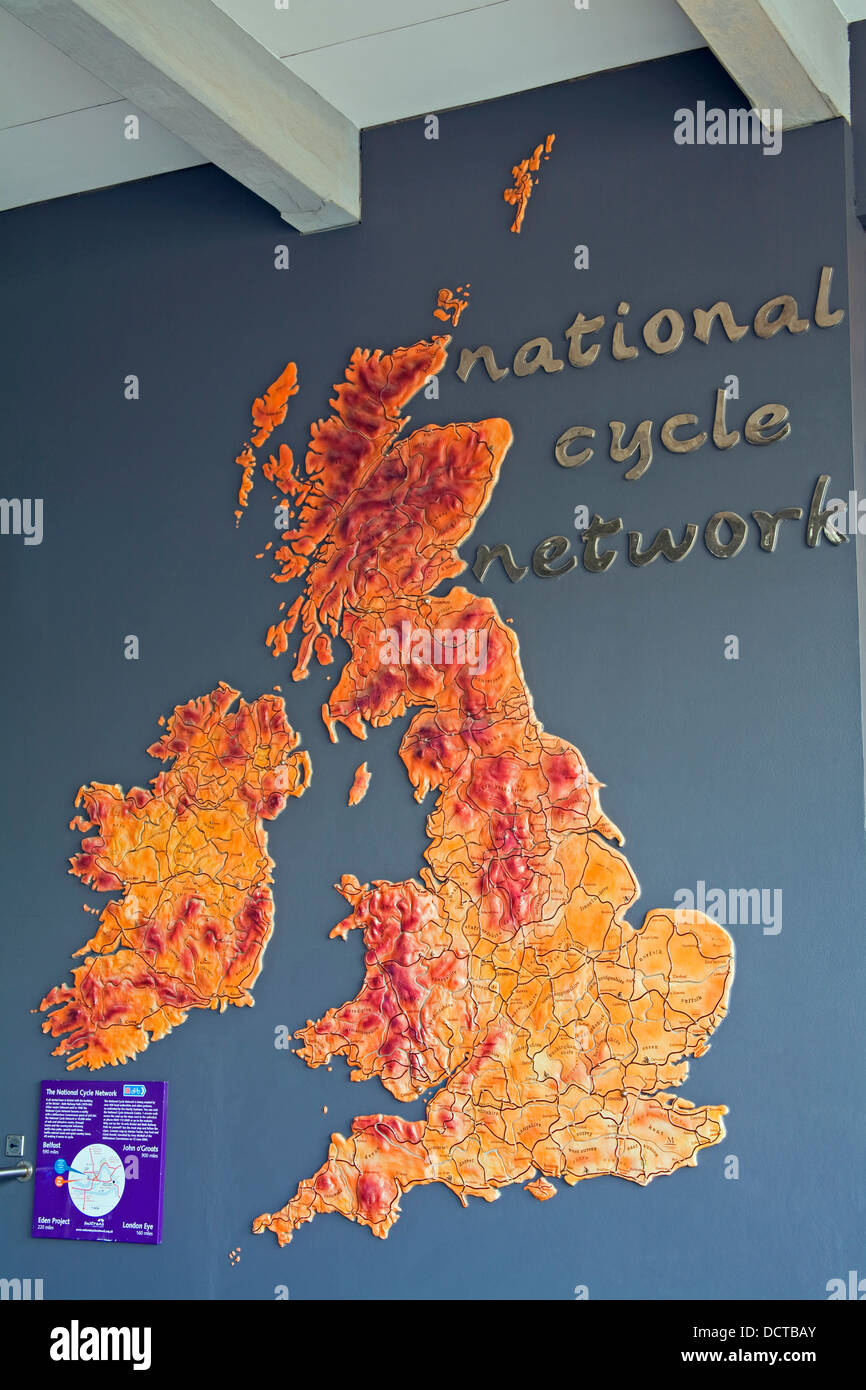 Harbourside District Map, Bristol, Wiltshire County, England Stock Photohttps://www.alamy.com/image-license-details/?v=1https://www.alamy.com/stock-photo-harbourside-district-map-bristol-wiltshire-county-england-59542755.html
RMDCTBAY–Harbourside District Map, Bristol, Wiltshire County, England
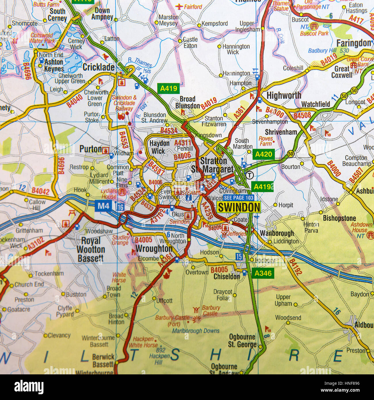 Map of Swindon and surrounding areas. Stock Photohttps://www.alamy.com/image-license-details/?v=1https://www.alamy.com/stock-photo-map-of-swindon-and-surrounding-areas-133716162.html
RMHNF896–Map of Swindon and surrounding areas.
 17th century Map from Polyolbion - Somerset and Wiltshire, England Stock Photohttps://www.alamy.com/image-license-details/?v=1https://www.alamy.com/17th-century-map-from-polyolbion-somerset-and-wiltshire-england-image504913744.html
RM2M9CPHM–17th century Map from Polyolbion - Somerset and Wiltshire, England
 A map of Wiltshire. Wiltonia, sive Comitatus Wiltoniensis, vulgo Wiltshire. Source: Maps K.Top.43.26. Stock Photohttps://www.alamy.com/image-license-details/?v=1https://www.alamy.com/a-map-of-wiltshire-wiltonia-sive-comitatus-wiltoniensis-vulgo-wiltshire-source-maps-ktop4326-image227150544.html
RMR5FGRC–A map of Wiltshire. Wiltonia, sive Comitatus Wiltoniensis, vulgo Wiltshire. Source: Maps K.Top.43.26.
 SALISBURY. Vintage town city map plan. Wiltshire, 1930 Stock Photohttps://www.alamy.com/image-license-details/?v=1https://www.alamy.com/stock-photo-salisbury-vintage-town-city-map-plan-wiltshire-1930-106728738.html
RFG5HWGJ–SALISBURY. Vintage town city map plan. Wiltshire, 1930
 Wiltshire Junction, Circular Head, AU, Australia, Tasmania, S 40 50' 4'', N 145 16' 37'', map, Cartascapes Map published in 2024. Explore Cartascapes, a map revealing Earth's diverse landscapes, cultures, and ecosystems. Journey through time and space, discovering the interconnectedness of our planet's past, present, and future. Stock Photohttps://www.alamy.com/image-license-details/?v=1https://www.alamy.com/wiltshire-junction-circular-head-au-australia-tasmania-s-40-50-4-n-145-16-37-map-cartascapes-map-published-in-2024-explore-cartascapes-a-map-revealing-earths-diverse-landscapes-cultures-and-ecosystems-journey-through-time-and-space-discovering-the-interconnectedness-of-our-planets-past-present-and-future-image625484822.html
RM2Y9H87J–Wiltshire Junction, Circular Head, AU, Australia, Tasmania, S 40 50' 4'', N 145 16' 37'', map, Cartascapes Map published in 2024. Explore Cartascapes, a map revealing Earth's diverse landscapes, cultures, and ecosystems. Journey through time and space, discovering the interconnectedness of our planet's past, present, and future.
 High Quality map of Wiltshire is a county of England, with borders of the districts Stock Vectorhttps://www.alamy.com/image-license-details/?v=1https://www.alamy.com/high-quality-map-of-wiltshire-is-a-county-of-england-with-borders-of-the-districts-image246749706.html
RFT9CBNE–High Quality map of Wiltshire is a county of England, with borders of the districts
 A 1946 map of parts of the South West of England showing inns and places of interest. Stock Photohttps://www.alamy.com/image-license-details/?v=1https://www.alamy.com/a-1946-map-of-parts-of-the-south-west-of-england-showing-inns-and-places-of-interest-image516403322.html
RM2N045KP–A 1946 map of parts of the South West of England showing inns and places of interest.
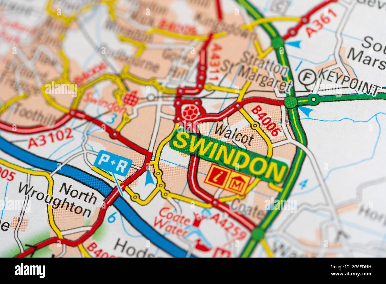 A macro closeup of a page in a printed road map atlas showing the town of Swindon in the county of Wiltshire in England Stock Photohttps://www.alamy.com/image-license-details/?v=1https://www.alamy.com/a-macro-closeup-of-a-page-in-a-printed-road-map-atlas-showing-the-town-of-swindon-in-the-county-of-wiltshire-in-england-image434265261.html
RM2G6EDNH–A macro closeup of a page in a printed road map atlas showing the town of Swindon in the county of Wiltshire in England
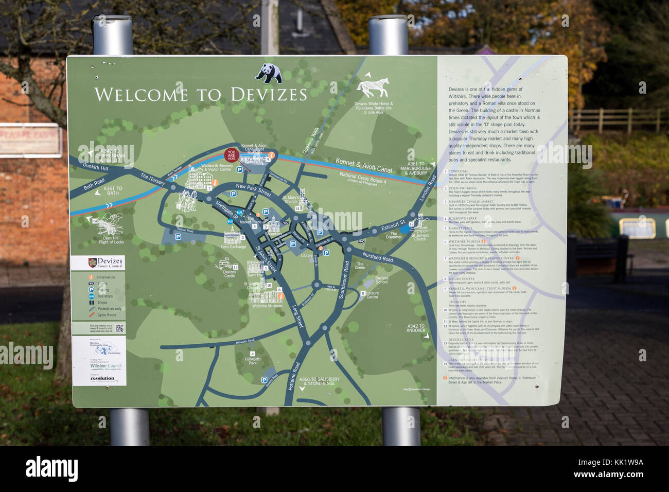 Welcome to Devizes tourist street map, Devizes, Wiltshire, England, UK Stock Photohttps://www.alamy.com/image-license-details/?v=1https://www.alamy.com/stock-image-welcome-to-devizes-tourist-street-map-devizes-wiltshire-england-uk-166613590.html
RMKK1W9A–Welcome to Devizes tourist street map, Devizes, Wiltshire, England, UK
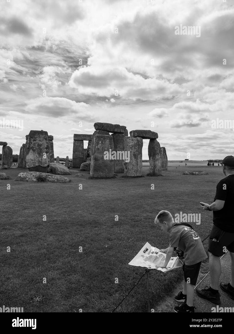 Black and White Document of Child Looking at English Heritage Map, Stonehenge, Wiltshire, England, UK, GB. Stock Photohttps://www.alamy.com/image-license-details/?v=1https://www.alamy.com/black-and-white-document-of-child-looking-at-english-heritage-map-stonehenge-wiltshire-england-uk-gb-image621112150.html
RM2Y2E2TP–Black and White Document of Child Looking at English Heritage Map, Stonehenge, Wiltshire, England, UK, GB.
 . Extract of Andrews’ and Dury’s Map of Wiltshire, 1773, showing Corsham . 1773 date of scan not known downloaded on October 10, 2006 . Andrews and Dury 124 Corsham map 1773 Stock Photohttps://www.alamy.com/image-license-details/?v=1https://www.alamy.com/extract-of-andrews-and-durys-map-of-wiltshire-1773-showing-corsham-1773-date-of-scan-not-known-downloaded-on-october-10-2006-andrews-and-dury-124-corsham-map-1773-image188964756.html
RMMYC2D8–. Extract of Andrews’ and Dury’s Map of Wiltshire, 1773, showing Corsham . 1773 date of scan not known downloaded on October 10, 2006 . Andrews and Dury 124 Corsham map 1773
 Town plan in 17th century Market Place, Highworth, Wiltshire, England, United Kingdom Stock Photohttps://www.alamy.com/image-license-details/?v=1https://www.alamy.com/town-plan-in-17th-century-market-place-highworth-wiltshire-england-united-kingdom-image385210117.html
RM2DAKRC5–Town plan in 17th century Market Place, Highworth, Wiltshire, England, United Kingdom
 Map of Wiltshire Sheet 016, Ordnance Survey, 1878-1890. Stock Photohttps://www.alamy.com/image-license-details/?v=1https://www.alamy.com/map-of-wiltshire-sheet-016-ordnance-survey-1878-1890-image398167473.html
RM2E3P2JW–Map of Wiltshire Sheet 016, Ordnance Survey, 1878-1890.
 An 18th century vintage map depicts the English county of Wiltshire England UK, and its surrounding regions, detailing towns, roads, and geographical features. Stock Photohttps://www.alamy.com/image-license-details/?v=1https://www.alamy.com/an-18th-century-vintage-map-depicts-the-english-county-of-wiltshire-england-uk-and-its-surrounding-regions-detailing-towns-roads-and-geographical-features-image619188609.html
RM2XYADAW–An 18th century vintage map depicts the English county of Wiltshire England UK, and its surrounding regions, detailing towns, roads, and geographical features.
 Cruchley's railway & telegraphic map of Wiltshire : showing all the railways & names of stations, also the telegraph lines & stations, improved from the Ordnance Surveys. Relief shown by hachures. Inset: These parts of Wilts. are situated in the eastern part of Berkshire. Also includes coloring and notes indicating geology... Cruchley's railway and telegraphic map of Wiltshire. Cruchley's railway and telegraphic map of Wiltshire, England , Wiltshire ,county Stock Photohttps://www.alamy.com/image-license-details/?v=1https://www.alamy.com/cruchleys-railway-telegraphic-map-of-wiltshire-showing-all-the-railways-names-of-stations-also-the-telegraph-lines-stations-improved-from-the-ordnance-surveys-relief-shown-by-hachures-inset-these-parts-of-wilts-are-situated-in-the-eastern-part-of-berkshire-also-includes-coloring-and-notes-indicating-geology-cruchleys-railway-and-telegraphic-map-of-wiltshire-cruchleys-railway-and-telegraphic-map-of-wiltshire-england-wiltshire-county-image502728618.html
RM2M5W7DE–Cruchley's railway & telegraphic map of Wiltshire : showing all the railways & names of stations, also the telegraph lines & stations, improved from the Ordnance Surveys. Relief shown by hachures. Inset: These parts of Wilts. are situated in the eastern part of Berkshire. Also includes coloring and notes indicating geology... Cruchley's railway and telegraphic map of Wiltshire. Cruchley's railway and telegraphic map of Wiltshire, England , Wiltshire ,county
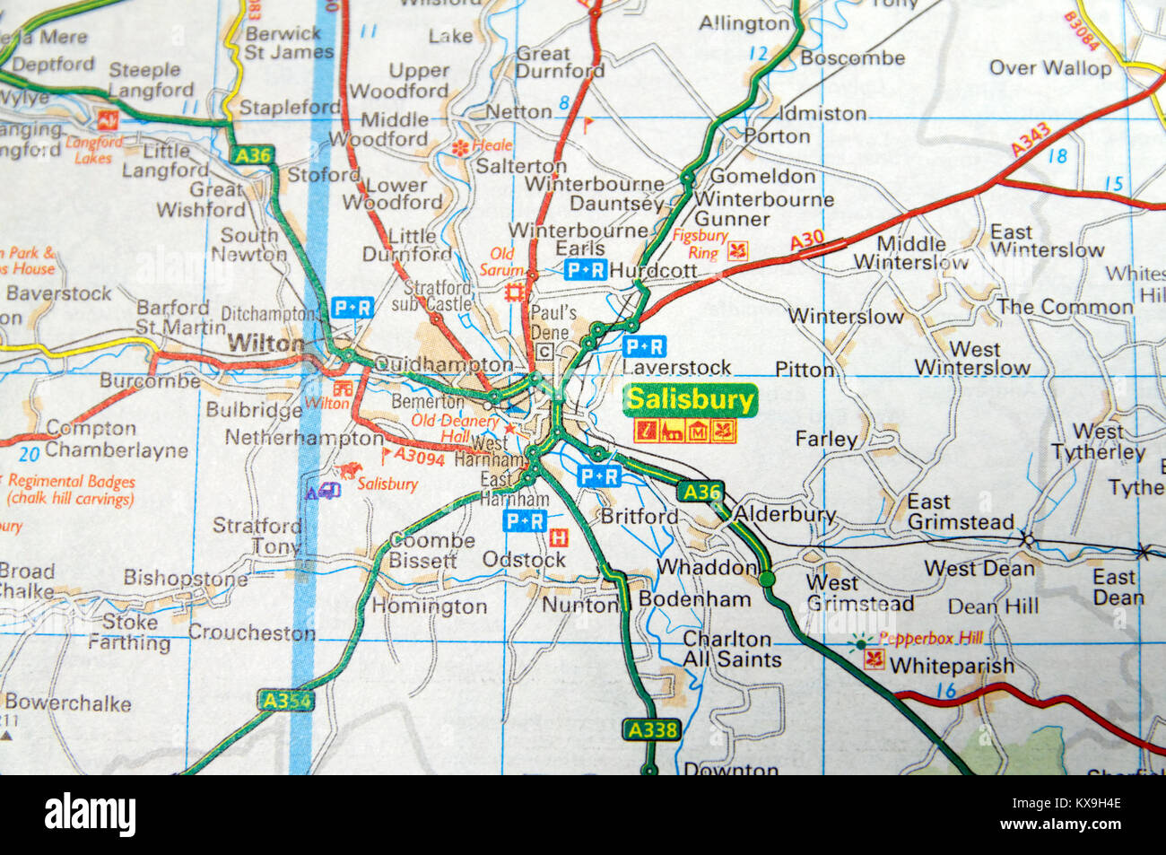 Road Map of Salisbury, England. Stock Photohttps://www.alamy.com/image-license-details/?v=1https://www.alamy.com/stock-photo-road-map-of-salisbury-england-171085390.html
RMKX9H4E–Road Map of Salisbury, England.
 Vintage map of Wiltshire, agricultural and pastoral southern county of England 1930s. Stock Photohttps://www.alamy.com/image-license-details/?v=1https://www.alamy.com/vintage-map-of-wiltshire-agricultural-and-pastoral-southern-county-of-england-1930s-image452184412.html
RF2H7JNR8–Vintage map of Wiltshire, agricultural and pastoral southern county of England 1930s.
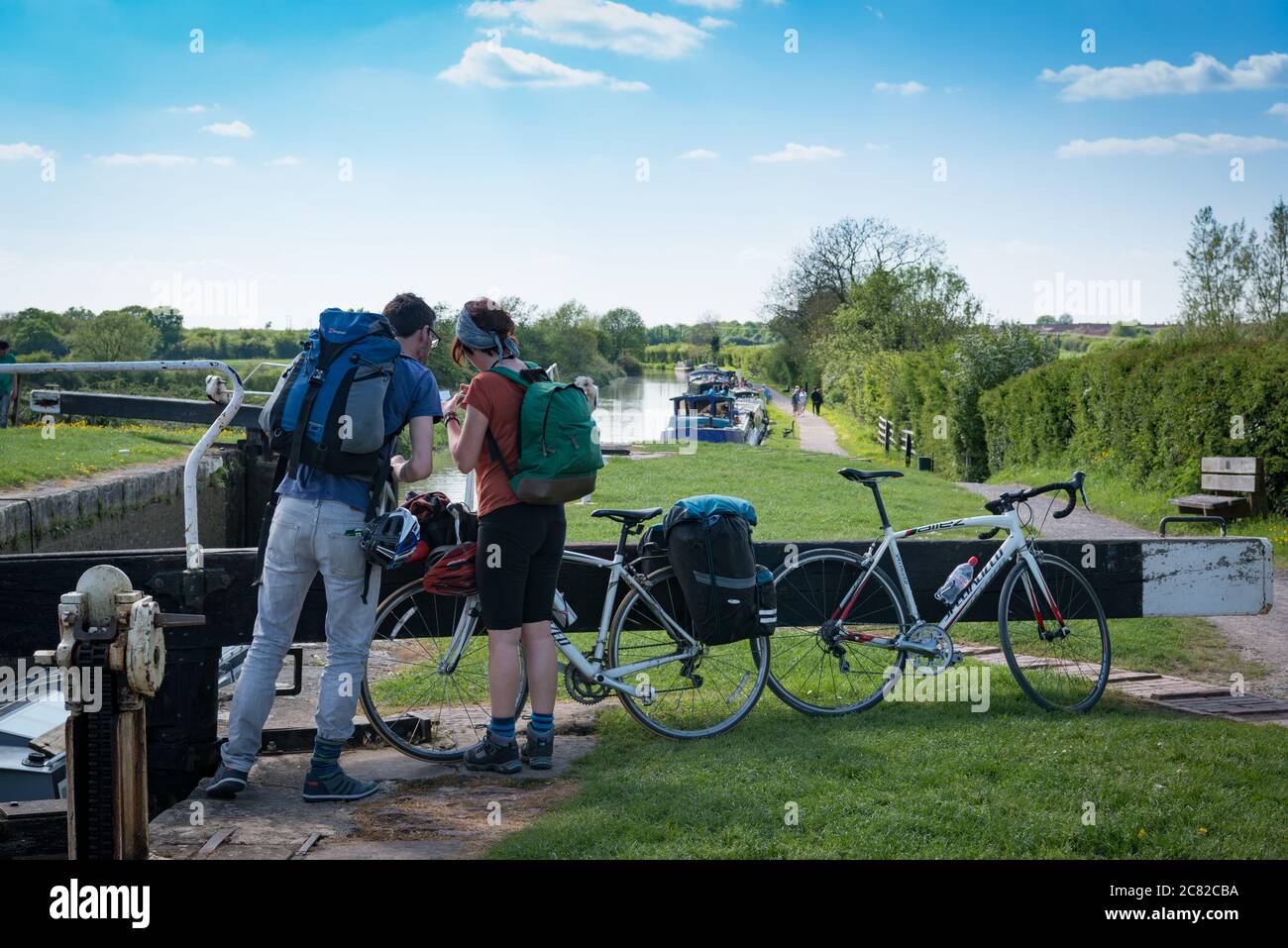 A couple looking at a map during a bike ride along the Avon-Kennet canal from Bath to Honeystreet with Secret Adventures, England Stock Photohttps://www.alamy.com/image-license-details/?v=1https://www.alamy.com/a-couple-looking-at-a-map-during-a-bike-ride-along-the-avon-kennet-canal-from-bath-to-honeystreet-with-secret-adventures-england-image366388606.html
RM2C82CBA–A couple looking at a map during a bike ride along the Avon-Kennet canal from Bath to Honeystreet with Secret Adventures, England
 An outdoor displayed town map of Bradford on Avon, Wiltshire, United Kingdom. Stock Photohttps://www.alamy.com/image-license-details/?v=1https://www.alamy.com/stock-photo-an-outdoor-displayed-town-map-of-bradford-on-avon-wiltshire-united-78110034.html
RMEF2642–An outdoor displayed town map of Bradford on Avon, Wiltshire, United Kingdom.
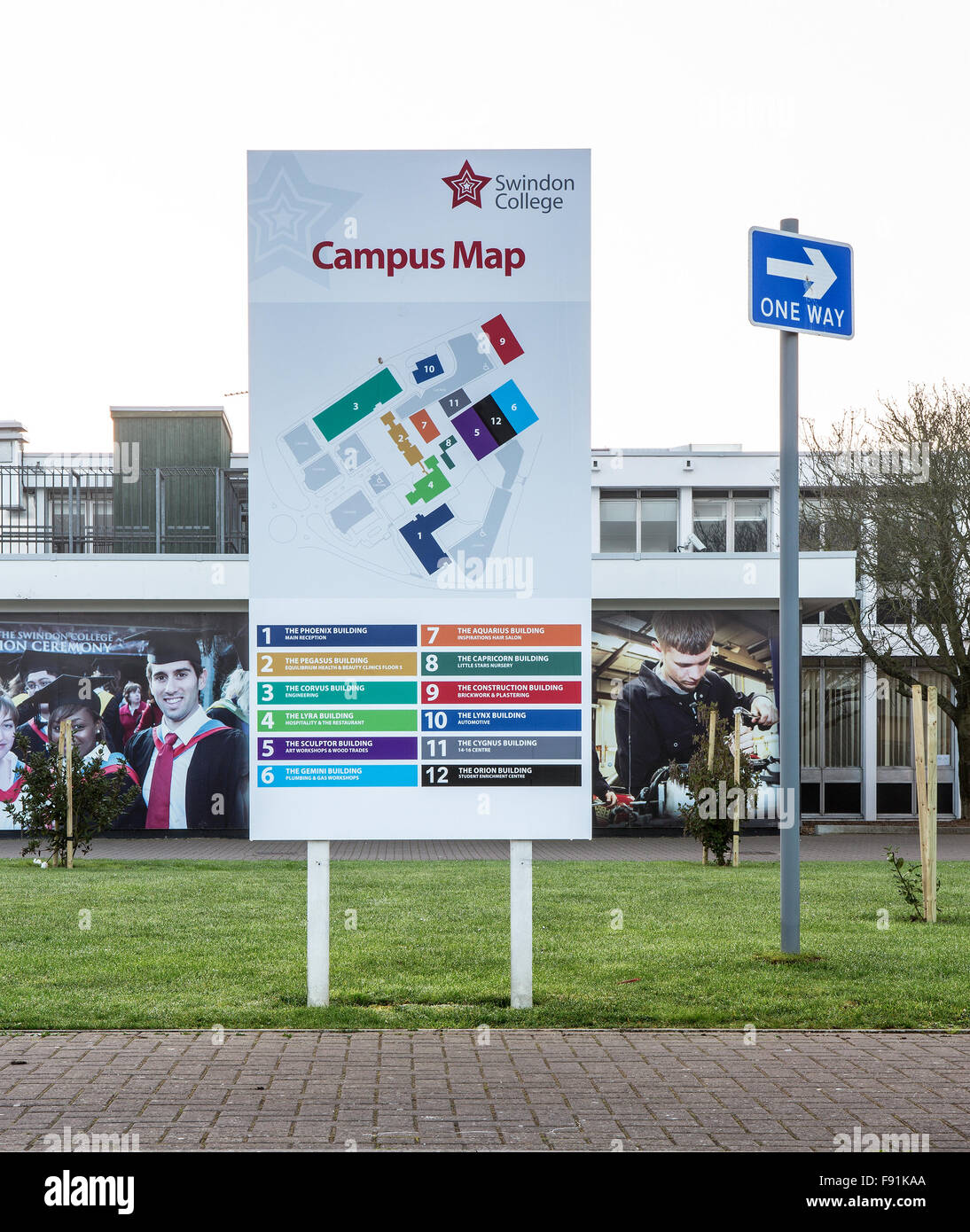 Swindon College, Wiltshire showing the Campus Map Stock Photohttps://www.alamy.com/image-license-details/?v=1https://www.alamy.com/stock-photo-swindon-college-wiltshire-showing-the-campus-map-91620882.html
RMF91KAA–Swindon College, Wiltshire showing the Campus Map
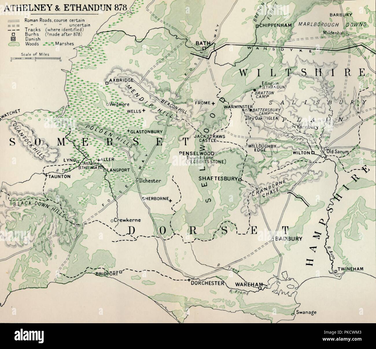 'Athelney & Ethandun 878', (1935). Artist: Unknown. Stock Photohttps://www.alamy.com/image-license-details/?v=1https://www.alamy.com/athelney-ethandun-878-1935-artist-unknown-image218486467.html
RMPKCWM3–'Athelney & Ethandun 878', (1935). Artist: Unknown.
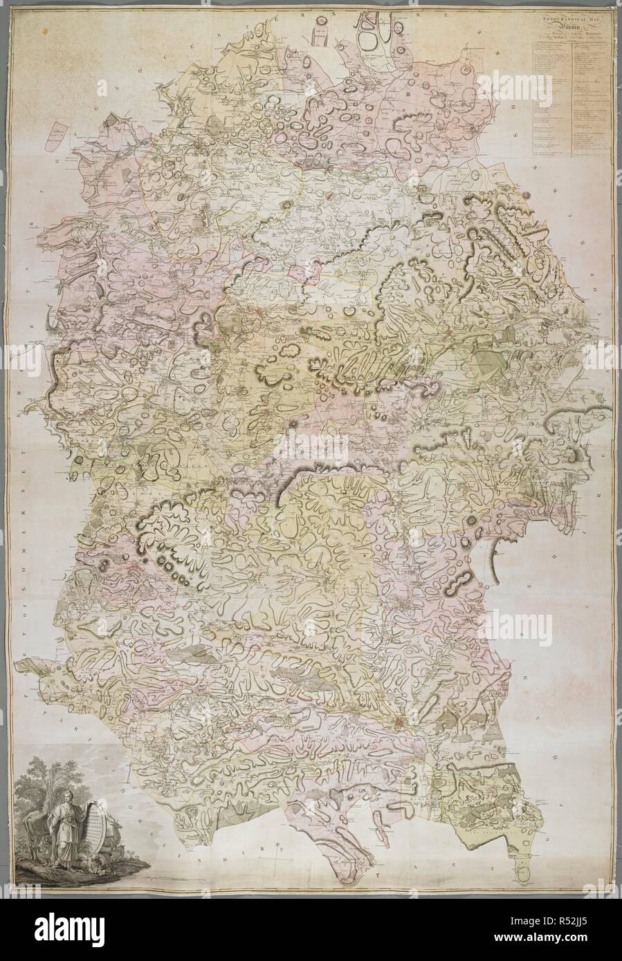 A topographical map of Wiltshire. A topographical Map of Wiltshire, on a scale of 2 inches to a mile. London, 1773. Source: Maps K.Top.43.30.8 TAB.END. Language: English. Author: Andrews, John. Stock Photohttps://www.alamy.com/image-license-details/?v=1https://www.alamy.com/a-topographical-map-of-wiltshire-a-topographical-map-of-wiltshire-on-a-scale-of-2-inches-to-a-mile-london-1773-source-maps-ktop43308-tabend-language-english-author-andrews-john-image226866589.html
RMR52JJ5–A topographical map of Wiltshire. A topographical Map of Wiltshire, on a scale of 2 inches to a mile. London, 1773. Source: Maps K.Top.43.30.8 TAB.END. Language: English. Author: Andrews, John.
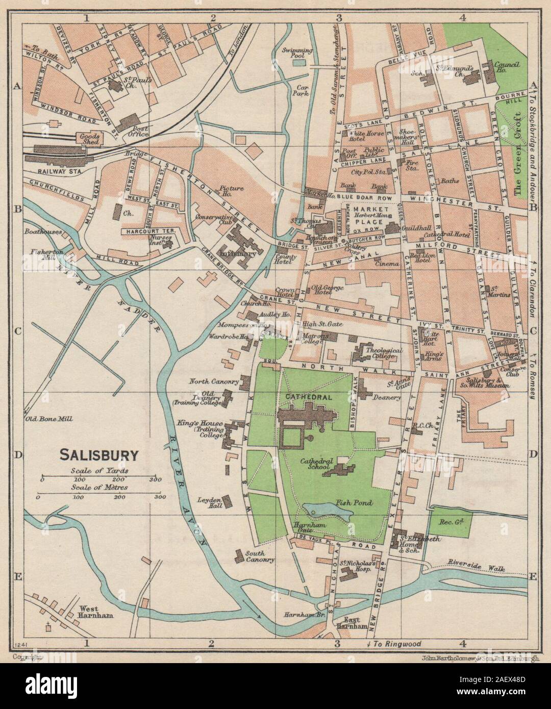 SALISBURY. Vintage town city map plan. Wiltshire 1950 old vintage chart Stock Photohttps://www.alamy.com/image-license-details/?v=1https://www.alamy.com/salisbury-vintage-town-city-map-plan-wiltshire-1950-old-vintage-chart-image336176301.html
RF2AEX48D–SALISBURY. Vintage town city map plan. Wiltshire 1950 old vintage chart
 Wiltshire, Carroll County, US, United States, Mississippi, N 33 18' 16'', S 89 51' 24'', map, Cartascapes Map published in 2024. Explore Cartascapes, a map revealing Earth's diverse landscapes, cultures, and ecosystems. Journey through time and space, discovering the interconnectedness of our planet's past, present, and future. Stock Photohttps://www.alamy.com/image-license-details/?v=1https://www.alamy.com/wiltshire-carroll-county-us-united-states-mississippi-n-33-18-16-s-89-51-24-map-cartascapes-map-published-in-2024-explore-cartascapes-a-map-revealing-earths-diverse-landscapes-cultures-and-ecosystems-journey-through-time-and-space-discovering-the-interconnectedness-of-our-planets-past-present-and-future-image621148506.html
RM2Y2FN76–Wiltshire, Carroll County, US, United States, Mississippi, N 33 18' 16'', S 89 51' 24'', map, Cartascapes Map published in 2024. Explore Cartascapes, a map revealing Earth's diverse landscapes, cultures, and ecosystems. Journey through time and space, discovering the interconnectedness of our planet's past, present, and future.
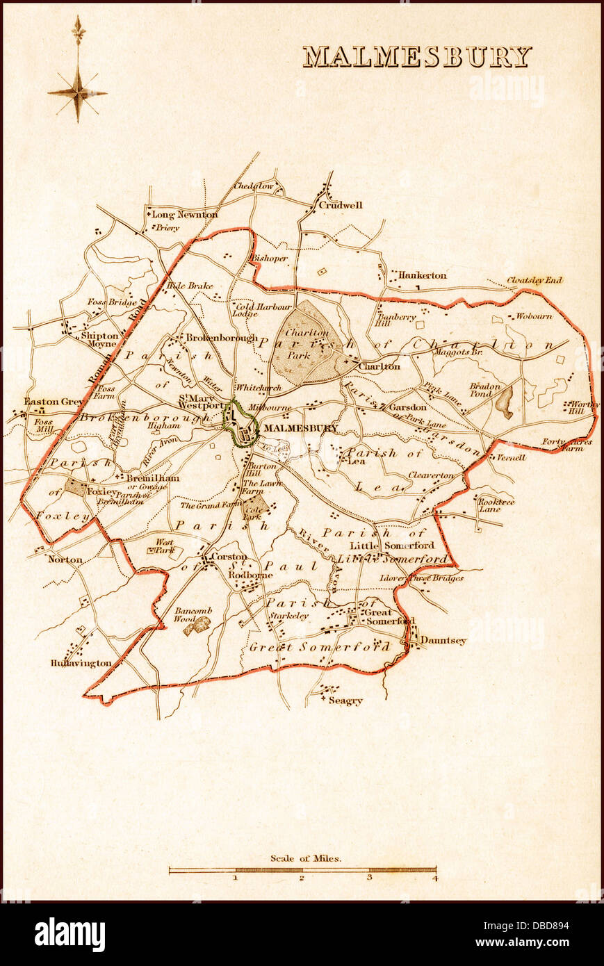 1832 Victorian Map of Malmesbury Stock Photohttps://www.alamy.com/image-license-details/?v=1https://www.alamy.com/stock-photo-1832-victorian-map-of-malmesbury-58684224.html
RFDBD894–1832 Victorian Map of Malmesbury
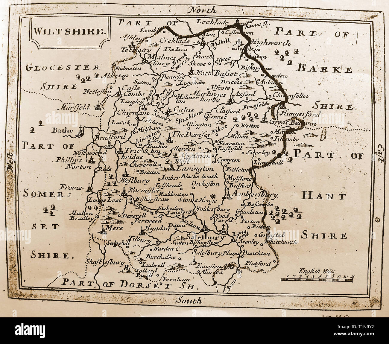 A 1780 map of the County of Wiltshire, England Stock Photohttps://www.alamy.com/image-license-details/?v=1https://www.alamy.com/a-1780-map-of-the-county-of-wiltshire-england-image242039590.html
RMT1NRY2–A 1780 map of the County of Wiltshire, England
 A macro closeup of a page in a printed road map atlas with a man's hand holding a magnifying glass showing an enlargement of Swindon in England Stock Photohttps://www.alamy.com/image-license-details/?v=1https://www.alamy.com/a-macro-closeup-of-a-page-in-a-printed-road-map-atlas-with-a-mans-hand-holding-a-magnifying-glass-showing-an-enlargement-of-swindon-in-england-image434265303.html
RM2G6EDR3–A macro closeup of a page in a printed road map atlas with a man's hand holding a magnifying glass showing an enlargement of Swindon in England
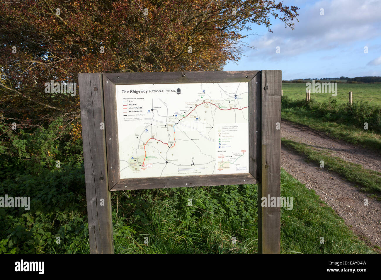 Map Ridgeway long distance footpath dating from prehistory near start Overton Hill, Marlborough Downs, Wiltshire, England, UK Stock Photohttps://www.alamy.com/image-license-details/?v=1https://www.alamy.com/stock-photo-map-ridgeway-long-distance-footpath-dating-from-prehistory-near-start-75591065.html
RMEAYD4W–Map Ridgeway long distance footpath dating from prehistory near start Overton Hill, Marlborough Downs, Wiltshire, England, UK
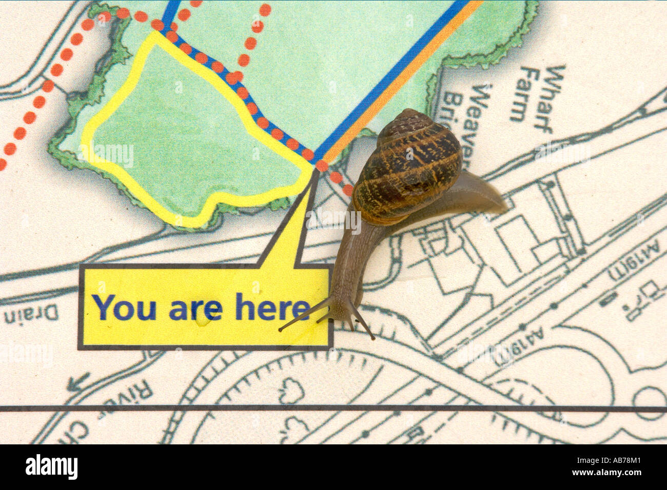 Garden snail Helix aspersa on map display panel North Meadow National Nature Reserve Cricklade Wiltshire Stock Photohttps://www.alamy.com/image-license-details/?v=1https://www.alamy.com/garden-snail-helix-aspersa-on-map-display-panel-north-meadow-national-image7314752.html
RMAB78M1–Garden snail Helix aspersa on map display panel North Meadow National Nature Reserve Cricklade Wiltshire
 . Extract of Andrews’ and Dury’s Map of Wiltshire, 1773, showing Corsham . 1773 date of scan not known downloaded on October 10, 2006 . Andrews and Dury 144 Corsham map 1773 Stock Photohttps://www.alamy.com/image-license-details/?v=1https://www.alamy.com/extract-of-andrews-and-durys-map-of-wiltshire-1773-showing-corsham-1773-date-of-scan-not-known-downloaded-on-october-10-2006-andrews-and-dury-144-corsham-map-1773-image187687327.html
RMMW9W2R–. Extract of Andrews’ and Dury’s Map of Wiltshire, 1773, showing Corsham . 1773 date of scan not known downloaded on October 10, 2006 . Andrews and Dury 144 Corsham map 1773
 Town plan in 17th century Market Place, Highworth, Wiltshire, England, United Kingdom Stock Photohttps://www.alamy.com/image-license-details/?v=1https://www.alamy.com/town-plan-in-17th-century-market-place-highworth-wiltshire-england-united-kingdom-image385209960.html
RM2DAKR6G–Town plan in 17th century Market Place, Highworth, Wiltshire, England, United Kingdom
 Map of Wiltshire Sheet 028, Ordnance Survey, 1878-1890. Stock Photohttps://www.alamy.com/image-license-details/?v=1https://www.alamy.com/map-of-wiltshire-sheet-028-ordnance-survey-1878-1890-image398167476.html
RM2E3P2K0–Map of Wiltshire Sheet 028, Ordnance Survey, 1878-1890.
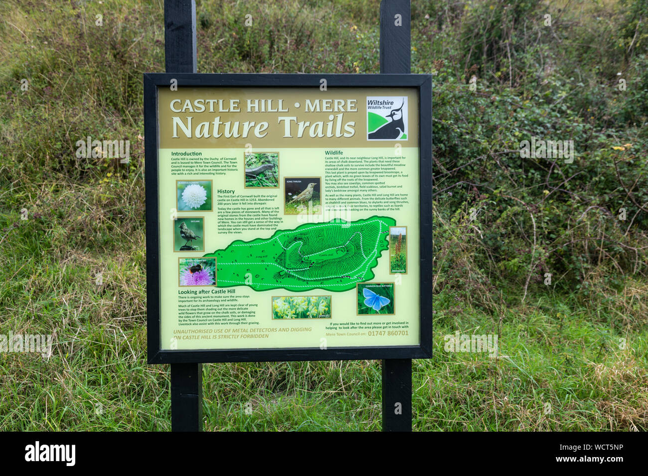 Castle Hill Mere - nature trails guide , Mere, Wiltshire, England, UK Stock Photohttps://www.alamy.com/image-license-details/?v=1https://www.alamy.com/castle-hill-mere-nature-trails-guide-mere-wiltshire-england-uk-image266062770.html
RMWCT5NP–Castle Hill Mere - nature trails guide , Mere, Wiltshire, England, UK
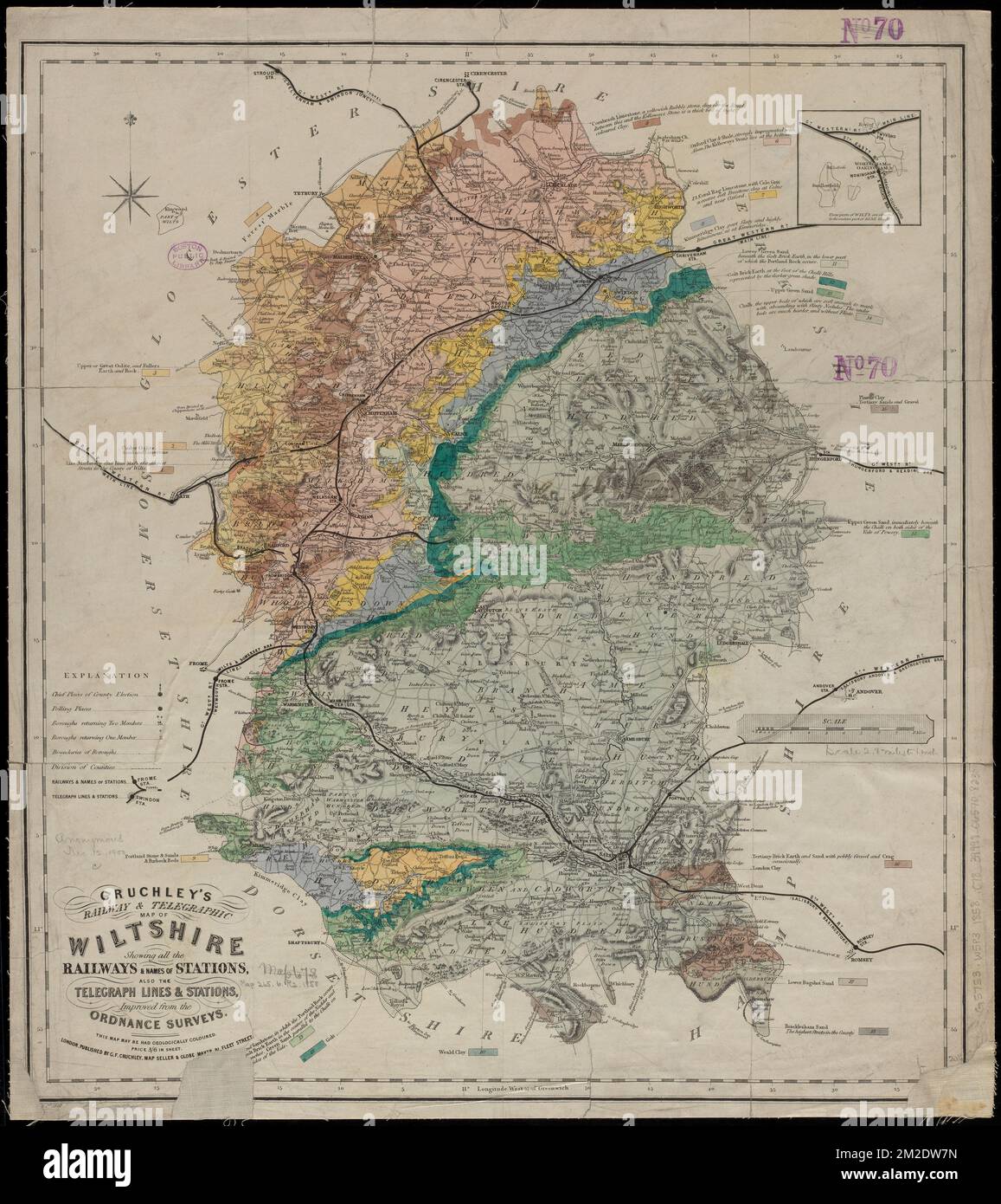 Cruchley's railway & telegraphic map of Wiltshire : showing all the railways & names of stations, also the telegraph lines & stations, improved from the Ordnance Surveys , Geology, England, Wiltshire, Maps, Railroads, England, Wiltshire, Maps, Railroad stations, England, Wiltshire, Maps, Telegraph lines, England, Wiltshire, Maps, Telegraph stations, England, Wiltshire, Maps, Wiltshire England, Maps Norman B. Leventhal Map Center Collection Stock Photohttps://www.alamy.com/image-license-details/?v=1https://www.alamy.com/cruchleys-railway-telegraphic-map-of-wiltshire-showing-all-the-railways-names-of-stations-also-the-telegraph-lines-stations-improved-from-the-ordnance-surveys-geology-england-wiltshire-maps-railroads-england-wiltshire-maps-railroad-stations-england-wiltshire-maps-telegraph-lines-england-wiltshire-maps-telegraph-stations-england-wiltshire-maps-wiltshire-england-maps-norman-b-leventhal-map-center-collection-image500635177.html
RM2M2DW7N–Cruchley's railway & telegraphic map of Wiltshire : showing all the railways & names of stations, also the telegraph lines & stations, improved from the Ordnance Surveys , Geology, England, Wiltshire, Maps, Railroads, England, Wiltshire, Maps, Railroad stations, England, Wiltshire, Maps, Telegraph lines, England, Wiltshire, Maps, Telegraph stations, England, Wiltshire, Maps, Wiltshire England, Maps Norman B. Leventhal Map Center Collection
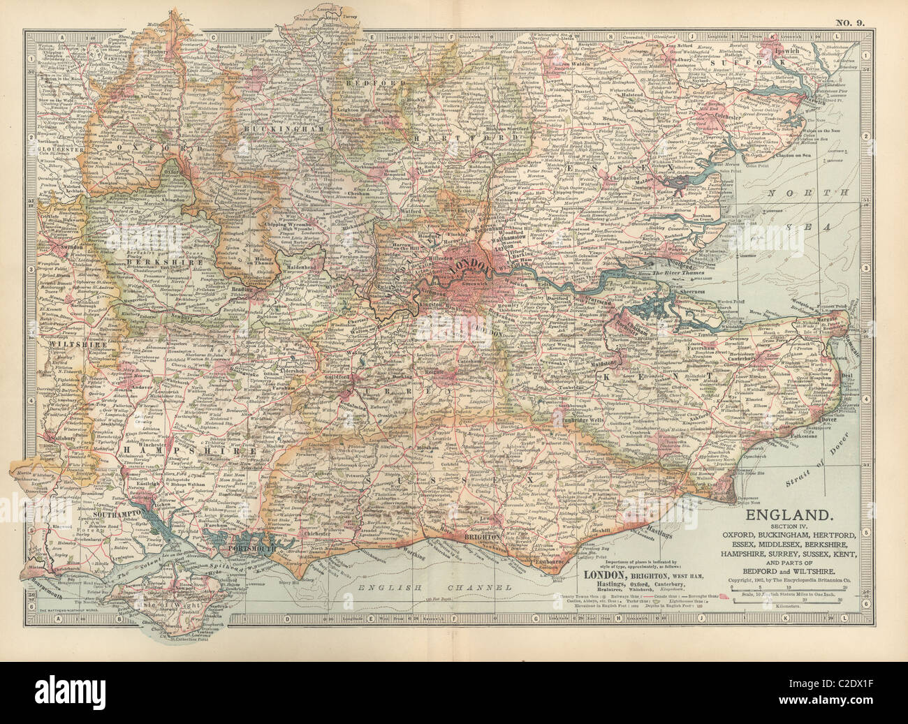 Map of England Stock Photohttps://www.alamy.com/image-license-details/?v=1https://www.alamy.com/stock-photo-map-of-england-35955851.html
RMC2DX1F–Map of England
 Street map of Salisbury Wiltshire UK incorporated with adverts for local businesses Stock Photohttps://www.alamy.com/image-license-details/?v=1https://www.alamy.com/stock-photo-street-map-of-salisbury-wiltshire-uk-incorporated-with-adverts-for-59389939.html
RMDCHCD7–Street map of Salisbury Wiltshire UK incorporated with adverts for local businesses
 A map of the Southern counties of Britain prepared by the Automobile Association and the Motor Union to indicate the stretches of road extensively damaged by the passage of military traffic and which civilian motorists were advised to avoid. Roads in Wiltshire, Dorset, Hampshire, Sussex and Kent are all shown. Stock Photohttps://www.alamy.com/image-license-details/?v=1https://www.alamy.com/a-map-of-the-southern-counties-of-britain-prepared-by-the-automobile-association-and-the-motor-union-to-indicate-the-stretches-of-road-extensively-damaged-by-the-passage-of-military-traffic-and-which-civilian-motorists-were-advised-to-avoid-roads-in-wiltshire-dorset-hampshire-sussex-and-kent-are-all-shown-image560868066.html
RM2RGDMXA–A map of the Southern counties of Britain prepared by the Automobile Association and the Motor Union to indicate the stretches of road extensively damaged by the passage of military traffic and which civilian motorists were advised to avoid. Roads in Wiltshire, Dorset, Hampshire, Sussex and Kent are all shown.
 An outdoor displayed town map of Bradford on Avon, Wiltshire, United Kingdom. Stock Photohttps://www.alamy.com/image-license-details/?v=1https://www.alamy.com/stock-photo-an-outdoor-displayed-town-map-of-bradford-on-avon-wiltshire-united-78110035.html
RMEF2643–An outdoor displayed town map of Bradford on Avon, Wiltshire, United Kingdom.
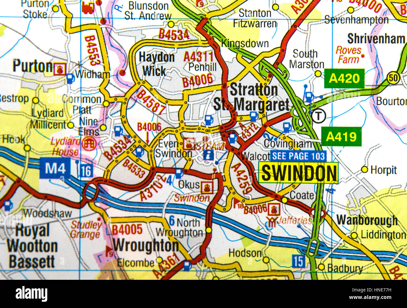 SWINDON, UK - FEBRUARY 6, 2017: Map of Swindon and surounding areas. Stock Photohttps://www.alamy.com/image-license-details/?v=1https://www.alamy.com/stock-photo-swindon-uk-february-6-2017-map-of-swindon-and-surounding-areas-133693381.html
RMHNE77H–SWINDON, UK - FEBRUARY 6, 2017: Map of Swindon and surounding areas.
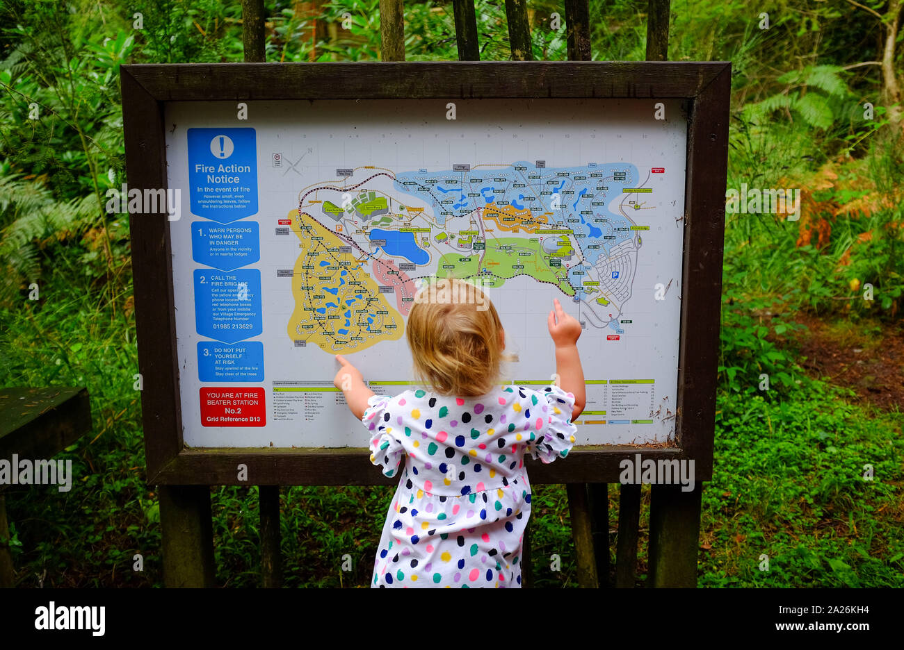 Young girl looking at a map at Center Parcs Longleat Forest Wiltshire UK Stock Photohttps://www.alamy.com/image-license-details/?v=1https://www.alamy.com/young-girl-looking-at-a-map-at-center-parcs-longleat-forest-wiltshire-uk-image328373392.html
RM2A26KH4–Young girl looking at a map at Center Parcs Longleat Forest Wiltshire UK
 A map of Wiltshire. Source: Maps K.Top.43.29. Language: English. Author: Moll, H. Stock Photohttps://www.alamy.com/image-license-details/?v=1https://www.alamy.com/a-map-of-wiltshire-source-maps-ktop4329-language-english-author-moll-h-image226947412.html
RMR569MM–A map of Wiltshire. Source: Maps K.Top.43.29. Language: English. Author: Moll, H.
 Map of Wiltshire (1923) Stock Photohttps://www.alamy.com/image-license-details/?v=1https://www.alamy.com/map-of-wiltshire-1923-image459112473.html
RF2HJXAJ1–Map of Wiltshire (1923)
 Wiltshire Park, , AU, Australia, New South Wales, S 33 35' 54'', N 151 19' 4'', map, Cartascapes Map published in 2024. Explore Cartascapes, a map revealing Earth's diverse landscapes, cultures, and ecosystems. Journey through time and space, discovering the interconnectedness of our planet's past, present, and future. Stock Photohttps://www.alamy.com/image-license-details/?v=1https://www.alamy.com/wiltshire-park-au-australia-new-south-wales-s-33-35-54-n-151-19-4-map-cartascapes-map-published-in-2024-explore-cartascapes-a-map-revealing-earths-diverse-landscapes-cultures-and-ecosystems-journey-through-time-and-space-discovering-the-interconnectedness-of-our-planets-past-present-and-future-image625809039.html
RM2YA41PR–Wiltshire Park, , AU, Australia, New South Wales, S 33 35' 54'', N 151 19' 4'', map, Cartascapes Map published in 2024. Explore Cartascapes, a map revealing Earth's diverse landscapes, cultures, and ecosystems. Journey through time and space, discovering the interconnectedness of our planet's past, present, and future.
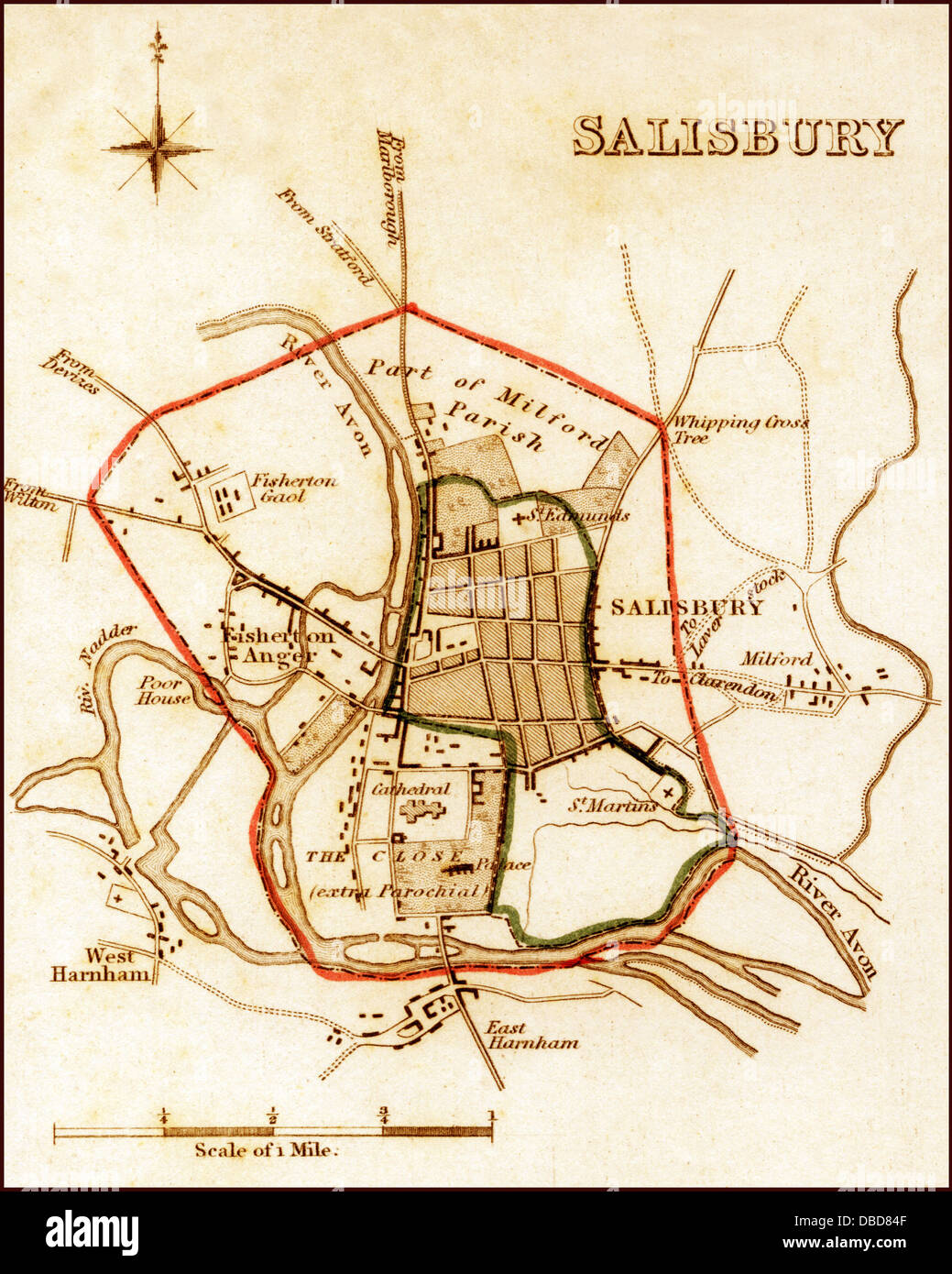 1832 Victorian Map of Salisbury Stock Photohttps://www.alamy.com/image-license-details/?v=1https://www.alamy.com/stock-photo-1832-victorian-map-of-salisbury-58684095.html
RFDBD84F–1832 Victorian Map of Salisbury
 An ancient map showing the site of Tan Hill Fair ( site of ancient Tan Hill Fair and Fire festivals) on St Anne's Hill near Avebury in Wiltshire Stock Photohttps://www.alamy.com/image-license-details/?v=1https://www.alamy.com/an-ancient-map-showing-the-site-of-tan-hill-fair-site-of-ancient-tan-hill-fair-and-fire-festivals-on-st-annes-hill-near-avebury-in-wiltshire-image187564351.html
RMMW486R–An ancient map showing the site of Tan Hill Fair ( site of ancient Tan Hill Fair and Fire festivals) on St Anne's Hill near Avebury in Wiltshire
 UK Wiltshire Stourton Stourhead House Gardens mother and young child looking at map Stock Photohttps://www.alamy.com/image-license-details/?v=1https://www.alamy.com/uk-wiltshire-stourton-stourhead-house-gardens-mother-and-young-child-image8323022.html
RMAHXRTF–UK Wiltshire Stourton Stourhead House Gardens mother and young child looking at map
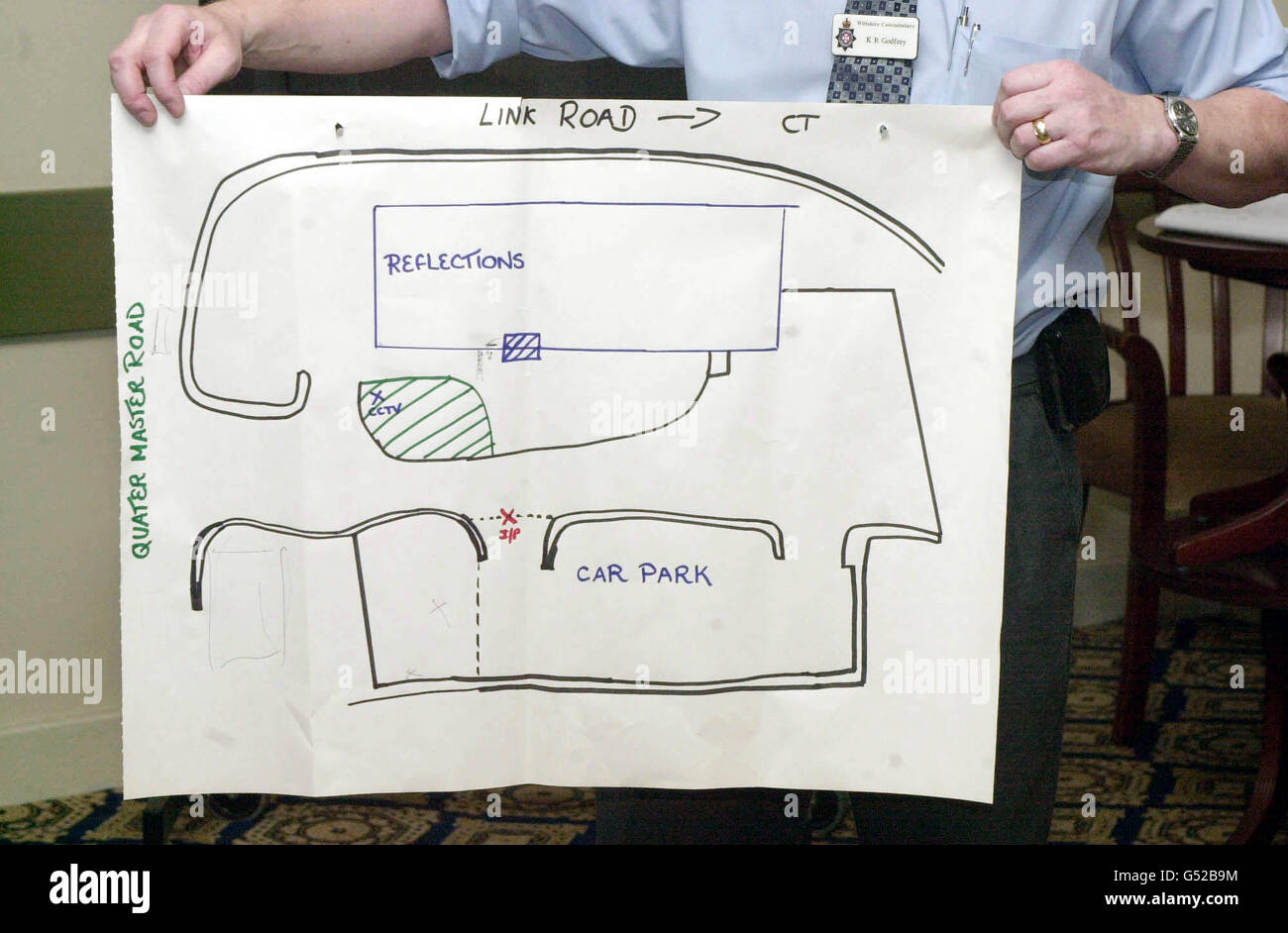 Plan of murder scene at Reflections Nite Spot in Westbury, Wiltshire. Stock Photohttps://www.alamy.com/image-license-details/?v=1https://www.alamy.com/stock-photo-plan-of-murder-scene-at-reflections-nite-spot-in-westbury-wiltshire-106388288.html
RMG52B9M–Plan of murder scene at Reflections Nite Spot in Westbury, Wiltshire.
 Garden snail Helix aspersa on map display panel North Meadow National Nature Reserve Cricklade Wiltshire Stock Photohttps://www.alamy.com/image-license-details/?v=1https://www.alamy.com/garden-snail-helix-aspersa-on-map-display-panel-north-meadow-national-image7314754.html
RMAB78M3–Garden snail Helix aspersa on map display panel North Meadow National Nature Reserve Cricklade Wiltshire
 Silbury Hill in Wiltshire, built between the 28th and 20th centuries BC, was having the shaft in it capped with chalk placed by helicopter This will stabalise it in preperation for 21st century AD techniques which will be used to scan and map the interior in preperation for repairs. Stock Photohttps://www.alamy.com/image-license-details/?v=1https://www.alamy.com/silbury-hill-in-wiltshire-built-between-the-28th-and-20th-centuries-bc-was-having-the-shaft-in-it-capped-with-chalk-placed-by-helicopter-this-will-stabalise-it-in-preperation-for-21st-century-ad-techniques-which-will-be-used-to-scan-and-map-the-interior-in-preperation-for-repairs-image425323222.html
RM2FKY432–Silbury Hill in Wiltshire, built between the 28th and 20th centuries BC, was having the shaft in it capped with chalk placed by helicopter This will stabalise it in preperation for 21st century AD techniques which will be used to scan and map the interior in preperation for repairs.
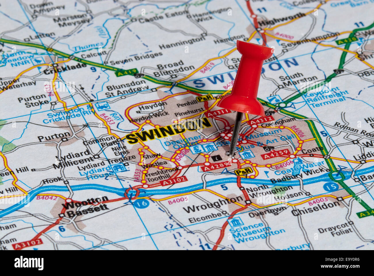 red map pin in road map pointing to city of Swindon Stock Photohttps://www.alamy.com/image-license-details/?v=1https://www.alamy.com/stock-photo-red-map-pin-in-road-map-pointing-to-city-of-swindon-74966730.html
RME9Y0R6–red map pin in road map pointing to city of Swindon
 Map of Wiltshire Sheet 012, Ordnance Survey, 1878-1890. Stock Photohttps://www.alamy.com/image-license-details/?v=1https://www.alamy.com/map-of-wiltshire-sheet-012-ordnance-survey-1878-1890-image398167464.html
RM2E3P2JG–Map of Wiltshire Sheet 012, Ordnance Survey, 1878-1890.
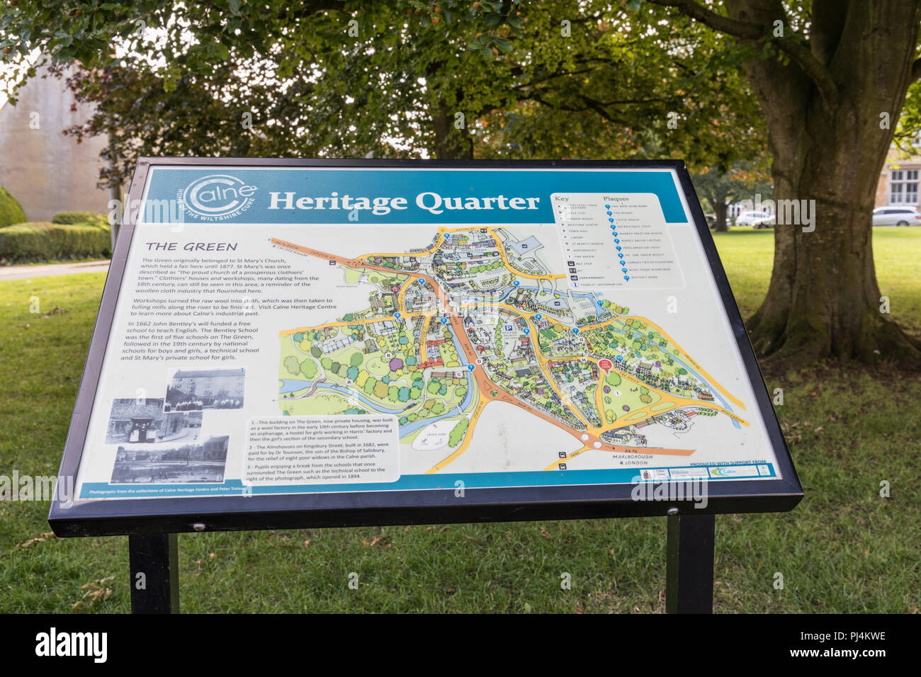 Heritage Quarter Interpretation board on The Green, Calne, Wiltshire, England, UK Stock Photohttps://www.alamy.com/image-license-details/?v=1https://www.alamy.com/heritage-quarter-interpretation-board-on-the-green-calne-wiltshire-england-uk-image217691642.html
RMPJ4KWE–Heritage Quarter Interpretation board on The Green, Calne, Wiltshire, England, UK
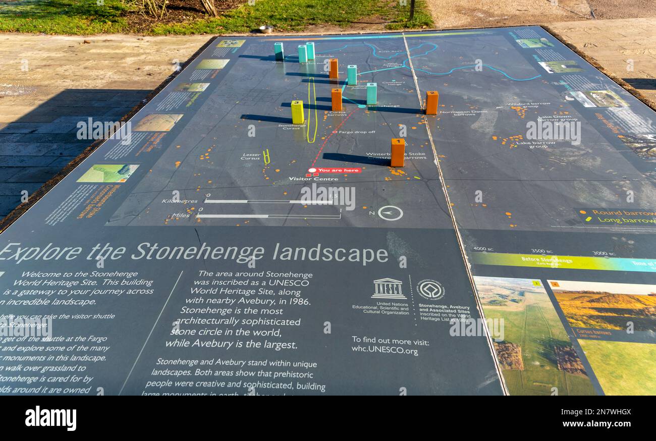 Information map about the prehistoric landscape of Stonehenge, Wiltshire, England, UK Stock Photohttps://www.alamy.com/image-license-details/?v=1https://www.alamy.com/information-map-about-the-prehistoric-landscape-of-stonehenge-wiltshire-england-uk-image521176234.html
RM2N7WHGX–Information map about the prehistoric landscape of Stonehenge, Wiltshire, England, UK
 Map of England and Wales Stock Photohttps://www.alamy.com/image-license-details/?v=1https://www.alamy.com/stock-photo-map-of-england-and-wales-35955861.html
RMC2DX1W–Map of England and Wales
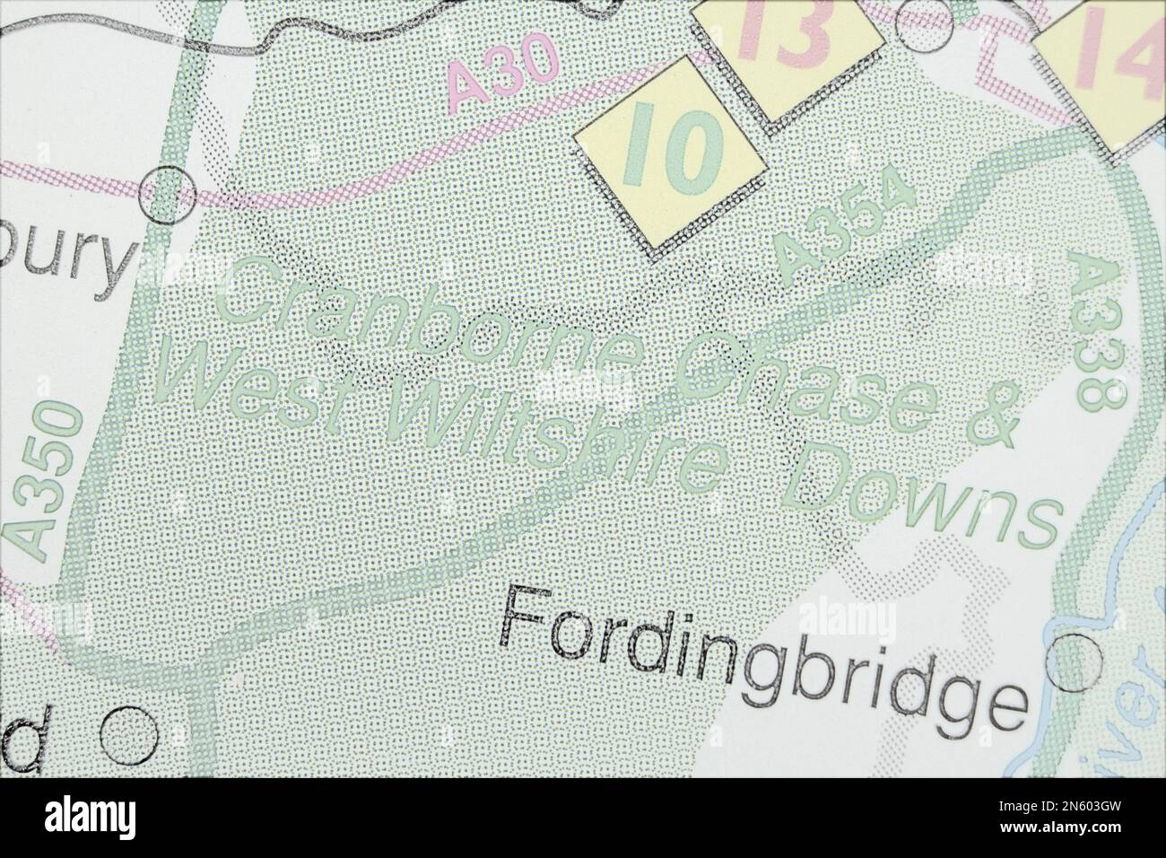 Cranborne Chase and West Wiltshire Downs, United Kingdom atlas map town name - pencil sketch Stock Photohttps://www.alamy.com/image-license-details/?v=1https://www.alamy.com/cranborne-chase-and-west-wiltshire-downs-united-kingdom-atlas-map-town-name-pencil-sketch-image520001801.html
RF2N603GW–Cranborne Chase and West Wiltshire Downs, United Kingdom atlas map town name - pencil sketch
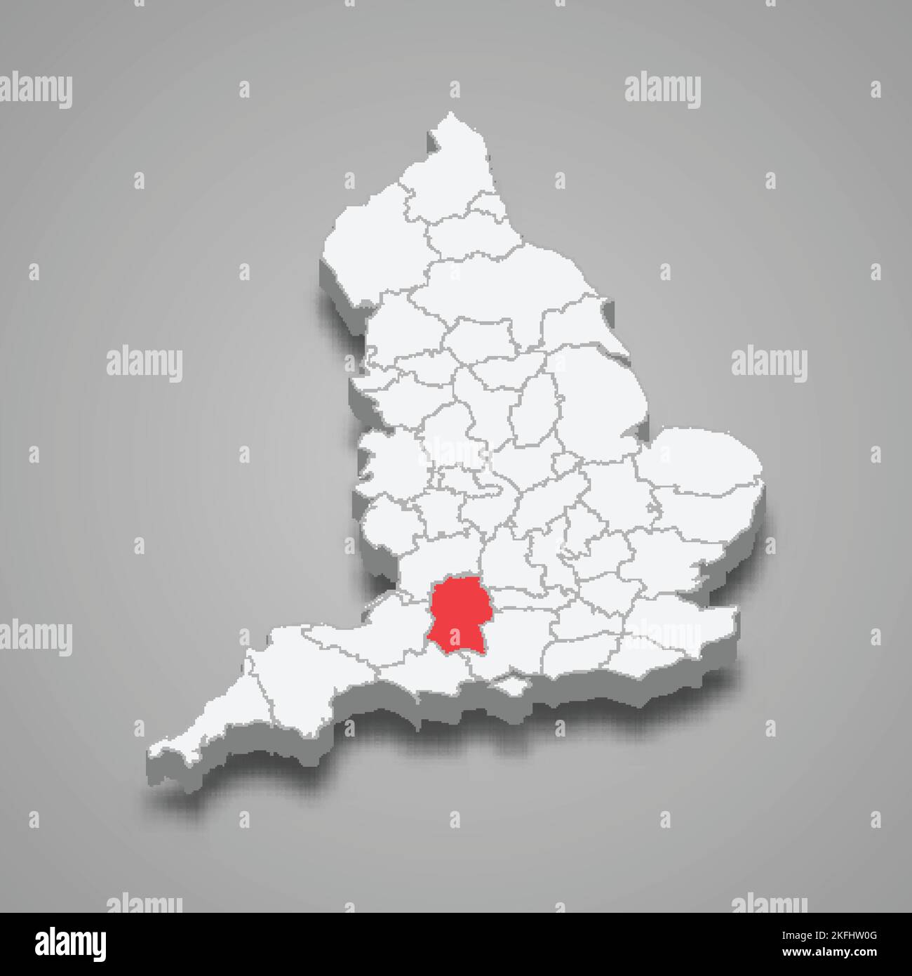 Wiltshire county location within England 3d isometric map Stock Vectorhttps://www.alamy.com/image-license-details/?v=1https://www.alamy.com/wiltshire-county-location-within-england-3d-isometric-map-image491502944.html
RF2KFHW0G–Wiltshire county location within England 3d isometric map
 Extended plan view of Avebury Neolithic henge stone circles Wiltshire England UK Victorian woodcut engraving circa 1845 Stock Photohttps://www.alamy.com/image-license-details/?v=1https://www.alamy.com/stock-photo-extended-plan-view-of-avebury-neolithic-henge-stone-circles-wiltshire-52292830.html
RMD12412–Extended plan view of Avebury Neolithic henge stone circles Wiltshire England UK Victorian woodcut engraving circa 1845
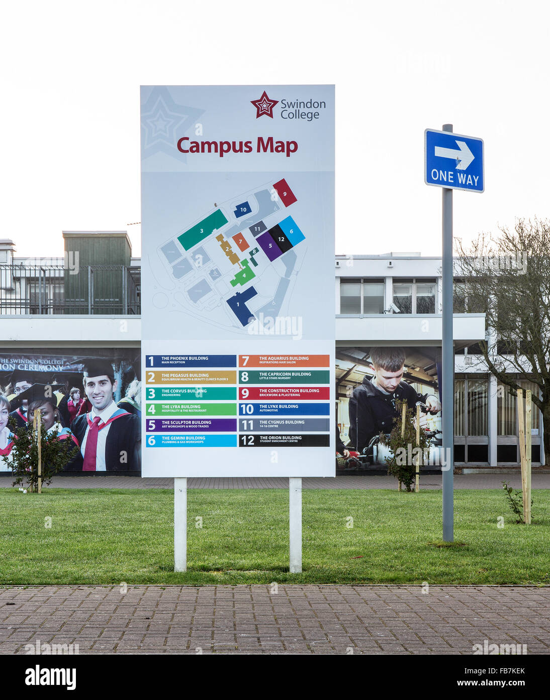 The New College in Swindon, Wiltshire showing the Campus Map Stock Photohttps://www.alamy.com/image-license-details/?v=1https://www.alamy.com/stock-photo-the-new-college-in-swindon-wiltshire-showing-the-campus-map-92982027.html
RMFB7KEK–The New College in Swindon, Wiltshire showing the Campus Map
 Chapter House hotel in Salisbury Stock Photohttps://www.alamy.com/image-license-details/?v=1https://www.alamy.com/stock-photo-chapter-house-hotel-in-salisbury-122707683.html
RMH3HPW7–Chapter House hotel in Salisbury
 A map of Wiltshire. An Atlas of England and Wales. Source: Maps K.Top.43.28. Language: English. Author: Speed J. Stock Photohttps://www.alamy.com/image-license-details/?v=1https://www.alamy.com/a-map-of-wiltshire-an-atlas-of-england-and-wales-source-maps-ktop4328-language-english-author-speed-j-image227134921.html
RMR5ETWD–A map of Wiltshire. An Atlas of England and Wales. Source: Maps K.Top.43.28. Language: English. Author: Speed J.
 Antique county map of WILTSHIRE by Creighton & Walker for Lewis c1840 old Stock Photohttps://www.alamy.com/image-license-details/?v=1https://www.alamy.com/antique-county-map-of-wiltshire-by-creighton-walker-for-lewis-c1840-old-image469758720.html
RF2J87A14–Antique county map of WILTSHIRE by Creighton & Walker for Lewis c1840 old
 Wiltshire-Butler National Park, , AU, Australia, Western Australia, S 34 1' 50'', N 115 29' 43'', map, Cartascapes Map published in 2024. Explore Cartascapes, a map revealing Earth's diverse landscapes, cultures, and ecosystems. Journey through time and space, discovering the interconnectedness of our planet's past, present, and future. Stock Photohttps://www.alamy.com/image-license-details/?v=1https://www.alamy.com/wiltshire-butler-national-park-au-australia-western-australia-s-34-1-50-n-115-29-43-map-cartascapes-map-published-in-2024-explore-cartascapes-a-map-revealing-earths-diverse-landscapes-cultures-and-ecosystems-journey-through-time-and-space-discovering-the-interconnectedness-of-our-planets-past-present-and-future-image625747060.html
RM2YA16N8–Wiltshire-Butler National Park, , AU, Australia, Western Australia, S 34 1' 50'', N 115 29' 43'', map, Cartascapes Map published in 2024. Explore Cartascapes, a map revealing Earth's diverse landscapes, cultures, and ecosystems. Journey through time and space, discovering the interconnectedness of our planet's past, present, and future.
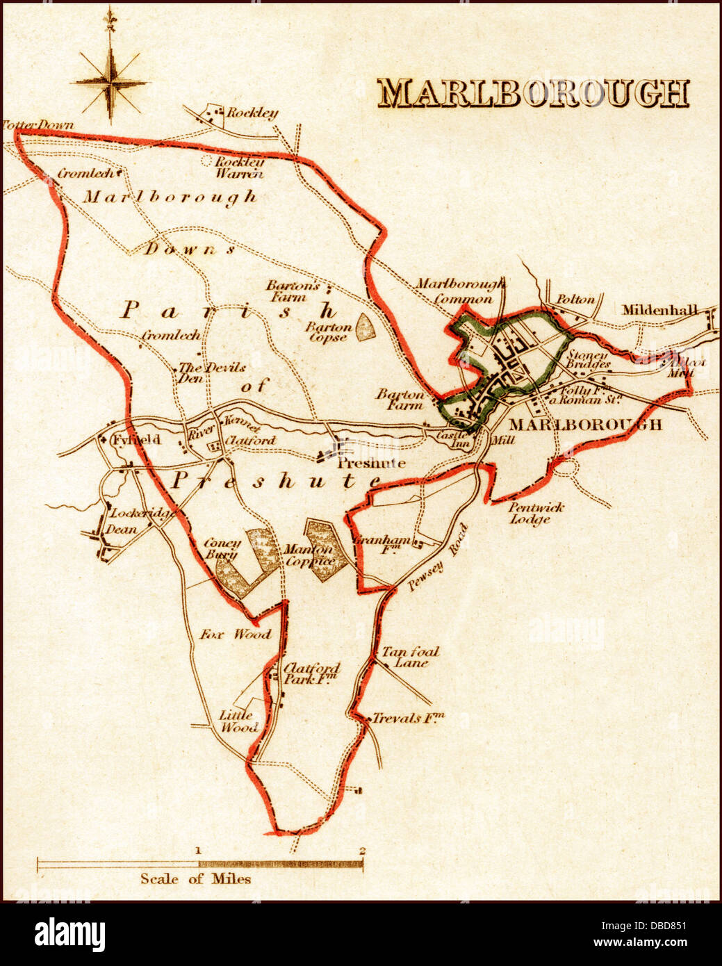 1832 Victorian Map of Marlborough Stock Photohttps://www.alamy.com/image-license-details/?v=1https://www.alamy.com/stock-photo-1832-victorian-map-of-marlborough-58684109.html
RFDBD851–1832 Victorian Map of Marlborough
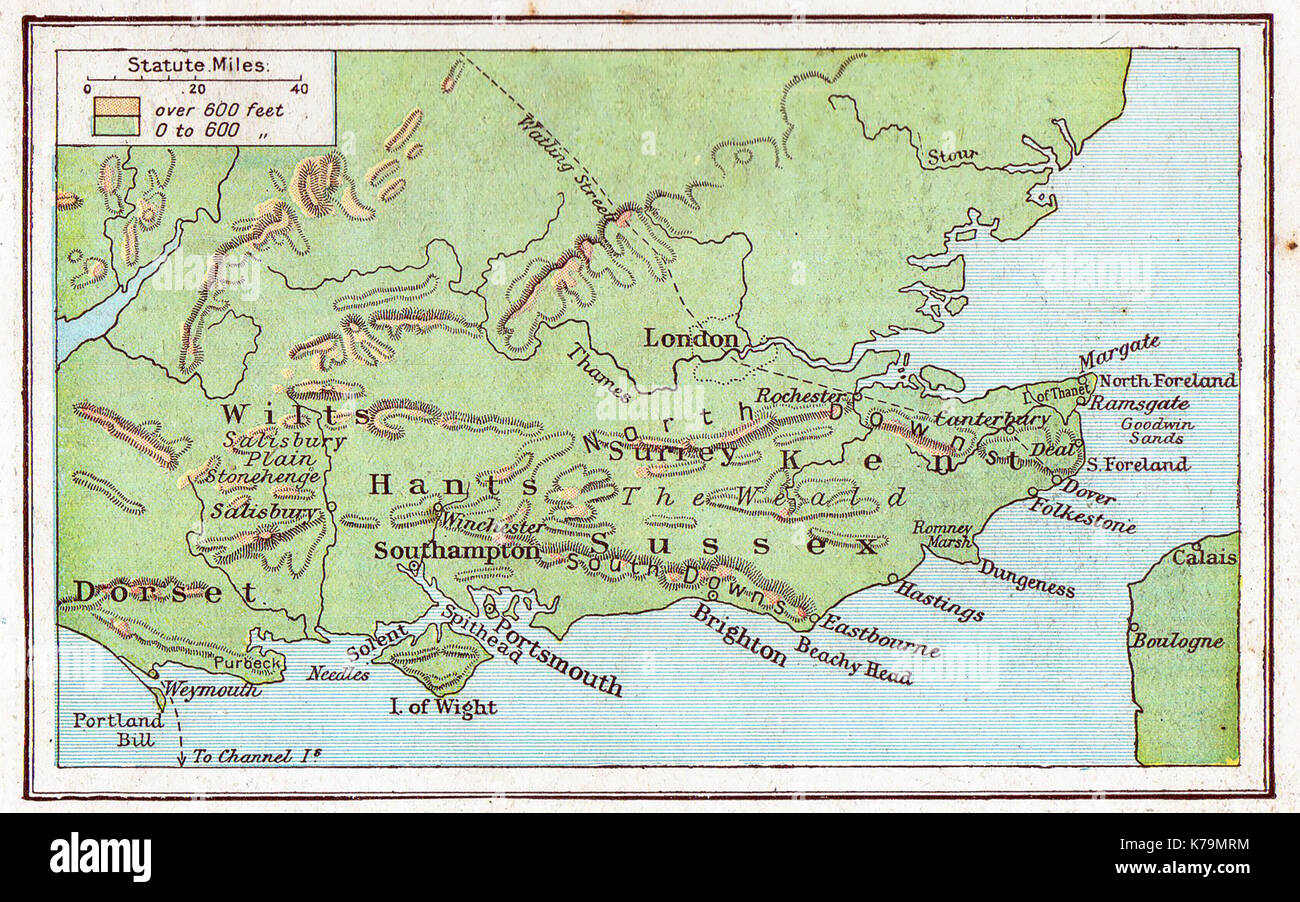 1914 map of South East England Stock Photohttps://www.alamy.com/image-license-details/?v=1https://www.alamy.com/1914-map-of-south-east-england-image159409816.html
RMK79MRM–1914 map of South East England
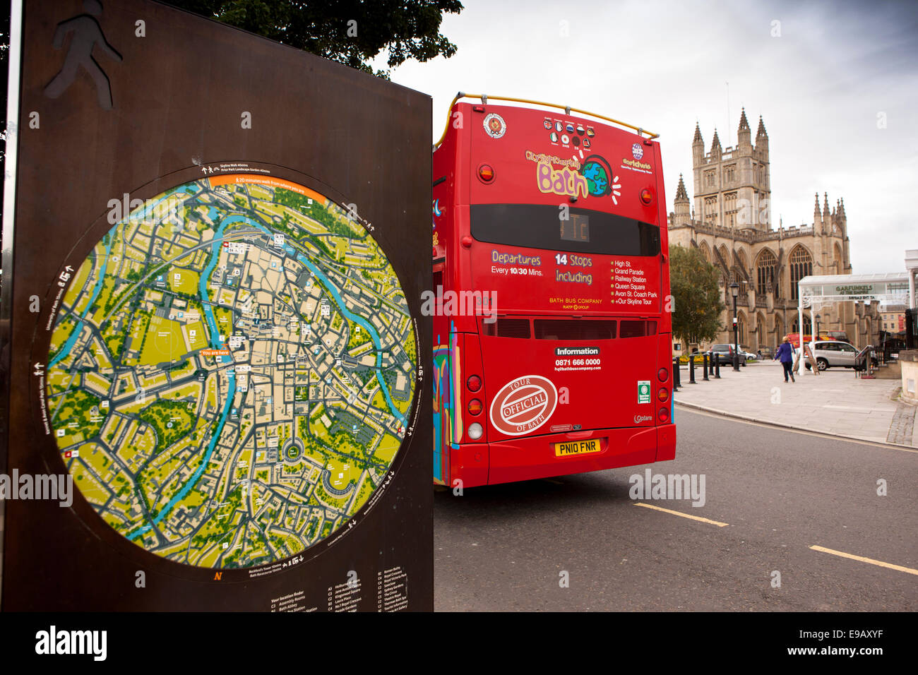 UK, England, Wiltshire, Bath, red open topped sightseeing bus and tourist map at the Abbey Stock Photohttps://www.alamy.com/image-license-details/?v=1https://www.alamy.com/stock-photo-uk-england-wiltshire-bath-red-open-topped-sightseeing-bus-and-tourist-74614051.html
RME9AXYF–UK, England, Wiltshire, Bath, red open topped sightseeing bus and tourist map at the Abbey
![WILTSHIRE Author Speed, John 43.28. Place of publication: London Publisher: Henry Overton, Date of publication: [1743.] Item type: 1 map Dimensions: 37 x 49 cm Former owner: George III, King of Great Britain, 1738-1820 Stock Photo WILTSHIRE Author Speed, John 43.28. Place of publication: London Publisher: Henry Overton, Date of publication: [1743.] Item type: 1 map Dimensions: 37 x 49 cm Former owner: George III, King of Great Britain, 1738-1820 Stock Photo](https://c8.alamy.com/comp/2E9EKPG/wiltshire-author-speed-john-4328-place-of-publication-london-publisher-henry-overton-date-of-publication-1743-item-type-1-map-dimensions-37-x-49-cm-former-owner-george-iii-king-of-great-britain-1738-1820-2E9EKPG.jpg) WILTSHIRE Author Speed, John 43.28. Place of publication: London Publisher: Henry Overton, Date of publication: [1743.] Item type: 1 map Dimensions: 37 x 49 cm Former owner: George III, King of Great Britain, 1738-1820 Stock Photohttps://www.alamy.com/image-license-details/?v=1https://www.alamy.com/wiltshire-author-speed-john-4328-place-of-publication-london-publisher-henry-overton-date-of-publication-1743-item-type-1-map-dimensions-37-x-49-cm-former-owner-george-iii-king-of-great-britain-1738-1820-image401693224.html
WILTSHIRE Author Speed, John 43.28. Place of publication: London Publisher: Henry Overton, Date of publication: [1743.] Item type: 1 map Dimensions: 37 x 49 cm Former owner: George III, King of Great Britain, 1738-1820 Stock Photohttps://www.alamy.com/image-license-details/?v=1https://www.alamy.com/wiltshire-author-speed-john-4328-place-of-publication-london-publisher-henry-overton-date-of-publication-1743-item-type-1-map-dimensions-37-x-49-cm-former-owner-george-iii-king-of-great-britain-1738-1820-image401693224.htmlRM2E9EKPG–WILTSHIRE Author Speed, John 43.28. Place of publication: London Publisher: Henry Overton, Date of publication: [1743.] Item type: 1 map Dimensions: 37 x 49 cm Former owner: George III, King of Great Britain, 1738-1820
 Information Board, Map of Old Sarum Cathedral, Old Sarum, Salisbury, Wiltshire, England, UK, GB. Stock Photohttps://www.alamy.com/image-license-details/?v=1https://www.alamy.com/information-board-map-of-old-sarum-cathedral-old-sarum-salisbury-wiltshire-england-uk-gb-image626651280.html
RM2YBEC2T–Information Board, Map of Old Sarum Cathedral, Old Sarum, Salisbury, Wiltshire, England, UK, GB.
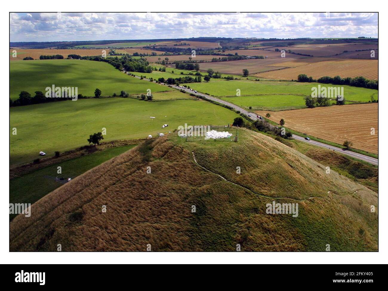 Silbury Hill in Wiltshire, built between the 28th and 20th centuries BC, was having the shaft in it capped with chalk placed by helicopter This will stabalise it in preperation for 21st century AD techniques which will be used to scan and map the interior in preperation for repairs.pic David Sandison 16/8/2001 Stock Photohttps://www.alamy.com/image-license-details/?v=1https://www.alamy.com/silbury-hill-in-wiltshire-built-between-the-28th-and-20th-centuries-bc-was-having-the-shaft-in-it-capped-with-chalk-placed-by-helicopter-this-will-stabalise-it-in-preperation-for-21st-century-ad-techniques-which-will-be-used-to-scan-and-map-the-interior-in-preperation-for-repairspic-david-sandison-1682001-image425323141.html
RM2FKY405–Silbury Hill in Wiltshire, built between the 28th and 20th centuries BC, was having the shaft in it capped with chalk placed by helicopter This will stabalise it in preperation for 21st century AD techniques which will be used to scan and map the interior in preperation for repairs.pic David Sandison 16/8/2001
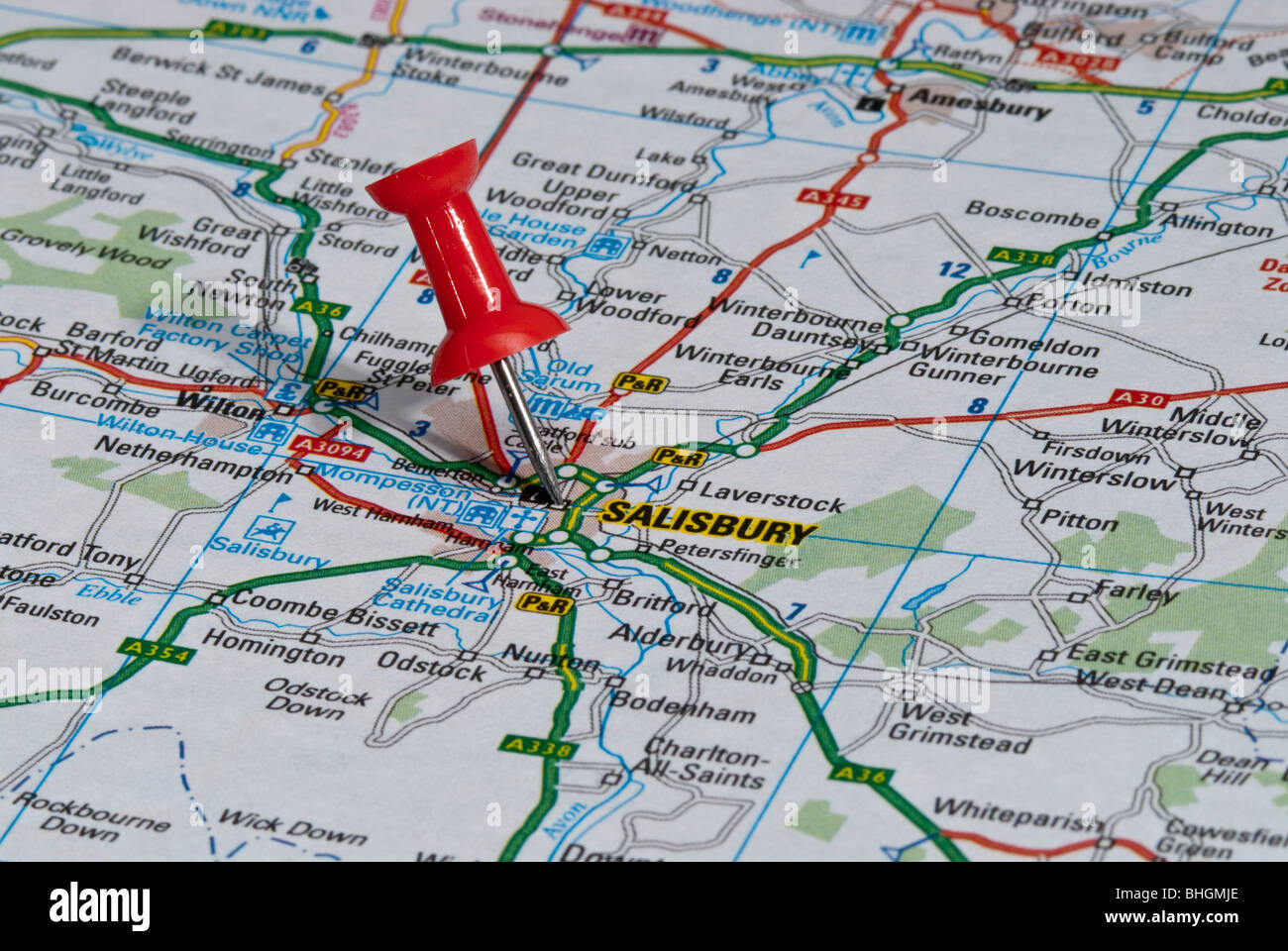 red map pin in road map pointing to city of Salisbury Stock Photohttps://www.alamy.com/image-license-details/?v=1https://www.alamy.com/stock-photo-red-map-pin-in-road-map-pointing-to-city-of-salisbury-28026950.html
RMBHGMJE–red map pin in road map pointing to city of Salisbury
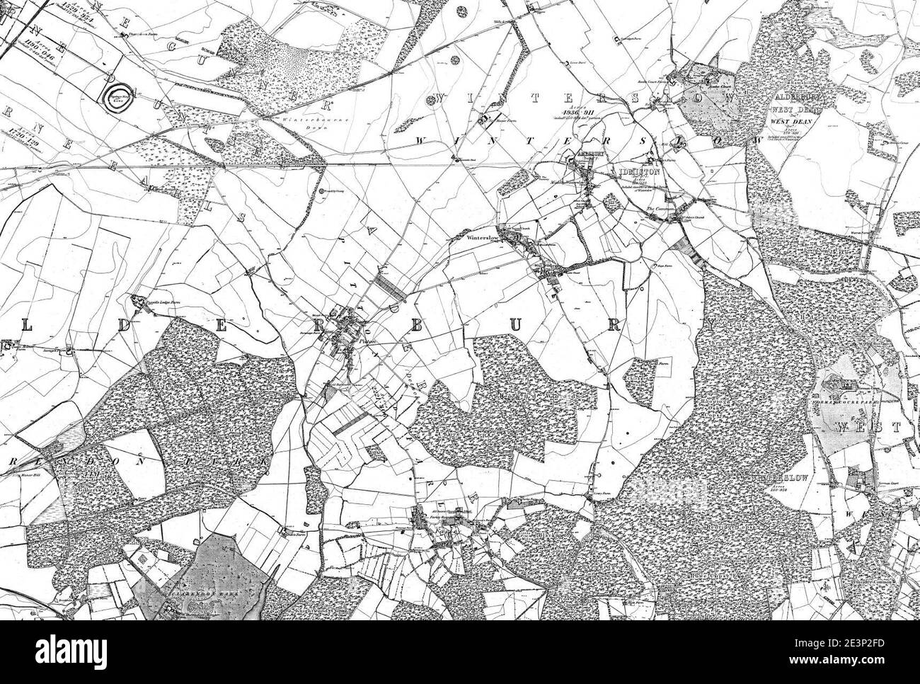 Map of Wiltshire Sheet 067, Ordnance Survey, 1878-1890. Stock Photohttps://www.alamy.com/image-license-details/?v=1https://www.alamy.com/map-of-wiltshire-sheet-067-ordnance-survey-1878-1890-image398167377.html
RM2E3P2FD–Map of Wiltshire Sheet 067, Ordnance Survey, 1878-1890.
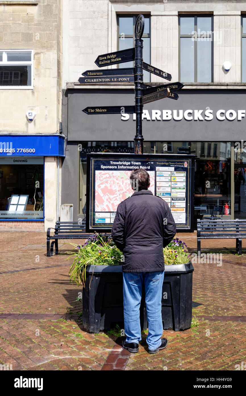 A man studies a town map of Trowbridge on an information board in Fore Street, Trowbridge, Wiltshire, United Kingdom. Stock Photohttps://www.alamy.com/image-license-details/?v=1https://www.alamy.com/stock-photo-a-man-studies-a-town-map-of-trowbridge-on-an-information-board-in-131031161.html
RMHH4YG9–A man studies a town map of Trowbridge on an information board in Fore Street, Trowbridge, Wiltshire, United Kingdom.
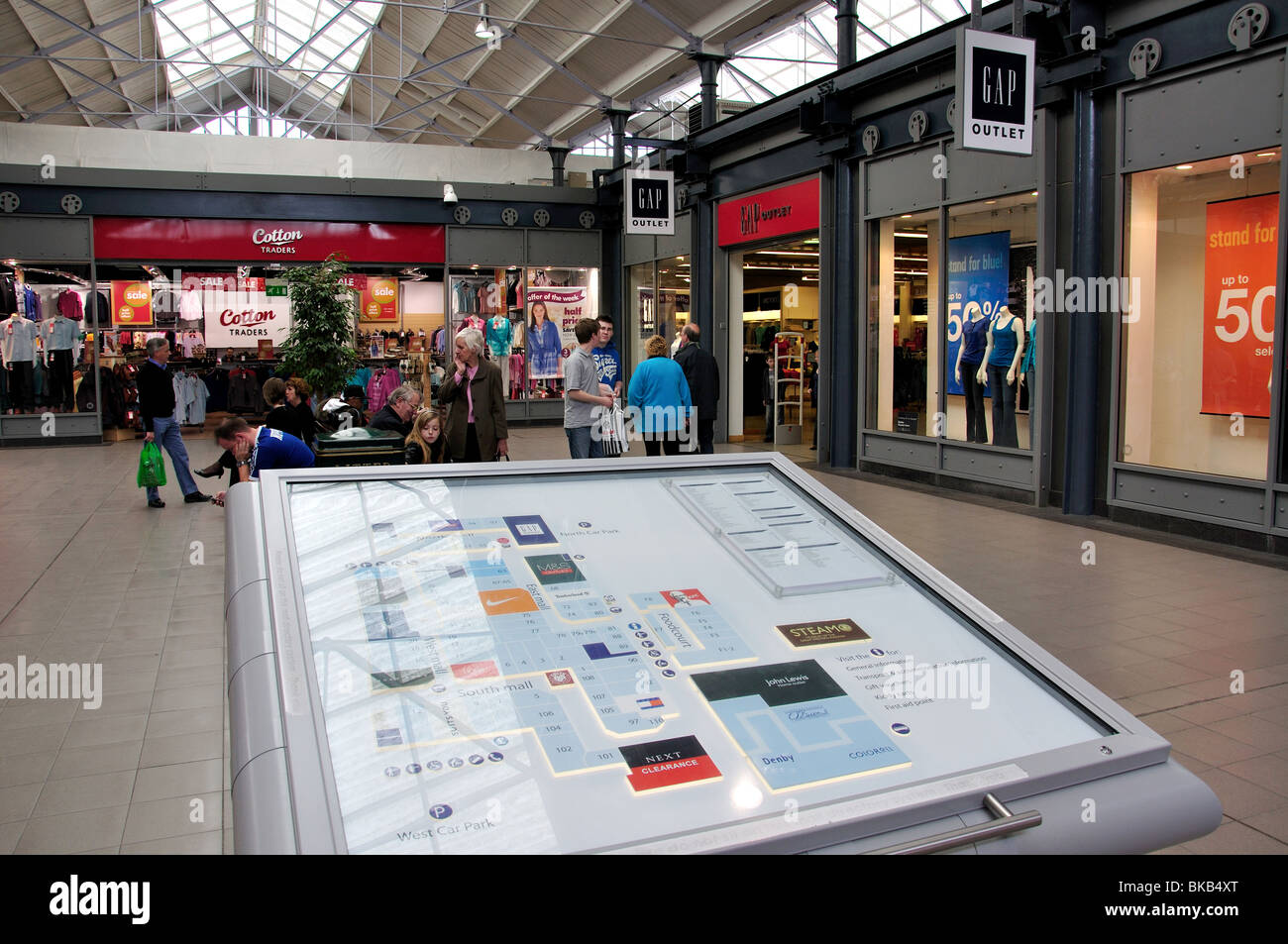 Store locator map, Swindon Designer Outlet, Swindon, Wiltshire, England, United Kingdom Stock Photohttps://www.alamy.com/image-license-details/?v=1https://www.alamy.com/stock-photo-store-locator-map-swindon-designer-outlet-swindon-wiltshire-england-29134192.html
RMBKB4XT–Store locator map, Swindon Designer Outlet, Swindon, Wiltshire, England, United Kingdom
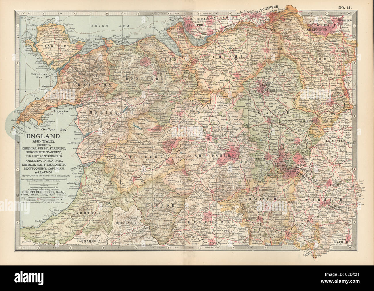 Map of England and Wales Stock Photohttps://www.alamy.com/image-license-details/?v=1https://www.alamy.com/stock-photo-map-of-england-and-wales-35955865.html
RMC2DX21–Map of England and Wales
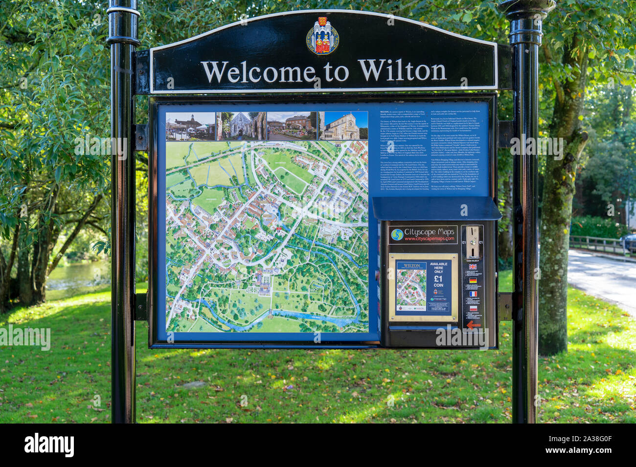 Wilton town street map and map vending machine Stock Photohttps://www.alamy.com/image-license-details/?v=1https://www.alamy.com/wilton-town-street-map-and-map-vending-machine-image329029135.html
RM2A38G0F–Wilton town street map and map vending machine
 High Quality map is a ceremonial county of England. Wiltshire Stock Vectorhttps://www.alamy.com/image-license-details/?v=1https://www.alamy.com/high-quality-map-is-a-ceremonial-county-of-england-wiltshire-image223223349.html
RFPY4KJD–High Quality map is a ceremonial county of England. Wiltshire
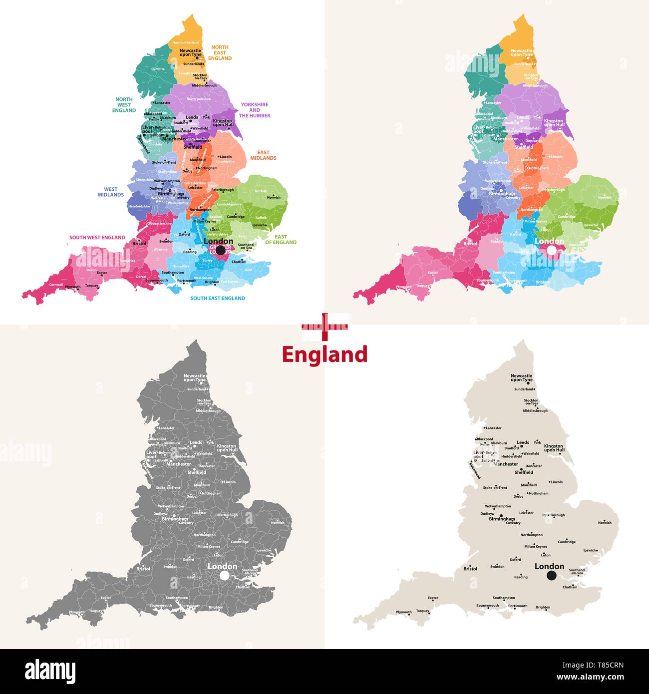 England ceremonial counties vector map Stock Vectorhttps://www.alamy.com/image-license-details/?v=1https://www.alamy.com/england-ceremonial-counties-vector-map-image245982233.html
RFT85CRN–England ceremonial counties vector map
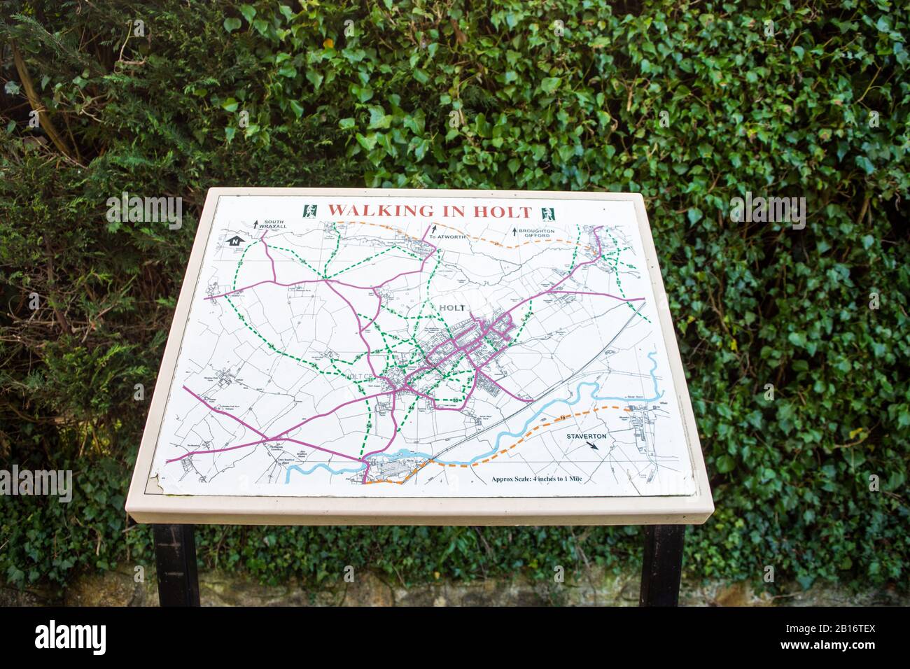 An information board showing a detailed map of the area titled 'Walking in Holt' showing walks through and around the village of Holt in Wiltshire Stock Photohttps://www.alamy.com/image-license-details/?v=1https://www.alamy.com/an-information-board-showing-a-detailed-map-of-the-area-titled-walking-in-holt-showing-walks-through-and-around-the-village-of-holt-in-wiltshire-image344972962.html
RF2B16TEX–An information board showing a detailed map of the area titled 'Walking in Holt' showing walks through and around the village of Holt in Wiltshire
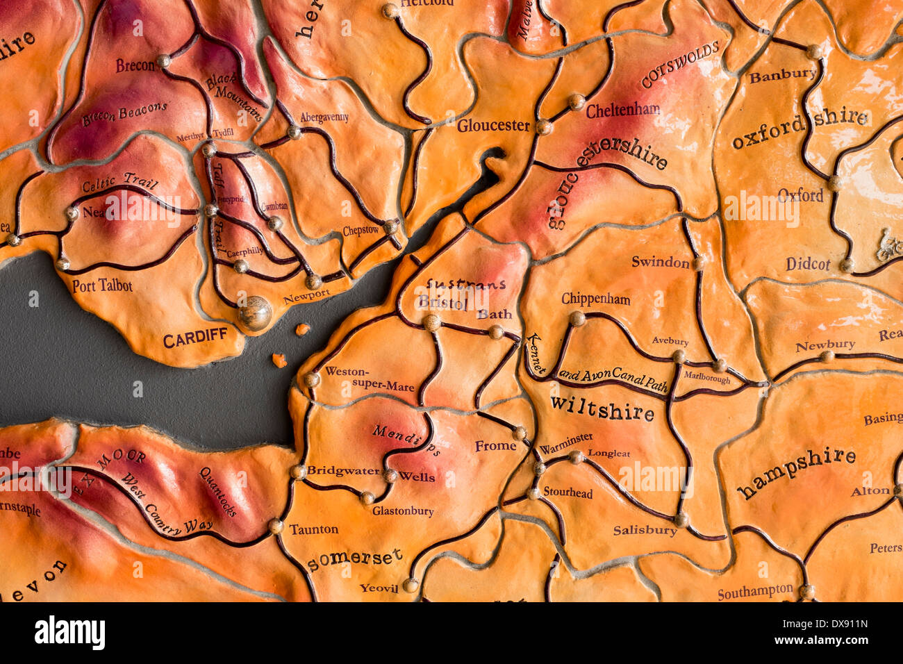 Map showing Cycle Network around the West Country Stock Photohttps://www.alamy.com/image-license-details/?v=1https://www.alamy.com/map-showing-cycle-network-around-the-west-country-image67810561.html
RMDX911N–Map showing Cycle Network around the West Country
![A map of Wiltshire. A collection of 37 Maps of the counties of England... [London] : [H. Overton], [1714]. Source: Maps.145.c.9.(5). Stock Photo A map of Wiltshire. A collection of 37 Maps of the counties of England... [London] : [H. Overton], [1714]. Source: Maps.145.c.9.(5). Stock Photo](https://c8.alamy.com/comp/R5886A/a-map-of-wiltshire-a-collection-of-37-maps-of-the-counties-of-england-london-h-overton-1714-source-maps145c95-R5886A.jpg) A map of Wiltshire. A collection of 37 Maps of the counties of England... [London] : [H. Overton], [1714]. Source: Maps.145.c.9.(5). Stock Photohttps://www.alamy.com/image-license-details/?v=1https://www.alamy.com/a-map-of-wiltshire-a-collection-of-37-maps-of-the-counties-of-england-london-h-overton-1714-source-maps145c95-image226990130.html
A map of Wiltshire. A collection of 37 Maps of the counties of England... [London] : [H. Overton], [1714]. Source: Maps.145.c.9.(5). Stock Photohttps://www.alamy.com/image-license-details/?v=1https://www.alamy.com/a-map-of-wiltshire-a-collection-of-37-maps-of-the-counties-of-england-london-h-overton-1714-source-maps145c95-image226990130.htmlRMR5886A–A map of Wiltshire. A collection of 37 Maps of the counties of England... [London] : [H. Overton], [1714]. Source: Maps.145.c.9.(5).
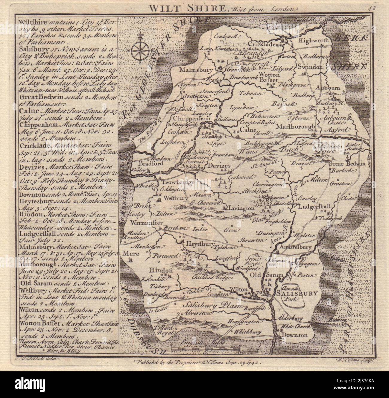 Antique county map of Wiltshire by Badeslade & Toms 1742 old chart Stock Photohttps://www.alamy.com/image-license-details/?v=1https://www.alamy.com/antique-county-map-of-wiltshire-by-badeslade-toms-1742-old-chart-image469756094.html
RF2J876KA–Antique county map of Wiltshire by Badeslade & Toms 1742 old chart
 Wiltshire-Butler National Park, , AU, Australia, Western Australia, S 34 1' 50'', N 115 29' 43'', map, Cartascapes Map published in 2024. Explore Cartascapes, a map revealing Earth's diverse landscapes, cultures, and ecosystems. Journey through time and space, discovering the interconnectedness of our planet's past, present, and future. Stock Photohttps://www.alamy.com/image-license-details/?v=1https://www.alamy.com/wiltshire-butler-national-park-au-australia-western-australia-s-34-1-50-n-115-29-43-map-cartascapes-map-published-in-2024-explore-cartascapes-a-map-revealing-earths-diverse-landscapes-cultures-and-ecosystems-journey-through-time-and-space-discovering-the-interconnectedness-of-our-planets-past-present-and-future-image625493611.html
RM2Y9HKDF–Wiltshire-Butler National Park, , AU, Australia, Western Australia, S 34 1' 50'', N 115 29' 43'', map, Cartascapes Map published in 2024. Explore Cartascapes, a map revealing Earth's diverse landscapes, cultures, and ecosystems. Journey through time and space, discovering the interconnectedness of our planet's past, present, and future.
