Quick filters:
Map of winnipeg Stock Photos and Images
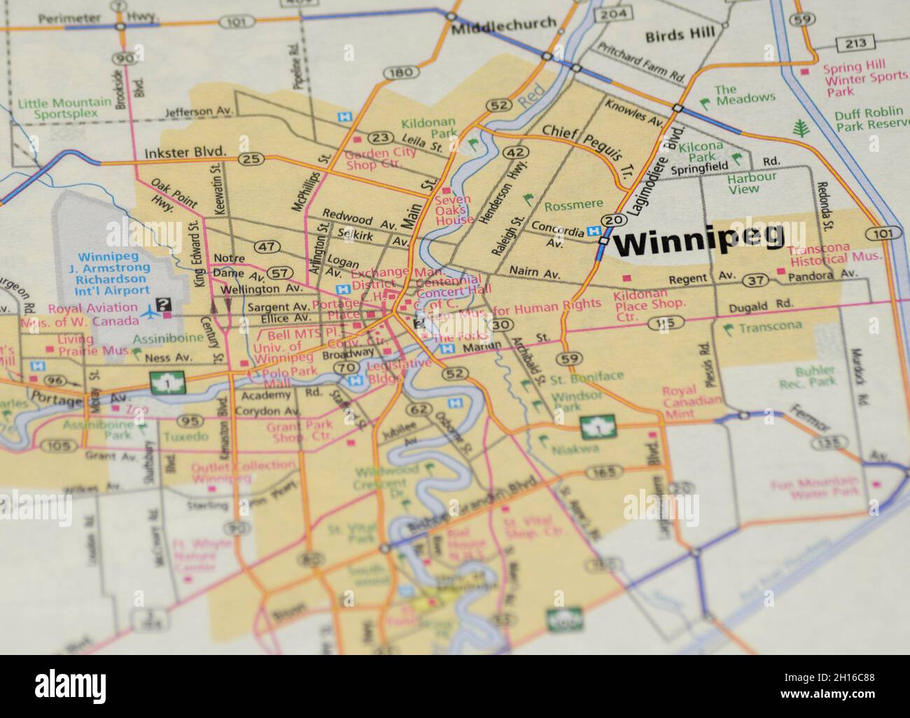 Map of the city of Winnipeg, Manitoba Stock Photohttps://www.alamy.com/image-license-details/?v=1https://www.alamy.com/map-of-the-city-of-winnipeg-manitoba-image448225576.html
RF2H16C88–Map of the city of Winnipeg, Manitoba
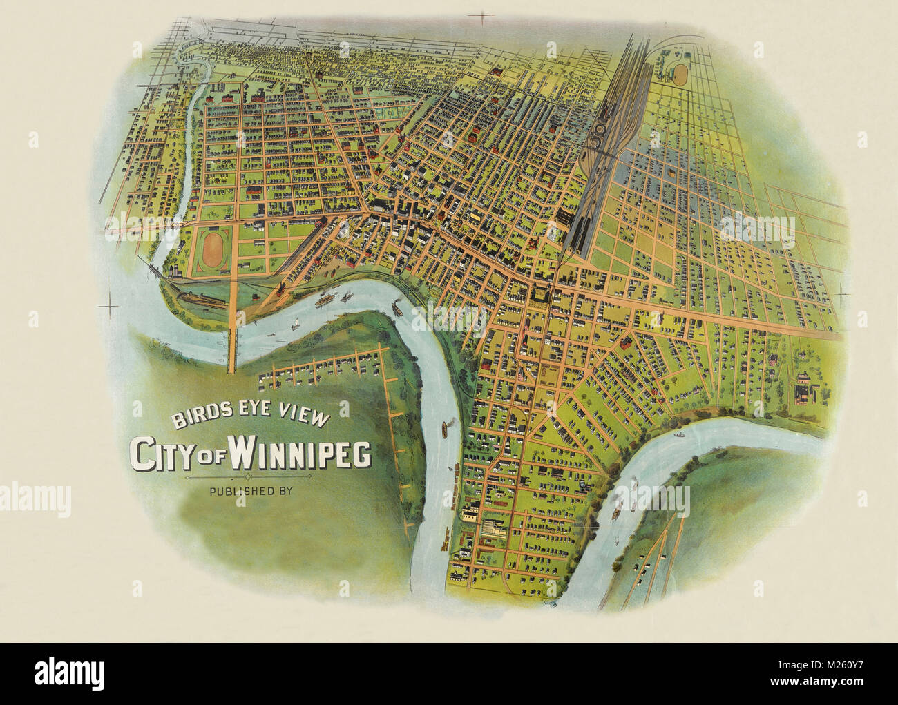 Historical map of Winnipeg, Manitoba circa 1900. Stock Photohttps://www.alamy.com/image-license-details/?v=1https://www.alamy.com/stock-photo-historical-map-of-winnipeg-manitoba-circa-1900-173465467.html
RFM260Y7–Historical map of Winnipeg, Manitoba circa 1900.
 Chataway's map of Greater Winnipeg. Canada. Railways 1912 old antique Stock Photohttps://www.alamy.com/image-license-details/?v=1https://www.alamy.com/stock-photo-chataways-map-of-greater-winnipeg-canada-railways-1912-old-antique-171284007.html
RFKXJJDY–Chataway's map of Greater Winnipeg. Canada. Railways 1912 old antique
 Urban city map of Winnipeg. Vector illustration, Winnipeg map art poster. Stock Vectorhttps://www.alamy.com/image-license-details/?v=1https://www.alamy.com/urban-city-map-of-winnipeg-vector-illustration-winnipeg-map-art-poster-image395801648.html
RF2DYX914–Urban city map of Winnipeg. Vector illustration, Winnipeg map art poster.
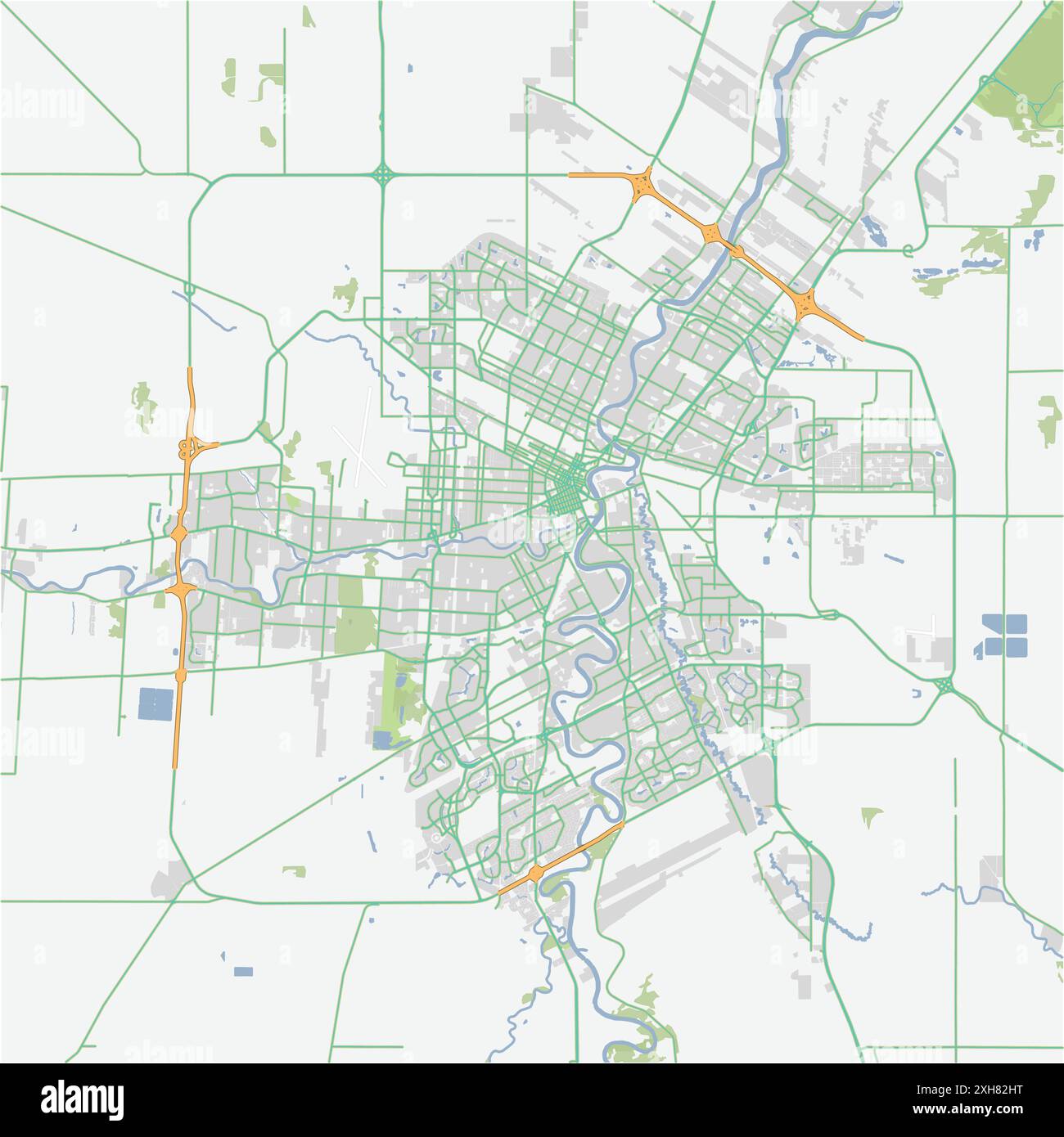 Road map of Winnipeg in Canada. Contains layered vector with roads water, parks, etc. Stock Vectorhttps://www.alamy.com/image-license-details/?v=1https://www.alamy.com/road-map-of-winnipeg-in-canada-contains-layered-vector-with-roads-water-parks-etc-image612989716.html
RF2XH82HT–Road map of Winnipeg in Canada. Contains layered vector with roads water, parks, etc.
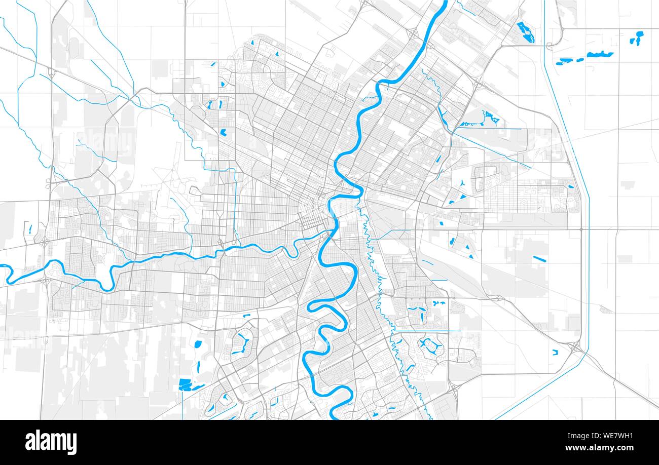 Rich detailed vector area map of Winnipeg, Manitoba, Canada. Map template for home decor. Stock Vectorhttps://www.alamy.com/image-license-details/?v=1https://www.alamy.com/rich-detailed-vector-area-map-of-winnipeg-manitoba-canada-map-template-for-home-decor-image266934445.html
RFWE7WH1–Rich detailed vector area map of Winnipeg, Manitoba, Canada. Map template for home decor.
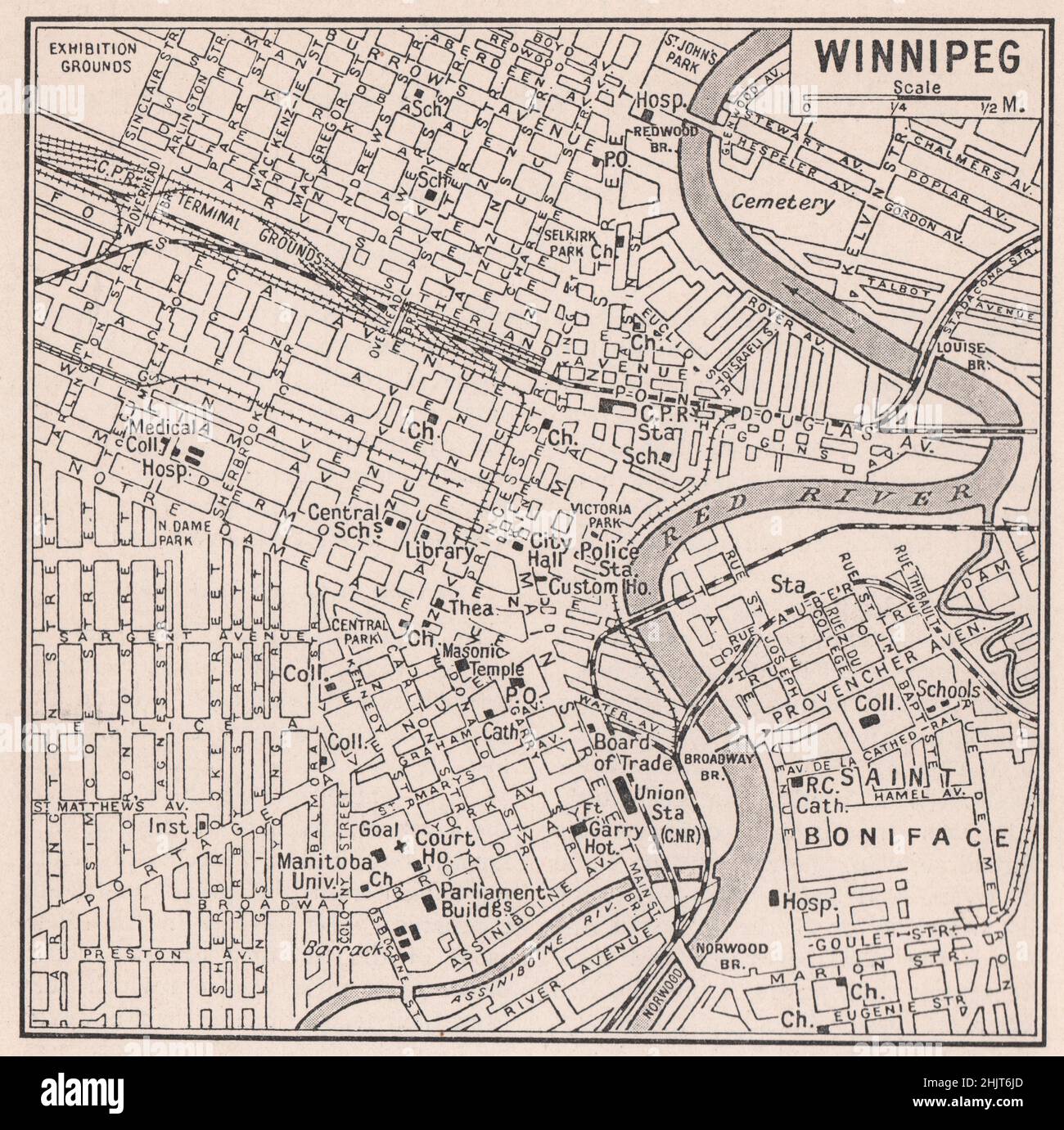 Winnipeg at the Junction of the Red and Assiniboine Rivers. Canada (1923 map) Stock Photohttps://www.alamy.com/image-license-details/?v=1https://www.alamy.com/winnipeg-at-the-junction-of-the-red-and-assiniboine-rivers-canada-1923-map-image459065445.html
RF2HJT6JD–Winnipeg at the Junction of the Red and Assiniboine Rivers. Canada (1923 map)
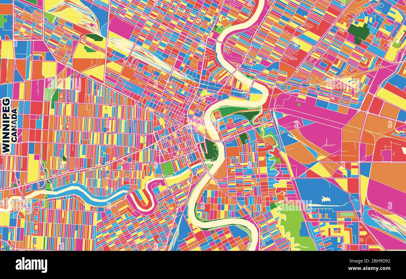 Colorful vector map of Winnipeg, Manitoba, Canada. Art Map template for selfprinting wall art in landscape format. Stock Vectorhttps://www.alamy.com/image-license-details/?v=1https://www.alamy.com/colorful-vector-map-of-winnipeg-manitoba-canada-art-map-template-for-selfprinting-wall-art-in-landscape-format-image354864526.html
RF2BH9D92–Colorful vector map of Winnipeg, Manitoba, Canada. Art Map template for selfprinting wall art in landscape format.
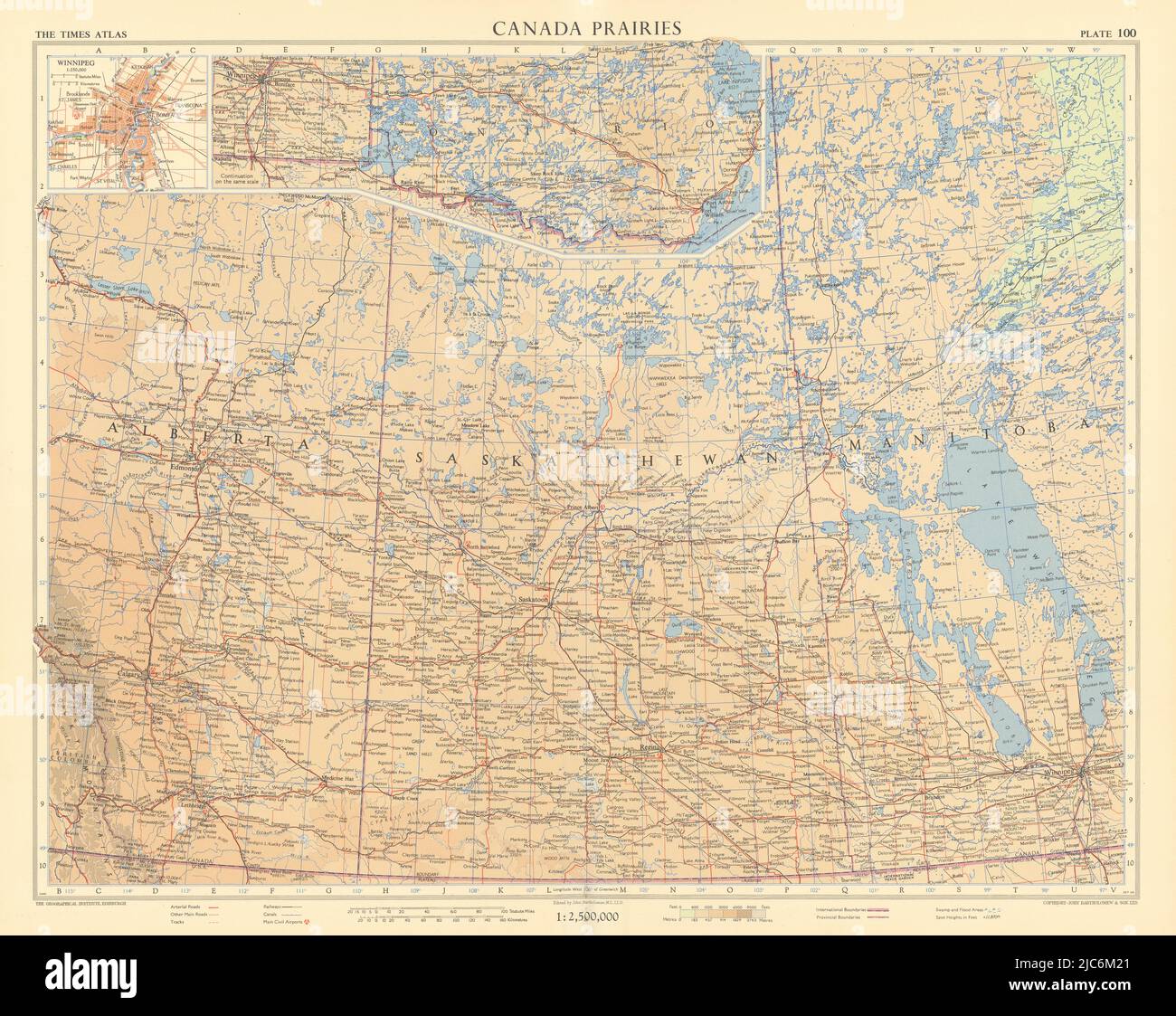 Canada Prairies. Winnipeg. Alberta Saskatchewan Manitoba. TIMES 1957 old map Stock Photohttps://www.alamy.com/image-license-details/?v=1https://www.alamy.com/canada-prairies-winnipeg-alberta-saskatchewan-manitoba-times-1957-old-map-image472203257.html
RF2JC6M21–Canada Prairies. Winnipeg. Alberta Saskatchewan Manitoba. TIMES 1957 old map
 Winnipeg Saskatchewan Canada Shown on a road map or Geography map Stock Photohttps://www.alamy.com/image-license-details/?v=1https://www.alamy.com/winnipeg-saskatchewan-canada-shown-on-a-road-map-or-geography-map-image438948865.html
RM2GE3RN5–Winnipeg Saskatchewan Canada Shown on a road map or Geography map
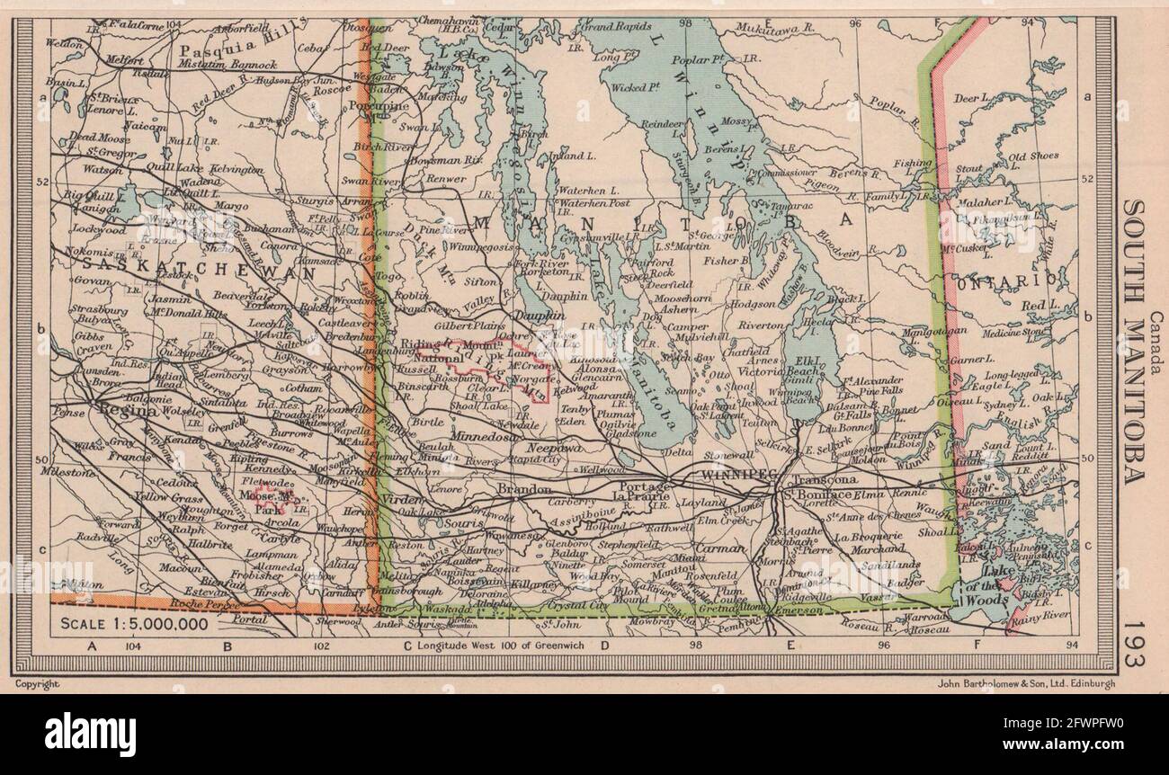 Canada South Manitoba. Winnipeg. BARTHOLOMEW 1949 old vintage map plan chart Stock Photohttps://www.alamy.com/image-license-details/?v=1https://www.alamy.com/canada-south-manitoba-winnipeg-bartholomew-1949-old-vintage-map-plan-chart-image428910636.html
RF2FWPFW0–Canada South Manitoba. Winnipeg. BARTHOLOMEW 1949 old vintage map plan chart
 Close-up of a red pushpin on a map of Winnipeg, Canada Stock Photohttps://www.alamy.com/image-license-details/?v=1https://www.alamy.com/stock-photo-close-up-of-a-red-pushpin-on-a-map-of-winnipeg-canada-86414517.html
RFF0GEGN–Close-up of a red pushpin on a map of Winnipeg, Canada
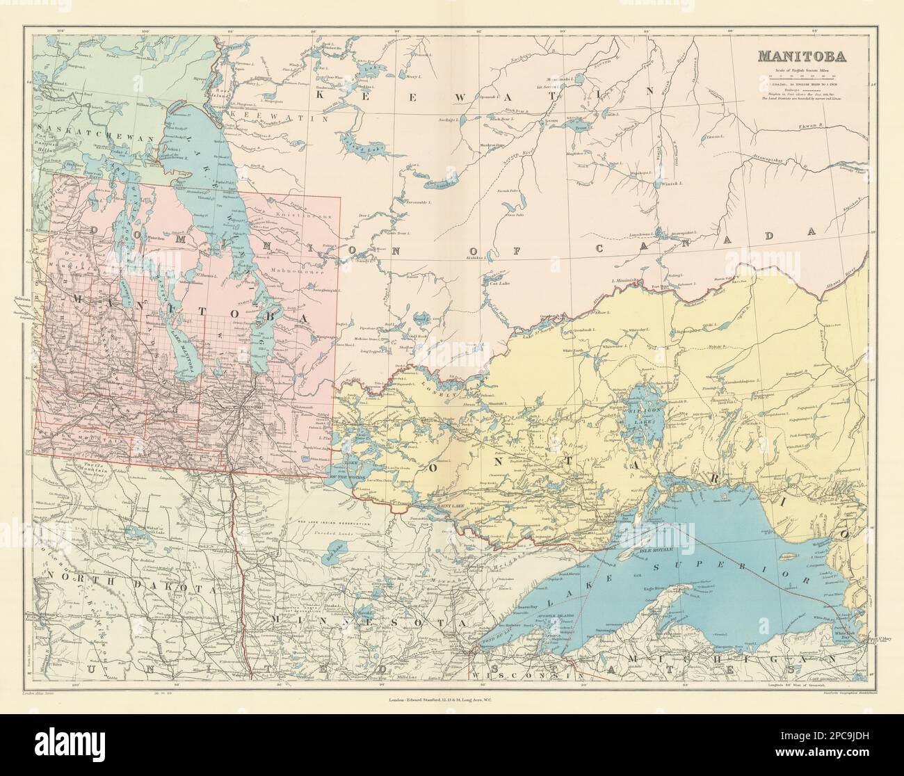 Manitoba. West Ontario, Lake Superior & Winnipeg. Canada. STANFORD 1904 map Stock Photohttps://www.alamy.com/image-license-details/?v=1https://www.alamy.com/manitoba-west-ontario-lake-superior-winnipeg-canada-stanford-1904-map-image541109341.html
RF2PC9JDH–Manitoba. West Ontario, Lake Superior & Winnipeg. Canada. STANFORD 1904 map
 Blue outline map of Winnipeg Lake, Isolated vector siilhouette on white background Stock Vectorhttps://www.alamy.com/image-license-details/?v=1https://www.alamy.com/blue-outline-map-of-winnipeg-lake-isolated-vector-siilhouette-on-white-background-image456493886.html
RF2HEK2H2–Blue outline map of Winnipeg Lake, Isolated vector siilhouette on white background
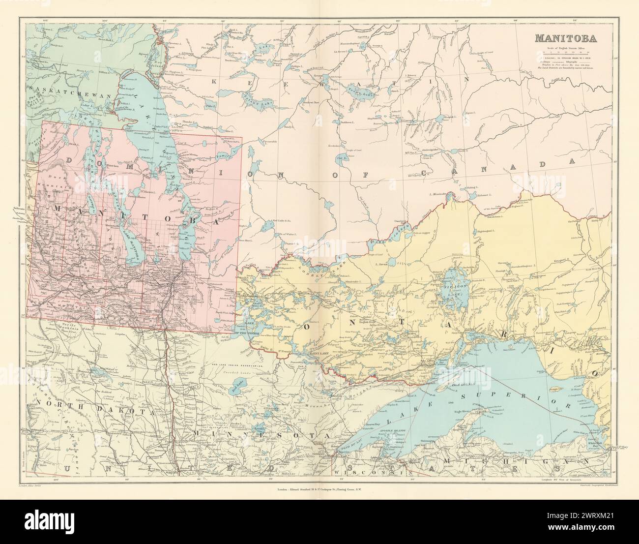 Manitoba. West Ontario, Lake Superior & Winnipeg. Canada. STANFORD 1896 map Stock Photohttps://www.alamy.com/image-license-details/?v=1https://www.alamy.com/manitoba-west-ontario-lake-superior-winnipeg-canada-stanford-1896-map-image599876089.html
RF2WRXM21–Manitoba. West Ontario, Lake Superior & Winnipeg. Canada. STANFORD 1896 map
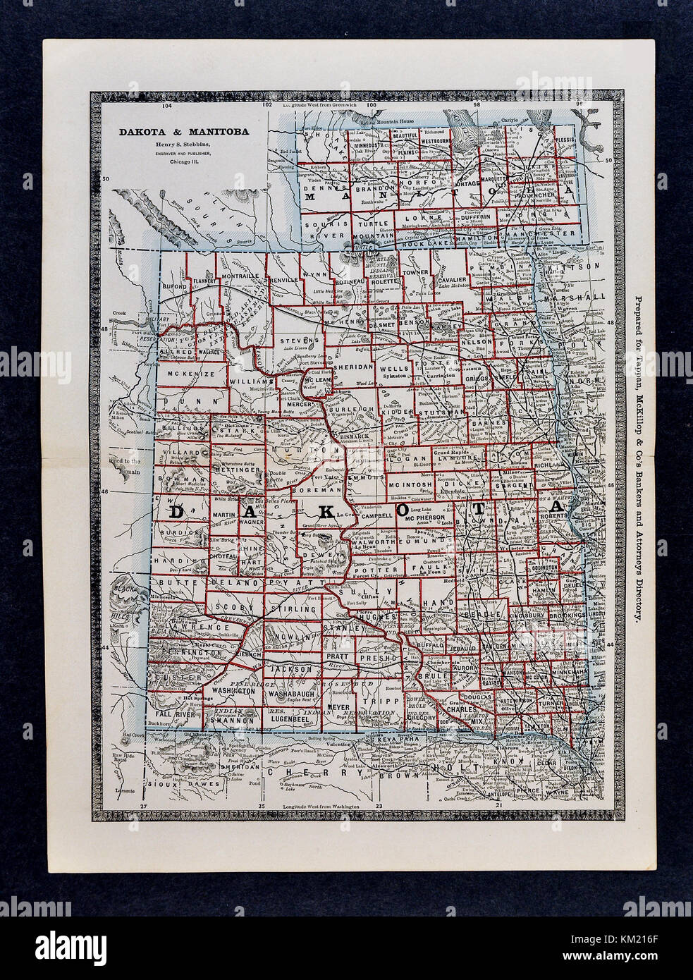 George Cram Antique Map from 1866 Atlas for Attorneys and Bankers: United States - North & South Dakota - Bismark Pierre & Manitoba Canada Winnipeg Stock Photohttps://www.alamy.com/image-license-details/?v=1https://www.alamy.com/stock-image-george-cram-antique-map-from-1866-atlas-for-attorneys-and-bankers-167231303.html
RFKM216F–George Cram Antique Map from 1866 Atlas for Attorneys and Bankers: United States - North & South Dakota - Bismark Pierre & Manitoba Canada Winnipeg
 Manitoba. West Ontario, Lake Superior & Winnipeg. Canada. STANFORD 1894 map Stock Photohttps://www.alamy.com/image-license-details/?v=1https://www.alamy.com/manitoba-west-ontario-lake-superior-winnipeg-canada-stanford-1894-map-image568765778.html
RF2T19EFE–Manitoba. West Ontario, Lake Superior & Winnipeg. Canada. STANFORD 1894 map
 Winnipeg, Birds-eye view Stock Photohttps://www.alamy.com/image-license-details/?v=1https://www.alamy.com/stock-image-winnipeg-birds-eye-view-168941297.html
RMKPRX9N–Winnipeg, Birds-eye view
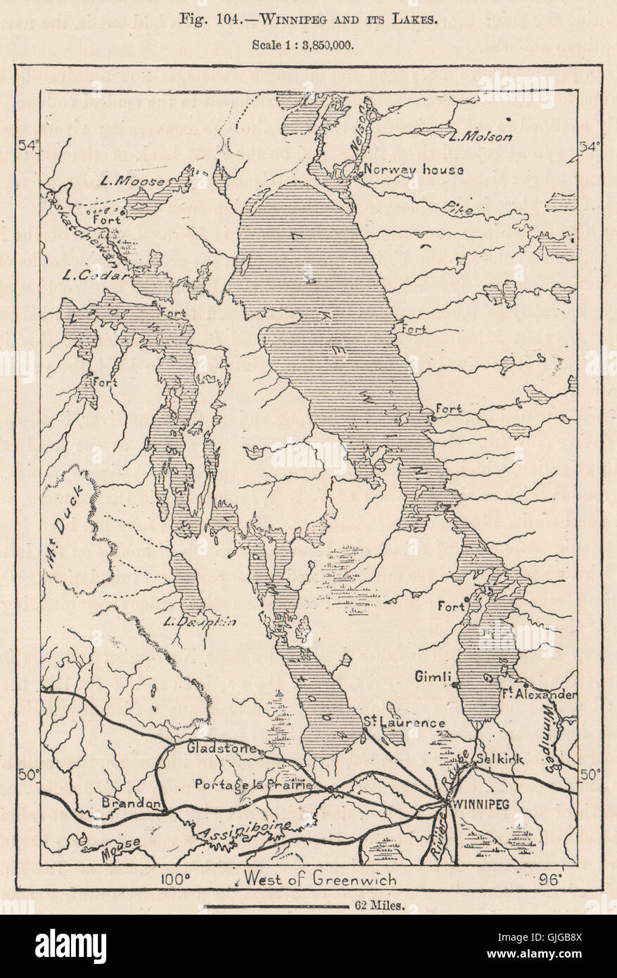 Winnipeg and its lakes. Canada, 1885 antique map Stock Photohttps://www.alamy.com/image-license-details/?v=1https://www.alamy.com/stock-photo-winnipeg-and-its-lakes-canada-1885-antique-map-114686122.html
RFGJGB8X–Winnipeg and its lakes. Canada, 1885 antique map
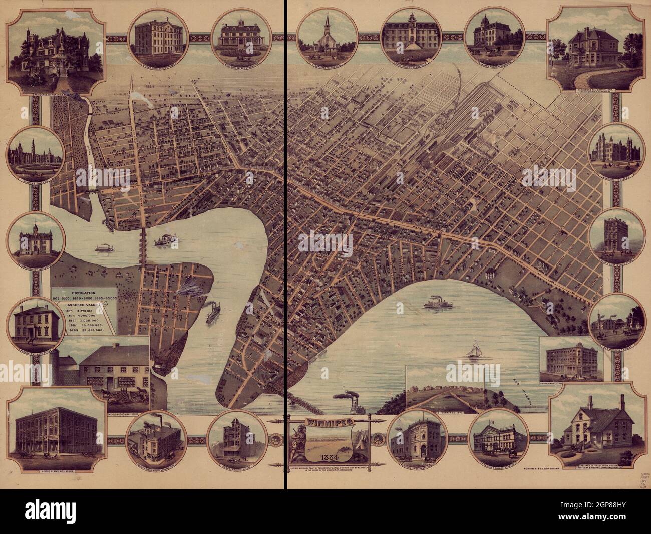 Panoramic map of the city Winnipeg, Manitoba, Canada in 1884. Map also shows historic buildings. Stock Photohttps://www.alamy.com/image-license-details/?v=1https://www.alamy.com/panoramic-map-of-the-city-winnipeg-manitoba-canada-in-1884-map-also-shows-historic-buildings-image443964023.html
RM2GP88HY–Panoramic map of the city Winnipeg, Manitoba, Canada in 1884. Map also shows historic buildings.
 MANITOBA: Inset Winnipeg city plan. HARMSWORTH, 1920 vintage map Stock Photohttps://www.alamy.com/image-license-details/?v=1https://www.alamy.com/stock-photo-manitoba-inset-winnipeg-city-plan-harmsworth-1920-vintage-map-94292344.html
RFFDBARM–MANITOBA: Inset Winnipeg city plan. HARMSWORTH, 1920 vintage map
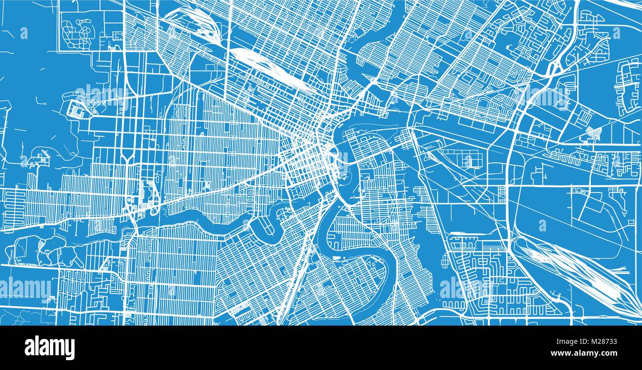 Urban vector city map of Winnipeg, Canada Stock Vectorhttps://www.alamy.com/image-license-details/?v=1https://www.alamy.com/stock-photo-urban-vector-city-map-of-winnipeg-canada-173514183.html
RFM28733–Urban vector city map of Winnipeg, Canada
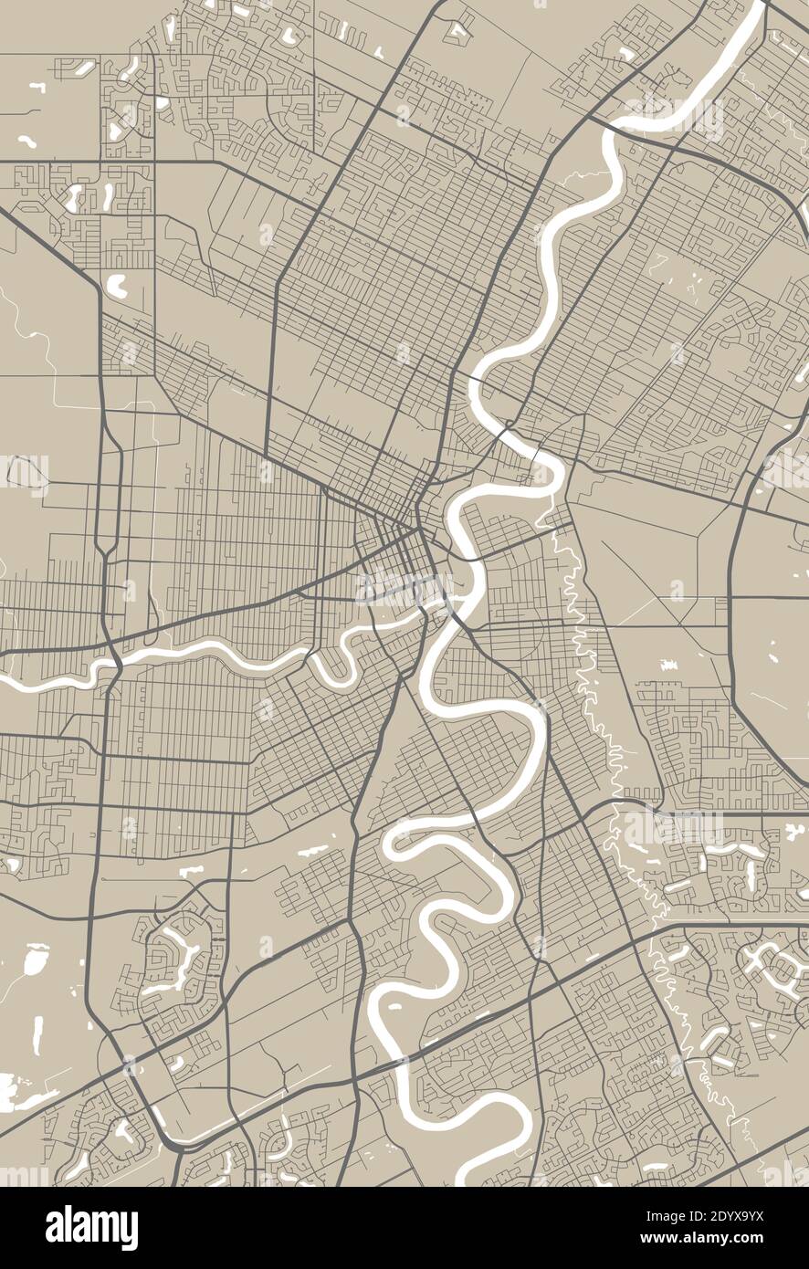 Detailed map of Winnipeg city administrative area. Royalty free vector illustration. Cityscape panorama. Stock Vectorhttps://www.alamy.com/image-license-details/?v=1https://www.alamy.com/detailed-map-of-winnipeg-city-administrative-area-royalty-free-vector-illustration-cityscape-panorama-image395802398.html
RF2DYX9YX–Detailed map of Winnipeg city administrative area. Royalty free vector illustration. Cityscape panorama.
 Map of Winnipeg in Canada in grayscale. Contains layered vector with roads water, parks, etc. Stock Vectorhttps://www.alamy.com/image-license-details/?v=1https://www.alamy.com/map-of-winnipeg-in-canada-in-grayscale-contains-layered-vector-with-roads-water-parks-etc-image613509825.html
RF2XJ3P15–Map of Winnipeg in Canada in grayscale. Contains layered vector with roads water, parks, etc.
 WINNIPEG town city plan. Manitoba, Canada. WHITE, 1906 antique map Stock Photohttps://www.alamy.com/image-license-details/?v=1https://www.alamy.com/stock-photo-winnipeg-town-city-plan-manitoba-canada-white-1906-antique-map-93074023.html
RFFBBTT7–WINNIPEG town city plan. Manitoba, Canada. WHITE, 1906 antique map
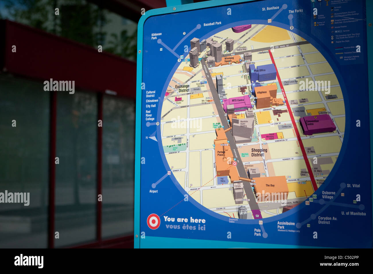 A Winnipeg Walkway System map is pictured in Winnipeg Stock Photohttps://www.alamy.com/image-license-details/?v=1https://www.alamy.com/stock-photo-a-winnipeg-walkway-system-map-is-pictured-in-winnipeg-37496222.html
RMC502PP–A Winnipeg Walkway System map is pictured in Winnipeg
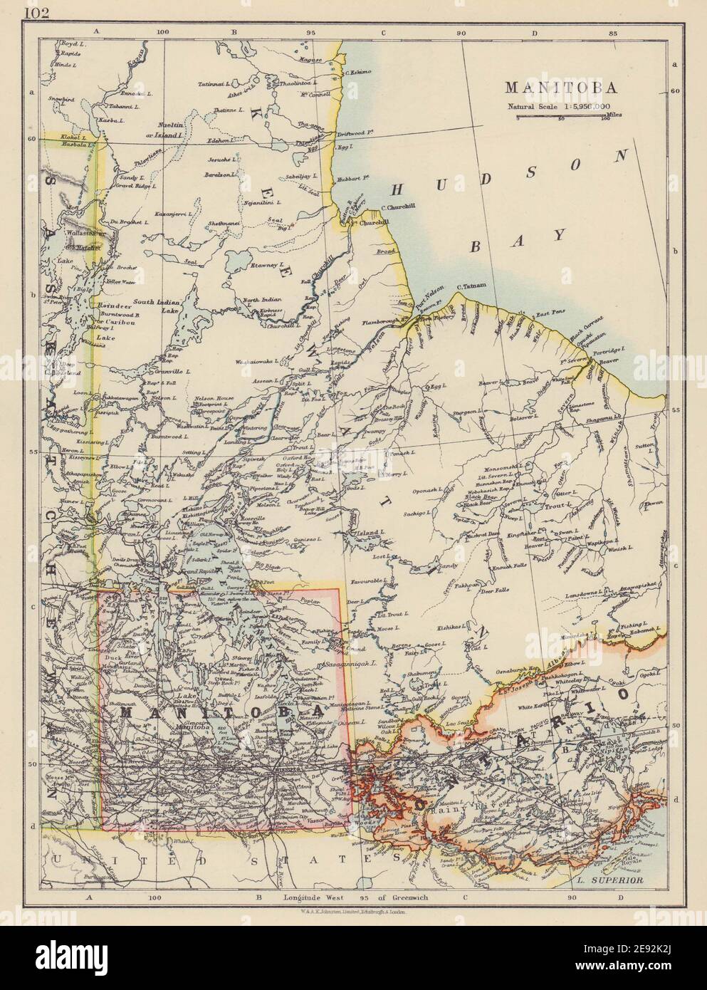 MANITOBA. Postage stamp <1912 border Winnipeg Canadian Pacific JOHNSTON 1910 map Stock Photohttps://www.alamy.com/image-license-details/?v=1https://www.alamy.com/manitoba-postage-stamp-1912-border-winnipeg-canadian-pacific-johnston-1910-map-image401429242.html
RF2E92K2J–MANITOBA. Postage stamp <1912 border Winnipeg Canadian Pacific JOHNSTON 1910 map
 Winnipeg, Hillsborough County, US, United States, Florida, N 28 0' 59'', S 82 27' 15'', map, Cartascapes Map published in 2024. Explore Cartascapes, a map revealing Earth's diverse landscapes, cultures, and ecosystems. Journey through time and space, discovering the interconnectedness of our planet's past, present, and future. Stock Photohttps://www.alamy.com/image-license-details/?v=1https://www.alamy.com/winnipeg-hillsborough-county-us-united-states-florida-n-28-0-59-s-82-27-15-map-cartascapes-map-published-in-2024-explore-cartascapes-a-map-revealing-earths-diverse-landscapes-cultures-and-ecosystems-journey-through-time-and-space-discovering-the-interconnectedness-of-our-planets-past-present-and-future-image621385197.html
RM2Y2XF4D–Winnipeg, Hillsborough County, US, United States, Florida, N 28 0' 59'', S 82 27' 15'', map, Cartascapes Map published in 2024. Explore Cartascapes, a map revealing Earth's diverse landscapes, cultures, and ecosystems. Journey through time and space, discovering the interconnectedness of our planet's past, present, and future.
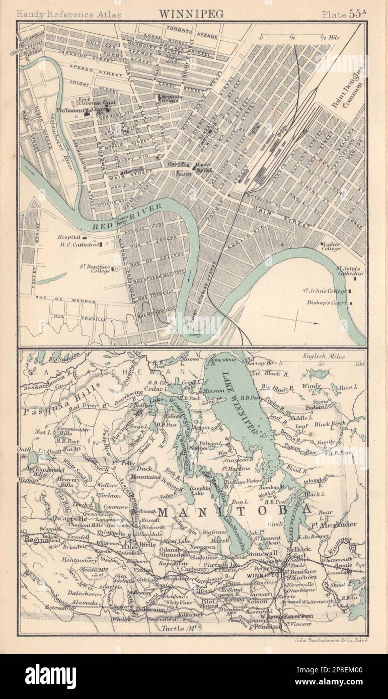 Winnipeg town/city plan. Manitoba postage stamp province. Canada 1898 old map Stock Photohttps://www.alamy.com/image-license-details/?v=1https://www.alamy.com/winnipeg-towncity-plan-manitoba-postage-stamp-province-canada-1898-old-map-image538761664.html
RF2P8EM00–Winnipeg town/city plan. Manitoba postage stamp province. Canada 1898 old map
 Winnipeg pinned on a map of Canada Stock Photohttps://www.alamy.com/image-license-details/?v=1https://www.alamy.com/stock-photo-winnipeg-pinned-on-a-map-of-canada-90372275.html
RFF70PN7–Winnipeg pinned on a map of Canada
 Amér Sep. Partie de la Nouvelle Bretagne #33 Lake Winnipeg VANDERMAELEN 1827 map Stock Photohttps://www.alamy.com/image-license-details/?v=1https://www.alamy.com/amr-sep-partie-de-la-nouvelle-bretagne-33-lake-winnipeg-vandermaelen-1827-map-image446968994.html
RF2GY55EA–Amér Sep. Partie de la Nouvelle Bretagne #33 Lake Winnipeg VANDERMAELEN 1827 map
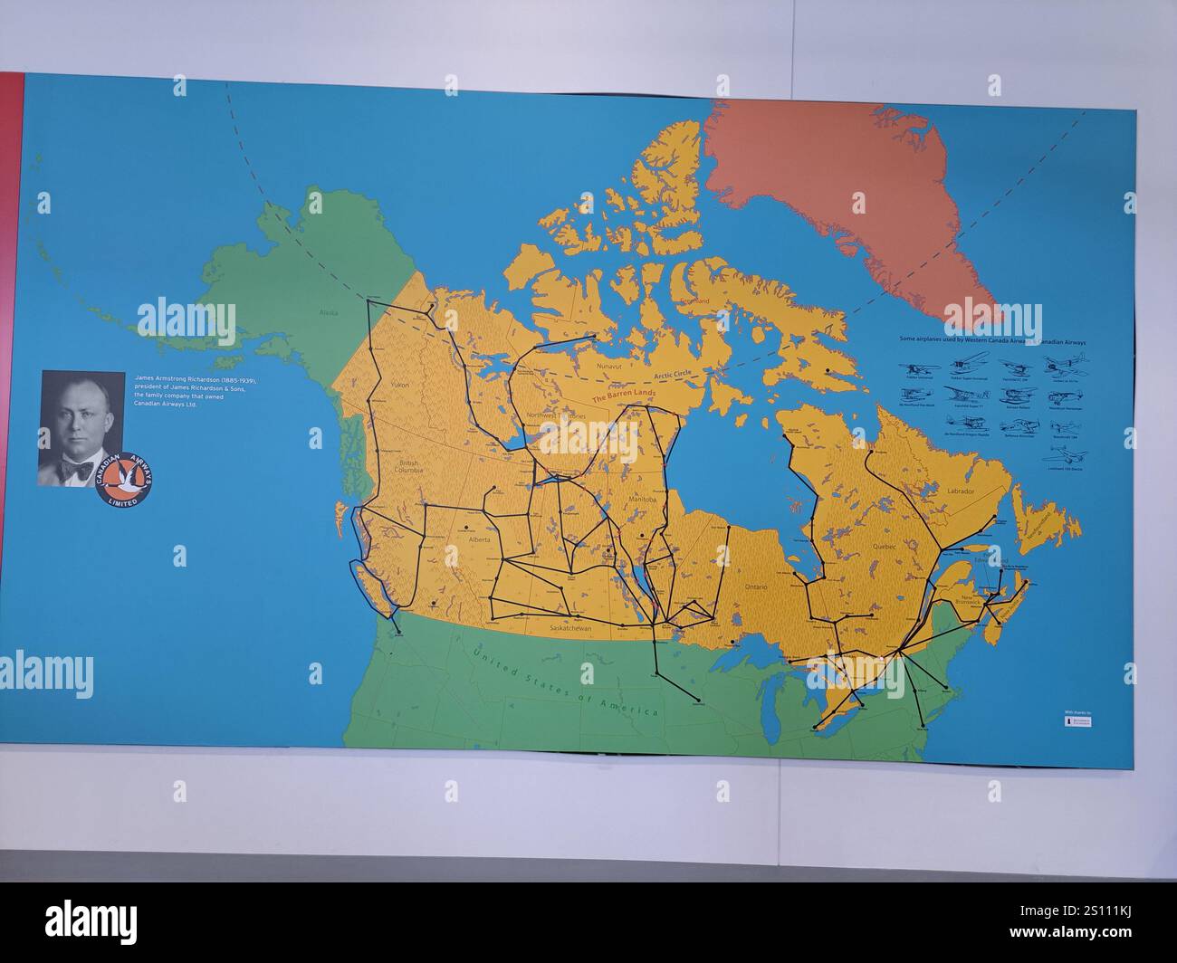 Map of Canada showing flight routes at the Royal Aviation Museum of Western Canada in Winnipeg, Manitoba, Canada Stock Photohttps://www.alamy.com/image-license-details/?v=1https://www.alamy.com/map-of-canada-showing-flight-routes-at-the-royal-aviation-museum-of-western-canada-in-winnipeg-manitoba-canada-image637421558.html
RF2S111KJ–Map of Canada showing flight routes at the Royal Aviation Museum of Western Canada in Winnipeg, Manitoba, Canada
 WINNIPEG town city plan. Manitoba, Canada. BAEDEKER, 1922 vintage map Stock Photohttps://www.alamy.com/image-license-details/?v=1https://www.alamy.com/stock-photo-winnipeg-town-city-plan-manitoba-canada-baedeker-1922-vintage-map-108016865.html
RFG7MGH5–WINNIPEG town city plan. Manitoba, Canada. BAEDEKER, 1922 vintage map
 The city of Winnipeg, Manitoba, Vintage Pictorial Map, by WG Fonseca 1884, with inset images of the major building of importance in city. Stock Photohttps://www.alamy.com/image-license-details/?v=1https://www.alamy.com/the-city-of-winnipeg-manitoba-vintage-pictorial-map-by-wg-fonseca-1884-with-inset-images-of-the-major-building-of-importance-in-city-image619889436.html
RM2Y0EB8C–The city of Winnipeg, Manitoba, Vintage Pictorial Map, by WG Fonseca 1884, with inset images of the major building of importance in city.
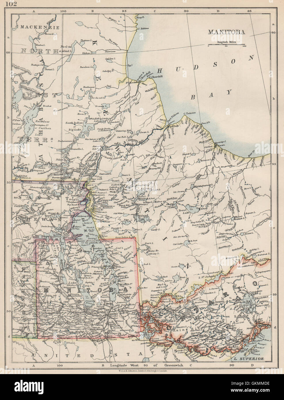 MANITOBA. Winnipeg Canadian Pacific Railroad Keewatin Canada.JOHNSTON, 1903 map Stock Photohttps://www.alamy.com/image-license-details/?v=1https://www.alamy.com/stock-photo-manitoba-winnipeg-canadian-pacific-railroad-keewatin-canadajohnston-115395770.html
RFGKMMDE–MANITOBA. Winnipeg Canadian Pacific Railroad Keewatin Canada.JOHNSTON, 1903 map
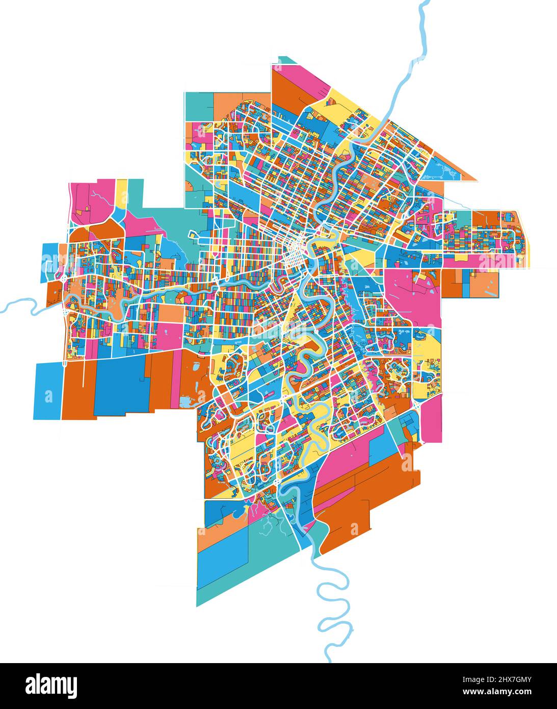 Winnipeg, Manitoba, Canada colorful high resolution vector art map with city boundaries. White outlines for main roads. Many details. Blue shapes for Stock Vectorhttps://www.alamy.com/image-license-details/?v=1https://www.alamy.com/winnipeg-manitoba-canada-colorful-high-resolution-vector-art-map-with-city-boundaries-white-outlines-for-main-roads-many-details-blue-shapes-for-image463617419.html
RF2HX7GMY–Winnipeg, Manitoba, Canada colorful high resolution vector art map with city boundaries. White outlines for main roads. Many details. Blue shapes for
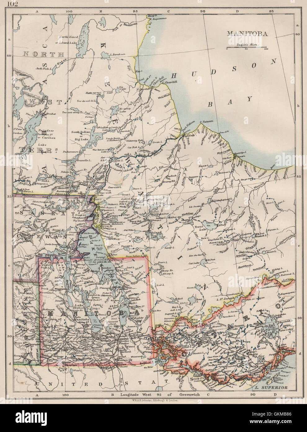 MANITOBA. Winnipeg Canadian Pacific Railroad Keewatin Canada.JOHNSTON, 1900 map Stock Photohttps://www.alamy.com/image-license-details/?v=1https://www.alamy.com/stock-photo-manitoba-winnipeg-canadian-pacific-railroad-keewatin-canadajohnston-115388566.html
RFGKMB86–MANITOBA. Winnipeg Canadian Pacific Railroad Keewatin Canada.JOHNSTON, 1900 map
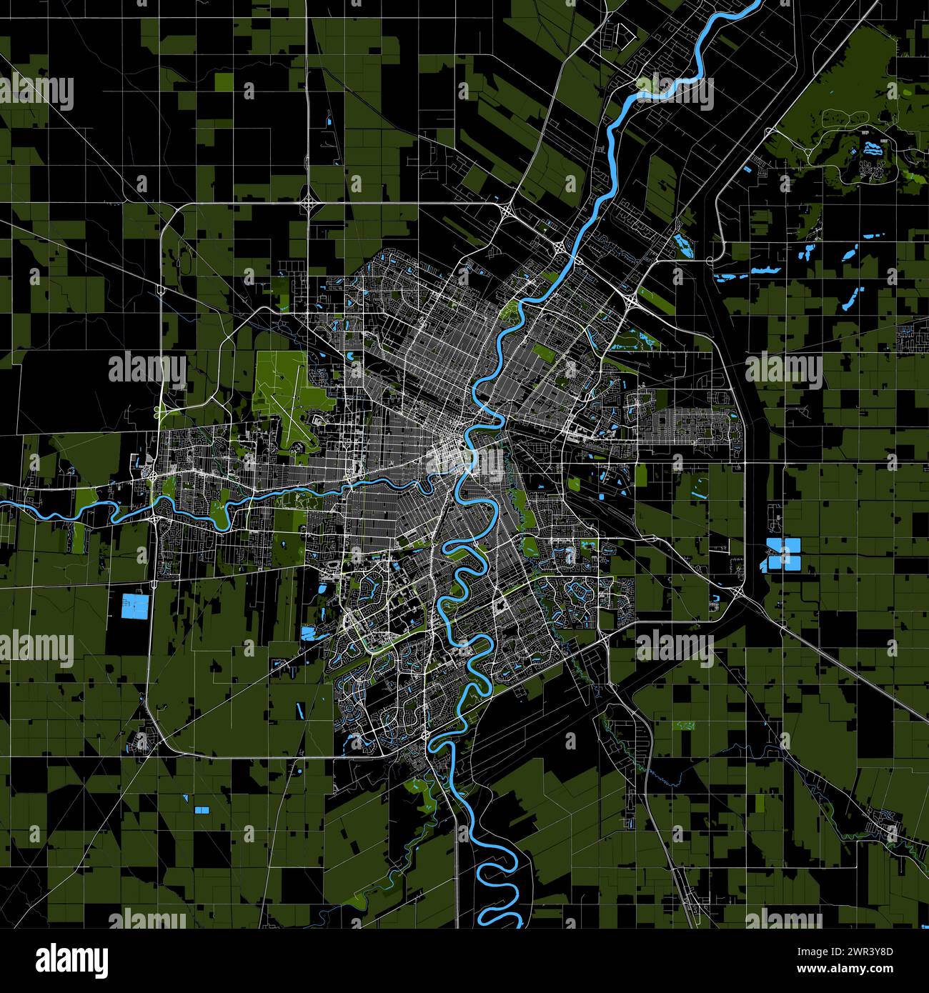 Map of Winnipeg, Manitoba, Canada Stock Vectorhttps://www.alamy.com/image-license-details/?v=1https://www.alamy.com/map-of-winnipeg-manitoba-canada-image599376861.html
RF2WR3Y8D–Map of Winnipeg, Manitoba, Canada
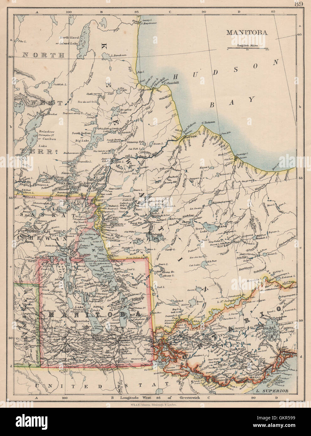 MANITOBA. Winnipeg Canadian Pacific Railroad Keewatin Canada.JOHNSTON, 1895 map Stock Photohttps://www.alamy.com/image-license-details/?v=1https://www.alamy.com/stock-photo-manitoba-winnipeg-canadian-pacific-railroad-keewatin-canadajohnston-115449749.html
RFGKR599–MANITOBA. Winnipeg Canadian Pacific Railroad Keewatin Canada.JOHNSTON, 1895 map
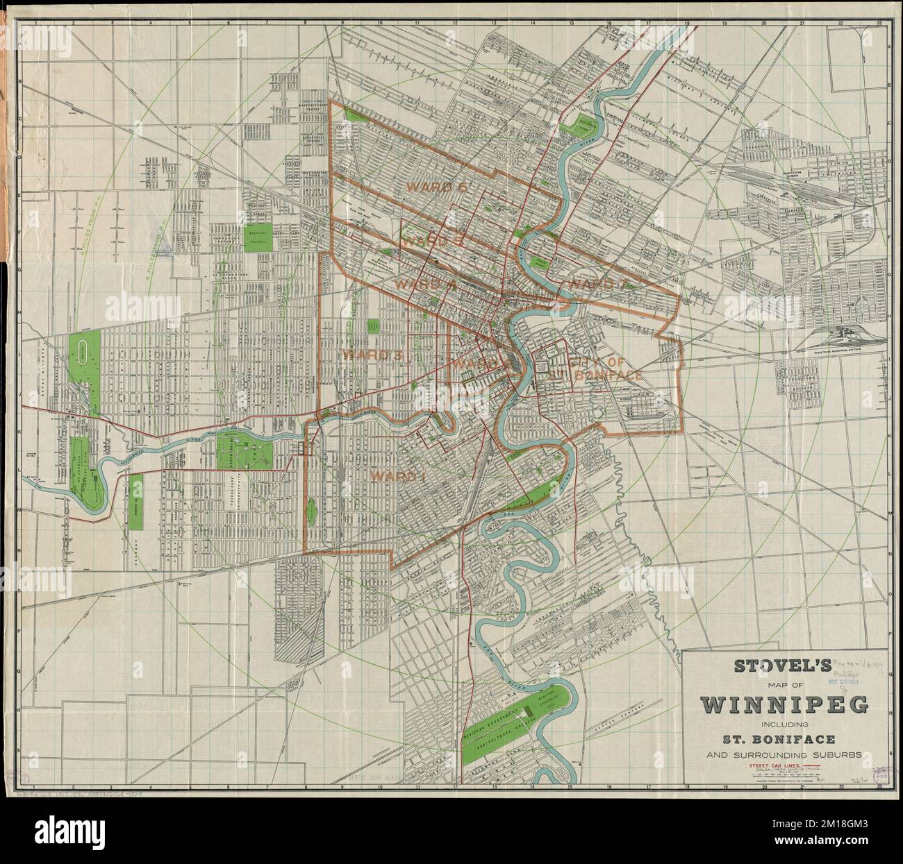 Stovel's map of Winnipeg, including St. Boniface and surrounding suburbs , Winnipeg Man., Maps, St. Boniface Winnipeg, Man., Maps Norman B. Leventhal Map Center Collection Stock Photohttps://www.alamy.com/image-license-details/?v=1https://www.alamy.com/stovels-map-of-winnipeg-including-st-boniface-and-surrounding-suburbs-winnipeg-man-maps-st-boniface-winnipeg-man-maps-norman-b-leventhal-map-center-collection-image499904051.html
RM2M18GM3–Stovel's map of Winnipeg, including St. Boniface and surrounding suburbs , Winnipeg Man., Maps, St. Boniface Winnipeg, Man., Maps Norman B. Leventhal Map Center Collection
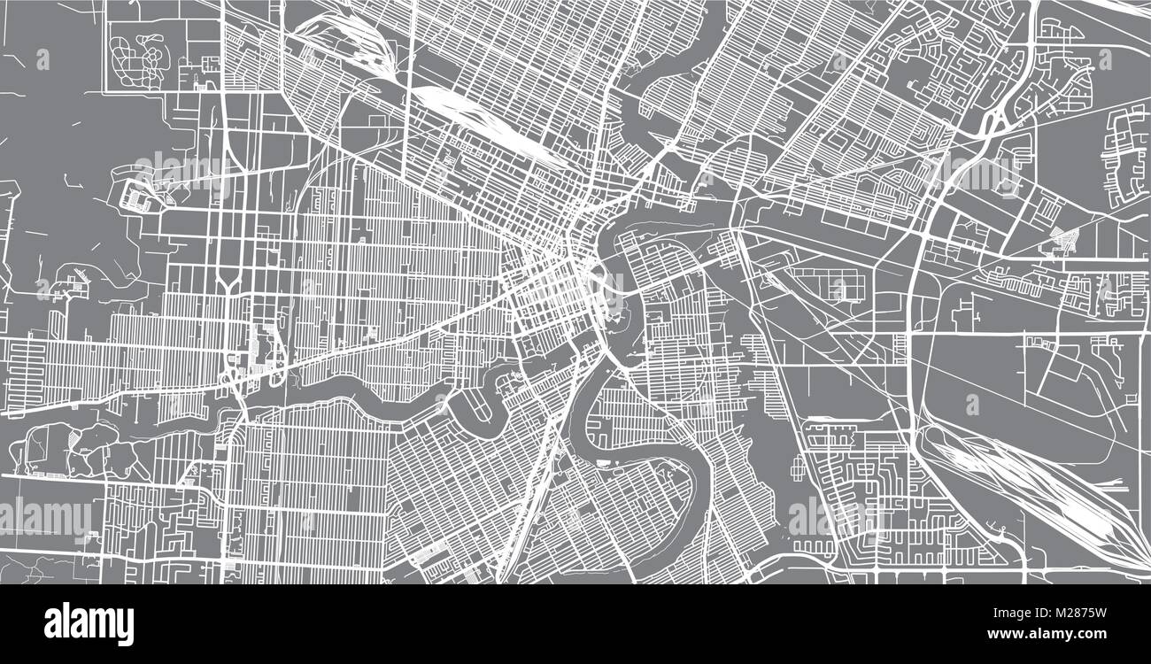 Urban vector city map of Winnipeg, Canada Stock Vectorhttps://www.alamy.com/image-license-details/?v=1https://www.alamy.com/stock-photo-urban-vector-city-map-of-winnipeg-canada-173514261.html
RFM2875W–Urban vector city map of Winnipeg, Canada
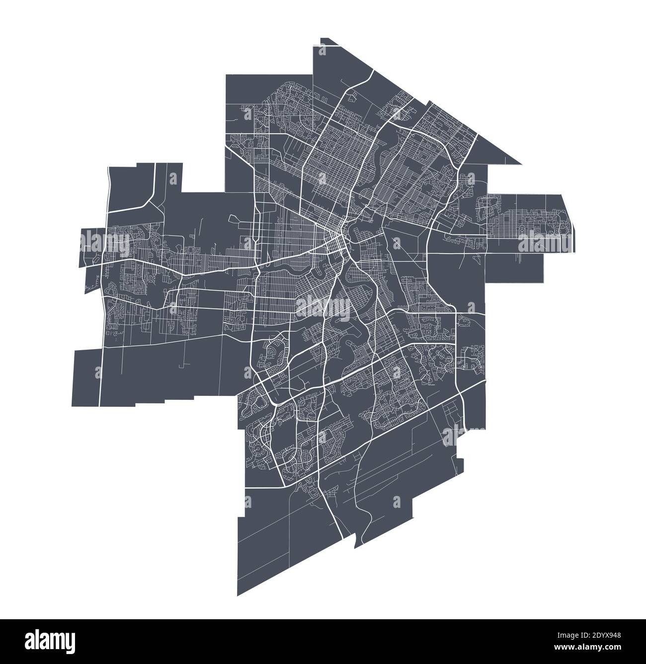 Winnipeg map. Detailed vector map of Winnipeg city administrative area. Cityscape poster metropolitan aria view. Stock Vectorhttps://www.alamy.com/image-license-details/?v=1https://www.alamy.com/winnipeg-map-detailed-vector-map-of-winnipeg-city-administrative-area-cityscape-poster-metropolitan-aria-view-image395801736.html
RF2DYX948–Winnipeg map. Detailed vector map of Winnipeg city administrative area. Cityscape poster metropolitan aria view.
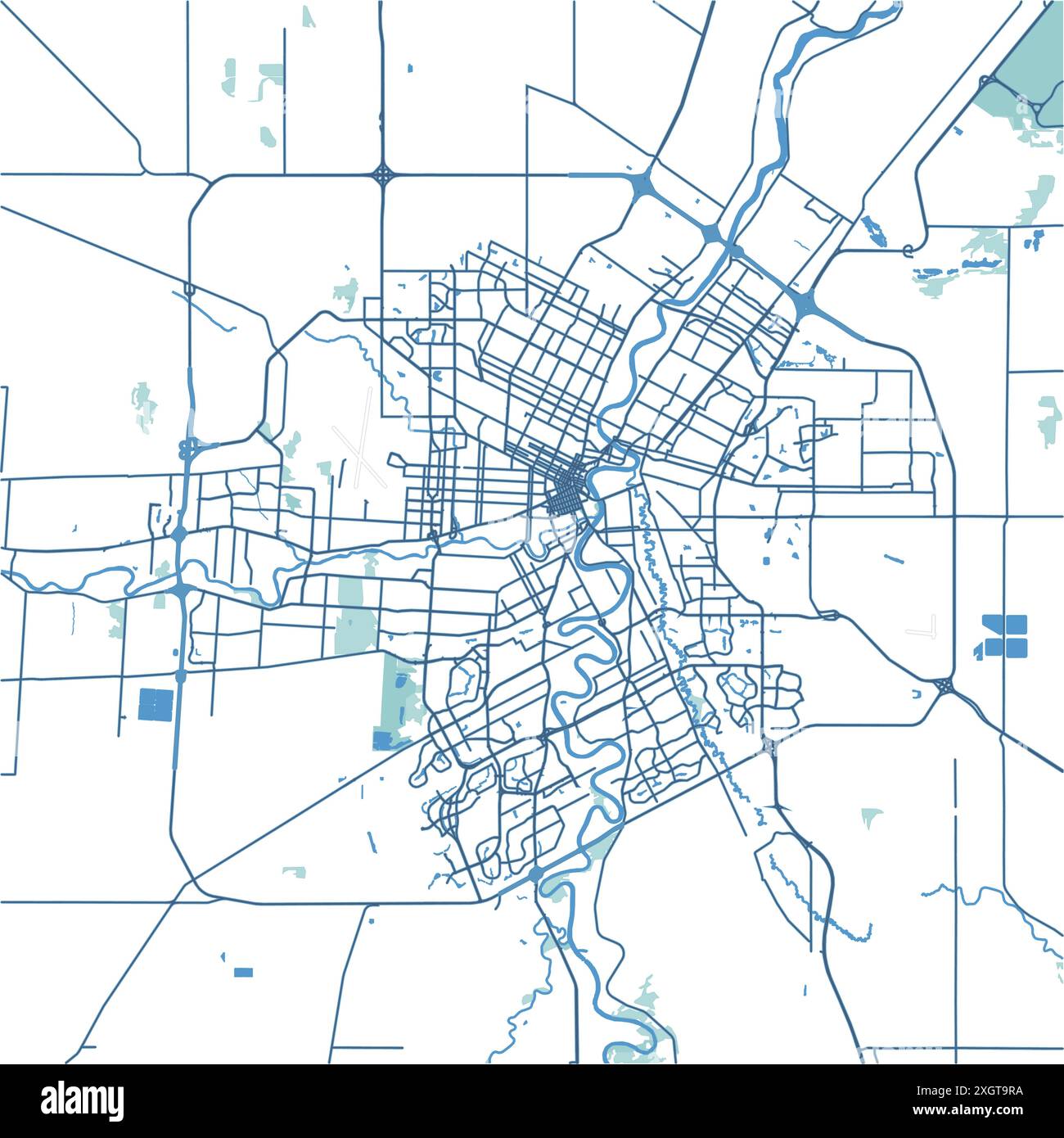 Map of Winnipeg in Canada in blue. Contains layered vector with roads water, parks, etc. Stock Vectorhttps://www.alamy.com/image-license-details/?v=1https://www.alamy.com/map-of-winnipeg-in-canada-in-blue-contains-layered-vector-with-roads-water-parks-etc-image612731934.html
RF2XGT9RA–Map of Winnipeg in Canada in blue. Contains layered vector with roads water, parks, etc.
 MANITOBA. Winnipeg. Western Ontario. Canada. Railroads. JOHNSTON, 1920 old map Stock Photohttps://www.alamy.com/image-license-details/?v=1https://www.alamy.com/stock-photo-manitoba-winnipeg-western-ontario-canada-railroads-johnston-1920-old-102758485.html
RFFY51DW–MANITOBA. Winnipeg. Western Ontario. Canada. Railroads. JOHNSTON, 1920 old map
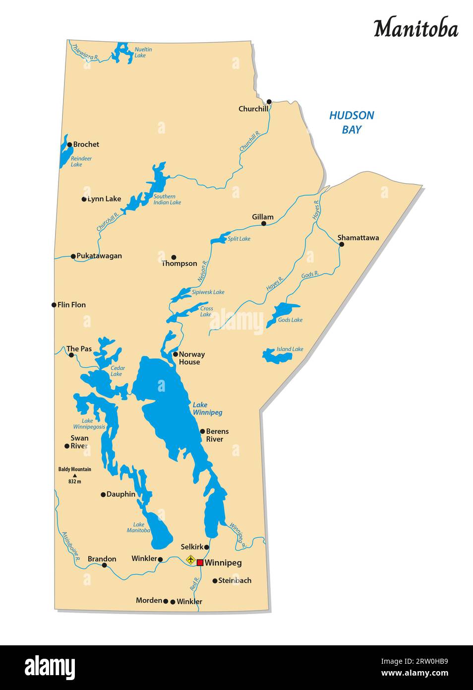 Simple vector map of Manitoba, Canada Stock Photohttps://www.alamy.com/image-license-details/?v=1https://www.alamy.com/simple-vector-map-of-manitoba-canada-image566111821.html
RF2RW0HB9–Simple vector map of Manitoba, Canada
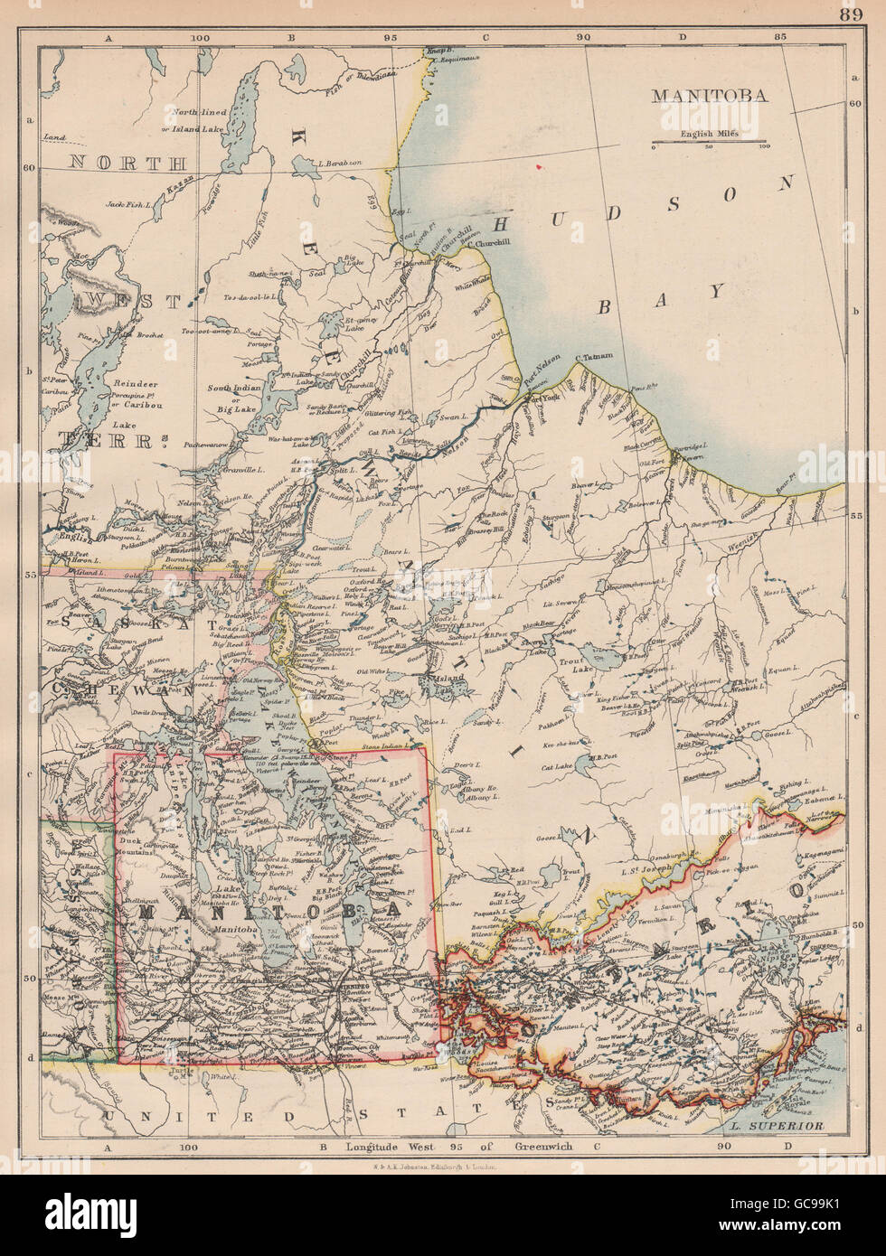 MANITOBA. Winnipeg Canadian Pacific Railroad Keewatin Canada.JOHNSTON, 1897 map Stock Photohttps://www.alamy.com/image-license-details/?v=1https://www.alamy.com/stock-photo-manitoba-winnipeg-canadian-pacific-railroad-keewatin-canadajohnston-110843237.html
RFGC99K1–MANITOBA. Winnipeg Canadian Pacific Railroad Keewatin Canada.JOHNSTON, 1897 map
 Winnipeg Junction, Clay County, US, United States, Minnesota, N 46 53' 44'', S 96 14' 48'', map, Cartascapes Map published in 2024. Explore Cartascapes, a map revealing Earth's diverse landscapes, cultures, and ecosystems. Journey through time and space, discovering the interconnectedness of our planet's past, present, and future. Stock Photohttps://www.alamy.com/image-license-details/?v=1https://www.alamy.com/winnipeg-junction-clay-county-us-united-states-minnesota-n-46-53-44-s-96-14-48-map-cartascapes-map-published-in-2024-explore-cartascapes-a-map-revealing-earths-diverse-landscapes-cultures-and-ecosystems-journey-through-time-and-space-discovering-the-interconnectedness-of-our-planets-past-present-and-future-image621485708.html
RM2Y333A4–Winnipeg Junction, Clay County, US, United States, Minnesota, N 46 53' 44'', S 96 14' 48'', map, Cartascapes Map published in 2024. Explore Cartascapes, a map revealing Earth's diverse landscapes, cultures, and ecosystems. Journey through time and space, discovering the interconnectedness of our planet's past, present, and future.
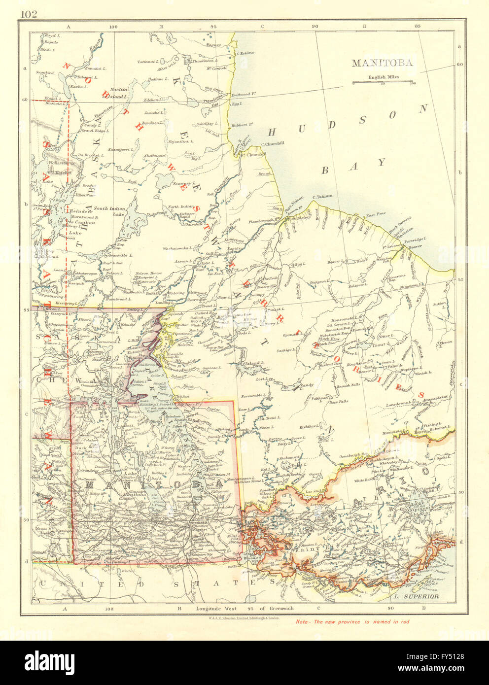 MANITOBA. Winnipeg Canadian Pacific Railroad Keewatin Canada. JOHNSTON, 1906 map Stock Photohttps://www.alamy.com/image-license-details/?v=1https://www.alamy.com/stock-photo-manitoba-winnipeg-canadian-pacific-railroad-keewatin-canada-johnston-102758160.html
RFFY5128–MANITOBA. Winnipeg Canadian Pacific Railroad Keewatin Canada. JOHNSTON, 1906 map
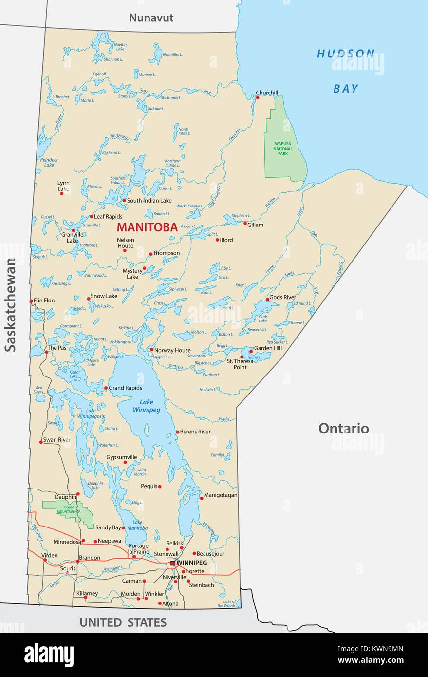 Province manitoba vector road and travel map Stock Vectorhttps://www.alamy.com/image-license-details/?v=1https://www.alamy.com/stock-photo-province-manitoba-vector-road-and-travel-map-170728341.html
RFKWN9MN–Province manitoba vector road and travel map
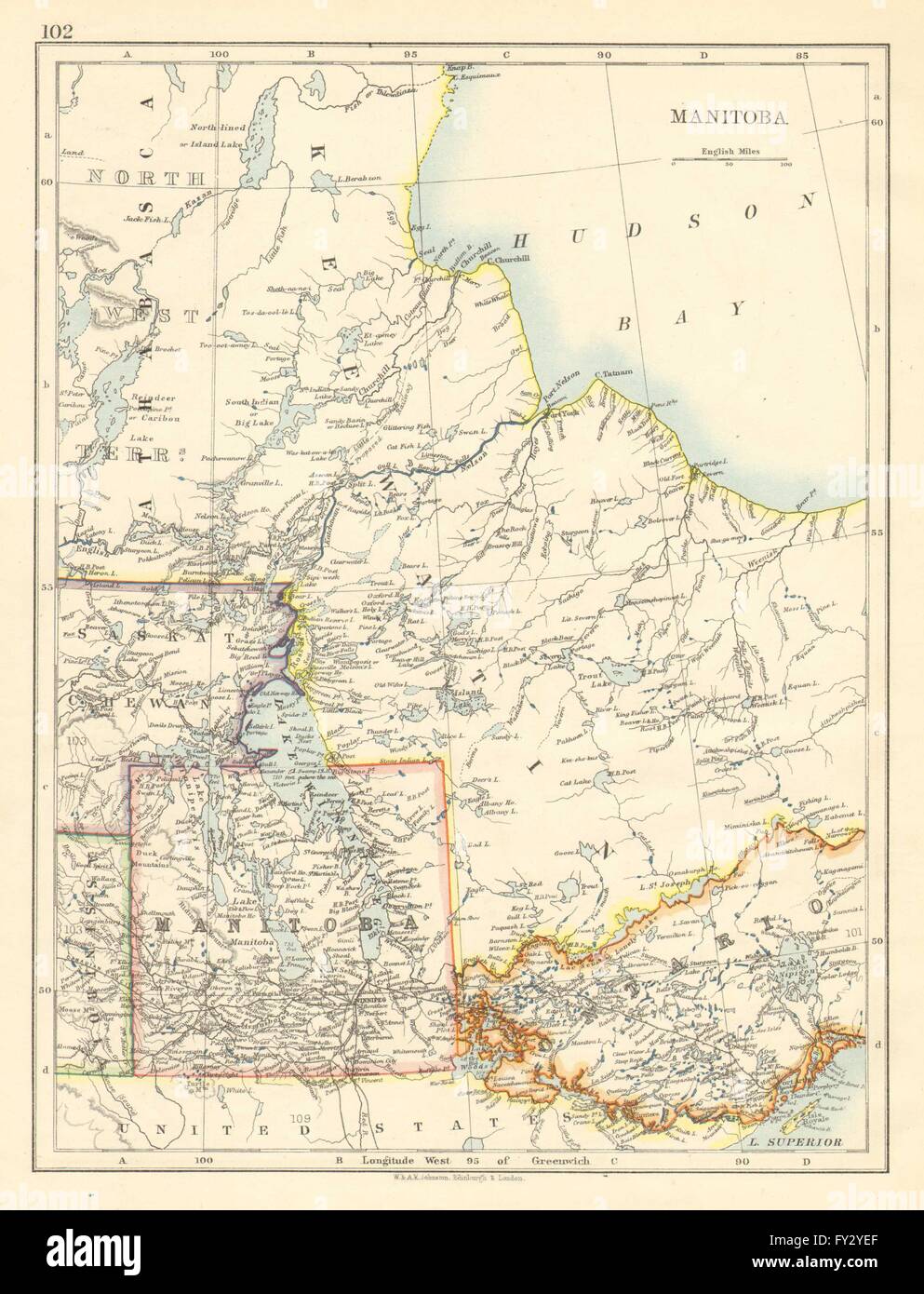 MANITOBA. Winnipeg Canadian Pacific Railroad Keewatin Canada.JOHNSTON, 1899 map Stock Photohttps://www.alamy.com/image-license-details/?v=1https://www.alamy.com/stock-photo-manitoba-winnipeg-canadian-pacific-railroad-keewatin-canadajohnston-102713031.html
RFFY2YEF–MANITOBA. Winnipeg Canadian Pacific Railroad Keewatin Canada.JOHNSTON, 1899 map
 Map of Canada with city sign of Winnipeg Stock Photohttps://www.alamy.com/image-license-details/?v=1https://www.alamy.com/map-of-canada-with-city-sign-of-winnipeg-image640924374.html
RF2S6MHG6–Map of Canada with city sign of Winnipeg
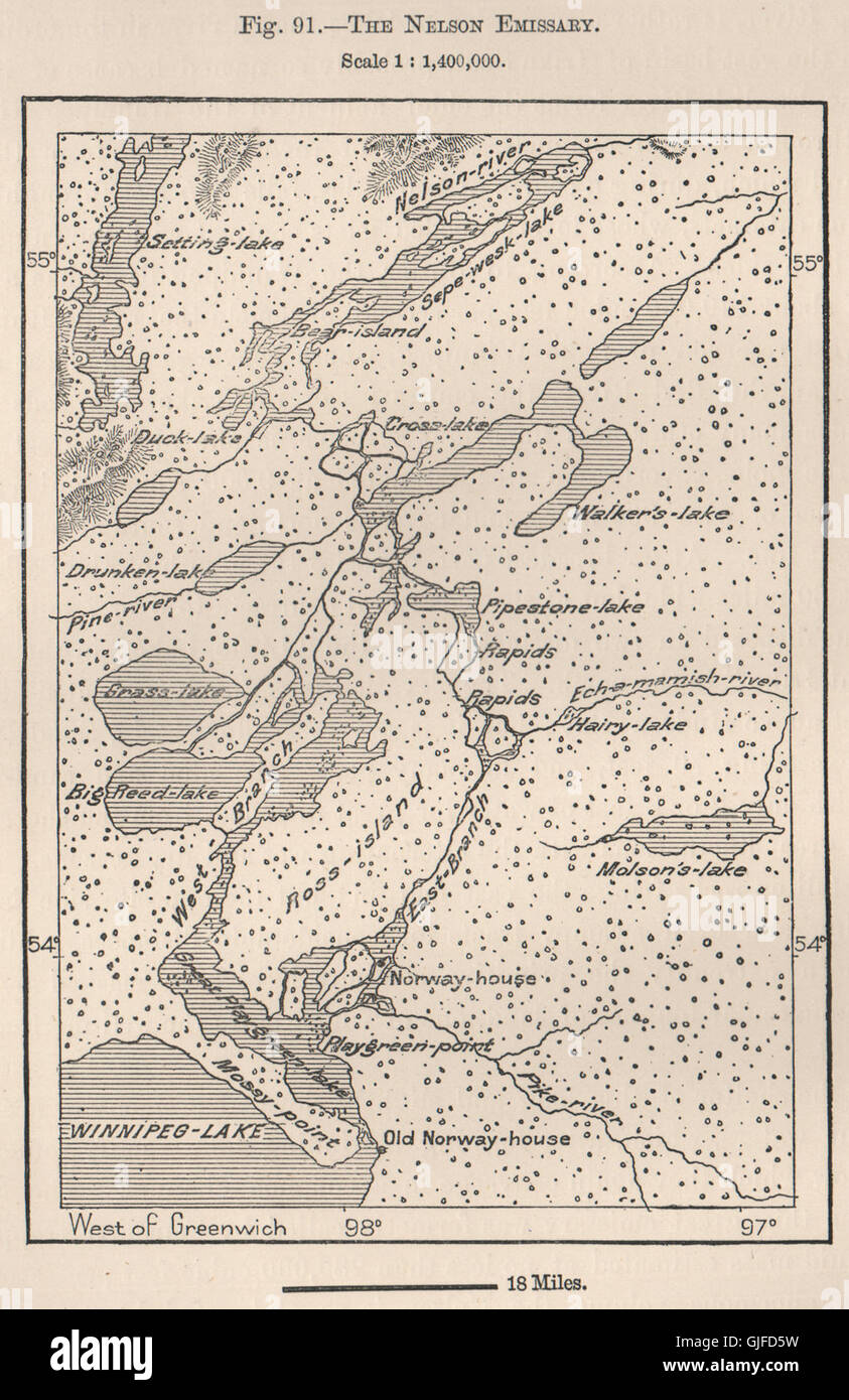 The Nelson Emissary. Lake Winnipeg. Ross Island. Manitoba, Canada, 1885 map Stock Photohttps://www.alamy.com/image-license-details/?v=1https://www.alamy.com/stock-photo-the-nelson-emissary-lake-winnipeg-ross-island-manitoba-canada-1885-114665653.html
RFGJFD5W–The Nelson Emissary. Lake Winnipeg. Ross Island. Manitoba, Canada, 1885 map
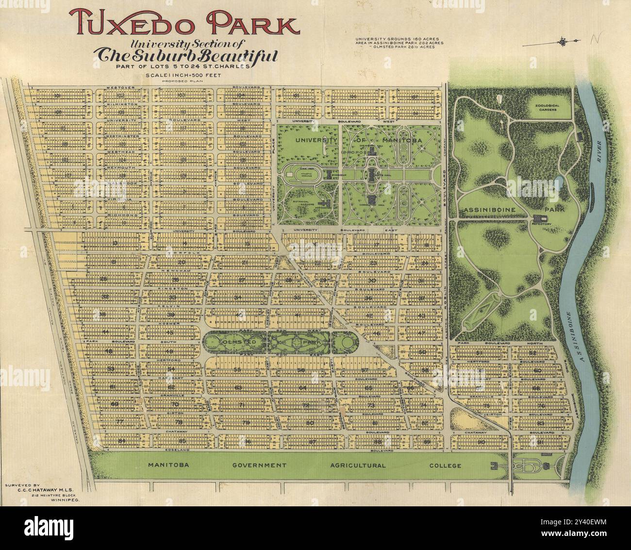 Vintage Map, suburban lots development of Tuxedo Park, University Section, Assiniboine Park, Winnipeg, Canada, 1910s Stock Photohttps://www.alamy.com/image-license-details/?v=1https://www.alamy.com/vintage-map-suburban-lots-development-of-tuxedo-park-university-section-assiniboine-park-winnipeg-canada-1910s-image622043568.html
RM2Y40EWM–Vintage Map, suburban lots development of Tuxedo Park, University Section, Assiniboine Park, Winnipeg, Canada, 1910s
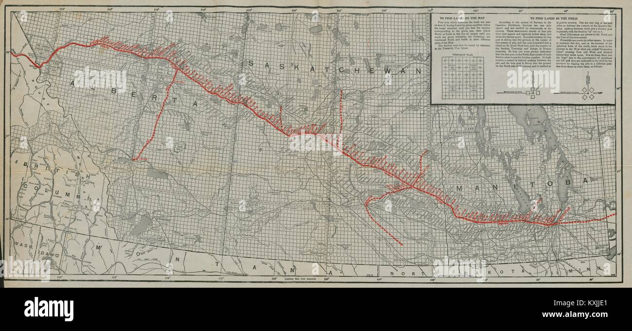 Grand Trunk Pacific Railway. Winnipeg - Edmonton & Calgary. Canada c1916 map Stock Photohttps://www.alamy.com/image-license-details/?v=1https://www.alamy.com/stock-photo-grand-trunk-pacific-railway-winnipeg-edmonton-calgary-canada-c1916-171284009.html
RFKXJJE1–Grand Trunk Pacific Railway. Winnipeg - Edmonton & Calgary. Canada c1916 map
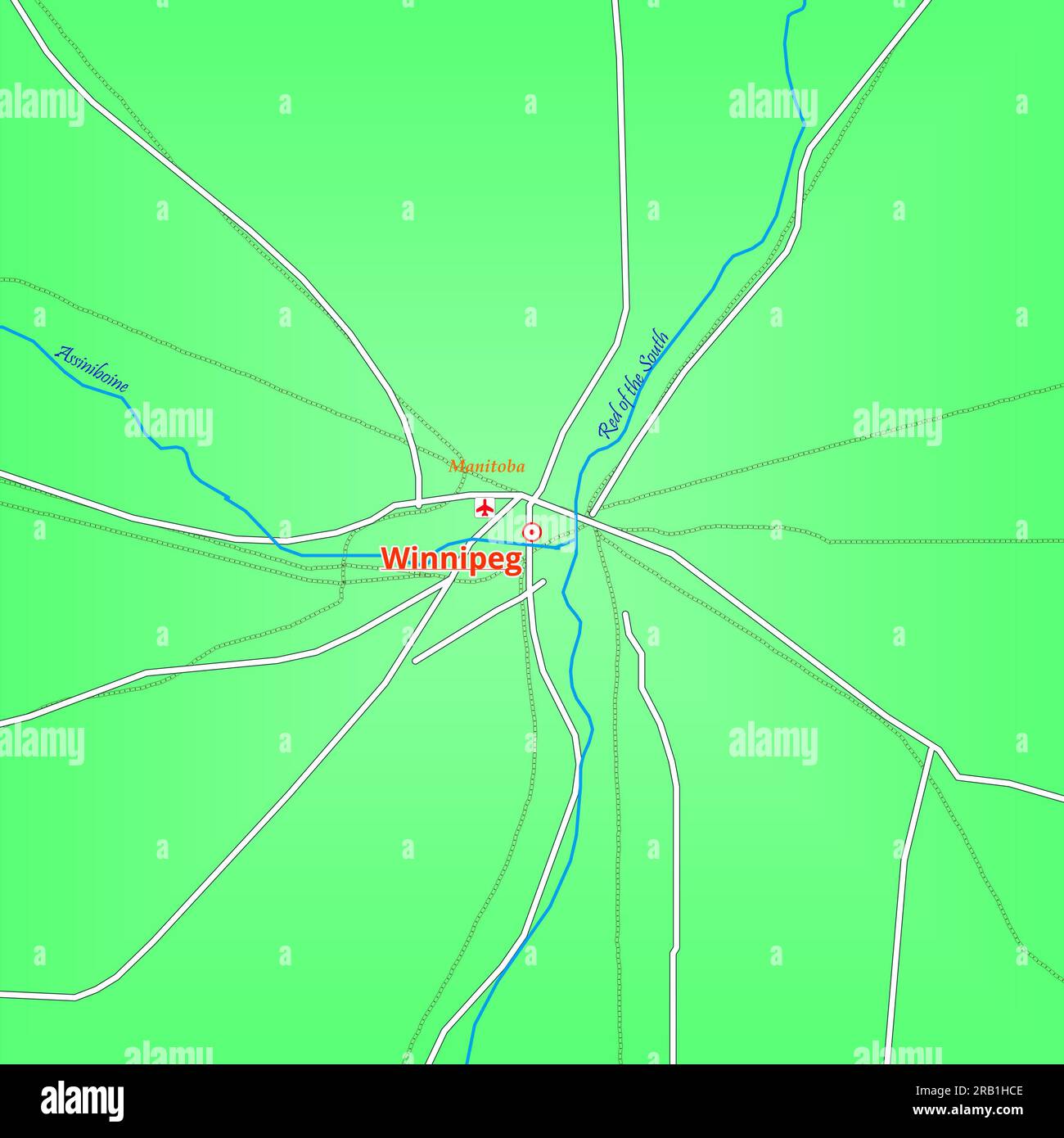 Map of Winnipeg City in Canada Stock Photohttps://www.alamy.com/image-license-details/?v=1https://www.alamy.com/map-of-winnipeg-city-in-canada-image557528622.html
RF2RB1HCE–Map of Winnipeg City in Canada
 Portages of the old routes between Lakes Superior & Winnipeg. Canada 1885 map Stock Photohttps://www.alamy.com/image-license-details/?v=1https://www.alamy.com/portages-of-the-old-routes-between-lakes-superior-winnipeg-canada-1885-map-image185250364.html
RFMNATMC–Portages of the old routes between Lakes Superior & Winnipeg. Canada 1885 map
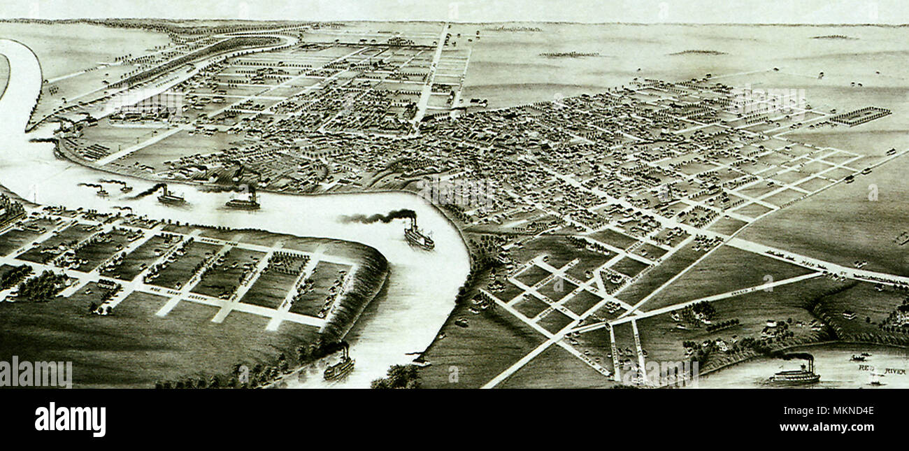 Winnipeg, Manitoba 1880 Stock Photohttps://www.alamy.com/image-license-details/?v=1https://www.alamy.com/winnipeg-manitoba-1880-image184253454.html
RMMKND4E–Winnipeg, Manitoba 1880
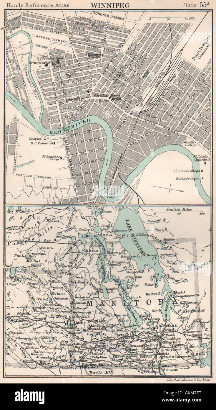 Winnipeg town/city plan. Manitoba postage stamp province. Canada, 1904 old map Stock Photohttps://www.alamy.com/image-license-details/?v=1https://www.alamy.com/stock-photo-winnipeg-towncity-plan-manitoba-postage-stamp-province-canada-1904-115385616.html
RFGKM7ET–Winnipeg town/city plan. Manitoba postage stamp province. Canada, 1904 old map
 Stovel's map of Winnipeg, including St. Boniface and surrounding suburbs. Shows streets, wards, parks, railroads and radial distances from city hall. Index on verso... Stovel's new indexed pocket map of Winnipeg and St. Boniface with surroundings suburbs. Stovel's new indexed pocket map of Winnipeg and St. Boniface with surroundings suburbs, Canada , Province of Manitoba ,province , Winnipeg Canada , Province of Manitoba ,province , Saint Boniface Stock Photohttps://www.alamy.com/image-license-details/?v=1https://www.alamy.com/stovels-map-of-winnipeg-including-st-boniface-and-surrounding-suburbs-shows-streets-wards-parks-railroads-and-radial-distances-from-city-hall-index-on-verso-stovels-new-indexed-pocket-map-of-winnipeg-and-st-boniface-with-surroundings-suburbs-stovels-new-indexed-pocket-map-of-winnipeg-and-st-boniface-with-surroundings-suburbs-canada-province-of-manitoba-province-winnipeg-canada-province-of-manitoba-province-saint-boniface-image502724351.html
RM2M5W213–Stovel's map of Winnipeg, including St. Boniface and surrounding suburbs. Shows streets, wards, parks, railroads and radial distances from city hall. Index on verso... Stovel's new indexed pocket map of Winnipeg and St. Boniface with surroundings suburbs. Stovel's new indexed pocket map of Winnipeg and St. Boniface with surroundings suburbs, Canada , Province of Manitoba ,province , Winnipeg Canada , Province of Manitoba ,province , Saint Boniface
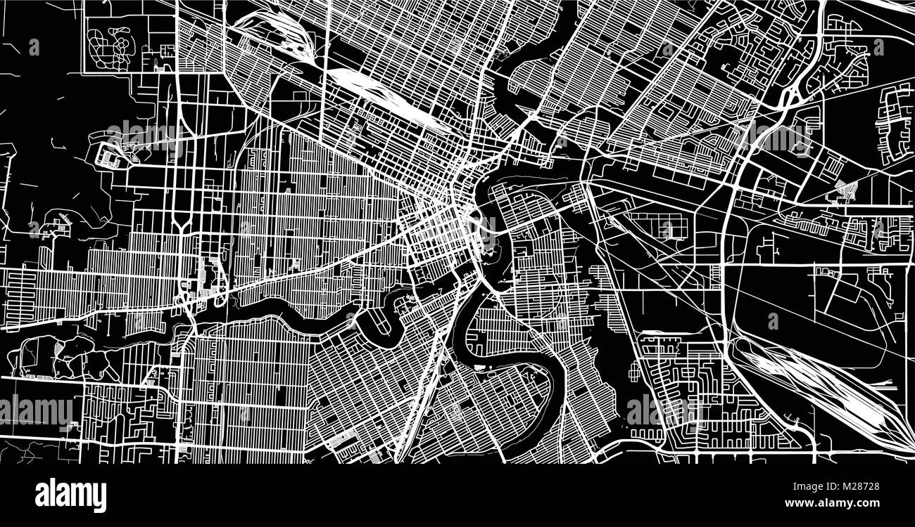 Urban vector city map of Winnipeg, Canada Stock Vectorhttps://www.alamy.com/image-license-details/?v=1https://www.alamy.com/stock-photo-urban-vector-city-map-of-winnipeg-canada-173514160.html
RFM28728–Urban vector city map of Winnipeg, Canada
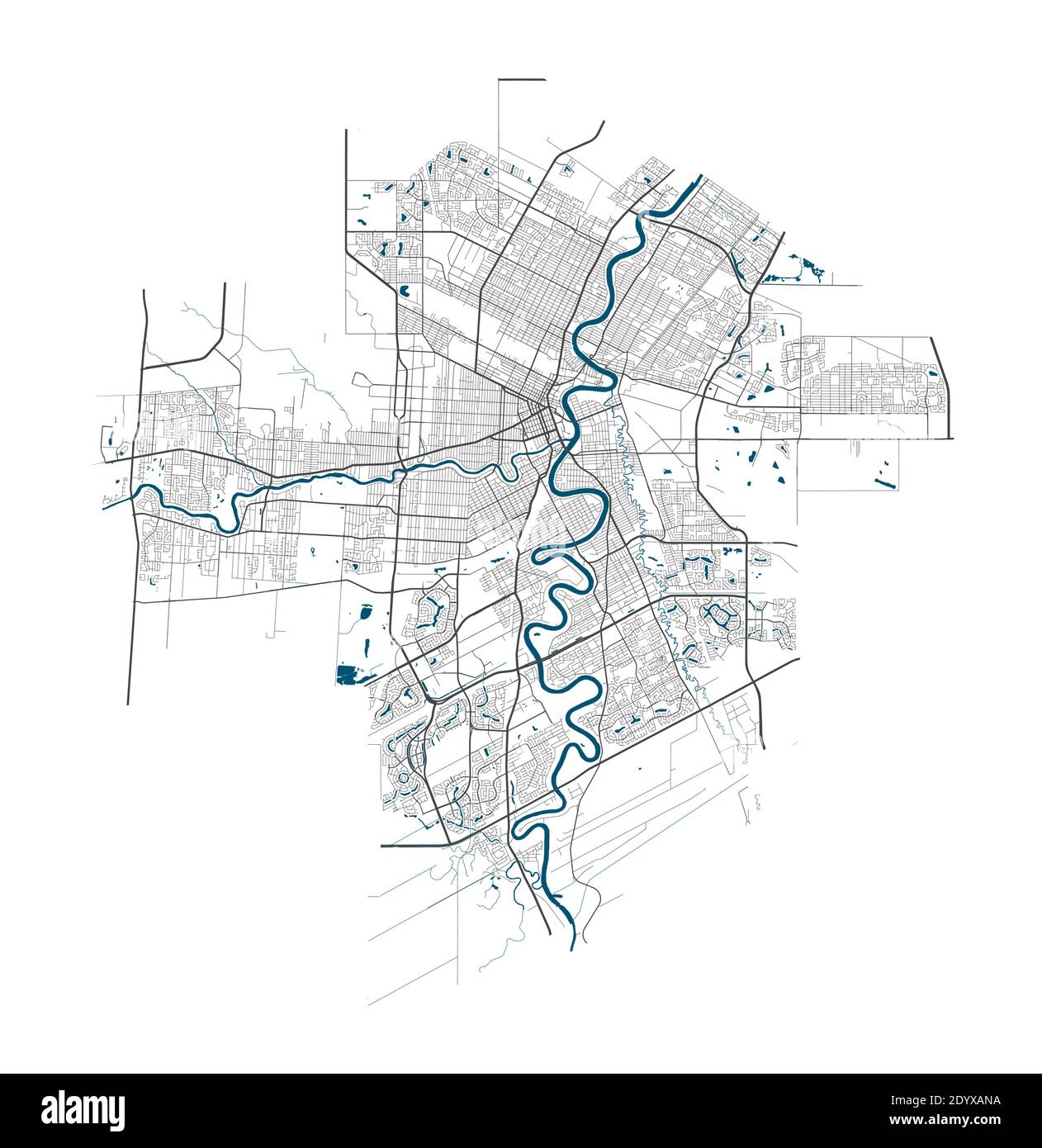 Winnipeg map. Detailed map of Winnipeg city administrative area. Cityscape panorama. Royalty free vector illustration. Linear outline map with highway Stock Vectorhttps://www.alamy.com/image-license-details/?v=1https://www.alamy.com/winnipeg-map-detailed-map-of-winnipeg-city-administrative-area-cityscape-panorama-royalty-free-vector-illustration-linear-outline-map-with-highway-image395802998.html
RF2DYXANA–Winnipeg map. Detailed map of Winnipeg city administrative area. Cityscape panorama. Royalty free vector illustration. Linear outline map with highway
 Map of Winnipeg in Canada in a sandy theme. Contains layered vector with roads water, parks, etc. Stock Vectorhttps://www.alamy.com/image-license-details/?v=1https://www.alamy.com/map-of-winnipeg-in-canada-in-a-sandy-theme-contains-layered-vector-with-roads-water-parks-etc-image624465906.html
RF2Y7XTHP–Map of Winnipeg in Canada in a sandy theme. Contains layered vector with roads water, parks, etc.
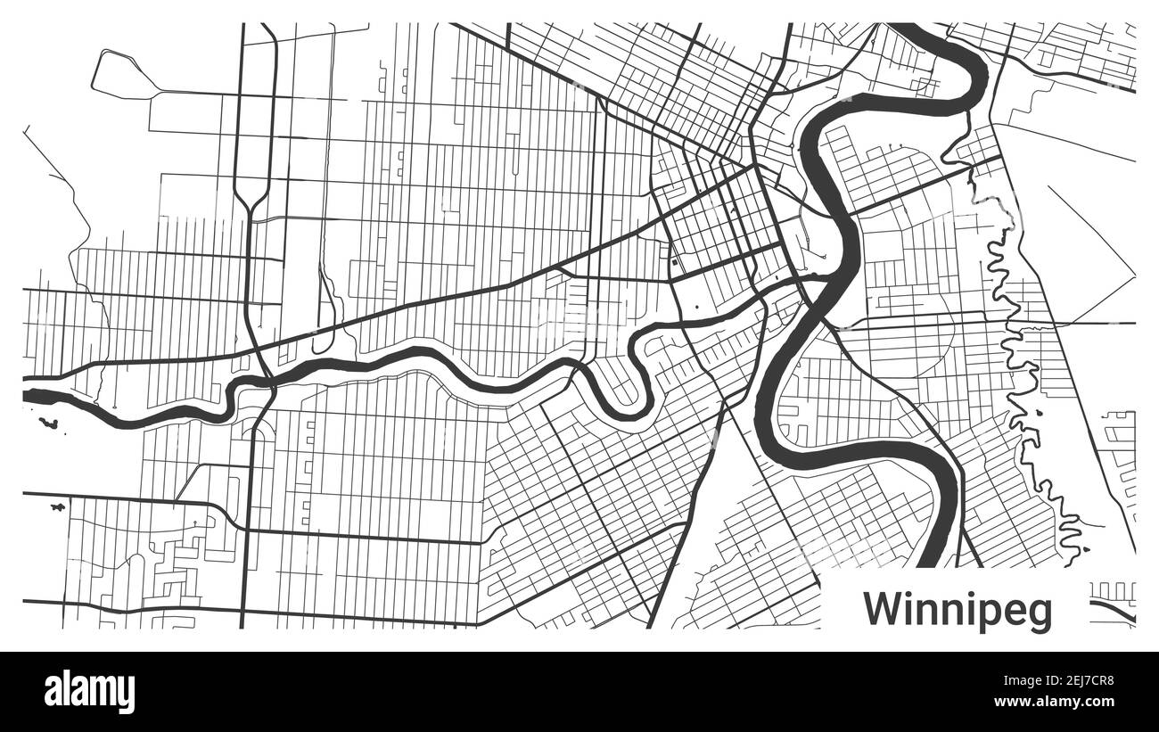 Map of Winnipeg city, Manitoba, Canada. Horizontal background map poster black and white land, streets and rivers. 1920 1080 proportions. Royalty free Stock Vectorhttps://www.alamy.com/image-license-details/?v=1https://www.alamy.com/map-of-winnipeg-city-manitoba-canada-horizontal-background-map-poster-black-and-white-land-streets-and-rivers-1920-1080-proportions-royalty-free-image407065996.html
RF2EJ7CR8–Map of Winnipeg city, Manitoba, Canada. Horizontal background map poster black and white land, streets and rivers. 1920 1080 proportions. Royalty free
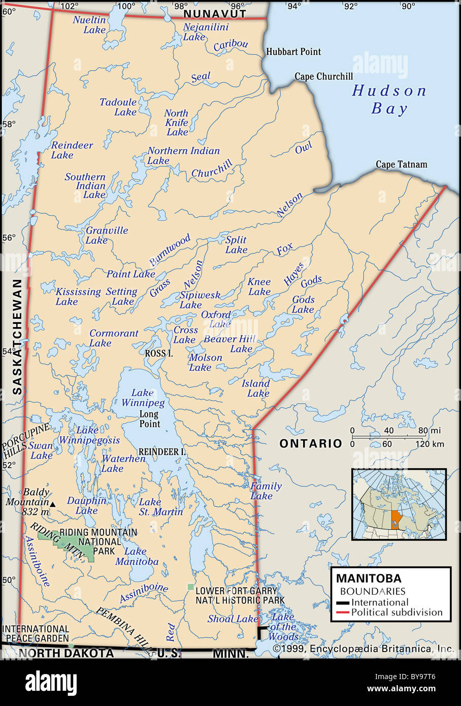 Map of Manitoba Stock Photohttps://www.alamy.com/image-license-details/?v=1https://www.alamy.com/stock-photo-map-of-manitoba-34009814.html
RMBY97T6–Map of Manitoba
 White and light grey Winnipeg city area vector horizontal background map, streets and water cartography illustration. Widescreen proportion, digital f Stock Vectorhttps://www.alamy.com/image-license-details/?v=1https://www.alamy.com/white-and-light-grey-winnipeg-city-area-vector-horizontal-background-map-streets-and-water-cartography-illustration-widescreen-proportion-digital-f-image446333342.html
RF2GX46ME–White and light grey Winnipeg city area vector horizontal background map, streets and water cartography illustration. Widescreen proportion, digital f
 Winnipeg Dam, Derby-West Kimberley, AU, Australia, Western Australia, S 18 4' 33'', N 126 4' 0'', map, Cartascapes Map published in 2024. Explore Cartascapes, a map revealing Earth's diverse landscapes, cultures, and ecosystems. Journey through time and space, discovering the interconnectedness of our planet's past, present, and future. Stock Photohttps://www.alamy.com/image-license-details/?v=1https://www.alamy.com/winnipeg-dam-derby-west-kimberley-au-australia-western-australia-s-18-4-33-n-126-4-0-map-cartascapes-map-published-in-2024-explore-cartascapes-a-map-revealing-earths-diverse-landscapes-cultures-and-ecosystems-journey-through-time-and-space-discovering-the-interconnectedness-of-our-planets-past-present-and-future-image625747273.html
RM2YA170W–Winnipeg Dam, Derby-West Kimberley, AU, Australia, Western Australia, S 18 4' 33'', N 126 4' 0'', map, Cartascapes Map published in 2024. Explore Cartascapes, a map revealing Earth's diverse landscapes, cultures, and ecosystems. Journey through time and space, discovering the interconnectedness of our planet's past, present, and future.
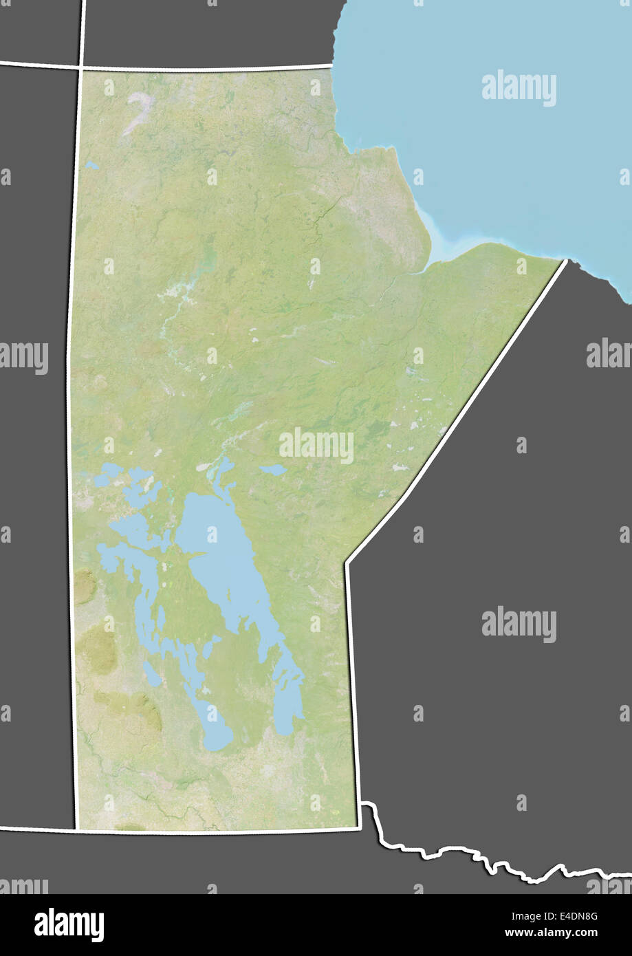 Province of Manitoba, Canada, Relief Map Stock Photohttps://www.alamy.com/image-license-details/?v=1https://www.alamy.com/stock-photo-province-of-manitoba-canada-relief-map-71602176.html
RME4DN8G–Province of Manitoba, Canada, Relief Map
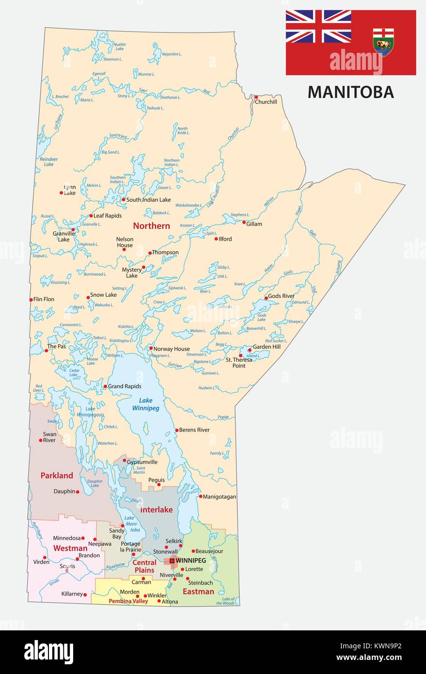 Province manitoba administrative and political map with flag Stock Vectorhttps://www.alamy.com/image-license-details/?v=1https://www.alamy.com/stock-photo-province-manitoba-administrative-and-political-map-with-flag-170728378.html
RFKWN9P2–Province manitoba administrative and political map with flag
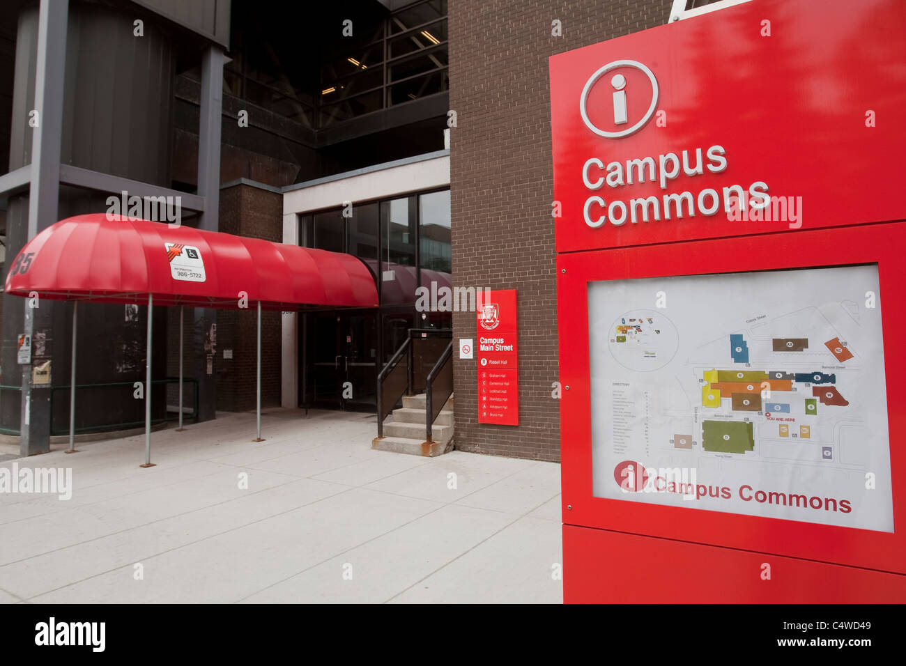 A map of the University of Winnipeg Stock Photohttps://www.alamy.com/image-license-details/?v=1https://www.alamy.com/stock-photo-a-map-of-the-university-of-winnipeg-37438473.html
RMC4WD49–A map of the University of Winnipeg
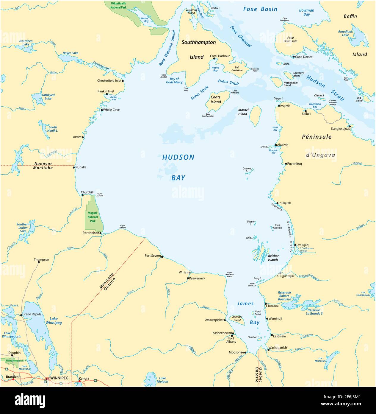 vector map of canadian marginal sea hudson bay Stock Vectorhttps://www.alamy.com/image-license-details/?v=1https://www.alamy.com/vector-map-of-canadian-marginal-sea-hudson-bay-image417134817.html
RF2F6J3M1–vector map of canadian marginal sea hudson bay
 Winnipeg Walkway System map Stock Photohttps://www.alamy.com/image-license-details/?v=1https://www.alamy.com/stock-photo-winnipeg-walkway-system-map-37499195.html
RMC506GY–Winnipeg Walkway System map
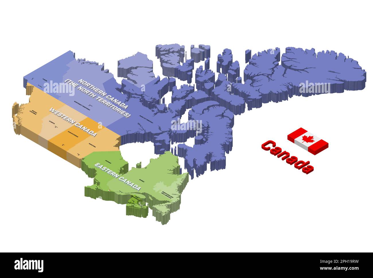 Canada states 3d (isometric) colored isolated vector map. Flag of Canada Stock Vectorhttps://www.alamy.com/image-license-details/?v=1https://www.alamy.com/canada-states-3d-isometric-colored-isolated-vector-map-flag-of-canada-image544000237.html
RF2PH19RW–Canada states 3d (isometric) colored isolated vector map. Flag of Canada
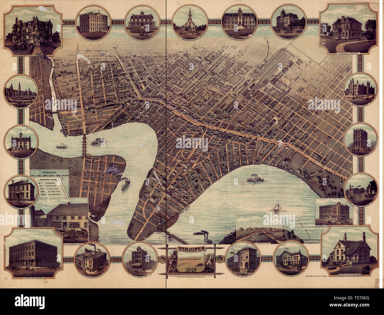 Winnipeg (Man.)--Aerial views , circa 1884 Stock Photohttps://www.alamy.com/image-license-details/?v=1https://www.alamy.com/winnipeg-man-aerial-views-circa-1884-image244172504.html
RMT570EG–Winnipeg (Man.)--Aerial views , circa 1884
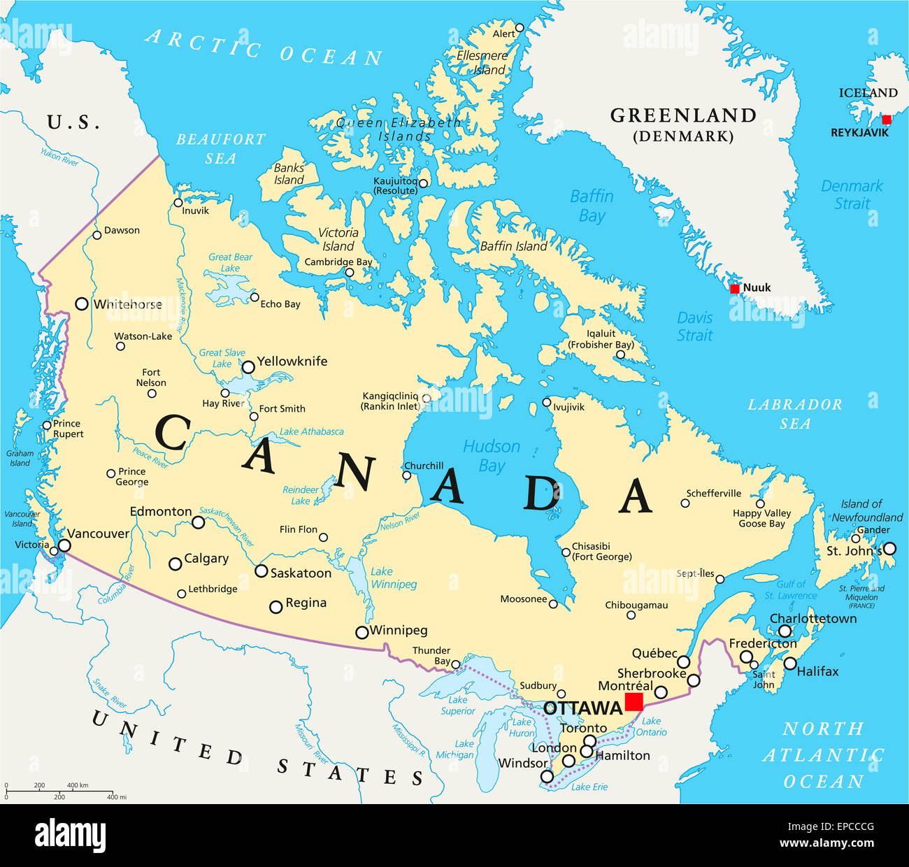 Canada Political Map with capital Ottawa, national borders, important cities, rivers and lakes. English labeling and scaling. Stock Photohttps://www.alamy.com/image-license-details/?v=1https://www.alamy.com/stock-photo-canada-political-map-with-capital-ottawa-national-borders-important-82637088.html
RFEPCCCG–Canada Political Map with capital Ottawa, national borders, important cities, rivers and lakes. English labeling and scaling.
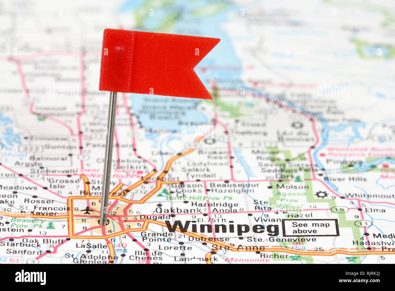 Winnipeg in Manitoba, Canada. Red flag pin on an old map showing travel destination. Stock Photohttps://www.alamy.com/image-license-details/?v=1https://www.alamy.com/winnipeg-in-manitoba-canada-red-flag-pin-on-an-old-map-showing-travel-destination-image235318458.html
RFRJRK2J–Winnipeg in Manitoba, Canada. Red flag pin on an old map showing travel destination.
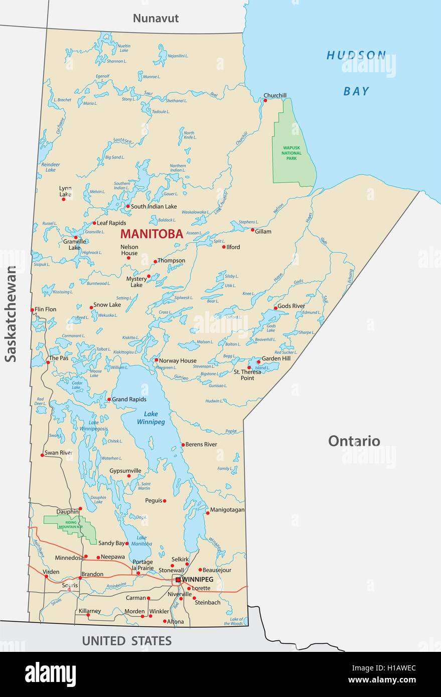 manitoba road map Stock Vectorhttps://www.alamy.com/image-license-details/?v=1https://www.alamy.com/stock-photo-manitoba-road-map-121326756.html
RFH1AWEC–manitoba road map
 Blue tack on map of central Canada with magnifying glass looking in on Winnipeg, Manitoba Stock Photohttps://www.alamy.com/image-license-details/?v=1https://www.alamy.com/stock-photo-blue-tack-on-map-of-central-canada-with-magnifying-glass-looking-in-78951174.html
RFEGCF0P–Blue tack on map of central Canada with magnifying glass looking in on Winnipeg, Manitoba
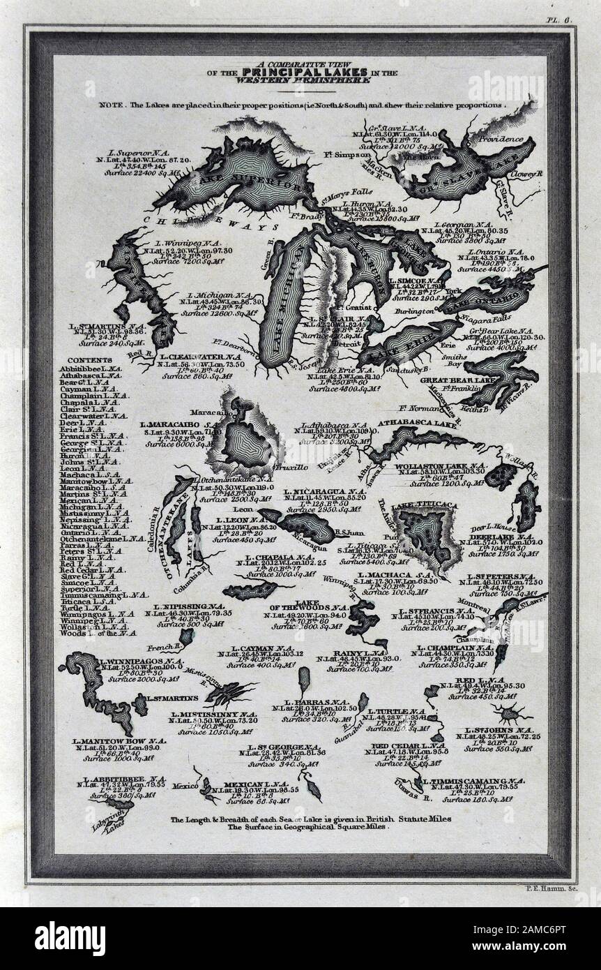 1834 Carey Map World Lakes Western Hemisphere North & South America Stock Photohttps://www.alamy.com/image-license-details/?v=1https://www.alamy.com/1834-carey-map-world-lakes-western-hemisphere-north-south-america-image339558880.html
RF2AMC6PT–1834 Carey Map World Lakes Western Hemisphere North & South America
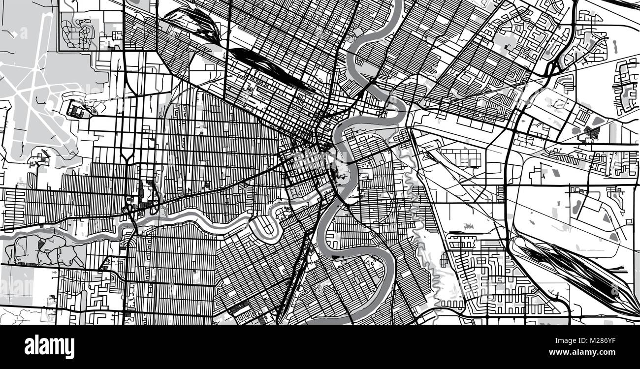 Urban vector city map of Winnipeg, Canada Stock Vectorhttps://www.alamy.com/image-license-details/?v=1https://www.alamy.com/stock-photo-urban-vector-city-map-of-winnipeg-canada-173514083.html
RFM286YF–Urban vector city map of Winnipeg, Canada
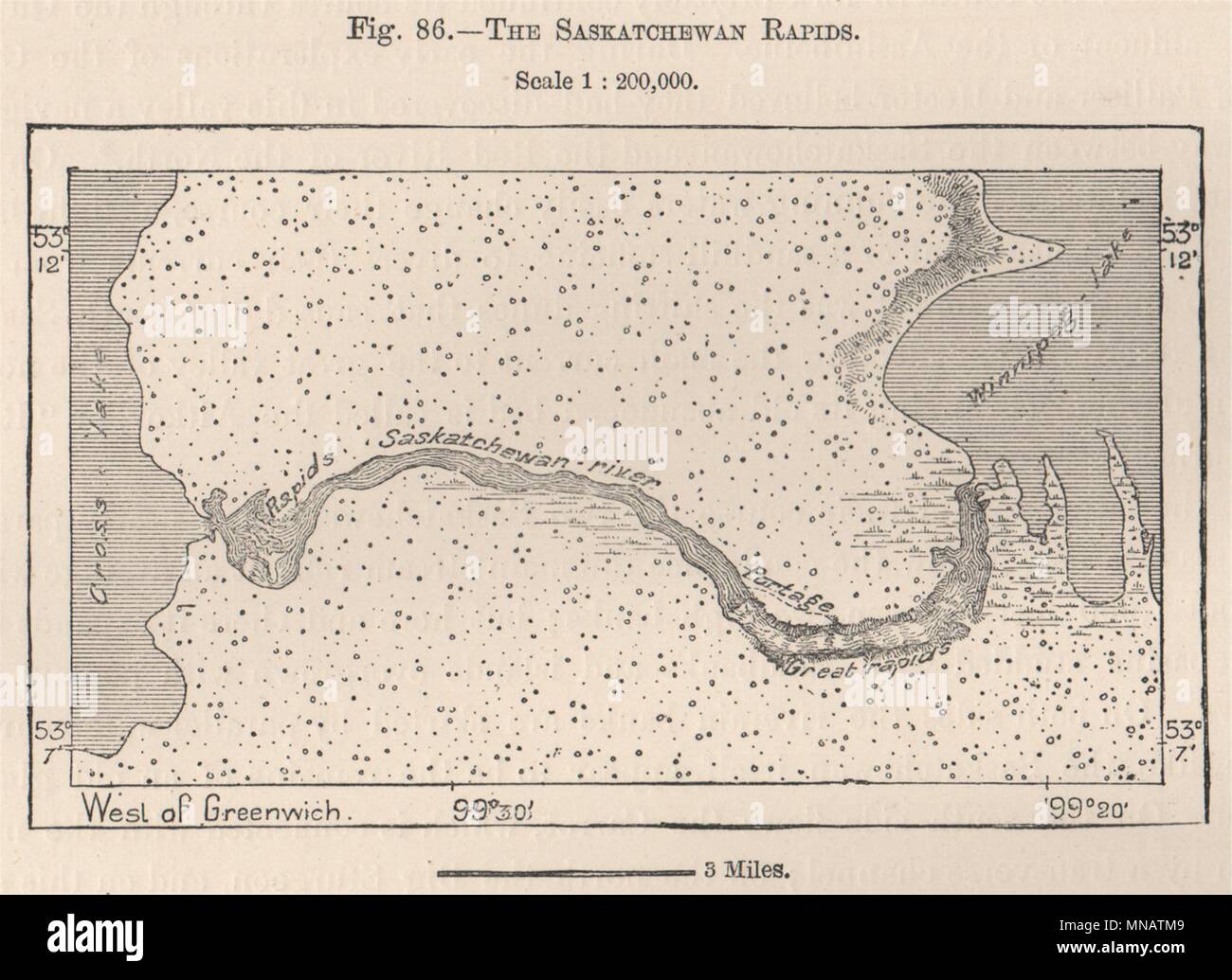 Saskatchewan River rapids pre-dam.Grand Rapids.Lake Winnipeg.Manitoba 1885 map Stock Photohttps://www.alamy.com/image-license-details/?v=1https://www.alamy.com/saskatchewan-river-rapids-pre-damgrand-rapidslake-winnipegmanitoba-1885-map-image185250361.html
RFMNATM9–Saskatchewan River rapids pre-dam.Grand Rapids.Lake Winnipeg.Manitoba 1885 map
 Map of Winnipeg in Canada in a smooth dark style. Contains layered vector with roads water, parks, etc. Stock Vectorhttps://www.alamy.com/image-license-details/?v=1https://www.alamy.com/map-of-winnipeg-in-canada-in-a-smooth-dark-style-contains-layered-vector-with-roads-water-parks-etc-image624213906.html
RF2Y7FB5P–Map of Winnipeg in Canada in a smooth dark style. Contains layered vector with roads water, parks, etc.
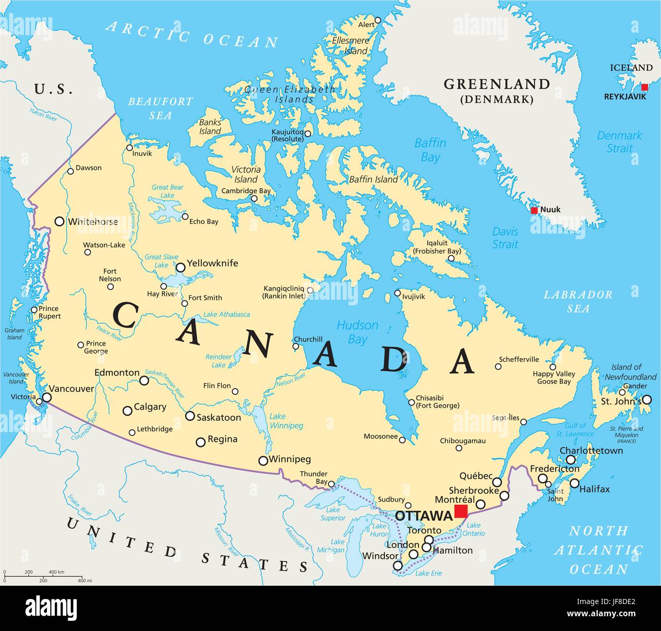 Canada Political Map Stock Vectorhttps://www.alamy.com/image-license-details/?v=1https://www.alamy.com/stock-photo-canada-political-map-147088986.html
RFJF8DE2–Canada Political Map
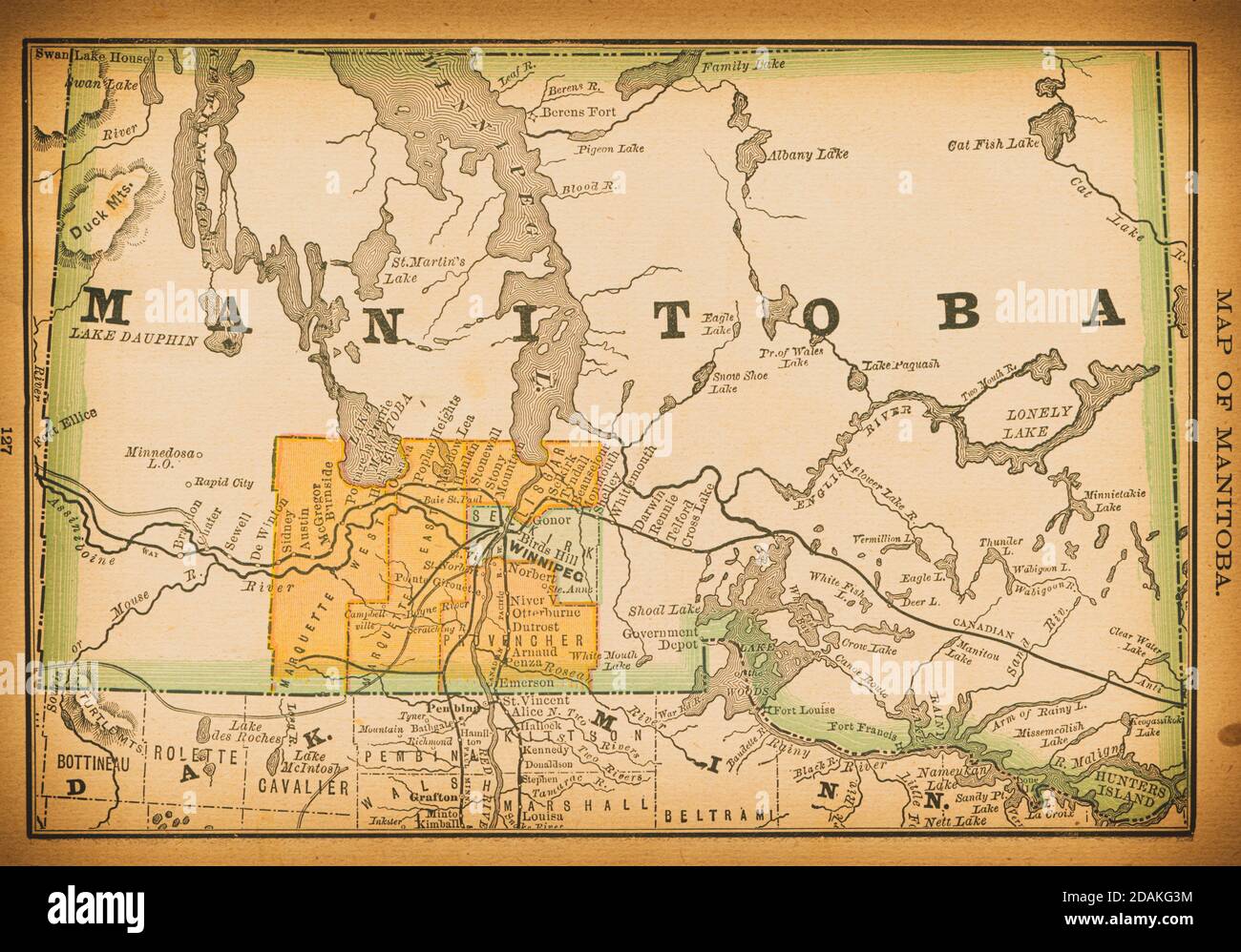 19th century map of Manitoba. Published in New Dollar Atlas of the United States and Dominion of Canada. (Rand McNally & Co's, Chicago, 1884). Stock Photohttps://www.alamy.com/image-license-details/?v=1https://www.alamy.com/19th-century-map-of-manitoba-published-in-new-dollar-atlas-of-the-united-states-and-dominion-of-canada-rand-mcnally-cos-chicago-1884-image385204392.html
RF2DAKG3M–19th century map of Manitoba. Published in New Dollar Atlas of the United States and Dominion of Canada. (Rand McNally & Co's, Chicago, 1884).
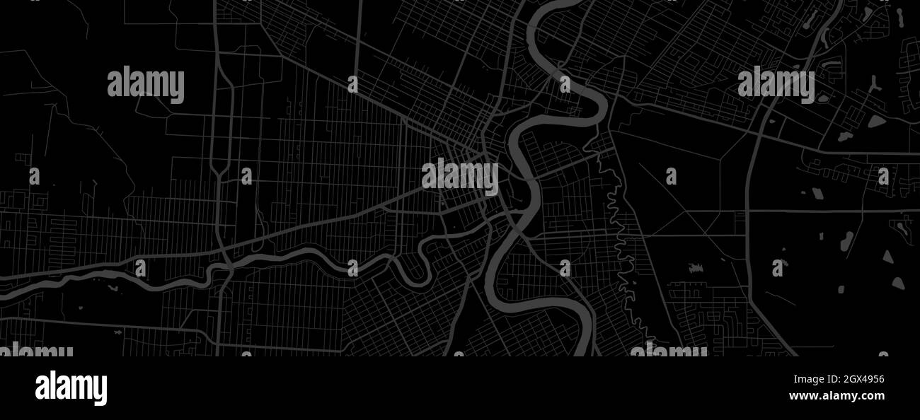 Dark black Winnipeg city area horizontal vector background map, streets and water cartography illustration. Widescreen proportion, digital flat design Stock Vectorhttps://www.alamy.com/image-license-details/?v=1https://www.alamy.com/dark-black-winnipeg-city-area-horizontal-vector-background-map-streets-and-water-cartography-illustration-widescreen-proportion-digital-flat-design-image446335266.html
RF2GX4956–Dark black Winnipeg city area horizontal vector background map, streets and water cartography illustration. Widescreen proportion, digital flat design
 Winnipeg, Canada, Manitoba, N 49 53' 3'', W 97 8' 49'', map, Timeless Map published in 2021. Travelers, explorers and adventurers like Florence Nightingale, David Livingstone, Ernest Shackleton, Lewis and Clark and Sherlock Holmes relied on maps to plan travels to the world's most remote corners, Timeless Maps is mapping most locations on the globe, showing the achievement of great dreams Stock Photohttps://www.alamy.com/image-license-details/?v=1https://www.alamy.com/winnipeg-canada-manitoba-n-49-53-3-w-97-8-49-map-timeless-map-published-in-2021-travelers-explorers-and-adventurers-like-florence-nightingale-david-livingstone-ernest-shackleton-lewis-and-clark-and-sherlock-holmes-relied-on-maps-to-plan-travels-to-the-worlds-most-remote-corners-timeless-maps-is-mapping-most-locations-on-the-globe-showing-the-achievement-of-great-dreams-image457891245.html
RM2HGXMXN–Winnipeg, Canada, Manitoba, N 49 53' 3'', W 97 8' 49'', map, Timeless Map published in 2021. Travelers, explorers and adventurers like Florence Nightingale, David Livingstone, Ernest Shackleton, Lewis and Clark and Sherlock Holmes relied on maps to plan travels to the world's most remote corners, Timeless Maps is mapping most locations on the globe, showing the achievement of great dreams
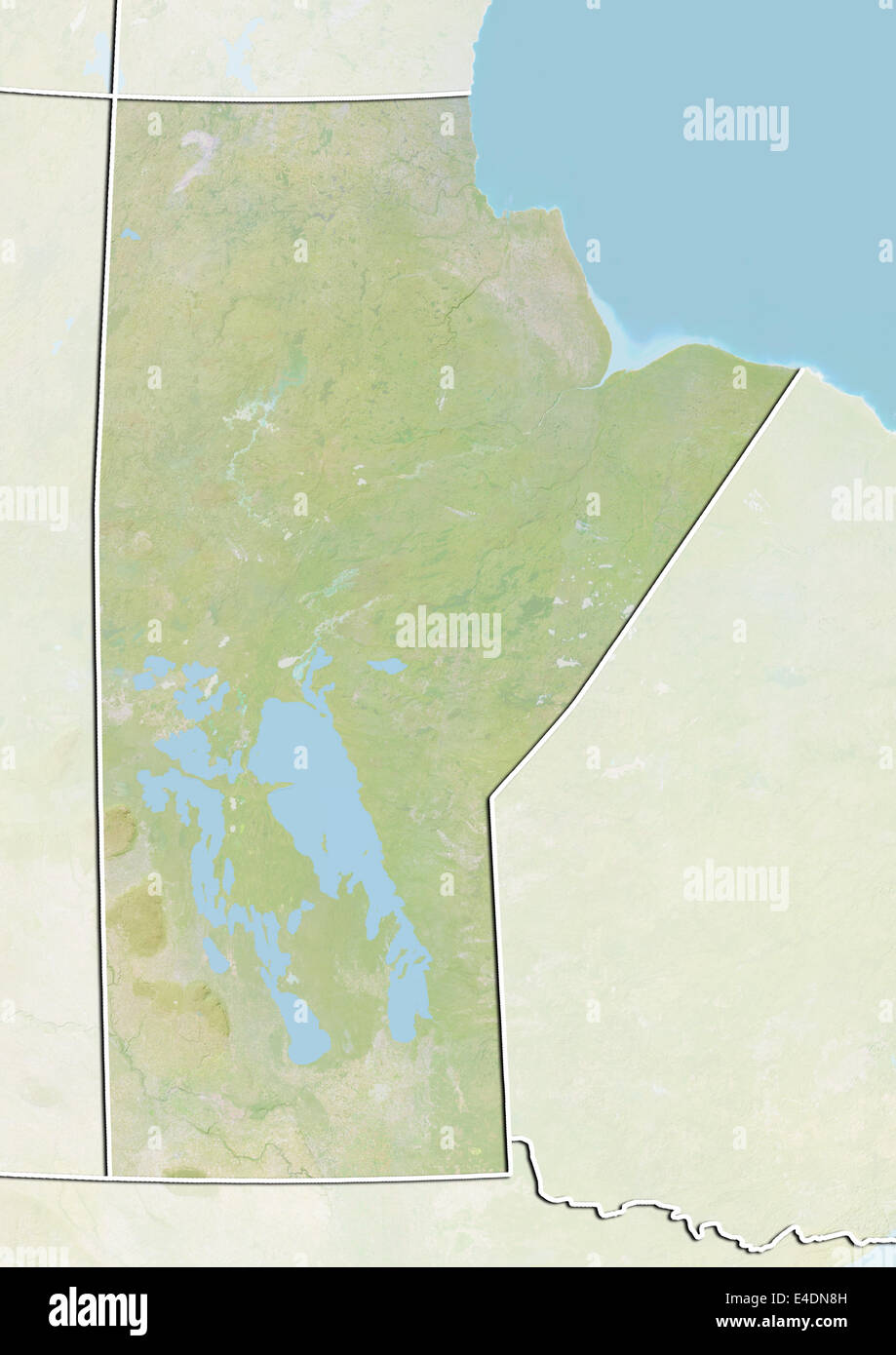 Province of Manitoba, Canada, Relief Map Stock Photohttps://www.alamy.com/image-license-details/?v=1https://www.alamy.com/stock-photo-province-of-manitoba-canada-relief-map-71602177.html
RME4DN8H–Province of Manitoba, Canada, Relief Map
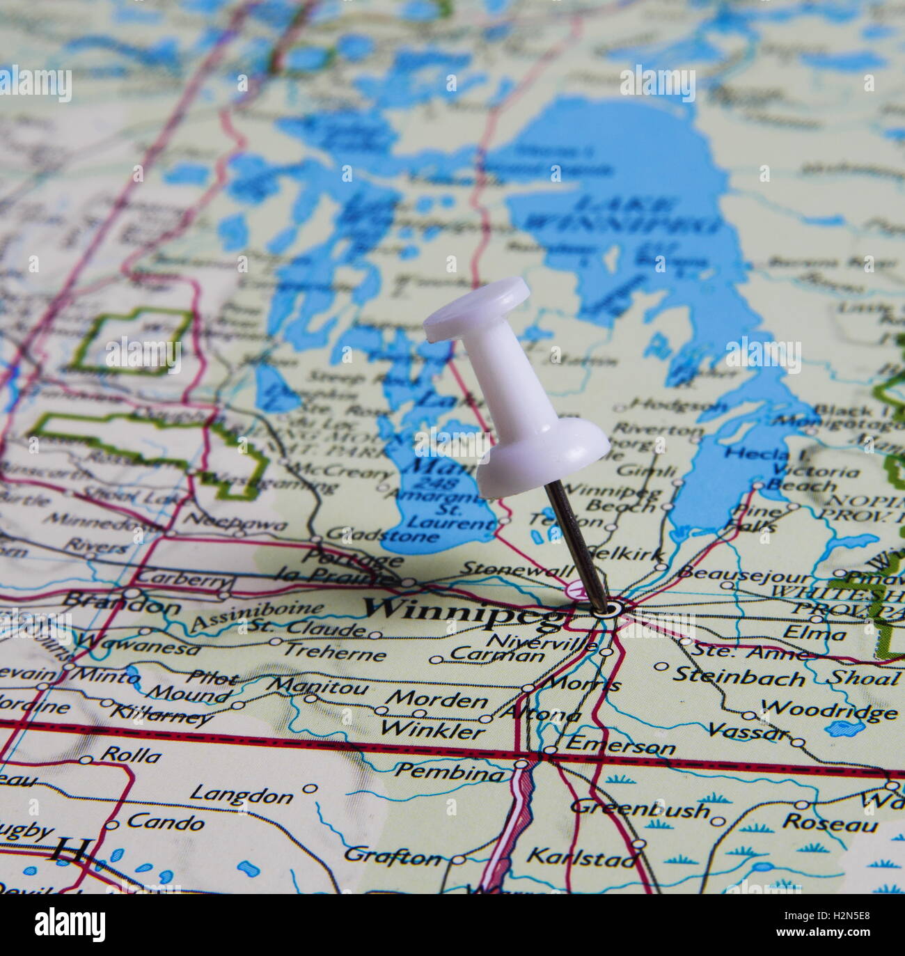 Winnipeg in the map with pin Stock Photohttps://www.alamy.com/image-license-details/?v=1https://www.alamy.com/stock-photo-winnipeg-in-the-map-with-pin-122167200.html
RFH2N5E8–Winnipeg in the map with pin
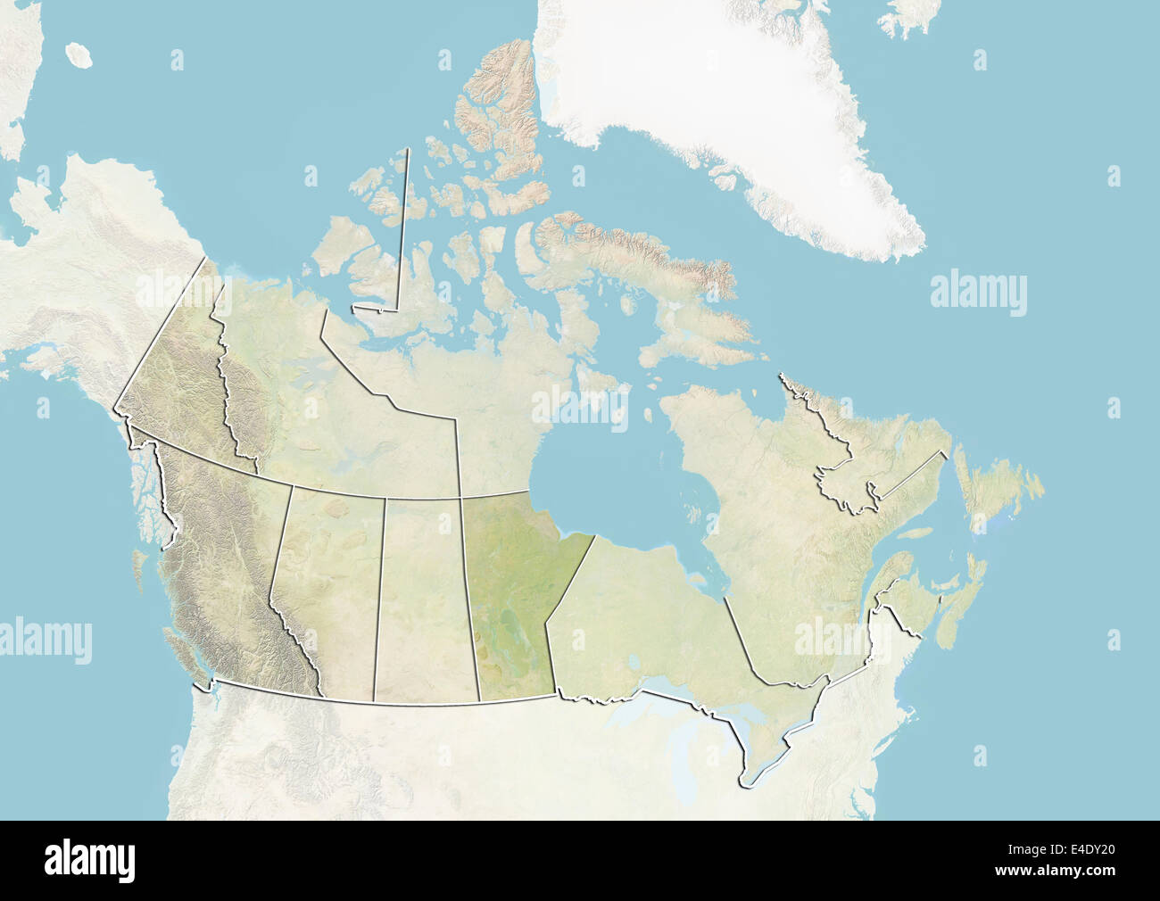 Canada and the Province of Manitoba, Relief Map Stock Photohttps://www.alamy.com/image-license-details/?v=1https://www.alamy.com/stock-photo-canada-and-the-province-of-manitoba-relief-map-71606696.html
RME4DY20–Canada and the Province of Manitoba, Relief Map
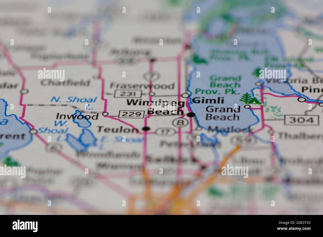 Winnipeg Beach Saskatchewan Canada Shown on a road map or Geography map Stock Photohttps://www.alamy.com/image-license-details/?v=1https://www.alamy.com/winnipeg-beach-saskatchewan-canada-shown-on-a-road-map-or-geography-map-image438949143.html
RM2GE3T33–Winnipeg Beach Saskatchewan Canada Shown on a road map or Geography map
 Lake Winnipeg, Canada, True Colour Satellite Image. True colour satellite image of Lake Winnipeg, in the province of Manitoba, C Stock Photohttps://www.alamy.com/image-license-details/?v=1https://www.alamy.com/stock-photo-lake-winnipeg-canada-true-colour-satellite-image-true-colour-satellite-71606592.html
RME4DXX8–Lake Winnipeg, Canada, True Colour Satellite Image. True colour satellite image of Lake Winnipeg, in the province of Manitoba, C
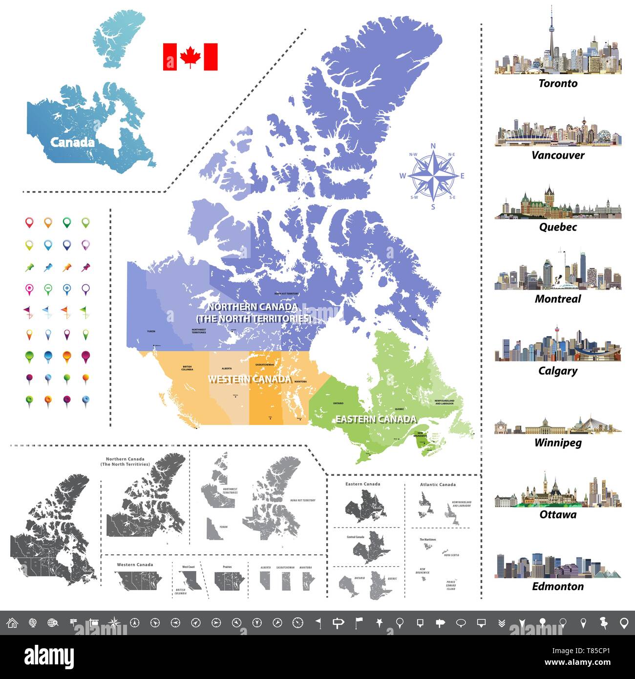 Canadian provinces and territories map colored by regions. Map, flag and largest city skylines of Canada. Stock Vectorhttps://www.alamy.com/image-license-details/?v=1https://www.alamy.com/canadian-provinces-and-territories-map-colored-by-regions-map-flag-and-largest-city-skylines-of-canada-image245982185.html
RFT85CP1–Canadian provinces and territories map colored by regions. Map, flag and largest city skylines of Canada.
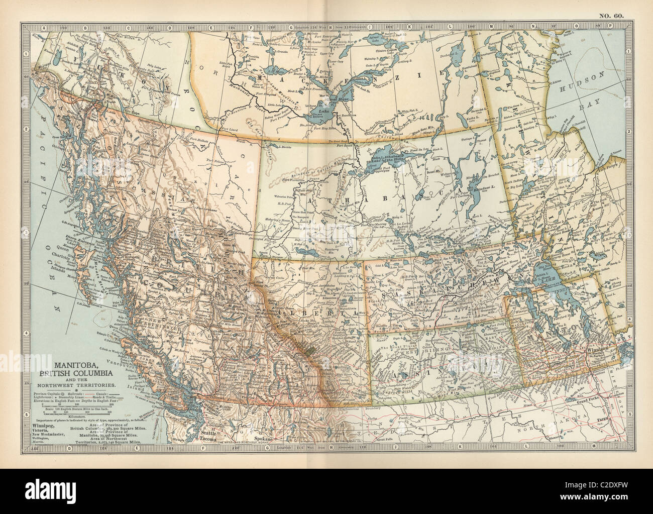 Map of Manitoba and British Columbia Stock Photohttps://www.alamy.com/image-license-details/?v=1https://www.alamy.com/stock-photo-map-of-manitoba-and-british-columbia-35956253.html
RMC2DXFW–Map of Manitoba and British Columbia
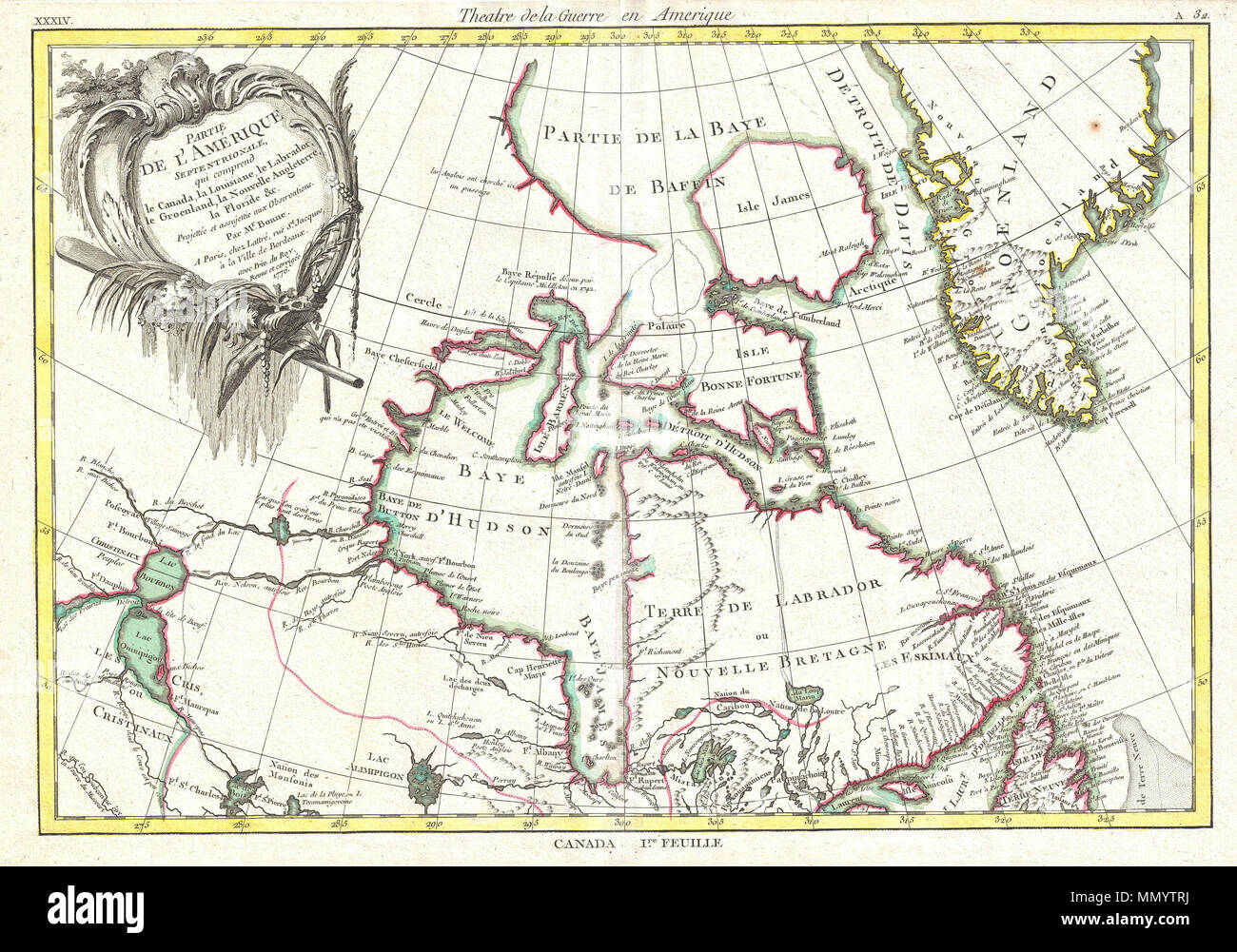 . English: This is an important map of the Hudson Bay and the surrounding areas issued in 1776 by the French cartographer Rigobert Bonne. Covers much of what is today northeastern Canada from Lake Winnipeg to Greenland including all of Hudson Bay. This region was a hotbed of exploration throughout the 18th century. French and English concerns in the New World were desperate for access to the Pacific and the rich Asian markets. These markets had long been dominated by the Spanish who had easy access to the Pacific via Mexico and South America. The French and English set their hopes on a Northw Stock Photohttps://www.alamy.com/image-license-details/?v=1https://www.alamy.com/english-this-is-an-important-map-of-the-hudson-bay-and-the-surrounding-areas-issued-in-1776-by-the-french-cartographer-rigobert-bonne-covers-much-of-what-is-today-northeastern-canada-from-lake-winnipeg-to-greenland-including-all-of-hudson-bay-this-region-was-a-hotbed-of-exploration-throughout-the-18th-century-french-and-english-concerns-in-the-new-world-were-desperate-for-access-to-the-pacific-and-the-rich-asian-markets-these-markets-had-long-been-dominated-by-the-spanish-who-had-easy-access-to-the-pacific-via-mexico-and-south-america-the-french-and-english-set-their-hopes-on-a-northw-image185008982.html
RMMMYTRJ–. English: This is an important map of the Hudson Bay and the surrounding areas issued in 1776 by the French cartographer Rigobert Bonne. Covers much of what is today northeastern Canada from Lake Winnipeg to Greenland including all of Hudson Bay. This region was a hotbed of exploration throughout the 18th century. French and English concerns in the New World were desperate for access to the Pacific and the rich Asian markets. These markets had long been dominated by the Spanish who had easy access to the Pacific via Mexico and South America. The French and English set their hopes on a Northw
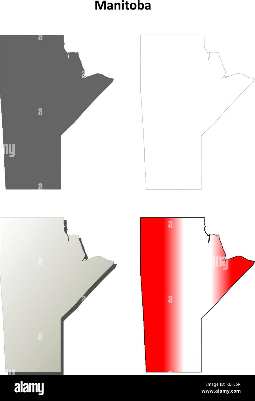 Manitoba blank outline map set Stock Vectorhttps://www.alamy.com/image-license-details/?v=1https://www.alamy.com/stock-image-manitoba-blank-outline-map-set-163838943.html
RFKEFE6R–Manitoba blank outline map set
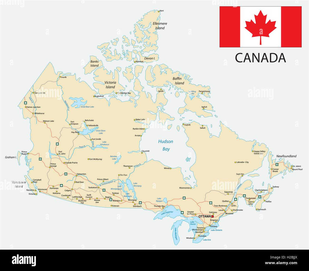 canada road map with flag Stock Vectorhttps://www.alamy.com/image-license-details/?v=1https://www.alamy.com/stock-photo-canada-road-map-with-flag-121958002.html
RFH2BJJX–canada road map with flag
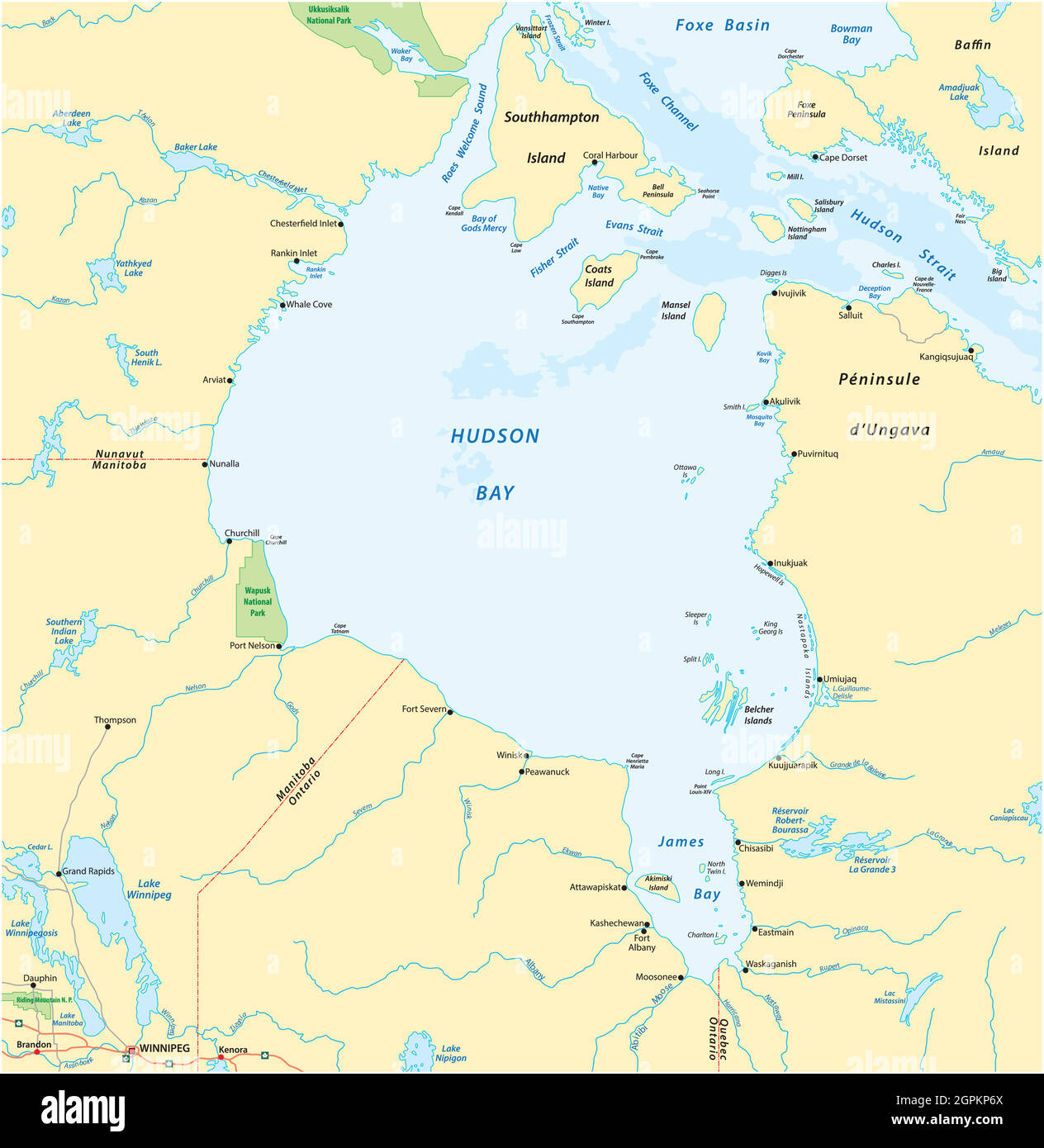 vector map of canadian marginal sea hudson bay Stock Vectorhttps://www.alamy.com/image-license-details/?v=1https://www.alamy.com/vector-map-of-canadian-marginal-sea-hudson-bay-image444216162.html
RF2GPKP6X–vector map of canadian marginal sea hudson bay
 1834 Carey Map World Lakes Western Hemisphere North & South America Stock Photohttps://www.alamy.com/image-license-details/?v=1https://www.alamy.com/1834-carey-map-world-lakes-western-hemisphere-north-south-america-image339558847.html
RF2AMC6NK–1834 Carey Map World Lakes Western Hemisphere North & South America
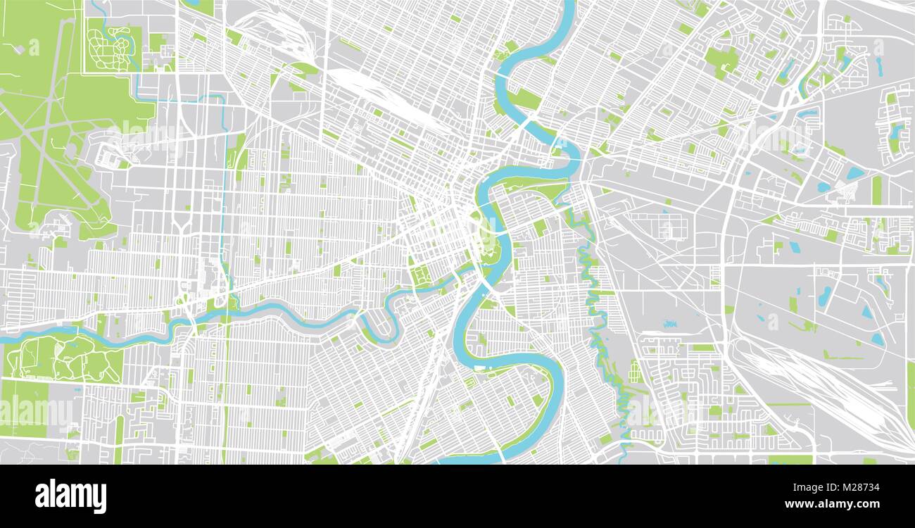 Urban vector city map of Winnipeg, Canada Stock Vectorhttps://www.alamy.com/image-license-details/?v=1https://www.alamy.com/stock-photo-urban-vector-city-map-of-winnipeg-canada-173514184.html
RFM28734–Urban vector city map of Winnipeg, Canada
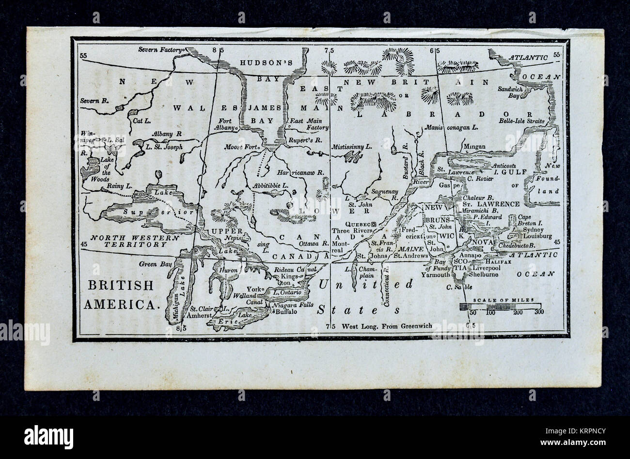 1830 Nathan Hale Map - British America Canada Ontario Quebec Nova Scotia Hudson Bay Great Lakes Stock Photohttps://www.alamy.com/image-license-details/?v=1https://www.alamy.com/stock-image-1830-nathan-hale-map-british-america-canada-ontario-quebec-nova-scotia-169530171.html
RFKRPNCY–1830 Nathan Hale Map - British America Canada Ontario Quebec Nova Scotia Hudson Bay Great Lakes
