Quick filters:
Map of winslow Stock Photos and Images
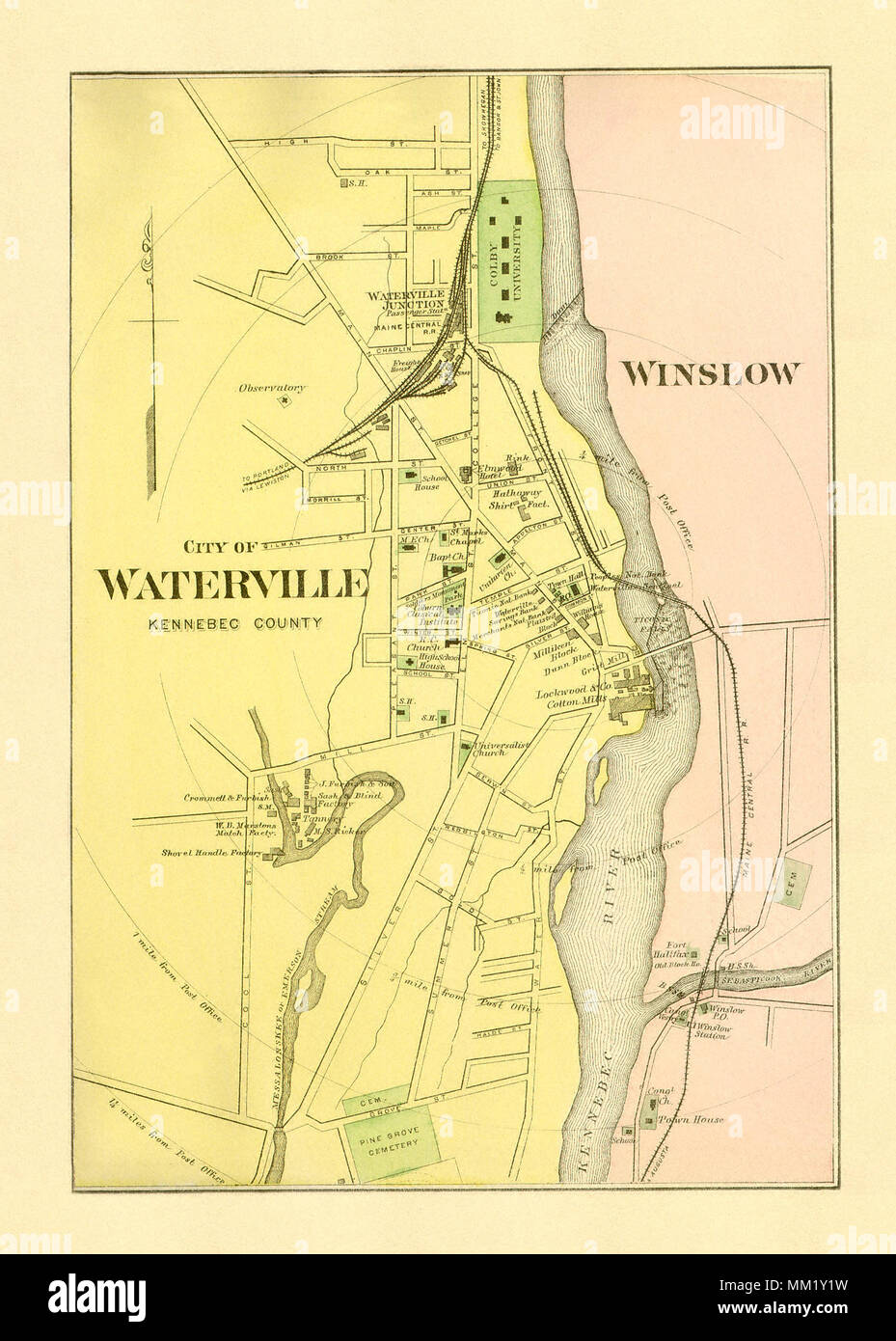 Map of Winslow and Vicinity. 1890 Stock Photohttps://www.alamy.com/image-license-details/?v=1https://www.alamy.com/map-of-winslow-and-vicinity-1890-image184439973.html
RMMM1Y1W–Map of Winslow and Vicinity. 1890
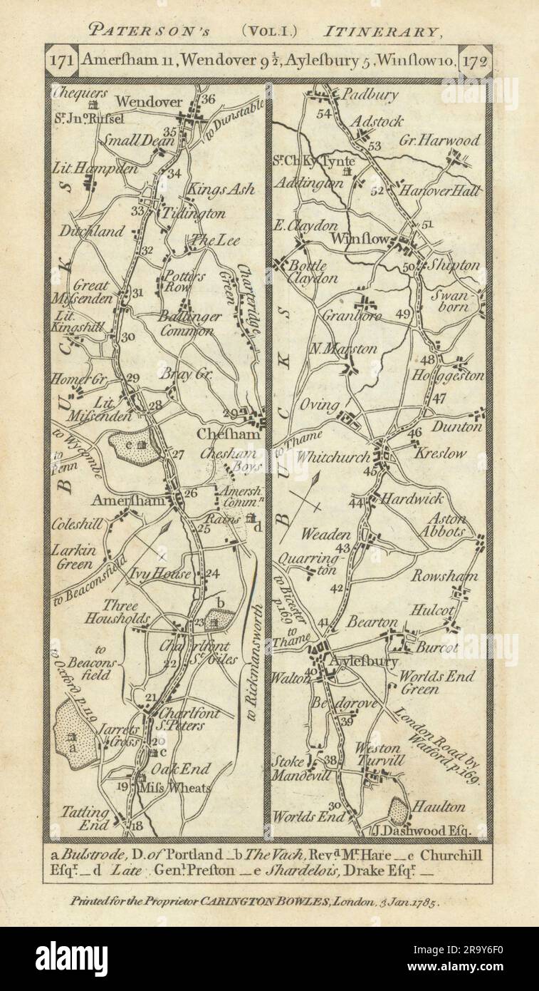 Chalfonts-Amersham-Wendover-Aylesbury-Winslow road strip map PATERSON 1785 Stock Photohttps://www.alamy.com/image-license-details/?v=1https://www.alamy.com/chalfonts-amersham-wendover-aylesbury-winslow-road-strip-map-paterson-1785-image556861508.html
RF2R9Y6F0–Chalfonts-Amersham-Wendover-Aylesbury-Winslow road strip map PATERSON 1785
 Winslow Nebraska USA Shown on a Geography map or Road map Stock Photohttps://www.alamy.com/image-license-details/?v=1https://www.alamy.com/winslow-nebraska-usa-shown-on-a-geography-map-or-road-map-image426514343.html
RM2FNWBB3–Winslow Nebraska USA Shown on a Geography map or Road map
 Winslow, Moyne, AU, Australia, Victoria, S 38 13' 59'', N 142 26' 59'', map, Cartascapes Map published in 2024. Explore Cartascapes, a map revealing Earth's diverse landscapes, cultures, and ecosystems. Journey through time and space, discovering the interconnectedness of our planet's past, present, and future. Stock Photohttps://www.alamy.com/image-license-details/?v=1https://www.alamy.com/winslow-moyne-au-australia-victoria-s-38-13-59-n-142-26-59-map-cartascapes-map-published-in-2024-explore-cartascapes-a-map-revealing-earths-diverse-landscapes-cultures-and-ecosystems-journey-through-time-and-space-discovering-the-interconnectedness-of-our-planets-past-present-and-future-image625494495.html
RM2Y9HMH3–Winslow, Moyne, AU, Australia, Victoria, S 38 13' 59'', N 142 26' 59'', map, Cartascapes Map published in 2024. Explore Cartascapes, a map revealing Earth's diverse landscapes, cultures, and ecosystems. Journey through time and space, discovering the interconnectedness of our planet's past, present, and future.
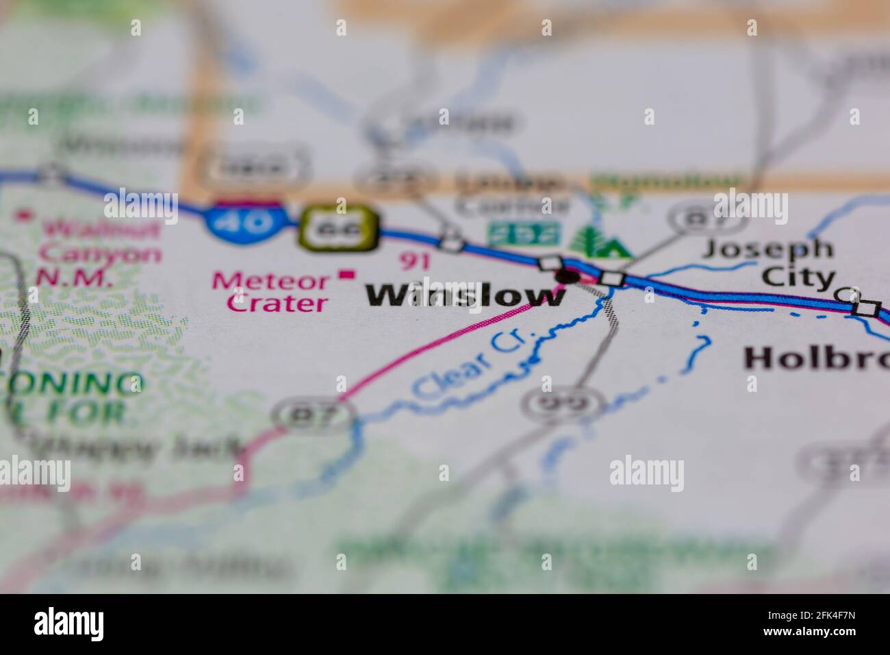 Winslow Arizona USA shown on a geography map or road map Stock Photohttps://www.alamy.com/image-license-details/?v=1https://www.alamy.com/winslow-arizona-usa-shown-on-a-geography-map-or-road-map-image424827081.html
RM2FK4F7N–Winslow Arizona USA shown on a geography map or road map
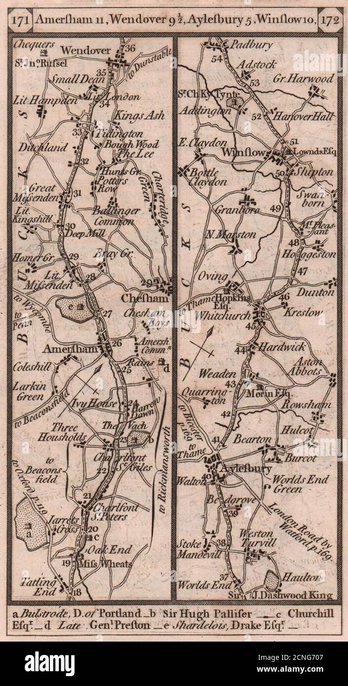 Chalfonts-Amersham-Wendover-Aylesbury-Winslow road strip map PATERSON 1803 Stock Photohttps://www.alamy.com/image-license-details/?v=1https://www.alamy.com/chalfonts-amersham-wendover-aylesbury-winslow-road-strip-map-paterson-1803-image374682231.html
RF2CNG707–Chalfonts-Amersham-Wendover-Aylesbury-Winslow road strip map PATERSON 1803
 Storefront window map of Route 66, Winslow, Arizona, USA Stock Photohttps://www.alamy.com/image-license-details/?v=1https://www.alamy.com/stock-photo-storefront-window-map-of-route-66-winslow-arizona-usa-48473462.html
RMCPT4B2–Storefront window map of Route 66, Winslow, Arizona, USA
 Sanborn Fire Insurance Map from Winslow, Navajo County, Arizona. Stock Photohttps://www.alamy.com/image-license-details/?v=1https://www.alamy.com/sanborn-fire-insurance-map-from-winslow-navajo-county-arizona-image456524680.html
RM2HEMDTT–Sanborn Fire Insurance Map from Winslow, Navajo County, Arizona.
 1840s Victorian Map of Buckinghamshire Stock Photohttps://www.alamy.com/image-license-details/?v=1https://www.alamy.com/stock-photo-1840s-victorian-map-of-buckinghamshire-58663980.html
RFDBCAE4–1840s Victorian Map of Buckinghamshire
 The Map at Rock Art Ranch, Winslow, Arizona, USA Stock Photohttps://www.alamy.com/image-license-details/?v=1https://www.alamy.com/the-map-at-rock-art-ranch-winslow-arizona-usa-image632445029.html
RM2YMXA2D–The Map at Rock Art Ranch, Winslow, Arizona, USA
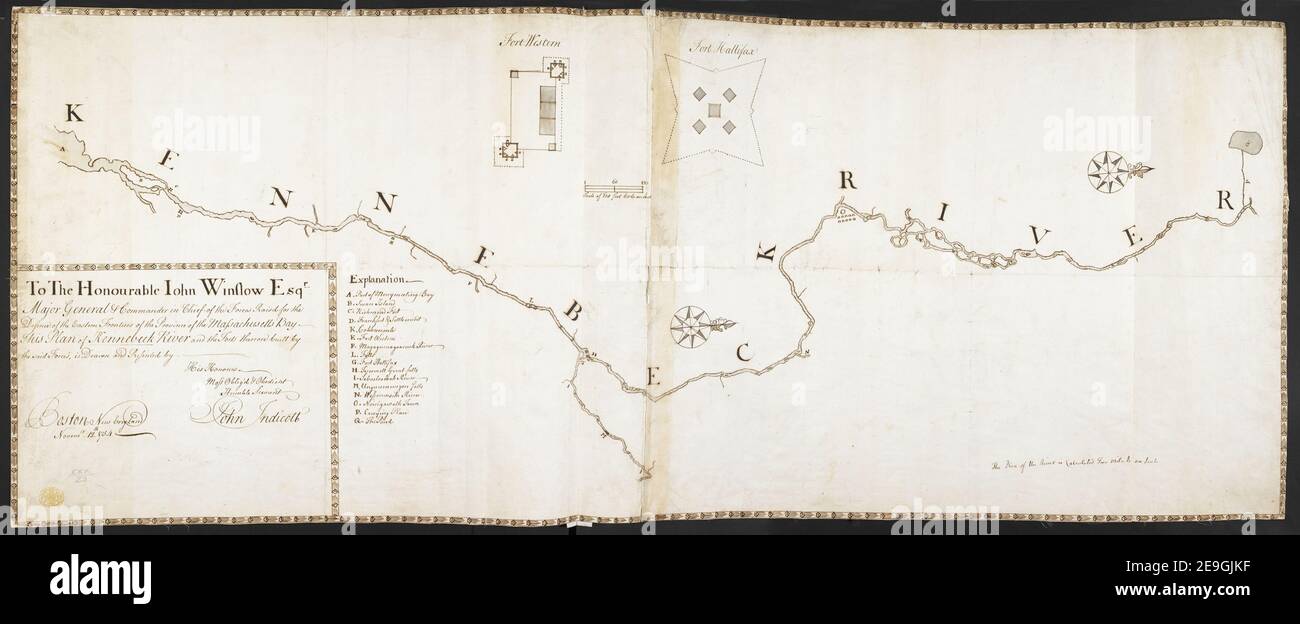 To The Honourable Iohn Winslow Esqr. Major General & Commander in Chief of the Forces Raisd for the Defence of the Eastern Frontiers of the Province of the Massachusetts Bay This Plan of Kennebeck River and the For Author Indicott, John 120.23. Place of publication: Boston New England Publisher: by His Honours Most Oblig'd , Obedient Humble Servant John Indicott, Date of publication: Novemr. 12th. 1754. Item type: 1 map on 2 sheets Medium: joined, manuscript pen and ink with watercolour Dimensions: 44 x 113 cm Former owner: George III, King of Great Bri Stock Photohttps://www.alamy.com/image-license-details/?v=1https://www.alamy.com/to-the-honourable-iohn-winslow-esqr-major-general-commander-in-chief-of-the-forces-raisd-for-the-defence-of-the-eastern-frontiers-of-the-province-of-the-massachusetts-bay-this-plan-of-kennebeck-river-and-the-for-author-indicott-john-12023-place-of-publication-boston-new-england-publisher-by-his-honours-most-obligd-obedient-humble-servant-john-indicott-date-of-publication-novemr-12th-1754-item-type-1-map-on-2-sheets-medium-joined-manuscript-pen-and-ink-with-watercolour-dimensions-44-x-113-cm-former-owner-george-iii-king-of-great-bri-image401736259.html
RM2E9GJKF–To The Honourable Iohn Winslow Esqr. Major General & Commander in Chief of the Forces Raisd for the Defence of the Eastern Frontiers of the Province of the Massachusetts Bay This Plan of Kennebeck River and the For Author Indicott, John 120.23. Place of publication: Boston New England Publisher: by His Honours Most Oblig'd , Obedient Humble Servant John Indicott, Date of publication: Novemr. 12th. 1754. Item type: 1 map on 2 sheets Medium: joined, manuscript pen and ink with watercolour Dimensions: 44 x 113 cm Former owner: George III, King of Great Bri
![Plate 21: [Bounded by Winslow St., Tiffany St., Grinnell Pl., Hunts Point Ave., Sacrahong St., Strain Pl., Edgewater Rd., Ely St., Coster Ave., Casanova St. and Conover Ave.] 1887 by Robinson, E. (Elisha) Stock Photo Plate 21: [Bounded by Winslow St., Tiffany St., Grinnell Pl., Hunts Point Ave., Sacrahong St., Strain Pl., Edgewater Rd., Ely St., Coster Ave., Casanova St. and Conover Ave.] 1887 by Robinson, E. (Elisha) Stock Photo](https://c8.alamy.com/comp/2YP1D2R/plate-21-bounded-by-winslow-st-tiffany-st-grinnell-pl-hunts-point-ave-sacrahong-st-strain-pl-edgewater-rd-ely-st-coster-ave-casanova-st-and-conover-ave-1887-by-robinson-e-elisha-2YP1D2R.jpg) Plate 21: [Bounded by Winslow St., Tiffany St., Grinnell Pl., Hunts Point Ave., Sacrahong St., Strain Pl., Edgewater Rd., Ely St., Coster Ave., Casanova St. and Conover Ave.] 1887 by Robinson, E. (Elisha) Stock Photohttps://www.alamy.com/image-license-details/?v=1https://www.alamy.com/plate-21-bounded-by-winslow-st-tiffany-st-grinnell-pl-hunts-point-ave-sacrahong-st-strain-pl-edgewater-rd-ely-st-coster-ave-casanova-st-and-conover-ave-1887-by-robinson-e-elisha-image633127903.html
Plate 21: [Bounded by Winslow St., Tiffany St., Grinnell Pl., Hunts Point Ave., Sacrahong St., Strain Pl., Edgewater Rd., Ely St., Coster Ave., Casanova St. and Conover Ave.] 1887 by Robinson, E. (Elisha) Stock Photohttps://www.alamy.com/image-license-details/?v=1https://www.alamy.com/plate-21-bounded-by-winslow-st-tiffany-st-grinnell-pl-hunts-point-ave-sacrahong-st-strain-pl-edgewater-rd-ely-st-coster-ave-casanova-st-and-conover-ave-1887-by-robinson-e-elisha-image633127903.htmlRM2YP1D2R–Plate 21: [Bounded by Winslow St., Tiffany St., Grinnell Pl., Hunts Point Ave., Sacrahong St., Strain Pl., Edgewater Rd., Ely St., Coster Ave., Casanova St. and Conover Ave.] 1887 by Robinson, E. (Elisha)
![. OS half inch, Sheet 62 - Buckingham (including) Wellesbourne, Towcester, Chipping Norton, Winslow area [Buckingham area map]-Ordnance Survey of England and Wales. 1903. Ordnance Survey [cartographer] Bodleian Libraries, Buckingham area map 45 Stock Photo . OS half inch, Sheet 62 - Buckingham (including) Wellesbourne, Towcester, Chipping Norton, Winslow area [Buckingham area map]-Ordnance Survey of England and Wales. 1903. Ordnance Survey [cartographer] Bodleian Libraries, Buckingham area map 45 Stock Photo](https://c8.alamy.com/comp/MMRMJN/os-half-inch-sheet-62-buckingham-including-wellesbourne-towcester-chipping-norton-winslow-area-buckingham-area-map-ordnance-survey-of-england-and-wales-1903-ordnance-survey-cartographer-bodleian-libraries-buckingham-area-map-45-MMRMJN.jpg) . OS half inch, Sheet 62 - Buckingham (including) Wellesbourne, Towcester, Chipping Norton, Winslow area [Buckingham area map]-Ordnance Survey of England and Wales. 1903. Ordnance Survey [cartographer] Bodleian Libraries, Buckingham area map 45 Stock Photohttps://www.alamy.com/image-license-details/?v=1https://www.alamy.com/os-half-inch-sheet-62-buckingham-including-wellesbourne-towcester-chipping-norton-winslow-area-buckingham-area-map-ordnance-survey-of-england-and-wales-1903-ordnance-survey-cartographer-bodleian-libraries-buckingham-area-map-45-image184917901.html
. OS half inch, Sheet 62 - Buckingham (including) Wellesbourne, Towcester, Chipping Norton, Winslow area [Buckingham area map]-Ordnance Survey of England and Wales. 1903. Ordnance Survey [cartographer] Bodleian Libraries, Buckingham area map 45 Stock Photohttps://www.alamy.com/image-license-details/?v=1https://www.alamy.com/os-half-inch-sheet-62-buckingham-including-wellesbourne-towcester-chipping-norton-winslow-area-buckingham-area-map-ordnance-survey-of-england-and-wales-1903-ordnance-survey-cartographer-bodleian-libraries-buckingham-area-map-45-image184917901.htmlRMMMRMJN–. OS half inch, Sheet 62 - Buckingham (including) Wellesbourne, Towcester, Chipping Norton, Winslow area [Buckingham area map]-Ordnance Survey of England and Wales. 1903. Ordnance Survey [cartographer] Bodleian Libraries, Buckingham area map 45
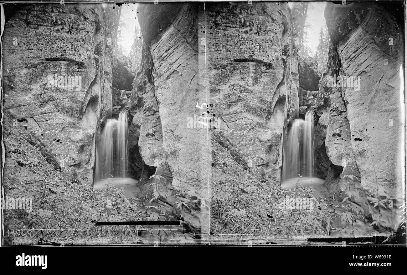 Winslow Creek. Utah, Annus Glen. Similar to 421 which is a close up view of the falls. Hillers photo. (Now called Pine Creek, but shown as Winslow Creek on the Escalante 1:250,000 Quad Map, 1886, by Powell Survey, NC, 1/1968). Old nos. 283, 427, 437, 869. Stock Photohttps://www.alamy.com/image-license-details/?v=1https://www.alamy.com/winslow-creek-utah-annus-glen-similar-to-421-which-is-a-close-up-view-of-the-falls-hillers-photo-now-called-pine-creek-but-shown-as-winslow-creek-on-the-escalante-1250000-quad-map-1886-by-powell-survey-nc-11968-old-nos-283-427-437-869-image262043418.html
RMW6931E–Winslow Creek. Utah, Annus Glen. Similar to 421 which is a close up view of the falls. Hillers photo. (Now called Pine Creek, but shown as Winslow Creek on the Escalante 1:250,000 Quad Map, 1886, by Powell Survey, NC, 1/1968). Old nos. 283, 427, 437, 869.
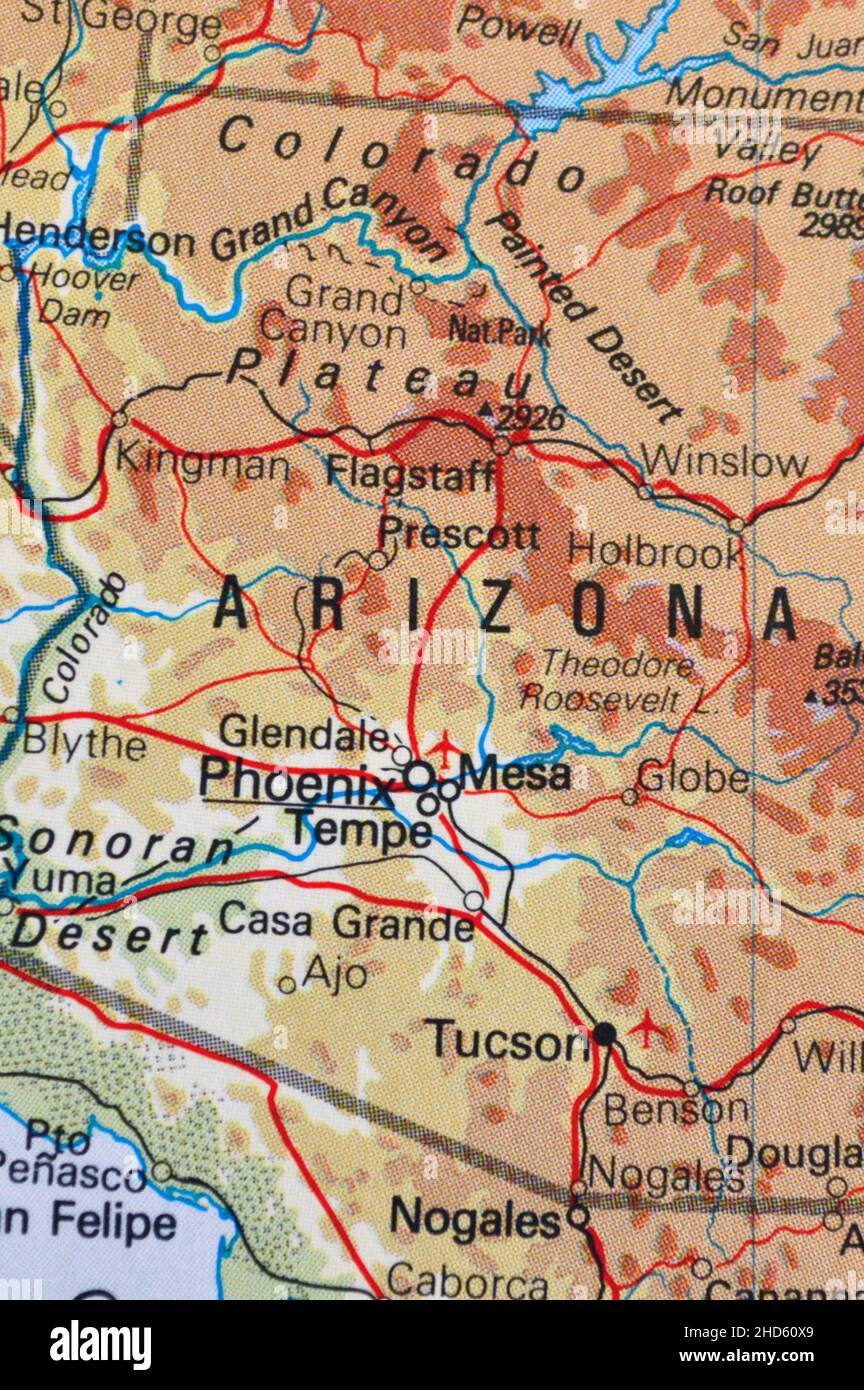 A map of Arizona in the USA showing major cities Stock Photohttps://www.alamy.com/image-license-details/?v=1https://www.alamy.com/a-map-of-arizona-in-the-usa-showing-major-cities-image455592545.html
RF2HD60X9–A map of Arizona in the USA showing major cities
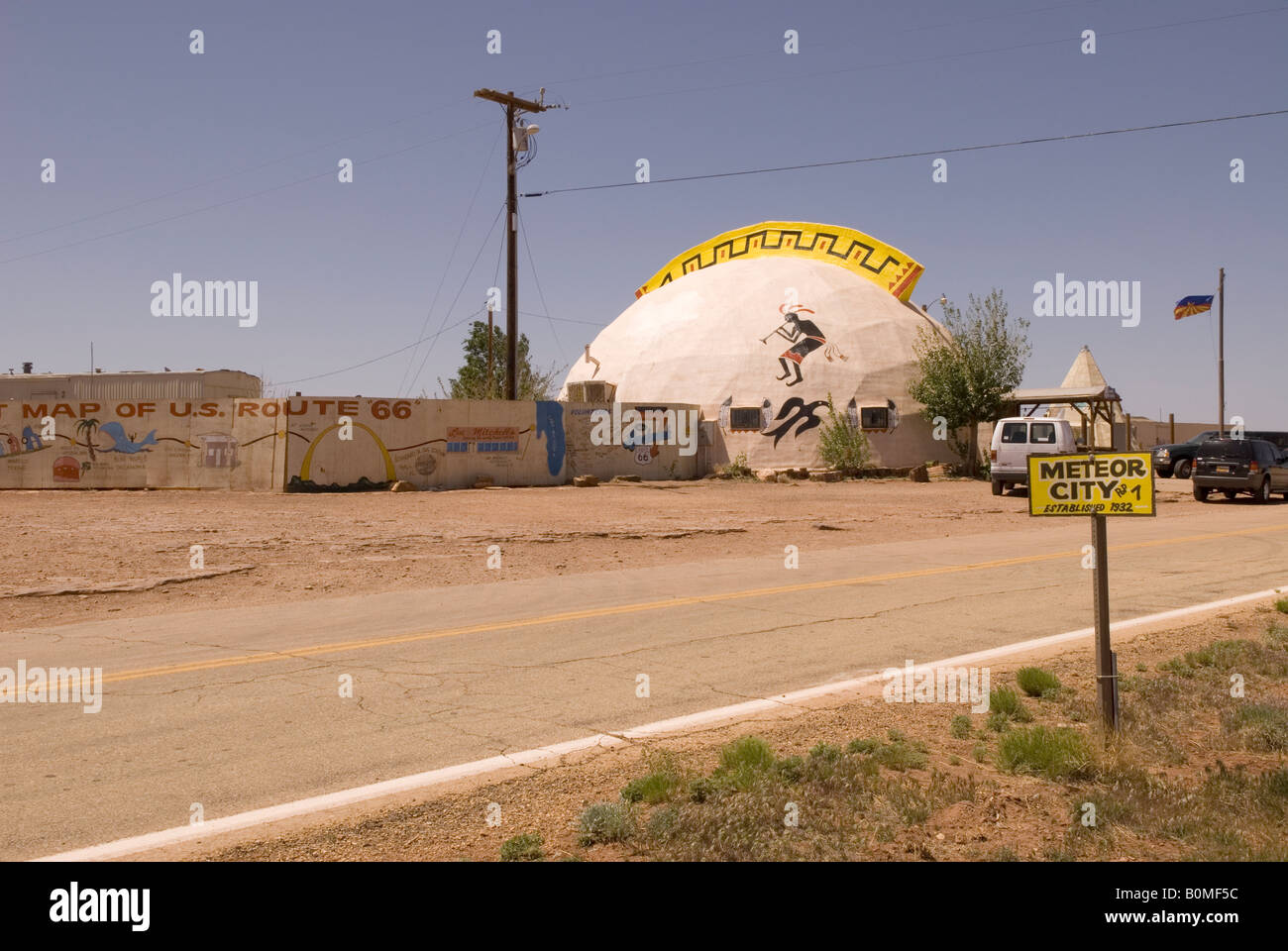 Meteor City Trading Post near Winslow Arizona USA Stock Photohttps://www.alamy.com/image-license-details/?v=1https://www.alamy.com/stock-photo-meteor-city-trading-post-near-winslow-arizona-usa-17661320.html
RMB0MF5C–Meteor City Trading Post near Winslow Arizona USA
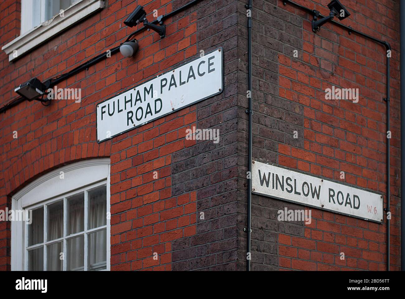 Fulham Palace Road Winslow Road Street Sign Fulham, London, SW6 Stock Photohttps://www.alamy.com/image-license-details/?v=1https://www.alamy.com/fulham-palace-road-winslow-road-street-sign-fulham-london-sw6-image352313048.html
RF2BD56TT–Fulham Palace Road Winslow Road Street Sign Fulham, London, SW6
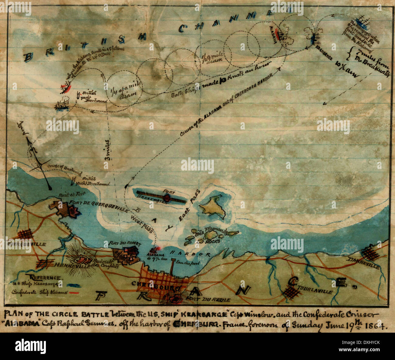 Plan of the circle battle between the U.S. ship 'Keasarge,' Capt. Winslow, and the Confederate cruiser 'Alabama,' Capt. Raphael Semmes, off the harbor of Cherbourg, France : forenoon of Sunday June 19th 1864. Stock Photohttps://www.alamy.com/image-license-details/?v=1https://www.alamy.com/plan-of-the-circle-battle-between-the-us-ship-keasarge-capt-winslow-image68006867.html
RMDXHYCK–Plan of the circle battle between the U.S. ship 'Keasarge,' Capt. Winslow, and the Confederate cruiser 'Alabama,' Capt. Raphael Semmes, off the harbor of Cherbourg, France : forenoon of Sunday June 19th 1864.
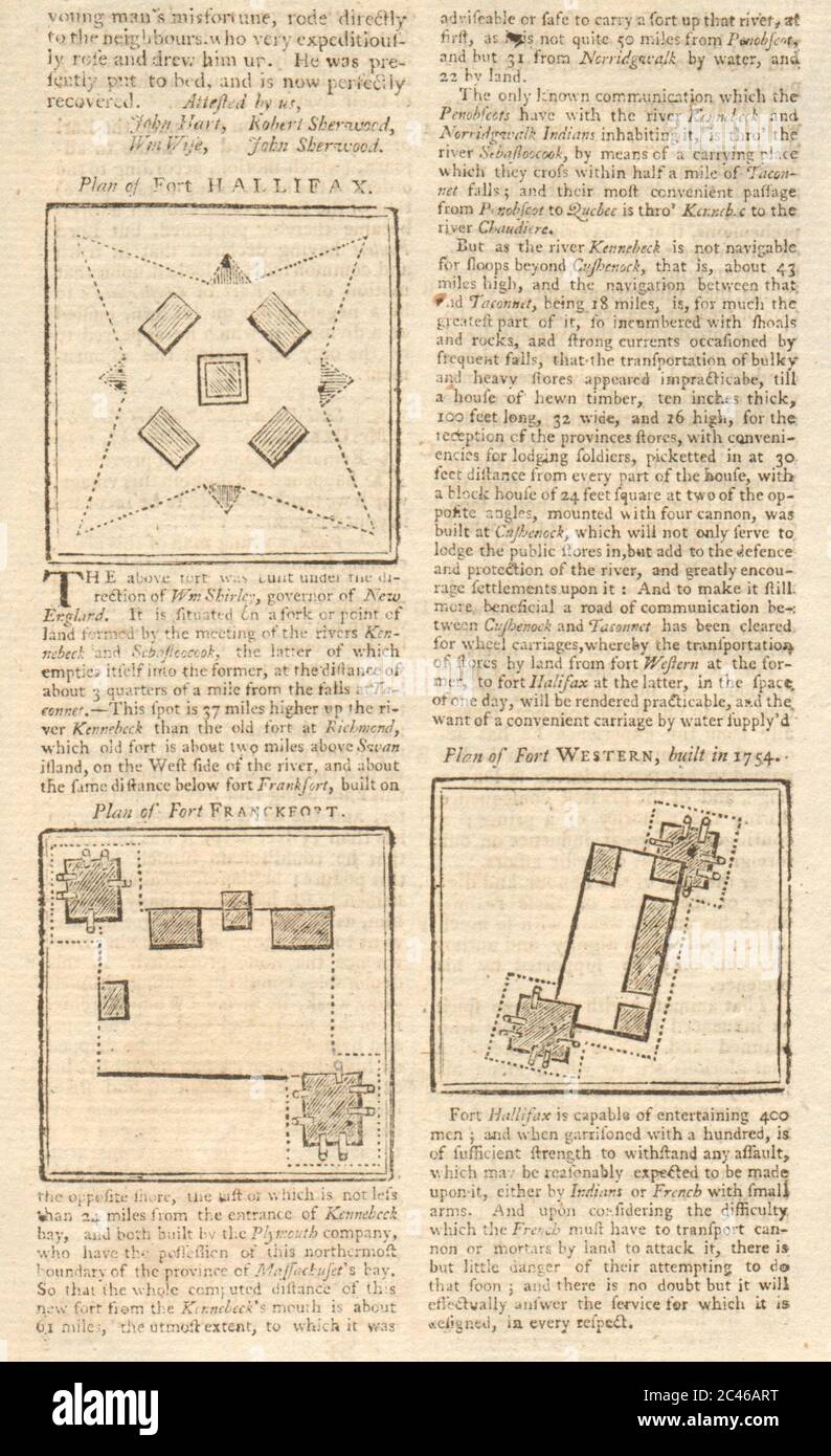 Forts Shirley (or Frankfort), Western & Halifax. Kennebec River, Maine 1755 map Stock Photohttps://www.alamy.com/image-license-details/?v=1https://www.alamy.com/forts-shirley-or-frankfort-western-halifax-kennebec-river-maine-1755-map-image364016572.html
RF2C46ART–Forts Shirley (or Frankfort), Western & Halifax. Kennebec River, Maine 1755 map
 CRAFTS (1868) p2.574 J.A. WINSLOW Stock Photohttps://www.alamy.com/image-license-details/?v=1https://www.alamy.com/stock-photo-crafts-1868-p2574-ja-winslow-73576387.html
RME7KKC3–CRAFTS (1868) p2.574 J.A. WINSLOW
 Emily Winslow Stock Photohttps://www.alamy.com/image-license-details/?v=1https://www.alamy.com/stock-photo-emily-winslow-139778290.html
RMJ3BCHP–Emily Winslow
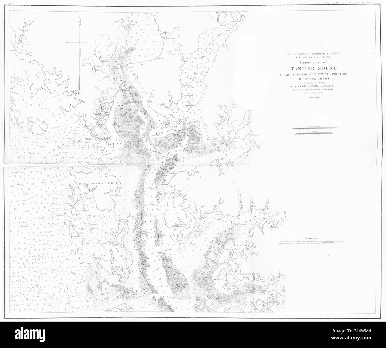 VIRGINIA MARYLAND: USCGS Upper part of Tangier sound chart Oyster beds, 1881 map Stock Photohttps://www.alamy.com/image-license-details/?v=1https://www.alamy.com/stock-photo-virginia-maryland-uscgs-upper-part-of-tangier-sound-chart-oyster-beds-105828804.html
RFG44WM4–VIRGINIA MARYLAND: USCGS Upper part of Tangier sound chart Oyster beds, 1881 map
 Winslow, Moyne, AU, Australia, Victoria, S 38 13' 59'', N 142 26' 59'', map, Cartascapes Map published in 2024. Explore Cartascapes, a map revealing Earth's diverse landscapes, cultures, and ecosystems. Journey through time and space, discovering the interconnectedness of our planet's past, present, and future. Stock Photohttps://www.alamy.com/image-license-details/?v=1https://www.alamy.com/winslow-moyne-au-australia-victoria-s-38-13-59-n-142-26-59-map-cartascapes-map-published-in-2024-explore-cartascapes-a-map-revealing-earths-diverse-landscapes-cultures-and-ecosystems-journey-through-time-and-space-discovering-the-interconnectedness-of-our-planets-past-present-and-future-image625799432.html
RM2YA3HFM–Winslow, Moyne, AU, Australia, Victoria, S 38 13' 59'', N 142 26' 59'', map, Cartascapes Map published in 2024. Explore Cartascapes, a map revealing Earth's diverse landscapes, cultures, and ecosystems. Journey through time and space, discovering the interconnectedness of our planet's past, present, and future.
 Buffalo District Mount Morris Dam experts hosted a meeting in Mount Morris, NY to discuss the Dam's capabilities and how it reduces flooding impacts down stream of the dam. Here Steve Winslow, MMD Park Ranger explains the effects of the Dam on the downstream area using GIS modeling on a map. June 7, 2022. This opportunity allowed USACE employees to hear concerns from the public. The Dam has successfully prevented $3.9B in flood damages since construction and operates as a 'dry-bed dam', meaning water is only impounded when a risk of flooding is forecast - Otherwise, 'run-of-river' flows a Stock Photohttps://www.alamy.com/image-license-details/?v=1https://www.alamy.com/buffalo-district-mount-morris-dam-experts-hosted-a-meeting-in-mount-morris-ny-to-discuss-the-dams-capabilities-and-how-it-reduces-flooding-impacts-down-stream-of-the-dam-here-steve-winslow-mmd-park-ranger-explains-the-effects-of-the-dam-on-the-downstream-area-using-gis-modeling-on-a-map-june-7-2022-this-opportunity-allowed-usace-employees-to-hear-concerns-from-the-public-the-dam-has-successfully-prevented-39b-in-flood-damages-since-construction-and-operates-as-a-dry-bed-dam-meaning-water-is-only-impounded-when-a-risk-of-flooding-is-forecast-otherwise-run-of-river-flows-a-image505847050.html
RM2MAY922–Buffalo District Mount Morris Dam experts hosted a meeting in Mount Morris, NY to discuss the Dam's capabilities and how it reduces flooding impacts down stream of the dam. Here Steve Winslow, MMD Park Ranger explains the effects of the Dam on the downstream area using GIS modeling on a map. June 7, 2022. This opportunity allowed USACE employees to hear concerns from the public. The Dam has successfully prevented $3.9B in flood damages since construction and operates as a 'dry-bed dam', meaning water is only impounded when a risk of flooding is forecast - Otherwise, 'run-of-river' flows a
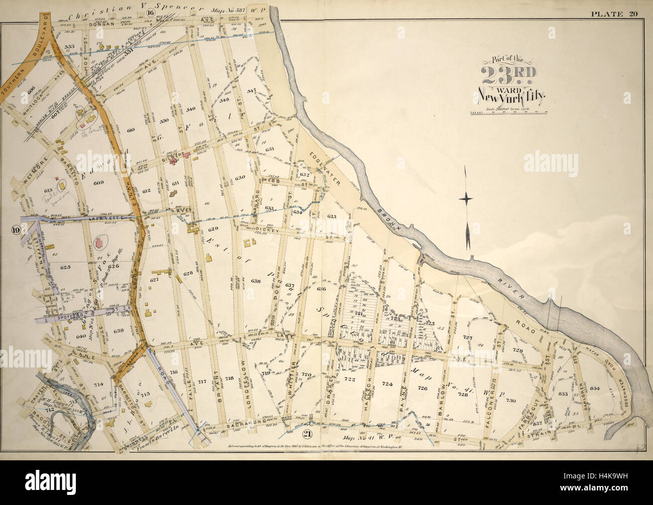 Plate 20: Bounded by Dongan Ave., Edgewater Rd., Strain Pl., Sacrahong St., Grinnell Pl., Tiffany St., Winslow St., Bacon St. Stock Photohttps://www.alamy.com/image-license-details/?v=1https://www.alamy.com/stock-photo-plate-20-bounded-by-dongan-ave-edgewater-rd-strain-pl-sacrahong-st-123356061.html
RMH4K9WH–Plate 20: Bounded by Dongan Ave., Edgewater Rd., Strain Pl., Sacrahong St., Grinnell Pl., Tiffany St., Winslow St., Bacon St.
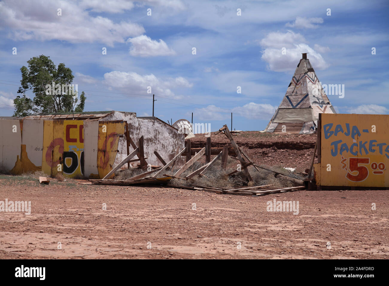 Winslow, Arizona, USA - The Ransacked Remains of Meteor City Trading Post along historic Route 66 on a sunny day 2015 Stock Photohttps://www.alamy.com/image-license-details/?v=1https://www.alamy.com/winslow-arizona-usa-the-ransacked-remains-of-meteor-city-trading-post-along-historic-route-66-on-a-sunny-day-2015-image329795745.html
RM2A4FDRD–Winslow, Arizona, USA - The Ransacked Remains of Meteor City Trading Post along historic Route 66 on a sunny day 2015
 Sanborn Fire Insurance Map from Winslow, Navajo County, Arizona. Stock Photohttps://www.alamy.com/image-license-details/?v=1https://www.alamy.com/sanborn-fire-insurance-map-from-winslow-navajo-county-arizona-image456524678.html
RM2HEMDTP–Sanborn Fire Insurance Map from Winslow, Navajo County, Arizona.
 Vintage map of Buckinghamshire 1900s Stock Photohttps://www.alamy.com/image-license-details/?v=1https://www.alamy.com/vintage-map-of-buckinghamshire-1900s-image406987103.html
RF2EJ3T5K–Vintage map of Buckinghamshire 1900s
 The Map at Rock Art Ranch, Winslow, Arizona, USA Stock Photohttps://www.alamy.com/image-license-details/?v=1https://www.alamy.com/the-map-at-rock-art-ranch-winslow-arizona-usa-image632444872.html
RM2YMX9TT–The Map at Rock Art Ranch, Winslow, Arizona, USA
![A Plan of the Wooden Peer built in Lake George by Col. Bagly in novemb:r 1756 Which he charged Genr:l Winslow 60:L for. Map information: Title: A Plan of the Wooden Peer built in Lake George by Col. Bagly in novemb:r 1756 Which he charged Genr:l Winslow 60:L for. 121.27. Place of publication: [Fort William Henry?] Publisher: [built by Colonel Bagly, drawn by Captain James Abercrombie?] Date of publication: [about. 1756.] Item type: 1 map Medium: manuscript pen and ink with watercolour Dimensions: 14 x 23 cm Former owner: George III, King of Great Britai Stock Photo A Plan of the Wooden Peer built in Lake George by Col. Bagly in novemb:r 1756 Which he charged Genr:l Winslow 60:L for. Map information: Title: A Plan of the Wooden Peer built in Lake George by Col. Bagly in novemb:r 1756 Which he charged Genr:l Winslow 60:L for. 121.27. Place of publication: [Fort William Henry?] Publisher: [built by Colonel Bagly, drawn by Captain James Abercrombie?] Date of publication: [about. 1756.] Item type: 1 map Medium: manuscript pen and ink with watercolour Dimensions: 14 x 23 cm Former owner: George III, King of Great Britai Stock Photo](https://c8.alamy.com/comp/2E9GKE9/a-plan-of-the-wooden-peer-built-in-lake-george-by-col-bagly-in-novembr-1756-which-he-charged-genrl-winslow-60l-for-map-information-title-a-plan-of-the-wooden-peer-built-in-lake-george-by-col-bagly-in-novembr-1756-which-he-charged-genrl-winslow-60l-for-12127-place-of-publication-fort-william-henry-publisher-built-by-colonel-bagly-drawn-by-captain-james-abercrombie-date-of-publication-about-1756-item-type-1-map-medium-manuscript-pen-and-ink-with-watercolour-dimensions-14-x-23-cm-former-owner-george-iii-king-of-great-britai-2E9GKE9.jpg) A Plan of the Wooden Peer built in Lake George by Col. Bagly in novemb:r 1756 Which he charged Genr:l Winslow 60:L for. Map information: Title: A Plan of the Wooden Peer built in Lake George by Col. Bagly in novemb:r 1756 Which he charged Genr:l Winslow 60:L for. 121.27. Place of publication: [Fort William Henry?] Publisher: [built by Colonel Bagly, drawn by Captain James Abercrombie?] Date of publication: [about. 1756.] Item type: 1 map Medium: manuscript pen and ink with watercolour Dimensions: 14 x 23 cm Former owner: George III, King of Great Britai Stock Photohttps://www.alamy.com/image-license-details/?v=1https://www.alamy.com/a-plan-of-the-wooden-peer-built-in-lake-george-by-col-bagly-in-novembr-1756-which-he-charged-genrl-winslow-60l-for-map-information-title-a-plan-of-the-wooden-peer-built-in-lake-george-by-col-bagly-in-novembr-1756-which-he-charged-genrl-winslow-60l-for-12127-place-of-publication-fort-william-henry-publisher-built-by-colonel-bagly-drawn-by-captain-james-abercrombie-date-of-publication-about-1756-item-type-1-map-medium-manuscript-pen-and-ink-with-watercolour-dimensions-14-x-23-cm-former-owner-george-iii-king-of-great-britai-image401736897.html
A Plan of the Wooden Peer built in Lake George by Col. Bagly in novemb:r 1756 Which he charged Genr:l Winslow 60:L for. Map information: Title: A Plan of the Wooden Peer built in Lake George by Col. Bagly in novemb:r 1756 Which he charged Genr:l Winslow 60:L for. 121.27. Place of publication: [Fort William Henry?] Publisher: [built by Colonel Bagly, drawn by Captain James Abercrombie?] Date of publication: [about. 1756.] Item type: 1 map Medium: manuscript pen and ink with watercolour Dimensions: 14 x 23 cm Former owner: George III, King of Great Britai Stock Photohttps://www.alamy.com/image-license-details/?v=1https://www.alamy.com/a-plan-of-the-wooden-peer-built-in-lake-george-by-col-bagly-in-novembr-1756-which-he-charged-genrl-winslow-60l-for-map-information-title-a-plan-of-the-wooden-peer-built-in-lake-george-by-col-bagly-in-novembr-1756-which-he-charged-genrl-winslow-60l-for-12127-place-of-publication-fort-william-henry-publisher-built-by-colonel-bagly-drawn-by-captain-james-abercrombie-date-of-publication-about-1756-item-type-1-map-medium-manuscript-pen-and-ink-with-watercolour-dimensions-14-x-23-cm-former-owner-george-iii-king-of-great-britai-image401736897.htmlRM2E9GKE9–A Plan of the Wooden Peer built in Lake George by Col. Bagly in novemb:r 1756 Which he charged Genr:l Winslow 60:L for. Map information: Title: A Plan of the Wooden Peer built in Lake George by Col. Bagly in novemb:r 1756 Which he charged Genr:l Winslow 60:L for. 121.27. Place of publication: [Fort William Henry?] Publisher: [built by Colonel Bagly, drawn by Captain James Abercrombie?] Date of publication: [about. 1756.] Item type: 1 map Medium: manuscript pen and ink with watercolour Dimensions: 14 x 23 cm Former owner: George III, King of Great Britai
![Plate 19: [Bounded by Bungay St., Southern Blvd., Prospect Ave., Dongan St., Fox St., Barretto St., Wetmore Ave.,Tiffany St., Craven St., Bacon St., Winslow St., Conover Ave. and Edgewater Road.] 1887 by Robinson, E. (Elisha) Stock Photo Plate 19: [Bounded by Bungay St., Southern Blvd., Prospect Ave., Dongan St., Fox St., Barretto St., Wetmore Ave.,Tiffany St., Craven St., Bacon St., Winslow St., Conover Ave. and Edgewater Road.] 1887 by Robinson, E. (Elisha) Stock Photo](https://c8.alamy.com/comp/2YP1D2N/plate-19-bounded-by-bungay-st-southern-blvd-prospect-ave-dongan-st-fox-st-barretto-st-wetmore-avetiffany-st-craven-st-bacon-st-winslow-st-conover-ave-and-edgewater-road-1887-by-robinson-e-elisha-2YP1D2N.jpg) Plate 19: [Bounded by Bungay St., Southern Blvd., Prospect Ave., Dongan St., Fox St., Barretto St., Wetmore Ave.,Tiffany St., Craven St., Bacon St., Winslow St., Conover Ave. and Edgewater Road.] 1887 by Robinson, E. (Elisha) Stock Photohttps://www.alamy.com/image-license-details/?v=1https://www.alamy.com/plate-19-bounded-by-bungay-st-southern-blvd-prospect-ave-dongan-st-fox-st-barretto-st-wetmore-avetiffany-st-craven-st-bacon-st-winslow-st-conover-ave-and-edgewater-road-1887-by-robinson-e-elisha-image633127901.html
Plate 19: [Bounded by Bungay St., Southern Blvd., Prospect Ave., Dongan St., Fox St., Barretto St., Wetmore Ave.,Tiffany St., Craven St., Bacon St., Winslow St., Conover Ave. and Edgewater Road.] 1887 by Robinson, E. (Elisha) Stock Photohttps://www.alamy.com/image-license-details/?v=1https://www.alamy.com/plate-19-bounded-by-bungay-st-southern-blvd-prospect-ave-dongan-st-fox-st-barretto-st-wetmore-avetiffany-st-craven-st-bacon-st-winslow-st-conover-ave-and-edgewater-road-1887-by-robinson-e-elisha-image633127901.htmlRM2YP1D2N–Plate 19: [Bounded by Bungay St., Southern Blvd., Prospect Ave., Dongan St., Fox St., Barretto St., Wetmore Ave.,Tiffany St., Craven St., Bacon St., Winslow St., Conover Ave. and Edgewater Road.] 1887 by Robinson, E. (Elisha)
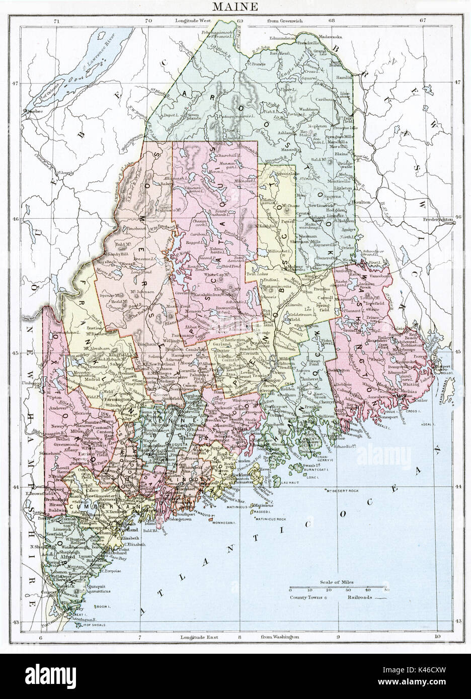 Antique map, circa 1875, of Maine Stock Photohttps://www.alamy.com/image-license-details/?v=1https://www.alamy.com/antique-map-circa-1875-of-maine-image157493809.html
RMK46CXW–Antique map, circa 1875, of Maine
 Winslow Creek. Utah, Annus Glen. Similar to 421 which is a close up view of the falls. Hillers photo. (Now called Pine Creek, but shown as Winslow Creek on the Escalante 1:250,000 Quad Map, 1886, by Powell Survey, NC, 1/1968). Old nos. 283, 427, 437, 869. Stock Photohttps://www.alamy.com/image-license-details/?v=1https://www.alamy.com/winslow-creek-utah-annus-glen-similar-to-421-which-is-a-close-up-view-of-the-falls-hillers-photo-now-called-pine-creek-but-shown-as-winslow-creek-on-the-escalante-1250000-quad-map-1886-by-powell-survey-nc-11968-old-nos-283-427-437-869-image259209455.html
RMW1M08F–Winslow Creek. Utah, Annus Glen. Similar to 421 which is a close up view of the falls. Hillers photo. (Now called Pine Creek, but shown as Winslow Creek on the Escalante 1:250,000 Quad Map, 1886, by Powell Survey, NC, 1/1968). Old nos. 283, 427, 437, 869.
 Route 66 Restaurant Winslow Arizona Stock Photohttps://www.alamy.com/image-license-details/?v=1https://www.alamy.com/route-66-restaurant-winslow-arizona-image5639883.html
RMA03NGC–Route 66 Restaurant Winslow Arizona
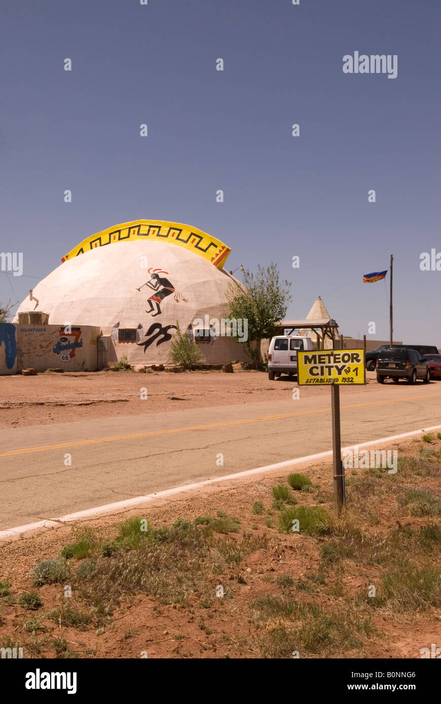 Meteor City Trading Post near Winslow Arizona USA Stock Photohttps://www.alamy.com/image-license-details/?v=1https://www.alamy.com/stock-photo-meteor-city-trading-post-near-winslow-arizona-usa-17688278.html
RMB0NNG6–Meteor City Trading Post near Winslow Arizona USA
 . Historical collections of the state of New Jersey: past and present:. p;c.,... 533 Glass Works at Winslow (view), 524 Jersey City; Hobokcn, 533 Ocea:* CorXTY, 513JlIudson City (1 view), .534 Toms River (I view), 52(jiCiTy of Bergen, 535 Bricksbnrg (1 do.), 52.3 <X)Utinental and Mansion Houses at Jackson; Plumstead, .528 Long Branch, 536 Manchester (I view), 52;^ Elizabetliport (1 view), 530 Stafford; Union, 53(!jCamdcn, Newton, Haddonfield Hist. Union County, 513 Items, 537 Drew Theological Seminary, STGlList of the Goverrors of Now Jersey. Ancient Map of New Jersey 2ii U. S. Watch Co s Stock Photohttps://www.alamy.com/image-license-details/?v=1https://www.alamy.com/historical-collections-of-the-state-of-new-jersey-past-and-present-pc-533-glass-works-at-winslow-view-524-jersey-city-hobokcn-533-ocea-corxty-513jliudson-city-1-view-534-toms-river-i-view-52jicity-of-bergen-535-bricksbnrg-1-do-523-ltxutinental-and-mansion-houses-at-jackson-plumstead-528-long-branch-536-manchester-i-view-52-elizabetliport-1-view-530-stafford-union-53!jcamdcn-newton-haddonfield-hist-union-county-513-items-537-drew-theological-seminary-stgllist-of-the-goverrors-of-now-jersey-ancient-map-of-new-jersey-2ii-u-s-watch-co-s-image336672739.html
RM2AFMNEB–. Historical collections of the state of New Jersey: past and present:. p;c.,... 533 Glass Works at Winslow (view), 524 Jersey City; Hobokcn, 533 Ocea:* CorXTY, 513JlIudson City (1 view), .534 Toms River (I view), 52(jiCiTy of Bergen, 535 Bricksbnrg (1 do.), 52.3 <X)Utinental and Mansion Houses at Jackson; Plumstead, .528 Long Branch, 536 Manchester (I view), 52;^ Elizabetliport (1 view), 530 Stafford; Union, 53(!jCamdcn, Newton, Haddonfield Hist. Union County, 513 Items, 537 Drew Theological Seminary, STGlList of the Goverrors of Now Jersey. Ancient Map of New Jersey 2ii U. S. Watch Co s
 Plate 19: Bounded by Bungay St., Southern Blvd., Prospect Ave., Dongan St., Fox St., Barretto St., Wetmore Ave.,Tiffany St. Stock Photohttps://www.alamy.com/image-license-details/?v=1https://www.alamy.com/stock-photo-plate-19-bounded-by-bungay-st-southern-blvd-prospect-ave-dongan-st-123356060.html
RMH4K9WG–Plate 19: Bounded by Bungay St., Southern Blvd., Prospect Ave., Dongan St., Fox St., Barretto St., Wetmore Ave.,Tiffany St.
 USGS TOPO Map Arkansas AR Winslow 20110727 TM Restoration Stock Photohttps://www.alamy.com/image-license-details/?v=1https://www.alamy.com/usgs-topo-map-arkansas-ar-winslow-20110727-tm-restoration-image242915310.html
RMT35MXP–USGS TOPO Map Arkansas AR Winslow 20110727 TM Restoration
 CRAFTS (1868) p2.574 J.A. WINSLOW Stock Photohttps://www.alamy.com/image-license-details/?v=1https://www.alamy.com/stock-photo-crafts-1868-p2574-ja-winslow-74869710.html
RME9PH26–CRAFTS (1868) p2.574 J.A. WINSLOW
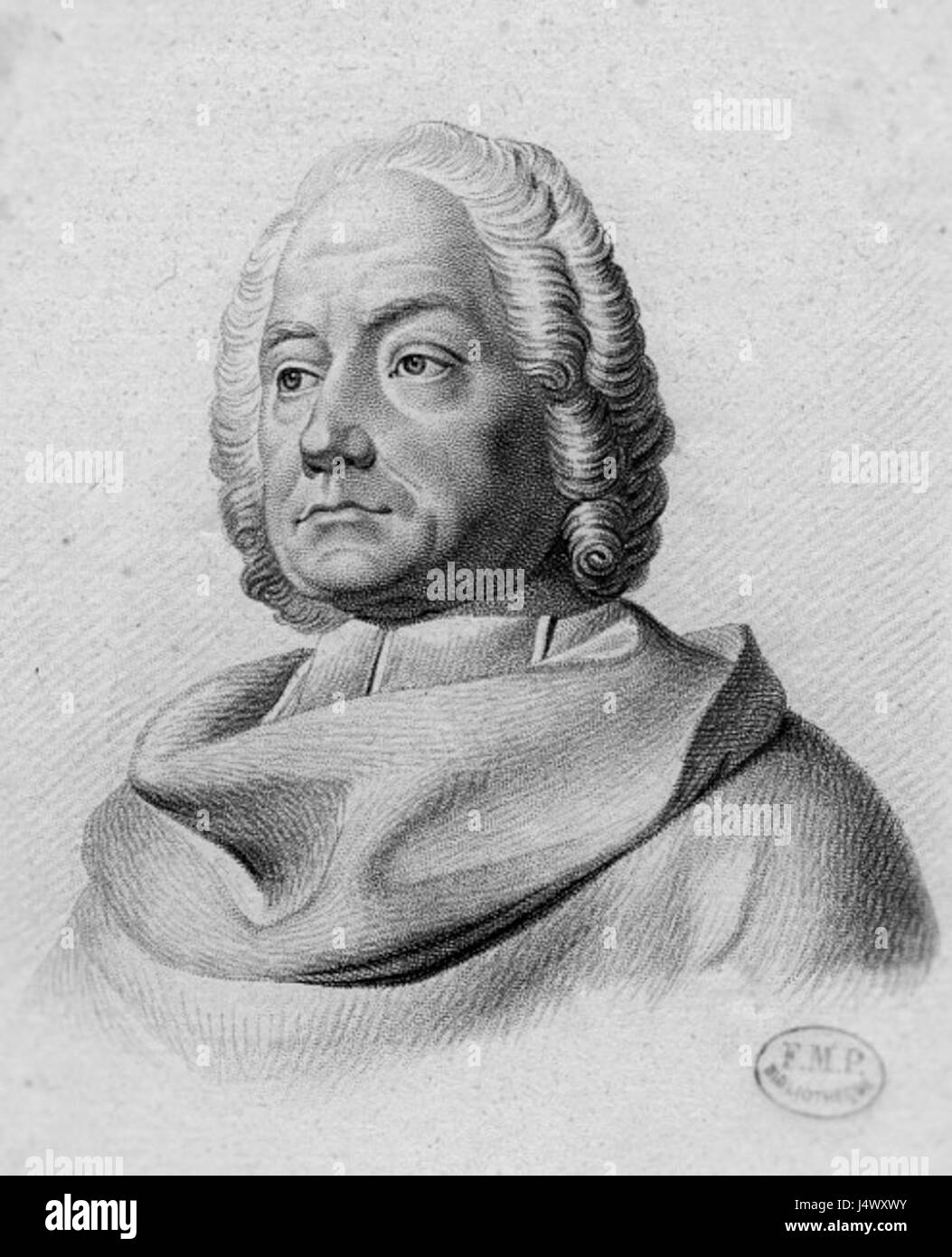 Winslow (2) Stock Photohttps://www.alamy.com/image-license-details/?v=1https://www.alamy.com/stock-photo-winslow-2-140711479.html
RMJ4WXWY–Winslow (2)
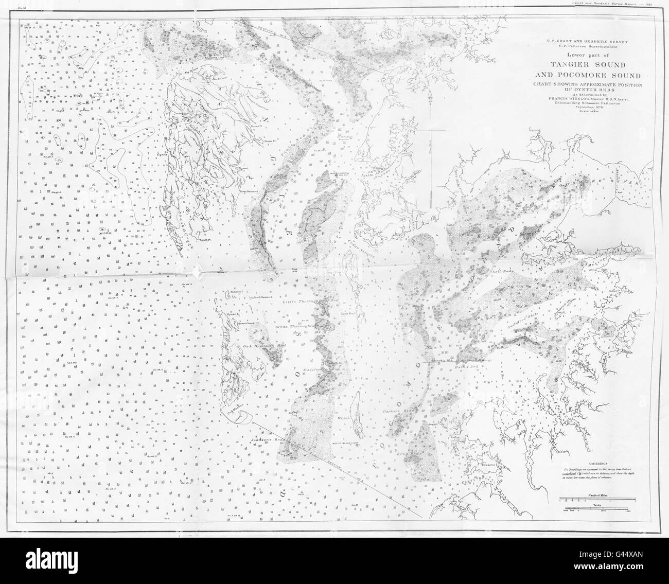 VIRGINIA MARYLAND: USCGS Tangier & Pocomoke sound chart oyster beds, 1881 map Stock Photohttps://www.alamy.com/image-license-details/?v=1https://www.alamy.com/stock-photo-virginia-maryland-uscgs-tangier-pocomoke-sound-chart-oyster-beds-1881-105829325.html
RFG44XAN–VIRGINIA MARYLAND: USCGS Tangier & Pocomoke sound chart oyster beds, 1881 map
 Lake Winslow, , AU, Australia, Victoria, S 38 14' 36'', N 142 27' 9'', map, Cartascapes Map published in 2024. Explore Cartascapes, a map revealing Earth's diverse landscapes, cultures, and ecosystems. Journey through time and space, discovering the interconnectedness of our planet's past, present, and future. Stock Photohttps://www.alamy.com/image-license-details/?v=1https://www.alamy.com/lake-winslow-au-australia-victoria-s-38-14-36-n-142-27-9-map-cartascapes-map-published-in-2024-explore-cartascapes-a-map-revealing-earths-diverse-landscapes-cultures-and-ecosystems-journey-through-time-and-space-discovering-the-interconnectedness-of-our-planets-past-present-and-future-image625823590.html
RM2YA4MAE–Lake Winslow, , AU, Australia, Victoria, S 38 14' 36'', N 142 27' 9'', map, Cartascapes Map published in 2024. Explore Cartascapes, a map revealing Earth's diverse landscapes, cultures, and ecosystems. Journey through time and space, discovering the interconnectedness of our planet's past, present, and future.
 USGS TOPO Map Arizona AZ Winslow 20111026 TM Restoration Stock Photohttps://www.alamy.com/image-license-details/?v=1https://www.alamy.com/usgs-topo-map-arizona-az-winslow-20111026-tm-restoration-image242539689.html
RMT2GHRN–USGS TOPO Map Arizona AZ Winslow 20111026 TM Restoration
 Plate 20: Bounded by Dongan Ave., Edgewater Rd., Strain Pl., Sacrahong St., Grinnell Pl., Tiffany St., Winslow St reimagined Stock Photohttps://www.alamy.com/image-license-details/?v=1https://www.alamy.com/plate-20-bounded-by-dongan-ave-edgewater-rd-strain-pl-sacrahong-st-grinnell-pl-tiffany-st-winslow-st-reimagined-image230182422.html
RFRADM0P–Plate 20: Bounded by Dongan Ave., Edgewater Rd., Strain Pl., Sacrahong St., Grinnell Pl., Tiffany St., Winslow St reimagined
 Winslow, Arizona, USA - The Ransacked Remains of Meteor City Trading Post along historic Route 66 on a sunny day 2015 with copy space Stock Photohttps://www.alamy.com/image-license-details/?v=1https://www.alamy.com/winslow-arizona-usa-the-ransacked-remains-of-meteor-city-trading-post-along-historic-route-66-on-a-sunny-day-2015-with-copy-space-image329795751.html
RM2A4FDRK–Winslow, Arizona, USA - The Ransacked Remains of Meteor City Trading Post along historic Route 66 on a sunny day 2015 with copy space
 Sanborn Fire Insurance Map from Winslow, Navajo County, Arizona. Stock Photohttps://www.alamy.com/image-license-details/?v=1https://www.alamy.com/sanborn-fire-insurance-map-from-winslow-navajo-county-arizona-image456524704.html
RM2HEMDWM–Sanborn Fire Insurance Map from Winslow, Navajo County, Arizona.
 The Map at Rock Art Ranch, Winslow, Arizona, USA Stock Photohttps://www.alamy.com/image-license-details/?v=1https://www.alamy.com/the-map-at-rock-art-ranch-winslow-arizona-usa-image632444798.html
RM2YMX9P6–The Map at Rock Art Ranch, Winslow, Arizona, USA
 Mrs. Winslow Sumner. ; Res. of Winslow Sumner, Darien TP., Genesee Co., N.Y. ; Winslow Sumner. ; Mrs. Dexter Bordwell. ; Res. of Dexter Bordwell, Darien TP., Genesee Co., N.Y. ; Dexter Bordwell. Cartographic. Atlases, Maps. 1876. Lionel Pincus and Princess Firyal Map Division. Genesee County (N.Y.), Real property , New York (State) Stock Photohttps://www.alamy.com/image-license-details/?v=1https://www.alamy.com/mrs-winslow-sumner-res-of-winslow-sumner-darien-tp-genesee-co-ny-winslow-sumner-mrs-dexter-bordwell-res-of-dexter-bordwell-darien-tp-genesee-co-ny-dexter-bordwell-cartographic-atlases-maps-1876-lionel-pincus-and-princess-firyal-map-division-genesee-county-ny-real-property-new-york-state-image484334266.html
RM2K3Y98A–Mrs. Winslow Sumner. ; Res. of Winslow Sumner, Darien TP., Genesee Co., N.Y. ; Winslow Sumner. ; Mrs. Dexter Bordwell. ; Res. of Dexter Bordwell, Darien TP., Genesee Co., N.Y. ; Dexter Bordwell. Cartographic. Atlases, Maps. 1876. Lionel Pincus and Princess Firyal Map Division. Genesee County (N.Y.), Real property , New York (State)
![Plate 20: [Bounded by Dongan Ave., Edgewater Rd., Strain Pl., Sacrahong St., Grinnell Pl., Tiffany St., Winslow St., Bacon St., Craven St., Tiffany St., Wetmore Ave., Barretto St. and Southern Boulevard.] 1887 by Robinson, E. (Elisha) Stock Photo Plate 20: [Bounded by Dongan Ave., Edgewater Rd., Strain Pl., Sacrahong St., Grinnell Pl., Tiffany St., Winslow St., Bacon St., Craven St., Tiffany St., Wetmore Ave., Barretto St. and Southern Boulevard.] 1887 by Robinson, E. (Elisha) Stock Photo](https://c8.alamy.com/comp/2YP1D2P/plate-20-bounded-by-dongan-ave-edgewater-rd-strain-pl-sacrahong-st-grinnell-pl-tiffany-st-winslow-st-bacon-st-craven-st-tiffany-st-wetmore-ave-barretto-st-and-southern-boulevard-1887-by-robinson-e-elisha-2YP1D2P.jpg) Plate 20: [Bounded by Dongan Ave., Edgewater Rd., Strain Pl., Sacrahong St., Grinnell Pl., Tiffany St., Winslow St., Bacon St., Craven St., Tiffany St., Wetmore Ave., Barretto St. and Southern Boulevard.] 1887 by Robinson, E. (Elisha) Stock Photohttps://www.alamy.com/image-license-details/?v=1https://www.alamy.com/plate-20-bounded-by-dongan-ave-edgewater-rd-strain-pl-sacrahong-st-grinnell-pl-tiffany-st-winslow-st-bacon-st-craven-st-tiffany-st-wetmore-ave-barretto-st-and-southern-boulevard-1887-by-robinson-e-elisha-image633127902.html
Plate 20: [Bounded by Dongan Ave., Edgewater Rd., Strain Pl., Sacrahong St., Grinnell Pl., Tiffany St., Winslow St., Bacon St., Craven St., Tiffany St., Wetmore Ave., Barretto St. and Southern Boulevard.] 1887 by Robinson, E. (Elisha) Stock Photohttps://www.alamy.com/image-license-details/?v=1https://www.alamy.com/plate-20-bounded-by-dongan-ave-edgewater-rd-strain-pl-sacrahong-st-grinnell-pl-tiffany-st-winslow-st-bacon-st-craven-st-tiffany-st-wetmore-ave-barretto-st-and-southern-boulevard-1887-by-robinson-e-elisha-image633127902.htmlRM2YP1D2P–Plate 20: [Bounded by Dongan Ave., Edgewater Rd., Strain Pl., Sacrahong St., Grinnell Pl., Tiffany St., Winslow St., Bacon St., Craven St., Tiffany St., Wetmore Ave., Barretto St. and Southern Boulevard.] 1887 by Robinson, E. (Elisha)
 Cartographic, Maps. 1887. Lionel Pincus and Princess Firyal Map Division. New York (N.Y.), Manhattan (New York, N.Y.) Plate 21: Bounded by Winslow St., Tiffany St., Grinnell Pl., Hunts Point Ave., Sacrahong St., Strain Pl., Edgewater Rd., Ely St., Coster Ave., Casanova St. and Conover Ave. Part of the 23rd Ward, New York City. Stock Photohttps://www.alamy.com/image-license-details/?v=1https://www.alamy.com/cartographic-maps-1887-lionel-pincus-and-princess-firyal-map-division-new-york-ny-manhattan-new-york-ny-plate-21-bounded-by-winslow-st-tiffany-st-grinnell-pl-hunts-point-ave-sacrahong-st-strain-pl-edgewater-rd-ely-st-coster-ave-casanova-st-and-conover-ave-part-of-the-23rd-ward-new-york-city-image483726531.html
RM2K2YJ3F–Cartographic, Maps. 1887. Lionel Pincus and Princess Firyal Map Division. New York (N.Y.), Manhattan (New York, N.Y.) Plate 21: Bounded by Winslow St., Tiffany St., Grinnell Pl., Hunts Point Ave., Sacrahong St., Strain Pl., Edgewater Rd., Ely St., Coster Ave., Casanova St. and Conover Ave. Part of the 23rd Ward, New York City.
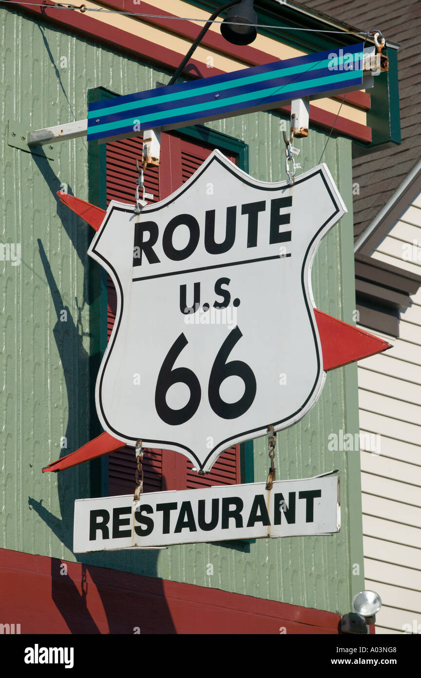 Route 66 Restaurant Winslow Arizona Stock Photohttps://www.alamy.com/image-license-details/?v=1https://www.alamy.com/route-66-restaurant-winslow-arizona-image5639879.html
RMA03NG8–Route 66 Restaurant Winslow Arizona
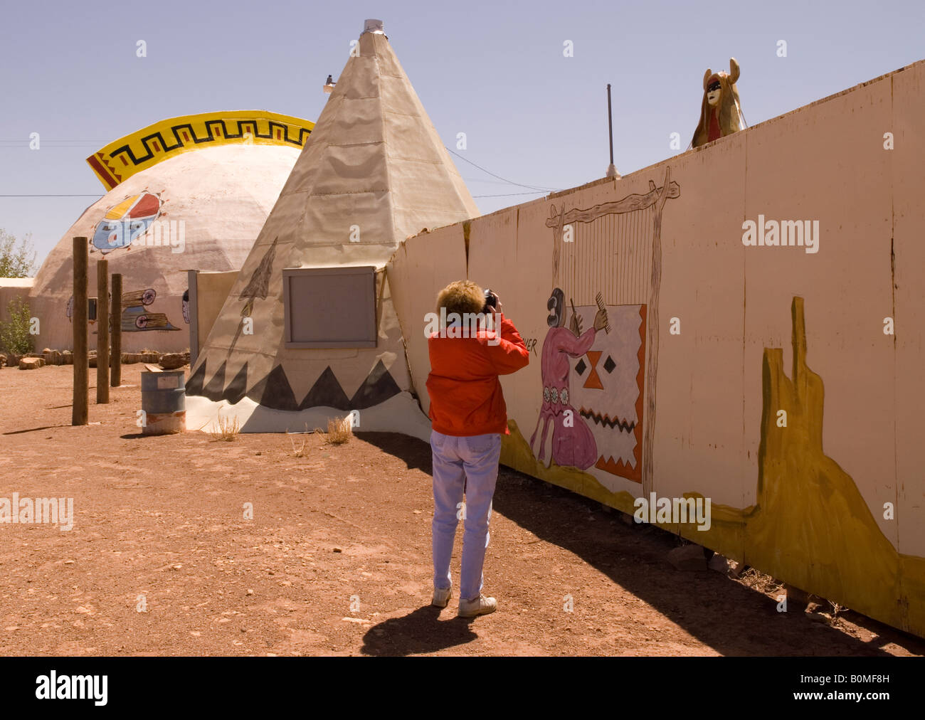 Caucasian Woman (50-55) Snaps Picture at Meteor City Trading Post near Winslow Arizona USA Stock Photohttps://www.alamy.com/image-license-details/?v=1https://www.alamy.com/stock-photo-caucasian-woman-50-55-snaps-picture-at-meteor-city-trading-post-near-17661409.html
RMB0MF8H–Caucasian Woman (50-55) Snaps Picture at Meteor City Trading Post near Winslow Arizona USA
 . P.J. Hannifan & Co.'s new commercial railroad and county map of New Yort State and gazetteer .. . PAUL STELLMYER, Estimates given. Jobbing attended to.Plans and Specifications furnished. WINSLOW AVE., BUFFALO, N. Y. PEACTICAL Stock Photohttps://www.alamy.com/image-license-details/?v=1https://www.alamy.com/pj-hannifan-cos-new-commercial-railroad-and-county-map-of-new-yort-state-and-gazetteer-paul-stellmyer-estimates-given-jobbing-attended-toplans-and-specifications-furnished-winslow-ave-buffalo-n-y-peactical-image374737535.html
RM2CNJNFB–. P.J. Hannifan & Co.'s new commercial railroad and county map of New Yort State and gazetteer .. . PAUL STELLMYER, Estimates given. Jobbing attended to.Plans and Specifications furnished. WINSLOW AVE., BUFFALO, N. Y. PEACTICAL
 CRAFTS (1868) p2.574 J.A. WINSLOW Stock Photohttps://www.alamy.com/image-license-details/?v=1https://www.alamy.com/stock-photo-crafts-1868-p2574-ja-winslow-75160162.html
RMEA7RFE–CRAFTS (1868) p2.574 J.A. WINSLOW
 Benjamin Winslow Dudley Stock Photohttps://www.alamy.com/image-license-details/?v=1https://www.alamy.com/stock-photo-benjamin-winslow-dudley-139511038.html
RMJ2Y7N2–Benjamin Winslow Dudley
 VIRGINIA: USCGS James river Newport news deep water light Oyster beds, 1881 map Stock Photohttps://www.alamy.com/image-license-details/?v=1https://www.alamy.com/stock-photo-virginia-uscgs-james-river-newport-news-deep-water-light-oyster-beds-105828370.html
RFG44W4J–VIRGINIA: USCGS James river Newport news deep water light Oyster beds, 1881 map
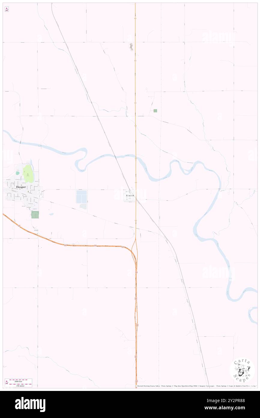 Winslow, Dodge County, US, United States, Nebraska, N 41 36' 32'', S 96 30' 16'', map, Cartascapes Map published in 2024. Explore Cartascapes, a map revealing Earth's diverse landscapes, cultures, and ecosystems. Journey through time and space, discovering the interconnectedness of our planet's past, present, and future. Stock Photohttps://www.alamy.com/image-license-details/?v=1https://www.alamy.com/winslow-dodge-county-us-united-states-nebraska-n-41-36-32-s-96-30-16-map-cartascapes-map-published-in-2024-explore-cartascapes-a-map-revealing-earths-diverse-landscapes-cultures-and-ecosystems-journey-through-time-and-space-discovering-the-interconnectedness-of-our-planets-past-present-and-future-image621303768.html
RM2Y2PR88–Winslow, Dodge County, US, United States, Nebraska, N 41 36' 32'', S 96 30' 16'', map, Cartascapes Map published in 2024. Explore Cartascapes, a map revealing Earth's diverse landscapes, cultures, and ecosystems. Journey through time and space, discovering the interconnectedness of our planet's past, present, and future.
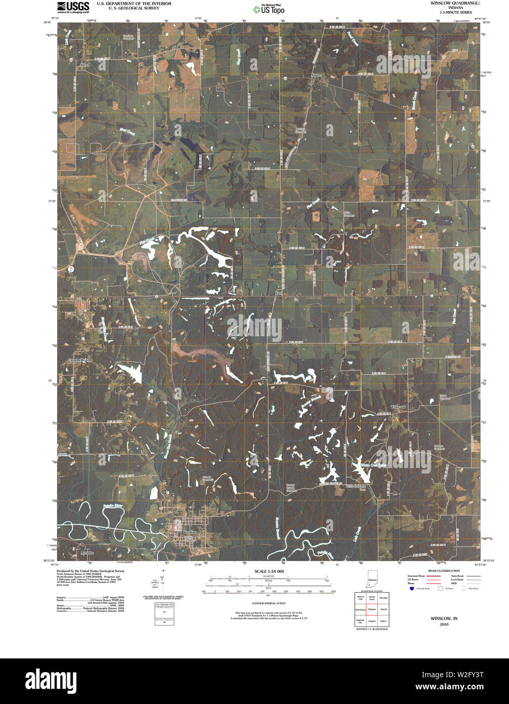 USGS TOPO Map Indiana IN Winslow 20100512 TM Restoration Stock Photohttps://www.alamy.com/image-license-details/?v=1https://www.alamy.com/usgs-topo-map-indiana-in-winslow-20100512-tm-restoration-image259735388.html
RMW2FY3T–USGS TOPO Map Indiana IN Winslow 20100512 TM Restoration
 Plate 20: Bounded by Dongan Ave., Edgewater Rd., Strain Pl., Sacrahong St., Grinnell Pl., Tiffany St., Winslow St reimagined Stock Photohttps://www.alamy.com/image-license-details/?v=1https://www.alamy.com/plate-20-bounded-by-dongan-ave-edgewater-rd-strain-pl-sacrahong-st-grinnell-pl-tiffany-st-winslow-st-reimagined-image230375288.html
RFRAPE0T–Plate 20: Bounded by Dongan Ave., Edgewater Rd., Strain Pl., Sacrahong St., Grinnell Pl., Tiffany St., Winslow St reimagined
 Sanborn Fire Insurance Map from Winslow, Navajo County, Arizona. Stock Photohttps://www.alamy.com/image-license-details/?v=1https://www.alamy.com/sanborn-fire-insurance-map-from-winslow-navajo-county-arizona-image456524646.html
RM2HEMDRJ–Sanborn Fire Insurance Map from Winslow, Navajo County, Arizona.
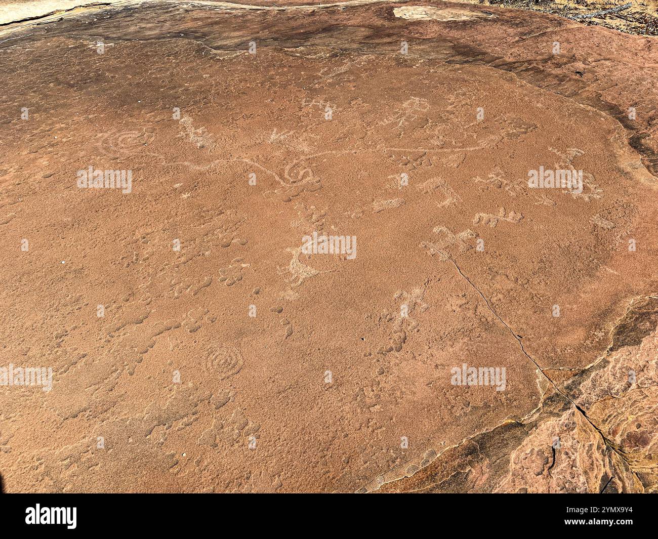 The Map at Rock Art Ranch, Winslow, Arizona, USA Stock Photohttps://www.alamy.com/image-license-details/?v=1https://www.alamy.com/the-map-at-rock-art-ranch-winslow-arizona-usa-image632444936.html
RM2YMX9Y4–The Map at Rock Art Ranch, Winslow, Arizona, USA
 Map of the mines of the Panther Creek Basin in the Southern Anthracite Coal Field in Carbon and Schuykill Counties : showing the shape of the floor of the Mammoth Bed where mined, and its most probable structure in undeveloped areas by contour lines 50 feet apart 1882 by Lesley, J. P. (J. Peter), 1819-1903 Stock Photohttps://www.alamy.com/image-license-details/?v=1https://www.alamy.com/map-of-the-mines-of-the-panther-creek-basin-in-the-southern-anthracite-coal-field-in-carbon-and-schuykill-counties-showing-the-shape-of-the-floor-of-the-mammoth-bed-where-mined-and-its-most-probable-structure-in-undeveloped-areas-by-contour-lines-50-feet-apart-1882-by-lesley-j-p-j-peter-1819-1903-image633424398.html
RM2YPEY7X–Map of the mines of the Panther Creek Basin in the Southern Anthracite Coal Field in Carbon and Schuykill Counties : showing the shape of the floor of the Mammoth Bed where mined, and its most probable structure in undeveloped areas by contour lines 50 feet apart 1882 by Lesley, J. P. (J. Peter), 1819-1903
 Cartographic, Maps. 1887. Lionel Pincus and Princess Firyal Map Division. New York (N.Y.), Manhattan (New York, N.Y.) Plate 20: Bounded by Dongan Ave., Edgewater Rd., Strain Pl., Sacrahong St., Grinnell Pl., Tiffany St., Winslow St., Bacon St., Craven St., Tiffany St., Wetmore Ave., Barretto St. and Southern Boulevard. Part of the 23rd Ward, New York City. Stock Photohttps://www.alamy.com/image-license-details/?v=1https://www.alamy.com/cartographic-maps-1887-lionel-pincus-and-princess-firyal-map-division-new-york-ny-manhattan-new-york-ny-plate-20-bounded-by-dongan-ave-edgewater-rd-strain-pl-sacrahong-st-grinnell-pl-tiffany-st-winslow-st-bacon-st-craven-st-tiffany-st-wetmore-ave-barretto-st-and-southern-boulevard-part-of-the-23rd-ward-new-york-city-image483728335.html
RM2K2YMBY–Cartographic, Maps. 1887. Lionel Pincus and Princess Firyal Map Division. New York (N.Y.), Manhattan (New York, N.Y.) Plate 20: Bounded by Dongan Ave., Edgewater Rd., Strain Pl., Sacrahong St., Grinnell Pl., Tiffany St., Winslow St., Bacon St., Craven St., Tiffany St., Wetmore Ave., Barretto St. and Southern Boulevard. Part of the 23rd Ward, New York City.
 . P.J. Hannifan & Co.'s new commercial railroad and county map of New Yort State and gazetteer .. . C. J. JANN, Sanitary ** Plumber, Steam 5 Gas Fitting. ALL ORDERS PROMPTLYATTENDED TO. No. 96 Fox St., Buffalo, NX MICHAEL J. BAUMAN, Carpenter* Builder. Estimates furnished. Repairing a specialty.All orders promptly attended to. 284 WINSLOW AVE., BUFFALO, N. Y. Stock Photohttps://www.alamy.com/image-license-details/?v=1https://www.alamy.com/pj-hannifan-cos-new-commercial-railroad-and-county-map-of-new-yort-state-and-gazetteer-c-j-jann-sanitary-plumber-steam-5-gas-fitting-all-orders-promptlyattended-to-no-96-fox-st-buffalo-nx-michael-j-bauman-carpenter-builder-estimates-furnished-repairing-a-specialtyall-orders-promptly-attended-to-284-winslow-ave-buffalo-n-y-image375177331.html
RM2CPAPEB–. P.J. Hannifan & Co.'s new commercial railroad and county map of New Yort State and gazetteer .. . C. J. JANN, Sanitary ** Plumber, Steam 5 Gas Fitting. ALL ORDERS PROMPTLYATTENDED TO. No. 96 Fox St., Buffalo, NX MICHAEL J. BAUMAN, Carpenter* Builder. Estimates furnished. Repairing a specialty.All orders promptly attended to. 284 WINSLOW AVE., BUFFALO, N. Y.
 Winslow Noble (second from left) and others with hunting trophies 30388256891 o Stock Photohttps://www.alamy.com/image-license-details/?v=1https://www.alamy.com/stock-photo-winslow-noble-second-from-left-and-others-with-hunting-trophies-30388256891-147113111.html
RMJF9G7K–Winslow Noble (second from left) and others with hunting trophies 30388256891 o
 Edw. Winslow (NYPL b12349142 424110) Stock Photohttps://www.alamy.com/image-license-details/?v=1https://www.alamy.com/stock-photo-edw-winslow-nypl-b12349142-424110-139794024.html
RMJ3C4KM–Edw. Winslow (NYPL b12349142 424110)
 Winslow, Boyd County, US, United States, Kentucky, N 38 27' 13'', S 82 40' 54'', map, Cartascapes Map published in 2024. Explore Cartascapes, a map revealing Earth's diverse landscapes, cultures, and ecosystems. Journey through time and space, discovering the interconnectedness of our planet's past, present, and future. Stock Photohttps://www.alamy.com/image-license-details/?v=1https://www.alamy.com/winslow-boyd-county-us-united-states-kentucky-n-38-27-13-s-82-40-54-map-cartascapes-map-published-in-2024-explore-cartascapes-a-map-revealing-earths-diverse-landscapes-cultures-and-ecosystems-journey-through-time-and-space-discovering-the-interconnectedness-of-our-planets-past-present-and-future-image621210272.html
RM2Y2JG14–Winslow, Boyd County, US, United States, Kentucky, N 38 27' 13'', S 82 40' 54'', map, Cartascapes Map published in 2024. Explore Cartascapes, a map revealing Earth's diverse landscapes, cultures, and ecosystems. Journey through time and space, discovering the interconnectedness of our planet's past, present, and future.
 Caroline B. Winslow Stock Photohttps://www.alamy.com/image-license-details/?v=1https://www.alamy.com/stock-image-caroline-b-winslow-162768696.html
RMKCPN3M–Caroline B. Winslow
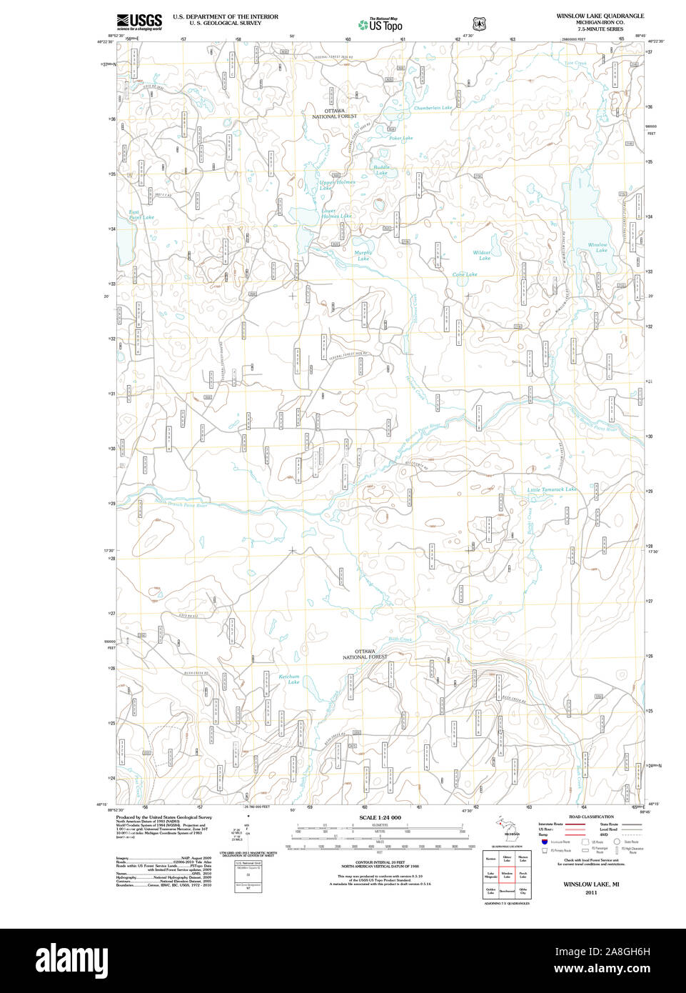 USGS TOPO Map Michigan MI Winslow Lake 20111017 TM Stock Photohttps://www.alamy.com/image-license-details/?v=1https://www.alamy.com/usgs-topo-map-michigan-mi-winslow-lake-20111017-tm-image332278985.html
RM2A8GH6H–USGS TOPO Map Michigan MI Winslow Lake 20111017 TM
 Charlotte Winslow Lowell, 1915 Stock Photohttps://www.alamy.com/image-license-details/?v=1https://www.alamy.com/stock-image-charlotte-winslow-lowell-1915-162751969.html
RMKCNYP9–Charlotte Winslow Lowell, 1915
 Sanborn Fire Insurance Map from Winslow, Navajo County, Arizona. Stock Photohttps://www.alamy.com/image-license-details/?v=1https://www.alamy.com/sanborn-fire-insurance-map-from-winslow-navajo-county-arizona-image456524644.html
RM2HEMDRG–Sanborn Fire Insurance Map from Winslow, Navajo County, Arizona.
 USGS TOPO Map Arkansas AR Winslow 259896 1973 24000 Restoration Stock Photohttps://www.alamy.com/image-license-details/?v=1https://www.alamy.com/usgs-topo-map-arkansas-ar-winslow-259896-1973-24000-restoration-image242915327.html
RMT35MYB–USGS TOPO Map Arkansas AR Winslow 259896 1973 24000 Restoration
 The Map at Rock Art Ranch, Winslow, Arizona, USA Stock Photohttps://www.alamy.com/image-license-details/?v=1https://www.alamy.com/the-map-at-rock-art-ranch-winslow-arizona-usa-image632444878.html
RM2YMX9W2–The Map at Rock Art Ranch, Winslow, Arizona, USA
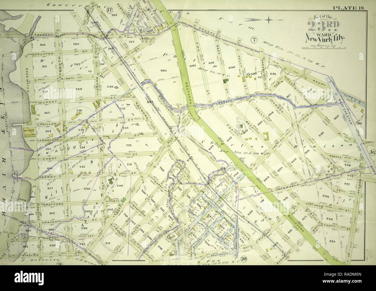 Plate 19: Bounded by Bungay St., Southern Blvd., Prospect Ave., Dongan St., Fox St., Barretto St., Wetmore Ave., reimagined Stock Photohttps://www.alamy.com/image-license-details/?v=1https://www.alamy.com/plate-19-bounded-by-bungay-st-southern-blvd-prospect-ave-dongan-st-fox-st-barretto-st-wetmore-ave-reimagined-image230182421.html
RFRADM0N–Plate 19: Bounded by Bungay St., Southern Blvd., Prospect Ave., Dongan St., Fox St., Barretto St., Wetmore Ave., reimagined
![[S]econd Geolo[gical Survey of Pennsylvania ...?] 1882 by Lesley, J. P. (J. Peter), 1819-1903 Stock Photo [S]econd Geolo[gical Survey of Pennsylvania ...?] 1882 by Lesley, J. P. (J. Peter), 1819-1903 Stock Photo](https://c8.alamy.com/comp/2YPETKH/s-econd-geolo-gical-survey-of-pennsylvania-1882-by-lesley-j-p-j-peter-1819-1903-2YPETKH.jpg) [S]econd Geolo[gical Survey of Pennsylvania ...?] 1882 by Lesley, J. P. (J. Peter), 1819-1903 Stock Photohttps://www.alamy.com/image-license-details/?v=1https://www.alamy.com/s-econd-geolo-gical-survey-of-pennsylvania-1882-by-lesley-j-p-j-peter-1819-1903-image633422373.html
[S]econd Geolo[gical Survey of Pennsylvania ...?] 1882 by Lesley, J. P. (J. Peter), 1819-1903 Stock Photohttps://www.alamy.com/image-license-details/?v=1https://www.alamy.com/s-econd-geolo-gical-survey-of-pennsylvania-1882-by-lesley-j-p-j-peter-1819-1903-image633422373.htmlRM2YPETKH–[S]econd Geolo[gical Survey of Pennsylvania ...?] 1882 by Lesley, J. P. (J. Peter), 1819-1903
 Cartographic, Maps. 1887. Lionel Pincus and Princess Firyal Map Division. New York (N.Y.), Manhattan (New York, N.Y.) Plate 19: Bounded by Bungay St., Southern Blvd., Prospect Ave., Dongan St., Fox St., Barretto St., Wetmore Ave.,Tiffany St., Craven St., Bacon St., Winslow St., Conover Ave. and Edgewater Road. Part of the 23rd Ward, New York City. Stock Photohttps://www.alamy.com/image-license-details/?v=1https://www.alamy.com/cartographic-maps-1887-lionel-pincus-and-princess-firyal-map-division-new-york-ny-manhattan-new-york-ny-plate-19-bounded-by-bungay-st-southern-blvd-prospect-ave-dongan-st-fox-st-barretto-st-wetmore-avetiffany-st-craven-st-bacon-st-winslow-st-conover-ave-and-edgewater-road-part-of-the-23rd-ward-new-york-city-image483724032.html
RM2K2YEX8–Cartographic, Maps. 1887. Lionel Pincus and Princess Firyal Map Division. New York (N.Y.), Manhattan (New York, N.Y.) Plate 19: Bounded by Bungay St., Southern Blvd., Prospect Ave., Dongan St., Fox St., Barretto St., Wetmore Ave.,Tiffany St., Craven St., Bacon St., Winslow St., Conover Ave. and Edgewater Road. Part of the 23rd Ward, New York City.
 . P.J. Hannifan & Co.'s new commercial railroad and county map of New Yort State and gazetteer .. . PAUL STELLMYER, Estimates given. Jobbing attended to.Plans and Specifications furnished. WINSLOW AVE., BUFFALO, N. Y. PEACTICAL. P^QRSESHQER... Contracted Feet x s Treated on Scientific Principles. No. 4 I^ORO STREET, -- gUFFAfcO, N. y. Belko, Madison & Co. CONTRACTORS. Stock Photohttps://www.alamy.com/image-license-details/?v=1https://www.alamy.com/pj-hannifan-cos-new-commercial-railroad-and-county-map-of-new-yort-state-and-gazetteer-paul-stellmyer-estimates-given-jobbing-attended-toplans-and-specifications-furnished-winslow-ave-buffalo-n-y-peactical-pqrseshqer-contracted-feet-x-s-treated-on-scientific-principles-no-4-ioro-street-guffafco-n-y-belko-madison-co-contractors-image374727941.html
RM2CNJ98N–. P.J. Hannifan & Co.'s new commercial railroad and county map of New Yort State and gazetteer .. . PAUL STELLMYER, Estimates given. Jobbing attended to.Plans and Specifications furnished. WINSLOW AVE., BUFFALO, N. Y. PEACTICAL. P^QRSESHQER... Contracted Feet x s Treated on Scientific Principles. No. 4 I^ORO STREET, -- gUFFAfcO, N. y. Belko, Madison & Co. CONTRACTORS.
 Winslow memorial - family records of the Winslows and their descendants in America, with the English ancestry as far as known. Kenelm Winslow (1877) Stock Photohttps://www.alamy.com/image-license-details/?v=1https://www.alamy.com/stock-photo-winslow-memorial-family-records-of-the-winslows-and-their-descendants-98371359.html
RMFM15JR–Winslow memorial - family records of the Winslows and their descendants in America, with the English ancestry as far as known. Kenelm Winslow (1877)
 Winslow, Autauga County, US, United States, Alabama, N 32 30' 58'', S 86 46' 11'', map, Cartascapes Map published in 2024. Explore Cartascapes, a map revealing Earth's diverse landscapes, cultures, and ecosystems. Journey through time and space, discovering the interconnectedness of our planet's past, present, and future. Stock Photohttps://www.alamy.com/image-license-details/?v=1https://www.alamy.com/winslow-autauga-county-us-united-states-alabama-n-32-30-58-s-86-46-11-map-cartascapes-map-published-in-2024-explore-cartascapes-a-map-revealing-earths-diverse-landscapes-cultures-and-ecosystems-journey-through-time-and-space-discovering-the-interconnectedness-of-our-planets-past-present-and-future-image621235698.html
RM2Y2KMD6–Winslow, Autauga County, US, United States, Alabama, N 32 30' 58'', S 86 46' 11'', map, Cartascapes Map published in 2024. Explore Cartascapes, a map revealing Earth's diverse landscapes, cultures, and ecosystems. Journey through time and space, discovering the interconnectedness of our planet's past, present, and future.
 Carlile P. Winslow, William B. Greeley, Howard F. Weiss Stock Photohttps://www.alamy.com/image-license-details/?v=1https://www.alamy.com/stock-image-carlile-p-winslow-william-b-greeley-howard-f-weiss-162758441.html
RMKCP81D–Carlile P. Winslow, William B. Greeley, Howard F. Weiss
 Sanborn Fire Insurance Map from Winslow, Navajo County, Arizona. Stock Photohttps://www.alamy.com/image-license-details/?v=1https://www.alamy.com/sanborn-fire-insurance-map-from-winslow-navajo-county-arizona-image456524648.html
RM2HEMDRM–Sanborn Fire Insurance Map from Winslow, Navajo County, Arizona.
 USGS TOPO Map Arkansas AR Winslow 259898 1973 24000 Restoration Stock Photohttps://www.alamy.com/image-license-details/?v=1https://www.alamy.com/usgs-topo-map-arkansas-ar-winslow-259898-1973-24000-restoration-image242915382.html
RMT35N1A–USGS TOPO Map Arkansas AR Winslow 259898 1973 24000 Restoration
 The Map at Rock Art Ranch, Winslow, Arizona, USA Stock Photohttps://www.alamy.com/image-license-details/?v=1https://www.alamy.com/the-map-at-rock-art-ranch-winslow-arizona-usa-image632444718.html
RM2YMX9KA–The Map at Rock Art Ranch, Winslow, Arizona, USA
 Plate 19: Bounded by Bungay St., Southern Blvd., Prospect Ave., Dongan St., Fox St., Barretto St., Wetmore Ave., reimagined Stock Photohttps://www.alamy.com/image-license-details/?v=1https://www.alamy.com/plate-19-bounded-by-bungay-st-southern-blvd-prospect-ave-dongan-st-fox-st-barretto-st-wetmore-ave-reimagined-image230375279.html
RFRAPE0F–Plate 19: Bounded by Bungay St., Southern Blvd., Prospect Ave., Dongan St., Fox St., Barretto St., Wetmore Ave., reimagined
![Second Geological Survey of Pennsylvania, anthracite district, C[arbon & Schuylkill counties?] 1882 by Lesley, J. P. (J. Peter), 1819-1903 Stock Photo Second Geological Survey of Pennsylvania, anthracite district, C[arbon & Schuylkill counties?] 1882 by Lesley, J. P. (J. Peter), 1819-1903 Stock Photo](https://c8.alamy.com/comp/2YPEWM4/second-geological-survey-of-pennsylvania-anthracite-district-c-arbon-schuylkill-counties-1882-by-lesley-j-p-j-peter-1819-1903-2YPEWM4.jpg) Second Geological Survey of Pennsylvania, anthracite district, C[arbon & Schuylkill counties?] 1882 by Lesley, J. P. (J. Peter), 1819-1903 Stock Photohttps://www.alamy.com/image-license-details/?v=1https://www.alamy.com/second-geological-survey-of-pennsylvania-anthracite-district-c-arbon-schuylkill-counties-1882-by-lesley-j-p-j-peter-1819-1903-image633423172.html
Second Geological Survey of Pennsylvania, anthracite district, C[arbon & Schuylkill counties?] 1882 by Lesley, J. P. (J. Peter), 1819-1903 Stock Photohttps://www.alamy.com/image-license-details/?v=1https://www.alamy.com/second-geological-survey-of-pennsylvania-anthracite-district-c-arbon-schuylkill-counties-1882-by-lesley-j-p-j-peter-1819-1903-image633423172.htmlRM2YPEWM4–Second Geological Survey of Pennsylvania, anthracite district, C[arbon & Schuylkill counties?] 1882 by Lesley, J. P. (J. Peter), 1819-1903
 . P.J. Hannifan & Co.'s new commercial railroad and county map of New Yort State and gazetteer .. . C. J. JANN, Sanitary ** Plumber, Steam 5 Gas Fitting. ALL ORDERS PROMPTLYATTENDED TO. No. 96 Fox St., Buffalo, NX MICHAEL J. BAUMAN, Carpenter* Builder. Estimates furnished. Repairing a specialty.All orders promptly attended to. 284 WINSLOW AVE., BUFFALO, N. Y.. William Bricknell, Contractor a™ gUILDER Stock Photohttps://www.alamy.com/image-license-details/?v=1https://www.alamy.com/pj-hannifan-cos-new-commercial-railroad-and-county-map-of-new-yort-state-and-gazetteer-c-j-jann-sanitary-plumber-steam-5-gas-fitting-all-orders-promptlyattended-to-no-96-fox-st-buffalo-nx-michael-j-bauman-carpenter-builder-estimates-furnished-repairing-a-specialtyall-orders-promptly-attended-to-284-winslow-ave-buffalo-n-y-william-bricknell-contractor-a-guilder-image375167528.html
RM2CPAA08–. P.J. Hannifan & Co.'s new commercial railroad and county map of New Yort State and gazetteer .. . C. J. JANN, Sanitary ** Plumber, Steam 5 Gas Fitting. ALL ORDERS PROMPTLYATTENDED TO. No. 96 Fox St., Buffalo, NX MICHAEL J. BAUMAN, Carpenter* Builder. Estimates furnished. Repairing a specialty.All orders promptly attended to. 284 WINSLOW AVE., BUFFALO, N. Y.. William Bricknell, Contractor a™ gUILDER
 Winslow memorial - family records of the Winslows and their descendants in America, with the English ancestry as far as known. Kenelm Winslow (1877) Stock Photohttps://www.alamy.com/image-license-details/?v=1https://www.alamy.com/stock-photo-winslow-memorial-family-records-of-the-winslows-and-their-descendants-98371360.html
RMFM15JT–Winslow memorial - family records of the Winslows and their descendants in America, with the English ancestry as far as known. Kenelm Winslow (1877)
 Winslow, Jefferson County, US, United States, Pennsylvania, N 40 55' 28'', S 78 53' 2'', map, Cartascapes Map published in 2024. Explore Cartascapes, a map revealing Earth's diverse landscapes, cultures, and ecosystems. Journey through time and space, discovering the interconnectedness of our planet's past, present, and future. Stock Photohttps://www.alamy.com/image-license-details/?v=1https://www.alamy.com/winslow-jefferson-county-us-united-states-pennsylvania-n-40-55-28-s-78-53-2-map-cartascapes-map-published-in-2024-explore-cartascapes-a-map-revealing-earths-diverse-landscapes-cultures-and-ecosystems-journey-through-time-and-space-discovering-the-interconnectedness-of-our-planets-past-present-and-future-image621406699.html
RM2Y2YEGB–Winslow, Jefferson County, US, United States, Pennsylvania, N 40 55' 28'', S 78 53' 2'', map, Cartascapes Map published in 2024. Explore Cartascapes, a map revealing Earth's diverse landscapes, cultures, and ecosystems. Journey through time and space, discovering the interconnectedness of our planet's past, present, and future.
 Homer, Winslow - The Boat Builders - Stock Photohttps://www.alamy.com/image-license-details/?v=1https://www.alamy.com/stock-photo-homer-winslow-the-boat-builders-148412834.html
RMJHCP2A–Homer, Winslow - The Boat Builders -
 Sanborn Fire Insurance Map from Winslow, Stephenson County, Illinois. Stock Photohttps://www.alamy.com/image-license-details/?v=1https://www.alamy.com/sanborn-fire-insurance-map-from-winslow-stephenson-county-illinois-image456524659.html
RM2HEMDT3–Sanborn Fire Insurance Map from Winslow, Stephenson County, Illinois.
 Winslow Road railway station Stock Photohttps://www.alamy.com/image-license-details/?v=1https://www.alamy.com/winslow-road-railway-station-image153187466.html
RMJW684X–Winslow Road railway station
 The Map at Rock Art Ranch, Winslow, Arizona, USA Stock Photohttps://www.alamy.com/image-license-details/?v=1https://www.alamy.com/the-map-at-rock-art-ranch-winslow-arizona-usa-image632444732.html
RM2YMX9KT–The Map at Rock Art Ranch, Winslow, Arizona, USA
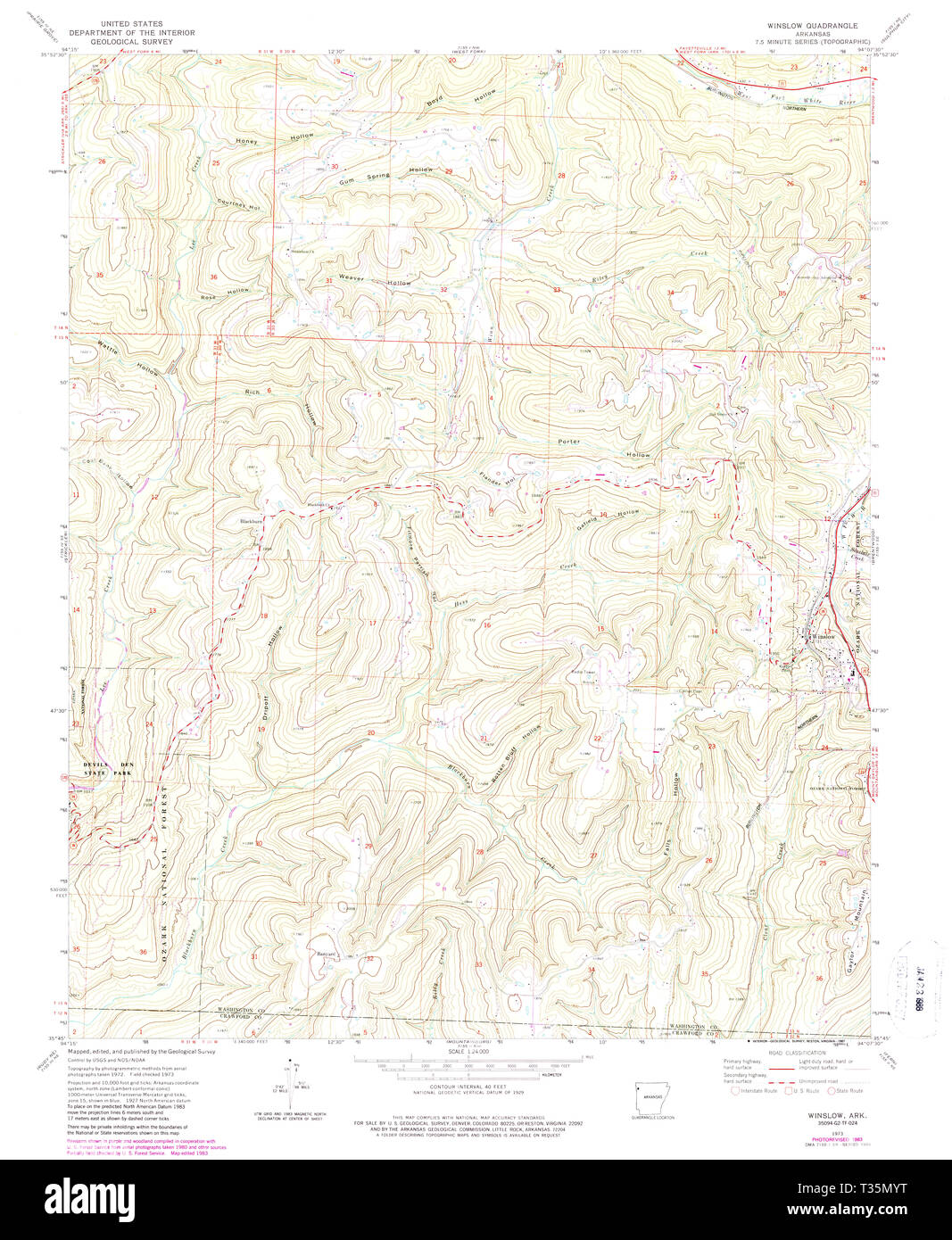 USGS TOPO Map Arkansas AR Winslow 259897 1973 24000 Restoration Stock Photohttps://www.alamy.com/image-license-details/?v=1https://www.alamy.com/usgs-topo-map-arkansas-ar-winslow-259897-1973-24000-restoration-image242915340.html
RMT35MYT–USGS TOPO Map Arkansas AR Winslow 259897 1973 24000 Restoration
 Second Geological Survey of Pennsylvania, anthracite district, Panther Creek Basin, Carbon and Schuylkill counties, Volume I of Southern Coal Field, cross section, Sheet no. I 1882 by Lesley, J. P. (J. Peter), 1819-1903 Stock Photohttps://www.alamy.com/image-license-details/?v=1https://www.alamy.com/second-geological-survey-of-pennsylvania-anthracite-district-panther-creek-basin-carbon-and-schuylkill-counties-volume-i-of-southern-coal-field-cross-section-sheet-no-i-1882-by-lesley-j-p-j-peter-1819-1903-image633423523.html
RM2YPEX4K–Second Geological Survey of Pennsylvania, anthracite district, Panther Creek Basin, Carbon and Schuylkill counties, Volume I of Southern Coal Field, cross section, Sheet no. I 1882 by Lesley, J. P. (J. Peter), 1819-1903
 USGS TOPO Map Arkansas AR Winslow 260570 1901 125000 Restoration Stock Photohttps://www.alamy.com/image-license-details/?v=1https://www.alamy.com/usgs-topo-map-arkansas-ar-winslow-260570-1901-125000-restoration-image242945915.html
RMT373YR–USGS TOPO Map Arkansas AR Winslow 260570 1901 125000 Restoration
 . Sowams; with ancient records of Sowams and parts adjacent--illustrated . rtrait of Josiah Winslow, a Sowams proprietor, . . «• 137 Autographs of some Sowams Proprietors and others, . . • 145Autograph Signatures of a Number of the Sowams Proprietors and Others 146 Photographs of the Committee of Twenty Citizens of Barrington. on the Barrington Centennial, June, 1870, including the Poet, Heze- kiah Butter worth •• The Matthew Watson House at Nayatt The Myles Garrison House at Sowams and Swansea, now Barneys- ville, • Copy of a part of an Ancient Map of New England, Mortons Memo-rial, 1677, ... Stock Photohttps://www.alamy.com/image-license-details/?v=1https://www.alamy.com/sowams-with-ancient-records-of-sowams-and-parts-adjacent-illustrated-rtrait-of-josiah-winslow-a-sowams-proprietor-137-autographs-of-some-sowams-proprietors-and-others-145autograph-signatures-of-a-number-of-the-sowams-proprietors-and-others-146-photographs-of-the-committee-of-twenty-citizens-of-barrington-on-the-barrington-centennial-june-1870-including-the-poet-heze-kiah-butter-worth-the-matthew-watson-house-at-nayatt-the-myles-garrison-house-at-sowams-and-swansea-now-barneys-ville-copy-of-a-part-of-an-ancient-map-of-new-england-mortons-memo-rial-1677-image370016145.html
RM2CDYKA9–. Sowams; with ancient records of Sowams and parts adjacent--illustrated . rtrait of Josiah Winslow, a Sowams proprietor, . . «• 137 Autographs of some Sowams Proprietors and others, . . • 145Autograph Signatures of a Number of the Sowams Proprietors and Others 146 Photographs of the Committee of Twenty Citizens of Barrington. on the Barrington Centennial, June, 1870, including the Poet, Heze- kiah Butter worth •• The Matthew Watson House at Nayatt The Myles Garrison House at Sowams and Swansea, now Barneys- ville, • Copy of a part of an Ancient Map of New England, Mortons Memo-rial, 1677, ...
 Winslow memorial - family records of the Winslows and their descendants in America, with the English ancestry as far as known. Kenelm Winslow (1877) Stock Photohttps://www.alamy.com/image-license-details/?v=1https://www.alamy.com/stock-photo-winslow-memorial-family-records-of-the-winslows-and-their-descendants-98371358.html
RMFM15JP–Winslow memorial - family records of the Winslows and their descendants in America, with the English ancestry as far as known. Kenelm Winslow (1877)
 Winslow Homer - Autumn Stock Photohttps://www.alamy.com/image-license-details/?v=1https://www.alamy.com/stock-photo-winslow-homer-autumn-146507482.html
RMJE9YP2–Winslow Homer - Autumn
 Winslow, Pike County, US, United States, Indiana, N 38 22' 56'', S 87 12' 46'', map, Cartascapes Map published in 2024. Explore Cartascapes, a map revealing Earth's diverse landscapes, cultures, and ecosystems. Journey through time and space, discovering the interconnectedness of our planet's past, present, and future. Stock Photohttps://www.alamy.com/image-license-details/?v=1https://www.alamy.com/winslow-pike-county-us-united-states-indiana-n-38-22-56-s-87-12-46-map-cartascapes-map-published-in-2024-explore-cartascapes-a-map-revealing-earths-diverse-landscapes-cultures-and-ecosystems-journey-through-time-and-space-discovering-the-interconnectedness-of-our-planets-past-present-and-future-image621240564.html
RM2Y2KXK0–Winslow, Pike County, US, United States, Indiana, N 38 22' 56'', S 87 12' 46'', map, Cartascapes Map published in 2024. Explore Cartascapes, a map revealing Earth's diverse landscapes, cultures, and ecosystems. Journey through time and space, discovering the interconnectedness of our planet's past, present, and future.
