Quick filters:
Map of yamagata Stock Photos and Images
 Symbol Map of the Prefecture Yamagata (Japan) showing the territory with a pattern of colorful buttons Stock Photohttps://www.alamy.com/image-license-details/?v=1https://www.alamy.com/symbol-map-of-the-prefecture-yamagata-japan-showing-the-territory-with-a-pattern-of-colorful-buttons-image615806775.html
RF2XNTBR3–Symbol Map of the Prefecture Yamagata (Japan) showing the territory with a pattern of colorful buttons
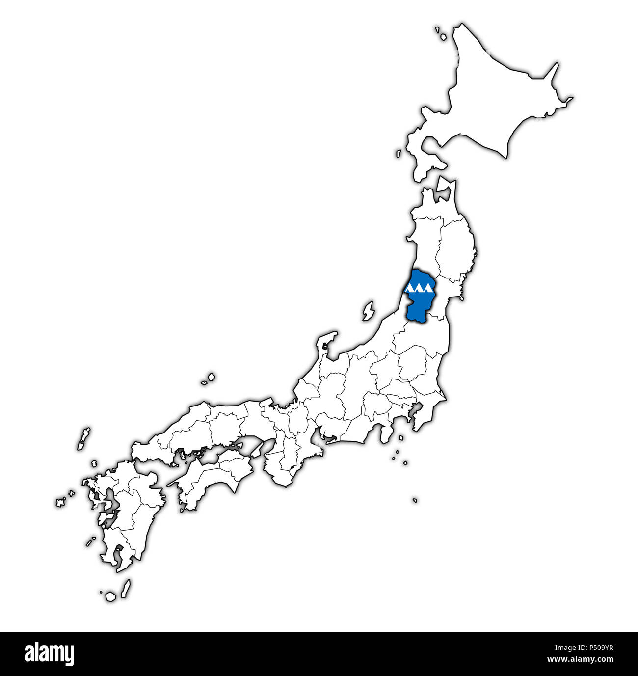 flag of yamagata prefecture on map with administrative divisions and borders of japan Stock Photohttps://www.alamy.com/image-license-details/?v=1https://www.alamy.com/flag-of-yamagata-prefecture-on-map-with-administrative-divisions-and-borders-of-japan-image209605531.html
RFP509YR–flag of yamagata prefecture on map with administrative divisions and borders of japan
 Aritomo Yamagata 5 Stock Photohttps://www.alamy.com/image-license-details/?v=1https://www.alamy.com/stock-photo-aritomo-yamagata-5-139498704.html
RMJ2XM0G–Aritomo Yamagata 5
 Printable street map of Yamagata, Prefecture Yamagata, Japan. Map template for business use. Stock Vectorhttps://www.alamy.com/image-license-details/?v=1https://www.alamy.com/printable-street-map-of-yamagata-prefecture-yamagata-japan-map-template-for-business-use-image330517398.html
RF2A5MA8P–Printable street map of Yamagata, Prefecture Yamagata, Japan. Map template for business use.
 Map of Yamagata Prefecture Stock Photohttps://www.alamy.com/image-license-details/?v=1https://www.alamy.com/map-of-yamagata-prefecture-image628691487.html
RF2YERABB–Map of Yamagata Prefecture
 August 16, 2023, Yamagata City, Yamagata Prefecture. A monument with a slogan asking Russia to return Japan's Northern Territories. Stock Photohttps://www.alamy.com/image-license-details/?v=1https://www.alamy.com/august-16-2023-yamagata-city-yamagata-prefecture-a-monument-with-a-slogan-asking-russia-to-return-japans-northern-territories-image561712202.html
RF2RHT5J2–August 16, 2023, Yamagata City, Yamagata Prefecture. A monument with a slogan asking Russia to return Japan's Northern Territories.
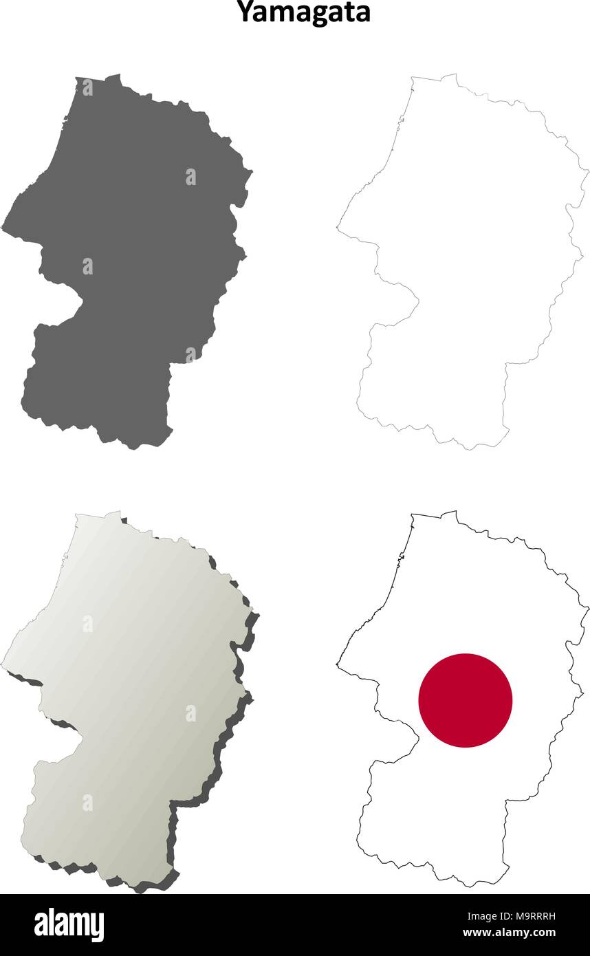 Yamagata blank outline map set Stock Vectorhttps://www.alamy.com/image-license-details/?v=1https://www.alamy.com/yamagata-blank-outline-map-set-image178159173.html
RFM9RRRH–Yamagata blank outline map set
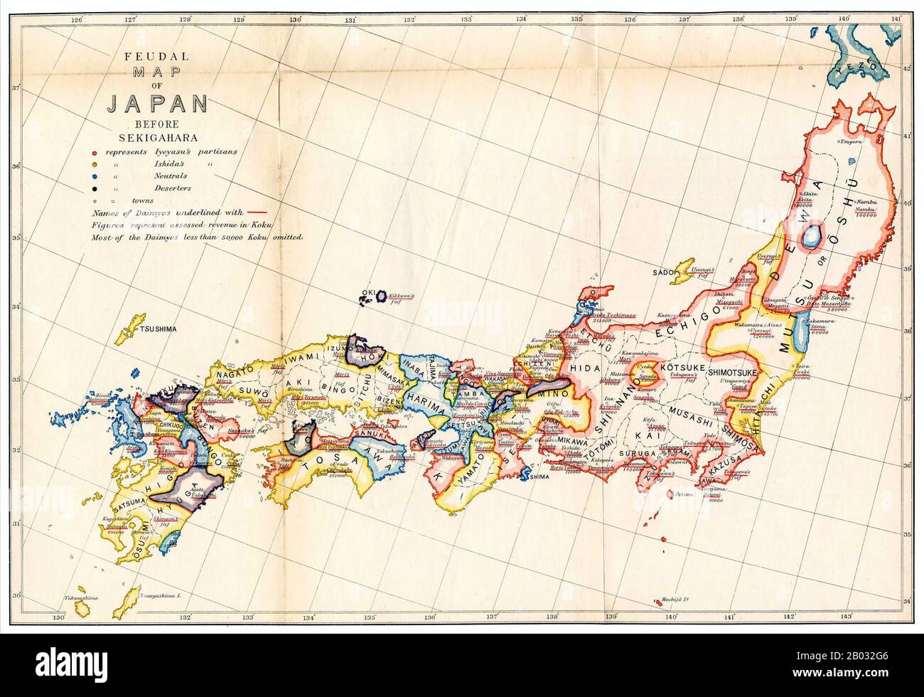 The Battle of Sekigahara, popularly known as Tenka Wakeme no Tatakai or 'the Battle for the Sundered Realm', was a decisive battle on October 21, 1600, which cleared the path to the Shogunate for Tokugawa Ieyasu. Though it would take three more years for Ieyasu to consolidate his position of power over the Toyotomi clan and the daimyo, Sekigahara is widely considered to be the unofficial beginning of the Tokugawa bakufu, the last shogunate to control Japan. Stock Photohttps://www.alamy.com/image-license-details/?v=1https://www.alamy.com/the-battle-of-sekigahara-popularly-known-as-tenka-wakeme-no-tatakai-or-the-battle-for-the-sundered-realm-was-a-decisive-battle-on-october-21-1600-which-cleared-the-path-to-the-shogunate-for-tokugawa-ieyasu-though-it-would-take-three-more-years-for-ieyasu-to-consolidate-his-position-of-power-over-the-toyotomi-clan-and-the-daimyo-sekigahara-is-widely-considered-to-be-the-unofficial-beginning-of-the-tokugawa-bakufu-the-last-shogunate-to-control-japan-image344275238.html
RM2B032G6–The Battle of Sekigahara, popularly known as Tenka Wakeme no Tatakai or 'the Battle for the Sundered Realm', was a decisive battle on October 21, 1600, which cleared the path to the Shogunate for Tokugawa Ieyasu. Though it would take three more years for Ieyasu to consolidate his position of power over the Toyotomi clan and the daimyo, Sekigahara is widely considered to be the unofficial beginning of the Tokugawa bakufu, the last shogunate to control Japan.
 Yamagata Prefecture rubber stamp Stock Vectorhttps://www.alamy.com/image-license-details/?v=1https://www.alamy.com/yamagata-prefecture-rubber-stamp-image444257294.html
RF2GPNJKX–Yamagata Prefecture rubber stamp
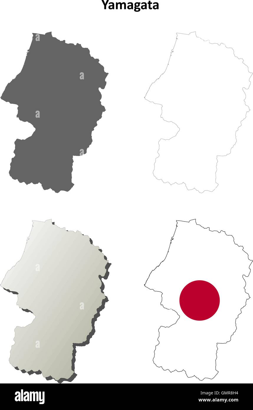 Yamagata blank outline map set Stock Vectorhttps://www.alamy.com/image-license-details/?v=1https://www.alamy.com/stock-photo-yamagata-blank-outline-map-set-116066976.html
RFGMR8H4–Yamagata blank outline map set
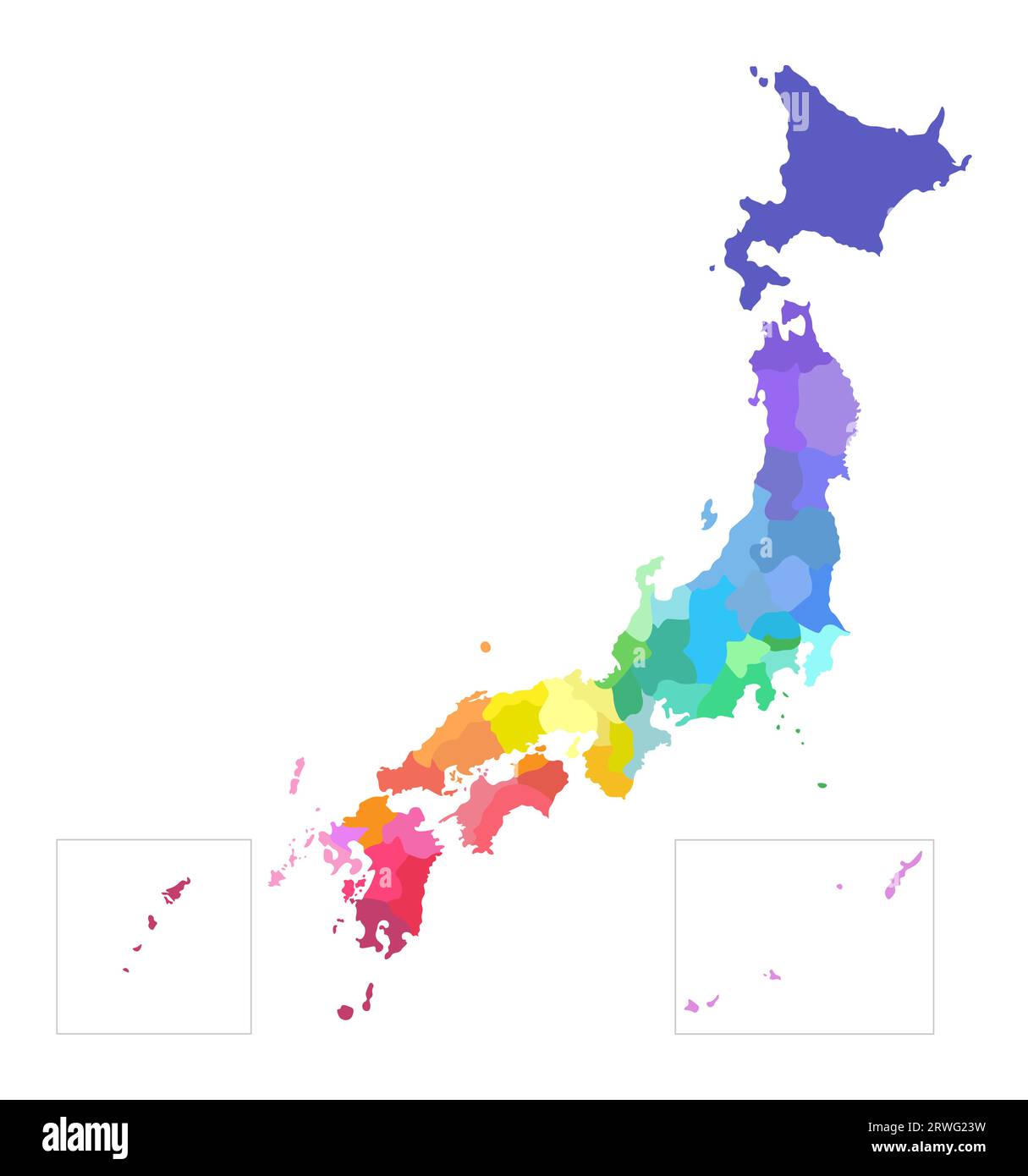 Vector isolated illustration of simplified administrative map of Japan. Borders of the prefectures. Multi colored silhouettes. Stock Vectorhttps://www.alamy.com/image-license-details/?v=1https://www.alamy.com/vector-isolated-illustration-of-simplified-administrative-map-of-japan-borders-of-the-prefectures-multi-colored-silhouettes-image566451085.html
RF2RWG23W–Vector isolated illustration of simplified administrative map of Japan. Borders of the prefectures. Multi colored silhouettes.
 Yamagata-machi, , JP, Japan, , N 36 37' 59'', N 140 22' 59'', map, Cartascapes Map published in 2024. Explore Cartascapes, a map revealing Earth's diverse landscapes, cultures, and ecosystems. Journey through time and space, discovering the interconnectedness of our planet's past, present, and future. Stock Photohttps://www.alamy.com/image-license-details/?v=1https://www.alamy.com/yamagata-machi-jp-japan-n-36-37-59-n-140-22-59-map-cartascapes-map-published-in-2024-explore-cartascapes-a-map-revealing-earths-diverse-landscapes-cultures-and-ecosystems-journey-through-time-and-space-discovering-the-interconnectedness-of-our-planets-past-present-and-future-image634600853.html
RM2YTCFT5–Yamagata-machi, , JP, Japan, , N 36 37' 59'', N 140 22' 59'', map, Cartascapes Map published in 2024. Explore Cartascapes, a map revealing Earth's diverse landscapes, cultures, and ecosystems. Journey through time and space, discovering the interconnectedness of our planet's past, present, and future.
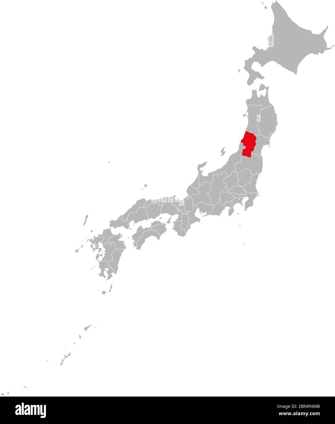 Yamagata province marked on Japan map. Gray background. Perfect for business concepts, backgrounds, backdrop, sticker, banner, poster, label, chart, p Stock Vectorhttps://www.alamy.com/image-license-details/?v=1https://www.alamy.com/yamagata-province-marked-on-japan-map-gray-background-perfect-for-business-concepts-backgrounds-backdrop-sticker-banner-poster-label-chart-p-image357637067.html
RF2BNRNMB–Yamagata province marked on Japan map. Gray background. Perfect for business concepts, backgrounds, backdrop, sticker, banner, poster, label, chart, p
 3d map of Yamagata is a prefecture of Japan Stock Vectorhttps://www.alamy.com/image-license-details/?v=1https://www.alamy.com/3d-map-of-yamagata-is-a-prefecture-of-japan-image359575956.html
RF2BW02PC–3d map of Yamagata is a prefecture of Japan
 Yamagata Prefecture, Japan. Vector rubber stamp over white background Stock Vectorhttps://www.alamy.com/image-license-details/?v=1https://www.alamy.com/yamagata-prefecture-japan-vector-rubber-stamp-over-white-background-image380608108.html
RF2D365EM–Yamagata Prefecture, Japan. Vector rubber stamp over white background
 3D Illustration of a waving flag of Yamagata (Japan country) Stock Photohttps://www.alamy.com/image-license-details/?v=1https://www.alamy.com/3d-illustration-of-a-waving-flag-of-yamagata-japan-country-image356579984.html
RF2BM3HBC–3D Illustration of a waving flag of Yamagata (Japan country)
 Flag of Japanese city Yamagata Stock Vectorhttps://www.alamy.com/image-license-details/?v=1https://www.alamy.com/flag-of-japanese-city-yamagata-image151523560.html
RFJPEDRM–Flag of Japanese city Yamagata
 Yamagata Prefecture (Administrative divisions of Japan, Prefectures of Japan) map vector illustration, scribble sketch Yamagata map Stock Vectorhttps://www.alamy.com/image-license-details/?v=1https://www.alamy.com/yamagata-prefecture-administrative-divisions-of-japan-prefectures-of-japan-map-vector-illustration-scribble-sketch-yamagata-map-image228792101.html
RFR86AJD–Yamagata Prefecture (Administrative divisions of Japan, Prefectures of Japan) map vector illustration, scribble sketch Yamagata map
 Yamagata prefecture highlight on the map of Japan Stock Vectorhttps://www.alamy.com/image-license-details/?v=1https://www.alamy.com/yamagata-prefecture-highlight-on-the-map-of-japan-image468043928.html
RF2J5D6PG–Yamagata prefecture highlight on the map of Japan
 Symbol Map of the Prefecture Yamagata (Japan) showing the state with black, crossing lines like Mikado Sticks or a spider web Stock Vectorhttps://www.alamy.com/image-license-details/?v=1https://www.alamy.com/symbol-map-of-the-prefecture-yamagata-japan-showing-the-state-with-black-crossing-lines-like-mikado-sticks-or-a-spider-web-image615837470.html
RF2XNWPYA–Symbol Map of the Prefecture Yamagata (Japan) showing the state with black, crossing lines like Mikado Sticks or a spider web
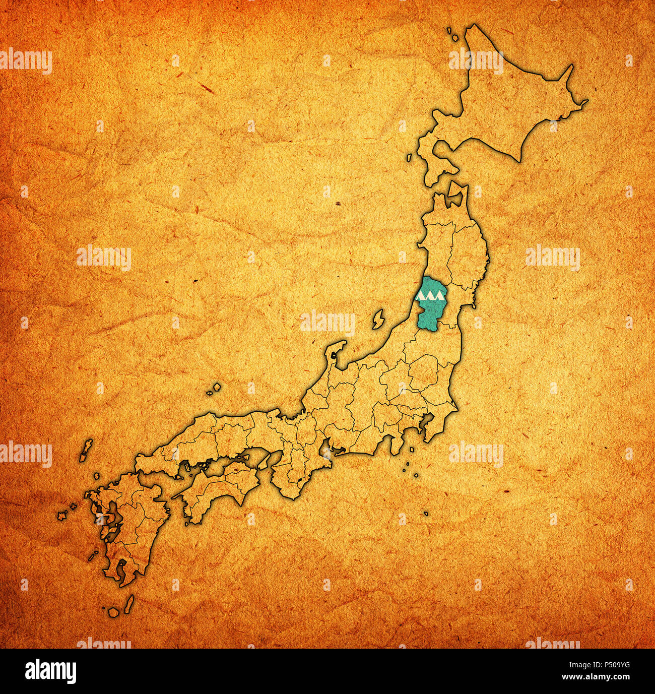 flag of yamagata prefecture on map with administrative divisions and borders of japan Stock Photohttps://www.alamy.com/image-license-details/?v=1https://www.alamy.com/flag-of-yamagata-prefecture-on-map-with-administrative-divisions-and-borders-of-japan-image209605524.html
RFP509YG–flag of yamagata prefecture on map with administrative divisions and borders of japan
 Masakage Yamagata Stock Photohttps://www.alamy.com/image-license-details/?v=1https://www.alamy.com/stock-photo-masakage-yamagata-140198877.html
RMJ42H2N–Masakage Yamagata
 Printable street map of Tsuruoka, Prefecture Yamagata, Japan. Map template for business use. Stock Vectorhttps://www.alamy.com/image-license-details/?v=1https://www.alamy.com/printable-street-map-of-tsuruoka-prefecture-yamagata-japan-map-template-for-business-use-image330865608.html
RF2A686CT–Printable street map of Tsuruoka, Prefecture Yamagata, Japan. Map template for business use.
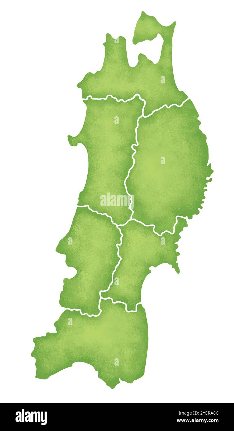 Maps of the Tohoku Region Stock Photohttps://www.alamy.com/image-license-details/?v=1https://www.alamy.com/maps-of-the-tohoku-region-image628691404.html
RF2YERA8C–Maps of the Tohoku Region
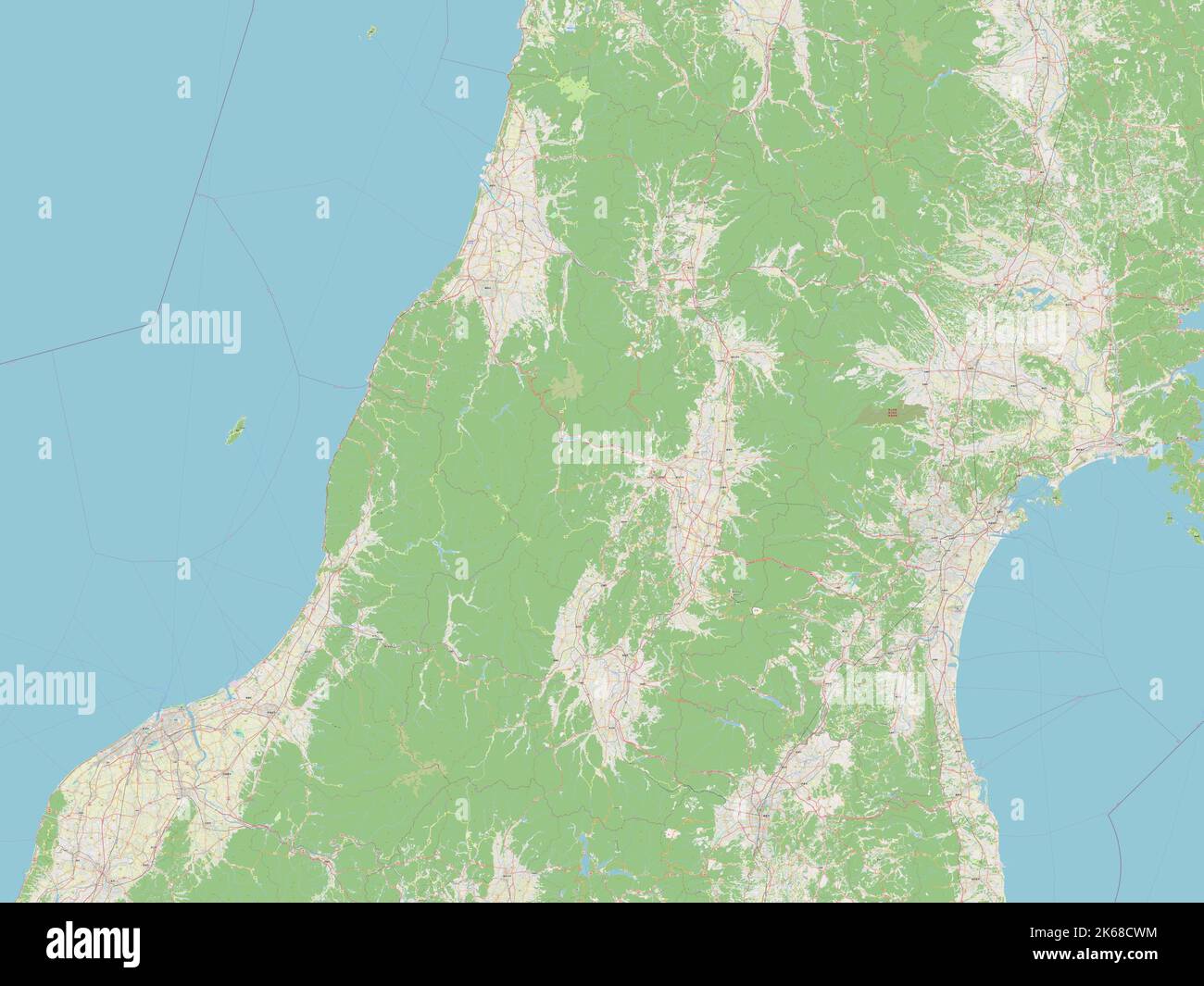 Yamagata, prefecture of Japan. Open Street Map Stock Photohttps://www.alamy.com/image-license-details/?v=1https://www.alamy.com/yamagata-prefecture-of-japan-open-street-map-image485763984.html
RF2K68CWM–Yamagata, prefecture of Japan. Open Street Map
 Archipelago Japanese in planet Earth, aerial view from outer space Stock Photohttps://www.alamy.com/image-license-details/?v=1https://www.alamy.com/archipelago-japanese-in-planet-earth-aerial-view-from-outer-space-image431692803.html
RF2G298G3–Archipelago Japanese in planet Earth, aerial view from outer space
 Yamagata prefecture outline map set Stock Vectorhttps://www.alamy.com/image-license-details/?v=1https://www.alamy.com/yamagata-prefecture-outline-map-set-image620782334.html
RF2Y1Y25J–Yamagata prefecture outline map set
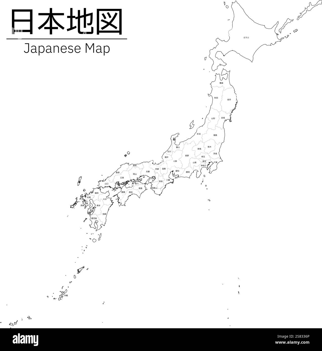 Realistic map of Japan, white map with prefectural boundaries and Names - Translation: Hokkaido, Fukushima, Yamagata, Miyagi, Iwate, Akita, Aomori, Ch Stock Vectorhttps://www.alamy.com/image-license-details/?v=1https://www.alamy.com/realistic-map-of-japan-white-map-with-prefectural-boundaries-and-names-translation-hokkaido-fukushima-yamagata-miyagi-iwate-akita-aomori-ch-image641769262.html
RF2S8336P–Realistic map of Japan, white map with prefectural boundaries and Names - Translation: Hokkaido, Fukushima, Yamagata, Miyagi, Iwate, Akita, Aomori, Ch
 . Current herpetology. Reptiles; Herpetology. MATSUI ET AL.—TAXONOMY OF ENDANGERED SALAMANDER 27. Fig. 1. A map of northern Central Honshu, Japan, showing sampled localities of hynobiid species used in this study. For sample numbers, refer to text. Coarsely dotted area >1000 m asl. Finely dotted area >2000 m asl. from Yamagata Prefecture (sample 5, N=6) (Fig. 1). In the laboratory, liver samples were removed from fully anesthetized salamanders and stored at -84 C. Voucher specimens were fixed in 10% formalin, preserved in 70% ethanol, and deposited in the Graduate School of Human and Env Stock Photohttps://www.alamy.com/image-license-details/?v=1https://www.alamy.com/current-herpetology-reptiles-herpetology-matsui-et-altaxonomy-of-endangered-salamander-27-fig-1-a-map-of-northern-central-honshu-japan-showing-sampled-localities-of-hynobiid-species-used-in-this-study-for-sample-numbers-refer-to-text-coarsely-dotted-area-gt1000-m-asl-finely-dotted-area-gt2000-m-asl-from-yamagata-prefecture-sample-5-n=6-fig-1-in-the-laboratory-liver-samples-were-removed-from-fully-anesthetized-salamanders-and-stored-at-84-c-voucher-specimens-were-fixed-in-10-formalin-preserved-in-70-ethanol-and-deposited-in-the-graduate-school-of-human-and-env-image231883405.html
RMRD75J5–. Current herpetology. Reptiles; Herpetology. MATSUI ET AL.—TAXONOMY OF ENDANGERED SALAMANDER 27. Fig. 1. A map of northern Central Honshu, Japan, showing sampled localities of hynobiid species used in this study. For sample numbers, refer to text. Coarsely dotted area >1000 m asl. Finely dotted area >2000 m asl. from Yamagata Prefecture (sample 5, N=6) (Fig. 1). In the laboratory, liver samples were removed from fully anesthetized salamanders and stored at -84 C. Voucher specimens were fixed in 10% formalin, preserved in 70% ethanol, and deposited in the Graduate School of Human and Env
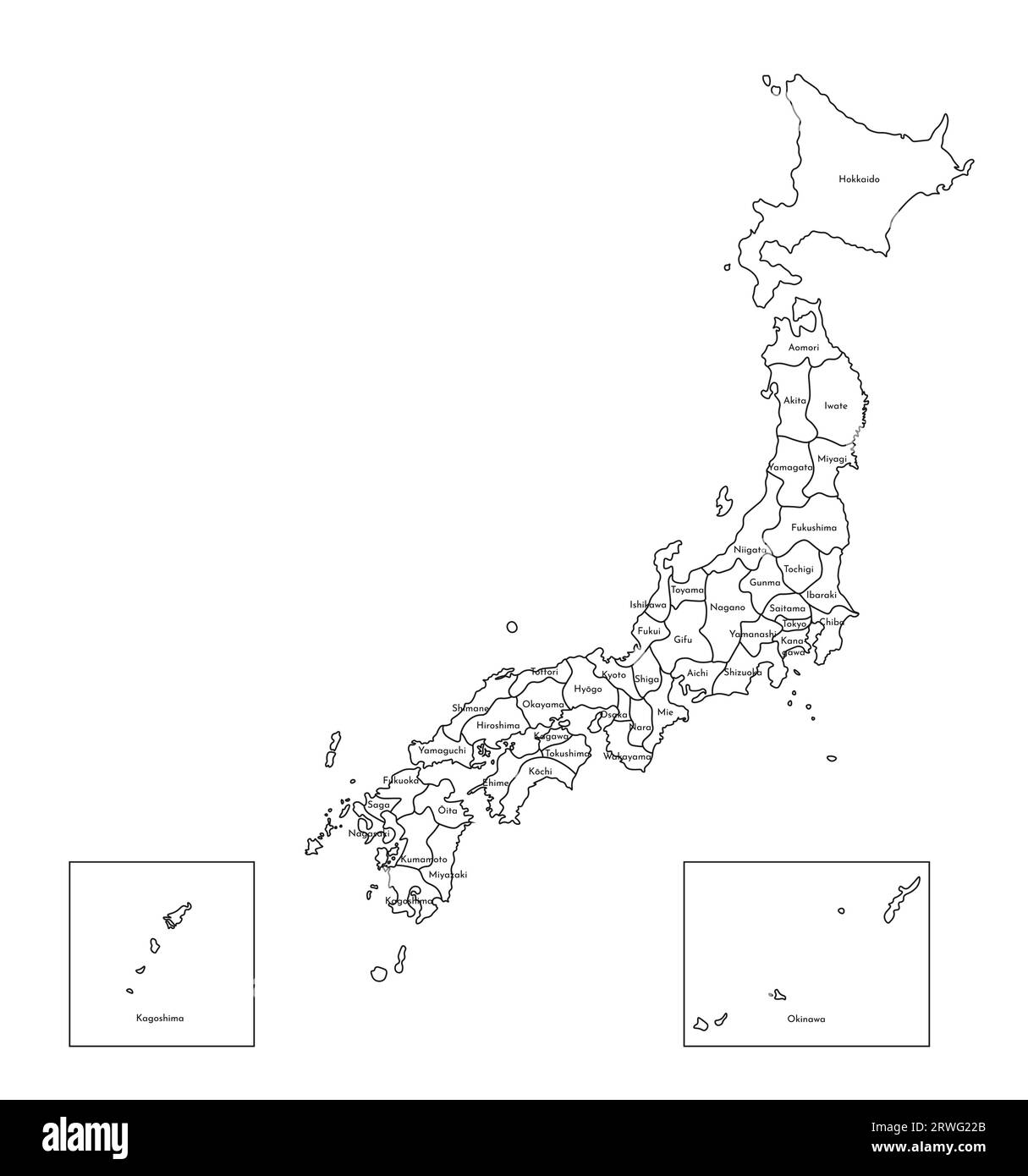 Vector isolated illustration of simplified administrative map of Japan. Borders and names of the prefectures. Black line silhouettes. Stock Vectorhttps://www.alamy.com/image-license-details/?v=1https://www.alamy.com/vector-isolated-illustration-of-simplified-administrative-map-of-japan-borders-and-names-of-the-prefectures-black-line-silhouettes-image566451043.html
RF2RWG22B–Vector isolated illustration of simplified administrative map of Japan. Borders and names of the prefectures. Black line silhouettes.
 Dosen'in, , JP, Japan, Yamagata, N 38 45' 7'', N 140 43' 17'', map, Cartascapes Map published in 2024. Explore Cartascapes, a map revealing Earth's diverse landscapes, cultures, and ecosystems. Journey through time and space, discovering the interconnectedness of our planet's past, present, and future. Stock Photohttps://www.alamy.com/image-license-details/?v=1https://www.alamy.com/dosenin-jp-japan-yamagata-n-38-45-7-n-140-43-17-map-cartascapes-map-published-in-2024-explore-cartascapes-a-map-revealing-earths-diverse-landscapes-cultures-and-ecosystems-journey-through-time-and-space-discovering-the-interconnectedness-of-our-planets-past-present-and-future-image634899959.html
RM2YTX5AF–Dosen'in, , JP, Japan, Yamagata, N 38 45' 7'', N 140 43' 17'', map, Cartascapes Map published in 2024. Explore Cartascapes, a map revealing Earth's diverse landscapes, cultures, and ecosystems. Journey through time and space, discovering the interconnectedness of our planet's past, present, and future.
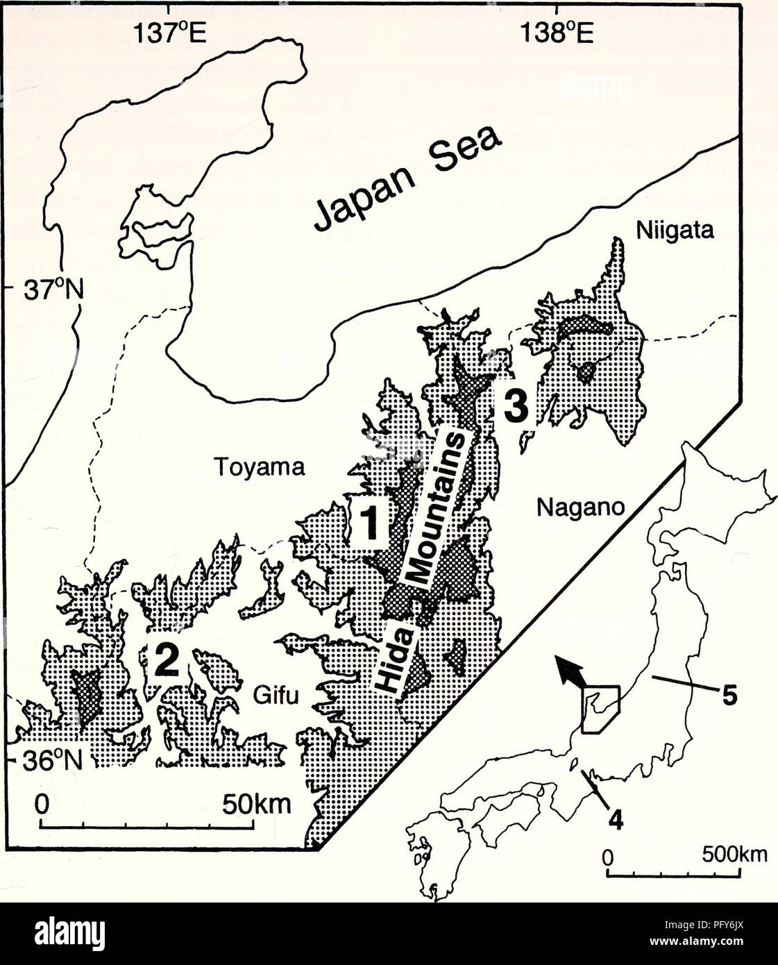 . Current herpetology. Reptiles; Herpetology. MATSUI ET AL.—TAXONOMY OF ENDANGERED SALAMANDER 27. Fig. 1. A map of northern Central Honshu, Japan, showing sampled localities of hynobiid species used in this study. For sample numbers, refer to text. Coarsely dotted area >1000 m asl. Finely dotted area >2000 m asl. from Yamagata Prefecture (sample 5, N=6) (Fig. 1). In the laboratory, liver samples were removed from fully anesthetized salamanders and stored at -84 C. Voucher specimens were fixed in 10% formalin, preserved in 70% ethanol, and deposited in the Graduate School of Human and Env Stock Photohttps://www.alamy.com/image-license-details/?v=1https://www.alamy.com/current-herpetology-reptiles-herpetology-matsui-et-altaxonomy-of-endangered-salamander-27-fig-1-a-map-of-northern-central-honshu-japan-showing-sampled-localities-of-hynobiid-species-used-in-this-study-for-sample-numbers-refer-to-text-coarsely-dotted-area-gt1000-m-asl-finely-dotted-area-gt2000-m-asl-from-yamagata-prefecture-sample-5-n=6-fig-1-in-the-laboratory-liver-samples-were-removed-from-fully-anesthetized-salamanders-and-stored-at-84-c-voucher-specimens-were-fixed-in-10-formalin-preserved-in-70-ethanol-and-deposited-in-the-graduate-school-of-human-and-env-image216342194.html
RMPFY6JX–. Current herpetology. Reptiles; Herpetology. MATSUI ET AL.—TAXONOMY OF ENDANGERED SALAMANDER 27. Fig. 1. A map of northern Central Honshu, Japan, showing sampled localities of hynobiid species used in this study. For sample numbers, refer to text. Coarsely dotted area >1000 m asl. Finely dotted area >2000 m asl. from Yamagata Prefecture (sample 5, N=6) (Fig. 1). In the laboratory, liver samples were removed from fully anesthetized salamanders and stored at -84 C. Voucher specimens were fixed in 10% formalin, preserved in 70% ethanol, and deposited in the Graduate School of Human and Env
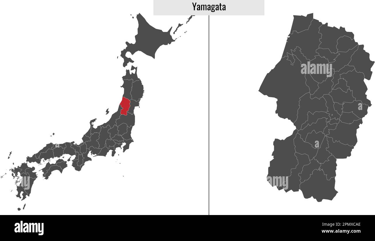 map of Yamagata prefecture of Japan and location on Japanese map Stock Vectorhttps://www.alamy.com/image-license-details/?v=1https://www.alamy.com/map-of-yamagata-prefecture-of-japan-and-location-on-japanese-map-image546394982.html
RF2PMXCAE–map of Yamagata prefecture of Japan and location on Japanese map
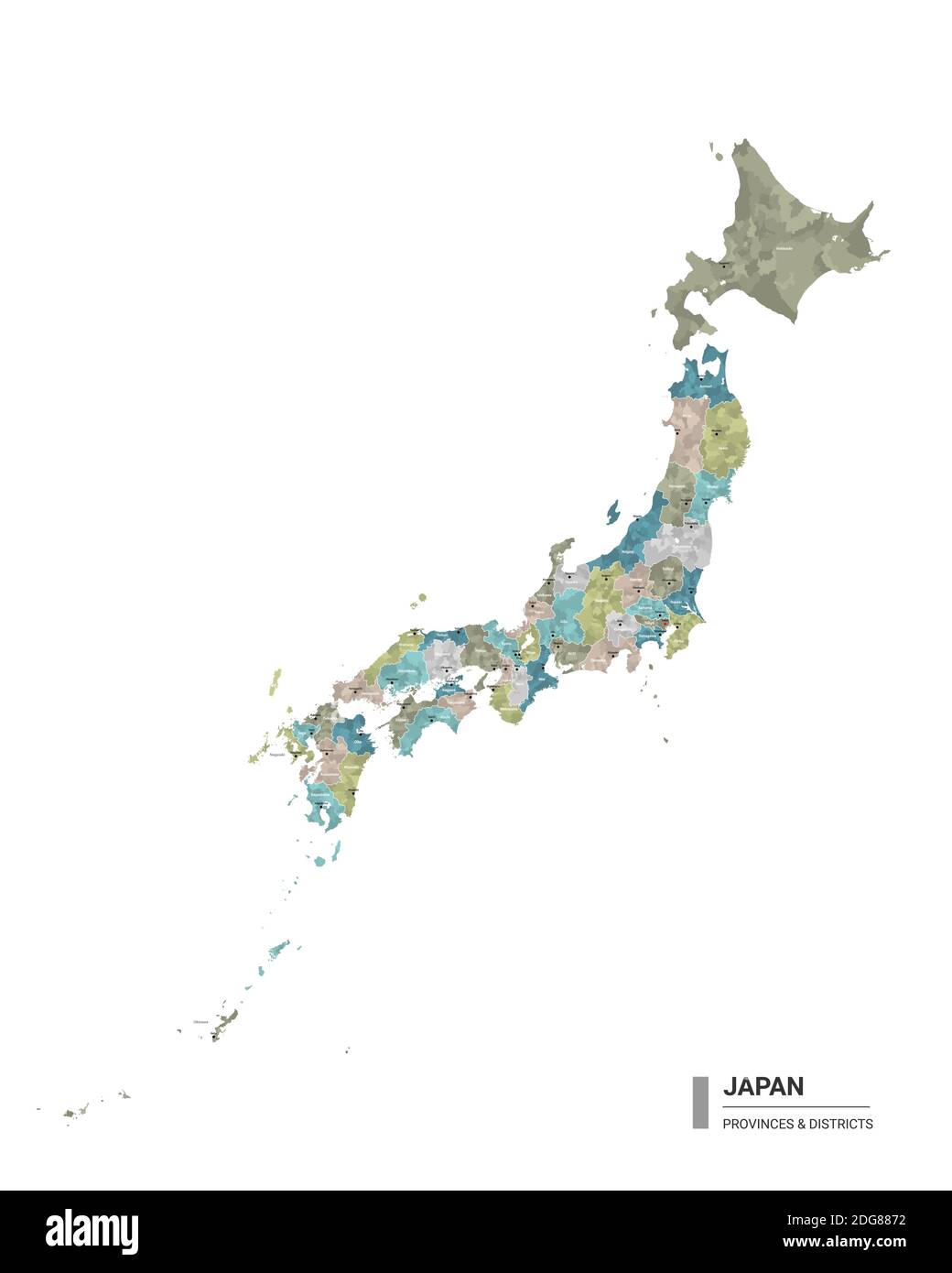 Japan higt detailed map with subdivisions. Administrative map of Japan with districts and cities name, colored by states and administrative districts. Stock Vectorhttps://www.alamy.com/image-license-details/?v=1https://www.alamy.com/japan-higt-detailed-map-with-subdivisions-administrative-map-of-japan-with-districts-and-cities-name-colored-by-states-and-administrative-districts-image388644678.html
RF2DG8872–Japan higt detailed map with subdivisions. Administrative map of Japan with districts and cities name, colored by states and administrative districts.
 rubber stamp of yamagata, Prefecture Yamagata, Japan. template for business use. Stock Vectorhttps://www.alamy.com/image-license-details/?v=1https://www.alamy.com/rubber-stamp-of-yamagata-prefecture-yamagata-japan-template-for-business-use-image336213618.html
RF2AEYRW6–rubber stamp of yamagata, Prefecture Yamagata, Japan. template for business use.
 Flag of Japanese prefecture Yamagata Stock Vectorhttps://www.alamy.com/image-license-details/?v=1https://www.alamy.com/flag-of-japanese-prefecture-yamagata-image151521510.html
RFJPEB6E–Flag of Japanese prefecture Yamagata
 Yamagata Prefecture (Administrative divisions of Japan, Prefectures of Japan) map vector illustration, scribble sketch Yamagata map Stock Vectorhttps://www.alamy.com/image-license-details/?v=1https://www.alamy.com/yamagata-prefecture-administrative-divisions-of-japan-prefectures-of-japan-map-vector-illustration-scribble-sketch-yamagata-map-image230373473.html
RFRAPBM1–Yamagata Prefecture (Administrative divisions of Japan, Prefectures of Japan) map vector illustration, scribble sketch Yamagata map
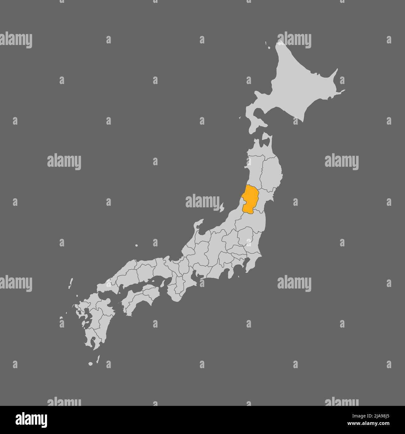 Yamagata prefecture highlight on the map of Japan Stock Vectorhttps://www.alamy.com/image-license-details/?v=1https://www.alamy.com/yamagata-prefecture-highlight-on-the-map-of-japan-image471030845.html
RF2JA98J5–Yamagata prefecture highlight on the map of Japan
 Symbol Map of the Prefecture Yamagata (Japan) showing the state/province with a pattern of black circles Stock Vectorhttps://www.alamy.com/image-license-details/?v=1https://www.alamy.com/symbol-map-of-the-prefecture-yamagata-japan-showing-the-stateprovince-with-a-pattern-of-black-circles-image612955599.html
RF2XH6F3B–Symbol Map of the Prefecture Yamagata (Japan) showing the state/province with a pattern of black circles
 flag of yamagata prefecture on map with administrative divisions and borders of japan Stock Photohttps://www.alamy.com/image-license-details/?v=1https://www.alamy.com/flag-of-yamagata-prefecture-on-map-with-administrative-divisions-and-borders-of-japan-image209605505.html
RFP509XW–flag of yamagata prefecture on map with administrative divisions and borders of japan
 Yamagata Aritomo2 Stock Photohttps://www.alamy.com/image-license-details/?v=1https://www.alamy.com/stock-photo-yamagata-aritomo2-140697427.html
RMJ4W903–Yamagata Aritomo2
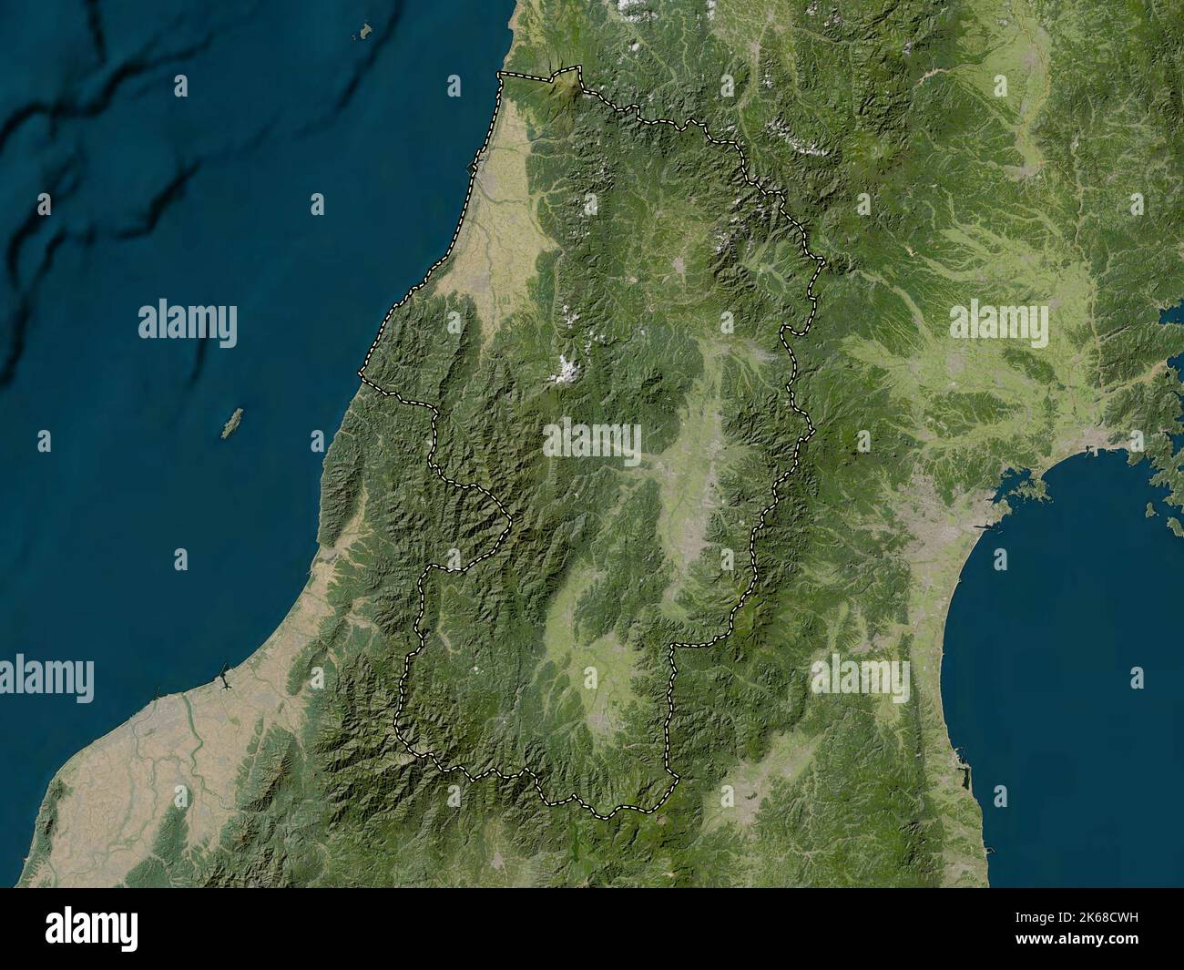 Yamagata, prefecture of Japan. Low resolution satellite map Stock Photohttps://www.alamy.com/image-license-details/?v=1https://www.alamy.com/yamagata-prefecture-of-japan-low-resolution-satellite-map-image485763981.html
RF2K68CWH–Yamagata, prefecture of Japan. Low resolution satellite map
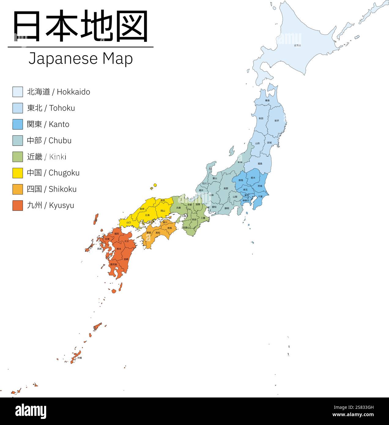 Realistic map of Japan, color-coded in 8 regions, with prefectural boundaries and names - Translation: Hokkaido, Fukushima, Yamagata, Miyagi, Iwate, A Stock Vectorhttps://www.alamy.com/image-license-details/?v=1https://www.alamy.com/realistic-map-of-japan-color-coded-in-8-regions-with-prefectural-boundaries-and-names-translation-hokkaido-fukushima-yamagata-miyagi-iwate-a-image641769537.html
RF2S833GH–Realistic map of Japan, color-coded in 8 regions, with prefectural boundaries and names - Translation: Hokkaido, Fukushima, Yamagata, Miyagi, Iwate, A
 Vector isolated illustration of simplified administrative map of Japan. Borders of the prefectures. Colorful blue khaki silhouettes. Stock Vectorhttps://www.alamy.com/image-license-details/?v=1https://www.alamy.com/vector-isolated-illustration-of-simplified-administrative-map-of-japan-borders-of-the-prefectures-colorful-blue-khaki-silhouettes-image566450912.html
RF2RWG1WM–Vector isolated illustration of simplified administrative map of Japan. Borders of the prefectures. Colorful blue khaki silhouettes.
 Inago, , JP, Japan, Yamagata, N 37 57' 57'', N 140 19' 3'', map, Cartascapes Map published in 2024. Explore Cartascapes, a map revealing Earth's diverse landscapes, cultures, and ecosystems. Journey through time and space, discovering the interconnectedness of our planet's past, present, and future. Stock Photohttps://www.alamy.com/image-license-details/?v=1https://www.alamy.com/inago-jp-japan-yamagata-n-37-57-57-n-140-19-3-map-cartascapes-map-published-in-2024-explore-cartascapes-a-map-revealing-earths-diverse-landscapes-cultures-and-ecosystems-journey-through-time-and-space-discovering-the-interconnectedness-of-our-planets-past-present-and-future-image634596277.html
RM2YTCA0N–Inago, , JP, Japan, Yamagata, N 37 57' 57'', N 140 19' 3'', map, Cartascapes Map published in 2024. Explore Cartascapes, a map revealing Earth's diverse landscapes, cultures, and ecosystems. Journey through time and space, discovering the interconnectedness of our planet's past, present, and future.
 3d isometric Map of Yamagata is a prefecture of Japan with national flag Stock Vectorhttps://www.alamy.com/image-license-details/?v=1https://www.alamy.com/3d-isometric-map-of-yamagata-is-a-prefecture-of-japan-with-national-flag-image491470925.html
RF2KFGC51–3d isometric Map of Yamagata is a prefecture of Japan with national flag
 rubber stamp of Tsuruoka, Prefecture Yamagata, Japan. template for business use. Stock Vectorhttps://www.alamy.com/image-license-details/?v=1https://www.alamy.com/rubber-stamp-of-tsuruoka-prefecture-yamagata-japan-template-for-business-use-image336060129.html
RF2AEMT3D–rubber stamp of Tsuruoka, Prefecture Yamagata, Japan. template for business use.
 Yamagata Prefecture (Administrative divisions of Japan, Prefectures of Japan) map vector illustration, scribble sketch Yamagata map Stock Vectorhttps://www.alamy.com/image-license-details/?v=1https://www.alamy.com/yamagata-prefecture-administrative-divisions-of-japan-prefectures-of-japan-map-vector-illustration-scribble-sketch-yamagata-map-image231779667.html
RFRD2D97–Yamagata Prefecture (Administrative divisions of Japan, Prefectures of Japan) map vector illustration, scribble sketch Yamagata map
 flag of yamagata prefecture on map with administrative divisions and borders of japan Stock Photohttps://www.alamy.com/image-license-details/?v=1https://www.alamy.com/flag-of-yamagata-prefecture-on-map-with-administrative-divisions-and-borders-of-japan-image209605541.html
RFP50A05–flag of yamagata prefecture on map with administrative divisions and borders of japan
 Mon Masakage Yamagata Stock Photohttps://www.alamy.com/image-license-details/?v=1https://www.alamy.com/stock-photo-mon-masakage-yamagata-140286714.html
RMJ46H3P–Mon Masakage Yamagata
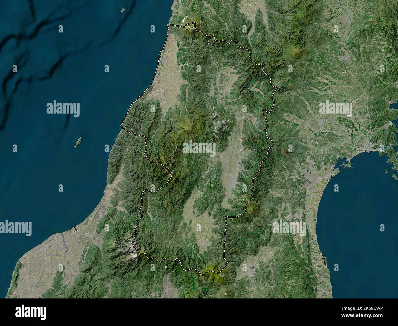 Yamagata, prefecture of Japan. High resolution satellite map Stock Photohttps://www.alamy.com/image-license-details/?v=1https://www.alamy.com/yamagata-prefecture-of-japan-high-resolution-satellite-map-image485763986.html
RF2K68CWP–Yamagata, prefecture of Japan. High resolution satellite map
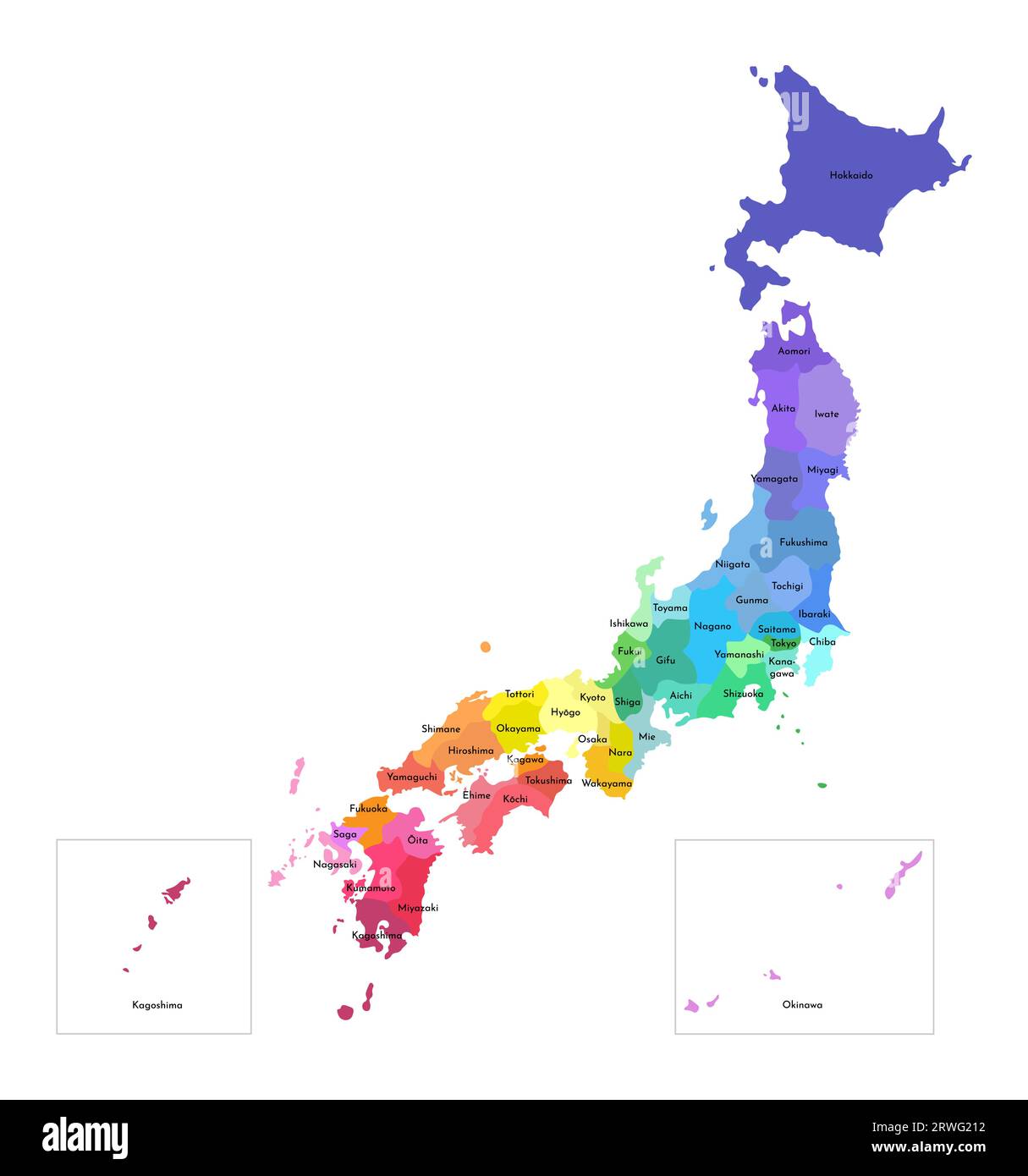 Vector isolated illustration of simplified administrative map of Japan. Borders and names of the prefectures. Multi colored silhouettes. Stock Vectorhttps://www.alamy.com/image-license-details/?v=1https://www.alamy.com/vector-isolated-illustration-of-simplified-administrative-map-of-japan-borders-and-names-of-the-prefectures-multi-colored-silhouettes-image566451006.html
RF2RWG212–Vector isolated illustration of simplified administrative map of Japan. Borders and names of the prefectures. Multi colored silhouettes.
 Mitsuzawa, , JP, Japan, Yamagata, N 38 43' 26'', N 140 30' 54'', map, Cartascapes Map published in 2024. Explore Cartascapes, a map revealing Earth's diverse landscapes, cultures, and ecosystems. Journey through time and space, discovering the interconnectedness of our planet's past, present, and future. Stock Photohttps://www.alamy.com/image-license-details/?v=1https://www.alamy.com/mitsuzawa-jp-japan-yamagata-n-38-43-26-n-140-30-54-map-cartascapes-map-published-in-2024-explore-cartascapes-a-map-revealing-earths-diverse-landscapes-cultures-and-ecosystems-journey-through-time-and-space-discovering-the-interconnectedness-of-our-planets-past-present-and-future-image634916230.html
RM2YTXX3J–Mitsuzawa, , JP, Japan, Yamagata, N 38 43' 26'', N 140 30' 54'', map, Cartascapes Map published in 2024. Explore Cartascapes, a map revealing Earth's diverse landscapes, cultures, and ecosystems. Journey through time and space, discovering the interconnectedness of our planet's past, present, and future.
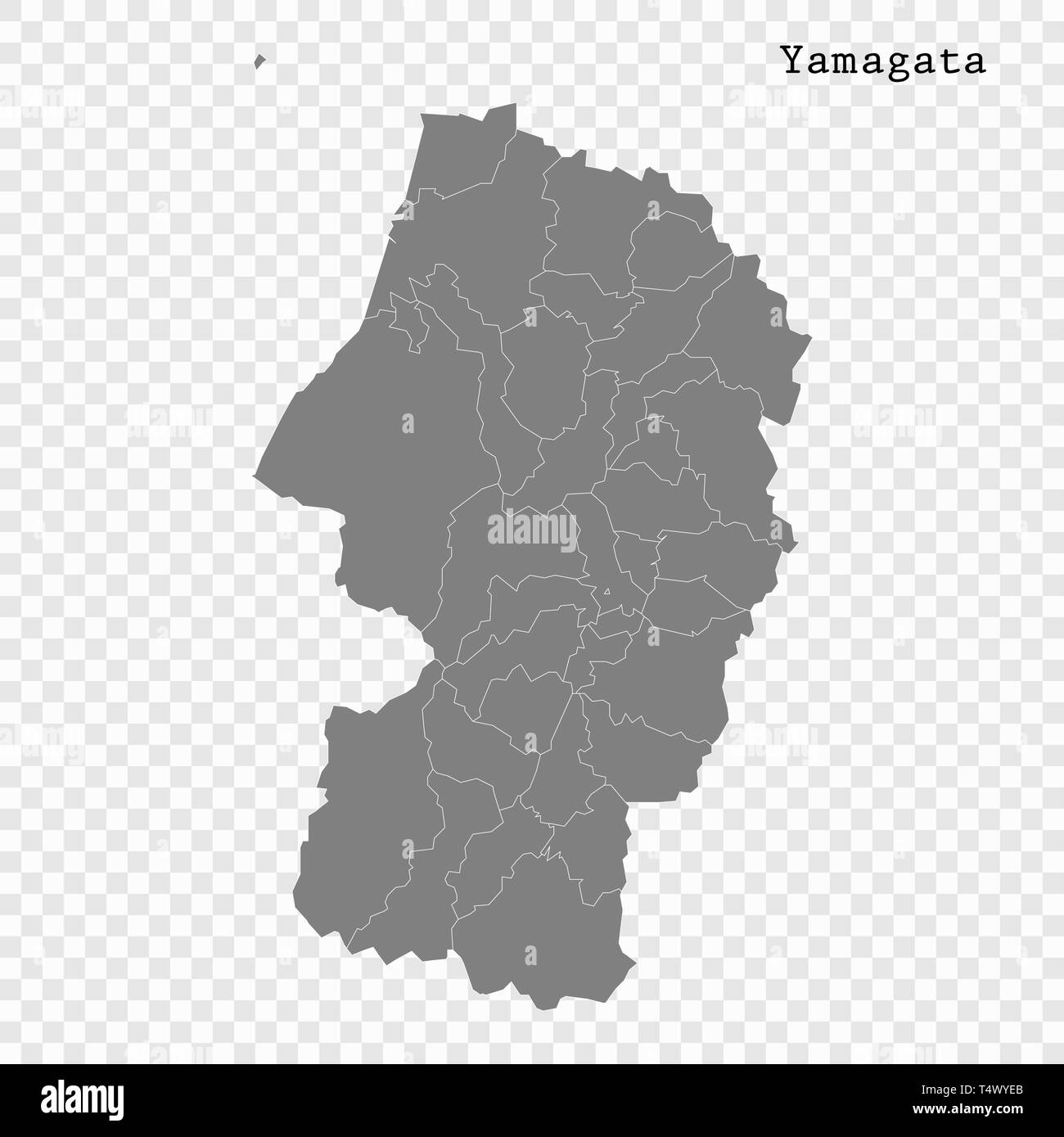 High Quality map of Yamagata is a prefecture of Japan with borders of the districts Stock Vectorhttps://www.alamy.com/image-license-details/?v=1https://www.alamy.com/high-quality-map-of-yamagata-is-a-prefecture-of-japan-with-borders-of-the-districts-image243974147.html
RFT4WYEB–High Quality map of Yamagata is a prefecture of Japan with borders of the districts
 rubber stamp of yamagata, Prefecture Yonezawa, Japan. template for business use. Stock Vectorhttps://www.alamy.com/image-license-details/?v=1https://www.alamy.com/rubber-stamp-of-yamagata-prefecture-yonezawa-japan-template-for-business-use-image336670946.html
RF2AFMK6A–rubber stamp of yamagata, Prefecture Yonezawa, Japan. template for business use.
 Yamagata Prefecture (Administrative divisions of Japan, Prefectures of Japan) map is designed cannabis leaf green and black, Yamagata map made of mari Stock Vectorhttps://www.alamy.com/image-license-details/?v=1https://www.alamy.com/yamagata-prefecture-administrative-divisions-of-japan-prefectures-of-japan-map-is-designed-cannabis-leaf-green-and-black-yamagata-map-made-of-mari-image264207276.html
RFW9RK24–Yamagata Prefecture (Administrative divisions of Japan, Prefectures of Japan) map is designed cannabis leaf green and black, Yamagata map made of mari
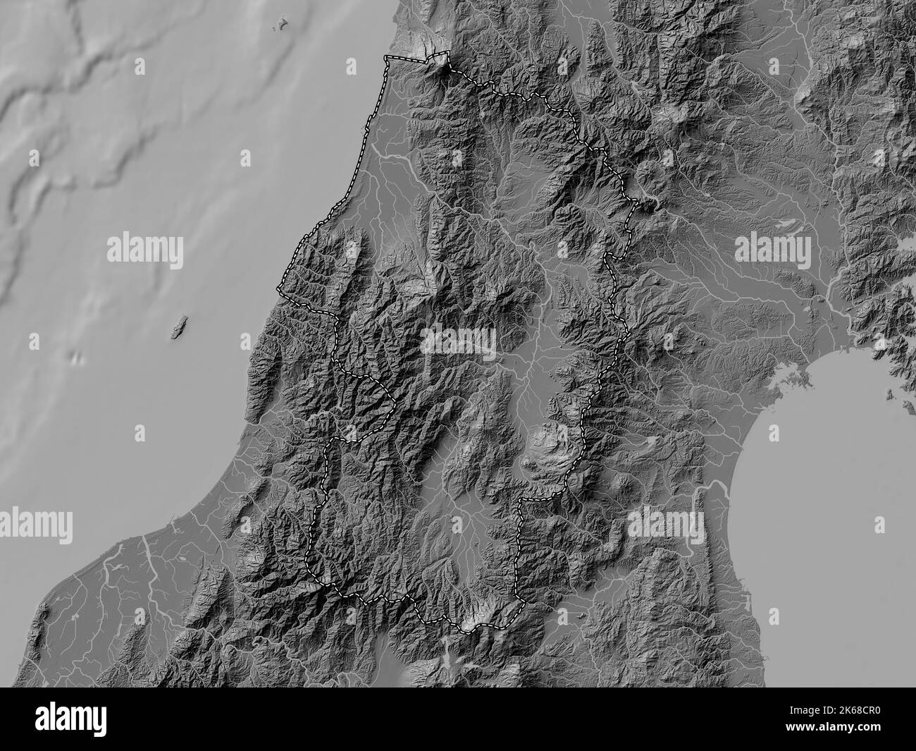 Yamagata, prefecture of Japan. Bilevel elevation map with lakes and rivers Stock Photohttps://www.alamy.com/image-license-details/?v=1https://www.alamy.com/yamagata-prefecture-of-japan-bilevel-elevation-map-with-lakes-and-rivers-image485763908.html
RF2K68CR0–Yamagata, prefecture of Japan. Bilevel elevation map with lakes and rivers
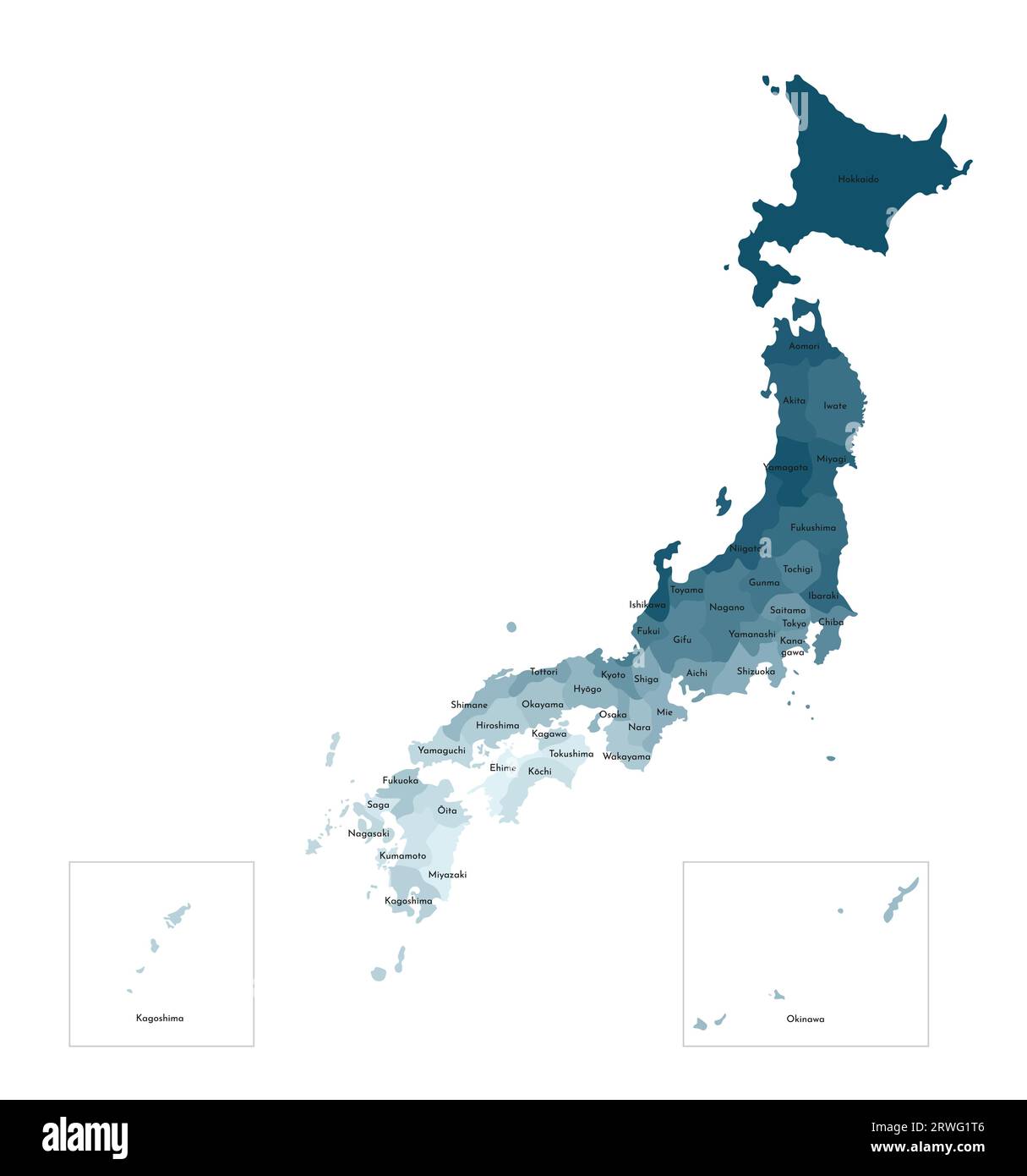 Vector isolated illustration of simplified administrative map of Japan. Borders and names of the prefectures. Colorful blue khaki silhouettes. Stock Vectorhttps://www.alamy.com/image-license-details/?v=1https://www.alamy.com/vector-isolated-illustration-of-simplified-administrative-map-of-japan-borders-and-names-of-the-prefectures-colorful-blue-khaki-silhouettes-image566450870.html
RF2RWG1T6–Vector isolated illustration of simplified administrative map of Japan. Borders and names of the prefectures. Colorful blue khaki silhouettes.
 Kyudenhara, , JP, Japan, Yamagata, N 38 44' 53'', N 140 44' 37'', map, Cartascapes Map published in 2024. Explore Cartascapes, a map revealing Earth's diverse landscapes, cultures, and ecosystems. Journey through time and space, discovering the interconnectedness of our planet's past, present, and future. Stock Photohttps://www.alamy.com/image-license-details/?v=1https://www.alamy.com/kyudenhara-jp-japan-yamagata-n-38-44-53-n-140-44-37-map-cartascapes-map-published-in-2024-explore-cartascapes-a-map-revealing-earths-diverse-landscapes-cultures-and-ecosystems-journey-through-time-and-space-discovering-the-interconnectedness-of-our-planets-past-present-and-future-image634588833.html
RM2YTC0EW–Kyudenhara, , JP, Japan, Yamagata, N 38 44' 53'', N 140 44' 37'', map, Cartascapes Map published in 2024. Explore Cartascapes, a map revealing Earth's diverse landscapes, cultures, and ecosystems. Journey through time and space, discovering the interconnectedness of our planet's past, present, and future.
 Yamagata region location within Japan 3d isometric map Stock Vectorhttps://www.alamy.com/image-license-details/?v=1https://www.alamy.com/yamagata-region-location-within-japan-3d-isometric-map-image491504296.html
RF2KFHXMT–Yamagata region location within Japan 3d isometric map
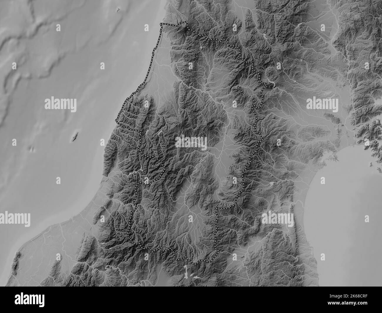 Yamagata, prefecture of Japan. Grayscale elevation map with lakes and rivers Stock Photohttps://www.alamy.com/image-license-details/?v=1https://www.alamy.com/yamagata-prefecture-of-japan-grayscale-elevation-map-with-lakes-and-rivers-image485763923.html
RF2K68CRF–Yamagata, prefecture of Japan. Grayscale elevation map with lakes and rivers
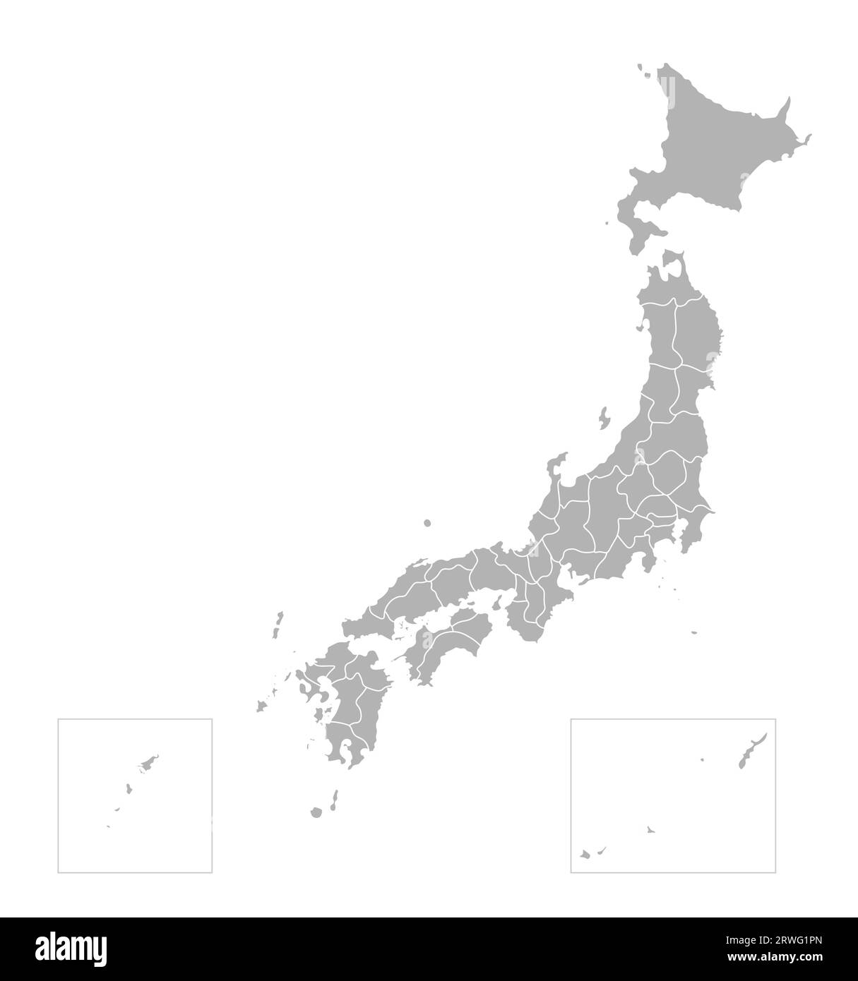 Vector isolated illustration of simplified administrative map of Japan. Borders of the prefectures (regions). Grey silhouettes. White outline. Stock Vectorhttps://www.alamy.com/image-license-details/?v=1https://www.alamy.com/vector-isolated-illustration-of-simplified-administrative-map-of-japan-borders-of-the-prefectures-regions-grey-silhouettes-white-outline-image566450829.html
RF2RWG1PN–Vector isolated illustration of simplified administrative map of Japan. Borders of the prefectures (regions). Grey silhouettes. White outline.
 Yogai, , JP, Japan, Yamagata, N 38 44' 6'', N 140 44' 57'', map, Cartascapes Map published in 2024. Explore Cartascapes, a map revealing Earth's diverse landscapes, cultures, and ecosystems. Journey through time and space, discovering the interconnectedness of our planet's past, present, and future. Stock Photohttps://www.alamy.com/image-license-details/?v=1https://www.alamy.com/yogai-jp-japan-yamagata-n-38-44-6-n-140-44-57-map-cartascapes-map-published-in-2024-explore-cartascapes-a-map-revealing-earths-diverse-landscapes-cultures-and-ecosystems-journey-through-time-and-space-discovering-the-interconnectedness-of-our-planets-past-present-and-future-image634845331.html
RM2YTRKKF–Yogai, , JP, Japan, Yamagata, N 38 44' 6'', N 140 44' 57'', map, Cartascapes Map published in 2024. Explore Cartascapes, a map revealing Earth's diverse landscapes, cultures, and ecosystems. Journey through time and space, discovering the interconnectedness of our planet's past, present, and future.
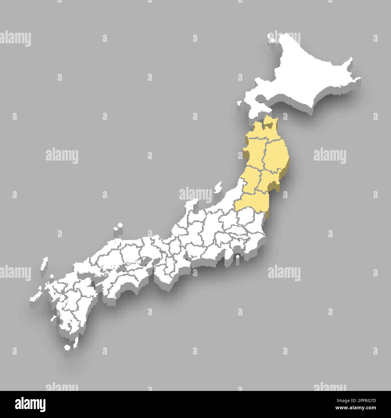 Tohoku region location within Japan 3d isometric map Stock Vectorhttps://www.alamy.com/image-license-details/?v=1https://www.alamy.com/tohoku-region-location-within-japan-3d-isometric-map-image543258897.html
RF2PFRG7D–Tohoku region location within Japan 3d isometric map
 Yamagata, prefecture of Japan. Colored elevation map with lakes and rivers Stock Photohttps://www.alamy.com/image-license-details/?v=1https://www.alamy.com/yamagata-prefecture-of-japan-colored-elevation-map-with-lakes-and-rivers-image485764070.html
RF2K68D0P–Yamagata, prefecture of Japan. Colored elevation map with lakes and rivers
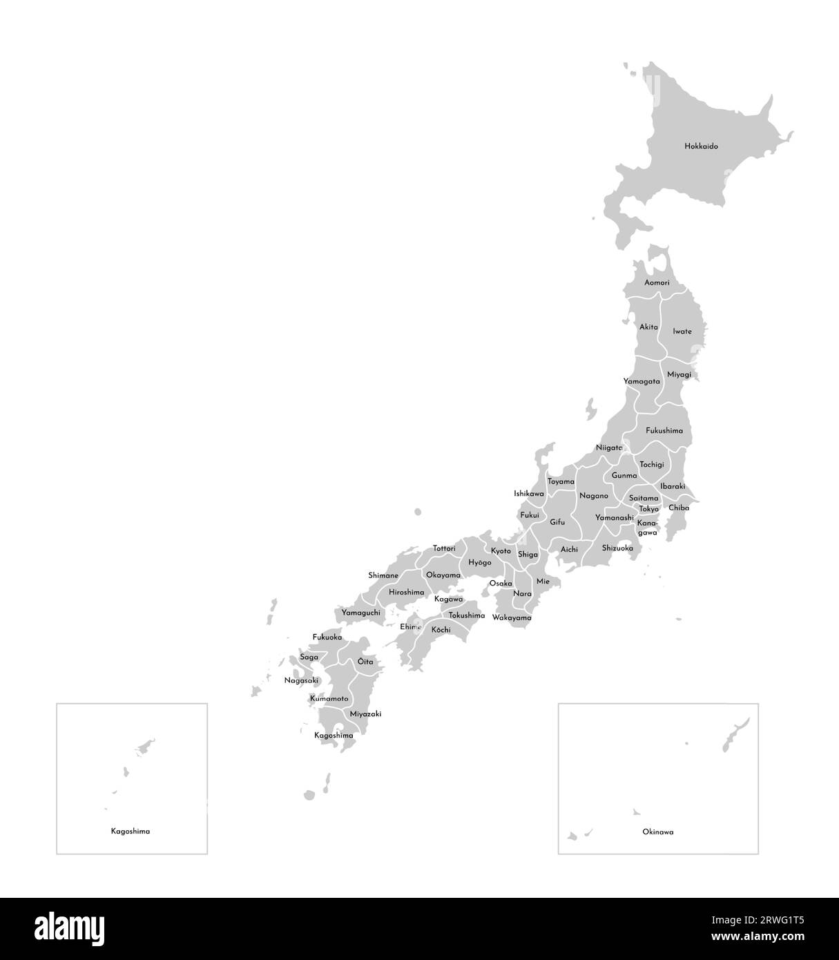 Vector isolated illustration of simplified administrative map of Japan. Borders and names of the prefectures (regions). Grey silhouettes. White outlin Stock Vectorhttps://www.alamy.com/image-license-details/?v=1https://www.alamy.com/vector-isolated-illustration-of-simplified-administrative-map-of-japan-borders-and-names-of-the-prefectures-regions-grey-silhouettes-white-outlin-image566450869.html
RF2RWG1T5–Vector isolated illustration of simplified administrative map of Japan. Borders and names of the prefectures (regions). Grey silhouettes. White outlin
 Kayobara, , JP, Japan, Yamagata, N 38 42' 32'', N 140 44' 59'', map, Cartascapes Map published in 2024. Explore Cartascapes, a map revealing Earth's diverse landscapes, cultures, and ecosystems. Journey through time and space, discovering the interconnectedness of our planet's past, present, and future. Stock Photohttps://www.alamy.com/image-license-details/?v=1https://www.alamy.com/kayobara-jp-japan-yamagata-n-38-42-32-n-140-44-59-map-cartascapes-map-published-in-2024-explore-cartascapes-a-map-revealing-earths-diverse-landscapes-cultures-and-ecosystems-journey-through-time-and-space-discovering-the-interconnectedness-of-our-planets-past-present-and-future-image634947085.html
RM2YW09DH–Kayobara, , JP, Japan, Yamagata, N 38 42' 32'', N 140 44' 59'', map, Cartascapes Map published in 2024. Explore Cartascapes, a map revealing Earth's diverse landscapes, cultures, and ecosystems. Journey through time and space, discovering the interconnectedness of our planet's past, present, and future.
 Yamagata, prefecture of Japan. Open Street Map. Corner auxiliary location maps Stock Photohttps://www.alamy.com/image-license-details/?v=1https://www.alamy.com/yamagata-prefecture-of-japan-open-street-map-corner-auxiliary-location-maps-image485763998.html
RF2K68CX6–Yamagata, prefecture of Japan. Open Street Map. Corner auxiliary location maps
 Yamagata Mura, , JP, Japan, , N 40 34' 59'', N 140 43' 0'', map, Cartascapes Map published in 2024. Explore Cartascapes, a map revealing Earth's diverse landscapes, cultures, and ecosystems. Journey through time and space, discovering the interconnectedness of our planet's past, present, and future. Stock Photohttps://www.alamy.com/image-license-details/?v=1https://www.alamy.com/yamagata-mura-jp-japan-n-40-34-59-n-140-43-0-map-cartascapes-map-published-in-2024-explore-cartascapes-a-map-revealing-earths-diverse-landscapes-cultures-and-ecosystems-journey-through-time-and-space-discovering-the-interconnectedness-of-our-planets-past-present-and-future-image634593605.html
RM2YTC6H9–Yamagata Mura, , JP, Japan, , N 40 34' 59'', N 140 43' 0'', map, Cartascapes Map published in 2024. Explore Cartascapes, a map revealing Earth's diverse landscapes, cultures, and ecosystems. Journey through time and space, discovering the interconnectedness of our planet's past, present, and future.
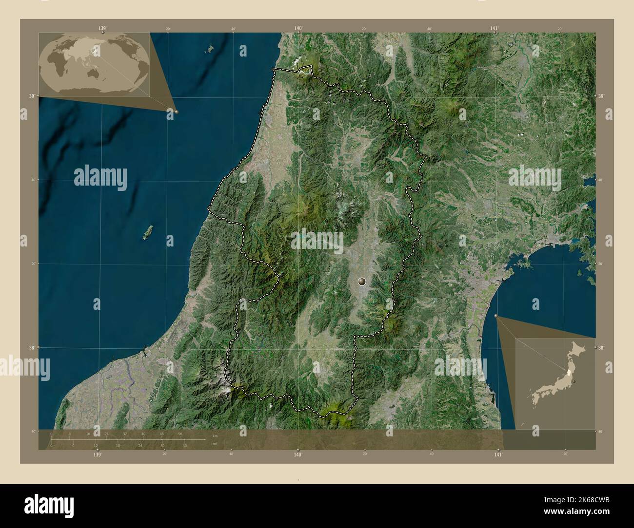 Yamagata, prefecture of Japan. High resolution satellite map. Corner auxiliary location maps Stock Photohttps://www.alamy.com/image-license-details/?v=1https://www.alamy.com/yamagata-prefecture-of-japan-high-resolution-satellite-map-corner-auxiliary-location-maps-image485763975.html
RF2K68CWB–Yamagata, prefecture of Japan. High resolution satellite map. Corner auxiliary location maps
 Hachimanhara, , JP, Japan, Yamagata, N 38 47' 57'', N 140 39' 6'', map, Cartascapes Map published in 2024. Explore Cartascapes, a map revealing Earth's diverse landscapes, cultures, and ecosystems. Journey through time and space, discovering the interconnectedness of our planet's past, present, and future. Stock Photohttps://www.alamy.com/image-license-details/?v=1https://www.alamy.com/hachimanhara-jp-japan-yamagata-n-38-47-57-n-140-39-6-map-cartascapes-map-published-in-2024-explore-cartascapes-a-map-revealing-earths-diverse-landscapes-cultures-and-ecosystems-journey-through-time-and-space-discovering-the-interconnectedness-of-our-planets-past-present-and-future-image634686000.html
RM2YTGCD4–Hachimanhara, , JP, Japan, Yamagata, N 38 47' 57'', N 140 39' 6'', map, Cartascapes Map published in 2024. Explore Cartascapes, a map revealing Earth's diverse landscapes, cultures, and ecosystems. Journey through time and space, discovering the interconnectedness of our planet's past, present, and future.
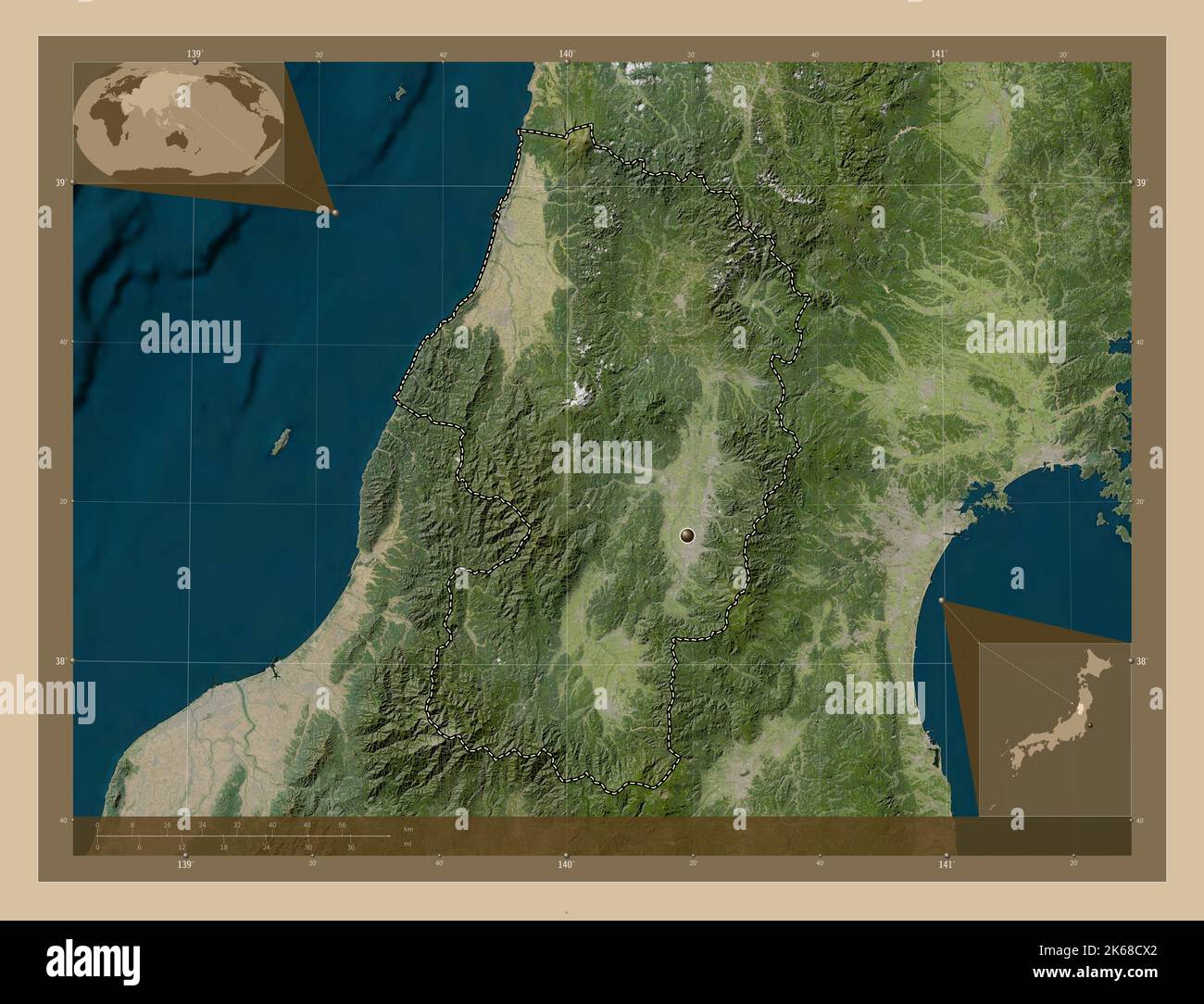 Yamagata, prefecture of Japan. Low resolution satellite map. Corner auxiliary location maps Stock Photohttps://www.alamy.com/image-license-details/?v=1https://www.alamy.com/yamagata-prefecture-of-japan-low-resolution-satellite-map-corner-auxiliary-location-maps-image485763994.html
RF2K68CX2–Yamagata, prefecture of Japan. Low resolution satellite map. Corner auxiliary location maps
 Shimotanakamae, , JP, Japan, Yamagata, N 38 47' 54'', N 140 39' 4'', map, Cartascapes Map published in 2024. Explore Cartascapes, a map revealing Earth's diverse landscapes, cultures, and ecosystems. Journey through time and space, discovering the interconnectedness of our planet's past, present, and future. Stock Photohttps://www.alamy.com/image-license-details/?v=1https://www.alamy.com/shimotanakamae-jp-japan-yamagata-n-38-47-54-n-140-39-4-map-cartascapes-map-published-in-2024-explore-cartascapes-a-map-revealing-earths-diverse-landscapes-cultures-and-ecosystems-journey-through-time-and-space-discovering-the-interconnectedness-of-our-planets-past-present-and-future-image634614371.html
RM2YTD52Y–Shimotanakamae, , JP, Japan, Yamagata, N 38 47' 54'', N 140 39' 4'', map, Cartascapes Map published in 2024. Explore Cartascapes, a map revealing Earth's diverse landscapes, cultures, and ecosystems. Journey through time and space, discovering the interconnectedness of our planet's past, present, and future.
 Yamagata, prefecture of Japan. Colored elevation map with lakes and rivers. Corner auxiliary location maps Stock Photohttps://www.alamy.com/image-license-details/?v=1https://www.alamy.com/yamagata-prefecture-of-japan-colored-elevation-map-with-lakes-and-rivers-corner-auxiliary-location-maps-image485764066.html
RF2K68D0J–Yamagata, prefecture of Japan. Colored elevation map with lakes and rivers. Corner auxiliary location maps
 Kamigawara, , JP, Japan, Yamagata, N 38 44' 27'', N 140 45' 10'', map, Cartascapes Map published in 2024. Explore Cartascapes, a map revealing Earth's diverse landscapes, cultures, and ecosystems. Journey through time and space, discovering the interconnectedness of our planet's past, present, and future. Stock Photohttps://www.alamy.com/image-license-details/?v=1https://www.alamy.com/kamigawara-jp-japan-yamagata-n-38-44-27-n-140-45-10-map-cartascapes-map-published-in-2024-explore-cartascapes-a-map-revealing-earths-diverse-landscapes-cultures-and-ecosystems-journey-through-time-and-space-discovering-the-interconnectedness-of-our-planets-past-present-and-future-image634568657.html
RM2YTB2P9–Kamigawara, , JP, Japan, Yamagata, N 38 44' 27'', N 140 45' 10'', map, Cartascapes Map published in 2024. Explore Cartascapes, a map revealing Earth's diverse landscapes, cultures, and ecosystems. Journey through time and space, discovering the interconnectedness of our planet's past, present, and future.
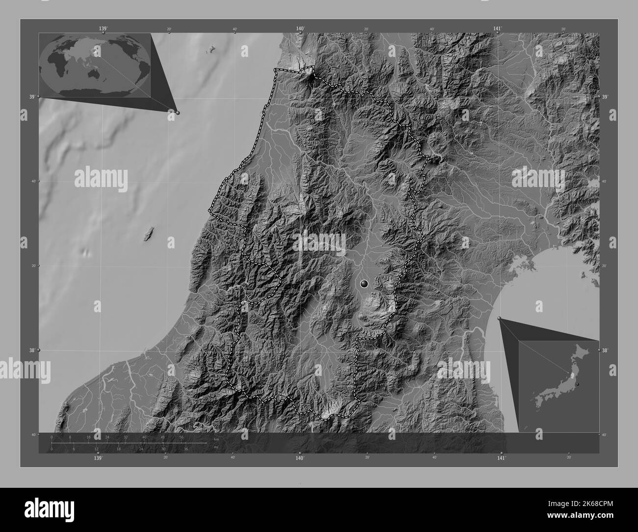 Yamagata, prefecture of Japan. Bilevel elevation map with lakes and rivers. Corner auxiliary location maps Stock Photohttps://www.alamy.com/image-license-details/?v=1https://www.alamy.com/yamagata-prefecture-of-japan-bilevel-elevation-map-with-lakes-and-rivers-corner-auxiliary-location-maps-image485763900.html
RF2K68CPM–Yamagata, prefecture of Japan. Bilevel elevation map with lakes and rivers. Corner auxiliary location maps
 Atsumi Gawa, , JP, Japan, Yamagata, N 38 37' 18'', N 139 35' 4'', map, Cartascapes Map published in 2024. Explore Cartascapes, a map revealing Earth's diverse landscapes, cultures, and ecosystems. Journey through time and space, discovering the interconnectedness of our planet's past, present, and future. Stock Photohttps://www.alamy.com/image-license-details/?v=1https://www.alamy.com/atsumi-gawa-jp-japan-yamagata-n-38-37-18-n-139-35-4-map-cartascapes-map-published-in-2024-explore-cartascapes-a-map-revealing-earths-diverse-landscapes-cultures-and-ecosystems-journey-through-time-and-space-discovering-the-interconnectedness-of-our-planets-past-present-and-future-image634944339.html
RM2YW05YF–Atsumi Gawa, , JP, Japan, Yamagata, N 38 37' 18'', N 139 35' 4'', map, Cartascapes Map published in 2024. Explore Cartascapes, a map revealing Earth's diverse landscapes, cultures, and ecosystems. Journey through time and space, discovering the interconnectedness of our planet's past, present, and future.
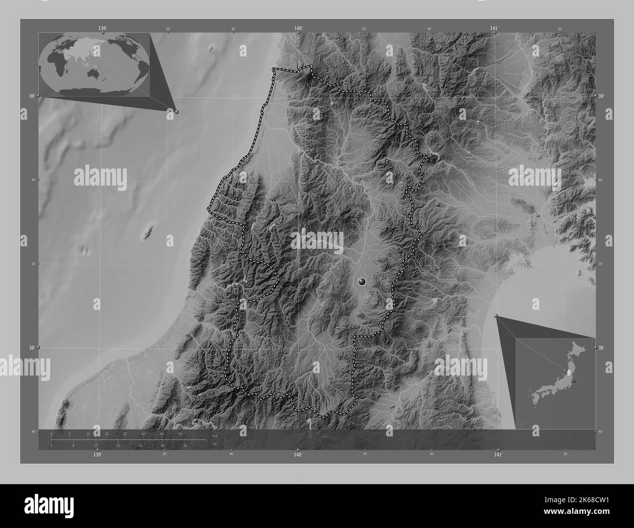 Yamagata, prefecture of Japan. Grayscale elevation map with lakes and rivers. Corner auxiliary location maps Stock Photohttps://www.alamy.com/image-license-details/?v=1https://www.alamy.com/yamagata-prefecture-of-japan-grayscale-elevation-map-with-lakes-and-rivers-corner-auxiliary-location-maps-image485763965.html
RF2K68CW1–Yamagata, prefecture of Japan. Grayscale elevation map with lakes and rivers. Corner auxiliary location maps
 Arase Gawa, , JP, Japan, Yamagata, N 38 58' 43'', N 139 54' 3'', map, Cartascapes Map published in 2024. Explore Cartascapes, a map revealing Earth's diverse landscapes, cultures, and ecosystems. Journey through time and space, discovering the interconnectedness of our planet's past, present, and future. Stock Photohttps://www.alamy.com/image-license-details/?v=1https://www.alamy.com/arase-gawa-jp-japan-yamagata-n-38-58-43-n-139-54-3-map-cartascapes-map-published-in-2024-explore-cartascapes-a-map-revealing-earths-diverse-landscapes-cultures-and-ecosystems-journey-through-time-and-space-discovering-the-interconnectedness-of-our-planets-past-present-and-future-image634857034.html
RM2YTT6HE–Arase Gawa, , JP, Japan, Yamagata, N 38 58' 43'', N 139 54' 3'', map, Cartascapes Map published in 2024. Explore Cartascapes, a map revealing Earth's diverse landscapes, cultures, and ecosystems. Journey through time and space, discovering the interconnectedness of our planet's past, present, and future.
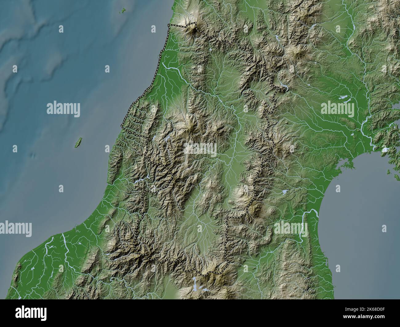 Yamagata, prefecture of Japan. Elevation map colored in wiki style with lakes and rivers Stock Photohttps://www.alamy.com/image-license-details/?v=1https://www.alamy.com/yamagata-prefecture-of-japan-elevation-map-colored-in-wiki-style-with-lakes-and-rivers-image485764063.html
RF2K68D0F–Yamagata, prefecture of Japan. Elevation map colored in wiki style with lakes and rivers
 Kaneyama Gawa, , JP, Japan, Yamagata, N 38 51' 42'', N 140 15' 21'', map, Cartascapes Map published in 2024. Explore Cartascapes, a map revealing Earth's diverse landscapes, cultures, and ecosystems. Journey through time and space, discovering the interconnectedness of our planet's past, present, and future. Stock Photohttps://www.alamy.com/image-license-details/?v=1https://www.alamy.com/kaneyama-gawa-jp-japan-yamagata-n-38-51-42-n-140-15-21-map-cartascapes-map-published-in-2024-explore-cartascapes-a-map-revealing-earths-diverse-landscapes-cultures-and-ecosystems-journey-through-time-and-space-discovering-the-interconnectedness-of-our-planets-past-present-and-future-image634671128.html
RM2YTFNE0–Kaneyama Gawa, , JP, Japan, Yamagata, N 38 51' 42'', N 140 15' 21'', map, Cartascapes Map published in 2024. Explore Cartascapes, a map revealing Earth's diverse landscapes, cultures, and ecosystems. Journey through time and space, discovering the interconnectedness of our planet's past, present, and future.
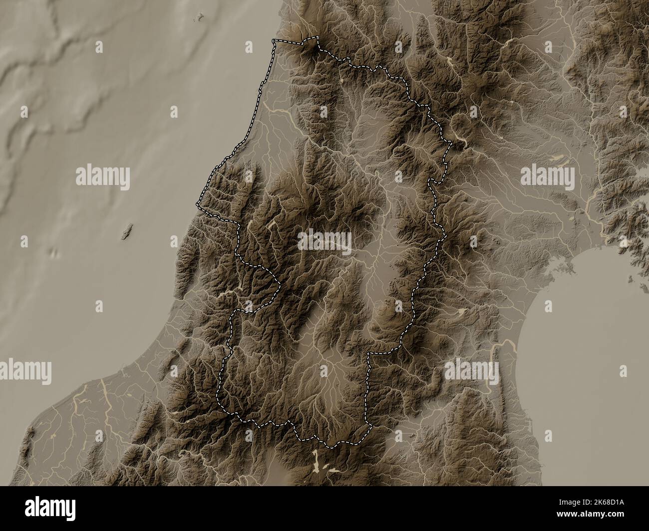 Yamagata, prefecture of Japan. Elevation map colored in sepia tones with lakes and rivers Stock Photohttps://www.alamy.com/image-license-details/?v=1https://www.alamy.com/yamagata-prefecture-of-japan-elevation-map-colored-in-sepia-tones-with-lakes-and-rivers-image485764086.html
RF2K68D1A–Yamagata, prefecture of Japan. Elevation map colored in sepia tones with lakes and rivers
 Shonai Heiya, , JP, Japan, Yamagata, N 38 49' 59'', N 139 55' 0'', map, Cartascapes Map published in 2024. Explore Cartascapes, a map revealing Earth's diverse landscapes, cultures, and ecosystems. Journey through time and space, discovering the interconnectedness of our planet's past, present, and future. Stock Photohttps://www.alamy.com/image-license-details/?v=1https://www.alamy.com/shonai-heiya-jp-japan-yamagata-n-38-49-59-n-139-55-0-map-cartascapes-map-published-in-2024-explore-cartascapes-a-map-revealing-earths-diverse-landscapes-cultures-and-ecosystems-journey-through-time-and-space-discovering-the-interconnectedness-of-our-planets-past-present-and-future-image634870327.html
RM2YTTRG7–Shonai Heiya, , JP, Japan, Yamagata, N 38 49' 59'', N 139 55' 0'', map, Cartascapes Map published in 2024. Explore Cartascapes, a map revealing Earth's diverse landscapes, cultures, and ecosystems. Journey through time and space, discovering the interconnectedness of our planet's past, present, and future.
 Shape of Yamagata, prefecture of Japan, with its capital isolated on white background. Colored elevation map. 3D rendering Stock Photohttps://www.alamy.com/image-license-details/?v=1https://www.alamy.com/shape-of-yamagata-prefecture-of-japan-with-its-capital-isolated-on-white-background-colored-elevation-map-3d-rendering-image368495696.html
RF2CBEC0G–Shape of Yamagata, prefecture of Japan, with its capital isolated on white background. Colored elevation map. 3D rendering
 Tera Jima, , JP, Japan, Yamagata, N 39 11' 41'', N 139 33' 53'', map, Cartascapes Map published in 2024. Explore Cartascapes, a map revealing Earth's diverse landscapes, cultures, and ecosystems. Journey through time and space, discovering the interconnectedness of our planet's past, present, and future. Stock Photohttps://www.alamy.com/image-license-details/?v=1https://www.alamy.com/tera-jima-jp-japan-yamagata-n-39-11-41-n-139-33-53-map-cartascapes-map-published-in-2024-explore-cartascapes-a-map-revealing-earths-diverse-landscapes-cultures-and-ecosystems-journey-through-time-and-space-discovering-the-interconnectedness-of-our-planets-past-present-and-future-image634807766.html
RM2YTNYNX–Tera Jima, , JP, Japan, Yamagata, N 39 11' 41'', N 139 33' 53'', map, Cartascapes Map published in 2024. Explore Cartascapes, a map revealing Earth's diverse landscapes, cultures, and ecosystems. Journey through time and space, discovering the interconnectedness of our planet's past, present, and future.
 Shape of Yamagata, prefecture of Japan, with its capital isolated on white background. Bilevel elevation map. 3D rendering Stock Photohttps://www.alamy.com/image-license-details/?v=1https://www.alamy.com/shape-of-yamagata-prefecture-of-japan-with-its-capital-isolated-on-white-background-bilevel-elevation-map-3d-rendering-image368495741.html
RF2CBEC25–Shape of Yamagata, prefecture of Japan, with its capital isolated on white background. Bilevel elevation map. 3D rendering
 Myojin Gawa, , JP, Japan, Yamagata, N 38 43' 46'', N 140 32' 31'', map, Cartascapes Map published in 2024. Explore Cartascapes, a map revealing Earth's diverse landscapes, cultures, and ecosystems. Journey through time and space, discovering the interconnectedness of our planet's past, present, and future. Stock Photohttps://www.alamy.com/image-license-details/?v=1https://www.alamy.com/myojin-gawa-jp-japan-yamagata-n-38-43-46-n-140-32-31-map-cartascapes-map-published-in-2024-explore-cartascapes-a-map-revealing-earths-diverse-landscapes-cultures-and-ecosystems-journey-through-time-and-space-discovering-the-interconnectedness-of-our-planets-past-present-and-future-image634825782.html
RM2YTPPNA–Myojin Gawa, , JP, Japan, Yamagata, N 38 43' 46'', N 140 32' 31'', map, Cartascapes Map published in 2024. Explore Cartascapes, a map revealing Earth's diverse landscapes, cultures, and ecosystems. Journey through time and space, discovering the interconnectedness of our planet's past, present, and future.
 Shape of Yamagata, prefecture of Japan, with its capital isolated on white background. Topographic relief map. 3D rendering Stock Photohttps://www.alamy.com/image-license-details/?v=1https://www.alamy.com/shape-of-yamagata-prefecture-of-japan-with-its-capital-isolated-on-white-background-topographic-relief-map-3d-rendering-image368495755.html
RF2CBEC2K–Shape of Yamagata, prefecture of Japan, with its capital isolated on white background. Topographic relief map. 3D rendering
 Sue Zawa, , JP, Japan, Yamagata, N 38 42' 58'', N 140 32' 58'', map, Cartascapes Map published in 2024. Explore Cartascapes, a map revealing Earth's diverse landscapes, cultures, and ecosystems. Journey through time and space, discovering the interconnectedness of our planet's past, present, and future. Stock Photohttps://www.alamy.com/image-license-details/?v=1https://www.alamy.com/sue-zawa-jp-japan-yamagata-n-38-42-58-n-140-32-58-map-cartascapes-map-published-in-2024-explore-cartascapes-a-map-revealing-earths-diverse-landscapes-cultures-and-ecosystems-journey-through-time-and-space-discovering-the-interconnectedness-of-our-planets-past-present-and-future-image634863642.html
RM2YTTF1E–Sue Zawa, , JP, Japan, Yamagata, N 38 42' 58'', N 140 32' 58'', map, Cartascapes Map published in 2024. Explore Cartascapes, a map revealing Earth's diverse landscapes, cultures, and ecosystems. Journey through time and space, discovering the interconnectedness of our planet's past, present, and future.
 Shape of Yamagata, prefecture of Japan, and its capital. Distance scale, previews and labels. Bilevel elevation map. 3D rendering Stock Photohttps://www.alamy.com/image-license-details/?v=1https://www.alamy.com/shape-of-yamagata-prefecture-of-japan-and-its-capital-distance-scale-previews-and-labels-bilevel-elevation-map-3d-rendering-image368495743.html
RF2CBEC27–Shape of Yamagata, prefecture of Japan, and its capital. Distance scale, previews and labels. Bilevel elevation map. 3D rendering
 Ira Gawa, , JP, Japan, Yamagata, N 38 40' 18'', N 139 36' 56'', map, Cartascapes Map published in 2024. Explore Cartascapes, a map revealing Earth's diverse landscapes, cultures, and ecosystems. Journey through time and space, discovering the interconnectedness of our planet's past, present, and future. Stock Photohttps://www.alamy.com/image-license-details/?v=1https://www.alamy.com/ira-gawa-jp-japan-yamagata-n-38-40-18-n-139-36-56-map-cartascapes-map-published-in-2024-explore-cartascapes-a-map-revealing-earths-diverse-landscapes-cultures-and-ecosystems-journey-through-time-and-space-discovering-the-interconnectedness-of-our-planets-past-present-and-future-image634761128.html
RM2YTKT88–Ira Gawa, , JP, Japan, Yamagata, N 38 40' 18'', N 139 36' 56'', map, Cartascapes Map published in 2024. Explore Cartascapes, a map revealing Earth's diverse landscapes, cultures, and ecosystems. Journey through time and space, discovering the interconnectedness of our planet's past, present, and future.
 Shape of Yamagata, prefecture of Japan, and its capital. Distance scale, previews and labels. Colored elevation map. 3D rendering Stock Photohttps://www.alamy.com/image-license-details/?v=1https://www.alamy.com/shape-of-yamagata-prefecture-of-japan-and-its-capital-distance-scale-previews-and-labels-colored-elevation-map-3d-rendering-image368495744.html
RF2CBEC28–Shape of Yamagata, prefecture of Japan, and its capital. Distance scale, previews and labels. Colored elevation map. 3D rendering
 Mogami Gawa, , JP, Japan, Yamagata, N 38 55' 23'', N 139 48' 34'', map, Cartascapes Map published in 2024. Explore Cartascapes, a map revealing Earth's diverse landscapes, cultures, and ecosystems. Journey through time and space, discovering the interconnectedness of our planet's past, present, and future. Stock Photohttps://www.alamy.com/image-license-details/?v=1https://www.alamy.com/mogami-gawa-jp-japan-yamagata-n-38-55-23-n-139-48-34-map-cartascapes-map-published-in-2024-explore-cartascapes-a-map-revealing-earths-diverse-landscapes-cultures-and-ecosystems-journey-through-time-and-space-discovering-the-interconnectedness-of-our-planets-past-present-and-future-image634775882.html
RM2YTMF36–Mogami Gawa, , JP, Japan, Yamagata, N 38 55' 23'', N 139 48' 34'', map, Cartascapes Map published in 2024. Explore Cartascapes, a map revealing Earth's diverse landscapes, cultures, and ecosystems. Journey through time and space, discovering the interconnectedness of our planet's past, present, and future.
 Shape of Yamagata, prefecture of Japan, and its capital. Distance scale, previews and labels. Topographic relief map. 3D rendering Stock Photohttps://www.alamy.com/image-license-details/?v=1https://www.alamy.com/shape-of-yamagata-prefecture-of-japan-and-its-capital-distance-scale-previews-and-labels-topographic-relief-map-3d-rendering-image368495732.html
RF2CBEC1T–Shape of Yamagata, prefecture of Japan, and its capital. Distance scale, previews and labels. Topographic relief map. 3D rendering
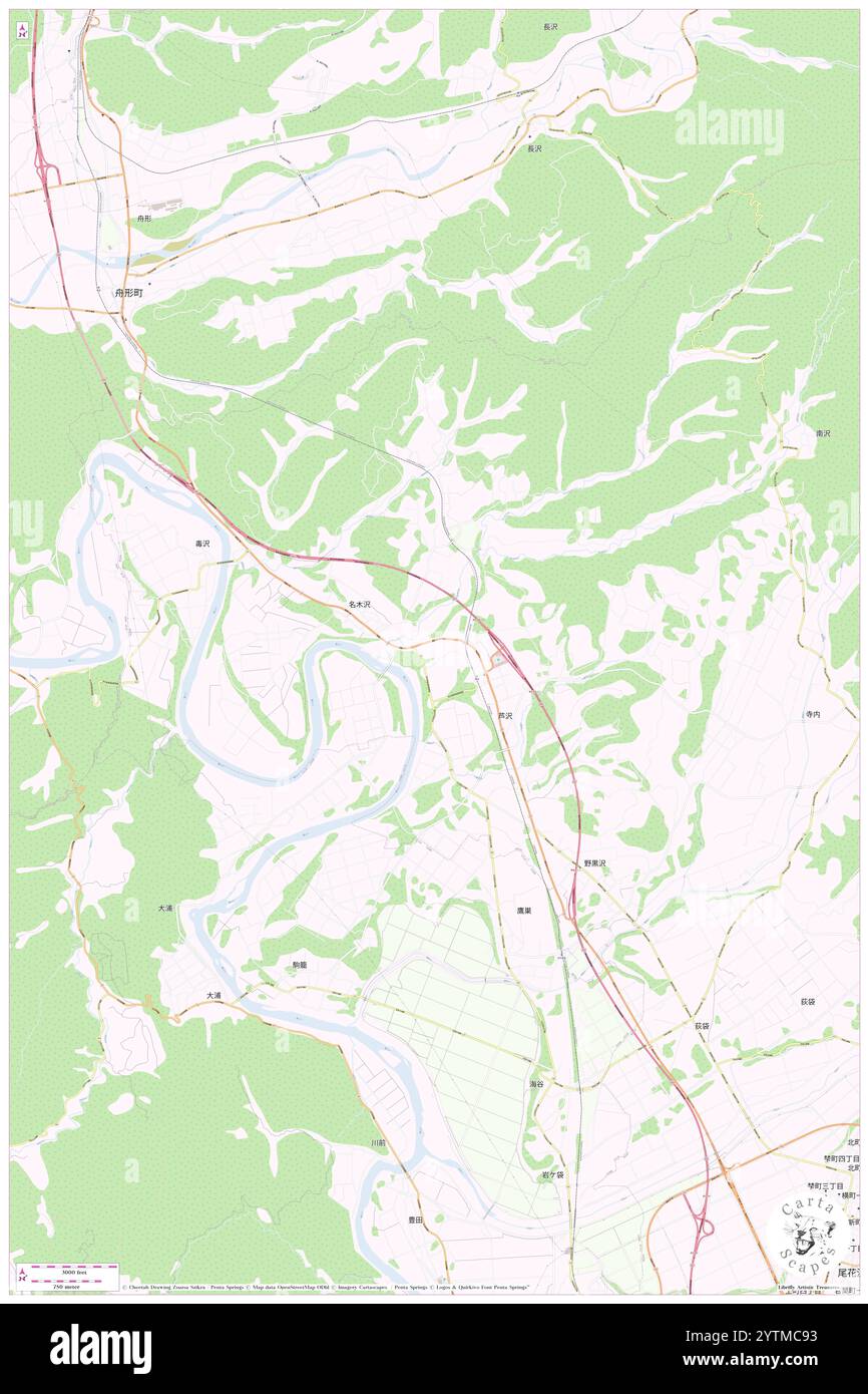 Nagisawa Gawa, , JP, Japan, Yamagata, N 38 39' 28'', N 140 21' 21'', map, Cartascapes Map published in 2024. Explore Cartascapes, a map revealing Earth's diverse landscapes, cultures, and ecosystems. Journey through time and space, discovering the interconnectedness of our planet's past, present, and future. Stock Photohttps://www.alamy.com/image-license-details/?v=1https://www.alamy.com/nagisawa-gawa-jp-japan-yamagata-n-38-39-28-n-140-21-21-map-cartascapes-map-published-in-2024-explore-cartascapes-a-map-revealing-earths-diverse-landscapes-cultures-and-ecosystems-journey-through-time-and-space-discovering-the-interconnectedness-of-our-planets-past-present-and-future-image634773695.html
RM2YTMC93–Nagisawa Gawa, , JP, Japan, Yamagata, N 38 39' 28'', N 140 21' 21'', map, Cartascapes Map published in 2024. Explore Cartascapes, a map revealing Earth's diverse landscapes, cultures, and ecosystems. Journey through time and space, discovering the interconnectedness of our planet's past, present, and future.
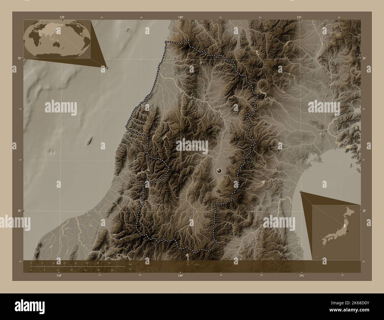 Yamagata, prefecture of Japan. Elevation map colored in sepia tones with lakes and rivers. Corner auxiliary location maps Stock Photohttps://www.alamy.com/image-license-details/?v=1https://www.alamy.com/yamagata-prefecture-of-japan-elevation-map-colored-in-sepia-tones-with-lakes-and-rivers-corner-auxiliary-location-maps-image485764075.html
RF2K68D0Y–Yamagata, prefecture of Japan. Elevation map colored in sepia tones with lakes and rivers. Corner auxiliary location maps
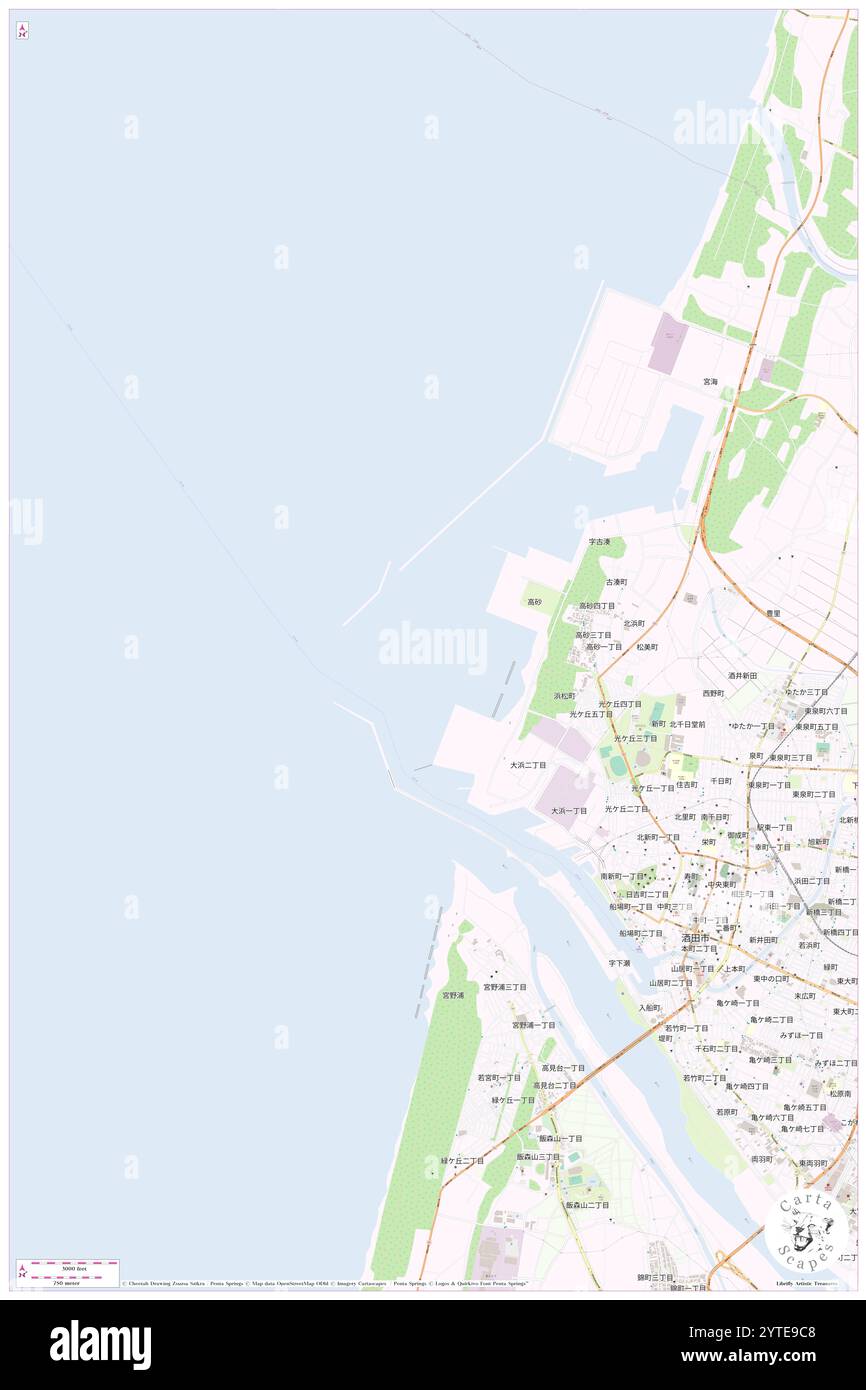 Sakata Ko, , JP, Japan, Yamagata, N 38 56' 28'', N 139 48' 19'', map, Cartascapes Map published in 2024. Explore Cartascapes, a map revealing Earth's diverse landscapes, cultures, and ecosystems. Journey through time and space, discovering the interconnectedness of our planet's past, present, and future. Stock Photohttps://www.alamy.com/image-license-details/?v=1https://www.alamy.com/sakata-ko-jp-japan-yamagata-n-38-56-28-n-139-48-19-map-cartascapes-map-published-in-2024-explore-cartascapes-a-map-revealing-earths-diverse-landscapes-cultures-and-ecosystems-journey-through-time-and-space-discovering-the-interconnectedness-of-our-planets-past-present-and-future-image634639720.html
RM2YTE9C8–Sakata Ko, , JP, Japan, Yamagata, N 38 56' 28'', N 139 48' 19'', map, Cartascapes Map published in 2024. Explore Cartascapes, a map revealing Earth's diverse landscapes, cultures, and ecosystems. Journey through time and space, discovering the interconnectedness of our planet's past, present, and future.
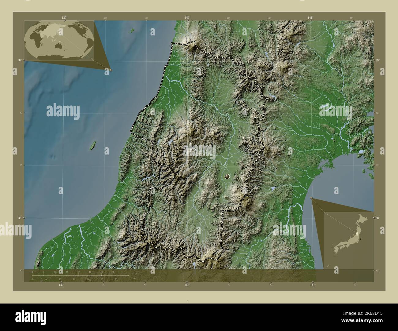 Yamagata, prefecture of Japan. Elevation map colored in wiki style with lakes and rivers. Corner auxiliary location maps Stock Photohttps://www.alamy.com/image-license-details/?v=1https://www.alamy.com/yamagata-prefecture-of-japan-elevation-map-colored-in-wiki-style-with-lakes-and-rivers-corner-auxiliary-location-maps-image485764081.html
RF2K68D15–Yamagata, prefecture of Japan. Elevation map colored in wiki style with lakes and rivers. Corner auxiliary location maps
 Dewa Sanzan, , JP, Japan, Yamagata, N 38 38' 19'', N 139 59' 18'', map, Cartascapes Map published in 2024. Explore Cartascapes, a map revealing Earth's diverse landscapes, cultures, and ecosystems. Journey through time and space, discovering the interconnectedness of our planet's past, present, and future. Stock Photohttps://www.alamy.com/image-license-details/?v=1https://www.alamy.com/dewa-sanzan-jp-japan-yamagata-n-38-38-19-n-139-59-18-map-cartascapes-map-published-in-2024-explore-cartascapes-a-map-revealing-earths-diverse-landscapes-cultures-and-ecosystems-journey-through-time-and-space-discovering-the-interconnectedness-of-our-planets-past-present-and-future-image634585847.html
RM2YTBTM7–Dewa Sanzan, , JP, Japan, Yamagata, N 38 38' 19'', N 139 59' 18'', map, Cartascapes Map published in 2024. Explore Cartascapes, a map revealing Earth's diverse landscapes, cultures, and ecosystems. Journey through time and space, discovering the interconnectedness of our planet's past, present, and future.
 Yamagata, prefecture of Japan. Open Street Map. Locations of major cities of the region. Corner auxiliary location maps Stock Photohttps://www.alamy.com/image-license-details/?v=1https://www.alamy.com/yamagata-prefecture-of-japan-open-street-map-locations-of-major-cities-of-the-region-corner-auxiliary-location-maps-image485763969.html
RF2K68CW5–Yamagata, prefecture of Japan. Open Street Map. Locations of major cities of the region. Corner auxiliary location maps