Map outline prince edward island Black & White Stock Photos
(48)See map outline prince edward island stock video clipsMap outline prince edward island Black & White Stock Photos
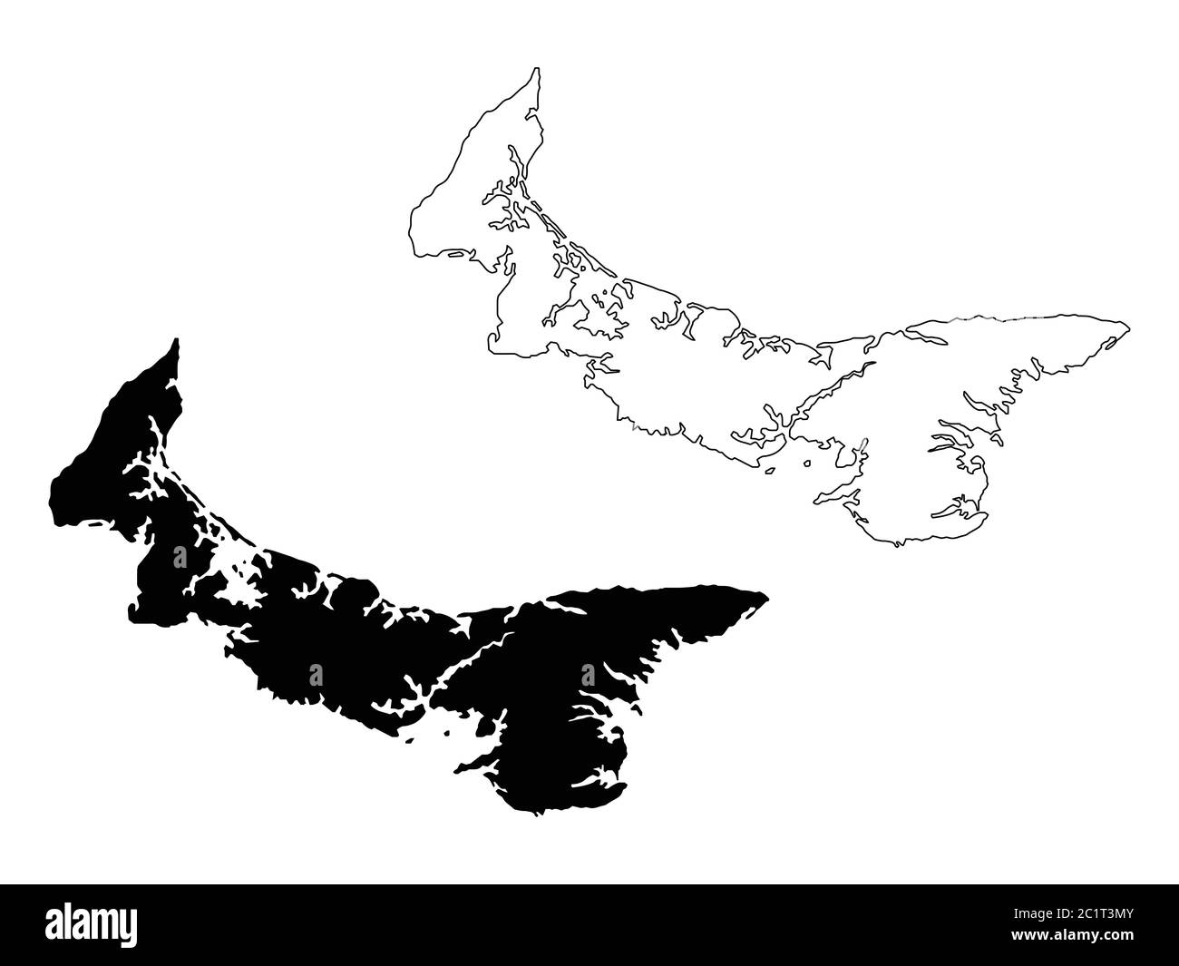 Prince Edward Island Province and Territory of Canada Map. Black Illustration and Outline. Isolated on a White Background. EPS Vector Stock Vectorhttps://www.alamy.com/image-license-details/?v=1https://www.alamy.com/prince-edward-island-province-and-territory-of-canada-map-black-illustration-and-outline-isolated-on-a-white-background-eps-vector-image362562171.html
RF2C1T3MY–Prince Edward Island Province and Territory of Canada Map. Black Illustration and Outline. Isolated on a White Background. EPS Vector
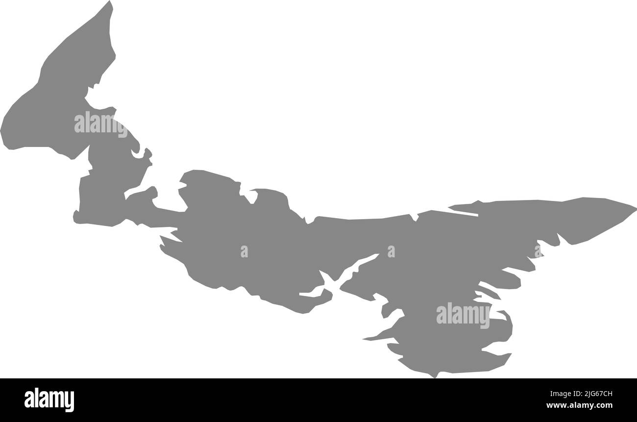 Gray flat blank vector administrative map of the Canadian province of PRINCE EDWARD ISLAND, CANADA Stock Vectorhttps://www.alamy.com/image-license-details/?v=1https://www.alamy.com/gray-flat-blank-vector-administrative-map-of-the-canadian-province-of-prince-edward-island-canada-image474651985.html
RF2JG67CH–Gray flat blank vector administrative map of the Canadian province of PRINCE EDWARD ISLAND, CANADA
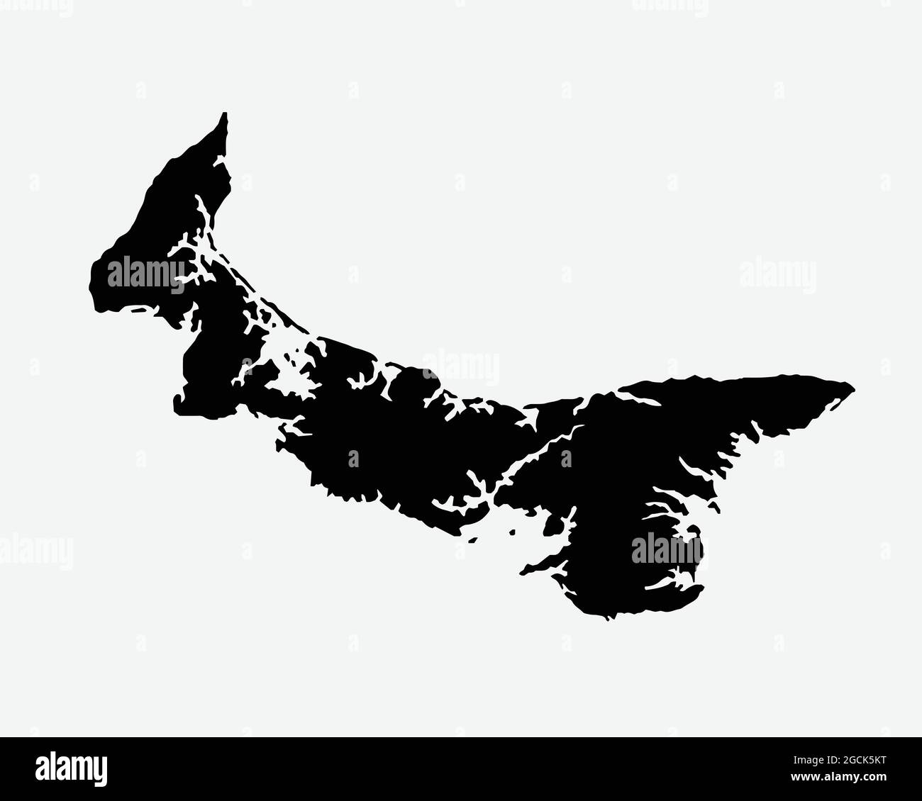 Prince Edward Island Canada Map Black Silhouette. PEI, Canadian Province Shape Geography Atlas Border Boundary. Black Map Isolated on White Background Stock Vectorhttps://www.alamy.com/image-license-details/?v=1https://www.alamy.com/prince-edward-island-canada-map-black-silhouette-pei-canadian-province-shape-geography-atlas-border-boundary-black-map-isolated-on-white-background-image438056636.html
RF2GCK5KT–Prince Edward Island Canada Map Black Silhouette. PEI, Canadian Province Shape Geography Atlas Border Boundary. Black Map Isolated on White Background
 Prince Edward Island in the Gulf of St. Lawrence, belonging to Canada, isolated on a bilevel elevation map, with distance scale Stock Photohttps://www.alamy.com/image-license-details/?v=1https://www.alamy.com/prince-edward-island-in-the-gulf-of-st-lawrence-belonging-to-canada-isolated-on-a-bilevel-elevation-map-with-distance-scale-image619541704.html
RF2XYXFNC–Prince Edward Island in the Gulf of St. Lawrence, belonging to Canada, isolated on a bilevel elevation map, with distance scale
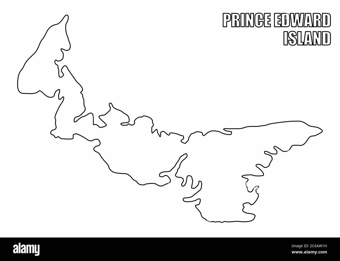 Prince Edward Island outline map Stock Vectorhttps://www.alamy.com/image-license-details/?v=1https://www.alamy.com/prince-edward-island-outline-map-image365344829.html
RF2C6AW1H–Prince Edward Island outline map
 Symbol Map of the Province Prince Edward Island (Canada) showing the territory with a pattern of randomly distributed black circles of different sizes Stock Vectorhttps://www.alamy.com/image-license-details/?v=1https://www.alamy.com/symbol-map-of-the-province-prince-edward-island-canada-showing-the-territory-with-a-pattern-of-randomly-distributed-black-circles-of-different-sizes-image621722397.html
RF2Y3DW79–Symbol Map of the Province Prince Edward Island (Canada) showing the territory with a pattern of randomly distributed black circles of different sizes
 Provinces and territories of Canada - map of Prince Edward Island with paper cut effect. Please look at my other images of cartographic series - they Stock Vectorhttps://www.alamy.com/image-license-details/?v=1https://www.alamy.com/stock-photo-provinces-and-territories-of-canada-map-of-prince-edward-island-with-173766051.html
RFM2KMAB–Provinces and territories of Canada - map of Prince Edward Island with paper cut effect. Please look at my other images of cartographic series - they
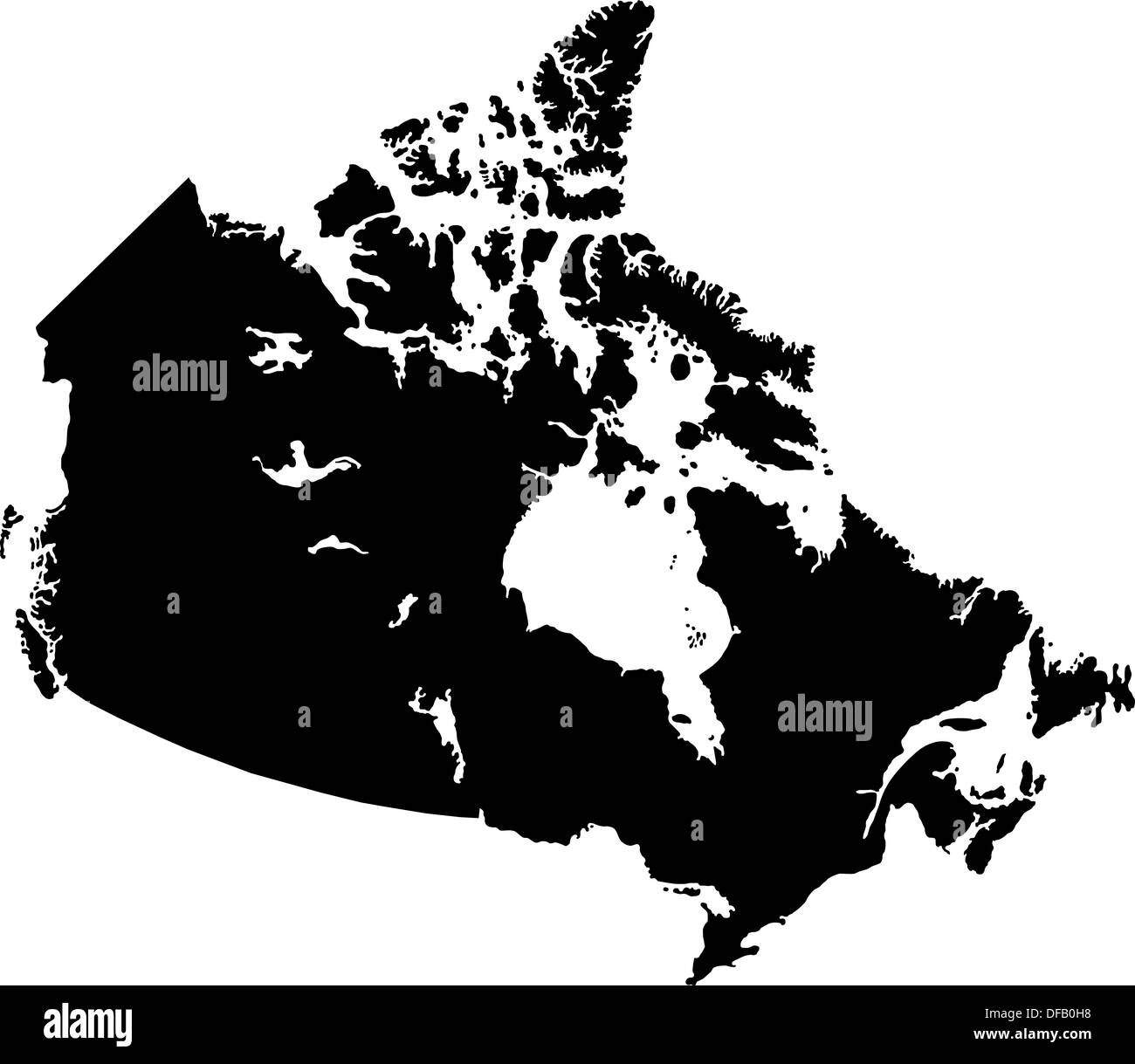 Black Canada map Stock Photohttps://www.alamy.com/image-license-details/?v=1https://www.alamy.com/black-canada-map-image61092900.html
RFDFB0H8–Black Canada map
 Map of Prince Edward Island on weathered wood Stock Photohttps://www.alamy.com/image-license-details/?v=1https://www.alamy.com/map-of-prince-edward-island-on-weathered-wood-image385433230.html
RF2DB200E–Map of Prince Edward Island on weathered wood
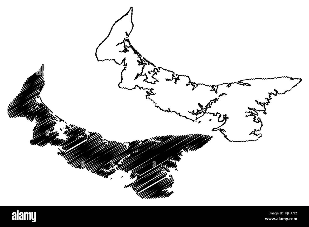 Prince Edward Island (provinces and territories of Canada, PEI or P.E.I.) map vector illustration, scribble sketch Prince Edward Island map Stock Vectorhttps://www.alamy.com/image-license-details/?v=1https://www.alamy.com/prince-edward-island-provinces-and-territories-of-canada-pei-or-pei-map-vector-illustration-scribble-sketch-prince-edward-island-map-image217969838.html
RFPJHAN2–Prince Edward Island (provinces and territories of Canada, PEI or P.E.I.) map vector illustration, scribble sketch Prince Edward Island map
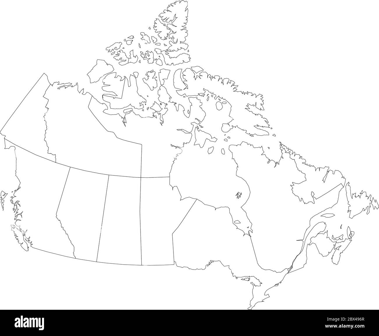 Map of Canada divided into 10 provinces and 3 territories. Administrative regions of Canada. Blank white map with black outline. Vector illustration. Stock Vectorhttps://www.alamy.com/image-license-details/?v=1https://www.alamy.com/map-of-canada-divided-into-10-provinces-and-3-territories-administrative-regions-of-canada-blank-white-map-with-black-outline-vector-illustration-image360283471.html
RF2BX496R–Map of Canada divided into 10 provinces and 3 territories. Administrative regions of Canada. Blank white map with black outline. Vector illustration.
 Prince Edward Island, province of Canada. Grayscaled map with lakes and rivers. Shape outlined against its country area. 3D rendering Stock Photohttps://www.alamy.com/image-license-details/?v=1https://www.alamy.com/prince-edward-island-province-of-canada-grayscaled-map-with-lakes-and-rivers-shape-outlined-against-its-country-area-3d-rendering-image363588368.html
RF2C3ETJT–Prince Edward Island, province of Canada. Grayscaled map with lakes and rivers. Shape outlined against its country area. 3D rendering
 Map of Prince Edward Island on weathered wood Stock Photohttps://www.alamy.com/image-license-details/?v=1https://www.alamy.com/map-of-prince-edward-island-on-weathered-wood-image346469647.html
RF2B3K1FY–Map of Prince Edward Island on weathered wood
 Prince Edward Island dark silhouette map Stock Vectorhttps://www.alamy.com/image-license-details/?v=1https://www.alamy.com/prince-edward-island-dark-silhouette-map-image365349343.html
RF2C6B2PR–Prince Edward Island dark silhouette map
 3d map of Prince Edward Island is a province of Canada Stock Vectorhttps://www.alamy.com/image-license-details/?v=1https://www.alamy.com/3d-map-of-prince-edward-island-is-a-province-of-canada-image359563076.html
RF2BTYEAC–3d map of Prince Edward Island is a province of Canada
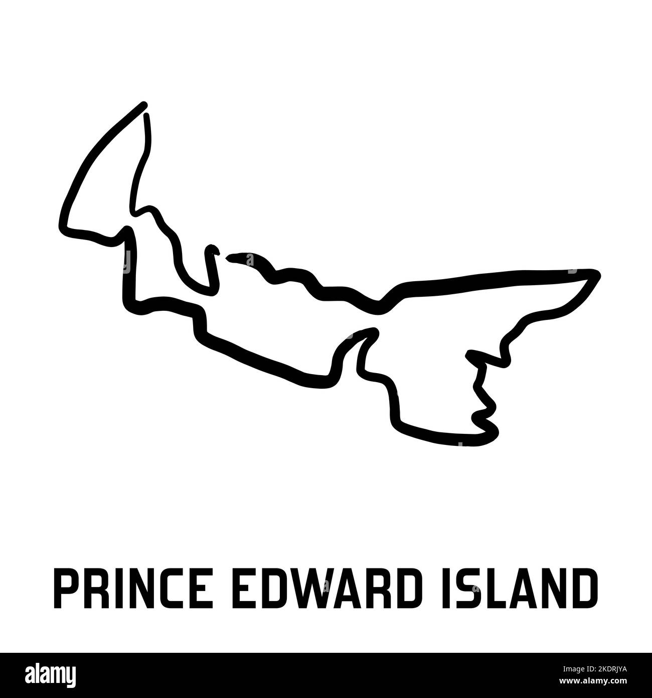 Prince Edward Island map outline - smooth simple hand-drawn Canadian province shape map vector. Province in Canada. Stock Vectorhttps://www.alamy.com/image-license-details/?v=1https://www.alamy.com/prince-edward-island-map-outline-smooth-simple-hand-drawn-canadian-province-shape-map-vector-province-in-canada-image490400606.html
RF2KDRJYA–Prince Edward Island map outline - smooth simple hand-drawn Canadian province shape map vector. Province in Canada.
 Political map of Canada with the several provinces where Prince Edward Island is highlighted. Stock Photohttps://www.alamy.com/image-license-details/?v=1https://www.alamy.com/stock-photo-political-map-of-canada-with-the-several-provinces-where-prince-edward-49289205.html
RFCT58TN–Political map of Canada with the several provinces where Prince Edward Island is highlighted.
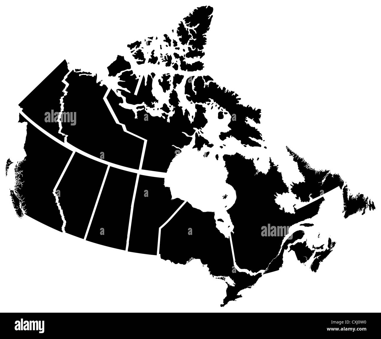 Detailed Map of Canadian Territories, each territory labeled on a seperate layer Stock Photohttps://www.alamy.com/image-license-details/?v=1https://www.alamy.com/stock-photo-detailed-map-of-canadian-territories-each-territory-labeled-on-a-seperate-50797628.html
RFCXJ0W0–Detailed Map of Canadian Territories, each territory labeled on a seperate layer
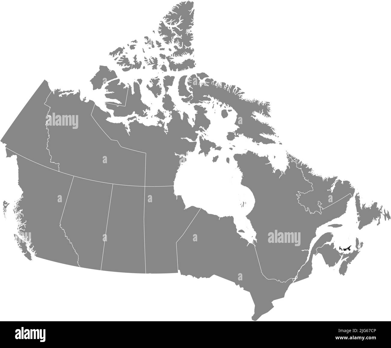 Black flat blank highlighted locator administrative map of the Canadian province of PRINCE EDWARD ISLAND inside gray flat map of CANADA Stock Vectorhttps://www.alamy.com/image-license-details/?v=1https://www.alamy.com/black-flat-blank-highlighted-locator-administrative-map-of-the-canadian-province-of-prince-edward-island-inside-gray-flat-map-of-canada-image474651990.html
RF2JG67CP–Black flat blank highlighted locator administrative map of the Canadian province of PRINCE EDWARD ISLAND inside gray flat map of CANADA
 Symbol Map of the Province Prince Edward Island (Canada) showing the state/province with a pattern of black circles Stock Vectorhttps://www.alamy.com/image-license-details/?v=1https://www.alamy.com/symbol-map-of-the-province-prince-edward-island-canada-showing-the-stateprovince-with-a-pattern-of-black-circles-image612953817.html
RF2XH6CRN–Symbol Map of the Province Prince Edward Island (Canada) showing the state/province with a pattern of black circles
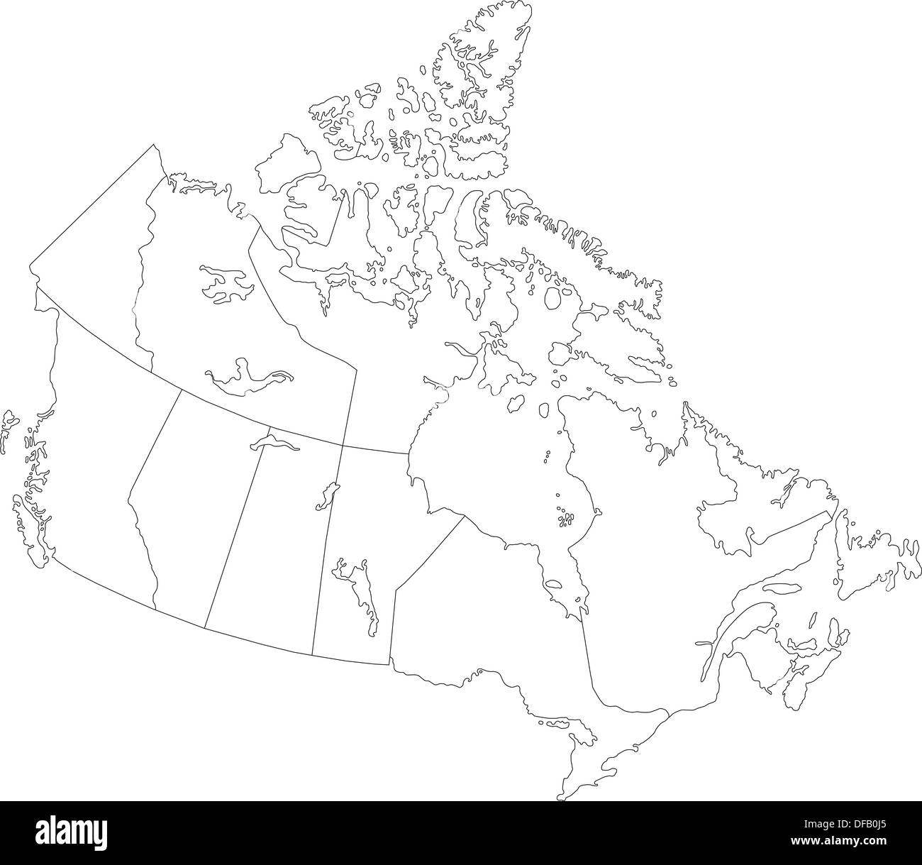 Outline Canada map Stock Photohttps://www.alamy.com/image-license-details/?v=1https://www.alamy.com/outline-canada-map-image61092925.html
RFDFB0J5–Outline Canada map
 Map of Prince Edward Island on weathered wood Stock Photohttps://www.alamy.com/image-license-details/?v=1https://www.alamy.com/map-of-prince-edward-island-on-weathered-wood-image363262625.html
RF2C30155–Map of Prince Edward Island on weathered wood
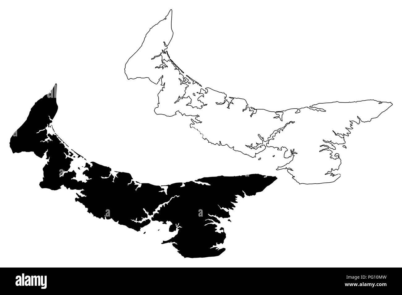 Prince Edward Island (provinces and territories of Canada, PEI or P.E.I.) map vector illustration, scribble sketch Prince Edward Island map Stock Vectorhttps://www.alamy.com/image-license-details/?v=1https://www.alamy.com/prince-edward-island-provinces-and-territories-of-canada-pei-or-pei-map-vector-illustration-scribble-sketch-prince-edward-island-map-image216381449.html
RFPG10MW–Prince Edward Island (provinces and territories of Canada, PEI or P.E.I.) map vector illustration, scribble sketch Prince Edward Island map
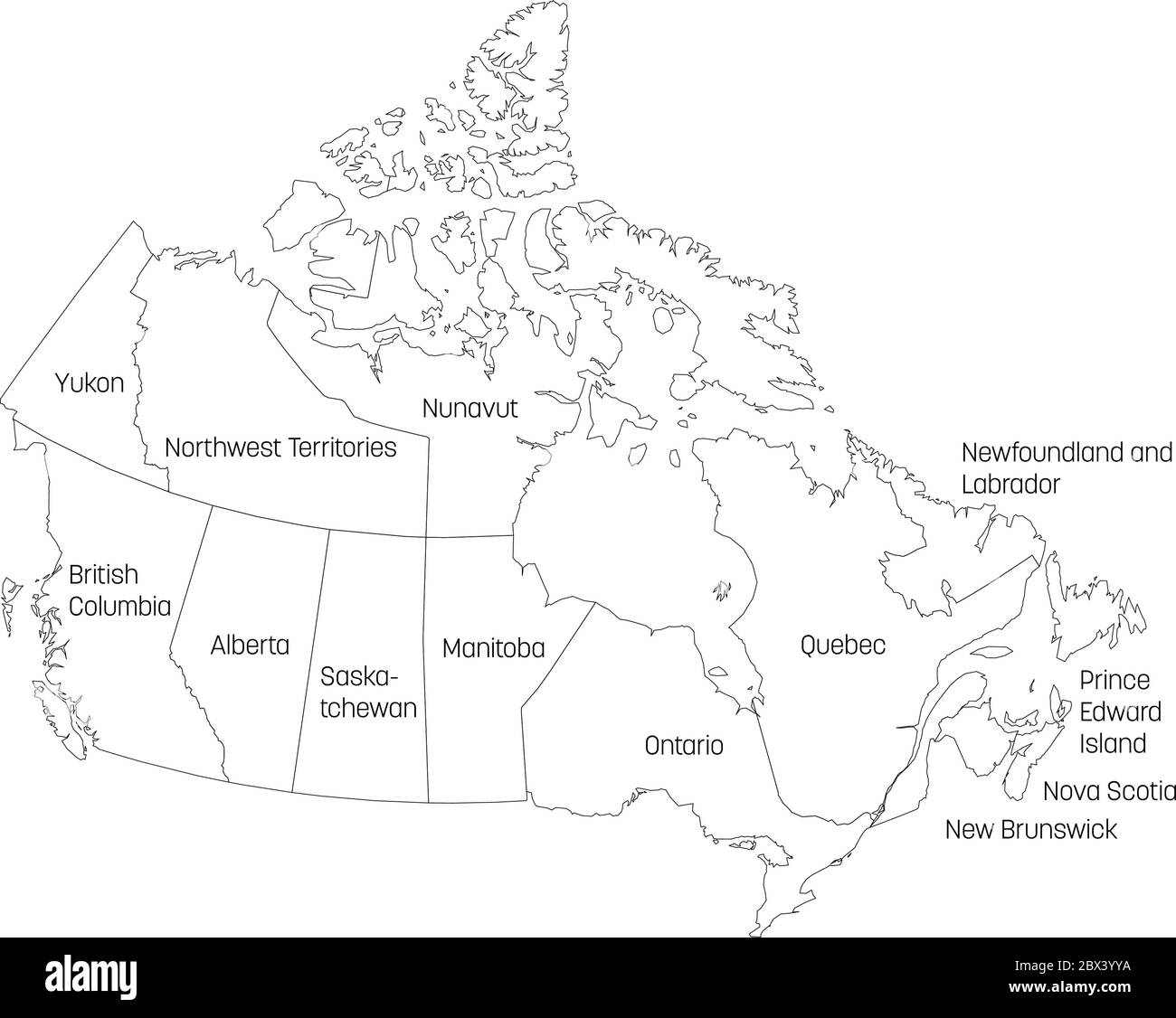 Map of Canada divided into 10 provinces and 3 territories. Administrative regions of Canada. White map with black outline and black region name labels. Vector illustration. Stock Vectorhttps://www.alamy.com/image-license-details/?v=1https://www.alamy.com/map-of-canada-divided-into-10-provinces-and-3-territories-administrative-regions-of-canada-white-map-with-black-outline-and-black-region-name-labels-vector-illustration-image360276206.html
RF2BX3YYA–Map of Canada divided into 10 provinces and 3 territories. Administrative regions of Canada. White map with black outline and black region name labels. Vector illustration.
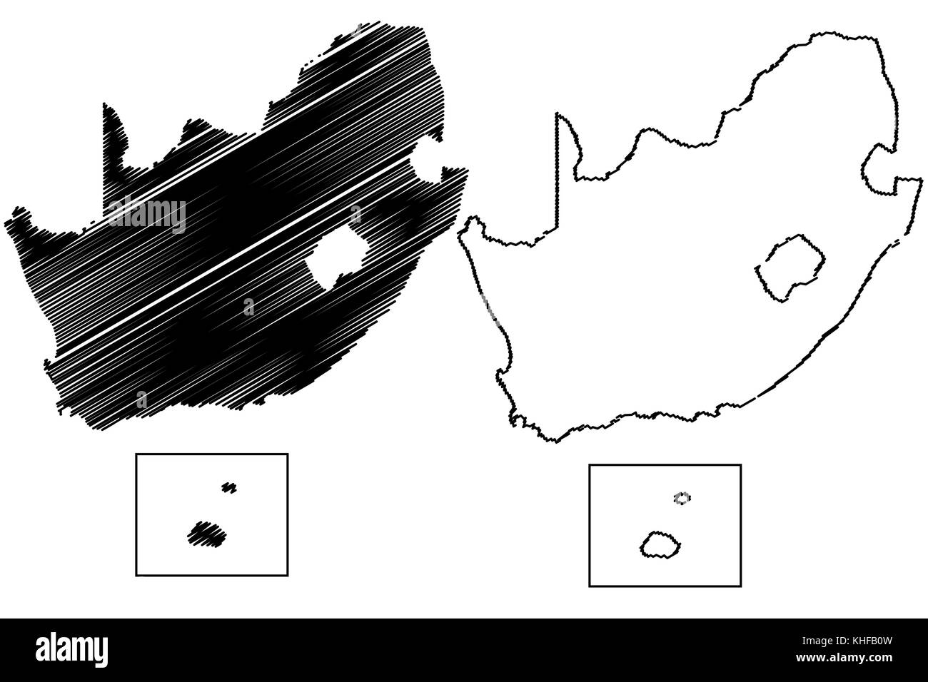 South Africa map vector illustration, scribble sketch FSA, Prince Edward Island, Marion Island, Stock Vectorhttps://www.alamy.com/image-license-details/?v=1https://www.alamy.com/stock-image-south-africa-map-vector-illustration-scribble-sketch-fsa-prince-edward-165680393.html
RFKHFB0W–South Africa map vector illustration, scribble sketch FSA, Prince Edward Island, Marion Island,
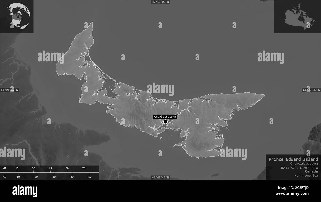 Prince Edward Island, province of Canada. Grayscaled map with lakes and rivers. Shape presented against its country area with informative overlays. 3D Stock Photohttps://www.alamy.com/image-license-details/?v=1https://www.alamy.com/prince-edward-island-province-of-canada-grayscaled-map-with-lakes-and-rivers-shape-presented-against-its-country-area-with-informative-overlays-3d-image363588357.html
RF2C3ETJD–Prince Edward Island, province of Canada. Grayscaled map with lakes and rivers. Shape presented against its country area with informative overlays. 3D
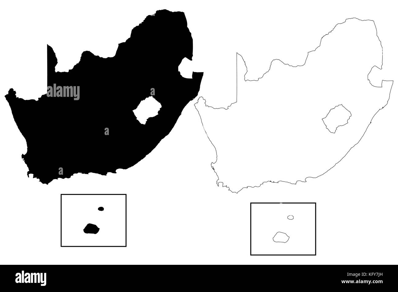 South Africa map vector illustration, scribble sketch FSA, Prince Edward Island, Marion Island, Stock Vectorhttps://www.alamy.com/image-license-details/?v=1https://www.alamy.com/stock-image-south-africa-map-vector-illustration-scribble-sketch-fsa-prince-edward-164711865.html
RFKFY7JH–South Africa map vector illustration, scribble sketch FSA, Prince Edward Island, Marion Island,
 Map of Prince Edward Island on old linen Stock Photohttps://www.alamy.com/image-license-details/?v=1https://www.alamy.com/map-of-prince-edward-island-on-old-linen-image338654214.html
RF2AJY0WA–Map of Prince Edward Island on old linen
 Prince Edward Island, province of Canada. Bilevel elevation map with lakes and rivers Stock Photohttps://www.alamy.com/image-license-details/?v=1https://www.alamy.com/prince-edward-island-province-of-canada-bilevel-elevation-map-with-lakes-and-rivers-image485420523.html
RF2K5MPR7–Prince Edward Island, province of Canada. Bilevel elevation map with lakes and rivers
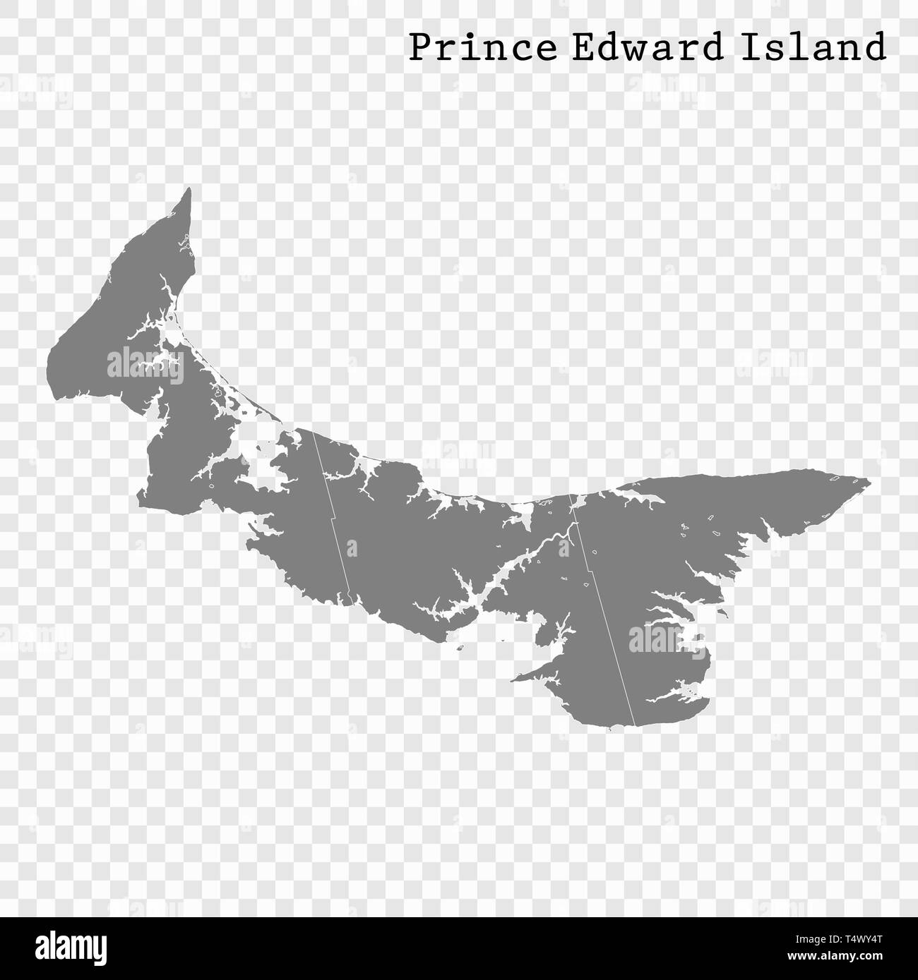 High Quality map of Prince Edward Island is a province of Canada, with borders of the counties Stock Vectorhttps://www.alamy.com/image-license-details/?v=1https://www.alamy.com/high-quality-map-of-prince-edward-island-is-a-province-of-canada-with-borders-of-the-counties-image243973880.html
RFT4WY4T–High Quality map of Prince Edward Island is a province of Canada, with borders of the counties
 Prince County (Canada, Prince Edward Island Province, North America) map vector illustration, scribble sketch Comté de Prince map Stock Vectorhttps://www.alamy.com/image-license-details/?v=1https://www.alamy.com/prince-county-canada-prince-edward-island-province-north-america-map-vector-illustration-scribble-sketch-comt-de-prince-map-image603792976.html
RF2X2942T–Prince County (Canada, Prince Edward Island Province, North America) map vector illustration, scribble sketch Comté de Prince map
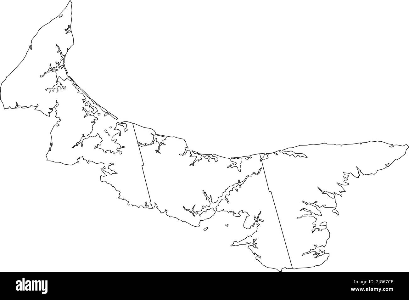 White flat blank vector administrative map of the counties of Canadian province of PRINCE EDWARD ISLAND, CANADA with black border lines of its countie Stock Vectorhttps://www.alamy.com/image-license-details/?v=1https://www.alamy.com/white-flat-blank-vector-administrative-map-of-the-counties-of-canadian-province-of-prince-edward-island-canada-with-black-border-lines-of-its-countie-image474651982.html
RF2JG67CE–White flat blank vector administrative map of the counties of Canadian province of PRINCE EDWARD ISLAND, CANADA with black border lines of its countie
 Map of Prince Edward Island on old linen Stock Photohttps://www.alamy.com/image-license-details/?v=1https://www.alamy.com/map-of-prince-edward-island-on-old-linen-image363245152.html
RF2C2Y6W4–Map of Prince Edward Island on old linen
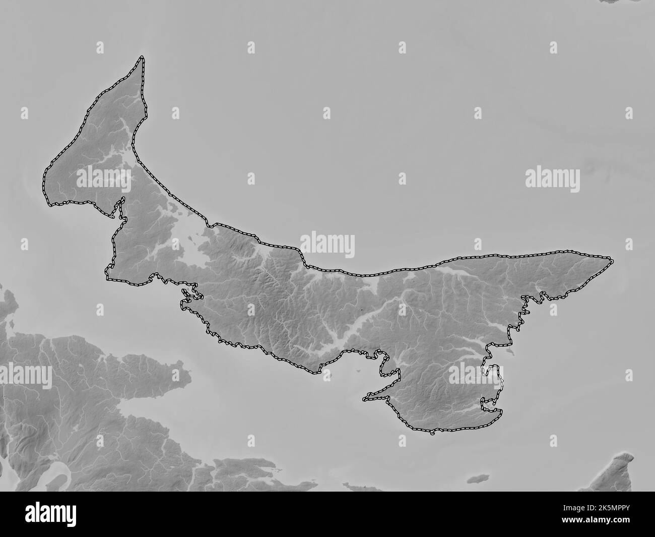 Prince Edward Island, province of Canada. Grayscale elevation map with lakes and rivers Stock Photohttps://www.alamy.com/image-license-details/?v=1https://www.alamy.com/prince-edward-island-province-of-canada-grayscale-elevation-map-with-lakes-and-rivers-image485420515.html
RF2K5MPPY–Prince Edward Island, province of Canada. Grayscale elevation map with lakes and rivers
 Prince Edward Islands ( Republic of South Africa, RSA) map vector illustration, scribble sketch Prince Edward Islands (Marion Island and Prince Edward Stock Vectorhttps://www.alamy.com/image-license-details/?v=1https://www.alamy.com/prince-edward-islands-republic-of-south-africa-rsa-map-vector-illustration-scribble-sketch-prince-edward-islands-marion-island-and-prince-edward-image237606361.html
RFRPFW9D–Prince Edward Islands ( Republic of South Africa, RSA) map vector illustration, scribble sketch Prince Edward Islands (Marion Island and Prince Edward
 Topographic negative relief map of the Canadian province of PRINCE EDWARD ISLAND, CANADA with white contour lines on dark gray background Stock Vectorhttps://www.alamy.com/image-license-details/?v=1https://www.alamy.com/topographic-negative-relief-map-of-the-canadian-province-of-prince-edward-island-canada-with-white-contour-lines-on-dark-gray-background-image474651976.html
RF2JG67C8–Topographic negative relief map of the Canadian province of PRINCE EDWARD ISLAND, CANADA with white contour lines on dark gray background
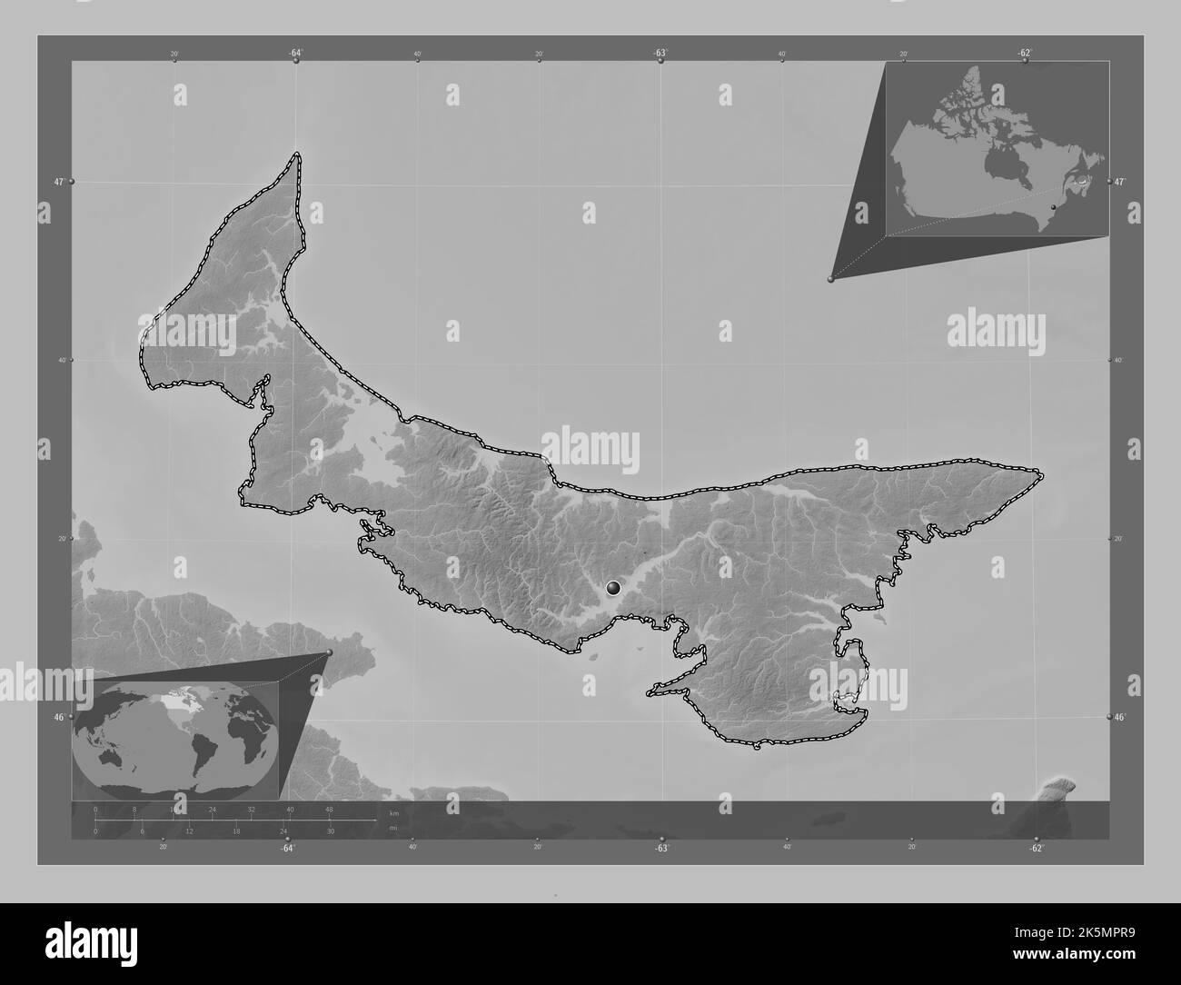 Prince Edward Island, province of Canada. Grayscale elevation map with lakes and rivers. Corner auxiliary location maps Stock Photohttps://www.alamy.com/image-license-details/?v=1https://www.alamy.com/prince-edward-island-province-of-canada-grayscale-elevation-map-with-lakes-and-rivers-corner-auxiliary-location-maps-image485420525.html
RF2K5MPR9–Prince Edward Island, province of Canada. Grayscale elevation map with lakes and rivers. Corner auxiliary location maps
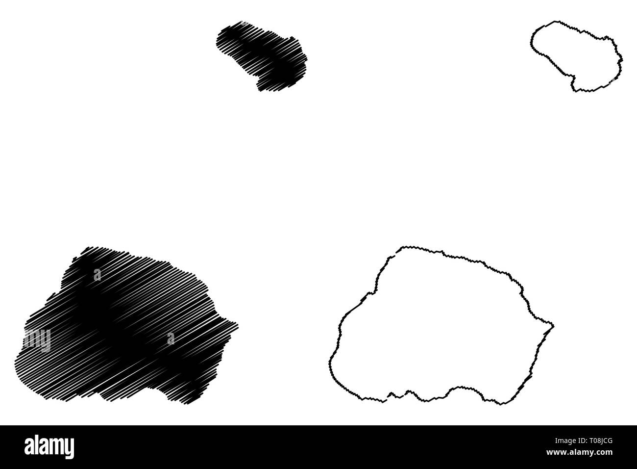 Prince Edward Islands ( Republic of South Africa, RSA) map vector illustration, scribble sketch Prince Edward Islands (Marion Island and Prince Edward Stock Vectorhttps://www.alamy.com/image-license-details/?v=1https://www.alamy.com/prince-edward-islands-republic-of-south-africa-rsa-map-vector-illustration-scribble-sketch-prince-edward-islands-marion-island-and-prince-edward-image241135232.html
RFT08JCG–Prince Edward Islands ( Republic of South Africa, RSA) map vector illustration, scribble sketch Prince Edward Islands (Marion Island and Prince Edward
 White flat vector administrative map of counties of Canadian province of PRINCE EDWARD ISLAND, CANADA with black border lines and name tags of its cou Stock Vectorhttps://www.alamy.com/image-license-details/?v=1https://www.alamy.com/white-flat-vector-administrative-map-of-counties-of-canadian-province-of-prince-edward-island-canada-with-black-border-lines-and-name-tags-of-its-cou-image474651987.html
RF2JG67CK–White flat vector administrative map of counties of Canadian province of PRINCE EDWARD ISLAND, CANADA with black border lines and name tags of its cou
 Prince Edward Island, province of Canada. Bilevel elevation map with lakes and rivers. Corner auxiliary location maps Stock Photohttps://www.alamy.com/image-license-details/?v=1https://www.alamy.com/prince-edward-island-province-of-canada-bilevel-elevation-map-with-lakes-and-rivers-corner-auxiliary-location-maps-image485420465.html
RF2K5MPN5–Prince Edward Island, province of Canada. Bilevel elevation map with lakes and rivers. Corner auxiliary location maps
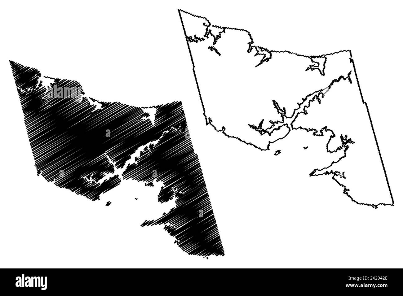 Queens County (Canada, Prince Edward Island Province, North America) map vector illustration, scribble sketch Comté de Queens map Stock Vectorhttps://www.alamy.com/image-license-details/?v=1https://www.alamy.com/queens-county-canada-prince-edward-island-province-north-america-map-vector-illustration-scribble-sketch-comt-de-queens-map-image603792966.html
RF2X2942E–Queens County (Canada, Prince Edward Island Province, North America) map vector illustration, scribble sketch Comté de Queens map
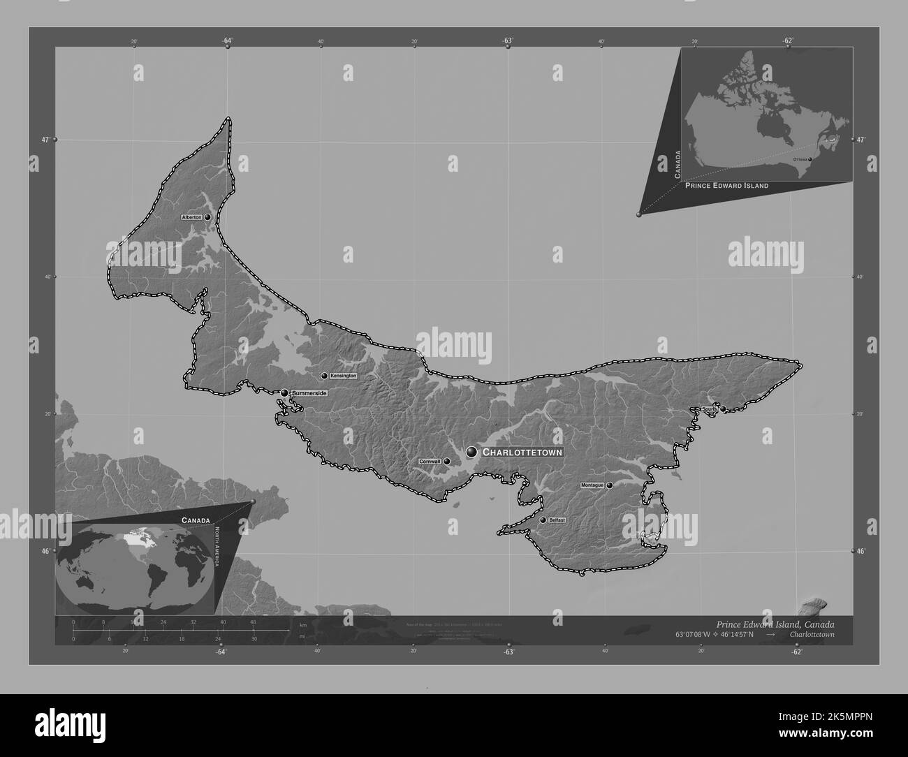 Prince Edward Island, province of Canada. Bilevel elevation map with lakes and rivers. Locations and names of major cities of the region. Corner auxil Stock Photohttps://www.alamy.com/image-license-details/?v=1https://www.alamy.com/prince-edward-island-province-of-canada-bilevel-elevation-map-with-lakes-and-rivers-locations-and-names-of-major-cities-of-the-region-corner-auxil-image485420509.html
RF2K5MPPN–Prince Edward Island, province of Canada. Bilevel elevation map with lakes and rivers. Locations and names of major cities of the region. Corner auxil
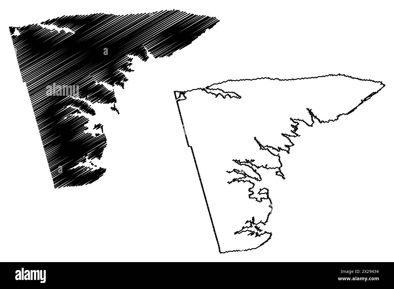 Kings County (Canada, Prince Edward Island Province, North America) map vector illustration, scribble sketch Comté de Kings map Stock Vectorhttps://www.alamy.com/image-license-details/?v=1https://www.alamy.com/kings-county-canada-prince-edward-island-province-north-america-map-vector-illustration-scribble-sketch-comt-de-kings-map-image603792984.html
RF2X29434–Kings County (Canada, Prince Edward Island Province, North America) map vector illustration, scribble sketch Comté de Kings map
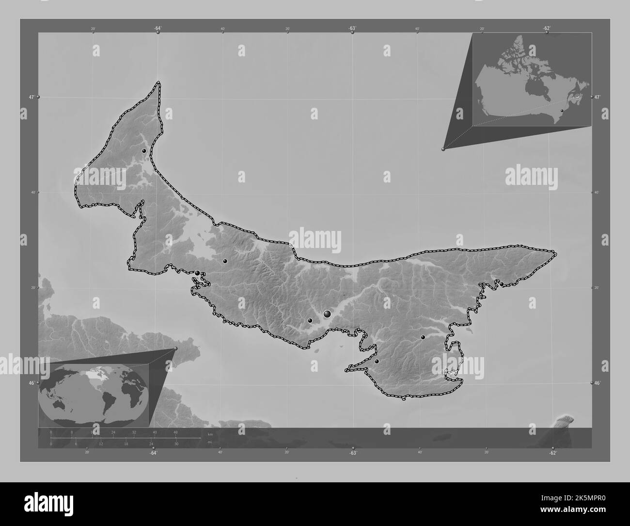 Prince Edward Island, province of Canada. Grayscale elevation map with lakes and rivers. Locations of major cities of the region. Corner auxiliary loc Stock Photohttps://www.alamy.com/image-license-details/?v=1https://www.alamy.com/prince-edward-island-province-of-canada-grayscale-elevation-map-with-lakes-and-rivers-locations-of-major-cities-of-the-region-corner-auxiliary-loc-image485420516.html
RF2K5MPR0–Prince Edward Island, province of Canada. Grayscale elevation map with lakes and rivers. Locations of major cities of the region. Corner auxiliary loc
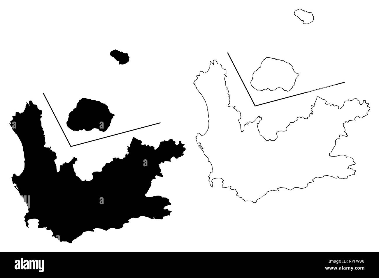 Western Cape Province (Provinces of South Africa, Republic of South Africa, Administrative divisions, RSA) map vector illustration, scribble sketch We Stock Vectorhttps://www.alamy.com/image-license-details/?v=1https://www.alamy.com/western-cape-province-provinces-of-south-africa-republic-of-south-africa-administrative-divisions-rsa-map-vector-illustration-scribble-sketch-we-image237606356.html
RFRPFW98–Western Cape Province (Provinces of South Africa, Republic of South Africa, Administrative divisions, RSA) map vector illustration, scribble sketch We
 Prince Edward Island, province of Canada. Grayscale elevation map with lakes and rivers. Locations and names of major cities of the region. Corner aux Stock Photohttps://www.alamy.com/image-license-details/?v=1https://www.alamy.com/prince-edward-island-province-of-canada-grayscale-elevation-map-with-lakes-and-rivers-locations-and-names-of-major-cities-of-the-region-corner-aux-image485420513.html
RF2K5MPPW–Prince Edward Island, province of Canada. Grayscale elevation map with lakes and rivers. Locations and names of major cities of the region. Corner aux
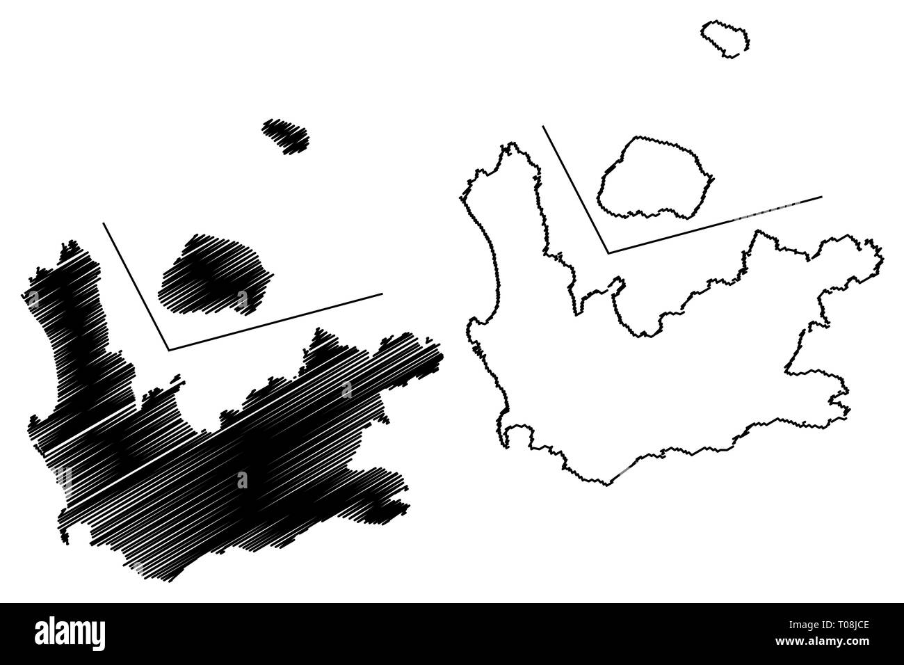 Western Cape Province (Provinces of South Africa, Republic of South Africa, Administrative divisions, RSA) map vector illustration, scribble sketch We Stock Vectorhttps://www.alamy.com/image-license-details/?v=1https://www.alamy.com/western-cape-province-provinces-of-south-africa-republic-of-south-africa-administrative-divisions-rsa-map-vector-illustration-scribble-sketch-we-image241135230.html
RFT08JCE–Western Cape Province (Provinces of South Africa, Republic of South Africa, Administrative divisions, RSA) map vector illustration, scribble sketch We
 Prince Edward Island, province of Canada. Bilevel elevation map with lakes and rivers. Locations of major cities of the region. Corner auxiliary locat Stock Photohttps://www.alamy.com/image-license-details/?v=1https://www.alamy.com/prince-edward-island-province-of-canada-bilevel-elevation-map-with-lakes-and-rivers-locations-of-major-cities-of-the-region-corner-auxiliary-locat-image485420470.html
RF2K5MPNA–Prince Edward Island, province of Canada. Bilevel elevation map with lakes and rivers. Locations of major cities of the region. Corner auxiliary locat