Map outline yukon yukon territory Stock Photos and Images
(137)See map outline yukon yukon territory stock video clipsQuick filters:
Map outline yukon yukon territory Stock Photos and Images
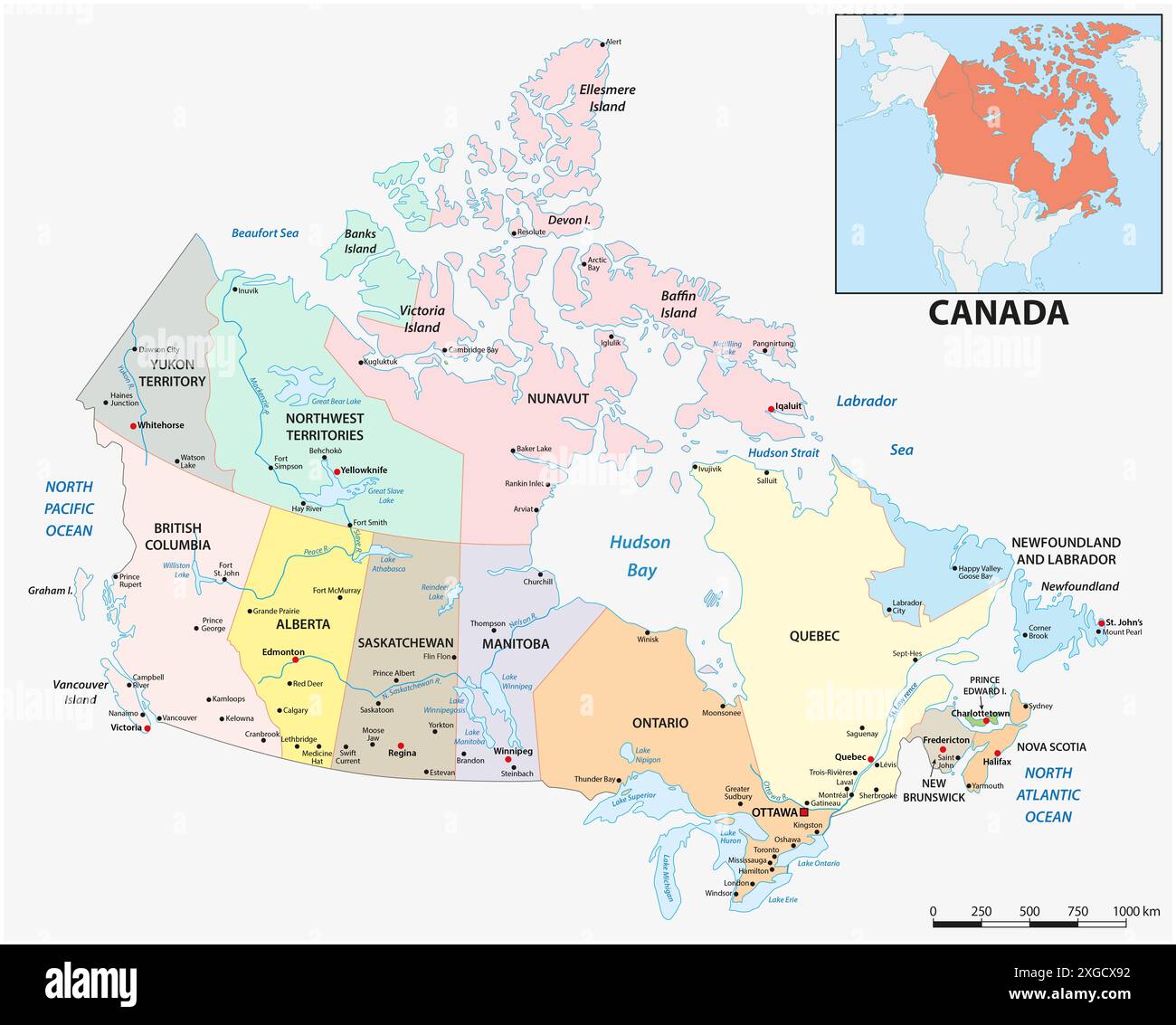 Administrative vector map of the North American state of Canada Stock Photohttps://www.alamy.com/image-license-details/?v=1https://www.alamy.com/administrative-vector-map-of-the-north-american-state-of-canada-image612481438.html
RF2XGCX92–Administrative vector map of the North American state of Canada
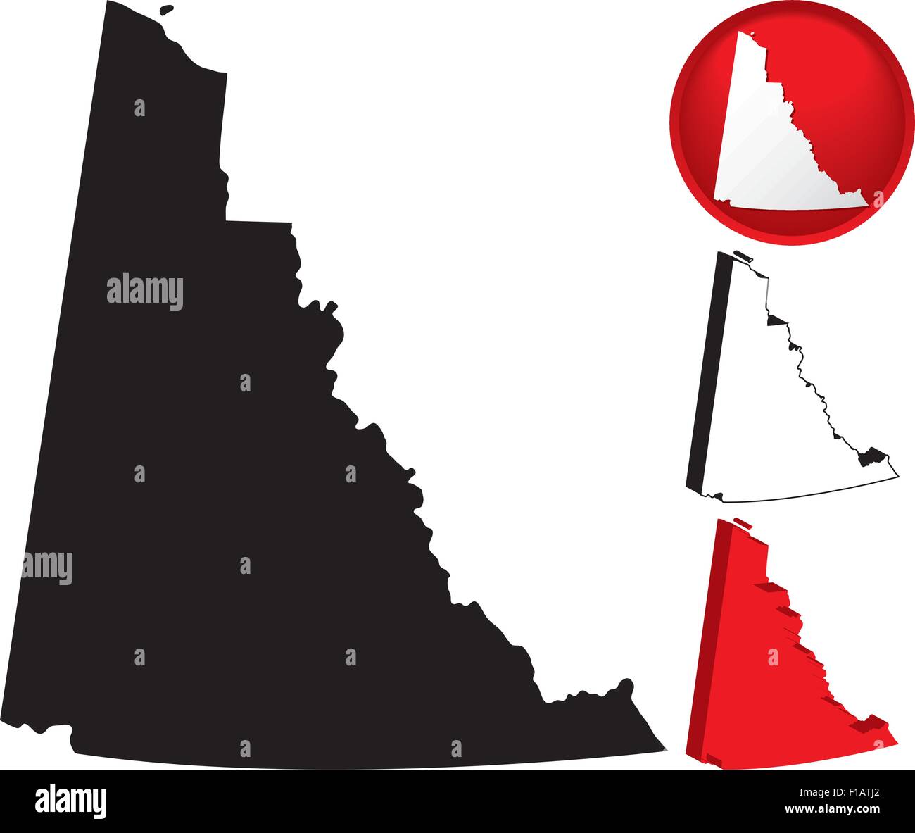 Detailed Map of Yukon Territory, Canada with several variations Stock Vectorhttps://www.alamy.com/image-license-details/?v=1https://www.alamy.com/stock-photo-detailed-map-of-yukon-territory-canada-with-several-variations-86905338.html
RFF1ATJ2–Detailed Map of Yukon Territory, Canada with several variations
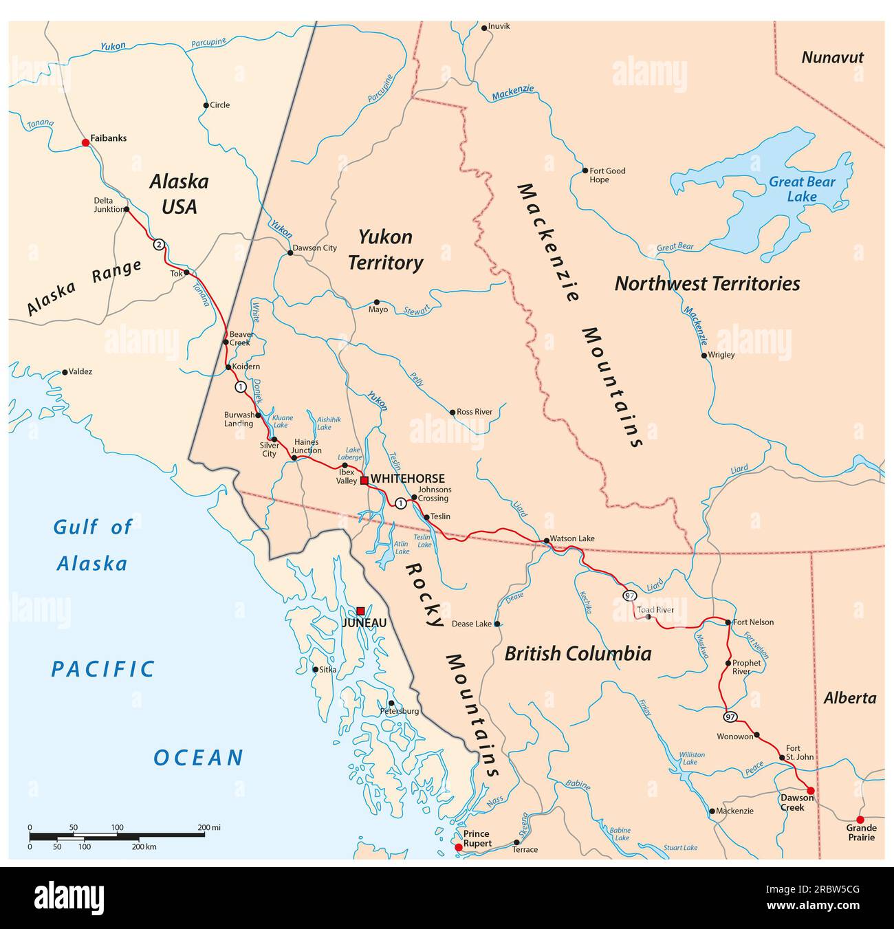 Vector road map of the Alaska Highway from Delta Junction to Dawson Creek, Canada, USA Stock Photohttps://www.alamy.com/image-license-details/?v=1https://www.alamy.com/vector-road-map-of-the-alaska-highway-from-delta-junction-to-dawson-creek-canada-usa-image558046064.html
RF2RBW5CG–Vector road map of the Alaska Highway from Delta Junction to Dawson Creek, Canada, USA
 Yukon Territory dark silhouette map Stock Vectorhttps://www.alamy.com/image-license-details/?v=1https://www.alamy.com/yukon-territory-dark-silhouette-map-image365252632.html
RF2C66KCT–Yukon Territory dark silhouette map
 Yukon blank outline map set Stock Vectorhttps://www.alamy.com/image-license-details/?v=1https://www.alamy.com/stock-image-yukon-blank-outline-map-set-163838965.html
RFKEFE7H–Yukon blank outline map set
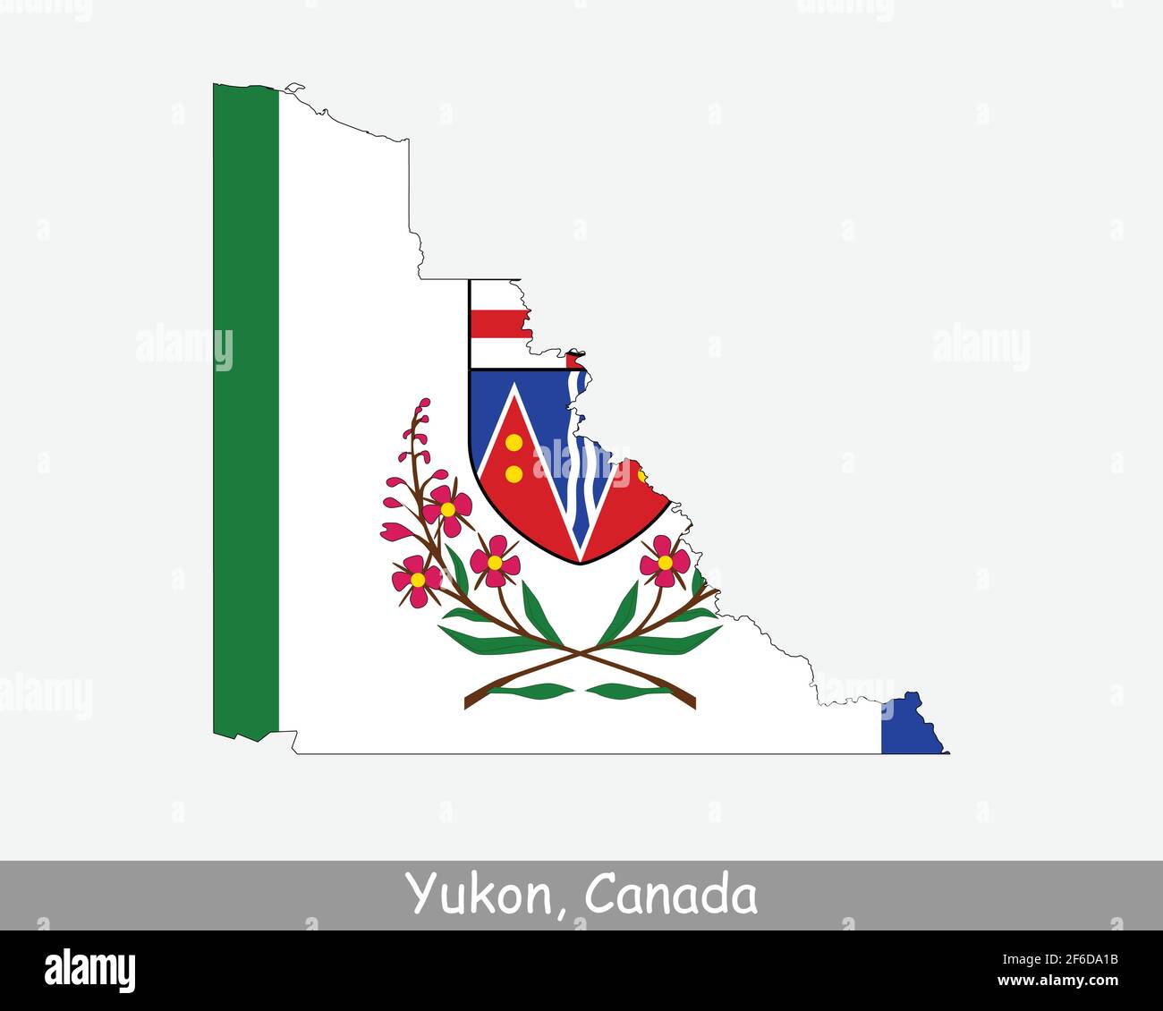 Yukon Map Flag. Map of YT, Canada with flag isolated on a white background. Canadian Territory. Vector illustration. Stock Vectorhttps://www.alamy.com/image-license-details/?v=1https://www.alamy.com/yukon-map-flag-map-of-yt-canada-with-flag-isolated-on-a-white-background-canadian-territory-vector-illustration-image417030023.html
RF2F6DA1B–Yukon Map Flag. Map of YT, Canada with flag isolated on a white background. Canadian Territory. Vector illustration.
 Flat vector administrative flag map of the Canadian territory of YUKON, CANADA Stock Vectorhttps://www.alamy.com/image-license-details/?v=1https://www.alamy.com/flat-vector-administrative-flag-map-of-the-canadian-territory-of-yukon-canada-image456614874.html
RF2HETGX2–Flat vector administrative flag map of the Canadian territory of YUKON, CANADA
RF2GCK5M3–Yukon Map on Canadian Flag. YT, CA Territory Map on Canada Flag. EPS Vector Graphic Clipart Icon
 Yukon blank outline map set Stock Vectorhttps://www.alamy.com/image-license-details/?v=1https://www.alamy.com/stock-photo-yukon-blank-outline-map-set-116136608.html
RFGMXDC0–Yukon blank outline map set
 Symbol Map of the Territory Yukon (Canada) showing the territory with a pattern of randomly distributed black circles of different sizes Stock Vectorhttps://www.alamy.com/image-license-details/?v=1https://www.alamy.com/symbol-map-of-the-territory-yukon-canada-showing-the-territory-with-a-pattern-of-randomly-distributed-black-circles-of-different-sizes-image621711237.html
RF2Y3DB0N–Symbol Map of the Territory Yukon (Canada) showing the territory with a pattern of randomly distributed black circles of different sizes
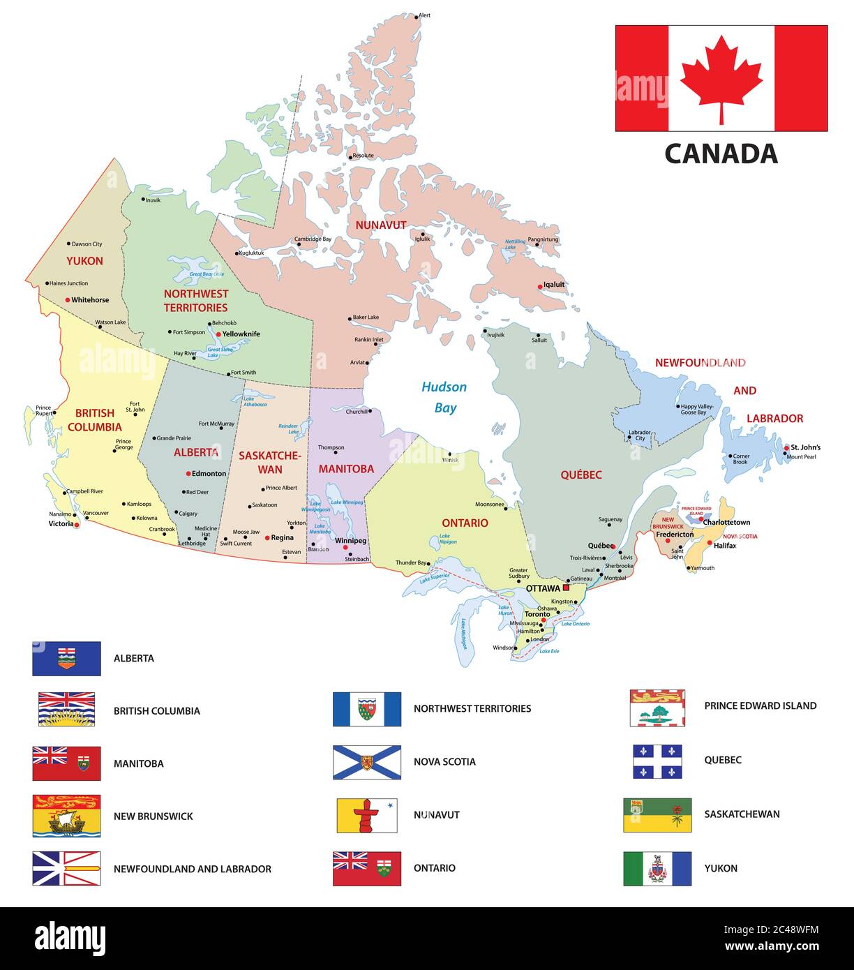 canada administrative and political vector map with flags Stock Vectorhttps://www.alamy.com/image-license-details/?v=1https://www.alamy.com/canada-administrative-and-political-vector-map-with-flags-image364072008.html
RF2C48WFM–canada administrative and political vector map with flags
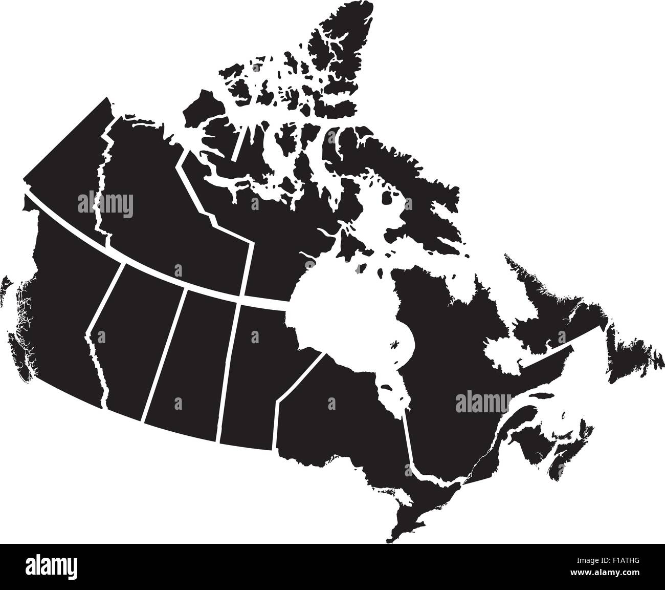 Detailed Map of Canadian Territories, each territory labeled on a separate layer Stock Vectorhttps://www.alamy.com/image-license-details/?v=1https://www.alamy.com/stock-photo-detailed-map-of-canadian-territories-each-territory-labeled-on-a-separate-86905324.html
RFF1ATHG–Detailed Map of Canadian Territories, each territory labeled on a separate layer
 Map of Canada with Canadian flag on black background. 3D rendering. Stock Photohttps://www.alamy.com/image-license-details/?v=1https://www.alamy.com/map-of-canada-with-canadian-flag-on-black-background-3d-rendering-image546484714.html
RF2PN2ER6–Map of Canada with Canadian flag on black background. 3D rendering.
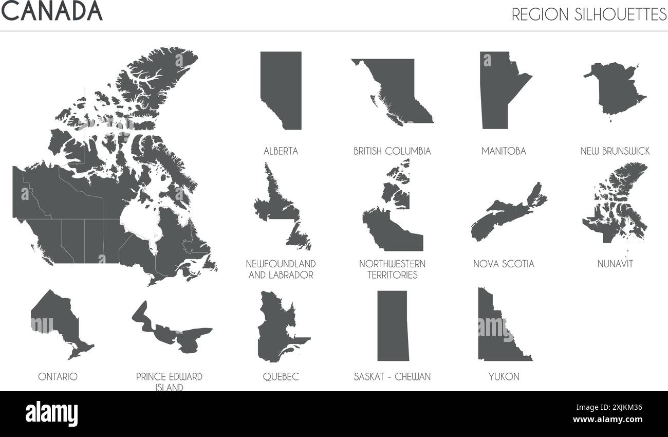 Canada region silhouettes set and blank map of the country isolated on white background. Vector illustration design Stock Vectorhttps://www.alamy.com/image-license-details/?v=1https://www.alamy.com/canada-region-silhouettes-set-and-blank-map-of-the-country-isolated-on-white-background-vector-illustration-design-image613859546.html
RF2XJKM36–Canada region silhouettes set and blank map of the country isolated on white background. Vector illustration design
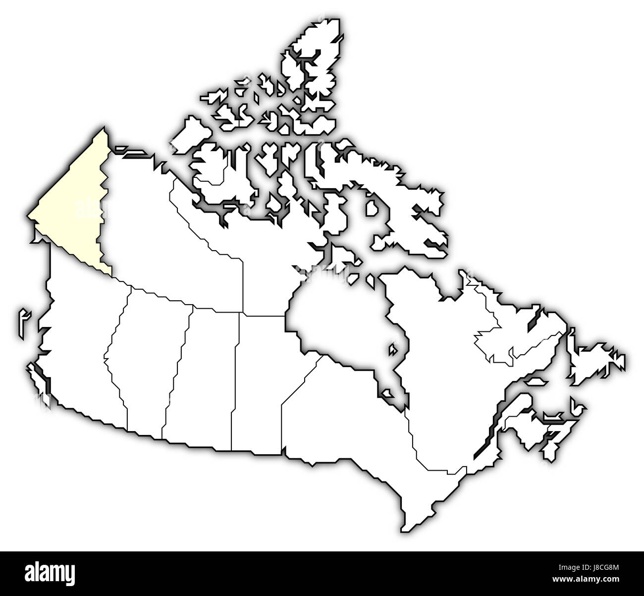 canada, map, atlas, map of the world, profile, symbolic, political, model, Stock Photohttps://www.alamy.com/image-license-details/?v=1https://www.alamy.com/stock-photo-canada-map-atlas-map-of-the-world-profile-symbolic-political-model-142876404.html
RFJ8CG8M–canada, map, atlas, map of the world, profile, symbolic, political, model,
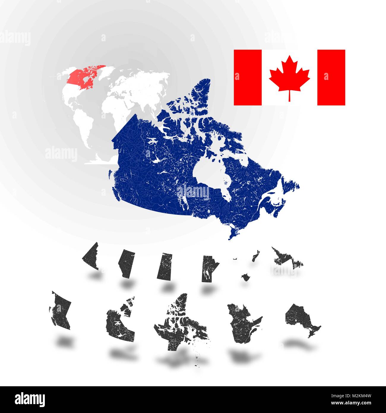 Map of Canada with rivers and lakes, maps of provinces and territories, map of world as background and flag of Canada. Please look at my other images Stock Vectorhttps://www.alamy.com/image-license-details/?v=1https://www.alamy.com/stock-photo-map-of-canada-with-rivers-and-lakes-maps-of-provinces-and-territories-173765897.html
RFM2KM4W–Map of Canada with rivers and lakes, maps of provinces and territories, map of world as background and flag of Canada. Please look at my other images
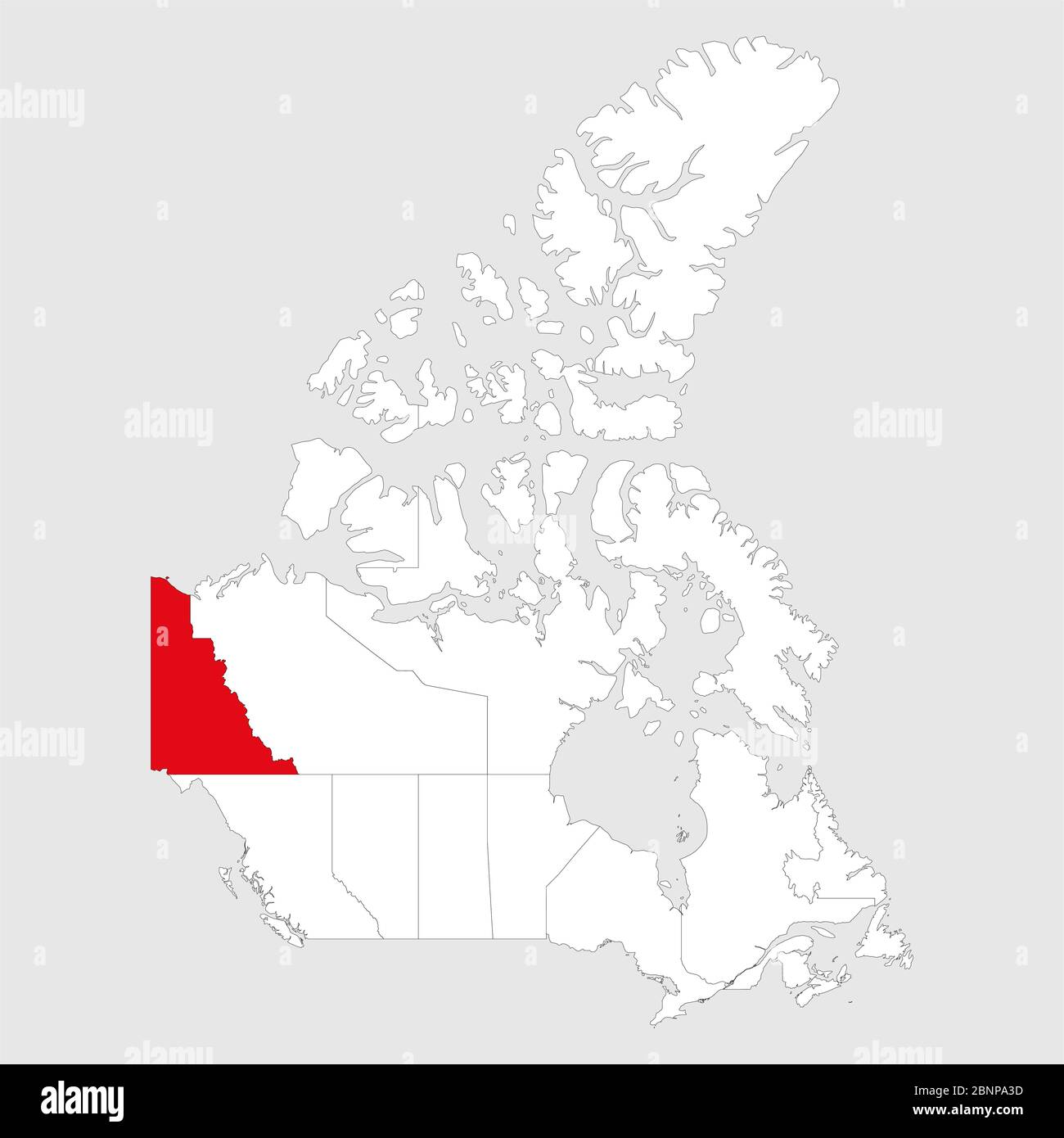 Yukon highlighted on canada map. Gray background. Canadian political map. Stock Vectorhttps://www.alamy.com/image-license-details/?v=1https://www.alamy.com/yukon-highlighted-on-canada-map-gray-background-canadian-political-map-image357606017.html
RF2BNPA3D–Yukon highlighted on canada map. Gray background. Canadian political map.
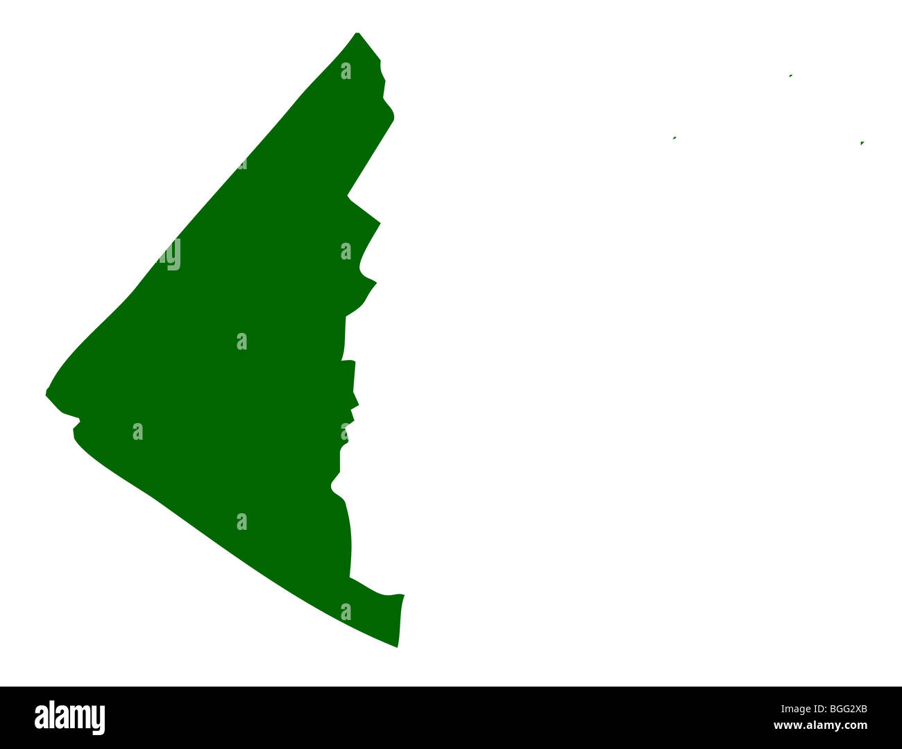 Map of Yukon province or territory in Canada, isolated on white background. Stock Photohttps://www.alamy.com/image-license-details/?v=1https://www.alamy.com/stock-photo-map-of-yukon-province-or-territory-in-canada-isolated-on-white-background-27398403.html
RMBGG2XB–Map of Yukon province or territory in Canada, isolated on white background.
 Detailed Map of Yukon Territory, Canada with several variations Stock Photohttps://www.alamy.com/image-license-details/?v=1https://www.alamy.com/stock-photo-detailed-map-of-yukon-territory-canada-with-several-variations-50993447.html
RFCXXXJF–Detailed Map of Yukon Territory, Canada with several variations
 outline map of Canada's Yokon territory with flag Stock Vectorhttps://www.alamy.com/image-license-details/?v=1https://www.alamy.com/stock-photo-outline-map-of-canadas-yokon-territory-with-flag-102867714.html
RFFYA0PX–outline map of Canada's Yokon territory with flag
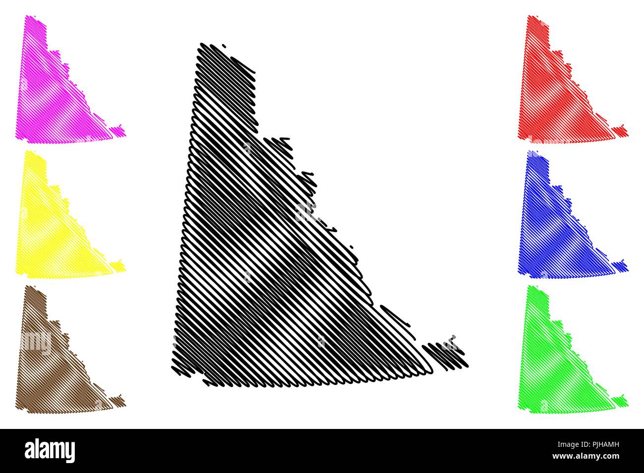 Yukon (provinces and territories of Canada) map vector illustration, scribble sketch Yukon territory map Stock Vectorhttps://www.alamy.com/image-license-details/?v=1https://www.alamy.com/yukon-provinces-and-territories-of-canada-map-vector-illustration-scribble-sketch-yukon-territory-map-image217969825.html
RFPJHAMH–Yukon (provinces and territories of Canada) map vector illustration, scribble sketch Yukon territory map
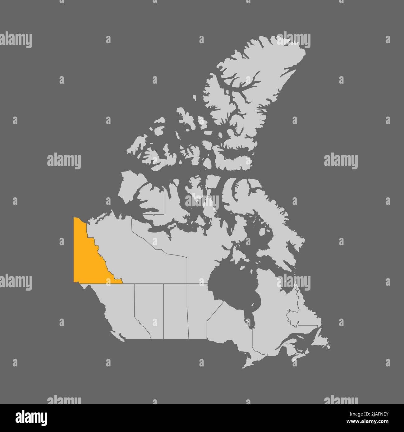 Yukon territory highlighted on the map of Canada Stock Vectorhttps://www.alamy.com/image-license-details/?v=1https://www.alamy.com/yukon-territory-highlighted-on-the-map-of-canada-image471172659.html
RF2JAFNEY–Yukon territory highlighted on the map of Canada
 Yukon Territory dark silhouette map Stock Vectorhttps://www.alamy.com/image-license-details/?v=1https://www.alamy.com/yukon-territory-dark-silhouette-map-image365252625.html
RF2C66KCH–Yukon Territory dark silhouette map
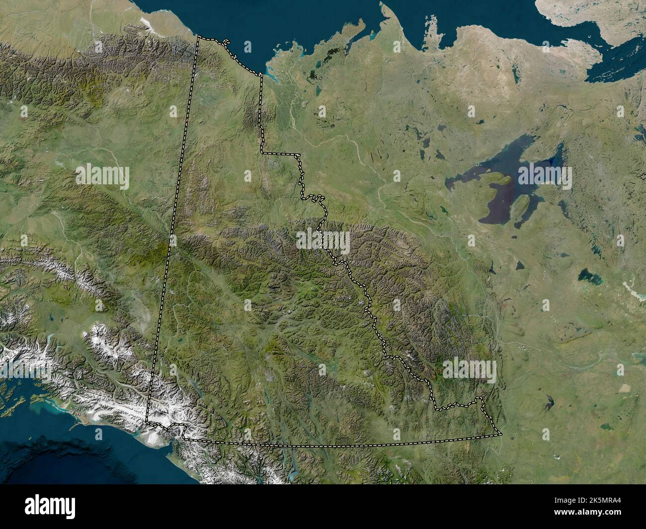 Yukon, territory of Canada. Low resolution satellite map Stock Photohttps://www.alamy.com/image-license-details/?v=1https://www.alamy.com/yukon-territory-of-canada-low-resolution-satellite-map-image485420940.html
RF2K5MRA4–Yukon, territory of Canada. Low resolution satellite map
 Yukon Territory outline map Stock Vectorhttps://www.alamy.com/image-license-details/?v=1https://www.alamy.com/yukon-territory-outline-map-image365252786.html
RF2C66KJA–Yukon Territory outline map
 Gray flat blank vector administrative map of the Canadian territory of YUKON, CANADA Stock Vectorhttps://www.alamy.com/image-license-details/?v=1https://www.alamy.com/gray-flat-blank-vector-administrative-map-of-the-canadian-territory-of-yukon-canada-image456614968.html
RF2HETH1C–Gray flat blank vector administrative map of the Canadian territory of YUKON, CANADA
 Yukon Canada Map Black Silhouette. YT, Canadian Territory Shape Geography Atlas Border Boundary. Black Map Isolated on a White Background. EPS Vector Stock Vectorhttps://www.alamy.com/image-license-details/?v=1https://www.alamy.com/yukon-canada-map-black-silhouette-yt-canadian-territory-shape-geography-atlas-border-boundary-black-map-isolated-on-a-white-background-eps-vector-image438056640.html
RF2GCK5M0–Yukon Canada Map Black Silhouette. YT, Canadian Territory Shape Geography Atlas Border Boundary. Black Map Isolated on a White Background. EPS Vector
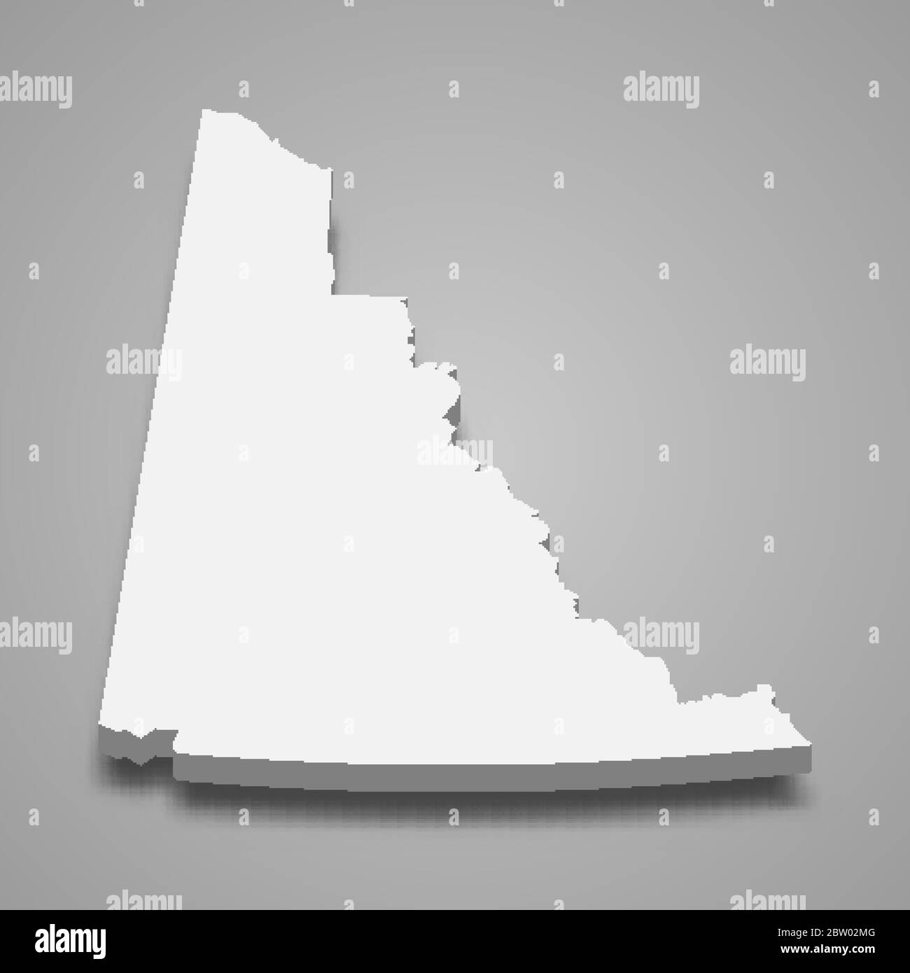 3d map of Yukon is a province of Canada Stock Vectorhttps://www.alamy.com/image-license-details/?v=1https://www.alamy.com/3d-map-of-yukon-is-a-province-of-canada-image359575904.html
RF2BW02MG–3d map of Yukon is a province of Canada
 Yukon Map Flag. Map of YT, Canada with flag. Vector illustration Banner. Stock Vectorhttps://www.alamy.com/image-license-details/?v=1https://www.alamy.com/yukon-map-flag-map-of-yt-canada-with-flag-vector-illustration-banner-image465274329.html
RF2J0Y249–Yukon Map Flag. Map of YT, Canada with flag. Vector illustration Banner.
 Symbol Map of the Territory Yukon (Canada). Abstract map showing the state/province with a pattern of overlapping colorful squares like candies Stock Vectorhttps://www.alamy.com/image-license-details/?v=1https://www.alamy.com/symbol-map-of-the-territory-yukon-canada-abstract-map-showing-the-stateprovince-with-a-pattern-of-overlapping-colorful-squares-like-candies-image611834627.html
RF2XFBD8K–Symbol Map of the Territory Yukon (Canada). Abstract map showing the state/province with a pattern of overlapping colorful squares like candies
RF2GCJCGP–Yukon Map on Canadian Flag. YT, CA Territory Map on Canada Flag. EPS Vector Graphic Clipart Icon
 canada map blue glow futuristic design Stock Photohttps://www.alamy.com/image-license-details/?v=1https://www.alamy.com/canada-map-blue-glow-futuristic-design-image546484204.html
RF2PN2E50–canada map blue glow futuristic design
 Canada vector map state. Canada territory map country border Stock Vectorhttps://www.alamy.com/image-license-details/?v=1https://www.alamy.com/canada-vector-map-state-canada-territory-map-country-border-image428807463.html
RF2FWHT87–Canada vector map state. Canada territory map country border
 canada, map, atlas, map of the world, profile, symbolic, political, colour, Stock Photohttps://www.alamy.com/image-license-details/?v=1https://www.alamy.com/stock-photo-canada-map-atlas-map-of-the-world-profile-symbolic-political-colour-142876392.html
RFJ8CG88–canada, map, atlas, map of the world, profile, symbolic, political, colour,
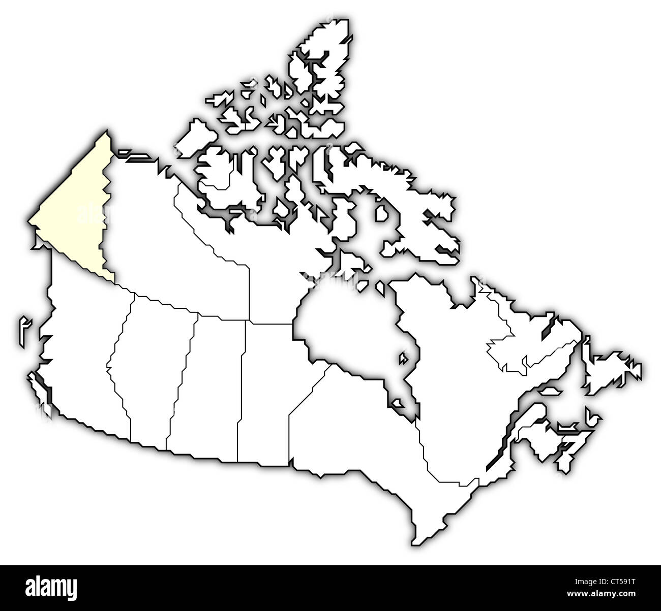 Political map of Canada with the several provinces where Yukon is highlighted. Stock Photohttps://www.alamy.com/image-license-details/?v=1https://www.alamy.com/stock-photo-political-map-of-canada-with-the-several-provinces-where-yukon-is-49289348.html
RFCT591T–Political map of Canada with the several provinces where Yukon is highlighted.
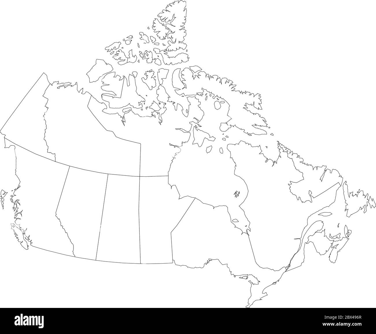 Map of Canada divided into 10 provinces and 3 territories. Administrative regions of Canada. Blank white map with black outline. Vector illustration. Stock Vectorhttps://www.alamy.com/image-license-details/?v=1https://www.alamy.com/map-of-canada-divided-into-10-provinces-and-3-territories-administrative-regions-of-canada-blank-white-map-with-black-outline-vector-illustration-image360283471.html
RF2BX496R–Map of Canada divided into 10 provinces and 3 territories. Administrative regions of Canada. Blank white map with black outline. Vector illustration.
 Yukon-Koyukuk Borough (Alaska) outline map set Stock Vectorhttps://www.alamy.com/image-license-details/?v=1https://www.alamy.com/yukon-koyukuk-borough-alaska-outline-map-set-image620804647.html
RF2Y202JF–Yukon-Koyukuk Borough (Alaska) outline map set
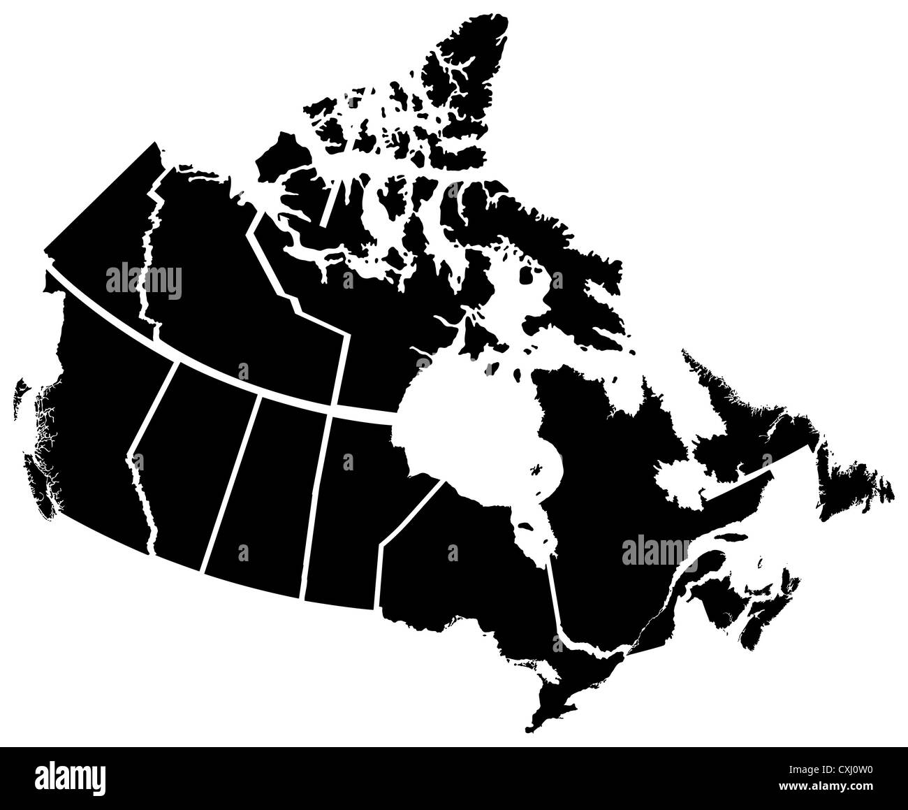 Detailed Map of Canadian Territories, each territory labeled on a seperate layer Stock Photohttps://www.alamy.com/image-license-details/?v=1https://www.alamy.com/stock-photo-detailed-map-of-canadian-territories-each-territory-labeled-on-a-seperate-50797628.html
RFCXJ0W0–Detailed Map of Canadian Territories, each territory labeled on a seperate layer
RF2JN04F2–United States, Anchorage city skyline isolated vector illustration, icons
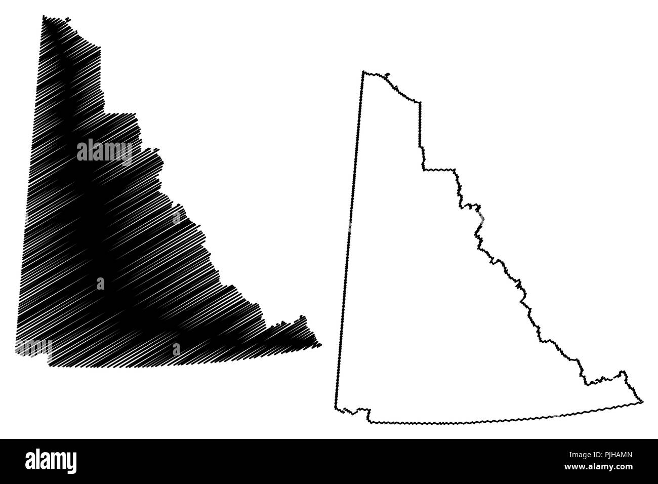 Yukon (provinces and territories of Canada) map vector illustration, scribble sketch Yukon territory map Stock Vectorhttps://www.alamy.com/image-license-details/?v=1https://www.alamy.com/yukon-provinces-and-territories-of-canada-map-vector-illustration-scribble-sketch-yukon-territory-map-image217969829.html
RFPJHAMN–Yukon (provinces and territories of Canada) map vector illustration, scribble sketch Yukon territory map
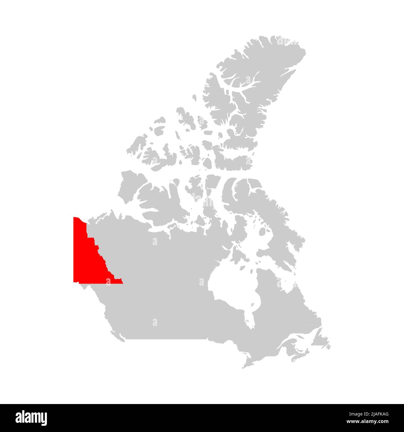 Yukon territory highlighted on the map of Canada Stock Vectorhttps://www.alamy.com/image-license-details/?v=1https://www.alamy.com/yukon-territory-highlighted-on-the-map-of-canada-image471170968.html
RF2JAFKAG–Yukon territory highlighted on the map of Canada
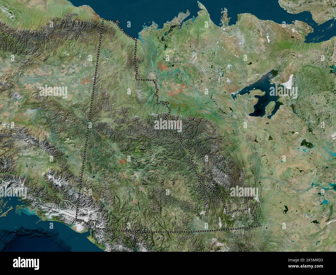 Yukon, territory of Canada. High resolution satellite map Stock Photohttps://www.alamy.com/image-license-details/?v=1https://www.alamy.com/yukon-territory-of-canada-high-resolution-satellite-map-image485421023.html
RF2K5MRD3–Yukon, territory of Canada. High resolution satellite map
 Black flat blank vector administrative map of the Canadian territory of YUKON, CANADA Stock Vectorhttps://www.alamy.com/image-license-details/?v=1https://www.alamy.com/black-flat-blank-vector-administrative-map-of-the-canadian-territory-of-yukon-canada-image456614942.html
RF2HETH0E–Black flat blank vector administrative map of the Canadian territory of YUKON, CANADA
 Symbol Map of the Territory Yukon (Canada) showing the state/province with a pattern of black circles Stock Vectorhttps://www.alamy.com/image-license-details/?v=1https://www.alamy.com/symbol-map-of-the-territory-yukon-canada-showing-the-stateprovince-with-a-pattern-of-black-circles-image612953686.html
RF2XH6CK2–Symbol Map of the Territory Yukon (Canada) showing the state/province with a pattern of black circles
 Yukon Canada Map Black Silhouette. YT, Canadian Territory Shape Geography Atlas Border Boundary. Black Map Isolated on a White Background. EPS Vector Stock Vectorhttps://www.alamy.com/image-license-details/?v=1https://www.alamy.com/yukon-canada-map-black-silhouette-yt-canadian-territory-shape-geography-atlas-border-boundary-black-map-isolated-on-a-white-background-eps-vector-image438039697.html
RF2GCJC2W–Yukon Canada Map Black Silhouette. YT, Canadian Territory Shape Geography Atlas Border Boundary. Black Map Isolated on a White Background. EPS Vector
 Canada vector map state. Canada territory map country border Stock Vectorhttps://www.alamy.com/image-license-details/?v=1https://www.alamy.com/canada-vector-map-state-canada-territory-map-country-border-image428806975.html
RF2FWHRJR–Canada vector map state. Canada territory map country border
 canada, map, atlas, map of the world, profile, symbolic, political, colour, Stock Photohttps://www.alamy.com/image-license-details/?v=1https://www.alamy.com/stock-photo-canada-map-atlas-map-of-the-world-profile-symbolic-political-colour-142876366.html
RFJ8CG7A–canada, map, atlas, map of the world, profile, symbolic, political, colour,
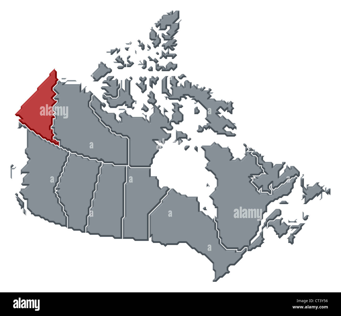 Political map of Canada with the several provinces where Yukon is highlighted. Stock Photohttps://www.alamy.com/image-license-details/?v=1https://www.alamy.com/stock-photo-political-map-of-canada-with-the-several-provinces-where-yukon-is-49259650.html
RFCT3Y56–Political map of Canada with the several provinces where Yukon is highlighted.
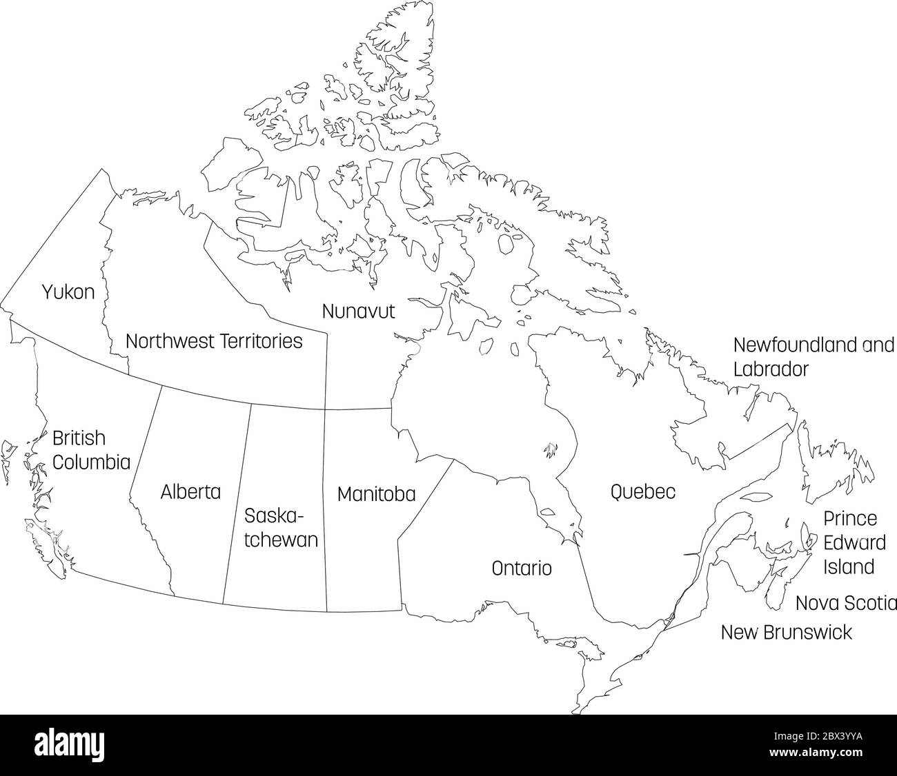 Map of Canada divided into 10 provinces and 3 territories. Administrative regions of Canada. White map with black outline and black region name labels. Vector illustration. Stock Vectorhttps://www.alamy.com/image-license-details/?v=1https://www.alamy.com/map-of-canada-divided-into-10-provinces-and-3-territories-administrative-regions-of-canada-white-map-with-black-outline-and-black-region-name-labels-vector-illustration-image360276206.html
RF2BX3YYA–Map of Canada divided into 10 provinces and 3 territories. Administrative regions of Canada. White map with black outline and black region name labels. Vector illustration.
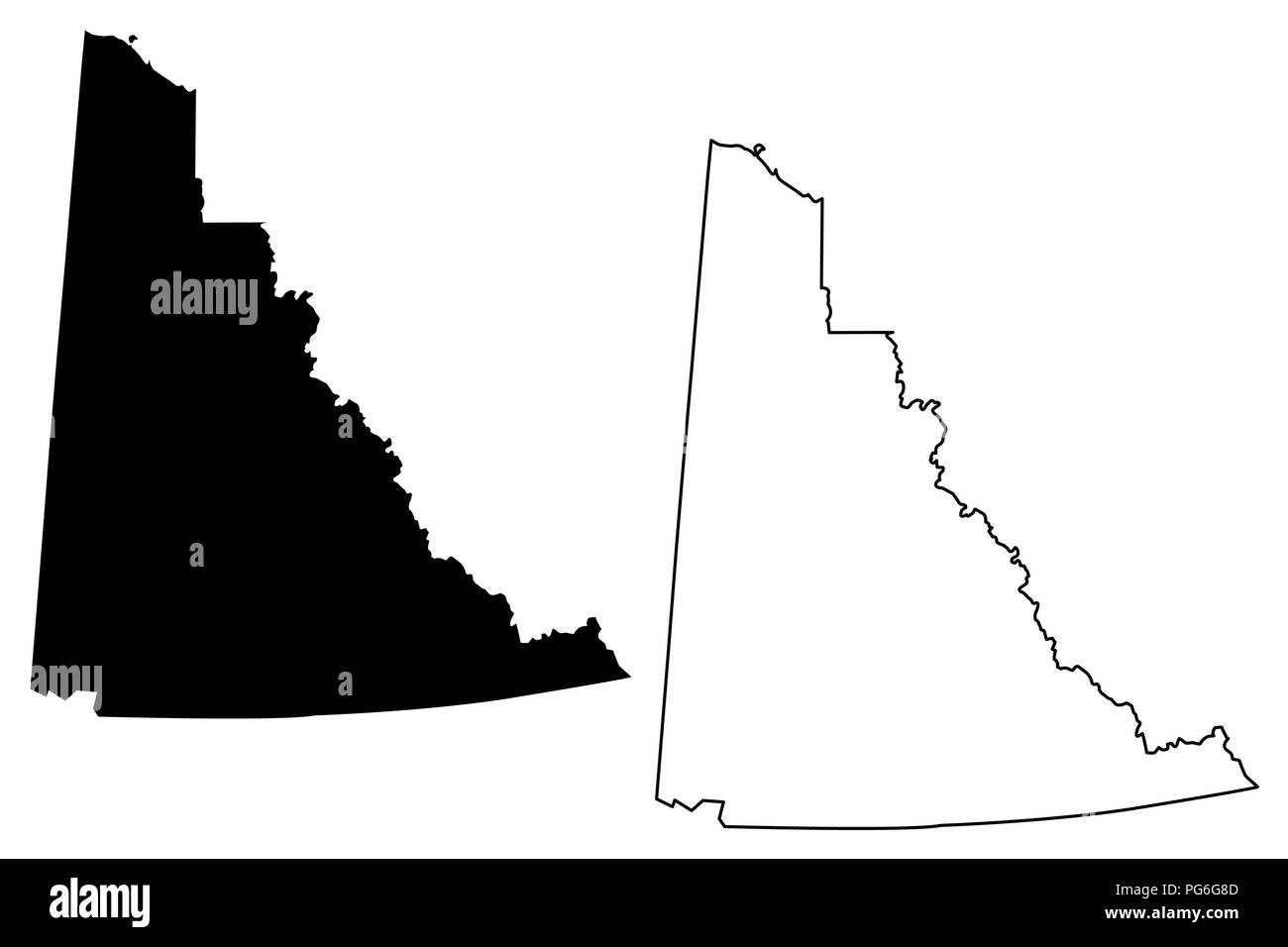 Yukon (provinces and territories of Canada) map vector illustration, scribble sketch Yukon territory map Stock Vectorhttps://www.alamy.com/image-license-details/?v=1https://www.alamy.com/yukon-provinces-and-territories-of-canada-map-vector-illustration-scribble-sketch-yukon-territory-map-image216503405.html
RFPG6G8D–Yukon (provinces and territories of Canada) map vector illustration, scribble sketch Yukon territory map
 Yukon (provinces and territories of Canada) map is designed cannabis leaf green and black, Yukon territory map made of marijuana (marihuana,THC) folia Stock Vectorhttps://www.alamy.com/image-license-details/?v=1https://www.alamy.com/yukon-provinces-and-territories-of-canada-map-is-designed-cannabis-leaf-green-and-black-yukon-territory-map-made-of-marijuana-marihuanathc-folia-image249002519.html
RFTD3173–Yukon (provinces and territories of Canada) map is designed cannabis leaf green and black, Yukon territory map made of marijuana (marihuana,THC) folia
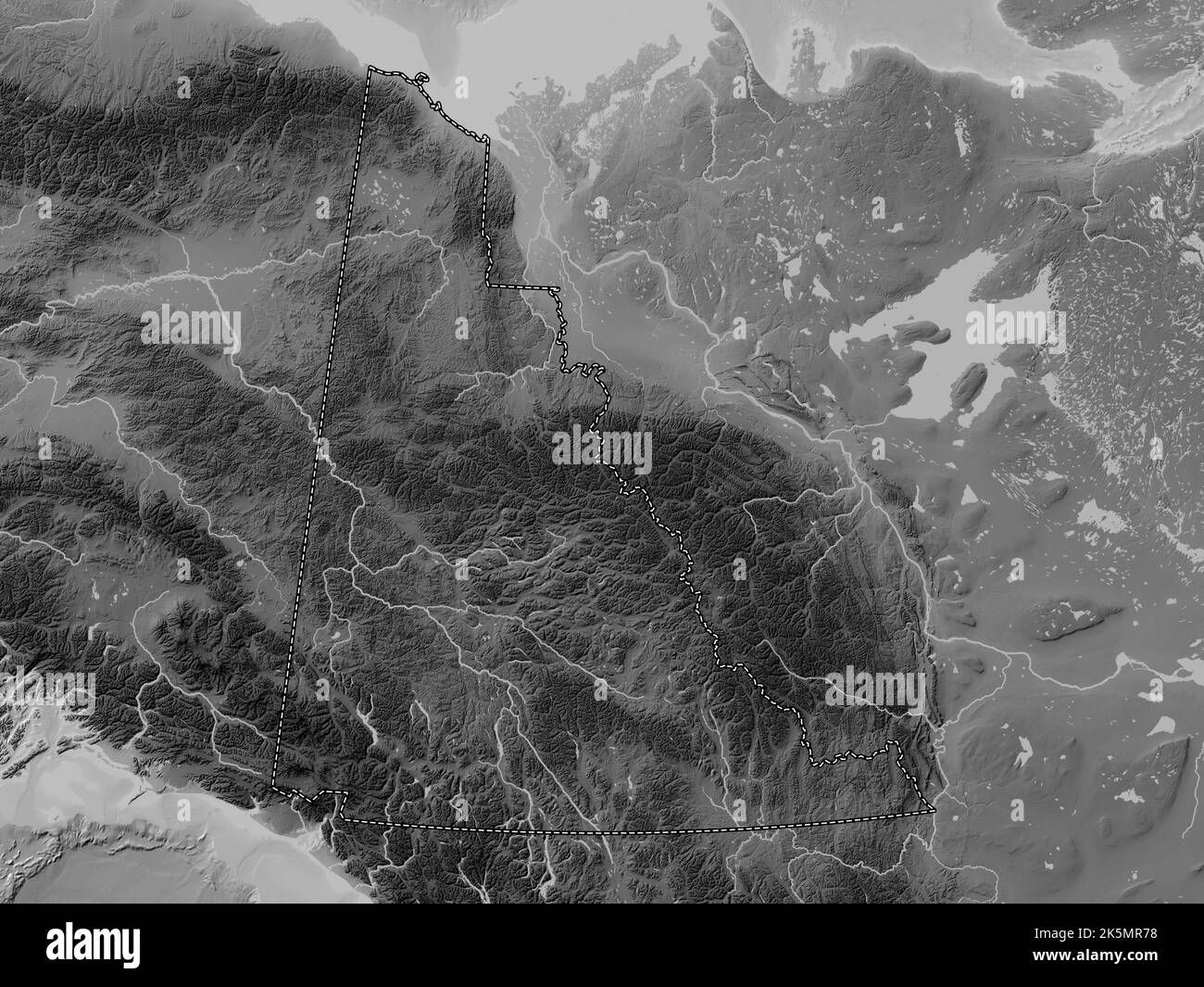 Yukon, territory of Canada. Grayscale elevation map with lakes and rivers Stock Photohttps://www.alamy.com/image-license-details/?v=1https://www.alamy.com/yukon-territory-of-canada-grayscale-elevation-map-with-lakes-and-rivers-image485420860.html
RF2K5MR78–Yukon, territory of Canada. Grayscale elevation map with lakes and rivers
 Flat vector administrative flag map of the Canadian territory of YUKON combined with official flag of CANADA Stock Vectorhttps://www.alamy.com/image-license-details/?v=1https://www.alamy.com/flat-vector-administrative-flag-map-of-the-canadian-territory-of-yukon-combined-with-official-flag-of-canada-image456614972.html
RF2HETH1G–Flat vector administrative flag map of the Canadian territory of YUKON combined with official flag of CANADA
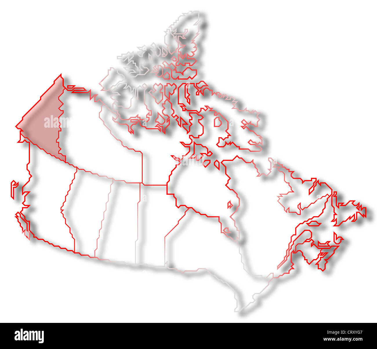 Political map of Canada with the several provinces where Yukon is highlighted. Stock Photohttps://www.alamy.com/image-license-details/?v=1https://www.alamy.com/stock-photo-political-map-of-canada-with-the-several-provinces-where-yukon-is-49150199.html
RFCRXYG7–Political map of Canada with the several provinces where Yukon is highlighted.
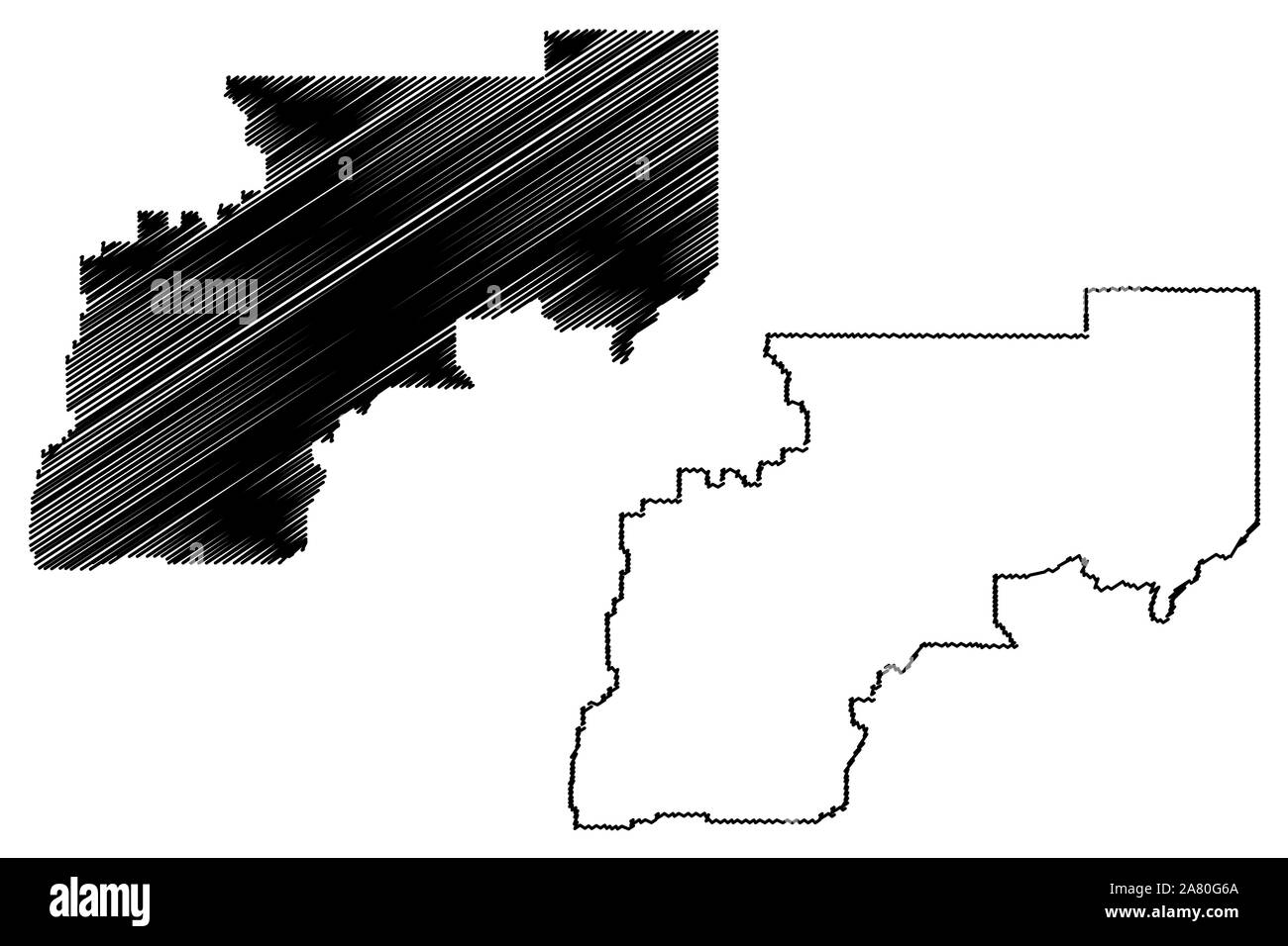 Yukon–Koyukuk Census Area, Alaska (Boroughs and census areas in Alaska, United States of America,USA, U.S., US) map vector illustration, scribble sket Stock Vectorhttps://www.alamy.com/image-license-details/?v=1https://www.alamy.com/yukonkoyukuk-census-area-alaska-boroughs-and-census-areas-in-alaska-united-states-of-americausa-us-us-map-vector-illustration-scribble-sket-image331926962.html
RF2A80G6A–Yukon–Koyukuk Census Area, Alaska (Boroughs and census areas in Alaska, United States of America,USA, U.S., US) map vector illustration, scribble sket
 Yukon, territory of Canada. Colored elevation map with lakes and rivers Stock Photohttps://www.alamy.com/image-license-details/?v=1https://www.alamy.com/yukon-territory-of-canada-colored-elevation-map-with-lakes-and-rivers-image485421052.html
RF2K5MRE4–Yukon, territory of Canada. Colored elevation map with lakes and rivers
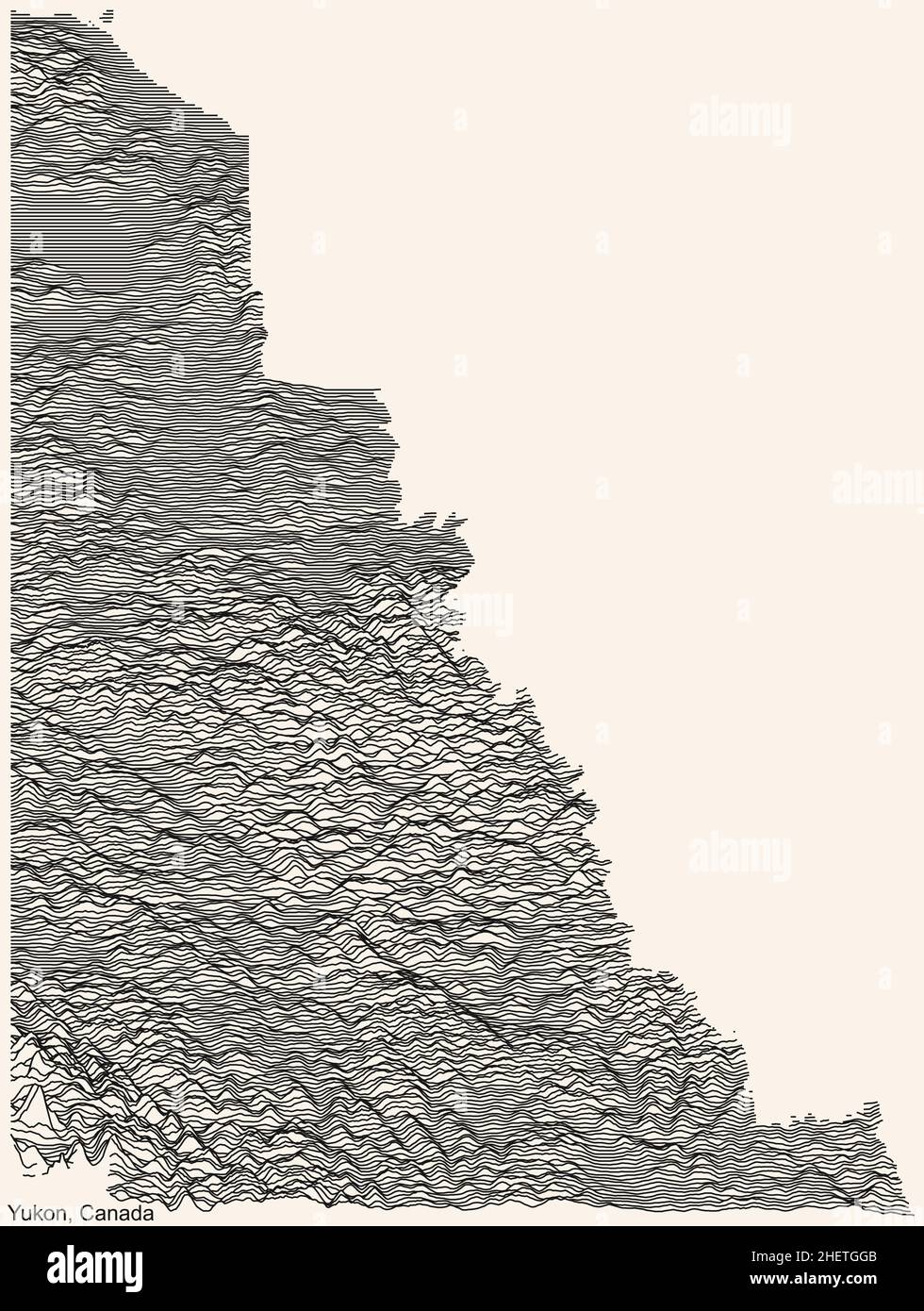 Topographic relief map of the Canadian territory of YUKON, CANADA with black contour lines on beige background Stock Vectorhttps://www.alamy.com/image-license-details/?v=1https://www.alamy.com/topographic-relief-map-of-the-canadian-territory-of-yukon-canada-with-black-contour-lines-on-beige-background-image456614603.html
RF2HETGGB–Topographic relief map of the Canadian territory of YUKON, CANADA with black contour lines on beige background
 Yukon–Koyukuk Census Area, Alaska (Boroughs and census areas in Alaska, United States of America,USA, U.S., US) map vector illustration, scribble sket Stock Vectorhttps://www.alamy.com/image-license-details/?v=1https://www.alamy.com/yukonkoyukuk-census-area-alaska-boroughs-and-census-areas-in-alaska-united-states-of-americausa-us-us-map-vector-illustration-scribble-sket-image332970844.html
RF2A9M3KT–Yukon–Koyukuk Census Area, Alaska (Boroughs and census areas in Alaska, United States of America,USA, U.S., US) map vector illustration, scribble sket
 Yukon, territory of Canada. Bilevel elevation map with lakes and rivers Stock Photohttps://www.alamy.com/image-license-details/?v=1https://www.alamy.com/yukon-territory-of-canada-bilevel-elevation-map-with-lakes-and-rivers-image485420869.html
RF2K5MR7H–Yukon, territory of Canada. Bilevel elevation map with lakes and rivers
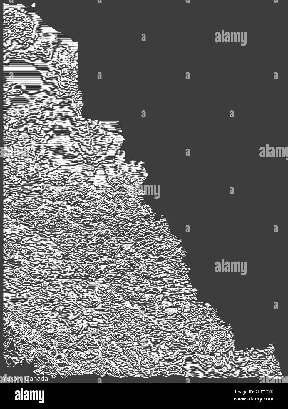 Topographic negative relief map of the Canadian territory of YUKON, CANADA with white contour lines on dark gray background Stock Vectorhttps://www.alamy.com/image-license-details/?v=1https://www.alamy.com/topographic-negative-relief-map-of-the-canadian-territory-of-yukon-canada-with-white-contour-lines-on-dark-gray-background-image456614891.html
RF2HETGXK–Topographic negative relief map of the Canadian territory of YUKON, CANADA with white contour lines on dark gray background
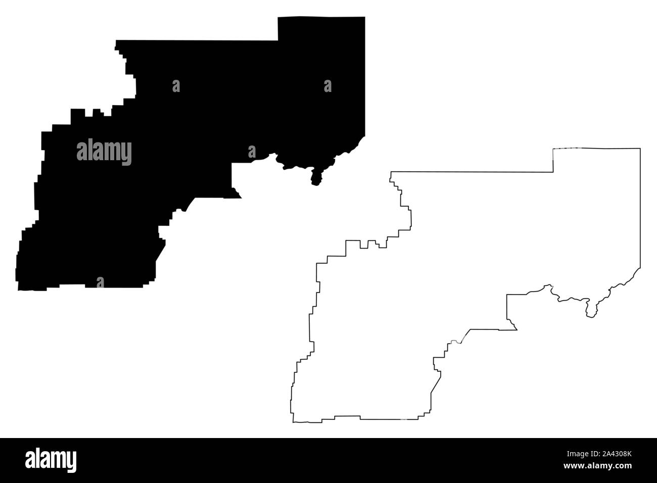 Yukon–Koyukuk Census Area, Alaska (Boroughs and census areas in Alaska, United States of America,USA, U.S., US) map vector illustration, scribble sket Stock Vectorhttps://www.alamy.com/image-license-details/?v=1https://www.alamy.com/yukonkoyukuk-census-area-alaska-boroughs-and-census-areas-in-alaska-united-states-of-americausa-us-us-map-vector-illustration-scribble-sket-image329521715.html
RF2A4308K–Yukon–Koyukuk Census Area, Alaska (Boroughs and census areas in Alaska, United States of America,USA, U.S., US) map vector illustration, scribble sket
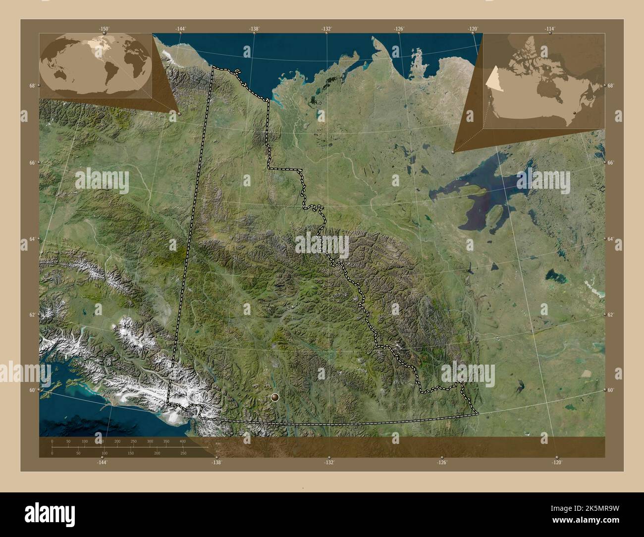 Yukon, territory of Canada. Low resolution satellite map. Corner auxiliary location maps Stock Photohttps://www.alamy.com/image-license-details/?v=1https://www.alamy.com/yukon-territory-of-canada-low-resolution-satellite-map-corner-auxiliary-location-maps-image485420933.html
RF2K5MR9W–Yukon, territory of Canada. Low resolution satellite map. Corner auxiliary location maps
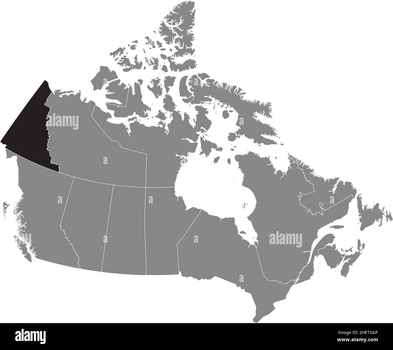 Black flat blank highlighted locator administrative map of the Canadian territory of YUKON inside gray flat map of CANADA Stock Vectorhttps://www.alamy.com/image-license-details/?v=1https://www.alamy.com/black-flat-blank-highlighted-locator-administrative-map-of-the-canadian-territory-of-yukon-inside-gray-flat-map-of-canada-image456614607.html
RF2HETGGF–Black flat blank highlighted locator administrative map of the Canadian territory of YUKON inside gray flat map of CANADA
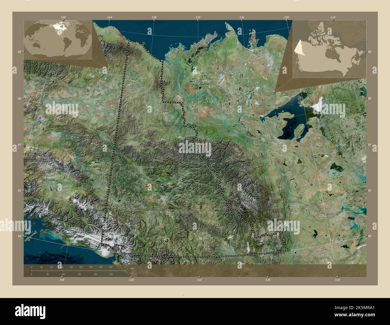 Yukon, territory of Canada. High resolution satellite map. Corner auxiliary location maps Stock Photohttps://www.alamy.com/image-license-details/?v=1https://www.alamy.com/yukon-territory-of-canada-high-resolution-satellite-map-corner-auxiliary-location-maps-image485420937.html
RF2K5MRA1–Yukon, territory of Canada. High resolution satellite map. Corner auxiliary location maps
 Official current vector flag of the Canadian territory of YUKON, CANADA Stock Vectorhttps://www.alamy.com/image-license-details/?v=1https://www.alamy.com/official-current-vector-flag-of-the-canadian-territory-of-yukon-canada-image456614567.html
RF2HETGF3–Official current vector flag of the Canadian territory of YUKON, CANADA
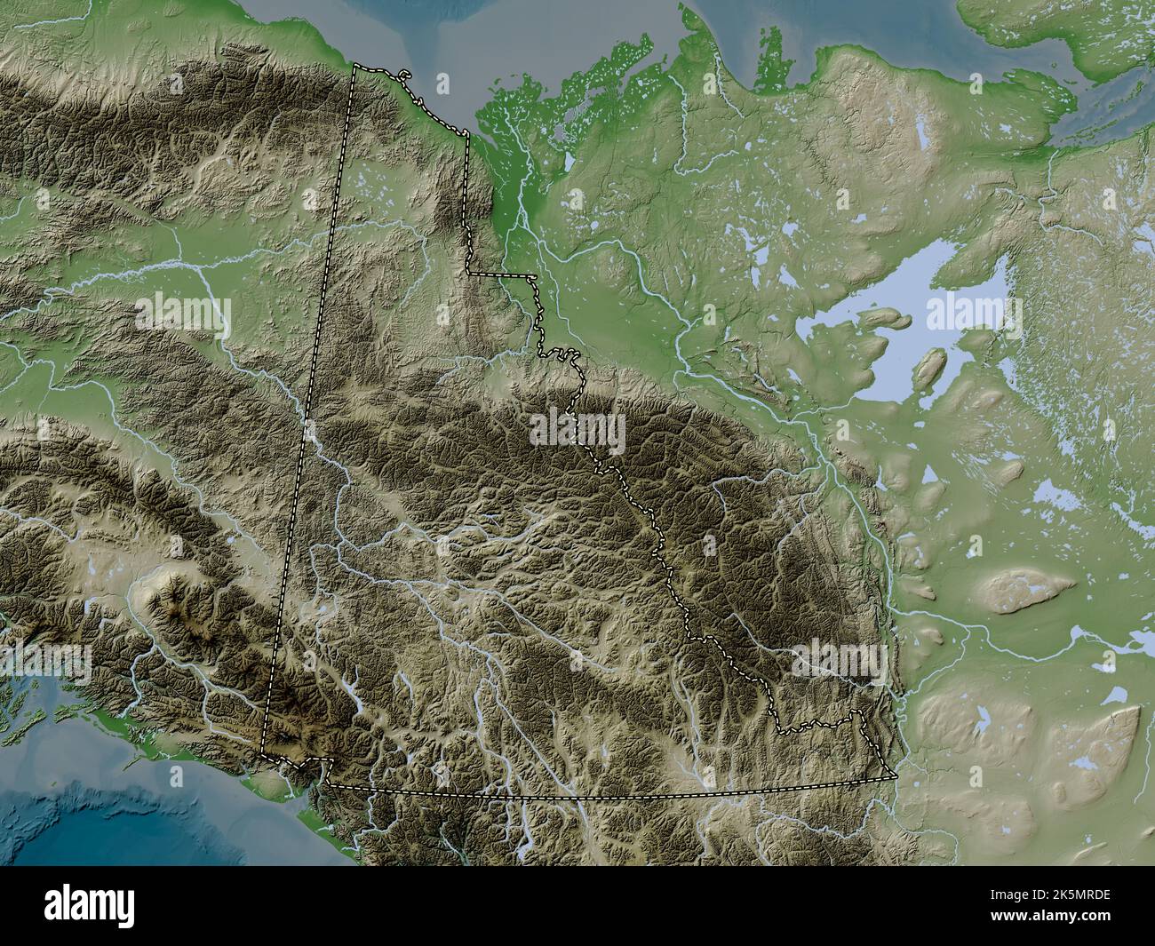 Yukon, territory of Canada. Elevation map colored in wiki style with lakes and rivers Stock Photohttps://www.alamy.com/image-license-details/?v=1https://www.alamy.com/yukon-territory-of-canada-elevation-map-colored-in-wiki-style-with-lakes-and-rivers-image485421034.html
RF2K5MRDE–Yukon, territory of Canada. Elevation map colored in wiki style with lakes and rivers
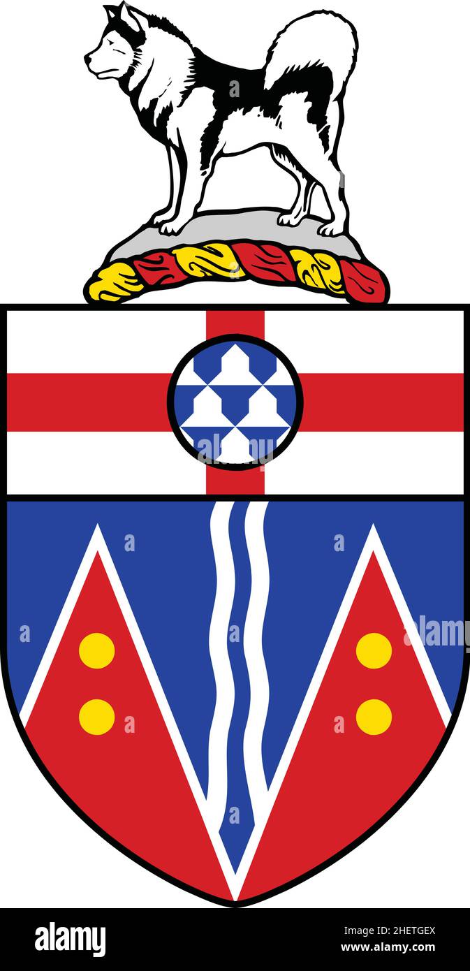 Official current vector coat of arms of the Canadian territory of YUKON, CANADA Stock Vectorhttps://www.alamy.com/image-license-details/?v=1https://www.alamy.com/official-current-vector-coat-of-arms-of-the-canadian-territory-of-yukon-canada-image456614562.html
RF2HETGEX–Official current vector coat of arms of the Canadian territory of YUKON, CANADA
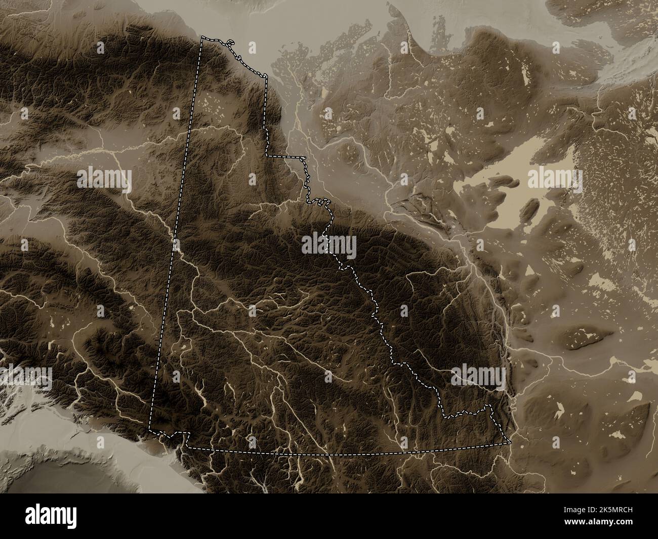 Yukon, territory of Canada. Elevation map colored in sepia tones with lakes and rivers Stock Photohttps://www.alamy.com/image-license-details/?v=1https://www.alamy.com/yukon-territory-of-canada-elevation-map-colored-in-sepia-tones-with-lakes-and-rivers-image485421009.html
RF2K5MRCH–Yukon, territory of Canada. Elevation map colored in sepia tones with lakes and rivers
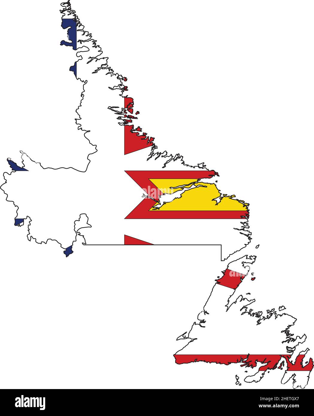 Flat vector administrative flag map of the Canadian territory of NEWFOUNDLAND AND LABRADOR, CANADA Stock Vectorhttps://www.alamy.com/image-license-details/?v=1https://www.alamy.com/flat-vector-administrative-flag-map-of-the-canadian-territory-of-newfoundland-and-labrador-canada-image456614879.html
RF2HETGX7–Flat vector administrative flag map of the Canadian territory of NEWFOUNDLAND AND LABRADOR, CANADA
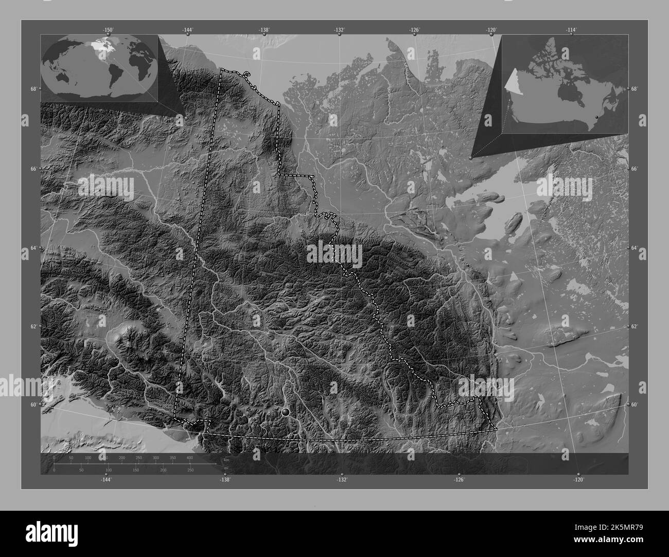 Yukon, territory of Canada. Bilevel elevation map with lakes and rivers. Corner auxiliary location maps Stock Photohttps://www.alamy.com/image-license-details/?v=1https://www.alamy.com/yukon-territory-of-canada-bilevel-elevation-map-with-lakes-and-rivers-corner-auxiliary-location-maps-image485420861.html
RF2K5MR79–Yukon, territory of Canada. Bilevel elevation map with lakes and rivers. Corner auxiliary location maps
 Black flat blank vector administrative map of the Canadian territory of NEWFOUNDLAND AND LABRADOR, CANADA Stock Vectorhttps://www.alamy.com/image-license-details/?v=1https://www.alamy.com/black-flat-blank-vector-administrative-map-of-the-canadian-territory-of-newfoundland-and-labrador-canada-image456614487.html
RF2HETGC7–Black flat blank vector administrative map of the Canadian territory of NEWFOUNDLAND AND LABRADOR, CANADA
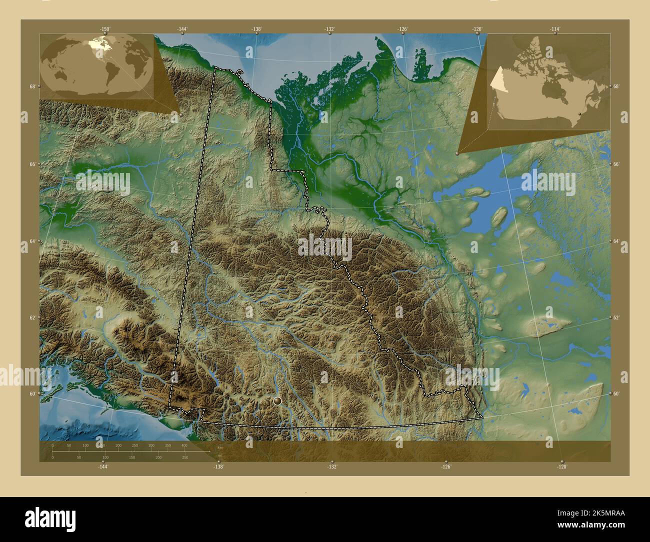 Yukon, territory of Canada. Colored elevation map with lakes and rivers. Corner auxiliary location maps Stock Photohttps://www.alamy.com/image-license-details/?v=1https://www.alamy.com/yukon-territory-of-canada-colored-elevation-map-with-lakes-and-rivers-corner-auxiliary-location-maps-image485420946.html
RF2K5MRAA–Yukon, territory of Canada. Colored elevation map with lakes and rivers. Corner auxiliary location maps
 Gray flat blank vector administrative map of the Canadian territory of NEWFOUNDLAND AND LABRADOR, CANADA Stock Vectorhttps://www.alamy.com/image-license-details/?v=1https://www.alamy.com/gray-flat-blank-vector-administrative-map-of-the-canadian-territory-of-newfoundland-and-labrador-canada-image456614604.html
RF2HETGGC–Gray flat blank vector administrative map of the Canadian territory of NEWFOUNDLAND AND LABRADOR, CANADA
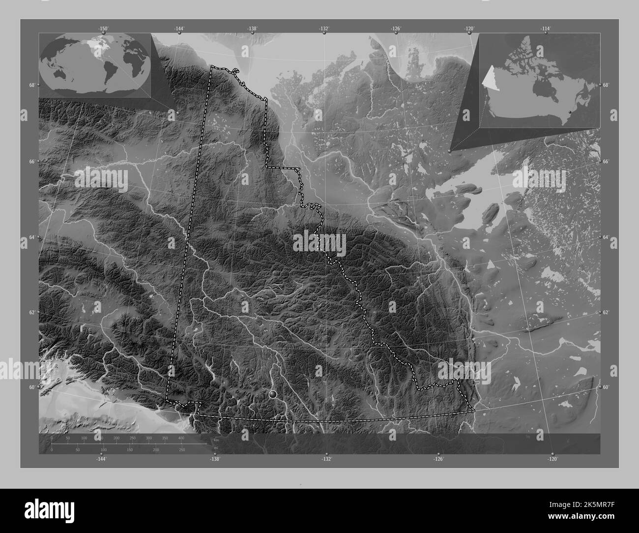 Yukon, territory of Canada. Grayscale elevation map with lakes and rivers. Corner auxiliary location maps Stock Photohttps://www.alamy.com/image-license-details/?v=1https://www.alamy.com/yukon-territory-of-canada-grayscale-elevation-map-with-lakes-and-rivers-corner-auxiliary-location-maps-image485420867.html
RF2K5MR7F–Yukon, territory of Canada. Grayscale elevation map with lakes and rivers. Corner auxiliary location maps
 Flat vector administrative flag map of the Canadian territory of NEWFOUNDLAND AND LABRADOR combined with official flag of CANADA Stock Vectorhttps://www.alamy.com/image-license-details/?v=1https://www.alamy.com/flat-vector-administrative-flag-map-of-the-canadian-territory-of-newfoundland-and-labrador-combined-with-official-flag-of-canada-image456614649.html
RF2HETGJ1–Flat vector administrative flag map of the Canadian territory of NEWFOUNDLAND AND LABRADOR combined with official flag of CANADA
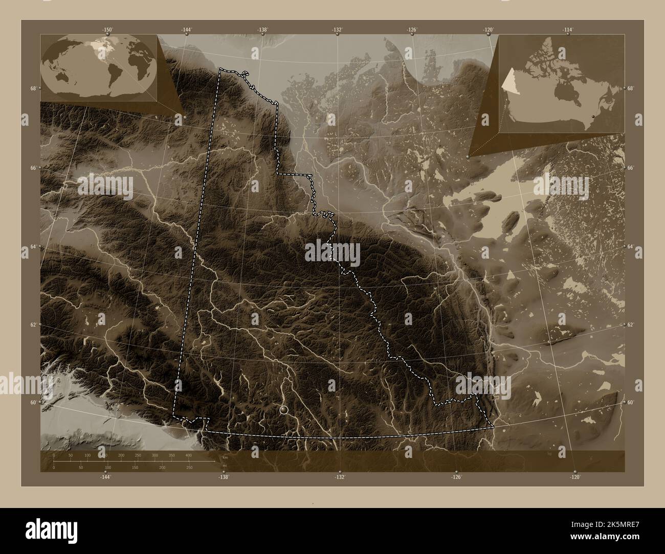 Yukon, territory of Canada. Elevation map colored in sepia tones with lakes and rivers. Corner auxiliary location maps Stock Photohttps://www.alamy.com/image-license-details/?v=1https://www.alamy.com/yukon-territory-of-canada-elevation-map-colored-in-sepia-tones-with-lakes-and-rivers-corner-auxiliary-location-maps-image485421055.html
RF2K5MRE7–Yukon, territory of Canada. Elevation map colored in sepia tones with lakes and rivers. Corner auxiliary location maps
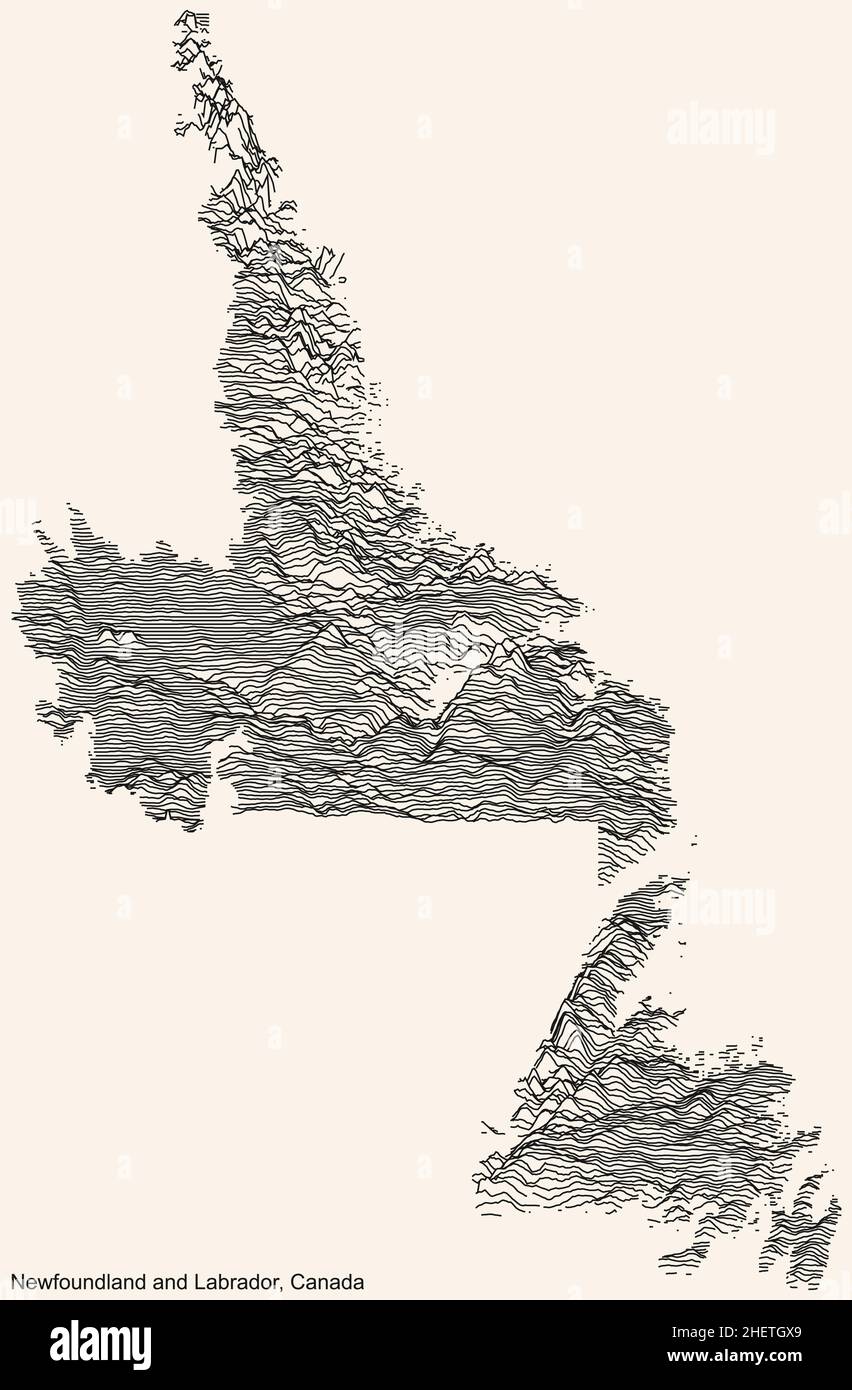 Topographic relief map of the Canadian territory of NEWFOUNDLAND AND LABRADOR, CANADA with black contour lines on beige background Stock Vectorhttps://www.alamy.com/image-license-details/?v=1https://www.alamy.com/topographic-relief-map-of-the-canadian-territory-of-newfoundland-and-labrador-canada-with-black-contour-lines-on-beige-background-image456614881.html
RF2HETGX9–Topographic relief map of the Canadian territory of NEWFOUNDLAND AND LABRADOR, CANADA with black contour lines on beige background
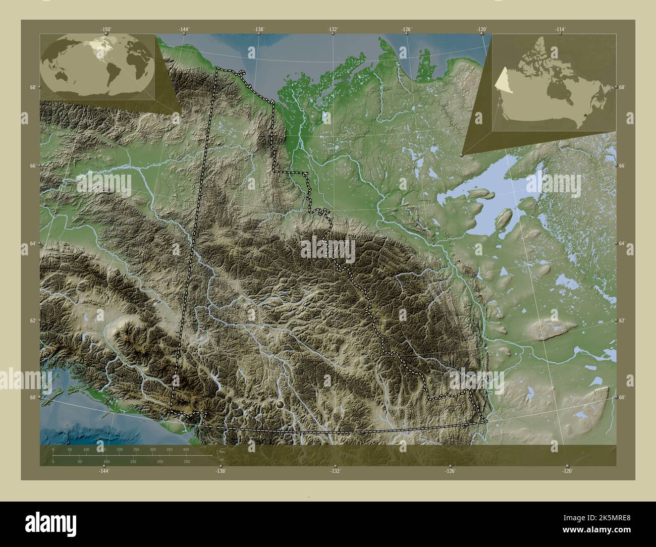 Yukon, territory of Canada. Elevation map colored in wiki style with lakes and rivers. Corner auxiliary location maps Stock Photohttps://www.alamy.com/image-license-details/?v=1https://www.alamy.com/yukon-territory-of-canada-elevation-map-colored-in-wiki-style-with-lakes-and-rivers-corner-auxiliary-location-maps-image485421056.html
RF2K5MRE8–Yukon, territory of Canada. Elevation map colored in wiki style with lakes and rivers. Corner auxiliary location maps
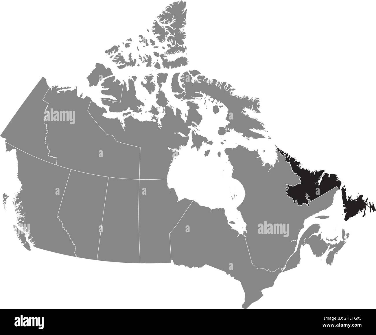 Black flat blank highlighted locator administrative map of the Canadian territory of NEWFOUNDLAND AND LABRADOR inside gray flat map of CANADA Stock Vectorhttps://www.alamy.com/image-license-details/?v=1https://www.alamy.com/black-flat-blank-highlighted-locator-administrative-map-of-the-canadian-territory-of-newfoundland-and-labrador-inside-gray-flat-map-of-canada-image456614877.html
RF2HETGX5–Black flat blank highlighted locator administrative map of the Canadian territory of NEWFOUNDLAND AND LABRADOR inside gray flat map of CANADA
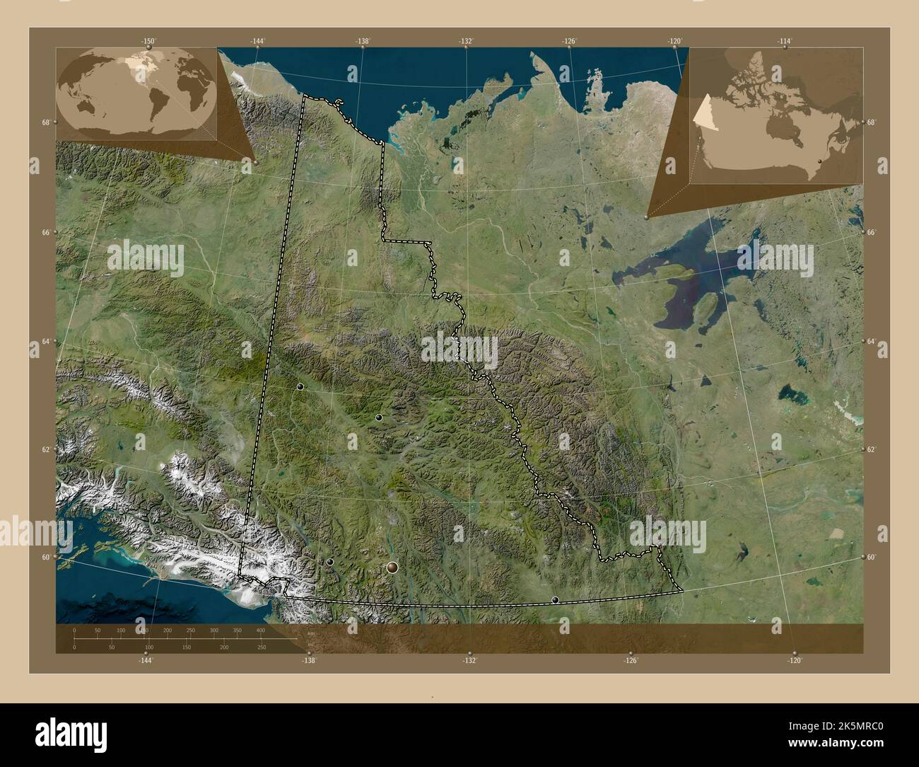 Yukon, territory of Canada. Low resolution satellite map. Locations of major cities of the region. Corner auxiliary location maps Stock Photohttps://www.alamy.com/image-license-details/?v=1https://www.alamy.com/yukon-territory-of-canada-low-resolution-satellite-map-locations-of-major-cities-of-the-region-corner-auxiliary-location-maps-image485420992.html
RF2K5MRC0–Yukon, territory of Canada. Low resolution satellite map. Locations of major cities of the region. Corner auxiliary location maps
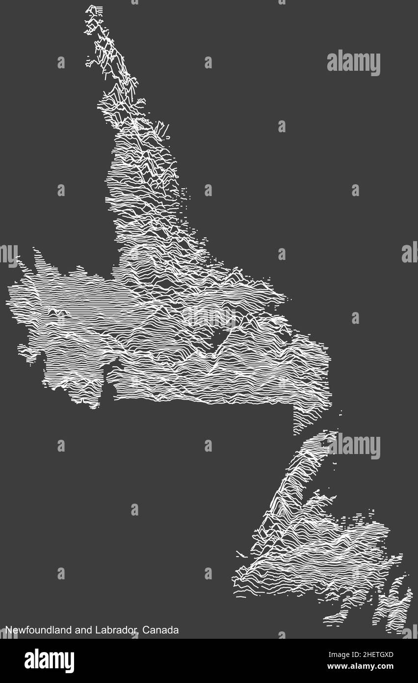 Topographic negative relief map of the Canadian territory of NEWFOUNDLAND AND LABRADOR, CANADA with white contour lines on dark gray background Stock Vectorhttps://www.alamy.com/image-license-details/?v=1https://www.alamy.com/topographic-negative-relief-map-of-the-canadian-territory-of-newfoundland-and-labrador-canada-with-white-contour-lines-on-dark-gray-background-image456614885.html
RF2HETGXD–Topographic negative relief map of the Canadian territory of NEWFOUNDLAND AND LABRADOR, CANADA with white contour lines on dark gray background
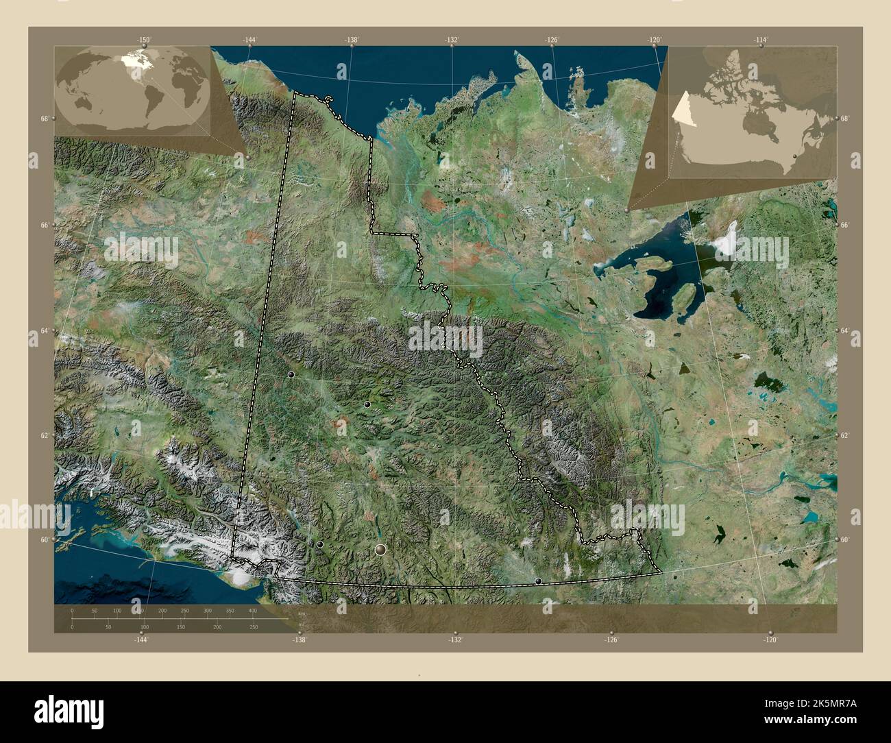 Yukon, territory of Canada. High resolution satellite map. Locations of major cities of the region. Corner auxiliary location maps Stock Photohttps://www.alamy.com/image-license-details/?v=1https://www.alamy.com/yukon-territory-of-canada-high-resolution-satellite-map-locations-of-major-cities-of-the-region-corner-auxiliary-location-maps-image485420862.html
RF2K5MR7A–Yukon, territory of Canada. High resolution satellite map. Locations of major cities of the region. Corner auxiliary location maps
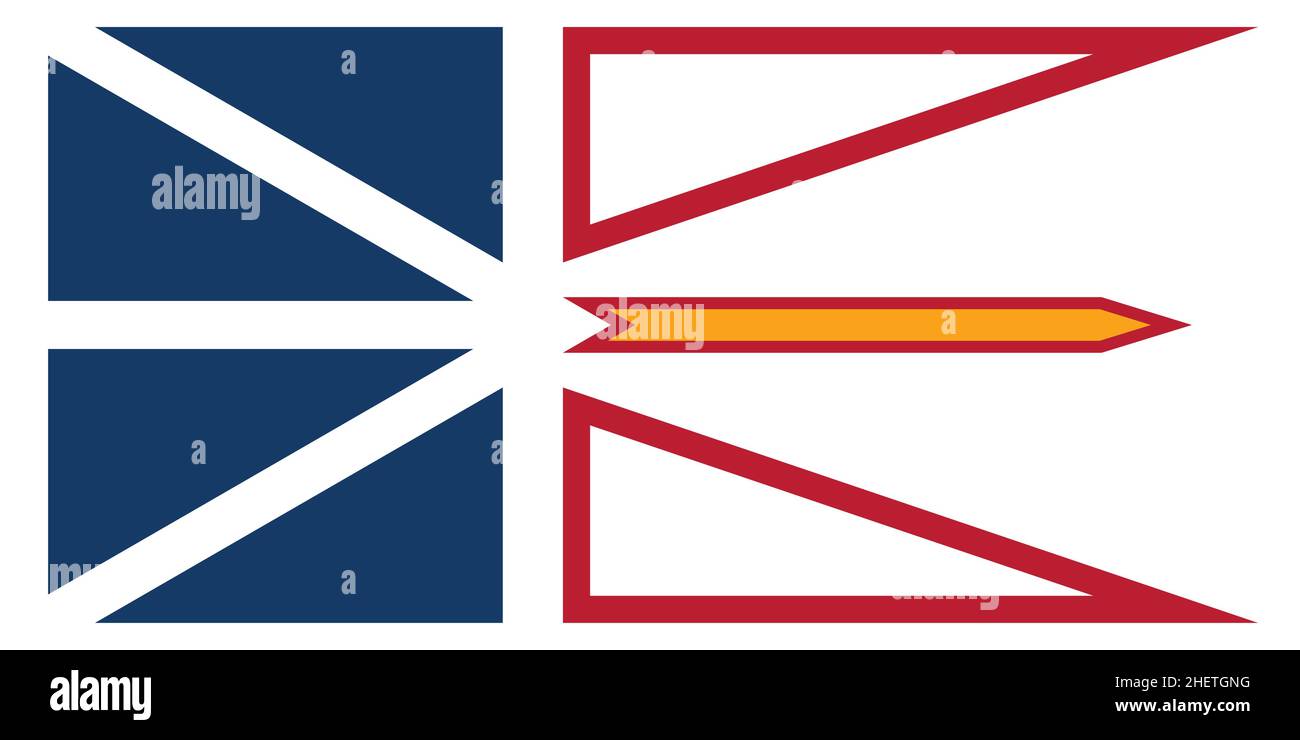 Official current vector flag of the Canadian territory of NEWFOUNDLAND AND LABRADOR, CANADA Stock Vectorhttps://www.alamy.com/image-license-details/?v=1https://www.alamy.com/official-current-vector-flag-of-the-canadian-territory-of-newfoundland-and-labrador-canada-image456614748.html
RF2HETGNG–Official current vector flag of the Canadian territory of NEWFOUNDLAND AND LABRADOR, CANADA
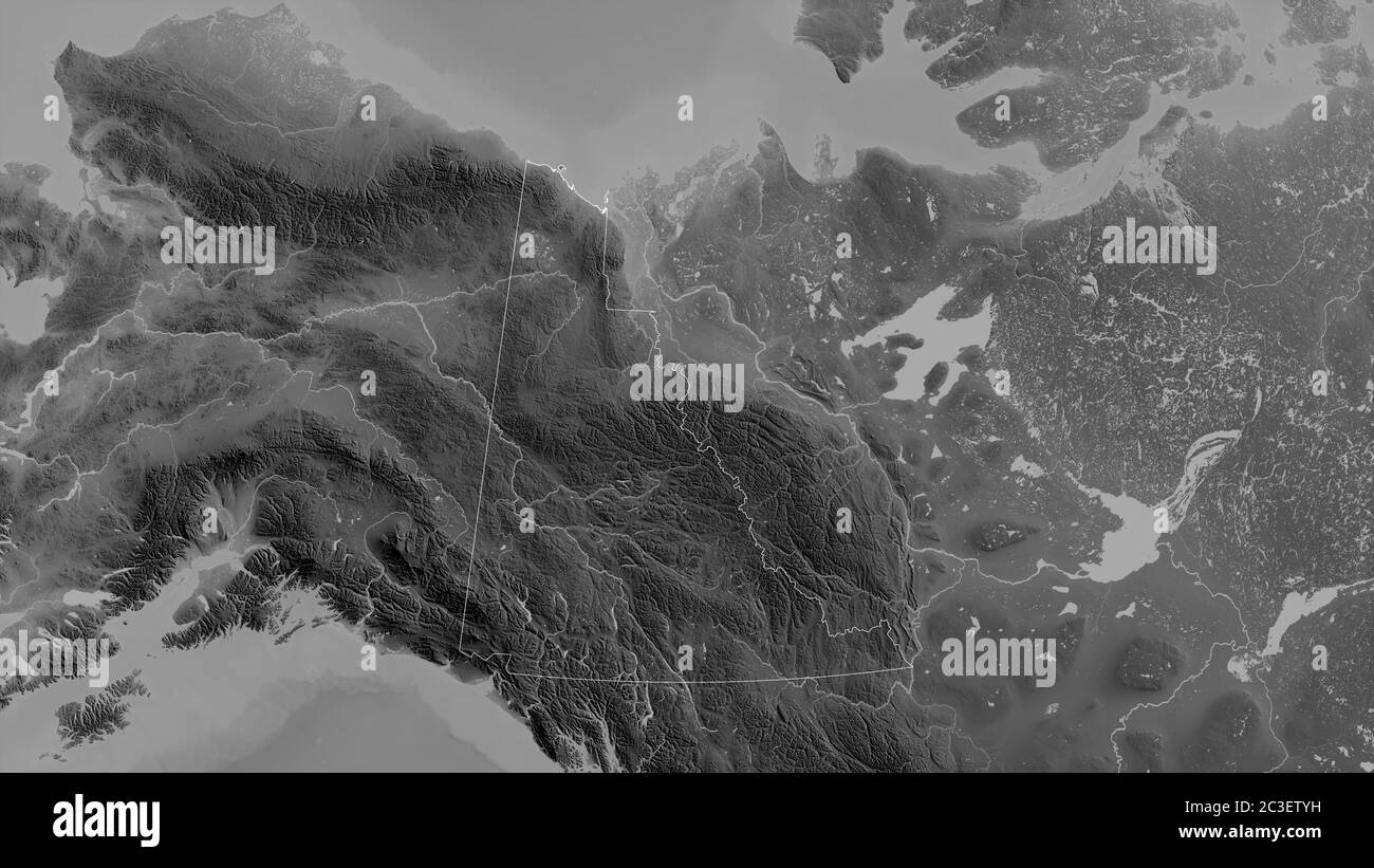 Yukon, territory of Canada. Grayscaled map with lakes and rivers. Shape outlined against its country area. 3D rendering Stock Photohttps://www.alamy.com/image-license-details/?v=1https://www.alamy.com/yukon-territory-of-canada-grayscaled-map-with-lakes-and-rivers-shape-outlined-against-its-country-area-3d-rendering-image363588613.html
RF2C3ETYH–Yukon, territory of Canada. Grayscaled map with lakes and rivers. Shape outlined against its country area. 3D rendering
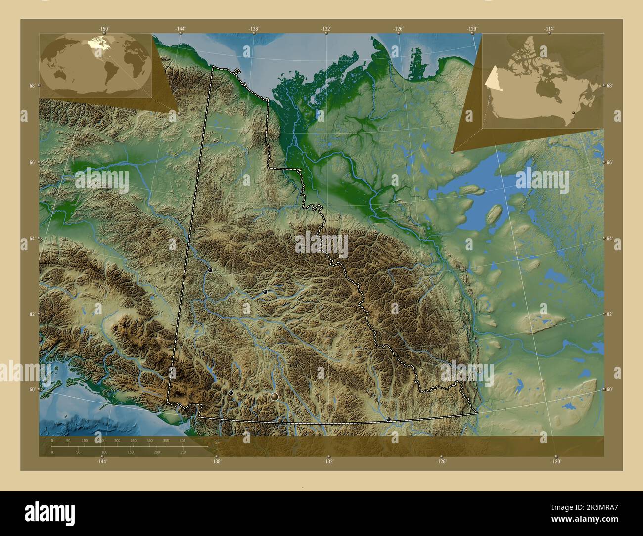 Yukon, territory of Canada. Colored elevation map with lakes and rivers. Locations of major cities of the region. Corner auxiliary location maps Stock Photohttps://www.alamy.com/image-license-details/?v=1https://www.alamy.com/yukon-territory-of-canada-colored-elevation-map-with-lakes-and-rivers-locations-of-major-cities-of-the-region-corner-auxiliary-location-maps-image485420943.html
RF2K5MRA7–Yukon, territory of Canada. Colored elevation map with lakes and rivers. Locations of major cities of the region. Corner auxiliary location maps
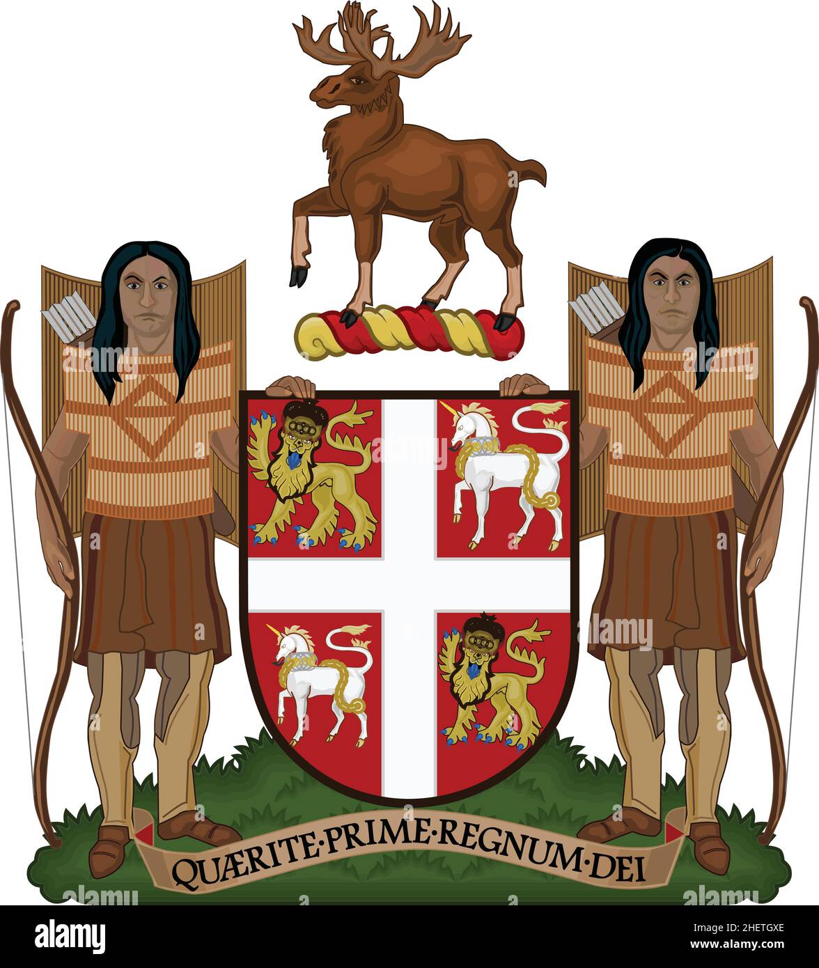 Official current vector coat of arms of the Canadian territory of NEWFOUNDLAND AND LABRADOR, CANADA Stock Vectorhttps://www.alamy.com/image-license-details/?v=1https://www.alamy.com/official-current-vector-coat-of-arms-of-the-canadian-territory-of-newfoundland-and-labrador-canada-image456614886.html
RF2HETGXE–Official current vector coat of arms of the Canadian territory of NEWFOUNDLAND AND LABRADOR, CANADA
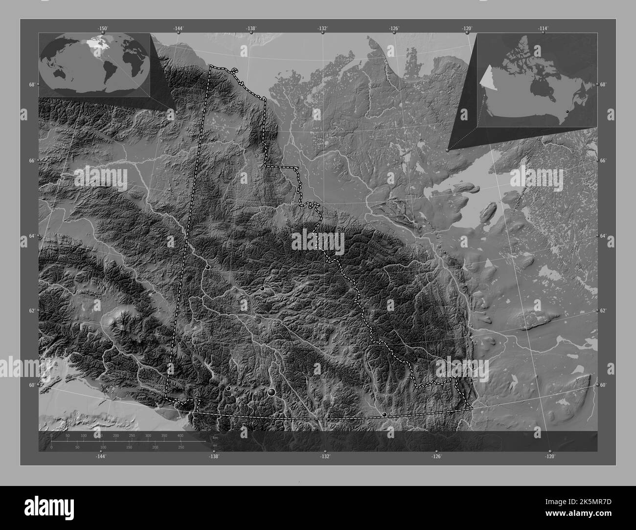 Yukon, territory of Canada. Bilevel elevation map with lakes and rivers. Locations of major cities of the region. Corner auxiliary location maps Stock Photohttps://www.alamy.com/image-license-details/?v=1https://www.alamy.com/yukon-territory-of-canada-bilevel-elevation-map-with-lakes-and-rivers-locations-of-major-cities-of-the-region-corner-auxiliary-location-maps-image485420865.html
RF2K5MR7D–Yukon, territory of Canada. Bilevel elevation map with lakes and rivers. Locations of major cities of the region. Corner auxiliary location maps
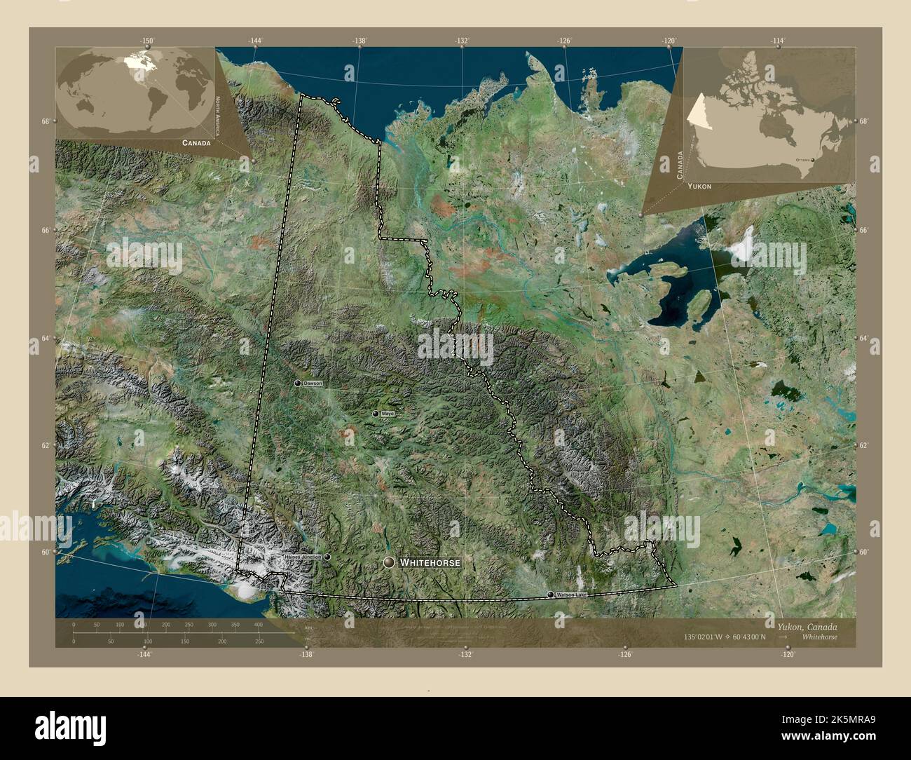 Yukon, territory of Canada. High resolution satellite map. Locations and names of major cities of the region. Corner auxiliary location maps Stock Photohttps://www.alamy.com/image-license-details/?v=1https://www.alamy.com/yukon-territory-of-canada-high-resolution-satellite-map-locations-and-names-of-major-cities-of-the-region-corner-auxiliary-location-maps-image485420945.html
RF2K5MRA9–Yukon, territory of Canada. High resolution satellite map. Locations and names of major cities of the region. Corner auxiliary location maps
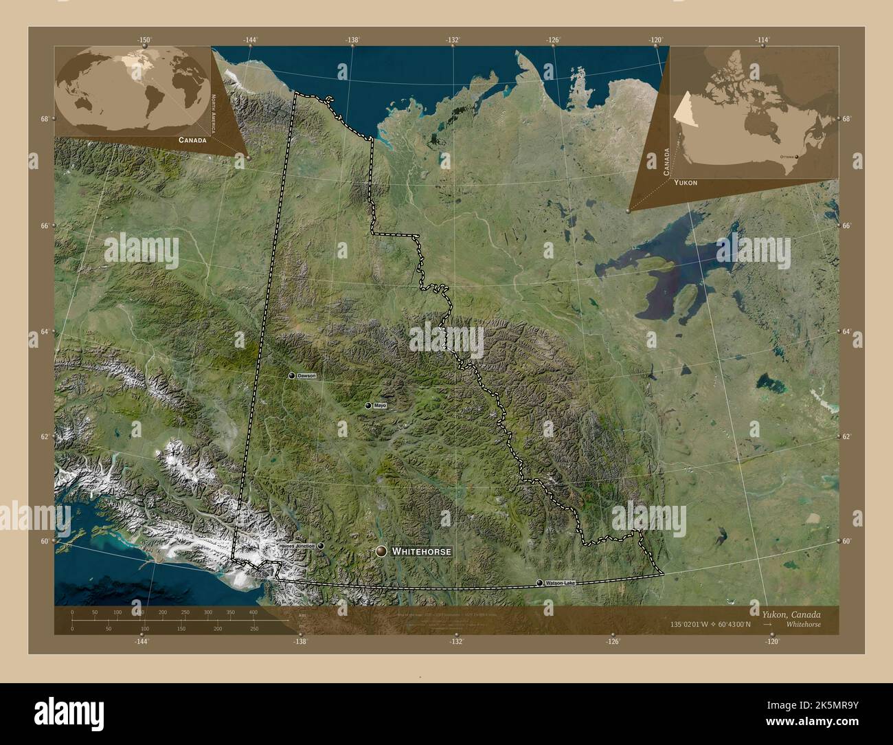 Yukon, territory of Canada. Low resolution satellite map. Locations and names of major cities of the region. Corner auxiliary location maps Stock Photohttps://www.alamy.com/image-license-details/?v=1https://www.alamy.com/yukon-territory-of-canada-low-resolution-satellite-map-locations-and-names-of-major-cities-of-the-region-corner-auxiliary-location-maps-image485420935.html
RF2K5MR9Y–Yukon, territory of Canada. Low resolution satellite map. Locations and names of major cities of the region. Corner auxiliary location maps
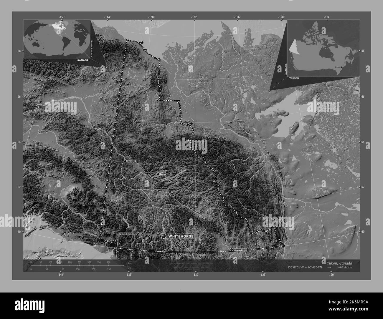 Yukon, territory of Canada. Bilevel elevation map with lakes and rivers. Locations and names of major cities of the region. Corner auxiliary location Stock Photohttps://www.alamy.com/image-license-details/?v=1https://www.alamy.com/yukon-territory-of-canada-bilevel-elevation-map-with-lakes-and-rivers-locations-and-names-of-major-cities-of-the-region-corner-auxiliary-location-image485420918.html
RF2K5MR9A–Yukon, territory of Canada. Bilevel elevation map with lakes and rivers. Locations and names of major cities of the region. Corner auxiliary location
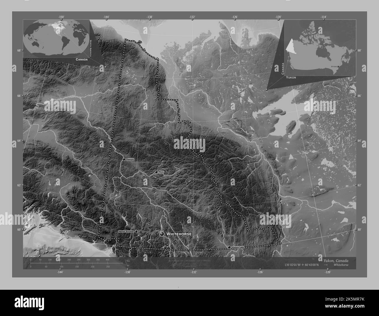 Yukon, territory of Canada. Grayscale elevation map with lakes and rivers. Locations and names of major cities of the region. Corner auxiliary locatio Stock Photohttps://www.alamy.com/image-license-details/?v=1https://www.alamy.com/yukon-territory-of-canada-grayscale-elevation-map-with-lakes-and-rivers-locations-and-names-of-major-cities-of-the-region-corner-auxiliary-locatio-image485420871.html
RF2K5MR7K–Yukon, territory of Canada. Grayscale elevation map with lakes and rivers. Locations and names of major cities of the region. Corner auxiliary locatio
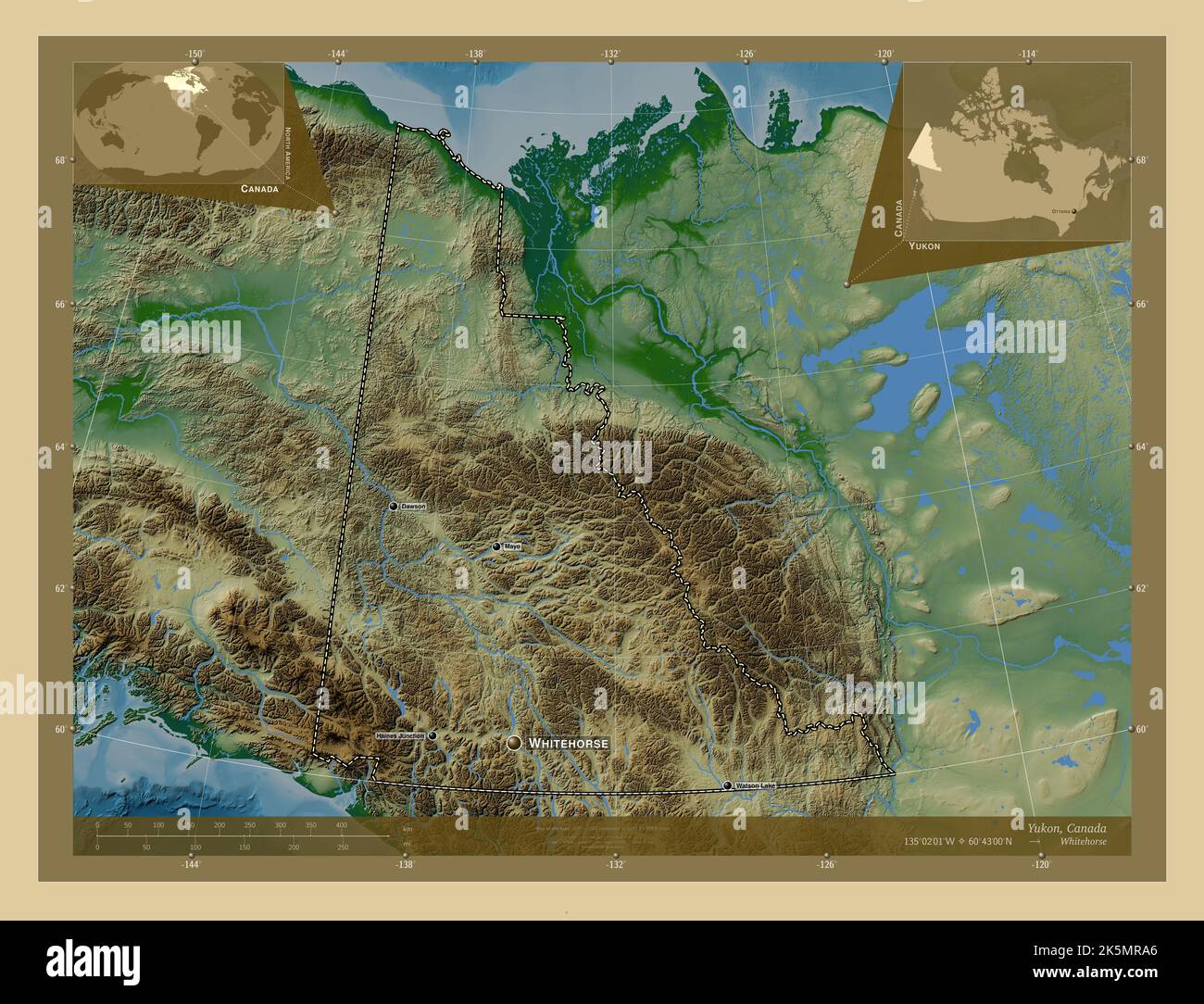 Yukon, territory of Canada. Colored elevation map with lakes and rivers. Locations and names of major cities of the region. Corner auxiliary location Stock Photohttps://www.alamy.com/image-license-details/?v=1https://www.alamy.com/yukon-territory-of-canada-colored-elevation-map-with-lakes-and-rivers-locations-and-names-of-major-cities-of-the-region-corner-auxiliary-location-image485420942.html
RF2K5MRA6–Yukon, territory of Canada. Colored elevation map with lakes and rivers. Locations and names of major cities of the region. Corner auxiliary location
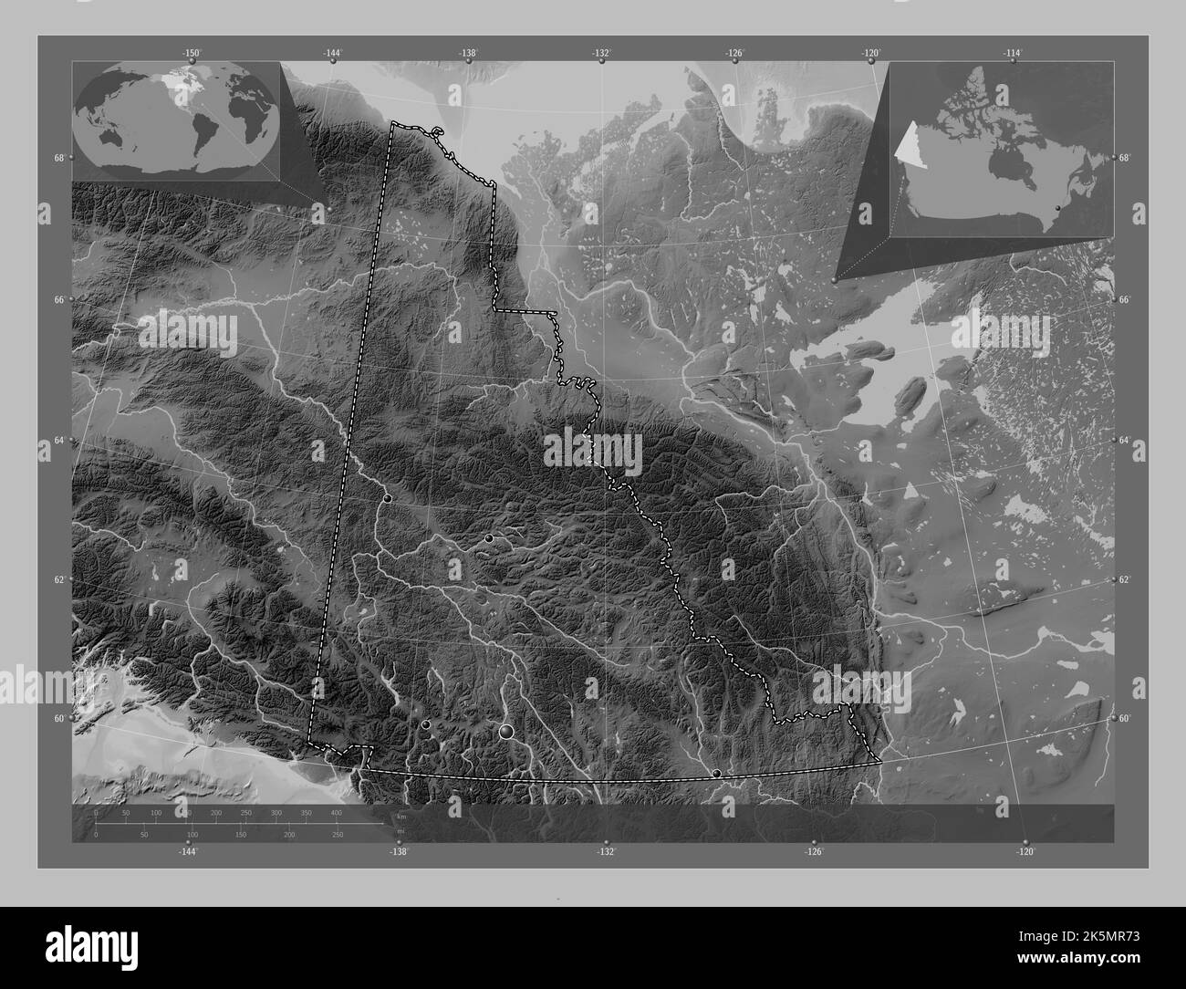 Yukon, territory of Canada. Grayscale elevation map with lakes and rivers. Locations of major cities of the region. Corner auxiliary location maps Stock Photohttps://www.alamy.com/image-license-details/?v=1https://www.alamy.com/yukon-territory-of-canada-grayscale-elevation-map-with-lakes-and-rivers-locations-of-major-cities-of-the-region-corner-auxiliary-location-maps-image485420855.html
RF2K5MR73–Yukon, territory of Canada. Grayscale elevation map with lakes and rivers. Locations of major cities of the region. Corner auxiliary location maps
 Yukon, territory of Canada. Grayscaled map with lakes and rivers. Shape presented against its country area with informative overlays. 3D rendering Stock Photohttps://www.alamy.com/image-license-details/?v=1https://www.alamy.com/yukon-territory-of-canada-grayscaled-map-with-lakes-and-rivers-shape-presented-against-its-country-area-with-informative-overlays-3d-rendering-image363588608.html
RF2C3ETYC–Yukon, territory of Canada. Grayscaled map with lakes and rivers. Shape presented against its country area with informative overlays. 3D rendering
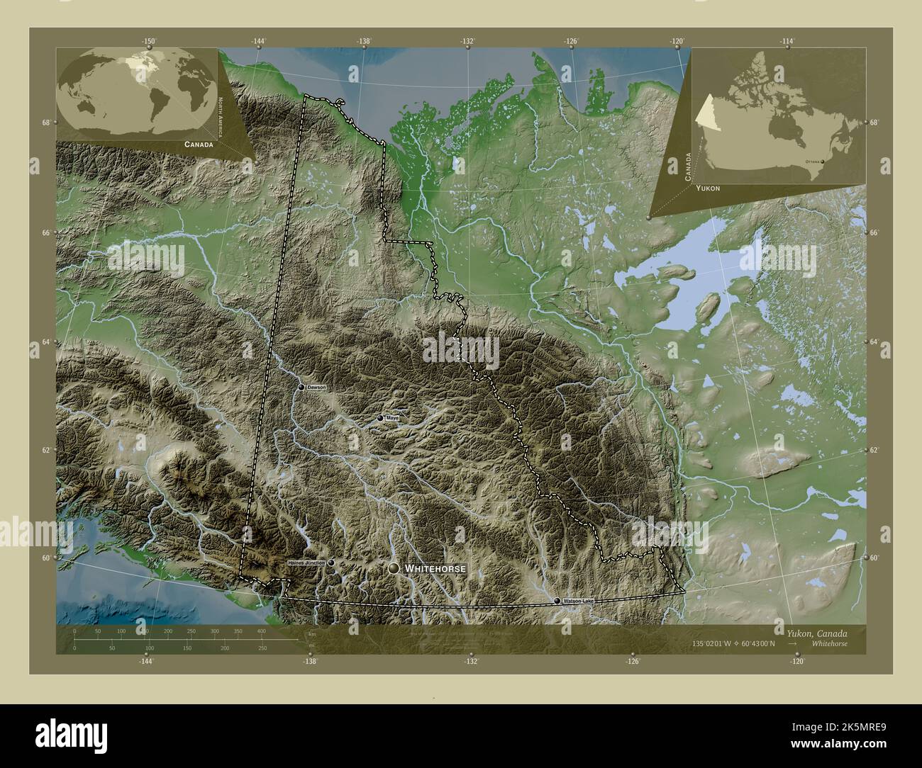 Yukon, territory of Canada. Elevation map colored in wiki style with lakes and rivers. Locations and names of major cities of the region. Corner auxil Stock Photohttps://www.alamy.com/image-license-details/?v=1https://www.alamy.com/yukon-territory-of-canada-elevation-map-colored-in-wiki-style-with-lakes-and-rivers-locations-and-names-of-major-cities-of-the-region-corner-auxil-image485421057.html
RF2K5MRE9–Yukon, territory of Canada. Elevation map colored in wiki style with lakes and rivers. Locations and names of major cities of the region. Corner auxil
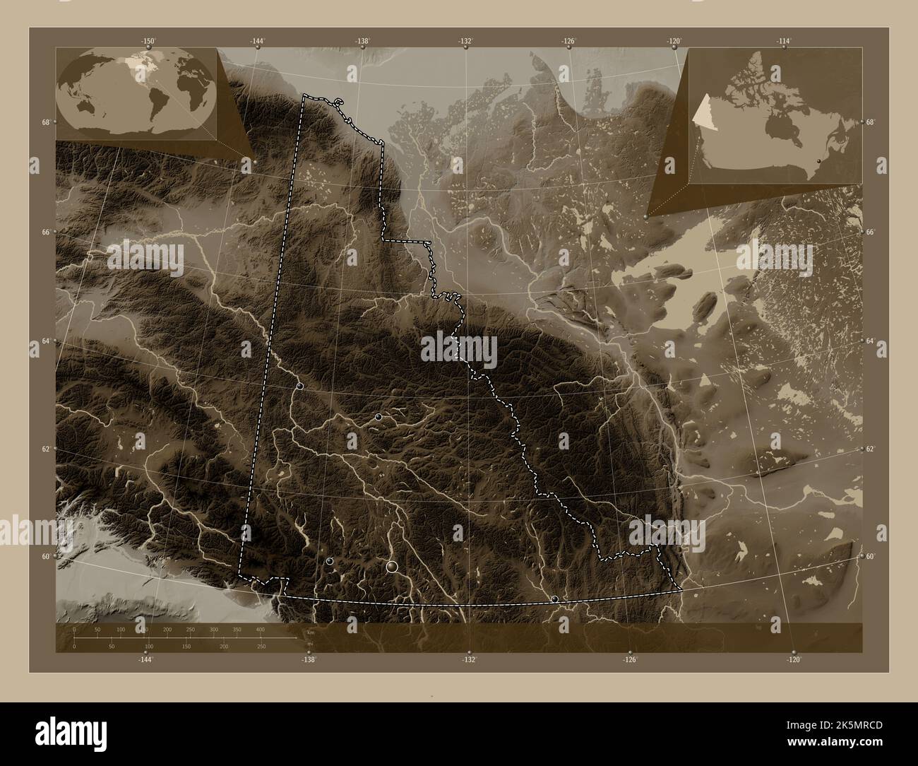 Yukon, territory of Canada. Elevation map colored in sepia tones with lakes and rivers. Locations of major cities of the region. Corner auxiliary loca Stock Photohttps://www.alamy.com/image-license-details/?v=1https://www.alamy.com/yukon-territory-of-canada-elevation-map-colored-in-sepia-tones-with-lakes-and-rivers-locations-of-major-cities-of-the-region-corner-auxiliary-loca-image485421005.html
RF2K5MRCD–Yukon, territory of Canada. Elevation map colored in sepia tones with lakes and rivers. Locations of major cities of the region. Corner auxiliary loca
 Yukon, territory of Canada. Elevation map colored in sepia tones with lakes and rivers. Locations and names of major cities of the region. Corner auxi Stock Photohttps://www.alamy.com/image-license-details/?v=1https://www.alamy.com/yukon-territory-of-canada-elevation-map-colored-in-sepia-tones-with-lakes-and-rivers-locations-and-names-of-major-cities-of-the-region-corner-auxi-image485421044.html
RF2K5MRDT–Yukon, territory of Canada. Elevation map colored in sepia tones with lakes and rivers. Locations and names of major cities of the region. Corner auxi
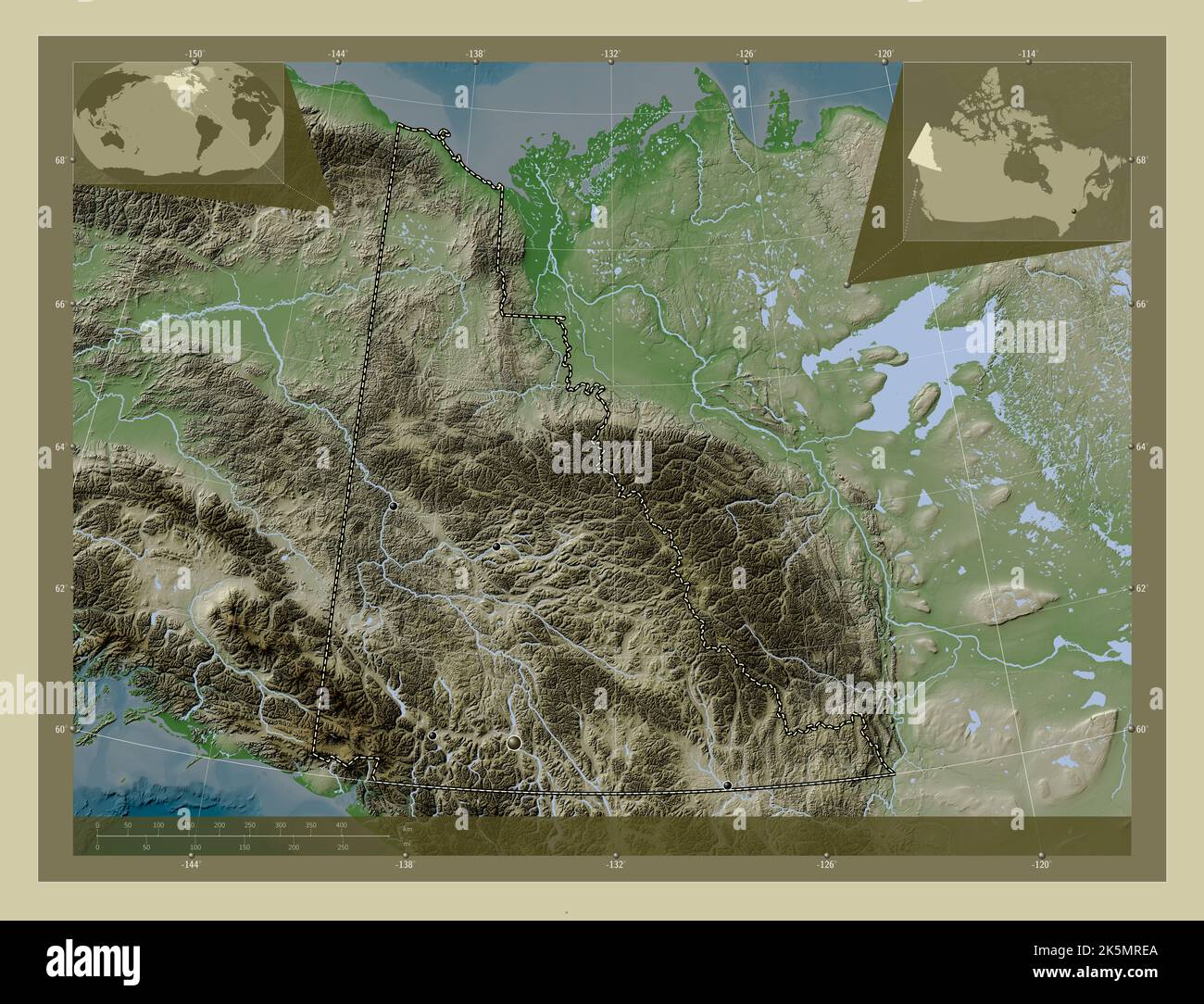 Yukon, territory of Canada. Elevation map colored in wiki style with lakes and rivers. Locations of major cities of the region. Corner auxiliary locat Stock Photohttps://www.alamy.com/image-license-details/?v=1https://www.alamy.com/yukon-territory-of-canada-elevation-map-colored-in-wiki-style-with-lakes-and-rivers-locations-of-major-cities-of-the-region-corner-auxiliary-locat-image485421058.html
RF2K5MREA–Yukon, territory of Canada. Elevation map colored in wiki style with lakes and rivers. Locations of major cities of the region. Corner auxiliary locat
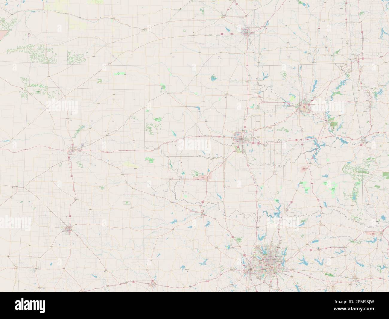 Oklahoma, state of United States of America. Open Street Map Stock Photohttps://www.alamy.com/image-license-details/?v=1https://www.alamy.com/oklahoma-state-of-united-states-of-america-open-street-map-image546018897.html
RF2PM98JW–Oklahoma, state of United States of America. Open Street Map
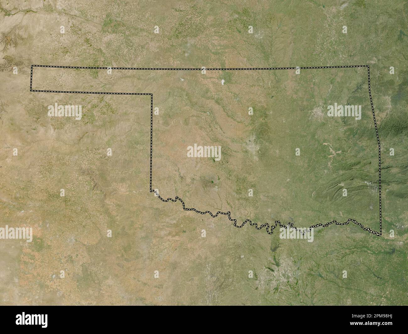 Oklahoma, state of United States of America. Low resolution satellite map Stock Photohttps://www.alamy.com/image-license-details/?v=1https://www.alamy.com/oklahoma-state-of-united-states-of-america-low-resolution-satellite-map-image546018862.html
RF2PM98HJ–Oklahoma, state of United States of America. Low resolution satellite map