Quick filters:
Map panama Stock Photos and Images
 panama map world location flag Stock Vectorhttps://www.alamy.com/image-license-details/?v=1https://www.alamy.com/stock-photo-panama-map-world-location-flag-101655921.html
RFFWAR4H–panama map world location flag
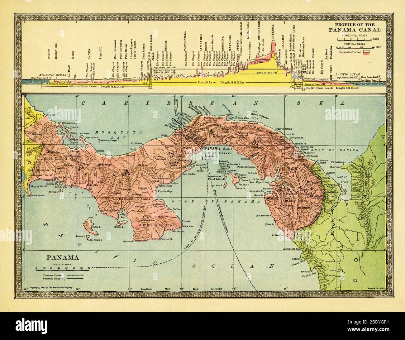 Map of Panama Showing Canal, 1904 Stock Photohttps://www.alamy.com/image-license-details/?v=1https://www.alamy.com/map-of-panama-showing-canal-1904-image352803769.html
RM2BDYGPH–Map of Panama Showing Canal, 1904
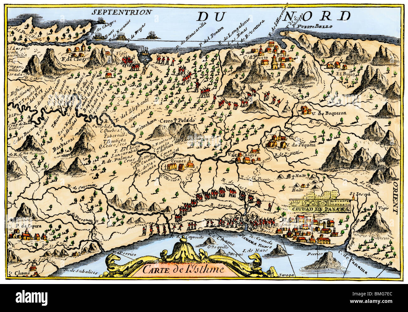 Map from Oexmelin's Histoire of the Isthmus of Panama, 1744. Hand-colored woodcut Stock Photohttps://www.alamy.com/image-license-details/?v=1https://www.alamy.com/stock-photo-map-from-oexmelins-histoire-of-the-isthmus-of-panama-1744-hand-colored-29860612.html
RMBMG7EC–Map from Oexmelin's Histoire of the Isthmus of Panama, 1744. Hand-colored woodcut
 Map of Panama Canal. Constructed between 1881 and 1914 across the Isthmus of Panama (connecting Altantic and Pacific Oceans). Stock Photohttps://www.alamy.com/image-license-details/?v=1https://www.alamy.com/stock-photo-map-of-panama-canal-constructed-between-1881-and-1914-across-the-isthmus-83344021.html
RMERGJ45–Map of Panama Canal. Constructed between 1881 and 1914 across the Isthmus of Panama (connecting Altantic and Pacific Oceans).
 Map showing the Panama Canal, a man-made waterway which connects the Atlantic Ocean with the Pacific Ocean. The canal cuts across the Isthmus of Panama. From The Business Encyclopaedia and Legal Adviser, published 1907. Stock Photohttps://www.alamy.com/image-license-details/?v=1https://www.alamy.com/map-showing-the-panama-canal-a-man-made-waterway-which-connects-the-atlantic-ocean-with-the-pacific-ocean-the-canal-cuts-across-the-isthmus-of-panama-from-the-business-encyclopaedia-and-legal-adviser-published-1907-image365154549.html
RM2C6269W–Map showing the Panama Canal, a man-made waterway which connects the Atlantic Ocean with the Pacific Ocean. The canal cuts across the Isthmus of Panama. From The Business Encyclopaedia and Legal Adviser, published 1907.
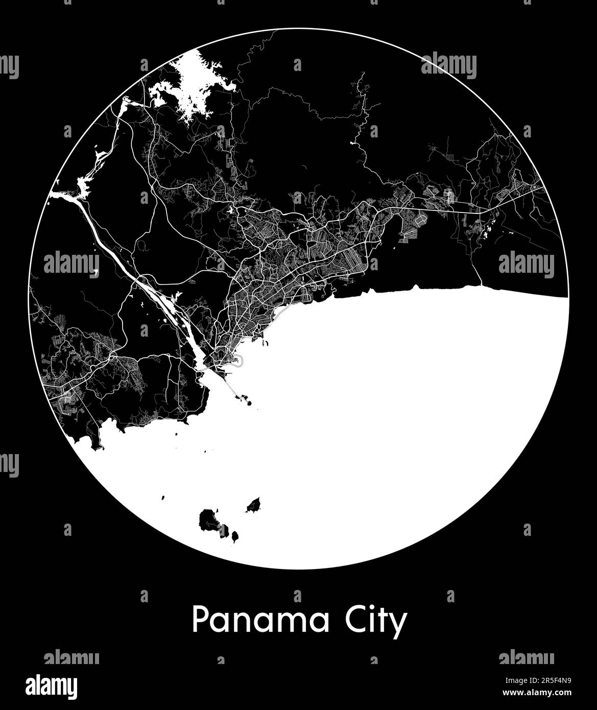 City Map Panama City Panama North America vector illustration Stock Vectorhttps://www.alamy.com/image-license-details/?v=1https://www.alamy.com/city-map-panama-city-panama-north-america-vector-illustration-image554138069.html
RF2R5F4N9–City Map Panama City Panama North America vector illustration
 PANAMA ISTHMUS: 5 proposed canal/RR routes. Nicaragua &c.TALLIS/RAPKIN, 1851 map Stock Photohttps://www.alamy.com/image-license-details/?v=1https://www.alamy.com/stock-photo-panama-isthmus-5-proposed-canalrr-routes-nicaragua-ctallisrapkin-1851-93001162.html
RFFB8FX2–PANAMA ISTHMUS: 5 proposed canal/RR routes. Nicaragua &c.TALLIS/RAPKIN, 1851 map
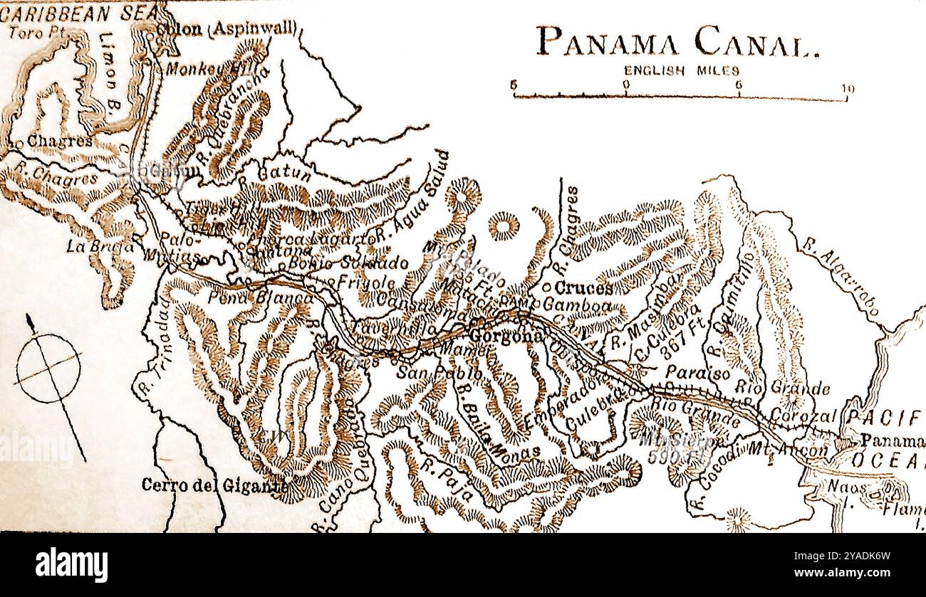 A late 19th century map of the Panama canal - Un mapa del canal de Panamá de finales del siglo XIX. - Um mapa do canal do Panamá do final do século XIX - Um mapa do canal do Panamá do final do século XIX - Stock Photohttps://www.alamy.com/image-license-details/?v=1https://www.alamy.com/a-late-19th-century-map-of-the-panama-canal-un-mapa-del-canal-de-panam-de-finales-del-siglo-xix-um-mapa-do-canal-do-panam-do-final-do-sculo-xix-um-mapa-do-canal-do-panam-do-final-do-sculo-xix-image626020273.html
RM2YADK6W–A late 19th century map of the Panama canal - Un mapa del canal de Panamá de finales del siglo XIX. - Um mapa do canal do Panamá do final do século XIX - Um mapa do canal do Panamá do final do século XIX -
 MAP OF THE PANAMA RAILROAD, PANAMA, 1870s engraving Stock Photohttps://www.alamy.com/image-license-details/?v=1https://www.alamy.com/map-of-the-panama-railroad-panama-1870s-engraving-image60123571.html
RMDDPT6B–MAP OF THE PANAMA RAILROAD, PANAMA, 1870s engraving
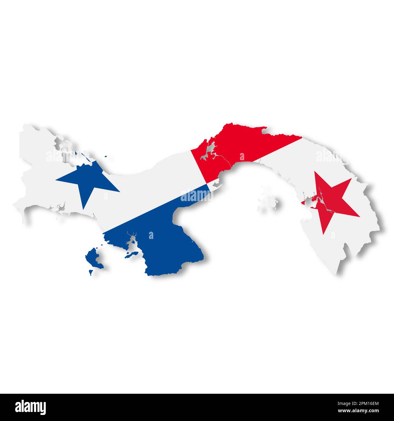 Panama map on white background with clipping path 3d illustration Stock Photohttps://www.alamy.com/image-license-details/?v=1https://www.alamy.com/panama-map-on-white-background-with-clipping-path-3d-illustration-image545841596.html
RF2PM16EM–Panama map on white background with clipping path 3d illustration
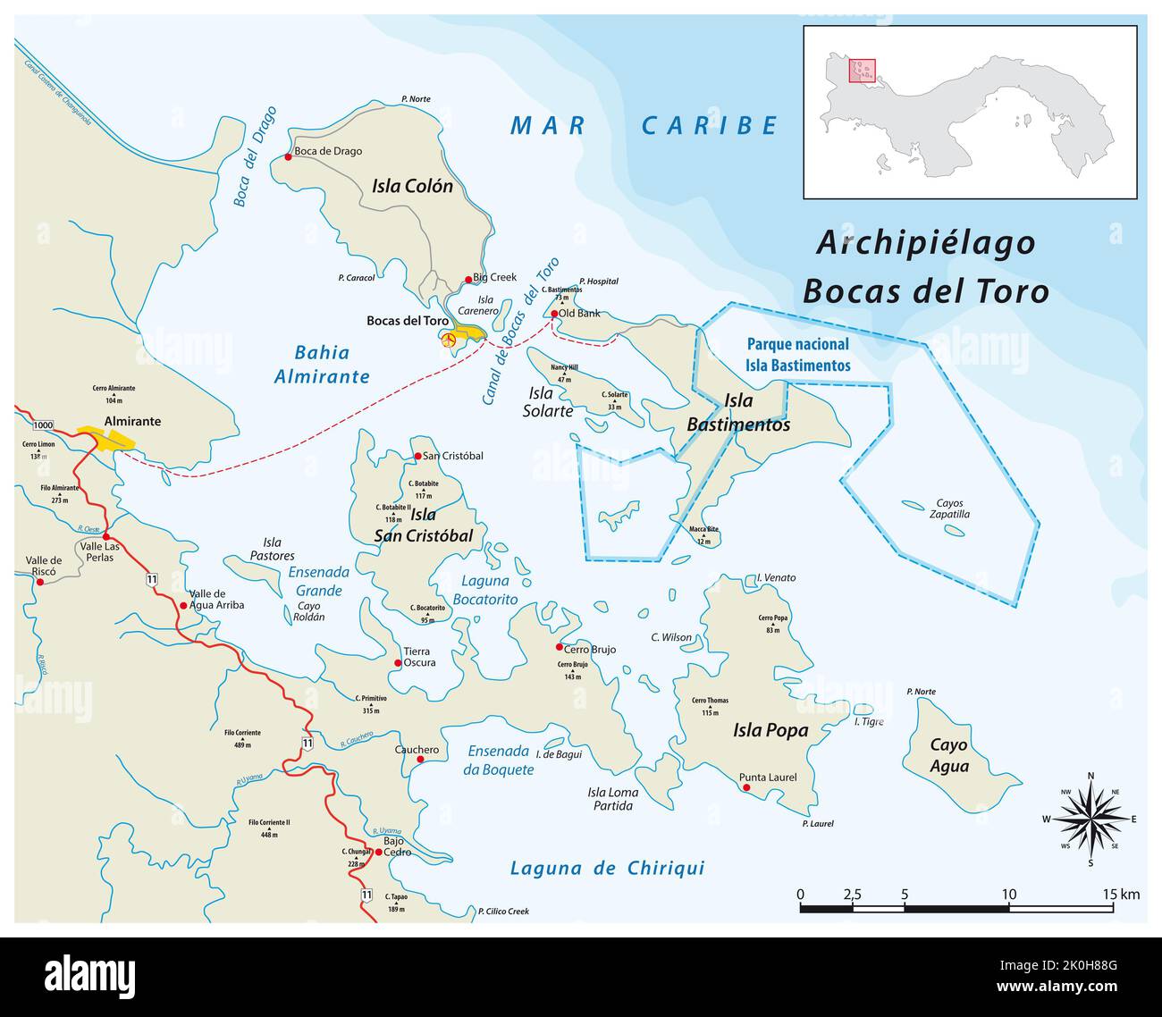 Vector map of Bocas del Toro archipelago, Panama Stock Photohttps://www.alamy.com/image-license-details/?v=1https://www.alamy.com/vector-map-of-bocas-del-toro-archipelago-panama-image482270000.html
RF2K0H88G–Vector map of Bocas del Toro archipelago, Panama
 Map of Panama with profile of the Panama Canal, Americana Company. 1904 Stock Photohttps://www.alamy.com/image-license-details/?v=1https://www.alamy.com/map-of-panama-with-profile-of-the-panama-canal-americana-company-1904-image443713873.html
RM2GNTWG1–Map of Panama with profile of the Panama Canal, Americana Company. 1904
 Merry Christmas Map Panama Stock Vectorhttps://www.alamy.com/image-license-details/?v=1https://www.alamy.com/stock-photo-merry-christmas-map-panama-125851256.html
RFH8N0FM–Merry Christmas Map Panama
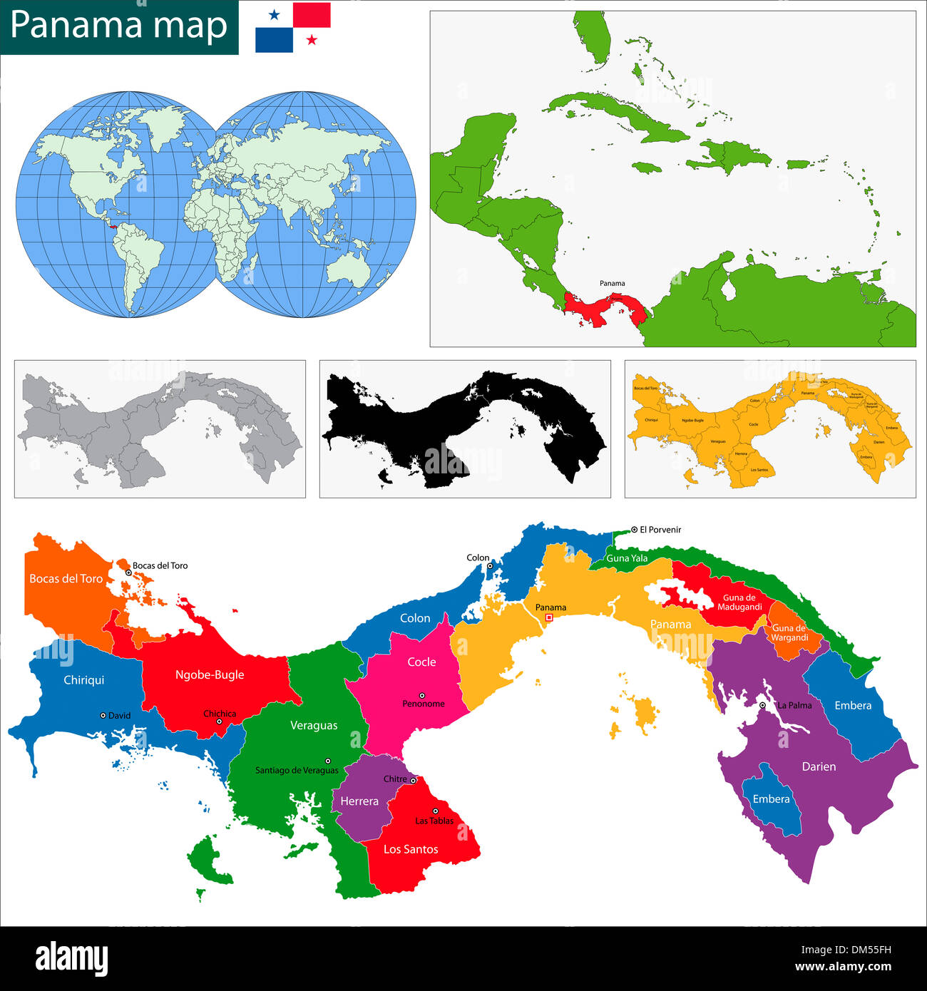 Panama map Stock Photohttps://www.alamy.com/image-license-details/?v=1https://www.alamy.com/panama-map-image64038341.html
RFDM55FH–Panama map
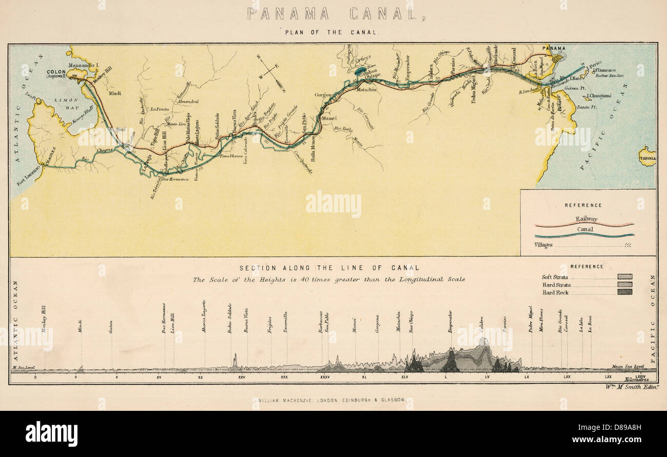 Panama Canal Map 1890 Stock Photohttps://www.alamy.com/image-license-details/?v=1https://www.alamy.com/stock-photo-panama-canal-map-1890-56754001.html
RMD89A8H–Panama Canal Map 1890
 Old map of Central America. Panama canal route. Wyse Route. Lucien Napoleon Bonaparte Wyse (1845-1909) was a French engineer, commissioned to examine the different possible routes for future excavations of the Panama Canal. Central America. Old 19th century engraved illustration from El Mundo Ilustrado 1879 Stock Photohttps://www.alamy.com/image-license-details/?v=1https://www.alamy.com/old-map-of-central-america-panama-canal-route-wyse-route-lucien-napoleon-bonaparte-wyse-1845-1909-was-a-french-engineer-commissioned-to-examine-the-different-possible-routes-for-future-excavations-of-the-panama-canal-central-america-old-19th-century-engraved-illustration-from-el-mundo-ilustrado-1879-image406296549.html
RM2EH0BB1–Old map of Central America. Panama canal route. Wyse Route. Lucien Napoleon Bonaparte Wyse (1845-1909) was a French engineer, commissioned to examine the different possible routes for future excavations of the Panama Canal. Central America. Old 19th century engraved illustration from El Mundo Ilustrado 1879
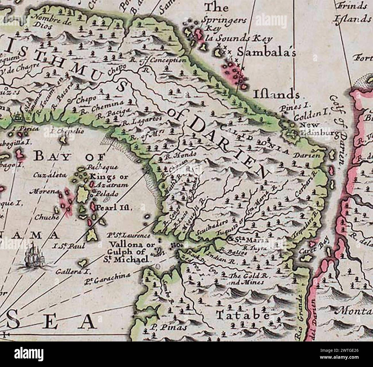 ANON. a New Map of the Isthmus of Darien in America, The Bay of Panama, The Gulph of Vallona or St. Michael, with its Islands and Countries Adjacent 1699 Stock Photohttps://www.alamy.com/image-license-details/?v=1https://www.alamy.com/anon-a-new-map-of-the-isthmus-of-darien-in-america-the-bay-of-panama-the-gulph-of-vallona-or-st-michael-with-its-islands-and-countries-adjacent-1699-image600266526.html
RM2WTGE26–ANON. a New Map of the Isthmus of Darien in America, The Bay of Panama, The Gulph of Vallona or St. Michael, with its Islands and Countries Adjacent 1699
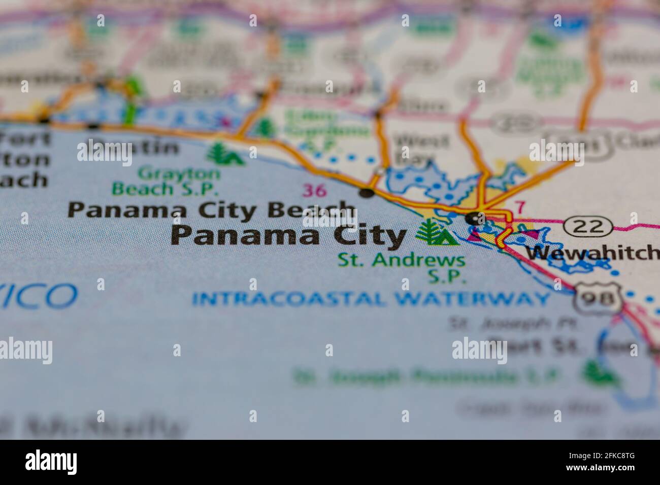 Panama City Florida USA Shown on a geography map or road map Stock Photohttps://www.alamy.com/image-license-details/?v=1https://www.alamy.com/panama-city-florida-usa-shown-on-a-geography-map-or-road-map-image424997680.html
RM2FKC8TG–Panama City Florida USA Shown on a geography map or road map
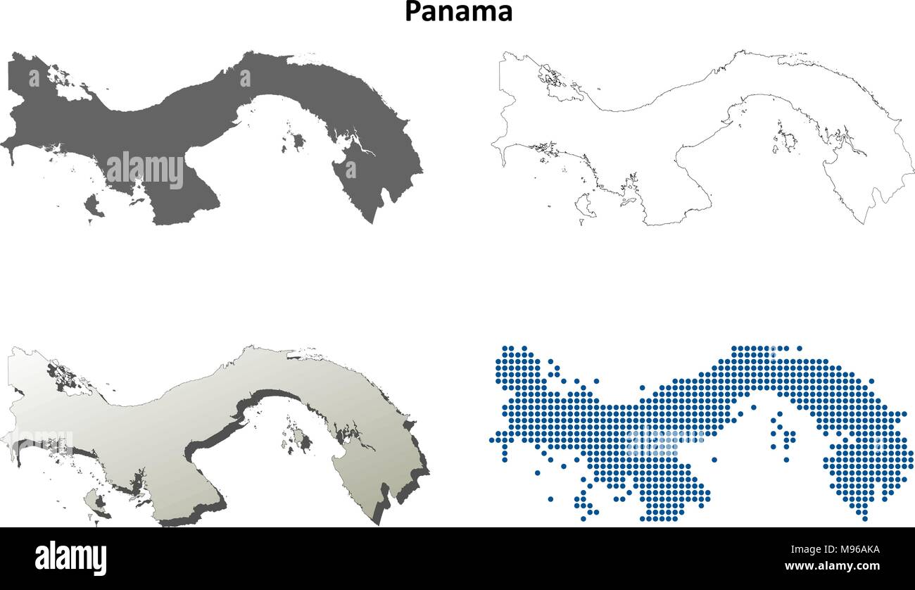 Panama outline map set Stock Vectorhttps://www.alamy.com/image-license-details/?v=1https://www.alamy.com/panama-outline-map-set-image177775678.html
RFM96AKA–Panama outline map set
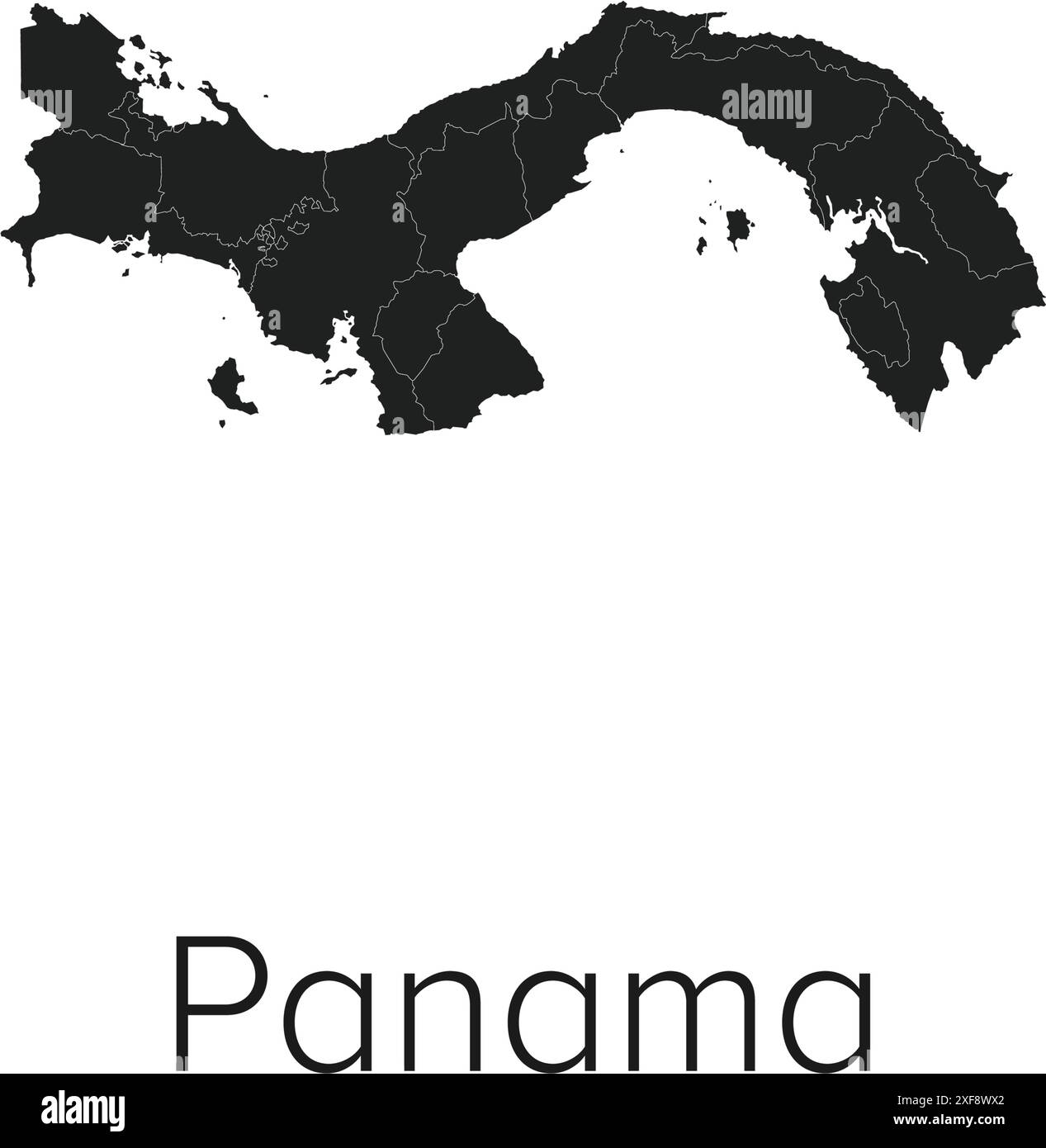 Panama Map Vector Illustration - Silhouette, Outline, Panama Travel and Tourism Map Stock Vectorhttps://www.alamy.com/image-license-details/?v=1https://www.alamy.com/panama-map-vector-illustration-silhouette-outline-panama-travel-and-tourism-map-image611778666.html
RF2XF8WX2–Panama Map Vector Illustration - Silhouette, Outline, Panama Travel and Tourism Map
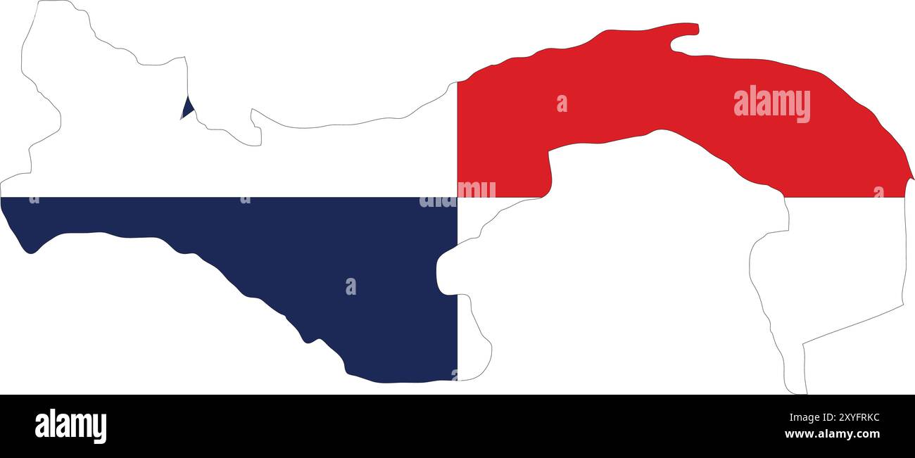 Panama Flag in Map, Panama Map with Flag, Country Map, Panama Map with Flag, Nation Flag Panama Stock Vectorhttps://www.alamy.com/image-license-details/?v=1https://www.alamy.com/panama-flag-in-map-panama-map-with-flag-country-map-panama-map-with-flag-nation-flag-panama-image619306448.html
RF2XYFRKC–Panama Flag in Map, Panama Map with Flag, Country Map, Panama Map with Flag, Nation Flag Panama
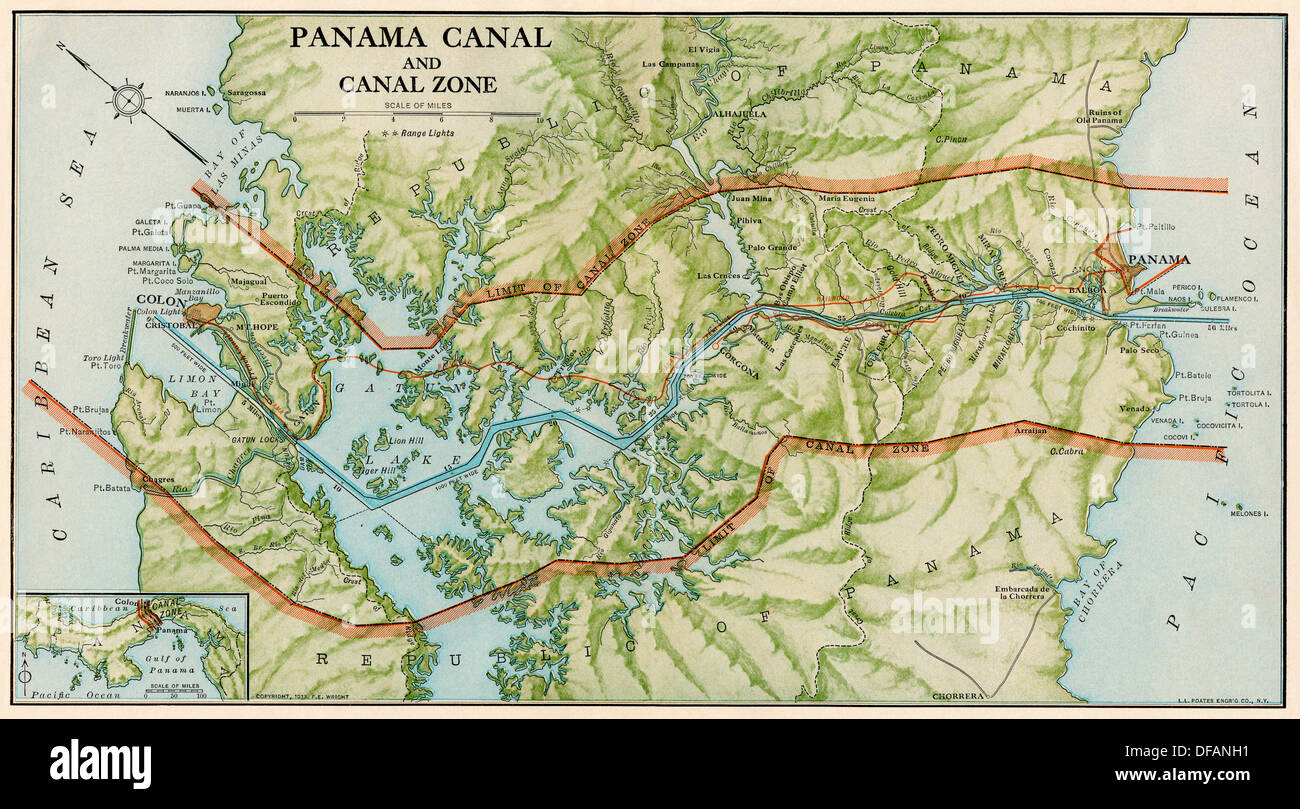 Panama Canal Zone map, 1913 - north diagonally left. Color lithograph Stock Photohttps://www.alamy.com/image-license-details/?v=1https://www.alamy.com/panama-canal-zone-map-1913-north-diagonally-left-color-lithograph-image61087405.html
RMDFANH1–Panama Canal Zone map, 1913 - north diagonally left. Color lithograph
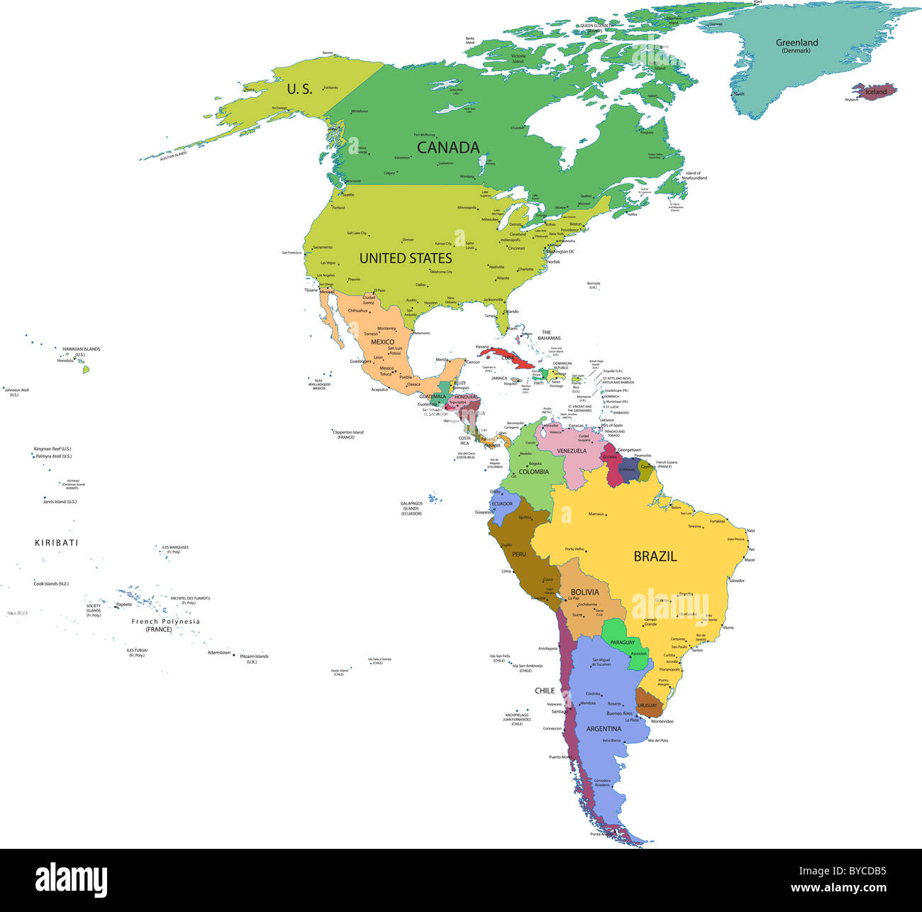 Map of south and north america with countries, capitals and major cities Stock Photohttps://www.alamy.com/image-license-details/?v=1https://www.alamy.com/stock-photo-map-of-south-and-north-america-with-countries-capitals-and-major-cities-34080009.html
RFBYCDB5–Map of south and north america with countries, capitals and major cities
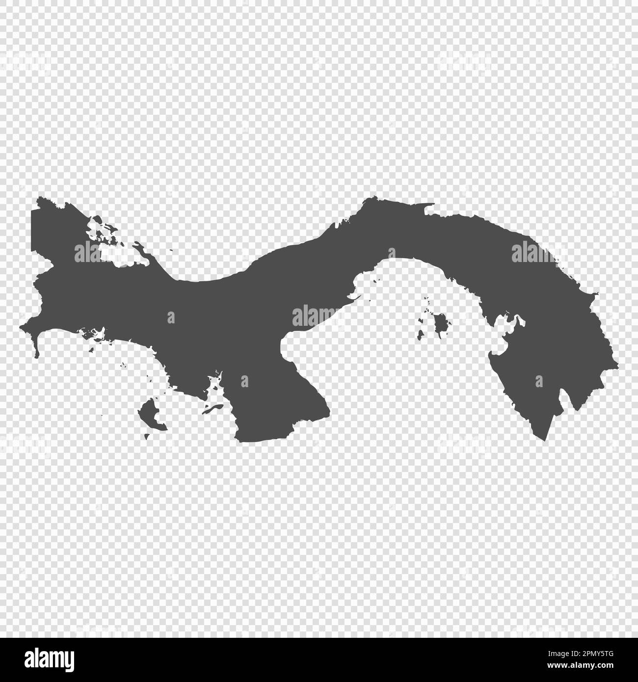 High detailed isolated map - Panama Stock Vectorhttps://www.alamy.com/image-license-details/?v=1https://www.alamy.com/high-detailed-isolated-map-panama-image546411840.html
RF2PMY5TG–High detailed isolated map - Panama
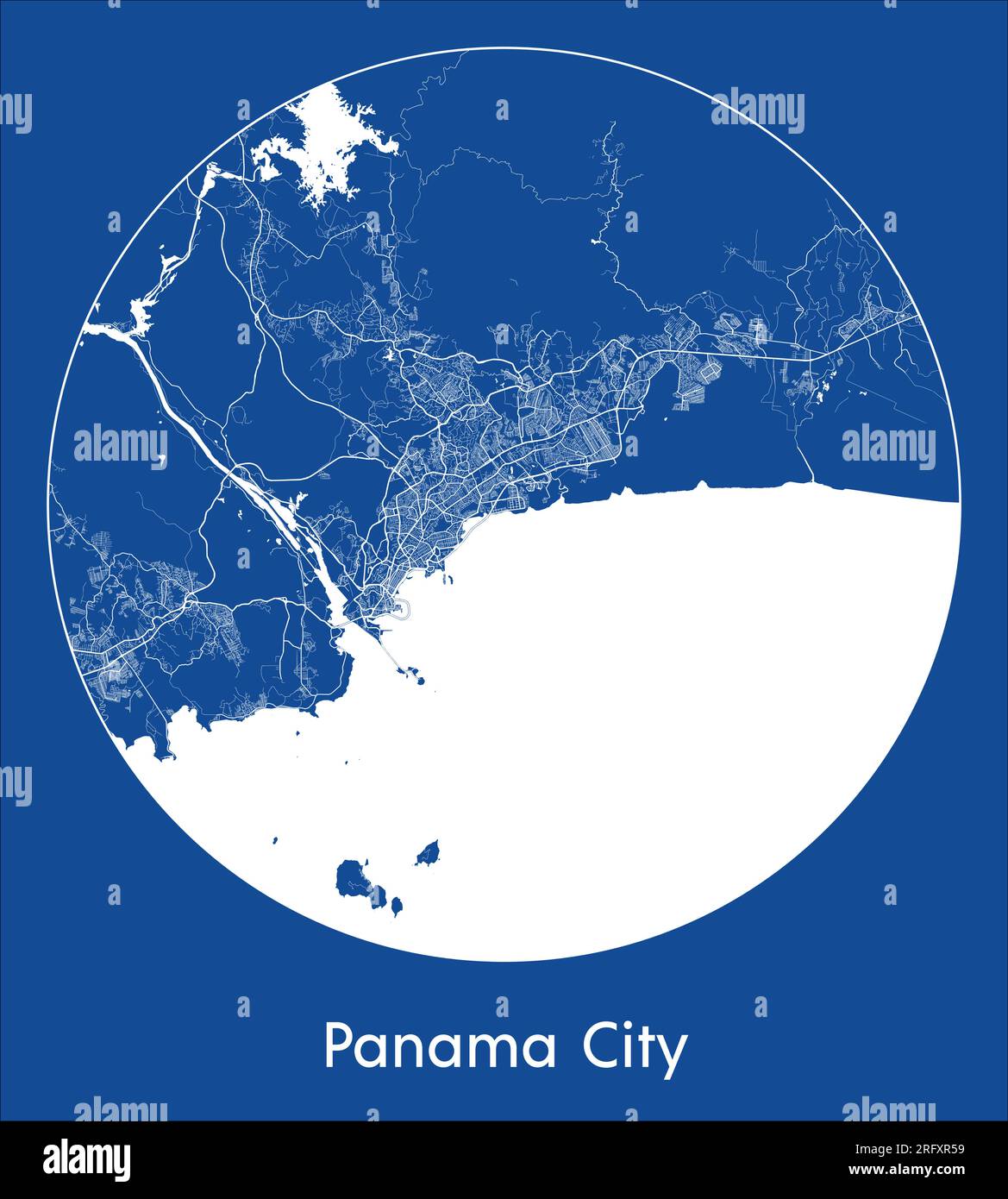 City Map Panama City Panama North America blue print round Circle vector illustration Stock Vectorhttps://www.alamy.com/image-license-details/?v=1https://www.alamy.com/city-map-panama-city-panama-north-america-blue-print-round-circle-vector-illustration-image560540549.html
RF2RFXR59–City Map Panama City Panama North America blue print round Circle vector illustration
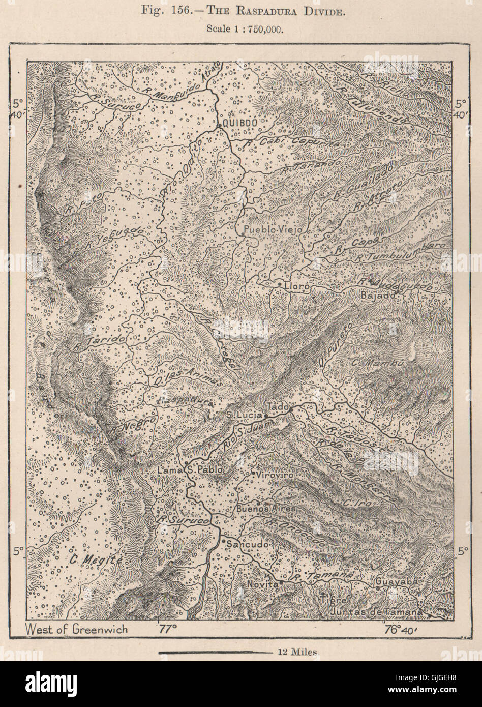 The Raspadura divide. Colombia, 1885 antique map Stock Photohttps://www.alamy.com/image-license-details/?v=1https://www.alamy.com/stock-photo-the-raspadura-divide-colombia-1885-antique-map-114688708.html
RFGJGEH8–The Raspadura divide. Colombia, 1885 antique map
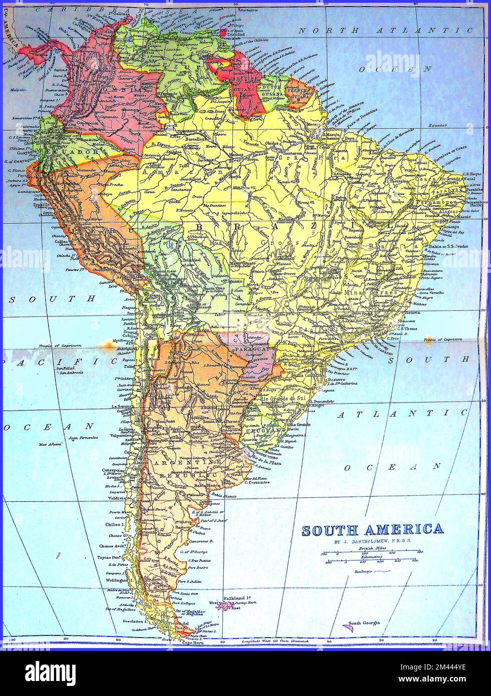 A circa 1890s coloured map of south America before the cutting of the Panama Canal. ----- Un mapa coloreado de alrededor de 1890 de América del Sur antes del corte del Canal de Panamá. ----- Um mapa colorido da América do Sul por volta da década de 1890 antes do corte do Canal do Panamá. ----- Um mapa colorido de 1890 da América do Sul antes do corte do Canal do Panamá. ----- Stock Photohttps://www.alamy.com/image-license-details/?v=1https://www.alamy.com/a-circa-1890s-coloured-map-of-south-america-before-the-cutting-of-the-panama-canal-un-mapa-coloreado-de-alrededor-de-1890-de-amrica-del-sur-antes-del-corte-del-canal-de-panam-um-mapa-colorido-da-amrica-do-sul-por-volta-da-dcada-de-1890-antes-do-corte-do-canal-do-panam-um-mapa-colorido-de-1890-da-amrica-do-sul-antes-do-corte-do-canal-do-panam-image501651010.html
RM2M444YE–A circa 1890s coloured map of south America before the cutting of the Panama Canal. ----- Un mapa coloreado de alrededor de 1890 de América del Sur antes del corte del Canal de Panamá. ----- Um mapa colorido da América do Sul por volta da década de 1890 antes do corte do Canal do Panamá. ----- Um mapa colorido de 1890 da América do Sul antes do corte do Canal do Panamá. -----
 Map of the Panama Canal, Carte des sondages exécutés ou en cours d'exécution, le 31 Aout 1881 / Etat du personnel classe et temporaire du service des travaux (title on object), print maker: anonymous, publisher: Compagnie universelle du Canal interocéanique de Panama, 1881, paper, height 301 mm × width 468 mm, print Stock Photohttps://www.alamy.com/image-license-details/?v=1https://www.alamy.com/map-of-the-panama-canal-carte-des-sondages-excuts-ou-en-cours-dexcution-le-31-aout-1881-etat-du-personnel-classe-et-temporaire-du-service-des-travaux-title-on-object-print-maker-anonymous-publisher-compagnie-universelle-du-canal-interocanique-de-panama-1881-paper-height-301-mm-width-468-mm-print-image599478865.html
RM2WR8HBD–Map of the Panama Canal, Carte des sondages exécutés ou en cours d'exécution, le 31 Aout 1881 / Etat du personnel classe et temporaire du service des travaux (title on object), print maker: anonymous, publisher: Compagnie universelle du Canal interocéanique de Panama, 1881, paper, height 301 mm × width 468 mm, print
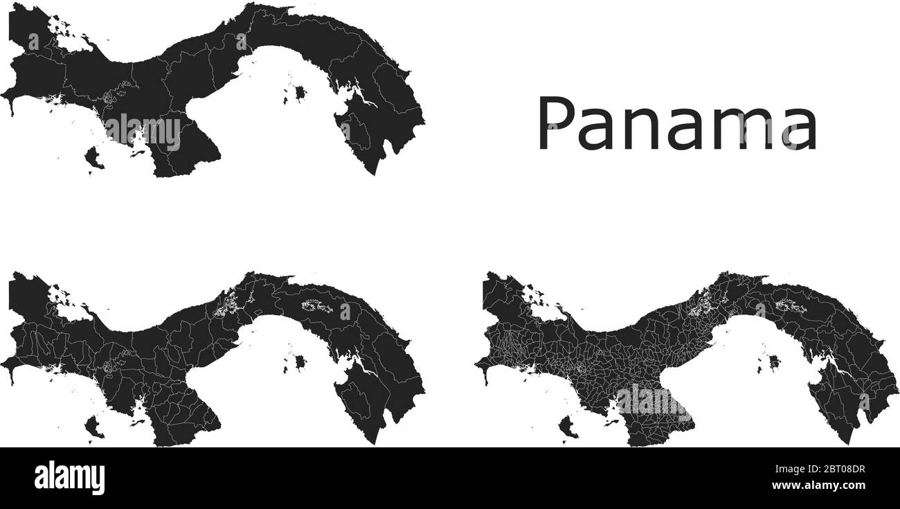 Panama vector maps with administrative regions, municipalities, departments, borders Stock Vectorhttps://www.alamy.com/image-license-details/?v=1https://www.alamy.com/panama-vector-maps-with-administrative-regions-municipalities-departments-borders-image358965763.html
RF2BT08DR–Panama vector maps with administrative regions, municipalities, departments, borders
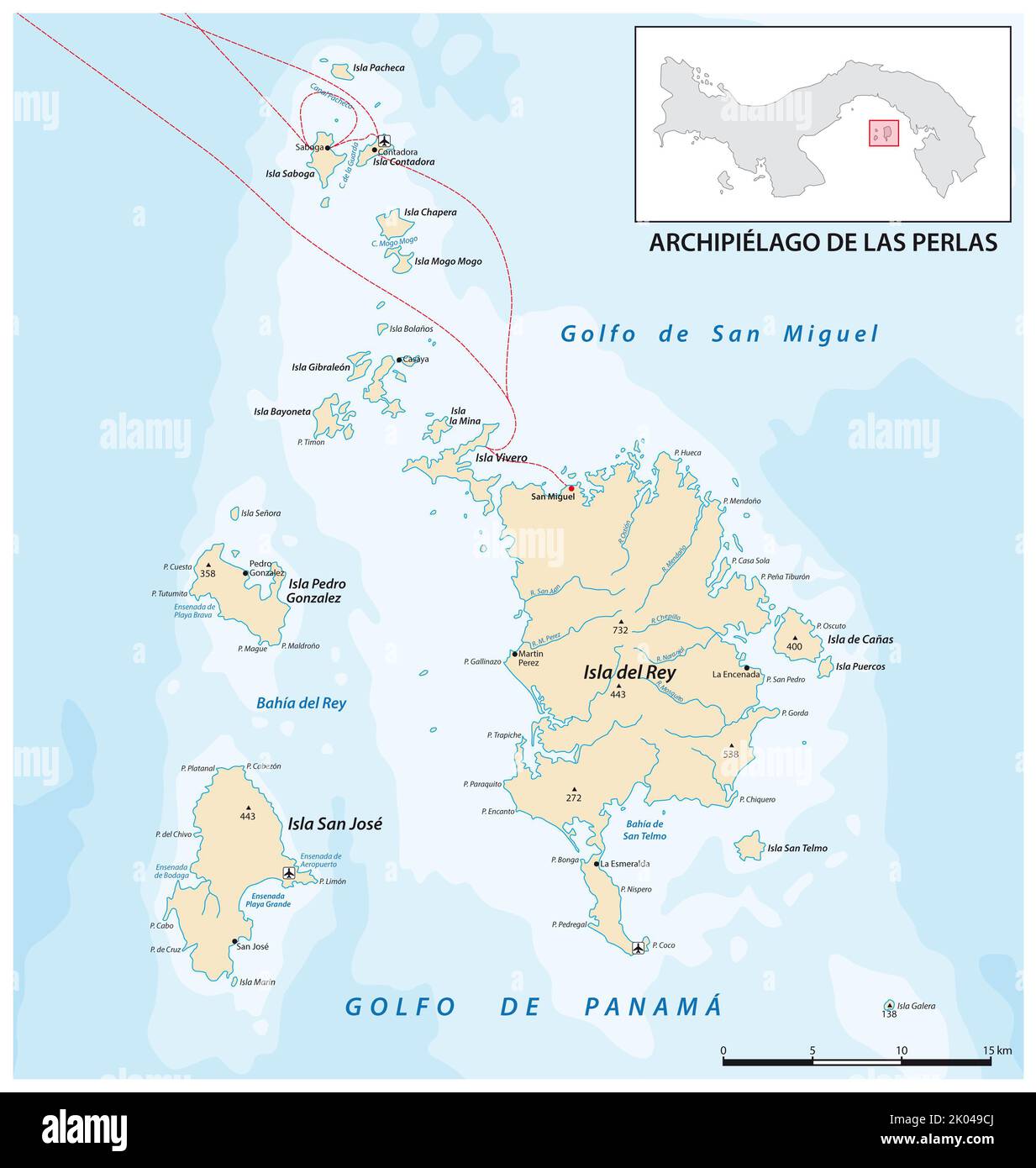 Vector map of the panamese archipelago pearl islands in the gulf of panama Stock Photohttps://www.alamy.com/image-license-details/?v=1https://www.alamy.com/vector-map-of-the-panamese-archipelago-pearl-islands-in-the-gulf-of-panama-image481985522.html
RF2K049CJ–Vector map of the panamese archipelago pearl islands in the gulf of panama
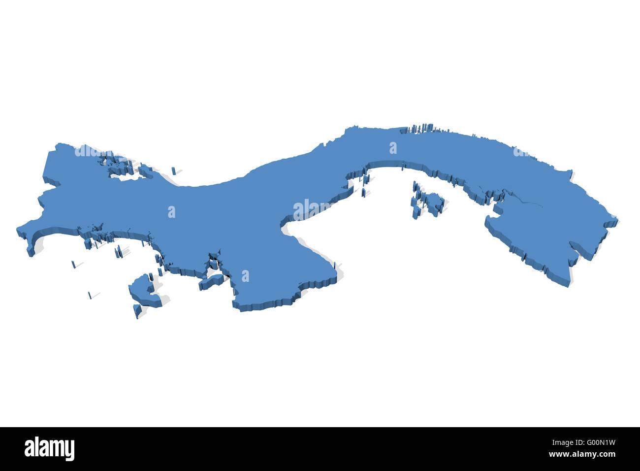 Panama Map Stock Photohttps://www.alamy.com/image-license-details/?v=1https://www.alamy.com/stock-photo-panama-map-103278725.html
RMG00N1W–Panama Map
 Merry Christmas Map Panama Stock Vectorhttps://www.alamy.com/image-license-details/?v=1https://www.alamy.com/stock-photo-merry-christmas-map-panama-125851265.html
RFH8N0G1–Merry Christmas Map Panama
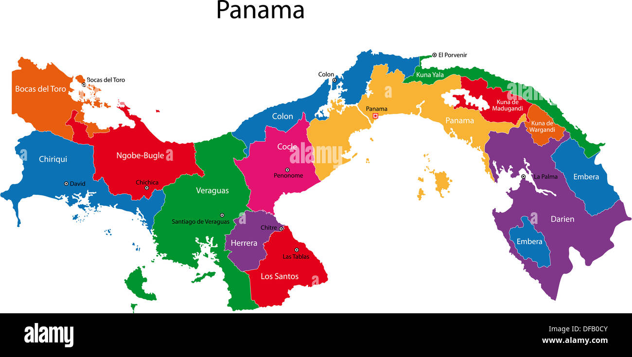 Panama map Stock Photohttps://www.alamy.com/image-license-details/?v=1https://www.alamy.com/panama-map-image61092779.html
RFDFB0CY–Panama map
 18th century Map of Panama and Darien - Darien Carta Rappresentante L`Istmo di Darien o siadi Panama Stock Photohttps://www.alamy.com/image-license-details/?v=1https://www.alamy.com/18th-century-map-of-panama-and-darien-darien-carta-rappresentante-l`istmo-di-darien-o-siadi-panama-image504916460.html
RM2M9CX2M–18th century Map of Panama and Darien - Darien Carta Rappresentante L`Istmo di Darien o siadi Panama
 Map of Southern Darien Province. Republic of Panama. Central America. Explorations in the Isthmus of Panama and Darien 1876-1878 by Armand Reclus (1843 - 1927) Old 19th century engraving from Le Tour du Monde 1880 Stock Photohttps://www.alamy.com/image-license-details/?v=1https://www.alamy.com/map-of-southern-darien-province-republic-of-panama-central-america-explorations-in-the-isthmus-of-panama-and-darien-1876-1878-by-armand-reclus-1843-1927-old-19th-century-engraving-from-le-tour-du-monde-1880-image593073311.html
RM2WCTR1K–Map of Southern Darien Province. Republic of Panama. Central America. Explorations in the Isthmus of Panama and Darien 1876-1878 by Armand Reclus (1843 - 1927) Old 19th century engraving from Le Tour du Monde 1880
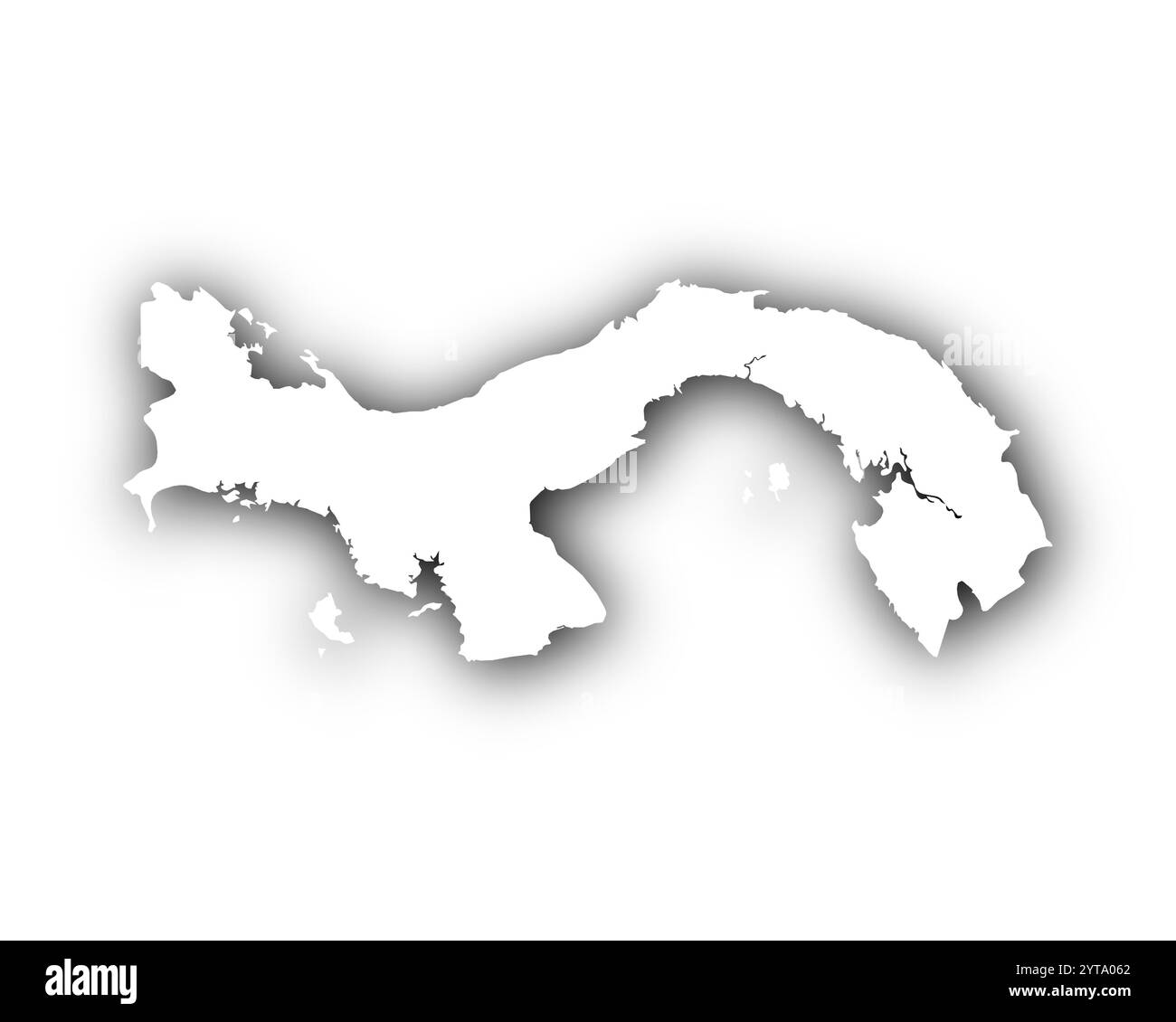 Map of Panama with shadows Stock Photohttps://www.alamy.com/image-license-details/?v=1https://www.alamy.com/map-of-panama-with-shadows-image634544682.html
RF2YTA062–Map of Panama with shadows
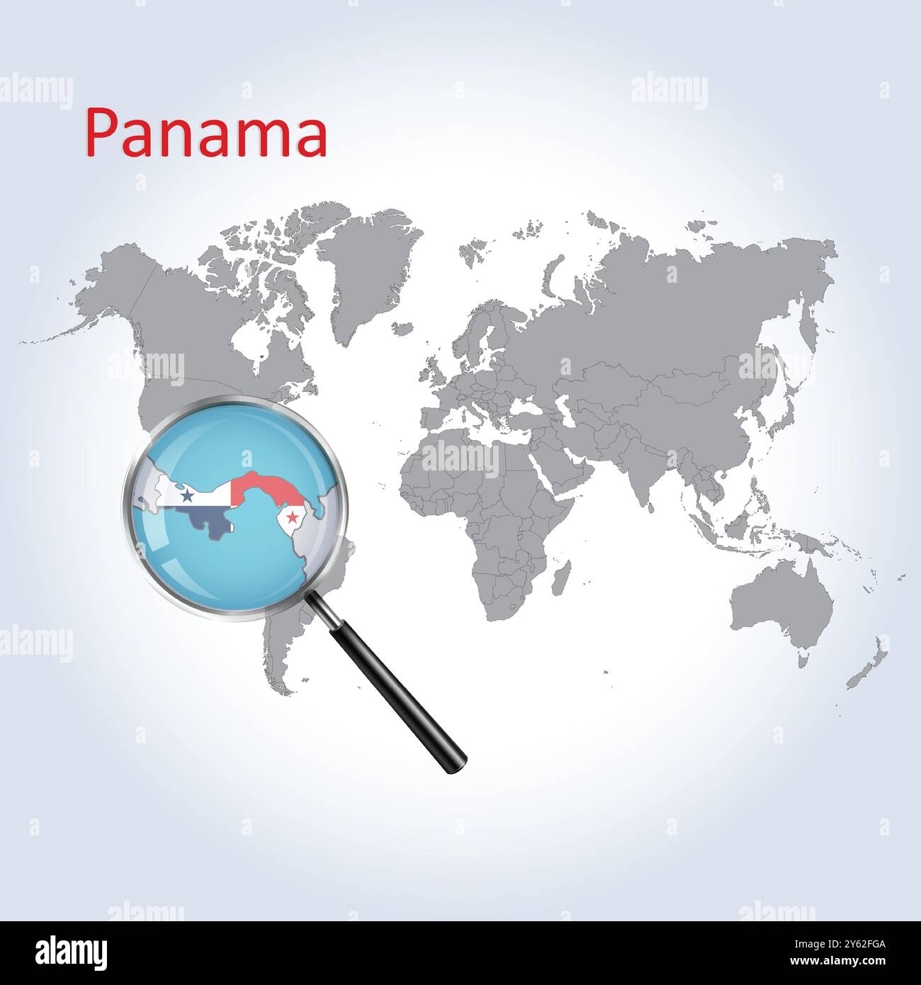 Panama Magnified Map and Flag, Panama Enlargement Maps, Vector Art Stock Vectorhttps://www.alamy.com/image-license-details/?v=1https://www.alamy.com/panama-magnified-map-and-flag-panama-enlargement-maps-vector-art-image623317306.html
RF2Y62FGA–Panama Magnified Map and Flag, Panama Enlargement Maps, Vector Art
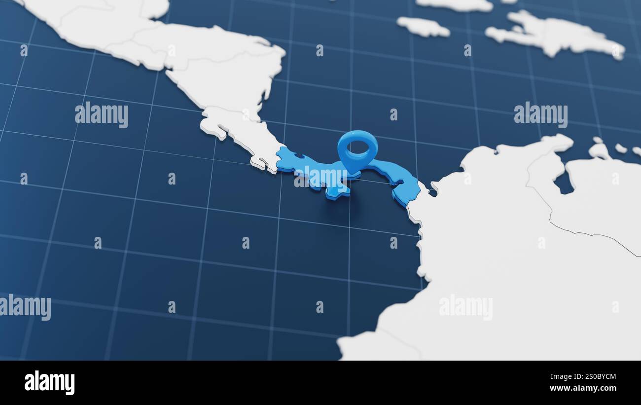 Blue Panama 3d map with pointer pin surrounded with other countries in white. Europe political map with borders. 3d render illustration Stock Photohttps://www.alamy.com/image-license-details/?v=1https://www.alamy.com/blue-panama-3d-map-with-pointer-pin-surrounded-with-other-countries-in-white-europe-political-map-with-borders-3d-render-illustration-image637046612.html
RF2S0BYCM–Blue Panama 3d map with pointer pin surrounded with other countries in white. Europe political map with borders. 3d render illustration
RF2WKMXD8–Panama vector central costa rica caribbean latin map panama icon
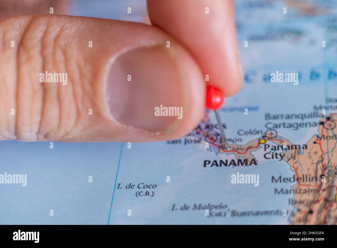 Panama pin on a world map. Panama travel destination planning pinned Stock Photohttps://www.alamy.com/image-license-details/?v=1https://www.alamy.com/panama-pin-on-a-world-map-panama-travel-destination-planning-pinned-image459468334.html
RF2HKEGFA–Panama pin on a world map. Panama travel destination planning pinned
 Panama Canal cross-section. Color lithograph Stock Photohttps://www.alamy.com/image-license-details/?v=1https://www.alamy.com/panama-canal-cross-section-color-lithograph-image61087442.html
RMDFANJA–Panama Canal cross-section. Color lithograph
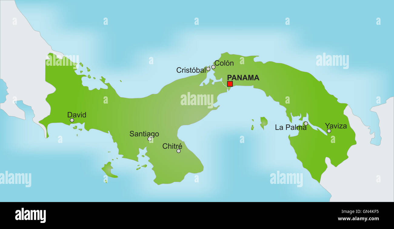 Map Panama Stock Photohttps://www.alamy.com/image-license-details/?v=1https://www.alamy.com/stock-photo-map-panama-116273113.html
RFGN4KF5–Map Panama
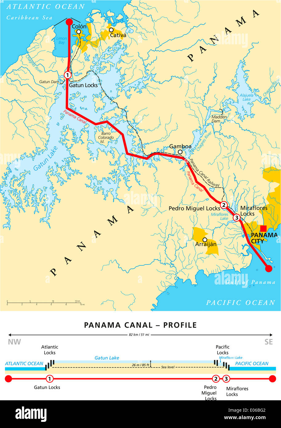 Panama Canal Political Map Stock Photohttps://www.alamy.com/image-license-details/?v=1https://www.alamy.com/panama-canal-political-map-image68982258.html
RFE06BG2–Panama Canal Political Map
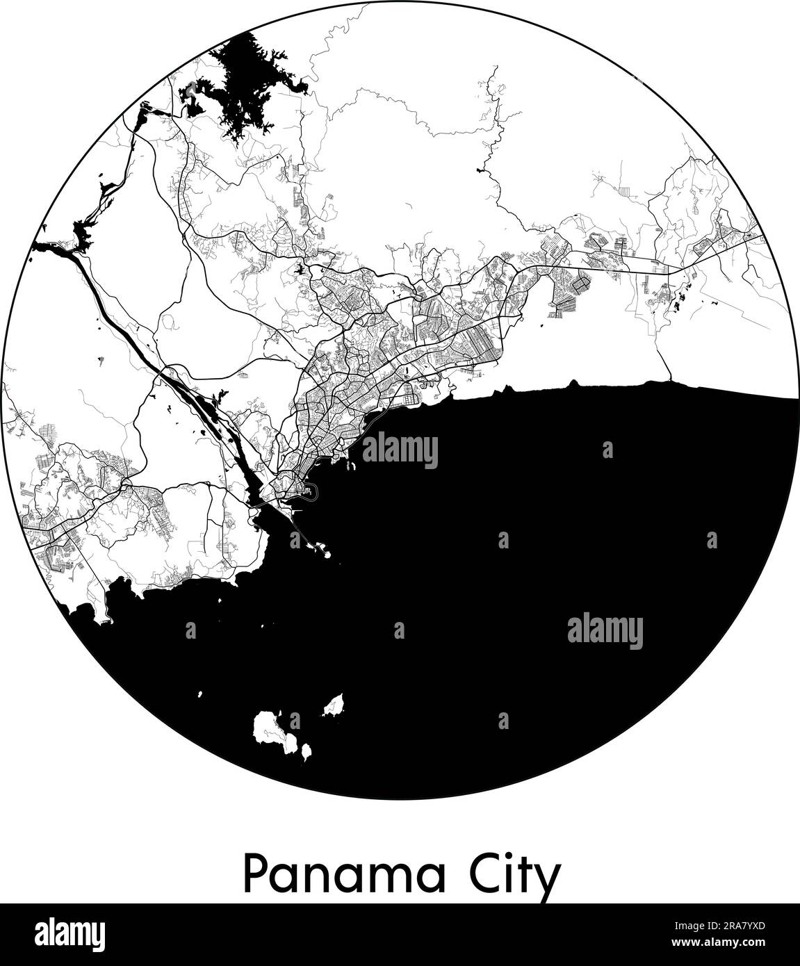 City Map Panama City Panama North America vector illustration black white Stock Vectorhttps://www.alamy.com/image-license-details/?v=1https://www.alamy.com/city-map-panama-city-panama-north-america-vector-illustration-black-white-image557053909.html
RF2RA7YXD–City Map Panama City Panama North America vector illustration black white
 Cupica Bay. Colombia, 1885 antique map Stock Photohttps://www.alamy.com/image-license-details/?v=1https://www.alamy.com/stock-photo-cupica-bay-colombia-1885-antique-map-114688676.html
RFGJGEG4–Cupica Bay. Colombia, 1885 antique map
 Dark silhouetted and textured map of Panama isolated on white background. Stock Photohttps://www.alamy.com/image-license-details/?v=1https://www.alamy.com/stock-photo-dark-silhouetted-and-textured-map-of-panama-isolated-on-white-background-53601303.html
RMD35N07–Dark silhouetted and textured map of Panama isolated on white background.
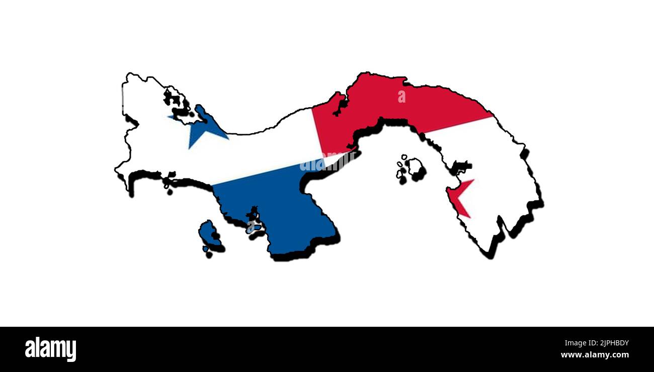 Silhouette of the map of Panama with its flag Stock Photohttps://www.alamy.com/image-license-details/?v=1https://www.alamy.com/silhouette-of-the-map-of-panama-with-its-flag-image478584567.html
RF2JPHBDY–Silhouette of the map of Panama with its flag
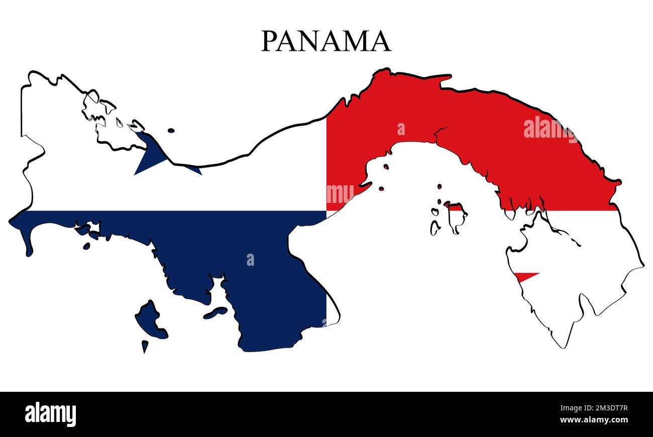 Panama map vector illustration. Global economy. Famous country. Central America. America. Stock Vectorhttps://www.alamy.com/image-license-details/?v=1https://www.alamy.com/panama-map-vector-illustration-global-economy-famous-country-central-america-america-image501249051.html
RF2M3DT7R–Panama map vector illustration. Global economy. Famous country. Central America. America.
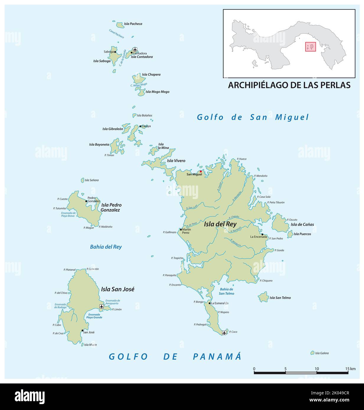 Vector map of the panamese archipelago pearl islands in the gulf of panama Stock Photohttps://www.alamy.com/image-license-details/?v=1https://www.alamy.com/vector-map-of-the-panamese-archipelago-pearl-islands-in-the-gulf-of-panama-image481985527.html
RF2K049CR–Vector map of the panamese archipelago pearl islands in the gulf of panama
 Panama (Panamian flag) on the map of Caribbean and Central America. The Map is in vintage summer style and sunny mood. The map has a soft grunge and v Stock Photohttps://www.alamy.com/image-license-details/?v=1https://www.alamy.com/panama-panamian-flag-on-the-map-of-caribbean-and-central-america-the-map-is-in-vintage-summer-style-and-sunny-mood-the-map-has-a-soft-grunge-and-v-image467068662.html
RF2J3TPRJ–Panama (Panamian flag) on the map of Caribbean and Central America. The Map is in vintage summer style and sunny mood. The map has a soft grunge and v
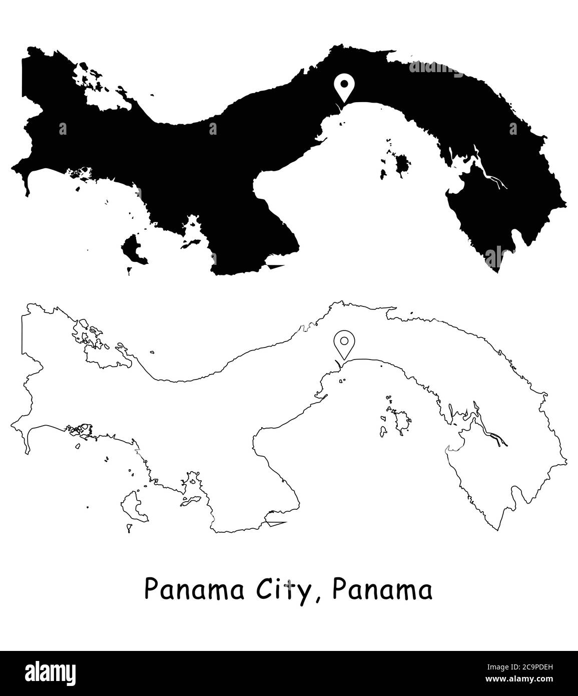 Panama City, Panama. Detailed Country Map with Location Pin on Capital City. Black silhouette and outline maps isolated on white background. EPS Vecto Stock Vectorhttps://www.alamy.com/image-license-details/?v=1https://www.alamy.com/panama-city-panama-detailed-country-map-with-location-pin-on-capital-city-black-silhouette-and-outline-maps-isolated-on-white-background-eps-vecto-image367443177.html
RF2C9PDEH–Panama City, Panama. Detailed Country Map with Location Pin on Capital City. Black silhouette and outline maps isolated on white background. EPS Vecto
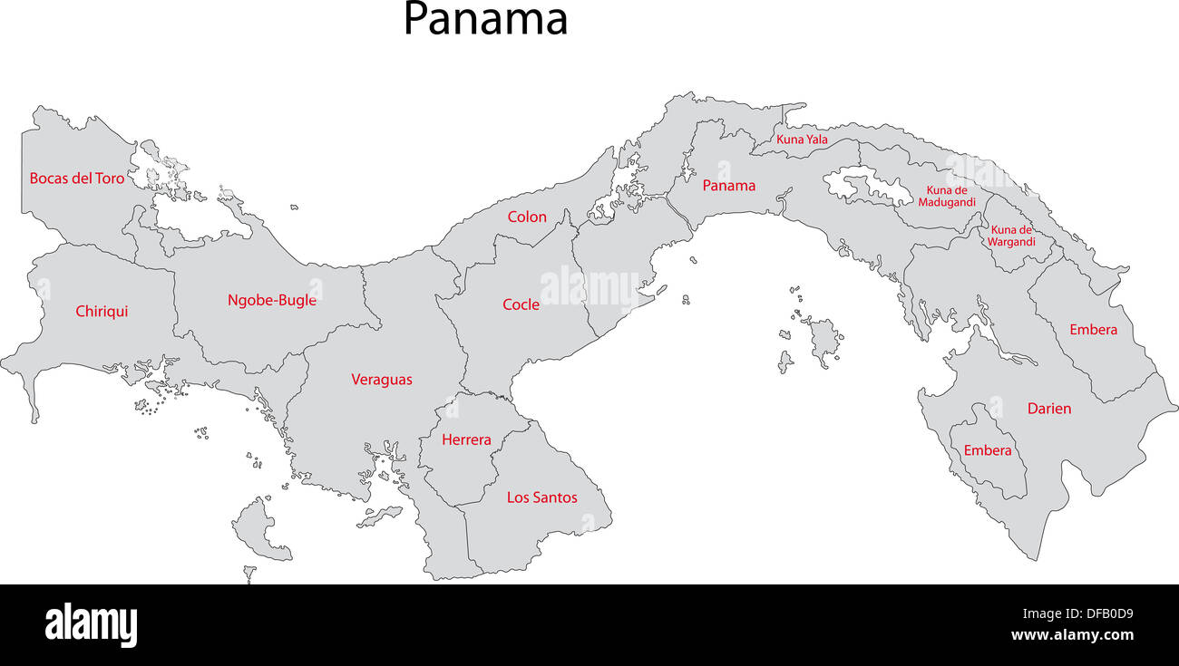 Gray Panama map Stock Photohttps://www.alamy.com/image-license-details/?v=1https://www.alamy.com/gray-panama-map-image61092789.html
RFDFB0D9–Gray Panama map
 Multi-color, early twentieth-century, political and physical map of Central America, with a key, and inset close-ups to better illustrate the Panama and Nicaragua canals, 1908. Courtesy Internet Archive. () Stock Photohttps://www.alamy.com/image-license-details/?v=1https://www.alamy.com/multi-color-early-twentieth-century-political-and-physical-map-of-central-america-with-a-key-and-inset-close-ups-to-better-illustrate-the-panama-and-nicaragua-canals-1908-courtesy-internet-archive-image215431139.html
RMPEDMH7–Multi-color, early twentieth-century, political and physical map of Central America, with a key, and inset close-ups to better illustrate the Panama and Nicaragua canals, 1908. Courtesy Internet Archive. ()
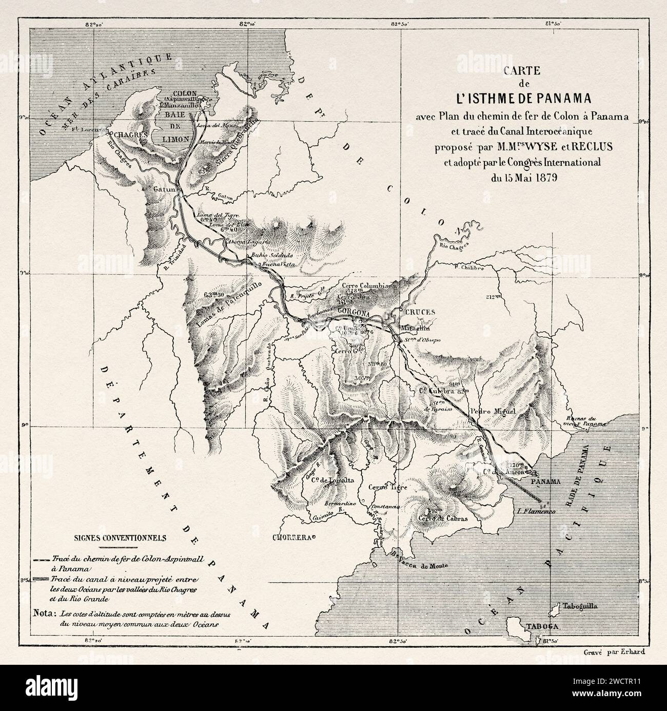 Map of the Isthmus of Panama with Plan of the Railroad from Colon to Panama and Trace of the Interoceanic Canal Proposed by Wyse and Reclus and Adopted by the International Congress of May 15, 1879. Republic of Panama. Central America. Explorations in the Isthmus of Panama and Darien 1876-1878 by Armand Reclus (1843 - 1927) Old 19th century engraving from Le Tour du Monde 1880 Stock Photohttps://www.alamy.com/image-license-details/?v=1https://www.alamy.com/map-of-the-isthmus-of-panama-with-plan-of-the-railroad-from-colon-to-panama-and-trace-of-the-interoceanic-canal-proposed-by-wyse-and-reclus-and-adopted-by-the-international-congress-of-may-15-1879-republic-of-panama-central-america-explorations-in-the-isthmus-of-panama-and-darien-1876-1878-by-armand-reclus-1843-1927-old-19th-century-engraving-from-le-tour-du-monde-1880-image593073293.html
RM2WCTR11–Map of the Isthmus of Panama with Plan of the Railroad from Colon to Panama and Trace of the Interoceanic Canal Proposed by Wyse and Reclus and Adopted by the International Congress of May 15, 1879. Republic of Panama. Central America. Explorations in the Isthmus of Panama and Darien 1876-1878 by Armand Reclus (1843 - 1927) Old 19th century engraving from Le Tour du Monde 1880
 Map of Panama with shadows Stock Photohttps://www.alamy.com/image-license-details/?v=1https://www.alamy.com/map-of-panama-with-shadows-image634541389.html
RF2YT9T0D–Map of Panama with shadows
 Panama Canal. Map. Engraving. Stock Photohttps://www.alamy.com/image-license-details/?v=1https://www.alamy.com/stock-image-panama-canal-map-engraving-164195531.html
RMKF3N23–Panama Canal. Map. Engraving.
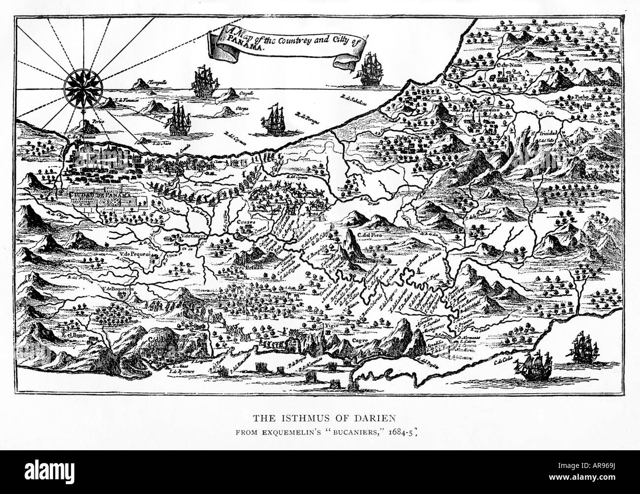 Isthmus of Darien 1668 map of Panama from East to West the route of Henry Morgan and his pirates from Porto Bello Stock Photohttps://www.alamy.com/image-license-details/?v=1https://www.alamy.com/stock-photo-isthmus-of-darien-1668-map-of-panama-from-east-to-west-the-route-of-15980045.html
RMAR969J–Isthmus of Darien 1668 map of Panama from East to West the route of Henry Morgan and his pirates from Porto Bello
RF2FNXW06–Panama vector central costa rica caribbean latin map panama icon
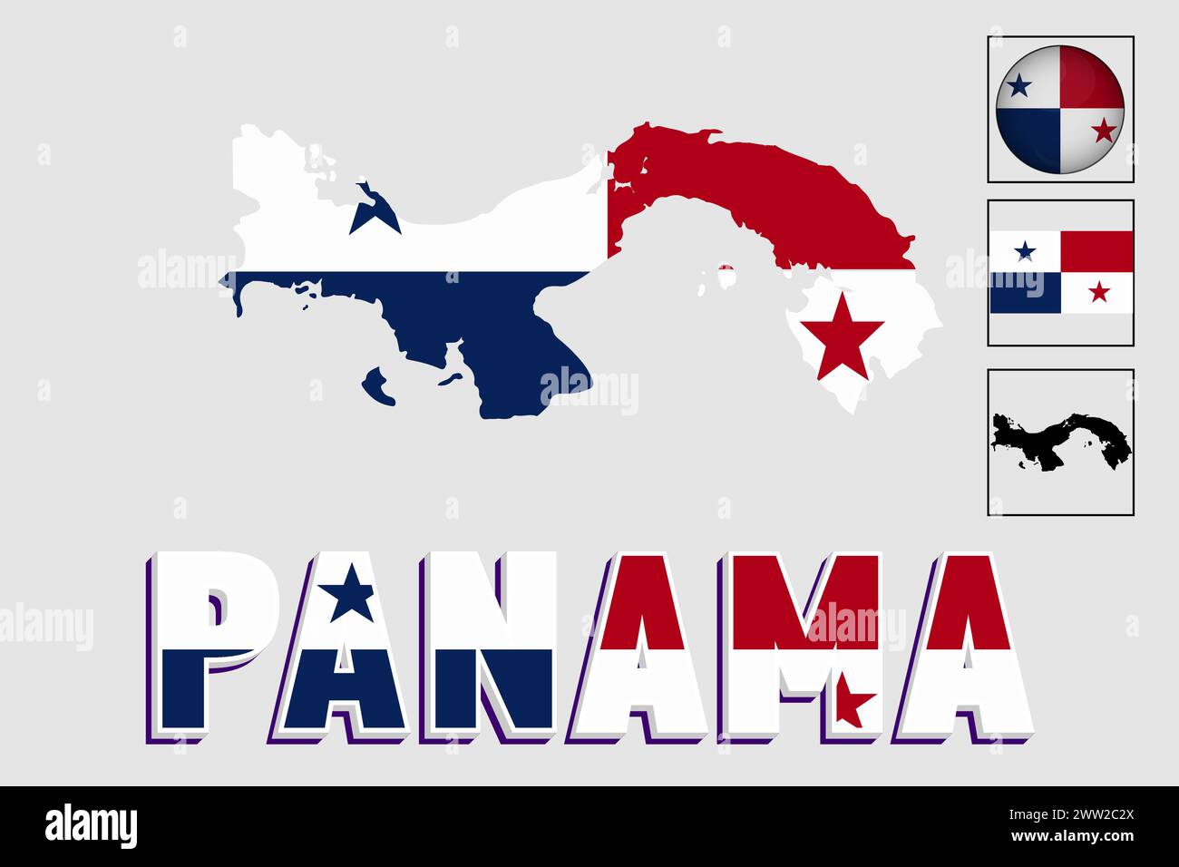 Panama flag and map in a vector graphic Stock Vectorhttps://www.alamy.com/image-license-details/?v=1https://www.alamy.com/panama-flag-and-map-in-a-vector-graphic-image600572306.html
RF2WW2C2X–Panama flag and map in a vector graphic
 Isthmus of Panama map from Prevost's Voyages, 1754 (in French). Hand-colored woodcut Stock Photohttps://www.alamy.com/image-license-details/?v=1https://www.alamy.com/isthmus-of-panama-map-from-prevosts-voyages-1754-in-french-hand-colored-image67260683.html
RMDWBYK7–Isthmus of Panama map from Prevost's Voyages, 1754 (in French). Hand-colored woodcut
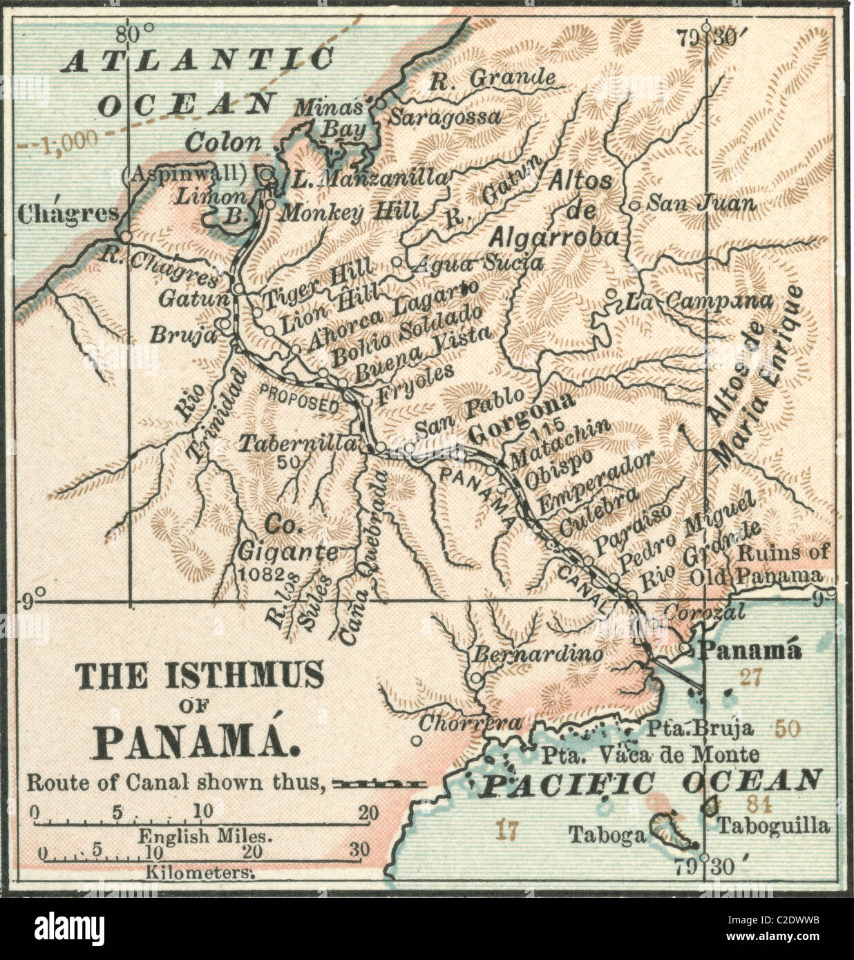 Map of Central Panama Stock Photohttps://www.alamy.com/image-license-details/?v=1https://www.alamy.com/stock-photo-map-of-central-panama-35955735.html
RMC2DWWB–Map of Central Panama
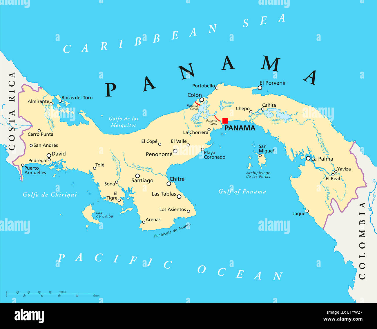 Panama Political Map with capital, national borders, most important cities, rivers and lakes. English labeling and scaling. Stock Photohttps://www.alamy.com/image-license-details/?v=1https://www.alamy.com/stock-photo-panama-political-map-with-capital-national-borders-most-important-70068495.html
RFE1YW27–Panama Political Map with capital, national borders, most important cities, rivers and lakes. English labeling and scaling.
 Panama City Panama North America City map blue print vector illustration Stock Vectorhttps://www.alamy.com/image-license-details/?v=1https://www.alamy.com/panama-city-panama-north-america-city-map-blue-print-vector-illustration-image557423664.html
RF2RATRG0–Panama City Panama North America City map blue print vector illustration
 How man has made two continents of one. Panama (1923 map) Stock Photohttps://www.alamy.com/image-license-details/?v=1https://www.alamy.com/how-man-has-made-two-continents-of-one-panama-1923-map-image459054851.html
RF2HJRN43–How man has made two continents of one. Panama (1923 map)
 Textured map of Panama map with brown rock or stone texture, isolated on white background with clipping path. Stock Photohttps://www.alamy.com/image-license-details/?v=1https://www.alamy.com/stock-photo-textured-map-of-panama-map-with-brown-rock-or-stone-texture-isolated-49745533.html
RMCTX2X5–Textured map of Panama map with brown rock or stone texture, isolated on white background with clipping path.
 Plan of the Panama Canal, late 19th century.Artist: William Mackenzie Stock Photohttps://www.alamy.com/image-license-details/?v=1https://www.alamy.com/plan-of-the-panama-canal-late-19th-centuryartist-william-mackenzie-image262754400.html
RMW7DDWM–Plan of the Panama Canal, late 19th century.Artist: William Mackenzie
 white map of panama on black shadow Stock Photohttps://www.alamy.com/image-license-details/?v=1https://www.alamy.com/stock-photo-white-map-of-panama-on-black-shadow-25100965.html
RFBCRCF1–white map of panama on black shadow
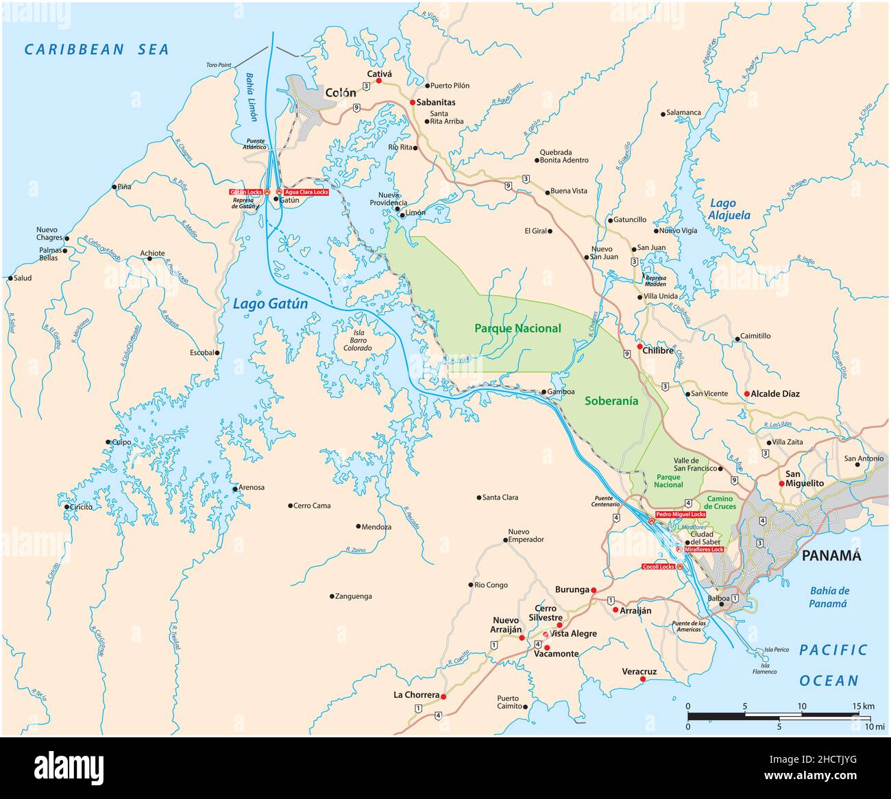 Vector map of the 82 kilometer long waterway Panama Canal, Panama Stock Vectorhttps://www.alamy.com/image-license-details/?v=1https://www.alamy.com/vector-map-of-the-82-kilometer-long-waterway-panama-canal-panama-image455387172.html
RF2HCTJYG–Vector map of the 82 kilometer long waterway Panama Canal, Panama
 Panama flag map, three dimensional render, isolated on white Stock Photohttps://www.alamy.com/image-license-details/?v=1https://www.alamy.com/stock-photo-panama-flag-map-three-dimensional-render-isolated-on-white-74249274.html
RFE8P9KP–Panama flag map, three dimensional render, isolated on white
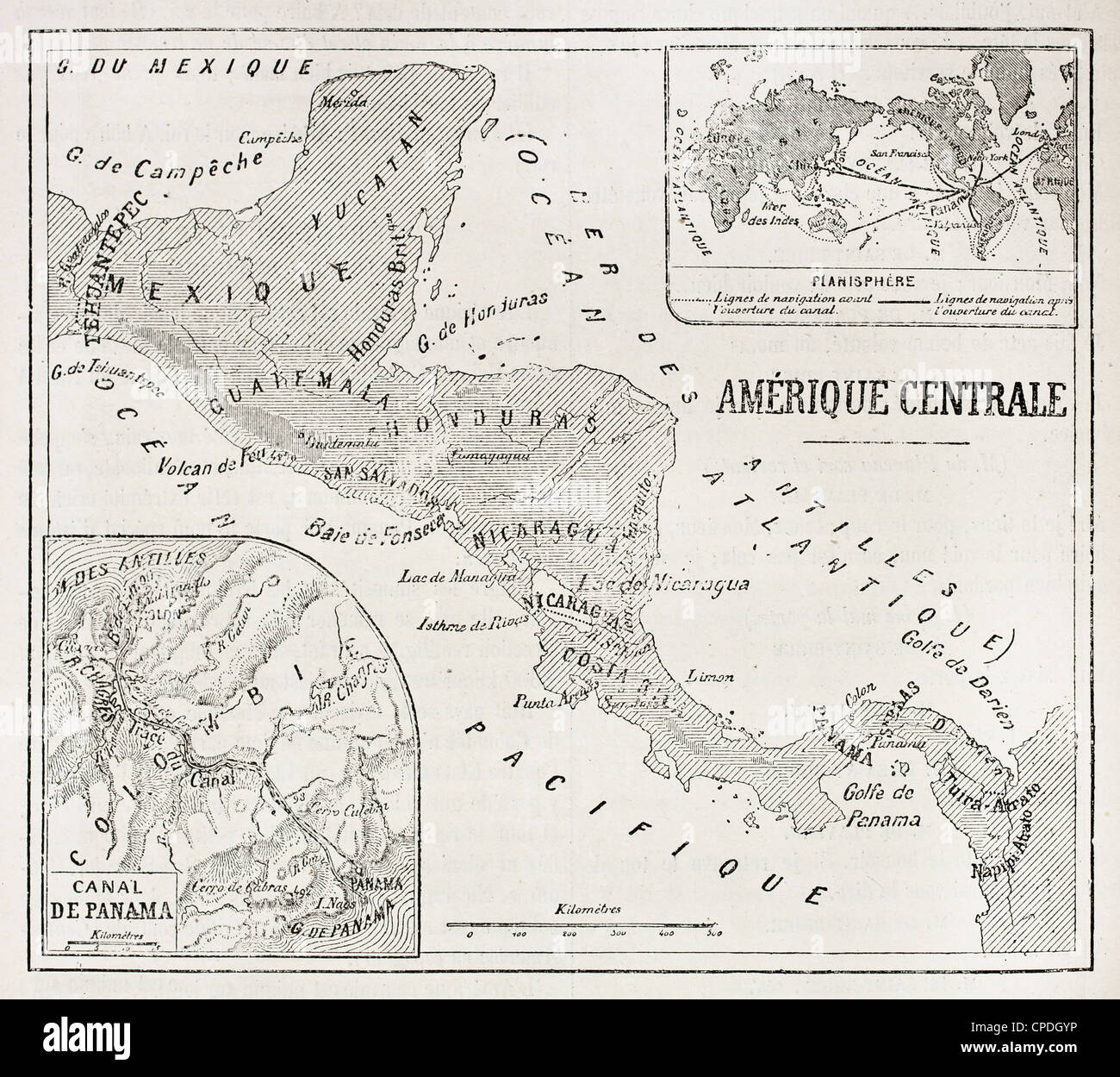 Central America old map with Panama and Planisphere insert maps Stock Photohttps://www.alamy.com/image-license-details/?v=1https://www.alamy.com/stock-photo-central-america-old-map-with-panama-and-planisphere-insert-maps-48241866.html
RFCPDGYP–Central America old map with Panama and Planisphere insert maps
 Panama 3d silver map Stock Photohttps://www.alamy.com/image-license-details/?v=1https://www.alamy.com/stock-photo-panama-3d-silver-map-26048291.html
RFBEAGT3–Panama 3d silver map
 High detailed flag of Panama. National Panama flag. North America. 3D illustration. Stock Vectorhttps://www.alamy.com/image-license-details/?v=1https://www.alamy.com/high-detailed-flag-of-panama-national-panama-flag-north-america-3d-illustration-image592546844.html
RF2WC0RF8–High detailed flag of Panama. National Panama flag. North America. 3D illustration.
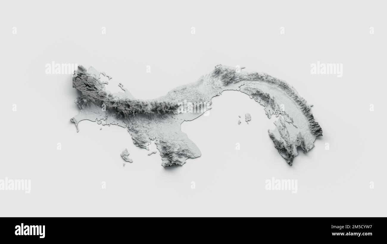 A 3D rendering of shaded relief Panama map isolated on white background Stock Photohttps://www.alamy.com/image-license-details/?v=1https://www.alamy.com/a-3d-rendering-of-shaded-relief-panama-map-isolated-on-white-background-image502459251.html
RF2M5CYW7–A 3D rendering of shaded relief Panama map isolated on white background
 Map of Panama on rusty metal Stock Photohttps://www.alamy.com/image-license-details/?v=1https://www.alamy.com/map-of-panama-on-rusty-metal-image634544170.html
RF2YT9YFP–Map of Panama on rusty metal
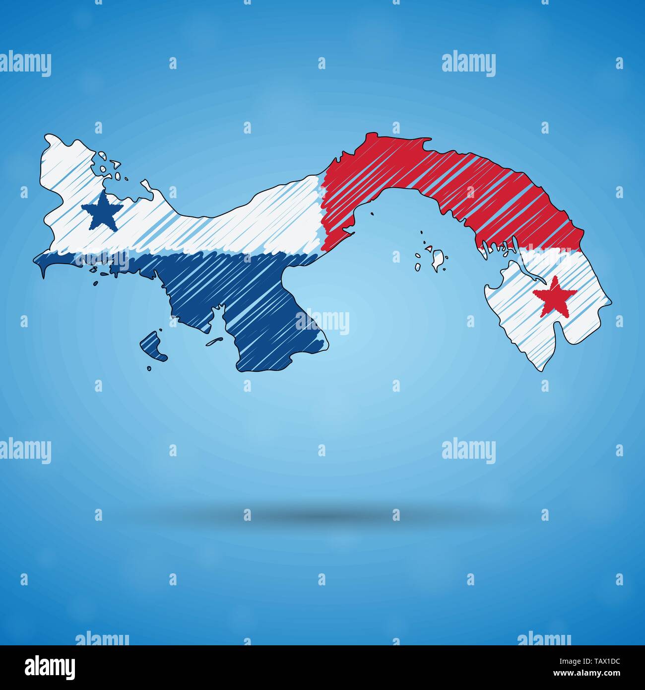 Scribble map of Panama. Sketch Country map for infographic, brochures and presentations, Stylized sketch map of Panama. Vector illustration Stock Vectorhttps://www.alamy.com/image-license-details/?v=1https://www.alamy.com/scribble-map-of-panama-sketch-country-map-for-infographic-brochures-and-presentations-stylized-sketch-map-of-panama-vector-illustration-image247663624.html
RFTAX1DC–Scribble map of Panama. Sketch Country map for infographic, brochures and presentations, Stylized sketch map of Panama. Vector illustration
 Antique Map of Northwest South America showing the Region of New Granada or Colombia, Panama, Venezuela, by Pierre Duval, published in Paris, 1682 Stock Photohttps://www.alamy.com/image-license-details/?v=1https://www.alamy.com/antique-map-of-northwest-south-america-showing-the-region-of-new-granada-or-colombia-panama-venezuela-by-pierre-duval-published-in-paris-1682-image242876922.html
RFT33YYP–Antique Map of Northwest South America showing the Region of New Granada or Colombia, Panama, Venezuela, by Pierre Duval, published in Paris, 1682
 Panama map Stock Photohttps://www.alamy.com/image-license-details/?v=1https://www.alamy.com/stock-photo-panama-map-130705811.html
RFHGJ4GK–Panama map
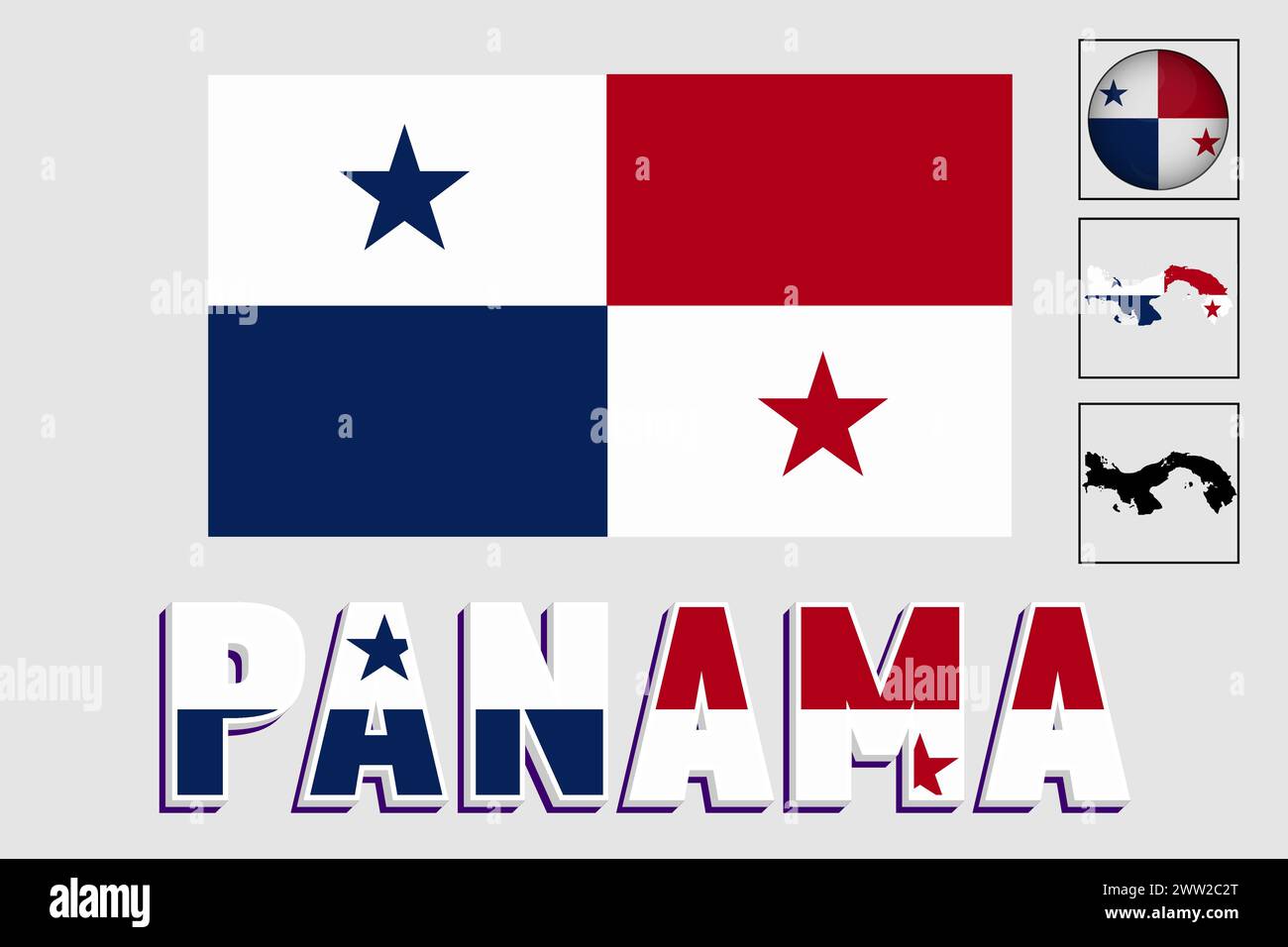 Panama flag and map in a vector graphic Stock Vectorhttps://www.alamy.com/image-license-details/?v=1https://www.alamy.com/panama-flag-and-map-in-a-vector-graphic-image600572304.html
RF2WW2C2T–Panama flag and map in a vector graphic
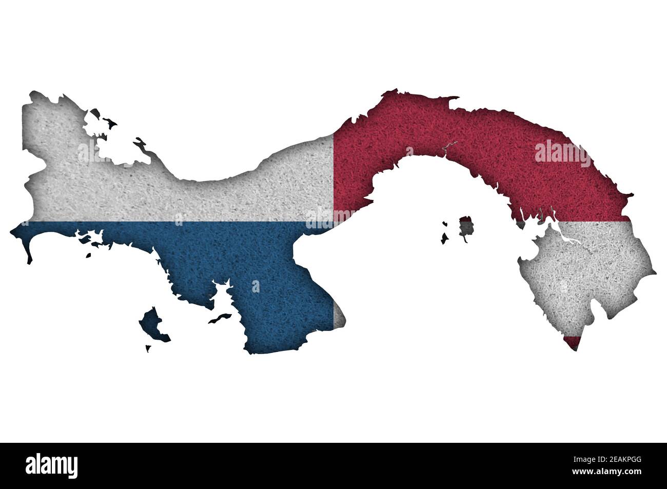 Map and flag of Panama on felt Stock Photohttps://www.alamy.com/image-license-details/?v=1https://www.alamy.com/map-and-flag-of-panama-on-felt-image402419824.html
RF2EAKPGG–Map and flag of Panama on felt
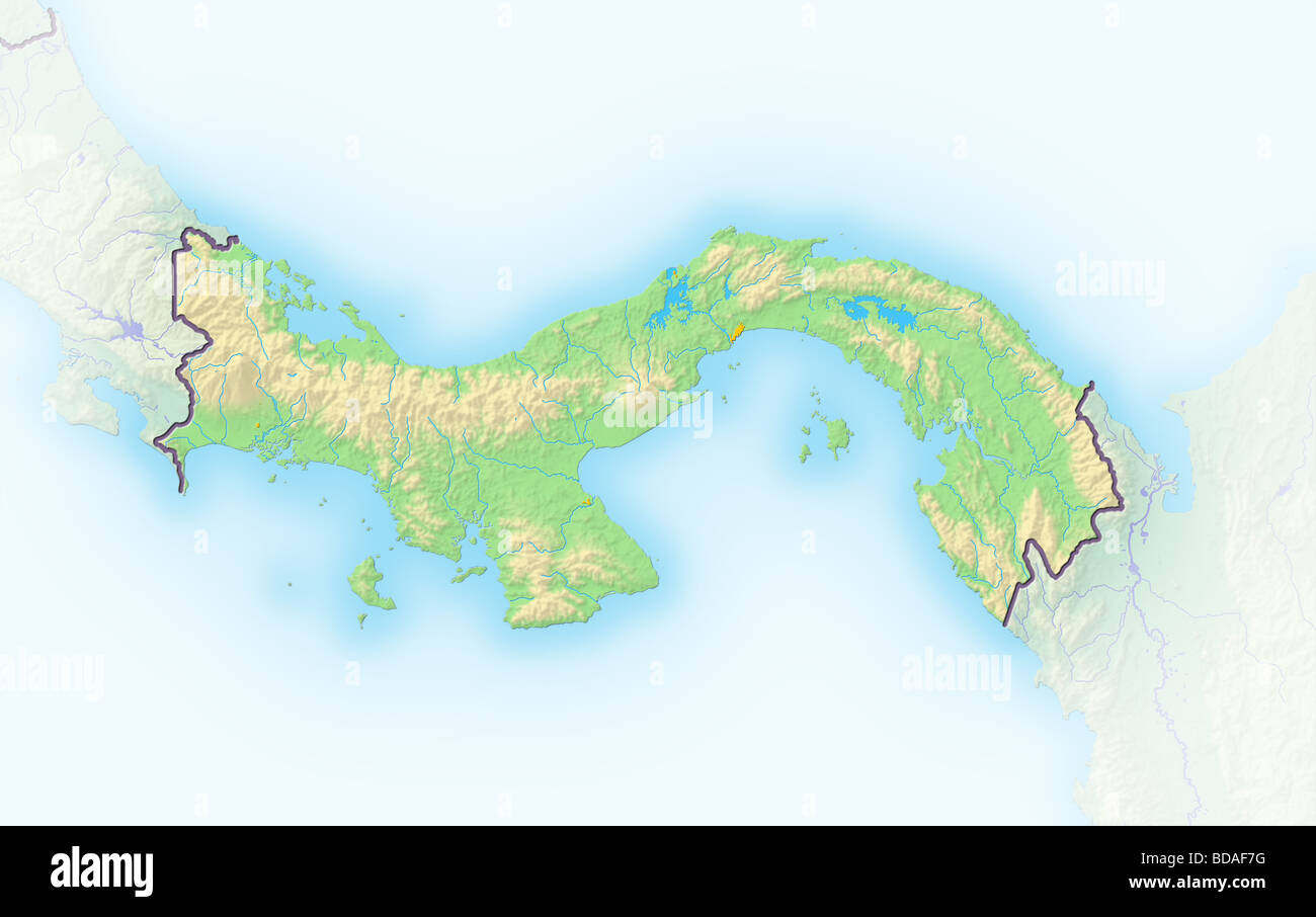 Panama, shaded relief map. Stock Photohttps://www.alamy.com/image-license-details/?v=1https://www.alamy.com/stock-photo-panama-shaded-relief-map-25432388.html
RFBDAF7G–Panama, shaded relief map.
 Panama political map with capital Panama City, national borders, neighbor countries and the Panama Canal. Republic in North and Central America. Stock Photohttps://www.alamy.com/image-license-details/?v=1https://www.alamy.com/stock-photo-panama-political-map-with-capital-panama-city-national-borders-neighbor-135142191.html
RFHRT76R–Panama political map with capital Panama City, national borders, neighbor countries and the Panama Canal. Republic in North and Central America.
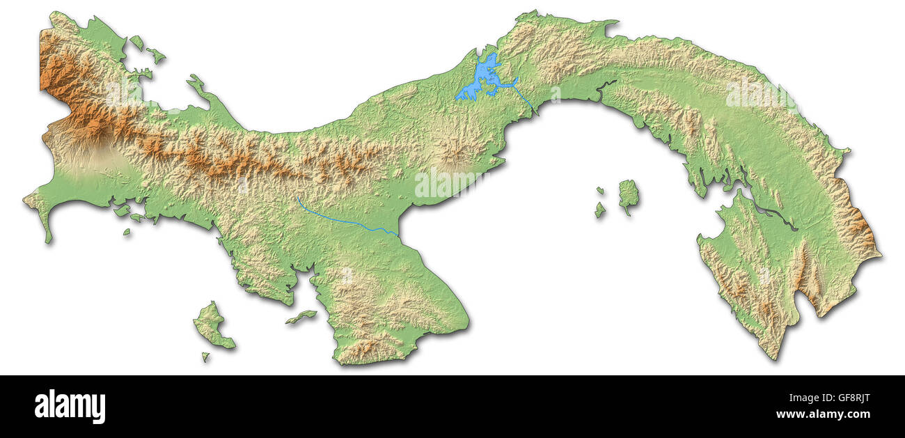 Relief map of Panama with shaded relief. Stock Photohttps://www.alamy.com/image-license-details/?v=1https://www.alamy.com/stock-photo-relief-map-of-panama-with-shaded-relief-112676224.html
RFGF8RJT–Relief map of Panama with shaded relief.
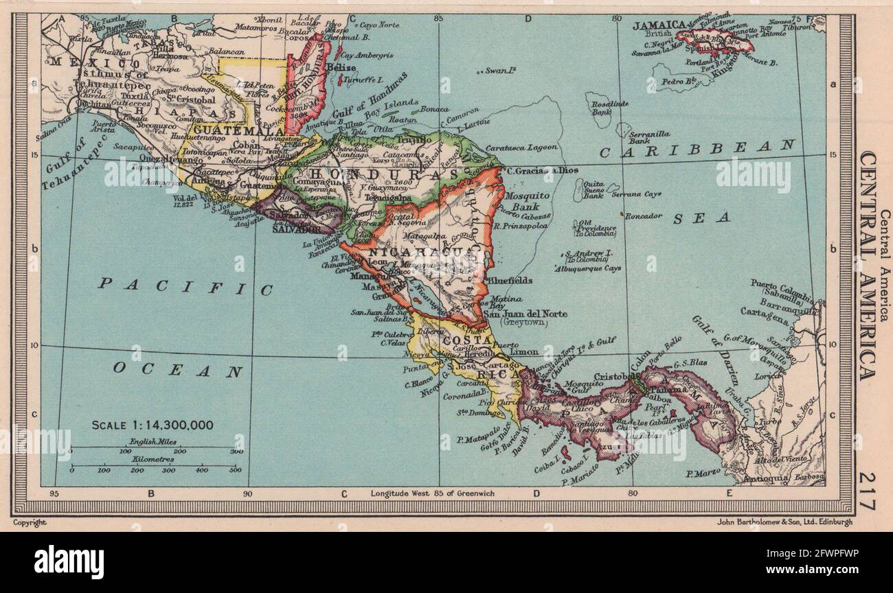 Central America. Honduras Panama Costa Rica Nicaragua. BARTHOLOMEW 1949 map Stock Photohttps://www.alamy.com/image-license-details/?v=1https://www.alamy.com/central-america-honduras-panama-costa-rica-nicaragua-bartholomew-1949-map-image428910658.html
RF2FWPFWP–Central America. Honduras Panama Costa Rica Nicaragua. BARTHOLOMEW 1949 map
 Panama map button in responsive flat web design map button isolated with clipping path. Stock Photohttps://www.alamy.com/image-license-details/?v=1https://www.alamy.com/panama-map-button-in-responsive-flat-web-design-map-button-isolated-image68148077.html
RMDXTBFW–Panama map button in responsive flat web design map button isolated with clipping path.
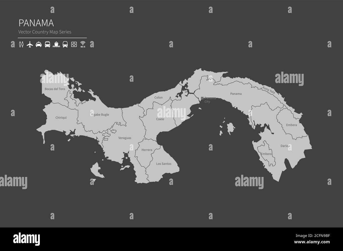 Panama map. National map of the world. Gray colored countries map series. Stock Vectorhttps://www.alamy.com/image-license-details/?v=1https://www.alamy.com/panama-map-national-map-of-the-world-gray-colored-countries-map-series-image371105939.html
RF2CFN9BF–Panama map. National map of the world. Gray colored countries map series.
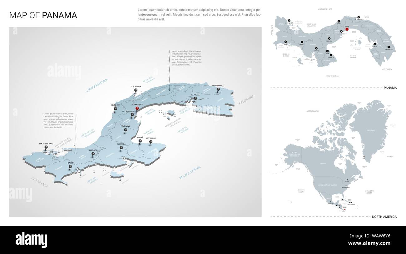 Vector set of Panama country. Isometric 3d map, Panama map, North America map - with region, state names and city names. Stock Vectorhttps://www.alamy.com/image-license-details/?v=1https://www.alamy.com/vector-set-of-panama-country-isometric-3d-map-panama-map-north-america-map-with-region-state-names-and-city-names-image264856346.html
RFWAW6Y6–Vector set of Panama country. Isometric 3d map, Panama map, North America map - with region, state names and city names.
 vector street map of the states of central america Stock Vectorhttps://www.alamy.com/image-license-details/?v=1https://www.alamy.com/vector-street-map-of-the-states-of-central-america-image209421636.html
RFP4KYC4–vector street map of the states of central america
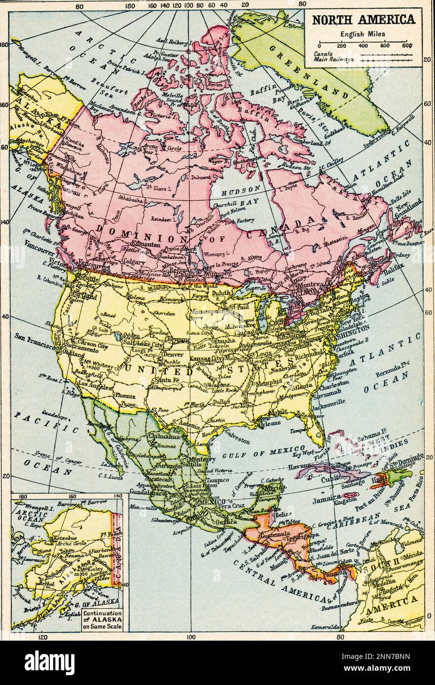 A map of North America, c1922. A 1920s map of North America. Stock Photohttps://www.alamy.com/image-license-details/?v=1https://www.alamy.com/a-map-of-north-america-c1922-a-1920s-map-of-north-america-image529381713.html
RM2NN7BNN–A map of North America, c1922. A 1920s map of North America.
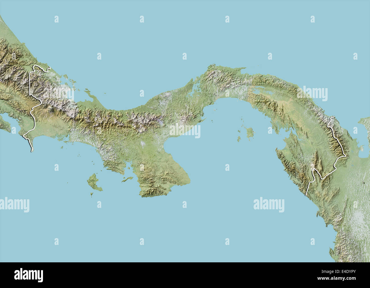 Panama, Relief Map With Border Stock Photohttps://www.alamy.com/image-license-details/?v=1https://www.alamy.com/stock-photo-panama-relief-map-with-border-71607283.html
RME4DYPY–Panama, Relief Map With Border
 Panama 3d golden map Stock Photohttps://www.alamy.com/image-license-details/?v=1https://www.alamy.com/stock-photo-panama-3d-golden-map-26658882.html
RFBFABJX–Panama 3d golden map
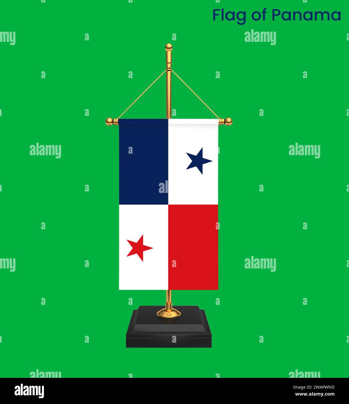 High detailed flag of Panama. National Panama flag. North America. 3D illustration. Stock Photohttps://www.alamy.com/image-license-details/?v=1https://www.alamy.com/high-detailed-flag-of-panama-national-panama-flag-north-america-3d-illustration-image591802217.html
RF2WAPWND–High detailed flag of Panama. National Panama flag. North America. 3D illustration.
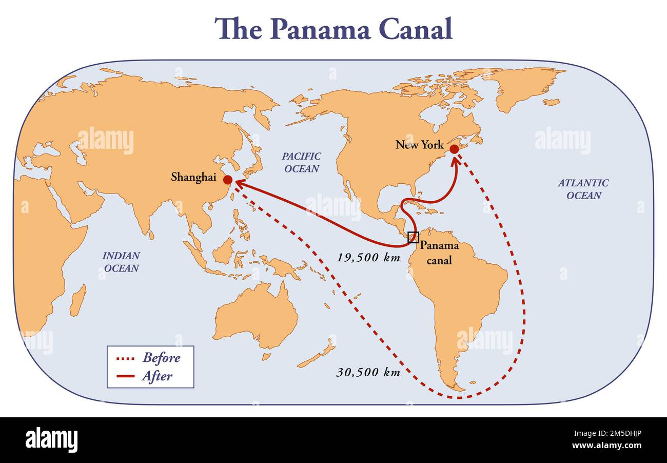 The Panama Canal and the distance benefits to the shipping routes Stock Photohttps://www.alamy.com/image-license-details/?v=1https://www.alamy.com/the-panama-canal-and-the-distance-benefits-to-the-shipping-routes-image502473182.html
RF2M5DHJP–The Panama Canal and the distance benefits to the shipping routes
 Map of Panama on old linen Stock Photohttps://www.alamy.com/image-license-details/?v=1https://www.alamy.com/map-of-panama-on-old-linen-image634544359.html
RF2YT9YPF–Map of Panama on old linen
 Map of the city of Guayaquil by Dionisio de Alcedo Herrera (1690--1777) a historian and geographer and a Spanish bureaucrat in America occupied the dignities of President of the Audiencia of Quito and Governor of Panama Stock Photohttps://www.alamy.com/image-license-details/?v=1https://www.alamy.com/stock-photo-map-of-the-city-of-guayaquil-by-dionisio-de-alcedo-herrera-1690-1777-104149962.html
RMG1CC9E–Map of the city of Guayaquil by Dionisio de Alcedo Herrera (1690--1777) a historian and geographer and a Spanish bureaucrat in America occupied the dignities of President of the Audiencia of Quito and Governor of Panama
 Diagram of Panama Canal, 1904 Stock Photohttps://www.alamy.com/image-license-details/?v=1https://www.alamy.com/diagram-of-panama-canal-1904-image352803754.html
RM2BDYGP2–Diagram of Panama Canal, 1904
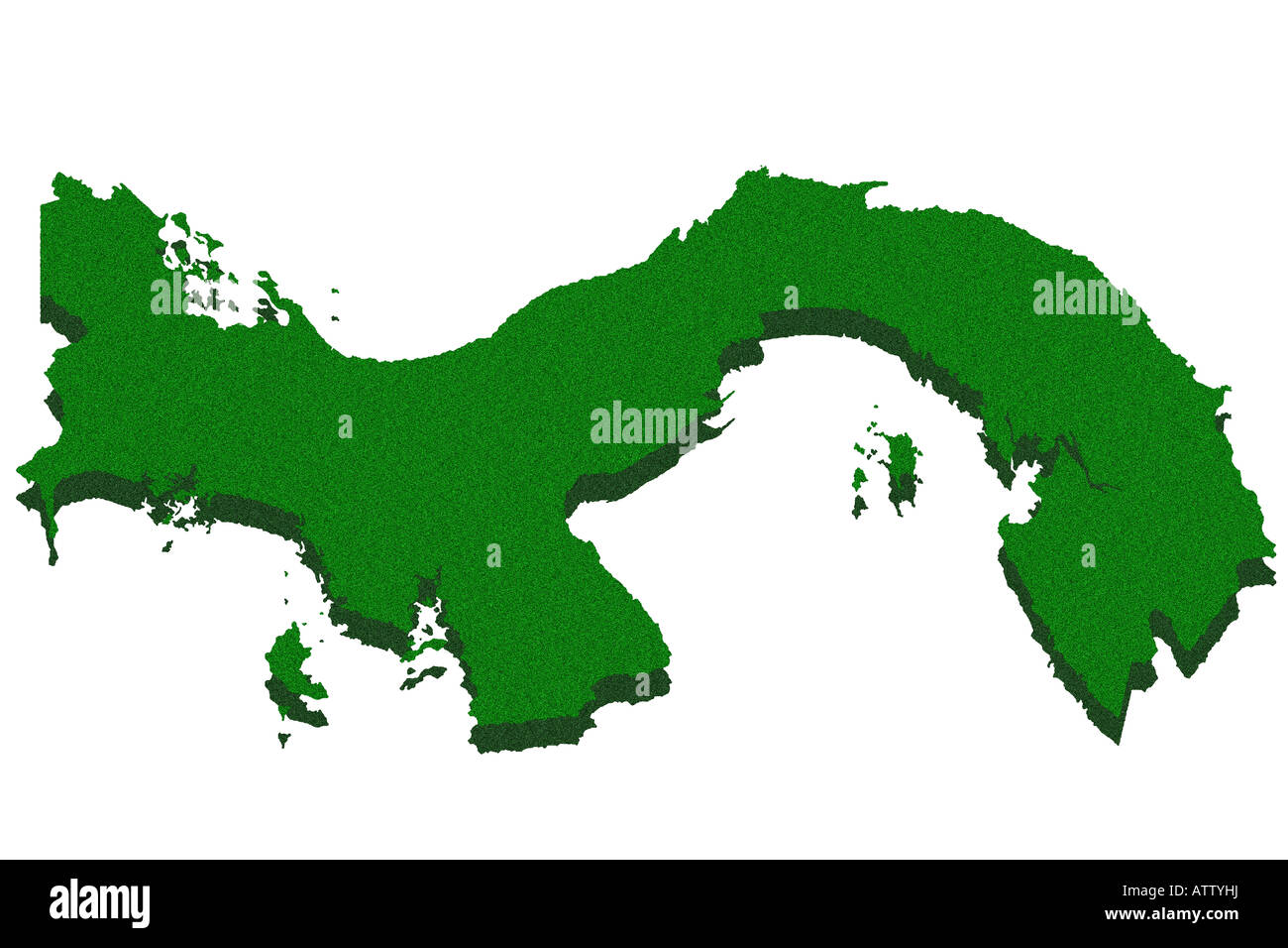 Outline map of Panama Stock Photohttps://www.alamy.com/image-license-details/?v=1https://www.alamy.com/stock-photo-outline-map-of-panama-16391741.html
RFATTYHJ–Outline map of Panama
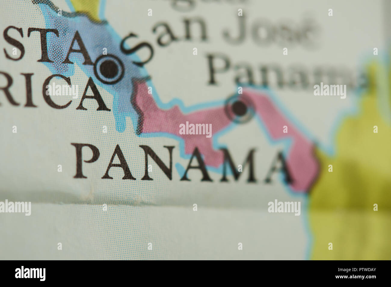 Panama country on paper map close up view Stock Photohttps://www.alamy.com/image-license-details/?v=1https://www.alamy.com/panama-country-on-paper-map-close-up-view-image221835459.html
RFPTWDAY–Panama country on paper map close up view
 Map of Panama on green felt Stock Photohttps://www.alamy.com/image-license-details/?v=1https://www.alamy.com/map-of-panama-on-green-felt-image402542084.html
RF2EAWAF0–Map of Panama on green felt
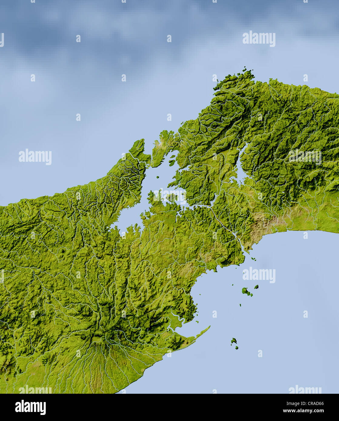 Panama Canal, shaded relief map. Colored according to natural appearance. Stock Photohttps://www.alamy.com/image-license-details/?v=1https://www.alamy.com/stock-photo-panama-canal-shaded-relief-map-colored-according-to-natural-appearance-48787710.html
RFCRAD66–Panama Canal, shaded relief map. Colored according to natural appearance.
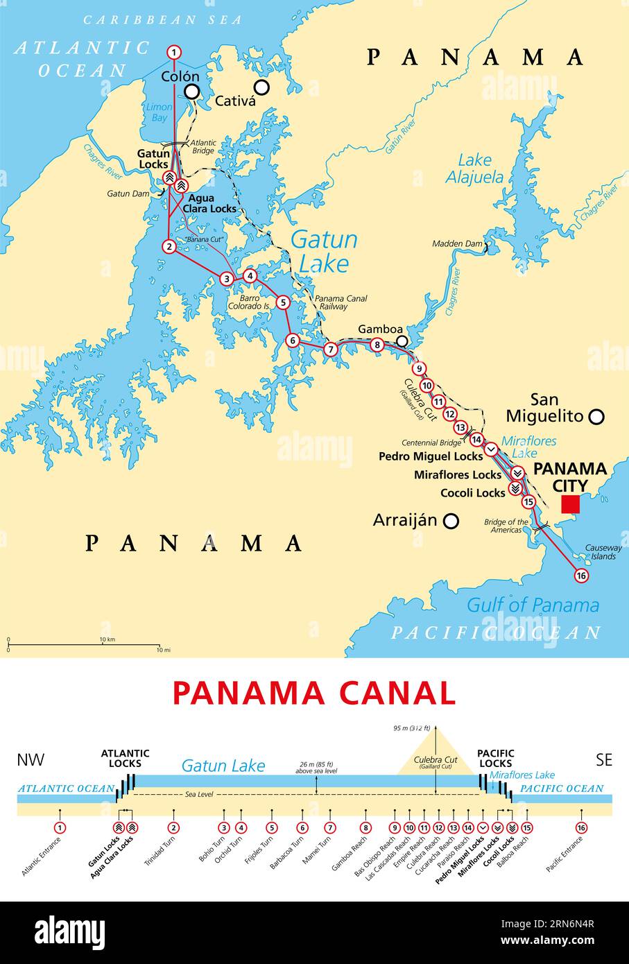 Panama Canal, political map and schematic diagram, illustrating the sequence of locks and passages. An artificial waterway. Stock Photohttps://www.alamy.com/image-license-details/?v=1https://www.alamy.com/panama-canal-political-map-and-schematic-diagram-illustrating-the-sequence-of-locks-and-passages-an-artificial-waterway-image563787863.html
RF2RN6N4R–Panama Canal, political map and schematic diagram, illustrating the sequence of locks and passages. An artificial waterway.