Quick filters:
Map victoria london Stock Photos and Images
 CHARLES BOOTH POVERTY MAP: Westminster Pimlico Victoria, 1902 Stock Photohttps://www.alamy.com/image-license-details/?v=1https://www.alamy.com/stock-photo-charles-booth-poverty-map-westminster-pimlico-victoria-1902-102708832.html
RFFY2P4G–CHARLES BOOTH POVERTY MAP: Westminster Pimlico Victoria, 1902
 London Bridge, , AU, Australia, Victoria, S 38 19' 51'', N 144 41' 23'', map, Cartascapes Map published in 2024. Explore Cartascapes, a map revealing Earth's diverse landscapes, cultures, and ecosystems. Journey through time and space, discovering the interconnectedness of our planet's past, present, and future. Stock Photohttps://www.alamy.com/image-license-details/?v=1https://www.alamy.com/london-bridge-au-australia-victoria-s-38-19-51-n-144-41-23-map-cartascapes-map-published-in-2024-explore-cartascapes-a-map-revealing-earths-diverse-landscapes-cultures-and-ecosystems-journey-through-time-and-space-discovering-the-interconnectedness-of-our-planets-past-present-and-future-image625516908.html
RM2Y9JN5G–London Bridge, , AU, Australia, Victoria, S 38 19' 51'', N 144 41' 23'', map, Cartascapes Map published in 2024. Explore Cartascapes, a map revealing Earth's diverse landscapes, cultures, and ecosystems. Journey through time and space, discovering the interconnectedness of our planet's past, present, and future.
 The new headquarters of the Metropolitan Police, New Scotland Yard, Broadway, London. In three blocks comprising of the Tower Block, 225 ft high, 200ft long, 75 ft deep (20 storeys); The Low Block fronting Victoria Street, 100 ft high, 450 ft long, 50 ft deep; and the 7 storey Link Block which joins the other two blocks. Gross floor area of the building is 489,000 sq. ft. Image shows Shirley Litchfield from Earlsfield in the Map Room. Stock Photohttps://www.alamy.com/image-license-details/?v=1https://www.alamy.com/stock-photo-the-new-headquarters-of-the-metropolitan-police-new-scotland-yard-108235141.html
RMG82F0N–The new headquarters of the Metropolitan Police, New Scotland Yard, Broadway, London. In three blocks comprising of the Tower Block, 225 ft high, 200ft long, 75 ft deep (20 storeys); The Low Block fronting Victoria Street, 100 ft high, 450 ft long, 50 ft deep; and the 7 storey Link Block which joins the other two blocks. Gross floor area of the building is 489,000 sq. ft. Image shows Shirley Litchfield from Earlsfield in the Map Room.
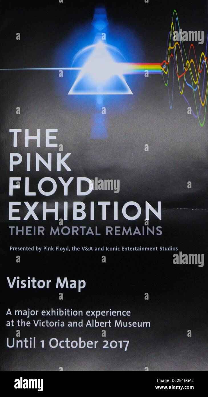 Visitor Map for The Pink Floyd Exhibition: Their Mortal Remains at The Victoria & Albert Museum London England UK 16 September 2017 Stock Photohttps://www.alamy.com/image-license-details/?v=1https://www.alamy.com/visitor-map-for-the-pink-floyd-exhibition-their-mortal-remains-at-the-victoria-albert-museum-london-england-uk-16-september-2017-image398617242.html
RM2E4EGA2–Visitor Map for The Pink Floyd Exhibition: Their Mortal Remains at The Victoria & Albert Museum London England UK 16 September 2017
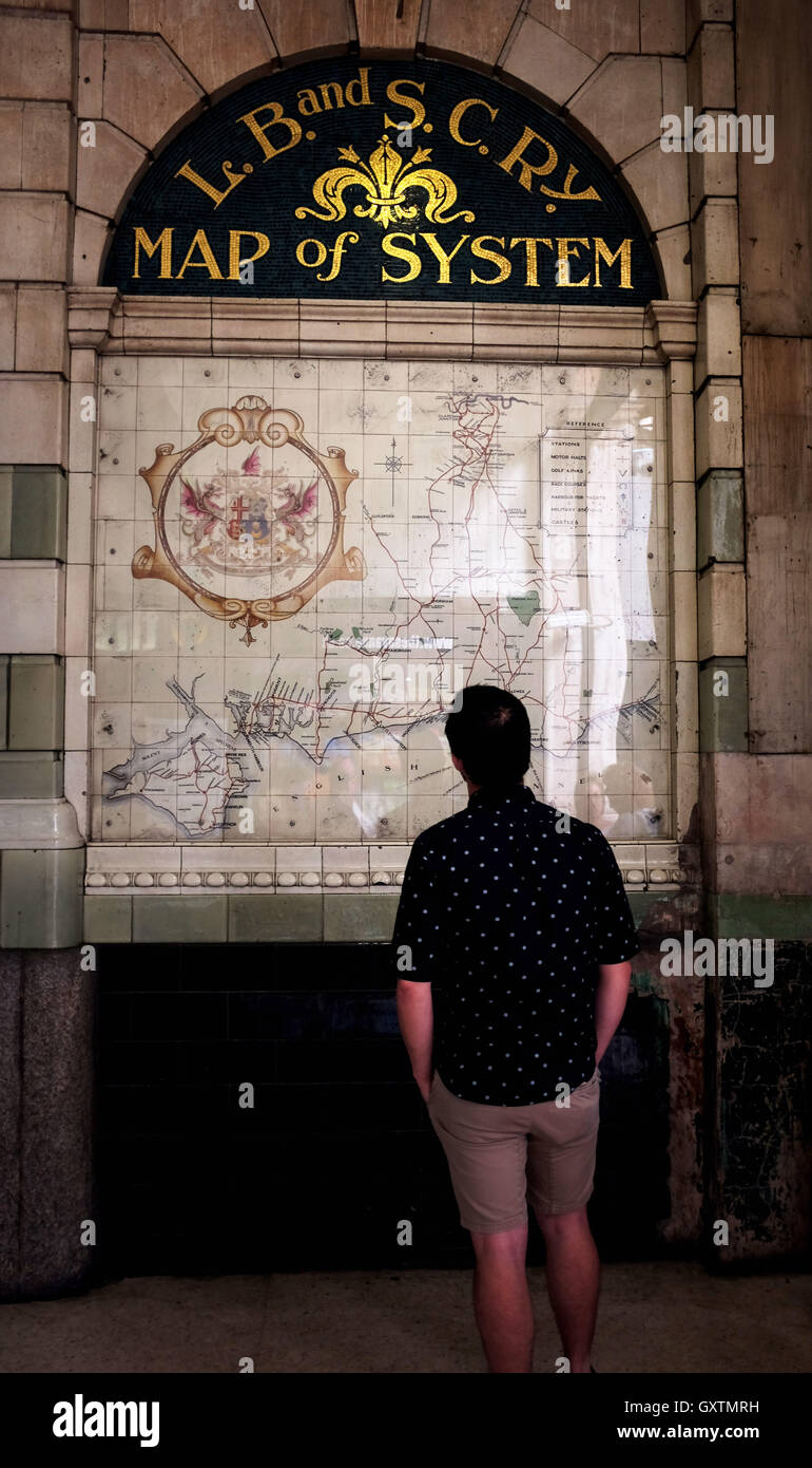 Old Southern Railway and South Coast Line train map at Victoria London UK Stock Photohttps://www.alamy.com/image-license-details/?v=1https://www.alamy.com/stock-photo-old-southern-railway-and-south-coast-line-train-map-at-victoria-london-119786453.html
RMGXTMRH–Old Southern Railway and South Coast Line train map at Victoria London UK
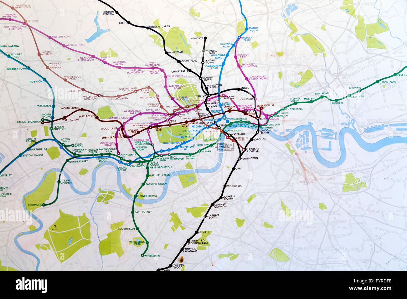 Historic old London Underground map c. 1931, at 55 Broadway building, London, UK Stock Photohttps://www.alamy.com/image-license-details/?v=1https://www.alamy.com/historic-old-london-underground-map-c-1931-at-55-broadway-building-london-uk-image223635650.html
RMPYRDFE–Historic old London Underground map c. 1931, at 55 Broadway building, London, UK
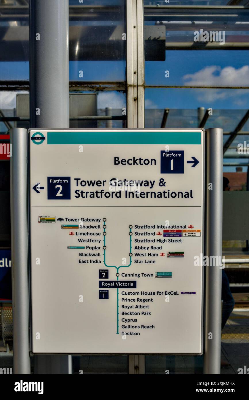 Royal Victoria DLR Station, Borough Of Newham, London, England, U.K. Stock Photohttps://www.alamy.com/image-license-details/?v=1https://www.alamy.com/royal-victoria-dlr-station-borough-of-newham-london-england-uk-image613947766.html
RM2XJRMHX–Royal Victoria DLR Station, Borough Of Newham, London, England, U.K.
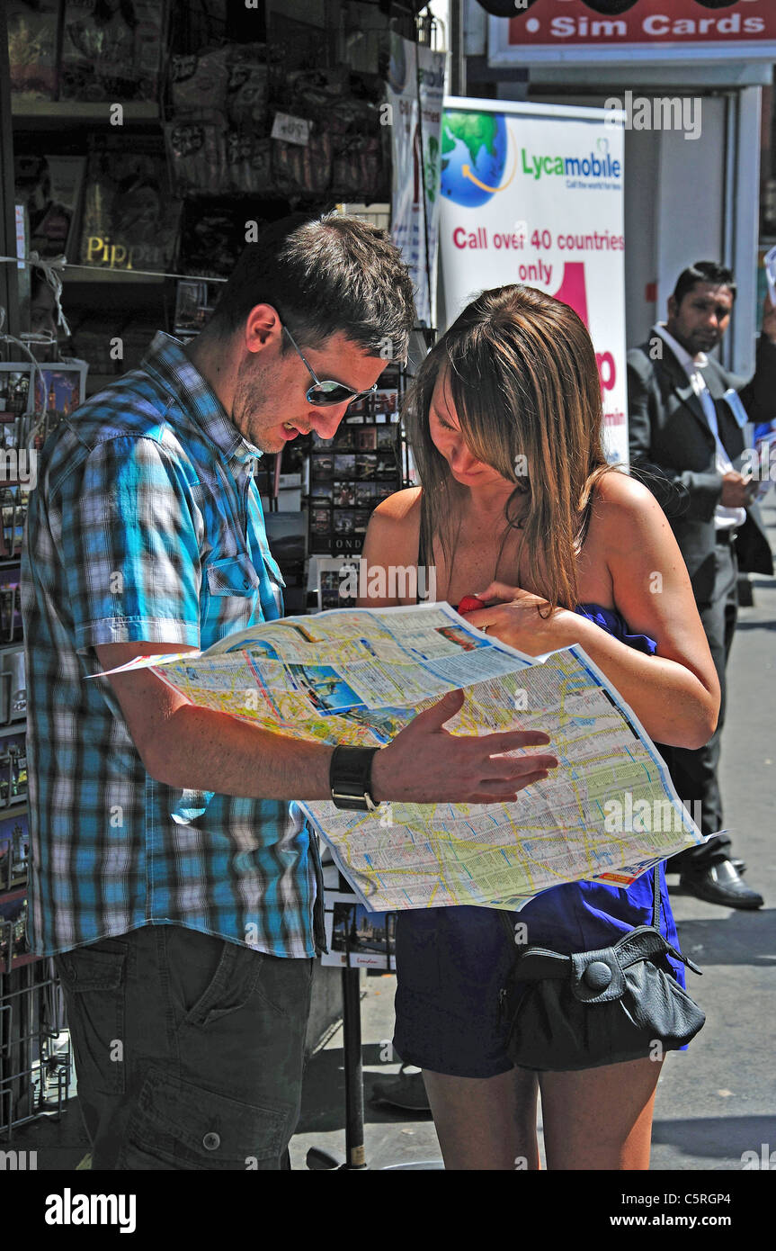 Couple reading map, Victoria Station, Victoria, Westminster, City of Westminster, Greater London, England, United Kingdom Stock Photohttps://www.alamy.com/image-license-details/?v=1https://www.alamy.com/stock-photo-couple-reading-map-victoria-station-victoria-westminster-city-of-westminster-38012076.html
RMC5RGP4–Couple reading map, Victoria Station, Victoria, Westminster, City of Westminster, Greater London, England, United Kingdom
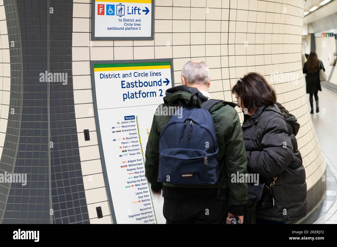 Two people looking at a tube station information map for the District and Circle lines in Victoria tube station on London Underground. England Stock Photohttps://www.alamy.com/image-license-details/?v=1https://www.alamy.com/two-people-looking-at-a-tube-station-information-map-for-the-district-and-circle-lines-in-victoria-tube-station-on-london-underground-england-image491015254.html
RM2KERJY2–Two people looking at a tube station information map for the District and Circle lines in Victoria tube station on London Underground. England
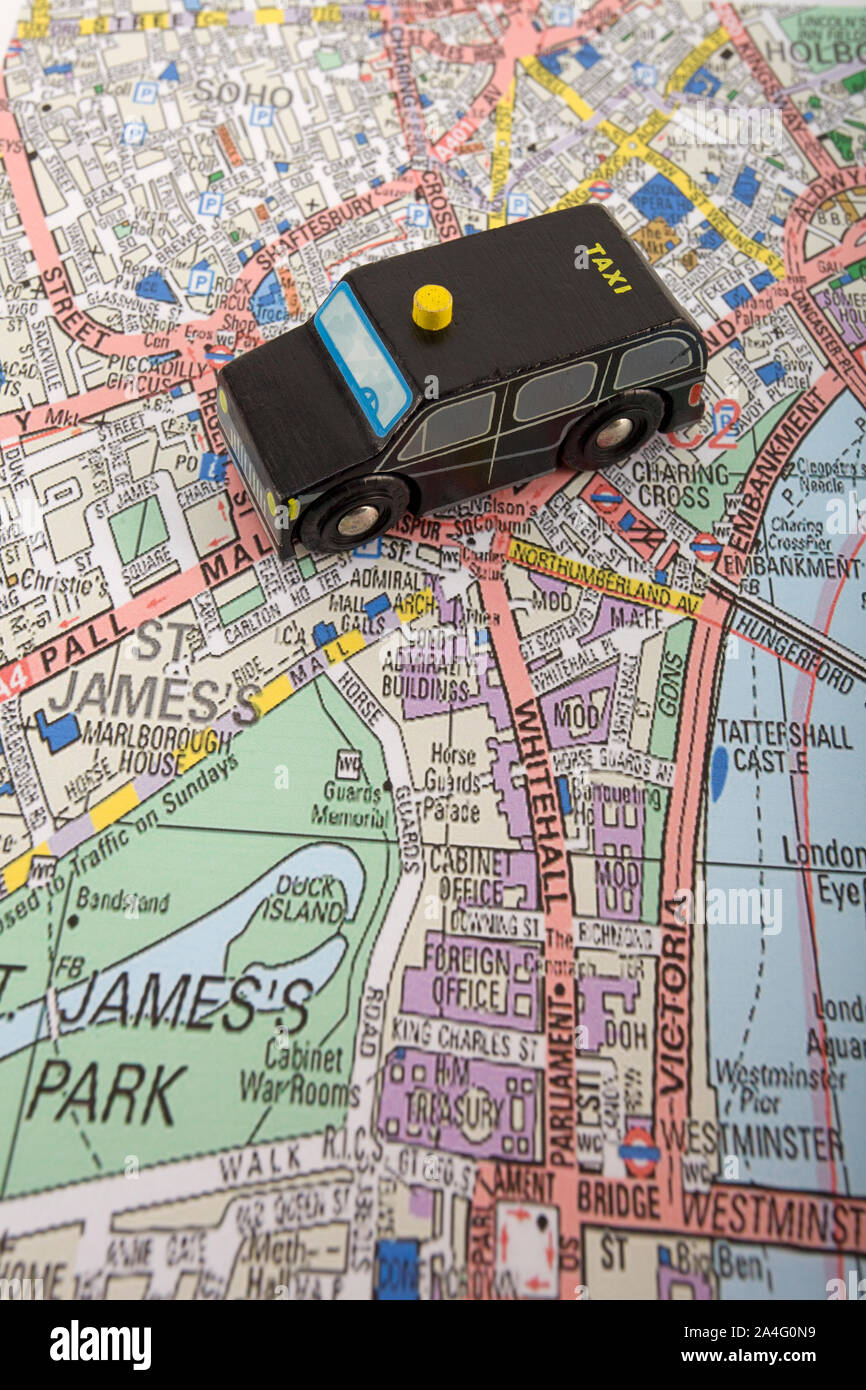 Toy Taxi cab on map of London, England Stock Photohttps://www.alamy.com/image-license-details/?v=1https://www.alamy.com/toy-taxi-cab-on-map-of-london-england-image329807445.html
RM2A4G0N9–Toy Taxi cab on map of London, England
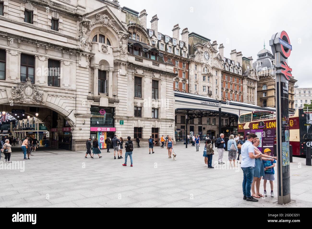 London Victoria station exterior view where family checks the maps for direction Stock Photohttps://www.alamy.com/image-license-details/?v=1https://www.alamy.com/london-victoria-station-exterior-view-where-family-checks-the-maps-for-direction-image438525837.html
RM2GDCG51–London Victoria station exterior view where family checks the maps for direction
 London, England, UK. 'You are here' tourist information map on the Victoria Embankment by the River Thames. Stock Photohttps://www.alamy.com/image-license-details/?v=1https://www.alamy.com/stock-photo-london-england-uk-you-are-here-tourist-information-map-on-the-victoria-121000137.html
RMH0T0WD–London, England, UK. 'You are here' tourist information map on the Victoria Embankment by the River Thames.
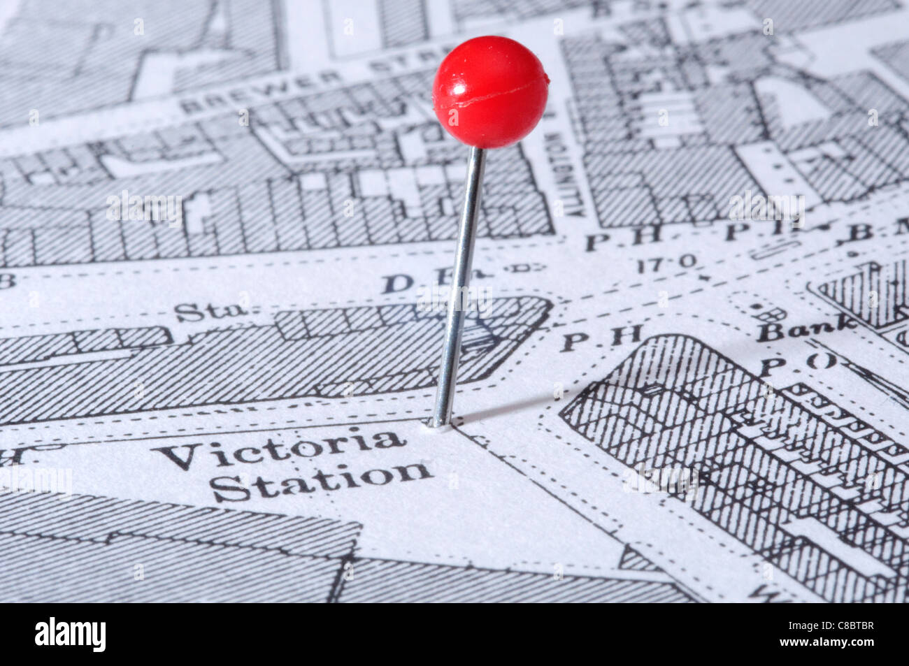 Victoria Station in London indicated using a map pin. Map is an out-of-copyright 1894 edition. Stock Photohttps://www.alamy.com/image-license-details/?v=1https://www.alamy.com/stock-photo-victoria-station-in-london-indicated-using-a-map-pin-map-is-an-out-39598603.html
RFC8BTBR–Victoria Station in London indicated using a map pin. Map is an out-of-copyright 1894 edition.
 Central London UK November 21 2021, Young Couple Reading A Map In Victoria Street London Stock Photohttps://www.alamy.com/image-license-details/?v=1https://www.alamy.com/central-london-uk-november-21-2021-young-couple-reading-a-map-in-victoria-street-london-image453411968.html
RM2H9JKGG–Central London UK November 21 2021, Young Couple Reading A Map In Victoria Street London
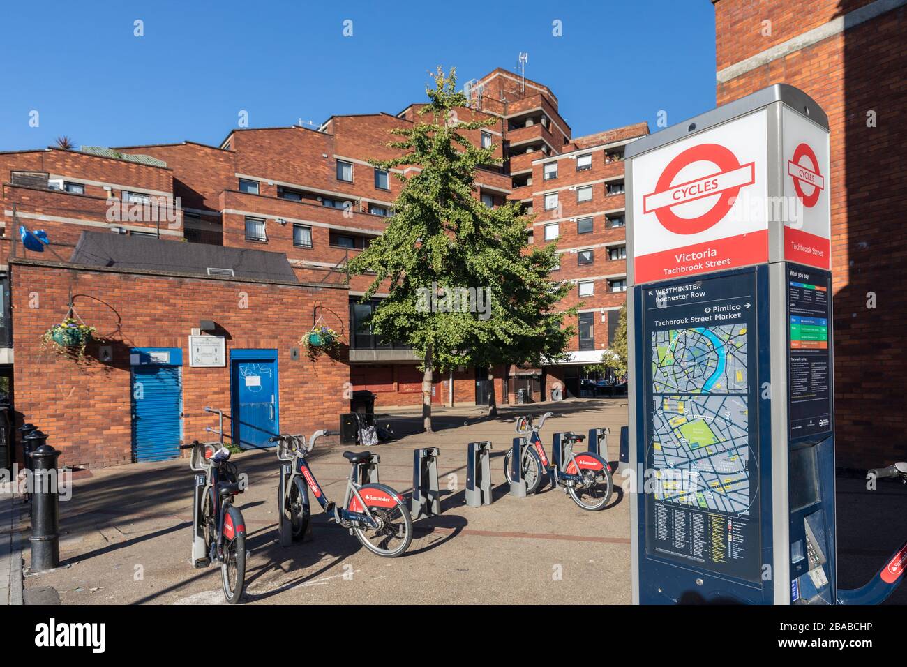 Unused renatal bicycles at Victoria, London, England, UK Stock Photohttps://www.alamy.com/image-license-details/?v=1https://www.alamy.com/unused-renatal-bicycles-at-victoria-london-england-uk-image350605298.html
RM2BABCHP–Unused renatal bicycles at Victoria, London, England, UK
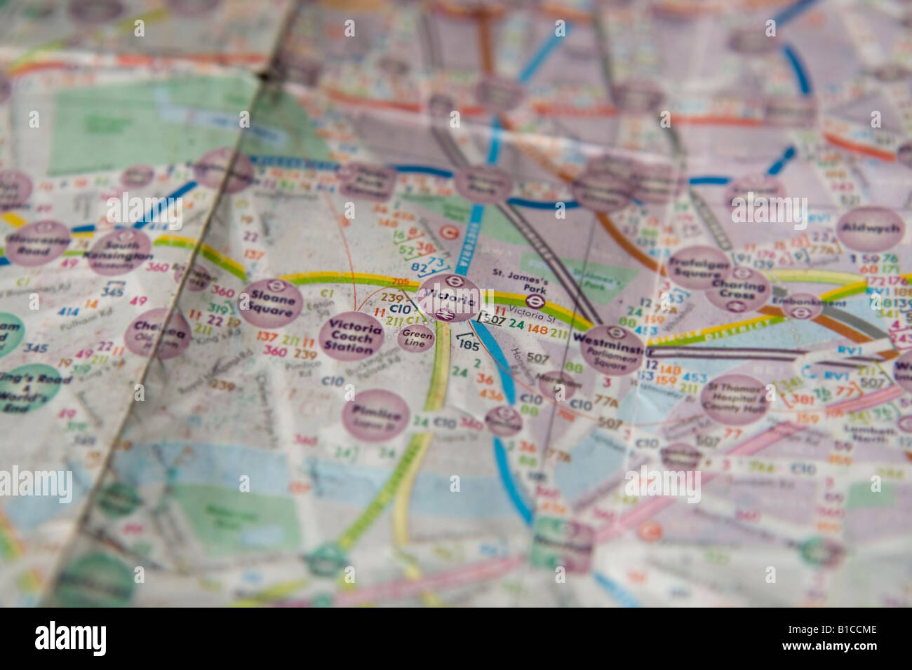 Victoria highlighted on a map of London produced by Quickmap. Stock Photohttps://www.alamy.com/image-license-details/?v=1https://www.alamy.com/stock-photo-victoria-highlighted-on-a-map-of-london-produced-by-quickmap-18098430.html
RMB1CCME–Victoria highlighted on a map of London produced by Quickmap.
 Map of New South Wales and Victoria, Australia 1908 from the book ROMANCE OF EMPIRE : AUSTRALIA BY W. H. LANG WITH TWELVE REPRODUCTIONS FROM ORIGINAL DRAWINGS IN COLOUR BY G. W. LAMBERT Series Edited by John Lang Published London and Edinburgh : T. C. & E. C. Jack in 1908 Stock Photohttps://www.alamy.com/image-license-details/?v=1https://www.alamy.com/map-of-new-south-wales-and-victoria-australia-1908-from-the-book-romance-of-empire-australia-by-w-h-lang-with-twelve-reproductions-from-original-drawings-in-colour-by-g-w-lambert-series-edited-by-john-lang-published-london-and-edinburgh-t-c-e-c-jack-in-1908-image465306945.html
RF2J10FN5–Map of New South Wales and Victoria, Australia 1908 from the book ROMANCE OF EMPIRE : AUSTRALIA BY W. H. LANG WITH TWELVE REPRODUCTIONS FROM ORIGINAL DRAWINGS IN COLOUR BY G. W. LAMBERT Series Edited by John Lang Published London and Edinburgh : T. C. & E. C. Jack in 1908
 Passengers at the Victoria Bus station London Stock Photohttps://www.alamy.com/image-license-details/?v=1https://www.alamy.com/stock-photo-passengers-at-the-victoria-bus-station-london-16532281.html
RMAWBWTX–Passengers at the Victoria Bus station London
 Victoria Line Stock Photohttps://www.alamy.com/image-license-details/?v=1https://www.alamy.com/stock-photo-victoria-line-15276647.html
RFAMJCTT–Victoria Line
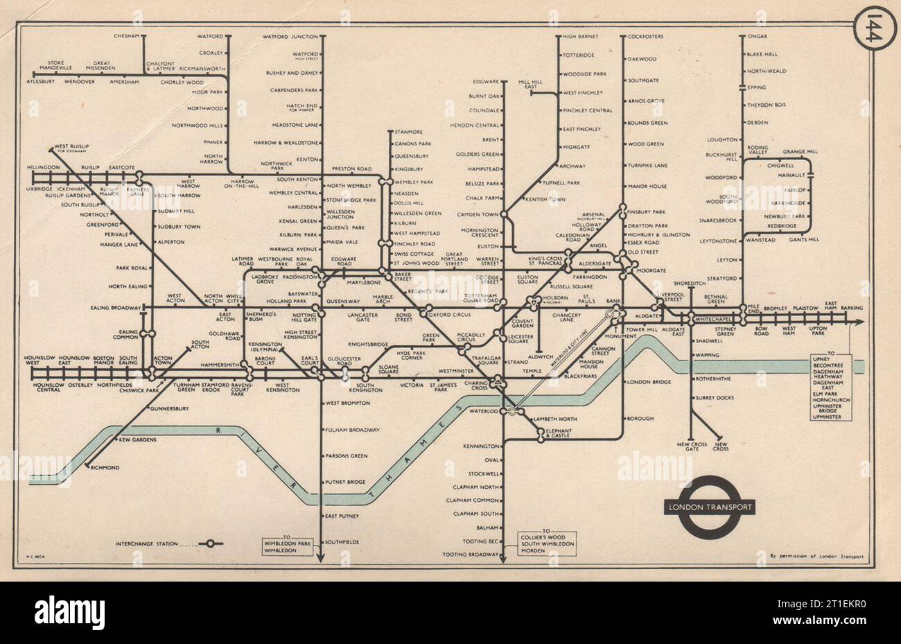 LONDON UNDERGROUND Tube map pre-Victoria Line. South Acton. HARRY BECK 1953 Stock Photohttps://www.alamy.com/image-license-details/?v=1https://www.alamy.com/london-underground-tube-map-pre-victoria-line-south-acton-harry-beck-1953-image568879668.html
RF2T1EKR0–LONDON UNDERGROUND Tube map pre-Victoria Line. South Acton. HARRY BECK 1953
 London Bridge Lookout, Mornington Peninsula, AU, Australia, Victoria, S 38 19' 44'', N 144 41' 42'', map, Cartascapes Map published in 2024. Explore Cartascapes, a map revealing Earth's diverse landscapes, cultures, and ecosystems. Journey through time and space, discovering the interconnectedness of our planet's past, present, and future. Stock Photohttps://www.alamy.com/image-license-details/?v=1https://www.alamy.com/london-bridge-lookout-mornington-peninsula-au-australia-victoria-s-38-19-44-n-144-41-42-map-cartascapes-map-published-in-2024-explore-cartascapes-a-map-revealing-earths-diverse-landscapes-cultures-and-ecosystems-journey-through-time-and-space-discovering-the-interconnectedness-of-our-planets-past-present-and-future-image625525944.html
RM2Y9K4M8–London Bridge Lookout, Mornington Peninsula, AU, Australia, Victoria, S 38 19' 44'', N 144 41' 42'', map, Cartascapes Map published in 2024. Explore Cartascapes, a map revealing Earth's diverse landscapes, cultures, and ecosystems. Journey through time and space, discovering the interconnectedness of our planet's past, present, and future.
 Queen Victoria Diamond Jubilee 1897 - Royal procession rout Stock Photohttps://www.alamy.com/image-license-details/?v=1https://www.alamy.com/queen-victoria-diamond-jubilee-1897-royal-procession-rout-image501424284.html
RM2M3NRP4–Queen Victoria Diamond Jubilee 1897 - Royal procession rout
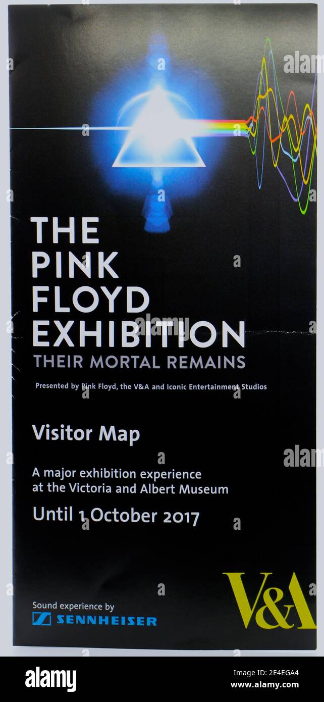 Visitor Map for The Pink Floyd Exhibition: Their Mortal Remains at The Victoria & Albert Museum London England UK 16 September 2017 Stock Photohttps://www.alamy.com/image-license-details/?v=1https://www.alamy.com/visitor-map-for-the-pink-floyd-exhibition-their-mortal-remains-at-the-victoria-albert-museum-london-england-uk-16-september-2017-image398617244.html
RM2E4EGA4–Visitor Map for The Pink Floyd Exhibition: Their Mortal Remains at The Victoria & Albert Museum London England UK 16 September 2017
 Old Southern Railway and South Coast Line train map at Victoria London UK Stock Photohttps://www.alamy.com/image-license-details/?v=1https://www.alamy.com/stock-photo-old-southern-railway-and-south-coast-line-train-map-at-victoria-london-119786454.html
RMGXTMRJ–Old Southern Railway and South Coast Line train map at Victoria London UK
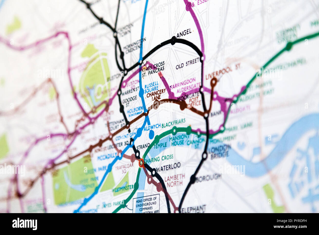 Historic old London Underground map c. 1931, at 55 Broadway Building, London, UK Stock Photohttps://www.alamy.com/image-license-details/?v=1https://www.alamy.com/historic-old-london-underground-map-c-1931-at-55-broadway-building-london-uk-image223635653.html
RMPYRDFH–Historic old London Underground map c. 1931, at 55 Broadway Building, London, UK
 1955, historical, over a map, a British passport on letter of Official Gove ??Serbia + phrasebook + summer rail timetable, leaving from London Victoria, arriving in Belgrade. Stock Photohttps://www.alamy.com/image-license-details/?v=1https://www.alamy.com/1955-historical-over-a-map-a-british-passport-on-letter-of-official-gove-serbia-phrasebook-summer-rail-timetable-leaving-from-london-victoria-arriving-in-belgrade-image457624475.html
RM2HGEGK7–1955, historical, over a map, a British passport on letter of Official Gove ??Serbia + phrasebook + summer rail timetable, leaving from London Victoria, arriving in Belgrade.
 London map signboard Stock Photohttps://www.alamy.com/image-license-details/?v=1https://www.alamy.com/stock-photo-london-map-signboard-175112949.html
RFM4W29W–London map signboard
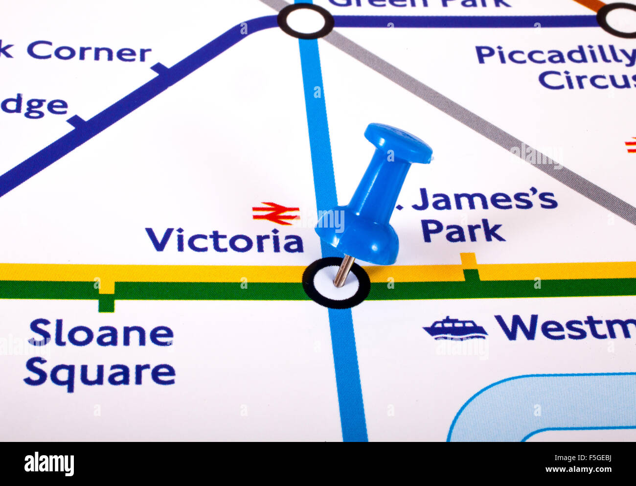 LONDON, UK - NOVEMBER 1ST 2015: A map pin marking the location of Victoria station on a London Underground Map, on 1st November Stock Photohttps://www.alamy.com/image-license-details/?v=1https://www.alamy.com/stock-photo-london-uk-november-1st-2015-a-map-pin-marking-the-location-of-victoria-89487654.html
RMF5GEBJ–LONDON, UK - NOVEMBER 1ST 2015: A map pin marking the location of Victoria station on a London Underground Map, on 1st November
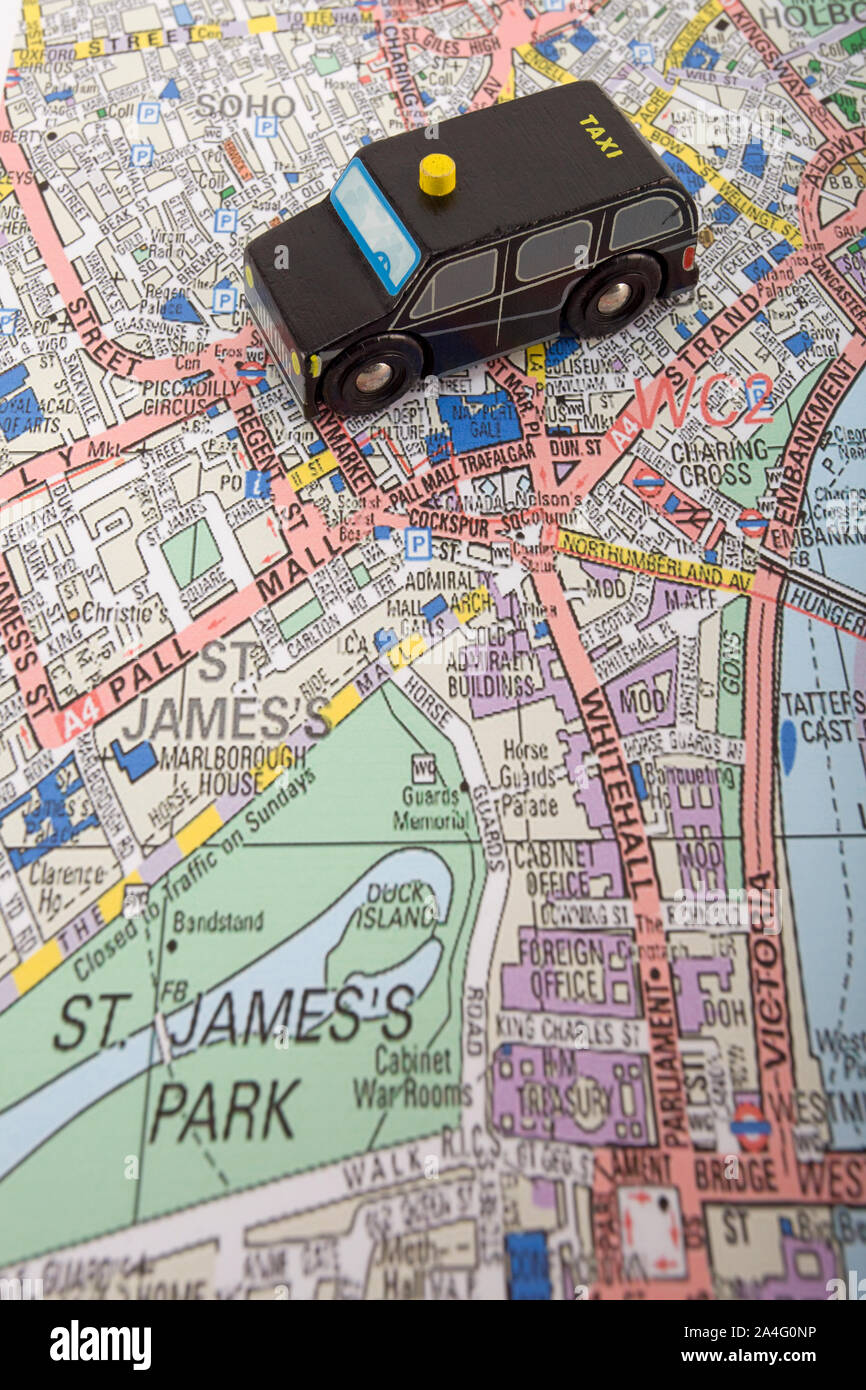 Toy taxi cab on map of west end of london, England Stock Photohttps://www.alamy.com/image-license-details/?v=1https://www.alamy.com/toy-taxi-cab-on-map-of-west-end-of-london-england-image329807458.html
RM2A4G0NP–Toy taxi cab on map of west end of london, England
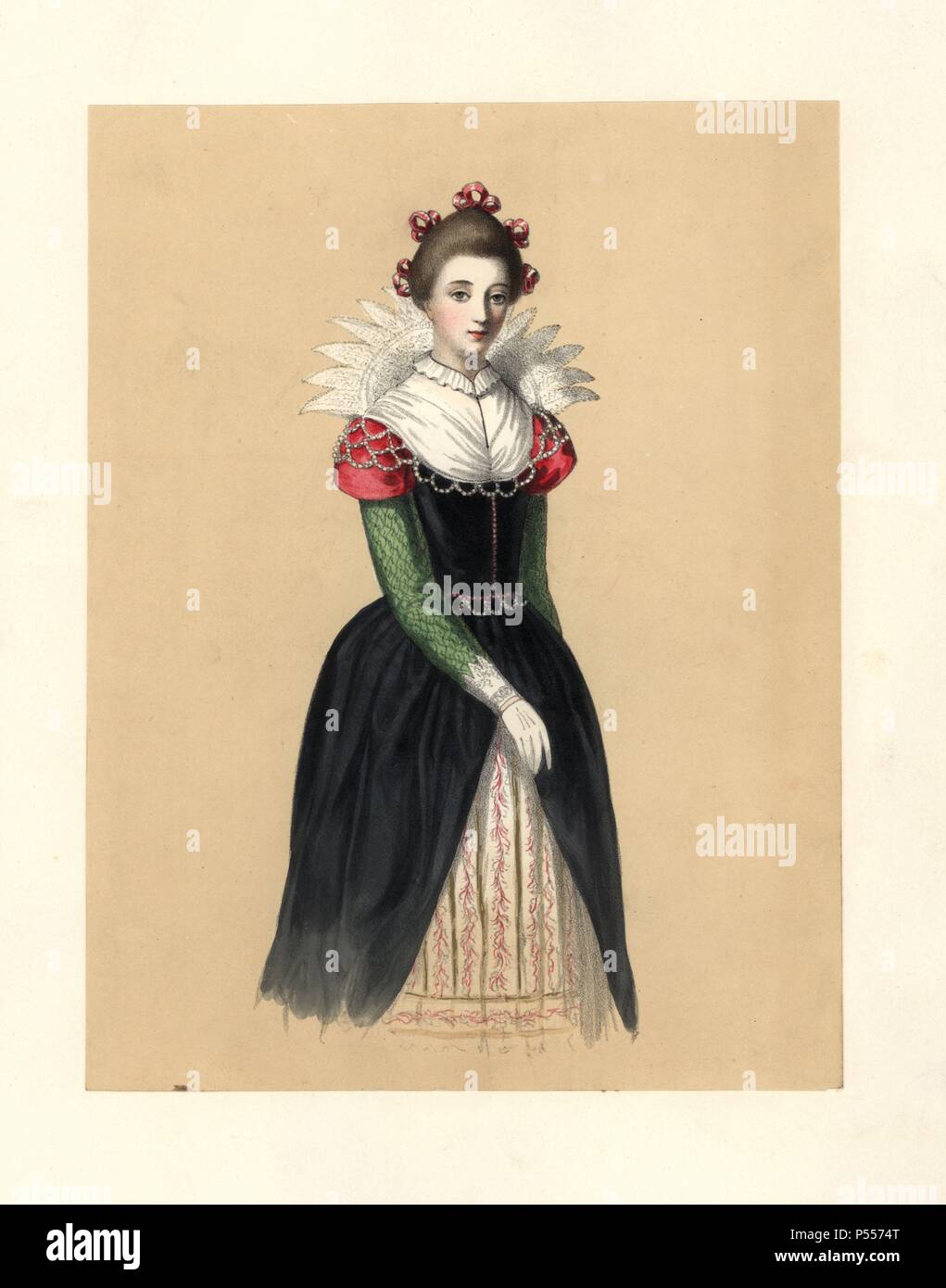 Dress during the Protectorate, 16531659. She wears five ribbons in her hair, a tall lace collar, a black dress with green sleeves and scarlet shoulders over embroidered petticoats. Based on Speed’s Map of England, portrait of Lady Croke. Handcoloured lithograph from 'Costumes of British Ladies from the Time of William the First to the Reign of Queen Victoria,” London, Dickinson & Son, 1840. 48 mounted plates of women's fashion from 1066 to 1840 based on effigies, manuscripts, portraits, prints and literary descriptions. Stock Photohttps://www.alamy.com/image-license-details/?v=1https://www.alamy.com/dress-during-the-protectorate-16531659-she-wears-five-ribbons-in-her-hair-a-tall-lace-collar-a-black-dress-with-green-sleeves-and-scarlet-shoulders-over-embroidered-petticoats-based-on-speeds-map-of-england-portrait-of-lady-croke-handcoloured-lithograph-from-costumes-of-british-ladies-from-the-time-of-william-the-first-to-the-reign-of-queen-victoria-london-dickinson-son-1840-48-mounted-plates-of-womens-fashion-from-1066-to-1840-based-on-effigies-manuscripts-portraits-prints-and-literary-descriptions-image209713080.html
RMP5574T–Dress during the Protectorate, 16531659. She wears five ribbons in her hair, a tall lace collar, a black dress with green sleeves and scarlet shoulders over embroidered petticoats. Based on Speed’s Map of England, portrait of Lady Croke. Handcoloured lithograph from 'Costumes of British Ladies from the Time of William the First to the Reign of Queen Victoria,” London, Dickinson & Son, 1840. 48 mounted plates of women's fashion from 1066 to 1840 based on effigies, manuscripts, portraits, prints and literary descriptions.
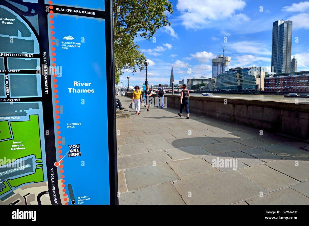 London, England, UK. 'You are here' tourist information map on the Victoria Embankment by the River Thames. Stock Photohttps://www.alamy.com/image-license-details/?v=1https://www.alamy.com/stock-photo-london-england-uk-you-are-here-tourist-information-map-on-the-victoria-119071131.html
RMGWM4CB–London, England, UK. 'You are here' tourist information map on the Victoria Embankment by the River Thames.
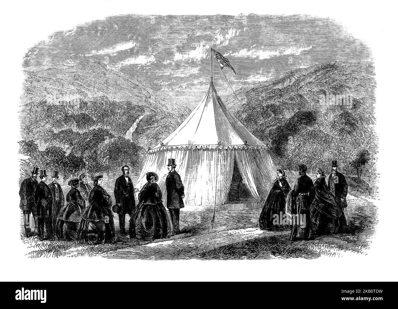 Queen Victoria and her husband Prince Albert at the Royal tent in Derrycunihy in Killarney, County Kerry. The monarch's third trip to Ireland in August, 1861 was to be extremely important for the Irish tourism industry and is credited with putting Killarney on the Irish tourism map. Stock Photohttps://www.alamy.com/image-license-details/?v=1https://www.alamy.com/queen-victoria-and-her-husband-prince-albert-at-the-royal-tent-in-derrycunihy-in-killarney-county-kerry-the-monarchs-third-trip-to-ireland-in-august-1861-was-to-be-extremely-important-for-the-irish-tourism-industry-and-is-credited-with-putting-killarney-on-the-irish-tourism-map-image488670725.html
RM2KB0TDW–Queen Victoria and her husband Prince Albert at the Royal tent in Derrycunihy in Killarney, County Kerry. The monarch's third trip to Ireland in August, 1861 was to be extremely important for the Irish tourism industry and is credited with putting Killarney on the Irish tourism map.
 Victoria London England UK, November 21 2021, Young Couple Tourists Looking At A Route Map In Victoria Street London Stock Photohttps://www.alamy.com/image-license-details/?v=1https://www.alamy.com/victoria-london-england-uk-november-21-2021-young-couple-tourists-looking-at-a-route-map-in-victoria-street-london-image452229306.html
RM2H7MR2J–Victoria London England UK, November 21 2021, Young Couple Tourists Looking At A Route Map In Victoria Street London
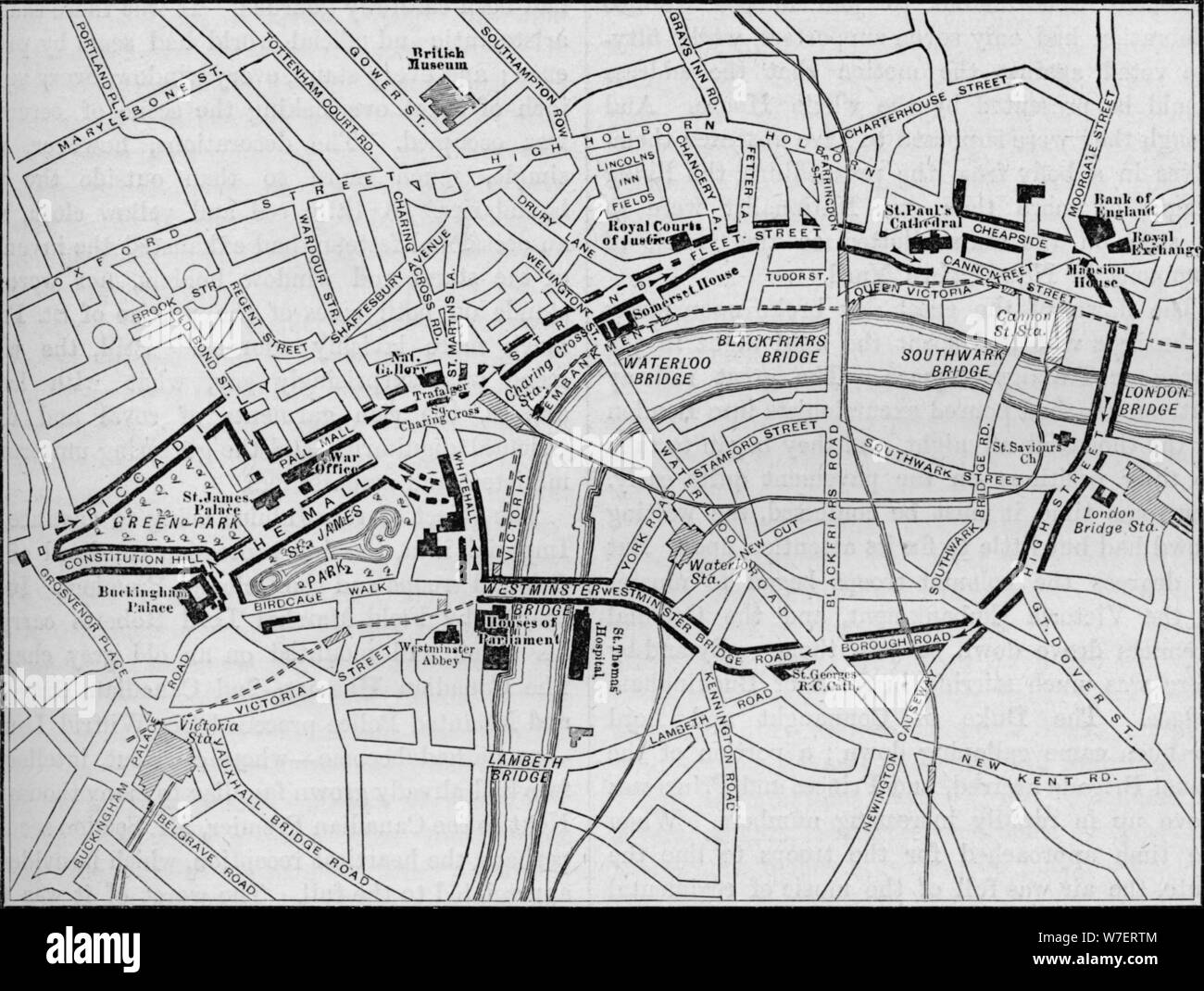 Plan of the route of the Queen's procession on Diamond Jubilee Day, London, 1897 (1906). Artist: Unknown. Stock Photohttps://www.alamy.com/image-license-details/?v=1https://www.alamy.com/plan-of-the-route-of-the-queens-procession-on-diamond-jubilee-day-london-1897-1906-artist-unknown-image262784164.html
RMW7ERTM–Plan of the route of the Queen's procession on Diamond Jubilee Day, London, 1897 (1906). Artist: Unknown.
 London, United Kingdom, June 7, 2021. Commuters walk through the entrance of London Victoria train station as Coronavirus restrictions ease and the economy start to pick up. The Prime Minister Boris Johnson has set a road map on easing the restrictions. (Dominika Zarzycka/Alamy) Credit: Dominika Zarzycka/Alamy Live News Stock Photohttps://www.alamy.com/image-license-details/?v=1https://www.alamy.com/london-united-kingdom-june-7-2021-commuters-walk-through-the-entrance-of-london-victoria-train-station-as-coronavirus-restrictions-ease-and-the-economy-start-to-pick-up-the-prime-minister-boris-johnson-has-set-a-road-map-on-easing-the-restrictions-dominika-zarzyckaalamy-credit-dominika-zarzyckaalamy-live-news-image431512045.html
RM2G2120D–London, United Kingdom, June 7, 2021. Commuters walk through the entrance of London Victoria train station as Coronavirus restrictions ease and the economy start to pick up. The Prime Minister Boris Johnson has set a road map on easing the restrictions. (Dominika Zarzycka/Alamy) Credit: Dominika Zarzycka/Alamy Live News
 Checking the map near Buckingham palace Stock Photohttps://www.alamy.com/image-license-details/?v=1https://www.alamy.com/checking-the-map-near-buckingham-palace-image1099453.html
RMAGC6BE–Checking the map near Buckingham palace
 Passengers and staff at the Victoria Bus station London Stock Photohttps://www.alamy.com/image-license-details/?v=1https://www.alamy.com/stock-photo-passengers-and-staff-at-the-victoria-bus-station-london-16527734.html
RMAWBC9Y–Passengers and staff at the Victoria Bus station London
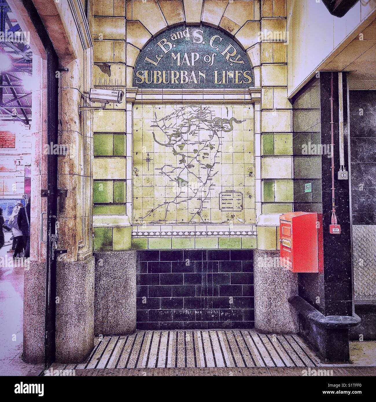 A hidden corner of Victoria train station. Stock Photohttps://www.alamy.com/image-license-details/?v=1https://www.alamy.com/stock-photo-a-hidden-corner-of-victoria-train-station-310940308.html
RMS1TFF0–A hidden corner of Victoria train station.
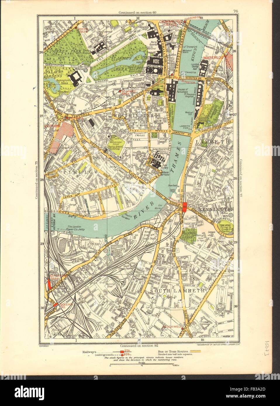 LONDON: Lambeth, Westminster, Victoria, Oval, Waterloo, Charing Cross, 1937 map Stock Photohttps://www.alamy.com/image-license-details/?v=1https://www.alamy.com/stock-photo-london-lambeth-westminster-victoria-oval-waterloo-charing-cross-1937-92886821.html
RFFB3A2D–LONDON: Lambeth, Westminster, Victoria, Oval, Waterloo, Charing Cross, 1937 map
 Victoria, Greater London, United Kingdom, England, N 51 32' 20'', W 0 2' 56'', map, Timeless Map published in 2021. Travelers, explorers and adventurers like Florence Nightingale, David Livingstone, Ernest Shackleton, Lewis and Clark and Sherlock Holmes relied on maps to plan travels to the world's most remote corners, Timeless Maps is mapping most locations on the globe, showing the achievement of great dreams Stock Photohttps://www.alamy.com/image-license-details/?v=1https://www.alamy.com/victoria-greater-london-united-kingdom-england-n-51-32-20-w-0-2-56-map-timeless-map-published-in-2021-travelers-explorers-and-adventurers-like-florence-nightingale-david-livingstone-ernest-shackleton-lewis-and-clark-and-sherlock-holmes-relied-on-maps-to-plan-travels-to-the-worlds-most-remote-corners-timeless-maps-is-mapping-most-locations-on-the-globe-showing-the-achievement-of-great-dreams-image439414363.html
RM2GEW1E3–Victoria, Greater London, United Kingdom, England, N 51 32' 20'', W 0 2' 56'', map, Timeless Map published in 2021. Travelers, explorers and adventurers like Florence Nightingale, David Livingstone, Ernest Shackleton, Lewis and Clark and Sherlock Holmes relied on maps to plan travels to the world's most remote corners, Timeless Maps is mapping most locations on the globe, showing the achievement of great dreams
 Map of Australia 1908 from the book ROMANCE OF EMPIRE : AUSTRALIA BY W. H. LANG WITH TWELVE REPRODUCTIONS FROM ORIGINAL DRAWINGS IN COLOUR BY G. W. LAMBERT Series Edited by John Lang Published London and Edinburgh : T. C. & E. C. Jack in 1908 Stock Photohttps://www.alamy.com/image-license-details/?v=1https://www.alamy.com/map-of-australia-1908-from-the-book-romance-of-empire-australia-by-w-h-lang-with-twelve-reproductions-from-original-drawings-in-colour-by-g-w-lambert-series-edited-by-john-lang-published-london-and-edinburgh-t-c-e-c-jack-in-1908-image465306943.html
RF2J10FN3–Map of Australia 1908 from the book ROMANCE OF EMPIRE : AUSTRALIA BY W. H. LANG WITH TWELVE REPRODUCTIONS FROM ORIGINAL DRAWINGS IN COLOUR BY G. W. LAMBERT Series Edited by John Lang Published London and Edinburgh : T. C. & E. C. Jack in 1908
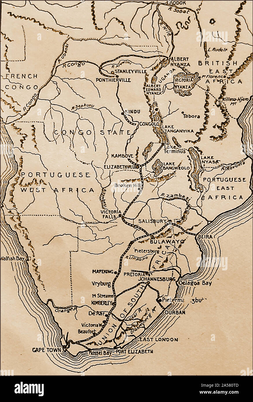 A 1915 map of the Cape to Cairo Railway and its branch lines. Stock Photohttps://www.alamy.com/image-license-details/?v=1https://www.alamy.com/a-1915-map-of-the-cape-to-cairo-railway-and-its-branch-lines-image330246573.html
RM2A580TD–A 1915 map of the Cape to Cairo Railway and its branch lines.
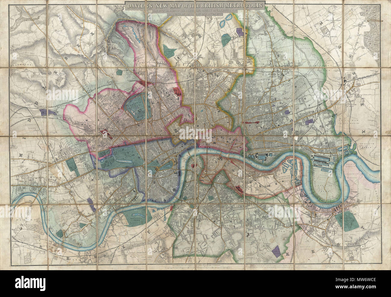 . Davies's New Map of the British Metropolis, The Boundaries of the Boroughs, County Court Districts, Railways, and Modern Improvements. English: A rare, extraordinary, and beautifully engraved 1852 case map or pocket plan of London, England, by B. R. Davies. Covers the center of London from Chiswick east to Bugsby's Reach and the Victoria Docks, extends north as far as Stamford Hill, and south as far as Nunhead Cemetery. Davies first issued this map in 1848 and updated it regularly well into the 1870s. In the period between 1830 and 1865 London experienced an extraordinary period of expansio Stock Photohttps://www.alamy.com/image-license-details/?v=1https://www.alamy.com/daviess-new-map-of-the-british-metropolis-the-boundaries-of-the-boroughs-county-court-districts-railways-and-modern-improvements-english-a-rare-extraordinary-and-beautifully-engraved-1852-case-map-or-pocket-plan-of-london-england-by-b-r-davies-covers-the-center-of-london-from-chiswick-east-to-bugsbys-reach-and-the-victoria-docks-extends-north-as-far-as-stamford-hill-and-south-as-far-as-nunhead-cemetery-davies-first-issued-this-map-in-1848-and-updated-it-regularly-well-into-the-1870s-in-the-period-between-1830-and-1865-london-experienced-an-extraordinary-period-of-expansio-image187621742.html
RMMW6WCE–. Davies's New Map of the British Metropolis, The Boundaries of the Boroughs, County Court Districts, Railways, and Modern Improvements. English: A rare, extraordinary, and beautifully engraved 1852 case map or pocket plan of London, England, by B. R. Davies. Covers the center of London from Chiswick east to Bugsby's Reach and the Victoria Docks, extends north as far as Stamford Hill, and south as far as Nunhead Cemetery. Davies first issued this map in 1848 and updated it regularly well into the 1870s. In the period between 1830 and 1865 London experienced an extraordinary period of expansio
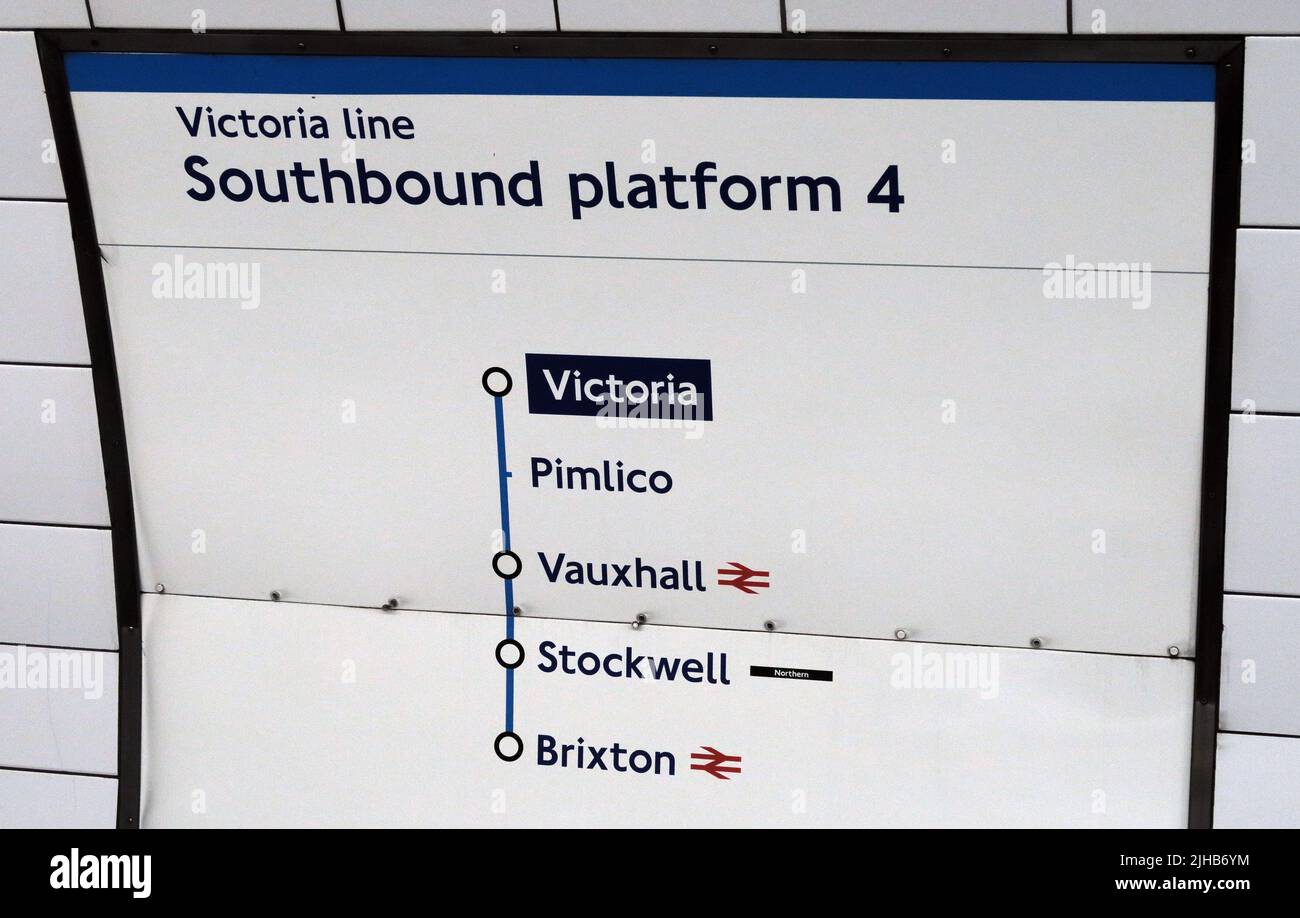 Platform of the Victoria Line - Southbound platform 4,Victoria,Pimlico,Vauxhall,Stockwell,Brixton in London, UK Stock Photohttps://www.alamy.com/image-license-details/?v=1https://www.alamy.com/platform-of-the-victoria-line-southbound-platform-4victoriapimlicovauxhallstockwellbrixton-in-london-uk-image475376040.html
RM2JHB6YM–Platform of the Victoria Line - Southbound platform 4,Victoria,Pimlico,Vauxhall,Stockwell,Brixton in London, UK
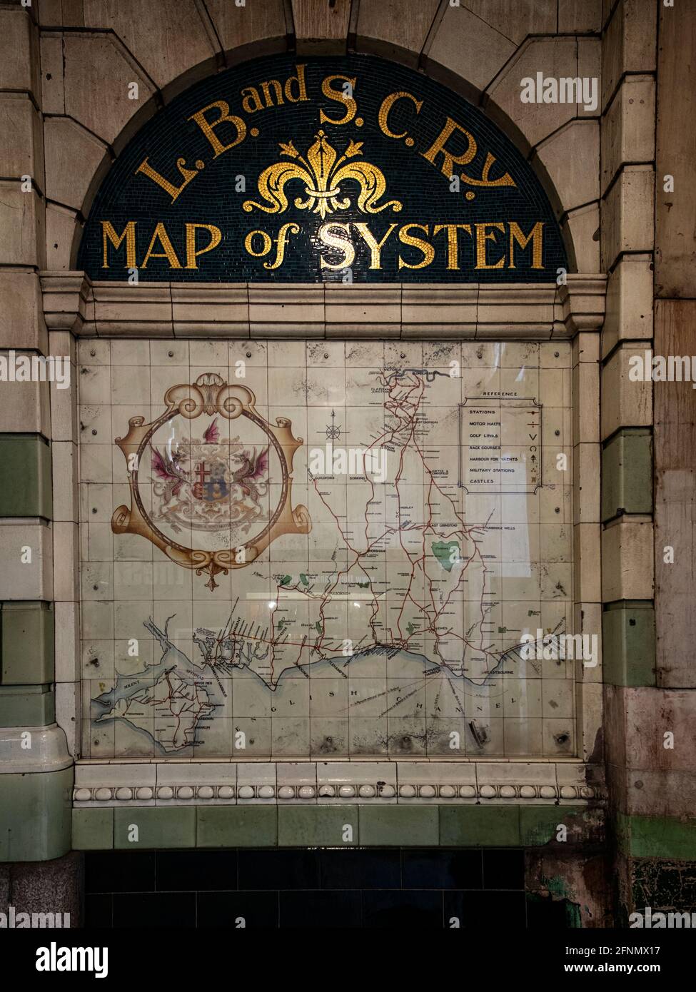 Map at London Victoria station, made from ceramic tiles, showing the routes of the London, Brighton and South Coast Railway (now Southern Rail) Stock Photohttps://www.alamy.com/image-license-details/?v=1https://www.alamy.com/map-at-london-victoria-station-made-from-ceramic-tiles-showing-the-routes-of-the-london-brighton-and-south-coast-railway-now-southern-rail-image426416067.html
RM2FNMX17–Map at London Victoria station, made from ceramic tiles, showing the routes of the London, Brighton and South Coast Railway (now Southern Rail)
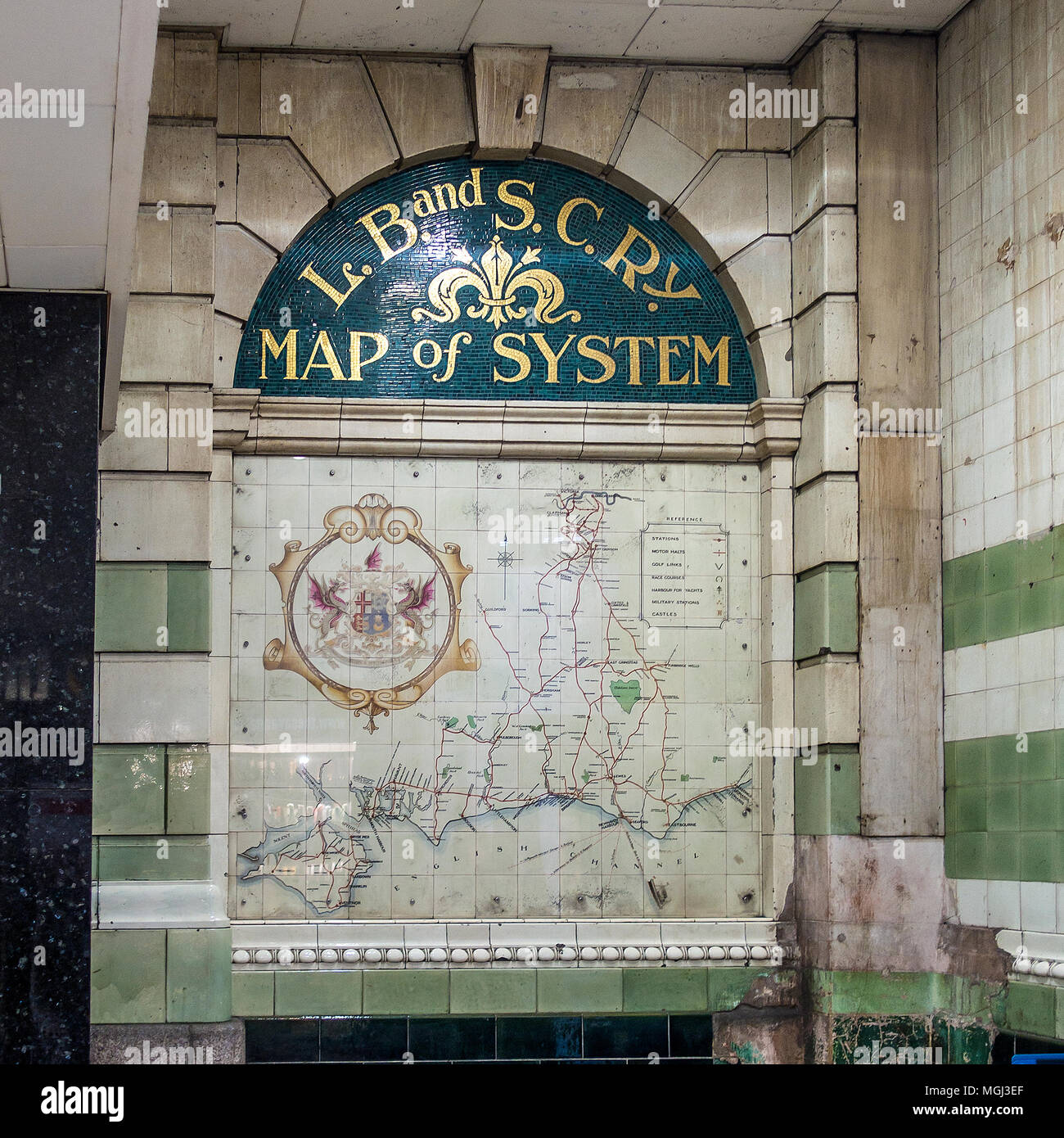 London, Brighton and South Coast Railway,Map,Tiles,LB&SCR,Victoria Station,London,England Stock Photohttps://www.alamy.com/image-license-details/?v=1https://www.alamy.com/london-brighton-and-south-coast-railwaymaptileslbscrvictoria-stationlondonengland-image182336071.html
RMMGJ3EF–London, Brighton and South Coast Railway,Map,Tiles,LB&SCR,Victoria Station,London,England
 LONDON, UK - NOVEMBER 1ST 2015: A map pin marking the location of Victoria station on a London Underground Map, on 1st November Stock Photohttps://www.alamy.com/image-license-details/?v=1https://www.alamy.com/stock-photo-london-uk-november-1st-2015-a-map-pin-marking-the-location-of-victoria-89487658.html
RMF5GEBP–LONDON, UK - NOVEMBER 1ST 2015: A map pin marking the location of Victoria station on a London Underground Map, on 1st November
 London. 1935 – A pictorial map of the River Thames by Helen McKie. This map depicts the stretch of the River Thames from Greenwich to Barking Reach, including Blackwall Reach, Bugsby’s Reach, Woolwich Reach, and Gallions Reach. It is decorated with cartoon images depicting locations of historical interest. Stock Photohttps://www.alamy.com/image-license-details/?v=1https://www.alamy.com/london-1935-a-pictorial-map-of-the-river-thames-by-helen-mckie-this-map-depicts-the-stretch-of-the-river-thames-from-greenwich-to-barking-reach-including-blackwall-reach-bugsbys-reach-woolwich-reach-and-gallions-reach-it-is-decorated-with-cartoon-images-depicting-locations-of-historical-interest-image595785988.html
RM2WH8B30–London. 1935 – A pictorial map of the River Thames by Helen McKie. This map depicts the stretch of the River Thames from Greenwich to Barking Reach, including Blackwall Reach, Bugsby’s Reach, Woolwich Reach, and Gallions Reach. It is decorated with cartoon images depicting locations of historical interest.
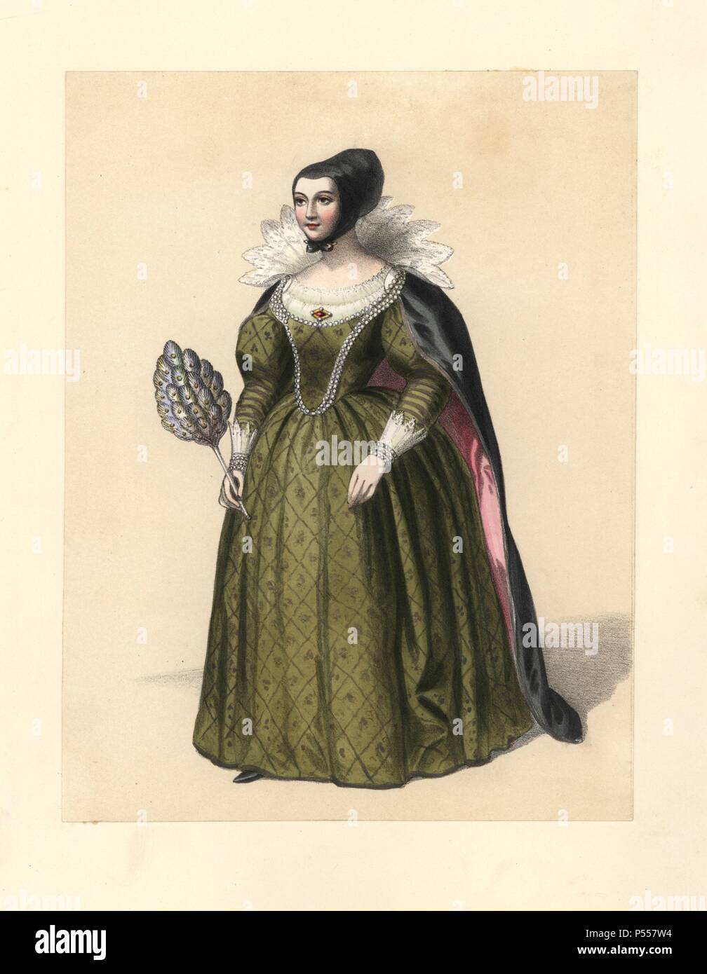 Dress of the reign of James I and Charles I, 16031649. She wears a black hat, tall lace collar, necklace, black mantle over a green puff-sleeved dress with lace cuffs, and carries a peacock feather fan. Portrait of James I's daughter, Elizabeth, Queen of Bohemia, Speed’s “Map of England,” Vansomer’s portrait of the time. Handcoloured lithograph from 'Costumes of British Ladies from the Time of William the First to the Reign of Queen Victoria,” London, Dickinson & Son, 1840. 48 mounted plates of women's fashion from 1066 to 1840 based on effigies, manuscripts, portraits, prints and literary de Stock Photohttps://www.alamy.com/image-license-details/?v=1https://www.alamy.com/dress-of-the-reign-of-james-i-and-charles-i-16031649-she-wears-a-black-hat-tall-lace-collar-necklace-black-mantle-over-a-green-puff-sleeved-dress-with-lace-cuffs-and-carries-a-peacock-feather-fan-portrait-of-james-is-daughter-elizabeth-queen-of-bohemia-speeds-map-of-england-vansomers-portrait-of-the-time-handcoloured-lithograph-from-costumes-of-british-ladies-from-the-time-of-william-the-first-to-the-reign-of-queen-victoria-london-dickinson-son-1840-48-mounted-plates-of-womens-fashion-from-1066-to-1840-based-on-effigies-manuscripts-portraits-prints-and-literary-de-image209713648.html
RMP557W4–Dress of the reign of James I and Charles I, 16031649. She wears a black hat, tall lace collar, necklace, black mantle over a green puff-sleeved dress with lace cuffs, and carries a peacock feather fan. Portrait of James I's daughter, Elizabeth, Queen of Bohemia, Speed’s “Map of England,” Vansomer’s portrait of the time. Handcoloured lithograph from 'Costumes of British Ladies from the Time of William the First to the Reign of Queen Victoria,” London, Dickinson & Son, 1840. 48 mounted plates of women's fashion from 1066 to 1840 based on effigies, manuscripts, portraits, prints and literary de
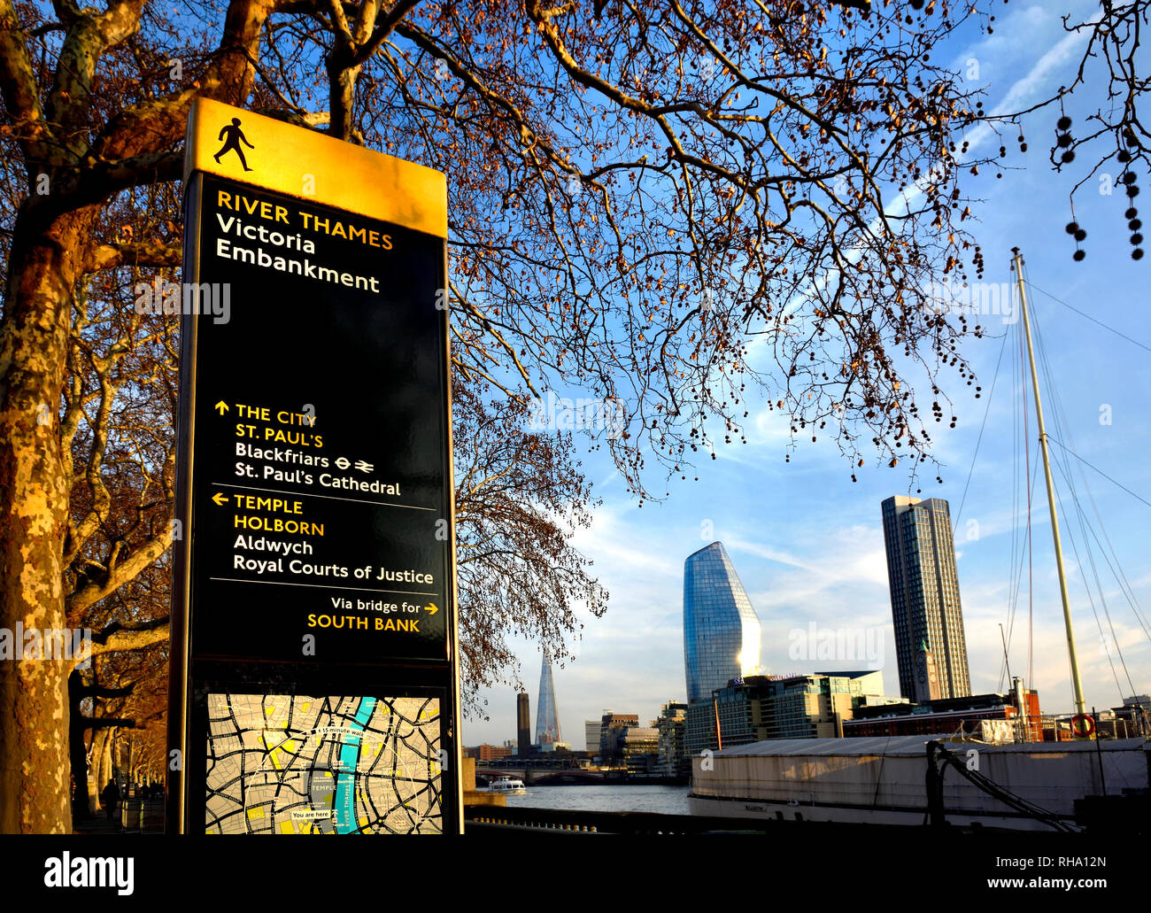 London, England, UK. River Thames, tourist information map and buildings on the South Bank seen from the Victoria Embankment. Stock Photohttps://www.alamy.com/image-license-details/?v=1https://www.alamy.com/london-england-uk-river-thames-tourist-information-map-and-buildings-on-the-south-bank-seen-from-the-victoria-embankment-image234404317.html
RMRHA12N–London, England, UK. River Thames, tourist information map and buildings on the South Bank seen from the Victoria Embankment.
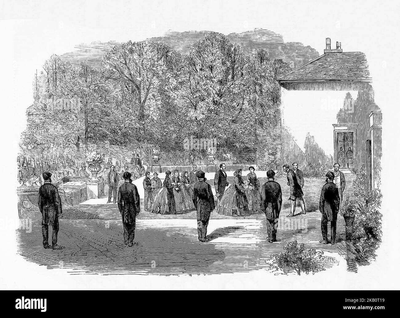 A reception by Viscount Castlerosse for Queen Victoria and her husband Prince Albert in Killarney House, County Kerry during the monarch's third trip to Ireland in August, 1861. The eight-day visit was to be extremely important for the Irish tourism industry and is credited with putting Killarney on the Irish tourism map. Stock Photohttps://www.alamy.com/image-license-details/?v=1https://www.alamy.com/a-reception-by-viscount-castlerosse-for-queen-victoria-and-her-husband-prince-albert-in-killarney-house-county-kerry-during-the-monarchs-third-trip-to-ireland-in-august-1861-the-eight-day-visit-was-to-be-extremely-important-for-the-irish-tourism-industry-and-is-credited-with-putting-killarney-on-the-irish-tourism-map-image488670373.html
RM2KB0T19–A reception by Viscount Castlerosse for Queen Victoria and her husband Prince Albert in Killarney House, County Kerry during the monarch's third trip to Ireland in August, 1861. The eight-day visit was to be extremely important for the Irish tourism industry and is credited with putting Killarney on the Irish tourism map.
 Victoria Westminster London England UK, November 7 2021, Pedestrian Or Tourist Information Route Sign Westminster Victoria Steet Central London Stock Photohttps://www.alamy.com/image-license-details/?v=1https://www.alamy.com/victoria-westminster-london-england-uk-november-7-2021-pedestrian-or-tourist-information-route-sign-westminster-victoria-steet-central-london-image451720991.html
RM2H6WJMF–Victoria Westminster London England UK, November 7 2021, Pedestrian Or Tourist Information Route Sign Westminster Victoria Steet Central London
!['Port of London Authority - Map', 1937. The River Thames in London, showing 'Extensions & Improvements...1909-1937...New Docks, Deepened Docks, Deepened River Channel, New and Reconditioned Buildings, Bridges etc'. Also shown are East India Dock; Bow Creek; tidal basin; the Royal Victoria, Royal Albert and King George V Docks; dry docks; Custom House Station; Connaught Road Station; Silvertown Station; North Woolwich Station and Woolwich Reach. From "The Said Noble River", by Alan Bell. [The Port of London Authority, London, 1937] Stock Photo 'Port of London Authority - Map', 1937. The River Thames in London, showing 'Extensions & Improvements...1909-1937...New Docks, Deepened Docks, Deepened River Channel, New and Reconditioned Buildings, Bridges etc'. Also shown are East India Dock; Bow Creek; tidal basin; the Royal Victoria, Royal Albert and King George V Docks; dry docks; Custom House Station; Connaught Road Station; Silvertown Station; North Woolwich Station and Woolwich Reach. From "The Said Noble River", by Alan Bell. [The Port of London Authority, London, 1937] Stock Photo](https://c8.alamy.com/comp/2MBBW0W/port-of-london-authority-map-1937-the-river-thames-in-london-showing-extensions-amp-improvements1909-1937new-docks-deepened-docks-deepened-river-channel-new-and-reconditioned-buildings-bridges-etc-also-shown-are-east-india-dock-bow-creek-tidal-basin-the-royal-victoria-royal-albert-and-king-george-v-docks-dry-docks-custom-house-station-connaught-road-station-silvertown-station-north-woolwich-station-and-woolwich-reach-from-quotthe-said-noble-riverquot-by-alan-bell-the-port-of-london-authority-london-1937-2MBBW0W.jpg) 'Port of London Authority - Map', 1937. The River Thames in London, showing 'Extensions & Improvements...1909-1937...New Docks, Deepened Docks, Deepened River Channel, New and Reconditioned Buildings, Bridges etc'. Also shown are East India Dock; Bow Creek; tidal basin; the Royal Victoria, Royal Albert and King George V Docks; dry docks; Custom House Station; Connaught Road Station; Silvertown Station; North Woolwich Station and Woolwich Reach. From "The Said Noble River", by Alan Bell. [The Port of London Authority, London, 1937] Stock Photohttps://www.alamy.com/image-license-details/?v=1https://www.alamy.com/port-of-london-authority-map-1937-the-river-thames-in-london-showing-extensions-amp-improvements1909-1937new-docks-deepened-docks-deepened-river-channel-new-and-reconditioned-buildings-bridges-etc-also-shown-are-east-india-dock-bow-creek-tidal-basin-the-royal-victoria-royal-albert-and-king-george-v-docks-dry-docks-custom-house-station-connaught-road-station-silvertown-station-north-woolwich-station-and-woolwich-reach-from-quotthe-said-noble-riverquot-by-alan-bell-the-port-of-london-authority-london-1937-image506122985.html
'Port of London Authority - Map', 1937. The River Thames in London, showing 'Extensions & Improvements...1909-1937...New Docks, Deepened Docks, Deepened River Channel, New and Reconditioned Buildings, Bridges etc'. Also shown are East India Dock; Bow Creek; tidal basin; the Royal Victoria, Royal Albert and King George V Docks; dry docks; Custom House Station; Connaught Road Station; Silvertown Station; North Woolwich Station and Woolwich Reach. From "The Said Noble River", by Alan Bell. [The Port of London Authority, London, 1937] Stock Photohttps://www.alamy.com/image-license-details/?v=1https://www.alamy.com/port-of-london-authority-map-1937-the-river-thames-in-london-showing-extensions-amp-improvements1909-1937new-docks-deepened-docks-deepened-river-channel-new-and-reconditioned-buildings-bridges-etc-also-shown-are-east-india-dock-bow-creek-tidal-basin-the-royal-victoria-royal-albert-and-king-george-v-docks-dry-docks-custom-house-station-connaught-road-station-silvertown-station-north-woolwich-station-and-woolwich-reach-from-quotthe-said-noble-riverquot-by-alan-bell-the-port-of-london-authority-london-1937-image506122985.htmlRM2MBBW0W–'Port of London Authority - Map', 1937. The River Thames in London, showing 'Extensions & Improvements...1909-1937...New Docks, Deepened Docks, Deepened River Channel, New and Reconditioned Buildings, Bridges etc'. Also shown are East India Dock; Bow Creek; tidal basin; the Royal Victoria, Royal Albert and King George V Docks; dry docks; Custom House Station; Connaught Road Station; Silvertown Station; North Woolwich Station and Woolwich Reach. From "The Said Noble River", by Alan Bell. [The Port of London Authority, London, 1937]
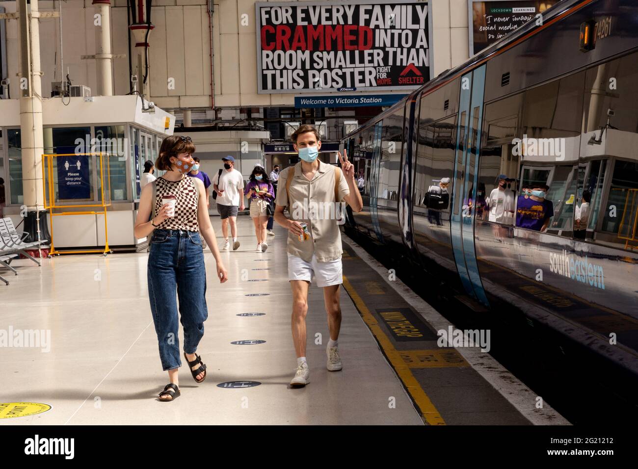 London, United Kingdom, June 7, 2021. Commuters walk through the entrance of London Victoria train station as Coronavirus restrictions ease and the economy start to pick up. The Prime Minister Boris Johnson has set a road map on easing the restrictions. (Dominika Zarzycka/Alamy) Credit: Dominika Zarzycka/Alamy Live News Stock Photohttps://www.alamy.com/image-license-details/?v=1https://www.alamy.com/london-united-kingdom-june-7-2021-commuters-walk-through-the-entrance-of-london-victoria-train-station-as-coronavirus-restrictions-ease-and-the-economy-start-to-pick-up-the-prime-minister-boris-johnson-has-set-a-road-map-on-easing-the-restrictions-dominika-zarzyckaalamy-credit-dominika-zarzyckaalamy-live-news-image431512062.html
RM2G21212–London, United Kingdom, June 7, 2021. Commuters walk through the entrance of London Victoria train station as Coronavirus restrictions ease and the economy start to pick up. The Prime Minister Boris Johnson has set a road map on easing the restrictions. (Dominika Zarzycka/Alamy) Credit: Dominika Zarzycka/Alamy Live News
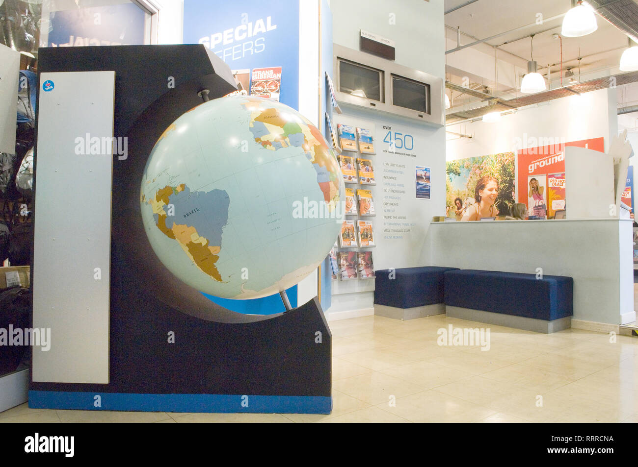 STA Travel, Victoria, London, with posters and in-store advertising. Stock Photohttps://www.alamy.com/image-license-details/?v=1https://www.alamy.com/sta-travel-victoria-london-with-posters-and-in-store-advertising-image238386774.html
RMRRRCNA–STA Travel, Victoria, London, with posters and in-store advertising.
 Passengers and staff at the Victoria Bus station London Stock Photohttps://www.alamy.com/image-license-details/?v=1https://www.alamy.com/stock-photo-passengers-and-staff-at-the-victoria-bus-station-london-16536108.html
RMAWC97W–Passengers and staff at the Victoria Bus station London
 1593 plan Westminster map cartographic river Thames London Greater capital city England English Britain British UK United Kingdo Stock Photohttps://www.alamy.com/image-license-details/?v=1https://www.alamy.com/stock-photo-1593-plan-westminster-map-cartographic-river-thames-london-greater-15266557.html
RFAMHARX–1593 plan Westminster map cartographic river Thames London Greater capital city England English Britain British UK United Kingdo
 LONDON. Lambeth, Westminster, Victoria, Oval, Waterloo, Charing Cross, 1933 map Stock Photohttps://www.alamy.com/image-license-details/?v=1https://www.alamy.com/stock-photo-london-lambeth-westminster-victoria-oval-waterloo-charing-cross-1933-93006649.html
RFFB8PX1–LONDON. Lambeth, Westminster, Victoria, Oval, Waterloo, Charing Cross, 1933 map
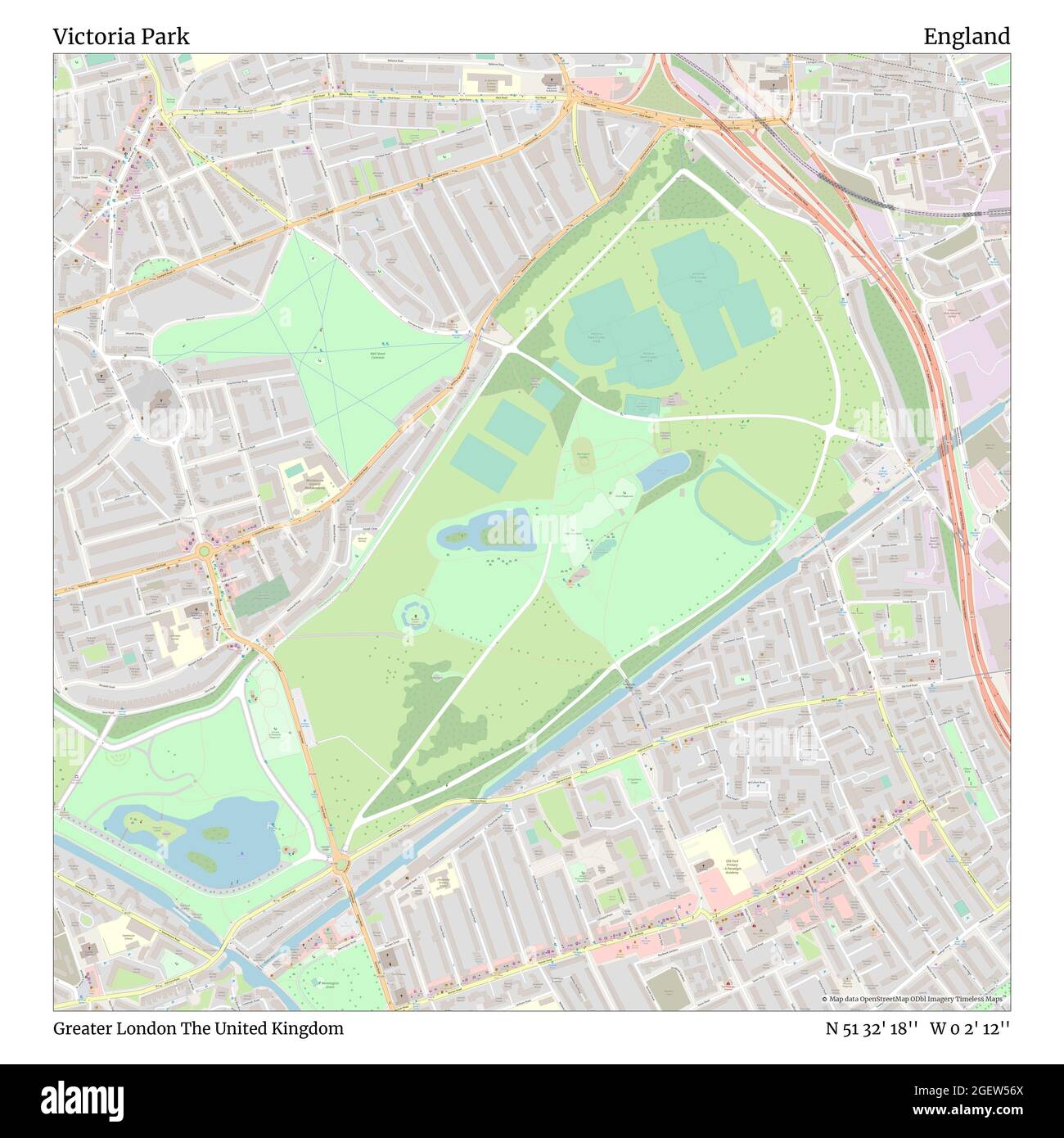 Victoria Park, Greater London, United Kingdom, England, N 51 32' 18'', W 0 2' 12'', map, Timeless Map published in 2021. Travelers, explorers and adventurers like Florence Nightingale, David Livingstone, Ernest Shackleton, Lewis and Clark and Sherlock Holmes relied on maps to plan travels to the world's most remote corners, Timeless Maps is mapping most locations on the globe, showing the achievement of great dreams Stock Photohttps://www.alamy.com/image-license-details/?v=1https://www.alamy.com/victoria-park-greater-london-united-kingdom-england-n-51-32-18-w-0-2-12-map-timeless-map-published-in-2021-travelers-explorers-and-adventurers-like-florence-nightingale-david-livingstone-ernest-shackleton-lewis-and-clark-and-sherlock-holmes-relied-on-maps-to-plan-travels-to-the-worlds-most-remote-corners-timeless-maps-is-mapping-most-locations-on-the-globe-showing-the-achievement-of-great-dreams-image439417298.html
RM2GEW56X–Victoria Park, Greater London, United Kingdom, England, N 51 32' 18'', W 0 2' 12'', map, Timeless Map published in 2021. Travelers, explorers and adventurers like Florence Nightingale, David Livingstone, Ernest Shackleton, Lewis and Clark and Sherlock Holmes relied on maps to plan travels to the world's most remote corners, Timeless Maps is mapping most locations on the globe, showing the achievement of great dreams
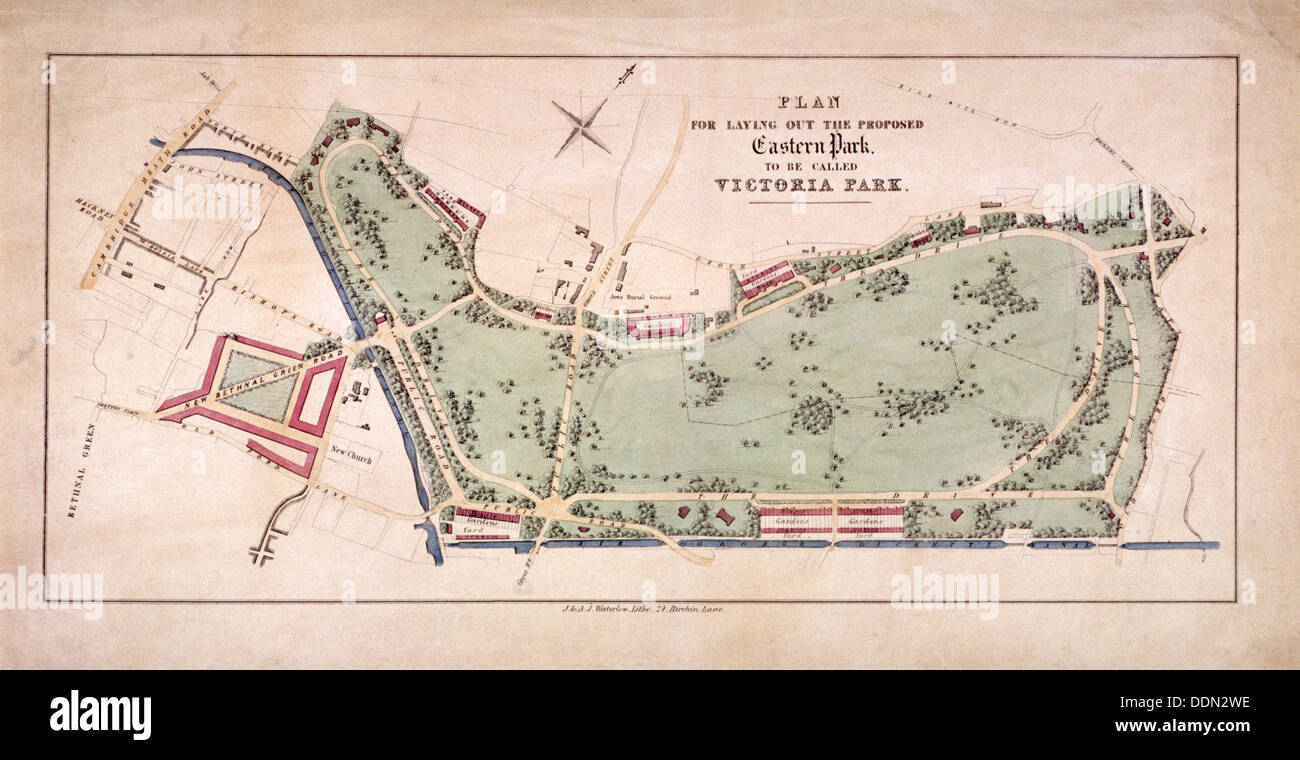 Proposed plan for Victoria Park, Hackney, London, c1845. Artist: Sir Ernest Albert Waterlow Stock Photohttps://www.alamy.com/image-license-details/?v=1https://www.alamy.com/proposed-plan-for-victoria-park-hackney-london-c1845-artist-sir-ernest-image60084906.html
RMDDN2WE–Proposed plan for Victoria Park, Hackney, London, c1845. Artist: Sir Ernest Albert Waterlow
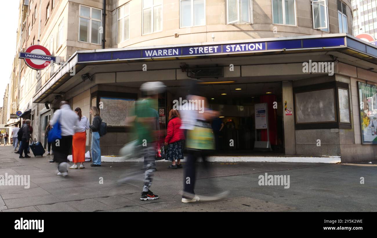 Warren street tube station, London Stock Photohttps://www.alamy.com/image-license-details/?v=1https://www.alamy.com/warren-street-tube-station-london-image623065898.html
RF2Y5K2WE–Warren street tube station, London
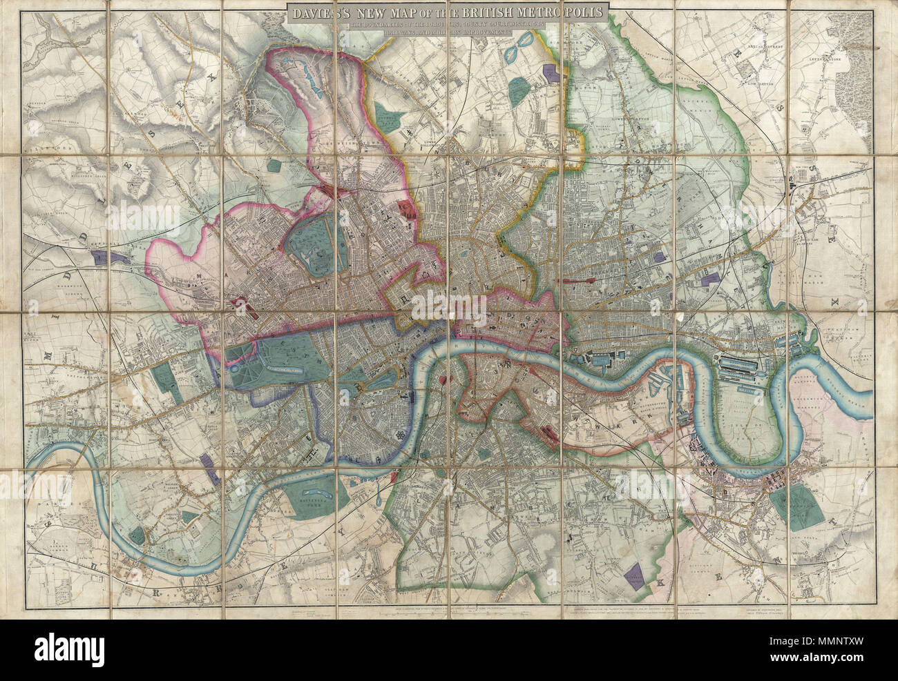 . English: A rare, extraordinary, and beautifully engraved 1852 case map or pocket plan of London, England, by B. R. Davies. Covers the center of London from Chiswick east to Bugsby's Reach and the Victoria Docks, extends north as far as Stamford Hill, and south as far as Nunhead Cemetery. Davies first issued this map in 1848 and updated it regularly well into the 1870s. In the period between 1830 and 1865 London experienced an extraordinary period of expansion and growth as new railroads increasingly brought suburban communities into the urban fold. Davies's annually updated maps are conside Stock Photohttps://www.alamy.com/image-license-details/?v=1https://www.alamy.com/english-a-rare-extraordinary-and-beautifully-engraved-1852-case-map-or-pocket-plan-of-london-england-by-b-r-davies-covers-the-center-of-london-from-chiswick-east-to-bugsbys-reach-and-the-victoria-docks-extends-north-as-far-as-stamford-hill-and-south-as-far-as-nunhead-cemetery-davies-first-issued-this-map-in-1848-and-updated-it-regularly-well-into-the-1870s-in-the-period-between-1830-and-1865-london-experienced-an-extraordinary-period-of-expansion-and-growth-as-new-railroads-increasingly-brought-suburban-communities-into-the-urban-fold-daviess-annually-updated-maps-are-conside-image184877361.html
RMMMNTXW–. English: A rare, extraordinary, and beautifully engraved 1852 case map or pocket plan of London, England, by B. R. Davies. Covers the center of London from Chiswick east to Bugsby's Reach and the Victoria Docks, extends north as far as Stamford Hill, and south as far as Nunhead Cemetery. Davies first issued this map in 1848 and updated it regularly well into the 1870s. In the period between 1830 and 1865 London experienced an extraordinary period of expansion and growth as new railroads increasingly brought suburban communities into the urban fold. Davies's annually updated maps are conside
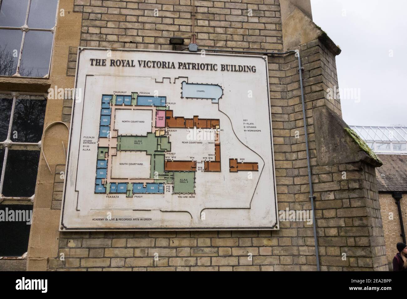 The Royal Victoria Patriotic Asylum, Trinity Road, Wandsworth, London, U.K. Stock Photohttps://www.alamy.com/image-license-details/?v=1https://www.alamy.com/the-royal-victoria-patriotic-asylum-trinity-road-wandsworth-london-uk-image402038190.html
RM2EA2BPP–The Royal Victoria Patriotic Asylum, Trinity Road, Wandsworth, London, U.K.
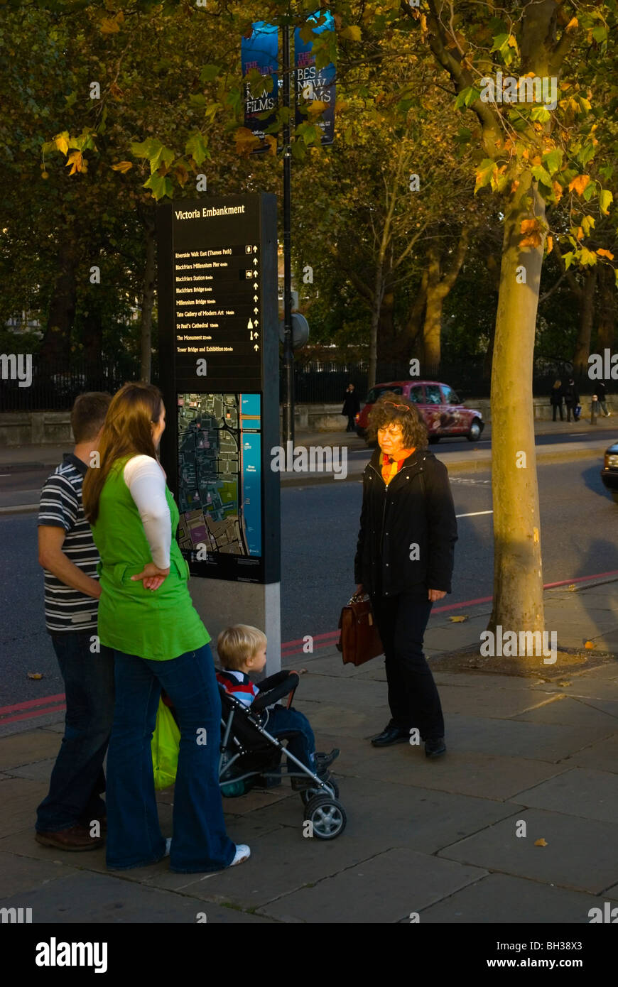 Victoria embankment London England UK Stock Photohttps://www.alamy.com/image-license-details/?v=1https://www.alamy.com/stock-photo-victoria-embankment-london-england-uk-27732379.html
RMBH38X3–Victoria embankment London England UK
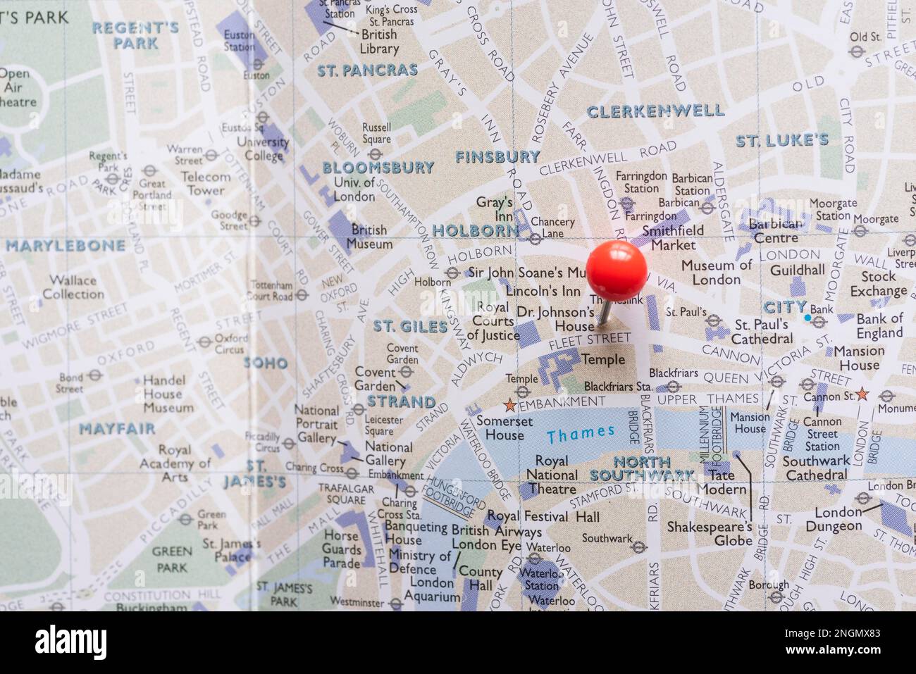 west end london map with pin Stock Photohttps://www.alamy.com/image-license-details/?v=1https://www.alamy.com/west-end-london-map-with-pin-image526605187.html
RF2NGMX83–west end london map with pin
 LONDON, UK - NOVEMBER 1ST 2015: A map pin marking the location of Victoria station on a London Underground Map, on 1st November Stock Photohttps://www.alamy.com/image-license-details/?v=1https://www.alamy.com/stock-photo-london-uk-november-1st-2015-a-map-pin-marking-the-location-of-victoria-89487651.html
RMF5GEBF–LONDON, UK - NOVEMBER 1ST 2015: A map pin marking the location of Victoria station on a London Underground Map, on 1st November
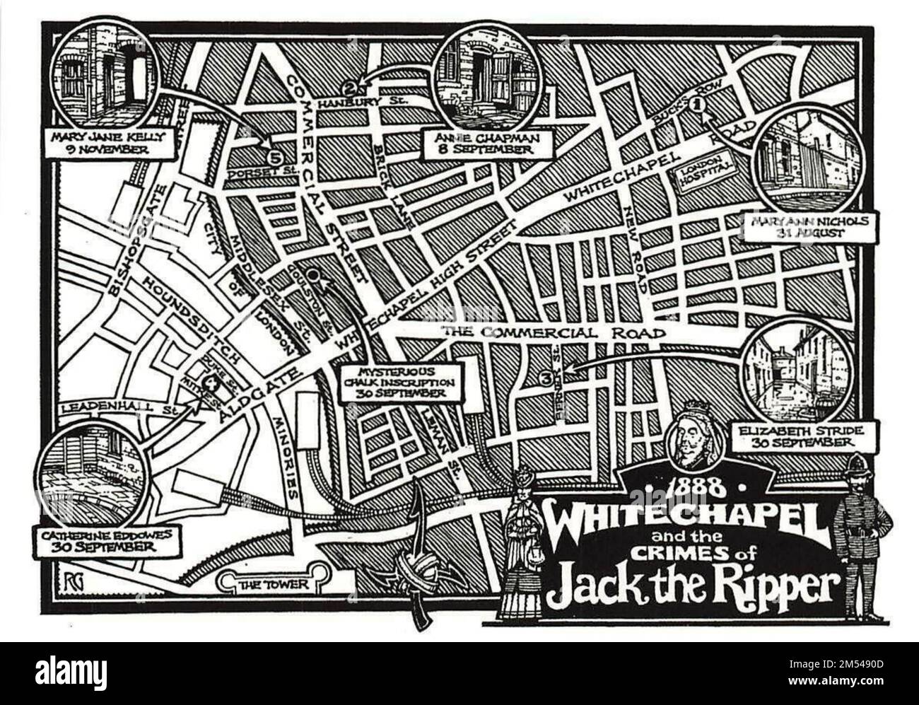 Vintage reproduction of 1888 Whitechapel, London depicting 'Jack the Ripper' crimes location map Stock Photohttps://www.alamy.com/image-license-details/?v=1https://www.alamy.com/vintage-reproduction-of-1888-whitechapel-london-depicting-jack-the-ripper-crimes-location-map-image502268829.html
RF2M5490D–Vintage reproduction of 1888 Whitechapel, London depicting 'Jack the Ripper' crimes location map
 A Sheet of Studies of Flowers: A Rose, a Heartsease, a Sweet Pea, a Garden Pea, and a Lax-flowered Orchid. Artist: Jacques Le Moyne de Morgues (French, Dieppe ca. 1533-1588 London). Dimensions: 8 5/16 x 5 7/8 in. (21.1 x 15 cm). Date: 16th century. Born in Dieppe, a center for cartography and manuscript illumination, Le Moyne de Morgues emigrated to London, probably following the Huguenot massacres of 1572. This sheet of flower studies belongs to a group which has recently come to light. They are stylistically similar to a set of 59 watercolors in the Victoria and Albert Museum which bear ins Stock Photohttps://www.alamy.com/image-license-details/?v=1https://www.alamy.com/a-sheet-of-studies-of-flowers-a-rose-a-heartsease-a-sweet-pea-a-garden-pea-and-a-lax-flowered-orchid-artist-jacques-le-moyne-de-morgues-french-dieppe-ca-1533-1588-london-dimensions-8-516-x-5-78-in-211-x-15-cm-date-16th-century-born-in-dieppe-a-center-for-cartography-and-manuscript-illumination-le-moyne-de-morgues-emigrated-to-london-probably-following-the-huguenot-massacres-of-1572-this-sheet-of-flower-studies-belongs-to-a-group-which-has-recently-come-to-light-they-are-stylistically-similar-to-a-set-of-59-watercolors-in-the-victoria-and-albert-museum-which-bear-ins-image212898083.html
RMPAA9JY–A Sheet of Studies of Flowers: A Rose, a Heartsease, a Sweet Pea, a Garden Pea, and a Lax-flowered Orchid. Artist: Jacques Le Moyne de Morgues (French, Dieppe ca. 1533-1588 London). Dimensions: 8 5/16 x 5 7/8 in. (21.1 x 15 cm). Date: 16th century. Born in Dieppe, a center for cartography and manuscript illumination, Le Moyne de Morgues emigrated to London, probably following the Huguenot massacres of 1572. This sheet of flower studies belongs to a group which has recently come to light. They are stylistically similar to a set of 59 watercolors in the Victoria and Albert Museum which bear ins
 two teenage boys waiting for the Changing of the Guard outside Buckingham Palace in London Stock Photohttps://www.alamy.com/image-license-details/?v=1https://www.alamy.com/stock-photo-two-teenage-boys-waiting-for-the-changing-of-the-guard-outside-buckingham-19586480.html
RMB3T6N4–two teenage boys waiting for the Changing of the Guard outside Buckingham Palace in London
 The royal party of Queen Victoria and her husband Prince Albert visiting Lord Castlerosse's lakeside cottage at Glenna on the Killarney Lakes in County Kerry. The monarch's third trip to Ireland in August, 1861 was to be extremely important for the Irish tourism industry and is credited with putting Killarney on the Irish tourism map. Stock Photohttps://www.alamy.com/image-license-details/?v=1https://www.alamy.com/the-royal-party-of-queen-victoria-and-her-husband-prince-albert-visiting-lord-castlerosses-lakeside-cottage-at-glenna-on-the-killarney-lakes-in-county-kerry-the-monarchs-third-trip-to-ireland-in-august-1861-was-to-be-extremely-important-for-the-irish-tourism-industry-and-is-credited-with-putting-killarney-on-the-irish-tourism-map-image488670588.html
RM2KB0T90–The royal party of Queen Victoria and her husband Prince Albert visiting Lord Castlerosse's lakeside cottage at Glenna on the Killarney Lakes in County Kerry. The monarch's third trip to Ireland in August, 1861 was to be extremely important for the Irish tourism industry and is credited with putting Killarney on the Irish tourism map.
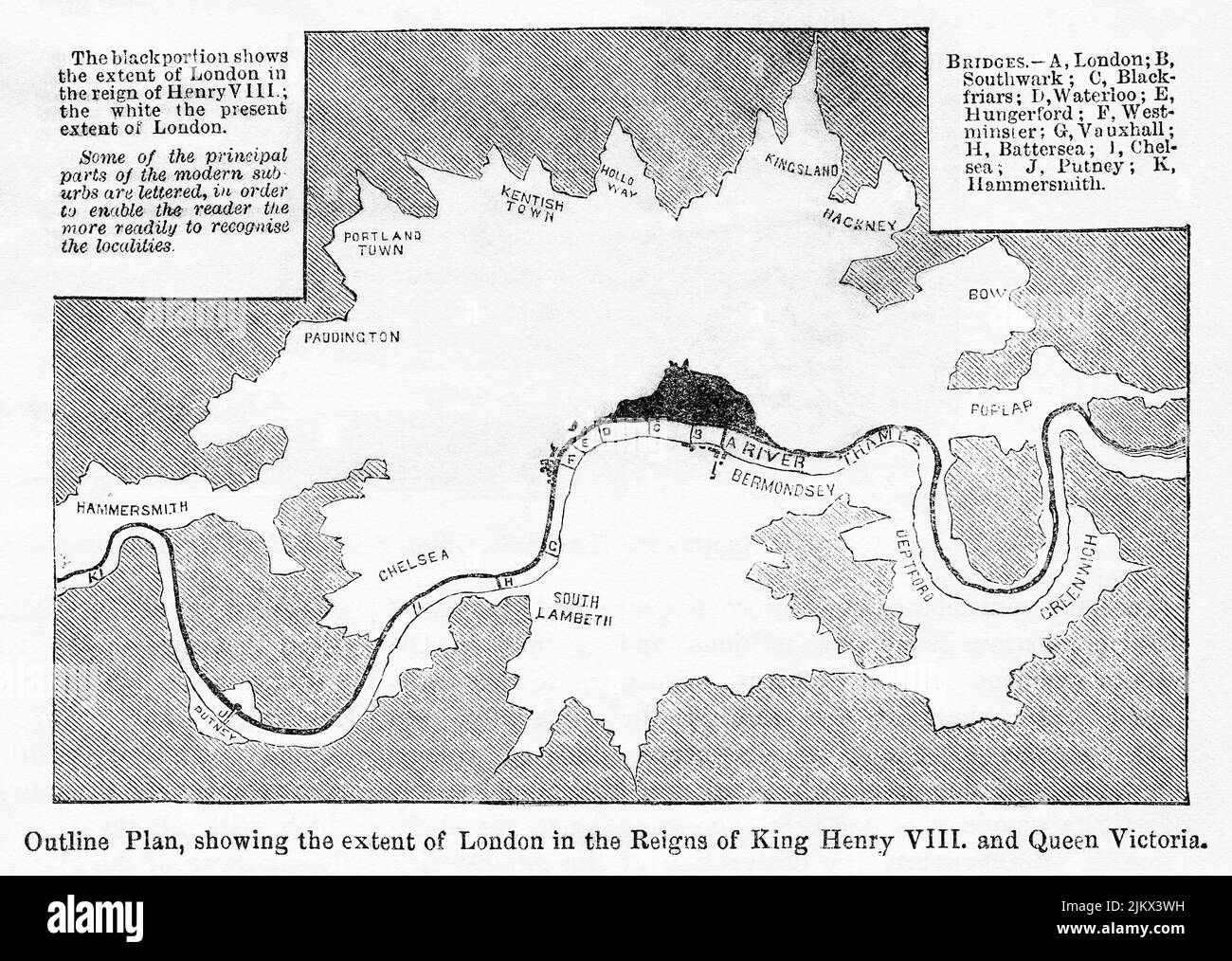 Outline Plan, showing the extent of London in the Reigns of King Henry VIII and Queen Victoria, 16th century, Illustration from the Book, 'John Cassel’s Illustrated History of England, Volume II', text by William Howitt, Cassell, Petter, and Galpin, London, 1858 Stock Photohttps://www.alamy.com/image-license-details/?v=1https://www.alamy.com/outline-plan-showing-the-extent-of-london-in-the-reigns-of-king-henry-viii-and-queen-victoria-16th-century-illustration-from-the-book-john-cassels-illustrated-history-of-england-volume-ii-text-by-william-howitt-cassell-petter-and-galpin-london-1858-image476932221.html
RM2JKX3WH–Outline Plan, showing the extent of London in the Reigns of King Henry VIII and Queen Victoria, 16th century, Illustration from the Book, 'John Cassel’s Illustrated History of England, Volume II', text by William Howitt, Cassell, Petter, and Galpin, London, 1858
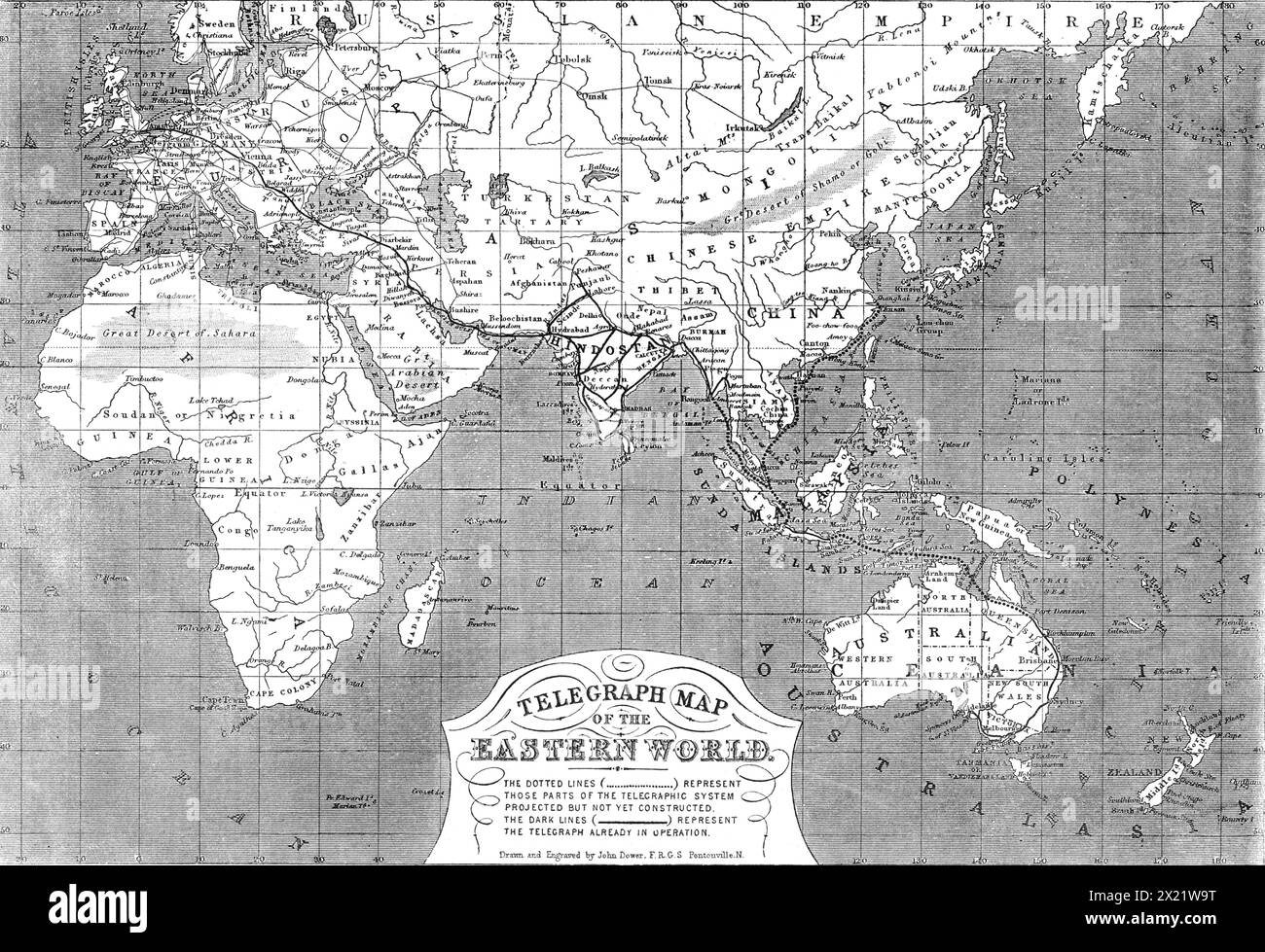 Telegraph map of the Eastern World, 1865. Map showing '...the progress of telegraphic communication from England in the directions of India, China, and the British colonies...It is owing to the immense growth of English commerce and colonisation in those distant regions, as well as to the political and military exigencies of our Indian empire, since the government of the East India Company was superseded by the direct rule of Queen Victoria after the suppression of the revolt of 1857, that the necessity for a speedy transmission of messages between London and the remotest of the British provin Stock Photohttps://www.alamy.com/image-license-details/?v=1https://www.alamy.com/telegraph-map-of-the-eastern-world-1865-map-showing-the-progress-of-telegraphic-communication-from-england-in-the-directions-of-india-china-and-the-british-coloniesit-is-owing-to-the-immense-growth-of-english-commerce-and-colonisation-in-those-distant-regions-as-well-as-to-the-political-and-military-exigencies-of-our-indian-empire-since-the-government-of-the-east-india-company-was-superseded-by-the-direct-rule-of-queen-victoria-after-the-suppression-of-the-revolt-of-1857-that-the-necessity-for-a-speedy-transmission-of-messages-between-london-and-the-remotest-of-the-british-provin-image603634020.html
RM2X21W9T–Telegraph map of the Eastern World, 1865. Map showing '...the progress of telegraphic communication from England in the directions of India, China, and the British colonies...It is owing to the immense growth of English commerce and colonisation in those distant regions, as well as to the political and military exigencies of our Indian empire, since the government of the East India Company was superseded by the direct rule of Queen Victoria after the suppression of the revolt of 1857, that the necessity for a speedy transmission of messages between London and the remotest of the British provin
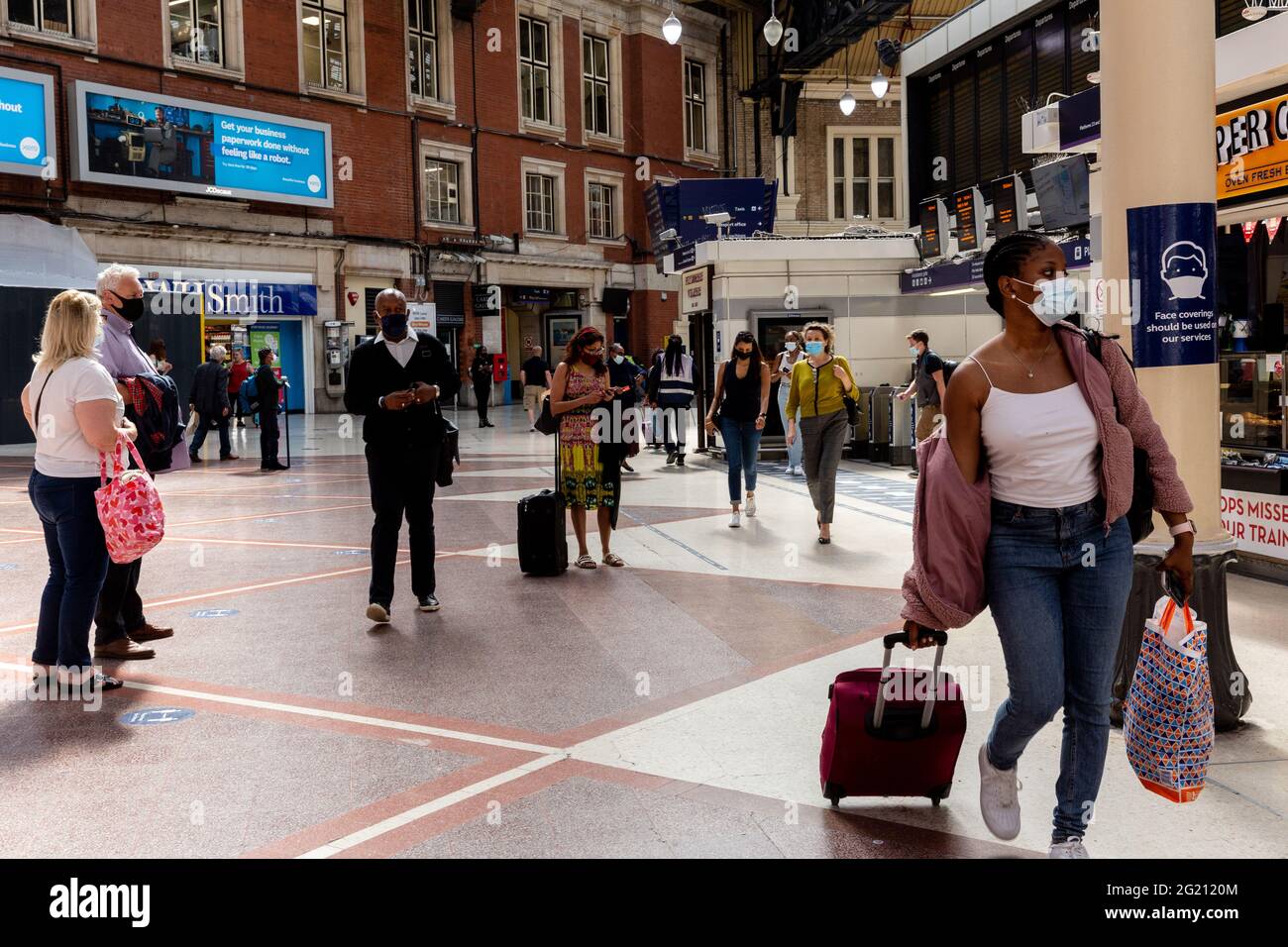 London, United Kingdom, June 7, 2021. Commuters walk through the entrance of London Victoria train station as Coronavirus restrictions ease and the economy start to pick up. The Prime Minister Boris Johnson has set a road map on easing the restrictions. (Dominika Zarzycka/Alamy) Credit: Dominika Zarzycka/Alamy Live News Stock Photohttps://www.alamy.com/image-license-details/?v=1https://www.alamy.com/london-united-kingdom-june-7-2021-commuters-walk-through-the-entrance-of-london-victoria-train-station-as-coronavirus-restrictions-ease-and-the-economy-start-to-pick-up-the-prime-minister-boris-johnson-has-set-a-road-map-on-easing-the-restrictions-dominika-zarzyckaalamy-credit-dominika-zarzyckaalamy-live-news-image431512052.html
RM2G2120M–London, United Kingdom, June 7, 2021. Commuters walk through the entrance of London Victoria train station as Coronavirus restrictions ease and the economy start to pick up. The Prime Minister Boris Johnson has set a road map on easing the restrictions. (Dominika Zarzycka/Alamy) Credit: Dominika Zarzycka/Alamy Live News
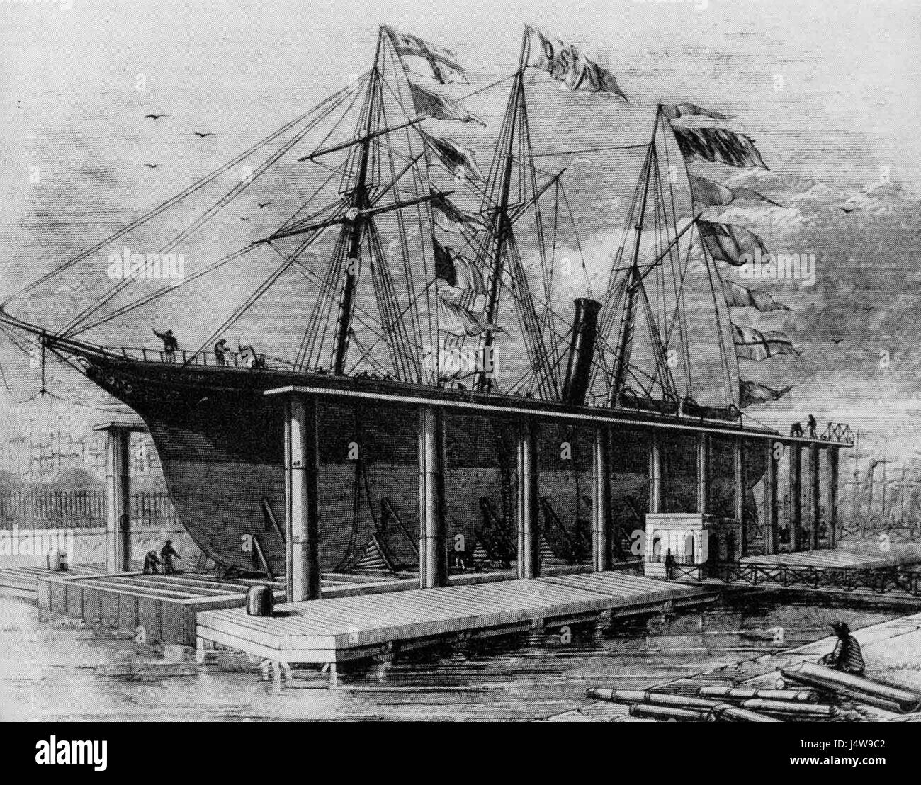 Victoria Docks, London Stock Photohttps://www.alamy.com/image-license-details/?v=1https://www.alamy.com/stock-photo-victoria-docks-london-140697762.html
RMJ4W9C2–Victoria Docks, London
 VICTORIA PARK STABBING Stock Photohttps://www.alamy.com/image-license-details/?v=1https://www.alamy.com/stock-photo-victoria-park-stabbing-107116438.html
RMG67G32–VICTORIA PARK STABBING
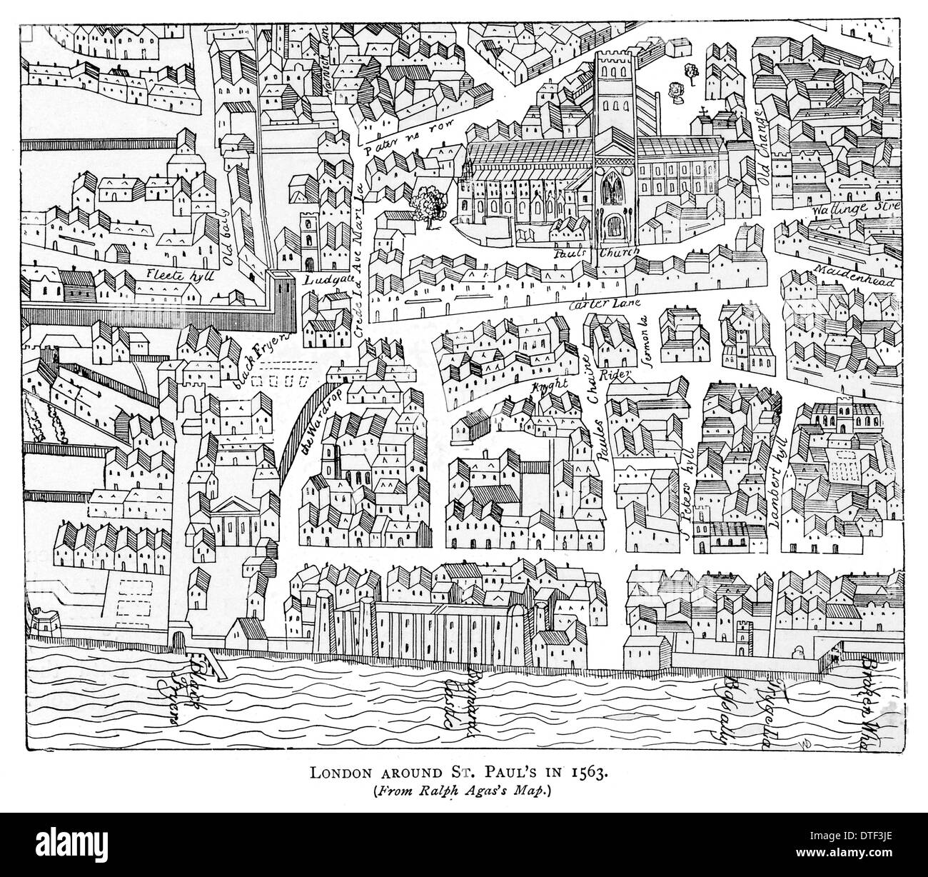 London around Saint Paul's in 1563. From Ralph Agas's map. Stock Photohttps://www.alamy.com/image-license-details/?v=1https://www.alamy.com/london-around-saint-pauls-in-1563-from-ralph-agass-map-image66714998.html
RFDTF3JE–London around Saint Paul's in 1563. From Ralph Agas's map.
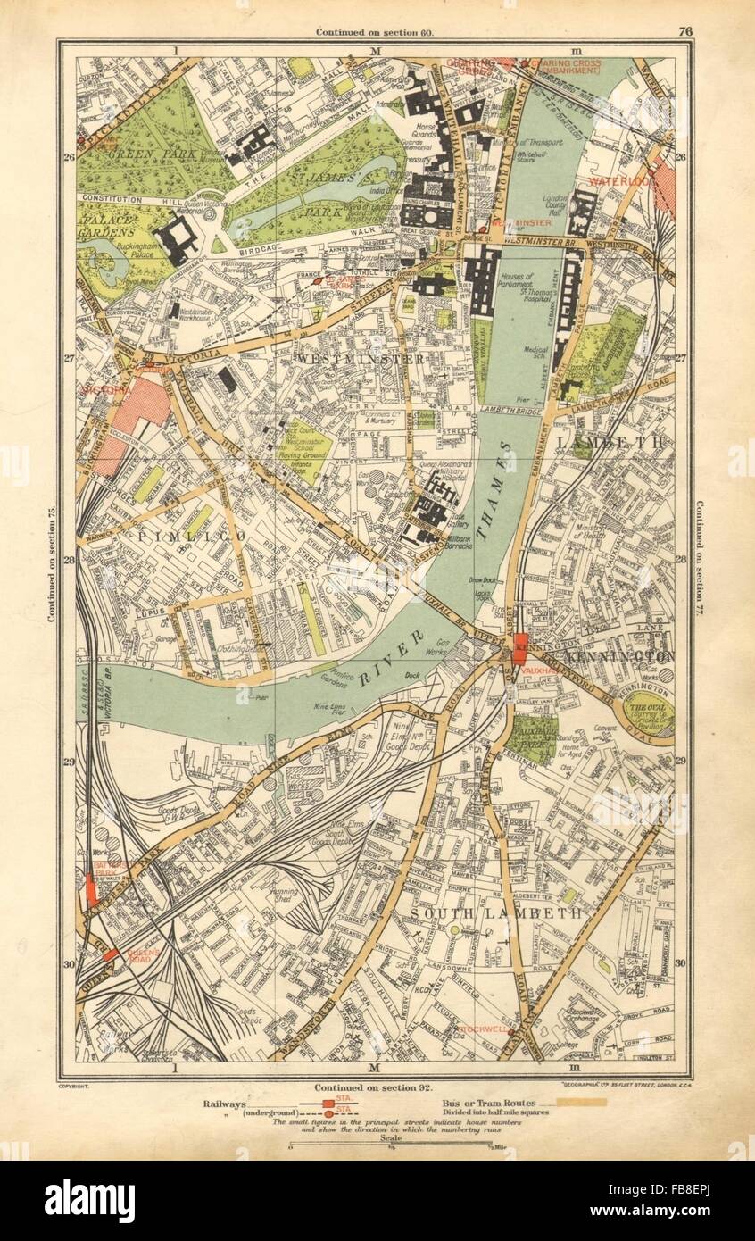 LONDON: Lambeth, Westminster, Victoria, Oval, Waterloo, Charing Cross, 1928 map Stock Photohttps://www.alamy.com/image-license-details/?v=1https://www.alamy.com/stock-photo-london-lambeth-westminster-victoria-oval-waterloo-charing-cross-1928-93000282.html
RFFB8EPJ–LONDON: Lambeth, Westminster, Victoria, Oval, Waterloo, Charing Cross, 1928 map
 Victoria, Greater London, United Kingdom, England, N 51 29' 46'', W 0 8' 38'', map, Timeless Map published in 2021. Travelers, explorers and adventurers like Florence Nightingale, David Livingstone, Ernest Shackleton, Lewis and Clark and Sherlock Holmes relied on maps to plan travels to the world's most remote corners, Timeless Maps is mapping most locations on the globe, showing the achievement of great dreams Stock Photohttps://www.alamy.com/image-license-details/?v=1https://www.alamy.com/victoria-greater-london-united-kingdom-england-n-51-29-46-w-0-8-38-map-timeless-map-published-in-2021-travelers-explorers-and-adventurers-like-florence-nightingale-david-livingstone-ernest-shackleton-lewis-and-clark-and-sherlock-holmes-relied-on-maps-to-plan-travels-to-the-worlds-most-remote-corners-timeless-maps-is-mapping-most-locations-on-the-globe-showing-the-achievement-of-great-dreams-image439406273.html
RM2GETK55–Victoria, Greater London, United Kingdom, England, N 51 29' 46'', W 0 8' 38'', map, Timeless Map published in 2021. Travelers, explorers and adventurers like Florence Nightingale, David Livingstone, Ernest Shackleton, Lewis and Clark and Sherlock Holmes relied on maps to plan travels to the world's most remote corners, Timeless Maps is mapping most locations on the globe, showing the achievement of great dreams
 Festival goers looking at the festival map on day 1 of All Points East festival in Victoria Park in London, UK. Picture date: Friday 25 May 2018. Photo credit: Katja Ogrin/ EMPICS Entertainment. Stock Photohttps://www.alamy.com/image-license-details/?v=1https://www.alamy.com/festival-goers-looking-at-the-festival-map-on-day-1-of-all-points-east-festival-in-victoria-park-in-london-uk-picture-date-friday-25-may-2018-photo-credit-katja-ogrin-empics-entertainment-image450530903.html
RM2H4YCNB–Festival goers looking at the festival map on day 1 of All Points East festival in Victoria Park in London, UK. Picture date: Friday 25 May 2018. Photo credit: Katja Ogrin/ EMPICS Entertainment.
![Map of London. Top of map up to Hyde park and Victoria Park and lower section covering part of south of the River Thames. Cross's London guide. [London] : published by J. Cross, 18 Holborn Hill, opposite Furnival's Inn, [1848]. Source: Maps Crace Port.7.254. Stock Photo Map of London. Top of map up to Hyde park and Victoria Park and lower section covering part of south of the River Thames. Cross's London guide. [London] : published by J. Cross, 18 Holborn Hill, opposite Furnival's Inn, [1848]. Source: Maps Crace Port.7.254. Stock Photo](https://c8.alamy.com/comp/R514PT/map-of-london-top-of-map-up-to-hyde-park-and-victoria-park-and-lower-section-covering-part-of-south-of-the-river-thames-crosss-london-guide-london-published-by-j-cross-18-holborn-hill-opposite-furnivals-inn-1848-source-maps-crace-port7254-R514PT.jpg) Map of London. Top of map up to Hyde park and Victoria Park and lower section covering part of south of the River Thames. Cross's London guide. [London] : published by J. Cross, 18 Holborn Hill, opposite Furnival's Inn, [1848]. Source: Maps Crace Port.7.254. Stock Photohttps://www.alamy.com/image-license-details/?v=1https://www.alamy.com/map-of-london-top-of-map-up-to-hyde-park-and-victoria-park-and-lower-section-covering-part-of-south-of-the-river-thames-crosss-london-guide-london-published-by-j-cross-18-holborn-hill-opposite-furnivals-inn-1848-source-maps-crace-port7254-image226833792.html
Map of London. Top of map up to Hyde park and Victoria Park and lower section covering part of south of the River Thames. Cross's London guide. [London] : published by J. Cross, 18 Holborn Hill, opposite Furnival's Inn, [1848]. Source: Maps Crace Port.7.254. Stock Photohttps://www.alamy.com/image-license-details/?v=1https://www.alamy.com/map-of-london-top-of-map-up-to-hyde-park-and-victoria-park-and-lower-section-covering-part-of-south-of-the-river-thames-crosss-london-guide-london-published-by-j-cross-18-holborn-hill-opposite-furnivals-inn-1848-source-maps-crace-port7254-image226833792.htmlRMR514PT–Map of London. Top of map up to Hyde park and Victoria Park and lower section covering part of south of the River Thames. Cross's London guide. [London] : published by J. Cross, 18 Holborn Hill, opposite Furnival's Inn, [1848]. Source: Maps Crace Port.7.254.
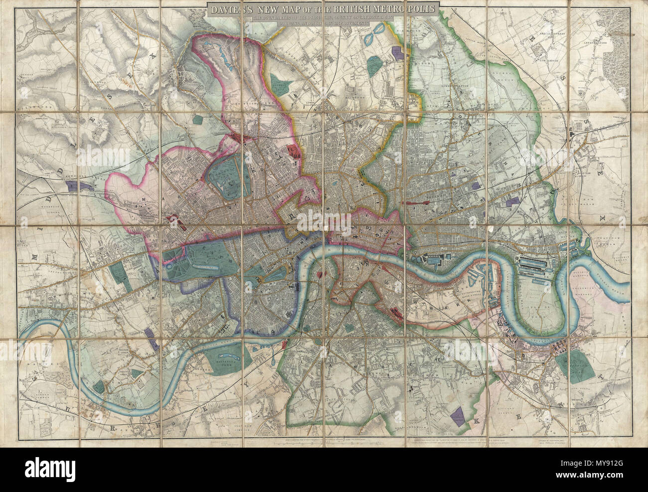 . Davies's New Map of the British Metropolis, The Boundaries of the Boroughs, County Court Districts, Railways, and Modern Improvements. English: A rare, extraordinary, and beautifully engraved 1852 case map or pocket plan of London, England, by B. R. Davies. Covers the center of London from Chiswick east to Bugsby's Reach and the Victoria Docks, extends north as far as Stamford Hill, and south as far as Nunhead Cemetery. Davies first issued this map in 1848 and updated it regularly well into the 1870s. In the period between 1830 and 1865 London experienced an extraordinary period of expansio Stock Photohttps://www.alamy.com/image-license-details/?v=1https://www.alamy.com/daviess-new-map-of-the-british-metropolis-the-boundaries-of-the-boroughs-county-court-districts-railways-and-modern-improvements-english-a-rare-extraordinary-and-beautifully-engraved-1852-case-map-or-pocket-plan-of-london-england-by-b-r-davies-covers-the-center-of-london-from-chiswick-east-to-bugsbys-reach-and-the-victoria-docks-extends-north-as-far-as-stamford-hill-and-south-as-far-as-nunhead-cemetery-davies-first-issued-this-map-in-1848-and-updated-it-regularly-well-into-the-1870s-in-the-period-between-1830-and-1865-london-experienced-an-extraordinary-period-of-expansio-image188897816.html
RMMY912G–. Davies's New Map of the British Metropolis, The Boundaries of the Boroughs, County Court Districts, Railways, and Modern Improvements. English: A rare, extraordinary, and beautifully engraved 1852 case map or pocket plan of London, England, by B. R. Davies. Covers the center of London from Chiswick east to Bugsby's Reach and the Victoria Docks, extends north as far as Stamford Hill, and south as far as Nunhead Cemetery. Davies first issued this map in 1848 and updated it regularly well into the 1870s. In the period between 1830 and 1865 London experienced an extraordinary period of expansio
 London, UK. 11th July, 2020. Protester holding a placard with the African continent map during the demonstration.Accusing Unilever of crimes against people and the environment, protesters demonstrate outside the HQ of Unilever House, 100 Victoria Embankment. Credit: SOPA Images Limited/Alamy Live News Stock Photohttps://www.alamy.com/image-license-details/?v=1https://www.alamy.com/london-uk-11th-july-2020-protester-holding-a-placard-with-the-african-continent-map-during-the-demonstrationaccusing-unilever-of-crimes-against-people-and-the-environment-protesters-demonstrate-outside-the-hq-of-unilever-house-100-victoria-embankment-credit-sopa-images-limitedalamy-live-news-image365626093.html
RM2C6RKPN–London, UK. 11th July, 2020. Protester holding a placard with the African continent map during the demonstration.Accusing Unilever of crimes against people and the environment, protesters demonstrate outside the HQ of Unilever House, 100 Victoria Embankment. Credit: SOPA Images Limited/Alamy Live News
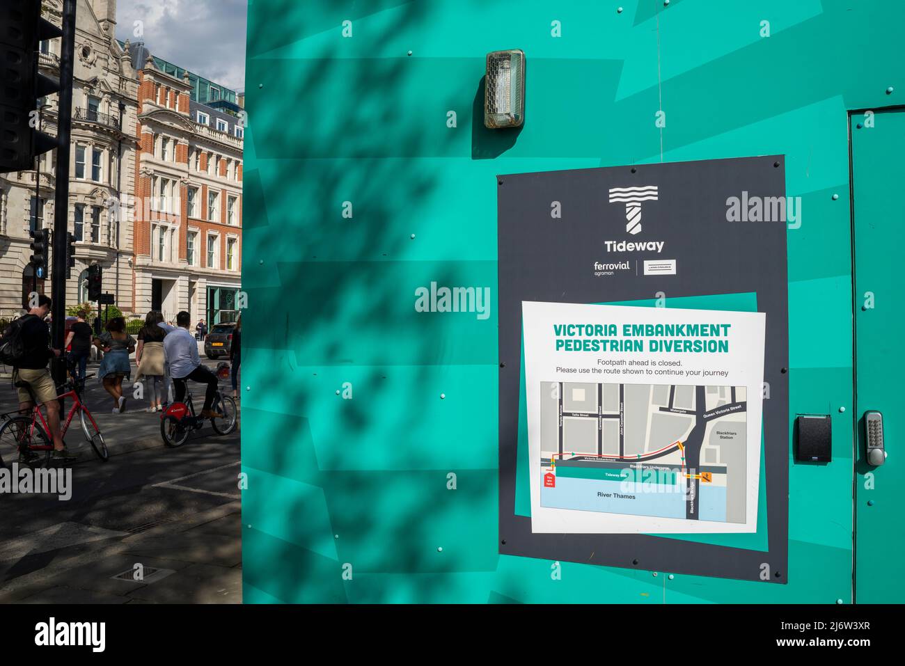 Sign illustrating diversions for Victoria Embankment Thames Tideway Tunnel project near Blackfriars Bridge, London, UK. Pedestrian diversion Stock Photohttps://www.alamy.com/image-license-details/?v=1https://www.alamy.com/sign-illustrating-diversions-for-victoria-embankment-thames-tideway-tunnel-project-near-blackfriars-bridge-london-uk-pedestrian-diversion-image468919775.html
RM2J6W3XR–Sign illustrating diversions for Victoria Embankment Thames Tideway Tunnel project near Blackfriars Bridge, London, UK. Pedestrian diversion
 west end london map with pin. Resolution and high quality beautiful photo Stock Photohttps://www.alamy.com/image-license-details/?v=1https://www.alamy.com/west-end-london-map-with-pin-resolution-and-high-quality-beautiful-photo-image519529745.html
RF2N56HDN–west end london map with pin. Resolution and high quality beautiful photo
 LONDON, UK - NOVEMBER 1ST 2015: A map pin marking the location of Victoria station on a London Underground Map, on 1st November Stock Photohttps://www.alamy.com/image-license-details/?v=1https://www.alamy.com/stock-photo-london-uk-november-1st-2015-a-map-pin-marking-the-location-of-victoria-89487640.html
RMF5GEB4–LONDON, UK - NOVEMBER 1ST 2015: A map pin marking the location of Victoria station on a London Underground Map, on 1st November
 Vintage reproduction of 1888 Whitechapel, London depicting 'Jack the Ripper' crimes location map Stock Photohttps://www.alamy.com/image-license-details/?v=1https://www.alamy.com/vintage-reproduction-of-1888-whitechapel-london-depicting-jack-the-ripper-crimes-location-map-image502268856.html
RF2M5491C–Vintage reproduction of 1888 Whitechapel, London depicting 'Jack the Ripper' crimes location map
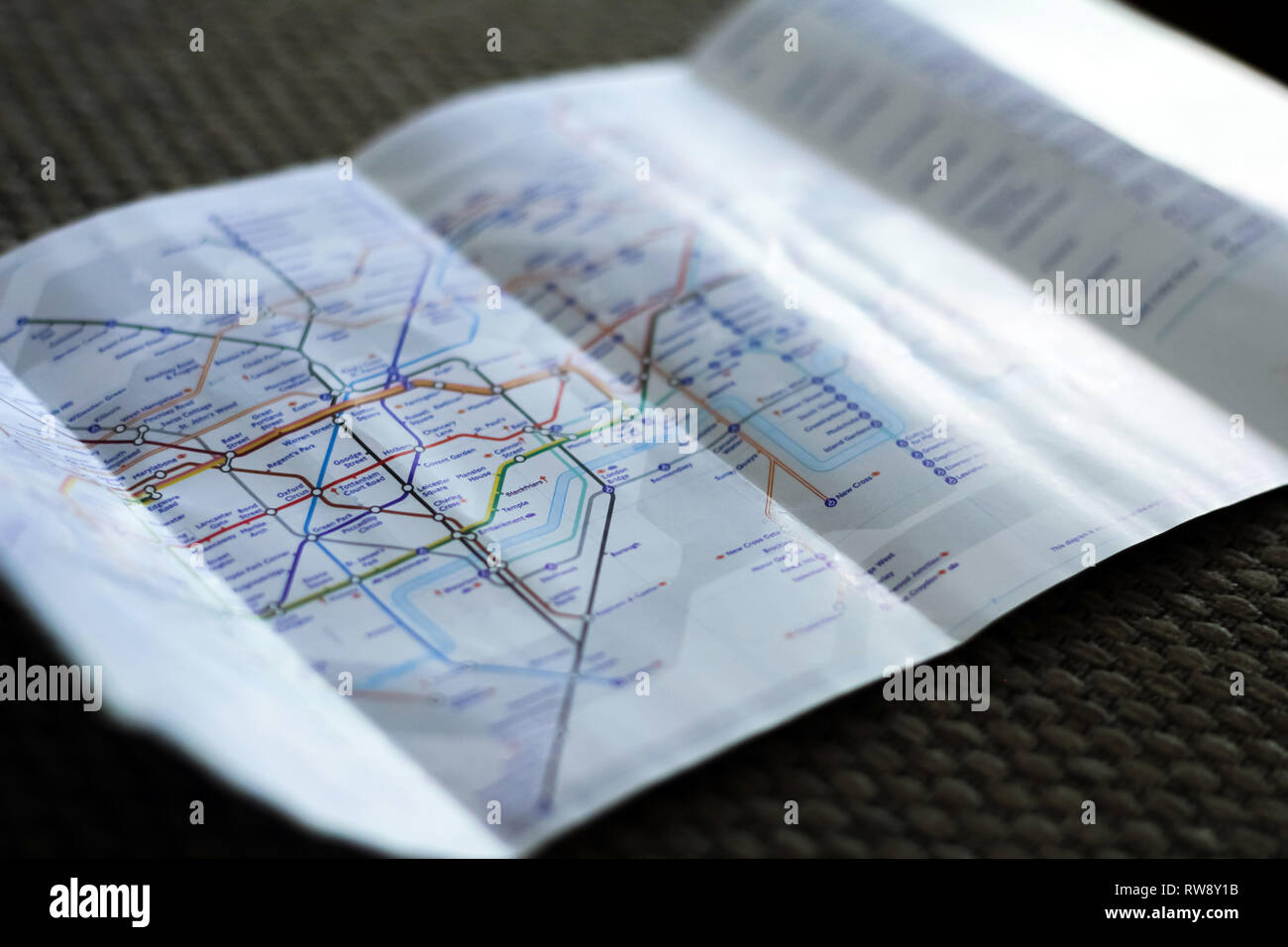 LONDON, UK - DECEMBER 2018: Underground metro map flayer of London subway Stock Photohttps://www.alamy.com/image-license-details/?v=1https://www.alamy.com/london-uk-december-2018-underground-metro-map-flayer-of-london-subway-image239298007.html
RFRW8Y1B–LONDON, UK - DECEMBER 2018: Underground metro map flayer of London subway
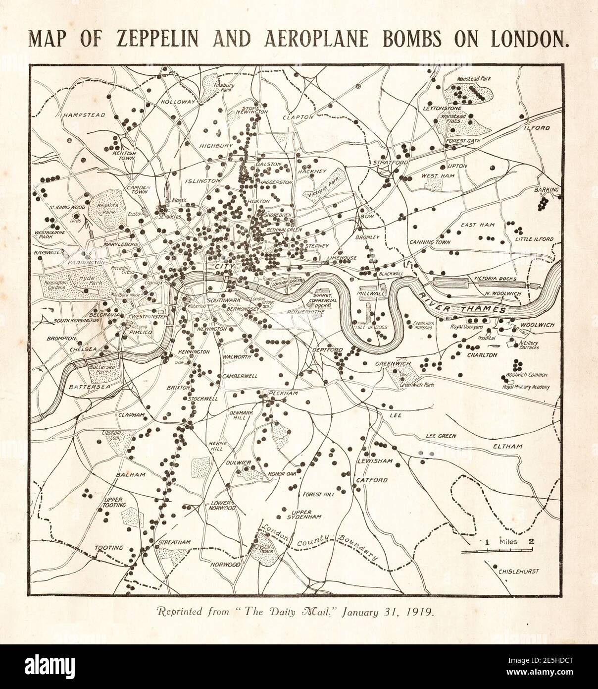 1919 Daily Mail Zeppelin and plane bombs map of London Stock Photohttps://www.alamy.com/image-license-details/?v=1https://www.alamy.com/1919-daily-mail-zeppelin-and-plane-bombs-map-of-london-image399295480.html
RM2E5HDCT–1919 Daily Mail Zeppelin and plane bombs map of London
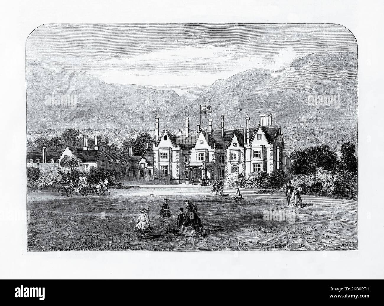 Muckross House, seat of Colonel Herbert in Killarney, County Kerry where Queen Victoria and her husband Prince Albert, stayed during the monarch's third trip to Ireland in August, 1861. The eight-day visit was to be extremely important for the Irish tourism industry and is credited with putting Killarney on the Irish tourism map. Stock Photohttps://www.alamy.com/image-license-details/?v=1https://www.alamy.com/muckross-house-seat-of-colonel-herbert-in-killarney-county-kerry-where-queen-victoria-and-her-husband-prince-albert-stayed-during-the-monarchs-third-trip-to-ireland-in-august-1861-the-eight-day-visit-was-to-be-extremely-important-for-the-irish-tourism-industry-and-is-credited-with-putting-killarney-on-the-irish-tourism-map-image488670241.html
RM2KB0RTH–Muckross House, seat of Colonel Herbert in Killarney, County Kerry where Queen Victoria and her husband Prince Albert, stayed during the monarch's third trip to Ireland in August, 1861. The eight-day visit was to be extremely important for the Irish tourism industry and is credited with putting Killarney on the Irish tourism map.
 Two women navigate London using smartphone maps Stock Photohttps://www.alamy.com/image-license-details/?v=1https://www.alamy.com/two-women-navigate-london-using-smartphone-maps-image360659209.html
RF2BXNCE1–Two women navigate London using smartphone maps
 'The North-West Passage', 1874, (1901). An old seaman looks thoughtful as he considers the danger of an expedition to find the sea route round North America via the Canadian Arctic. Many such expeditions had ended in failure and death. His daughter reads from a log book as she holds his hand. On the table is a map, behind him hangs the portrait of a ship's commander, and flags lean against the wall: evidence of his seafaring days. After the 1874 painting by John Everett Millais, in the Tate Gallery, London. From "The Illustrated London News Record of the Glorious Reign of Queen Victoria 1 Stock Photohttps://www.alamy.com/image-license-details/?v=1https://www.alamy.com/the-north-west-passage-1874-1901-an-old-seaman-looks-thoughtful-as-he-considers-the-danger-of-an-expedition-to-find-the-sea-route-round-north-america-via-the-canadian-arctic-many-such-expeditions-had-ended-in-failure-and-death-his-daughter-reads-from-a-log-book-as-she-holds-his-hand-on-the-table-is-a-map-behind-him-hangs-the-portrait-of-a-ships-commander-and-flags-lean-against-the-wall-evidence-of-his-seafaring-days-after-the-1874-painting-by-john-everett-millais-in-the-tate-gallery-london-from-quotthe-illustrated-london-news-record-of-the-glorious-reign-of-queen-victoria-1-image262332200.html
RMW6P7B4–'The North-West Passage', 1874, (1901). An old seaman looks thoughtful as he considers the danger of an expedition to find the sea route round North America via the Canadian Arctic. Many such expeditions had ended in failure and death. His daughter reads from a log book as she holds his hand. On the table is a map, behind him hangs the portrait of a ship's commander, and flags lean against the wall: evidence of his seafaring days. After the 1874 painting by John Everett Millais, in the Tate Gallery, London. From "The Illustrated London News Record of the Glorious Reign of Queen Victoria 1
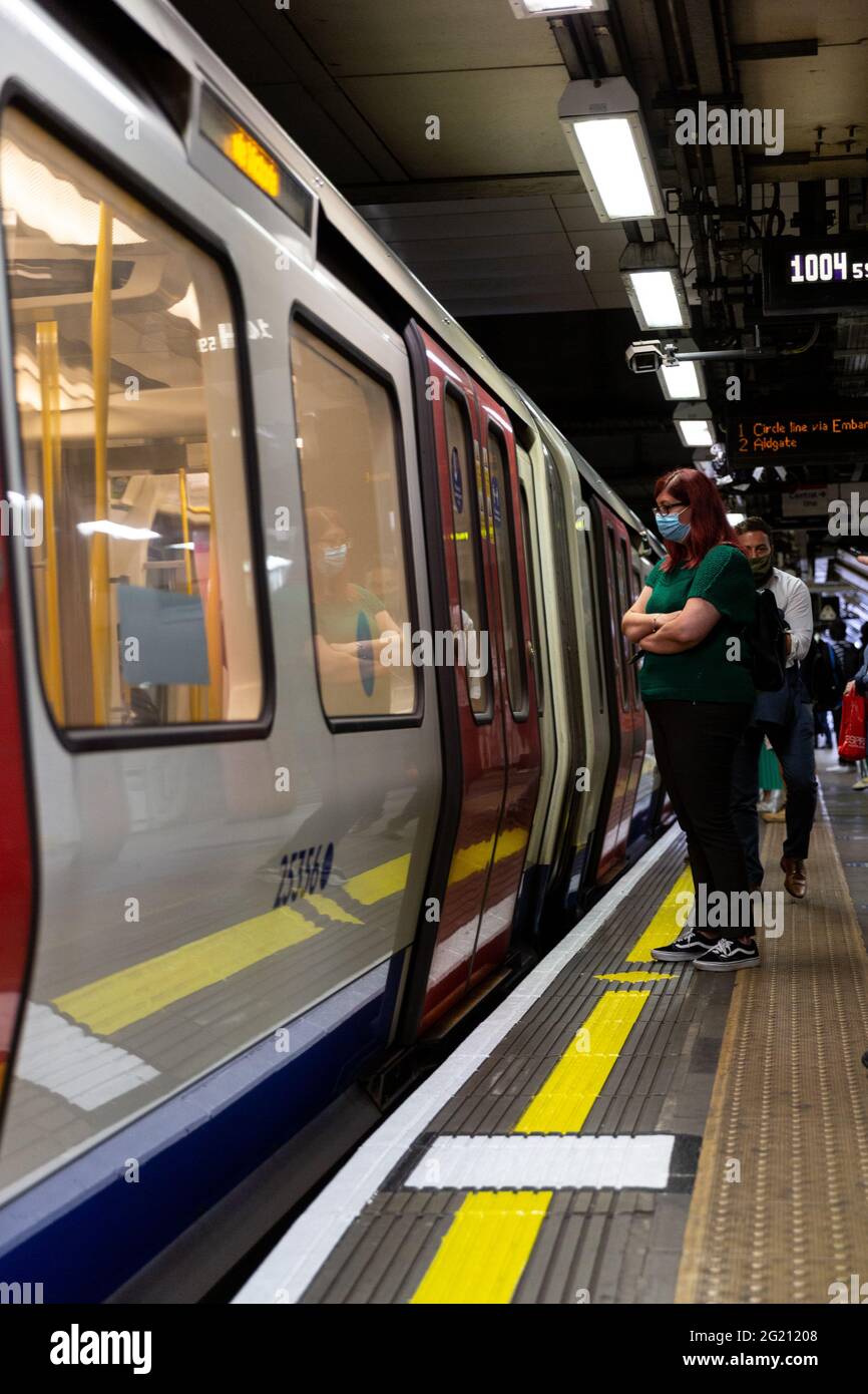 London, United Kingdom, June 7, 2021. Commuters walk through the entrance of London Victoria train station as Coronavirus restrictions ease and the economy start to pick up. The Prime Minister Boris Johnson has set a road map on easing the restrictions. (Dominika Zarzycka/Alamy) Credit: Dominika Zarzycka/Alamy Live News Stock Photohttps://www.alamy.com/image-license-details/?v=1https://www.alamy.com/london-united-kingdom-june-7-2021-commuters-walk-through-the-entrance-of-london-victoria-train-station-as-coronavirus-restrictions-ease-and-the-economy-start-to-pick-up-the-prime-minister-boris-johnson-has-set-a-road-map-on-easing-the-restrictions-dominika-zarzyckaalamy-credit-dominika-zarzyckaalamy-live-news-image431512040.html
RM2G21208–London, United Kingdom, June 7, 2021. Commuters walk through the entrance of London Victoria train station as Coronavirus restrictions ease and the economy start to pick up. The Prime Minister Boris Johnson has set a road map on easing the restrictions. (Dominika Zarzycka/Alamy) Credit: Dominika Zarzycka/Alamy Live News
 Westminster Abbey and Victoria Tower, London Stock Photohttps://www.alamy.com/image-license-details/?v=1https://www.alamy.com/stock-photo-westminster-abbey-and-victoria-tower-london-140710553.html
RMJ4WWMW–Westminster Abbey and Victoria Tower, London
![Celebs attend the Swarovski Fashion Rocks at the Royal Albert Hall in London. Attendees include: Uma Thurman, Victoria Silvstedt, Lily Allen, Kate Moss, Alicia Keys, Beth Dito, Heather Graham, Claudia Schiffer, Samuel L. Jackson, Yasmin Le Bon, Giorgio Armani, Donatella Versace, Princess Beatrice, Louise Redknapp, David Furnish, Iggy Pop, Trinny Woodall, Joely Richardson, Pete Burns, James Nesbitt and Tara Palmer Tomkinson. London, UK. 10/18/07. [[map]] Stock Photo Celebs attend the Swarovski Fashion Rocks at the Royal Albert Hall in London. Attendees include: Uma Thurman, Victoria Silvstedt, Lily Allen, Kate Moss, Alicia Keys, Beth Dito, Heather Graham, Claudia Schiffer, Samuel L. Jackson, Yasmin Le Bon, Giorgio Armani, Donatella Versace, Princess Beatrice, Louise Redknapp, David Furnish, Iggy Pop, Trinny Woodall, Joely Richardson, Pete Burns, James Nesbitt and Tara Palmer Tomkinson. London, UK. 10/18/07. [[map]] Stock Photo](https://c8.alamy.com/comp/2E58RX4/celebs-attend-the-swarovski-fashion-rocks-at-the-royal-albert-hall-in-london-attendees-include-uma-thurman-victoria-silvstedt-lily-allen-kate-moss-alicia-keys-beth-dito-heather-graham-claudia-schiffer-samuel-l-jackson-yasmin-le-bon-giorgio-armani-donatella-versace-princess-beatrice-louise-redknapp-david-furnish-iggy-pop-trinny-woodall-joely-richardson-pete-burns-james-nesbitt-and-tara-palmer-tomkinson-london-uk-101807-map-2E58RX4.jpg) Celebs attend the Swarovski Fashion Rocks at the Royal Albert Hall in London. Attendees include: Uma Thurman, Victoria Silvstedt, Lily Allen, Kate Moss, Alicia Keys, Beth Dito, Heather Graham, Claudia Schiffer, Samuel L. Jackson, Yasmin Le Bon, Giorgio Armani, Donatella Versace, Princess Beatrice, Louise Redknapp, David Furnish, Iggy Pop, Trinny Woodall, Joely Richardson, Pete Burns, James Nesbitt and Tara Palmer Tomkinson. London, UK. 10/18/07. [[map]] Stock Photohttps://www.alamy.com/image-license-details/?v=1https://www.alamy.com/celebs-attend-the-swarovski-fashion-rocks-at-the-royal-albert-hall-in-london-attendees-include-uma-thurman-victoria-silvstedt-lily-allen-kate-moss-alicia-keys-beth-dito-heather-graham-claudia-schiffer-samuel-l-jackson-yasmin-le-bon-giorgio-armani-donatella-versace-princess-beatrice-louise-redknapp-david-furnish-iggy-pop-trinny-woodall-joely-richardson-pete-burns-james-nesbitt-and-tara-palmer-tomkinson-london-uk-101807-map-image399106124.html
Celebs attend the Swarovski Fashion Rocks at the Royal Albert Hall in London. Attendees include: Uma Thurman, Victoria Silvstedt, Lily Allen, Kate Moss, Alicia Keys, Beth Dito, Heather Graham, Claudia Schiffer, Samuel L. Jackson, Yasmin Le Bon, Giorgio Armani, Donatella Versace, Princess Beatrice, Louise Redknapp, David Furnish, Iggy Pop, Trinny Woodall, Joely Richardson, Pete Burns, James Nesbitt and Tara Palmer Tomkinson. London, UK. 10/18/07. [[map]] Stock Photohttps://www.alamy.com/image-license-details/?v=1https://www.alamy.com/celebs-attend-the-swarovski-fashion-rocks-at-the-royal-albert-hall-in-london-attendees-include-uma-thurman-victoria-silvstedt-lily-allen-kate-moss-alicia-keys-beth-dito-heather-graham-claudia-schiffer-samuel-l-jackson-yasmin-le-bon-giorgio-armani-donatella-versace-princess-beatrice-louise-redknapp-david-furnish-iggy-pop-trinny-woodall-joely-richardson-pete-burns-james-nesbitt-and-tara-palmer-tomkinson-london-uk-101807-map-image399106124.htmlRM2E58RX4–Celebs attend the Swarovski Fashion Rocks at the Royal Albert Hall in London. Attendees include: Uma Thurman, Victoria Silvstedt, Lily Allen, Kate Moss, Alicia Keys, Beth Dito, Heather Graham, Claudia Schiffer, Samuel L. Jackson, Yasmin Le Bon, Giorgio Armani, Donatella Versace, Princess Beatrice, Louise Redknapp, David Furnish, Iggy Pop, Trinny Woodall, Joely Richardson, Pete Burns, James Nesbitt and Tara Palmer Tomkinson. London, UK. 10/18/07. [[map]]
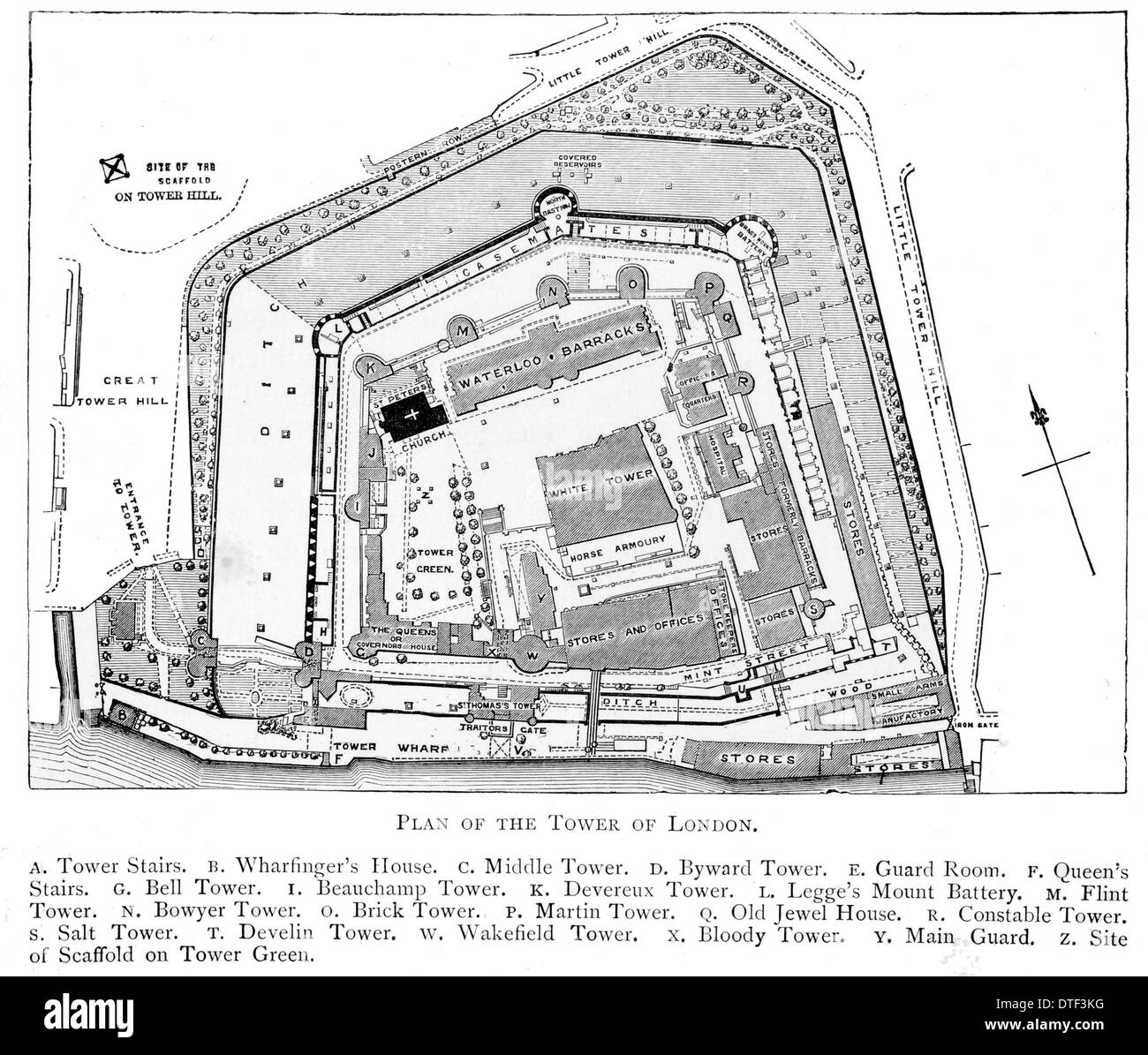 Plan of the Tower of London Circa 1890 Stock Photohttps://www.alamy.com/image-license-details/?v=1https://www.alamy.com/plan-of-the-tower-of-london-circa-1890-image66715028.html
RFDTF3KG–Plan of the Tower of London Circa 1890
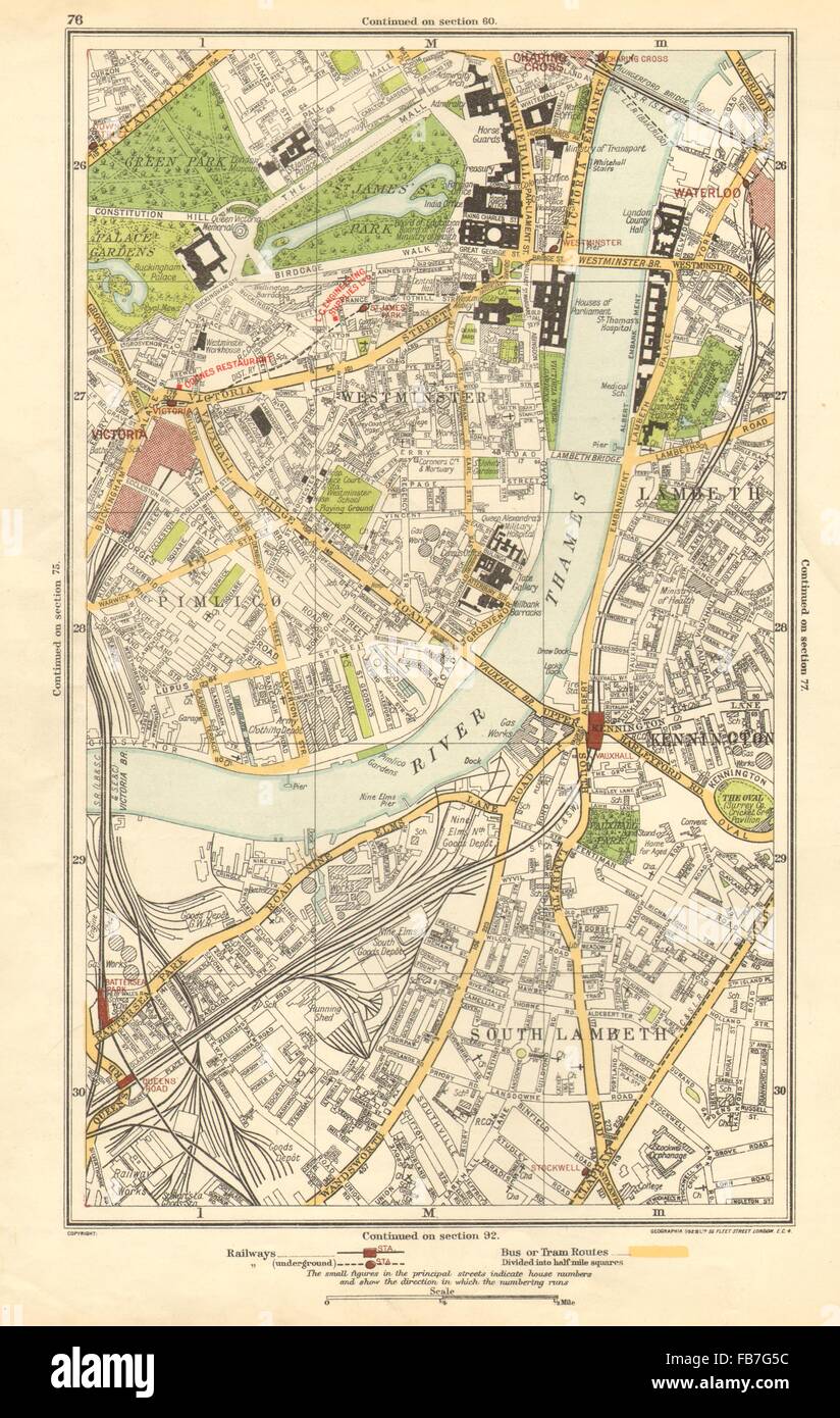 LONDON: Lambeth, Westminster, Victoria, Oval, Waterloo, Charing Cross, 1923 map Stock Photohttps://www.alamy.com/image-license-details/?v=1https://www.alamy.com/stock-photo-london-lambeth-westminster-victoria-oval-waterloo-charing-cross-1923-92979416.html
RFFB7G5C–LONDON: Lambeth, Westminster, Victoria, Oval, Waterloo, Charing Cross, 1923 map
 Victoria, Greater London, GB, United Kingdom, England, N 51 29' 46'', S 0 8' 38'', map, Cartascapes Map published in 2024. Explore Cartascapes, a map revealing Earth's diverse landscapes, cultures, and ecosystems. Journey through time and space, discovering the interconnectedness of our planet's past, present, and future. Stock Photohttps://www.alamy.com/image-license-details/?v=1https://www.alamy.com/victoria-greater-london-gb-united-kingdom-england-n-51-29-46-s-0-8-38-map-cartascapes-map-published-in-2024-explore-cartascapes-a-map-revealing-earths-diverse-landscapes-cultures-and-ecosystems-journey-through-time-and-space-discovering-the-interconnectedness-of-our-planets-past-present-and-future-image604211208.html
RM2X305FM–Victoria, Greater London, GB, United Kingdom, England, N 51 29' 46'', S 0 8' 38'', map, Cartascapes Map published in 2024. Explore Cartascapes, a map revealing Earth's diverse landscapes, cultures, and ecosystems. Journey through time and space, discovering the interconnectedness of our planet's past, present, and future.
 HERE'S ONE GIRL WHO WILL POWDER HER FACE WITH SUNSHINE Girl who will soon be powdering her face in the Australian sunshine , is 17 - year - old Doris Slack , from Layerthorpe , York , who attended a farewell party given to 26 child migrants who are sailing to Australia . The party was held at the Over - seas House , St . James's ( London ) . Doris is going to her uncle in Victoria . 27 April 1949 Stock Photohttps://www.alamy.com/image-license-details/?v=1https://www.alamy.com/heres-one-girl-who-will-powder-her-face-with-sunshine-girl-who-will-soon-be-powdering-her-face-in-the-australian-sunshine-is-17-year-old-doris-slack-from-layerthorpe-york-who-attended-a-farewell-party-given-to-26-child-migrants-who-are-sailing-to-australia-the-party-was-held-at-the-over-seas-house-st-jamess-london-doris-is-going-to-her-uncle-in-victoria-27-april-1949-image623891382.html
RM2Y70KR2–HERE'S ONE GIRL WHO WILL POWDER HER FACE WITH SUNSHINE Girl who will soon be powdering her face in the Australian sunshine , is 17 - year - old Doris Slack , from Layerthorpe , York , who attended a farewell party given to 26 child migrants who are sailing to Australia . The party was held at the Over - seas House , St . James's ( London ) . Doris is going to her uncle in Victoria . 27 April 1949
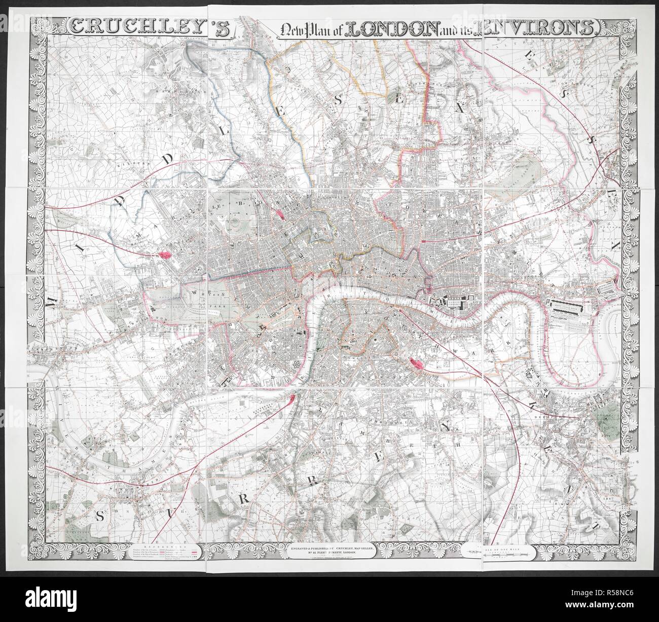 Cruchley's new plan of London and its environs. Cruchley's new plan of London and its environs / engraved by Cruchley. London : published by Cruchely, map-seller, no. 81 Fleet Street from 38 Ludgate Street, 1847. First published in 1828; latest ed. issued ca. 1851 with International Exhibition in Hyde Park shown. Map is divided into squares and borders lettered for reference. Battersea and Victoria Parks shown; railways in progress shown by pecked line. River, docks, railways, some roads and green spaces coloured; boundaries of metropolitan boroughs shown in colour. 1 map : hand col. ; 118 x 1 Stock Photohttps://www.alamy.com/image-license-details/?v=1https://www.alamy.com/cruchleys-new-plan-of-london-and-its-environs-cruchleys-new-plan-of-london-and-its-environs-engraved-by-cruchley-london-published-by-cruchely-map-seller-no-81-fleet-street-from-38-ludgate-street-1847-first-published-in-1828-latest-ed-issued-ca-1851-with-international-exhibition-in-hyde-park-shown-map-is-divided-into-squares-and-borders-lettered-for-reference-battersea-and-victoria-parks-shown-railways-in-progress-shown-by-pecked-line-river-docks-railways-some-roads-and-green-spaces-coloured-boundaries-of-metropolitan-boroughs-shown-in-colour-1-map-hand-col-118-x-1-image227000486.html
RMR58NC6–Cruchley's new plan of London and its environs. Cruchley's new plan of London and its environs / engraved by Cruchley. London : published by Cruchely, map-seller, no. 81 Fleet Street from 38 Ludgate Street, 1847. First published in 1828; latest ed. issued ca. 1851 with International Exhibition in Hyde Park shown. Map is divided into squares and borders lettered for reference. Battersea and Victoria Parks shown; railways in progress shown by pecked line. River, docks, railways, some roads and green spaces coloured; boundaries of metropolitan boroughs shown in colour. 1 map : hand col. ; 118 x 1
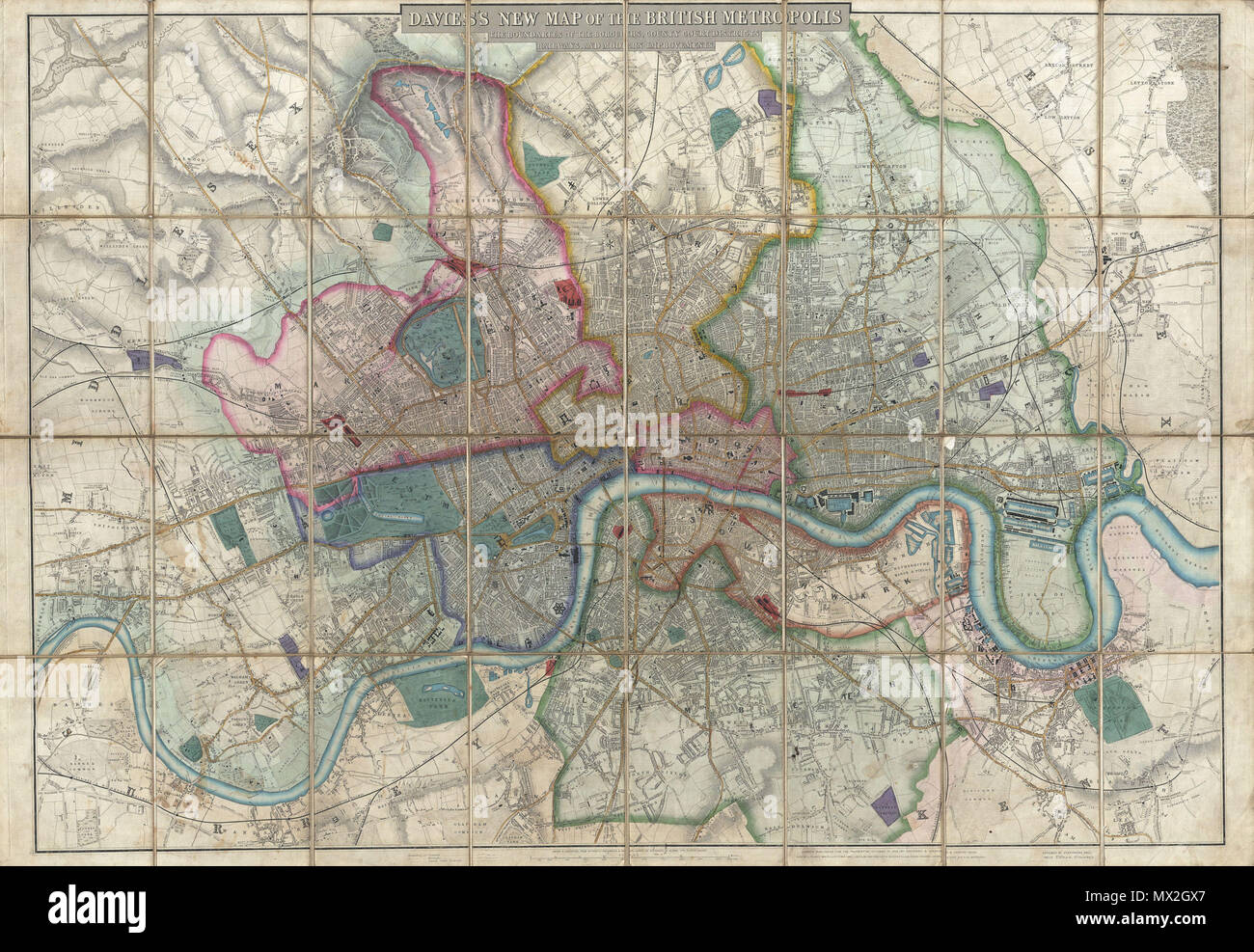 . Davies's New Map of the British Metropolis, The Boundaries of the Boroughs, County Court Districts, Railways, and Modern Improvements. English: A rare, extraordinary, and beautifully engraved 1852 case map or pocket plan of London, England, by B. R. Davies. Covers the center of London from Chiswick east to Bugsby's Reach and the Victoria Docks, extends north as far as Stamford Hill, and south as far as Nunhead Cemetery. Davies first issued this map in 1848 and updated it regularly well into the 1870s. In the period between 1830 and 1865 London experienced an extraordinary period of expansio Stock Photohttps://www.alamy.com/image-license-details/?v=1https://www.alamy.com/daviess-new-map-of-the-british-metropolis-the-boundaries-of-the-boroughs-county-court-districts-railways-and-modern-improvements-english-a-rare-extraordinary-and-beautifully-engraved-1852-case-map-or-pocket-plan-of-london-england-by-b-r-davies-covers-the-center-of-london-from-chiswick-east-to-bugsbys-reach-and-the-victoria-docks-extends-north-as-far-as-stamford-hill-and-south-as-far-as-nunhead-cemetery-davies-first-issued-this-map-in-1848-and-updated-it-regularly-well-into-the-1870s-in-the-period-between-1830-and-1865-london-experienced-an-extraordinary-period-of-expansio-image188141919.html
RMMX2GX7–. Davies's New Map of the British Metropolis, The Boundaries of the Boroughs, County Court Districts, Railways, and Modern Improvements. English: A rare, extraordinary, and beautifully engraved 1852 case map or pocket plan of London, England, by B. R. Davies. Covers the center of London from Chiswick east to Bugsby's Reach and the Victoria Docks, extends north as far as Stamford Hill, and south as far as Nunhead Cemetery. Davies first issued this map in 1848 and updated it regularly well into the 1870s. In the period between 1830 and 1865 London experienced an extraordinary period of expansio