Quick filters:
Maps of brighton Stock Photos and Images
 Brighton city maps Hotel Adelaide Brighton South East England England UK Europe Stock Photohttps://www.alamy.com/image-license-details/?v=1https://www.alamy.com/brighton-city-maps-hotel-adelaide-brighton-south-east-england-england-image9376217.html
RMATXNHA–Brighton city maps Hotel Adelaide Brighton South East England England UK Europe
 Attack made by French raiders on the village of Brighthelmstone (Brighton, Sussex) in June 1514. Almost every building was burnt to the ground. Stock Photohttps://www.alamy.com/image-license-details/?v=1https://www.alamy.com/attack-made-by-french-raiders-on-the-village-of-brighthelmstone-brighton-sussex-in-june-1514-almost-every-building-was-burnt-to-the-ground-image504816435.html
RM2M98AEB–Attack made by French raiders on the village of Brighthelmstone (Brighton, Sussex) in June 1514. Almost every building was burnt to the ground.
 A map of Brighton and Eastbourne UK scanned at high resolution from a book printed in 1806. Believed copyright free. Stock Photohttps://www.alamy.com/image-license-details/?v=1https://www.alamy.com/a-map-of-brighton-and-eastbourne-uk-scanned-at-high-resolution-from-a-book-printed-in-1806-believed-copyright-free-image560749560.html
RM2RG89P0–A map of Brighton and Eastbourne UK scanned at high resolution from a book printed in 1806. Believed copyright free.
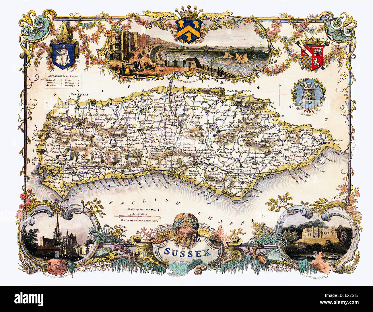 Sussex Map, 1850 by Thomas Moule of the English county, with illustrations of Brighton Pier, Chichester Cathedral and Arundel Castle Stock Photohttps://www.alamy.com/image-license-details/?v=1https://www.alamy.com/stock-photo-sussex-map-1850-by-thomas-moule-of-the-english-county-with-illustrations-85002739.html
RMEX85T3–Sussex Map, 1850 by Thomas Moule of the English county, with illustrations of Brighton Pier, Chichester Cathedral and Arundel Castle
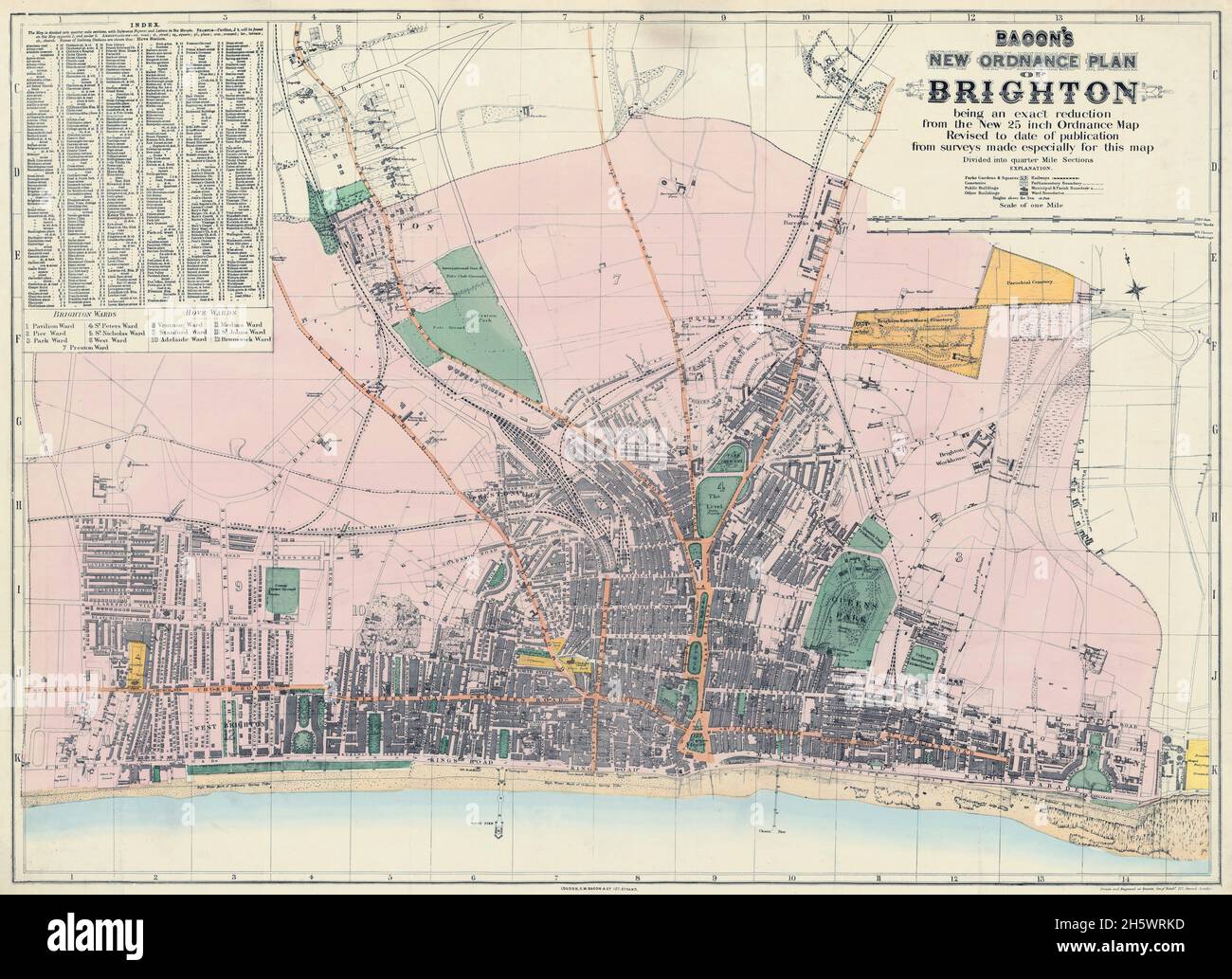 Map of Brighton and adjoining parts of Hove. Historical streetmap, Brighton, England, United Kingdom. BACON'S NEW ORDNANCE PLAN OF BRIGHTON. GW. Bacon (born US 1830, died UK 1922) was a prolific London based book and map publisher active in the mid to late 19th century. Bacon's firm G.W. Bacon and Co. produced a wide variety of maps and guides. Stock Photohttps://www.alamy.com/image-license-details/?v=1https://www.alamy.com/map-of-brighton-and-adjoining-parts-of-hove-historical-streetmap-brighton-england-united-kingdom-bacons-new-ordnance-plan-of-brighton-gw-bacon-born-us-1830-died-uk-1922-was-a-prolific-london-based-book-and-map-publisher-active-in-the-mid-to-late-19th-century-bacons-firm-gw-bacon-and-co-produced-a-wide-variety-of-maps-and-guides-image451110225.html
RM2H5WRKD–Map of Brighton and adjoining parts of Hove. Historical streetmap, Brighton, England, United Kingdom. BACON'S NEW ORDNANCE PLAN OF BRIGHTON. GW. Bacon (born US 1830, died UK 1922) was a prolific London based book and map publisher active in the mid to late 19th century. Bacon's firm G.W. Bacon and Co. produced a wide variety of maps and guides.
 Brighton, Canada, Ontario, N 44 6' 0'', W 77 45' 58'', map, Timeless Map published in 2021. Travelers, explorers and adventurers like Florence Nightingale, David Livingstone, Ernest Shackleton, Lewis and Clark and Sherlock Holmes relied on maps to plan travels to the world's most remote corners, Timeless Maps is mapping most locations on the globe, showing the achievement of great dreams Stock Photohttps://www.alamy.com/image-license-details/?v=1https://www.alamy.com/brighton-canada-ontario-n-44-6-0-w-77-45-58-map-timeless-map-published-in-2021-travelers-explorers-and-adventurers-like-florence-nightingale-david-livingstone-ernest-shackleton-lewis-and-clark-and-sherlock-holmes-relied-on-maps-to-plan-travels-to-the-worlds-most-remote-corners-timeless-maps-is-mapping-most-locations-on-the-globe-showing-the-achievement-of-great-dreams-image457852928.html
RM2HGW028–Brighton, Canada, Ontario, N 44 6' 0'', W 77 45' 58'', map, Timeless Map published in 2021. Travelers, explorers and adventurers like Florence Nightingale, David Livingstone, Ernest Shackleton, Lewis and Clark and Sherlock Holmes relied on maps to plan travels to the world's most remote corners, Timeless Maps is mapping most locations on the globe, showing the achievement of great dreams
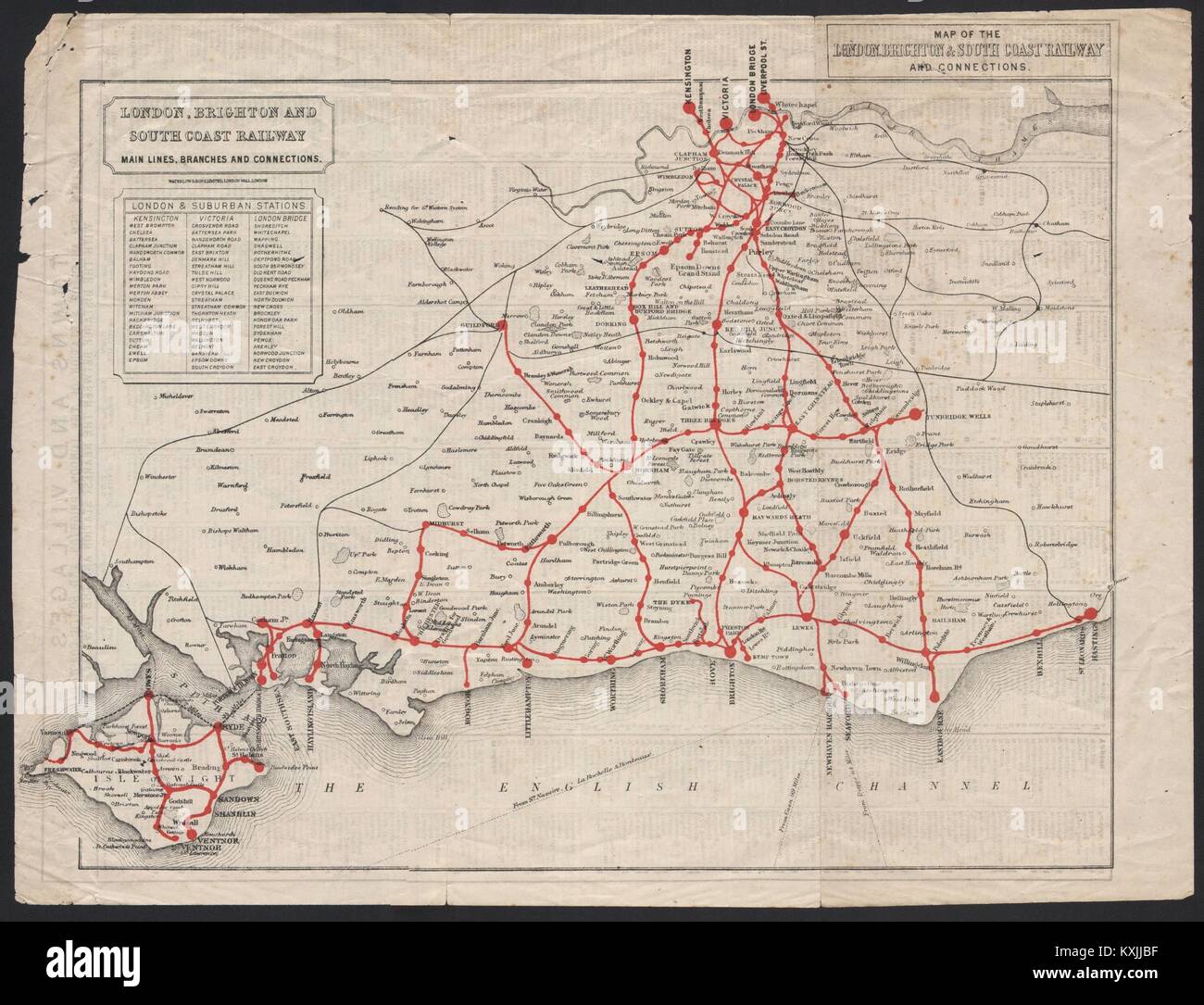 Map of the London, Brighton & South Coast Railway and connections c1910 Stock Photohttps://www.alamy.com/image-license-details/?v=1https://www.alamy.com/stock-photo-map-of-the-london-brighton-south-coast-railway-and-connections-c1910-171283939.html
RFKXJJBF–Map of the London, Brighton & South Coast Railway and connections c1910
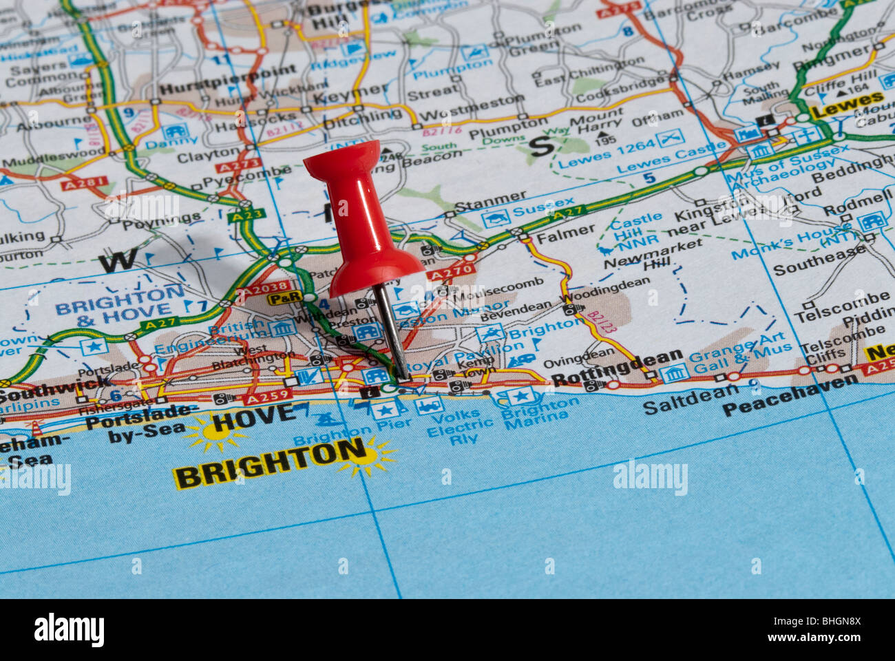 red map pin in road map pointing to city of Brighton Stock Photohttps://www.alamy.com/image-license-details/?v=1https://www.alamy.com/stock-photo-red-map-pin-in-road-map-pointing-to-city-of-brighton-28027466.html
RMBHGN8X–red map pin in road map pointing to city of Brighton
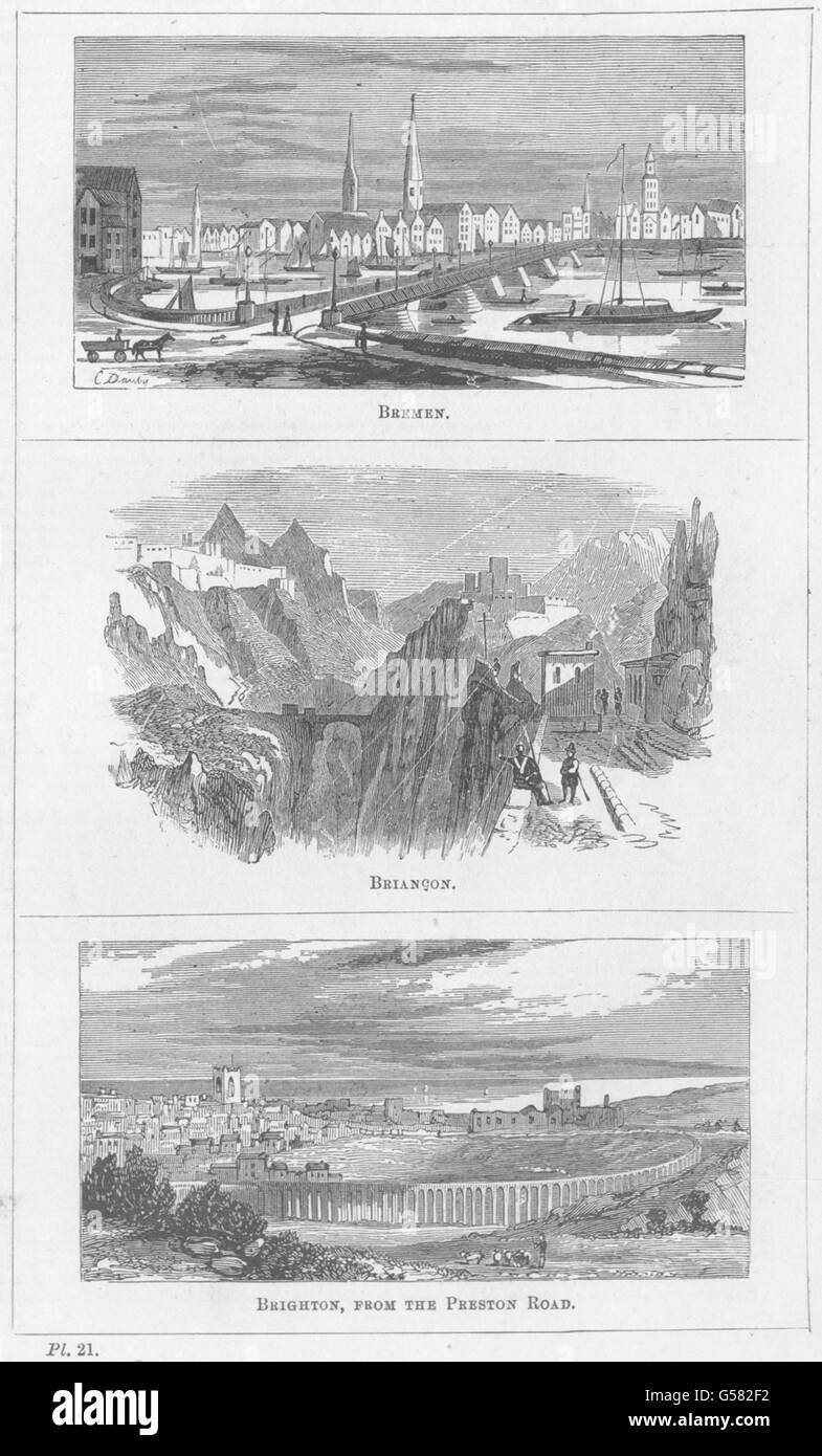 SUSSEX: Bremen; Briancon; Brighton, from the Preston Road, antique print 1870 Stock Photohttps://www.alamy.com/image-license-details/?v=1https://www.alamy.com/stock-photo-sussex-bremen-briancon-brighton-from-the-preston-road-antique-print-106513094.html
RFG582F2–SUSSEX: Bremen; Briancon; Brighton, from the Preston Road, antique print 1870
 The Lanes in Brighton, East Sussex: Signs fight for position in the narrow shopping street. Picture by Jim Holden. Stock Photohttps://www.alamy.com/image-license-details/?v=1https://www.alamy.com/the-lanes-in-brighton-east-sussex-signs-fight-for-position-in-the-image9602956.html
RMAXCXGD–The Lanes in Brighton, East Sussex: Signs fight for position in the narrow shopping street. Picture by Jim Holden.
 THE SOUTH COAST RAILWAY. Portsmouth to Brighton & Hastings. WELLER, 1862 map Stock Photohttps://www.alamy.com/image-license-details/?v=1https://www.alamy.com/stock-photo-the-south-coast-railway-portsmouth-to-brighton-hastings-weller-1862-92821163.html
RFFB0A9F–THE SOUTH COAST RAILWAY. Portsmouth to Brighton & Hastings. WELLER, 1862 map
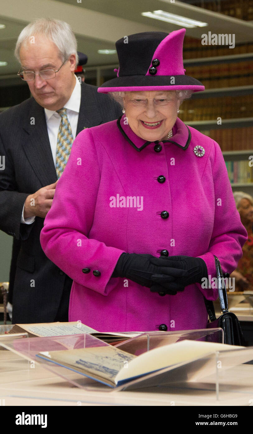
 Queen Elizabeth II, accompanied by the Duke of Edinburgh, are shown historic maps and documents in the Reading Room of The Keep in Brighton, East Sussex, before unveiling a plaque to mark the opening of the facility. Stock Photohttps://www.alamy.com/image-license-details/?v=1https://www.alamy.com/stock-photo-queen-elizabeth-ii-accompanied-by-the-duke-of-edinburgh-are-shown-107332417.html
RMG6HBGH–Queen Elizabeth II, accompanied by the Duke of Edinburgh, are shown historic maps and documents in the Reading Room of The Keep in Brighton, East Sussex, before unveiling a plaque to mark the opening of the facility.
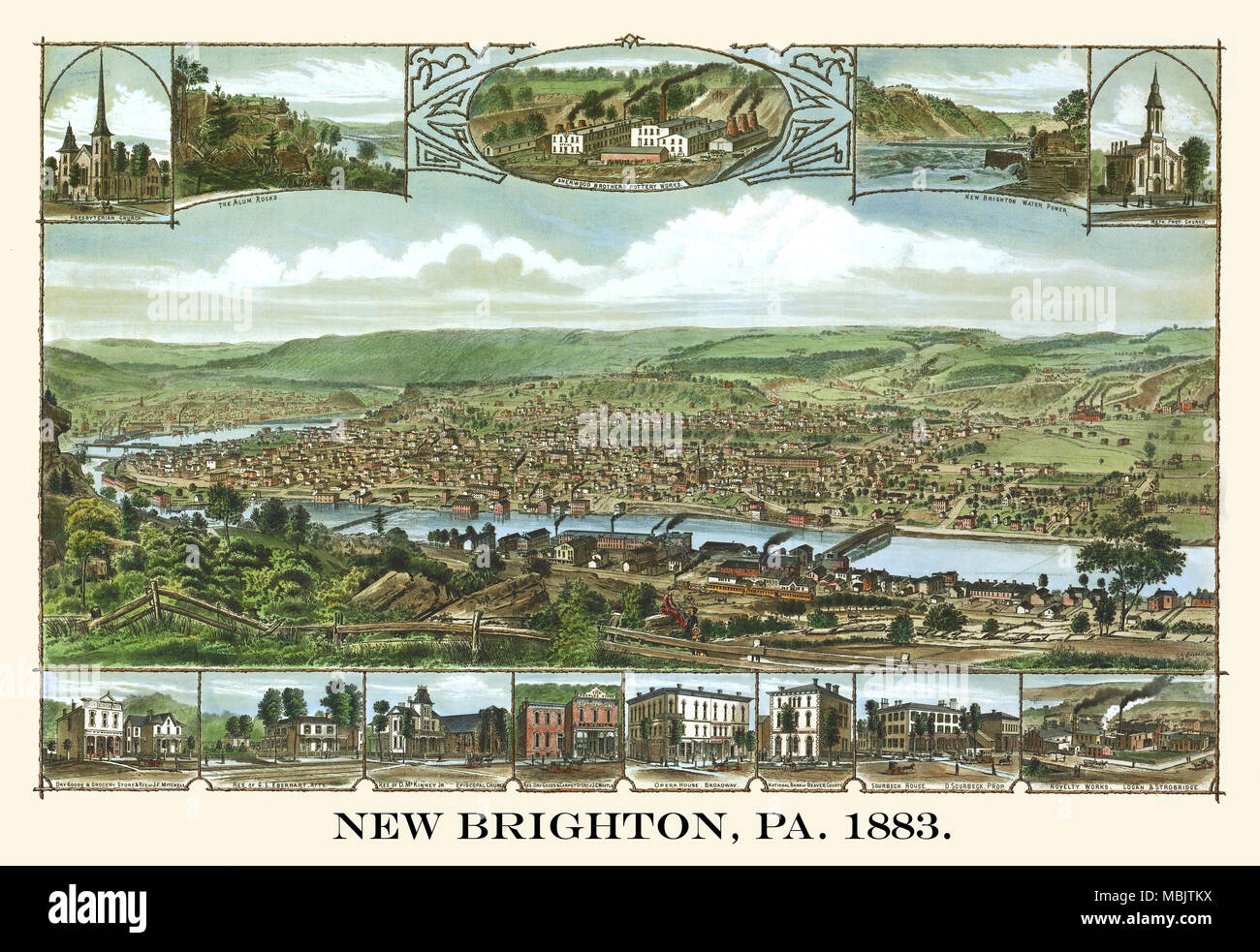 New Brighton, PA. 1883 Stock Photohttps://www.alamy.com/image-license-details/?v=1https://www.alamy.com/new-brighton-pa-1883-image179279406.html
RMMBJTKX–New Brighton, PA. 1883
 Walking the graffiti streets of trendy North Laine in Brighton Sussex England UK Stock Photohttps://www.alamy.com/image-license-details/?v=1https://www.alamy.com/stock-photo-walking-the-graffiti-streets-of-trendy-north-laine-in-brighton-sussex-310481701.html
RMS13JG5–Walking the graffiti streets of trendy North Laine in Brighton Sussex England UK
![A colored military survey of the coast of Hampshire, Sussex, and Kent, from Christ Church to Dover, with the roads between Salisbury, Winchester, Bagshot, Guilford, Southampton, and Portsmouth Croydon, Chichester, Map information: Title: A colored military survey of the coast of Hampshire, Sussex, and Kent, from Christ Church to Dover, with the roads between Salisbury, Winchester, Bagshot, Guilford, Southampton, and Portsmouth; Croydon, Chichester, and Brighton; Canterbury, Pevensey, and Hastings; drawn [by Major General Roy?] on a scale of one inch to a mile. British Library shelfmark: Maps Stock Photo A colored military survey of the coast of Hampshire, Sussex, and Kent, from Christ Church to Dover, with the roads between Salisbury, Winchester, Bagshot, Guilford, Southampton, and Portsmouth Croydon, Chichester, Map information: Title: A colored military survey of the coast of Hampshire, Sussex, and Kent, from Christ Church to Dover, with the roads between Salisbury, Winchester, Bagshot, Guilford, Southampton, and Portsmouth; Croydon, Chichester, and Brighton; Canterbury, Pevensey, and Hastings; drawn [by Major General Roy?] on a scale of one inch to a mile. British Library shelfmark: Maps Stock Photo](https://c8.alamy.com/comp/2E9F9FN/a-colored-military-survey-of-the-coast-of-hampshire-sussex-and-kent-from-christ-church-to-dover-with-the-roads-between-salisbury-winchester-bagshot-guilford-southampton-and-portsmouth-croydon-chichester-map-information-title-a-colored-military-survey-of-the-coast-of-hampshire-sussex-and-kent-from-christ-church-to-dover-with-the-roads-between-salisbury-winchester-bagshot-guilford-southampton-and-portsmouth-croydon-chichester-and-brighton-canterbury-pevensey-and-hastings-drawn-by-major-general-roy-on-a-scale-of-one-inch-to-a-mile-british-library-shelfmark-maps-2E9F9FN.jpg) A colored military survey of the coast of Hampshire, Sussex, and Kent, from Christ Church to Dover, with the roads between Salisbury, Winchester, Bagshot, Guilford, Southampton, and Portsmouth Croydon, Chichester, Map information: Title: A colored military survey of the coast of Hampshire, Sussex, and Kent, from Christ Church to Dover, with the roads between Salisbury, Winchester, Bagshot, Guilford, Southampton, and Portsmouth; Croydon, Chichester, and Brighton; Canterbury, Pevensey, and Hastings; drawn [by Major General Roy?] on a scale of one inch to a mile. British Library shelfmark: Maps Stock Photohttps://www.alamy.com/image-license-details/?v=1https://www.alamy.com/a-colored-military-survey-of-the-coast-of-hampshire-sussex-and-kent-from-christ-church-to-dover-with-the-roads-between-salisbury-winchester-bagshot-guilford-southampton-and-portsmouth-croydon-chichester-map-information-title-a-colored-military-survey-of-the-coast-of-hampshire-sussex-and-kent-from-christ-church-to-dover-with-the-roads-between-salisbury-winchester-bagshot-guilford-southampton-and-portsmouth-croydon-chichester-and-brighton-canterbury-pevensey-and-hastings-drawn-by-major-general-roy-on-a-scale-of-one-inch-to-a-mile-british-library-shelfmark-maps-image401707145.html
A colored military survey of the coast of Hampshire, Sussex, and Kent, from Christ Church to Dover, with the roads between Salisbury, Winchester, Bagshot, Guilford, Southampton, and Portsmouth Croydon, Chichester, Map information: Title: A colored military survey of the coast of Hampshire, Sussex, and Kent, from Christ Church to Dover, with the roads between Salisbury, Winchester, Bagshot, Guilford, Southampton, and Portsmouth; Croydon, Chichester, and Brighton; Canterbury, Pevensey, and Hastings; drawn [by Major General Roy?] on a scale of one inch to a mile. British Library shelfmark: Maps Stock Photohttps://www.alamy.com/image-license-details/?v=1https://www.alamy.com/a-colored-military-survey-of-the-coast-of-hampshire-sussex-and-kent-from-christ-church-to-dover-with-the-roads-between-salisbury-winchester-bagshot-guilford-southampton-and-portsmouth-croydon-chichester-map-information-title-a-colored-military-survey-of-the-coast-of-hampshire-sussex-and-kent-from-christ-church-to-dover-with-the-roads-between-salisbury-winchester-bagshot-guilford-southampton-and-portsmouth-croydon-chichester-and-brighton-canterbury-pevensey-and-hastings-drawn-by-major-general-roy-on-a-scale-of-one-inch-to-a-mile-british-library-shelfmark-maps-image401707145.htmlRM2E9F9FN–A colored military survey of the coast of Hampshire, Sussex, and Kent, from Christ Church to Dover, with the roads between Salisbury, Winchester, Bagshot, Guilford, Southampton, and Portsmouth Croydon, Chichester, Map information: Title: A colored military survey of the coast of Hampshire, Sussex, and Kent, from Christ Church to Dover, with the roads between Salisbury, Winchester, Bagshot, Guilford, Southampton, and Portsmouth; Croydon, Chichester, and Brighton; Canterbury, Pevensey, and Hastings; drawn [by Major General Roy?] on a scale of one inch to a mile. British Library shelfmark: Maps
 Books for Amnesty in the famous and trendy North Laines in Brighton Stock Photohttps://www.alamy.com/image-license-details/?v=1https://www.alamy.com/stock-photo-books-for-amnesty-in-the-famous-and-trendy-north-laines-in-brighton-52654276.html
RMD1JH1T–Books for Amnesty in the famous and trendy North Laines in Brighton
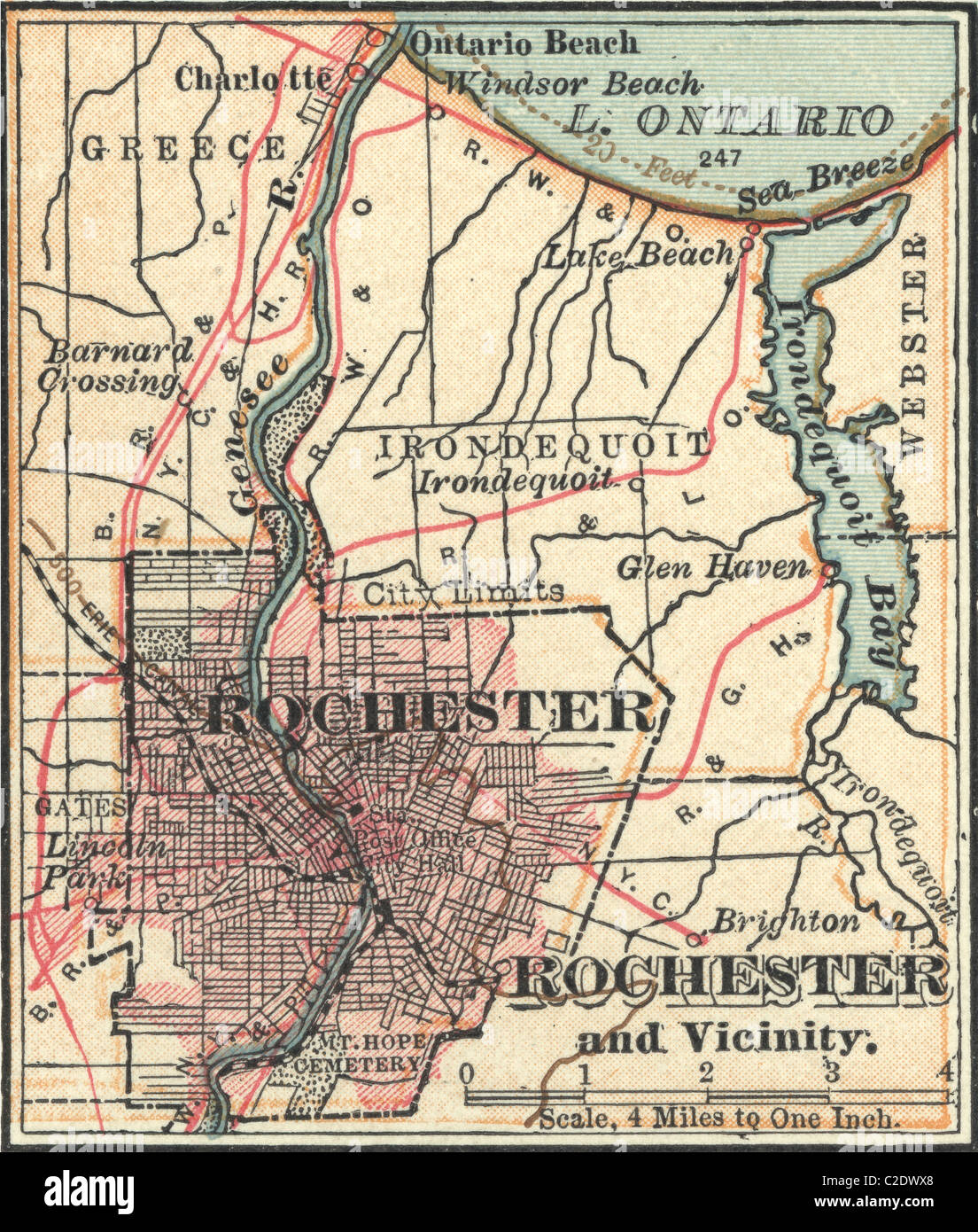 Map of Rochester Stock Photohttps://www.alamy.com/image-license-details/?v=1https://www.alamy.com/stock-photo-map-of-rochester-35955760.html
RMC2DWX8–Map of Rochester
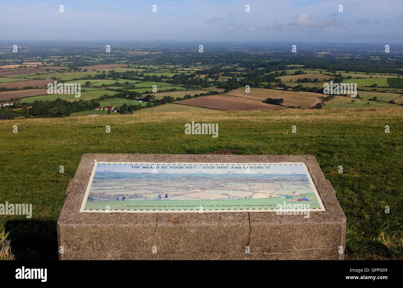 View of the Weald north of South Downs Way at Devils Dyke just north of Brighton UK Stock Photohttps://www.alamy.com/image-license-details/?v=1https://www.alamy.com/stock-photo-view-of-the-weald-north-of-south-downs-way-at-devils-dyke-just-north-117280137.html
RMGPPG09–View of the Weald north of South Downs Way at Devils Dyke just north of Brighton UK
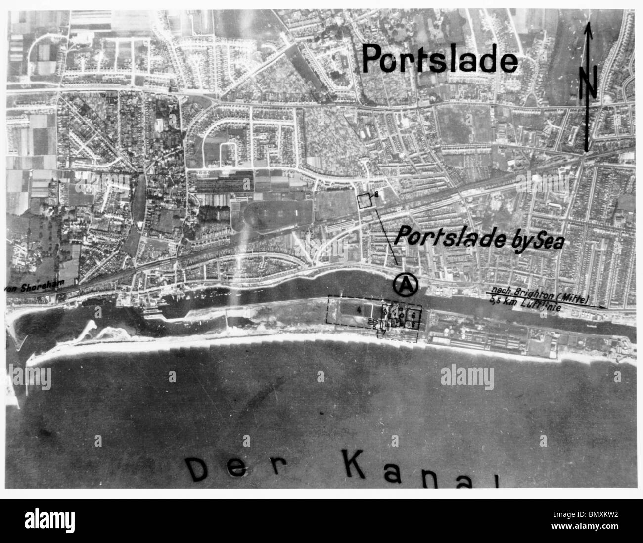 Portslade, Nr.Brighton - Sussex 1940 Power Station Stock Photohttps://www.alamy.com/image-license-details/?v=1https://www.alamy.com/stock-photo-portslade-nrbrighton-sussex-1940-power-station-30089838.html
RMBMXKW2–Portslade, Nr.Brighton - Sussex 1940 Power Station
 A monochrome view of a ruined church at Hove, near Brighton. Ruin'd Church at Brighthelmstone Sussex. Aug 10 1762. Pen and black ink with monochrome wash. Source: Maps K.Top.42.47.a. Language: English. Author: Francis Grose. Stock Photohttps://www.alamy.com/image-license-details/?v=1https://www.alamy.com/a-monochrome-view-of-a-ruined-church-at-hove-near-brighton-ruind-church-at-brighthelmstone-sussex-aug-10-1762-pen-and-black-ink-with-monochrome-wash-source-maps-ktop4247a-language-english-author-francis-grose-image226953997.html
RMR56J3W–A monochrome view of a ruined church at Hove, near Brighton. Ruin'd Church at Brighthelmstone Sussex. Aug 10 1762. Pen and black ink with monochrome wash. Source: Maps K.Top.42.47.a. Language: English. Author: Francis Grose.
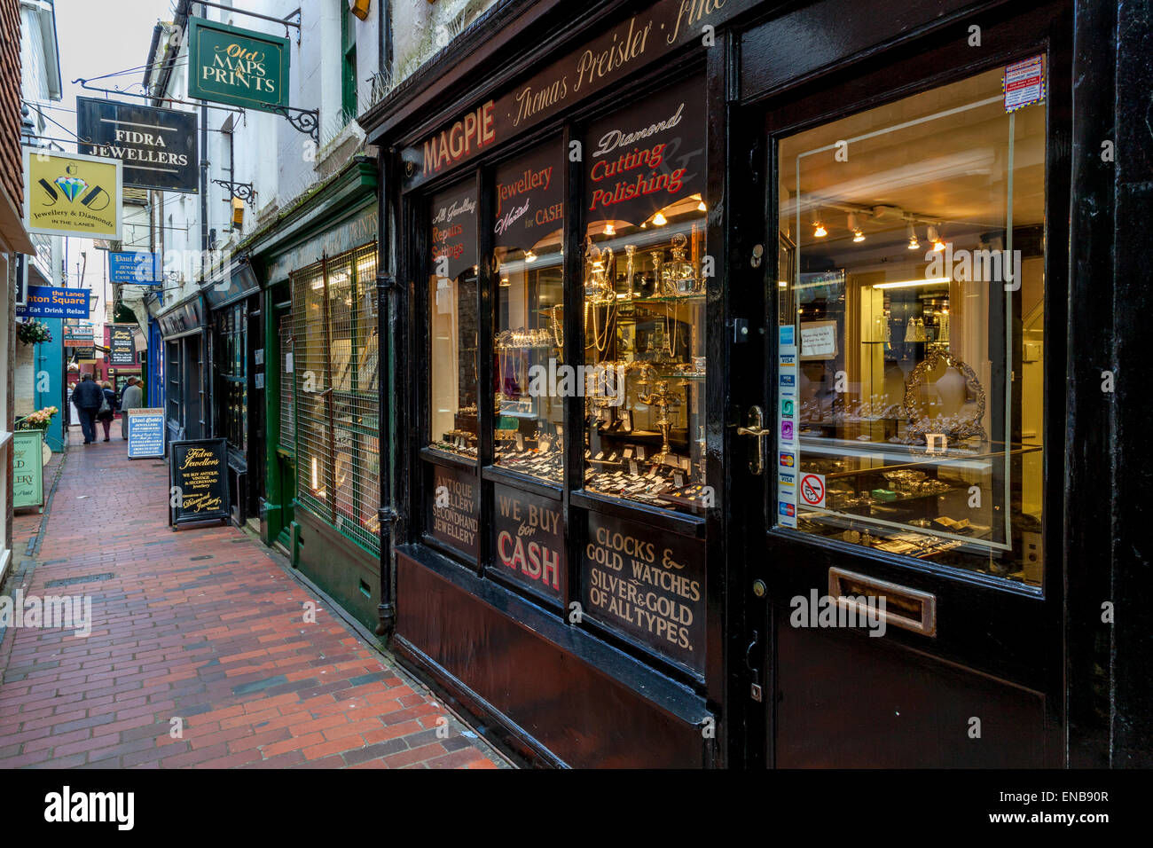 Shops In The Lanes, Brighton, Sussex, UK Stock Photohttps://www.alamy.com/image-license-details/?v=1https://www.alamy.com/stock-photo-shops-in-the-lanes-brighton-sussex-uk-81997799.html
RMENB90R–Shops In The Lanes, Brighton, Sussex, UK
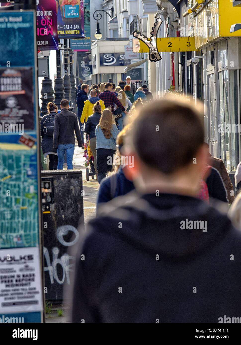 Crowds of busy shoppers, rush hecticly down Brighton's Queen's Road, surrounded by posters, flyers and advertisement hoardings. Stock Photohttps://www.alamy.com/image-license-details/?v=1https://www.alamy.com/crowds-of-busy-shoppers-rush-hecticly-down-brightons-queens-road-surrounded-by-posters-flyers-and-advertisement-hoardings-image335449409.html
RM2ADN141–Crowds of busy shoppers, rush hecticly down Brighton's Queen's Road, surrounded by posters, flyers and advertisement hoardings.
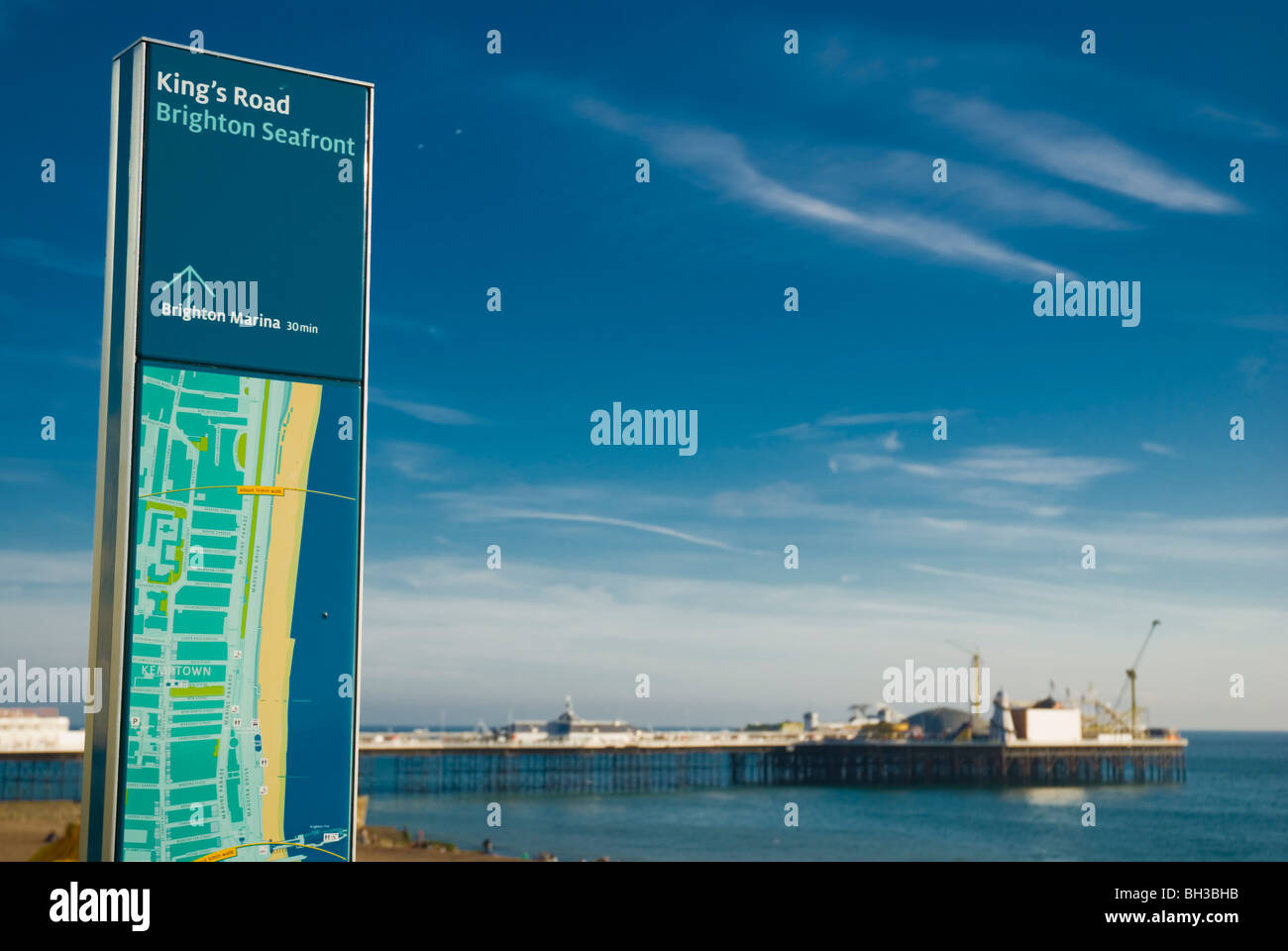 King's Road seafront and pier central Brighton England UK Europe Stock Photohttps://www.alamy.com/image-license-details/?v=1https://www.alamy.com/stock-photo-kings-road-seafront-and-pier-central-brighton-england-uk-europe-27734487.html
RMBH3BHB–King's Road seafront and pier central Brighton England UK Europe
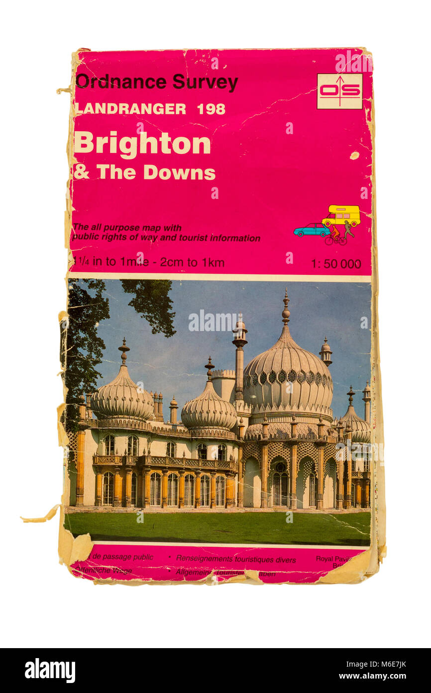 1995 Ordnance Survey Map (Landranger 198) for Brighton & The Downs, Sussex, England, UK. Stock Photohttps://www.alamy.com/image-license-details/?v=1https://www.alamy.com/stock-photo-1995-ordnance-survey-map-landranger-198-for-brighton-the-downs-sussex-176104955.html
RMM6E7JK–1995 Ordnance Survey Map (Landranger 198) for Brighton & The Downs, Sussex, England, UK.
 Brighton, Canada, Ontario, N 44 2' 0'', W 77 43' 58'', map, Timeless Map published in 2021. Travelers, explorers and adventurers like Florence Nightingale, David Livingstone, Ernest Shackleton, Lewis and Clark and Sherlock Holmes relied on maps to plan travels to the world's most remote corners, Timeless Maps is mapping most locations on the globe, showing the achievement of great dreams Stock Photohttps://www.alamy.com/image-license-details/?v=1https://www.alamy.com/brighton-canada-ontario-n-44-2-0-w-77-43-58-map-timeless-map-published-in-2021-travelers-explorers-and-adventurers-like-florence-nightingale-david-livingstone-ernest-shackleton-lewis-and-clark-and-sherlock-holmes-relied-on-maps-to-plan-travels-to-the-worlds-most-remote-corners-timeless-maps-is-mapping-most-locations-on-the-globe-showing-the-achievement-of-great-dreams-image457852931.html
RM2HGW02B–Brighton, Canada, Ontario, N 44 2' 0'', W 77 43' 58'', map, Timeless Map published in 2021. Travelers, explorers and adventurers like Florence Nightingale, David Livingstone, Ernest Shackleton, Lewis and Clark and Sherlock Holmes relied on maps to plan travels to the world's most remote corners, Timeless Maps is mapping most locations on the globe, showing the achievement of great dreams
 Magnifying glass in front of a Brighton map Stock Photohttps://www.alamy.com/image-license-details/?v=1https://www.alamy.com/stock-photo-magnifying-glass-in-front-of-a-brighton-map-113809165.html
RMGH4CN1–Magnifying glass in front of a Brighton map
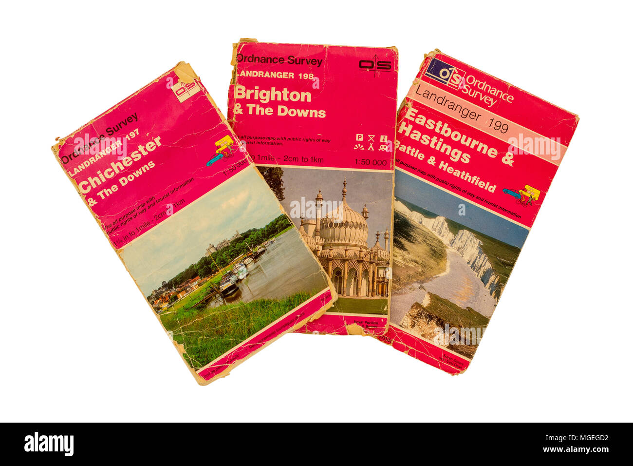 Three old Ordnance Survey Maps covering the Sussex coast and South Downs, UK. Stock Photohttps://www.alamy.com/image-license-details/?v=1https://www.alamy.com/three-old-ordnance-survey-maps-covering-the-sussex-coast-and-south-downs-uk-image182258414.html
RMMGEGD2–Three old Ordnance Survey Maps covering the Sussex coast and South Downs, UK.
 The Brighton road : the classic highway to the south . hed. Horley—the Hurle of old maps—is veryscattered : a piece here, another there, and the parishchurch standing isolated at the extreme southern endof the wide parish. It is situated on an extensiveflat, reeking like a sponge with the waters of the Mole,but, although so entirely undesirable a place, is underexploitation for building purposes. A stranger firstarriving at Horley late at night, and seeing its longlines of lighted streets radiating in several directions,would think he had come to a town ; but morningwould show him that long pe Stock Photohttps://www.alamy.com/image-license-details/?v=1https://www.alamy.com/the-brighton-road-the-classic-highway-to-the-south-hed-horleythe-hurle-of-old-mapsis-veryscattered-a-piece-here-another-there-and-the-parishchurch-standing-isolated-at-the-extreme-southern-endof-the-wide-parish-it-is-situated-on-an-extensiveflat-reeking-like-a-sponge-with-the-waters-of-the-molebut-although-so-entirely-undesirable-a-place-is-underexploitation-for-building-purposes-a-stranger-firstarriving-at-horley-late-at-night-and-seeing-its-longlines-of-lighted-streets-radiating-in-several-directionswould-think-he-had-come-to-a-town-but-morningwould-show-him-that-long-pe-image339972913.html
RM2AN32WN–The Brighton road : the classic highway to the south . hed. Horley—the Hurle of old maps—is veryscattered : a piece here, another there, and the parishchurch standing isolated at the extreme southern endof the wide parish. It is situated on an extensiveflat, reeking like a sponge with the waters of the Mole,but, although so entirely undesirable a place, is underexploitation for building purposes. A stranger firstarriving at Horley late at night, and seeing its longlines of lighted streets radiating in several directions,would think he had come to a town ; but morningwould show him that long pe
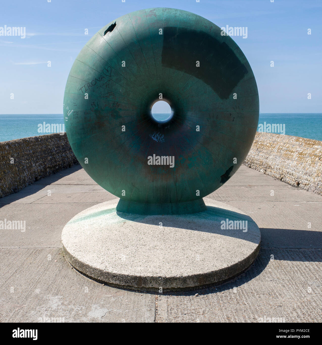 Afloat by Hamish Black public sculpture at Groyne on seafront Brighton Sussex UK Stock Photohttps://www.alamy.com/image-license-details/?v=1https://www.alamy.com/afloat-by-hamish-black-public-sculpture-at-groyne-on-seafront-brighton-sussex-uk-image223561086.html
RMPYM2CE–Afloat by Hamish Black public sculpture at Groyne on seafront Brighton Sussex UK
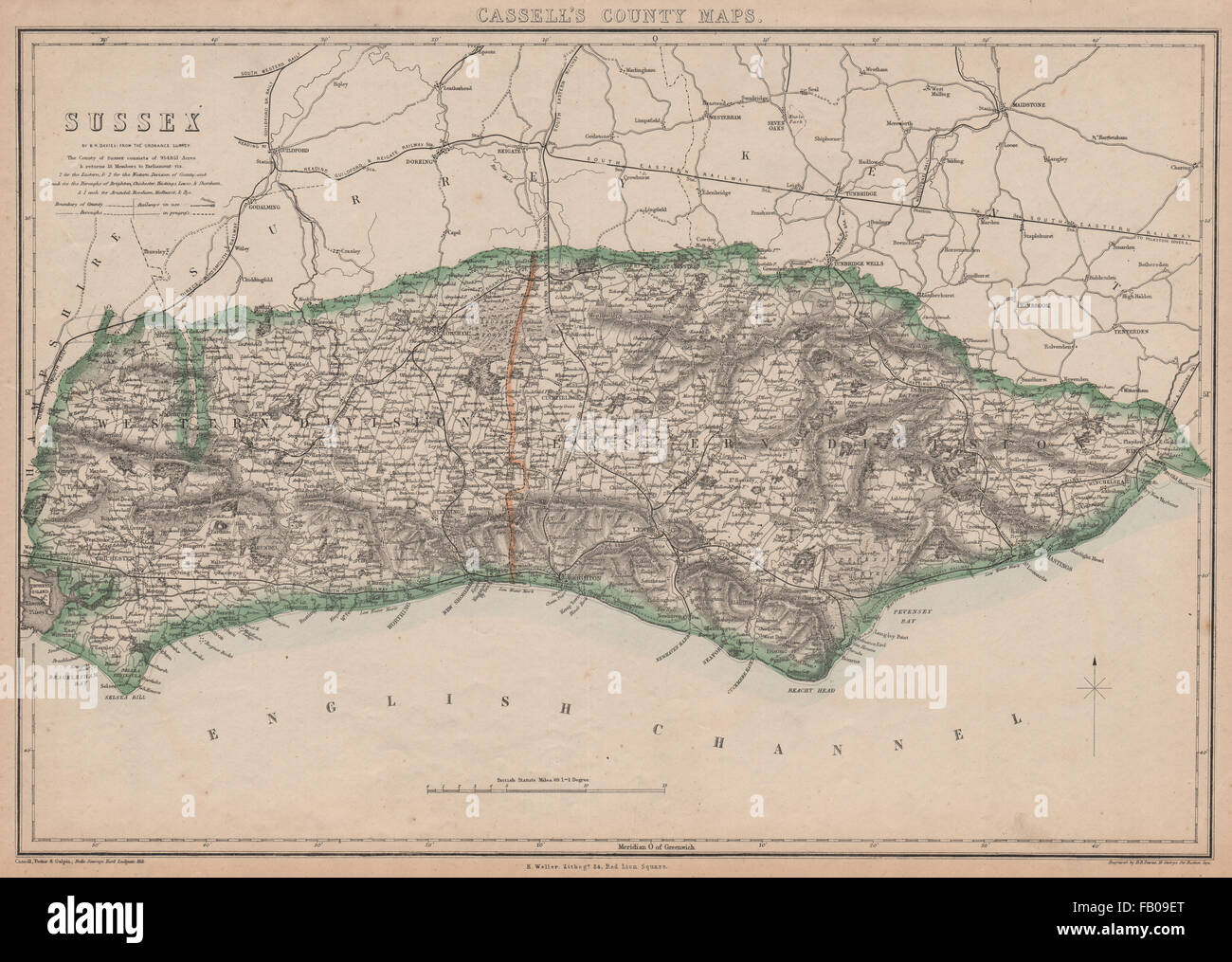 SUSSEX. Chichester Rye Brighton Horsham. County map.Railways.BR DAVIES, 1862 Stock Photohttps://www.alamy.com/image-license-details/?v=1https://www.alamy.com/stock-photo-sussex-chichester-rye-brighton-horsham-county-maprailwaysbr-davies-92820528.html
RFFB09ET–SUSSEX. Chichester Rye Brighton Horsham. County map.Railways.BR DAVIES, 1862
 Royal visit to East Sussex Stock Photohttps://www.alamy.com/image-license-details/?v=1https://www.alamy.com/stock-photo-royal-visit-to-east-sussex-107332409.html
RMG6HBG9–Royal visit to East Sussex
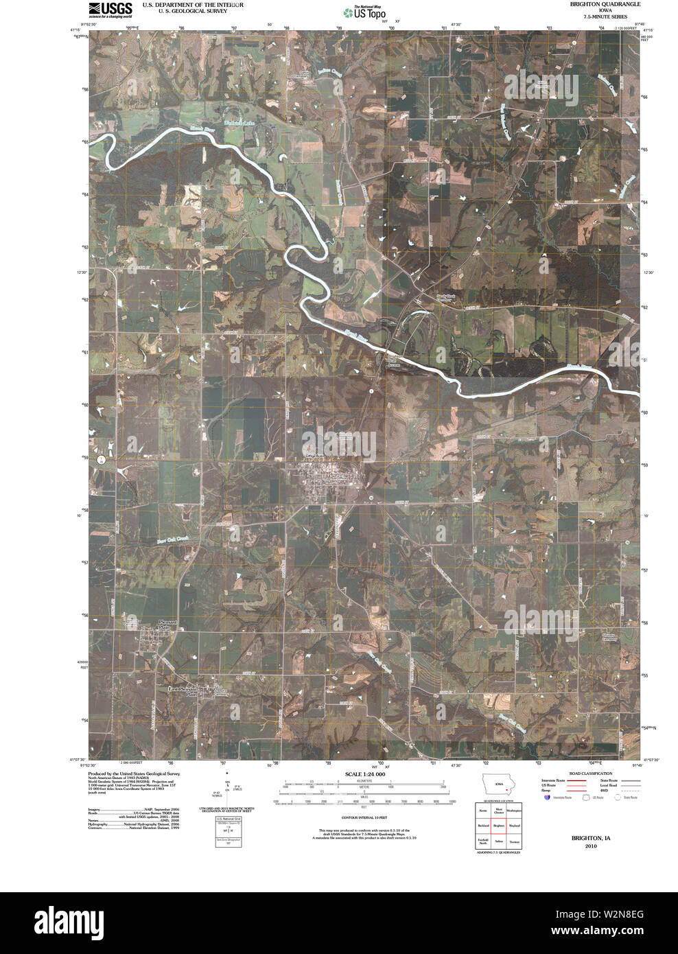 USGS TOPO Maps Iowa IA Brighton 20100422 TM Restoration Stock Photohttps://www.alamy.com/image-license-details/?v=1https://www.alamy.com/usgs-topo-maps-iowa-ia-brighton-20100422-tm-restoration-image259852504.html
RMW2N8EG–USGS TOPO Maps Iowa IA Brighton 20100422 TM Restoration
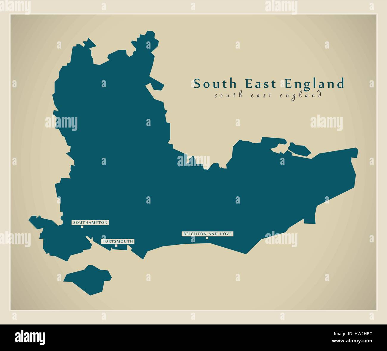 Modern Map - South East England Stock Vectorhttps://www.alamy.com/image-license-details/?v=1https://www.alamy.com/stock-photo-modern-map-south-east-england-135896528.html
RFHW2HBC–Modern Map - South East England
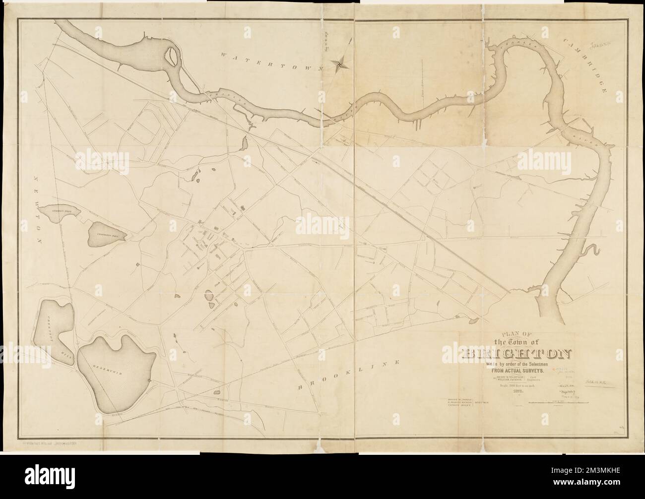 Plan of the town of Brighton , Brighton Boston, Mass., Maps Norman B. Leventhal Map Center Collection Stock Photohttps://www.alamy.com/image-license-details/?v=1https://www.alamy.com/plan-of-the-town-of-brighton-brighton-boston-mass-maps-norman-b-leventhal-map-center-collection-image501399066.html
RM2M3MKHE–Plan of the town of Brighton , Brighton Boston, Mass., Maps Norman B. Leventhal Map Center Collection
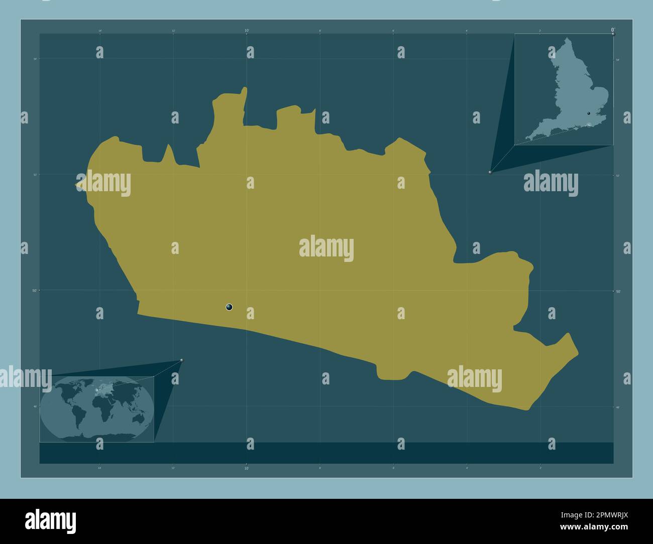 Brighton and Hove, unitary authority of England - Great Britain. Solid color shape. Corner auxiliary location maps Stock Photohttps://www.alamy.com/image-license-details/?v=1https://www.alamy.com/brighton-and-hove-unitary-authority-of-england-great-britain-solid-color-shape-corner-auxiliary-location-maps-image546381890.html
RF2PMWRJX–Brighton and Hove, unitary authority of England - Great Britain. Solid color shape. Corner auxiliary location maps
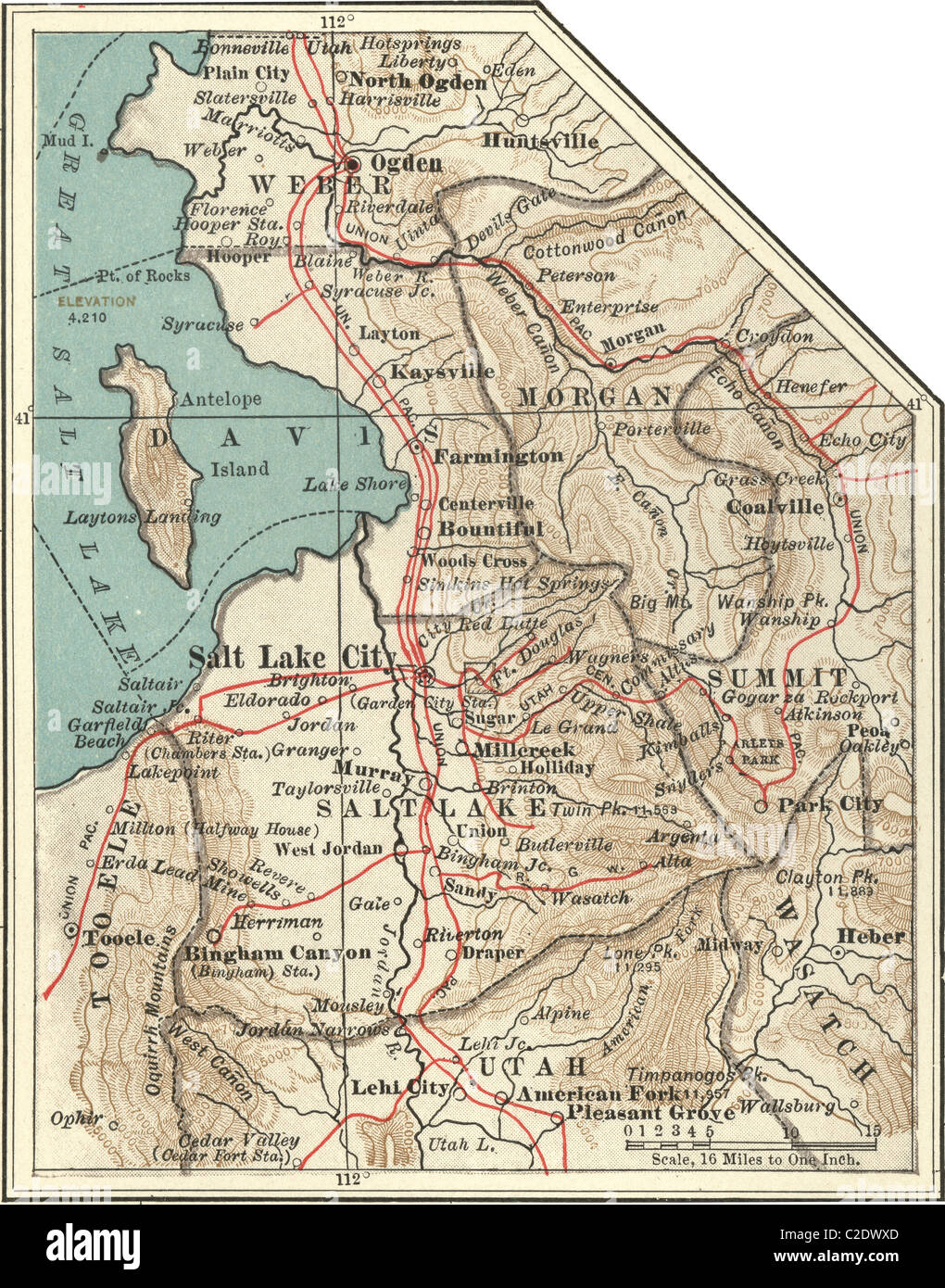 Map of Salt Lake City Stock Photohttps://www.alamy.com/image-license-details/?v=1https://www.alamy.com/stock-photo-map-of-salt-lake-city-35955765.html
RMC2DWXD–Map of Salt Lake City
 View of the Weald north of South Downs Way at Devils Dyke just north of Brighton UK Stock Photohttps://www.alamy.com/image-license-details/?v=1https://www.alamy.com/stock-photo-view-of-the-weald-north-of-south-downs-way-at-devils-dyke-just-north-117280132.html
RMGPPG04–View of the Weald north of South Downs Way at Devils Dyke just north of Brighton UK
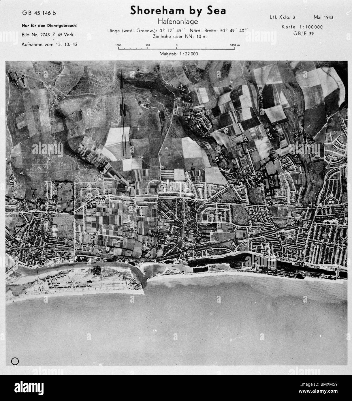 Shoreham by Sea - Sussex 15th November 1942 Harbour Stock Photohttps://www.alamy.com/image-license-details/?v=1https://www.alamy.com/stock-photo-shoreham-by-sea-sussex-15th-november-1942-harbour-30090087.html
RMBMXM5Y–Shoreham by Sea - Sussex 15th November 1942 Harbour
 Looking for directions and where to go next during the Brighton Festival a couple of ladies in the Royal Pavilion Gardens Stock Photohttps://www.alamy.com/image-license-details/?v=1https://www.alamy.com/looking-for-directions-and-where-to-go-next-during-the-brighton-festival-image7306613.html
RMAB5NY6–Looking for directions and where to go next during the Brighton Festival a couple of ladies in the Royal Pavilion Gardens
 Fisherman of Brighton. Fishermen returning to Brighton, by P.I. de Louthe. Fishermen returning to Brighton. Image taken from Fishermen returning to Brighton, by P.I. de Loutherbourg; engraved by B. Comte. . Source: Maps.K.Top.42.17.p,. Language: English. Stock Photohttps://www.alamy.com/image-license-details/?v=1https://www.alamy.com/fisherman-of-brighton-fishermen-returning-to-brighton-by-pi-de-louthe-fishermen-returning-to-brighton-image-taken-from-fishermen-returning-to-brighton-by-pi-de-loutherbourg-engraved-by-b-comte-source-mapsktop4217p-language-english-image226931497.html
RMR55HC9–Fisherman of Brighton. Fishermen returning to Brighton, by P.I. de Louthe. Fishermen returning to Brighton. Image taken from Fishermen returning to Brighton, by P.I. de Loutherbourg; engraved by B. Comte. . Source: Maps.K.Top.42.17.p,. Language: English.
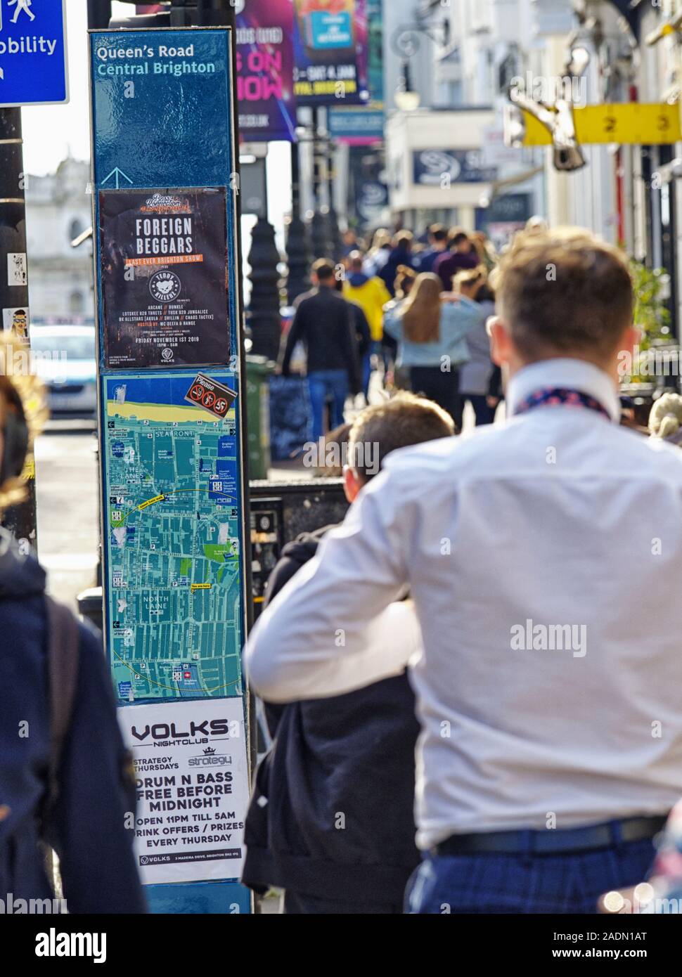 Crowds of busy shoppers, rush hecticly down Brighton's Queen's Road, surrounded by posters, flyers and advertisement hoardings. Stock Photohttps://www.alamy.com/image-license-details/?v=1https://www.alamy.com/crowds-of-busy-shoppers-rush-hecticly-down-brightons-queens-road-surrounded-by-posters-flyers-and-advertisement-hoardings-image335449600.html
RM2ADN1AT–Crowds of busy shoppers, rush hecticly down Brighton's Queen's Road, surrounded by posters, flyers and advertisement hoardings.
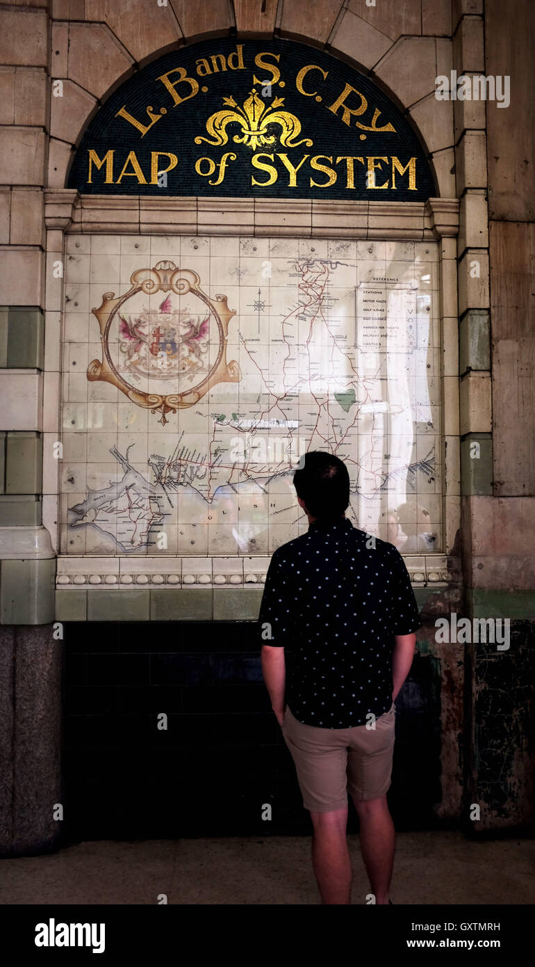 Old Southern Railway and South Coast Line train map at Victoria London UK Stock Photohttps://www.alamy.com/image-license-details/?v=1https://www.alamy.com/stock-photo-old-southern-railway-and-south-coast-line-train-map-at-victoria-london-119786453.html
RMGXTMRH–Old Southern Railway and South Coast Line train map at Victoria London UK
 Brunswick Square road sign, Hove, East Sussex, UK. Stock Photohttps://www.alamy.com/image-license-details/?v=1https://www.alamy.com/stock-photo-brunswick-square-road-sign-hove-east-sussex-uk-25669170.html
RMBDN982–Brunswick Square road sign, Hove, East Sussex, UK.
 Brighton, Canada, Newfoundland and Labrador, N 49 32' 59'', W 55 37' 53'', map, Timeless Map published in 2021. Travelers, explorers and adventurers like Florence Nightingale, David Livingstone, Ernest Shackleton, Lewis and Clark and Sherlock Holmes relied on maps to plan travels to the world's most remote corners, Timeless Maps is mapping most locations on the globe, showing the achievement of great dreams Stock Photohttps://www.alamy.com/image-license-details/?v=1https://www.alamy.com/brighton-canada-newfoundland-and-labrador-n-49-32-59-w-55-37-53-map-timeless-map-published-in-2021-travelers-explorers-and-adventurers-like-florence-nightingale-david-livingstone-ernest-shackleton-lewis-and-clark-and-sherlock-holmes-relied-on-maps-to-plan-travels-to-the-worlds-most-remote-corners-timeless-maps-is-mapping-most-locations-on-the-globe-showing-the-achievement-of-great-dreams-image457852930.html
RM2HGW02A–Brighton, Canada, Newfoundland and Labrador, N 49 32' 59'', W 55 37' 53'', map, Timeless Map published in 2021. Travelers, explorers and adventurers like Florence Nightingale, David Livingstone, Ernest Shackleton, Lewis and Clark and Sherlock Holmes relied on maps to plan travels to the world's most remote corners, Timeless Maps is mapping most locations on the globe, showing the achievement of great dreams
 Image taken from page 13 of 'Where to buy at Exeter. An illustrated local trades' review. By the editor of the “Agents' Guide,” etc' Image taken from page 13 of 'Where to buy at Stock Photohttps://www.alamy.com/image-license-details/?v=1https://www.alamy.com/stock-photo-image-taken-from-page-13-of-where-to-buy-at-exeter-an-illustrated-127743571.html
RMHBR66B–Image taken from page 13 of 'Where to buy at Exeter. An illustrated local trades' review. By the editor of the “Agents' Guide,” etc' Image taken from page 13 of 'Where to buy at
 London and its environs : a practical guide to the metropolis and its vicinity, illustrated by maps, plans and views . say. St. Andrews. Strathpeffer. Strone. IRELAND. Bray. Castle Connell. Dundrum. Holywooi Howth. Kilkee. Kilrush. Kingston. Lucan. Malahide. Passage. Port Stewart Queenstown. Rostrevor. Warrenpoint. ENGLAND. Lyme Regis. Lvtham. Bath. Malvern. Blackpool. Margate. Bridlington Quay. Matlock. Brighton. Penzance. Buxton. Ramsgate. Channel Islands. Sandgate. Cheltenham. Scarborough- Clevedon. Sidmouth. Clifton. Southsea. Dawlish. Southend. Dover. Southport. Eastbourne. Swanage. E.xmo Stock Photohttps://www.alamy.com/image-license-details/?v=1https://www.alamy.com/london-and-its-environs-a-practical-guide-to-the-metropolis-and-its-vicinity-illustrated-by-maps-plans-and-views-say-st-andrews-strathpeffer-strone-ireland-bray-castle-connell-dundrum-holywooi-howth-kilkee-kilrush-kingston-lucan-malahide-passage-port-stewart-queenstown-rostrevor-warrenpoint-england-lyme-regis-lvtham-bath-malvern-blackpool-margate-bridlington-quay-matlock-brighton-penzance-buxton-ramsgate-channel-islands-sandgate-cheltenham-scarborough-clevedon-sidmouth-clifton-southsea-dawlish-southend-dover-southport-eastbourne-swanage-exmo-image338299206.html
RM2AJAT2E–London and its environs : a practical guide to the metropolis and its vicinity, illustrated by maps, plans and views . say. St. Andrews. Strathpeffer. Strone. IRELAND. Bray. Castle Connell. Dundrum. Holywooi Howth. Kilkee. Kilrush. Kingston. Lucan. Malahide. Passage. Port Stewart Queenstown. Rostrevor. Warrenpoint. ENGLAND. Lyme Regis. Lvtham. Bath. Malvern. Blackpool. Margate. Bridlington Quay. Matlock. Brighton. Penzance. Buxton. Ramsgate. Channel Islands. Sandgate. Cheltenham. Scarborough- Clevedon. Sidmouth. Clifton. Southsea. Dawlish. Southend. Dover. Southport. Eastbourne. Swanage. E.xmo
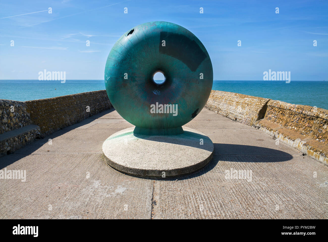 Afloat by Hamish Black public sculpture at Groyne on seafront Brighton Sussex UK Stock Photohttps://www.alamy.com/image-license-details/?v=1https://www.alamy.com/afloat-by-hamish-black-public-sculpture-at-groyne-on-seafront-brighton-sussex-uk-image223561069.html
RMPYM2BW–Afloat by Hamish Black public sculpture at Groyne on seafront Brighton Sussex UK
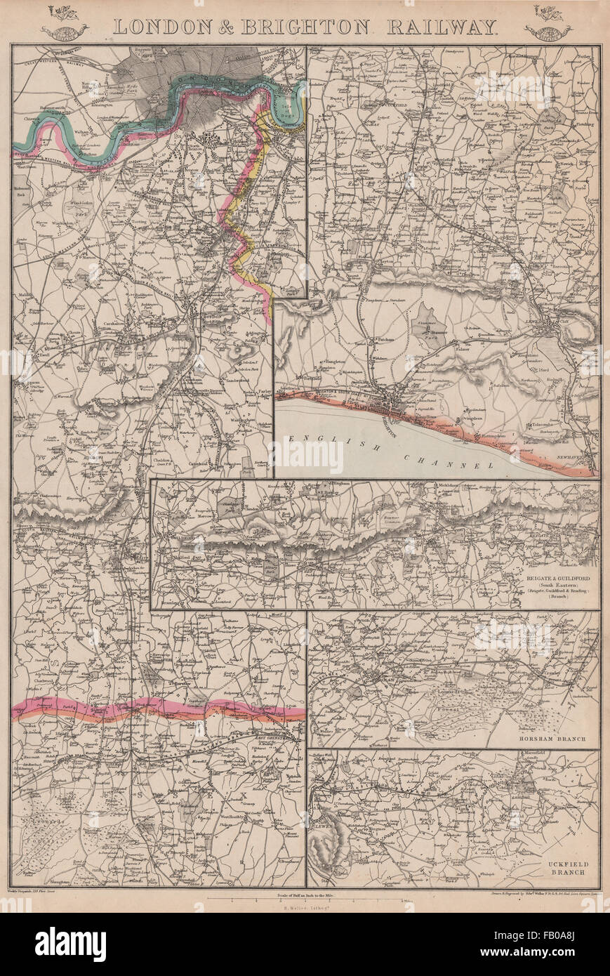 LONDON & BRIGHTON RAILWAY. Reigate Guildford Horsham Uckfield. WELLER, 1862 map Stock Photohttps://www.alamy.com/image-license-details/?v=1https://www.alamy.com/stock-photo-london-brighton-railway-reigate-guildford-horsham-uckfield-weller-92821138.html
RFFB0A8J–LONDON & BRIGHTON RAILWAY. Reigate Guildford Horsham Uckfield. WELLER, 1862 map
 Royal visit to East Sussex Stock Photohttps://www.alamy.com/image-license-details/?v=1https://www.alamy.com/stock-photo-royal-visit-to-east-sussex-107332402.html
RMG6HBG2–Royal visit to East Sussex
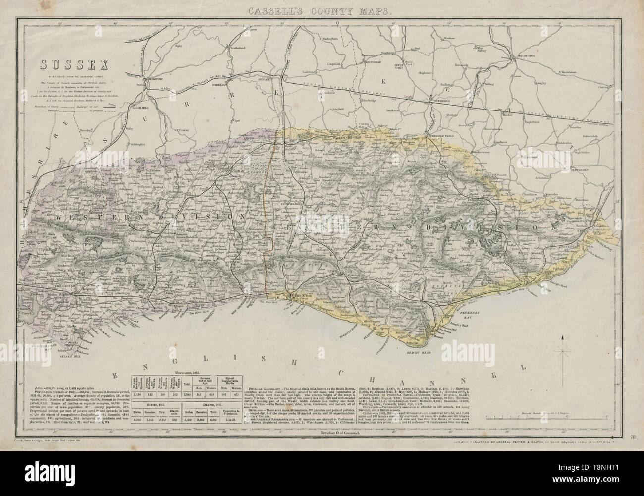 SUSSEX antique county map. Chichester Rye Brighton Horsham. BR DAVIES 1862 Stock Photohttps://www.alamy.com/image-license-details/?v=1https://www.alamy.com/sussex-antique-county-map-chichester-rye-brighton-horsham-br-davies-1862-image246337393.html
RFT8NHT1–SUSSEX antique county map. Chichester Rye Brighton Horsham. BR DAVIES 1862
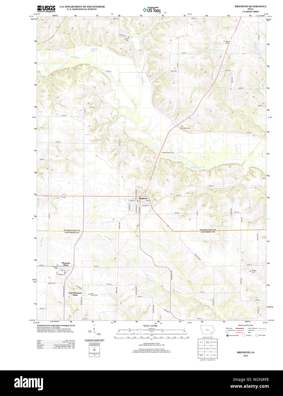 USGS TOPO Maps Iowa IA Brighton 20130422 TM Restoration Stock Photohttps://www.alamy.com/image-license-details/?v=1https://www.alamy.com/usgs-topo-maps-iowa-ia-brighton-20130422-tm-restoration-image259852524.html
RMW2N8F8–USGS TOPO Maps Iowa IA Brighton 20130422 TM Restoration
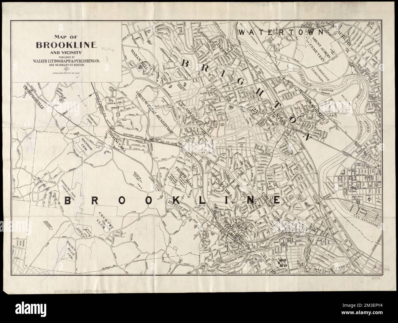 Map of Brookline and vicinity , Brookline Mass., Maps, Brighton Boston, Mass., Maps Norman B. Leventhal Map Center Collection Stock Photohttps://www.alamy.com/image-license-details/?v=1https://www.alamy.com/map-of-brookline-and-vicinity-brookline-mass-maps-brighton-boston-mass-maps-norman-b-leventhal-map-center-collection-image501269976.html
RM2M3EPY4–Map of Brookline and vicinity , Brookline Mass., Maps, Brighton Boston, Mass., Maps Norman B. Leventhal Map Center Collection
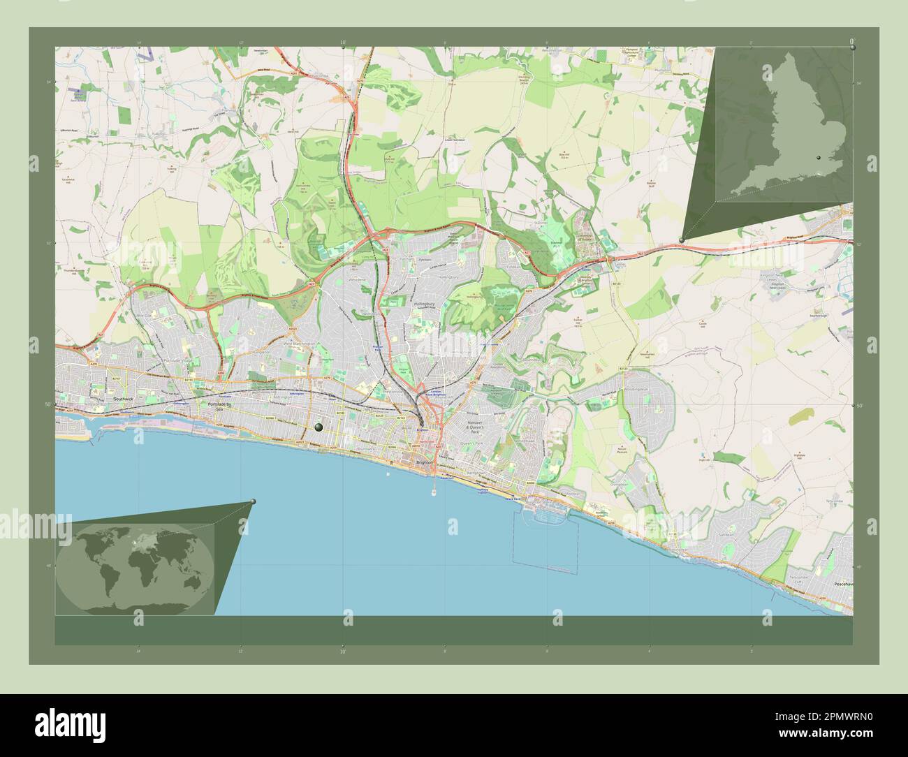 Brighton and Hove, unitary authority of England - Great Britain. Open Street Map. Corner auxiliary location maps Stock Photohttps://www.alamy.com/image-license-details/?v=1https://www.alamy.com/brighton-and-hove-unitary-authority-of-england-great-britain-open-street-map-corner-auxiliary-location-maps-image546381948.html
RF2PMWRN0–Brighton and Hove, unitary authority of England - Great Britain. Open Street Map. Corner auxiliary location maps
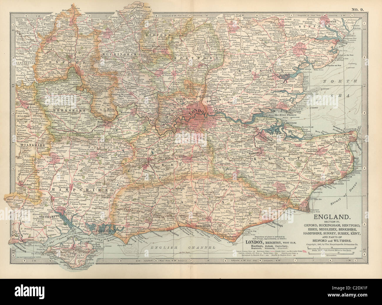 Map of England Stock Photohttps://www.alamy.com/image-license-details/?v=1https://www.alamy.com/stock-photo-map-of-england-35955851.html
RMC2DX1F–Map of England
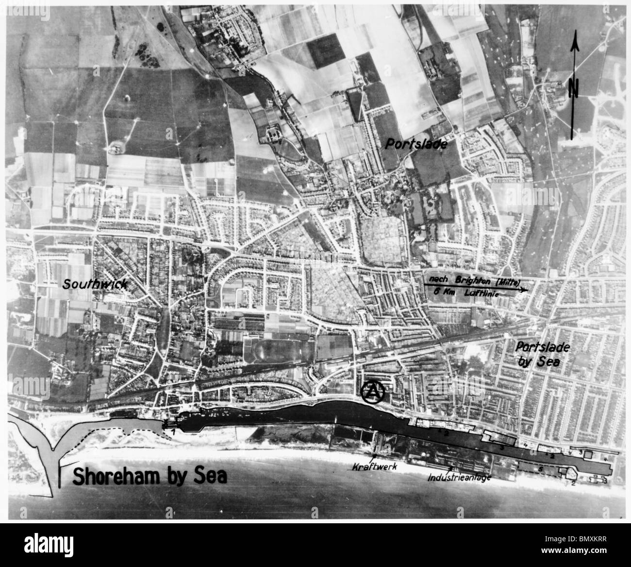 Shoreham by Sea & Portslade by Sea - Sussex 12th April 1939 Airfield, Harbour & Power Station Stock Photohttps://www.alamy.com/image-license-details/?v=1https://www.alamy.com/stock-photo-shoreham-by-sea-portslade-by-sea-sussex-12th-april-1939-airfield-harbour-30089803.html
RMBMXKRR–Shoreham by Sea & Portslade by Sea - Sussex 12th April 1939 Airfield, Harbour & Power Station
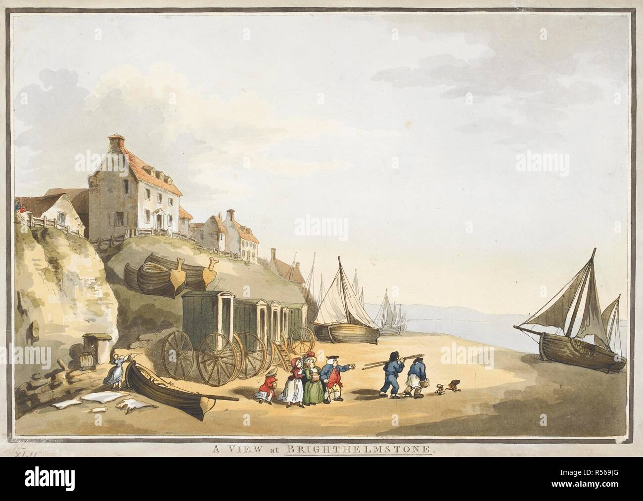 Figures on the beach at Brighton; bathing machines on the left-hand side; boats by the sea; buildings in the distance on the left. A VIEW at BRIGHTHELMSTONE. c. 1800. Etching with hand-colouring. Source: Maps K.Top.42.17.o. Language: English. Stock Photohttps://www.alamy.com/image-license-details/?v=1https://www.alamy.com/figures-on-the-beach-at-brighton-bathing-machines-on-the-left-hand-side-boats-by-the-sea-buildings-in-the-distance-on-the-left-a-view-at-brighthelmstone-c-1800-etching-with-hand-colouring-source-maps-ktop4217o-language-english-image226947352.html
RMR569JG–Figures on the beach at Brighton; bathing machines on the left-hand side; boats by the sea; buildings in the distance on the left. A VIEW at BRIGHTHELMSTONE. c. 1800. Etching with hand-colouring. Source: Maps K.Top.42.17.o. Language: English.
 Old Southern Railway and South Coast Line train map at Victoria London UK Stock Photohttps://www.alamy.com/image-license-details/?v=1https://www.alamy.com/stock-photo-old-southern-railway-and-south-coast-line-train-map-at-victoria-london-119786454.html
RMGXTMRJ–Old Southern Railway and South Coast Line train map at Victoria London UK
 Brunswick Square road sign, Hove, East Sussex, UK. Stock Photohttps://www.alamy.com/image-license-details/?v=1https://www.alamy.com/stock-photo-brunswick-square-road-sign-hove-east-sussex-uk-25669230.html
RMBDN9A6–Brunswick Square road sign, Hove, East Sussex, UK.
 Brighton, Bayside, Australia, Victoria, S 37 54' 20'', E 145 0' 10'', map, Timeless Map published in 2021. Travelers, explorers and adventurers like Florence Nightingale, David Livingstone, Ernest Shackleton, Lewis and Clark and Sherlock Holmes relied on maps to plan travels to the world's most remote corners, Timeless Maps is mapping most locations on the globe, showing the achievement of great dreams Stock Photohttps://www.alamy.com/image-license-details/?v=1https://www.alamy.com/brighton-bayside-australia-victoria-s-37-54-20-e-145-0-10-map-timeless-map-published-in-2021-travelers-explorers-and-adventurers-like-florence-nightingale-david-livingstone-ernest-shackleton-lewis-and-clark-and-sherlock-holmes-relied-on-maps-to-plan-travels-to-the-worlds-most-remote-corners-timeless-maps-is-mapping-most-locations-on-the-globe-showing-the-achievement-of-great-dreams-image457816511.html
RM2HGR9HK–Brighton, Bayside, Australia, Victoria, S 37 54' 20'', E 145 0' 10'', map, Timeless Map published in 2021. Travelers, explorers and adventurers like Florence Nightingale, David Livingstone, Ernest Shackleton, Lewis and Clark and Sherlock Holmes relied on maps to plan travels to the world's most remote corners, Timeless Maps is mapping most locations on the globe, showing the achievement of great dreams
![Image taken from page 24 of '[Where to Buy at Cheltenham. An illustrated trades' review, by the editor of the “Agents' Guide,” etc.]' Image taken from page 24 of '[Where to Buy at Stock Photo Image taken from page 24 of '[Where to Buy at Cheltenham. An illustrated trades' review, by the editor of the “Agents' Guide,” etc.]' Image taken from page 24 of '[Where to Buy at Stock Photo](https://c8.alamy.com/comp/HFK1D2/image-taken-from-page-24-of-where-to-buy-at-cheltenham-an-illustrated-HFK1D2.jpg) Image taken from page 24 of '[Where to Buy at Cheltenham. An illustrated trades' review, by the editor of the “Agents' Guide,” etc.]' Image taken from page 24 of '[Where to Buy at Stock Photohttps://www.alamy.com/image-license-details/?v=1https://www.alamy.com/stock-photo-image-taken-from-page-24-of-where-to-buy-at-cheltenham-an-illustrated-130110654.html
Image taken from page 24 of '[Where to Buy at Cheltenham. An illustrated trades' review, by the editor of the “Agents' Guide,” etc.]' Image taken from page 24 of '[Where to Buy at Stock Photohttps://www.alamy.com/image-license-details/?v=1https://www.alamy.com/stock-photo-image-taken-from-page-24-of-where-to-buy-at-cheltenham-an-illustrated-130110654.htmlRMHFK1D2–Image taken from page 24 of '[Where to Buy at Cheltenham. An illustrated trades' review, by the editor of the “Agents' Guide,” etc.]' Image taken from page 24 of '[Where to Buy at
 . Rand, McNally Boston guide to the city and environs, with maps and illustrations ... home of Governor Bell-ingham; it is now preserved by the Gary House Association. Revere and Winthrop on the east are well-known seashoretowns. At Winthrop there is stilj standing the old home ofDeane Winthrop, son of the governor. It was built about 1640and is well cared for by the Winthrop Improvement Society. Newton. To the west of Brighton and Brookline, reachedby Elevated cars, the Boston & Worcester Street Railway, andat a dozen stations bythe Boston & AlbanyRailroad. One of themost beautiful rides isfr Stock Photohttps://www.alamy.com/image-license-details/?v=1https://www.alamy.com/rand-mcnally-boston-guide-to-the-city-and-environs-with-maps-and-illustrations-home-of-governor-bell-ingham-it-is-now-preserved-by-the-gary-house-association-revere-and-winthrop-on-the-east-are-well-known-seashoretowns-at-winthrop-there-is-stilj-standing-the-old-home-ofdeane-winthrop-son-of-the-governor-it-was-built-about-1640and-is-well-cared-for-by-the-winthrop-improvement-society-newton-to-the-west-of-brighton-and-brookline-reachedby-elevated-cars-the-boston-worcester-street-railway-andat-a-dozen-stations-bythe-boston-albanyrailroad-one-of-themost-beautiful-rides-isfr-image336692746.html
RM2AFNK0X–. Rand, McNally Boston guide to the city and environs, with maps and illustrations ... home of Governor Bell-ingham; it is now preserved by the Gary House Association. Revere and Winthrop on the east are well-known seashoretowns. At Winthrop there is stilj standing the old home ofDeane Winthrop, son of the governor. It was built about 1640and is well cared for by the Winthrop Improvement Society. Newton. To the west of Brighton and Brookline, reachedby Elevated cars, the Boston & Worcester Street Railway, andat a dozen stations bythe Boston & AlbanyRailroad. One of themost beautiful rides isfr
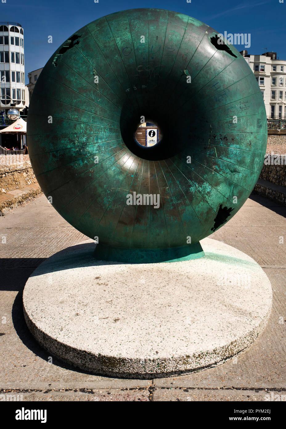 Afloat by Hamish Black public sculpture at Groyne on seafront Brighton Sussex UK Stock Photohttps://www.alamy.com/image-license-details/?v=1https://www.alamy.com/afloat-by-hamish-black-public-sculpture-at-groyne-on-seafront-brighton-sussex-uk-image223561146.html
RMPYM2EJ–Afloat by Hamish Black public sculpture at Groyne on seafront Brighton Sussex UK
 Royal visit to East Sussex Stock Photohttps://www.alamy.com/image-license-details/?v=1https://www.alamy.com/stock-photo-royal-visit-to-east-sussex-107332401.html
RMG6HBG1–Royal visit to East Sussex
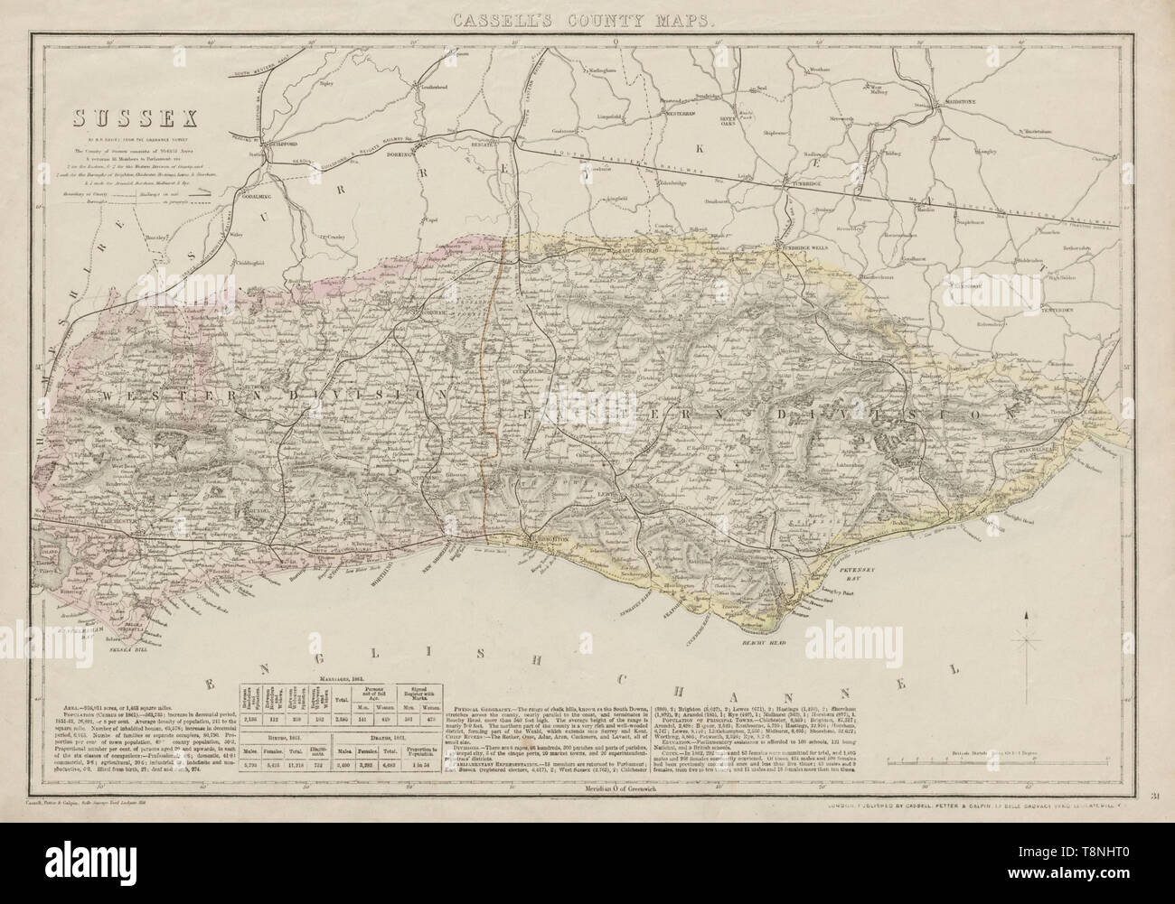 SUSSEX antique county map. Chichester Rye Brighton Horsham. BR DAVIES 1863 Stock Photohttps://www.alamy.com/image-license-details/?v=1https://www.alamy.com/sussex-antique-county-map-chichester-rye-brighton-horsham-br-davies-1863-image246337392.html
RFT8NHT0–SUSSEX antique county map. Chichester Rye Brighton Horsham. BR DAVIES 1863
 USGS TOPO Maps Iowa IA Brighton 174191 1980 24000 Restoration Stock Photohttps://www.alamy.com/image-license-details/?v=1https://www.alamy.com/usgs-topo-maps-iowa-ia-brighton-174191-1980-24000-restoration-image259852398.html
RMW2N8AP–USGS TOPO Maps Iowa IA Brighton 174191 1980 24000 Restoration
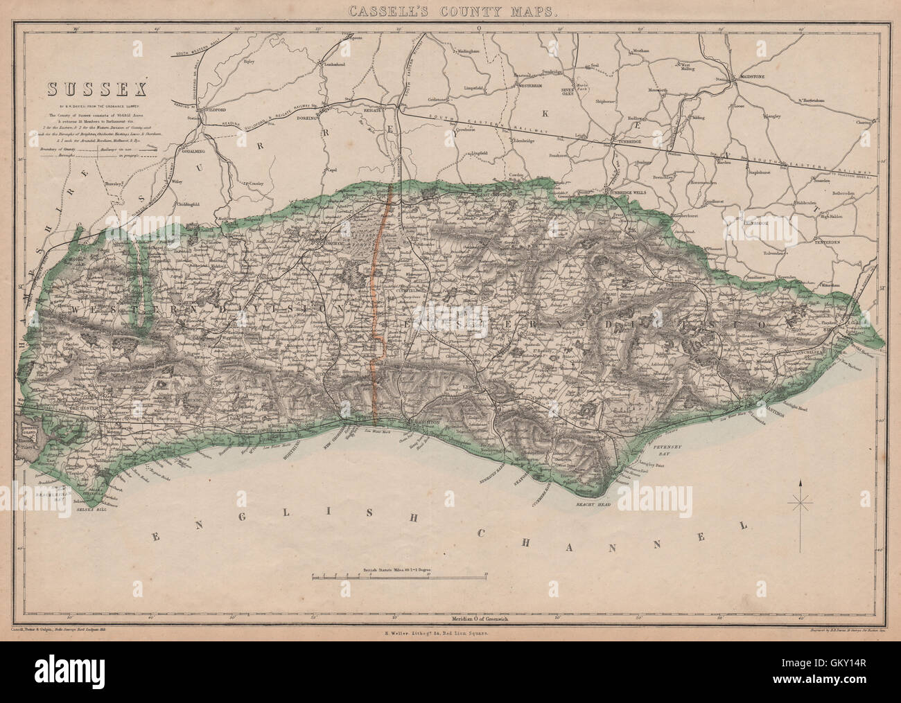 SUSSEX. Chichester Rye Brighton Horsham. County map.Railways.BR DAVIES, 1863 Stock Photohttps://www.alamy.com/image-license-details/?v=1https://www.alamy.com/stock-photo-sussex-chichester-rye-brighton-horsham-county-maprailwaysbr-davies-115534295.html
RFGKY14R–SUSSEX. Chichester Rye Brighton Horsham. County map.Railways.BR DAVIES, 1863
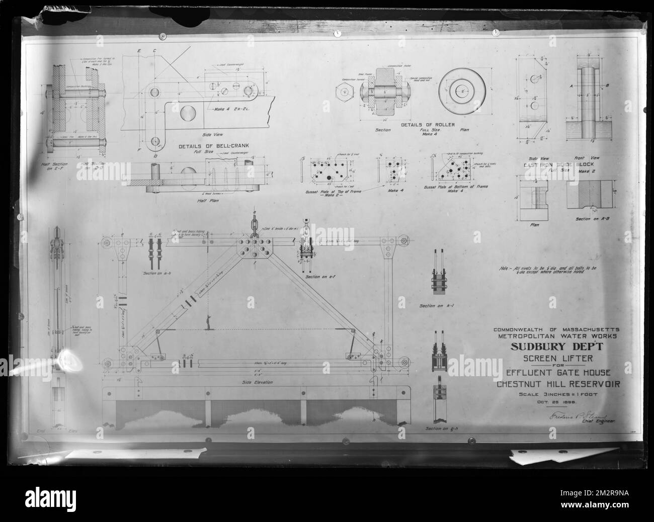 Engineering Plans, Sudbury Department, screen lifter for Effluent Gatehouse, Chestnut Hill Reservoir, Brighton, Mass., Oct. 25, 1898 , waterworks, engineering maps Stock Photohttps://www.alamy.com/image-license-details/?v=1https://www.alamy.com/engineering-plans-sudbury-department-screen-lifter-for-effluent-gatehouse-chestnut-hill-reservoir-brighton-mass-oct-25-1898-waterworks-engineering-maps-image500842534.html
RM2M2R9NA–Engineering Plans, Sudbury Department, screen lifter for Effluent Gatehouse, Chestnut Hill Reservoir, Brighton, Mass., Oct. 25, 1898 , waterworks, engineering maps
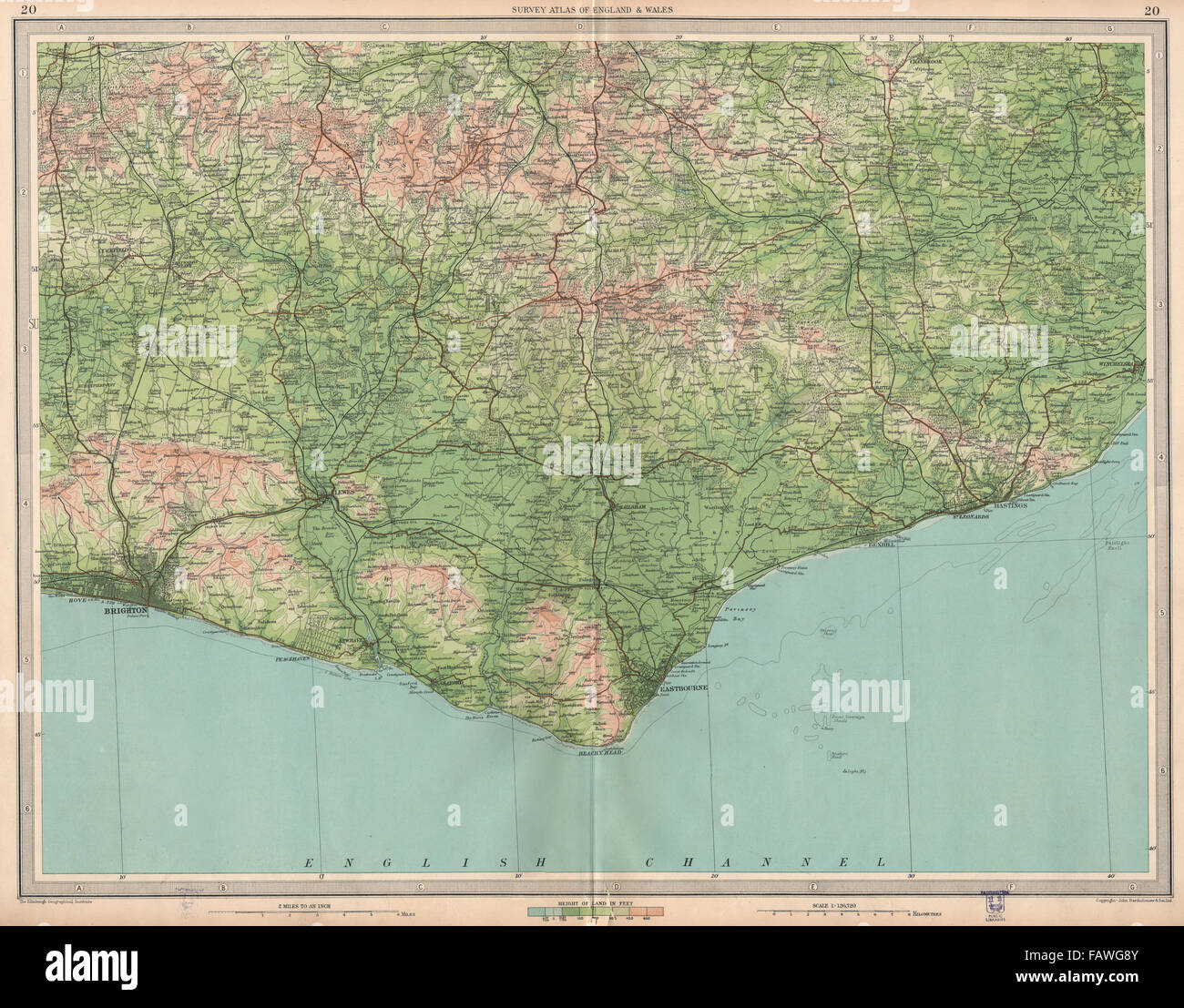 EAST SUSSEX: Brighton Eastbourne Bexhill Hastings Ashdown Forest.LARGE, 1939 map Stock Photohttps://www.alamy.com/image-license-details/?v=1https://www.alamy.com/stock-photo-east-sussex-brighton-eastbourne-bexhill-hastings-ashdown-forestlarge-92759995.html
RFFAWG8Y–EAST SUSSEX: Brighton Eastbourne Bexhill Hastings Ashdown Forest.LARGE, 1939 map
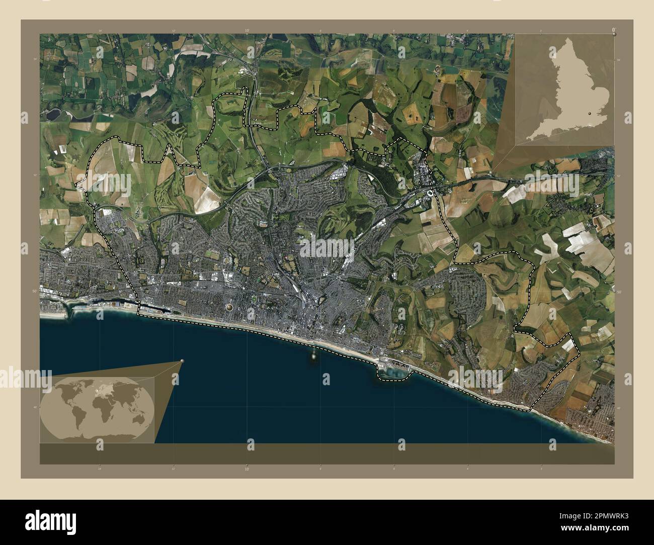 Brighton and Hove, unitary authority of England - Great Britain. High resolution satellite map. Corner auxiliary location maps Stock Photohttps://www.alamy.com/image-license-details/?v=1https://www.alamy.com/brighton-and-hove-unitary-authority-of-england-great-britain-high-resolution-satellite-map-corner-auxiliary-location-maps-image546381895.html
RF2PMWRK3–Brighton and Hove, unitary authority of England - Great Britain. High resolution satellite map. Corner auxiliary location maps
 THE SOUTH COAST RAILWAY. Portsmouth to Brighton & Hastings. WELLER, 1863 map Stock Photohttps://www.alamy.com/image-license-details/?v=1https://www.alamy.com/stock-photo-the-south-coast-railway-portsmouth-to-brighton-hastings-weller-1863-115576464.html
RFGM0XXT–THE SOUTH COAST RAILWAY. Portsmouth to Brighton & Hastings. WELLER, 1863 map
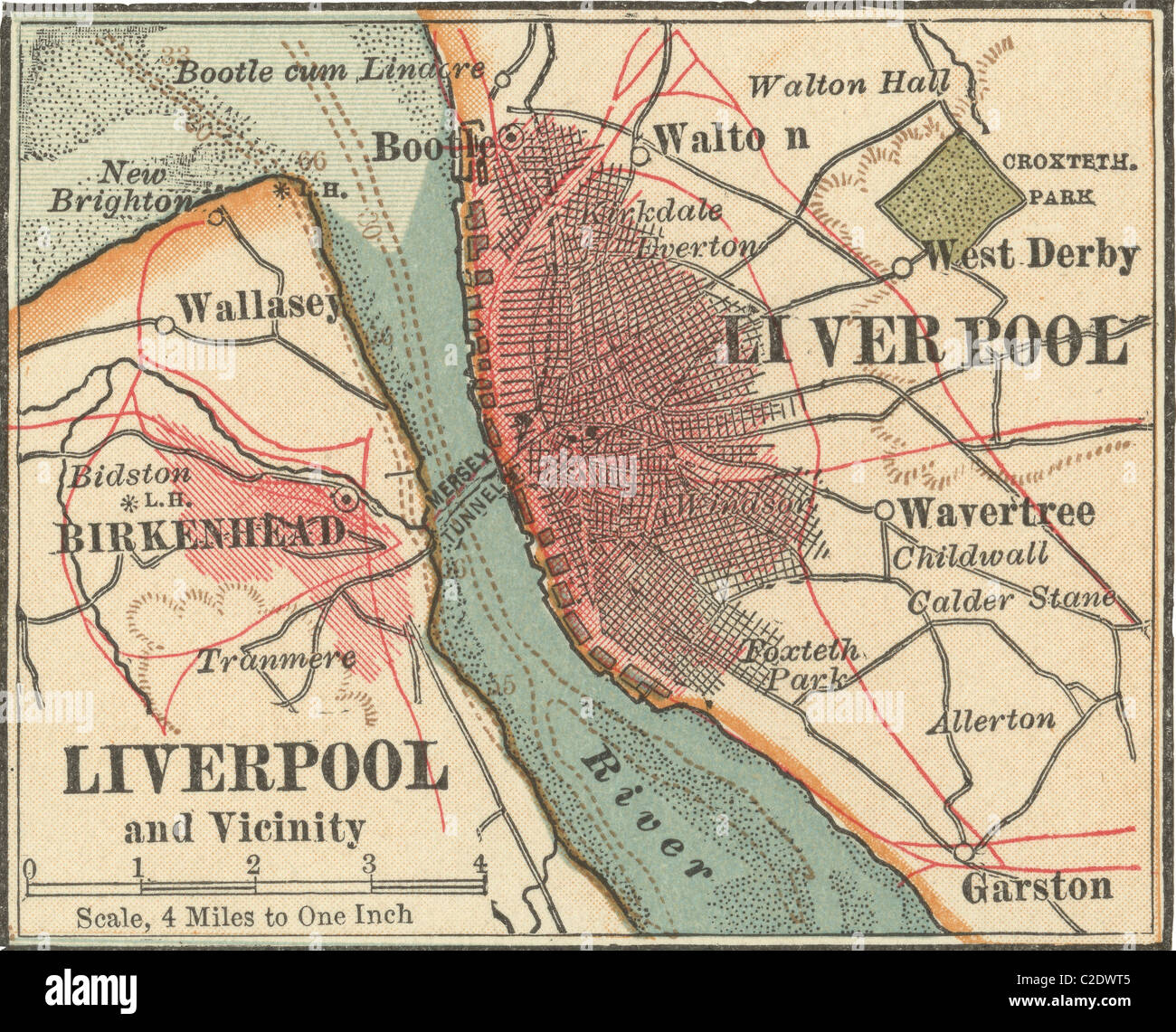 Map of Liverpool Stock Photohttps://www.alamy.com/image-license-details/?v=1https://www.alamy.com/stock-photo-map-of-liverpool-35955701.html
RMC2DWT5–Map of Liverpool
![Fishermen hauling boats onto the beach; women standing nearby; fish being transported to the shore; ships on the sea. FISHERMEN Returning to BRIGHTON. [London] : Published as the Act directs by C. Geisweiler No 42 Duke Street St James's, [around 1801]. Etching with hand-colouring. Source: Maps K.Top.42.17.p. Language: English. Author: Philippe-Jacques de Loutherbourg. Comte, B. Stock Photo Fishermen hauling boats onto the beach; women standing nearby; fish being transported to the shore; ships on the sea. FISHERMEN Returning to BRIGHTON. [London] : Published as the Act directs by C. Geisweiler No 42 Duke Street St James's, [around 1801]. Etching with hand-colouring. Source: Maps K.Top.42.17.p. Language: English. Author: Philippe-Jacques de Loutherbourg. Comte, B. Stock Photo](https://c8.alamy.com/comp/R5C5M8/fishermen-hauling-boats-onto-the-beach-women-standing-nearby-fish-being-transported-to-the-shore-ships-on-the-sea-fishermen-returning-to-brighton-london-published-as-the-act-directs-by-c-geisweiler-no-42-duke-street-st-jamess-around-1801-etching-with-hand-colouring-source-maps-ktop4217p-language-english-author-philippe-jacques-de-loutherbourg-comte-b-R5C5M8.jpg) Fishermen hauling boats onto the beach; women standing nearby; fish being transported to the shore; ships on the sea. FISHERMEN Returning to BRIGHTON. [London] : Published as the Act directs by C. Geisweiler No 42 Duke Street St James's, [around 1801]. Etching with hand-colouring. Source: Maps K.Top.42.17.p. Language: English. Author: Philippe-Jacques de Loutherbourg. Comte, B. Stock Photohttps://www.alamy.com/image-license-details/?v=1https://www.alamy.com/fishermen-hauling-boats-onto-the-beach-women-standing-nearby-fish-being-transported-to-the-shore-ships-on-the-sea-fishermen-returning-to-brighton-london-published-as-the-act-directs-by-c-geisweiler-no-42-duke-street-st-jamess-around-1801-etching-with-hand-colouring-source-maps-ktop4217p-language-english-author-philippe-jacques-de-loutherbourg-comte-b-image227075976.html
Fishermen hauling boats onto the beach; women standing nearby; fish being transported to the shore; ships on the sea. FISHERMEN Returning to BRIGHTON. [London] : Published as the Act directs by C. Geisweiler No 42 Duke Street St James's, [around 1801]. Etching with hand-colouring. Source: Maps K.Top.42.17.p. Language: English. Author: Philippe-Jacques de Loutherbourg. Comte, B. Stock Photohttps://www.alamy.com/image-license-details/?v=1https://www.alamy.com/fishermen-hauling-boats-onto-the-beach-women-standing-nearby-fish-being-transported-to-the-shore-ships-on-the-sea-fishermen-returning-to-brighton-london-published-as-the-act-directs-by-c-geisweiler-no-42-duke-street-st-jamess-around-1801-etching-with-hand-colouring-source-maps-ktop4217p-language-english-author-philippe-jacques-de-loutherbourg-comte-b-image227075976.htmlRMR5C5M8–Fishermen hauling boats onto the beach; women standing nearby; fish being transported to the shore; ships on the sea. FISHERMEN Returning to BRIGHTON. [London] : Published as the Act directs by C. Geisweiler No 42 Duke Street St James's, [around 1801]. Etching with hand-colouring. Source: Maps K.Top.42.17.p. Language: English. Author: Philippe-Jacques de Loutherbourg. Comte, B.
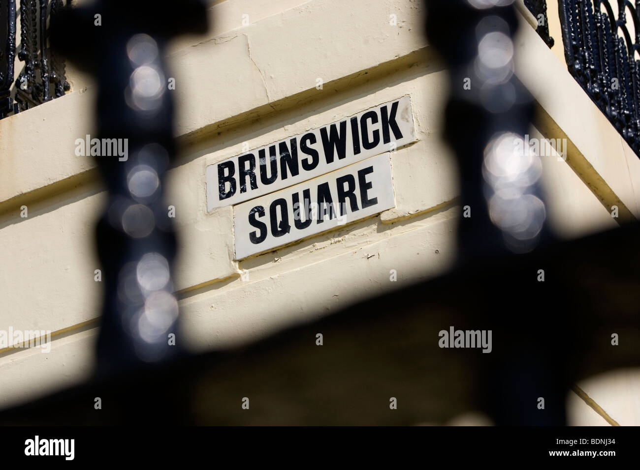 Brunswick Square road sign, Hove, East Sussex, UK. Stock Photohttps://www.alamy.com/image-license-details/?v=1https://www.alamy.com/stock-photo-brunswick-square-road-sign-hove-east-sussex-uk-25676088.html
RMBDNJ34–Brunswick Square road sign, Hove, East Sussex, UK.
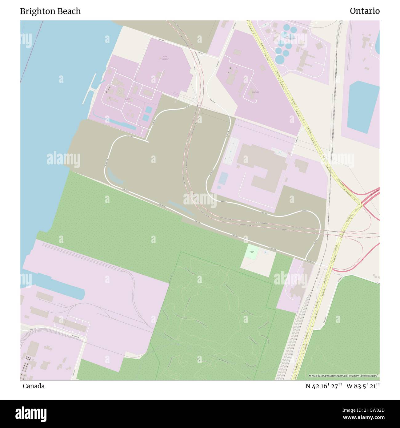 Brighton Beach, Canada, Ontario, N 42 16' 27'', W 83 5' 21'', map, Timeless Map published in 2021. Travelers, explorers and adventurers like Florence Nightingale, David Livingstone, Ernest Shackleton, Lewis and Clark and Sherlock Holmes relied on maps to plan travels to the world's most remote corners, Timeless Maps is mapping most locations on the globe, showing the achievement of great dreams Stock Photohttps://www.alamy.com/image-license-details/?v=1https://www.alamy.com/brighton-beach-canada-ontario-n-42-16-27-w-83-5-21-map-timeless-map-published-in-2021-travelers-explorers-and-adventurers-like-florence-nightingale-david-livingstone-ernest-shackleton-lewis-and-clark-and-sherlock-holmes-relied-on-maps-to-plan-travels-to-the-worlds-most-remote-corners-timeless-maps-is-mapping-most-locations-on-the-globe-showing-the-achievement-of-great-dreams-image457852933.html
RM2HGW02D–Brighton Beach, Canada, Ontario, N 42 16' 27'', W 83 5' 21'', map, Timeless Map published in 2021. Travelers, explorers and adventurers like Florence Nightingale, David Livingstone, Ernest Shackleton, Lewis and Clark and Sherlock Holmes relied on maps to plan travels to the world's most remote corners, Timeless Maps is mapping most locations on the globe, showing the achievement of great dreams
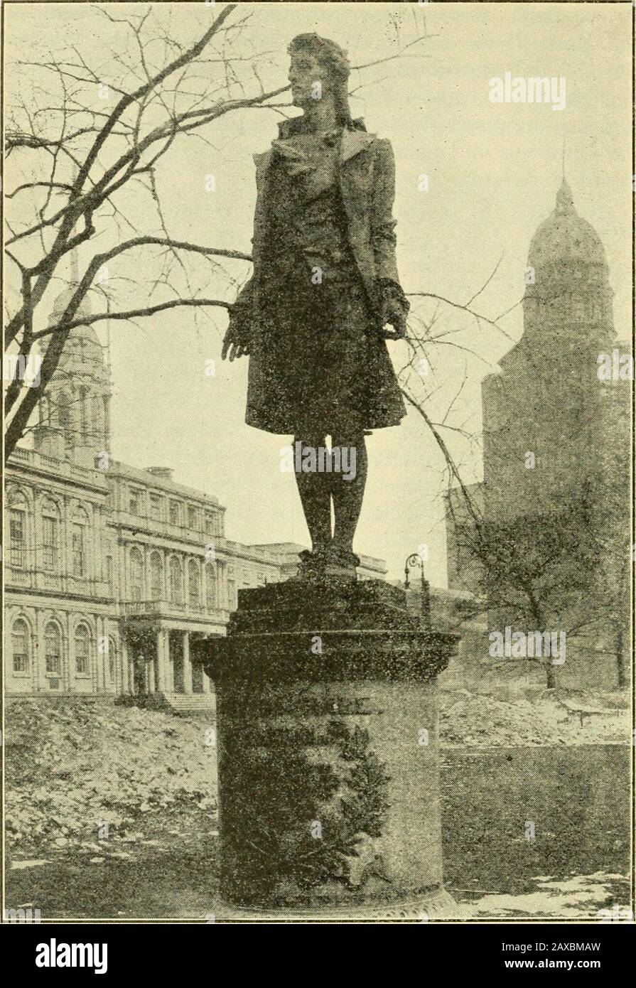 Valentine's city of New York; a guide book, with six maps and one hundred and sixty full page pictures . ance to New York Harbor. On the way backto the city a good view is given of famous Coney Island,Brighton and Manhattan beaches. As in the case ofthe motor buses, here again the lecturer adds greatlyto the interest of the trip by his intelligent descriptions. The very latest and up-to-the-minute method of See-ing New York is undoubtedly by the new hourly Aero-plane route. For a genuine thrill, this is highly recom-mended to the tourist in New York. Elsewhere in thesepages we have shown a pho Stock Photohttps://www.alamy.com/image-license-details/?v=1https://www.alamy.com/valentines-city-of-new-york-a-guide-book-with-six-maps-and-one-hundred-and-sixty-full-page-pictures-ance-to-new-york-harbor-on-the-way-backto-the-city-a-good-view-is-given-of-famous-coney-islandbrighton-and-manhattan-beaches-as-in-the-case-ofthe-motor-buses-here-again-the-lecturer-adds-greatlyto-the-interest-of-the-trip-by-his-intelligent-descriptions-the-very-latest-and-up-to-the-minute-method-of-see-ing-new-york-is-undoubtedly-by-the-new-hourly-aero-plane-route-for-a-genuine-thrill-this-is-highly-recom-mended-to-the-tourist-in-new-york-elsewhere-in-thesepages-we-have-shown-a-pho-image343235505.html
RM2AXBMAW–Valentine's city of New York; a guide book, with six maps and one hundred and sixty full page pictures . ance to New York Harbor. On the way backto the city a good view is given of famous Coney Island,Brighton and Manhattan beaches. As in the case ofthe motor buses, here again the lecturer adds greatlyto the interest of the trip by his intelligent descriptions. The very latest and up-to-the-minute method of See-ing New York is undoubtedly by the new hourly Aero-plane route. For a genuine thrill, this is highly recom-mended to the tourist in New York. Elsewhere in thesepages we have shown a pho
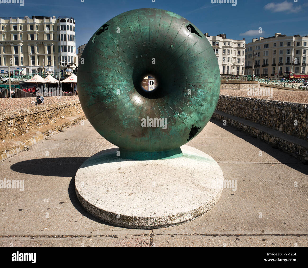 Afloat by Hamish Black public sculpture at Groyne on seafront Brighton Sussex UK Stock Photohttps://www.alamy.com/image-license-details/?v=1https://www.alamy.com/afloat-by-hamish-black-public-sculpture-at-groyne-on-seafront-brighton-sussex-uk-image223561132.html
RMPYM2E4–Afloat by Hamish Black public sculpture at Groyne on seafront Brighton Sussex UK
 Royal visit to East Sussex Stock Photohttps://www.alamy.com/image-license-details/?v=1https://www.alamy.com/stock-photo-royal-visit-to-east-sussex-107332413.html
RMG6HBGD–Royal visit to East Sussex
 UT Brighton 20110411 TM Restoration Stock Photohttps://www.alamy.com/image-license-details/?v=1https://www.alamy.com/ut-brighton-20110411-tm-restoration-image333891137.html
RM2AB61FD–UT Brighton 20110411 TM Restoration
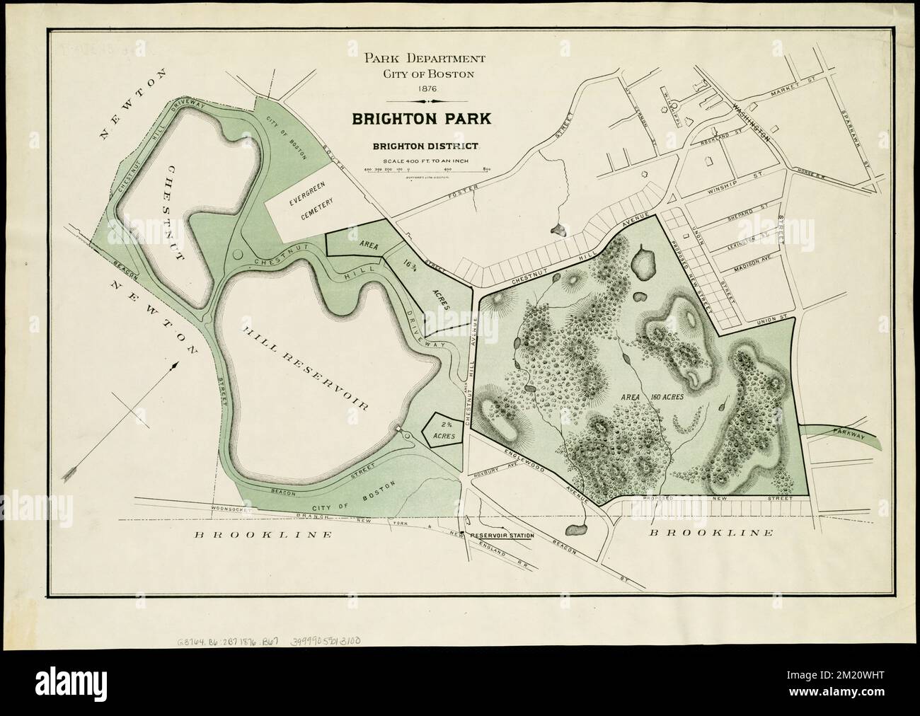 Brighton park : Brighton district , Parks, Massachusetts, Boston, Brighton, Maps, Brighton Boston, Mass., Maps Norman B. Leventhal Map Center Collection Stock Photohttps://www.alamy.com/image-license-details/?v=1https://www.alamy.com/brighton-park-brighton-district-parks-massachusetts-boston-brighton-maps-brighton-boston-mass-maps-norman-b-leventhal-map-center-collection-image500350084.html
RM2M20WHT–Brighton park : Brighton district , Parks, Massachusetts, Boston, Brighton, Maps, Brighton Boston, Mass., Maps Norman B. Leventhal Map Center Collection
 Brighton and Hove, unitary authority of England - Great Britain. Low resolution satellite map. Corner auxiliary location maps Stock Photohttps://www.alamy.com/image-license-details/?v=1https://www.alamy.com/brighton-and-hove-unitary-authority-of-england-great-britain-low-resolution-satellite-map-corner-auxiliary-location-maps-image546381899.html
RF2PMWRK7–Brighton and Hove, unitary authority of England - Great Britain. Low resolution satellite map. Corner auxiliary location maps
 LONDON & BRIGHTON RAILWAY. Reigate Guildford Horsham Uckfield. WELLER, 1863 map Stock Photohttps://www.alamy.com/image-license-details/?v=1https://www.alamy.com/stock-photo-london-brighton-railway-reigate-guildford-horsham-uckfield-weller-115576106.html
RFGM0XE2–LONDON & BRIGHTON RAILWAY. Reigate Guildford Horsham Uckfield. WELLER, 1863 map
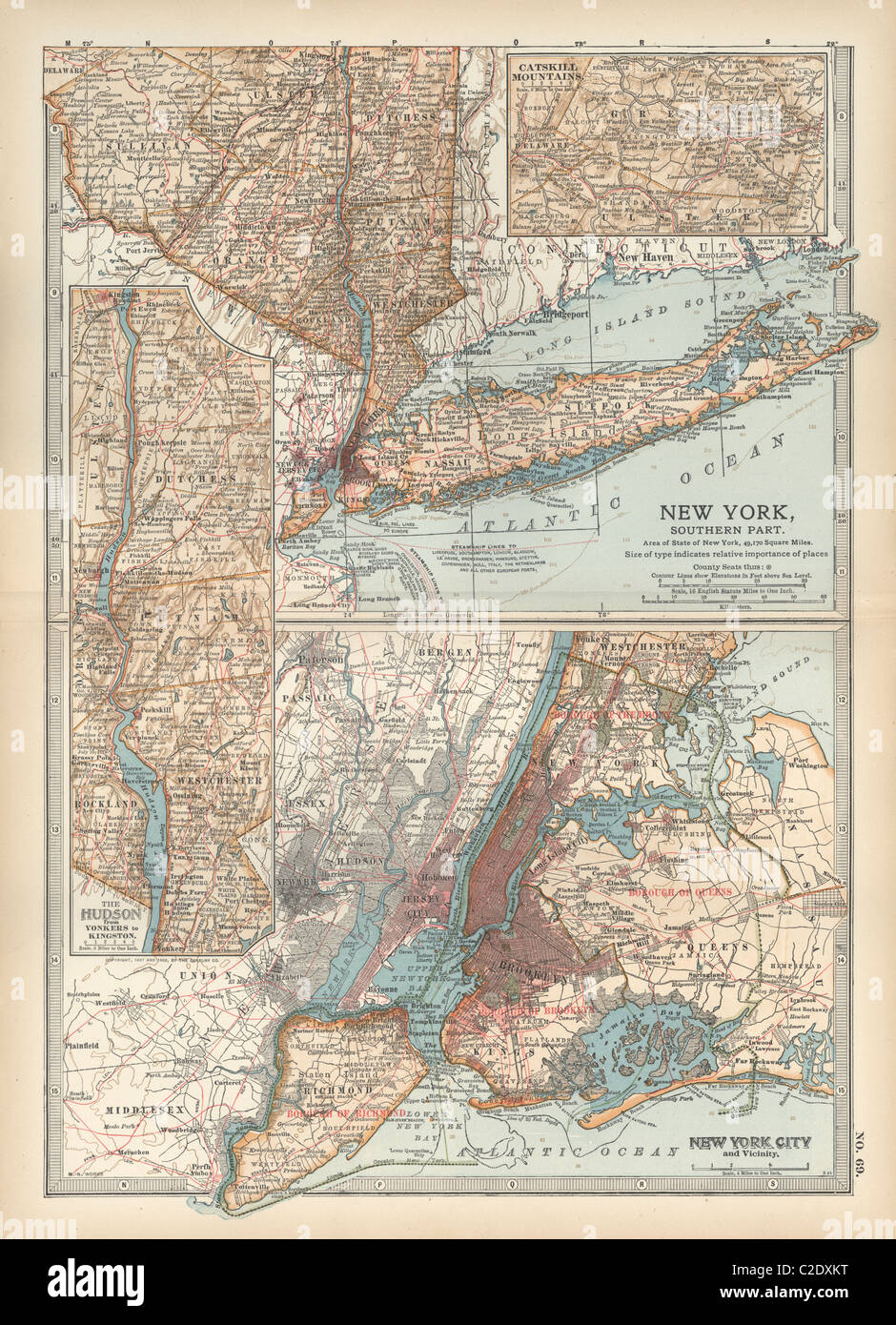 Map of New York State Stock Photohttps://www.alamy.com/image-license-details/?v=1https://www.alamy.com/stock-photo-map-of-new-york-state-35956364.html
RMC2DXKT–Map of New York State
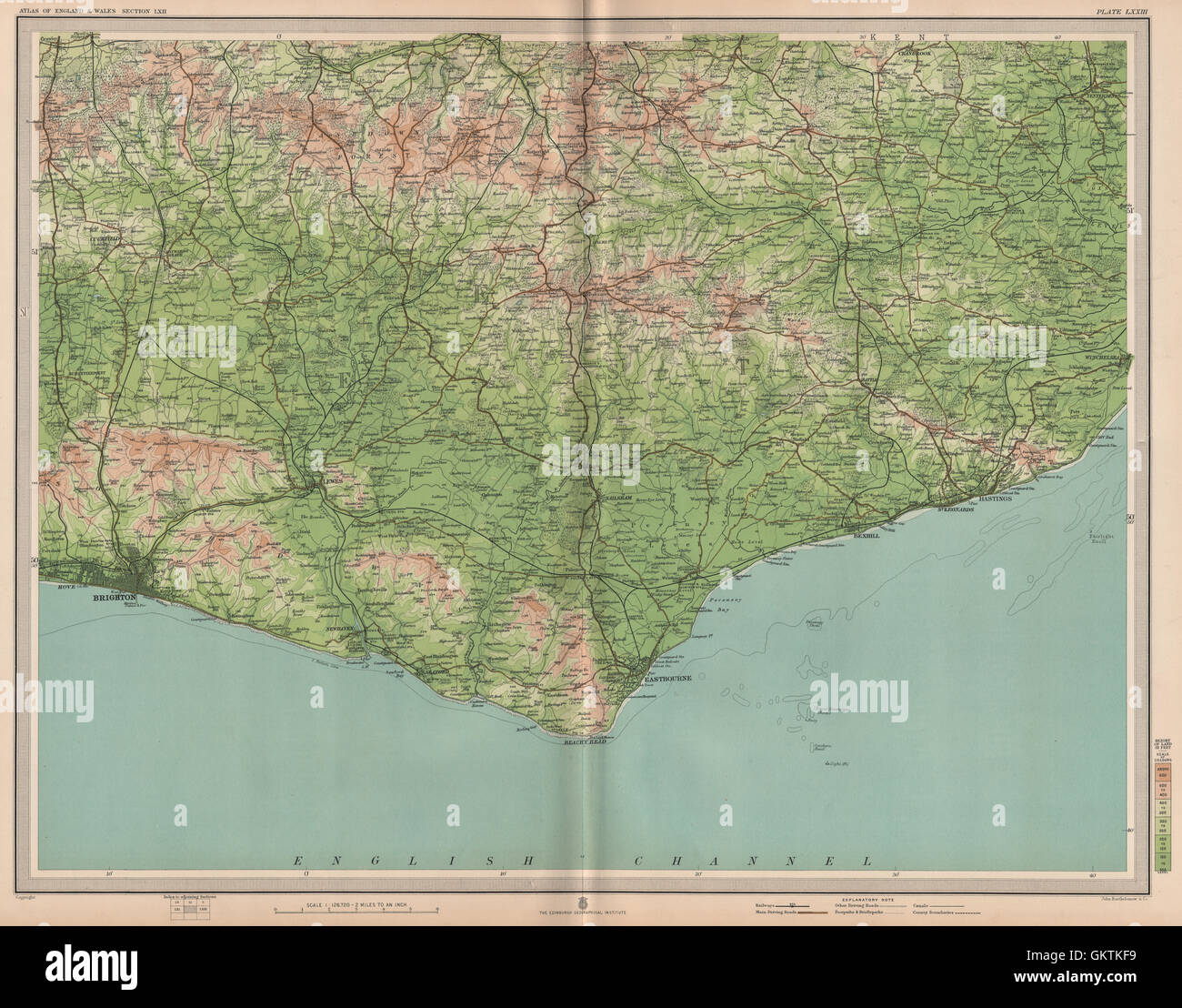 EAST SUSSEX. Brighton Eastbourne Bexhill Hastings Ashdown Forest. LARGE 1903 map Stock Photohttps://www.alamy.com/image-license-details/?v=1https://www.alamy.com/stock-photo-east-sussex-brighton-eastbourne-bexhill-hastings-ashdown-forest-large-115482845.html
RFGKTKF9–EAST SUSSEX. Brighton Eastbourne Bexhill Hastings Ashdown Forest. LARGE 1903 map
 Insurance Plan of Brighton. This detailed 1898 plan of Brighton is one of a series of ten sheets in an atlas originally produced to aid insurance companies in assessing fire risks. The building footprints, their use (commercial, residential, educational, etc.), the number of floors and the height of the building, as well as construction materials (and thus risk of burning) and special fire hazards (chemicals, kilns, ovens) were documented in order to estimate premiums. 1898. Source: Maps 145.b.10.(4.). Language: English. Stock Photohttps://www.alamy.com/image-license-details/?v=1https://www.alamy.com/insurance-plan-of-brighton-this-detailed-1898-plan-of-brighton-is-one-of-a-series-of-ten-sheets-in-an-atlas-originally-produced-to-aid-insurance-companies-in-assessing-fire-risks-the-building-footprints-their-use-commercial-residential-educational-etc-the-number-of-floors-and-the-height-of-the-building-as-well-as-construction-materials-and-thus-risk-of-burning-and-special-fire-hazards-chemicals-kilns-ovens-were-documented-in-order-to-estimate-premiums-1898-source-maps-145b104-language-english-image226968299.html
RMR578AK–Insurance Plan of Brighton. This detailed 1898 plan of Brighton is one of a series of ten sheets in an atlas originally produced to aid insurance companies in assessing fire risks. The building footprints, their use (commercial, residential, educational, etc.), the number of floors and the height of the building, as well as construction materials (and thus risk of burning) and special fire hazards (chemicals, kilns, ovens) were documented in order to estimate premiums. 1898. Source: Maps 145.b.10.(4.). Language: English.
 London Croydon East Grinstead Lewes Brighton Shoreham SENEX #29 road map 1719 Stock Photohttps://www.alamy.com/image-license-details/?v=1https://www.alamy.com/stock-photo-london-croydon-east-grinstead-lewes-brighton-shoreham-senex-29-road-176388037.html
RFM6Y4MN–London Croydon East Grinstead Lewes Brighton Shoreham SENEX #29 road map 1719
 Brighton, Brisbane, Australia, Queensland, S 27 17' 44'', E 153 3' 25'', map, Timeless Map published in 2021. Travelers, explorers and adventurers like Florence Nightingale, David Livingstone, Ernest Shackleton, Lewis and Clark and Sherlock Holmes relied on maps to plan travels to the world's most remote corners, Timeless Maps is mapping most locations on the globe, showing the achievement of great dreams Stock Photohttps://www.alamy.com/image-license-details/?v=1https://www.alamy.com/brighton-brisbane-australia-queensland-s-27-17-44-e-153-3-25-map-timeless-map-published-in-2021-travelers-explorers-and-adventurers-like-florence-nightingale-david-livingstone-ernest-shackleton-lewis-and-clark-and-sherlock-holmes-relied-on-maps-to-plan-travels-to-the-worlds-most-remote-corners-timeless-maps-is-mapping-most-locations-on-the-globe-showing-the-achievement-of-great-dreams-image457816503.html
RM2HGR9HB–Brighton, Brisbane, Australia, Queensland, S 27 17' 44'', E 153 3' 25'', map, Timeless Map published in 2021. Travelers, explorers and adventurers like Florence Nightingale, David Livingstone, Ernest Shackleton, Lewis and Clark and Sherlock Holmes relied on maps to plan travels to the world's most remote corners, Timeless Maps is mapping most locations on the globe, showing the achievement of great dreams
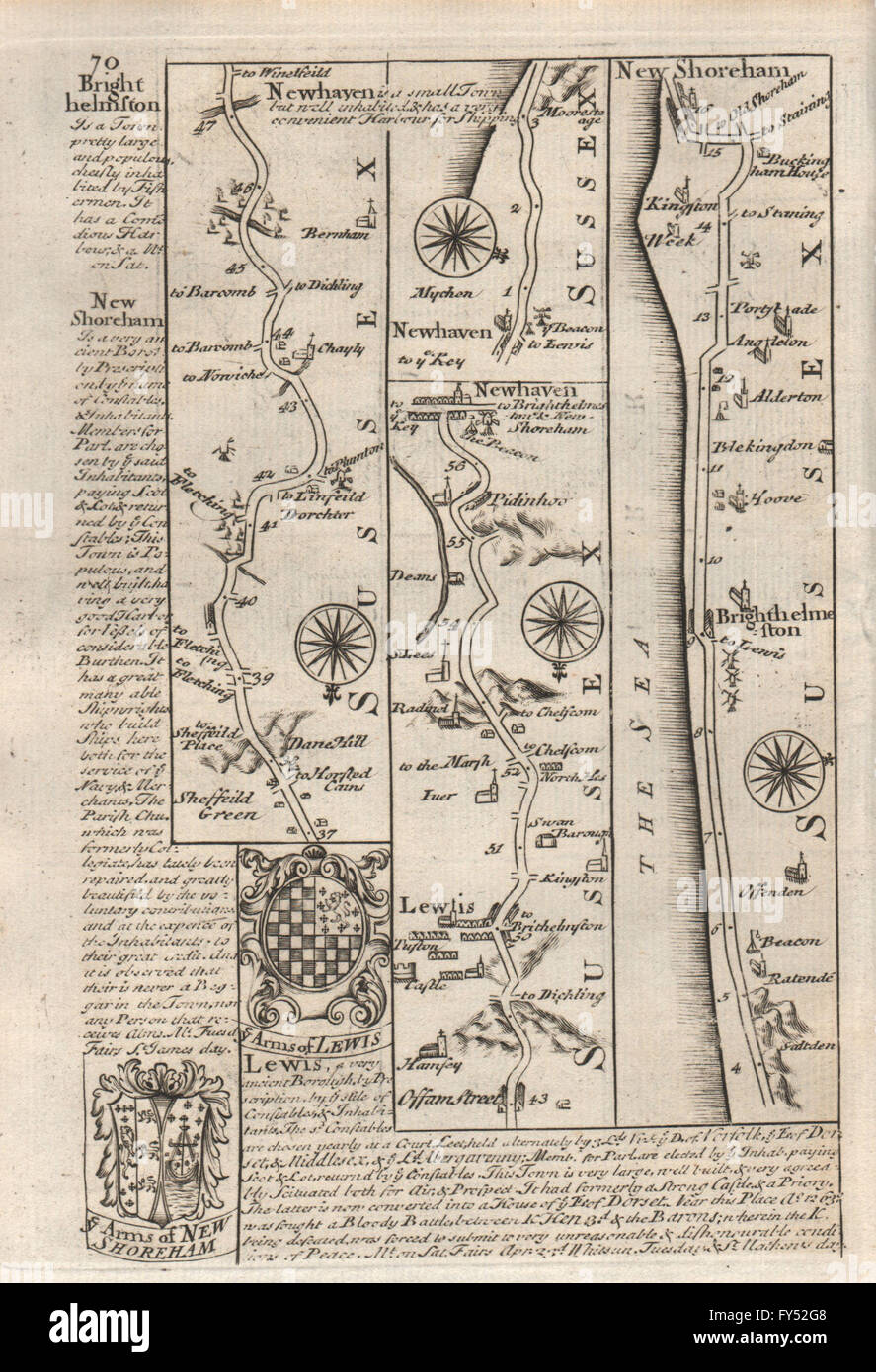 Newhaven-Lewes-Brighton-Shoreham by Sea road map by J. OWEN & E. BOWEN, 1753 Stock Photohttps://www.alamy.com/image-license-details/?v=1https://www.alamy.com/stock-photo-newhaven-lewes-brighton-shoreham-by-sea-road-map-by-j-owen-e-bowen-102759336.html
RFFY52G8–Newhaven-Lewes-Brighton-Shoreham by Sea road map by J. OWEN & E. BOWEN, 1753
 S. ENGLISH CITIES plans. Bristol Portsmouth Plymouth Brighton. LARGE, 1903 map Stock Photohttps://www.alamy.com/image-license-details/?v=1https://www.alamy.com/stock-photo-s-english-cities-plans-bristol-portsmouth-plymouth-brighton-large-115484960.html
RFGKTP6T–S. ENGLISH CITIES plans. Bristol Portsmouth Plymouth Brighton. LARGE, 1903 map
 . Rand, McNally Boston guide to the city and environs, with maps and illustrations ... 16 RAND McNALLY BOSTON GUIDE. ??Pie AlleyPage 36 at some point other thanshould be asked for when The liberaltransfer system be-tween elevated,surface, and sub-way enables one toreach almost anypart of Boston andits adjacent sub-urbs for a five centinitial payment. Bay State StreetRailway. Con-nections are madewith cars of theBay State lines atSullivan S q.,Scollay Sq., Dudley For Copley Sq.,Huntington Ave.,Brookline, Chest-nut Hill, Allston,Brighton, and New-ton, take Cam-bridge Tunnel andchange to the sub- Stock Photohttps://www.alamy.com/image-license-details/?v=1https://www.alamy.com/rand-mcnally-boston-guide-to-the-city-and-environs-with-maps-and-illustrations-16-rand-mcnally-boston-guide-pie-alleypage-36-at-some-point-other-thanshould-be-asked-for-when-the-liberaltransfer-system-be-tween-elevatedsurface-and-sub-way-enables-one-toreach-almost-anypart-of-boston-andits-adjacent-sub-urbs-for-a-five-centinitial-payment-bay-state-streetrailway-con-nections-are-madewith-cars-of-thebay-state-lines-atsullivan-s-qscollay-sq-dudley-for-copley-sqhuntington-avebrookline-chest-nut-hill-allstonbrighton-and-new-ton-take-cam-bridge-tunnel-andchange-to-the-sub-image336715972.html
RM2AFPMJC–. Rand, McNally Boston guide to the city and environs, with maps and illustrations ... 16 RAND McNALLY BOSTON GUIDE. ??Pie AlleyPage 36 at some point other thanshould be asked for when The liberaltransfer system be-tween elevated,surface, and sub-way enables one toreach almost anypart of Boston andits adjacent sub-urbs for a five centinitial payment. Bay State StreetRailway. Con-nections are madewith cars of theBay State lines atSullivan S q.,Scollay Sq., Dudley For Copley Sq.,Huntington Ave.,Brookline, Chest-nut Hill, Allston,Brighton, and New-ton, take Cam-bridge Tunnel andchange to the sub-
 UT Brighton 248303 1955 24000 Restoration Stock Photohttps://www.alamy.com/image-license-details/?v=1https://www.alamy.com/ut-brighton-248303-1955-24000-restoration-image333891527.html
RM2AB621B–UT Brighton 248303 1955 24000 Restoration
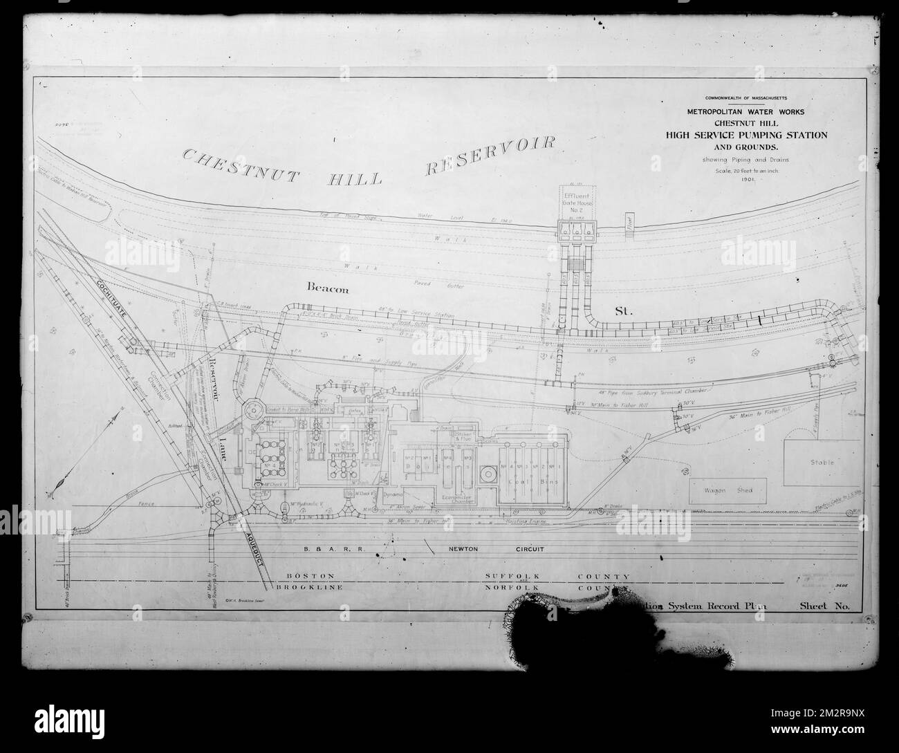 Engineering Plans, Distribution Department, Chestnut Hill High Service Pumping Station and grounds, Piping and Drains, Acc. No. B3605, Brighton, Mass., 1901 , waterworks, engineering maps Stock Photohttps://www.alamy.com/image-license-details/?v=1https://www.alamy.com/engineering-plans-distribution-department-chestnut-hill-high-service-pumping-station-and-grounds-piping-and-drains-acc-no-b3605-brighton-mass-1901-waterworks-engineering-maps-image500842550.html
RM2M2R9NX–Engineering Plans, Distribution Department, Chestnut Hill High Service Pumping Station and grounds, Piping and Drains, Acc. No. B3605, Brighton, Mass., 1901 , waterworks, engineering maps
 Brighton and Hove, unitary authority of England - Great Britain. Diagram showing the location of the region on larger-scale maps. Composition of vecto Stock Photohttps://www.alamy.com/image-license-details/?v=1https://www.alamy.com/brighton-and-hove-unitary-authority-of-england-great-britain-diagram-showing-the-location-of-the-region-on-larger-scale-maps-composition-of-vecto-image546381848.html
RF2PMWRHC–Brighton and Hove, unitary authority of England - Great Britain. Diagram showing the location of the region on larger-scale maps. Composition of vecto
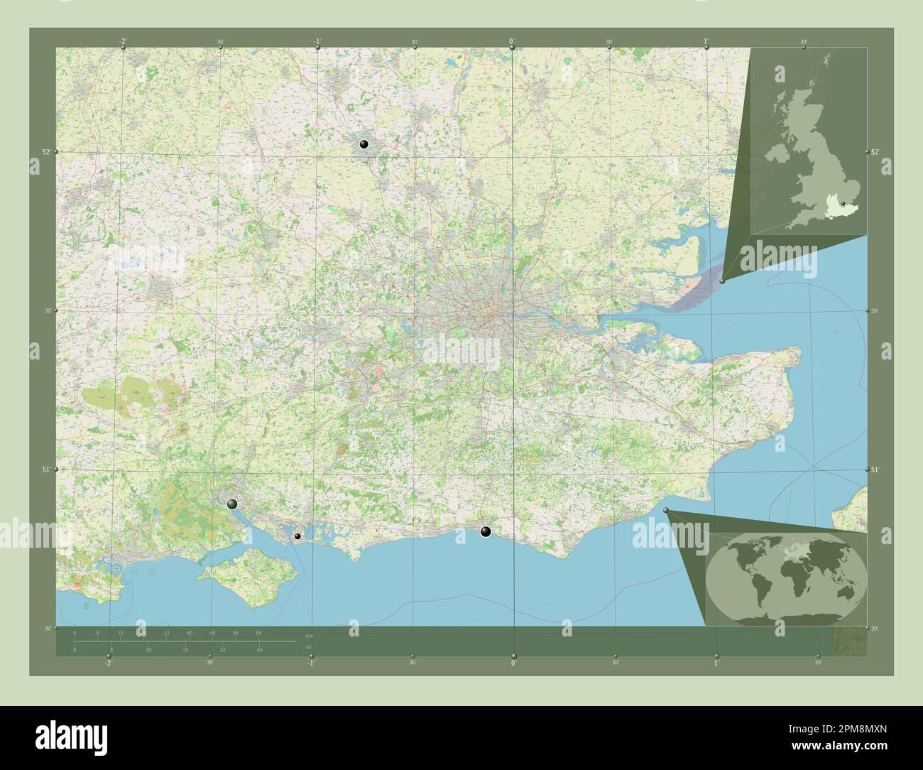 South East, region of United Kingdom. Open Street Map. Locations of major cities of the region. Corner auxiliary location maps Stock Photohttps://www.alamy.com/image-license-details/?v=1https://www.alamy.com/south-east-region-of-united-kingdom-open-street-map-locations-of-major-cities-of-the-region-corner-auxiliary-location-maps-image546006573.html
RF2PM8MXN–South East, region of United Kingdom. Open Street Map. Locations of major cities of the region. Corner auxiliary location maps
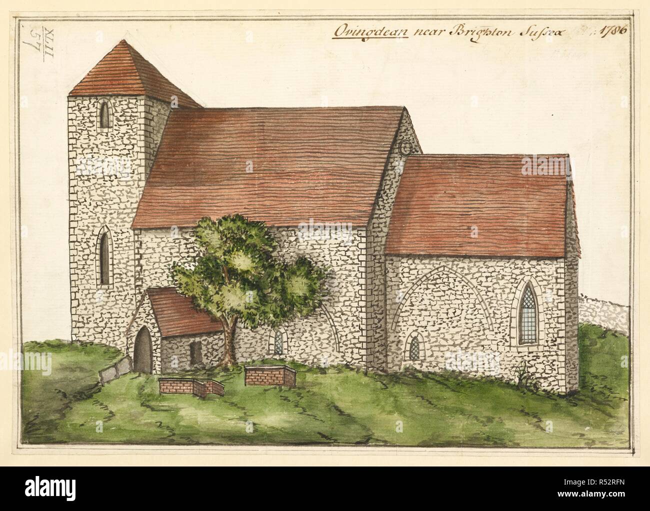 St. Wulfran's Church in Ovingdean, Sussex; graves and a tree in front. Ovingdean near Brighton Sussex 1786. 1786. Source: Maps K.Top.42.57. Language: English. Stock Photohttps://www.alamy.com/image-license-details/?v=1https://www.alamy.com/st-wulfrans-church-in-ovingdean-sussex-graves-and-a-tree-in-front-ovingdean-near-brighton-sussex-1786-1786-source-maps-ktop4257-language-english-image226870441.html
RMR52RFN–St. Wulfran's Church in Ovingdean, Sussex; graves and a tree in front. Ovingdean near Brighton Sussex 1786. 1786. Source: Maps K.Top.42.57. Language: English.
 Brighton Beach, Canada, Ontario, N 44 16' 59'', W 79 29' 22'', map, Timeless Map published in 2021. Travelers, explorers and adventurers like Florence Nightingale, David Livingstone, Ernest Shackleton, Lewis and Clark and Sherlock Holmes relied on maps to plan travels to the world's most remote corners, Timeless Maps is mapping most locations on the globe, showing the achievement of great dreams Stock Photohttps://www.alamy.com/image-license-details/?v=1https://www.alamy.com/brighton-beach-canada-ontario-n-44-16-59-w-79-29-22-map-timeless-map-published-in-2021-travelers-explorers-and-adventurers-like-florence-nightingale-david-livingstone-ernest-shackleton-lewis-and-clark-and-sherlock-holmes-relied-on-maps-to-plan-travels-to-the-worlds-most-remote-corners-timeless-maps-is-mapping-most-locations-on-the-globe-showing-the-achievement-of-great-dreams-image457852943.html
RM2HGW02R–Brighton Beach, Canada, Ontario, N 44 16' 59'', W 79 29' 22'', map, Timeless Map published in 2021. Travelers, explorers and adventurers like Florence Nightingale, David Livingstone, Ernest Shackleton, Lewis and Clark and Sherlock Holmes relied on maps to plan travels to the world's most remote corners, Timeless Maps is mapping most locations on the globe, showing the achievement of great dreams
 . Rand, McNally Boston guide to the city and environs, with maps and illustrations ... ??Pie AlleyPage 36 at some point other thanshould be asked for when The liberaltransfer system be-tween elevated,surface, and sub-way enables one toreach almost anypart of Boston andits adjacent sub-urbs for a five centinitial payment. Bay State StreetRailway. Con-nections are madewith cars of theBay State lines atSullivan S q.,Scollay Sq., Dudley For Copley Sq.,Huntington Ave.,Brookline, Chest-nut Hill, Allston,Brighton, and New-ton, take Cam-bridge Tunnel andchange to the sub-way at Park St. Changes in sub Stock Photohttps://www.alamy.com/image-license-details/?v=1https://www.alamy.com/rand-mcnally-boston-guide-to-the-city-and-environs-with-maps-and-illustrations-pie-alleypage-36-at-some-point-other-thanshould-be-asked-for-when-the-liberaltransfer-system-be-tween-elevatedsurface-and-sub-way-enables-one-toreach-almost-anypart-of-boston-andits-adjacent-sub-urbs-for-a-five-centinitial-payment-bay-state-streetrailway-con-nections-are-madewith-cars-of-thebay-state-lines-atsullivan-s-qscollay-sq-dudley-for-copley-sqhuntington-avebrookline-chest-nut-hill-allstonbrighton-and-new-ton-take-cam-bridge-tunnel-andchange-to-the-sub-way-at-park-st-changes-in-sub-image336715687.html
RM2AFPM87–. Rand, McNally Boston guide to the city and environs, with maps and illustrations ... ??Pie AlleyPage 36 at some point other thanshould be asked for when The liberaltransfer system be-tween elevated,surface, and sub-way enables one toreach almost anypart of Boston andits adjacent sub-urbs for a five centinitial payment. Bay State StreetRailway. Con-nections are madewith cars of theBay State lines atSullivan S q.,Scollay Sq., Dudley For Copley Sq.,Huntington Ave.,Brookline, Chest-nut Hill, Allston,Brighton, and New-ton, take Cam-bridge Tunnel andchange to the sub-way at Park St. Changes in sub
 UT Brighton 248305 1998 24000 Restoration Stock Photohttps://www.alamy.com/image-license-details/?v=1https://www.alamy.com/ut-brighton-248305-1998-24000-restoration-image333891533.html
RM2AB621H–UT Brighton 248305 1998 24000 Restoration
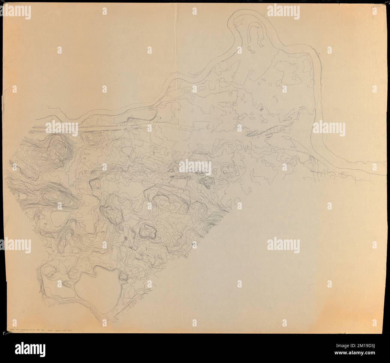 Topographic map of Brighton and Allston , Neighborhoods, Massachusetts, Boston, Maps, Allston Boston, Mass., Maps, Brighton Boston, Mass., Maps Norman B. Leventhal Map Center Collection Stock Photohttps://www.alamy.com/image-license-details/?v=1https://www.alamy.com/topographic-map-of-brighton-and-allston-neighborhoods-massachusetts-boston-maps-allston-boston-mass-maps-brighton-boston-mass-maps-norman-b-leventhal-map-center-collection-image499923190.html
RM2M19D3J–Topographic map of Brighton and Allston , Neighborhoods, Massachusetts, Boston, Maps, Allston Boston, Mass., Maps, Brighton Boston, Mass., Maps Norman B. Leventhal Map Center Collection
 South East, region of United Kingdom. Solid color shape. Locations of major cities of the region. Corner auxiliary location maps Stock Photohttps://www.alamy.com/image-license-details/?v=1https://www.alamy.com/south-east-region-of-united-kingdom-solid-color-shape-locations-of-major-cities-of-the-region-corner-auxiliary-location-maps-image546006500.html
RF2PM8MT4–South East, region of United Kingdom. Solid color shape. Locations of major cities of the region. Corner auxiliary location maps
![London bridge station. (London, Brighton and south coast railway.). The Railway Herald Station Album. A series of ... illustrations ... of ... Railway Stations, with principal dimensions, etc. London, [1898]. Source: Maps.30.b.12 page 12. Stock Photo London bridge station. (London, Brighton and south coast railway.). The Railway Herald Station Album. A series of ... illustrations ... of ... Railway Stations, with principal dimensions, etc. London, [1898]. Source: Maps.30.b.12 page 12. Stock Photo](https://c8.alamy.com/comp/R5E40D/london-bridge-station-london-brighton-and-south-coast-railway-the-railway-herald-station-album-a-series-of-illustrations-of-railway-stations-with-principal-dimensions-etc-london-1898-source-maps30b12-page-12-R5E40D.jpg) London bridge station. (London, Brighton and south coast railway.). The Railway Herald Station Album. A series of ... illustrations ... of ... Railway Stations, with principal dimensions, etc. London, [1898]. Source: Maps.30.b.12 page 12. Stock Photohttps://www.alamy.com/image-license-details/?v=1https://www.alamy.com/london-bridge-station-london-brighton-and-south-coast-railway-the-railway-herald-station-album-a-series-of-illustrations-of-railway-stations-with-principal-dimensions-etc-london-1898-source-maps30b12-page-12-image227118541.html
London bridge station. (London, Brighton and south coast railway.). The Railway Herald Station Album. A series of ... illustrations ... of ... Railway Stations, with principal dimensions, etc. London, [1898]. Source: Maps.30.b.12 page 12. Stock Photohttps://www.alamy.com/image-license-details/?v=1https://www.alamy.com/london-bridge-station-london-brighton-and-south-coast-railway-the-railway-herald-station-album-a-series-of-illustrations-of-railway-stations-with-principal-dimensions-etc-london-1898-source-maps30b12-page-12-image227118541.htmlRMR5E40D–London bridge station. (London, Brighton and south coast railway.). The Railway Herald Station Album. A series of ... illustrations ... of ... Railway Stations, with principal dimensions, etc. London, [1898]. Source: Maps.30.b.12 page 12.