Quick filters:
Maps of finland Stock Photos and Images
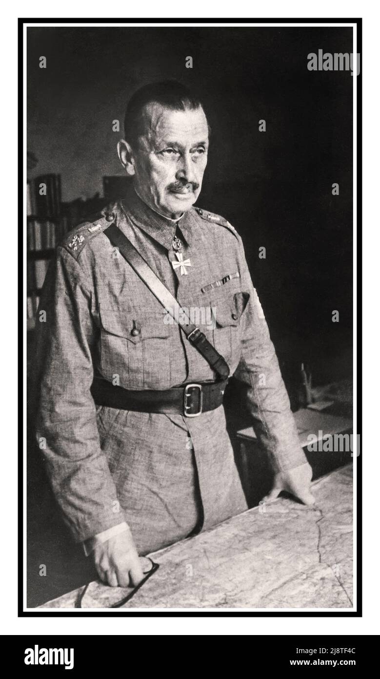 MANNERHEIM WW2 Reportage Portrait Marshal Carl Gustav Emil Mannerheim in 1941 wearing his Cross of Liberty Medal standing with his battle maps World War II Second World War Stock Photohttps://www.alamy.com/image-license-details/?v=1https://www.alamy.com/mannerheim-ww2-reportage-portrait-marshal-carl-gustav-emil-mannerheim-in-1941-wearing-his-cross-of-liberty-medal-standing-with-his-battle-maps-world-war-ii-second-world-war-image470135916.html
RM2J8TF4C–MANNERHEIM WW2 Reportage Portrait Marshal Carl Gustav Emil Mannerheim in 1941 wearing his Cross of Liberty Medal standing with his battle maps World War II Second World War
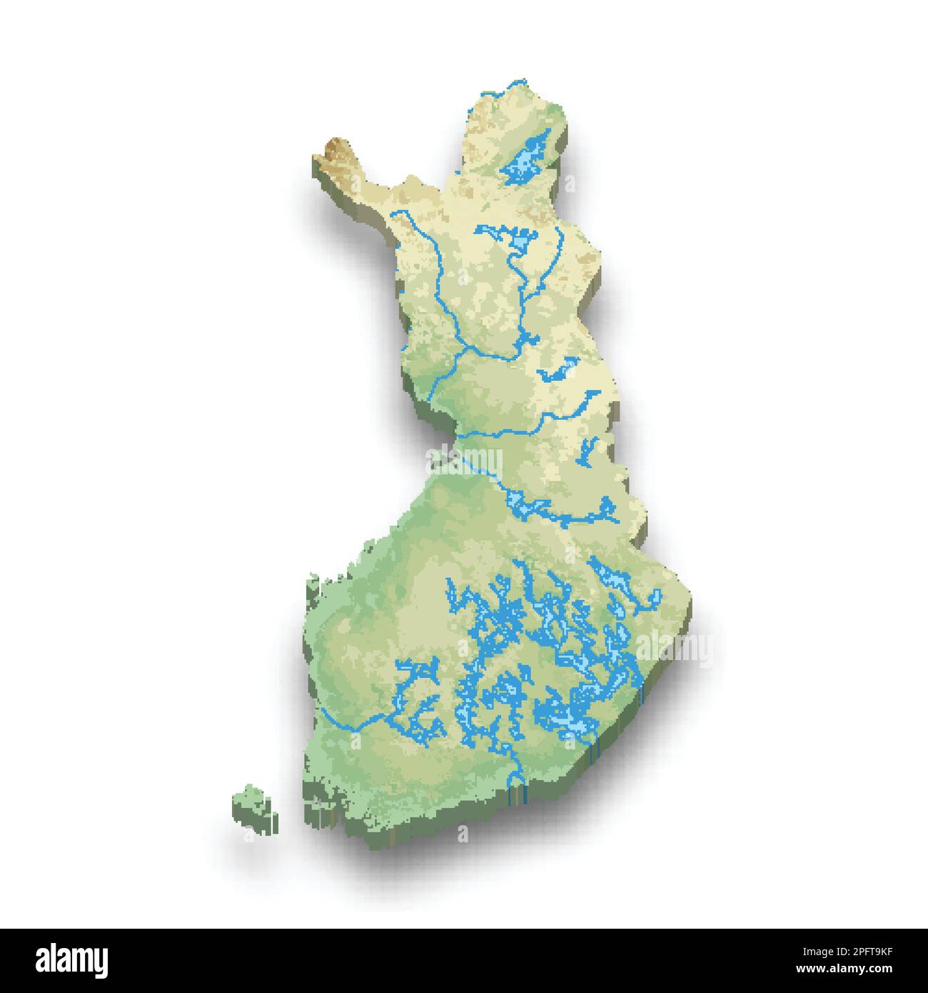
 Set of vector polygonal maps of Finland. Bright gradient map of country in low poly style. Stock Vectorhttps://www.alamy.com/image-license-details/?v=1https://www.alamy.com/set-of-vector-polygonal-maps-of-finland-bright-gradient-map-of-country-in-low-poly-style-image546643838.html
RF2PN9NP6–Set of vector polygonal maps of Finland. Bright gradient map of country in low poly style.
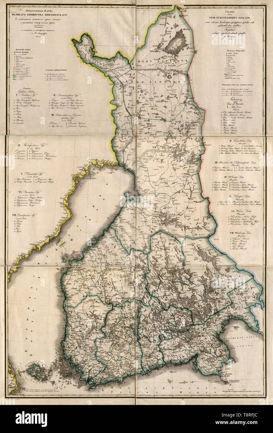 This 1825 map of the Grand Duchy of Finland is from a larger work, Geographical atlas of the Russian Empire, the Kingdom of Poland, and the Grand Duchy of Finland (Geograficheskii atlas Rossiiskoi imperii, tsarstva Pol'skogo i velikogo kniazhestva Finliandskogo), containing 61 maps of the Russian Empire. Compiled and engraved by Colonel V. P. Piadyshev, it reflects the detailed mapping carried out by Russian military cartographers in the first quarter of the 19th century Stock Photohttps://www.alamy.com/image-license-details/?v=1https://www.alamy.com/this-1825-map-of-the-grand-duchy-of-finland-is-from-a-larger-work-geographical-atlas-of-the-russian-empire-the-kingdom-of-poland-and-the-grand-duchy-of-finland-geograficheskii-atlas-rossiiskoi-imperii-tsarstva-polskogo-i-velikogo-kniazhestva-finliandskogo-containing-61-maps-of-the-russian-empire-compiled-and-engraved-by-colonel-v-p-piadyshev-it-reflects-the-detailed-mapping-carried-out-by-russian-military-cartographers-in-the-first-quarter-of-the-19th-century-image246379572.html
RMT8RFJC–This 1825 map of the Grand Duchy of Finland is from a larger work, Geographical atlas of the Russian Empire, the Kingdom of Poland, and the Grand Duchy of Finland (Geograficheskii atlas Rossiiskoi imperii, tsarstva Pol'skogo i velikogo kniazhestva Finliandskogo), containing 61 maps of the Russian Empire. Compiled and engraved by Colonel V. P. Piadyshev, it reflects the detailed mapping carried out by Russian military cartographers in the first quarter of the 19th century
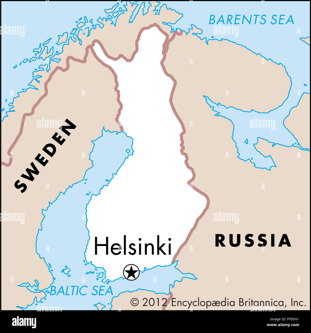 Helsinki, Uusimaa, Finland Stock Photohttps://www.alamy.com/image-license-details/?v=1https://www.alamy.com/stock-photo-helsinki-uusimaa-finland-91705069.html
RMF95EN1–Helsinki, Uusimaa, Finland
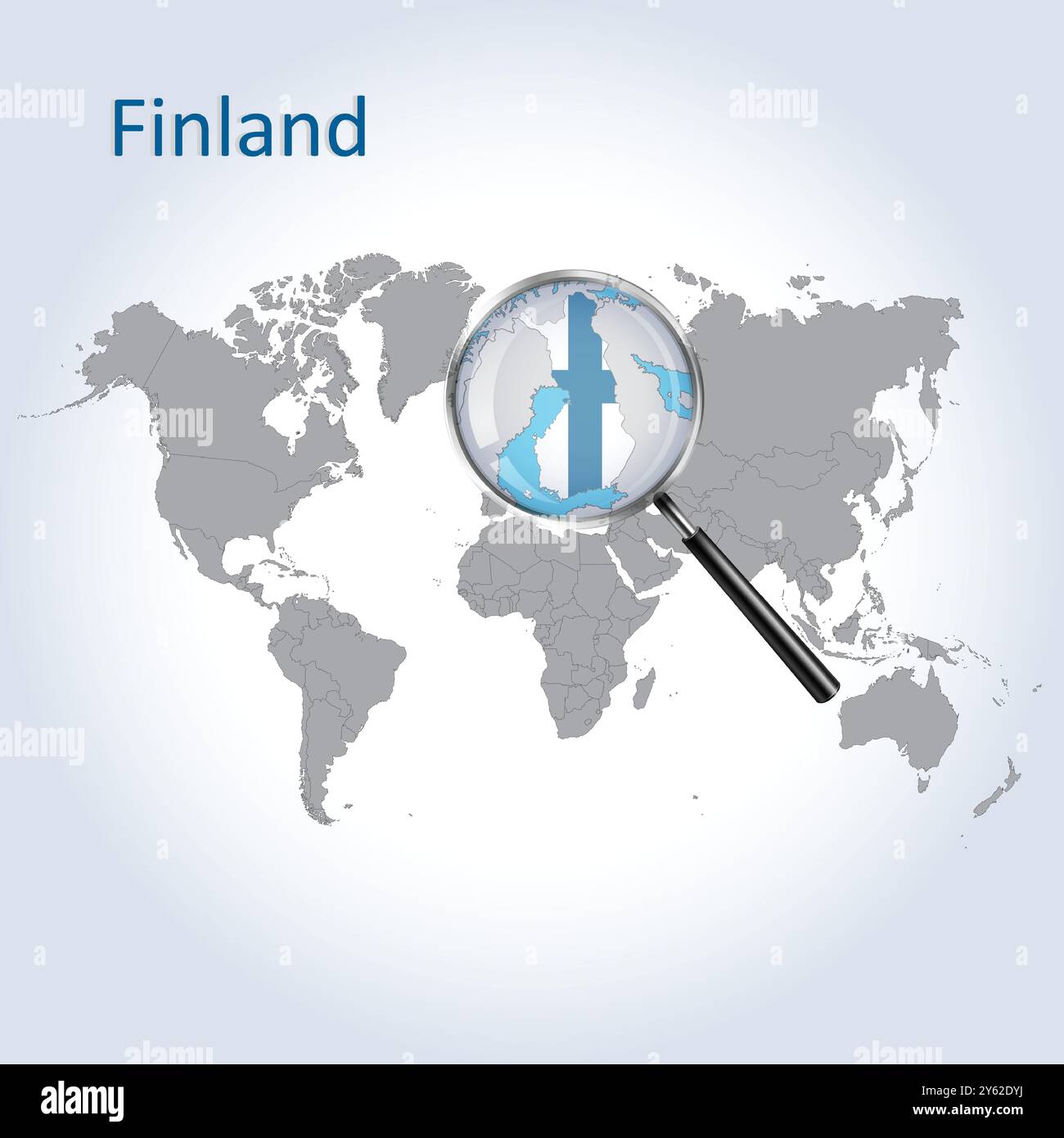 Finland Magnified Map and Flag, Finland Enlargement Maps, Vector Art Stock Vectorhttps://www.alamy.com/image-license-details/?v=1https://www.alamy.com/finland-magnified-map-and-flag-finland-enlargement-maps-vector-art-image623316054.html
RF2Y62DYJ–Finland Magnified Map and Flag, Finland Enlargement Maps, Vector Art
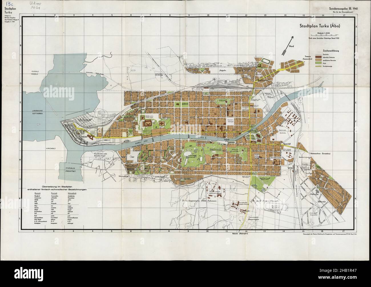 Turku Map, Turku Poster, Turku Plan, Turku Poster, Turku Maps, Turku City Plan, Turku City Map, Vintage Turku Poster, Map of Turku, Finland Map Stock Photohttps://www.alamy.com/image-license-details/?v=1https://www.alamy.com/turku-map-turku-poster-turku-plan-turku-poster-turku-maps-turku-city-plan-turku-city-map-vintage-turku-poster-map-of-turku-finland-map-image454270887.html
RF2HB1R47–Turku Map, Turku Poster, Turku Plan, Turku Poster, Turku Maps, Turku City Plan, Turku City Map, Vintage Turku Poster, Map of Turku, Finland Map
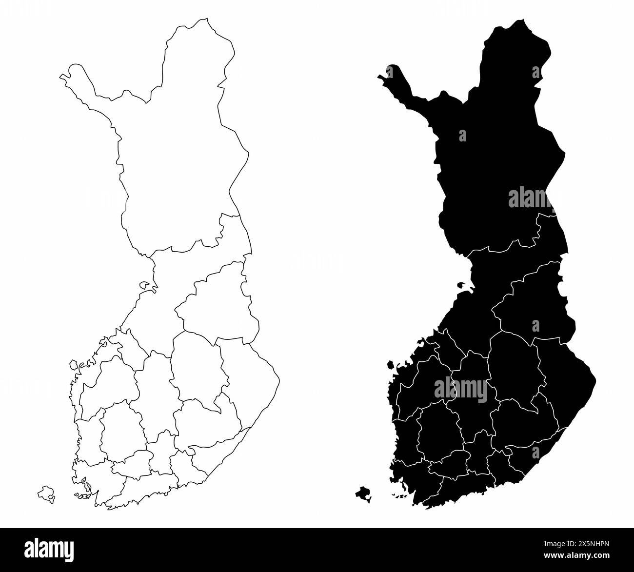 The black and white administrative maps of Finland Stock Vectorhttps://www.alamy.com/image-license-details/?v=1https://www.alamy.com/the-black-and-white-administrative-maps-of-finland-image605911117.html
RF2X5NHPN–The black and white administrative maps of Finland
 Finland country with coin isolated on white background Source map: http://www.lib.utexas.edu/maps/europe/finland.jpg layers of data used: outlines Stock Photohttps://www.alamy.com/image-license-details/?v=1https://www.alamy.com/stock-photo-finland-country-with-coin-isolated-on-white-background-source-map-173369115.html
RFM21J23–Finland country with coin isolated on white background Source map: http://www.lib.utexas.edu/maps/europe/finland.jpg layers of data used: outlines
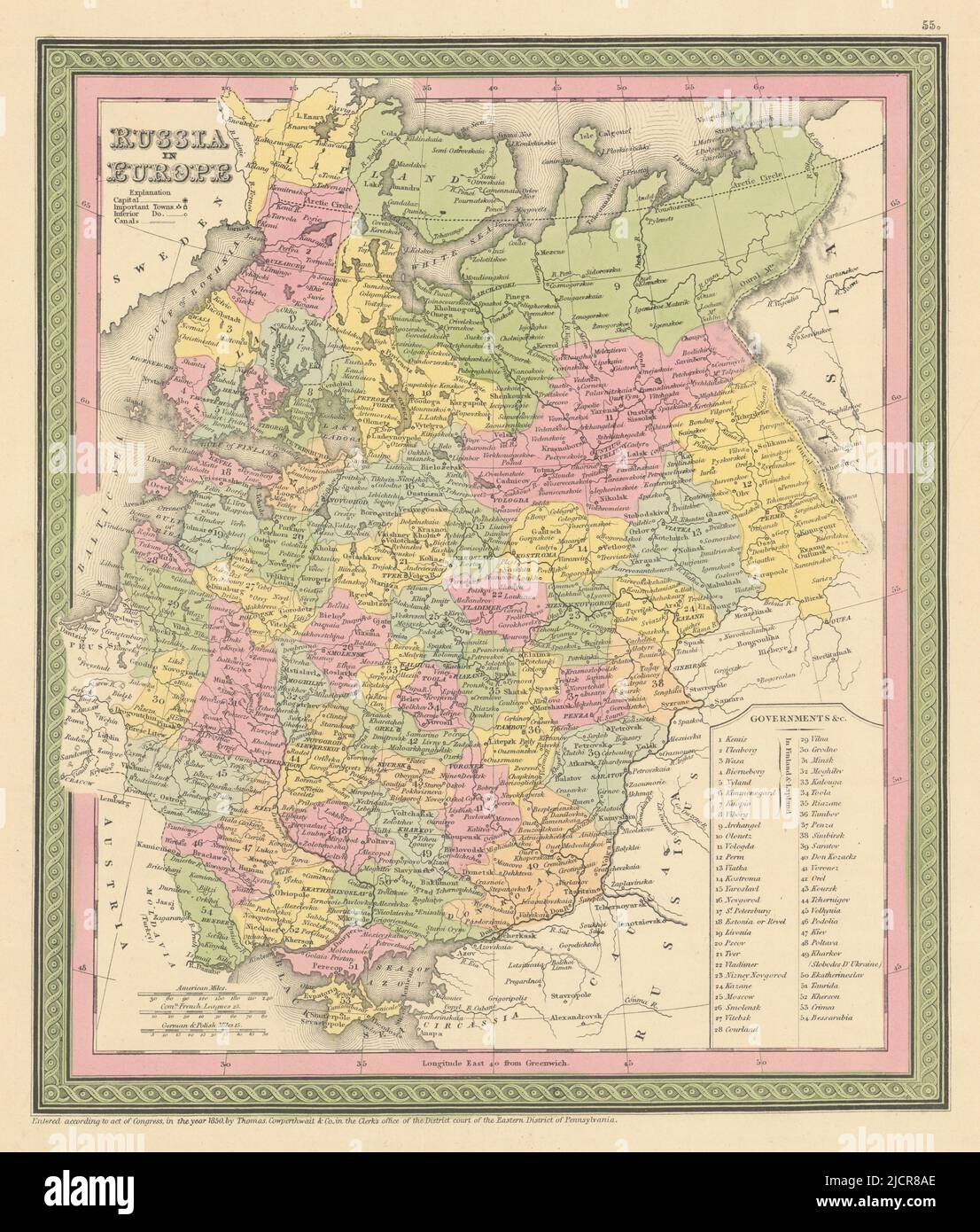 Russia in Europe. Ukraine Baltics Belarus Finland. COWPERTHWAIT 1852 old map Stock Photohttps://www.alamy.com/image-license-details/?v=1https://www.alamy.com/russia-in-europe-ukraine-baltics-belarus-finland-cowperthwait-1852-old-map-image472567270.html
RF2JCR8AE–Russia in Europe. Ukraine Baltics Belarus Finland. COWPERTHWAIT 1852 old map
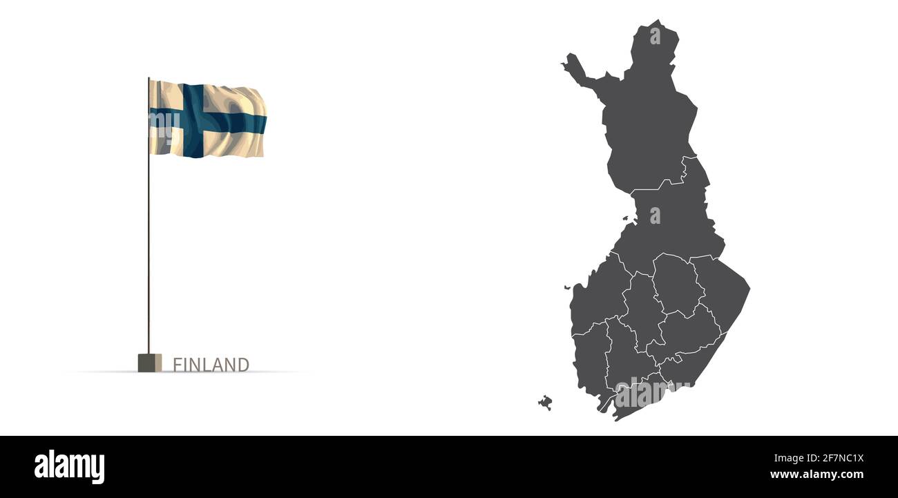 Finland map. gray country map and flag 3d illustration vector. Stock Vectorhttps://www.alamy.com/image-license-details/?v=1https://www.alamy.com/finland-map-gray-country-map-and-flag-3d-illustration-vector-image417821878.html
RF2F7NC1X–Finland map. gray country map and flag 3d illustration vector.
 Finland, Rainy River District, Canada, Ontario, N 48 50' 59'', W 93 55' 1'', map, Timeless Map published in 2021. Travelers, explorers and adventurers like Florence Nightingale, David Livingstone, Ernest Shackleton, Lewis and Clark and Sherlock Holmes relied on maps to plan travels to the world's most remote corners, Timeless Maps is mapping most locations on the globe, showing the achievement of great dreams Stock Photohttps://www.alamy.com/image-license-details/?v=1https://www.alamy.com/finland-rainy-river-district-canada-ontario-n-48-50-59-w-93-55-1-map-timeless-map-published-in-2021-travelers-explorers-and-adventurers-like-florence-nightingale-david-livingstone-ernest-shackleton-lewis-and-clark-and-sherlock-holmes-relied-on-maps-to-plan-travels-to-the-worlds-most-remote-corners-timeless-maps-is-mapping-most-locations-on-the-globe-showing-the-achievement-of-great-dreams-image457862152.html
RM2HGWBRM–Finland, Rainy River District, Canada, Ontario, N 48 50' 59'', W 93 55' 1'', map, Timeless Map published in 2021. Travelers, explorers and adventurers like Florence Nightingale, David Livingstone, Ernest Shackleton, Lewis and Clark and Sherlock Holmes relied on maps to plan travels to the world's most remote corners, Timeless Maps is mapping most locations on the globe, showing the achievement of great dreams
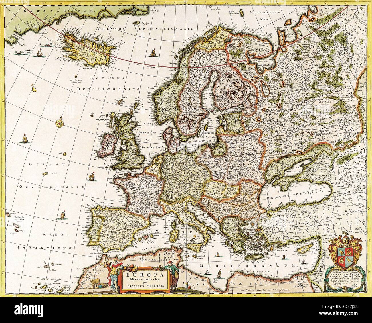 Antique Maps of the World Map of Europe Nicolas Visscher c 1640 Stock Photohttps://www.alamy.com/image-license-details/?v=1https://www.alamy.com/antique-maps-of-the-world-map-of-europe-nicolas-visscher-c-1640-image383713207.html
RM2D87J33–Antique Maps of the World Map of Europe Nicolas Visscher c 1640
 finland, finlands Stock Photohttps://www.alamy.com/image-license-details/?v=1https://www.alamy.com/finland-finlands-image455915091.html
RF2HDMM9R–finland, finlands
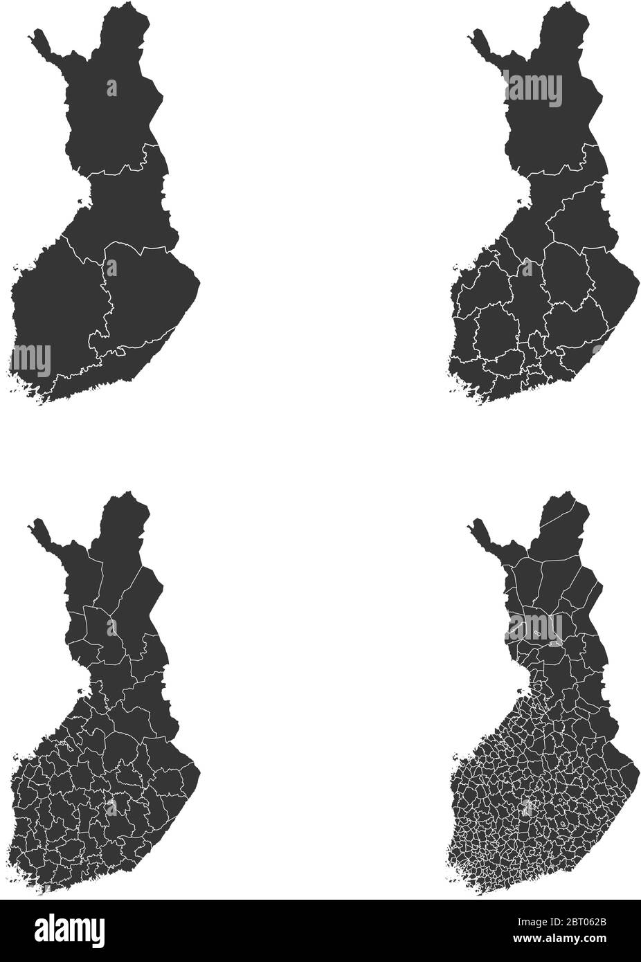 Finland vector maps with administrative regions, municipalities, departments, borders Stock Vectorhttps://www.alamy.com/image-license-details/?v=1https://www.alamy.com/finland-vector-maps-with-administrative-regions-municipalities-departments-borders-image358963875.html
RF2BT062B–Finland vector maps with administrative regions, municipalities, departments, borders
RFH29389–Republic of Finland isolated map and official flag icons. vector Finnish political map illustration. Suomi geographic banner tem
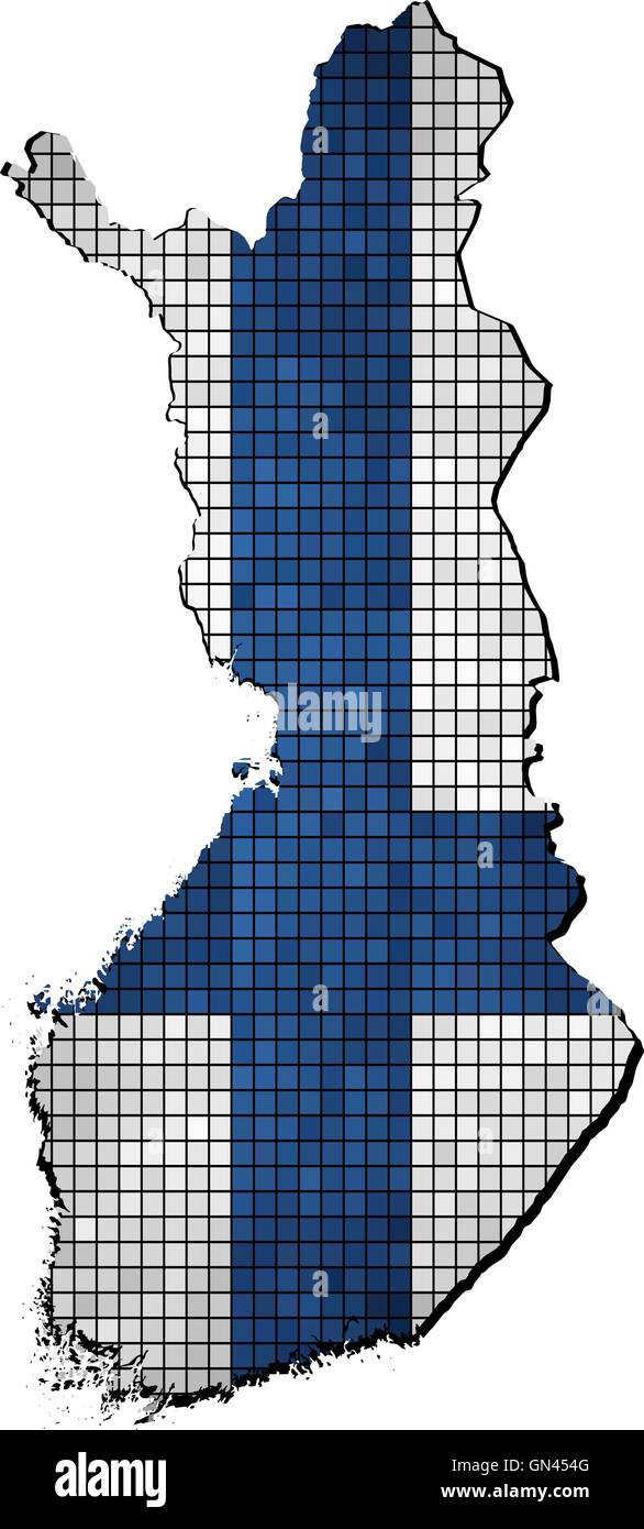 Finland map with flag inside Stock Vectorhttps://www.alamy.com/image-license-details/?v=1https://www.alamy.com/stock-photo-finland-map-with-flag-inside-116261840.html
RFGN454G–Finland map with flag inside
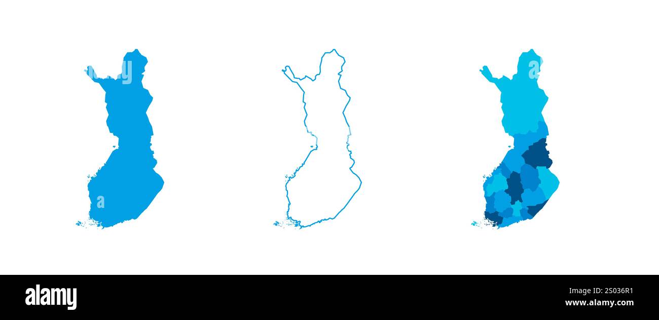 Finland set of three maps - solid map, outline map and map highlighting administrative divisions. Three distinct maps illustrate various representations of a geographical area. Stock Vectorhttps://www.alamy.com/image-license-details/?v=1https://www.alamy.com/finland-set-of-three-maps-solid-map-outline-map-and-map-highlighting-administrative-divisions-three-distinct-maps-illustrate-various-representations-of-a-geographical-area-image636854821.html
RF2S036R1–Finland set of three maps - solid map, outline map and map highlighting administrative divisions. Three distinct maps illustrate various representations of a geographical area.
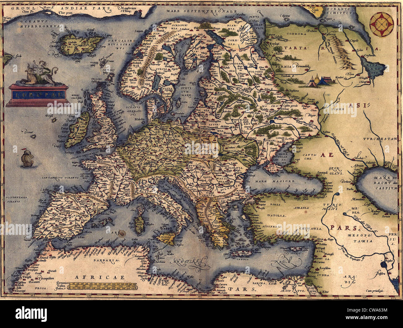 1570 map of Europe. From Abraham Ortelius' atlas, 'Theatrvm orbis terrarvm.' Stock Photohttps://www.alamy.com/image-license-details/?v=1https://www.alamy.com/stock-photo-1570-map-of-europe-from-abraham-ortelius-atlas-theatrvm-orbis-terrarvm-50011464.html
RMCWA63M–1570 map of Europe. From Abraham Ortelius' atlas, 'Theatrvm orbis terrarvm.'
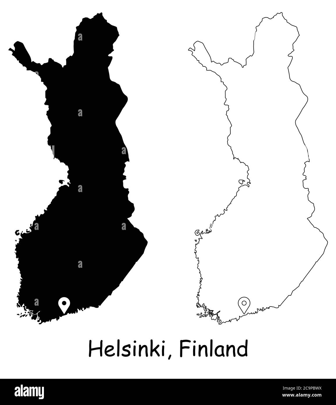 Helsinki Finland. Detailed Country Map with Location Pin on Capital City. Black silhouette and outline maps isolated on white background. EPS Vector Stock Vectorhttps://www.alamy.com/image-license-details/?v=1https://www.alamy.com/helsinki-finland-detailed-country-map-with-location-pin-on-capital-city-black-silhouette-and-outline-maps-isolated-on-white-background-eps-vector-image367441926.html
RF2C9PBWX–Helsinki Finland. Detailed Country Map with Location Pin on Capital City. Black silhouette and outline maps isolated on white background. EPS Vector
 Russian Lappland - 1745 Stock Photohttps://www.alamy.com/image-license-details/?v=1https://www.alamy.com/stock-photo-russian-lappland-1745-36039794.html
RMC2HN3E–Russian Lappland - 1745
 Finland - plain country shape. Low, medium and high detailed maps of Finland. EPS8 Vector illustration. Stock Vectorhttps://www.alamy.com/image-license-details/?v=1https://www.alamy.com/finland-plain-country-shape-low-medium-and-high-detailed-maps-of-finland-eps8-vector-illustration-image599461235.html
RF2WR7PWR–Finland - plain country shape. Low, medium and high detailed maps of Finland. EPS8 Vector illustration.
![Physical and political map of Finland. [Adobe Illustrator (.ai); 2480x3507]. Stock Photo Physical and political map of Finland. [Adobe Illustrator (.ai); 2480x3507]. Stock Photo](https://c8.alamy.com/comp/2NEC5CW/physical-and-political-map-of-finland-adobe-illustrator-ai-2480x3507-2NEC5CW.jpg) Physical and political map of Finland. [Adobe Illustrator (.ai); 2480x3507]. Stock Photohttps://www.alamy.com/image-license-details/?v=1https://www.alamy.com/physical-and-political-map-of-finland-adobe-illustrator-ai-2480x3507-image525183929.html
Physical and political map of Finland. [Adobe Illustrator (.ai); 2480x3507]. Stock Photohttps://www.alamy.com/image-license-details/?v=1https://www.alamy.com/physical-and-political-map-of-finland-adobe-illustrator-ai-2480x3507-image525183929.htmlRM2NEC5CW–Physical and political map of Finland. [Adobe Illustrator (.ai); 2480x3507].
 The Baltic Sea Stock Photohttps://www.alamy.com/image-license-details/?v=1https://www.alamy.com/stock-photo-the-baltic-sea-91707260.html
RMF95HF8–The Baltic Sea
RF2G02TG8–Simplified illustration icons with silhouettes of Finland, Norway, Sweden maps. National flags. White background (jpg).
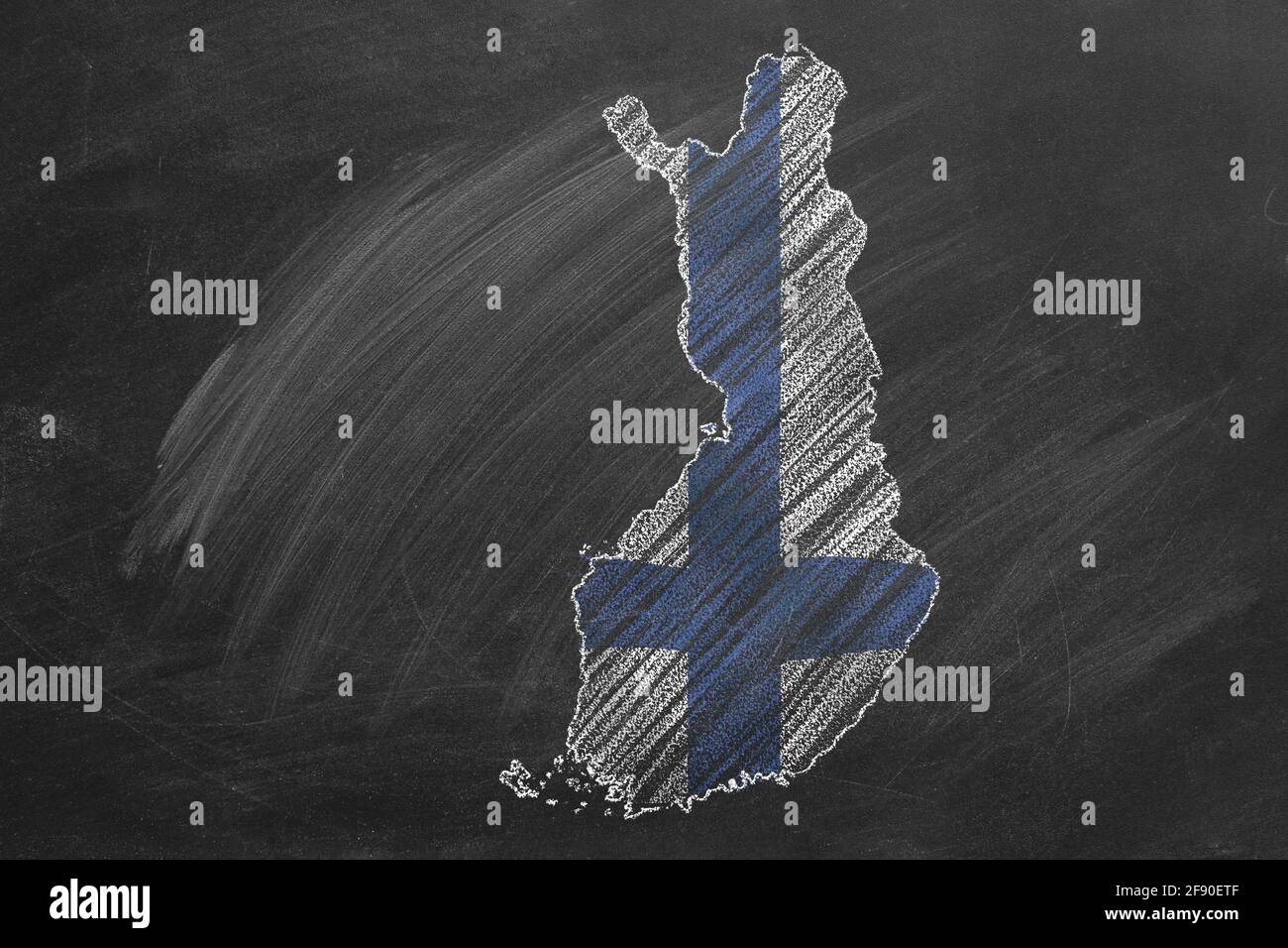 Country map and flag of Finland drawing with chalk on a blackboard. One of a large series of maps and flags of different countries. Education, travel, Stock Photohttps://www.alamy.com/image-license-details/?v=1https://www.alamy.com/country-map-and-flag-of-finland-drawing-with-chalk-on-a-blackboard-one-of-a-large-series-of-maps-and-flags-of-different-countries-education-travel-image418592399.html
RF2F90ETF–Country map and flag of Finland drawing with chalk on a blackboard. One of a large series of maps and flags of different countries. Education, travel,
 SALO, FINLAND, OCTOBER 31, 2015: Silver Tesla Model S electric car on the road in South of Finland. Tesla will build next generation maps through its Stock Photohttps://www.alamy.com/image-license-details/?v=1https://www.alamy.com/salo-finland-october-31-2015-silver-tesla-model-s-electric-car-on-the-road-in-south-of-finland-tesla-will-build-next-generation-maps-through-its-image627996116.html
RM2YDKKCM–SALO, FINLAND, OCTOBER 31, 2015: Silver Tesla Model S electric car on the road in South of Finland. Tesla will build next generation maps through its
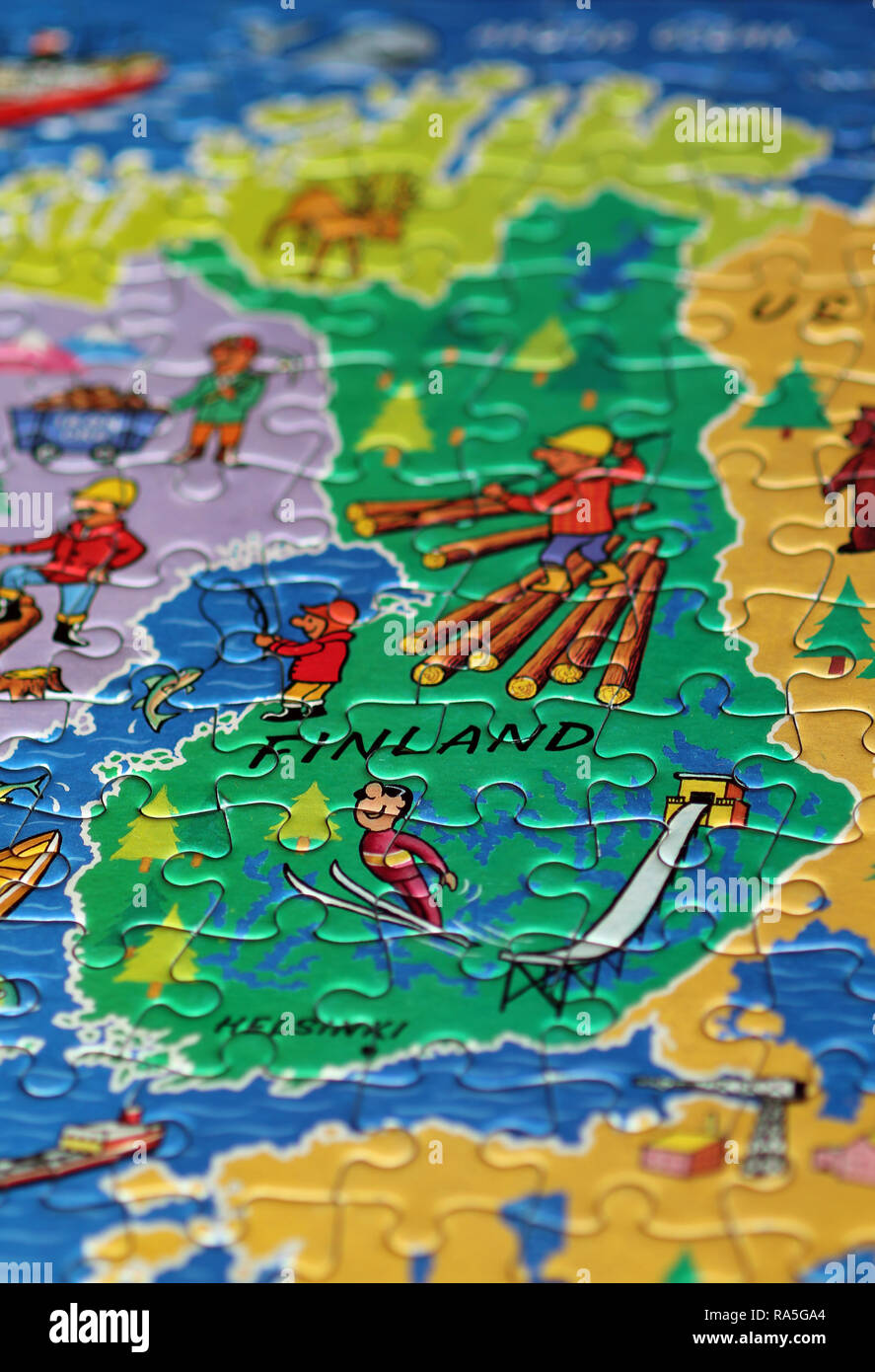 Finland jigsaw map Stock Photohttps://www.alamy.com/image-license-details/?v=1https://www.alamy.com/finland-jigsaw-map-image230003932.html
RFRA5GA4–Finland jigsaw map
 SCANDINAVIA.Northern Sweden and Norway. Finland & part of Russia.SDUK 1844 map Stock Photohttps://www.alamy.com/image-license-details/?v=1https://www.alamy.com/scandinavianorthern-sweden-and-norway-finland-part-of-russiasduk-1844-map-image568882741.html
RF2T1ERMN–SCANDINAVIA.Northern Sweden and Norway. Finland & part of Russia.SDUK 1844 map
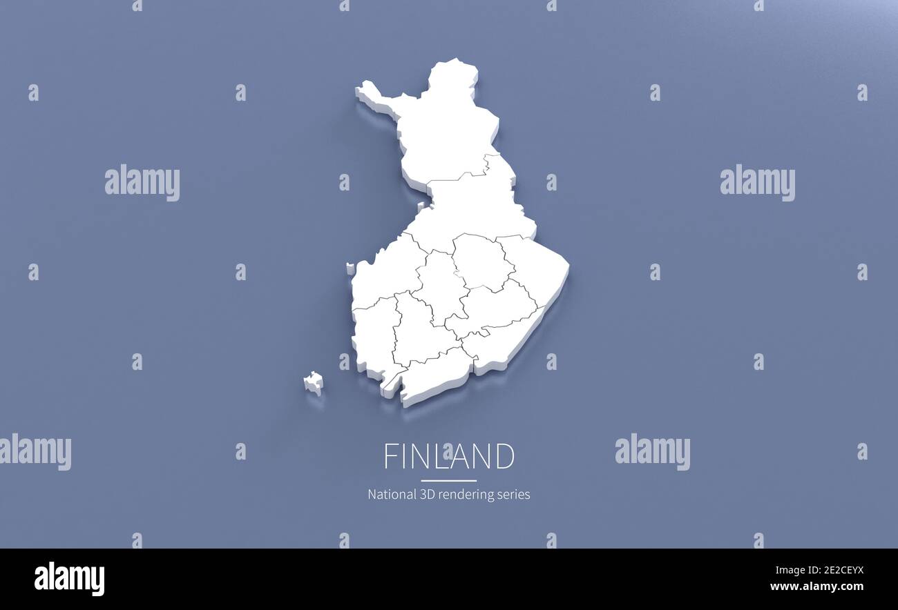 Finland Map. 3d rendering maps of countries. Stock Photohttps://www.alamy.com/image-license-details/?v=1https://www.alamy.com/finland-map-3d-rendering-maps-of-countries-image397342958.html
RF2E2CEYX–Finland Map. 3d rendering maps of countries.
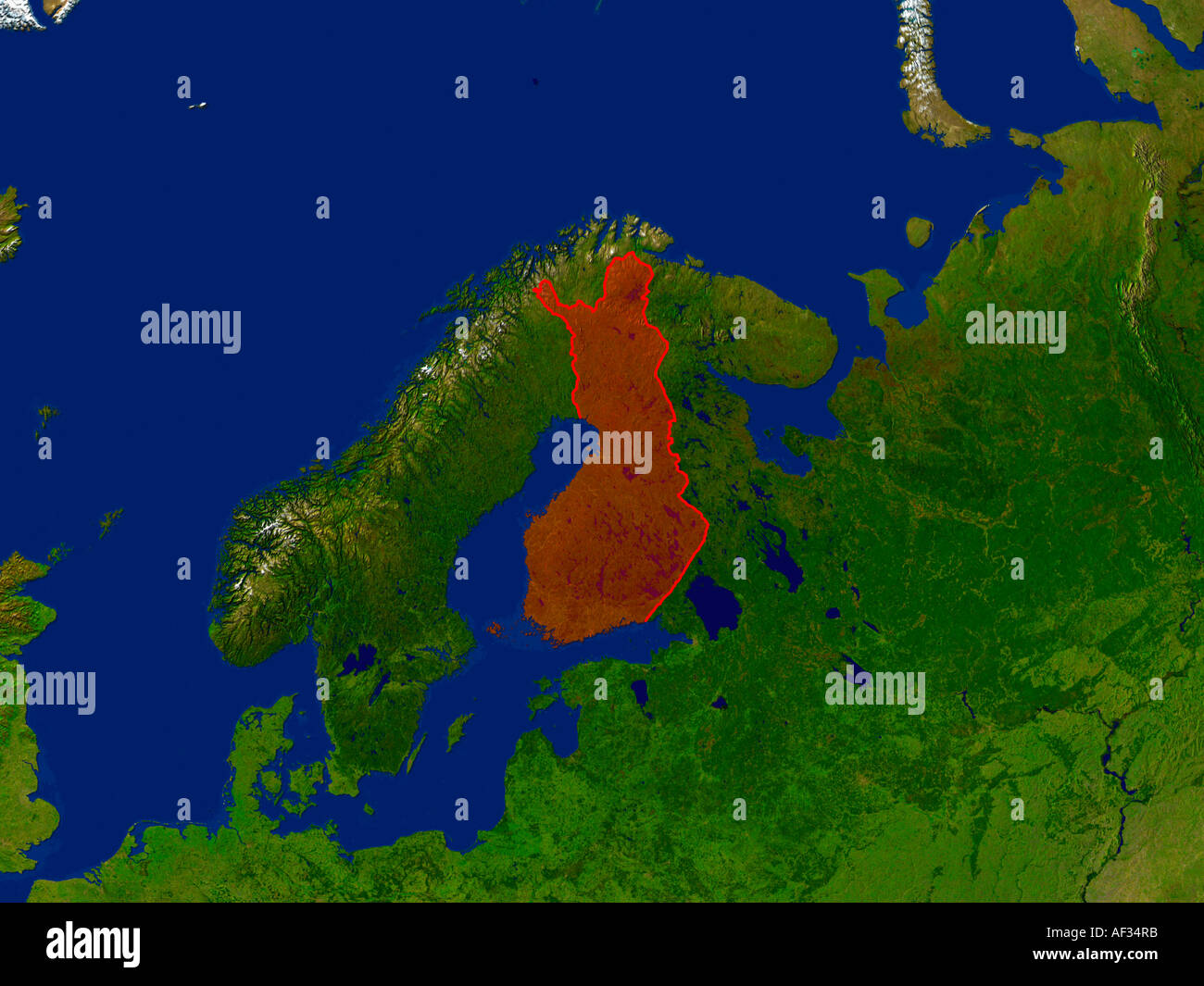 Satellite Image Of Finland Highlighted Red Stock Photohttps://www.alamy.com/image-license-details/?v=1https://www.alamy.com/satellite-image-of-finland-highlighted-red-image7894650.html
RFAF34RB–Satellite Image Of Finland Highlighted Red
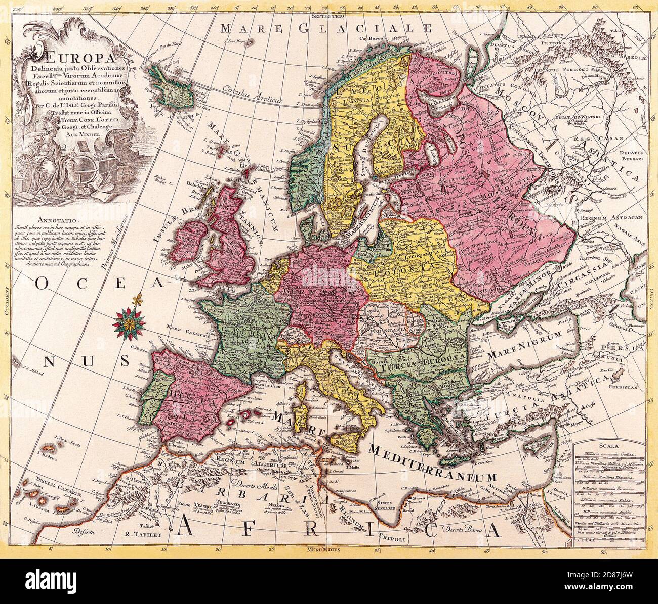 Antique Maps of the World Map of Europe Conrad Lotter c 1760 Stock Photohttps://www.alamy.com/image-license-details/?v=1https://www.alamy.com/antique-maps-of-the-world-map-of-europe-conrad-lotter-c-1760-image383713313.html
RM2D87J6W–Antique Maps of the World Map of Europe Conrad Lotter c 1760
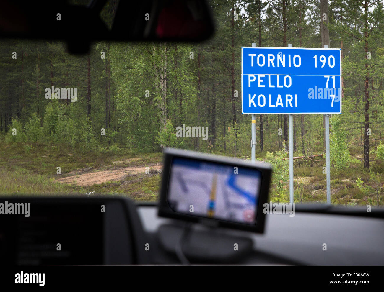 Road sign in Lapland Province, Finland Stock Photohttps://www.alamy.com/image-license-details/?v=1https://www.alamy.com/stock-photo-road-sign-in-lapland-province-finland-92821145.html
RMFB0A8W–Road sign in Lapland Province, Finland
 Map Scandinavia 1539 Stock Photohttps://www.alamy.com/image-license-details/?v=1https://www.alamy.com/map-scandinavia-1539-image7122998.html
RMA9YHR7–Map Scandinavia 1539
RFG2NHE9–Republic of Finland isolated maps and official flag icon. vector Finnish political map icons with general information. Finn geog
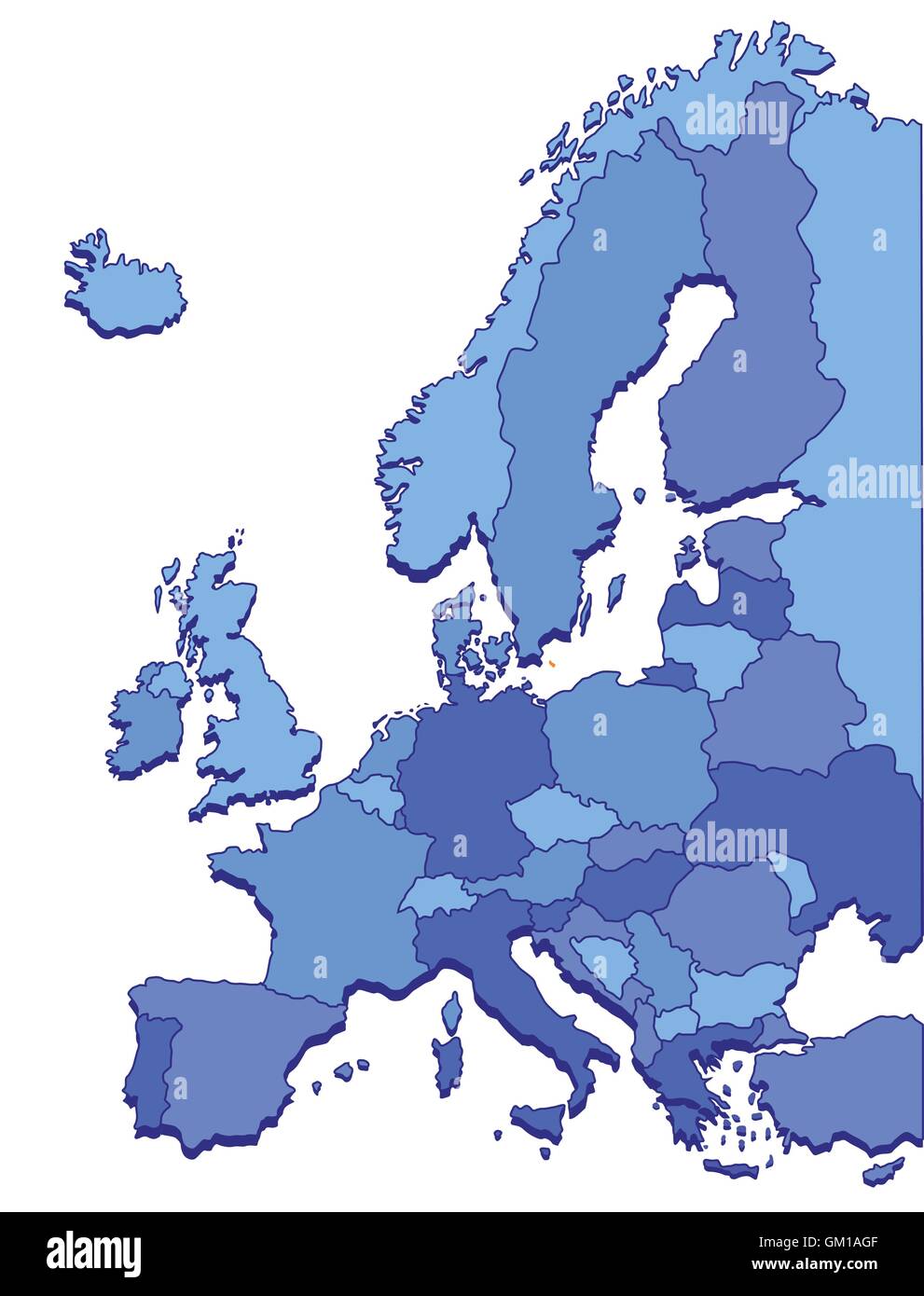 Europe Maps Stock Vectorhttps://www.alamy.com/image-license-details/?v=1https://www.alamy.com/stock-photo-europe-maps-115585583.html
RFGM1AGF–Europe Maps
 Finland set of three maps - solid map, outline map and map highlighting administrative divisions. Three distinct maps illustrate various representations of a geographical area. Stock Vectorhttps://www.alamy.com/image-license-details/?v=1https://www.alamy.com/finland-set-of-three-maps-solid-map-outline-map-and-map-highlighting-administrative-divisions-three-distinct-maps-illustrate-various-representations-of-a-geographical-area-image637672549.html
RF2S1CDRH–Finland set of three maps - solid map, outline map and map highlighting administrative divisions. Three distinct maps illustrate various representations of a geographical area.
 Boating at Baltic Sea, Kirkkonummi, Finland Stock Photohttps://www.alamy.com/image-license-details/?v=1https://www.alamy.com/boating-at-baltic-sea-kirkkonummi-finland-image358280568.html
RM2BPW2EG–Boating at Baltic Sea, Kirkkonummi, Finland
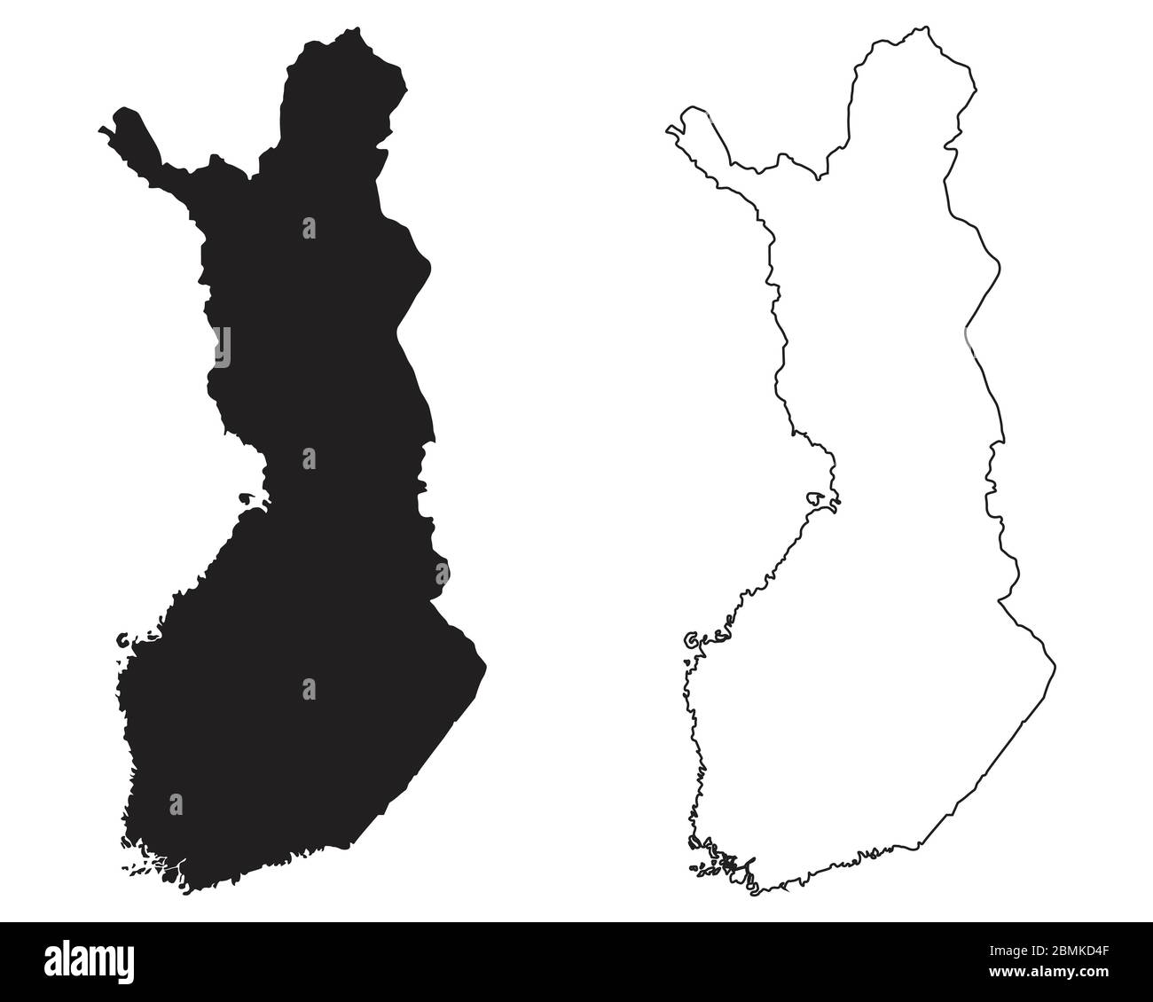 Finland Country Map. Black silhouette and outline isolated on white background. EPS Vector Stock Vectorhttps://www.alamy.com/image-license-details/?v=1https://www.alamy.com/finland-country-map-black-silhouette-and-outline-isolated-on-white-background-eps-vector-image356927887.html
RF2BMKD4F–Finland Country Map. Black silhouette and outline isolated on white background. EPS Vector
 Baltic Sea in a Polar Projection - 1630 Stock Photohttps://www.alamy.com/image-license-details/?v=1https://www.alamy.com/stock-photo-baltic-sea-in-a-polar-projection-1630-36038473.html
RMC2HKC9–Baltic Sea in a Polar Projection - 1630
 Finland map. Collection of maps of Finland in dotted style. Borders of the country filled with rectangles for your design. Vector illustration. Stock Vectorhttps://www.alamy.com/image-license-details/?v=1https://www.alamy.com/finland-map-collection-of-maps-of-finland-in-dotted-style-borders-of-the-country-filled-with-rectangles-for-your-design-vector-illustration-image546437706.html
RF2PN0ATA–Finland map. Collection of maps of Finland in dotted style. Borders of the country filled with rectangles for your design. Vector illustration.
 English: Part of a map from Kalmberg's Maps. This map covers East Helsinki, Finland. Suomi: Itä-Helsinki Kalmbergin kartaston kartassa vuodelta 1856. 1856 192 Herttoniemi1856 Stock Photohttps://www.alamy.com/image-license-details/?v=1https://www.alamy.com/english-part-of-a-map-from-kalmbergs-maps-this-map-covers-east-helsinki-finland-suomi-it-helsinki-kalmbergin-kartaston-kartassa-vuodelta-1856-1856-192-herttoniemi1856-image211425468.html
RMP7Y79G–English: Part of a map from Kalmberg's Maps. This map covers East Helsinki, Finland. Suomi: Itä-Helsinki Kalmbergin kartaston kartassa vuodelta 1856. 1856 192 Herttoniemi1856
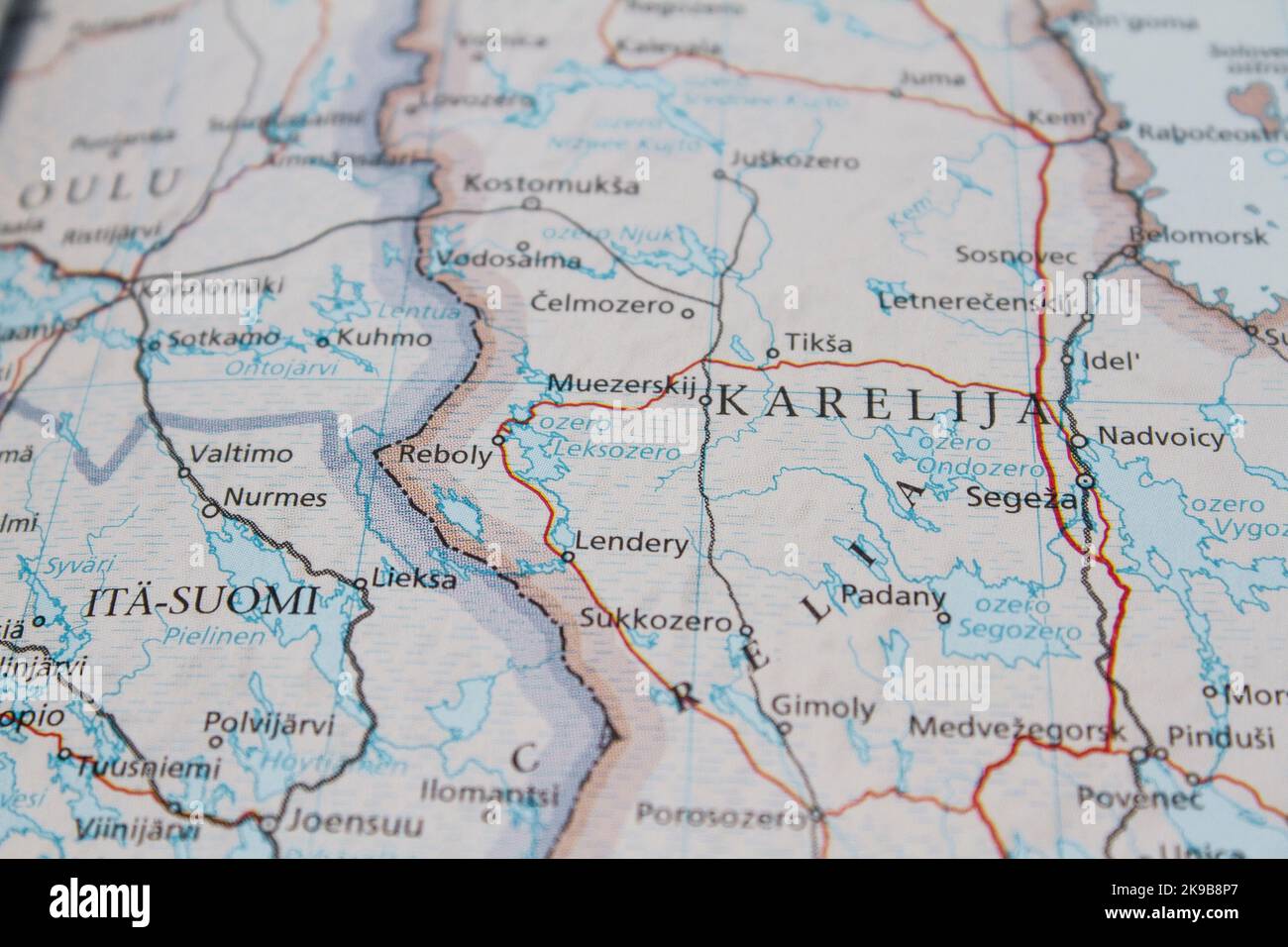 Map of the border between Russia and Finland, with details of Karelia Stock Photohttps://www.alamy.com/image-license-details/?v=1https://www.alamy.com/map-of-the-border-between-russia-and-finland-with-details-of-karelia-image487670575.html
RM2K9B8P7–Map of the border between Russia and Finland, with details of Karelia
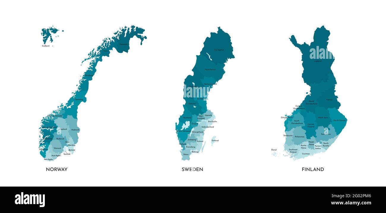 Vector isolated illustration of simplified administrative maps of Norway, Sweden, Finland. Borders and names of the regions (real proportion of states Stock Vectorhttps://www.alamy.com/image-license-details/?v=1https://www.alamy.com/vector-isolated-illustration-of-simplified-administrative-maps-of-norway-sweden-finland-borders-and-names-of-the-regions-real-proportion-of-states-image430320918.html
RF2G02PM6–Vector isolated illustration of simplified administrative maps of Norway, Sweden, Finland. Borders and names of the regions (real proportion of states
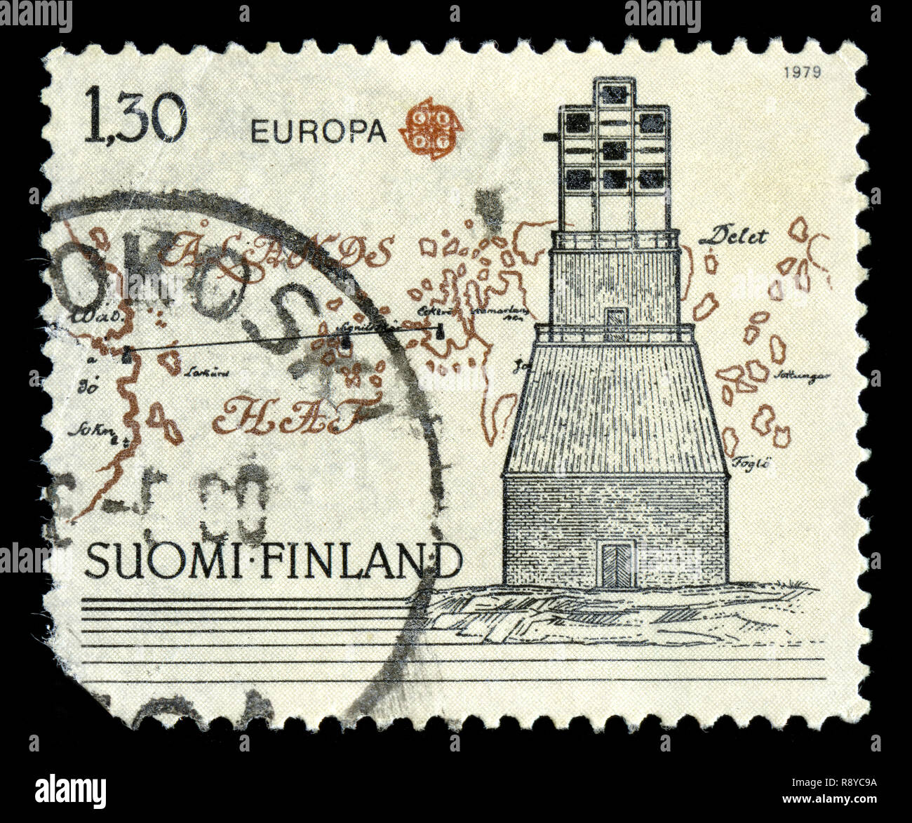 Postage stamp from Finland in the series issued in Stock Photohttps://www.alamy.com/image-license-details/?v=1https://www.alamy.com/postage-stamp-from-finland-in-the-series-issued-in-image229254406.html
RMR8YC9A–Postage stamp from Finland in the series issued in
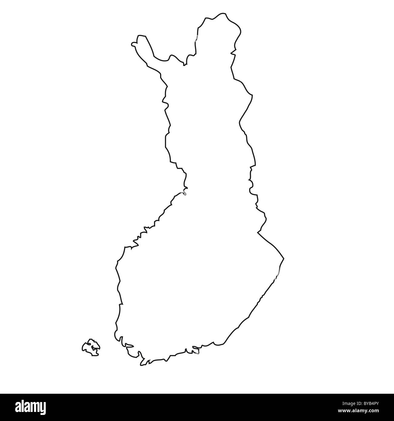 Outline, map of Finland Stock Photohttps://www.alamy.com/image-license-details/?v=1https://www.alamy.com/stock-photo-outline-map-of-finland-34051331.html
RFBYB4PY–Outline, map of Finland
 Finland, aerial view of lake region Stock Photohttps://www.alamy.com/image-license-details/?v=1https://www.alamy.com/finland-aerial-view-of-lake-region-image5419235.html
RFAWJTE4–Finland, aerial view of lake region
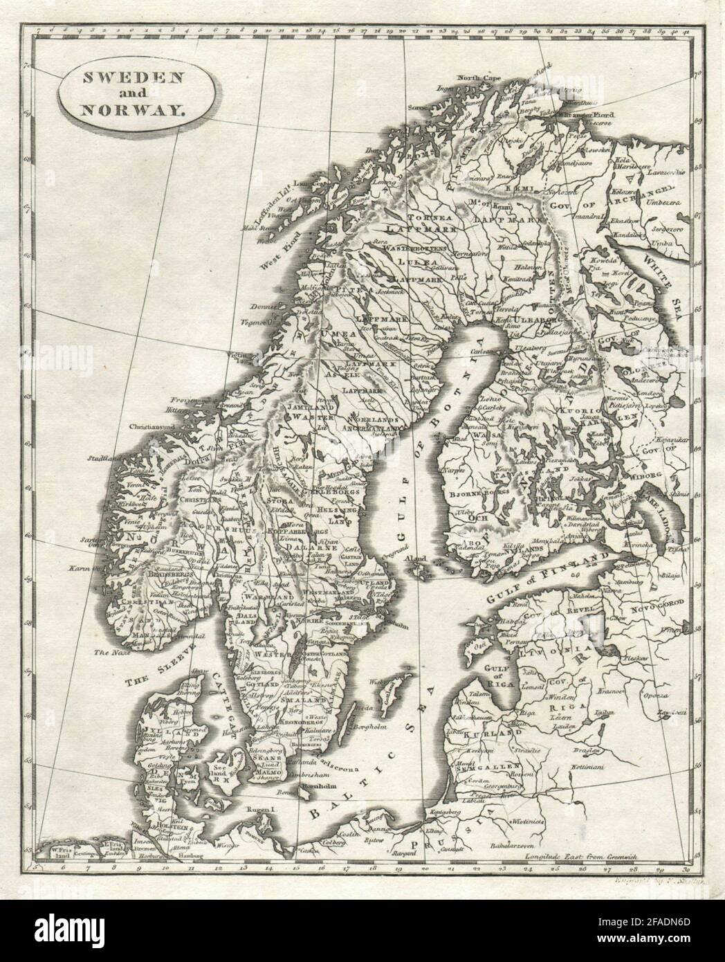 Sweden and Norway by Arrowsmith & Lewis. Scandinavia & Finland 1812 old map Stock Photohttps://www.alamy.com/image-license-details/?v=1https://www.alamy.com/sweden-and-norway-by-arrowsmith-lewis-scandinavia-finland-1812-old-map-image419497413.html
RF2FADN6D–Sweden and Norway by Arrowsmith & Lewis. Scandinavia & Finland 1812 old map
 Flag on the map of Finland. Vintage Map and Flag of European Countries Series 3D Rendering Stock Photohttps://www.alamy.com/image-license-details/?v=1https://www.alamy.com/flag-on-the-map-of-finland-vintage-map-and-flag-of-european-countries-series-3d-rendering-image370761765.html
RF2CF5JBH–Flag on the map of Finland. Vintage Map and Flag of European Countries Series 3D Rendering
 Satellite Image of Finland covered by that Country's Flag Stock Photohttps://www.alamy.com/image-license-details/?v=1https://www.alamy.com/stock-photo-satellite-image-of-finland-covered-by-that-countrys-flag-10081663.html
RFA0X7HM–Satellite Image of Finland covered by that Country's Flag
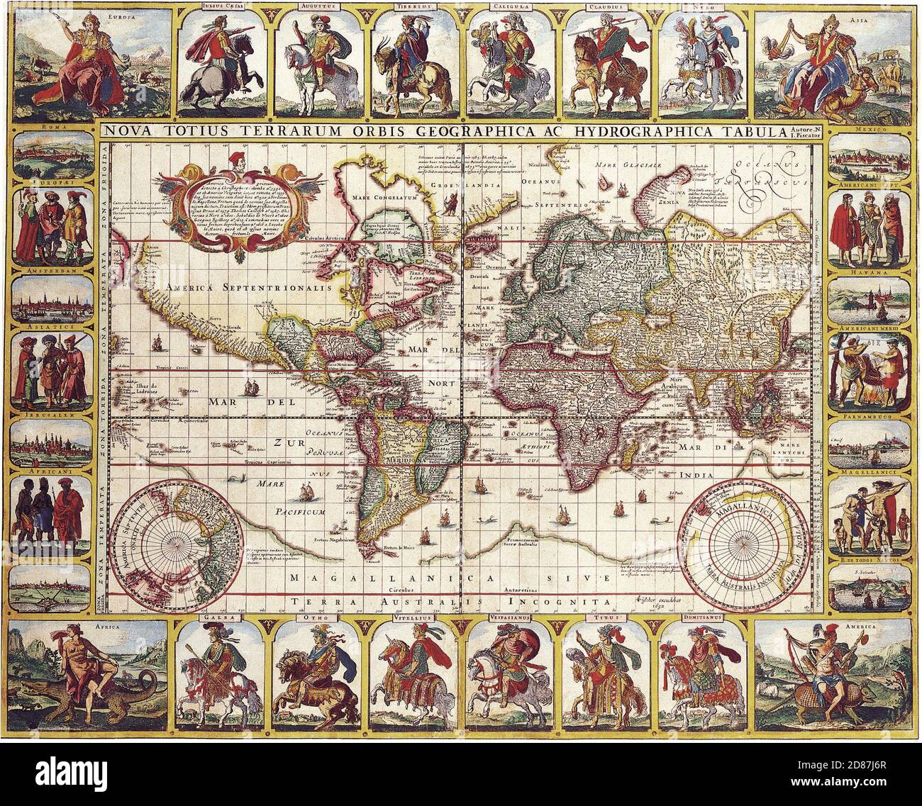 Nova Totius Terrarum Orbis Geographica Ac Hydrographica Tabula. Antique Maps of the World. Nicolas Visscher c 1652 Stock Photohttps://www.alamy.com/image-license-details/?v=1https://www.alamy.com/nova-totius-terrarum-orbis-geographica-ac-hydrographica-tabula-antique-maps-of-the-world-nicolas-visscher-c-1652-image383713311.html
RM2D87J6R–Nova Totius Terrarum Orbis Geographica Ac Hydrographica Tabula. Antique Maps of the World. Nicolas Visscher c 1652
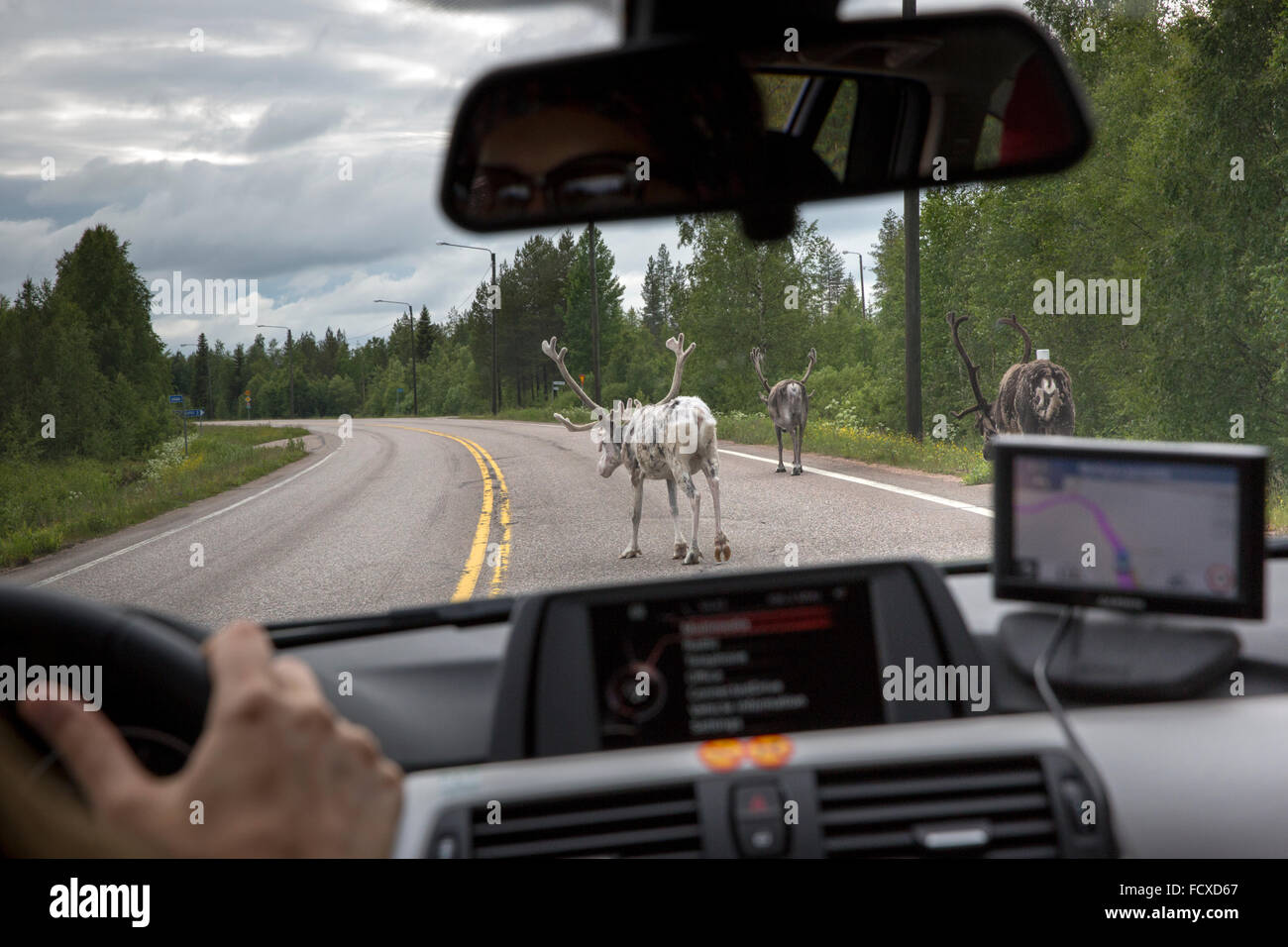 Reindeer north of the arctic circle on the highway in Lapland Province, Finland Stock Photohttps://www.alamy.com/image-license-details/?v=1https://www.alamy.com/stock-photo-reindeer-north-of-the-arctic-circle-on-the-highway-in-lapland-province-94008831.html
RMFCXD67–Reindeer north of the arctic circle on the highway in Lapland Province, Finland
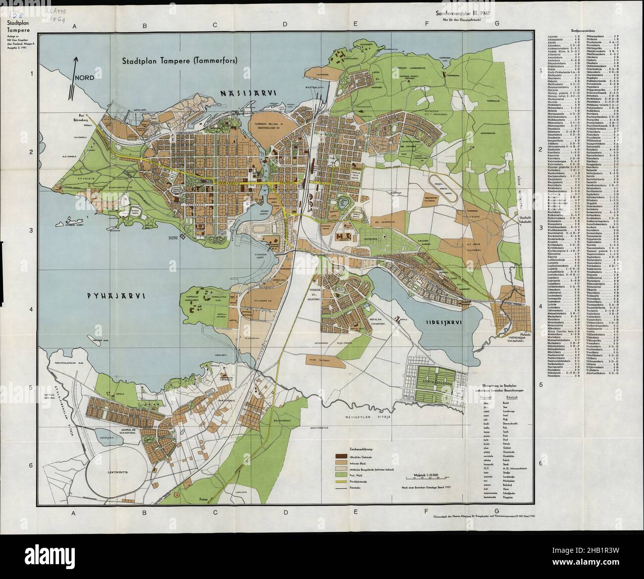 Tampere Map, Map of Tampere, Tampere Print, Tampere Poster, Tampere Plan, Tampere Map Print, Tampere Download, Finland Map, Finland Print, Tampere Art Stock Photohttps://www.alamy.com/image-license-details/?v=1https://www.alamy.com/tampere-map-map-of-tampere-tampere-print-tampere-poster-tampere-plan-tampere-map-print-tampere-download-finland-map-finland-print-tampere-art-image454270877.html
RF2HB1R3W–Tampere Map, Map of Tampere, Tampere Print, Tampere Poster, Tampere Plan, Tampere Map Print, Tampere Download, Finland Map, Finland Print, Tampere Art
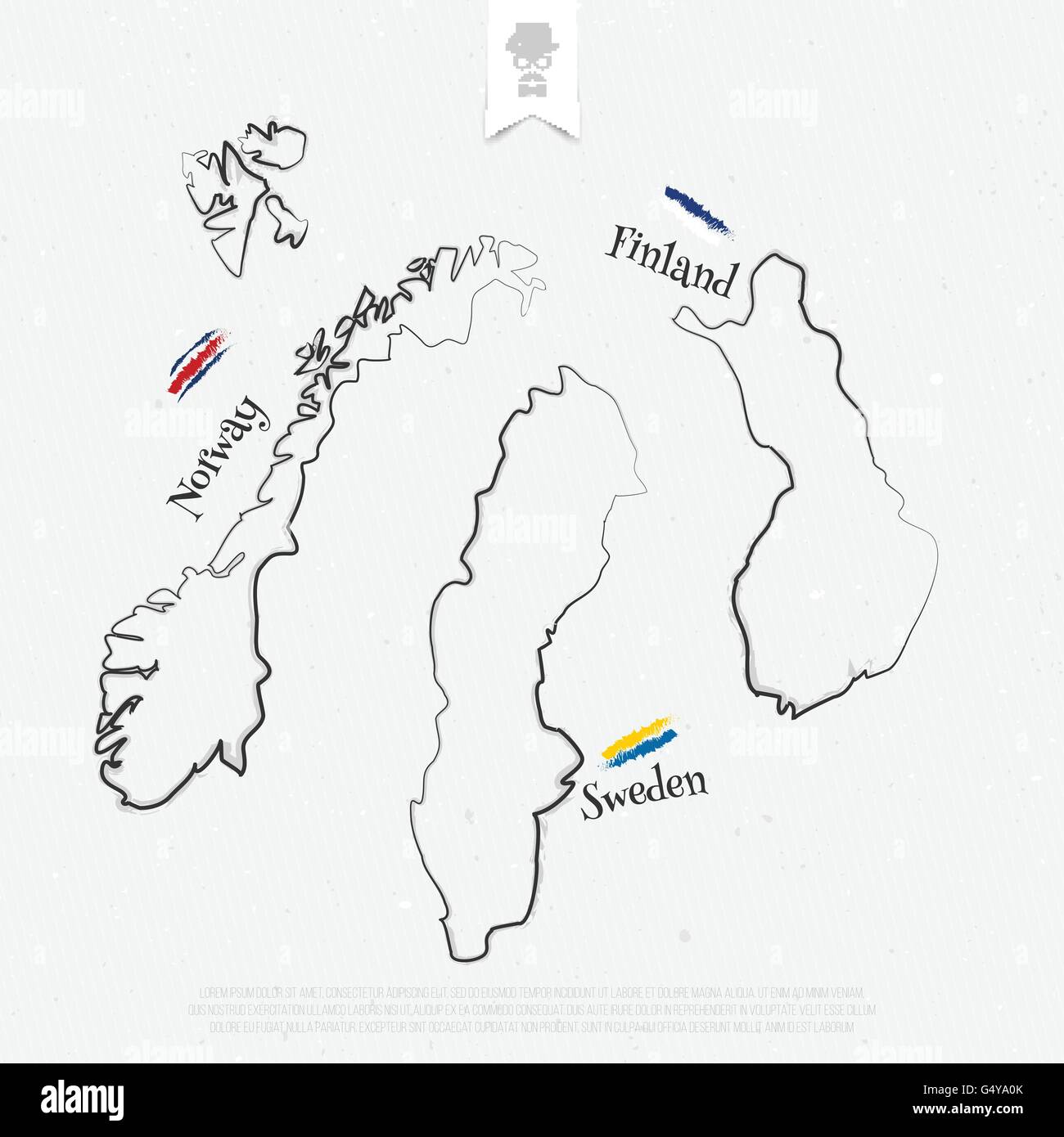 Finland, Sweden and Norway outline maps and official colors over paper texture. vector map thin line icons on white background. Stock Vectorhttps://www.alamy.com/image-license-details/?v=1https://www.alamy.com/stock-photo-finland-sweden-and-norway-outline-maps-and-official-colors-over-paper-106321395.html
RFG4YA0K–Finland, Sweden and Norway outline maps and official colors over paper texture. vector map thin line icons on white background.
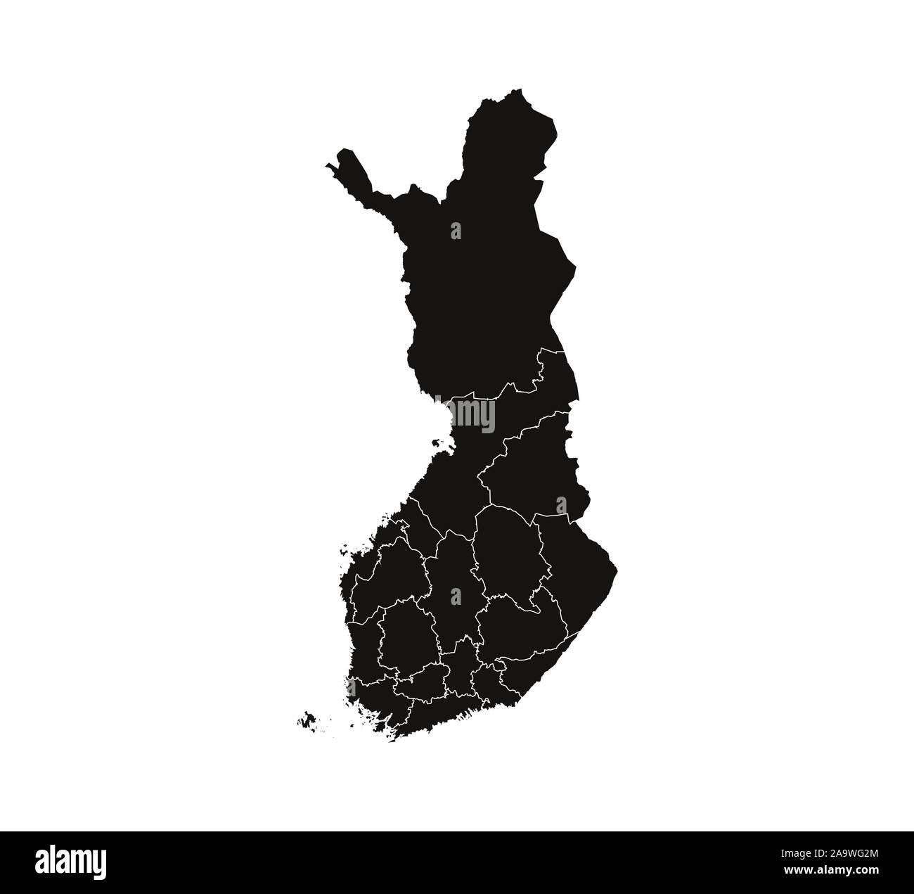 Finland map, states border map. Vector illustration. Stock Vectorhttps://www.alamy.com/image-license-details/?v=1https://www.alamy.com/finland-map-states-border-map-vector-illustration-image333090316.html
RF2A9WG2M–Finland map, states border map. Vector illustration.
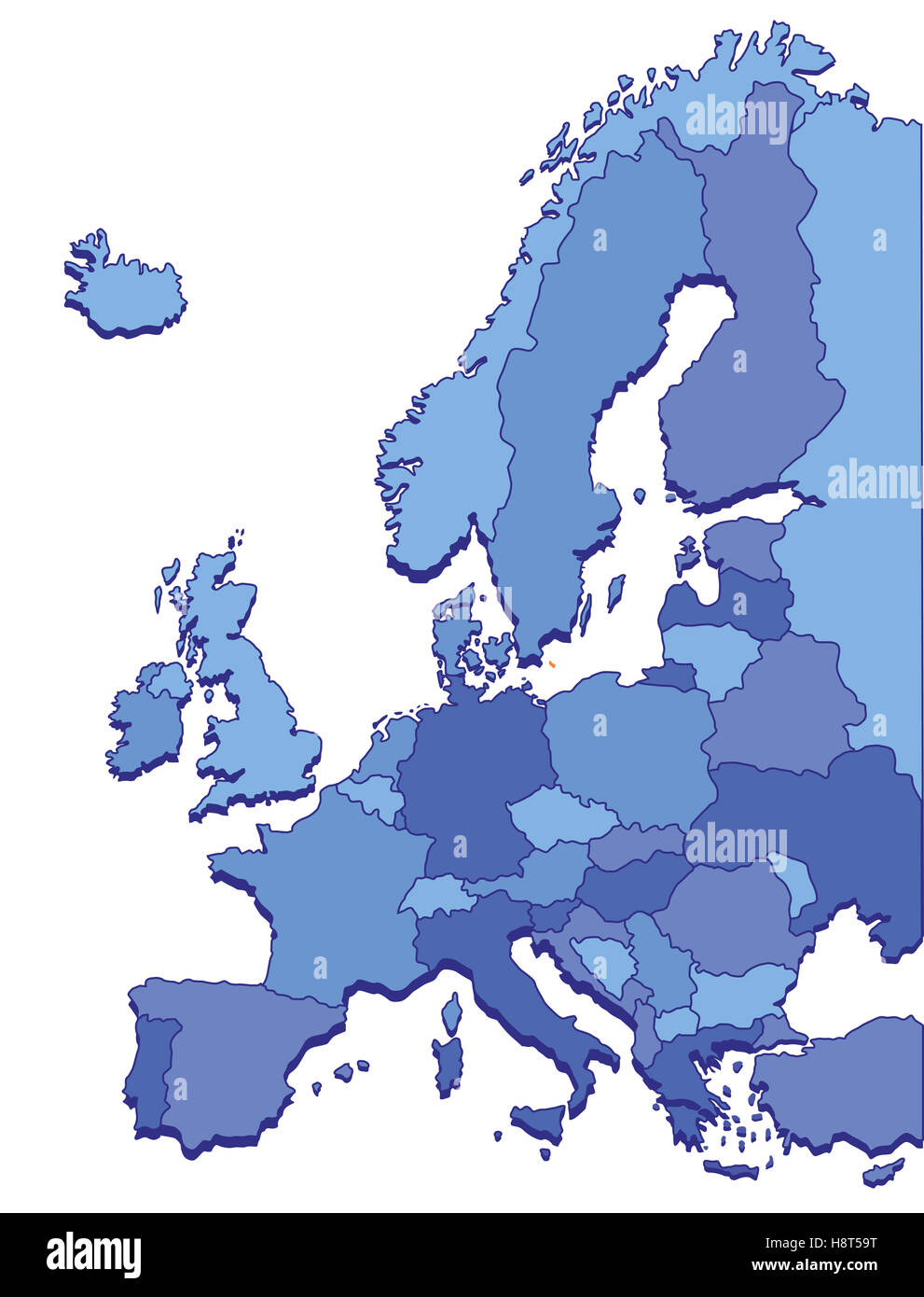 Europe Maps Stock Photohttps://www.alamy.com/image-license-details/?v=1https://www.alamy.com/stock-photo-europe-maps-125920868.html
RFH8T59T–Europe Maps
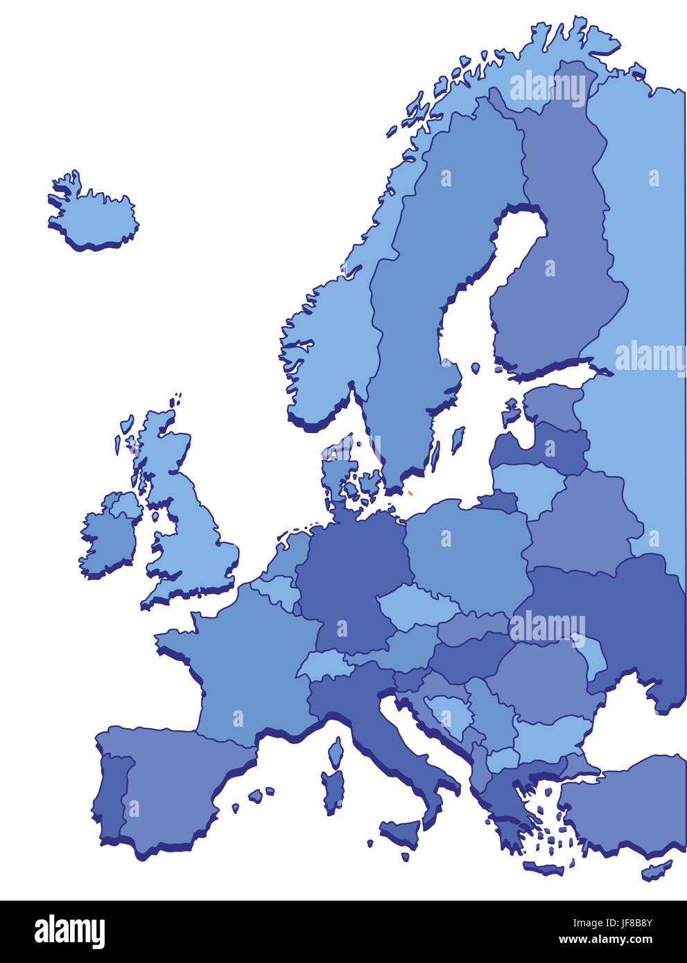 europe maps Stock Vectorhttps://www.alamy.com/image-license-details/?v=1https://www.alamy.com/stock-photo-europe-maps-147087275.html
RFJF8B8Y–europe maps
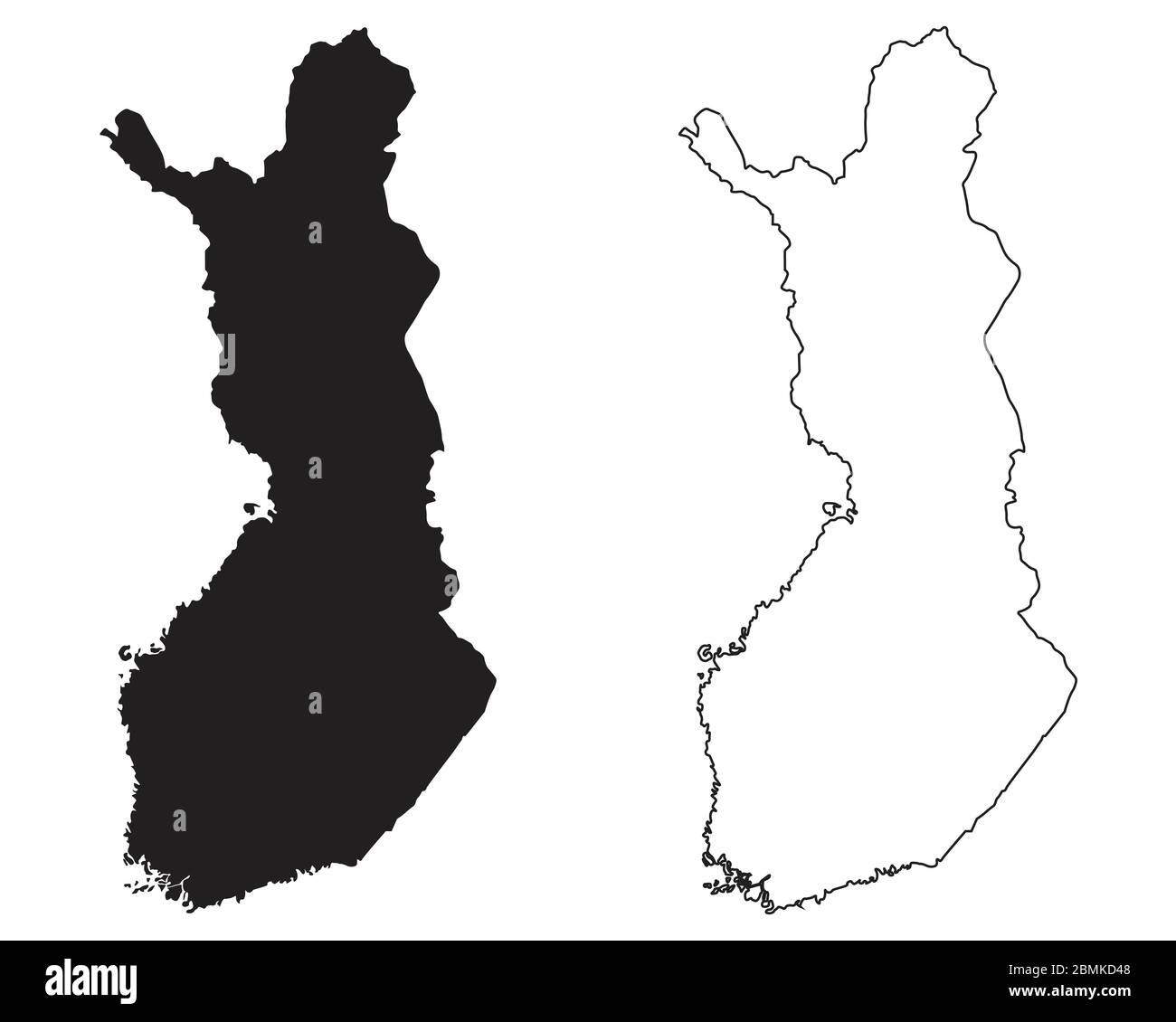 Finland Country Map. Black silhouette and outline isolated on white background. EPS Vector Stock Vectorhttps://www.alamy.com/image-license-details/?v=1https://www.alamy.com/finland-country-map-black-silhouette-and-outline-isolated-on-white-background-eps-vector-image356927880.html
RF2BMKD48–Finland Country Map. Black silhouette and outline isolated on white background. EPS Vector
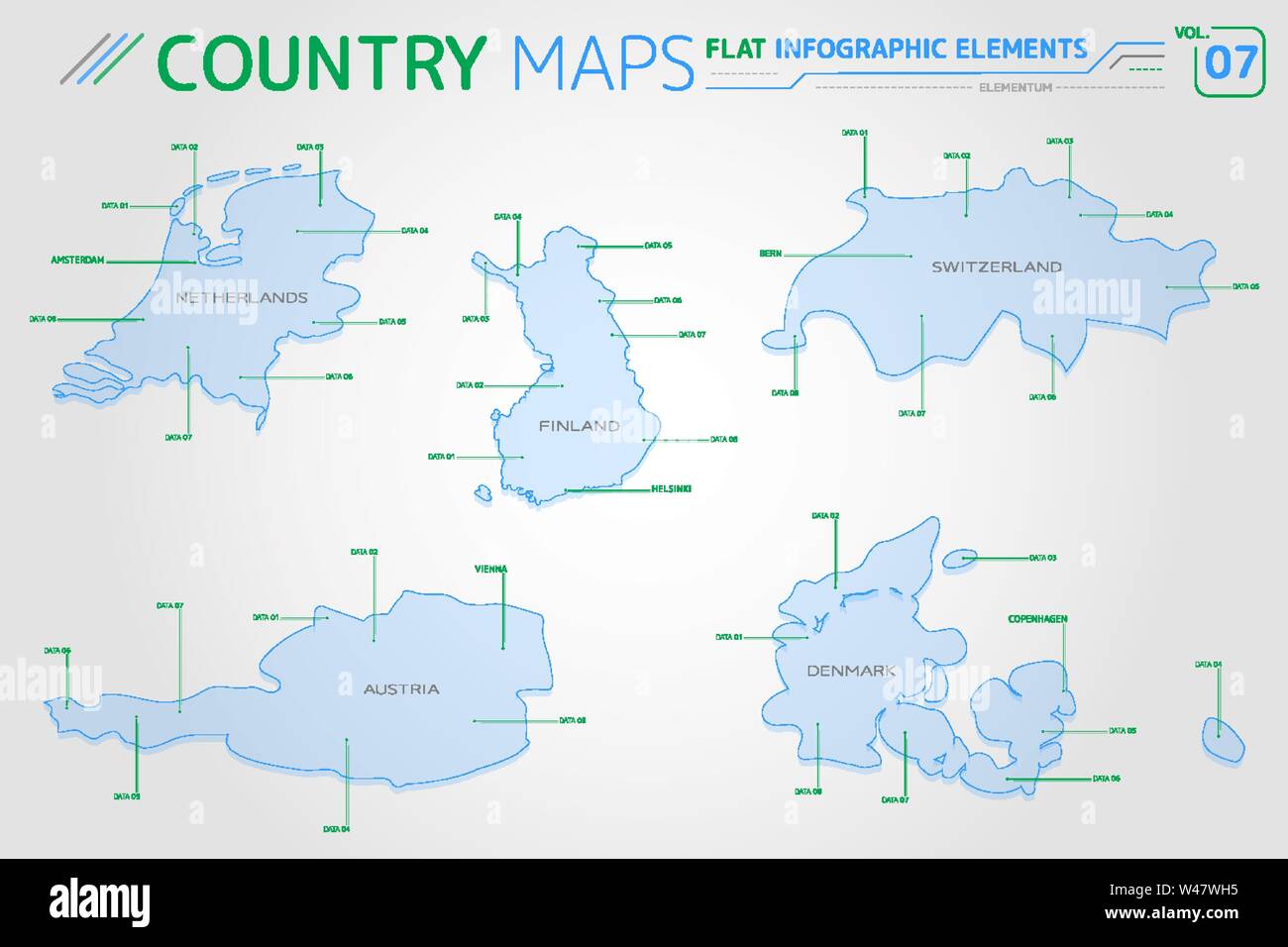 Netherlands, Switzerland, Finland, Austria and Denmark Vector Maps Stock Vectorhttps://www.alamy.com/image-license-details/?v=1https://www.alamy.com/netherlands-switzerland-finland-austria-and-denmark-vector-maps-image260787889.html
RFW47WH5–Netherlands, Switzerland, Finland, Austria and Denmark Vector Maps
RF2PGH2B7–Finland regions icons. Black round logos with country regions maps and titles. Vector illustration.
 . Scandinavia.. English: This beautiful hand colored map of Scandinavia was produced by Daniel Lizars in 1840. Depicts the whole of Scandinavia including Norway, Sweden, Finland and Denmark. Inset of Iceland in the upper left corner. One of the finest maps of Scandinavia to appear in the mid 19th century. Undated. 1840. This file is lacking author information. 7 1840 Lizars Map of Scandinavia ( Norway, Sweden, Finland, Denmark, Iceland ) - Geographicus - Scandinavia-lizar-1840 Stock Photohttps://www.alamy.com/image-license-details/?v=1https://www.alamy.com/scandinavia-english-this-beautiful-hand-colored-map-of-scandinavia-was-produced-by-daniel-lizars-in-1840-depicts-the-whole-of-scandinavia-including-norway-sweden-finland-and-denmark-inset-of-iceland-in-the-upper-left-corner-one-of-the-finest-maps-of-scandinavia-to-appear-in-the-mid-19th-century-undated-1840-this-file-is-lacking-author-information-7-1840-lizars-map-of-scandinavia-norway-sweden-finland-denmark-iceland-geographicus-scandinavia-lizar-1840-image188141626.html
RMMX2GFP–. Scandinavia.. English: This beautiful hand colored map of Scandinavia was produced by Daniel Lizars in 1840. Depicts the whole of Scandinavia including Norway, Sweden, Finland and Denmark. Inset of Iceland in the upper left corner. One of the finest maps of Scandinavia to appear in the mid 19th century. Undated. 1840. This file is lacking author information. 7 1840 Lizars Map of Scandinavia ( Norway, Sweden, Finland, Denmark, Iceland ) - Geographicus - Scandinavia-lizar-1840
 A couple of tourists looking at their city maps in Helsinki, Finland Stock Photohttps://www.alamy.com/image-license-details/?v=1https://www.alamy.com/a-couple-of-tourists-looking-at-their-city-maps-in-helsinki-finland-image411747966.html
RM2EWTMME–A couple of tourists looking at their city maps in Helsinki, Finland
RF2G02PKD–Vector isolated illustration icon with simplified blue maps of north european states - Norway, Finland, Sweden. Polygonal geometric style, triangular
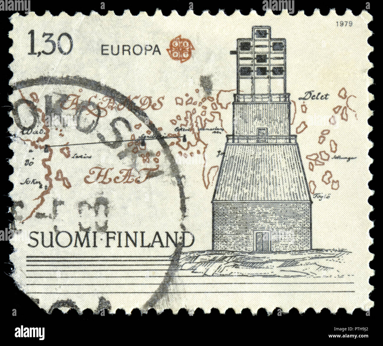 Postmarked stamp from Finland in the Europa (C.E.P.T.) 1979 - History of the Post series issued in 1979 Stock Photohttps://www.alamy.com/image-license-details/?v=1https://www.alamy.com/postmarked-stamp-from-finland-in-the-europa-cept-1979-history-of-the-post-series-issued-in-1979-image221656906.html
RMPTH9J2–Postmarked stamp from Finland in the Europa (C.E.P.T.) 1979 - History of the Post series issued in 1979
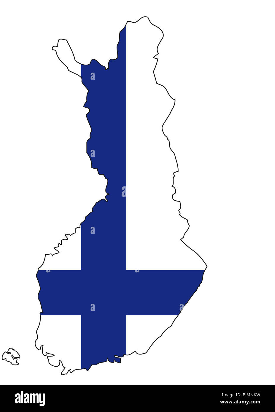 Finland, flag, outline Stock Photohttps://www.alamy.com/image-license-details/?v=1https://www.alamy.com/stock-photo-finland-flag-outline-28730237.html
RFBJMNKW–Finland, flag, outline
 satellite image of finland with surrounding countries darkened Stock Photohttps://www.alamy.com/image-license-details/?v=1https://www.alamy.com/stock-photo-satellite-image-of-finland-with-surrounding-countries-darkened-24661778.html
RMBC3C9P–satellite image of finland with surrounding countries darkened
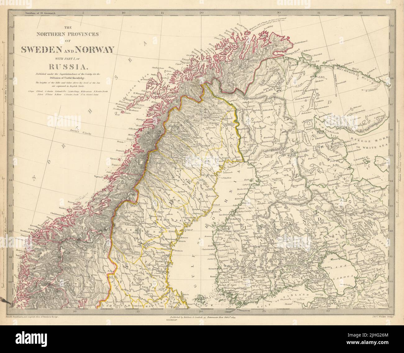 SCANDINAVIA Northern Sweden and Norway. Finland & part of Russia SDUK 1844 map Stock Photohttps://www.alamy.com/image-license-details/?v=1https://www.alamy.com/scandinavia-northern-sweden-and-norway-finland-part-of-russia-sduk-1844-map-image475482076.html
RF2JHG26M–SCANDINAVIA Northern Sweden and Norway. Finland & part of Russia SDUK 1844 map
 Map of Finland with Subregions in Green Country Name in Red Stock Photohttps://www.alamy.com/image-license-details/?v=1https://www.alamy.com/map-of-finland-with-subregions-in-green-country-name-in-red-image556769171.html
RF2R9R0N7–Map of Finland with Subregions in Green Country Name in Red
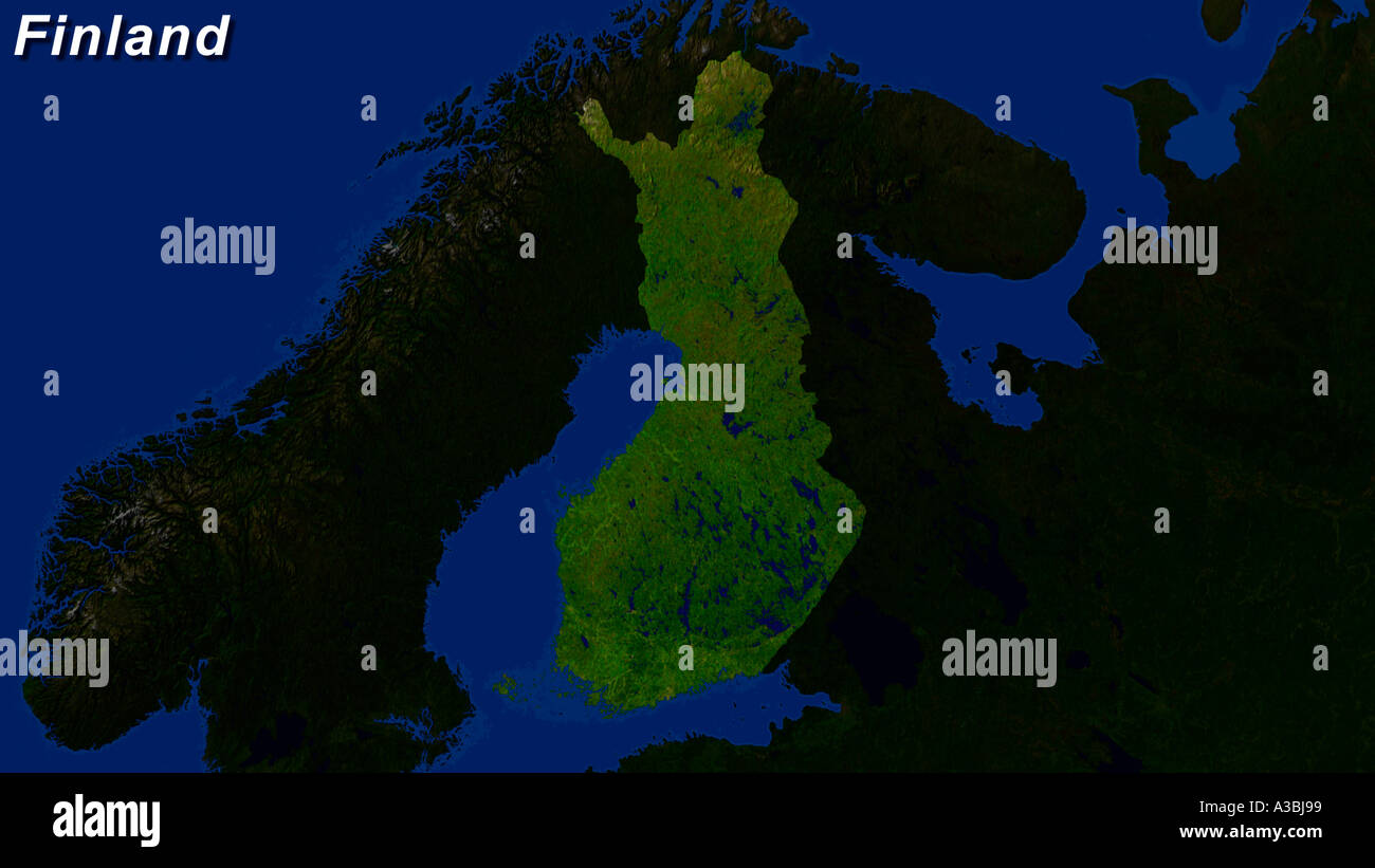 Satellite Image Of Finland Highlighted Stock Photohttps://www.alamy.com/image-license-details/?v=1https://www.alamy.com/satellite-image-of-finland-highlighted-image3503768.html
RFA3BJ99–Satellite Image Of Finland Highlighted
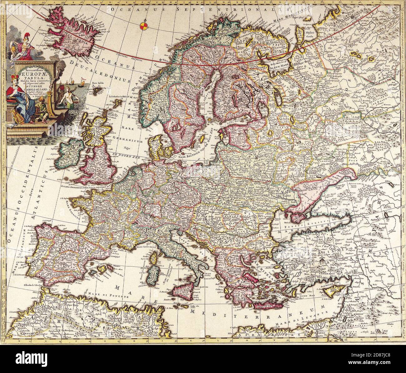 Antique Maps of the World. Map of Europe. Carl Allard. c 1700 Stock Photohttps://www.alamy.com/image-license-details/?v=1https://www.alamy.com/antique-maps-of-the-world-map-of-europe-carl-allard-c-1700-image383713464.html
RM2D87JC8–Antique Maps of the World. Map of Europe. Carl Allard. c 1700
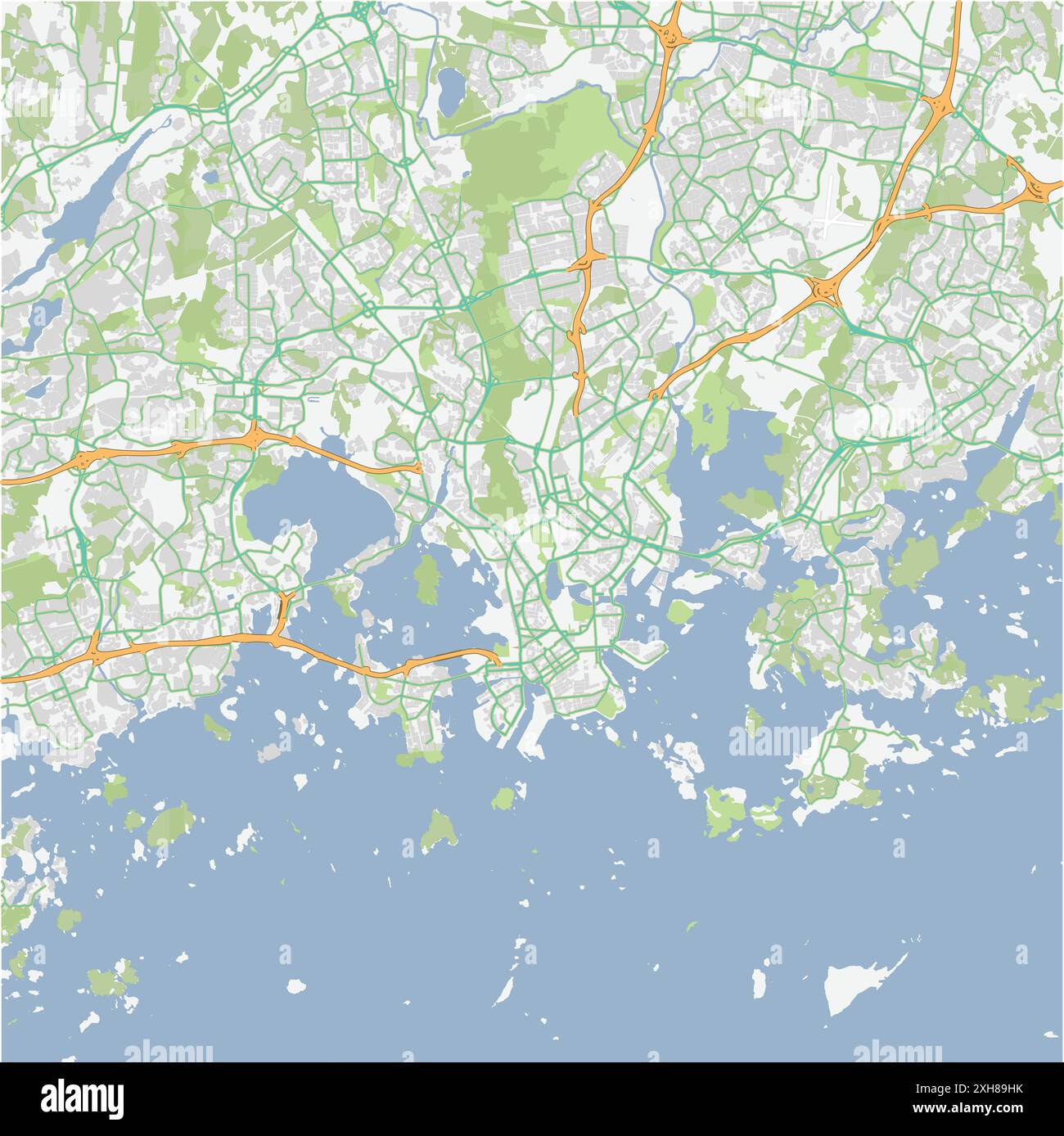 Road map of Helsinki in Finland. Contains layered vector with roads water, parks, etc. Stock Vectorhttps://www.alamy.com/image-license-details/?v=1https://www.alamy.com/road-map-of-helsinki-in-finland-contains-layered-vector-with-roads-water-parks-etc-image612995199.html
RF2XH89HK–Road map of Helsinki in Finland. Contains layered vector with roads water, parks, etc.
 Outline map of Finland with the national flag superimposed over the country. 3D graphics casting a shadow on the white background Stock Photohttps://www.alamy.com/image-license-details/?v=1https://www.alamy.com/outline-map-of-finland-with-the-national-flag-superimposed-over-the-country-3d-graphics-casting-a-shadow-on-the-white-background-image433285003.html
RF2G4WRCB–Outline map of Finland with the national flag superimposed over the country. 3D graphics casting a shadow on the white background
RFG2NHEB–Republic of Finland isolated map and official flag icons. vector Finnish political map 3d illustration. Suomi geographic banner
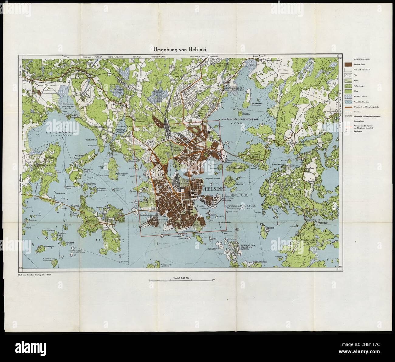 Helsinki Map, Helsinki Plan, Map of Helsinki, Helsinki City, Old Helsinki City, Helsinki Print, Helsinki Poster, Finland Map, Map of Finland, Helsinki Stock Photohttps://www.alamy.com/image-license-details/?v=1https://www.alamy.com/helsinki-map-helsinki-plan-map-of-helsinki-helsinki-city-old-helsinki-city-helsinki-print-helsinki-poster-finland-map-map-of-finland-helsinki-image454271760.html
RF2HB1T7C–Helsinki Map, Helsinki Plan, Map of Helsinki, Helsinki City, Old Helsinki City, Helsinki Print, Helsinki Poster, Finland Map, Map of Finland, Helsinki
 Russian Lappland - 1745 Stock Photohttps://www.alamy.com/image-license-details/?v=1https://www.alamy.com/russian-lappland-1745-image370869461.html
RM2CFAFNW–Russian Lappland - 1745
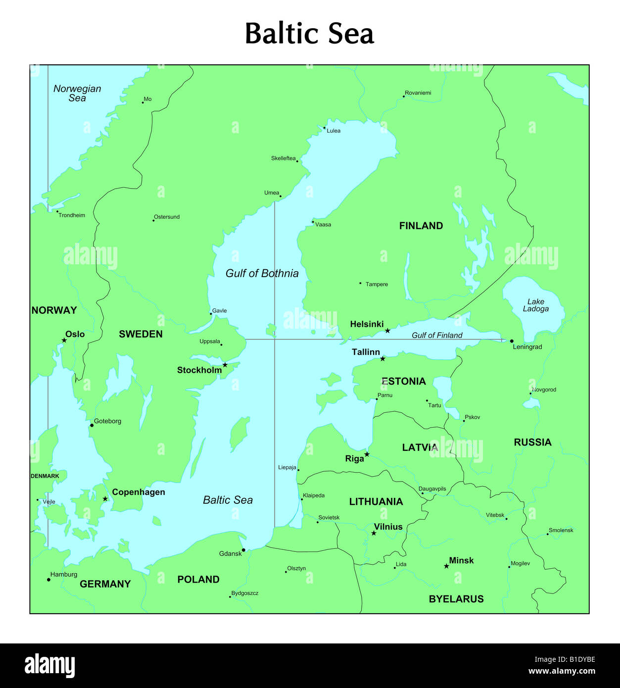 Baltic Sea map Stock Photohttps://www.alamy.com/image-license-details/?v=1https://www.alamy.com/stock-photo-baltic-sea-map-18131890.html
RFB1DYBE–Baltic Sea map
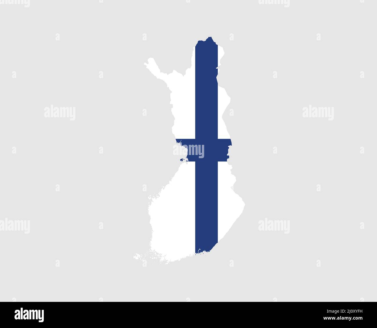 Finland Map Flag. Finnish Map with the Finn country banner.Vector Illustration. Stock Vectorhttps://www.alamy.com/image-license-details/?v=1https://www.alamy.com/finland-map-flag-finnish-map-with-the-finn-country-bannervector-illustration-image465272293.html
RF2J0XYFH–Finland Map Flag. Finnish Map with the Finn country banner.Vector Illustration.
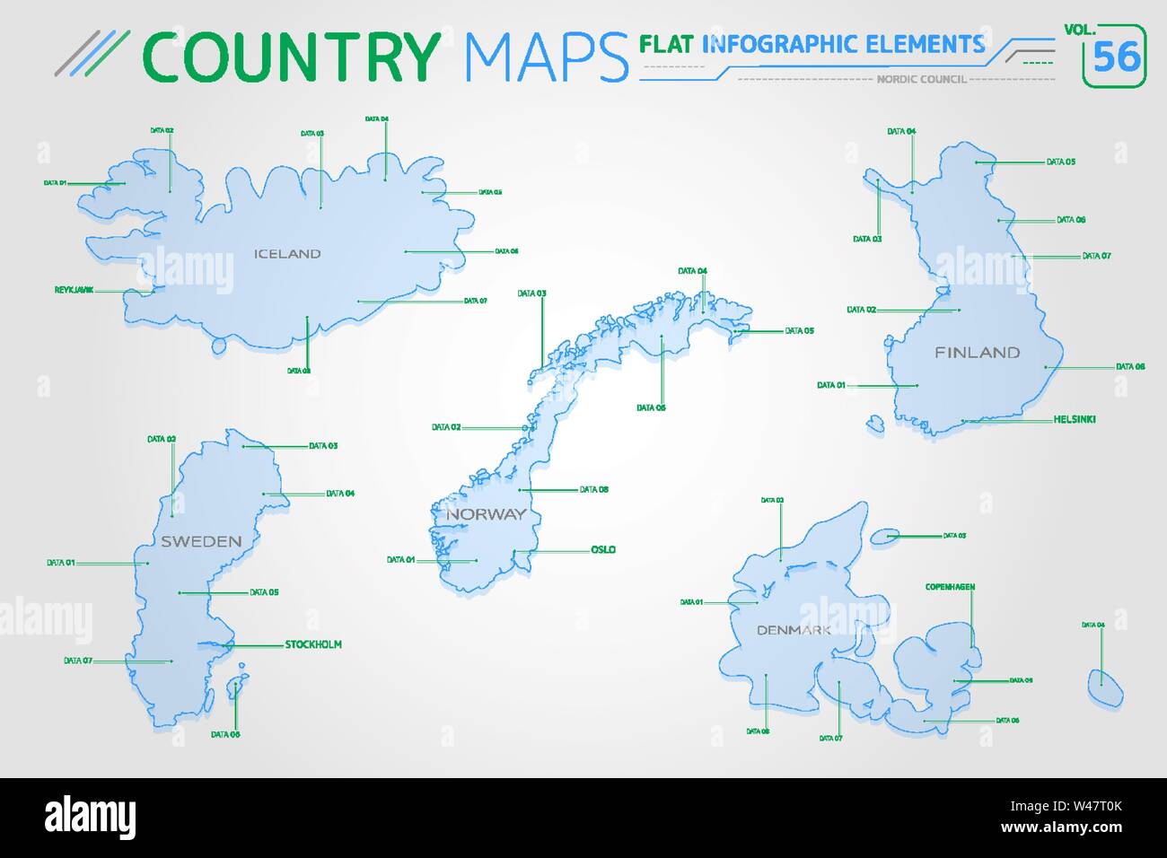 Nordic Council, Iceland, Norway, Denmark, Finland and Sweden Vector Maps Stock Vectorhttps://www.alamy.com/image-license-details/?v=1https://www.alamy.com/nordic-council-iceland-norway-denmark-finland-and-sweden-vector-maps-image260786643.html
RFW47T0K–Nordic Council, Iceland, Norway, Denmark, Finland and Sweden Vector Maps
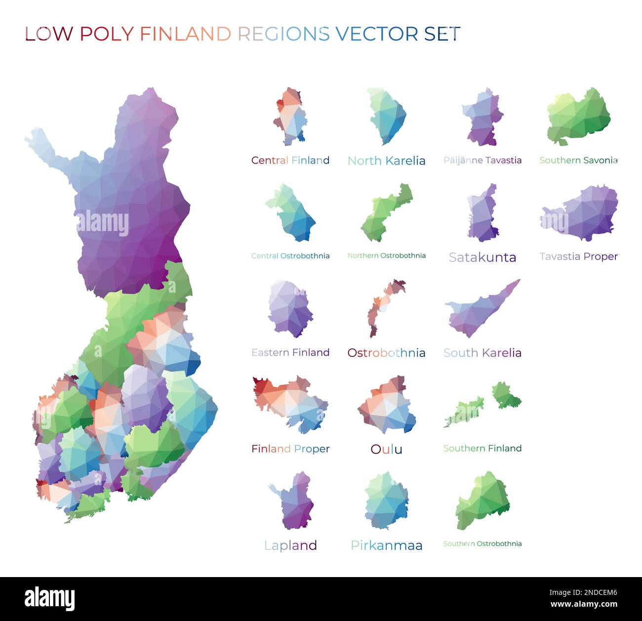 Finnish low poly regions. Polygonal map of Finland with regions. Geometric maps for your design. Elegant vector illustration. Stock Vectorhttps://www.alamy.com/image-license-details/?v=1https://www.alamy.com/finnish-low-poly-regions-polygonal-map-of-finland-with-regions-geometric-maps-for-your-design-elegant-vector-illustration-image524576534.html
RF2NDCEM6–Finnish low poly regions. Polygonal map of Finland with regions. Geometric maps for your design. Elegant vector illustration.
 . Scandinavia.. English: This beautiful hand colored map of Scandinavia was produced by Daniel Lizars in 1840. Depicts the whole of Scandinavia including Norway, Sweden, Finland and Denmark. Inset of Iceland in the upper left corner. One of the finest maps of Scandinavia to appear in the mid 19th century. Undated. 1840. This file is lacking author information. 7 1840 Lizars Map of Scandinavia ( Norway, Sweden, Finland, Denmark, Iceland ) - Geographicus - Scandinavia-lizar-1840 Stock Photohttps://www.alamy.com/image-license-details/?v=1https://www.alamy.com/scandinavia-english-this-beautiful-hand-colored-map-of-scandinavia-was-produced-by-daniel-lizars-in-1840-depicts-the-whole-of-scandinavia-including-norway-sweden-finland-and-denmark-inset-of-iceland-in-the-upper-left-corner-one-of-the-finest-maps-of-scandinavia-to-appear-in-the-mid-19th-century-undated-1840-this-file-is-lacking-author-information-7-1840-lizars-map-of-scandinavia-norway-sweden-finland-denmark-iceland-geographicus-scandinavia-lizar-1840-image187621516.html
RMMW6W4C–. Scandinavia.. English: This beautiful hand colored map of Scandinavia was produced by Daniel Lizars in 1840. Depicts the whole of Scandinavia including Norway, Sweden, Finland and Denmark. Inset of Iceland in the upper left corner. One of the finest maps of Scandinavia to appear in the mid 19th century. Undated. 1840. This file is lacking author information. 7 1840 Lizars Map of Scandinavia ( Norway, Sweden, Finland, Denmark, Iceland ) - Geographicus - Scandinavia-lizar-1840
 17th century Map of Scandinavia and the Baltics, Norway, Sweden, Finland Stock Photohttps://www.alamy.com/image-license-details/?v=1https://www.alamy.com/17th-century-map-of-scandinavia-and-the-baltics-norway-sweden-finland-image504915806.html
RM2M9CW7A–17th century Map of Scandinavia and the Baltics, Norway, Sweden, Finland
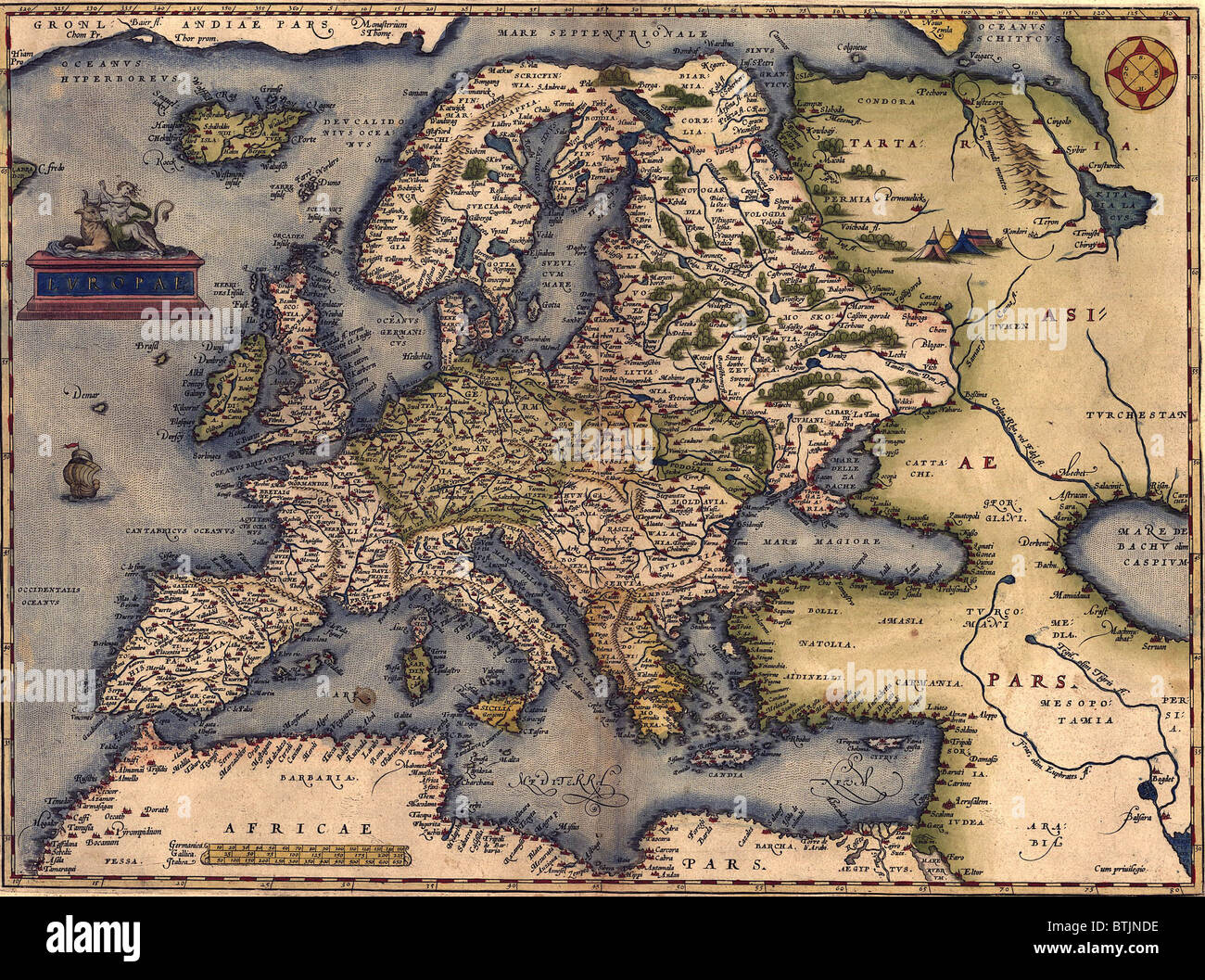 1570 map of Europe. From Abraham Ortelius' atlas, 'Theatrvm orbis terrarvm.' Stock Photohttps://www.alamy.com/image-license-details/?v=1https://www.alamy.com/stock-photo-1570-map-of-europe-from-abraham-ortelius-atlas-theatrvm-orbis-terrarvm-32374090.html
RMBTJNDE–1570 map of Europe. From Abraham Ortelius' atlas, 'Theatrvm orbis terrarvm.'
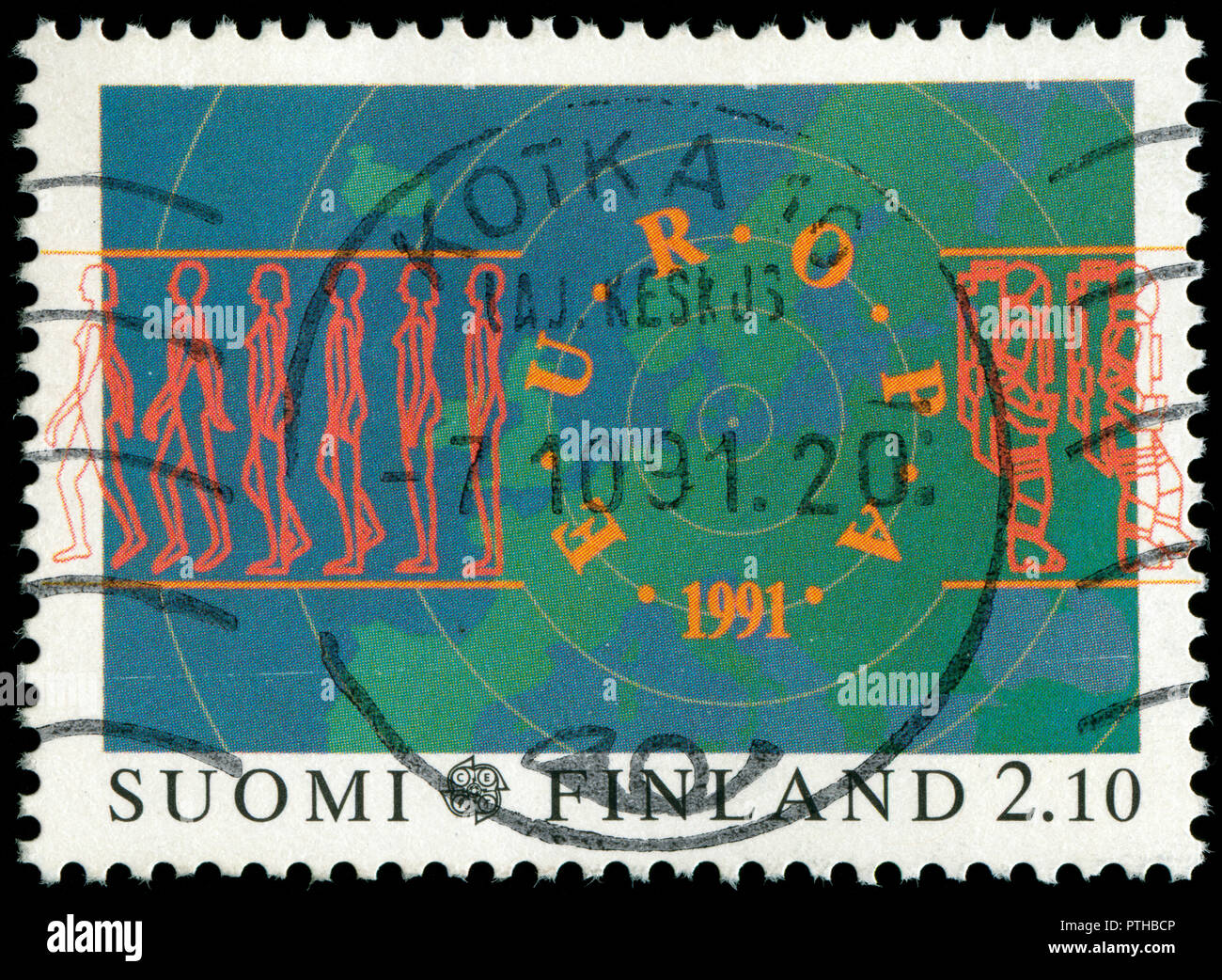 Postmarked stamp from Finland in the Europa (C.E.P.T.) 1991 - Europe in Space series issued in 1991 Stock Photohttps://www.alamy.com/image-license-details/?v=1https://www.alamy.com/postmarked-stamp-from-finland-in-the-europa-cept-1991-europe-in-space-series-issued-in-1991-image221658326.html
RMPTHBCP–Postmarked stamp from Finland in the Europa (C.E.P.T.) 1991 - Europe in Space series issued in 1991
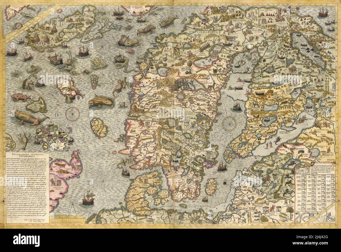 Sixteenth century illustrated map of the Scandinavian peninsula by Olaus Magnus Stock Photohttps://www.alamy.com/image-license-details/?v=1https://www.alamy.com/sixteenth-century-illustrated-map-of-the-scandinavian-peninsula-by-olaus-magnus-image467536904.html
RM2J4J42G–Sixteenth century illustrated map of the Scandinavian peninsula by Olaus Magnus
 Finnish tourism badges for sale in Helsinki port market Stock Photohttps://www.alamy.com/image-license-details/?v=1https://www.alamy.com/finnish-tourism-badges-for-sale-in-helsinki-port-market-image2558283.html
RMAET94C–Finnish tourism badges for sale in Helsinki port market
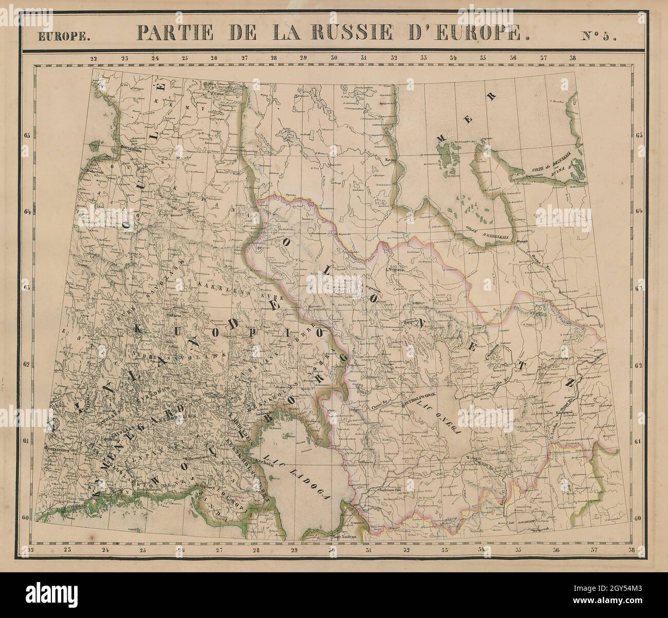 Russie d'Europe #5 Finland. Northwest Russia. Karelia. VANDERMAELEN 1827 map Stock Photohttps://www.alamy.com/image-license-details/?v=1https://www.alamy.com/russie-deurope-5-finland-northwest-russia-karelia-vandermaelen-1827-map-image446968371.html
RF2GY54M3–Russie d'Europe #5 Finland. Northwest Russia. Karelia. VANDERMAELEN 1827 map
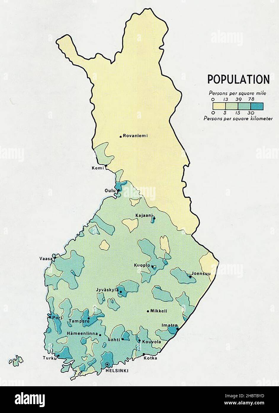 Population density map of Finland ca. 1969 Stock Photohttps://www.alamy.com/image-license-details/?v=1https://www.alamy.com/population-density-map-of-finland-ca-1969-image454767025.html
RM2HBTBYD–Population density map of Finland ca. 1969
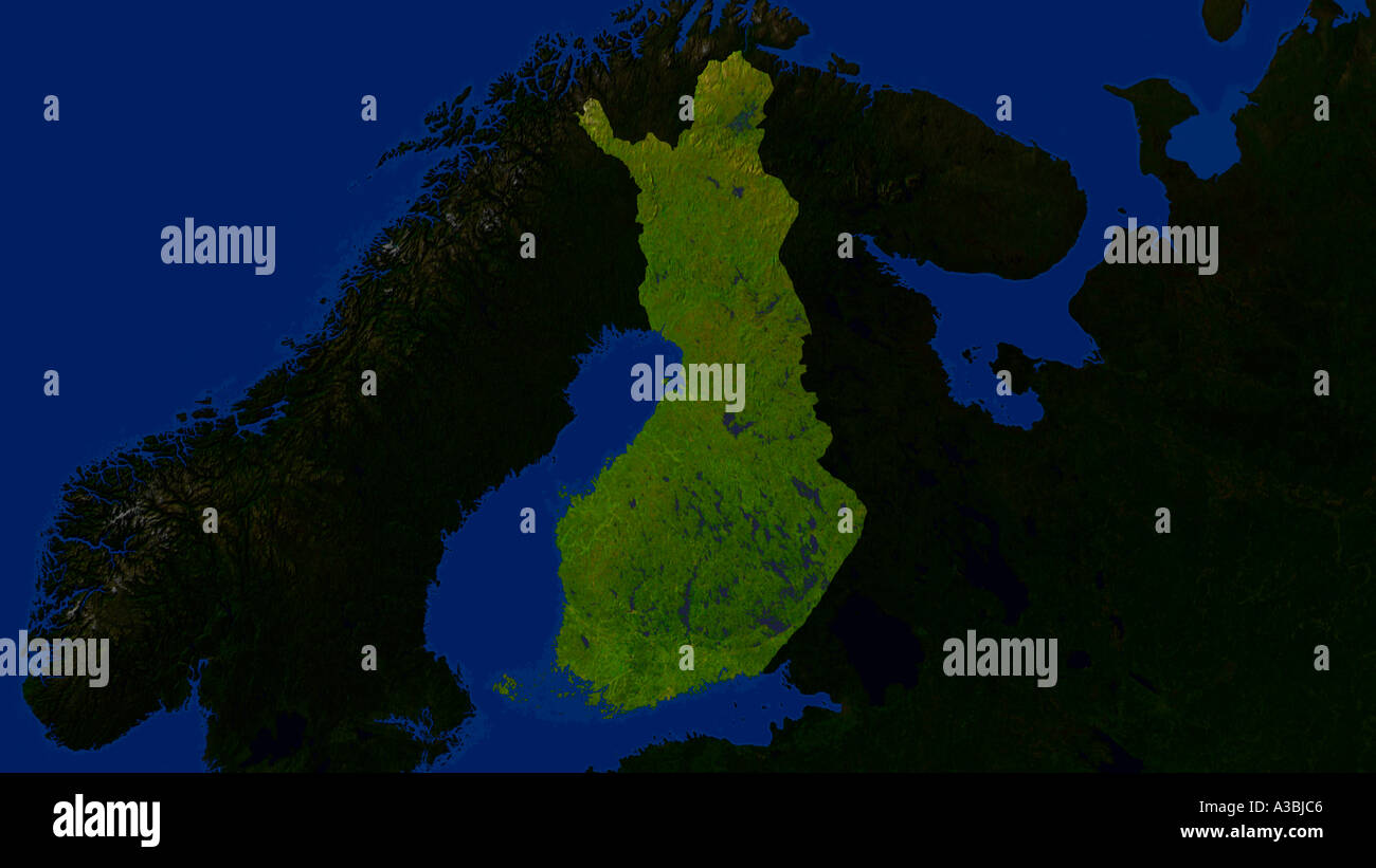 Satellite Image Of Finland Highlighted Stock Photohttps://www.alamy.com/image-license-details/?v=1https://www.alamy.com/satellite-image-of-finland-highlighted-image3503813.html
RFA3BJC6–Satellite Image Of Finland Highlighted
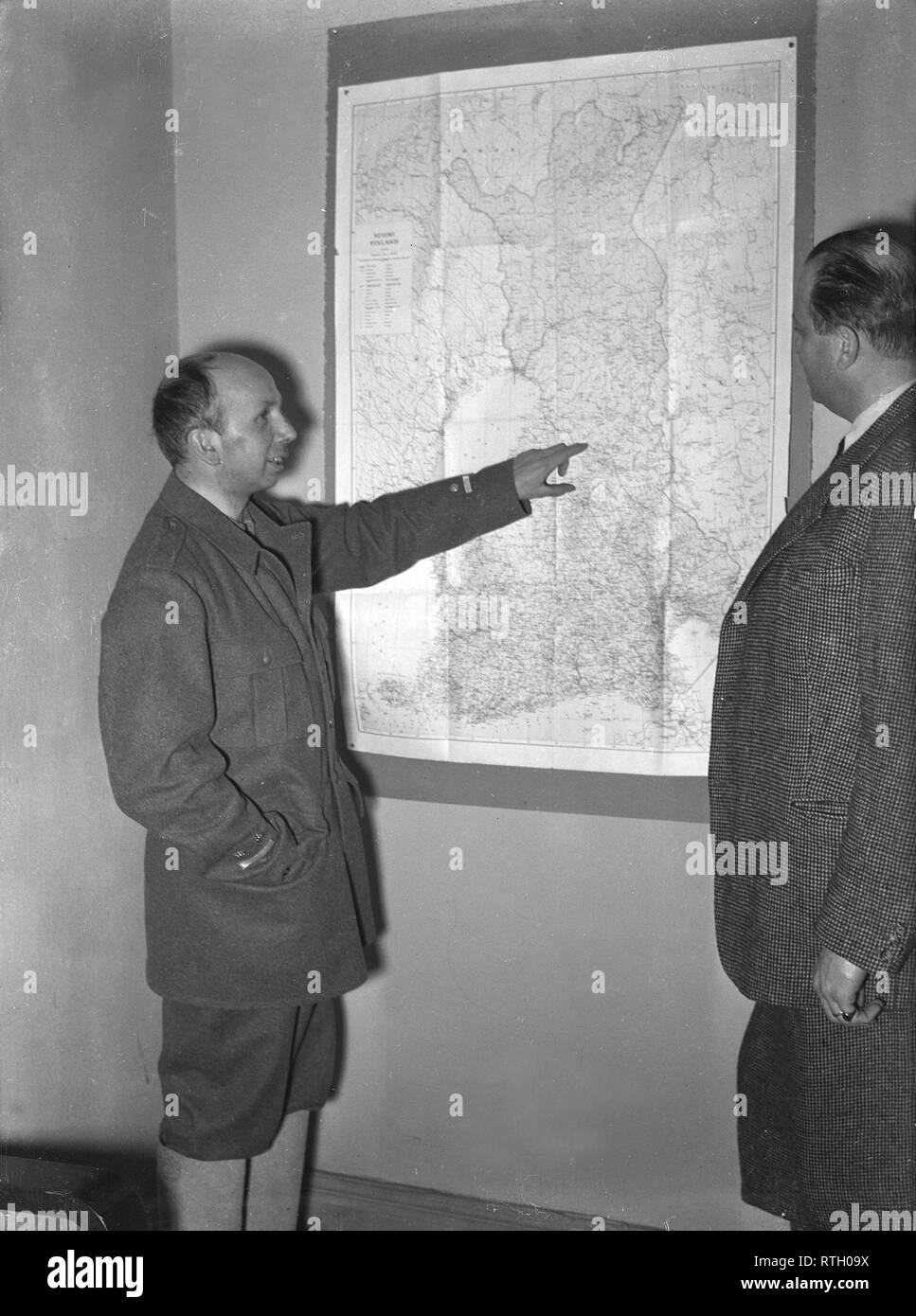 The Winter War. A military conflict between the Soviet union and Finland. It began with a Soviet invasion on november 1939 when Soviet infantery crossed the border on the Karelian Isthmus. About 9500 Swedish volunteer soldiers participated in the war. Pictured Swedish volunteer soldier Colonel Axel Dyrssen to the left. (Killed in the Winter War). He was the head of the Swedish volunteer organization in Sweden that was formed on December 4. To the right Euguene von Stedingk, who also was part of the organization. January 1940. Photo Kristoffersson ref 102-5. Stock Photohttps://www.alamy.com/image-license-details/?v=1https://www.alamy.com/the-winter-war-a-military-conflict-between-the-soviet-union-and-finland-it-began-with-a-soviet-invasion-on-november-1939-when-soviet-infantery-crossed-the-border-on-the-karelian-isthmus-about-9500-swedish-volunteer-soldiers-participated-in-the-war-pictured-swedish-volunteer-soldier-colonel-axel-dyrssen-to-the-left-killed-in-the-winter-war-he-was-the-head-of-the-swedish-volunteer-organization-in-sweden-that-was-formed-on-december-4-to-the-right-euguene-von-stedingk-who-also-was-part-of-the-organization-january-1940-photo-kristoffersson-ref-102-5-image238859990.html
RMRTH09X–The Winter War. A military conflict between the Soviet union and Finland. It began with a Soviet invasion on november 1939 when Soviet infantery crossed the border on the Karelian Isthmus. About 9500 Swedish volunteer soldiers participated in the war. Pictured Swedish volunteer soldier Colonel Axel Dyrssen to the left. (Killed in the Winter War). He was the head of the Swedish volunteer organization in Sweden that was formed on December 4. To the right Euguene von Stedingk, who also was part of the organization. January 1940. Photo Kristoffersson ref 102-5.
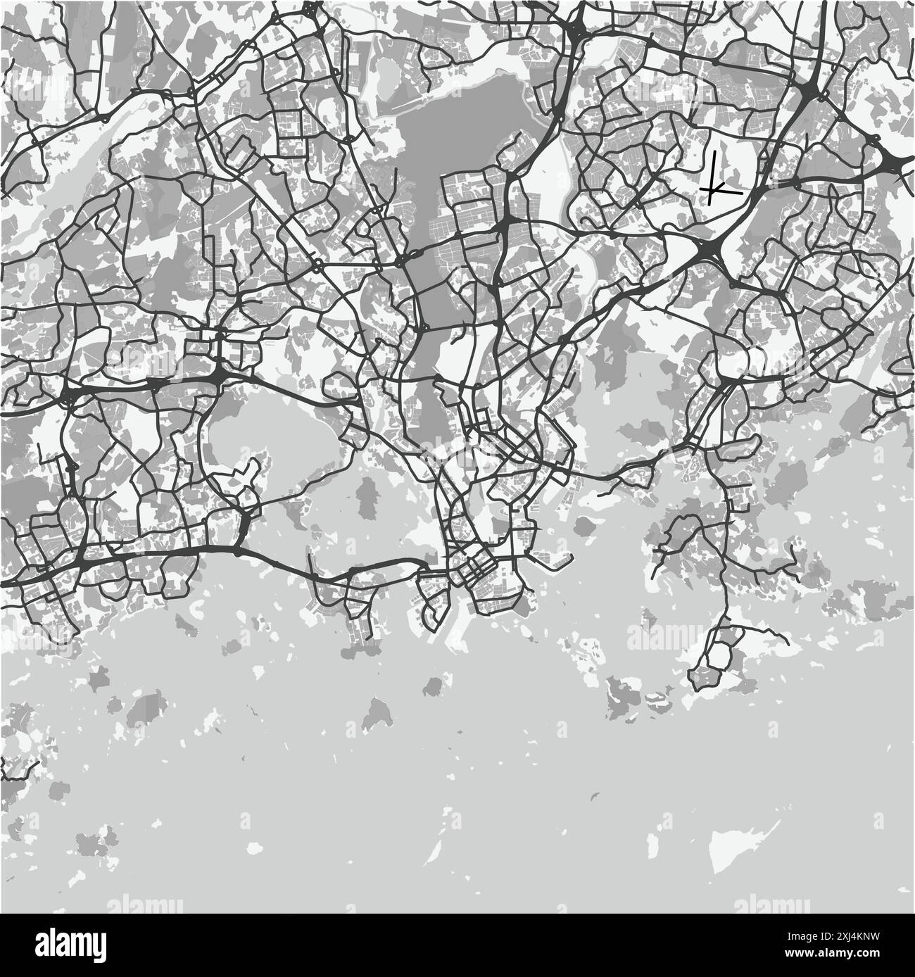 Map of Helsinki in Finland in grayscale. Contains layered vector with roads water, parks, etc. Stock Vectorhttps://www.alamy.com/image-license-details/?v=1https://www.alamy.com/map-of-helsinki-in-finland-in-grayscale-contains-layered-vector-with-roads-water-parks-etc-image613530005.html
RF2XJ4KNW–Map of Helsinki in Finland in grayscale. Contains layered vector with roads water, parks, etc.
 Finland and Sweden, a country outline drawn in ink. . Image of Sweden & Norway. Map representing Sweden and Norway as two men in traditional costume. Drawn by Lilian Lancaster, who produced later maps under her married name, Tennant. Ink and paint on card.Contents On verso: preparatory sketches for the map of Northumberland. Source: Maps cc.5.a.217. Language: English. Stock Photohttps://www.alamy.com/image-license-details/?v=1https://www.alamy.com/finland-and-sweden-a-country-outline-drawn-in-ink-image-of-sweden-norway-map-representing-sweden-and-norway-as-two-men-in-traditional-costume-drawn-by-lilian-lancaster-who-produced-later-maps-under-her-married-name-tennant-ink-and-paint-on-cardcontents-on-verso-preparatory-sketches-for-the-map-of-northumberland-source-maps-cc5a217-language-english-image226830497.html
RMR510H5–Finland and Sweden, a country outline drawn in ink. . Image of Sweden & Norway. Map representing Sweden and Norway as two men in traditional costume. Drawn by Lilian Lancaster, who produced later maps under her married name, Tennant. Ink and paint on card.Contents On verso: preparatory sketches for the map of Northumberland. Source: Maps cc.5.a.217. Language: English.
RFG2NHEA–Republic of Finland isolated map and official flag icons. vector Finnish political map outline. Suomi geographic banner template
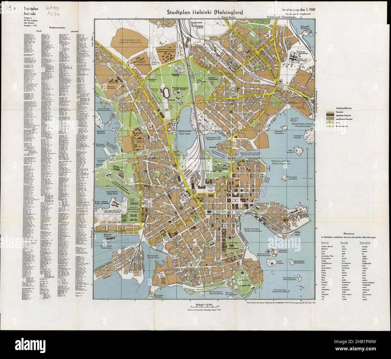 Helsinki Map, Helsinki Plan, Map of Helsinki, Helsinki City, Old Helsinki City, Helsinki Print, Helsinki Poster, Finland Map, Map of Finland, Helsinki Stock Photohttps://www.alamy.com/image-license-details/?v=1https://www.alamy.com/helsinki-map-helsinki-plan-map-of-helsinki-helsinki-city-old-helsinki-city-helsinki-print-helsinki-poster-finland-map-map-of-finland-helsinki-image454270709.html
RF2HB1PWW–Helsinki Map, Helsinki Plan, Map of Helsinki, Helsinki City, Old Helsinki City, Helsinki Print, Helsinki Poster, Finland Map, Map of Finland, Helsinki
 Baltic Sea in a Polar Projection - 1630 Stock Photohttps://www.alamy.com/image-license-details/?v=1https://www.alamy.com/baltic-sea-in-a-polar-projection-1630-image370869170.html
RM2CFAFBE–Baltic Sea in a Polar Projection - 1630
 Europe Global World Earth Stock Photohttps://www.alamy.com/image-license-details/?v=1https://www.alamy.com/stock-photo-europe-global-world-earth-53099806.html
RFD2AW9J–Europe Global World Earth
 Finland Map Flag. Finnish Map with the Finn national flag isolated on white background. Vector Illustration. Stock Vectorhttps://www.alamy.com/image-license-details/?v=1https://www.alamy.com/finland-map-flag-finnish-map-with-the-finn-national-flag-isolated-on-white-background-vector-illustration-image417022890.html
RF2F6D0XJ–Finland Map Flag. Finnish Map with the Finn national flag isolated on white background. Vector Illustration.
 Nordic Council, Denmark, Finland, Iceland, Norway and Sweden Vector Maps Stock Vectorhttps://www.alamy.com/image-license-details/?v=1https://www.alamy.com/nordic-council-denmark-finland-iceland-norway-and-sweden-vector-maps-image260786691.html
RFW47T2B–Nordic Council, Denmark, Finland, Iceland, Norway and Sweden Vector Maps
RF2WMK1P2–Finland country black outline and colored country silhouettes in three different levels of smoothness. Simplified maps. Vector icons isolated on white background.
 . Scandinavia.. English: This beautiful hand colored map of Scandinavia was produced by Daniel Lizars in 1840. Depicts the whole of Scandinavia including Norway, Sweden, Finland and Denmark. Inset of Iceland in the upper left corner. One of the finest maps of Scandinavia to appear in the mid 19th century. Undated. 1840. This file is lacking author information. 6 1840 Lizars Map of Scandinavia ( Norway, Sweden, Finland, Denmark, Iceland ) - Geographicus - Scandinavia-lizar-1840 Stock Photohttps://www.alamy.com/image-license-details/?v=1https://www.alamy.com/scandinavia-english-this-beautiful-hand-colored-map-of-scandinavia-was-produced-by-daniel-lizars-in-1840-depicts-the-whole-of-scandinavia-including-norway-sweden-finland-and-denmark-inset-of-iceland-in-the-upper-left-corner-one-of-the-finest-maps-of-scandinavia-to-appear-in-the-mid-19th-century-undated-1840-this-file-is-lacking-author-information-6-1840-lizars-map-of-scandinavia-norway-sweden-finland-denmark-iceland-geographicus-scandinavia-lizar-1840-image188886056.html
RMMY8E2G–. Scandinavia.. English: This beautiful hand colored map of Scandinavia was produced by Daniel Lizars in 1840. Depicts the whole of Scandinavia including Norway, Sweden, Finland and Denmark. Inset of Iceland in the upper left corner. One of the finest maps of Scandinavia to appear in the mid 19th century. Undated. 1840. This file is lacking author information. 6 1840 Lizars Map of Scandinavia ( Norway, Sweden, Finland, Denmark, Iceland ) - Geographicus - Scandinavia-lizar-1840
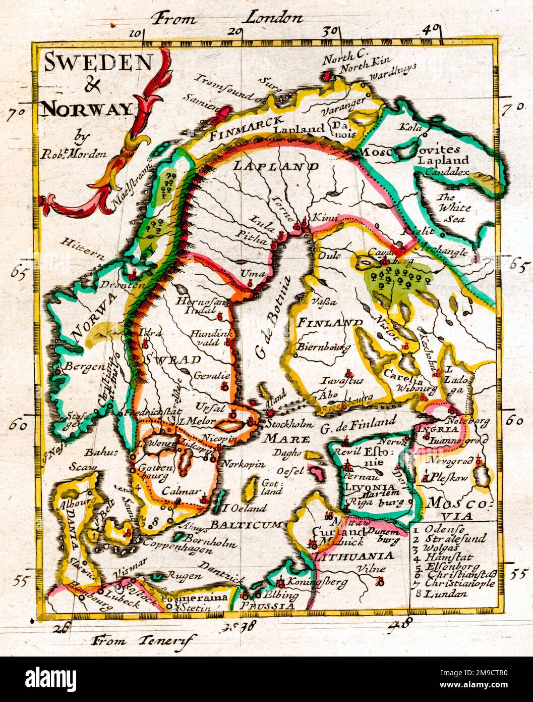 17th century Map of Sweden and Norway, Scandinavia including Denmark and Finland Stock Photohttps://www.alamy.com/image-license-details/?v=1https://www.alamy.com/17th-century-map-of-sweden-and-norway-scandinavia-including-denmark-and-finland-image504915460.html
RM2M9CTR0–17th century Map of Sweden and Norway, Scandinavia including Denmark and Finland
