Quick filters:
Maps of south korea Stock Photos and Images
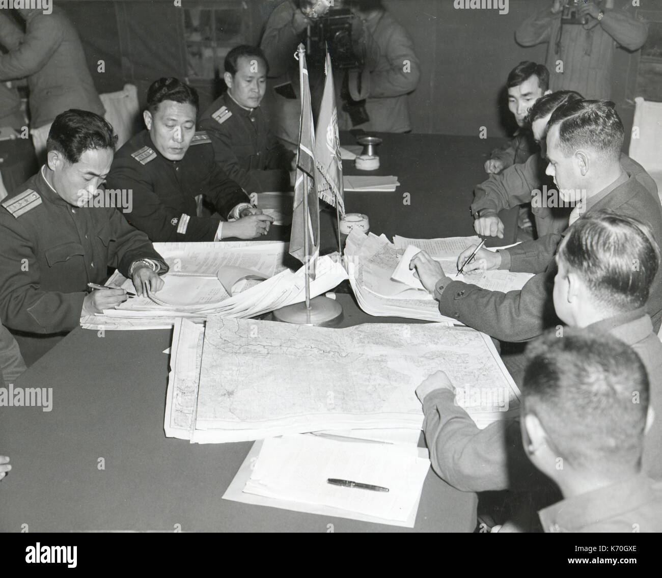 Panmunjom, Korea - Col. James C. Murray, Jr., USMC (rt) and Col Chang Chun San, of the North Korean Communist Army (left) initial maps showing the North and South boundaries of the Demarcation Zone, during cease fire talks. Stock Photohttps://www.alamy.com/image-license-details/?v=1https://www.alamy.com/panmunjom-korea-col-james-c-murray-jr-usmc-rt-and-col-chang-chun-san-image159209190.html
RMK70GXE–Panmunjom, Korea - Col. James C. Murray, Jr., USMC (rt) and Col Chang Chun San, of the North Korean Communist Army (left) initial maps showing the North and South boundaries of the Demarcation Zone, during cease fire talks.
 Set of vector polygonal maps of South Korea. Bright gradient map of country in low poly style. Stock Vectorhttps://www.alamy.com/image-license-details/?v=1https://www.alamy.com/set-of-vector-polygonal-maps-of-south-korea-bright-gradient-map-of-country-in-low-poly-style-image524022313.html
RF2NCF7PH–Set of vector polygonal maps of South Korea. Bright gradient map of country in low poly style.
 Map of China - An extremely attractive example of S. A. Mitchell Sr.’s 1853 map of China. Covers from Chinese Tartary south to Hainan and east to Korea and Formosa. Chinese provinces are color coded and numbered. Surrounded by the green border common to Mitchell maps from the 1850s. Stock Photohttps://www.alamy.com/image-license-details/?v=1https://www.alamy.com/map-of-china-an-extremely-attractive-example-of-s-a-mitchell-srs-1853-map-of-china-covers-from-chinese-tartary-south-to-hainan-and-east-to-korea-and-formosa-chinese-provinces-are-color-coded-and-numbered-surrounded-by-the-green-border-common-to-mitchell-maps-from-the-1850s-image262863780.html
RMW7JDC4–Map of China - An extremely attractive example of S. A. Mitchell Sr.’s 1853 map of China. Covers from Chinese Tartary south to Hainan and east to Korea and Formosa. Chinese provinces are color coded and numbered. Surrounded by the green border common to Mitchell maps from the 1850s.
 South Korea map. Collection of maps of South Korea in dotted style. Borders of the country filled with rectangles for your design. Stock Vectorhttps://www.alamy.com/image-license-details/?v=1https://www.alamy.com/south-korea-map-collection-of-maps-of-south-korea-in-dotted-style-borders-of-the-country-filled-with-rectangles-for-your-design-image550722771.html
RF2PYYGEB–South Korea map. Collection of maps of South Korea in dotted style. Borders of the country filled with rectangles for your design.
 Old world map Stock Photohttps://www.alamy.com/image-license-details/?v=1https://www.alamy.com/old-world-map-image611081555.html
RF2XE54N7–Old world map
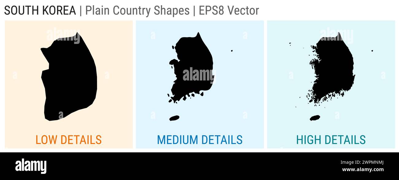 South Korea - plain country shape. Low, medium and high detailed maps of South Korea. EPS8 Vector illustration. Stock Vectorhttps://www.alamy.com/image-license-details/?v=1https://www.alamy.com/south-korea-plain-country-shape-low-medium-and-high-detailed-maps-of-south-korea-eps8-vector-illustration-image599131026.html
RF2WPMNMJ–South Korea - plain country shape. Low, medium and high detailed maps of South Korea. EPS8 Vector illustration.
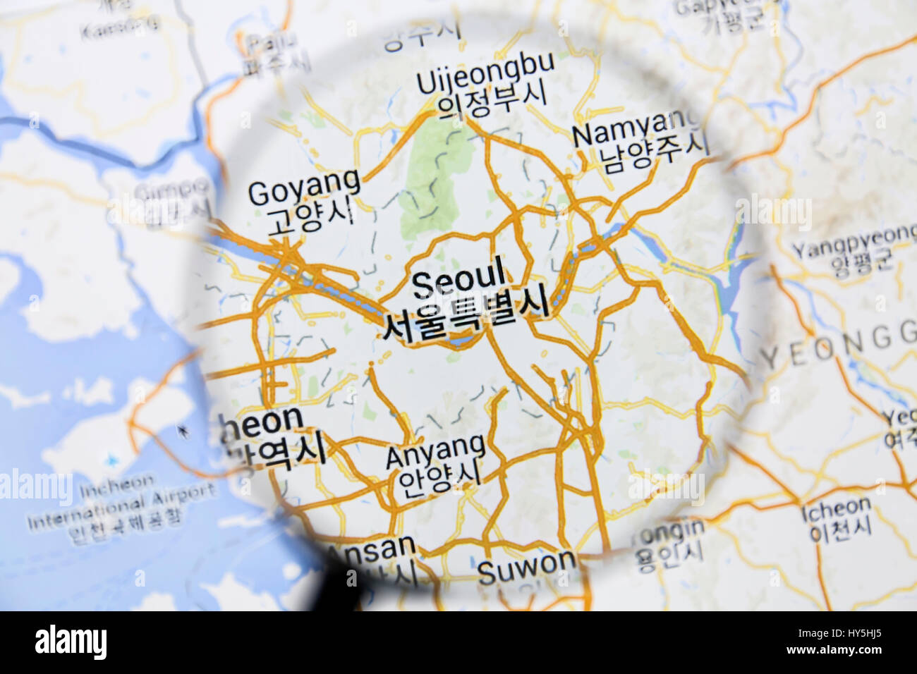 Map of Seoul on Google Maps under a magnifying glass. Seoul is the capital city of South Korea Stock Photohttps://www.alamy.com/image-license-details/?v=1https://www.alamy.com/stock-photo-map-of-seoul-on-google-maps-under-a-magnifying-glass-seoul-is-the-137191885.html
RFHY5HJ5–Map of Seoul on Google Maps under a magnifying glass. Seoul is the capital city of South Korea
 Set of vector maps of South Korea. Vibrant waves design. Bright map of country in geometric smooth curves style. Stock Vectorhttps://www.alamy.com/image-license-details/?v=1https://www.alamy.com/set-of-vector-maps-of-south-korea-vibrant-waves-design-bright-map-of-country-in-geometric-smooth-curves-style-image563354530.html
RF2RMF0CJ–Set of vector maps of South Korea. Vibrant waves design. Bright map of country in geometric smooth curves style.
 Seoul, South Korea - Tourist at with map in the Tourist Office, Seoul, South Korea Stock Photohttps://www.alamy.com/image-license-details/?v=1https://www.alamy.com/stock-photo-seoul-south-korea-tourist-at-with-map-in-the-tourist-office-seoul-172096584.html
RMKYYJXG–Seoul, South Korea - Tourist at with map in the Tourist Office, Seoul, South Korea
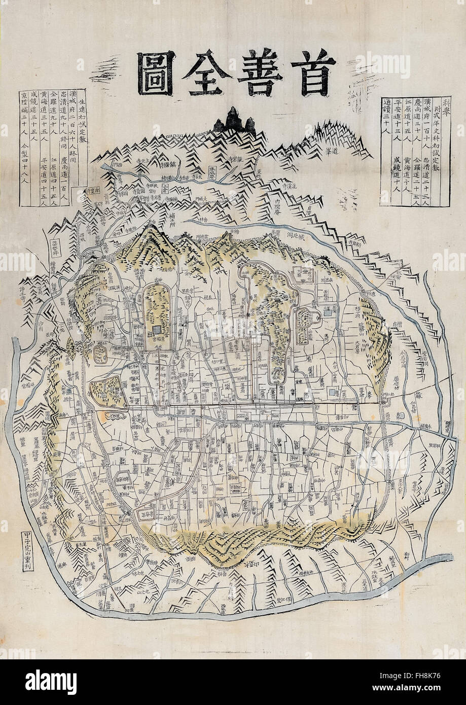 'Suseonjeondo' map of Seoul Korea by Kim Jeong-ho circa 1850 showing the city walls. Photograph of original map in private collection. Stock Photohttps://www.alamy.com/image-license-details/?v=1https://www.alamy.com/stock-photo-suseonjeondo-map-of-seoul-korea-by-kim-jeong-ho-circa-1850-showing-96691706.html
RMFH8K76–'Suseonjeondo' map of Seoul Korea by Kim Jeong-ho circa 1850 showing the city walls. Photograph of original map in private collection.
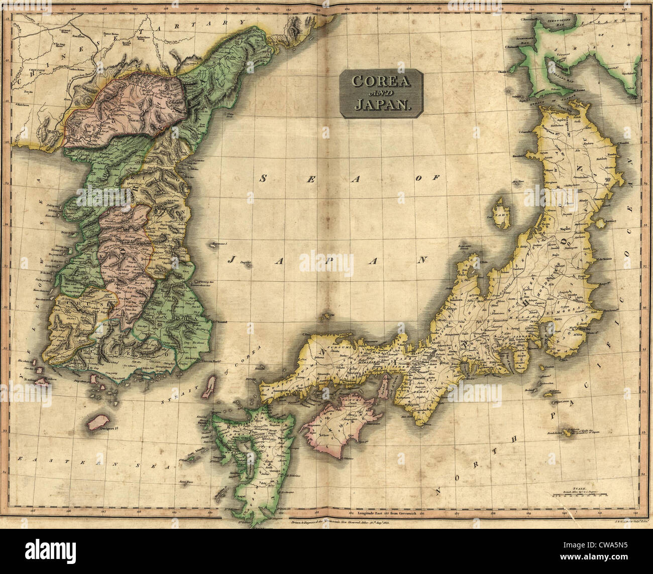 1815 map of Japan and Korea, showing their geographic proximity. Japan annexed Korea in 1905, and national independence Stock Photohttps://www.alamy.com/image-license-details/?v=1https://www.alamy.com/stock-photo-1815-map-of-japan-and-korea-showing-their-geographic-proximity-japan-50011169.html
RMCWA5N5–1815 map of Japan and Korea, showing their geographic proximity. Japan annexed Korea in 1905, and national independence
RF2PH7EAN–South Korea regions icons. Black round logos with country regions maps and titles. Vector illustration.
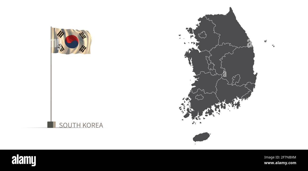 South korea map. gray country map and flag 3d illustration vector. Stock Vectorhttps://www.alamy.com/image-license-details/?v=1https://www.alamy.com/south-korea-map-gray-country-map-and-flag-3d-illustration-vector-image417821788.html
RF2F7NBXM–South korea map. gray country map and flag 3d illustration vector.
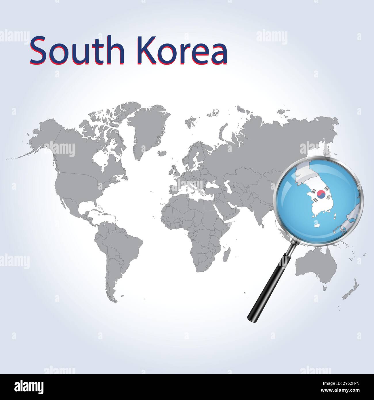 South Korea Magnified Map and Flag, South Korea Enlargement Maps, Vector Art Stock Vectorhttps://www.alamy.com/image-license-details/?v=1https://www.alamy.com/south-korea-magnified-map-and-flag-south-korea-enlargement-maps-vector-art-image623317485.html
RF2Y62FPN–South Korea Magnified Map and Flag, South Korea Enlargement Maps, Vector Art
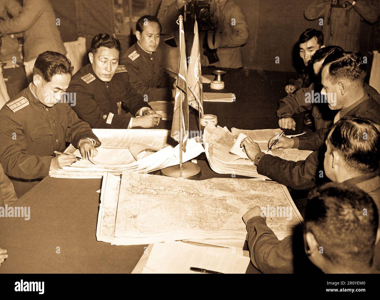 Col. James Murray, Jr., USMC, and Col. Chang Chun San, of the North Korean Communist Army, initial maps showing the north and south boundaries of the demarcation zone, during the Panmunjom cease fire talks. October 11, 1951. Photo by F. Kazukaitis. (Navy) Stock Photohttps://www.alamy.com/image-license-details/?v=1https://www.alamy.com/col-james-murray-jr-usmc-and-col-chang-chun-san-of-the-north-korean-communist-army-initial-maps-showing-the-north-and-south-boundaries-of-the-demarcation-zone-during-the-panmunjom-cease-fire-talks-october-11-1951-photo-by-f-kazukaitis-navy-image551336016.html
RF2R0YEM0–Col. James Murray, Jr., USMC, and Col. Chang Chun San, of the North Korean Communist Army, initial maps showing the north and south boundaries of the demarcation zone, during the Panmunjom cease fire talks. October 11, 1951. Photo by F. Kazukaitis. (Navy)
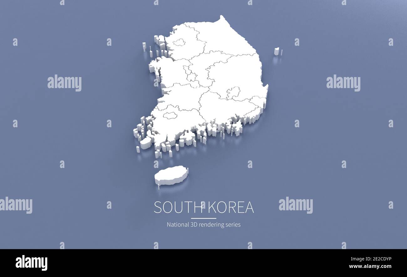 South Korea Map. 3d rendering maps of countries. Stock Photohttps://www.alamy.com/image-license-details/?v=1https://www.alamy.com/south-korea-map-3d-rendering-maps-of-countries-image397342170.html
RF2E2CDYP–South Korea Map. 3d rendering maps of countries.
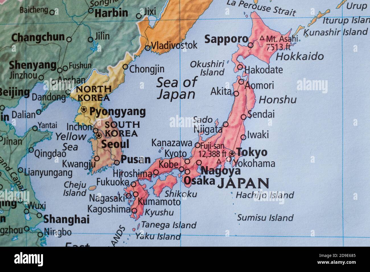 A map showing Japan as well as South and North Korea. Stock Photohttps://www.alamy.com/image-license-details/?v=1https://www.alamy.com/a-map-showing-japan-as-well-as-south-and-north-korea-image384472261.html
RM2D9E685–A map showing Japan as well as South and North Korea.
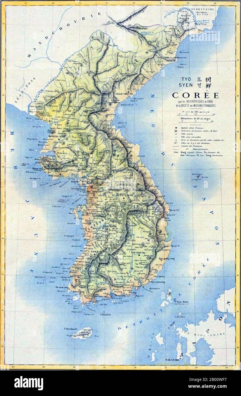 Korea: 19th century French map of the Korean Peninsula. Japan began to force Korea out of the Manchu Qing Dynasty's traditional sphere of influence into its own in the 1870s. As a result of the Sino-Japanese War (1894–5), the Qing Dynasty had to give up such a position according to the Treaty of Shimonoseki, which was concluded between China and Japan in 1895. That same year, Korean Empress Myeongseong was assassinated by Japanese agents. In 1897, the Joseon dynasty proclaimed the Korean Empire (1897–1910), and King Gojong became Emperor Gojong. Stock Photohttps://www.alamy.com/image-license-details/?v=1https://www.alamy.com/korea-19th-century-french-map-of-the-korean-peninsula-japan-began-to-force-korea-out-of-the-manchu-qing-dynastys-traditional-sphere-of-influence-into-its-own-in-the-1870s-as-a-result-of-the-sino-japanese-war-18945-the-qing-dynasty-had-to-give-up-such-a-position-according-to-the-treaty-of-shimonoseki-which-was-concluded-between-china-and-japan-in-1895-that-same-year-korean-empress-myeongseong-was-assassinated-by-japanese-agents-in-1897-the-joseon-dynasty-proclaimed-the-korean-empire-18971910-and-king-gojong-became-emperor-gojong-image344227387.html
RM2B00WF7–Korea: 19th century French map of the Korean Peninsula. Japan began to force Korea out of the Manchu Qing Dynasty's traditional sphere of influence into its own in the 1870s. As a result of the Sino-Japanese War (1894–5), the Qing Dynasty had to give up such a position according to the Treaty of Shimonoseki, which was concluded between China and Japan in 1895. That same year, Korean Empress Myeongseong was assassinated by Japanese agents. In 1897, the Joseon dynasty proclaimed the Korean Empire (1897–1910), and King Gojong became Emperor Gojong.
 National Liberation day of Korea. Traditional fences and maps of Korea, Hanbok children shake Taegeukgi. Korea Liberation Day, Korean translation. Stock Vectorhttps://www.alamy.com/image-license-details/?v=1https://www.alamy.com/national-liberation-day-of-korea-traditional-fences-and-maps-of-korea-hanbok-children-shake-taegeukgi-korea-liberation-day-korean-translation-image354928480.html
RF2BHCAW4–National Liberation day of Korea. Traditional fences and maps of Korea, Hanbok children shake Taegeukgi. Korea Liberation Day, Korean translation.
 Creative glowing map of South Korea. Seoul Capital of Republic of Korea. World Countries maps with borders. Glass isometric Series. Stock Photohttps://www.alamy.com/image-license-details/?v=1https://www.alamy.com/creative-glowing-map-of-south-korea-seoul-capital-of-republic-of-korea-world-countries-maps-with-borders-glass-isometric-series-image566306043.html
RM2RW9D3R–Creative glowing map of South Korea. Seoul Capital of Republic of Korea. World Countries maps with borders. Glass isometric Series.
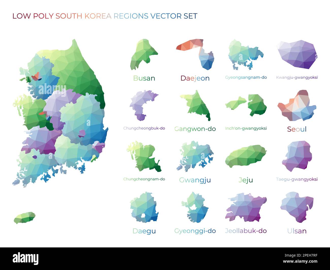 South Korean low poly regions. Polygonal map of South Korea with regions. Geometric maps for your design. Authentic vector illustration. Stock Vectorhttps://www.alamy.com/image-license-details/?v=1https://www.alamy.com/south-korean-low-poly-regions-polygonal-map-of-south-korea-with-regions-geometric-maps-for-your-design-authentic-vector-illustration-image542505923.html
RF2PEH7RF–South Korean low poly regions. Polygonal map of South Korea with regions. Geometric maps for your design. Authentic vector illustration.
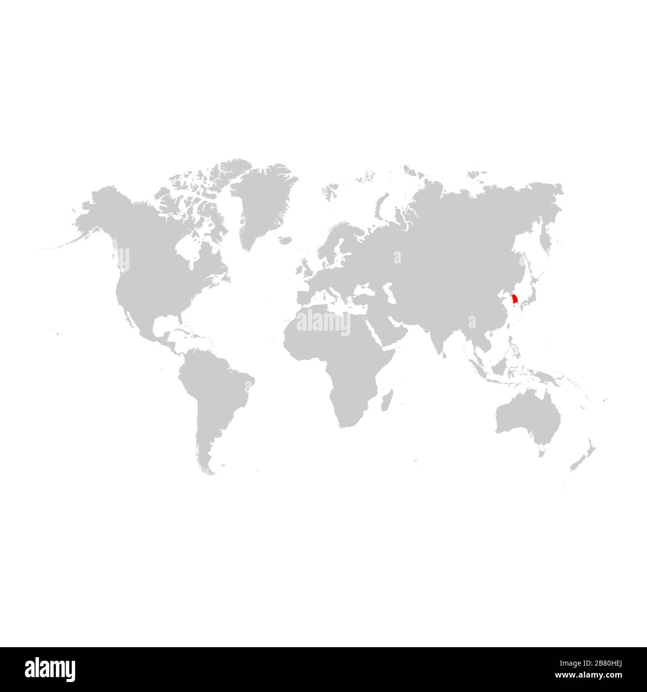 South Korea on world map Stock Vectorhttps://www.alamy.com/image-license-details/?v=1https://www.alamy.com/south-korea-on-world-map-image349138346.html
RF2B80HEJ–South Korea on world map
 South Korea set of three maps - solid map, outline map and map highlighting administrative divisions. Three distinct maps illustrate various representations of a geographical area. Stock Vectorhttps://www.alamy.com/image-license-details/?v=1https://www.alamy.com/south-korea-set-of-three-maps-solid-map-outline-map-and-map-highlighting-administrative-divisions-three-distinct-maps-illustrate-various-representations-of-a-geographical-area-image637675543.html
RF2S1CHJF–South Korea set of three maps - solid map, outline map and map highlighting administrative divisions. Three distinct maps illustrate various representations of a geographical area.
 Satellite Image Of South Korea Stock Photohttps://www.alamy.com/image-license-details/?v=1https://www.alamy.com/satellite-image-of-south-korea-image7895011.html
RFAF36P4–Satellite Image Of South Korea
 Flag on the map of South Korea. Vintage Map and Flag of Asian Countries Series 3D Rendering Stock Photohttps://www.alamy.com/image-license-details/?v=1https://www.alamy.com/flag-on-the-map-of-south-korea-vintage-map-and-flag-of-asian-countries-series-3d-rendering-image370761278.html
RF2CF5HP6–Flag on the map of South Korea. Vintage Map and Flag of Asian Countries Series 3D Rendering
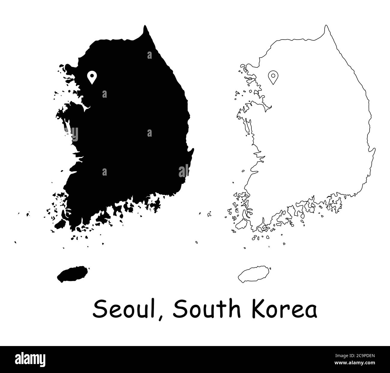 Seoul, South Korea. Detailed Country Map with Location Pin on Capital City. Black silhouette and outline maps isolated on white background. EPS Vector Stock Vectorhttps://www.alamy.com/image-license-details/?v=1https://www.alamy.com/seoul-south-korea-detailed-country-map-with-location-pin-on-capital-city-black-silhouette-and-outline-maps-isolated-on-white-background-eps-vector-image367443181.html
RF2C9PDEN–Seoul, South Korea. Detailed Country Map with Location Pin on Capital City. Black silhouette and outline maps isolated on white background. EPS Vector
 Outline, map of South Korea Stock Photohttps://www.alamy.com/image-license-details/?v=1https://www.alamy.com/stock-photo-outline-map-of-south-korea-34051456.html
RFBYB4YC–Outline, map of South Korea
 Tourist Office, Seoul, South Korea - woman tourist at the counter inside the tourism office asking for directions Stock Photohttps://www.alamy.com/image-license-details/?v=1https://www.alamy.com/stock-photo-tourist-office-seoul-south-korea-woman-tourist-at-the-counter-inside-172096585.html
RMKYYJXH–Tourist Office, Seoul, South Korea - woman tourist at the counter inside the tourism office asking for directions
 Postage stamp from South Korea issued in 1973 Stock Photohttps://www.alamy.com/image-license-details/?v=1https://www.alamy.com/postage-stamp-from-south-korea-issued-in-1973-image240851657.html
RMRYRMMW–Postage stamp from South Korea issued in 1973
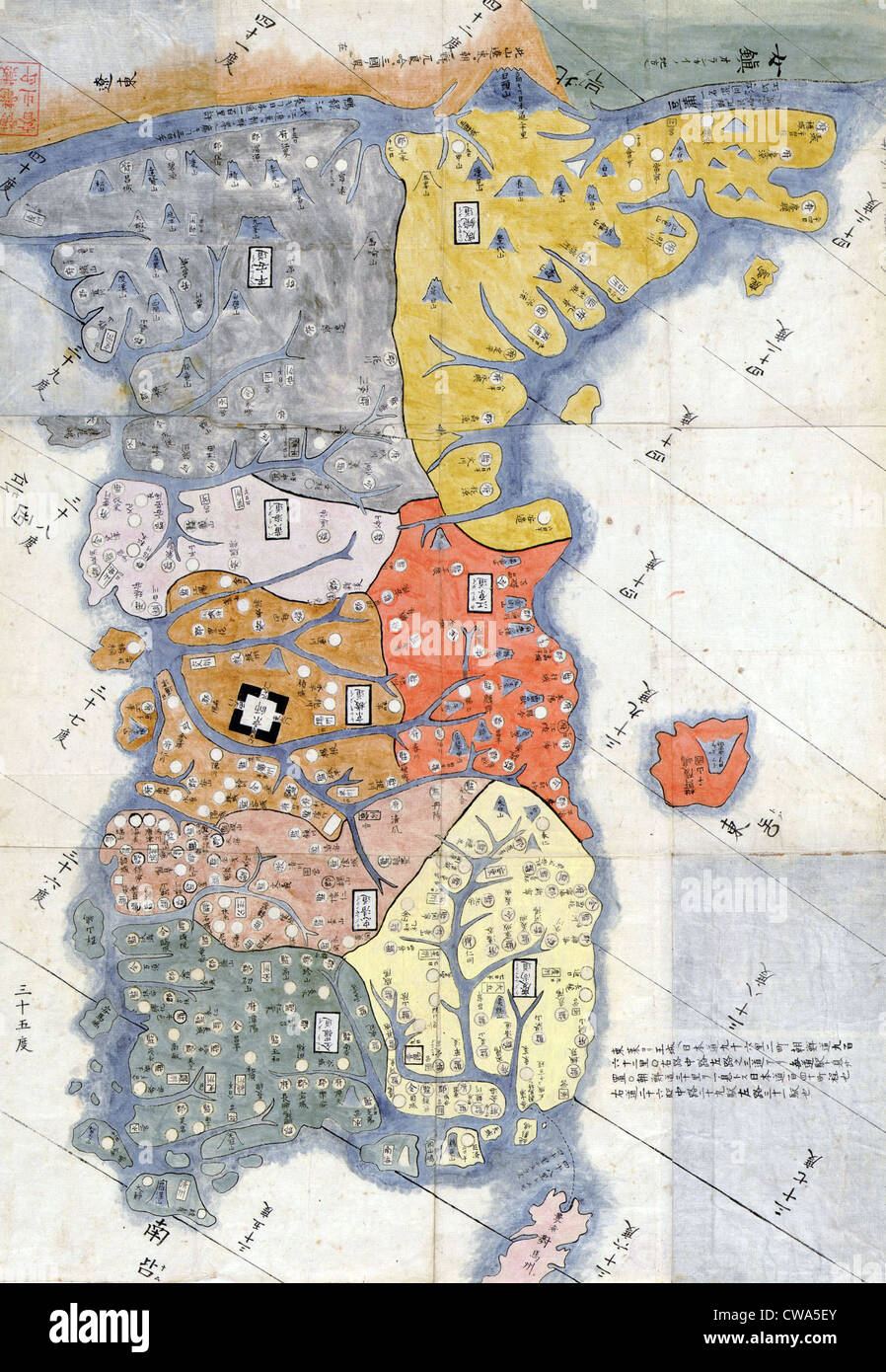 1785 map of Korea by Hayashi Shihei, a Japanese scholar and specialist in military affairs. Korean national identity has Stock Photohttps://www.alamy.com/image-license-details/?v=1https://www.alamy.com/stock-photo-1785-map-of-korea-by-hayashi-shihei-a-japanese-scholar-and-specialist-50010995.html
RMCWA5EY–1785 map of Korea by Hayashi Shihei, a Japanese scholar and specialist in military affairs. Korean national identity has
 Postage stamp from South Korea issued in 1975 Stock Photohttps://www.alamy.com/image-license-details/?v=1https://www.alamy.com/postage-stamp-from-south-korea-issued-in-1975-image240365347.html
RMRY1GCK–Postage stamp from South Korea issued in 1975
 Yeongjongdo Island in the Yellow Sea - belonging to South Korea. Described location diagram with yellow shape of the island and sample maps of its sur Stock Photohttps://www.alamy.com/image-license-details/?v=1https://www.alamy.com/yeongjongdo-island-in-the-yellow-sea-belonging-to-south-korea-described-location-diagram-with-yellow-shape-of-the-island-and-sample-maps-of-its-sur-image617456026.html
RF2XTFFCX–Yeongjongdo Island in the Yellow Sea - belonging to South Korea. Described location diagram with yellow shape of the island and sample maps of its sur
![Physical and political map of South Korea. [Adobe Illustrator (.ai); 2480x3507]. Stock Photo Physical and political map of South Korea. [Adobe Illustrator (.ai); 2480x3507]. Stock Photo](https://c8.alamy.com/comp/2NEC3WX/physical-and-political-map-of-south-korea-adobe-illustrator-ai-2480x3507-2NEC3WX.jpg) Physical and political map of South Korea. [Adobe Illustrator (.ai); 2480x3507]. Stock Photohttps://www.alamy.com/image-license-details/?v=1https://www.alamy.com/physical-and-political-map-of-south-korea-adobe-illustrator-ai-2480x3507-image525182726.html
Physical and political map of South Korea. [Adobe Illustrator (.ai); 2480x3507]. Stock Photohttps://www.alamy.com/image-license-details/?v=1https://www.alamy.com/physical-and-political-map-of-south-korea-adobe-illustrator-ai-2480x3507-image525182726.htmlRM2NEC3WX–Physical and political map of South Korea. [Adobe Illustrator (.ai); 2480x3507].
 Amtaedo Island in the Yellow Sea - belonging to South Korea. Described location diagram with yellow shape of the island and sample maps of its surroun Stock Photohttps://www.alamy.com/image-license-details/?v=1https://www.alamy.com/amtaedo-island-in-the-yellow-sea-belonging-to-south-korea-described-location-diagram-with-yellow-shape-of-the-island-and-sample-maps-of-its-surroun-image617411391.html
RF2XTDEER–Amtaedo Island in the Yellow Sea - belonging to South Korea. Described location diagram with yellow shape of the island and sample maps of its surroun
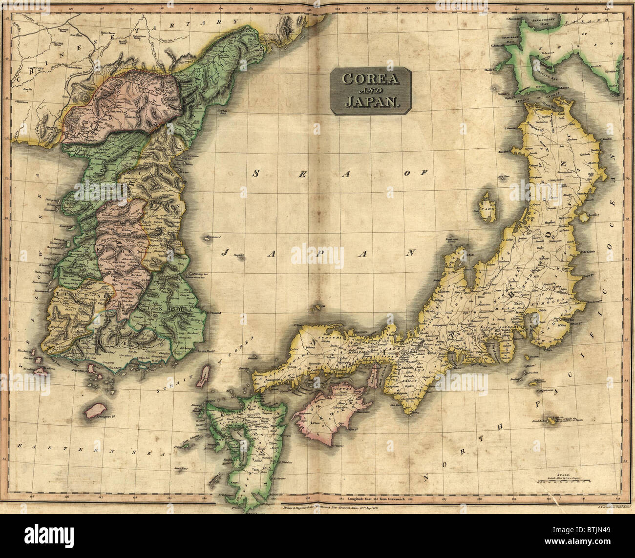 1815 map of Japan and Korea, showing their geographic proximity. Japan annexed Korea in 1905, and national independence returned only after World War 2. Stock Photohttps://www.alamy.com/image-license-details/?v=1https://www.alamy.com/stock-photo-1815-map-of-japan-and-korea-showing-their-geographic-proximity-japan-32373833.html
RMBTJN49–1815 map of Japan and Korea, showing their geographic proximity. Japan annexed Korea in 1905, and national independence returned only after World War 2.
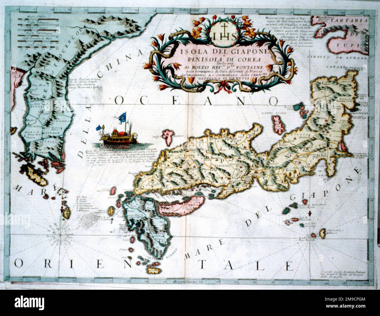 17th century Map of Japan and Korea Stock Photohttps://www.alamy.com/image-license-details/?v=1https://www.alamy.com/17th-century-map-of-japan-and-korea-image504913716.html
RM2M9CPGM–17th century Map of Japan and Korea
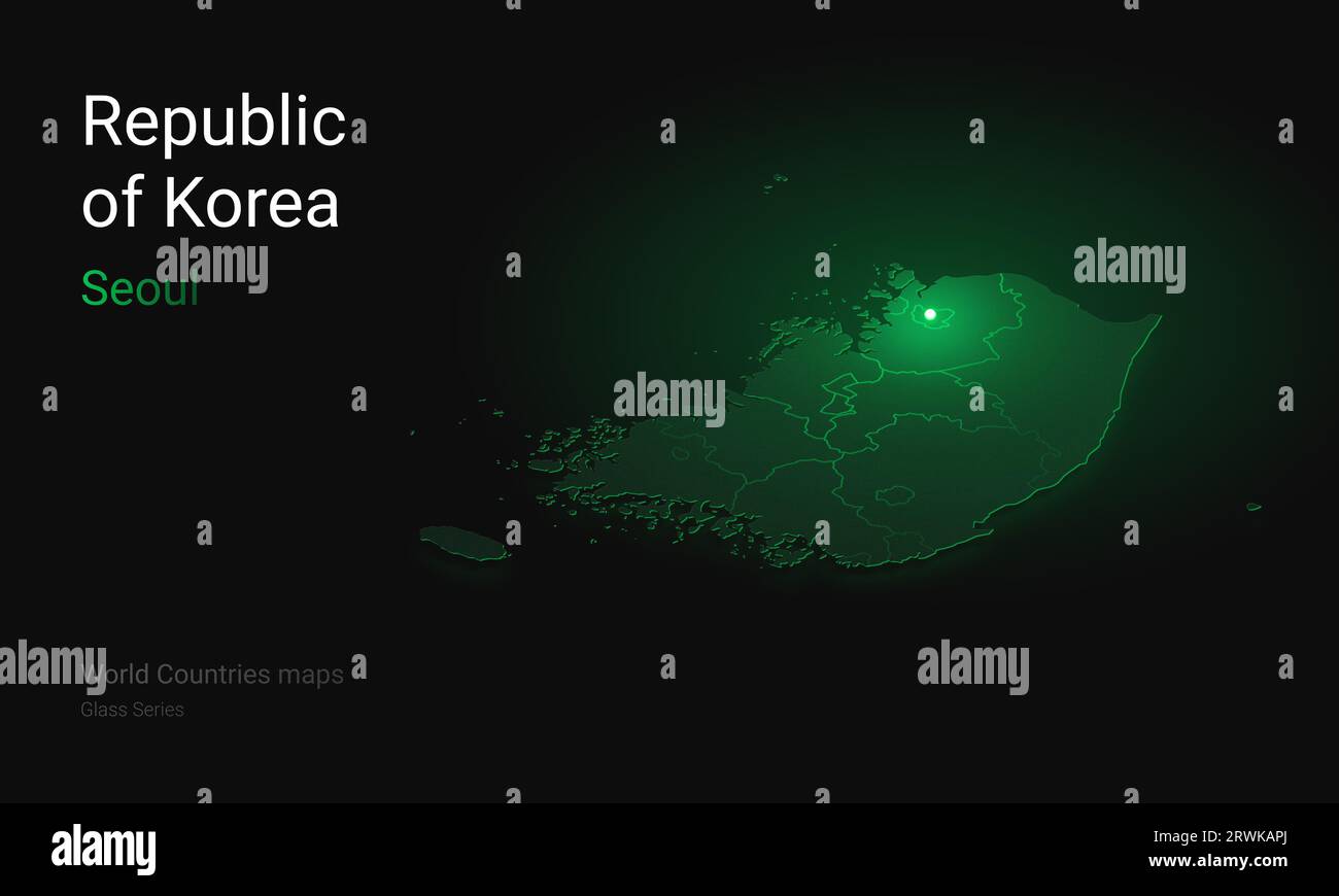 Creative map of Korea. Political map. Seoul Capital of Republic of Korea. World Countries maps with borders. Glass isometric Series. Set Stock Photohttps://www.alamy.com/image-license-details/?v=1https://www.alamy.com/creative-map-of-korea-political-map-seoul-capital-of-republic-of-korea-world-countries-maps-with-borders-glass-isometric-series-set-image566523738.html
RF2RWKAPJ–Creative map of Korea. Political map. Seoul Capital of Republic of Korea. World Countries maps with borders. Glass isometric Series. Set
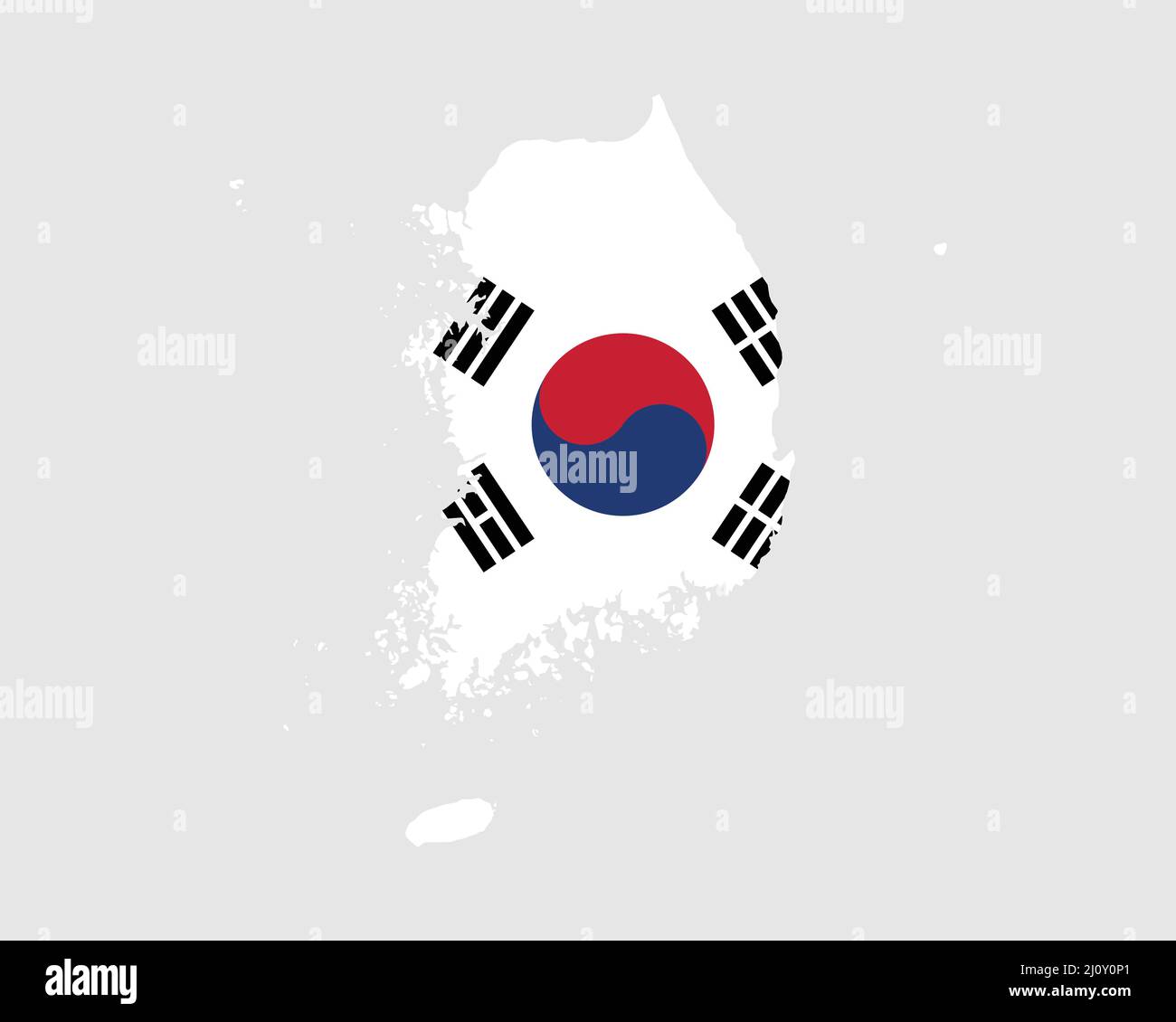 South Korea Flag Map. Map of the Republic of Korea with the Korean country banner. Vector Illustration. Stock Vectorhttps://www.alamy.com/image-license-details/?v=1https://www.alamy.com/south-korea-flag-map-map-of-the-republic-of-korea-with-the-korean-country-banner-vector-illustration-image465273257.html
RF2J0Y0P1–South Korea Flag Map. Map of the Republic of Korea with the Korean country banner. Vector Illustration.
 Haejwa chondo, map of the Korean Peninsula 1822 showing the 8 provinces of Korea. Stock Photohttps://www.alamy.com/image-license-details/?v=1https://www.alamy.com/haejwa-chondo-map-of-the-korean-peninsula-1822-showing-the-8-provinces-image66219314.html
RMDRMFBE–Haejwa chondo, map of the Korean Peninsula 1822 showing the 8 provinces of Korea.
 South Korea Flag Map. Map of the Republic of Korea with the Korean national flag isolated on a white background. Vector Illustration. Stock Vectorhttps://www.alamy.com/image-license-details/?v=1https://www.alamy.com/south-korea-flag-map-map-of-the-republic-of-korea-with-the-korean-national-flag-isolated-on-a-white-background-vector-illustration-image417028294.html
RF2F6D7RJ–South Korea Flag Map. Map of the Republic of Korea with the Korean national flag isolated on a white background. Vector Illustration.
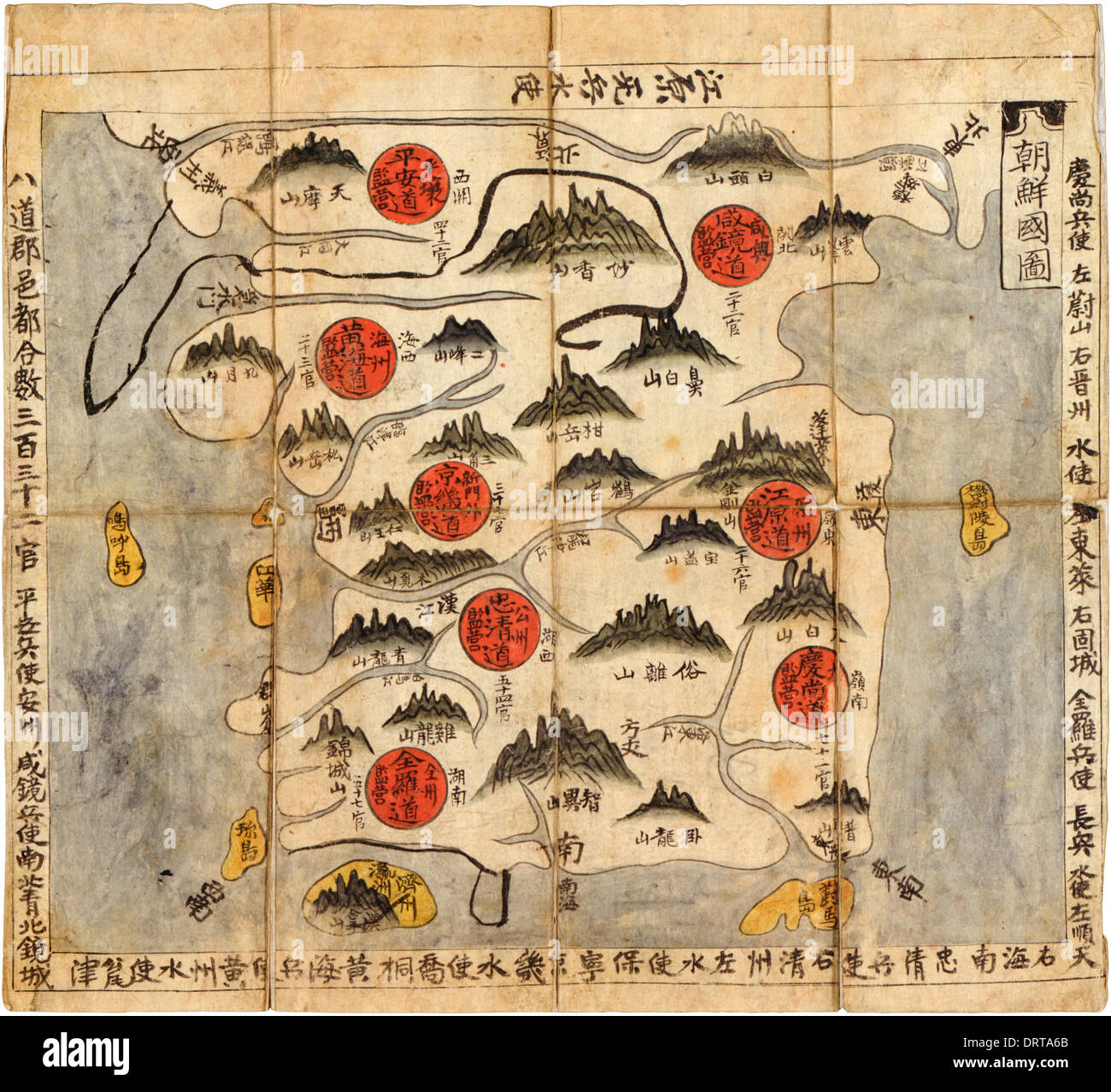 Chʻonha Chido, political map of Korea showing the 8 administrative regions or provinces (indicated by red circles) circa 1800. Stock Photohttps://www.alamy.com/image-license-details/?v=1https://www.alamy.com/chonha-chido-political-map-of-korea-showing-the-8-administrative-regions-image66303059.html
RMDRTA6B–Chʻonha Chido, political map of Korea showing the 8 administrative regions or provinces (indicated by red circles) circa 1800.
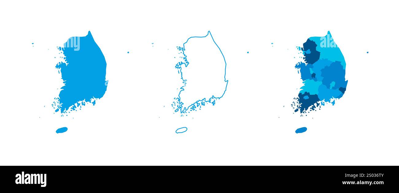 South Korea set of three maps - solid map, outline map and map highlighting administrative divisions. Three distinct maps illustrate various representations of a geographical area. Stock Vectorhttps://www.alamy.com/image-license-details/?v=1https://www.alamy.com/south-korea-set-of-three-maps-solid-map-outline-map-and-map-highlighting-administrative-divisions-three-distinct-maps-illustrate-various-representations-of-a-geographical-area-image636854875.html
RF2S036TY–South Korea set of three maps - solid map, outline map and map highlighting administrative divisions. Three distinct maps illustrate various representations of a geographical area.
 Satellite Image of South Korea covered by that Country's Flag Stock Photohttps://www.alamy.com/image-license-details/?v=1https://www.alamy.com/stock-photo-satellite-image-of-south-korea-covered-by-that-countrys-flag-10082658.html
RFA0XAGK–Satellite Image of South Korea covered by that Country's Flag
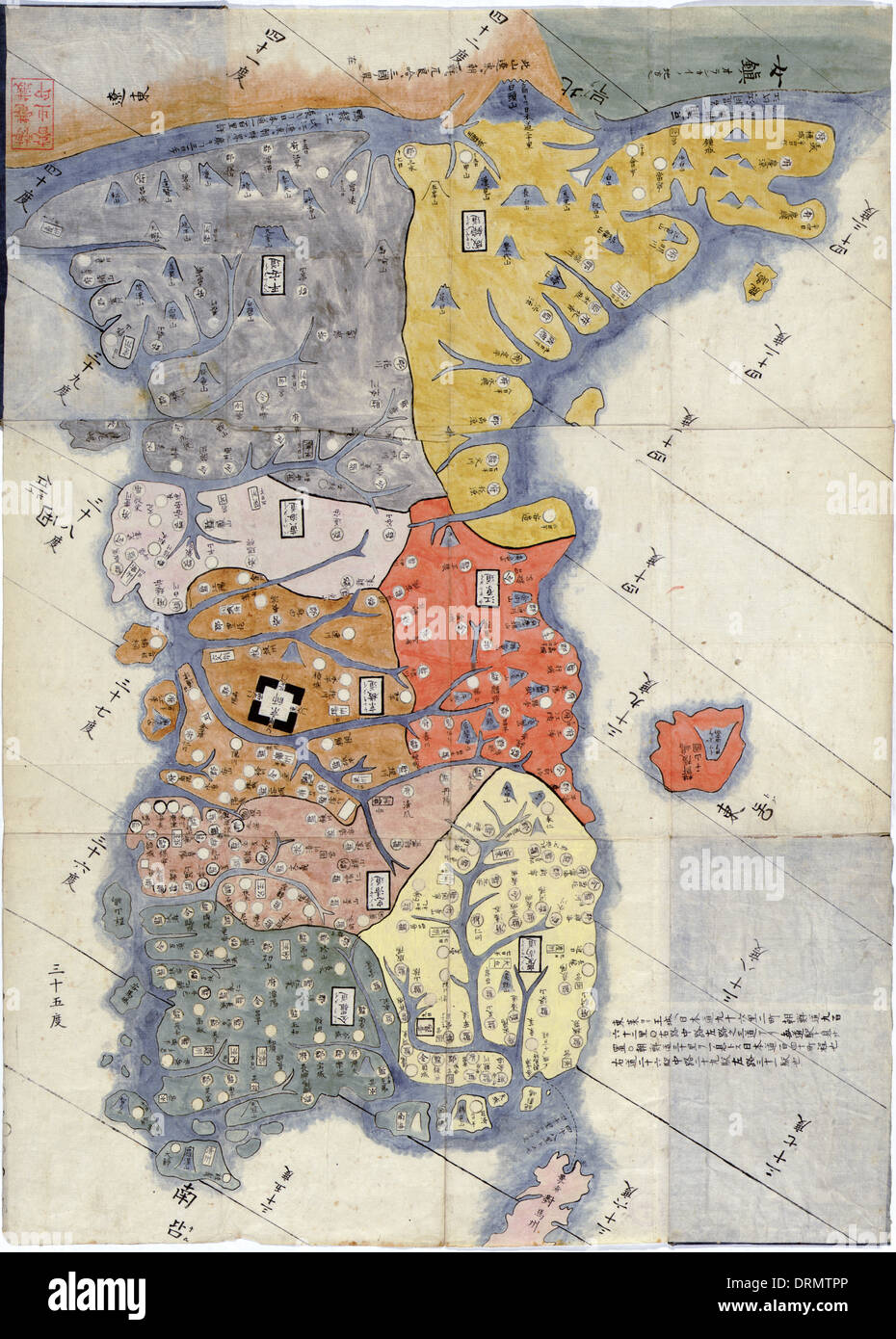 Chosen hachido no zu, Map of the eight provinces of Korea circa 1800 based on 1785 woodcut by Hayashi Shihei (1738-1793). Stock Photohttps://www.alamy.com/image-license-details/?v=1https://www.alamy.com/chosen-hachido-no-zu-map-of-the-eight-provinces-of-korea-circa-1800-image66226686.html
RMDRMTPP–Chosen hachido no zu, Map of the eight provinces of Korea circa 1800 based on 1785 woodcut by Hayashi Shihei (1738-1793).
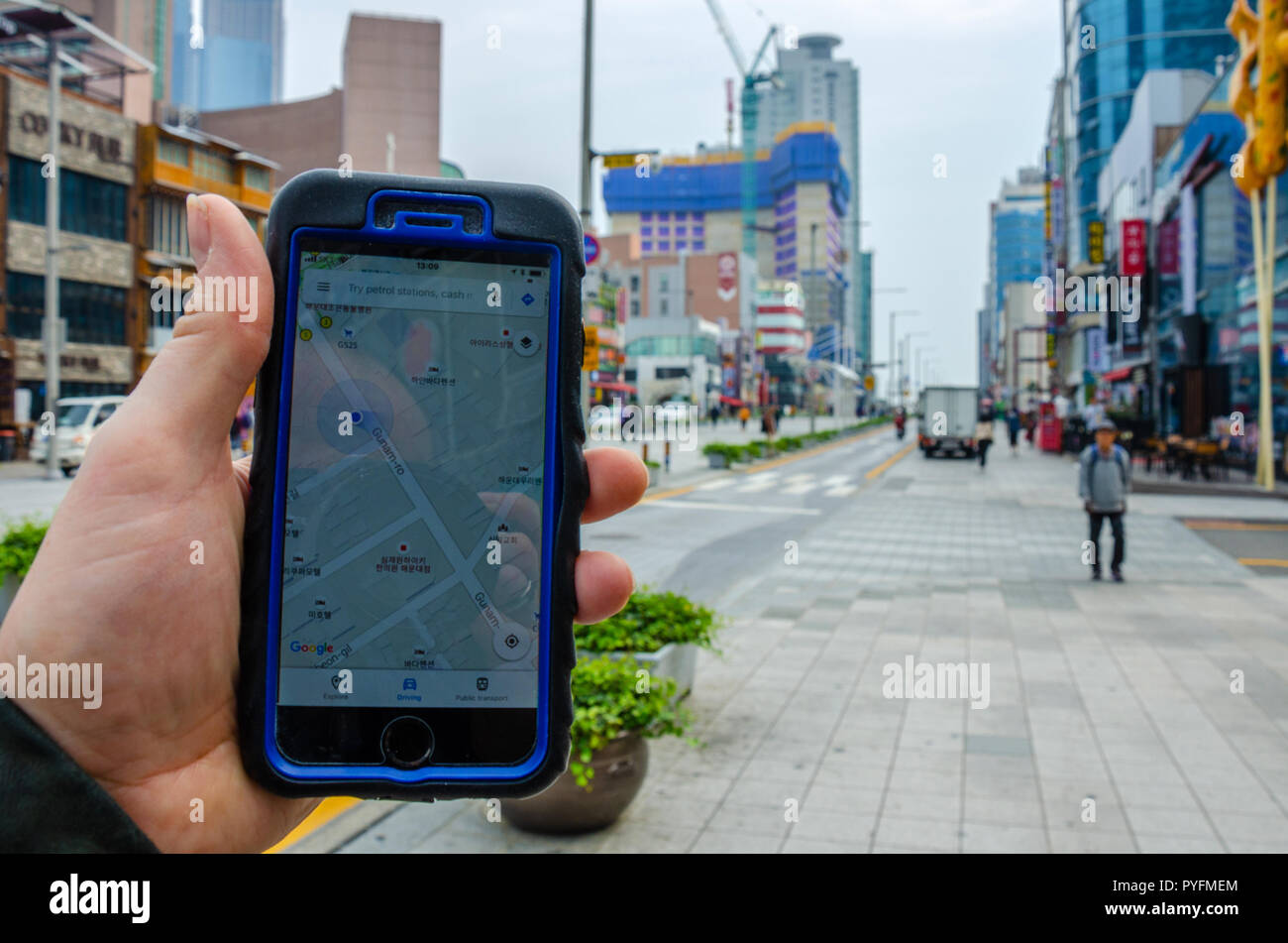 A male hand holding a smartphone, using Google Maps to navigate around Haeundae, part of Busan in South Korea. Stock Photohttps://www.alamy.com/image-license-details/?v=1https://www.alamy.com/a-male-hand-holding-a-smartphone-using-google-maps-to-navigate-around-haeundae-part-of-busan-in-south-korea-image223465500.html
RFPYFMEM–A male hand holding a smartphone, using Google Maps to navigate around Haeundae, part of Busan in South Korea.
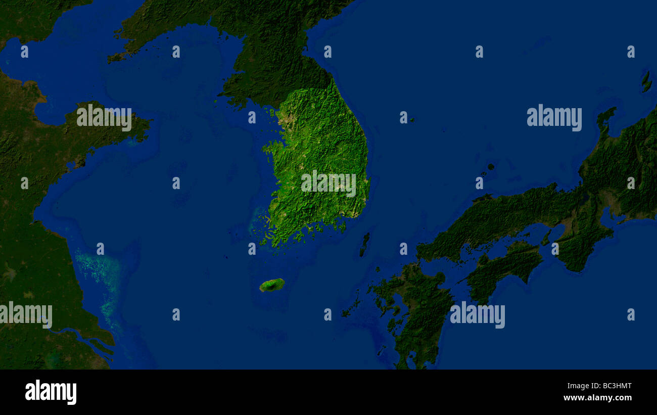 satellite image of south korea with surrounding countries darkened Stock Photohttps://www.alamy.com/image-license-details/?v=1https://www.alamy.com/stock-photo-satellite-image-of-south-korea-with-surrounding-countries-darkened-24666008.html
RMBC3HMT–satellite image of south korea with surrounding countries darkened
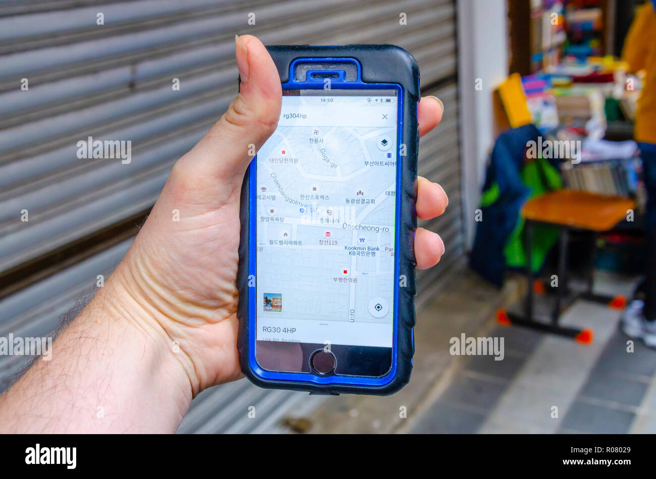 A male hand holds an iphone mobile phone and is using the Google Maps application to navigate around the city of Busan in South Korea. Stock Photohttps://www.alamy.com/image-license-details/?v=1https://www.alamy.com/a-male-hand-holds-an-iphone-mobile-phone-and-is-using-the-google-maps-application-to-navigate-around-the-city-of-busan-in-south-korea-image223910465.html
RMR08029–A male hand holds an iphone mobile phone and is using the Google Maps application to navigate around the city of Busan in South Korea.
 A set of maps of Korea. Editable vectors. Stock Vectorhttps://www.alamy.com/image-license-details/?v=1https://www.alamy.com/a-set-of-maps-of-korea-editable-vectors-image464986757.html
RF2J0DY9W–A set of maps of Korea. Editable vectors.
 Outline map of South Korea with the national flag superimposed over the country. 3D graphics casting a shadow on the white background Stock Photohttps://www.alamy.com/image-license-details/?v=1https://www.alamy.com/outline-map-of-south-korea-with-the-national-flag-superimposed-over-the-country-3d-graphics-casting-a-shadow-on-the-white-background-image433285194.html
RF2G4WRK6–Outline map of South Korea with the national flag superimposed over the country. 3D graphics casting a shadow on the white background
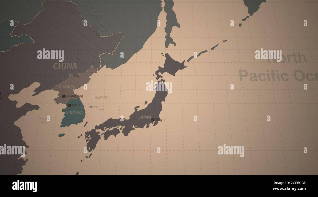 South Korea and Japan Map. Detailed Continental Map of the World on Vintage Paper. Stock Photohttps://www.alamy.com/image-license-details/?v=1https://www.alamy.com/south-korea-and-japan-map-detailed-continental-map-of-the-world-on-vintage-paper-image370274254.html
RF2CEBCGE–South Korea and Japan Map. Detailed Continental Map of the World on Vintage Paper.
 Yu-Ri(Girls' Generation), Jun 26, 2015 : Yuri poses at a presentation of a TV travel show, 'MAPS' in Seoul, South Korea. © Lee Jae-Won/AFLO/Alamy Live News Stock Photohttps://www.alamy.com/image-license-details/?v=1https://www.alamy.com/stock-photo-yu-rigirls-generation-jun-26-2015-yuri-poses-at-a-presentation-of-84701934.html
RMEWPE52–Yu-Ri(Girls' Generation), Jun 26, 2015 : Yuri poses at a presentation of a TV travel show, 'MAPS' in Seoul, South Korea. © Lee Jae-Won/AFLO/Alamy Live News
 Korea highlighted Stock Photohttps://www.alamy.com/image-license-details/?v=1https://www.alamy.com/stock-photo-korea-highlighted-137035798.html
RMHXXEFJ–Korea highlighted
 Anmyeon Island in the Yellow Sea - belonging to South Korea. Described location diagram with yellow shape of the island and sample maps of its surroun Stock Photohttps://www.alamy.com/image-license-details/?v=1https://www.alamy.com/anmyeon-island-in-the-yellow-sea-belonging-to-south-korea-described-location-diagram-with-yellow-shape-of-the-island-and-sample-maps-of-its-surroun-image617411427.html
RF2XTDEG3–Anmyeon Island in the Yellow Sea - belonging to South Korea. Described location diagram with yellow shape of the island and sample maps of its surroun
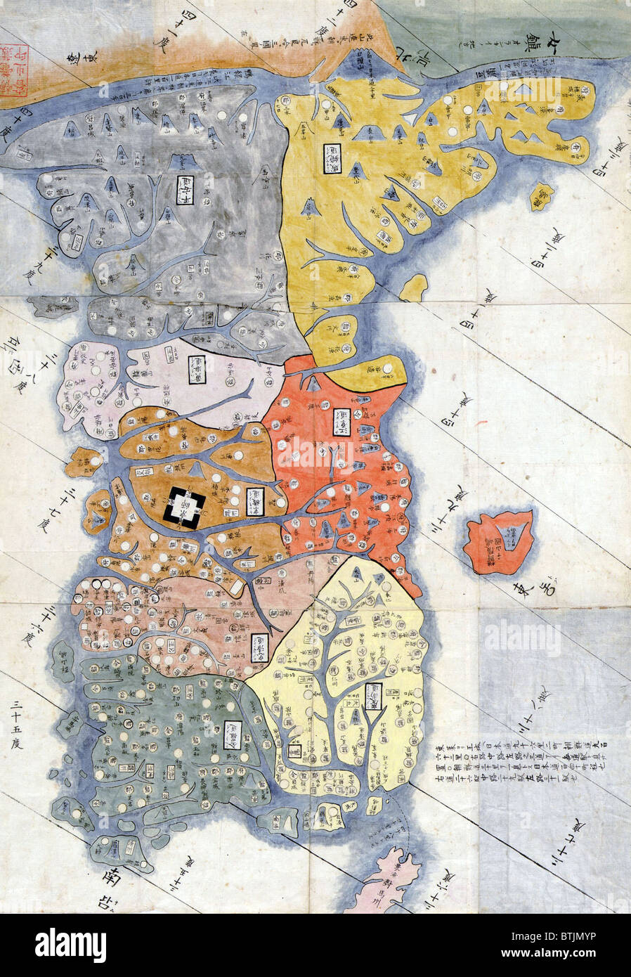 1785 map of Korea by Hayashi Shihei, a Japanese scholar and specialist in military affairs. Korean national identity has survived many invasions by its powerful neighbors, Japan and China. Stock Photohttps://www.alamy.com/image-license-details/?v=1https://www.alamy.com/stock-photo-1785-map-of-korea-by-hayashi-shihei-a-japanese-scholar-and-specialist-32373706.html
RMBTJMYP–1785 map of Korea by Hayashi Shihei, a Japanese scholar and specialist in military affairs. Korean national identity has survived many invasions by its powerful neighbors, Japan and China.
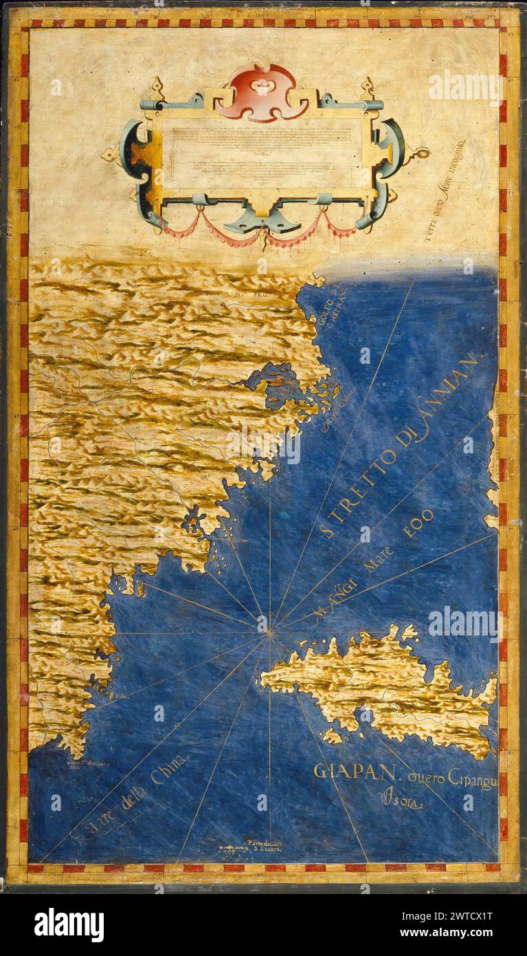 Antique world maps HQ – Map of Kyushu and the Korean Straits and South Korea Stock Photohttps://www.alamy.com/image-license-details/?v=1https://www.alamy.com/antique-world-maps-hq-map-of-kyushu-and-the-korean-straits-and-south-korea-image600188116.html
RF2WTCX1T–Antique world maps HQ – Map of Kyushu and the Korean Straits and South Korea
 Map Korea, Vector. Stock Vectorhttps://www.alamy.com/image-license-details/?v=1https://www.alamy.com/map-korea-vector-image64080614.html
RFDM73DA–Map Korea, Vector.
 Night planet Earth with precise detailed relief and city lights illuminated by moonlight. Korea and Japan. Elements of this image furnished by NASA Stock Photohttps://www.alamy.com/image-license-details/?v=1https://www.alamy.com/night-planet-earth-with-precise-detailed-relief-and-city-lights-illuminated-by-moonlight-korea-and-japan-elements-of-this-image-furnished-by-nasa-image626176549.html
RM2YAMPG5–Night planet Earth with precise detailed relief and city lights illuminated by moonlight. Korea and Japan. Elements of this image furnished by NASA
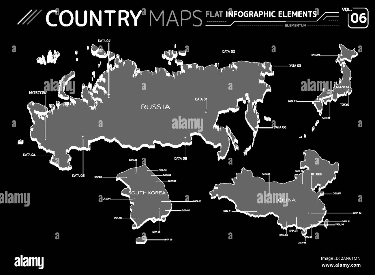 Russia, Japan, China and South Korea Vector Maps Stock Vectorhttps://www.alamy.com/image-license-details/?v=1https://www.alamy.com/russia-japan-china-and-south-korea-vector-maps-image340055877.html
RF2AN6TMN–Russia, Japan, China and South Korea Vector Maps
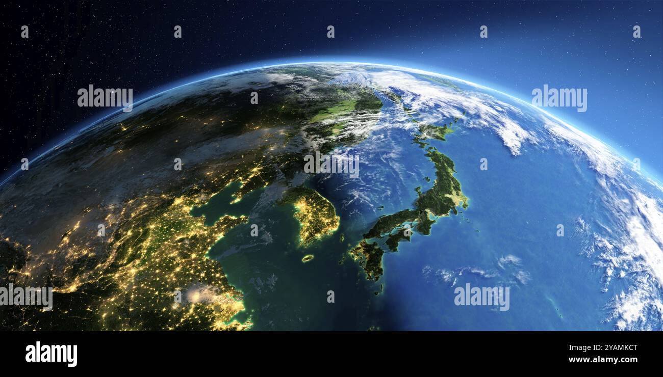 Highly detailed Earth with atmosphere, exaggerated relief and light-flooded cities. Transition from night to day. Korea and Japan. 3D rendering. Eleme Stock Photohttps://www.alamy.com/image-license-details/?v=1https://www.alamy.com/highly-detailed-earth-with-atmosphere-exaggerated-relief-and-light-flooded-cities-transition-from-night-to-day-korea-and-japan-3d-rendering-eleme-image626174104.html
RF2YAMKCT–Highly detailed Earth with atmosphere, exaggerated relief and light-flooded cities. Transition from night to day. Korea and Japan. 3D rendering. Eleme
 seoul south korea city isometric financial economy condition concept for describe cities growth expand - vector Stock Vectorhttps://www.alamy.com/image-license-details/?v=1https://www.alamy.com/seoul-south-korea-city-isometric-financial-economy-condition-concept-for-describe-cities-growth-expand-vector-image243296327.html
RFT3R2XF–seoul south korea city isometric financial economy condition concept for describe cities growth expand - vector
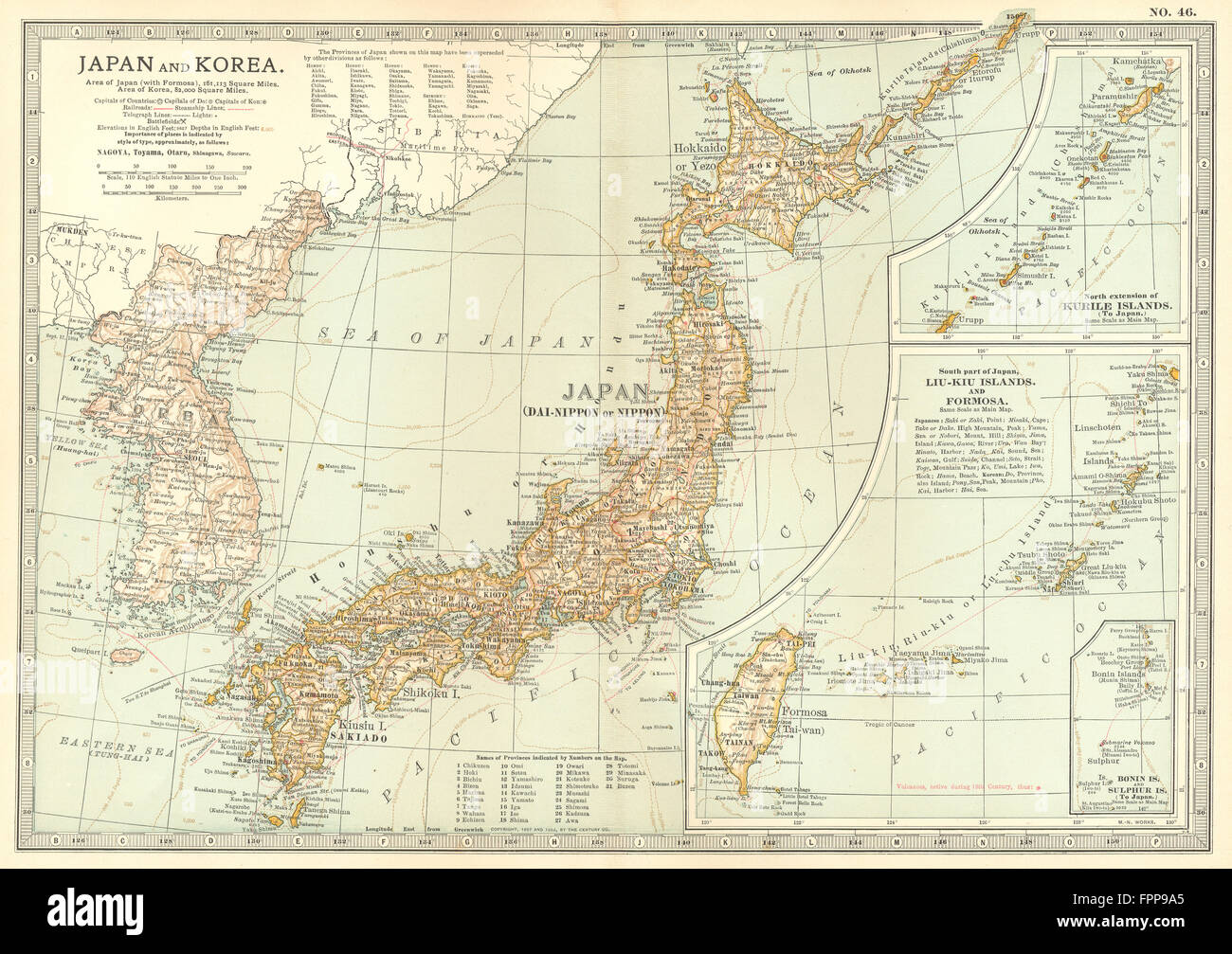 JAPAN KOREA: Sino-Japanese war 1894 Shimonoseki 1863/4 battles/dates, 1903 map Stock Photohttps://www.alamy.com/image-license-details/?v=1https://www.alamy.com/stock-photo-japan-korea-sino-japanese-war-1894-shimonoseki-18634-battlesdates-100064557.html
RFFPP9A5–JAPAN KOREA: Sino-Japanese war 1894 Shimonoseki 1863/4 battles/dates, 1903 map
 Satellite Image Of South Korea With Seoul Highlighted Stock Photohttps://www.alamy.com/image-license-details/?v=1https://www.alamy.com/satellite-image-of-south-korea-with-seoul-highlighted-image3561829.html
RFA42H66–Satellite Image Of South Korea With Seoul Highlighted
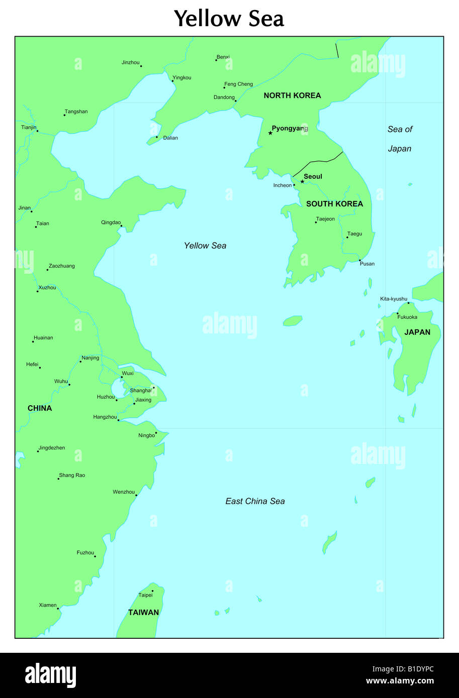 Yellow Sea map Stock Photohttps://www.alamy.com/image-license-details/?v=1https://www.alamy.com/stock-photo-yellow-sea-map-18132196.html
RFB1DYPC–Yellow Sea map
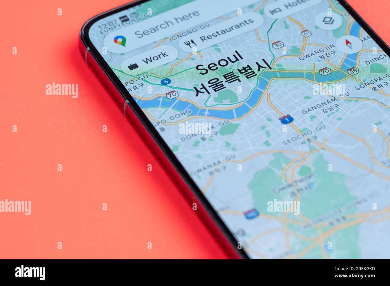 New York, USA - July 21, 2023: Seoul car traffic distribution in google maps on smartphone screen close up view with red background Stock Photohttps://www.alamy.com/image-license-details/?v=1https://www.alamy.com/new-york-usa-july-21-2023-seoul-car-traffic-distribution-in-google-maps-on-smartphone-screen-close-up-view-with-red-background-image559767137.html
RF2REKGKD–New York, USA - July 21, 2023: Seoul car traffic distribution in google maps on smartphone screen close up view with red background
 President Eisenhower with General Mark Clark displaying the Korean War Armistice Agreement. The bound volume of maps defined the Demilitarized Zone that divided North and South Korea. Ca. July-Aug. 1953. - (BSLOC 2014 16 201) Stock Photohttps://www.alamy.com/image-license-details/?v=1https://www.alamy.com/stock-photo-president-eisenhower-with-general-mark-clark-displaying-the-korean-87527341.html
RMF2B60D–President Eisenhower with General Mark Clark displaying the Korean War Armistice Agreement. The bound volume of maps defined the Demilitarized Zone that divided North and South Korea. Ca. July-Aug. 1953. - (BSLOC 2014 16 201)
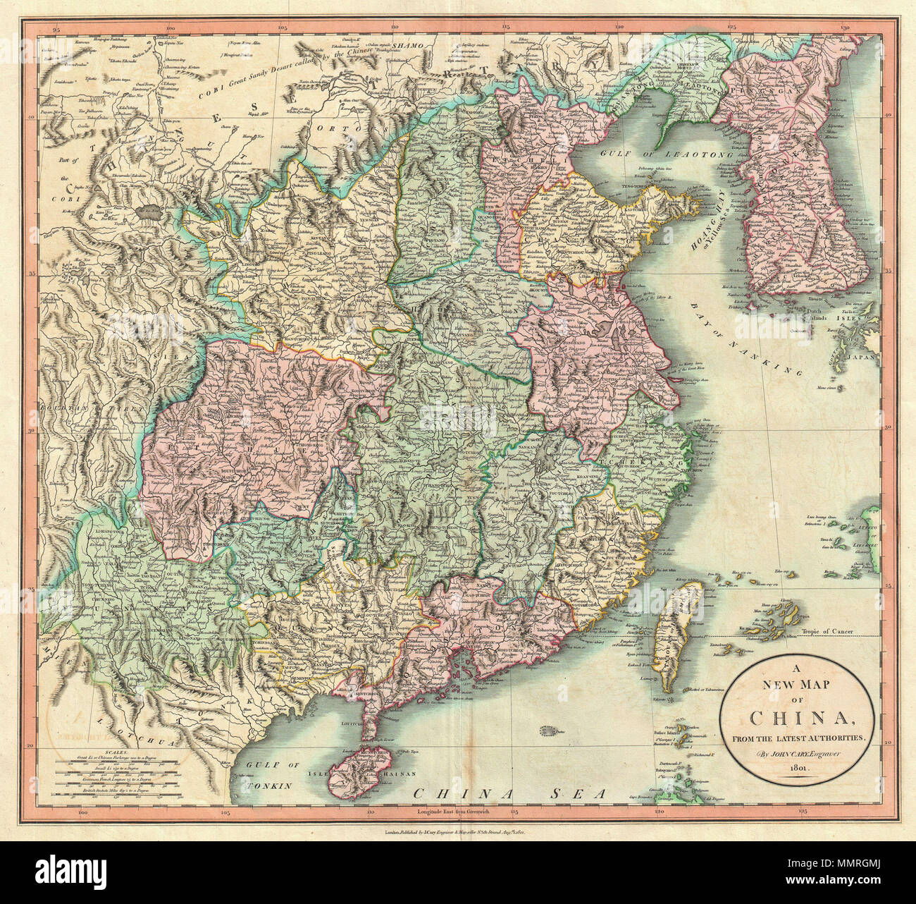 . English: An exceptionally beautiful example of John Cary’s important 1801 map of China and Korea. Covers from Tibet and Bhutan eastwards as far as Korea, extends north as far as the Gobi Desert and south to Tonkin (modern day Vietnam) and Hainan. Offers extraordinary detail throughout. Shows the convoluted course of China’s Great Wall. Also identifies the Island of Taiouan ( Taiwan ) or Formosa. All in all, one of the most interesting and attractive atlas maps of China and Korea to appear in first years of the 19th century. Prepared in 1801 by John Cary for issue in his magnificent 1808 New Stock Photohttps://www.alamy.com/image-license-details/?v=1https://www.alamy.com/english-an-exceptionally-beautiful-example-of-john-carys-important-1801-map-of-china-and-korea-covers-from-tibet-and-bhutan-eastwards-as-far-as-korea-extends-north-as-far-as-the-gobi-desert-and-south-to-tonkin-modern-day-vietnam-and-hainan-offers-extraordinary-detail-throughout-shows-the-convoluted-course-of-chinas-great-wall-also-identifies-the-island-of-taiouan-taiwan-or-formosa-all-in-all-one-of-the-most-interesting-and-attractive-atlas-maps-of-china-and-korea-to-appear-in-first-years-of-the-19th-century-prepared-in-1801-by-john-cary-for-issue-in-his-magnificent-1808-new-image184914818.html
RMMMRGMJ–. English: An exceptionally beautiful example of John Cary’s important 1801 map of China and Korea. Covers from Tibet and Bhutan eastwards as far as Korea, extends north as far as the Gobi Desert and south to Tonkin (modern day Vietnam) and Hainan. Offers extraordinary detail throughout. Shows the convoluted course of China’s Great Wall. Also identifies the Island of Taiouan ( Taiwan ) or Formosa. All in all, one of the most interesting and attractive atlas maps of China and Korea to appear in first years of the 19th century. Prepared in 1801 by John Cary for issue in his magnificent 1808 New
 3D map of Korea. Map of Korea land border with flag. Korea map on white background. 3d rendering Stock Photohttps://www.alamy.com/image-license-details/?v=1https://www.alamy.com/3d-map-of-korea-map-of-korea-land-border-with-flag-korea-map-on-white-background-3d-rendering-image345964185.html
RF2B2T0RN–3D map of Korea. Map of Korea land border with flag. Korea map on white background. 3d rendering
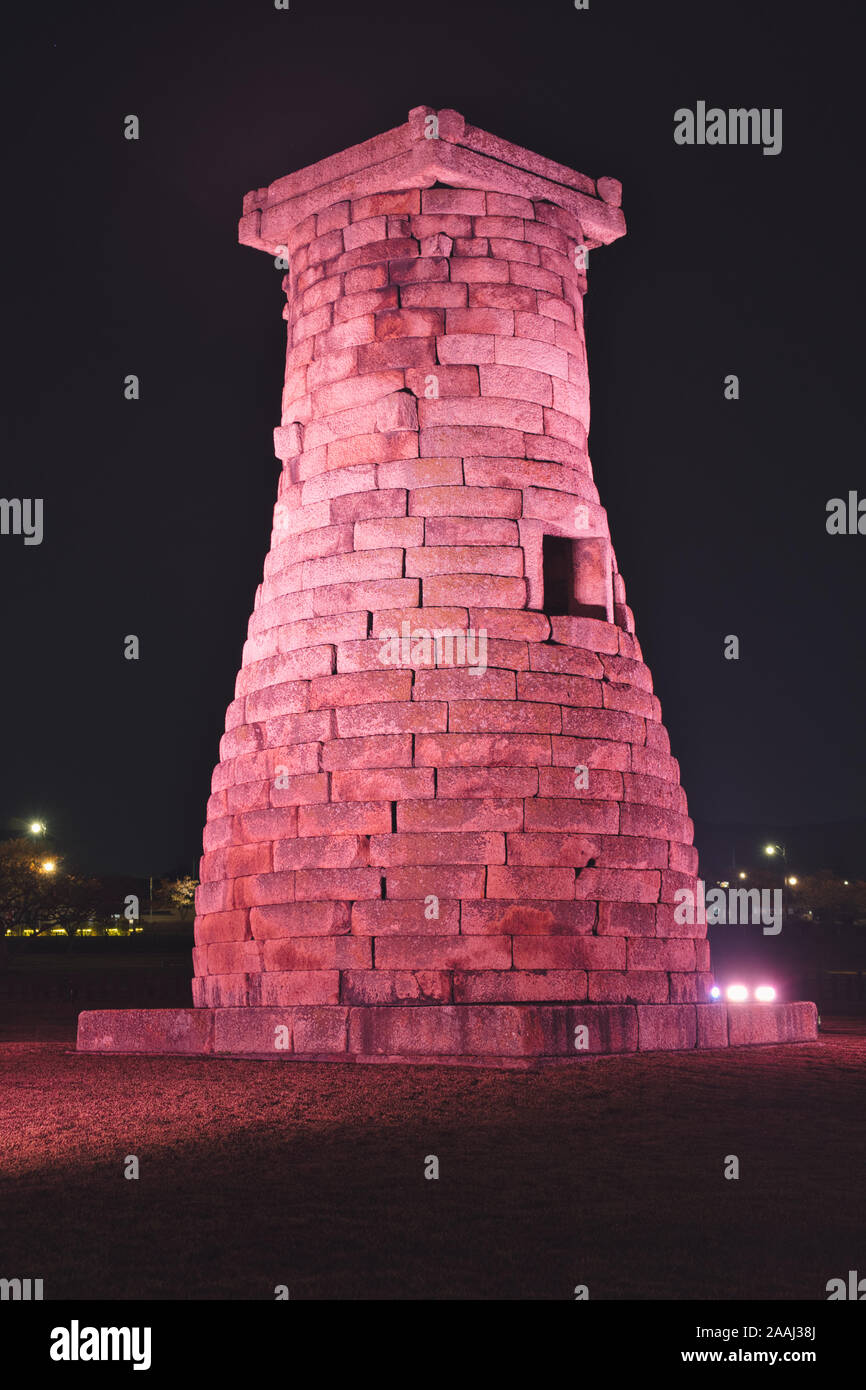 Photo of the CHEOMSEONGDAE at the night time in South Korea. Stock Photohttps://www.alamy.com/image-license-details/?v=1https://www.alamy.com/photo-of-the-cheomseongdae-at-the-night-time-in-south-korea-image333541282.html
RF2AAJ38J–Photo of the CHEOMSEONGDAE at the night time in South Korea.
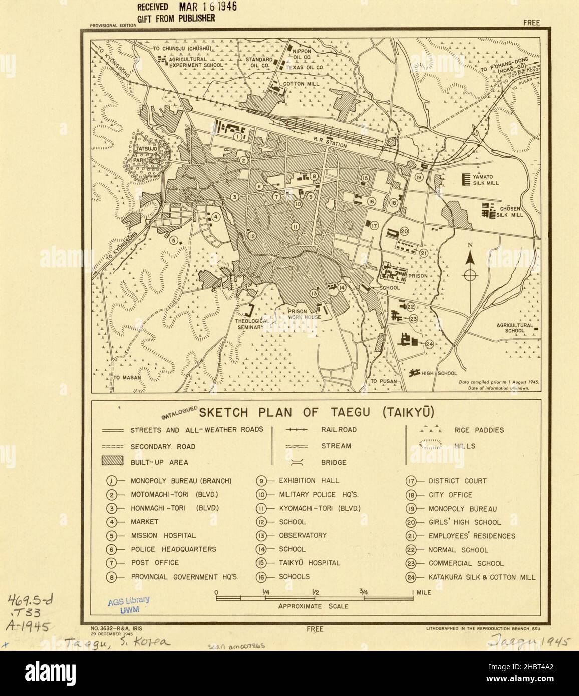 1945 Taegu South Korea Map Stock Photohttps://www.alamy.com/image-license-details/?v=1https://www.alamy.com/1945-taegu-south-korea-map-image454761050.html
RM2HBT4A2–1945 Taegu South Korea Map
 Yu-Ri(Girls' Generation), Jun 26, 2015 : Yuri poses at a presentation of a TV travel show, 'MAPS' in Seoul, South Korea. © Lee Jae-Won/AFLO/Alamy Live News Stock Photohttps://www.alamy.com/image-license-details/?v=1https://www.alamy.com/stock-photo-yu-rigirls-generation-jun-26-2015-yuri-poses-at-a-presentation-of-84701921.html
RMEWPE4H–Yu-Ri(Girls' Generation), Jun 26, 2015 : Yuri poses at a presentation of a TV travel show, 'MAPS' in Seoul, South Korea. © Lee Jae-Won/AFLO/Alamy Live News
 Map of South Korea ca. 1989 Stock Photohttps://www.alamy.com/image-license-details/?v=1https://www.alamy.com/map-of-south-korea-ca-1989-image454757988.html
RM2HBT0CM–Map of South Korea ca. 1989
 Anjwa-do Island in the Yellow Sea - belonging to South Korea. Described location diagram with yellow shape of the island and sample maps of its surrou Stock Photohttps://www.alamy.com/image-license-details/?v=1https://www.alamy.com/anjwa-do-island-in-the-yellow-sea-belonging-to-south-korea-described-location-diagram-with-yellow-shape-of-the-island-and-sample-maps-of-its-surrou-image617411411.html
RF2XTDEFF–Anjwa-do Island in the Yellow Sea - belonging to South Korea. Described location diagram with yellow shape of the island and sample maps of its surrou
 Ostersund, Sweden - Sep 14, 2021 South Korea on Google Maps under a magnifying glass.. South Korea is a country in East Asia, Stock Photohttps://www.alamy.com/image-license-details/?v=1https://www.alamy.com/ostersund-sweden-sep-14-2021-south-korea-on-google-maps-under-a-magnifying-glass-south-korea-is-a-country-in-east-asia-image453433313.html
RF2H9KJPW–Ostersund, Sweden - Sep 14, 2021 South Korea on Google Maps under a magnifying glass.. South Korea is a country in East Asia,
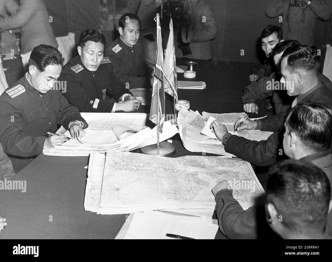 Col. James Murray, Jr., USMC, and Col. Chang Chun San, of the North Korean Communist Army, initial maps showing the north and south boundaries of the demarcation zone, during the Panmunjom cease fire talks. October 11, 1951 Stock Photohttps://www.alamy.com/image-license-details/?v=1https://www.alamy.com/col-james-murray-jr-usmc-and-col-chang-chun-san-of-the-north-korean-communist-army-initial-maps-showing-the-north-and-south-boundaries-of-the-demarcation-zone-during-the-panmunjom-cease-fire-talks-october-11-1951-image642224073.html
RM2S8RRA1–Col. James Murray, Jr., USMC, and Col. Chang Chun San, of the North Korean Communist Army, initial maps showing the north and south boundaries of the demarcation zone, during the Panmunjom cease fire talks. October 11, 1951
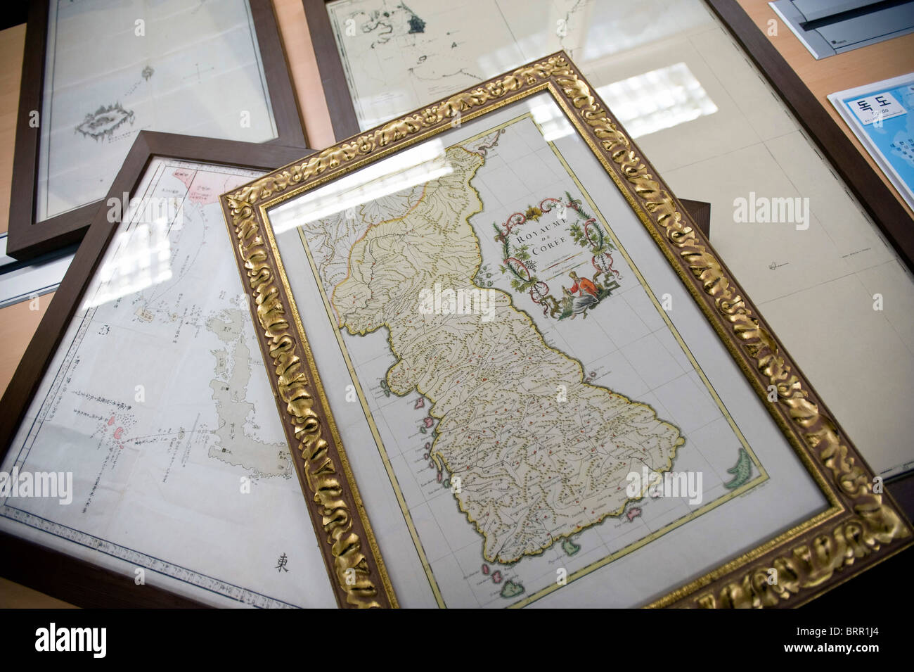 Photo shows historical maps relating to the disputed Dokdo Islands, known to Japanese as Takeshima, Stock Photohttps://www.alamy.com/image-license-details/?v=1https://www.alamy.com/stock-photo-photo-shows-historical-maps-relating-to-the-disputed-dokdo-islands-31853644.html
RMBRR1J4–Photo shows historical maps relating to the disputed Dokdo Islands, known to Japanese as Takeshima,
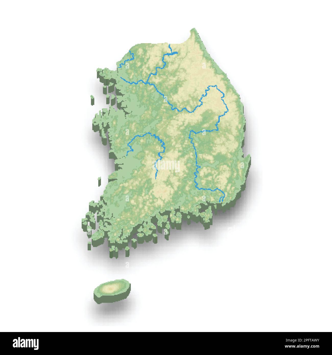 3d isometric relief map of South Korea with shadow Stock Vectorhttps://www.alamy.com/image-license-details/?v=1https://www.alamy.com/3d-isometric-relief-map-of-south-korea-with-shadow-image543276663.html
RF2PFTAWY–3d isometric relief map of South Korea with shadow
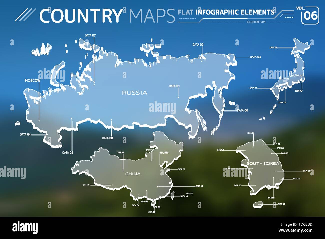 Russia, Japan, China and South Korea Vector Maps Stock Vectorhttps://www.alamy.com/image-license-details/?v=1https://www.alamy.com/russia-japan-china-and-south-korea-vector-maps-image249289585.html
RFTDG3BD–Russia, Japan, China and South Korea Vector Maps
 Satellite Image of Korea Stock Photohttps://www.alamy.com/image-license-details/?v=1https://www.alamy.com/stock-photo-satellite-image-of-korea-18212743.html
RMB1HJF3–Satellite Image of Korea
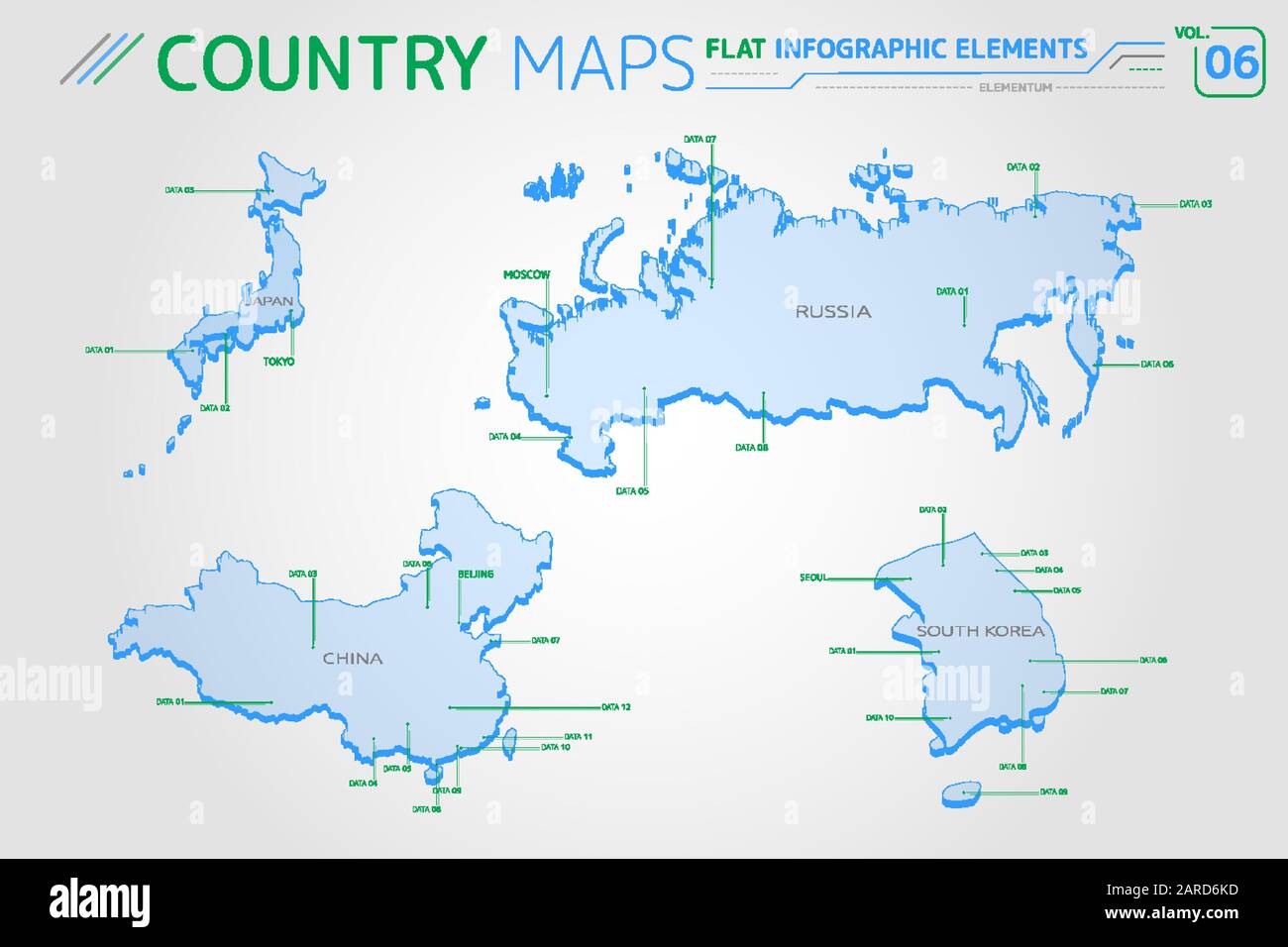 Russia, China, Japan and South Korea Vector Maps Stock Vectorhttps://www.alamy.com/image-license-details/?v=1https://www.alamy.com/russia-china-japan-and-south-korea-vector-maps-image341424705.html
RF2ARD6KD–Russia, China, Japan and South Korea Vector Maps
 Young man and woman providing assistance and information to tourists in Bukchon Hanok Village, Korean traditional village in Seoul, South Korea, Asia Stock Photohttps://www.alamy.com/image-license-details/?v=1https://www.alamy.com/stock-photo-young-man-and-woman-providing-assistance-and-information-to-tourists-133637794.html
RMHNBMAA–Young man and woman providing assistance and information to tourists in Bukchon Hanok Village, Korean traditional village in Seoul, South Korea, Asia
 Highlighted Satellite Image Of South Korea With Capital Seoul Shown Stock Photohttps://www.alamy.com/image-license-details/?v=1https://www.alamy.com/stock-photo-highlighted-satellite-image-of-south-korea-with-capital-seoul-shown-10507630.html
RFA2FFAR–Highlighted Satellite Image Of South Korea With Capital Seoul Shown
RF2C413JA–Australia and New Zealand, Globe Icon 3D illustration, Glossy, Shiny Sphere with Global Map in Subtle Blues giving a transparent feel
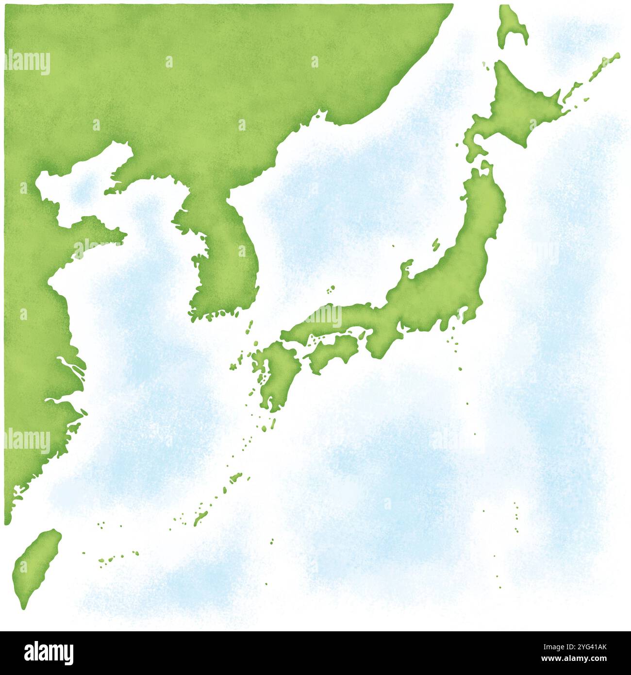 Map of Japan with South Korea, North Korea, Taiwan and China Stock Photohttps://www.alamy.com/image-license-details/?v=1https://www.alamy.com/map-of-japan-with-south-korea-north-korea-taiwan-and-china-image629496635.html
RF2YG41AK–Map of Japan with South Korea, North Korea, Taiwan and China
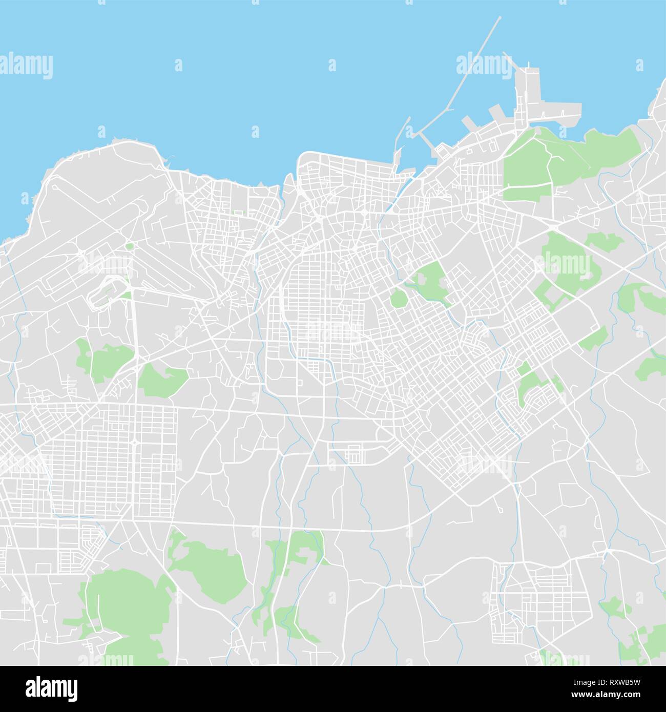 Downtown vector map of Jeju, South Korea. This printable map of Jeju contains lines and classic colored shapes for land mass, parks, water, major and Stock Vectorhttps://www.alamy.com/image-license-details/?v=1https://www.alamy.com/downtown-vector-map-of-jeju-south-korea-this-printable-map-of-jeju-contains-lines-and-classic-colored-shapes-for-land-mass-parks-water-major-and-image240273429.html
RFRXWB5W–Downtown vector map of Jeju, South Korea. This printable map of Jeju contains lines and classic colored shapes for land mass, parks, water, major and
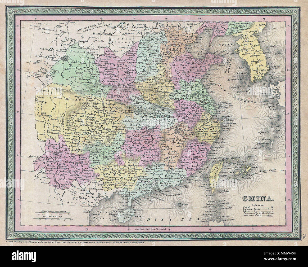 . English: An extremely attractive example of S. A. Mitchell Sr.’s 1853 map of China. Covers from Chinese Tartary south to Hainan and east to Korea and Formosa. Chinese provinces are color coded and numbered. Surrounded by the green border common to Mitchell maps from the 1850s. Prepared by S. A. Mitchell for issued as plate no. 70 in the 1853 edition of his New Universal Atlas . Dated and copyrighted, “Entered according to act of Congress, in the year 1850, by Thomas Cowperthwait & Co., in the Clerks office of the District court of the Eastern District of Pennsylvania. China.. 1850 (dated). Stock Photohttps://www.alamy.com/image-license-details/?v=1https://www.alamy.com/english-an-extremely-attractive-example-of-s-a-mitchell-srs-1853-map-of-china-covers-from-chinese-tartary-south-to-hainan-and-east-to-korea-and-formosa-chinese-provinces-are-color-coded-and-numbered-surrounded-by-the-green-border-common-to-mitchell-maps-from-the-1850s-prepared-by-s-a-mitchell-for-issued-as-plate-no-70-in-the-1853-edition-of-his-new-universal-atlas-dated-and-copyrighted-entered-according-to-act-of-congress-in-the-year-1850-by-thomas-cowperthwait-co-in-the-clerks-office-of-the-district-court-of-the-eastern-district-of-pennsylvania-china-1850-dated-image184948753.html
RMMMW40H–. English: An extremely attractive example of S. A. Mitchell Sr.’s 1853 map of China. Covers from Chinese Tartary south to Hainan and east to Korea and Formosa. Chinese provinces are color coded and numbered. Surrounded by the green border common to Mitchell maps from the 1850s. Prepared by S. A. Mitchell for issued as plate no. 70 in the 1853 edition of his New Universal Atlas . Dated and copyrighted, “Entered according to act of Congress, in the year 1850, by Thomas Cowperthwait & Co., in the Clerks office of the District court of the Eastern District of Pennsylvania. China.. 1850 (dated).
 Korea crime concept, police investigation. 3D map of Korea. Map of Korea land border with flag. 3d rendering Stock Photohttps://www.alamy.com/image-license-details/?v=1https://www.alamy.com/korea-crime-concept-police-investigation-3d-map-of-korea-map-of-korea-land-border-with-flag-3d-rendering-image346484649.html
RF2B3KMKN–Korea crime concept, police investigation. 3D map of Korea. Map of Korea land border with flag. 3d rendering
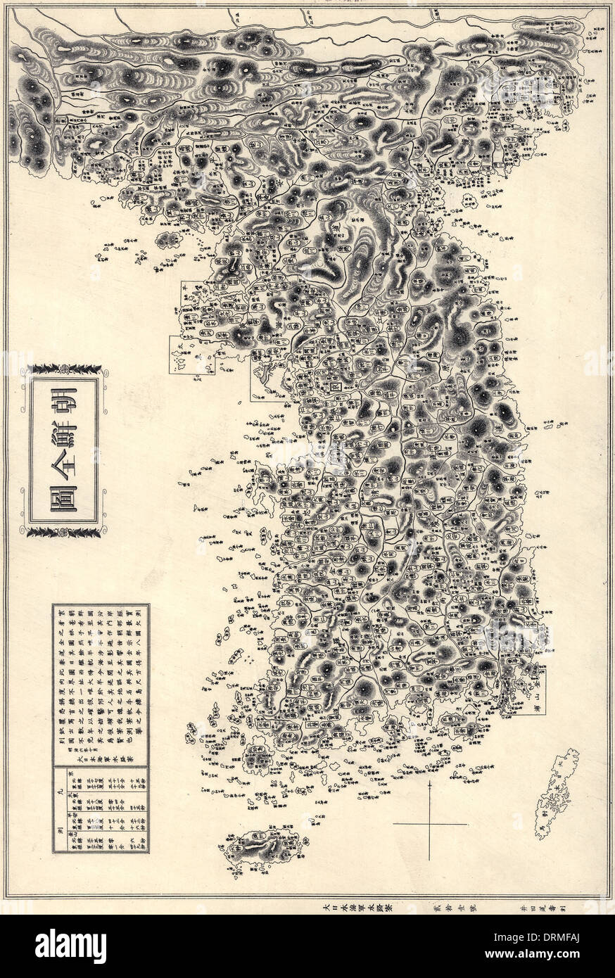 Map of the Korean Peninsula (Chosŏn Pando) published 1860. Also visible are Tsushima and Jeju Islands Stock Photohttps://www.alamy.com/image-license-details/?v=1https://www.alamy.com/map-of-the-korean-peninsula-chosn-pando-published-1860-also-visible-image66219290.html
RMDRMFAJ–Map of the Korean Peninsula (Chosŏn Pando) published 1860. Also visible are Tsushima and Jeju Islands
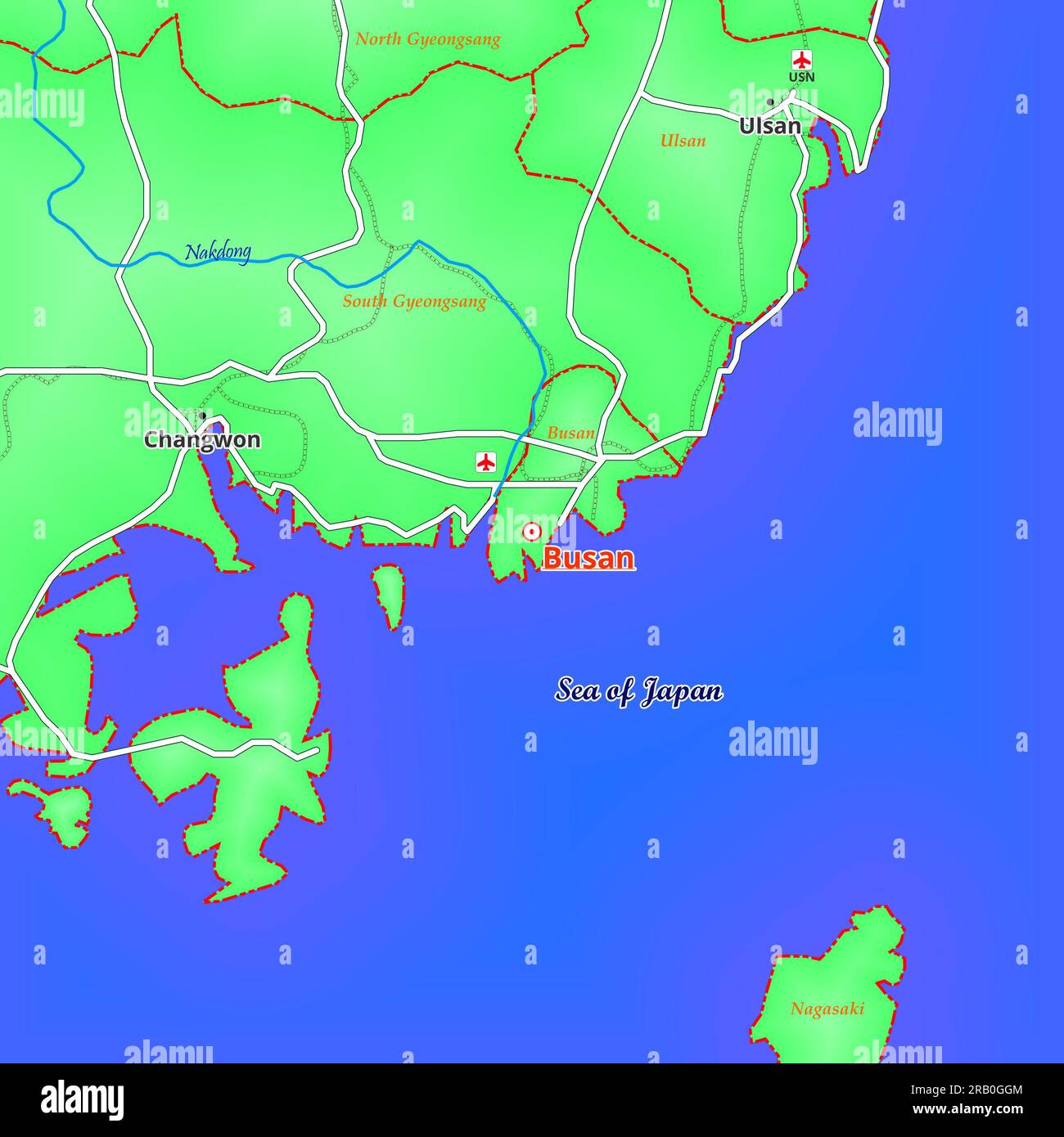 Map of Busan City in South Korea Stock Photohttps://www.alamy.com/image-license-details/?v=1https://www.alamy.com/map-of-busan-city-in-south-korea-image557506004.html
RF2RB0GGM–Map of Busan City in South Korea
 Yu-Ri(Girls' Generation), Jun 26, 2015 : Yuri poses at a presentation of a TV travel show, 'MAPS' in Seoul, South Korea. © Lee Jae-Won/AFLO/Alamy Live News Stock Photohttps://www.alamy.com/image-license-details/?v=1https://www.alamy.com/stock-photo-yu-rigirls-generation-jun-26-2015-yuri-poses-at-a-presentation-of-84702092.html
RMEWPEAM–Yu-Ri(Girls' Generation), Jun 26, 2015 : Yuri poses at a presentation of a TV travel show, 'MAPS' in Seoul, South Korea. © Lee Jae-Won/AFLO/Alamy Live News
RFRM59EH–China, Japan, Malaysia, Thailand, Indonesia, Australia, Global World, Vector Map Icon of the World Globe
RF2WMK2PP–South Korea country black outline and colored country silhouettes in three different levels of smoothness. Simplified maps. Vector icons isolated on white background.
 concept vector image of South And North Korea truce with shaking hands and countries maps Stock Vectorhttps://www.alamy.com/image-license-details/?v=1https://www.alamy.com/concept-vector-image-of-south-and-north-korea-truce-with-shaking-hands-and-countries-maps-image182993632.html
RFMHM26T–concept vector image of South And North Korea truce with shaking hands and countries maps
 Panmunjom cease fire talks in Oct. 11, 1951. North Korean Col. Chang Chun San and U.S. Col. James Murray initial maps showing the north and south boundaries of the demarcation zone. Korean War, 1950-53. (BSLOC 2014 11 262) Stock Photohttps://www.alamy.com/image-license-details/?v=1https://www.alamy.com/stock-photo-panmunjom-cease-fire-talks-in-oct-11-1951-north-korean-col-chang-chun-170508479.html
RMKWB98F–Panmunjom cease fire talks in Oct. 11, 1951. North Korean Col. Chang Chun San and U.S. Col. James Murray initial maps showing the north and south boundaries of the demarcation zone. Korean War, 1950-53. (BSLOC 2014 11 262)
 Head of Dokdo Research Institue, Dr. LEE Hoon, looks at historical maps relating to the disputed Dokdo Islands Stock Photohttps://www.alamy.com/image-license-details/?v=1https://www.alamy.com/stock-photo-head-of-dokdo-research-institue-dr-lee-hoon-looks-at-historical-maps-31853640.html
RMBRR1J0–Head of Dokdo Research Institue, Dr. LEE Hoon, looks at historical maps relating to the disputed Dokdo Islands
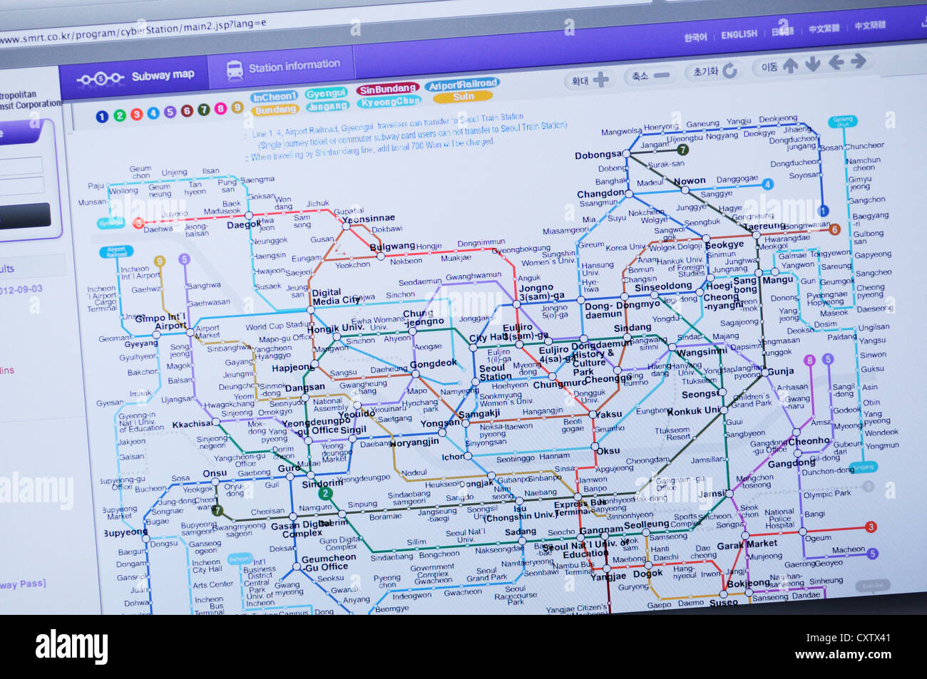 Seoul metro website - subway map information Stock Photohttps://www.alamy.com/image-license-details/?v=1https://www.alamy.com/stock-photo-seoul-metro-website-subway-map-information-50949137.html
RMCXTX41–Seoul metro website - subway map information
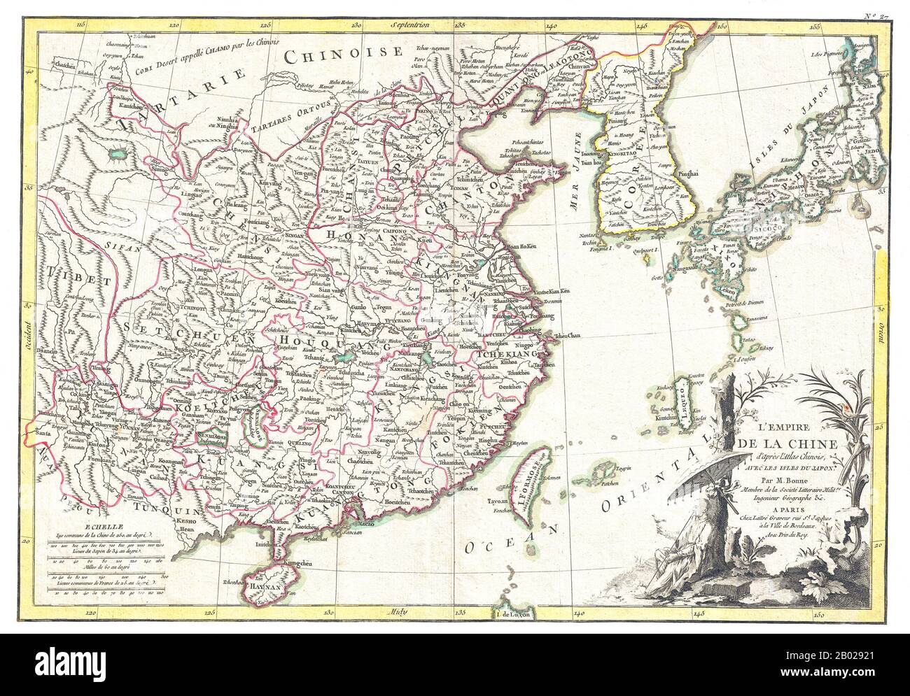 Rigobert Bonne's decorative map of China, Korea (Corea), Japan and Formosa (Taiwan). The arera covered extends from Tibet and Chinese Tartary east to Japan and south to Hainan. China is divided into various provinces with major cities, lakes, and riverways noted. Names Macao, Canton, Nanking (Nanjing), Jedo (Tokyo), Peking (Beijing) and many other cities. The lower right quadrant is decorated with an elaborate title cartouche showing a Chinese scholar or monk relaxing with a bird in a forest under a parasol. Drawn by R. Bonne c. 1770 for issue as plate no. 35 in Jean Lattre's 1776 issue of Stock Photohttps://www.alamy.com/image-license-details/?v=1https://www.alamy.com/rigobert-bonnes-decorative-map-of-china-korea-corea-japan-and-formosa-taiwan-the-arera-covered-extends-from-tibet-and-chinese-tartary-east-to-japan-and-south-to-hainan-china-is-divided-into-various-provinces-with-major-cities-lakes-and-riverways-noted-names-macao-canton-nanking-nanjing-jedo-tokyo-peking-beijing-and-many-other-cities-the-lower-right-quadrant-is-decorated-with-an-elaborate-title-cartouche-showing-a-chinese-scholar-or-monk-relaxing-with-a-bird-in-a-forest-under-a-parasol-drawn-by-r-bonne-c-1770-for-issue-as-plate-no-35-in-jean-lattres-1776-issue-of-image344258377.html
RM2B02921–Rigobert Bonne's decorative map of China, Korea (Corea), Japan and Formosa (Taiwan). The arera covered extends from Tibet and Chinese Tartary east to Japan and south to Hainan. China is divided into various provinces with major cities, lakes, and riverways noted. Names Macao, Canton, Nanking (Nanjing), Jedo (Tokyo), Peking (Beijing) and many other cities. The lower right quadrant is decorated with an elaborate title cartouche showing a Chinese scholar or monk relaxing with a bird in a forest under a parasol. Drawn by R. Bonne c. 1770 for issue as plate no. 35 in Jean Lattre's 1776 issue of
 Paju, South Korea. 14th Dec, 2023. Maps show the DMZ (Korea Demilitarized Zone) at Paju, South Korea on December 14, 2023. (Photo by Efren Landaos/Sipa USA) Credit: Sipa USA/Alamy Live News Stock Photohttps://www.alamy.com/image-license-details/?v=1https://www.alamy.com/paju-south-korea-14th-dec-2023-maps-show-the-dmz-korea-demilitarized-zone-at-paju-south-korea-on-december-14-2023-photo-by-efren-landaossipa-usa-credit-sipa-usaalamy-live-news-image575834608.html
RM2TCREWM–Paju, South Korea. 14th Dec, 2023. Maps show the DMZ (Korea Demilitarized Zone) at Paju, South Korea on December 14, 2023. (Photo by Efren Landaos/Sipa USA) Credit: Sipa USA/Alamy Live News
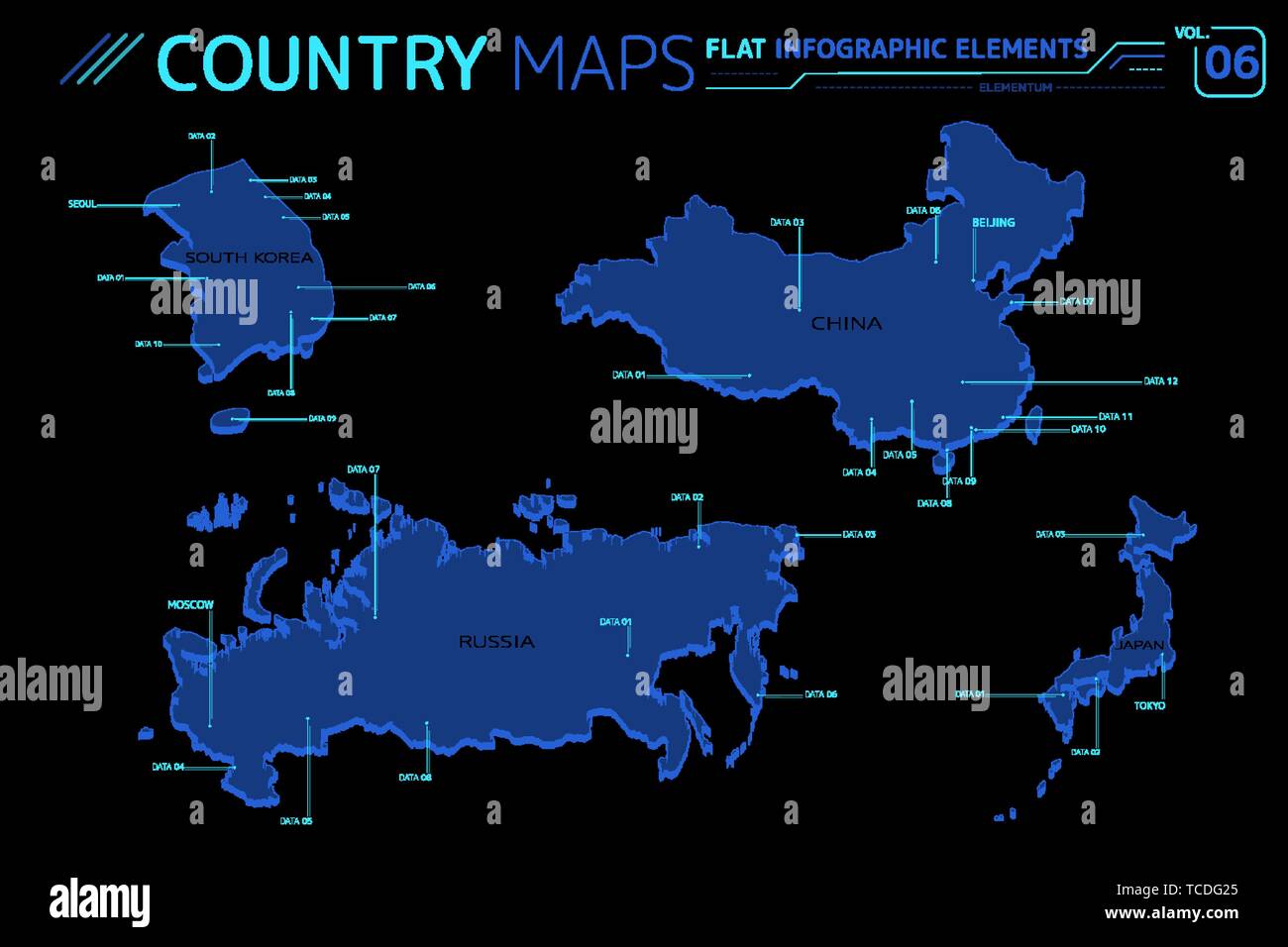 South Korea, China, Russia and Japan Vector Maps Stock Vectorhttps://www.alamy.com/image-license-details/?v=1https://www.alamy.com/south-korea-china-russia-and-japan-vector-maps-image248619005.html
RFTCDG25–South Korea, China, Russia and Japan Vector Maps
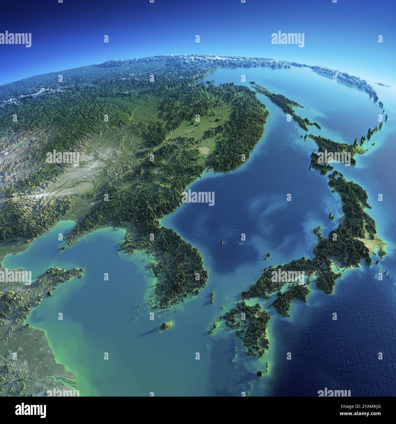 Highly detailed planet Earth in the morning. Exaggerated precise relief lit morning sun. Detailed Earth. Korea and Japan. Elements of this image furni Stock Photohttps://www.alamy.com/image-license-details/?v=1https://www.alamy.com/highly-detailed-planet-earth-in-the-morning-exaggerated-precise-relief-lit-morning-sun-detailed-earth-korea-and-japan-elements-of-this-image-furni-image626174264.html
RM2YAMKJG–Highly detailed planet Earth in the morning. Exaggerated precise relief lit morning sun. Detailed Earth. Korea and Japan. Elements of this image furni
 Highlighted Satellite Image Of South Korea Without Surrounding Countries Shown Stock Photohttps://www.alamy.com/image-license-details/?v=1https://www.alamy.com/stock-photo-highlighted-satellite-image-of-south-korea-without-surrounding-countries-10507775.html
RFA2FFPT–Highlighted Satellite Image Of South Korea Without Surrounding Countries Shown